
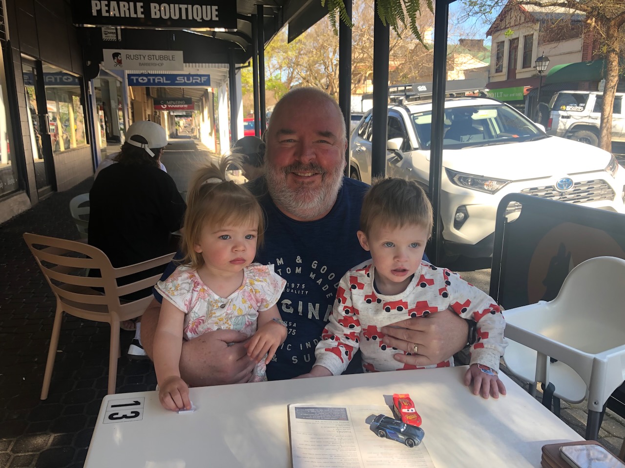
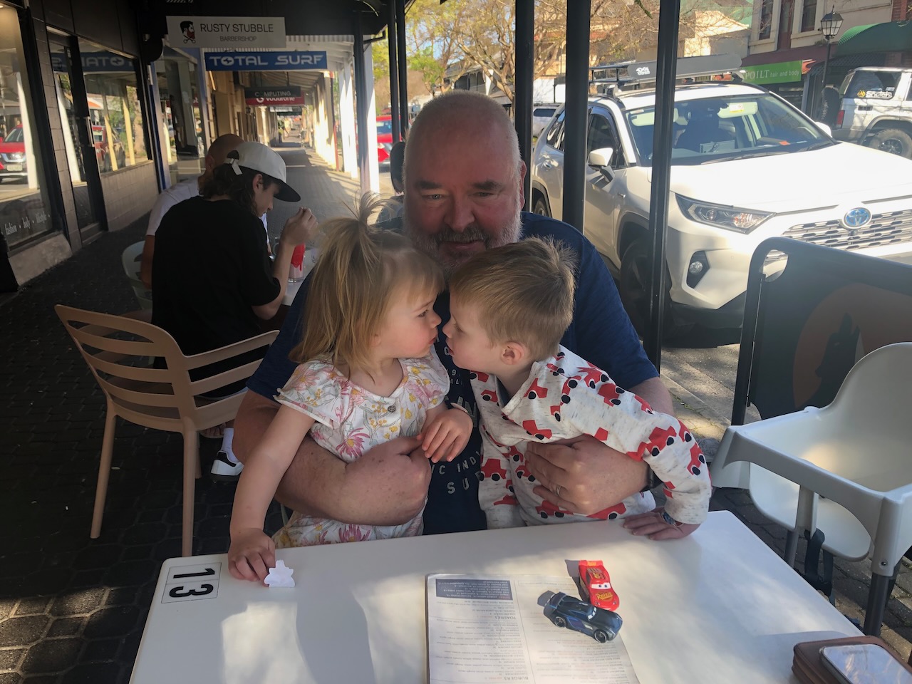
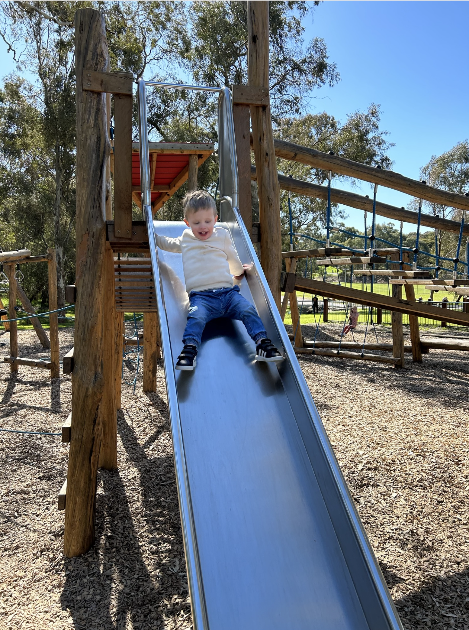
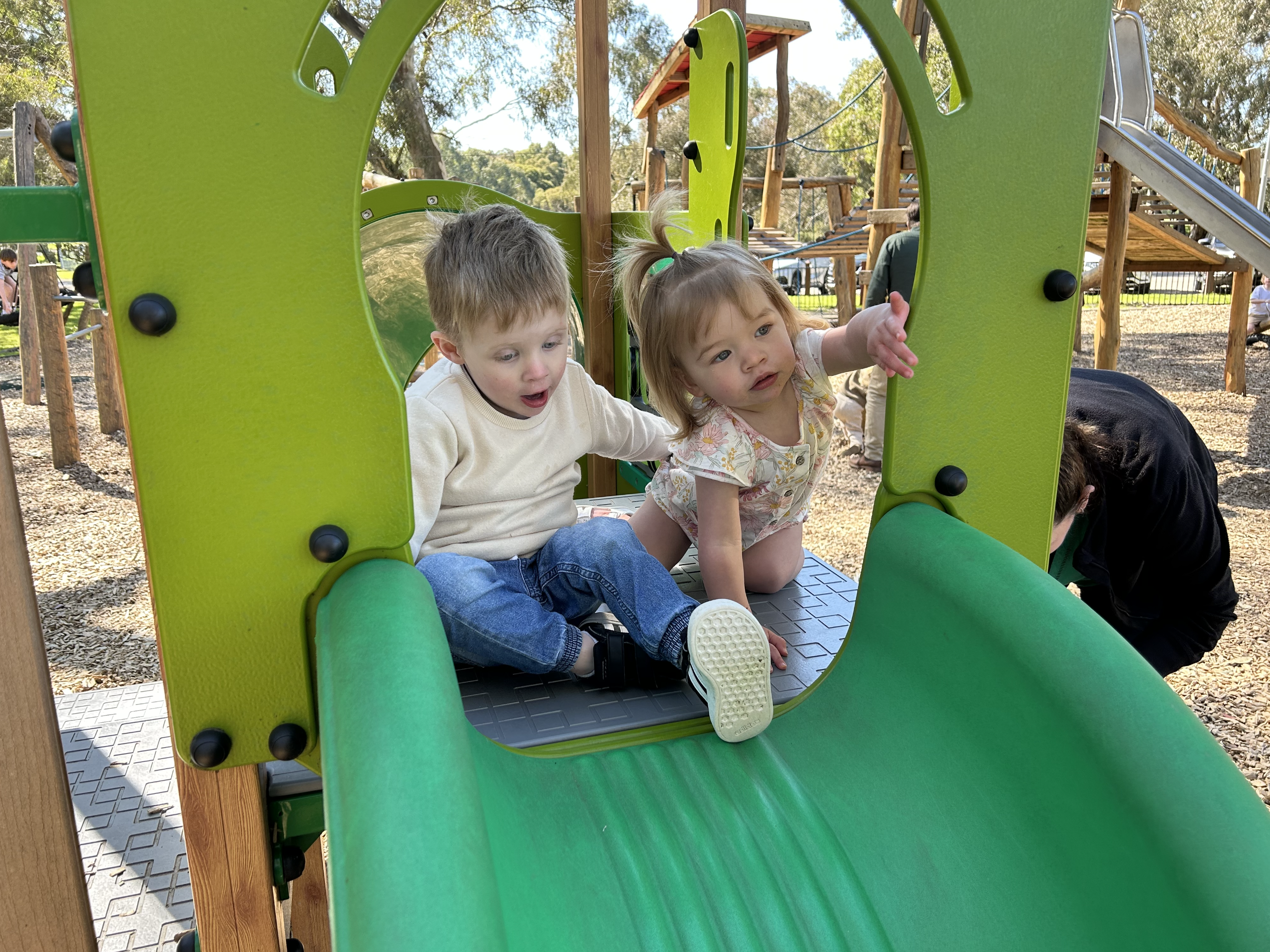
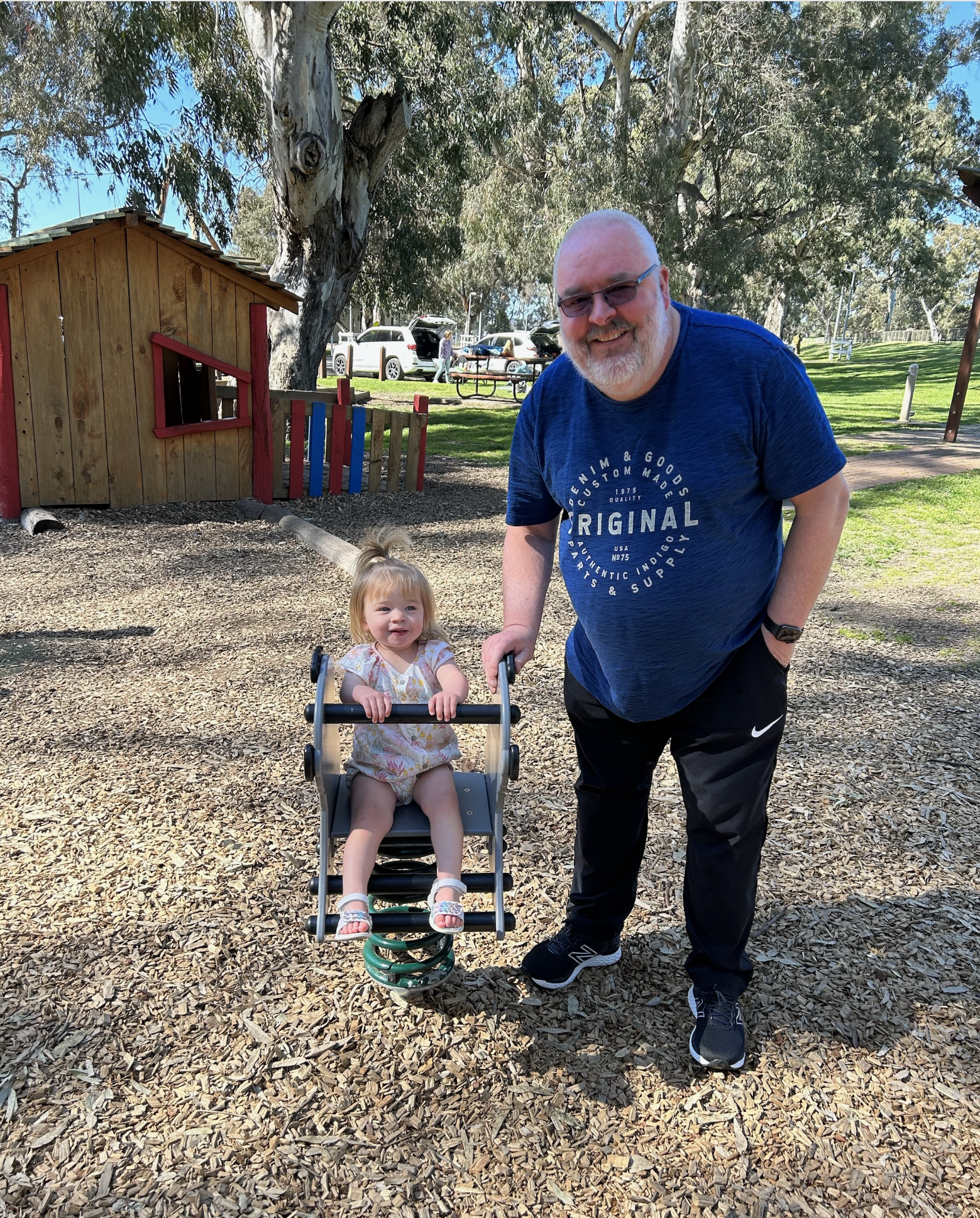
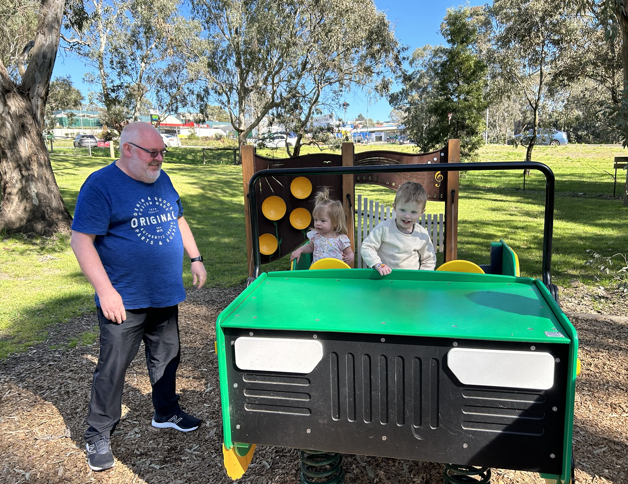
Sunday 3rd September 2023 was Father’s Day. Marija and I went out for a beautiful breakfast at the Gawler Street Cafe with our son Jake and Samara & grandson Flynn, and our daughter Olivia & grand daughter Iris. We then went to the Totness playground for some fun. It was a great morning.
After arriving home, Marija and I decided to head out in the afternoon to activate a park for the World Wide Flora Fauna (WWFF) program, using the special callsign of VI10VKFF which is to celebrate the 10-year anniversary of the VKFF program in Australia.
I decided to activate a new park for myself, the Callington Hill Grasslands Reserve VKFF-4031. Callington is about 54 km southeast of the city of Adelaide.
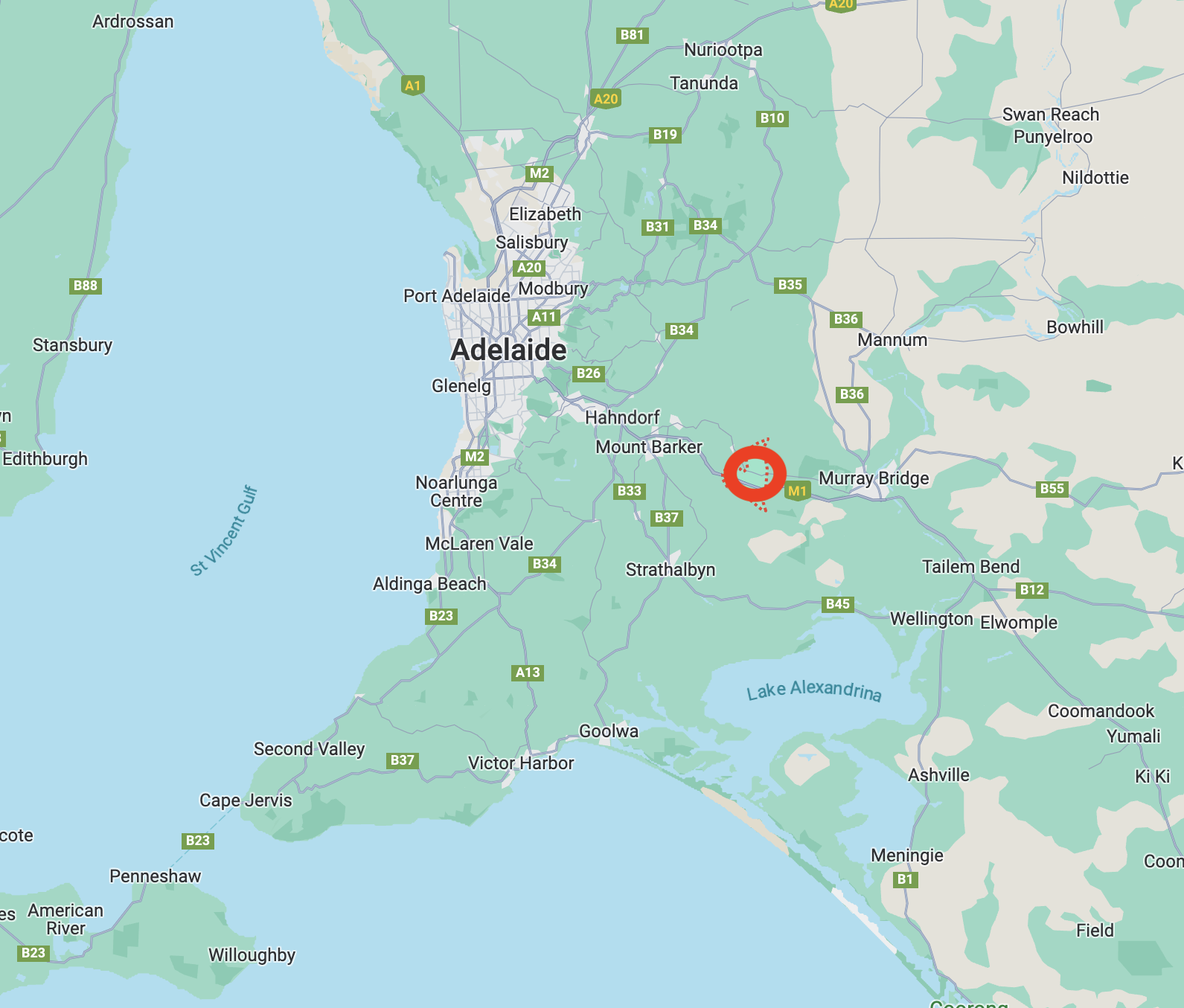
Above:- Map showing the location of Callington. Map c/o Google Maps.
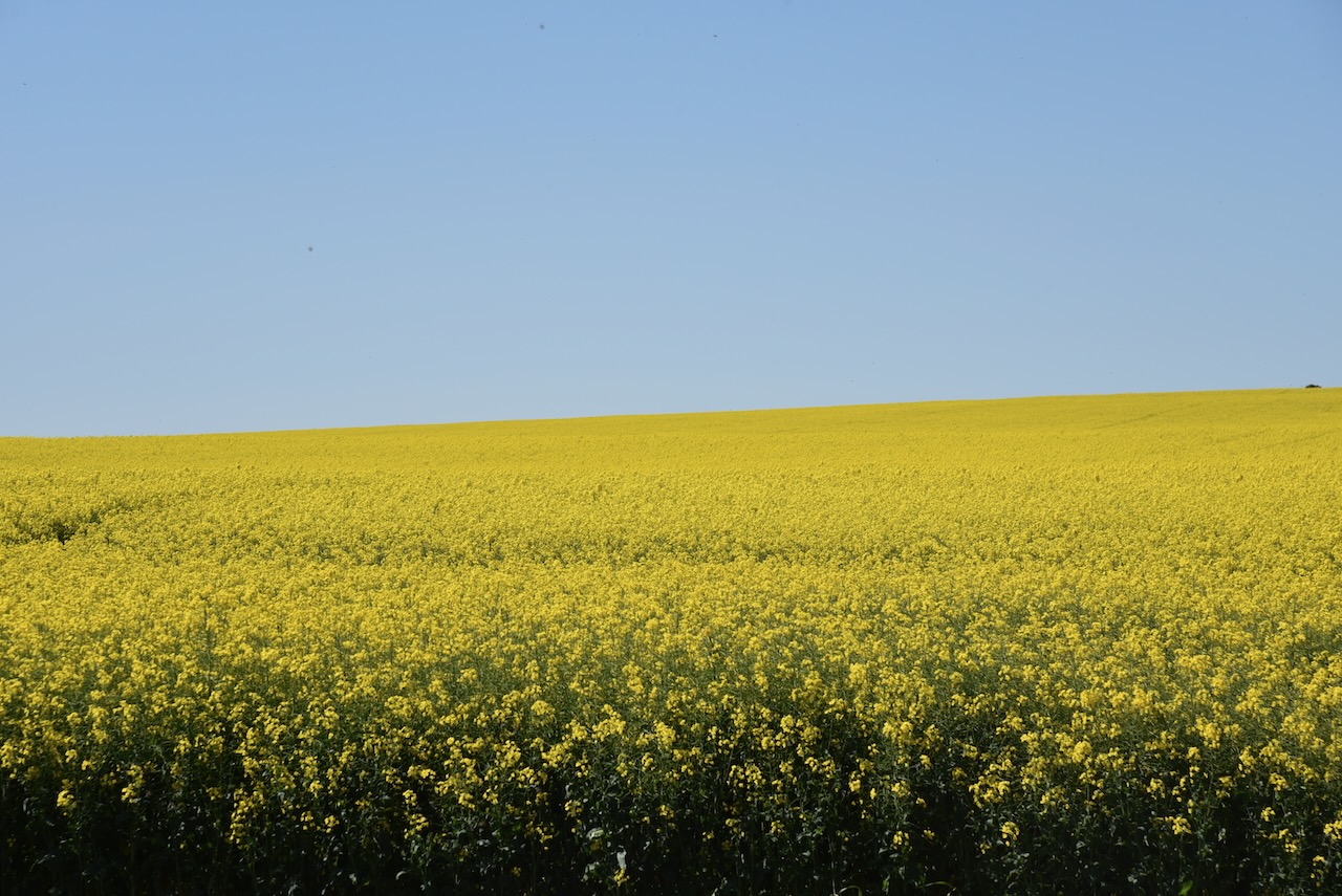
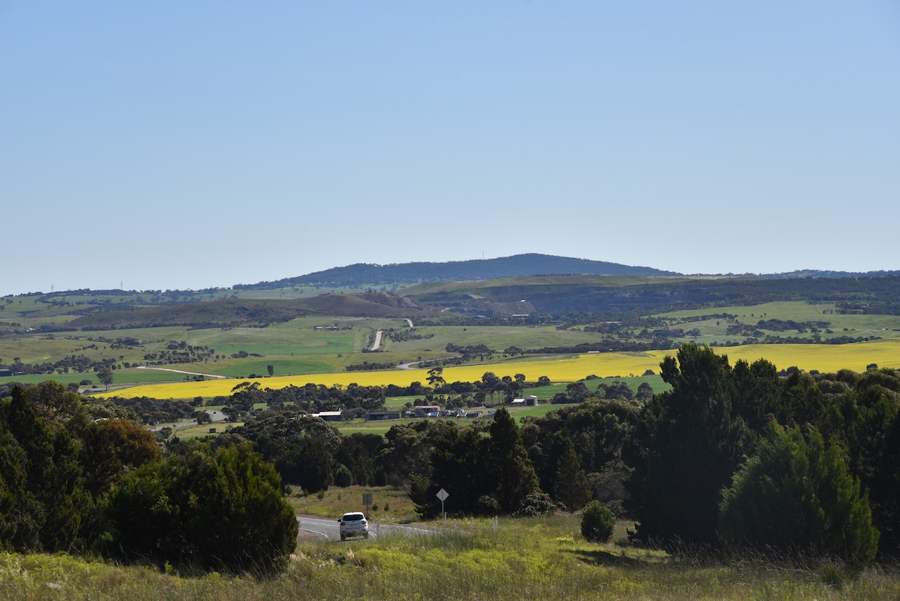
We drove into Strathalbyn and then to Woodchester and on to Callington. The weather was beautiful with hardly a cloud in the sky. The bright yellow of the canola fields against the blue sky were amazing.
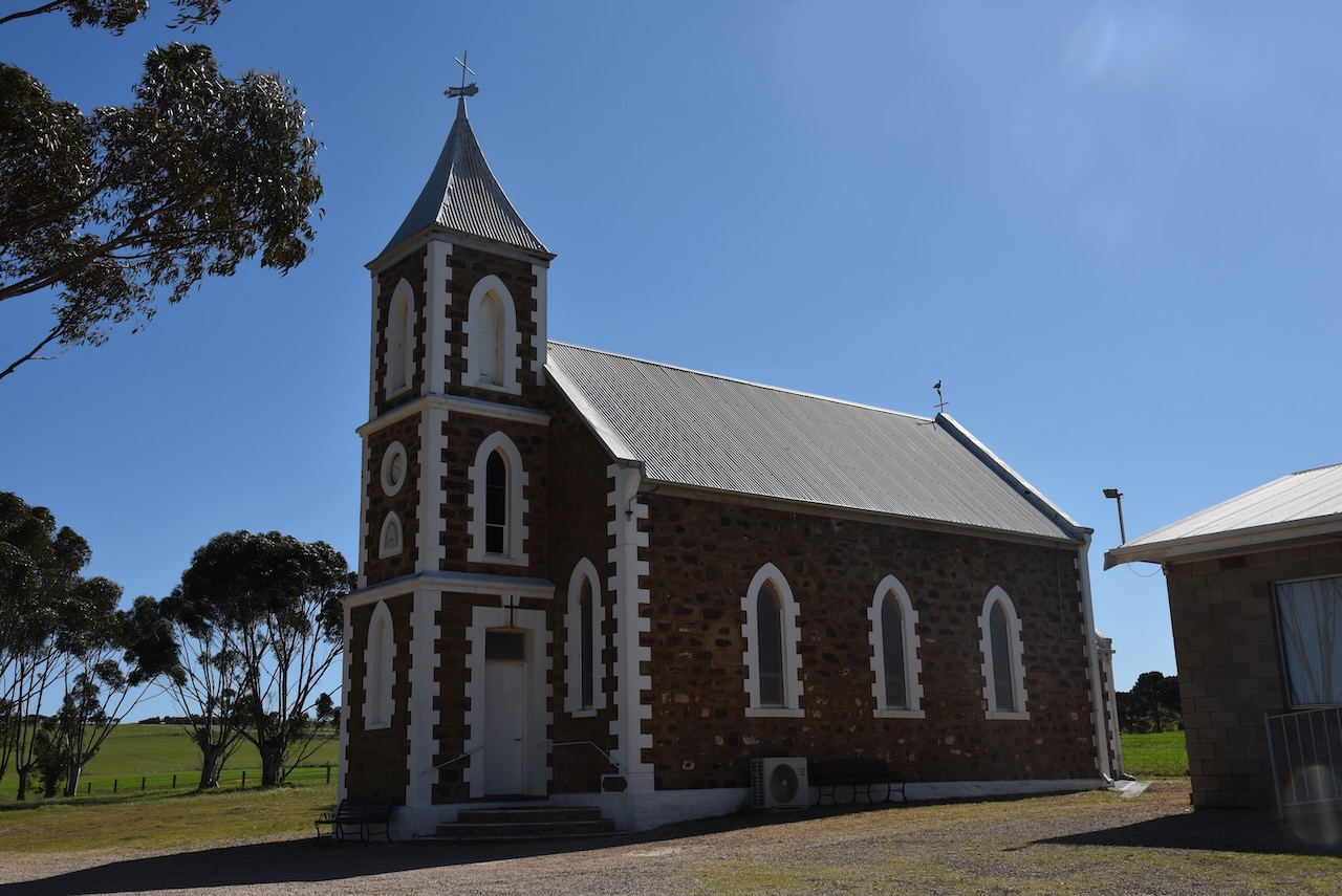
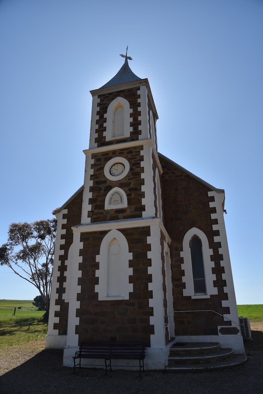
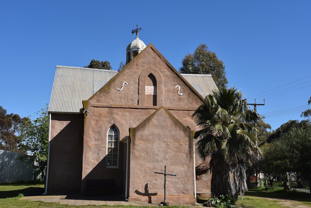
We stopped briefly at the Salem Lutheran church which was constructed in 1890 to replace an earlier Lutheran church built in 1856 – the Salem or Peace Church built by German settlers. The word Salem means ‘peace’. The settlement of Salem is on land which was granted in January 1853 to Gottlob Jaensch. The Salem village school opened in 1865 and closed in 1936.
We then reached the old bridge at the Bremer River.
The Bremer River rises near Mount Torrens in the Mount Lofty Ranges and flows generally south before emptying into Lake Alexandrina. The river flows over an 88 km course. The aboriginal name for the river is Miochi.
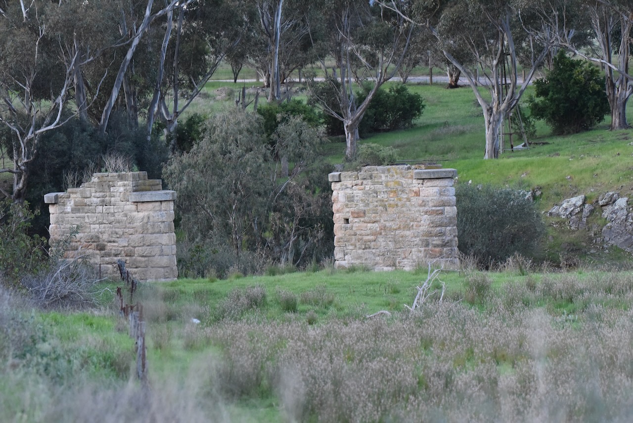
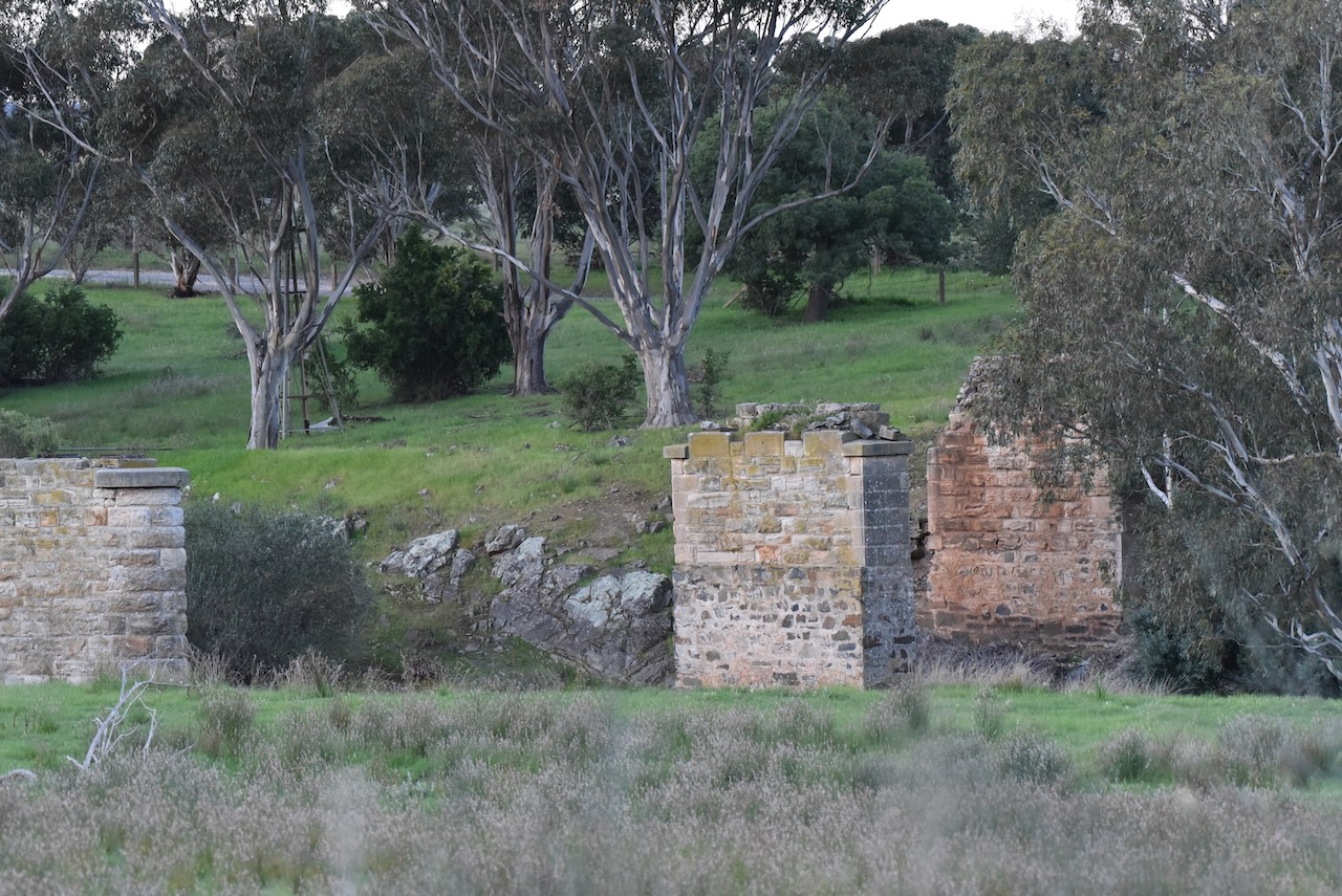
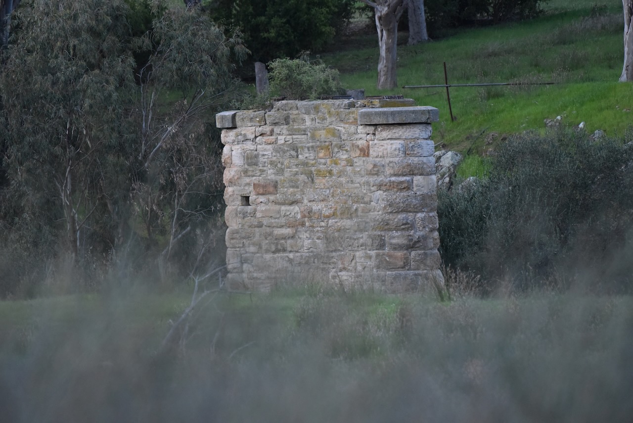
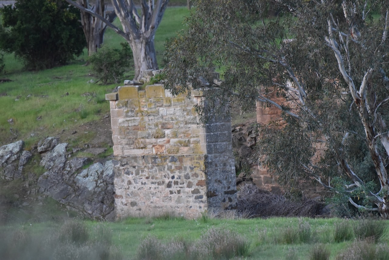
The Bremer was originally known as the Hindmarsh River. In 1837 Robert Cock named it as such in honour of South Australian Governor John Hindmarsh. It was subsequently noted that there were 2 rivers of the same name and in 1839 the name of the river was changed to Bremer to avoid confusion It was named in honour of Sir James Gordon Bremer (b. 1786. d. 1850) who commanded HMS Alligator which conveyed Hindmarsh back to England.
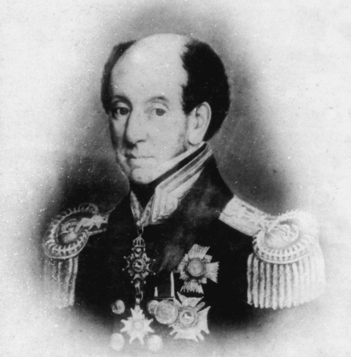
Above:- Sir James Bremer. Image c/o Wikipedia.
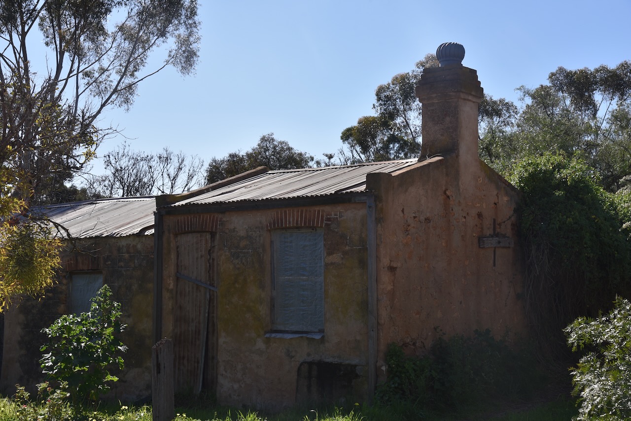
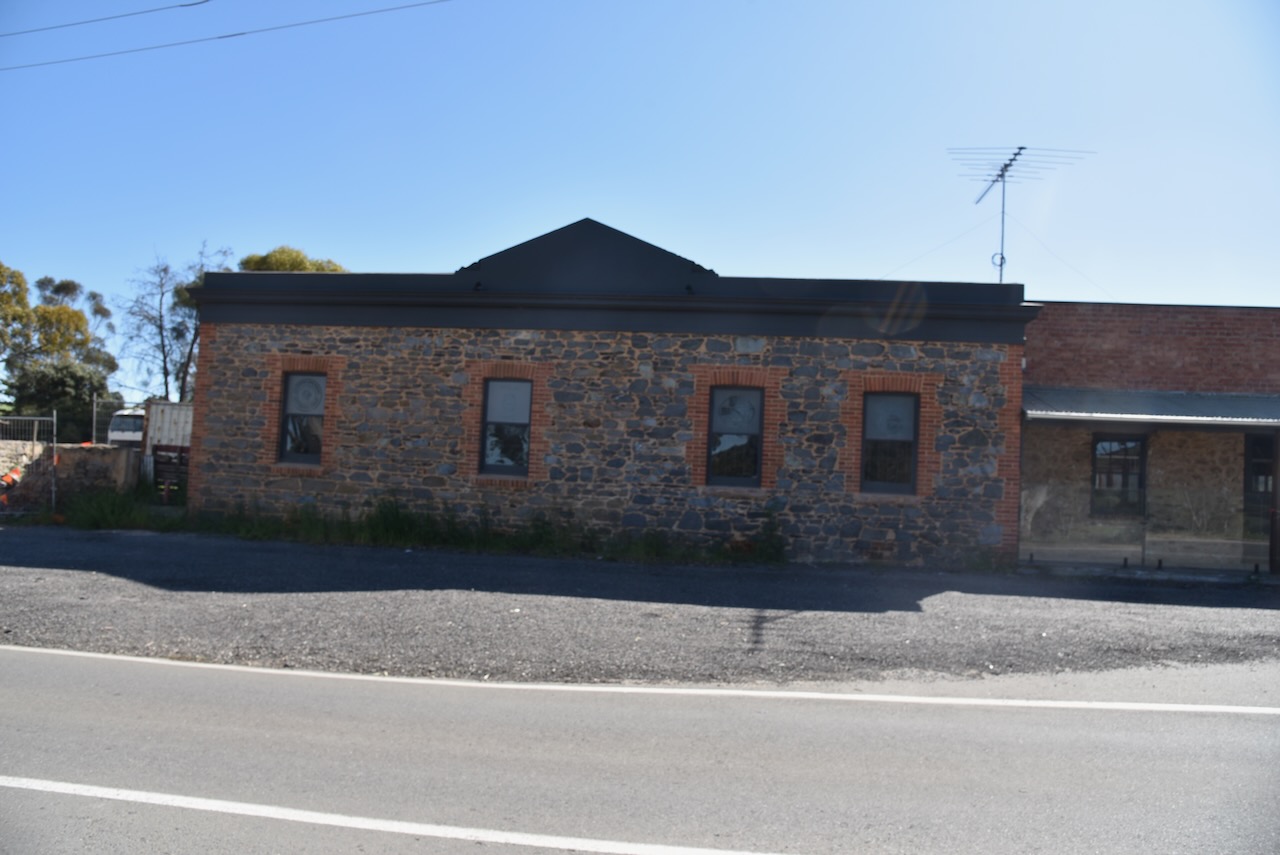
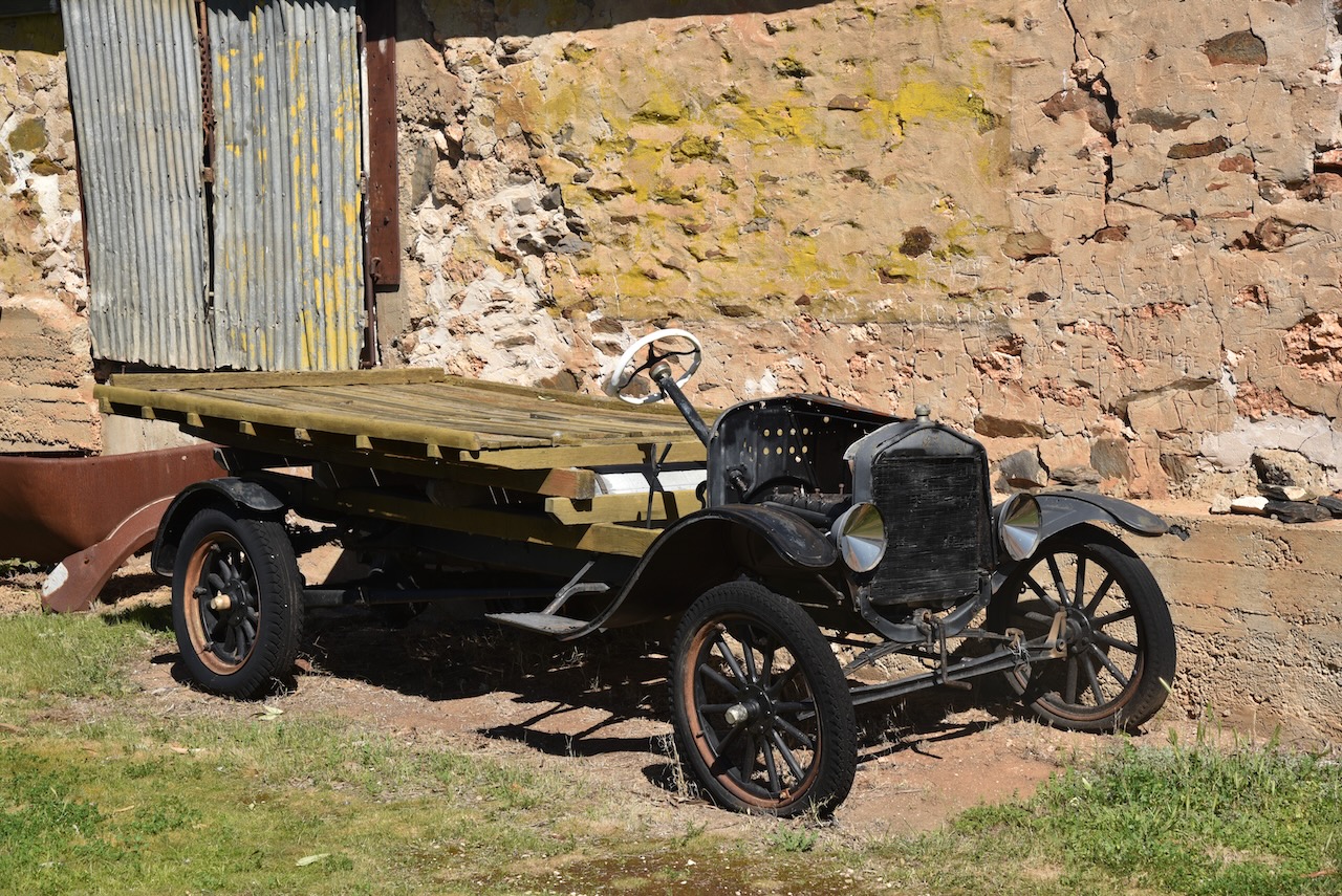
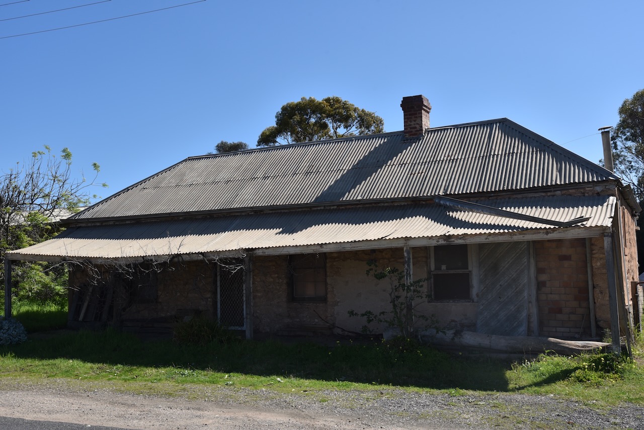
We continued on to the historic town of Callington which has retained many of its nineteenth-century buildings. A number of these buildings are heritage-listed.
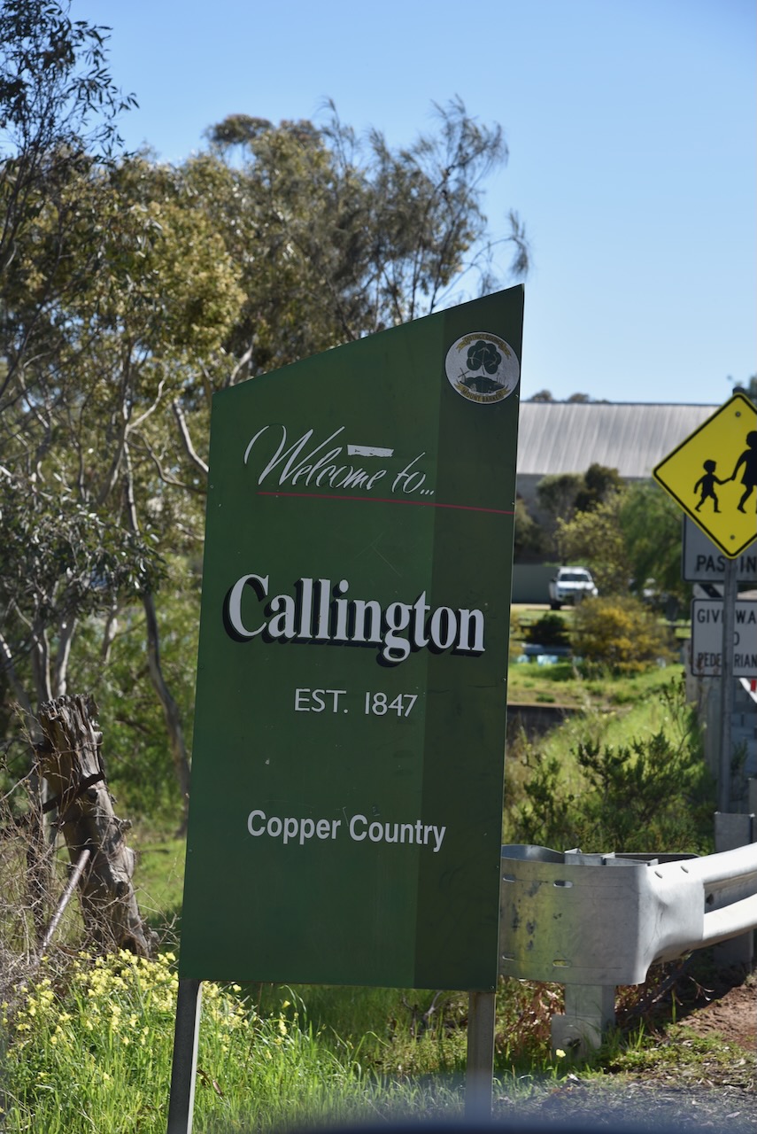
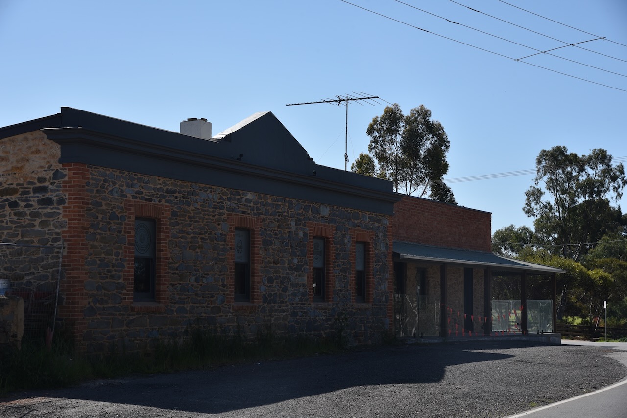
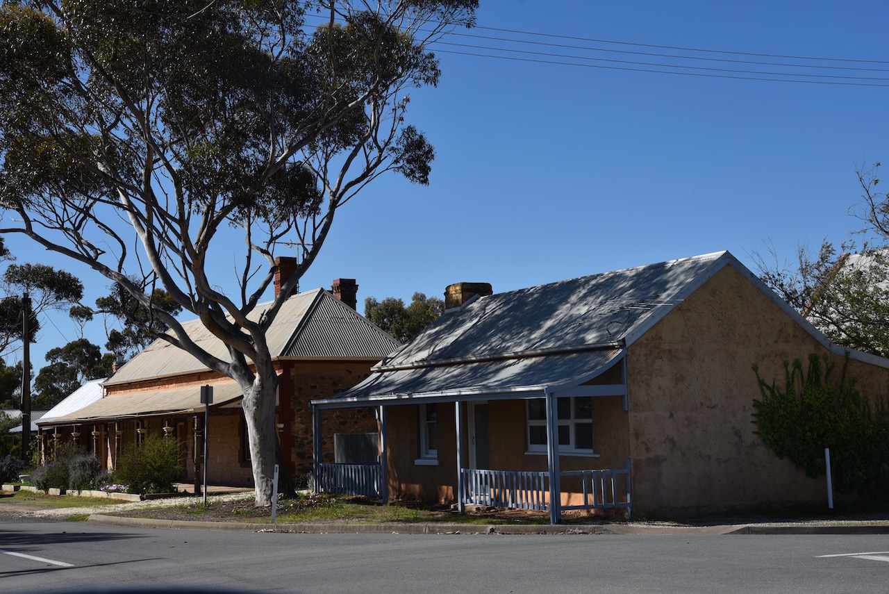
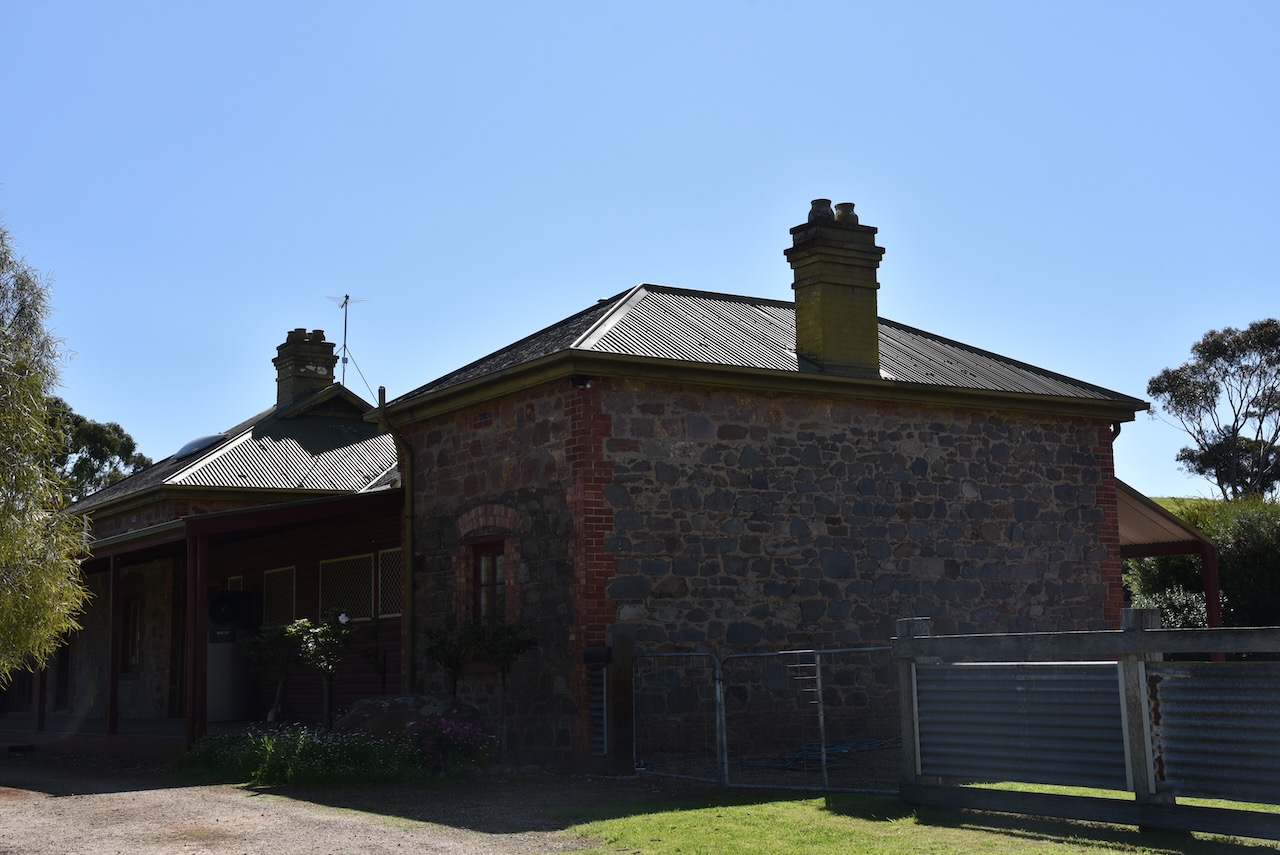
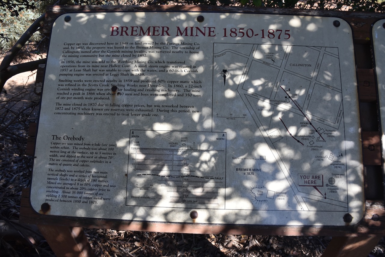
By 1847 there were a number of settlers farming in the Callington area, and some settlers working small mineral lodes along the Bremer River. It is estimated by 1848 that there were about 100 people living in the Callington area. The town of Callington was surveyed in 1848. It was named after Callington in Cornwall, England.
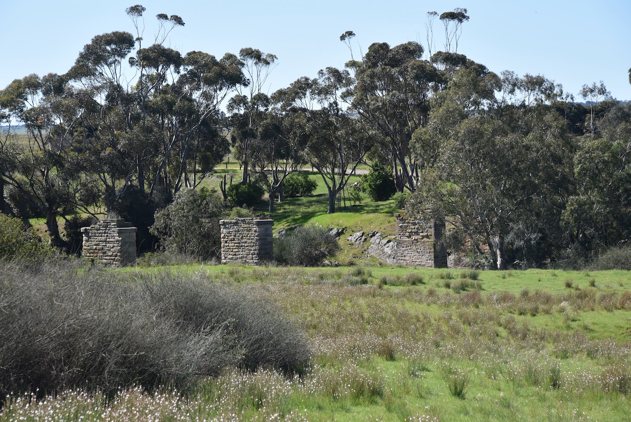
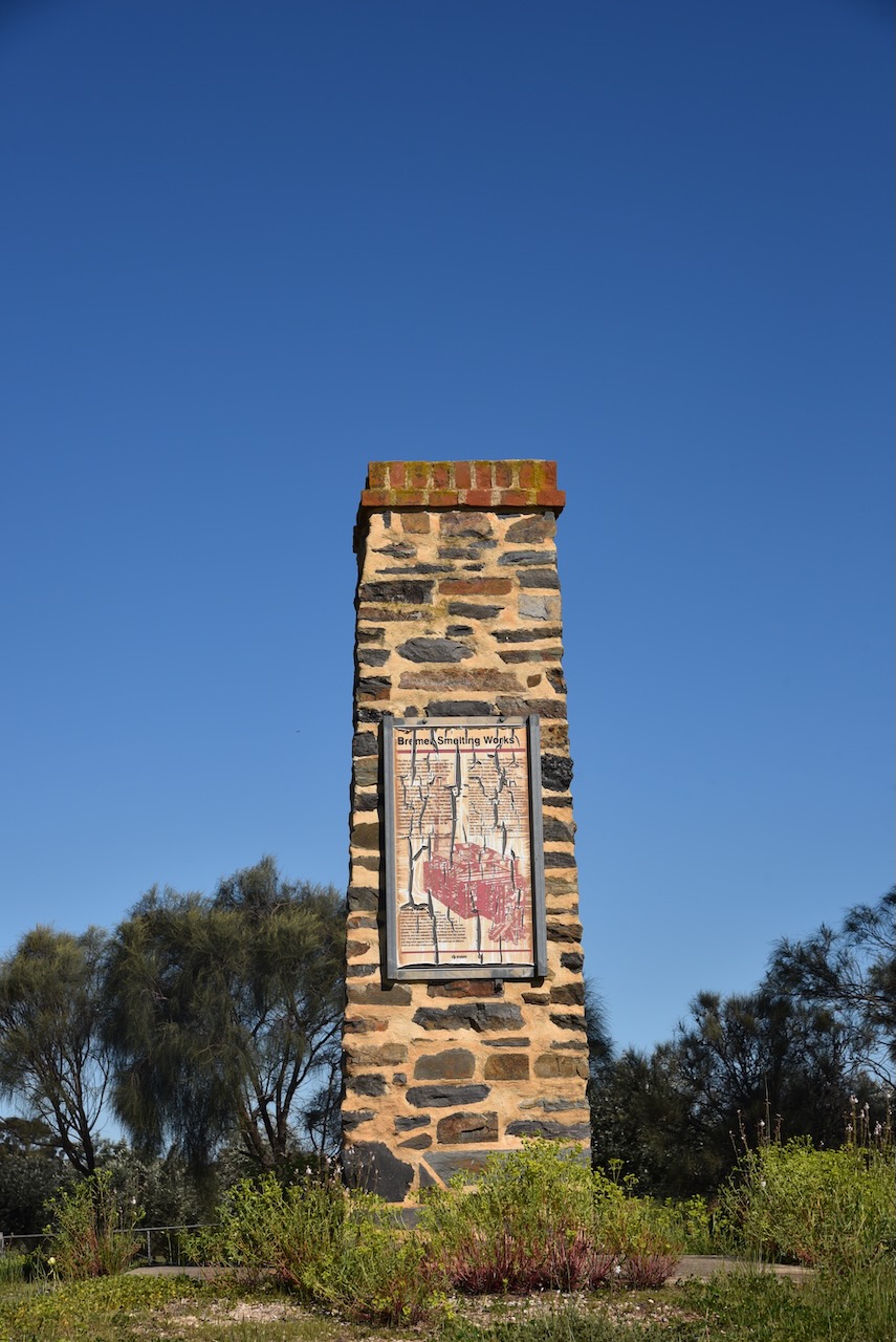
In 1848 Cornishmen John and Mauris Thomas established the Bremer Smelting Works which was located north of Callington on the Bremer River. It was the first commercially viable smelter in Australia.
In 1849 copper was discovered at Callington by John Kiernan. His dray had broken open stone to reveal the very distinctive colours of copper mineralisation. As a result, he received a reward of fifty pounds from the Mining Claims Office.
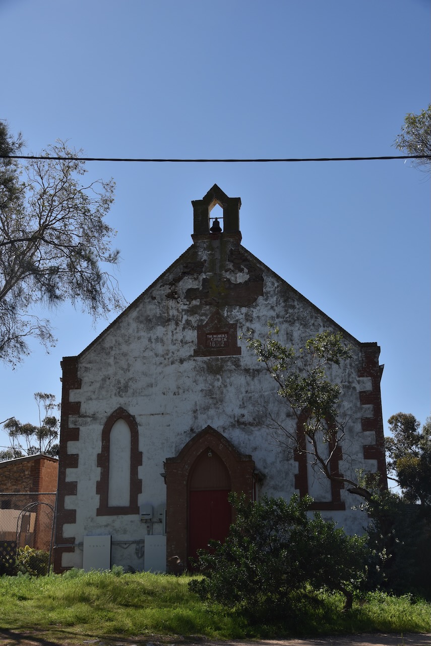
In 1850 the Cornish miners had built a Primitive Methodist Church Chapel. The Wesleyans also built a church in 1851.
By 1851 the Callington Arms Inn (later known as the Callington Hotel) had opened.
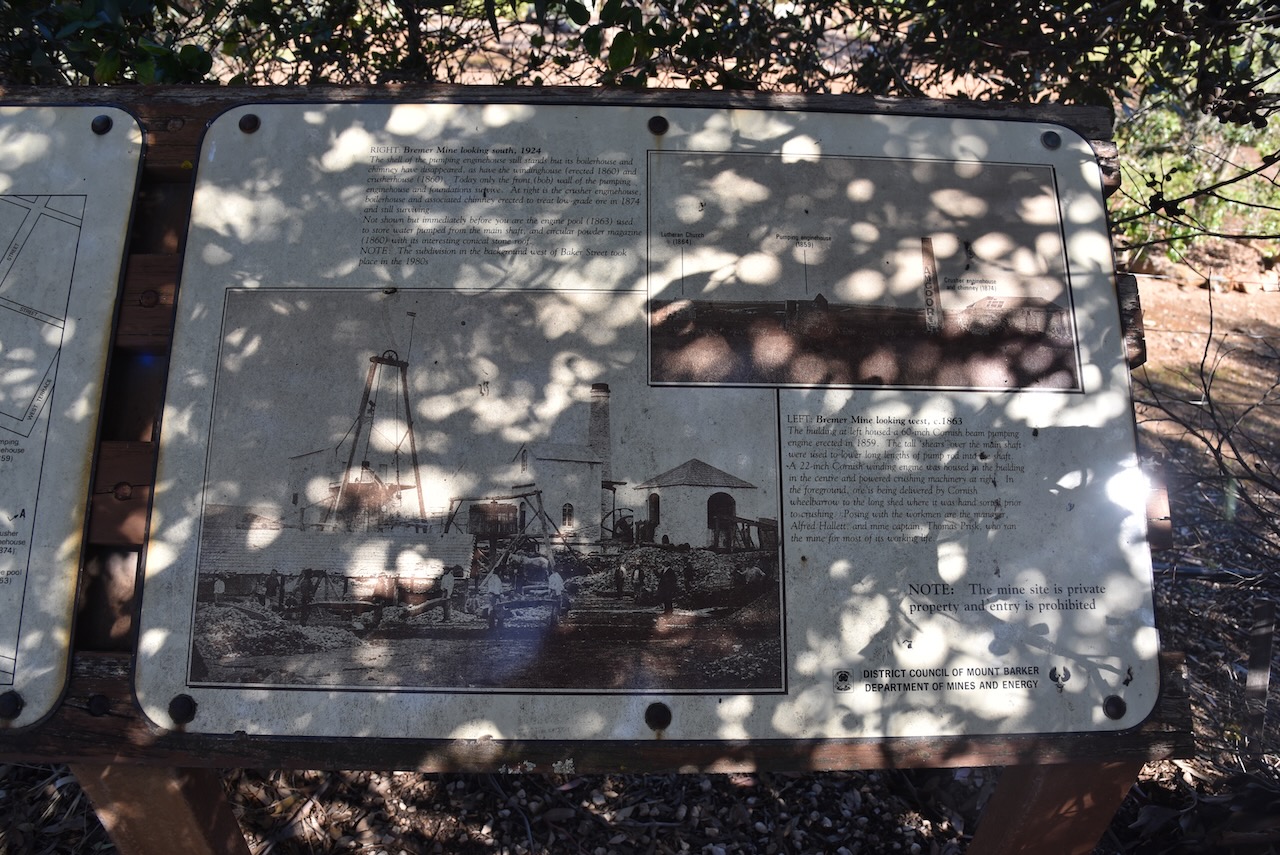
Many of the miners at Callington left for the Victorian goldfields during the 1850s. In 1857 a 40-inch steam engine was installed to pump out 500,00 litres of water per day from the Bremer Mine. In 1859 a larger pump was brought to Callington from Hallet Cove. During 1860-1861, about 150 workers were mining about 250-300 tons of ore per month which was smelted at Calllington.
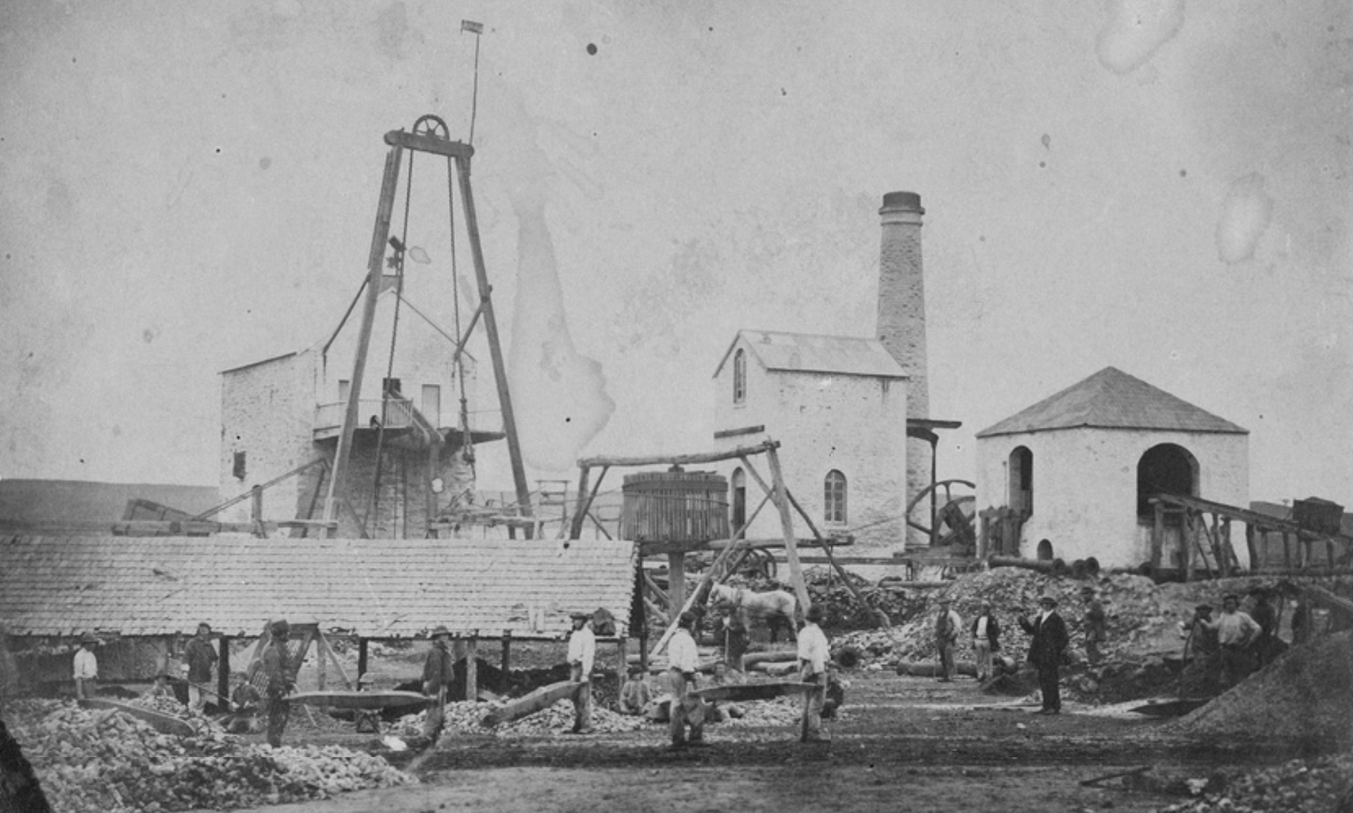
Above:- Callington mine. Image c/o State Library South Australia.
By 1870 the Bremer Mine had fallen into liquidation due to low copper prices. In 1872 the mine was revived by new owners, but again closed in 1875.
By the early 1870’s there were 6 stores in Callington including a blacksmith’s shop and a bank.
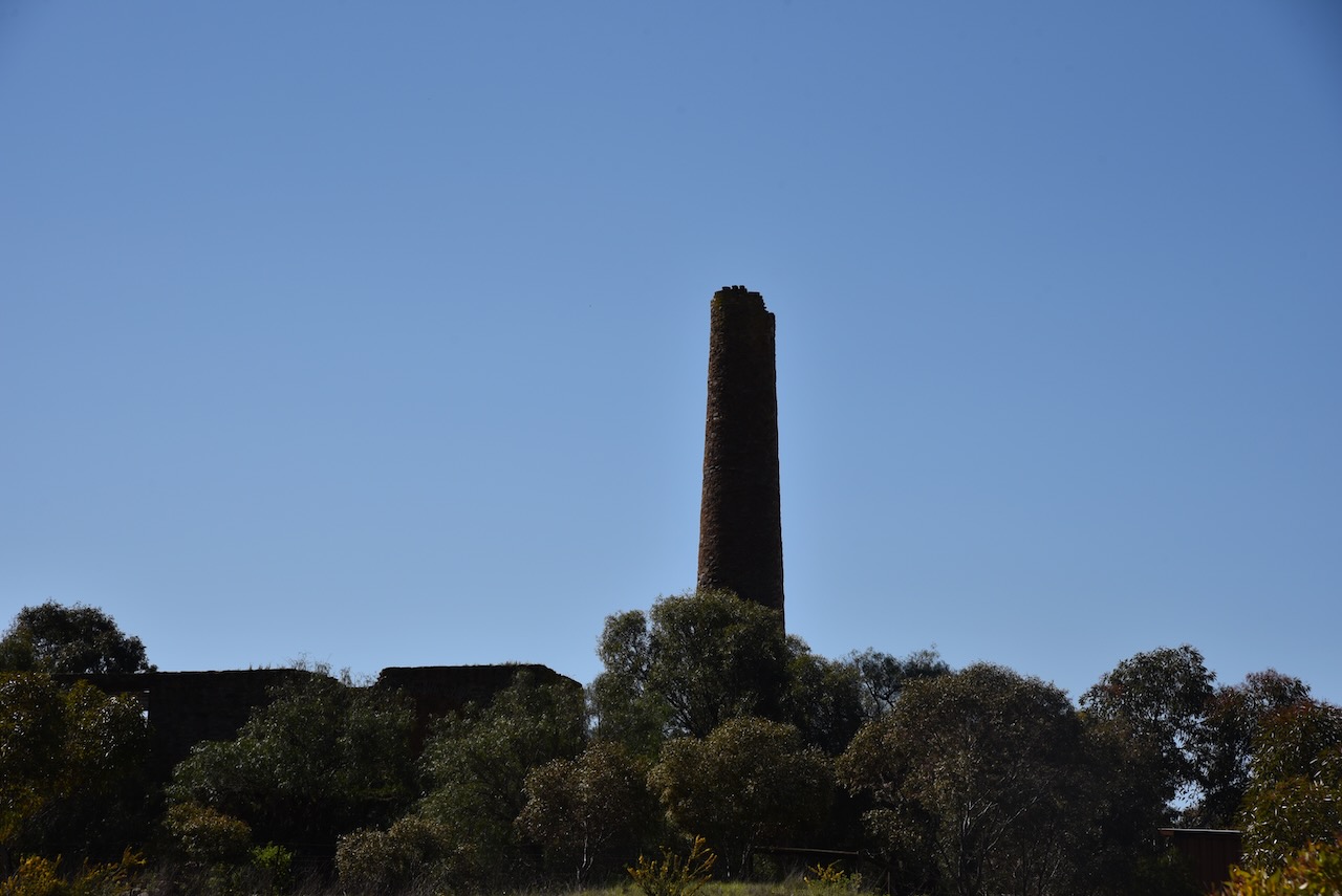
Unfortunately, the mine ruins are on private property and the interpretive signs are hidden behind shrubs.
The video below shows the mine from the air using a drone.
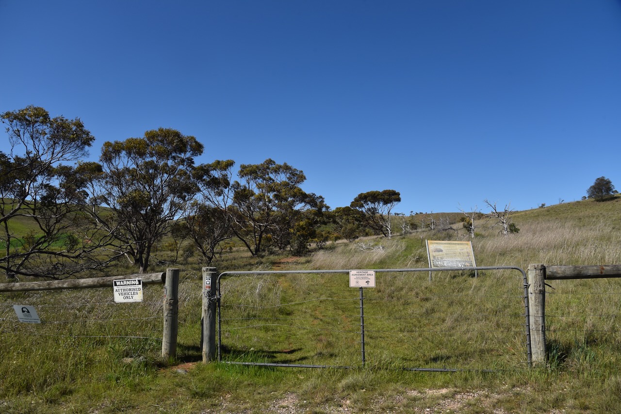
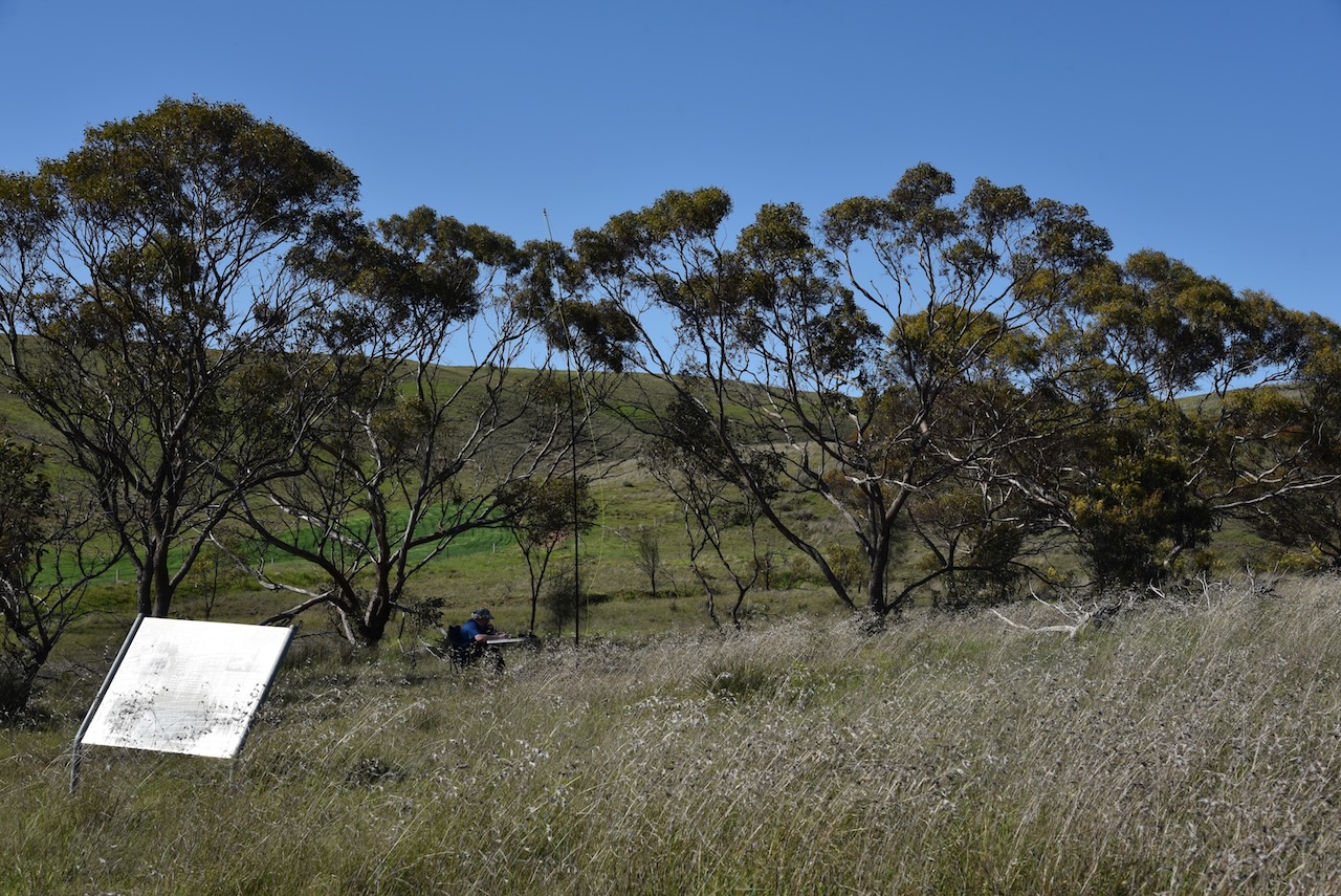
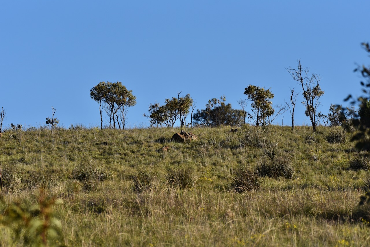
We then drove the short distance to the Callington Hill Grasslands Reserve which is located on the northern side of the Old Princes Highway about 2.5 km ENE from Callington.
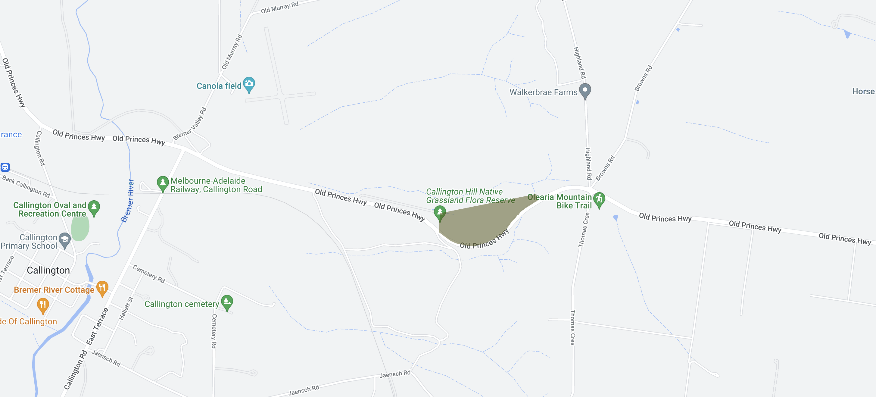
Above:- Map showing the reserve. Map c/o Google Maps.
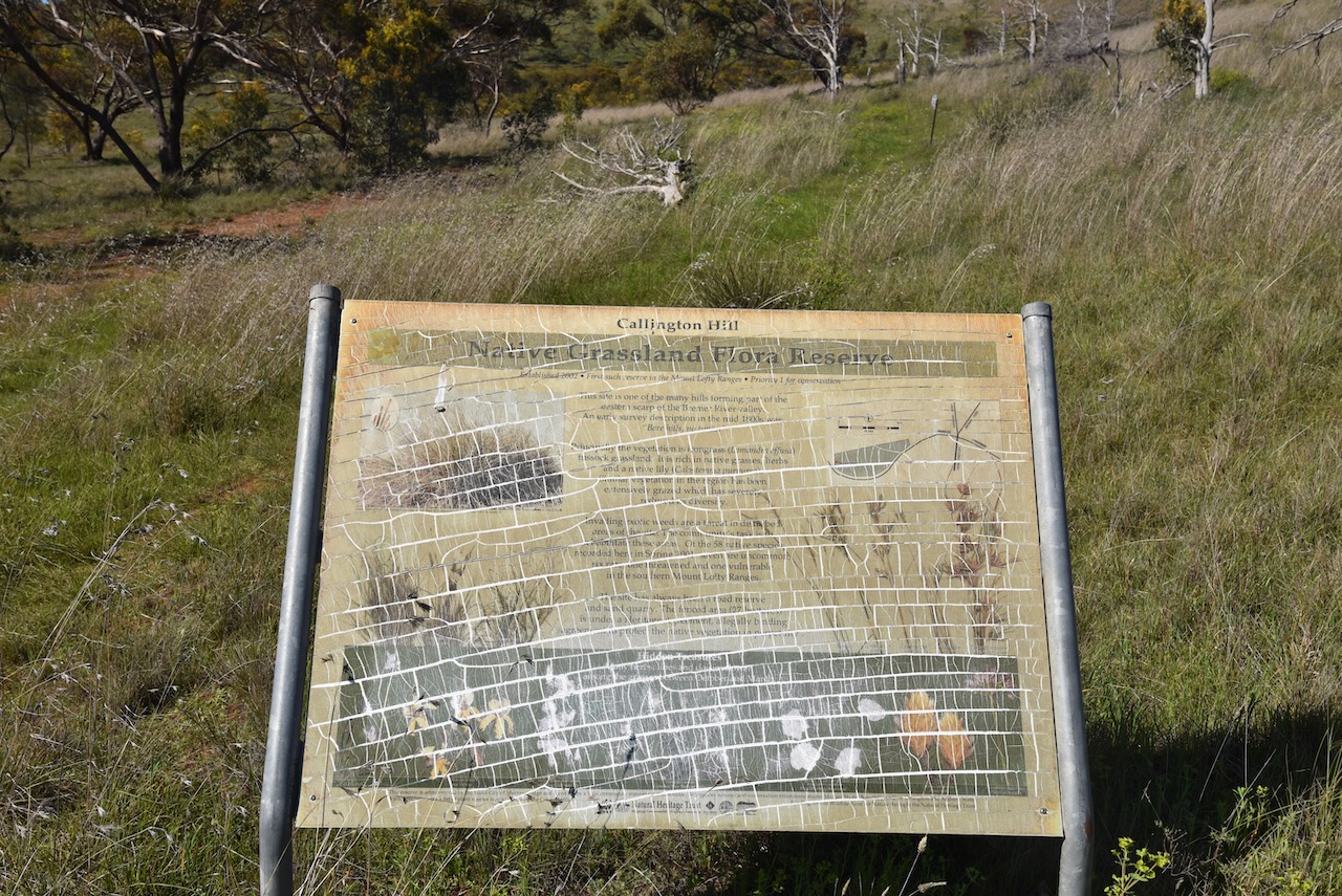
In 2002, the reserve was acquired by the Murray Bridge Council and Landcare Group to conserve the irongrass grassland. In 2011 the reserve was registered as a native vegetation heritage area under the Native Vegetation Act.
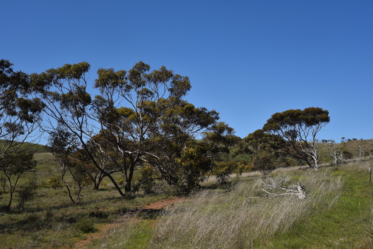
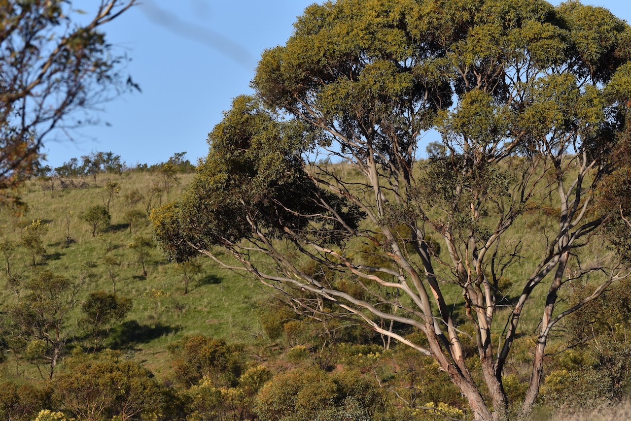
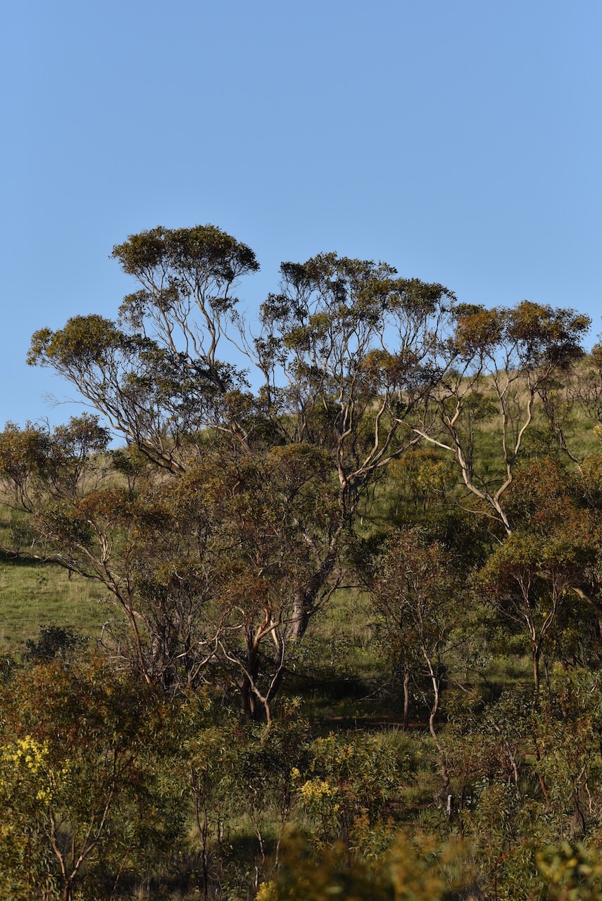
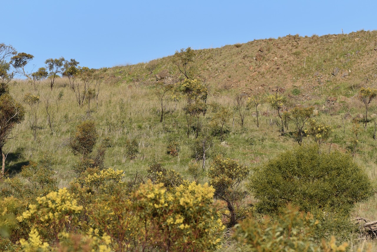
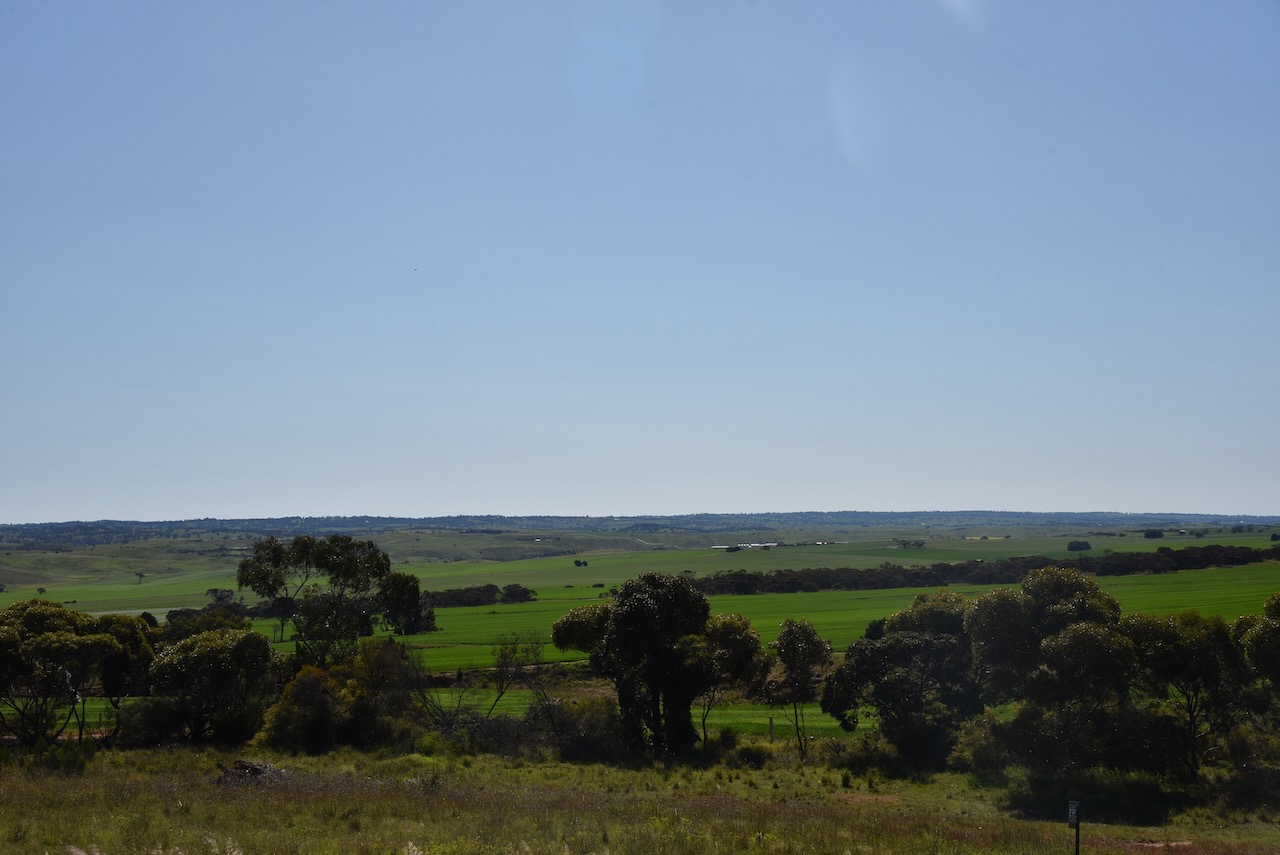
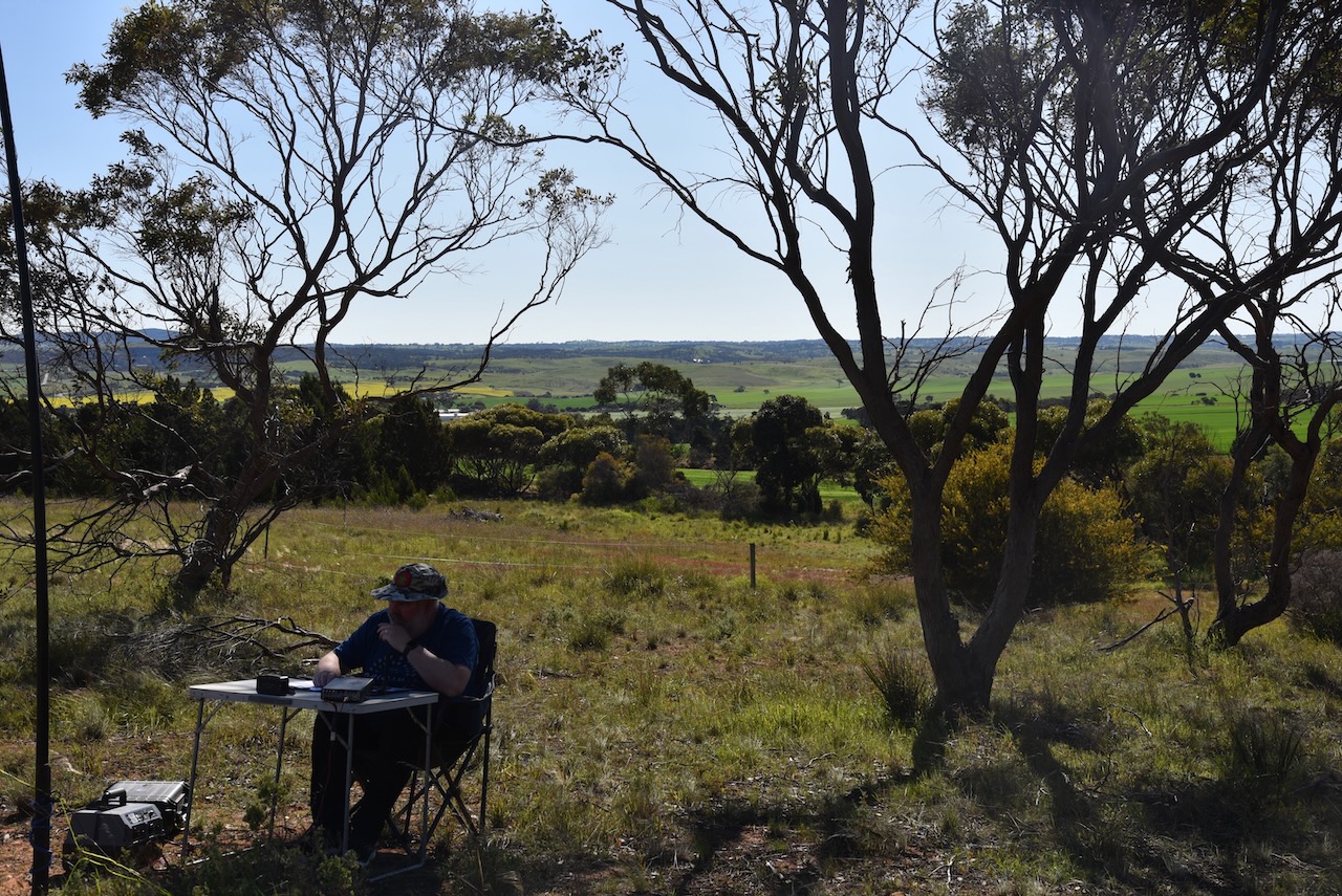
There are some great views of the Bremer Valley from the reserve.
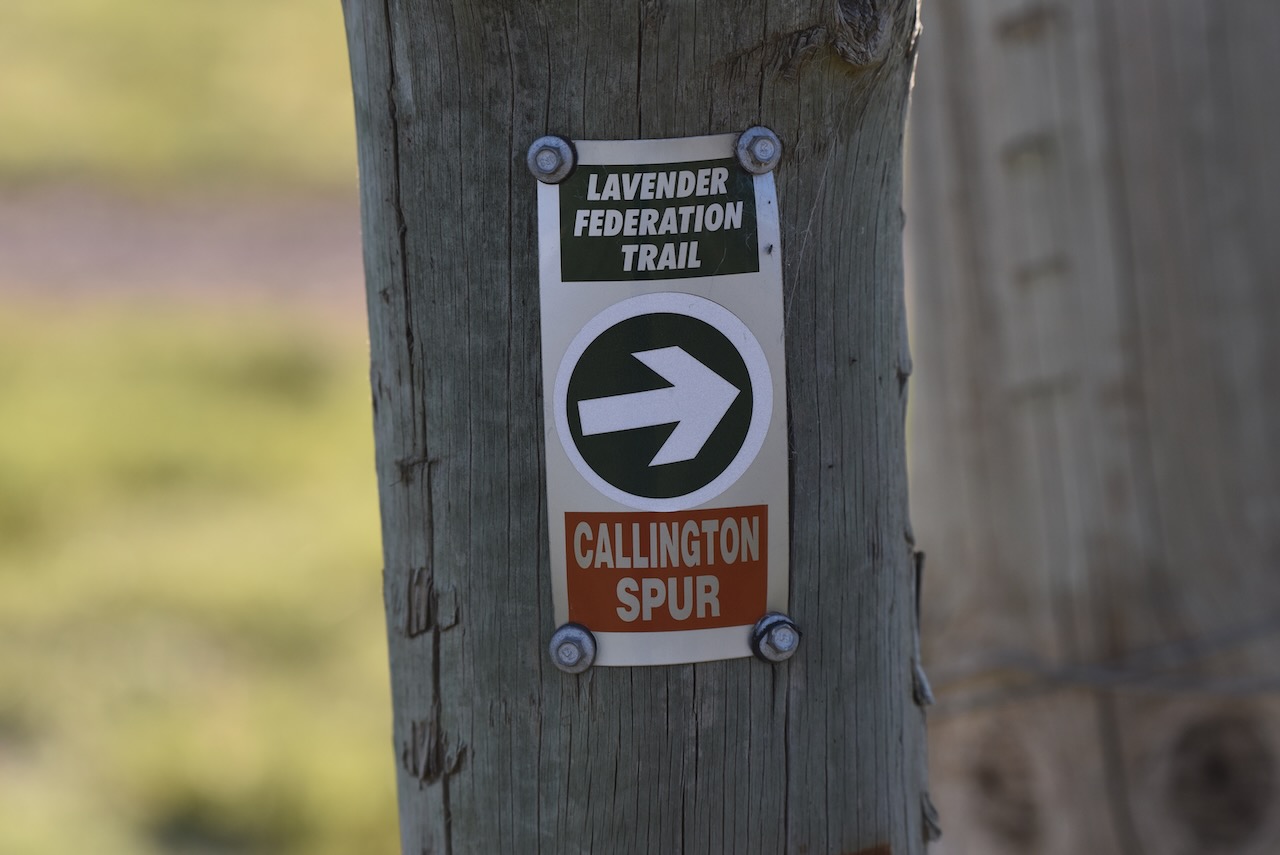
The Lavender Federation Trail and the Callington Spur Trail pass through the reserve. The Lavender Federation Trail is a 325 km walking trail from Murray Bridge to Clare. The Callington Spur Trail is a linear walking and mountain bike trail of 27km from Murray Bridge to Callington.
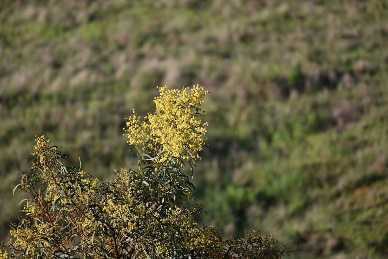
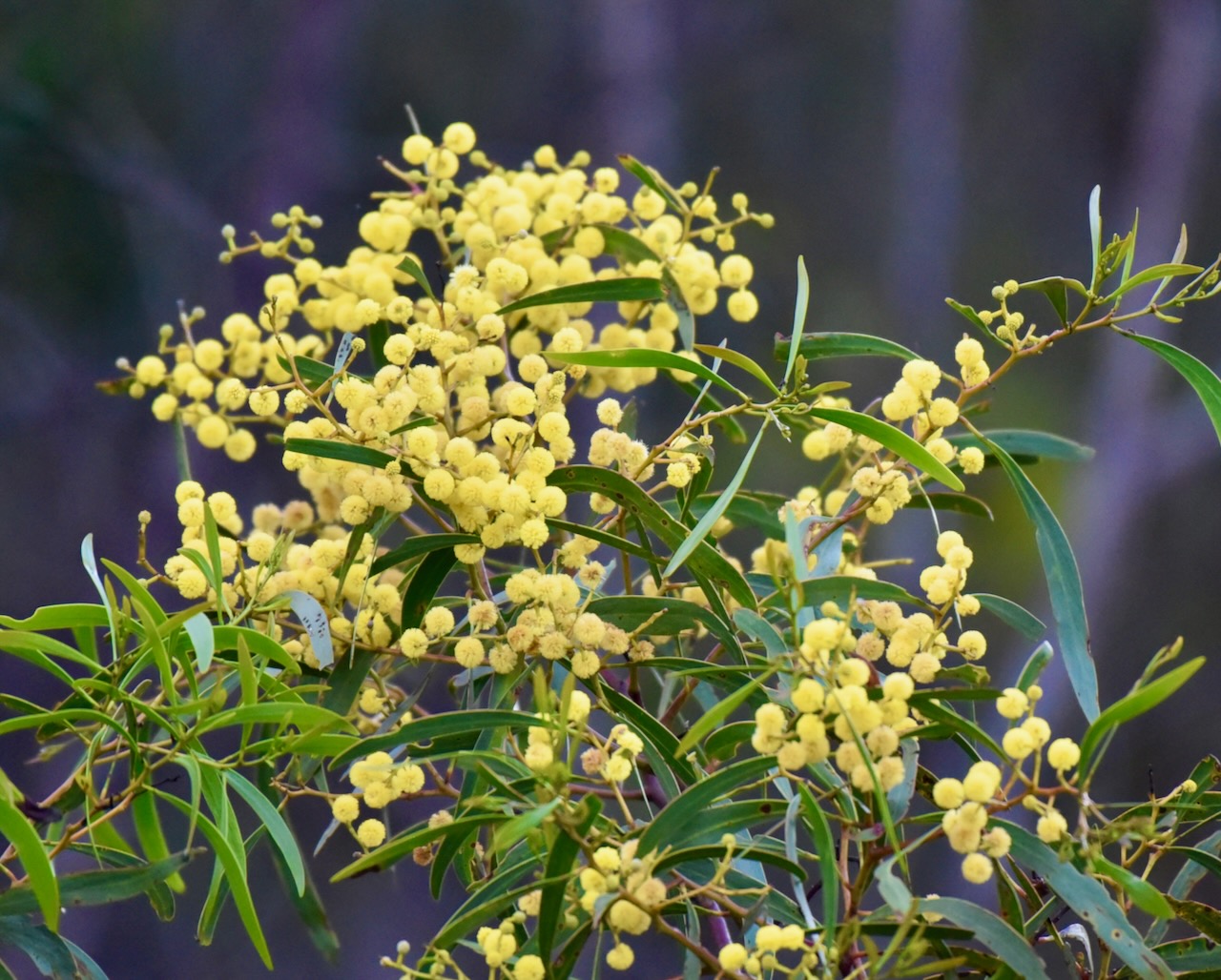
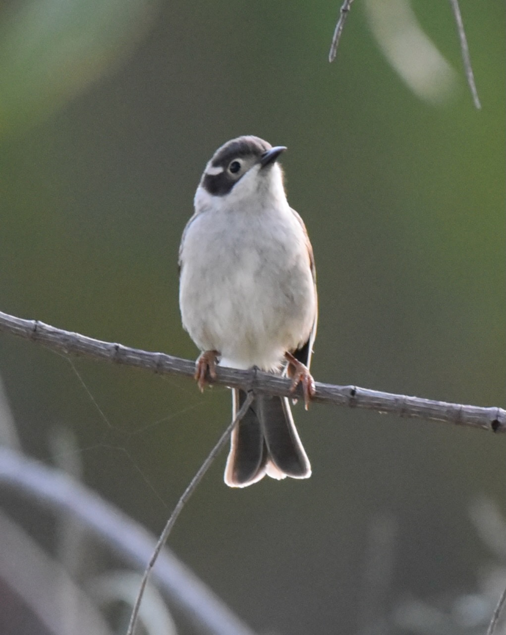
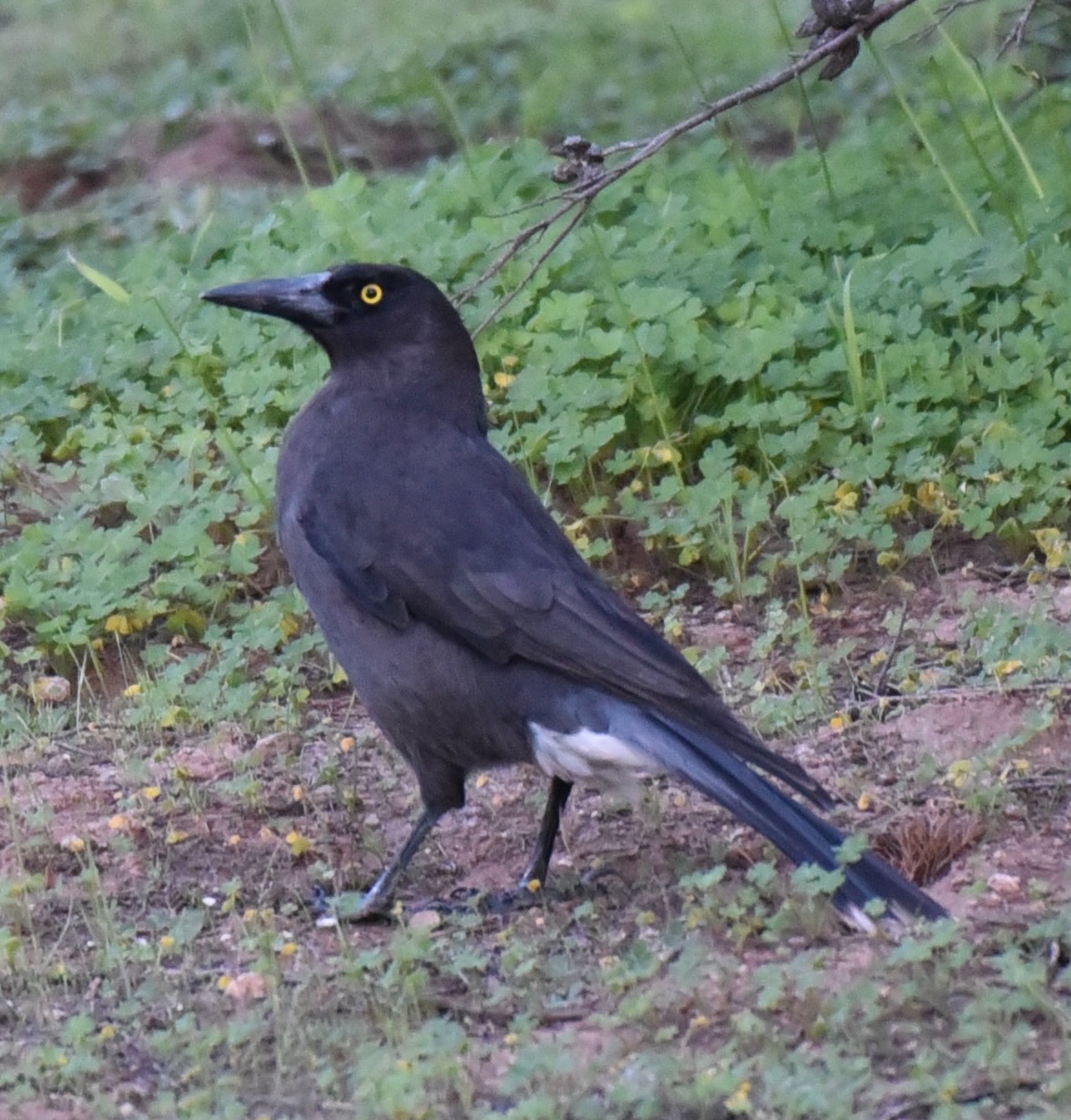
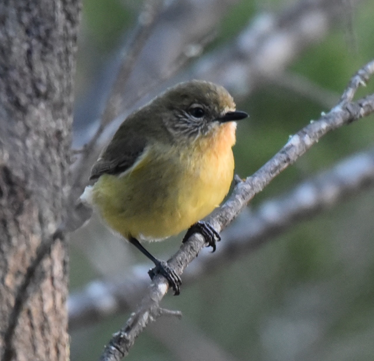
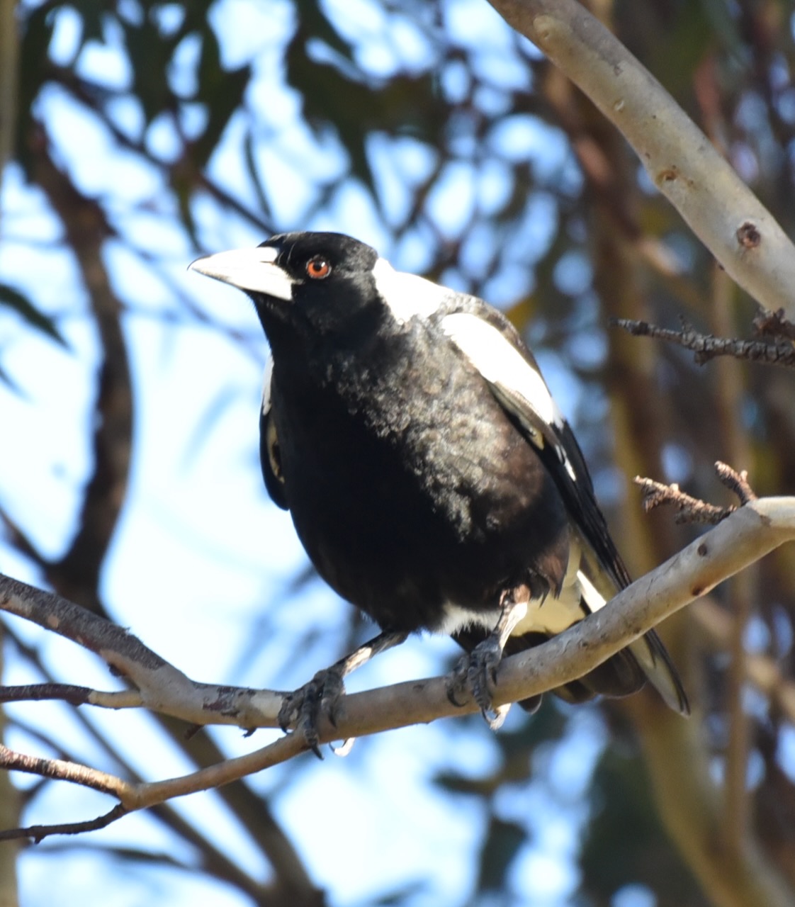
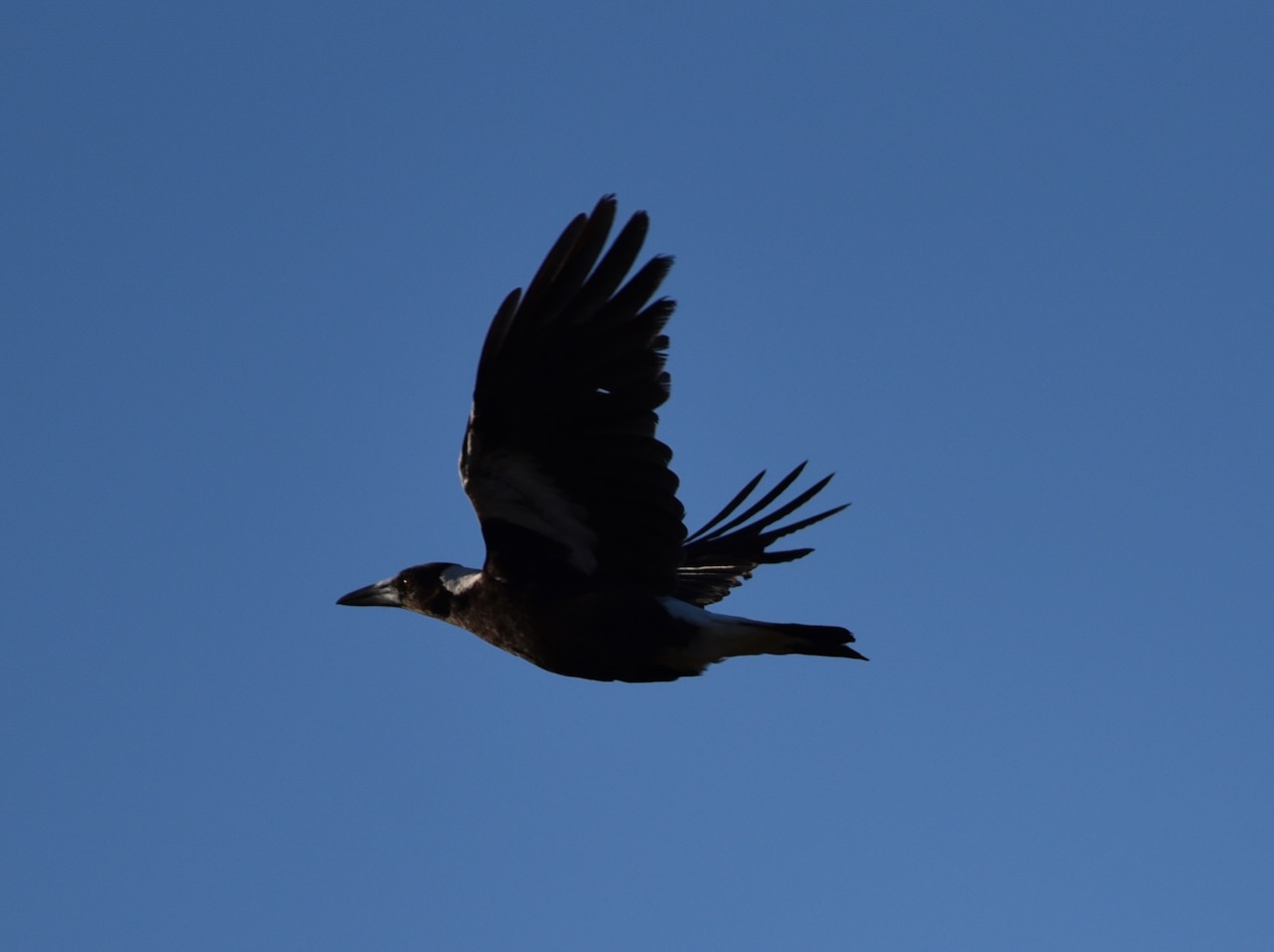
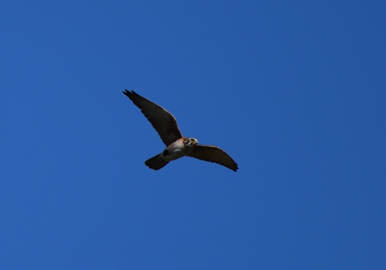
Eastern Grey Kangaroos, Euros and a variety of reptiles can be found in the reserve. There is also a variety of birdlife. Below are some photos I took whilst at the reserve.
Unfortunately, the band conditions were nowhere near as good as they had been in previous days. The solar figures were lousy and this was reflected in the difficult band conditions. Over previous days, local VK5 stations had been booming on 40m, but not on this occasion. The 20m band was very poor. Stations on the ANZA DX Net which I normally hear very strong, were almost unreadable.
I ‘soldiered’ on and made a total of 53 QSOs. Countries worked:
- Australia
- New Zealand
- USA
- Italy
- France
- Czech Republic
- Croatia
- Germany
- Belgium

I worked the following stations on 40m SSB:-
- VK8RH/3
- VK3PF
- VK3KAL
- VK3SQ
- VK3DWL/p (Eurobodalla National Park VKFF-0164)
- VK1FPRV/p
- VK2JES
- VK3JGH
- VK3STV
- VK3APZ
- VK3NBL
- VK3UCD
- VK3GB
- VK3EY
- VK3BAP
- VK5MAZ/m
- VK3SMW
- VK3HBG
- VK3SG
- VK2YK/p (Altona CSR Landcare Reserve VKFF-4028)
- VK2BDS
- VK3CEO
- VK4SYD
- ZL4NVW/p
- ZL3MR
- VK4CZ
- VK5AYL
I worked the following stations on 20m SSB:-
- N7TU
- VK4JT
- VK4FW
- VK8MM
- VK4TJ
- IW2NXI
- KG5CIK
- 9A1WW
- DK0MM/p
- ON4RAT/p
- DL2ND
- VK6NTE
- F4DSK
- IW2BNA
- F1BLL
- OK1ES
- F4HZR
- F8CRS
- ON4VT
- IK1GPG
- VK1AO/p (Wiltshire-Butler National Park VKFF-0659)
I worked the following stations on 20m AM:-
- VK4FW
- VK8MM
I worked the following stations on 80m SSB:-
- VK5LA
- VK5BJE
- VK3PF
References.
- A Compendium of the Place Names of South Australia, 2023, <https://published.collections.slsa.sa.gov.au/placenamesofsouthaustralia/>, viewed 6th September 2023.
- Callington Recreation Community Centre, 2023, <https://www.callingtonrecreationcommunitycentre.com.au/history-of-callington/>, viewed 6th September 2023.
- flickr, 2023, <https://www.flickr.com/photos/82134796@N03/12127813753>, viewed 6th September 2023.
- Grasslands Biodiversity of South-Eastern Australia, 2023, <https://grasslands.ecolinc.vic.edu.au/grassland/callington-hill-grassland-reserve>, viewed 6th September 2023.
- Walking SA, 2023, <https://www.walkingsa.org.au/walk/find-a-place-to-walk/callington-spur-trail-lavender-federation-trail/>, viewed 6th September 2023.
- Wikipedia, 2023, <https://en.wikipedia.org/wiki/Bremer_River_%28South_Australia%29>, viewed 6th September 2023.
- Wikipedia, 2023, <https://en.wikipedia.org/wiki/Callington,_South_Australia>, viewed 6th September 2023.
