Day thirteen and Tasman National Park VKFF-0481

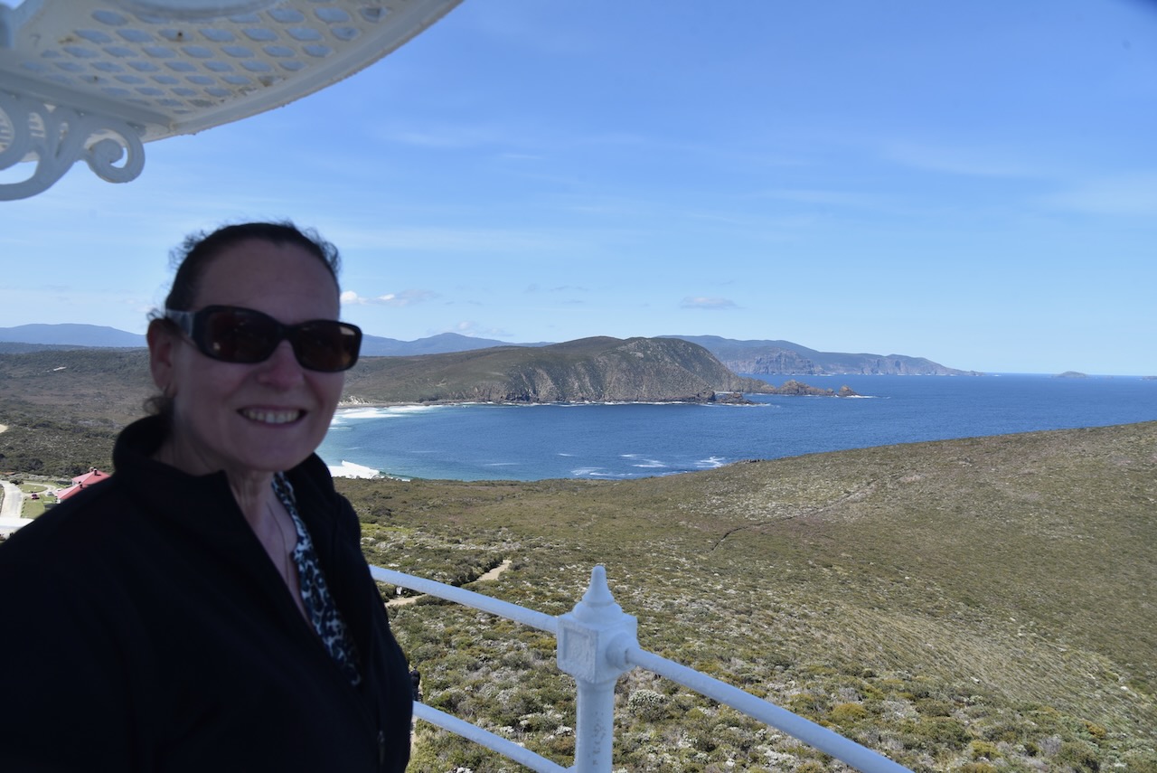
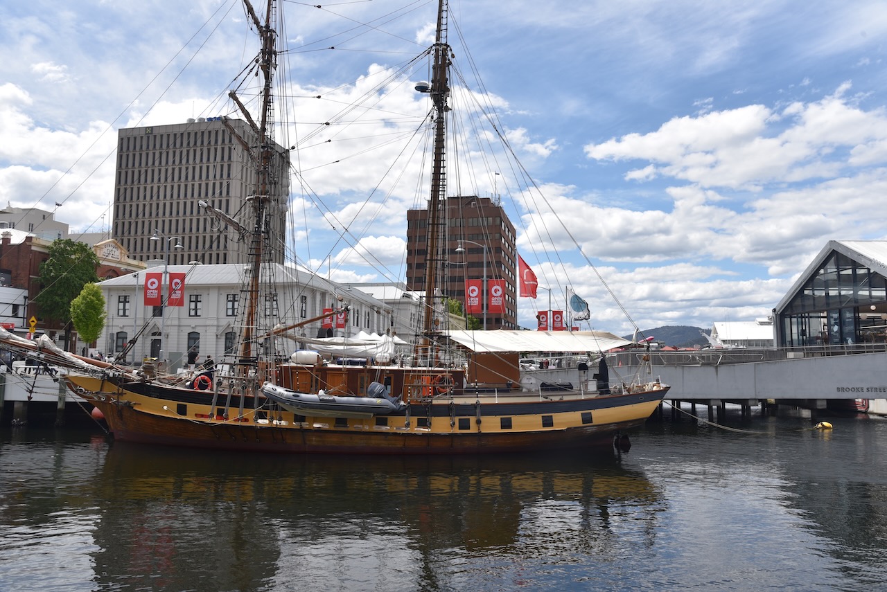
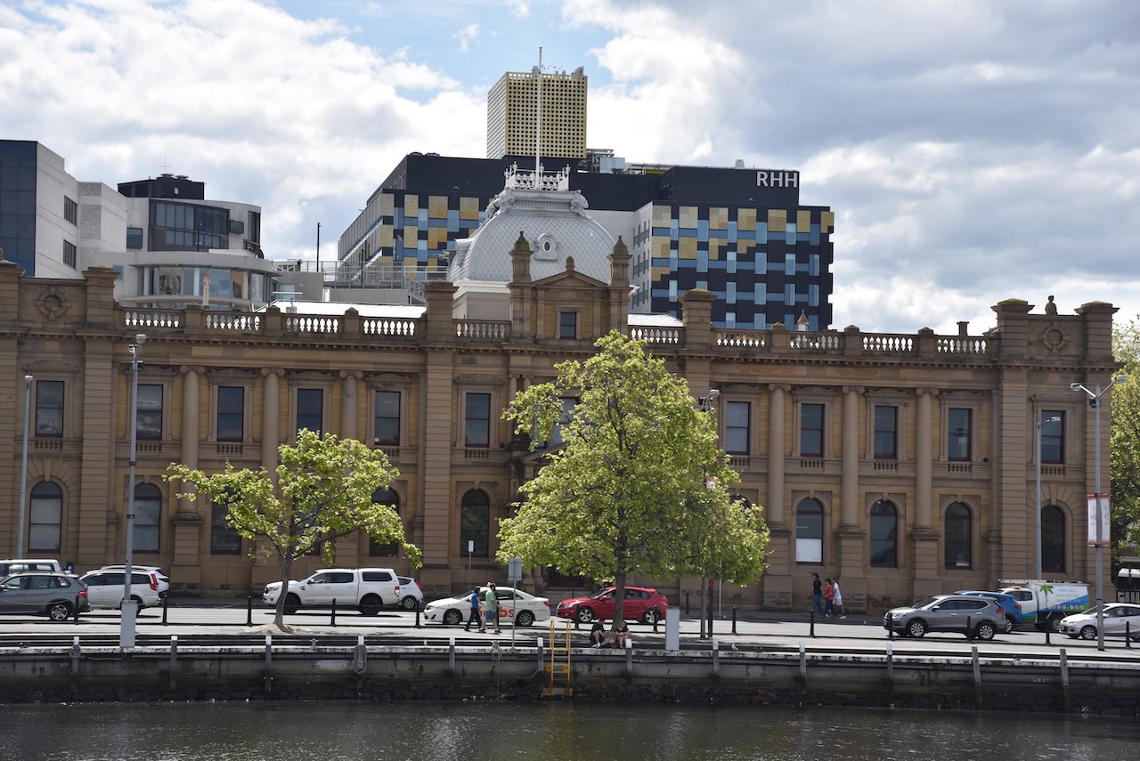
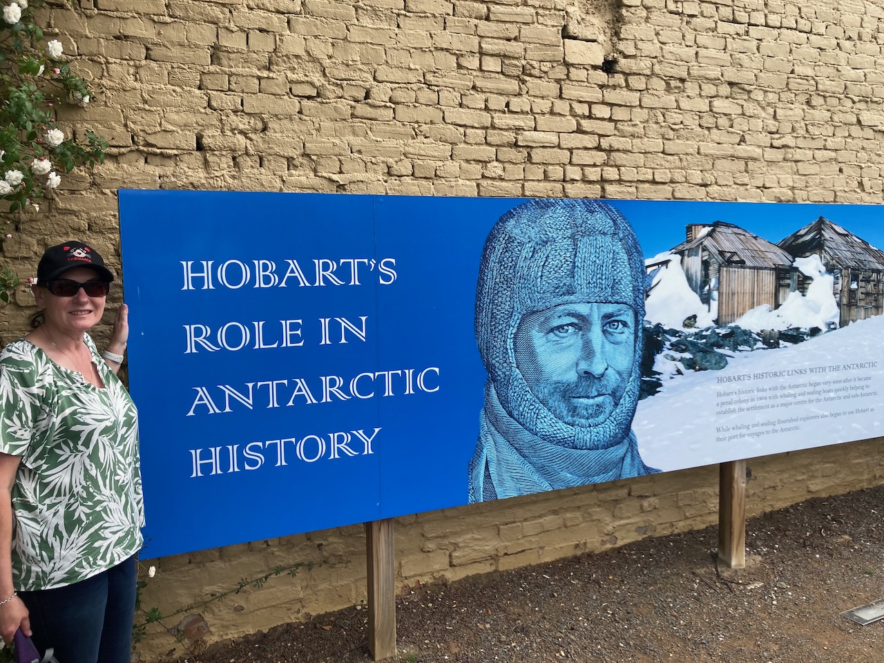
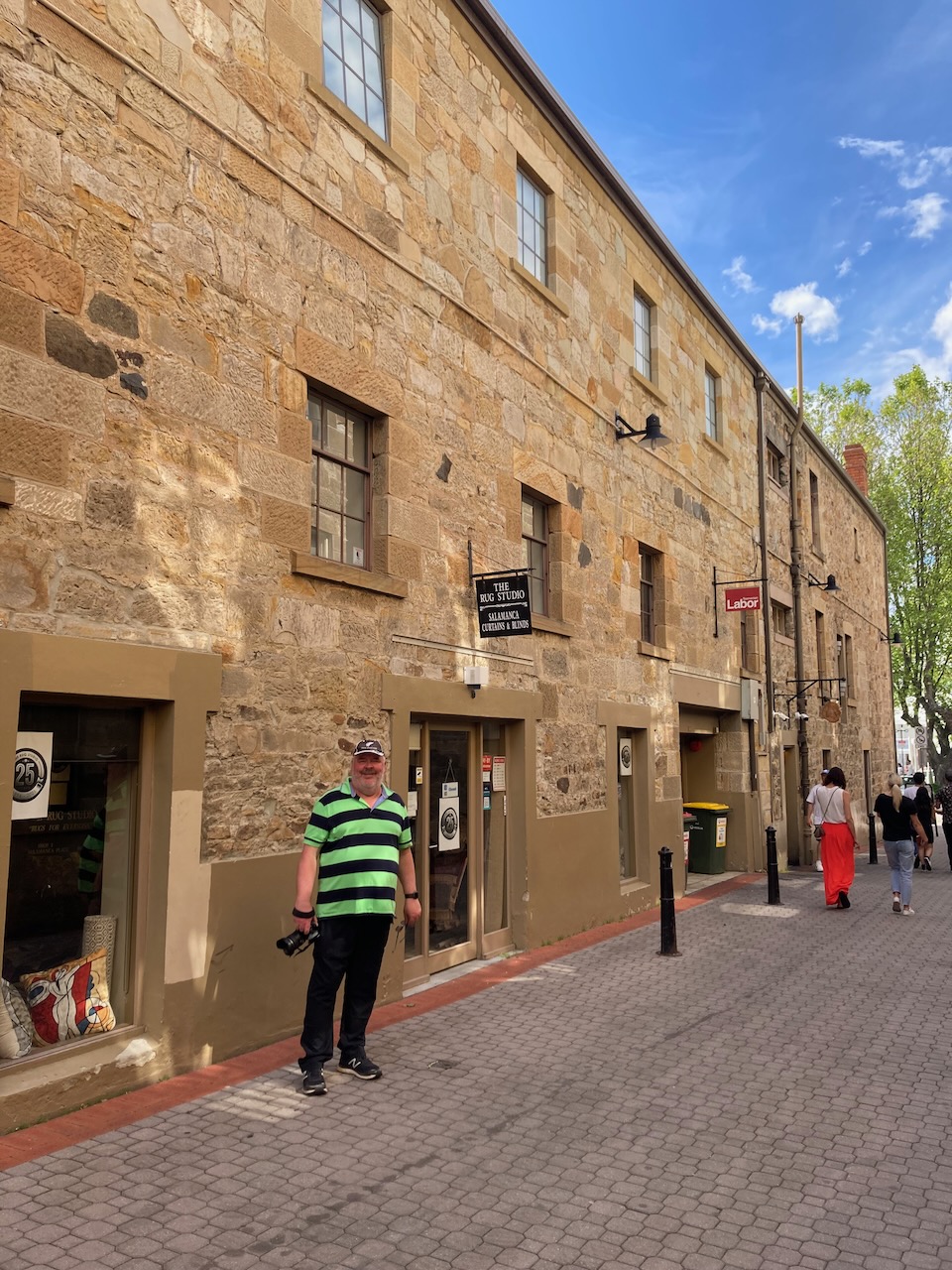
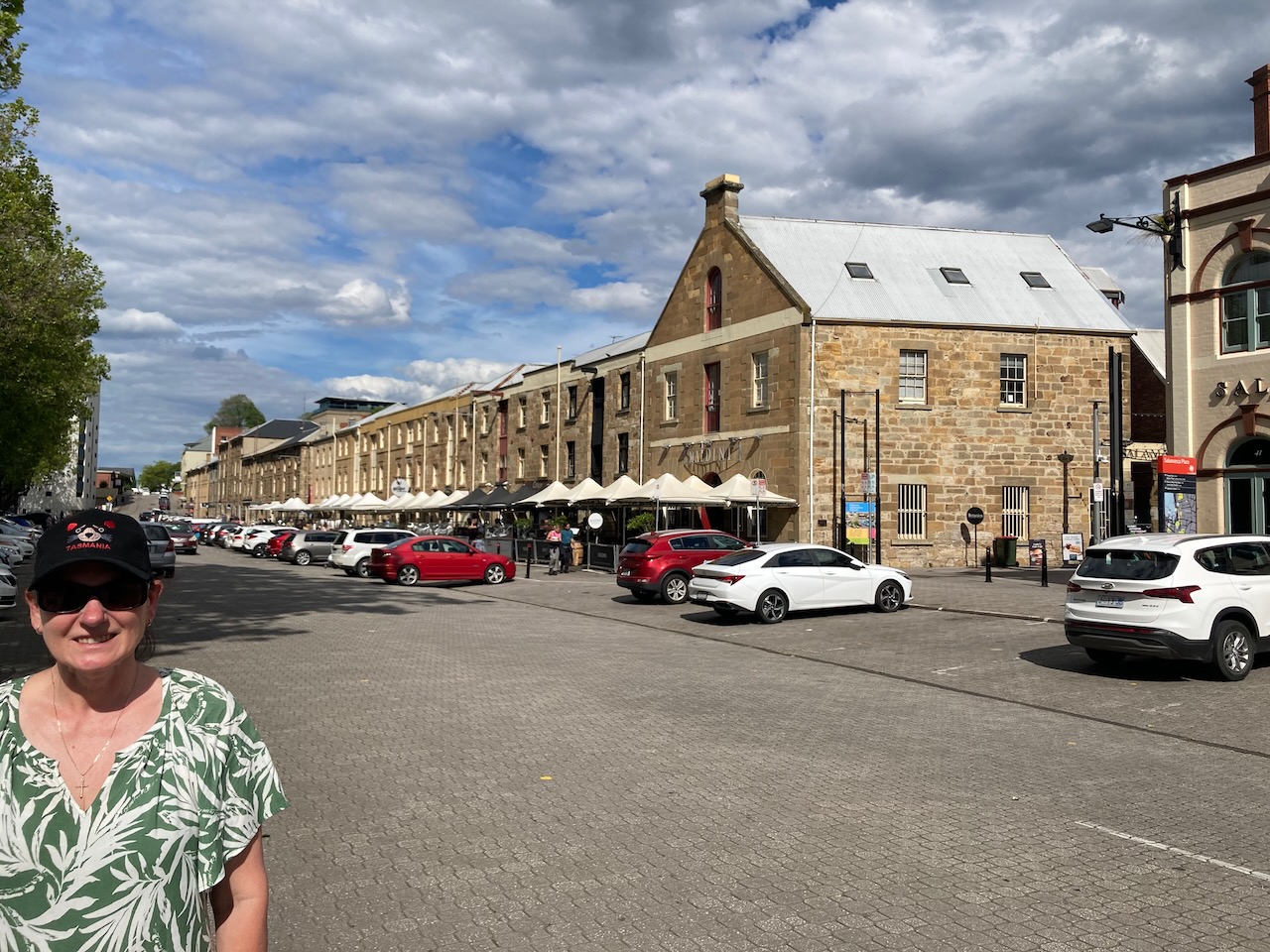
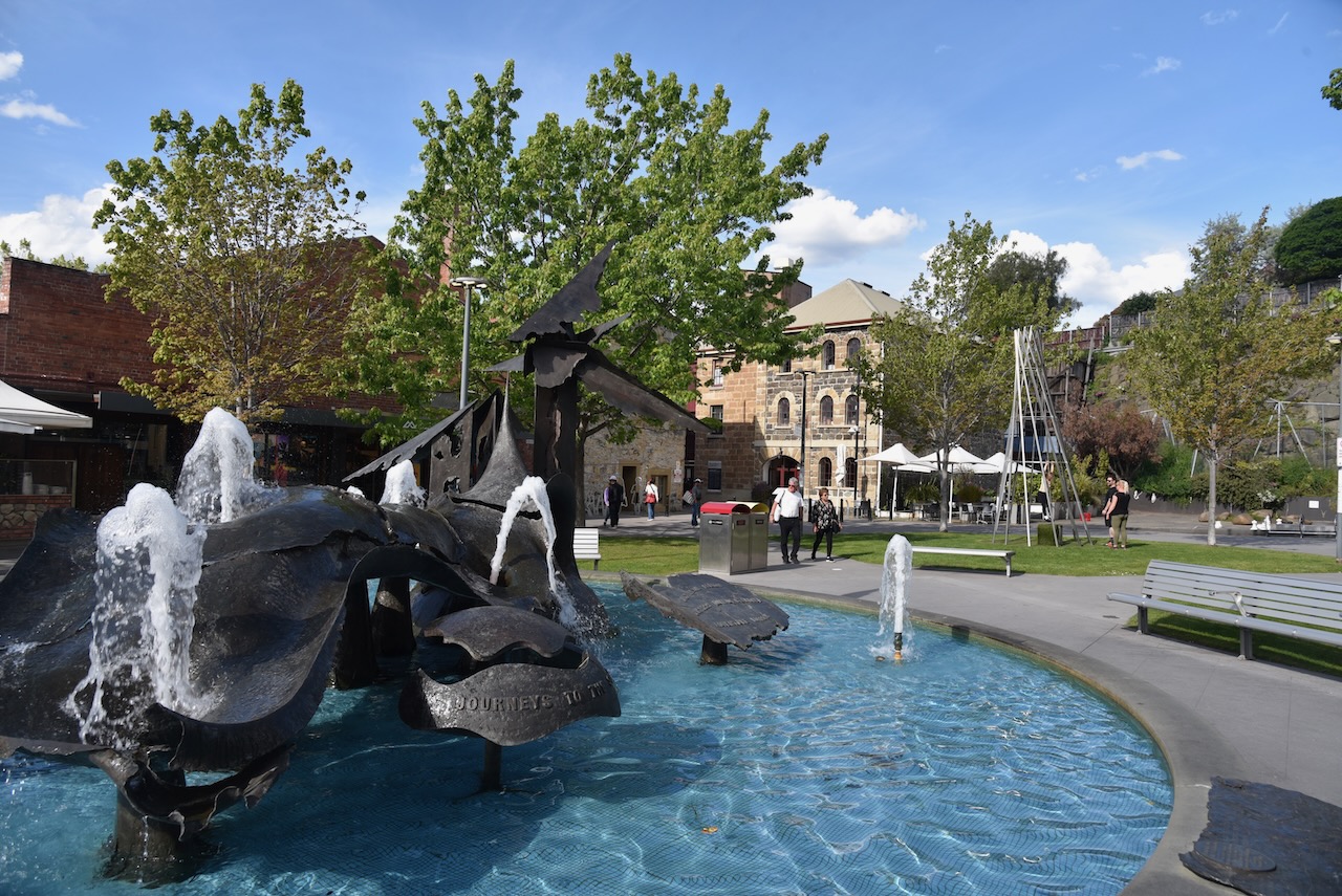
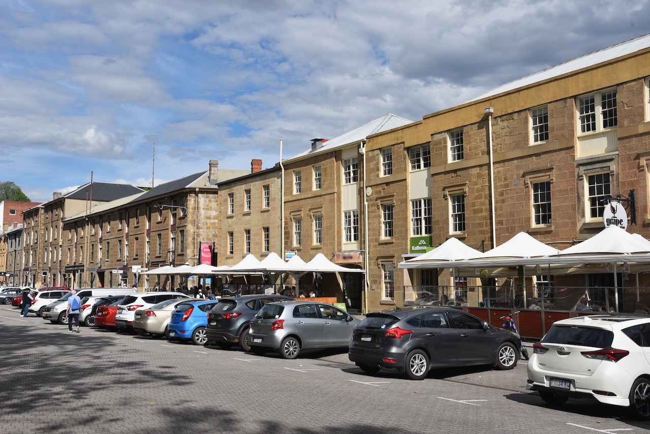
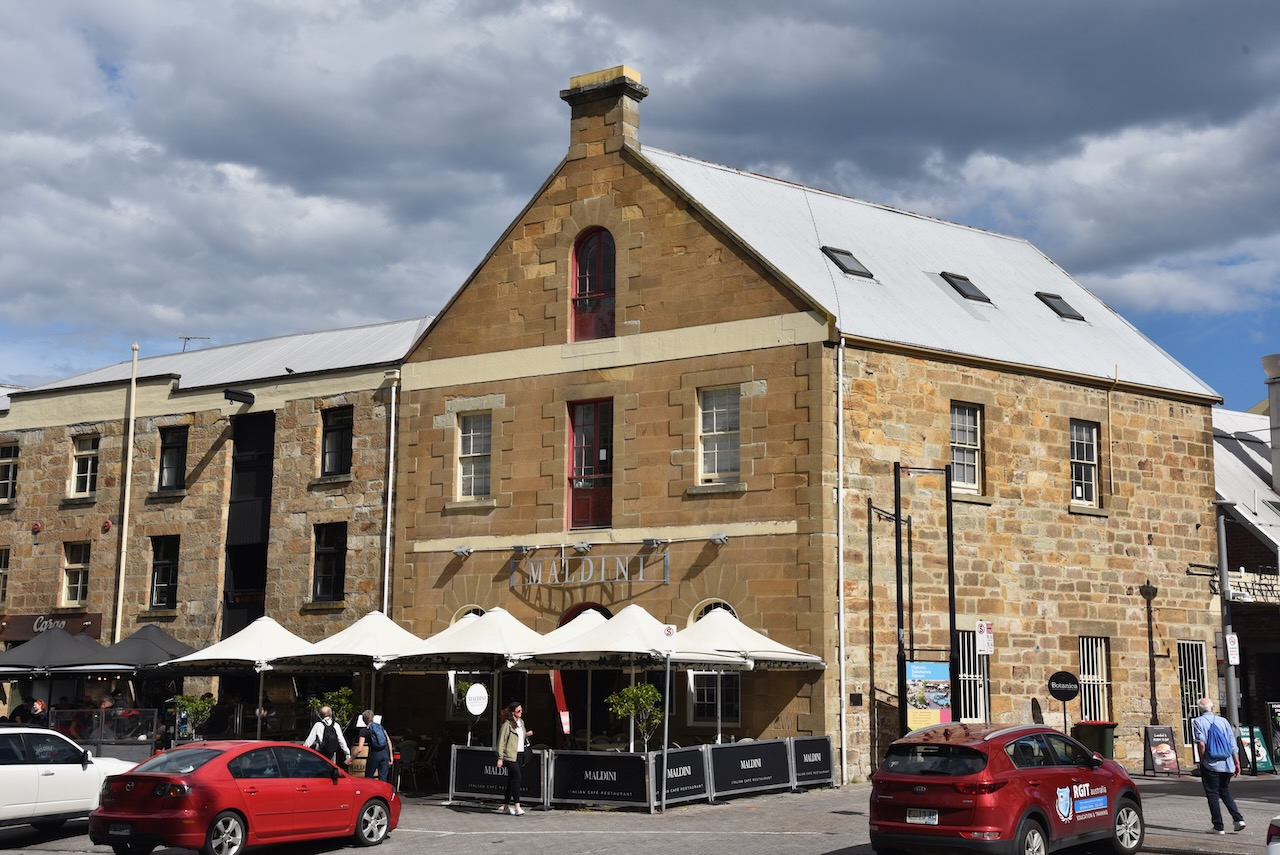
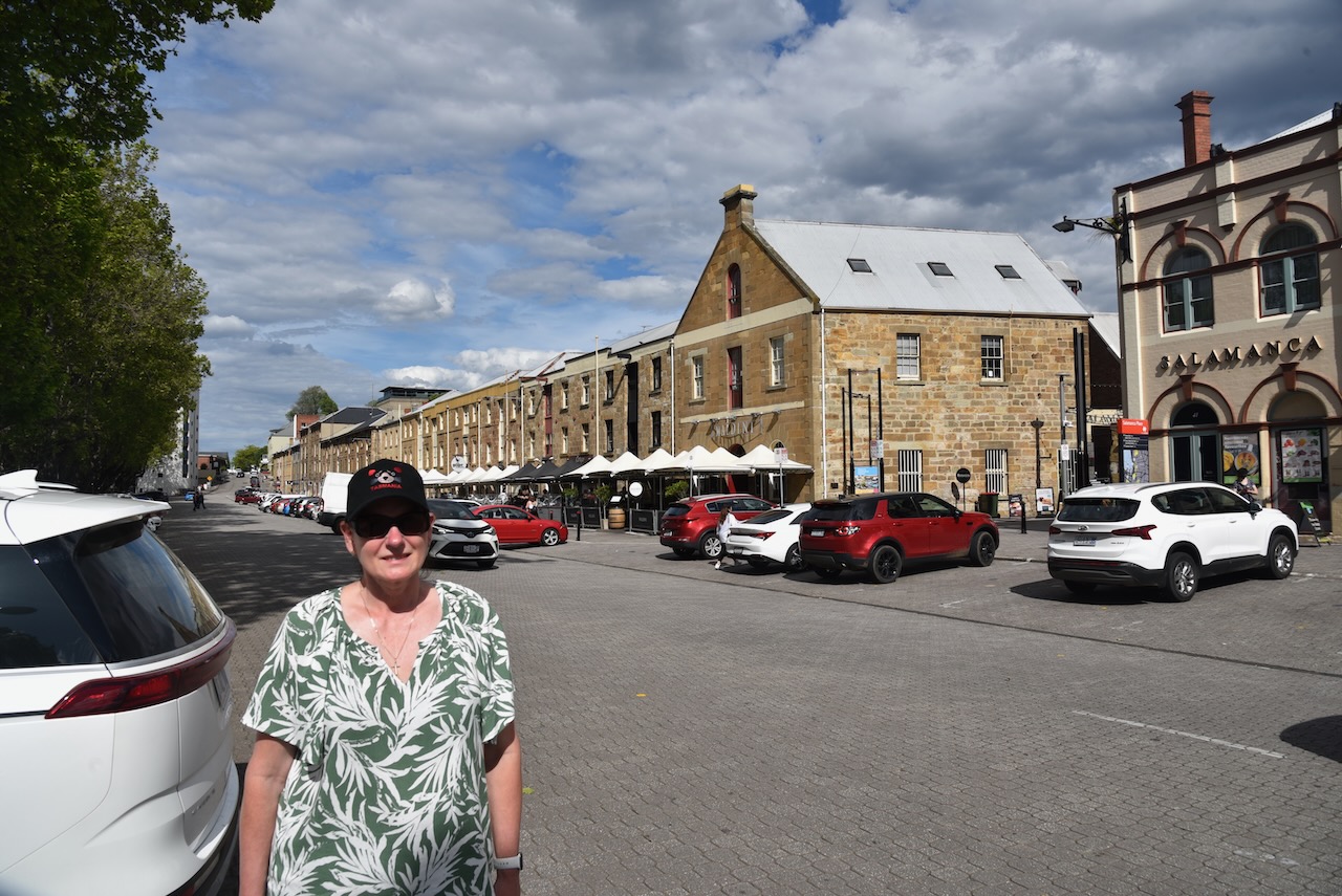
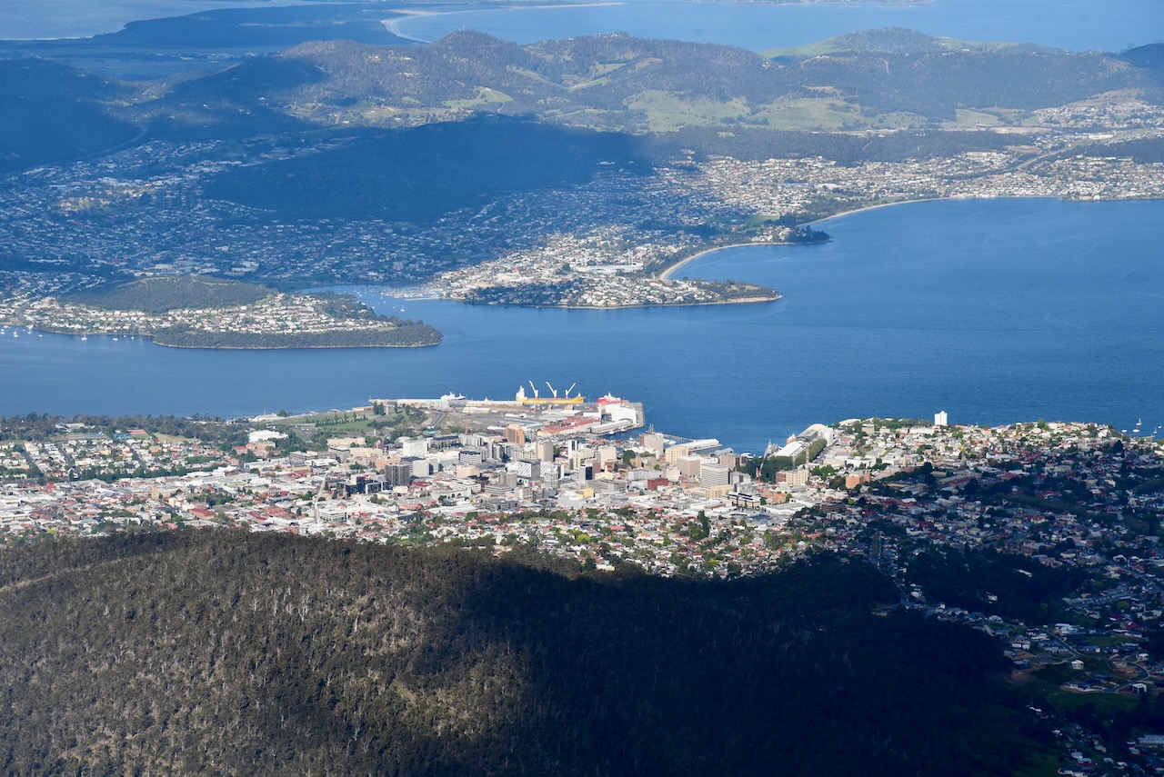
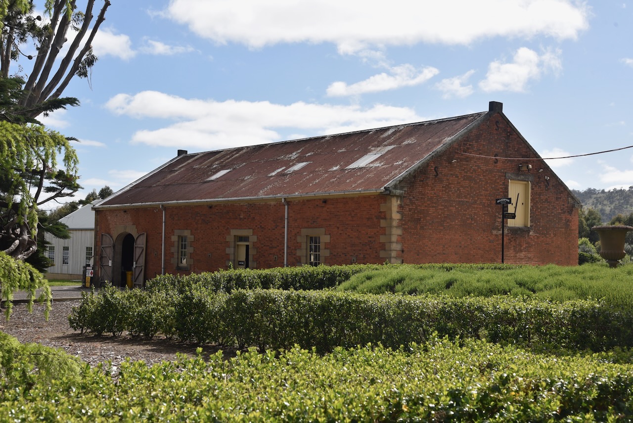
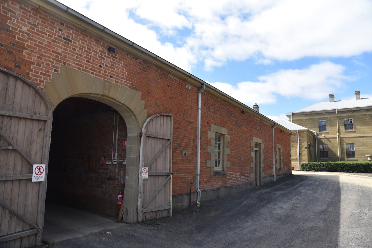
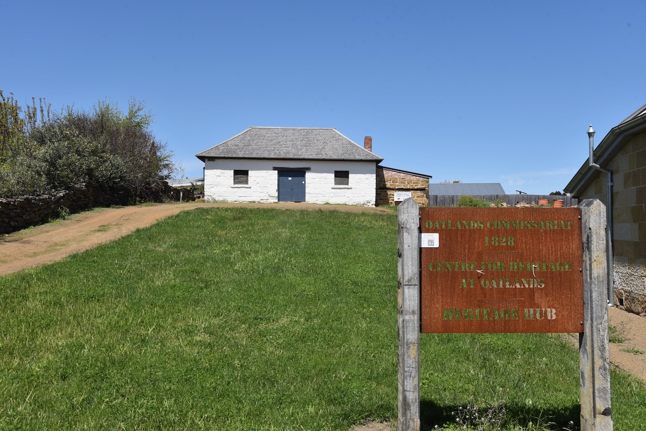
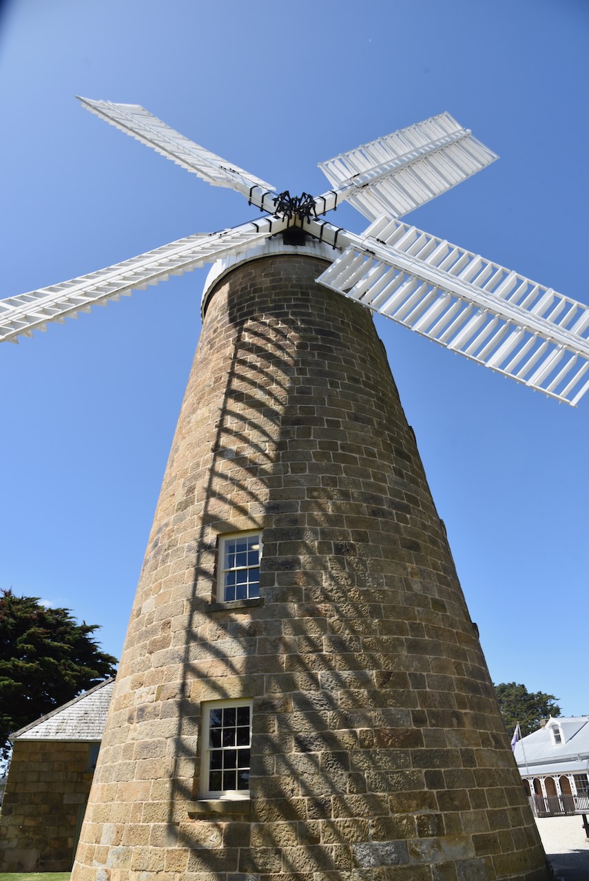
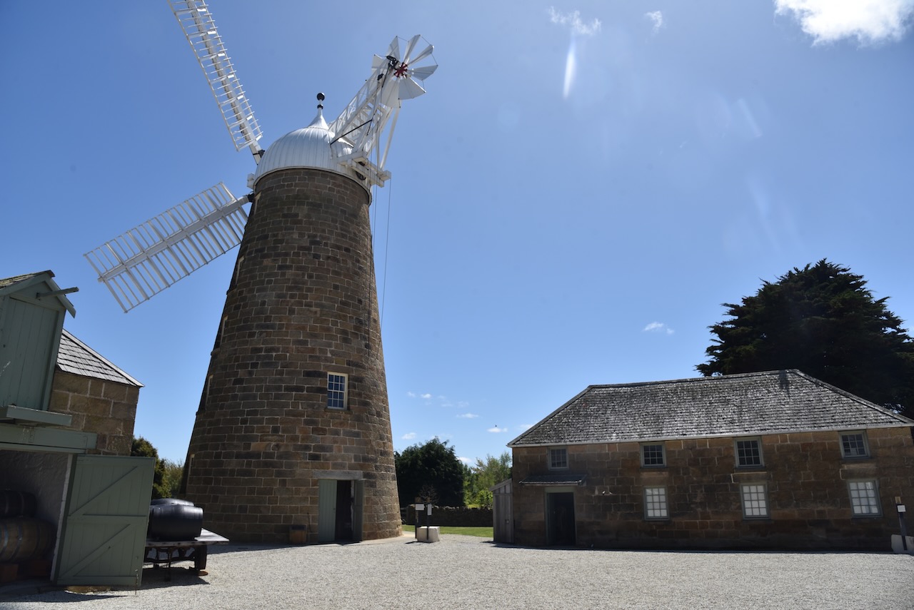
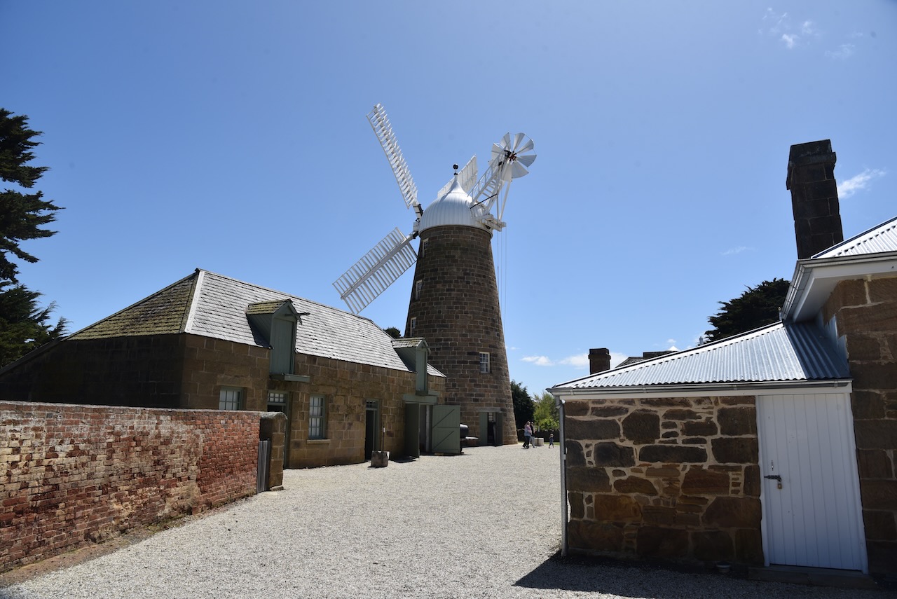
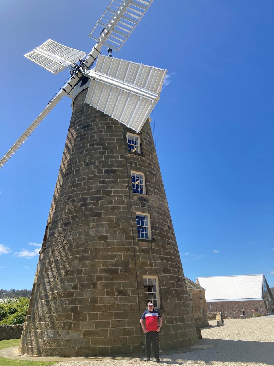
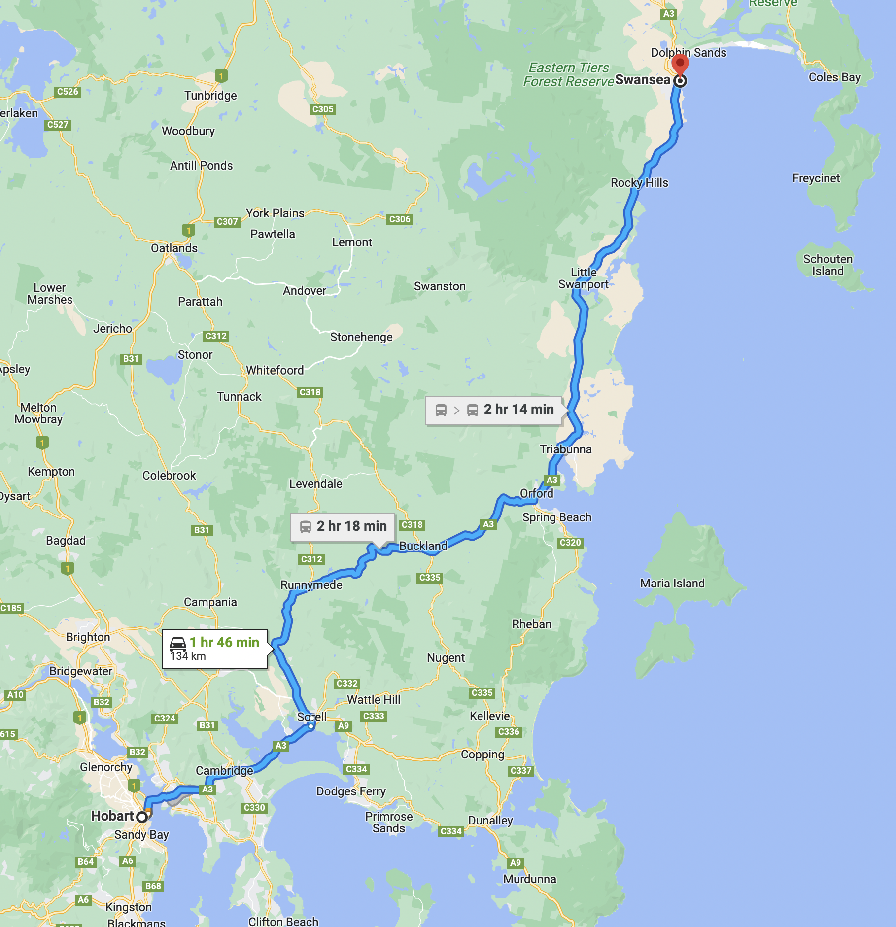
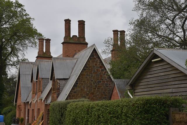
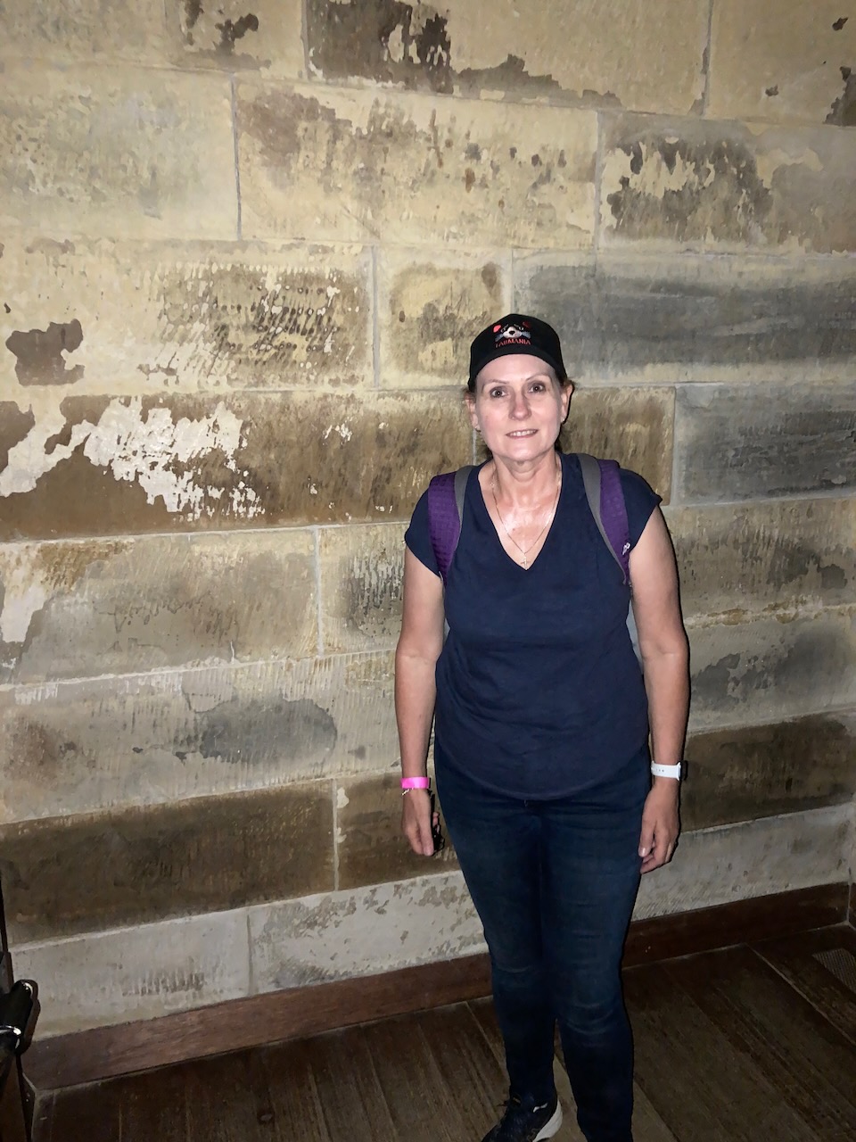
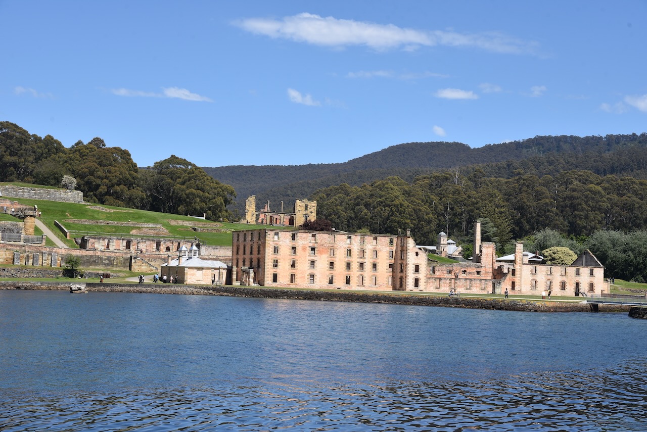
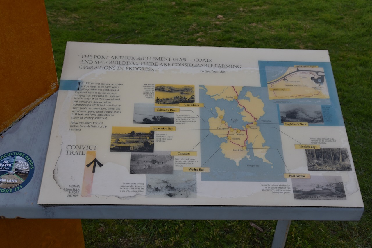
Day thirteen (Tuesday 8th November 2022) was upon us and we had planned a trip to the historic Port Arthur site on the Tasman Peninsula. Port Arthur is the best preserved convict site in Australia and among one of the most significant convict era sites in the world. Port Arthur haas about 30 historic buildings. I had not been to Port Arthur since 1983 and Marija had never been there, so we were both excited about the day’s activities.

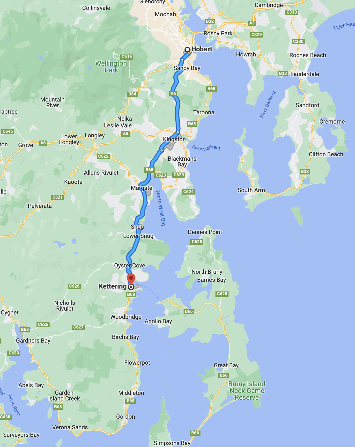
Above:- Map showing our route from Hobart to Port Arthur. Map c/o google maps.

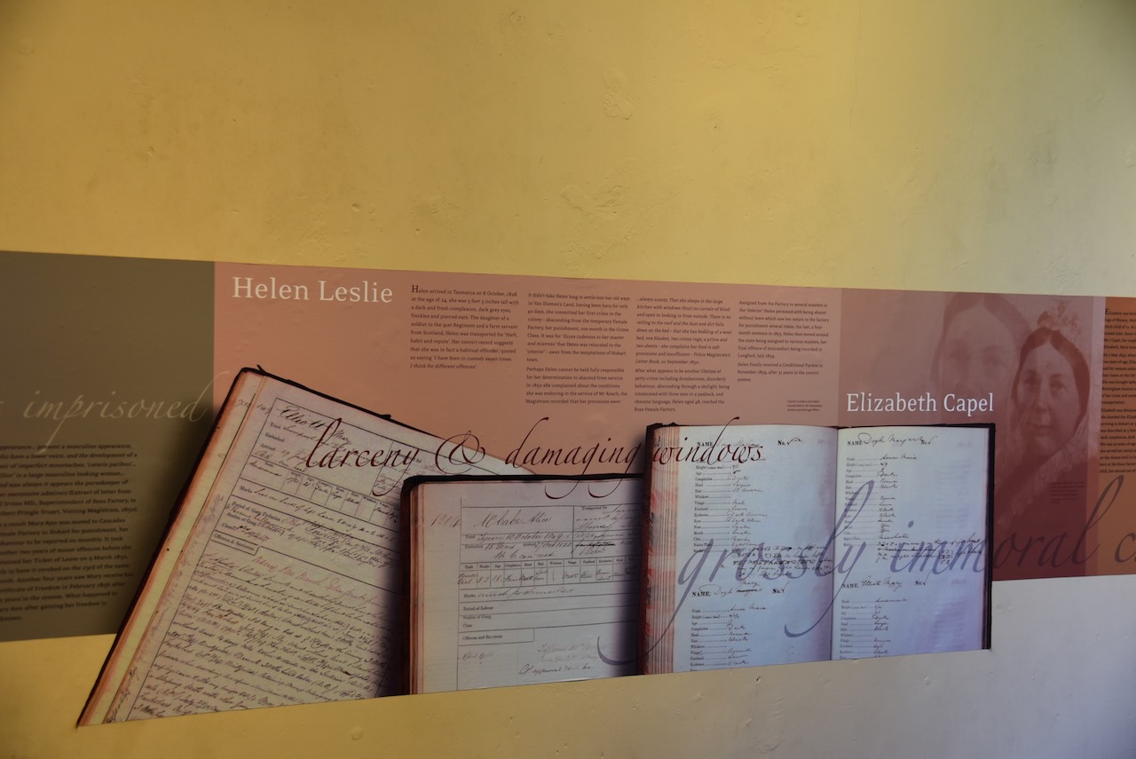
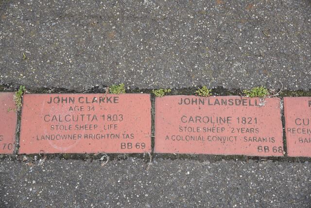
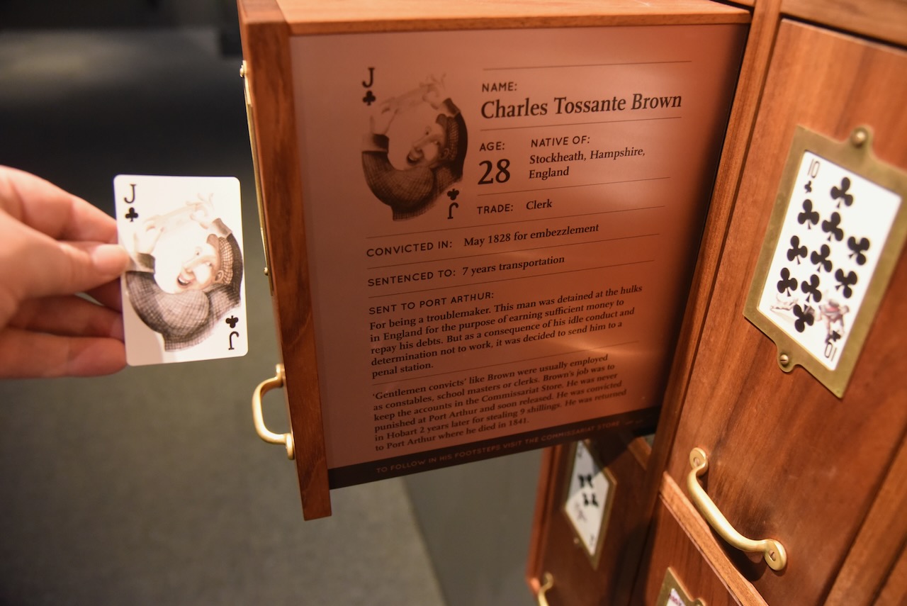
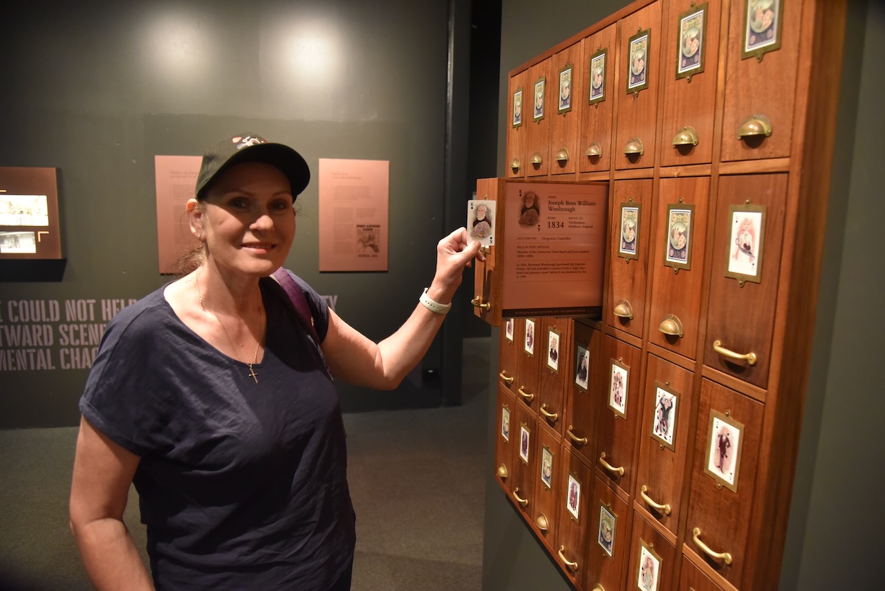
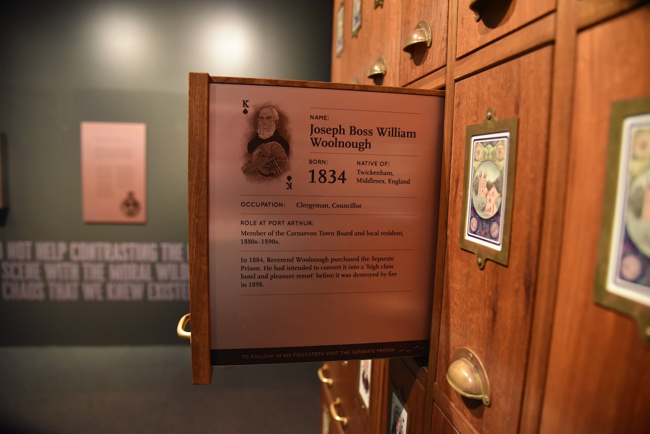
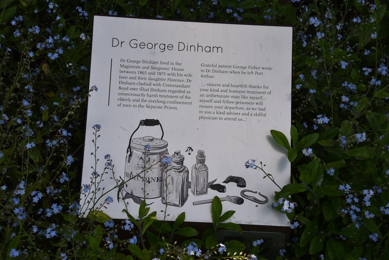
Upon arrival at Port Arthur you are given a playing card. It features a convict or another Port Arthur identity whom you are invited to learn more about during your visit.

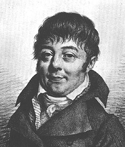
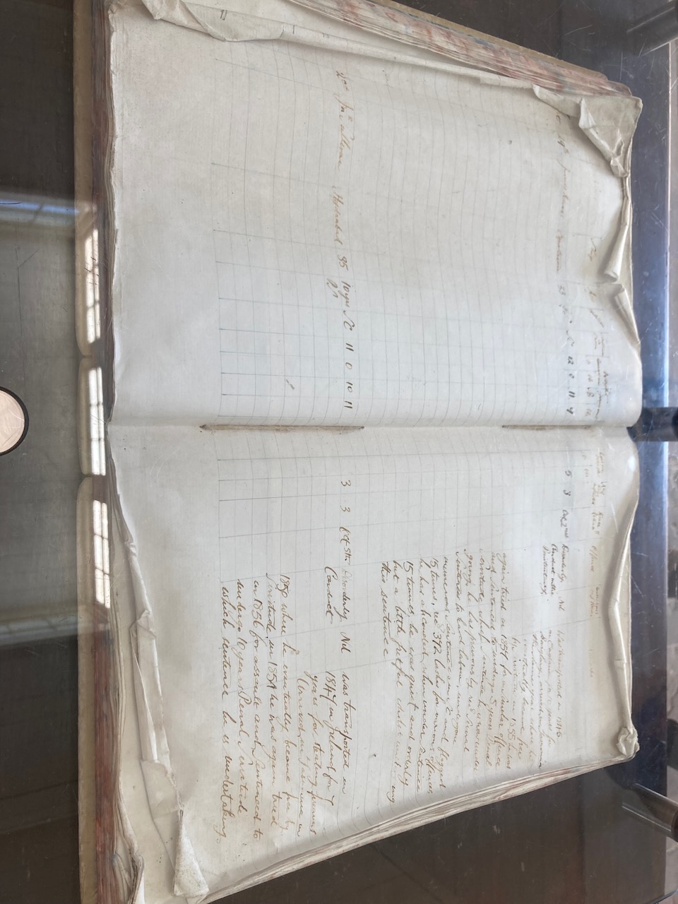
My convict was Charles Tossante Brown who was just 28 years old and a native of Stockheath, Hampshire, England, when in May 1828 he was convicted of embezzlement. He was sentenced to 7 years transportation. His job was to keep the accounts in the Commissariat Store. He was never punished at Port Arthur and was soon released. He was convicted in Hobart two years later for stealing 9 shillings and he was returned to Port Arthur where he died in 1841.

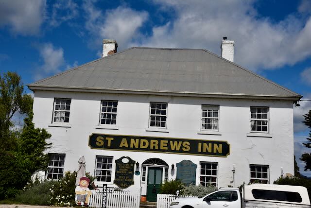
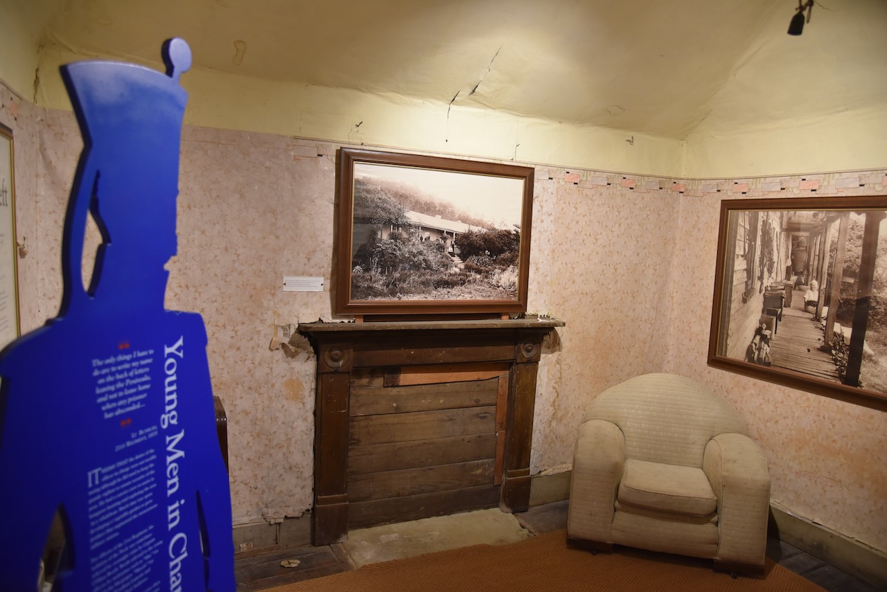
Marija’s card was for Joseph Boss William Woolnough, who was a clergyman and Councillor. He was a member of the Carnarvon Town Board. In 1884 Reverend Woolnough purchased the Separate Prison. He had intended to convert it into a high class hotel and pleasure resort before it was destroyed by fire in 1898.

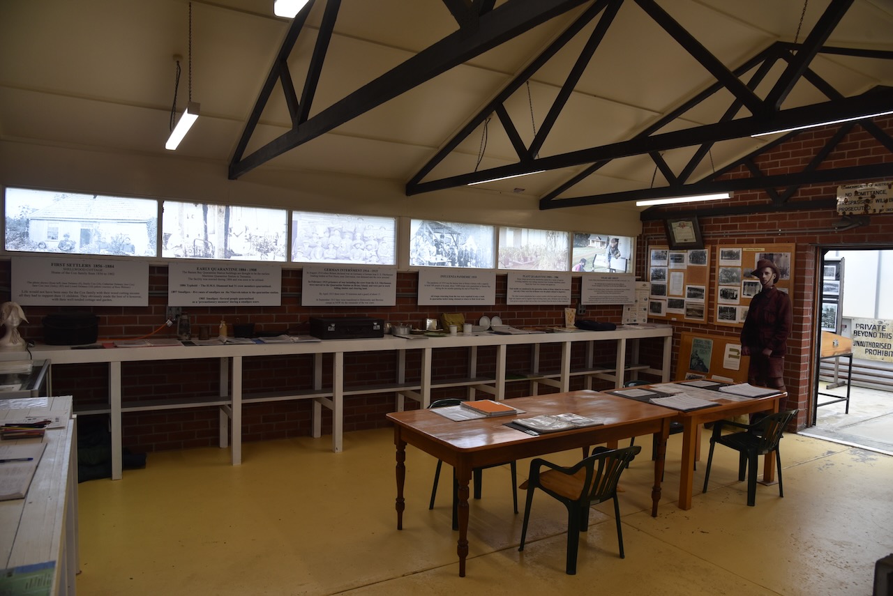
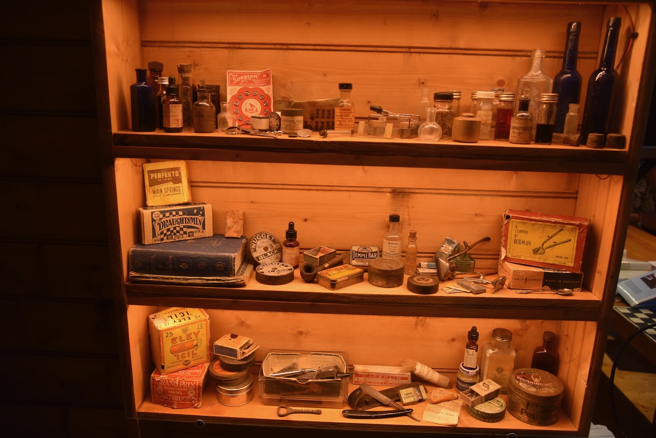
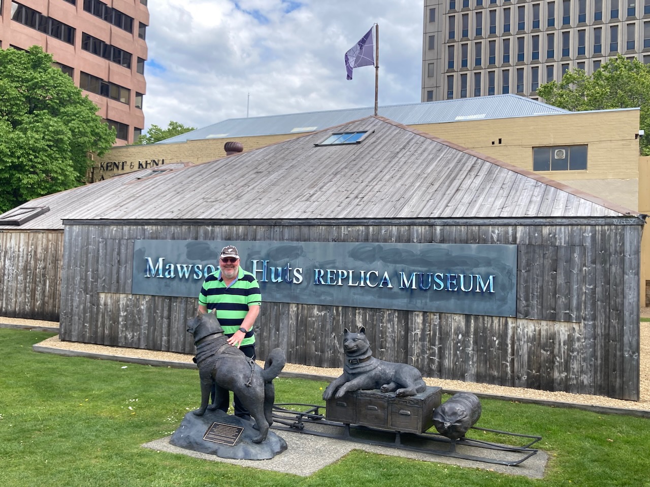
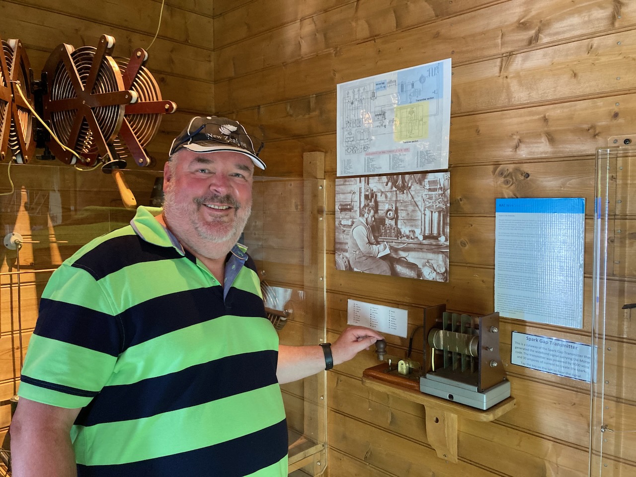
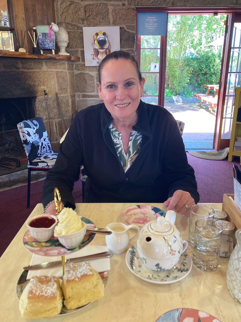
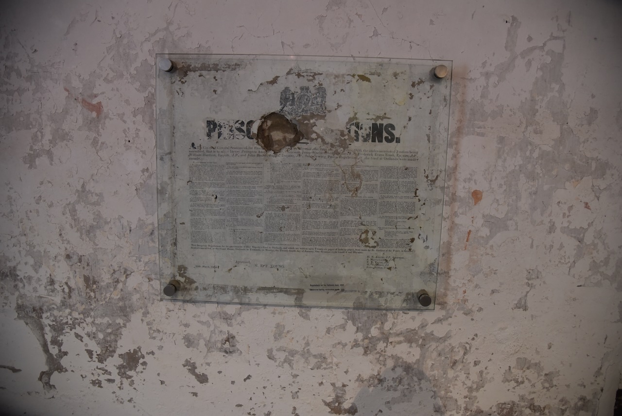
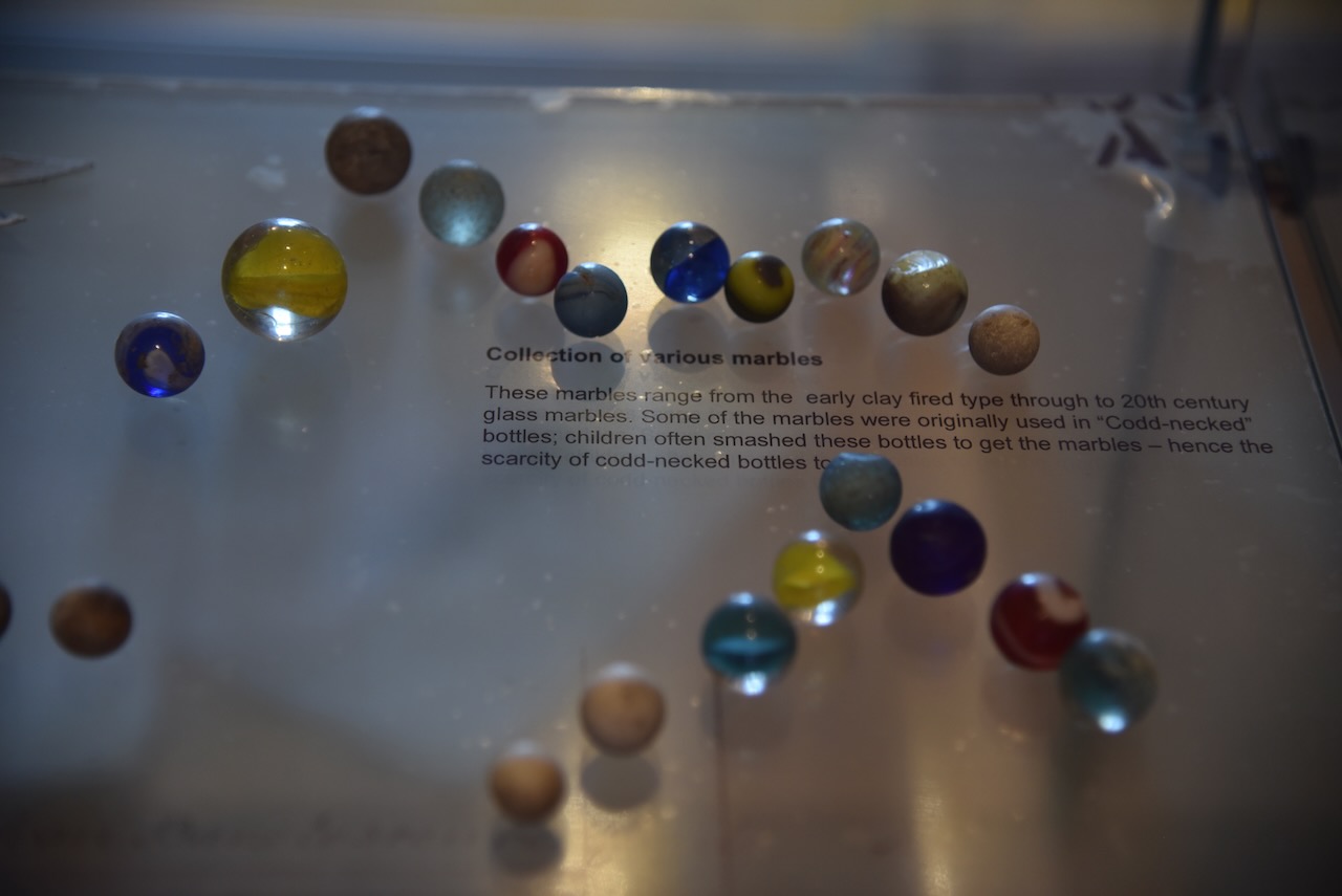
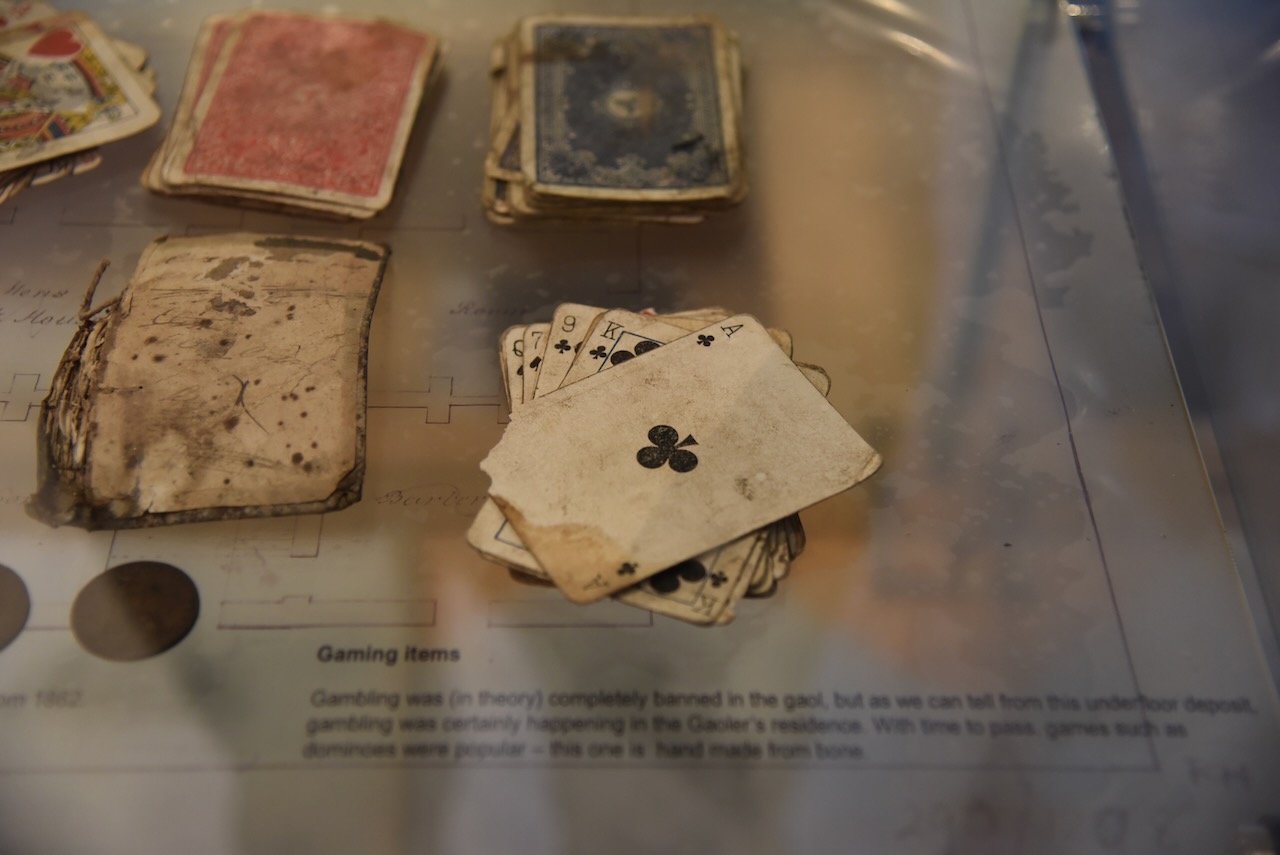
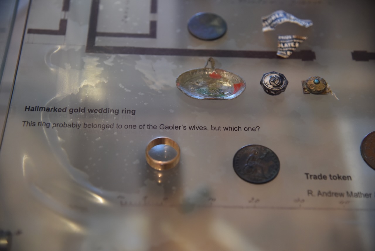
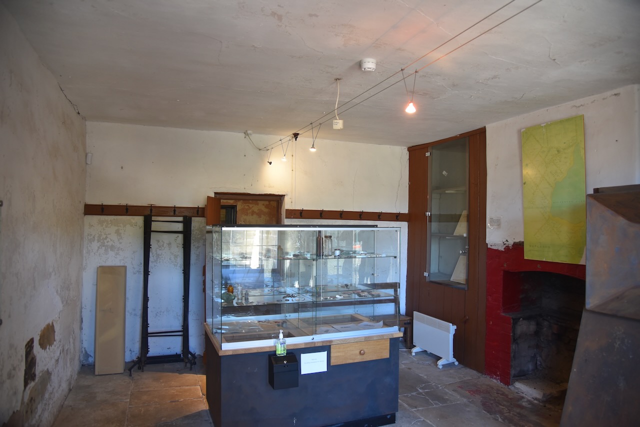
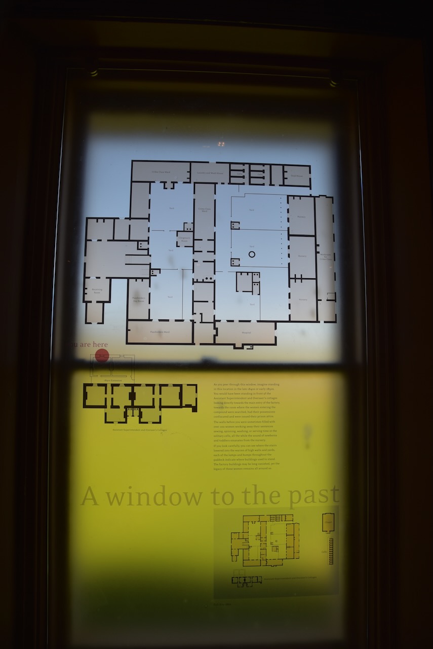
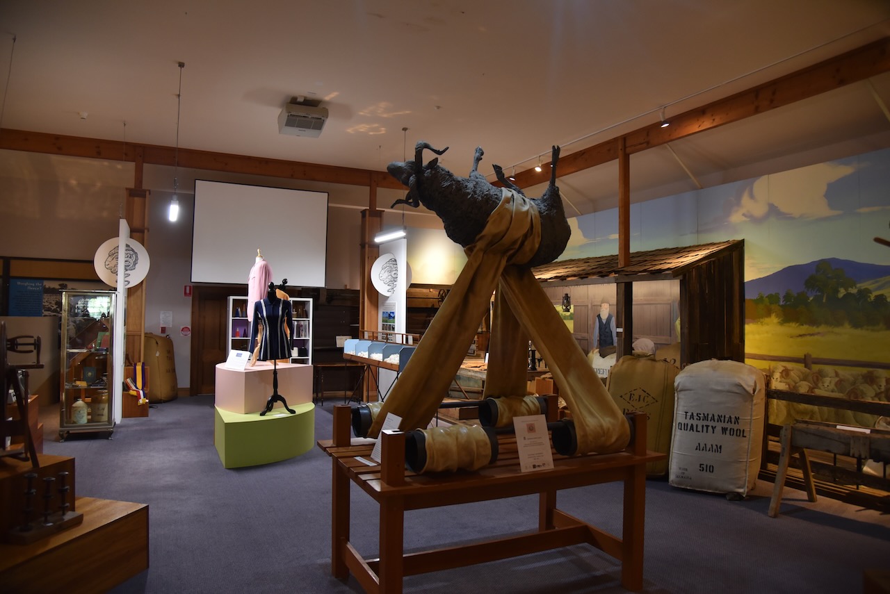
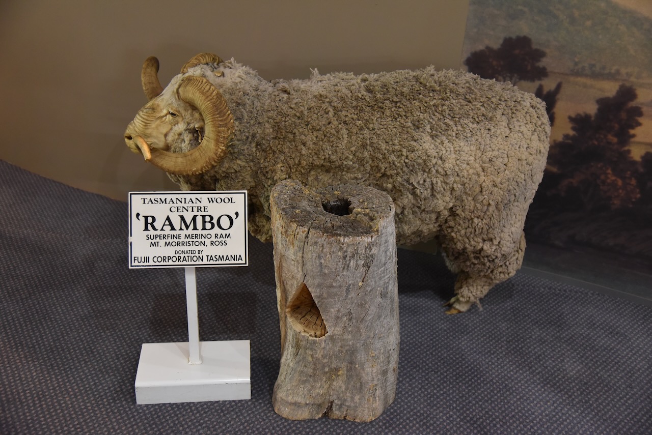
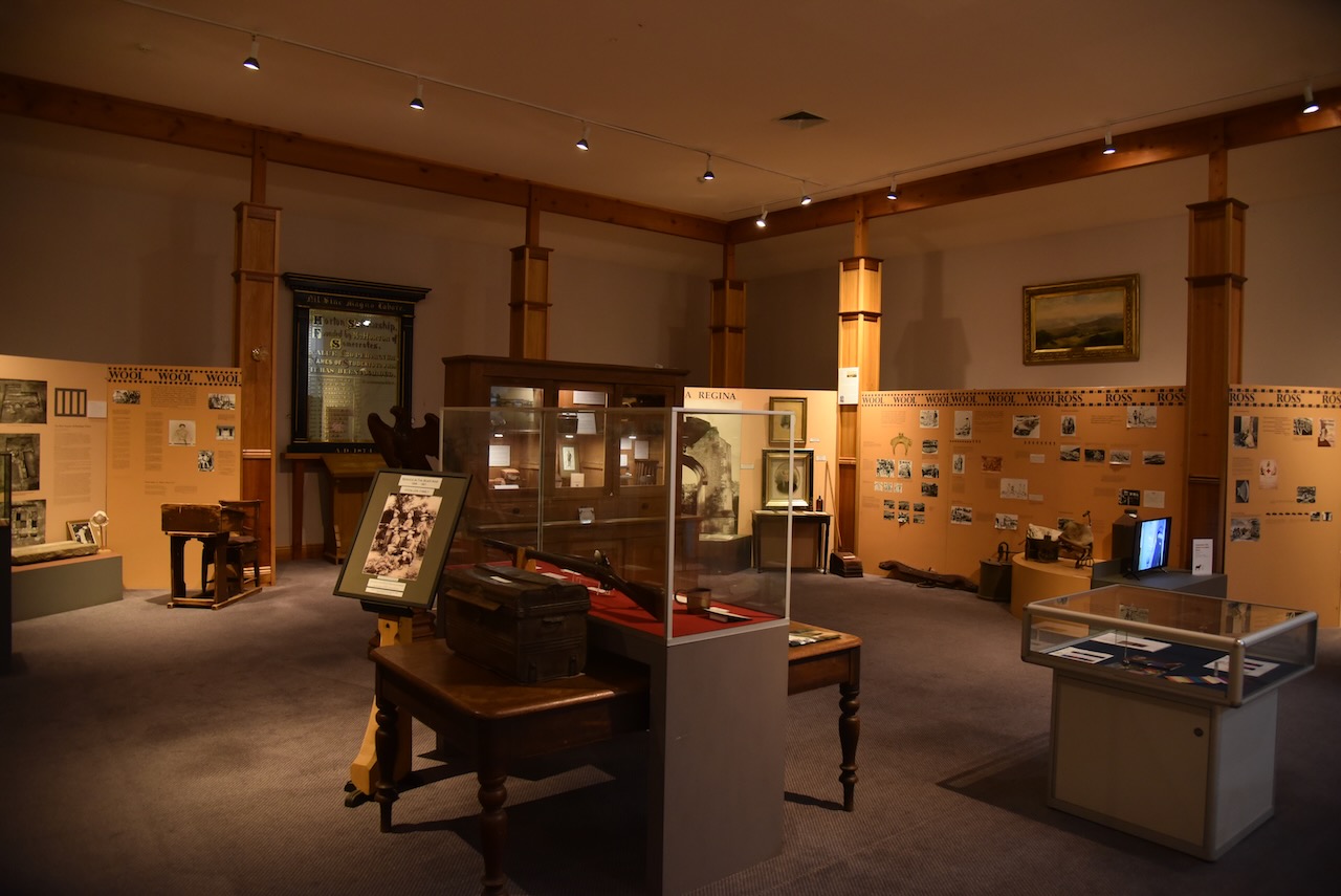
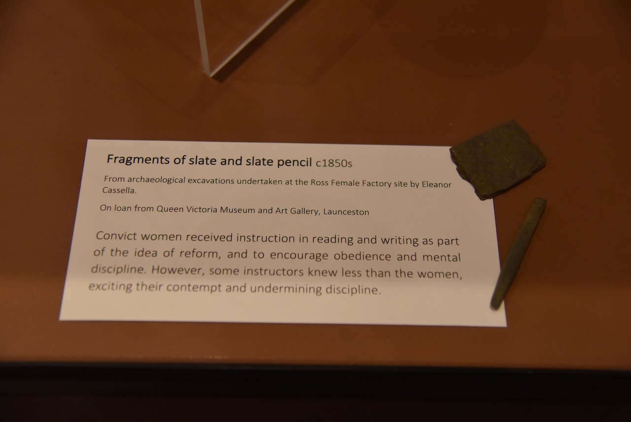
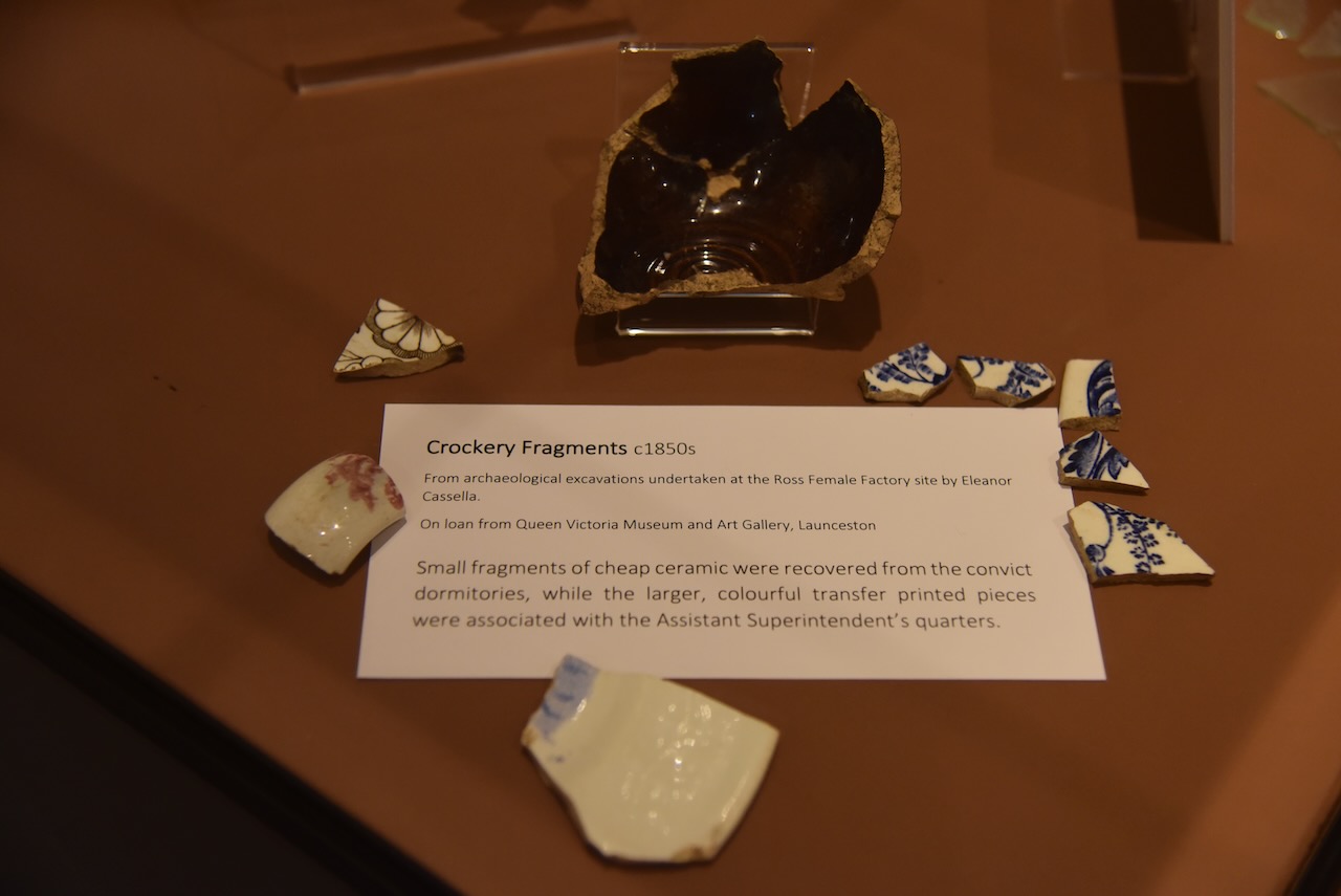
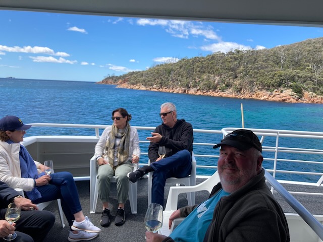
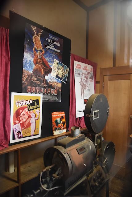
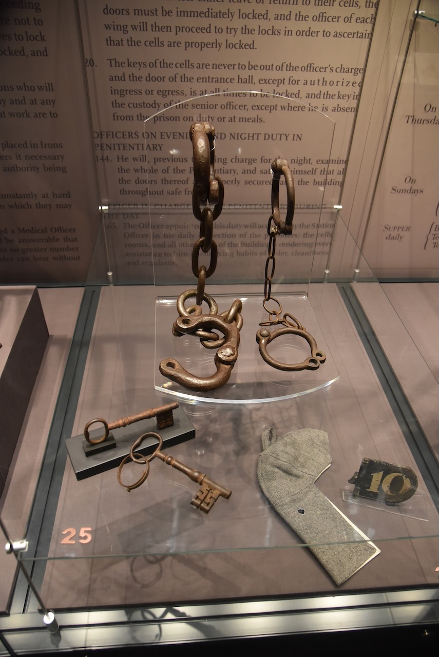
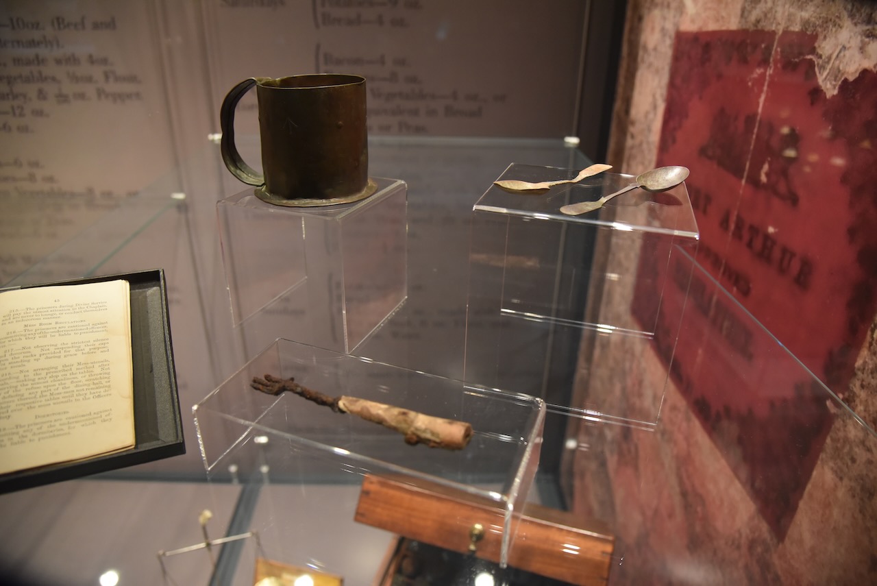
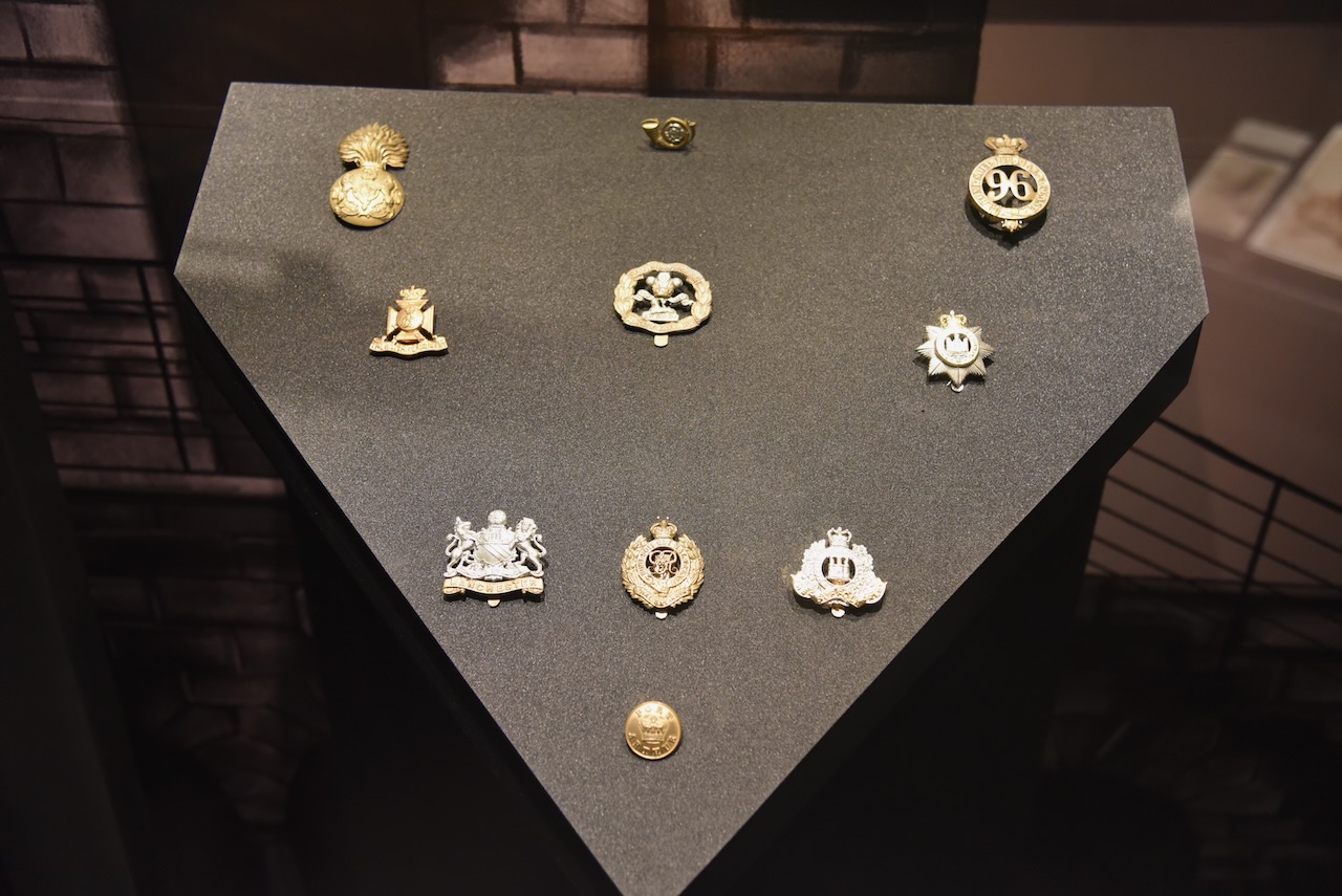
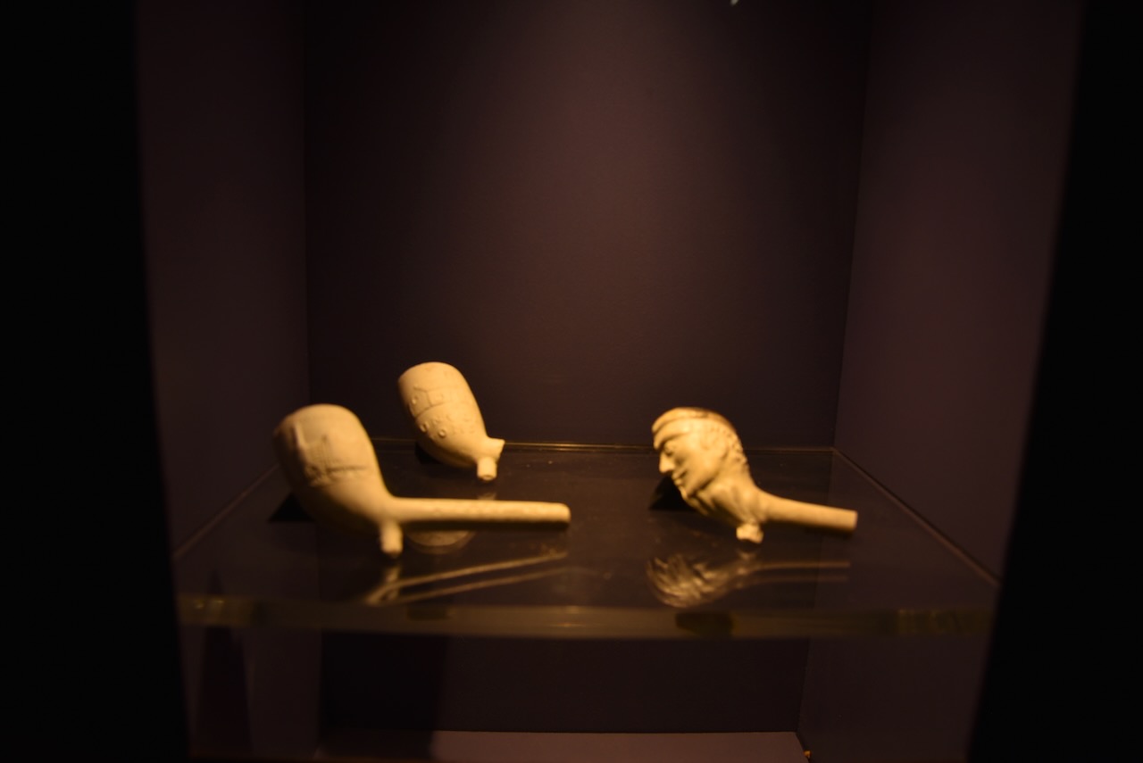
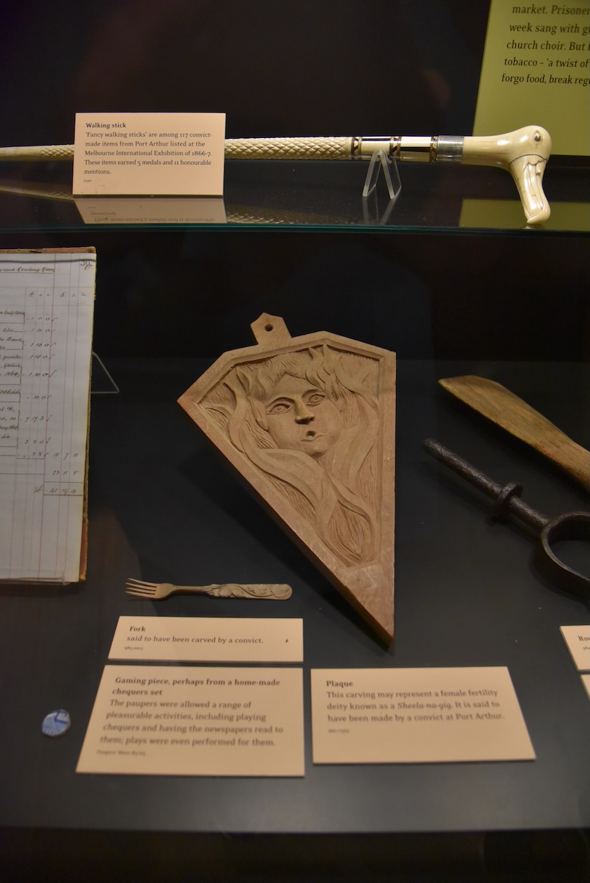
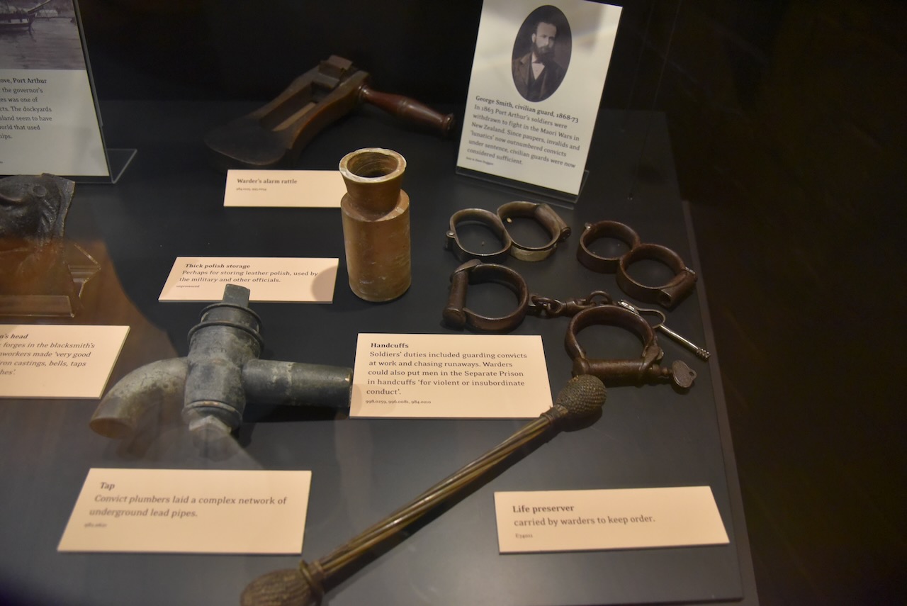
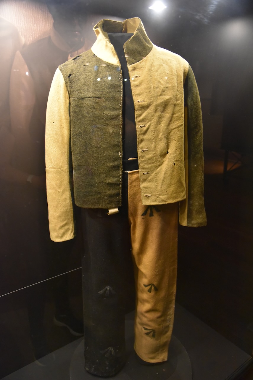
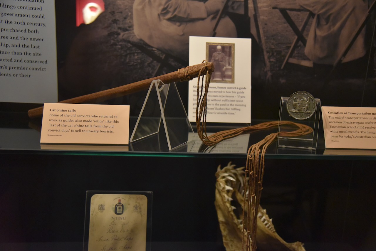
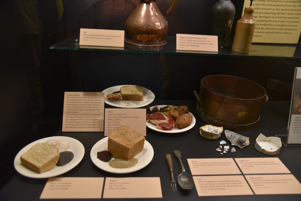
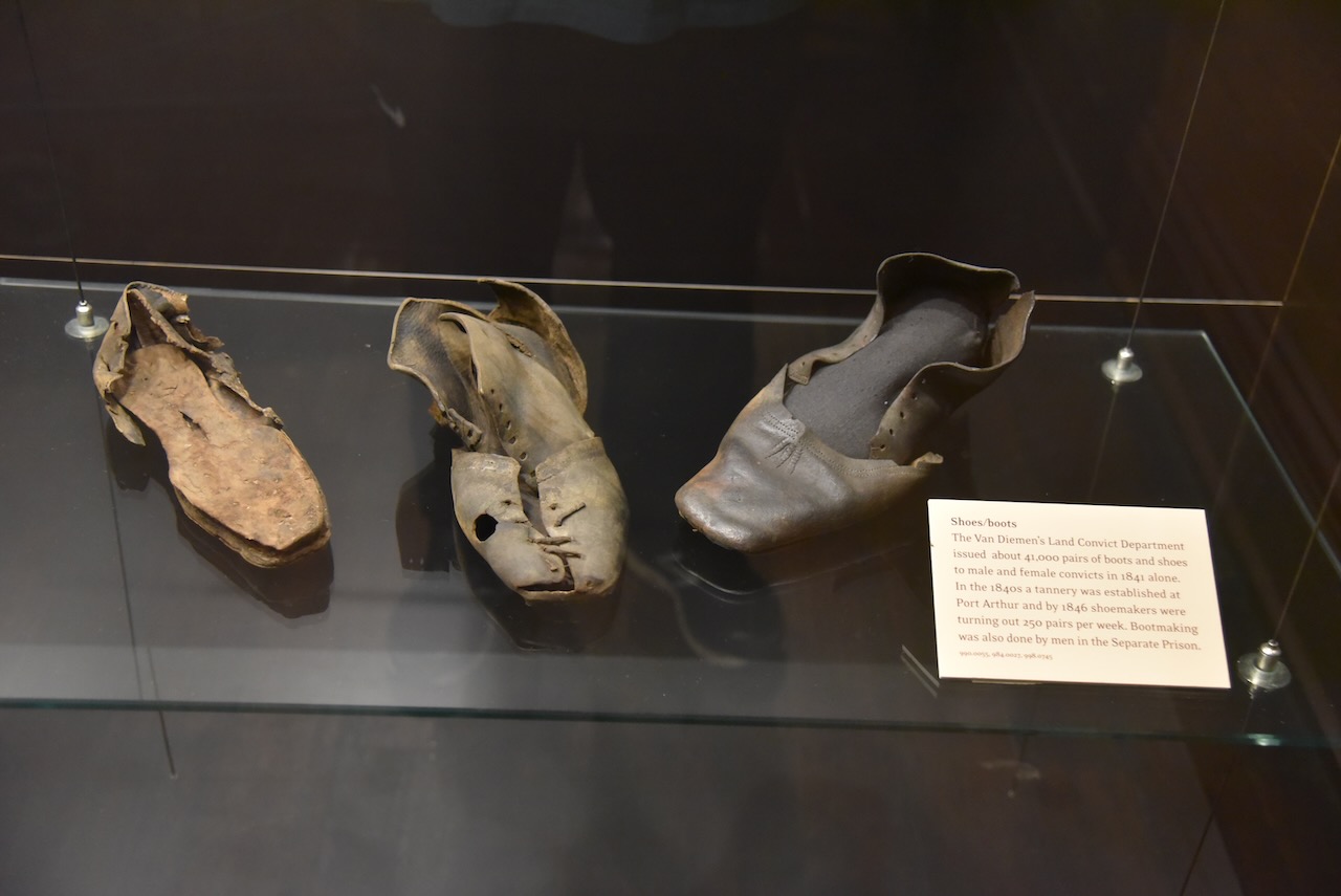
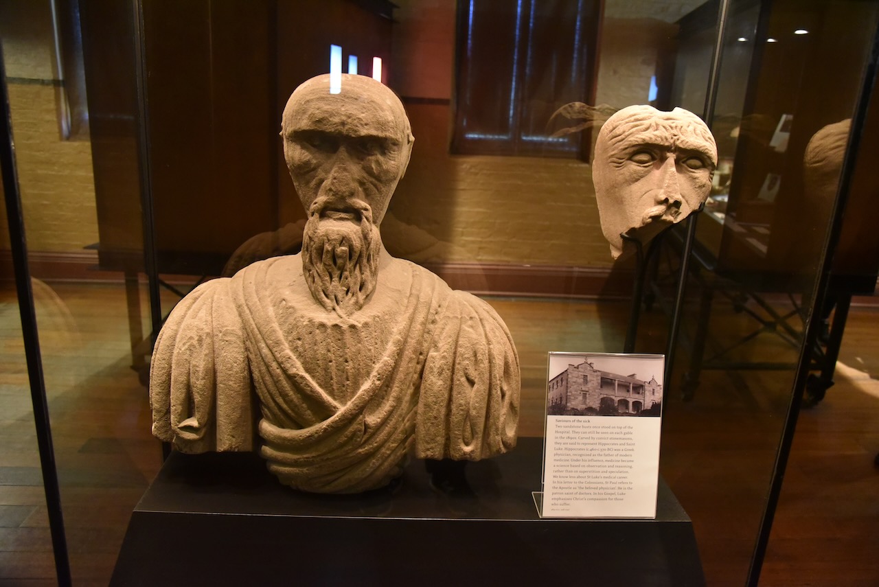
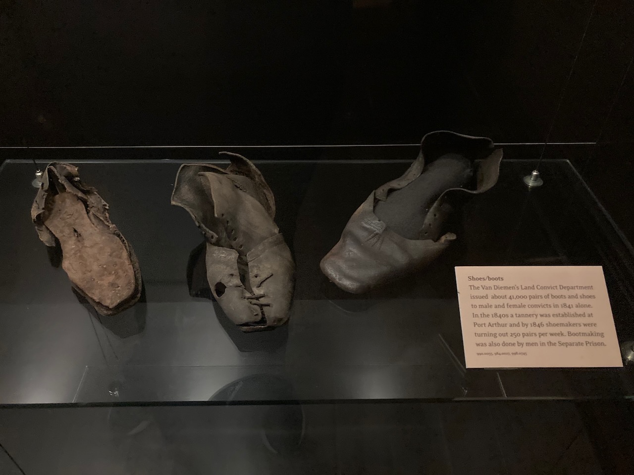
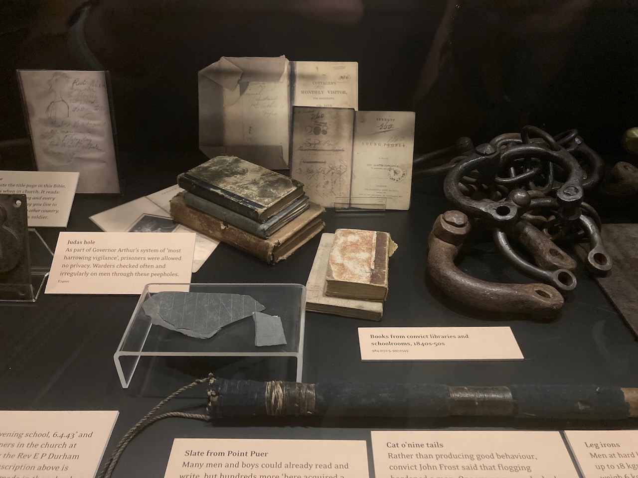
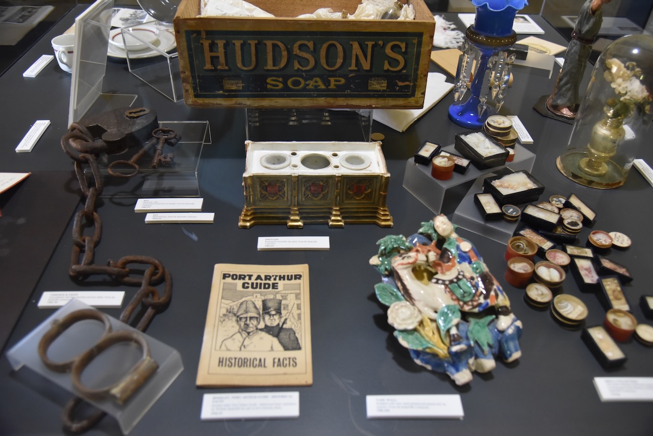
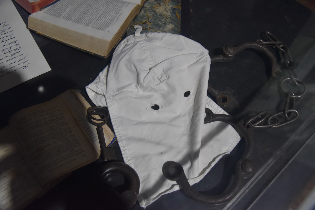
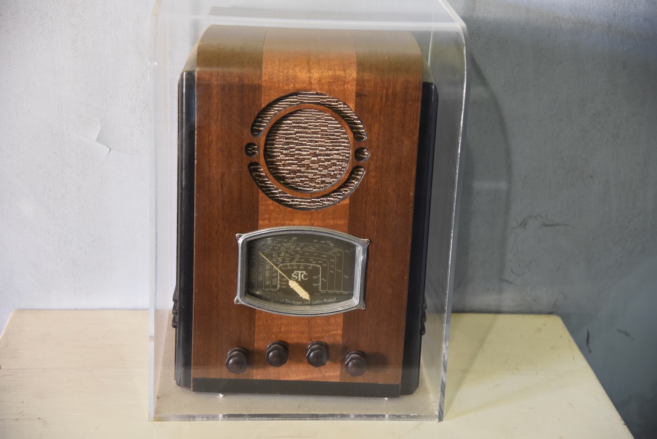
We booked a tour of Port Arthur and also a separate tour out to the Isle of the Dead. To fill in some time we had a look at the extremely interesting museum in the visitor centre.

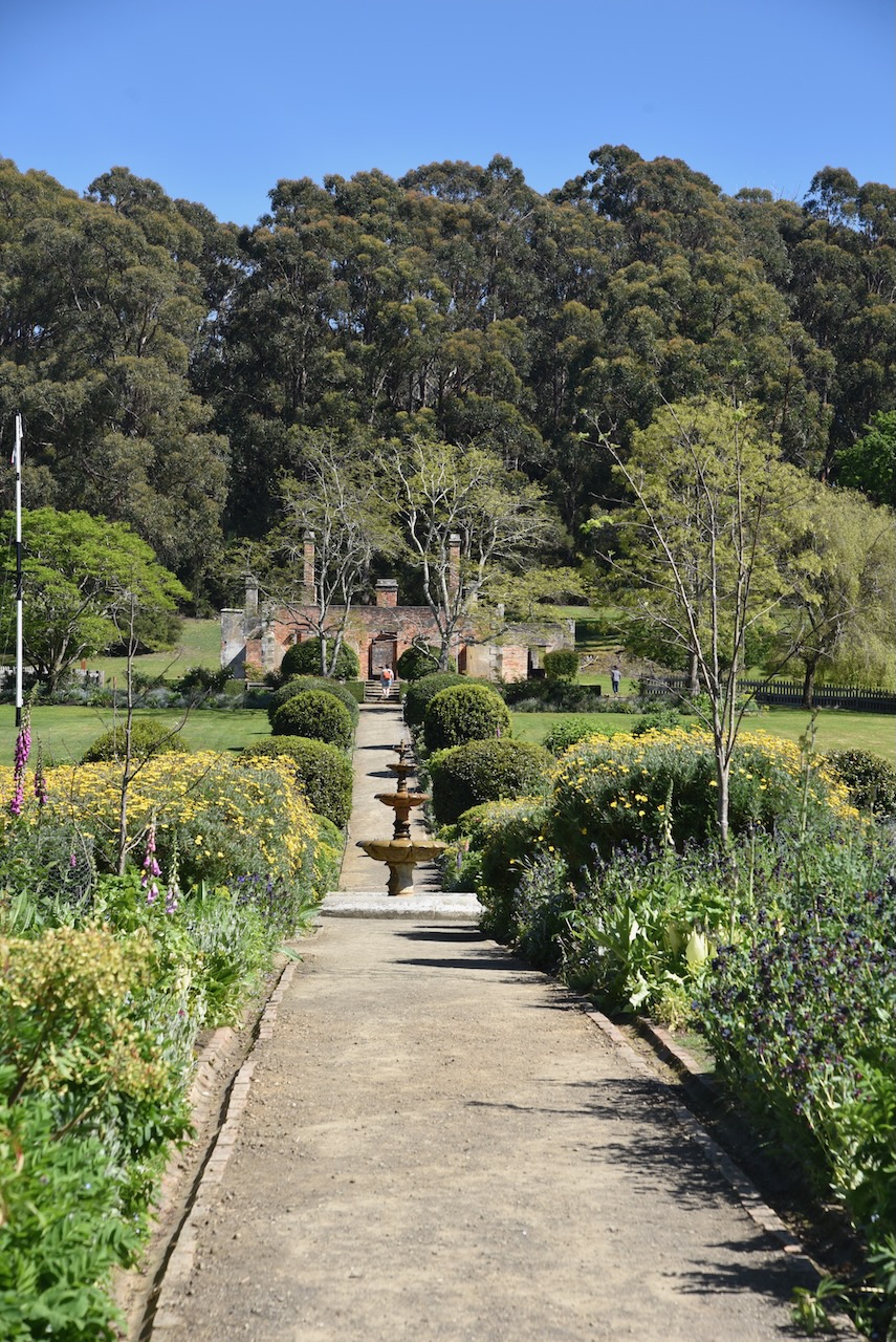
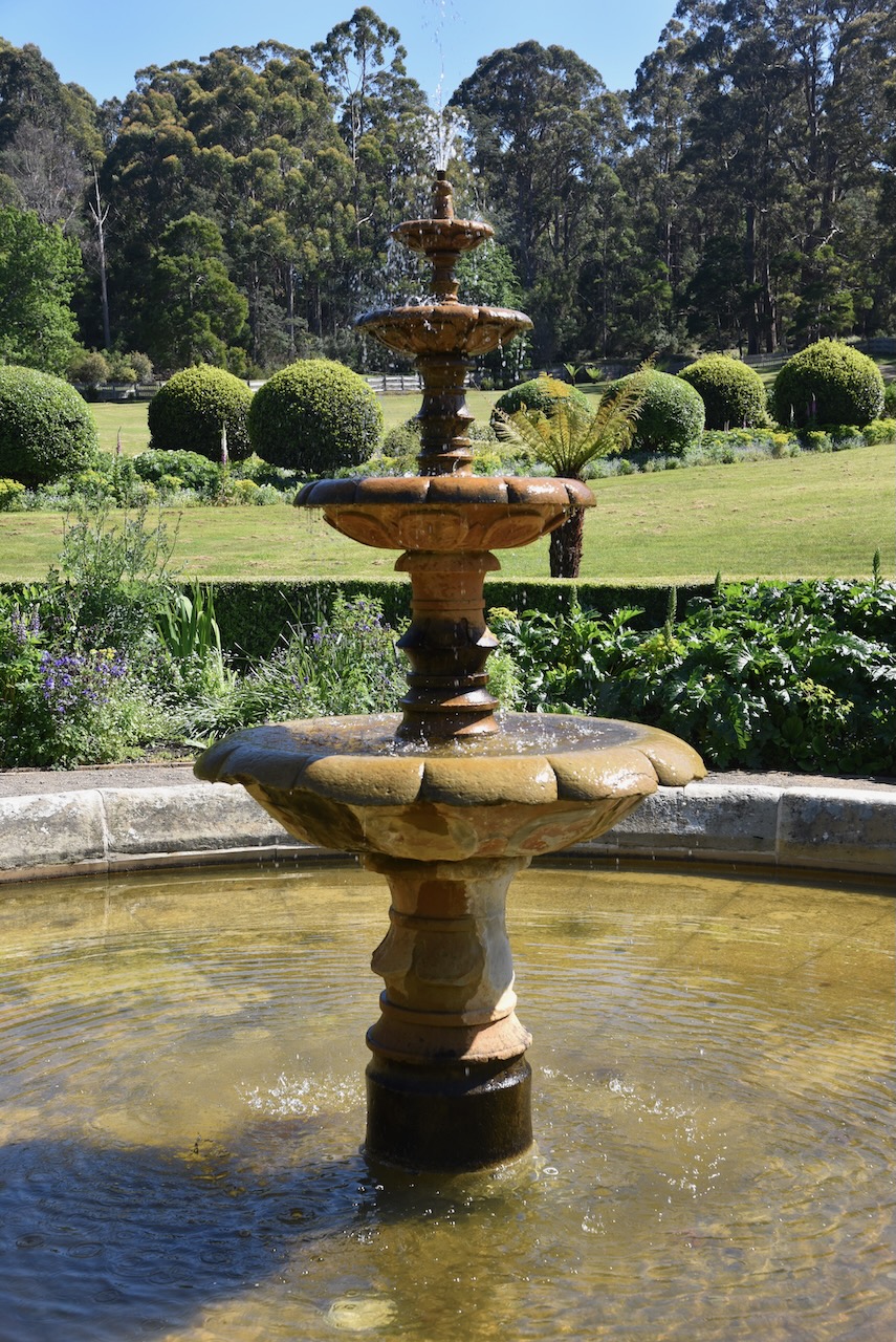
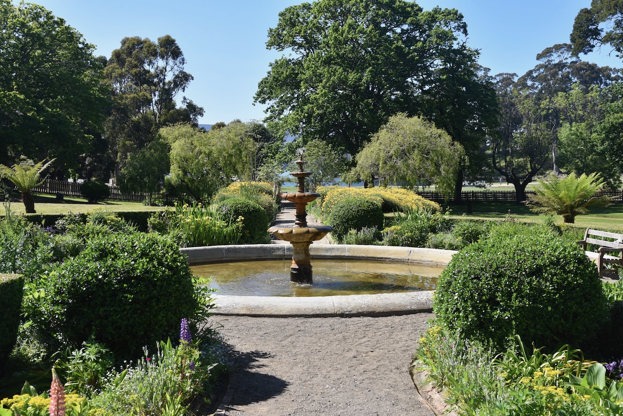
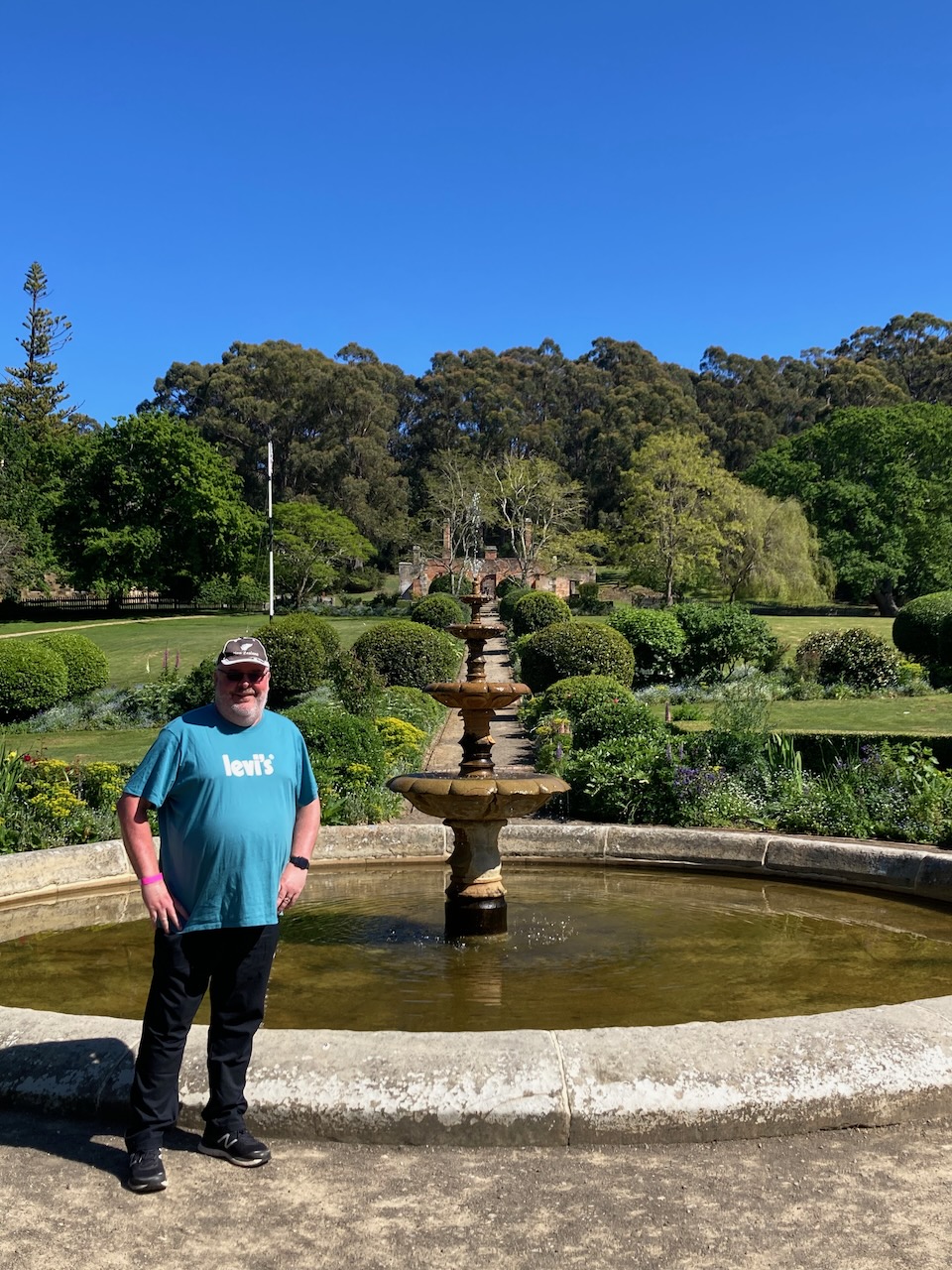
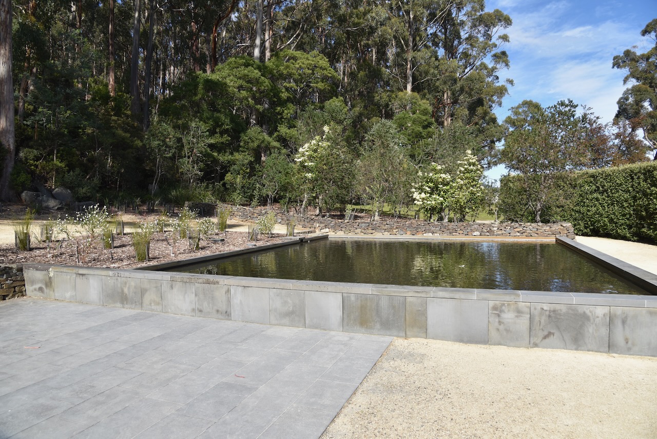
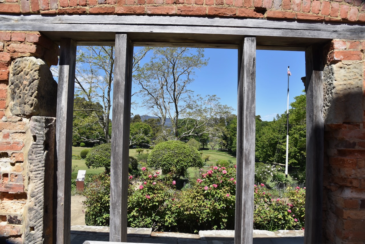
We then took a walk though Government Gardens. Ornamental trees were planted at Port Arthur during the 1830s. By 1838 the avenue leading to the church was lined with trees which had been provided by Governor Sir John Franklin. Between 1846 to 1847 Government Gardens were developed by Commandant Champ, primarily for the enjoyment of the ladies who lived at Port Arthur. 

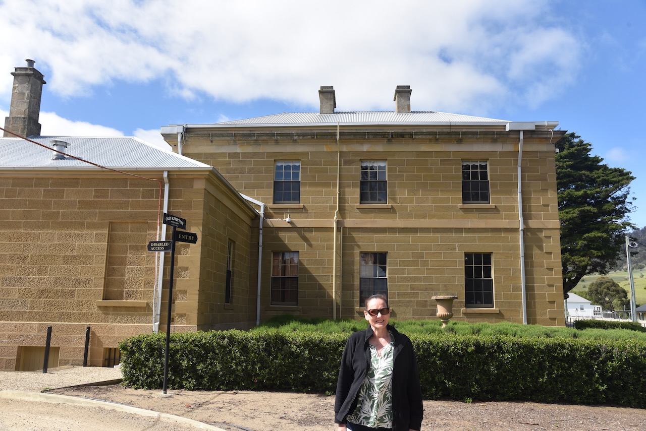
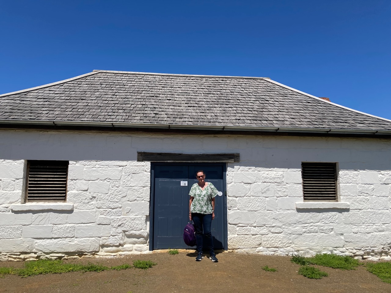
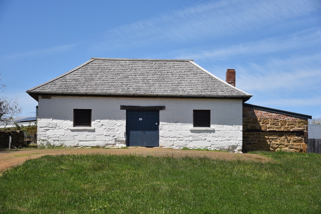
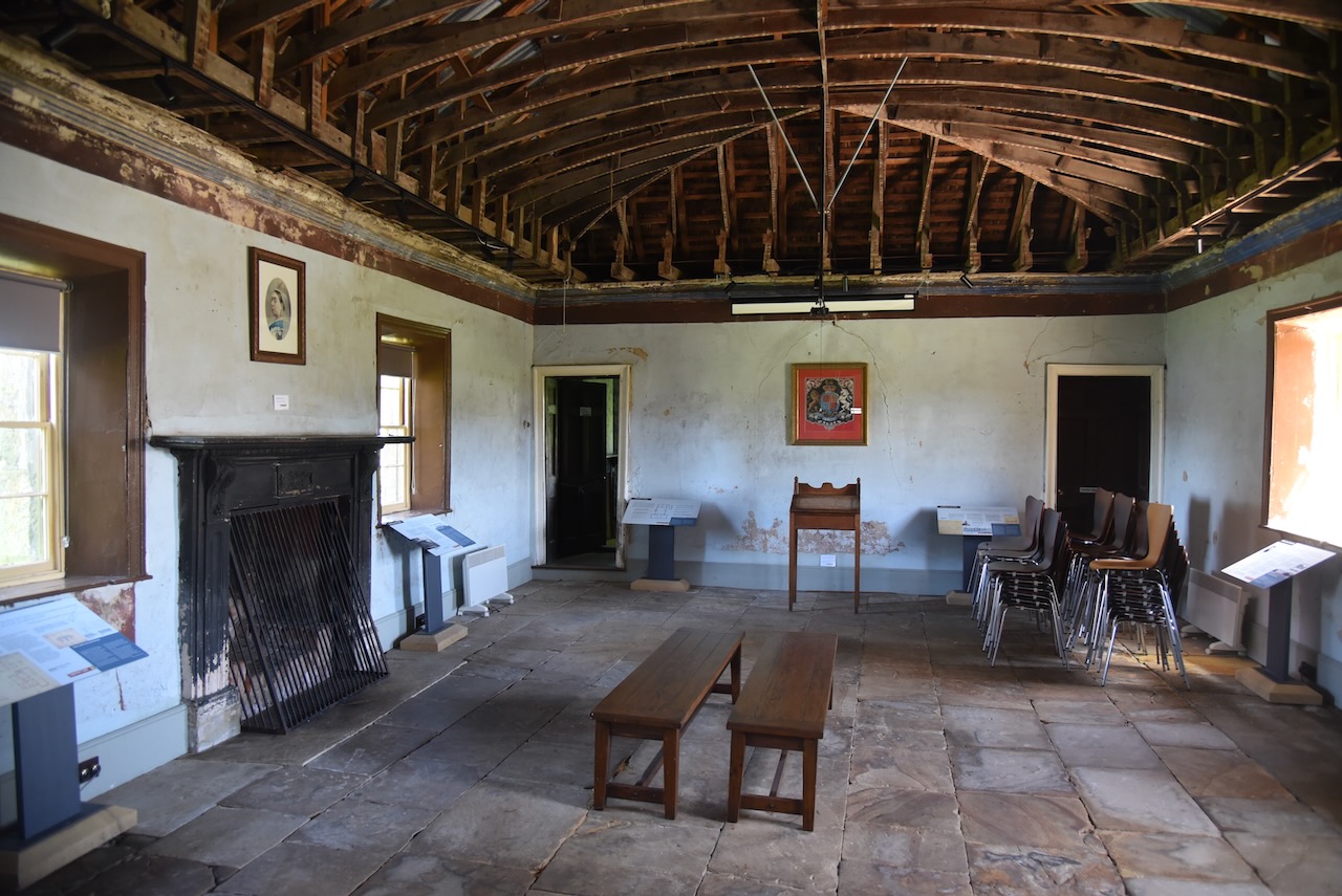
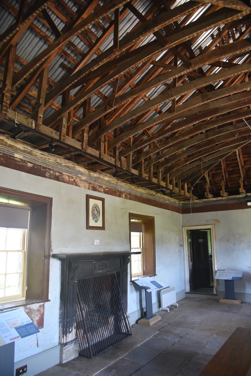
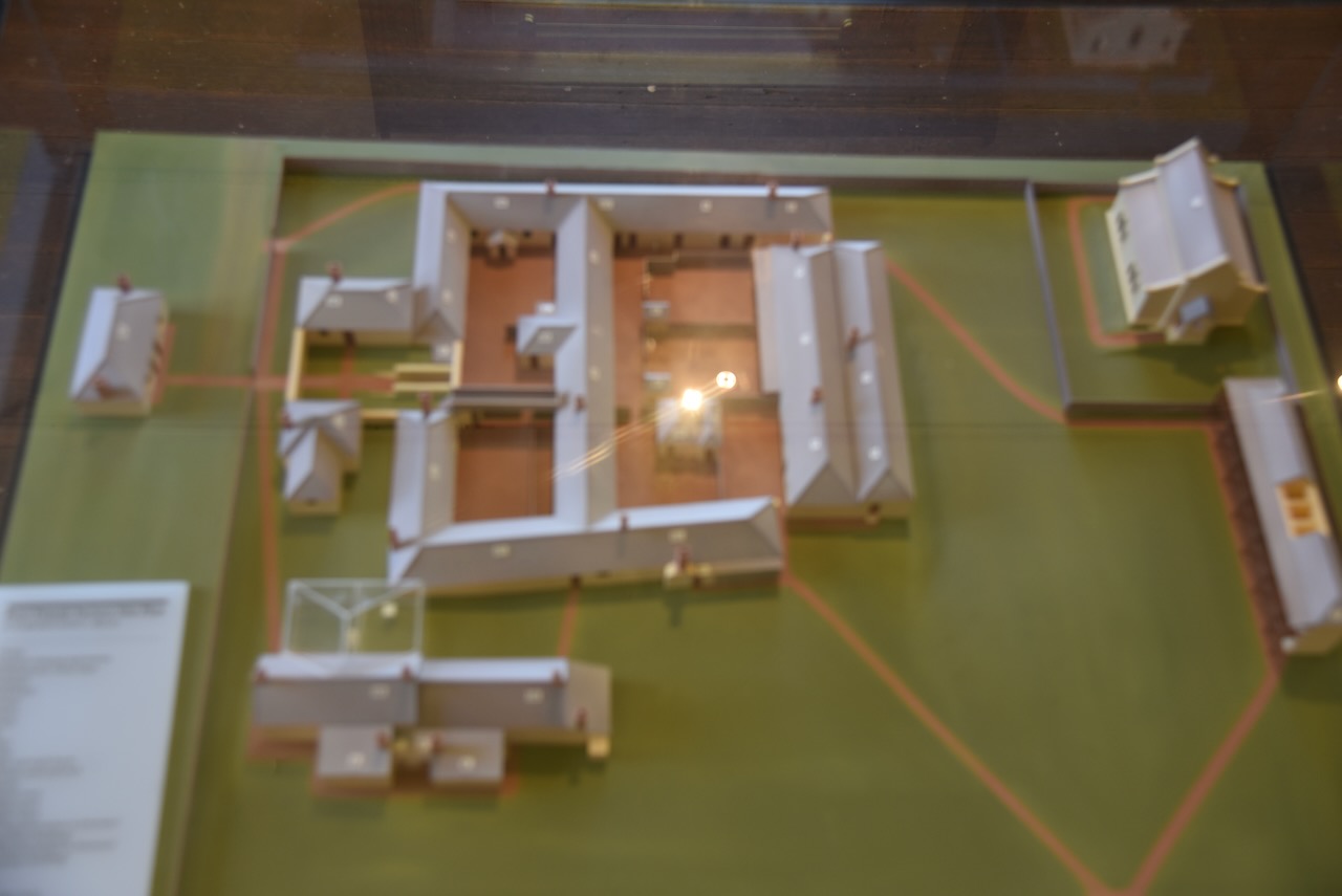
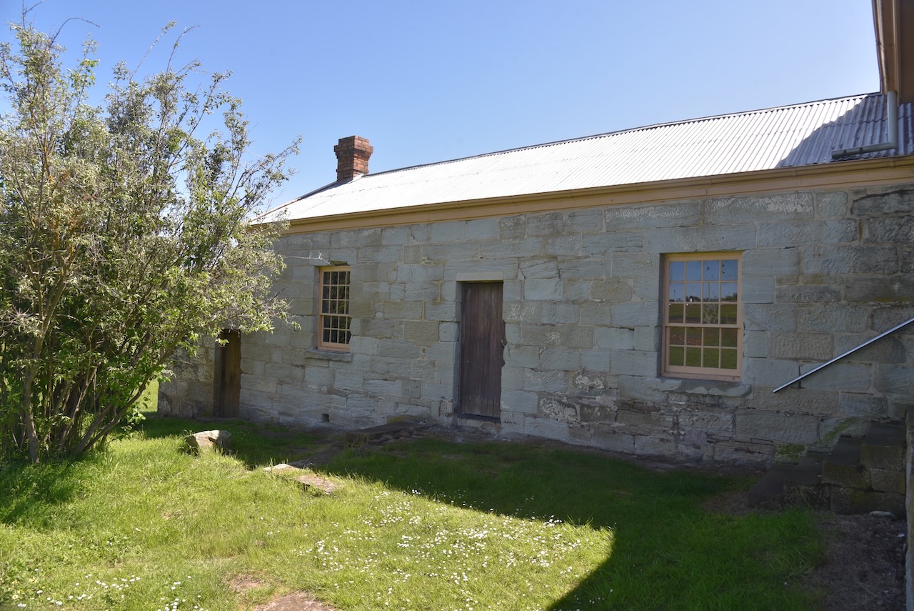
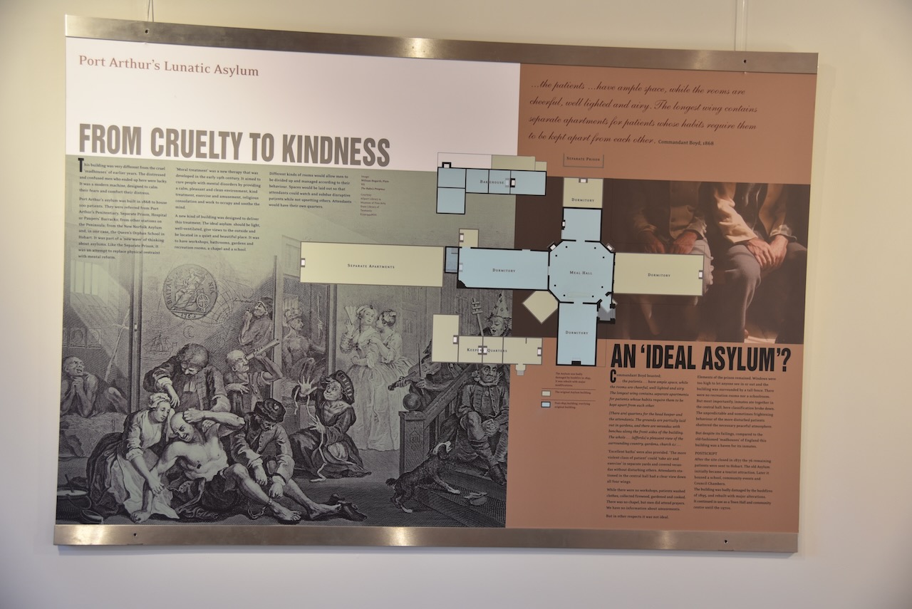
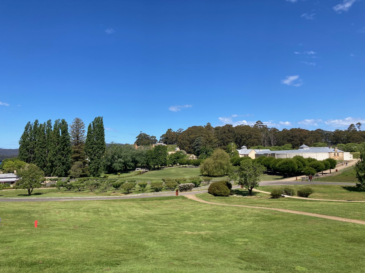
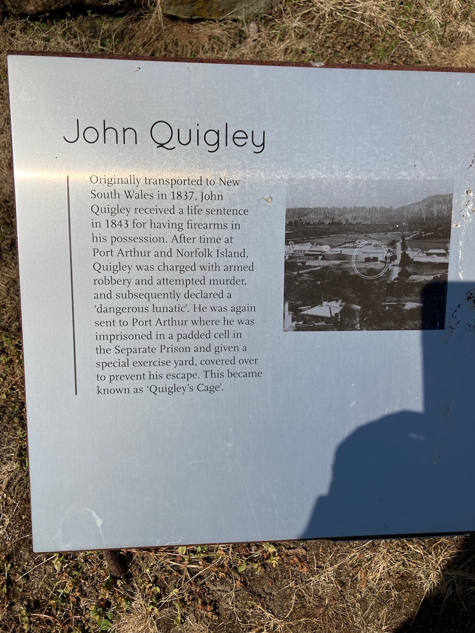
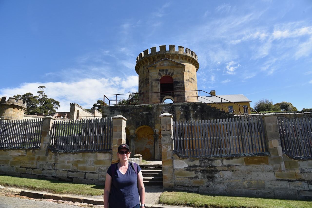
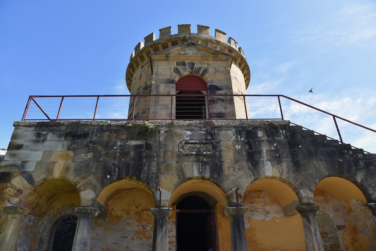
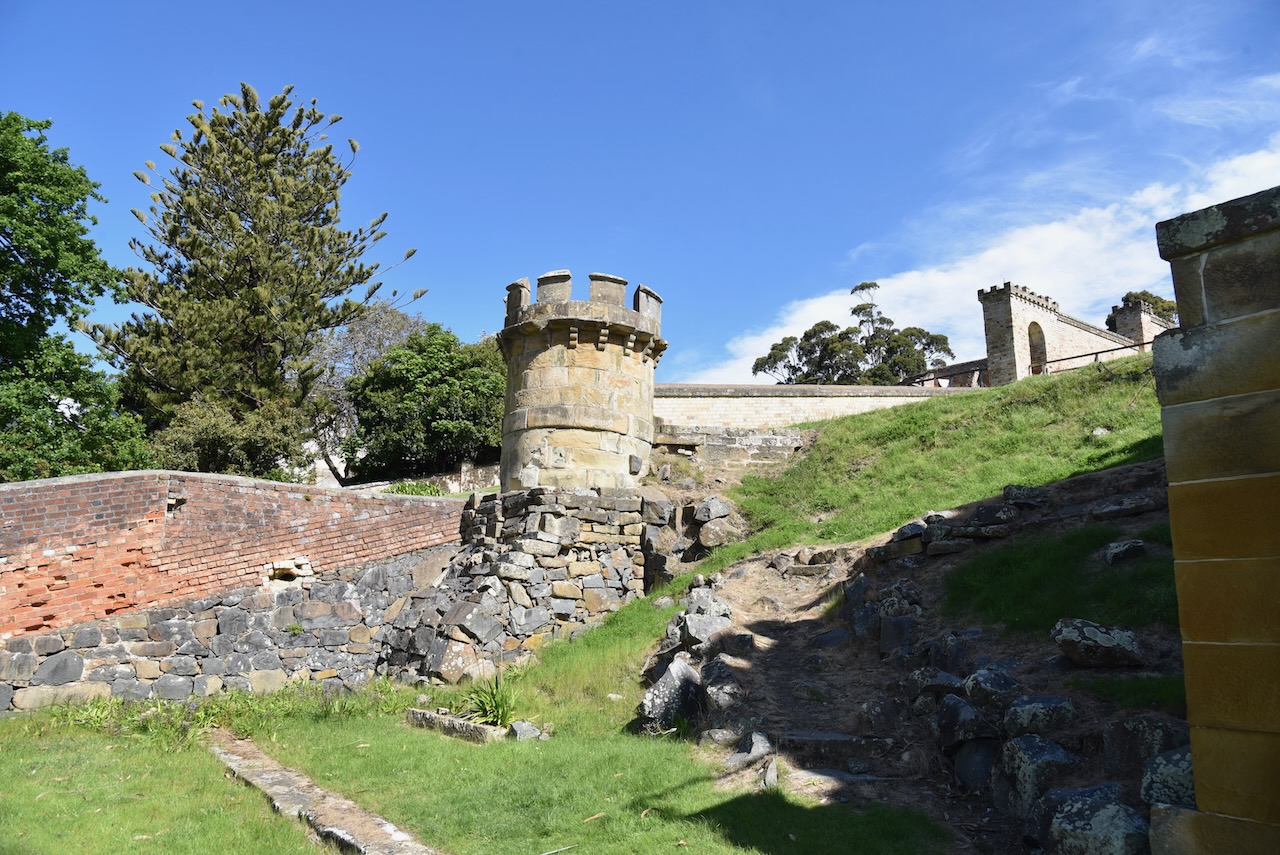
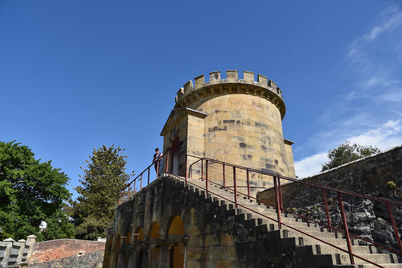
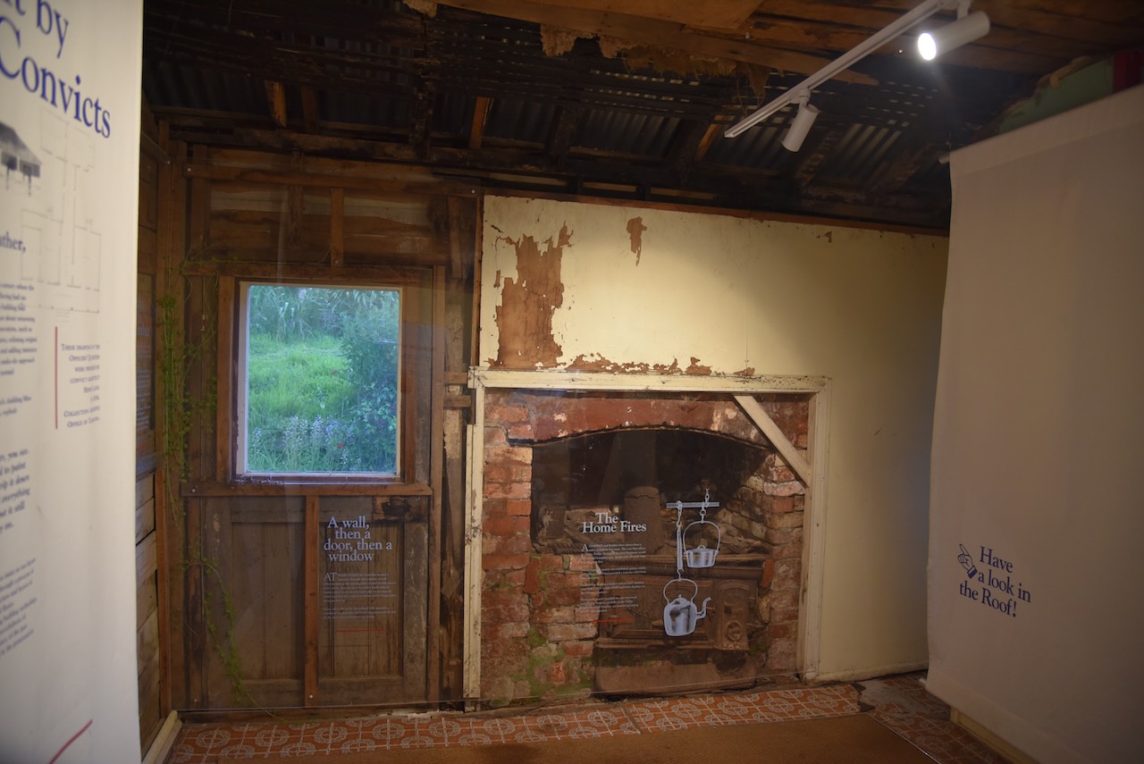
After our introductory tour of the Port Arthur site, we had a bit of spare time before our Isle of the Dead tour. We took the opportunity of visiting the Asylum.

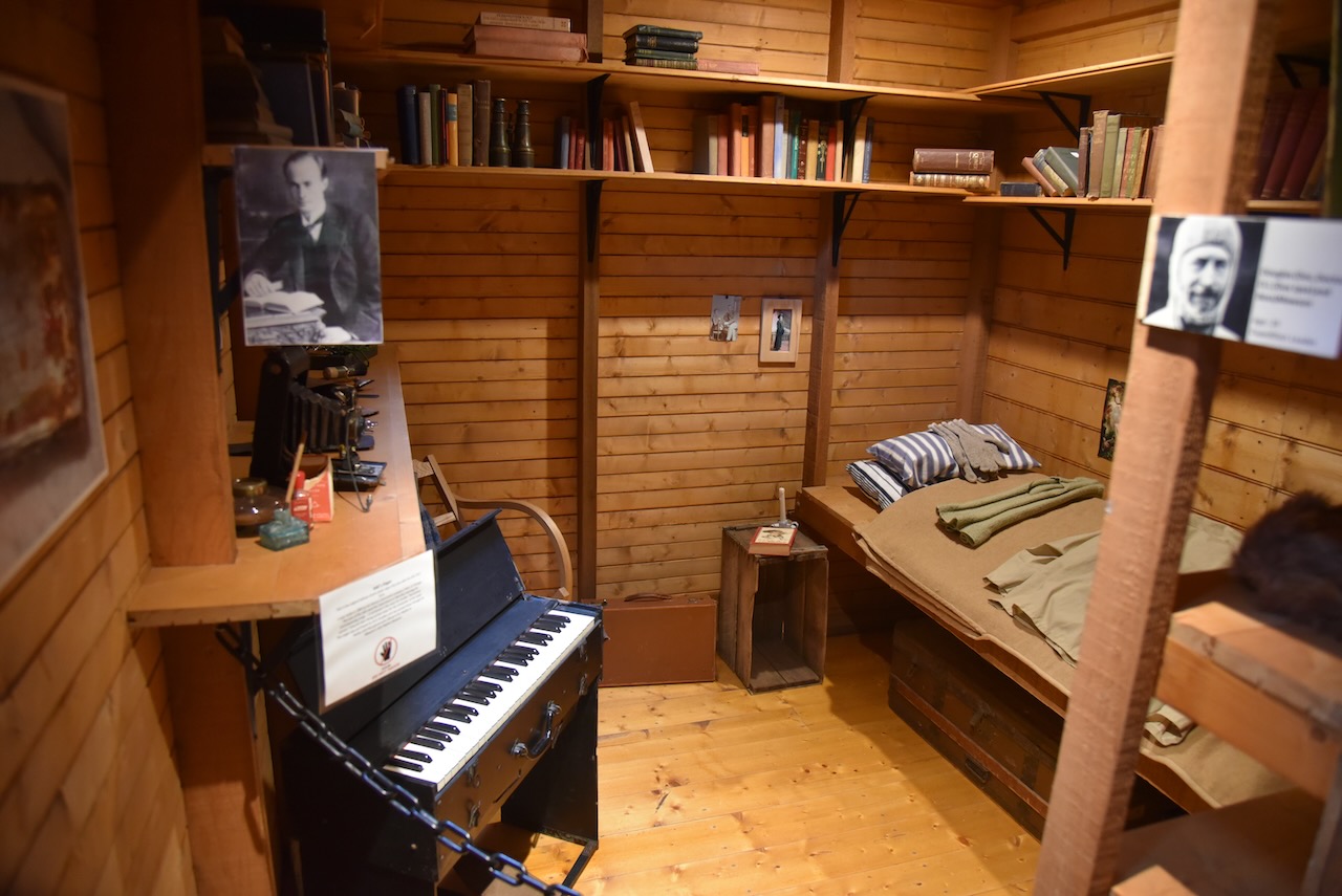
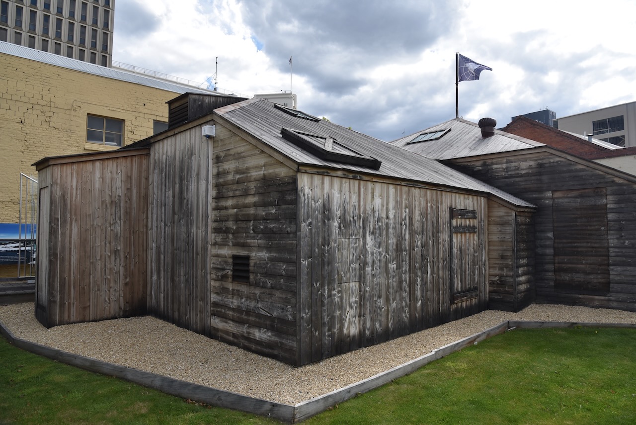
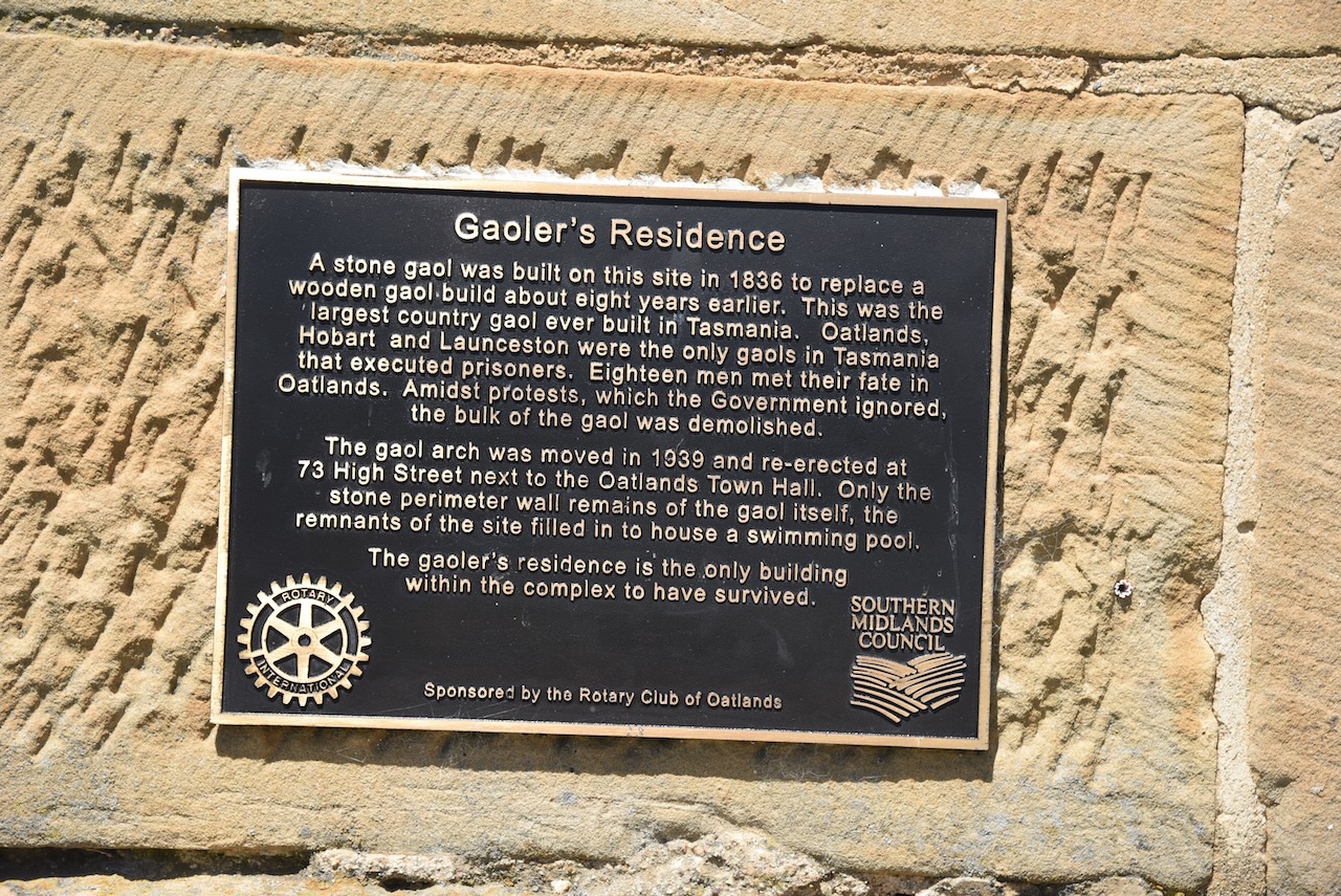
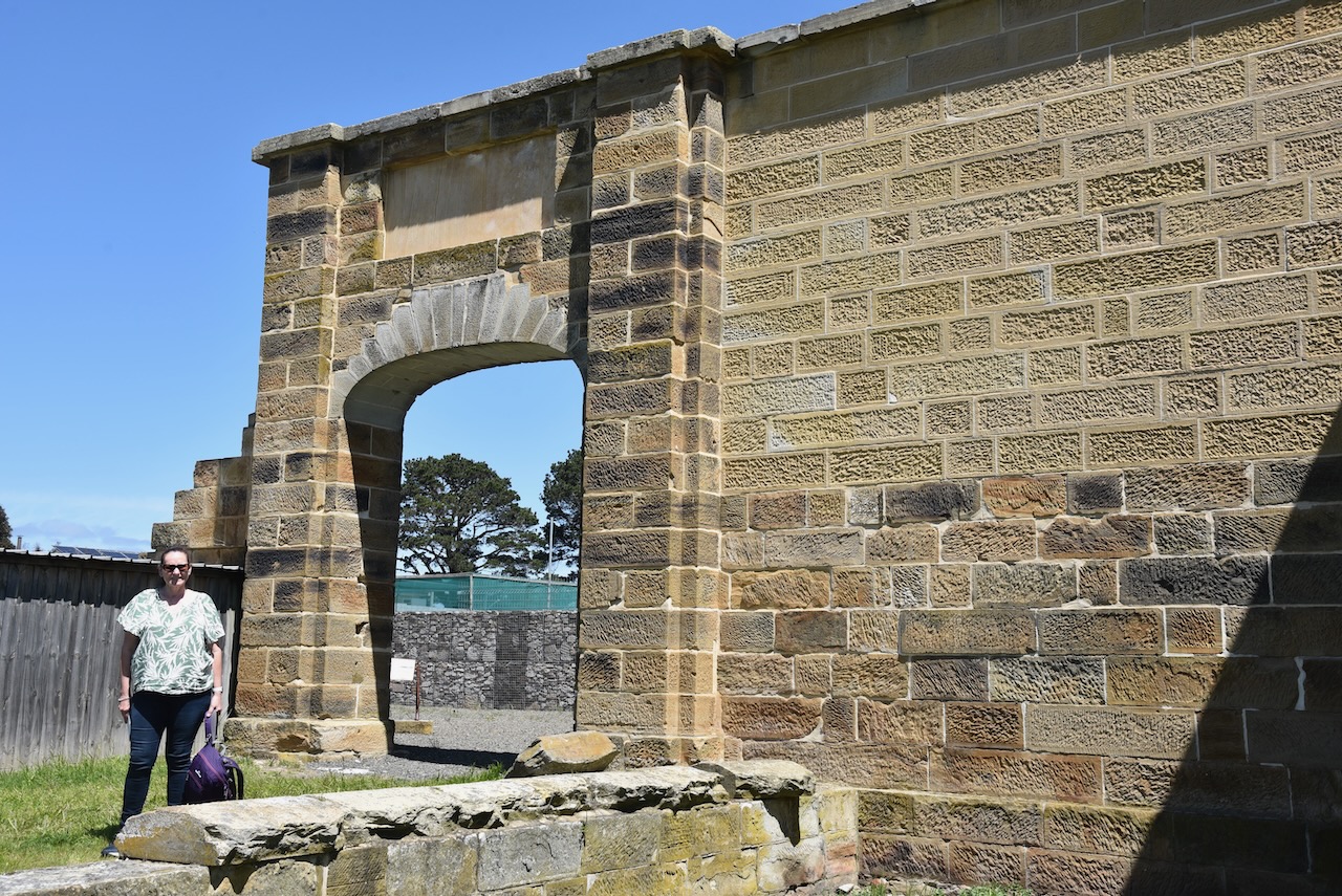
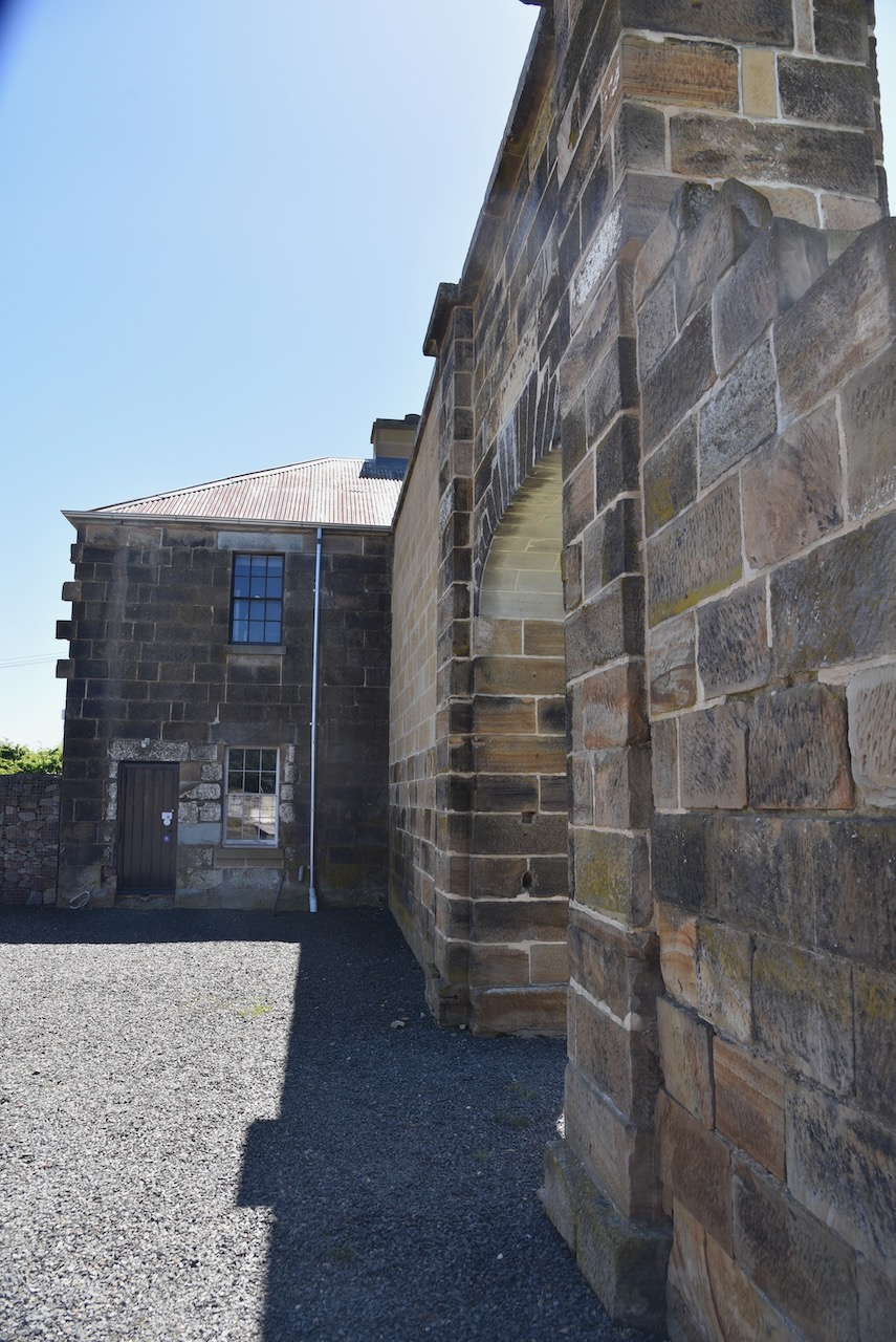
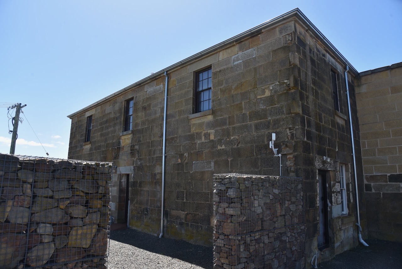
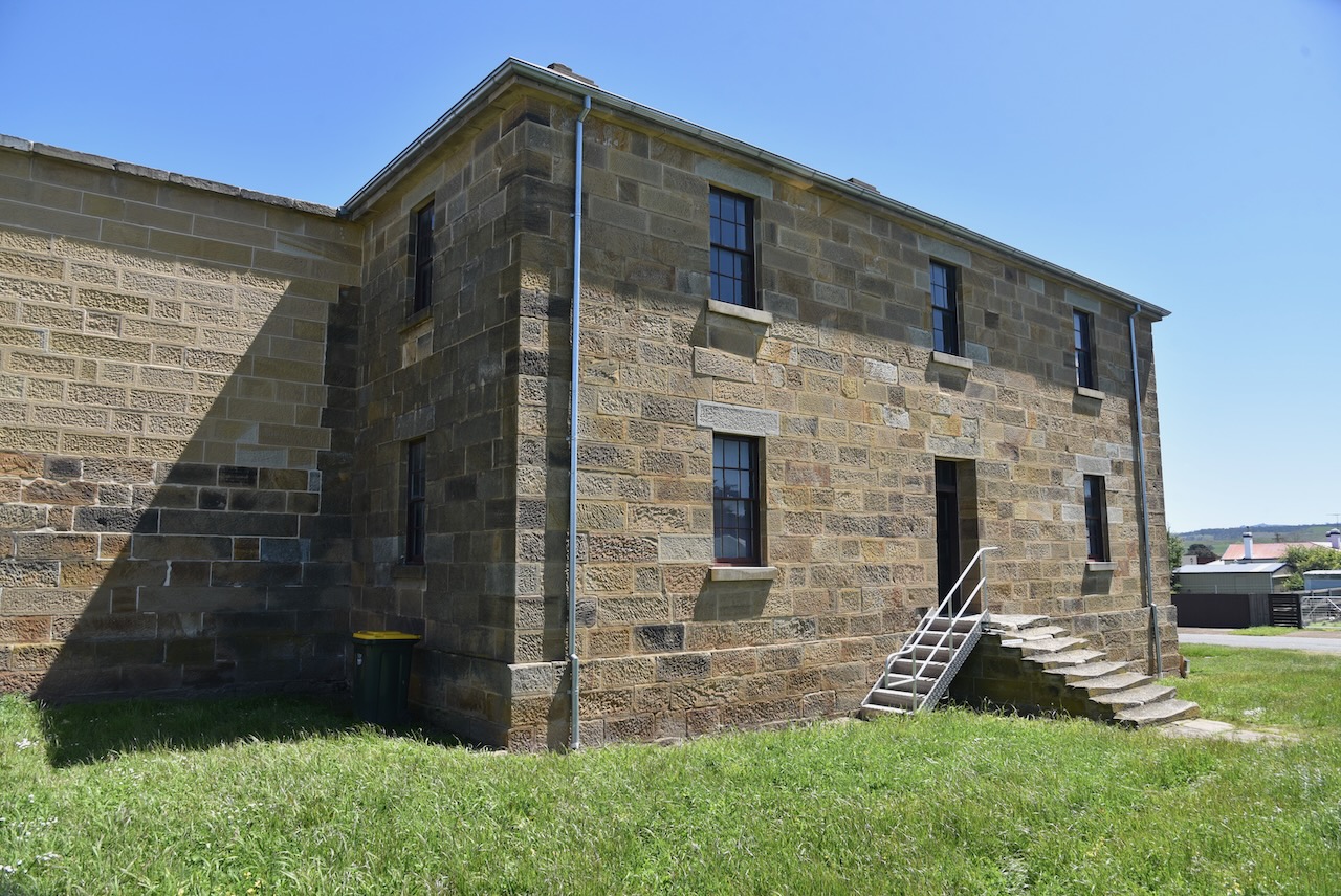
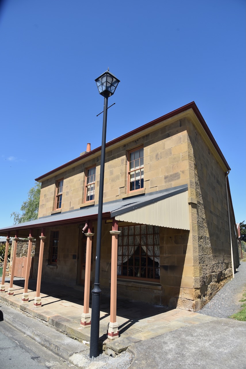
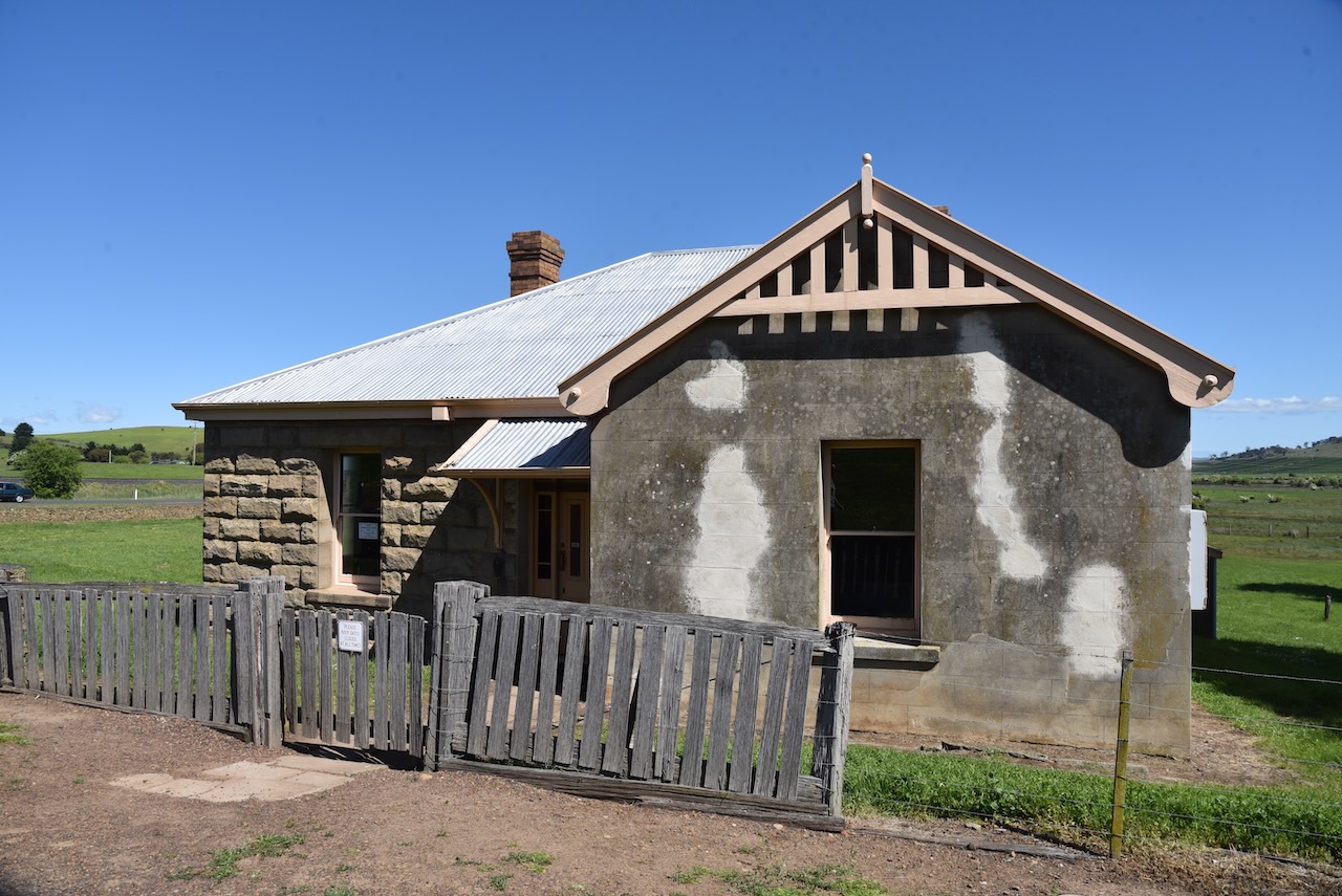
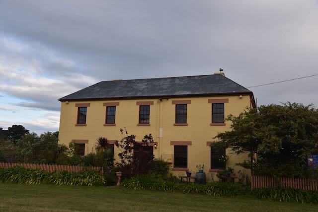
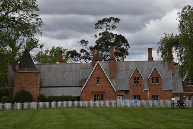
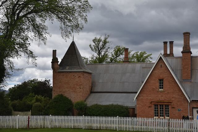
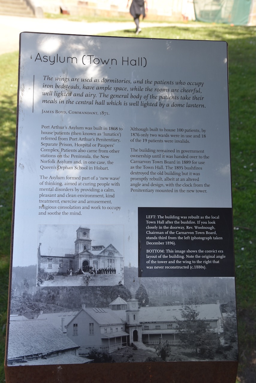
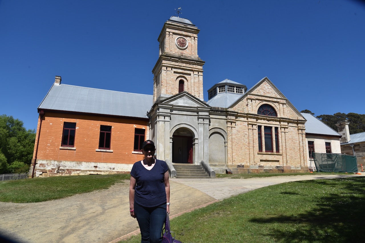
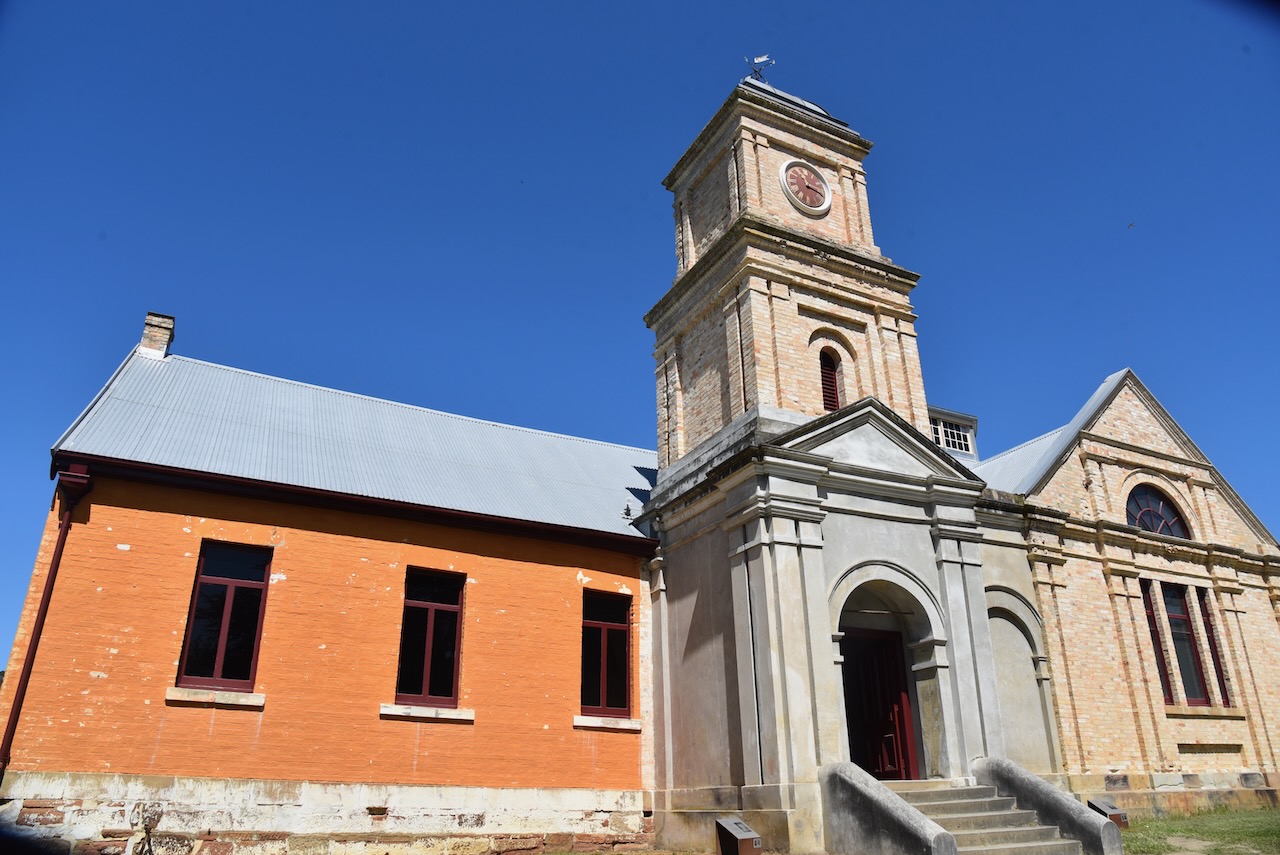
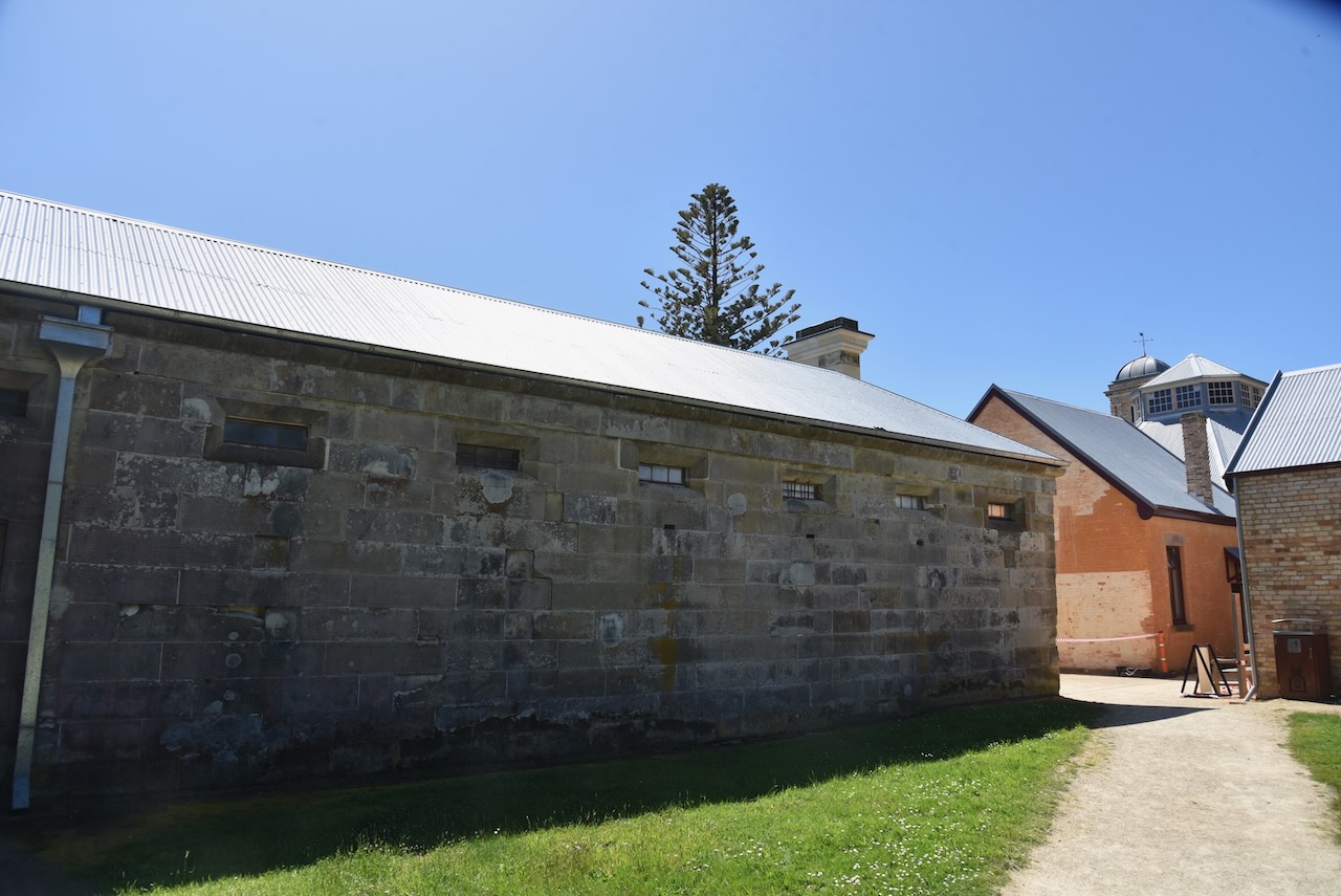
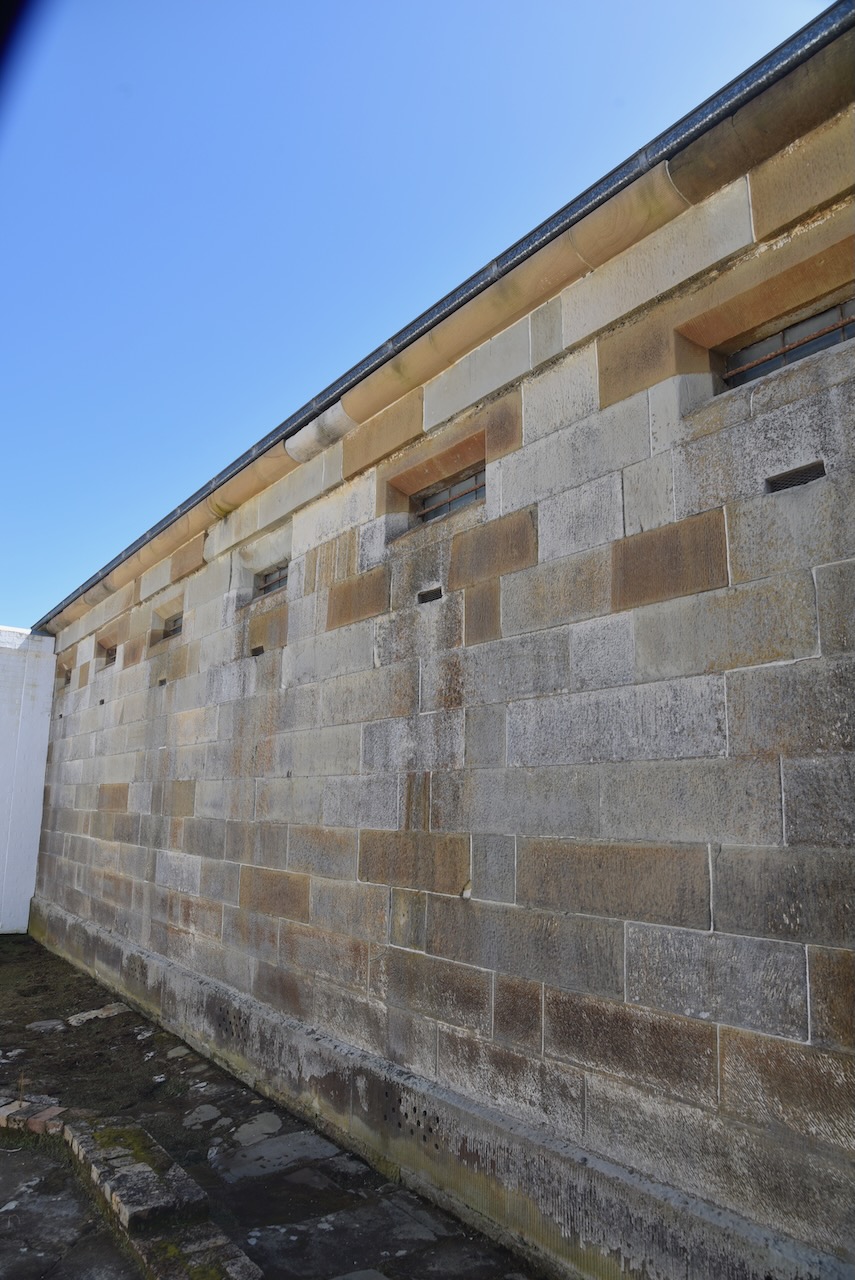
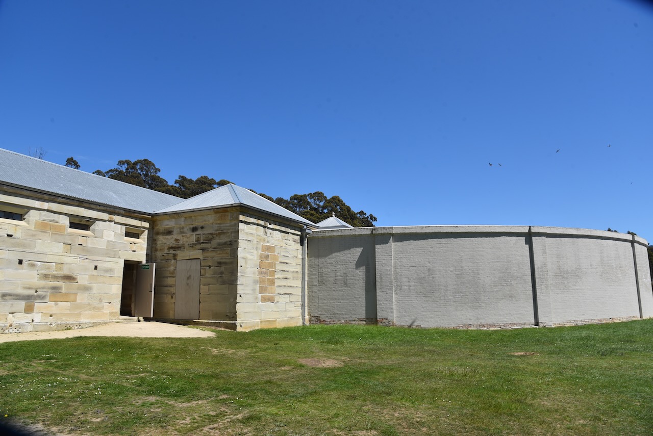
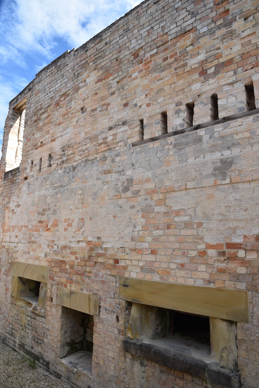
Port Arthur’s asylum was built in 1868 to house ‘lunatics’ referred from Port Arthur Penitentiary, Separate Prison, Hospital or Pauper’s Complex. Patients also came from other stations on the Tasman Peninsula, the New Norfolk Asylum, and in one case, the Queens Orphan School in Hobart. The Asylum was orientated re a new way of thinking, aimed at curing people with mental disorders by providing a calm, pleasant and clean environment, kind treatment, exercise and amusement, religious consolation and work to occupy and soothe the mind.

It was built to house 100 patients. By 1876 only two wards were in use and 18 of the 19 patients were invalids.

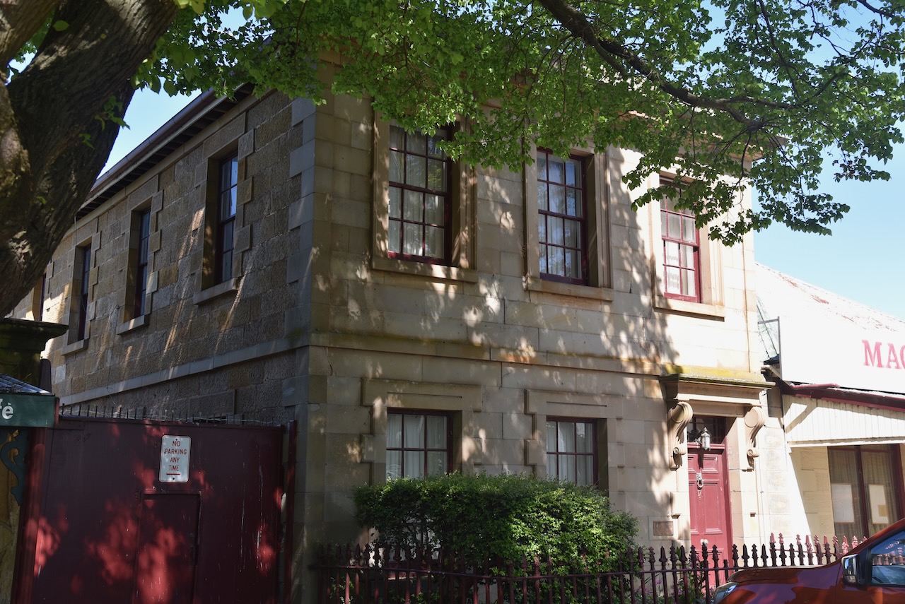
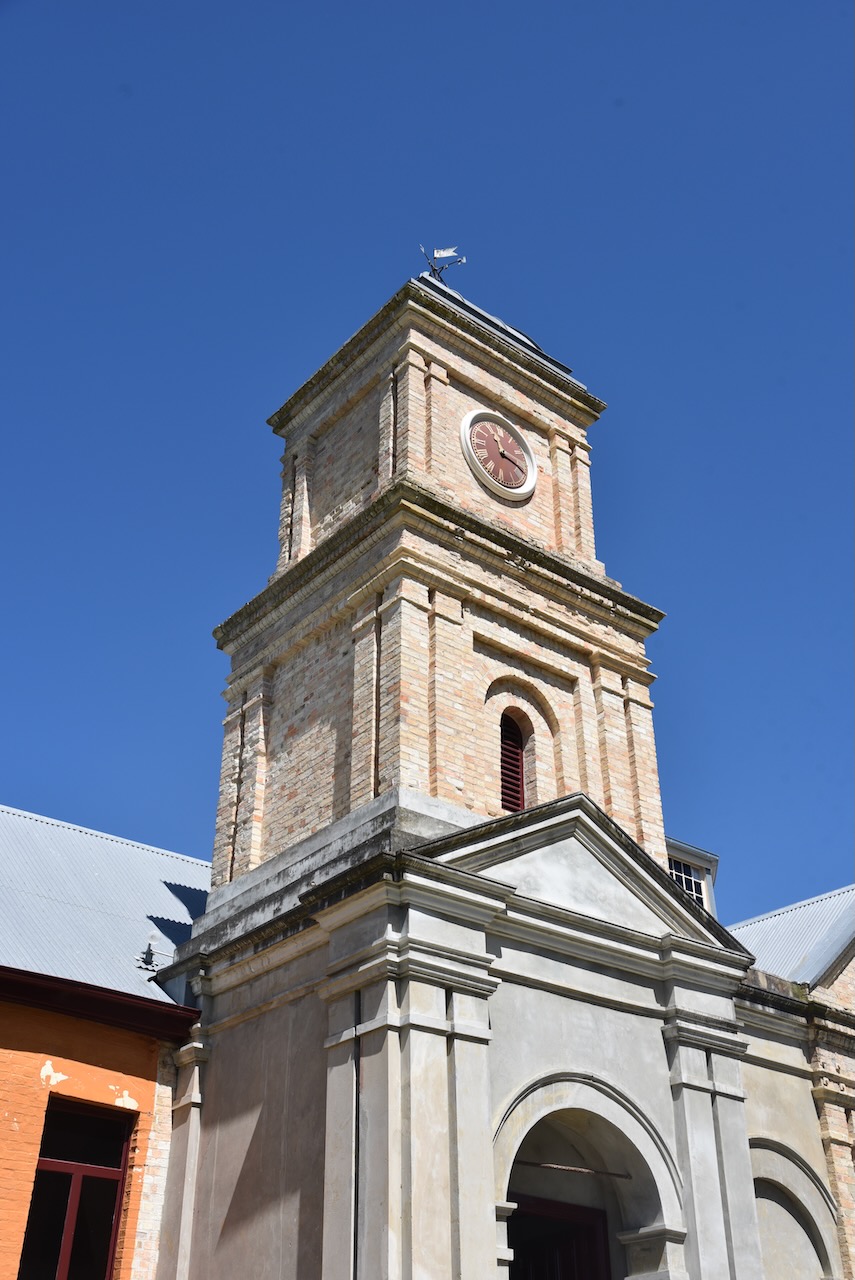
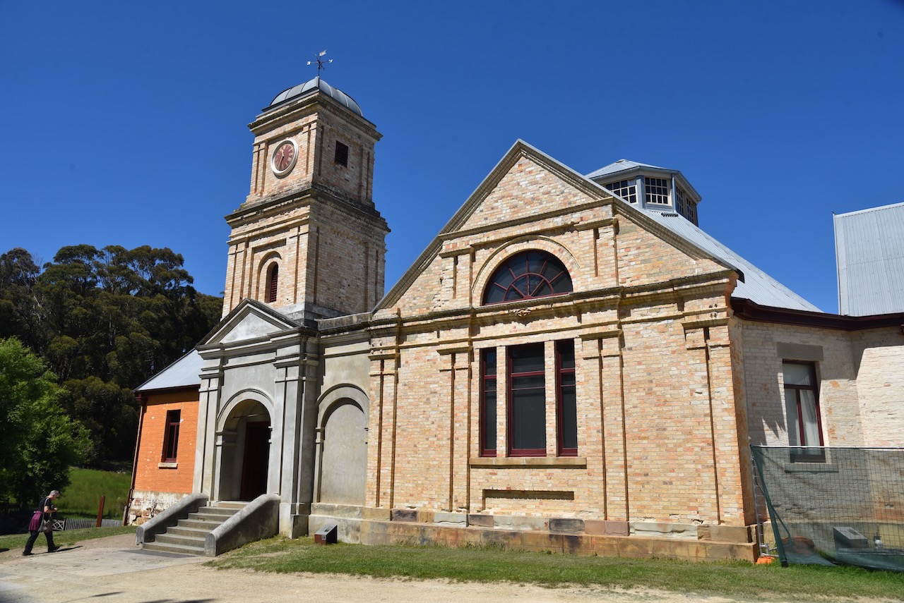
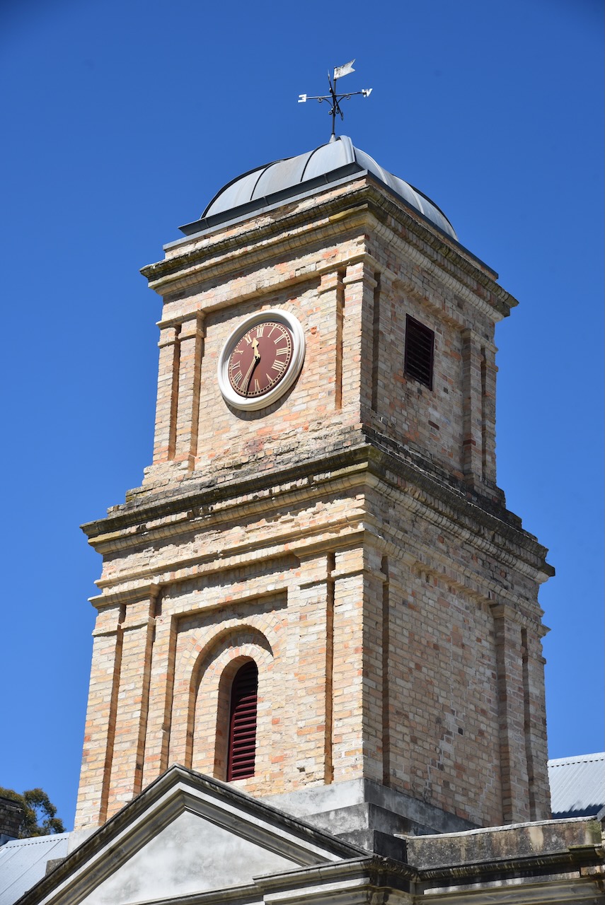
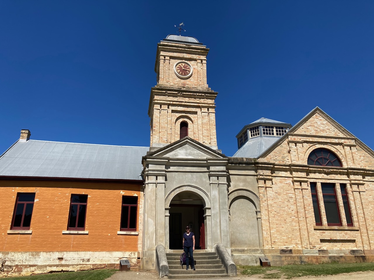
The building remained in government ownership until it was handed over to the Carnarvon Town Board in 1899 for use as the Town Hall. The 1895 Tasmanian bushfires destroyed the old building, however it was promptly rebuilt. The clock from the Penitentiary was mounted in the new tower.

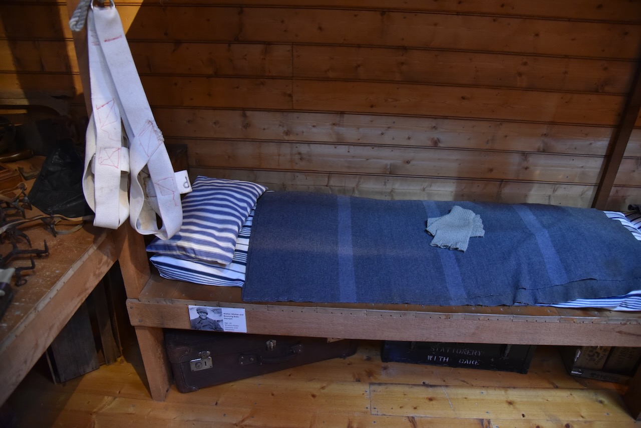
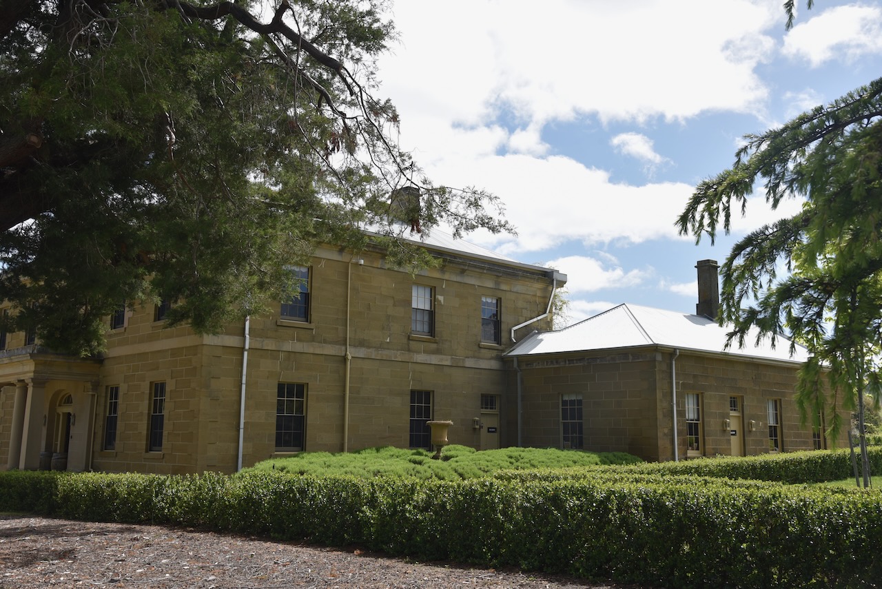
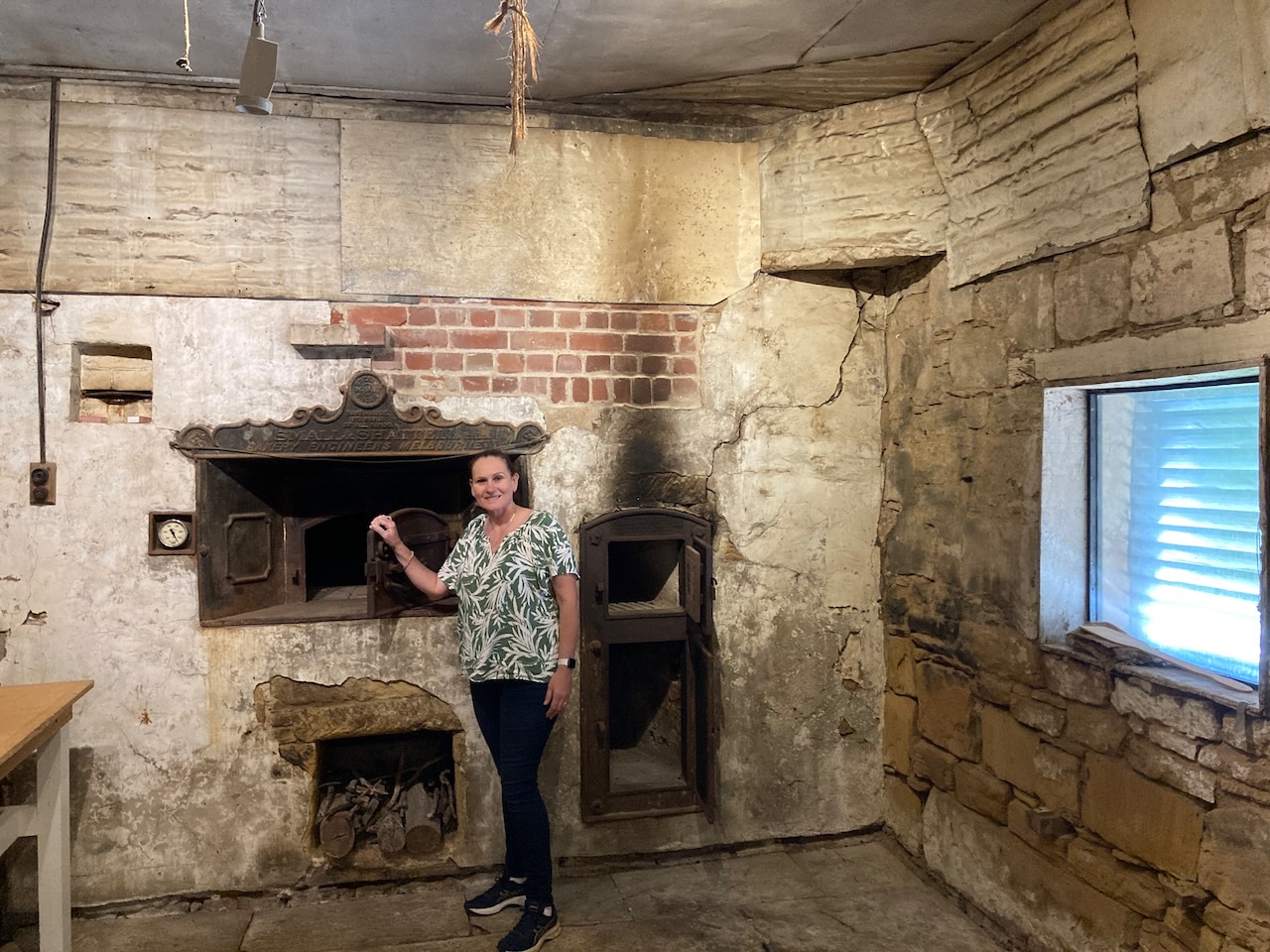
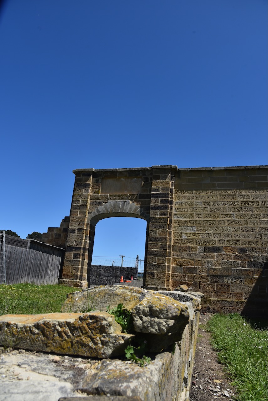
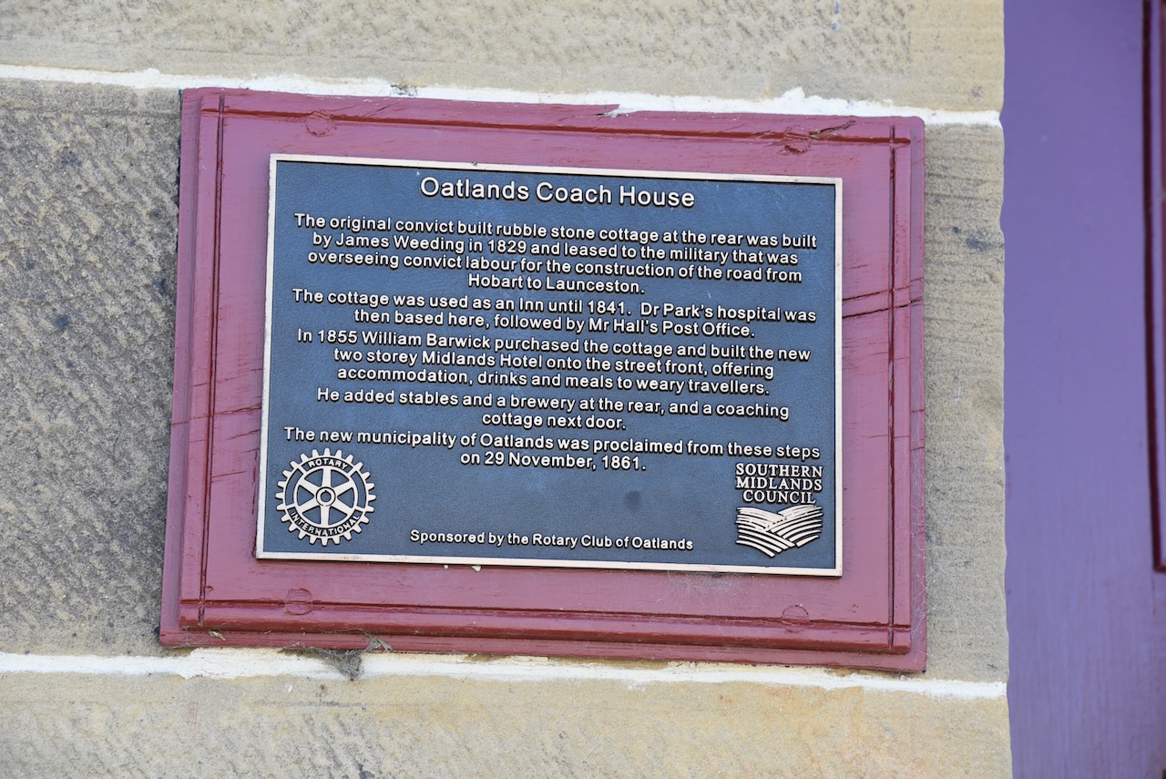
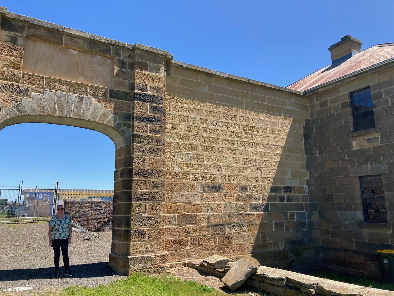
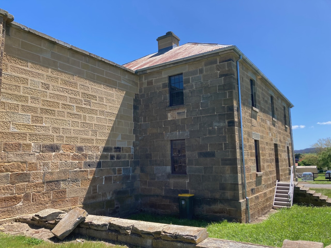
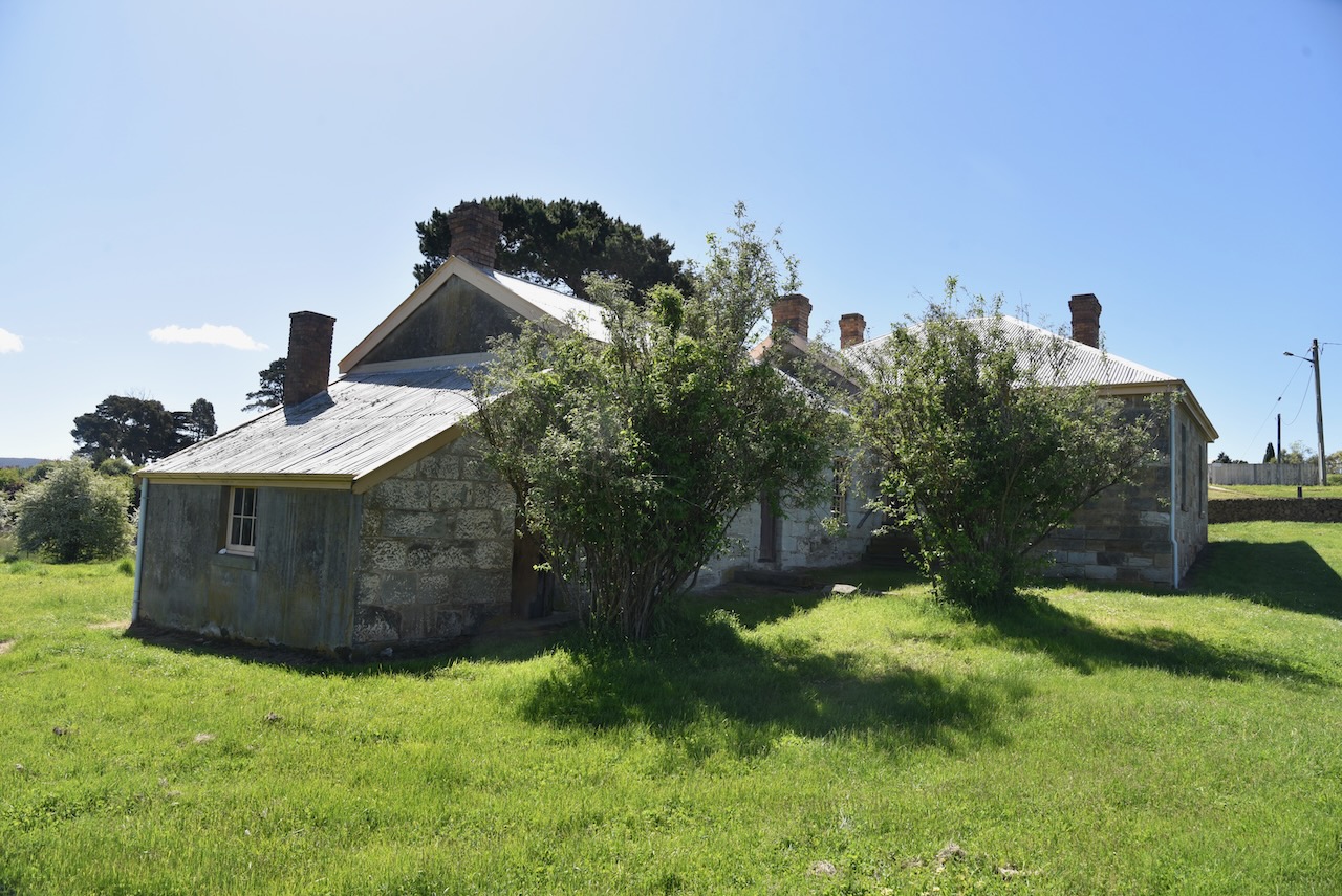
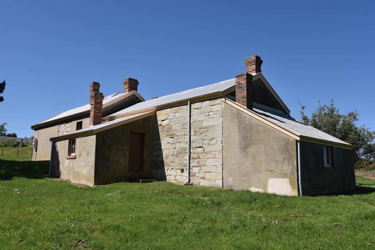
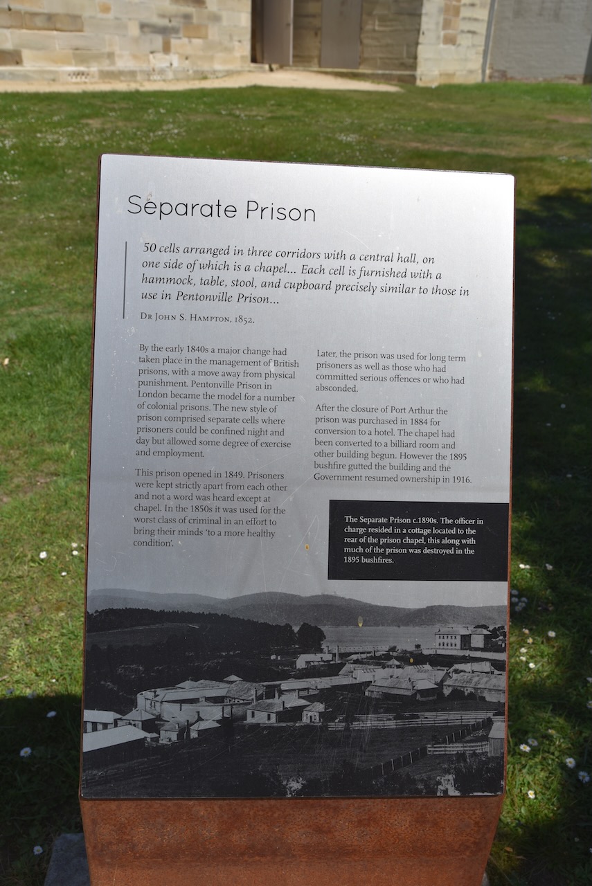
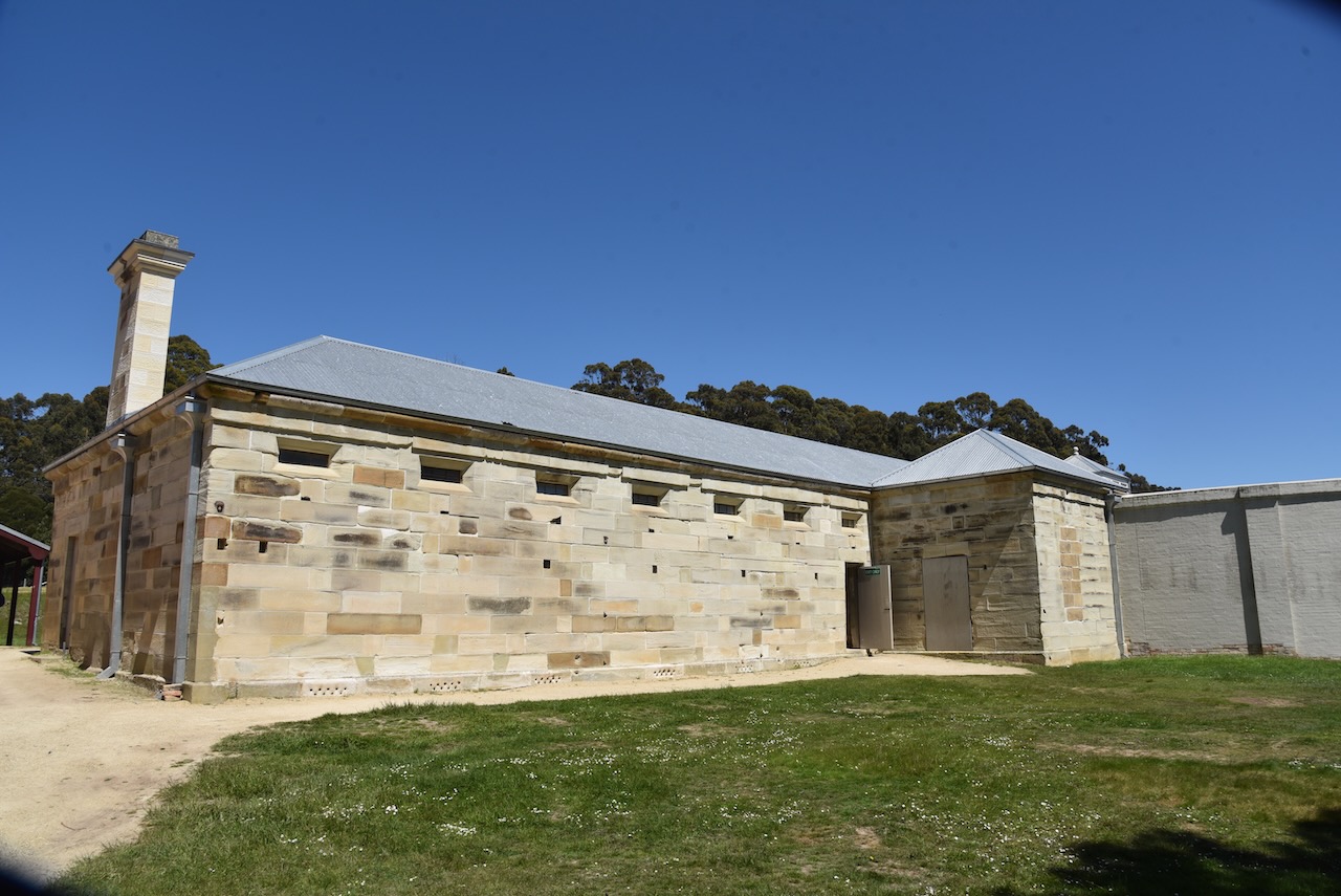
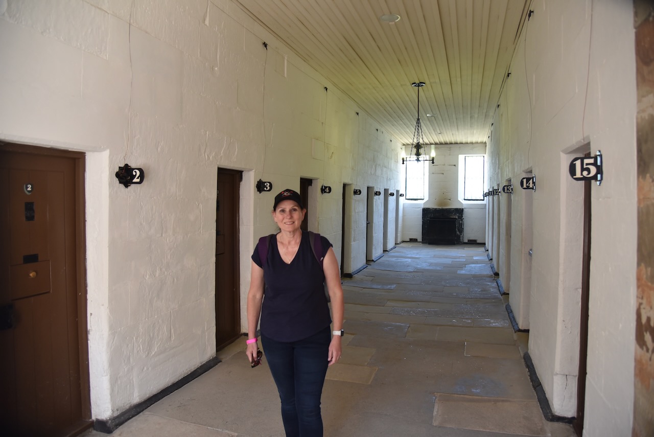
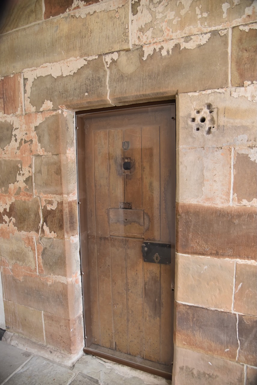
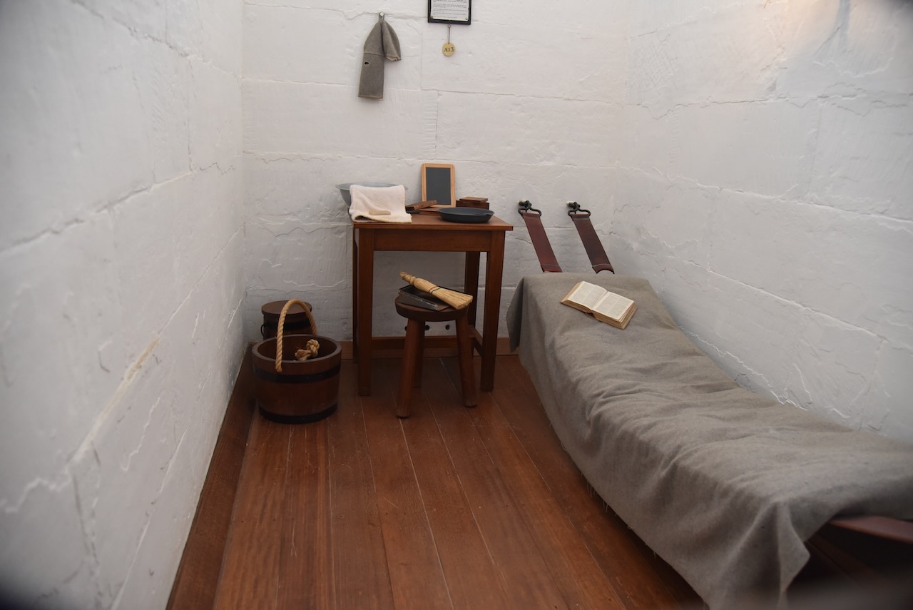
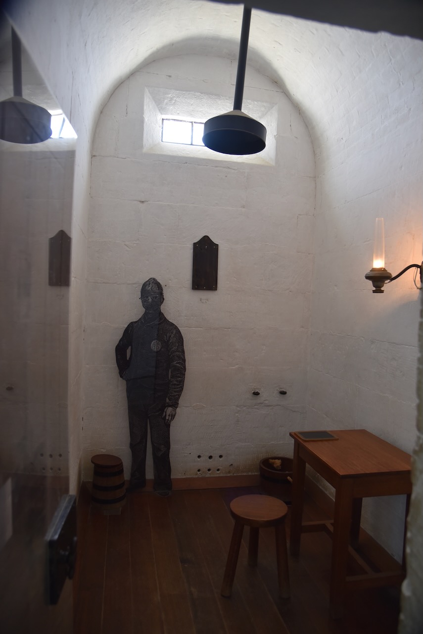
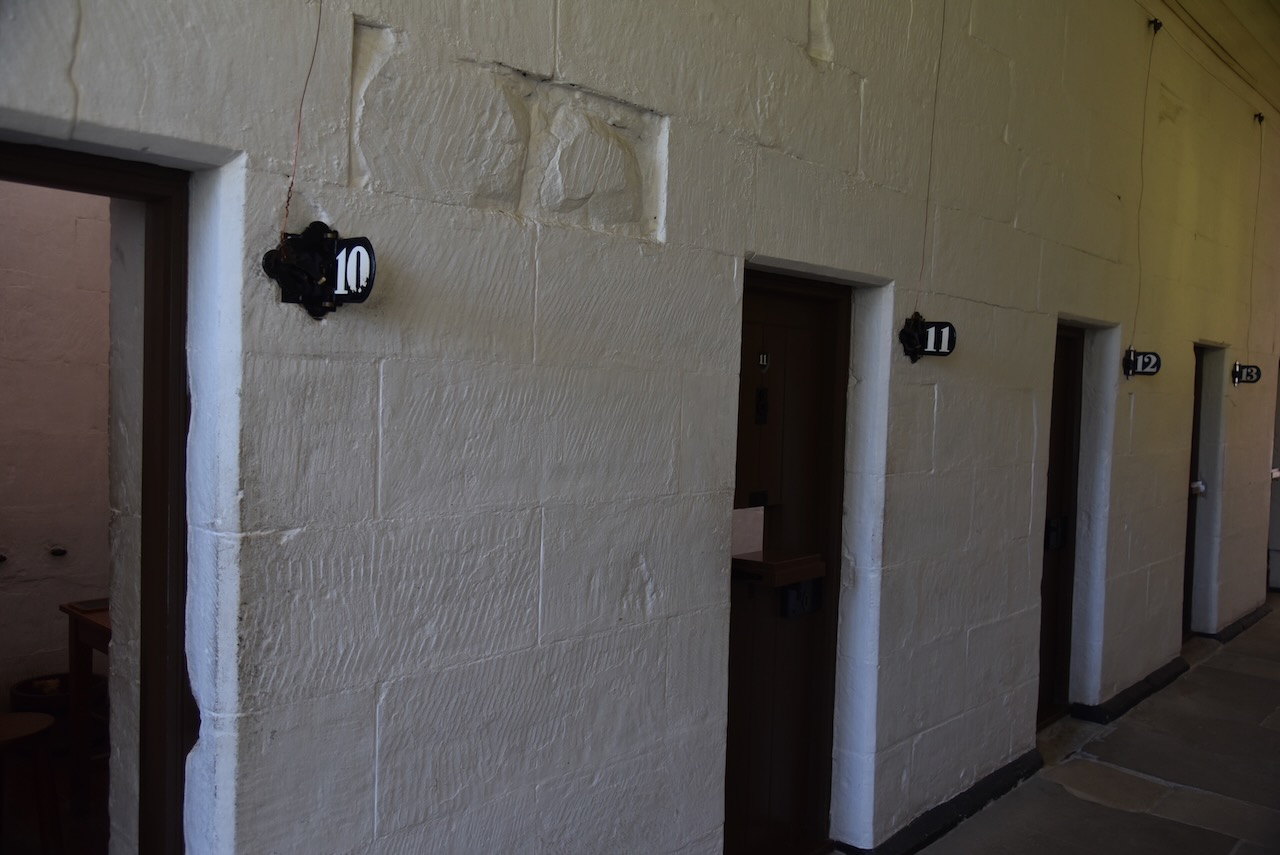
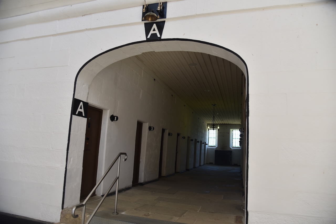
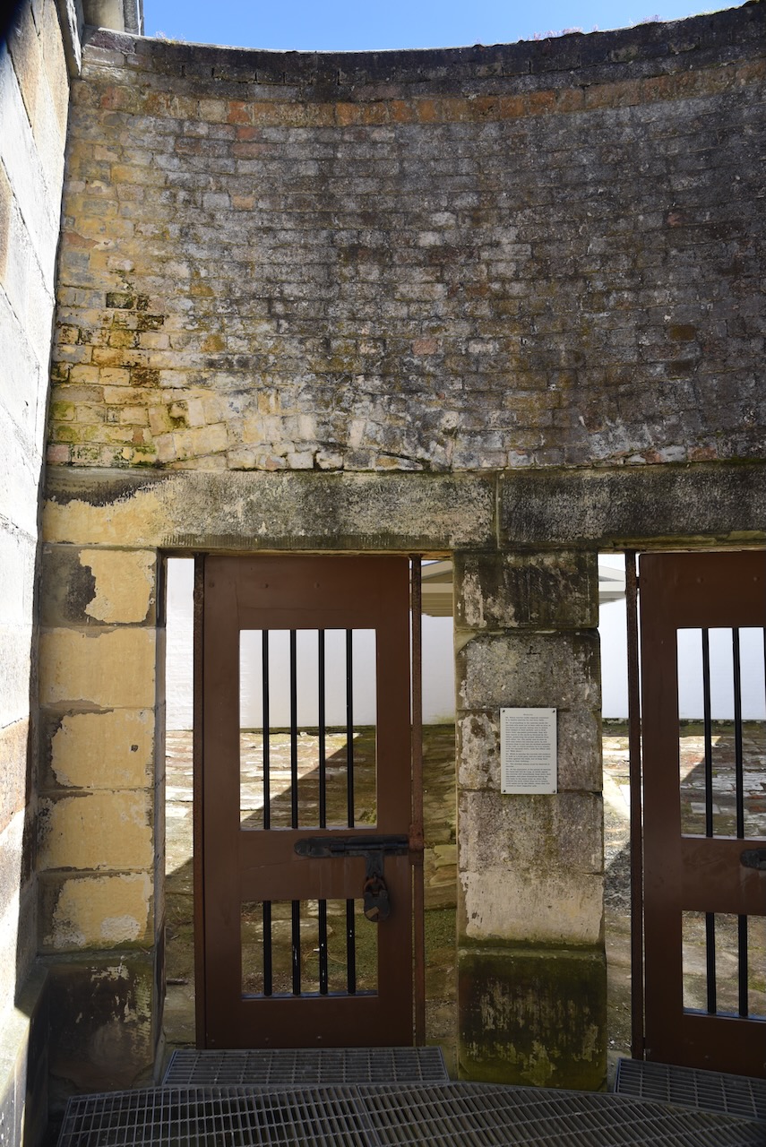
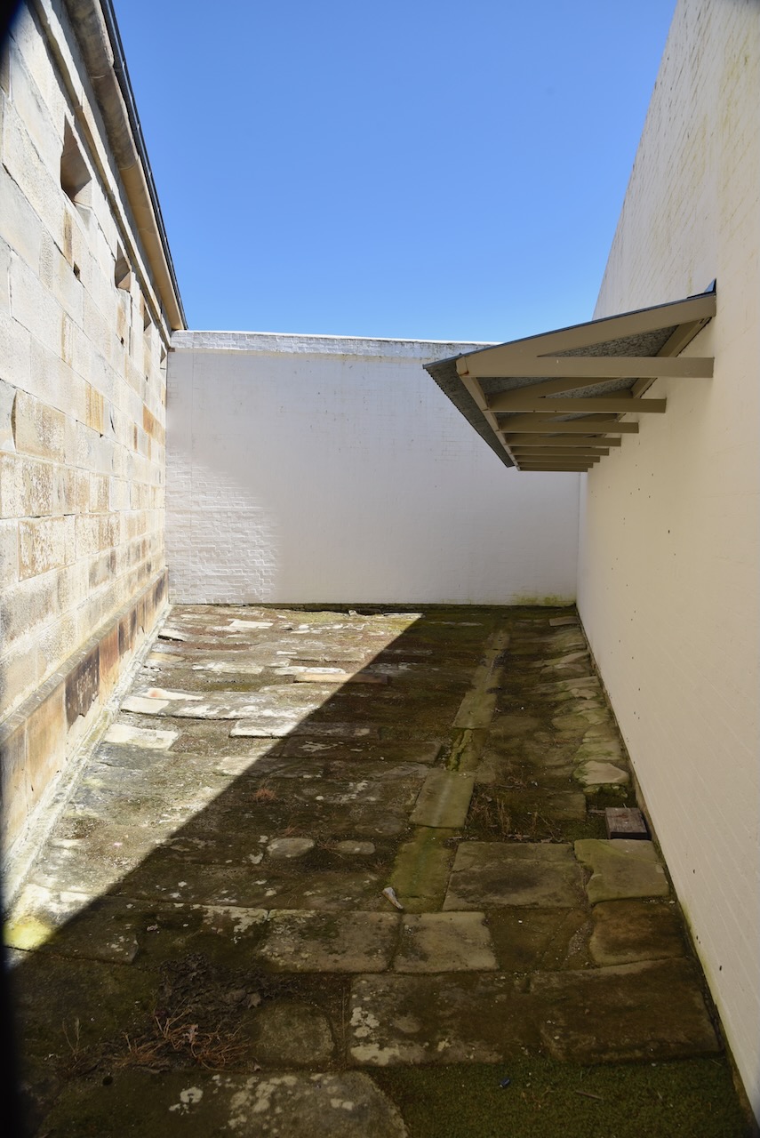
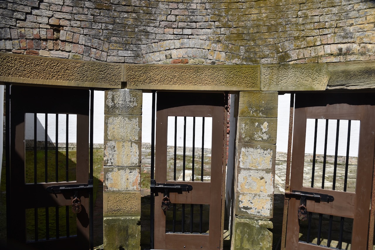
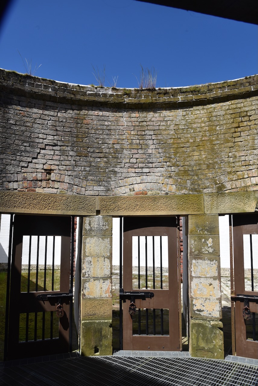
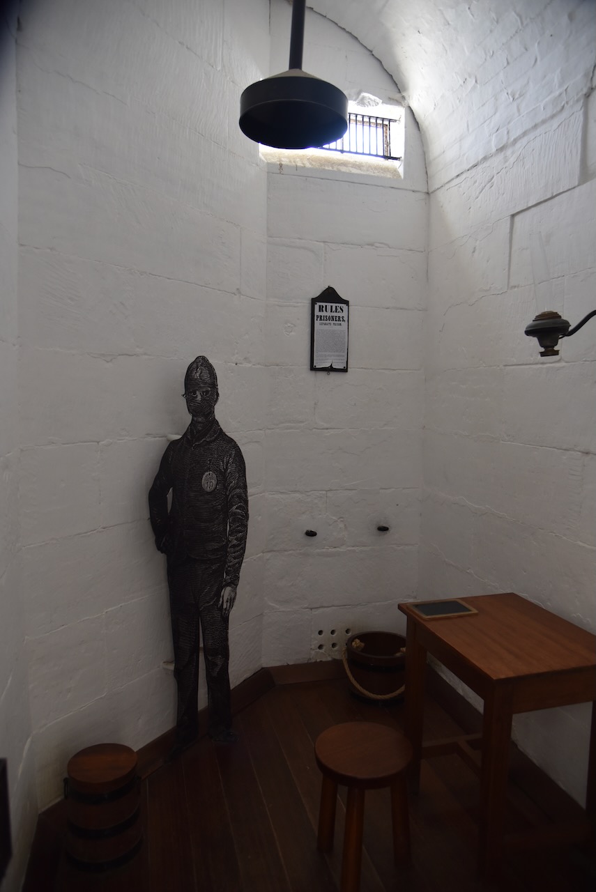
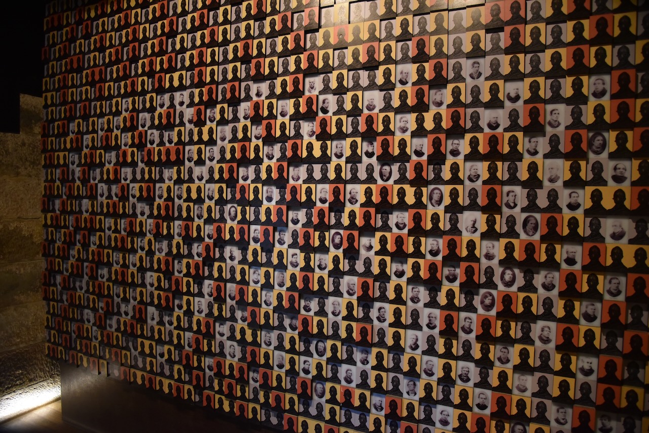
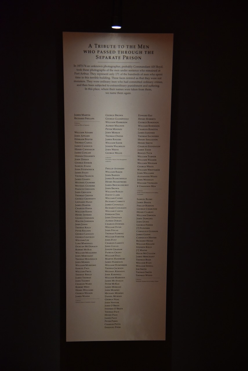
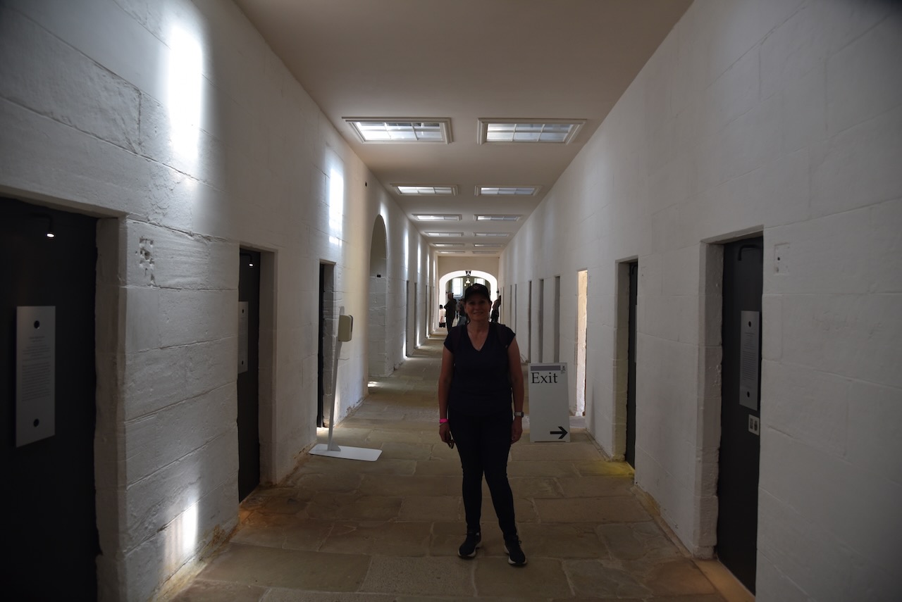
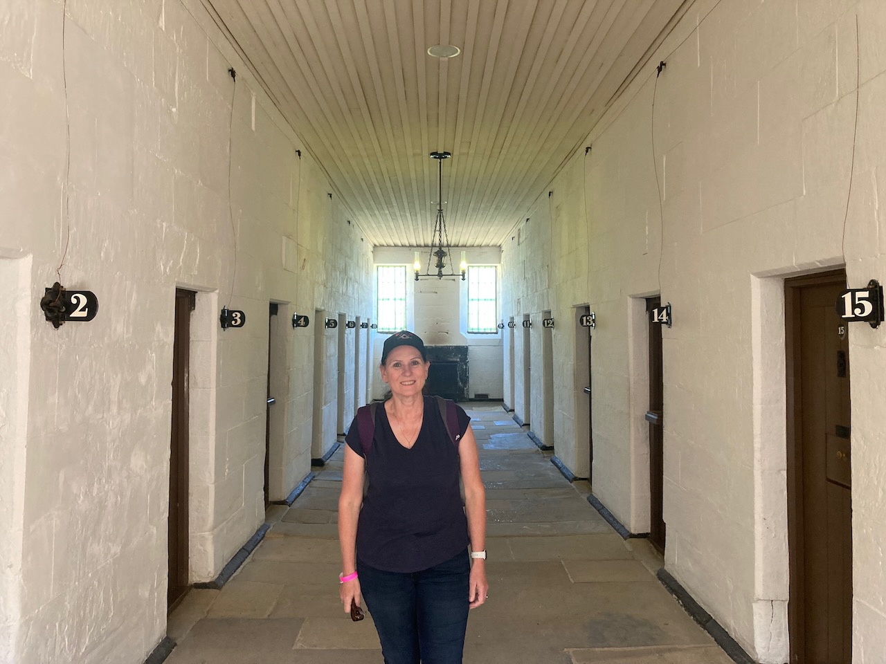
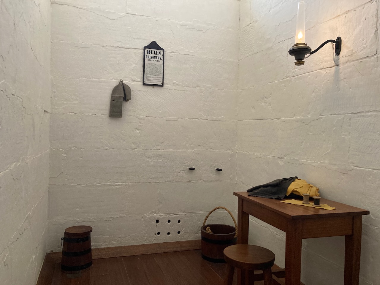
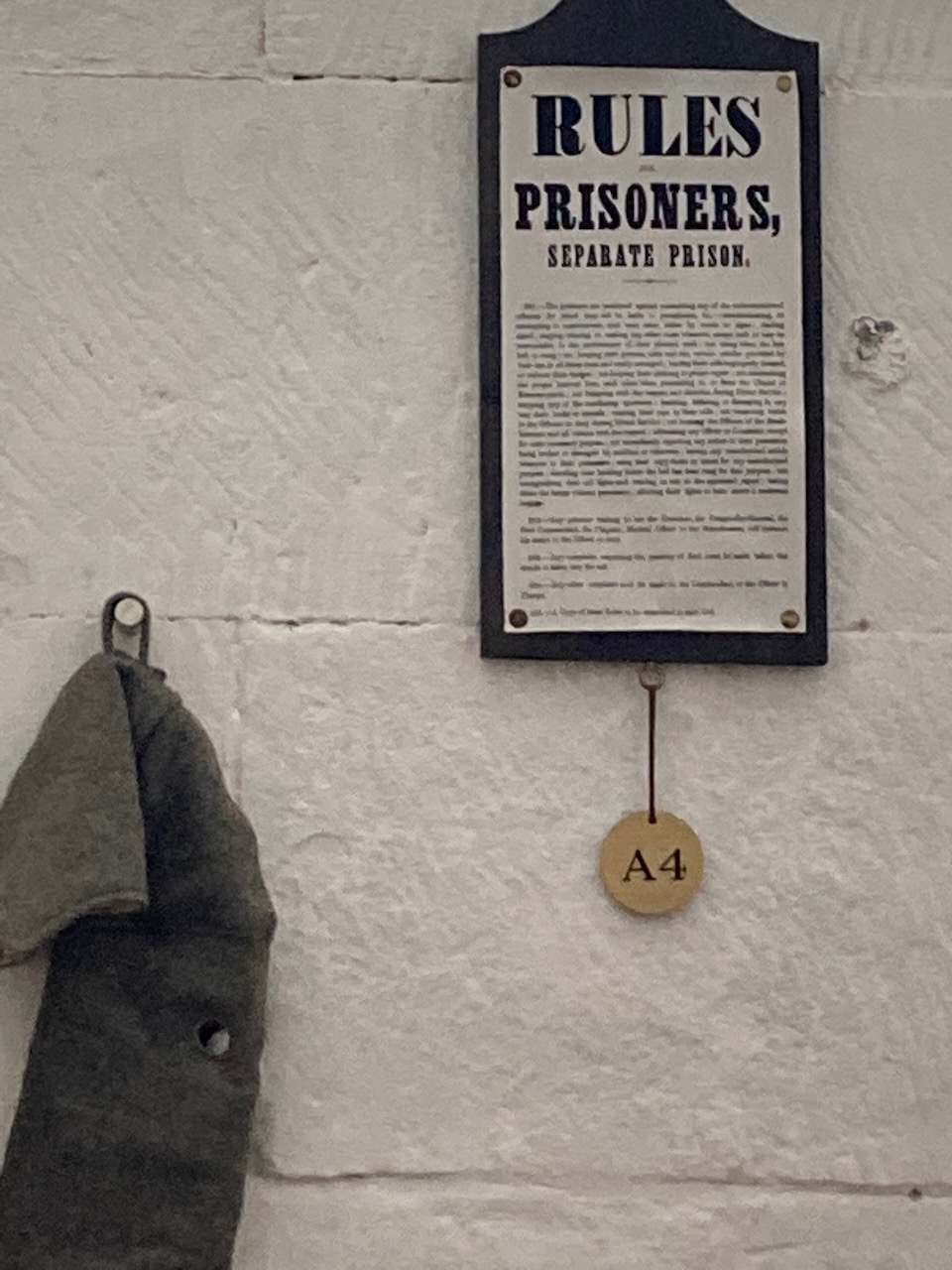
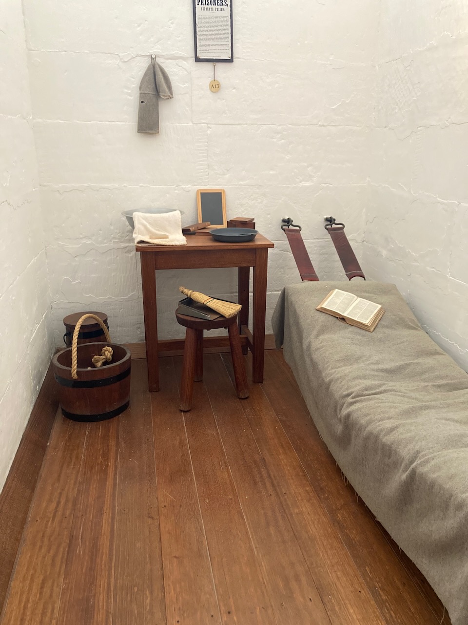
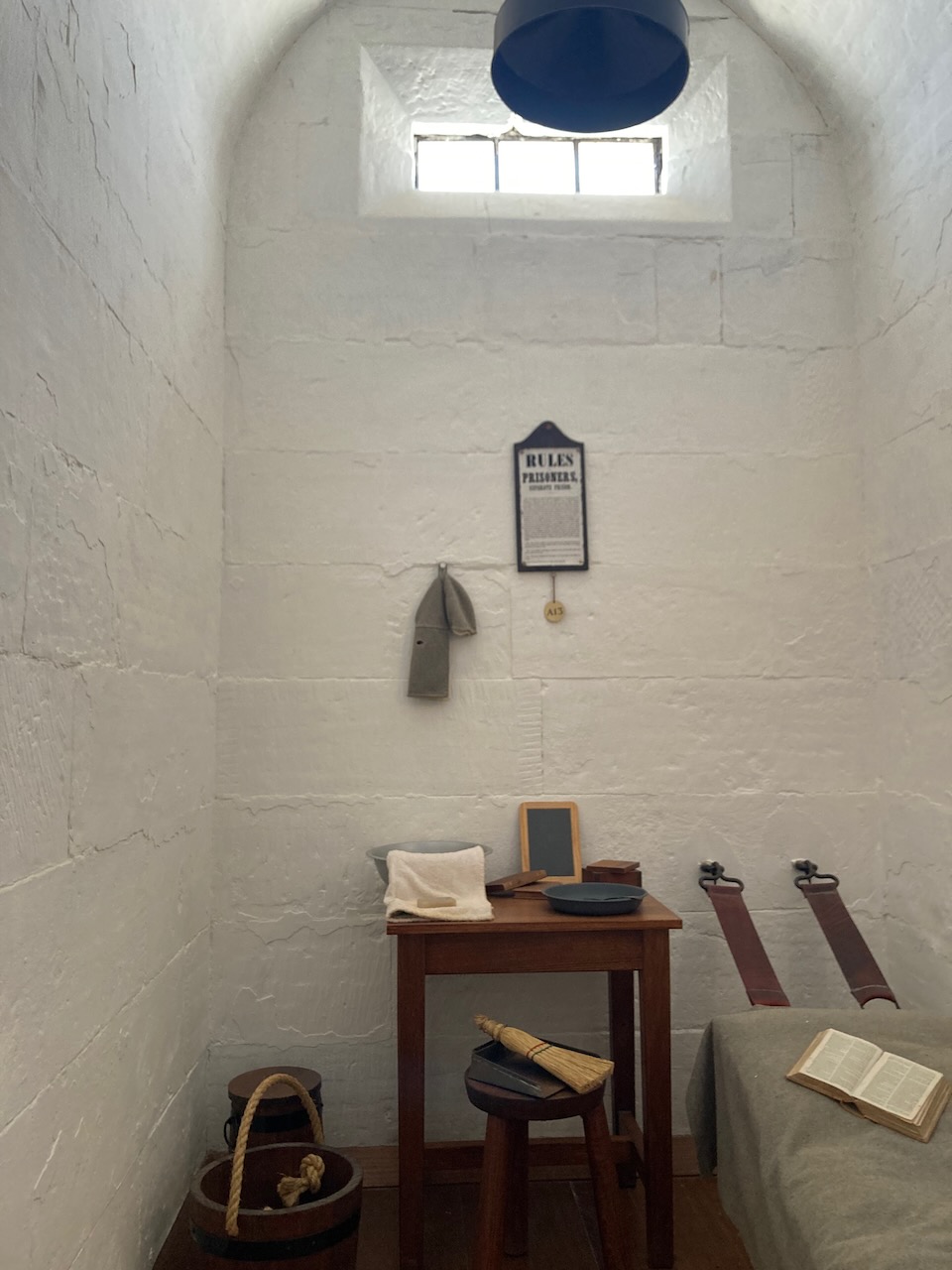
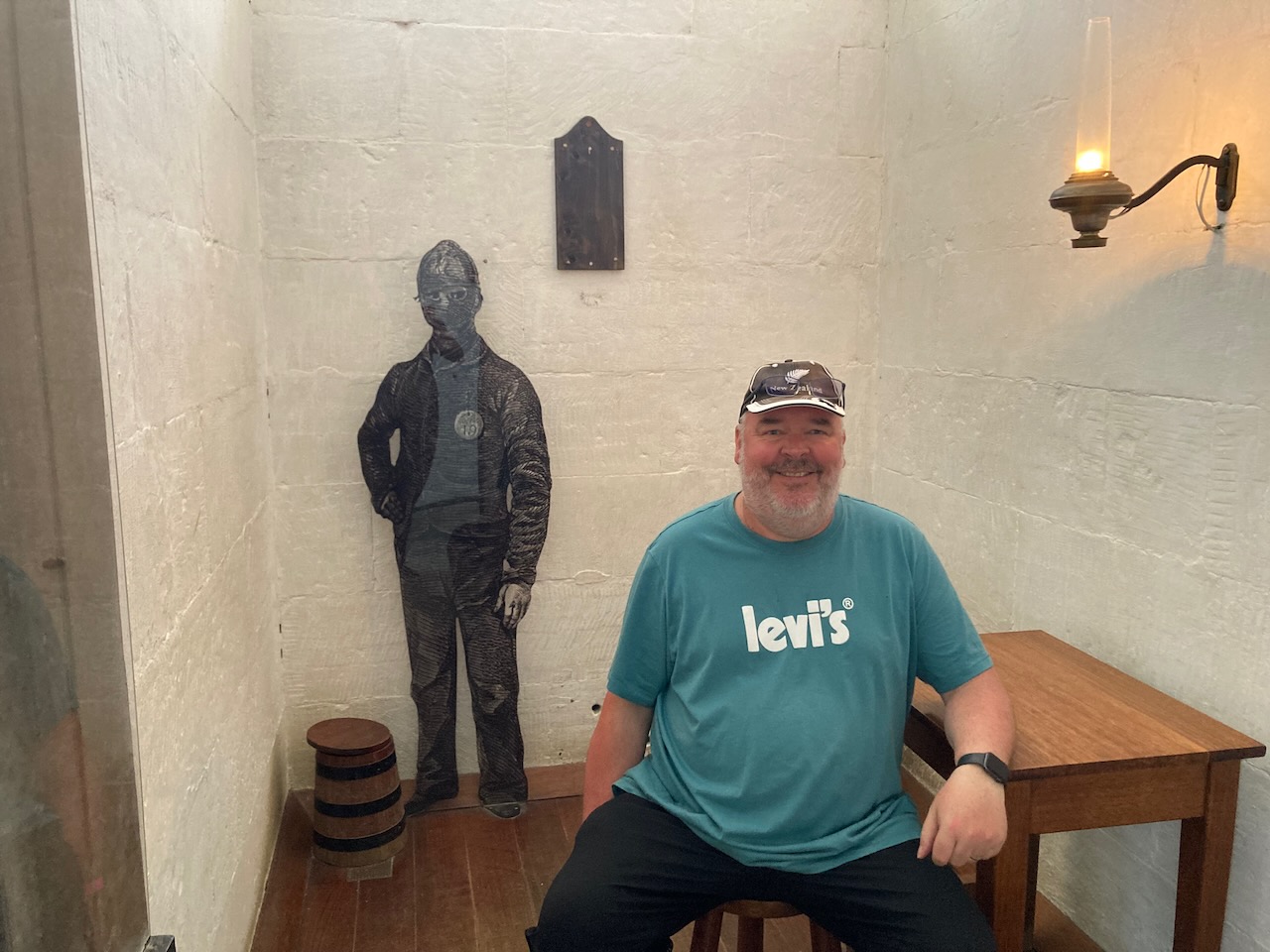
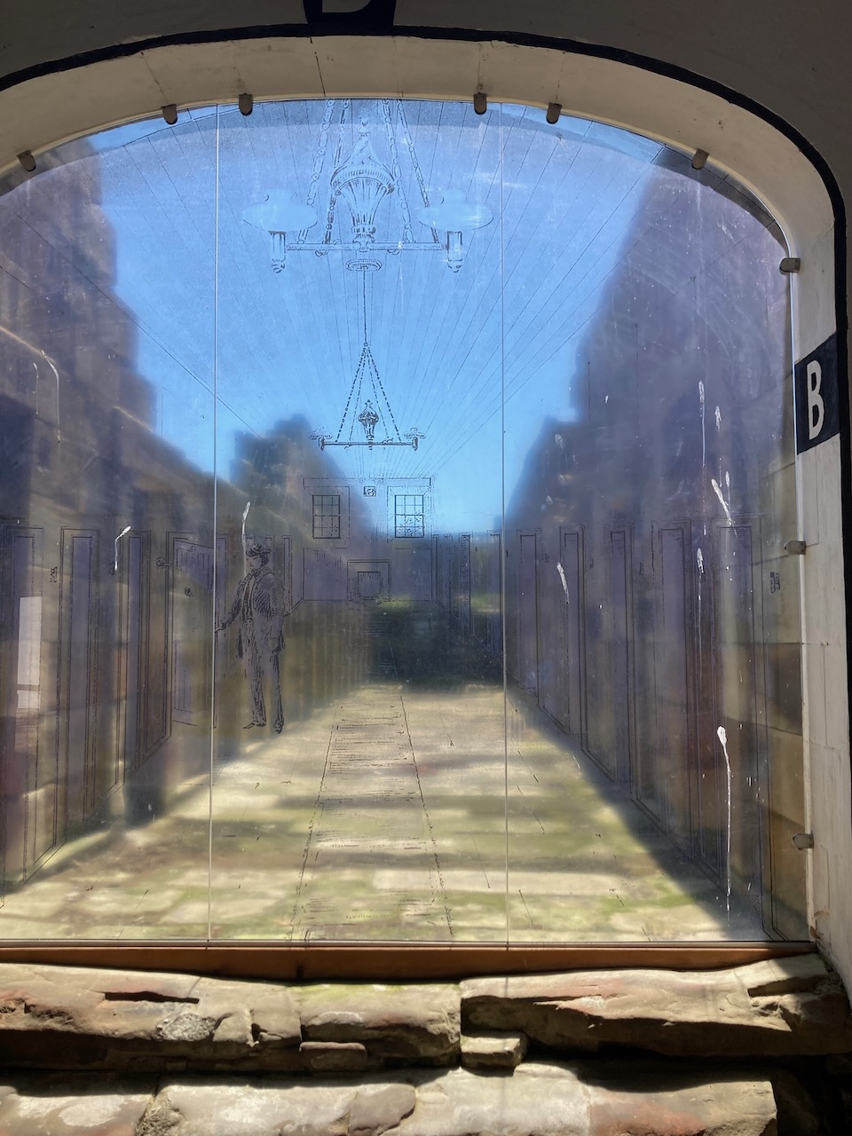
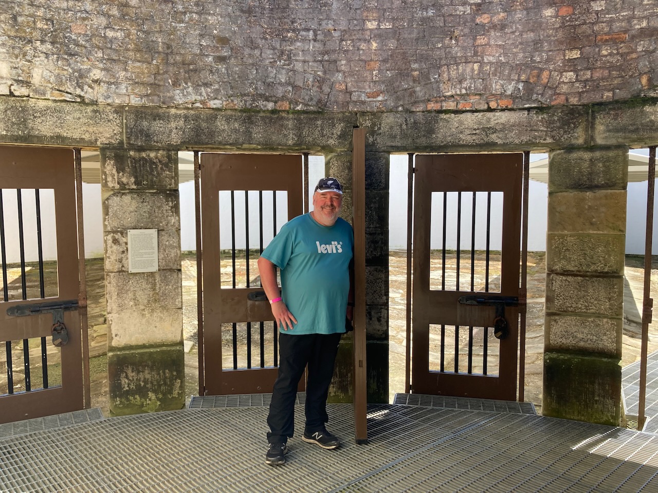
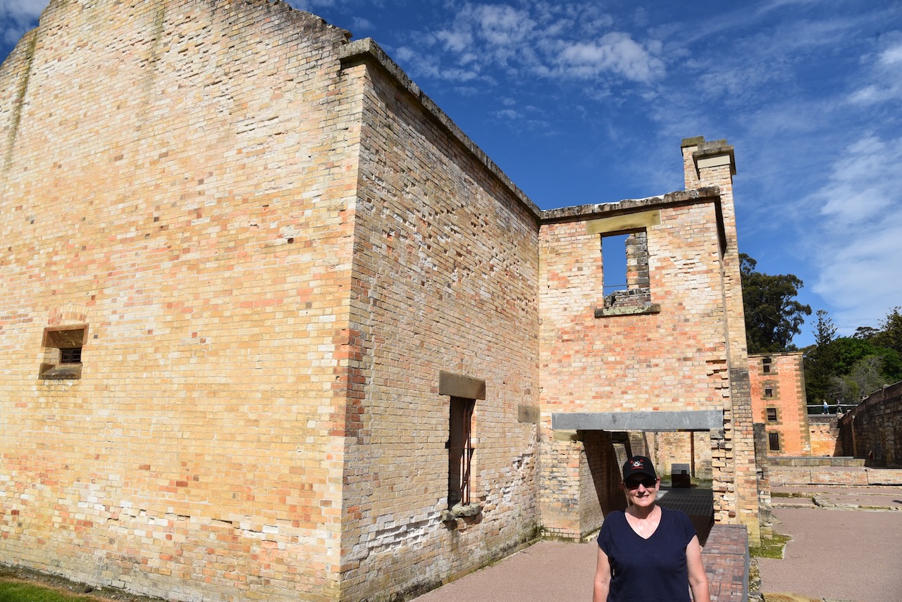
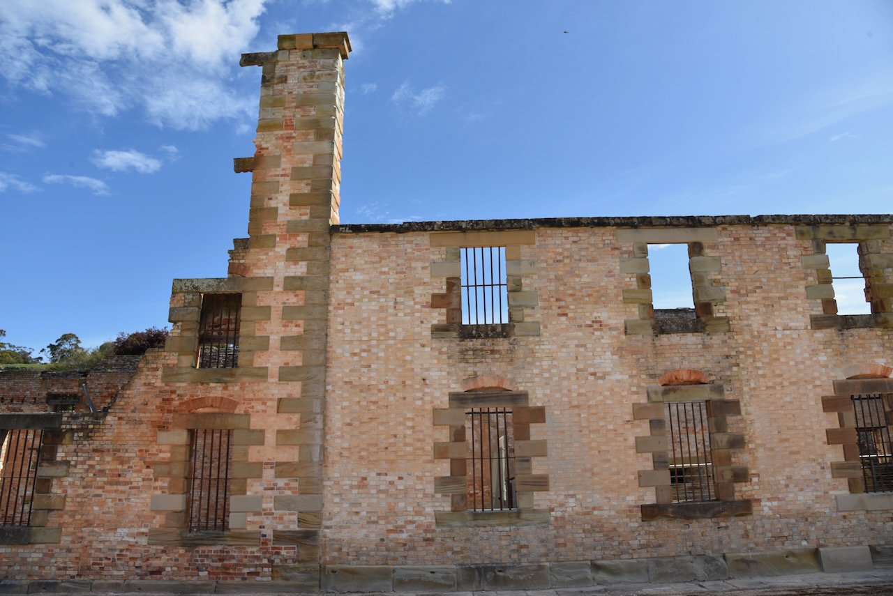
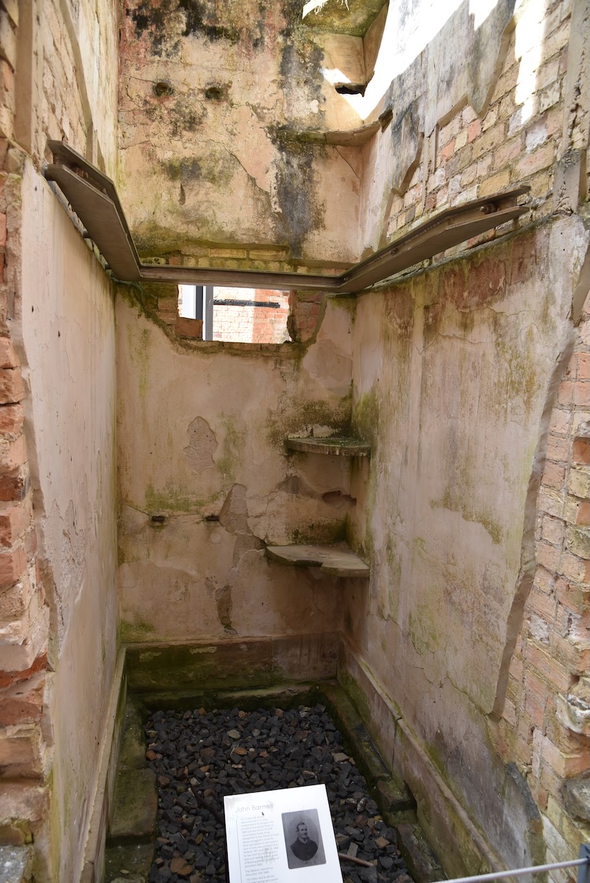
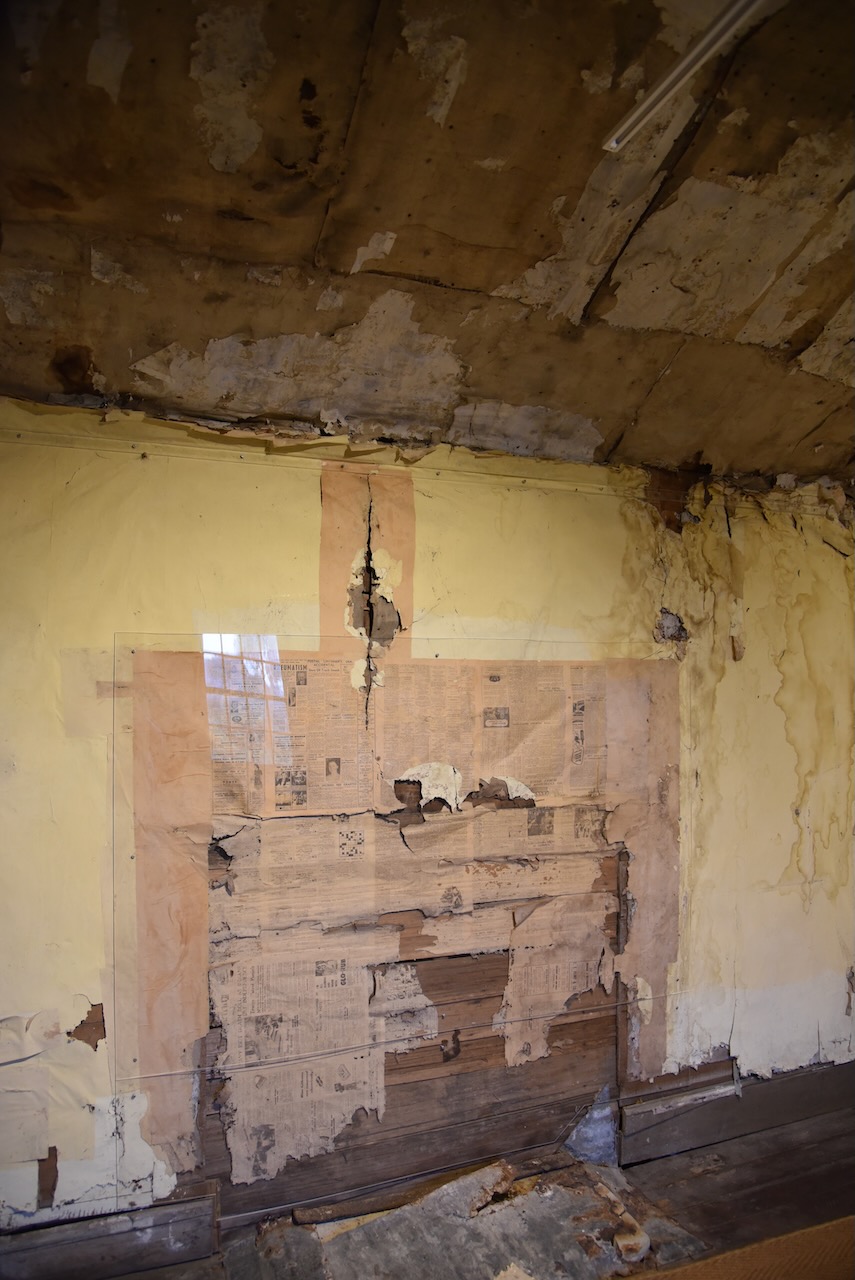
We wandered next door to the Separate Prison which was opened in 1849. It consists of 50 cells arranged in three corridors with a central hall, on one side of which is a chapel. Each cell is furnished with a hammock, table, stool, and cupboard.

Prisoners were kept strictly apart from each other and not a word was heard except at chapel.

During the 1850s it was used for the worst class of criminal in an effort to bring their minds ‘to a more healthy condition.’ Later the prison was used for long term prisoners as well as those who had committed serious offences or who had absconded.

Following the closure of Port Arthur the prison was purchased in 1884 for conversion to a hotel. The chapel had been converted into a billiard room and other building had commenced. However the 1895 Tasmanian bushfire gutted the building and the Government resumed ownership in 1916.

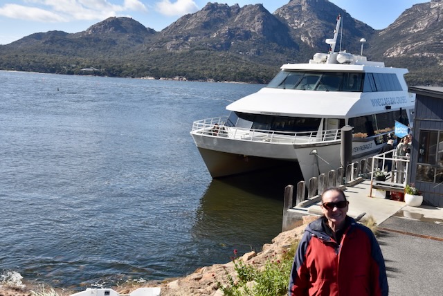
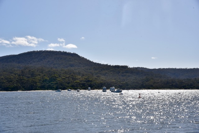
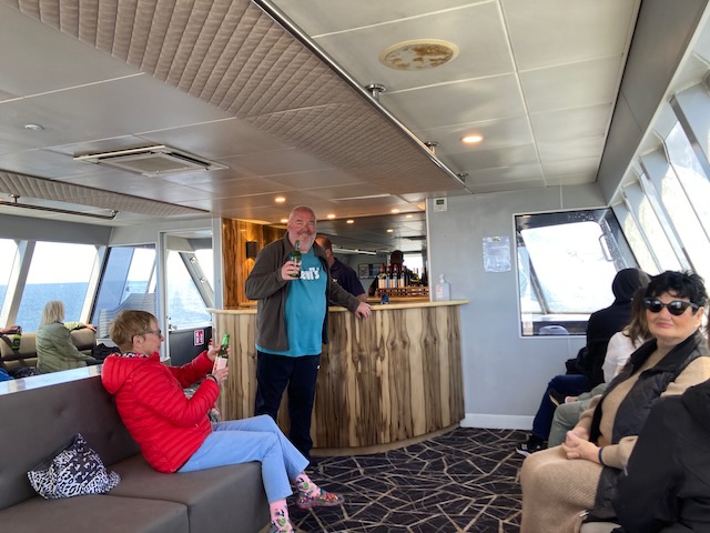
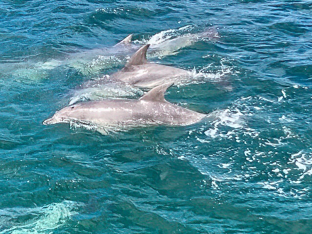
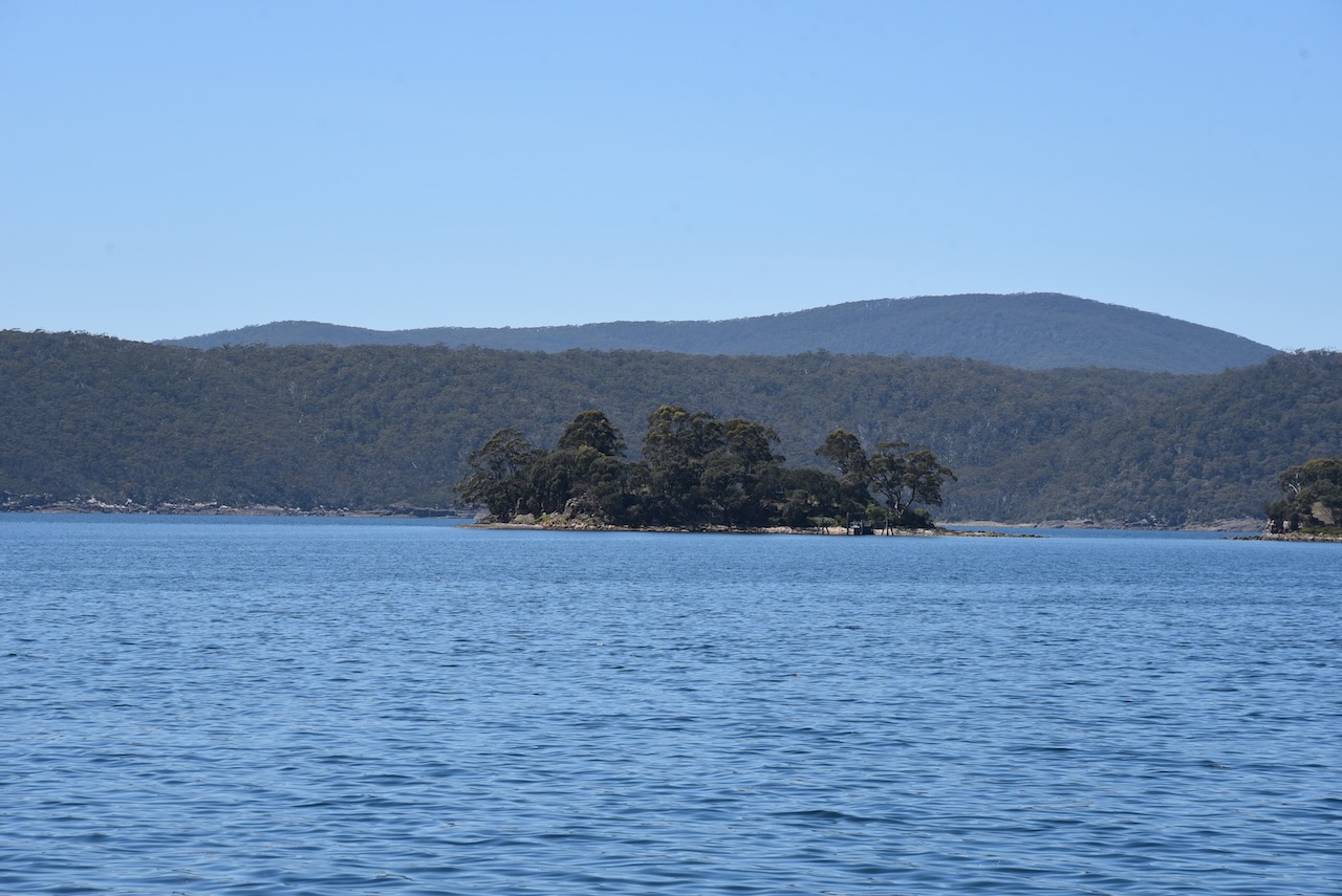
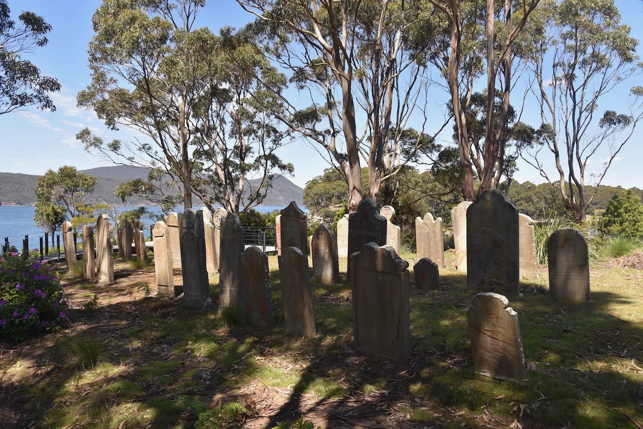
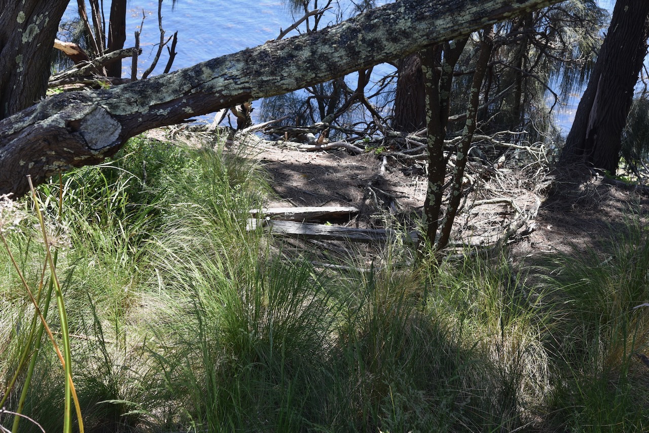
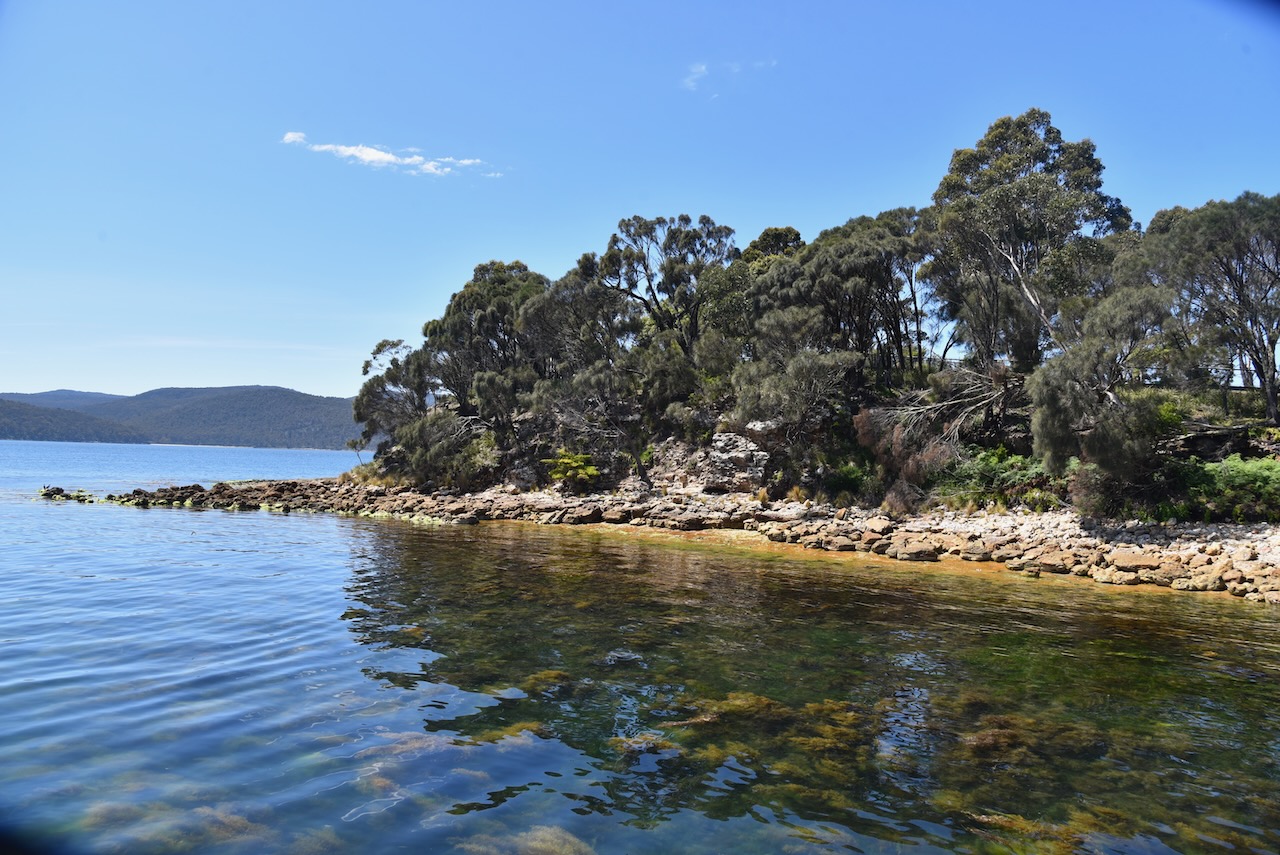
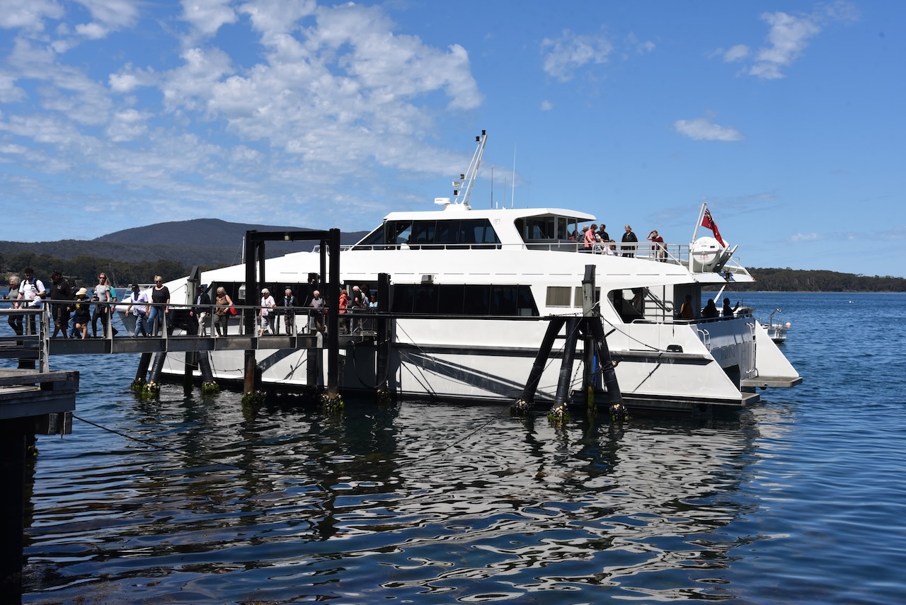
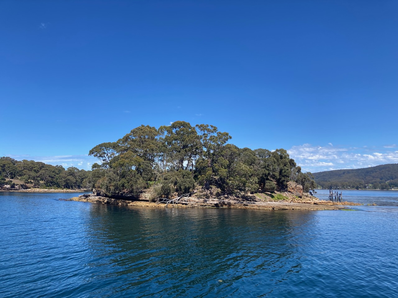
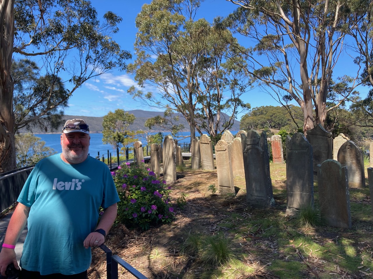
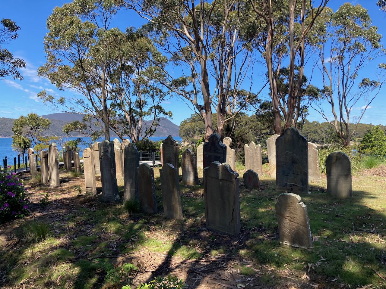
We then headed down to the dock for our cruise to Isle of the Dead. Our admission tickets included a 20 minute harbour cruise which passed the Dockyard, Point Puer Boys Prison and then for us, stopped off at the Isle of the Dead.

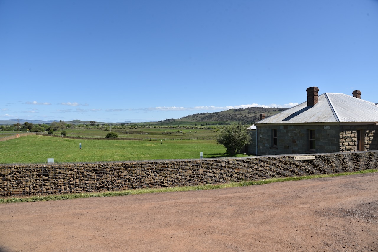
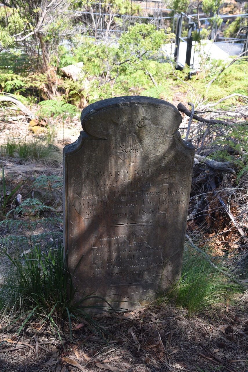
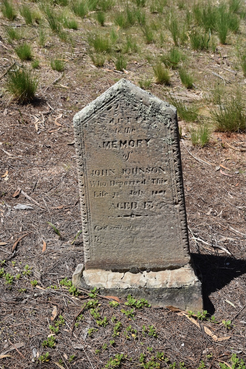
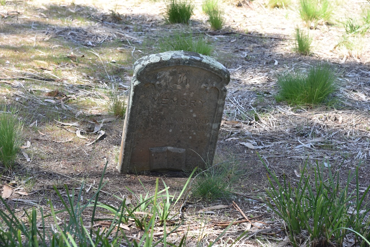
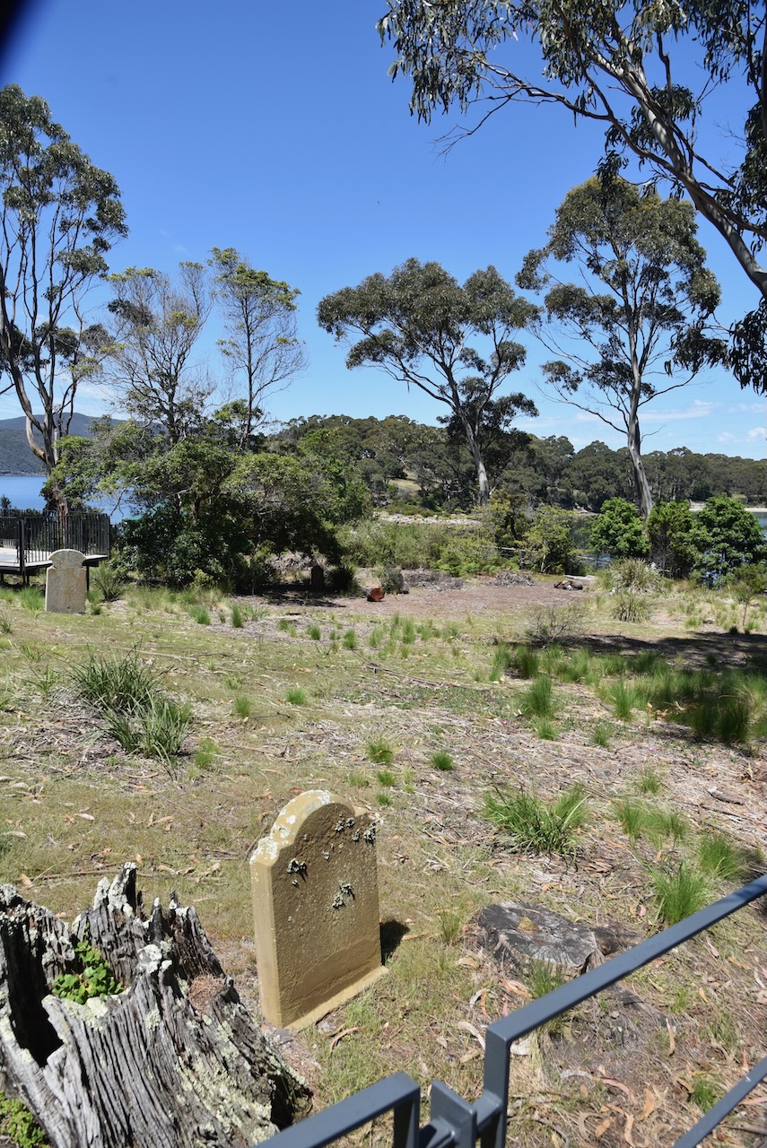
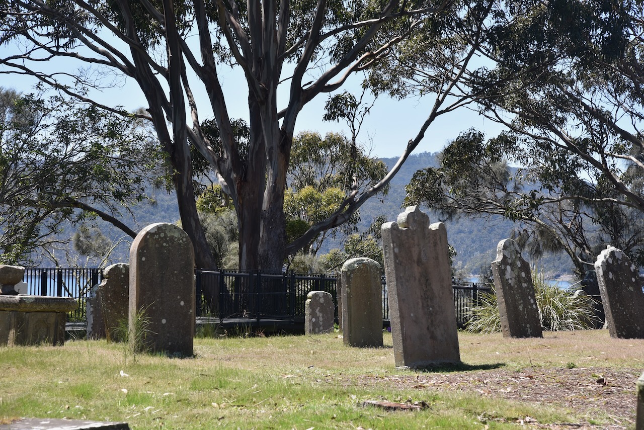
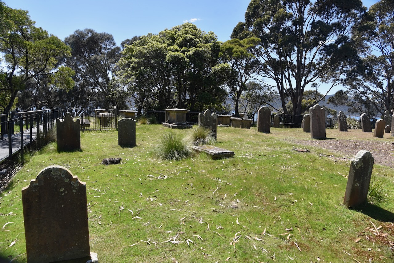
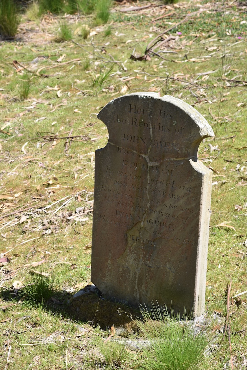
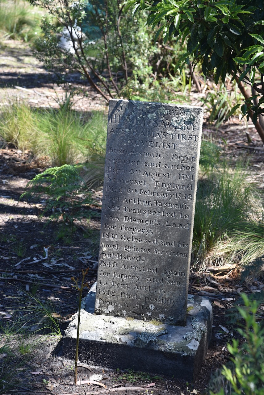
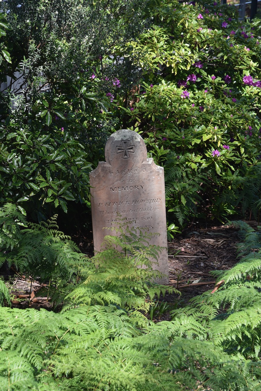
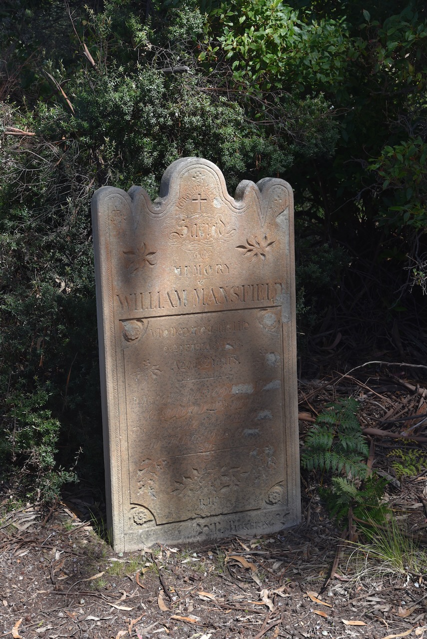
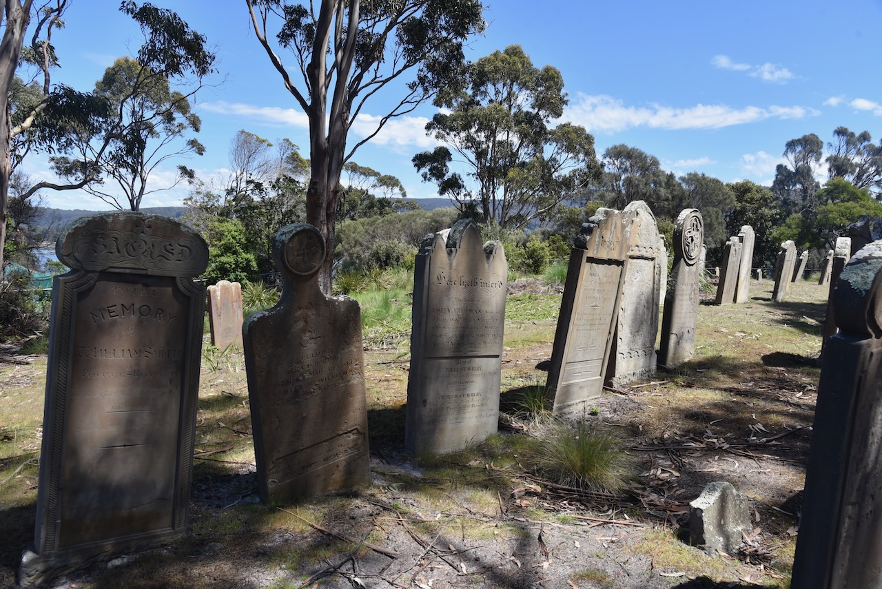
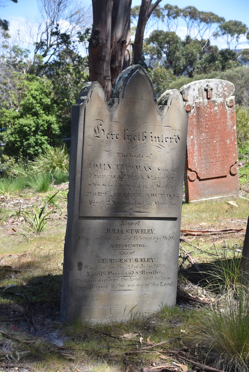
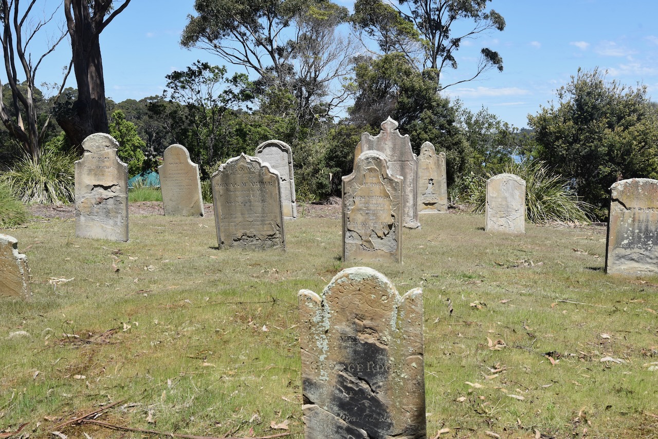
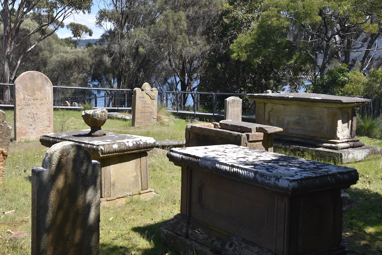
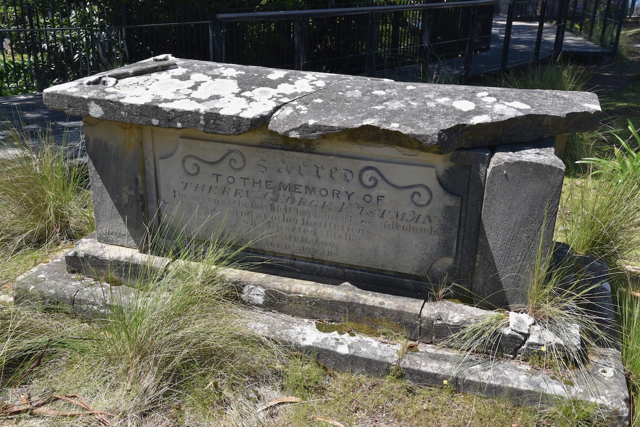
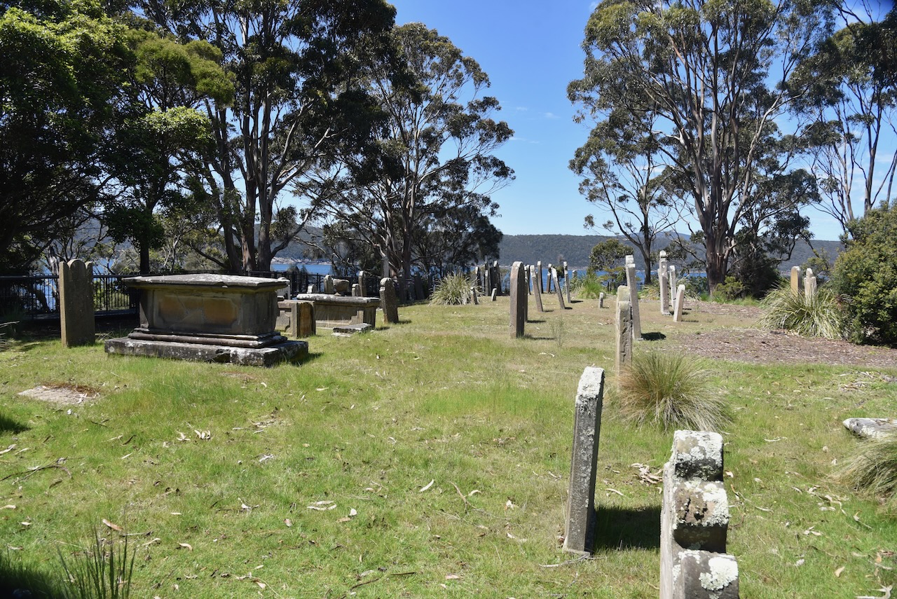
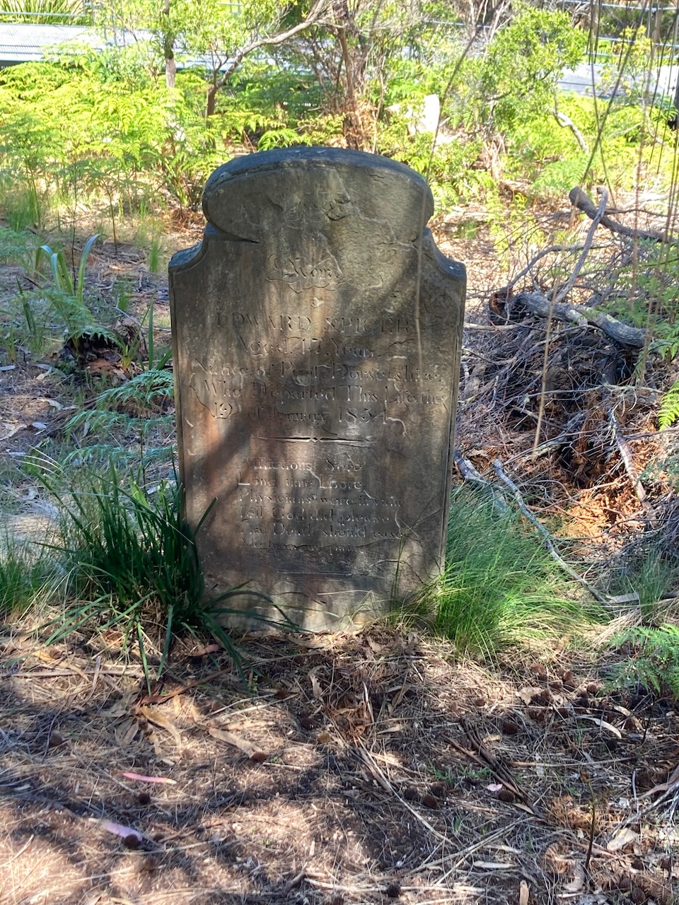
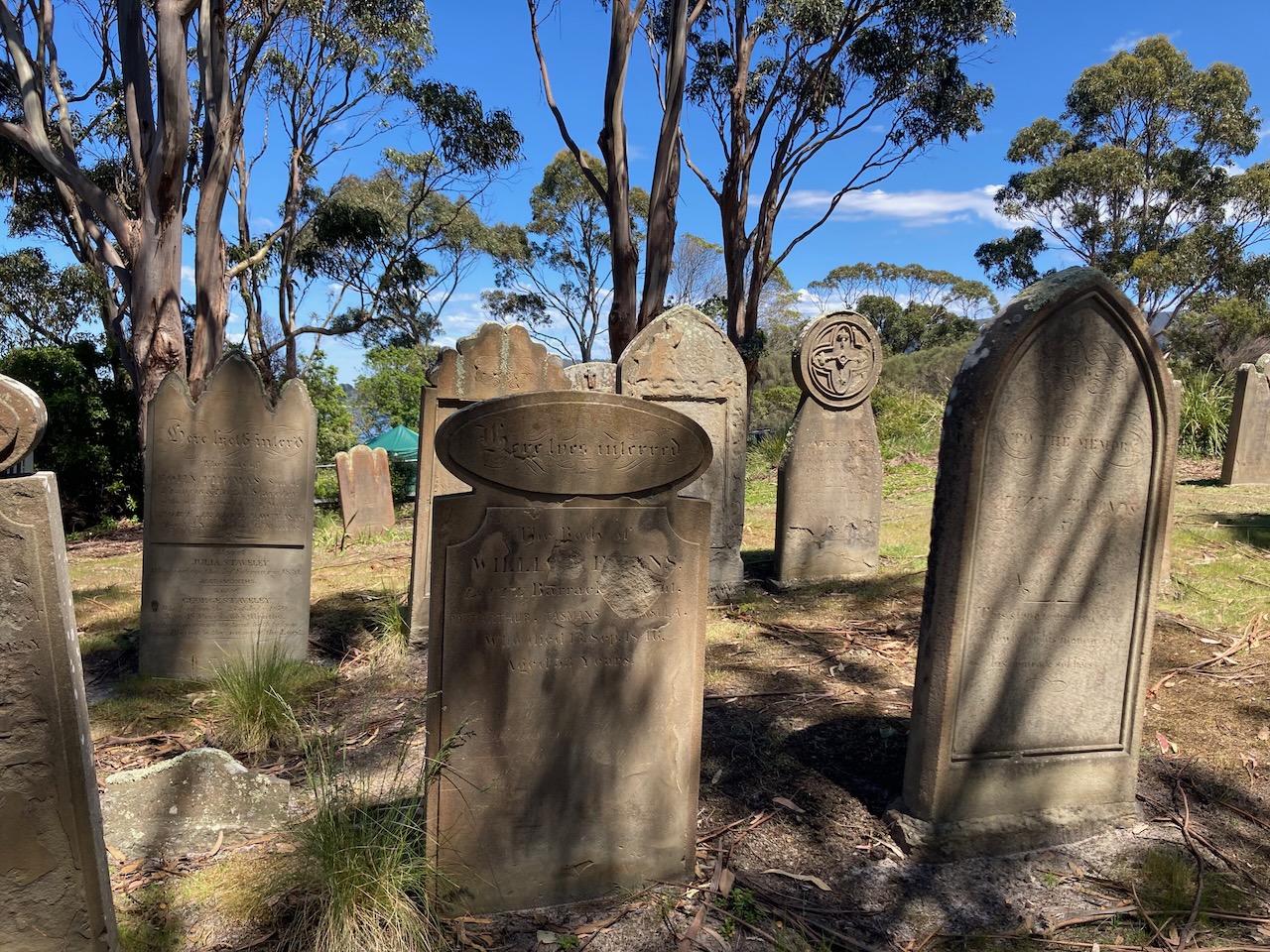
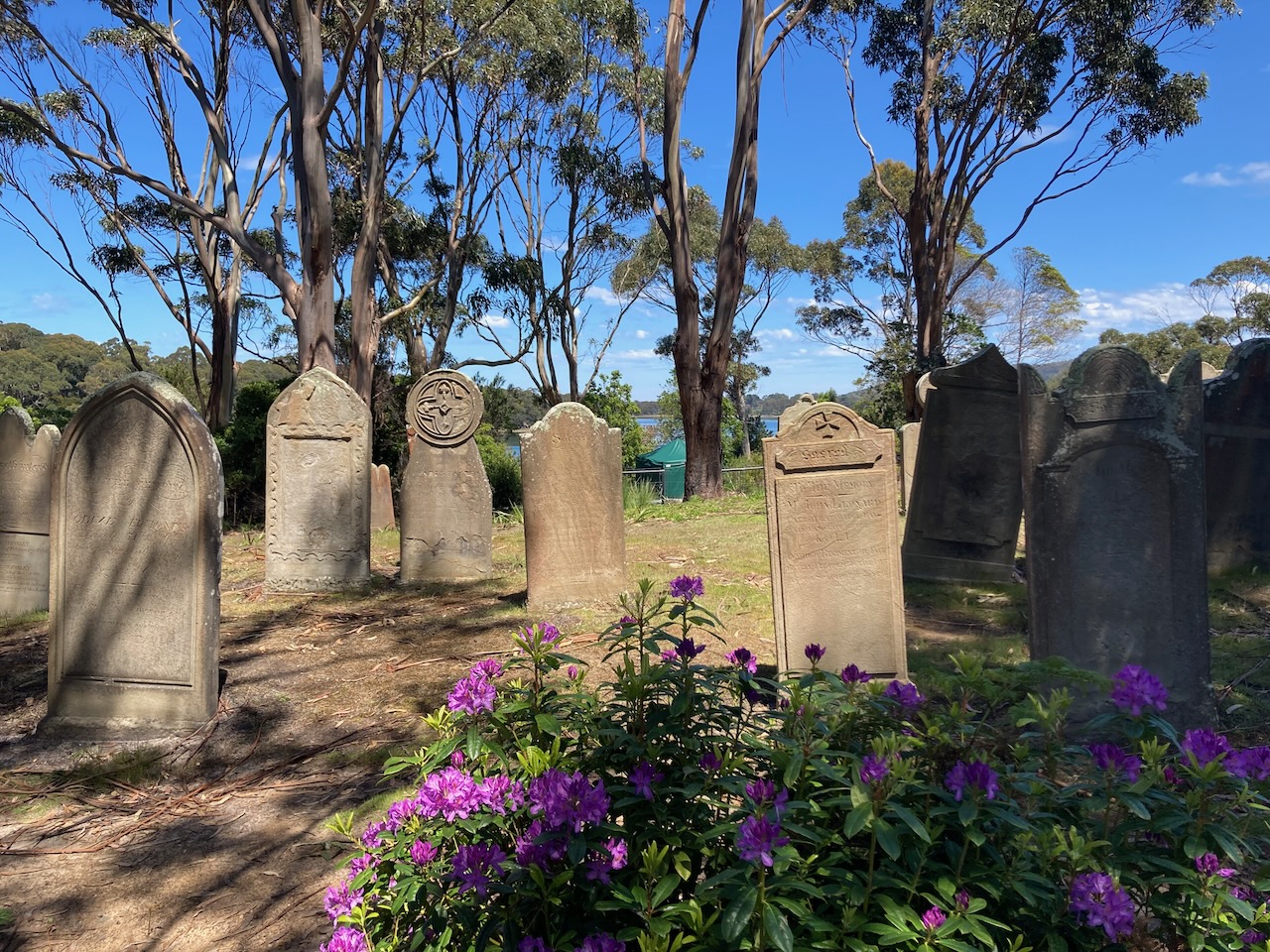
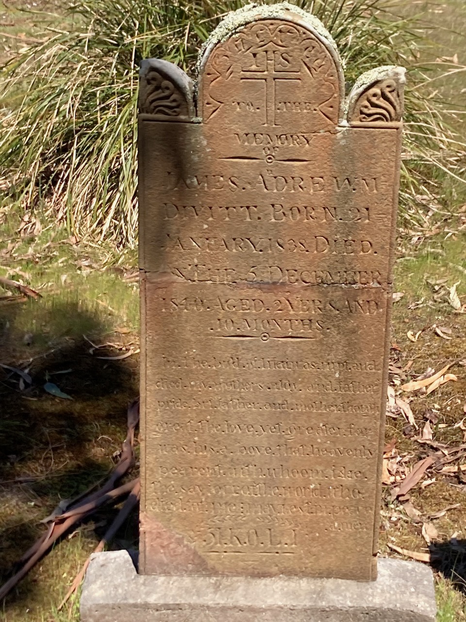
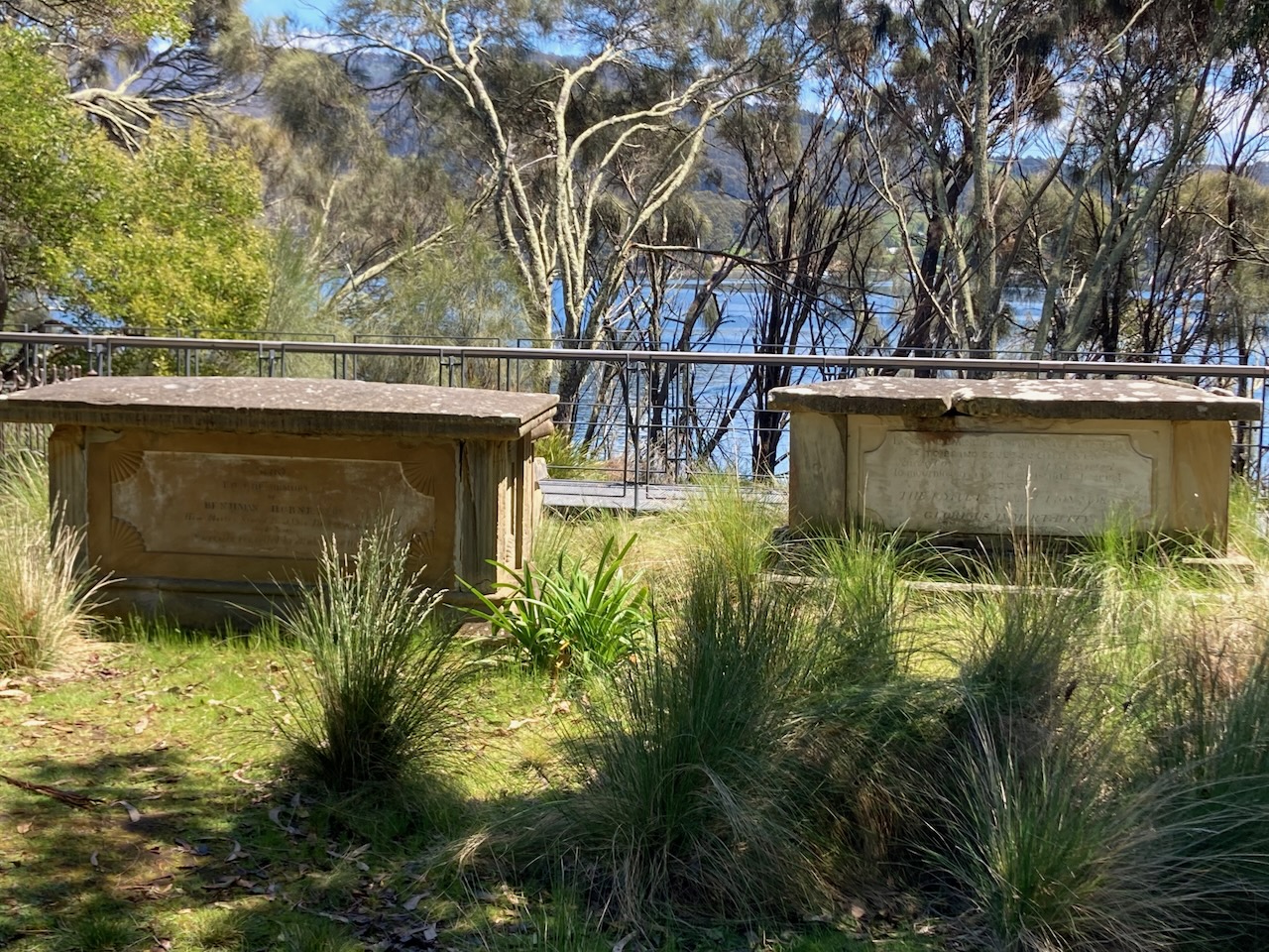
Between 1833 and 1877 about 1,100 people were buried at the settlement’s cemetery. The Isle of the Dead is the final resting place for convicts and those who worked at Port Arthur.

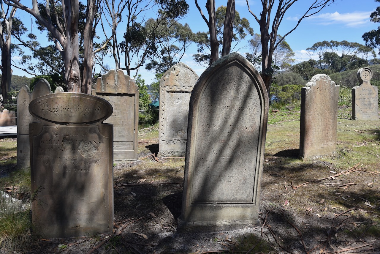
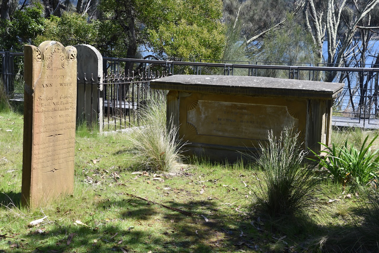
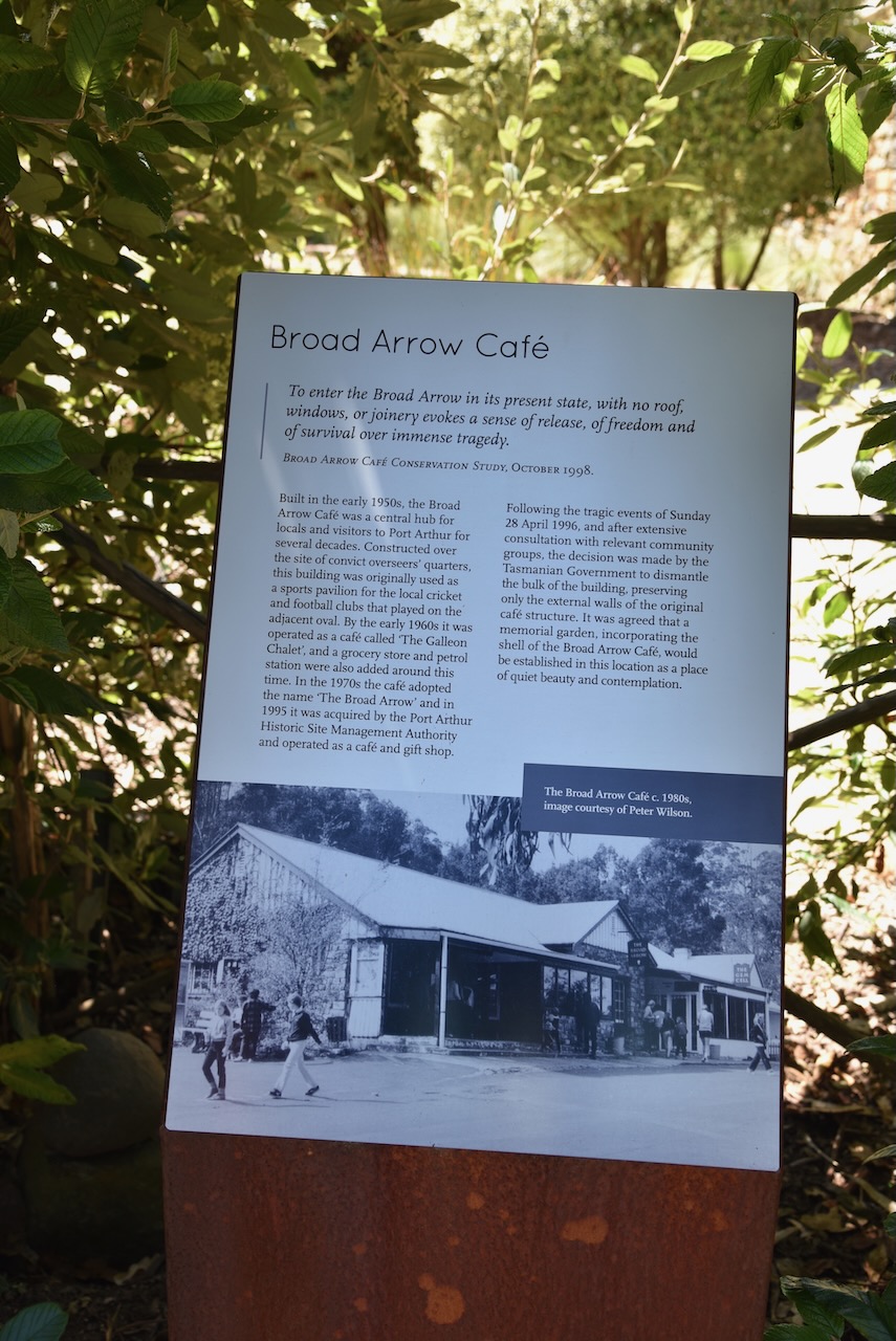
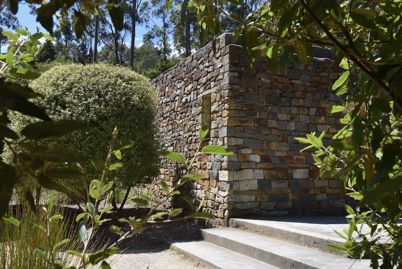
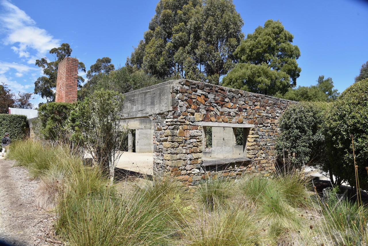
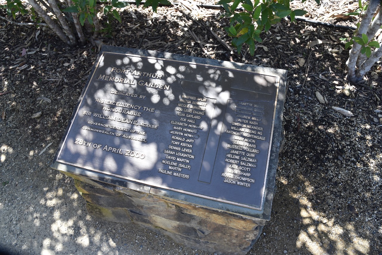
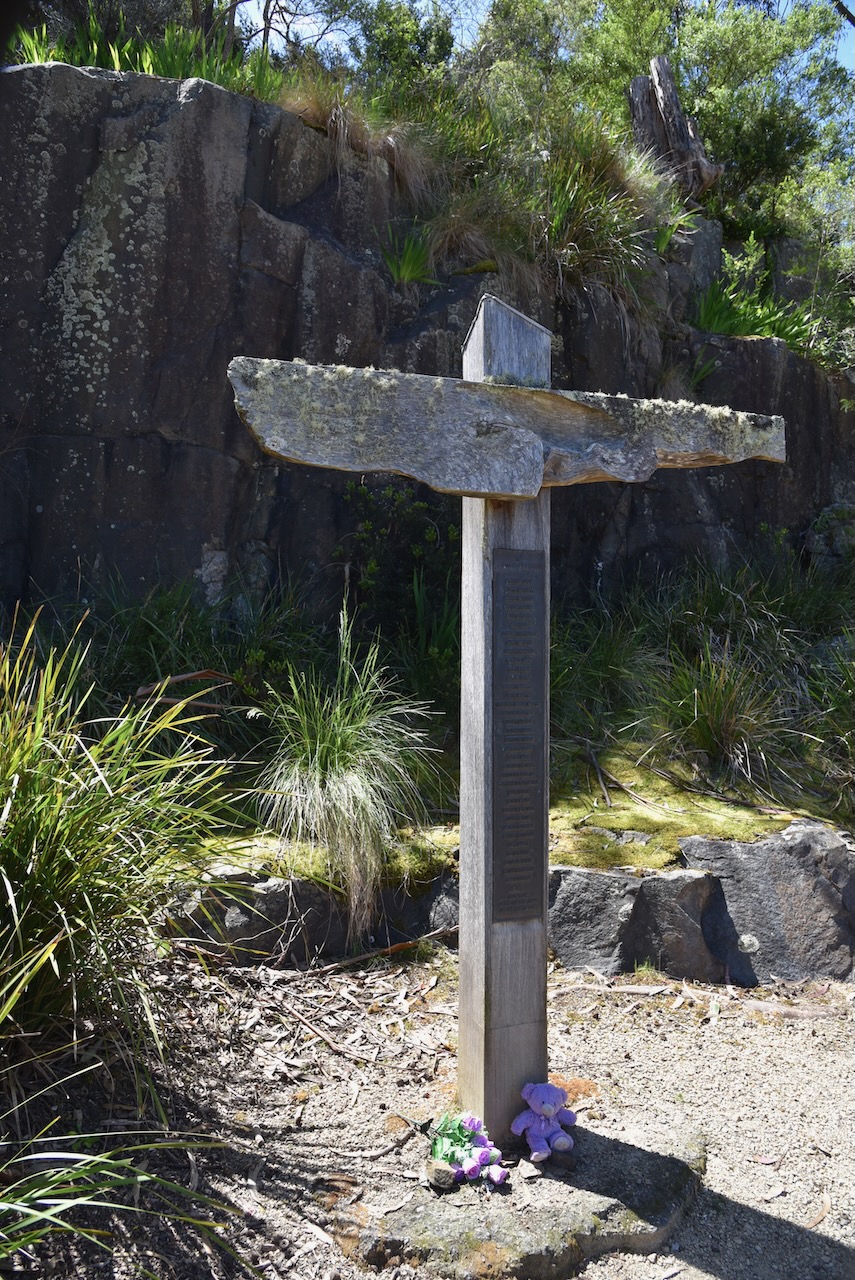
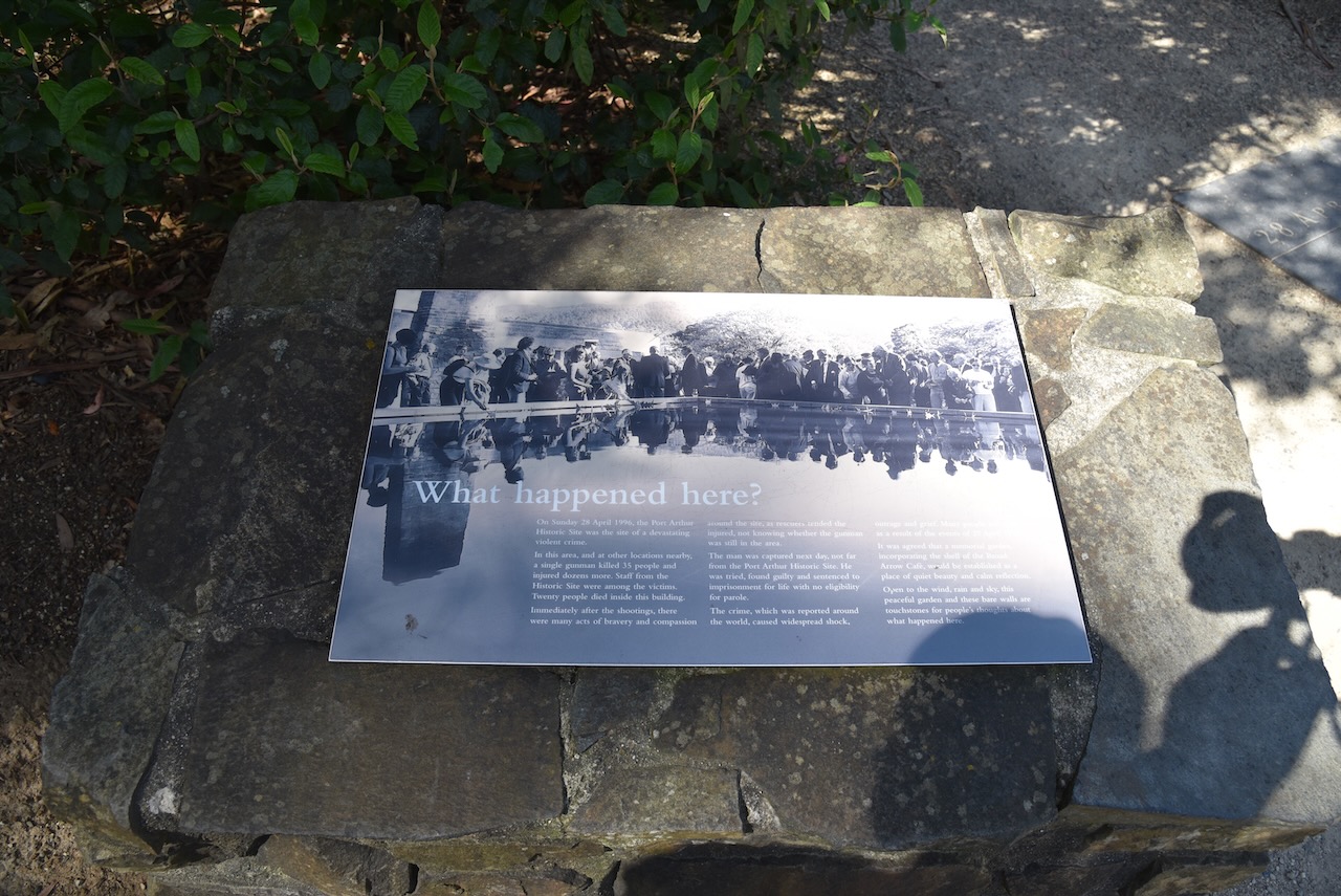
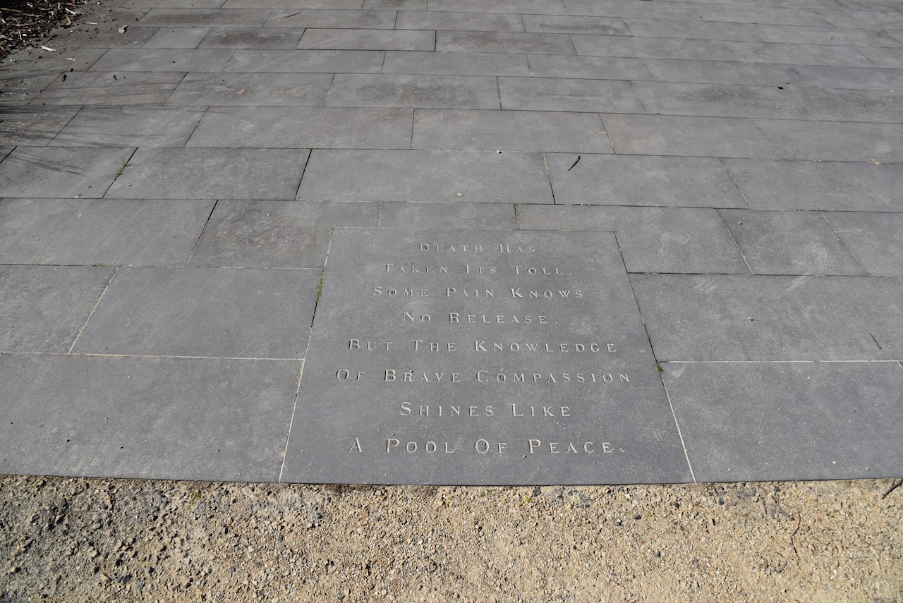
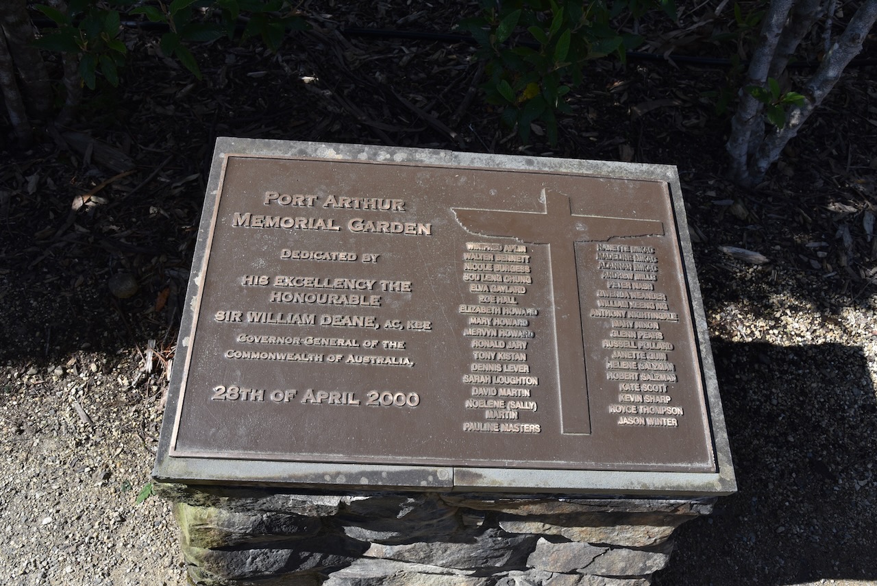
We then made an emotional visit to the Memorial Garden at Port Arthur. On Sunday 28th April 1996, a gunman in cold blood murdered 35 people and wounded a further 19 in and around the Port Arthur historic site. I remember working in the Criminal Investigation Branch for the South Australia Police as a young Detective that day.

The Memorial Garden includes the remnants of the Broad Arrow Cafe where 20 people were murdered.

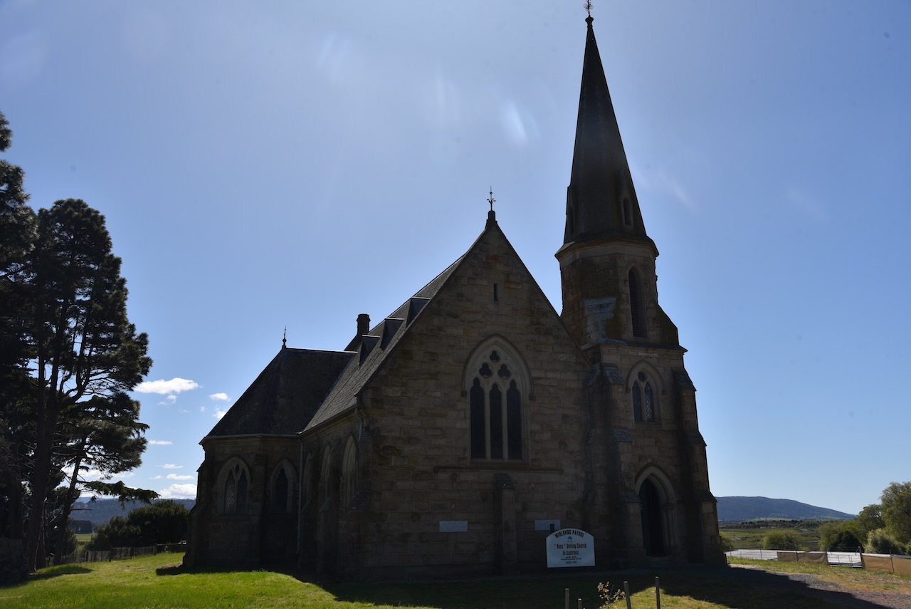
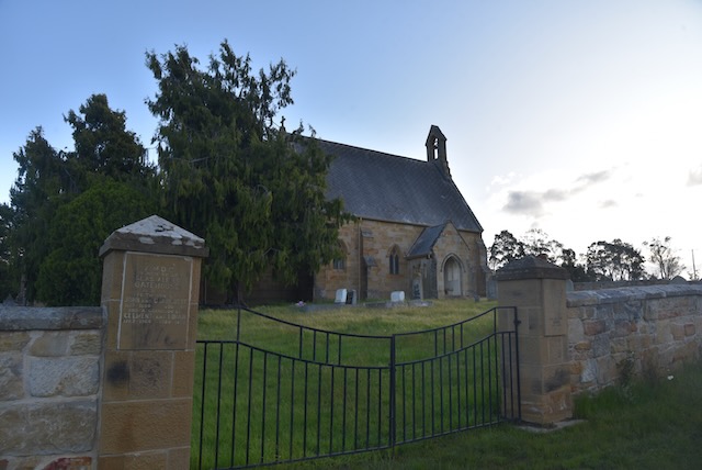
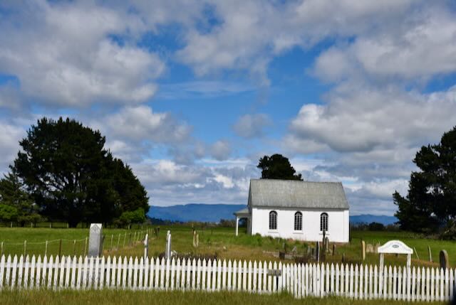
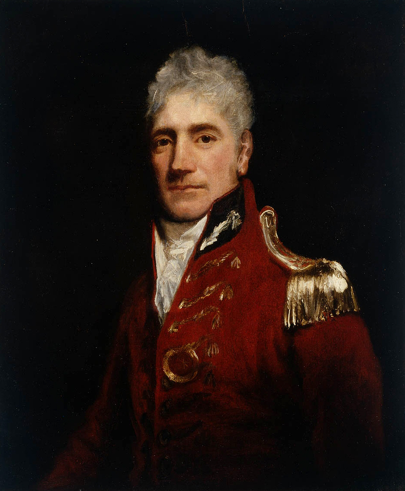
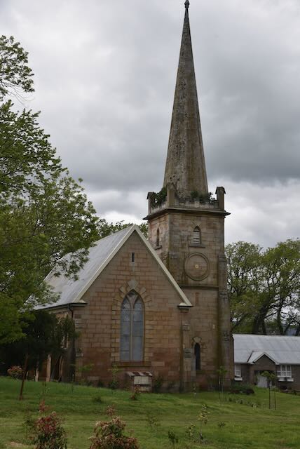
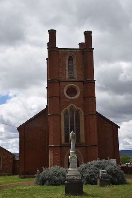
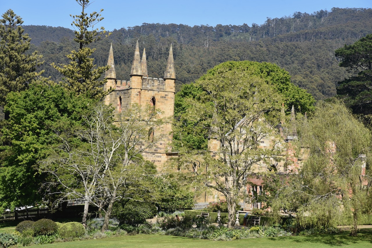
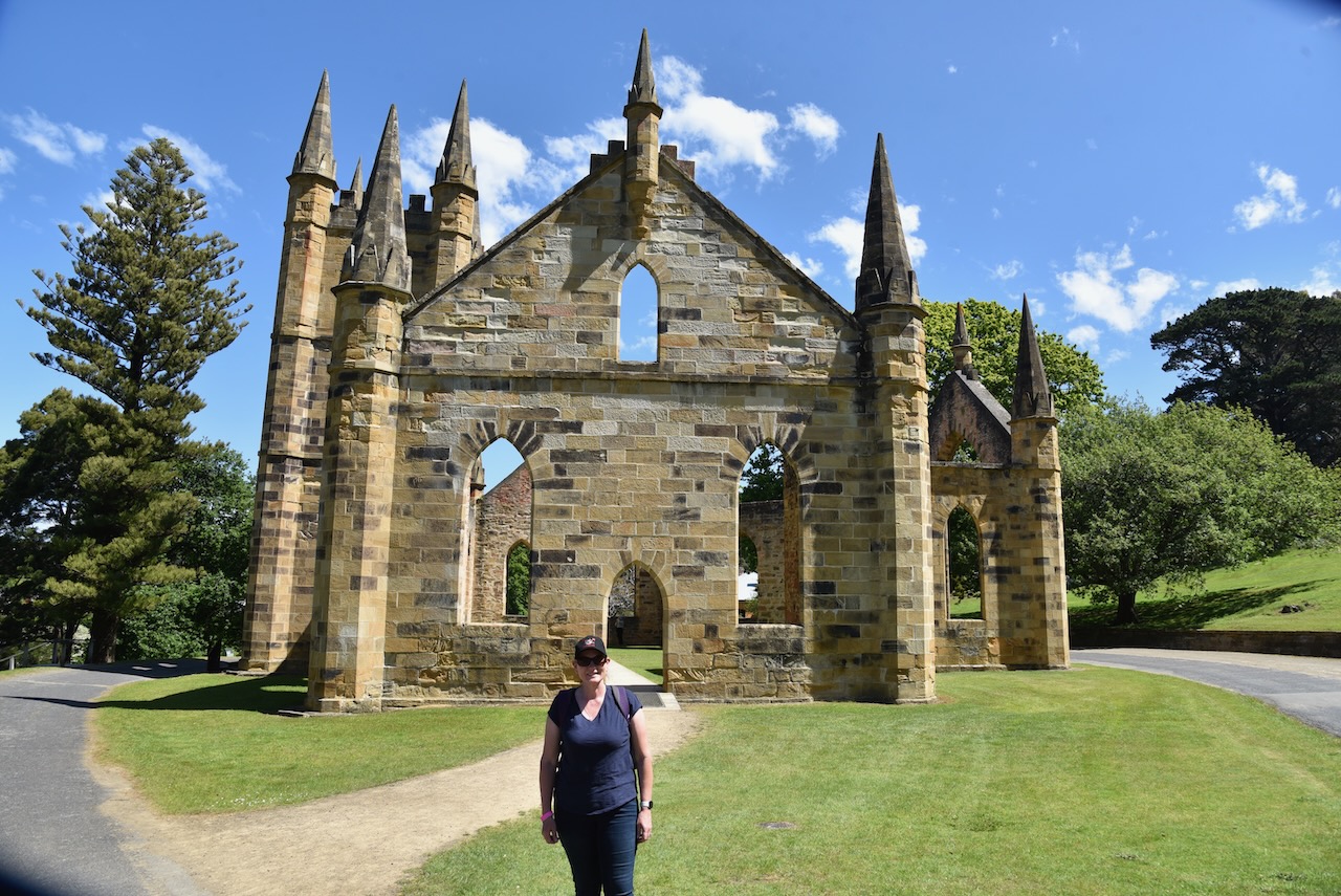
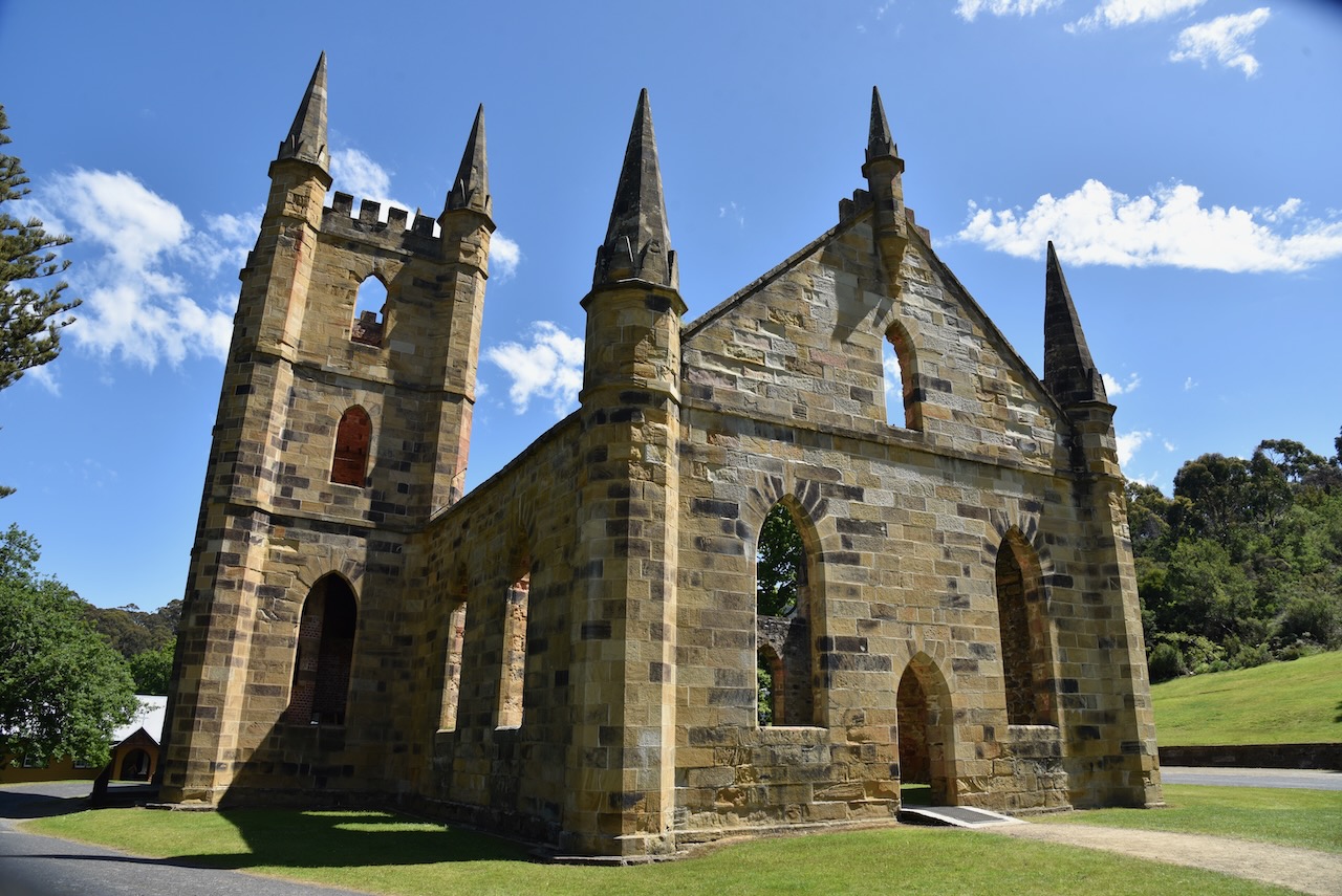
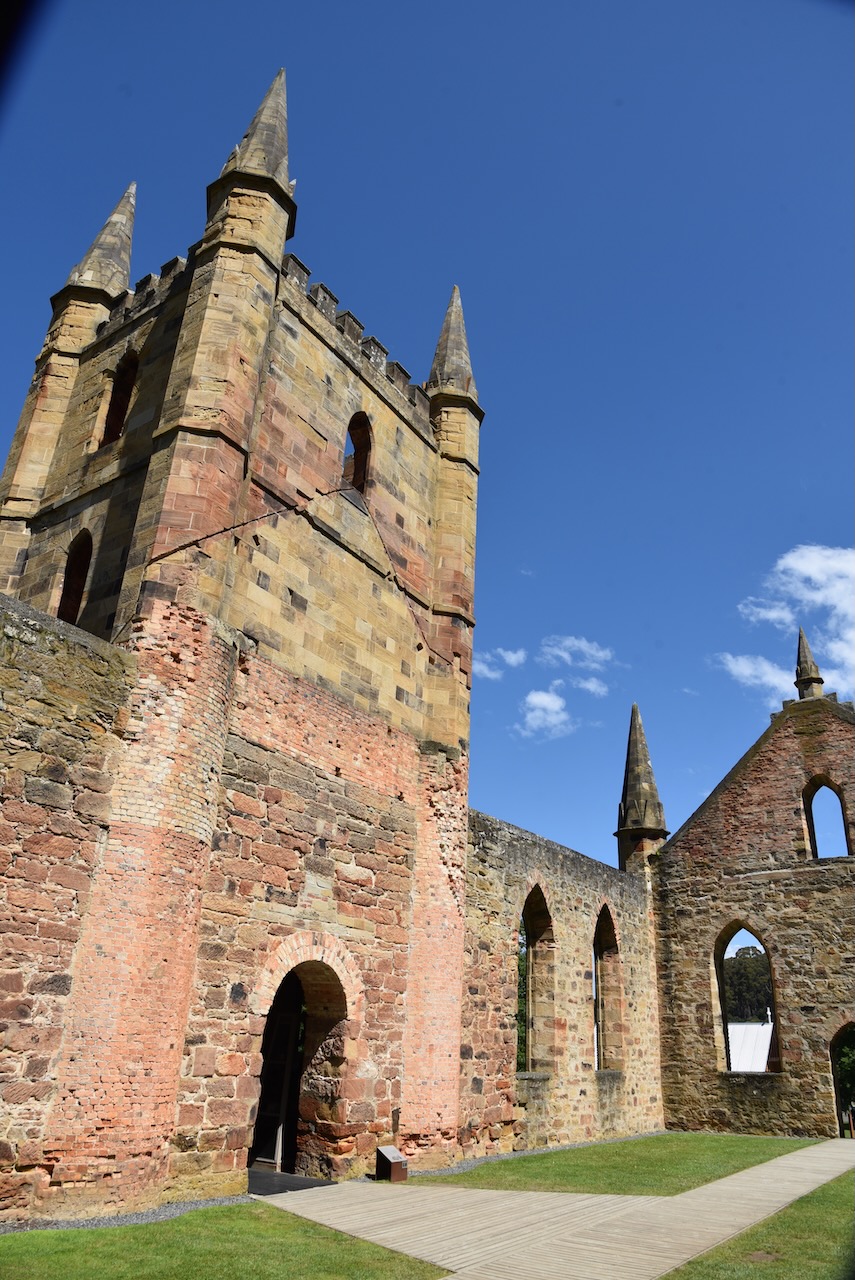
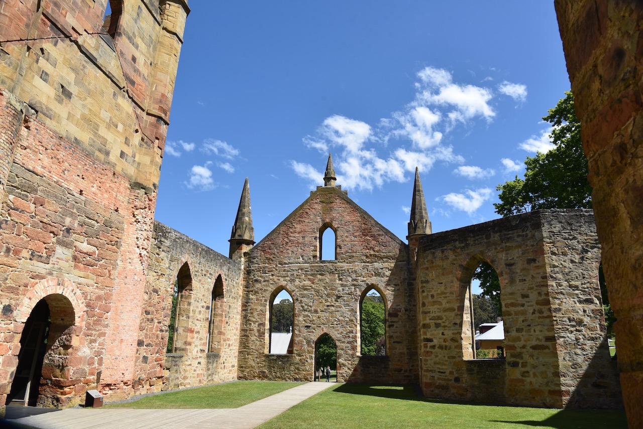
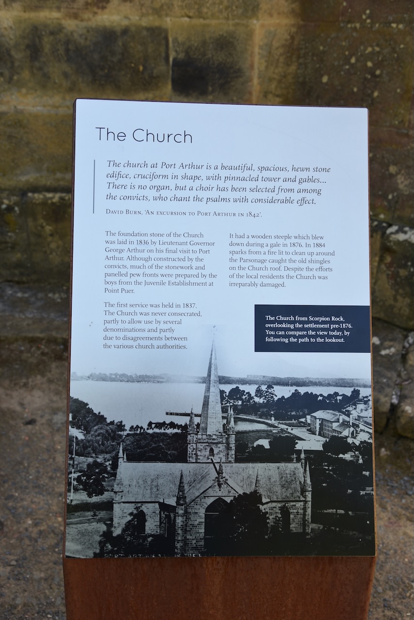
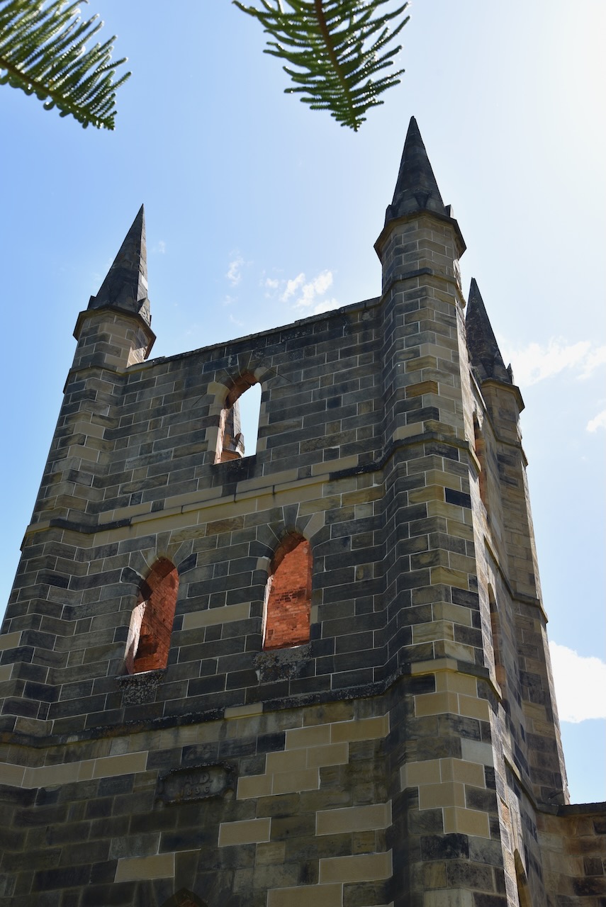
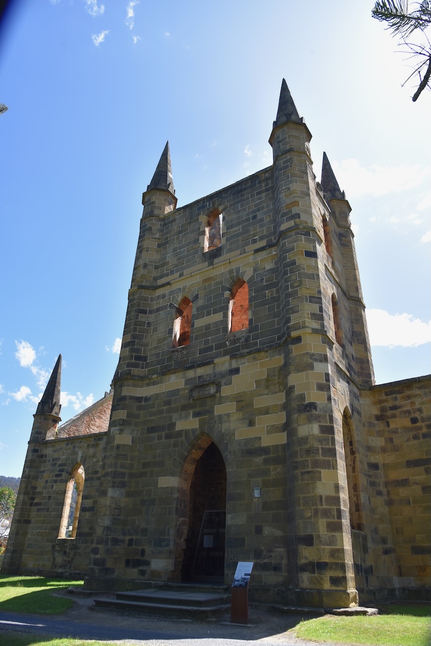
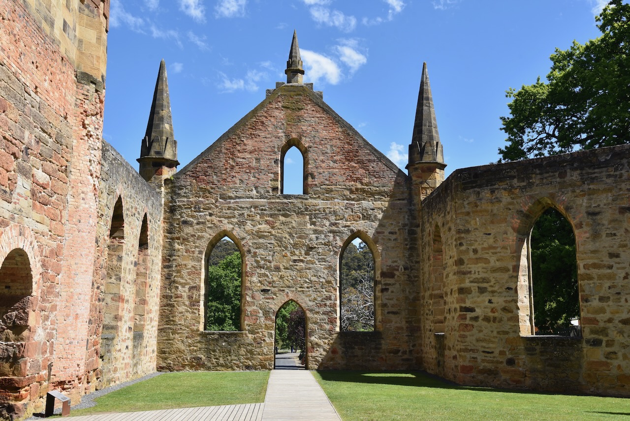
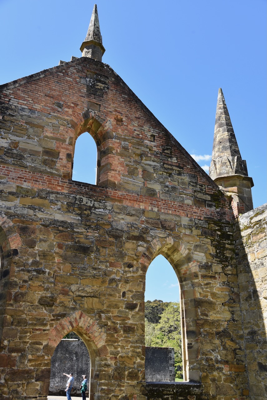
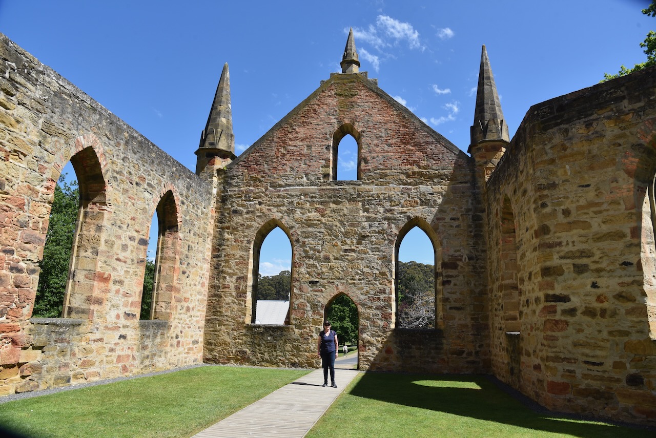
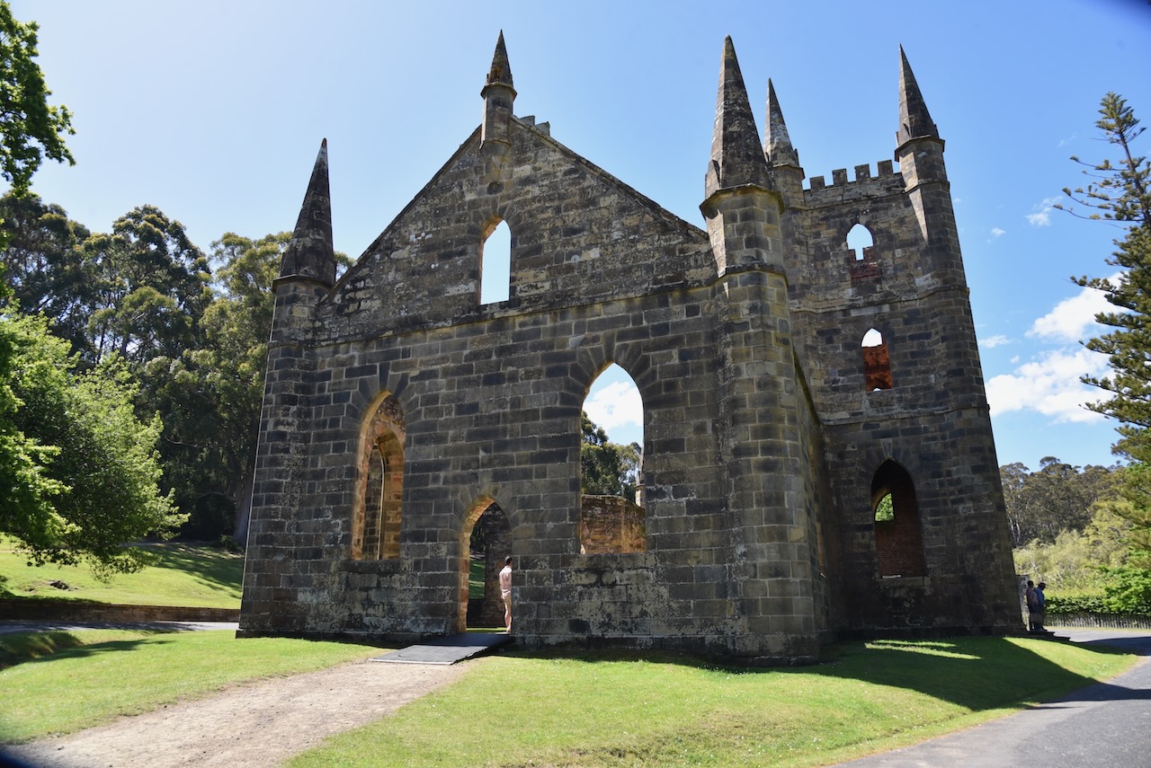
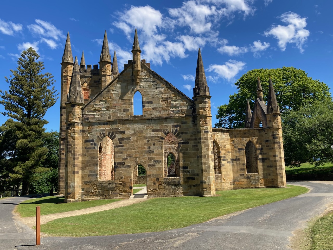
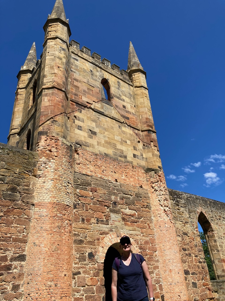
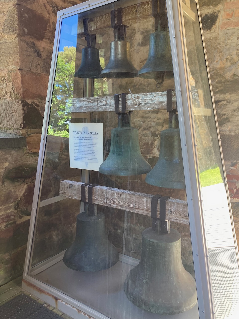
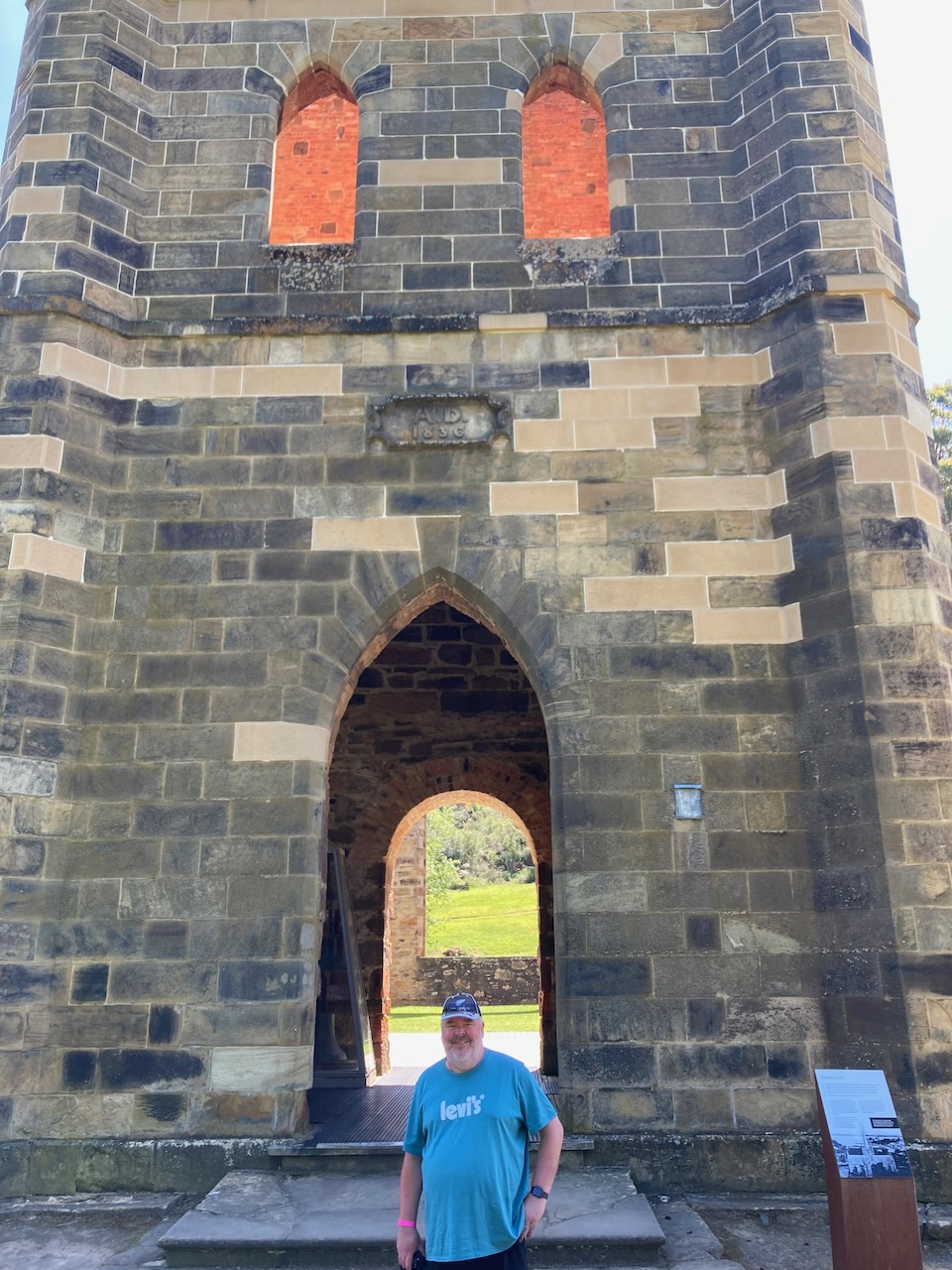
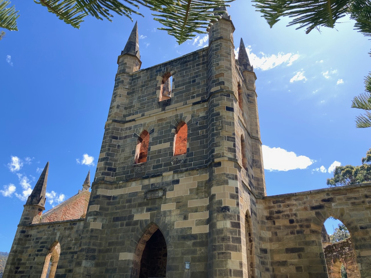
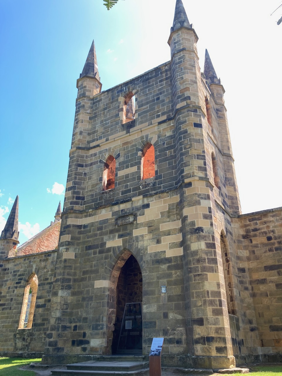
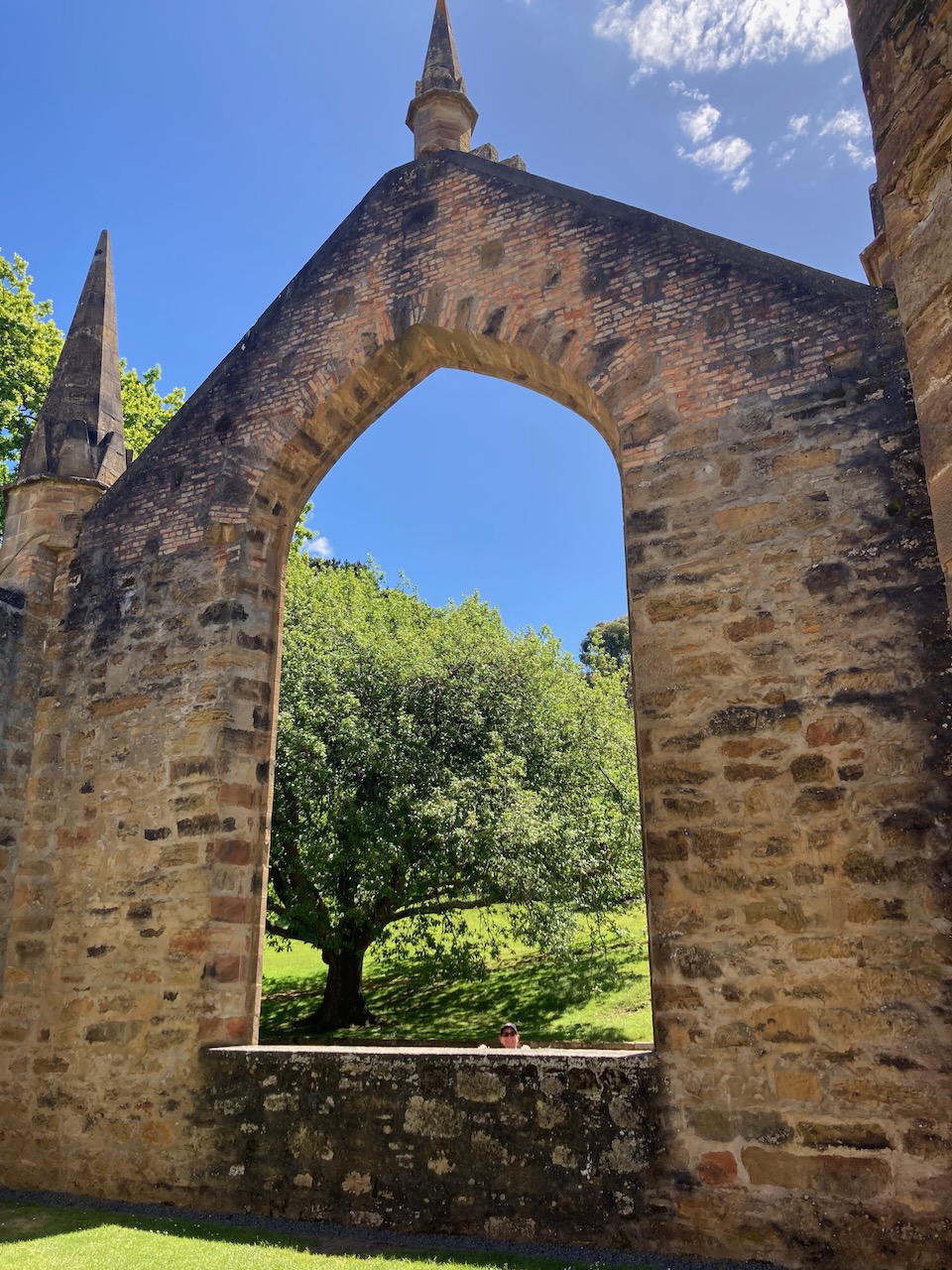
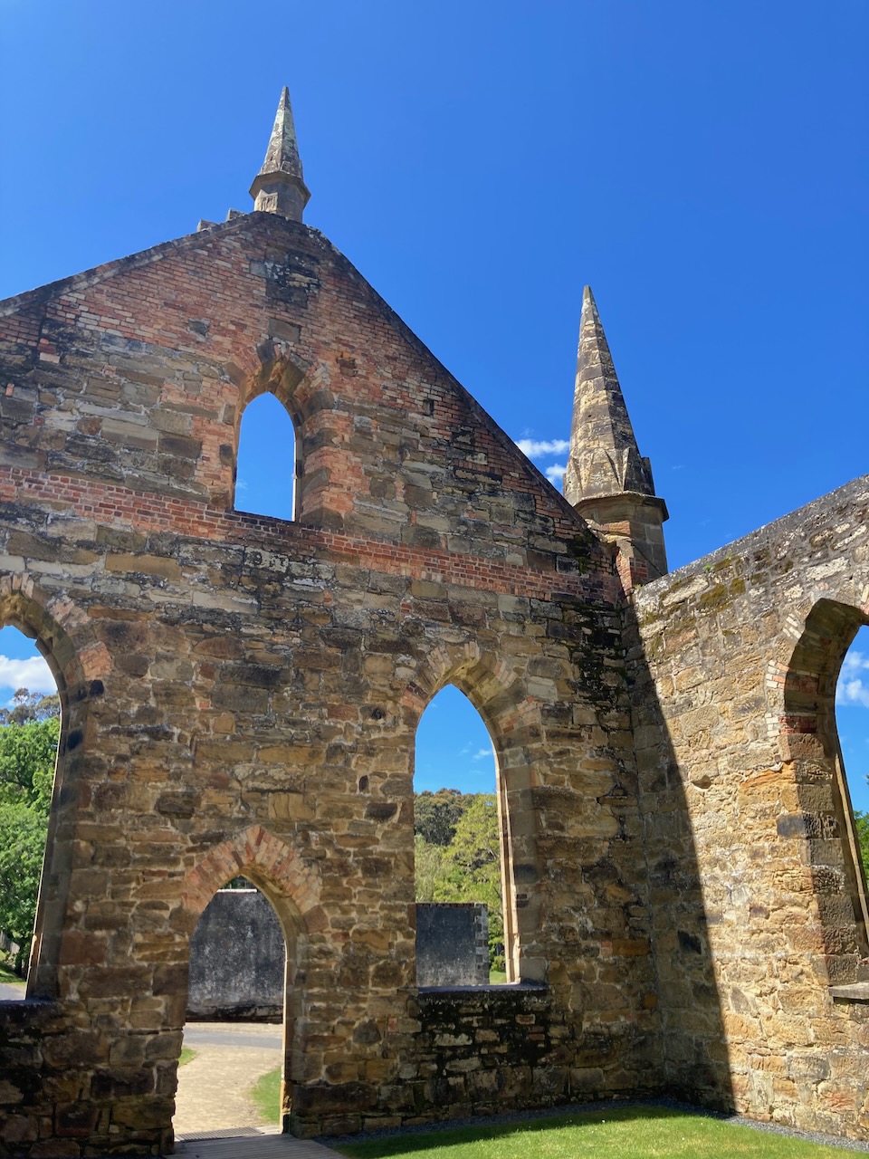
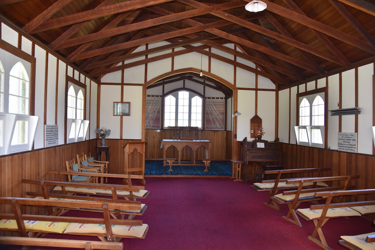
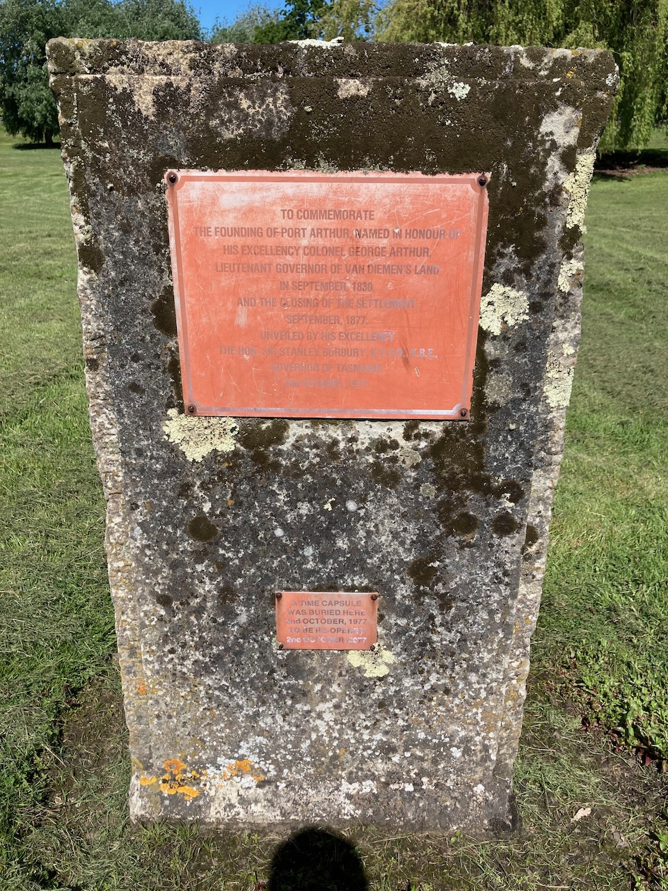
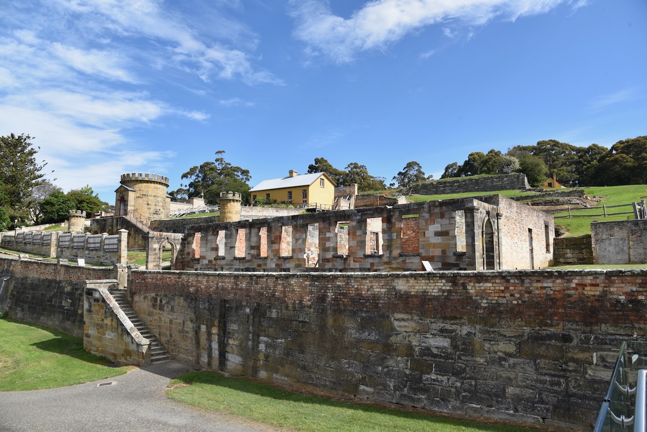
Our next stop was the Port Arthur church, one of the most impressive buildings/ruins on the site. The foundation stone of the church was laid in 1836 by Lieutenant Governor George Arthur. The church was constructed by convicts and boys from the juvenile establishment at Point Puer. The first service in the church was held in 1837.

In 1884, sparks from a fire which had been lit to clean up around the Parsonage, caught the old shingles of the church roof on fire. Despite the efforts of the local residents the church was irreparably damaged.

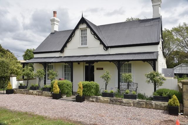
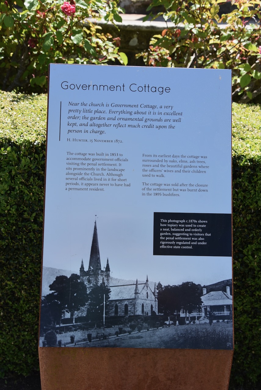
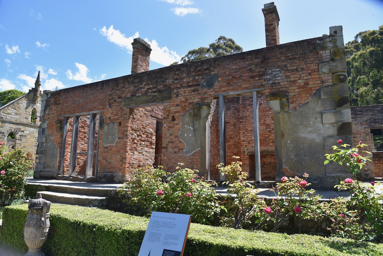
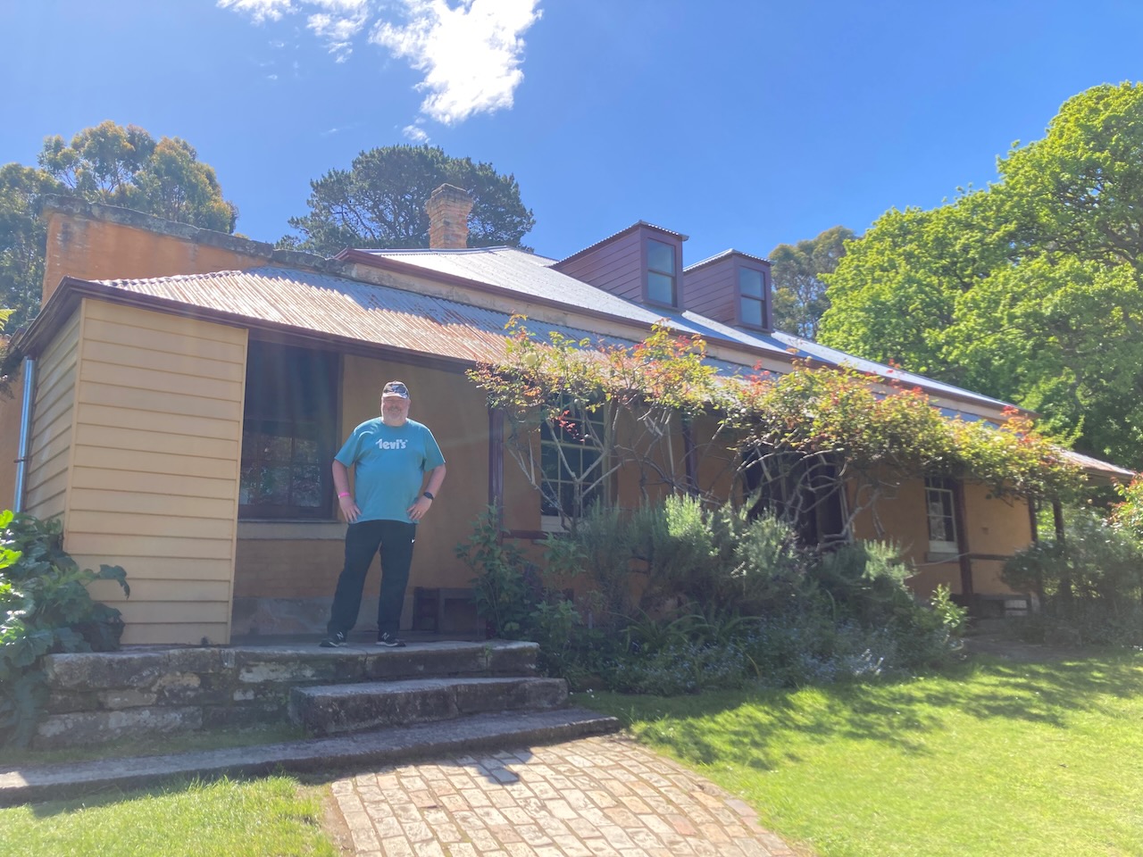
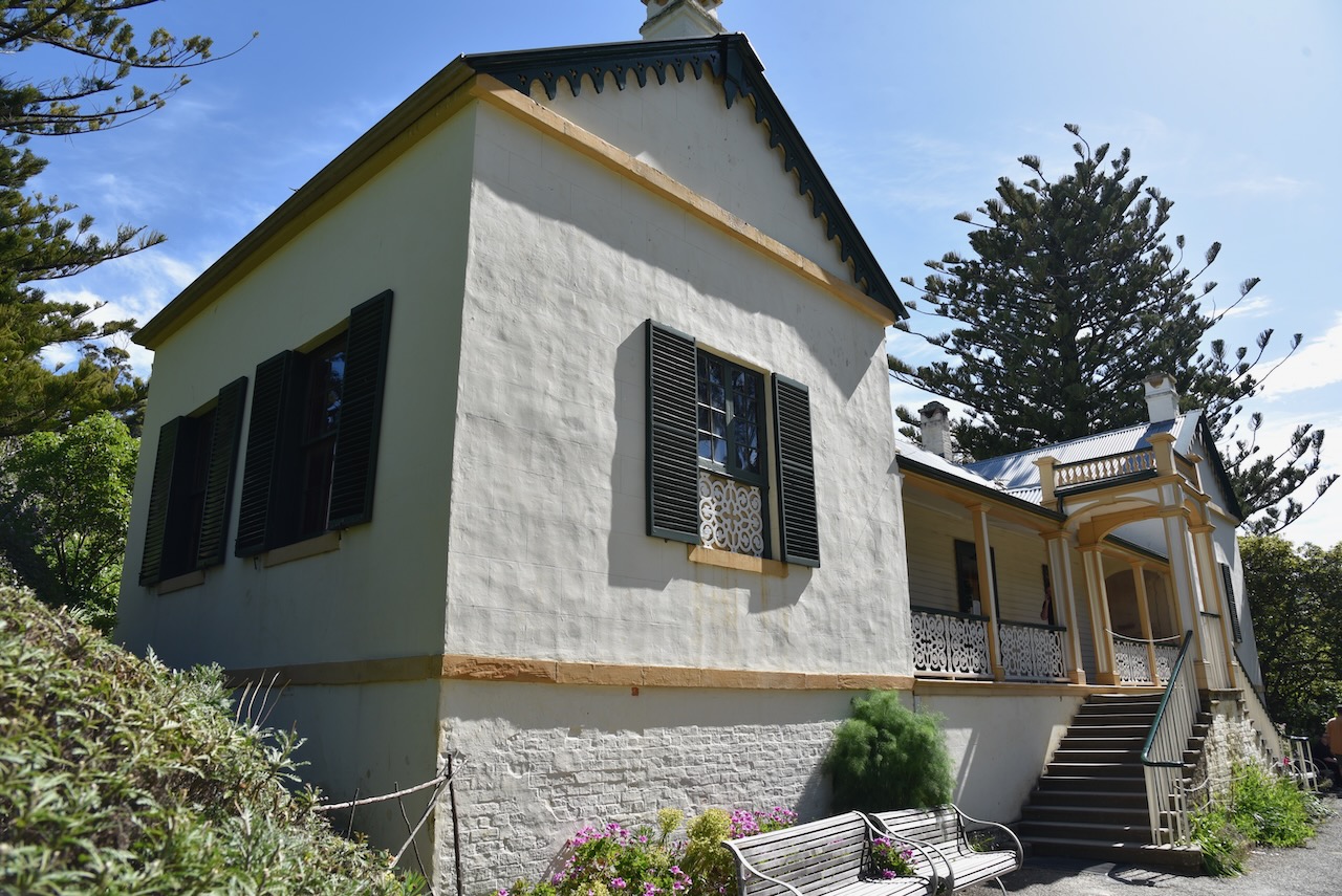
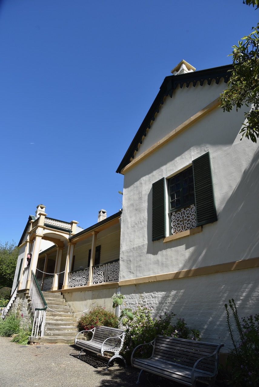
Not far from the church is Government Cottage which was built in 1853 to accomodate government officials who were vistting the Port Arthur penal settlement. Unfortunately it was another victim of the 1895 bushfires.

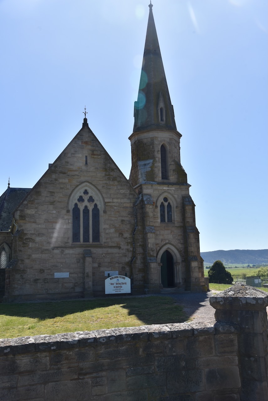
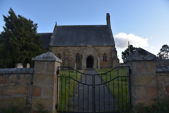
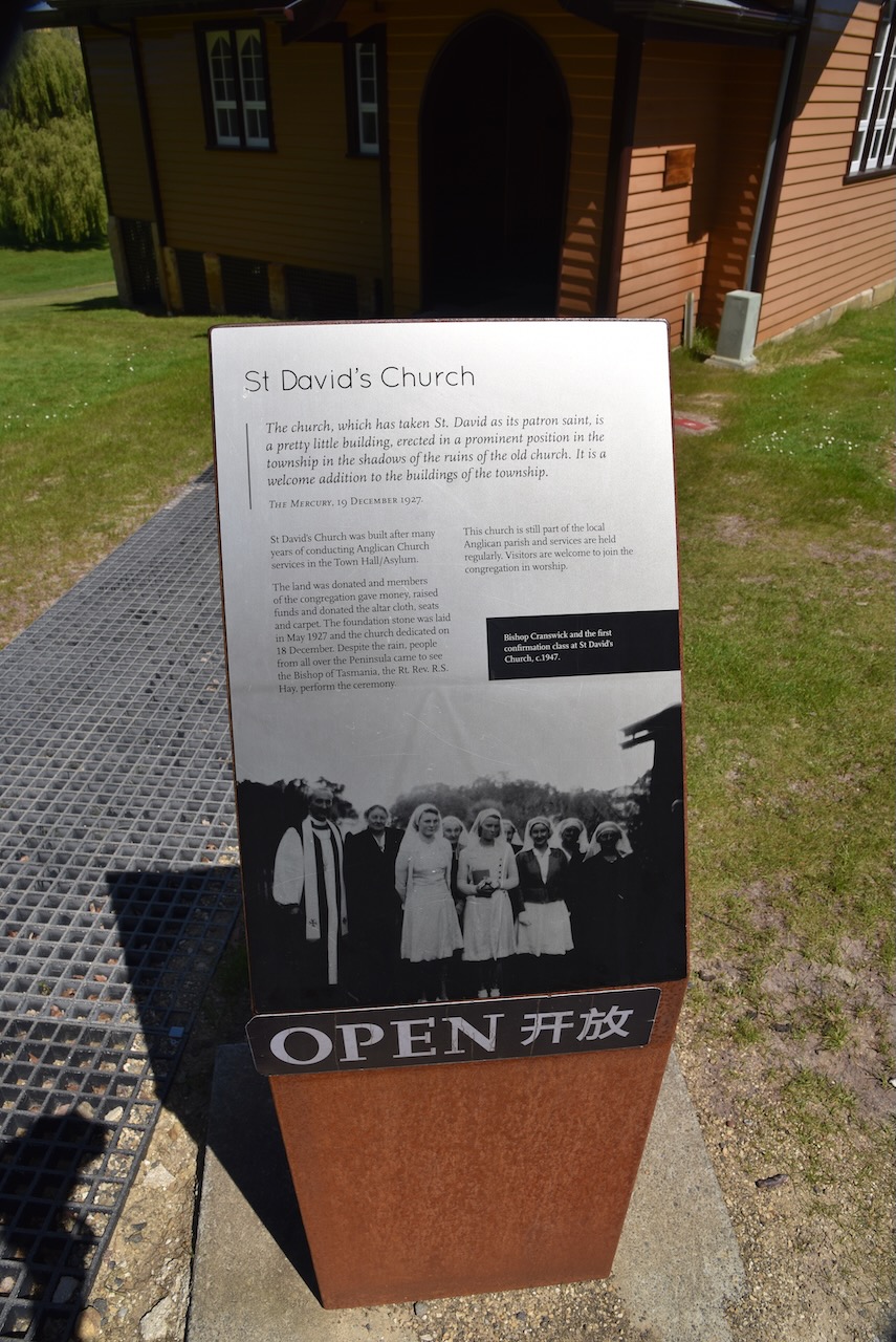
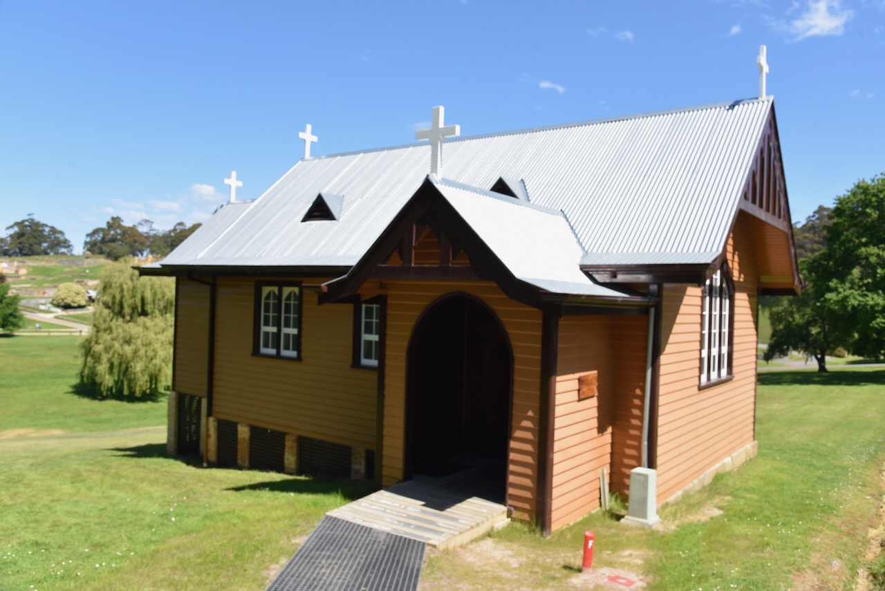
Also nearby is St David’s church, named after the patron saint, St David. The foundation stone was laid in May 1927.

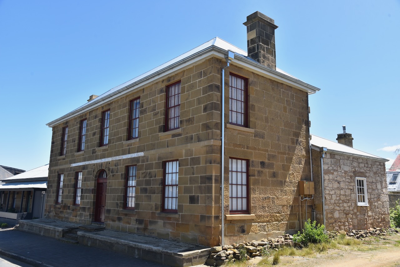
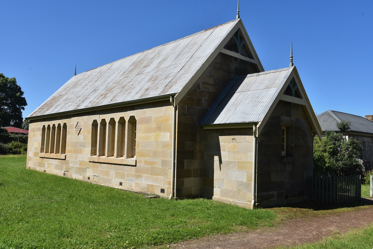
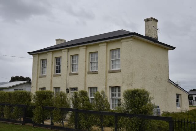
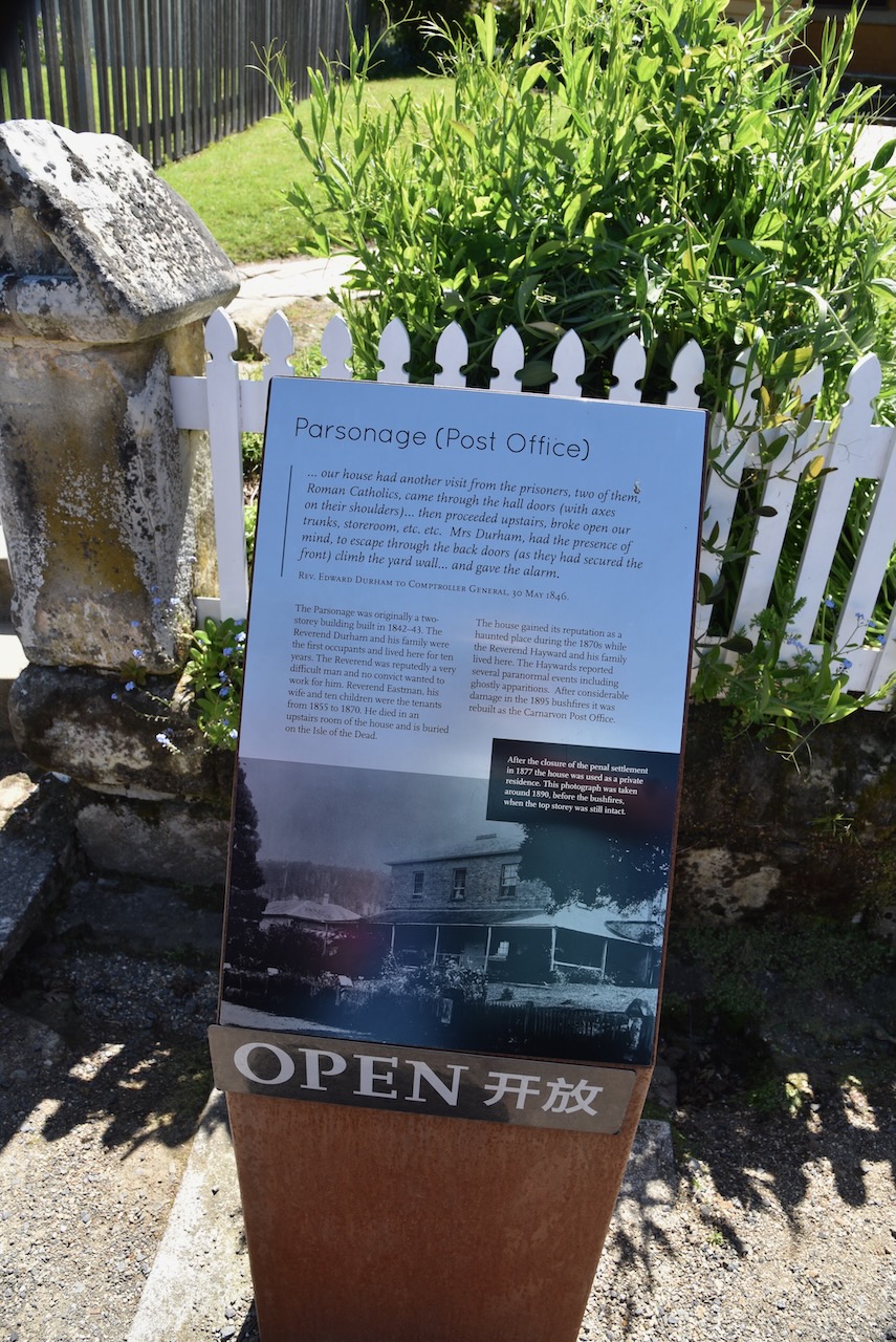
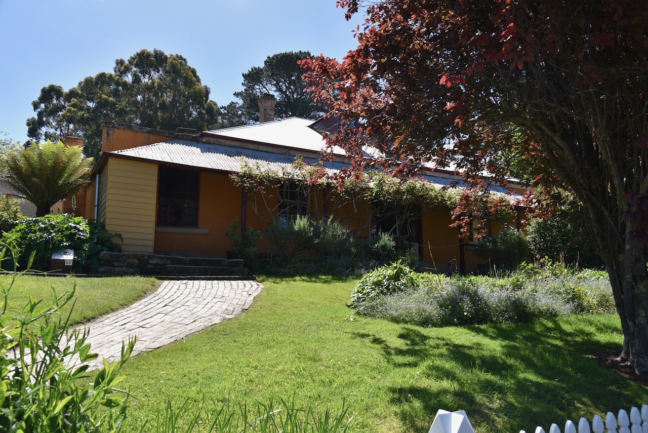
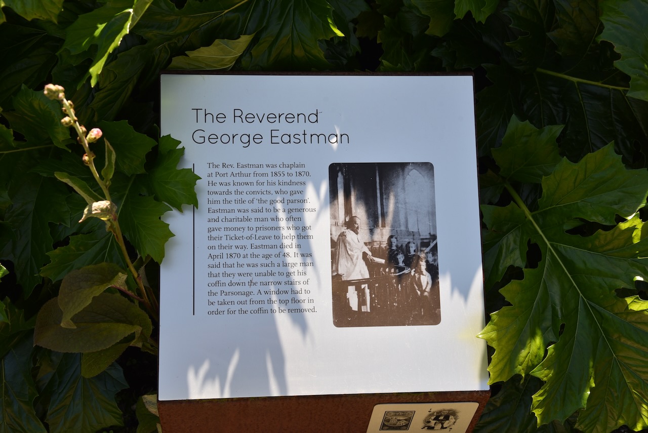
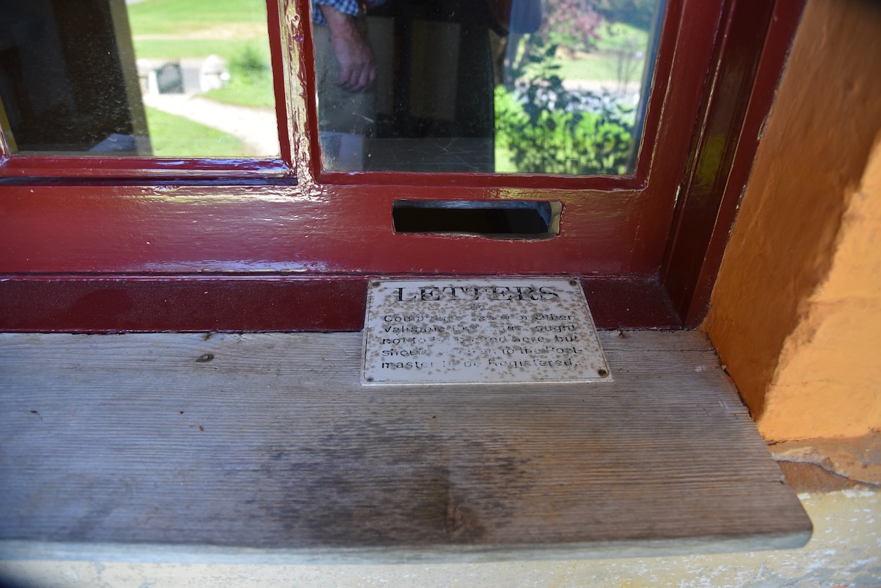
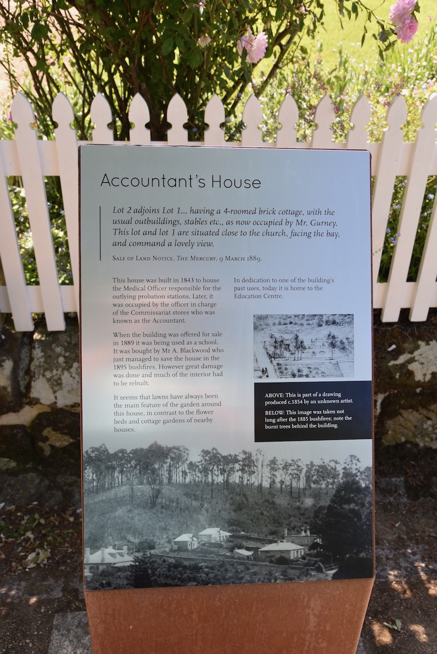
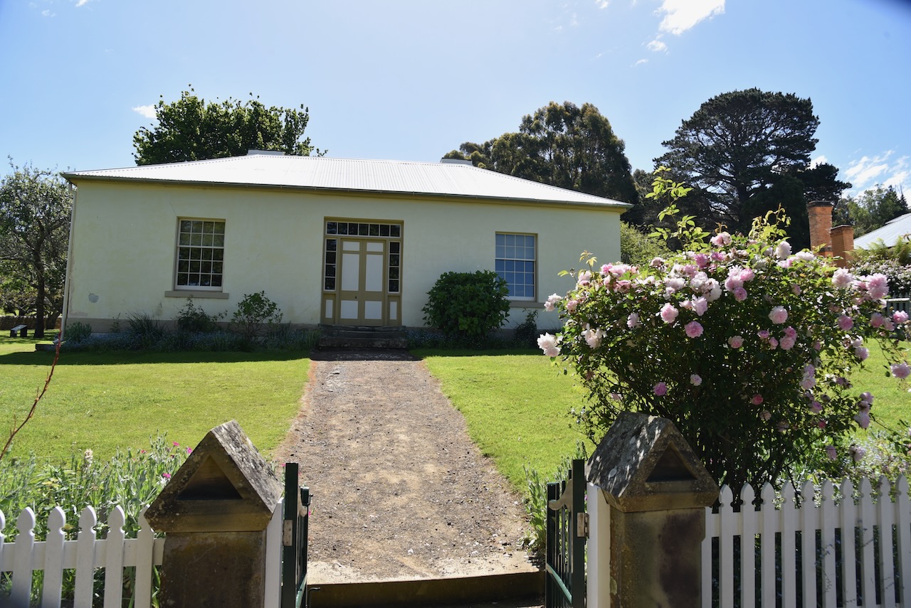
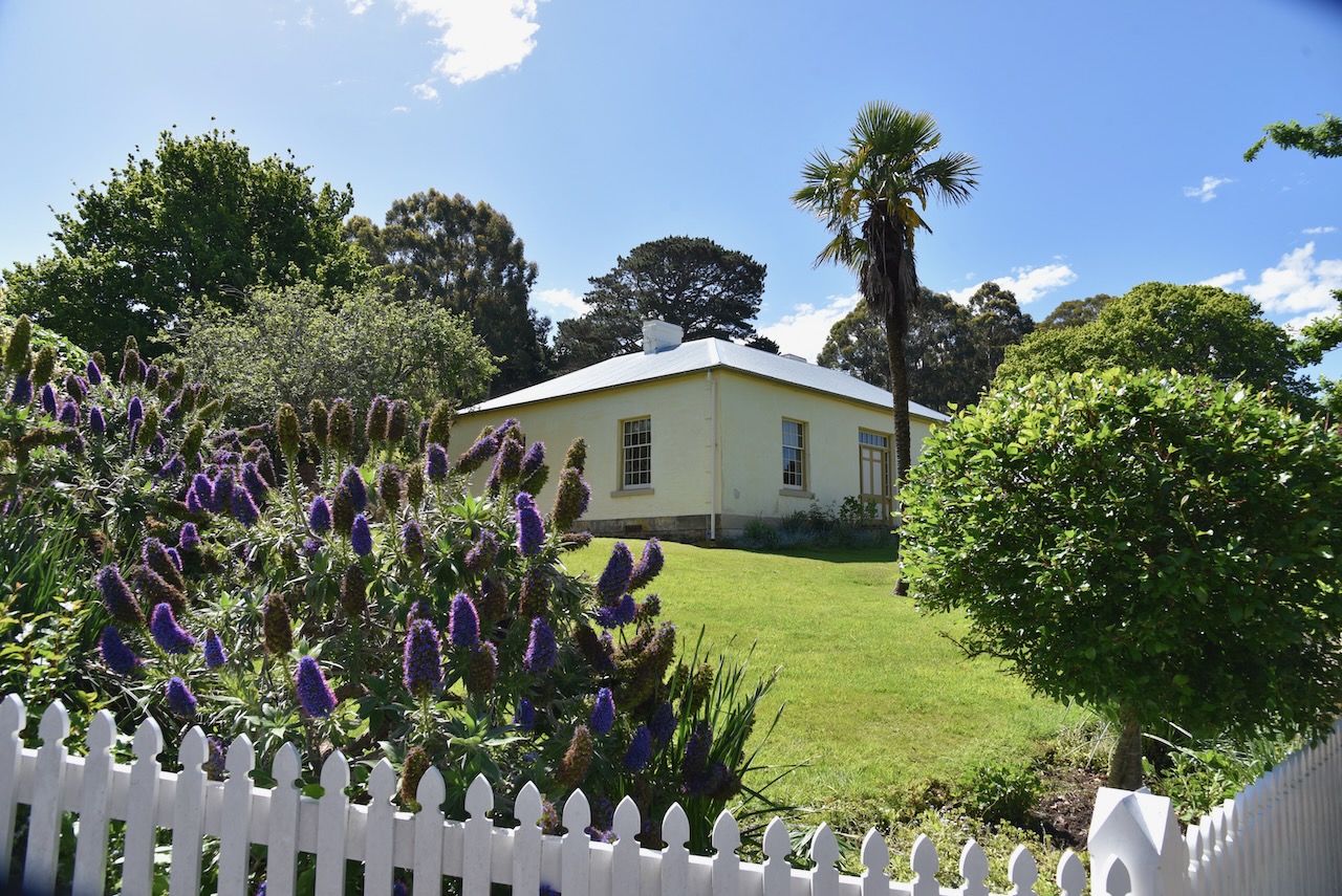
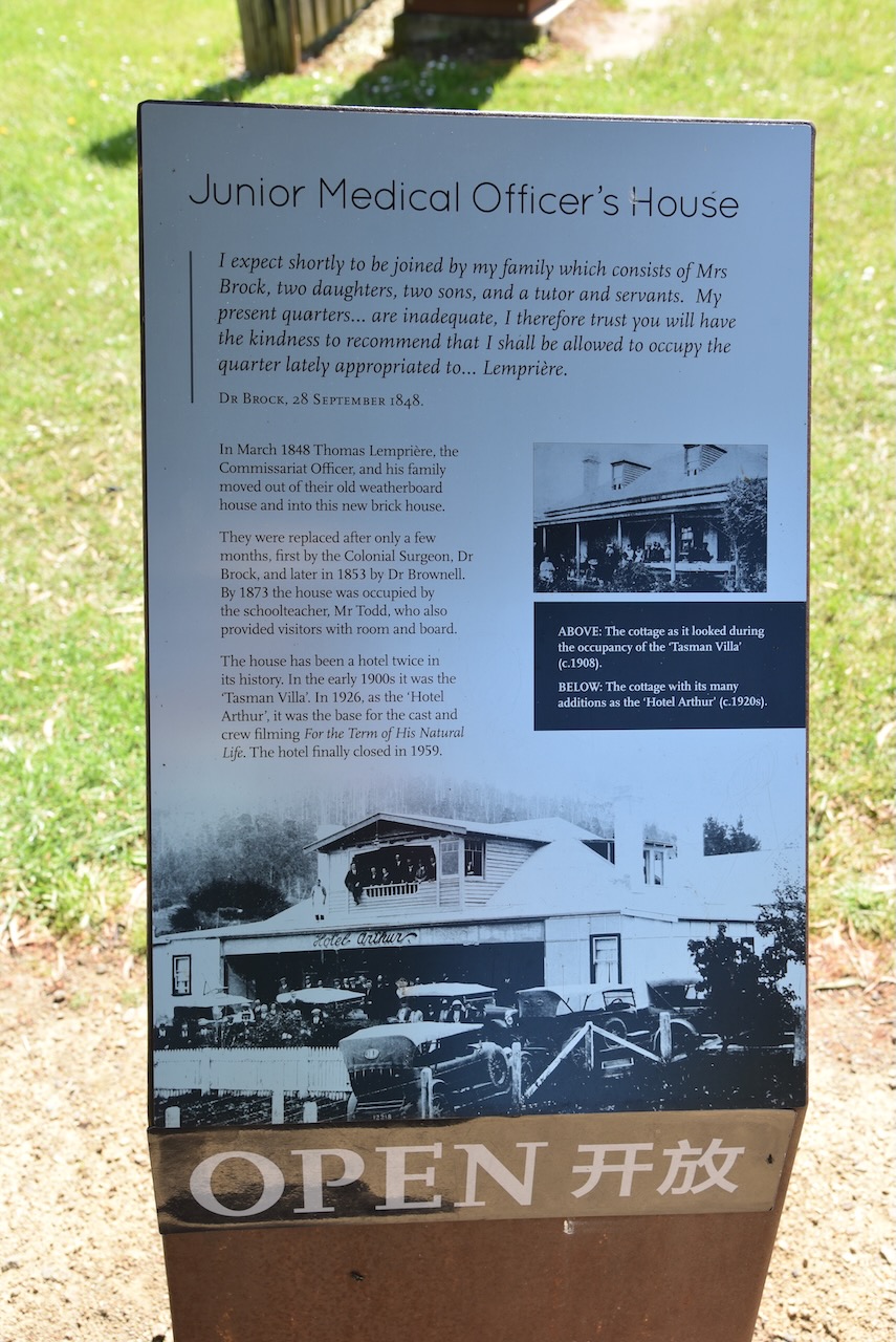
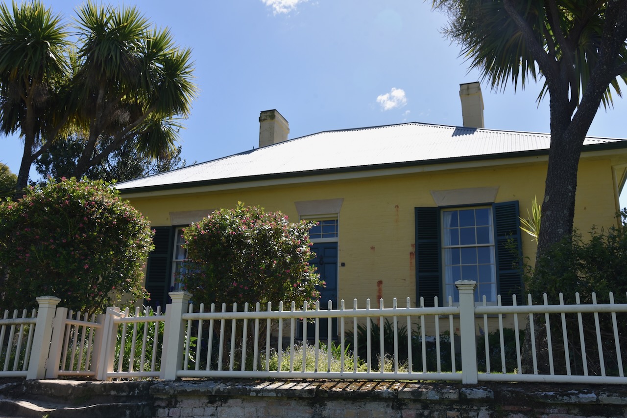
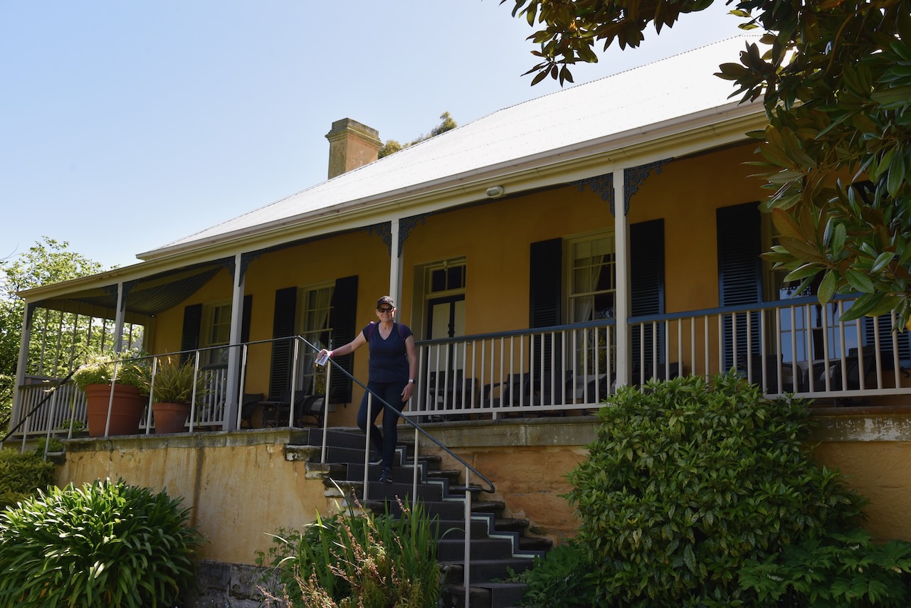
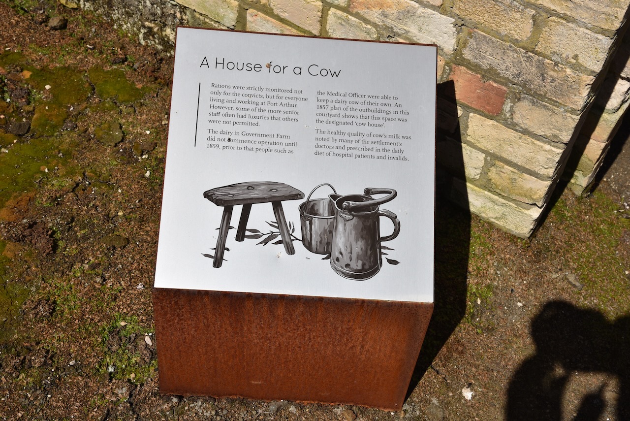
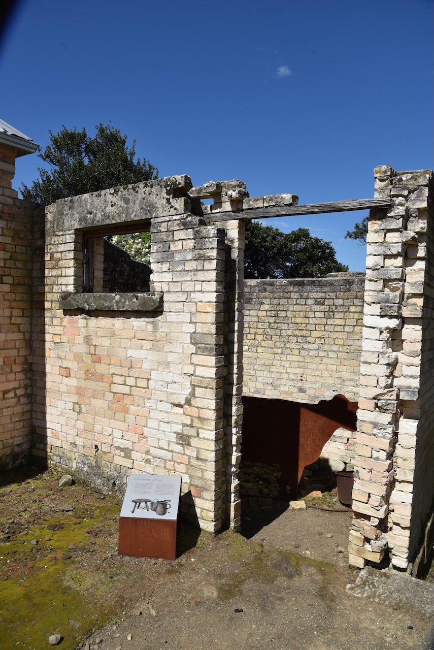
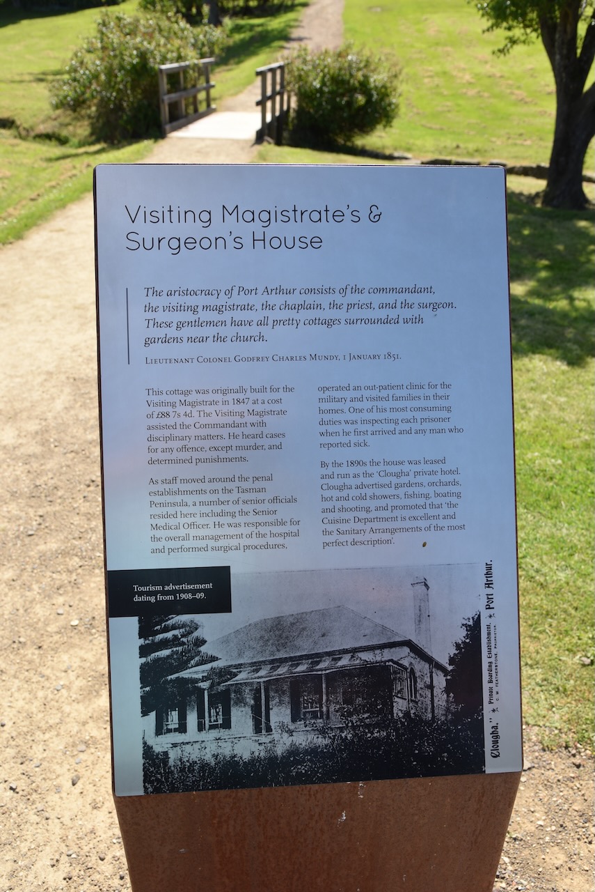
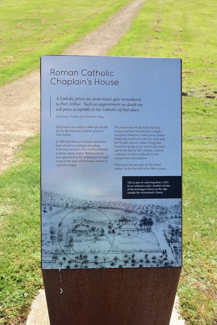
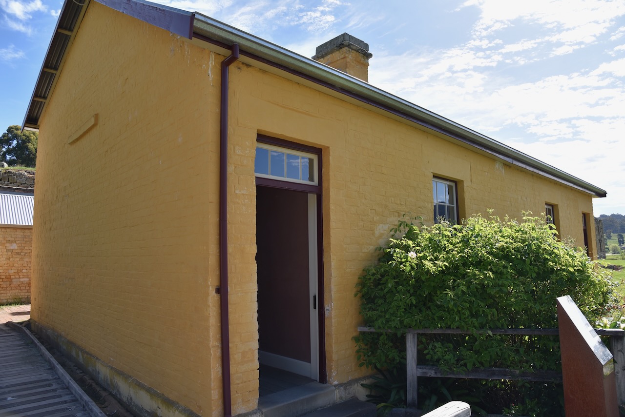
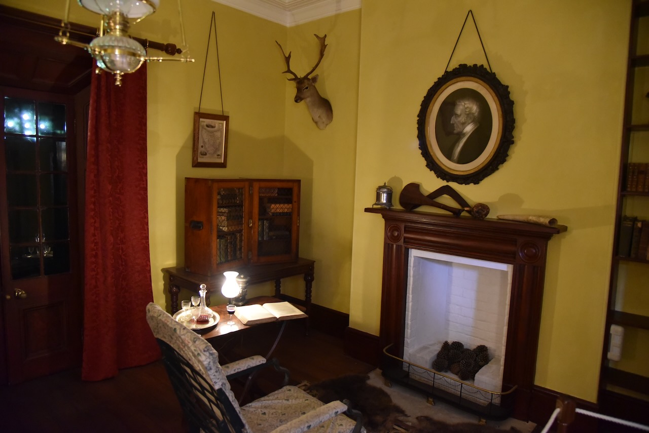
We then visited the Parsonage (Post Office), the Accountants House, the Junior Medical Officers House, the Roman Catholic Chaplains House, and the Visiting Magistrates House.

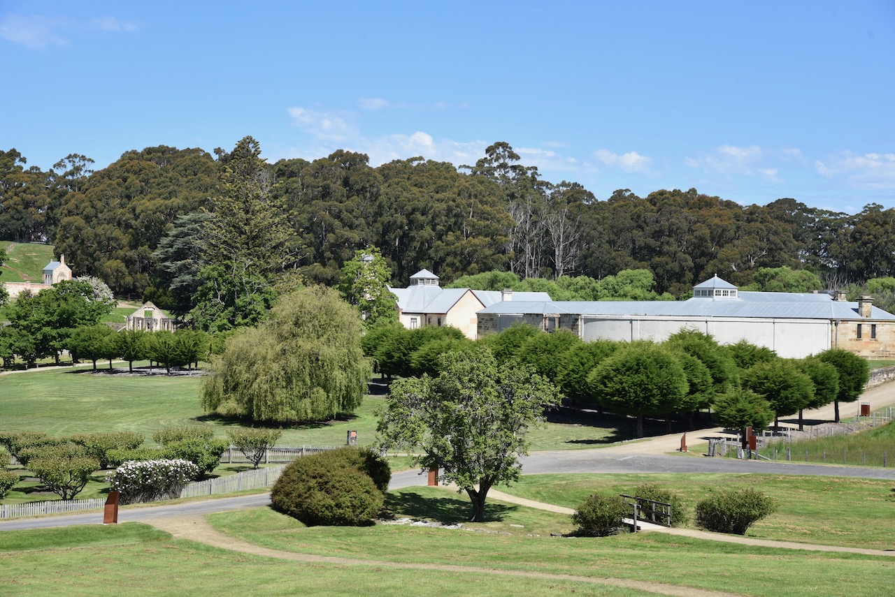
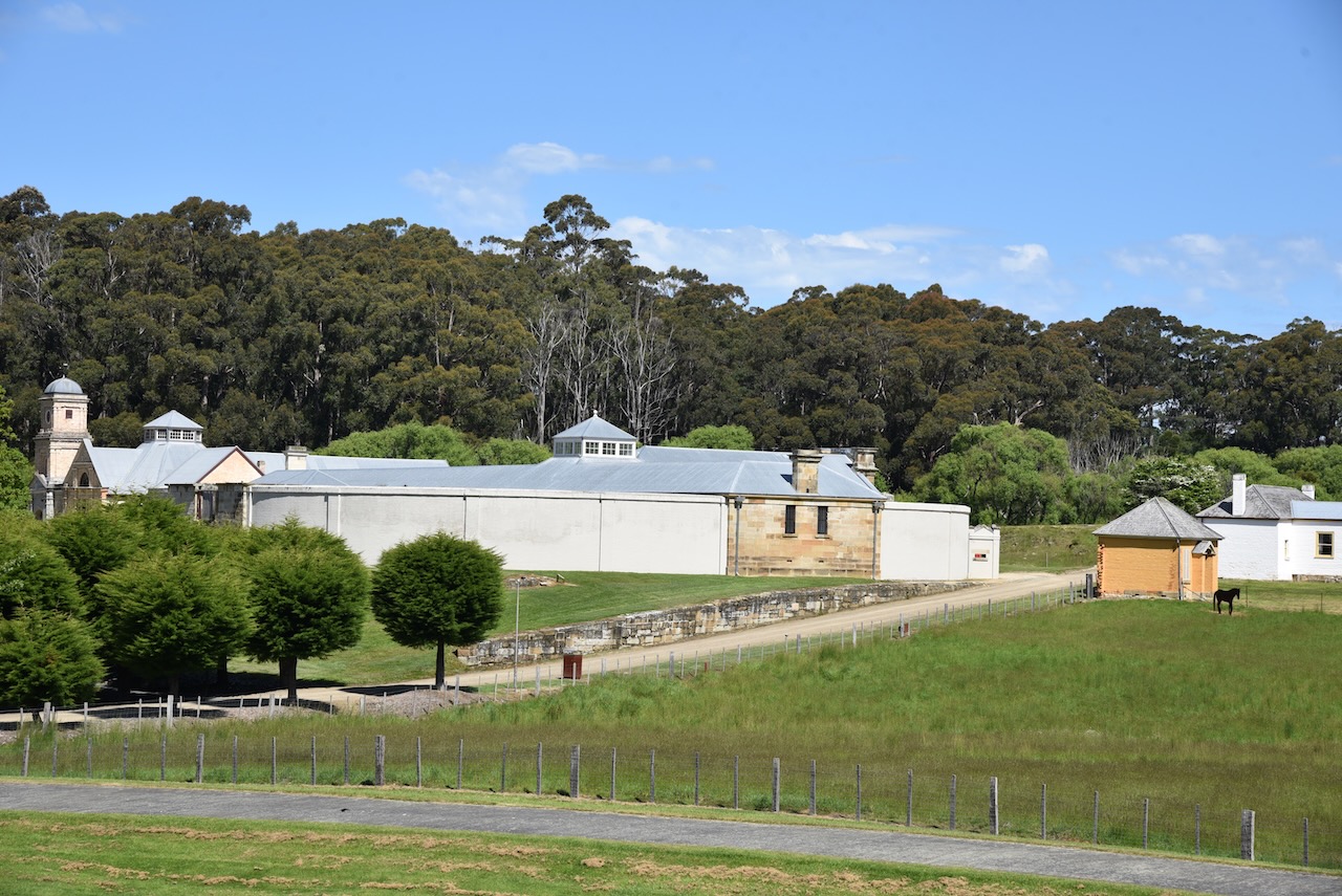
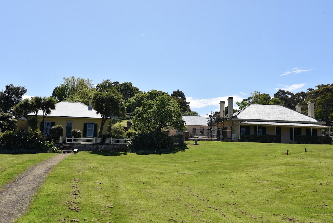
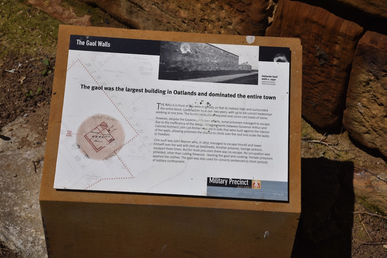
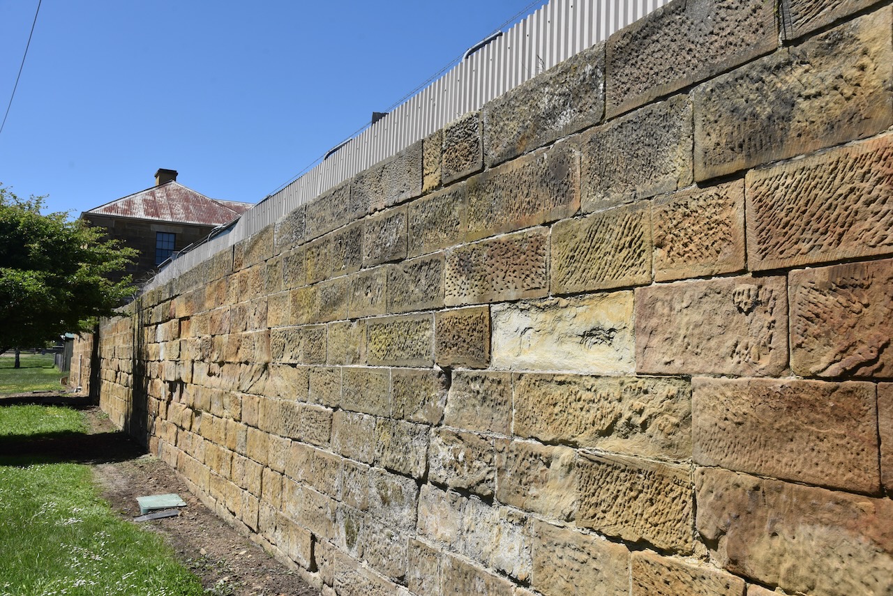
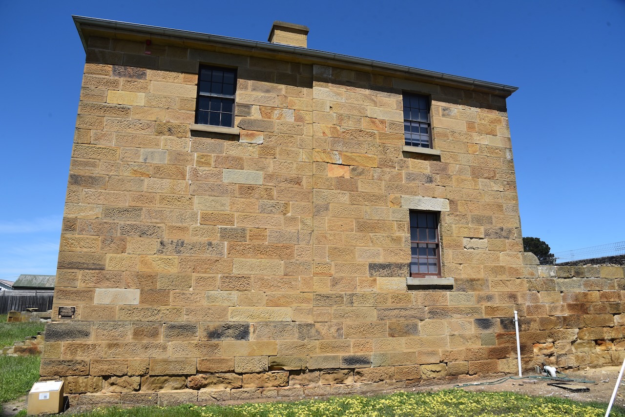
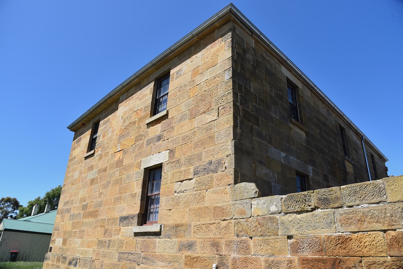
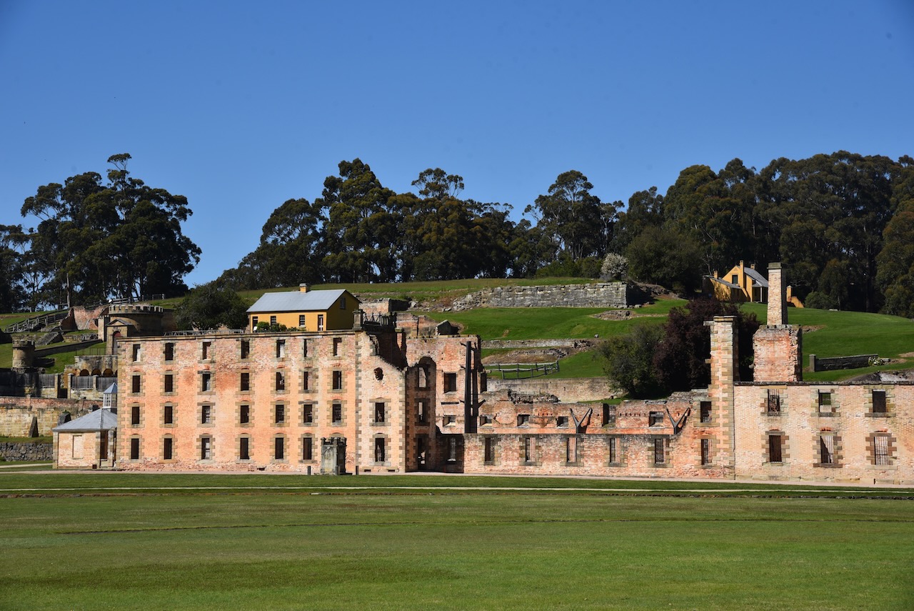
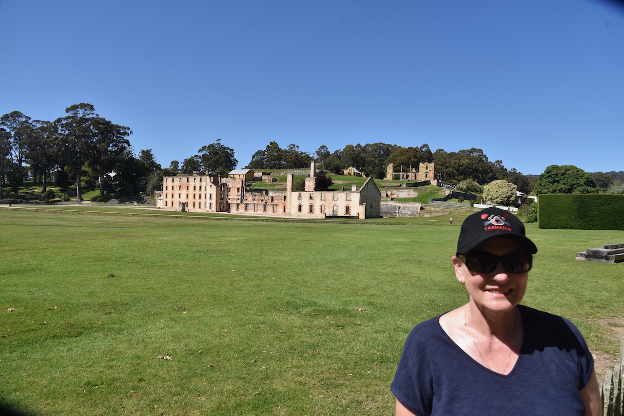
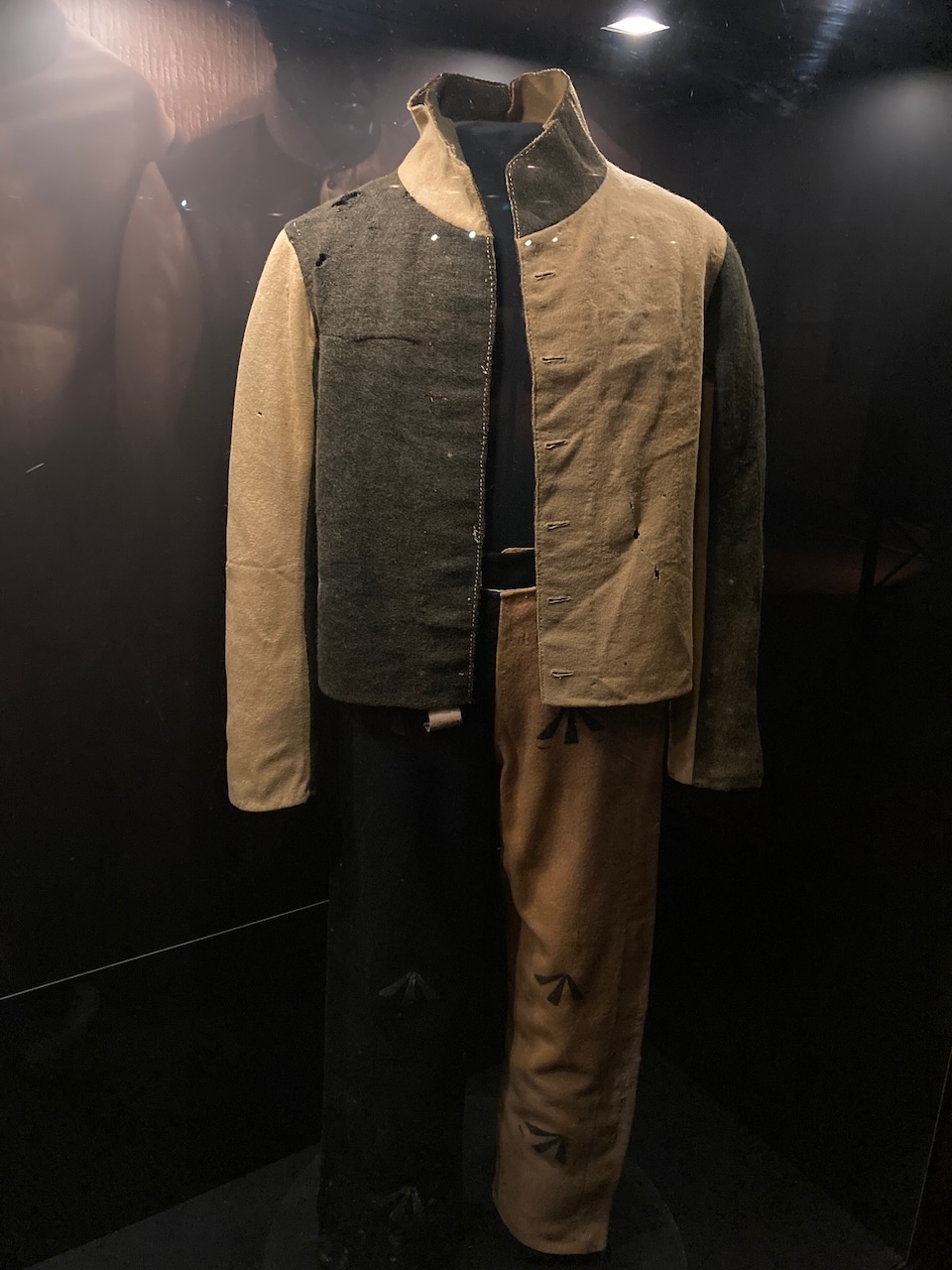
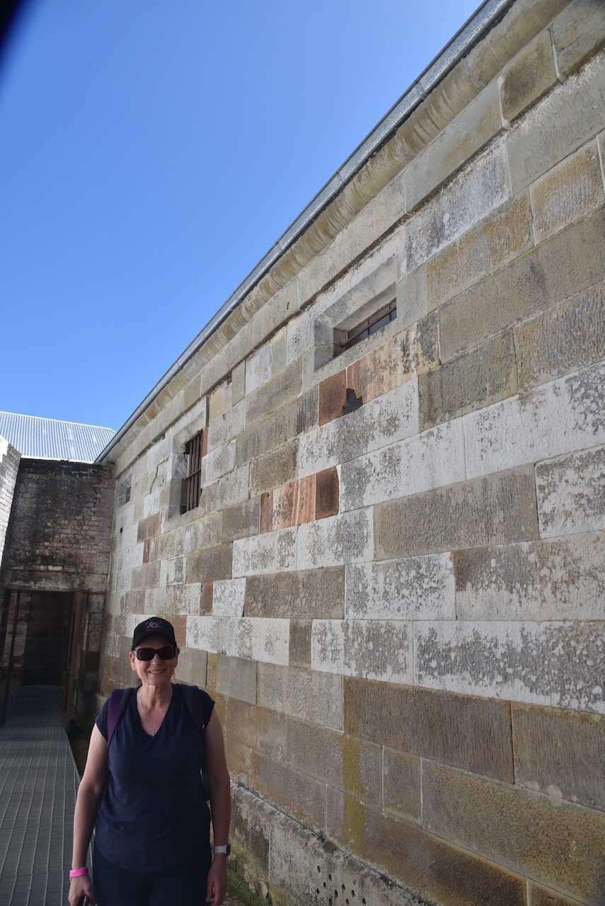
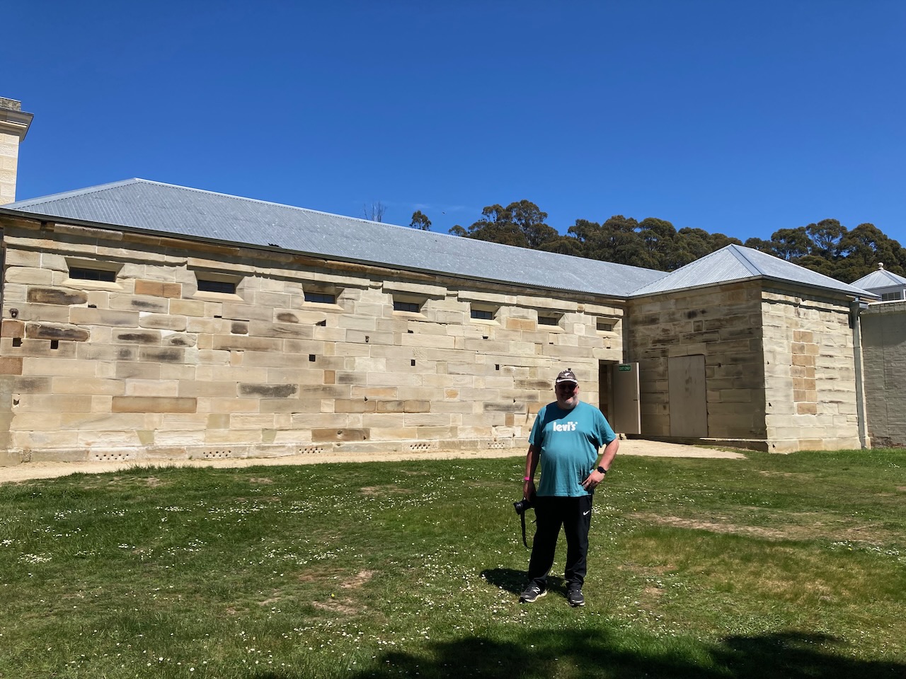
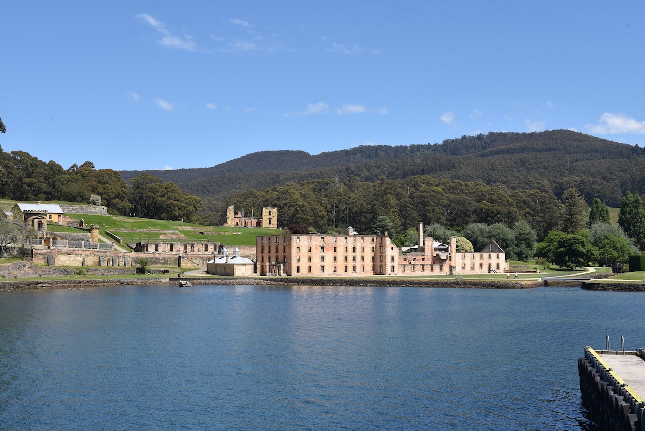
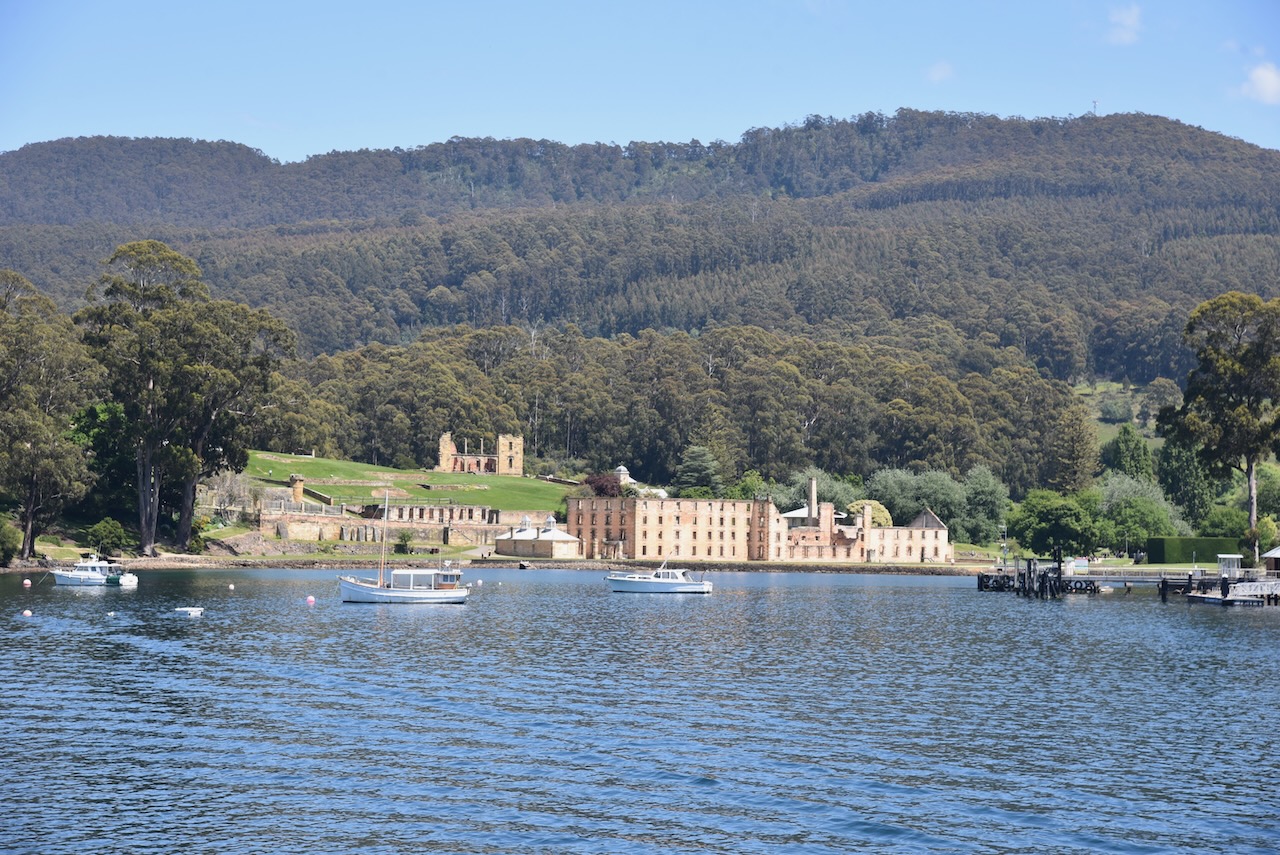
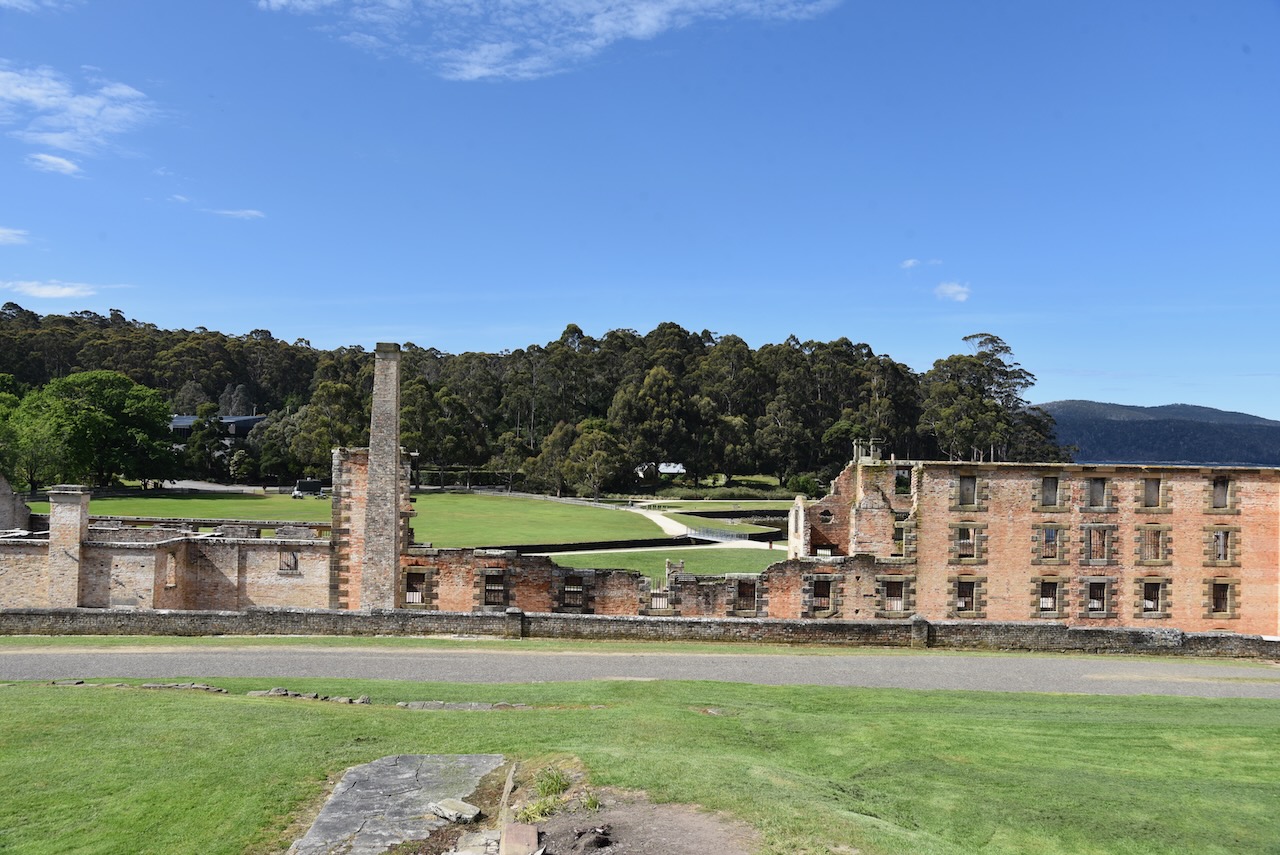
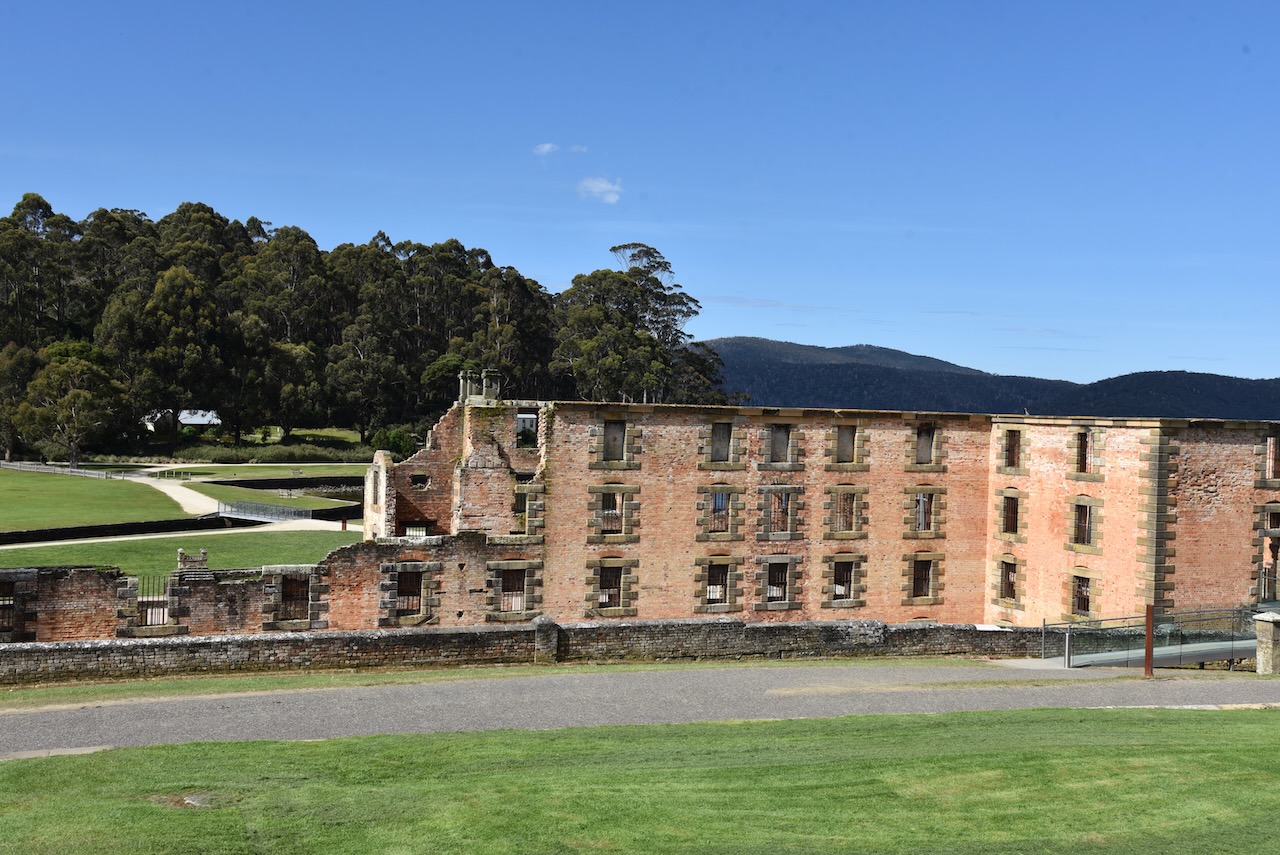
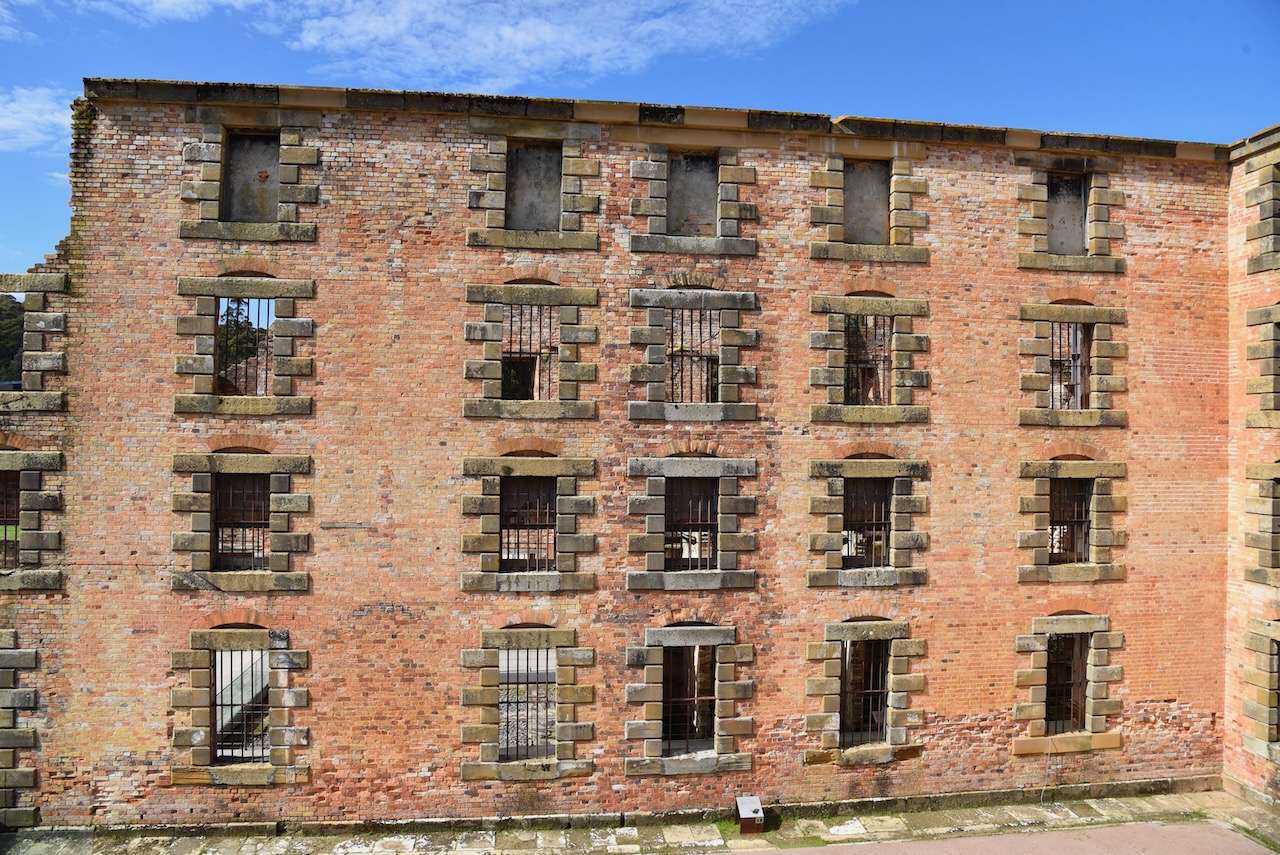
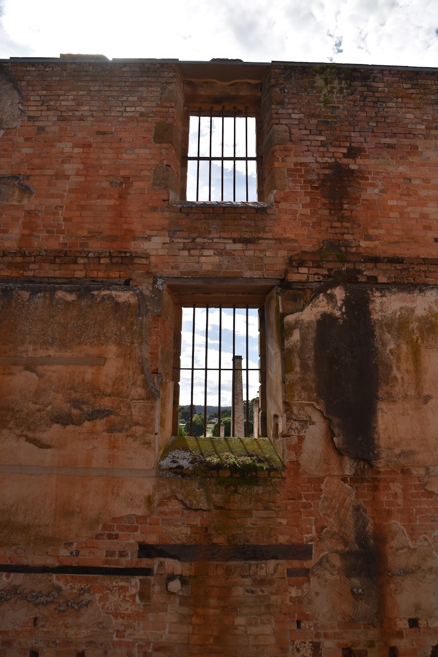
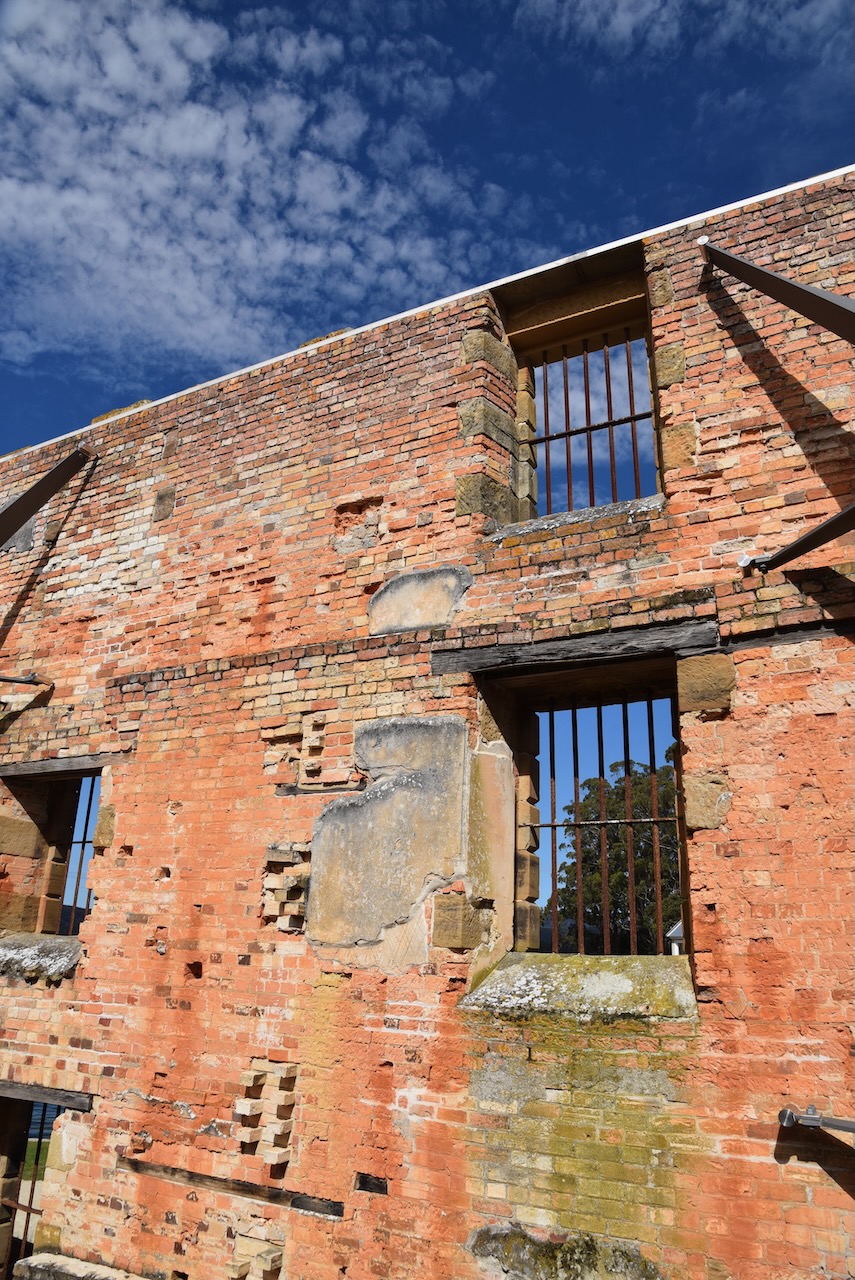
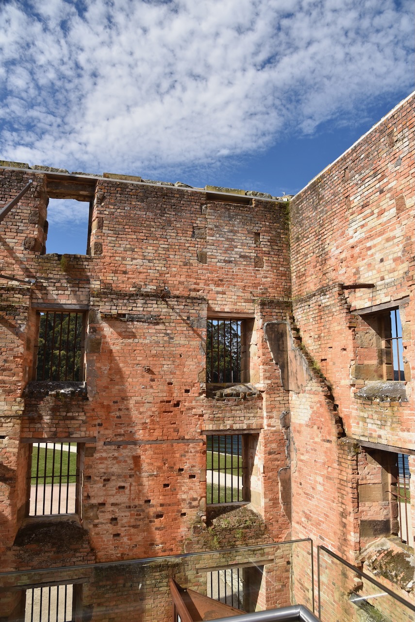
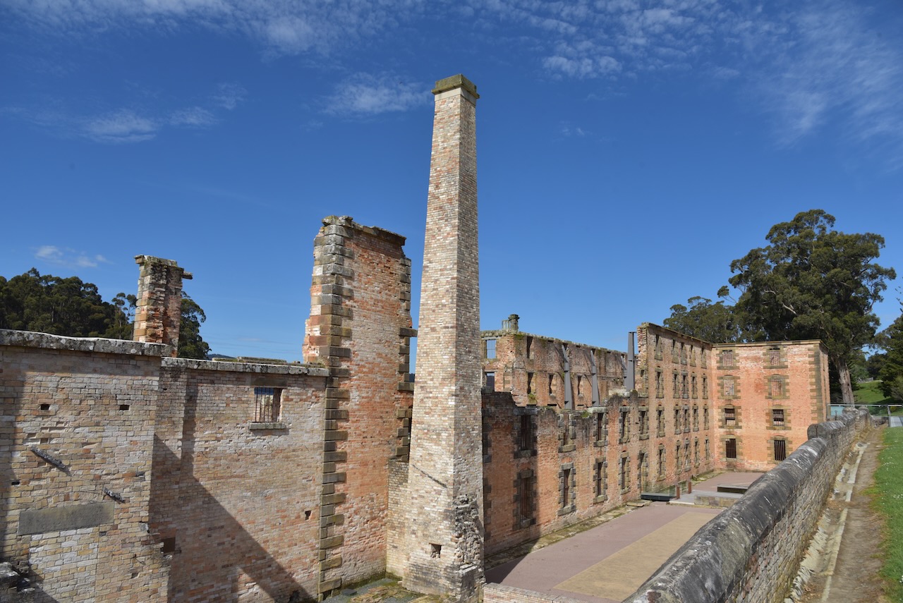
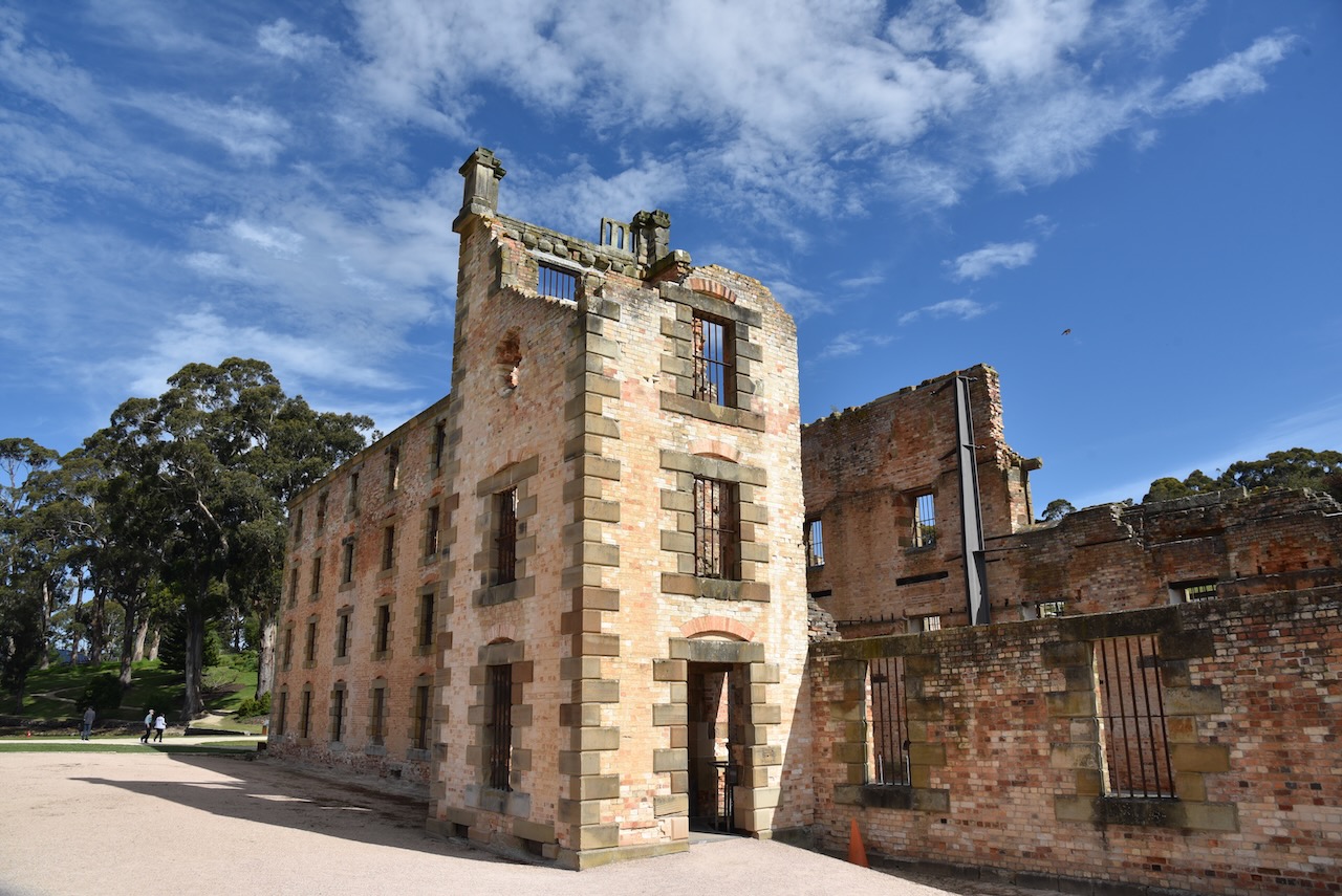
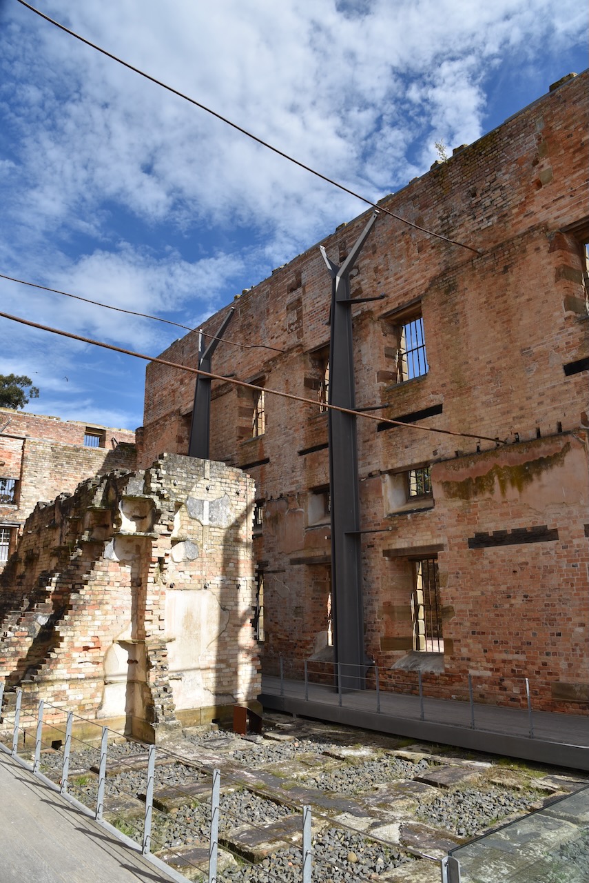
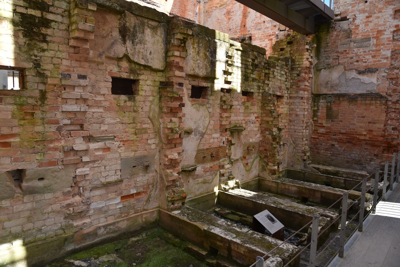
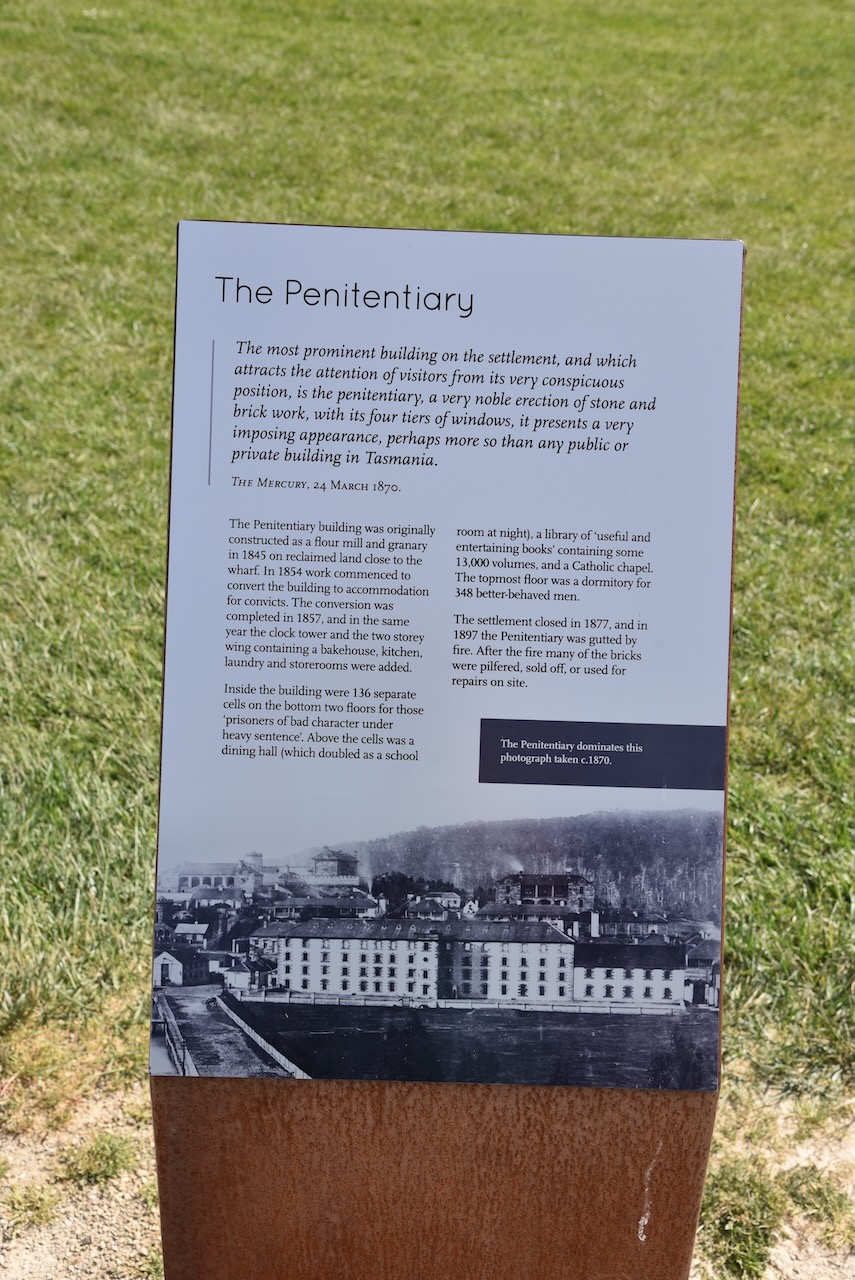
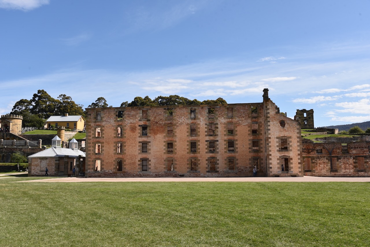
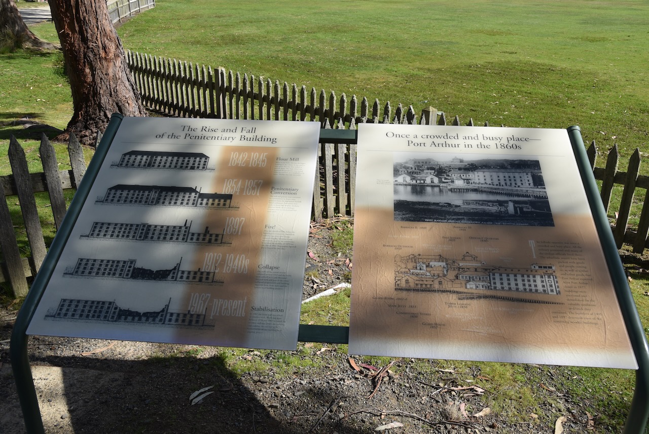
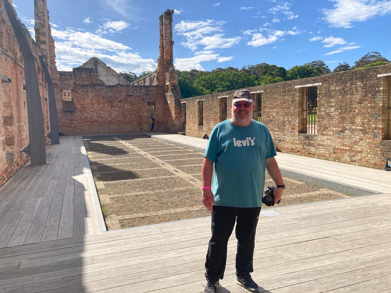
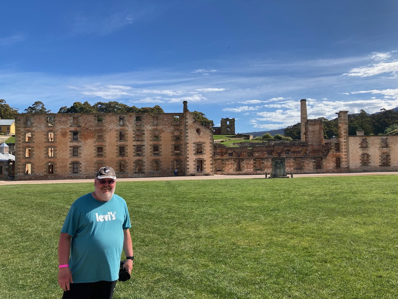
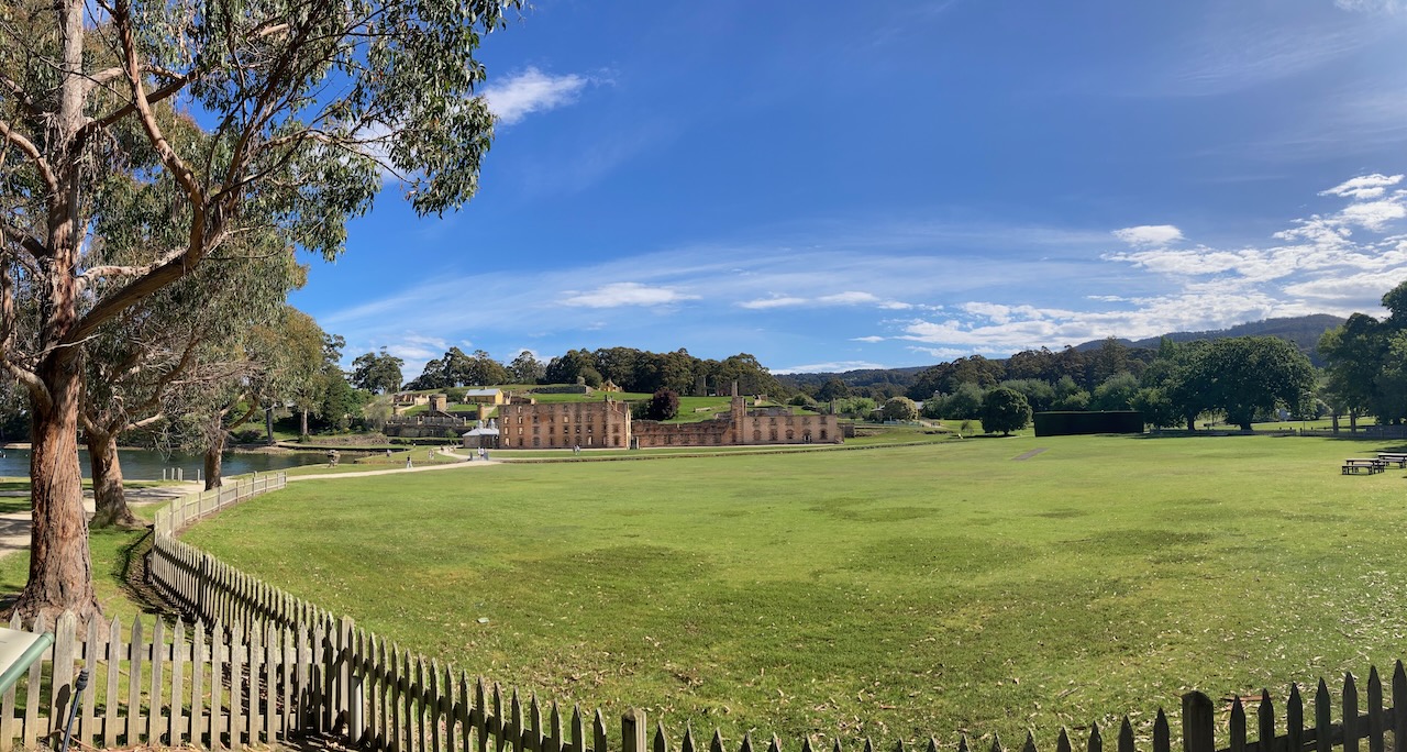
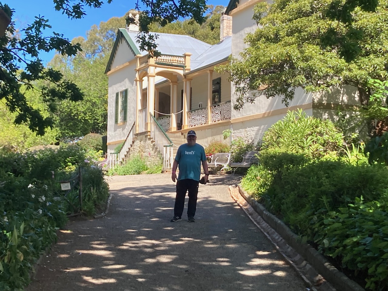
Next was the Penitentiary, the most recognisable building on the site. The building was originally constructed as a flour mill and granary in 1845. Due to an insufficient water supply and competing priorities for space and industry, the mill was converted into a penitentiary between 1854 and 1857.

There were 136 separate cells on the lower floors. Men in heavy chains were housed on the ground floor. Those in lighter chains were on the first floor. A total of 348 men were accommodated on the uppermost floor in the dormitory in bunk style beds.

The 1897 bushfire saw the devastation of the building other than the masonry walls and barred windows.

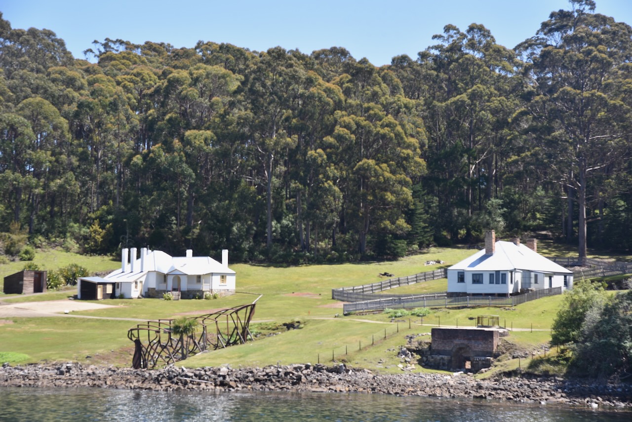
The guard tower at Port Arthur was built in 1835. The Senior Military Officer’s Quarters had been constructed two years earlier in 1833. The quarters were the home of the Military Officer in charge of the soldiers at Port Arthur.

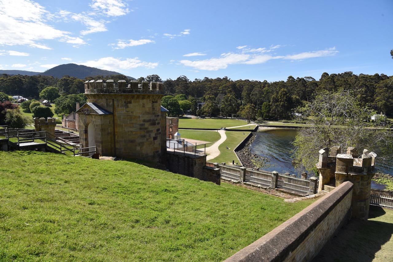
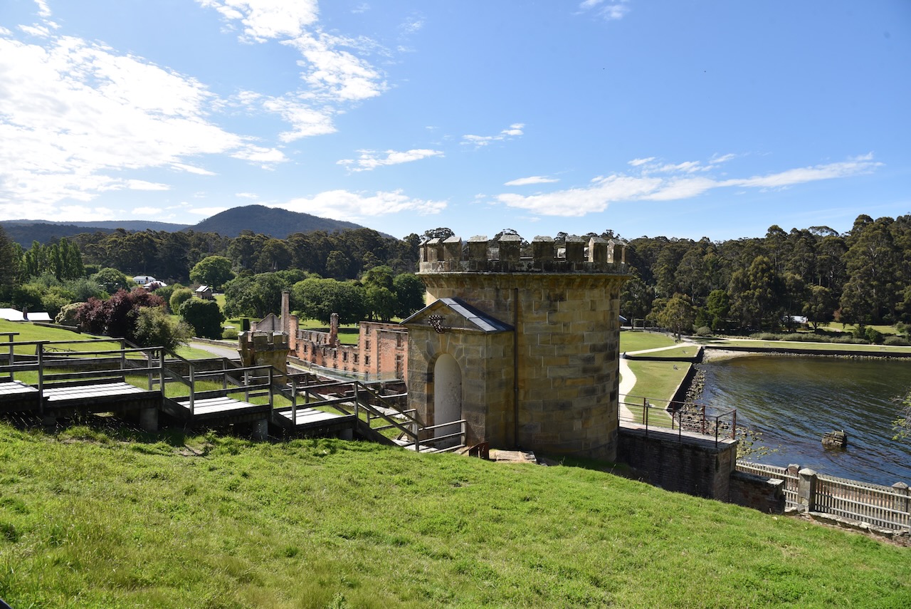
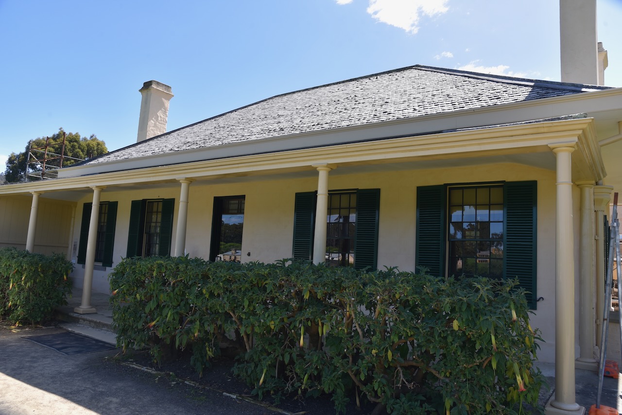
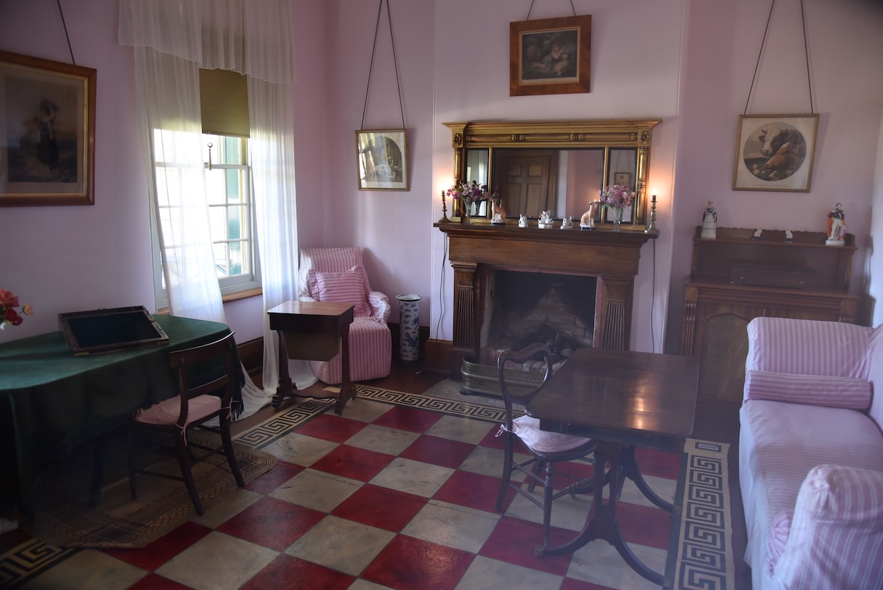
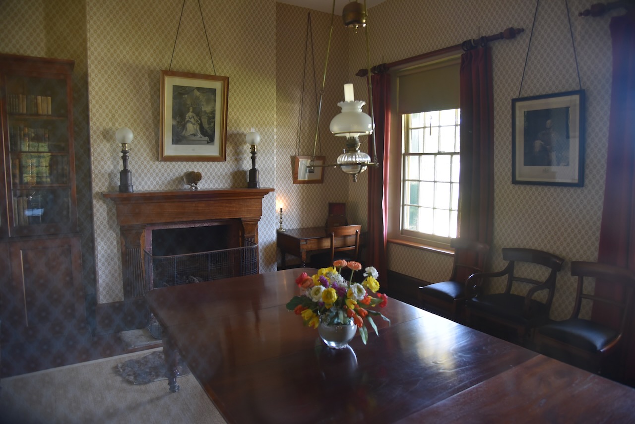
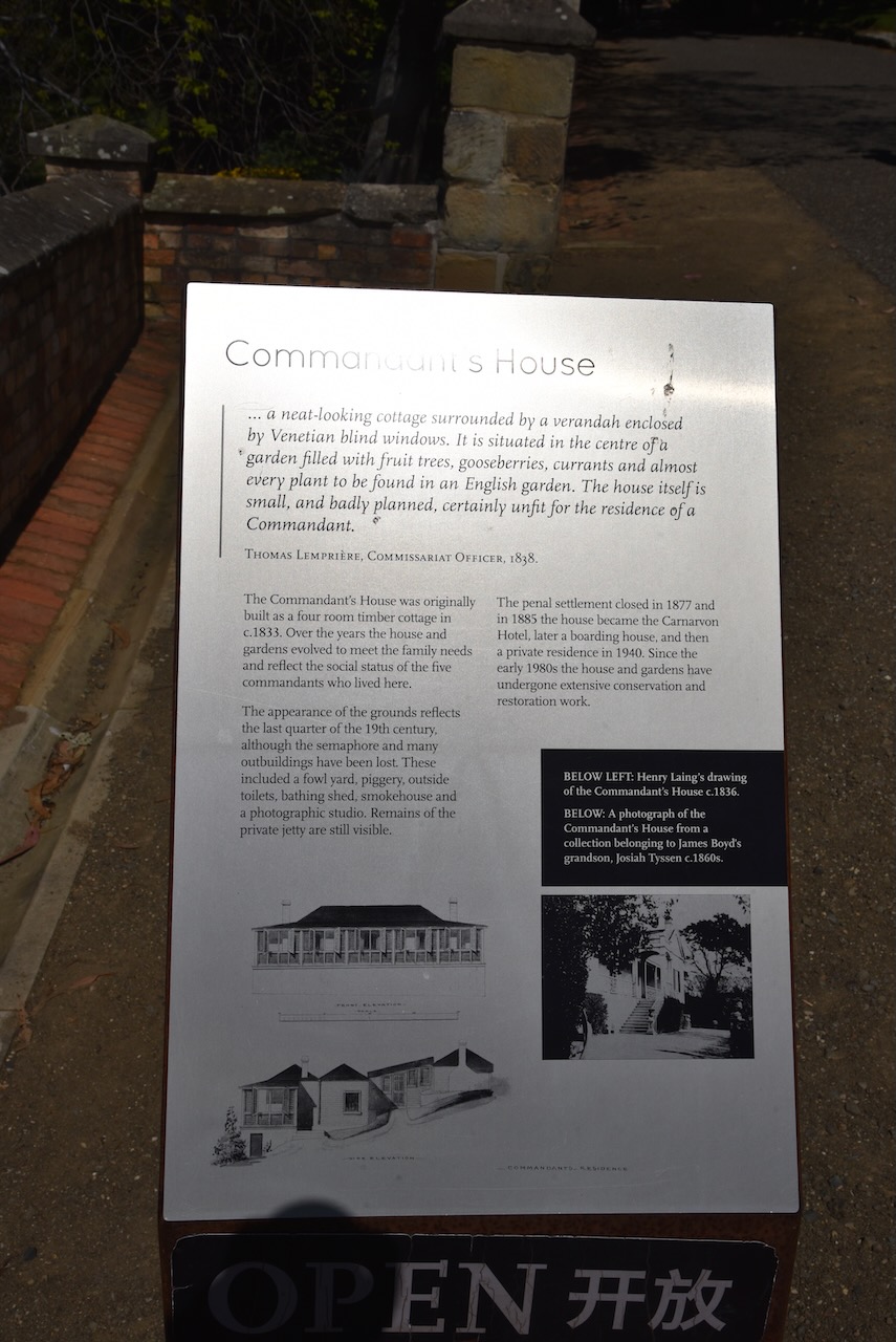
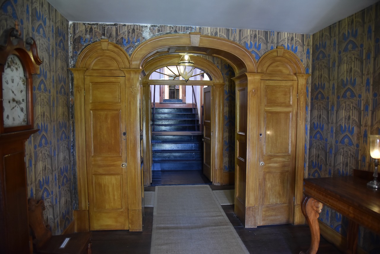
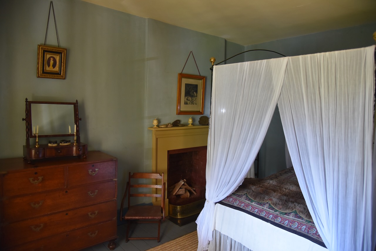
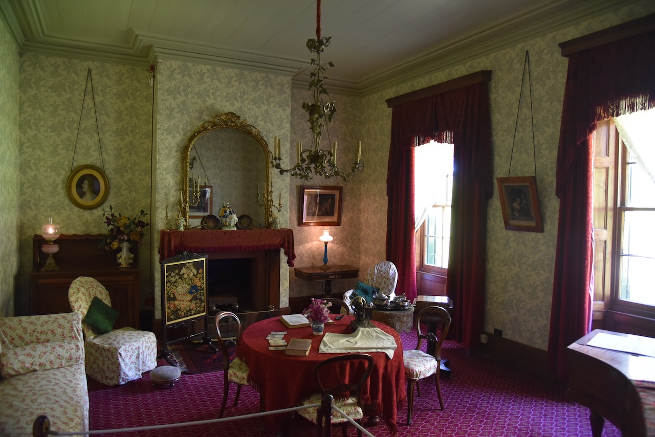
The Commandants House was originally built as a four room timber cottage in 1833. Ove the years the house and gardens evolved to accomodate the needs of the five commandants and their families who lived there.

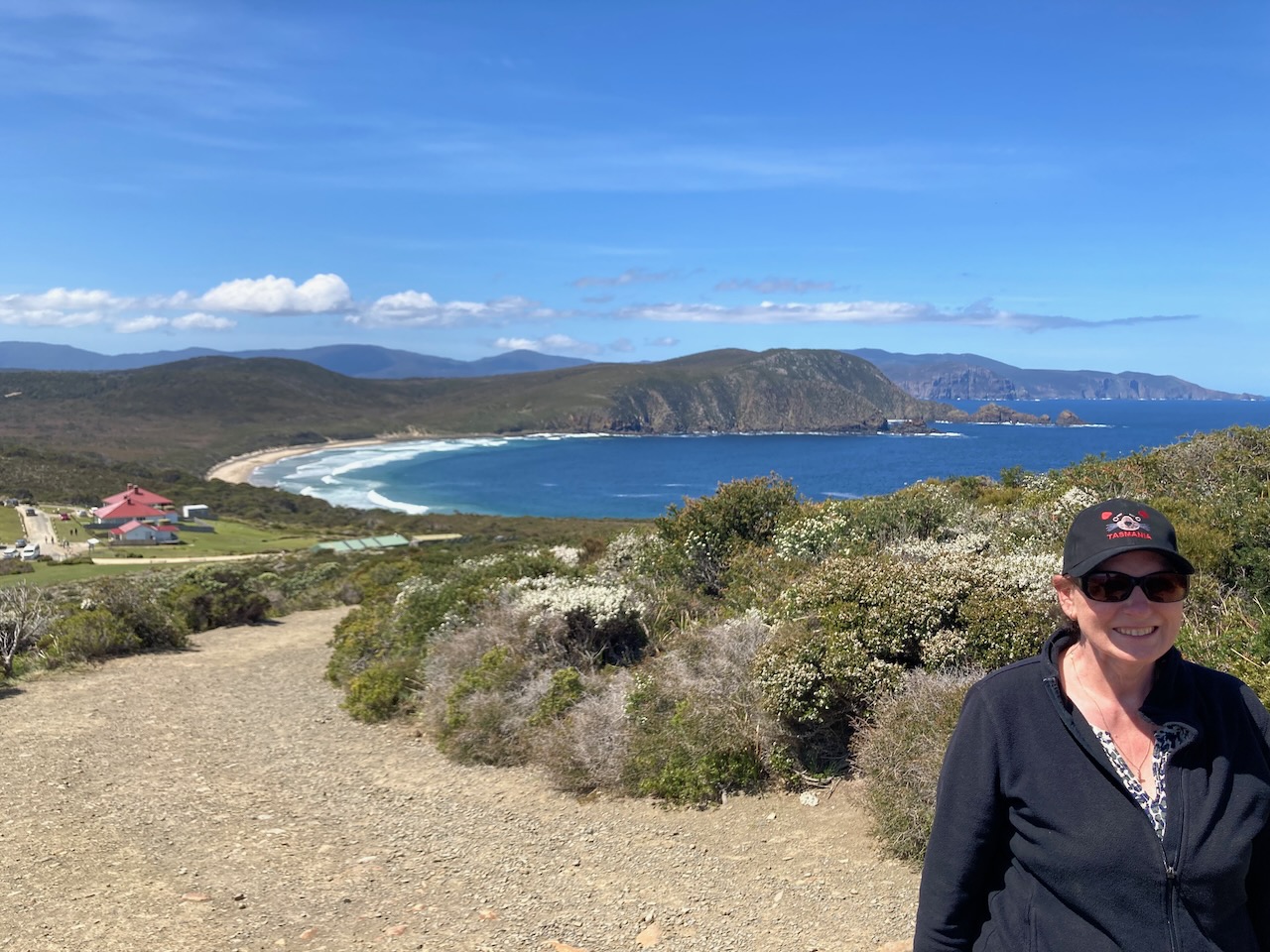
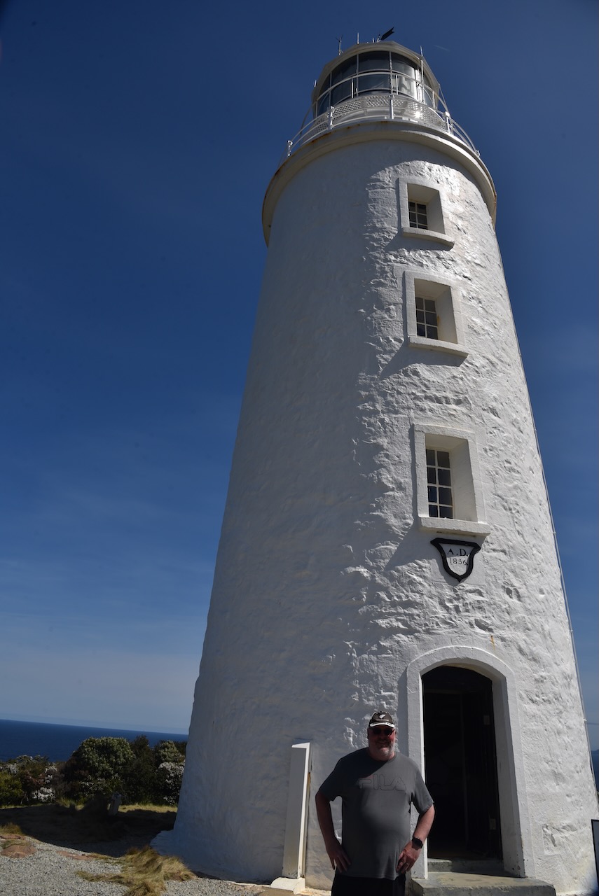
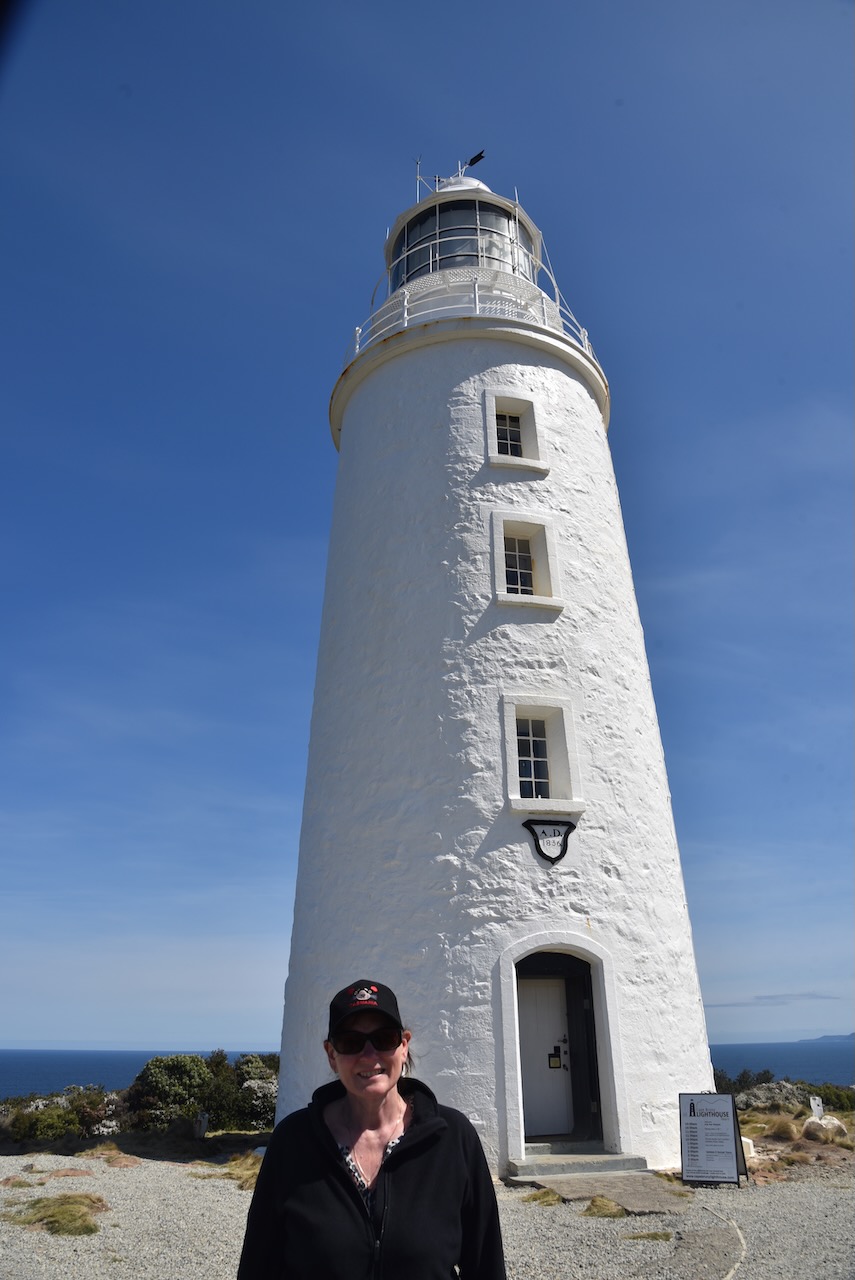
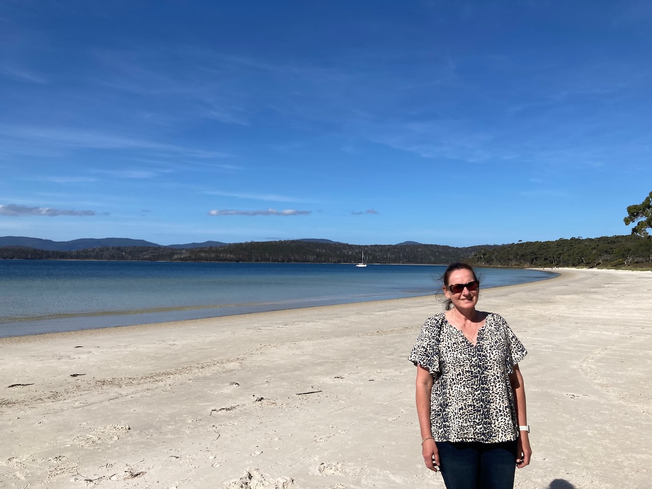
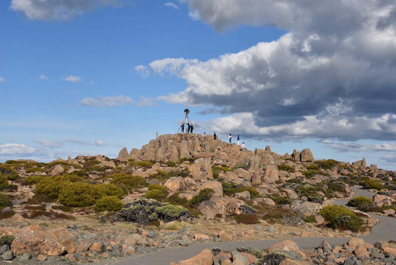
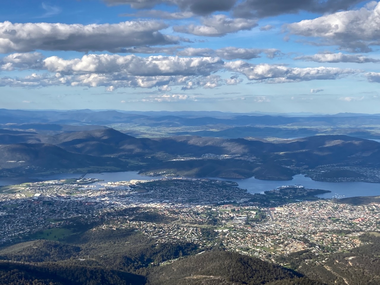
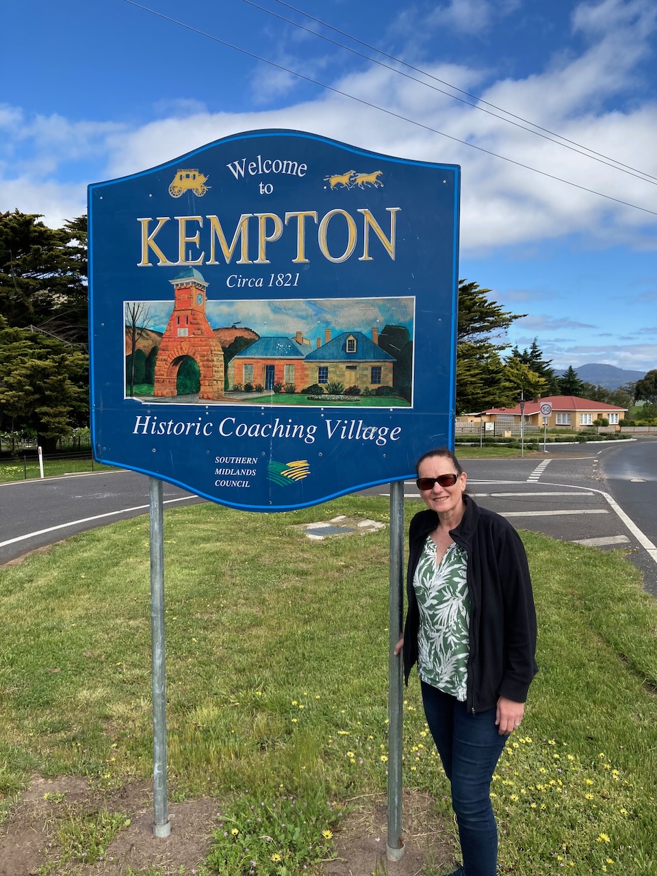
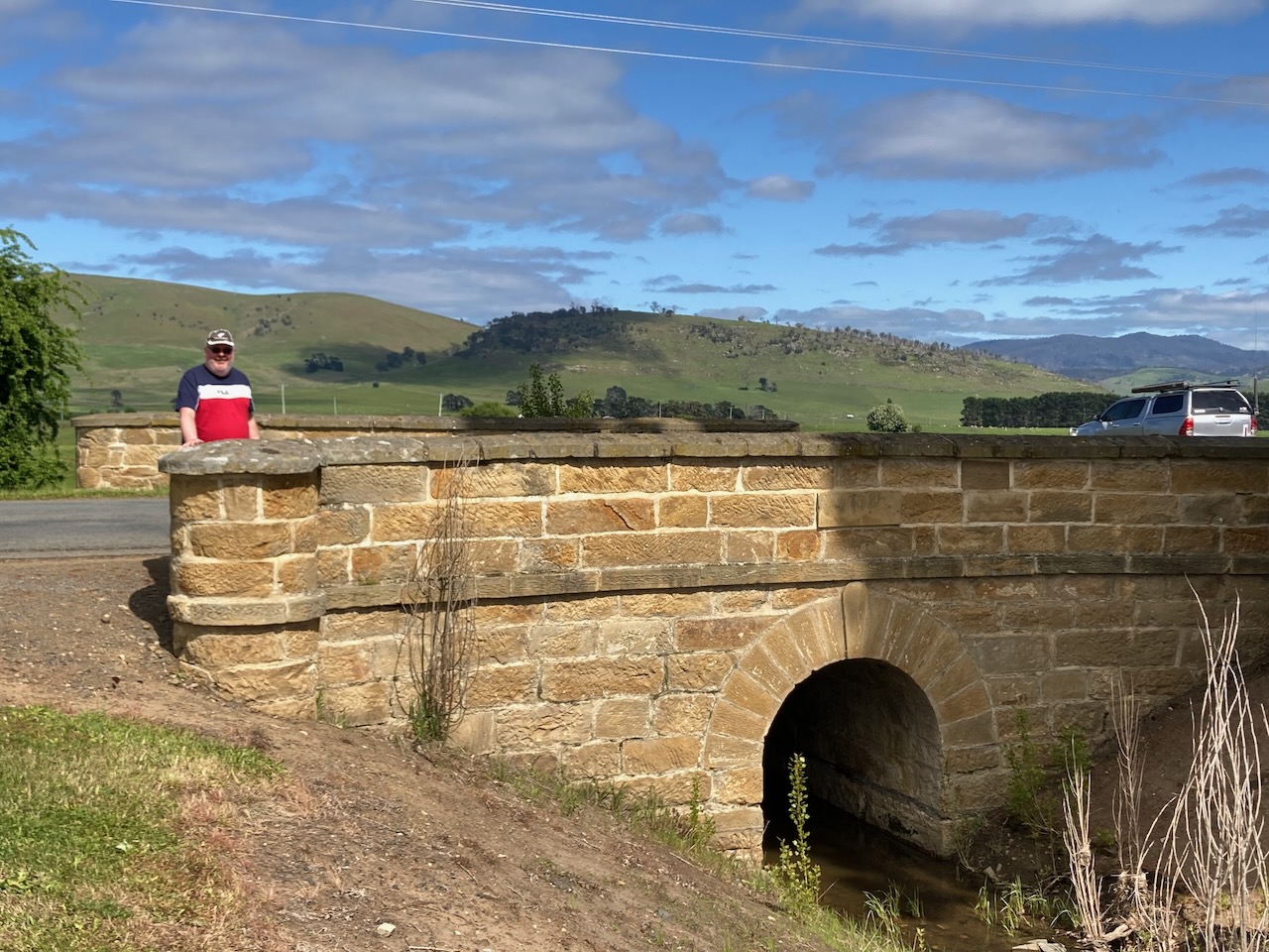
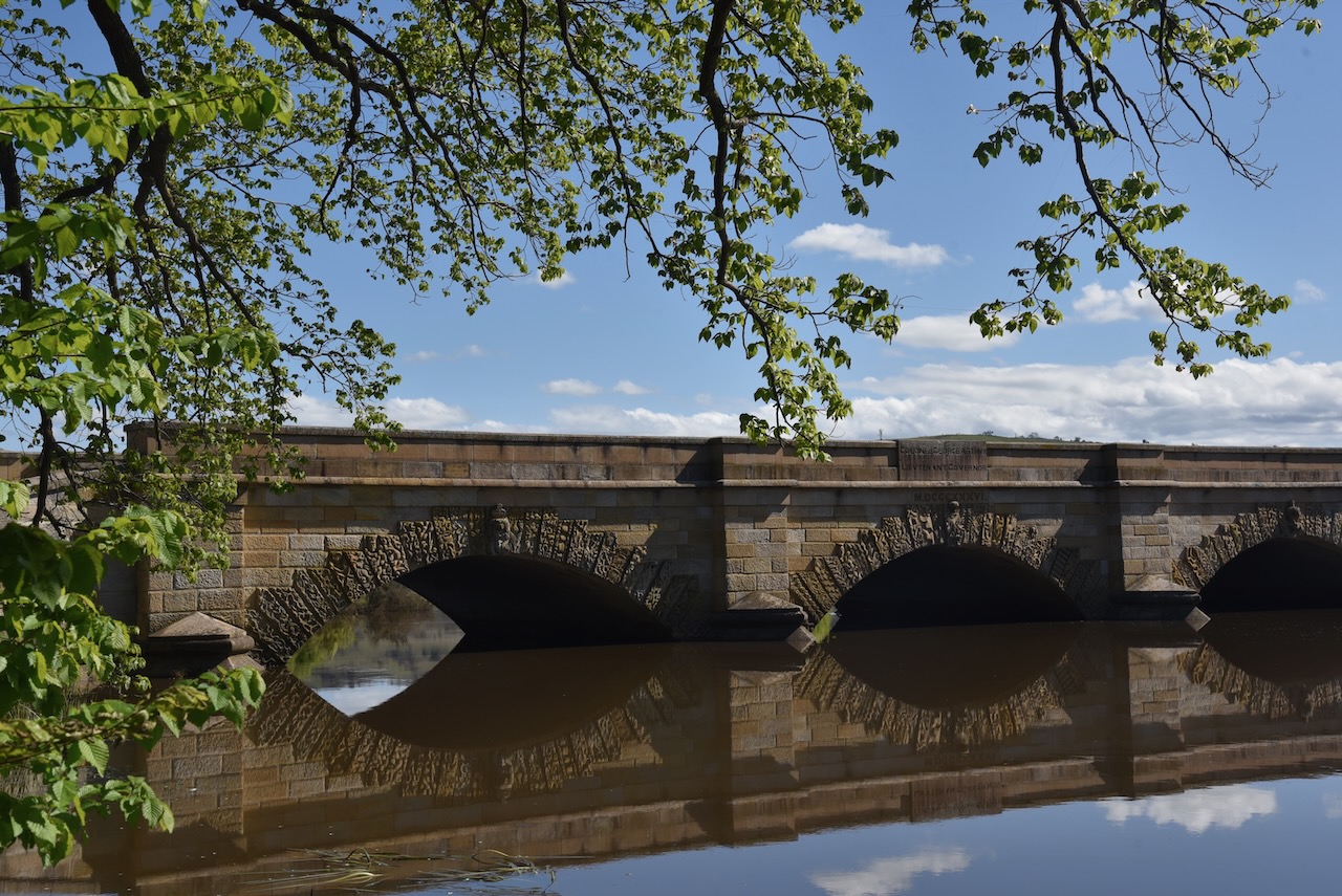
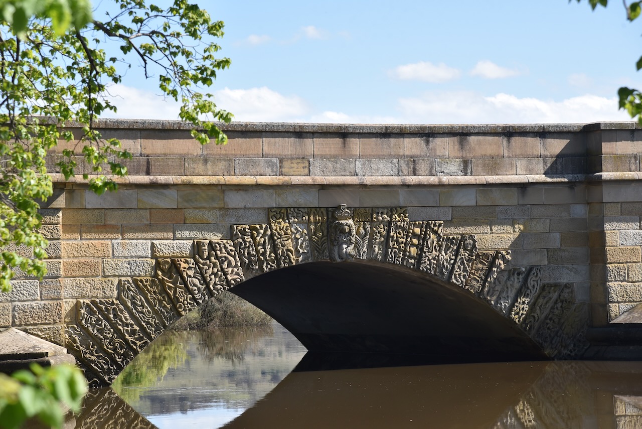
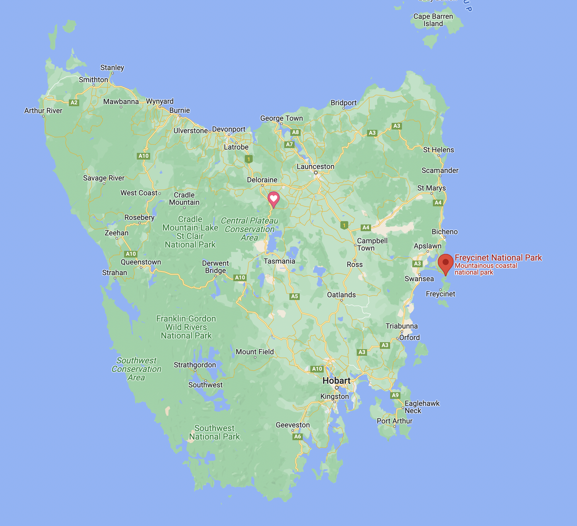
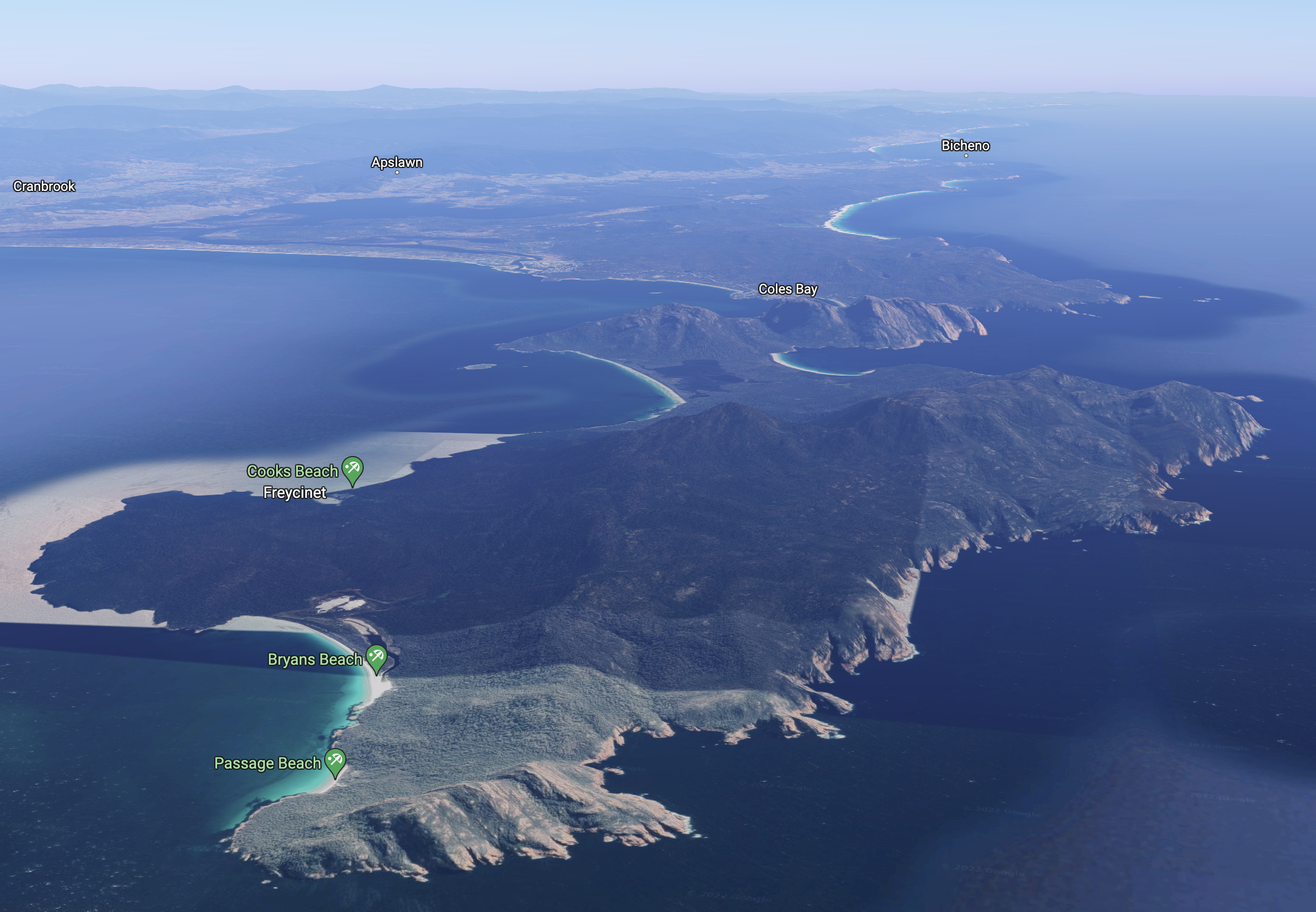
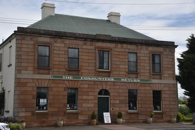
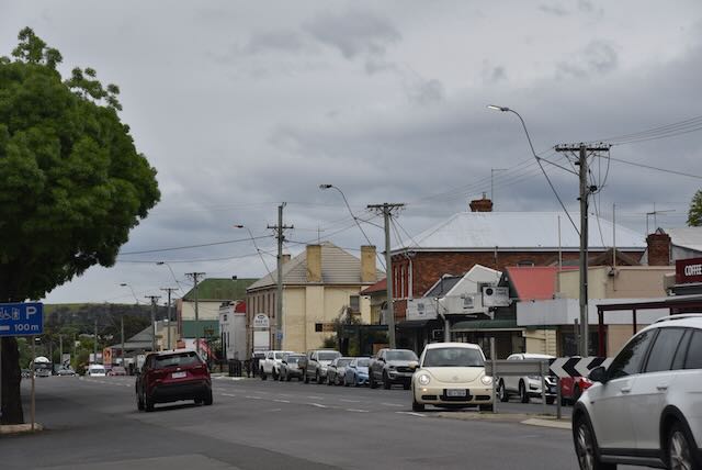
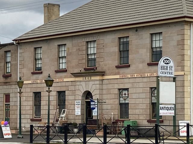
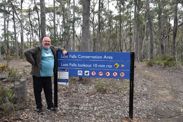
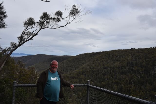
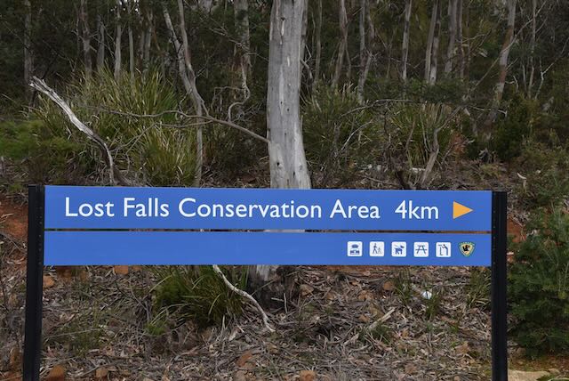
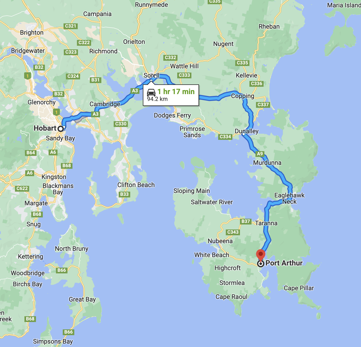
It had been a brilliant day at Port Arthur and it was time to head back towards Hobart. But before getting back to our motel, there were a few other things we wanted to stop to have a look at and we also intended on a quick activation of the Tasman National Park VKFF-0481.

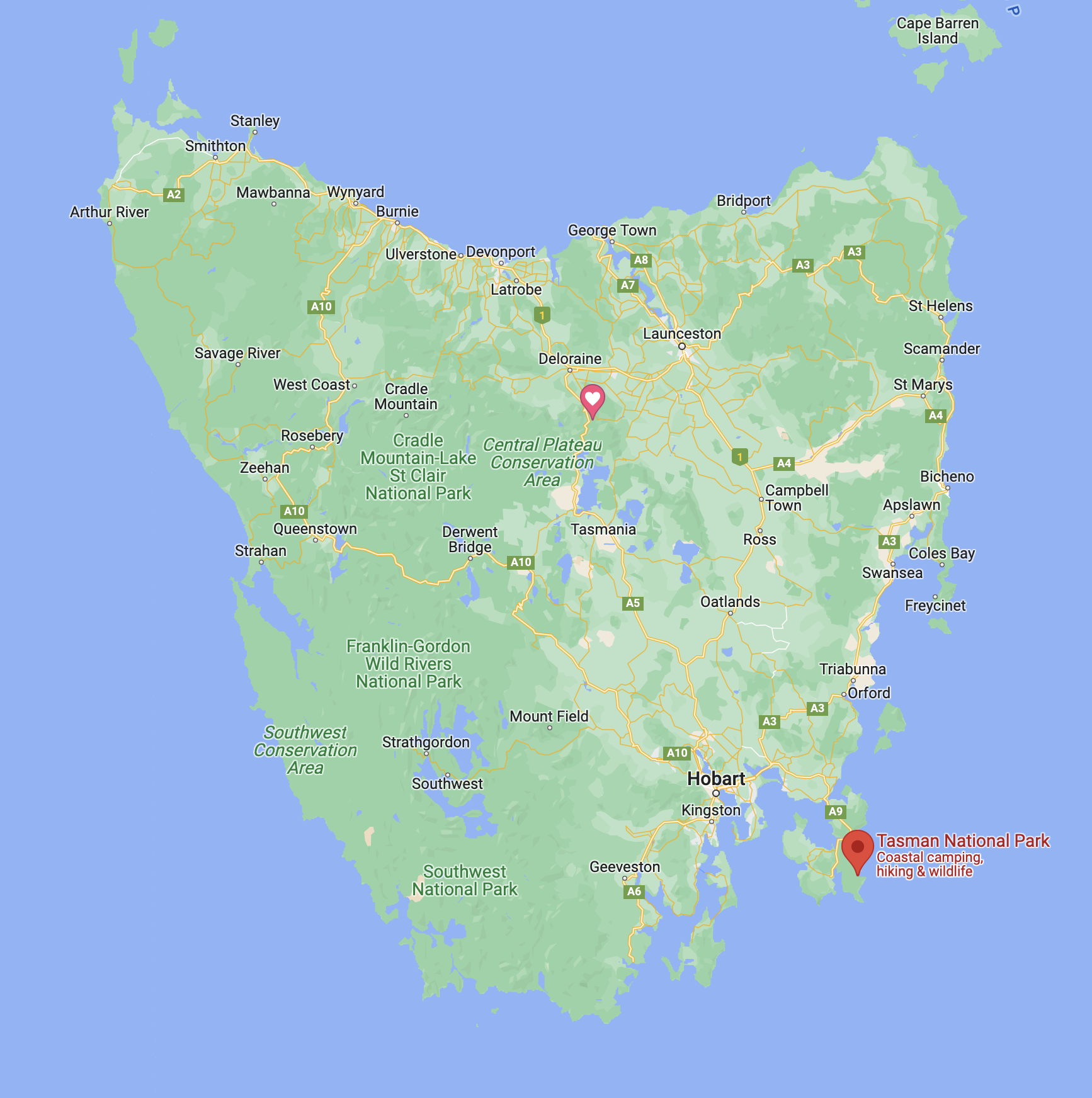
Above:- Map showing the location of the Tasman National Park. Image c/o Google maps.

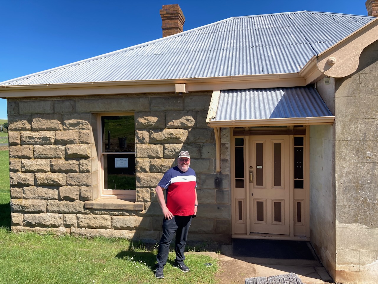
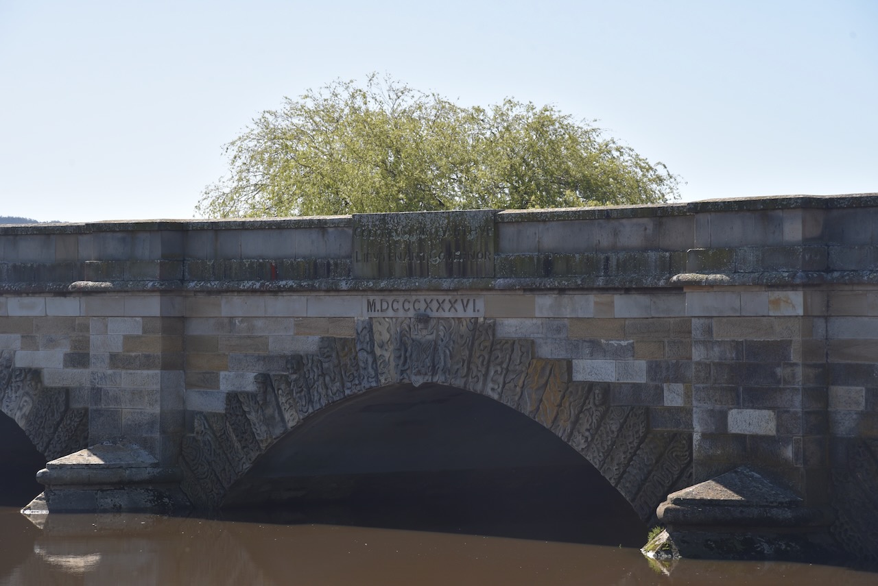
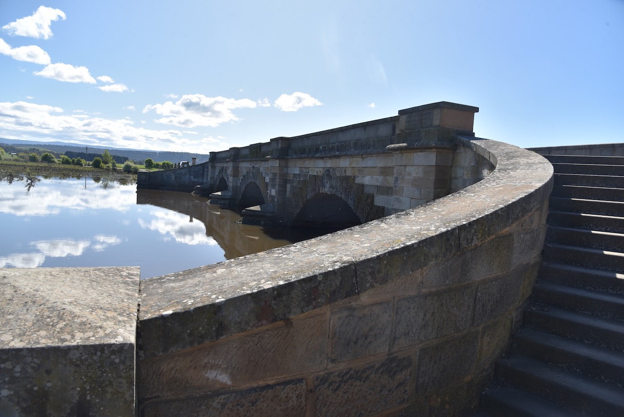
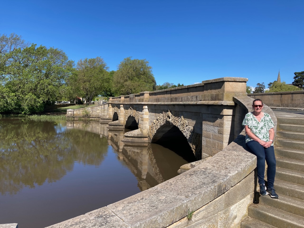
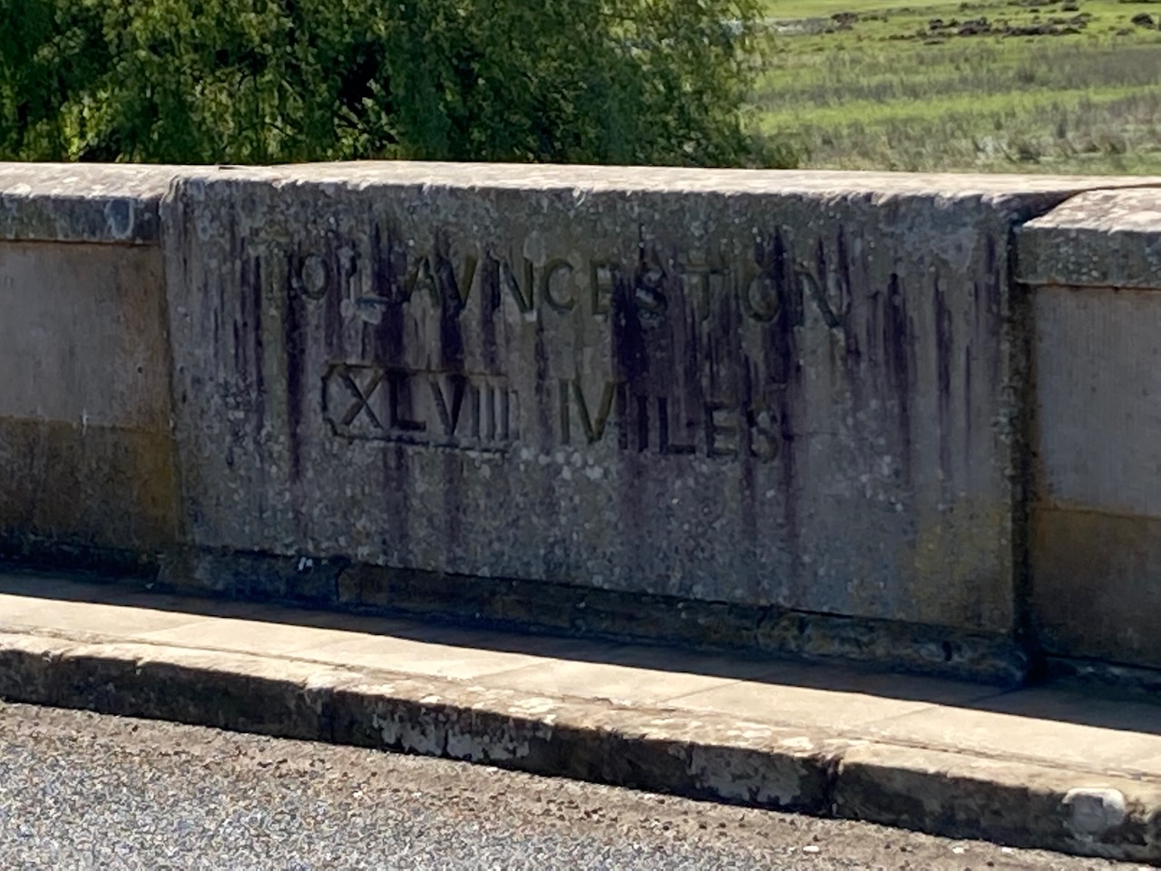
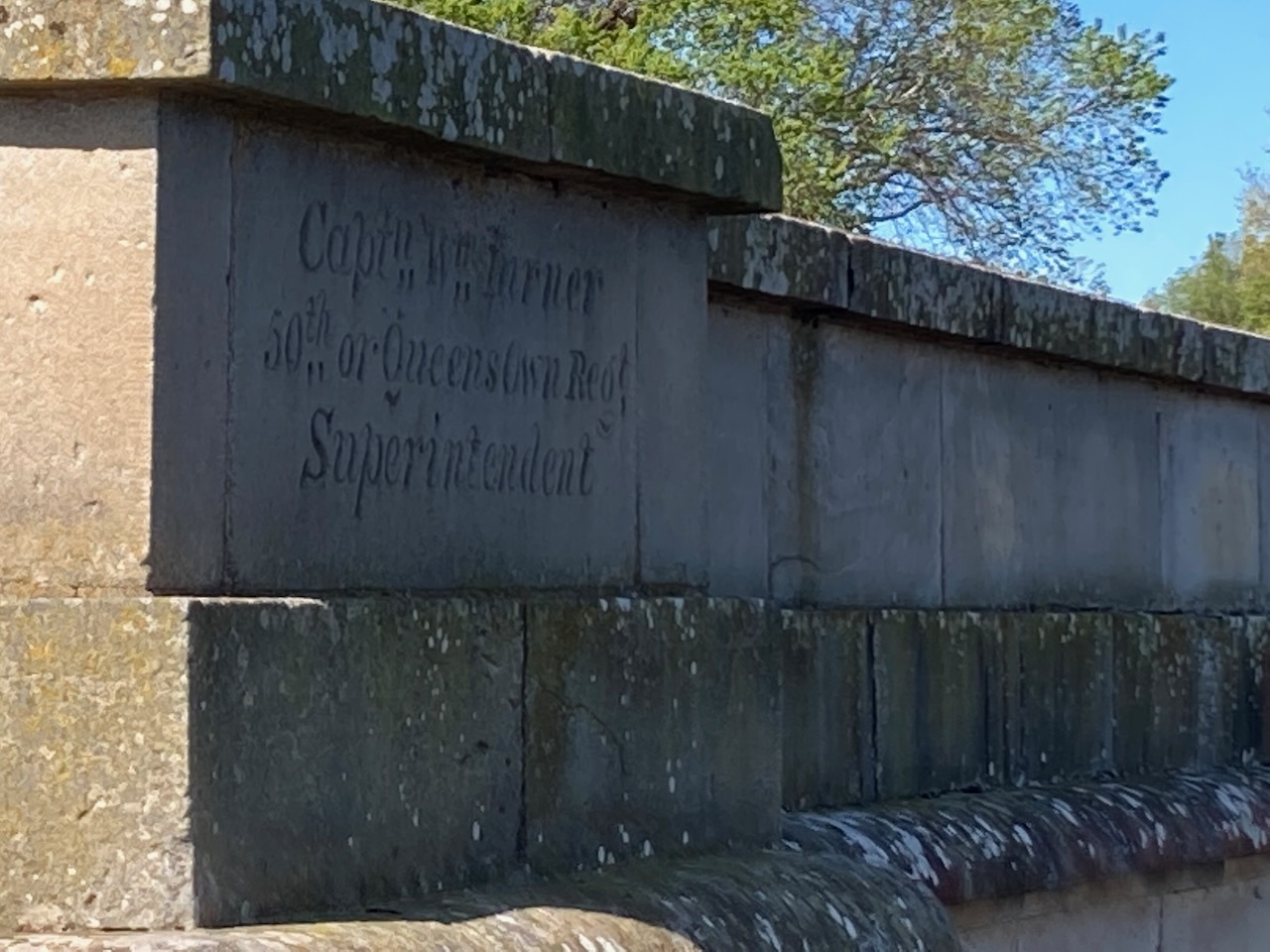
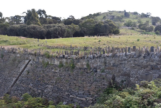
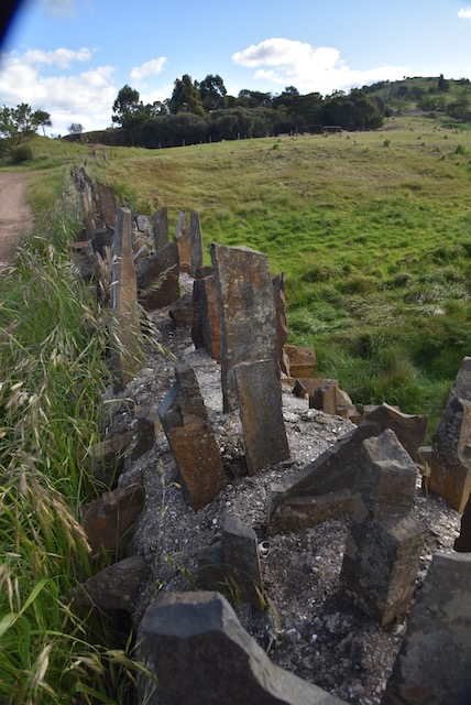
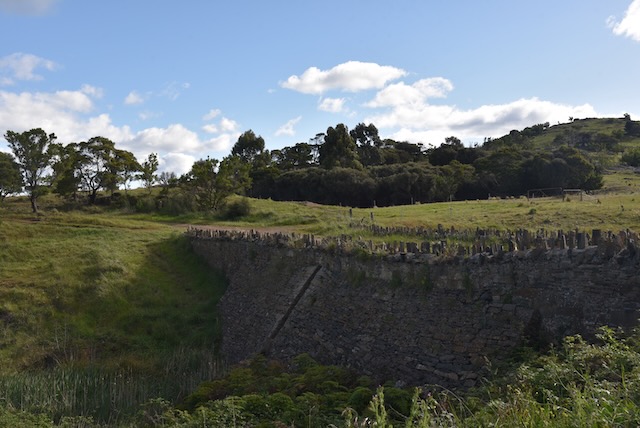
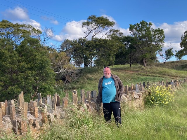
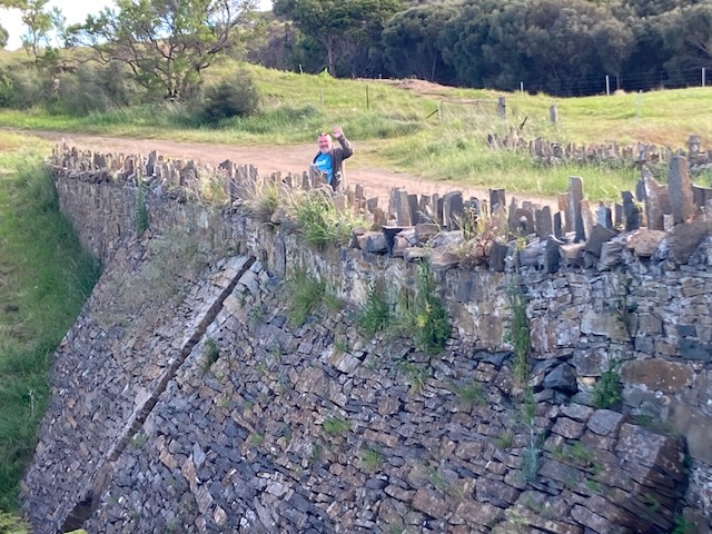
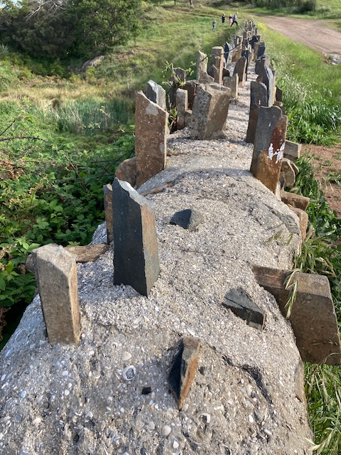
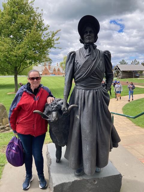
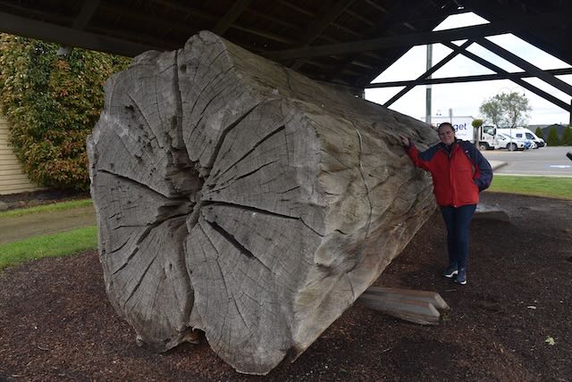
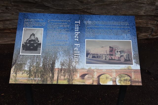
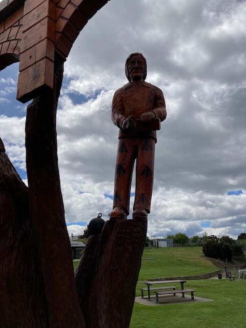
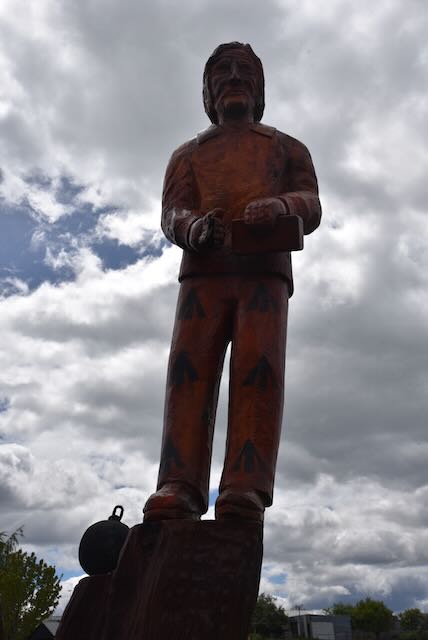
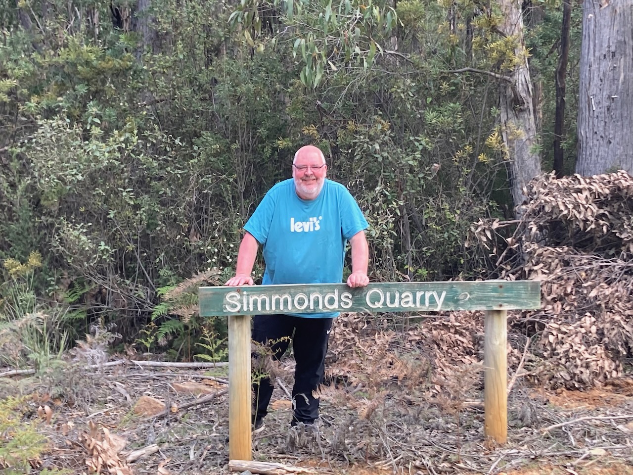
On our way to the park we stopped off at my namesake quarry.

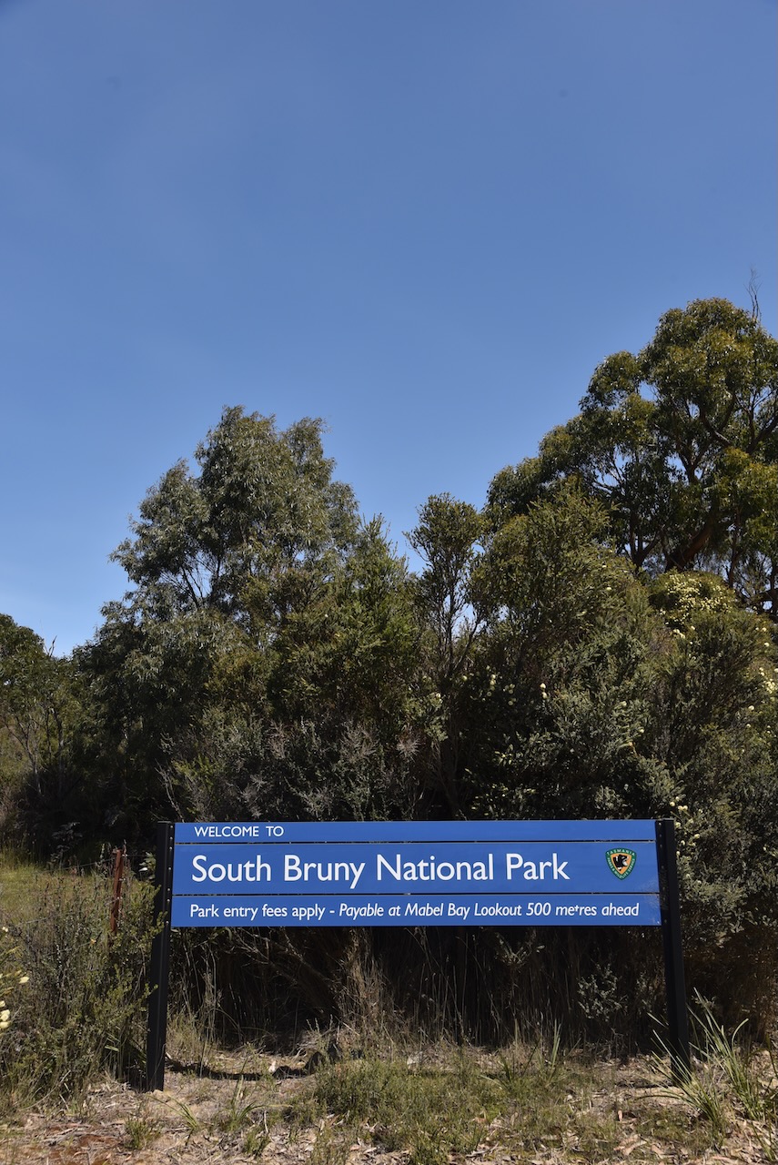
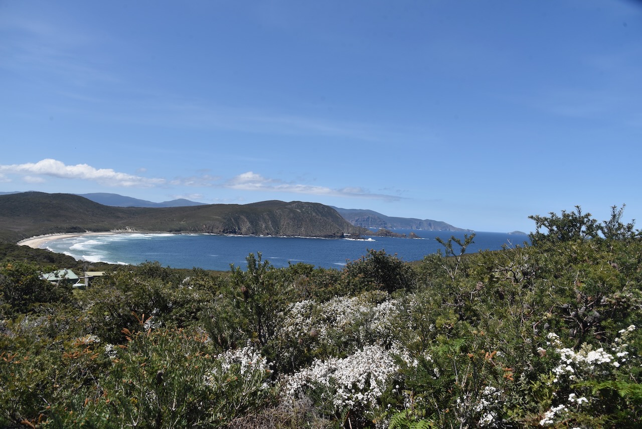
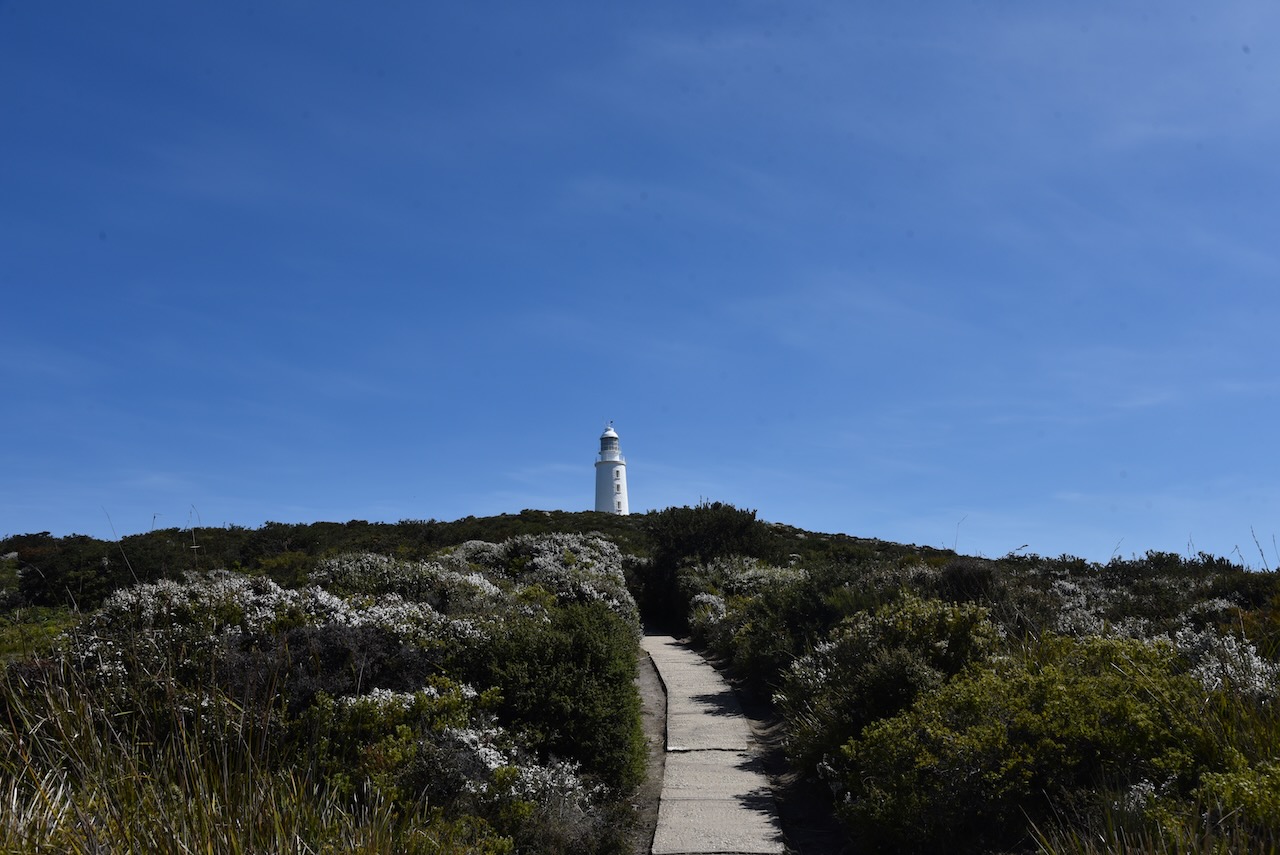
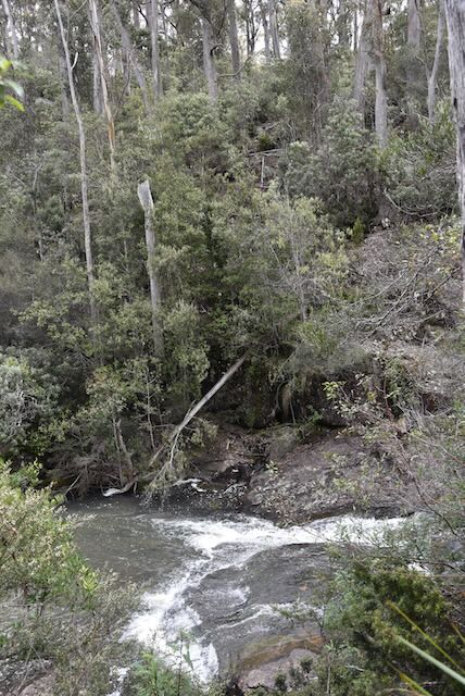
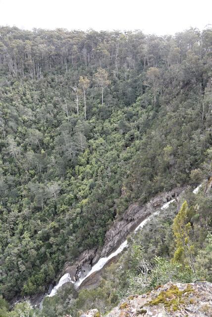
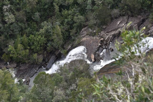
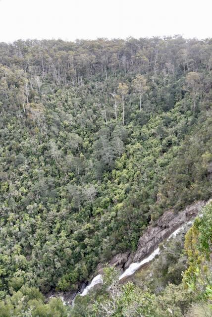
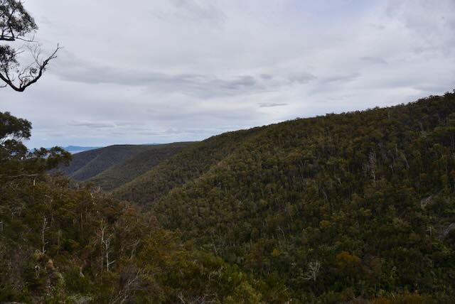
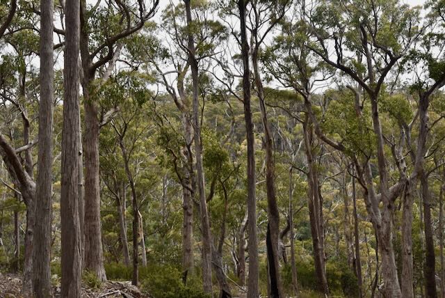
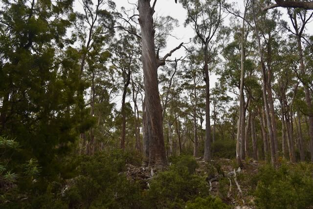
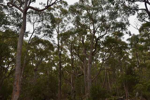
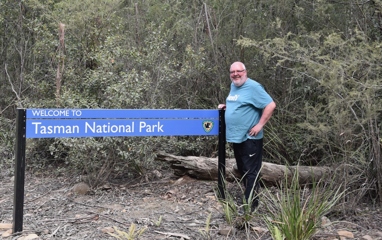
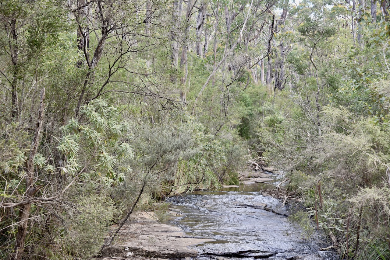
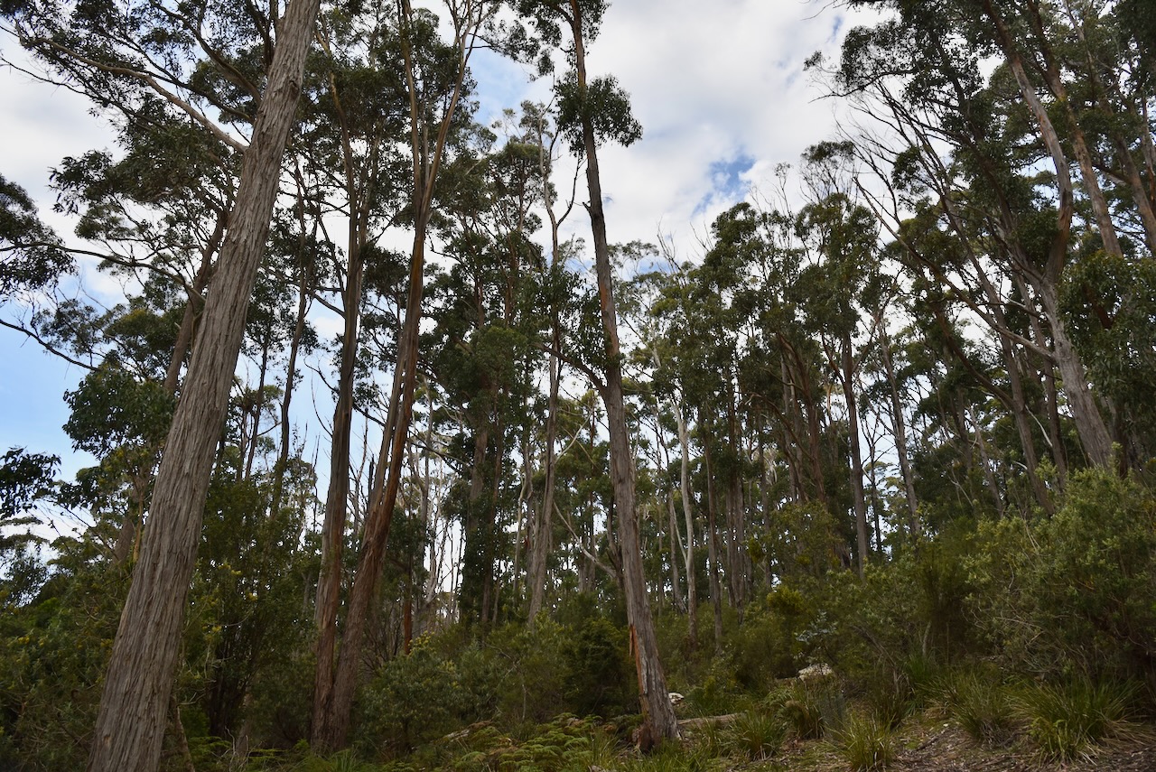
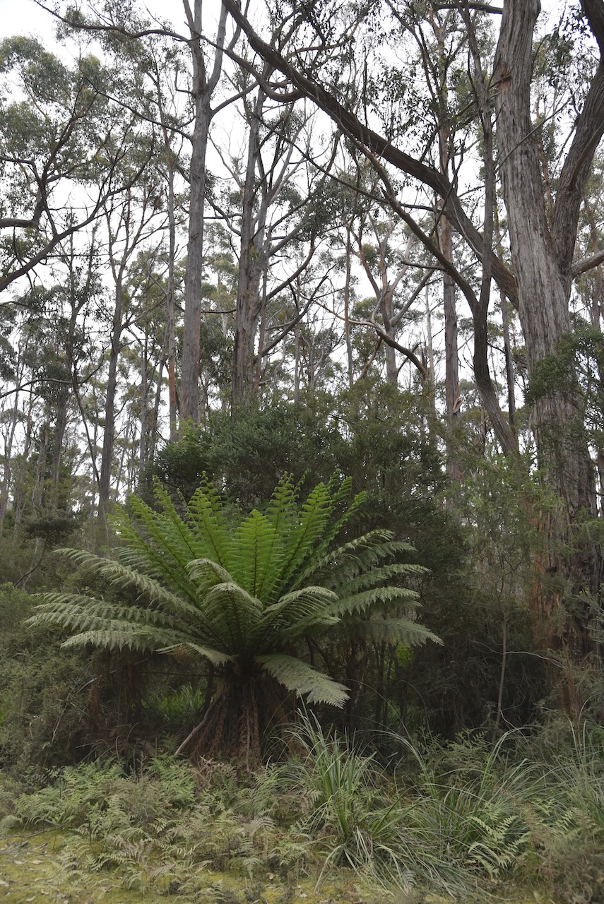
We soon reached the Tasman National Park.

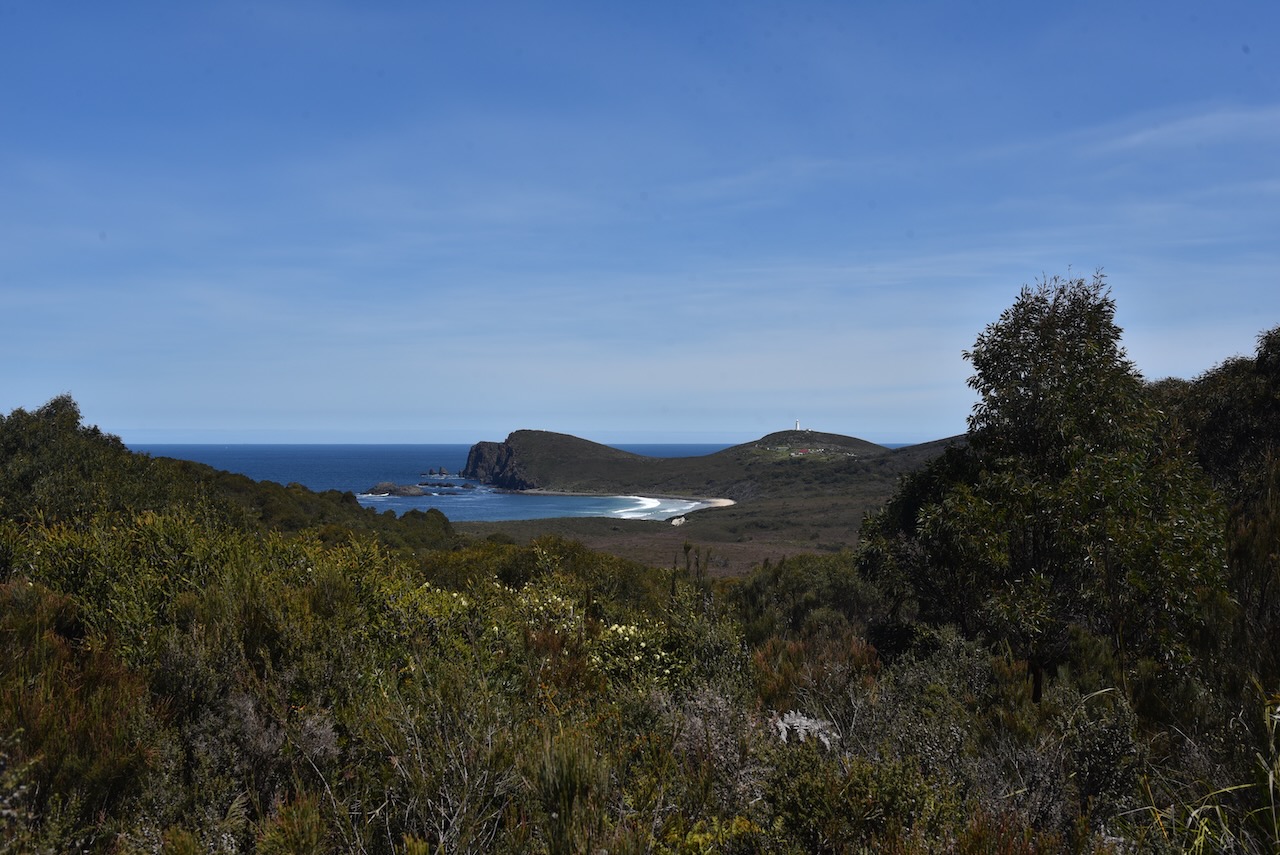
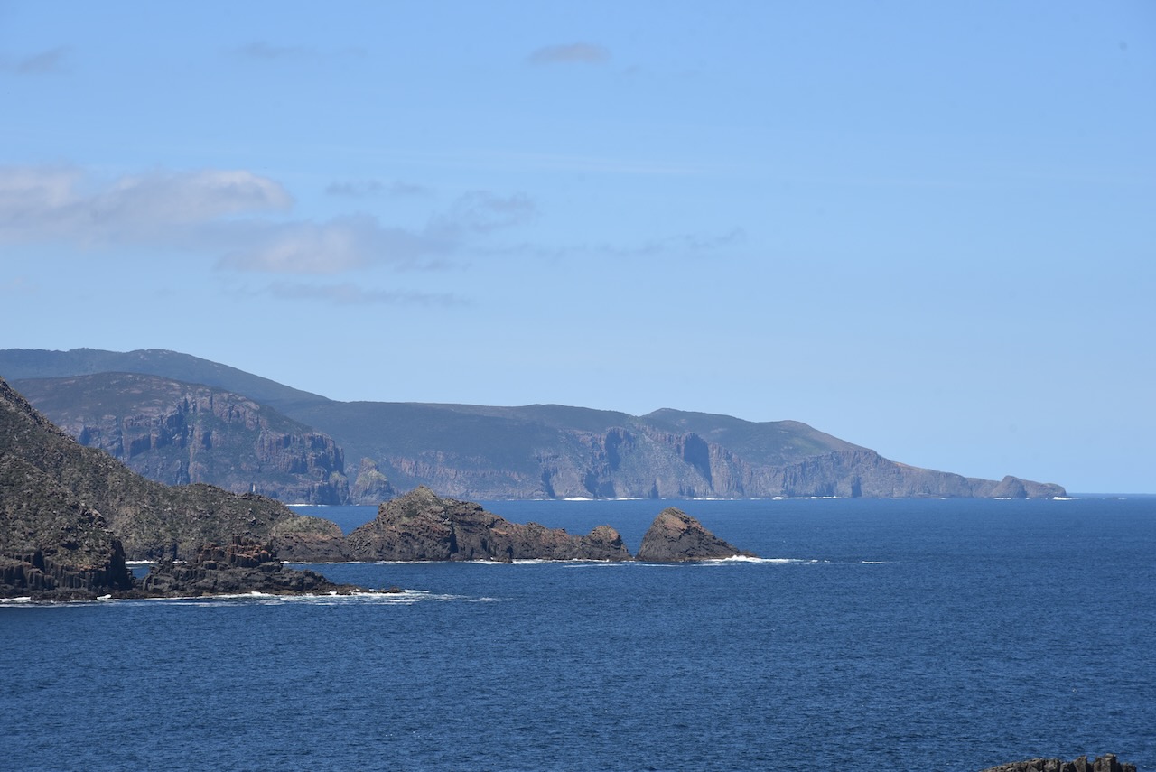
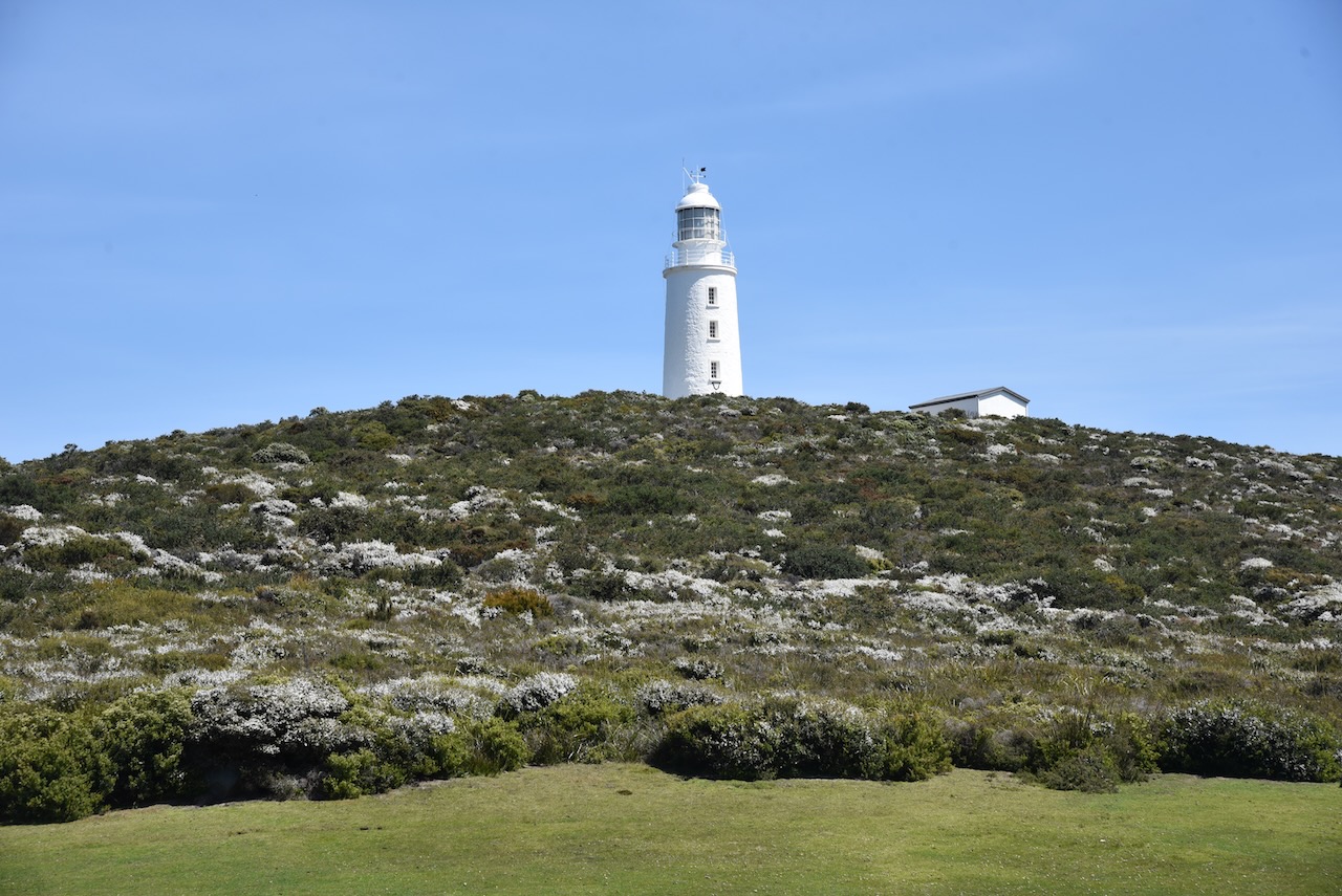
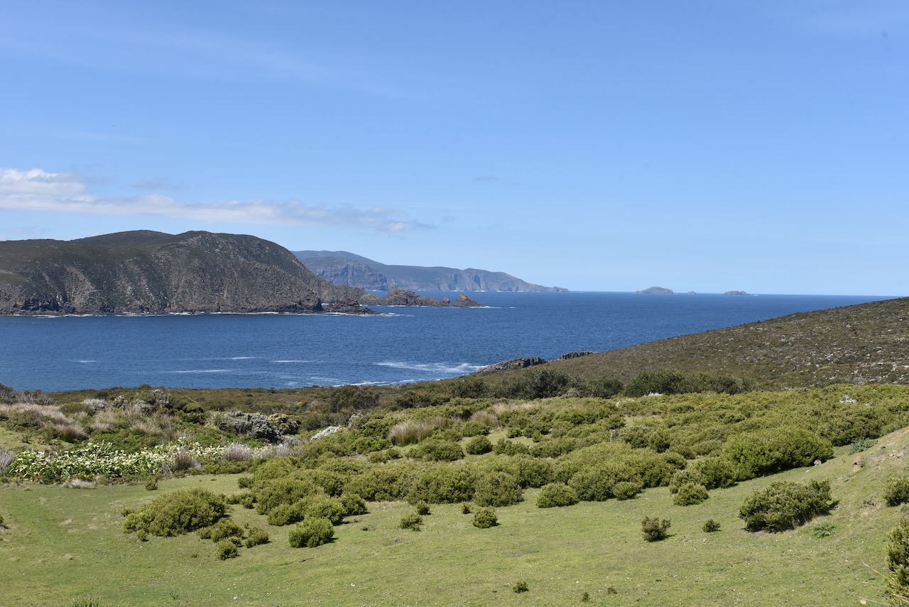
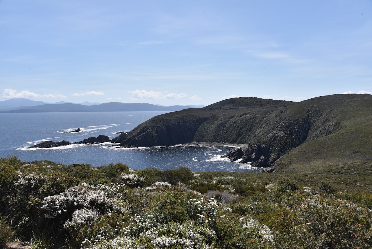
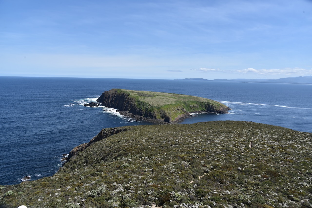
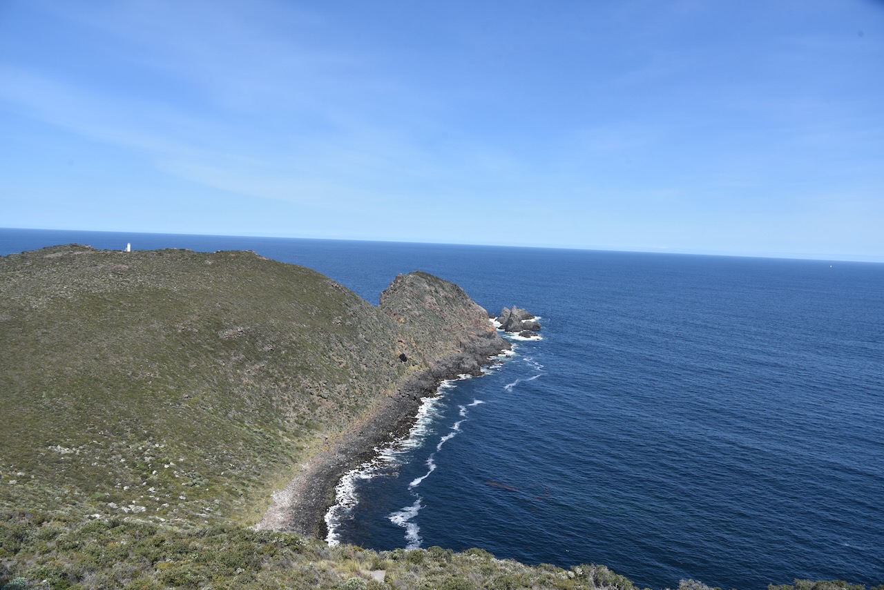
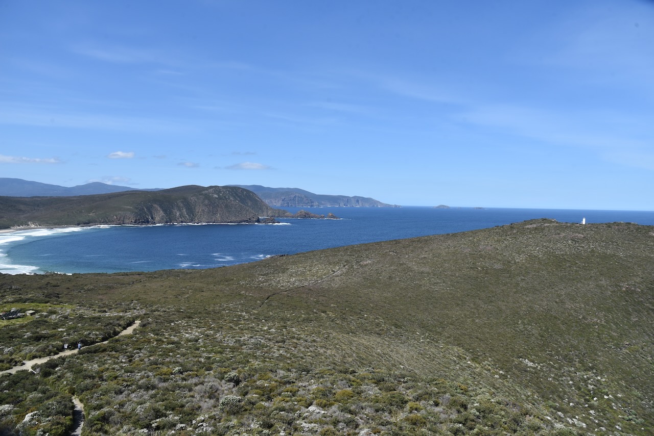
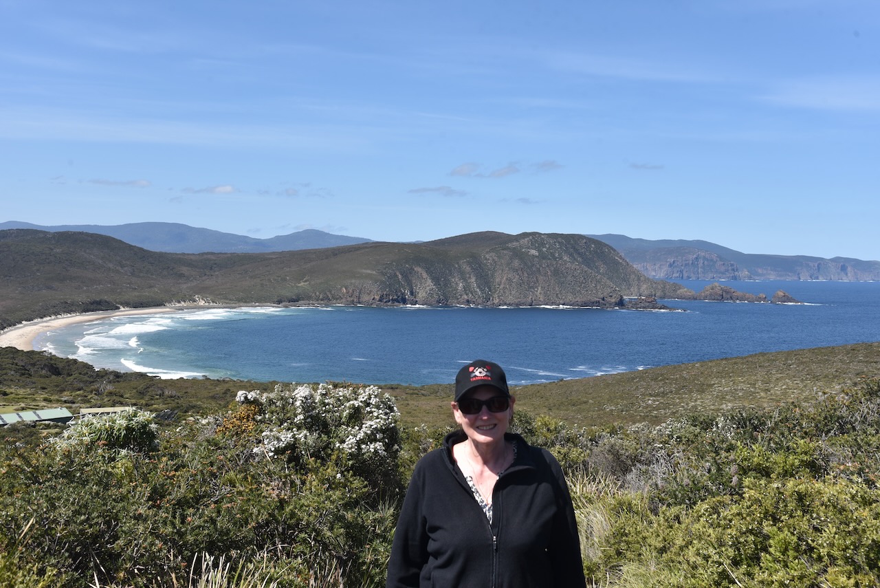
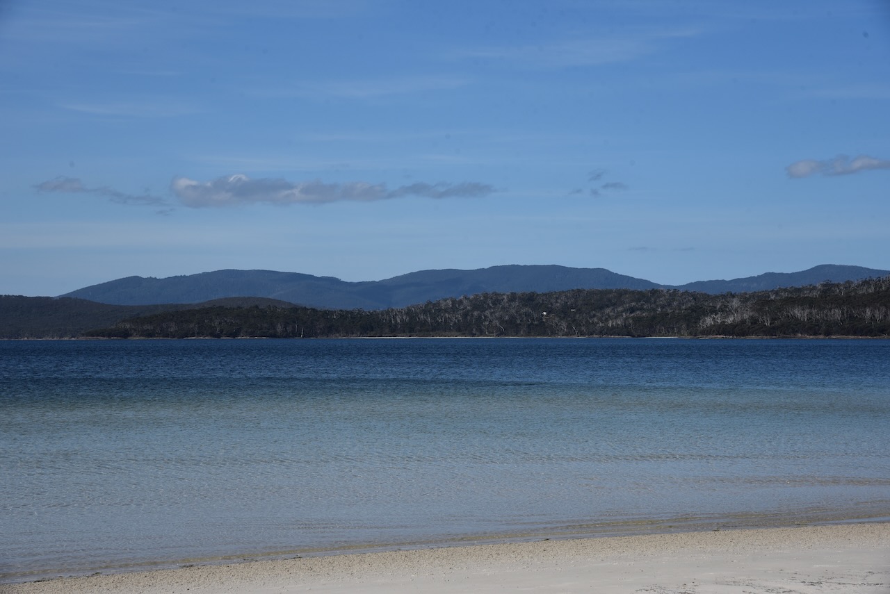
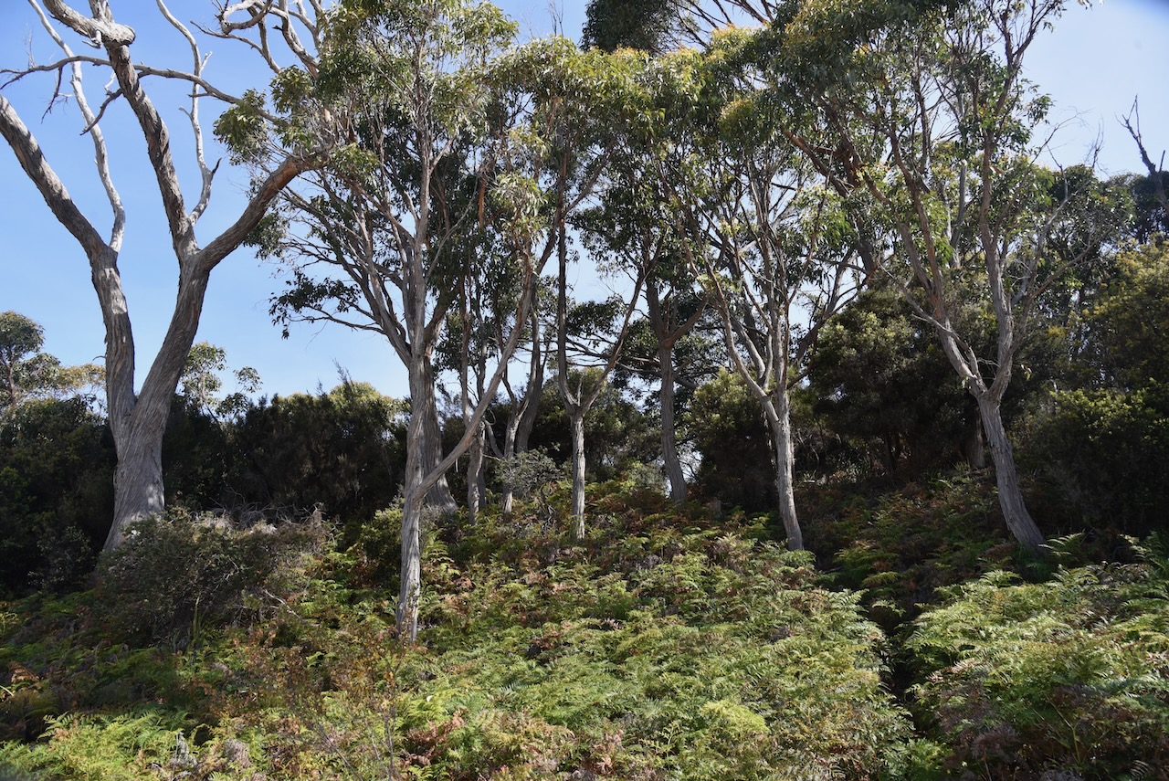
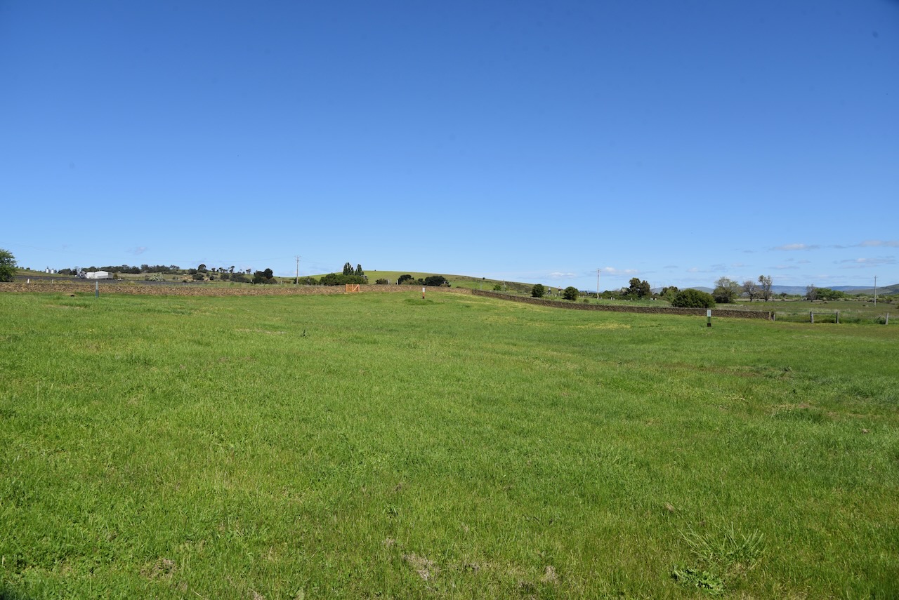
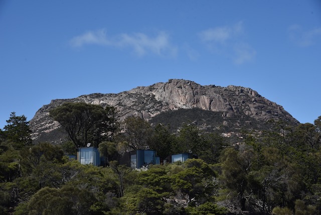
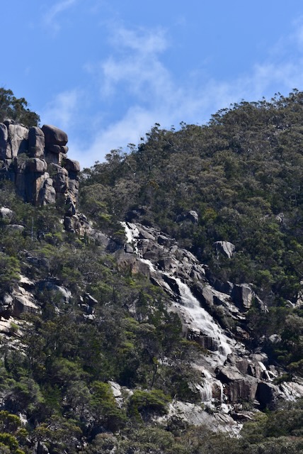
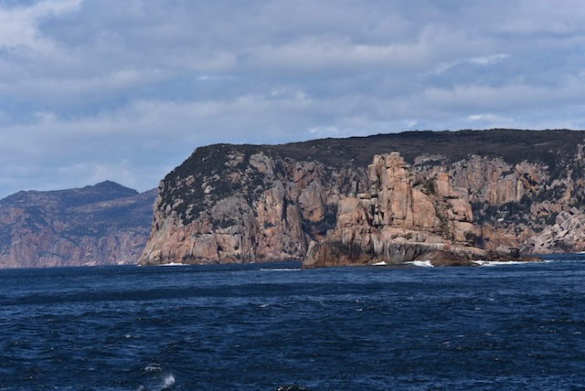
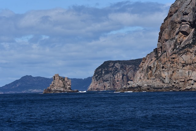
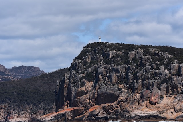
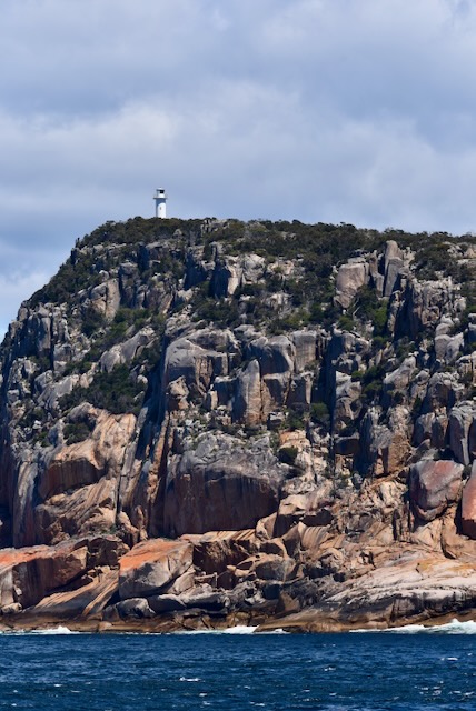
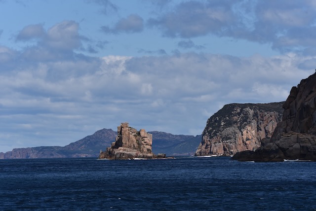
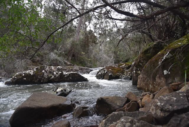
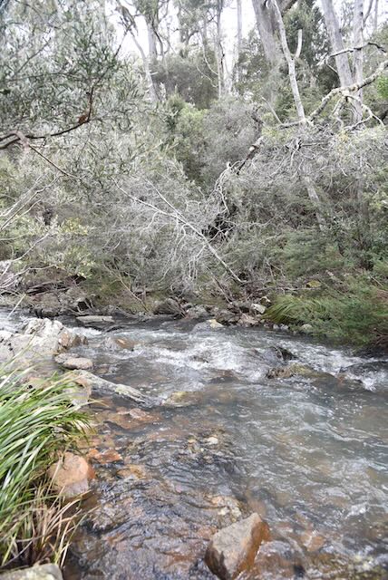
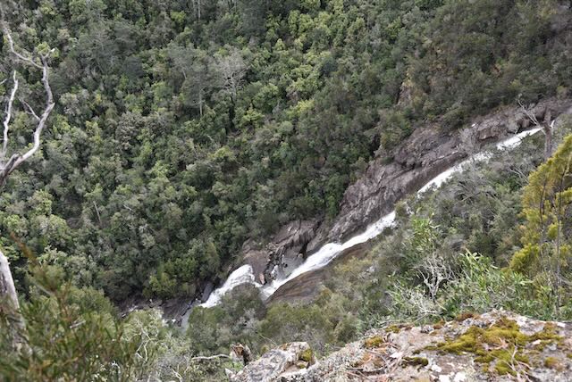
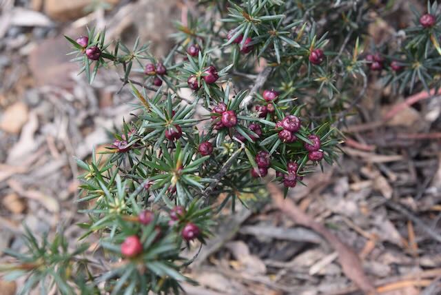
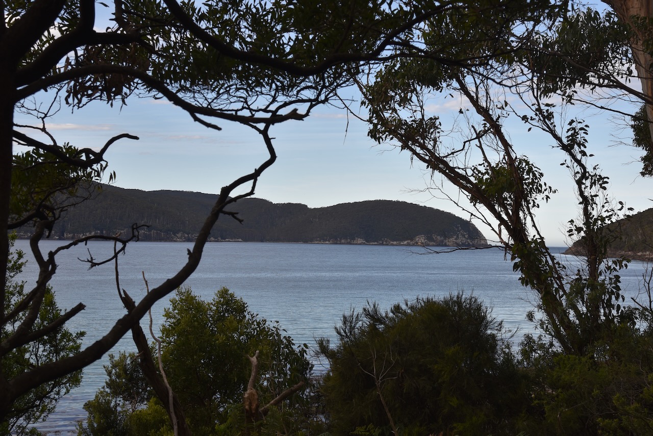
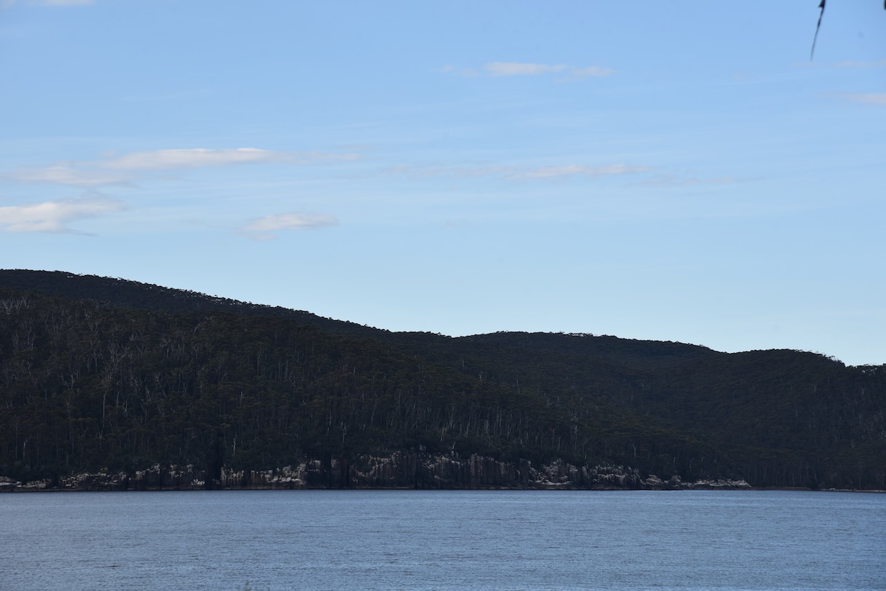
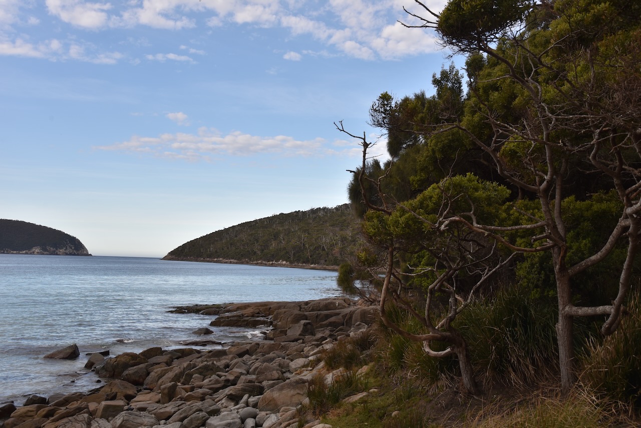
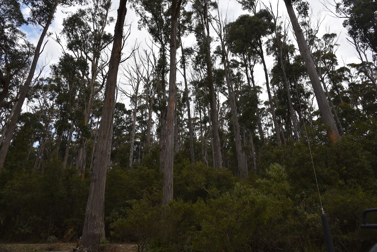
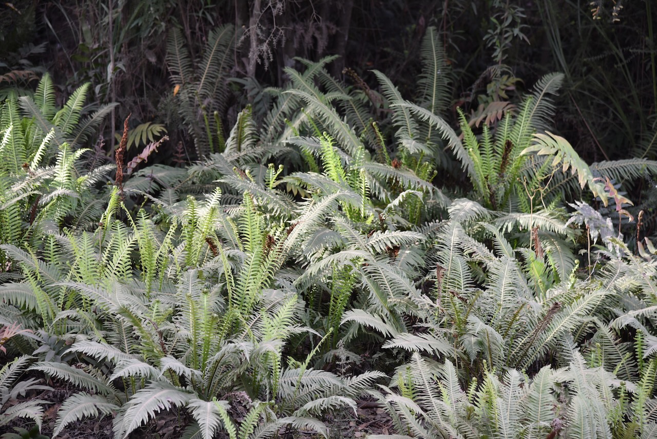
Tasman National Park is located about 56 kilometres east of Hobart. It is 107.5-square-kilometre in size and was proclaimed on the 30th April 1999. It is located on the Forestier and Tasman Peninsulas and includes all of Tasman Island.

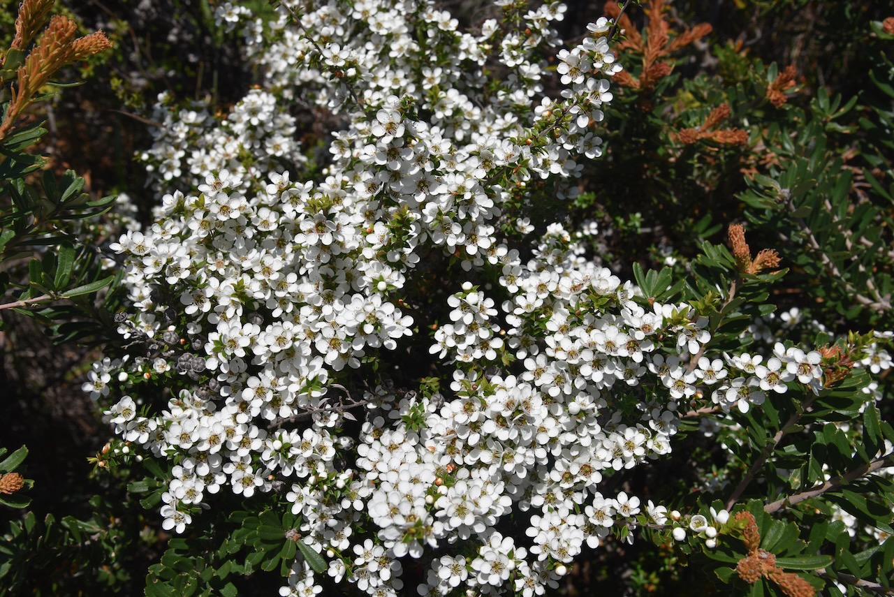
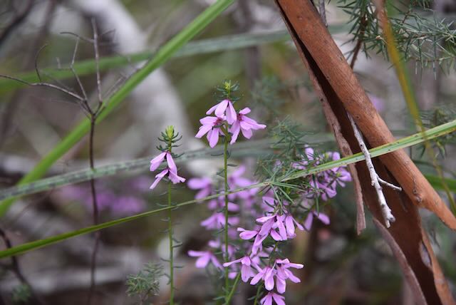
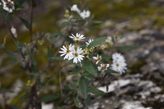
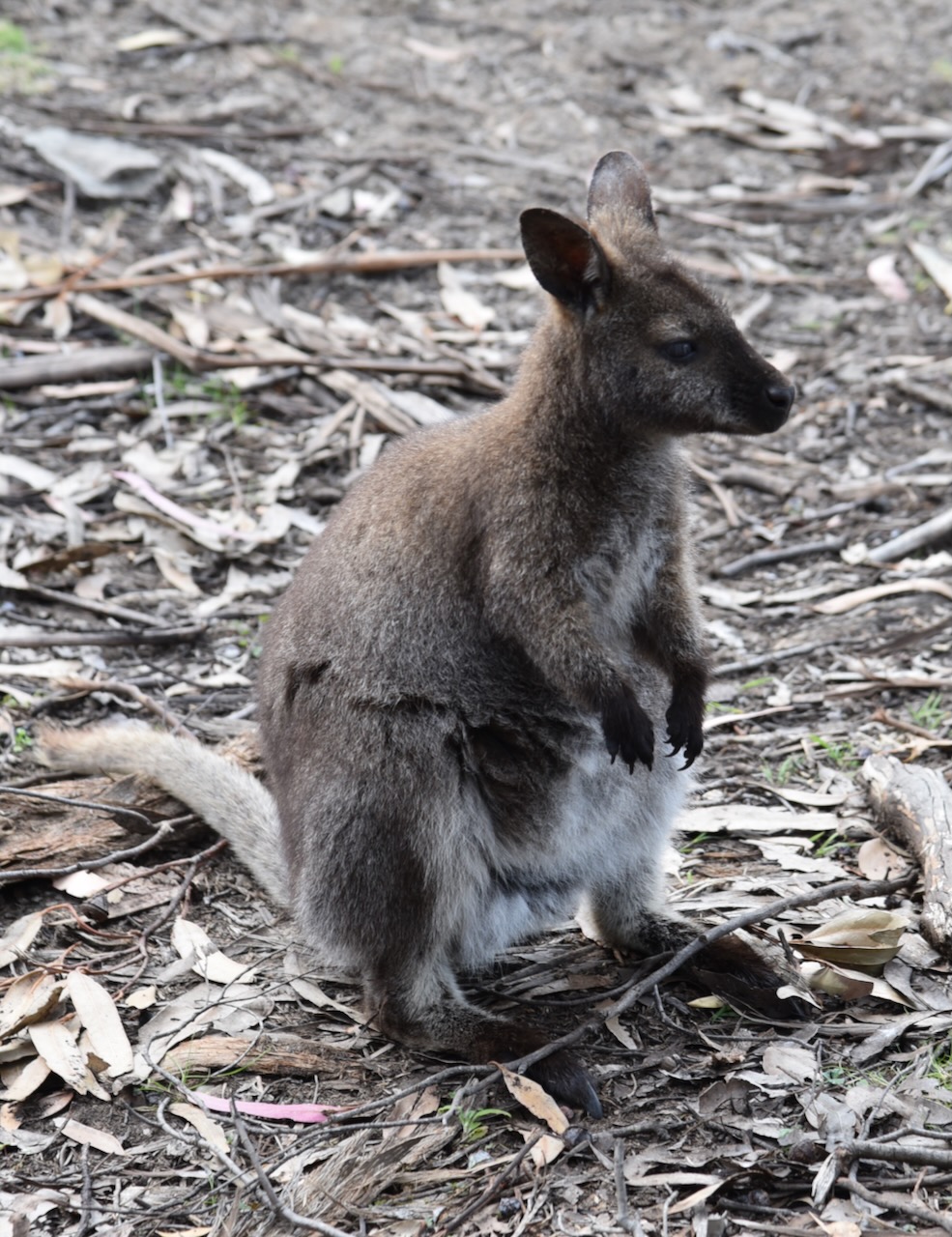
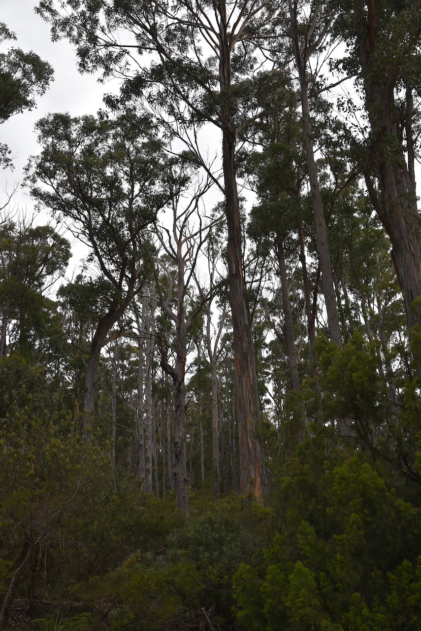
Three species of Euphrasia commonly known as eyebright are found only in Tasman National Park. Also found only in the park is the rare Cape Pillar Sheoak, a small shrub or tree.

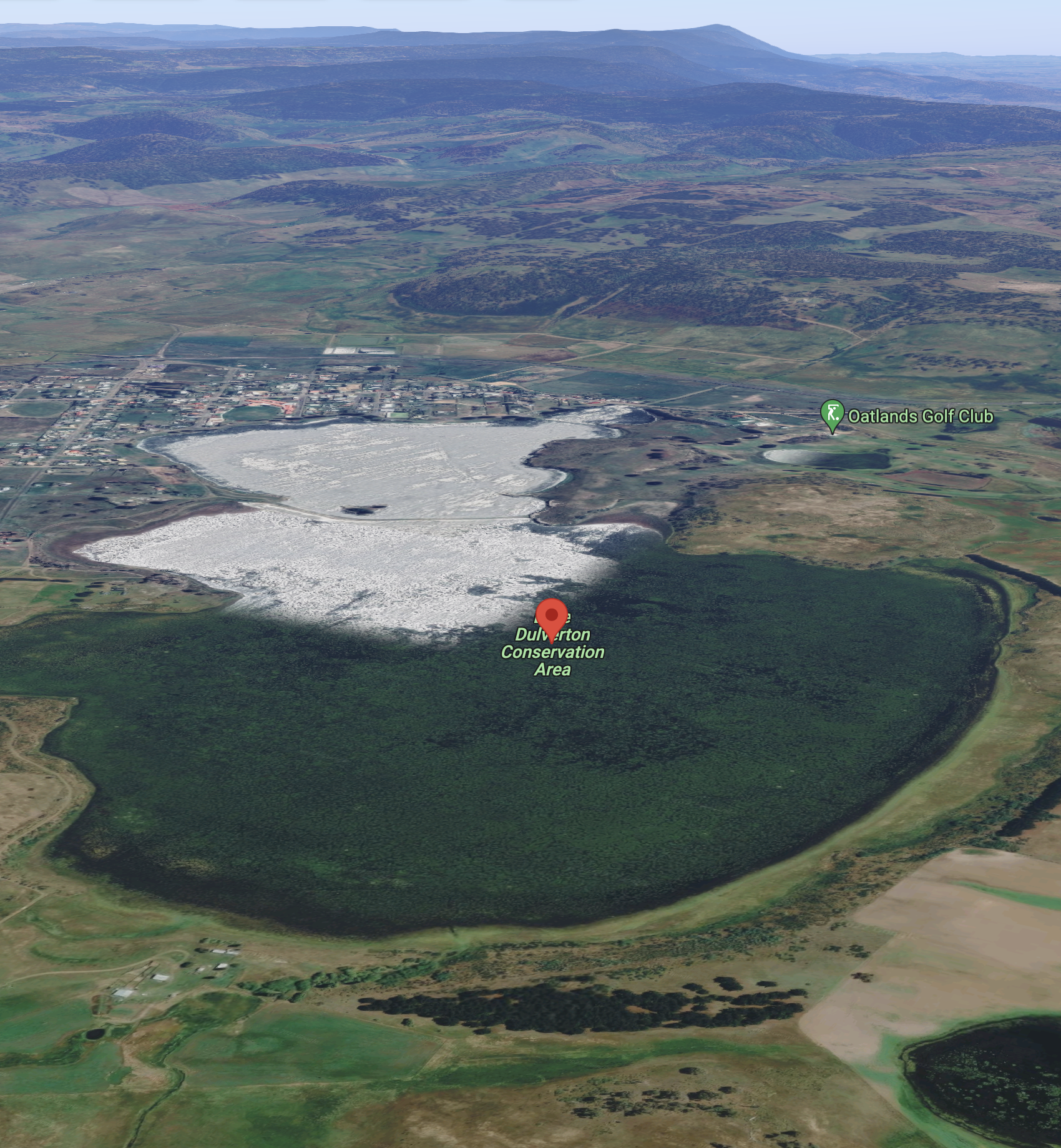
Above:- An aerial shot of the Tasman National Park. Image c/o Google maps.

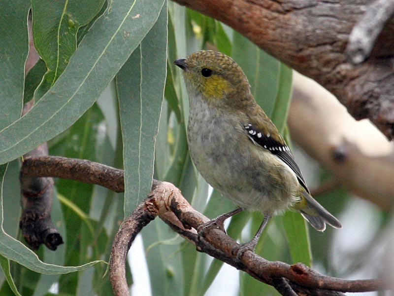
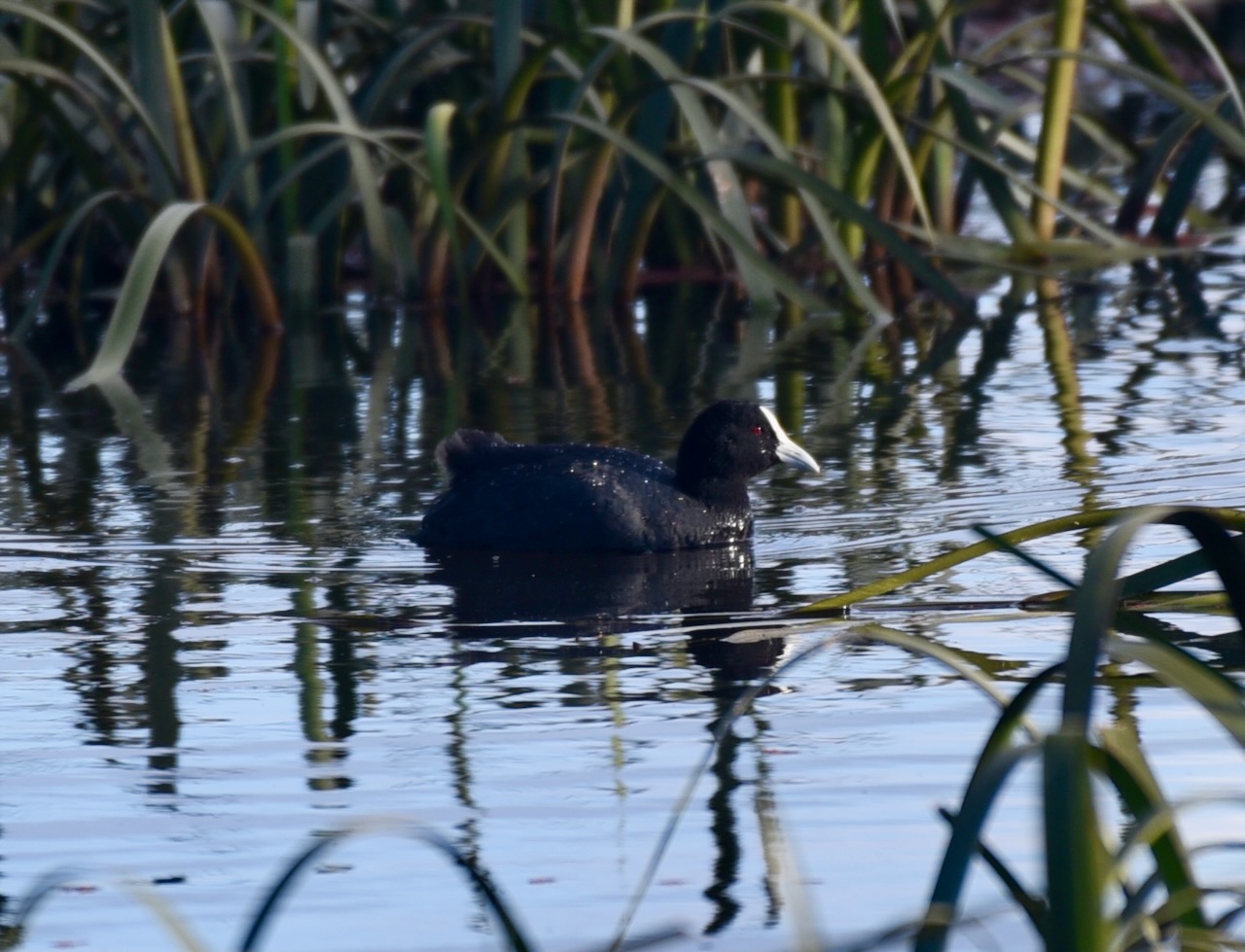
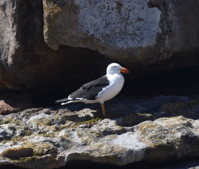
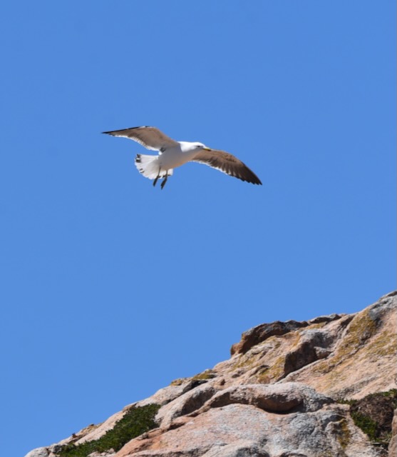
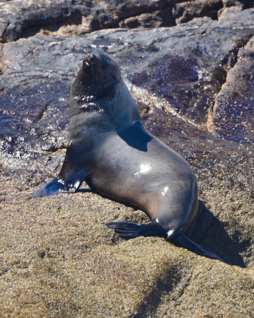
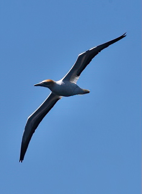
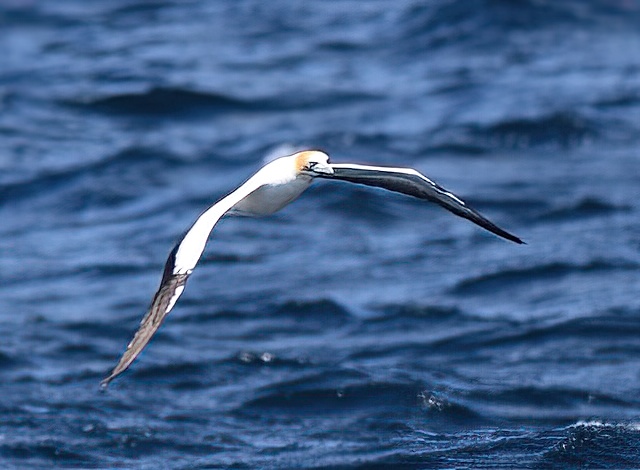
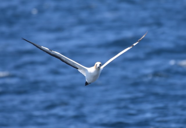
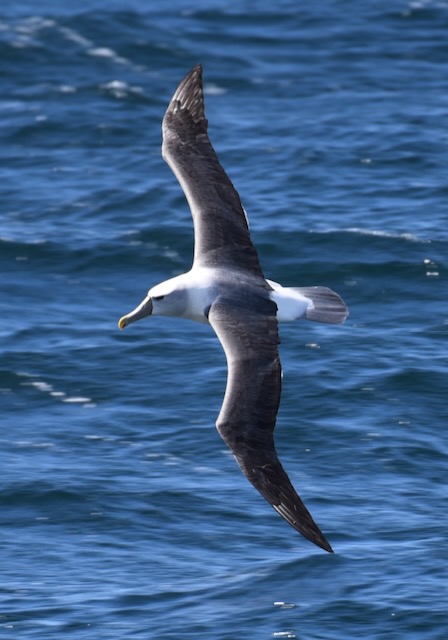
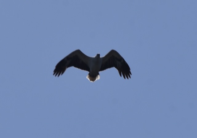
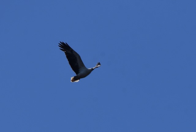
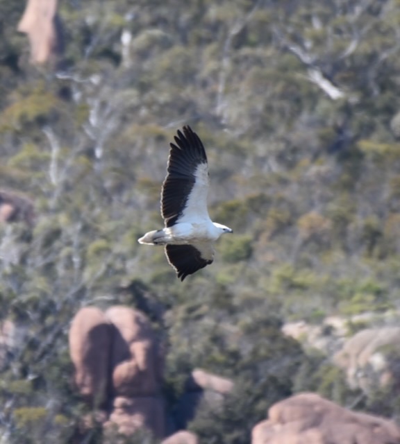
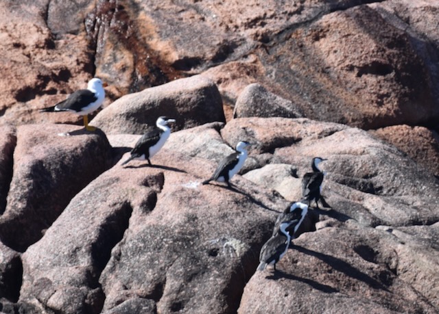
The coast of the Tasman National Park supports a colony of Australian Fur Seals and also Little Penguins. The Tasman National Park forms part of the South-east Tasmania Important Bird Area which has been identified by BirdLife International due to its importance in the conservation of a range of woodland birds. This includes the endangered Swift parrot and the Forty spotted pardalote.

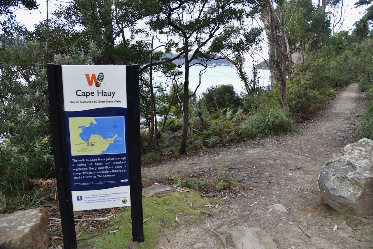
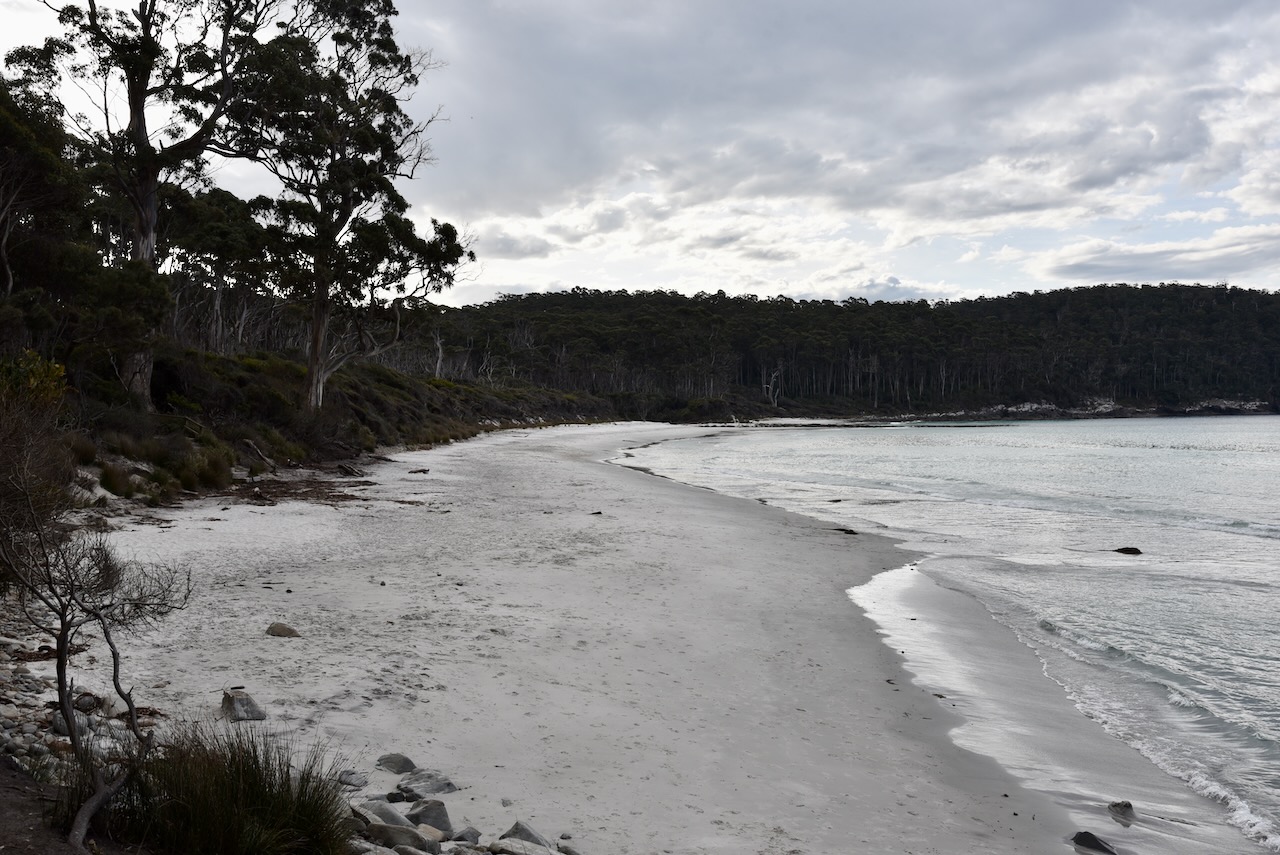
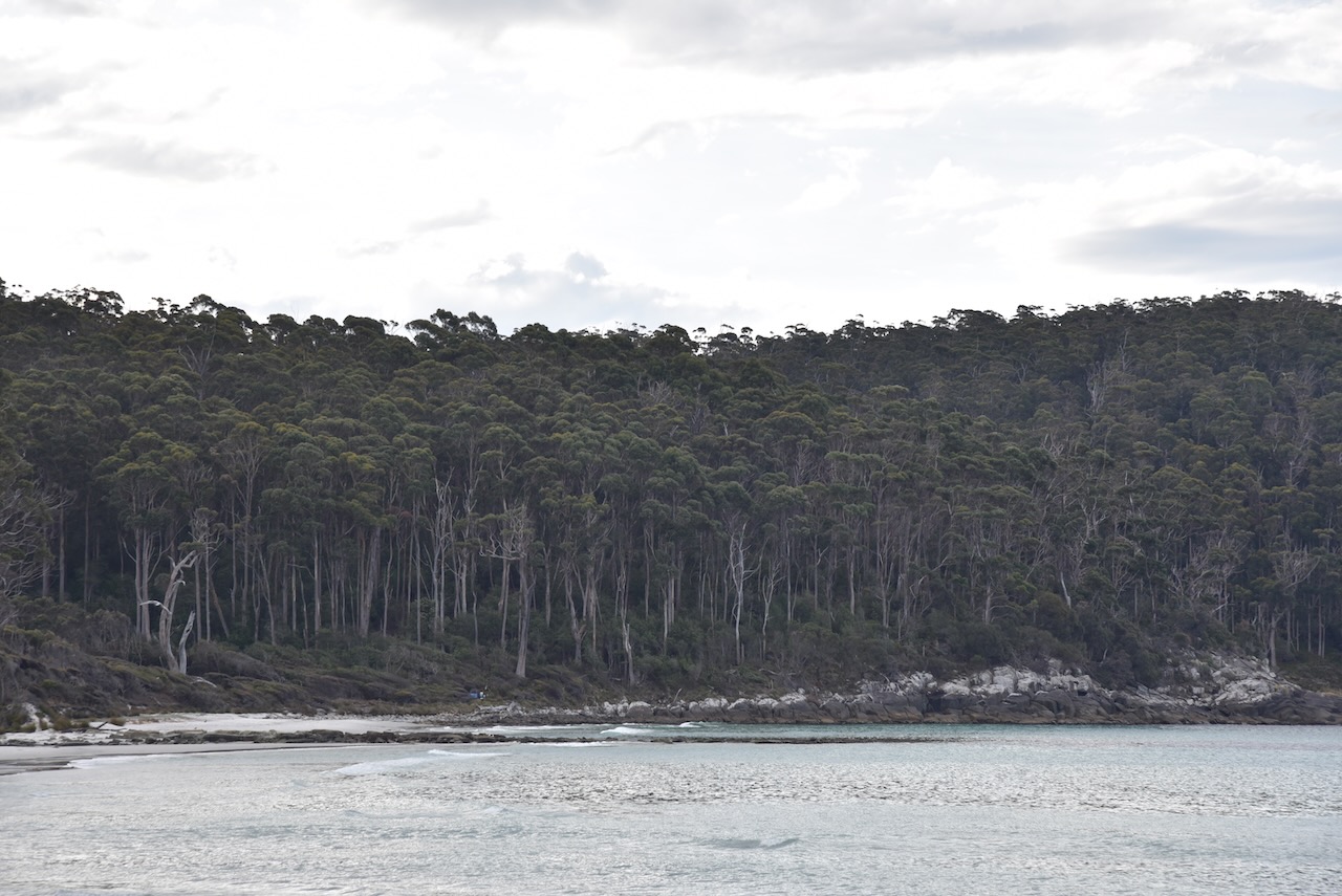
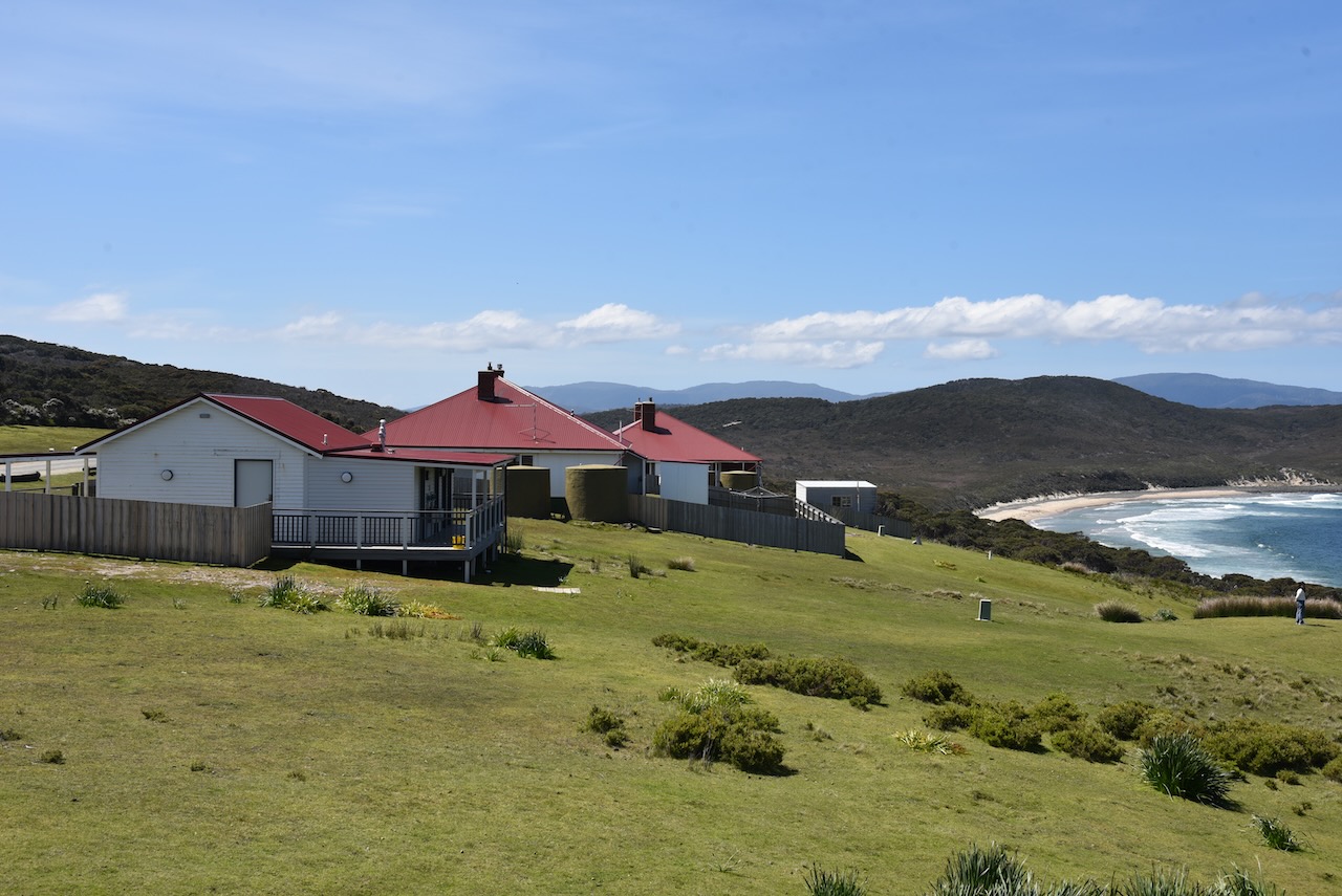
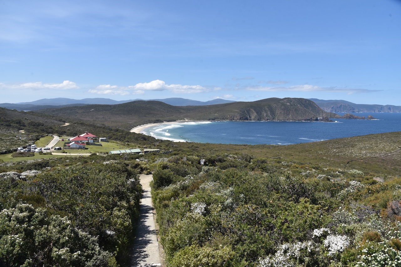
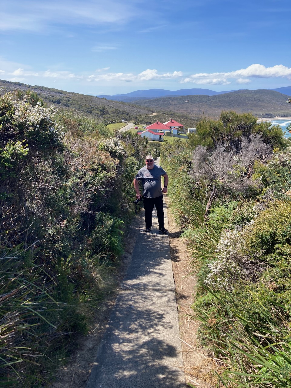
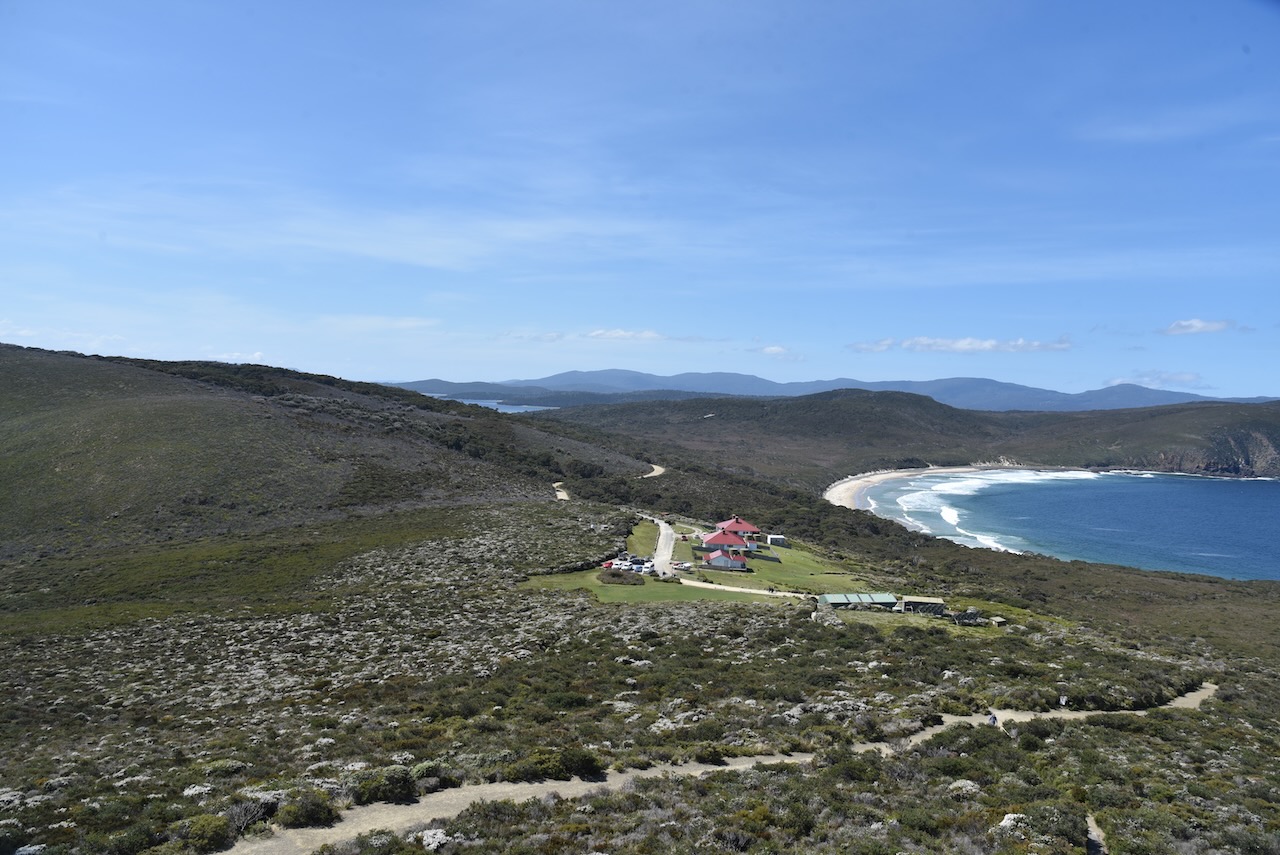
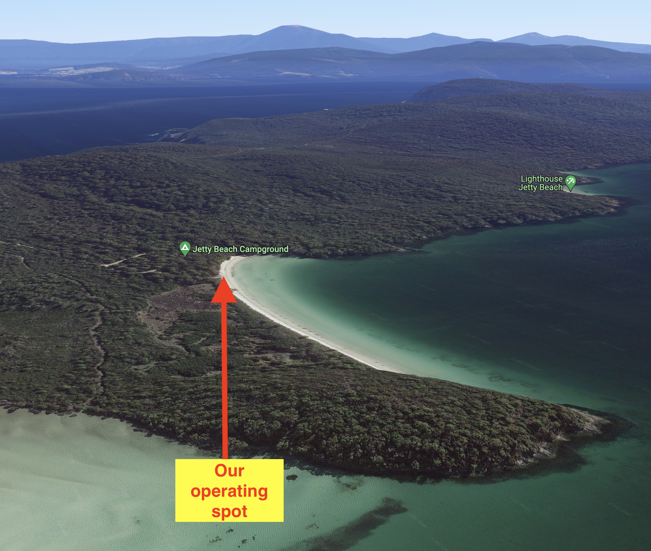
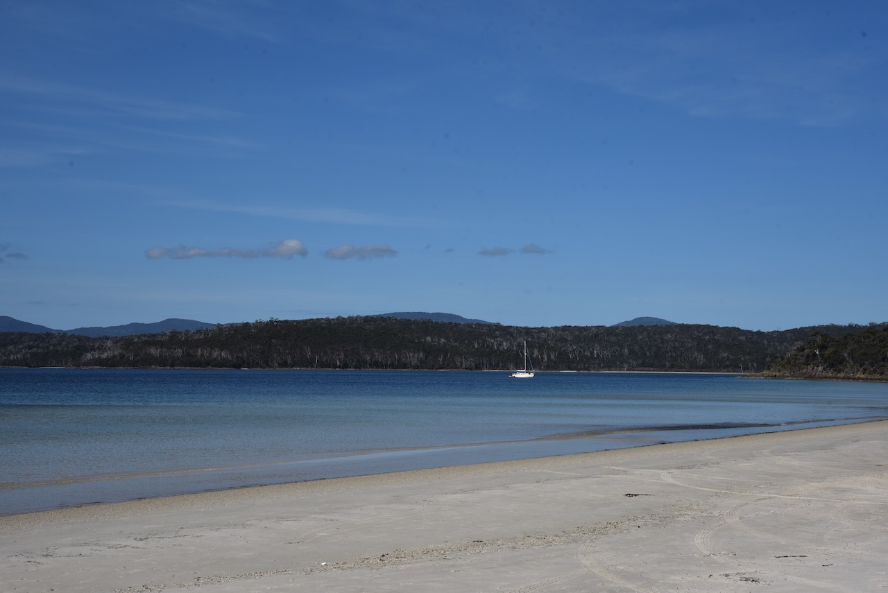
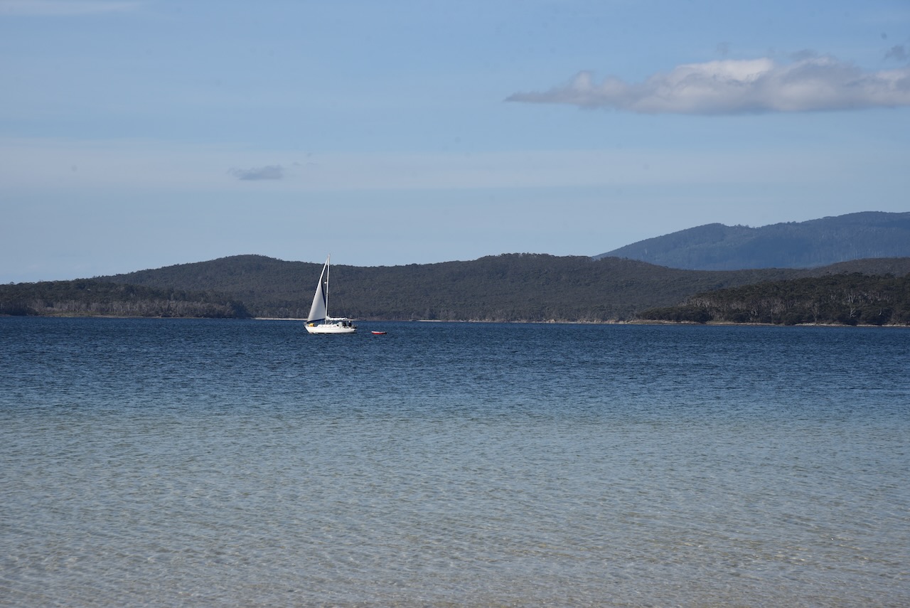
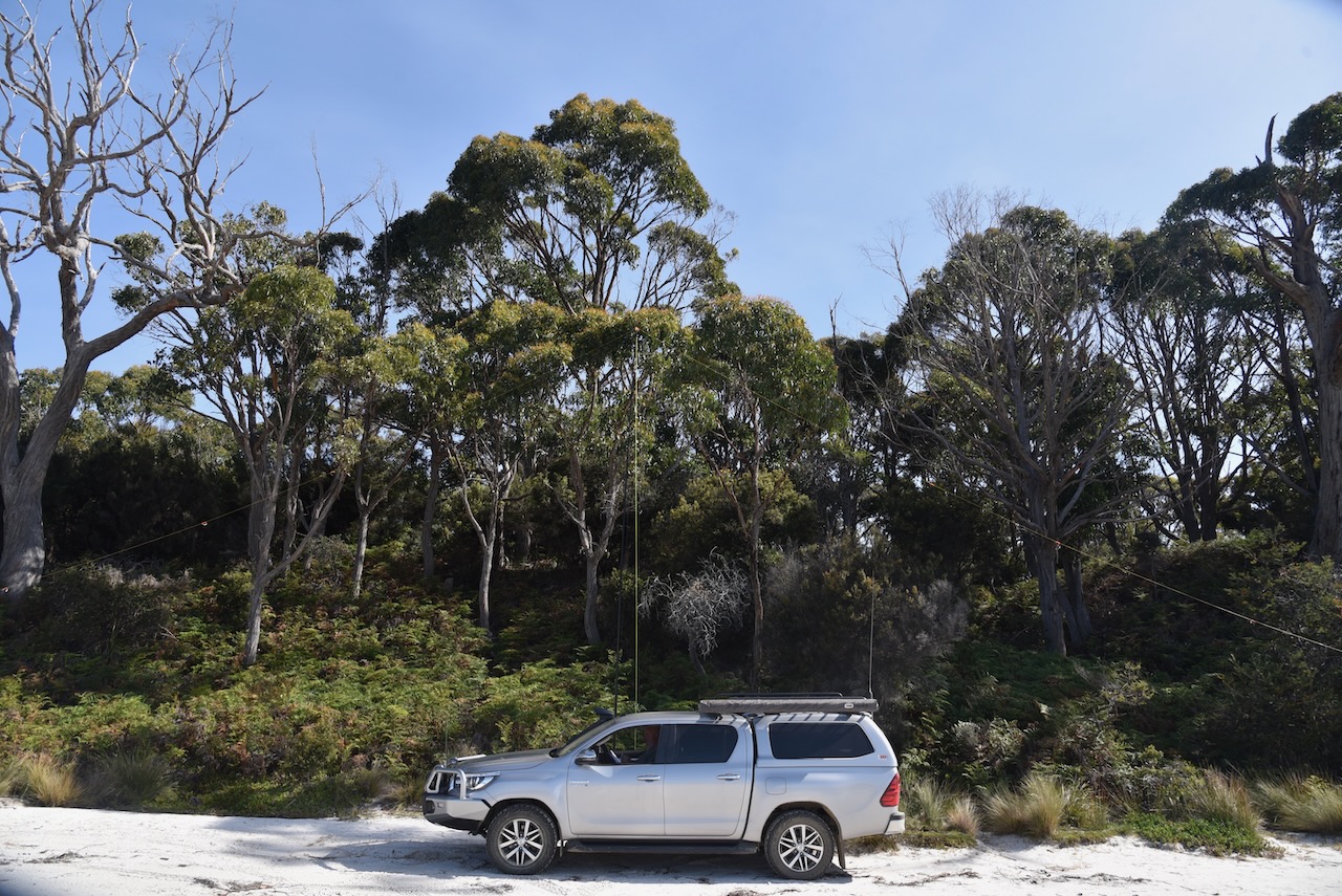
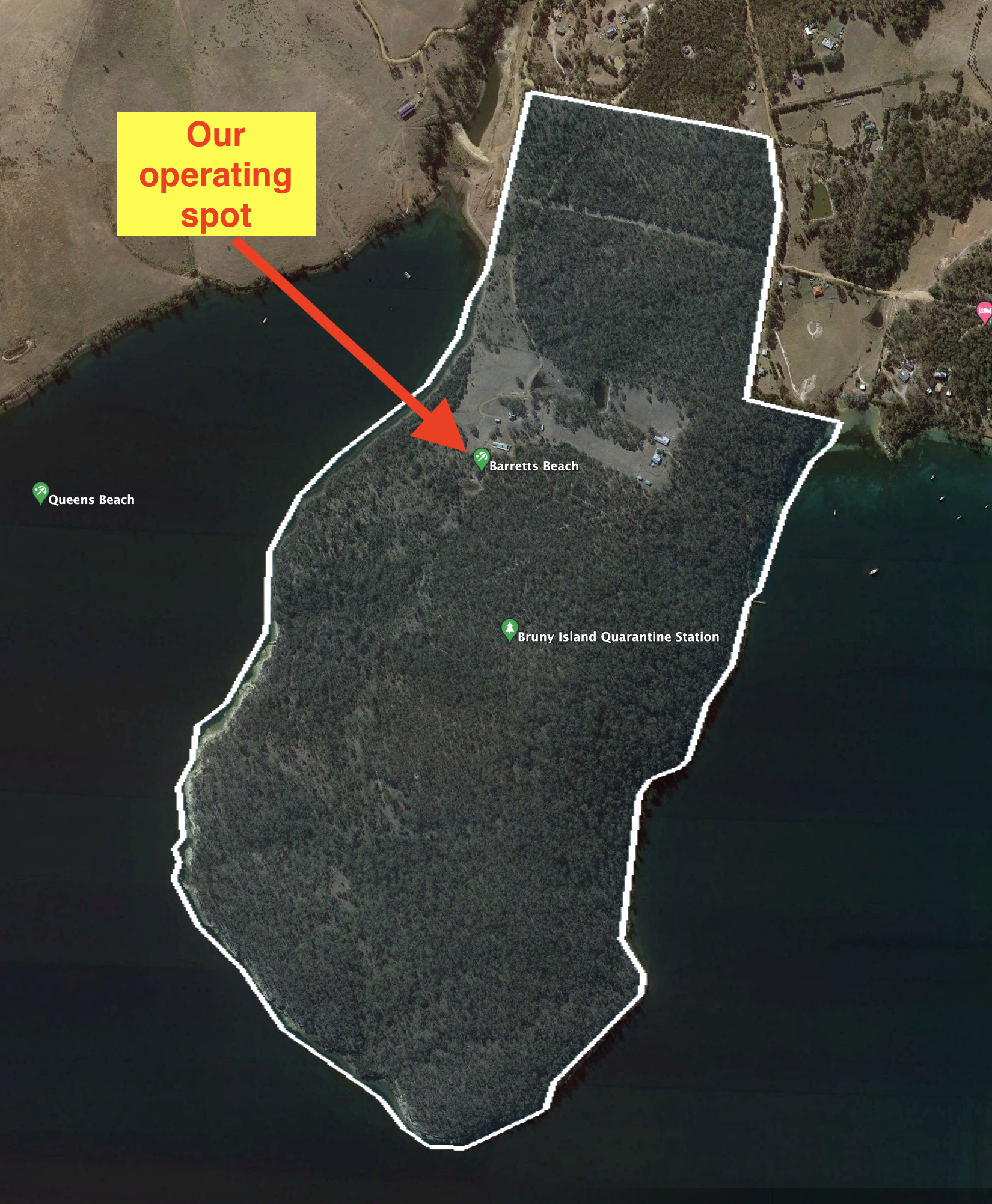
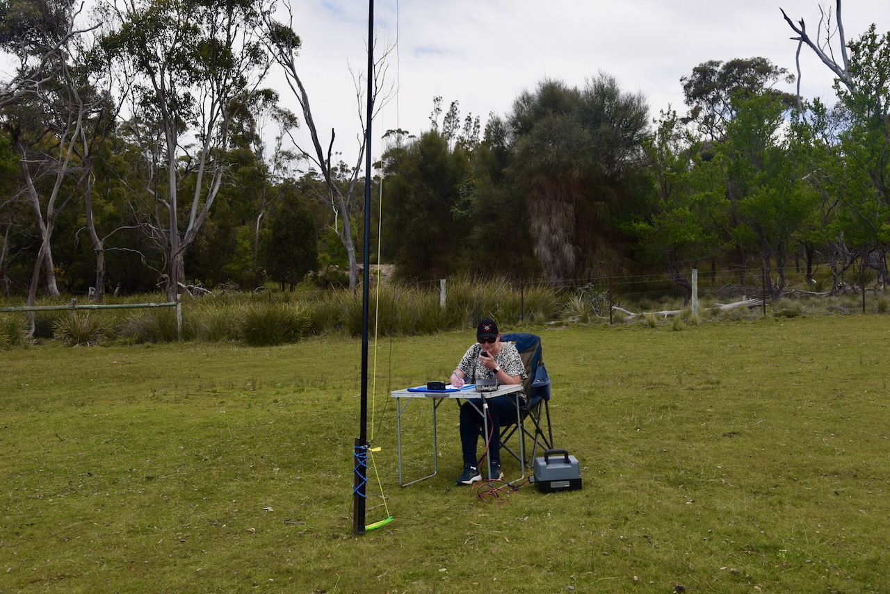
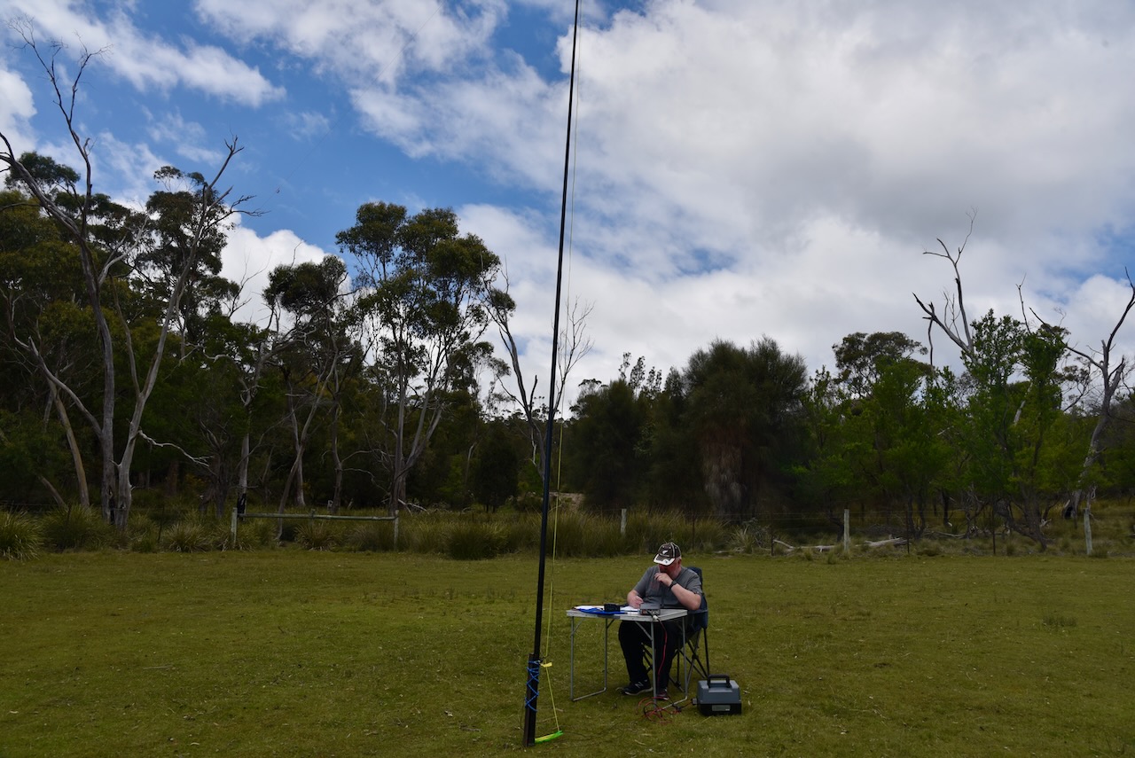
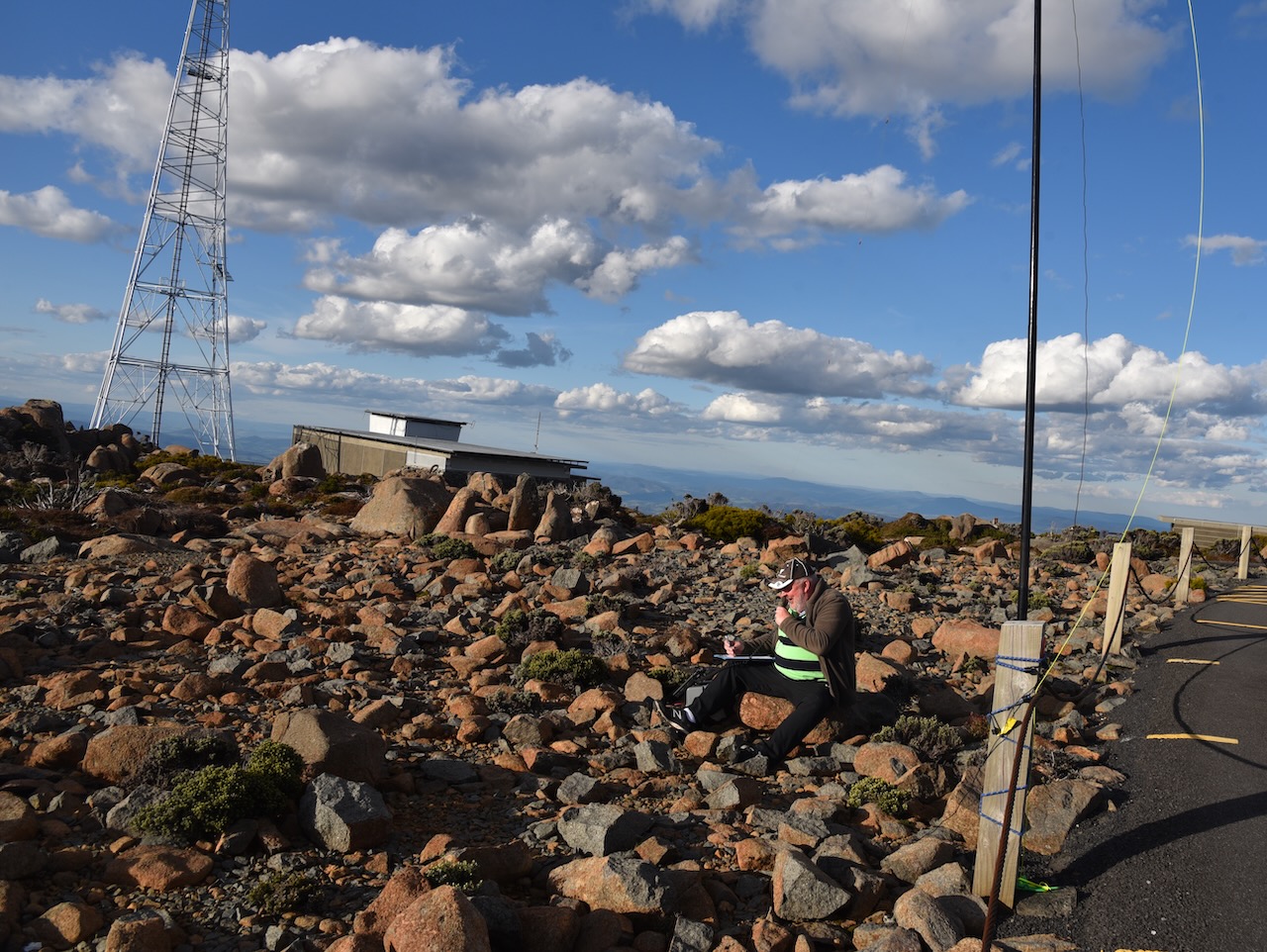
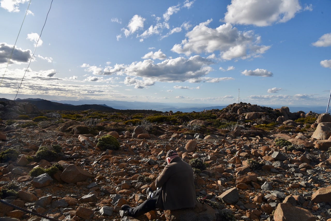
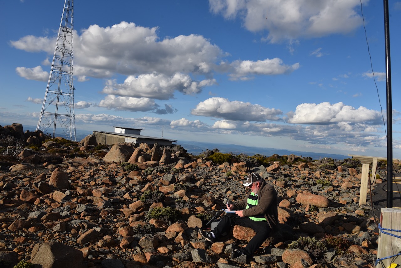
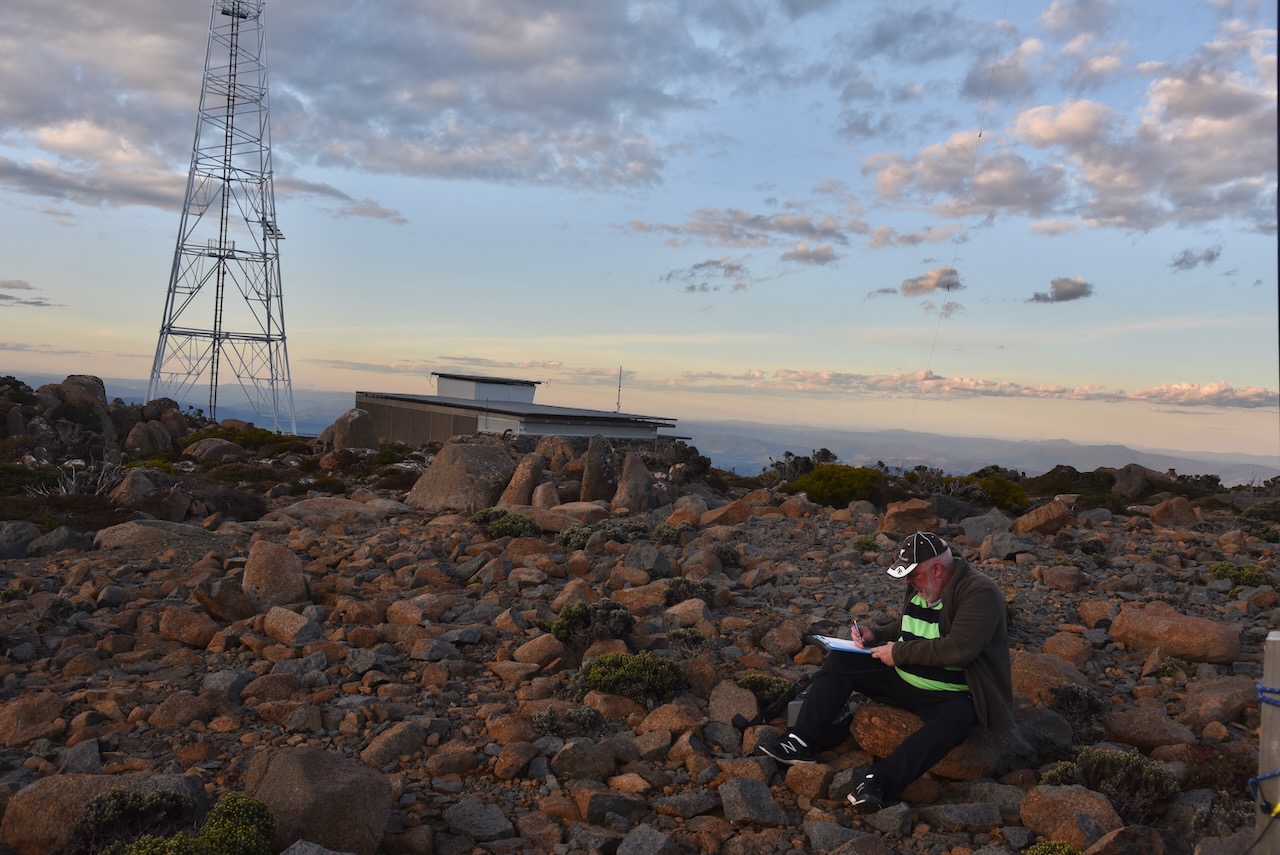
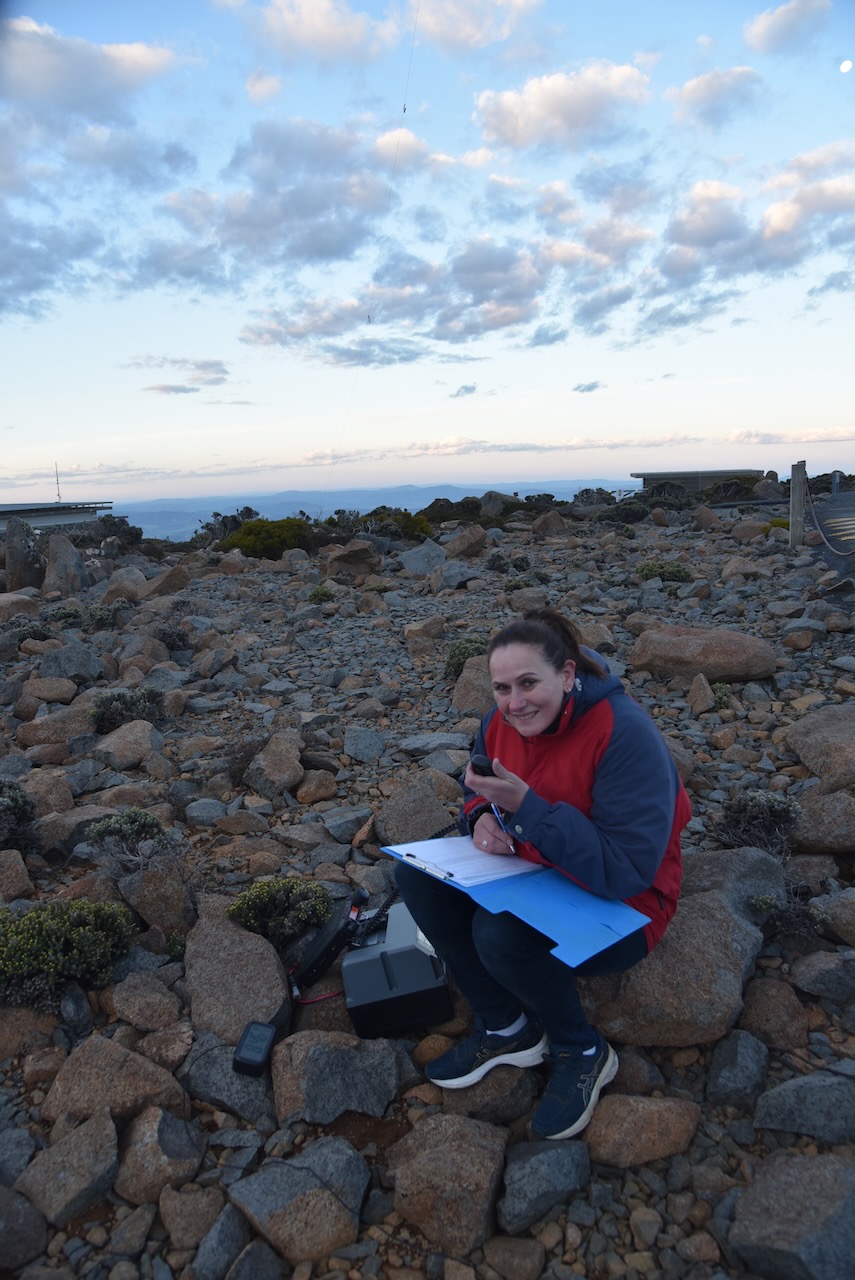
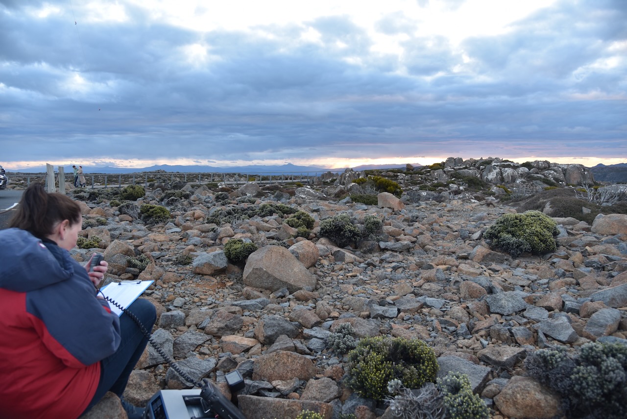
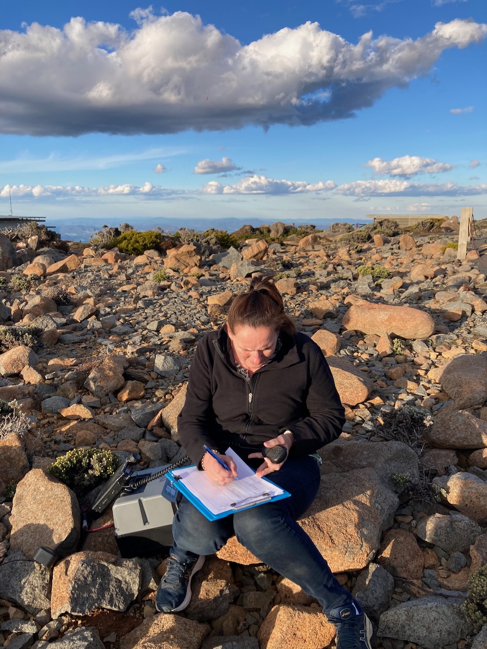
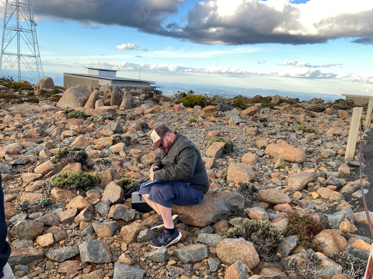
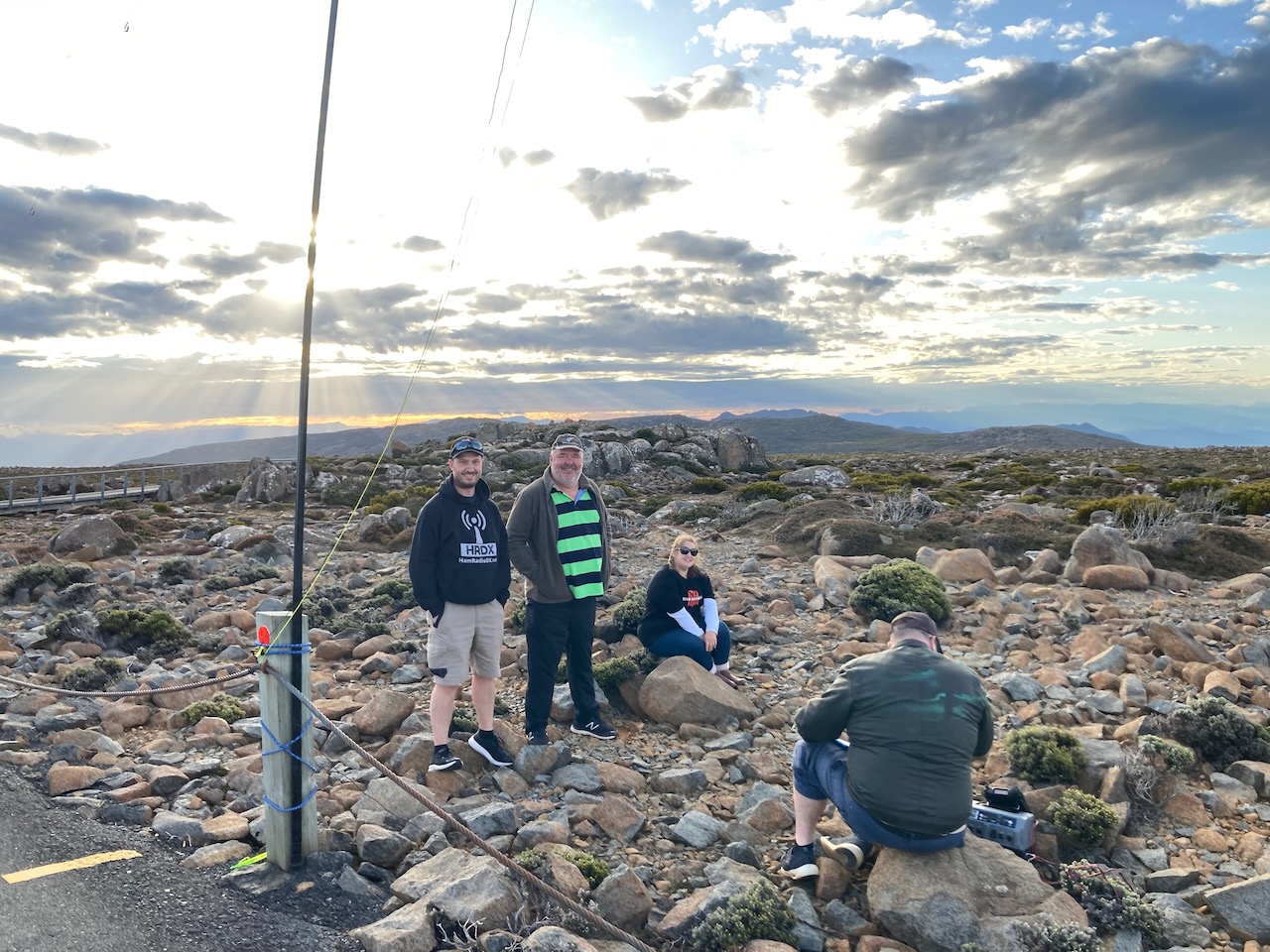
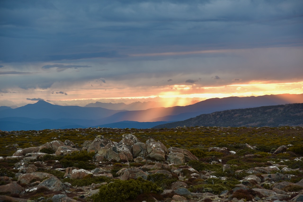
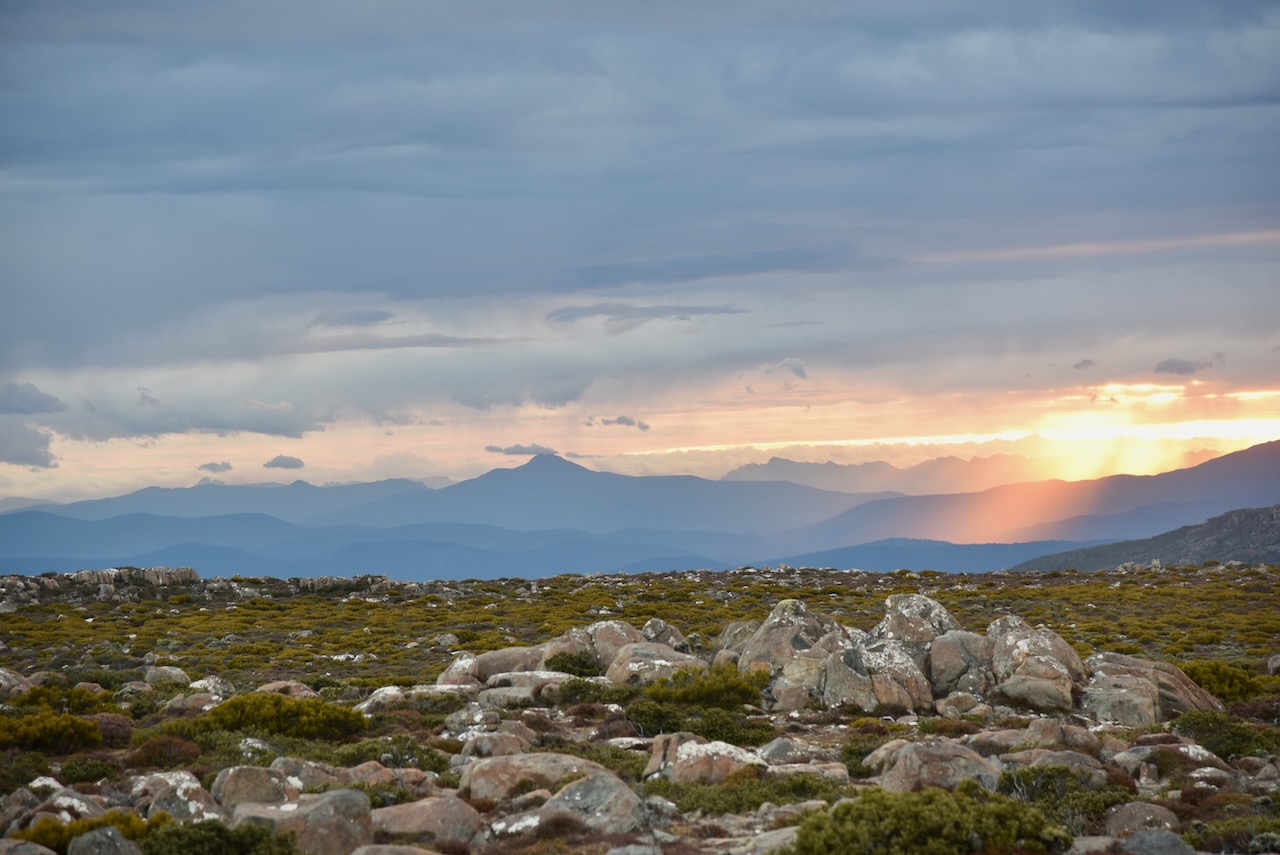
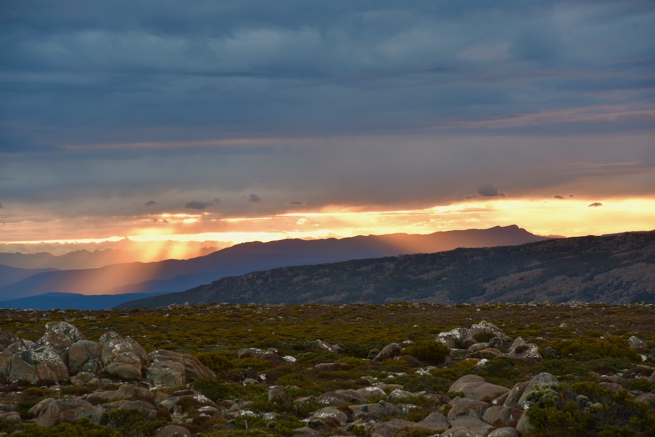
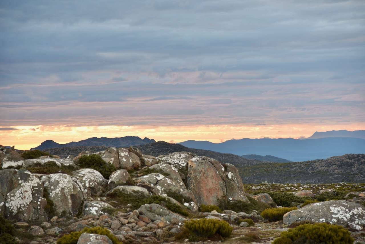
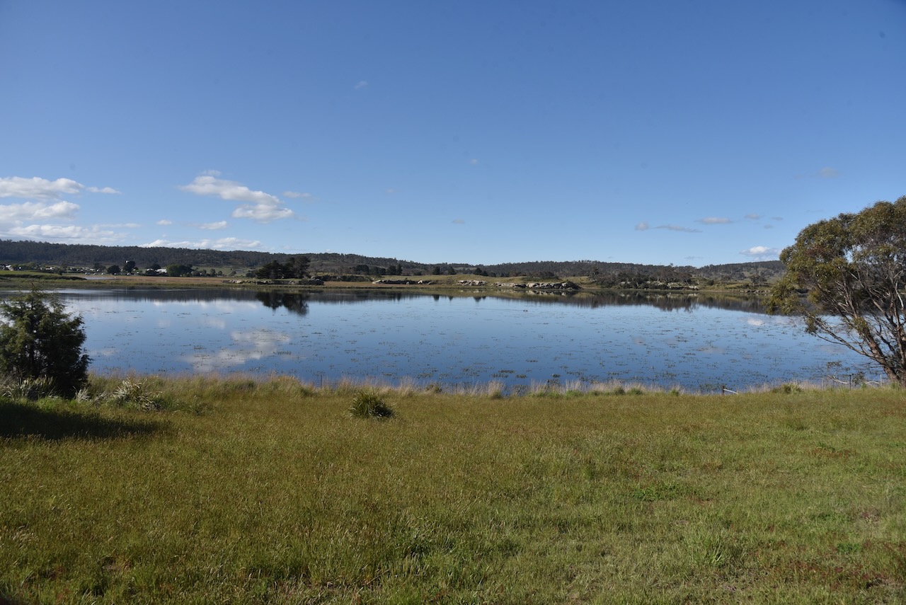
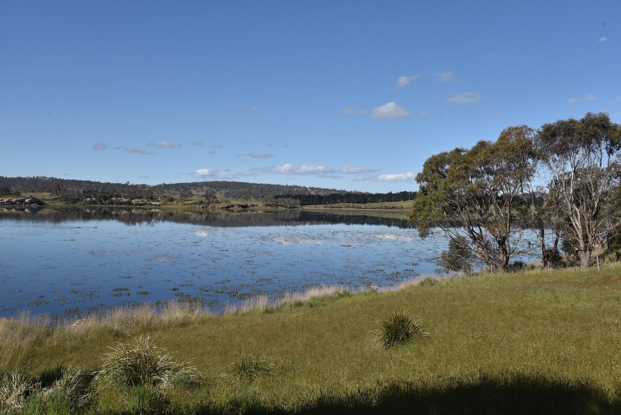
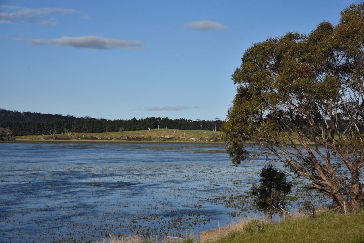
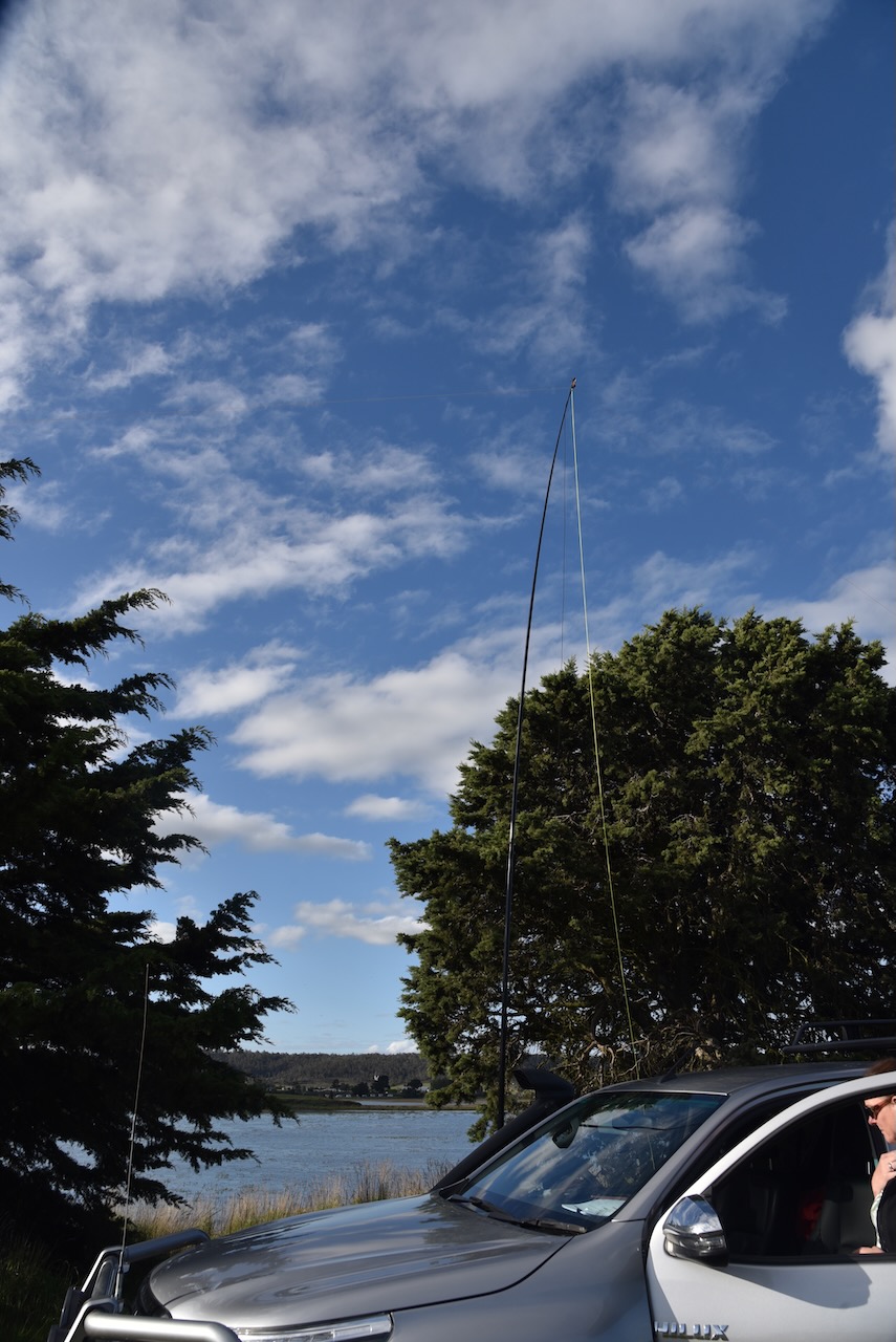
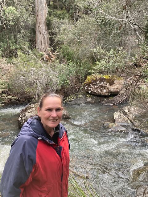
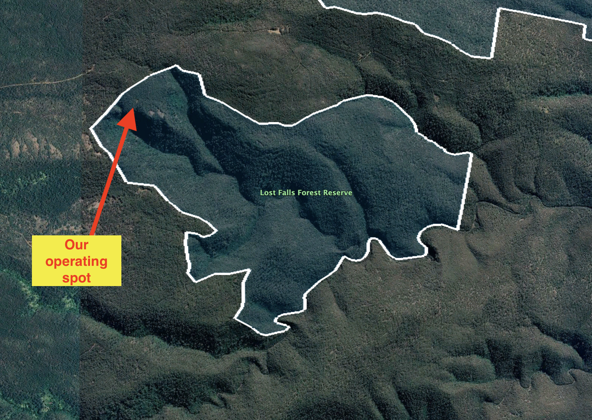
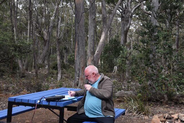
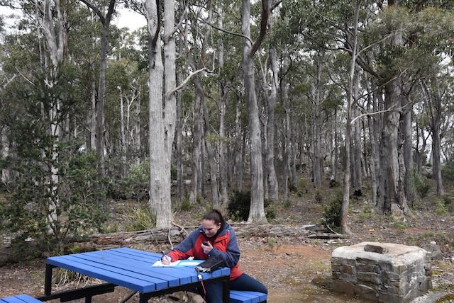
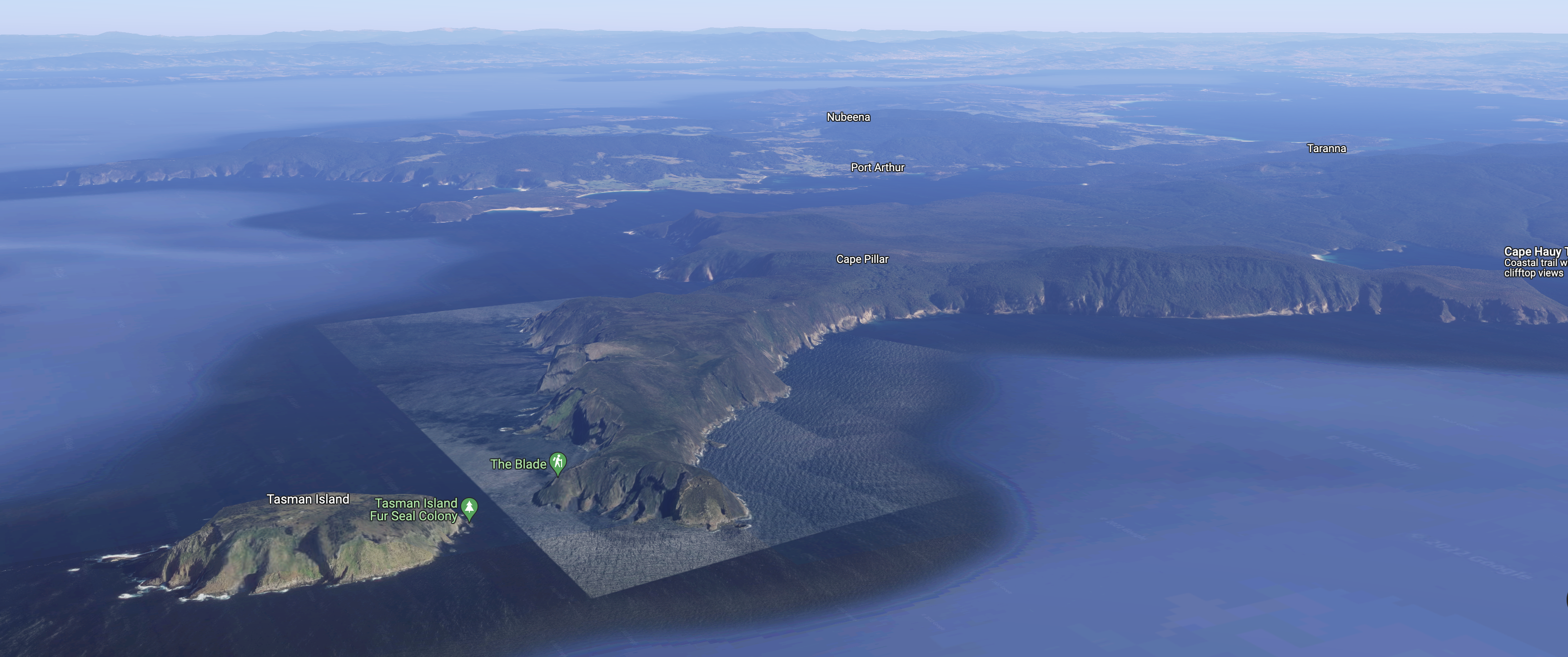
We operated from the campground at the trailhead of Cape Hauy. We operated from the 4WD using the Icom IC-7000, 100 watts, and the Codan 9350 self tuning whip antenna.

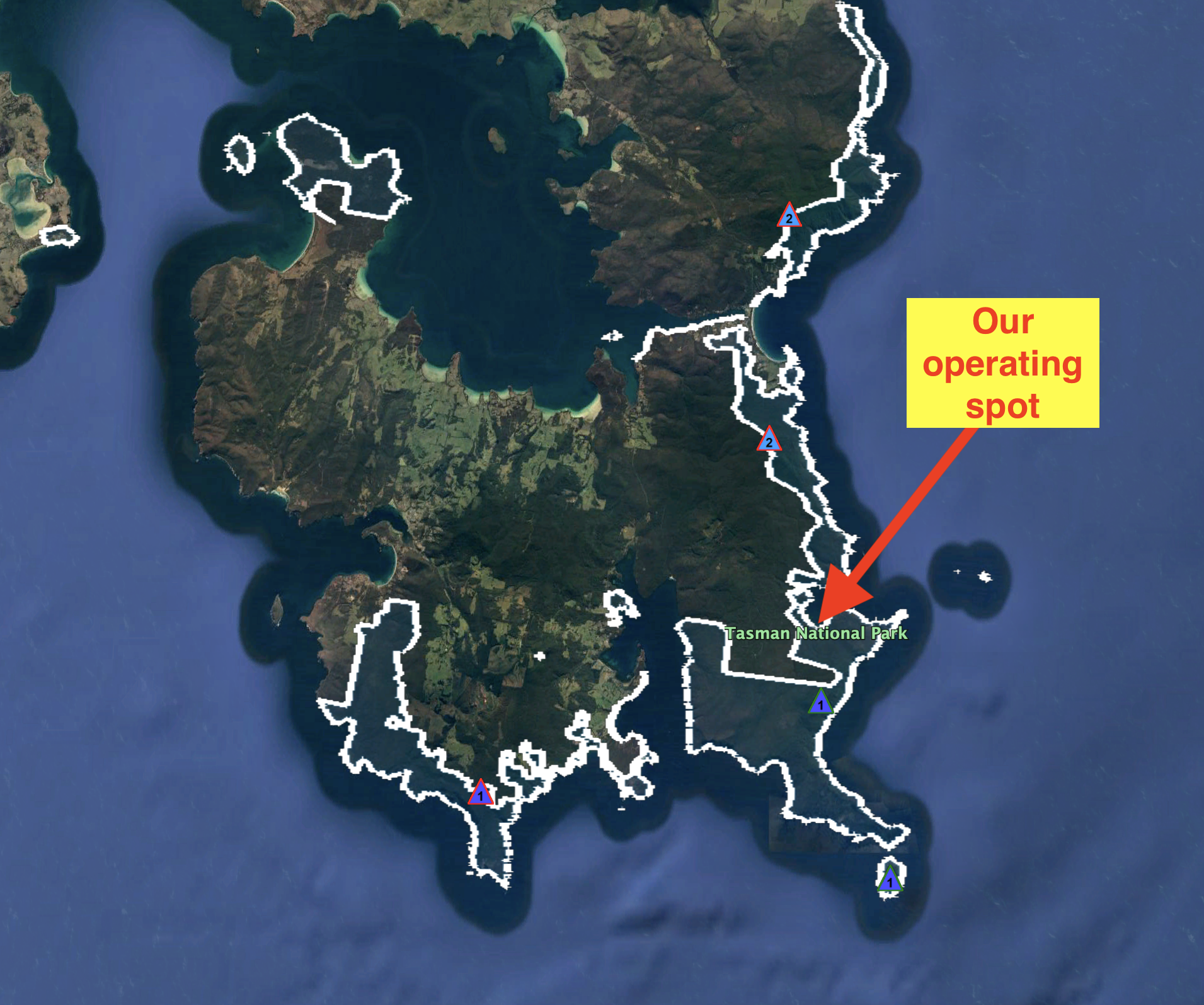
Above:- An aerial shot of the park showing our operating spot. Image c/o Google Earth.

Marija made the following QSOs on 40m SSB:-

  1. VK2DWP
  2. ZL4NVW/p (Mount Aspiring National Park ZLFF-0006)
  3. VK2VH
  4. VK4AAC
  5. VK2EXA
  6. VK2MET
  7. VK1AO
  8. VK3APJ
  9. VK3SMW
  10. VK4NH
  11. VK4DXA

Marija made the following QSOs on 20m SSB:-

  1. VK6NU/p (SOTA VK6/ SW-005 & Stirling Range National Park VKFF-0467)
  2. ZL1TM

I made the following QSOs on 40m SSB:-

  1. VK2DWP
  2. ZL4NVW/p (Mount Aspiring National Park ZLFF-0006)
  3. VK2VH
  4. VK4AAC
  5. VK2EXA
  6. VK2MET
  7. VK1AO
  8. VK3APJ
  9. VK3SMW
  10. VK4NH
  11. VK4DXA
  12. VK2NP
  13. VK2VW
  14. VK2HFI

I made the following QSOs on 20m SSB:-

  1. VK6NU/p (SOTA VK6/ SW-005 & Stirling Range National Park VKFF-0467)
  2. ZL1TM
  3. VK4HAT
  4. IW2NXI
  5. VK4NH
  6. VK4DXA
  7. VK5HS

It was starting to get late in the day and we were hungry, so we decided to pack up having not reached the 44 QSOs required for the global World Wide Flora Fauna (WWFF) program. However we had both qualified the park for VKFF with 10 QSOs each. It was a pleasure to log Matt ZL4NVW in New Zealand and John VK6NU in Western Australia for some Park to Park contacts.

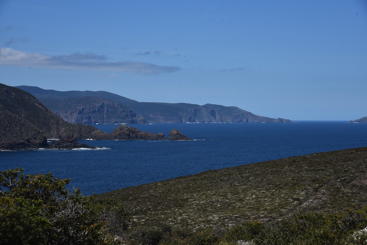
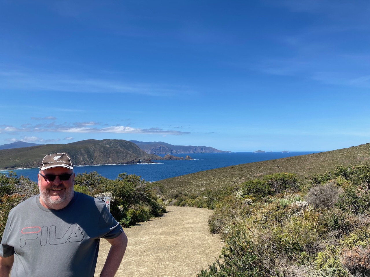
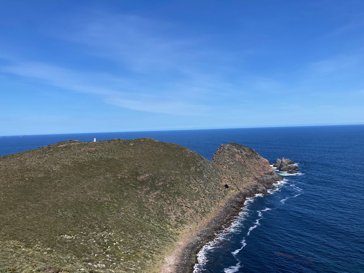
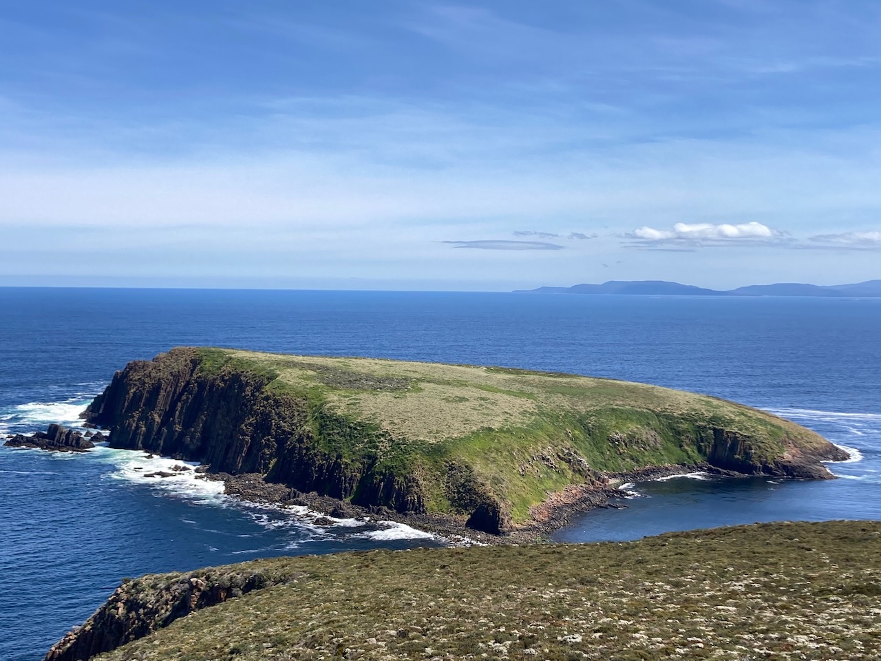
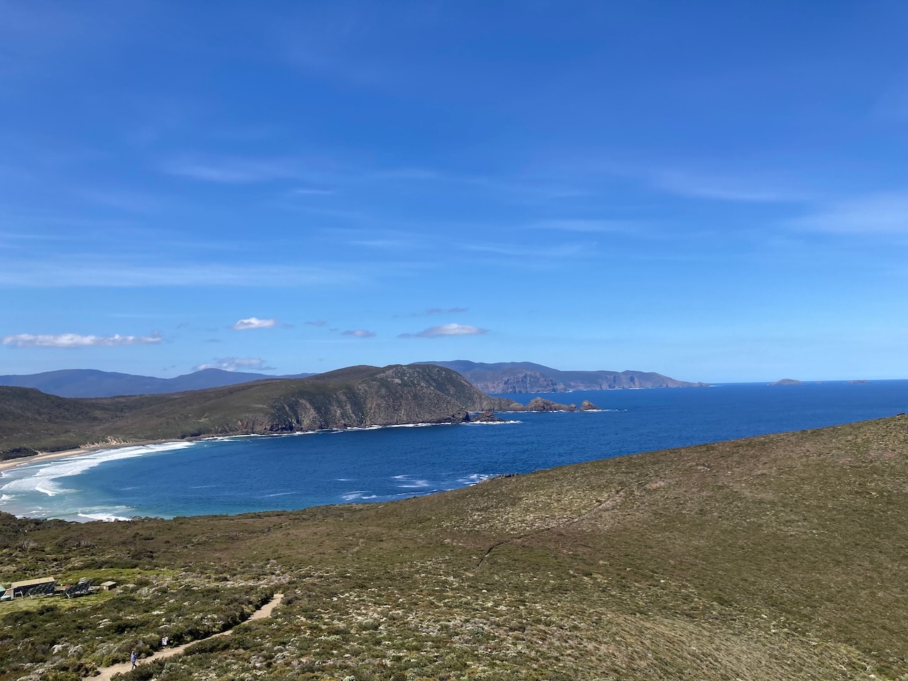
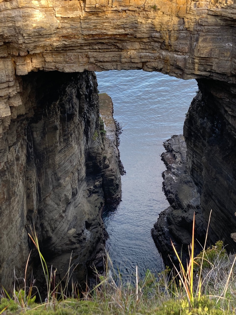
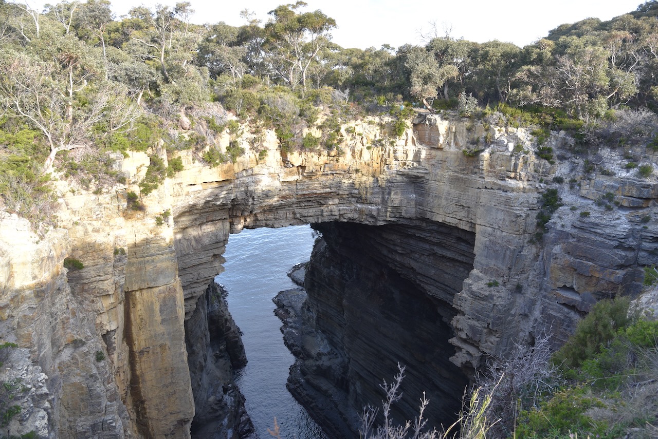
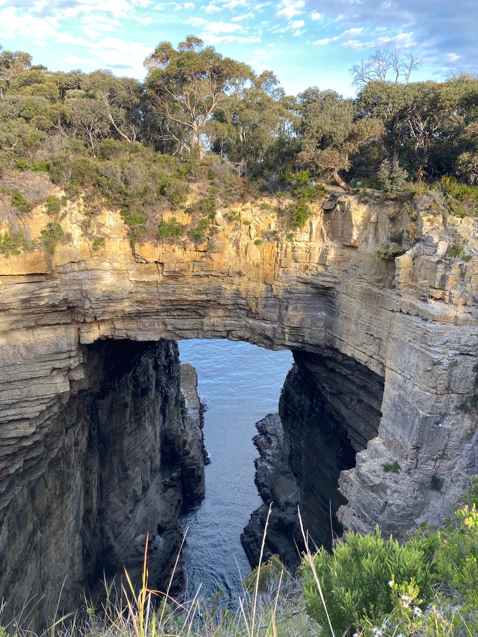
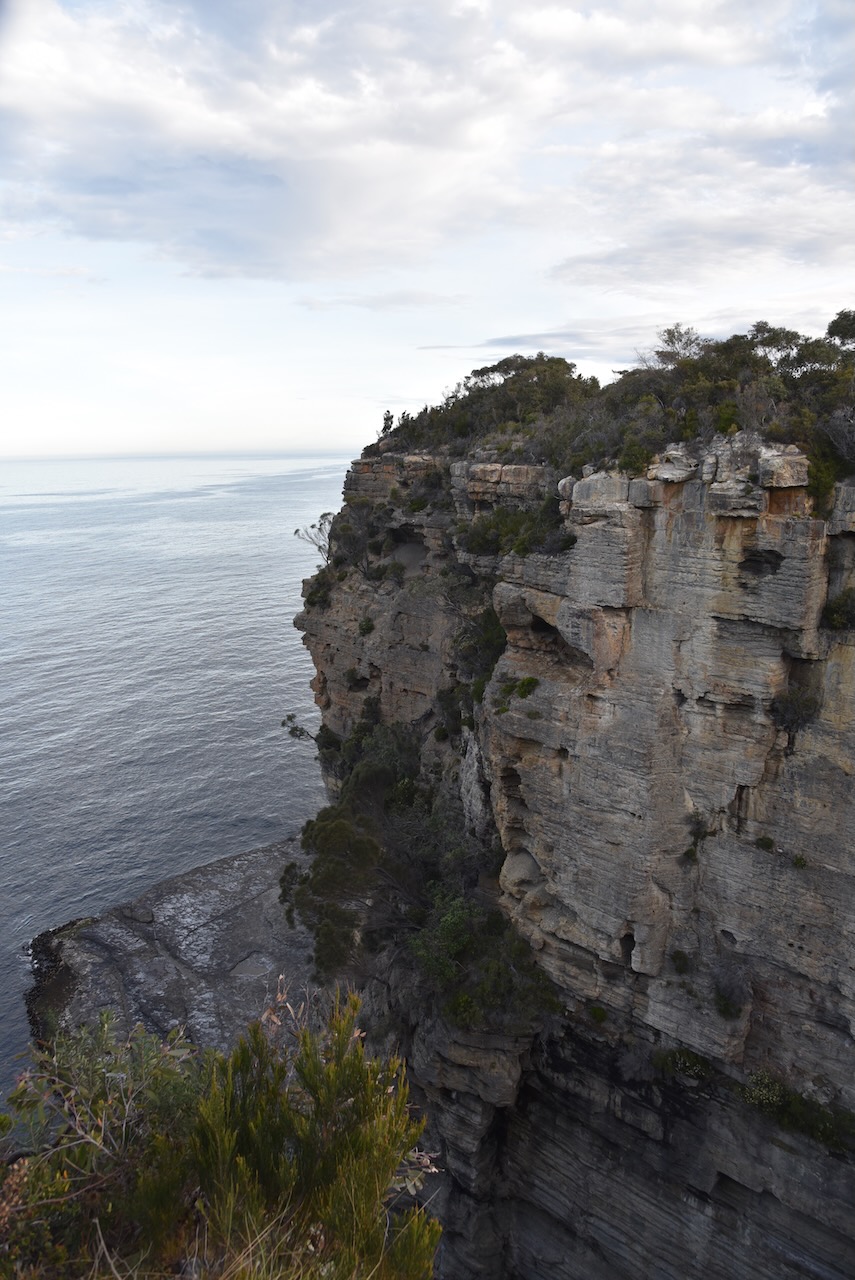
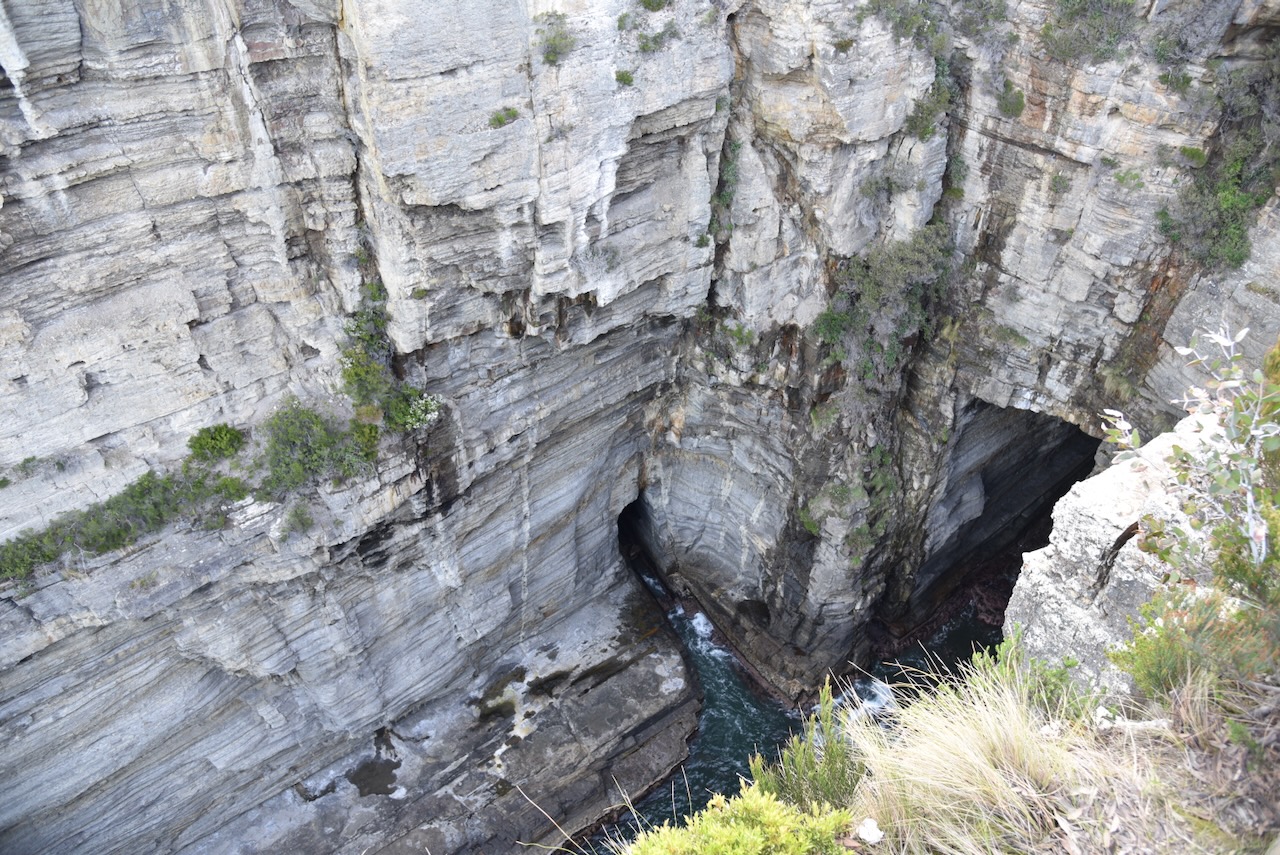
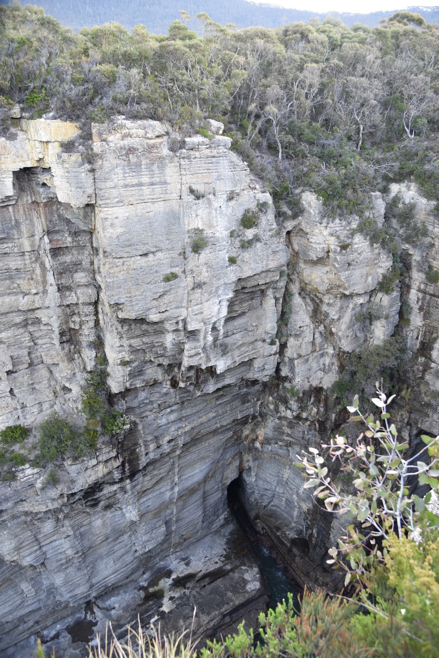
We stopped briefly to have a look at Tasmans Arch which is located in the park.

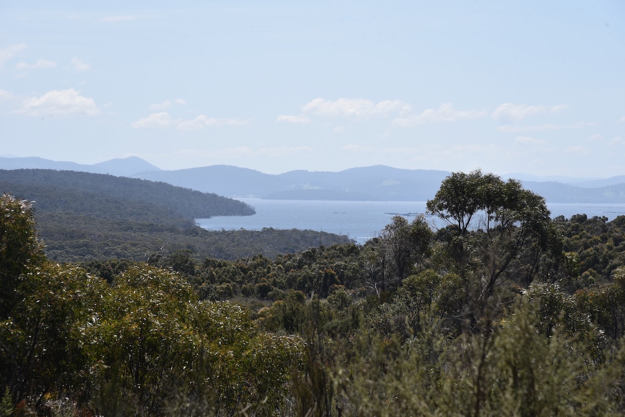
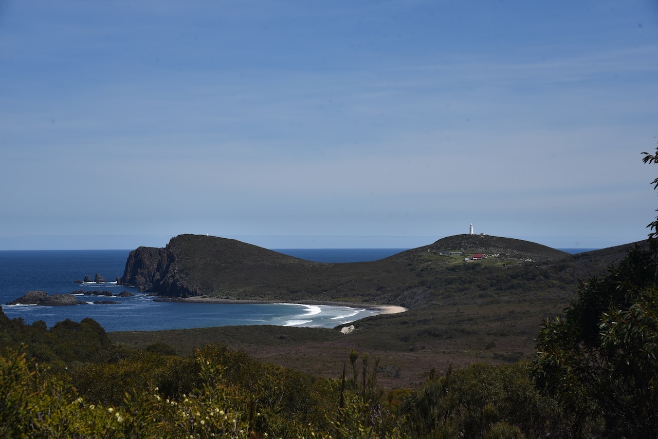
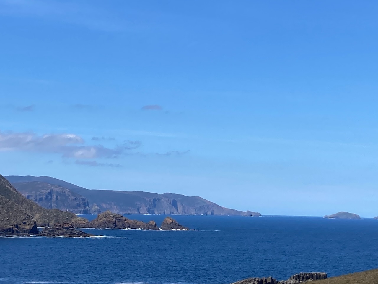
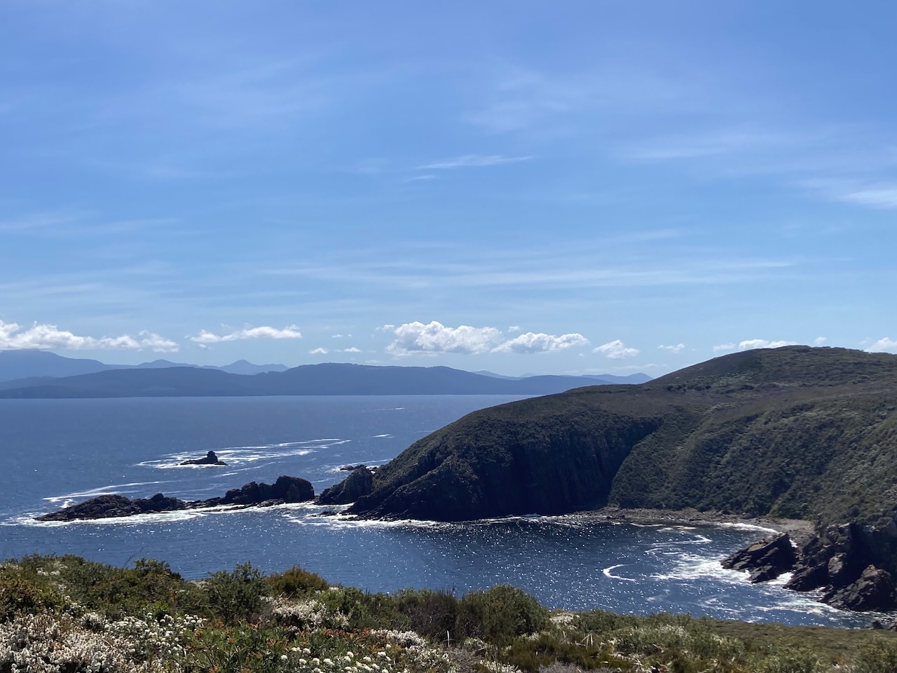
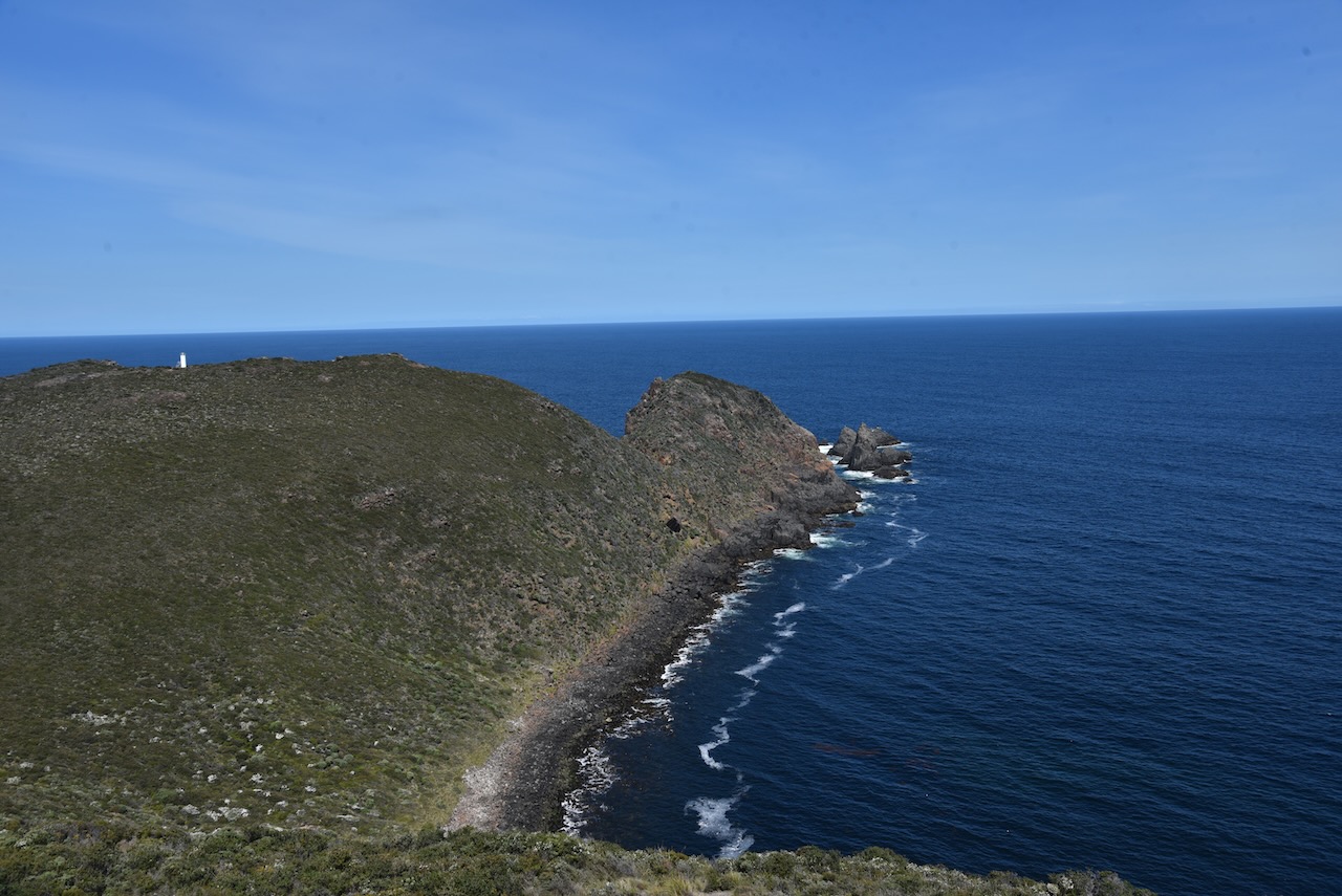
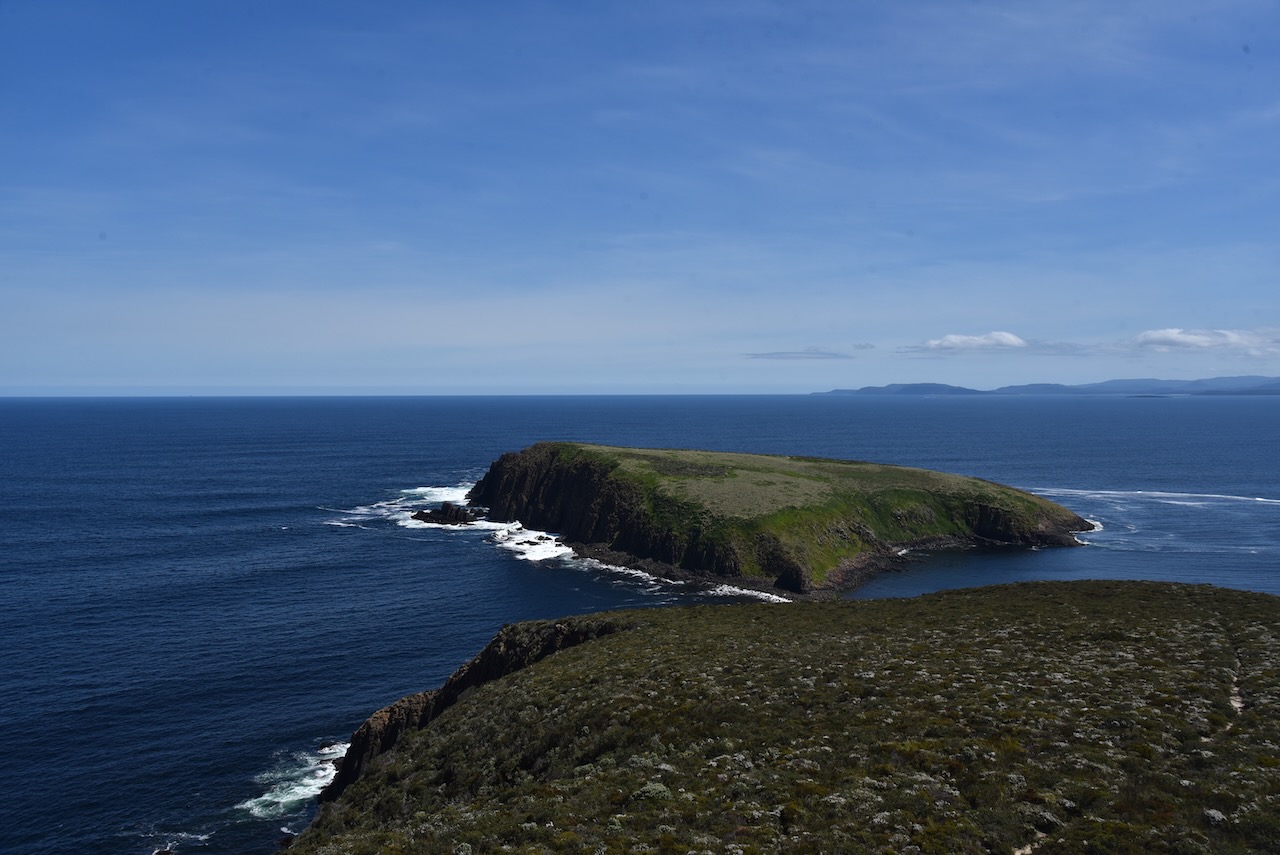
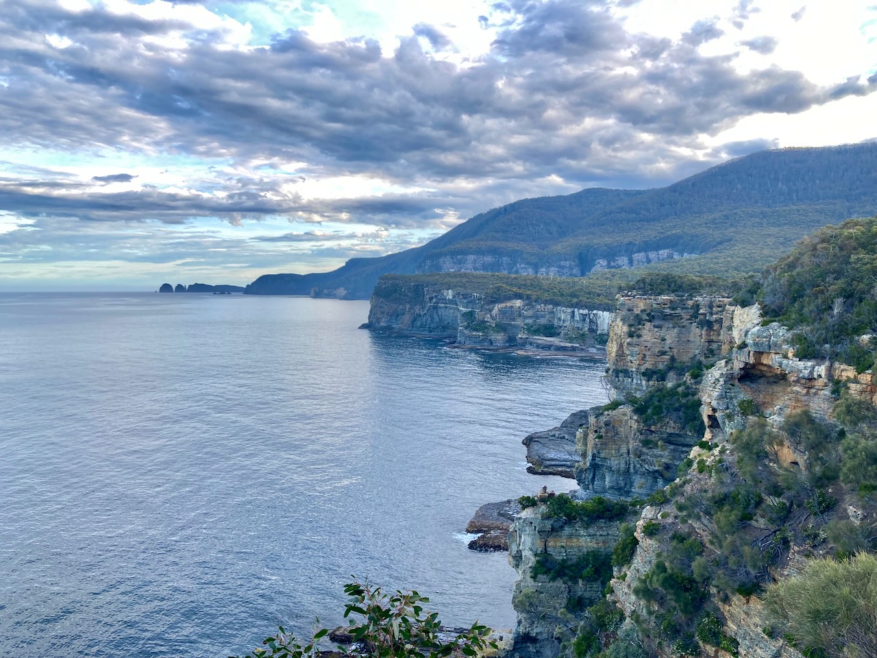
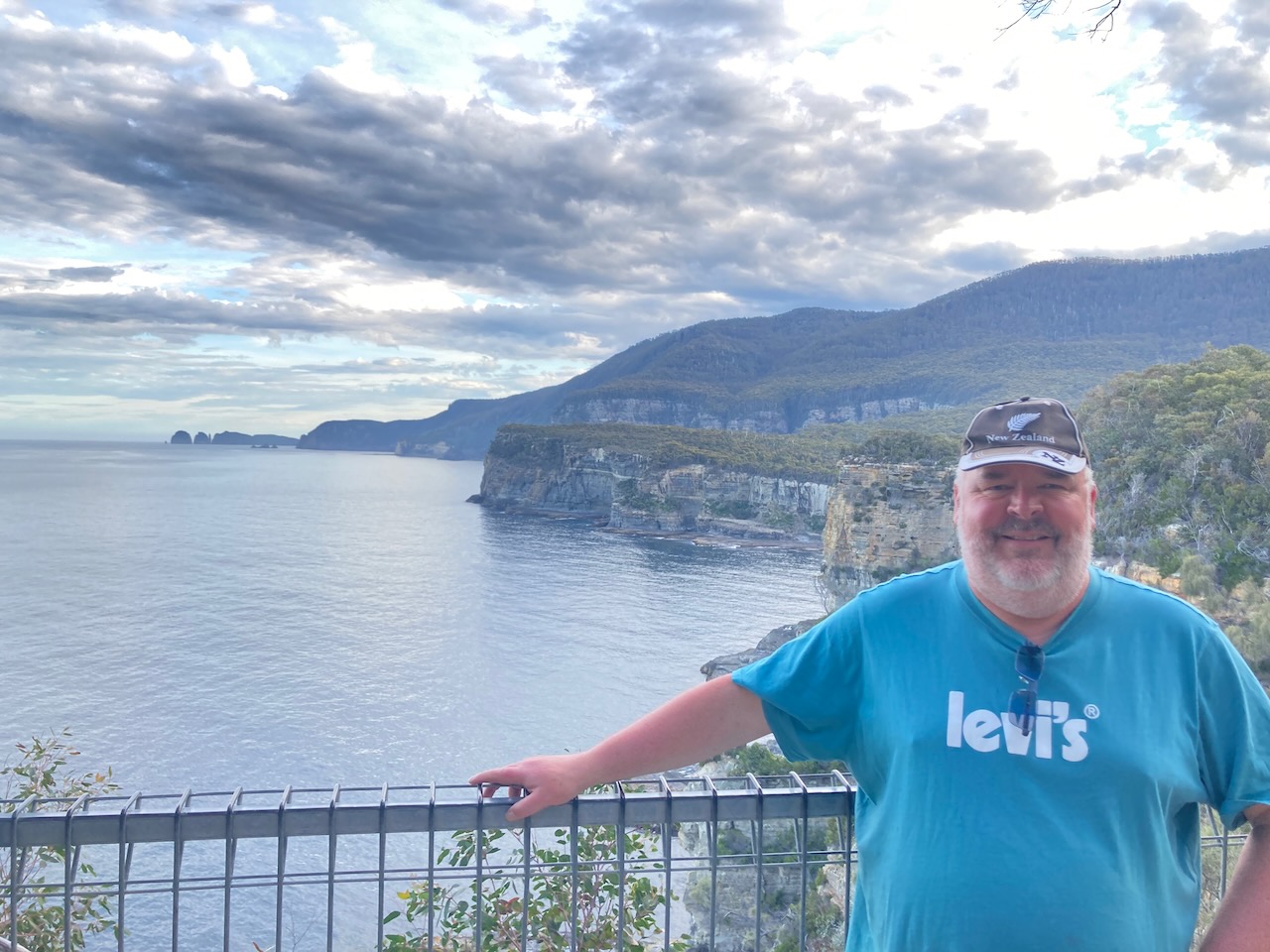
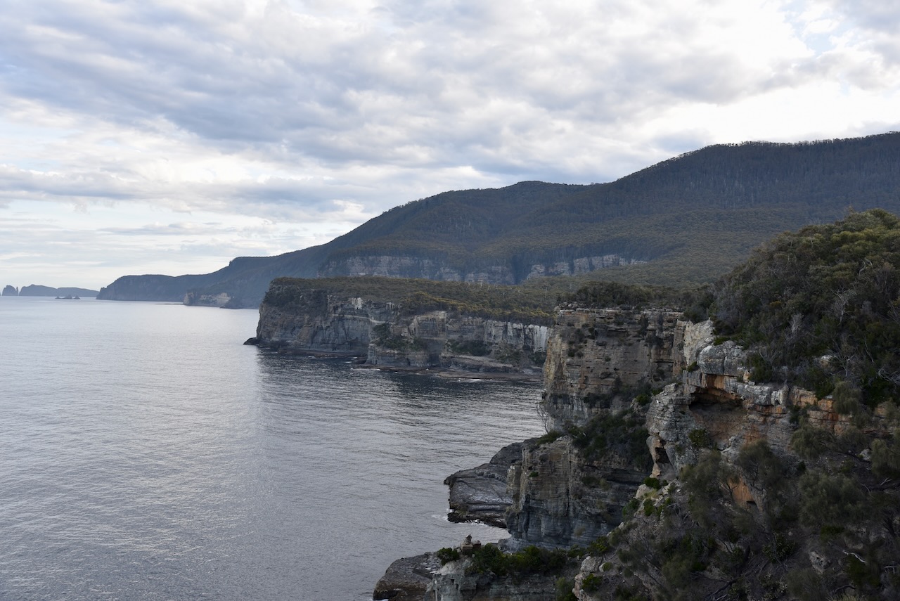
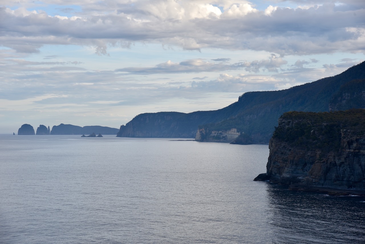
There are some amazing viewing points of the spectacular coastline including the Cliffs Lookout point.

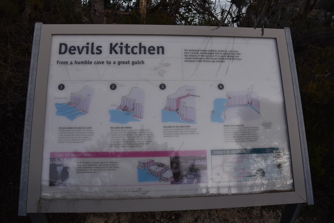
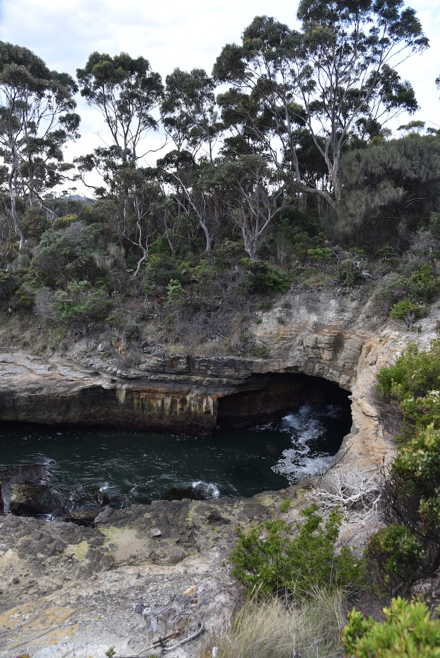
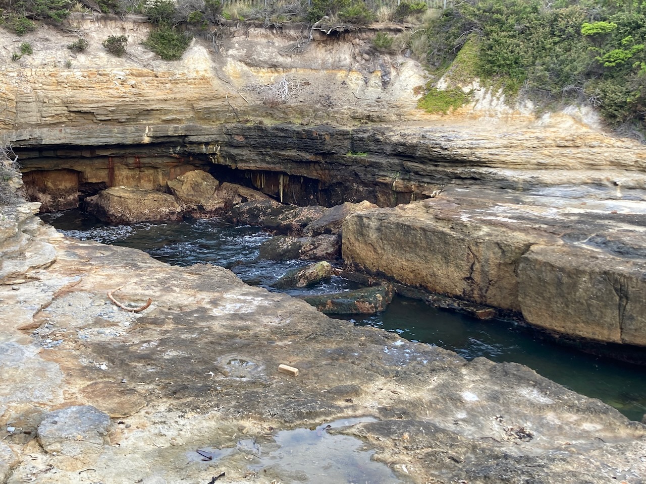
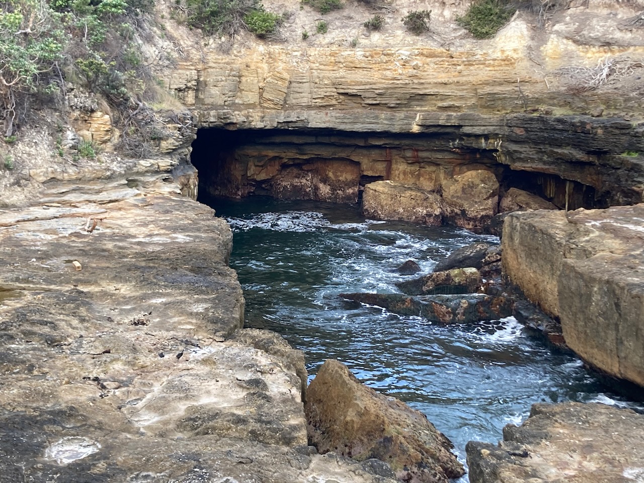
We then visited Devils Kitchen, the remnants of a collapsed sea cave.

Our final stop in the park was the Blow Hole.

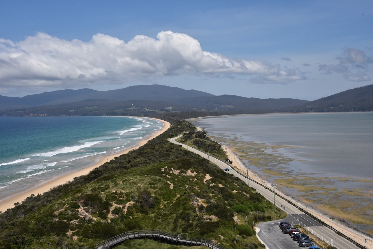
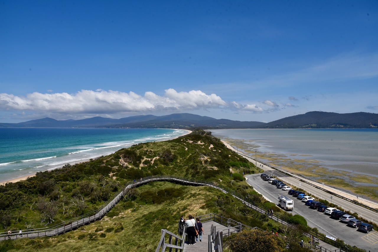
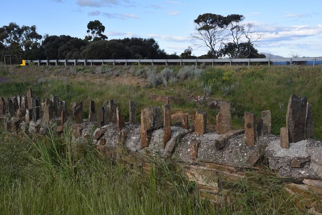
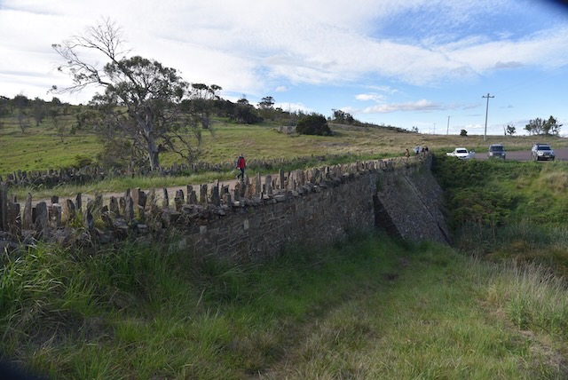
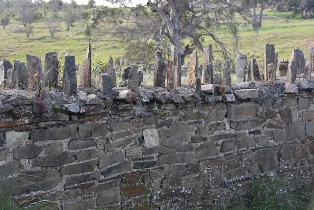
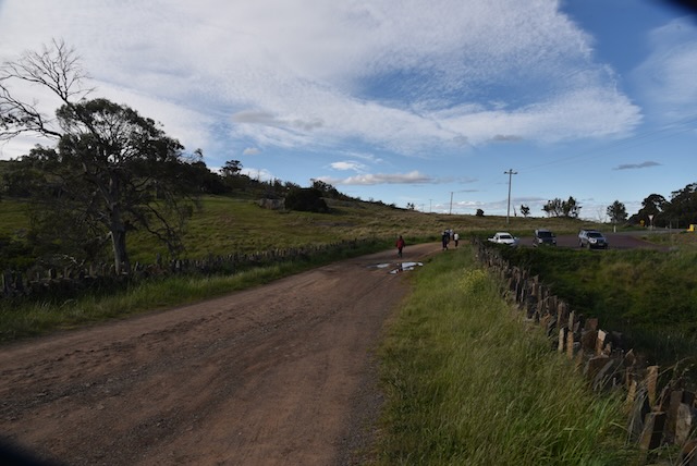
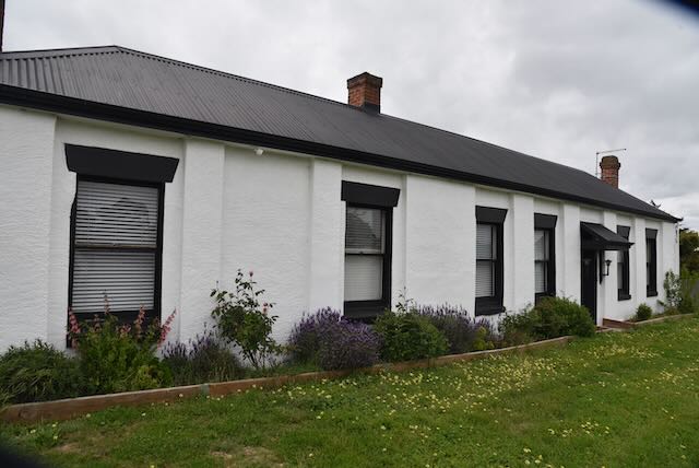
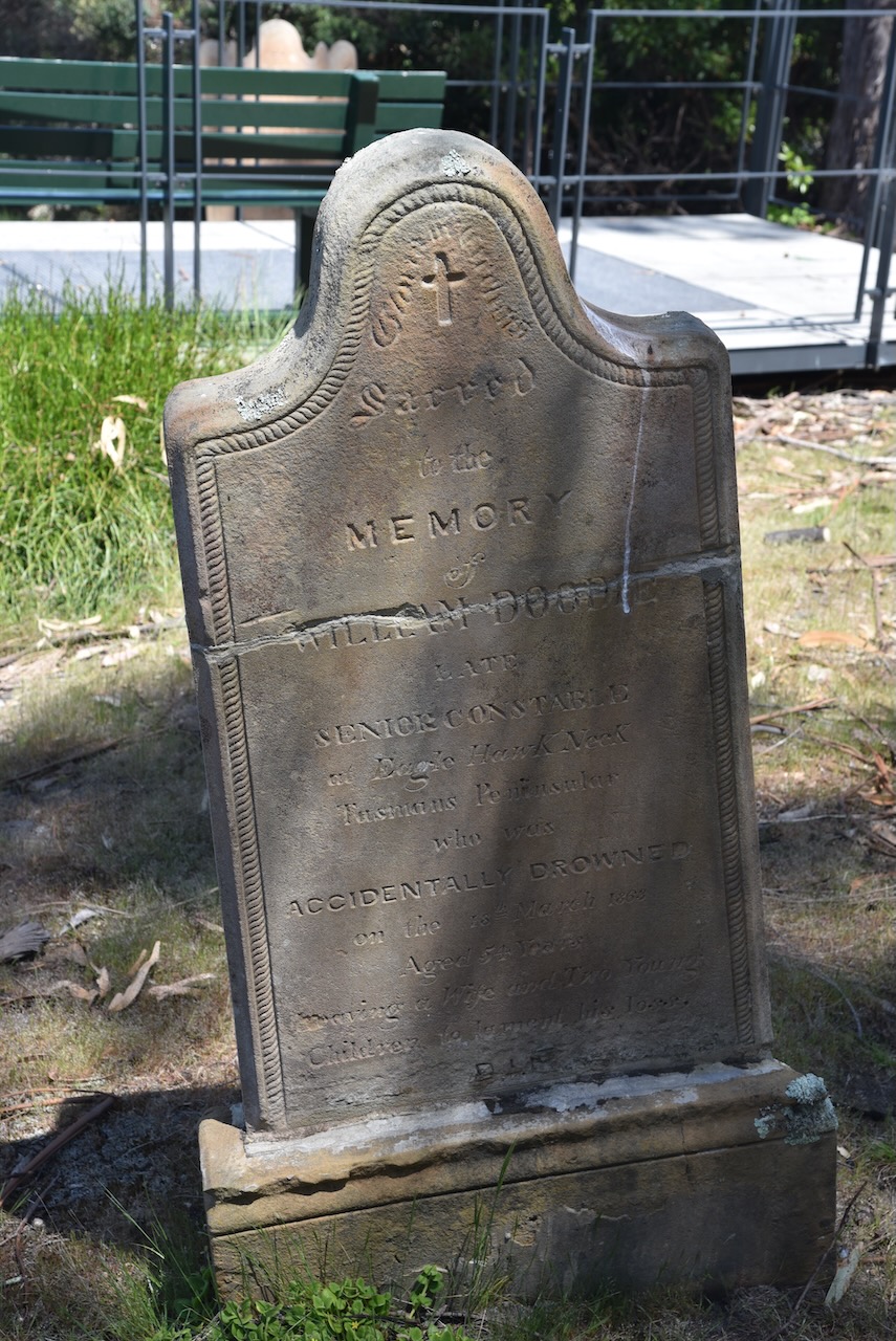
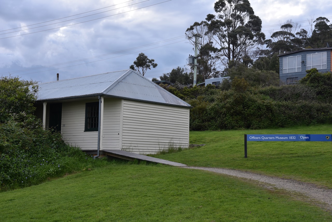
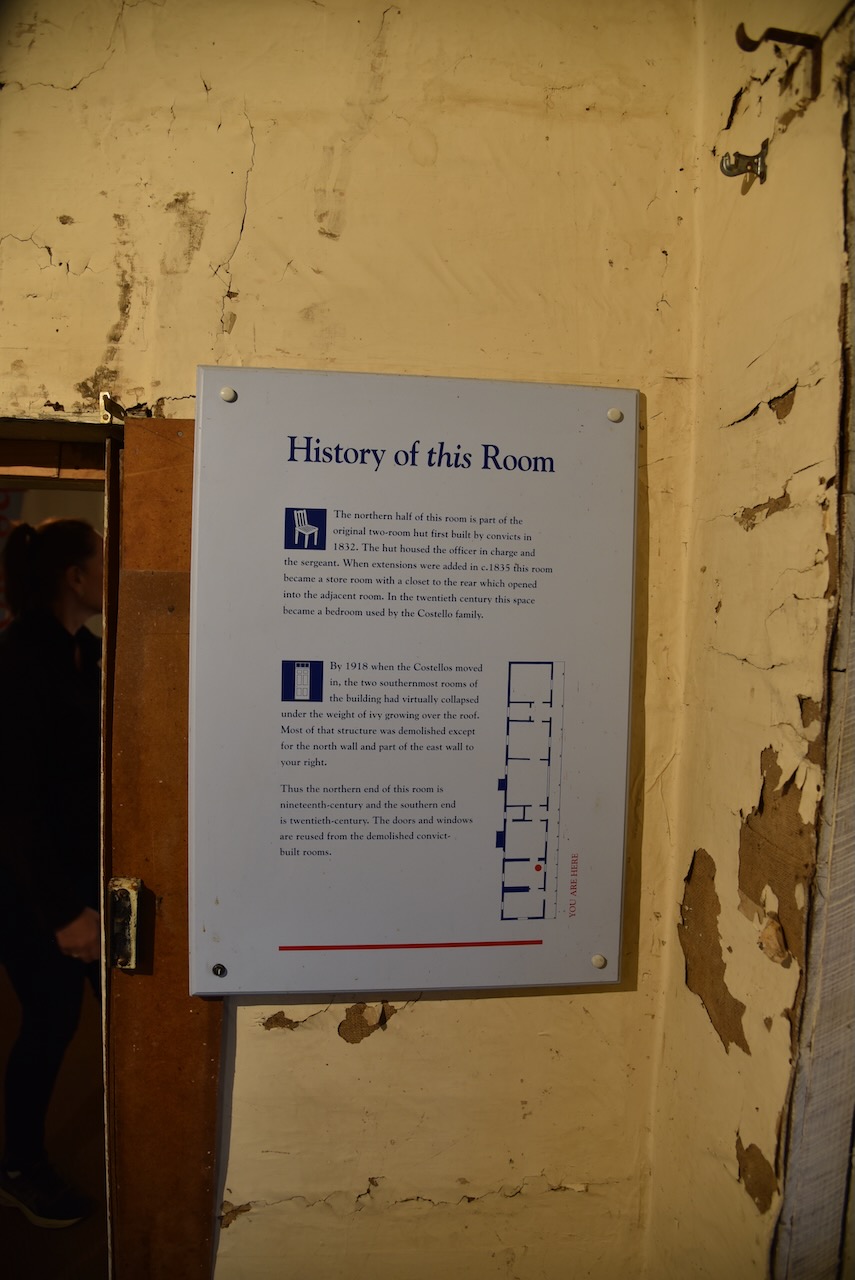
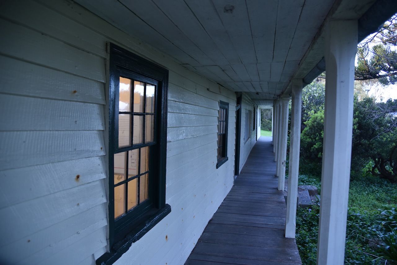
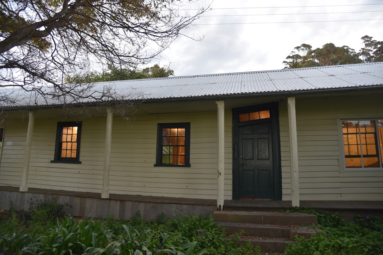
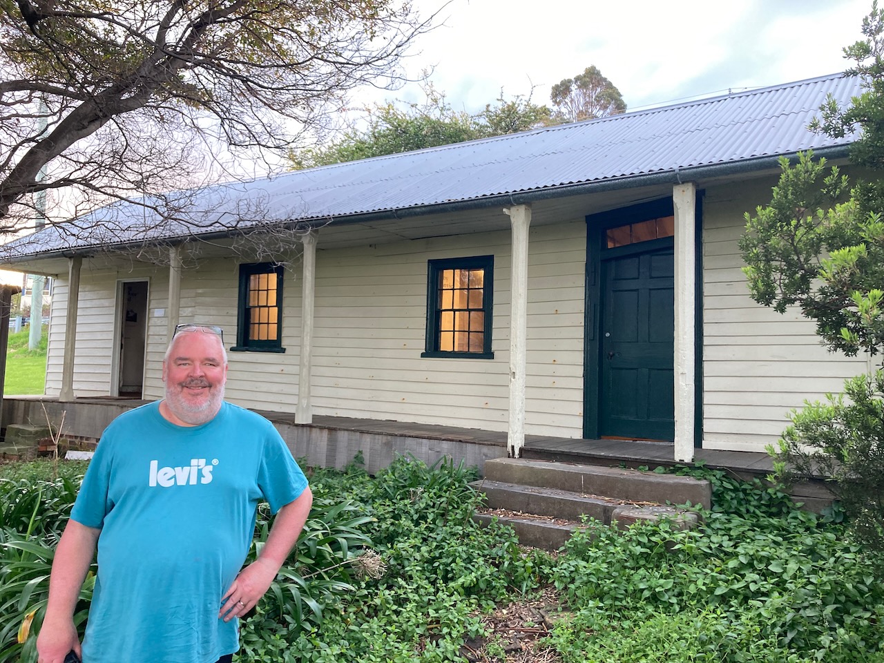
We then stopped to have a look at the former Officers Quarters at Eaglehawk Neck. Eaglehawk Neck, known as ‘The Neck’ is a narrow isthmus which connects the Tasman Peninsula with the Forestier Peninsula.

The quarters were built in 1832 and are believed to be the oldest military building in Australia. The Officers Quarters was one of several structures which formed a small military settlement at this location which was established to prevent the escape of convicts from the peninsula.

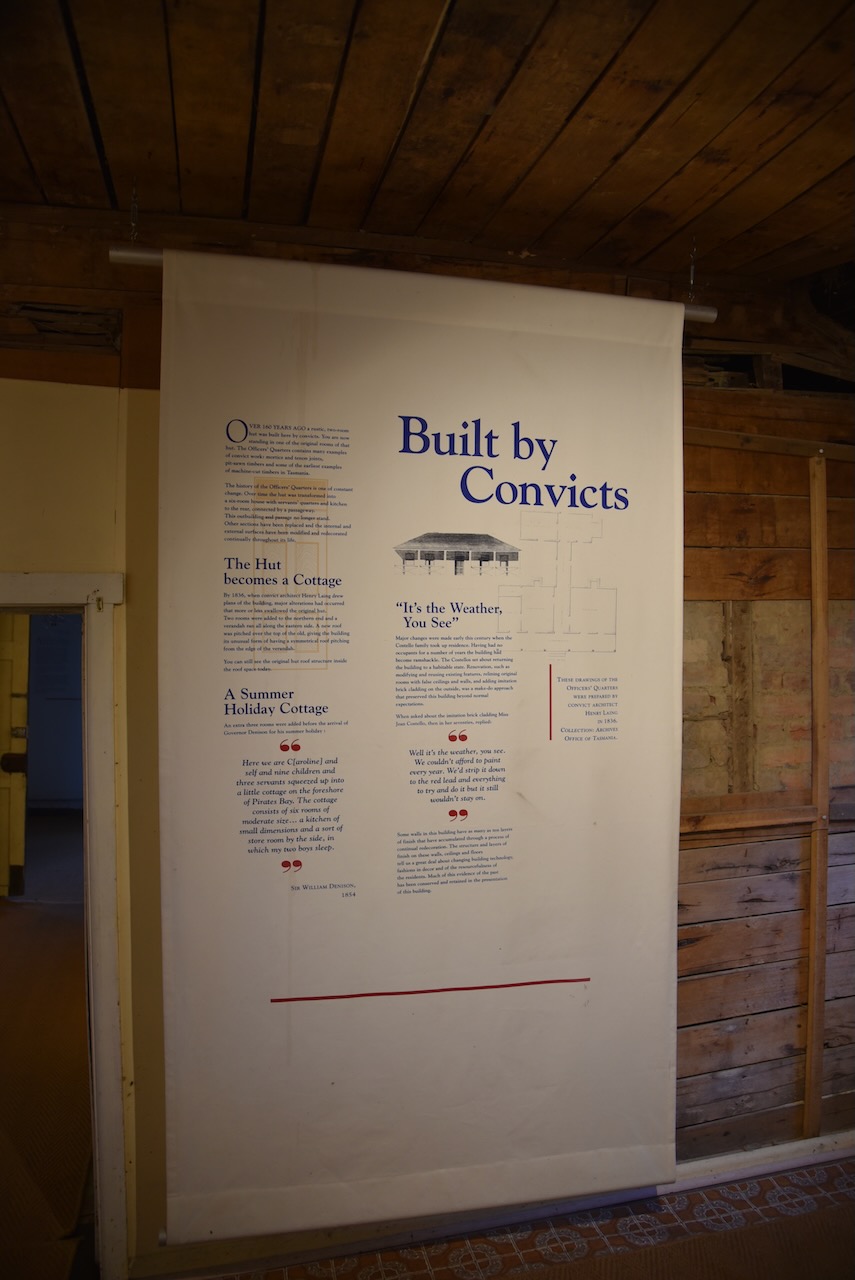
To prevent convict escape from the peninsula, a system was developed in 1831 where a line of dogs were chained to posts across The Neck to warn of any convicts who were attempting to escape. The dog line was used until closure of Port Arthur in the 1870s.

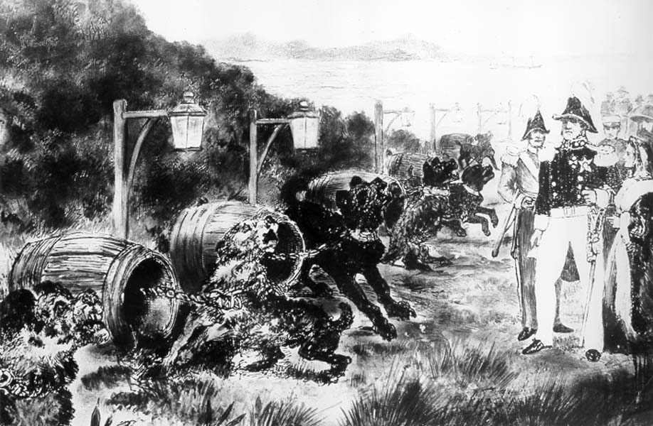
Above:- the Dogline. Image c/o Libraries Tasmania.

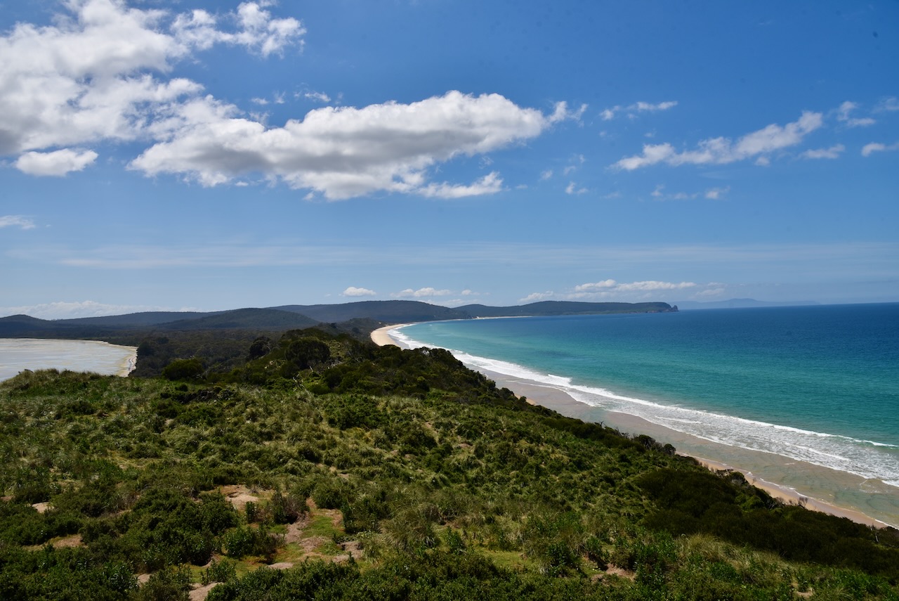
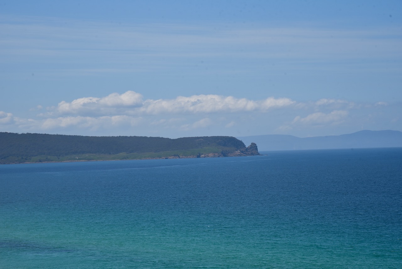
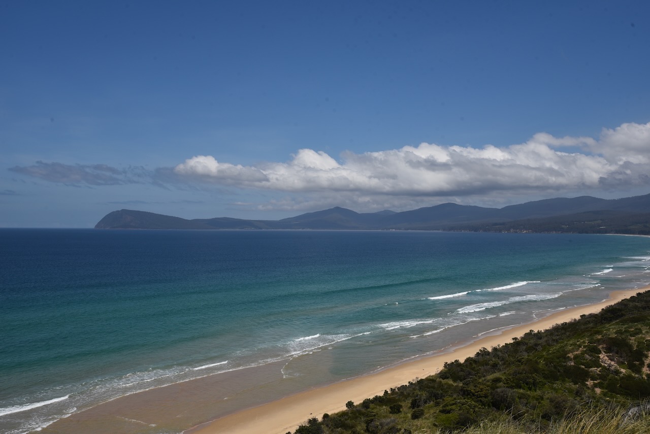
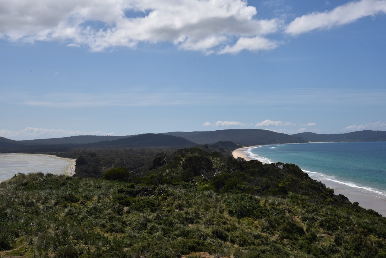
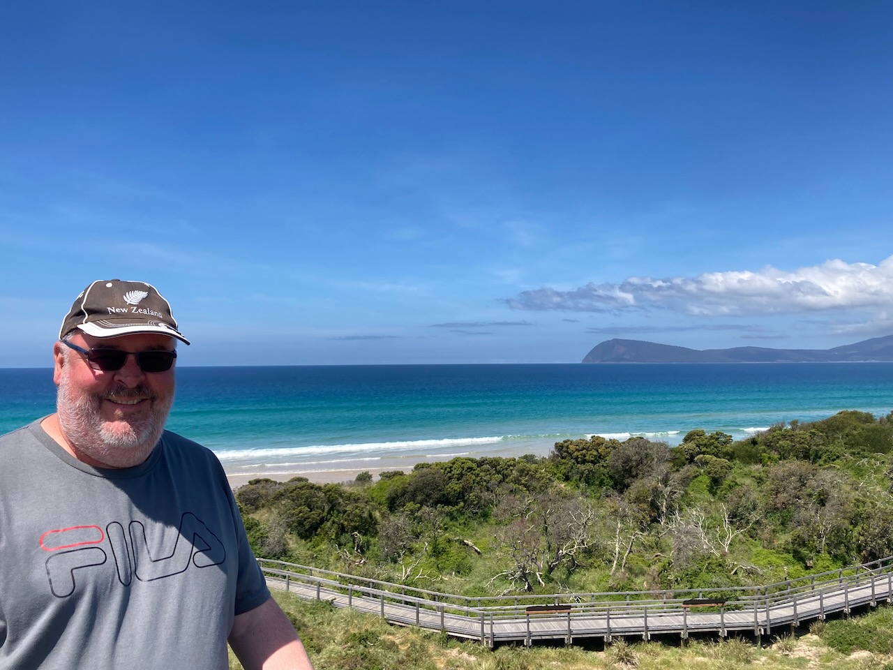
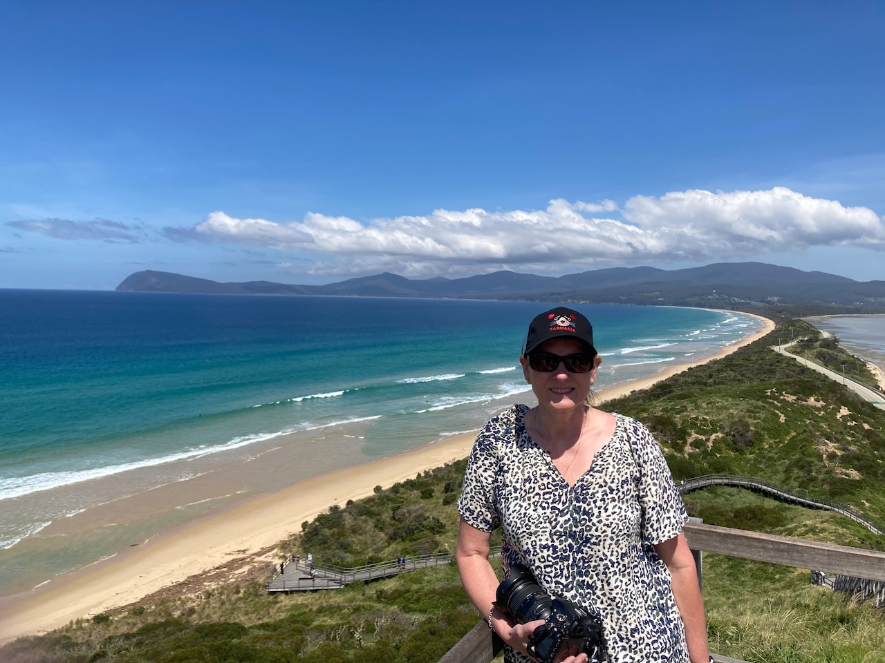
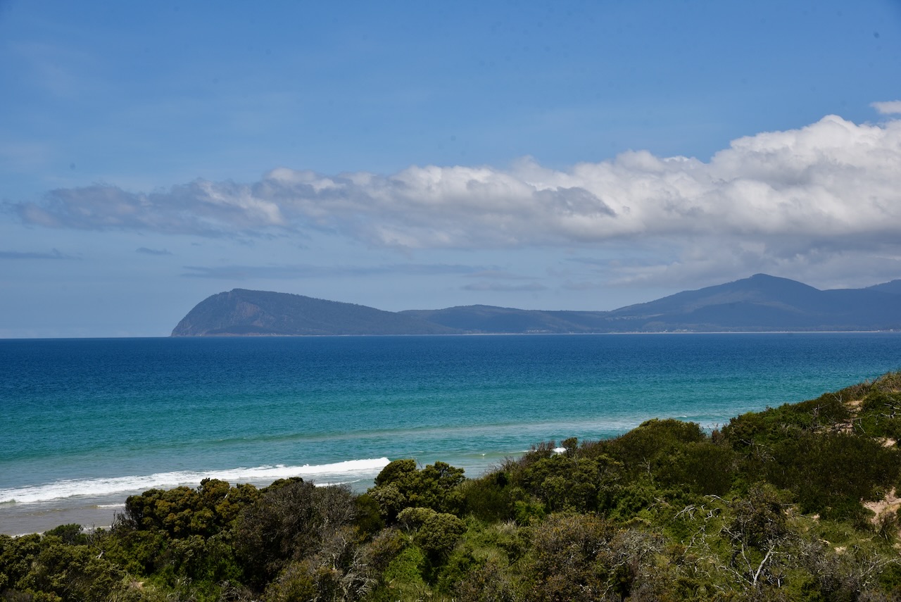
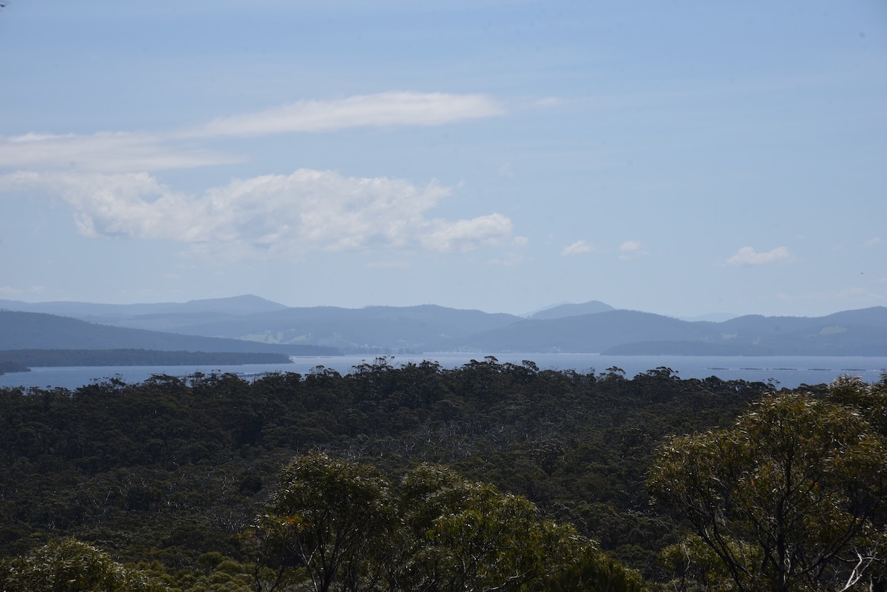
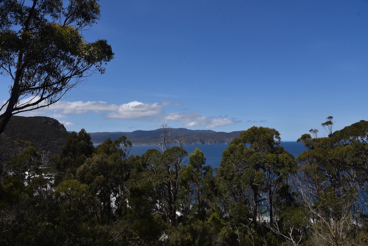
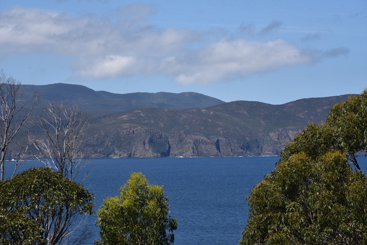
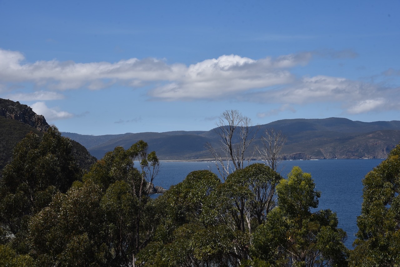
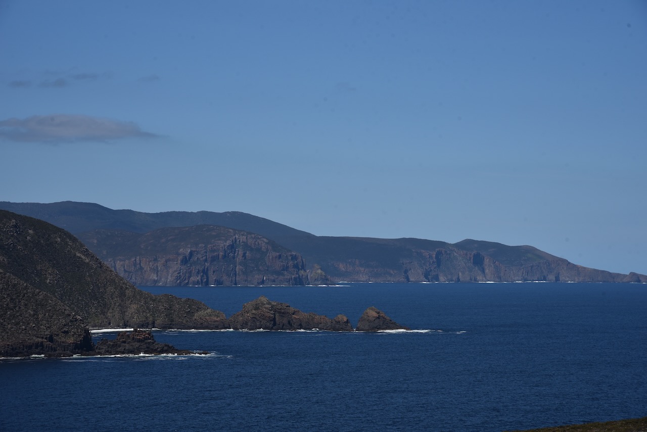
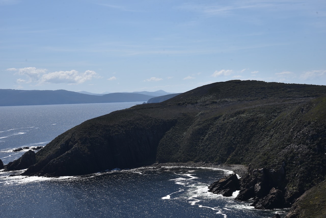
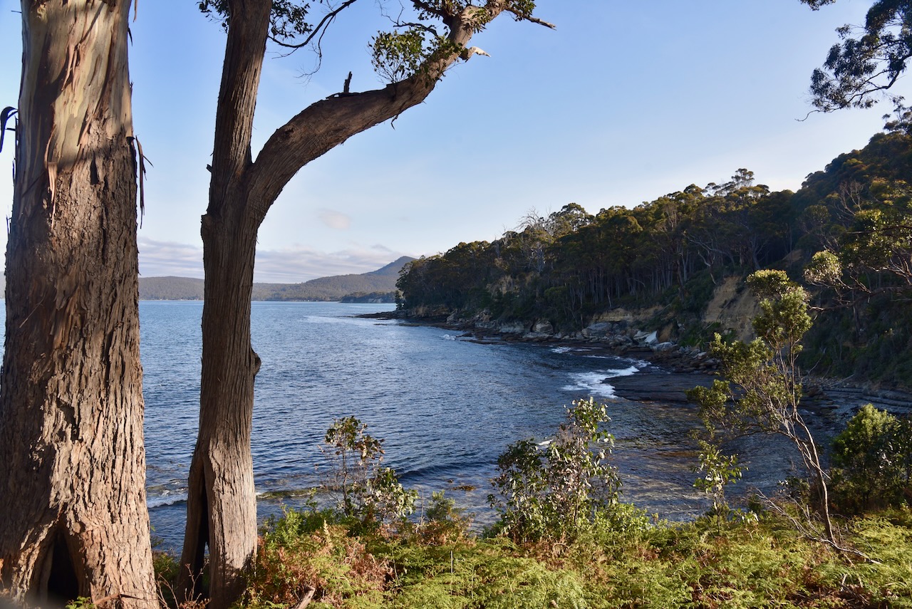
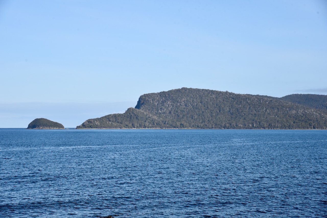
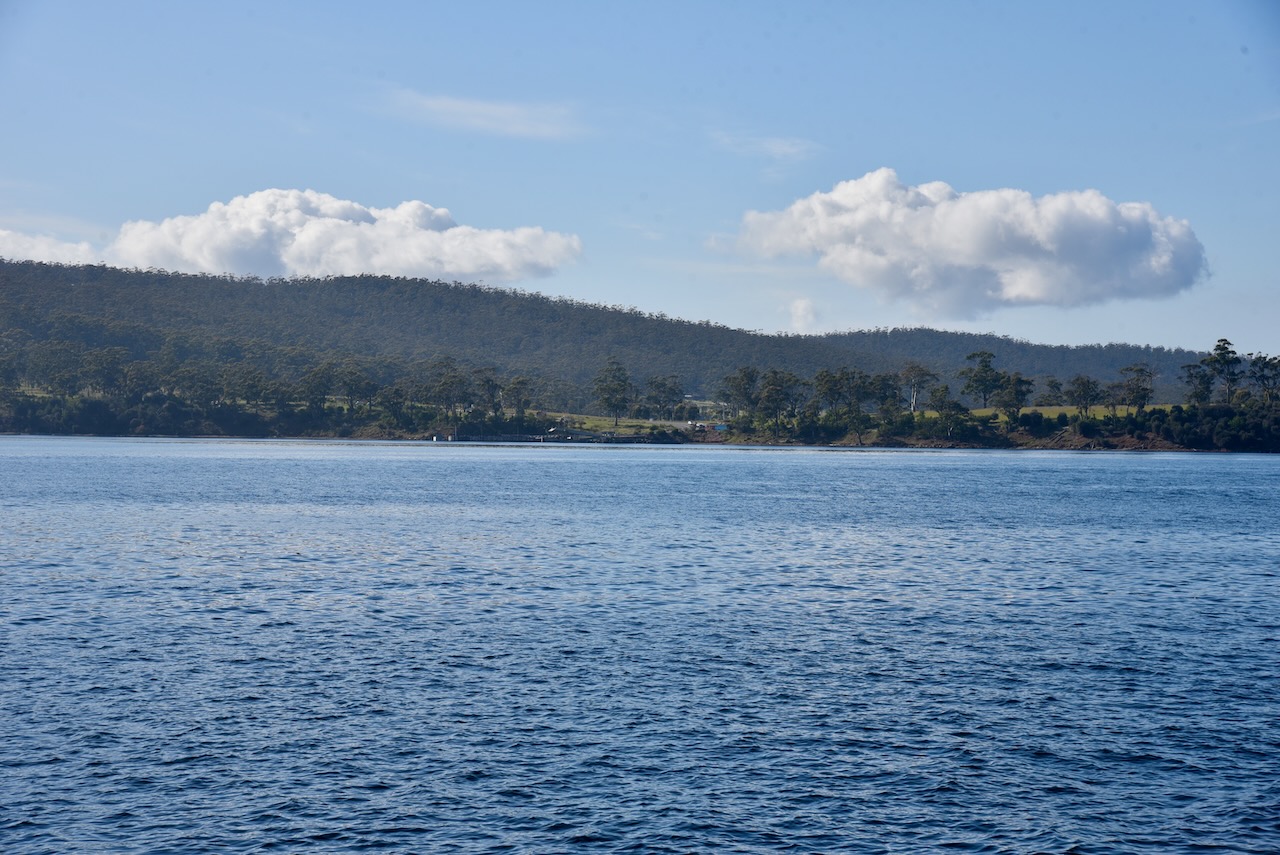
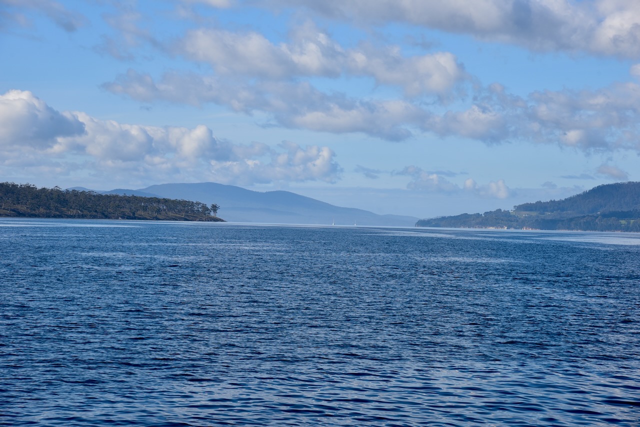
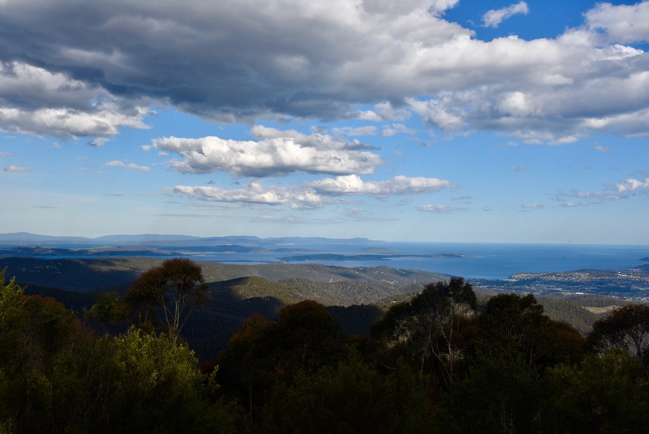
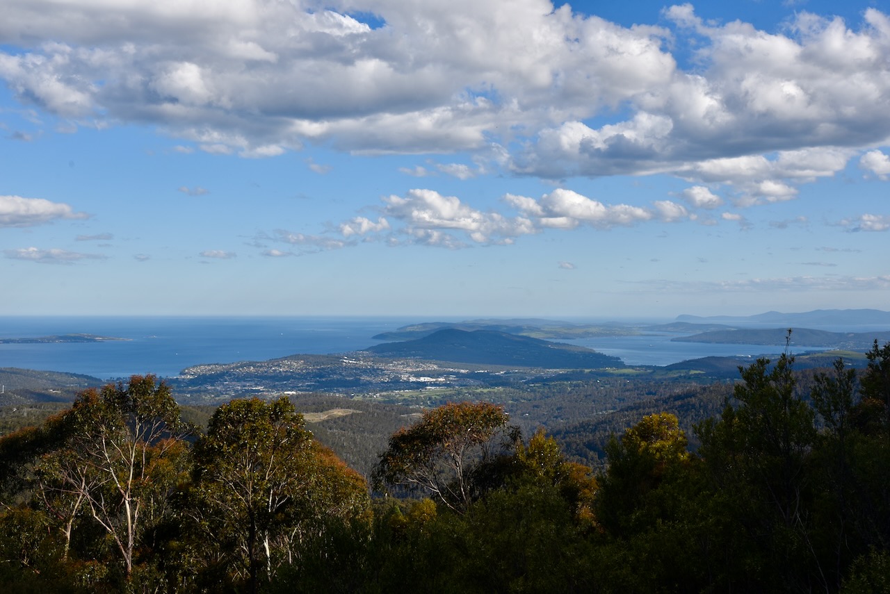
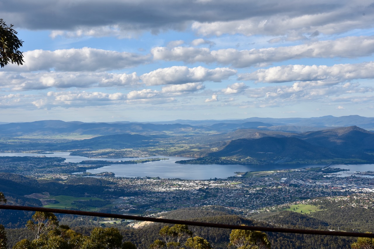
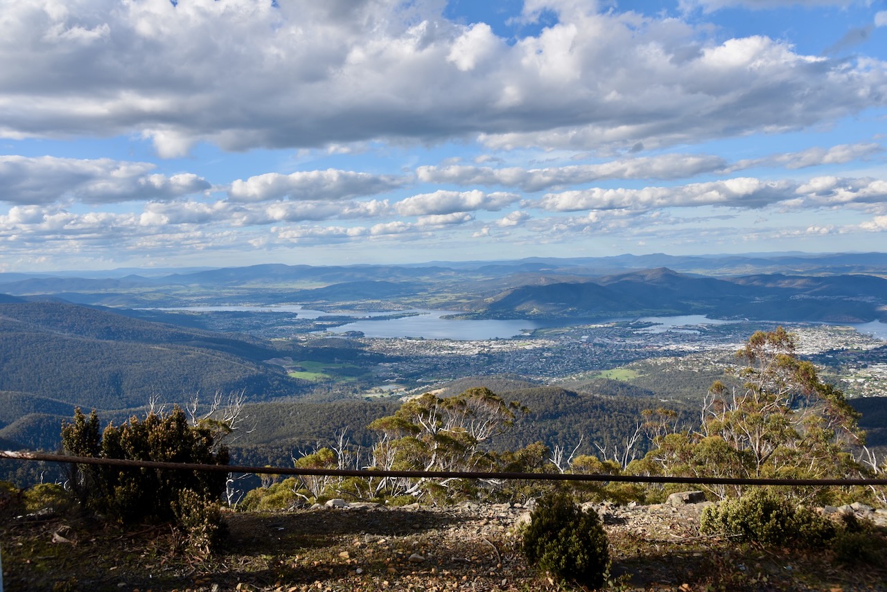
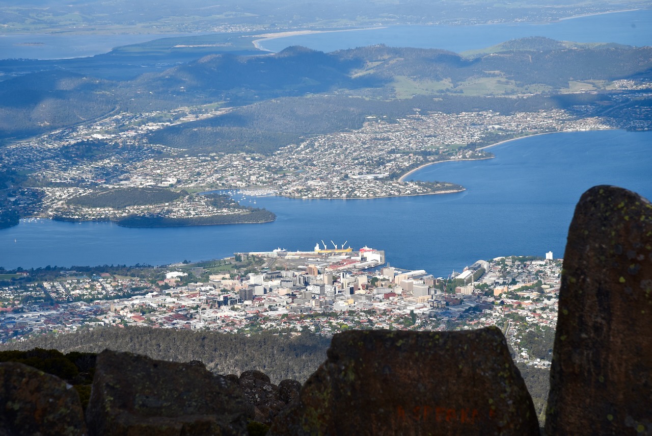
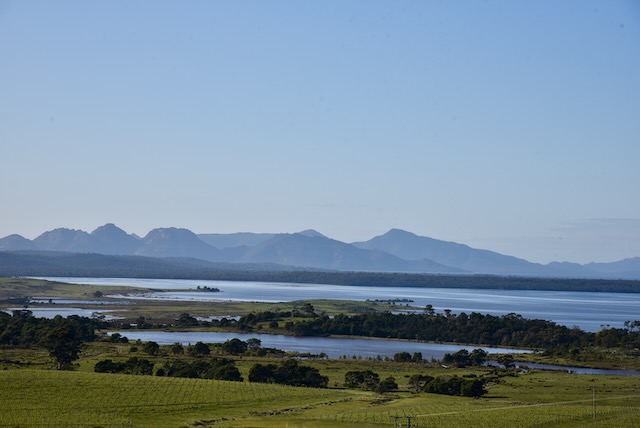
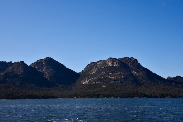
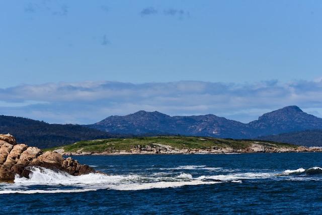
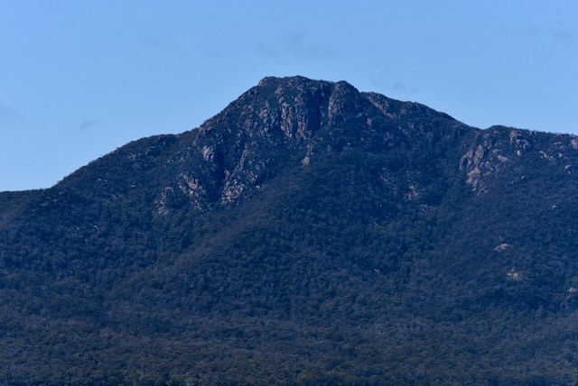
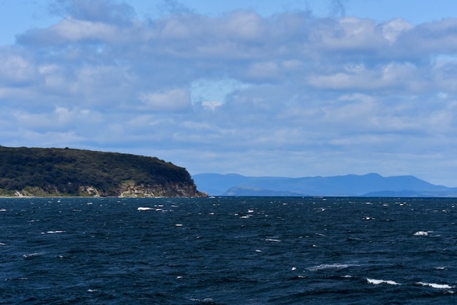
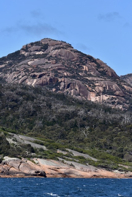
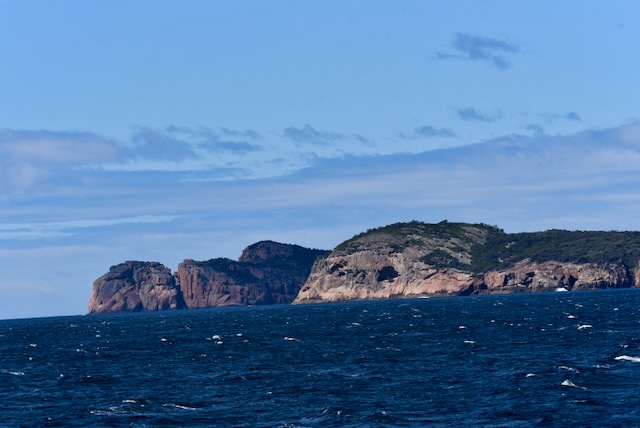
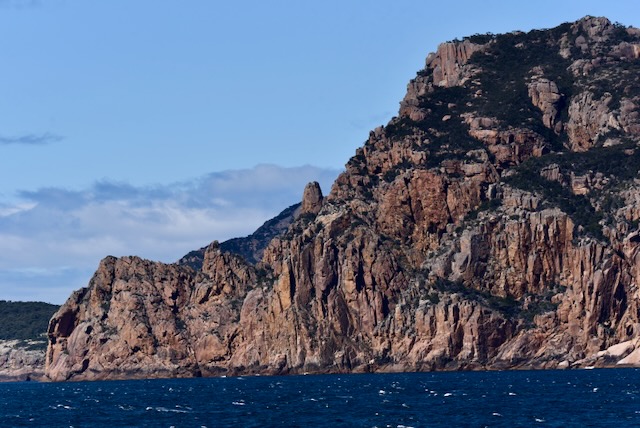
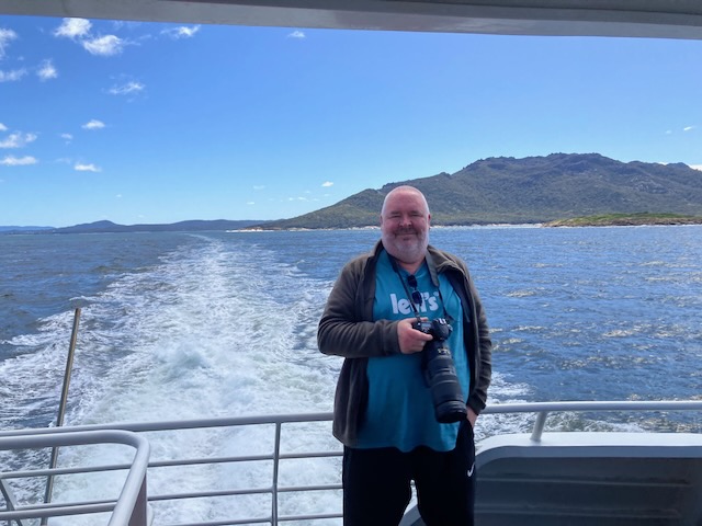
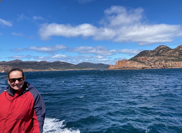
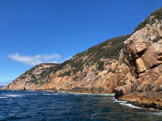
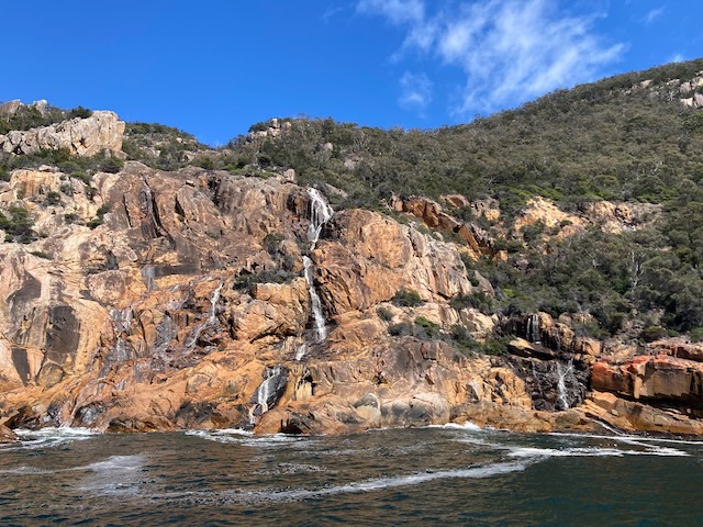
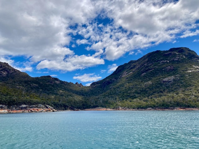
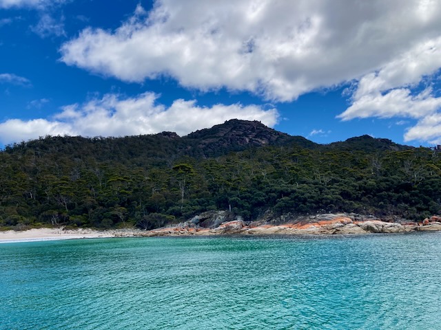
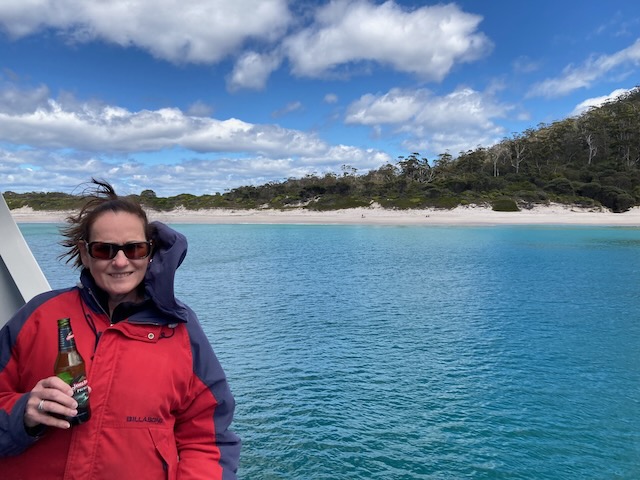
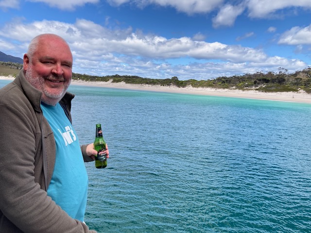
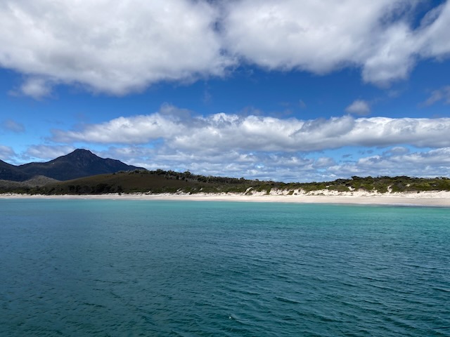
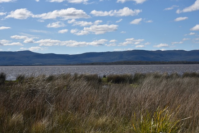
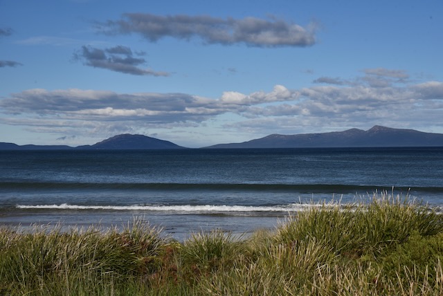
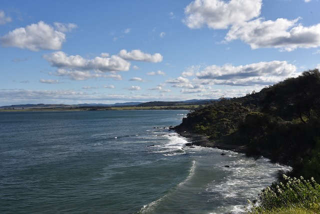
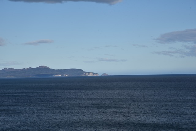
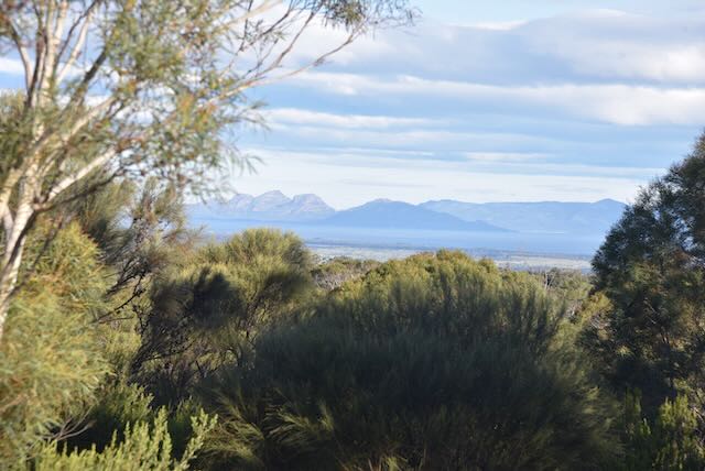
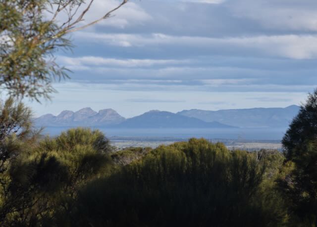
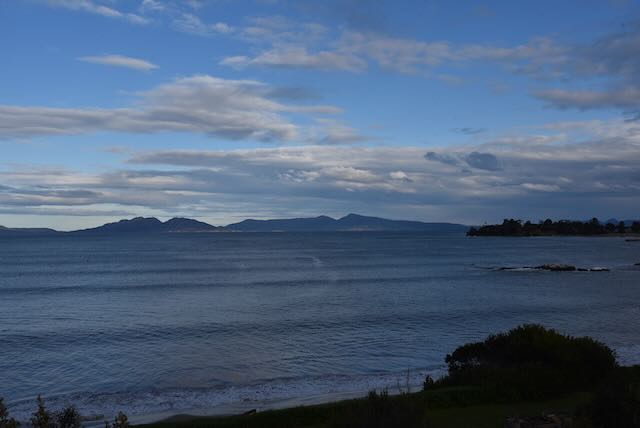
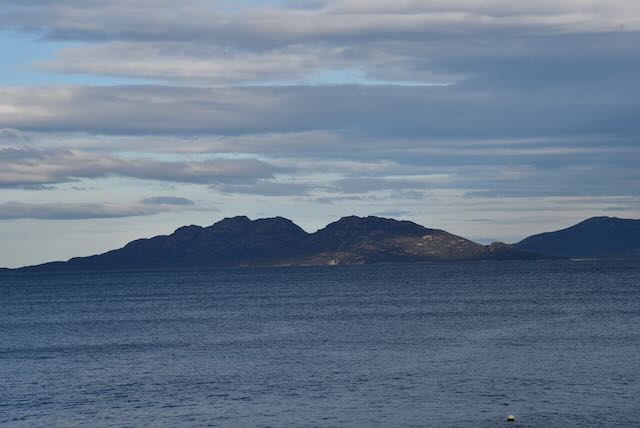
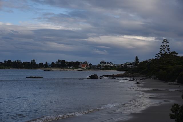
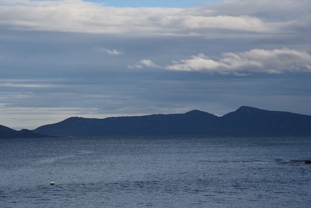
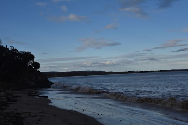
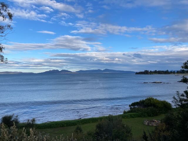
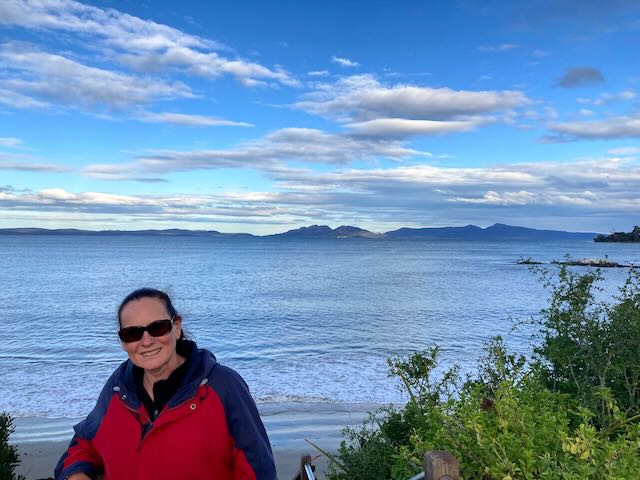
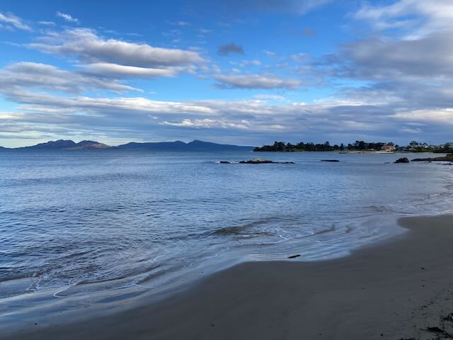
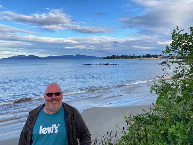
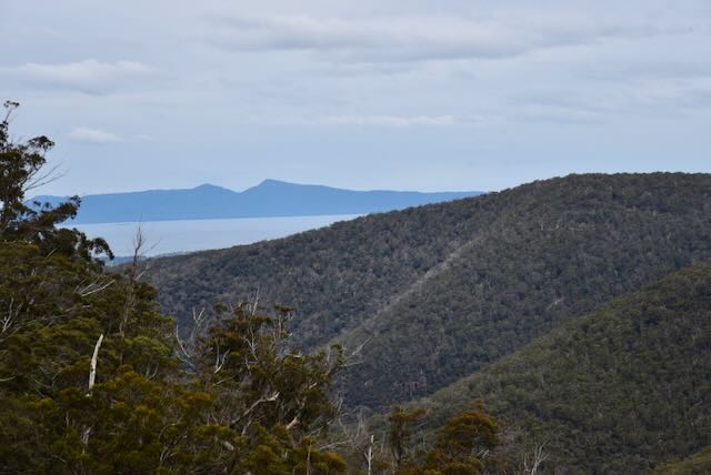
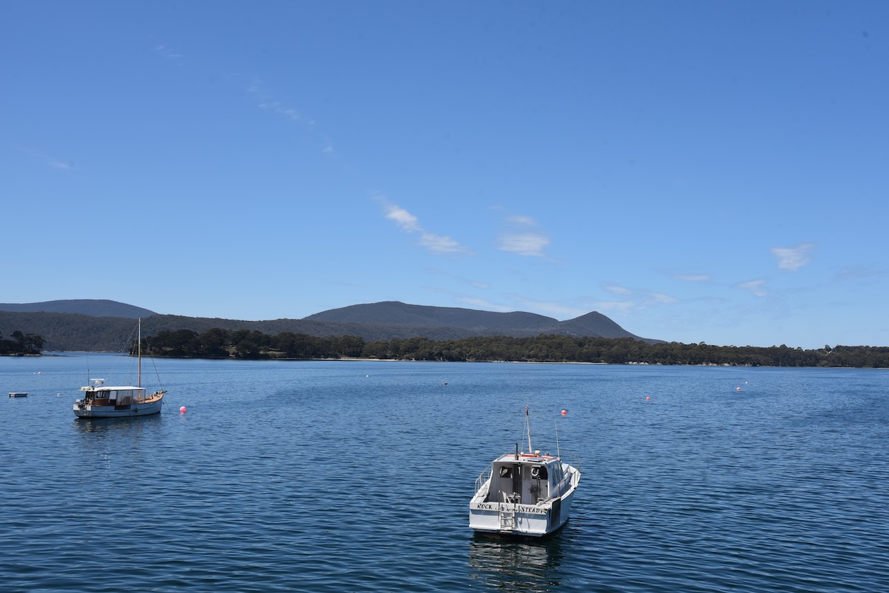
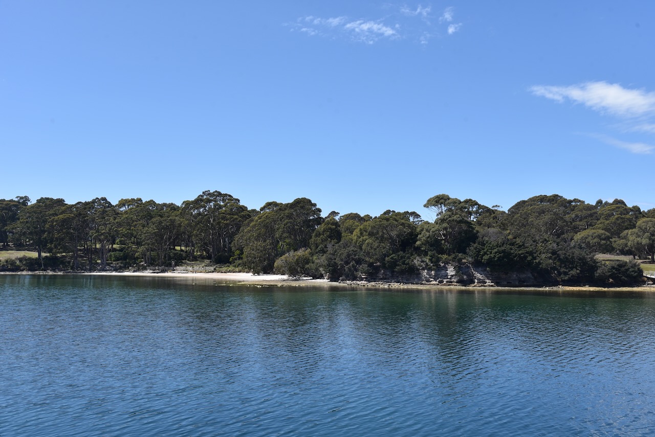
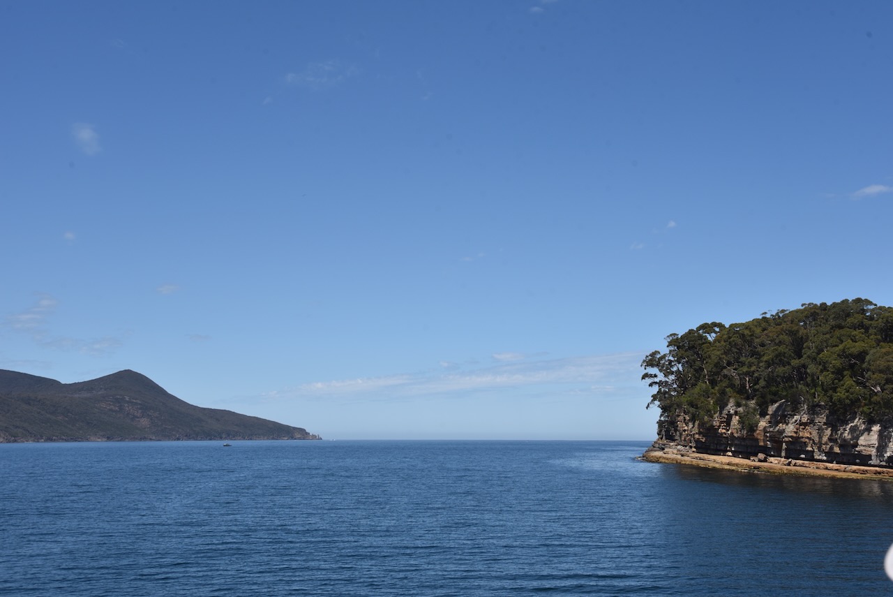
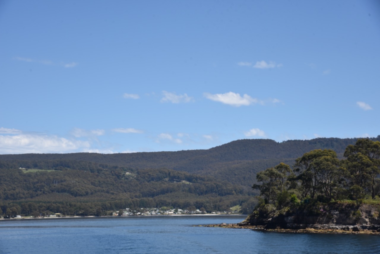
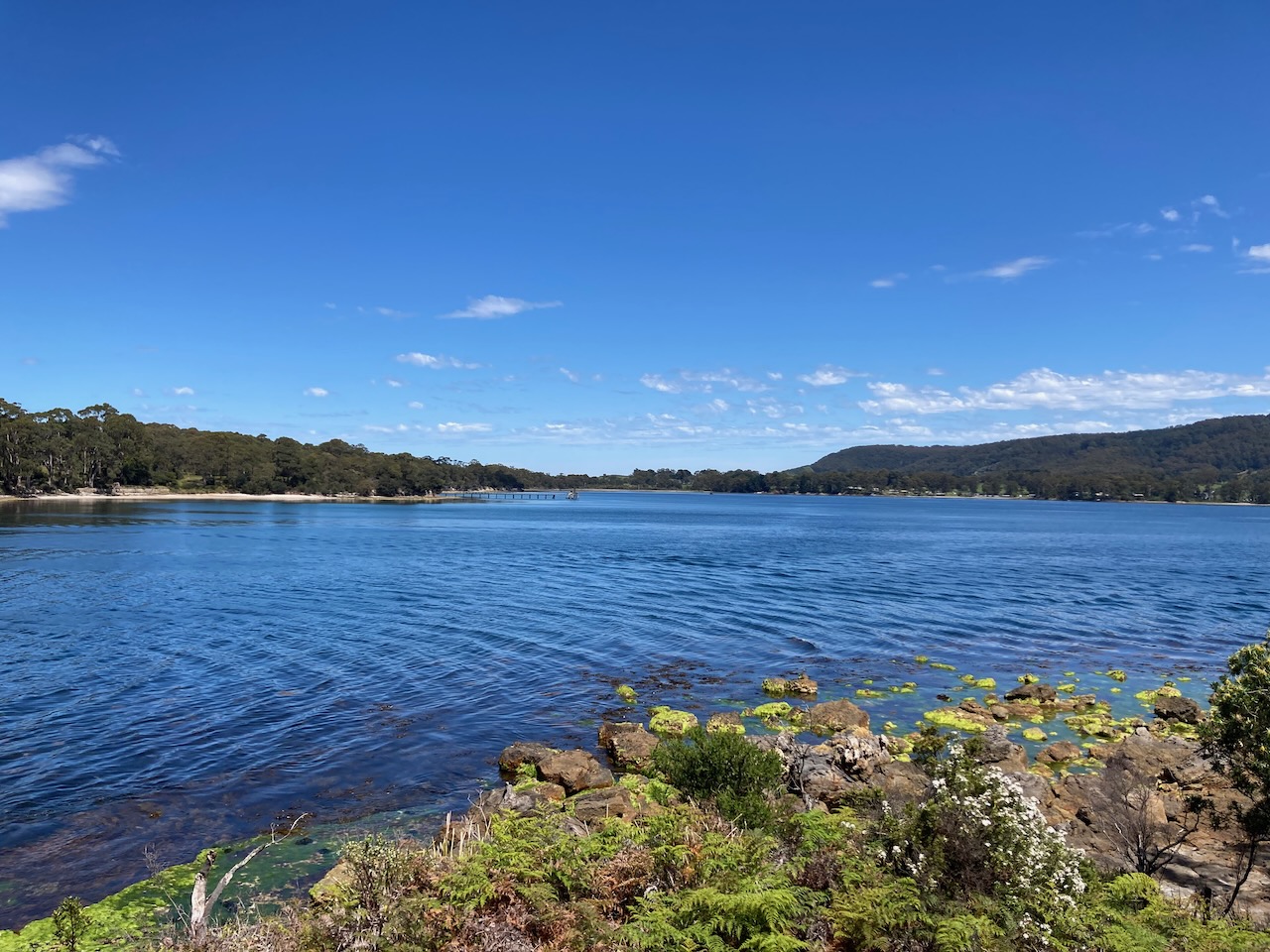
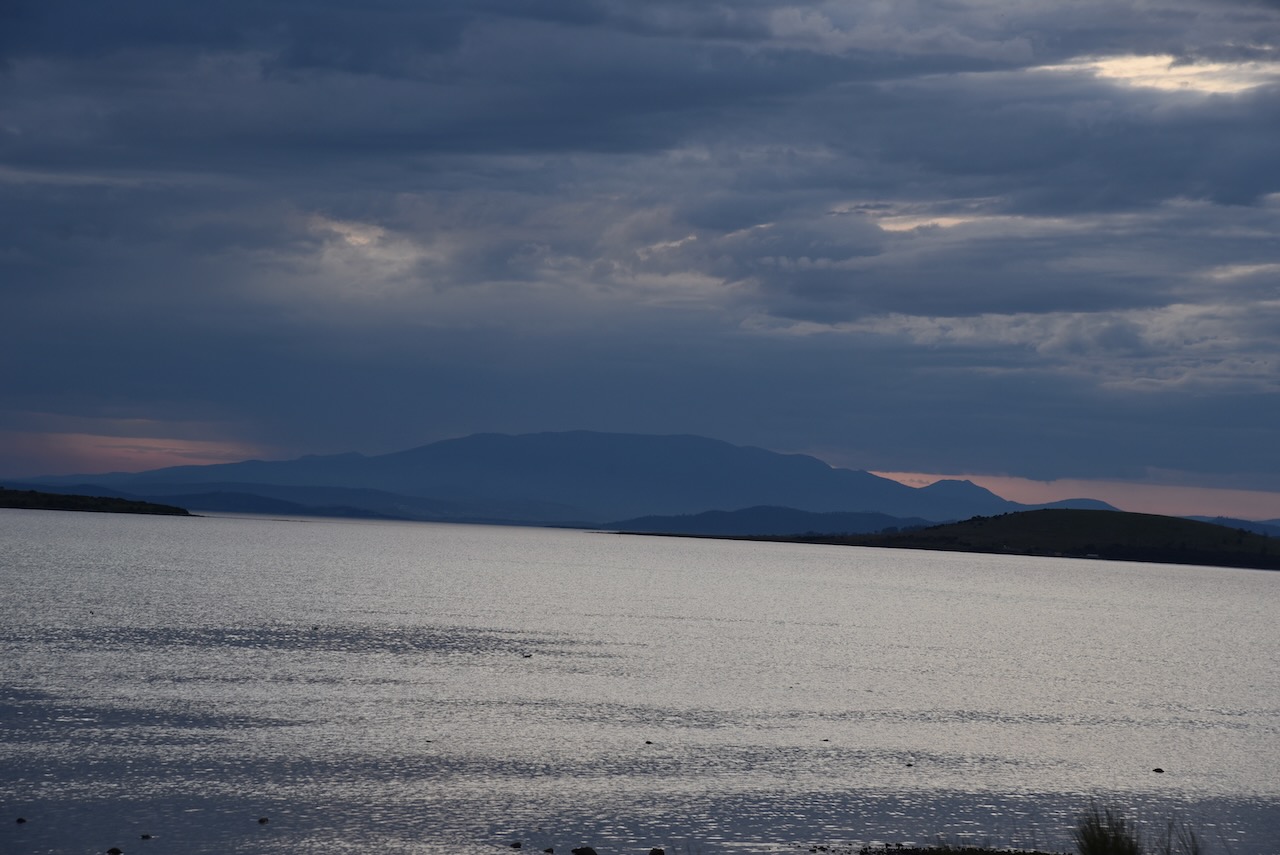
We stopped occasionally on the way back to Hobart to enjoy the views of the coastline.

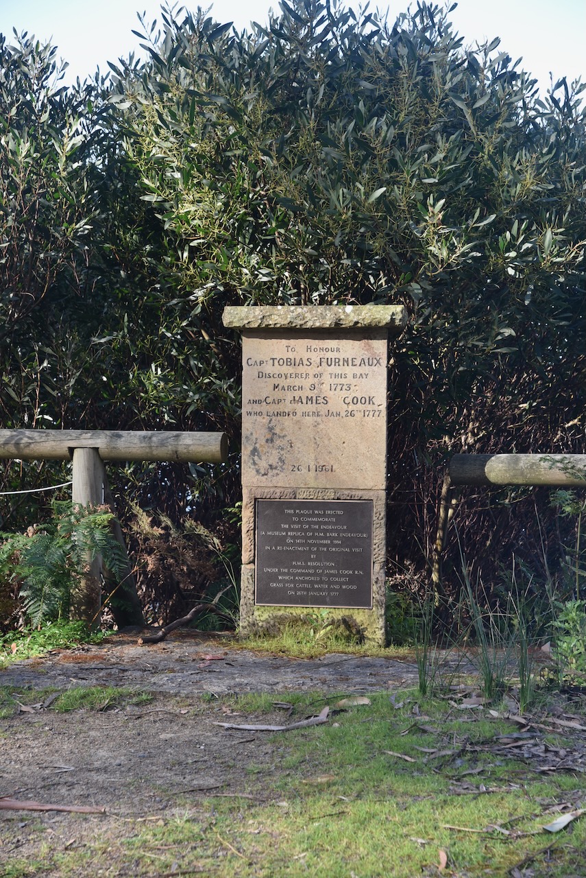
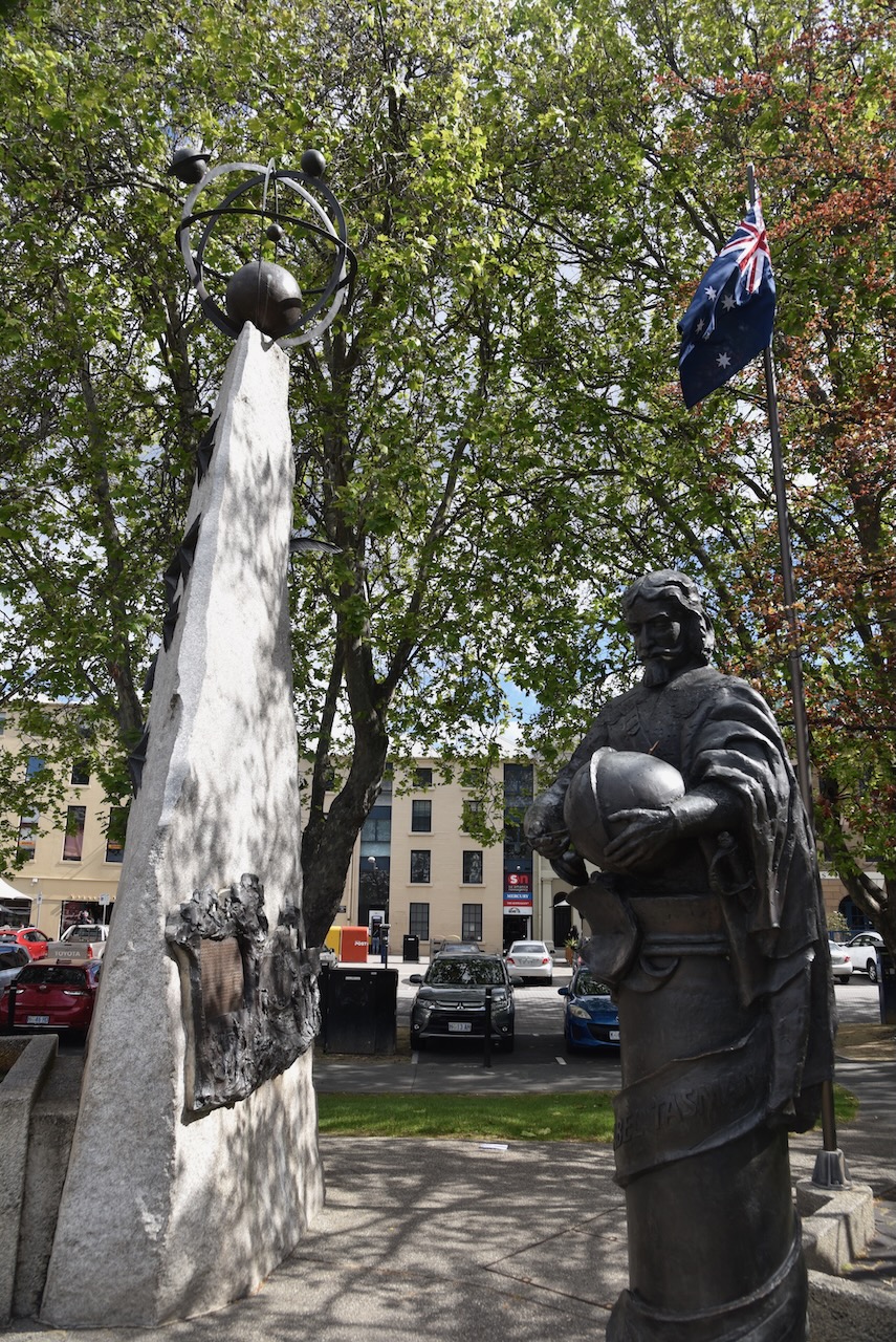
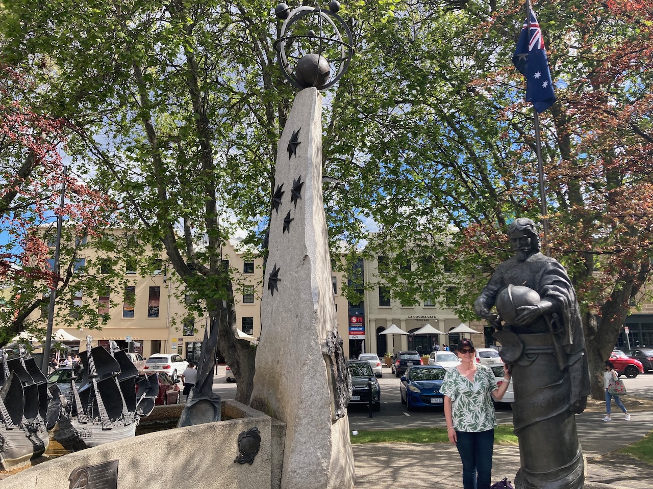
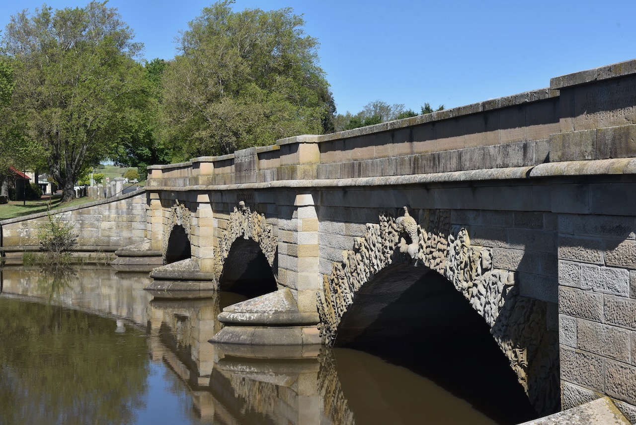
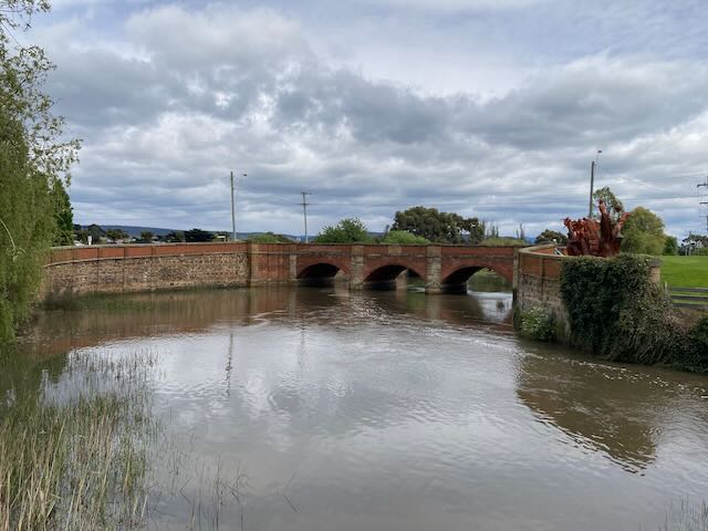
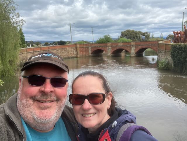
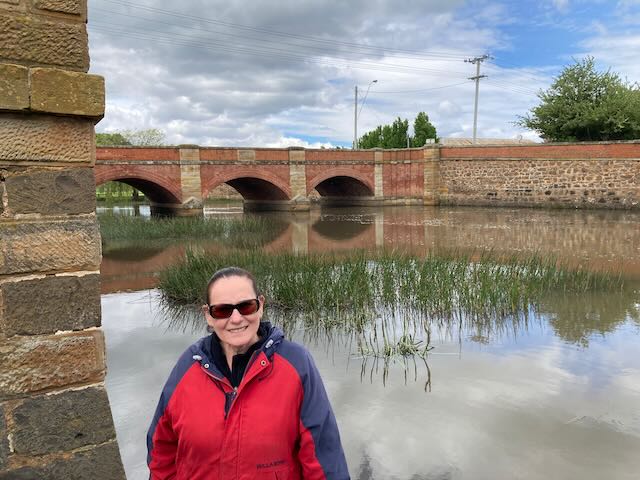
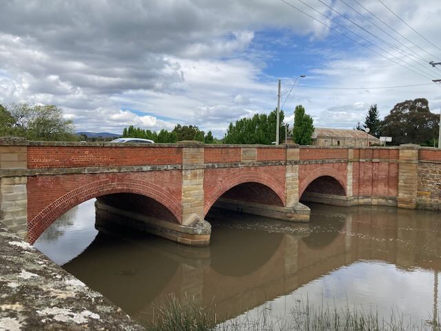
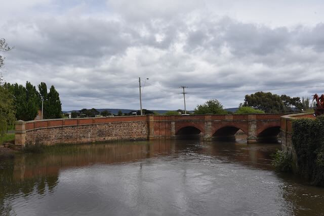
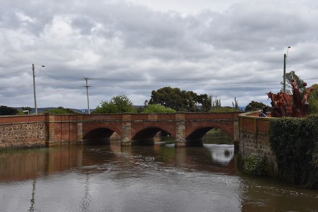
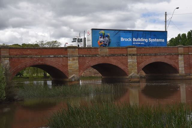
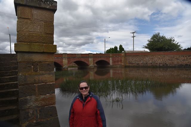
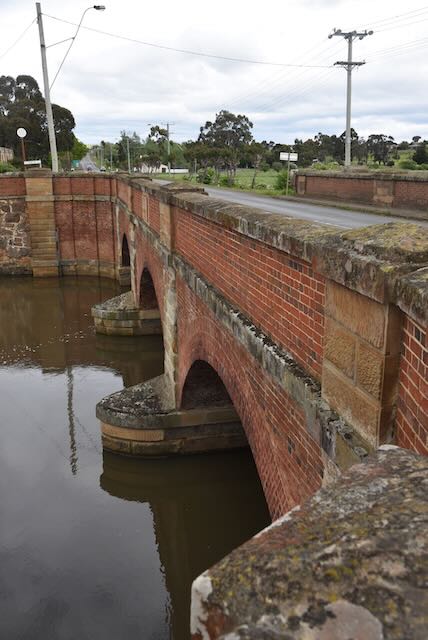
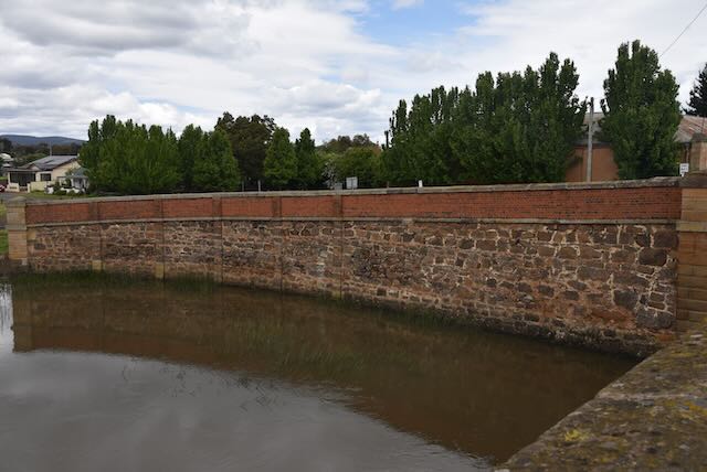
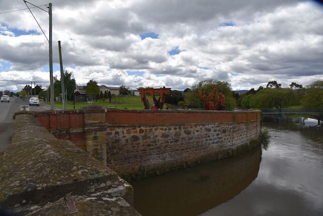
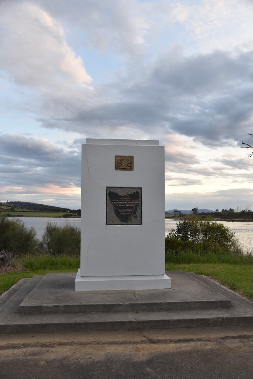
We stopped quickly at Dunalley to have a look at the monument erected to commemorate the tercentenary of the discovery of Tasmania.

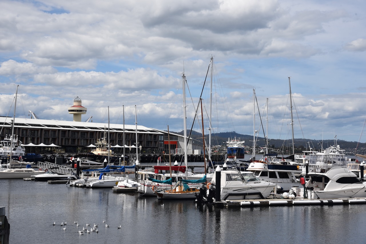
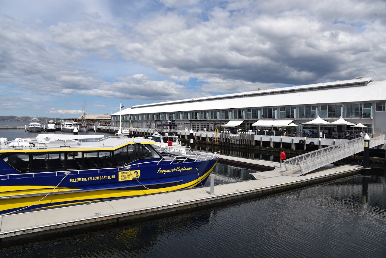
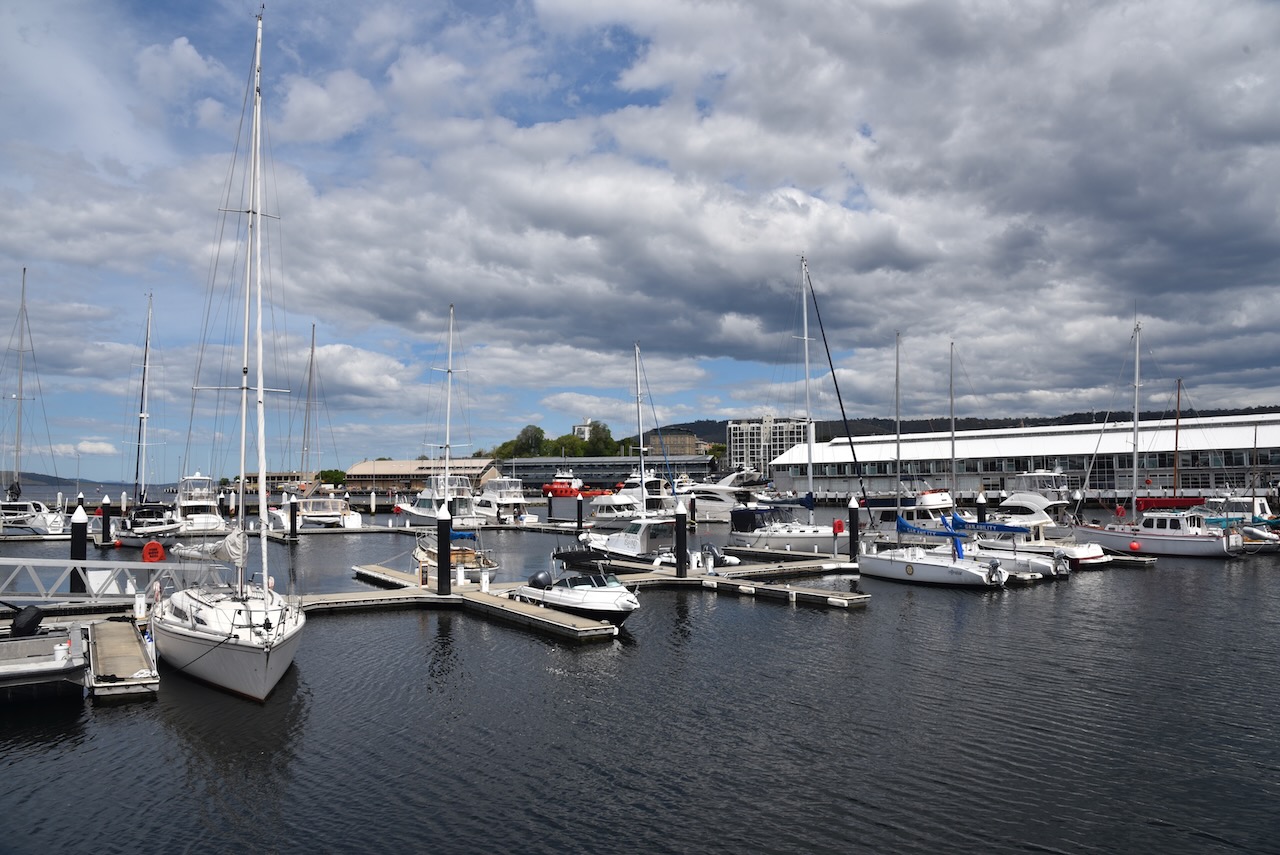
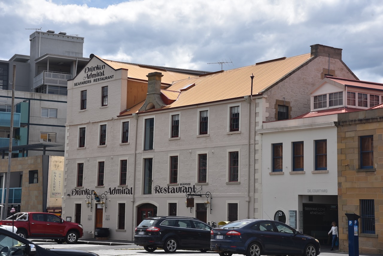
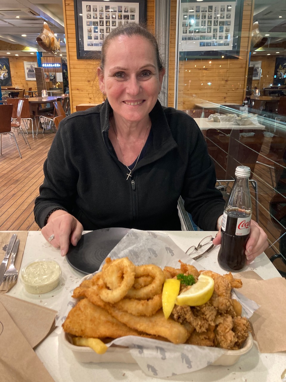
By the time we got back to Hobart is quite late. We went to the famous Mures for a sensational seafood basket. MAGNIFICENT!

References.

  1. Port Arthur Historic Site, 2022, <https://portarthur.org.au/>, viewed 31st December 2022.
  2. Port Arthur Historic Site Visitor Guide, 2022.
  3. Tasmania Parks and Wildlife Service, 2022, <https://parks.tas.gov.au/explore-our-parks/eaglehawk-neck-historic-site>, viewed 31st December 2022.
  4. Wikipedia, 2022, <https://en.wikipedia.org/wiki/Tasman_National_Park>, viewed 31st December 2022.
  5. Wik,ipedia, 2022, <https://en.wikipedia.org/wiki/Eaglehawk_Neck>, viewed 31st December 2022.

South Bruny National Park VKFF-0456

After packing up at Quarantine Station State Park (Monday 7th November 2022), Marija and I drove south on the Bruny Island Main Road and we soon reached The Neck.

The Neck is an isthmus of land connecting north and south Bruny Island. What is an isthmus? An isthmus is a narrow strip of land that connects two larger landmasses and separates two bodies of water.

I immediately noted that there was a sign for Bruny Island Neck Game Reserve. Marija and I checked the WWFF Australia website, but sadly the park was not listed.

We toiled up the 300 steps across the dunes to the lookout. And it was worth it. From the top you can view an incredible 360 degree view which takes in water on both side of The Necks of the water on both sides of the neck, the remainder of Bruny Island and mainland Tasmania. 

Once you reach the top of the lookout you can also view the memorial to Truganini who I mentioned in my previous post.

We then walked back down to the 4WD and continued south on our way to South Bruny National Park, stopping every now and again to enjoy some of the breathtaking views.

We continued south along Lighthouse Road and soon had the Cape Bruny lighthouse in our sights. We parked the 4WD and then took the short but steep walk up to the lighthouse.

We decided to take a tour of the lighthouse which we can highly recommend.

The Cape Bruny lighthouse was first lit on March 1838. It is Tasmania’s third lighthouse and Australia’s fourth lighthouse.

It was commissioned by Governor George Arthur in 1835 following a series of shipwrecks south of Bruny Island. This included the wreck of the convict transport ship George III, with the loss of 134 lives in April 1835.

Above:- part of an article from The Cornwall Chronicel, Sat 18 Apr 1835. Image c/o Trove.

In January 1836 architect and engineer John Lee Archer (b. 1791. d. 1852) submitted his final design for the lighthouse. In April 1836 work commenced. However, construction took longer than expected. Part of this was due to the person he put in charge of construction, Charles Watson (b. 1798. d. 1849). Watson was a former convict and had not been approved by Governor Arthur.

Watson and his team of 12 convicts completed the lighthouse in March 1838.

Above:- Cape Bruny lighthouse, early 1900s. Image c/o Trove

The Cape Bruny Lighthouse was made redundant in 1993. Its last lighthouse keeper was John Cook who spent 13 years at Cape Bruny.

Our lighthouse guide was veery informative and we got to admire the very impressive views from the railing at the top of the lighthouse.

After leaving the lighthouse Marija and I headed north through the park along Lighthouse Road. We then turned onto Old Jetty Road and headed down to Jetty Beach to activate South Bruny National Park VKFF-0456.

South Bruny National Park is located at the southern end of South Bruny Island. It is 50.59 km2 in size and was established in 1997 for its coastal scenery, Aboriginal and historic heritage, and to protect a number of threatened species. The highest point in the park is Mount Bruny at 504 metres. It qualifies for the Summits On The Air (SOTA) program, but unfortunately we did not have sufficient time to activate it. The park includes a number of island including Partridge Island, Green Island and The Friars

Above:- Map of Tasmania showing the location of South Bruny National Park. Map c/o Google maps.

The park includes the Labillardiere Peninsula which is named in honour of the French botanist Jacques LabillardiĆØre. He was the author of the first general flora of Australia and a member of Bruni d’Entrecasteaux’s expedition who I mentioned in the previous post.

Above:- Jacques Labillardiere. Image c/o Wikipedia.

The park consists of eucalypt woodland , heathland, and wet eucalypt forest and temperate rainforest. The park contains several rare, endemic orchid species including the endangered chestnut leek orchid and the pretty leek orchid.

Native mammals found in the park include Bennett’s wallaby, common brush tail possum, Tasmanian pademelon, Eastern quoll, Spitted quoll, Tasmanian devil, and Common wombat. The Bennett’s wallaby is quite common throughout Tasmania, however the South Bruny National Park protects a small population of unusual white Bennett’s wallabies.

Birds found in the park include the white-bellied sea eagle, the wedge-tailed eagle, and the grey goshawk which is endangered and found on Partridge Island. A breeding colony of penguins can also be found on Partridge Island.

Other rare birds include the Ground parrot which are extremely scarce. The Forty spotted pardalote, one of the rarest birds in Australia and classified as endangered can be found in the park. Despite rescue efforts, their numbers are declining. The endangered Swift parrot can also be found in the park. They are a migratory bird which travels between southeast mainland Australia and Tasmania.

Above:- Forty spotted Pardalote. Image c/o Nomdeploom, Wikipedia.

As we had a 4WD we were able to drive down onto Jetty Beach and set up. We ran the Yaesu FT857, 40 watts, and the 20/40/80m linked dipole for this activation.

Above:- Aerial view showing our operating spot. Image c/o Google Earth.

It was a beautiful sunny day and the scenery at Jetty Beach was amazing.

We operated for about 90 minutes and made a total of 63 contacts on 40m & 20m SSB. Unfortunately the DX was light on during this activation with just New Zealand, Hawaii, and France in the log. It was nice to get a Park to Park contact with Daryl VK3AWA who was activating the Gippsland Lakes Coastal Park VKFF-0747.

Marija made the following QSOs on 40m SSB:-

  1. VK3PF
  2. VK7JFD
  3. VK2EXA
  4. VK3AMO
  5. VK3ZPF
  6. VK2MET
  7. VK1AO
  8. VK3UH
  9. VK3ZSC
  10. VK2NP
  11. VK3AWA/p (Gippsland Lakes Coastal Park VKFF-0747)

Marija made the following QSOs on 20m SSB:-

  1. VK4NH
  2. VK4DXA

I made the following QSOs on 40m SSB:-

  1. VK3PF
  2. VK7JFD
  3. VK2EXA
  4. VK3AMO
  5. VK3ZPF
  6. VK2MET
  7. VK1AO
  8. VK3UH
  9. VK3ZSC
  10. VK2NP
  11. VK3UAO
  12. VK7OT
  13. VK2VH
  14. VK4AAC
  15. VK7DON
  16. VK7KW
  17. VK3TWO/m
  18. VK3VIN
  19. VK2DWP
  20. VK3BEL
  21. VK3CJN
  22. VK7HH
  23. VK5VK
  24. VK3AWA/p (Gippsland Lakes Coastal Park VKFF-0747)
  25. VK2IO
  26. VK3SQ
  27. VK2CDB

I made the following QSOs on 20m SSB:-

  1. VK2DWP
  2. VK5KLV
  3. VK2NP
  4. VK4NH
  5. VK4DXA
  6. VK4TJ
  7. VK2IO
  8. VK2MET
  9. VK1AO
  10. VK5BJE
  11. VK4KLA
  12. VK4EMP
  13. ZL1TM
  14. ZL3LAL/m
  15. VK4CC
  16. VK4MAD
  17. VK4DOG
  18. ZL4CY
  19. KH6KW
  20. VK7XX
  21. VK2HDT
  22. VK4XCS
  23. F1BLL

We were pushed for time, but we were keen to see the Captain Cook memorial on Bruny Island. Unfortunately we did not find it. Researching this after getting back home, it appears to be a common problem, wioth people not being able to find the memorial.

Cook had anchored at Adventure Bay on 26th January 1777 and had carved his initials into a tree. The tree was destroyed by a bushfire in 1905.

There were some other interpretive signs that we did stop to have a look at. This included information on European explorers of Adventure Bay including Cook and D’Entrecasteaux. And another one on coal mining in Adventure Bay.

We then headed back to Roberts Point and caught the ferry back to the Tasmanian mainland. It had been a very enjoyable day on Bruny Island.

References.

  1. Bruny Island, 2022, <https://www.brunyisland.org.au/walk/truganini-the-neck-lookout/>, viewed 29th December 2022.
  2. Cape Bruny Lighthouse Tours, 2022, <https://www.capebrunylighthouse.com/history/>, viewed 29th December 2022.
  3. Discover Tasmania, 2022, <https://www.discovertasmania.com.au/things-to-do/nature-and-wildlife/brunyislandneck/>, viewed 29th December 2022.
  4. Wikipedia, 2022, <https://en.wikipedia.org/wiki/South_Bruny_National_Park>, viewed 29th December 2022.

Day 12 and Quarantine Station State Reserve VKFF-1823 on Bruny Island OC-233.

It was day twelve (Monday 7th November 2022) of our Tasmania holiday and we had planned a trip to Bruny Island.

We drove south out of Hobart on the Channel Highway to the little town of Kettering, about 32 km south of Hobart. This is where you catch the ferry to Bruny Island.

Above:- Map showing our route from Hobart to Kettering. Map c/o Google maps.

The area where Kettering is now located was explored by Antoine Bruni D’Entrecasteaux in 1792. He was a French naval officer, explorer, and colonial governor . By the early 1800s the Kettering area had been settled by European timber cutters, whalers, and sealers.

A dark piece of Australian history lies near Kettering. In 1847, just north of Kettering in Oyster Cove, the last Tasmanian Aboriginal settlement was established. In the years leading up to 1847, indigeneous people from around Van Dieman’s Land had been rounded up and isolated at Settlement Point on Flinders Island in Bass Strait. It was known as Wybalenna, meaning “Black Man’s House.

In 1847, the remaining 44 aboriginal people were taken to a former convict settlement at Oyster Bay. This was following a campaign by the aboriginal population against their Commandant, Henry Jeanneret. It included a petition to Queen Victoria,

Eight years later in 1855, only 16 remained. And by 1869, the sole remaining aboriginal person was Truganini. She died in 1876.

Above:- Truganini. Image c/o Wikipedia.

Today the Kettering area is renowned for its apple, cherry, and pear orchards. Kettering is also popular with fishers. There are two major marinas at Kettering.

It is only a short journey from the mainland across to Bruny Island.

It was a beautiful sunny day and we enjoyed some amazing views as we crossed the D’Entrecasteaux Channel to Bruny Island.

Bruny Island is 362 square kilometres in size and is about 50 kilometres in length. Its traditional Aboriginal name is lunawanna-allonah. Bruny Island is two land masses: North Bruny and South Bruny, which are joined by a long narrow sandy isthmus referred to as “The Neck’.  

Above:- an aerial view of Bruny Island looking north towards Hobart. Image c/o Google maps.

Bruny Island was originally inhabited by aboriginal people prior to the arrival of the Europeans. The firt recorded European explorer to land on Bruny Island was Tobias Furneaux in 1773. He landed at Adventure Bay, named after his ship. In 1642 Dutch seafarer, merchant, and explorer Abel Tasman had attempted to land in the vicinity of Adventure Bay but was unsuccessful.er 1642.

Above:- Captain Tobias Furneaux. Image c/o Wikipedia.

Bruny Island was named in honour of French explorer Antoine Bruni d’Entrecasteaux. He explored the Channel regio and discovered it to be an island in 1792. Up un til 1918, Bruny Island was known as Bruni Island until 1918. The spelling was then changed to Bruny.

Above:- Antoine Bruni d’Entrecasteaux. Image c/o Wikipedia.

Below is a video with drone footage of Bruny Island.

After our arrival on the island we decided to head to Quarantine Station State Reserve VKFF-1823 for a park activation for the World Wide Flora Fauna (WWFF) program. Bruny Island also qualifies for the Islands On The Air (IOTA) program as OC-233.

Above:- Map of Tasmania showing the location of the Quarantine Station State Reserve. Map c/o Google maps.

The Quarantine Station State Reserve is located at Barnes Bay on North Bruny Island. It was proclaimed as a State Reserve in 2003, and is 320 acres in size.

Above:- An aerial shot of Quarantine Station State Reserve. Image c/o Google maps

We arrived at the park entrance on Killora Road a little early. The park had not yet opened and the gate was padlocked. We waited a short time until the park ranger came down to open the gate.

Prior to the area becoming a quarantine station, it was occupied by a former convict and his family. In 1833, Anthony Cox was convicted of housebreaking in England. He was transported from England to Van Dieman’s Land. In May 1849 he was granted a conditional pardon and soon after he married Jane Daly, also a convict.

Due to him being a former convict of “good conduct and disposition to industry”, he received a 19-acre parcel of land from the government. This was on the site which would later become the quarantine station. He built Shelwood Cottage on his parcel of land.

From 1884 to 1904 a State quarantine operated on the site. Between 1908 to 2002 it became a Commonwealth quarantine station ‘for the performance of quarantine by vessels, persons, and goods’.

During the First World War, German internment took place at the station. “Enemy subjects” in Tasmania were interned at Quarantine Station. They were put to work felling timber and clearing land. By April 1915 there were 70 internees, watched by about 15 guards.

Above:- Article from the Daily Telegraph, Launceston, Tue 1 Jun 1915. Image c/o Trove.

Due to the worldwide outbreak of the Spanish influenza pandemic in 1918, it was necessary to quarantine Australian troops returning home from the First World War. Over 9,000 Australian troops passed through the station between February 1919 to August 1919.

Above:- Article from the Examiner, Launceston, Wed 12 Mar 1919. Image c/o Trove.

Many of the quarantine buildings remain at the Quarantine Station and there are numerous interpretive signs explaining the history of the site.

Prior to setting up we spoke with the park rangers who were extremely friendly. We set up on a lawned area adjacent to the visitors carpark.

Above:- an aerial view of the park showing our operating spot. Image c/o Google Earth.

We ran the Yaesu FT-857, 40 watts, and the 20/40/80m linked dipole for this activation.

We had set up about 30 minutes prior to the UTC rollover, so we used that to advantage. Contacts prior to and after the UTC rollover count towards the 44 QSOs required to qualify the park for the global WWFF program.

Both Marija and I qualified the park for the VKFF program, with 10 QSOs. I pushed on and made 45 QSOs, qualifying the park for the global WWFF program. Conditions on the 40m band were quite good, but sadly I only made one contact on the 20m band with John VK4TJ.

It was good to get a Park to Park contact with VK2HQ/p at Bomaderry Creek Regional Park VKFF-1779.

Marija made the following QSOs on 40m SSB:-

  1. VK2HQ/p (Bomaderry Creek Regional Park VKFF-1779)
  2. VK3PF
  3. VK2IO
  4. VK3SQ’VK3VIN
  5. VK3AMO
  6. VK2MET
  7. VK1AO
  8. VK3AWA
  9. VK2HHA
  10. VK3CMC

I made the following QSOs on 40m SSB before the UTC rollover:-

  1. VK2HQ/p (Bomaderry Creek Regional Park VKFF-1779)
  2. VK3PF
  3. VK2IO
  4. VK3SQ
  5. VK3VIN
  6. VK3AMO
  7. VK2MET
  8. VK1AO
  9. VK3AWA
  10. VK2HHA
  11. VK3CMC
  12. VK3UAO
  13. VK3GMC
  14. VK5BJE
  15. VK4KLA
  16. VK5MRS
  17. VK3MKE
  18. VK3BBB
  19. VK2CCP
  20. VK2EXA
  21. VK2ABT
  22. VK2VAR
  23. VK2HRX

I worked the following stations on 40m SSB after the UTC rollover:-

  1. VK2VAR
  2. VK2EXA
  3. VK3UH
  4. VK2IO
  5. VK3PF
  6. VK3MKE
  7. VK3AWO
  8. VK3GRX
  9. VK3TPM
  10. VK3ZSC
  11. VK3PT
  12. VK3MCA
  13. VK3DW/p
  14. VK3SQ
  15. VK3AHR
  16. VK3ARK/p
  17. VK3UAO
  18. VK2MET
  19. VK1AO
  20. VK2NP
  21. VK7AN

I worked the following station on 20m SSB:-

  1. VK4TJ

References.

  1. BBC, 2022, <https://www.bbc.com/travel/article/20200505-tasmanias-ruggedly-beautiful-quarantine-site>, viewed 29th December 2022.
  2. Bruny Island Community Association, 2022, <https://www.bica.org.au/biqshistory>, viewed 29th December 2022.
  3. Wikipedia, 2022, <https://en.wikipedia.org/wiki/Kettering,_Tasmania>, viewed 29th December 2022.
  4. Wikipedia, 2022, <https://en.wikipedia.org/wiki/Bruny_Island>, viewed 29th December 2022.
  5. Wikipedia, 2022, <https://en.wikipedia.org/wiki/Antoine_Bruni_d%27Entrecasteaux>, viewed 29th December 2022.
  6. Wikipedia, 2022, <https://en.wikipedia.org/wiki/Flinders_Island>, viewed 29th December 2022.