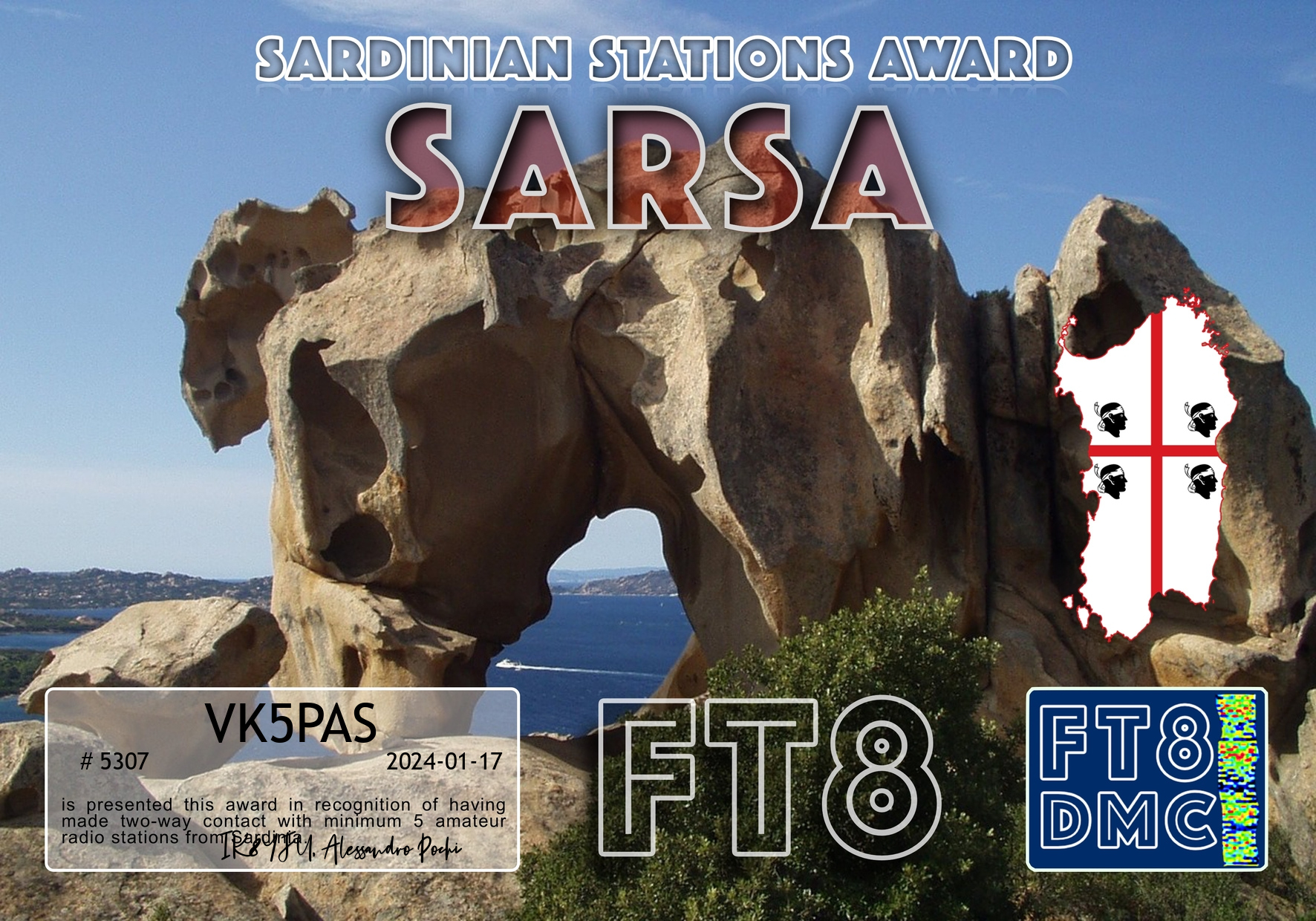
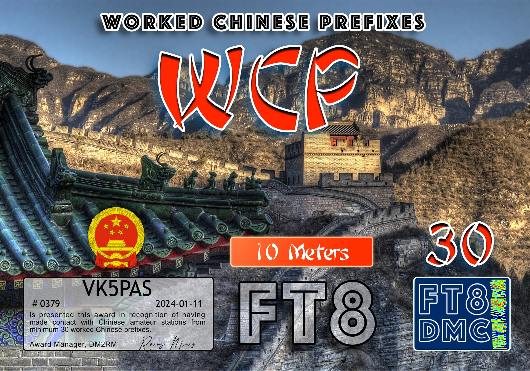
My latest FT8 award certificates.
Thank you to all of the FT8 operators and the various Award Managers.


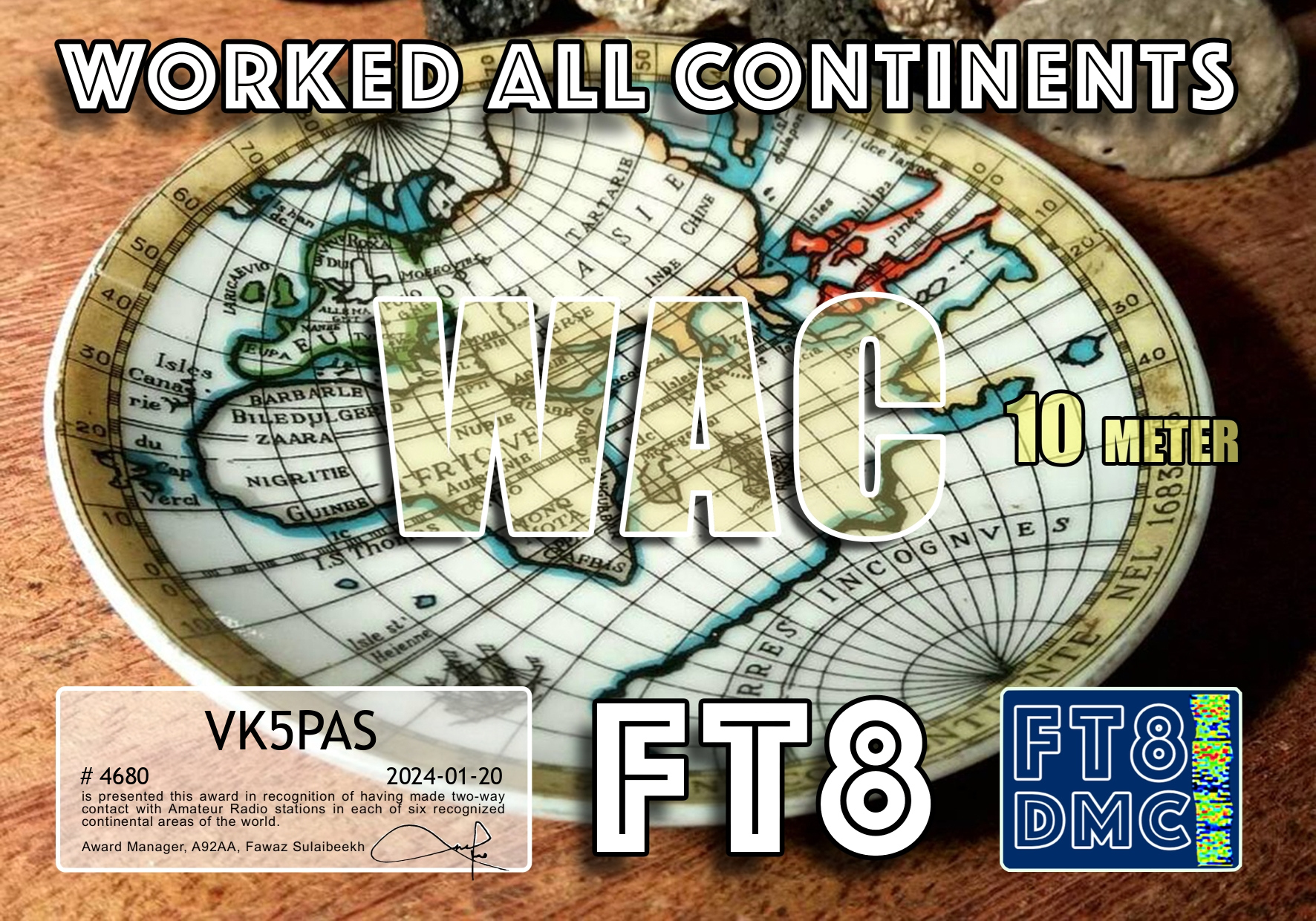


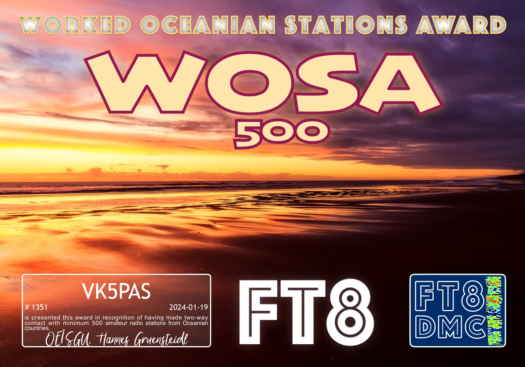


My latest FT8 award certificates.
Thank you to all of the FT8 operators and the various Award Managers.
Our fourth activation for Monday 12th November 2023 was the Mamemgorook I236 Bushland Reserve VKFF-4172. This was the first activation of the park for the World Wide Flora Fauna (WWFF) program.

Above:- Map showing the location of the reserve in northwestern Victoria. Map c/o Google Maps.
The park is divided into two sections. The first is located on the eastern side of Pink Lakes Road. The larger section is located on the northern side of Chaves Plains Road.
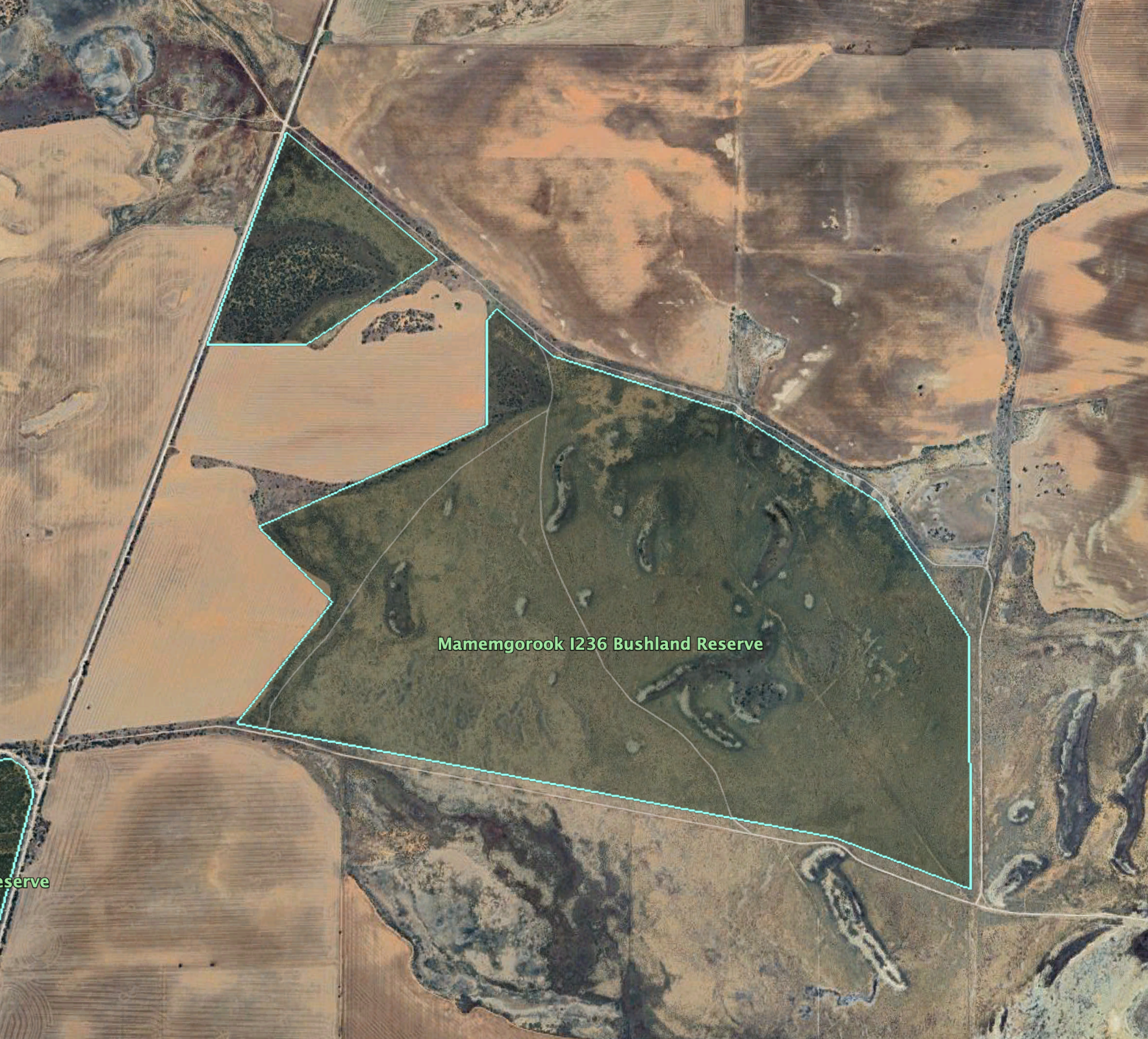
Above:- An aerial view of the park showing its boundaries. Image c/o Google Earth.
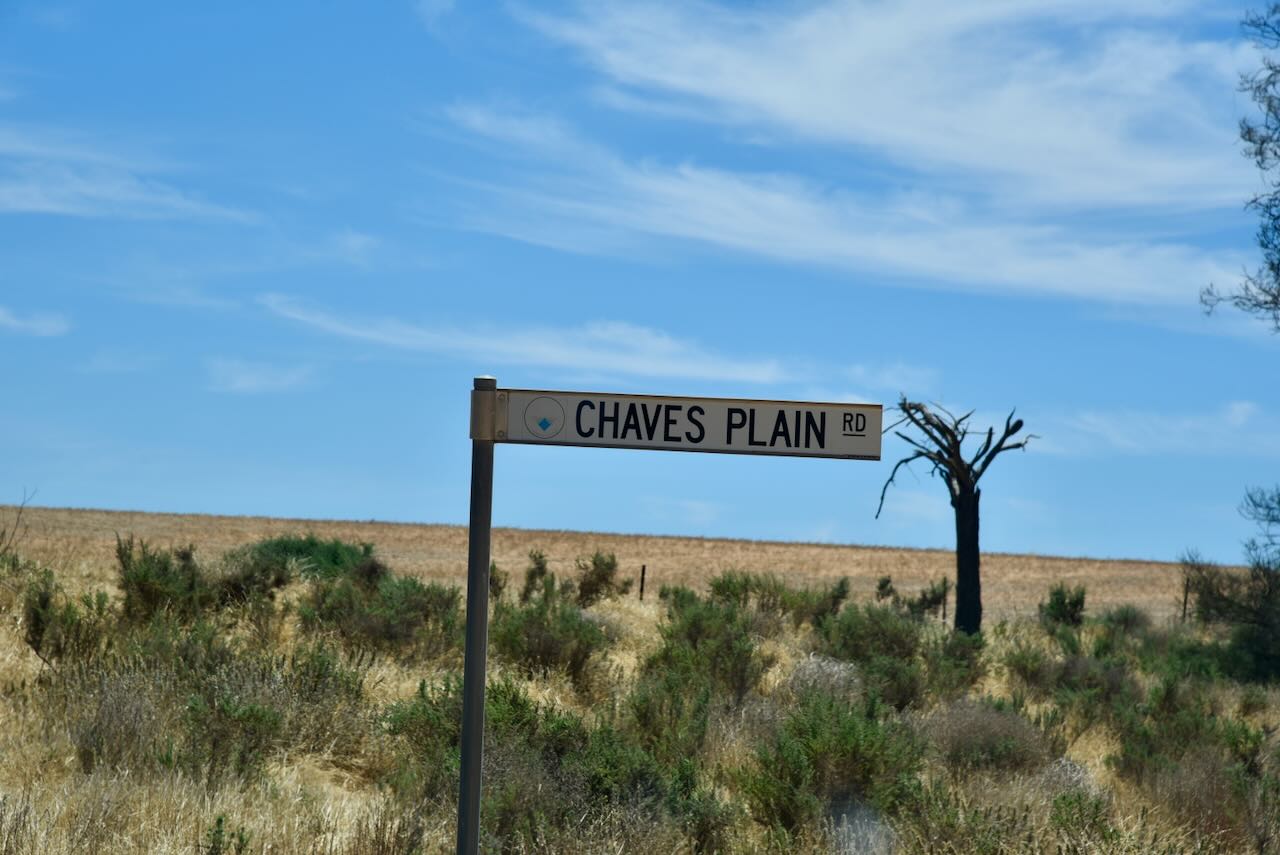
Running off Chaves Plain Road is a dirt track. There is a sign which reads ‘Dry Weather Road Only’.
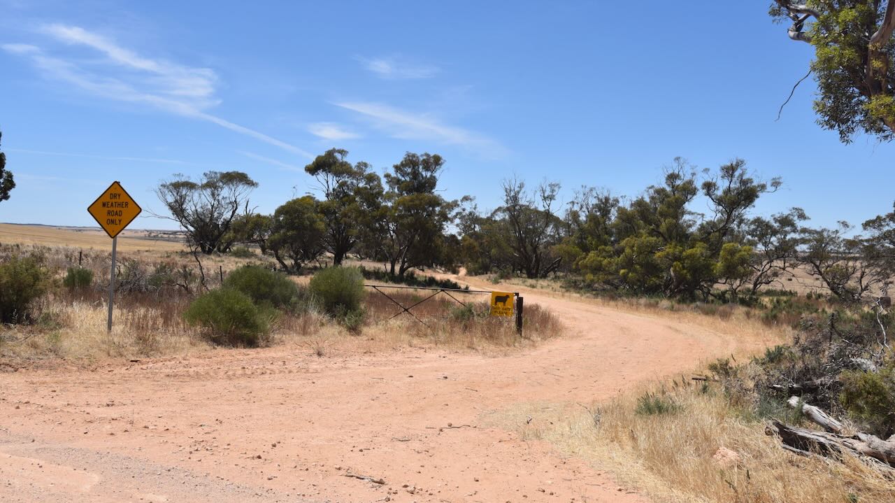
We followed this track for a few hundred metres and found another track that led into the park.
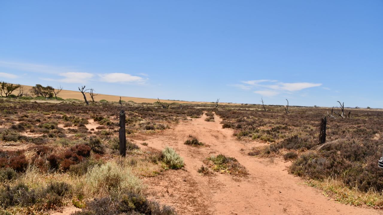
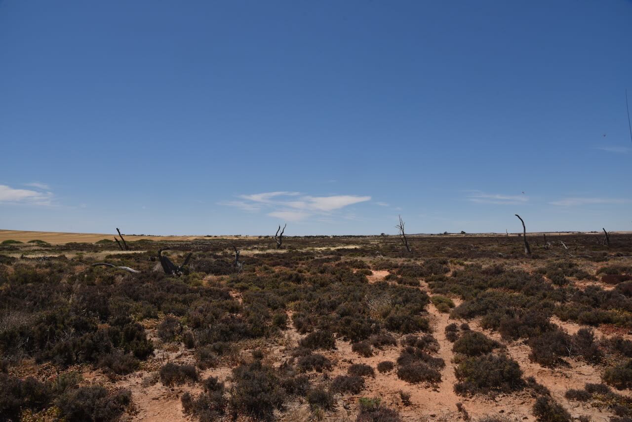
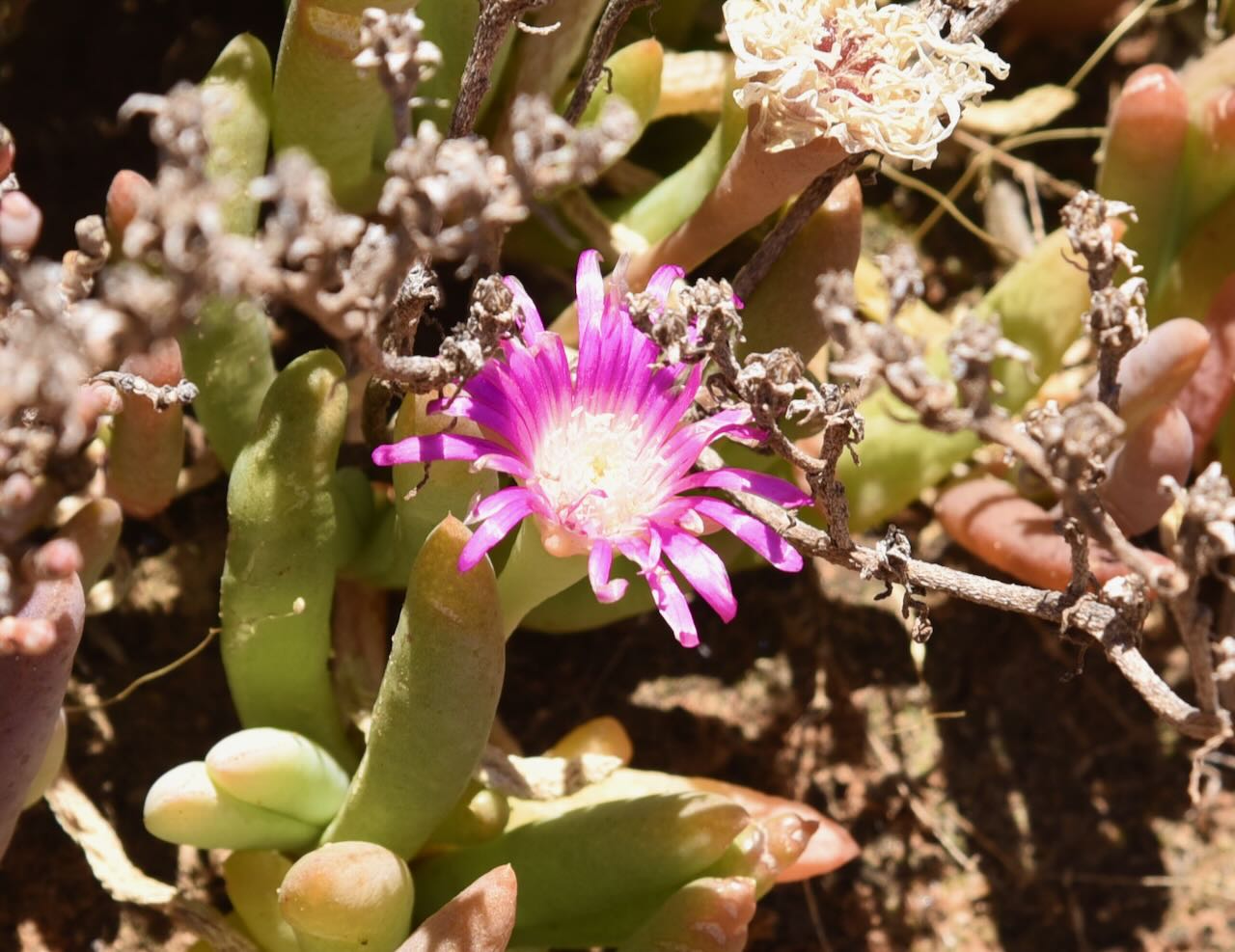
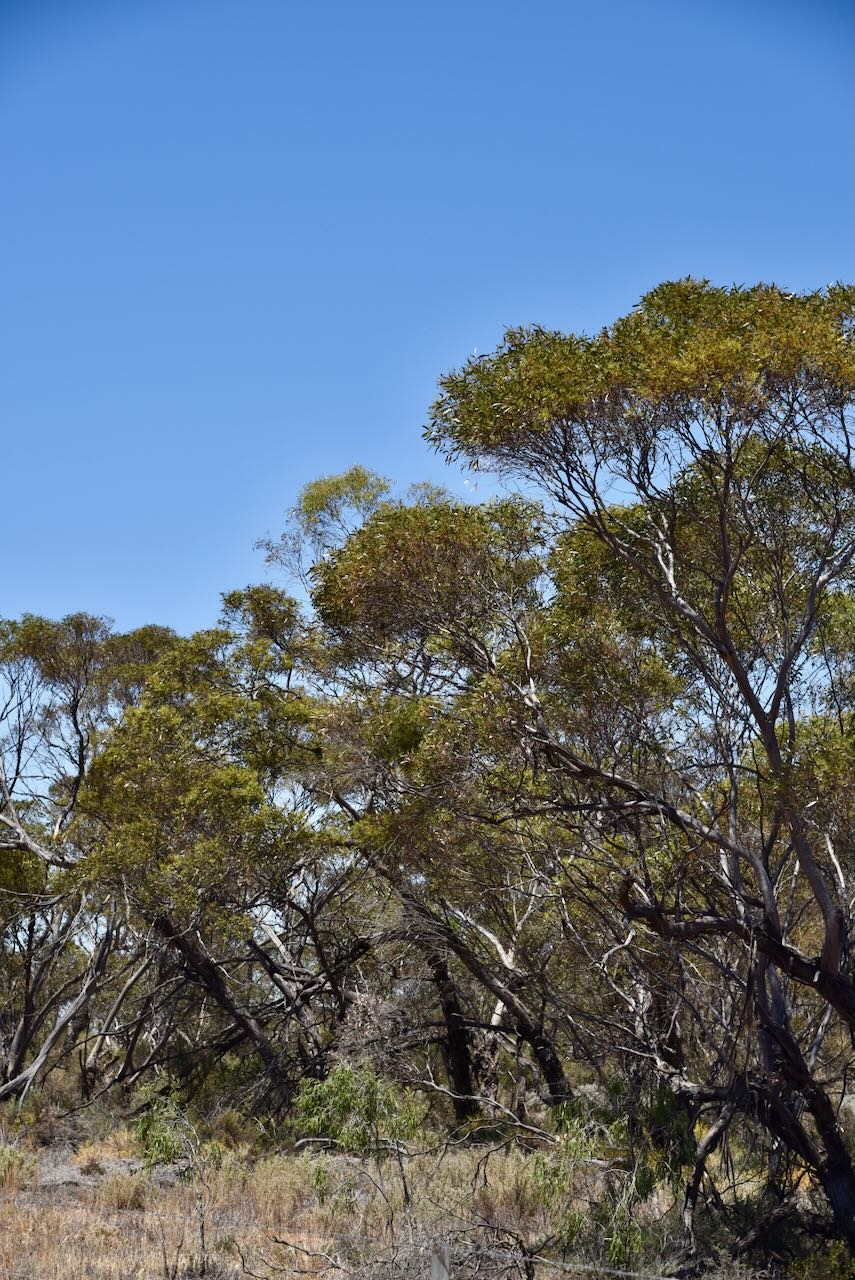
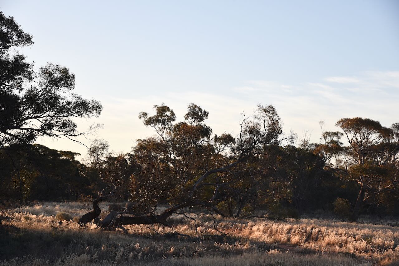
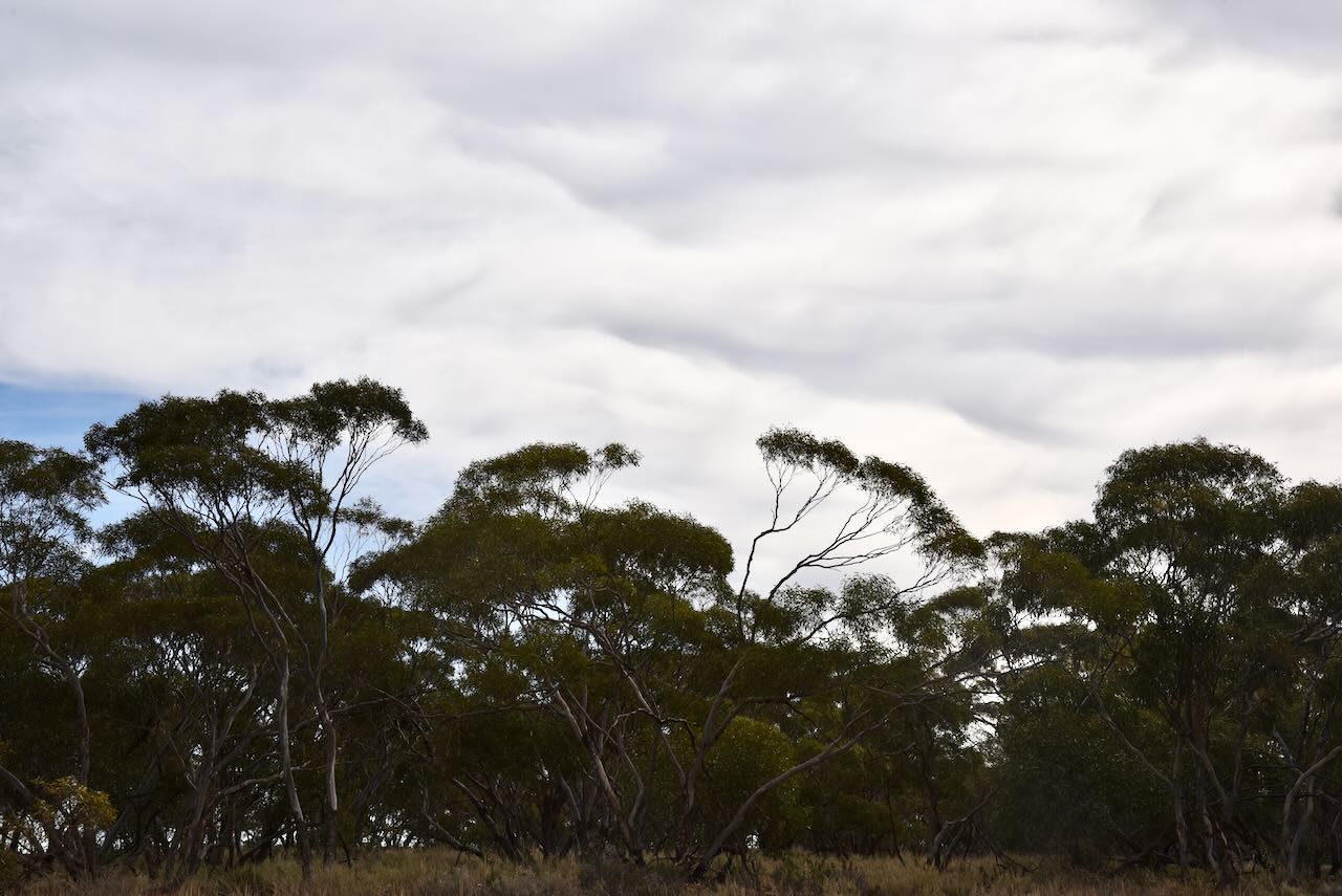
This was certainly not the most picturesque park I have ever visited. It was dry and baron, and the only sign of colour was the bright purple flowers of the Pig Face plants growing in the reserve.
The reserve is about 432 hectares in size and was established on the 8th day of May 1990.
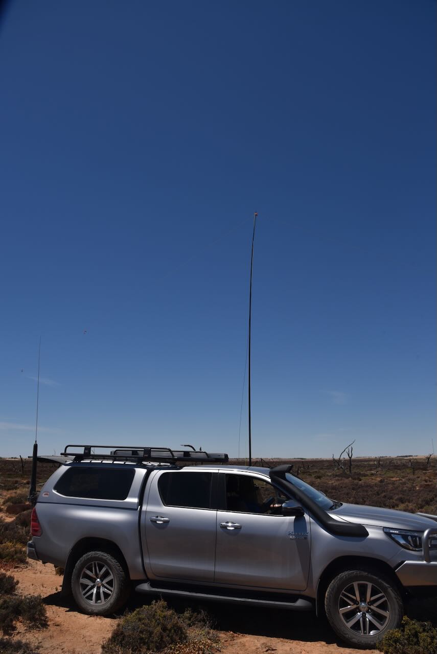
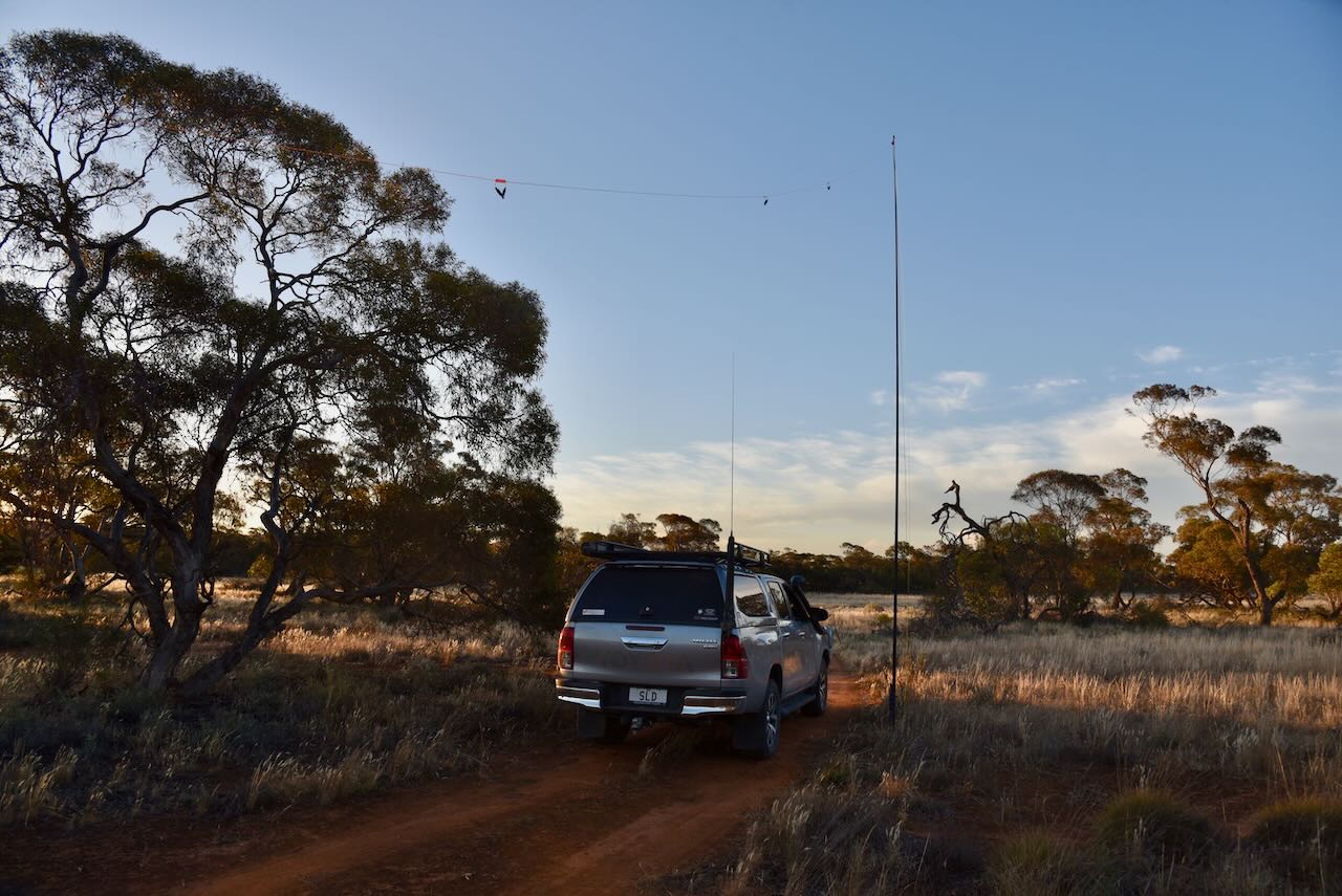
We operated from the vehicle for this activation, running the Yaesu FT857, 40 watts, and the 20/40/80m linked dipole, supported by the 7-metre heavy-duty squid pole. I used the call of VI10VKFF.
Marija worked the following stations on 40m SSB:-
I worked the following stations on 40m SSB:-
I worked the following stations on 20m SSB:-
References.
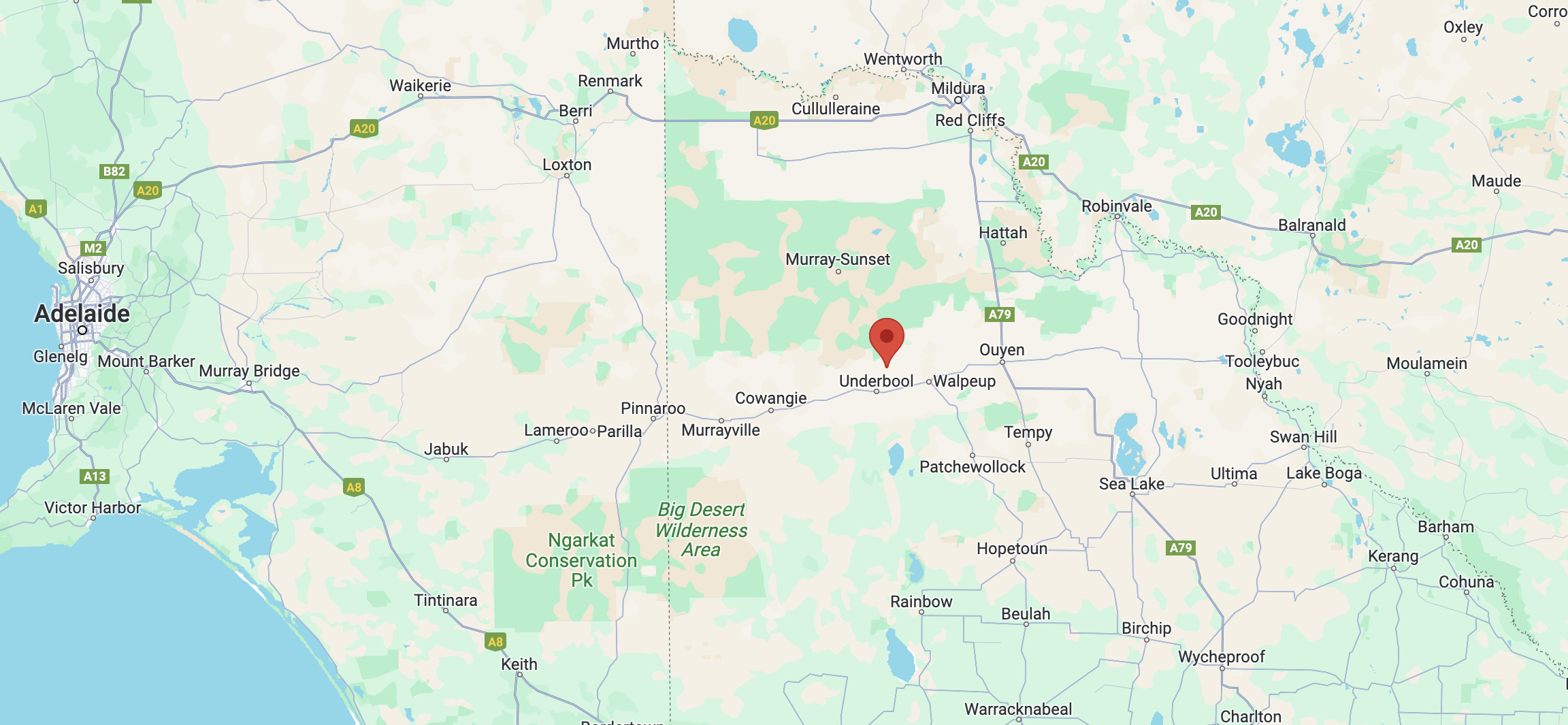
Next for Monday 13th November 2023 was the Underbool I61 Bushland Reserve VKFF-4170. This was the first activation of the park for the World Wide Flora Fauna (WWFF) program.
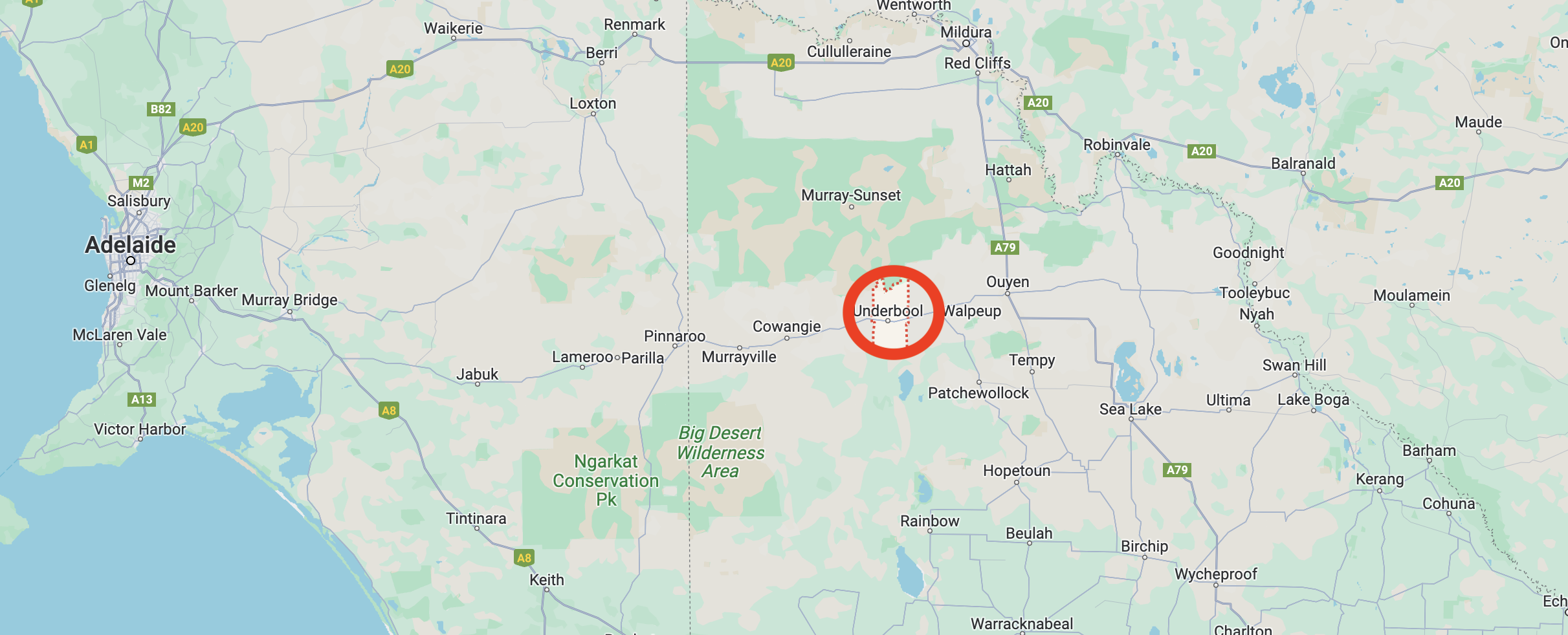
Above:- Map showing the location of Underbool. Map c/o Google Maps.
The reserve is located on the southwestern corner of Purnya Road and Pink Lakes Road.
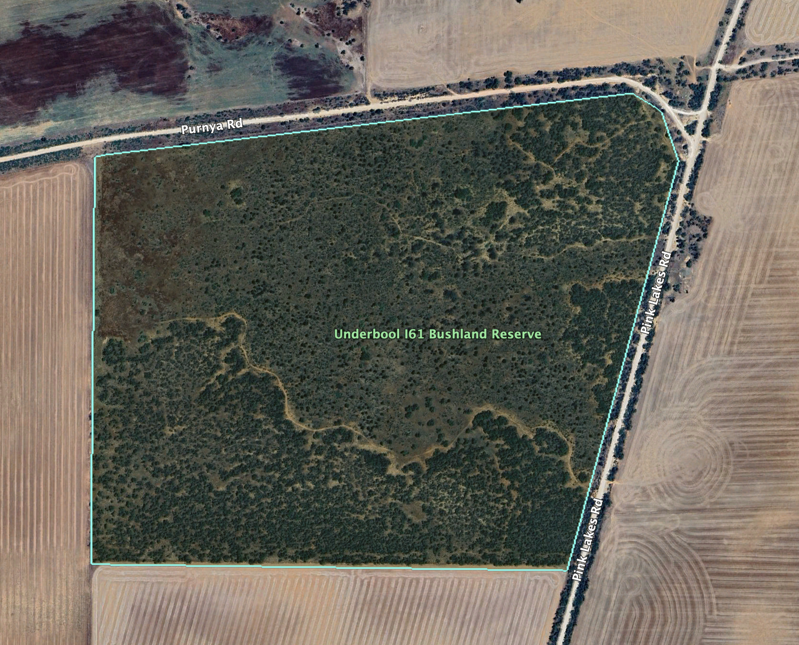
Above:- An aerial view of the reserve. Image c/o Google Earth.
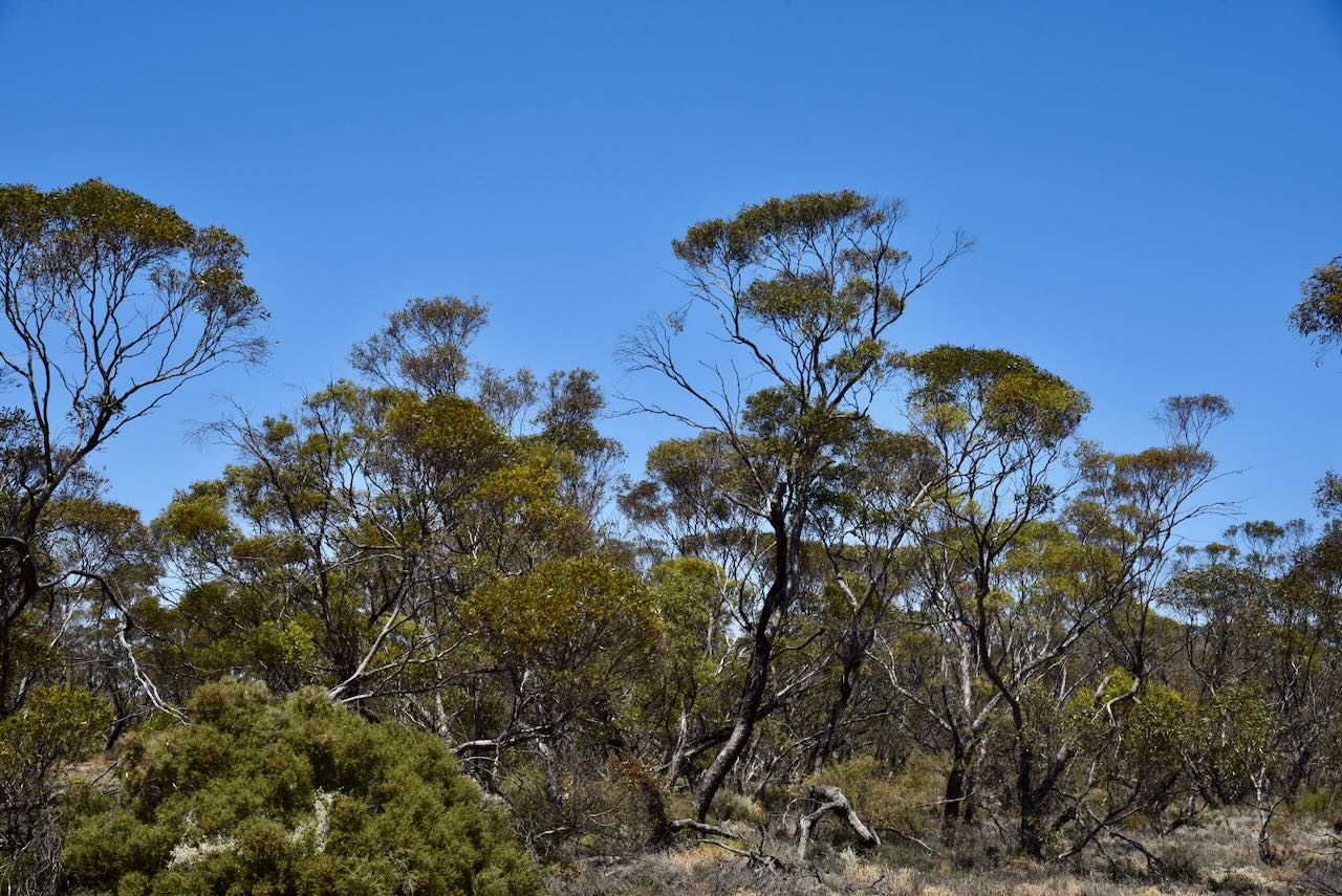
The reserve is about 98 hectares in size and was established on the 1st day of May 1979. It is a piece of remnant mallee scrub surrounded by cleared farming land.
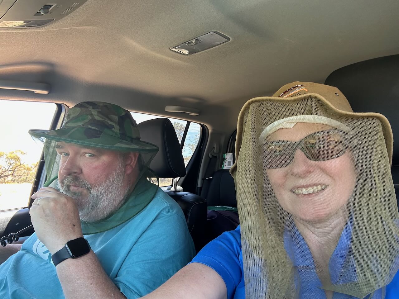
We decided to sit in the vehicle for this activation. It was a warm day so we had the windows down on the 4WD. The flies were relentless at this location so we donned our fly-netting hats.
We ran the Yaesu FT857, 40 watts, and the 20/40/80m linked dipole for this activation. I used the special event callsign of VI10VKFF to celebrate the 10-year anniversary of the VKFF program.
Marija worked the following stations on 40m SSB:-
I worked the following stations on 40m SSB:-
I worked the following stations on 20m SSB:-
References.
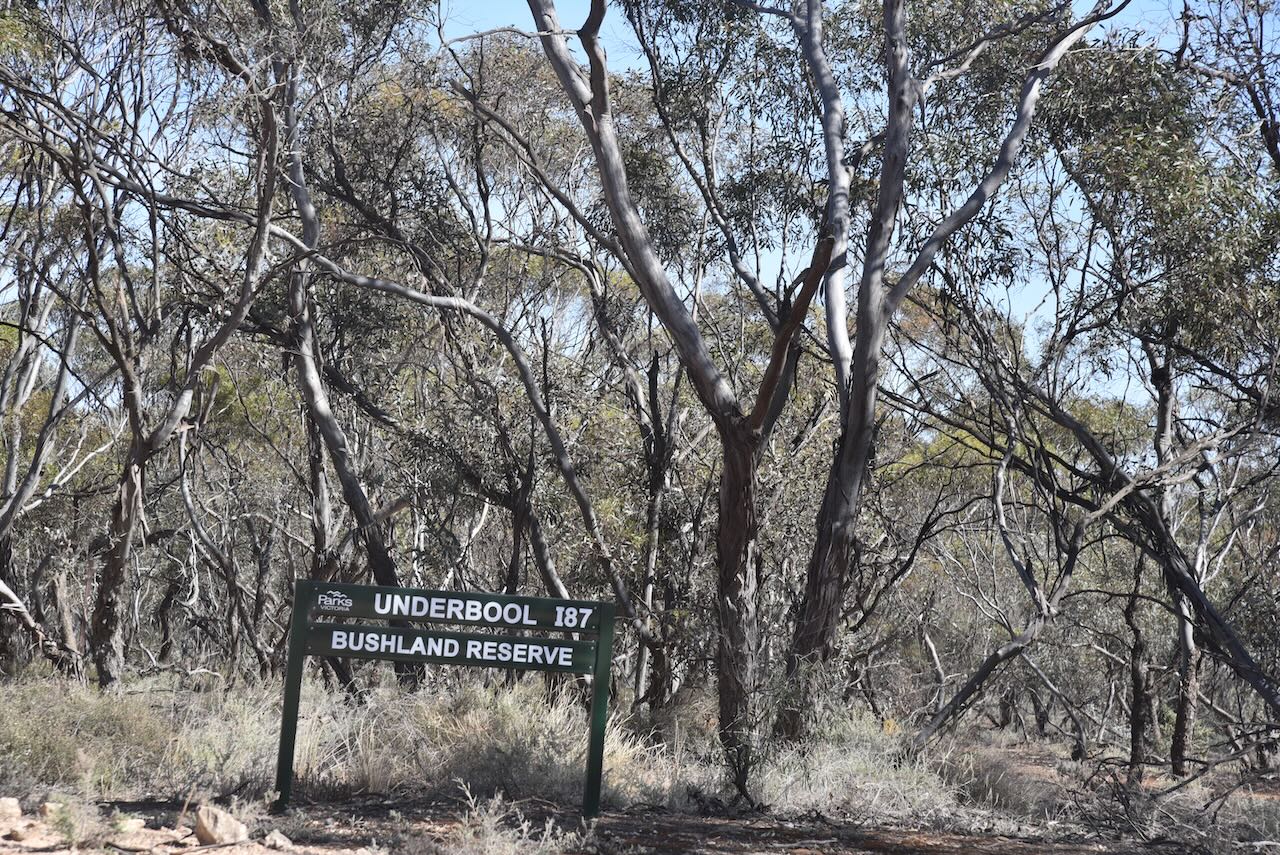
Our second activation for Monday 13th November 2023 was the Underbool I87 Bushland Reserve VKFF-4169. The reserve is located about 7 km northwest of the town of Underbool in northwest Victoria.
Above:- Map showing the location of Underbool. Map c/o Google Maps.
For detailed information on the history of Underbool, please see my previous post……..
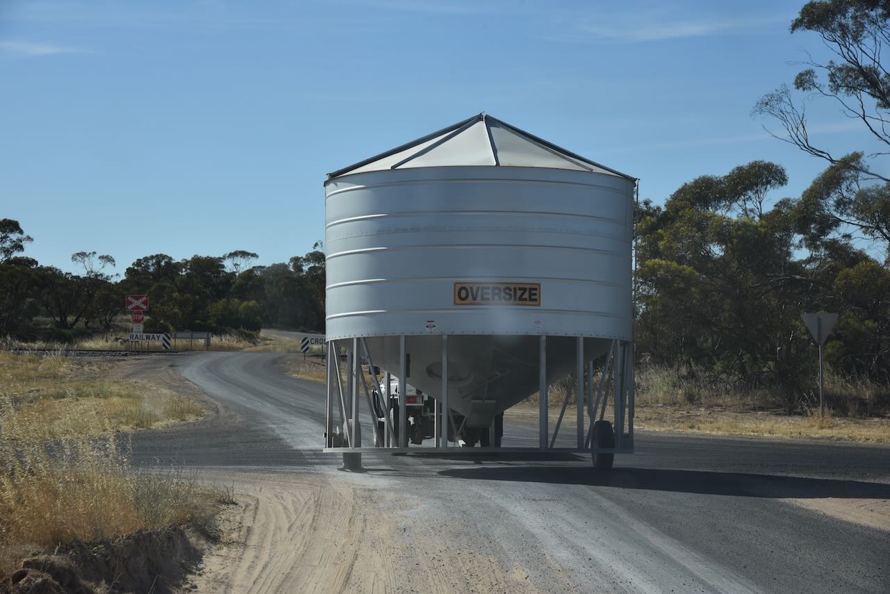
Out in the Mallee, you encounter all sorts of things. Including grain tanks being transported from one property to another.
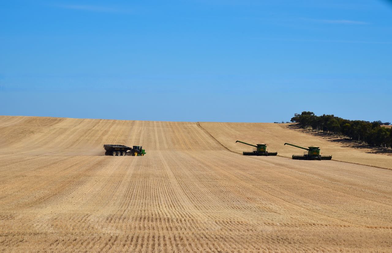
The farmers were also very busy out in their crops harvesting.
The Underbool I87 Bushland Reserve is about 67 hectares in size and was established on the 1st day of May 1979. (CAPAD 2022)
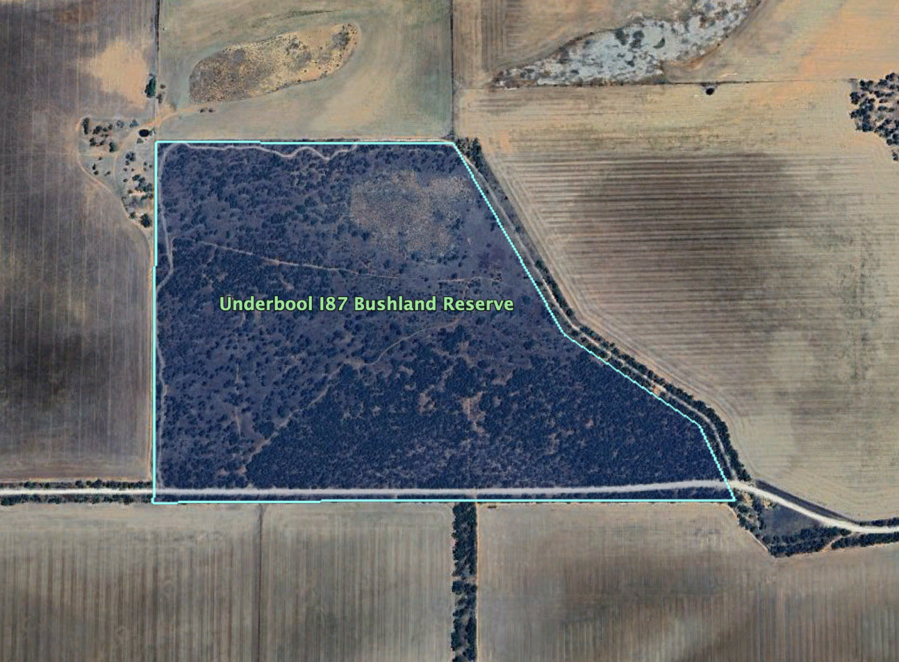
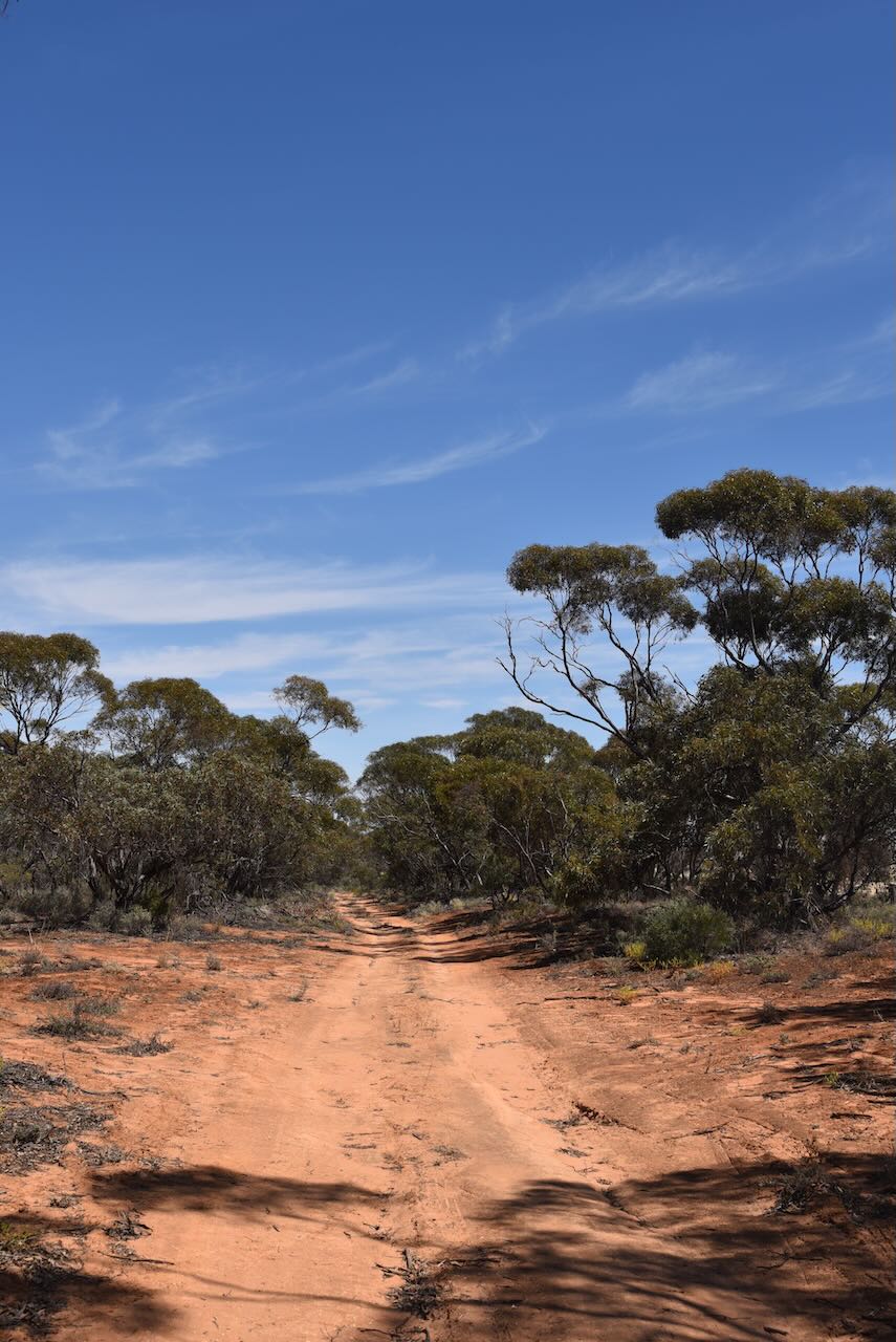
The reserve is located on the northern side of Harvey Road. There are 4WD tracks leading into the reserve.
We ran the Yaesu FT857, 40 watts, and the 20/40/80m linked dipole for this activation. I used the special event call of VI10VKFF to celebrate the 10 year anniversary of the VKFF program.
Marija worked the following stations on 40m SSB before the UTC rollover:-
Marija worked the following station on 40m SSB after the UTC rollover:-
I worked the following stations on 40m SSB:-
I worked the following stations on 40m SSB after the UTC rollover:-
I worked the following stations on 20m SSB before the UTC rollover:-
I worked the following stations on 20m SSB after the UTC rollover:-
References.
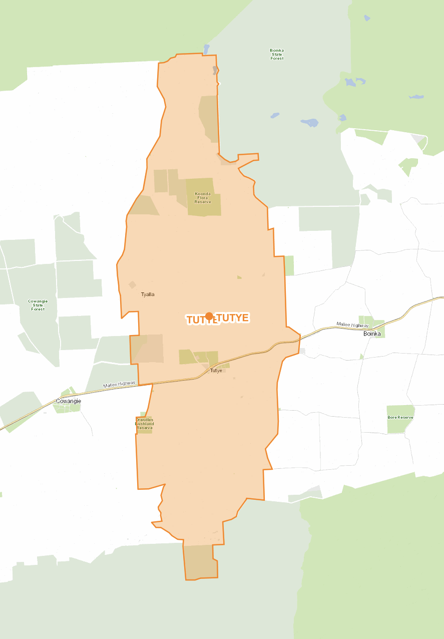
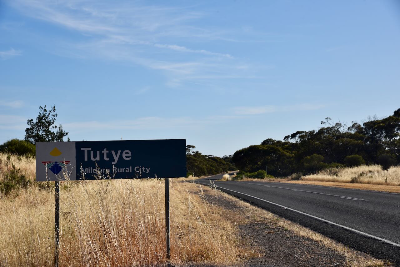
Our first activation for Monday 13th November 2023 was the Tutye Bushland Reserve VKFF-4162 and the Tutye silo VK-TTE3. Tutye is located halfway between Murrayville and Underbool in northwestern Victoria.
Tutye is a former town and locality in north-western Victoria. The old town is located on the Mallee Highway, about 12 km northwest of Cowangie and about 9 km southeast of Boinka.
Above:- the locality of Tutye. Image c/o maps.land.vic.gov.au
Tutye is an aboriginal word meaning rest. (Blake 1977)
Tutye was proclaimed a township in 1920 with the proclamation appearing in the Victorian Government Gazette on the 1st day of December 1920. The proclamation was partly rescinded on two occasions in November and December 1922, to exclude areas on the edge of the township as it was established that the town would be smaller than first thought. (Context 2013)
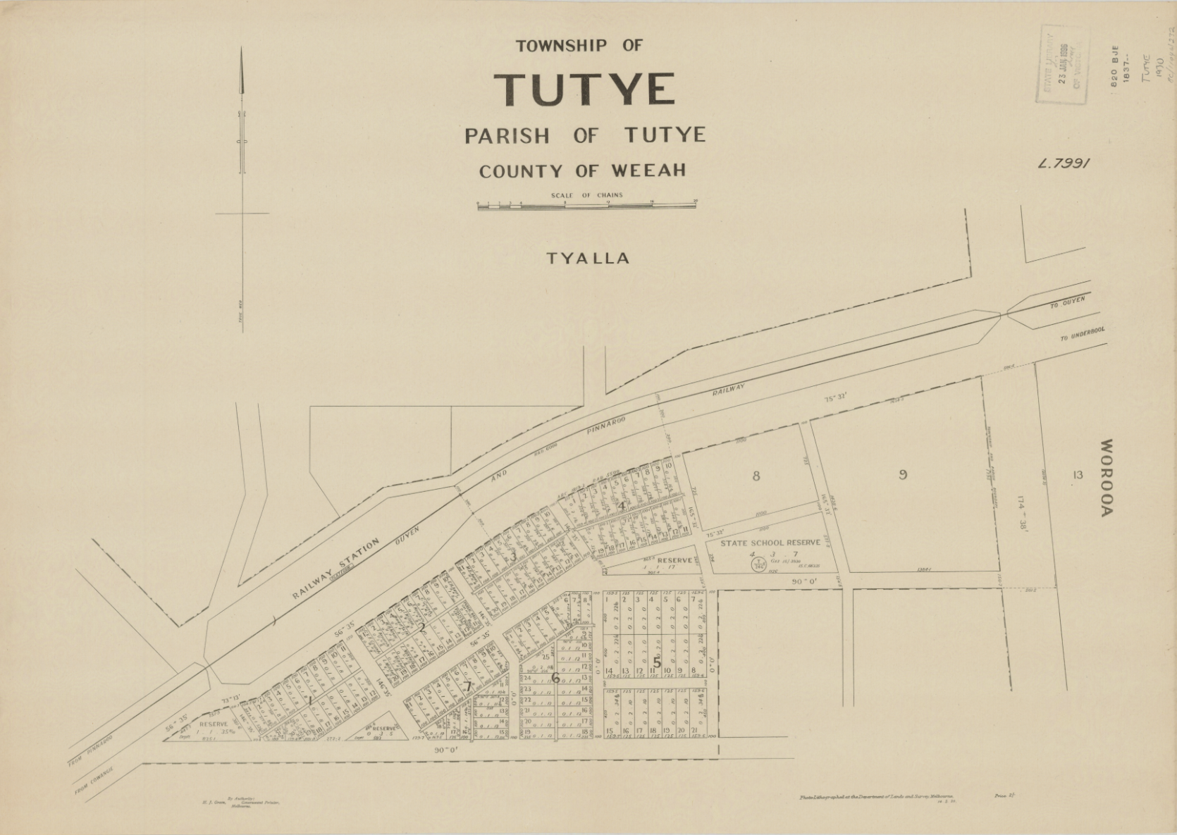
Above: Plan of the township of Tutye. Image c/o Trove.
Settlement in the area however dated before 1920. The area was first settled in about 1912. (Context 2013) The Tutye Post office was opened on the 15th day of July 1912. A regular mail service was provided by the opening of the railway line from Ouyen to Murrayville in June 1912. It was closed in 1980. (Phoenix 2024) The Tutye General Store opened in 1912, and the Tutye Hall was built in 1913. (Context 2013)
In 1920 a bore was sunk at Tutye. (Context 2013) In that same year, the Tutye State School was also opened. (1920 Tutye State School)
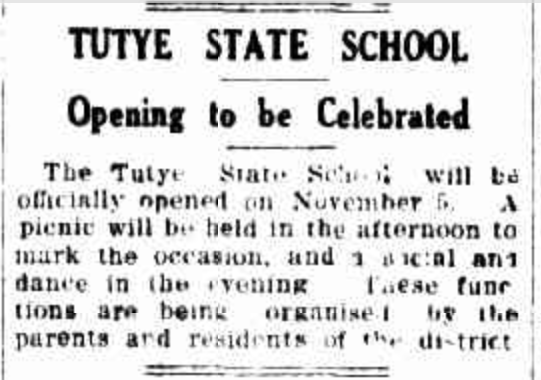
Above: Article from the Sunraysia Daily, Mildura, Fri 29 Oct 1920. Image c/o Trove
x
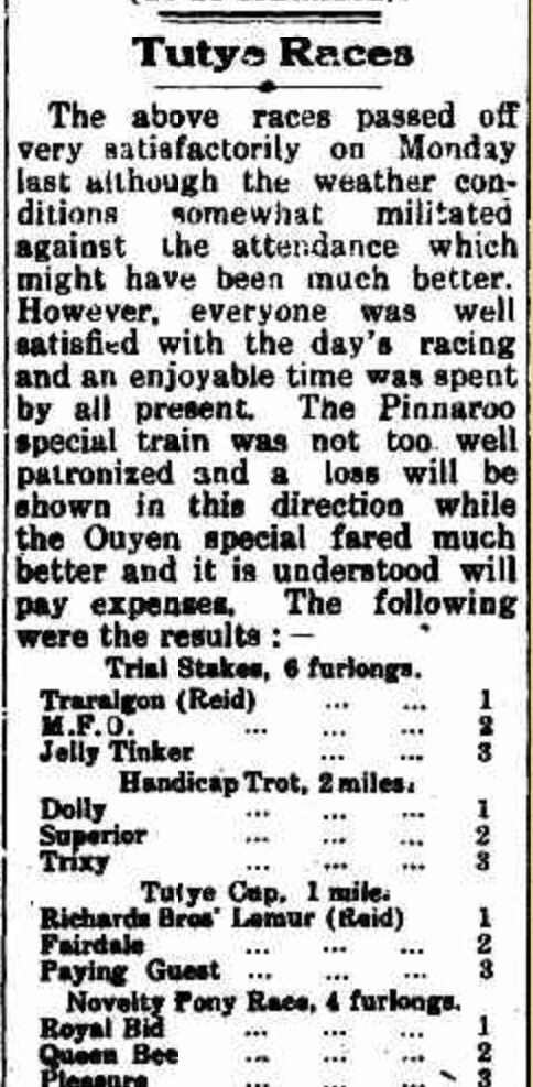
Above:- part of an article from the Pinnaroo and Border Times, Fri 11 Jun 1920. Image c/o Trove.
In 1954 the Tutye Gypsum Factory commenced trading as Australian Plaster Industries. Gypsum was brought through Tutye by rail in 1953-1956. A minor industrial boom was planned. However, only two of the anticipated 50 houses were constructed. The factory’s main product was Plaster of Paris. A cookhouse was constructed near the factory which operated for three years. (Context 2013)
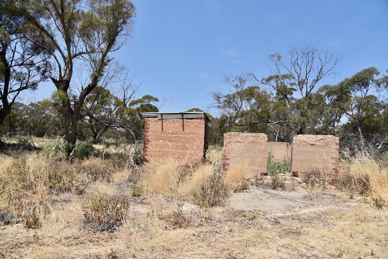
The only remaining structure from the township of Tutye is the remains of a house on Stock Route Road
The row of sugar gums on Stock Route Road marks the township site. They were planted in honour of those who served in World War One. (Context 2013)

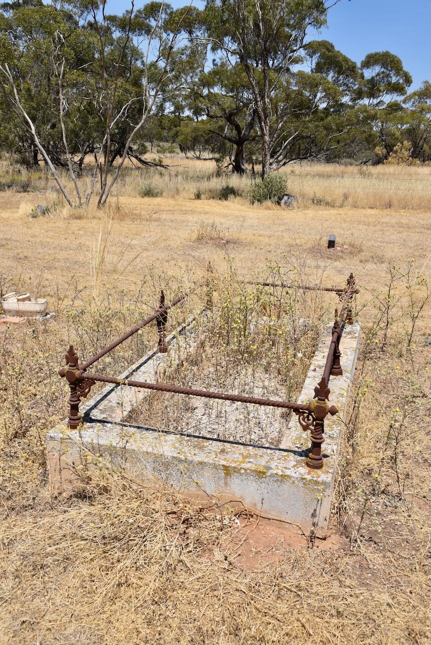
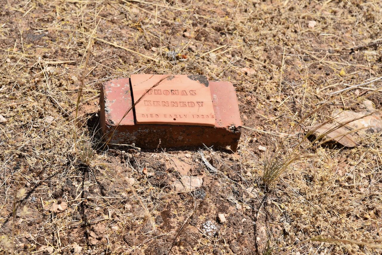
The Tutye cemetery is located on Tyalla Road. The first recorded burial at the cemetery was in 1915. One of the earliest burials was that of Roland Hendy who died in 1915, aged just 16 years. Unfortunately, a fire in 1934 destroyed all of the Tutye cemetery records. (Context 2013)
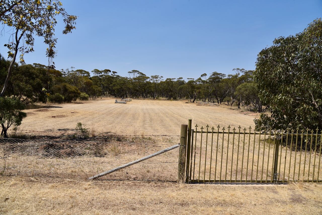
Sadly very little remains today of what was once a thriving settlement.
The Tutye Bushland Reserve is about 232 hectares in size and was declared on the 1st day of May 1979. It comprises 22 different sections of land located on the northern and southern sides of the Mallee Highway. (CAPAD 2022)
The Parks Victoria website has a page for the reserve but contains no information other than a boundary map of the reserve.
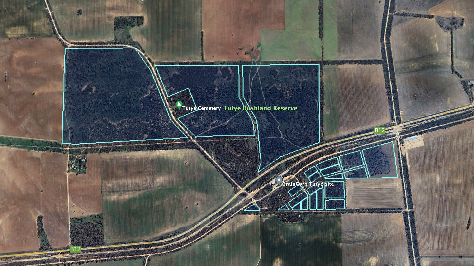
Above:- The Tutye Bushland Reserve. Image c/o Google Earth.
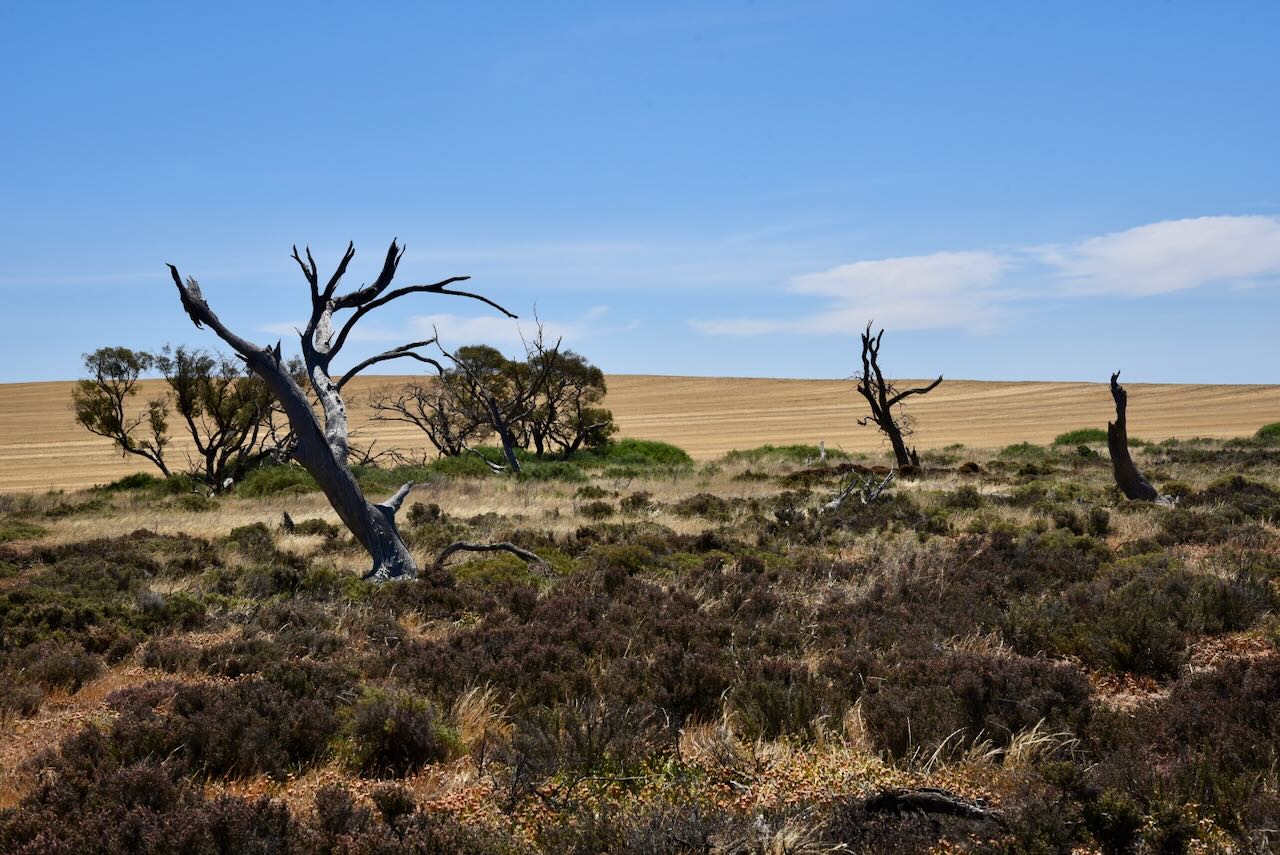
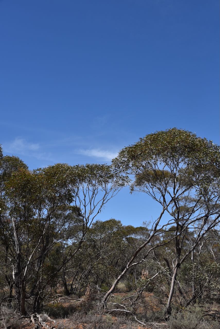
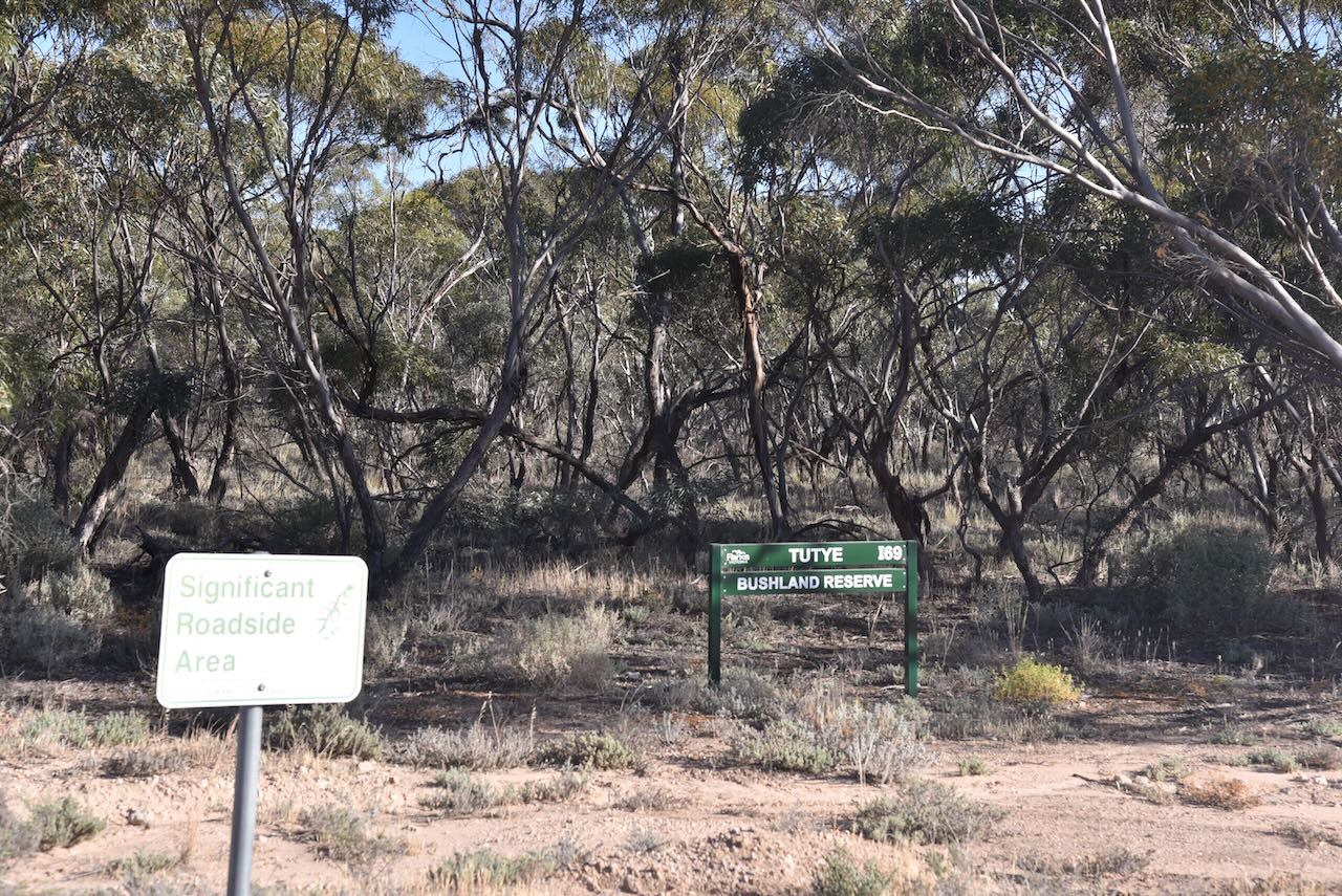
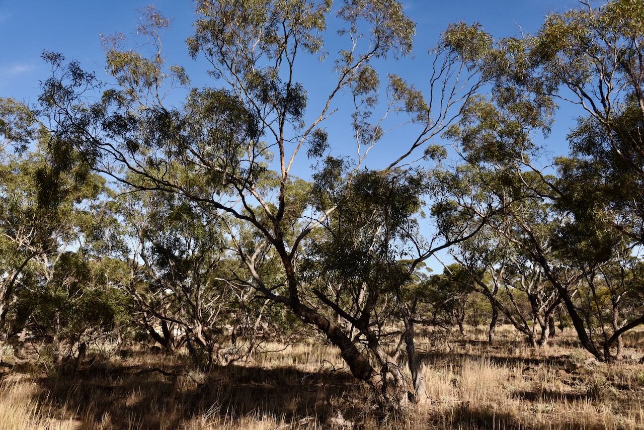
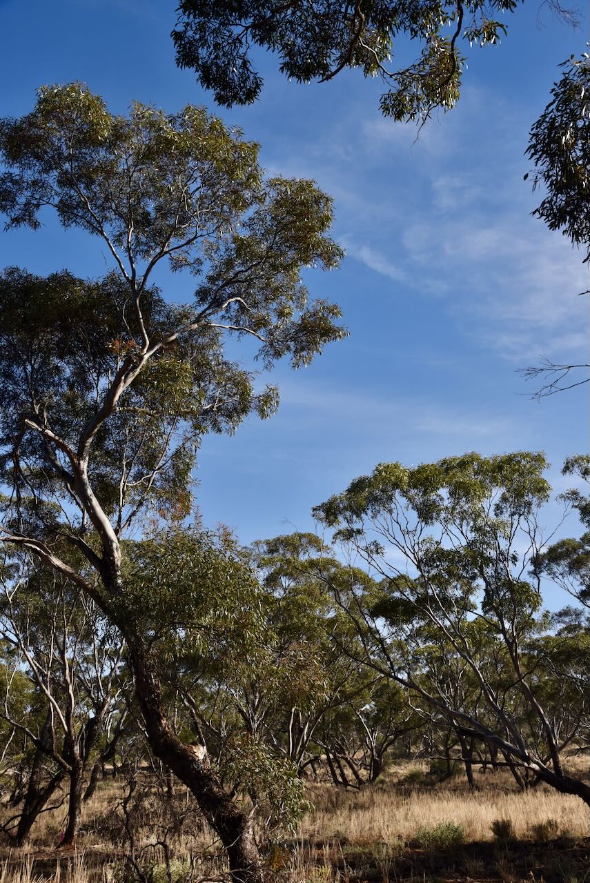
The bushland reserve is a good example of remnant mallee scrub in northwestern Victoria. The reserve is surrounded by cleared farming land.
The Tutye silos were built in 1968. (Context 2013)
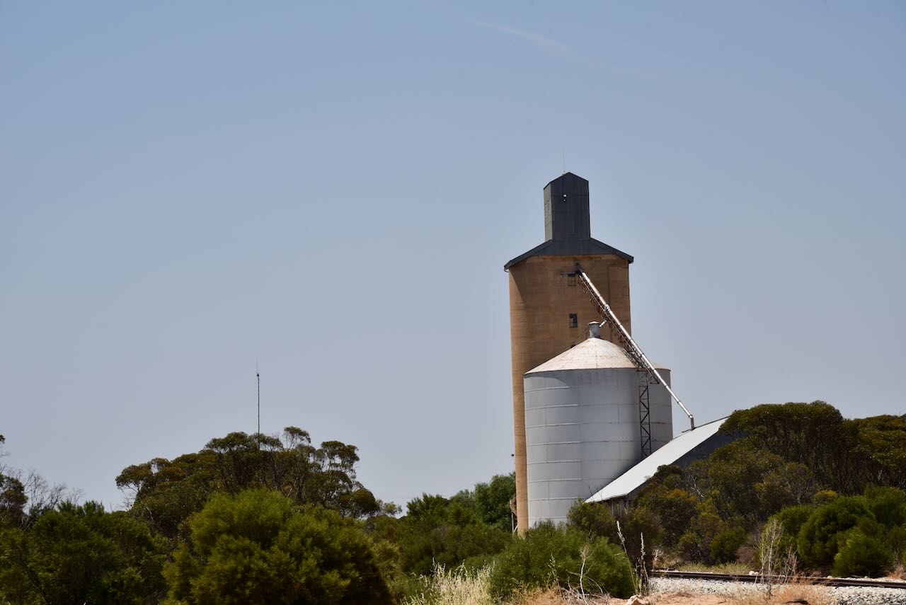
We operated on Old Stock Route Road within the silo activation zone.
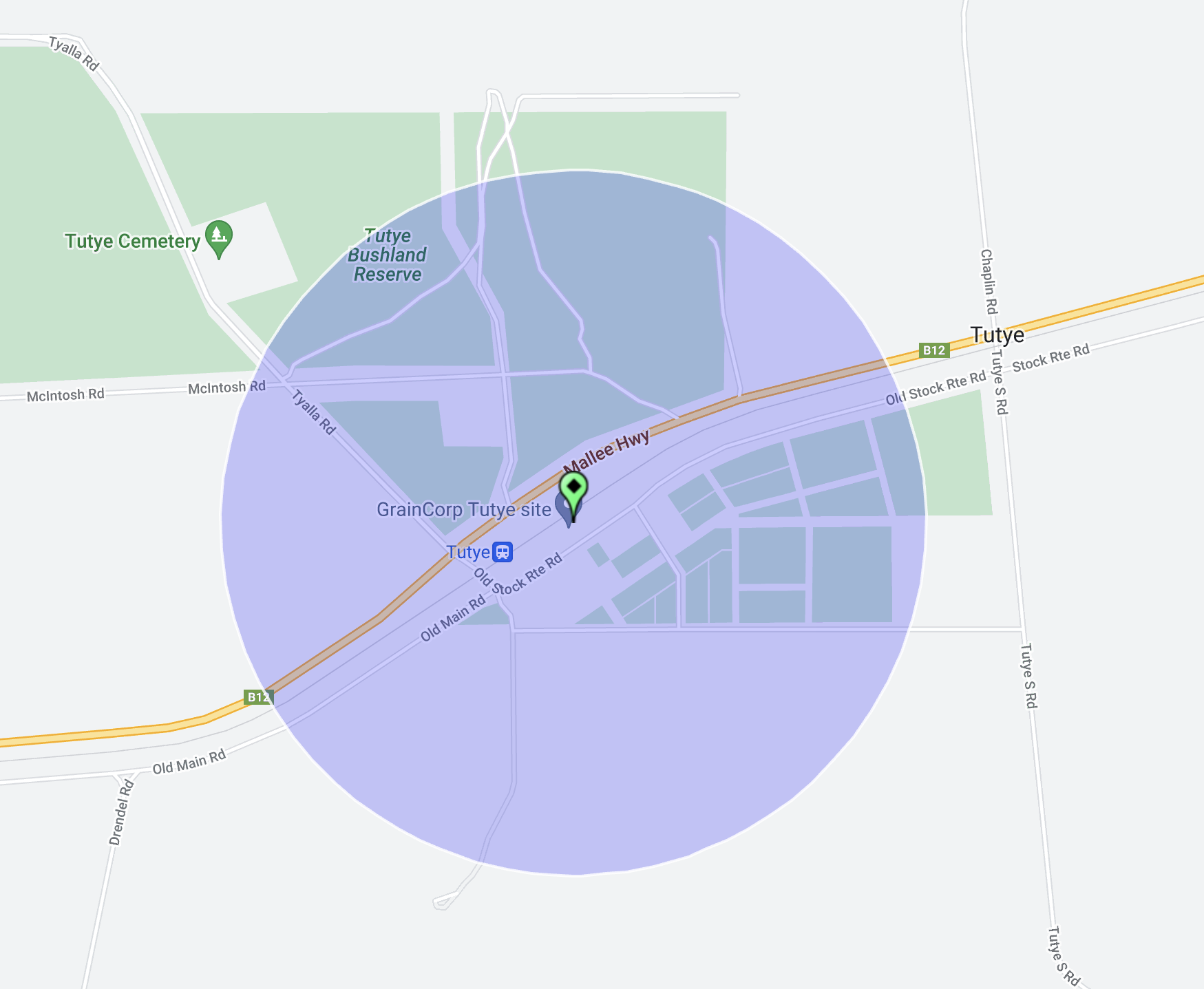
Above:- the activation zone at the Tutye silo. Image c/o SiOTA website.
Marija made the following QSOs on 80m SSB:-
Marija made the following QSOs on 40m SSB:-
I made the following QSOs on 80m SSB:-
I made the following QSOs on 40m SSB:-
I worked the following stations on 20m SSB:-
References.
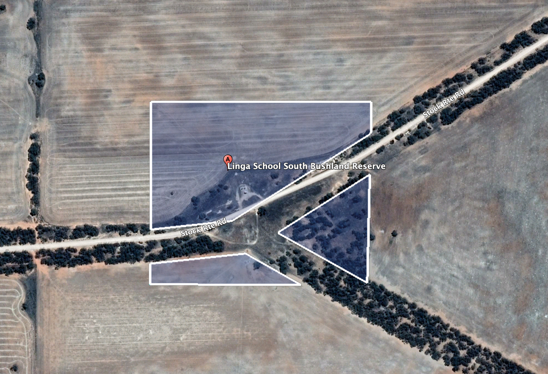
Our final activation for Sunday 12th November 2023 was the Linga School South Bushland Reserve VKFF-4167. The reserve is located about halfway in between the towns of Cowangie and Underbool in northwest Victoria.
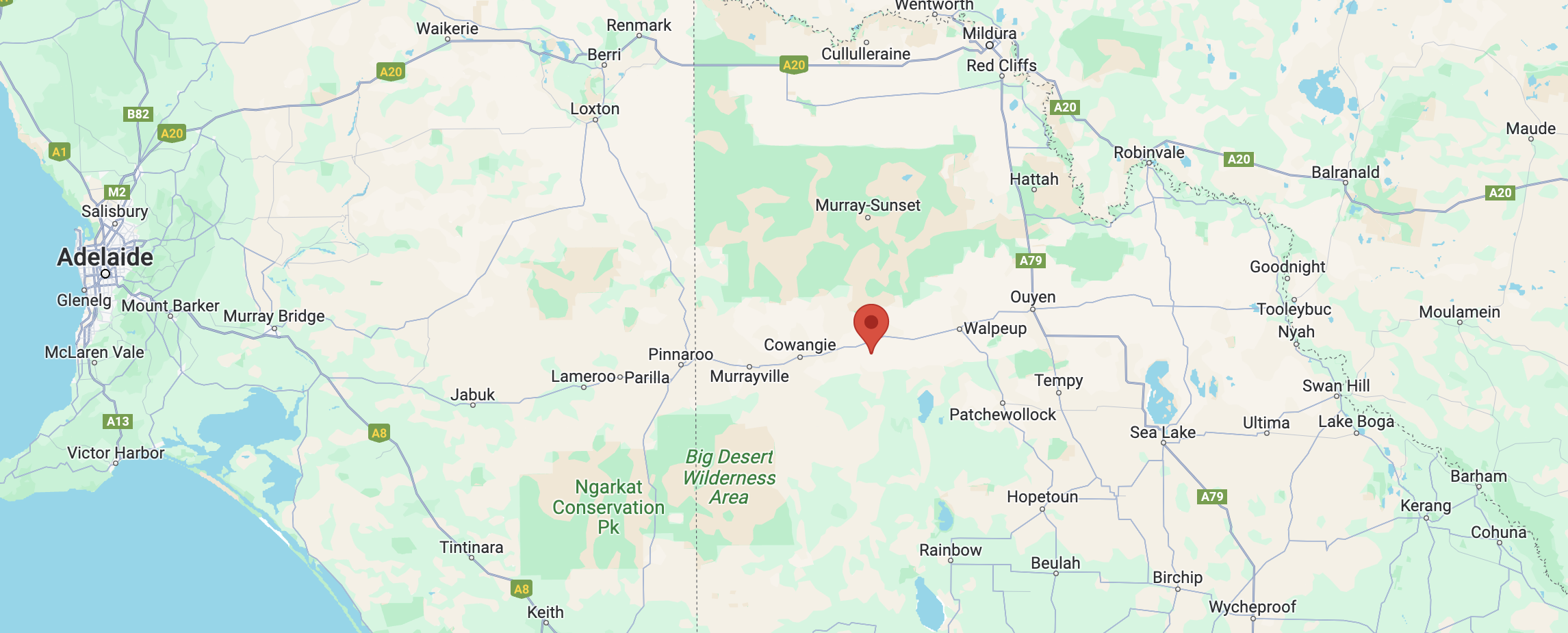
Above:- Map showing the location of the Linga School South Bushland Reserve. Map c/o Google Maps.
This was the first time that the park had been activated for the World Wide Flora Fauna (WWFF) program.
Linga is an aboriginal word meaning home or camp. (Blake 1977) Linga once once a thriving township. It had a Farmers Association, a cricket team, a tennis club, and a football team (1917 Linga). The Linga Hall even hosted dance evenings for the ‘Underbool Queen.’ (1923 Linga)
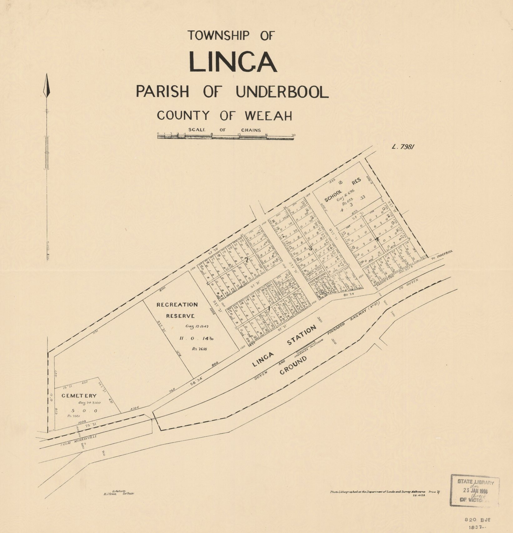
Above:- Plan of the township of Linga. Image c/o State Library Victoria.
The Linga South State School (No. 4460) opened on 30 January 1930 and closed in 1949. (1930 Mallee School News)

Above:- Article from the Ouyen Mail, Wed 9 Apr 1930. Image c/o Trove.
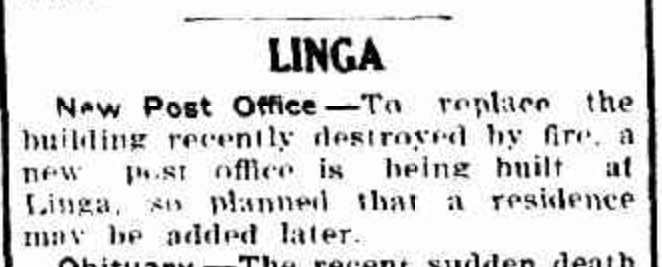
The Post Office opened in 1913 and was originally known as Manpy. In 1939 it was destroyed by fire and was rebuilt. It closed in 1975. (Phoenix 2024) (1939 Linga)
Above:- Article from the Sunraysia Daily, Mildura, Wed 1 Feb 1939. Image c/o Trove
Sadly as was the case with many small towns, the First World War took its toll and many young men were lost.
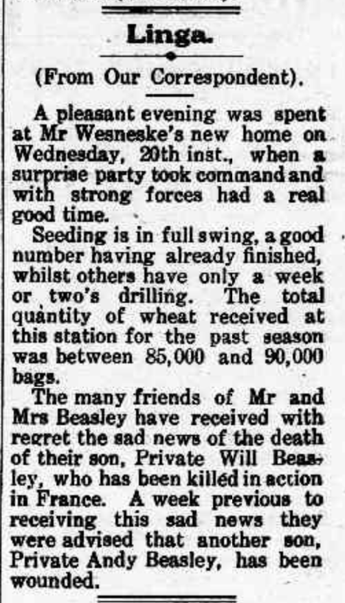
Above:- Article from the Pinnaroo and Border Times, Fri 29 Jun 1917. Image c/o Trove.
By the time we reached the park, it was almost dark. But it was a beautiful warm evening and we enjoyed the sunset as we set up our gear comprising the Yaesy FT857, 40 watts, and the 20/40/80m linked dipole.
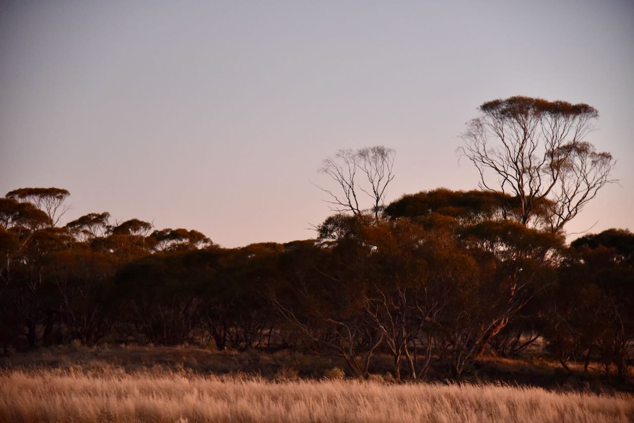
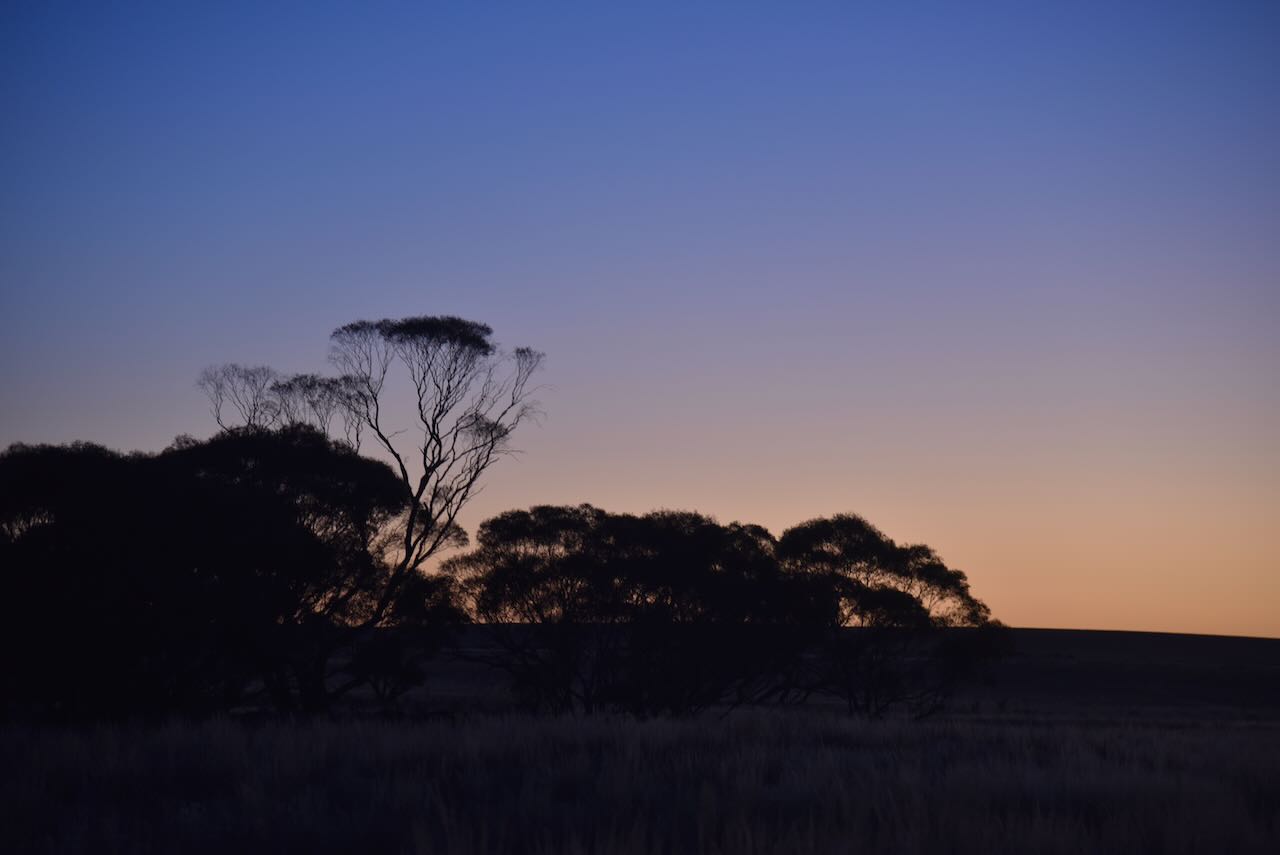
The park is about 9 hectares in size and was established on the 8th day of May 1990 (CAPAD 2022). The Parks Victoria website has a page regarding the reserve, but it contains no information other than a park boundary map. The park is divided into three sections, on the northern and southern sides of Stock Route Road. The park did not appear to be signposted. It is just a very small piece of remnant mallee scrub surrounded by cleared farming land. There were no visible signs of the school.
We worked a total of 64 stations on 40m SSB before packing up and heading back to our accommodation at Murrayville. It had been a great day with lots of park activations.
Marija worked the following stations on 40m SSB:-
I worked the following stations on 40m SSB:-
References.
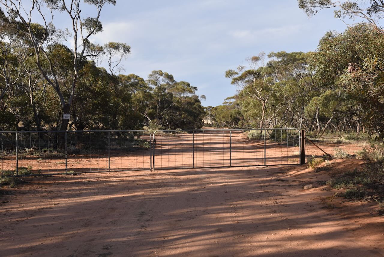
After leaving the Gnarr I75 Bushland Reserve (on Sunday 12th November 2023), Marija and I headed to the Gnarr I237 Bushland Reserve. Unfortunately, we found a locked gate on the road leading to the park, so we could not activate that reserve.
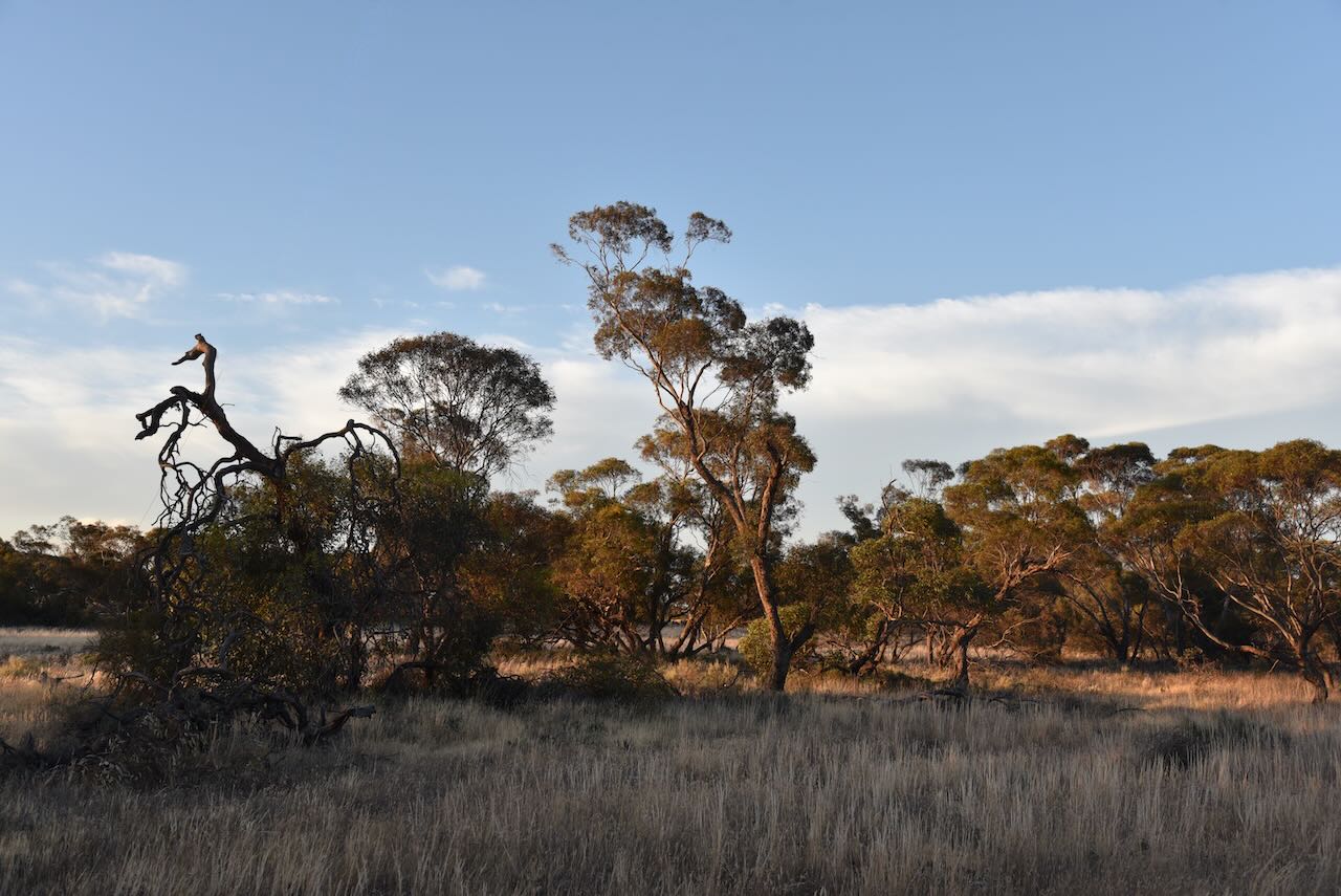
Our next option was the Mamengoroock I73 Bushland Reserve VKFF-4173, just a short drive away. The reserve is located about 9km north of Underbool in northwestern Victoria.
Above:- Map showing the location of the reserve. Map c/o Google Maps.
It is interesting to note that there is a nearby park with a slightly different spelling: Mamengorook.
Mamengorook is an aboriginal word regarding their belief in a good and superior being (Mamen: father, and gorook: our).
The Mamengorook area was opened up for farming in the early 1900s.
Above:- Article from the Pinaroo and Border Times, Fri 27th Oct 1911. Image c/o Trove.
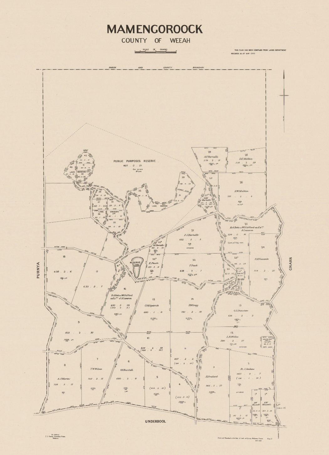
Above:- Map of Mamengorook. Image c/o Libraries Victoria.
The reserve is located on the western side of Mamengorook Road, about 1km south of Aikman Road.
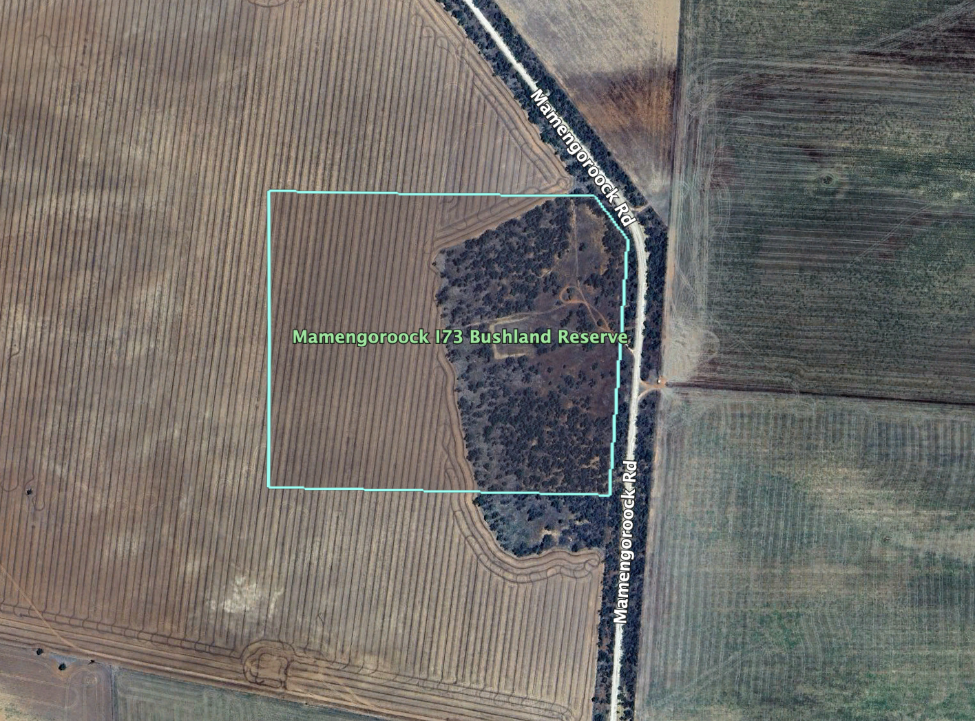
The reserve is about 23 hectares in size and was established on the 1st day of May 1979. It is a small piece of remnant mallee bushland, surrounded by cleared farming land.
We found a dirt track leading into the park and set up the 20/40/80m linked dipole, supported by the 7-metre heavy-duty squid pole. We ran the Yaesu FT857 and 40 watts. I used the special call of VI10VKFF for this activation.
Whilst we were activating we were visited by two of the local farmers. They were curious as to what we were up to. We took the time out to have a long chat and explain the hobby.
Marija worked the following stations on 40m SSB:-
I worked the following stations on 40m SSB:-
I worked the following stations on 80m SSB:-
References.
After leaving Mossop Bushland Reserve, Marija and I travelled north along Campbell Road and then east of Aikman Road, and we soon reached our next park activation, the Gnarr I75 Bushland Reserve VKFF-4181. This would be another first-time activation for the World Wide Flora Fauna (WWFF) program.
The reserve is located about 13km north of Underbool in northwestern Victoria.
The reserve is located on the southern side of Aikman Road, between Campbell Road and Gnarr Road.
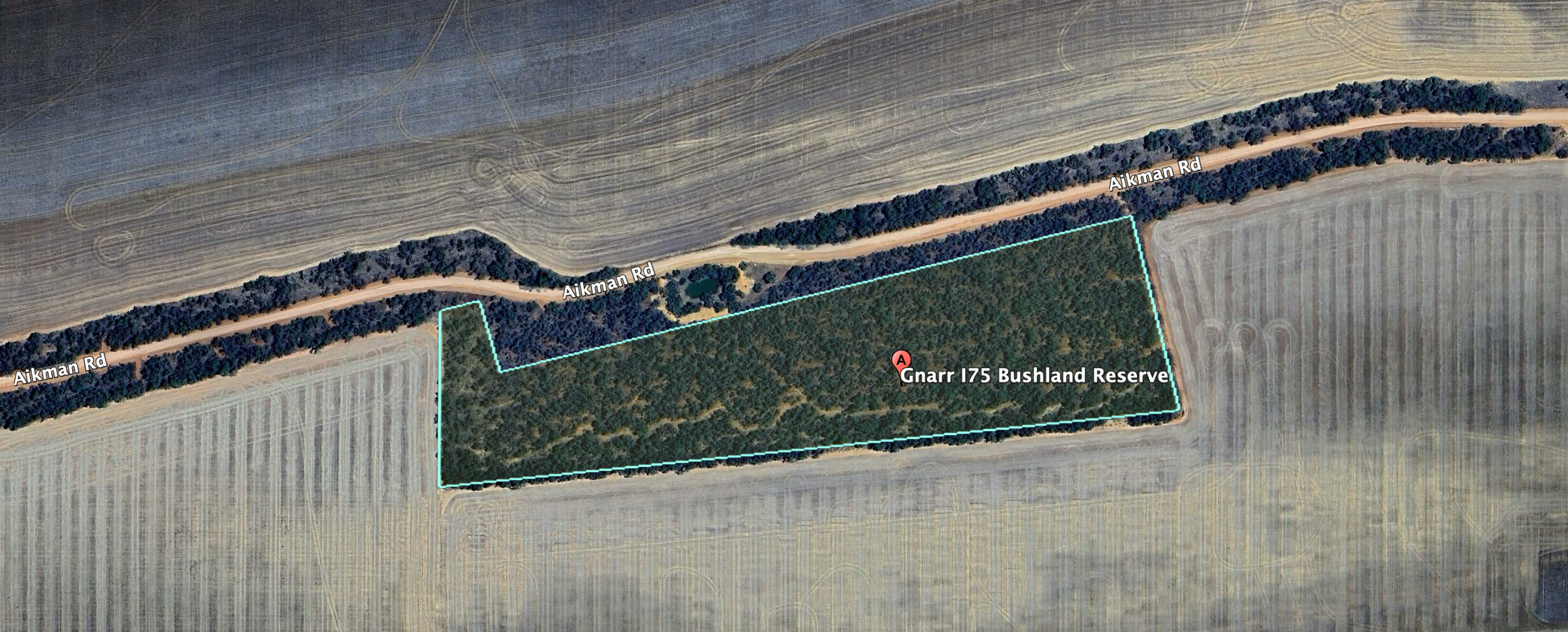
Above:- An aerial view of the Gnarr I75 Bushland Reserve. Image c/o Google Earth.
Gnarr I75 Bushland Reserve is only a small park. It is 7 hectares in size and was established on the 1st day of May 1979. I have been unable to find the origin of the name Gnarr. There is a Mount Gnarr located to the northwest of the park, and two other parks with the name Gnarr: Gnarr Flora & Fauna Reserve and Gnarr I237 Bushland Reserve.
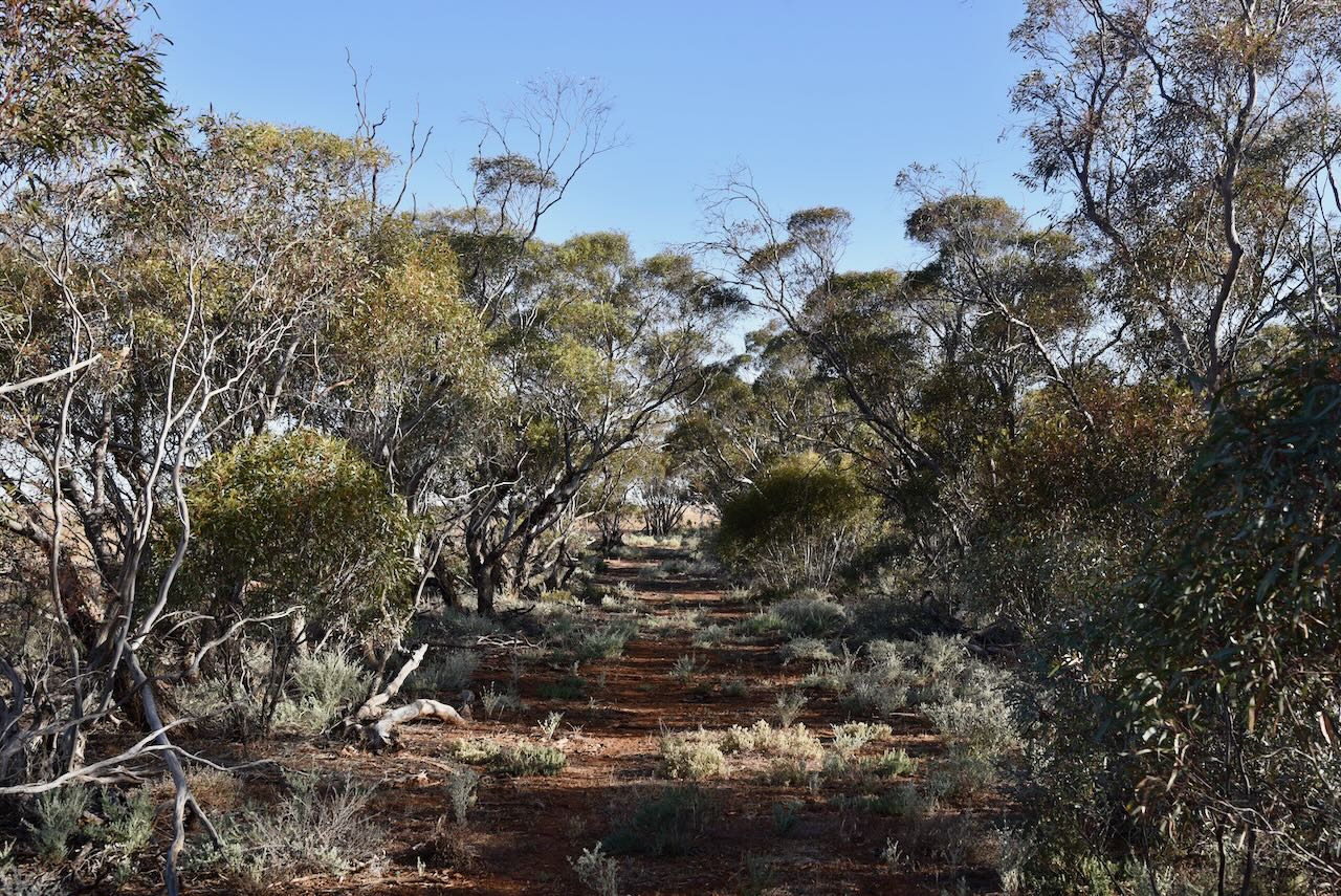
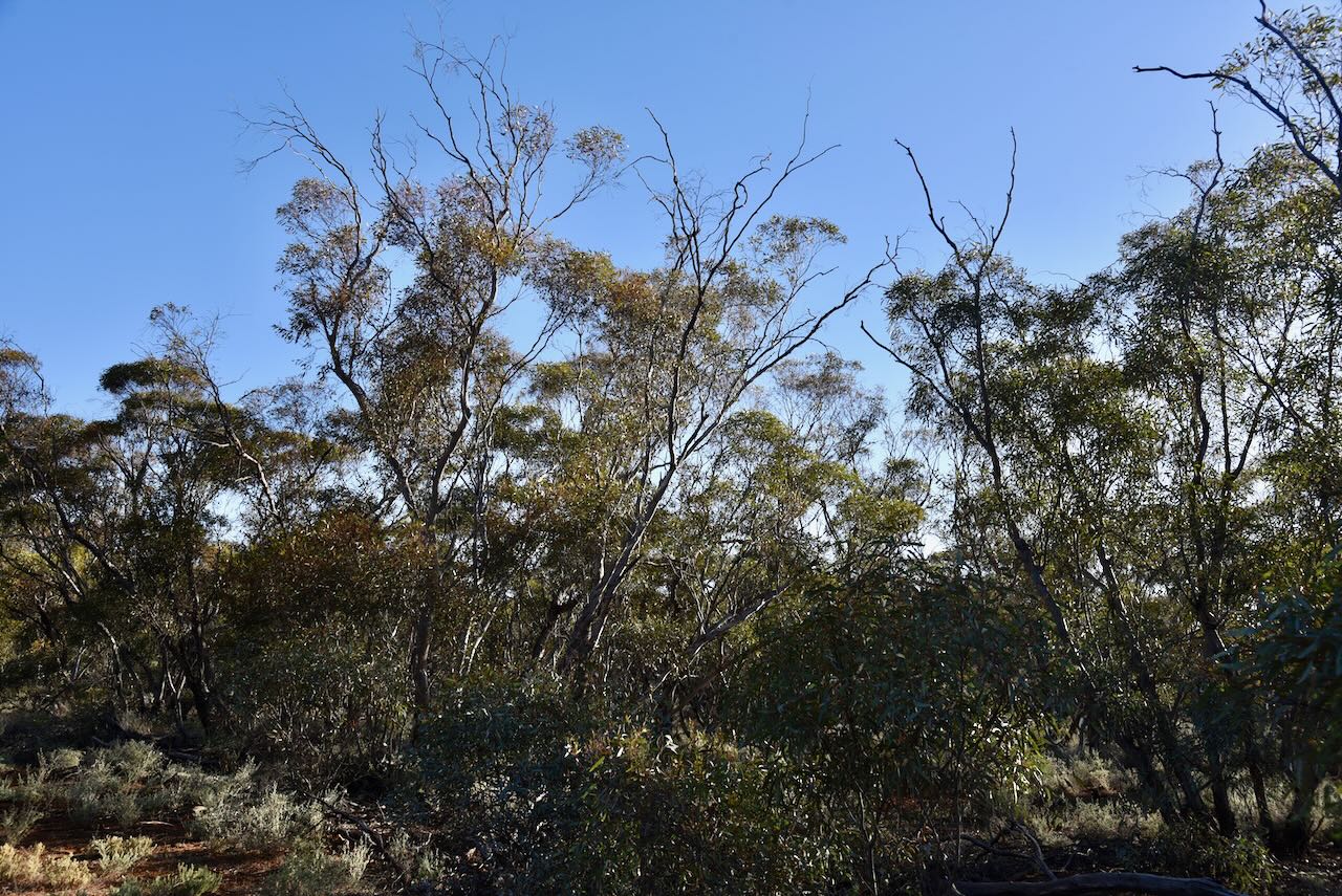
I used the special call of VI10VKFF to celebrate 10 years of the VKFF program. We ran the Yaesu FT857, 40 watts, and the 20/40/80m linked dipole. We operated from a narrow track in the park.
Marija worked the following stations on 40m SSB:-
I worked the following stations on 40m SSB:-
I worked the following stations on 20m SSB:-
References.
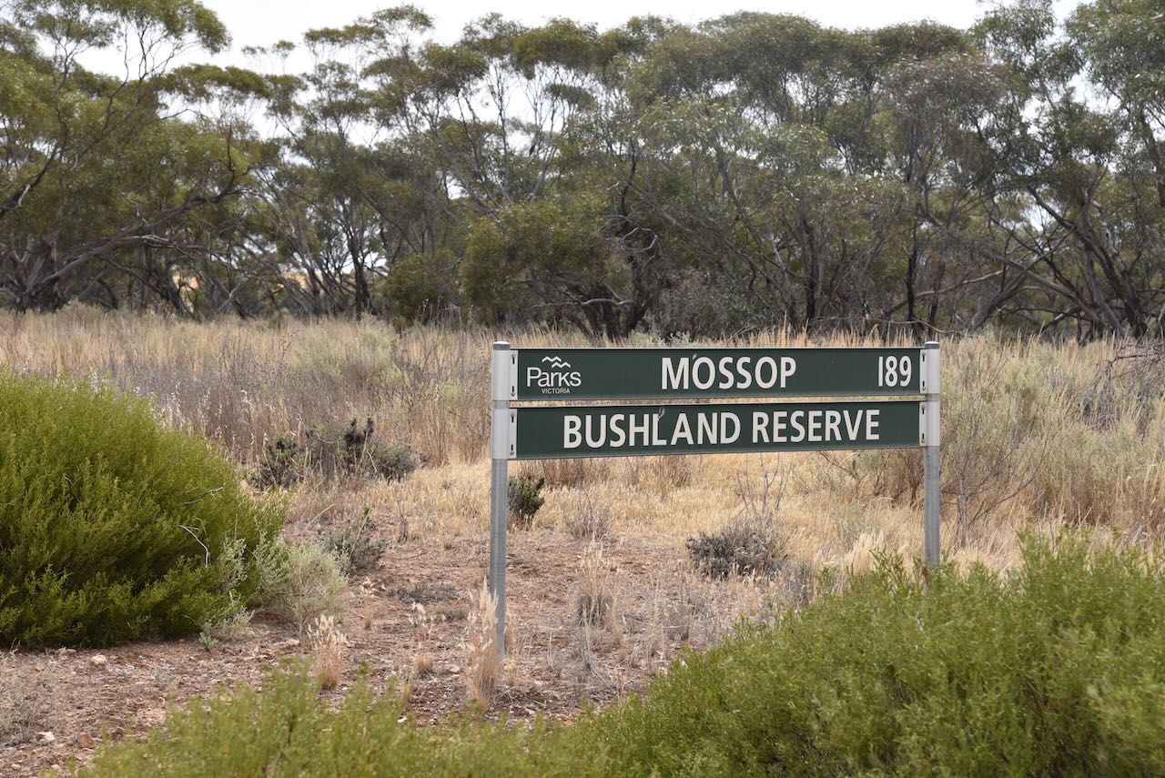
Our seventh park activation for Sunday 12th November 2023 was the Mossop Bushland Reserve VKFF-4176. The reserve is located about 6km north of Underbool in northwestern Victoria. This was the first time the reserve had been activated for the World Wide Flora Fauna (WWFF) program.
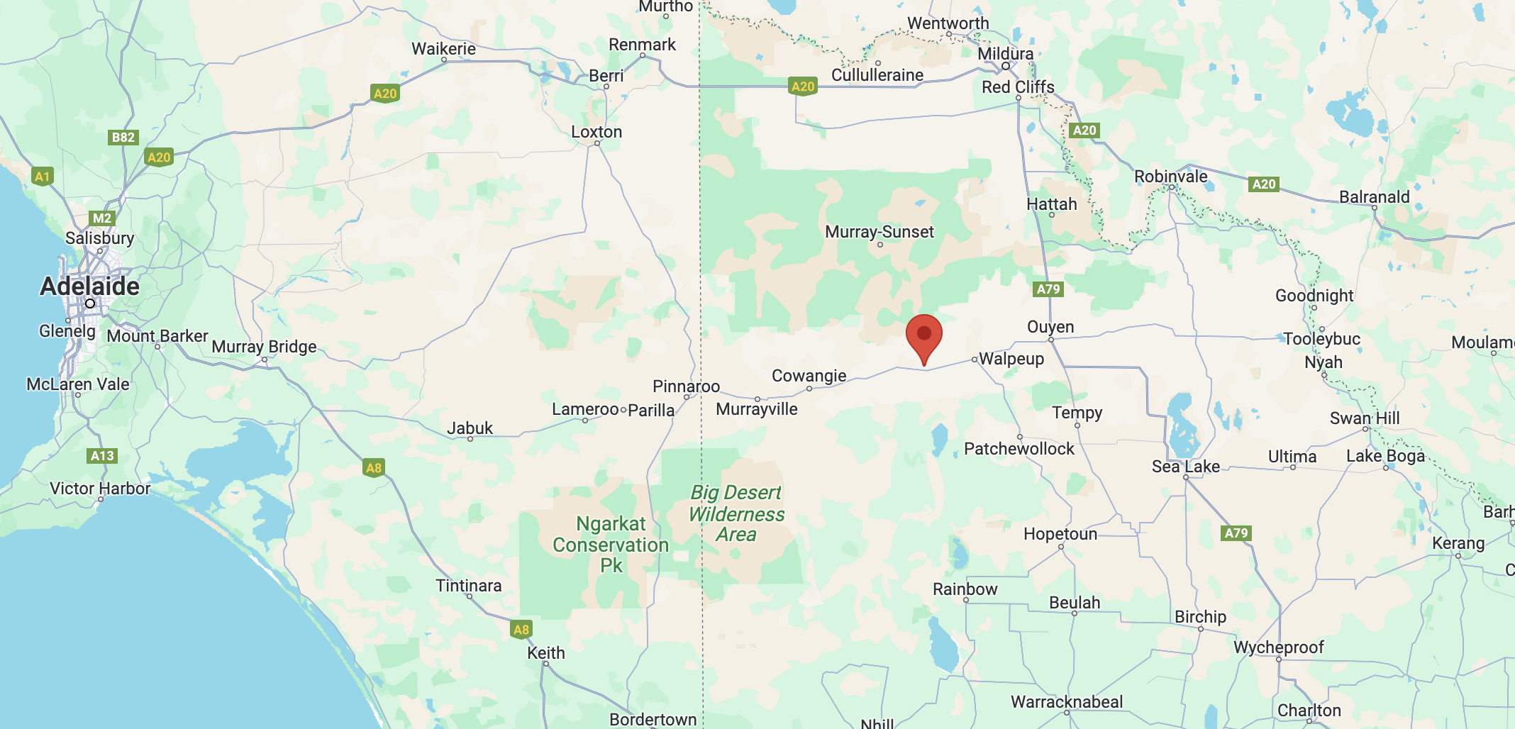
Above:- Map showing the location of the Mossop Bushland Reserve. Map c/o Google Maps.
The reserve is located on the southwestern corner of Gnarr Road and Campbell Road.

Above:- An aerial view of the reserve. Image c/o Google Earth.
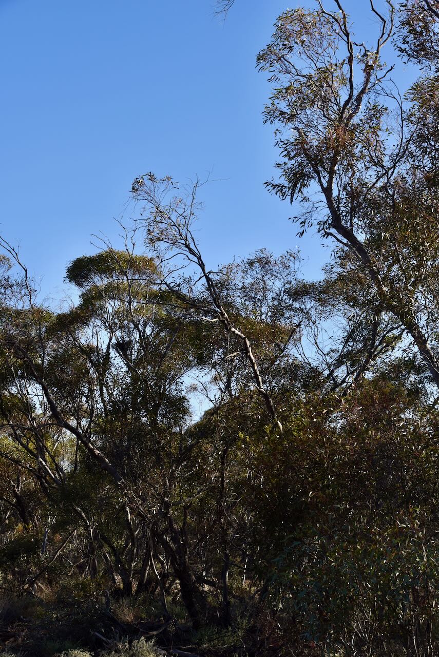
The reserve is about 12 hectares in size and was established on the 1st day of May 1979. It is a small piece of remnant mallee surrounded by cleared farming land. I have been unable to find the origin of the name Mossop.
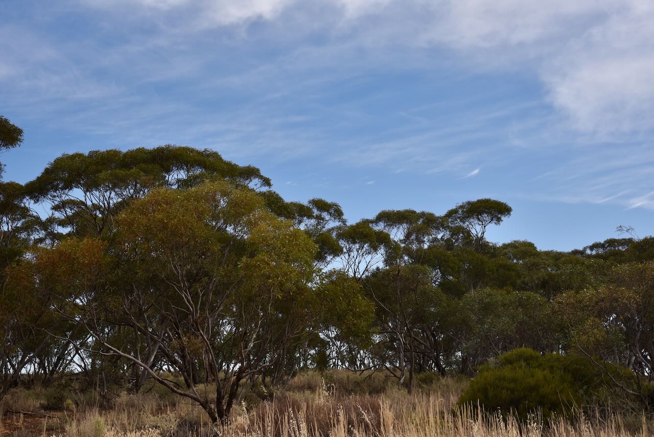
I used the special call of VI10VKFF for this activation. We ran the Yaesu FT857, 40 watts, and the 20/40/80m linked dipole.
Marija worked the following stations on 40m SSB:-
Marija worked the following stations on 40m AM:-
I worked the following stations on 40m SSB:-
I worked the following stations on 40m AM:-
I worked the following stations on 20m SSB:-
References.
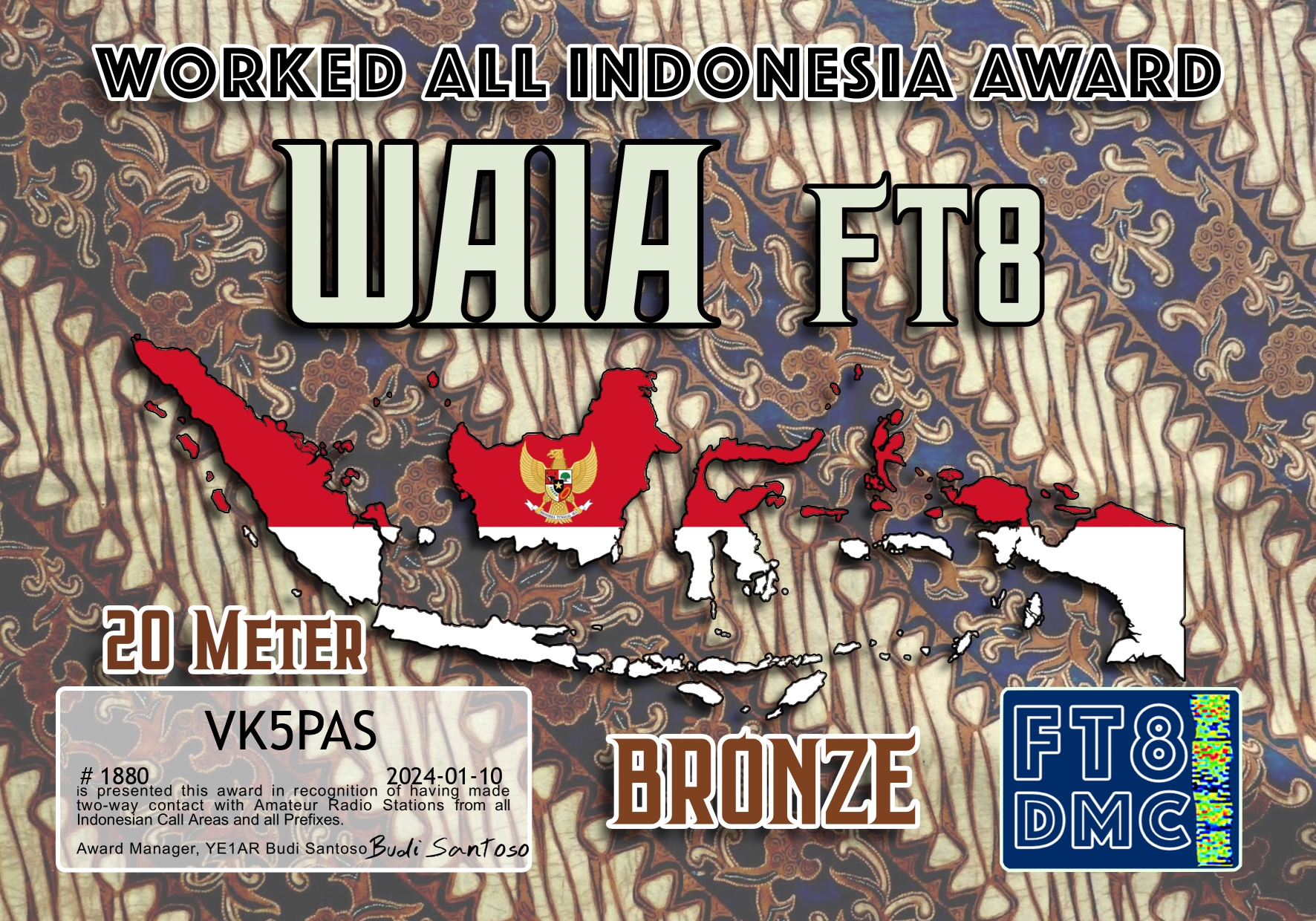
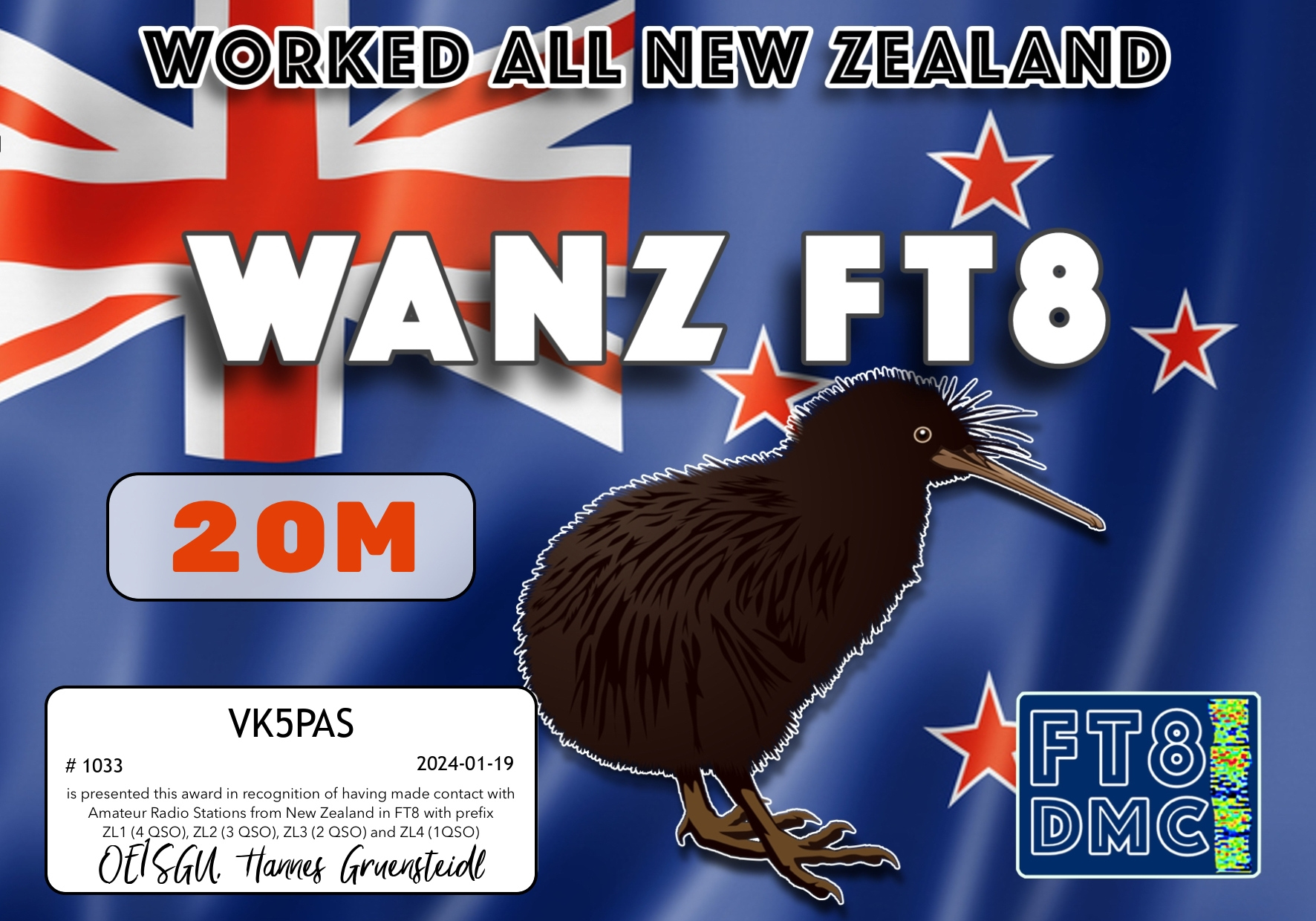
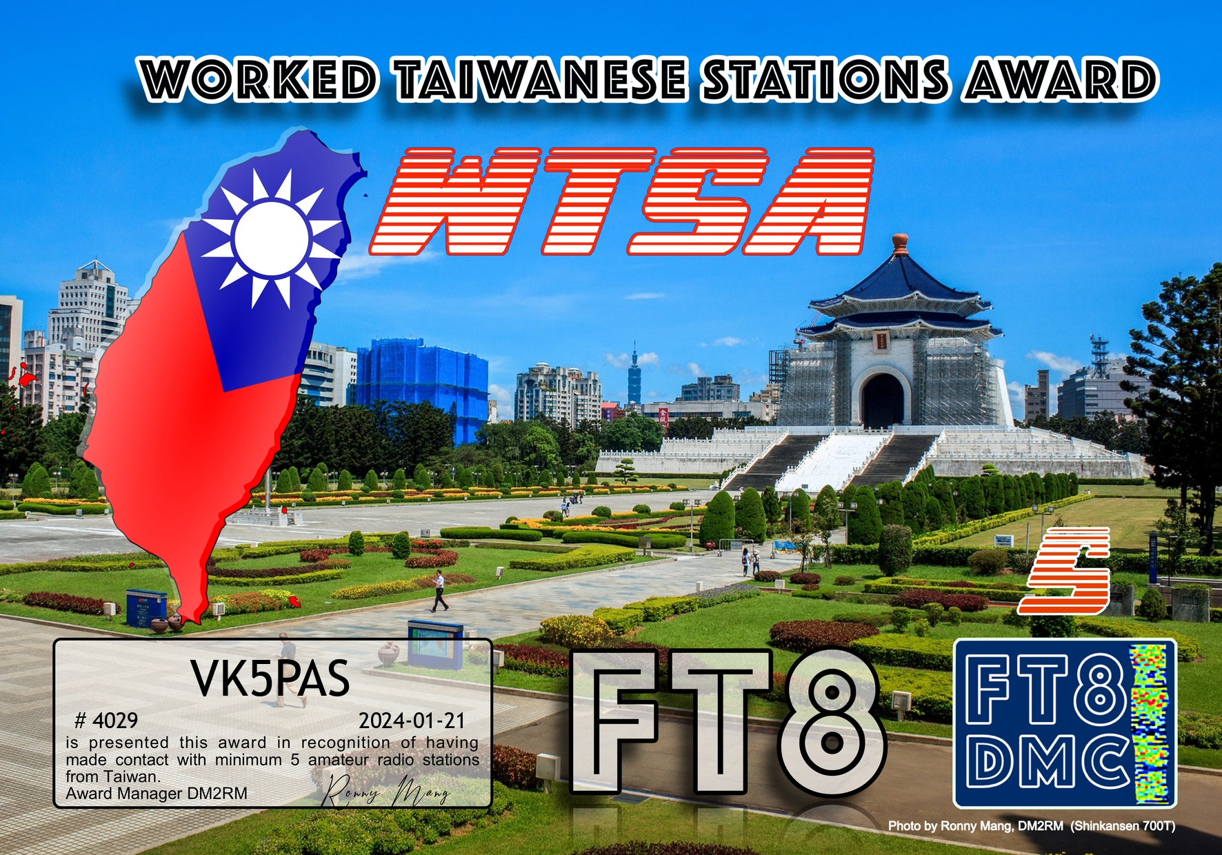
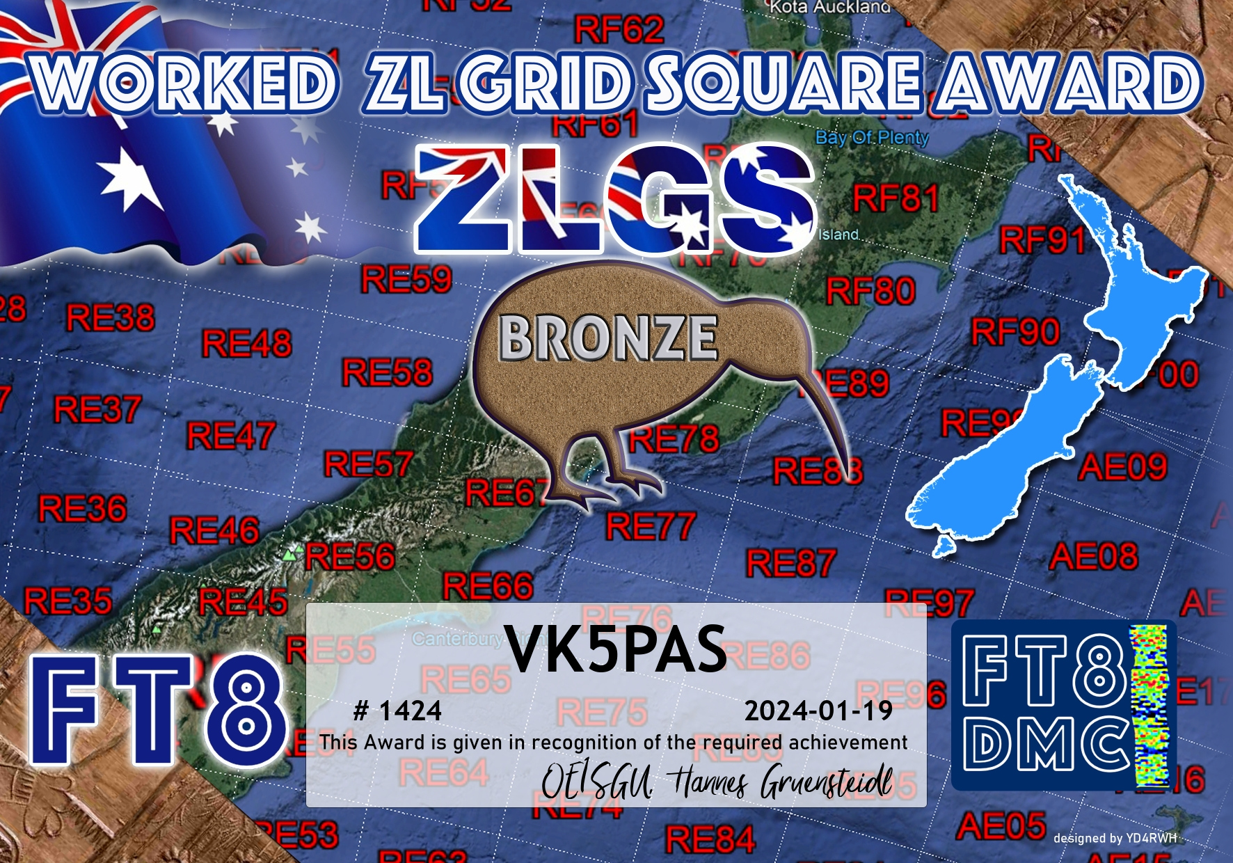
Here are my latest FT8 award certificates.
Thank you to all of the FT8 operators and to the various Award Managers.


Amateur Radio, Short Wave Listening, travel and history
Amateur radio experiences with VK1DA
Brisbane - Australia
german amateur radio station
Summits On The Air
SOTA on the peaks, wilderness QRP and some bushwalking
A fine WordPress.com site
Amateur Radio Adventures
Summits on the Ai
Amateur radio station from Belgium
Radio craft, homebrew, QRP/SOTA, AM
Ego loqui ad viros super montes
My adventures with Amateur Radio and Geocaching!
The rantings of VK2GAZ on his SOTA experiences in Australia
A survivor, with minor cuts and abrasions.
The Art and Craft of Blogging
The latest news on WordPress.com and the WordPress community.
Blog of Justin Giles-Clark VK7TW's SOTA and amateur radio adventures.
Occasional SOTA & Microwave operation
