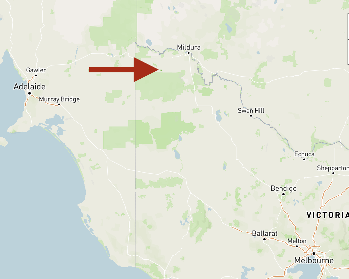
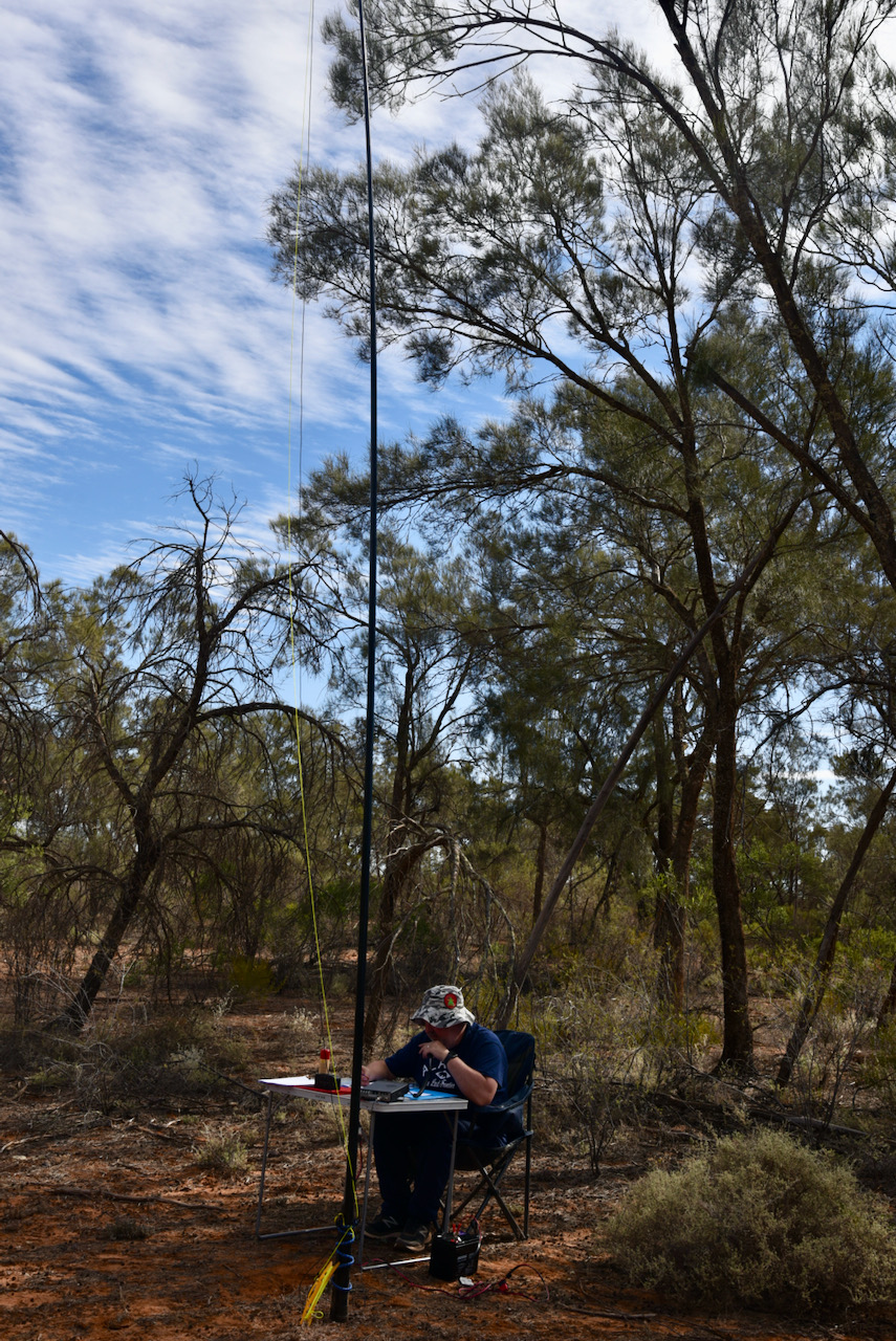
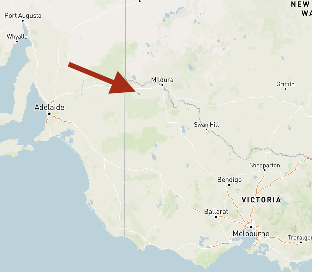
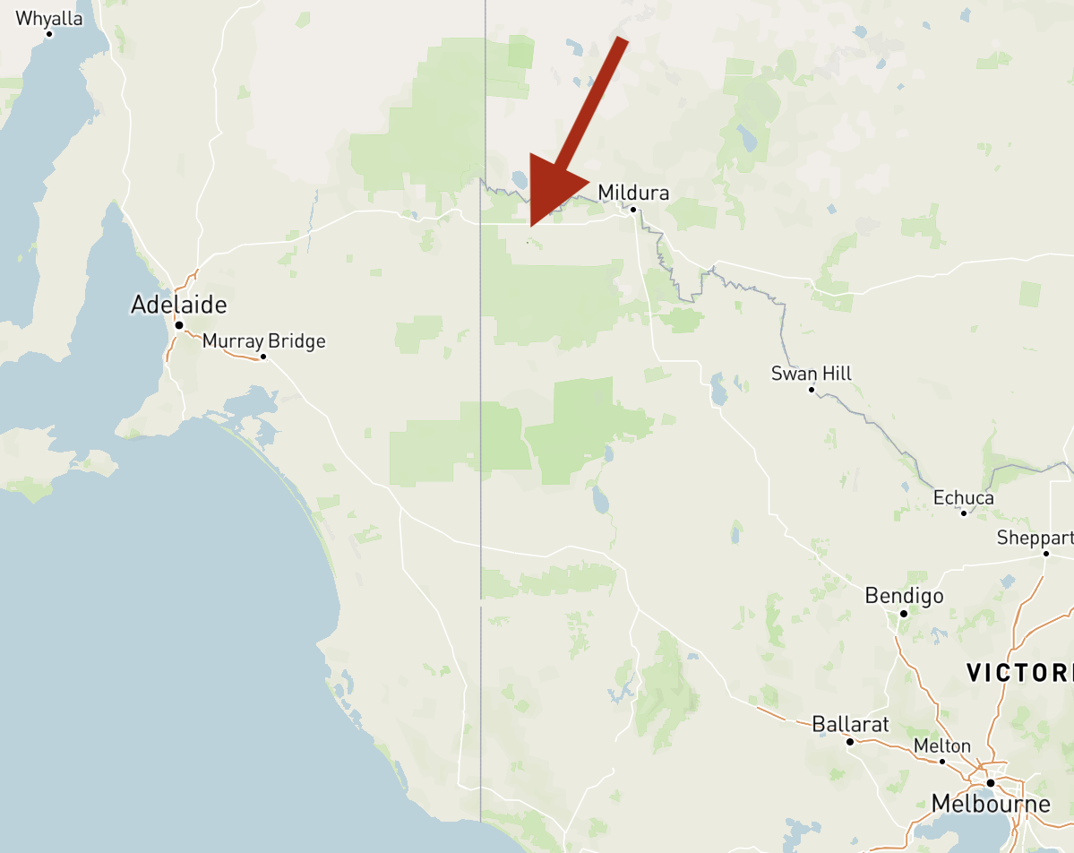
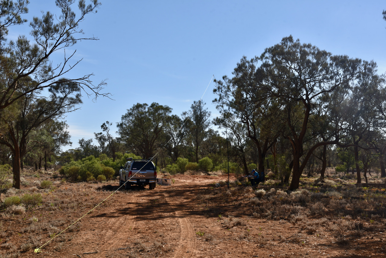
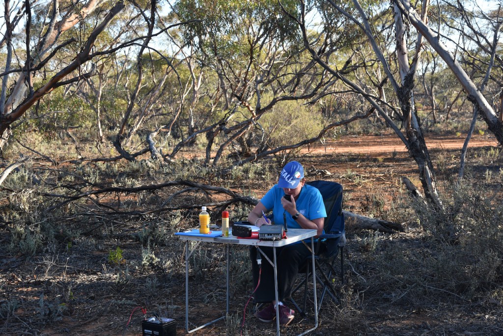
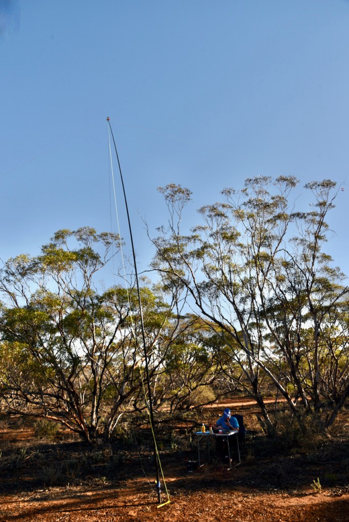
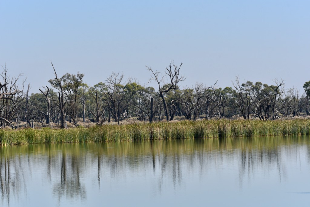
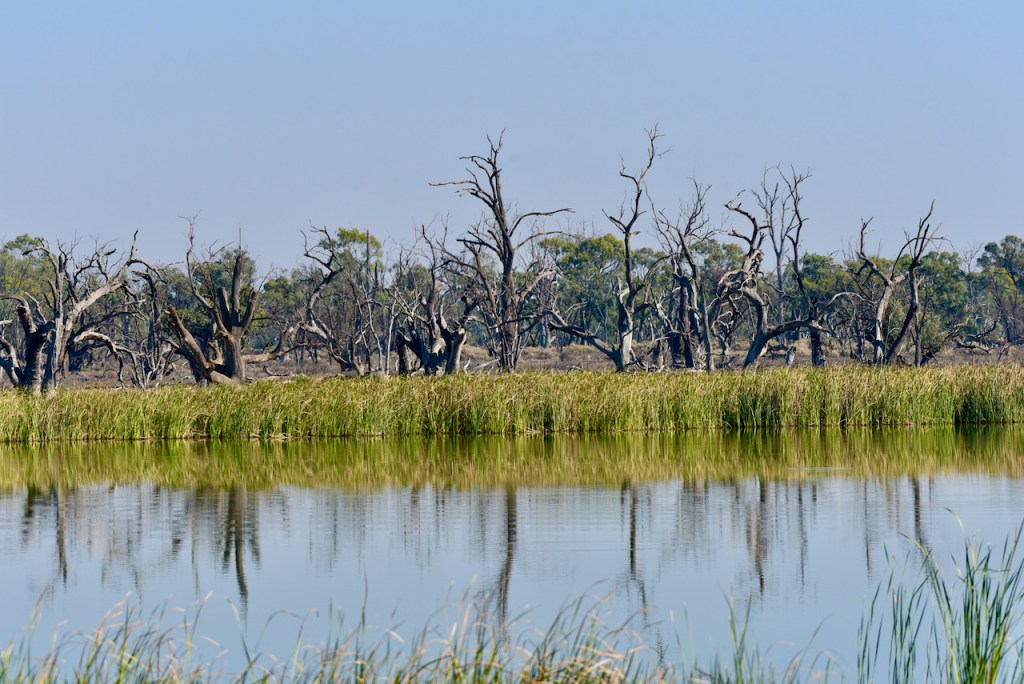
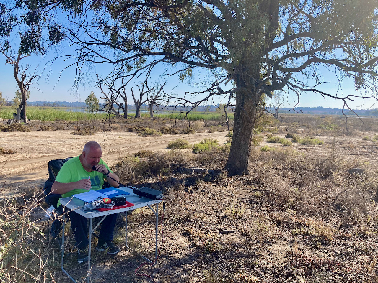
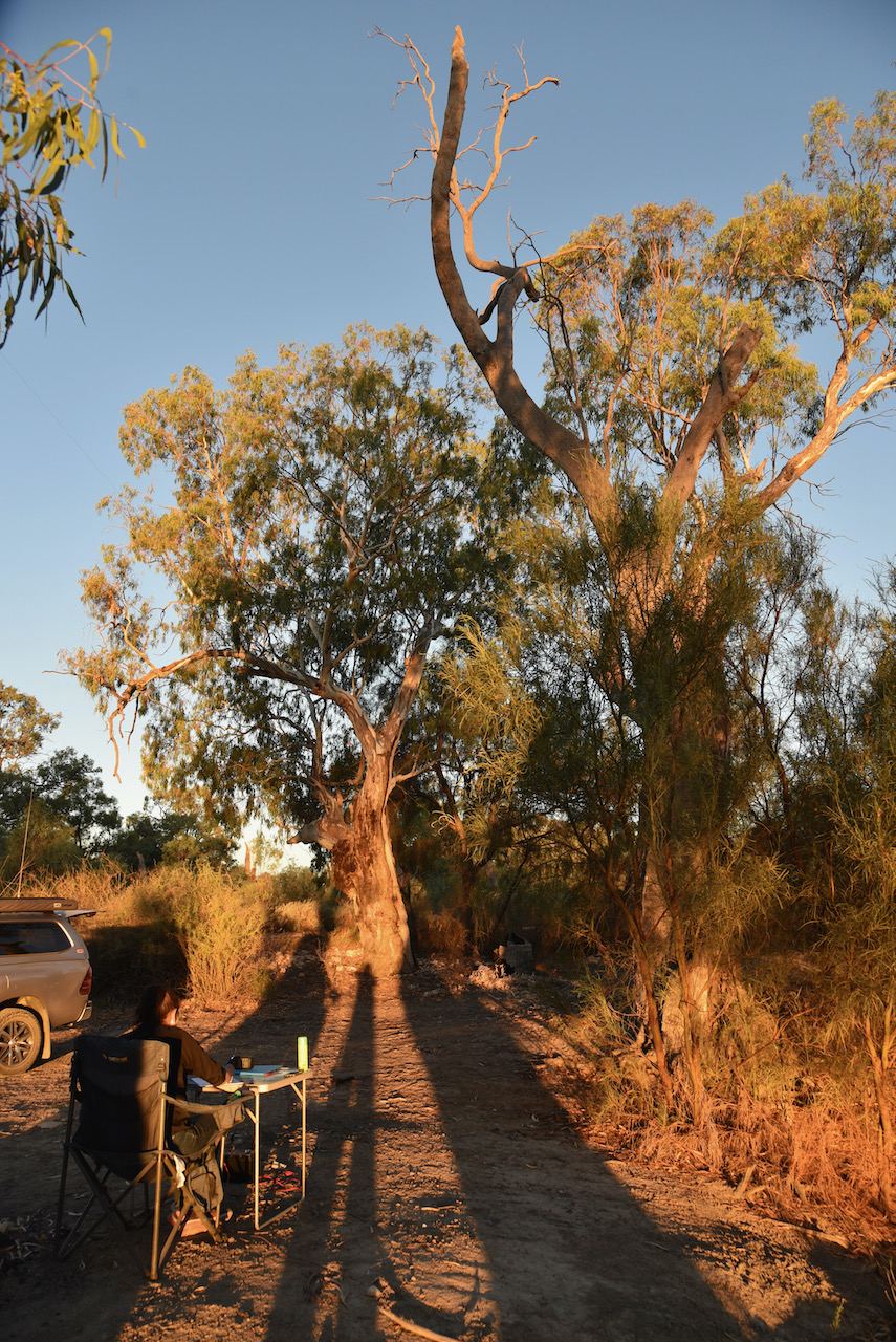
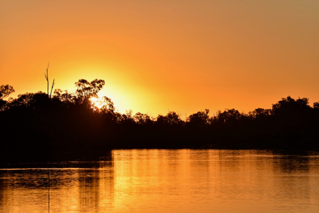
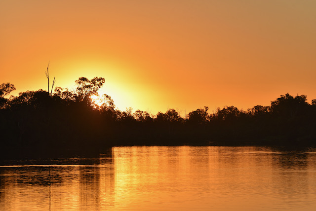
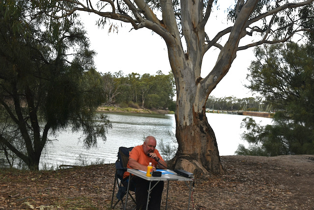
After packing up at Yarrara, we headed to our third and final park for the day, the Mallanbool Flora Reserve VKFF-2375. The park is located about 81 km west of Mildura in north-western Victoria.
This was to be the first time that Mallanbool had been activated for the World Wide Flora Fauna (WWFF) program.
Above:- Map showing the location of the Mallanbool Flora Reserve. Map c/o Protected Planet.
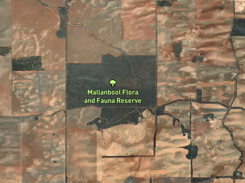
The Parks Victoria website has little, if any information on this park on their website. Mallanbool is about 5.16 km² in size and is a small park of Causuarina crisata (Belah) which is surrounded by cleared farming land.
Above:- An aerial view of the Mallanbool Flora Reserve VKFF-2375. Image c/o Protected Planet.
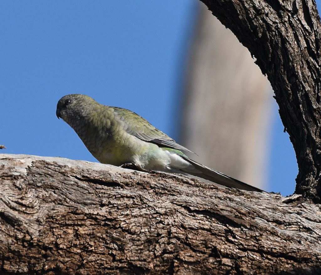
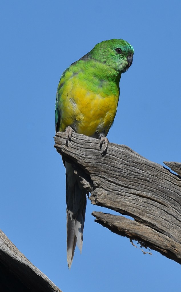
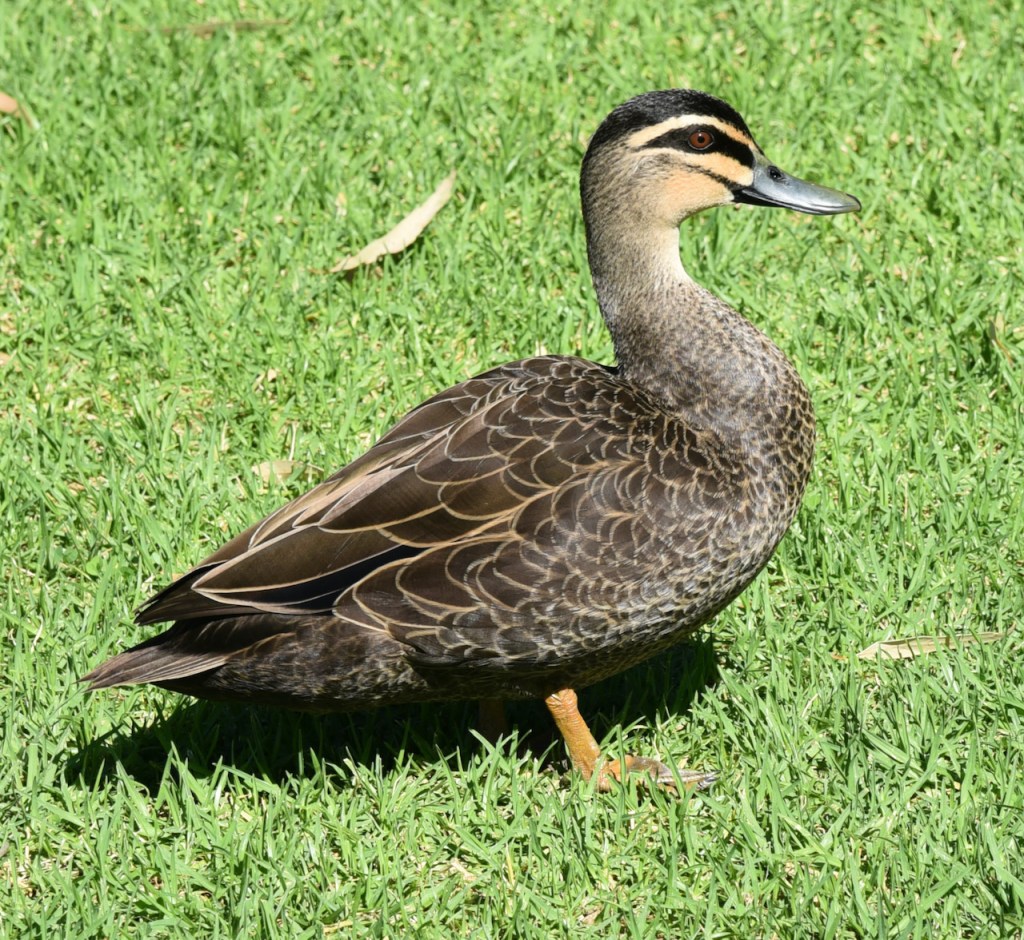
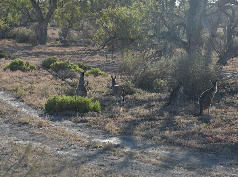
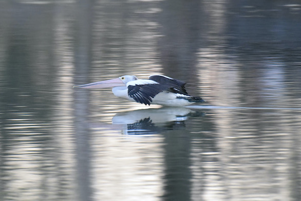
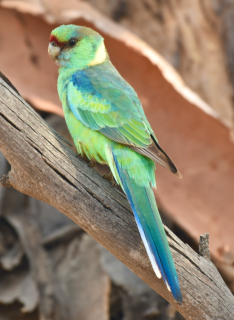
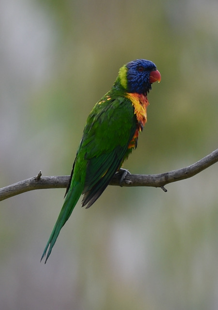
Mallanbool is an aboriginal word meaning ‘a reedy swamp’. eBird have recorded about 68 species of native bird in the park including Horsfield’s Bronze-Cuckoo, Wedge-tailed Eagle, Red-backed Kingfisher, Rainbow Bee-eater, and Australian Kestrel.
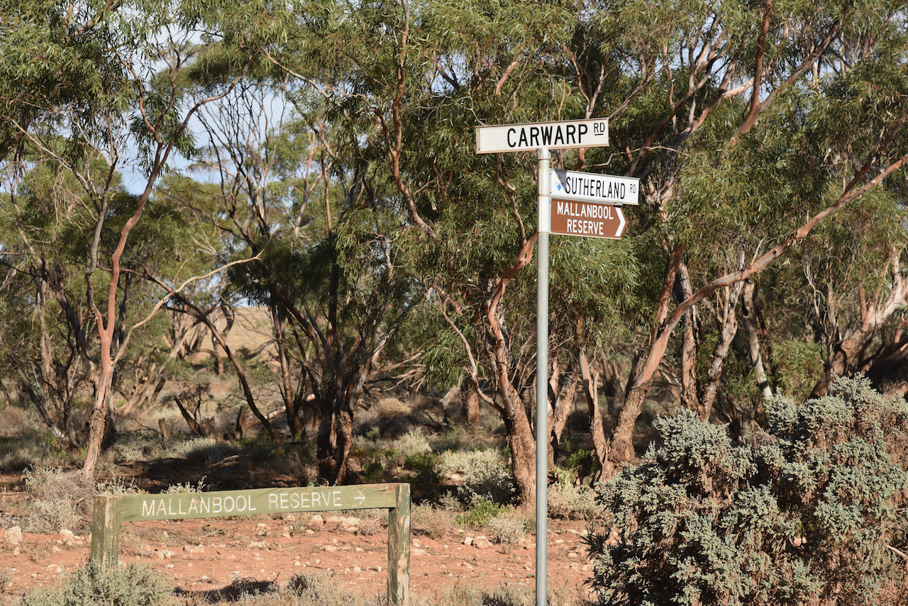
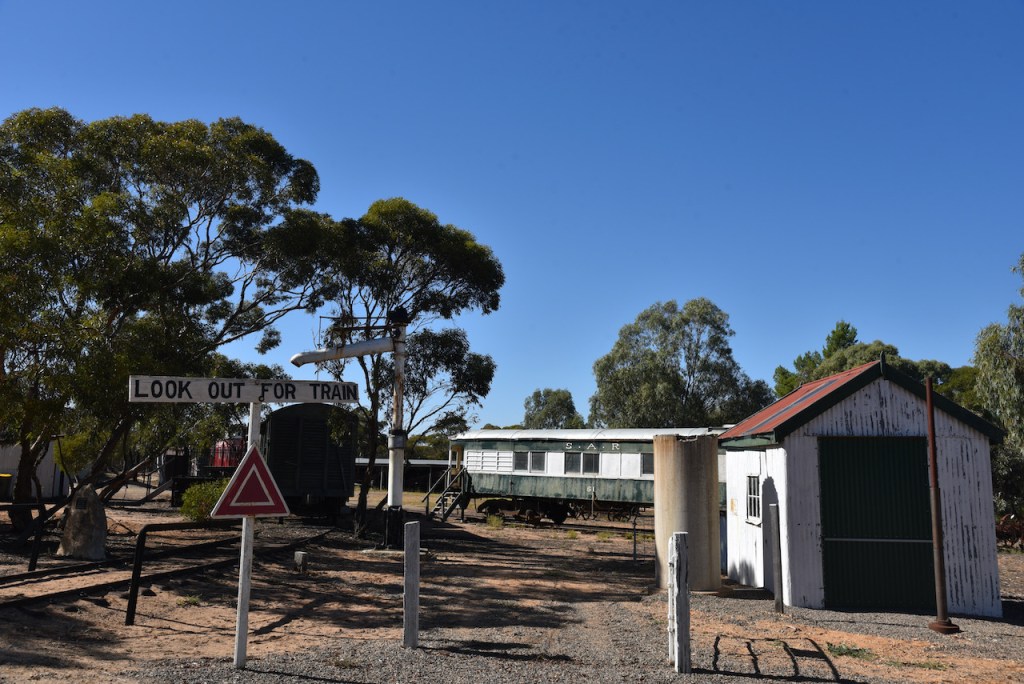
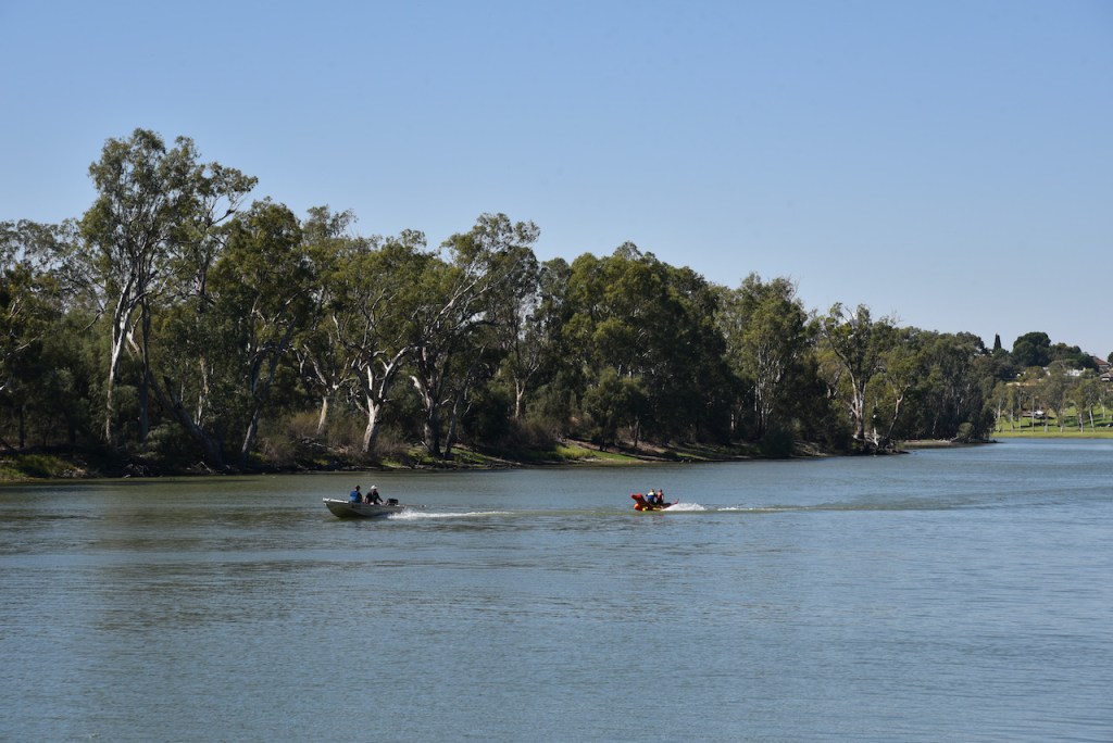
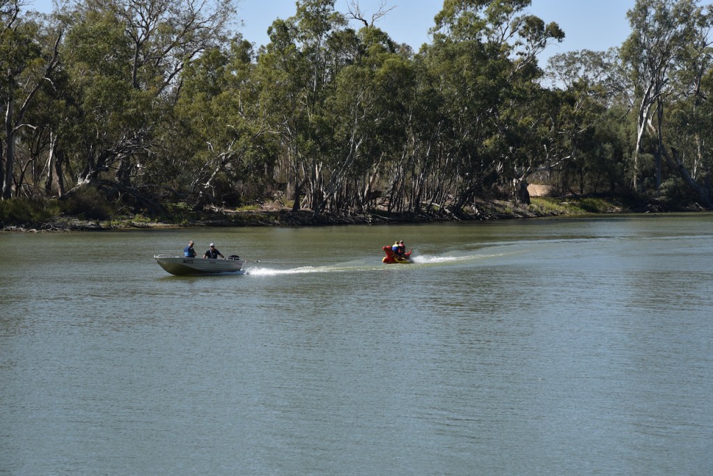
We accessed the park via Sutherland Road off Carwarp Road. There are two signs at the intersection indicating the park.
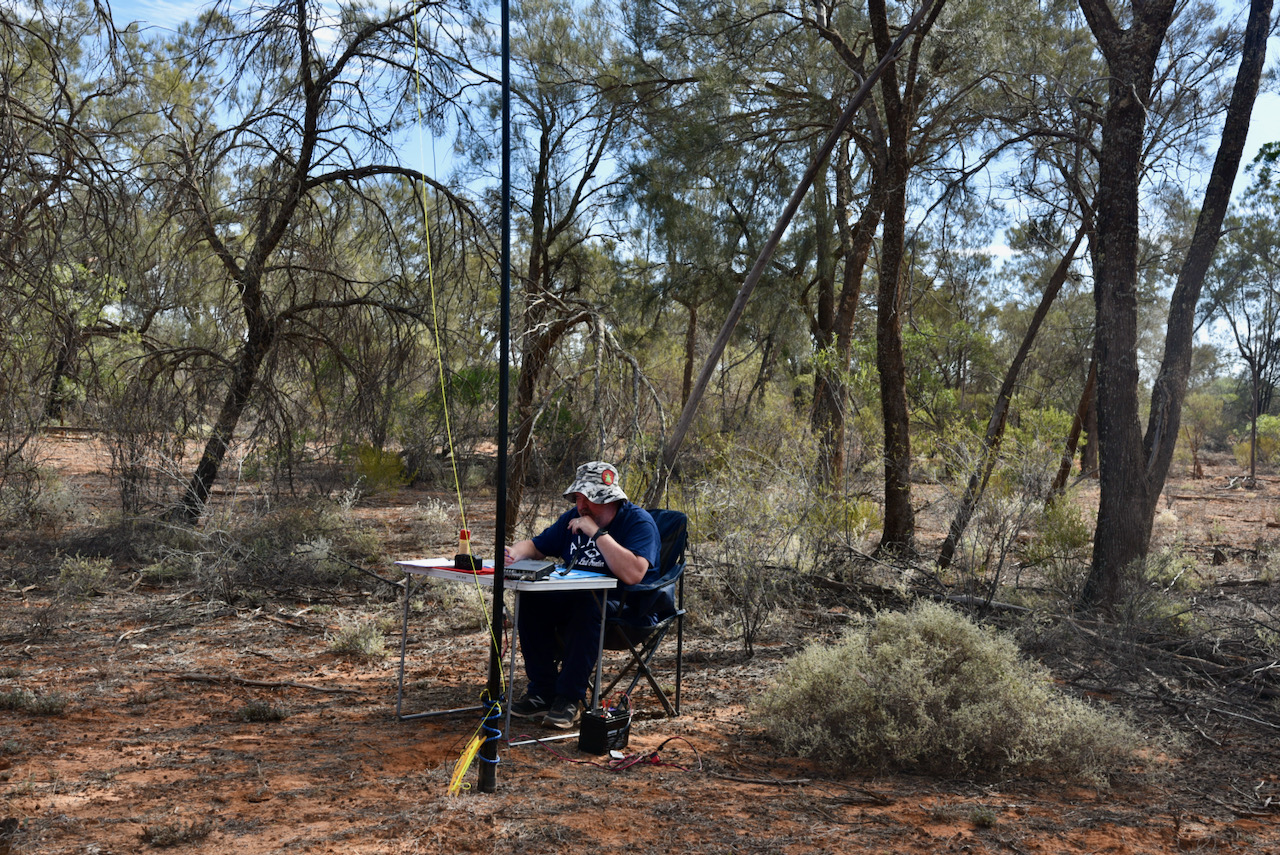
The first contact in the log for us was a Park to Park QSO with Daryl VK3AWA/p who was activating the Sale Common Nature Conservation Reserve VKFF-2431.
I then moved down to 7.135 and started calling CQ. This was answered by regular park hunters Geoff VK3SQ, Peter VK3PF, and then Rob VK2VH. Contact number 10, qualifying the park for me for VKFF, was a QSO with Rob VK4HAT.
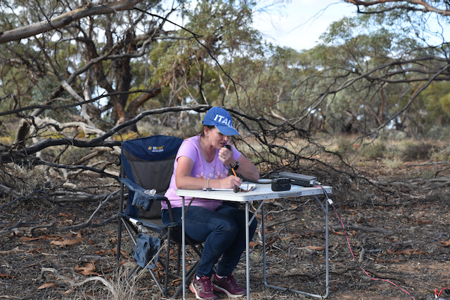
However, compared to the two previous activations, hunters at this park were few and far between, despite it being a brand new park for WWFF. I logged 18 stations from VK2, VK3, VK4, and VK5, before handing it over to Marija.
Marija was just intent on getting her 10 contacts to qualify for VKFF and she did that in about 4 minutes, with contacts into VK2, VK4, and VK5.
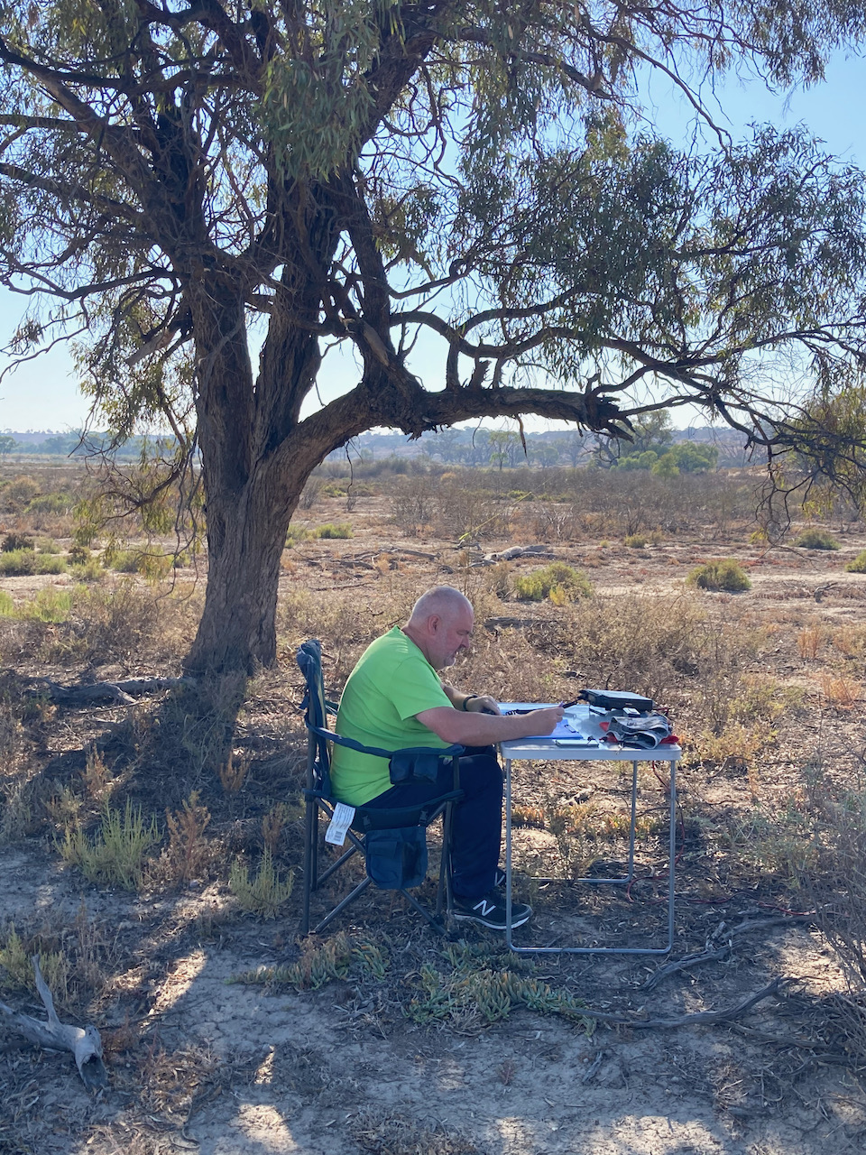
With Marija having the park under her belt, we lowered the squid pole and removed the links for the 20m section of the antenna and headed to 14.310 where I called CQ. Just 4 contacts were logged there, all from VK4.
I was really starting to think that I would not get 44 contacts from this park. I headed to 80m where I logged 8 stations from VK3 and VK5, including a Park to Park with Peter VK3TKK/p who was activating the Gemmill Swamp Wildlife Reserve VKFF-2318.
I now had 31 contacts in the log and I headed back to 40m hoping to pick up another 13 QSOs. Fortunately I made it across the line, logging a further 18 stations. Contact number 44 was with Peter VK3GV.
Marija worked the following stations on 40m SSB
VK3AWA/p (Sale Common Nature Conservation Reserve VKFF-2431)
After packing up we headed back into the little town of Werrimul which has a population of about 112 people. Werrimul is an aboriginal word believed to mean ‘Eagle’. The main industry in Werrimull is the harvesting of garins including wheat, barley, and oats. The area also has a strong sheep and cattle industry.
The Millewa region was opened up to farming in the 1920s. By 1923 the railway had reached Werrimul, with the opening of the Werrimul Post office on 24th June 1924. Much of the Werrimul area was a Soldier Settlement. The Soldier Settlement Scheme or Soldiers Settlement Scheme, was the settlement of land throughout parts of Australia by returning discharged soldiers under schemes administered by the state governments after the First and Second World Wars.
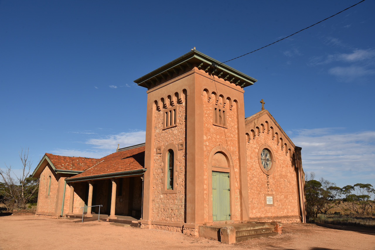
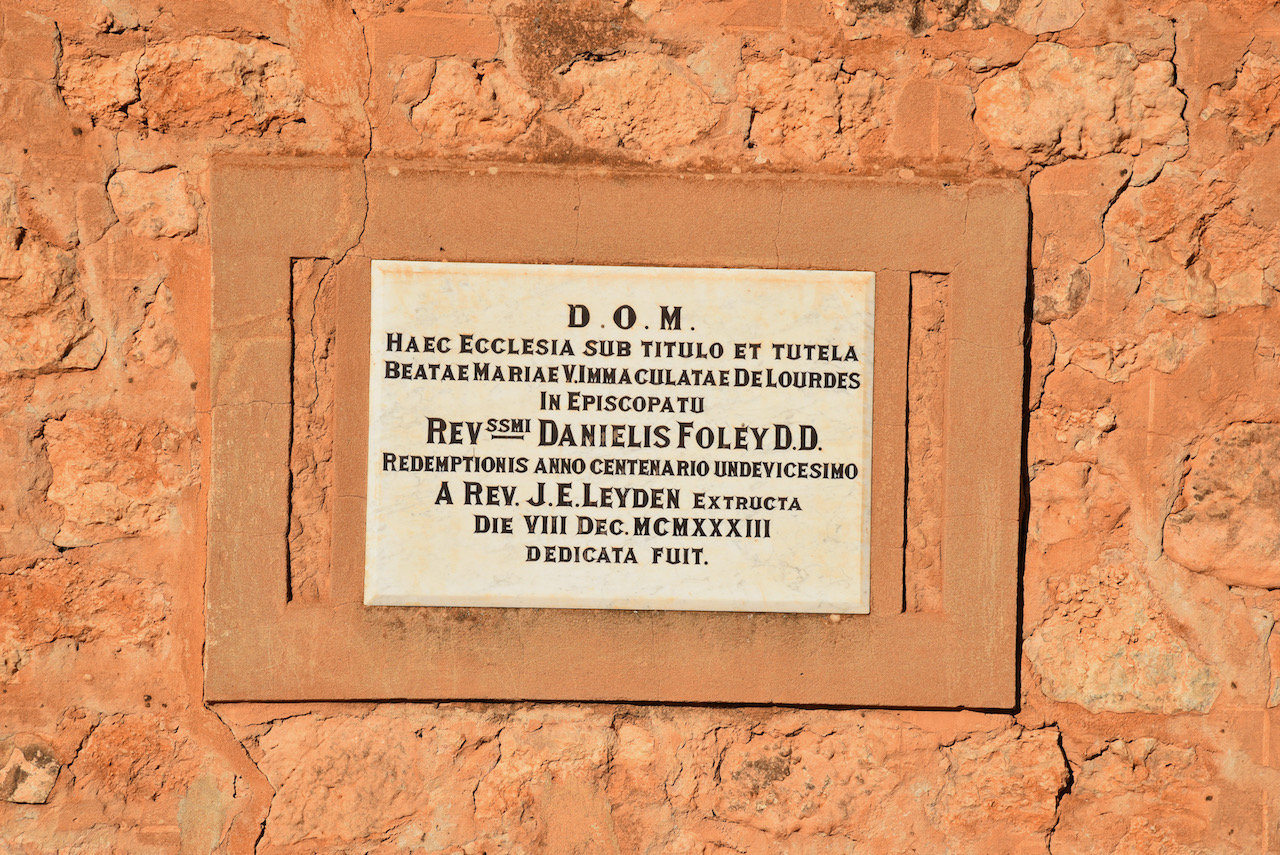
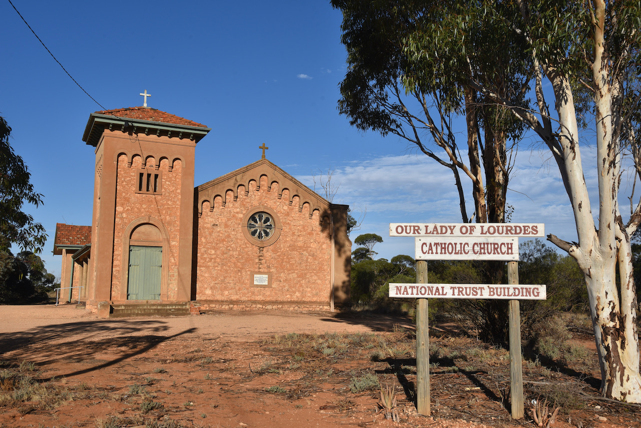
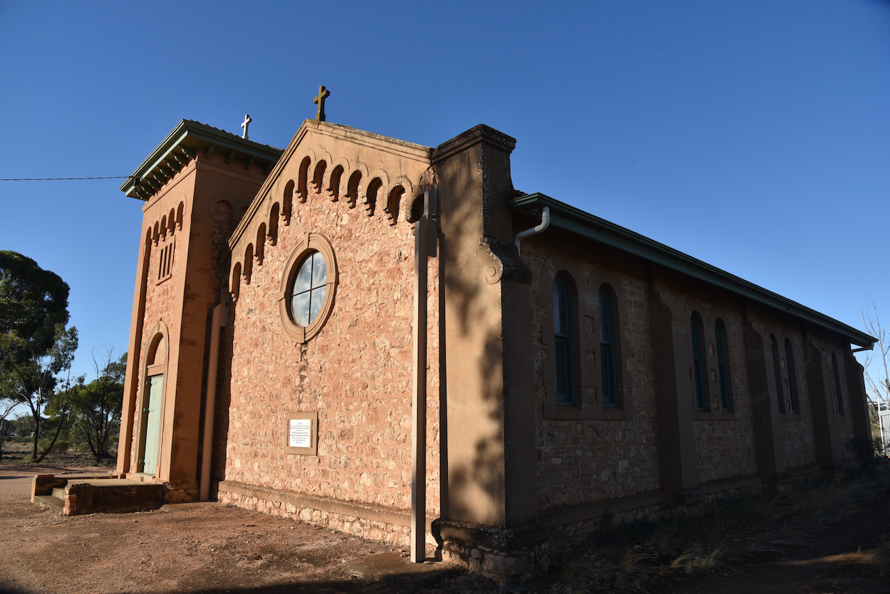
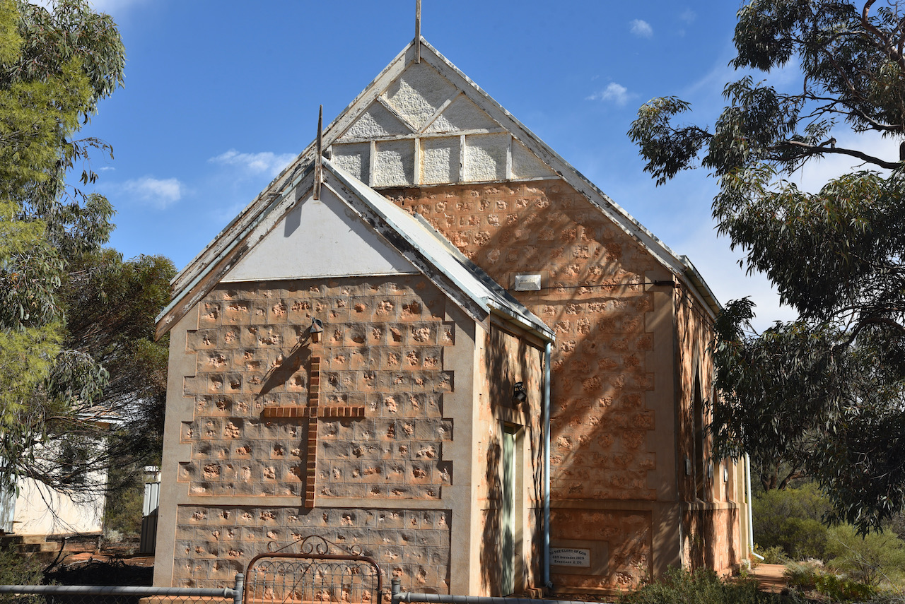
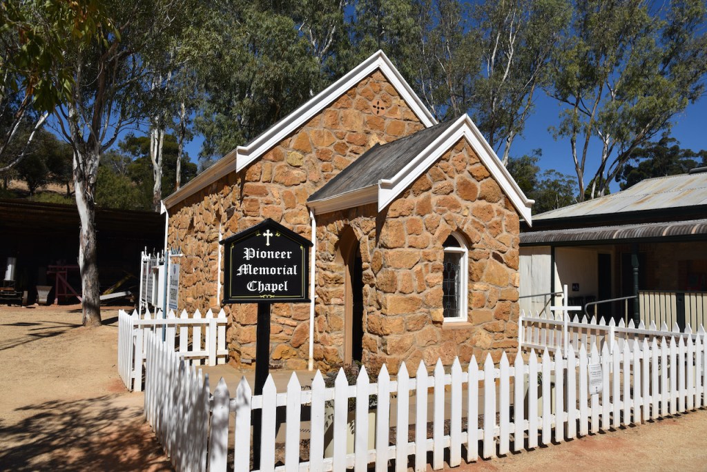
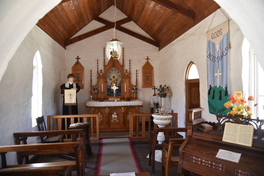
We stopped to have a look a the old Lady of Lourdes Catholic Church which was opened in 1934. It is built of local limestone to a design that copies the Romanesque Churches in Italy. The church is registered as a Heritage building by the National Trust.
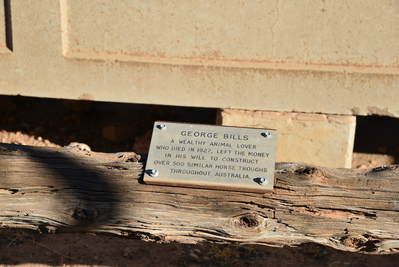
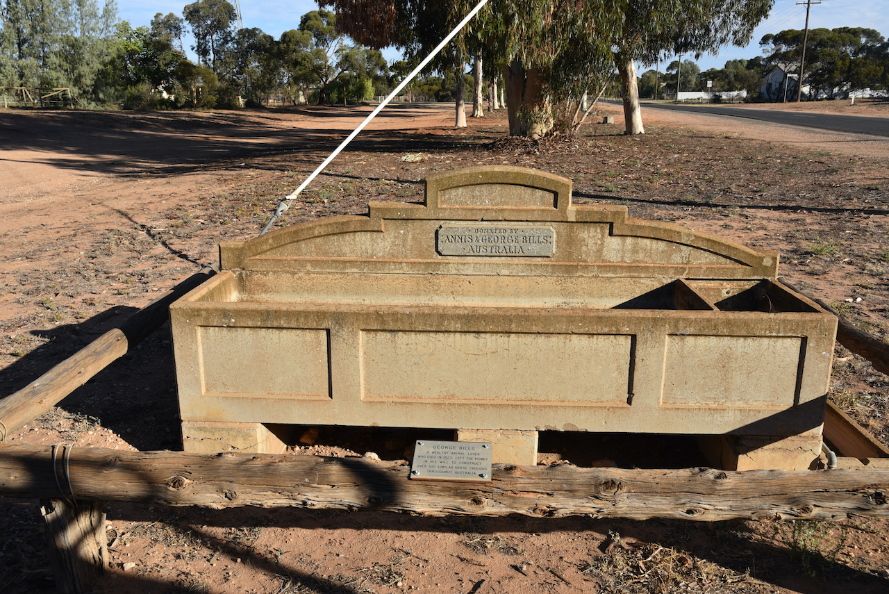
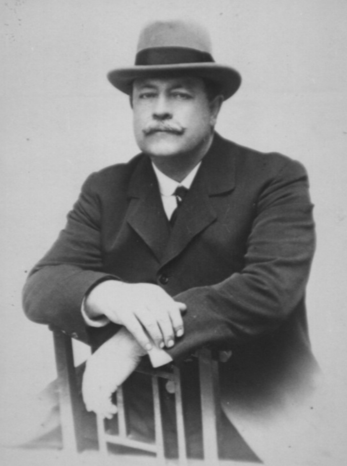
We also had a look at the old horse trough in Werrimul. George Bills was a wealthy animal lover who died in 1927. He left the money in his will to construct over 500 similar horse troughs throughout Australia.
The story of George Bills is a very interesting one.
George Bills was born in Brighton, England in 1859 and emigrated to New Zealand in 1859. In 1873 they emigrated to Australia and settled in Echuca. In 1882 he opened a bird dealers shop in Brisbane. By 1884 he had married and moved to Sydney, where he went into business with his brothers manufacturing innerspring mattresses.
George became a life member of the RSPCA in 1924. George and his wife had no children, and following the death of George in 1927, a Trust Fund was established, believed to be about £70-80,000. One of the purposes of the trust, as set out in George Bills’ will, was to:
“..construct and erect and pay for horse troughs wherever they may be of the opinion that such horse troughs are desirable for the relief of horses and other dumb animals either in Australasia, in the British Islands or in any other part of the world subject to the consent of the proper authorities being obtained.”
Each horse trough cost £13 plus transport and installation, with the majority of the troughs were installed in Victoria and New South Wales between 1930 and 1939. An amazing man.
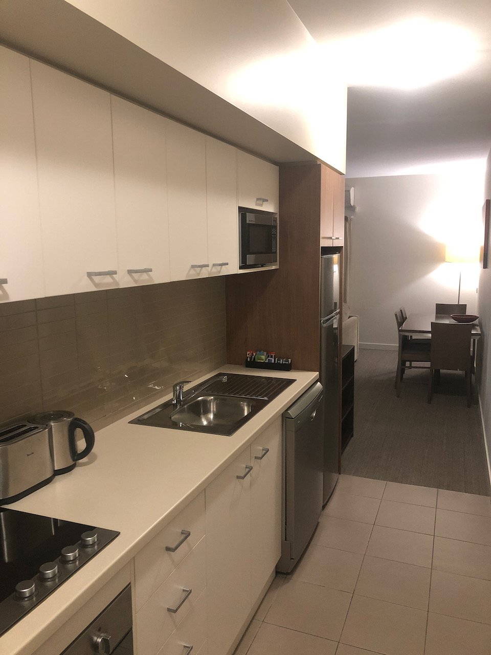
We then headed into Mildura and booked into our accomodation, the Quest Apartments.
After freshening up we headed down the street for something to eat. We then headed back to our apartment. It had been another fun day of sightseeing and park activating.
References.
Aboriginal Flora and Fauna Names of Victoria, 2001; Wesson; S
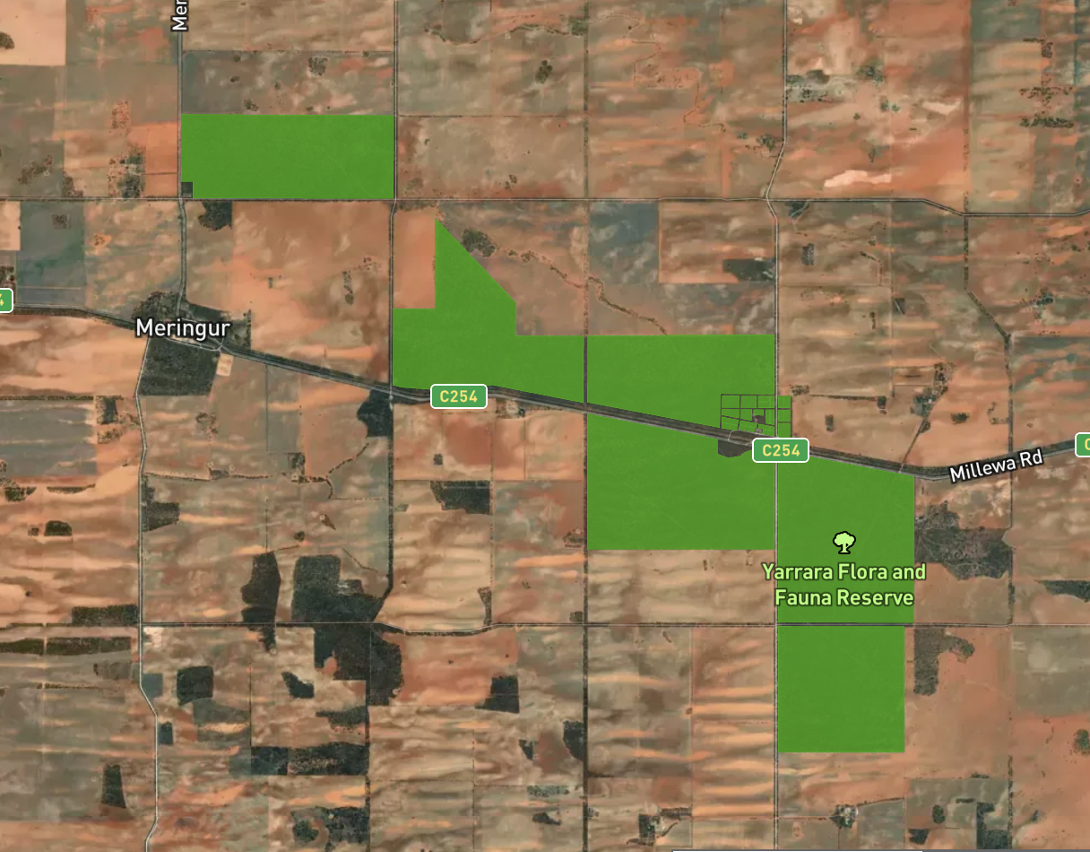
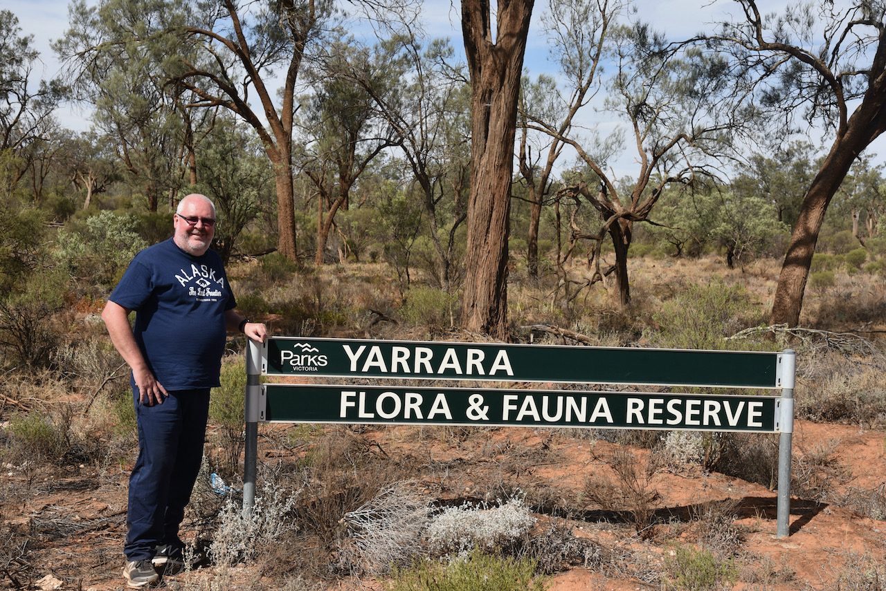
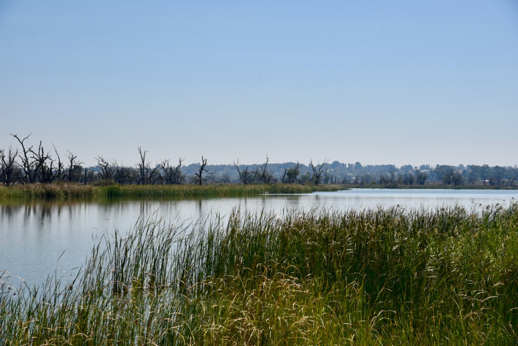
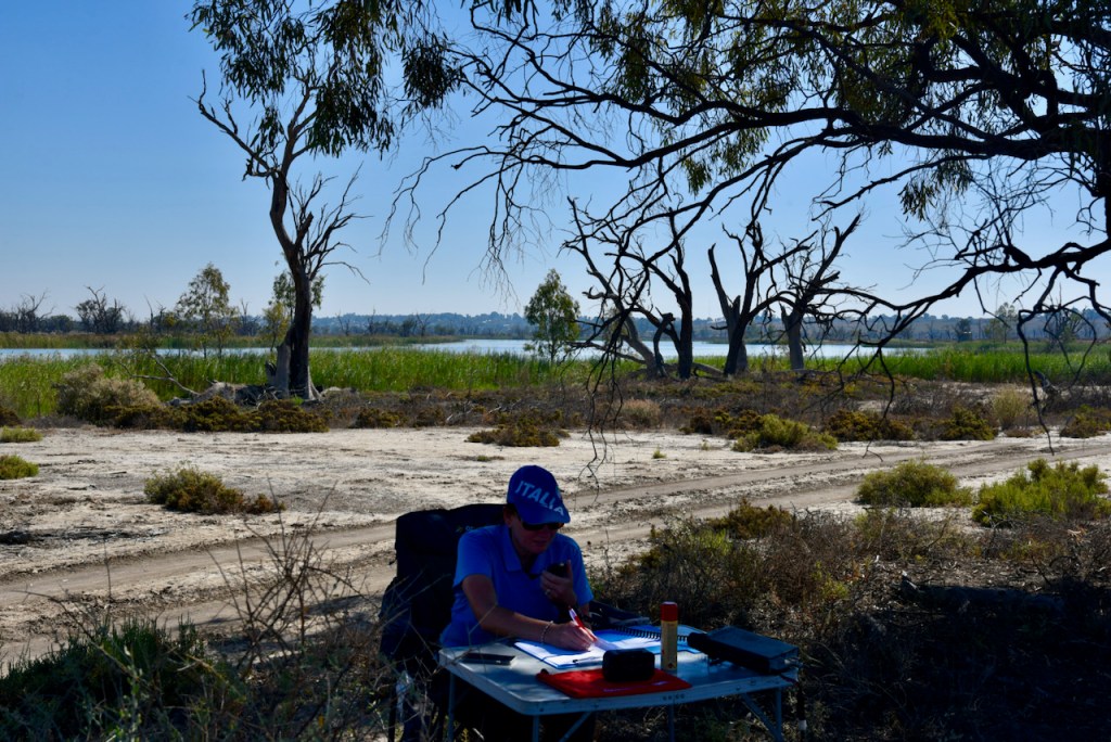
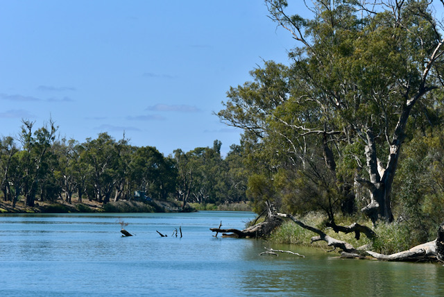
After leaving the Millewa Pioneer Park, we continued east on Millewa Road and headed to our next planned park activation for the day, the Yarrara Flora Reserve VKFF-2498. The park is located about 80km west of Mildura in north-western Victoria.
Above:- Map showing the location of the Yarrara Flora Reserve. Map c/o Protected Planet.
The Yarrara Flora Reserve is about 22.64 km² in size and consists of various sections on both the southern and northern side of Millewa Road. The Parks Victoria website has little if any information on their site.
Above:- An aerial view showing the location of the Yarrara Flora Reserve. Image c/o Protected Planet.
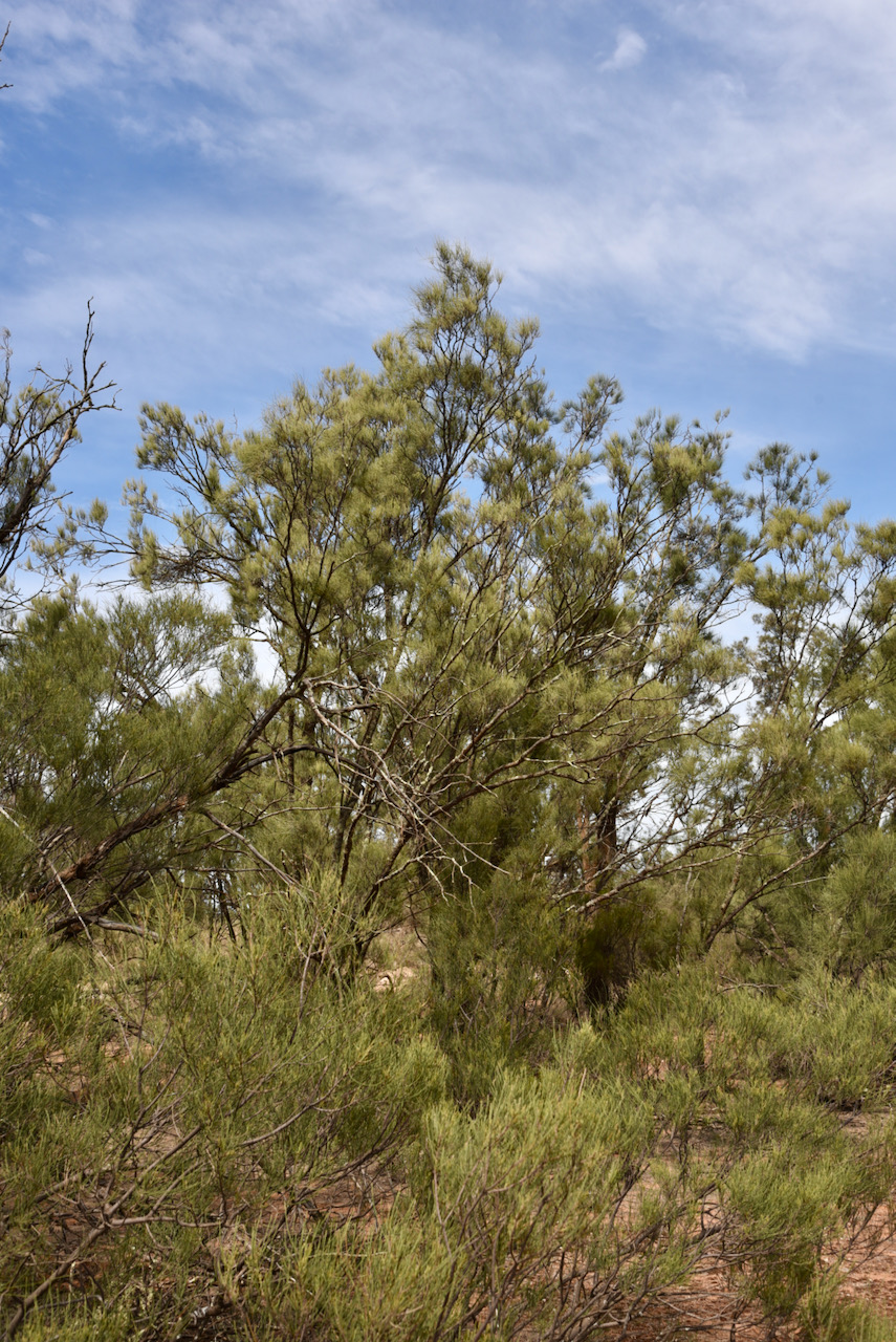
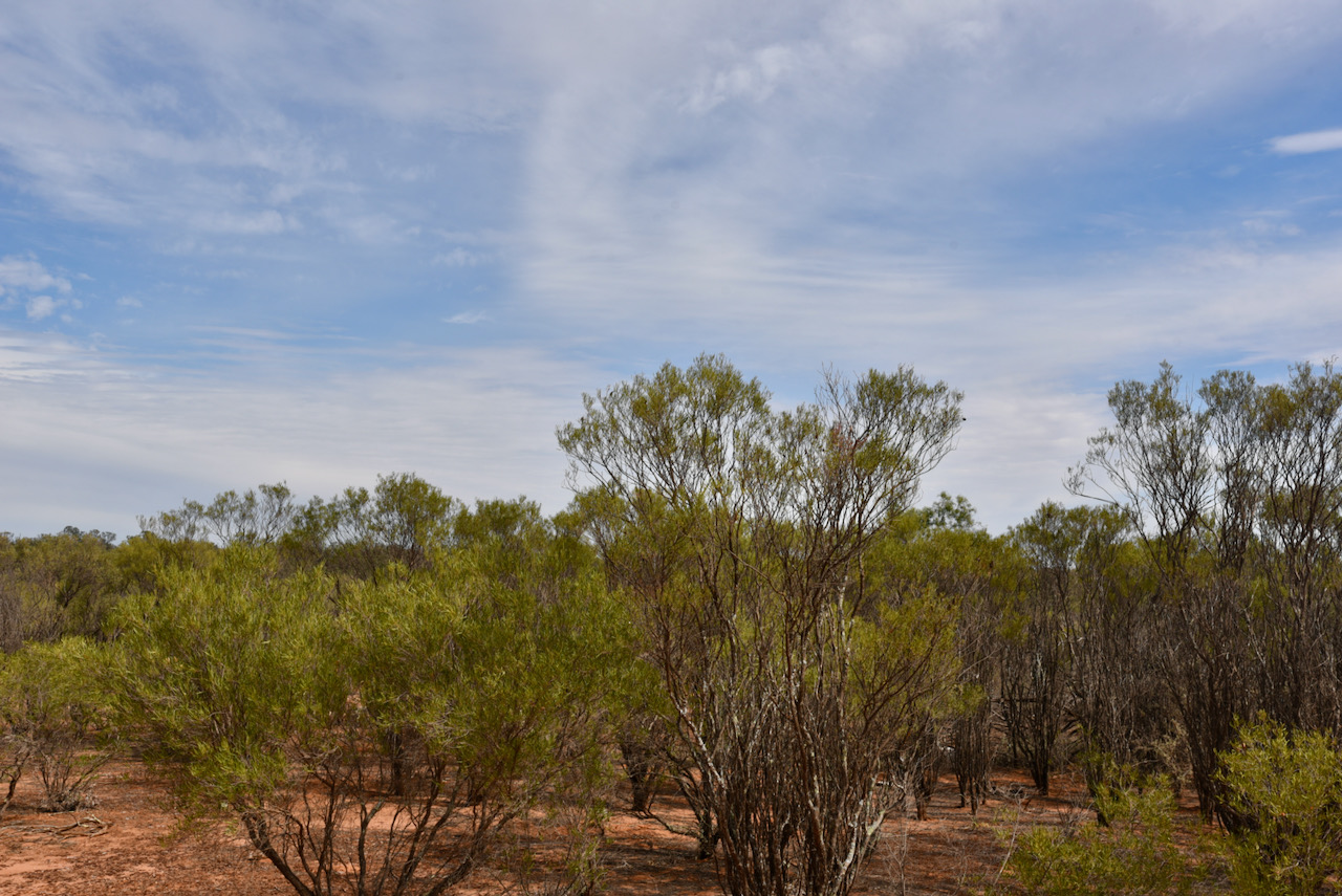
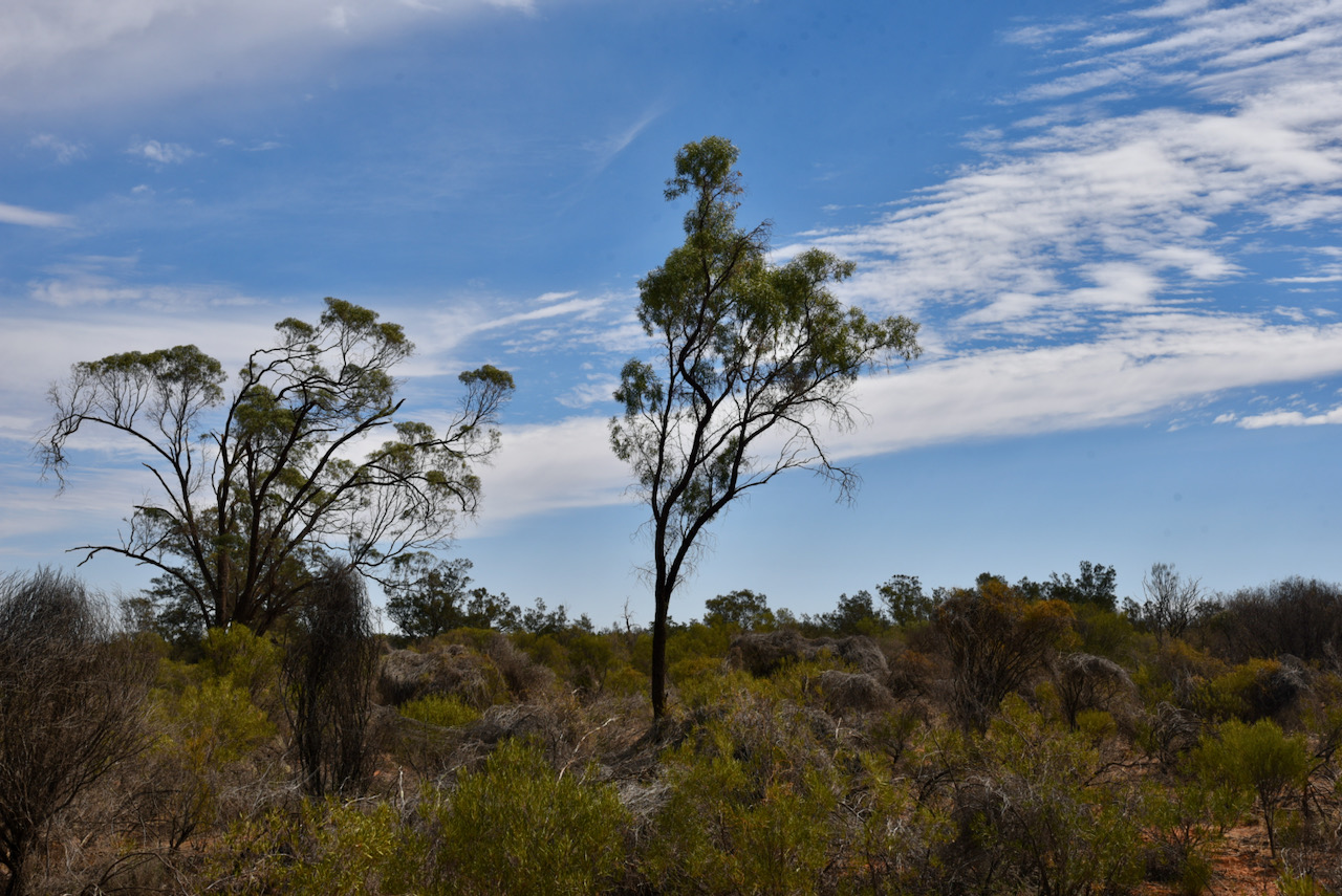
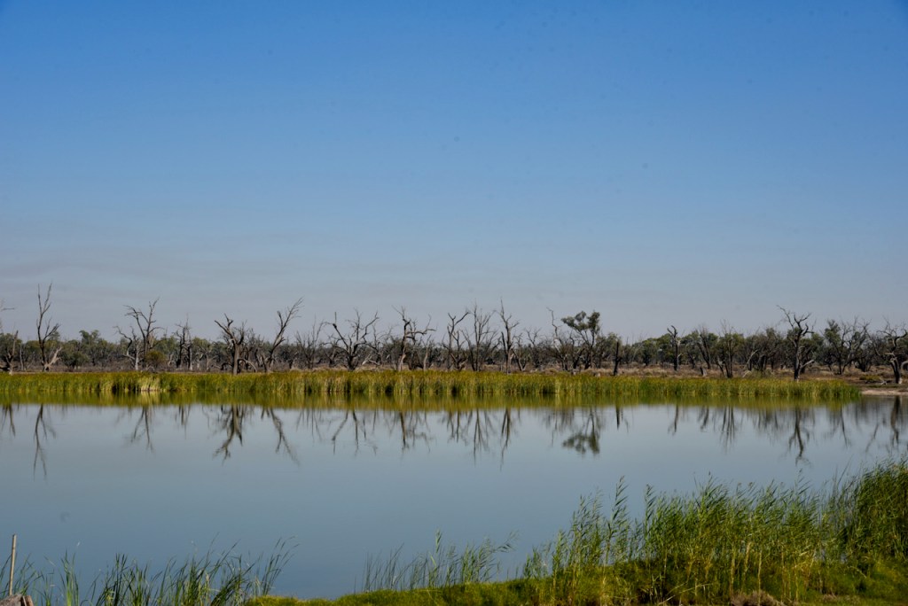
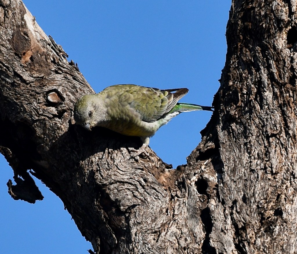
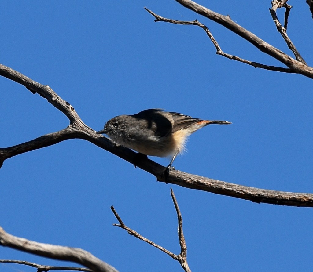
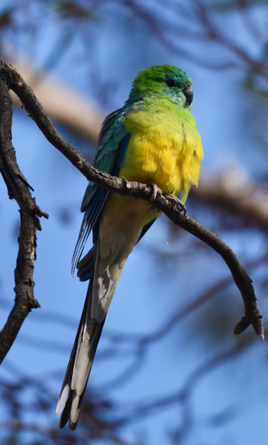
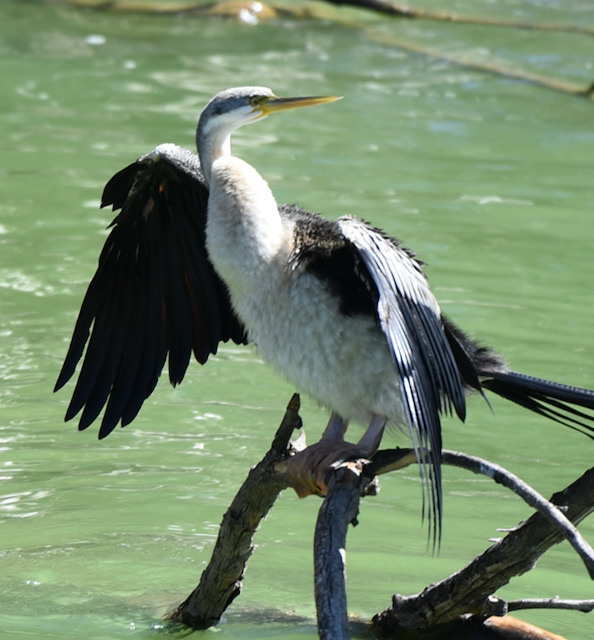
EBird have recorded about 98 species of native bird at Yarrara including Australian Owlet-nightjar, Australian Ringneck parrot, Gilbert’s Whistler, Singing Honeyeater, Yellow-rumed Thornbill, and Wedge Tailed Eagle.
Also found in the park is the White-browned Treecreeper, a species which is rare in Victoria.
In 2014 the Fauna Survey Group of the Field Naturalists Club of Victoria undertook a fauna survey in the Yarrara area. During that survey, four specimens of Little Pied Bat were captured and released. This species had not previously been recorded in the Victorian Biodiversity Atlas and is listed as endangered in South Australia and vulnerable in New South Wales.
In the spring of 2018 an addition survey was undertaken and this resulted in a further nine detections of the Little Pied Bat.
The park was well signposted and we had no problems finding it. We turned down Yarrara South Road and then turned down a little 4WD track and entered the park.
This would a first time activation of this park for Marija and myself. Yarrara has been activated twice before, back in 202 by Nick VK3ANL who logged 15 QSOs, and in 2019 by Mike VK6MB who logged 31 QSOs.
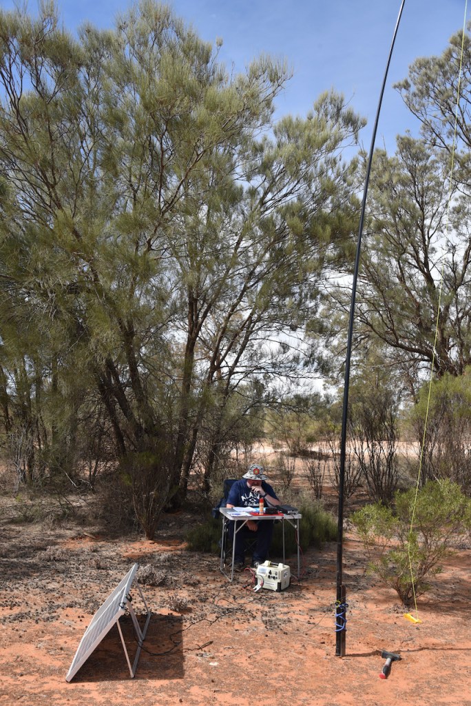
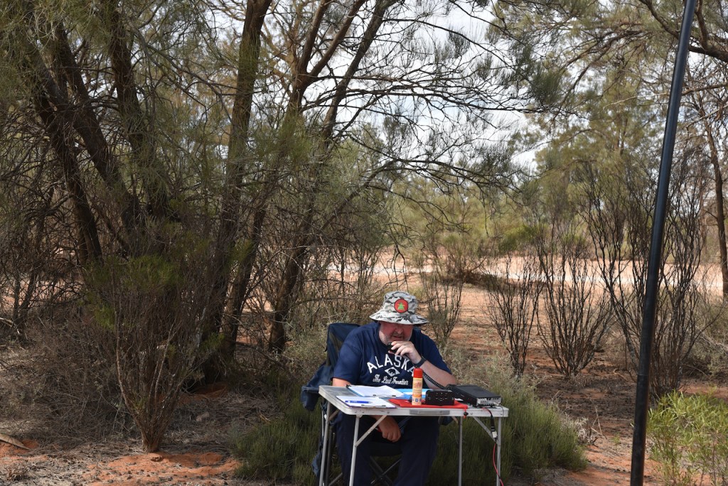
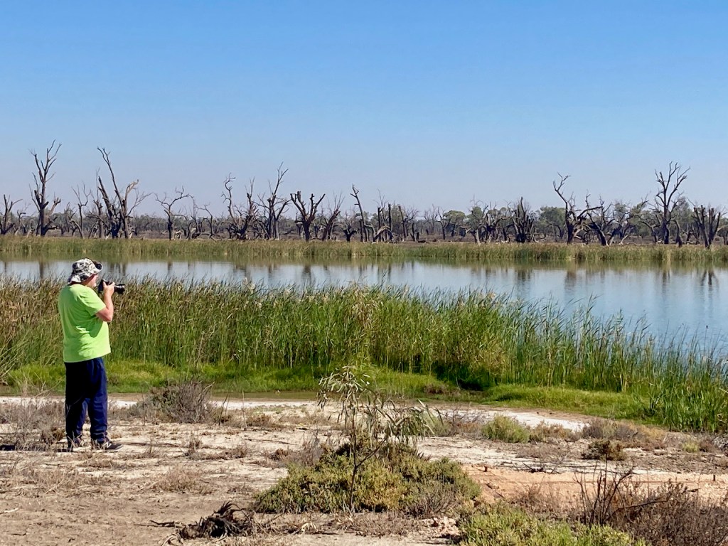
We found some shade underneath a tree, and whilst Maria placed a spot for me on parksnpeaks, I called CQ on 7.144. First in the log was Brian VK3BBB, followed by Joe VK3SRC, and then Dennis VK2HHA. I qualified the park for VKFF after about 8 minutes, with a QSO with Geoff VK3SQ.
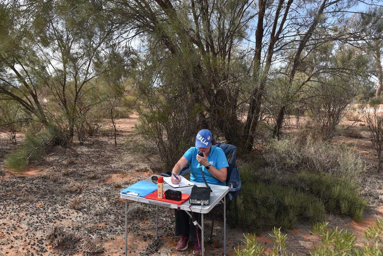
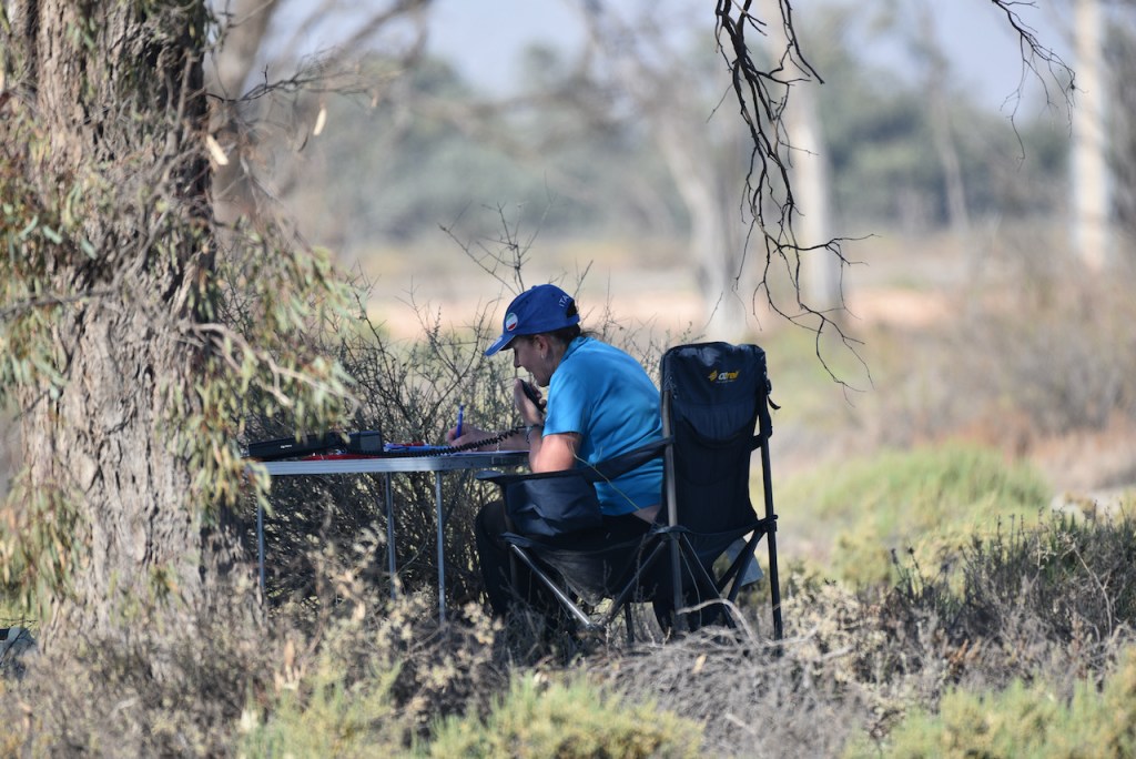
I logged a further 6 stations before Marija jumped into the operator’s chair to get her 10.
First in the log for Marija was Ian VK5CZ, followed by Ian VK5IS, and then Danny VK5DW. All had 5/9 signals into north-western Victoria. Marija’s 10th contact was with Adrian VK5FANA on the Yorke Peninsula.
Once Marija had qualified the park for VKFF, I took charge of the microphone once again hoping to get to 44 to qualify the park for the global WWFF program.
I logged a further 20 stations on 40m, bringing my total to 36 QSOs. This included a Park to Park with Peter VK3TKK/p who was activating the Yabba South Nature Conservation Reserve VKFF-2239. Marija also logged Peter.
I then moved to 3.610 on the 80m band where I logged 7 stations from VK2, VK3, and VK5, including another Park to Park with Peter VK3TKK. Marija also logged the Park to Park with Peter.
I was now just 1 QSO short of the required 44. I moved to 14.310 on the 20m band where I worked Gerard VK2IO, followed by Ray VK4NH, Rob VK4HAT, Alan VK2MG, and George VK4GSF.
Marija and I packed up and headed off to our next park, the Mallambool Flora Reserve. We had 65 QSOs in the log.
Marija worked the following stations on 40m SSB:-
VK5CZ
VK5IS
VK5DW
VK3CU
VK2HHA
VK3CM
VK3PMC
VK3PF
VK5EJ
VK5FANA
VK1DI
VK2VH
VK4AAC/2
VK3TKK/p (Yabba South Nature Conservation Reserve VKFF-2239)
Marija worked the following stations on 80m SSB:-
VK3TKK/p (Yabba South Nature Conservation Reserve VKFF-2239)
I worked the following stations on 40m SSB:-
VK3BB
VK2CCP
VK3SRC
VK3FOWL
VK3YSP
VK2HHA
VK4FDJL
VK3PF
VK3CM
VK3SQ
VK3ZPF
VK2IO
VK5DW
VK4NH
VK4DXA
ZL4TY/VK4
VK5FANA
VK1DI
VK2FIG
VK5NM
VK2VH
VK4AAC/2
VK5CZ
VK2EXA
VK5MRE/m
VK3GV
VK5LA
VK3PI
VK7JFD
VK3TKK/p (Yabba South Nature Conservation Reserve VKFF-2239)
VK5KBJ/m
VK3SH
VK3IK/m
VK5IS
VK2FPAR
VK2FAPC
VK5CZ
VK3OF
VK3TKK/p (Yabba South Nature Conservation Reserve VKFF-2239)
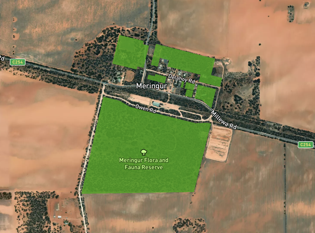
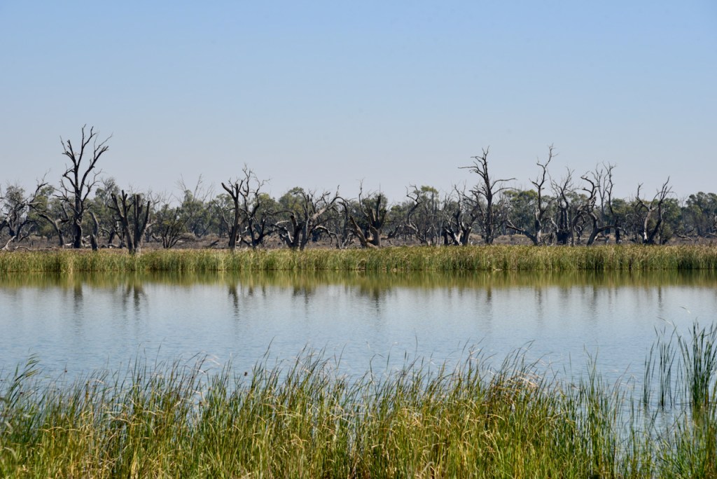
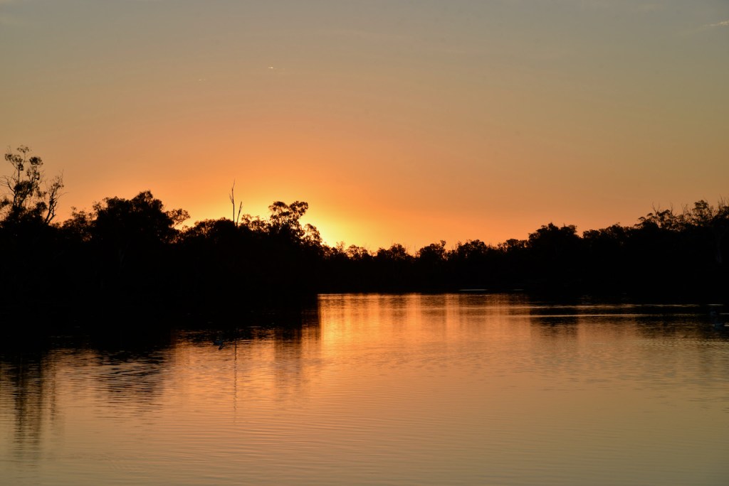
It was now day three of our holiday (8th April 2021). Our destination for today was Mildura in Victoria, a drive of about 137 km from Renmark. Our plan was to active three parks and do some sightseeing along the way. Our first planned park activation for the day was to be the Meringur Flora Reserve VKFF-2383 which is located about 88 km west of Mildura in north-western Victoria.
Above:- Map showing the location of the Meringur Flora Reserve. Map c/o Protected Planet.
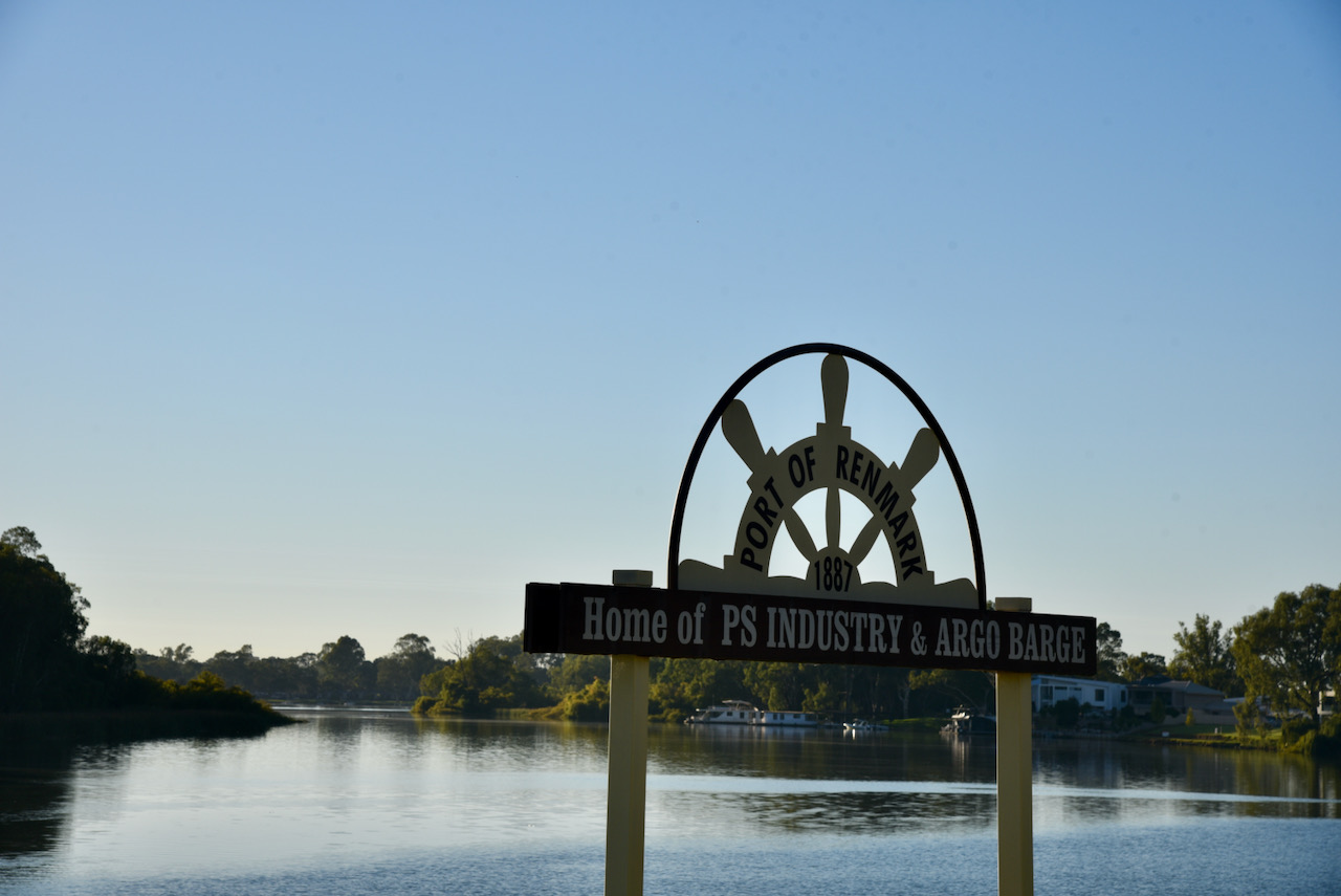
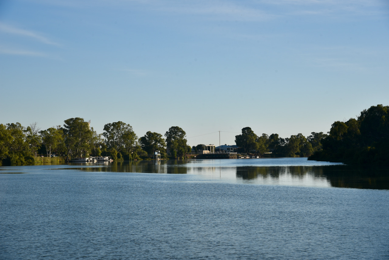
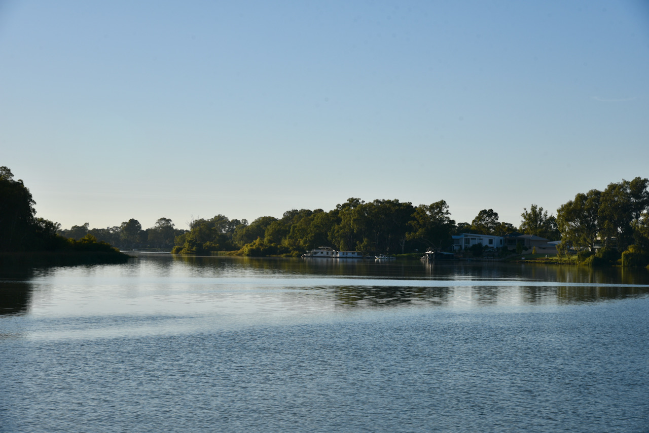
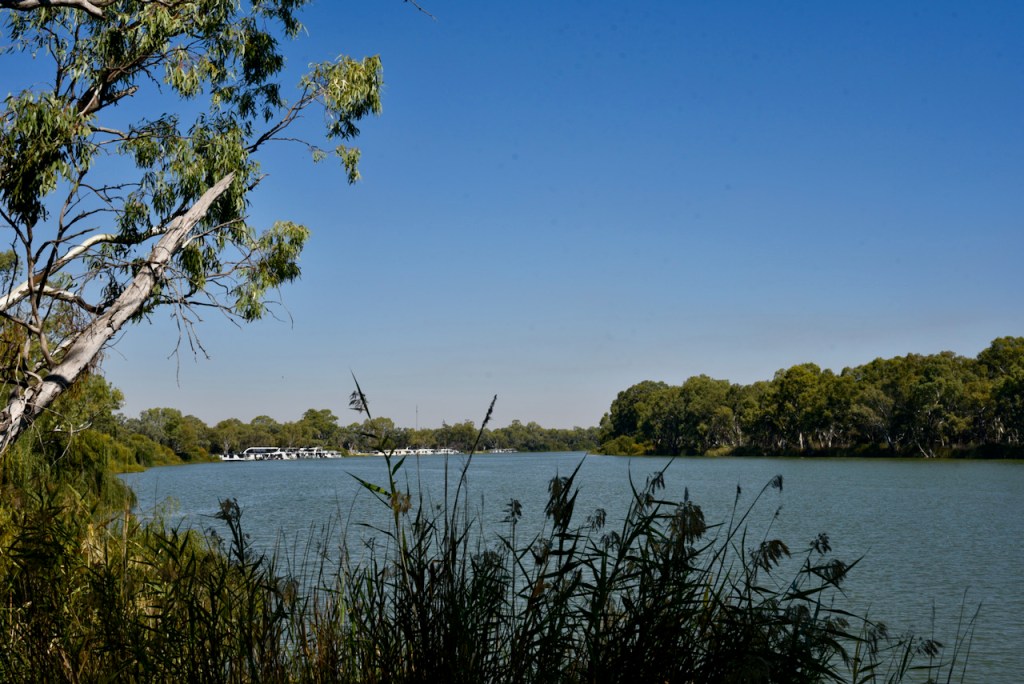
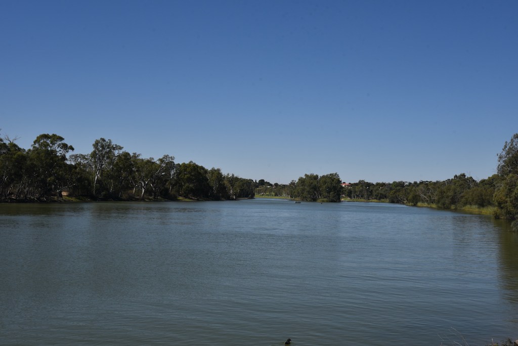
Marija and I had breakfast in the motel room and then headed down to the Renmark riverfront. Renmark is a very beautiful town and we enjoyed the views of the mighty Murray River.
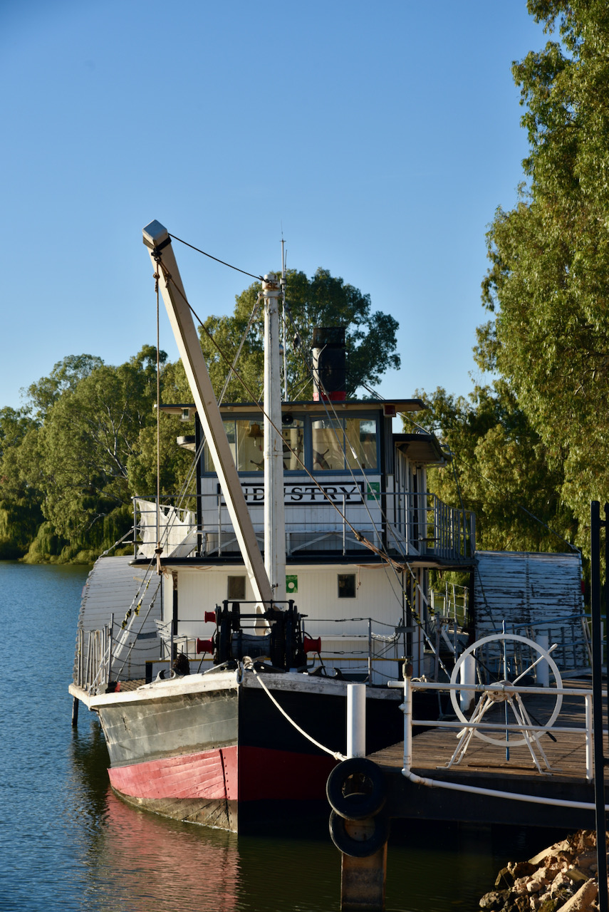
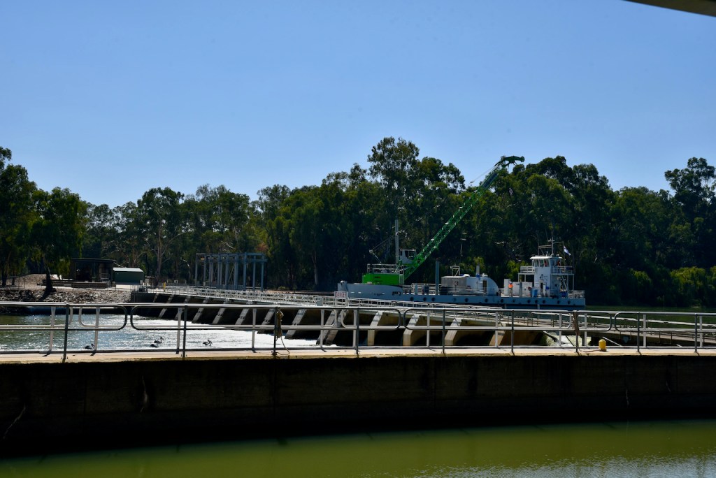
We had a quick look at the old paddle steamer Industry which is moored at Renmark. It was built at Goolwa in 1911 and used initially for the de-snagging of the Murray River to keep it clear for the paddle steamer trade. By the late 1960s the Industry had become obsolete and became a floating static museum. Between 1990 and 1995 the vessel was restored and recommissioned as a historic passenger vessel.
Also on the riverfront is the majestic Renmark Hotel which was was established as the first British Empire community-owned hotel in 1897.
We then headed across the Murray River to the little town of Paringa. The town of Paringa was laid out in 1917, however it has its roots from the property called Paringa which was established by Daniel Cudmore who had arrived in 1837 South Australia Australia with his wife and son from Tasmania. He was bequeathed property in Ireland and after selling it he used the proceeds to buy land and by 1858 he had acquired a property called Paringa.
There are various sources re the origin of the word Paringa. One is that the name is taken from that of a large waterhole opposite the original homestead and means ‘whirlpool’. Other sources suggest it means ;land near or about the river’, while another source states if means ‘place at the river’.
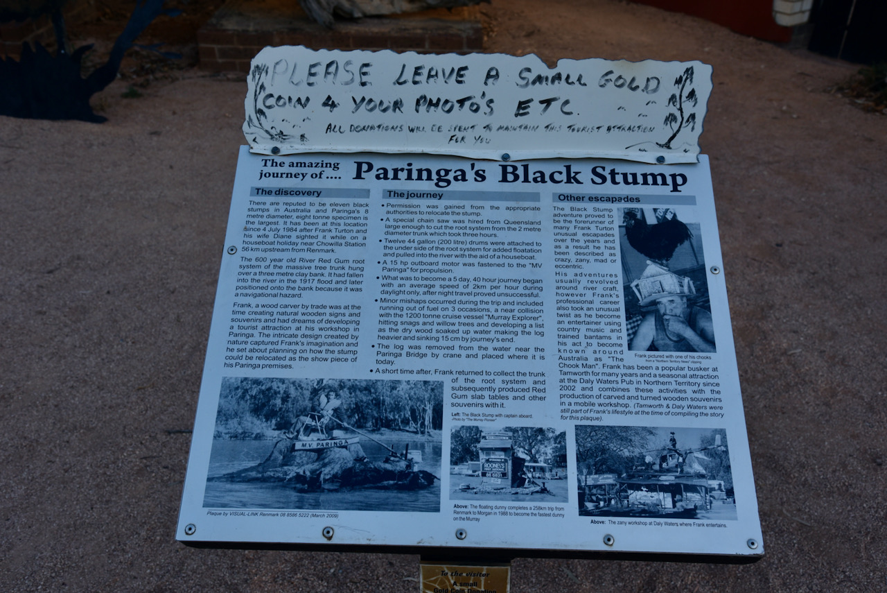
We had a look at the Black Stump at Paringa. The 600 year old River Red Gum root stump had hung over a clay bank on the River Murray and had fallen into the river during the 1917 flood. It was considered a navigational hazard and permission was granted from the authorities to relocate the stump.
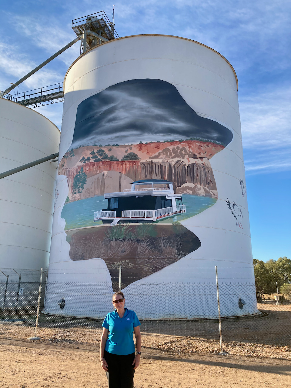
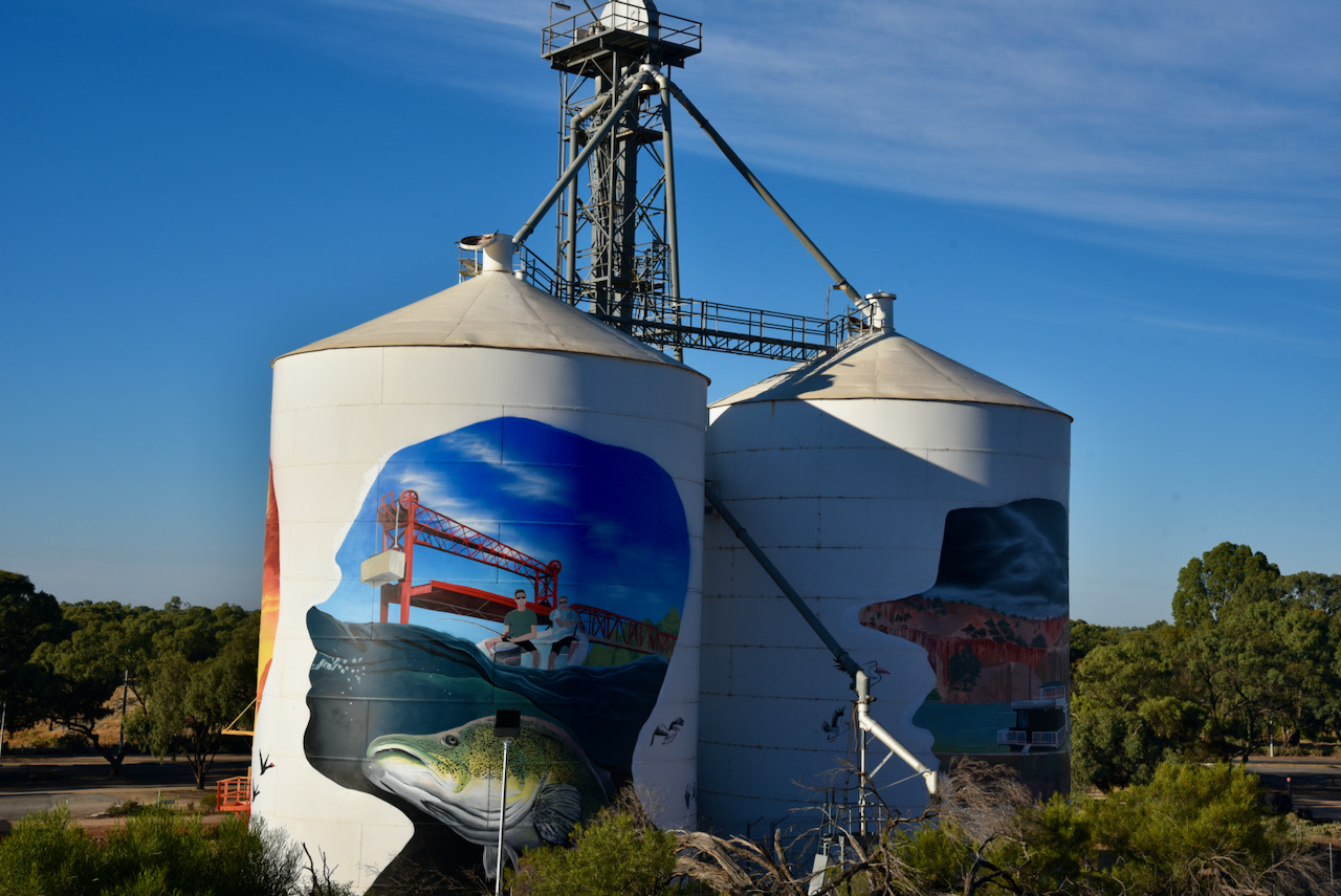
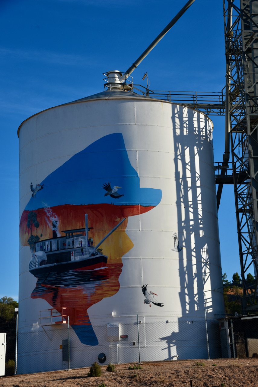
Marija and I then stopped to have a look at the Paringa silo’s which are now part of the Silo Art craze around Australia. The artwork features four prominent people with local connections and is the work of artist Jack Fran. One of those people featured is Renmark born riverboat Captain pearl Wallace who was Australia’s first female riverboat captain. Also featured is David Jones who was better known as ‘Possum’.
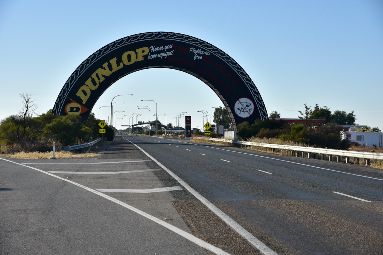
Marija and I then headed east out of Paringa on the Sturt Highway and we soon reached the fruit fly roadblock at Yamba near the South Australia/Victoria State border. When travelling west into South Australia it is a mandatory stop at the checkpoint. It is a biosecurity checkpoint as fruit is not permitted to be carried into South Australia. This is to preserve the state’s fruit-fly-free status and has operated since 1957. Also at this location is a large advertisement for Dunlop in the shape of a vehicle tyre.
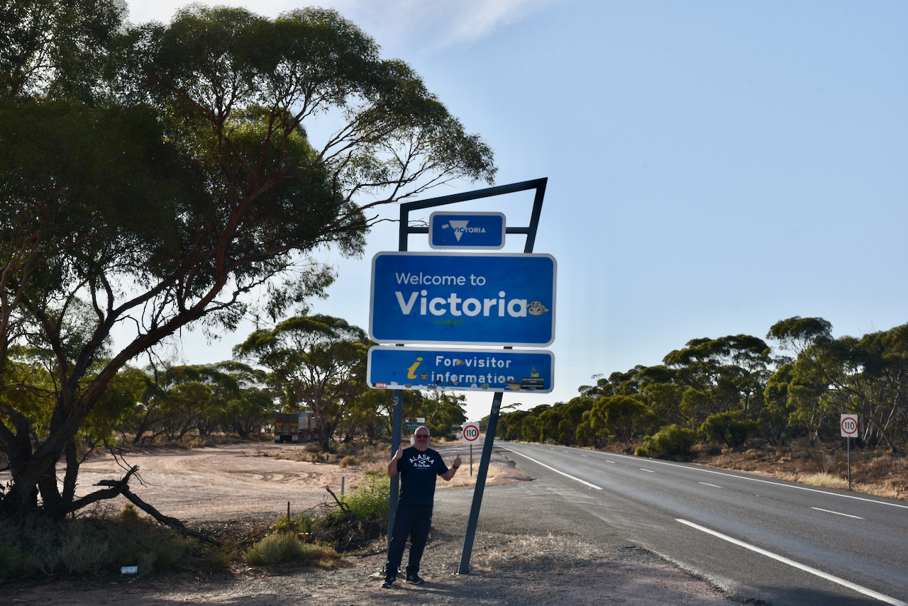
A little further along we stopped briefly at the South Australia/Victoria state border.
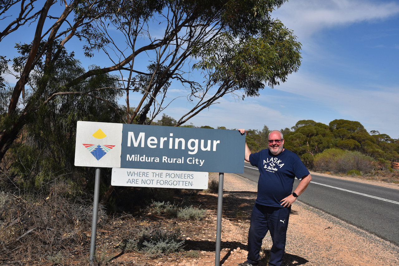
Once in Victoria we continued east along the Sturt Highway, passing the Murray Sunset National Park. We then turned right onto the Meringur North Road and headed south towards the little town of Meringur which we soon reached. It is located about 35 km east of the South Australian State border.
The name Meringur is thought to have been derived from an Aboriginal word describing a grey kangaroo. Meringur is located in the Millewa region of north-western Victoria. The Millewa is a very successful grain growing area and produces some of Australia’s highest quality hard grain.
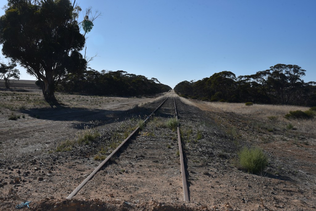
The railway passing through Meringur opened in 1925 and had facilities to handle passengers, sheep and grain. The Meringur Post Office was opened the following year on the 2nd day of February 1926. By the 1930s Meringur had an open air theatre, sports teams, a country rcae track, and a golf club. In 1988 the railway line was closed.
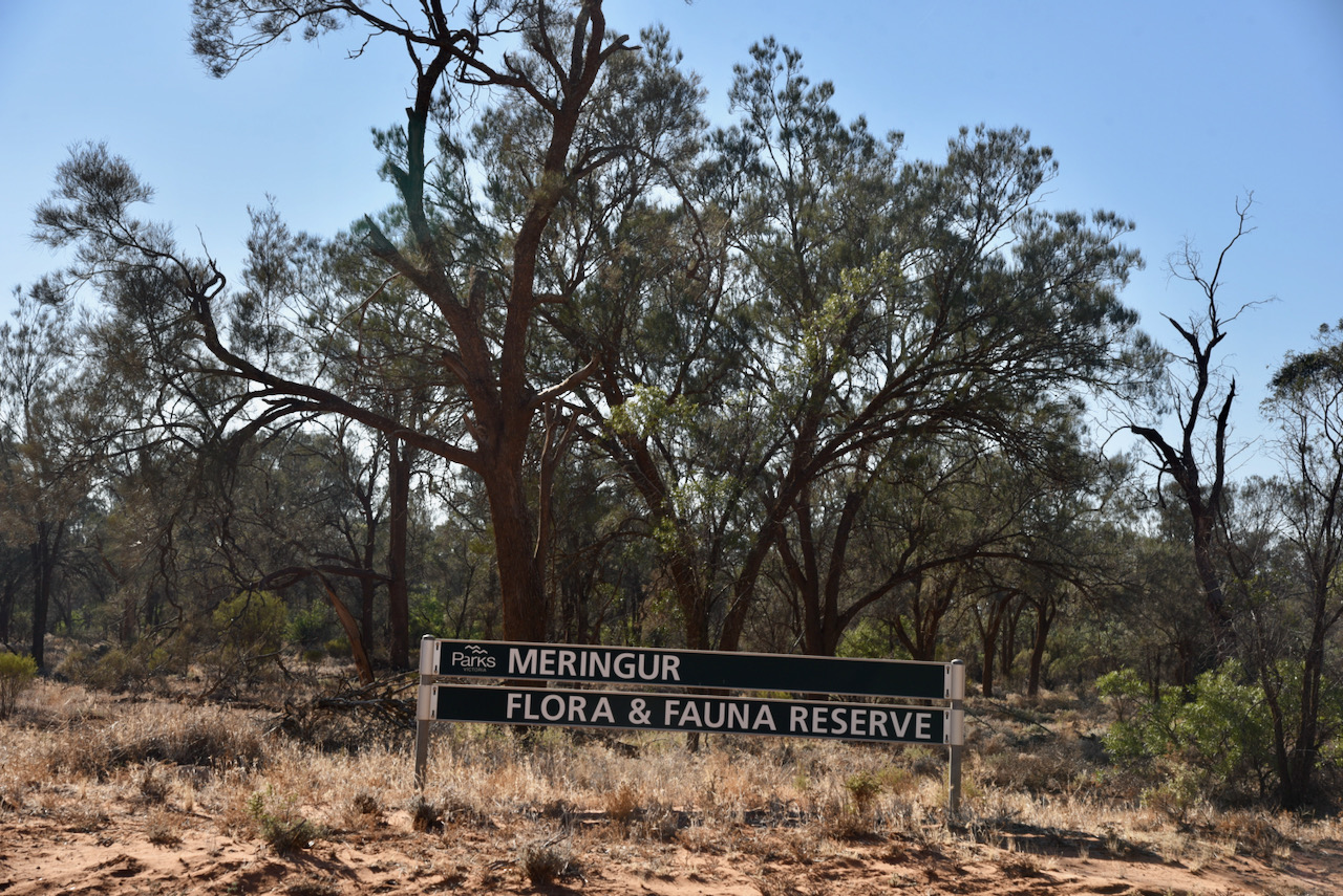
After having a quick look around the little town of Meringur, we then headed to the Meringur Flora Reserve which consists of various sections of scrub around the town of Meringur.
Above:- An aerial view of the Meringur Flora Reserve. Image c/o Protected Planet.
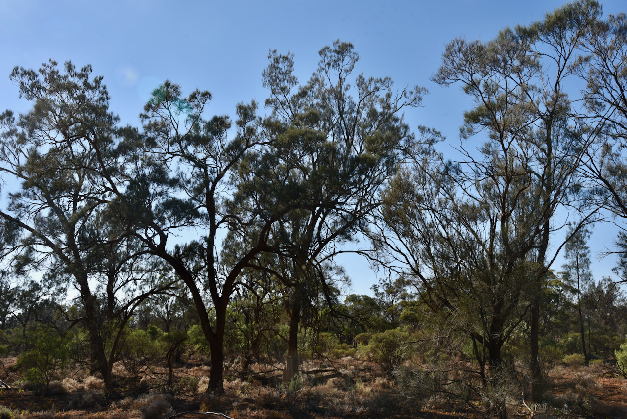
The Meringur Flora Reserve is about 0.97 km² in size and contains a small block of relict semi-arid woodland.
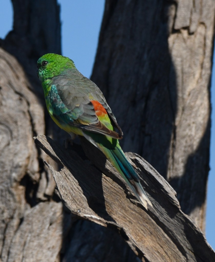
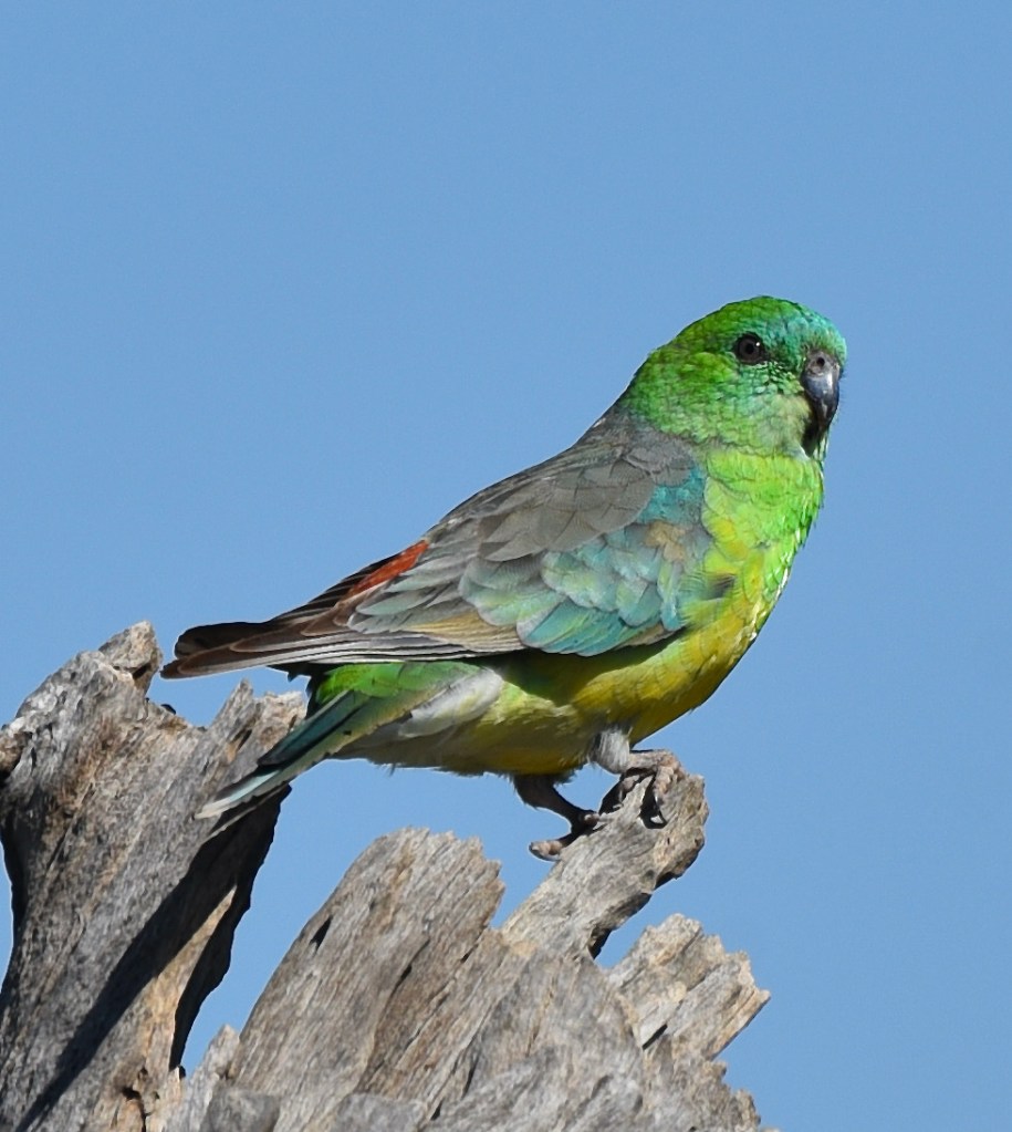
During our visit to the park we observed a bit of birdlife including White-winger Choughs and Apostlebirds. Both are highly social birds and are always seen in family groups.
We set up in a small clearing on the Meringur North Road. We ran the Yaesu FT-857d and the 20/40/80m linked dipole (inverted vee) for this activation. We were set up and ready to go by about 2320 UTC. This was to be a first time activation of this park for Marija and myself. This would be the third activation for the park over the years. Nick VK3ANL activated the park in June 2020 logging 39 QSOs, and Mike VK6MB activated the park in September 2019 logging 45 QSOs.
First in the log for me was Peter VK3PF, followed by Rob VK2VH/VK4AAC, followed by Daryl VK3AWA, and then Ray VK4NH. Within 7 minutes I had contact number 10 in the log, a QSO with Robert VK2RK. The park had been qualified for the VKFF program.
I went on to log a total of 31 stations on 40m from VK1, VK2, VK3, VK4, and VK5, before callers dried up. This included a Park to Park contact with Peter VK3TKK/p who was in the Boxwood Nature Conservation Reserve VKFF-2053. Marija also logged Peter.
Marija then jumped into the operator’s chair. First up for Marija was Hans VK5YX in the southern suburbs of Adelaide with an excellent 5/9 signal, followed by David VK3DJC in Portland, and then Mark VK3PI in Melbourne. Marija’s 10th contact was with Barry VK5KBJ who was mobile with an excellent 5.9 signal.
Marija boxed on and logged a total of 40 contacts on 40m before callers slowed. She was just 4 short of the 44 contacts required to qualify the park for the global WWFF program. This included a Park to Park with Marty VK4KC/p who was in the Good Night Scrub National Park VKFF-0206.
I then picked up the microphone again, hoping to push on and get 44 QSOs. Adrian VK5FANA on the Yorke Peninsula was first to call me this time around, followed by Ross VK7ALH and then Marty VK4KC/p in the Good Night Scrub National Park VKFF-0206.
Contact number 44 soon came, with a QSO with Ivan VK5HS in the Riverland. All up I logged 48 contacts on 40m, before handing the mic back to Marija so she could pick up her final 4 and get 44 in the log. We decided to try 80m, so we lowered the squid pole and inserted the links for that band.
Marija then called CQ on 3.610 and this was answered by Ivan VK5HS, followed by Hans VK5YX, Adrian VK5FANA, and then Craig VK3CRG who became Marija’s 44th QSO.
To conclude the activation I called CQ on 14.244 on the 20m band. First in the log was another Park to Park with Marty VK4KC in Good Night Scrub, followed by Dave VK4VCE, and finally Rob VK4HAT.
It was time for us to pack up and head off. We had 95 QSOs in the log, including 3 Park to Park contacts.
VK4KC/p (Good Night Scrub National Park VKFF-0206)
VK3MKE
VK3OF
VK3SQ
VK2DG
VK4NH
V K4DXA
ZL4TY/VK4
VK3KBC
VK2LX
VK5HS
VK3CRG
VK5HW
VK5WE
VK5YX
I worked the following stations on 20m SSB:-
VK4KC/p (Good Night Scrub National Park VKFF-0206)
VK4VCE
VK4HAT
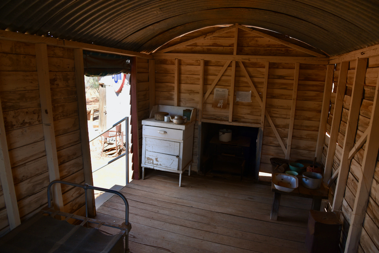
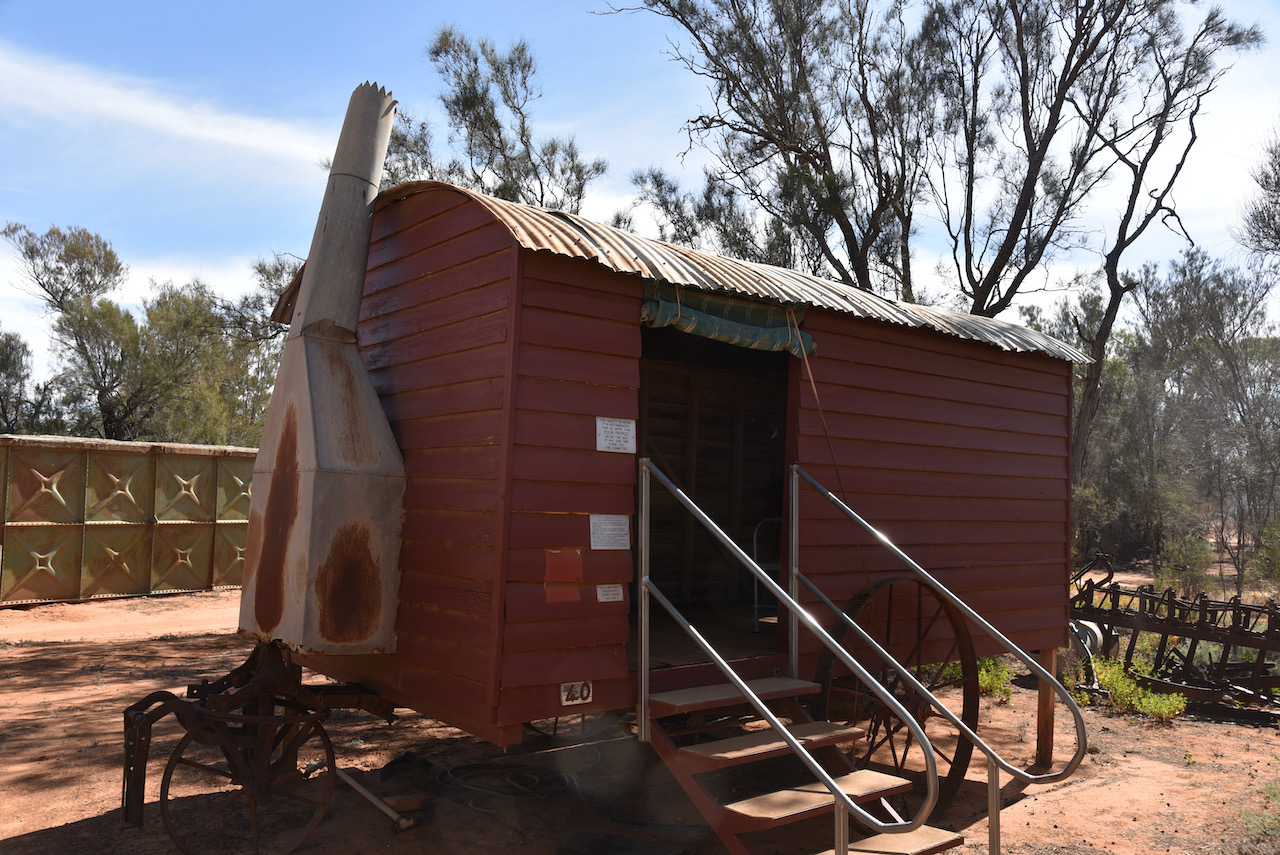
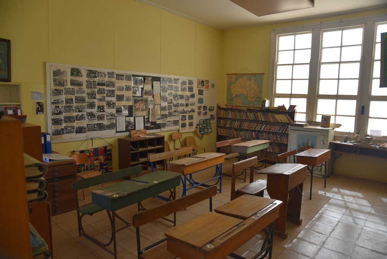
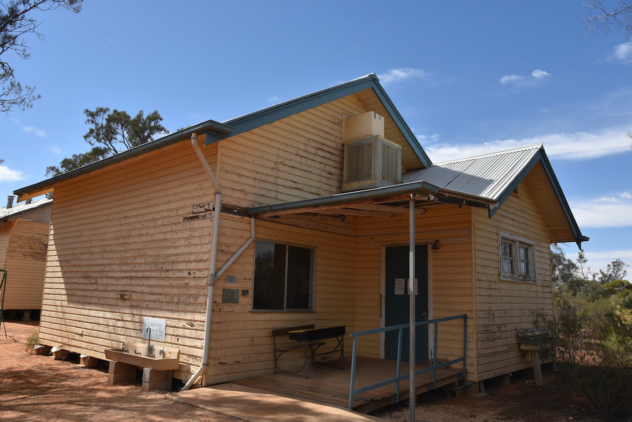
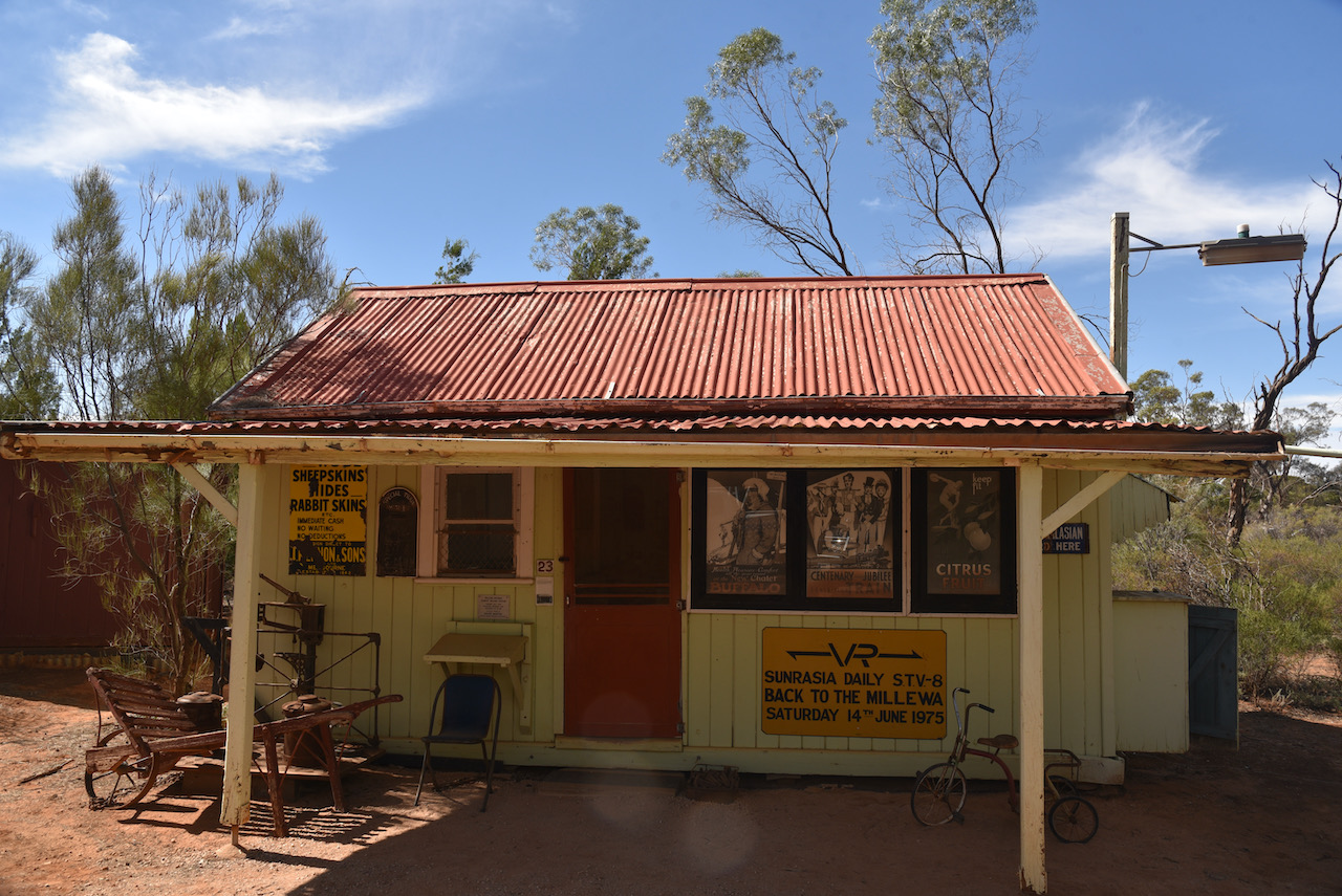
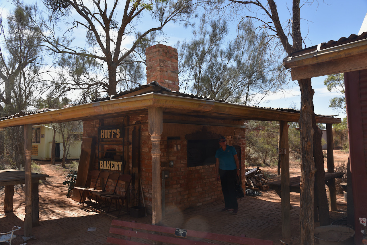
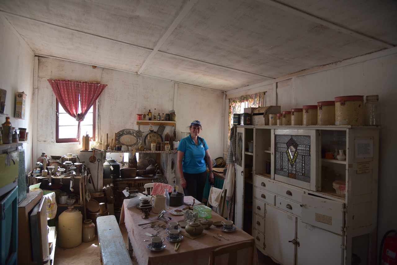
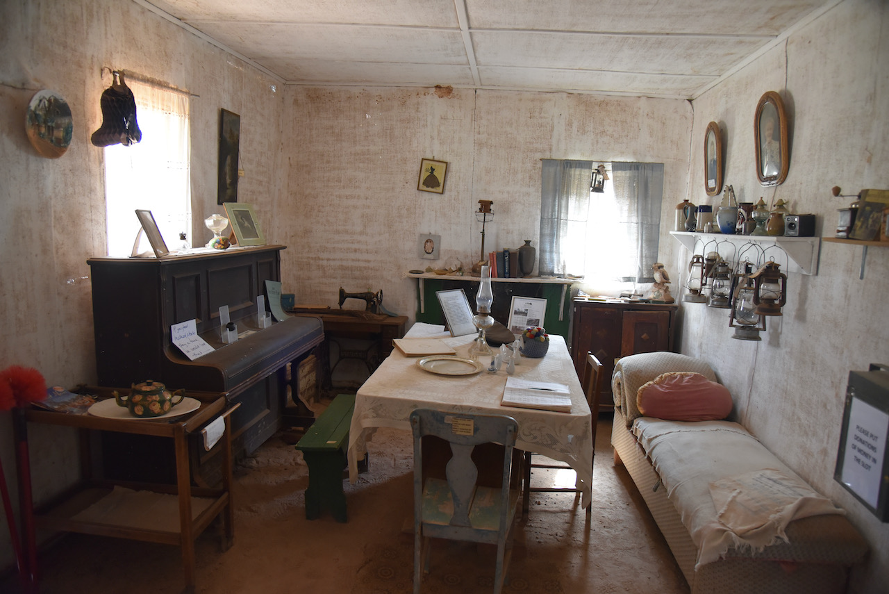
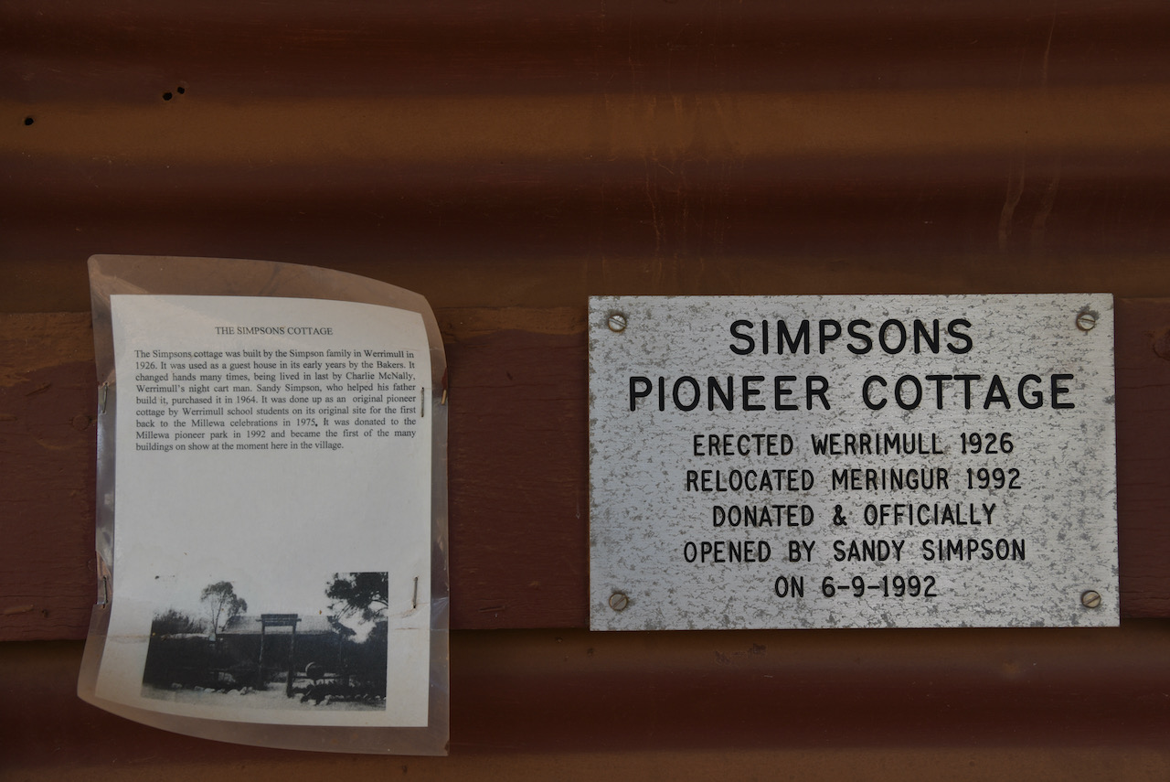
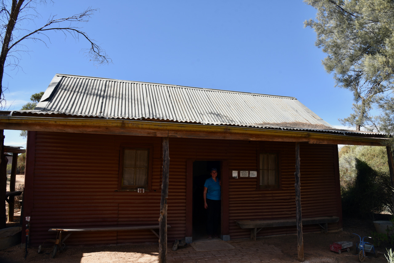
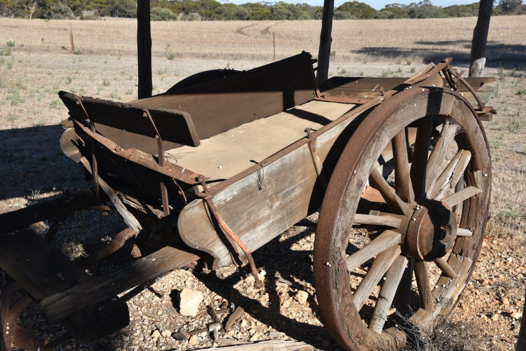
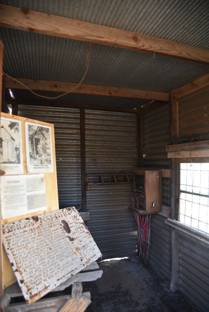
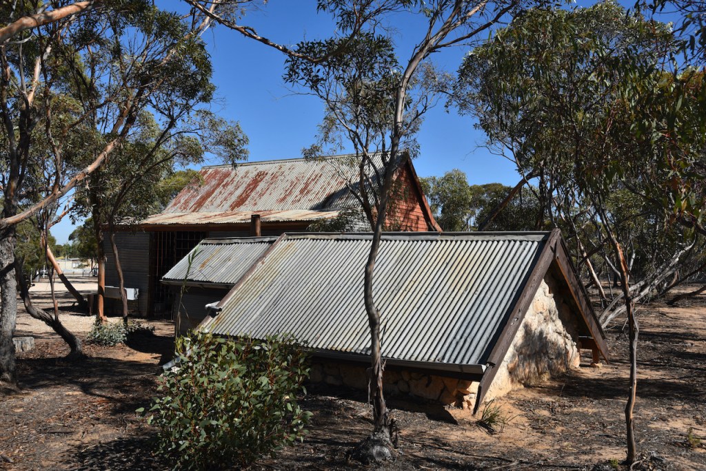
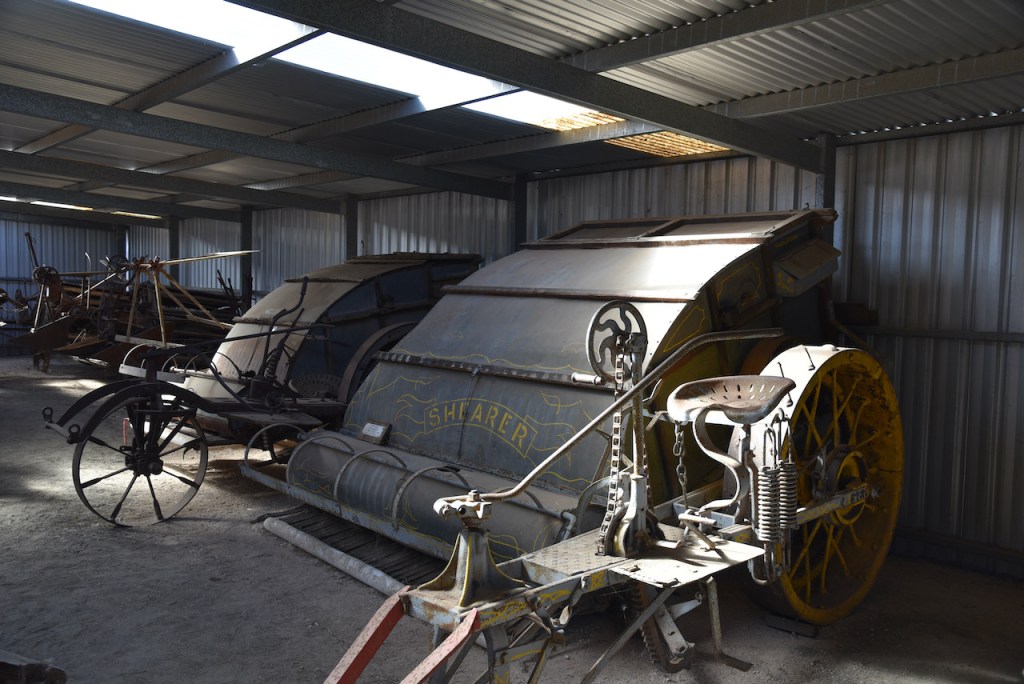
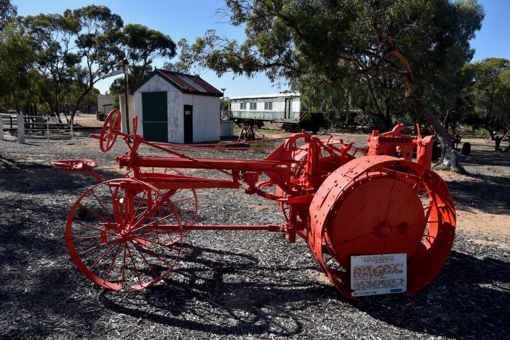
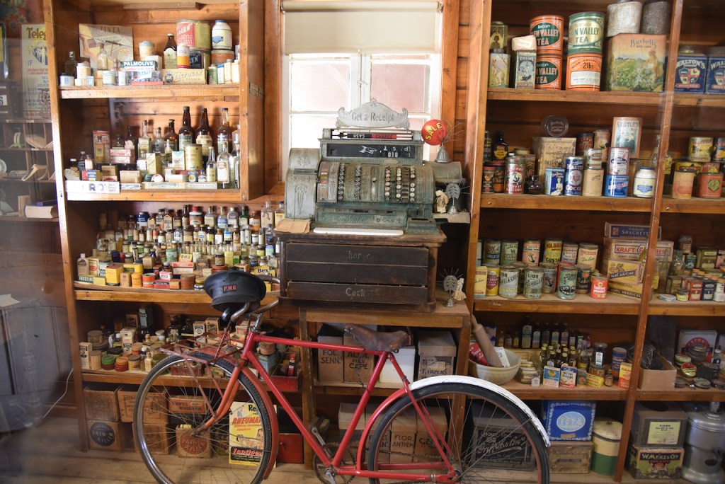
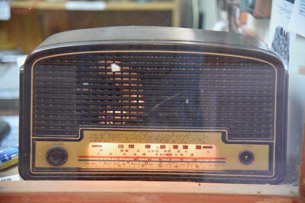
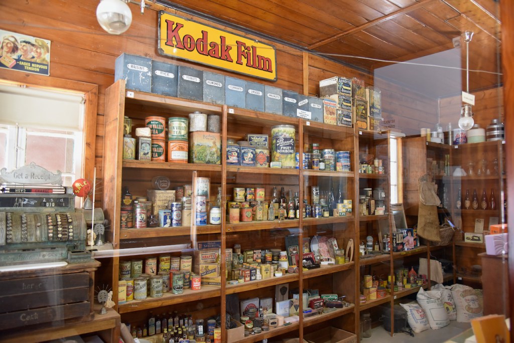
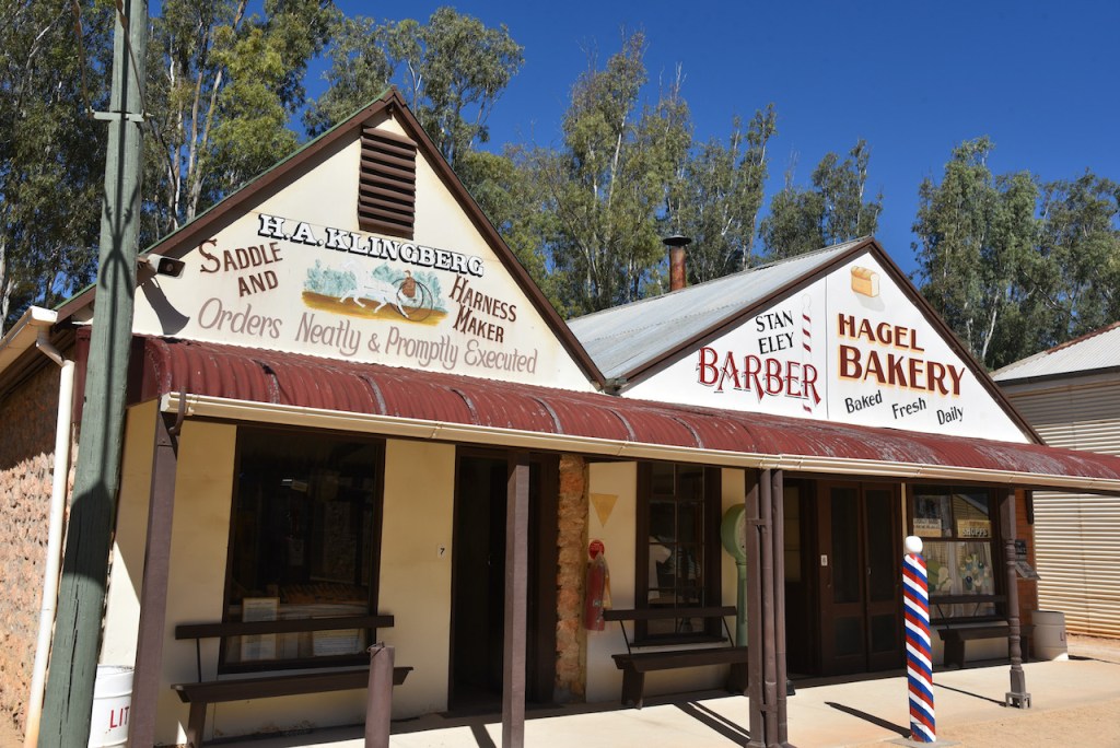
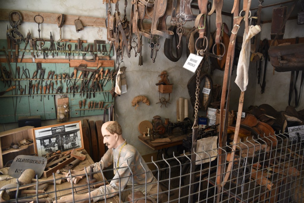
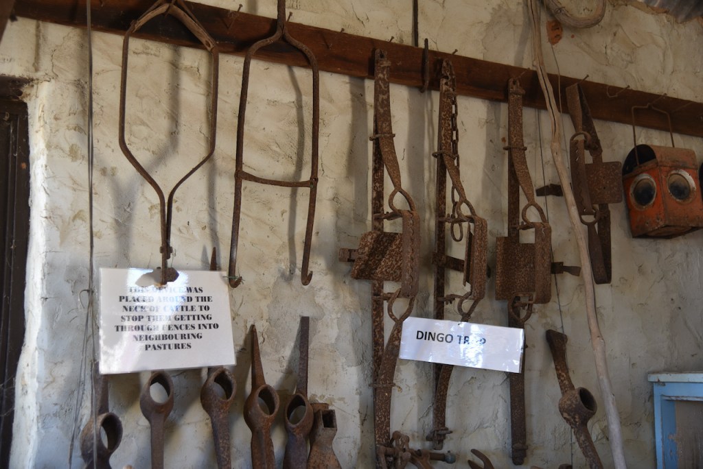
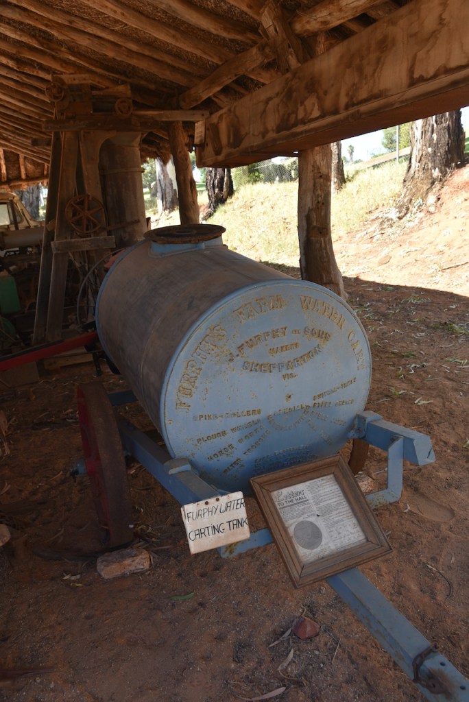
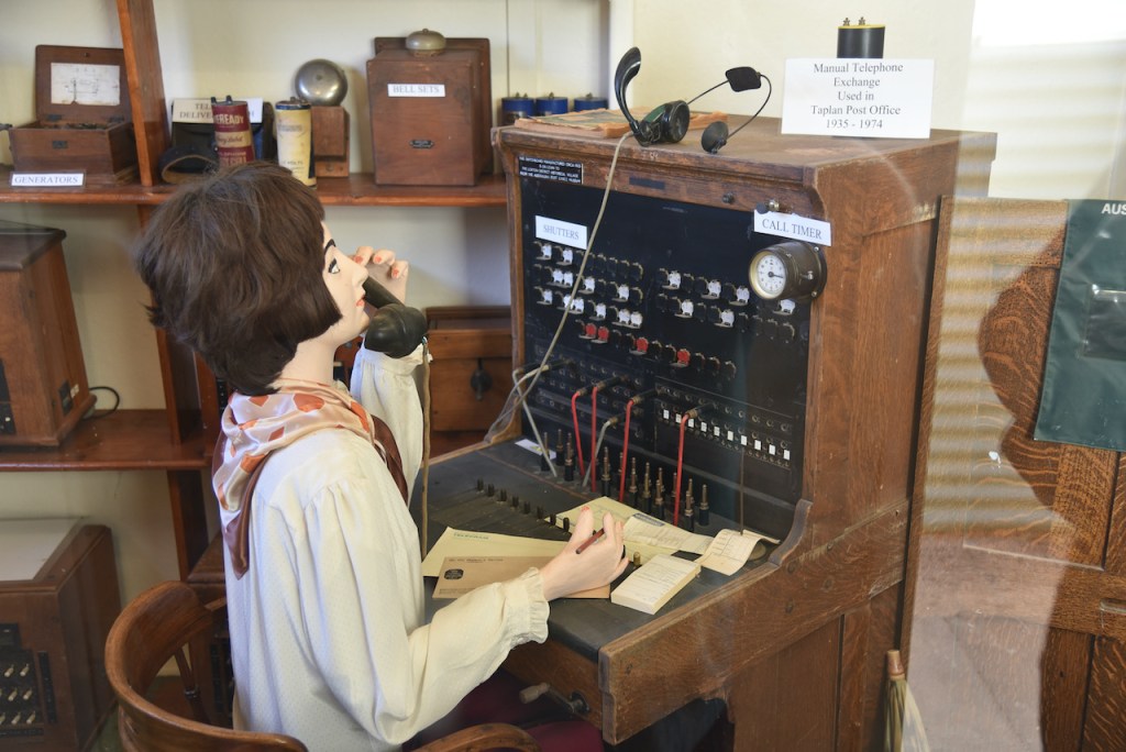
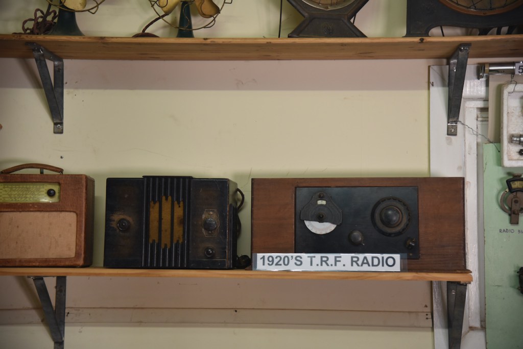
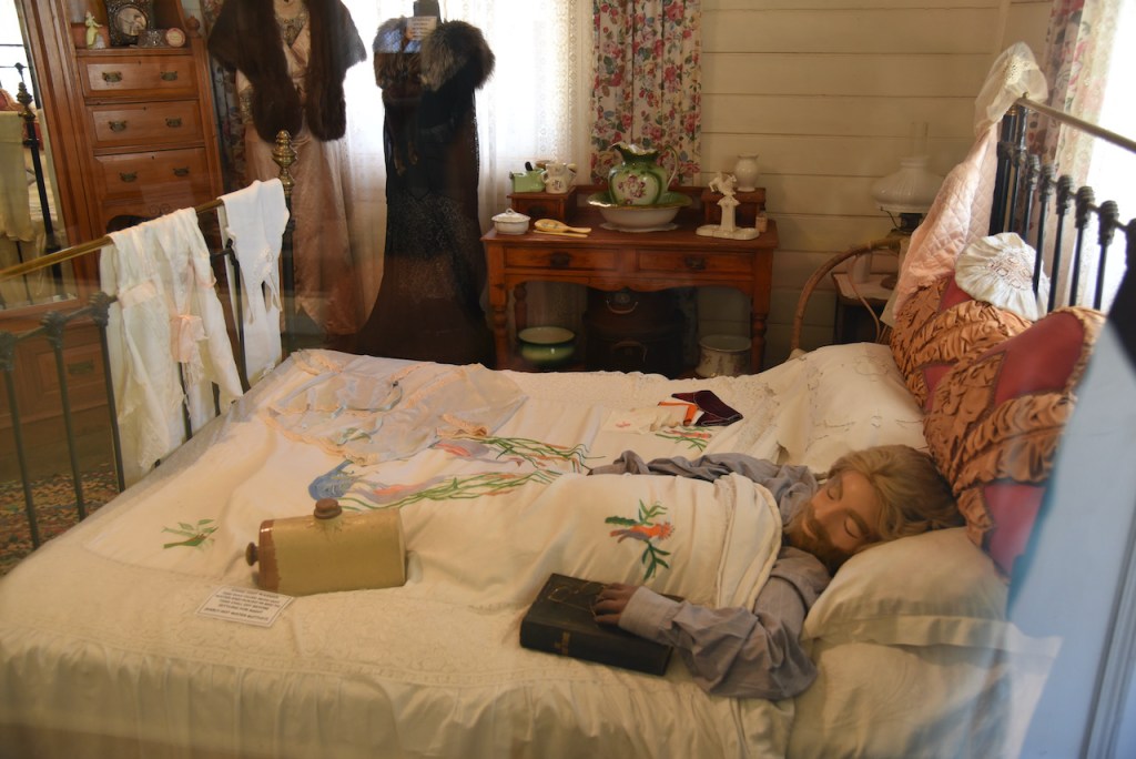
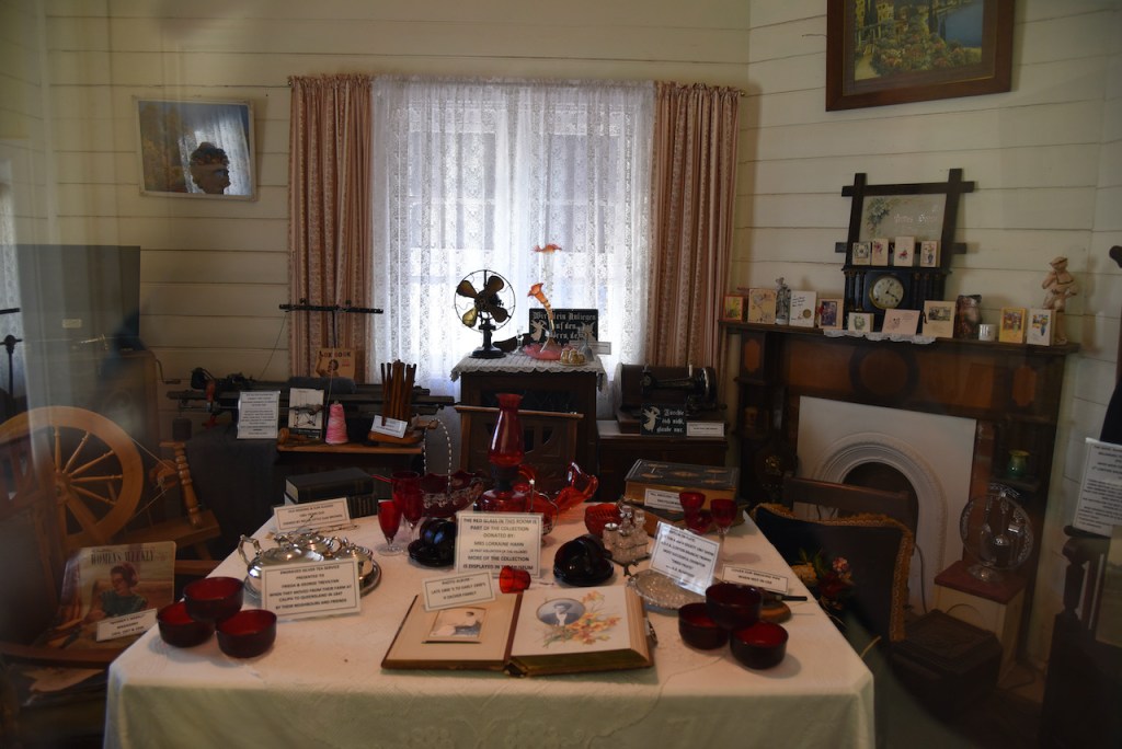
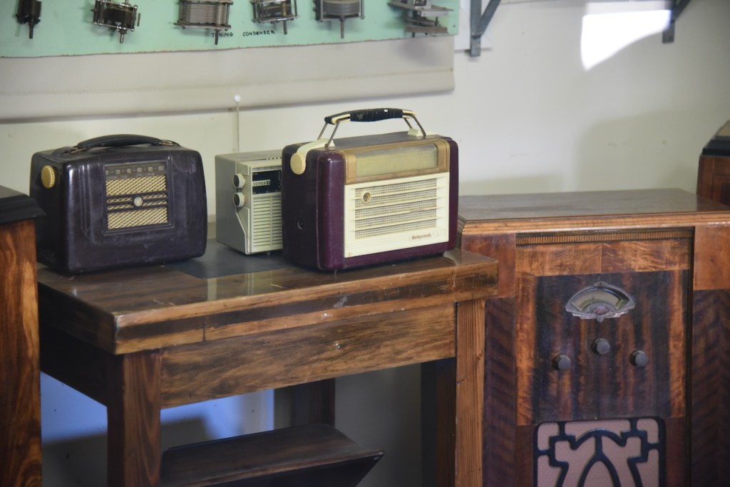
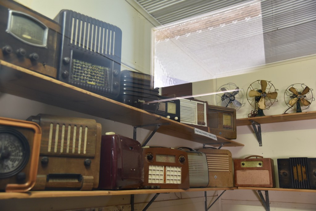
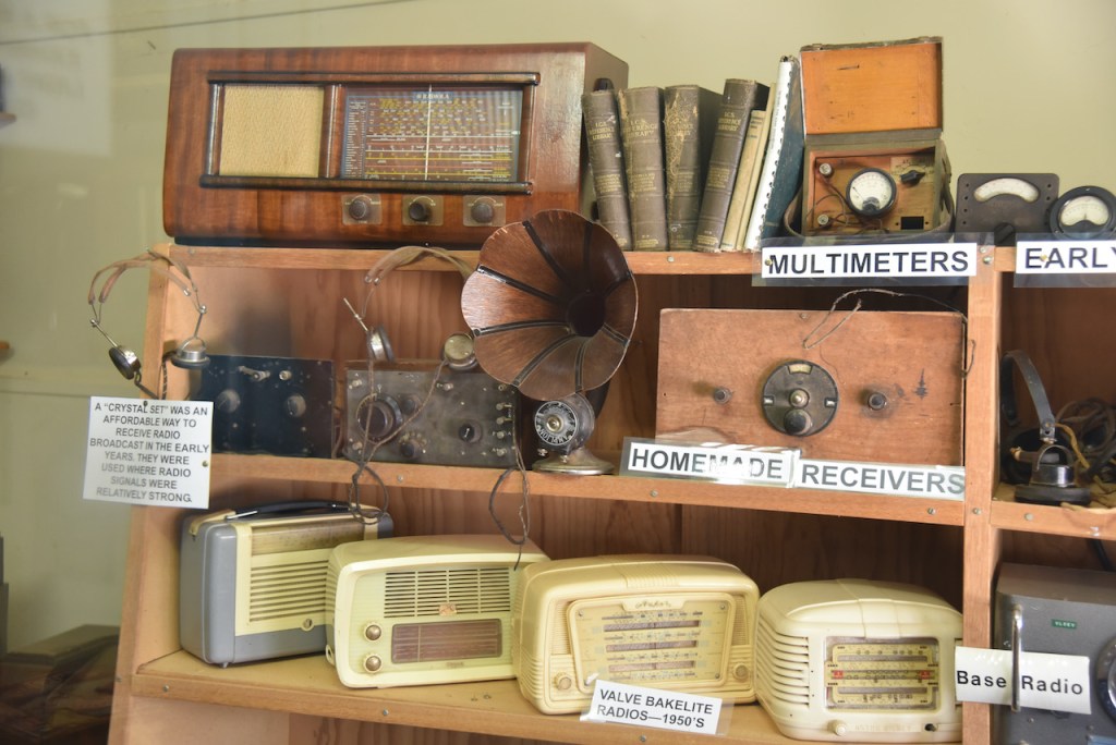
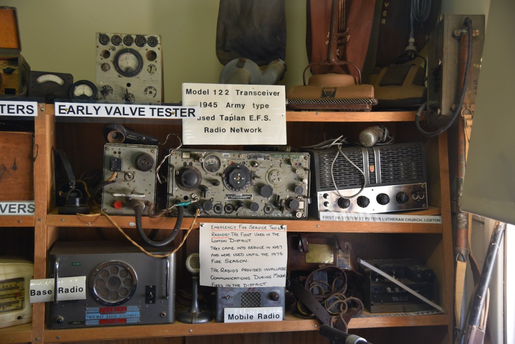
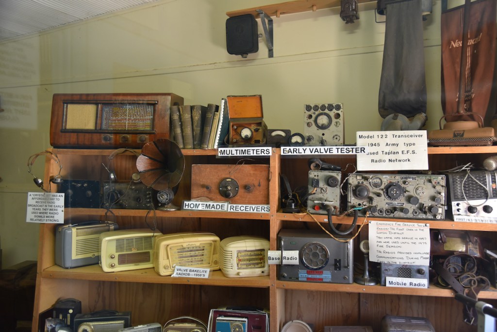
Time was pushing on, so we packed up and headed to the Millewa Pioneer Park at Meringur which has a very impressive collection of old Mallee buildings. This is definitely worth a visit if you are in the area and is only a gold coin donation. The park was established in 1986 and is run by a voluntary committee.
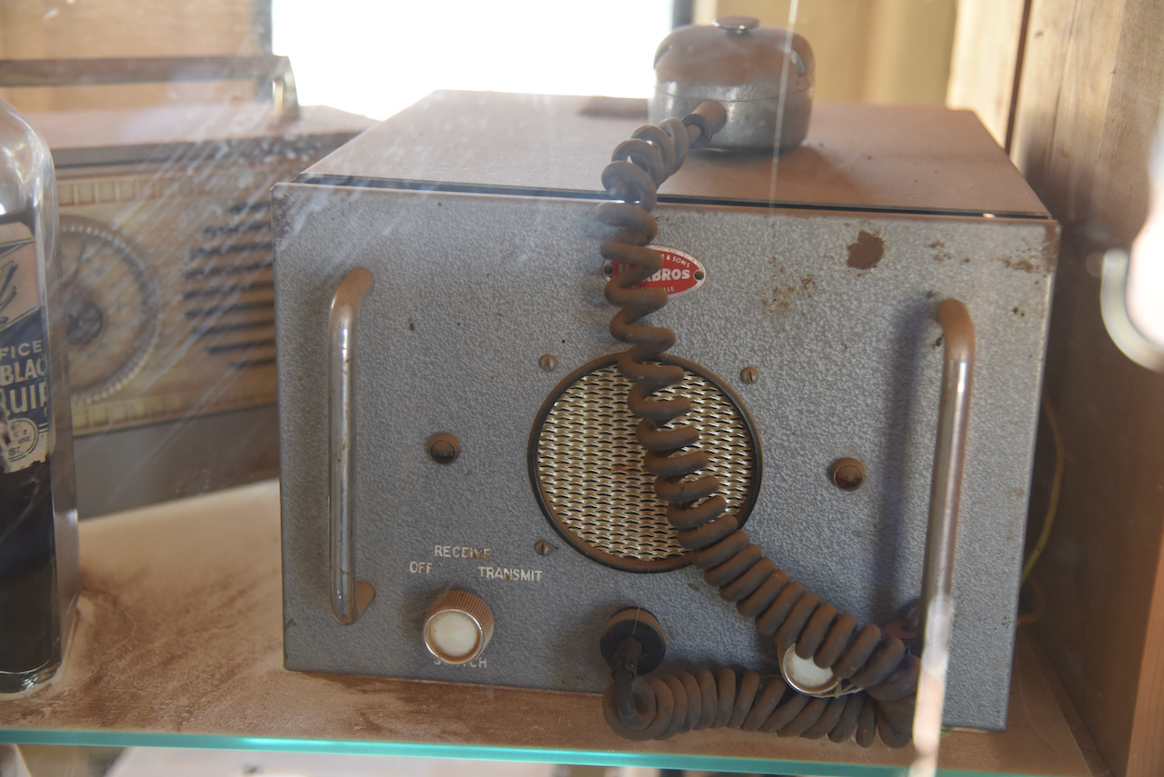
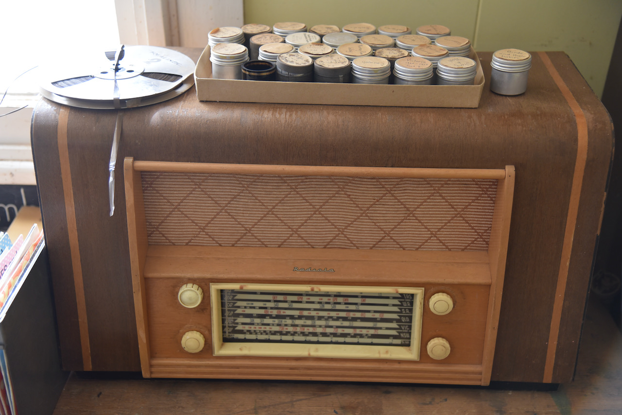
We even spotted some old radios during our visit to the Pioneer Park.
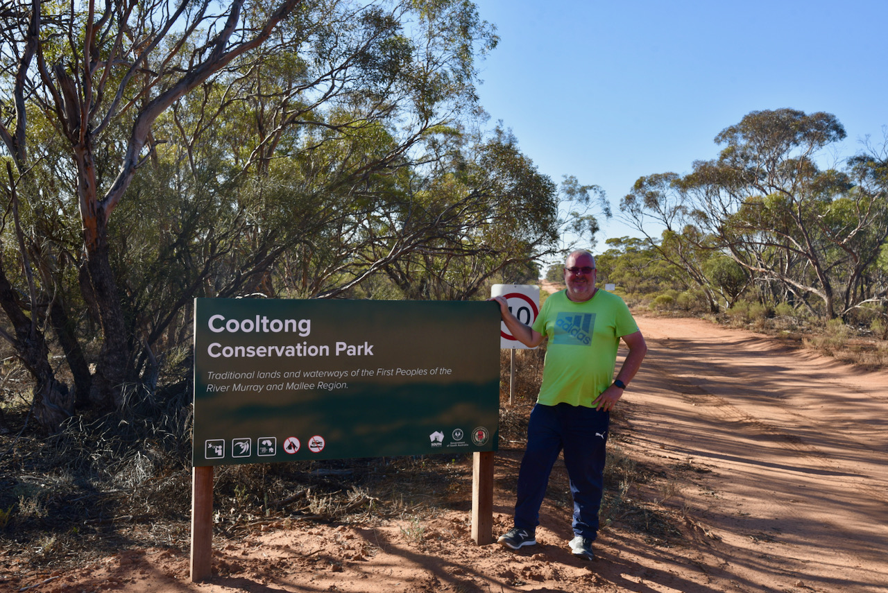
The repairs on the interface for the antenna took a little longer than expected. Many thanks to Ivan for all his hard work. Upon leaving Ivan’s house we headed to our ‘planned’ park activation for the day, the Cooltong Conservation Park 5CP-046 & VKFF-0823.
Cooltong Conservation Park is located about 262 km northeast of Adelaide and about 11 km west of the town of Renmark.
Above:- Map showing the location of the Cooltong Conservation Park in the Riverland region of S.A. Map c/o Location SA Map Viewer.
This was another park that Marija and I had previously activated and qualified for both the World Wide Flora & Fauna (WWFF) program and the VK5 National & Conservation Parks Award.
Cooltong Conservation Park is about 3,710 hectares in size and was proclaimed on the 8th day of April 1983. Cooltong is an aboriginal word meaning ‘short cut’. The park was dedicated to preserve mallee vegetation and habitat for various Mallee birdlife of the area including the Mallee Fowl.
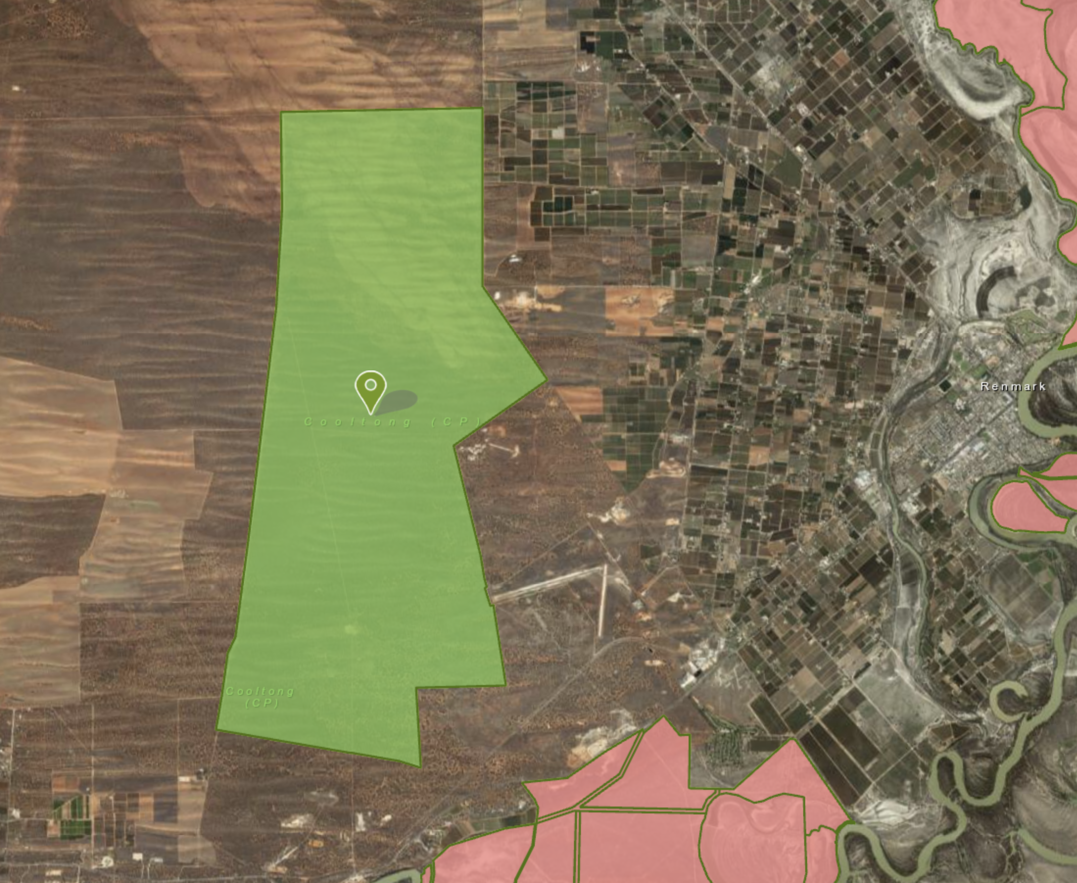
Above:- The boundaries of the Cooltong Conservation Park. Image c/o Location SA Map Viewer.
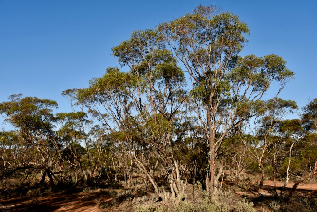
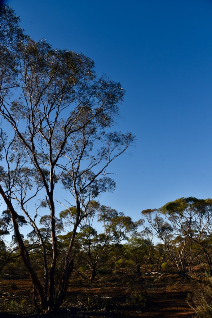
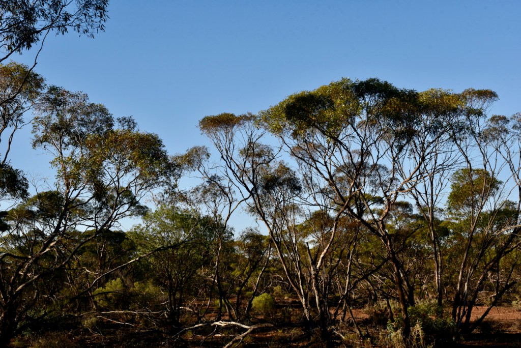
The Cooltong Conservation Park is dominated by mallee vegetation. It has undulating dunes and shales. Mallee refers to various low-growing shrubby Australian eucalypts. Some of the mallee species found in Cooltong include Blue-leaf Mallee, White Mallee, Narrow-leaf Read Mallee, and Red Mallee.
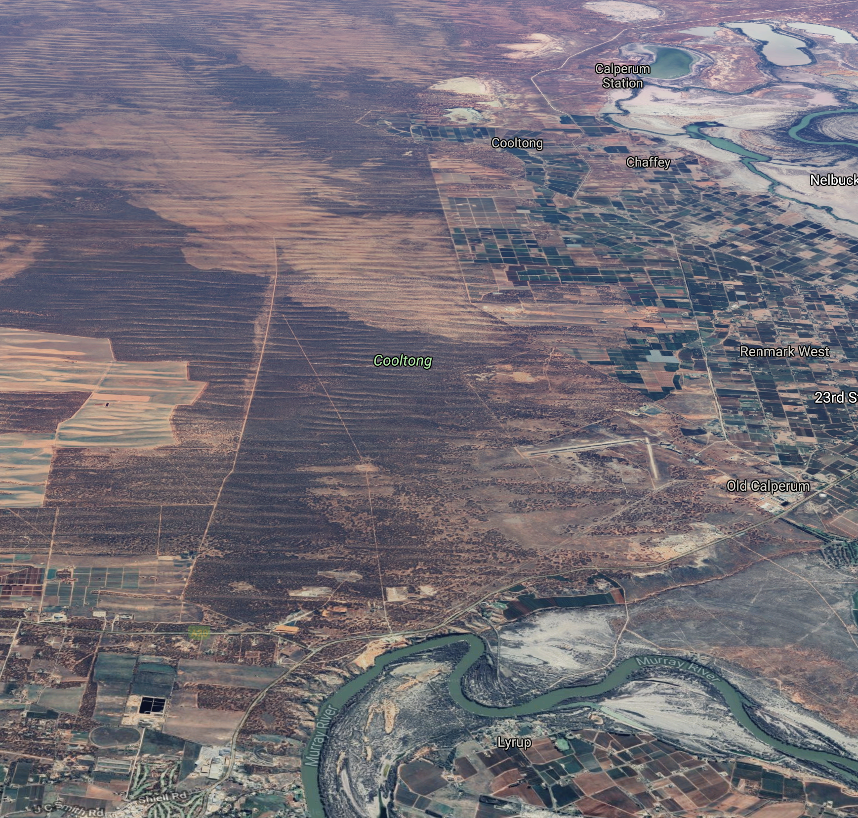
Above:- An aerial view of the Cooltong Conservation Park, showing the Murray River and the town of Renmark. Image c/o Google maps
Birds SA have recorded about 109 species of bird in the park including Malleefowl, Mulga Parrot, Spiny-cheeked Honeyeater, Purple-backed Fairywren (Variegated Fairywren), Southern Whiteface, Weebill, Grey Butcherbird, Chestnut Quailthrush, Spotted Nightjar, Black-eared Cuckoo, Black-backed Fairywren (Splendid Fairywren), Striated Grasswren, Redthroat, and White-backed Swallow.
Sadly the park has been used as a dumping ground in recent years by people who are just too lazy to take their rubbish to the appropriate places. See the story below on the ABC website…….
The park is well signposted. We accessed the park via the Sturt Highway and then Santos Road.
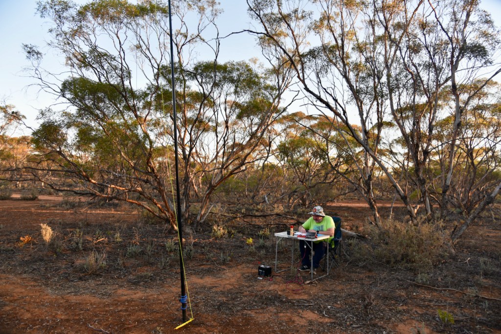
We took a little 4WD track off Santos Road and found a clearing in amongst the scrub. As we normally do, we ran the Yaesu FT-857d and the 20/40/80m linked dipole for this activation.
First in the log was a Park to Park with Marty VK4KC/p who was activating the Bouldercombe Gorge Conservation Park VKFF-1483. Marty was a strong 5/8 and gave us 5/5 from his park in Queensland.
We then moved down to 7.150 and logged another Park to Park QSO, this time with Peter VK3TKK/p who was in the Upotipotpon Nature Conservation Reserve VKFF-2218.
I then started calling CQ and within 30 minutes I had 38 QSOs in the log from VK1, VK2, VK3, VK4, VK5, VK6, and VK7.
I then swapped the mic with Marija and it didn’t take long for Marija to accrue a mini pile-up. It only took Marija about 35 minutes to reach the 44 QSO mark, thus qualifying the park for the global WWFF program. Contact number 44 was with Gavin VK3MLU.
We also logged another Park to Park, this time with Hans VK6XN/p who was in the Leuwin-Naturaliste National Park VKFF-0283.
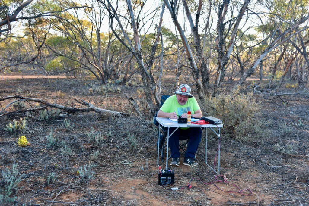
I then jumped back into the operator’s chair and logged a further 21 stations on 40m. Contact number 44 for me was Ian VK5CZ in the Clare Valley.
We were running short of time as we had a dinner commitment that night, so we apologise to those that were still calling on 40m. We wrapped up the activation with a quick 5 minutes on 80m where I logged 9 stations from VK2, VK3, and VK5.
Marija logged the following stations on 40m SSB:-
VK4KC/p (Bouldercombe Gorge Conservation Park VKFF-1483)
VK6XN/p (Leuwin-Naturaliste National Park VKFF-0283)
VK5PL
VK5XB
VK5KKS
VK7ALH
VK5CZ
VK2VH
VK4AAC/2
VK6YR
VK5KLV
VK2KMI
VK3AJA/5
VK3MLU
VK3BBB
VK2CCP
VK4SMA
VK5SCR
VK3CRG
VK5KHZ
VK4PDX
VK4LJB
I worked the following stations on 80m SSB:-
VK5HS
VK4PDX
VK5KHZ
VK5XB
VK3CRG
VK3BBB
VK5FANA
VK2HHA
VK5LTD
Marija and I hurriedly packed up and headed back into Renmark to our motel. We had a quick shower and then headed out for dinner at Ashleys Restaurant at our motel with Ivan VK5HS and his wife Cheryl, Peter VK5PE, Danny VK5DW, and Di the wife of Larry VK5LY (SK). Larry was a very keen park activator and hunter and is sorely missed by all. It was an absolutely brilliant night out with plenty of ‘war stories’ and laughs with great people.
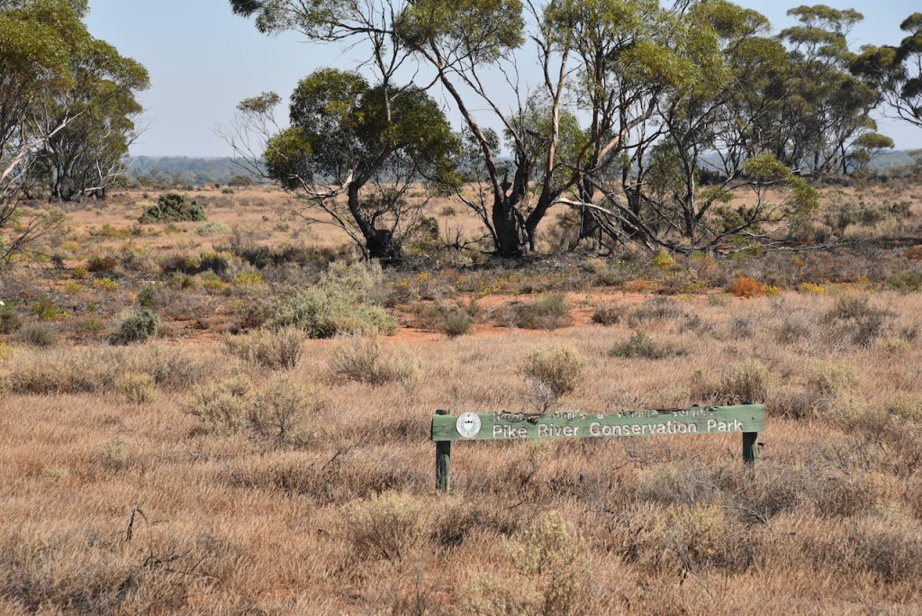
Day two of our trip and it was Wednesday 7th April 2021. We didn’t really plan on activating any parks today, but rather, head to our friend’s house Ivan VK5HS to do some work on the interface between my transceiver in the vehicle and the antenna. However, Ivan had some commitments in the morning, so after breakfast we headed out to the Pike River Conservation Park 5CP-180 & VKFF-0831.
Pike River is located about 270km northeast of Adelaide and about 9km by road out of Renmark along the Sturt Highway.
Above:- Map showing the location of the Pike River Conservation Park. Map c/o Location SA Map Viewer.
Marija and I have activated and qualified Pike River previously. In fact we have been there four times previously (2015, 2016, 2018, & 2019).
Pike River Conservation Park is 2.88 km2 in size and was created on the 1st day of February 1979. It is named after Pike River, a stream which flows through its eastern end. On 10 December 2009, crown land in section 84 of the Hundred of Paringa which was formerly the Mundic Forest Reserve was added to its extent.
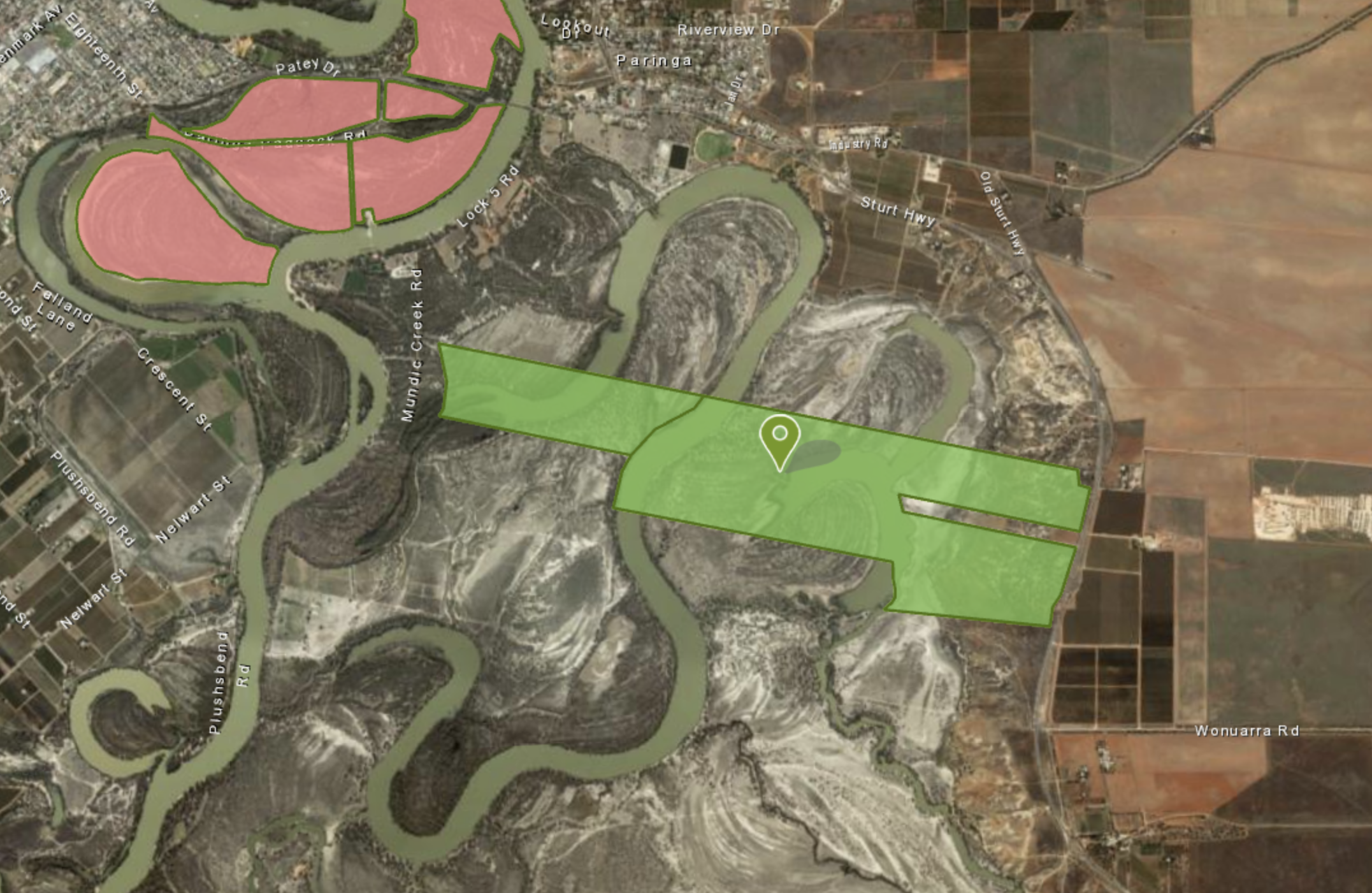
Above:- An aerial shot of the Pike River Conservation Park. Image c/o Location SA Map Viewer.
The Mundic Creek, the Pike River, and Pike Lagoon form part of the park. Water flows into the Mundic and Pike River anabranch system from the River Murray above Lock 5.
Above:- An aerial view of the park showing the Murray River, Mudic Creek and Pike River. Image c/o Google maps
The park is a permanent wetland area and adjacent land on the River Murray flood plain. It is a valuable feeding and breeding habitat for various water birds.
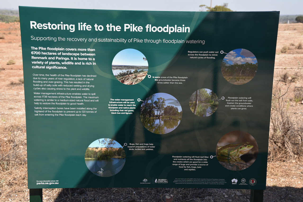
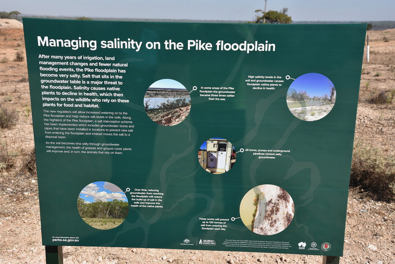
The Pike floodplain covers more than 6,700 hectares between Renmark and Paringa. After many years of irrigation, land management changes and fewer natural flooding events, the Pike floodplain has become very salty. Fortunately changes have taken place and the restoration of life to the Pike floodplain has commenced.
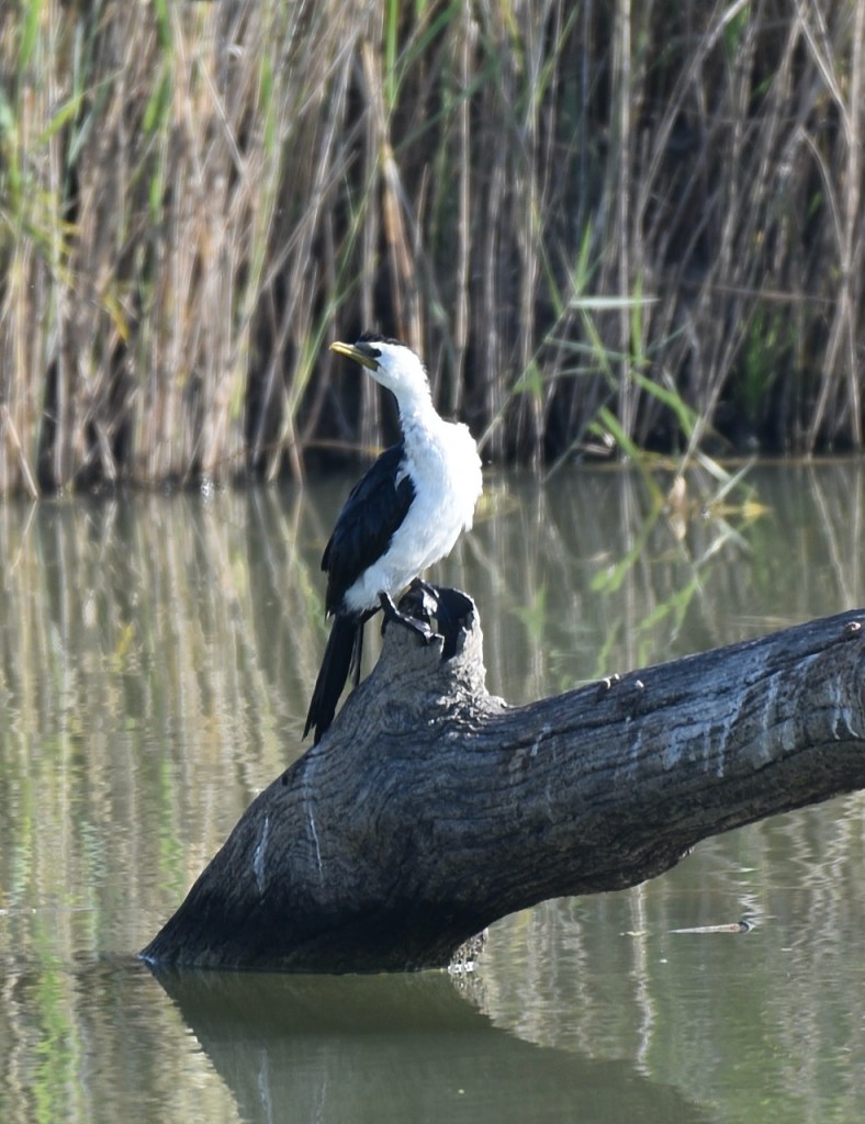
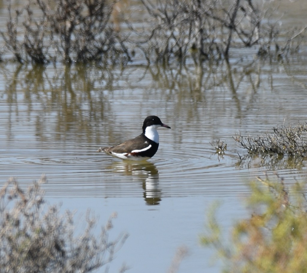
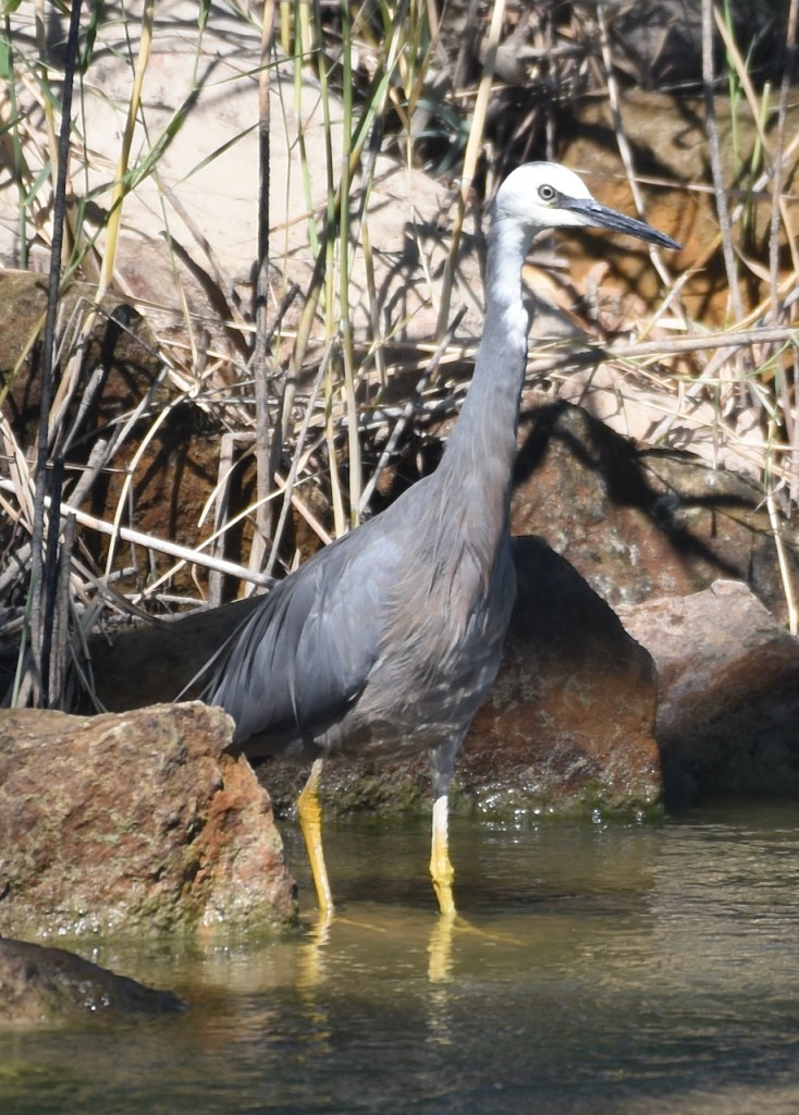
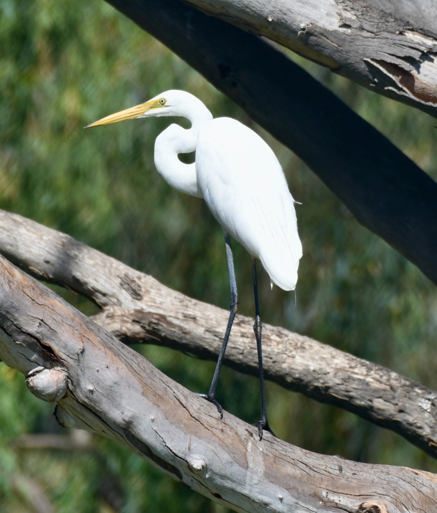
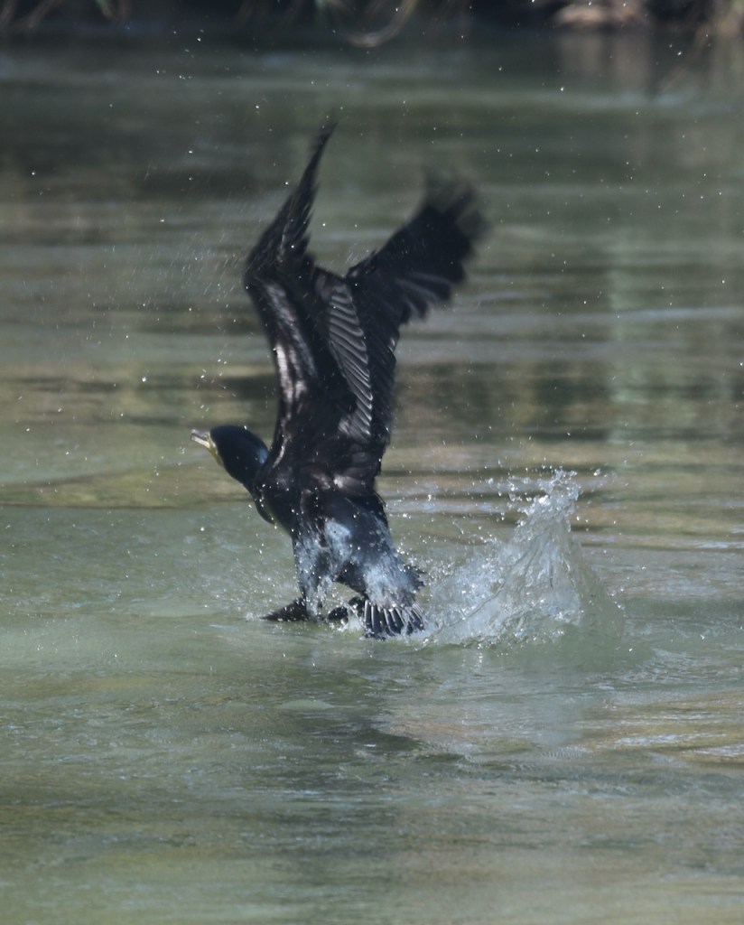
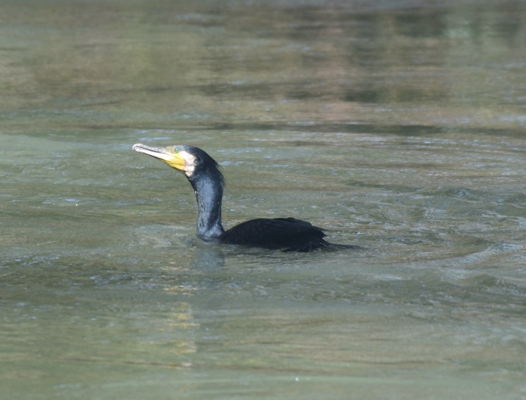
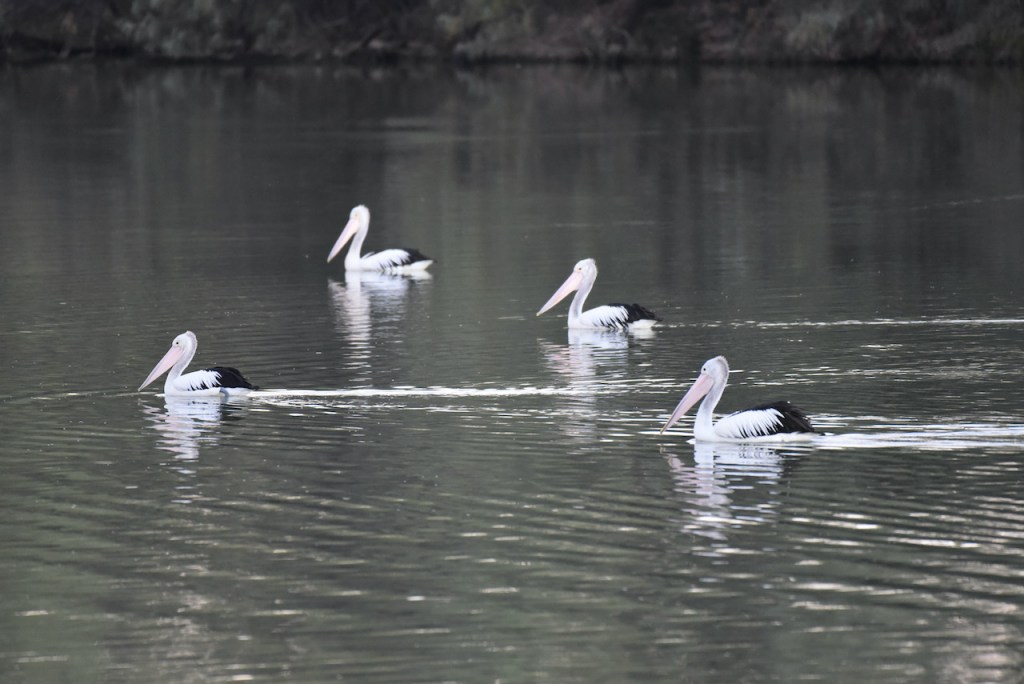
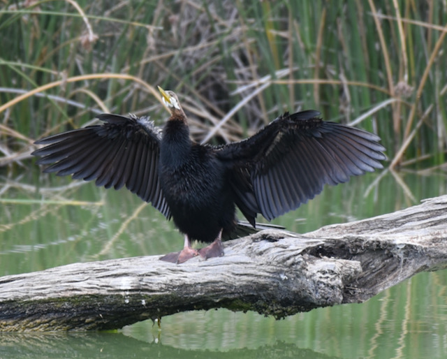
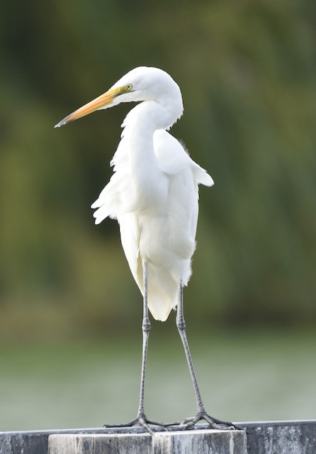
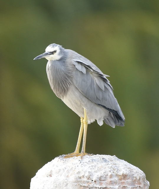
Marija and I observed a number of birds during our visit to the park including Red-rumped parrots, Red-kneed Dotterels, Pied Cormorants, White faced Herons, Great Egrets, and Chestnut-rumped Thornbills.
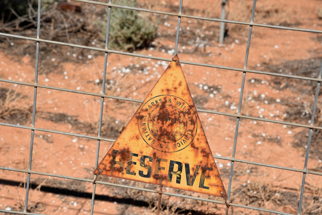
Keep an eye out for the park signs. There is no sign from the Sturt Highway indicating the park, and the signs located within the park have certainly seen better days.
We accessed the park via Sturt Highway, which is our normal access route. From looking at maps it appears you may be able to access the western side of the park via Mundic Creek Road.
We managed to set up with just 6 minutes to spare before the UTC rollover at 9.30 a.m. South Australian time. First in the log was park regular Peter VK3PF, followed by Daryl VK3AWA, and then Ian VK5IS. I managed to squeeze in 9 QSOs before the new UTC day.
I logged a total of 18 stations from VK2, VK3, VK4, and VK5 before swapping the microphone with Marija. This included a contact with special event station VK100AF celebrating the 100 year anniversary of the Royal Australian Air Force.
Marija then took charge of the radio. Her first contact with with Ken VK3UH, followed by Greg VK4BXX, and then Ian VK5CZ. Marija went on to log a total of 28 stations on 40m from VK2, VK3, VK4, and VK5. Marija also logged the special event call VK100AF.
Although I had previously qualified the park I was keen to get 44 contacts in the log, so I jumped back into the operator’s chair. I logged a further 21 stations on 44 to bring my total QSO tally for the activation to 38. This included a Park to Park QSO with Peter Vk3TKK/p who was activating the Wallaby Gully Flora Reserve VKFF-2470. Marija also logged Peter
Callers had really slowed down so we lowered the squid pole and inserted the links on the linked dipole for the 80m band.
I called CQ on 3.610 while Marija added a spot for me on parksnpeaks. First in the log on 80m was John VK5HAA in the Adelaide Hills, followed by Adrian VK5FANA on the Yorke Peninsula, and then Ian VK5CZ and Ian VK5IS in the Mid North. This was followed by Charlie VK5VC who became my 44th contact. Hans VK5YX was my final caller on 80m.
I then briefly tried the 20m band hoping to get some of the VK6 stations in the log. However, only one contact was logged on 20m and that was with regular park hunter Andrei ZL1TM in New Zealand.
Marija worked the following stations on 40m SSB:-
VK3UH
VK4BXX
VK4/NN3Z
VK5CZ
VK5IS
VK2YW
VK5KBJ/m
VK4NH
VK4DXA
ZL4TY/VK4
VK5MRE
VK2IO
VK4VCE
VK3PF
VK100AF
VK3ARH
VK3BBB
VK2CCP
VK3CU
VK3ACZ
VK4FDJL
VK3MLU
VK2HRX
VK4HMI
VK2VH
VK4AAC/2
VK2VW
VK2HFI
VK3TKK/p (Wallaby Gully Flora Reserve VKFF-2470)
I worked the following stations on 40m SSB:-
VK3PF
VK3AWA
VK5IS
VK3TKK/m
VK3ACZ
VK3MCK
VK2IO
VK4FDJL
VK5CZ
VK5MRE
VK3MCK
VK4HMI
VK4BXX
VK4/NN3Z
VK3UH
VK2IO
VK100AF
VK3OA
VK2VH
VK4AAC/2
VK2VW
VK2HFI
VK3CU
VK3FCAT
VK5FANA
VK3VDC
VK4KLA
VK5VC
VK3TKK/p (Wallaby Gully Flora Reserve VKFF-2470)
VK2ADB
VK2KP
VK3FIMD
VK4NH
VK4DXA
ZL4TY/VK4
VK5KSW
VK3PI
VK3ADX
VK5HAA
I worked the following stations on 80m SSB:-
VK5HAA
VK5FANA
VK5CZ
VK5IS
VK5VC
VK5YX
I worked the following station on 20m SSB:-
ZL1TM
Marija and I had 75 contacts in the log and it was time for us to pack up. We wanted to check out a few of the local sights before heading to Ivan’s house.
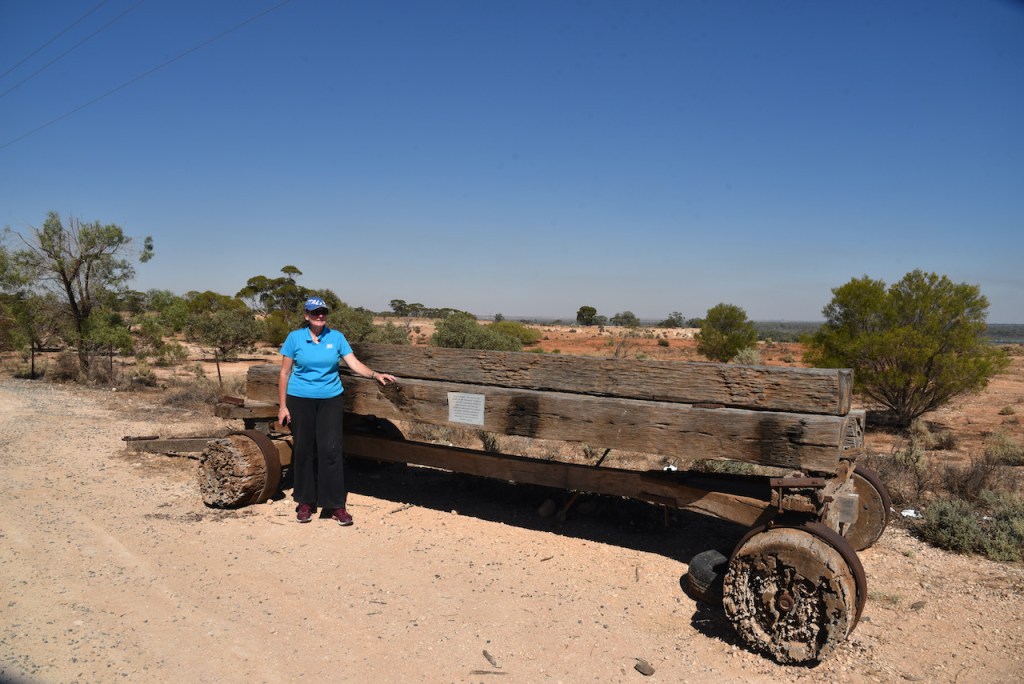
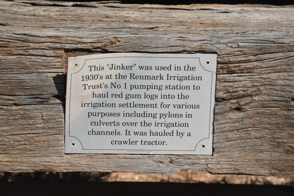
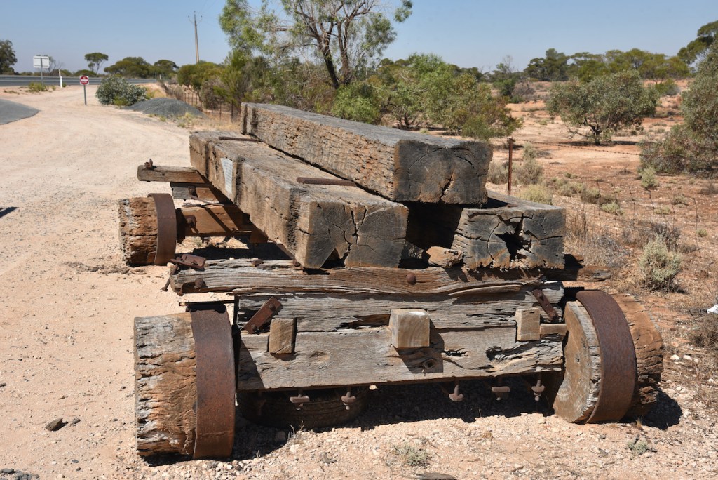
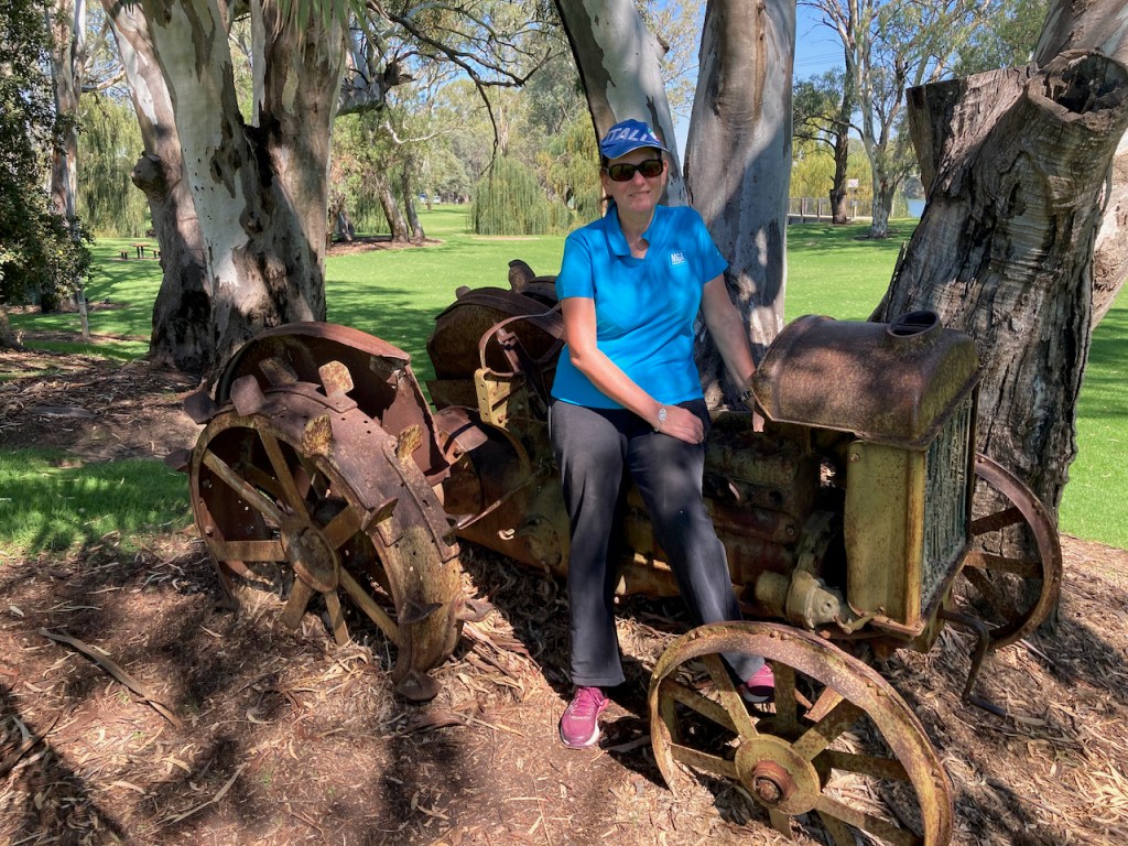
Our first stop was just down the road from the park where there is a small rest area with an old timber jinker which was used in the 1930s at the Renmark Irrigation Trust’s No. 1 pumping station to haul red gum logs into the irrigation settlement for various purposes including pylons in culverts over the irrigation channels. The jinker was hauled by a crawler tractor.
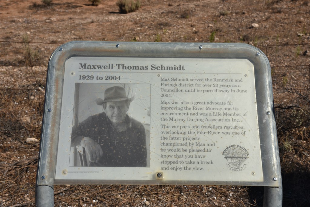
There is also a small information board to honour Maxwell Schmidt, a former councillor who was an advocate for improving the River Murray and was a Life Member of the Murray Darling Association Inc.
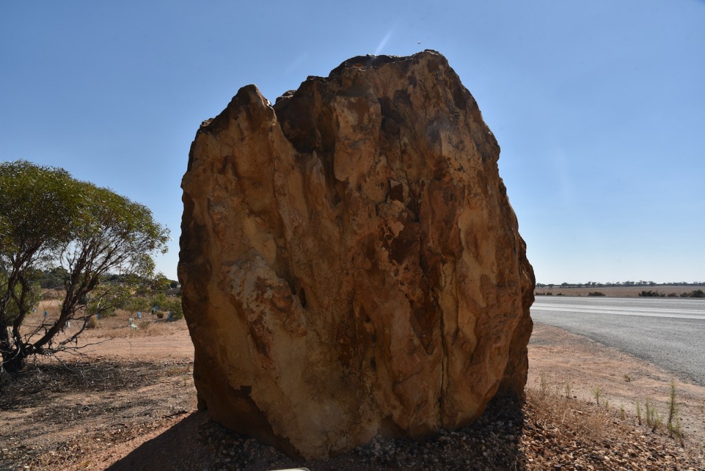
There is also a large Basalt rock which was mined from the Stoney Pinch Quarry.
There are also some information boards on what the authorities are doing to restore the Pike floodplain.
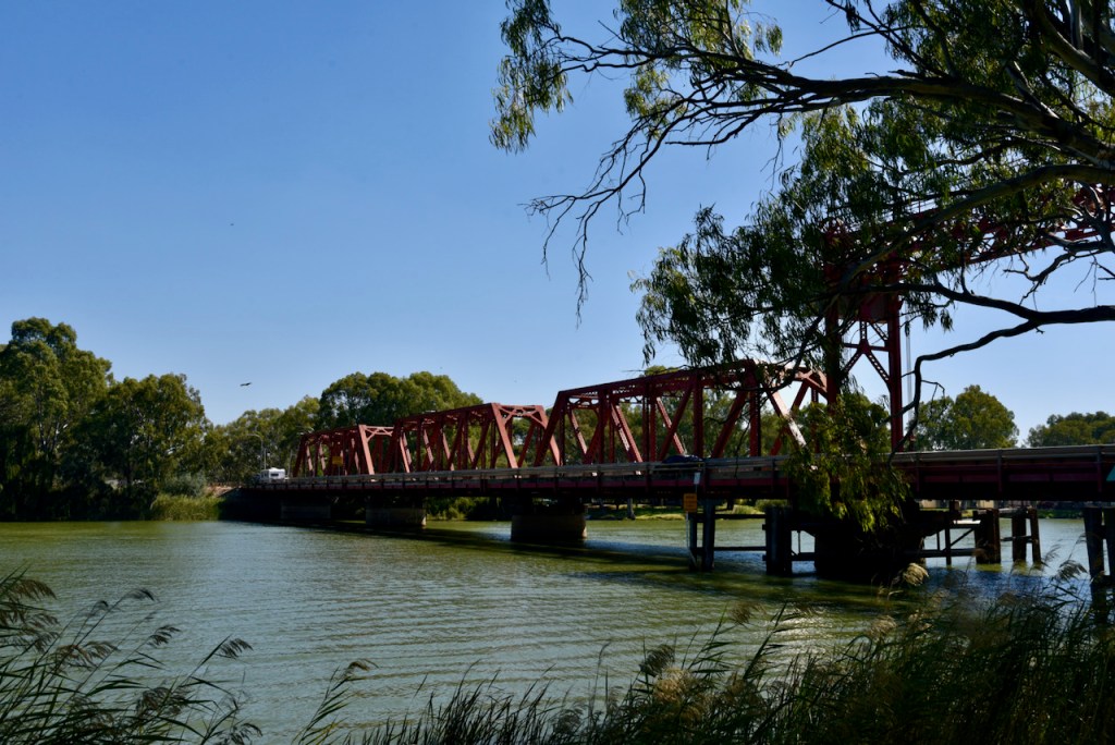
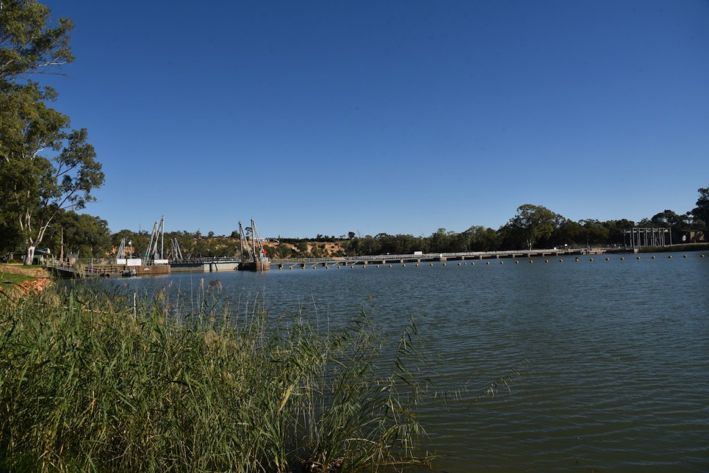
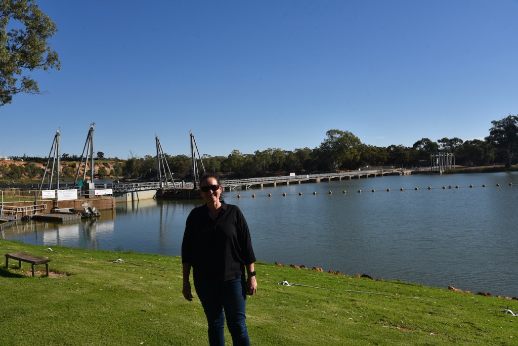
We then stopped in at the Bert Dix Memorial Park where you can obtain an excellent view of the historic Paringa Bridge which spans the mighty Murray River. The bridge was opened on the 31st day of January 1927 and is listed as a State Heritage Place on the South Australian Heritage Register. The bridge is a vertical-lift span and is opened twice a day for river traffic. Until 1982, it also carried the Barmera railway line.
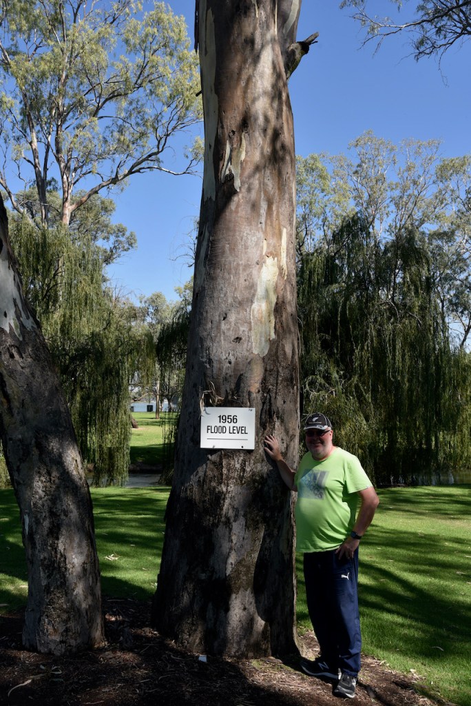
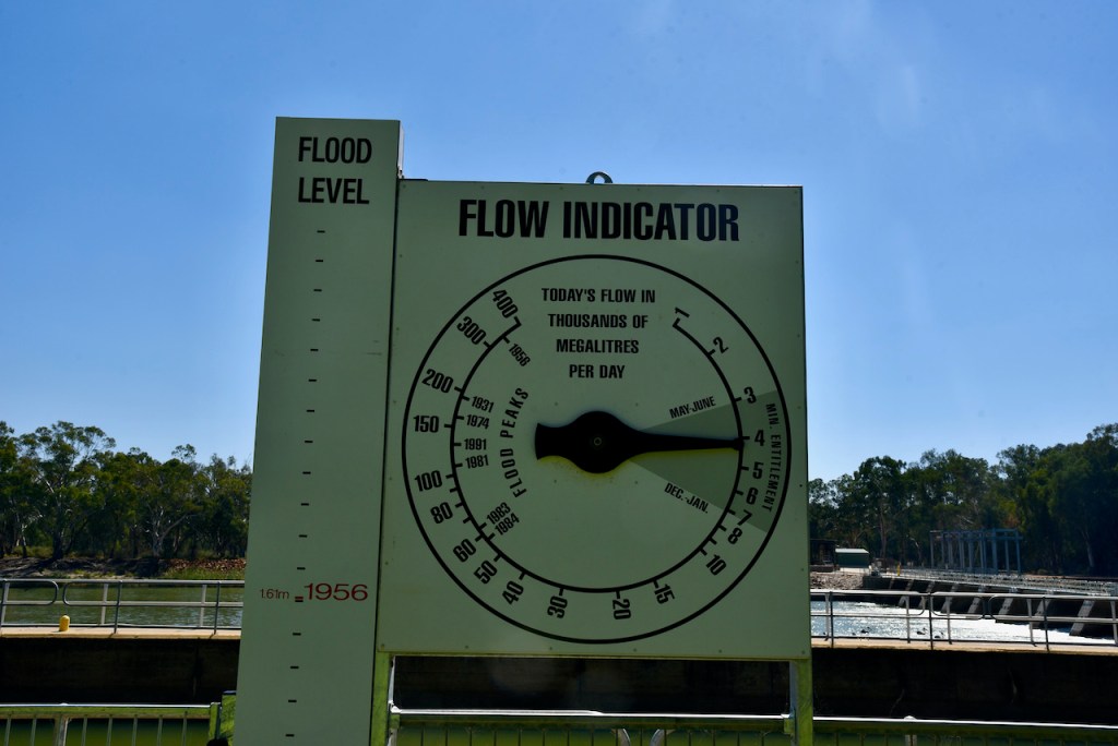
You can also find a tree in the park which marks the flood level for the 1956 Murray River flood. The flood was and still is considered the biggest flood in the recorded history of the Murray. It is also described as “the greatest catastrophe in South Australia’s history”, in spite of no lives being lost.
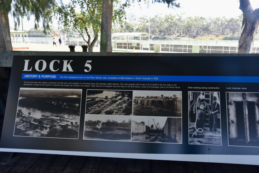
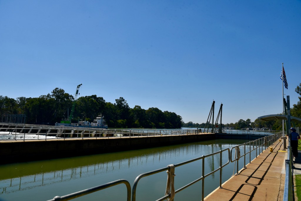
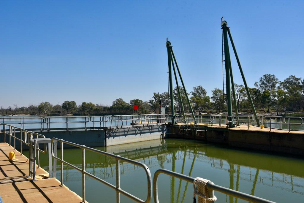
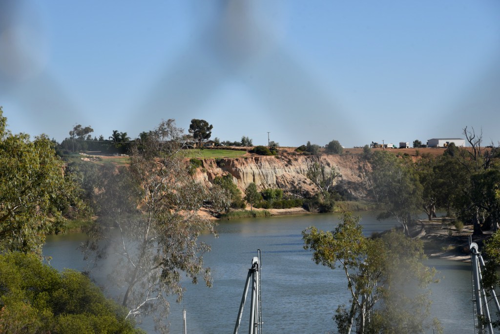
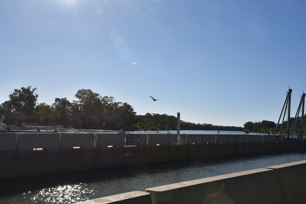
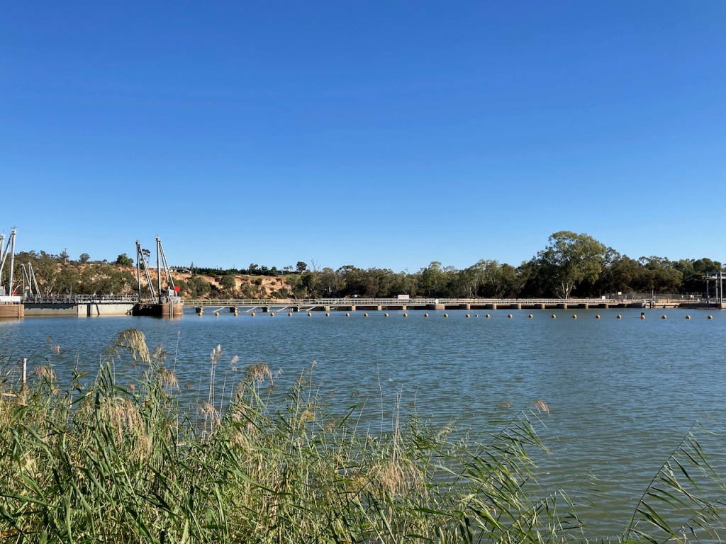
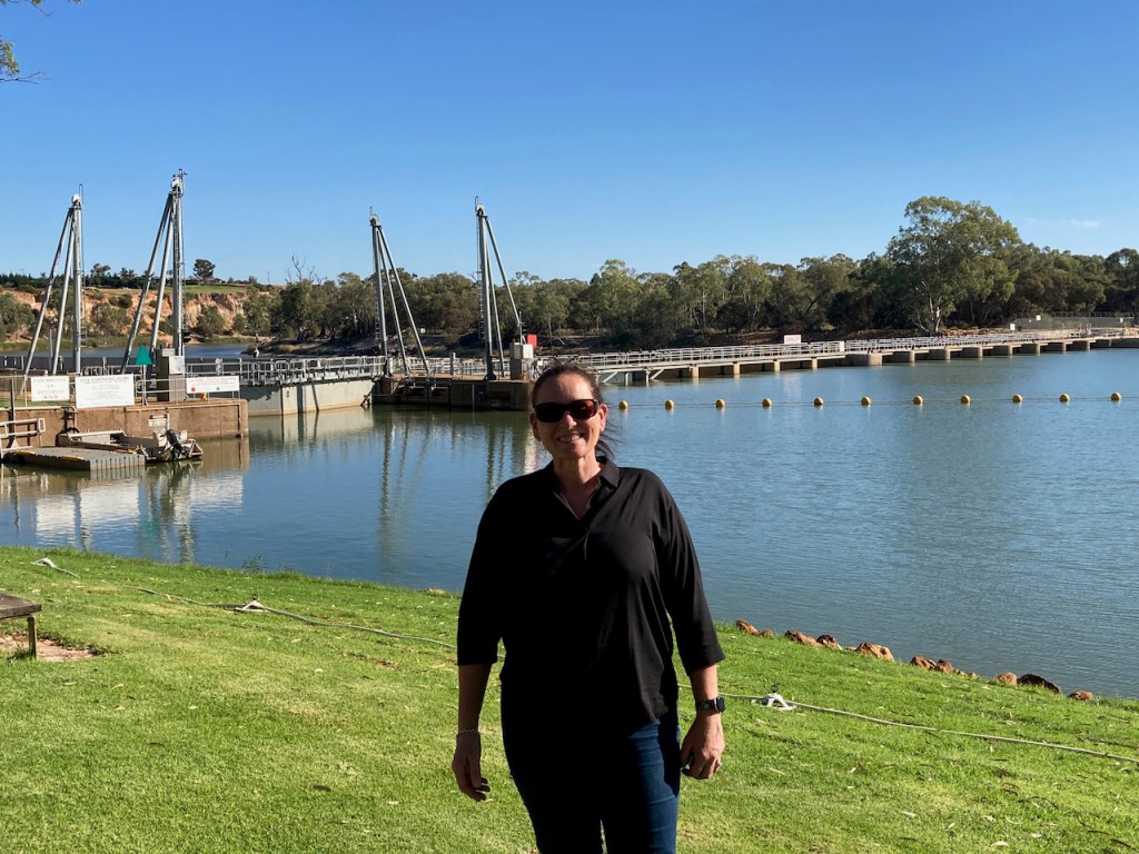
We then headed to Lock 5 on the Murray at Paringa. The lock was built during the 1920s to regulate the flow and levels of the Murray River. The lock is one of eleven along the river.
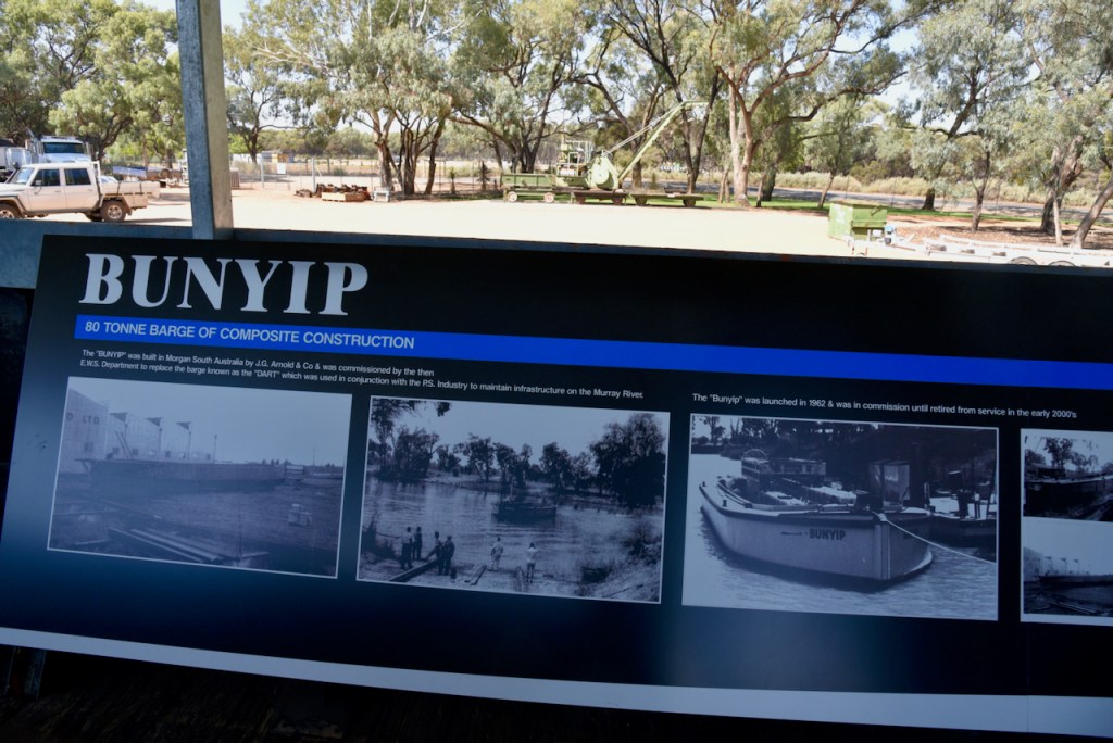
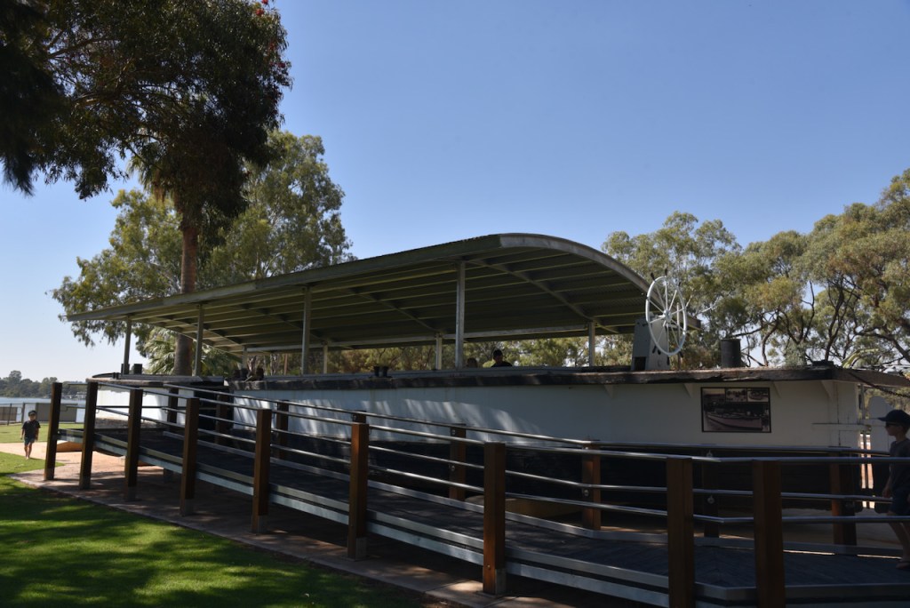
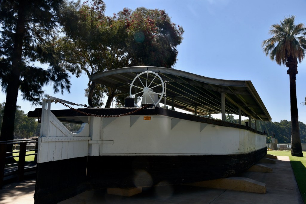
Also on display is the Bunyip, an old river barge which was used to transport goods up and down the Murray River during the paddle steamer era.
We then headed off to Ivan’s place for some work on my vehicle.
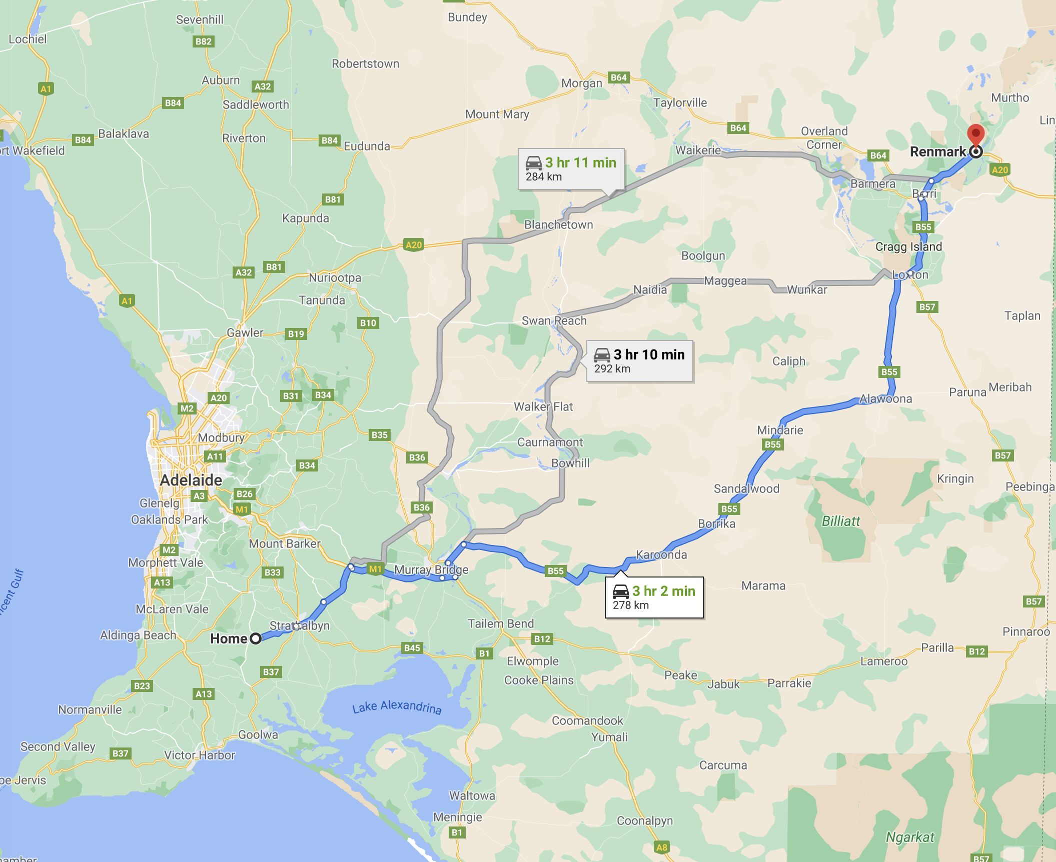
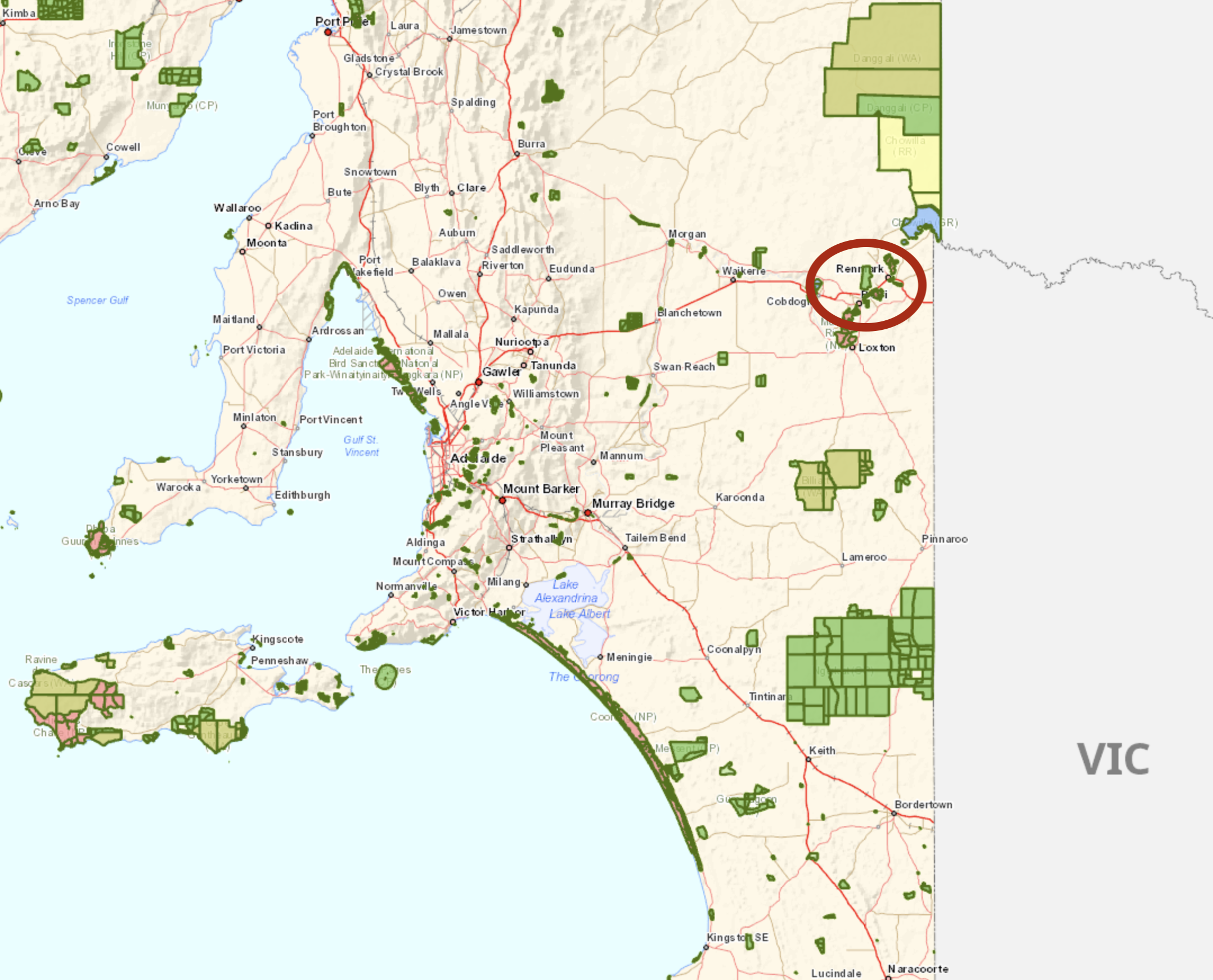
The first day of our trip to Renmark, Mildura, and Robinvale, was Tuesday the 6th day of April 2021. Marija and I made an early morning start and we were on the road by 7.00 a.m. South Australian local time. Our destination for that evening was Renmark in the Riverland region of South Australia where we would be staying for 2 nights before heading to Mildura in Victoria. We left early as there were a few things we wanted to see and do along the way, and we were also hoping to squeeze in a park activation. We had a 278 km drive ahead of us.
Above:- Map showing our route from Ashbourne to Renmark in the Riverland. Map c/o Google maps
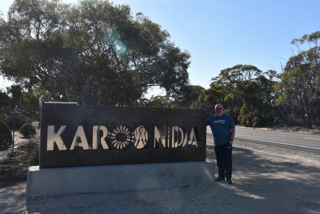
Our first stop for the morning was just down the road from home at Strathalbyn where we called in to the local bakery for a coffee and a bacon & egg roll. It was then back on the road and on to Murray Bridge where we crossed over the mighty Murray River. We then took the Karoonda Highway though Chapman Bore and Wynarka, towards the little town of Karoonda.
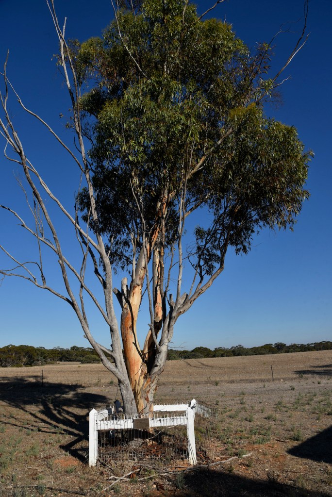
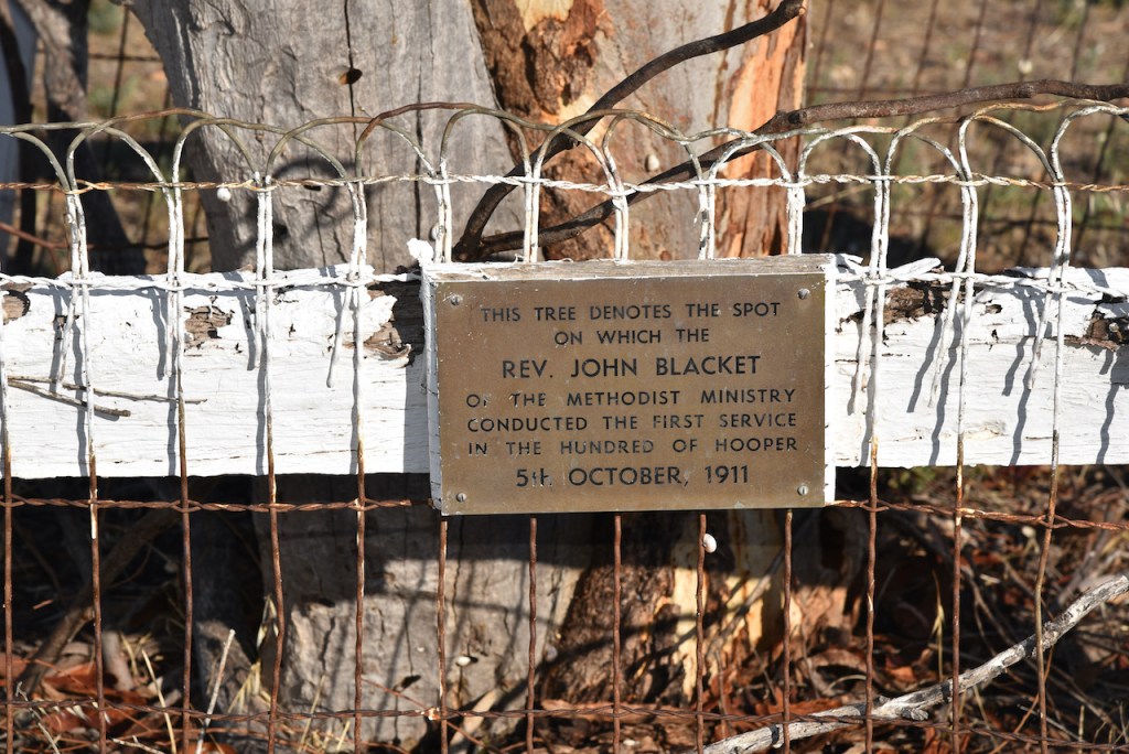
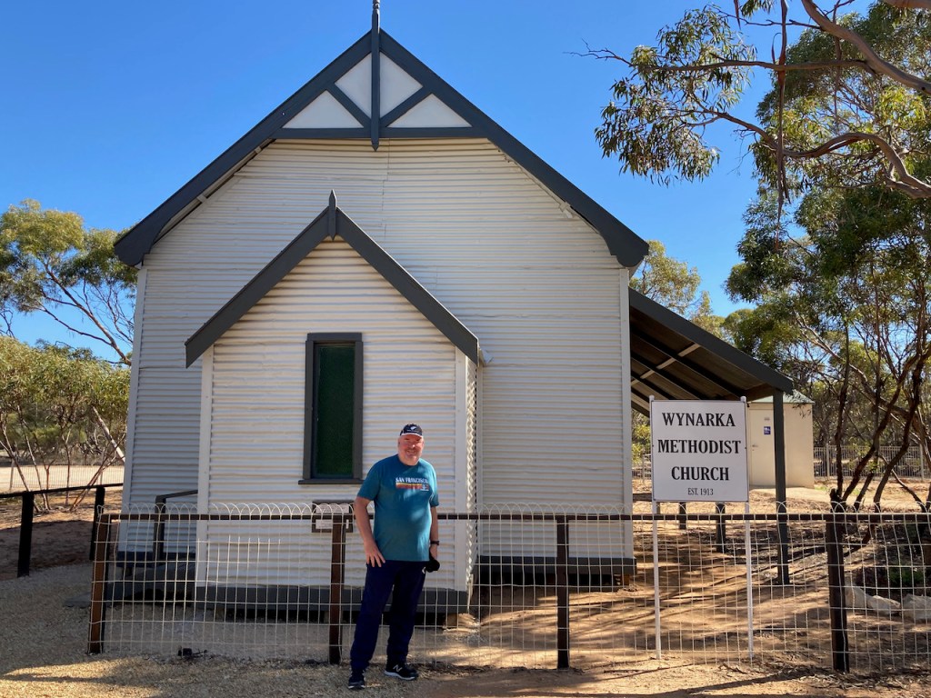
Prior to reaching Karoonda, we stopped briefly at the little town of Wynarka as there is a small commemorative plaque for Methodist Minister, Rev. John Blacket who conducted the first service in the area back in 1911. The name Wynarka is from an Aboriginal word meaning a strayer.
Sadly, Wynarka has been in the national news in recent years, with the discovery of a young girls remains on the side of the road in a suitcase in 2015.
Not much of Wynarka remains today. The town was proclaimed on the 9th day of January 1913, and its demise was due to the closure of the railway, an issue that Marija and I observe in many of these little country towns.
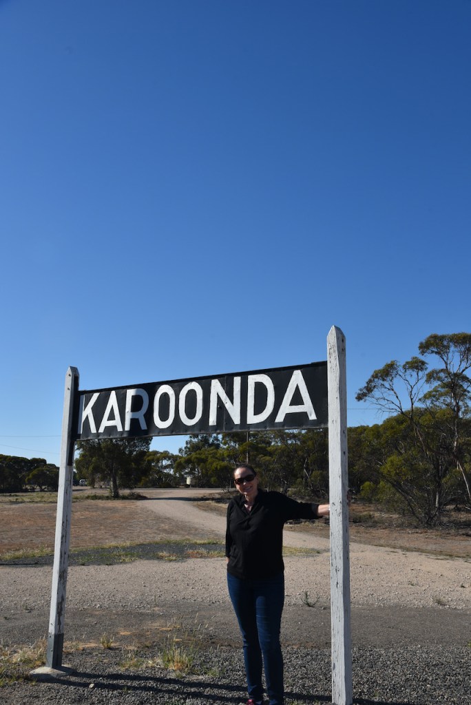
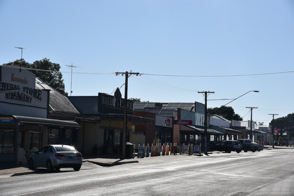
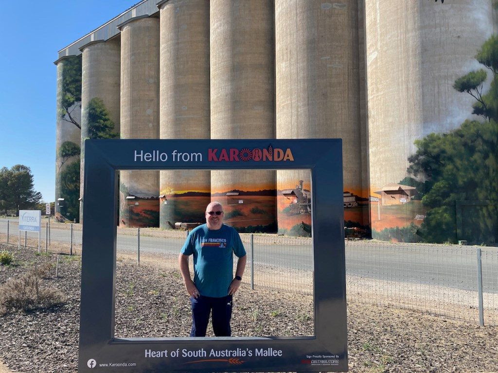
We continued on to the town of Karoonda about 16 km further up the Highway. Karoonda is often referred to as the Heart of South Australia’s Mallee District. The town of Karoonda was surveyed in 1910. The word Karooonda is aboriginal for ‘winter camp’.
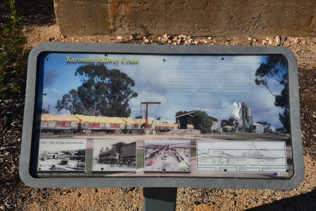
At Karoonda we visited the small RSL park in the main street (Railway Terrace/the Karoonda Highway). There is an information board here about the history of the railway in Karoonda. We also had a look at the Karoonda Centennary Walk which celebrates Karoonda’s pioneers.
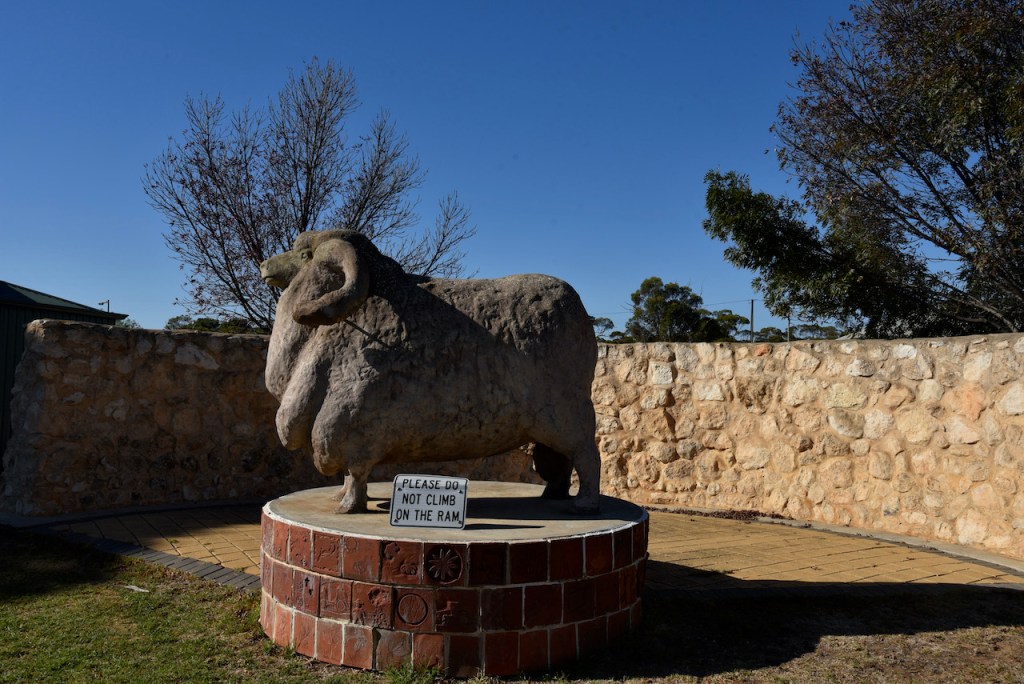
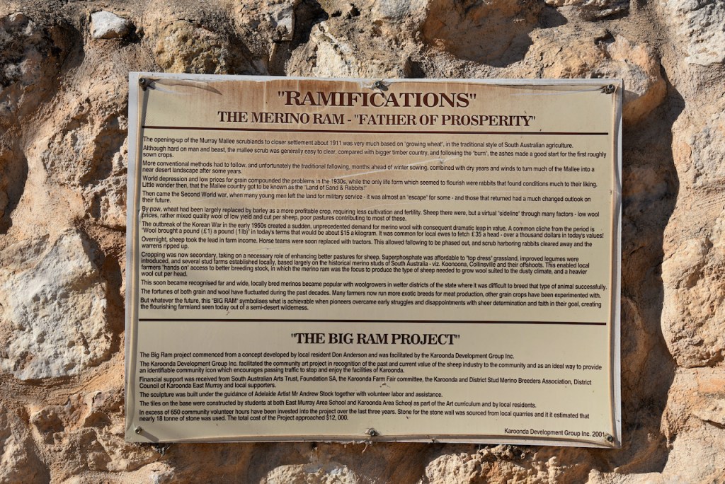
Also in RSL Park is ‘Ramifications’, a statue of a Merino Ram, sometimes referred to as ‘The Big Ram’. The statue signifies the importance of sheep farming in the district. When the Murray-Mallee district was opened up to settlement during the early 1900’s, clearing of the mallee scrub commenced for the growing of wheat. By the 1930’s world depression and low prices for grain affected the wheat industry. At the commencement of the Second World War many of the local men left the land for military service. In the early 1950s with the outbreak of the Korean War, a sudden and unprecedented demand for Merino wool was created. As a result sheep became the lead in farm income in the region.
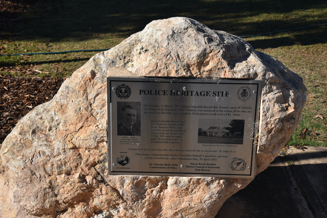
There is also a Police Heritage site memorial in Karoonda. It is to honour Senior Constable Harold Rae Pannell who was murdered in the course of his duty.
In March 1957 Senior Constable Pannell attended a property at nearby Bowhill to serve a warrant on John Fischer. Pannell had arrived with a warrant to seize property after Fischer had failed to pay damages awarded against him in a recent court case. Senior Constable Pannell was shot and murdered by Fischer.
Fischer went to trial for murder, however a jury in the Supreme Court found him not guilty on the grounds of insanity. Justice Reed of the Supreme Court ordered Fischer into strict custody in a mental institution at the Governor’s pleasure. Fishcer died in 1988 at the age of 67.
Senior Constable Pannell was a well respected member of the South Australia Police who faithfully served the community of Karoonda and district from 27th July 1951 until his tragic death.
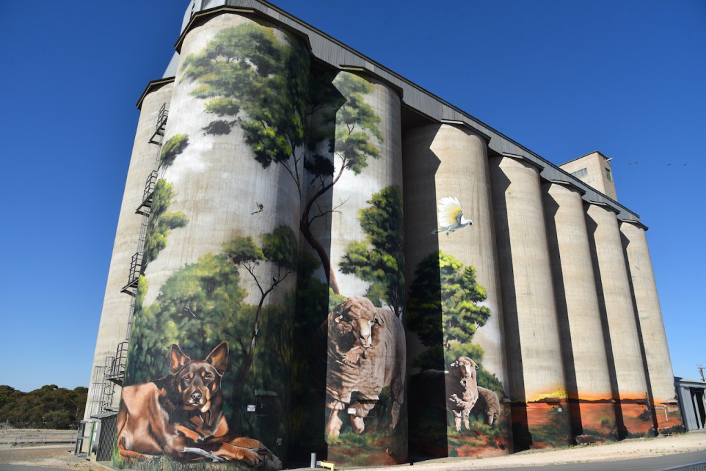
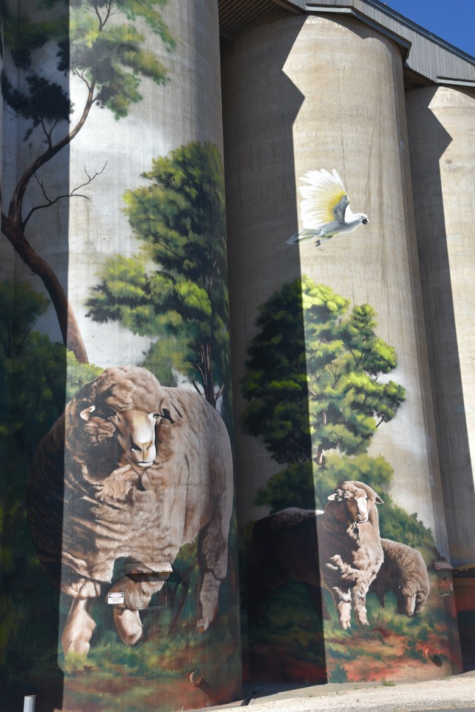
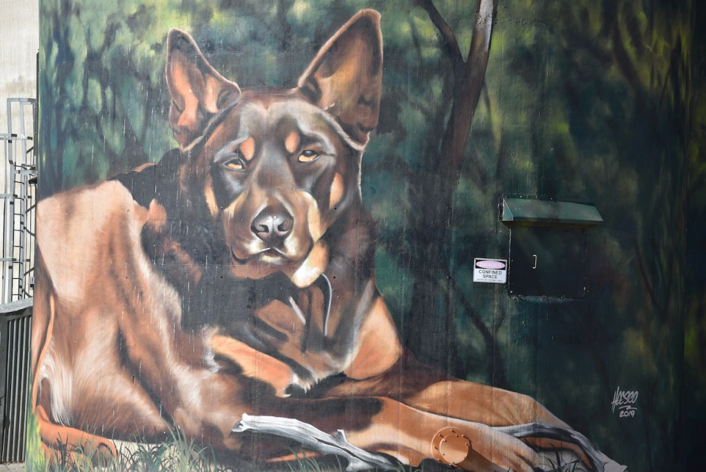
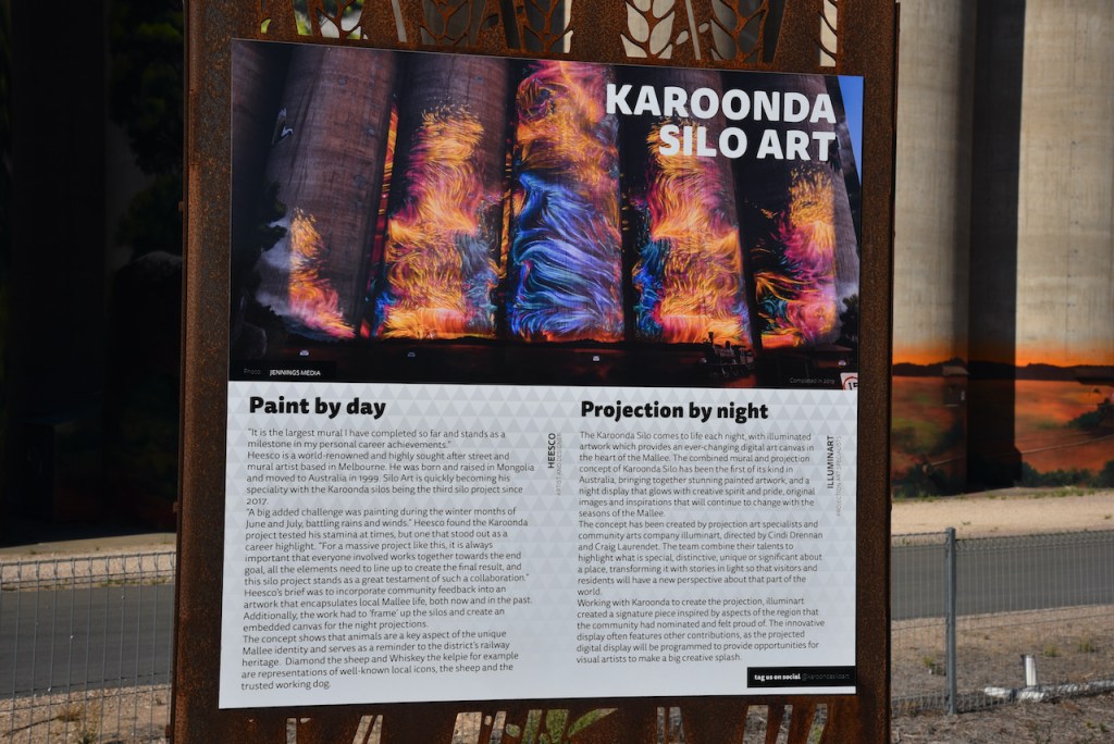
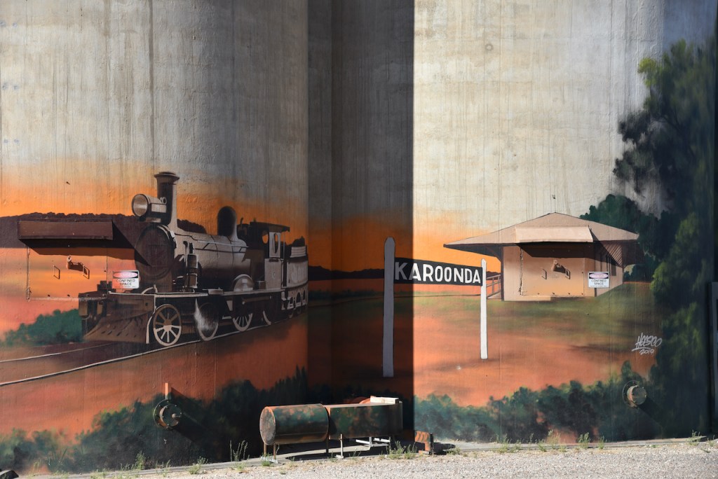
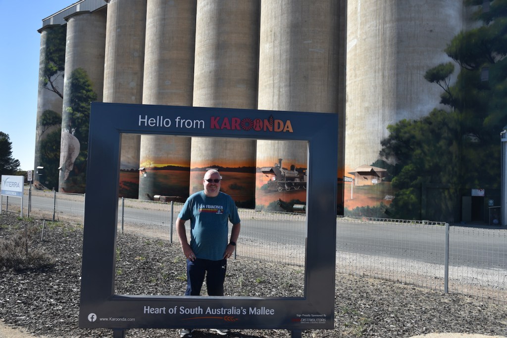
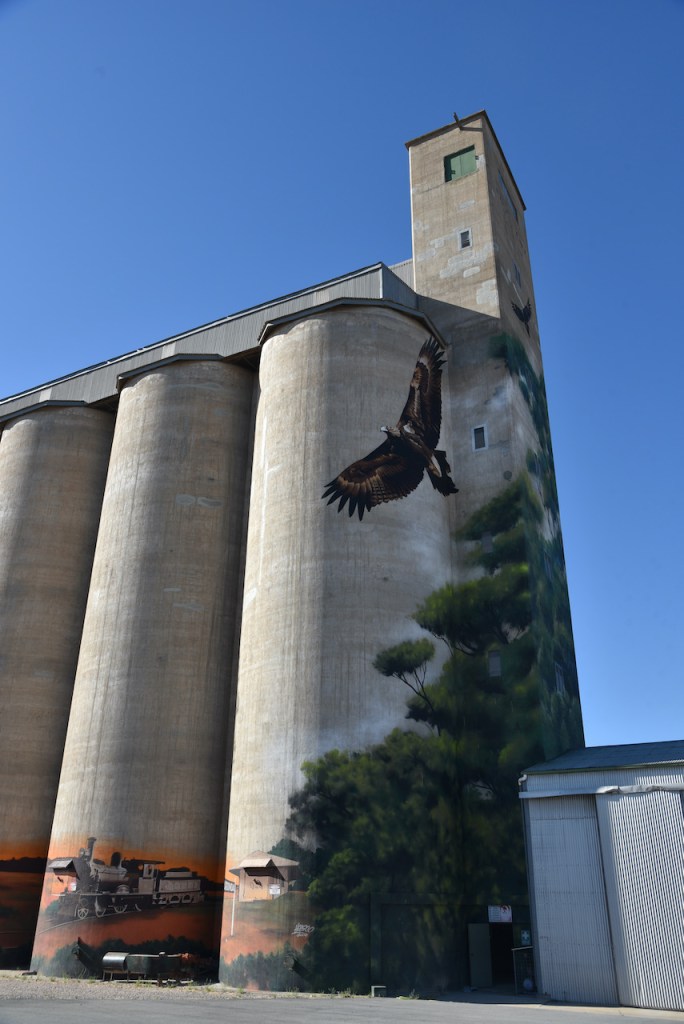
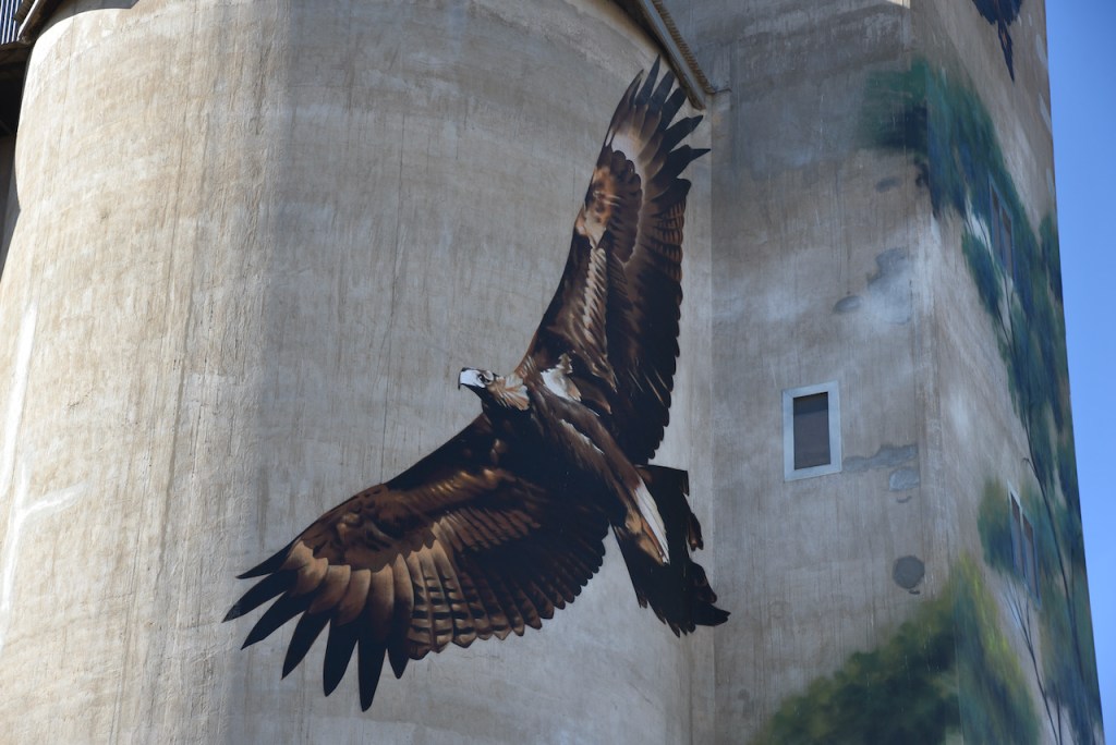
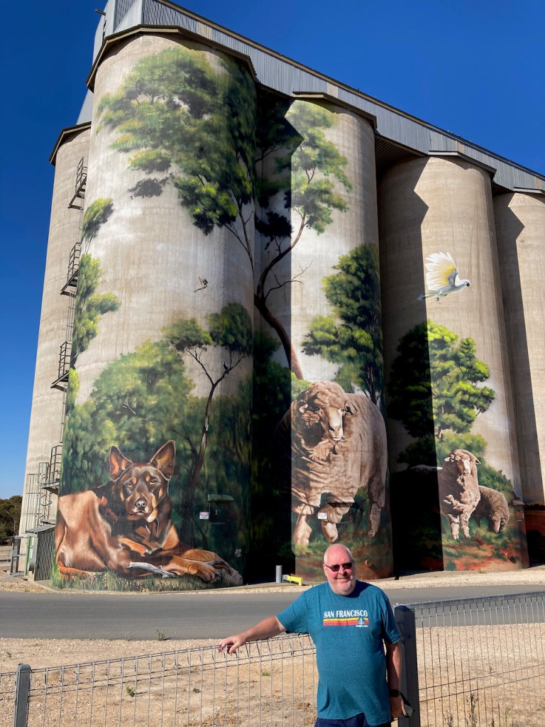
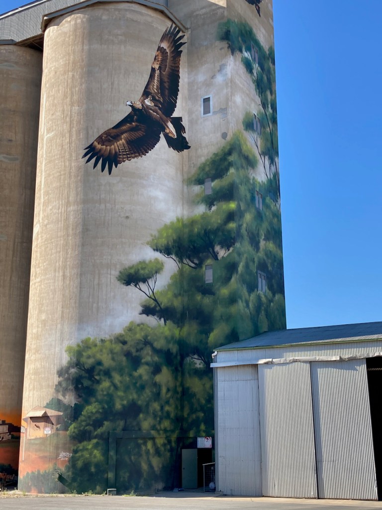
We then visited the Karoonda silos which have been transformed into what has become very popular in Australia, Silo Art. The Karoonda silo art is the creation of renowned Australian artist Heesco. He is also responsible for silo art at Weethalle and Grenfell prior to Karoonda. The Karoonda Silo Art project was completed on the 26th July 2019. It Heesco about 38 days to paint the South Australian Viterra Silo.
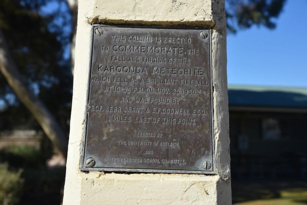
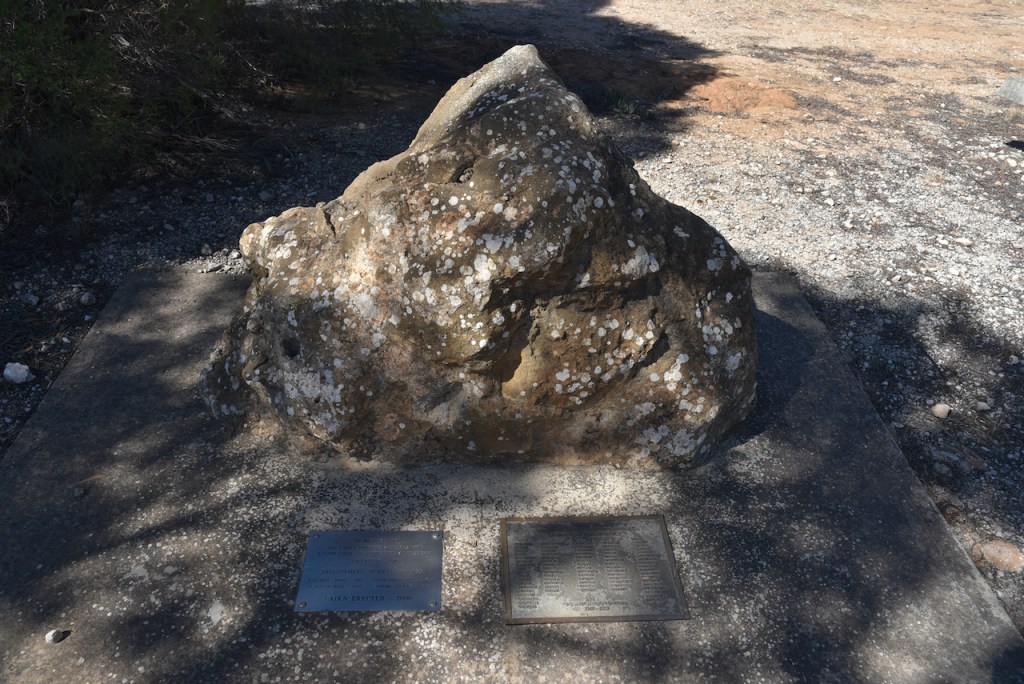
We then visited the Karoonda meteorite monument in RSL Park. At 10.53 p.m. on the 25th day of November 1930, a meteorite fell to earth about 3.6 km from the town. The meteorite was observed falling from the sky from the Eyre Peninsula to mid Victoria. Witnesses described t was ‘turning night into day’.
The Karoonda meteorite was unique in two regards. Firstly it was observed by so many which was uncommon. Secondly it was a rare type, unlike that of any other found. The ‘stony’ meteorite comprised mainly iron silicates and was classified as a “chondritic asiderite”. As a result Karoonda became a household name in scientific circles.
Due to the type of the Karoonda meteorite it shattered on impact and as a result it shook the township of Karoonda creating a crater which was about 46 cm deep with a surrounding ridge a little over one metre across. It scattered fragments over a two metre diameter area.
The largest piece of the Karoonda meteorite weighed 7 lbs (3.2 kg). However the total of all fragments from the meteorite collected came to 92 lbs (41.73 kg).
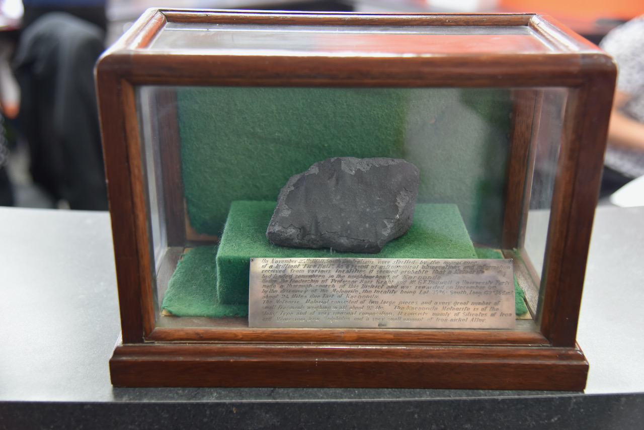
It was then off to the Karoonda Council office at Railway Terrace, where you can view an actual piece of the Karoonda meteorite. The Karoonda Meteorite attracted world-wide attention and pieces have been exchanged with countries in Europe and America. However, the Karoonda Council has a small piece. We approached the front counter and a young lady brought out the meteorite piece to us which was contained within a display case.
The plate on the front of the display case reads:
“On November 25th 1930 South Australians were started by the appearance of a brilliant “Fire Ball”. As a result of astronomical observations and information received from various localities it seemed probably that a Meteorite had landed somewhere in the neighbourhood of Karoonda.
Under the leadership of Processor Kerr Grant and Mr GF Dodwell a University Party made a thorough search of this District and was rewarded on December 9th by the discovery of the Meteorite, the locality being Lat 35º6 South, Long 139º56 East about 2¼ Miles due East of Karoonda.
The Meteorite material consisted of two large pieces and a very great number of small fragments weighing in all about 92 lbs. The Karoonda Meteorite is of the Stony Type and of very unusual composition. It consists mainly of Silicates of Iron and Magnesium Iron Sulphites and a very small amount of Iron-nickel Alloy.”
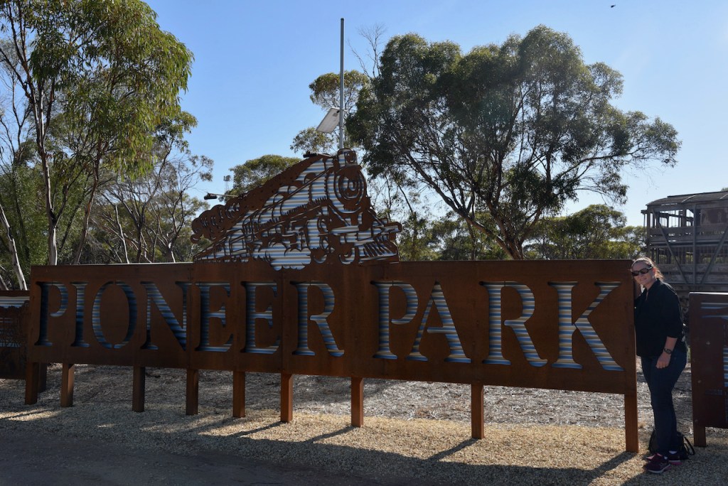
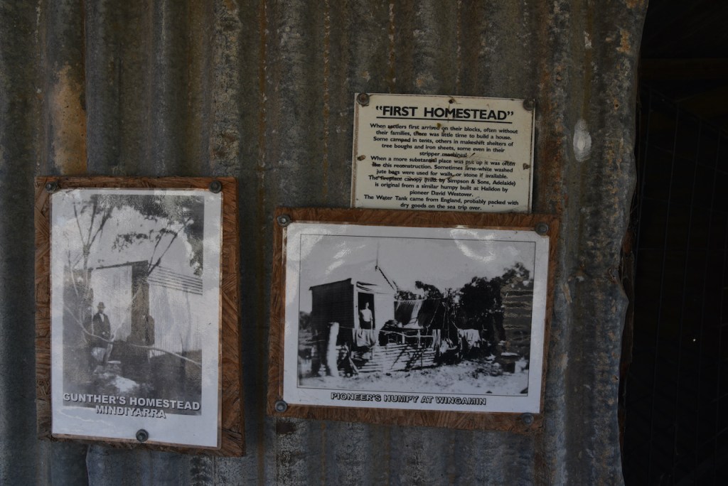
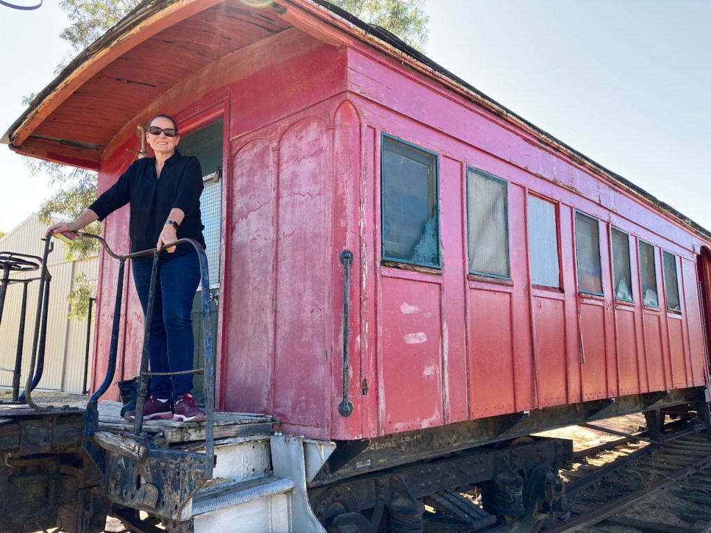
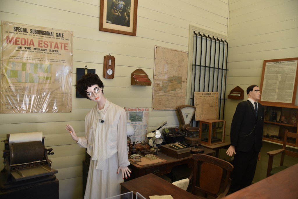
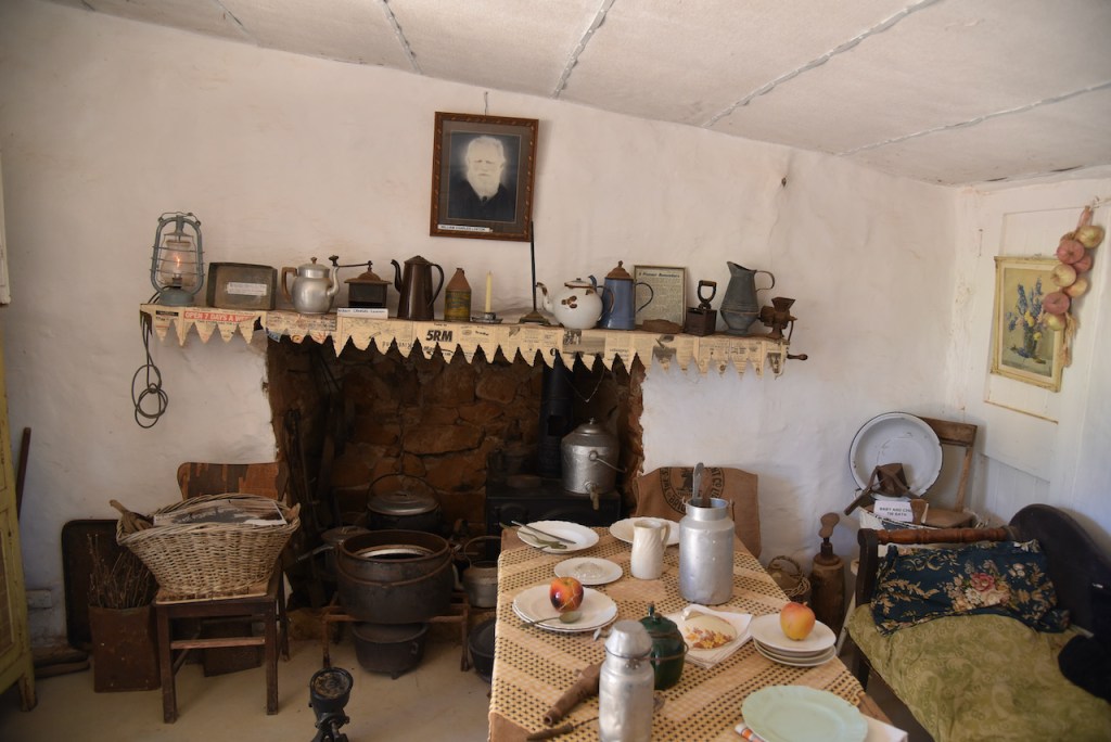
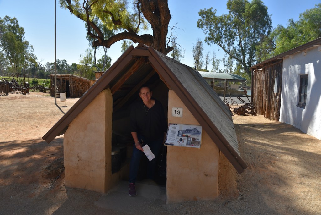
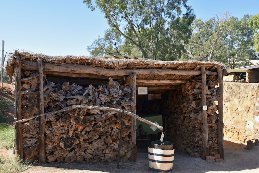
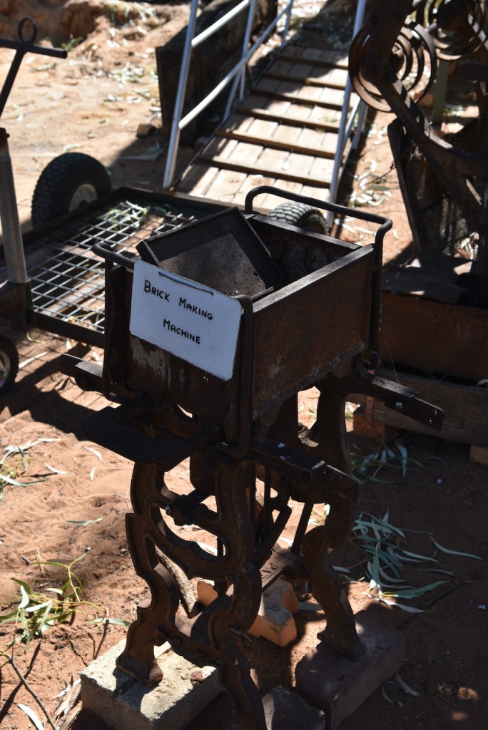
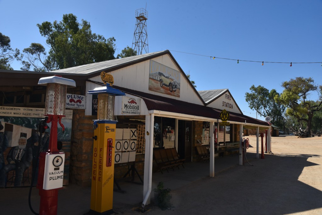
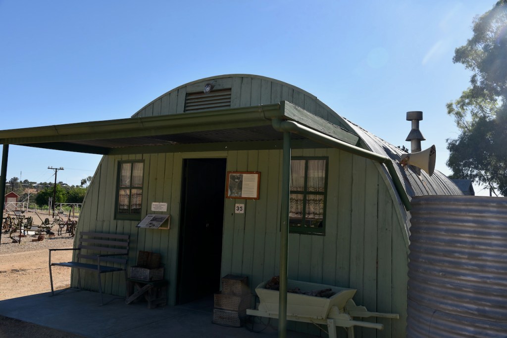
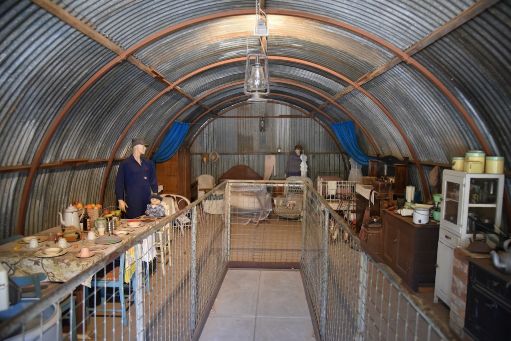
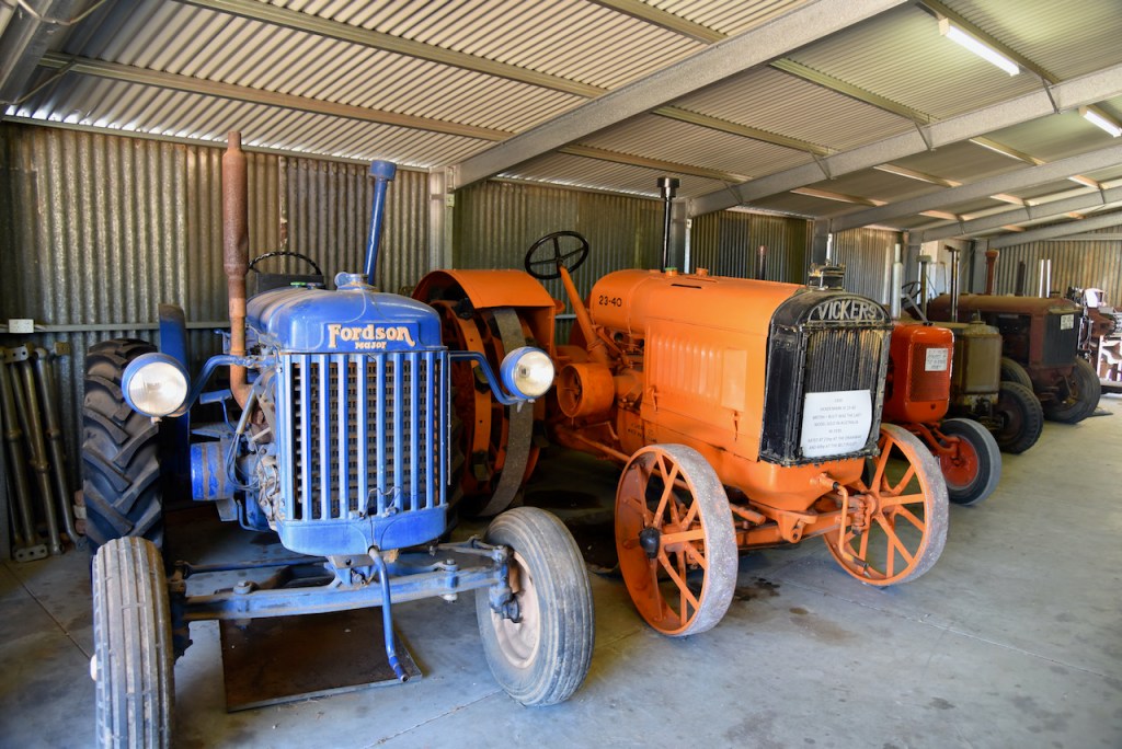
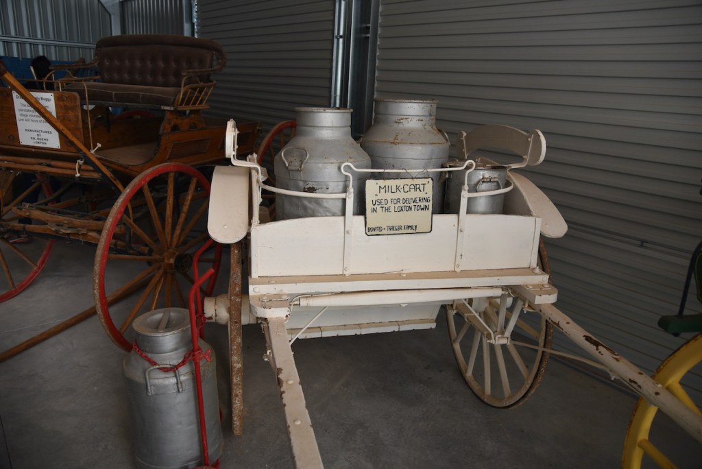
We then visited the Karoonda Pioneer Park which contains a magnificent display of old buildings, railway carriages, and other memorabilia associated with Karoonda’s pioneering history. This is well worth a visit and is only a gold coin donation. Marija and I spent quite a bit of time here looking around.
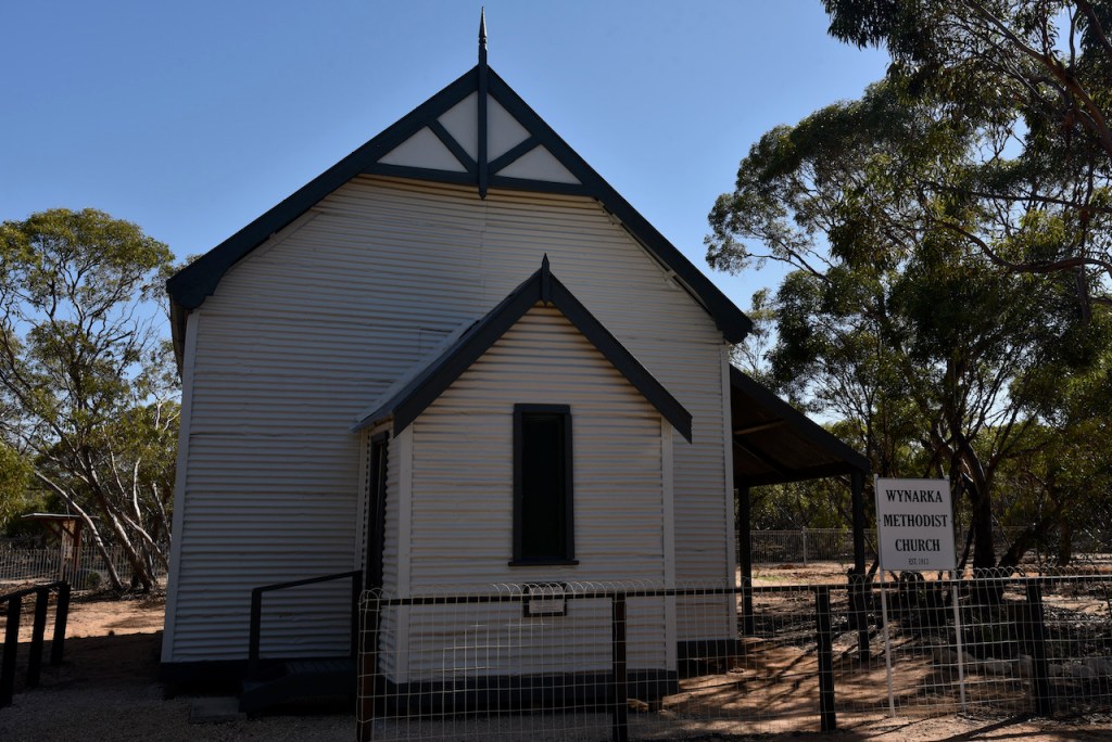
Included in the historic buildings is the original pioneer Methodist Church at Wynarka which was restored and relocated at Pioneer Park. This is the church that was mentioned above in my blog during our visit to Wynarka.
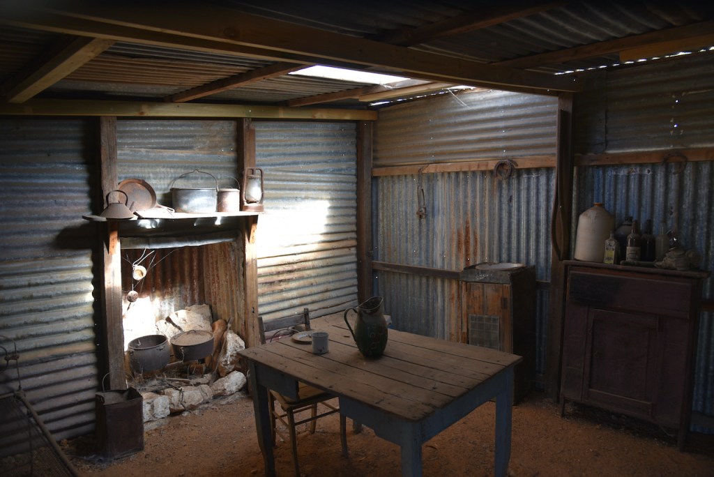
Also located at Pioneer park is an old pioneer farmhouse which was built in 1913 by the Hood family at Sandalwood. It was rebuilt at Pioneer Park and contains many examples of items used during the pioneer days of the Mallee.
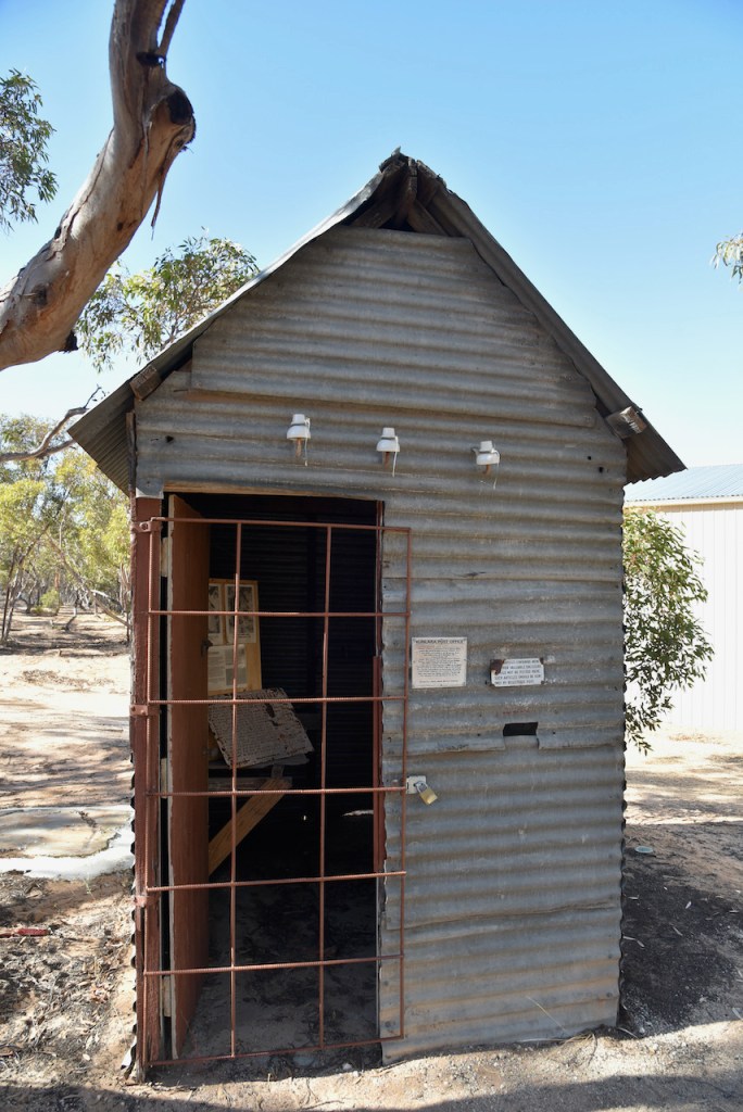
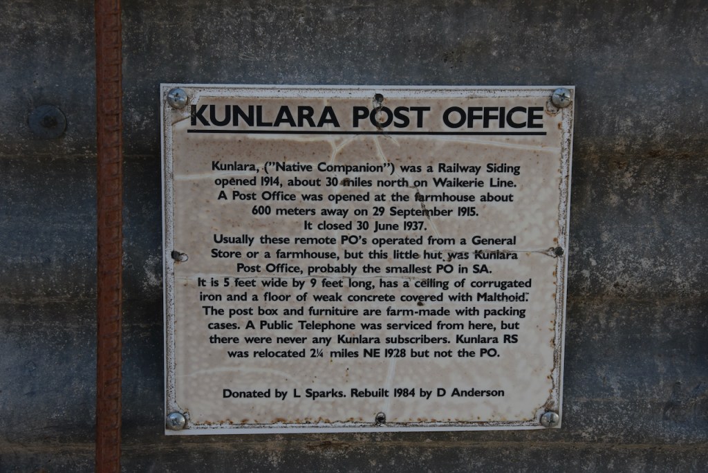
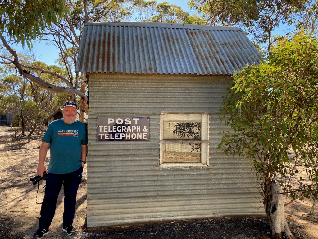
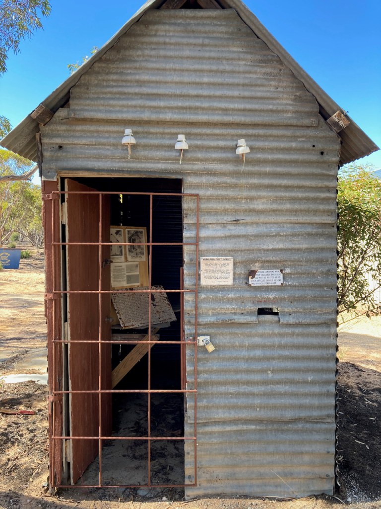
You can also view the Kunlara Post and Telephone Office which first opened in 1915 and closed in 1953. It has the title of one of the smallest Post and Telephone Office buildings in South Australia.
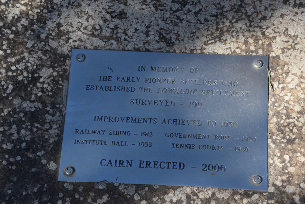
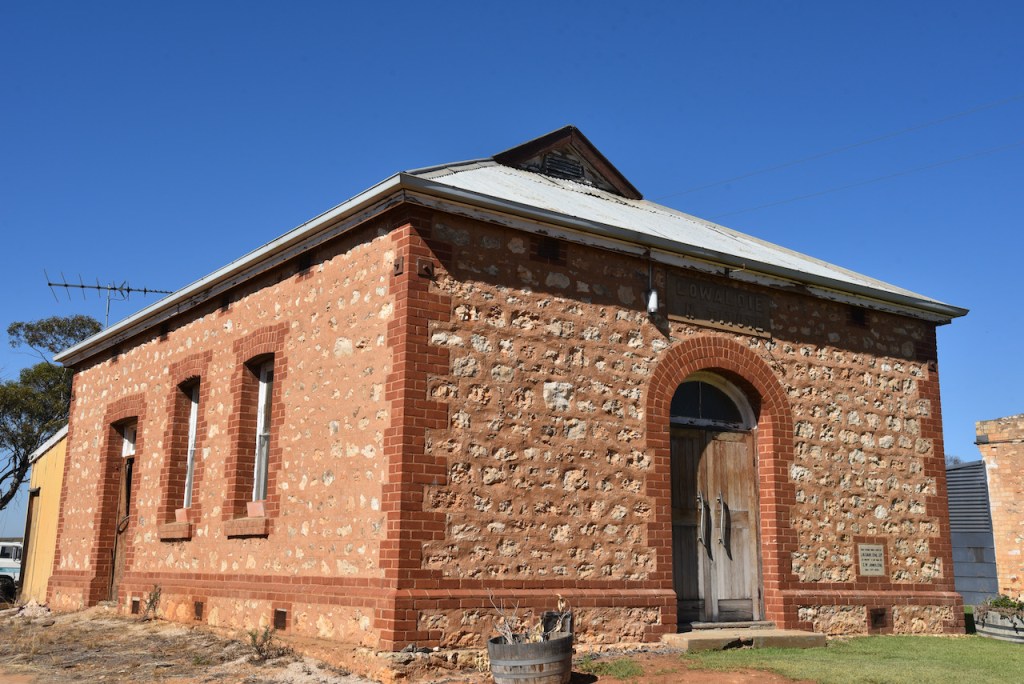
We left Karoonda and continued east on the Karoonda Highway. Our next stop was the little town of Lowaldie which was proclaimed in 1914. This town once had a railway station, a school, post office, and institute. Today, these have all closed and the former institute building is used as a private residence. There is a small monument indicating the site of the former school. Lowaldie is an aboriginal word meaning ‘summer’.
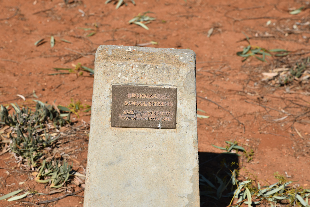
We then stopped briefly at Borrika, a little further up the road to view the small memorial for the former Borrika school sites. Borrika school was a one teacher school for all the time it was open – 26 years. Nine teachers taught at Borrika all boarding with local residents.
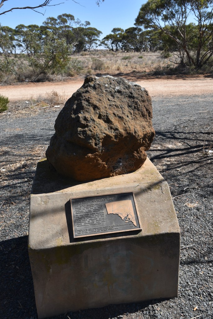
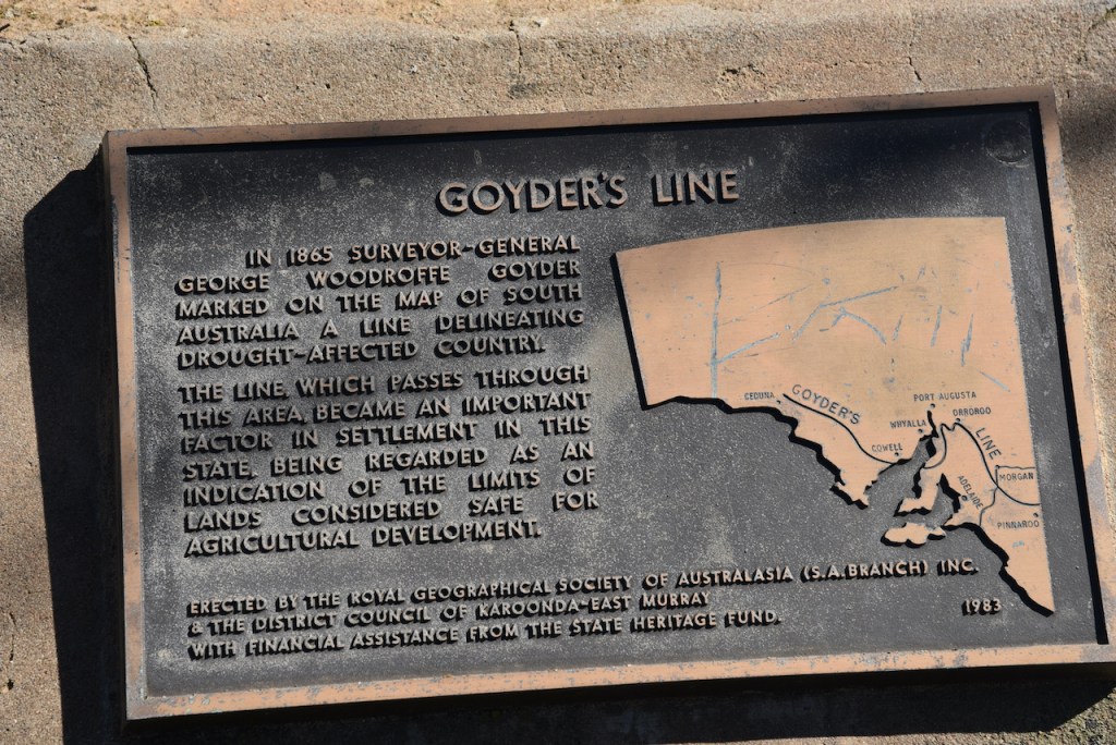
A little further along the Highway we stopped to have a look at the Goyder’s Line moument. Goyder’s Line was created in 1865 by Surveyor-General George Woodroofe Goyder. It is an ‘imaginary’ line that runs roughly east–west across South Australia and, in effect, joins places with an average annual rainfall of 10 inches (250 mm). To the north of Goyder’s Line, annual rainfall is usually too low to support cropping, with the land being only suitable for grazing. Related to that, the line also marks a distinct change in vegetation. To the south, it is composed mainly of mallee scrub, whilst saltbush predominates to the north of the line.
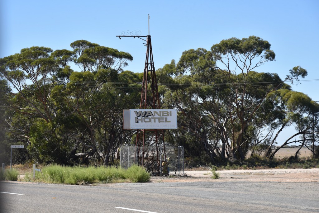
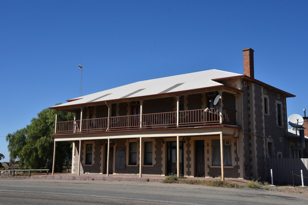
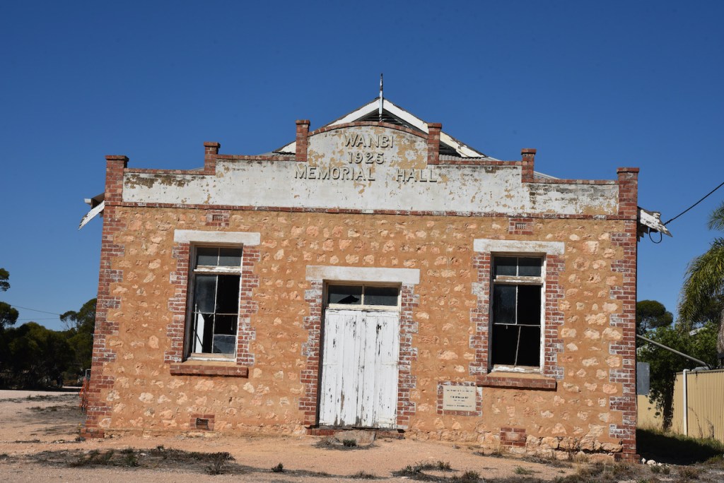
Our next stop was the little town of Wanbi. It is another town which has fallen victim to the closure of the railway. Wanbi is believed to come from the aboriginal word wandi meaning ‘wild dog’. The town of Wanbi was proclaimed on the 9th July 1914. Sadly the old Wanbi Memorial Hall is in a state of disrepair and the old Wanbi Hotel is no longer in use.
Our next brief stop was the town of Alawoona on the Karoonda Highway. Alawoona is believed to be a corruption of the Aboriginal ngalawuna – ‘place of hot winds’. The town was proclaimed on the 9th July 1914.
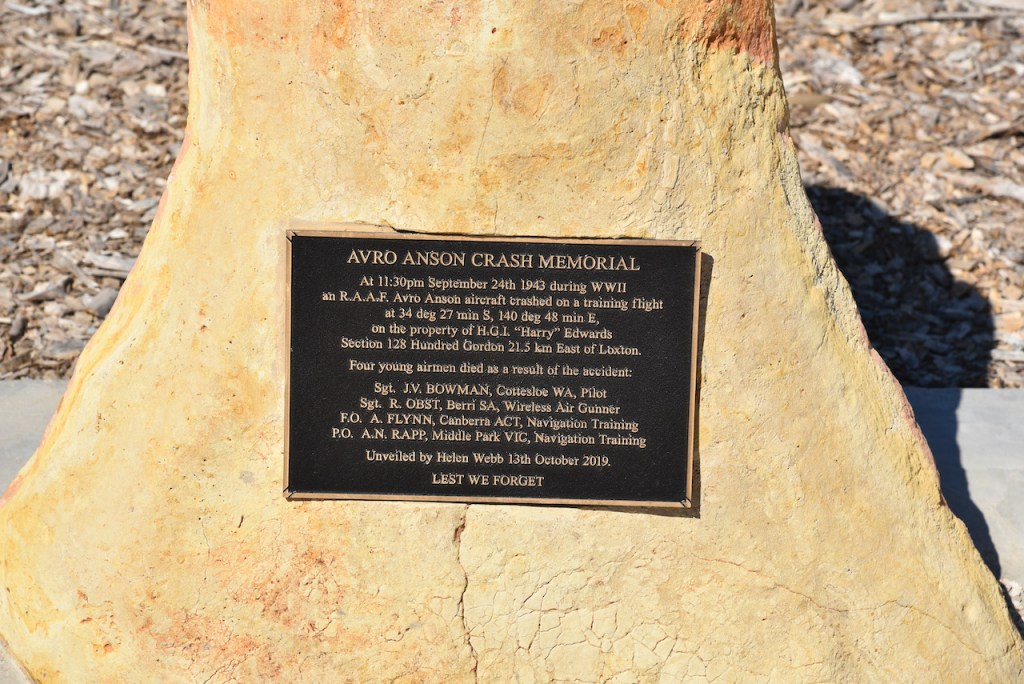
We then headed north on the Karoonda Highway and into the Riverland town of Loxton. We visited the Avro Anson Crash Memorial. The memorial is to honour four RAAF crew members who lost their lives when their Avro Anson aircraft crashed during a night navigational training flight on the 24th day of September, 1943. It was a shame we were not allocated with VK100AF or VI100AF on that day. However, I am considering on driving back up to Loxton next month when we have the 2 callsigns allocated to use again.
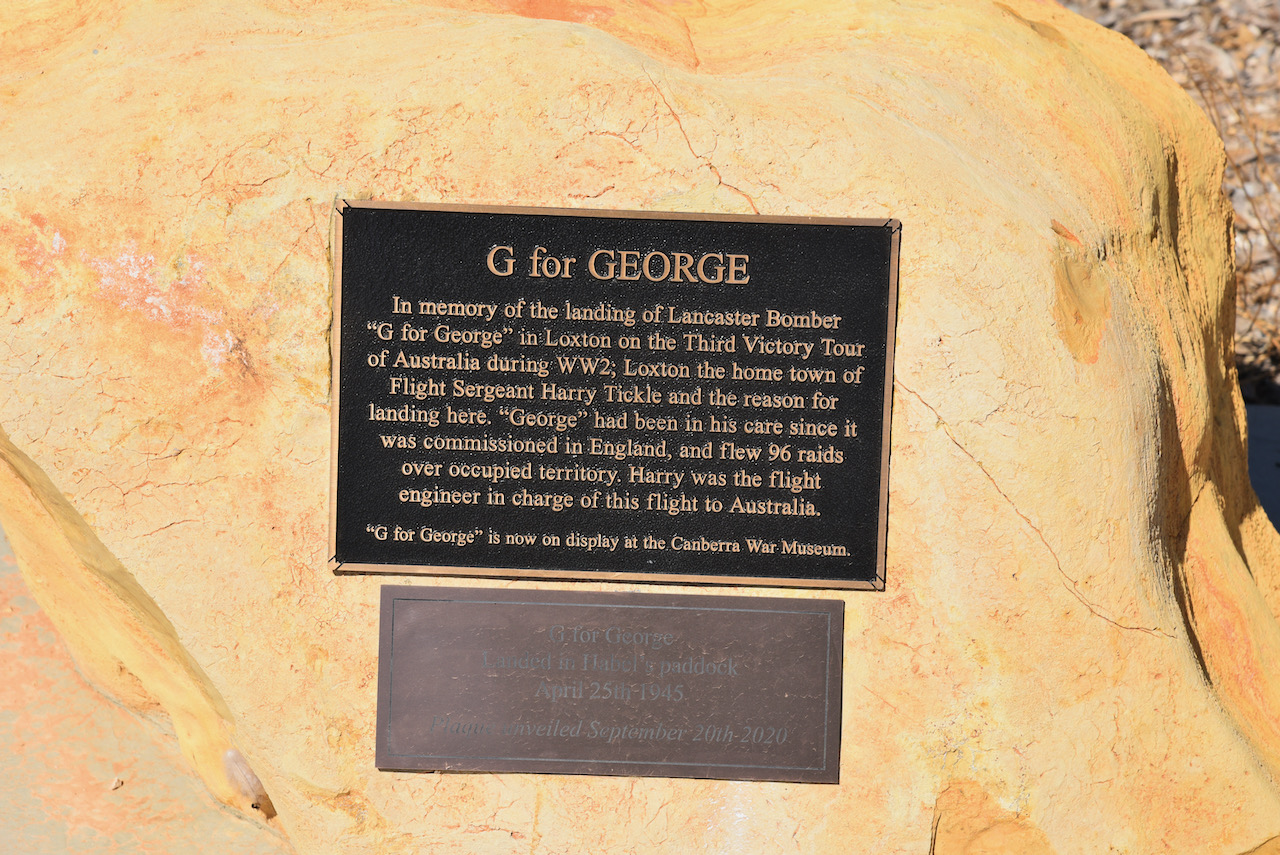
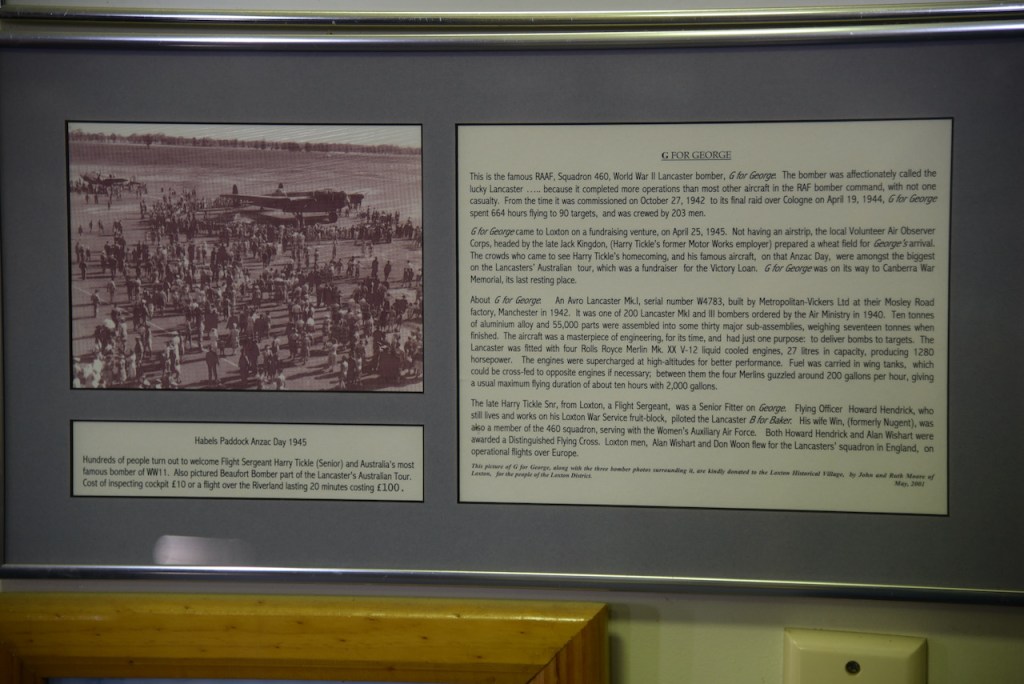
There is also a plaque commemorating the land of Lancaster Bomber ‘G for George’ in Loxton on the Third Victoru Tour of Australia during the Second World War.
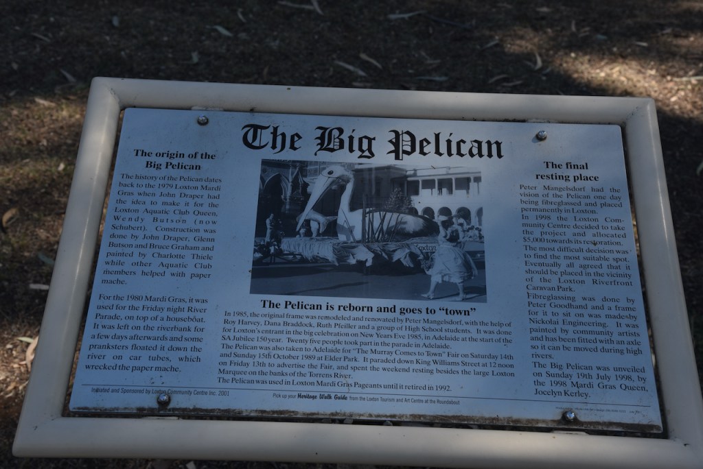
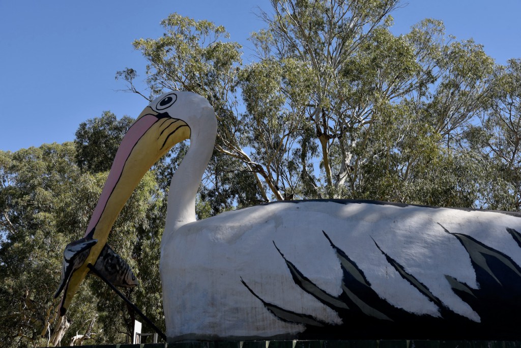
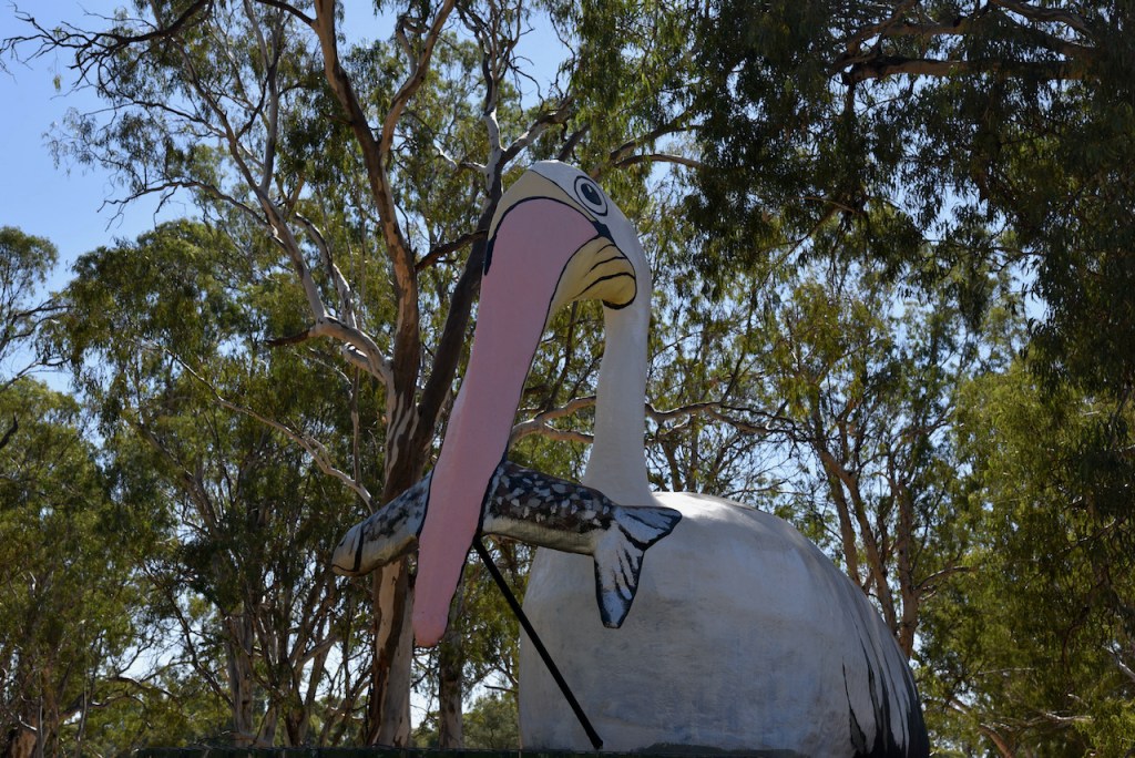
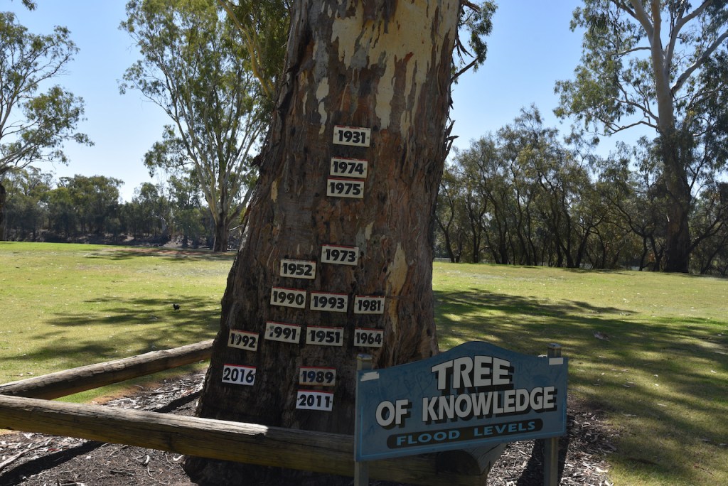
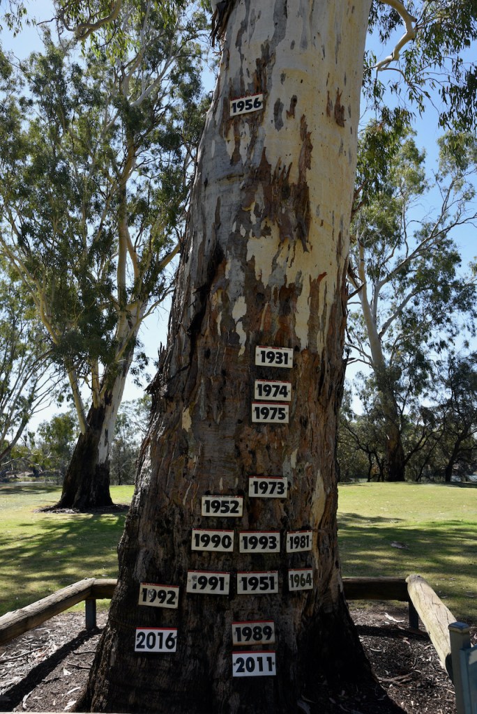
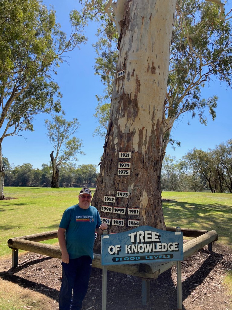
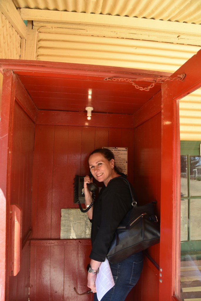
We then visited the Loxton Big Pelican. The history of the Pelican dates back to the 1979 Loxton Mardi Gras when John Draper had the idea to make it for the Loxton Aquatic Club Queen. In close proximity is the Tree of Knowledge which has the high river marks from the various Murray River floods. We enjoyed lunch in the park alongside of the Murray River.
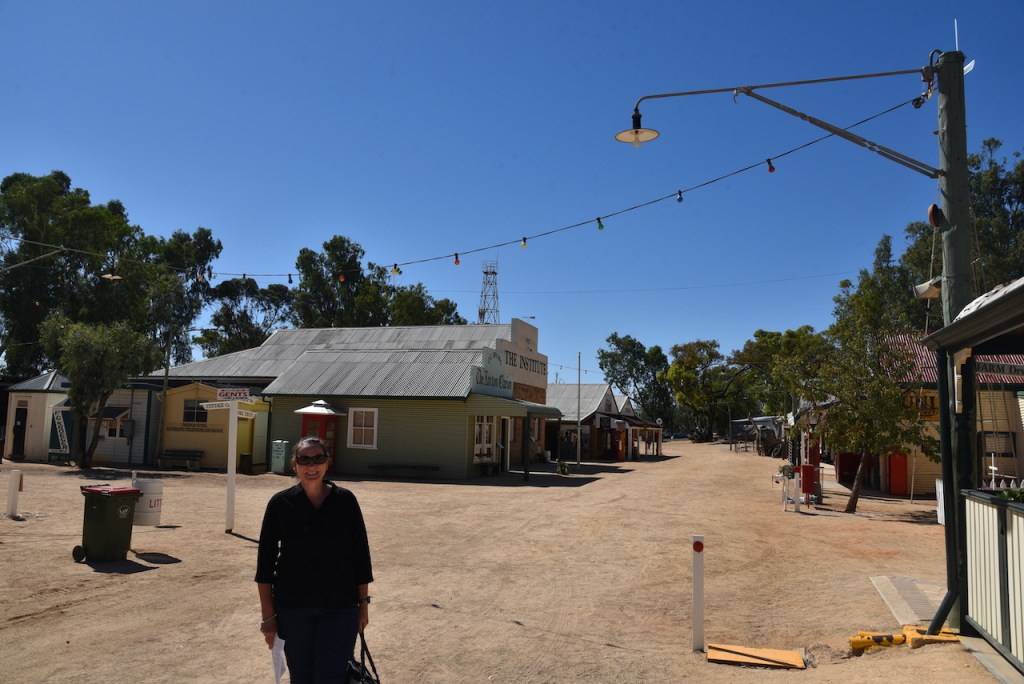
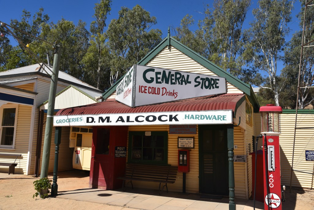
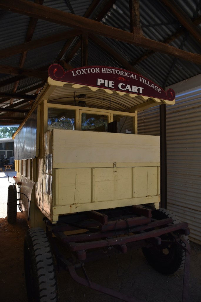
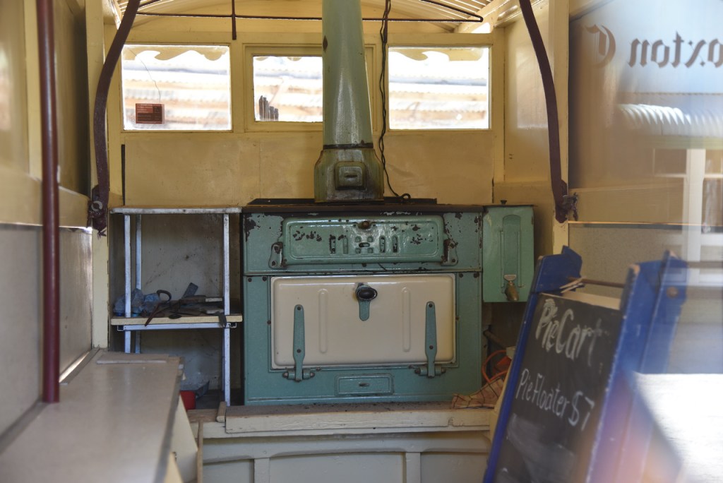
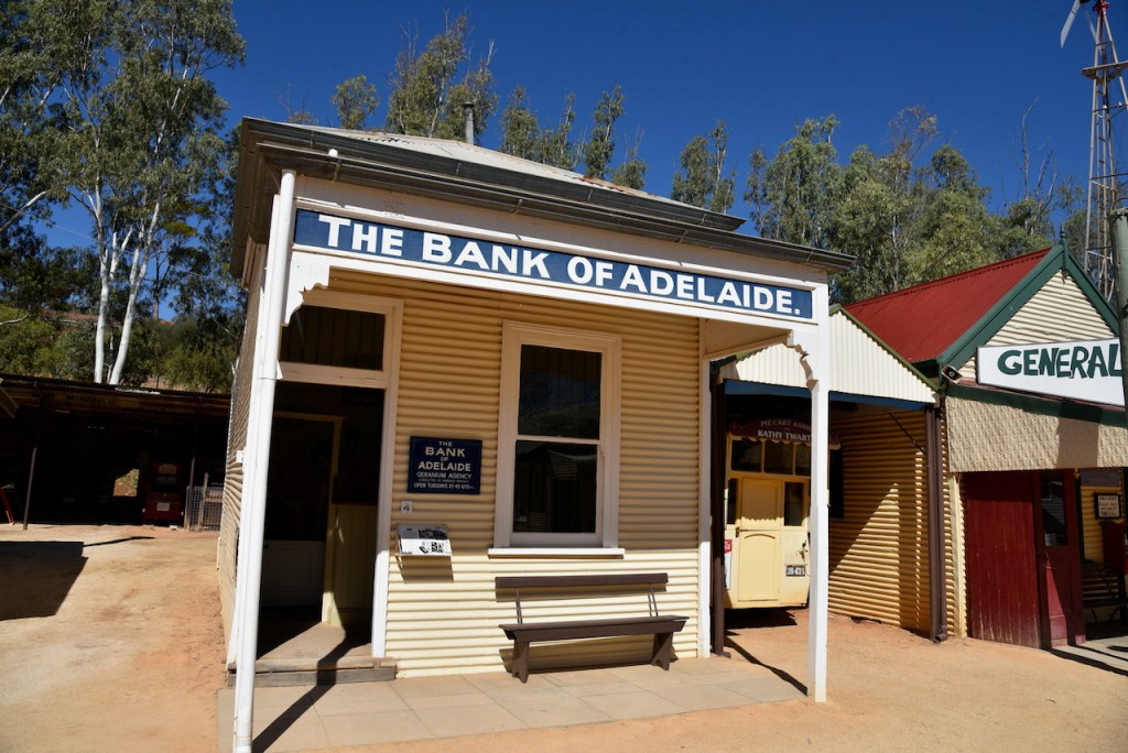
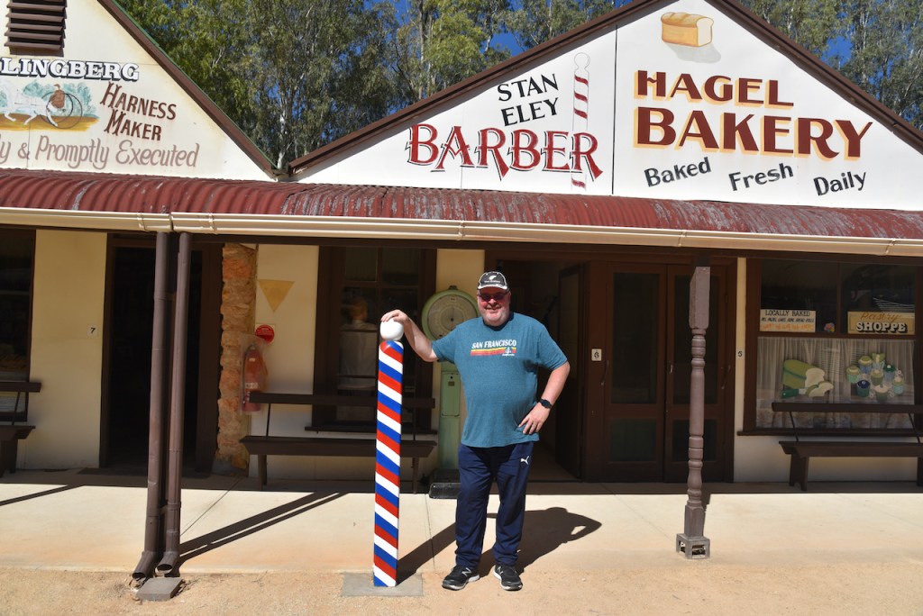
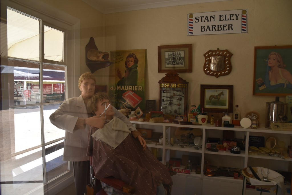
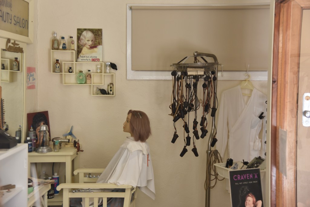
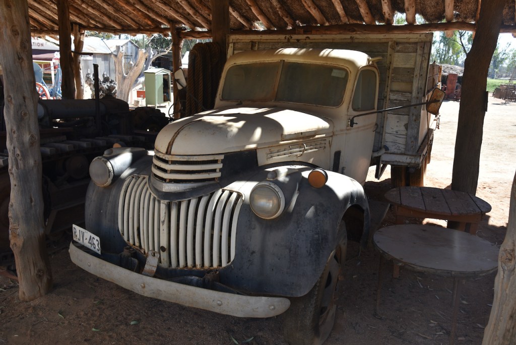
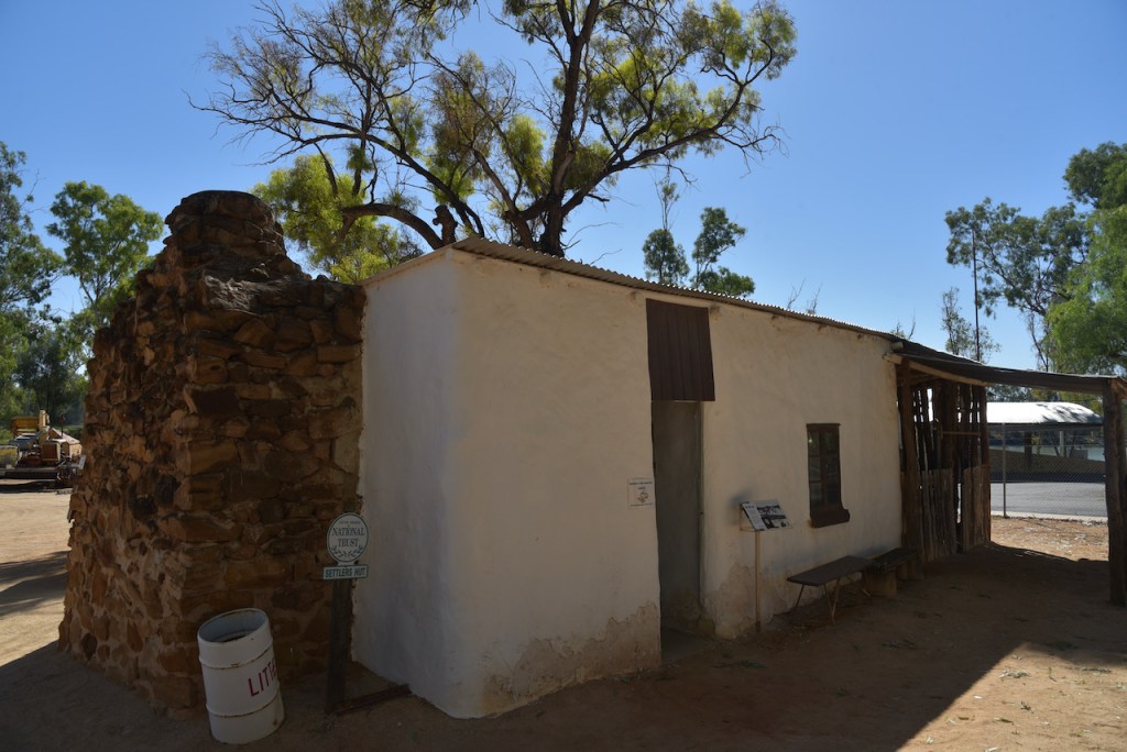
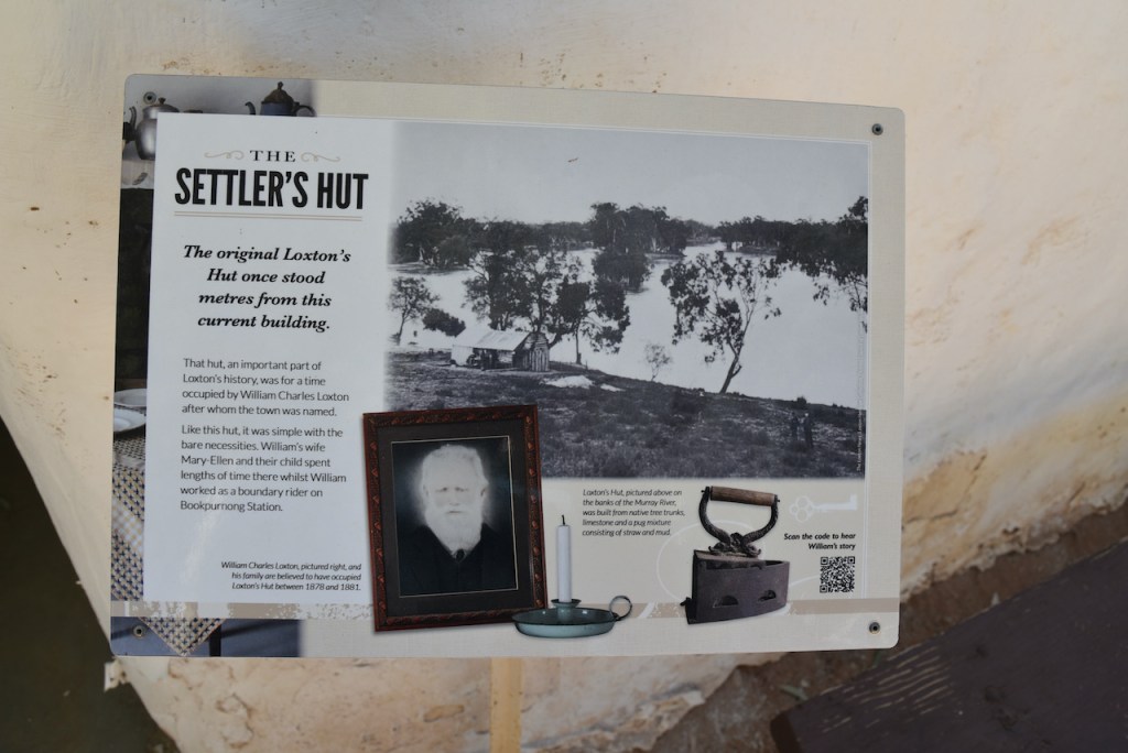
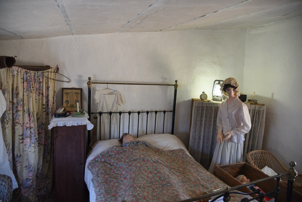
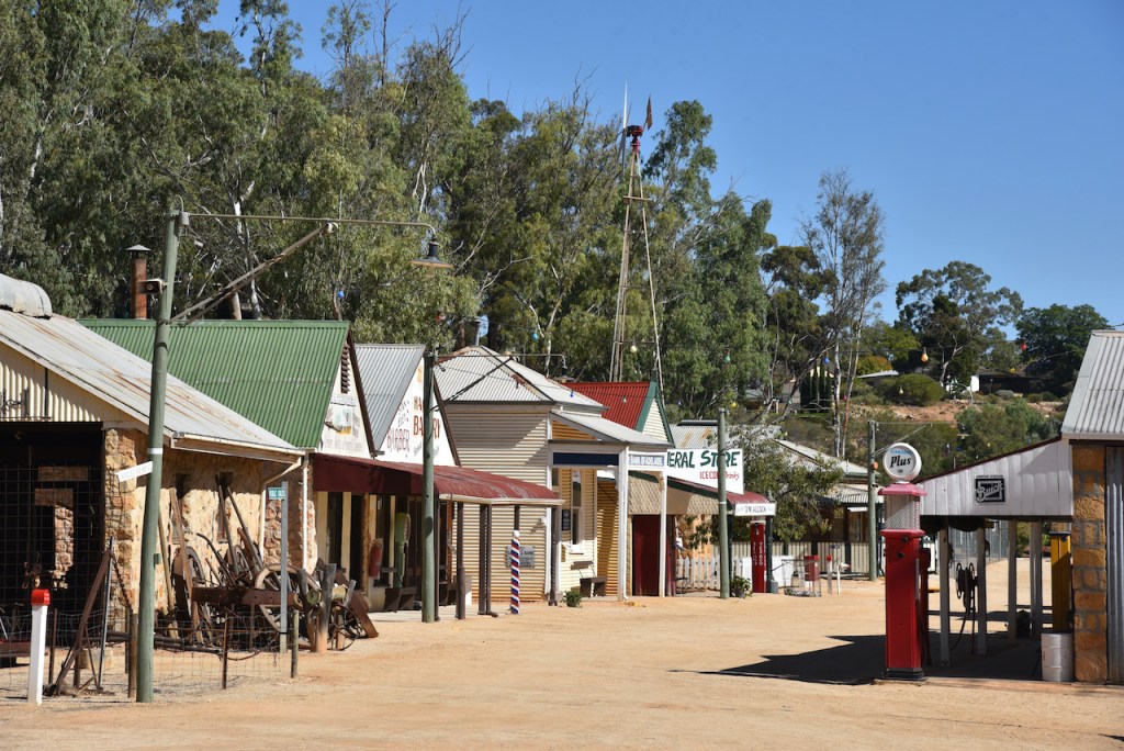
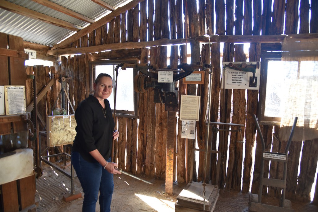
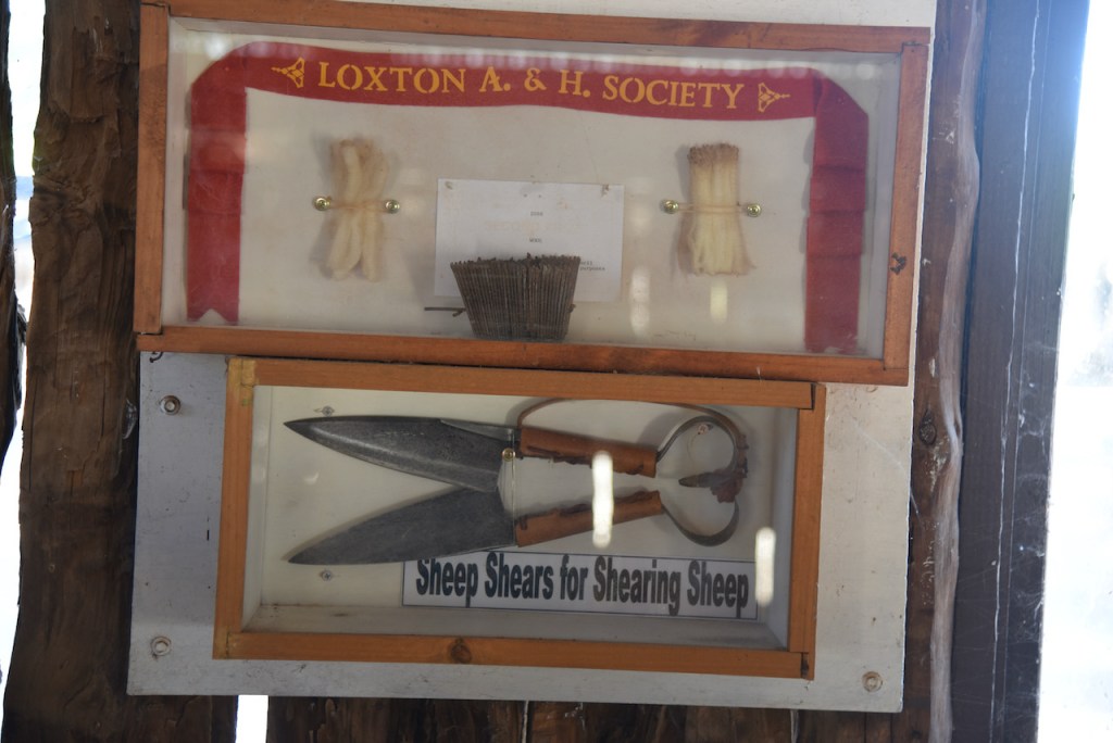
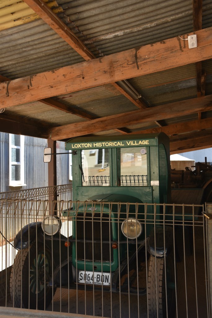
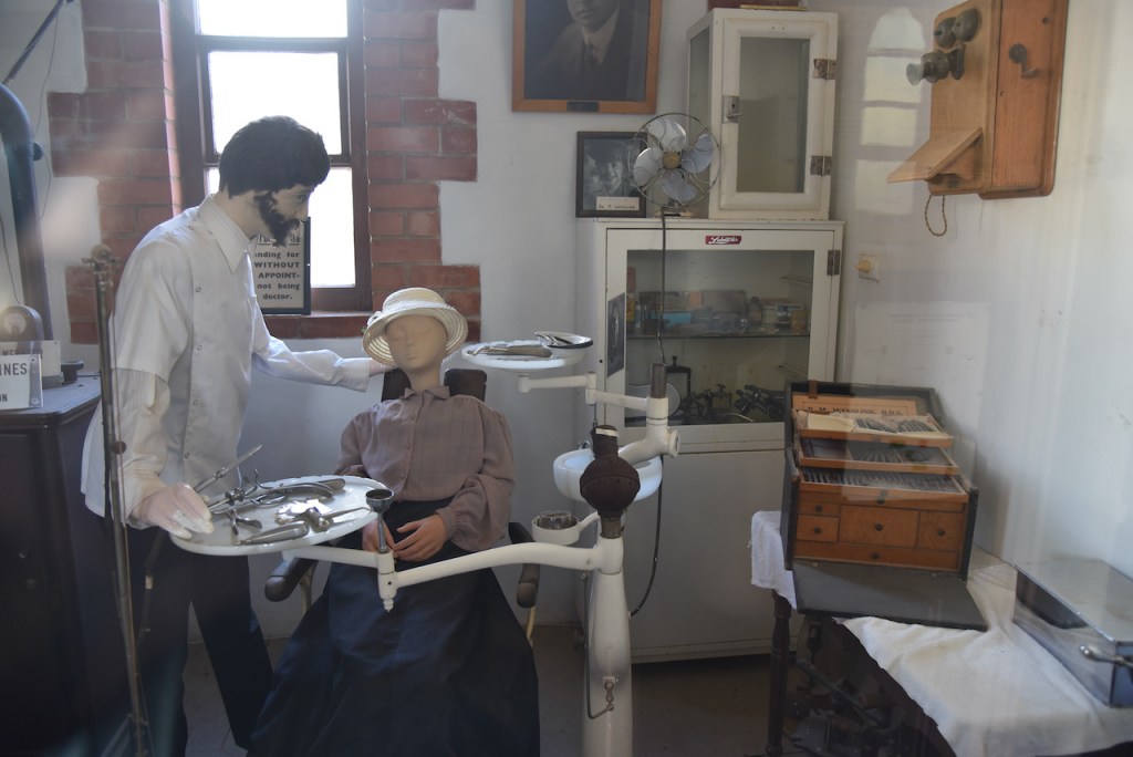
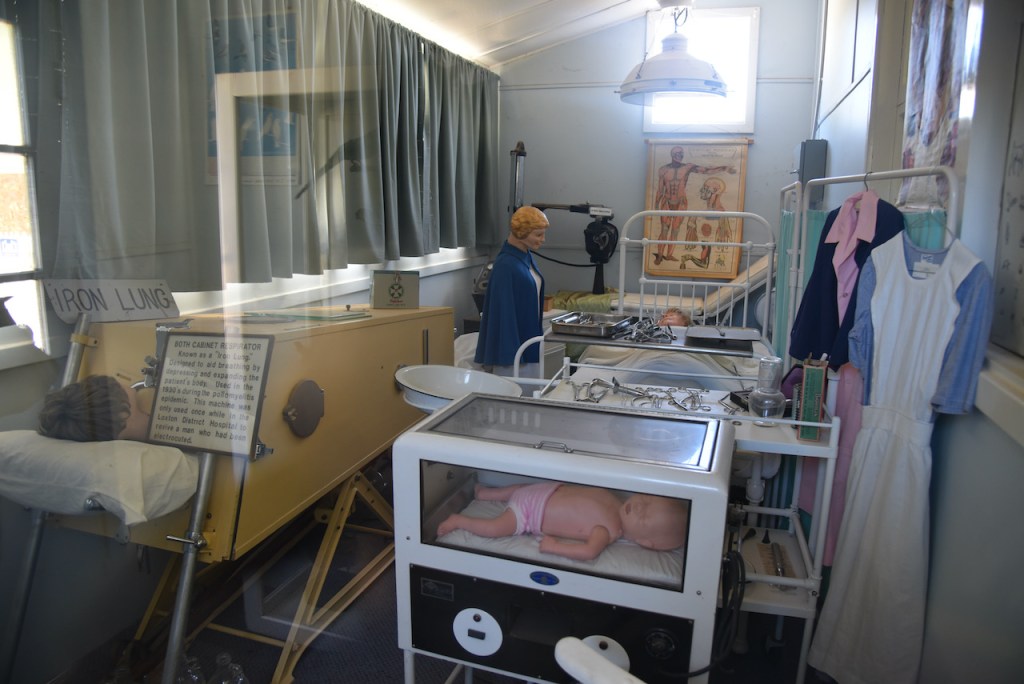
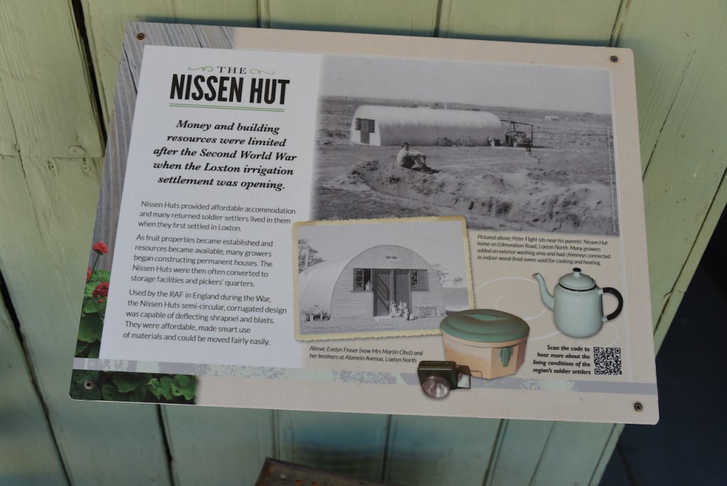
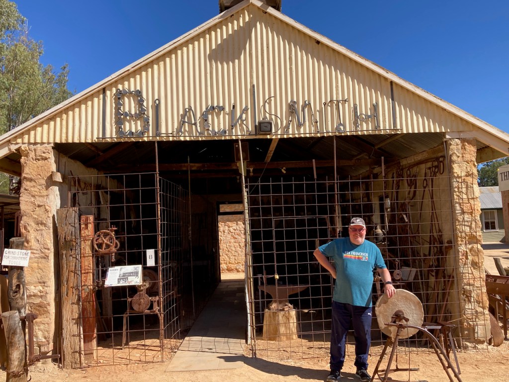
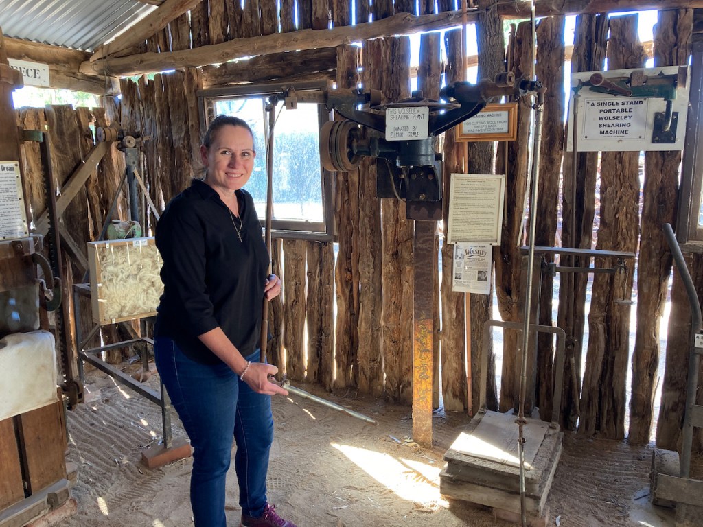
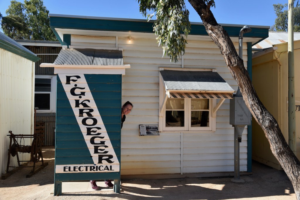
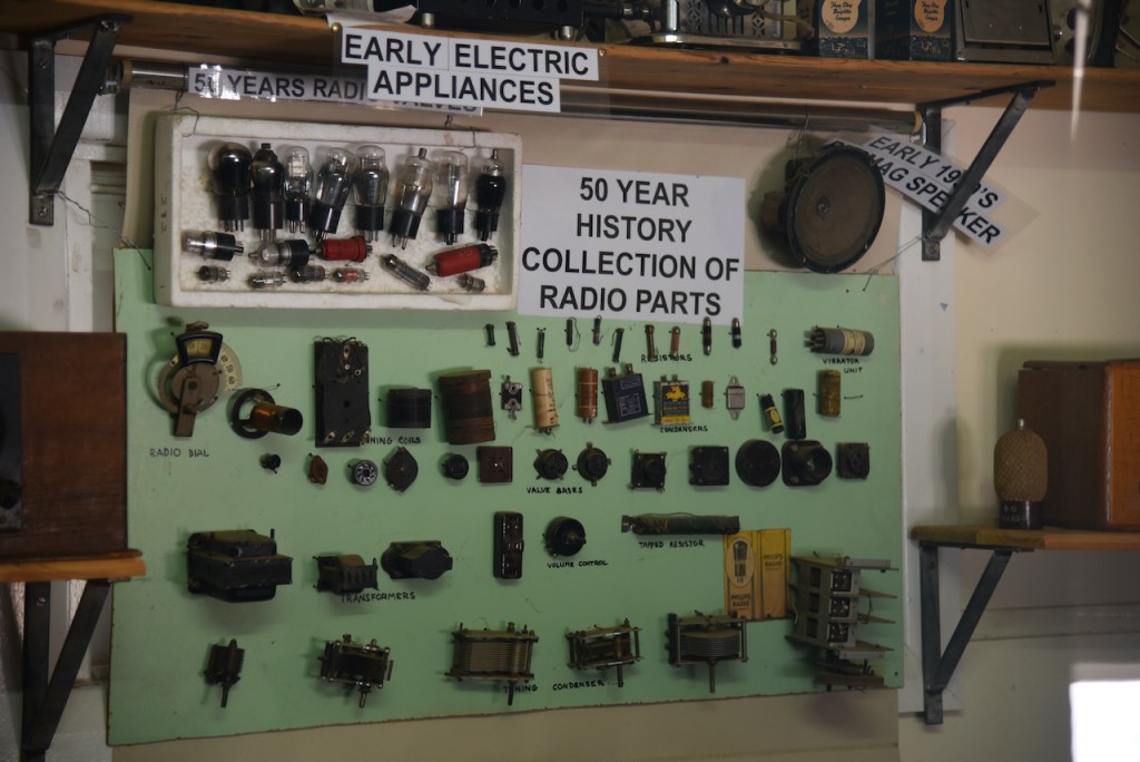
It was then off the Loxton Pioneer Village which contains numerous historic buildings which were relocated or built on site with many replicating original constructions within the district. This is definitely worth a visit if you are in Loxton. Marija and I spent a number of hours here having a look around.
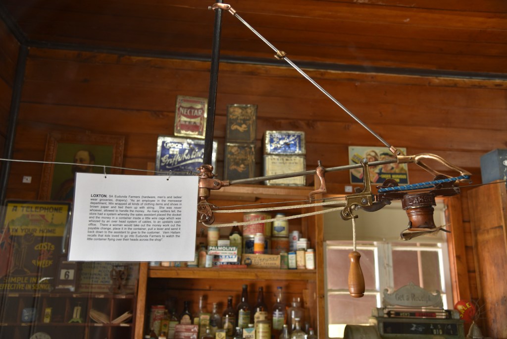
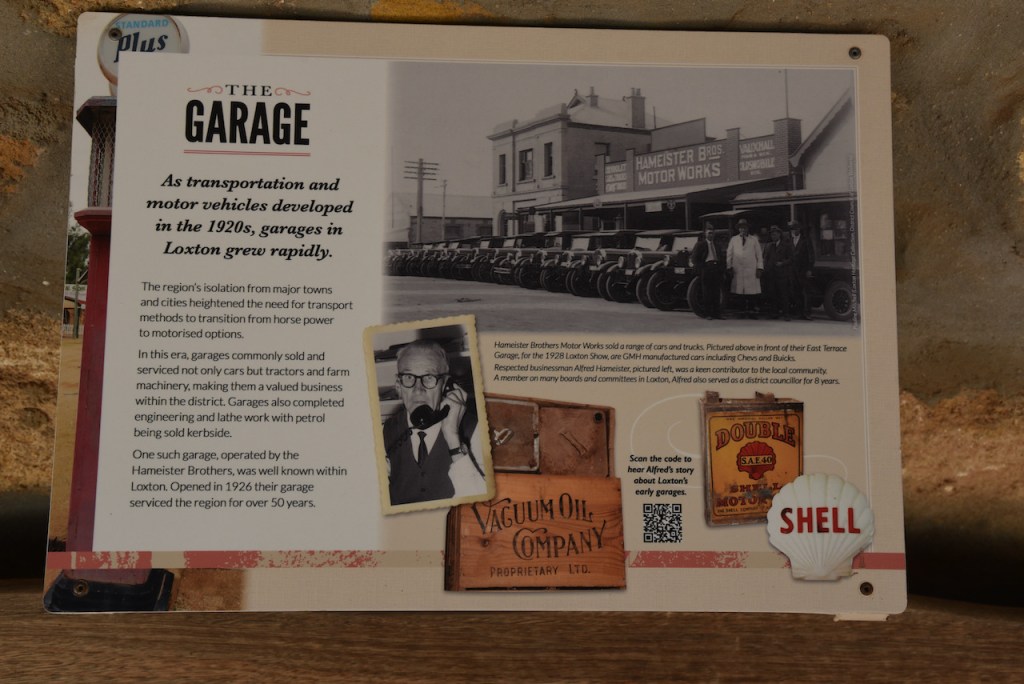
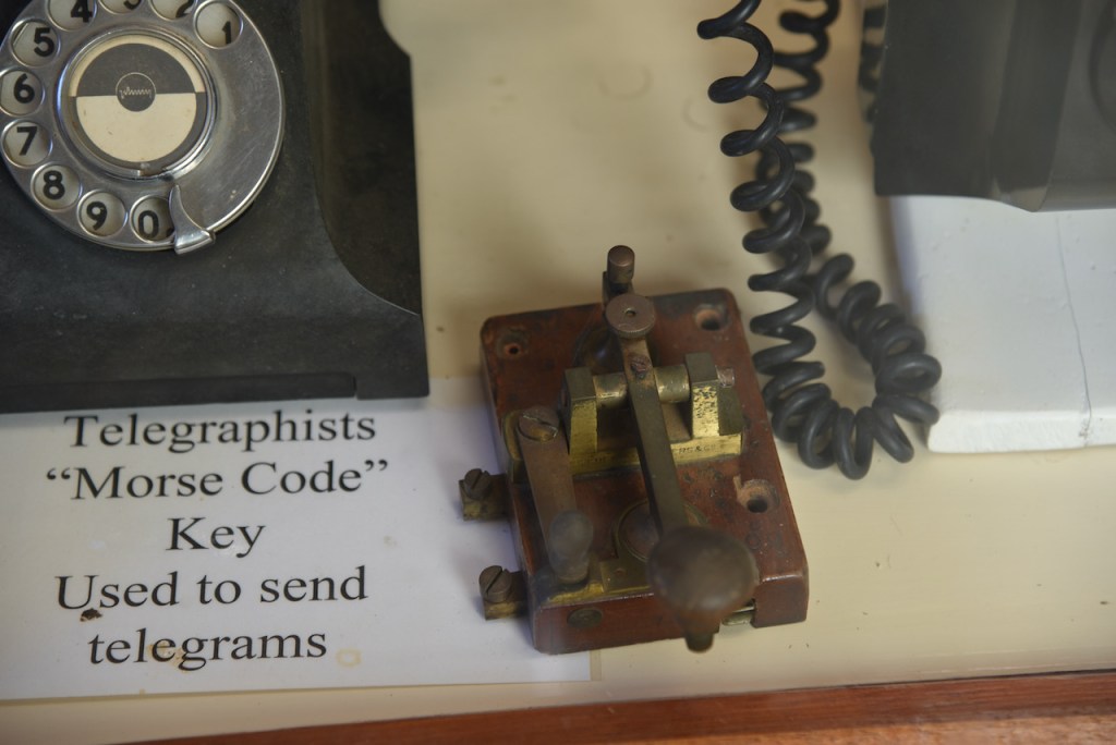
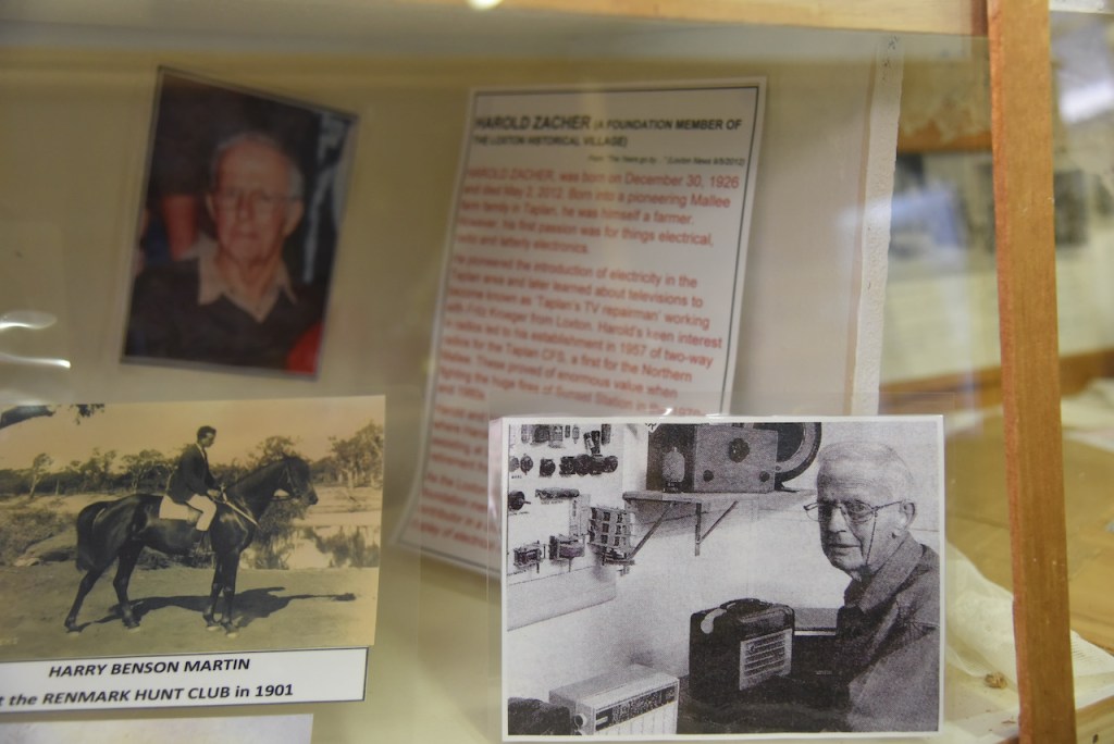
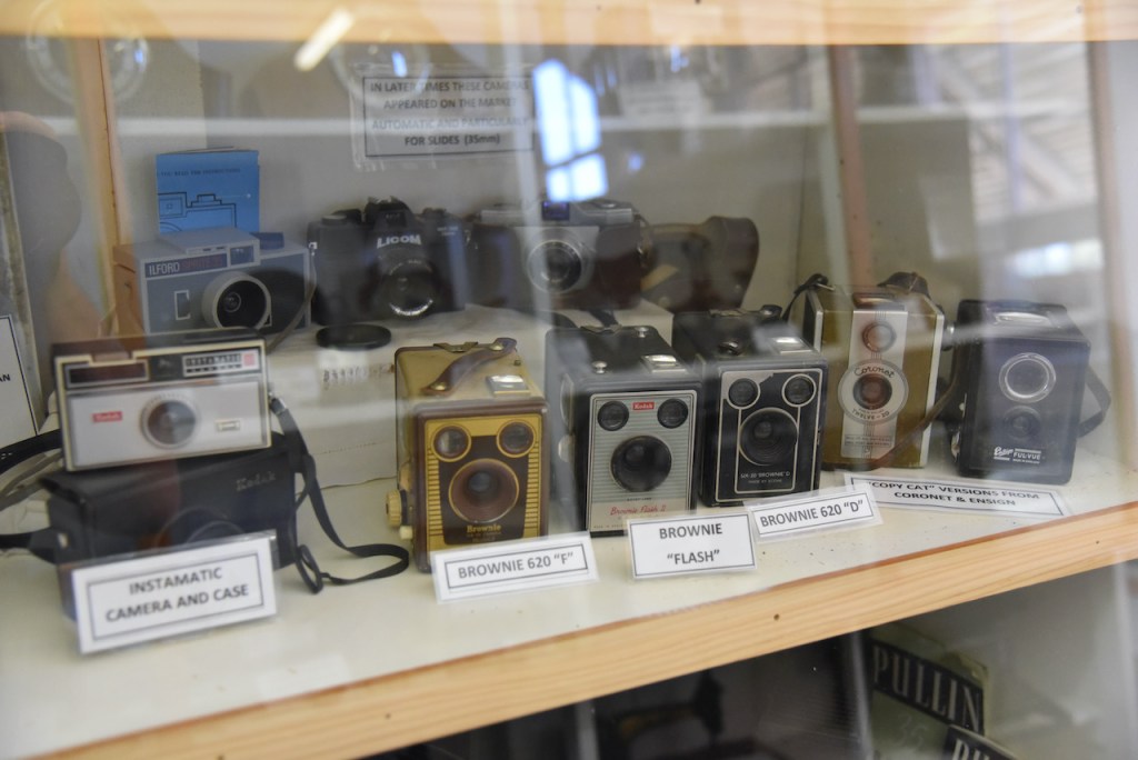
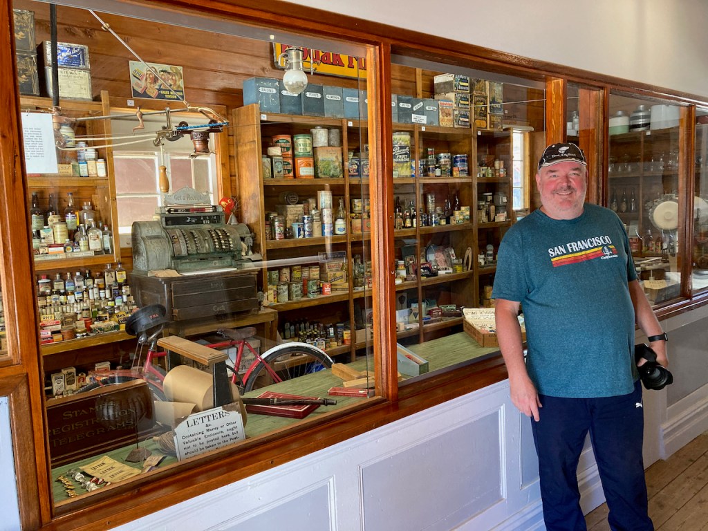
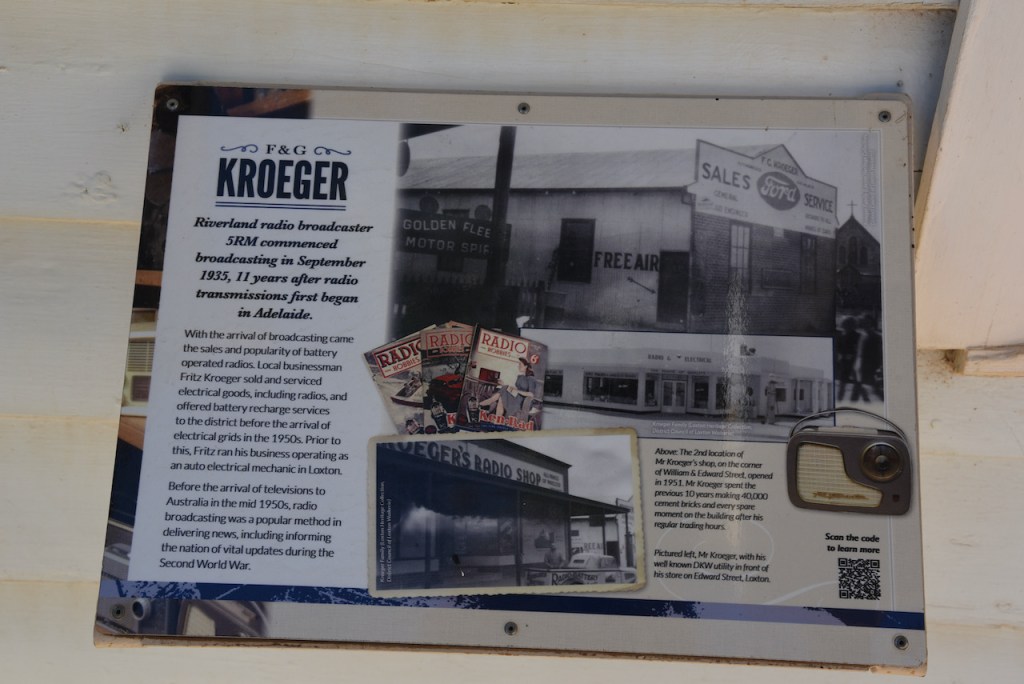
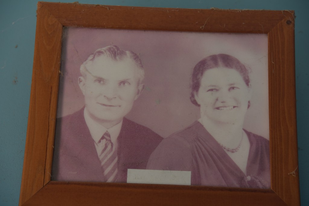
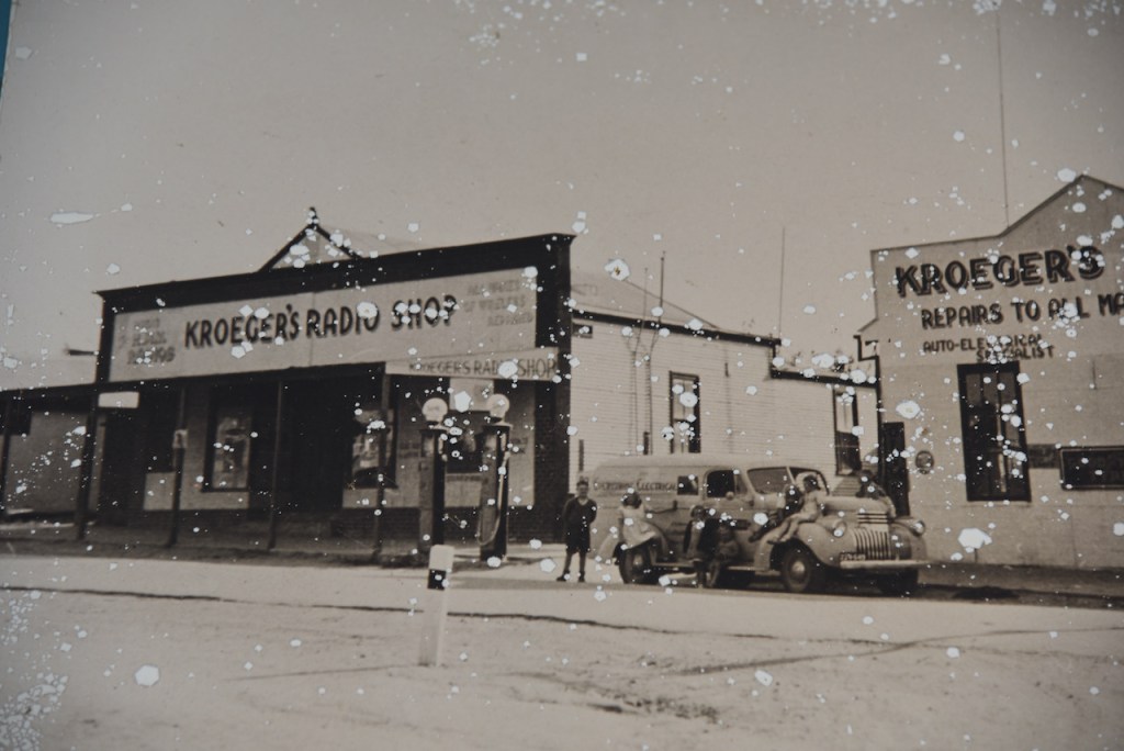
Included at the Pioneer Village is the old F & G Kroeger radio shop. Riverland radio broadcaster 5RM commenced broadcasting in September 1935. This was 11 years after radio transmissions first commenced in Adelaide.
With the arrival of broadcasting came the sales and popularity of battery operated radios. Local businessman Fritz Kroeger sold and services electrical goods, including radios, and offered battery recharge services to the district before the arrival of electrical grids in the 1950’s. Prior to this, Fritz ran his business as an auto electrical mechanic in Loxton.
Before the arrival of televisions to Australia in the mid 1950’s, radio broadcasting was a popular method in delivering news, including informing the nation of vital updates during the Second World War.
Our trip to the Pioneer Village had been extremely interesting, but time was getting away from us a bit and we still needed to get to Renmark and book into our motel, and then hopefully head out to activate the Murray River National Park.
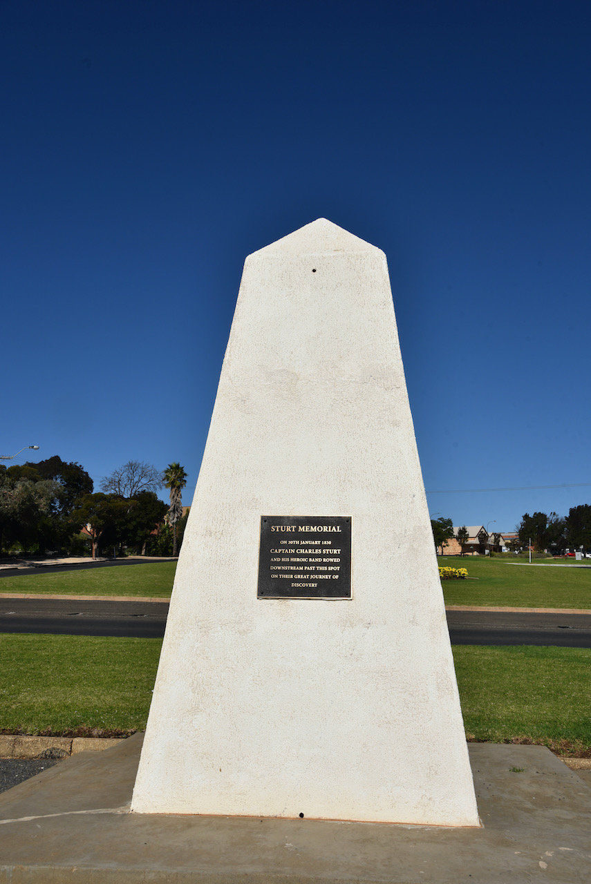
We did however take the time to have a look at the Sturt Memorial in Loxton which commemorates the visit to the area by the famous explorer Captain Charles Sturt and his party who rowed downstream past Loxton on their ‘Great Journey of Discovery’ on the 30th day of January 1830.
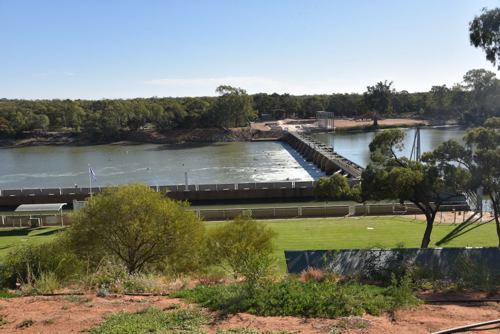
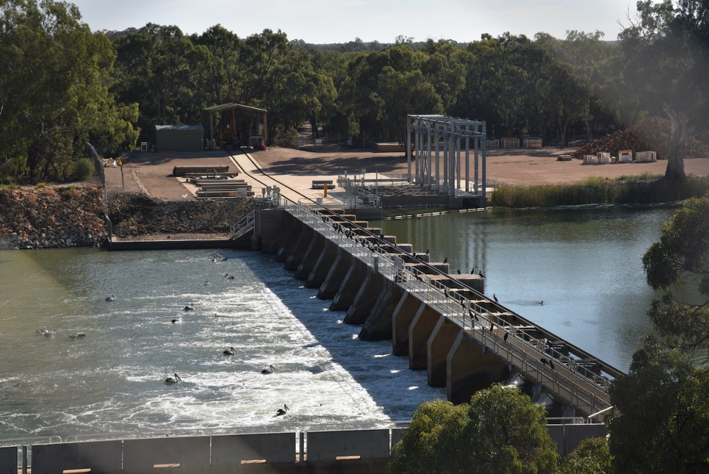
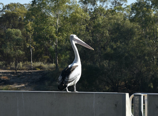
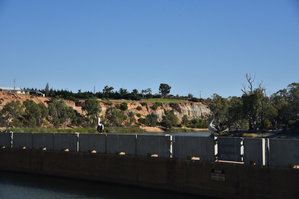
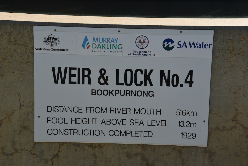
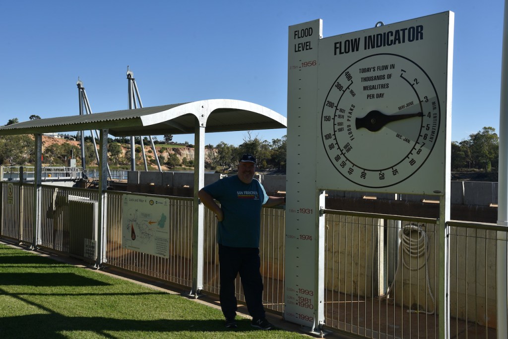
We then stopped to have a look at the Weir and Lock 4 at Bookpurnong near Loxton. During the 1920’s a series of Locks and Weirs were installed along the River Murray. They were built to divert water to the emerging agriculture industry and also to improve navigation of boats along the river. There are six such locks in the Riverland region of South Australia.
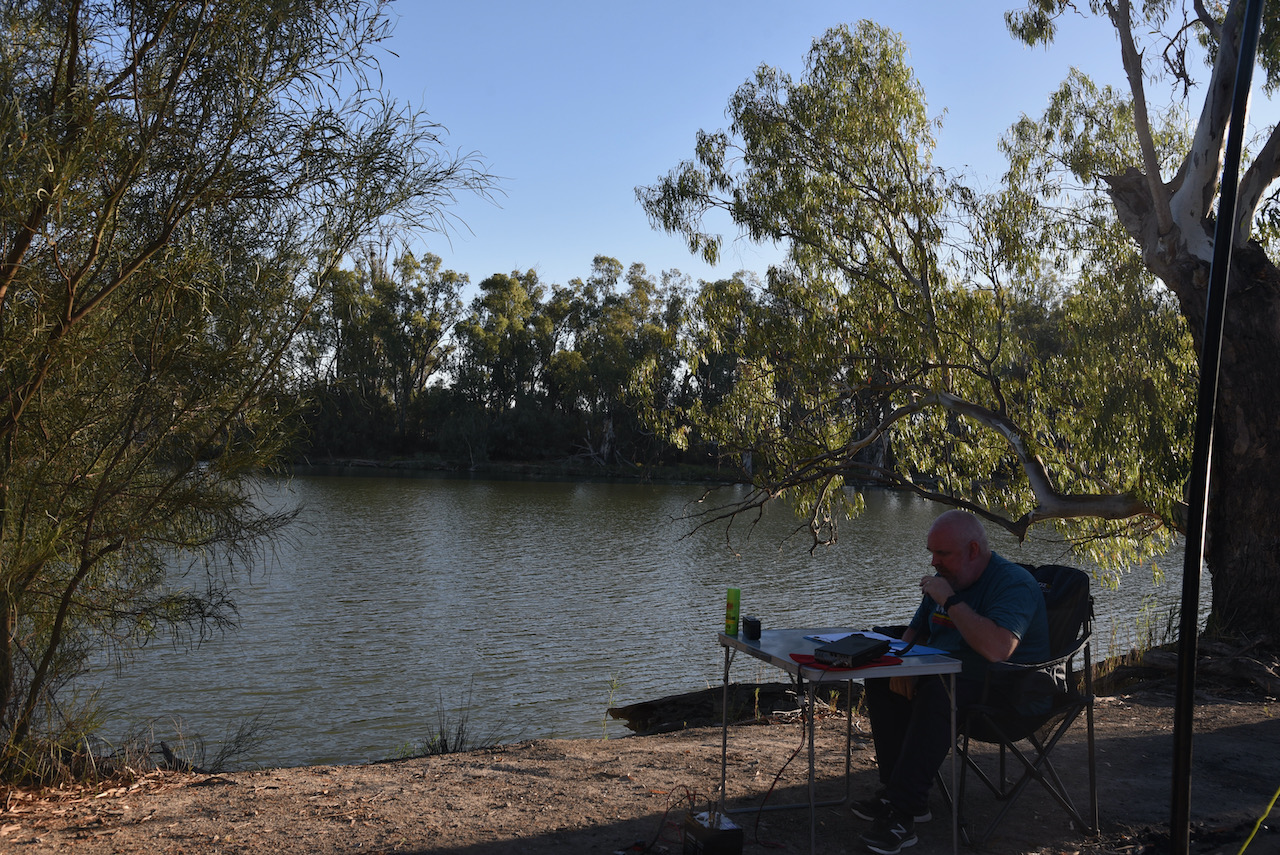
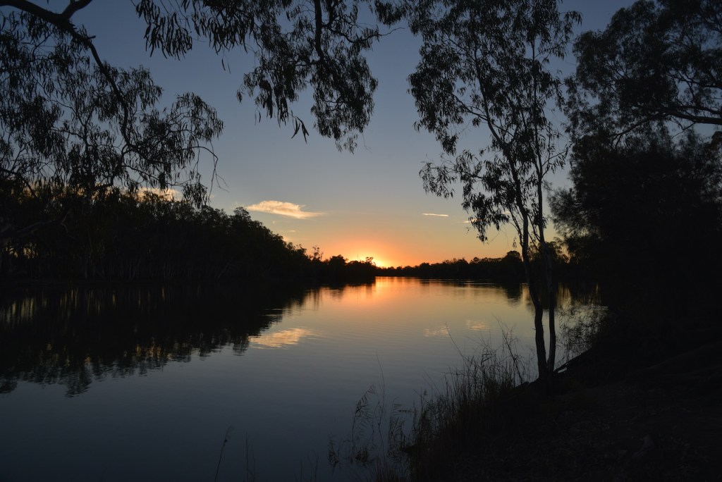
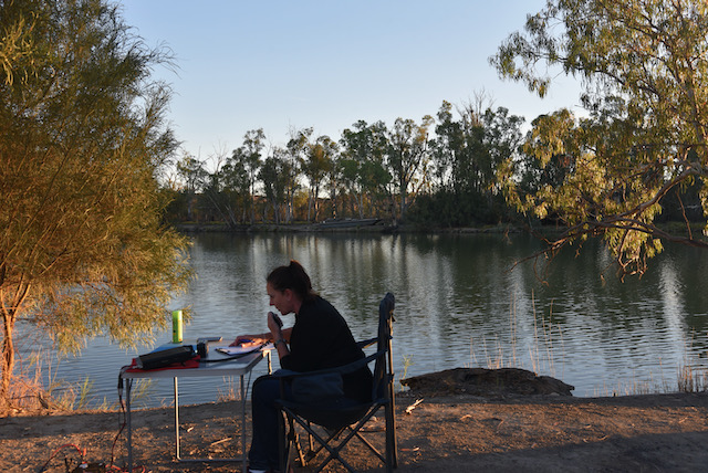
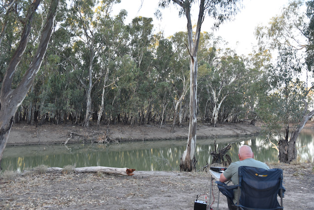
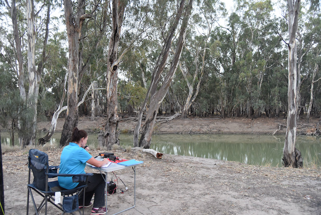
We then drove into Renmark and booked into our motel, the Citrus Valley Motel, where we regularly stay when we visit Renmark. We unpacked some the Toyota Hil Lux and then headed out to the Lyrup Flats section of the Murray River National Park VKFF-0372.
Above:- Map showing the location of the Murray River National Park, north-east of the city of Adelaide near the Victorian State border. Map c/o Location SA Map Viewer.
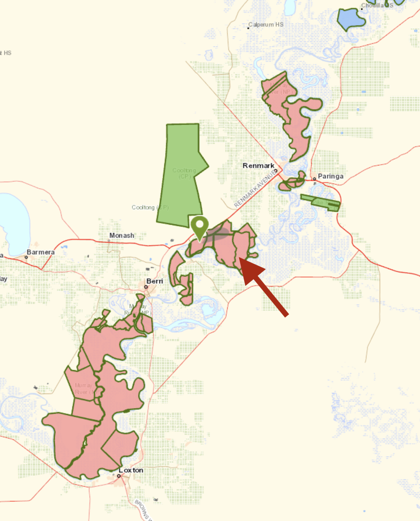
The Murray River National park was proclaimed in 1991 “to conserve a significant proportion of South Australia’s floodplain environments which are not represented widely in other reserve systems.” The park consists of three sections adjoining the Murray River and extending from near Loxton in the south west to near Renmark in the north-east. The first section is known as the ‘Katarapko’ section and is located on the north side of the Murray River between Loxton in the south and Berri in the north. The second section which is known as the ‘Lyrup Flats’ section is located on the north side of the river midway between Berri and Loxton. The third section is known as the ‘Bulyong’ section is located on the west side of the river upstream from Renmark.
Above:- Map showing the sections of the Murray River National Park. The arrow indicates the Lyrup Flats section where we operated from. Map c/o Location SA Map Viewer.
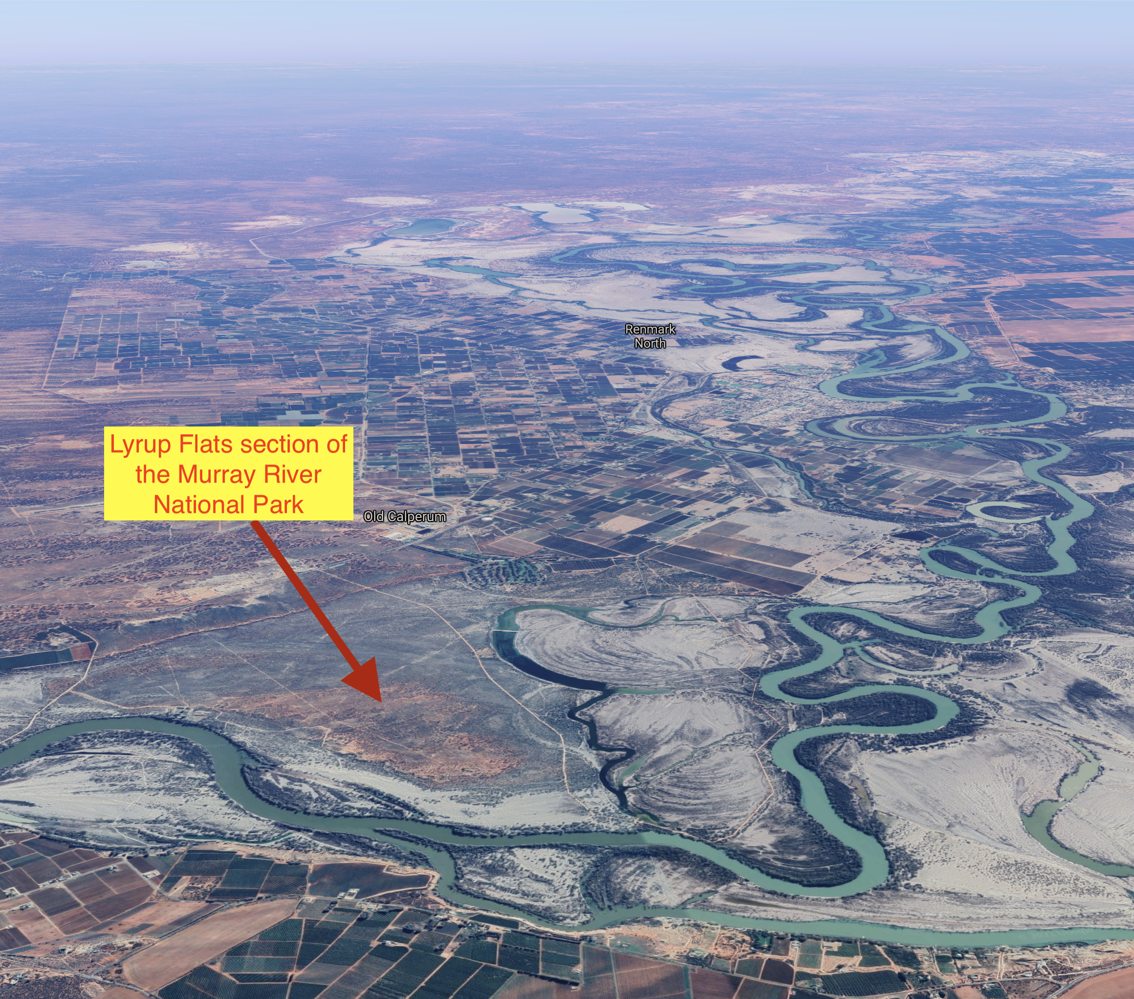
The Lyrup Flats section of the Murray River National Park includes 2,000 hectares along the floodplain on the northern side of the river and ferry at Lyrup.
Above: An aerial view of the Lyrup Flats section of the Murray River National Park. Image c/o Google maps
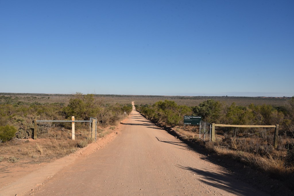
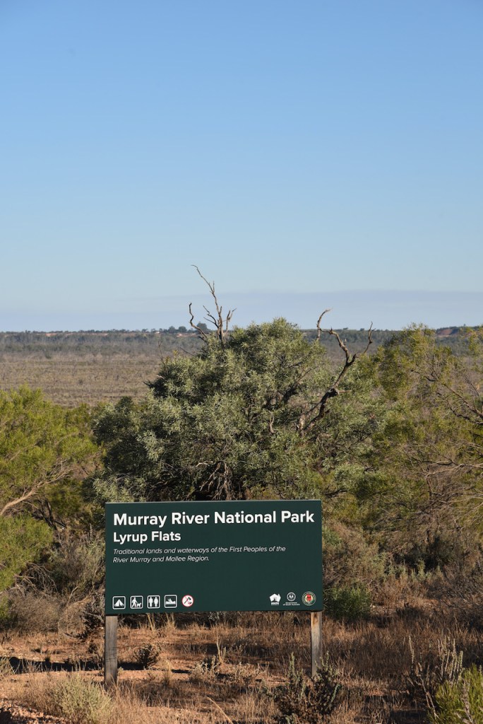
We accessed the Lyrup Flats section of the park via the Sturt Highway. The park is well signposted. There is a dirt track which will take you right down to the river.
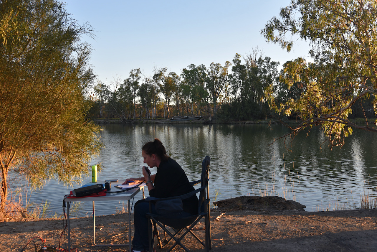
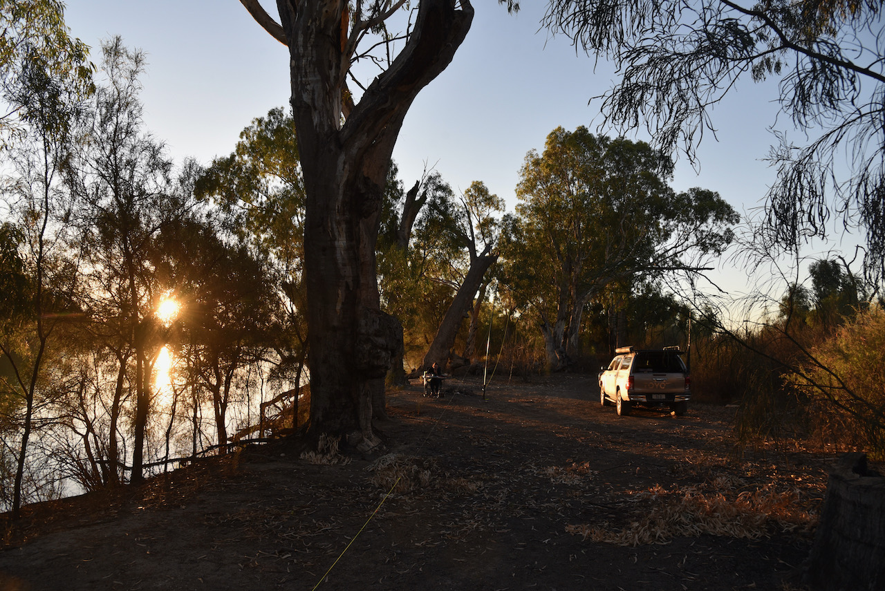
We found a lovely spot right alongside of the river with plenty of room to string out the 20/40/80m linked dipole. We used the 7 metre telescopic squid pole to get the antenna up into the air. The antenna was inverted vee, with the ends weighted down with some fallen tree branches. Our transceiver was the Yaesu FT-857d.
Our activation would count for the World Wide Flora Fauna (WWFF) program, and the VK5 National & Conservation Parks Award. Marija and I have both qualified this park previously in other years, but this would a first time for us in 2021.
First in the log was a Park to Park contact with Marty VK4KC/p who was operating portable in the Cania Gorge National Park VKFF-0074.
The 40m band was in brilliant shape and in very quick time I had 46 contacts in the log and I had qualified the park for the global WWFF program. My 46th contact was another Park to Park, this time with Hans VK6XN/p who was activating the Tuart Forrest National Park VKFF-0498. I had logged VK1, VK2, VK3, VK4, VK5, VK6, VK7, and New Zealand. The 40m pile-up was quite amazing. I am very sorry to those who I did not get and gave up.
I then handed over the microphone to Marija who also soon had a mini pile-up on her hands.
Marija soon had 44 contacts in the log and had also qualified the park for both VKFF with 10 QSOs and WWFF with 44 QSOs.
I then jumped back into the operator’s chair and logged a further 18 stations including a Park to Park with Charlie VK3ZD/p who was in the Alpine National Park VKFF-0619.
Time was starting to creep on and I had promised to get to 80m. I am sorry for all of the other stations who were calling on 40m, but I needed to get to 80m and then pack up and get back into Renmark in time for an evening meal.
I logged 17 stations on 80m from VK2, VK3, VK4, and VK5. This included special event station VK100AF for the 100 year anniversary of the Royal Australian Air Force.
Again, I apologise to all those who were calling on 80m but we had to go QRT, otherwise we were going to go hungry that night. There were many stations who were calling who we did not have time to log.
This had been quite an amazing activation, with some very big pile-ups which we had not experienced for quite some time.
We ended up with 128 QSOs in the log, including three Park to Park contacts with Marty VK4KC, Hans VK6XN, and Charlie VK3ZD.
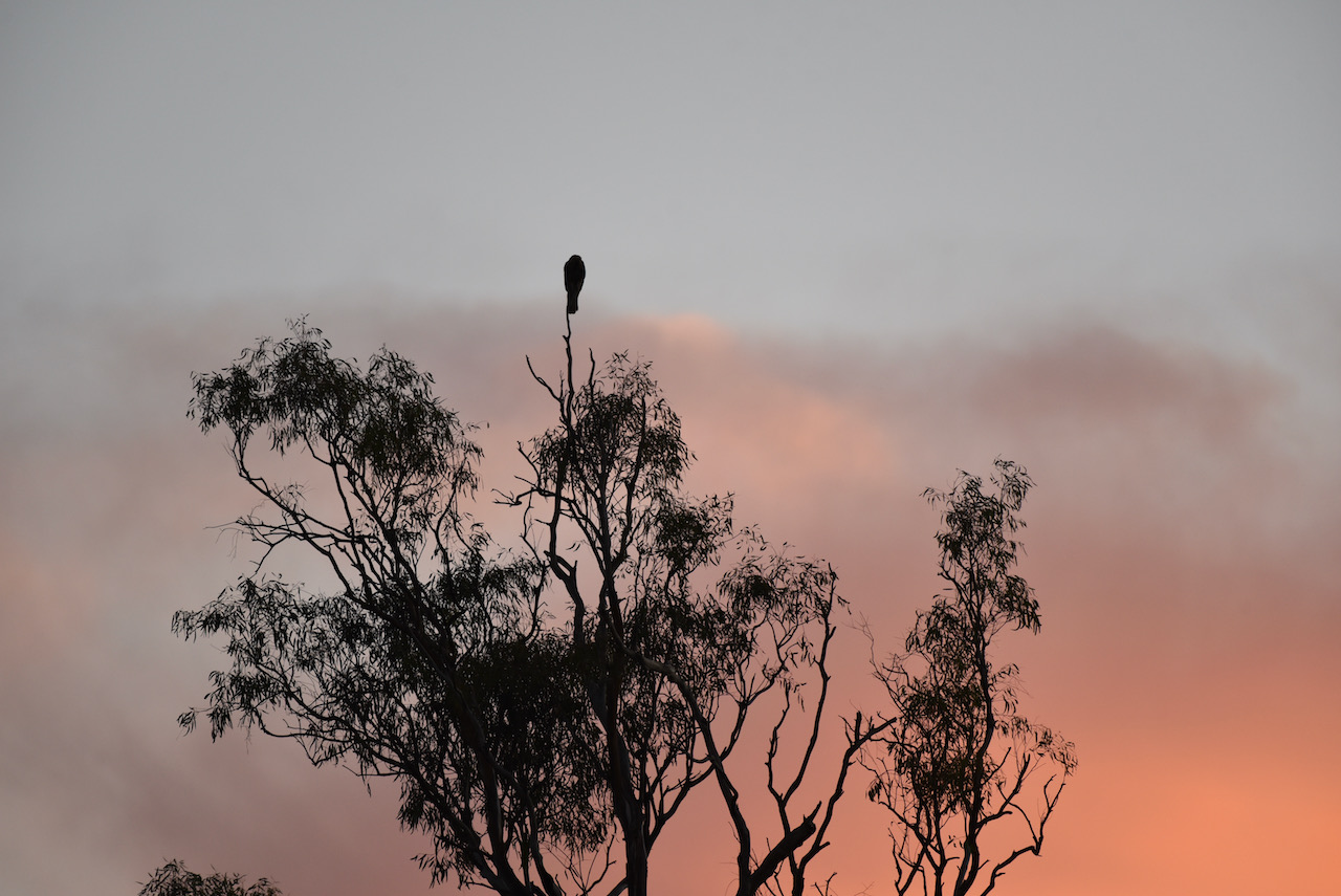
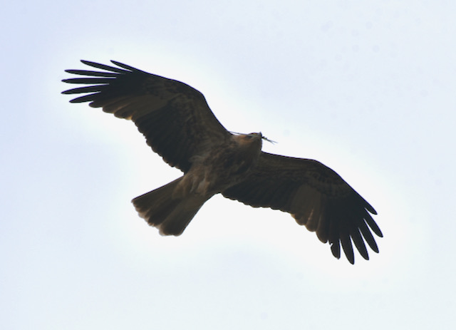
We had some company during our activation, a Whistling Kite who perched itself high atop a gum tree overlooking the Murray River.
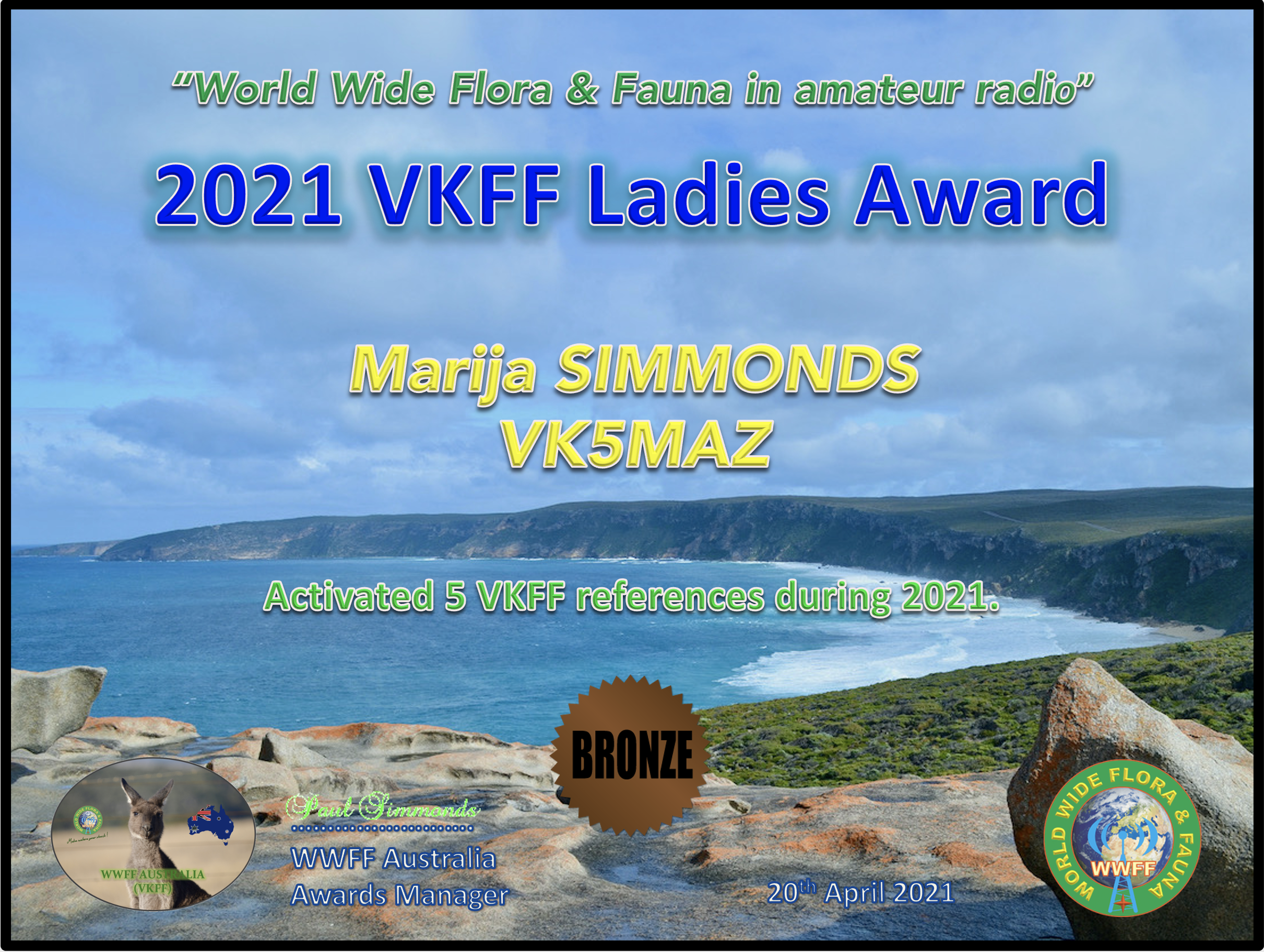
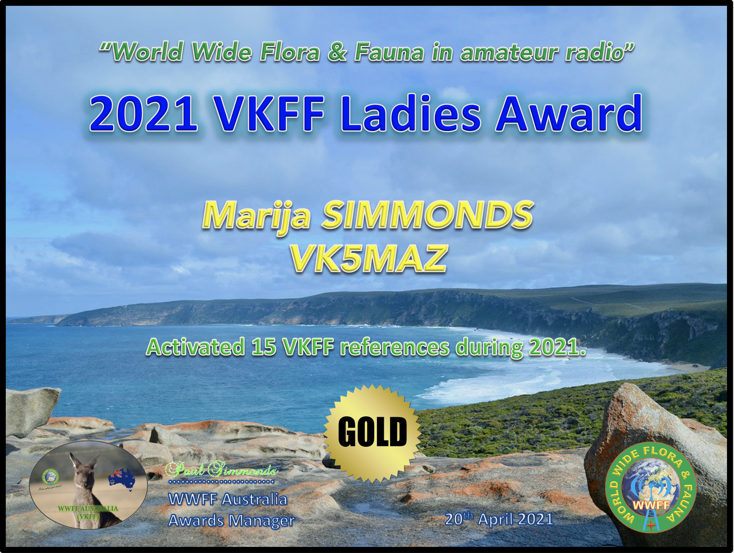
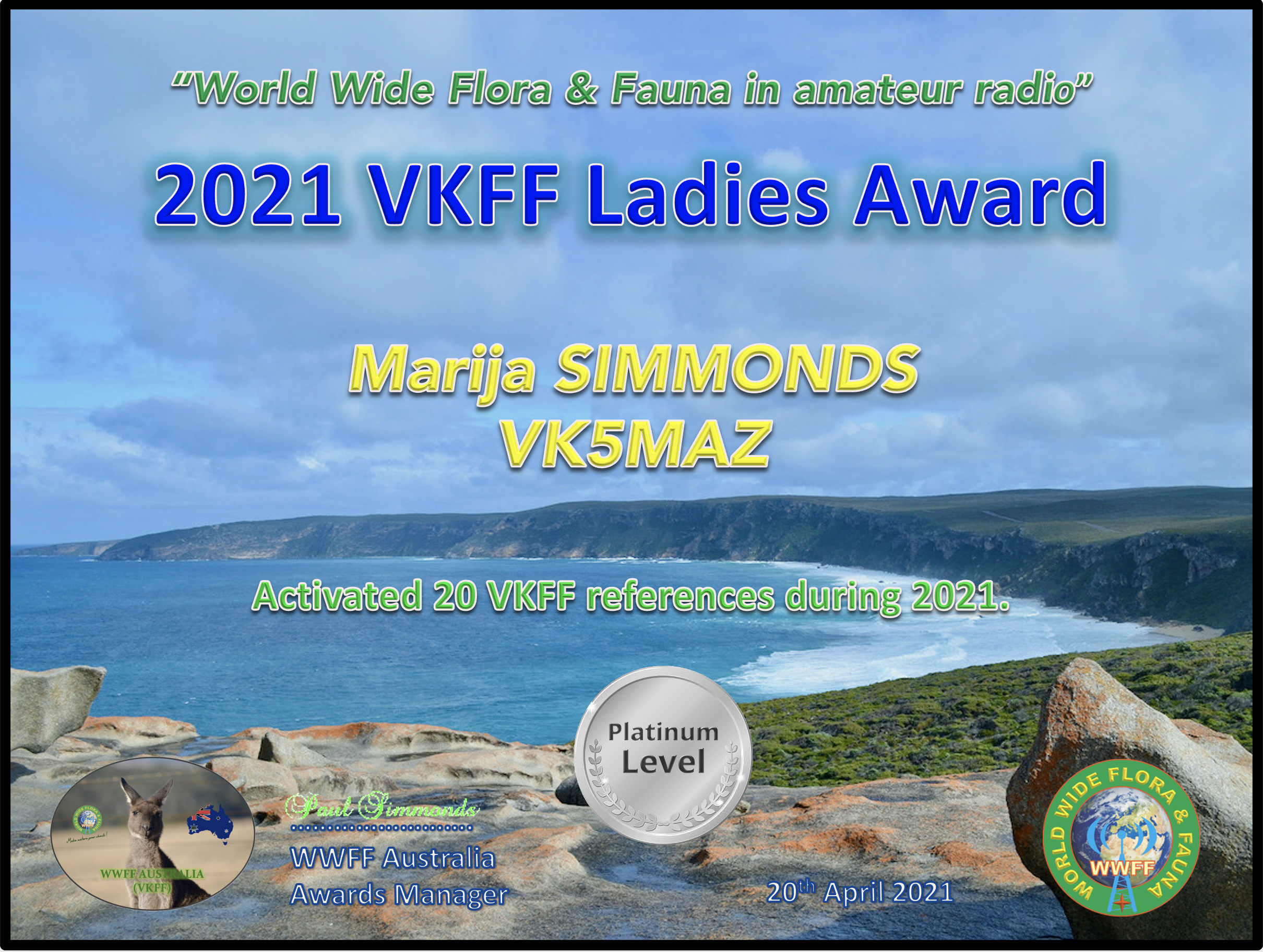
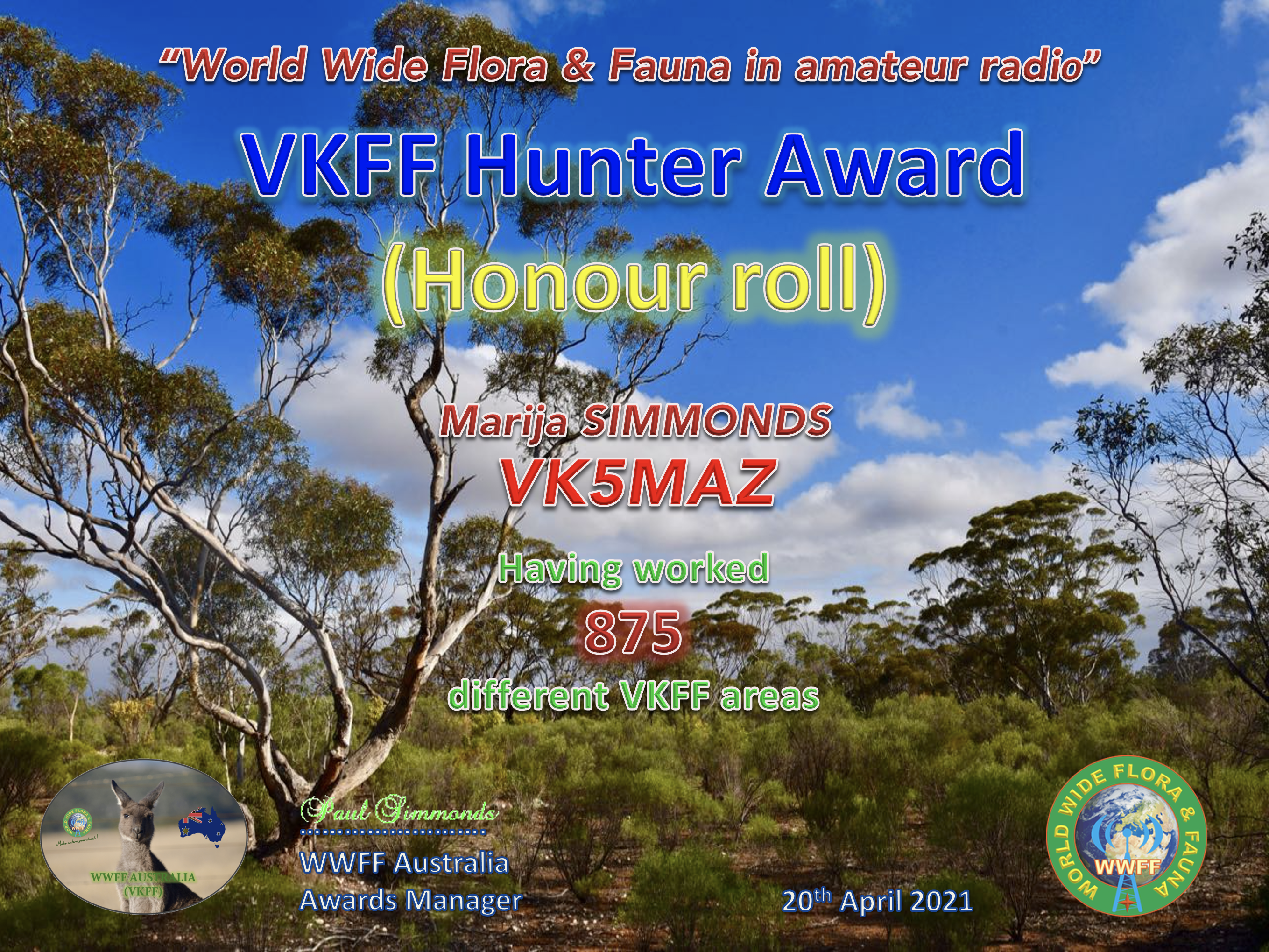
Following our trip to VK2 and VK3, Marija VK5MAZ has qualified for the Bronze, Silver, Gold, & Platinum Activator certificates for the 2021 VKFF Ladies Award.
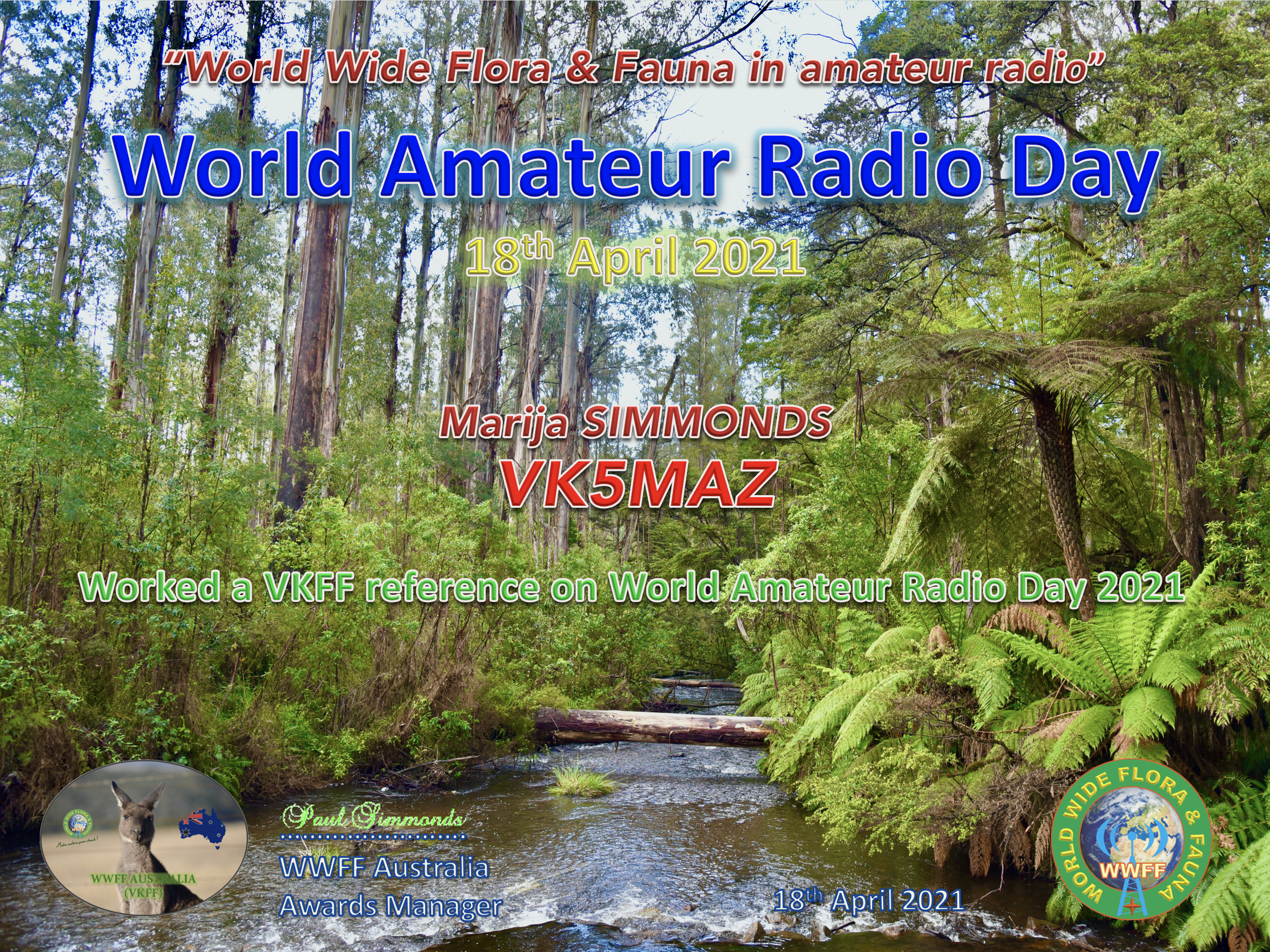
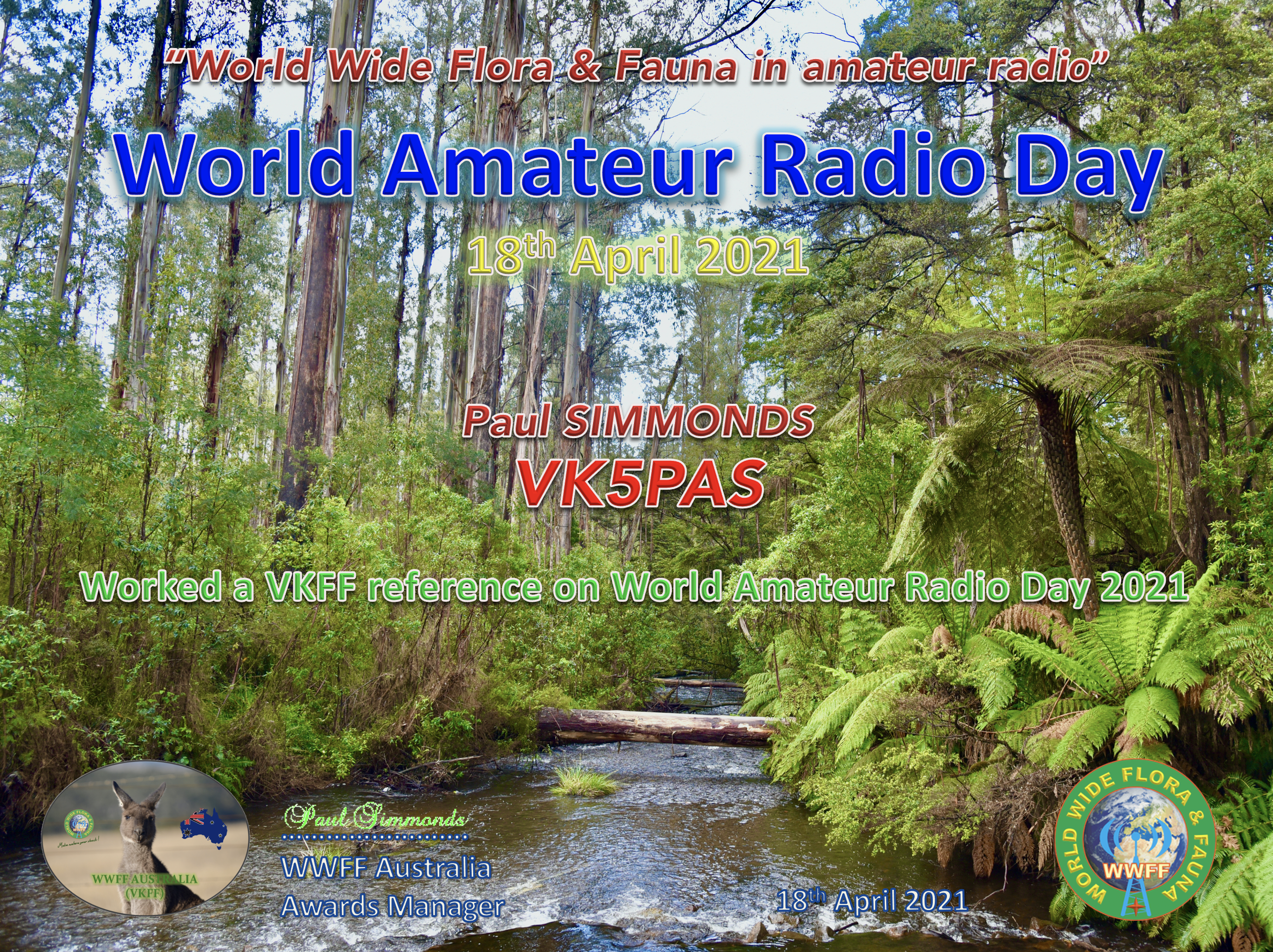
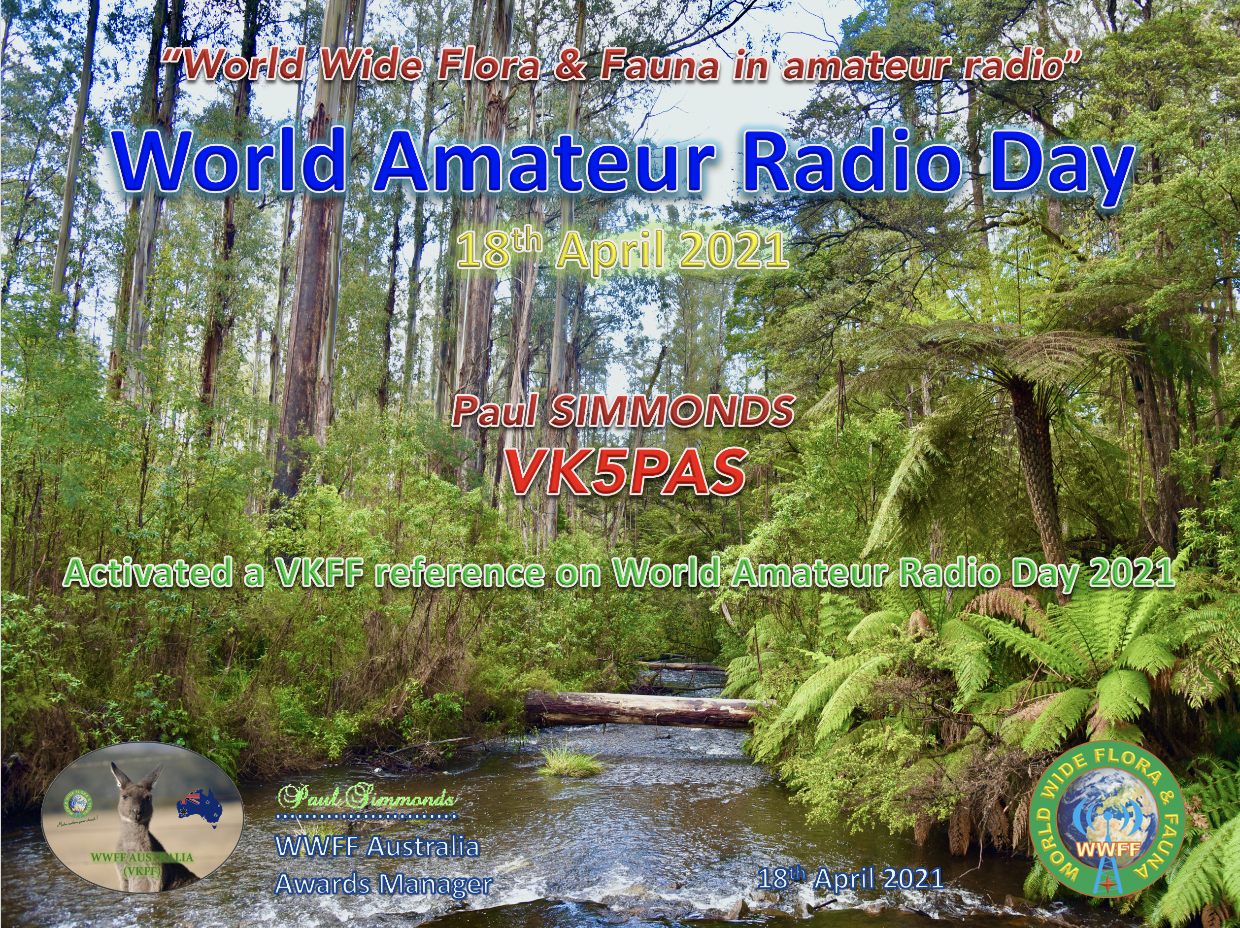
World Amateur Radio Day (WARD) was held on the 18th April 2021. To help celebrate the event the VKFF program offered special certificates to any amateur who either activated or worked a VKFF reference on the day.
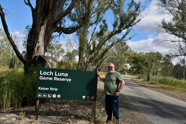
Marija VK5MAZ and I activated the Loch Luna Game Reserve VKFF-1723 and made contact with a number of other VKFF activators. As a result we both received the Activator and Hunter certificates for 2021 WARD.
Marija VK5MAZ and I are back from our 2 week holiday to VK3 and VK2. We stayed 2 nights in Renmark, 6 nights in Mildura, 3 nights in Robinvale, and then another night in Renmark on the way home.
Our trip was to coincide with the activation weekend for the Keith Roget Memorial National Parks Award (KRMNPA). Thanks to Tony VK3XV for another magnificent weekend.
Whilst away Marija and I spent probably 50/% sightseeing and 50% activating parks in both VIC & NSW.
We also went out for dinner in Renmark with Ivan VK5HS & his wife Cheryl, Peter VK5PE, and Danny VK5DW. Di, the XYL of Larry VK5LY (now SK) also attended. Larry was a very active park activator and hunter. A great night out.
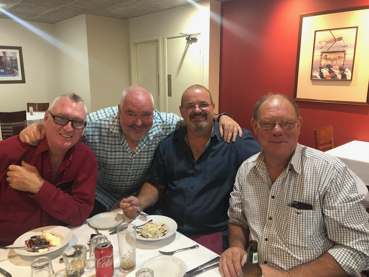
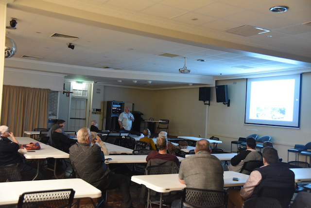
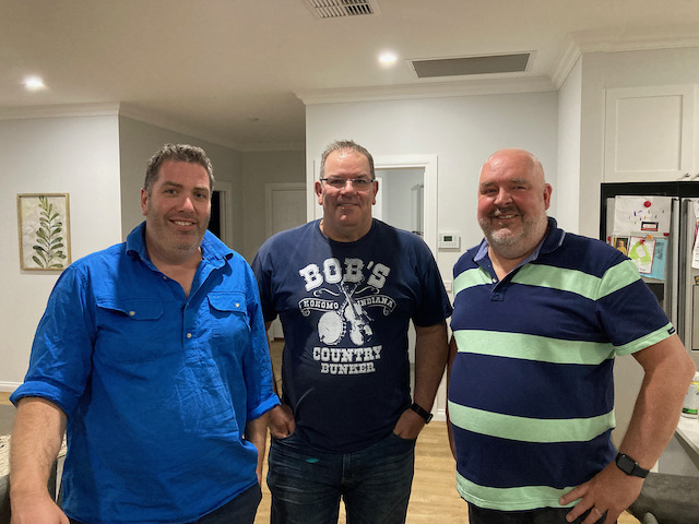
Whilst at Mildura we went out for dinner with members of the Sunraysia Radio Group at the Mildura Working Mans Club & delivered them a presentation entitled ‘Having fun in the field’. Thanks Brian VK3BBB.
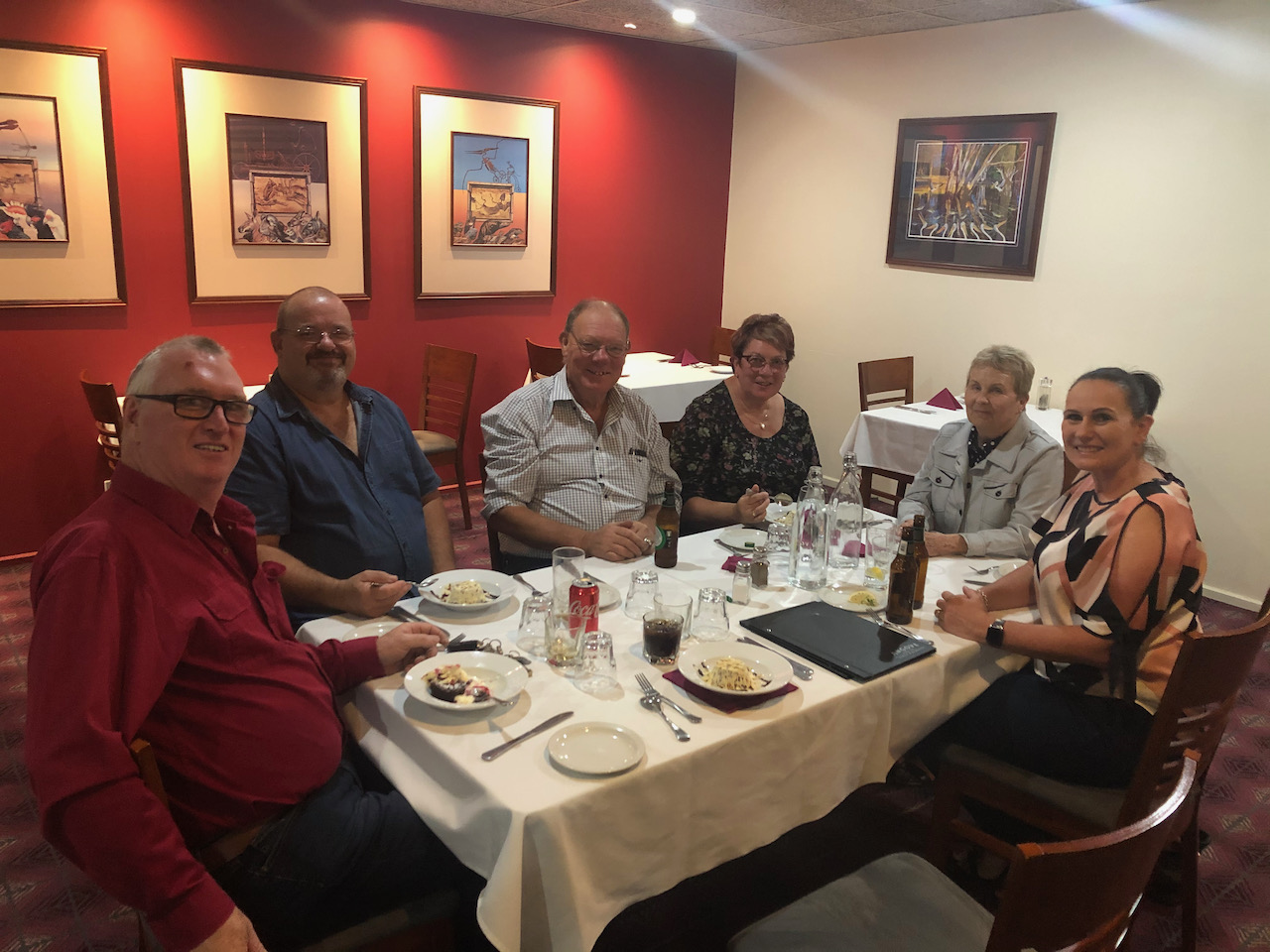
The following night we went over to the home QTH of Cam VK2DG and had a terrific night/dinner with Cam and his wife and Greg VK3MTV and his partner. Thanks Cam for the invitation.
On the way back we caught up with Ivan VK5HS again for beer and pizza at his place, and Ivan and his wife Cheryl kindly cooked us a cooked breakfast on our last day.
Whilst away we activated 22 parks and made a total of 2,171 QSOs. This included 154 Park to Park contacts.
Details of each activation as follows:-
Murray River National Park VKFF-0372 S.A. – 128 QSOs & 5 Park to Park.
Pike River Conservation Park VKFF-0831 S.A. – 75 QSOs & 2 Park to Park.
Cooltong Conservation Park VKFF-0823 S.A. – 114 QSOs & 6 Park to Park.
Meringur Flora Reserve VKFF-2383 VIC – 95 QSOs & 5 Park to Park.
Yarrara Flora Reserve VKFF-2498 VIC – 65 QSOs & 4 Park to Park.
Mallanbool Flora Reserve VKFF-2375 VIC – 61 QSOs & 4 Park to Park.
Karadoc Nature Conservation Reserve VKFF-2123 VIC – 69 QSOs & 2 Park to Park.
Murray Sunset National Park VKFF-0373 VIC – 233 QSOs & 40 Park to Park.
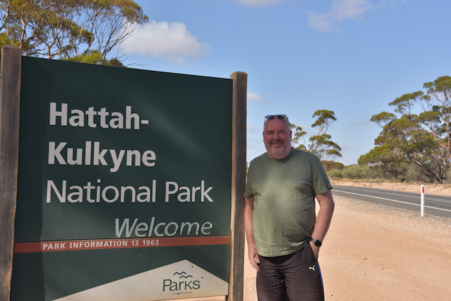
Hattah Kulyne National Park VKFF-0231 VIC – 217 QSOs & 53 Park to Park.
Yatpool Flora Reserve VKFF-2501 VIC – 101 QSOs & 5 Park to Park.
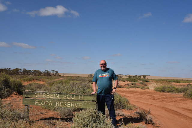
Merbein South Flora Reserve VKFF-2382 VIC – 67 QSOs & 6 Park to Park.
Kemendok National Park VKFF-1174 NSW – 116 QSOs & 3 Park to Park.
Tol Tol Flora & Fauna Reserve VKFF-2458 VIC – 69 QSOs & 2 Park to Park.
Passage Camp Nature Conservation Reserve VKFF-2173 VIC – 75 QSOs & 4 Park to Park.
Yanga National Park VKFF-2249 NSW – 87 QSOs & 2 Park to Park.
Mungo National Park VKFF-0370 NSW – 141 QSOs & 9 Park to Park.
Euston Regional Park VKFF-1782 NSW – 110 QSOs.
Lakes Powell & Carpul Wildlife Reserve VKFF-2365 VIC – 56 QSOs & 2 Park to Park.
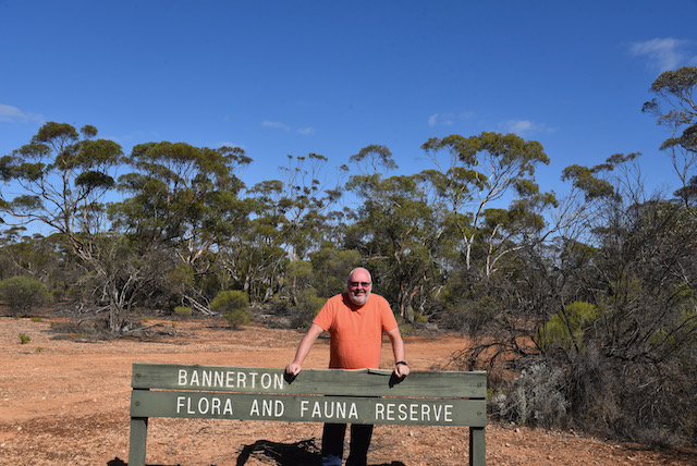
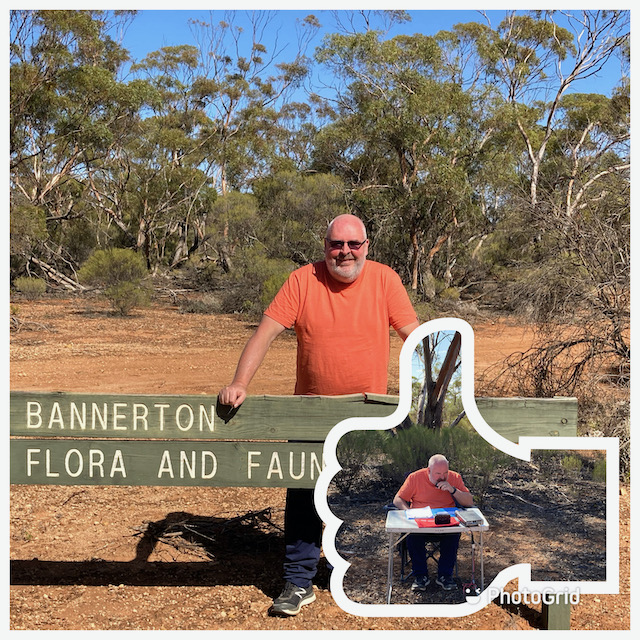
Bannerton Flora Reserve VKFF-2261 VIC – 81 QSOs
Wemen Flora Reserve VKFF-2483 VIC – 58 QSOs
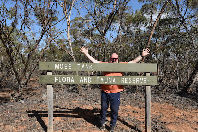
Moss Tank Flora & Fauna Reserve VKFF-2394 – 57 QSOs
Loch Luna Game Reserve VKFF-1723 – 96 QSOs & 5 QSOs
Many thanks to everyone who called us. We had a terrific trip. Some photos attached.
More info & photos on each of the days of our trip and each activation will slowly appear here on my WordPress site.