On Tuesday evening (19th January 2020) I delivered a presentation via Zoom to members of the Peel Amateur Radio Group in Western Australia. The presentation was entitled ‘Having fun in the field’.
The presentation covered a brief rundown on the World Wide Flora Fauna (WWFF) program, why get involved in portable activity, equipment to be used whilst portable, spotting & alerting, and some tips for both activators and hunters.
There were a number of PARG members in attendance in person at their meeting venue, along with a number of people who joined via Zoom. This included Hans VK6XN who is the VK6 rep for VKFF.
Sue VK5AYL followed me with a presentation on her excellent parksnpeaks app.
This was followed by a presentation by Tony VK6DQ who spoke about learning and operating CW.
Thanks to Mark VK2KI/VK6QI and for Geoff VK6GHD for asking me to deliver the presentation.
I have now been asked to deliver the same presentation to the Western Australia VHF Group.
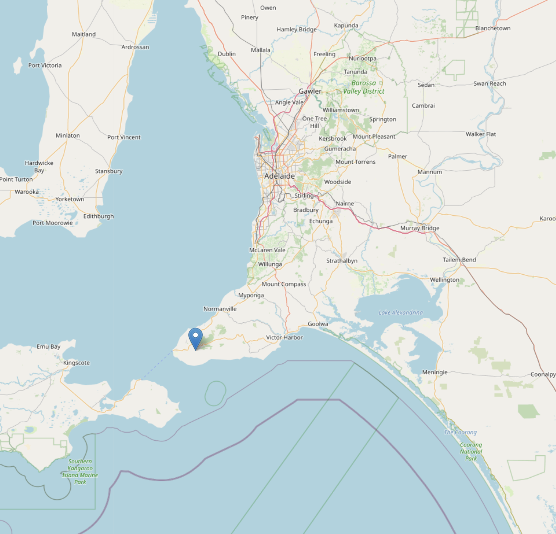
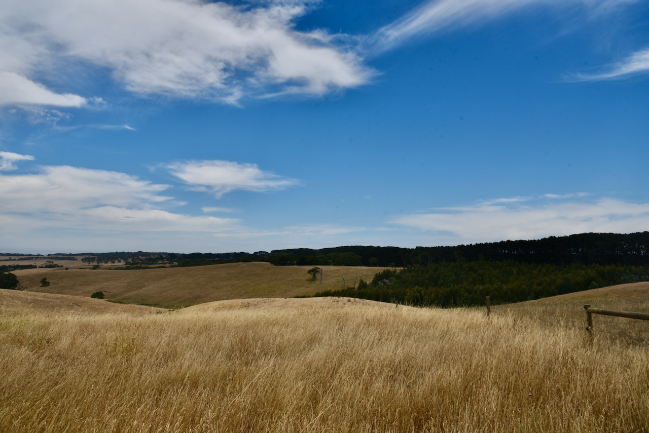
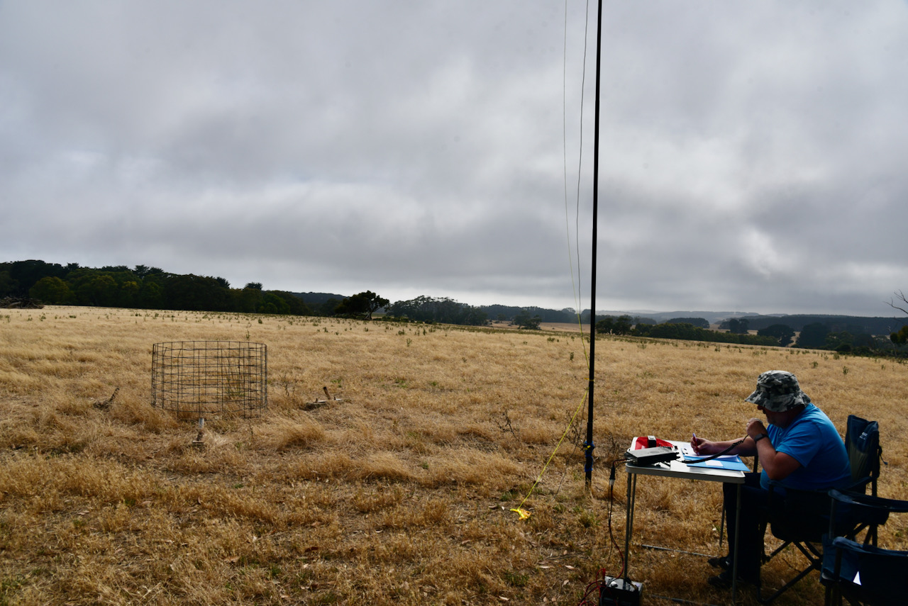
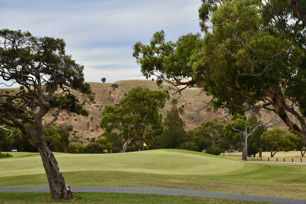
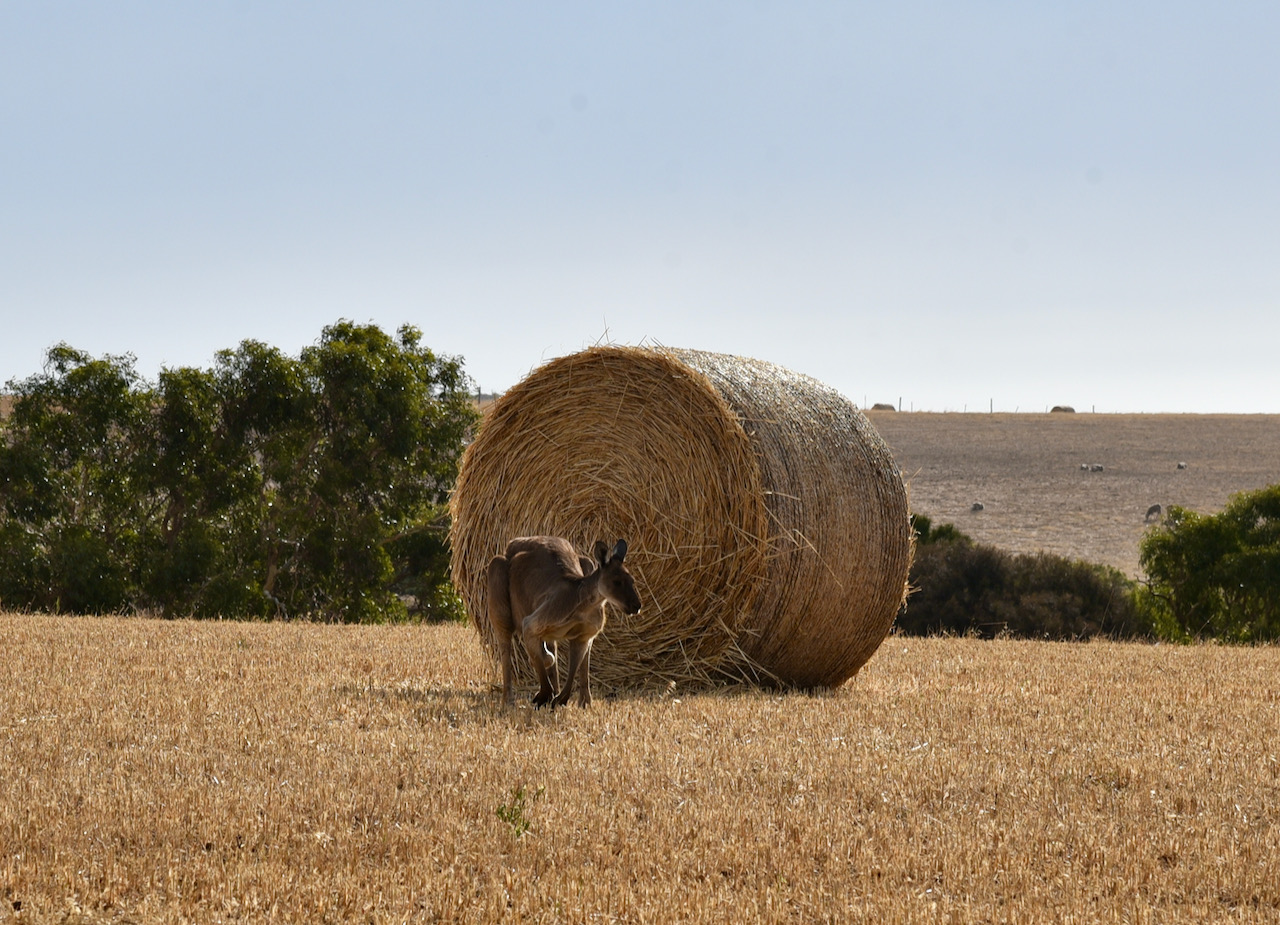
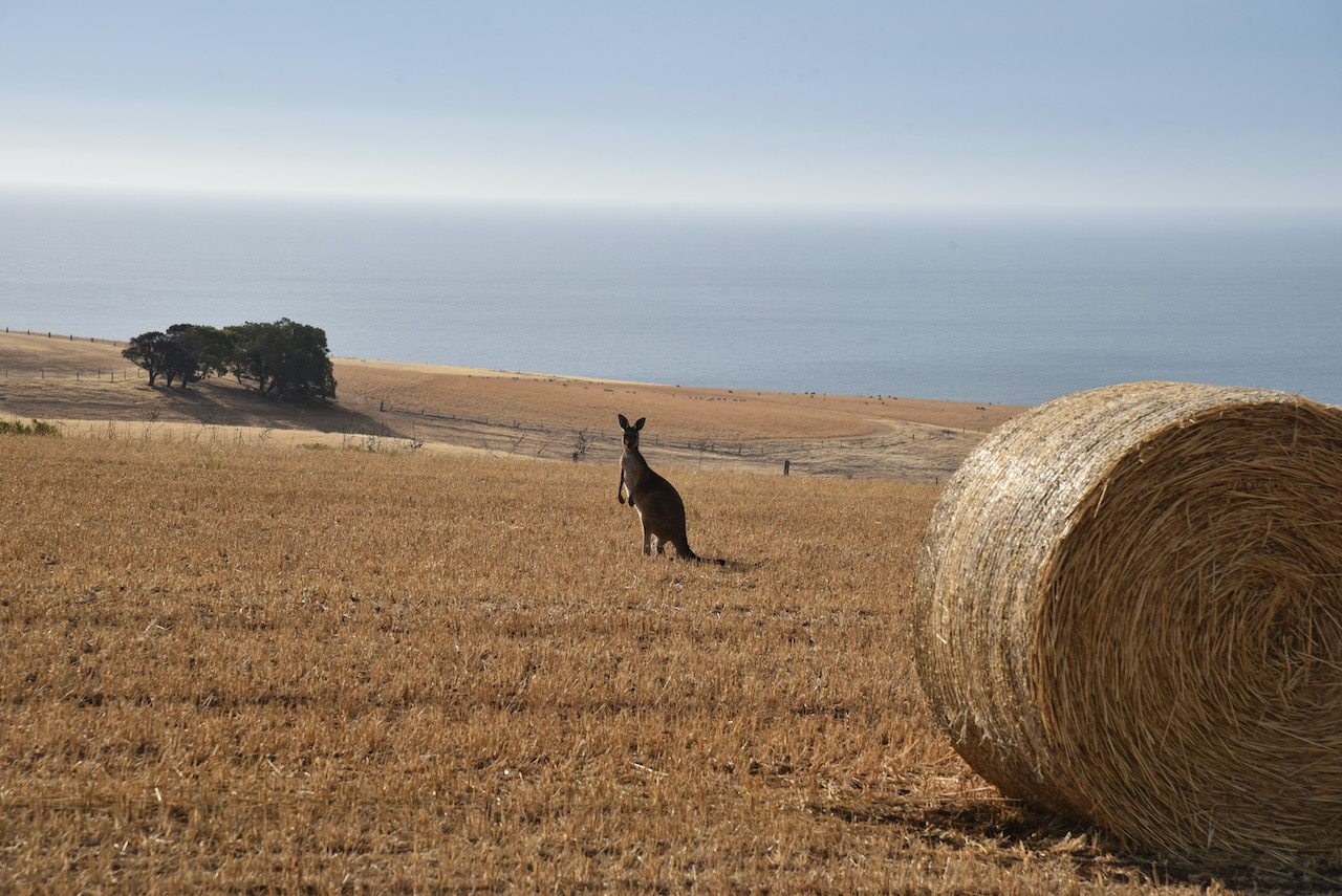
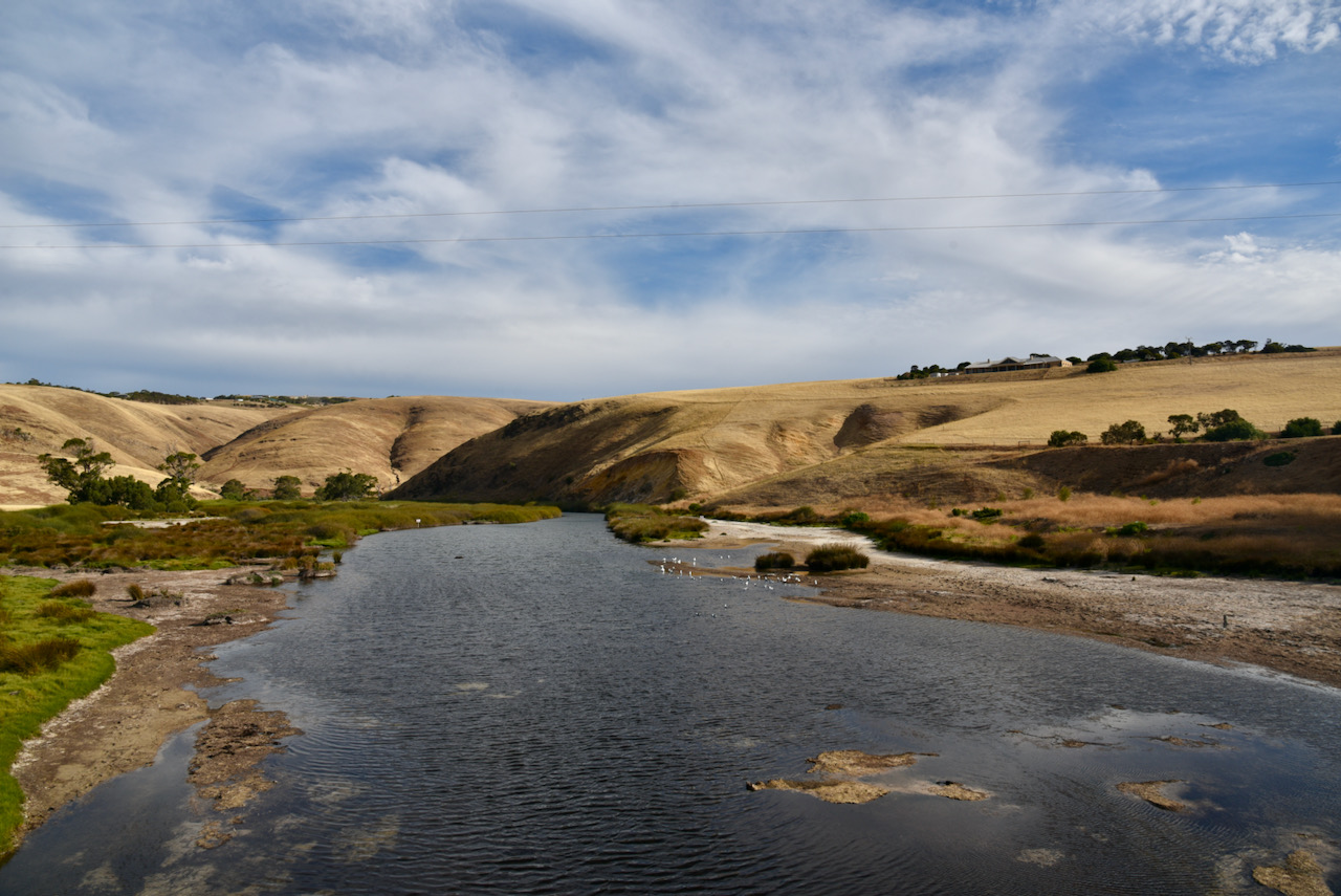
Yesterday (Friday 1st January 2021) Marija VK5MAZ and I headed south to the Fleurieu Peninsula to activate Black Bullock Hill VK5/ SE-016 for the Summits on the Air (SOTA) program. It has become quite a tradition for Australian SOTA activators to head out to activate a summit on New Years Day, taking advantage of the UTC rollover and a new calendar year.
Marija and I had not been very active out in the field during 2021. In fact this would be our first SOTA activation in 12 months. A variety of issues including the bushfires, COVID-19, selling our house and moving to a new property, and big commitments to both our workplaces, had conspired against us.
We have both activated Black Bullock Hill previously, but we would pick up 2 points for this activation (1 point for 2020 before the UTC rollover, and another 1 point for 2021 after the UTC rollover).
Above:- Map showing the location of Black Bullock Hill south of Adelaide. Map courtesy of openstreetmap.org.
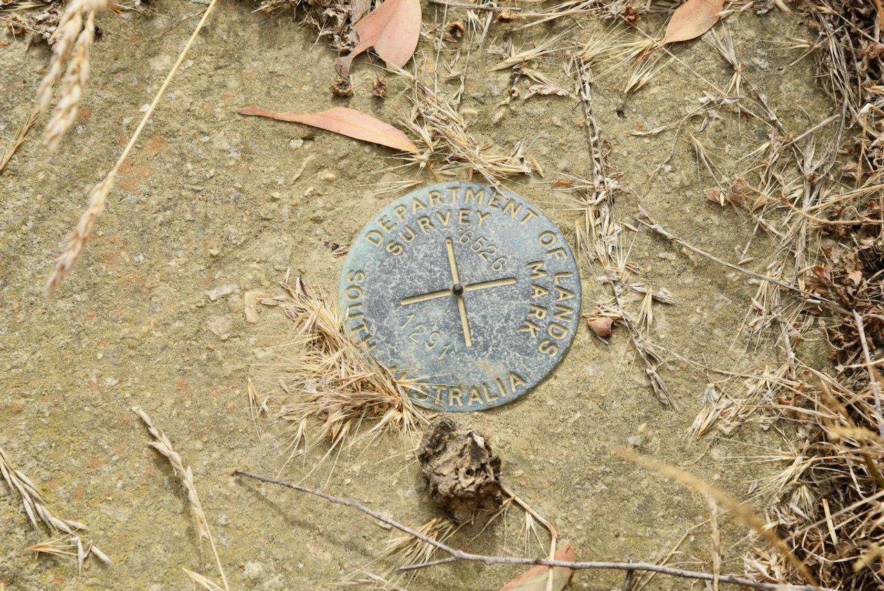
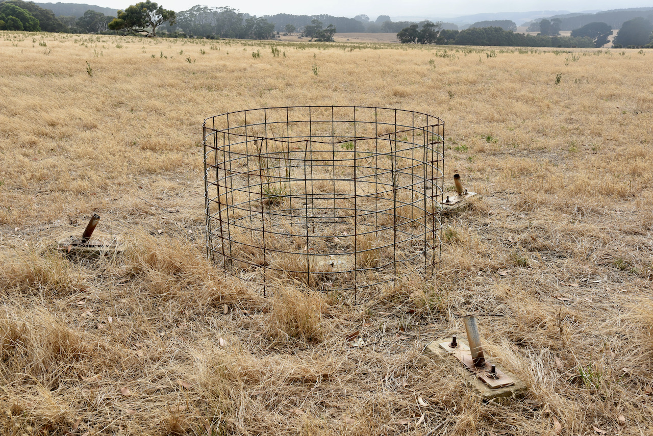
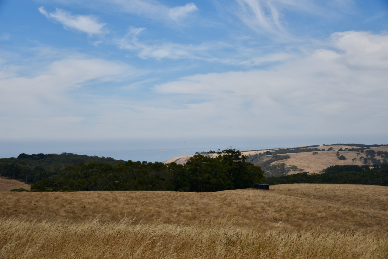
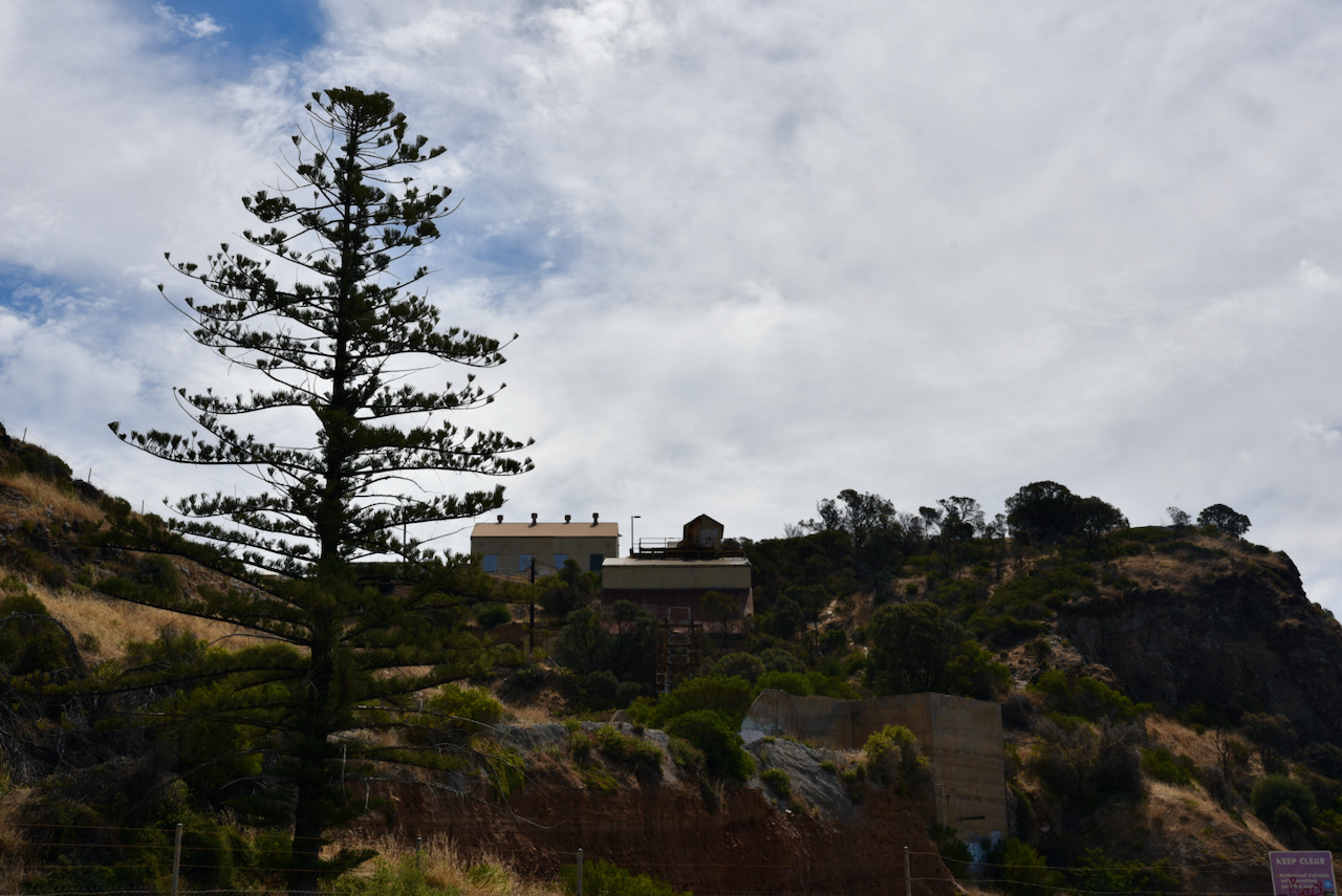
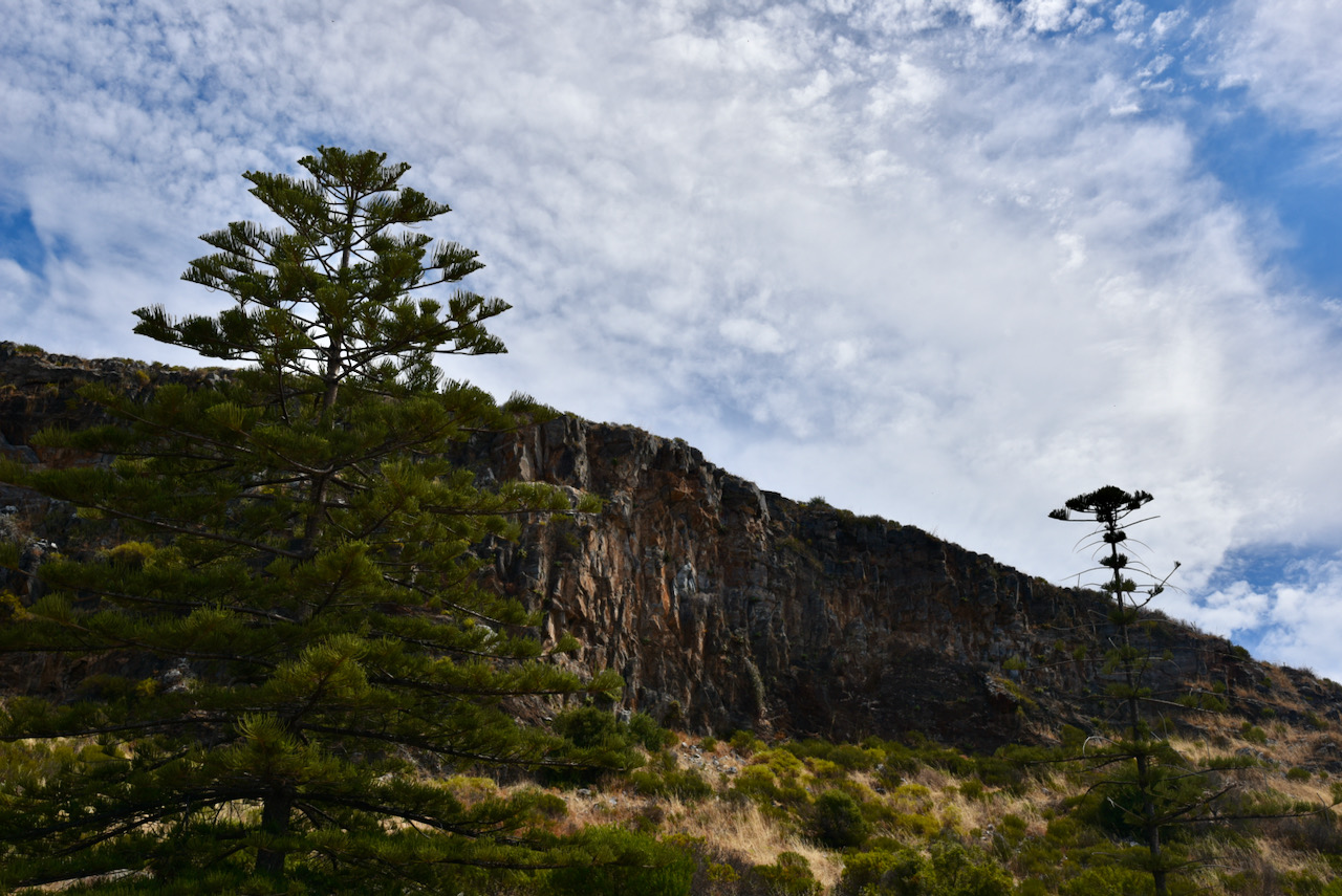
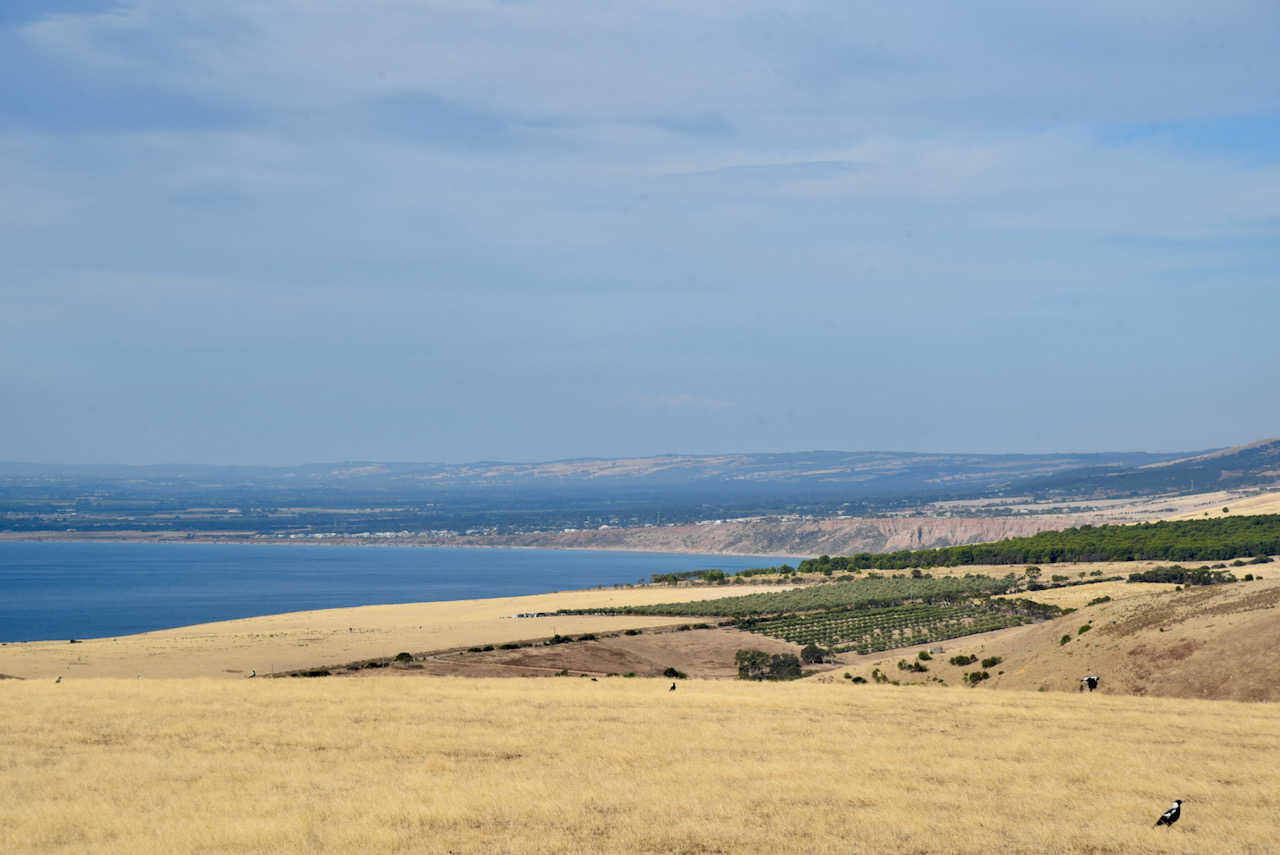
Black Bullock Hill is 365 metres above sea level and is reported to be the highest point on the Fleurieu Peninsula. It is worth 1 point in the Summits on the Air program. There is a trig point located at the summit and this is located on private property. Last time Marija and I were at this summit the trig point was lying on the ground on its side. I telephoned the new land owner the day before and he very kindly agreed that we could access his property. He also advised that the trig point had been taken away to be restored.
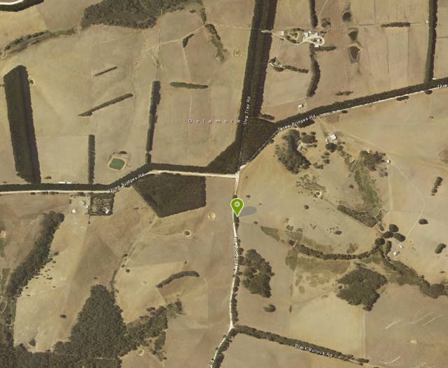
The summit is situated near the intersection of Dog Trap Road, Three Bridges Road and Tent Rock Road.
Above:- Aerial showing the location of the summit, just on the eastern side of Tent Rock Road. Image courtesy of Location SA Map Viewer.
For many years this summit was recorded with SOTA as being an un-named summit. A number of years ago I revealed that the summit was actually called Black Bullock Hill and the summit name was changed on the SOTA database.
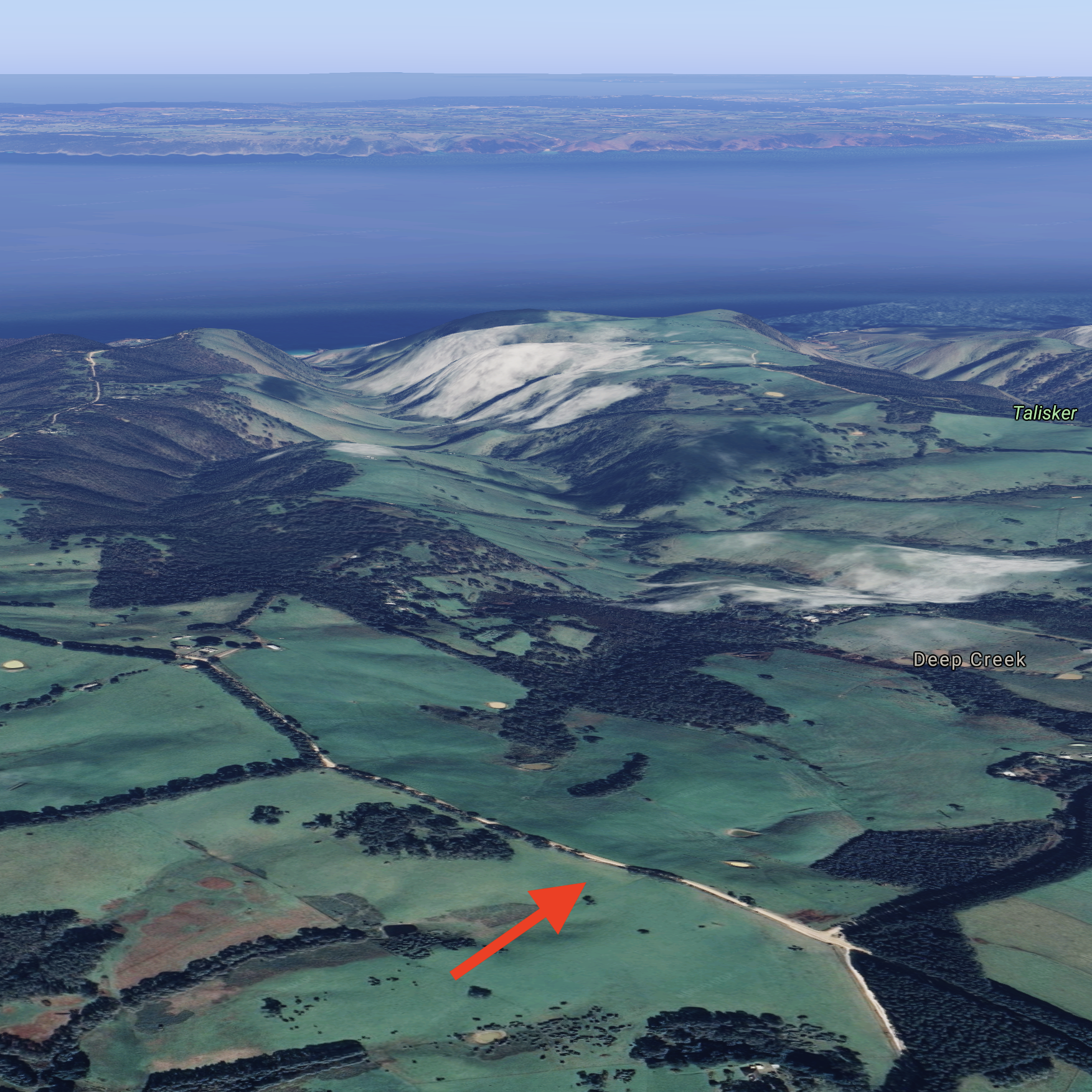
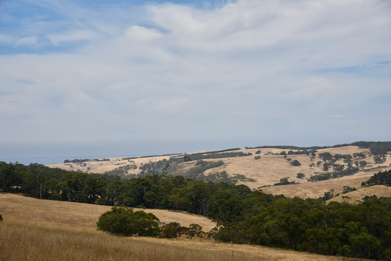
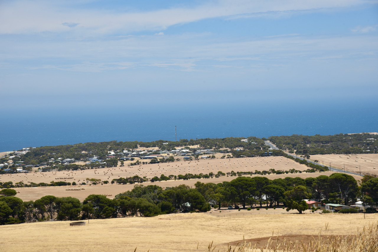
Above:- An aerial shot of Black Bullock Hill looking out towards Kangaroo Island. Image courtesy of Google maps.
I suspected that the summit was probably named after a black bullock. But enquiries with the Yankalilla and District Historical Society confirmed that the summit’s name actually comes from a plant, not an animal, as I had presumed. And that plant is ‘bull-oak’ Allocasuarina Luchnannii, which is part of the Casuarinaceae family. The plant is also sometimes referred to as ‘buloke’. It is reputed to the the hardest wood in the world, with a Janka Hardness of 5,060 lbf. The Janka hardness test measures the resistance of a sample of wood to denting and wear.
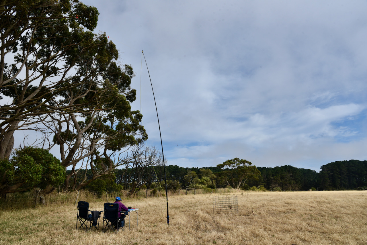
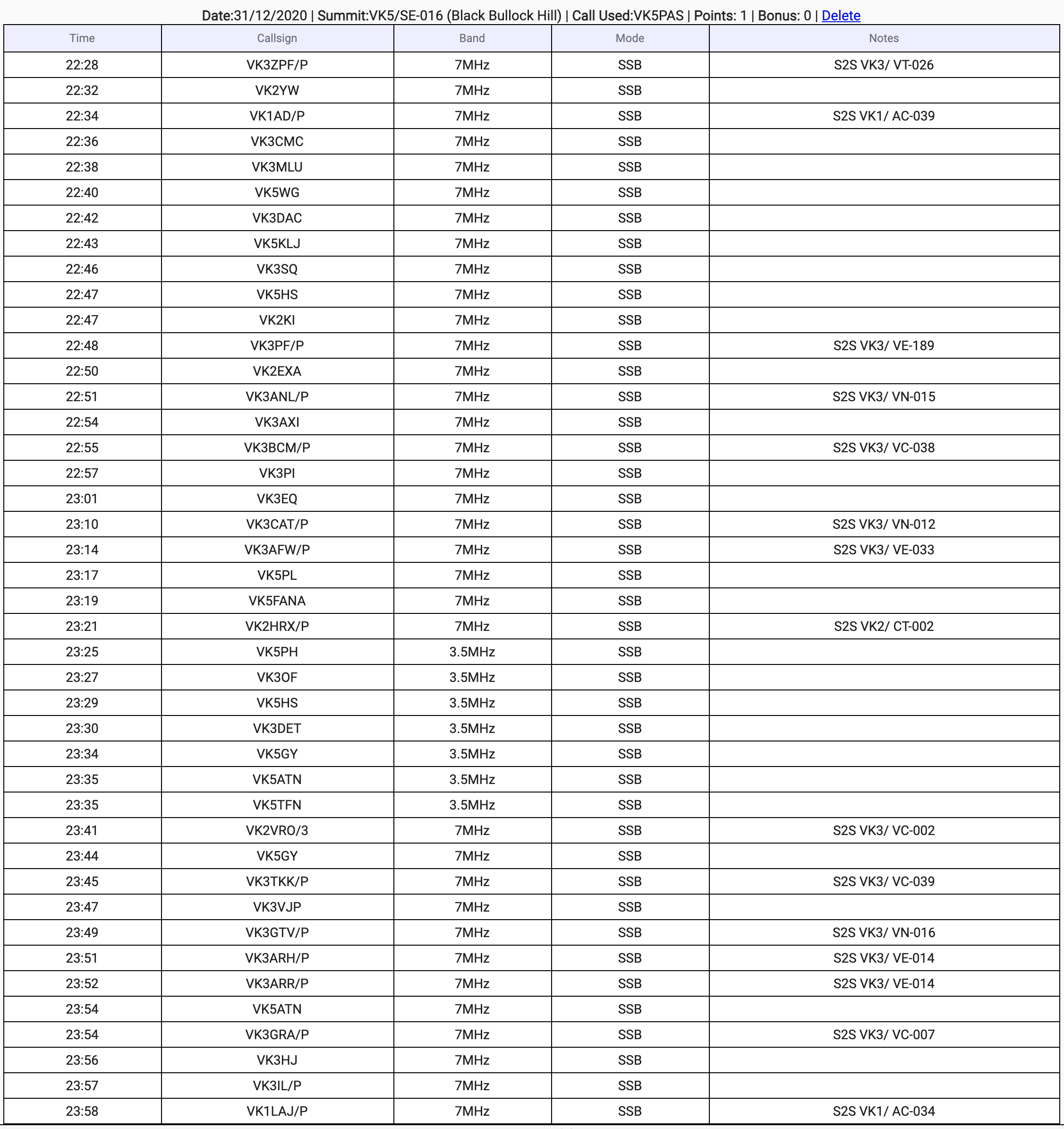
Marija and I were set up and ready to go by about 2230 hrs UTC (9.00 a.m. South Australian local time). We ran the Yaesu FT-857d and the 20/40/80m linked dipole and the 15m dipole for this activation. As this is an easy summit to access, we set up the fold up table and deck chairs.
The temperature was tipped to be 26 deg C at nearby Victor Harbor, but it was a chilly morning initially, with a very cold breeze blowing in off the nearby Southern Ocean.
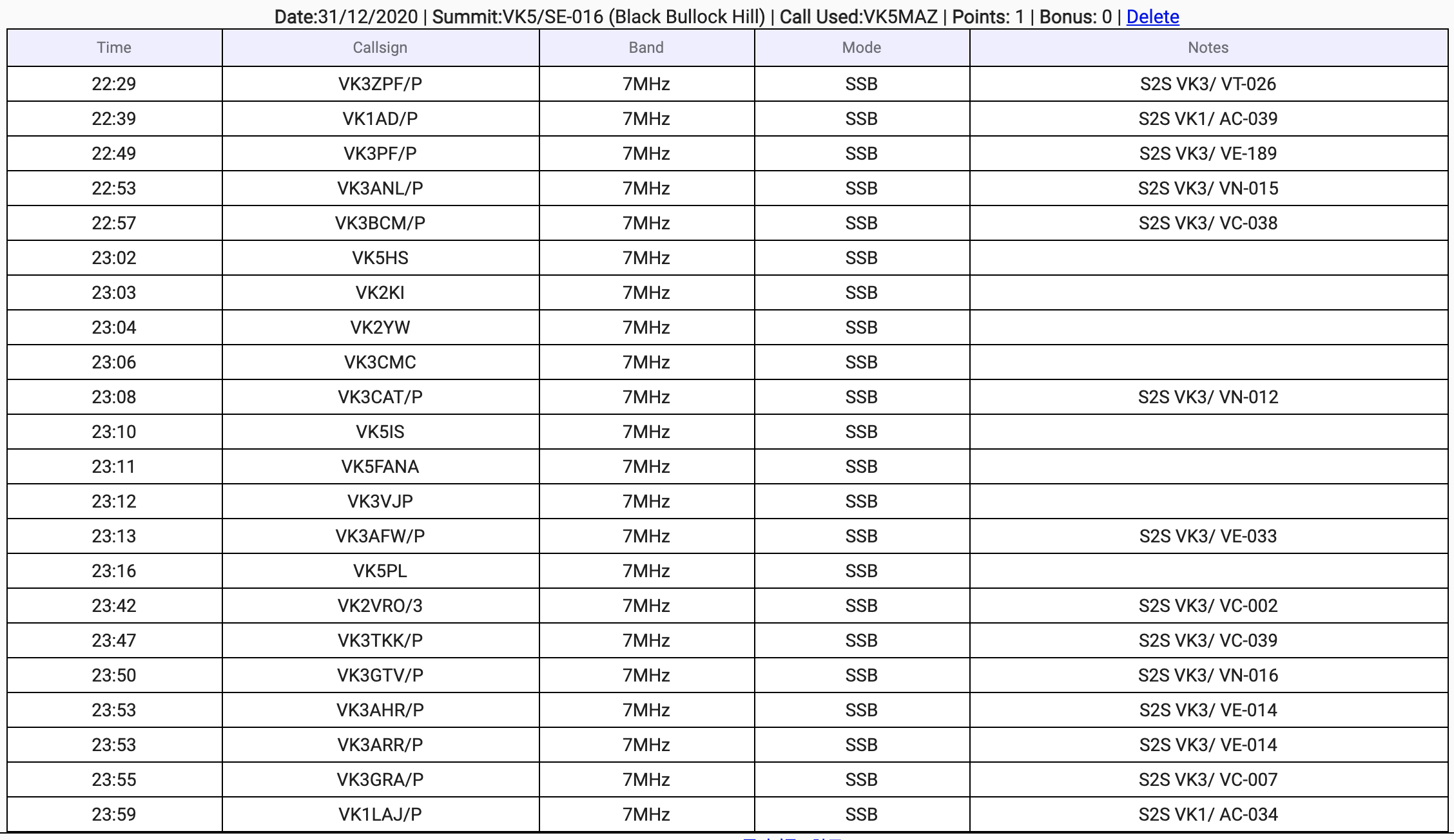
First in the log for both Marija and I was Peter VK3ZPF/p who was activating SOTA summit VK3/ VT-026. After logging Peter on 7.090, we moved down to 7.085 and started calling CQ. As the other SOTA activators called us, I handed over the mic to Marija so she could log the Summit to Summit contacts.
Once I had well and truly qualified the summit with 18 contacts in the log, I handed over the mic to Marija who called CQ on 7.085.
Between the two of us, we logged a total of 38 stations on 40m from VK1, VK2, VK3, and VK5. Of those, we each made seven Summit to Summit contacts as follows:-
Peter VK3ZPF/p – Mount Tooronga Range VK3/ VT-026
Andrew VK1AD – Yellow Rabbit Hill VK1/ AC-039
Peter VK3PF/p – Mount Baranduda VK3/ VE-189 and Baranduda Regional Park VKFF-0959
Nick VK3ANL – Mount Hickey VK3/ VN-015
Brian VK3BCM – Archer Lookout VK3/ VC-038 and Yarra Ranges National Park VKFF-0556
Tony VK3CAT/p – Mount Mitchell VK3/ VN-012
Ron VK3AFW/p – Mount Toolebewong VK3/ VE-033
We then moved to 80m where I logged a total of 7 stations from VK3 and VK5. Conditions seemed to be quite good on that band and I expected more contacts there but that did not eventuate.
We moved back to the 40m band and logged a further 19 contacts before the UTC rollover at 10.30 a.m. South Australian local time. This included a further seven Summit to Summit contacts for each of our logs as follows:-
Joel VK2VRO/p – Mount Donna Buang VK3/ VC-002 and Yarra Ranges National Park VKFF-0556
Peter VK3TKK/p – Mount Gisborne VK3/ VC-039
Col VK3GTV/p – Mount Alexander VK3/ VN-016 and Mount Alexander Regional Park VKFF-0973
Allen VK3ARH/p – The Horn VK3/ VE-014 and Mount Buffalo National Park VKFF-0339
Andrew VK3ARR/p – The Horn VK3/ VE-014 and Mount Buffalo National Park VKFF-0339
Graham VK3GRA/p – Mount Macedon VK3/ VC-007 and Macedon Regional Park VKFF-0972
Aaron VK1LAJ/p – Mount Majura VK1/ AC-034 and Mount Majura Nature Reserve VKFF-0851
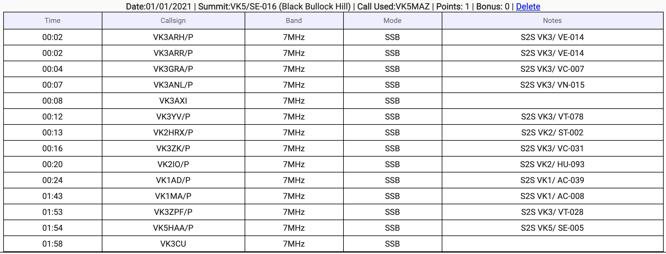
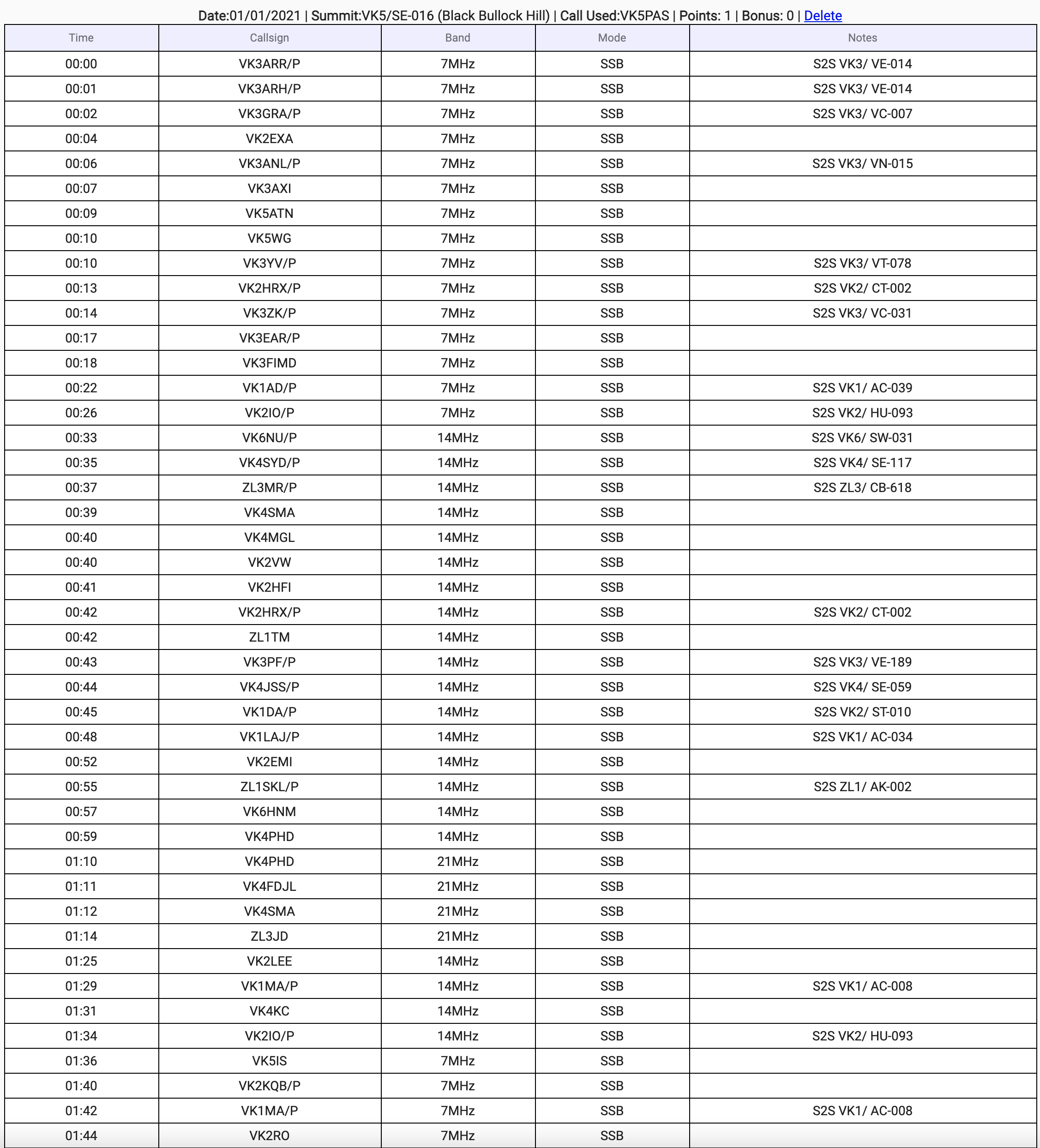
After the UTC rollover we logged a further 25 QSOs before I headed to the 20m band. This included the following Summit to Summit contacts:-
Andrew VK3ARR/p – The Horn VK3/ VE-014 and Mount Buffalo National Park VKFF-0339
Allen VK3ARH/p – The Horn VK3/ VE-014 and Mount Buffalo National Park VKFF-0339
Graham VK3GRA/p – Mount Macedon VK3/ VC-007 and Macedon Regional Park VKFF-0972
Nick VK3ANL – Mount Hickey VK3/ VN-015
Tony VK3YV/p – Gentle Annie VK3/ VT-078 and Bunyip State Park VKFF-0753
Compton VK2HRX – Mount Trickett VK2/ CT-002 and Kanangra-Boyd National Park VKFF-0256
Nik VK3ZK/p – Arthurs Seat VK3/ VC-031
Andrew VK1AD – Yellow Rabbit Hill VK1/ AC-039
Gerard VK2IO/p – Mount Elliot VK2/ HU-093
While Marija spotted me on parksnpeaks I called CQ on 14.310. This was answered by John VK6NU/p who was activating VK6/ SW-031. I also managed two Summit to Summit contacts with New Zealand stations: John ZL3MR/p on Ladbrooks Hills ZL3/ CB-618 who had a good 5/5 signal, and Soren Zl1SKL/p on ZL1/ AK-002 who was a little lower down but was eventually workable.
John VK6NU/p – Mount Cooke VK6/ SW-031 and Monadnocks Reserve VKFF-1459
Rob VK4SYD/p – Tennison Woods Mountain VK4/ SE-117 and D’Aguilar National Park VKFF-0129
John ZL3MR/p – Ladbrooks Hill ZL3/ CB-618
Compton VK2HRX/p – Mount Trickett VK2/ CT-002 and Kanangra-Boyd National Park VKFF-0256
Peter VK3PF/p – Mount Baranduda VK3/ VE-189 and Baranduda Regional Park VKFF-0959
Steve VK4JSS/p – Tamborine Mountain VK4/ SE-059 and Tamborine National Park VKFF-0475
Andrew VK1DA/p – Mount Foxlow VK2/ ST-010 and Yanununbeyan National Park VKFF-0555
Aaron VK1LAJ/p – Mount Majura VK1/ AC-034 and Mount Majura Nature Reserve VKFF-0851
Soren ZL1SKL/p – Mount Hobson ZL1/ AK-002
With some VK3 stations in my log on 20m, I suspected that the 15m band might be open to that part of Australia. So it was down with the squid pole, and Marija and I removed the linked dipole and we erected the 15m dipole.
I called CQ on 21.250 and my CQ call was answered by Peter VK4PHD on Bribie Island. Deryck VK4FDJL then called, followed by Mark VK4SMA, and then Phil ZL3JD in Auckland in New Zealand. Unfortunately they were my only takers on 15m.
I moved back to 20m and logged a further four stations including the following Summit to Summit contacts:-
Matt VK1MA/p – Mount Ginini VK1 AC-008
Gerard VK2IO/p – Mount Elliot VK2/ HU-093
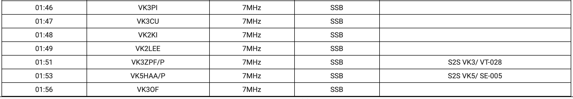
Marija and I decided to have one last call on 40m before packing up. We logged a total of 15 contacts including the following Summit to Summit contacts:-
Matt VK1MA/p – Mount Ginini VK1/ AC-008
Peter VK3ZPF/p – Mount Horsfall VK3/ VT-028 and Yarra Ranges National Park VKFF-0556
John VK5HAA/p – Mount Lofty VK5/ SE-005 and Cleland Conservation Park VKFF-0778
It was now about 12.30 p.m. local time and Marija and I packed up, with a total of 119 QSOs in the log including 64 Summit to Summit contacts.
Marija worked the following stations before the UTC rollover:-
Marija worked the following stations after the UTC rollover:-
I worked the following stations before the UTC rollover:-
I worked the following stations after the UTC rollover:-
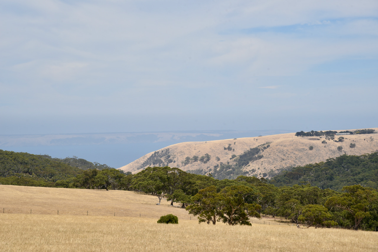
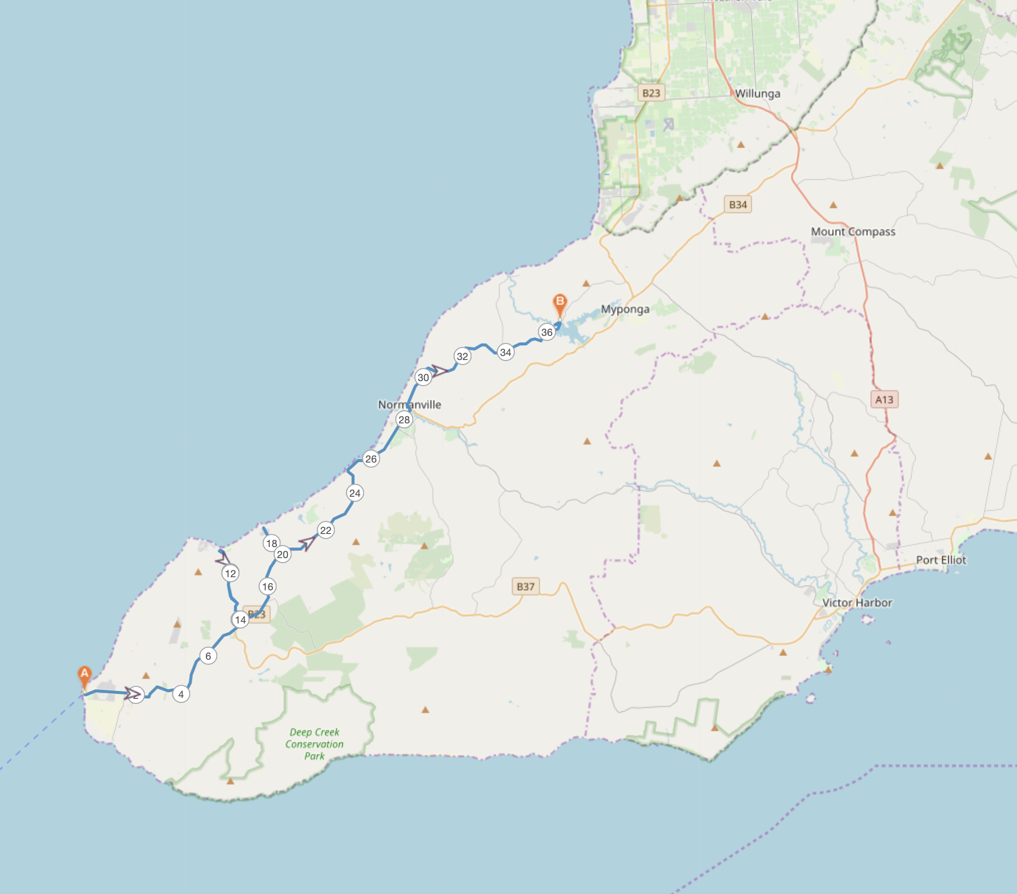
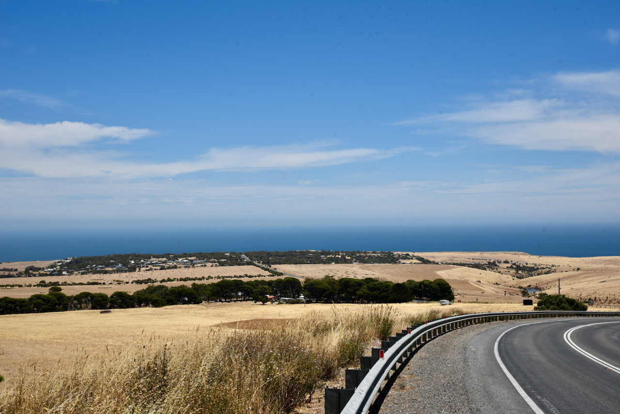
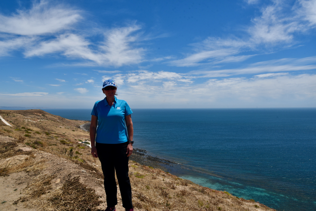
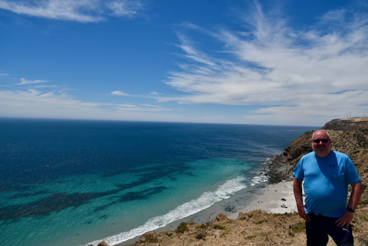
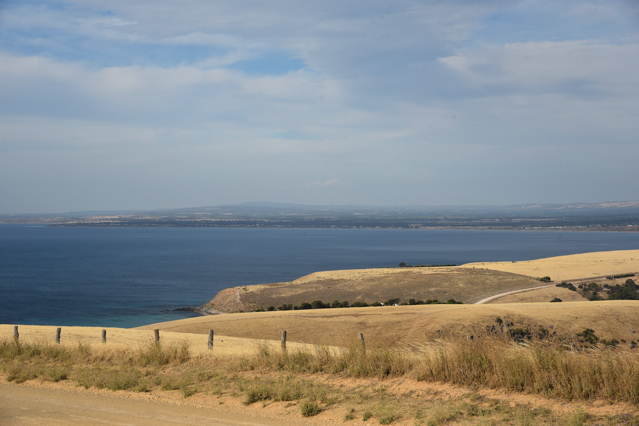
After packing up Marija and I decided that we would slowly head home following the western edge of the Fleurieu Peninsula.
Above:- The Fleurieu Peninsula south of Adelaide showing our afternoon travels. Map courtesy of plotaroute.
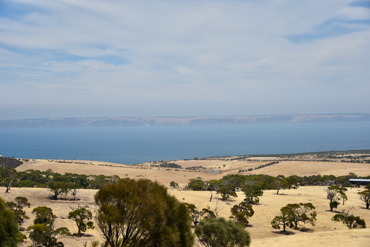
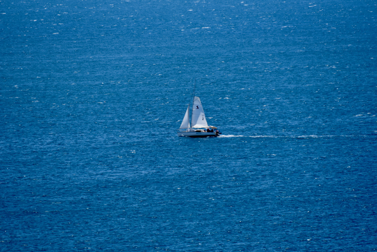
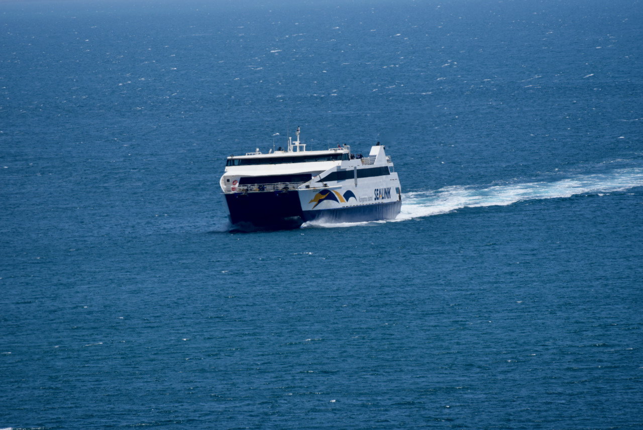
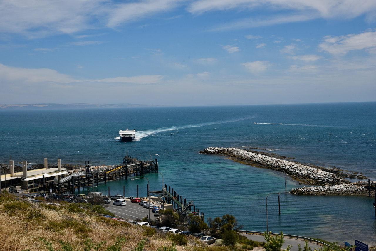
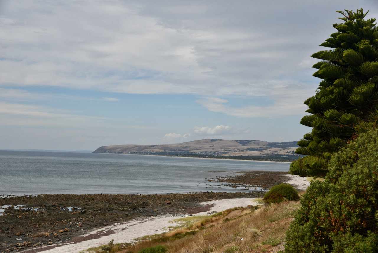
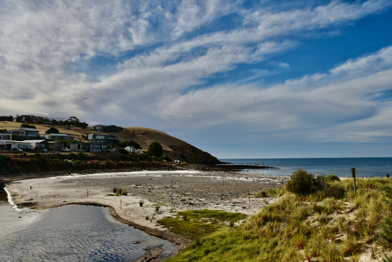
First up we headed to Cape Jervis on the tip of the Fleurieu. This is where travellers to Kangaroo Island catch the ferry. The small fishing town takes its name from the Cape Jervis headland which was named in 1802 by explorer Matthew Flinders after John Jervis the 1st Earl of St Vincent. Marija and I purchased Fish and Chips from the local take away store and we sat at the lookout enjoying our lunch looking out across Backstairs Passage between the South Australian mainland and Kangaroo Island. It was a beautiful way to spend lunch on a sunny afternoon.
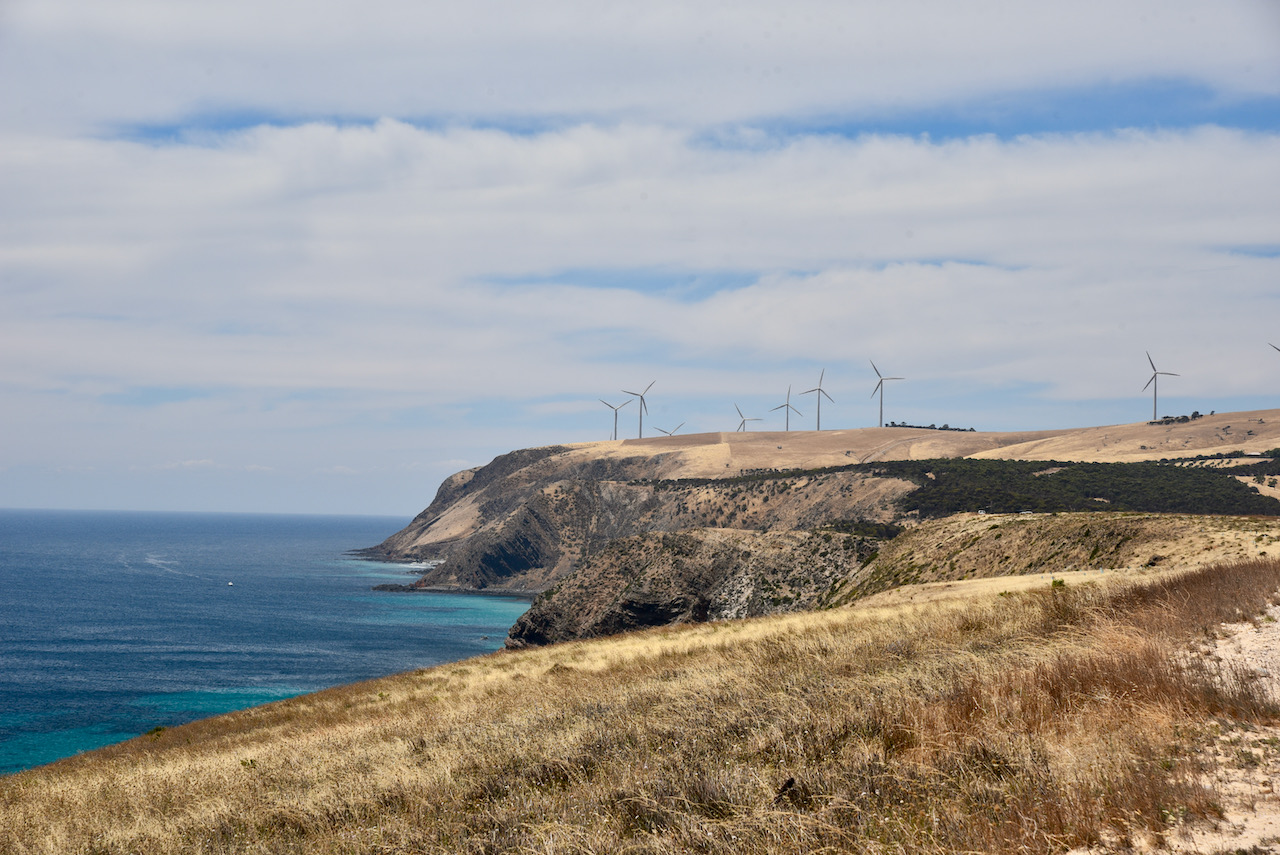
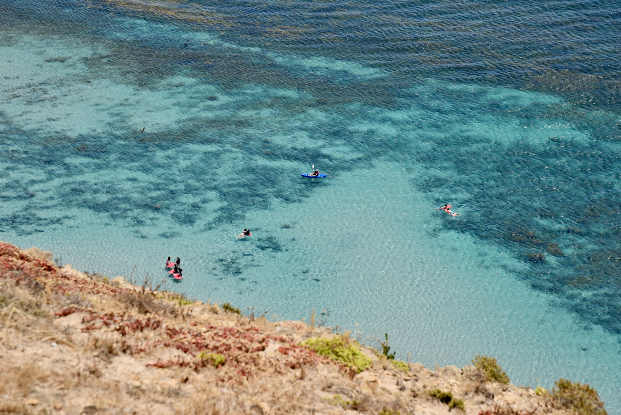
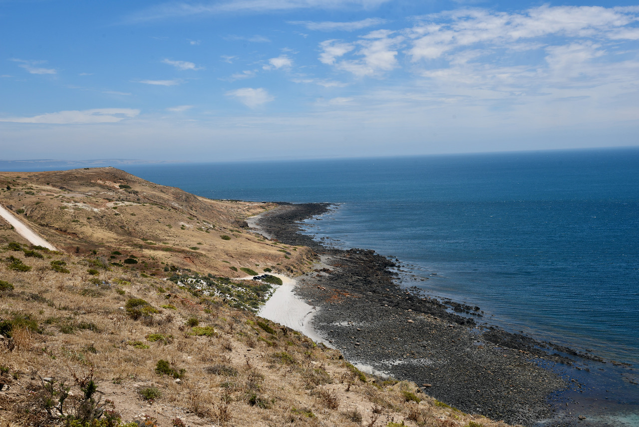
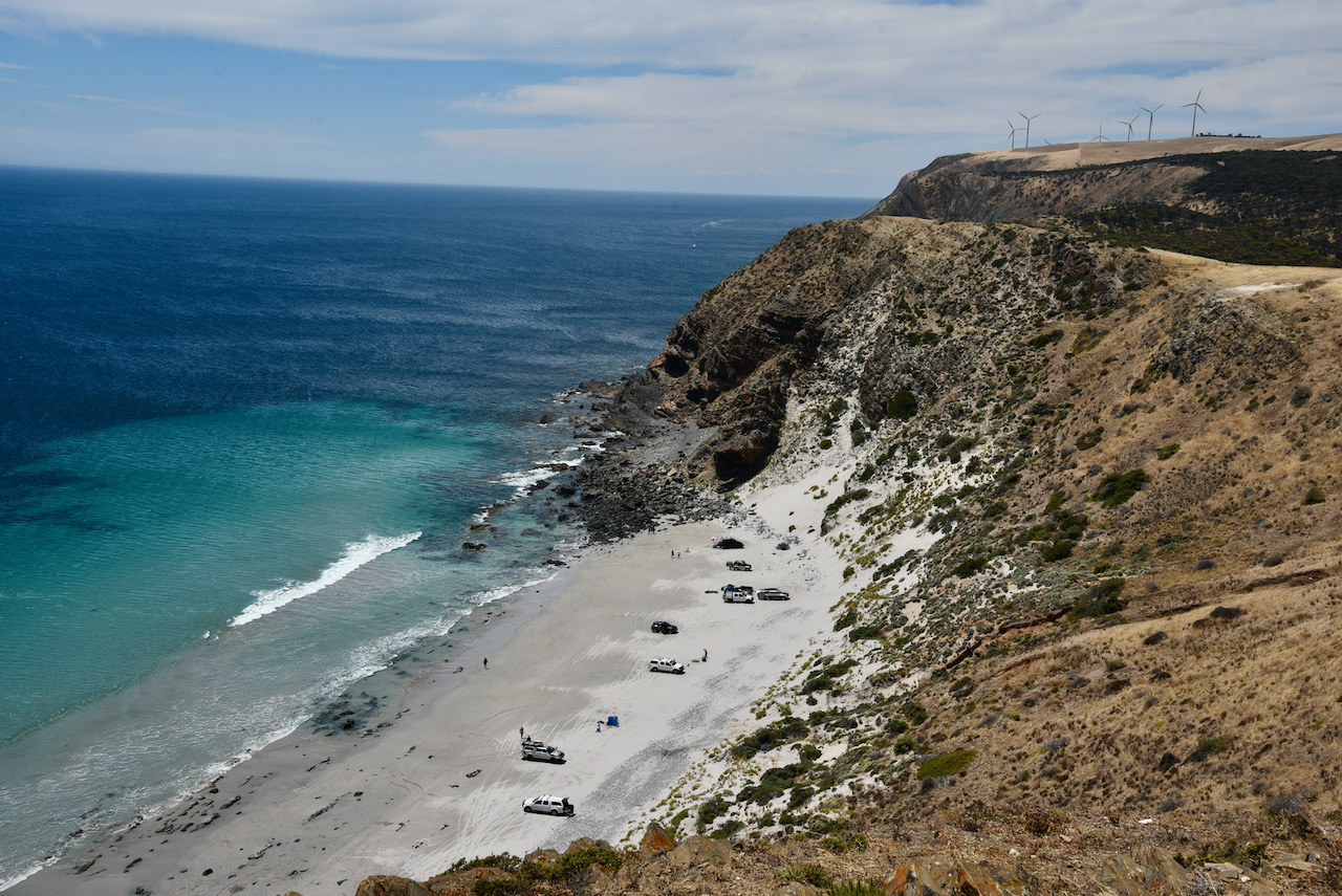
We then drove to Morgans Beach, just to the north of Cape Jervis. This is a beautiful beach which is nestled below 50 metre cliffs. The beach is accessed via a dirt road on the northern side of Main South Road. The beach is not signposted at this point. A short distance down this dirt road you either continue on to the lookout (to your right) or turn left to get down onto the beach. Access to the beach is only via 4WD. There are some great views here, including the nearby Starfish Hill Wind Farm.
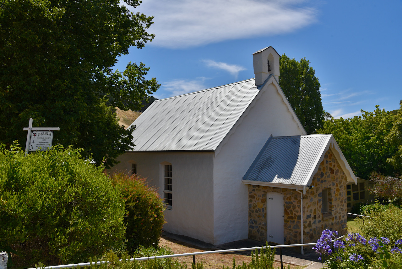
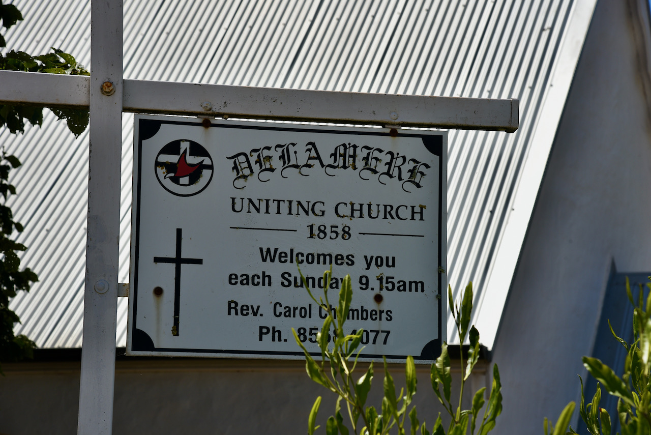
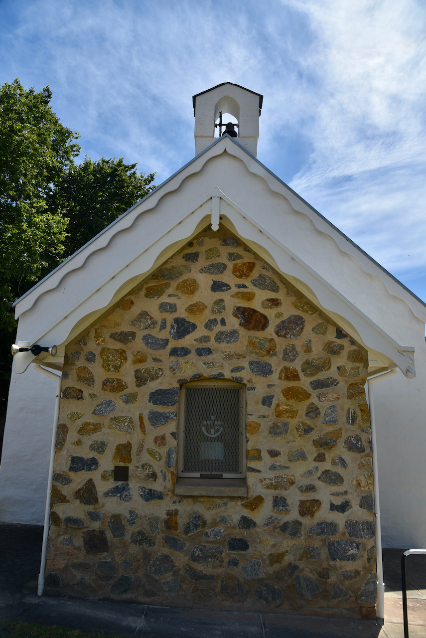
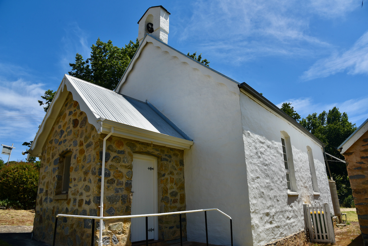
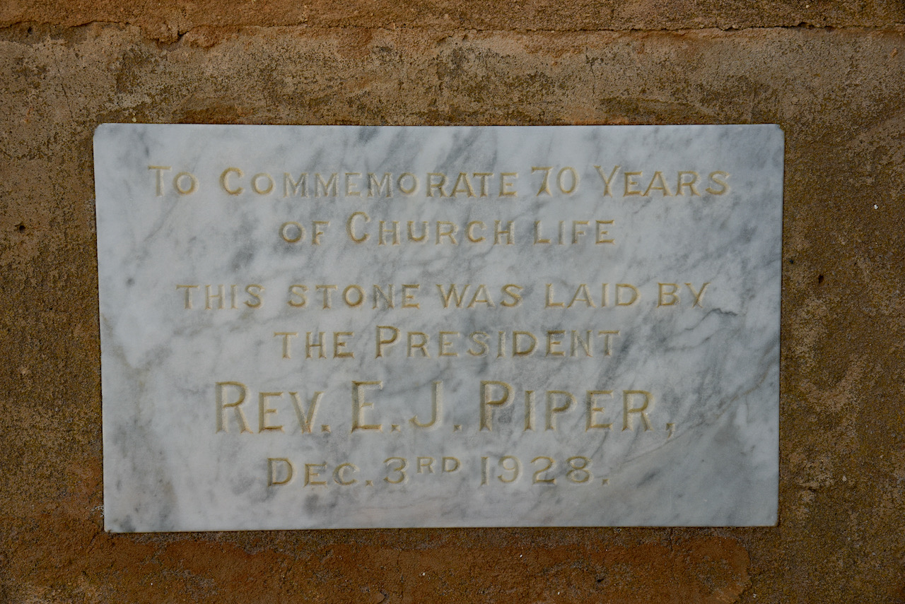
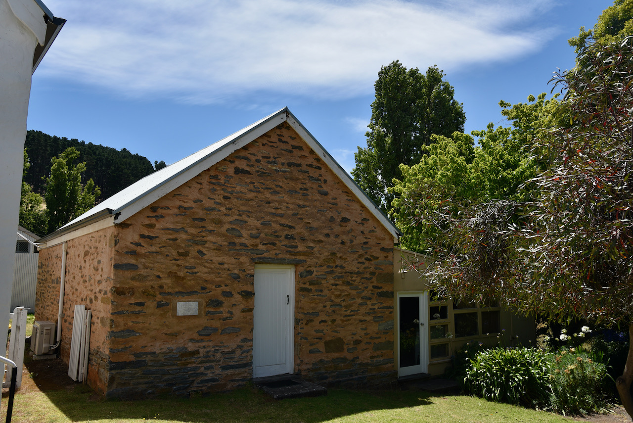
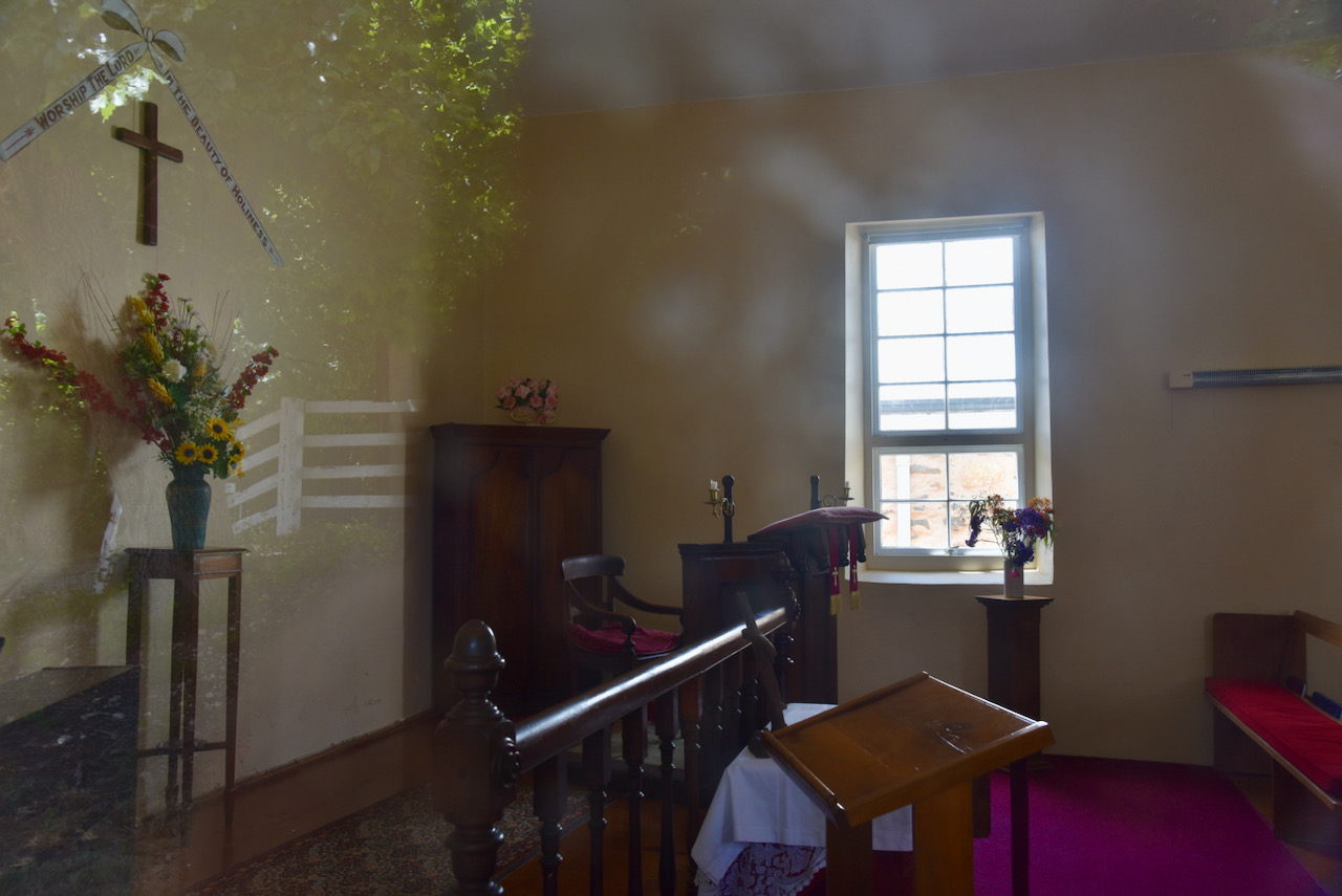
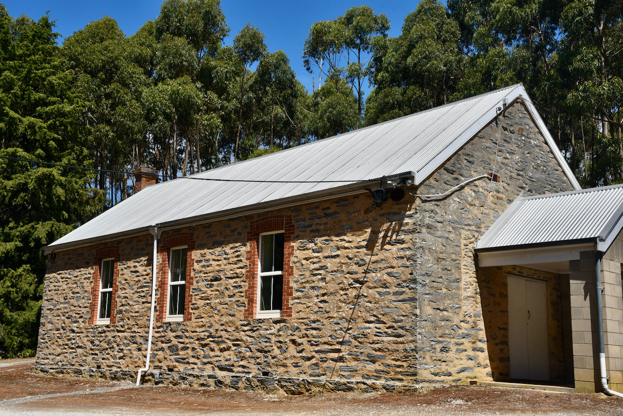
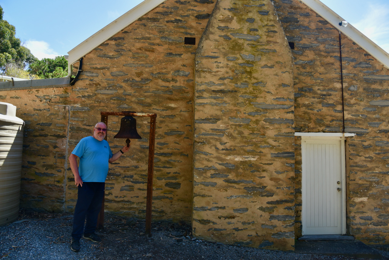
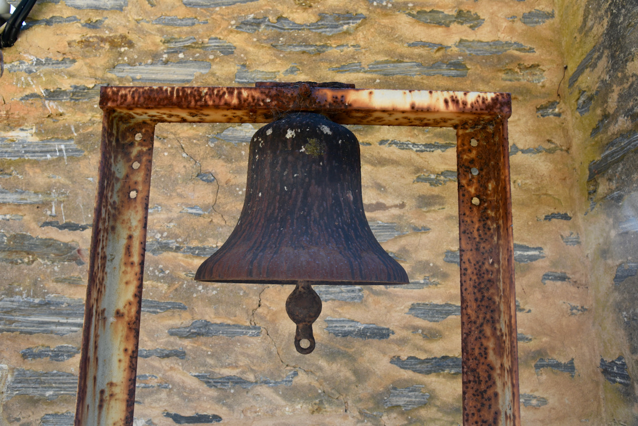
Our next stop was the very beautiful and historic Uniting Church at Delamere. The church dates back to 1858 and is located on Yoho Road. The church is often referred to as the ‘little white chapel’. In 1858, Joel and Mary Cole donated the land which the church is located on. This is still an active church.
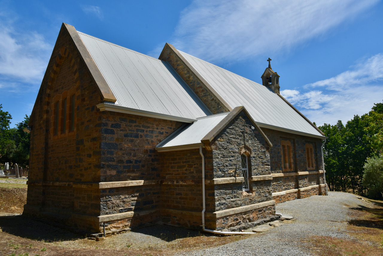
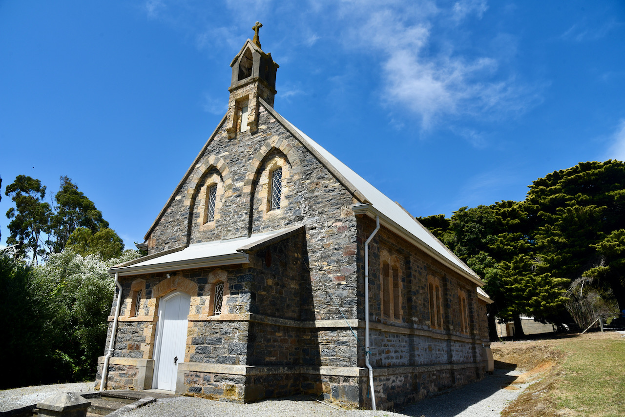
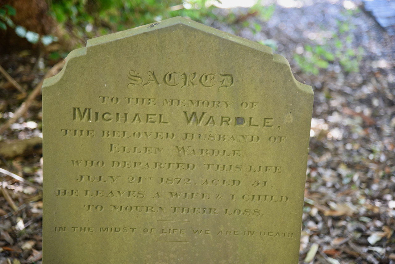
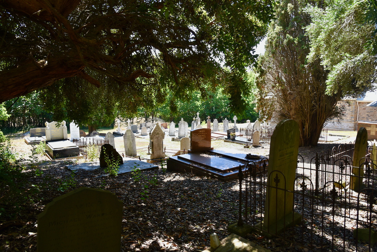
Our next stop was another historic church in Delamere, the St James Anglican church. The foundation stone for St James was laid on the 19th day of September 1870. A hall and a historic cemetery are located adjacent to the church. The church has several items of interest, including a font which is reputedly over 300 years old.
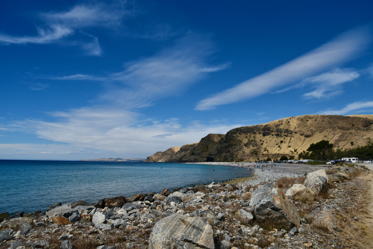
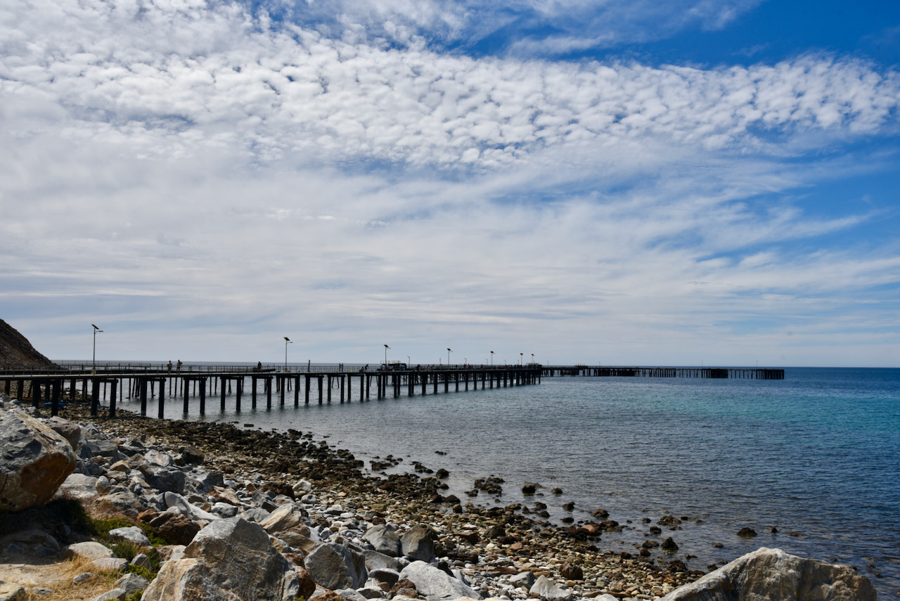
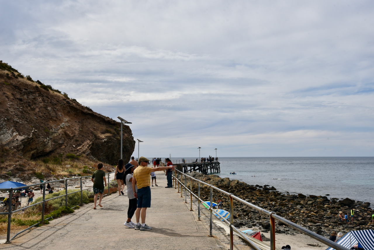
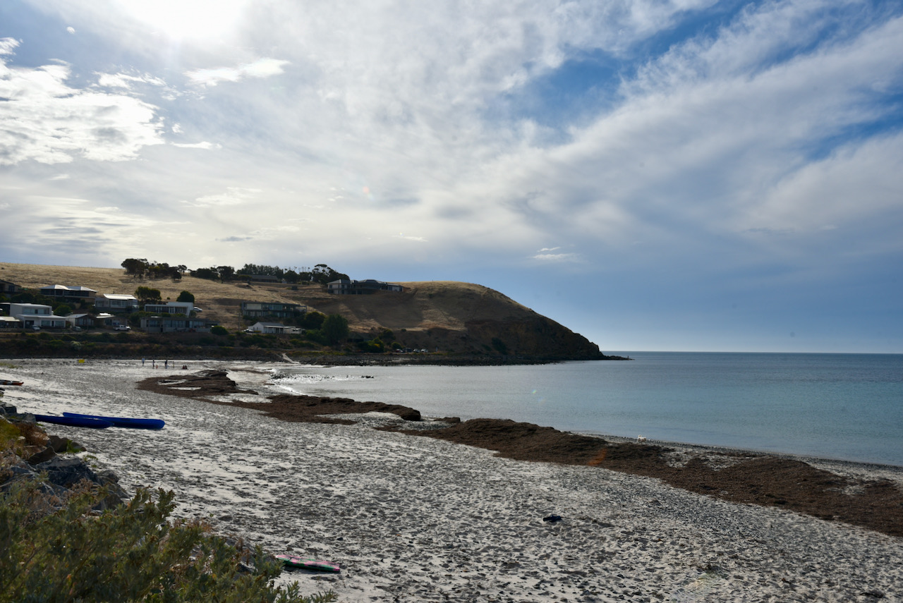
We then stopped in at Rapid Bay. On the 8th day of September 1836, South Australia Colonial Surveyor General Colonel William Light made his first landfall on mainland South Australia at Rapid Bay. The site was named after his ship, the 162 ton brig ‘Rapid’.
The town of Rapid Bay was constructed by the Broken Hill Proprietary (BHP) as an open cut limestone mine. It was in use from around 1942-1981. A large jetty was constructed. Construction of a new jetty was completed in 2009.
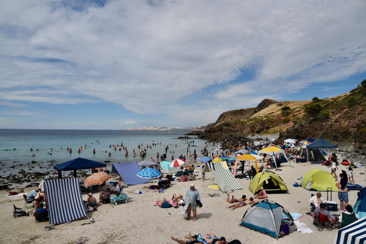
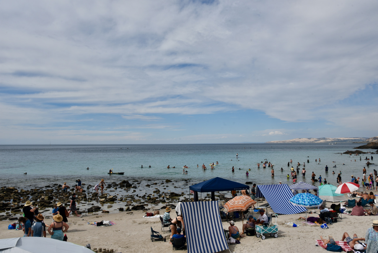
As it was a beautiful afternoon, the jetty was alive with fishers and there were lots of people on the beach enjoying a swim and the sunshine.
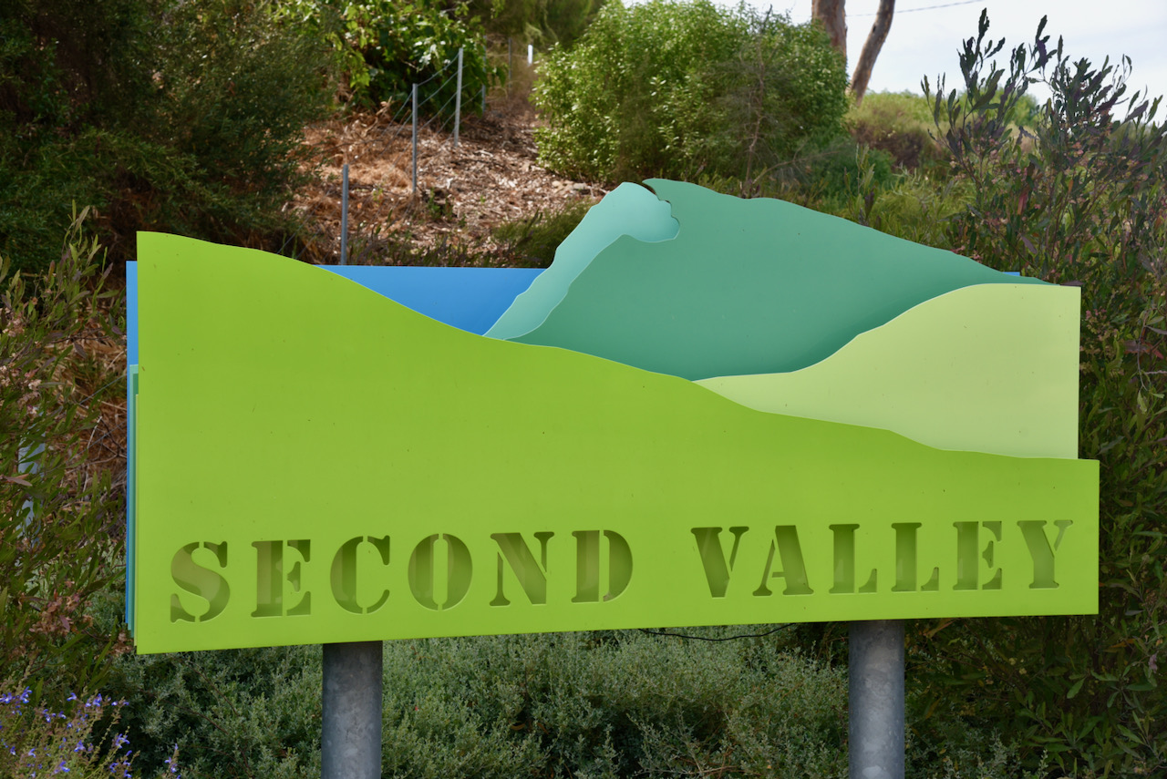
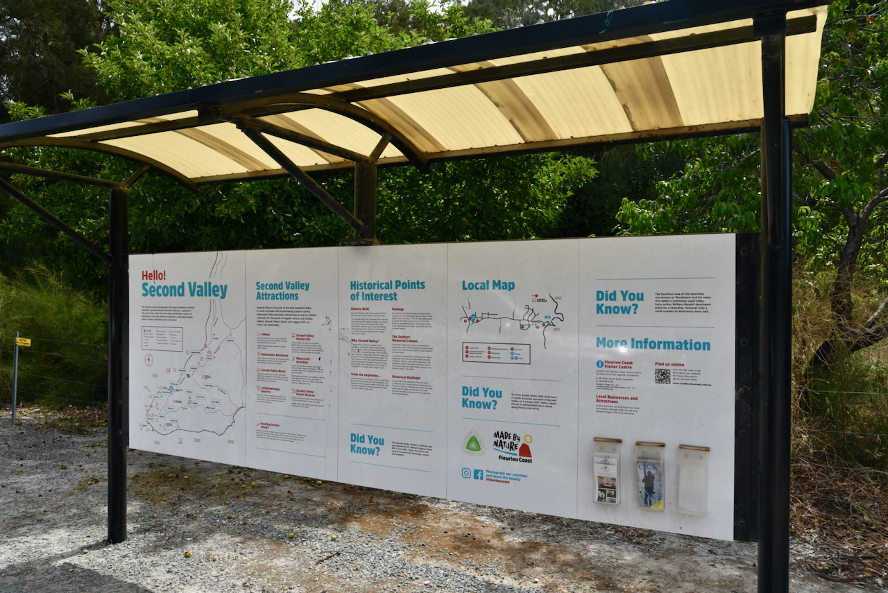
We then drove into the beautiful little town of Second Valley, which derives its name from being the next valley north of Rapid Bay.
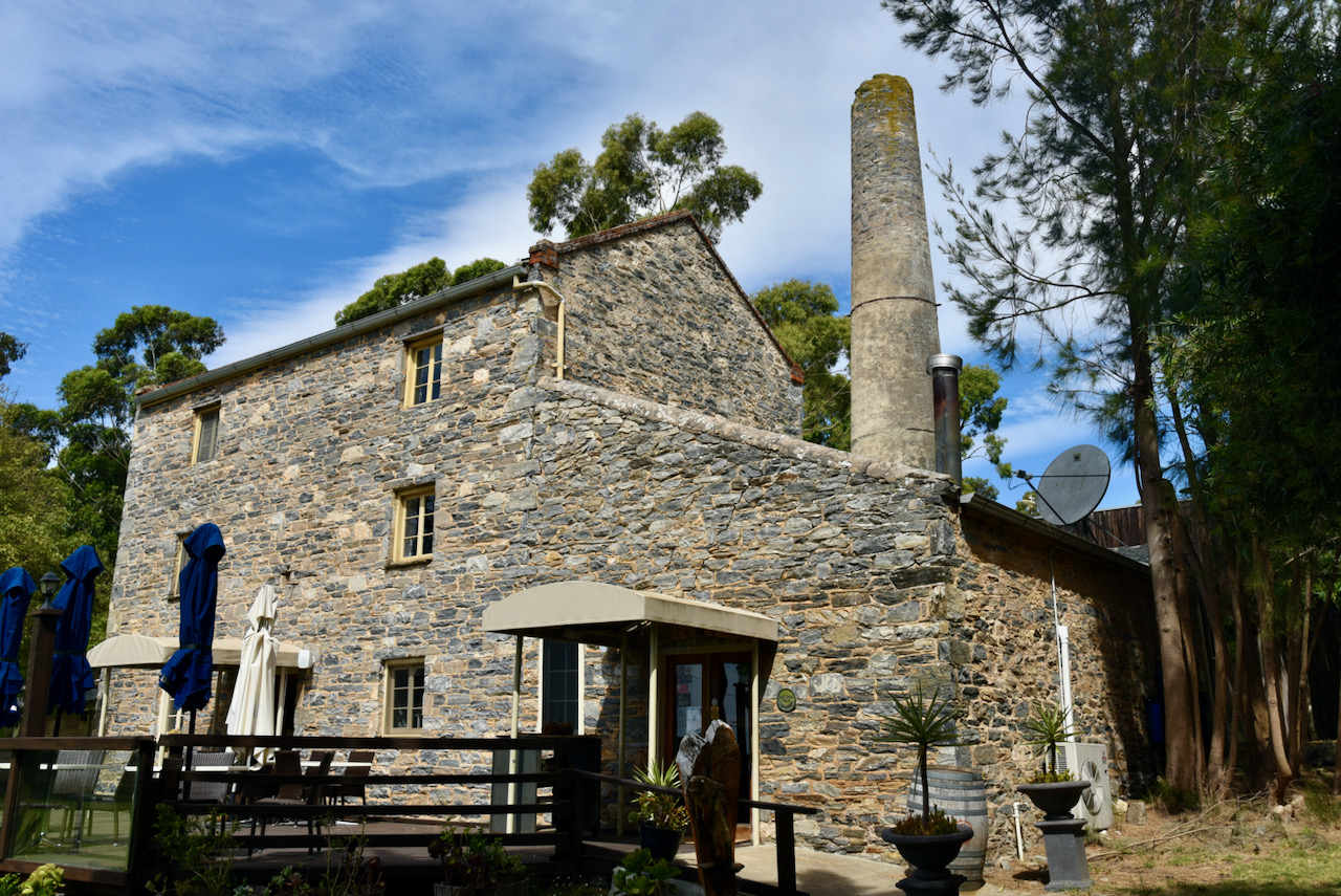
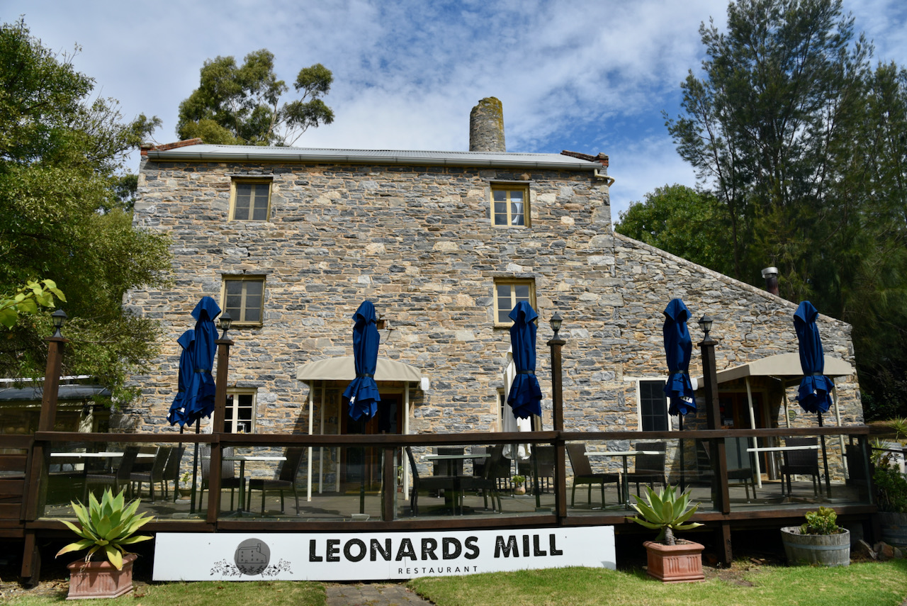
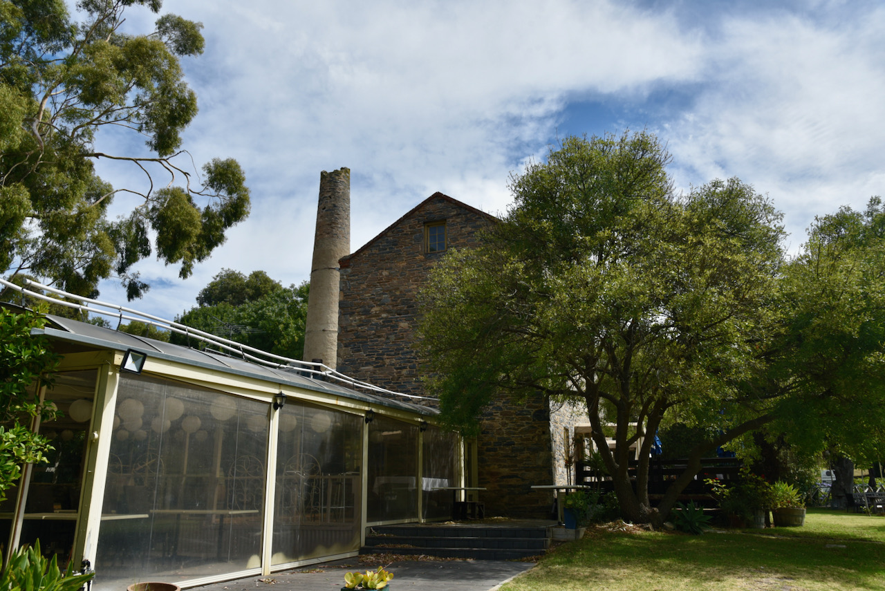
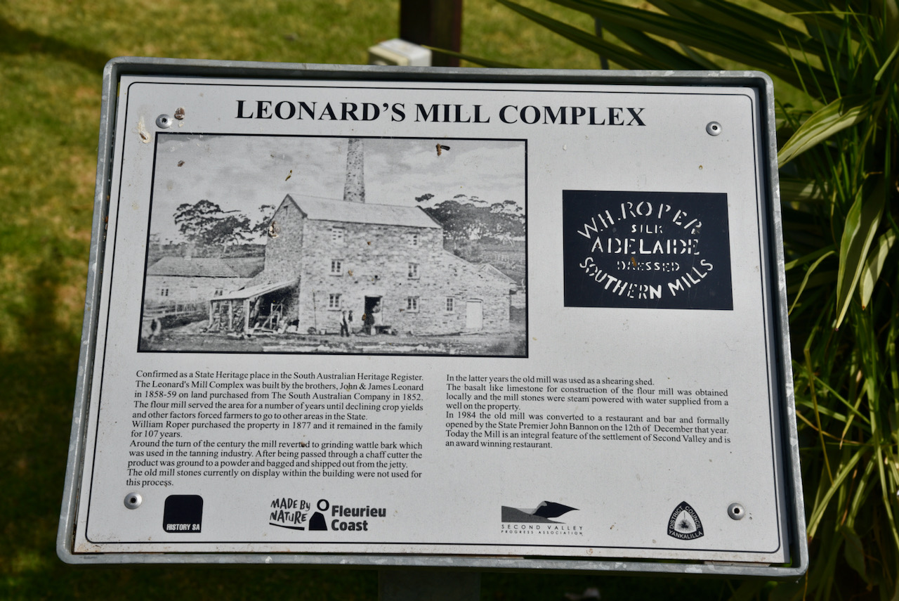
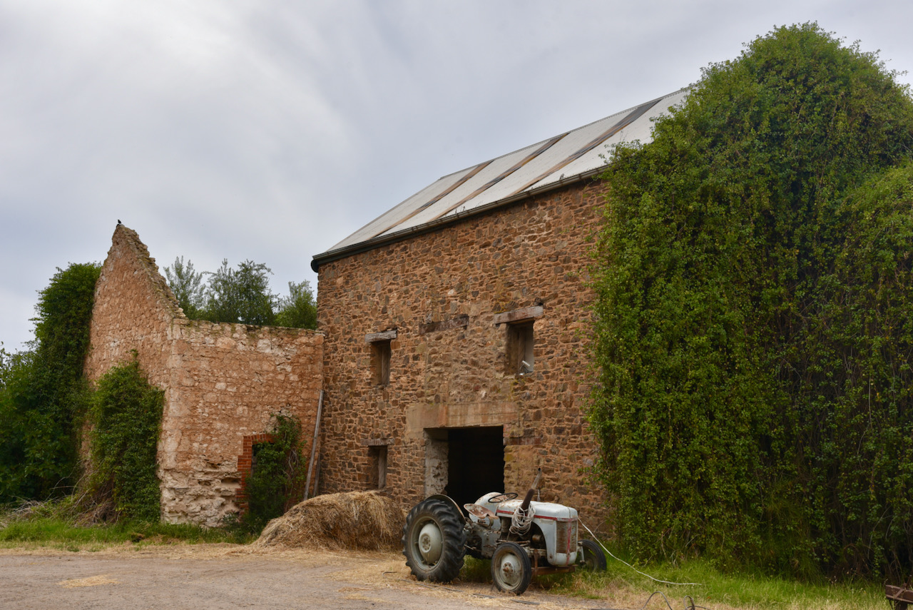
The little village contains a number of historic buildings. The most impressive of those is the historic Leonards Mill. The mill is now a restaurant, but commenced its life in 1858 as a flour mill. It was later used as a Wattlebark mill to process the local species of Wattlebark which had very good tanning properties for tanning leather which was exported to London. It was later used as a shearing shed.
There is a Second Valley Heritage Walk and a pamphlet is available at the Information Board in Second Valley. You can also download a copy from the Walking SA website. A link can be found below…..
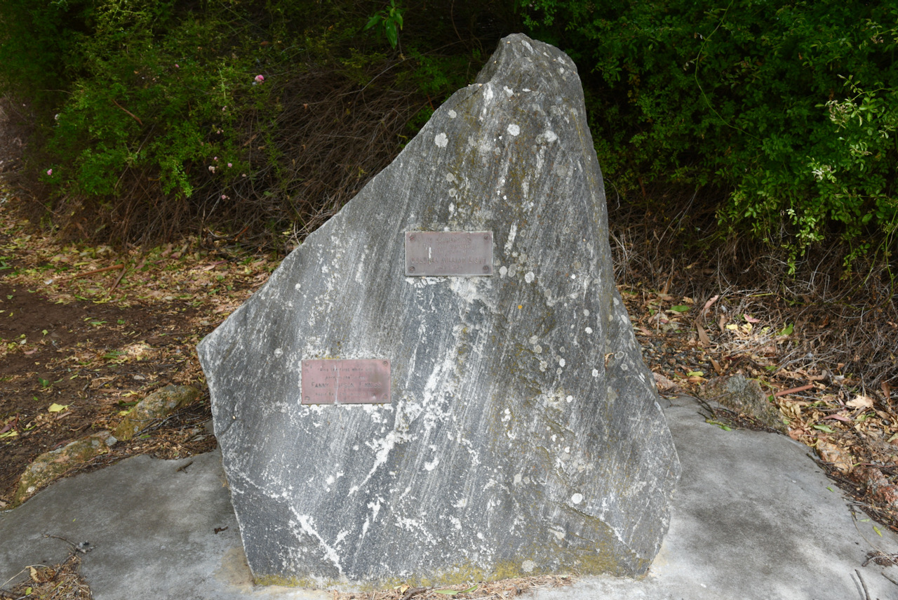
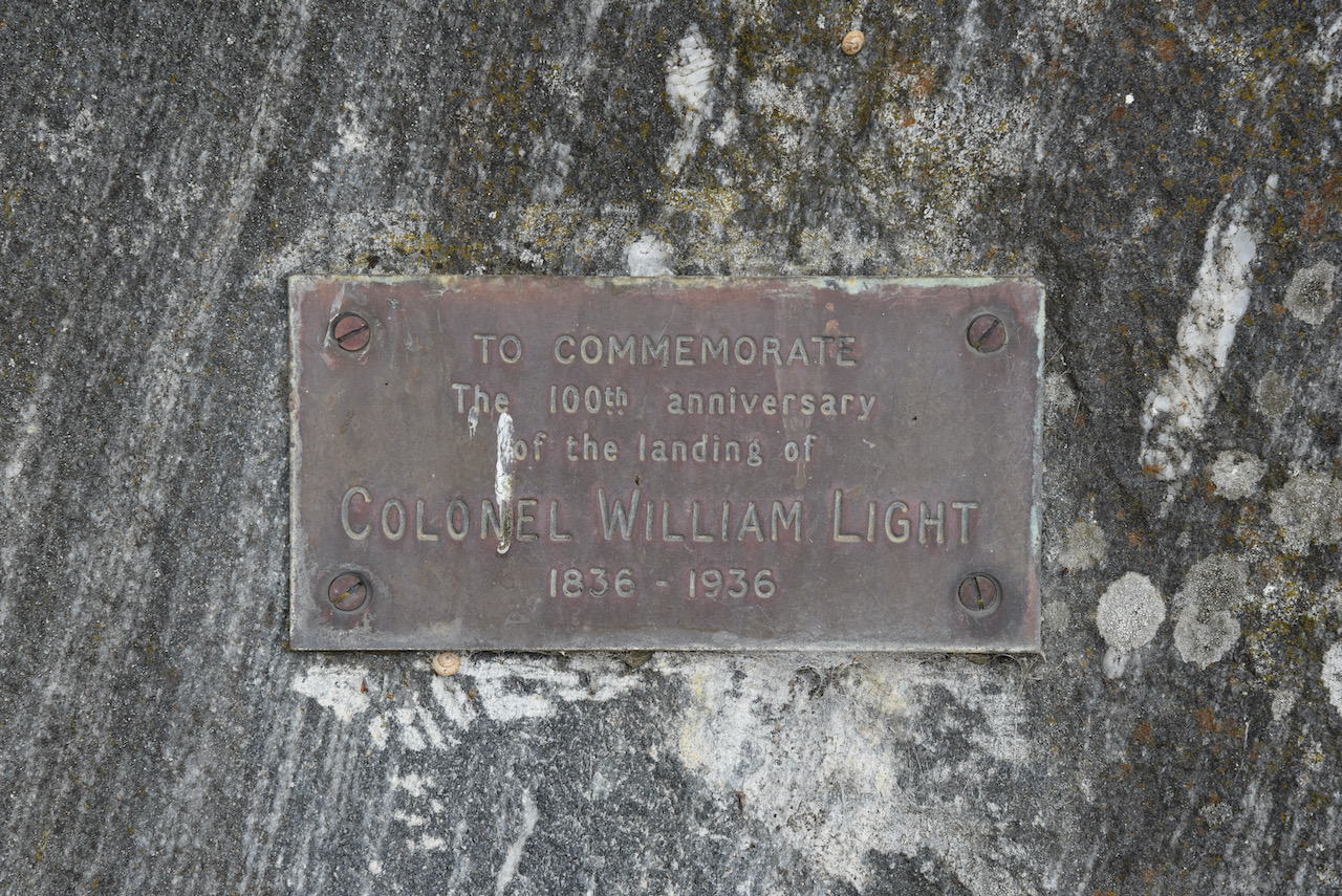
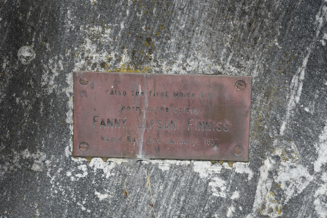
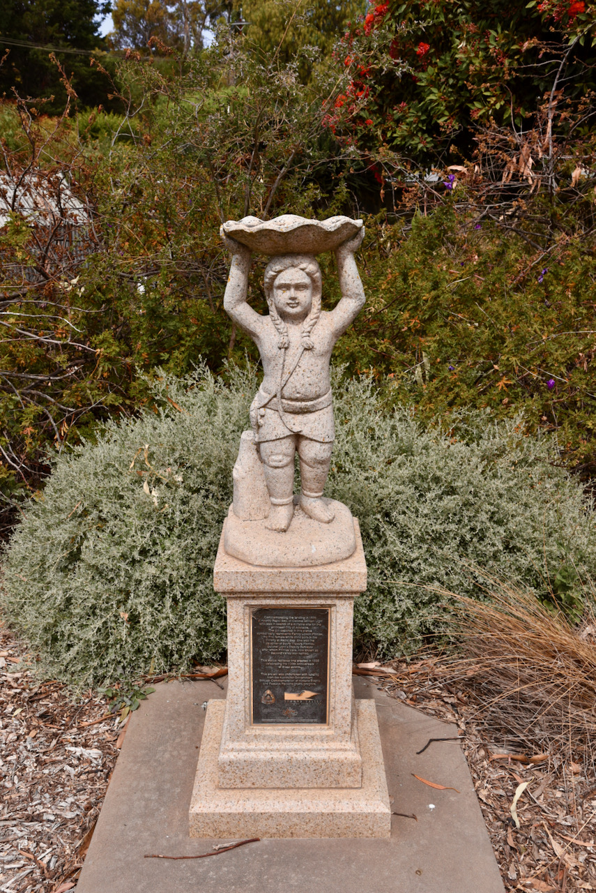
One of the interesting things to see is the monument for Colonel William Light to commemorate the 100th anniversary of his landing in 1836 and Fanny Lipson Finniss who was the ‘first white girl born in the colony’ at nearby Rapid Bay on the 2nd January 1837.
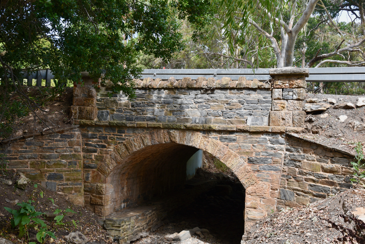
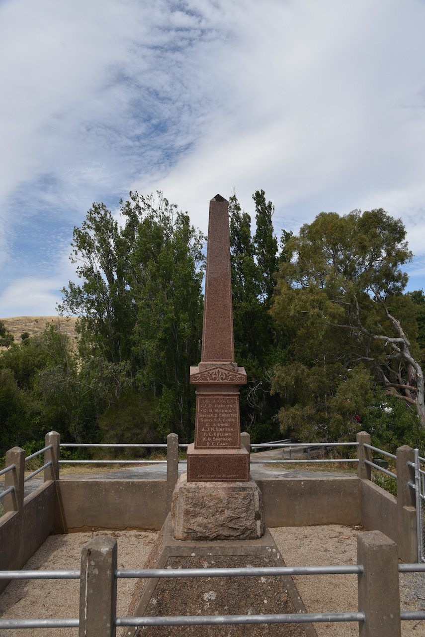
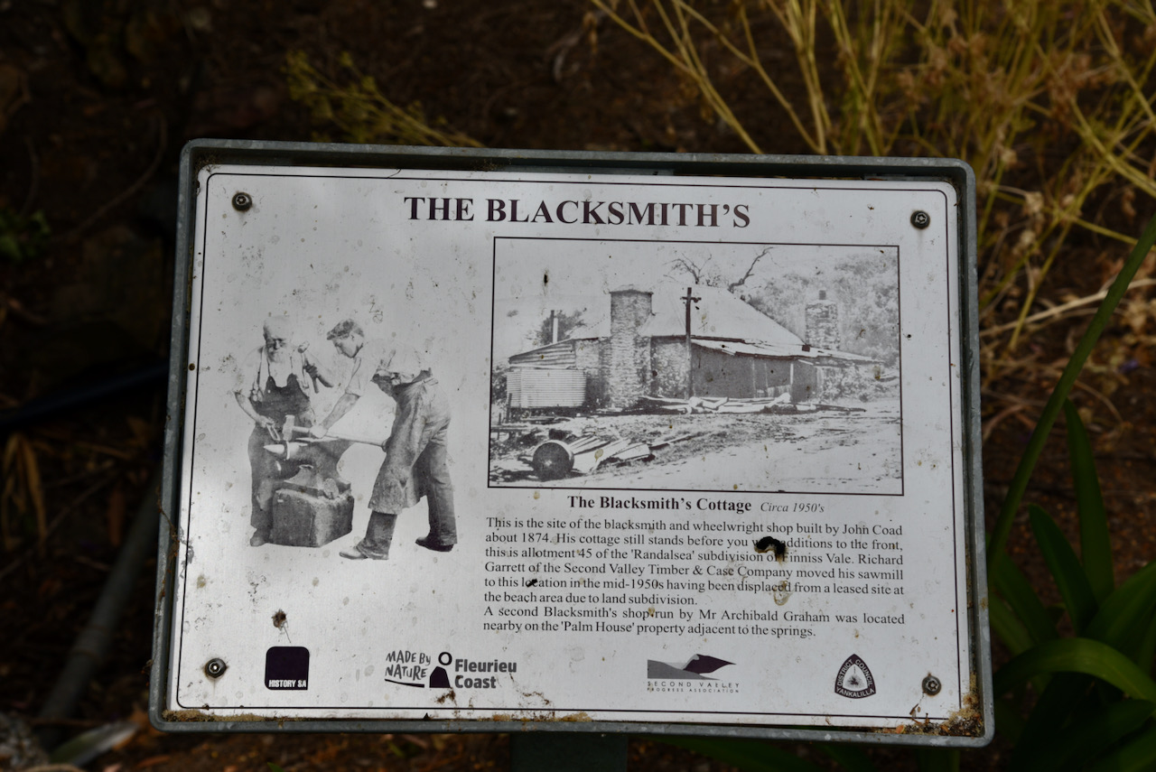
There are various other historical points of interest in Second Valley including the Parananacooka bridge which was constructed in 1864, the old blacksmith and wheelwright store dating back to 1874, the Fanny Lipson Finniss statue, the War Memorial, and the old Second Valley General Store which served the district from 1861 to 1973
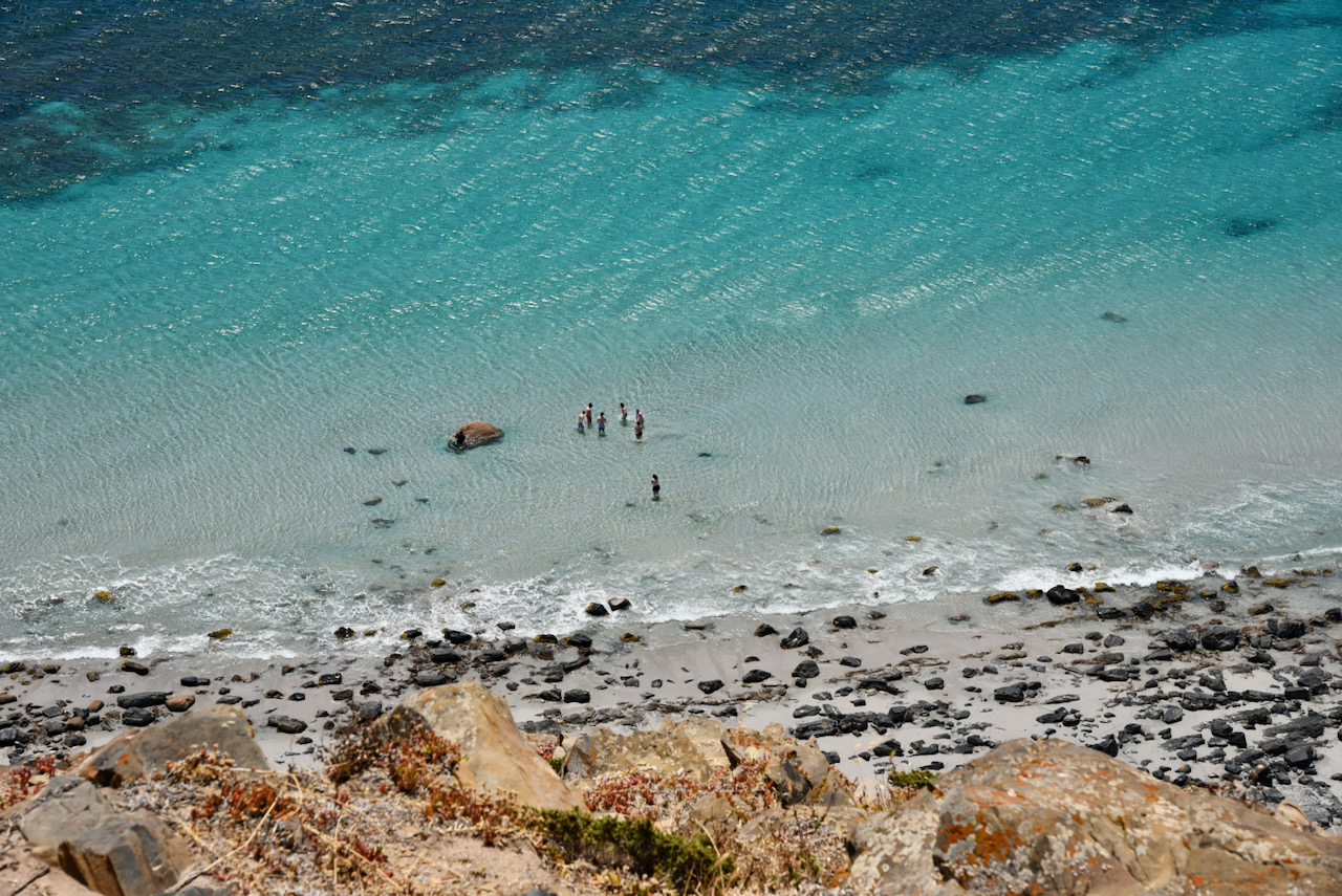
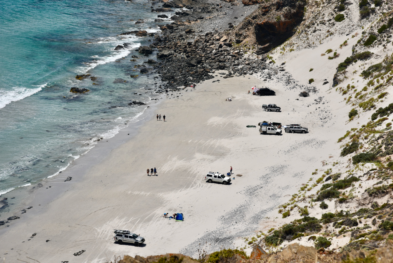
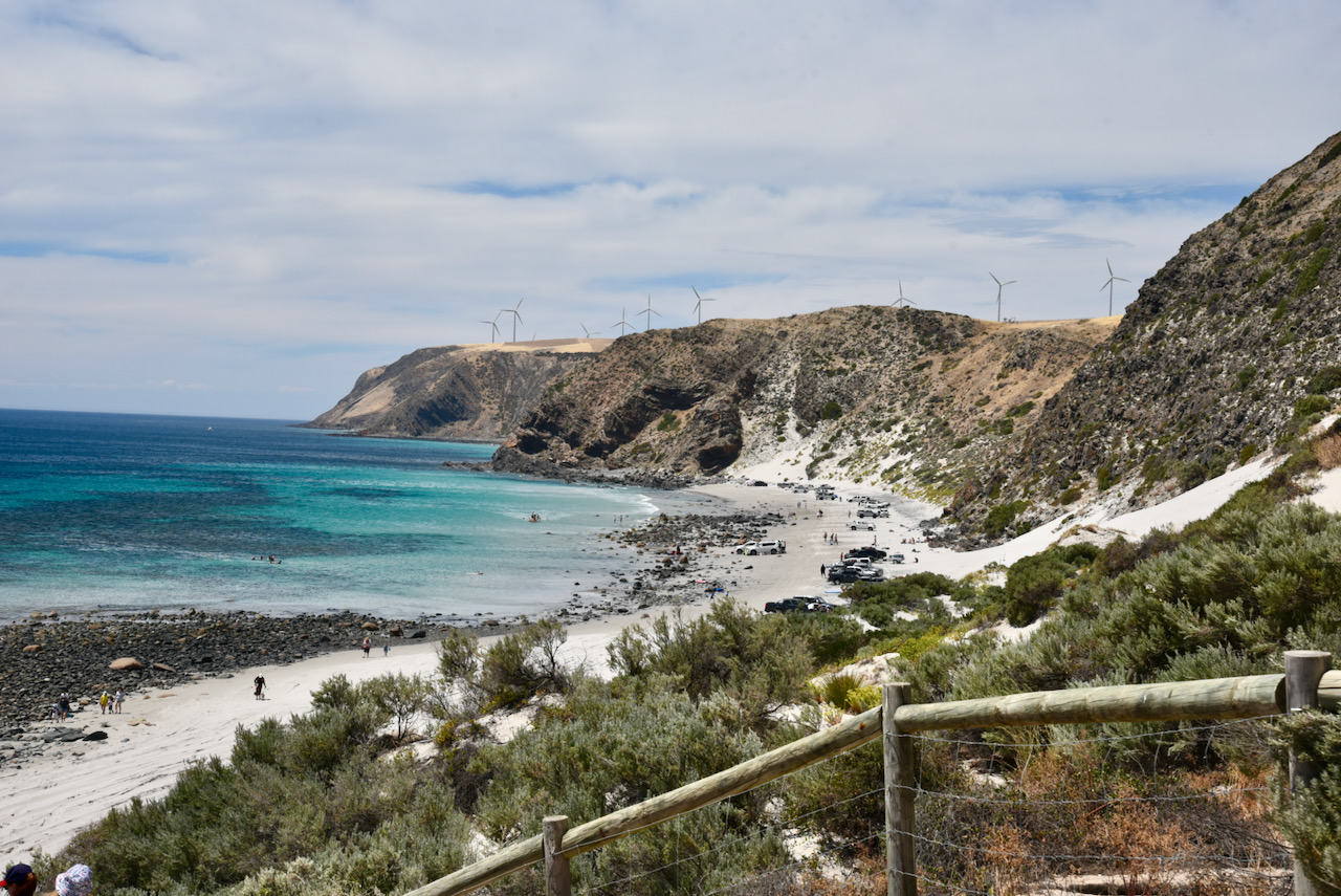
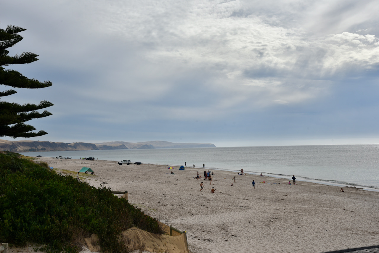
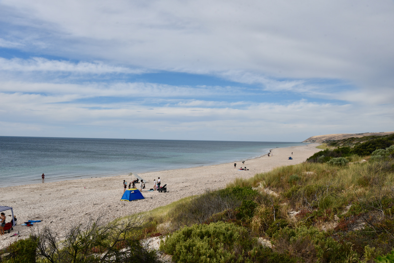
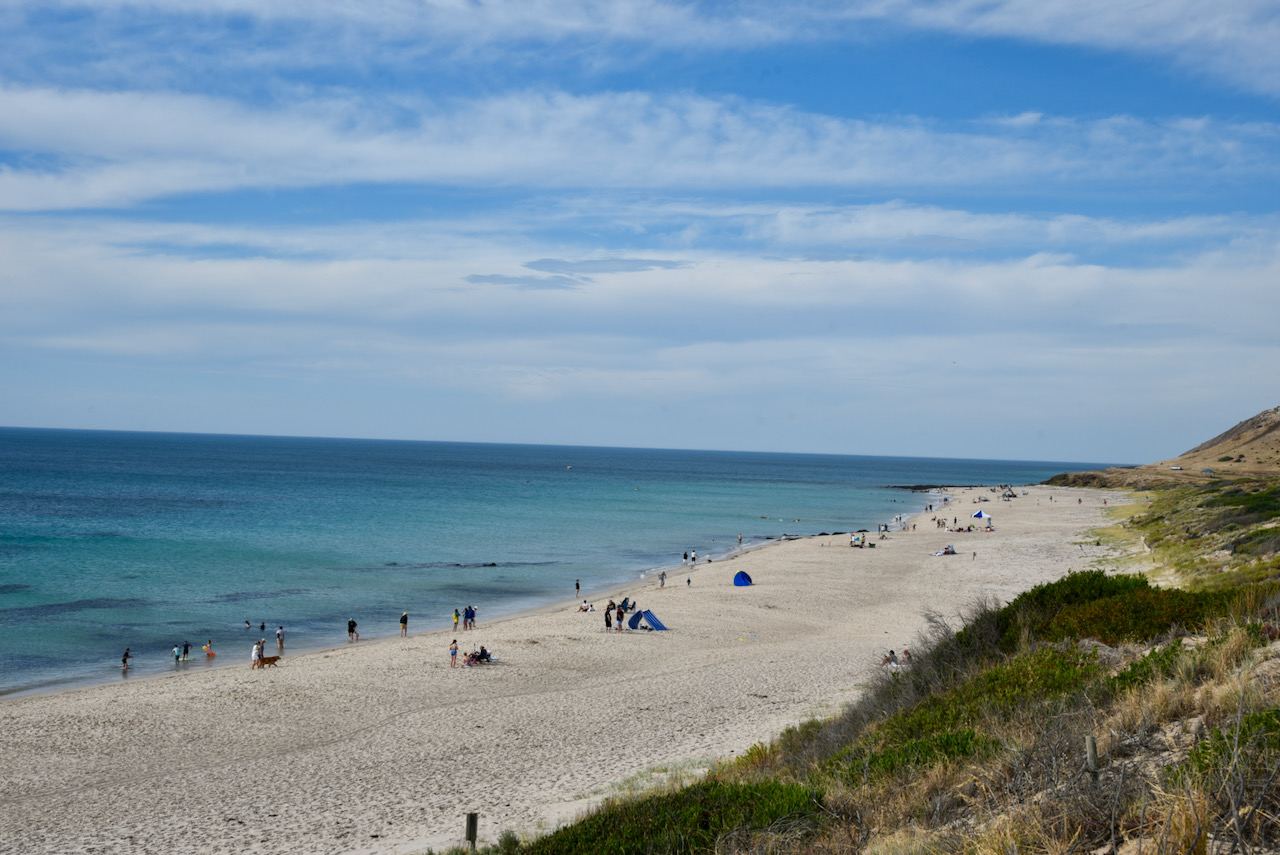
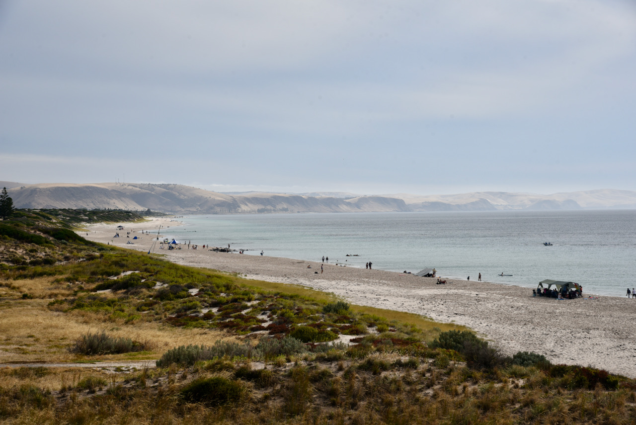
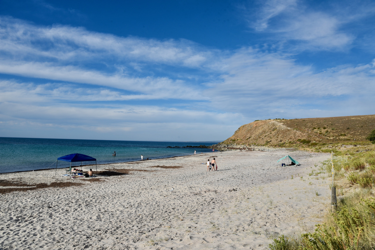
We then drove down to Second Valley beach. Although this beach is only very small, it has been rated as one of Australia’s top ten beaches. And it was certainly very popular on this day as you can see from the photographs below.
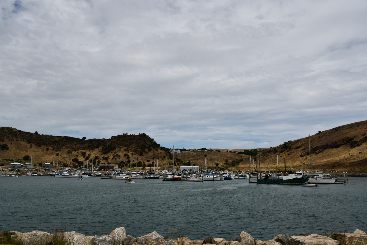
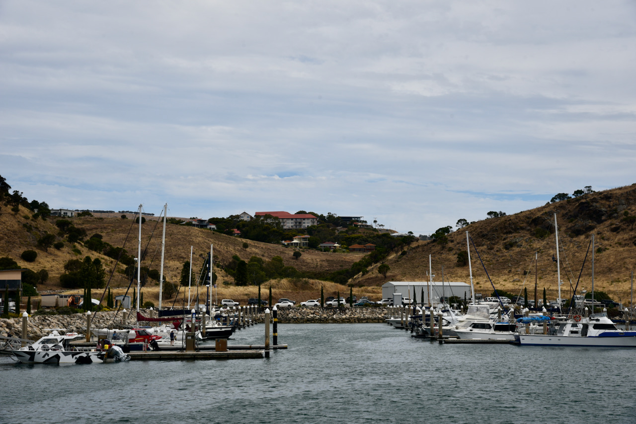
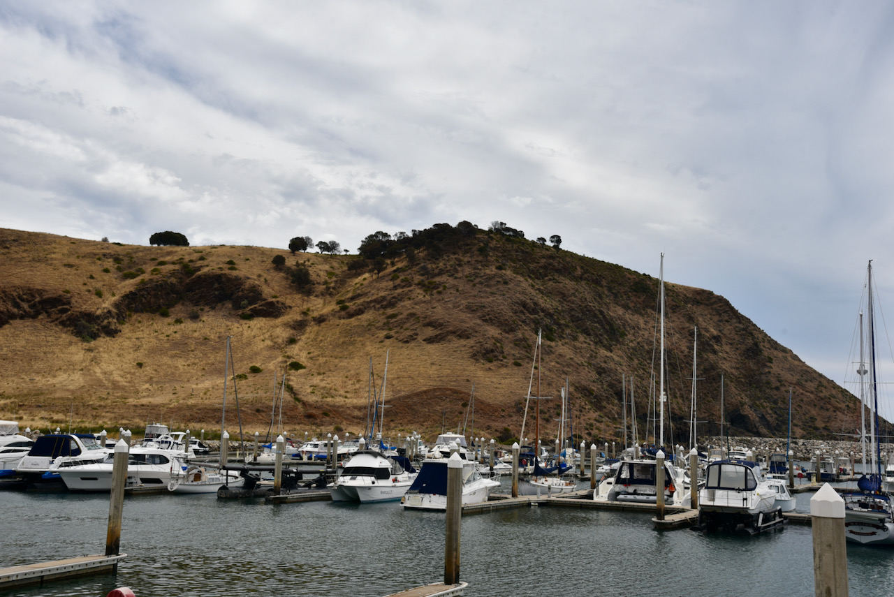
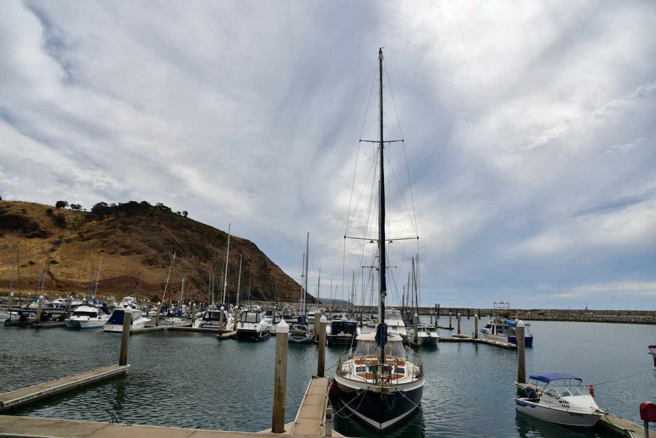
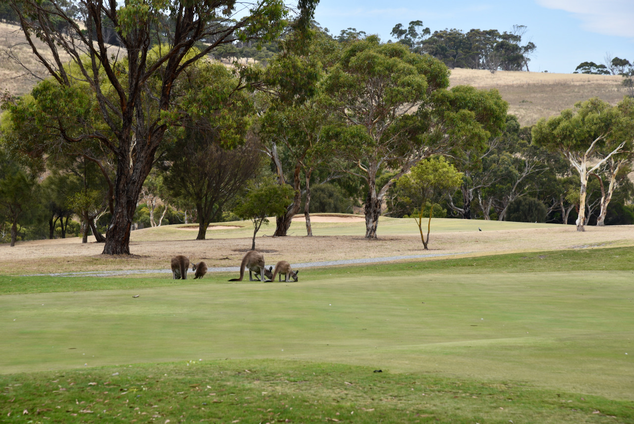
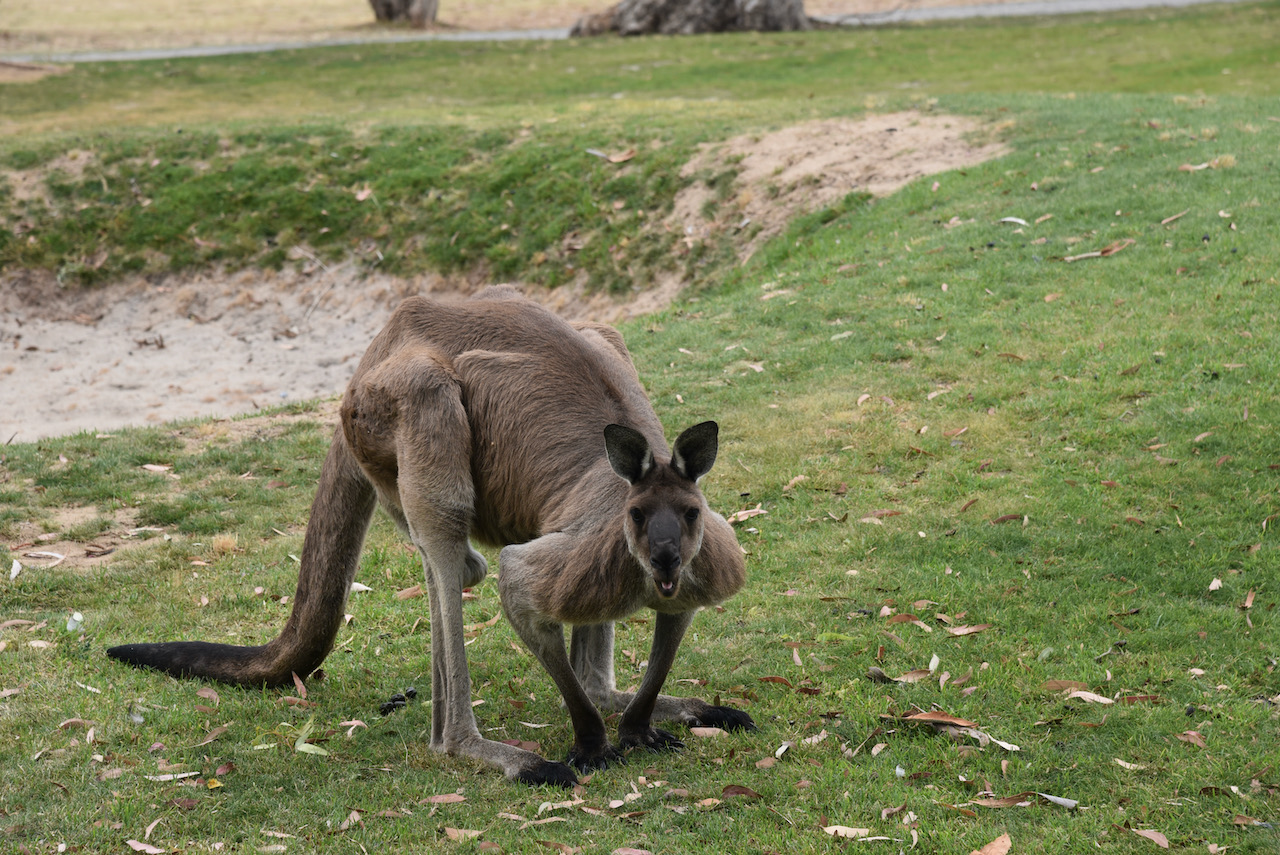
We continued north on Main South Road and stopped in at the Marina St Vincent in Wirrina Cove.
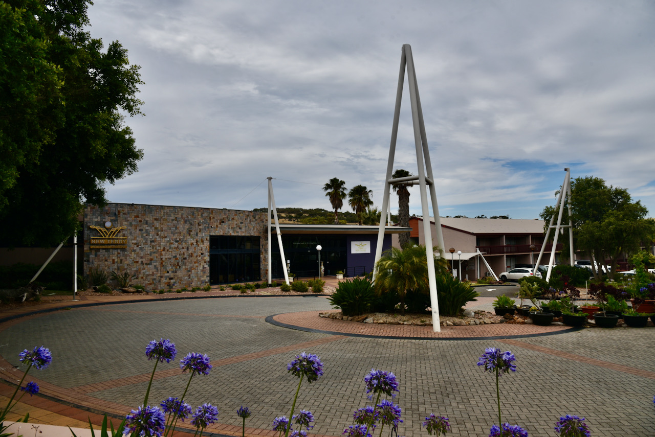
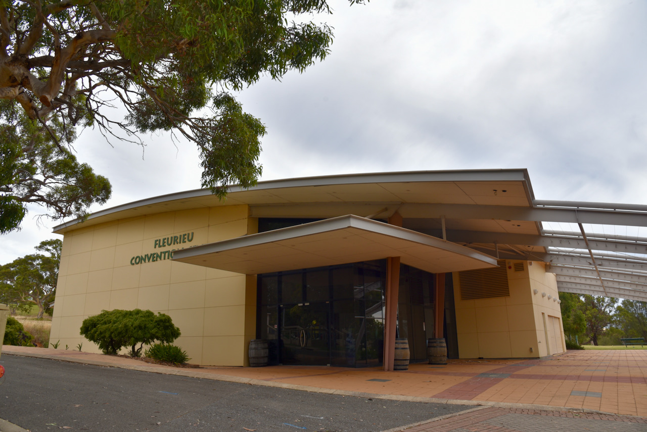
We then had a look at the nearby New Terry Hotel and Golf Resort. This features an 18 hole golf course, swimming pool, spa pool and sauna and a Conference Centre. The local Western Grey kangaroos were certainly enjoying the greens. Where else but Australia would you find kangaroos on a golf course.
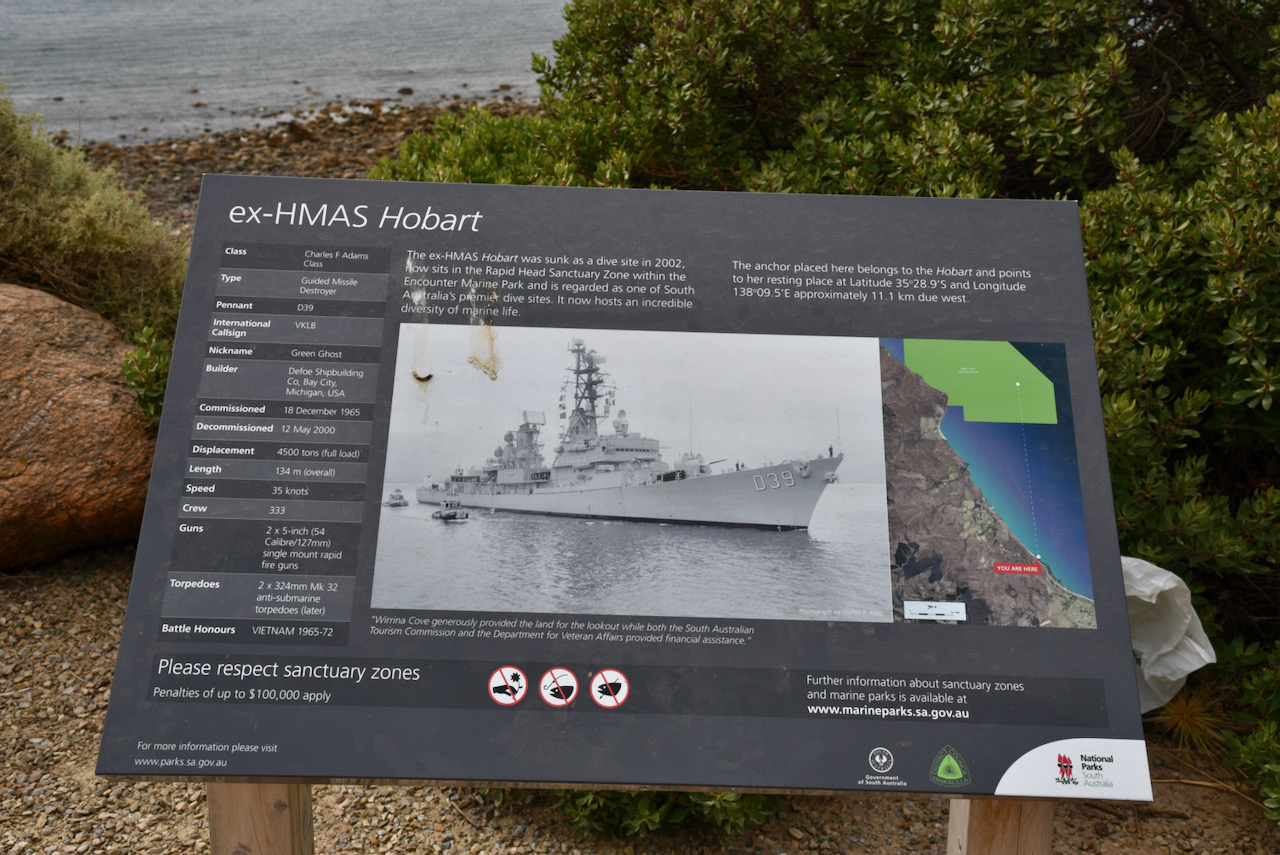
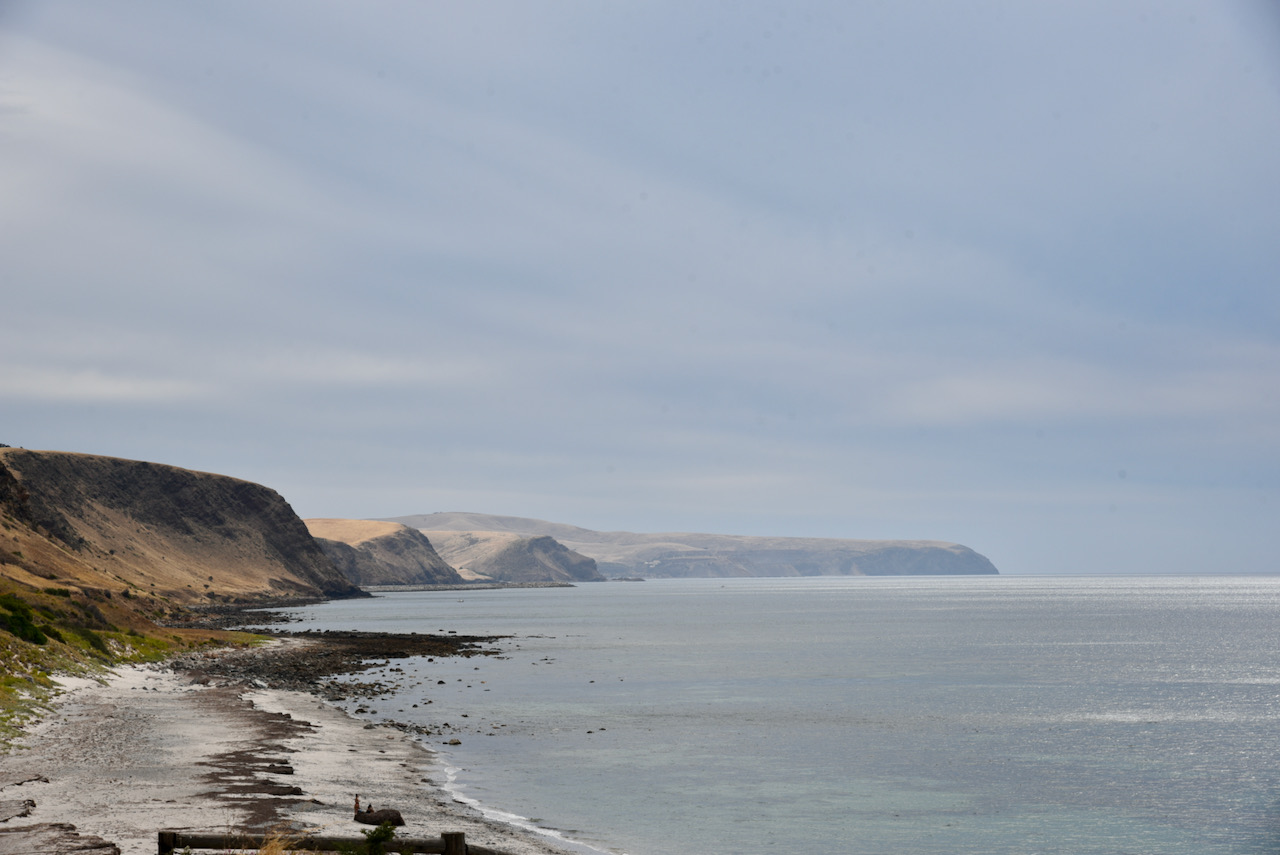
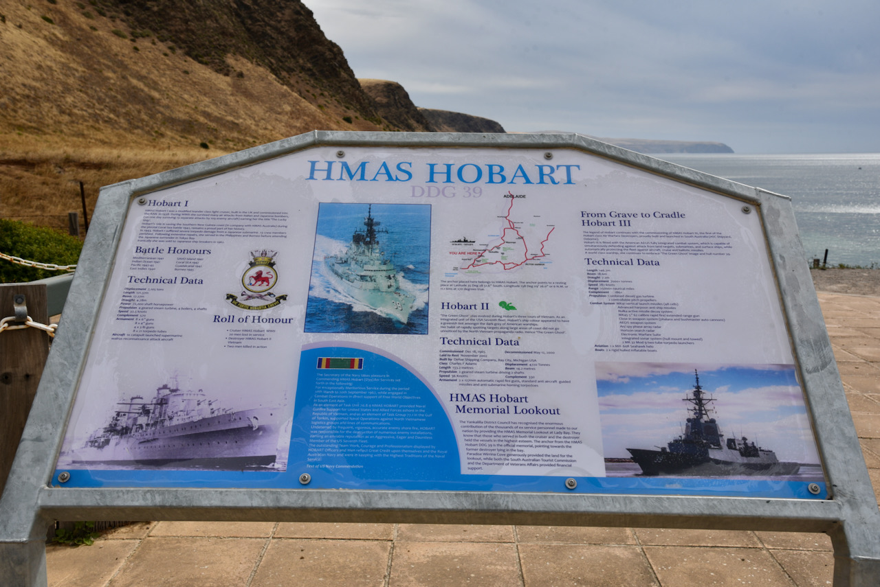
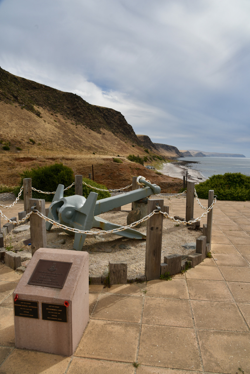
We then stopped briefly to have a look at the information board for the HMAS Hobart, a former guided missile destroyer in the Royal Australian Navy. The HMAS Hobart was built in the USA and was commissioned in 1965 in Boston. HMAS Hobart completed three tours of duty off Vietnam. In 1968 the vessel was struck by ‘friendly fire’ resulting in the death of two sailors with seven others being injured. The HMAS Hobart was sunk in November 2002 as an artificial reef and lies in 30 metres of water about 4 kms off shore.
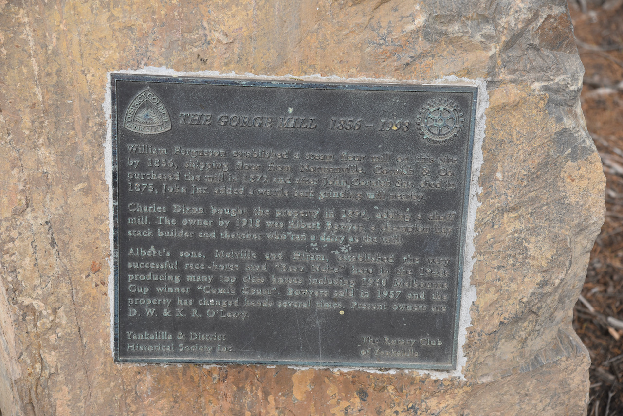
We continued towards Normanville and stopped to have a look at the old Gorge Mill which was in use between 1856 to 1998. William Ferguson established a steam flour mill on the site in 1856 shipping flour from nearby Normanville. In 1872 the mill was purchased by Cornish & Co. Following the death in 1875 of John Cornish Snr, John Jnr added a wattle bark grinding mill nearby. In 1894 Charles Dixon purchased the property and added a chaff mill. By 1918 the owner was Albert Bowyer who was a champion hay stack builder and thatcher. He ran a dairy at the mill. His son’s Melville and Hiram established the successful race horse stud “Beau Neire’ on the site in the 1940s. They produced numerous top class horses including the 1950 Melbourne Cup Winner ‘Comic Count’.
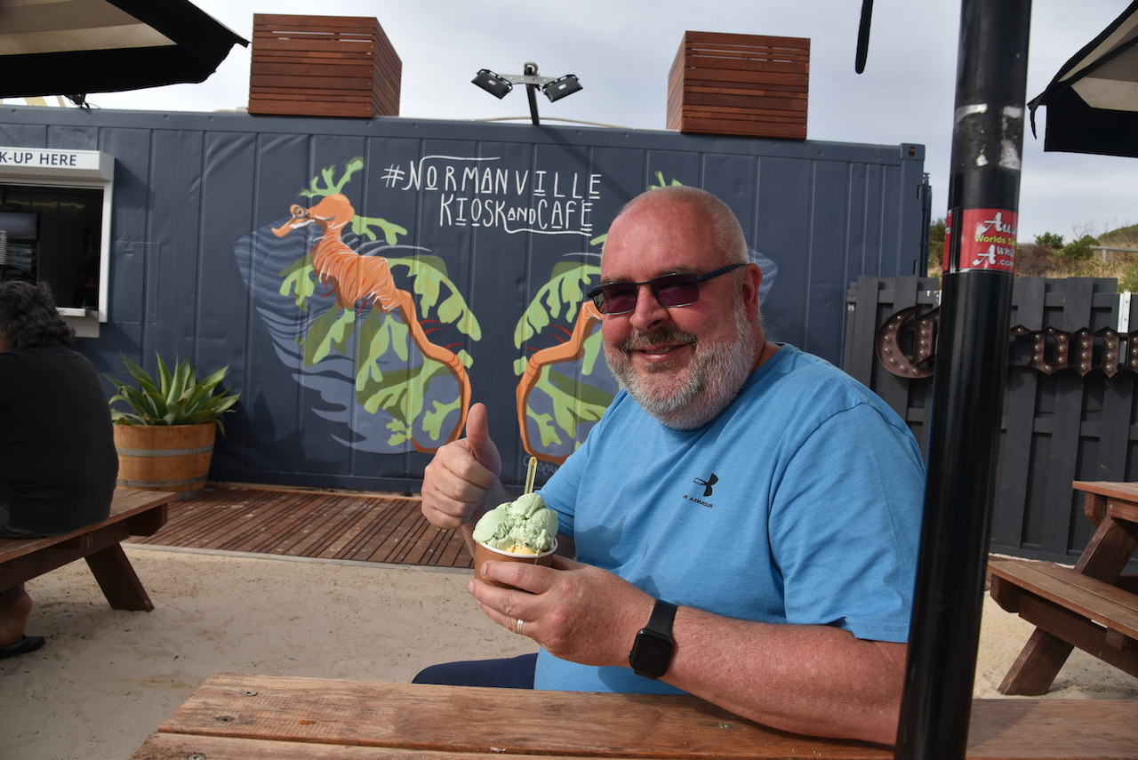
We then stopped at the town of Normanville, affectionately known as ‘Normy’, where Marija and I enjoyed some ice cream on the beachfront. The town was established by South Australia’s first dentist, Robert Norman, in 1849.
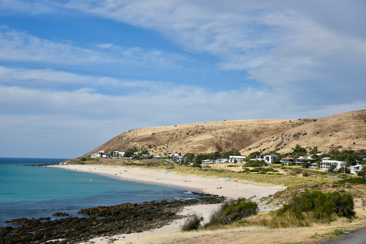
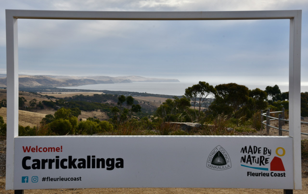
We continued on to Carrickalinga, which has a beautiful sandy beach. Carrickalinga is an aboriginal word meaning ‘place of red gum firewood’.
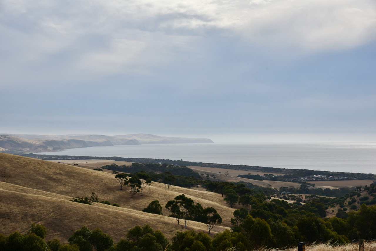
We headed out of Carrickalinga on Forktree Road, stopping briefly at the lookout to enjoy the view and take some photographs.
We then turned off onto Myponga Beach Road and enjoyed some sensational views as we winded our way down from the hills down to the beach.
Myponga Beach is located in a small valley which has been carved by Myponga Creek. Myponga Beach was formerly used as a port and the ruins of the old jetty can still be seen.
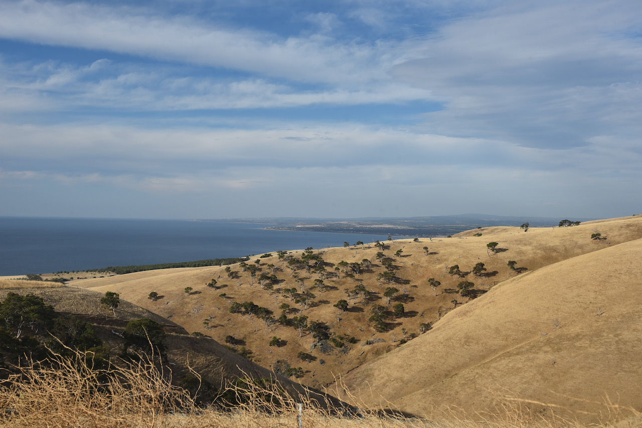
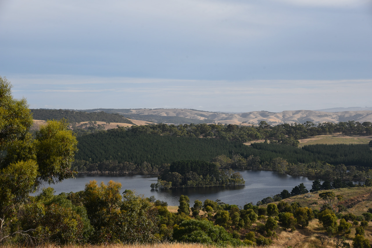
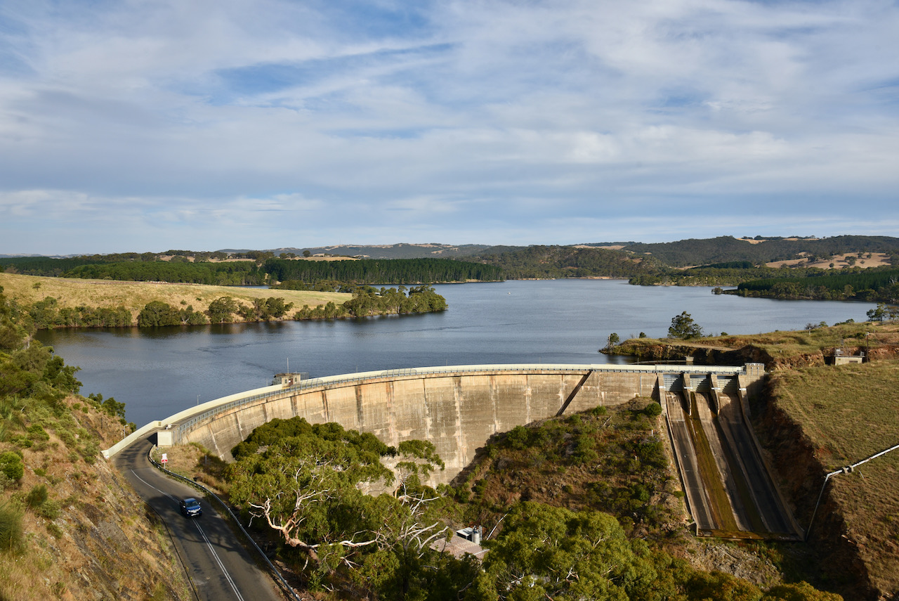
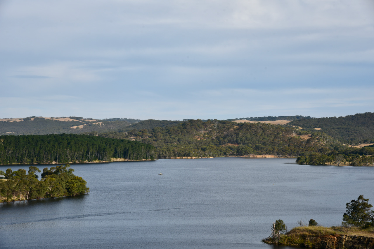
We then headed east on the very windy and steep Sampson Road, stopping every now and again to enjoy the views of the coastline and the Myponga Reservoir.
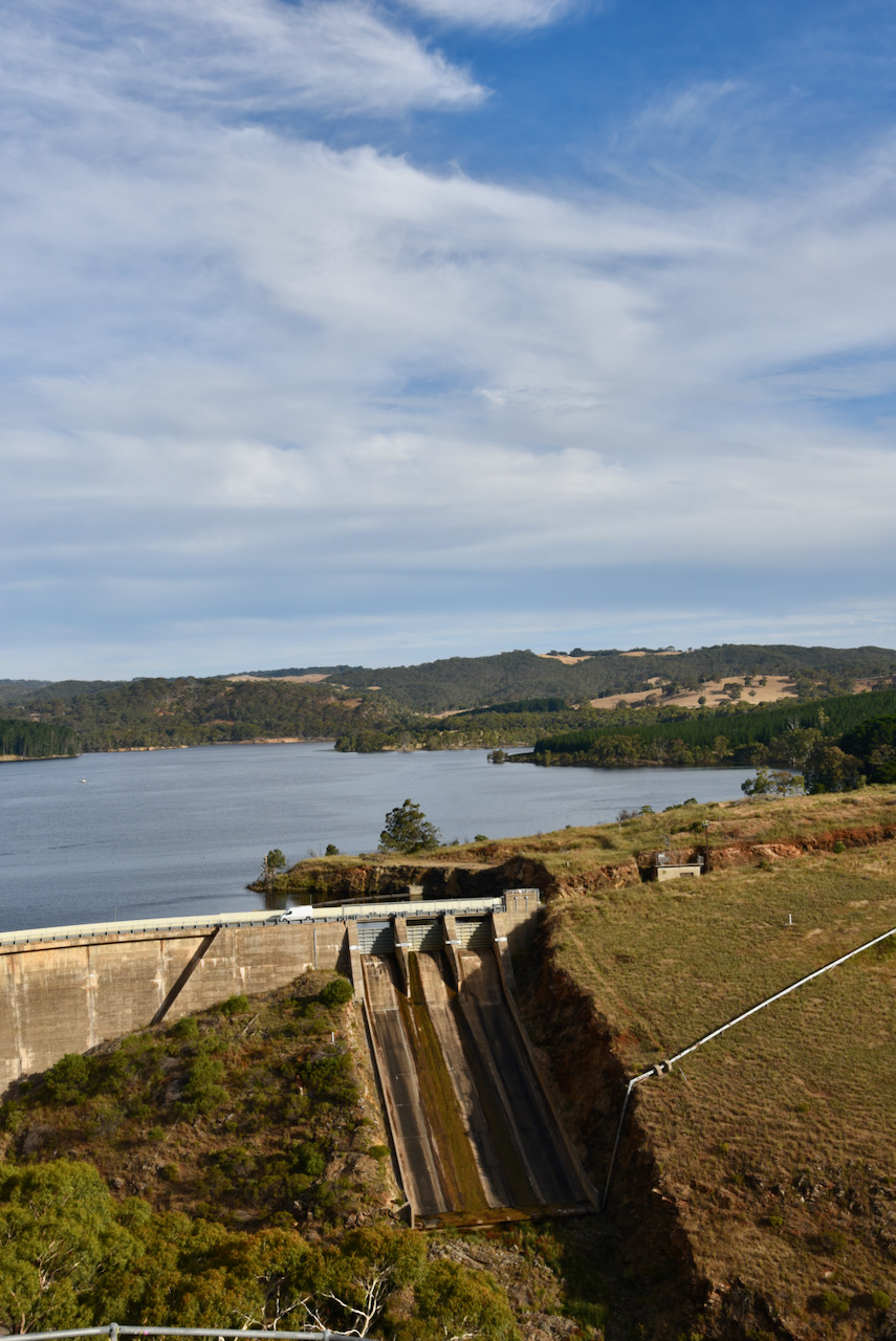
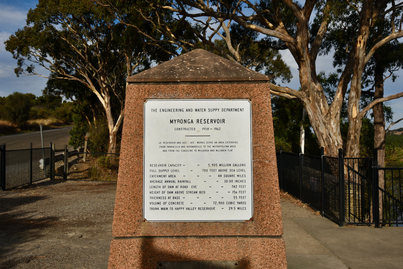
Our final stop for the day was the Myponga Reservoir. The reservoir’s capacity is 5,905 million gallons. It was constructed between 1958-1962 and is fed by the Myponga River and other rivers in the Myponga catchment.
We then made our way home via Pages Flat, Mount Compass, and Tooperang. It had been a great day out with a mixture of amateur radio and sightseeing on the beautiful Fleurieu Peninsula.