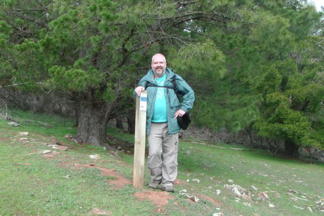
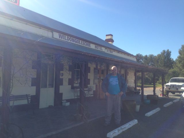
Following our activation of VK5/ SE-006, Ian and I got back to the car, only to find that Ian had left the lunches at home. Bugger ! We were both that hungry that we could have eaten a low flying duck. Our afternoon summit, Mount Bryan, VK5/ SE-001, was going to be a two hour climb, so we were in need for some tucker. So we travelled south on the Barrier Highway, and headed into the nearby town of Hallett, only to find that the local Servwell store, come take away was closed on Sundays. After some cursing & swearing, we headed to the local pub, the Wildongoleechie Hotel.
What a great pub. Not only did we pick up a meal & a couple of nice cold beers, but we got some directions from the licence on a short cut to reach the northern side of Mount Bryan. So with some local tips it cut down our 2 hour climb to a possible 20 minute climb. The new owners of this pub have only been here from Western Australia for the past 6 months, and they are making a go of it. They were very friendly, and if you are ever out this way, it is a terrific little country pub with a great atmosphere. It is a very historic pub, and was established way back in 1868. There are conflicting stories about what the name means.
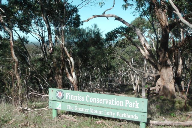
Hallett is a small town in the Mid North of South Australia, situated about 220 kms north of Adelaide. It is about 32 kms north of Burra and about 38 kms south east of Jamestown. It lies very close to Goyder’s Line, which was plotted in the 1800’s by George Goyder, separating the land suitable for cropping from the land suitable for grazing. Hallett has a population of about 210 people. It was once a railhead for the local farming community.
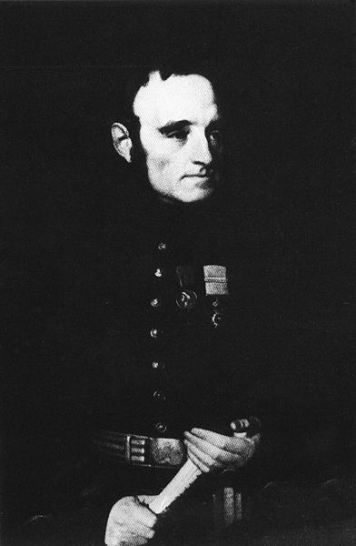
Hallett is the closest town to Mount Bryan East, which is the birthplace of Sir Hubert Wilkins (1883-1958), a polar explorer, ornithologist, pilot, soldier, geographer and photographer. He was perhaps the last modern explorer in Australian history. Sir Hubert Wilkins birthplace and childhood home, Netfield, now restored as a historic site, is easily accessible from the renowned Mount Dare Driving Circuit between Hallett and Terowie.
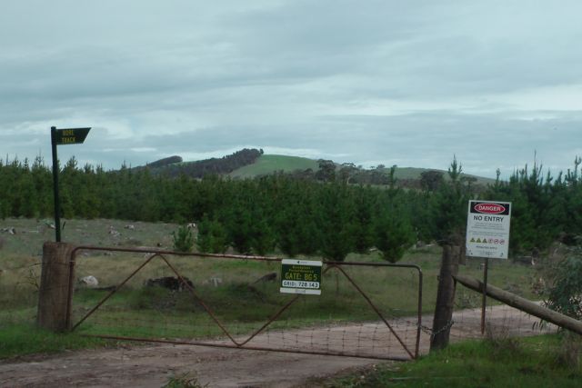
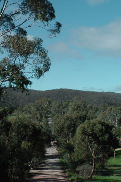
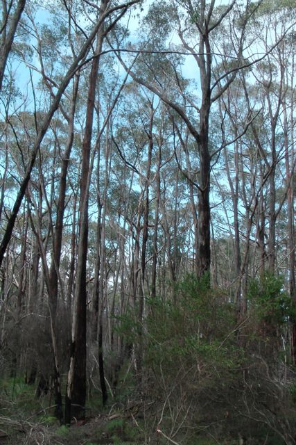
After lunch we travelled north out of Hallett on the Barrier Highway and then turned right onto Mount Bryan East Road and travelled north east. We then turned right through a double farmers gate about 5 kms along Mount Bryan East Road. There is a sign on the gate warning about the removal of wood. We followed this dirt track, travelling north, and through a few more farmers gates.
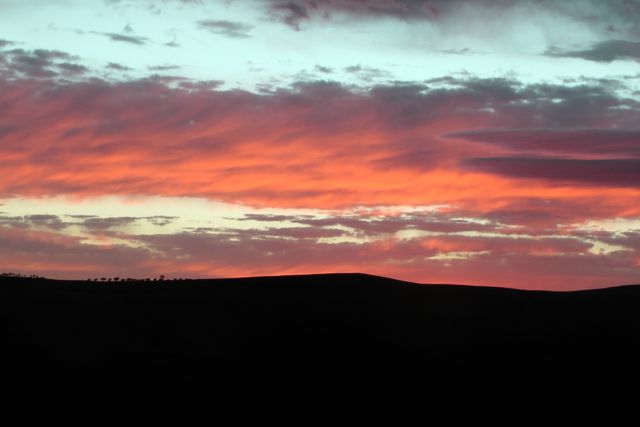
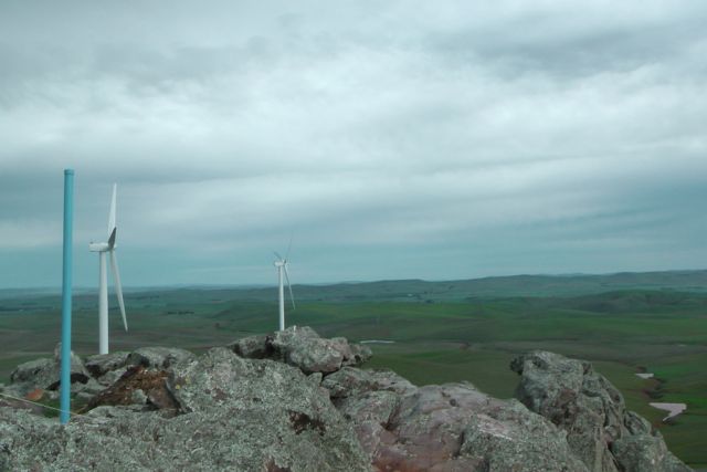
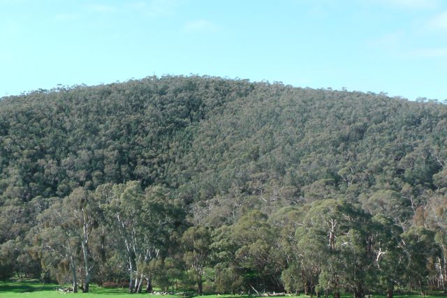
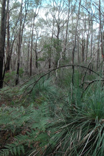
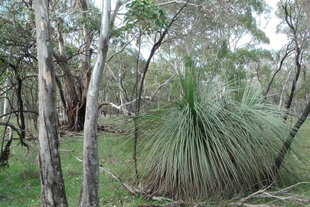
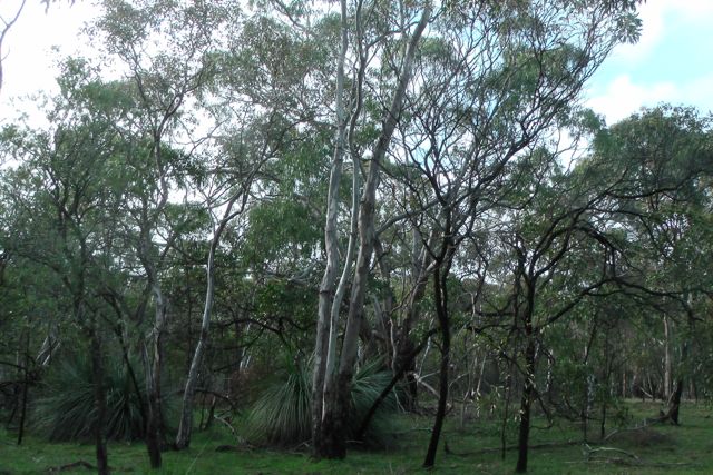
Mount Bryan is the highest peak in the ‘South East’ region for Summits on the Air in South Australia. It is 933 metres above sea level and is worth 8 points. It is situated about 5 kms east of Hallett, and about 18 kms north east of the township of Mount Bryan. The weekend prior to our activation, there was snow all over Mount Bryan and the surrounding peaks.
The summit was first sighted by Edward John Eyre and his Party, who were the first Europeans to explore the area west of Hallett on a trek to the northern areas of South Australia in July, 1839.
The town of Mount Bryan was named by the Governor of South Australia, Lt. Col. George Gawler, after the nearby peak. He named it in honour of Henry Bryan, a young man who became lost and presumably perished of thirst during Gawler’s ‘Goolwa to Nor-West Bend expedition’ in December, 1839, which was to ‘examine the land along the Murray River, with the hope of finding fertile country; and also to determine the capabilities of river and lake for inland navigation‘.
Among those accompanying Gawler was Gawler’s aid, John Craig, the famous explorer Charles Sturt and the Chief of Police Henry Inman. Apparently a number of rash decisions plagued this expedition, which was otherwise notable for including ladies with a view of dispelling fear of the natives by settlers to the new colony. This included Charlotte Sturt who was Captain Sturt’s wife; Beatrix Sturt, who was Captain Charles Sturt’s biographer and his daughter in law; and also Julia, the daughter of Gov. Gawler.

The story of this expedition is truly remarkable, and whilst I sat on the top of Mt Bryan using technology like an amateur radio transceiver, I shut my eyes to imagine what it must have been like 174 years ago.
The Party set off from near present day Goolwa, and sailed in 4 little boats across Lake Alexandrina from Currency Creek, and proceeded up the Murray River to current day Morgan. After their arrival on Tuesday, the 10th December, at what was described as the ‘Great bend’ in the river at Morgan, they set up camp at the entrance of Bryan (Burra) Creek. The following day on Wednesday the 11th December, Gawler, Sturt, Inman, Craig, and Bryan, set off on horseback with a week’s provisions and 2 barrels of water to explore the country.
It was at approximately 12 noon on the 11th December, 1839, on a small hill to the north east of the campsite, that Gawler saw a mountain in the distance and immediately named it Mount Bryan after his young friend, Henry Bryan.
However by the first night, when about ’32 miles’ from the river, it was discovered that the barrels had leaked and much of the water had evaporated in the extreme heat.
A second day of extreme weather left barely a trace of water in the barrels and the situation was critical. Smoke was seen in the vicinity of Mount Bryan and the Party assumed that this indicated the presence of aboriginals, and thus water. Gawler later stated:-
“While contemplating the scene about us, smokes were observed to arise on Mount Bryan. Smokes indicate Natives, and Natives indicate the neighbourhood of water. Our casks had leaked, the bung had escaped from one of them, and the consequence was that our stock of water was just exhausted…..On the following morning, leaving Captain Sturt and Mr H Bryan in charge of our provisions and packhorses, I and Mr Inman set out in search of the Natives and water, but after toiling over the spurs and through the gullies during the morning of another hot day we could not find either. We found an extinguished Native fire and a ruined Native hut, but that was all, and we returned to the party to say that no alternative remained but to press through the night for our station on the Murray….”
It was at this time that Sturt bled one of the remaining three horses and all partook in this desperate attempt at survival.
On Friday the 13th of December, with all of their water gone and the temperatures rising, Sturt recommended that Gawler and Bryan set off on the strongest horses to seek help. They were about ’65 miles’ (110 kms) from the camp on the river. It was organised that Sturt, Inman, and Craig would follow a short time later.
On Saturday the 14th of December, Gawler and his horse could not proceed any further due to the heat and lack of water. Gawler and Bryan then swapped horses so that Bryan could ride the Governor’s horse slowly for the remaining ’12 miles’ to the camp, and Gawler would ride ahead.
By Sunday the 15th December, Gawler had reached the camp, however he had lost sight of Bryan at this time. He was followed soon after by Sturt, Inman and Craig. But there was no sign of Byran.
On Monday the 16th with the assistance of a local aboriginal, the group tracked the hoof prints of Bryan’s horse, about ‘five miles’ through the bush. They located Bryan’s blankets, coat, and stockings, and Gawler’s saddle, bridle, and telescope. On a scrap piece of paper, dated 9 p.m. Sunday 15th, Bryan had written that he ‘had been detained by exhaustion‘ but was going to the south-southeast.
Beatrice Sturt wrote:- “A second careful search at this spot disclosed the tree to which he had tethered his horse. The animal on escaping had taken a course due west to the hills with his rope trailing after him, and he eventually found his way back to Adelaide. But not search could disclose even to a native’s piercing eye any footprint or other mark in the direction indicated. Repeated efforts were made; they examined every bush, fired at intervals, constantly shouted; but to no purpose, nor was any further trace of ‘Bryan’ ever found”.
Bryan’s horse amazing eventually made its way back to Adelaide, with its hoofs grown to enormous lengths. And as for Bryan, he was never seen again, and has not been declared missing or presumed dead, nor has a death certificate been issued.
Gawler later wrote:-
“I never had so deep a regard for any young man that I had known for the same length of time, his character, looking at it with the severity of a Christian eye, was more faultless that that of any other individual of the same age”.
The town of Mount Bryan was once a busy hub of rail transport where up to 44 trains every week rolled to a halt. Shunting lines to the cattle and sheep yards, a cream and egg shed, a cloakroom, goods sheds, the Station Master’s Office and wheat stack yard filled the area around Mount Bryan. There was a daily passenger service to Adelaide, and the railway provided fresh fruit and vegetables, mail, and health services to the district. Passenger services operated from 1880 right up until 1988. Today Mount Bryan township is a sleepy hollow, with a population of about 140 people. It was once the heart of a thriving farming community, including some of Australia’s best known Merino sheep studs.
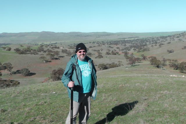
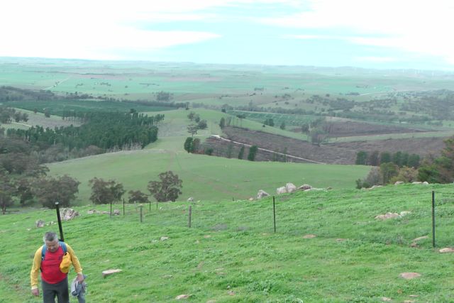
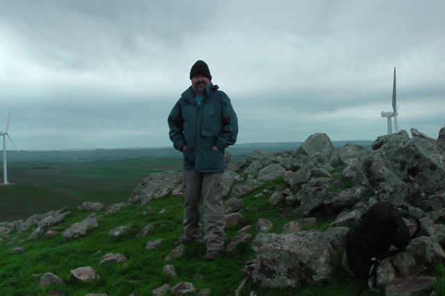
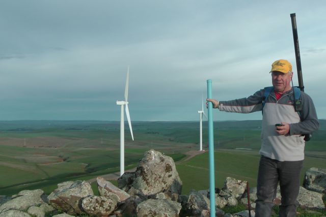
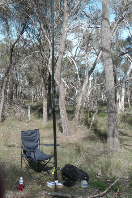
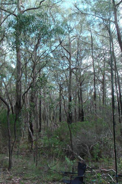
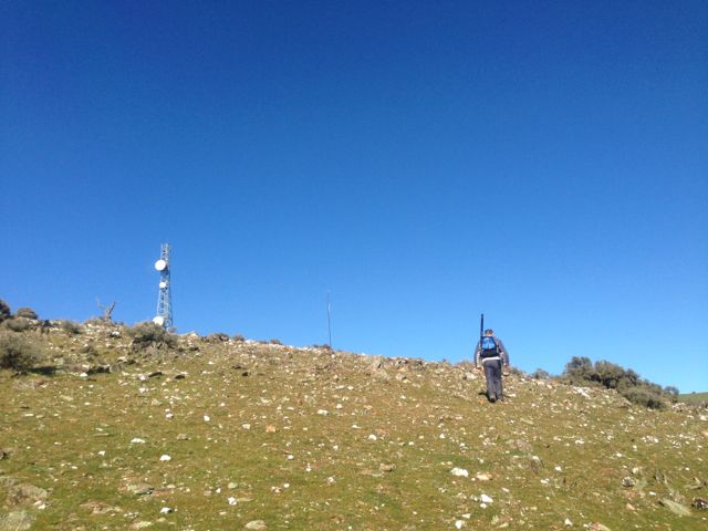
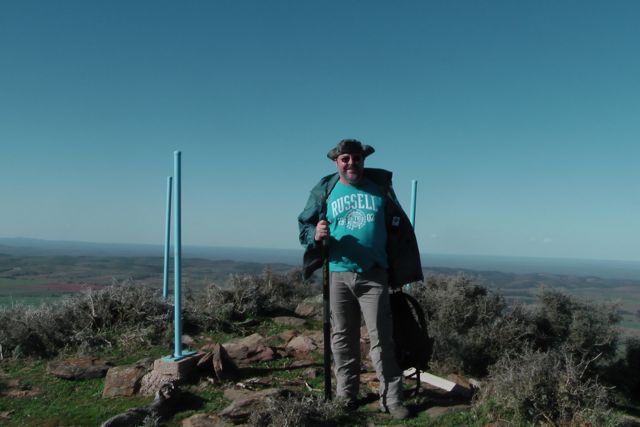
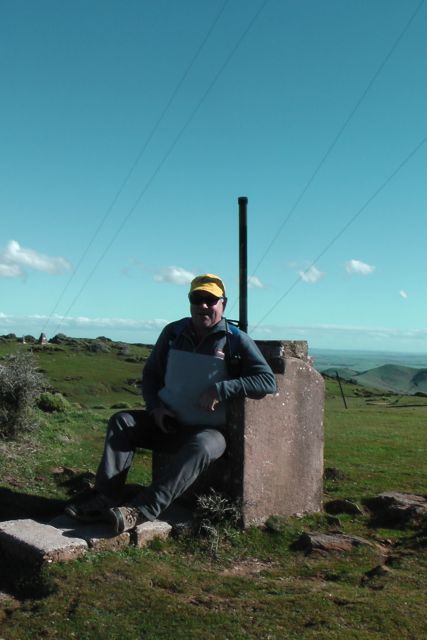
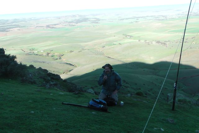
Ian and I parked the car about 1 km from the summit and climbed up a steep side of the hill to reach the trig point. It was a beautiful sunny day but blowing an absolute gale.
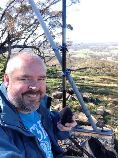
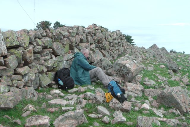
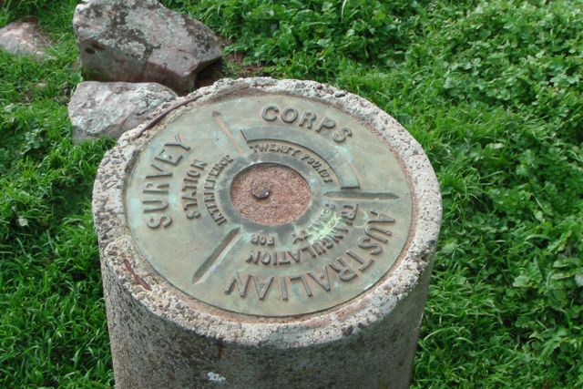
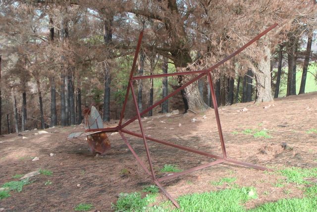
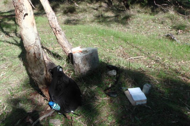
There is the remnants of a trig point at the top. It consists of three blue metal poles. Nearby is a concrete/besser block chair which faces the east. A bit cold on the backside, but an amazing view to the east from the comfort of the chair.
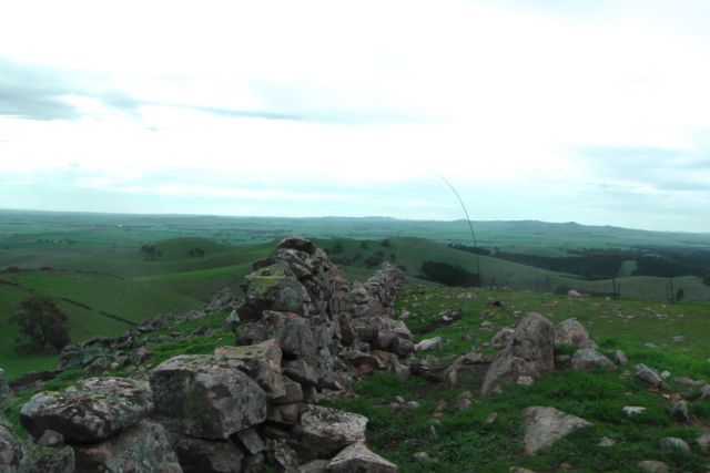
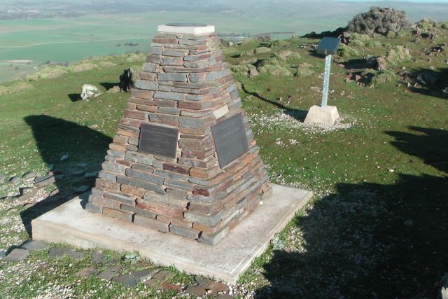
There is also a memorial cairn at the top of the summit, which was erected in 2002 by Mr. Glen Tiver, whose forebears owned the property ‘Rupera’ which encompassed Mount Bryan and its environs. It contains four commeorative plaques in memory of Edward John Eyre, Gawler Sturt & Bryan, Edward Frome, and three generations of the Tiver family.
Sadly, this was not the original cairn on the summit. In 1842, Colonial Surveyor, Lieutenant Edward Frome erected a cairn on the site, during his further explorations of the area. Following Mount Bryan being acquired as a Government Water Reserve in 1970, the S.A. Water Authority demolished Frome’s historic cairn to make way for other engineering works. What a disgrace !
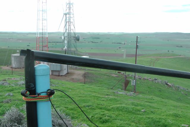
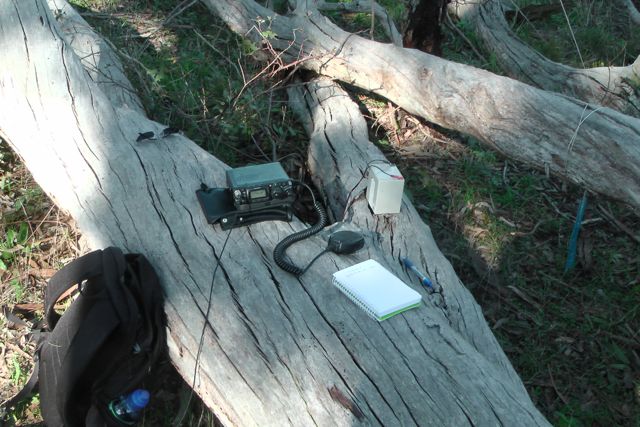
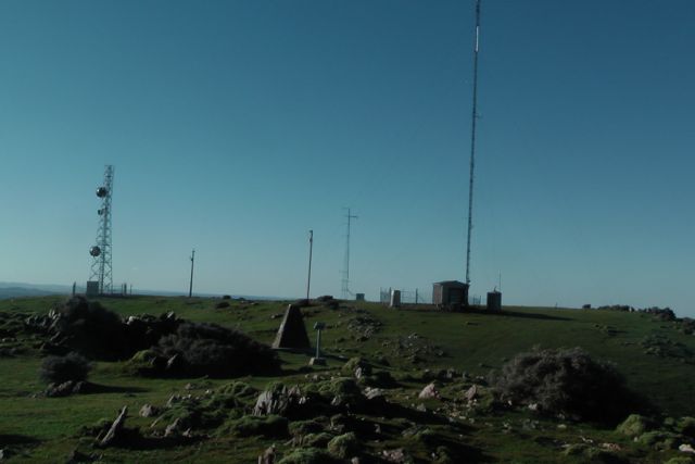
There are also a number of towers with various radio repeaters, etc. Fortunately they did not create any interference and the noise floor was virtually undetectable. There is also a visitors book which we signed.
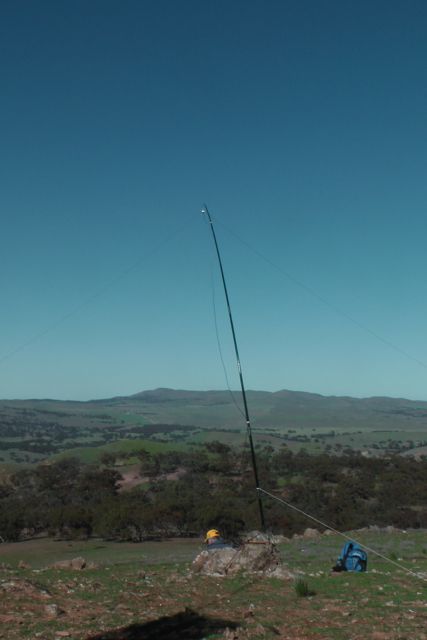
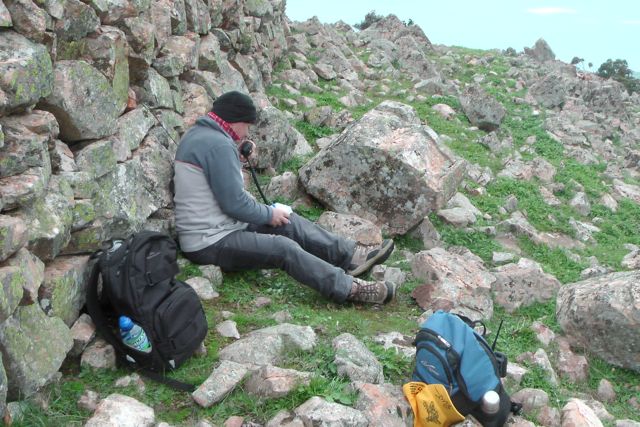
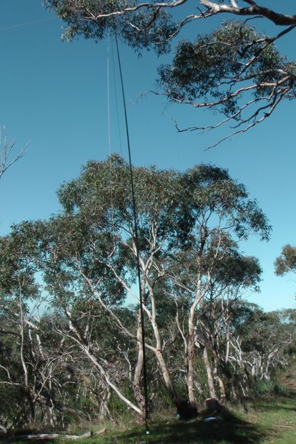
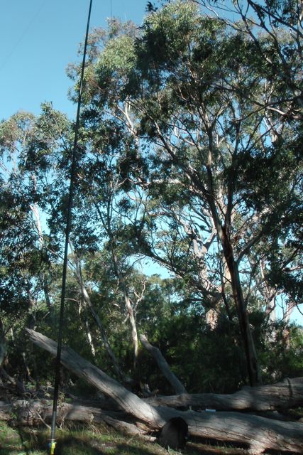
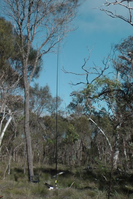
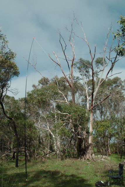
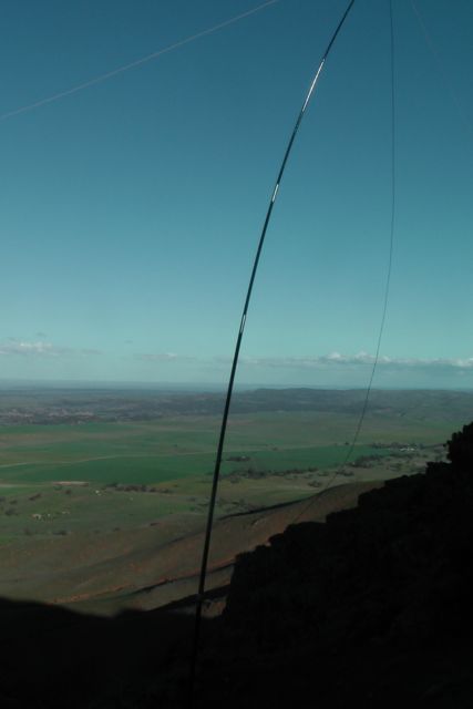
Going from the experience the day before with the squid pole snapping twice, we knew that today’s winds were just as bad as yesterday morning’s winds, so we looked around carefully for an operating spot. We walked down to a little gully just down from the trig point and this seemed to afford quite a bit of protection from the very strong winds.
We set up the squid pole, attaching it to a Heysen trail sign post, using the octopus straps, and we then attached the 40m/20m linked dipole, weighing down the ends with some rocks. The wind was so strong that the legs of the dipole went flying into the air on at least two occasions.
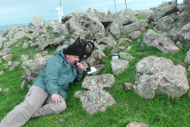
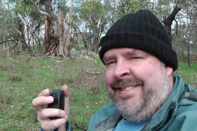
My first contact of the afternoon was with Col VK5HCF who was using just 5 watts QRP. Col had a terrific 5/8 signal. My next QSO was with John VK5BJE who was portable in the Ramco Point Conservation Park in South Australia’s riverland. John was activating quite a few Conservation parks as part of the VK5 National & Conservation Parks Award. John was also QRP and he too had a great 5/8 signal. Next was Ernie VK3DET, followed by Peter VK3PF to make my 4 required QSO’s.
Ian had already activated this park earlier in the year, so for him it was not worth any additional points. However whilst I got up to stretch the legs and go for a walk, Ian jumped onto 20m SSB and made 5 contacts into Europe, VK2, & VK6.
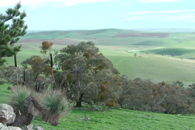
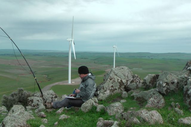
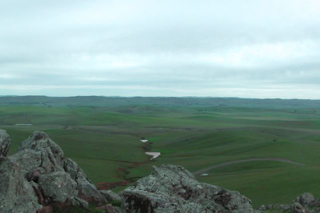
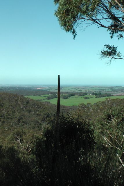
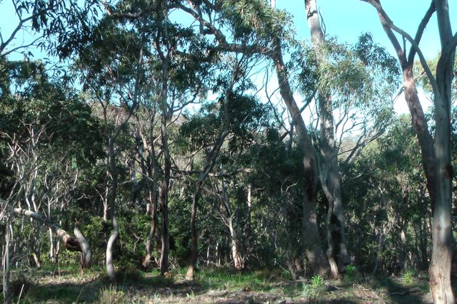
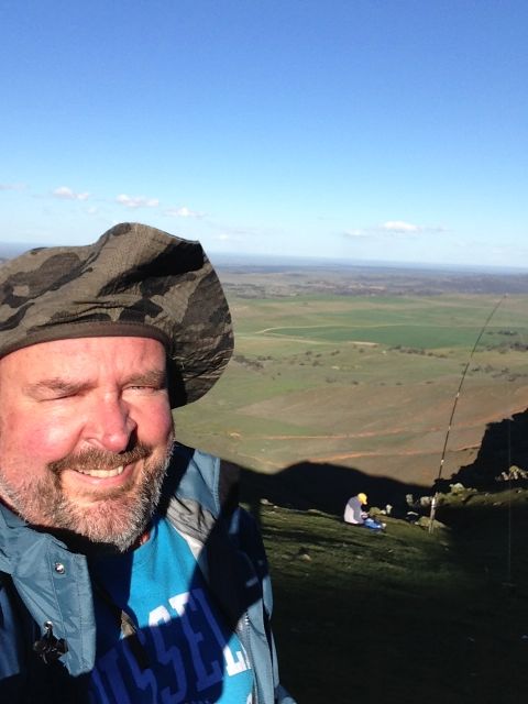
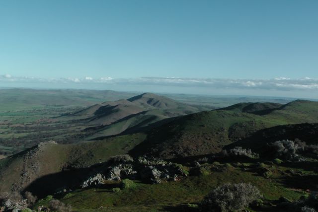
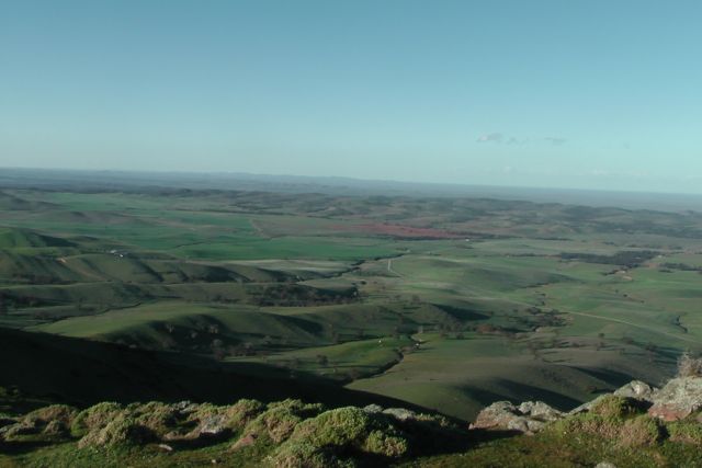
The views from the top of the summit are really quite something. There are 360 degree panoramic views.
After an hour of activating, it was time to get off the summit. Before leaving we bumped into the bushwalker whose car we had seen parked down at the base of the summit. He was a friendly guy and we explained why we were up the top of Mount Bryan and he was very interested.
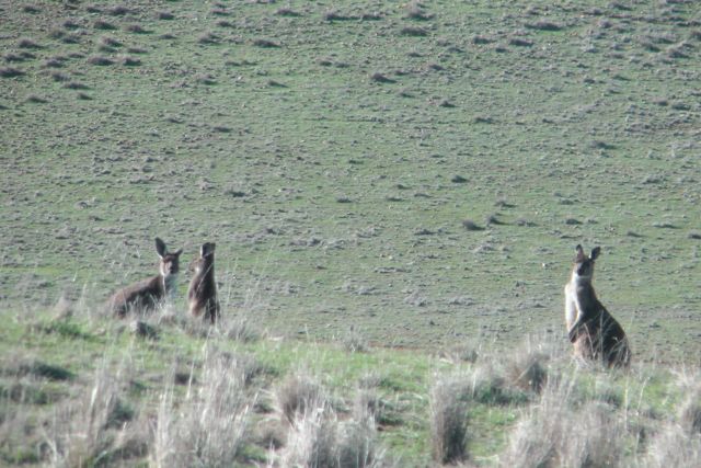
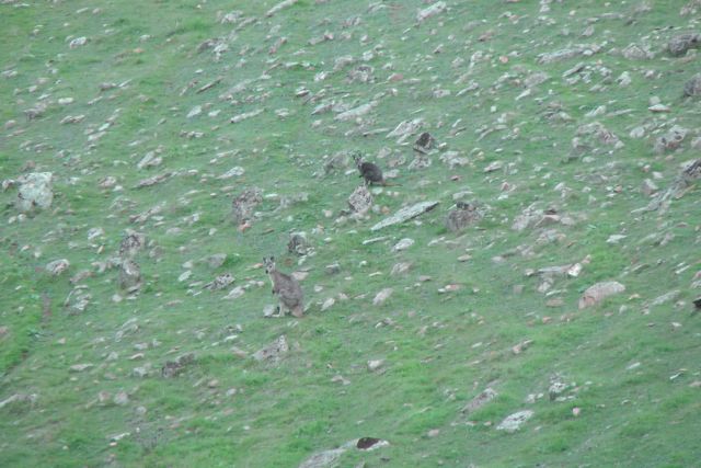
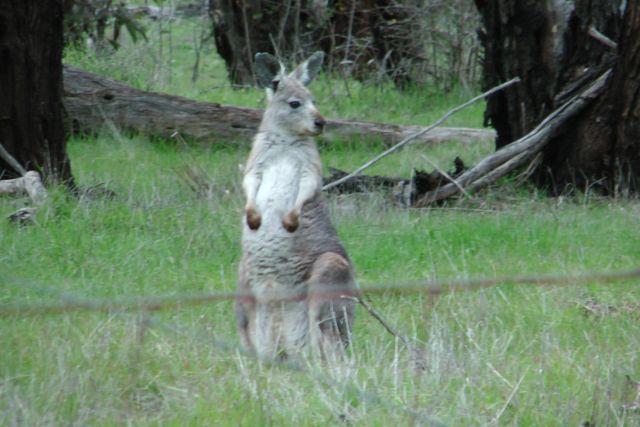
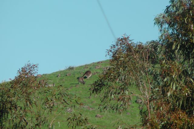
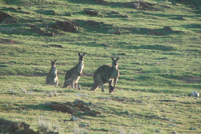
On the way back to the car we saw a large number of kangaroos. It was getting on towards 4.00 p.m. and they were just starting to come out and graze on some of the lush greenery on the hills.
It was an enjoyable hour or so on the hill, with a total of 26 QSO’s on 40m SSB into VK1, VK2, VK3, VK4, & VK5, and 2 QSO’s on 20m SSB into Spain & New Zealand.
I worked the following stations:- Col VK5HCF/qrp; John VK5BJE/p/qrp; Ernie VK3DET; Peter VK3PF; Peter VK3ZPF; Andy VK5LA; Tony VK3CAT; Brian VK5FMID; Rhett VK3GHZ; Tom VK5EE; VK2LAX/p; VK5PEP; Peter VK3FPSR/m VK2; Nick VK3ANL; Brian VK3MCD/p; VK3OHM; Paul VK4CPS; Ron VK3AFW; Roy VK5NRG/qrp; Mal VK3AZZ; VK4FADI; Shaun VK5FAKV; Andrew VK2UH; David VK5NQP; Mark VK1MDC; VK4FBRI/p/qrp; John EA7BA; and Brian ZL2ASH.
I have posted a video of this activation on You Tube.