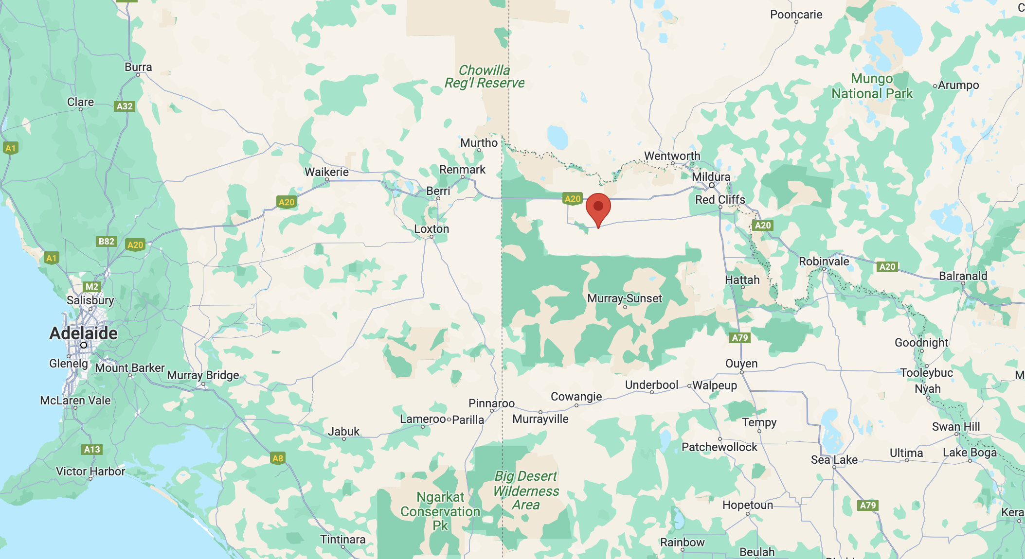
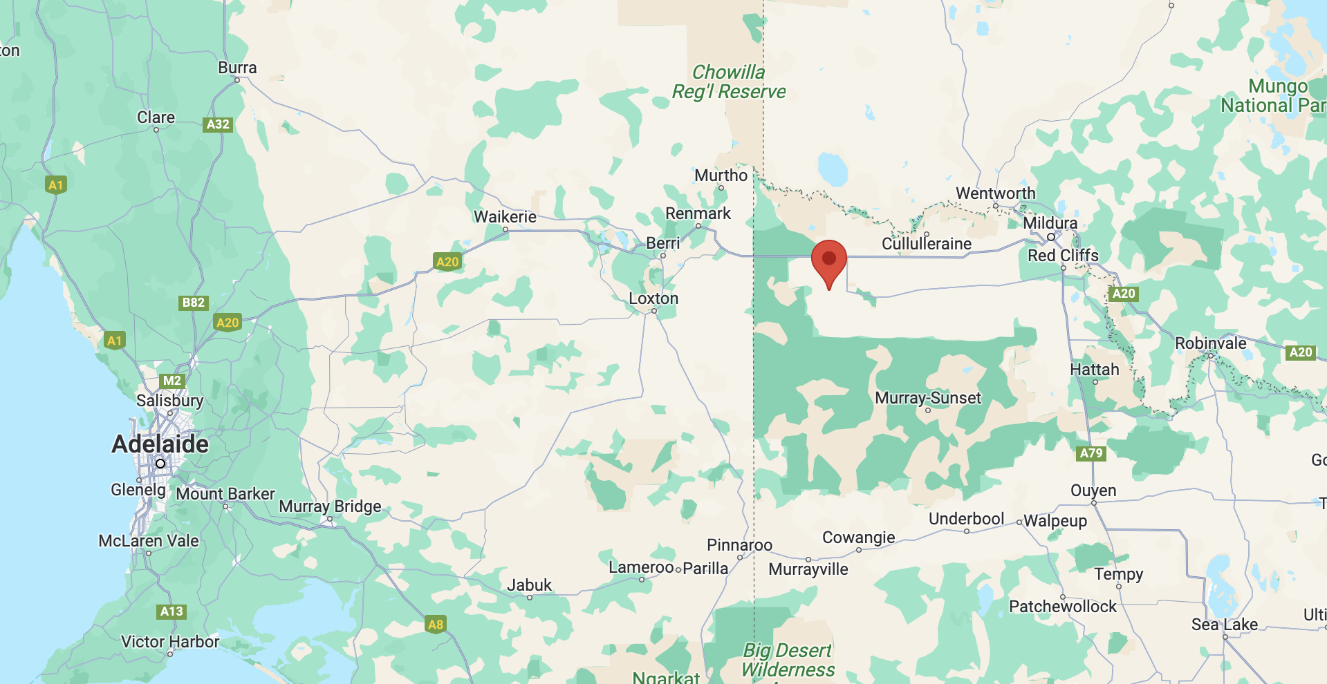
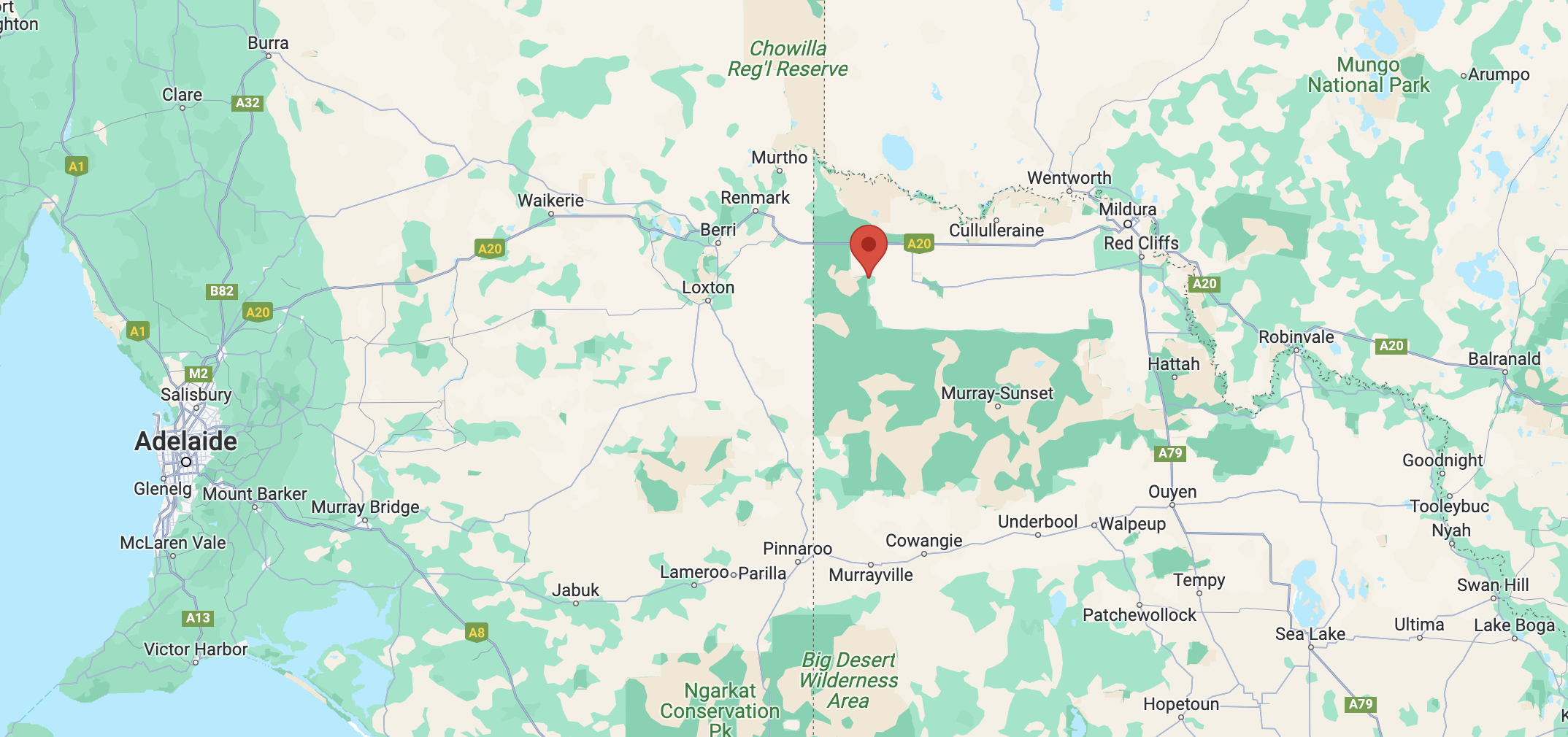
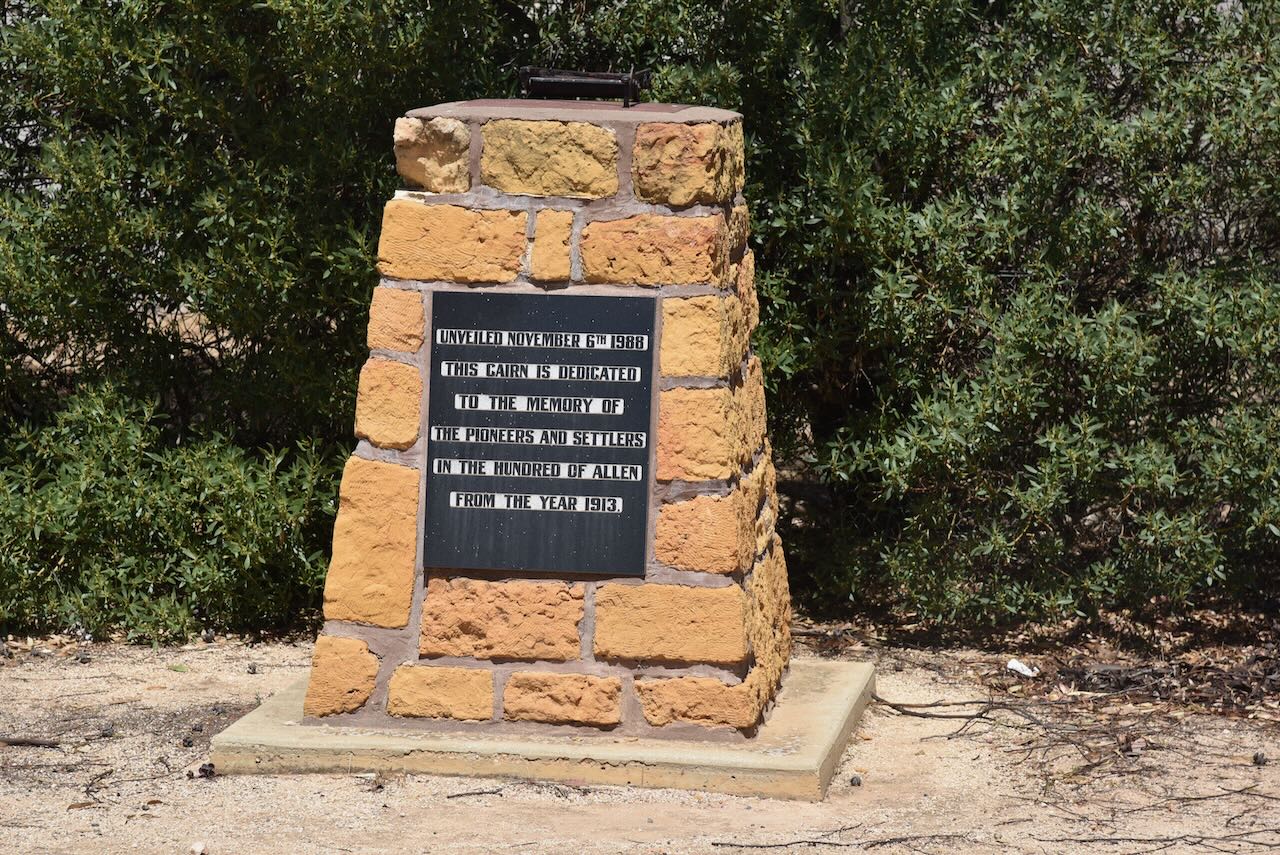
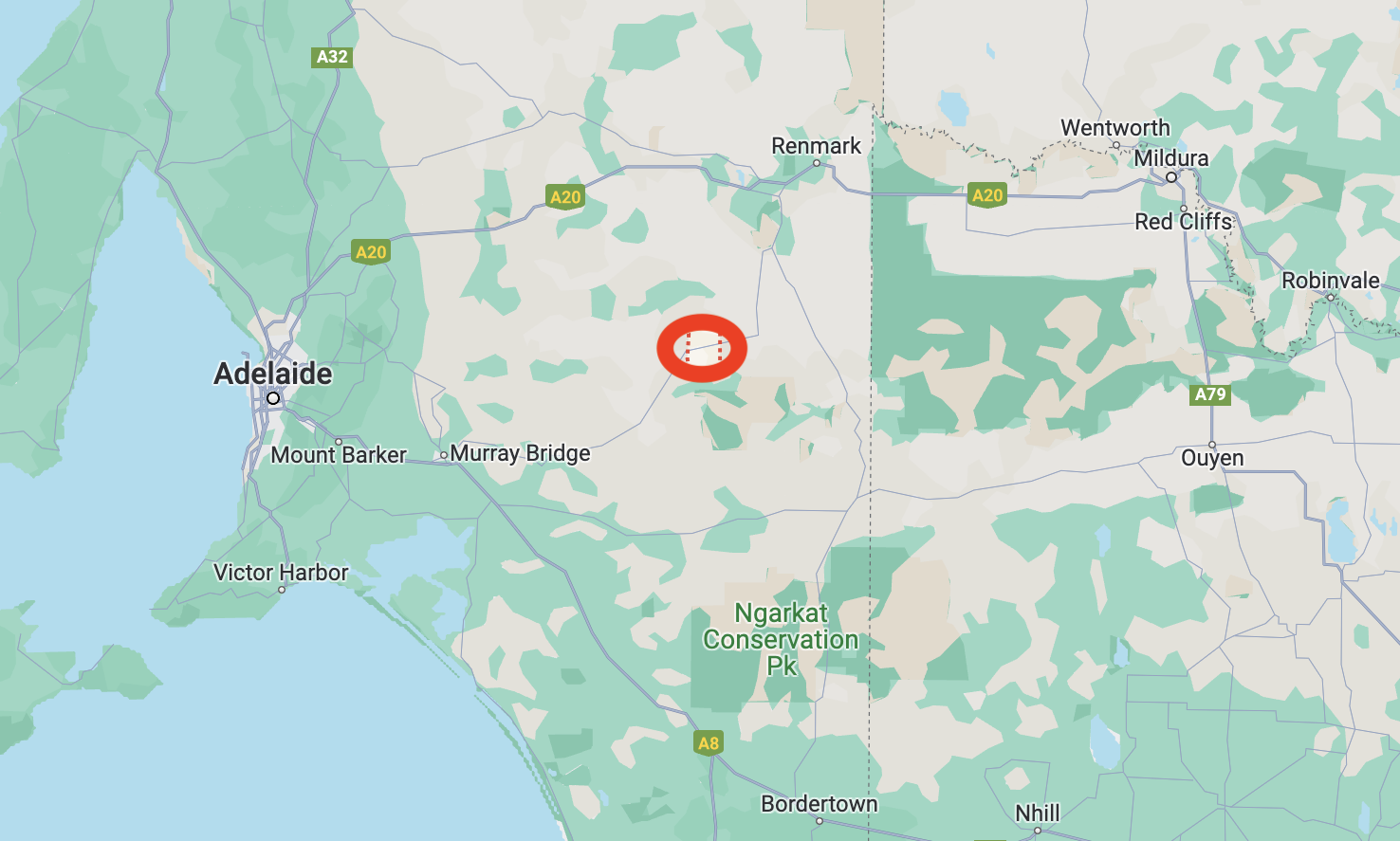
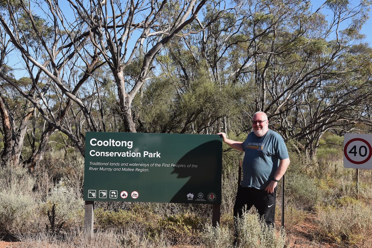
Our first park for Friday 27th October 2023, was the Cooltong Conservation Park VKFF-0823. Cooltong is located about 249 km northeast of the city of Adelaide in the Riverland region of South Australia.
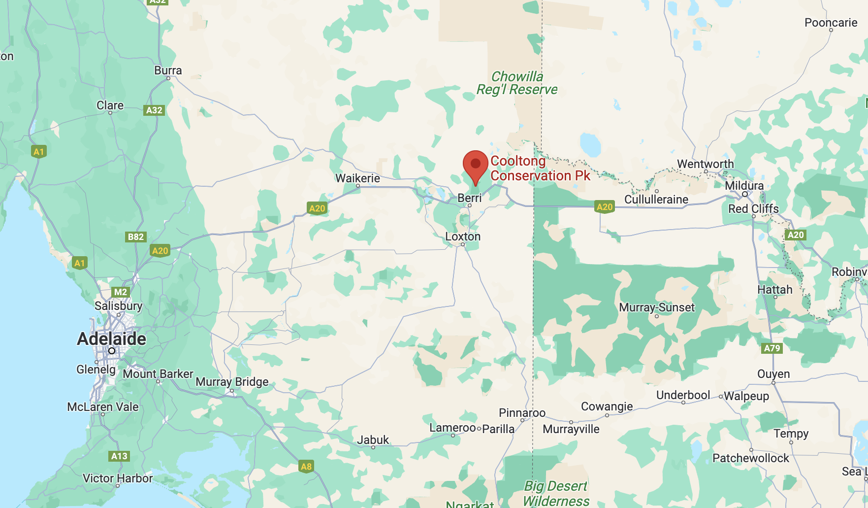
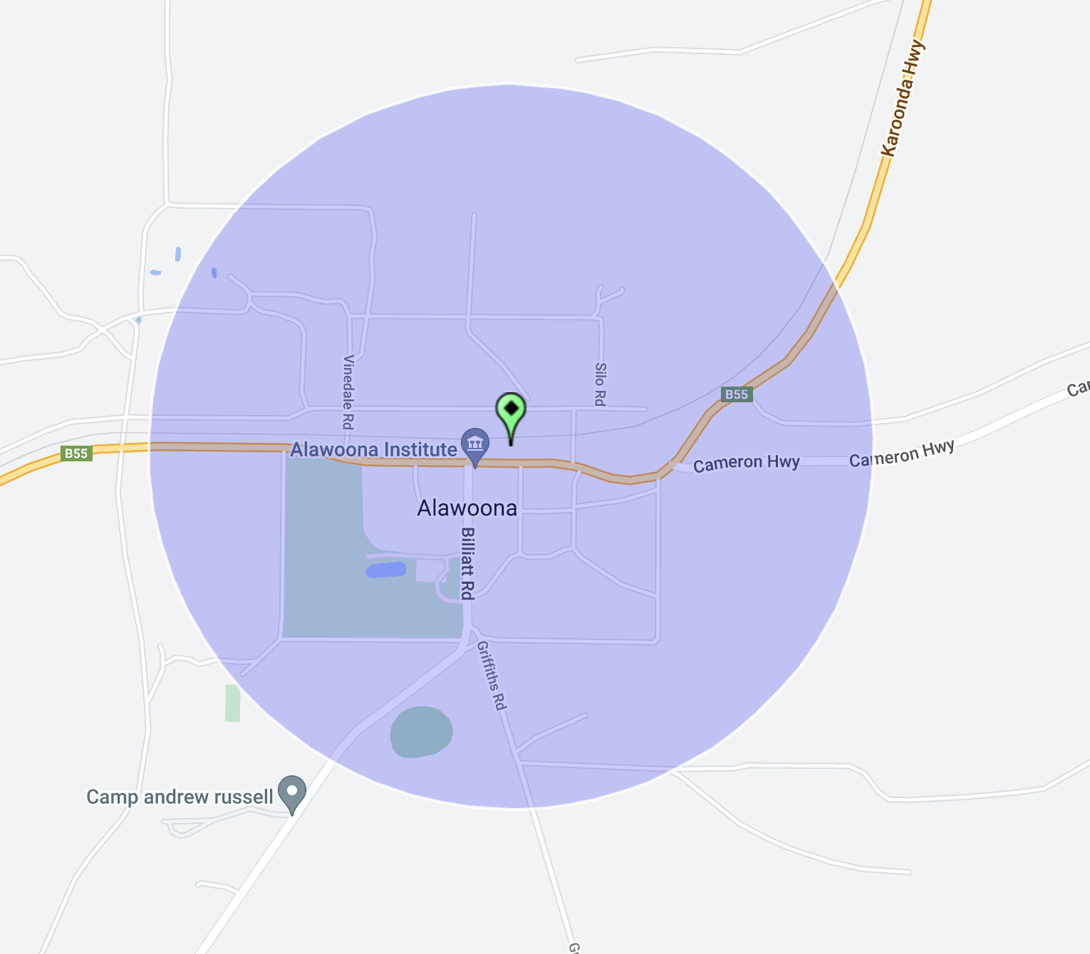
Above:- Map showing the location of the Cooltong Conservation Park. Map c/o Google Maps.
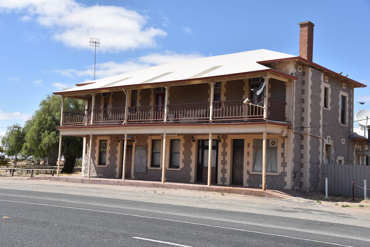
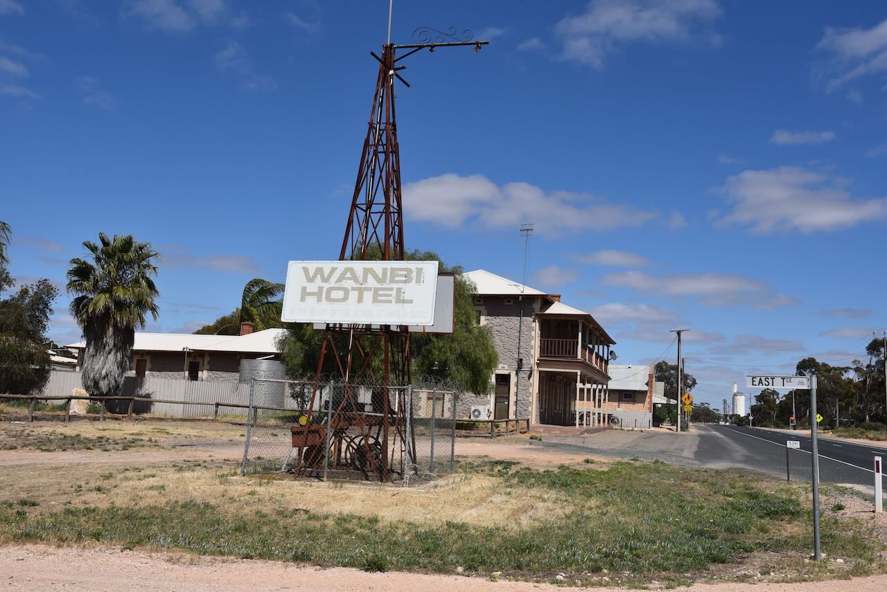
Cooltong is a town and locality about 13 km northwest of the town of Renmark. The name Cooltong is derived from a local aboriginal name meaning “lizard place”.
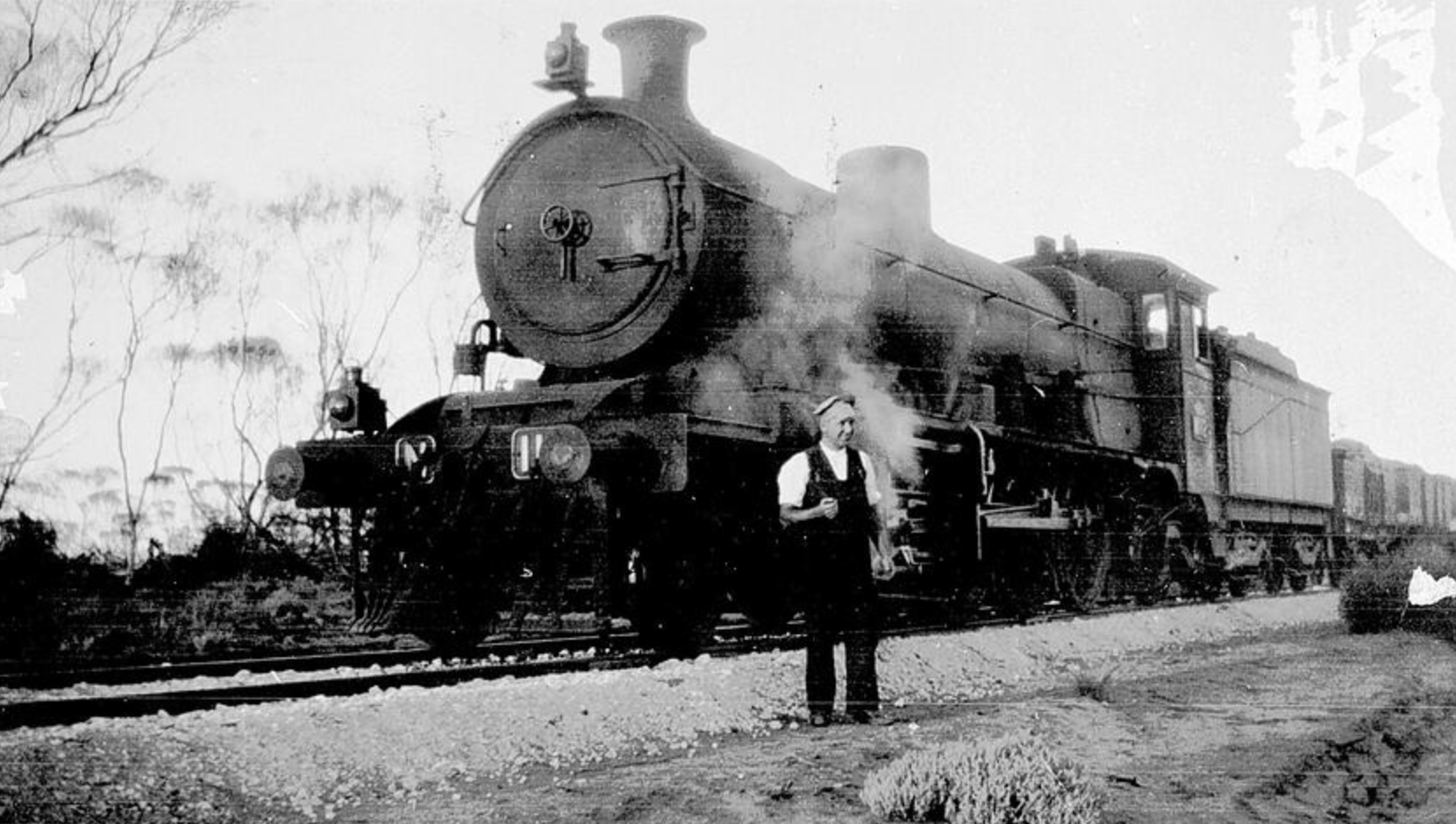
The first mention of the name Cooltong was in the Renmark Pioneer newspaper in September 1898, when reporting on a ‘phenomenal hailstorm and cyclone’ when mention was made of Cooltong Hills.
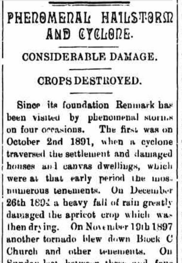
Above:- Part of an article from the Renmark Pioneer, Fri 9 Sep 1898. Image c/o Trove.
The town of Cooltong was surveyed in 1949. The majority of the land in the area had been granted as soldier settlement blocks following World War II, and was irrigated and planted with grapevines, citrus and other fruit trees.
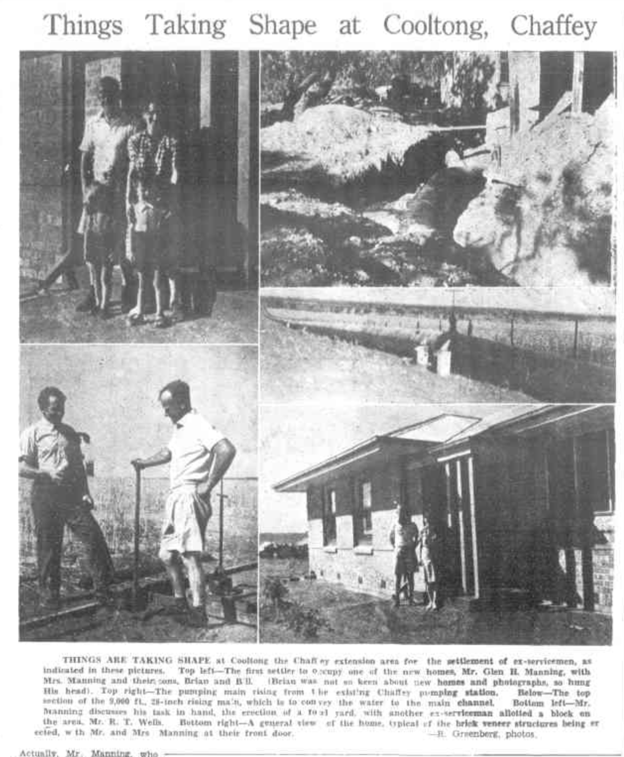
Above:- Part of an article from the Murray Pioneer, Thu 29 Dev 1949. Image c/o Trove.
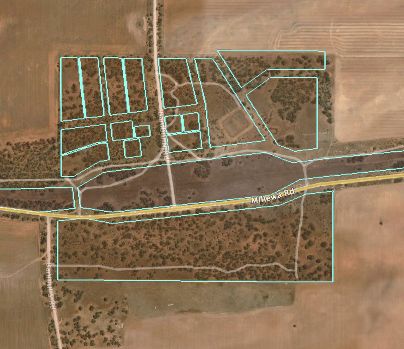
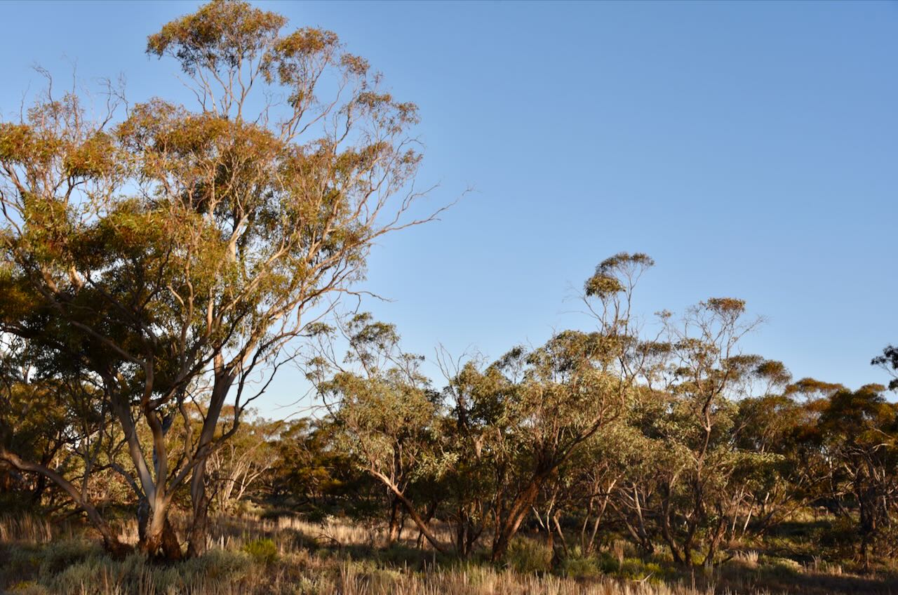
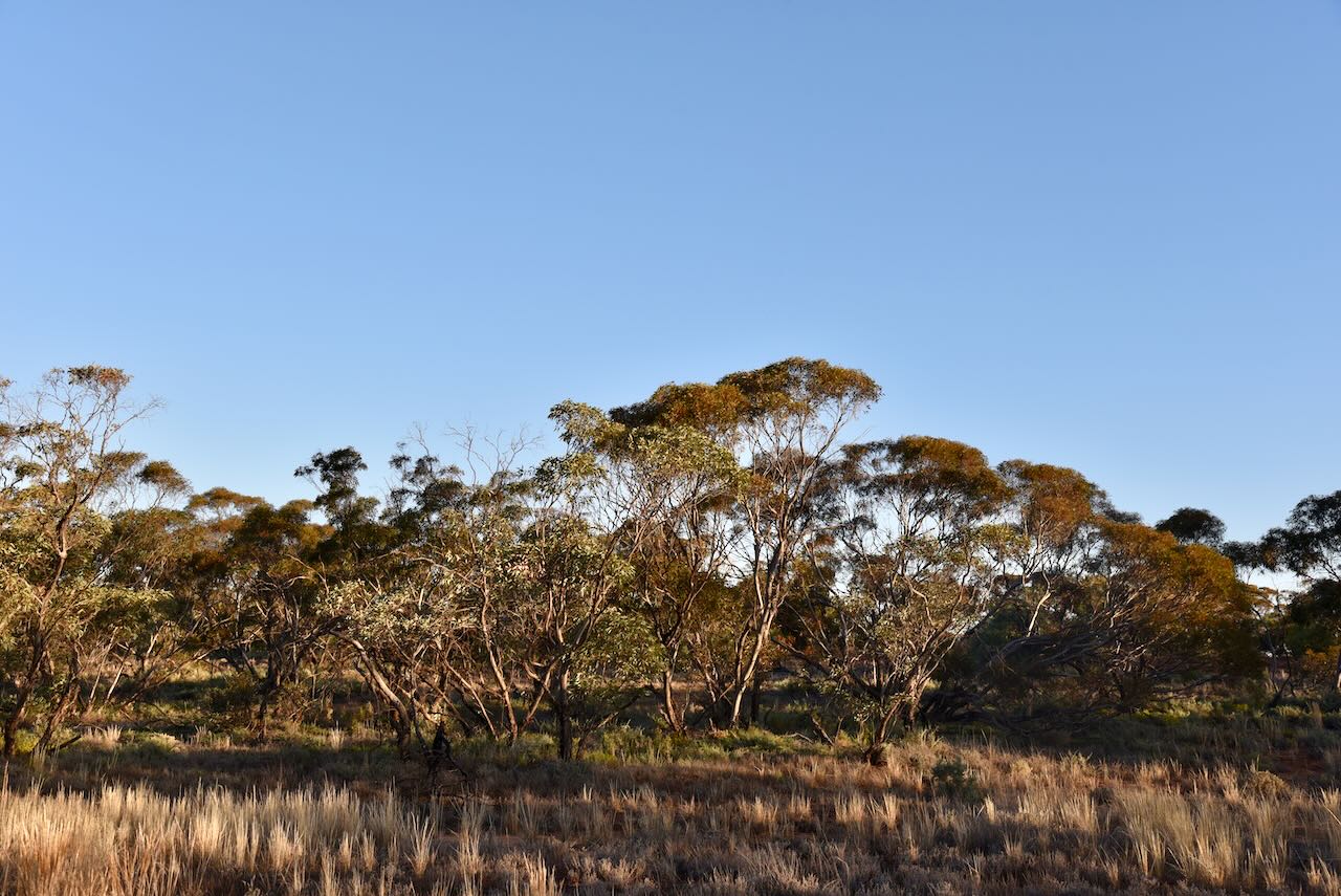
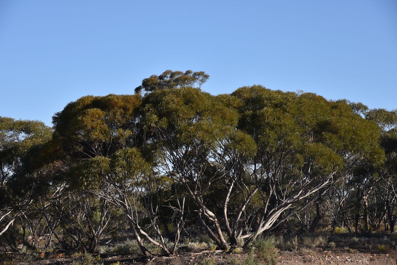
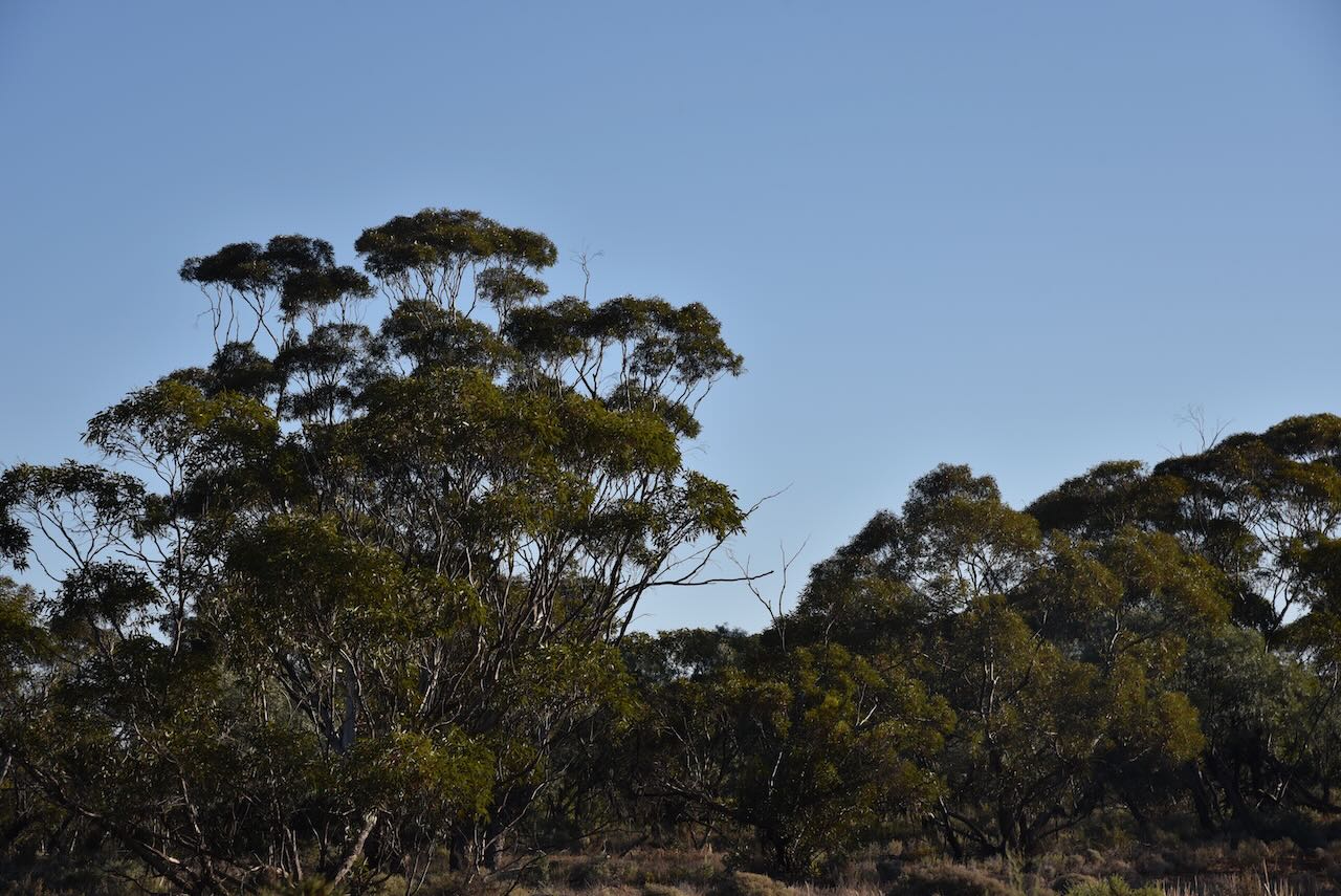
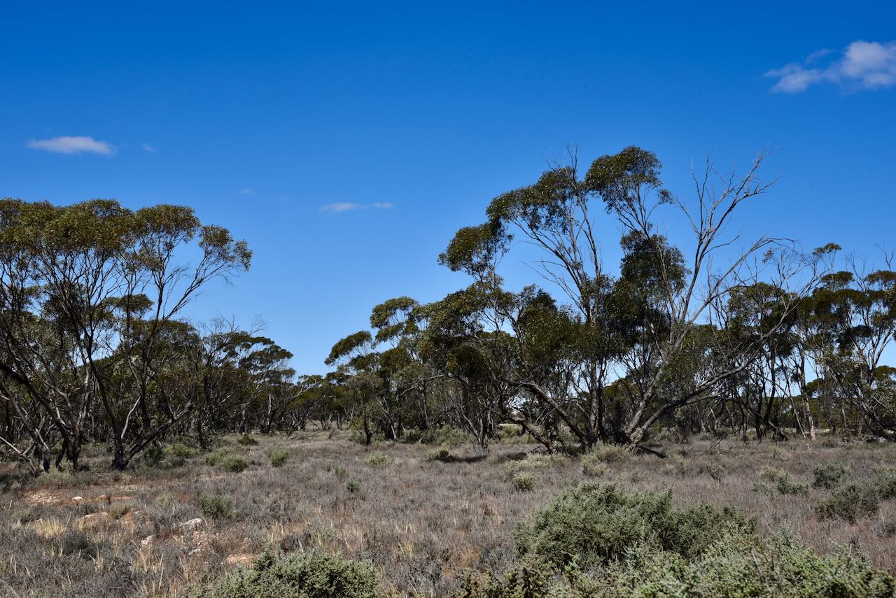
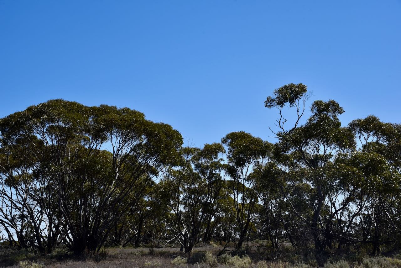
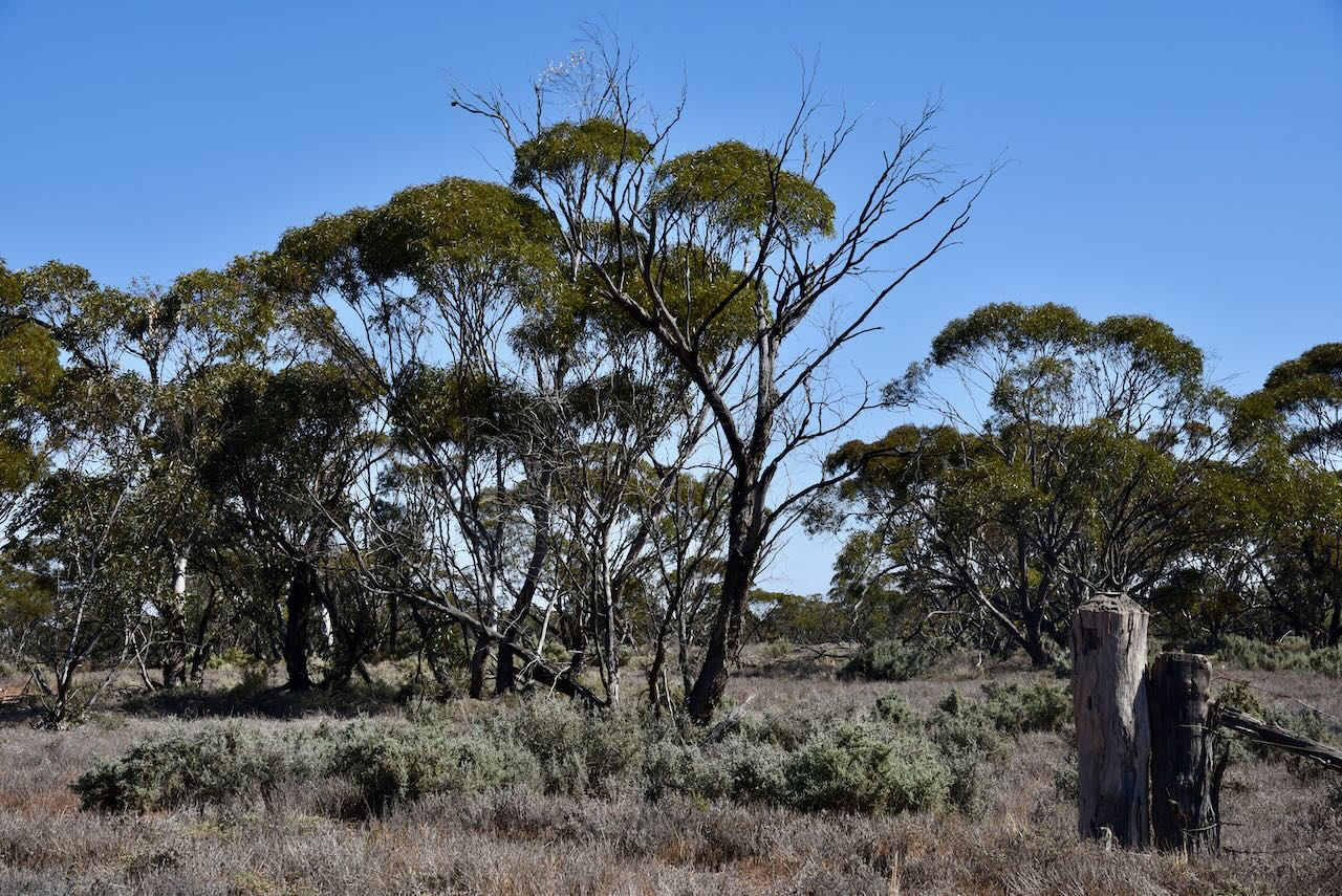
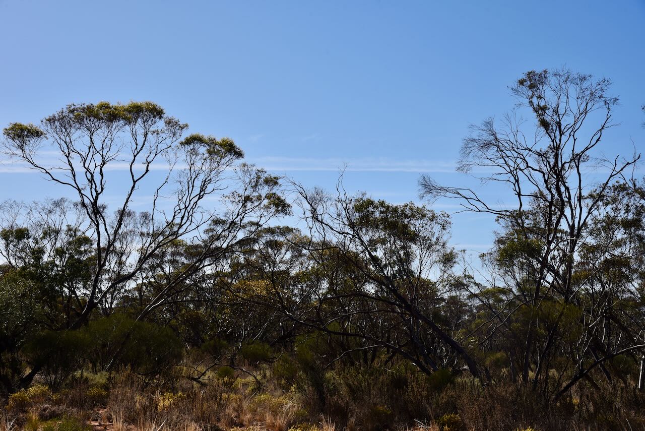
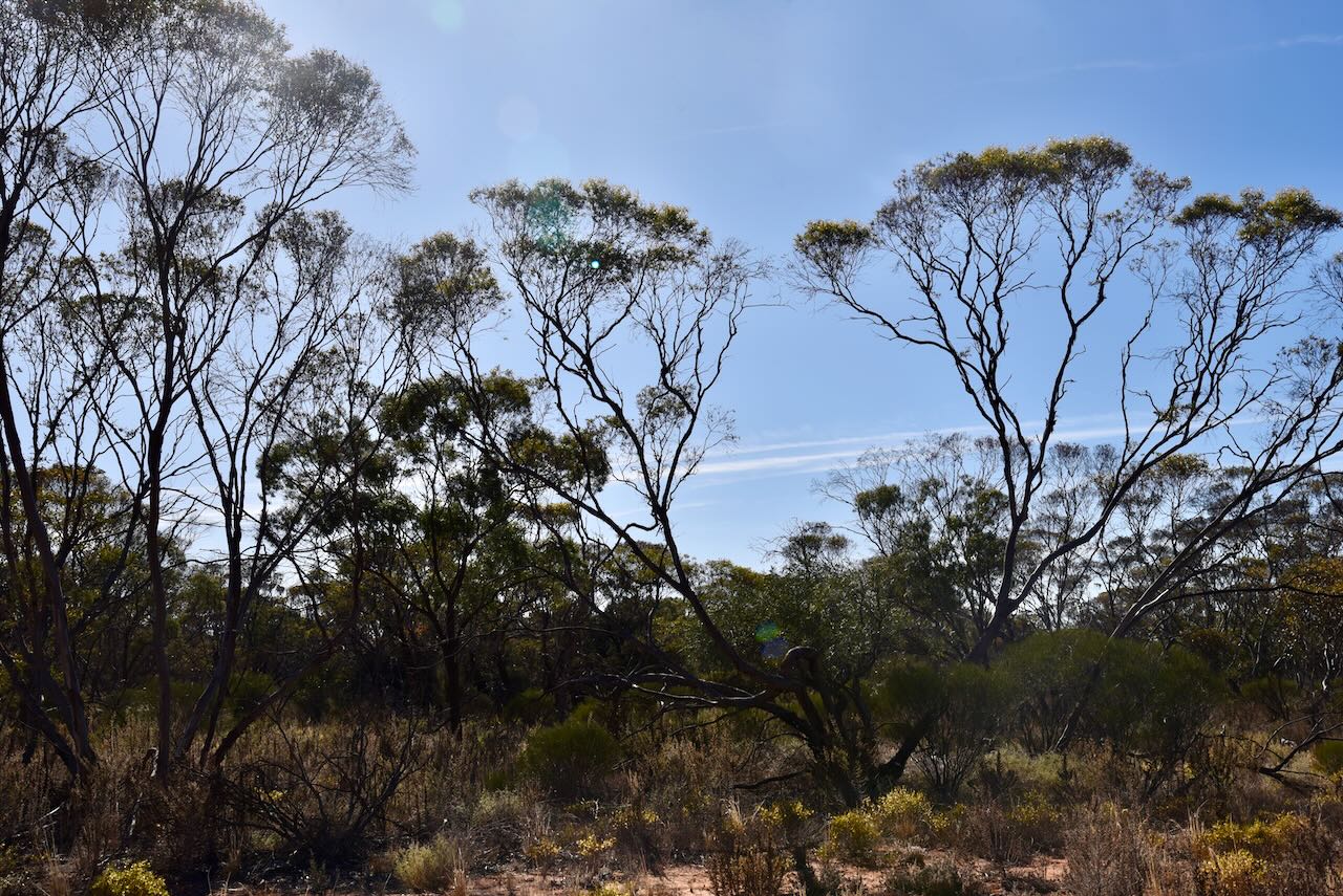
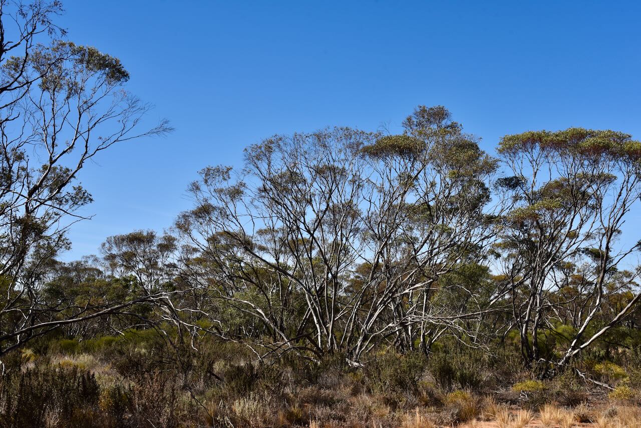
The Cooltong Conservation Park is southwest of the town. It is about 3,710 hectares in size and was proclaimed on the 8th day of April 1983. The park is dominated by mallee vegetation including Blue-leaf Mallee, White Mallee, Narrow-leaf Mallee and Red Malleee.
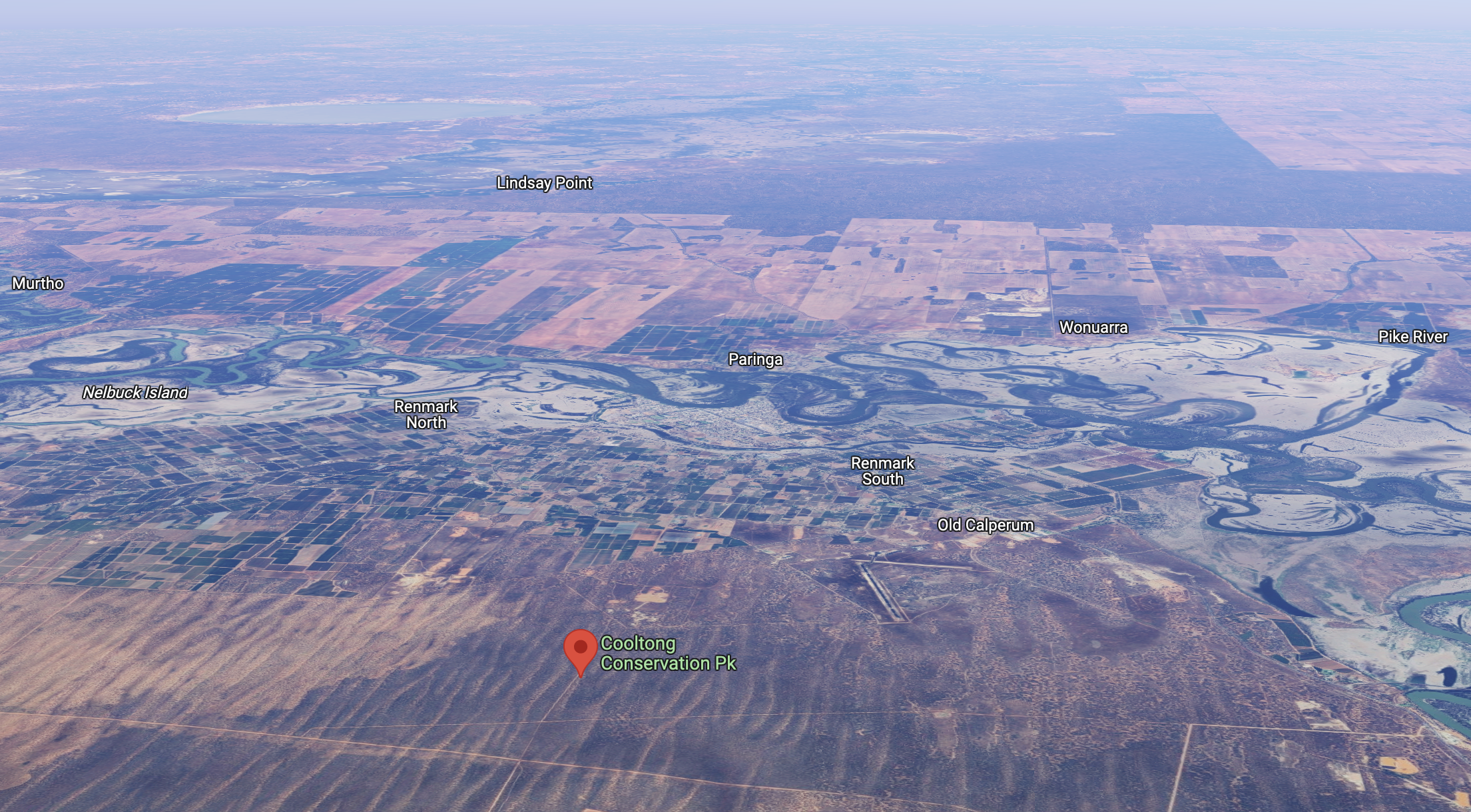
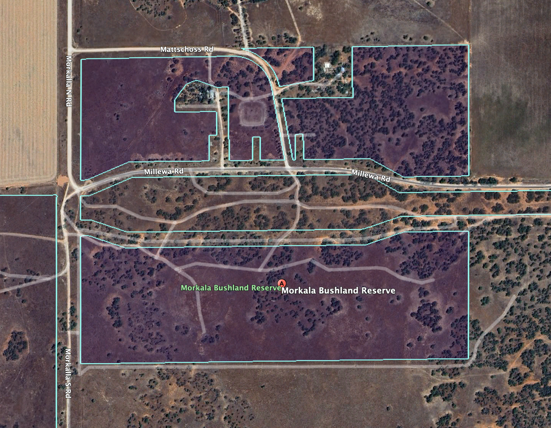
Above:- An aerial shot of the Cooltong CP. Image c/o Google Maps.
Birds SA have recorded about 109 species of native bird in the park including Malleefowl, Mulga parrot, Spiny-cheeked Honeyeater, and Puruple-backed Fairwren.
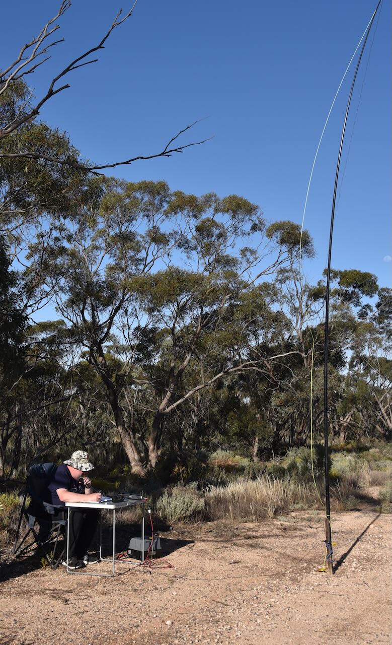
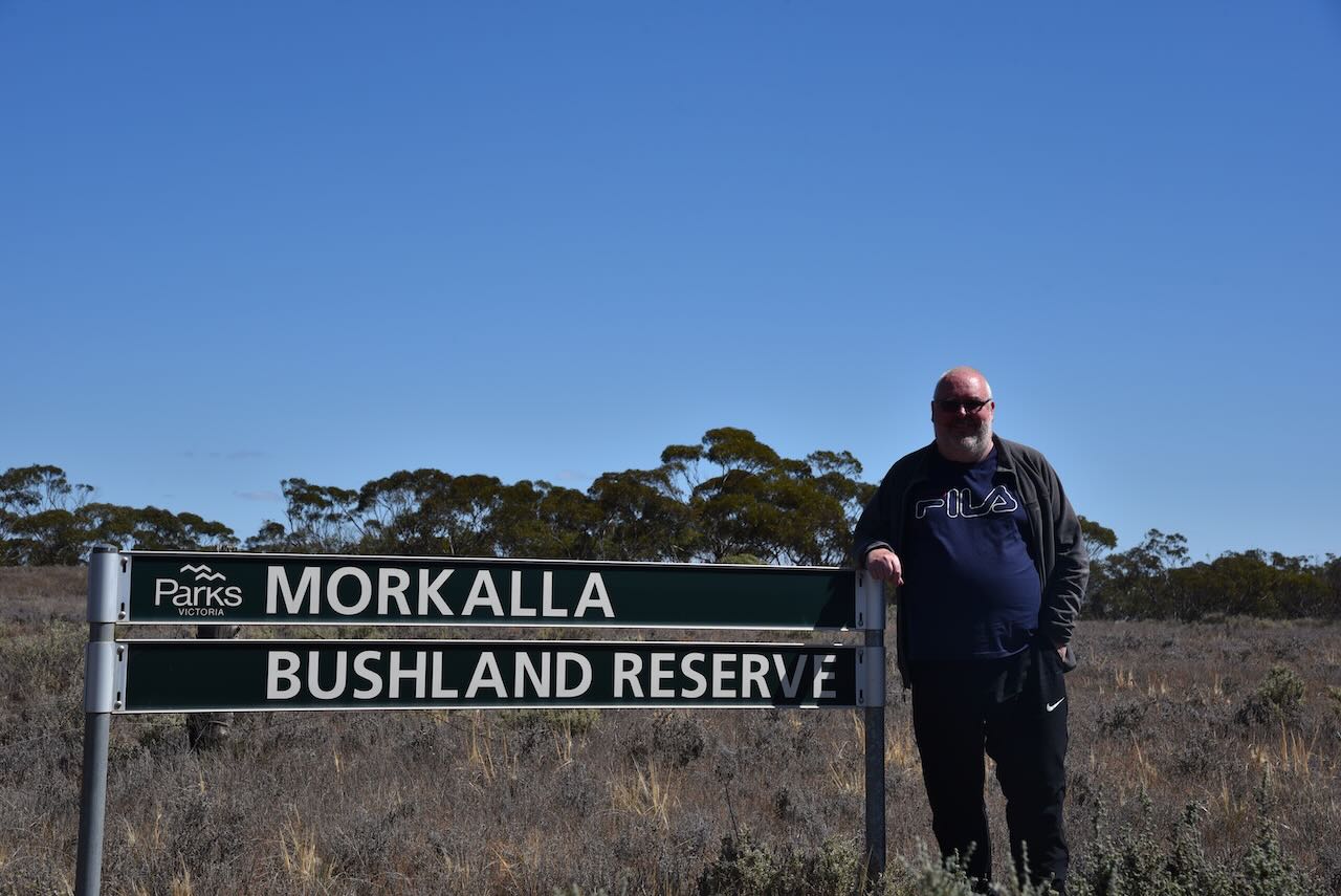
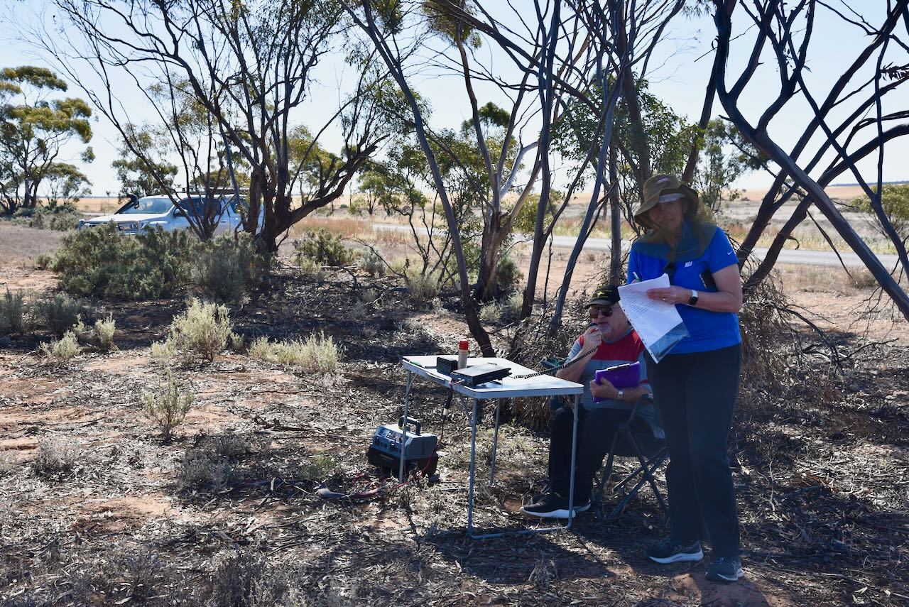
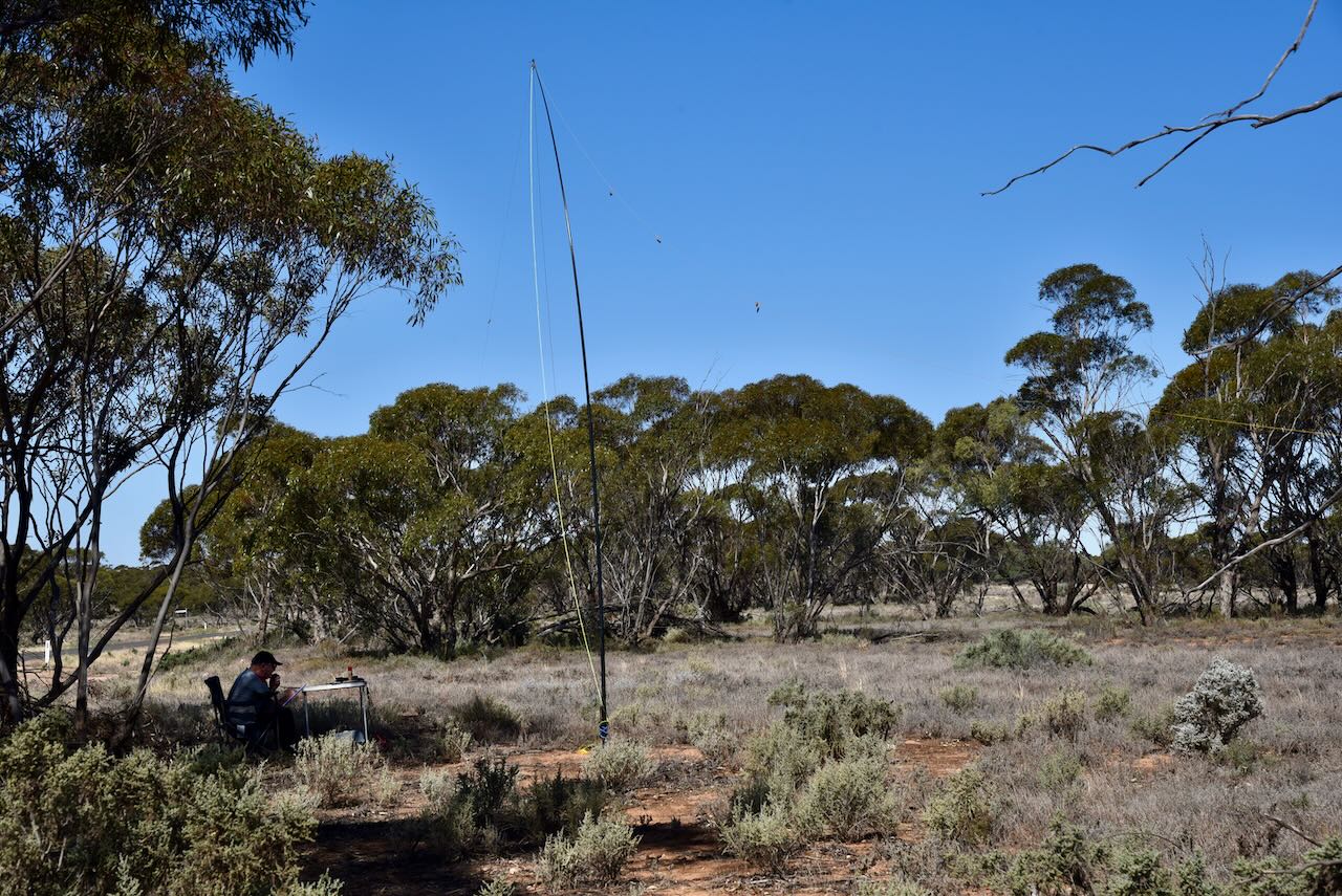
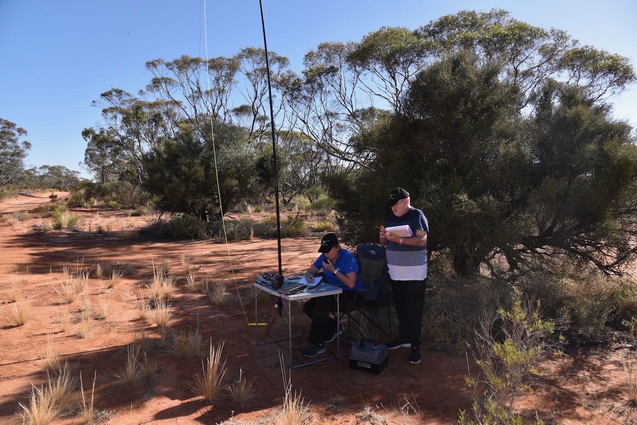
We accessed the park via Santos Road which runs off the Sturt Highway and leads directly into the park. We found a dirt track leading off Santos Road and set up our station consisting of the Yaesu FT857, 40 watts, and the 20/40/80m linked dipole (inverted vee configuration) supported by a 7-metre telescopic heavy-duty squid pole.
Marija worked the following stations on 40m SSB:-
- VK2GOM/p (Bay of Fires Conservation Area VKFF-1133)
- VK2BYF/p (Bay of Fires Conservation Area VKFF-1133)
- VK3ZPF/p (Hattah-Kulkyne National Park VKFF-0231)
- VK2IO/p (Meringur Flora Reserve VKFF-2383 & silo VK-MRR3)
- VK7MAT
- VK3SQ
- VK2BD
- VK1CHW
- VK5FL
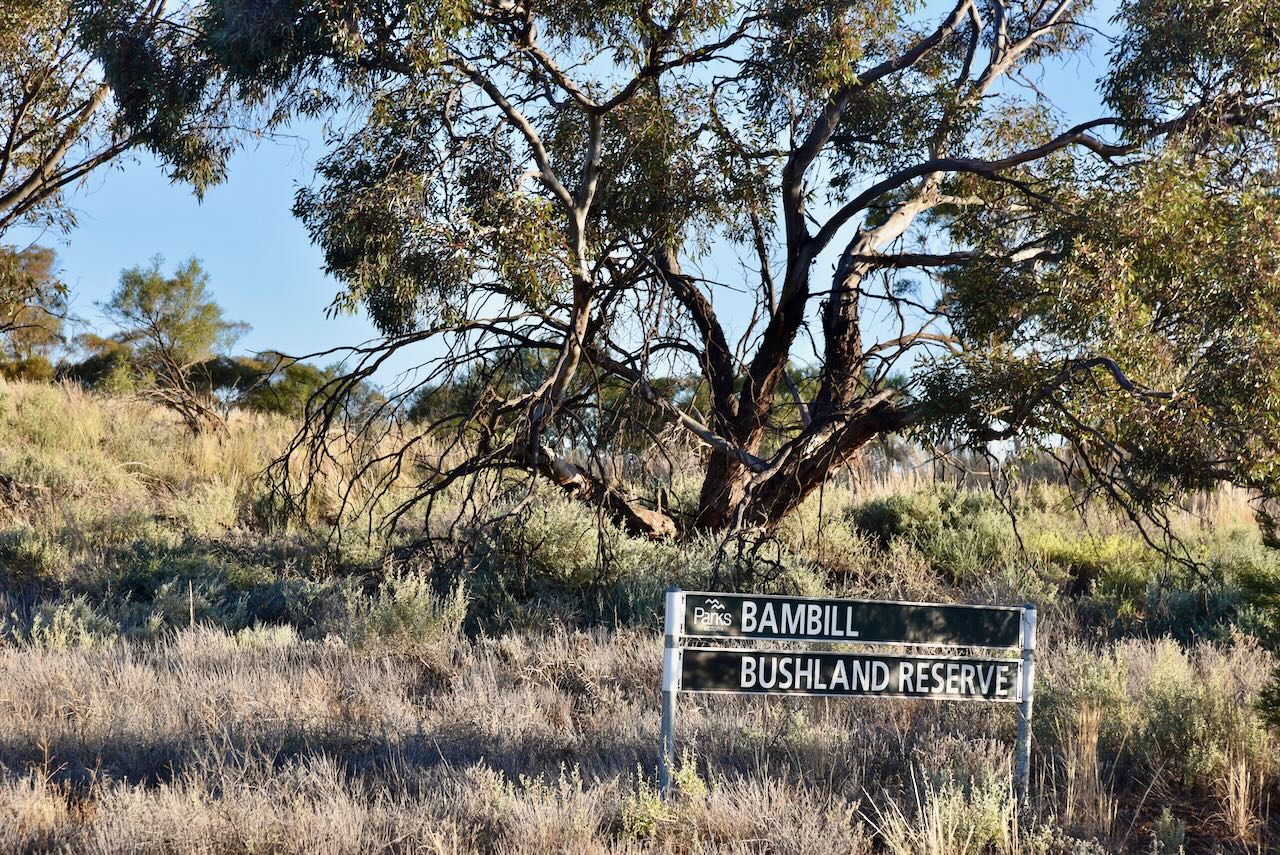
- VK3PF/p (Bambill Bushland Reserve VKFF-4121)
- VK3VIN
- VK3OAK/p (Hattah-Kulkyne National Park VKFF-0231)
- VK3PWG/p (Hattah-Kulkyne National Park VKFF-0231)
- VK2KYO
- VK3CAT
- VK3WMD
- VK5ADP
- VK3CLD/p
- VK2USH
- VK3CJN
I worked the following stations on 40m SSB:-
- VK2BYF/p (Bay of Fires Conservation Area VKFF-1133)
- VK2GOM/p (Bay of Fires Conservation Area VKFF-1133)
- VK3VIN
- VK4NH
- VK4DXA
- VK5FL
- VK3CEO
- VK3ZPF/p (Hattah-Kulkyne National ParkVKFF-0231)
- VK2IO/p (Meringur Flora Reserve VKFF-2383 & silo VK-MRR3)
- VK3SQ
- VK2BD
- VK3PF/p (Bambill Bushland Reserve VKFF-4121)
- VK3OAK/p (Hattah-Kulkyne National Park VKFF-0231)
- VK3PWG/p (Hattah-Kulkyne National Park VKFF-0231)
- VK2USH
- VK3CJN
- VK5ADB
- VK2KYO
- VK5TN
- VK3CLD/p
- VK5MH
I worked the following stations on 20m SSB:-
- VK6DAV
- VK2CG
- VK2TER
- VK4EMP
- VK4TI
- VK6LMK
- VK7RG
References.
- Birds SA, 2023, <https://birdssa.asn.au/location/cooltong-conservation-park/>, viewed 16th November 2023.
- Wikipedia, 2023, <https://en.wikipedia.org/wiki/Cooltong,_South_Australia>, viewed 16th November 2023.