Our next activation for Tuesday 31st October 2023 was the Adelaide Dolphin Sanctuary VKFF-1880. I ran the special call of VI10VKFF for this activation.
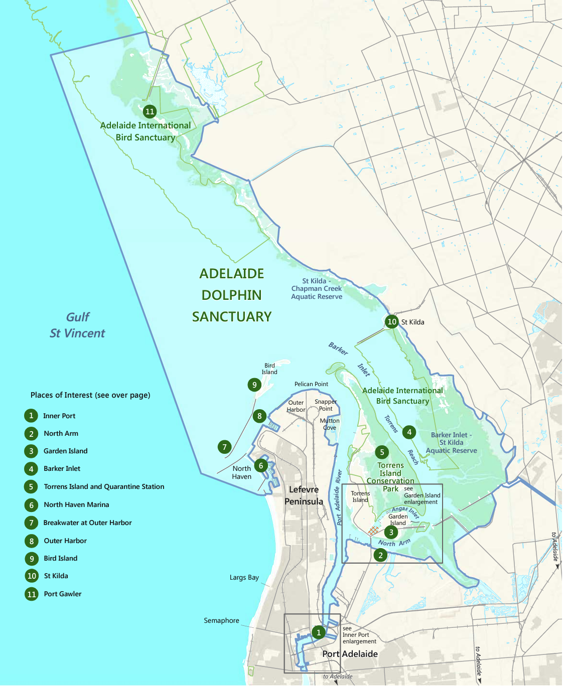
The Sanctuary is located on the east coast of Gulf St Vincent. It adjoins the north-western part of Adelaide and includes the Port River estuary and north of St Kilda.
Above:- Map showing the location of the Adelaide Dolphin Sanctuary. Image c/o National Parks SA.
The sanctuary is 118.75 km2 and was established on the 4th day of June 2005. It was established for the protection of the resident population of Indo-Pacific bottlenose dolphins.
Marija and I parked in the Outer Harbour 4 carpark and operated from the vehicle for this activation. We ran the Icom IC7000, 100 watts, and the Codan 9350 with the 1.5 stainless steel whip mounted on the rear of the Toyota Hi-Lux.
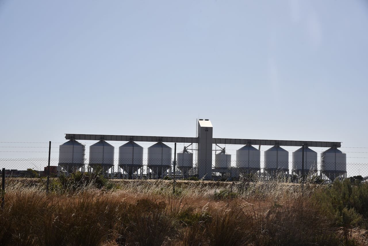
After leaving Fort Glanville, Marija and I headed to the Outer Harbour silo VK-OTR5 for an activation for the Silos On The Air (SiOTA) program.
Above:- Map showing the location of Outer Harbour. Map c/o Google Maps.
Marija and I drove along the picturesque Esplanade and Lady Gowrie Drive to get to the silo. This took us along the beautiful Adelaide coastline and magnificent beaches and passed the historic suburb of Semaphore.
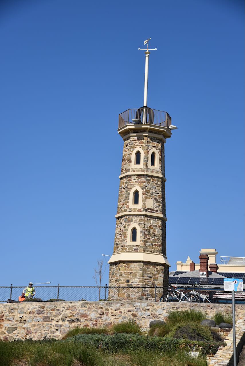
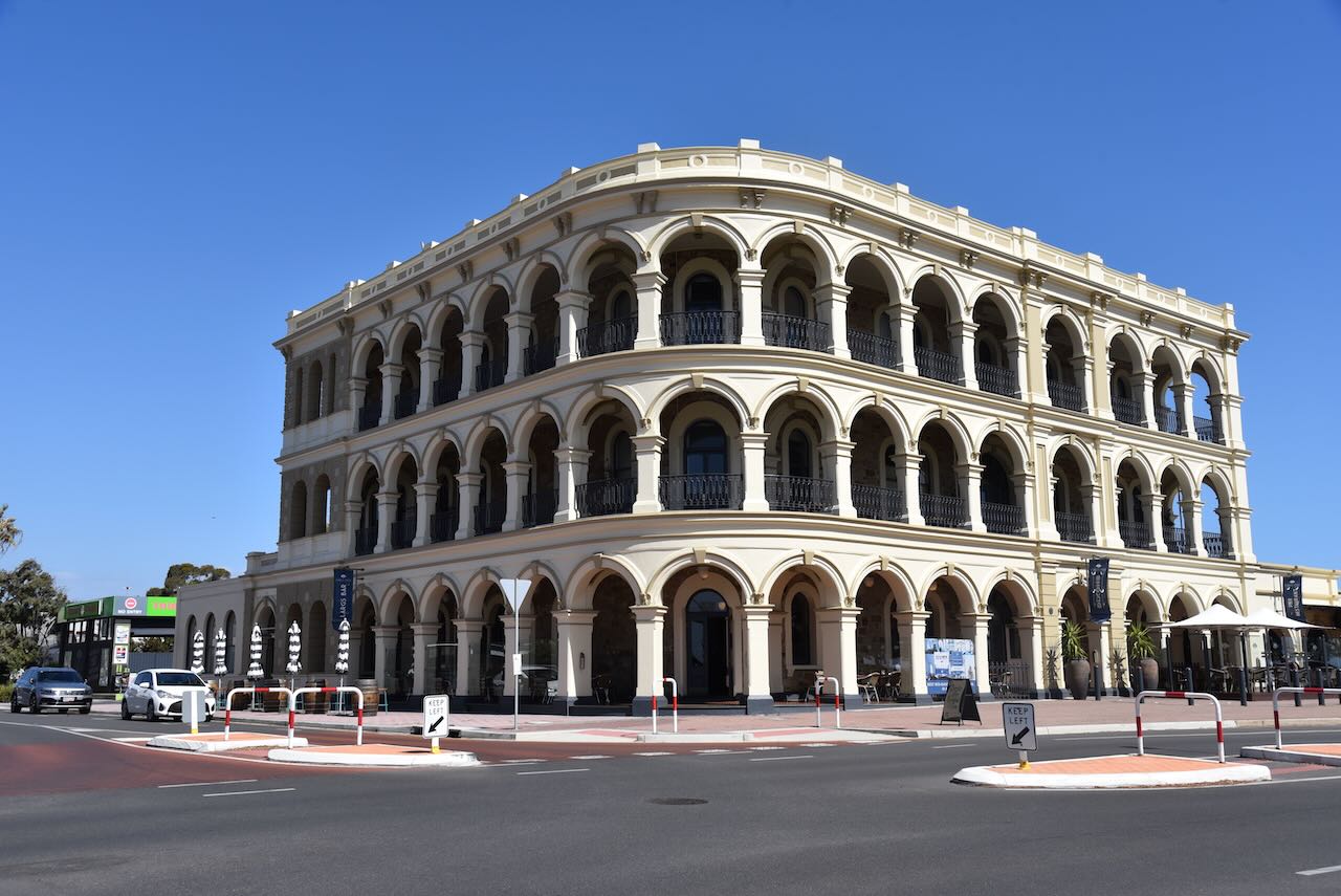
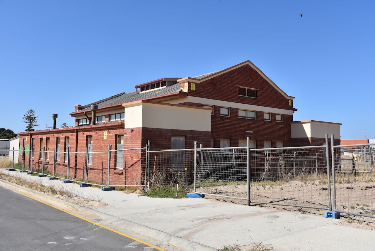
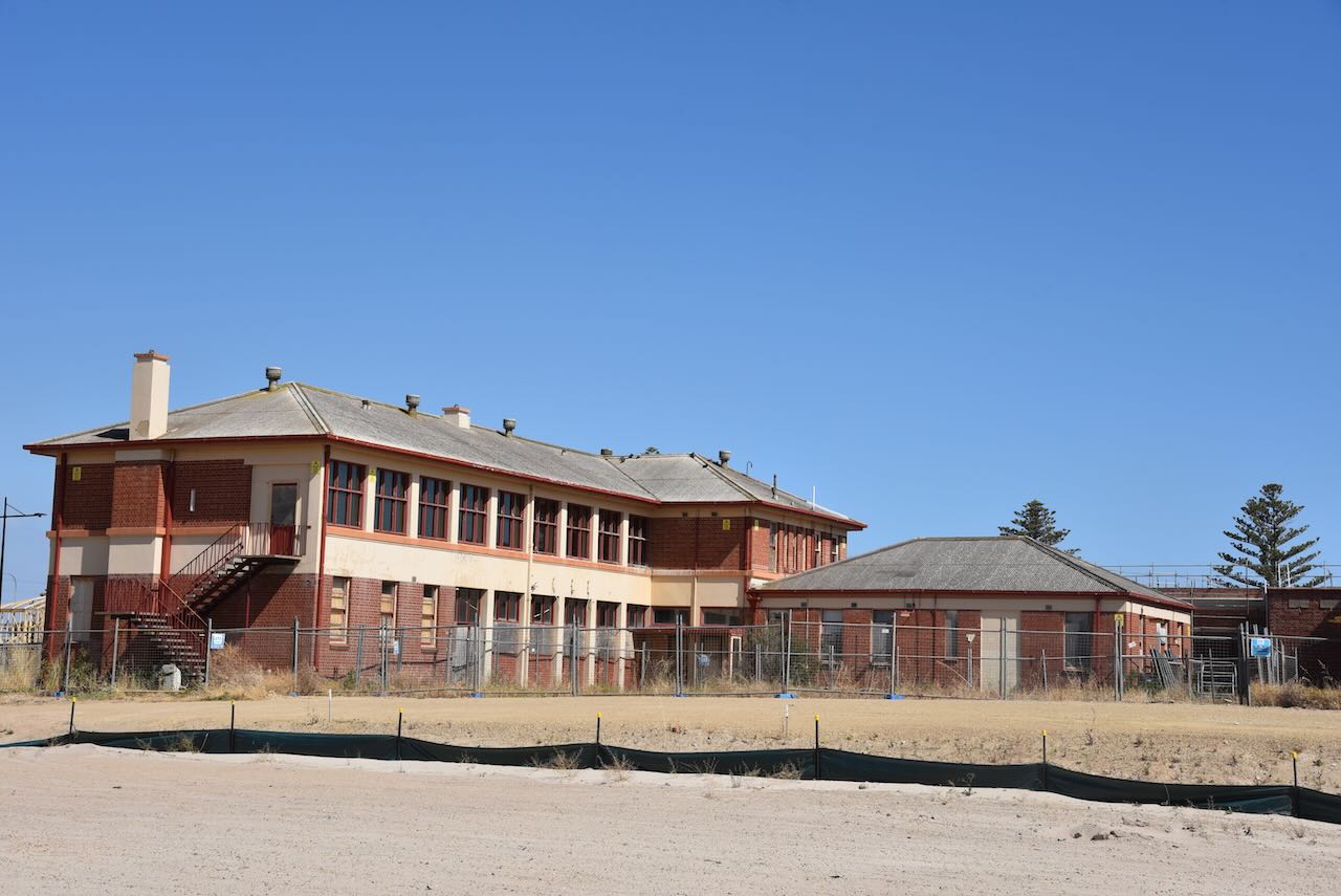
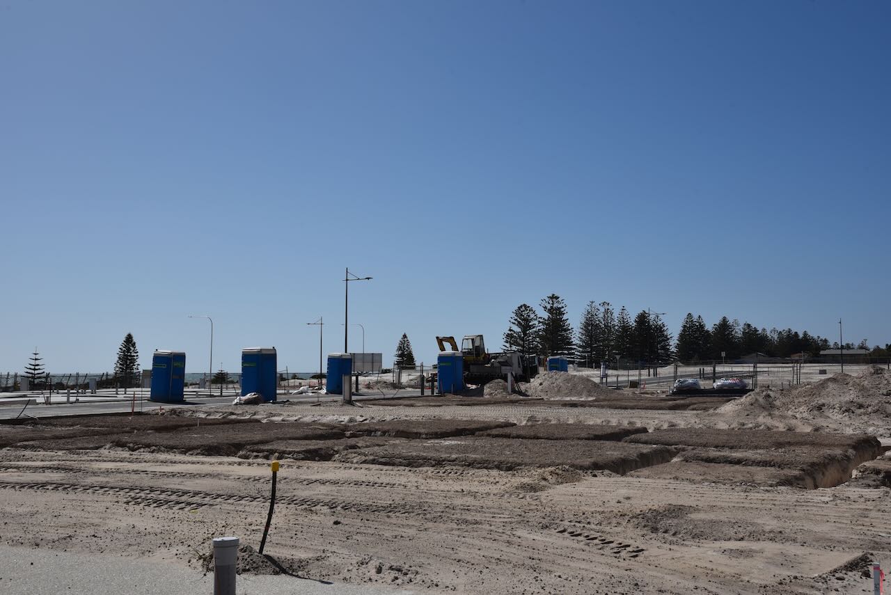
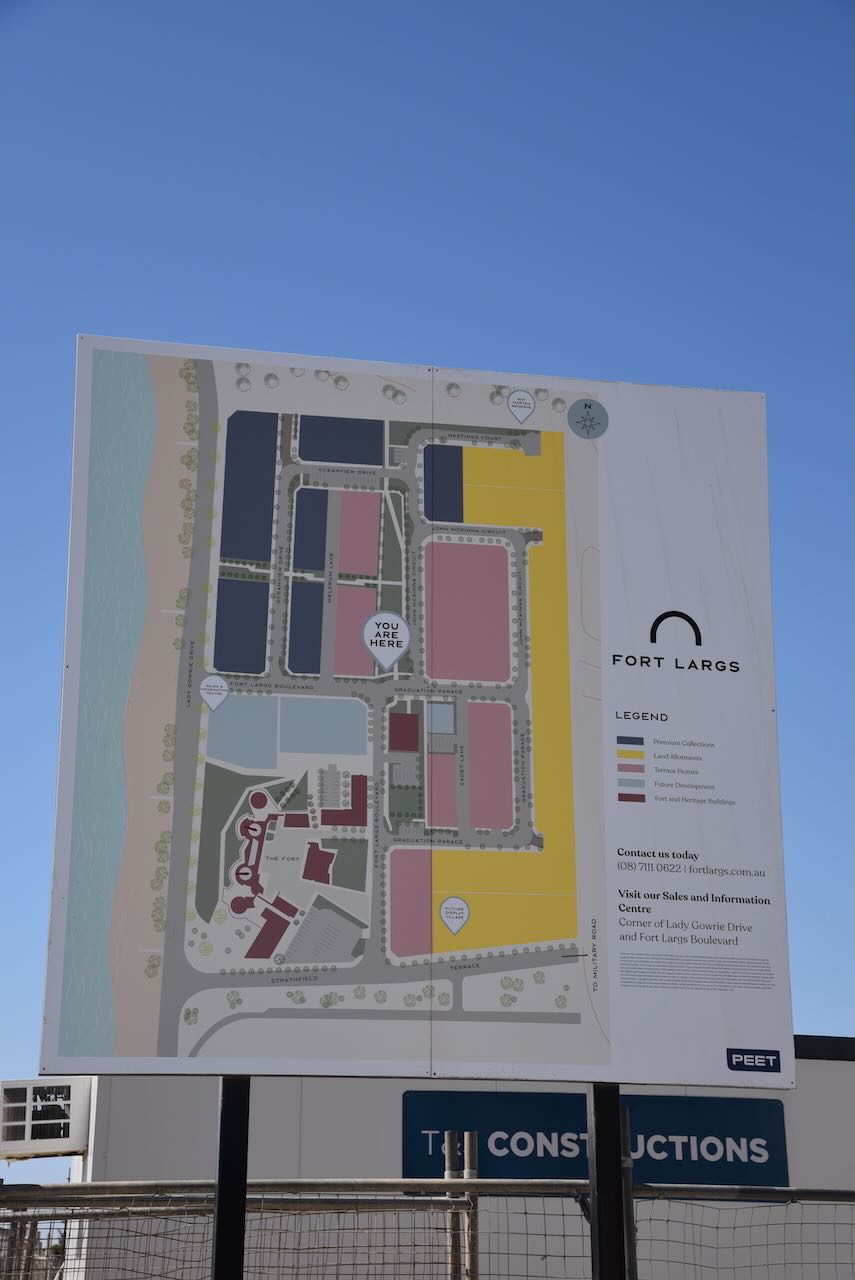
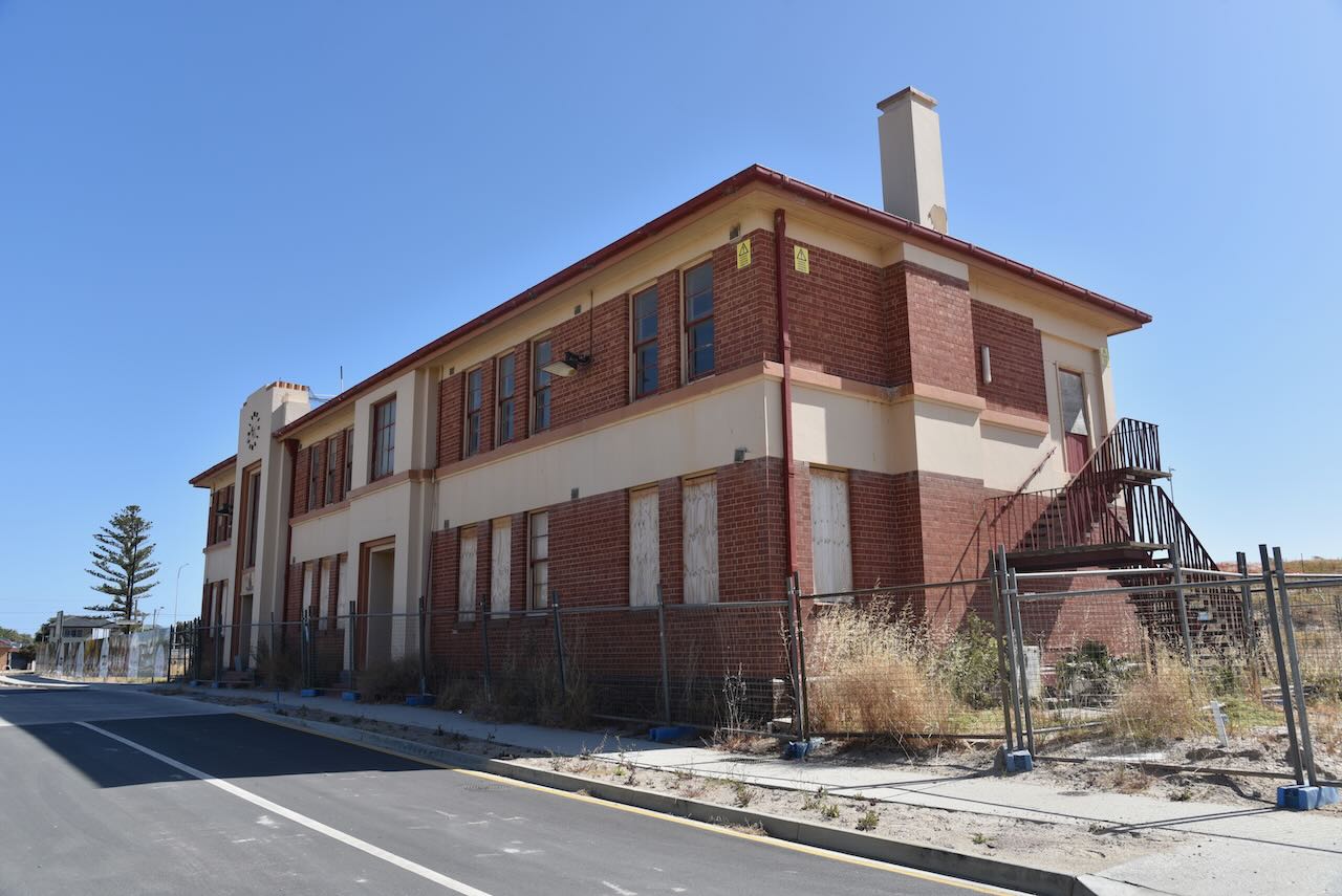
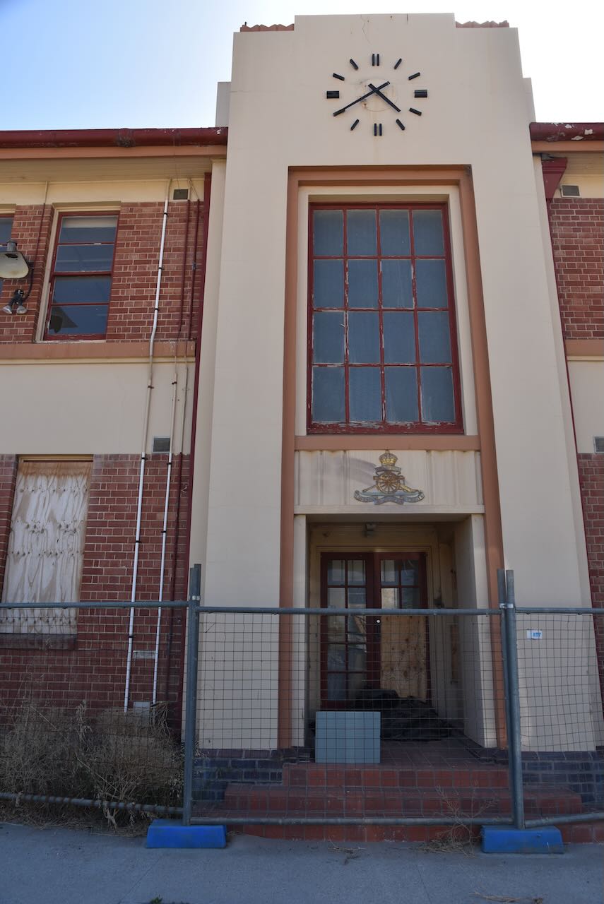
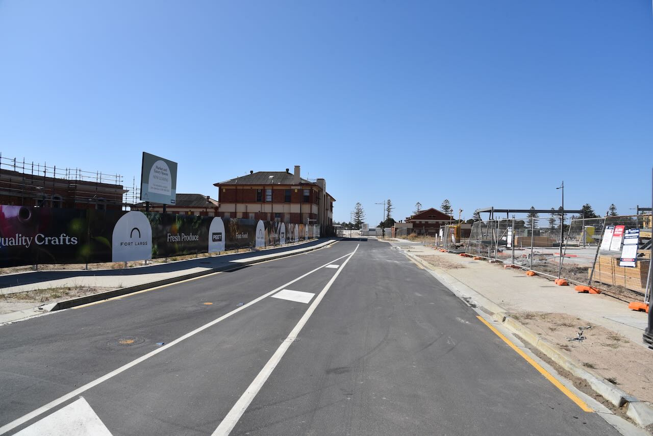
We then stopped by the old Police Academy at Fort Largs, where I had spent 2 years (1982-1984). I had heard that most of the Academy had been bulldozed and that a housing estate was going in, but what I saw really surprised me. Only some of the historic buildings remain, including the Fort itself. I had mixed feelings. I know that everything cannot last forever and there is progress. But I had spent a significant time here and have lived in the dormitories, now bulldozed. It was a little sad to see.
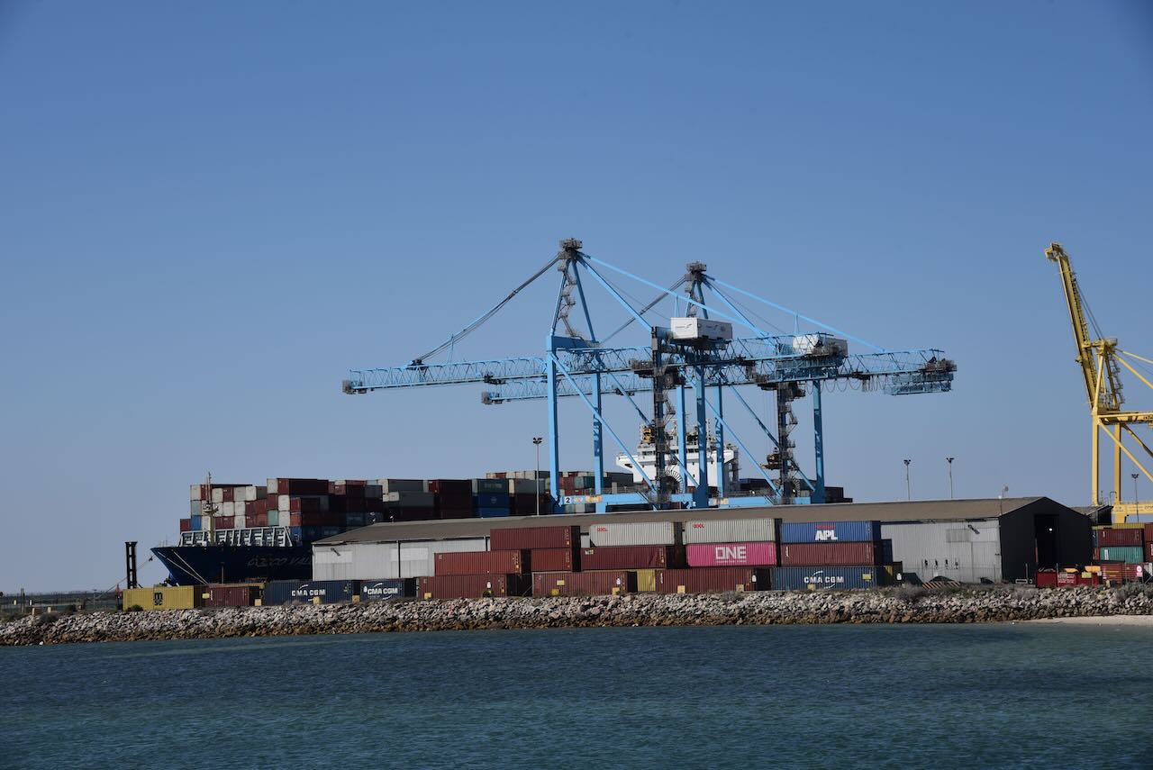
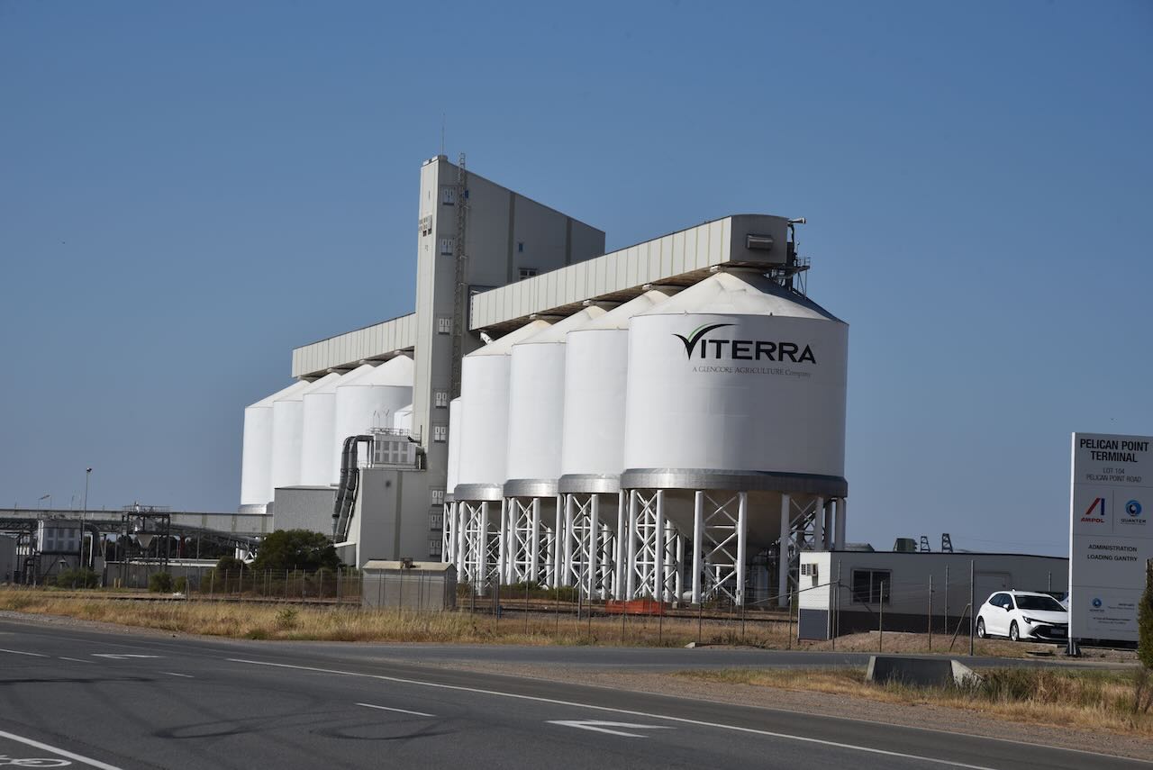
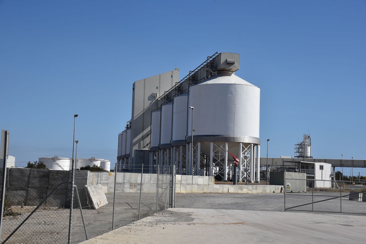
We then made our way to the Outer Harbour silos. The silos are operated by Viterra and are located in close proximity to the mouth of the Port River. Outer Harbor is 11km downstream of the Inner Harbour grain berth. Outer Harbour was custom-built to allow larger vessels to load. A belt leads from the silos to the loading berth. It can handle 2,200 tonnes per hour.
Outer Harbour is located at the northern tip of the Lefevre Peninsula about 22 km northwest of the Adelaide city centre. Outer Harbour includes the headland of Pelican Point. It is bounded to the east by the suburb of Osborne, to the southwest by the suburb of North Haven, and in all other directions by the Port River.
Outer Harbour was established in the early 1900s due to the increasing size of ships visiting Port Adelaide, and the time it took to sail up the Port River to the inner harbour of Port Adelaide. The first ship to dock at Outer Harbour was the RMS Oruba in January 1908.
The harbour can now accommodate Panamax-size ships with the harbour depth being 14.2 metres. Outer Harbour contains a major container berth and the Overseas Passenger Terminal.
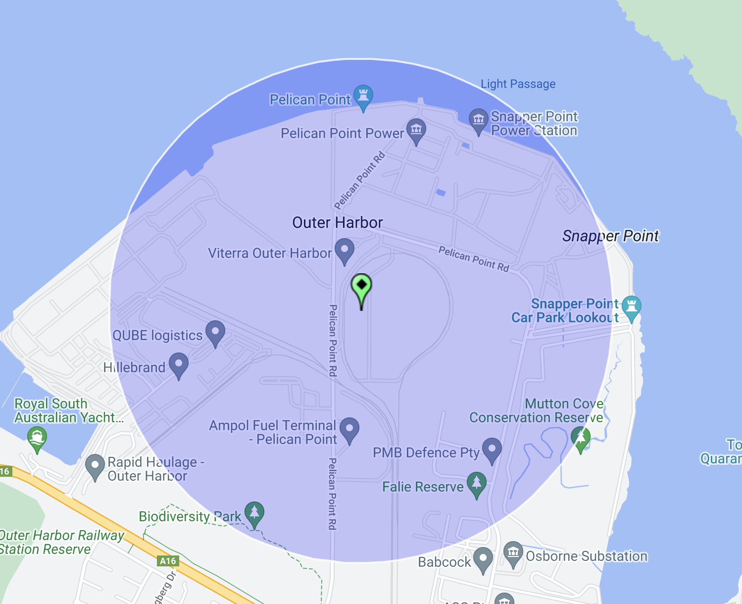
We initially set up on Pelican Point Road and made two contacts before moving due to the noise floor. Our new location on Snapper Point Road wasn’t much better. This is a noisy RF location with Outer Harbour consisting of shipping and transport-related infrastructure. Unfortunately, we could not find a spot which was within the Adelaide Dolphin Sanctuary VKFF-1880.
Above:- The activation zone at the Outer Harbour silo. Image c/o SiOTA website.
After dropping off Hans VK6XN at his accommodation, Marija VK5MAZ and I pondered what we would do for the remainder of the day (Tuesday 31st October 2023). We decided to head north slightly and activate a couple of parks and silos.
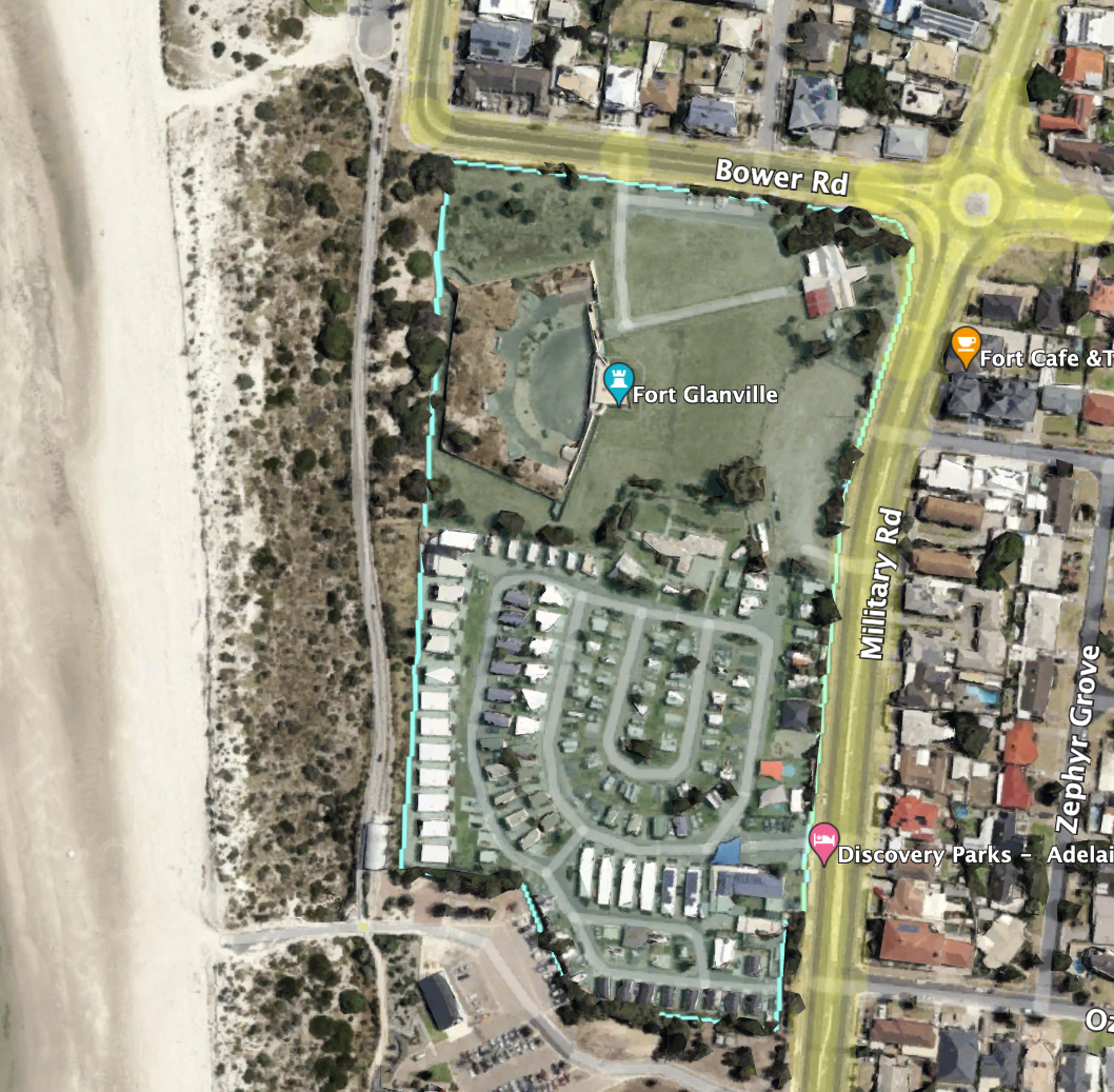
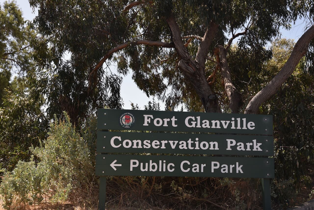
Our first activation was a new park for us, the Fort Glanville Conservation Park VKFF-1031.
The park is located in Semaphore Park, a western seaside suburb of Adelaide. The park is 5 hectares (12 acres) in size and was established on the 1st day of January 1951. It consists of a 19th century fort which is listed on the South Australian Heritage Register. Interestingly it also includes some adjacent land which is used as a caravan park.
Above:- An aerial view of Fort Glanville Conservation Park. Image c/o Google Earth.
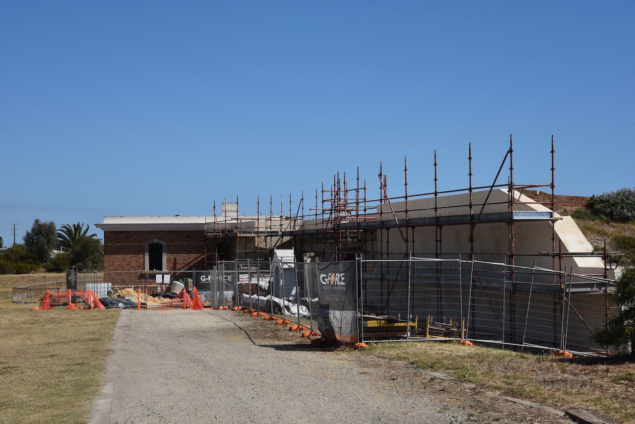
Construction of the fort commenced in 1878, with the fort officially opened in October 1880. Construction was not completed until 1882. Fort Glanville was the first colonial fortification in South Australia. It is the best preserved and most functional fort in Australia.
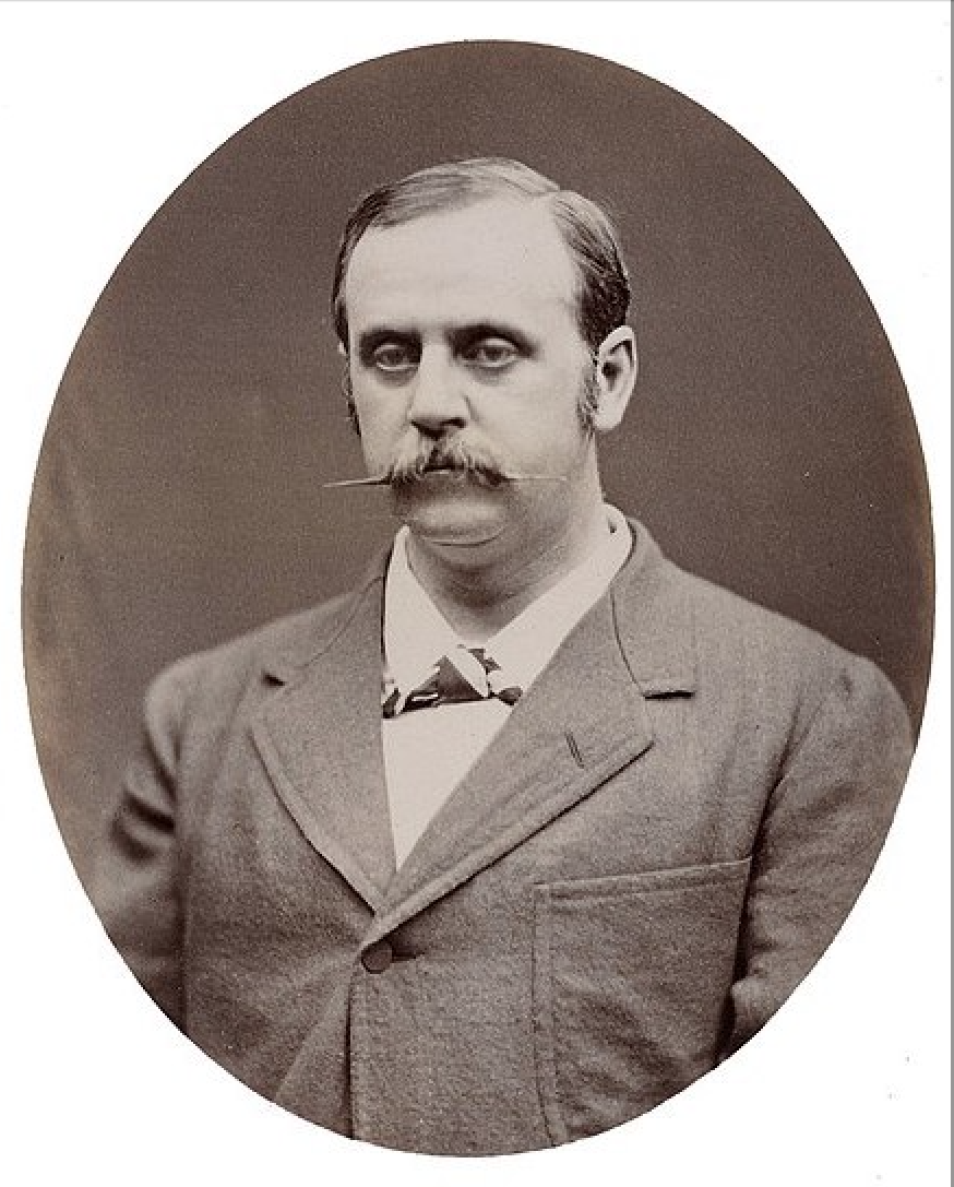
Fort Glanville was designed by Governor Major General Sir William Jervois and Lieutenant Colonel Peter Scratchley. When constructed, the fort was designed to defend both Semaphore’s anchorage and shipping entering the Port River from potential naval attack.
Above:- Peter Scratchley (left) and William Jervois (right). Images c/o Wikipedia.
During the 1900s the fort was used for various purposes including accommodation, a caravan park, and a boy scout campsite. In 1951 the fort was acquired by the South Australian State Government and it was declared a Conservation Park.
Marija and I parked in the driveway off Bower Road and operated from the vehicle for this activation. We ran the Icom IC7000, 100 watts, and the Codan 9350 antenna with the 1.5 metre stainless steel whip.
Above:- An aerial view of the park showing our operating spot. Image c/o Location SA Map Viewer.
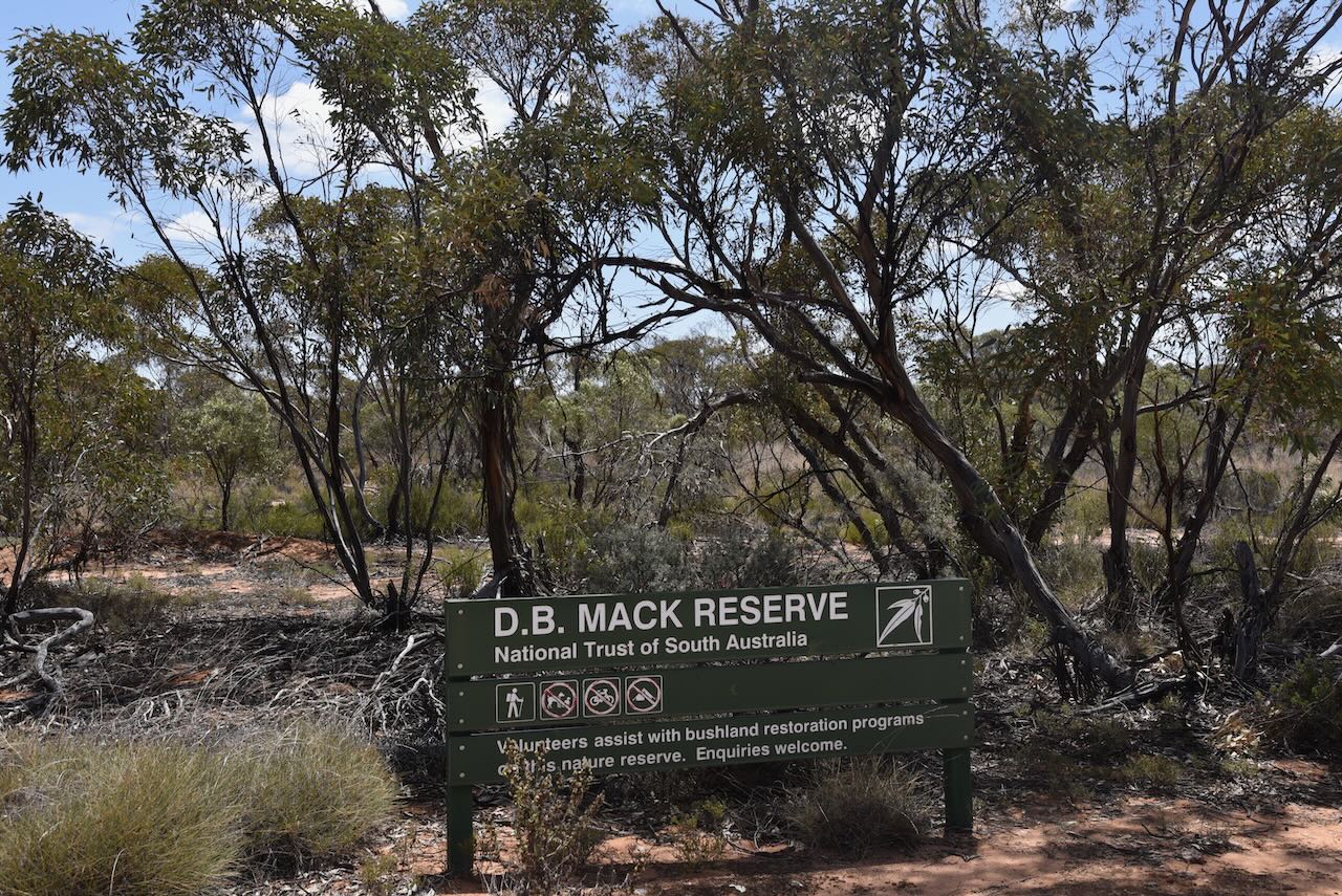
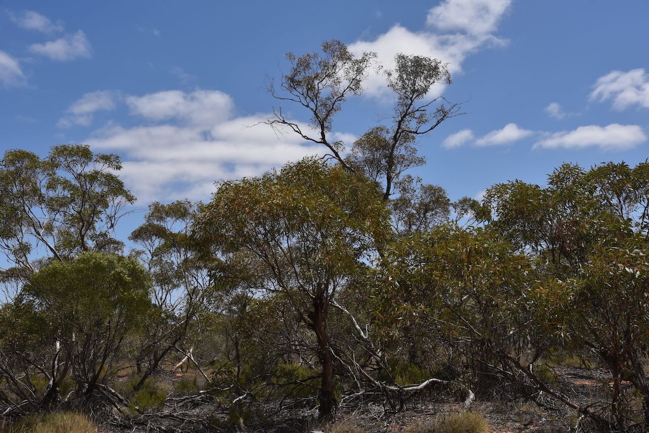
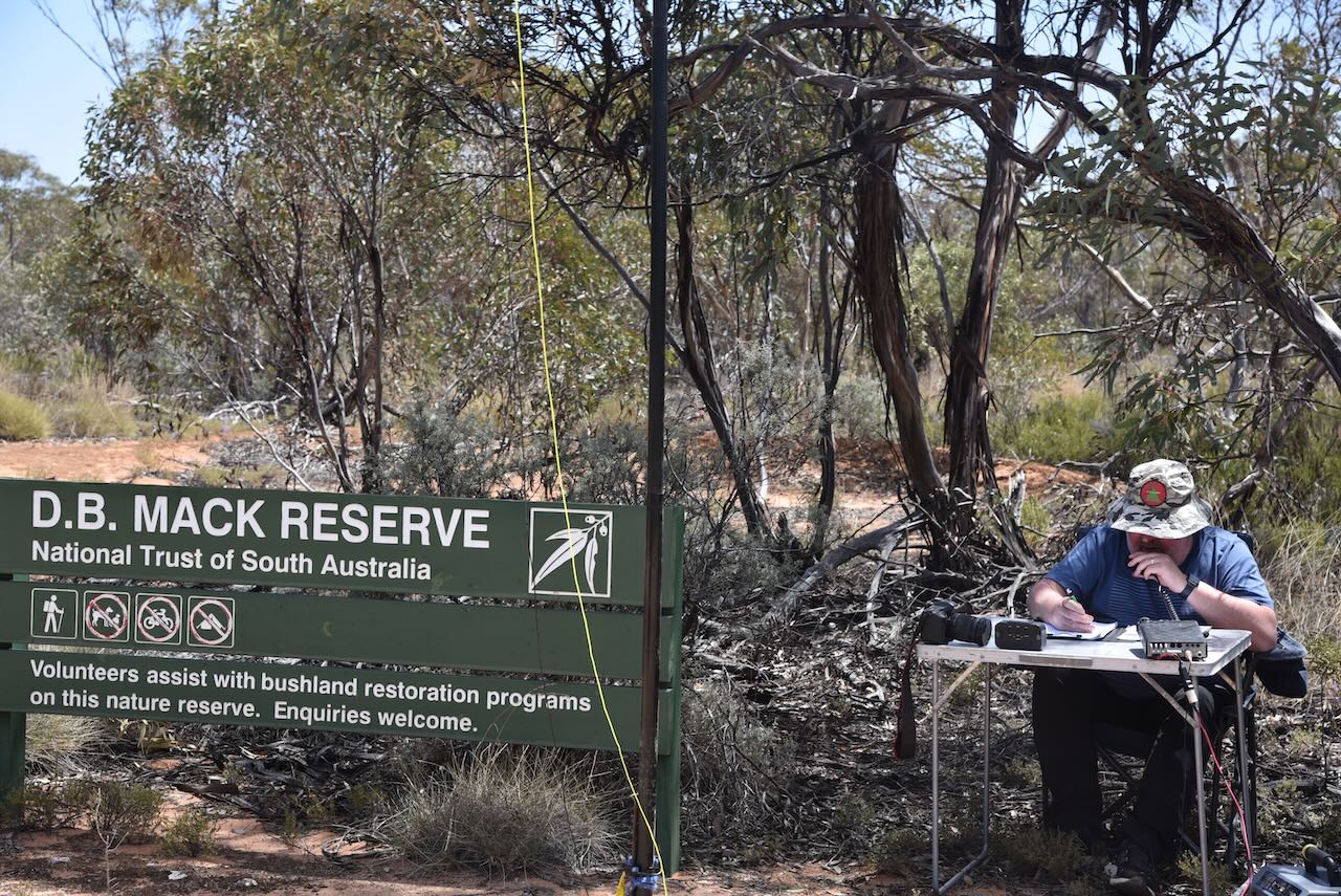
Our next activation for Tuesday 31st October 2023 was the DB Mack Reserve VKFF-4032. This would be a first-time activation for myself, Marija VK5MAZ, and Hans VK6XN, and only the second time that the park had been activated for the World Wide Flora Fauna (WWFF) program.
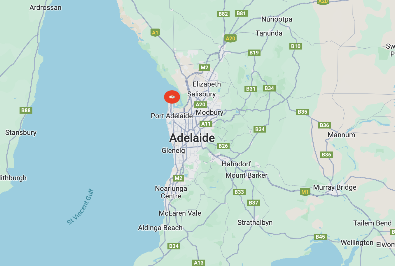
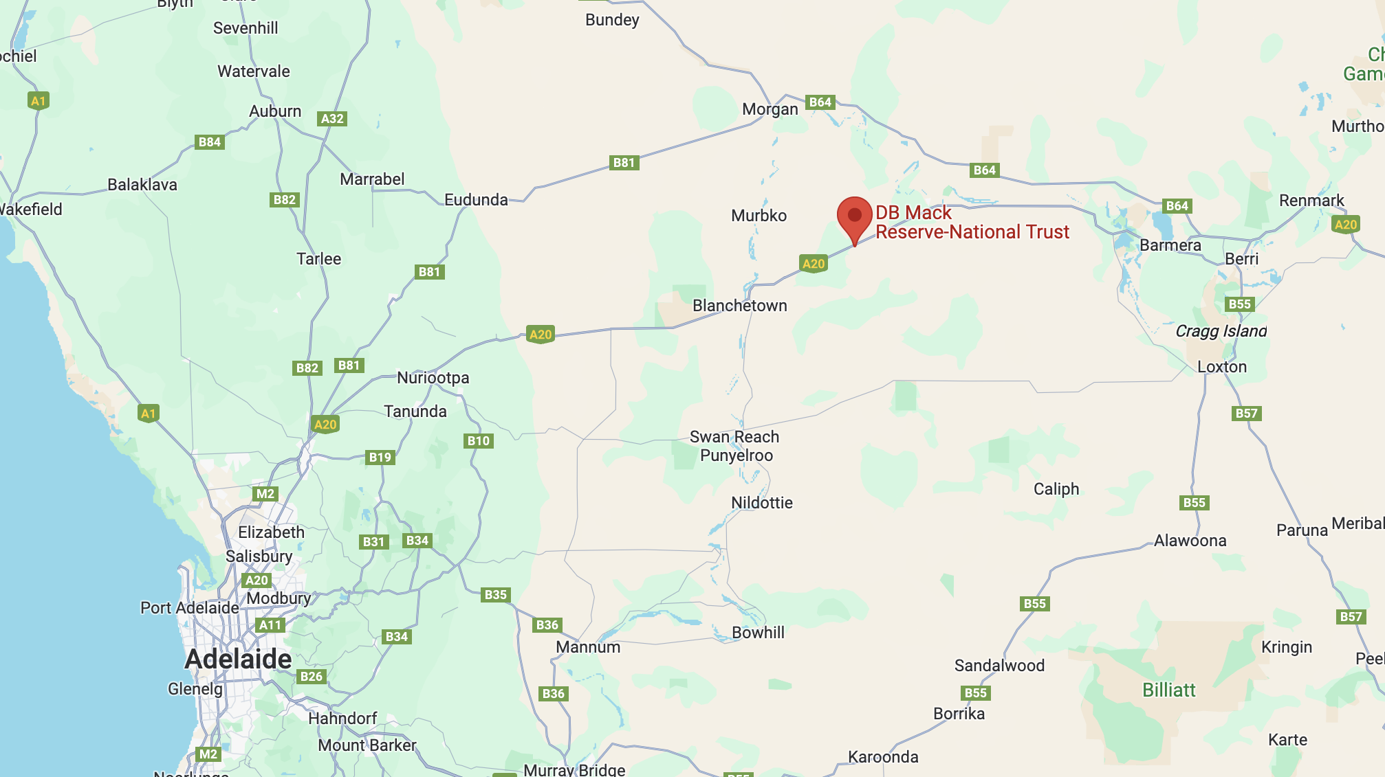
The DB Mack Reserve is located on the Sturt Highway at Stockyard Plain, about 165 km northeast of the city of Adelaide.
Above:- Map showing the location of DB Mack Reserve. Map c/o Google Maps.
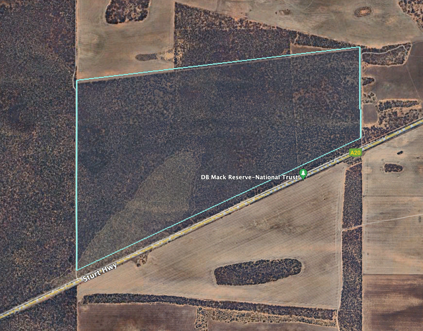
D.B. Mack Reserve is owned by the National Trust of South Australia. It comprised about comprises about 265 hectares of mallee scrub and has been held by the National Trust since 1965. At that time the land was purchased from Mr. F.J. Fettke. It was initially held by the National Trust under perpetual lease, but since that time it has been converted to a freehold title.
Above:- An aerial view of the D.B. Mack Reserve. Image c/o Google Earth.
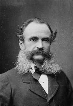
The reserve is named in honour of Mr David Batten (D.B.) Mack (b. 1922. d. 2010), who was the District Officer for the Department of Lands during the 1960s. He was a strong supporter of the National Trust of South Australia.
The Reserve adjoins the 1,870-hectare Stockyard Plains area which is managed by SA Water.
About 109 native plant species have been recorded in D.B. Mack, with about 25% being of regional importance and three rated as significant at a State level. Birds SA have recorded about 76 native species or bird in the Reserve including Yellow-plumed Honeyeater, Spotted Pardalote, Weebill, Chestnut-rumped Thornbill, Australian Magpie, Grey Shrike-thrush, and Jacky Winter.
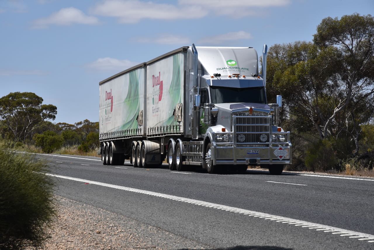
We parked at the main gate on Sturt Highway and climbed through the fence. We ran the Yaesu FT857, 40 watts, and the 20/40/80m linked dipole for this activation.
Other than the bands being in very poor condition, we also experienced very loud traffic noise, particularly from the trucks travelling along the Sturt Highway.
Marija worked the following stations on 40m SSB:-
VK2GOM/p (Greens Beach Conservation Area VKFF-2906)
VK2VAR/p (Greens Beach Conservation Area VKFF-2906)
VK2BYF/p (Greens Beach Conservation Area VKFF-2906)
VK2VT/p (Greens Beach Conservation Area VKFF-2906)
VK3BBB
VK2CCP
VK3APJ
VK7XX
VK3MTT
VK5LA
I worked the following stations on 40m SSB:-
VK2GOM/p (Greens Beach Conservation Area VKFF-2906)
VK2VAR/p (Greens Beach Conservation Area VKFF-2906)
VK2BYF/p (Greens Beach Conservation Area VKFF-2906)
VK2VT/p (Greens Beach Conservation Area VKFF-2906)
It was now Tuesday 31st October 2023 and time for us to head home after a brilliant time in the Riverland. This included the 2023 VKFF National Get Together which was a resounding success.
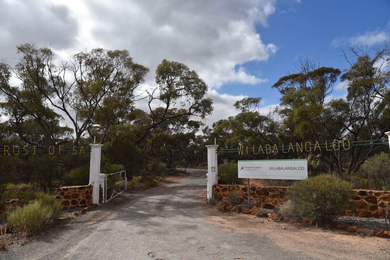
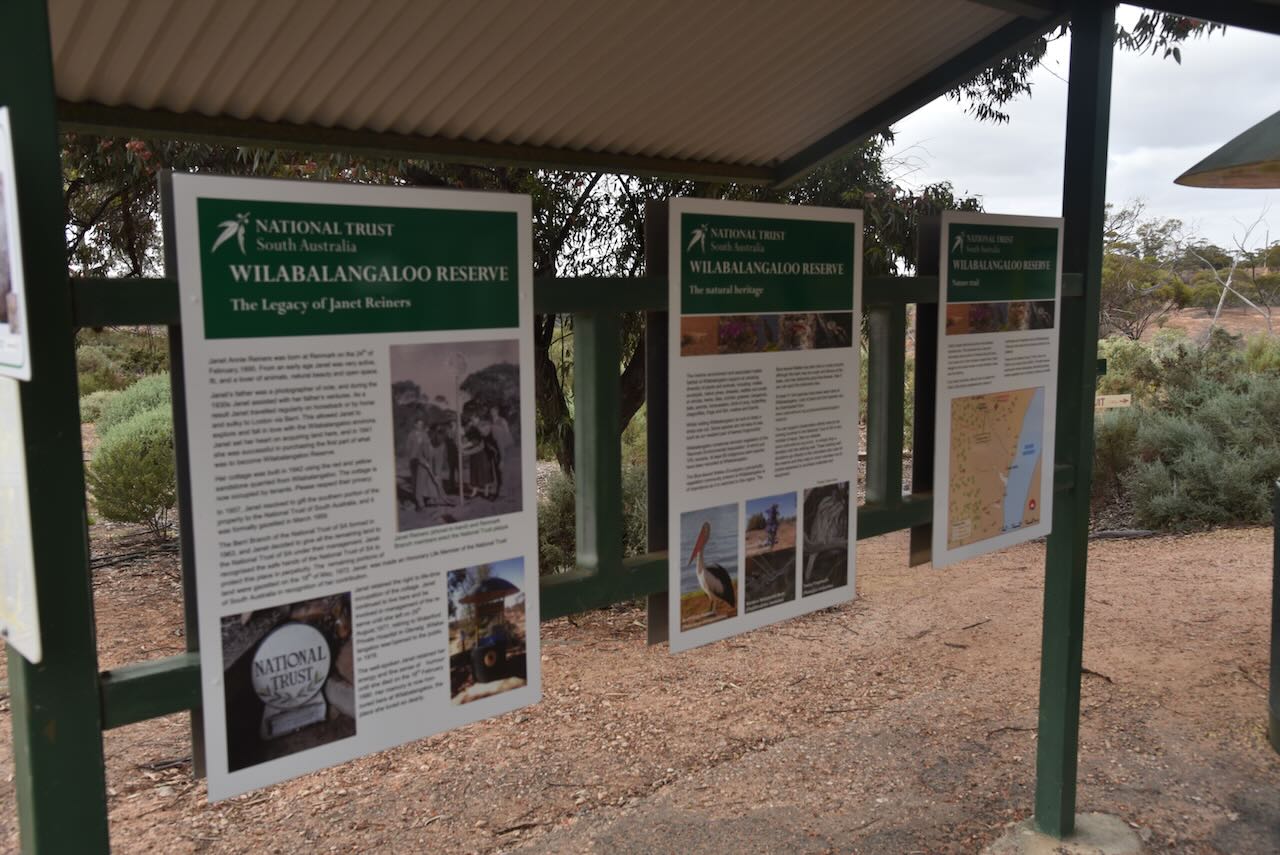
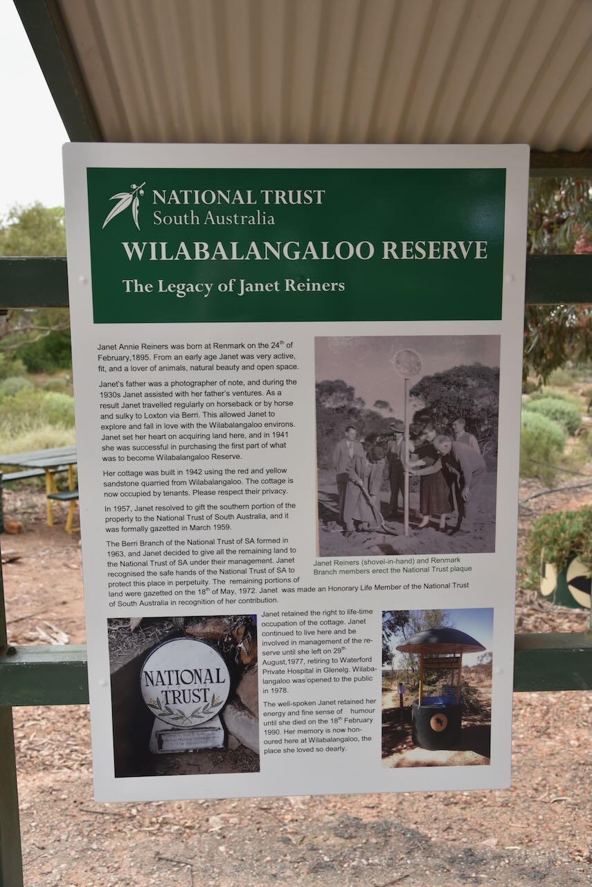
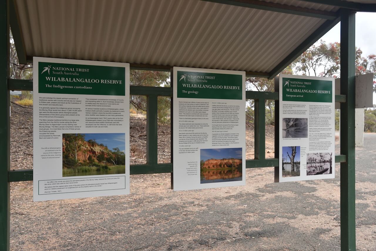
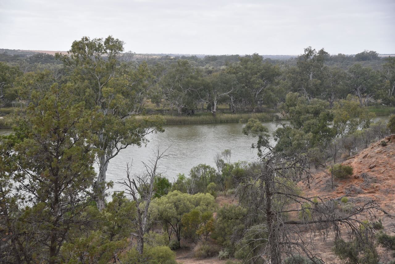
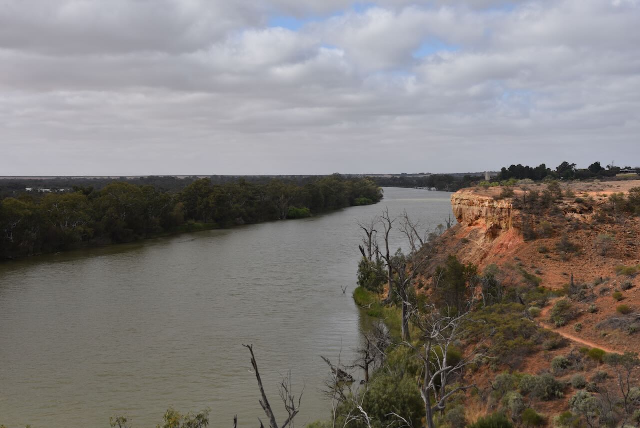
After having breakfast in Renmark, we stopped at Wilabalangaoo Reserve which is owned by National Trust South Australia. Hans and I went for a walk through the Reserve which sadly does not qualify for the World Wide Flora Fauna (WWFF) program. Wilabalangaloo covers 92 hectares on the western bank of the River Murray between Renmark and Berri. Some very impressive views can be had of the ochre-coloured sandstone River Murray cliffs which stretch for about 1 km at this location.
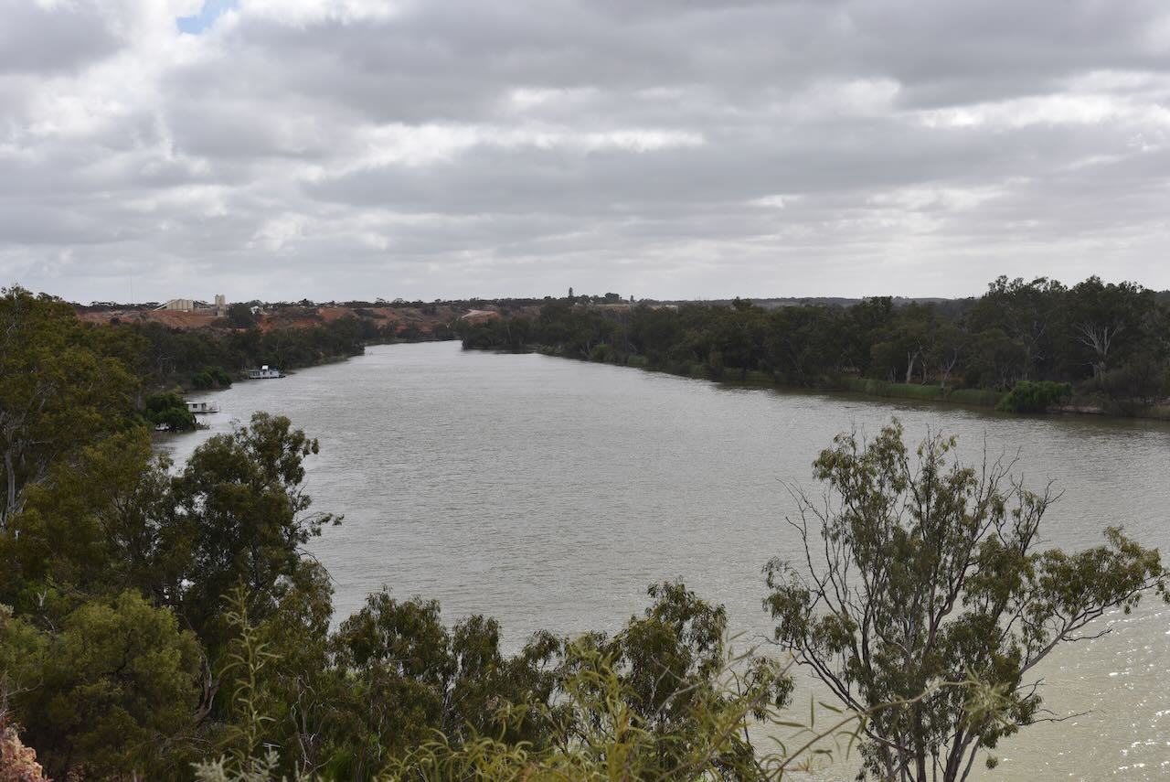
We then stopped briefly in Berri for Hans to enjoy some views of the mighty River Murray.
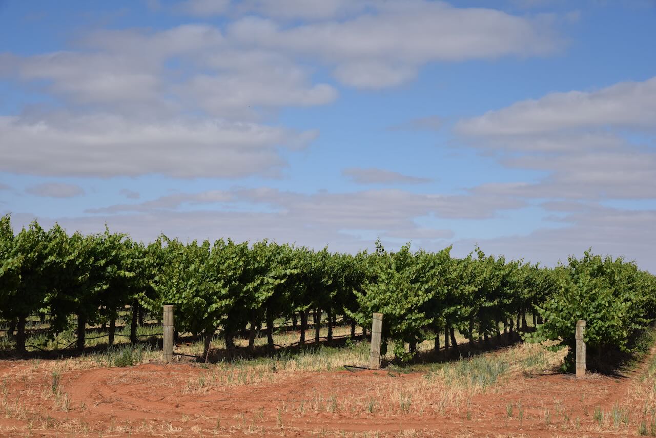
The Riverland is prime citrus and vineyard country. We stopped to get a bag of oranges.
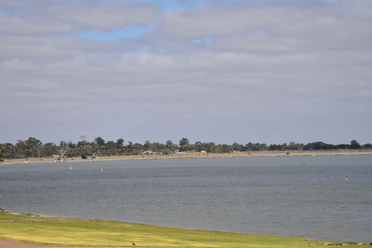
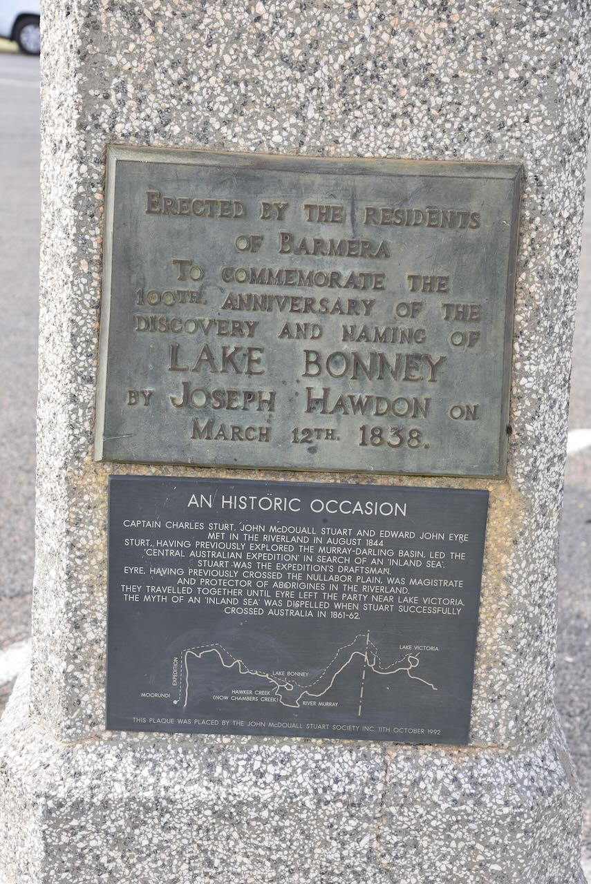
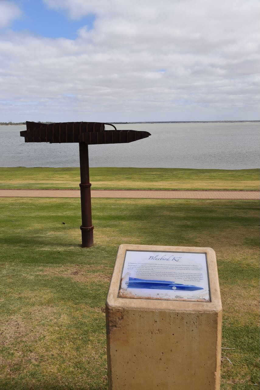
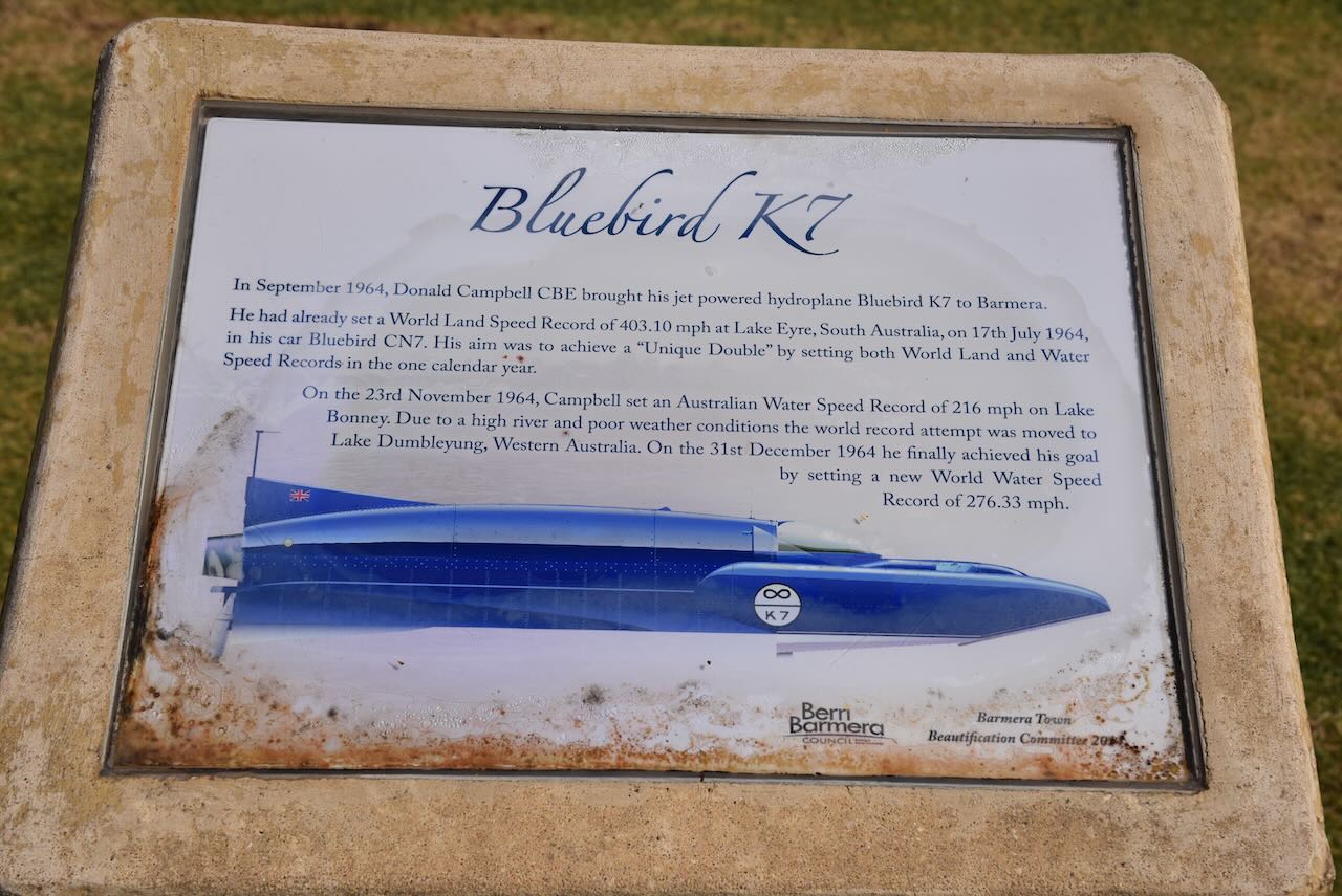
Our next stop was Lake Bonney at Barmera, a freshwater lake that is fed and drained by the River Murray. The lake was named Lake Bonney by Joseph Hawdon, a pioneer settler and overlander, in honour of his friend, Charles Bonney in 1838.
On the shoreline of the lake, you can find a plaque that commemorates the 1964 attempt by Englishman Donald Campbell to break the world water speed record on Lake Bonney. Lake Bonney proved to be too small and the waves created were deemed to be dangerous. His boat Bluebird reached a speed of 347.5 kmh, however the world record was not broken at Lake Bonney. Later that year, Campbell was successful in breaking the world record at Lake Dumbyleyung, Western Australia, travelling at a speed of 444.7 kmh.
The video below runs for about 15 minutes and is extremely interesting.
We continued west along the Sturt Highway and stopped briefly at the police memorial. On the 7th day of May 1847, Police Corporal William Murray Wickham and Mounted Constable John Dunning Carter drowned while crossing the River Murray at Wigley Reach. They were en route to Overland Corner for police duty in response to disturbances in the area. Wickham and Carter were the first police officers to die in the course of their duty in South Australia.
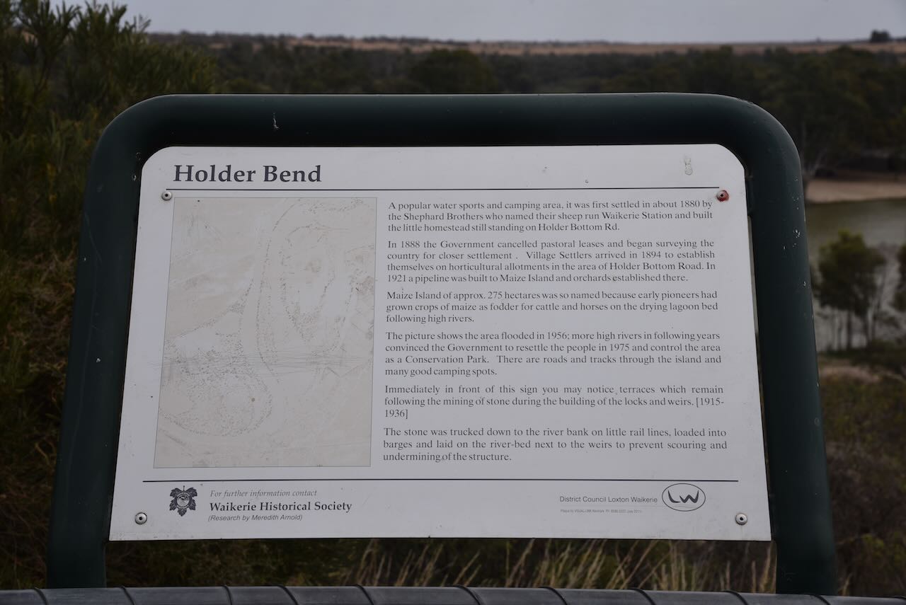
We then took some time out at the Holder Bend lookout.
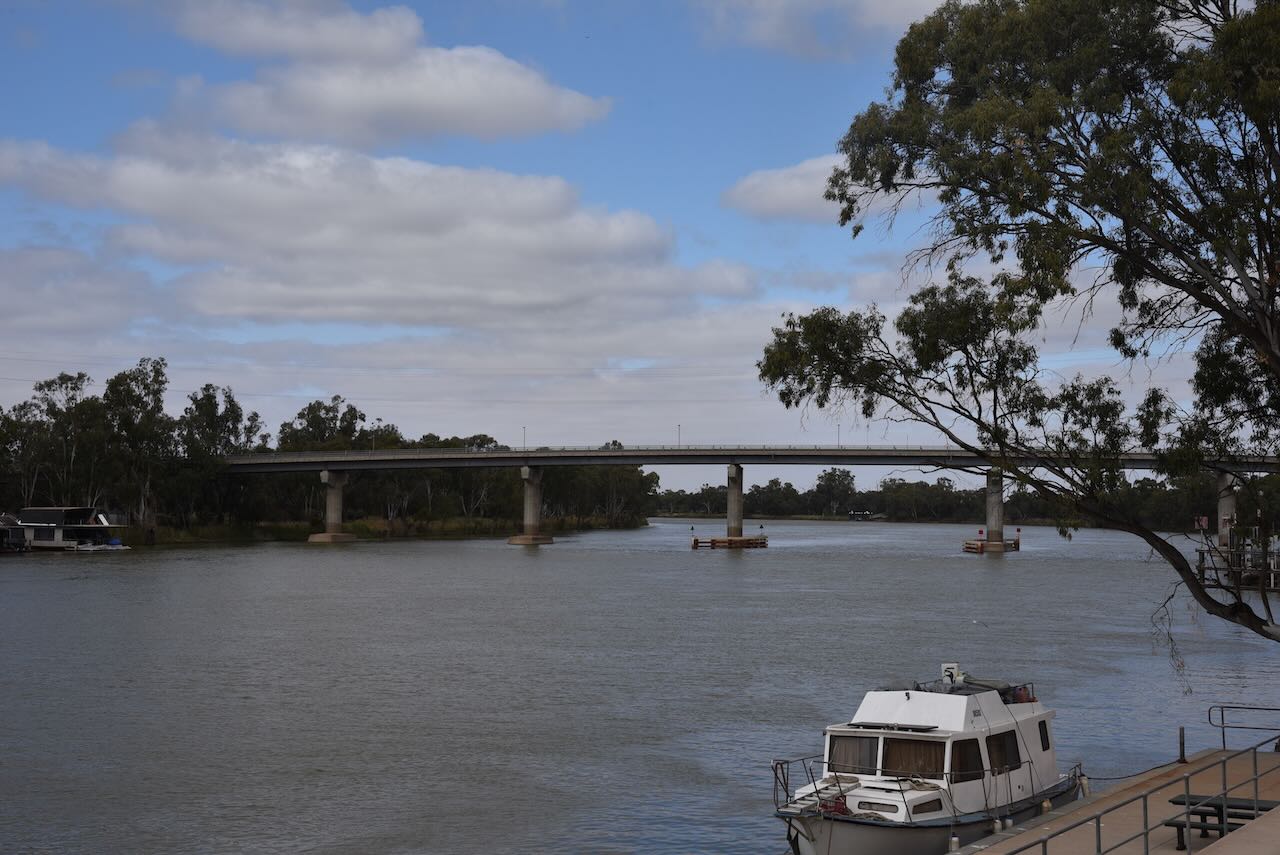
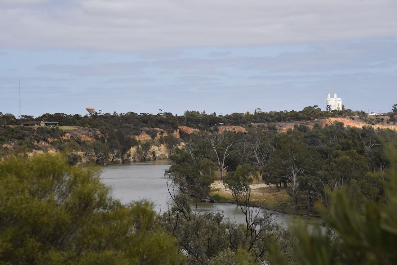
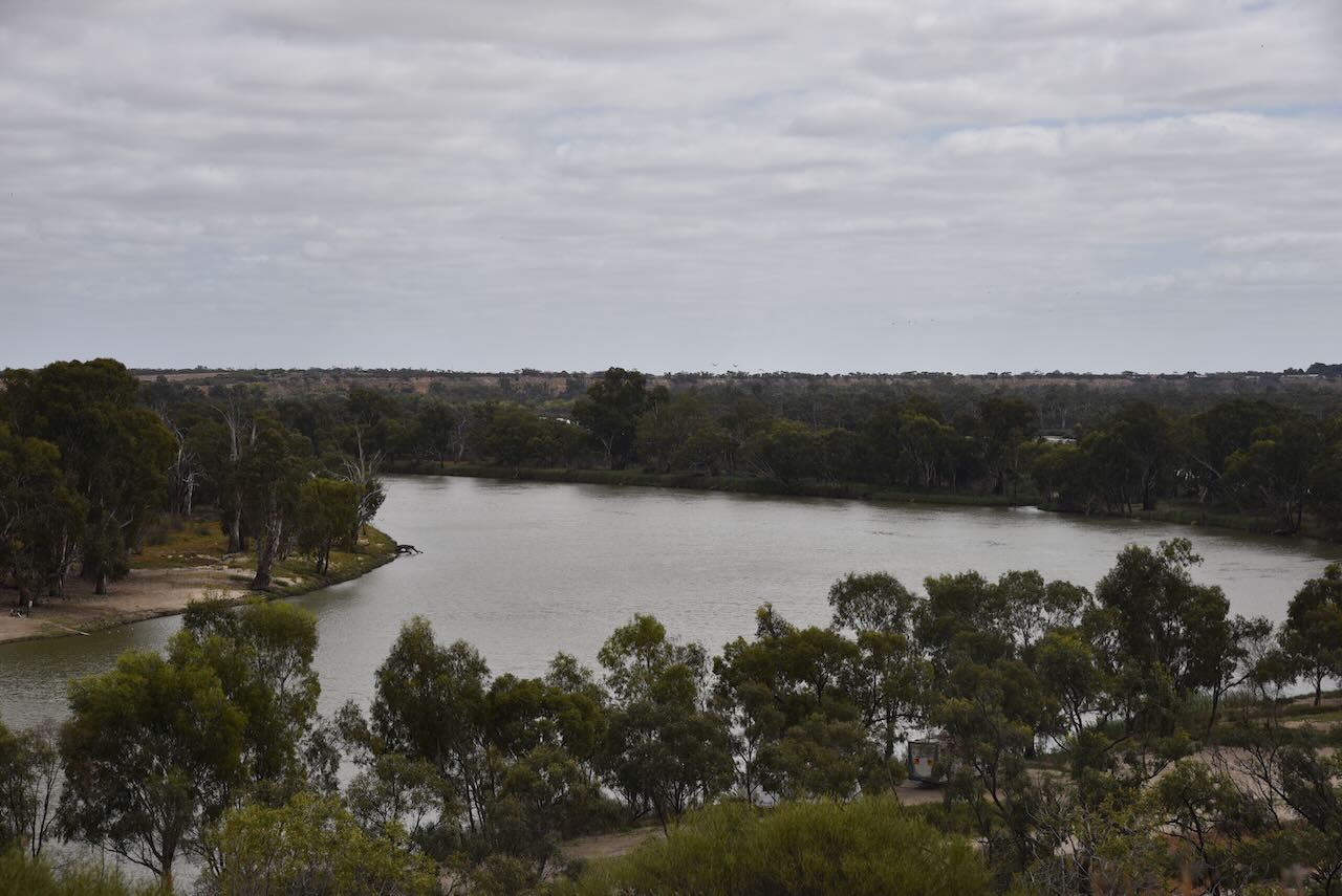
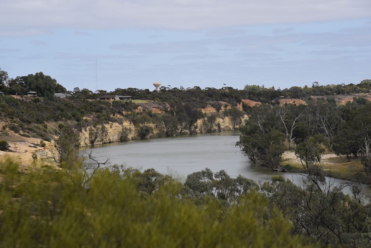
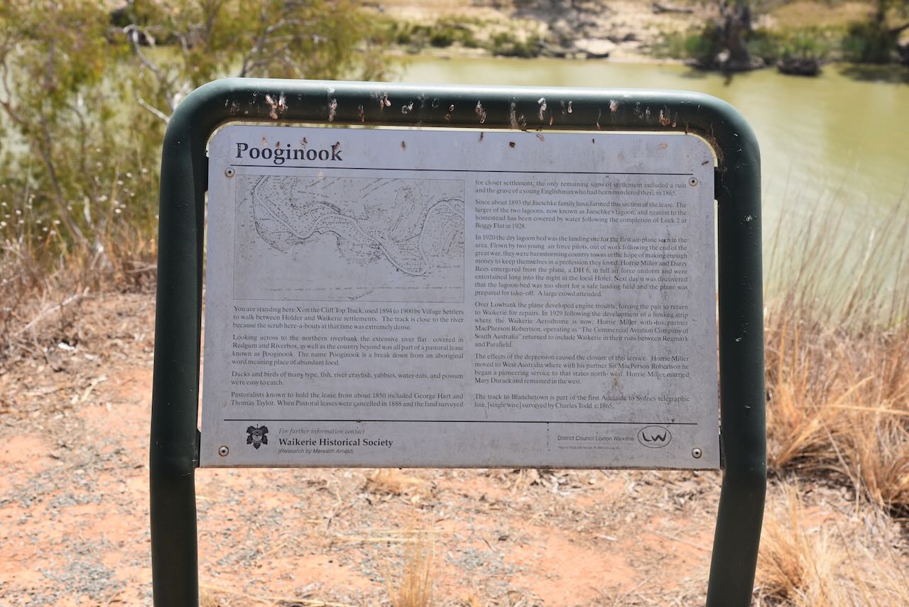
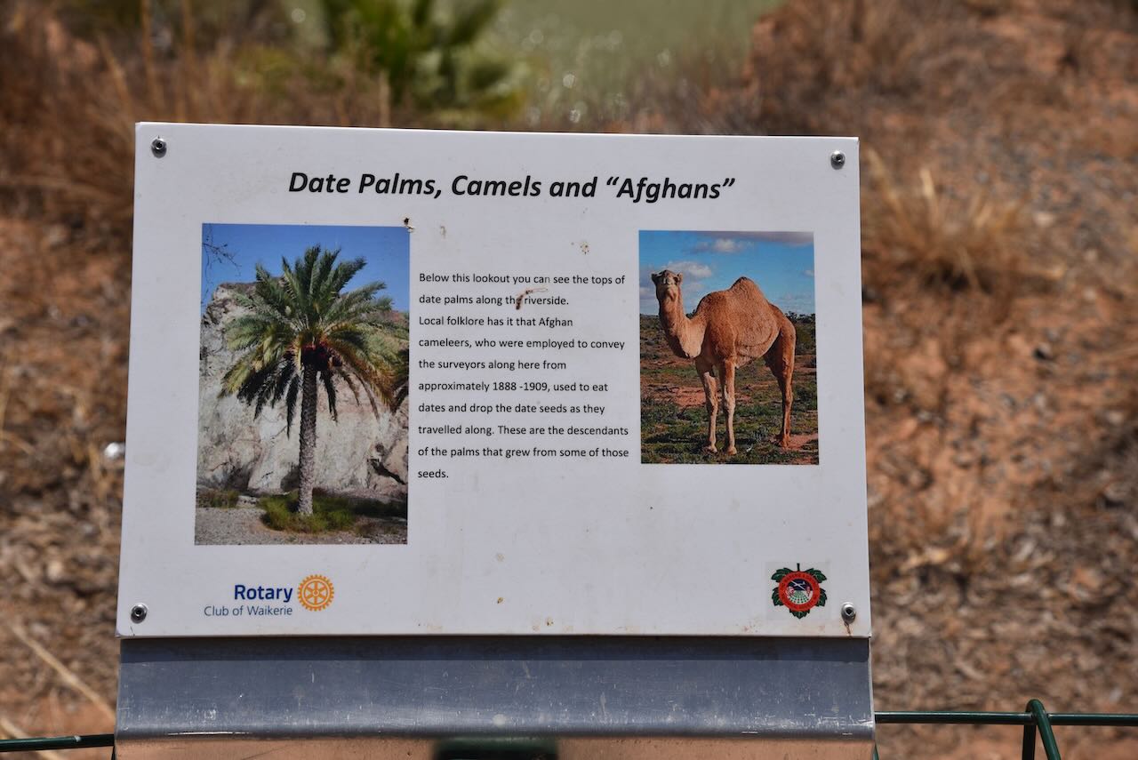
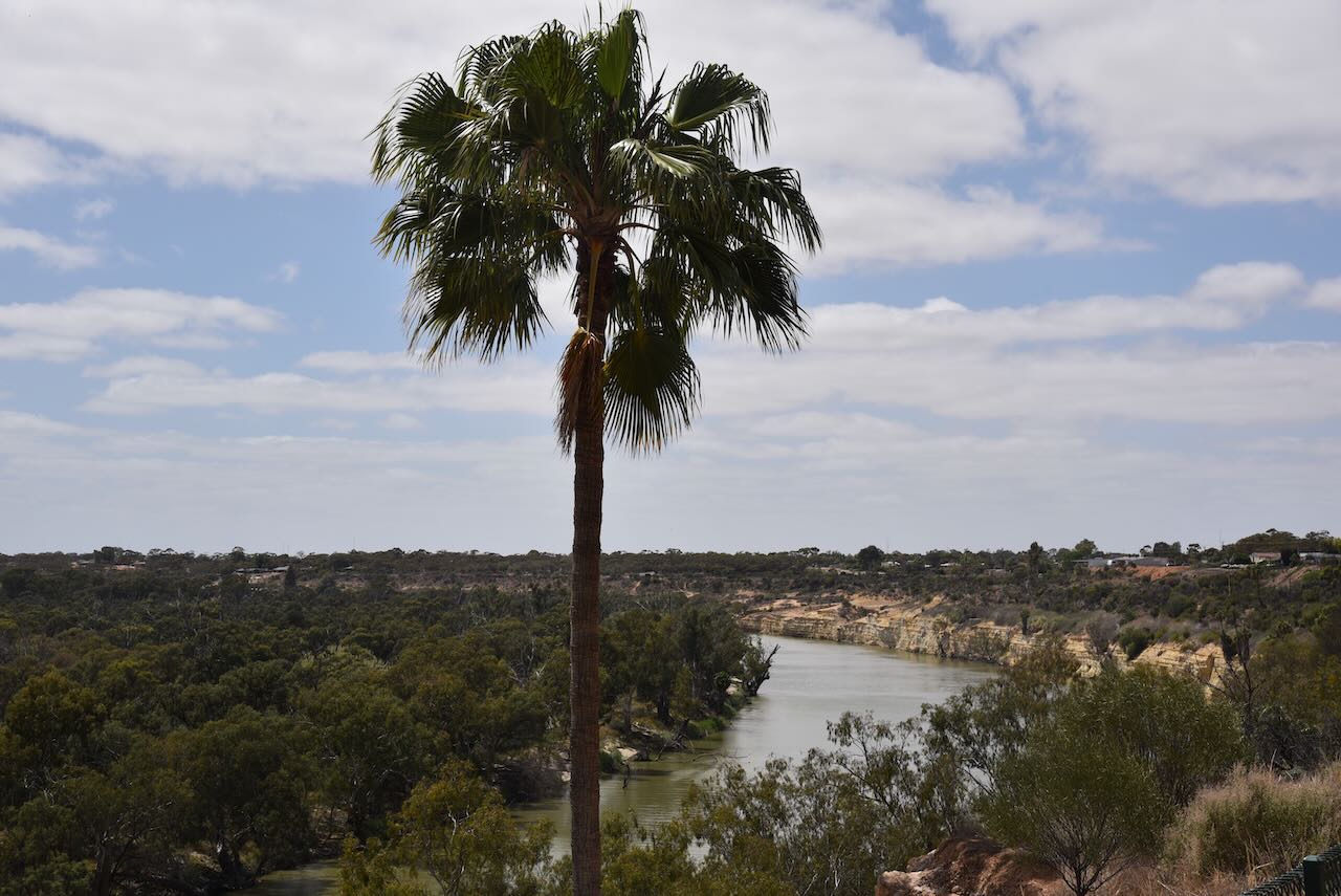
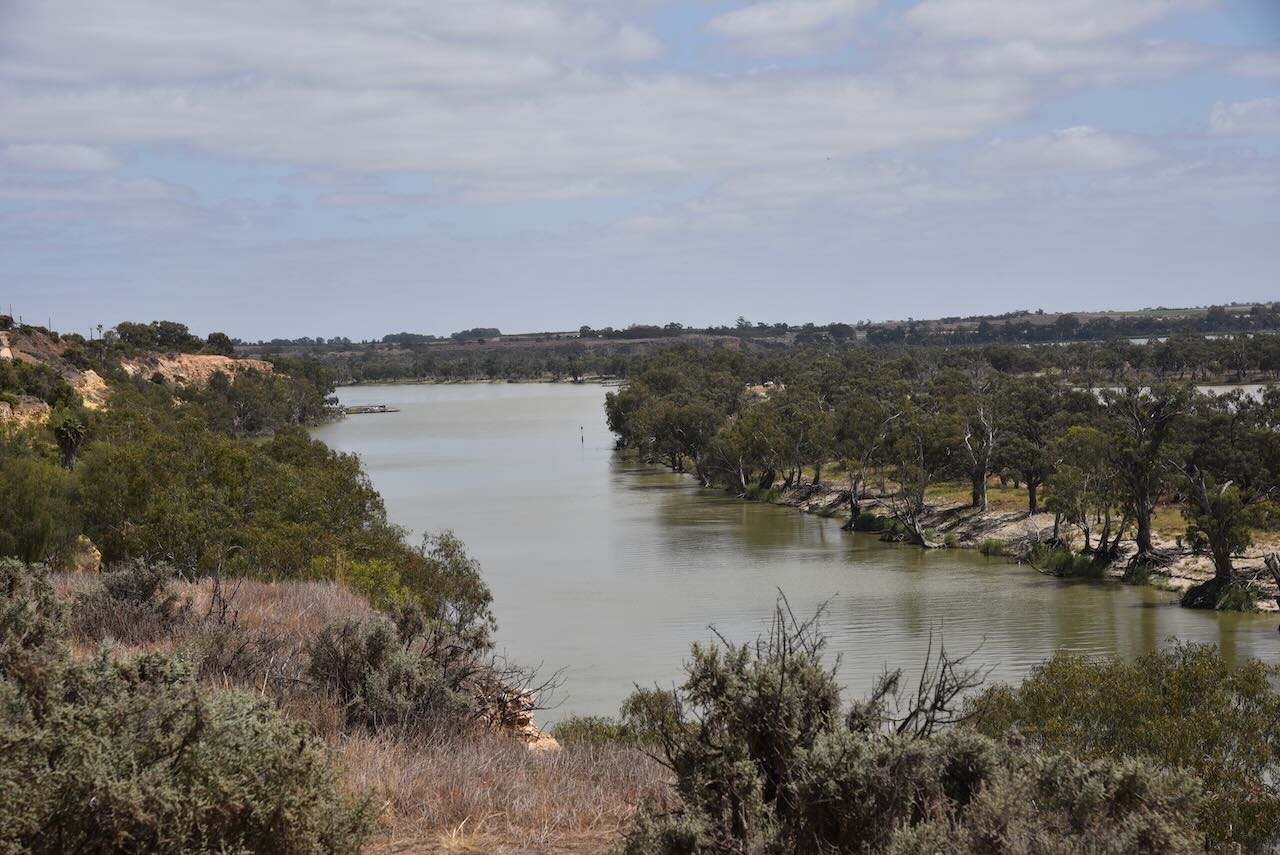
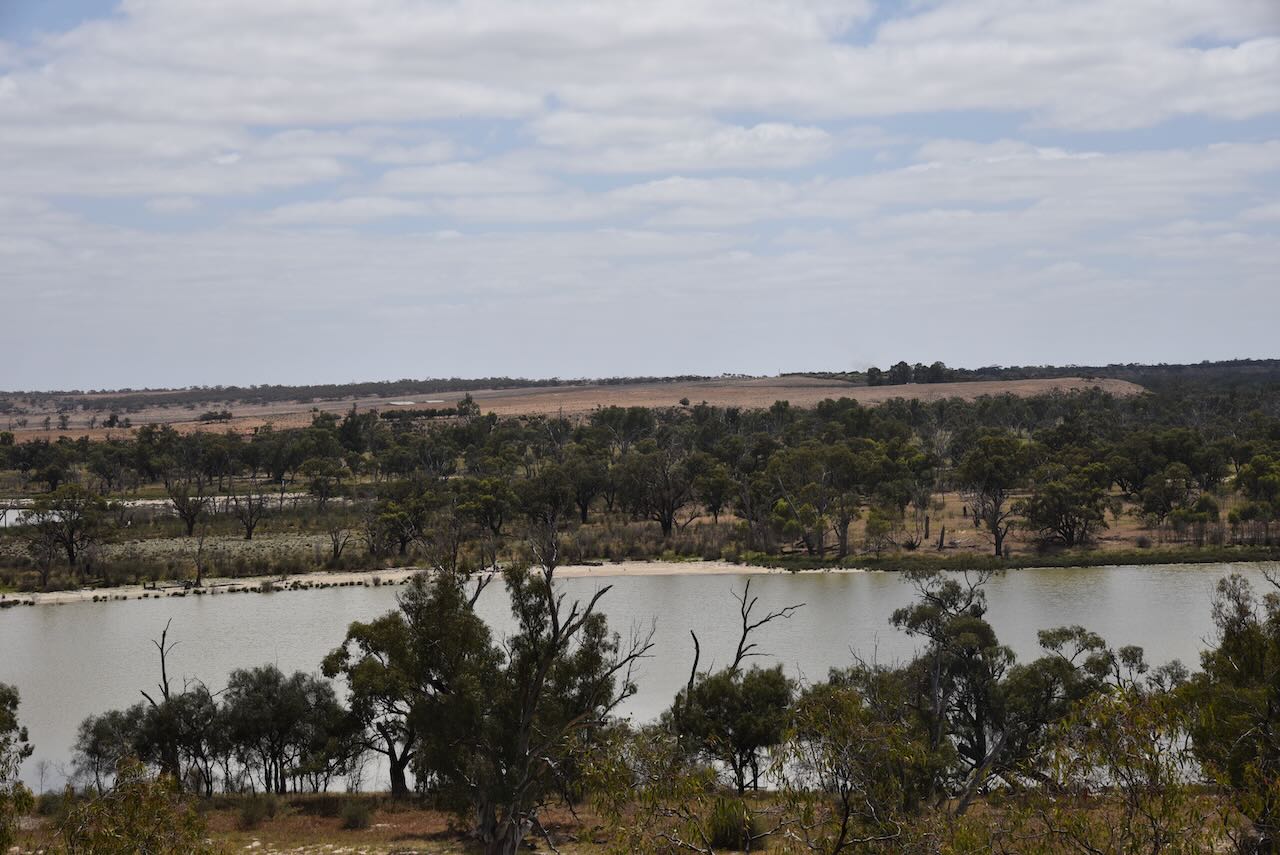
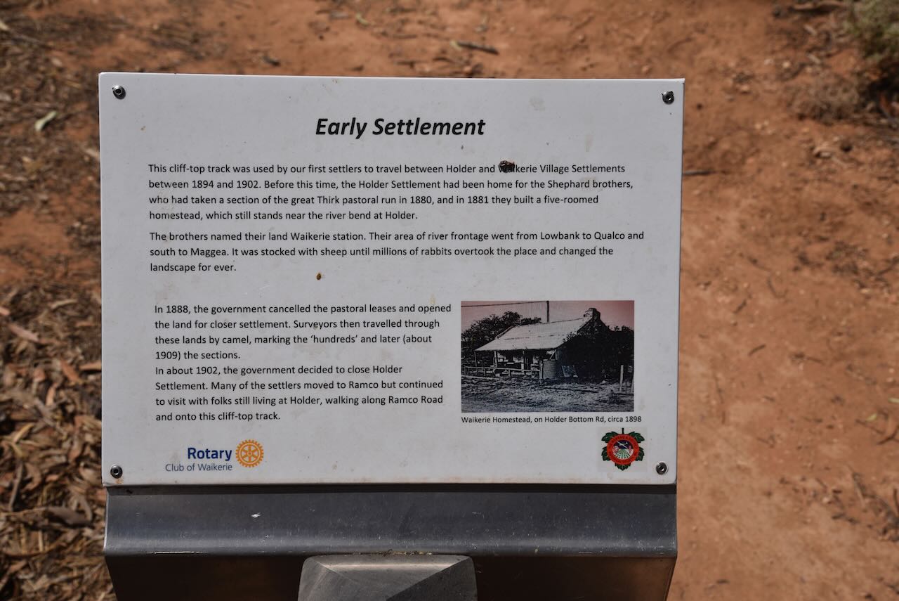
We then drove into Waikerie and had a quick look at the Waikerie Cliff Top Walk.
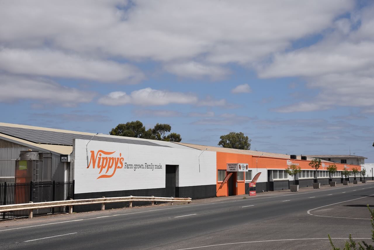
Just down the road is Nippy’s Waikierie, a very well-known South Australian family-run producer of fresh citrus fruit juices and flavoured milk products.
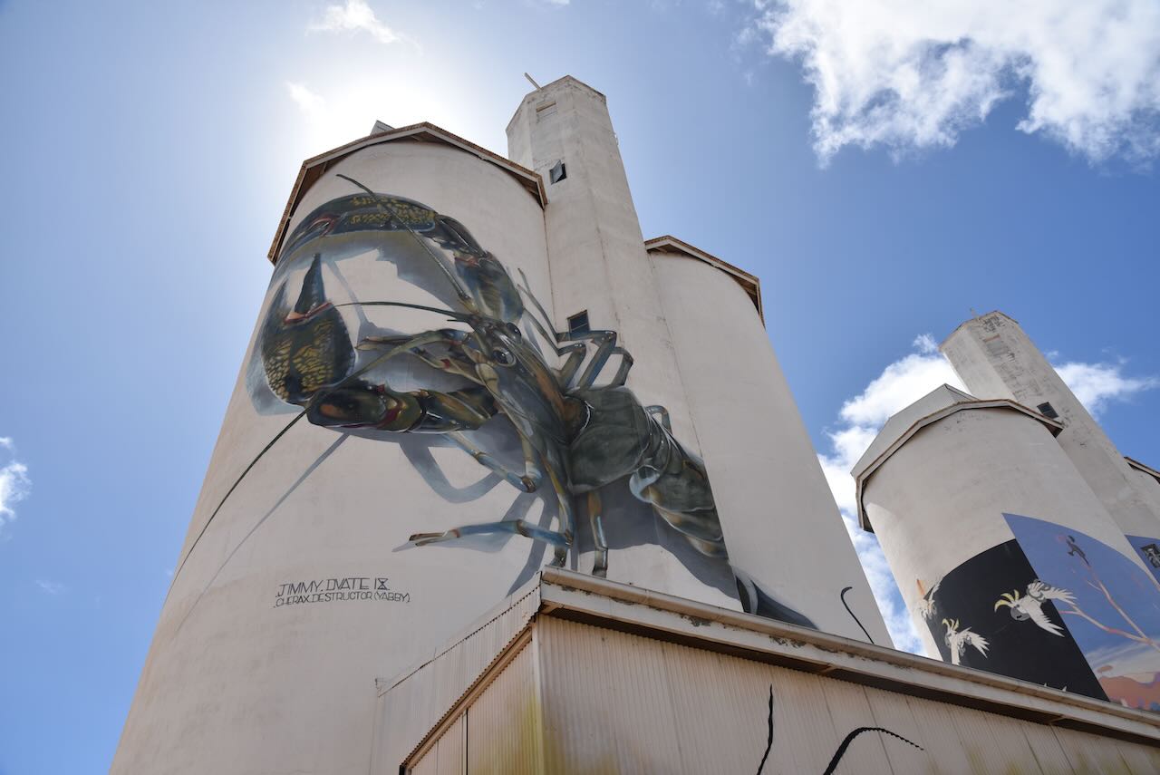
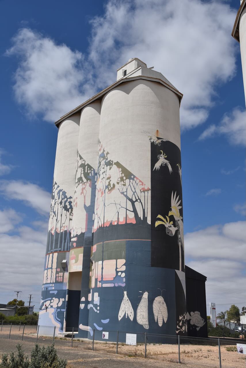
It was then time for a quick silo activation for the Silos On The Air (SiOTA) program at the Waikerie silo.
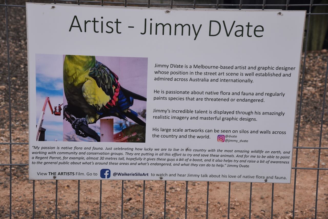
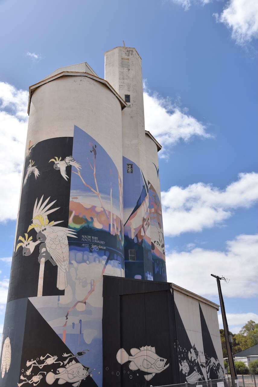
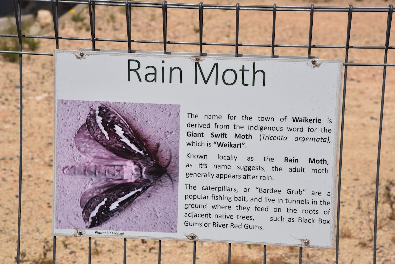
The Waikerie Silo Art is the work of Jimmy Dvate and Garry Duncan. They were the fifth silo in South Australia to feature silo art, and the 25th to be included in the Australian Silo Art Trail Collection. THey are unique in that they are the second silo to be painted on both sides, giving a land view and a river view. Various native flora and fauna appear on the silos, including the Rainmoth, which is the origin of the name of Waikerie – many wings in the aboriginal language.
The Waikerie silo art took about 16 weeks to complete along with almost 500 litres of paint. Garry Duncan used exterior enamel paints exclusively, while Jimmy Dvate mainly used aerosol spray cans.
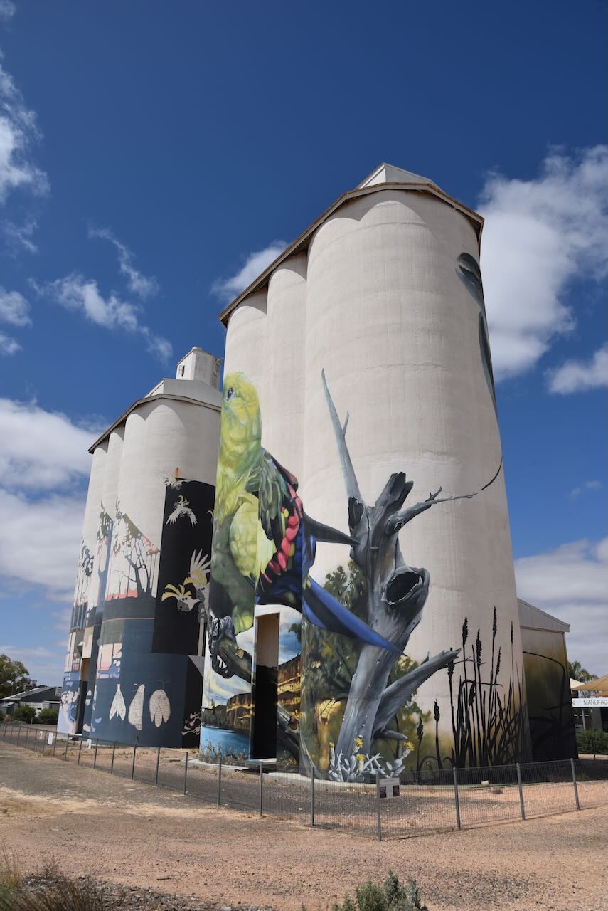
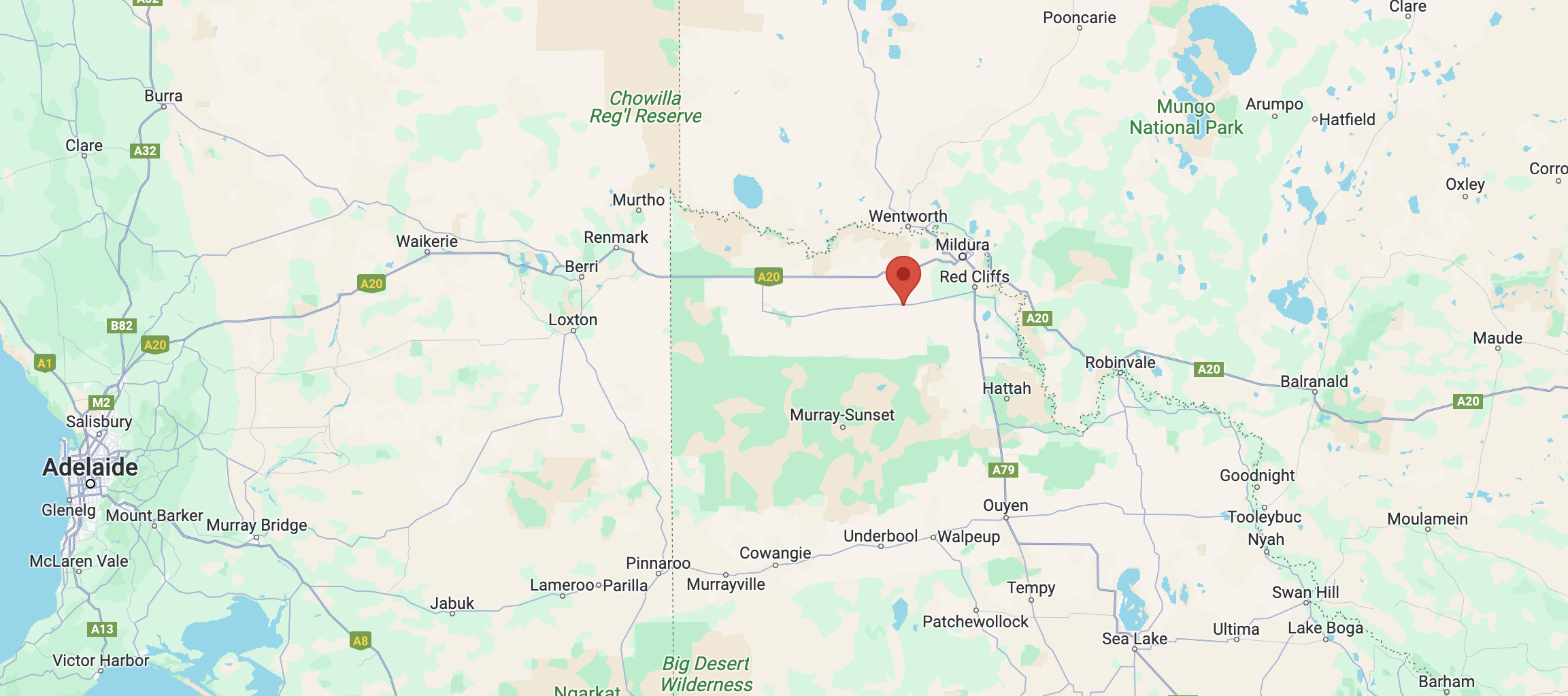
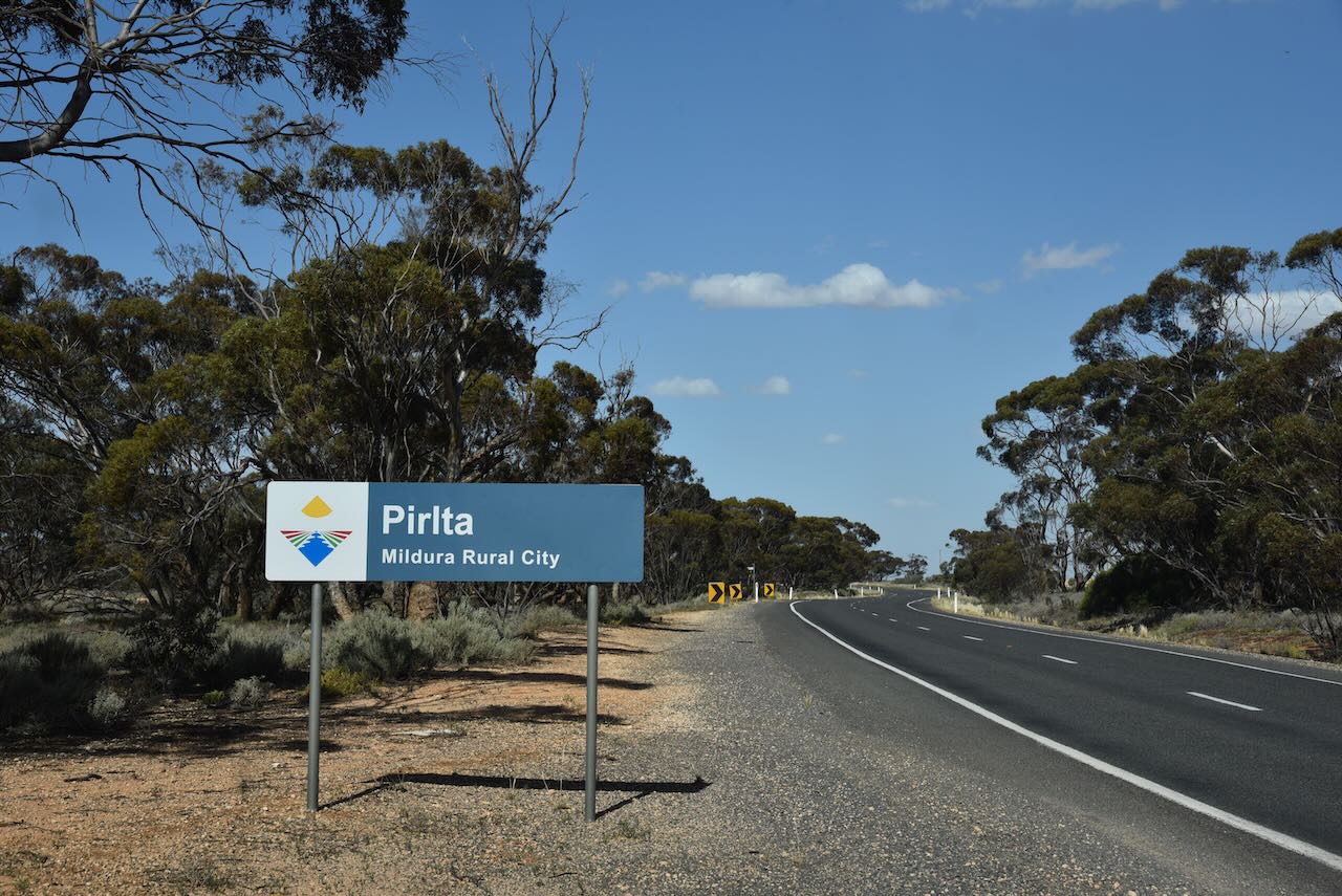
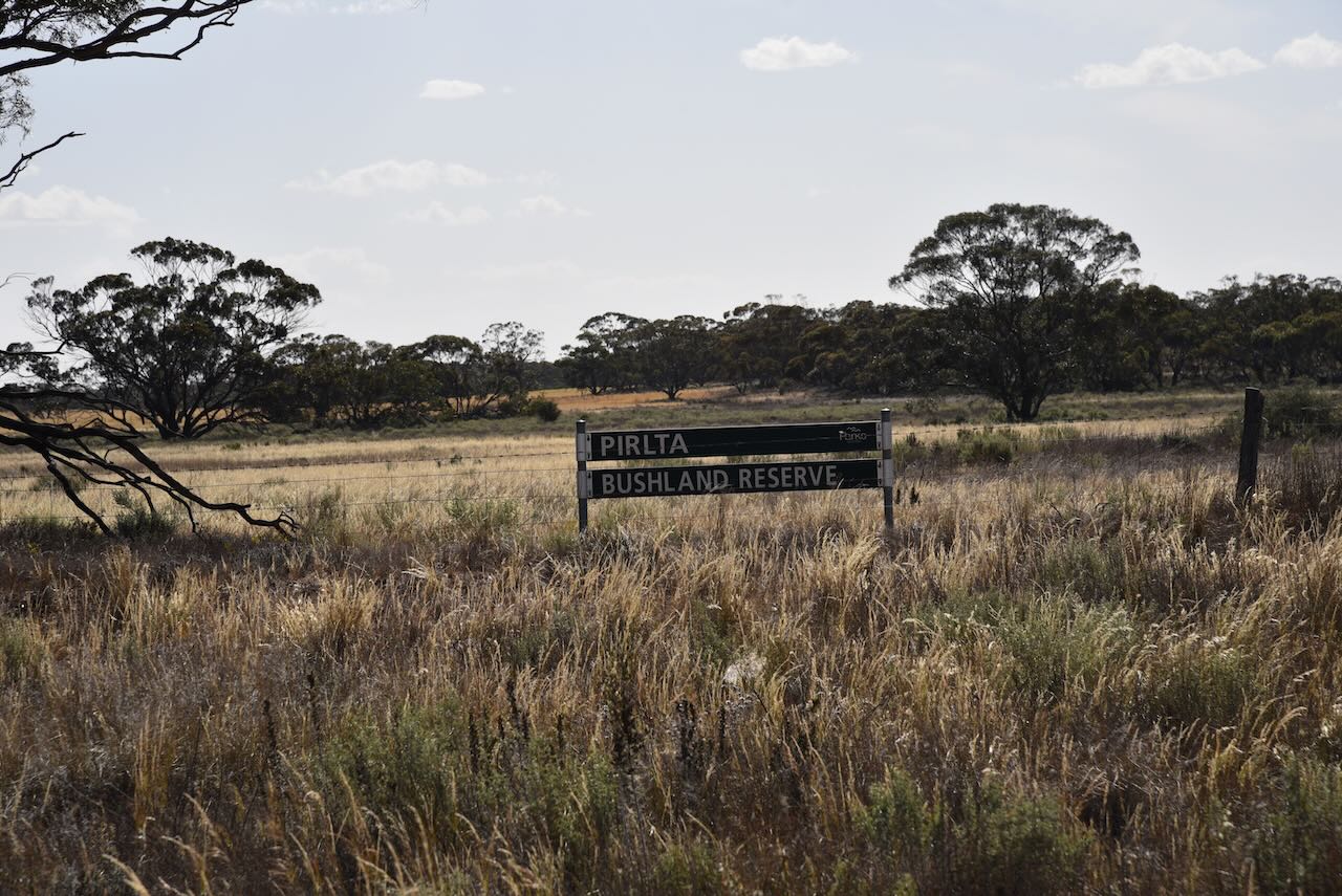
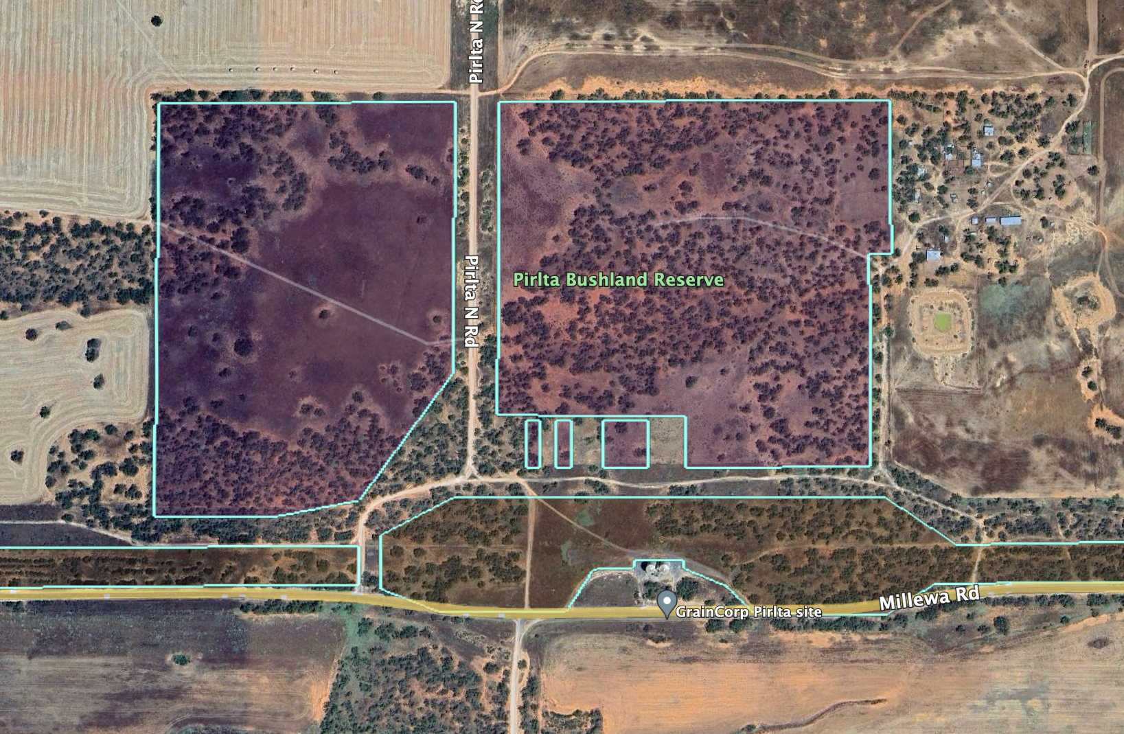
Our sixth and final activation for Monday 30th October 2023 was the Pirlta Bushland Reserve VKFF-4125 and the Pirlta silo VK-PRT3. Pirlta is about 34 km west of Mildura.
Above:- Map showing the location of the Pirlta Bushland Reserve. Map c/o Google Maps.
Pirlta is a locality situated in the Millewa district of northwest Victoria. It is well signposted on the Millewa Road.
It is believed that Pirlta is an aboriginal word for opossum. The Pirlta Post Office opened on the 14th day of August 1924 (closing in 1964).
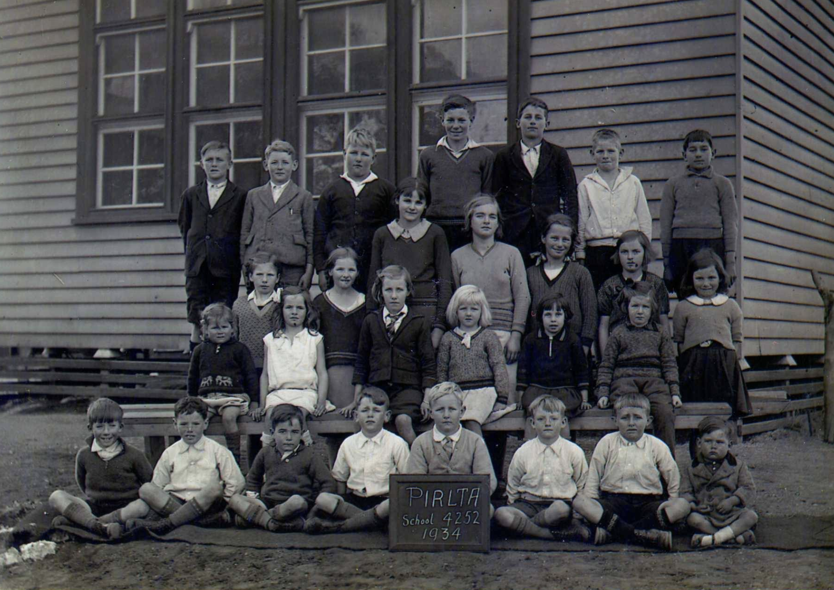
Above:- Students at the Pirlta school, 1934. Image c/o Millewa History Photos Facebook page.
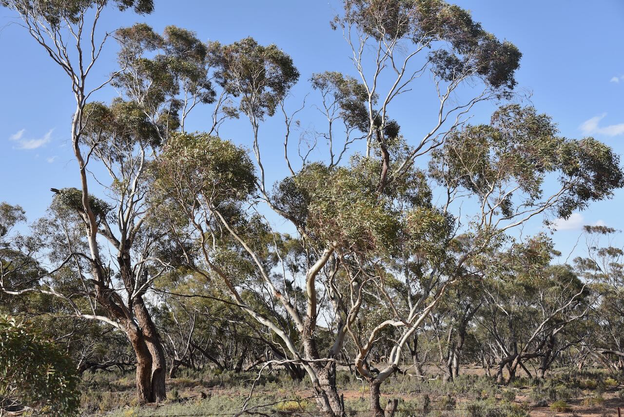
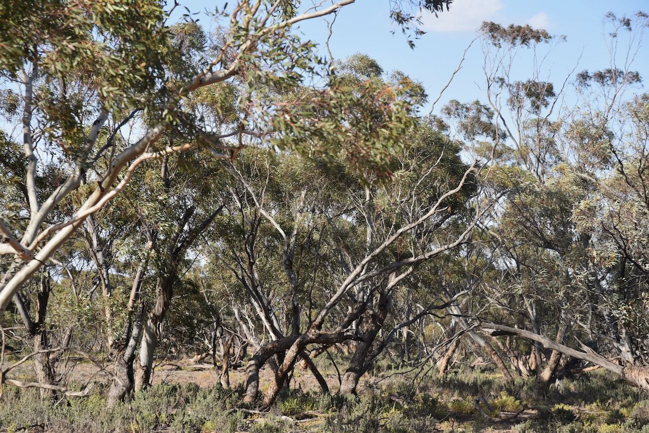
The Pirlta Bushland Reserve is about 46 hectares in size and was established on the 8th day of May 1990.
The Bushland Reserve is divided into two large and three small sections of land on the northern side of Millewa Road. The two larger sections are located on the western and eastern sides of Pirlta North Road.
The Pirlta silos are located on the northern side of Millewa Road, just to the east of Pirlta South Road.
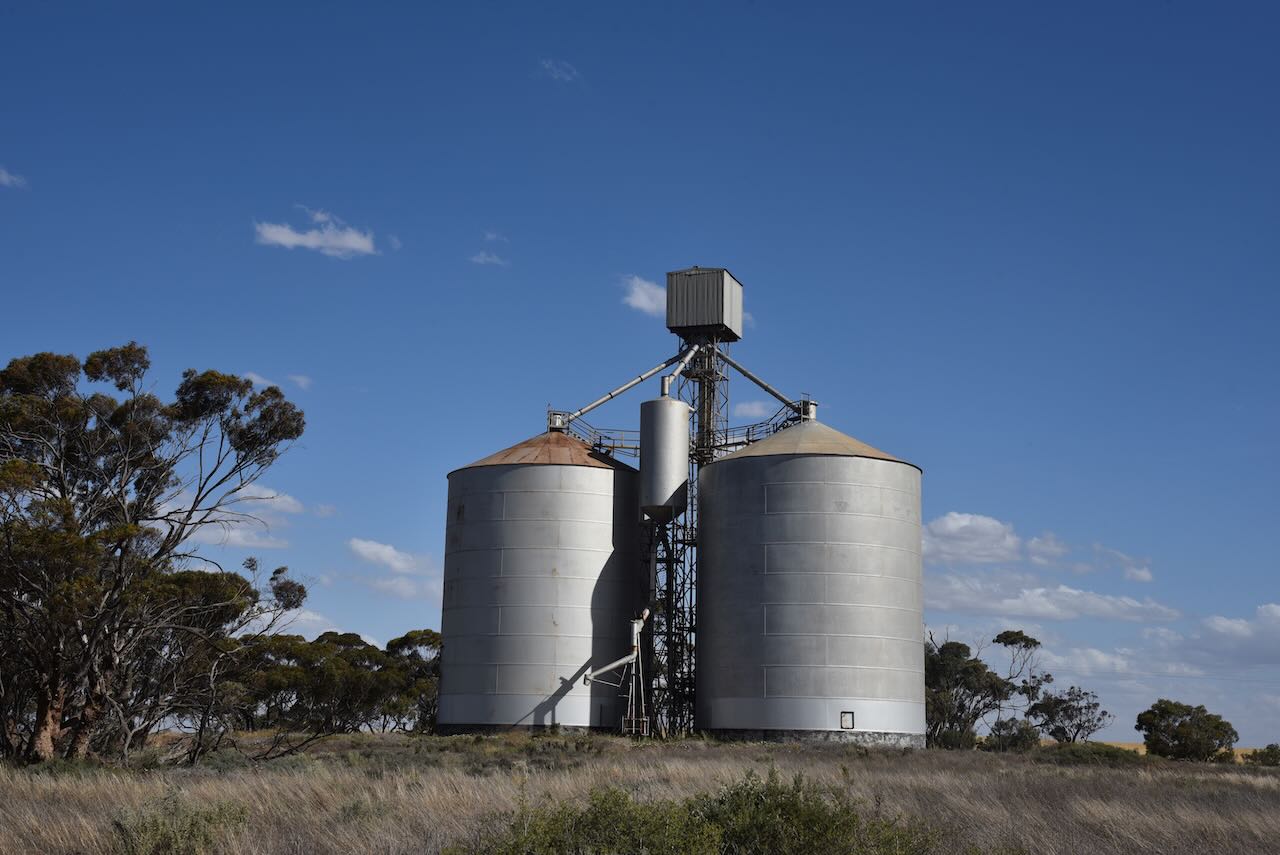
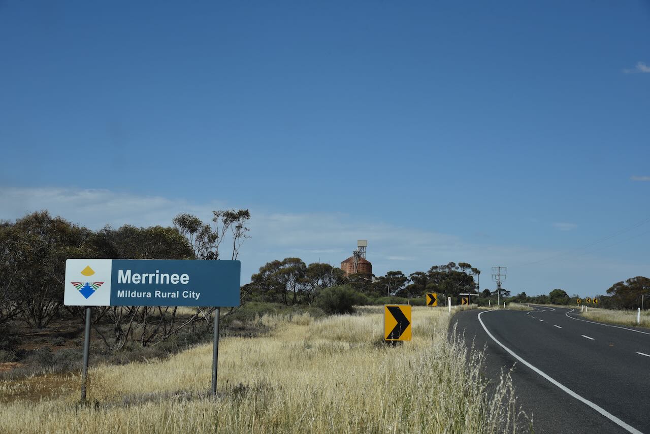
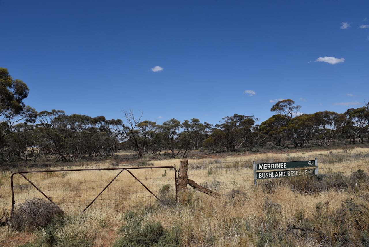
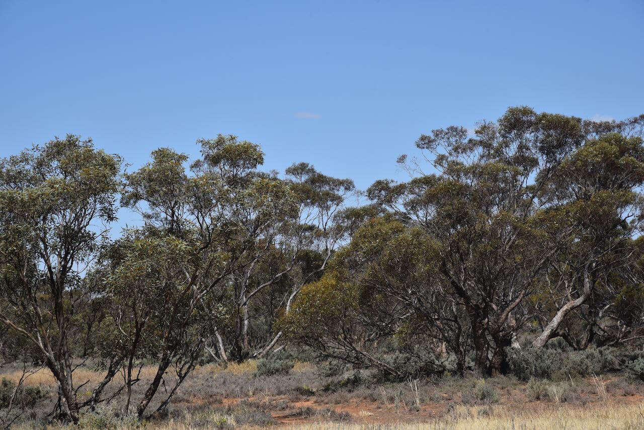
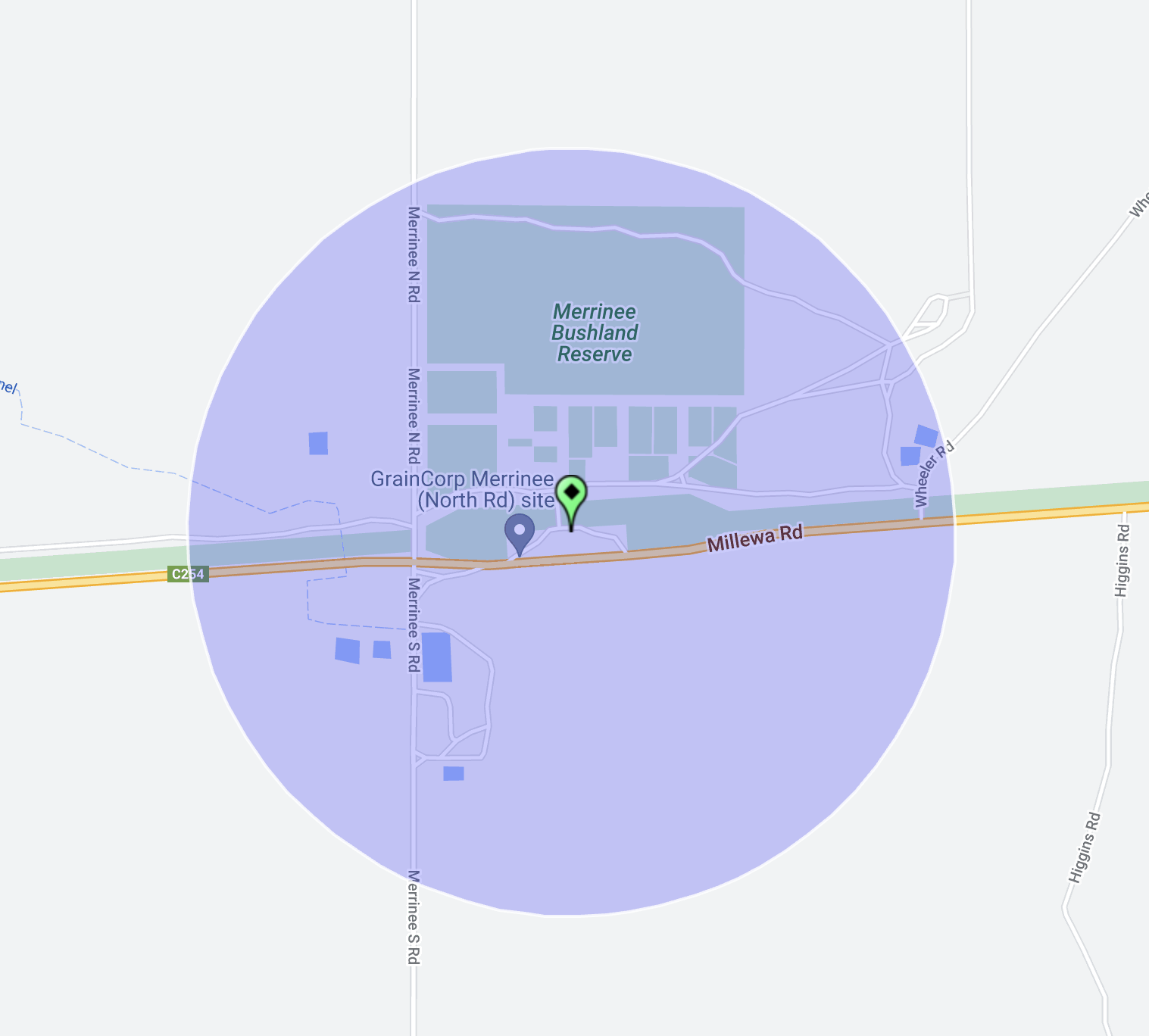
Our fifth activation for Monday 30th October 2023 was the Merrinee Bushland Reserve VKFF-4124 and the Merrinee silo VK-MRE3. Merrinee is about 34 km west of Mildura in northwest Victoria.
Above:- Map showing the location of Merrinee. Map c/o Google Maps.
Merrinee is a locality situated in the Millewa district of northwest Victoria. It is believed that Merrinee is an aboriginal word meaning south or wallaby.
Above:- Map showing the locality of Merrinee. Image c/o Mapshaire Victoria.
The locality is well-signposted on the Millewa Road.
On the 10th day of April 1924, the railway reached Merrinee which had a goods, grain and passenger siding. The Merrinee Post Office opened on the 30th day of May 1924.
Above:- 1923 plan of the township of Merrinee. Image c/o State Library Victoria.
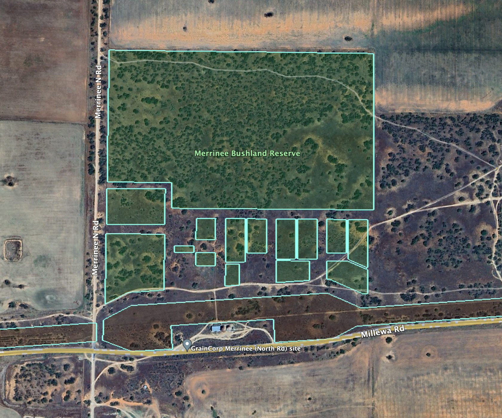
The Merrinee Bushland Reserve is about 51 hectares in size and was established on the 8th day of May 1990.
Above:- An aerial view of the Merrinee Bushland Reserve. Image c/o Google Earth.
The park is well-signposted and is divided into several different sections of land on the northern side of Millewa Road.
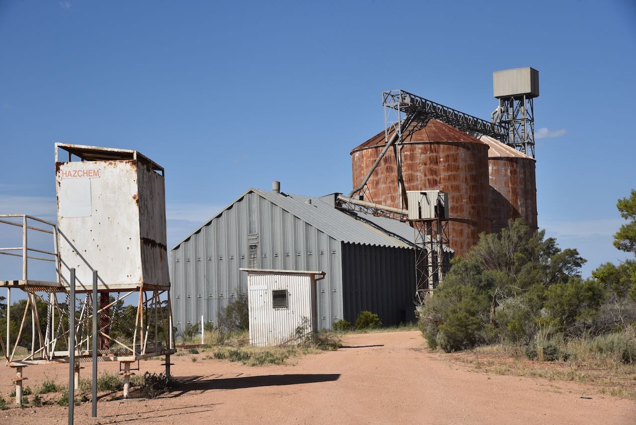
The old Merrinee silos are located on the northern side of Millewa Road.
We operated from a dirt track that ran off the Merrinee North Road. This was within the activation zone for the Merrinee silo.
Above:- the activation zone at the Merrinee silo. Image c/o SiOTA database.
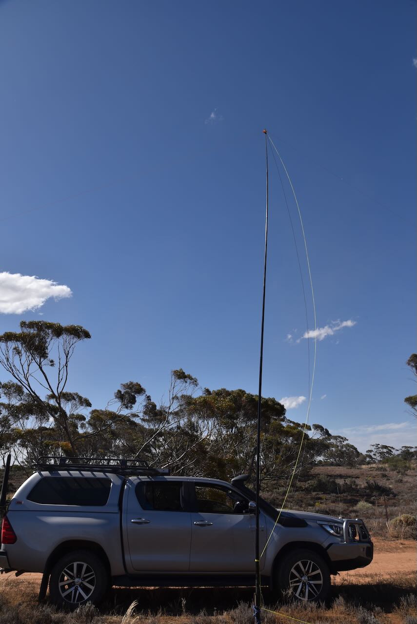
We operated from the vehicle for this activation as the flies outside were relentless. Our antenna was the 20/40/80m linked dipole.
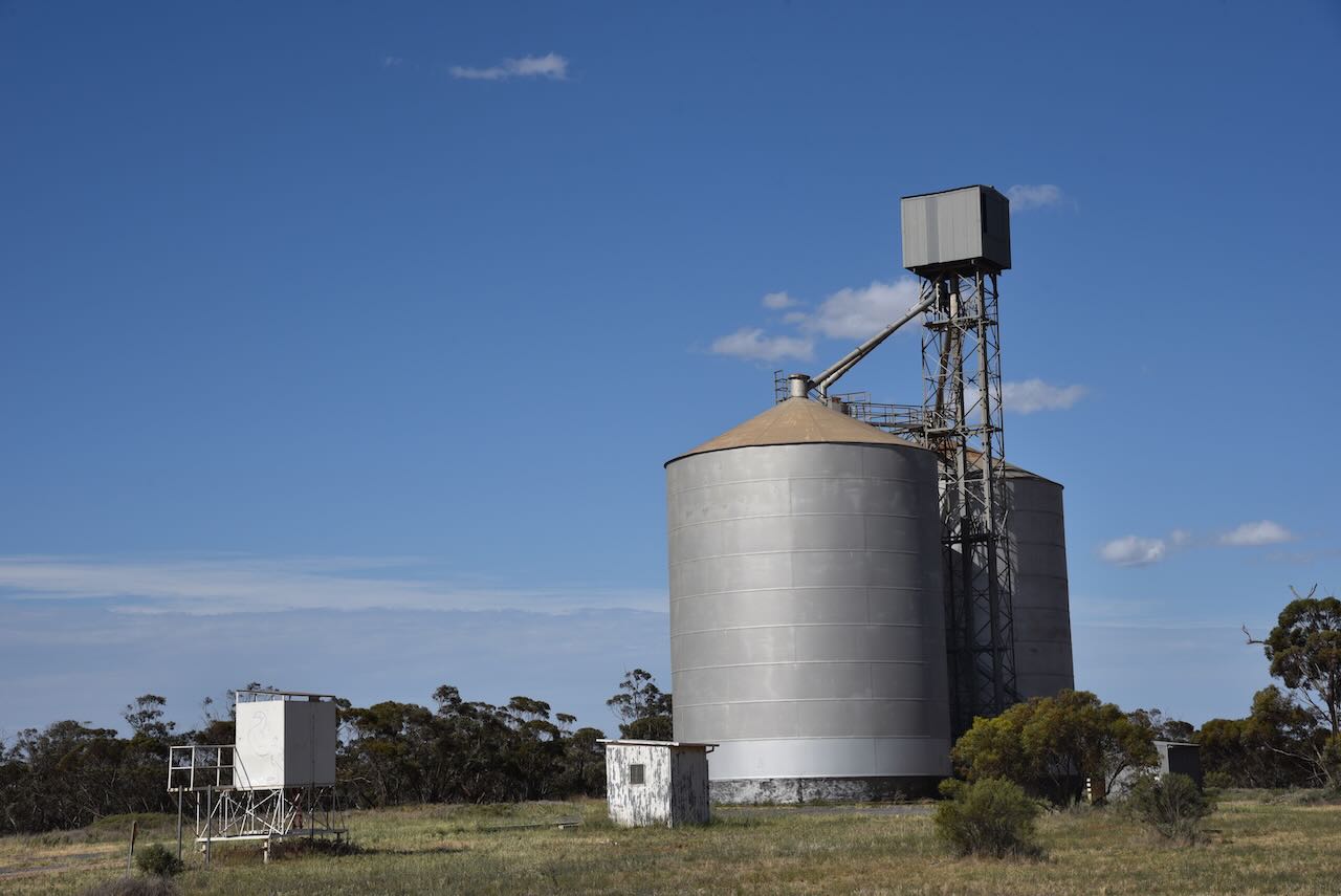
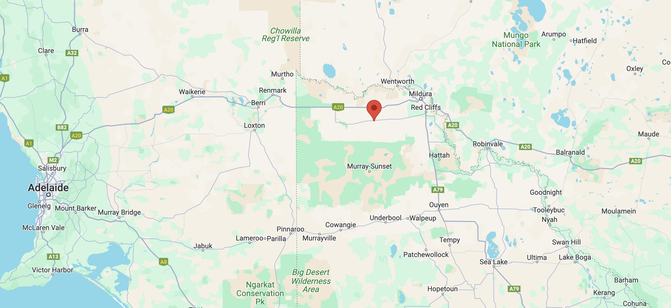
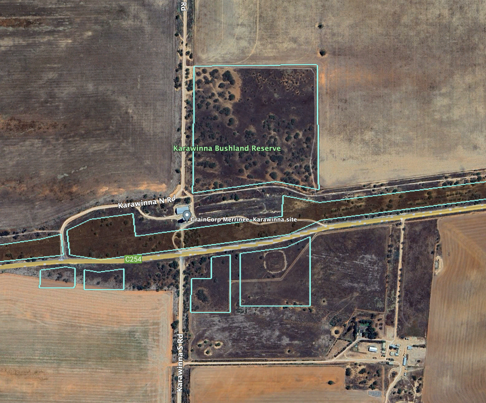
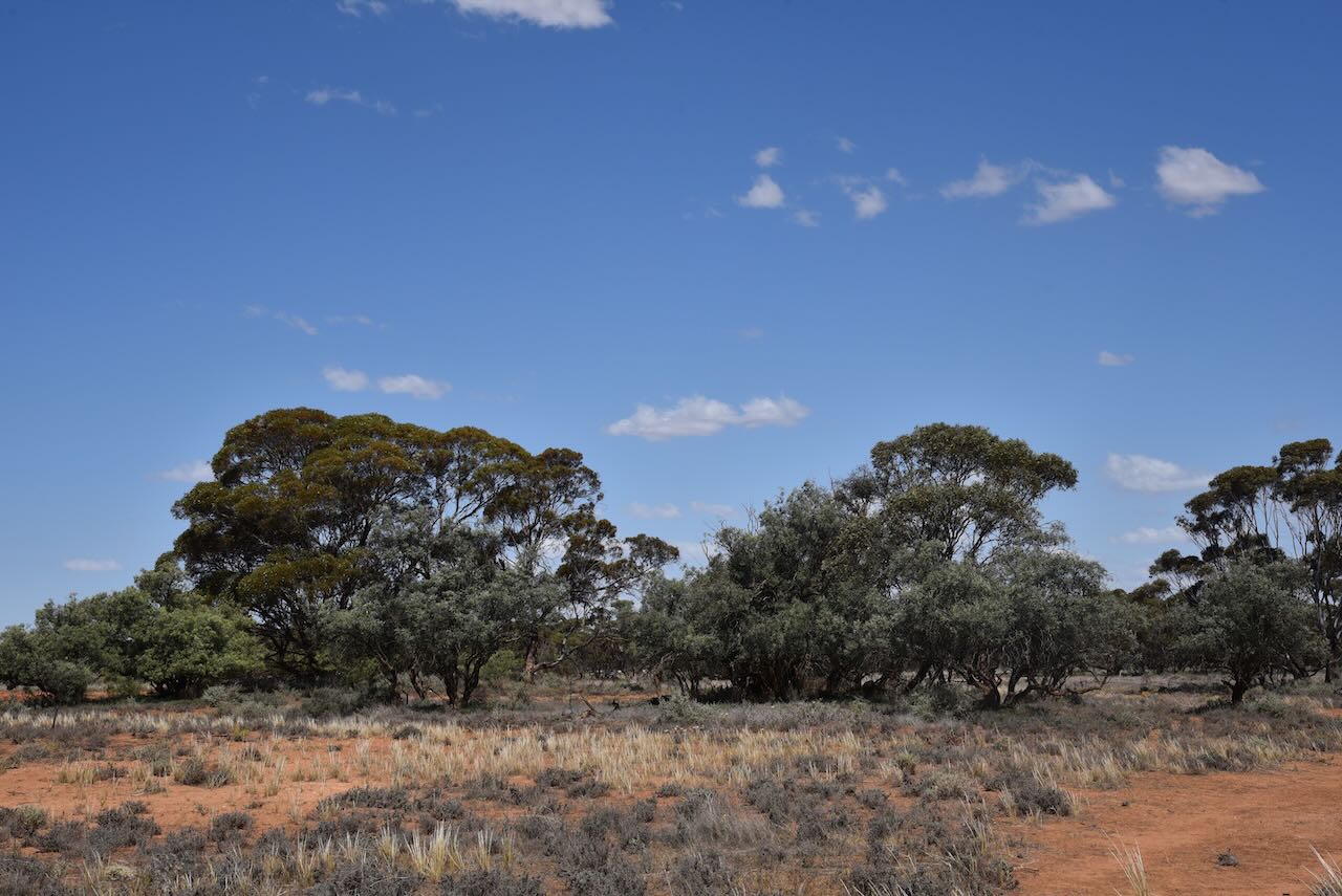
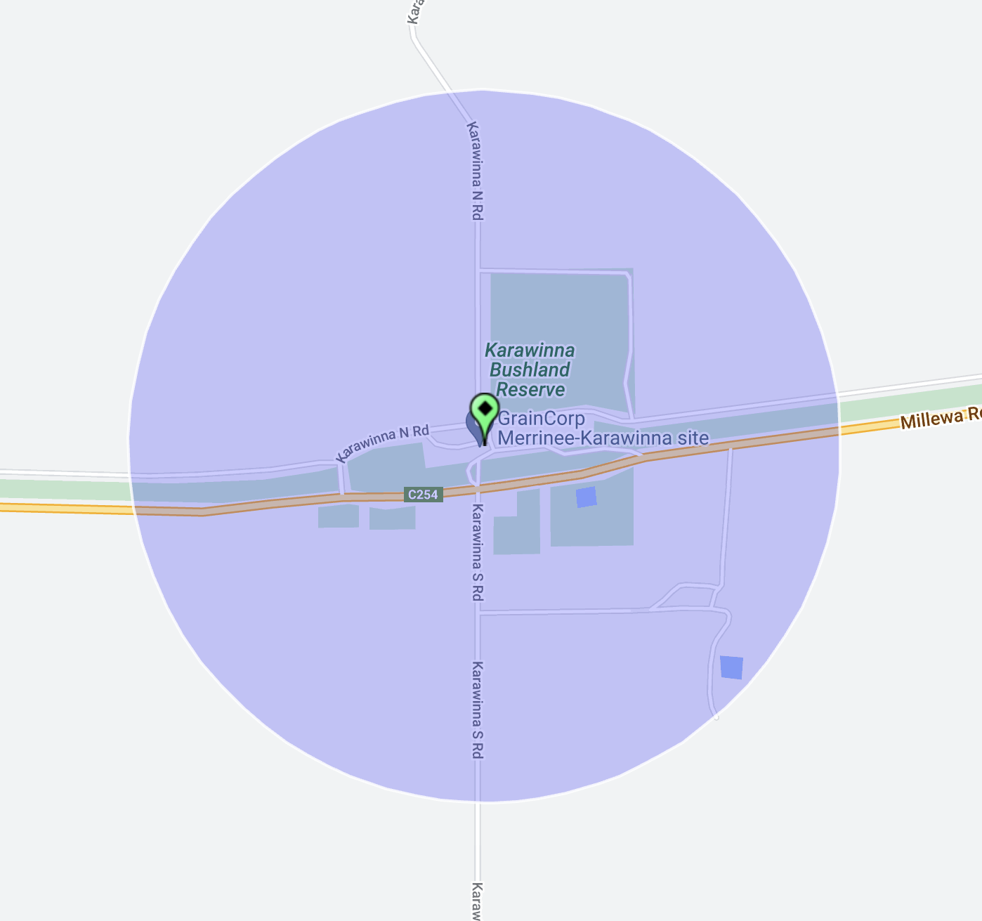
Our next activation for Sunday 30th October 2023 was the Karawinna Bushland Reserve VKFF-4123 and the Karawinna silo VK-KRA3. Karawinna is about 53 km west of Mildura in northwest Victoria.
Above:- Map showing the location of the Karawinna Bushland Reserve. Map c/o Google Maps.
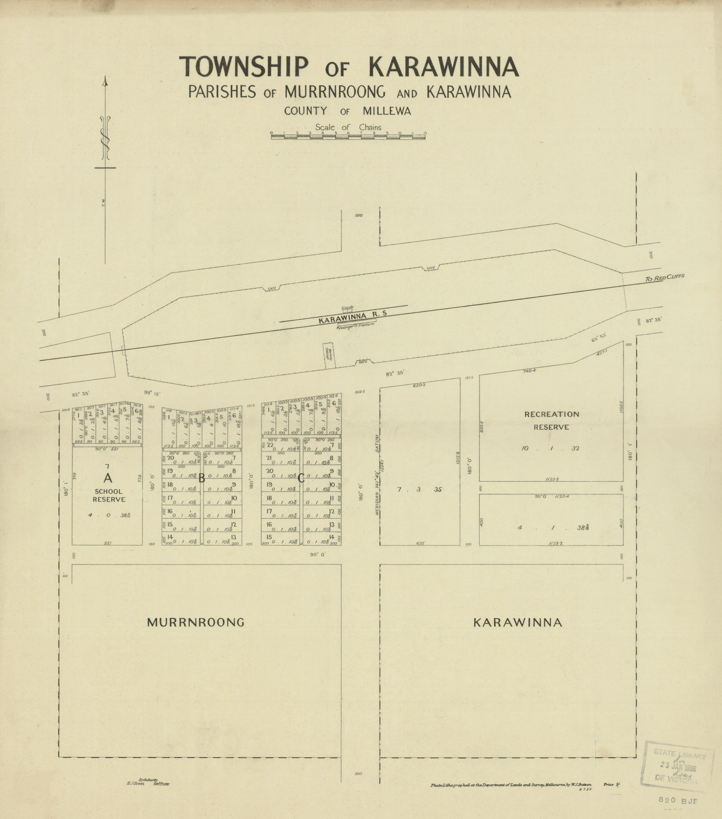
It is believed that Karawinna is an aboriginal word meaning emu. Karawinna once had stores, a school, a public hall and a football club. None of this is evident in current-day Karawinna.
Above:- A plan of the township of Karawinna. Image c/o State Library Victoria.
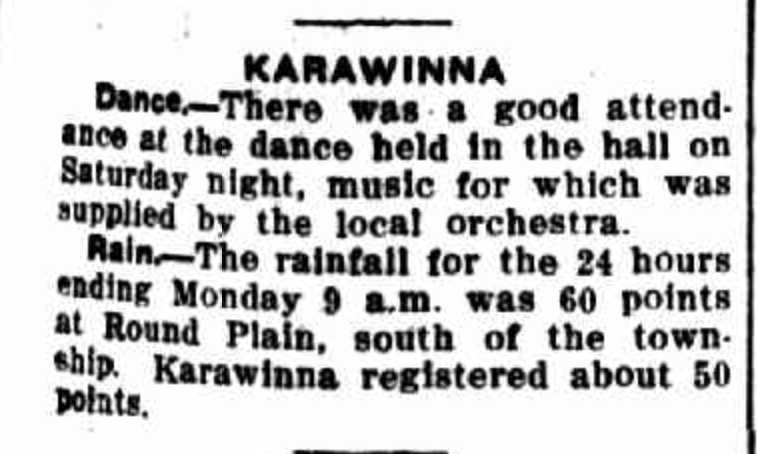
Regular dances were held in the Karawinna hall.
Above:- Article from the Sunraysia Daily, Tue 3 Dec 1935. Image c/o Trove.
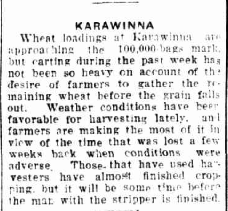
During the 1930s the Karawinna area was in the wheat belt production area in the Millewa region.
Above:- Article from the Sunraysia Daily, Tues 27 Jan 1931. Image c/o Trove.
The Karawinna Bushland Reserve was established on the 1st day of May 1979 and consists of 24 hectares.
The reserve consists of five different sections on the northern and southern sides of Millewa Road.
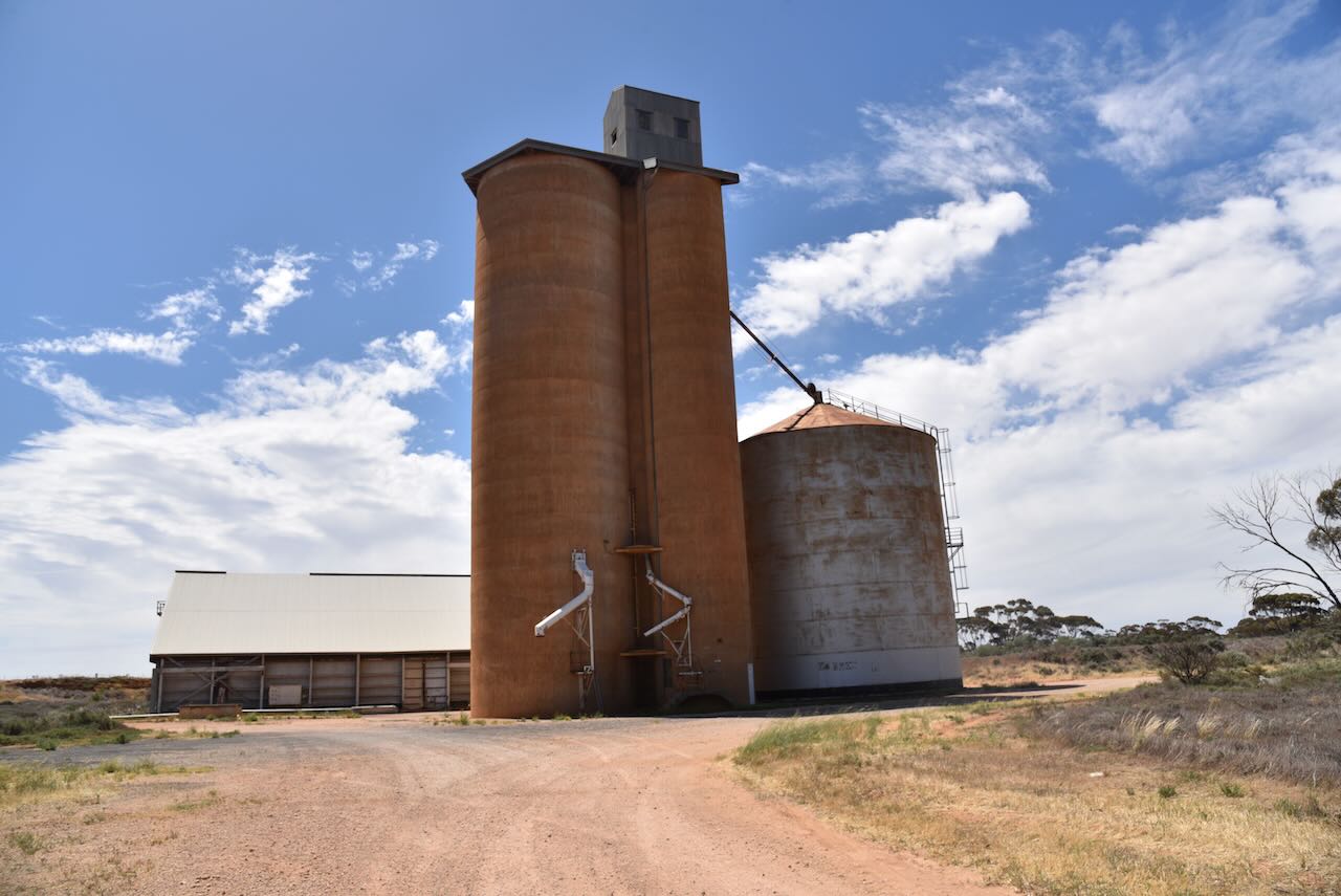
The Karawinna silos are located on Karawinna North Road, alongside the former railway line.
We drove a short distance along Karawinna North Road and operated from the northern section of the Karawinna Bushland Reserve.
Again for this activation, we ran the Yaesu FT857, 40 watts, and the 20/40/80m linked dipole.