
After leaving Fort Glanville, Marija and I headed to the Outer Harbour silo VK-OTR5 for an activation for the Silos On The Air (SiOTA) program.
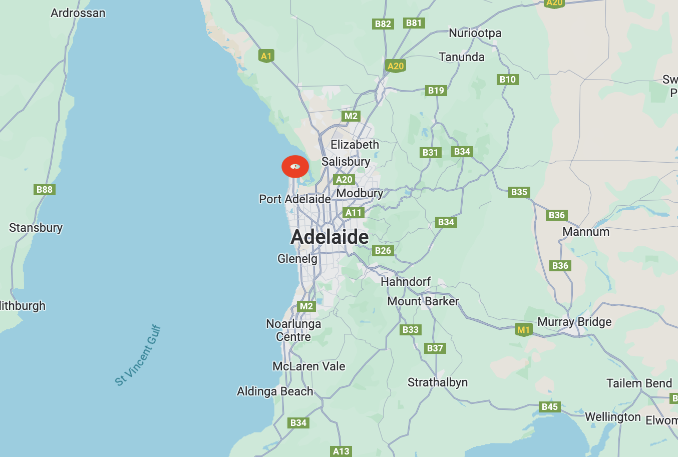
Above:- Map showing the location of Outer Harbour. Map c/o Google Maps.
Marija and I drove along the picturesque Esplanade and Lady Gowrie Drive to get to the silo. This took us along the beautiful Adelaide coastline and magnificent beaches and passed the historic suburb of Semaphore.
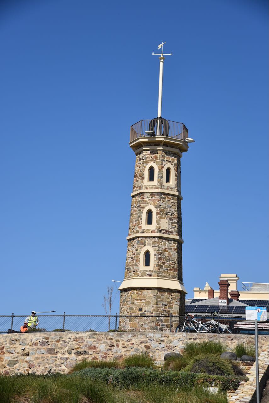


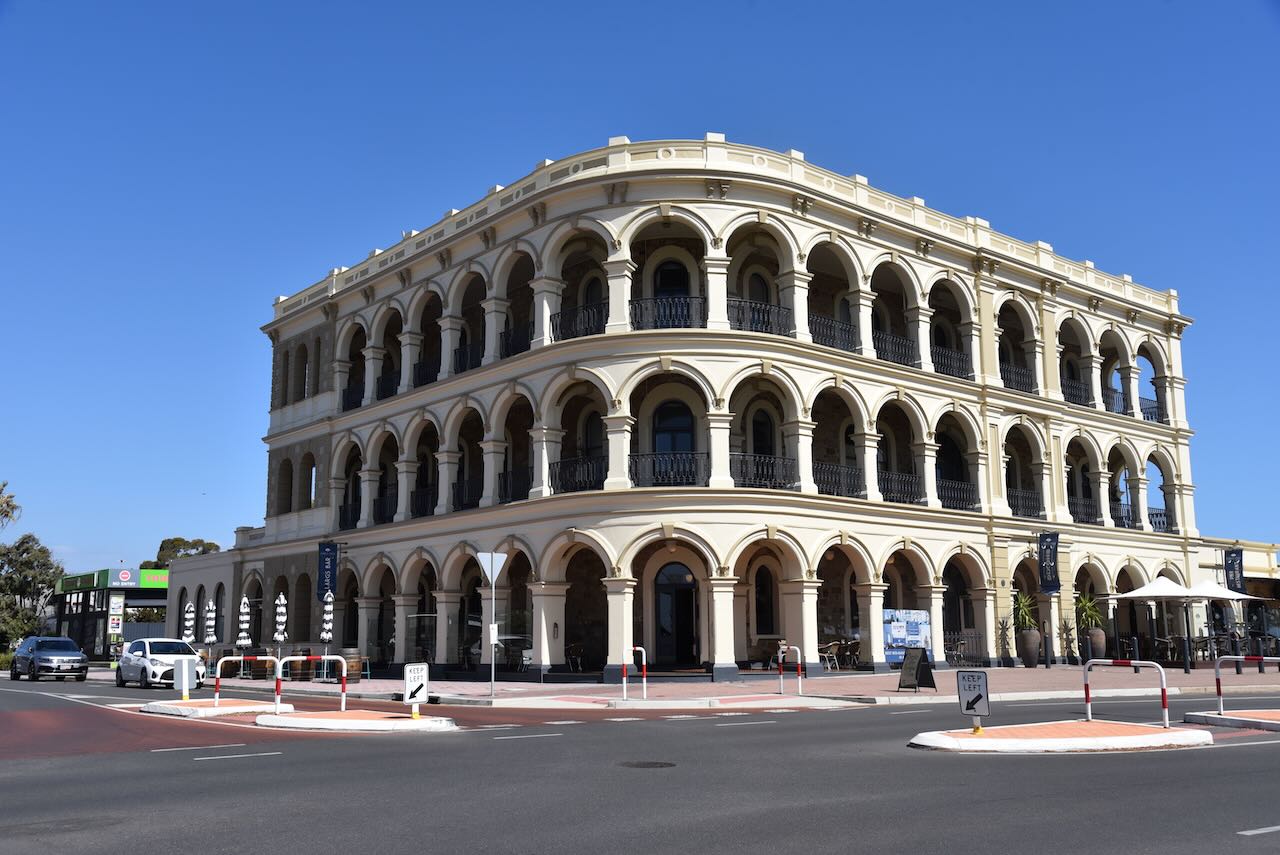
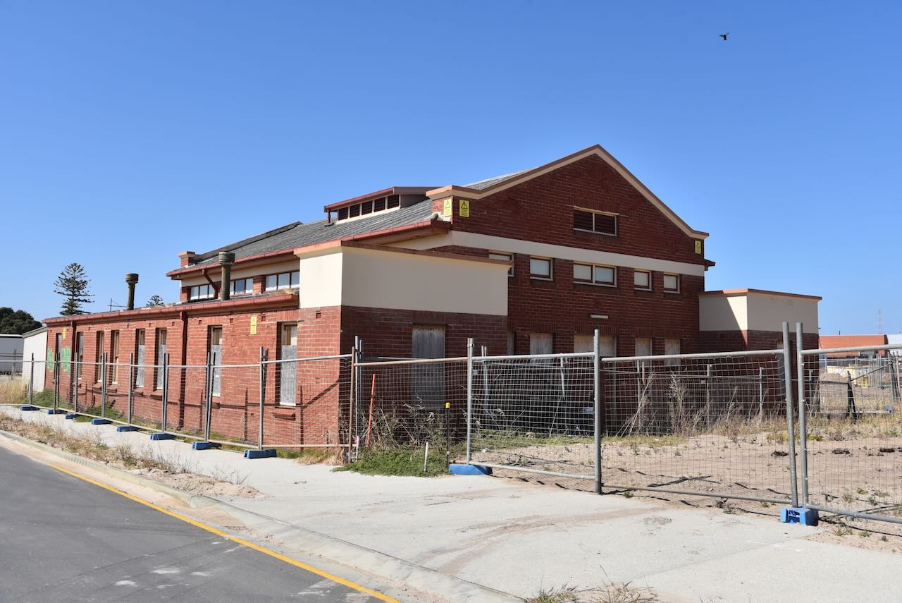
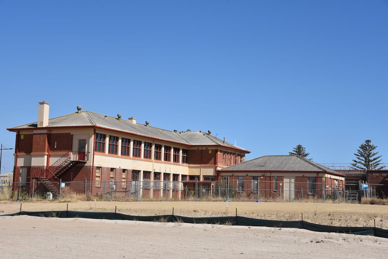
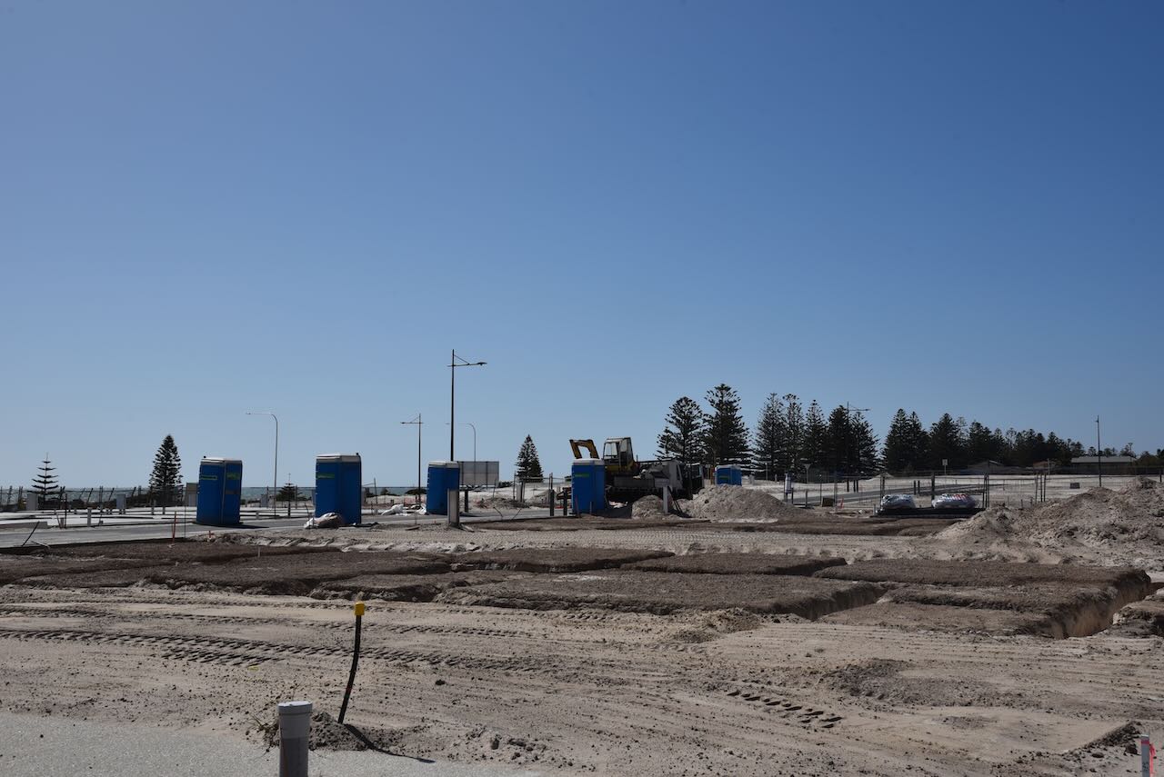
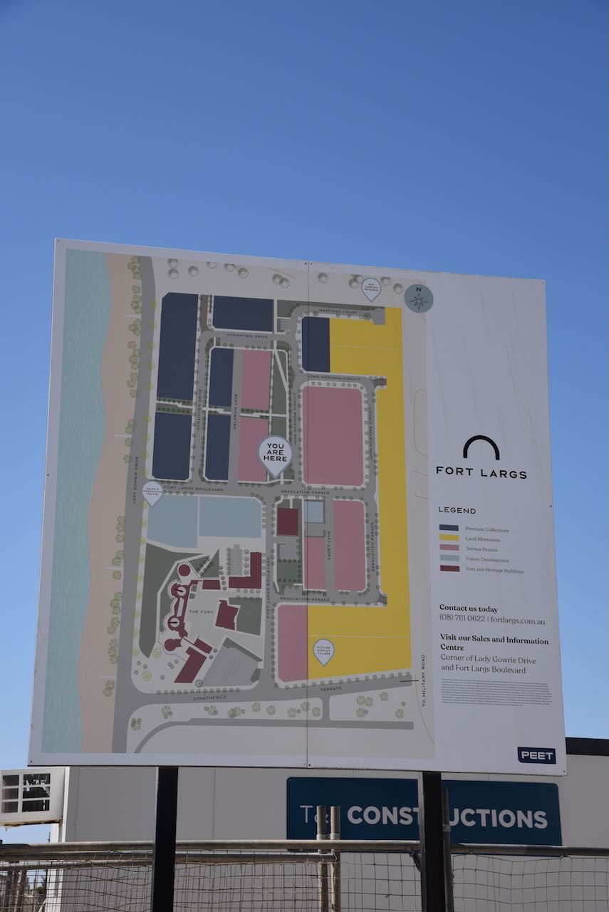
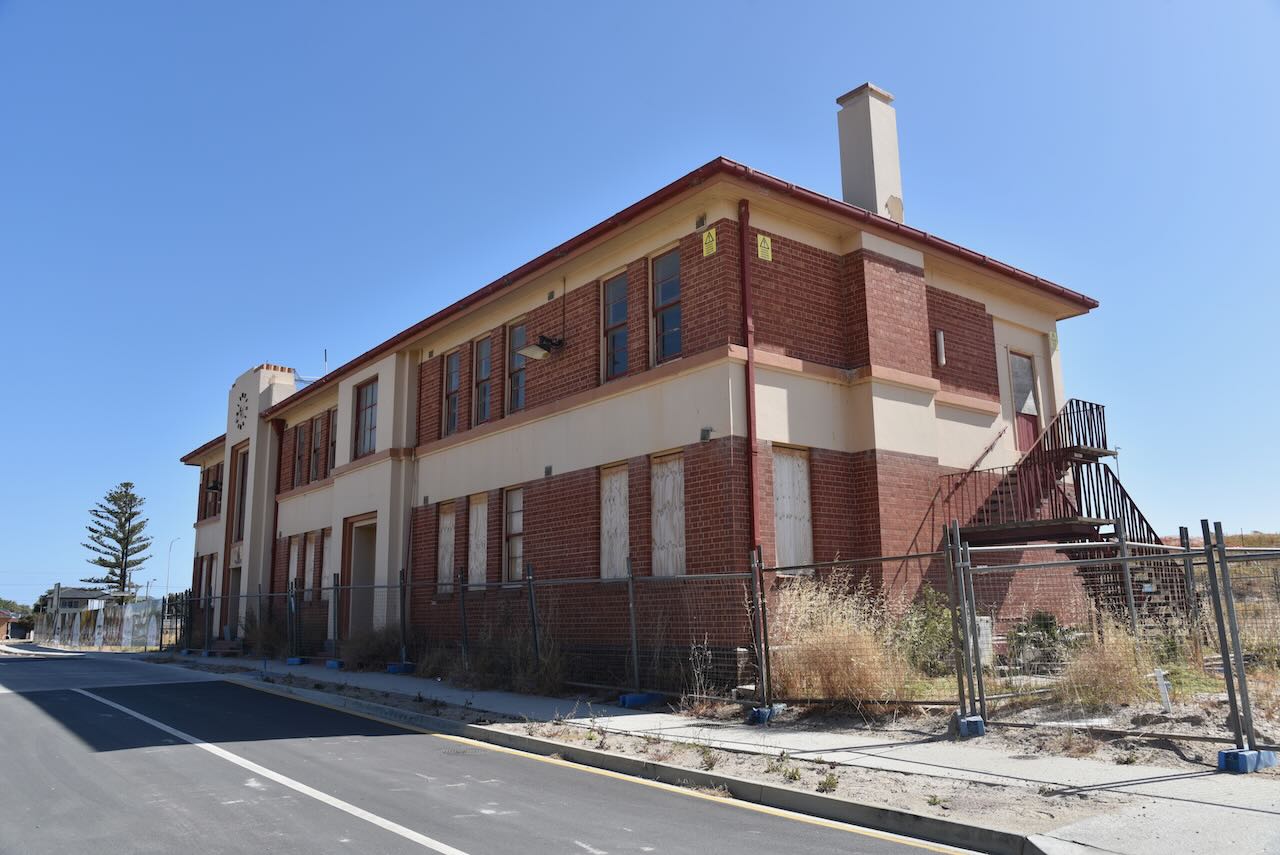
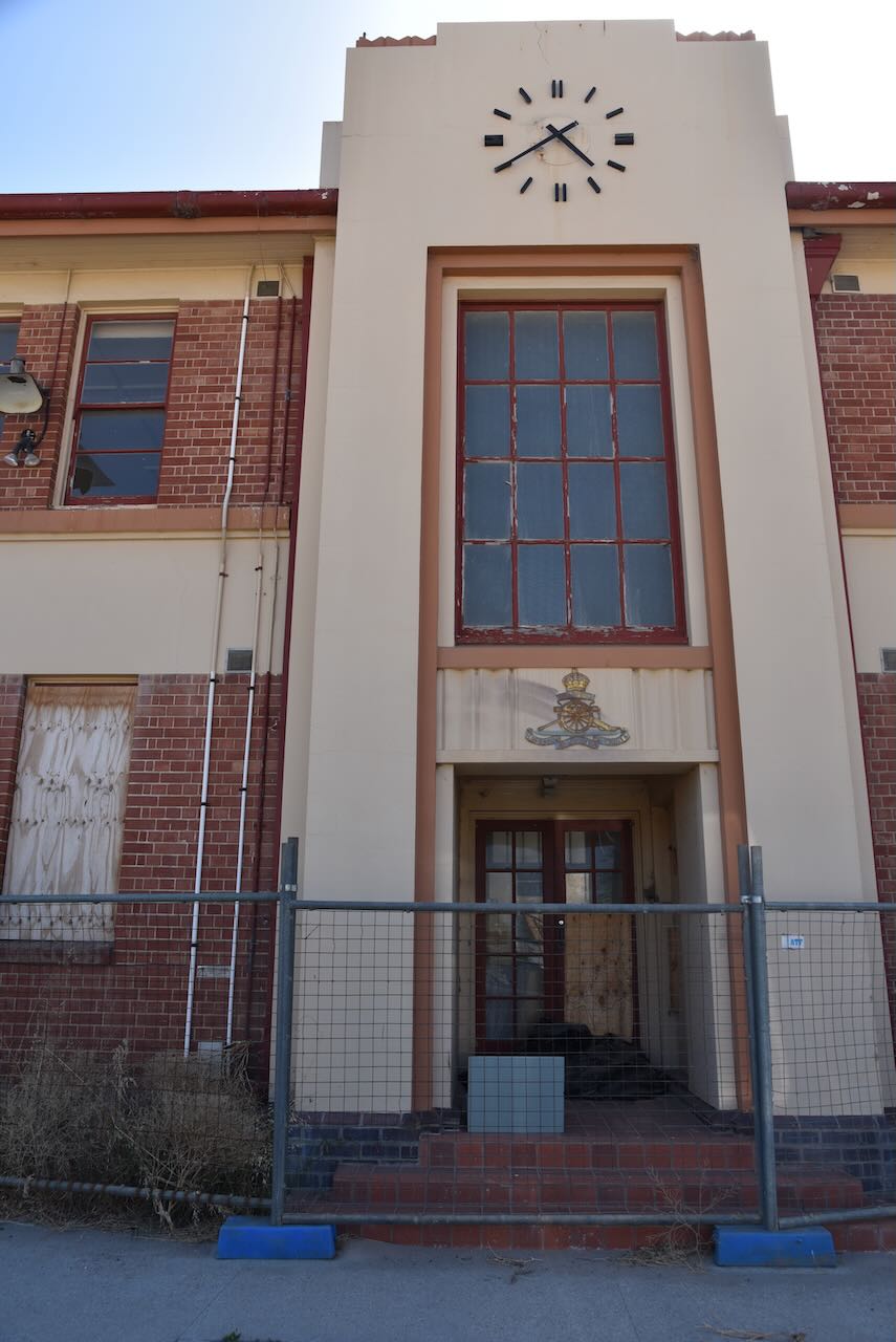
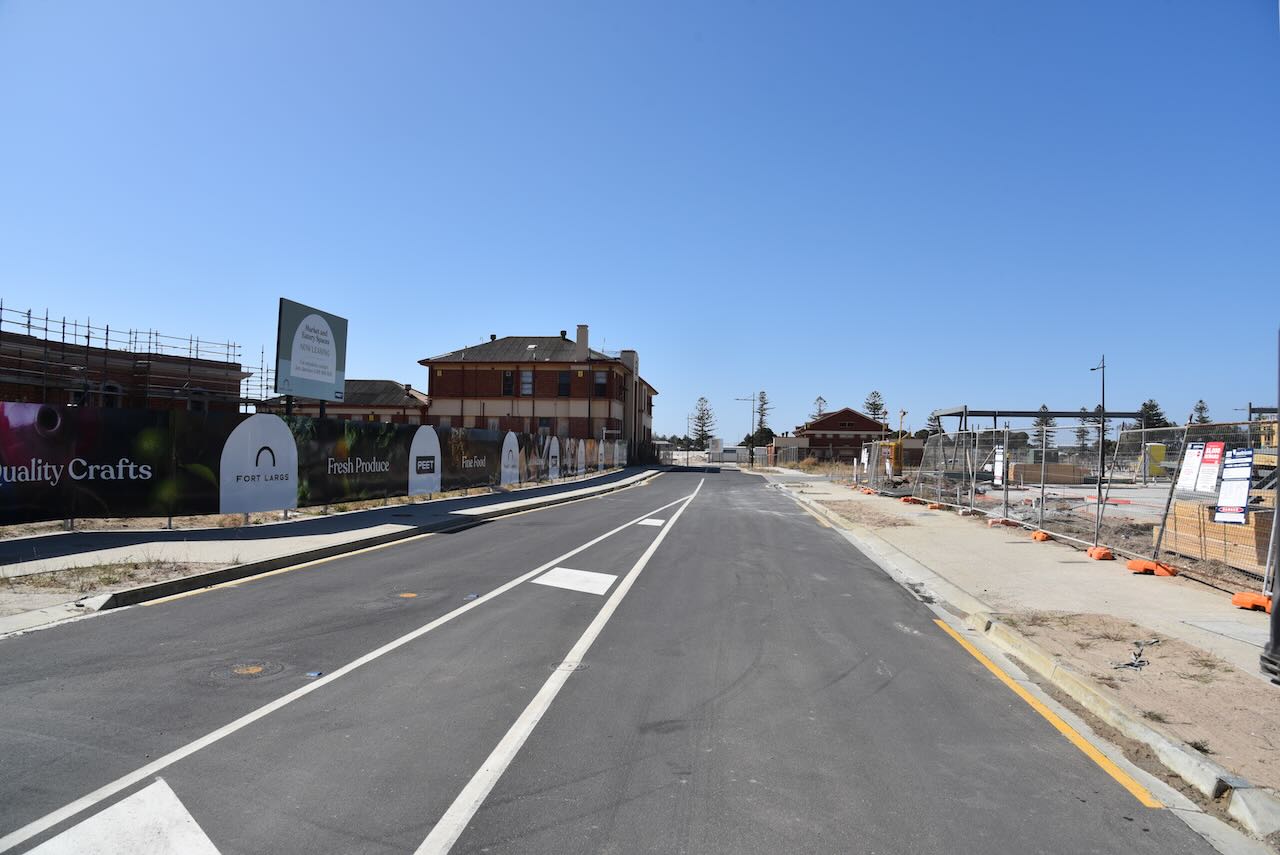
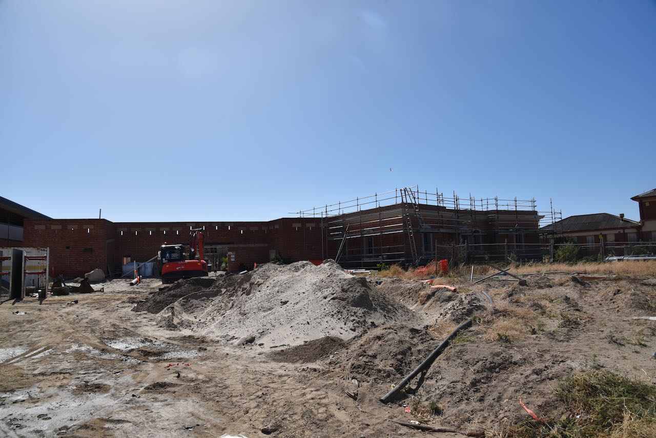
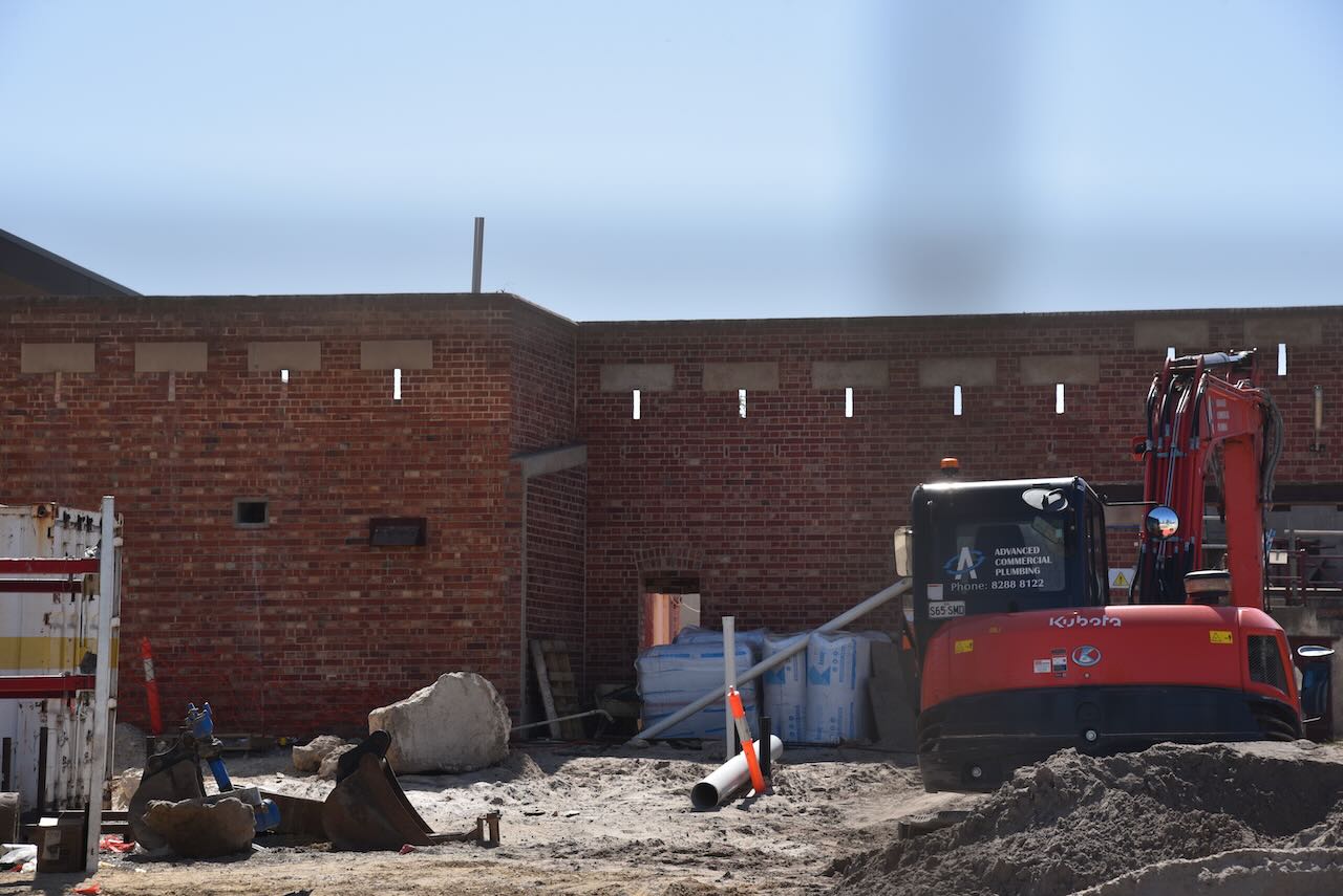
We then stopped by the old Police Academy at Fort Largs, where I had spent 2 years (1982-1984). I had heard that most of the Academy had been bulldozed and that a housing estate was going in, but what I saw really surprised me. Only some of the historic buildings remain, including the Fort itself. I had mixed feelings. I know that everything cannot last forever and there is progress. But I had spent a significant time here and have lived in the dormitories, now bulldozed. It was a little sad to see.


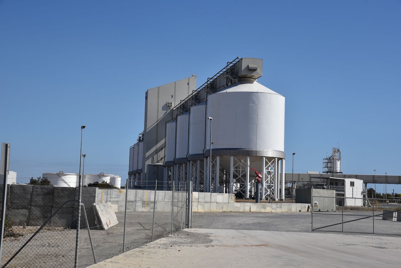
We then made our way to the Outer Harbour silos. The silos are operated by Viterra and are located in close proximity to the mouth of the Port River. Outer Harbor is 11km downstream of the Inner Harbour grain berth. Outer Harbour was custom-built to allow larger vessels to load. A belt leads from the silos to the loading berth. It can handle 2,200 tonnes per hour.
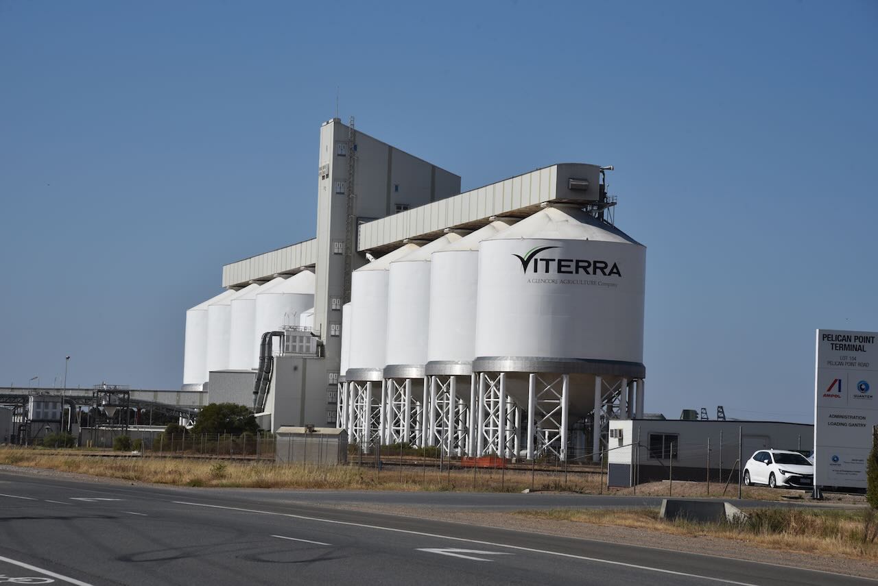
Outer Harbour is located at the northern tip of the Lefevre Peninsula about 22 km northwest of the Adelaide city centre. Outer Harbour includes the headland of Pelican Point. It is bounded to the east by the suburb of Osborne, to the southwest by the suburb of North Haven, and in all other directions by the Port River.
Outer Harbour was established in the early 1900s due to the increasing size of ships visiting Port Adelaide, and the time it took to sail up the Port River to the inner harbour of Port Adelaide. The first ship to dock at Outer Harbour was the RMS Oruba in January 1908.
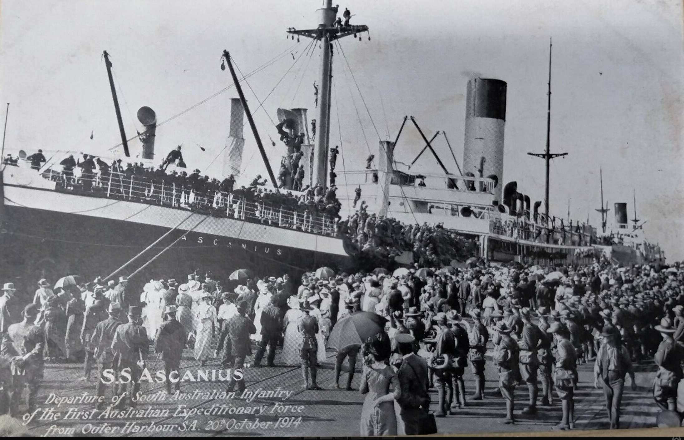
Above:- Departure of South Australian Infantry from Outer Harbour, South Australia on S.S. Ascanius – 20 October 1914. Image c/o https://www.flickr.com/photos/70994841@N07/52661858542
The harbour can now accommodate Panamax-size ships with the harbour depth being 14.2 metres. Outer Harbour contains a major container berth and the Overseas Passenger Terminal.
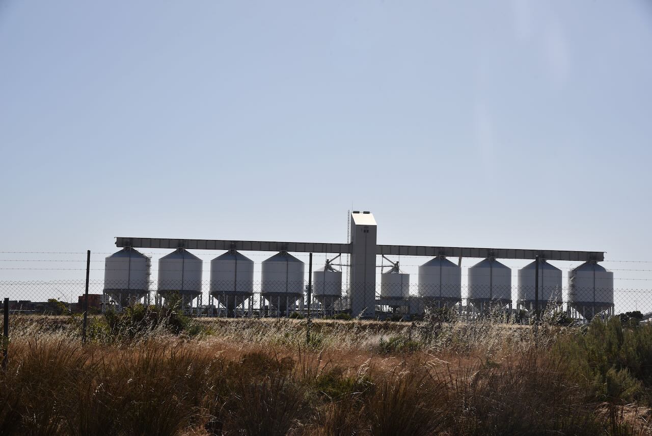
We initially set up on Pelican Point Road and made two contacts before moving due to the noise floor. Our new location on Snapper Point Road wasn’t much better. This is a noisy RF location with Outer Harbour consisting of shipping and transport-related infrastructure. Unfortunately, we could not find a spot which was within the Adelaide Dolphin Sanctuary VKFF-1880.
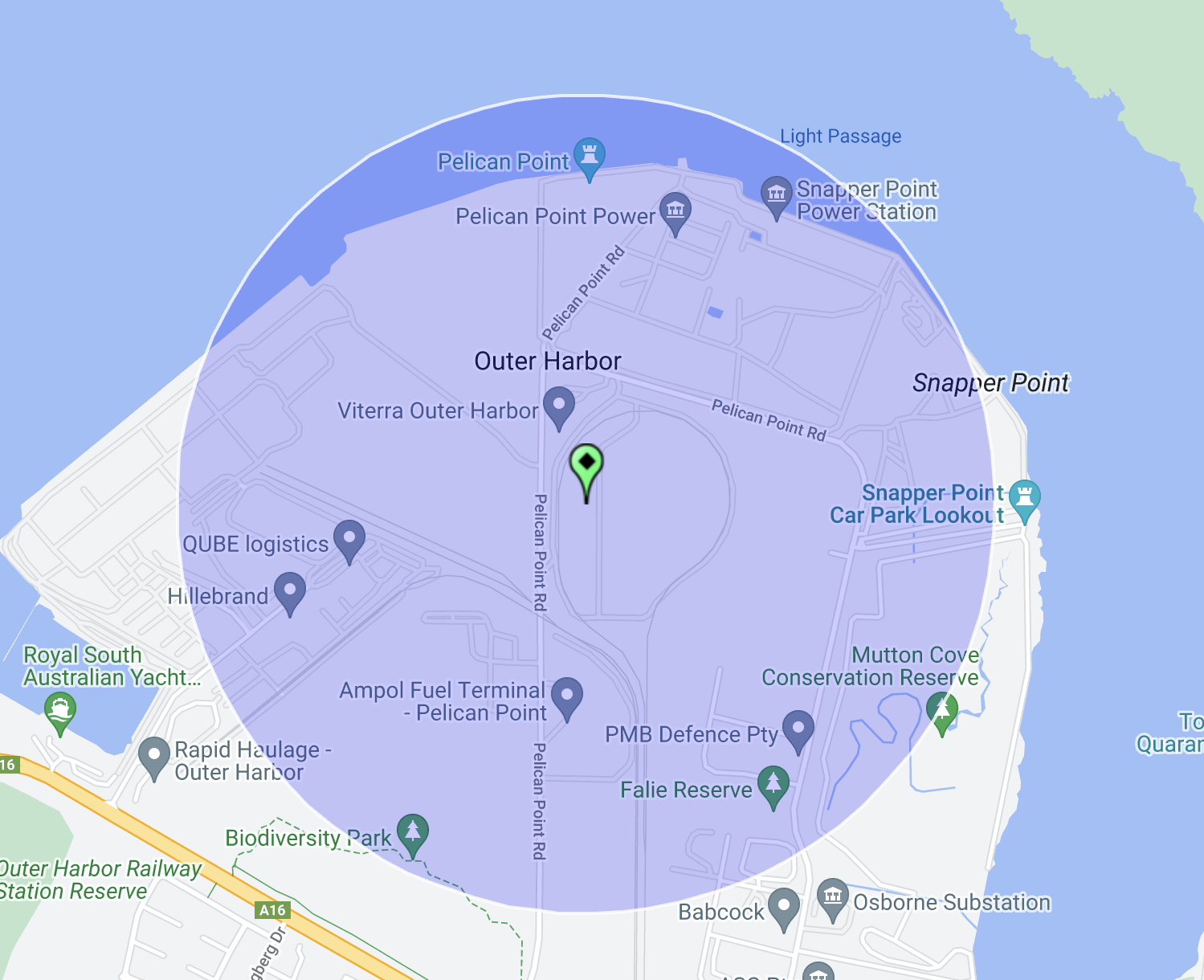
Above:- The activation zone at the Outer Harbour silo. Image c/o SiOTA website.
Marija worked the following stations on 40m SSB:-
- VK5MK
- VK5FANA
- VK3PF
- VK2IO/p (Pooginook Conservation Park VKFF-0929)
- VK5ZNP
I worked the following stations on 40m SSB:-
- VK5MK
- VK5FANA
- VK3PF
- VK2IO/p (Pooginook Conservation Park VKFF-0929)
- VK5ZNP
- VK5FIVE
References.
- Viterra, 2023, <https://viterra.com.au/Storage-and-handling#Port%20terminals>, viewed 18th December 2023.
- Wikipedia, 2023, <https://en.wikipedia.org/wiki/Outer_Harbor,_South_Australia>, viewed 18th December 2023.
