Our final activation for Tuesday 31st October 2023 was the Adelaide Dolphin Sanctuary VKFF-1880 and the Port Adelaide silo VK-PRD5. I used the special event call of VI10VKFF for this activation.
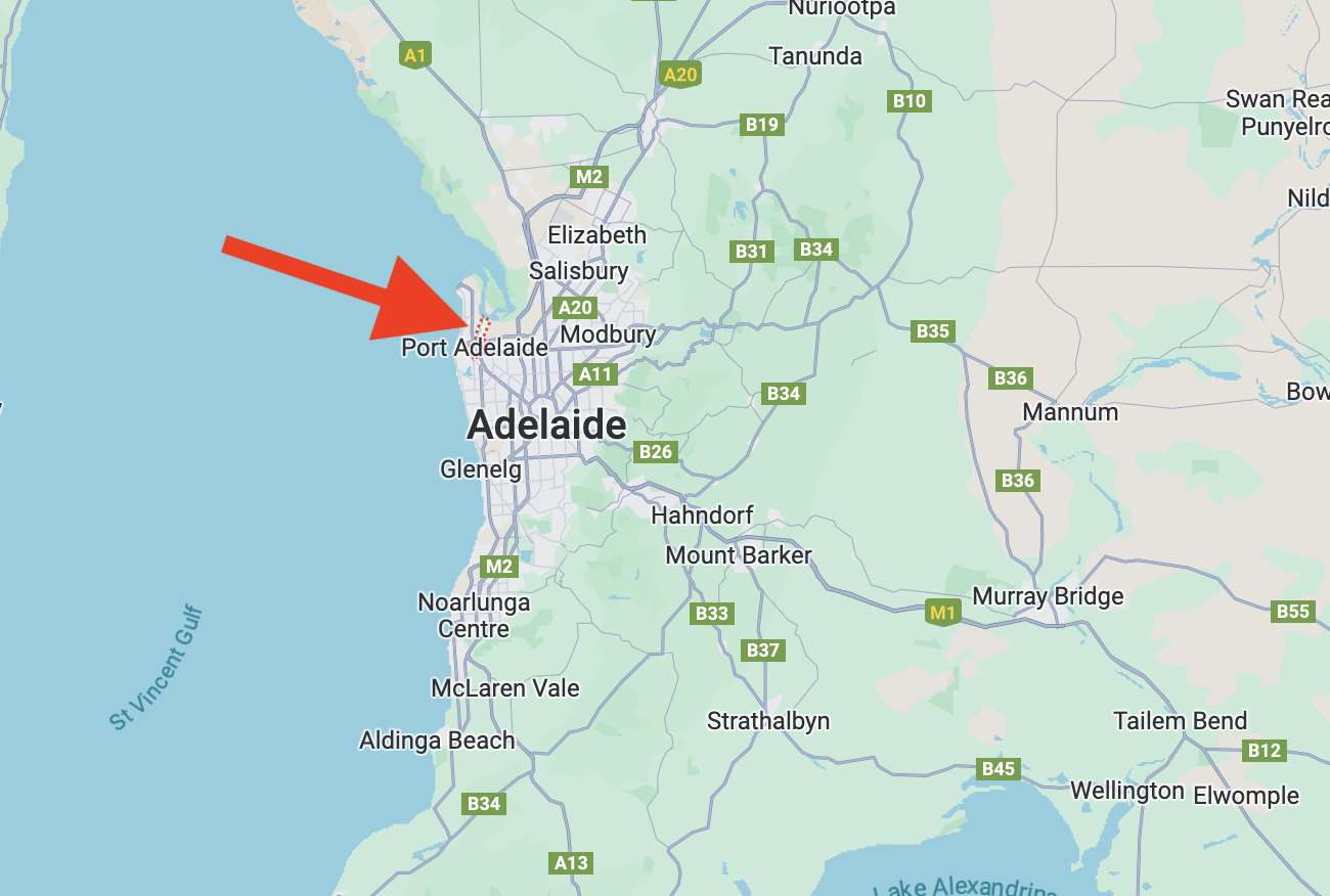
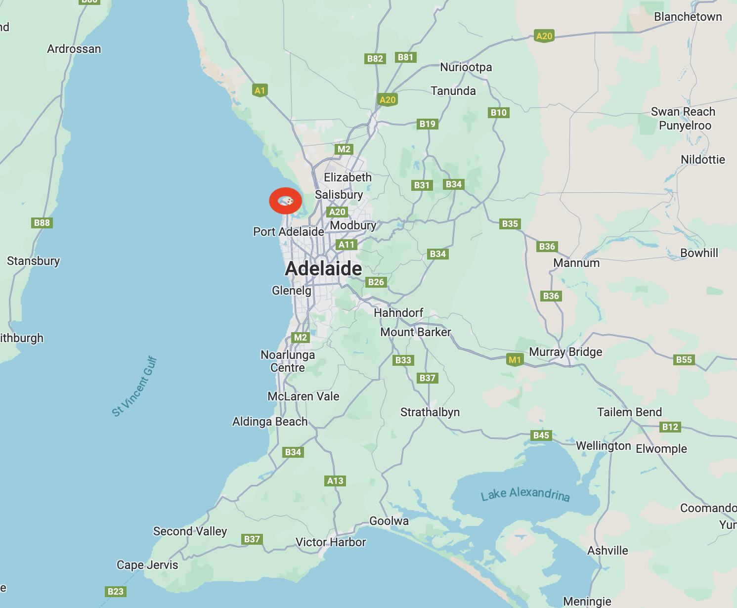
Above:- Map showing the location of Port Adelaide. Map c/o Google Maps.
Port Adelaide is a port-side region of Adelaide, located about 14 km northwest of the Adelaide Central Business District. Before the settlement of Port Adelaide by Europeans, the area was covered with mangrove swamps, tidal mud flats and a narrow creek. The Kaurna aboriginal people inhabited the land and called the area Yartapuulti.
The creek was first explored by Europeans in 1834, when Captain Henry Jones entered the creek which was subsequently named ‘the port creek.’ The first harbourmaster at Port Adelaide was Captain Thomas Lipson in 1837. At this time the area was known as The Port Creek Settlement.
By 1840 the area had acquired the name Port Misery due to the port being plagued by mosquitos, its long distance from Adelaide, and its few amenities.
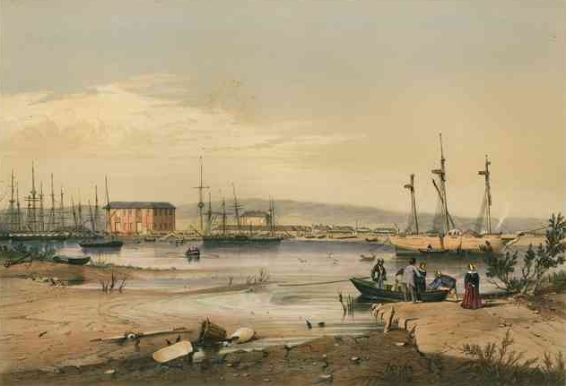
Above:- Port Adelaide, c. 1846. Image c/o Wikipedia.
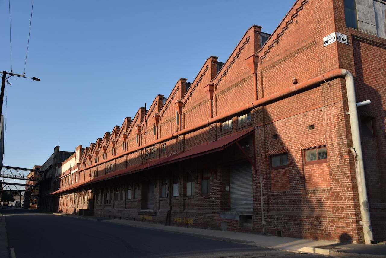
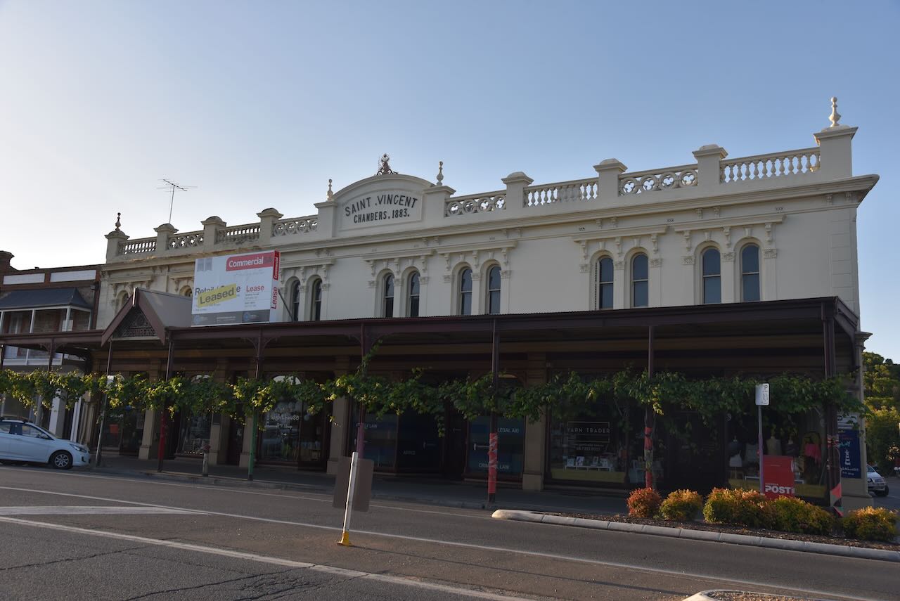
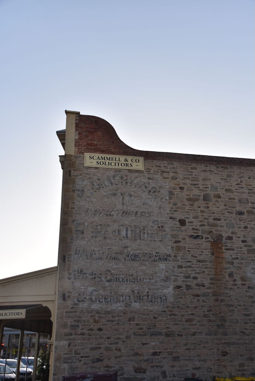
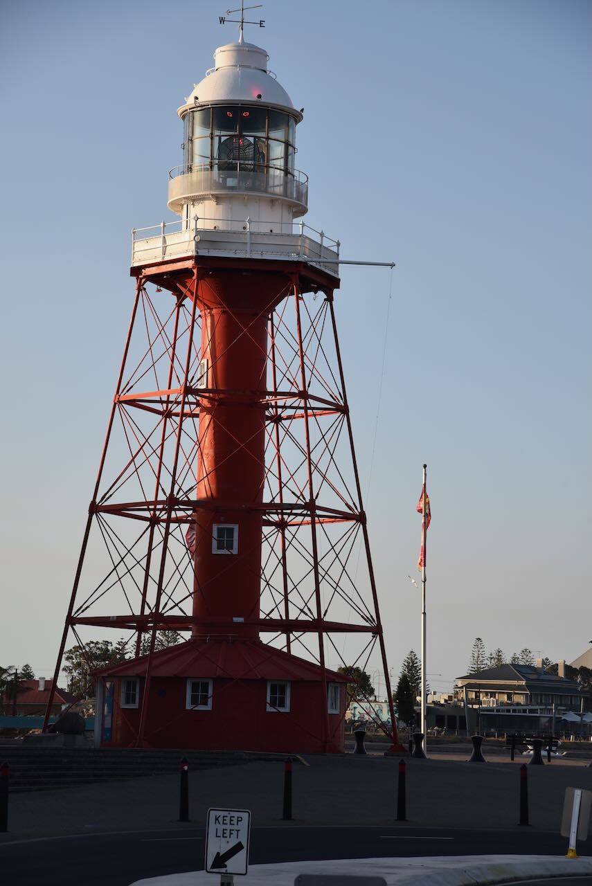
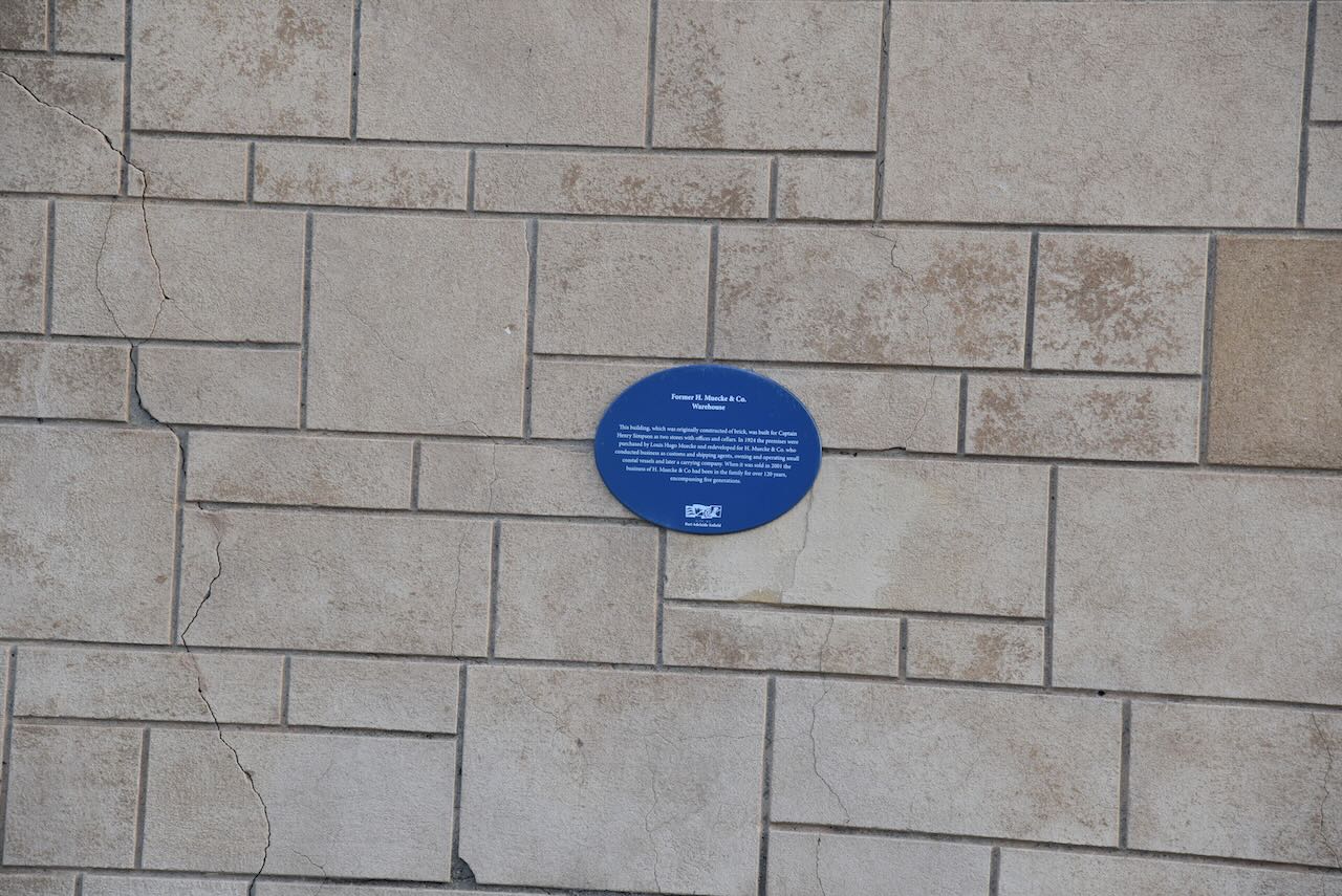
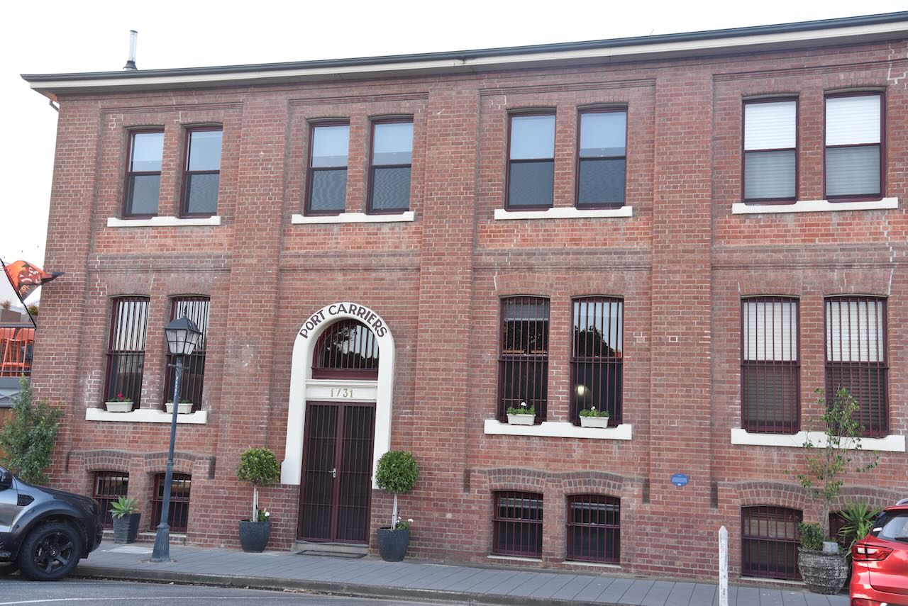
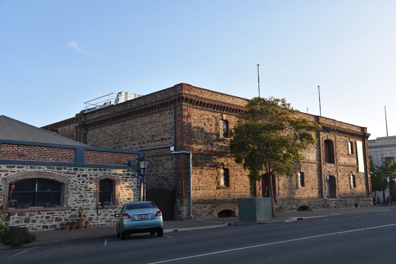
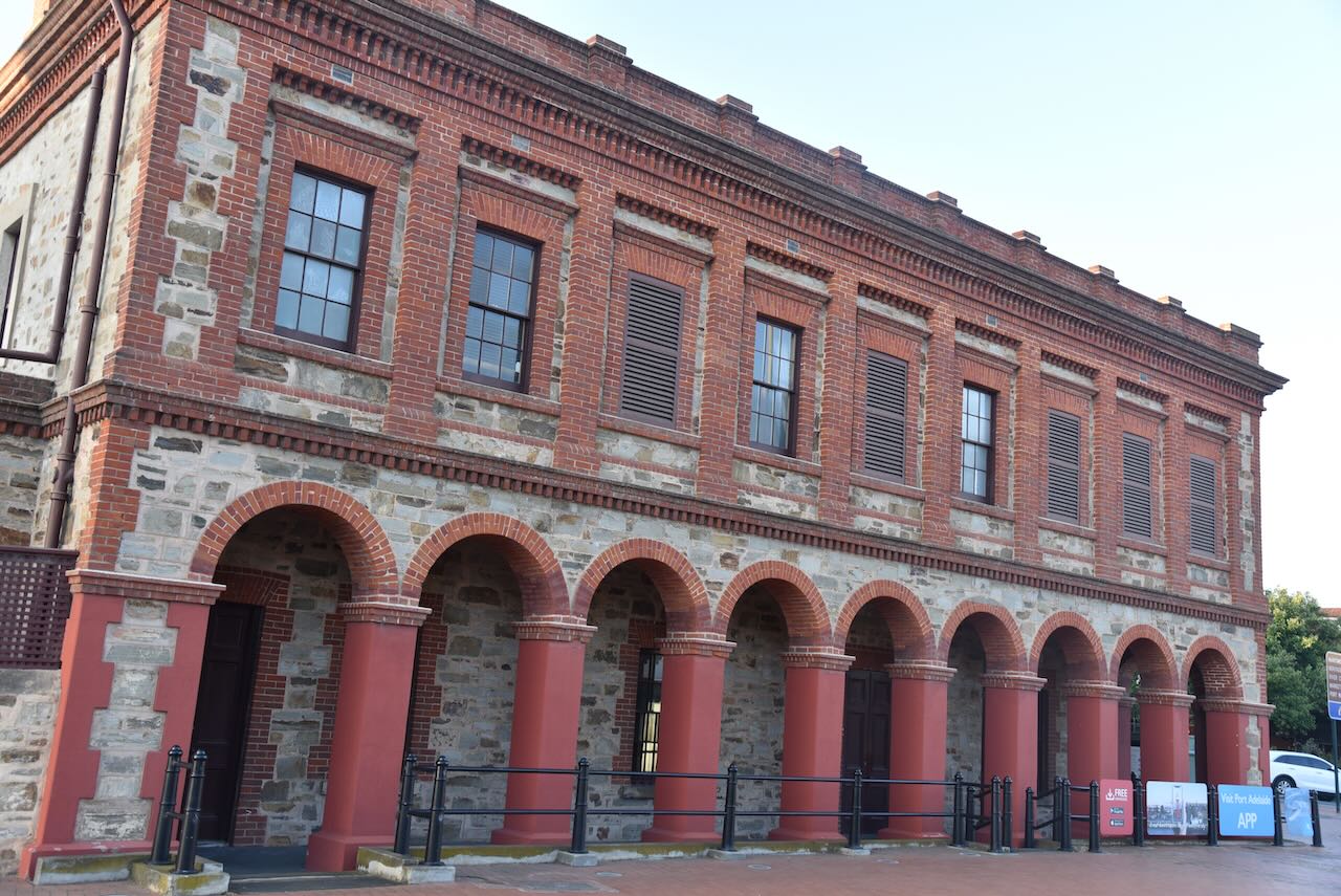
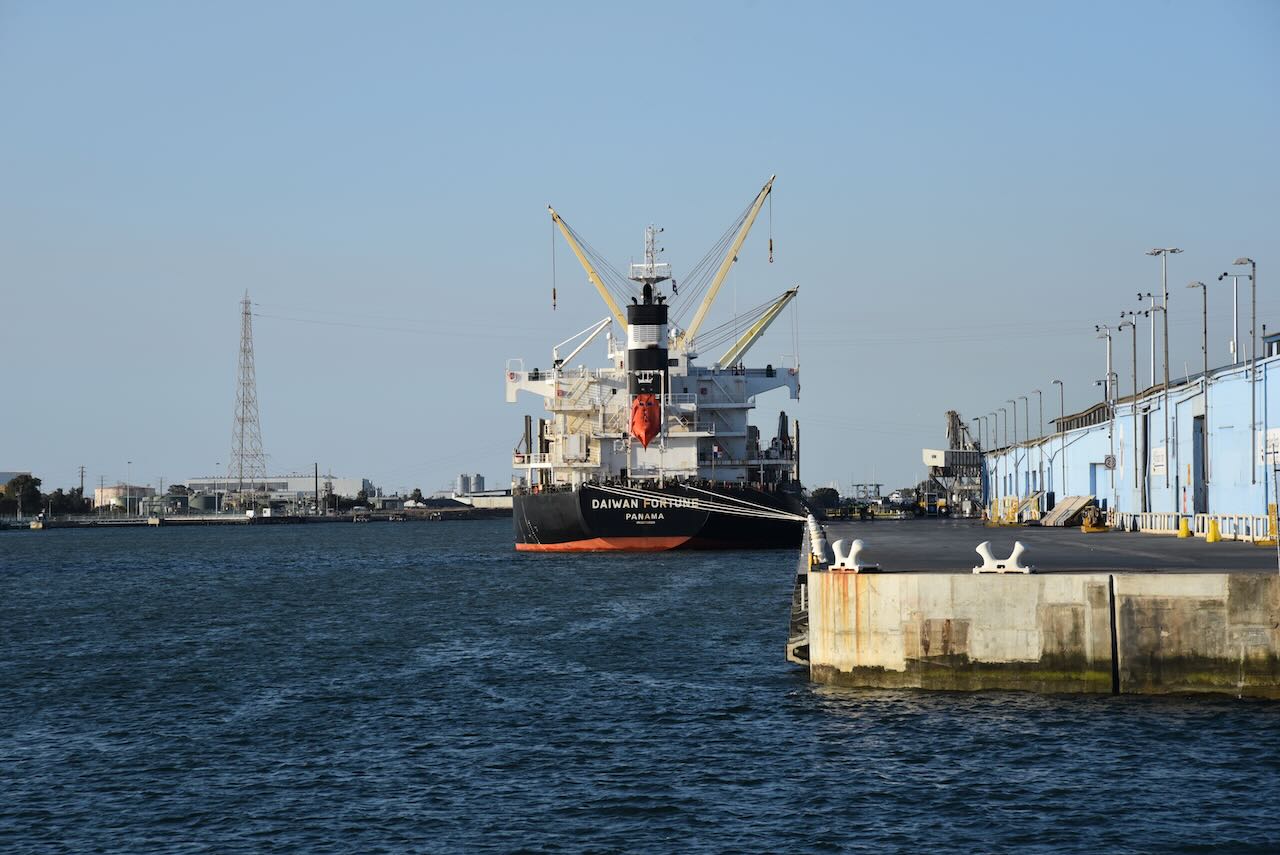
Due to its rich maritime history, Port Adelaide contains numerous historic buildings dating back to the 1800s.


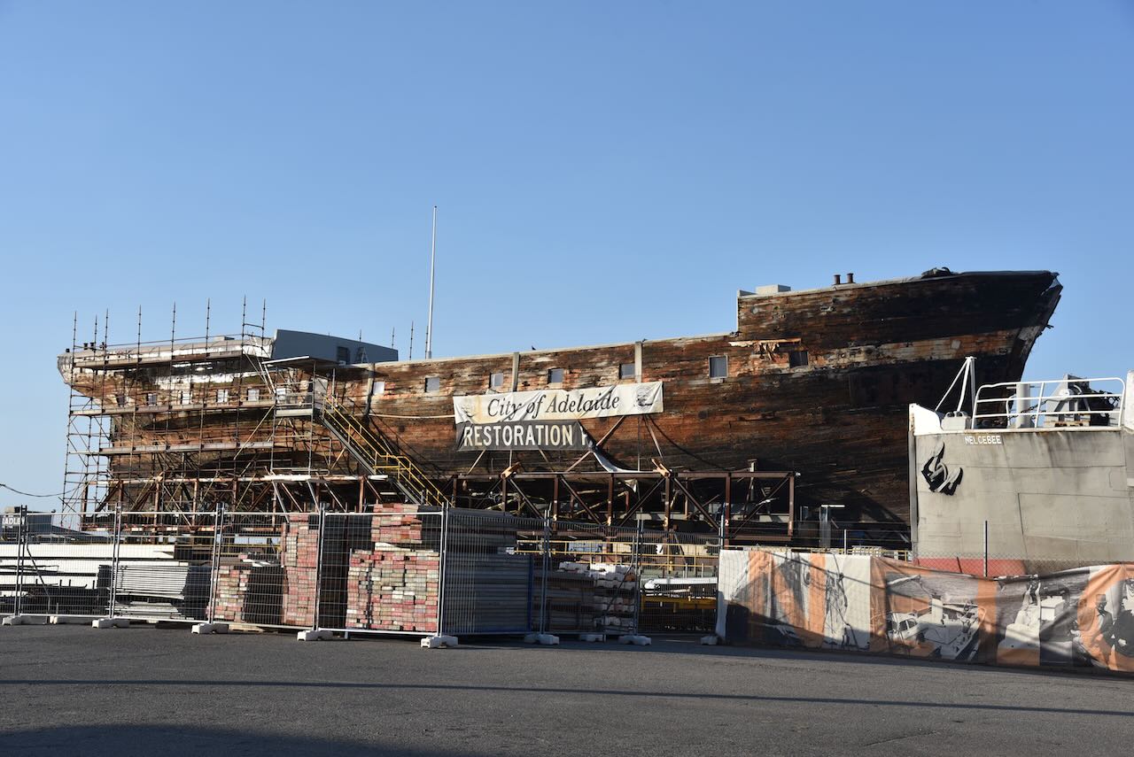
Port Adelaide is home to the Clipper Ship City of Adelaide. The City of Adelaide was built in 1864 to carry passengers from England to Adelaide, South Australia. A total of 23 return voyages were made. It is believed that about 250,000 Australians can trace their ancestry via the City of Adelaide. It is one of only 2 surviving composite clipper ships in the world.


Port Adelaide is also home to an inflatable dome used to store cement.
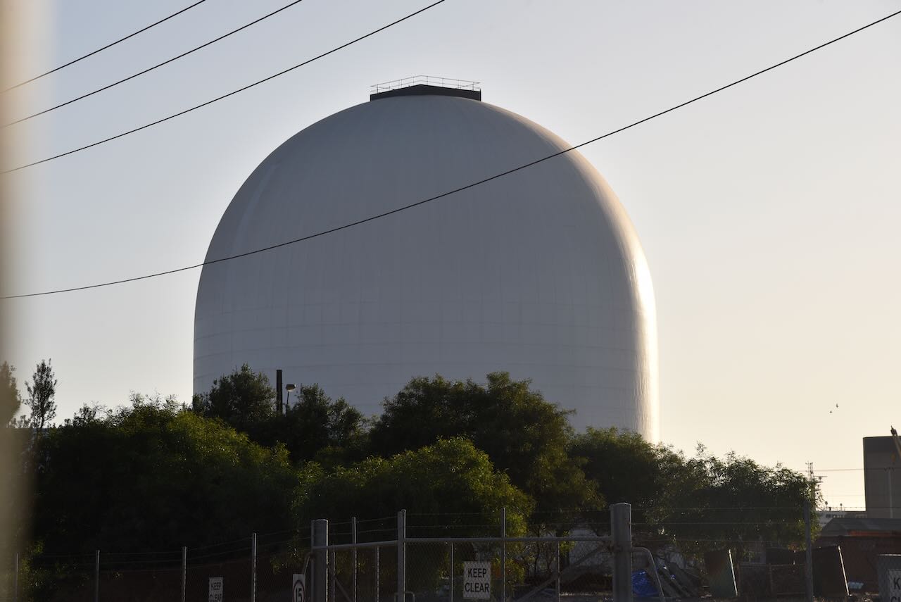
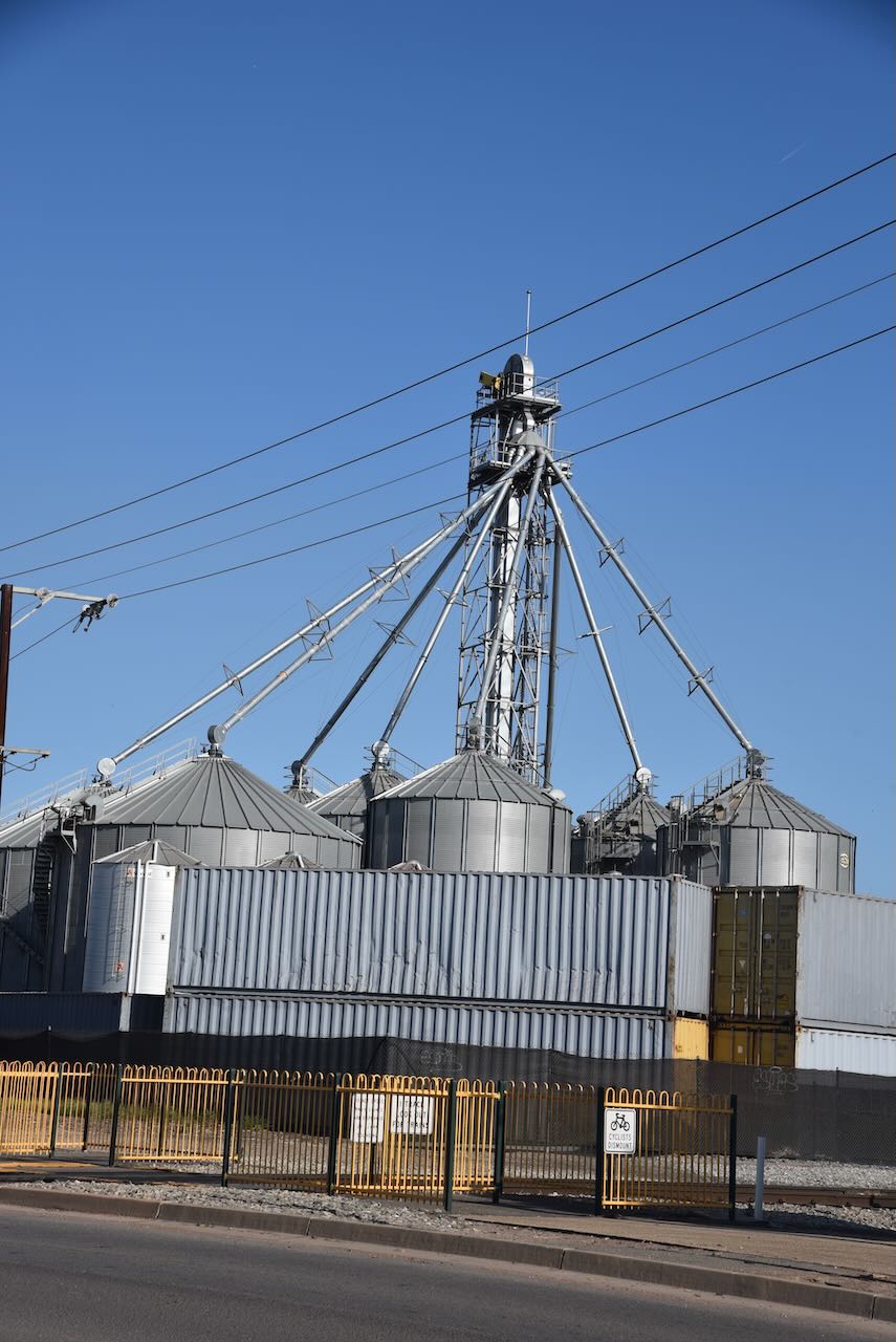
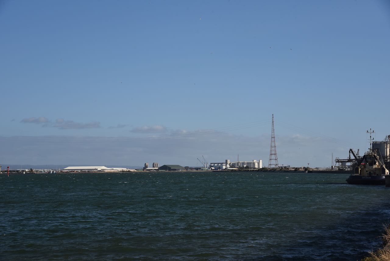
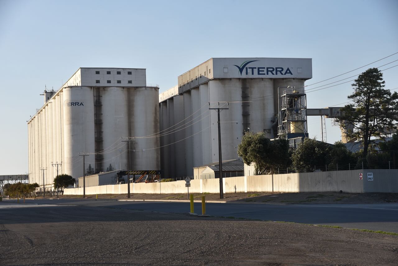
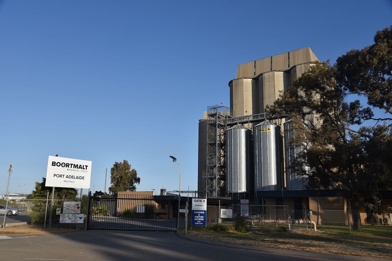
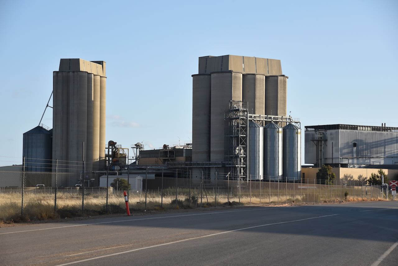
The Port Adelaide silos are located at Moonta in the Inner Harbour of Port Adelaide. They are run by Viterra. It is located 11km upstream of Outer Harbour. The silos have a loading rate of 800 tonnes per hour.

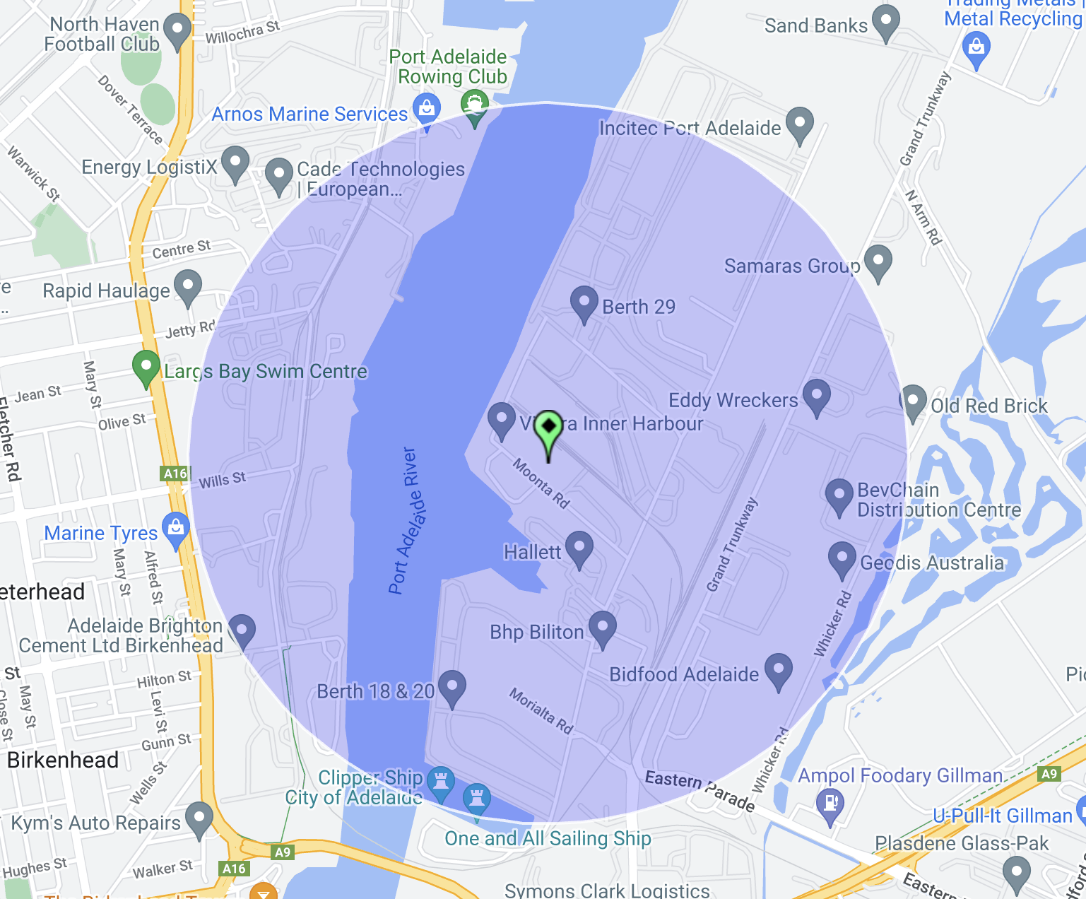
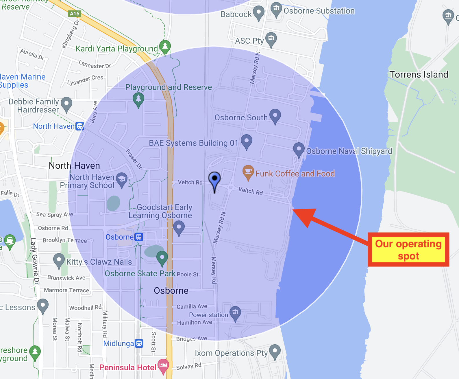
Above:- the activation zone of the Port Adelaide silo. Image c/o SiOTA website.
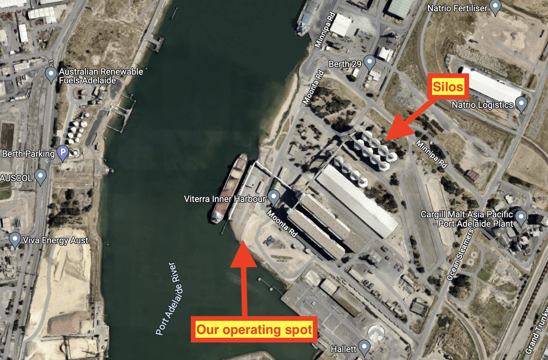
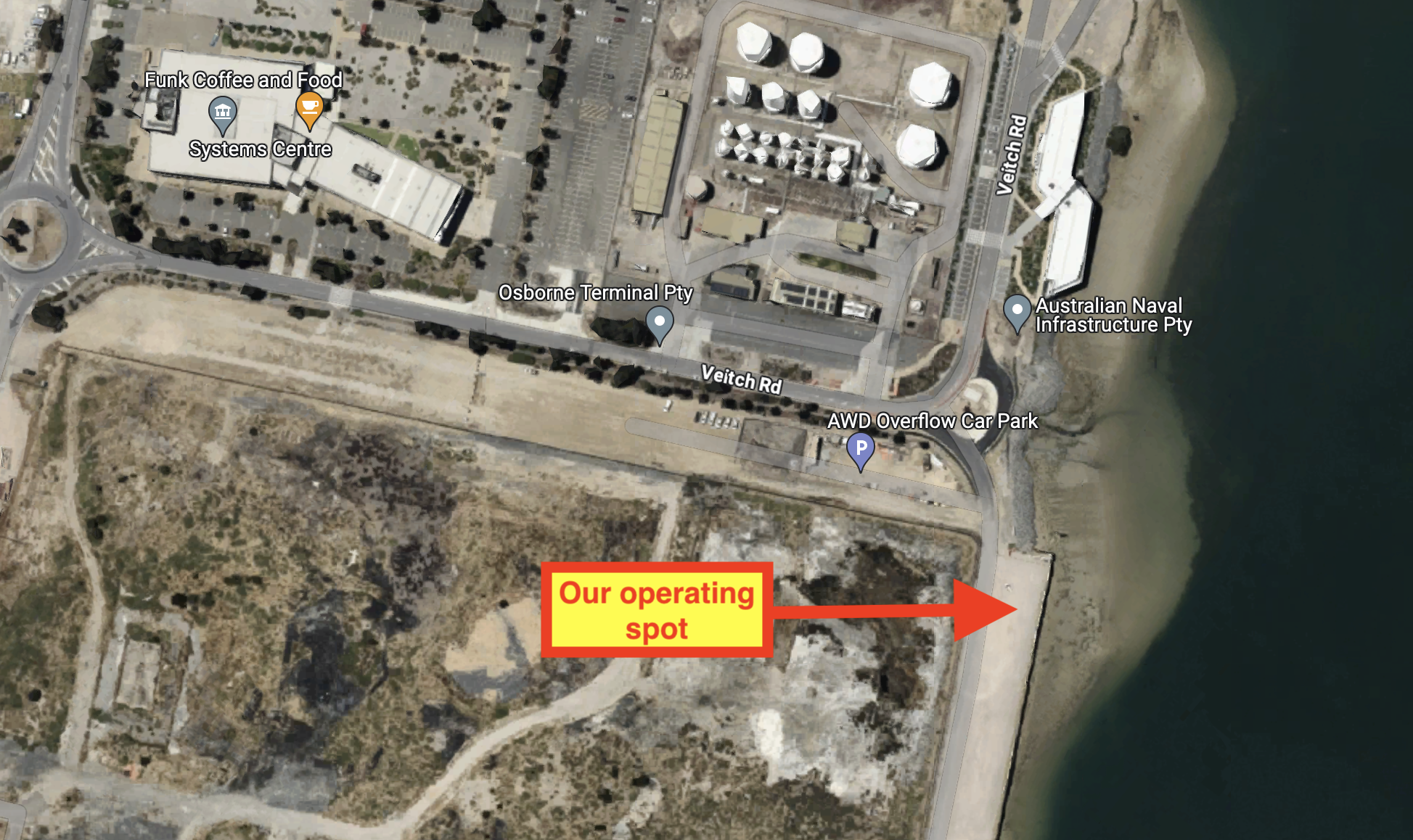
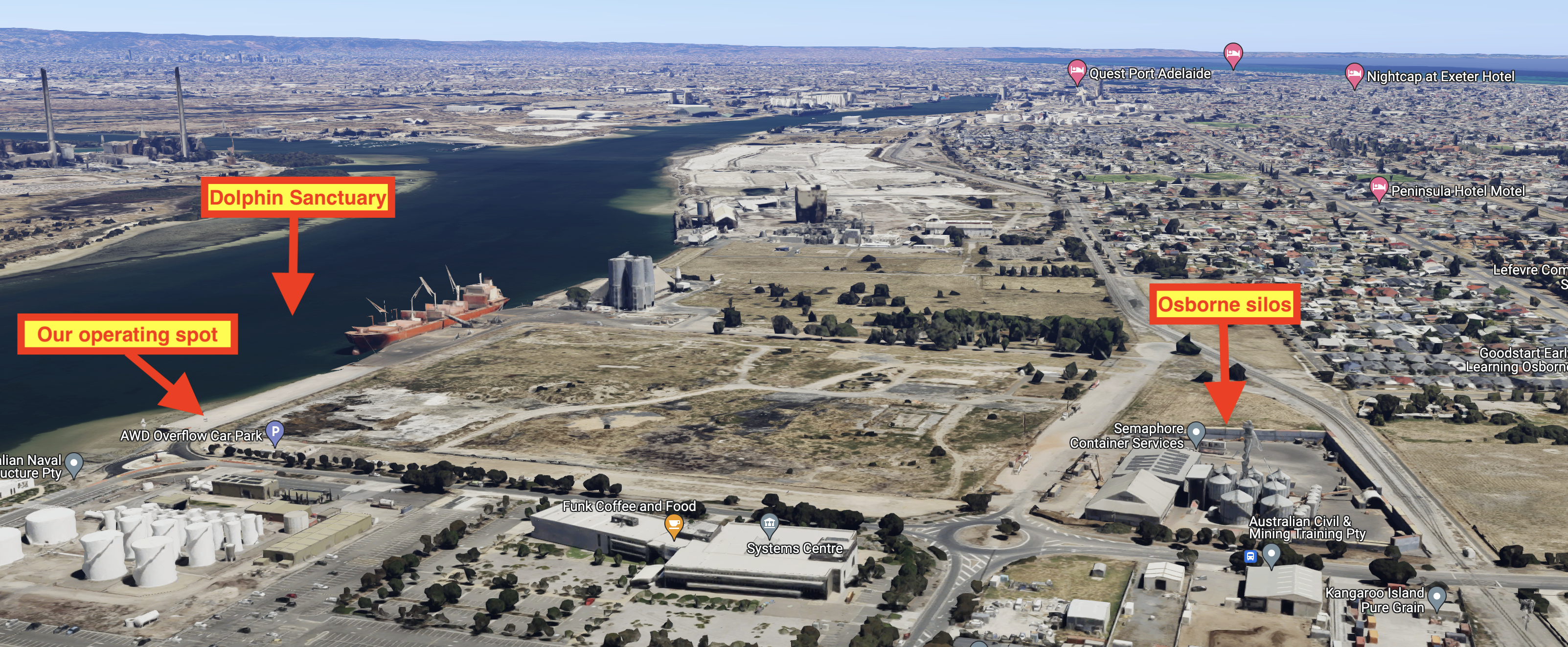
Above:- An aerial view showing our operating spot. Image c/o Google Maps.
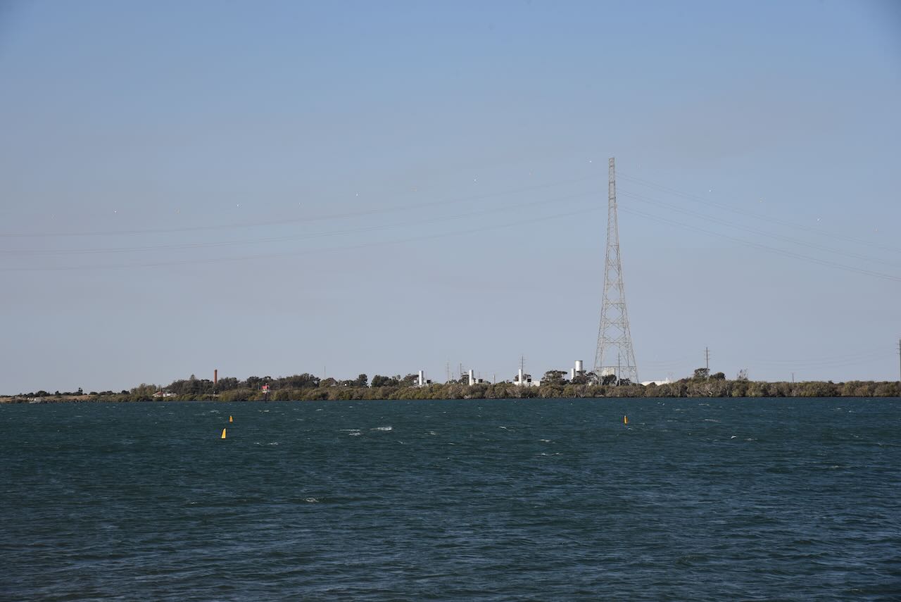
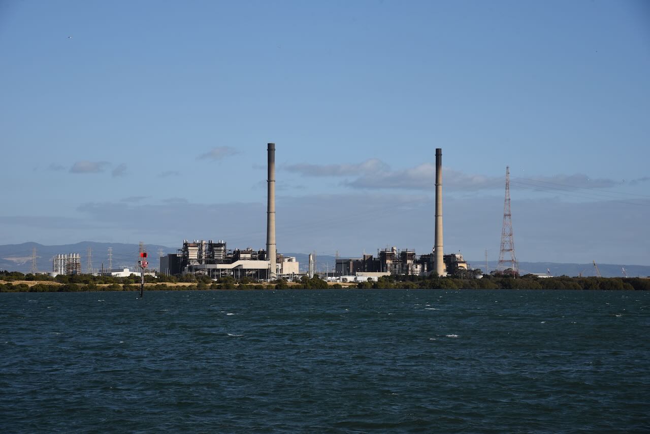
It was quite noisy on the 40m band due to the industrial nature of the area that we were operating from.


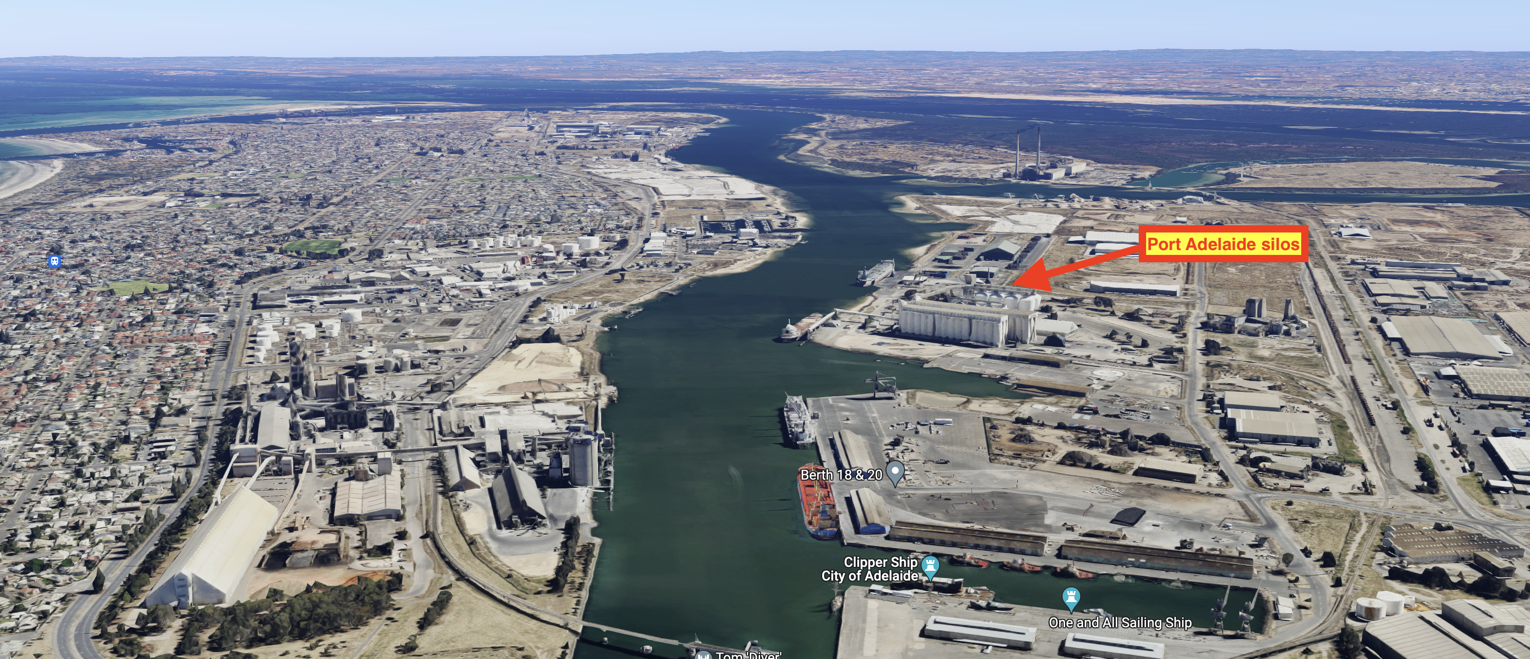
Above:- An aerial view of Port Adelaide showing the location of the silos. Image c/o Google Maps.
I logged a total of 12 contacts, all on the 40m band. I was pleased to be the very first amateur radio contact for Andreas VK5AKB.
I worked the following stations on 40m SSB:-
- VK3PF
- VK2IO/m
- VK3MDC
- VK5HAA
- VK5JOS
- VK5AKB
- VK3APJ
- VK3AN
- VK3CNC
- VK3UAO
- VK3ZGA
- VK4KLA
References.
- City of Adelaide, 2023, <https://www.cityofadelaide.org.au/about>, viewed 19th December 2023.
- Vitera, 2023, <https://viterra.com.au/Storage-and-handling#Port%20terminals>, viewed 19th December 2023.
- Wikipedia, 2023, <https://en.wikipedia.org/wiki/Port_Adelaide>, viewed 19th December 2023.