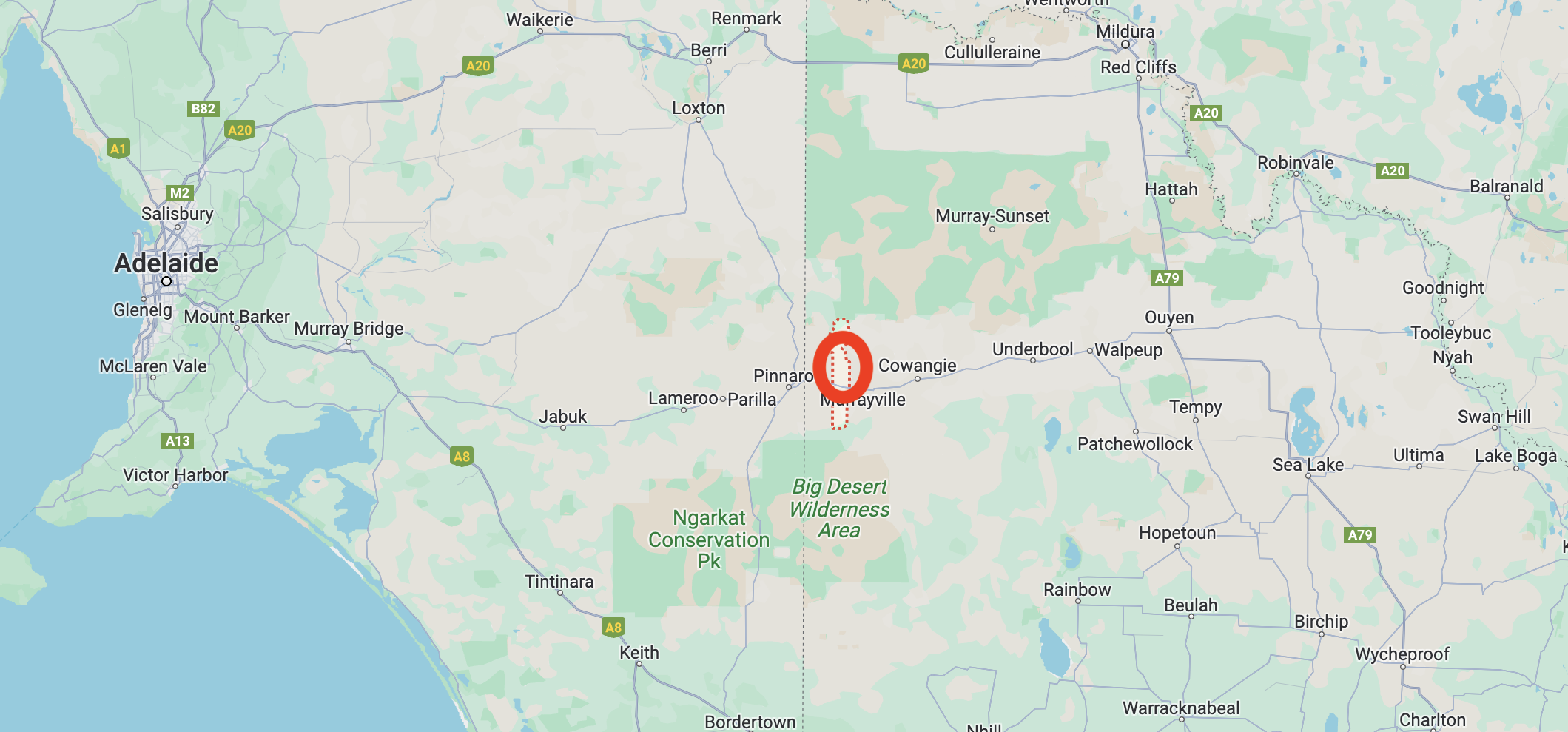
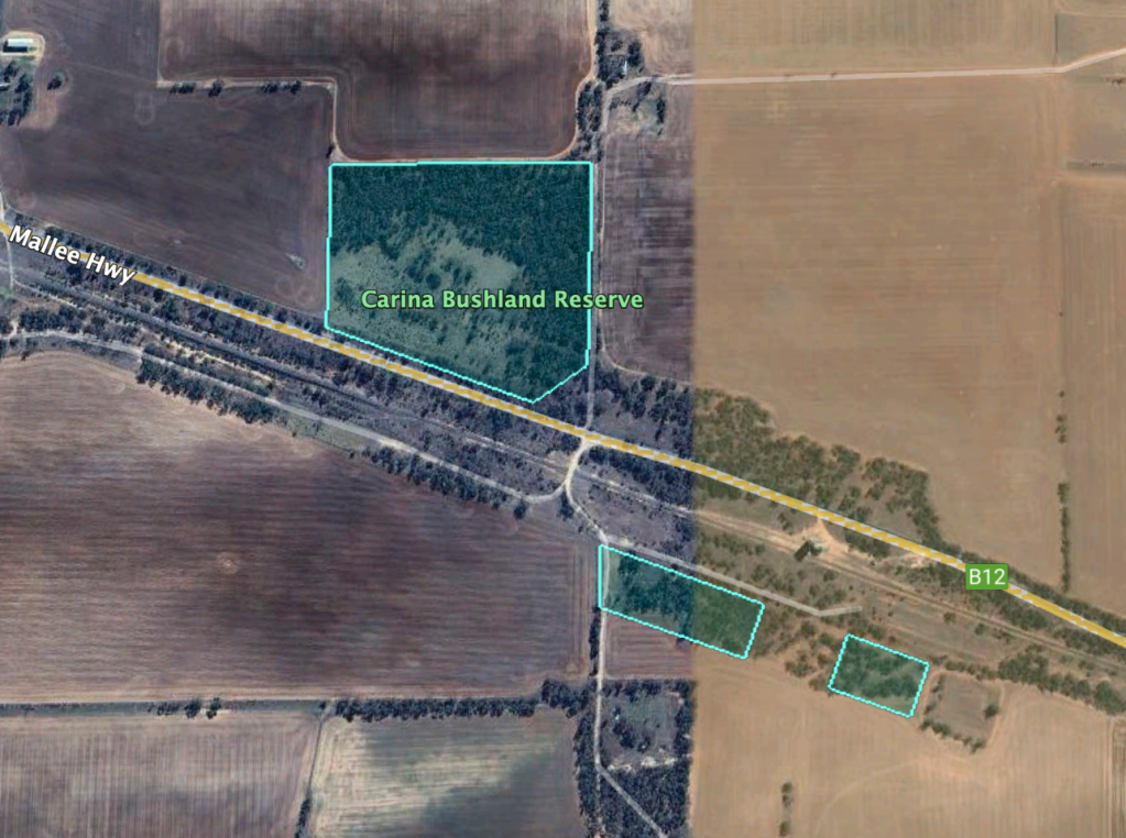
Our fourth activation for Thursday 9th November 2023 was the Danyo I63 Bushland Reserve VKFF-4154. Danyo is located about 276 km east of Adelaide.
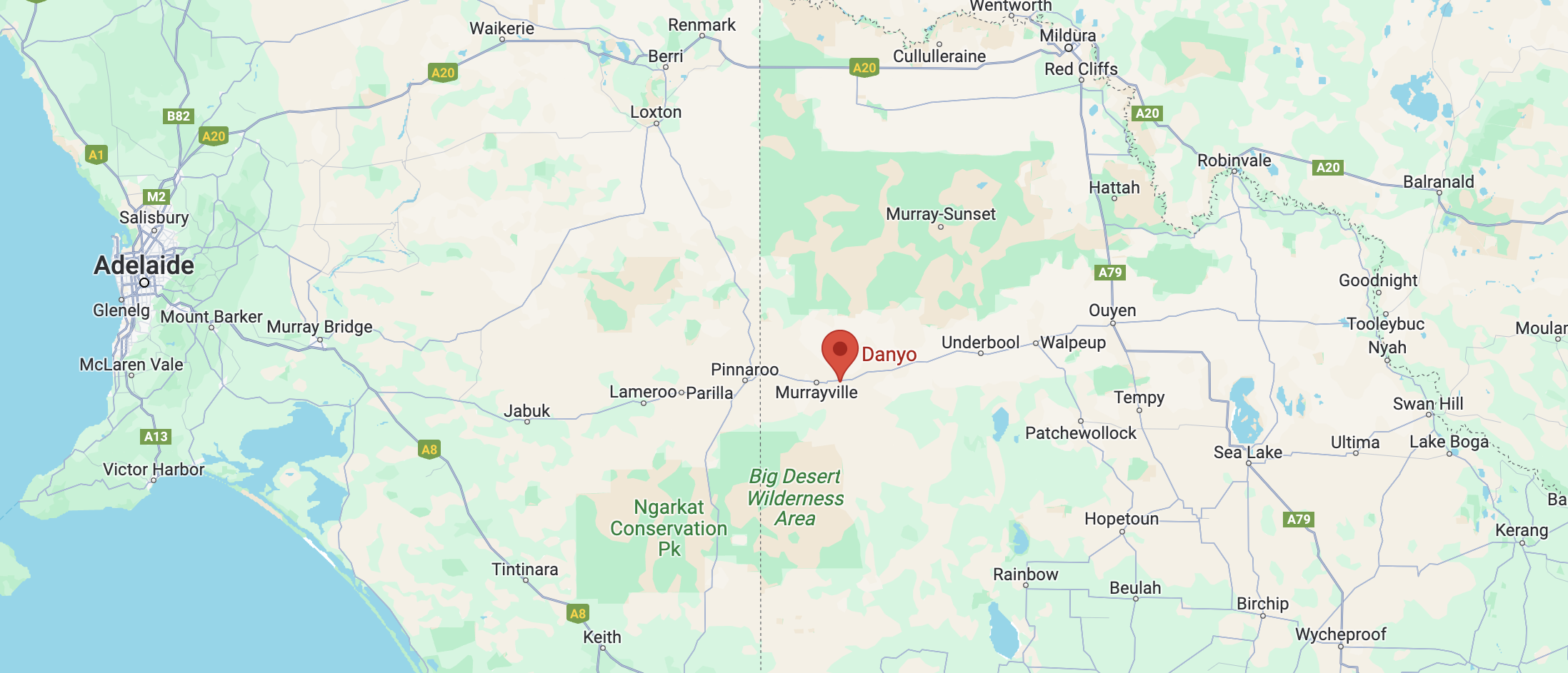
Above:- Map showing the location of Danyo. Map c/o Google Maps.
Danyo is a locality in northwest Victoria on the Mallee Highway between Ouyen and the South Australia/Victoria State border. Danyo is an aboriginal word for eucalyptus.
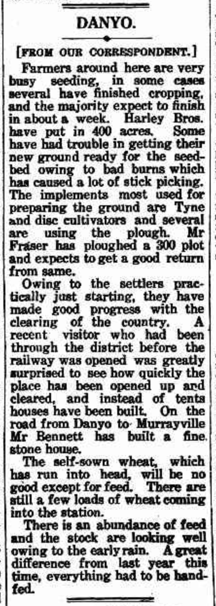
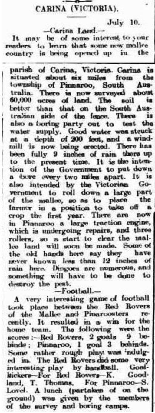
Above:- article from the Pinnaroo and Border Times, Fri 30 May 1913. Image c/o Trove.
The Danyo Post office opened on the 15th day of July 1912 when a regular mail service was provided following the opening of the Ouyen-Murrayville railway one month earlier. The Post Office closed in 1975.
Danyo once had its own football club. The first football match was played in 1927. It won the premiership in 1933, 1934, 1935, and 1947. Its last season was in 1969. The Danyo State School operated from 1926 to 1943.
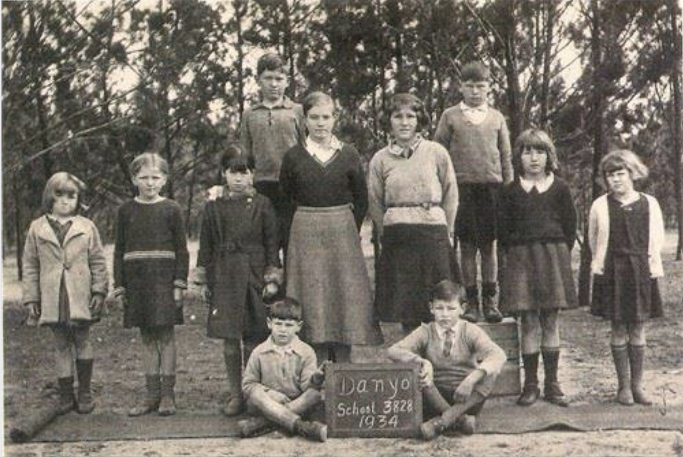
Above:- Danyo school students., 1934. Image c/o Cowangie Danyo Tutye and district Facebook page.
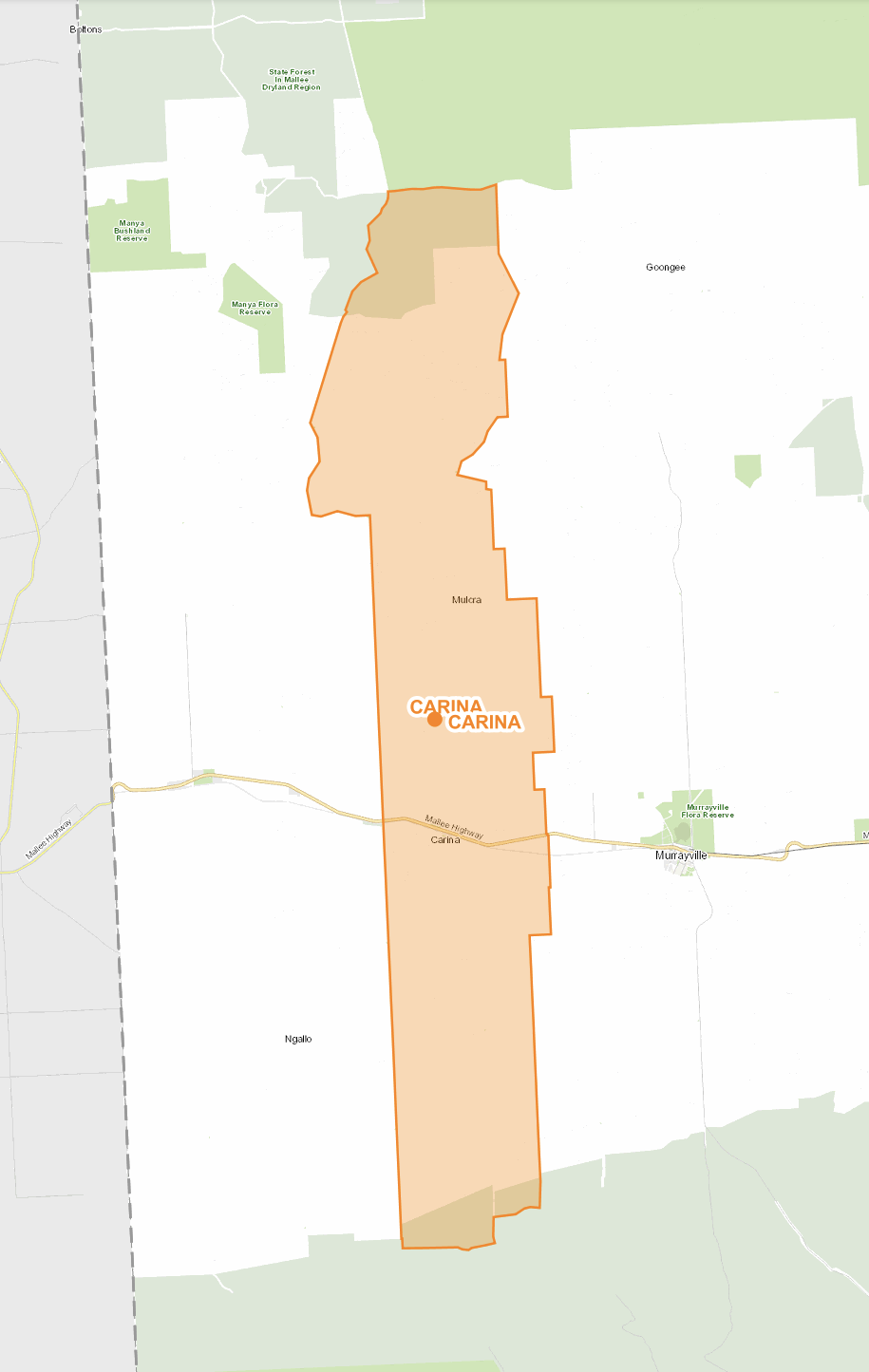
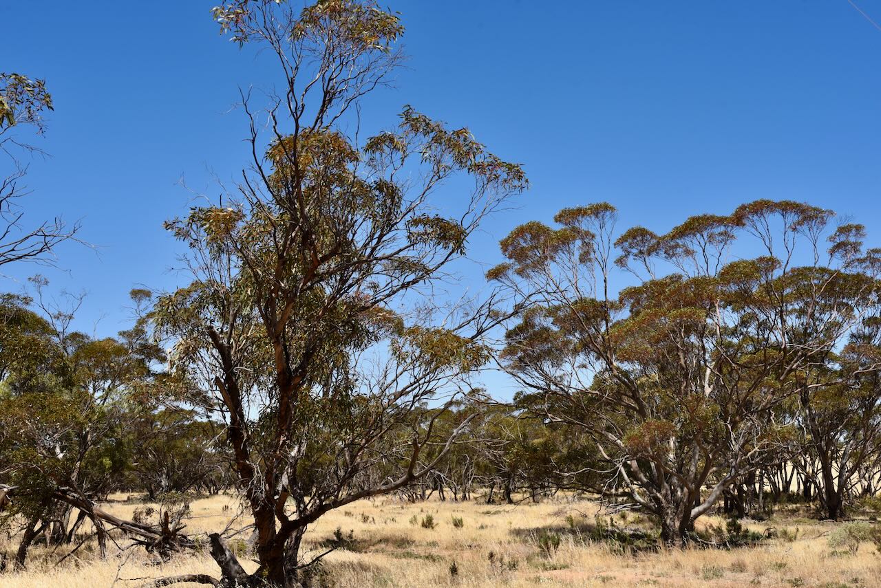
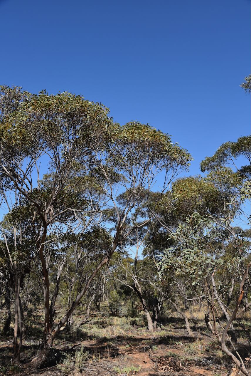
The Danyo I63 Bushland Reserve is about 71 hectares in size and was declared on the 1st day of May 1979.
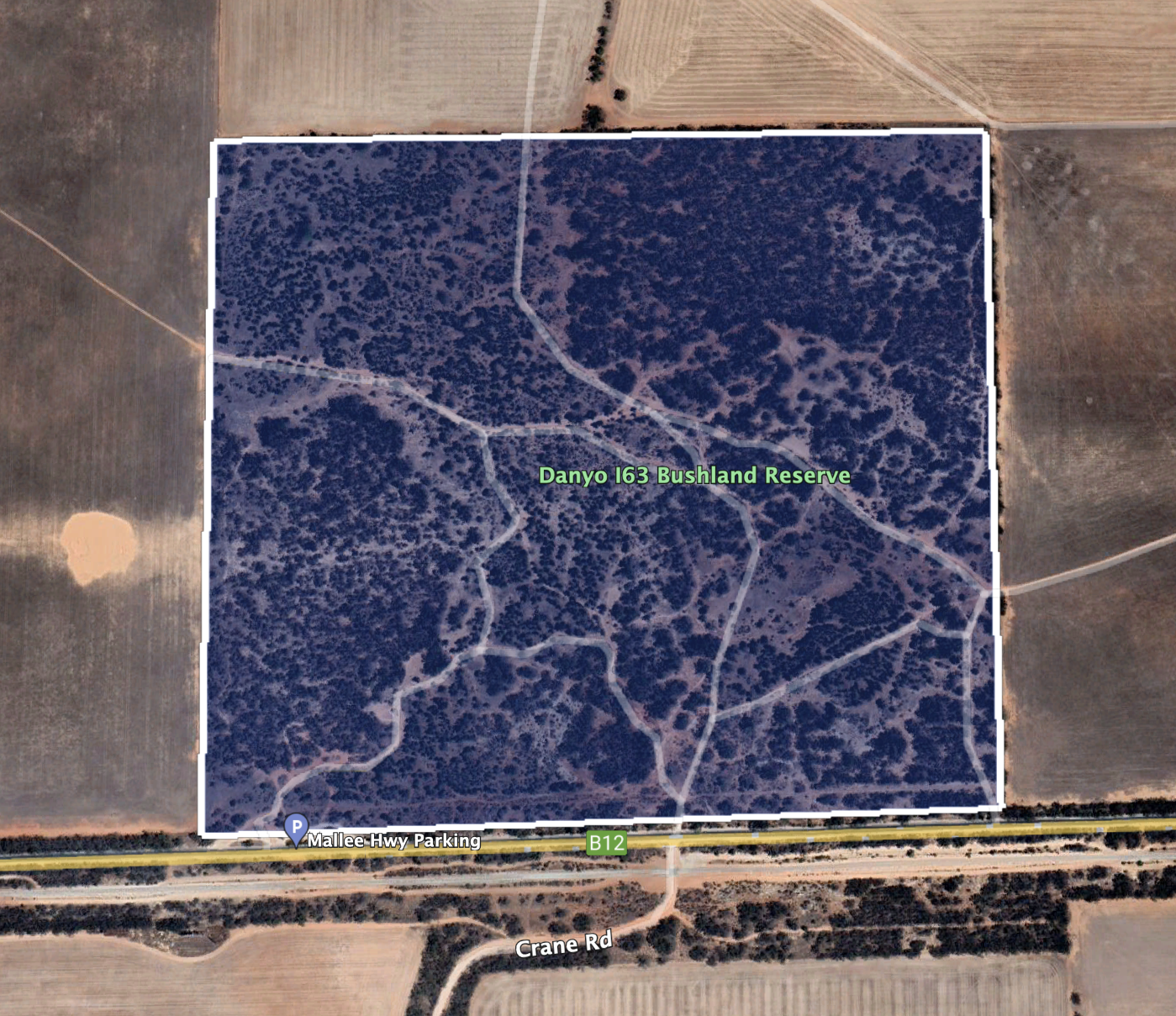
The park is a typical mallee park and is located on the northern side of the Mallee Highway. It is surrounded by cleared cropping land.
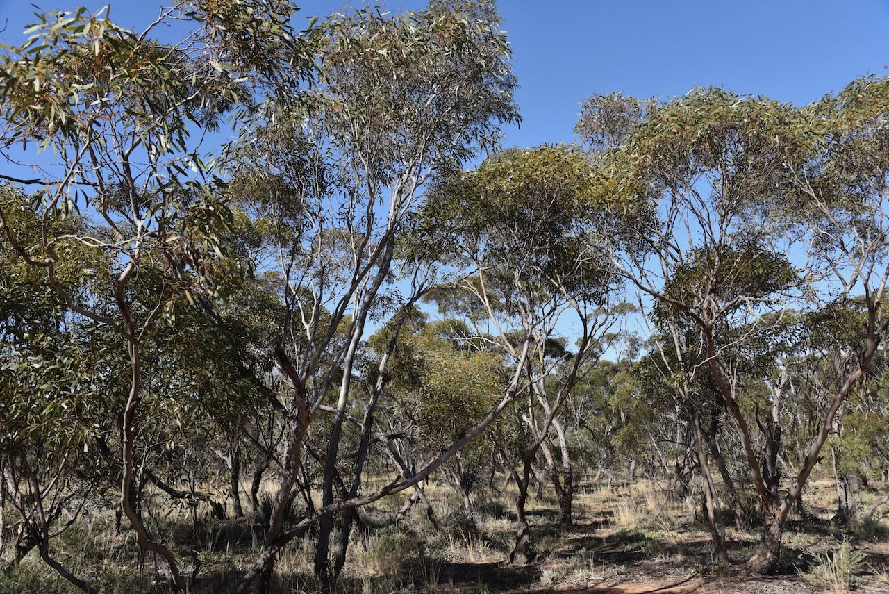
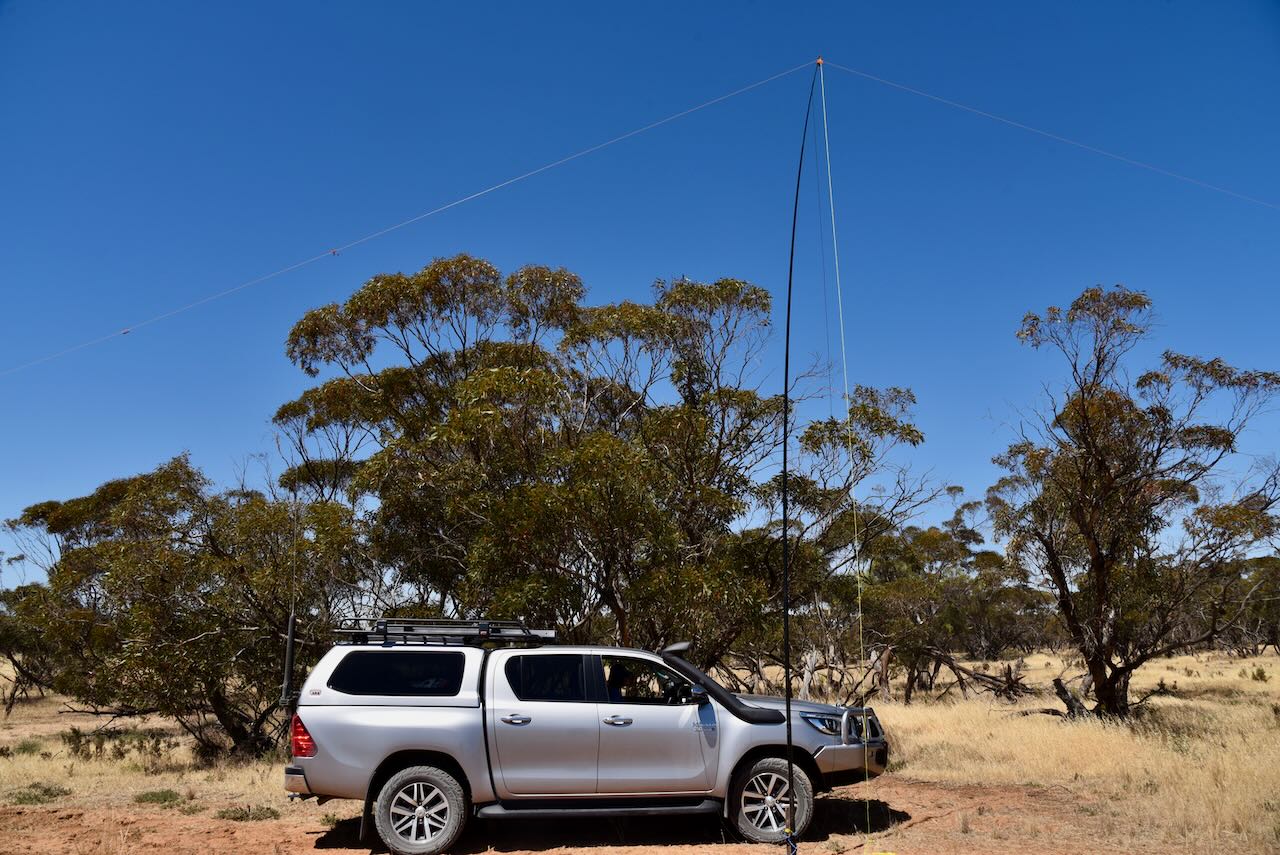
We found a dirt track leading into the park off Mallee Highway and set up. We ran the Yaesu FT857, 40 watts, and the 20/40/80m linked dipole for this activation.
Marija worked the following stations on 40m SSB:-
- VK3DCQ
- VK5TN
- VK3CEO
- VK3VIN
- VK3BEL/p (Barmah National Park VKFF-0739)
- VK3SG
- VK3PF
- VK2HHA
- VK3LOC/m
- VK3CJN
- VK5FANA
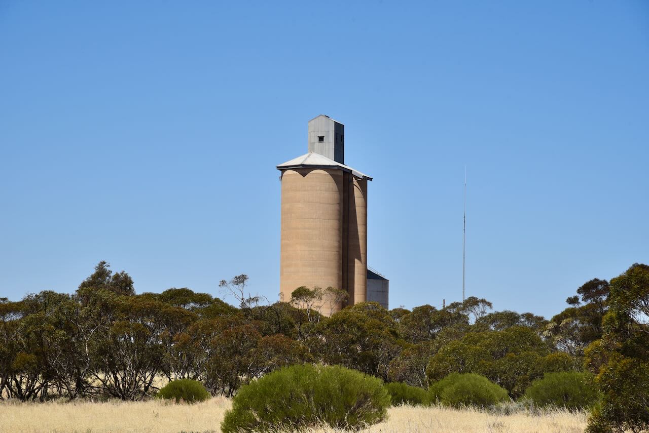
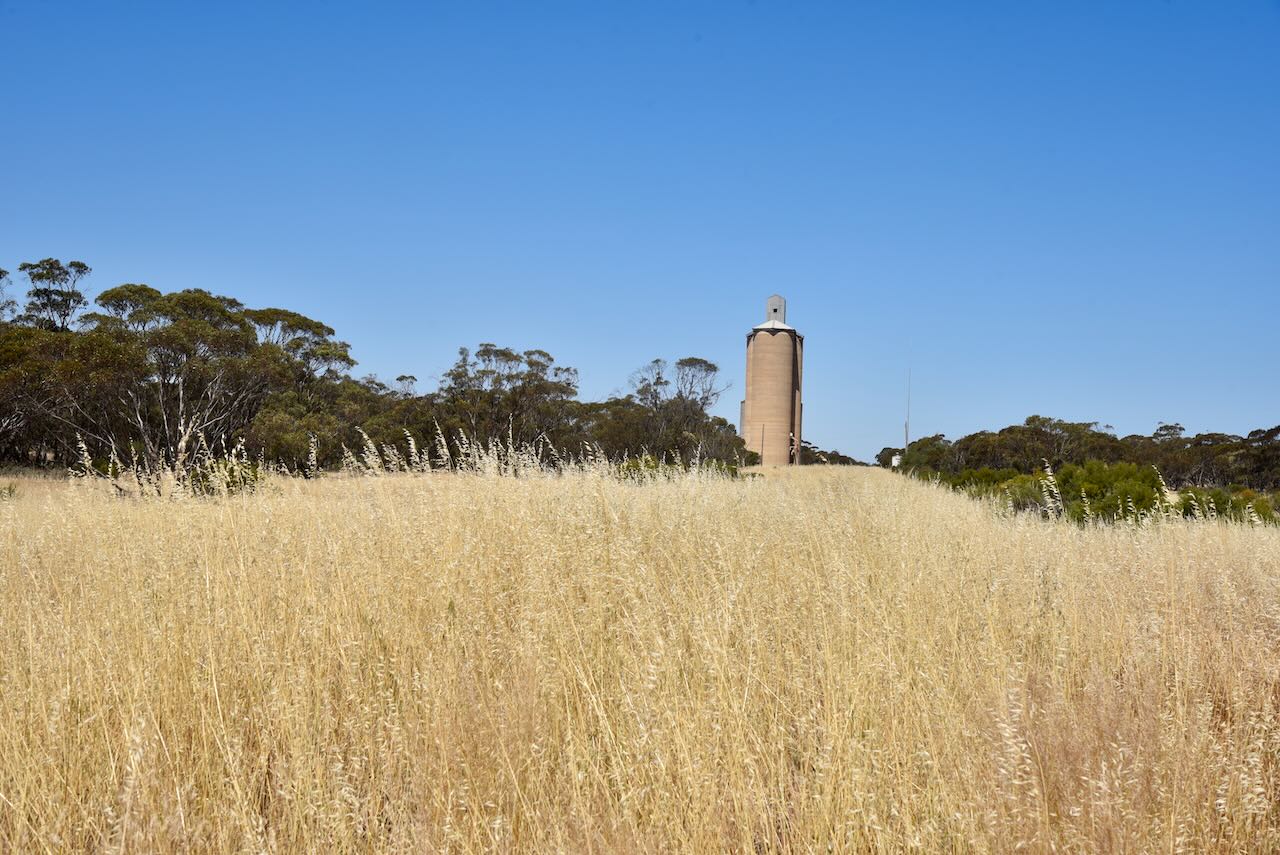
- VK2IO/p (Nunga Bushland Reserve VKFF-4241 & Nunga silo VK-NNG3)
I worked the following stations on 40m SSB:-
- VK3DCQ
- VK5TN
- VK3CEO
- VK3VIN
- VK3BEL/p (Barmah National Park VKFF-0739)
- VK3SG
- VK3PF
- VK2HHA
- VK3LOC/m
- VK3CJN
- VK5FANA
- VK5HS
- VK3BWS
- VK2EXA
- VK3MIJ
- VK3UH
- VK5NHG
- VK5JOS
- VK5WWW
- VK5MOO
- VK5HAA
- VK2XD
- VK5IS
- VK3ACU/m
- VK5GY
- VK5KGW
- VK3CLD
- VK5DW
- VK3NBL
- VK3APJ
- VK3CEO
- VK4NH
- VK4DXA
- VK3MCK
- VK3SQ
- VK2BD
- VK3KAI
- VK2IO/p (Nunga Bushland Reserve VKFF-4241 & Nunga silo VK-NNG3)
- VK3EY
- VK5KVA
- VK1AO
- VK2MET
- VK3KRL
I worked the following stations on 40m AM:-
- VK5IS
- VK5HAA
- VK5DW
- VK3APJ
- VK3SG
- VK3CJN
I worked the following stations on 20m SSB:-
- VK4NH
- VK4DXA
- F1BLL
References.
- Blake; L, 1977, Place Names of Victoria.
- CAPAD 2022.
- Wikipedia, 2023, <https://en.wikipedia.org/wiki/Danyo,_Victoria>, viewed 23rd December 2023.