
After leaving Duddo Wells we headed back to the Mallee Highway and headed east and soon reached the little town of Cowangie where we stopped to activate the Cowangie silo VK-CWE3. Cowangie is located about 20km east of Murrayville.
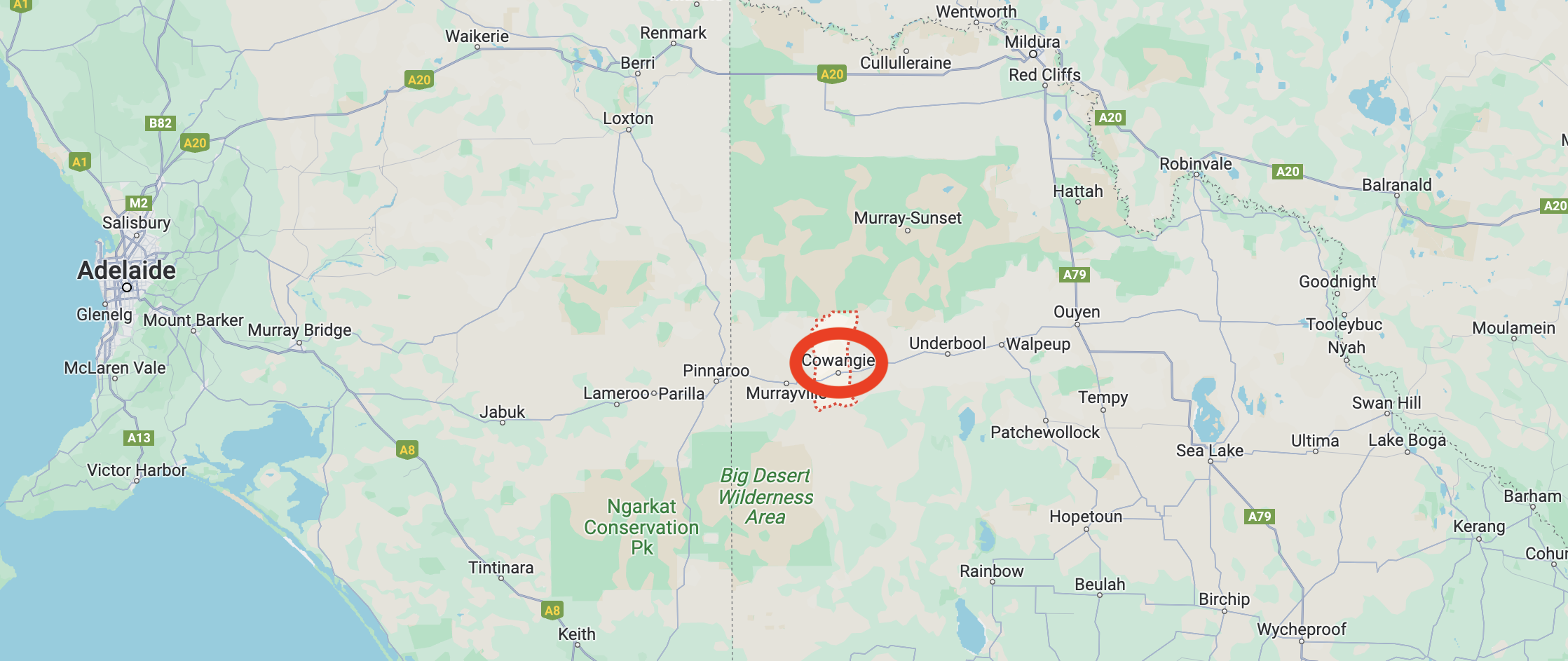
Above:- Map showing the location of Cowangie. Map c/o Google Maps.
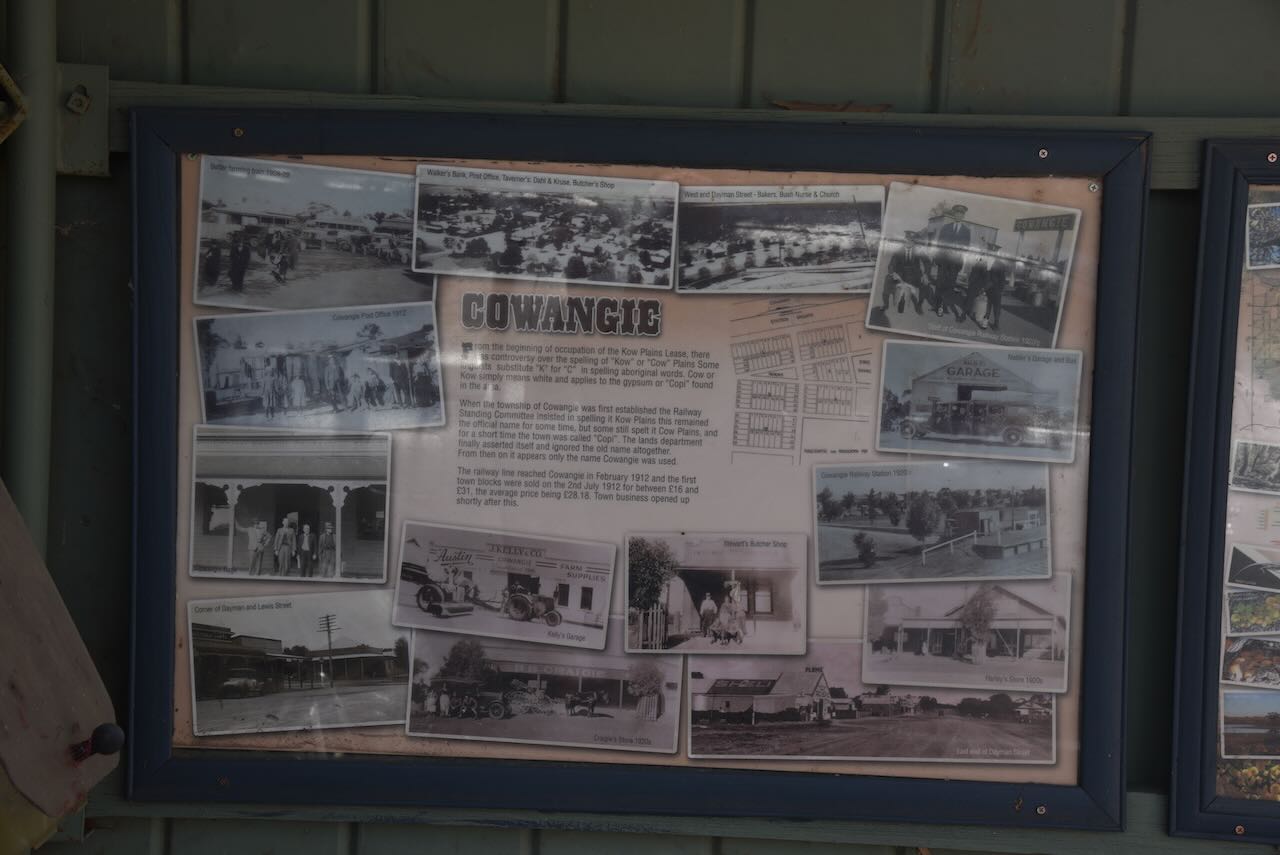
The district of current-day Cowangie was originally known as Kow Plains. Kow is derived from an aboriginal word meaning white clay or gypsum. A gypsum mine exists about 30km north of Cowangie.
In 1859 Kow Plains pastoral station was established by James Smith. The station covered an area of about 5,000 acres. A track led south to Nhill through the current-day Big Desert. In 1867 Dugald Macpherson took over the station and increased the area to about 81,000 acres. The main homestead was built about 1879.
The very interesting video below shows the history and the restoration of the Kow Plains homestead.
The settlement of Cowangie commenced after it was found that the land to the west of Ouyen was as suitable for farming as the land that had previously been successfully farmed around Pinnaroo in South Australia. It is believed that Cowangie is an aboriginal word meaning fog or mist.
Several test bores were established and this confirmed the availability of water. In 1910-11 catchment tanks were built. The following year the railway es extended from Oyen. By this time farm selections had been taken up in the district. The first town blocks were sold on the 2nd day of July 1912, for between 16 and 31 pounds.
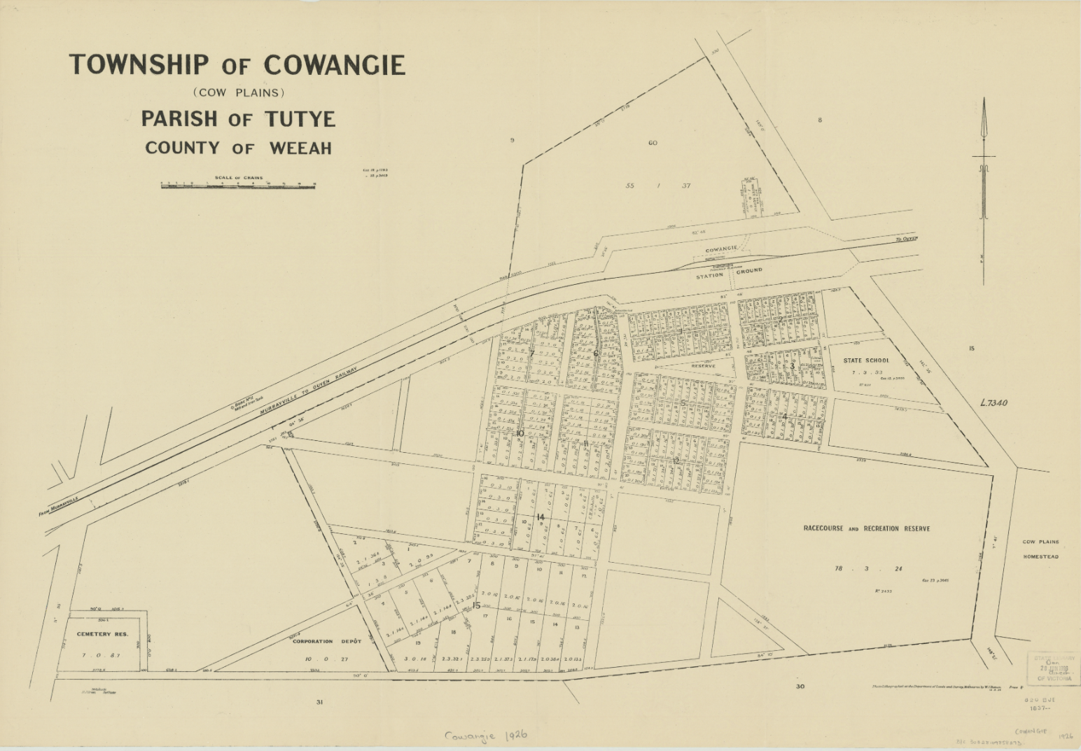
Above:- a plan of the township of Cowangie. Image c/o State Library Victoria.
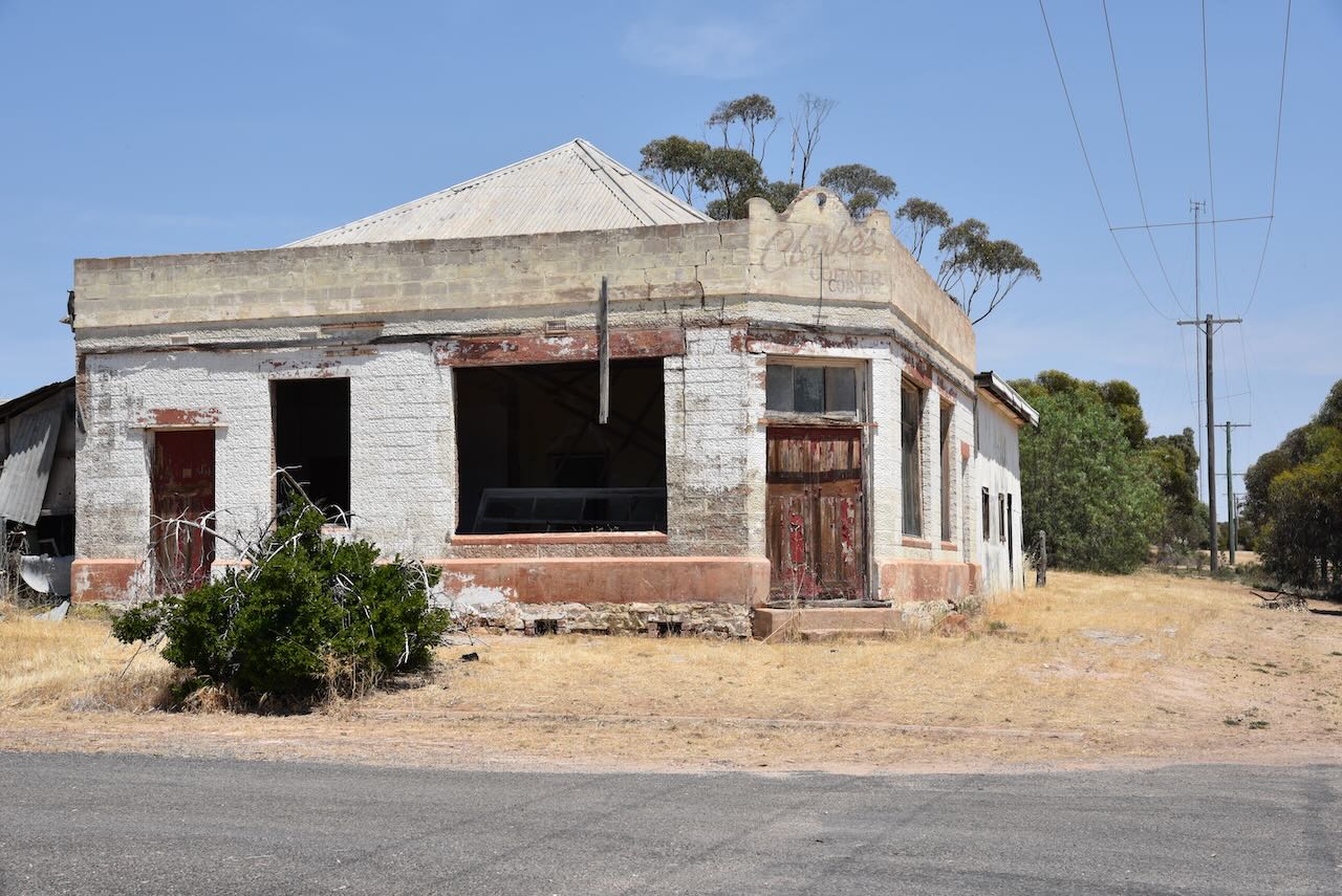
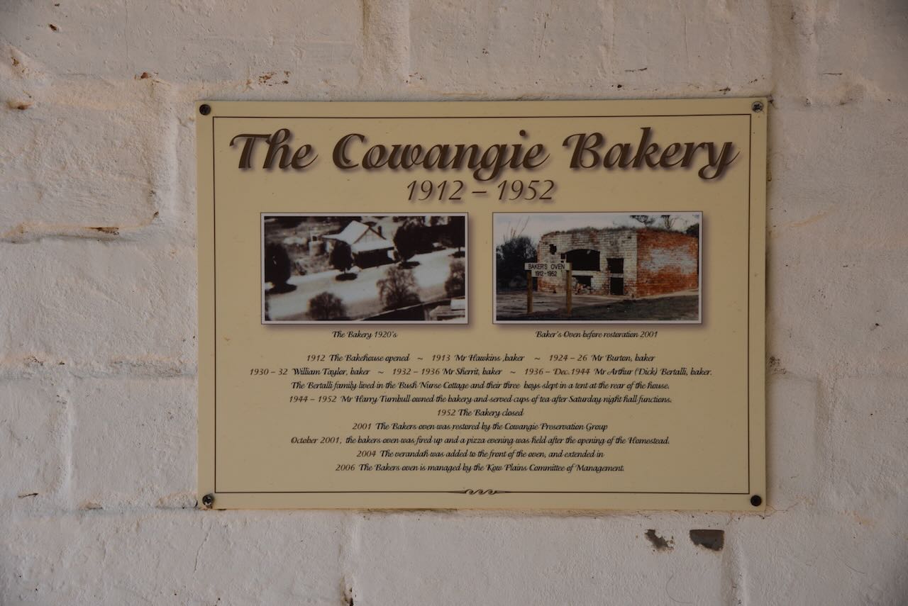
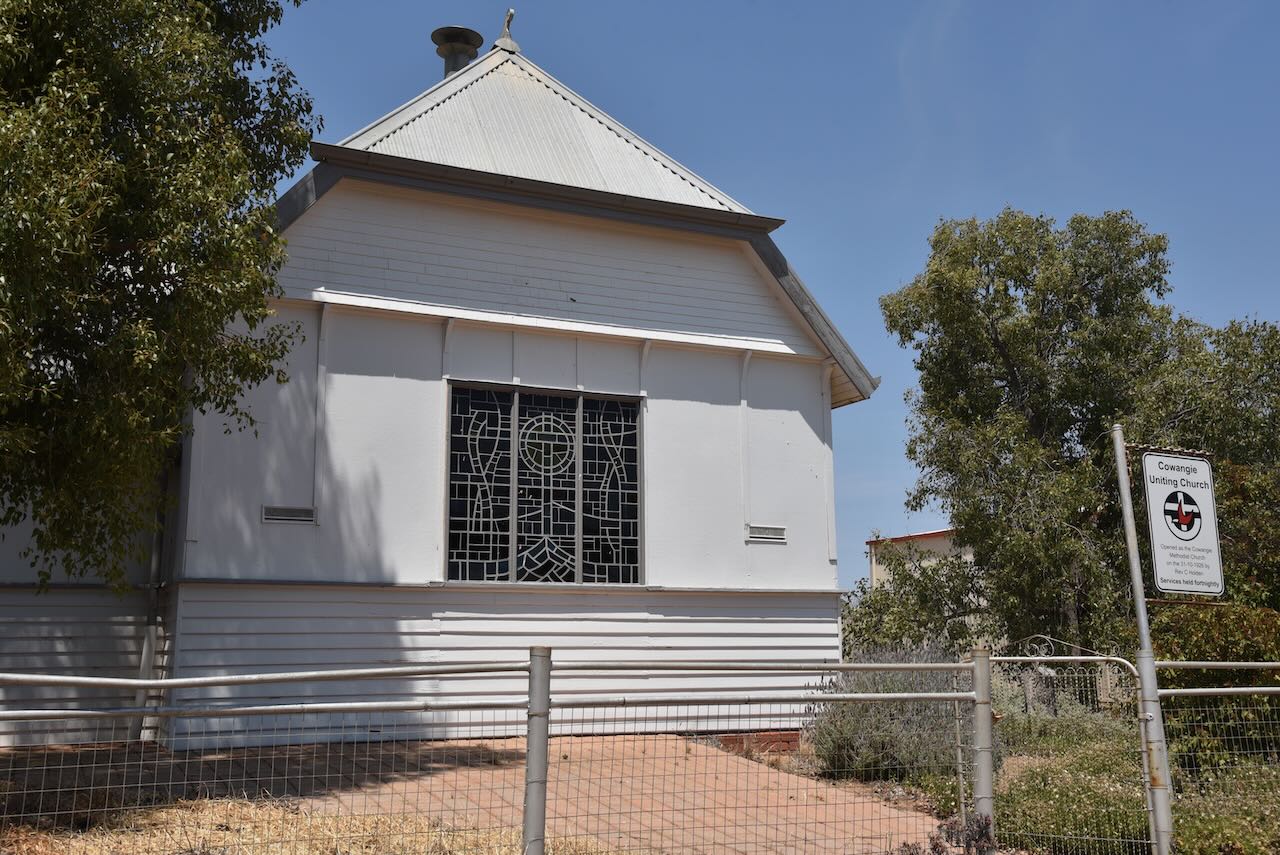
The Post Office was opened on the 15th day of July 1912. A General store and bakery were built in 1912. In 1913 a public hall was constructed and several stores were opened in the township of Cowangie. The hall was used as a school from 1914 to 1921 when a new school building was built. In 1918 the Bank of Victoria opened a branch in Cowangie. In 1926 a Methodist church was erected. A bush nursing hospital was operational from 1916 to 1923.
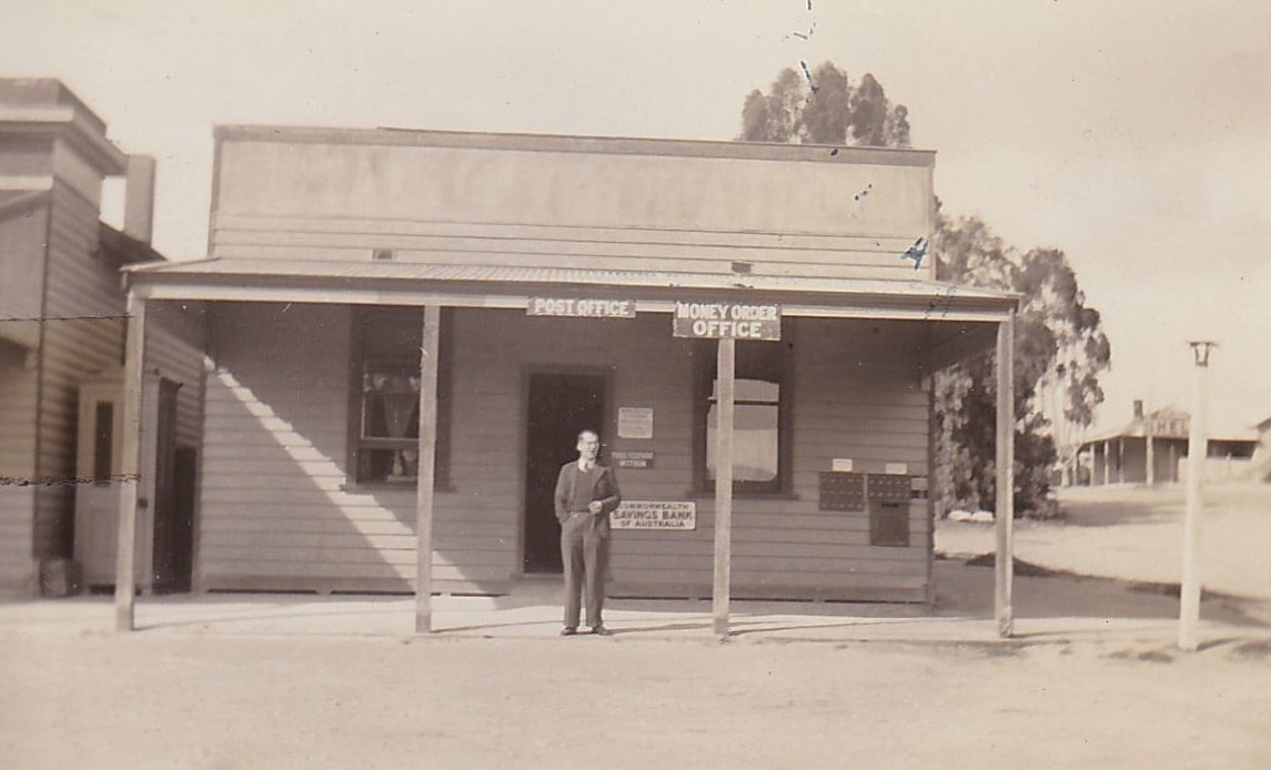
Above:- the Cowangie Post Office. Image c/o Cowangie Danyo Tutye and district Facebook page.
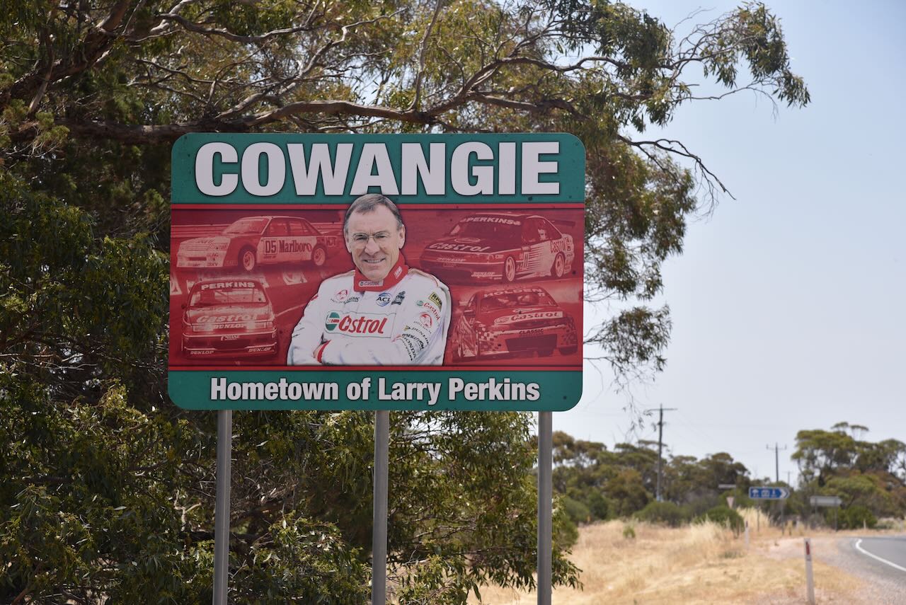
Cowangie is the birthplace of V8 Supercar racing legend Larry Perkins.
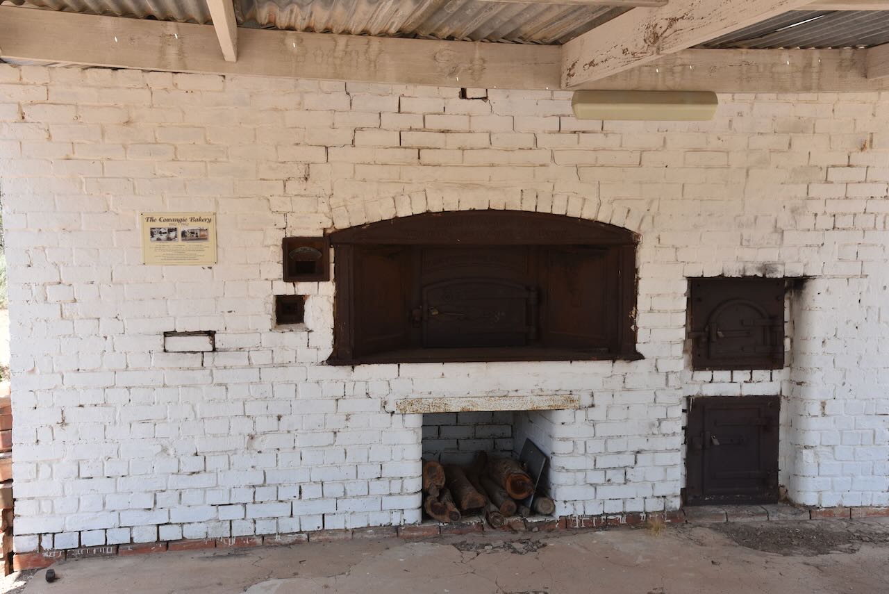
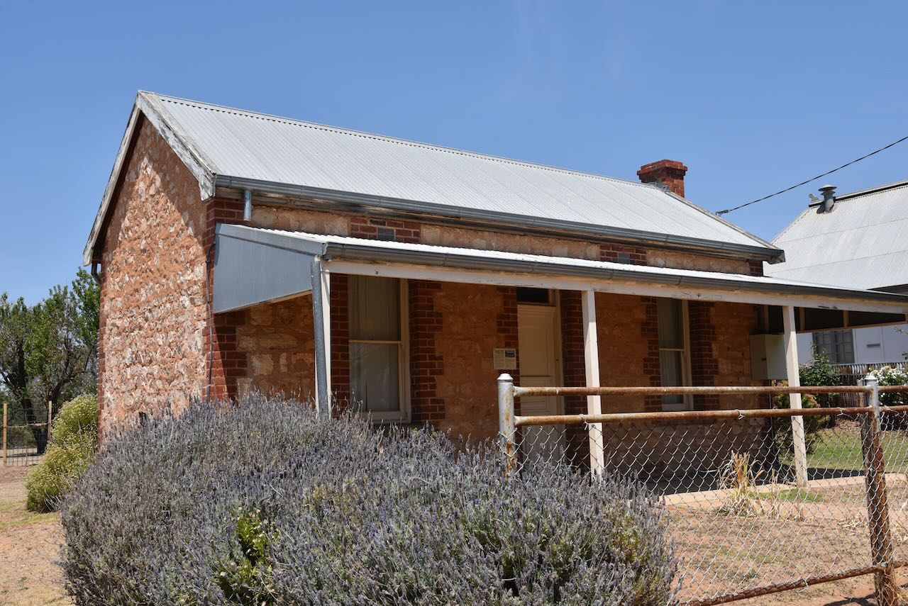
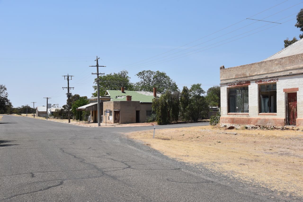
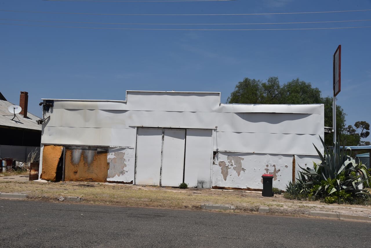
Many of the buildings in Cowangie are in a state of disrepair. In 2001 the baker’s oven was restored at the Cowangie Bakery. The Cowangie Bush Nursing Centre cottage has also been restored.

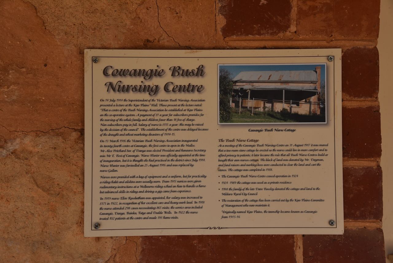
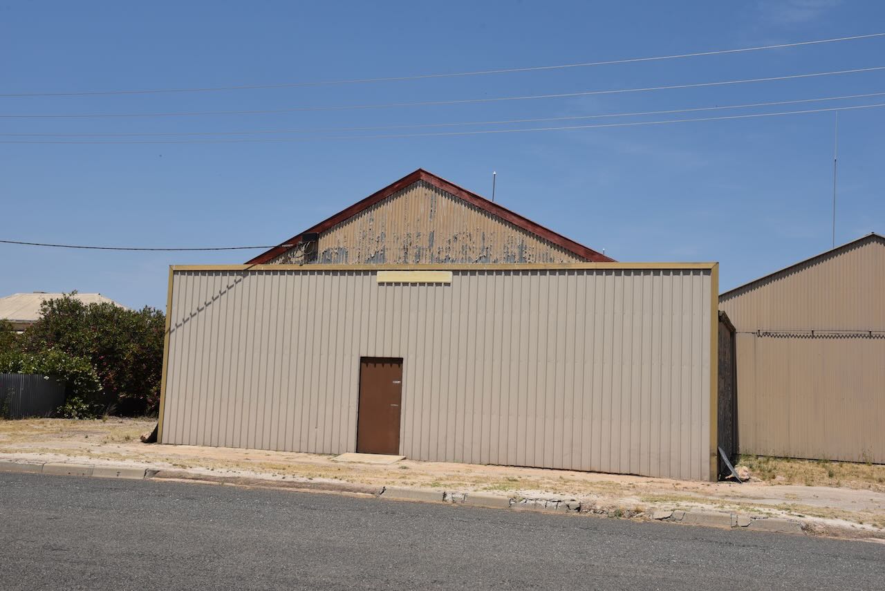
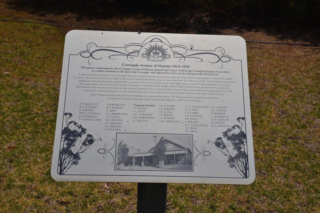
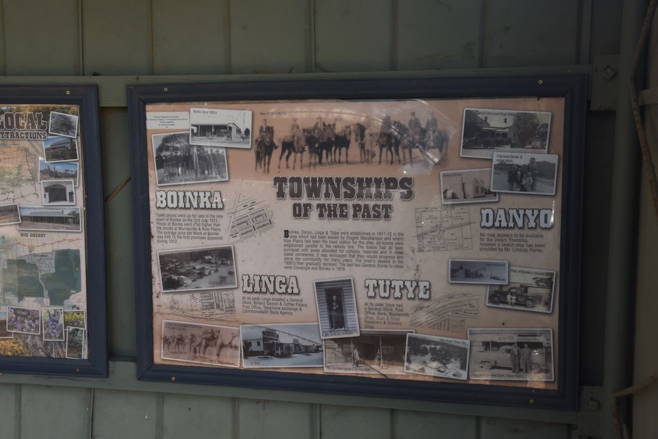
In Dayman Street you can find the Cowangie Avenue of Honour. There are also some information boards detailing the history of Cowangie and some of the surrounding towns.
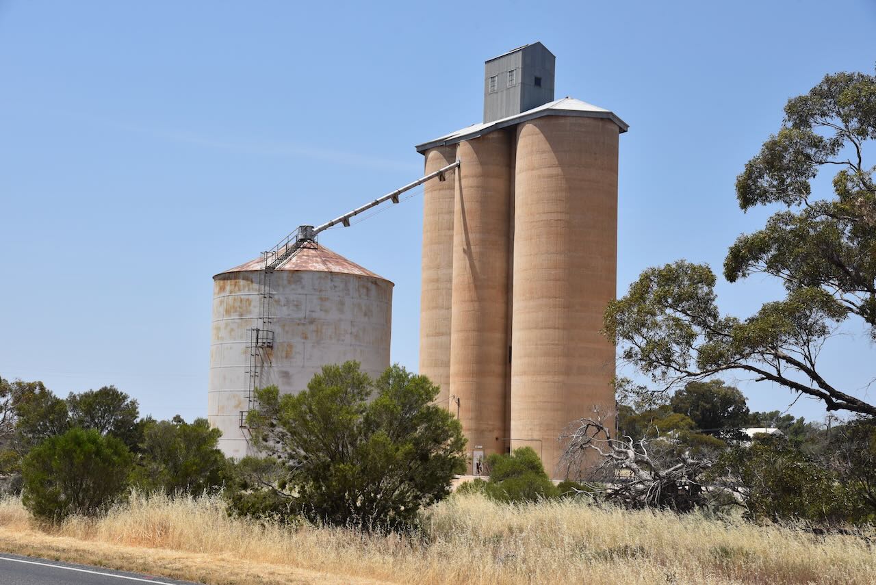
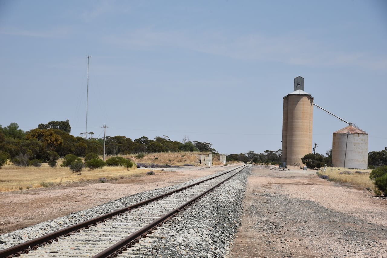
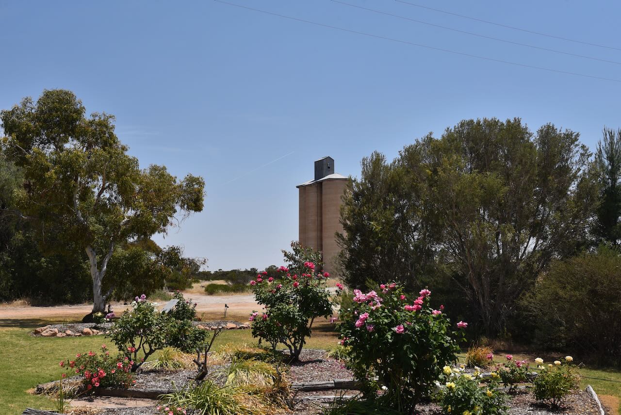
The Cowangie silos are located on the southern side of the Mallee Highway alongside the railway line.
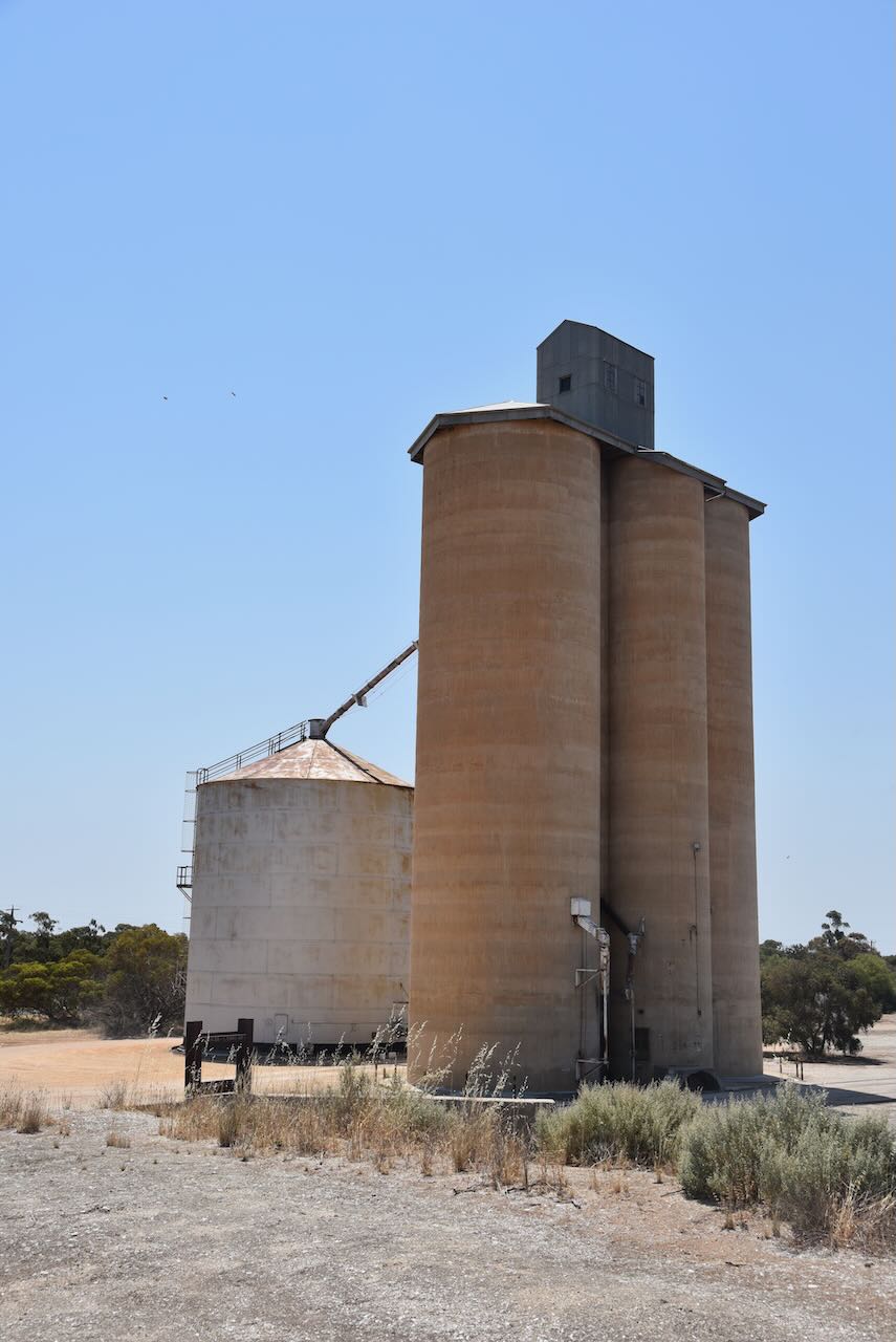
We parked right alongside the silos and operated from the vehicle for this activation, running the Icom IC7000, 100 watts, and the Codan 9350 with the 1.5-metre stainless steel whip.
Marija worked the following stations on 40m SSB:-
- VK3PF
- VK3SQ
- VK2BD
- VK3CLD/2
I worked the following stations on 40m SSB:-
- VK3PF
- VK3SQ
- VK2BD
- VK3CLD/2
- VK3OAK
- VK3BEL/p (Barmah National Park VKFF-0739)
- VK3SO
- VK2IO/p (Patchewollock North Bushland Reserve VKFF-4244)
- VK1AD
- VK1NAM
- VK3ZSC
- VK5IS
I worked the following stations on 20m SSB:-
- VK4EMP
- VK4TI
References.
- Discover Mallee Murray, 2023, <http://www.murrayriver.com.au/cowangie/>, viewed 26th December 2023.
- Flickr, 2023, <https://www.flickr.com/photos/82134796@N03/43372963170>, viewed 26th December 2023.
- Victorian Places, 2023, <https://www.victorianplaces.com.au/cowangie>, viewed 26th December 2023.
- Wikipedia, 2023, <https://en.wikipedia.org/wiki/Cowangie>, viewed 26th December 2023.
