
After packing up at the Cowangie silo on Friday 10th November 2023, we headed east on the Mallee Highway to Tutye. Tutye is a locality situated about 80km west of Ouyen in northwest Victoria.
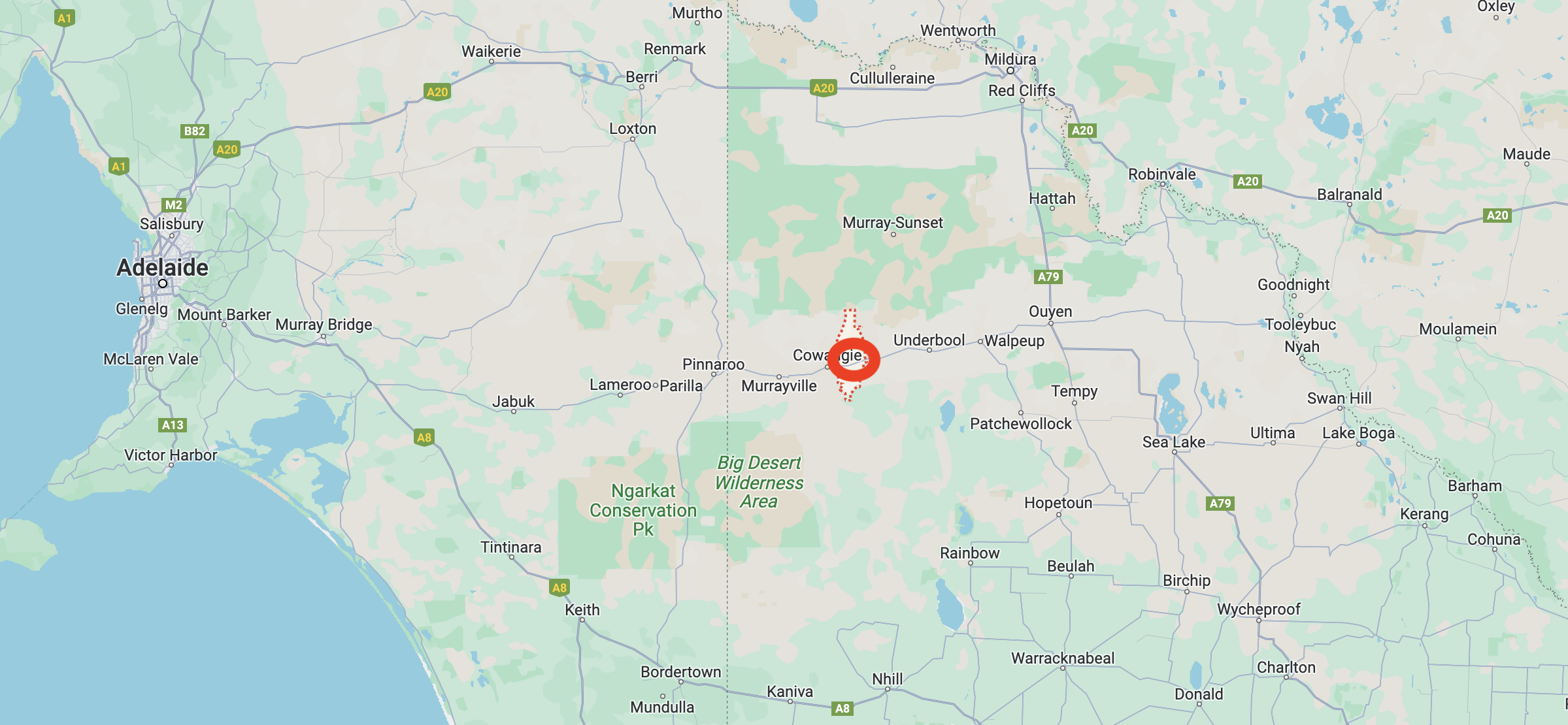
Above:- Map showing the location of Tutye in northwest Victoria. Map c/o Google Maps.
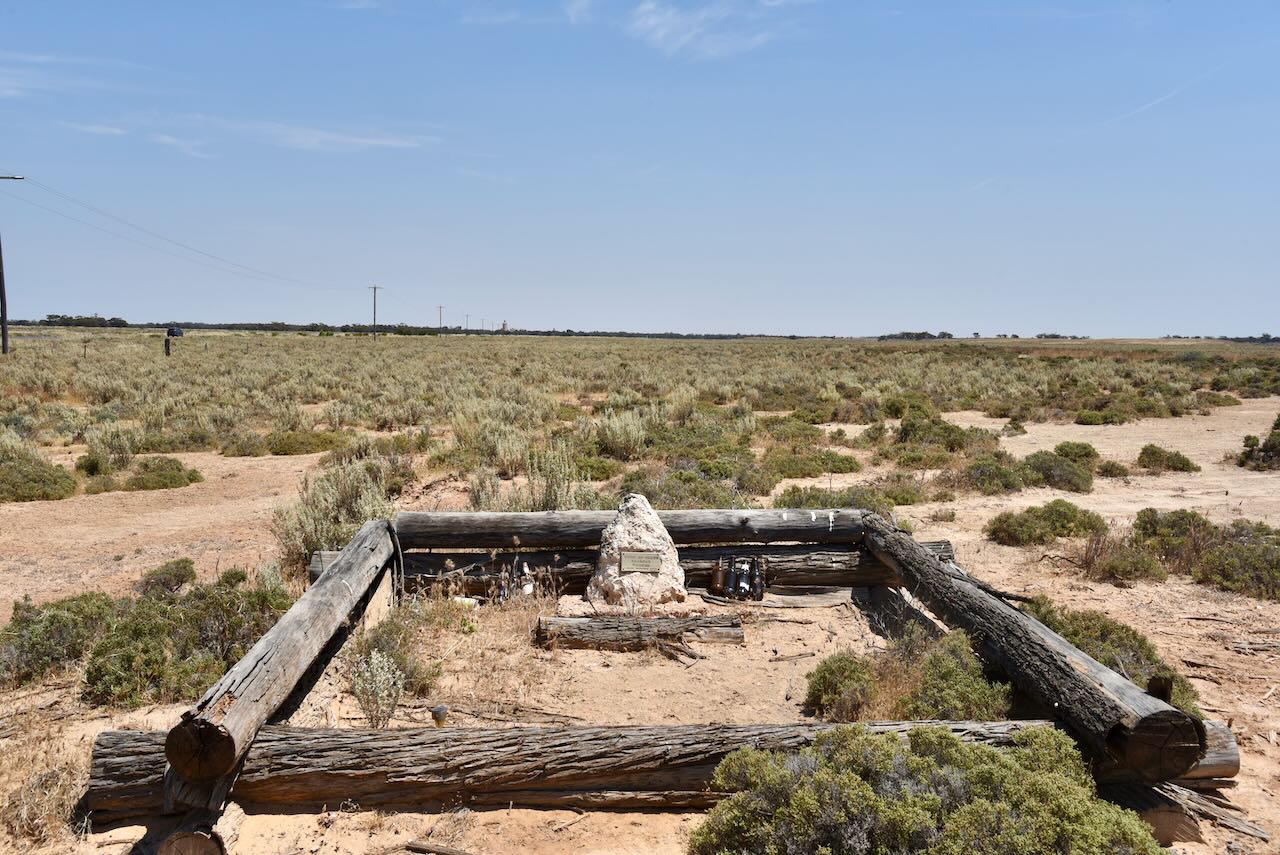
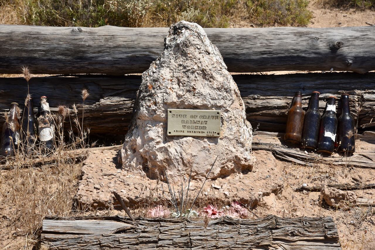
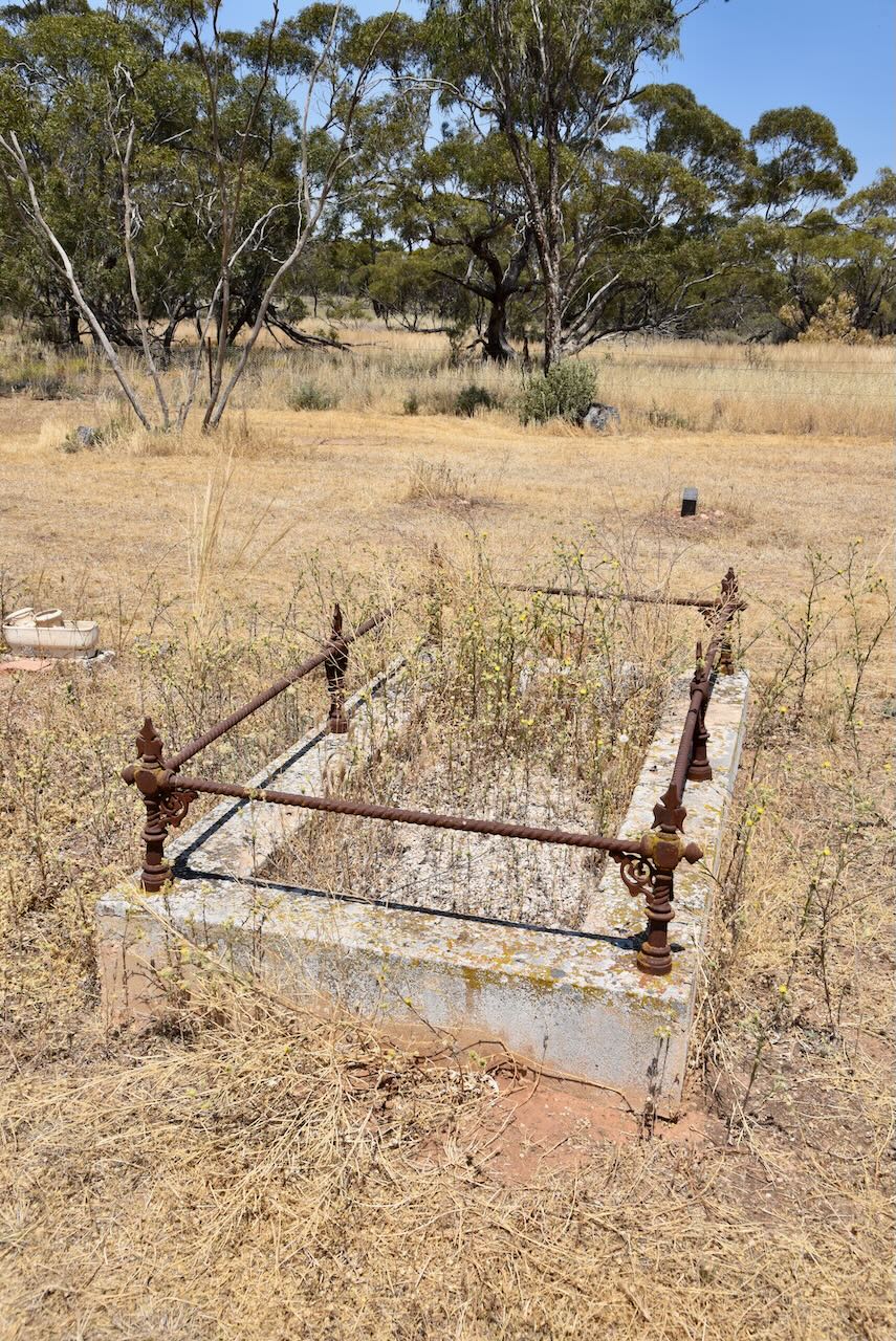
Along the way, we stopped to look at the gravesite of a railway worker. The grave is located about 2.3 km east of Cowangie and is on the northern side of the Mallee Highway. The name of the person is not known but the headstone states that they died in 1913.
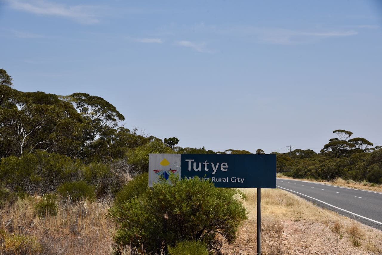
We continued east and soon reached Tutye. Tutye is an aboriginal word meaning ‘rest’.
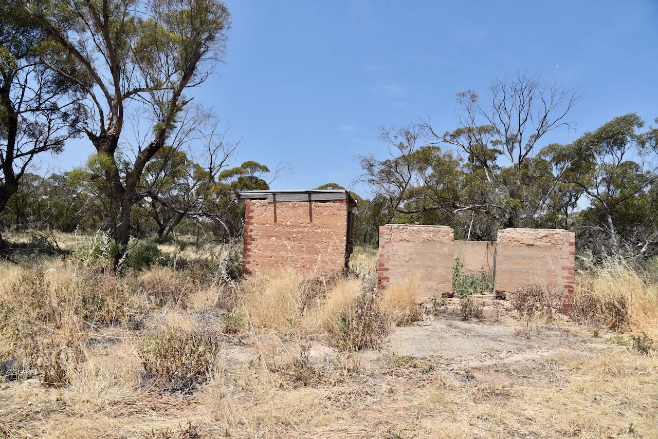
The Tutye district was opened for selection in 1911. Tutye was once a thriving township, but today very little remains. The Post Office was opened on the 15th day of July 1912 following the opening of the railway line from Ouyen to Murrayville. The Post office closed in 1980. The Tutye General Store opened in 1914 and closed in 1970. The Tutye State School opened in 1920. The town once had several businesses including a blacksmith shop, boot repairer, bank agency, boarding house and telephone exchange.
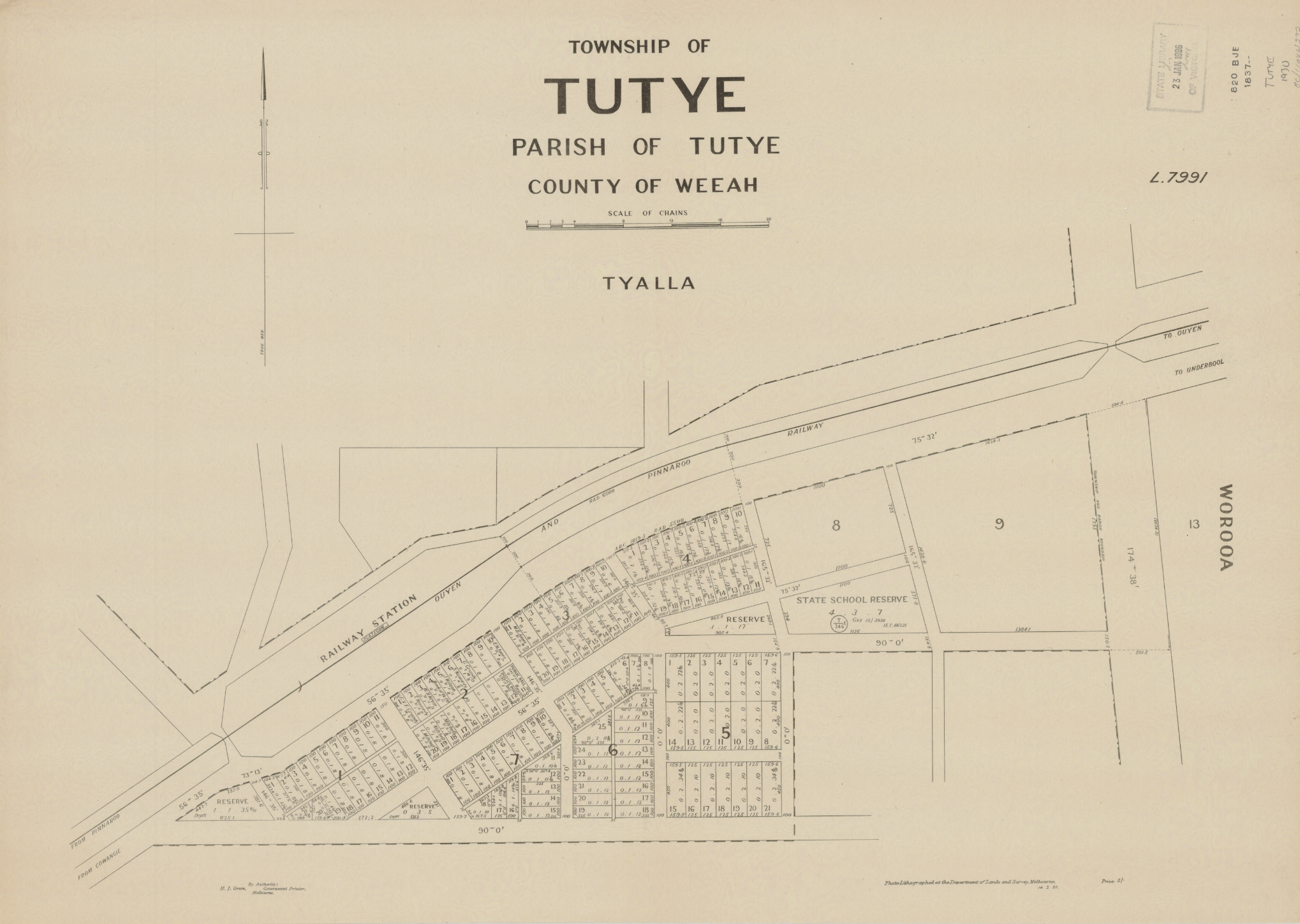
Above:- Plan of the township of Tutye. Image c/o State Library Victoria.
Tutye once had a football club, a tennis club, a croquet club, a golf club, a racecourse, and a dramatic society.
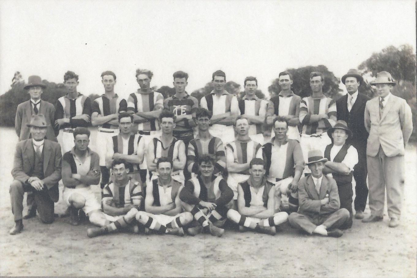
Above:- the 1928 Tutye football club team. Image c/o Cowangie Danyo Tutye and district Facebook page.
The Tutye Hall hosted numerous events.
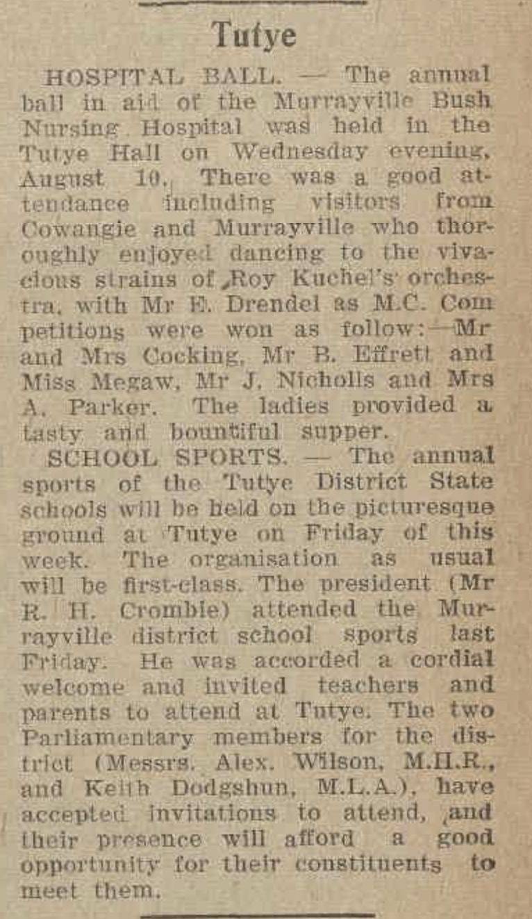
Above:- article from the Ouyen Mail, Wed 17th August 1938. Image c/o Trove.
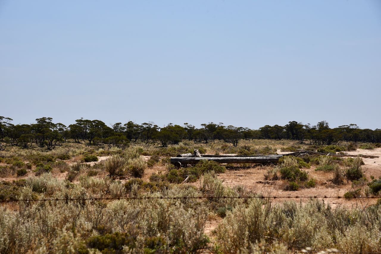
In 1953-54 a processing plant for cruse plaster of Paris was established at Tutye by Associated Plaster and Gypsum. All that remains today are some ramps and sidings which were used for unloading/loading of gypsum on the old railway line/
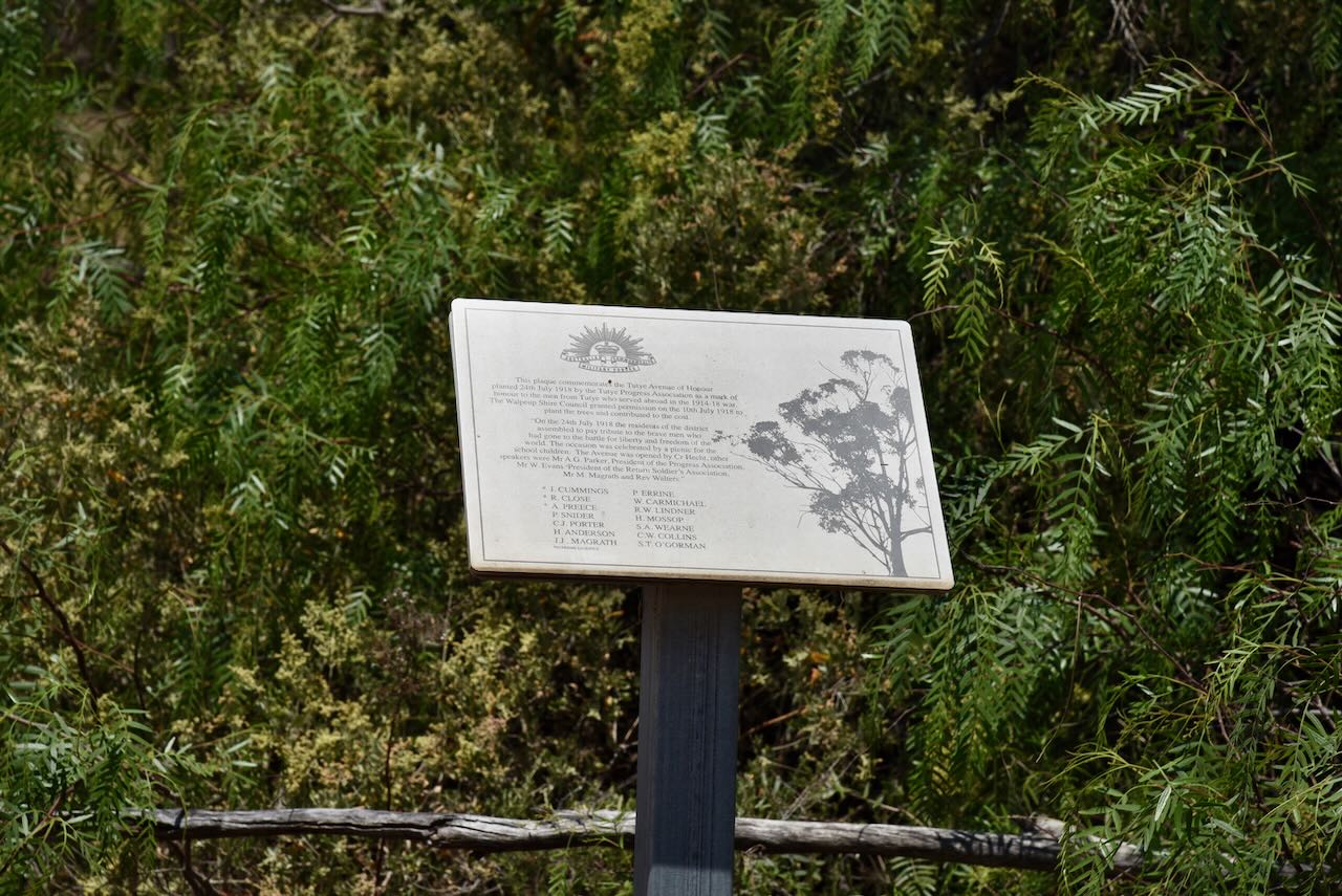
You can also find a plaque commemorating the Tutye Avenue of Honour which was planted on the 24th day of July 1919 by the Tutye Progress Association as a mark of honour to the men from Tutye who served abroad in the war 1914-1918.
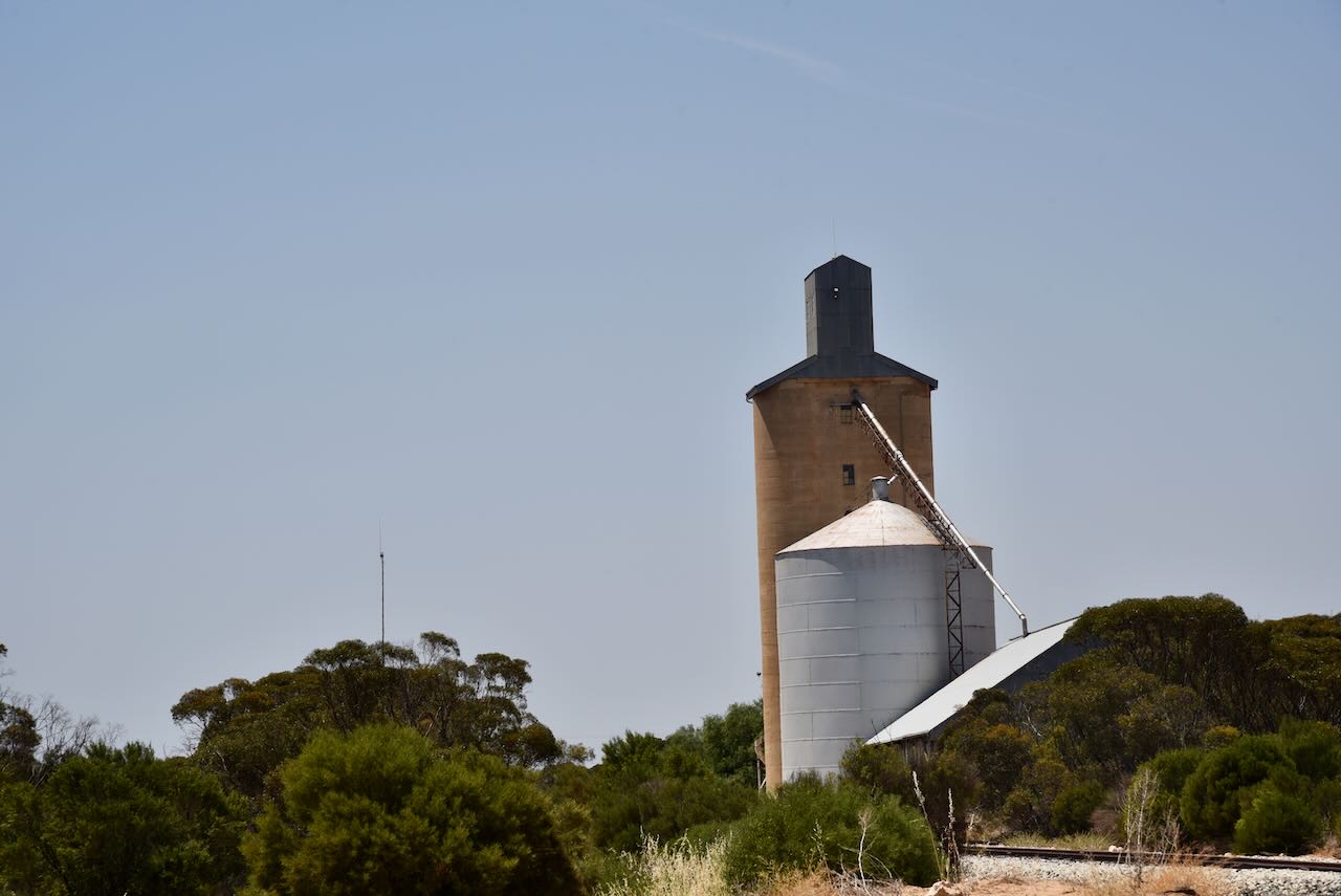
The Tutye silos are located on the southern side of the Mallee Highway on Old Stock Route Road.
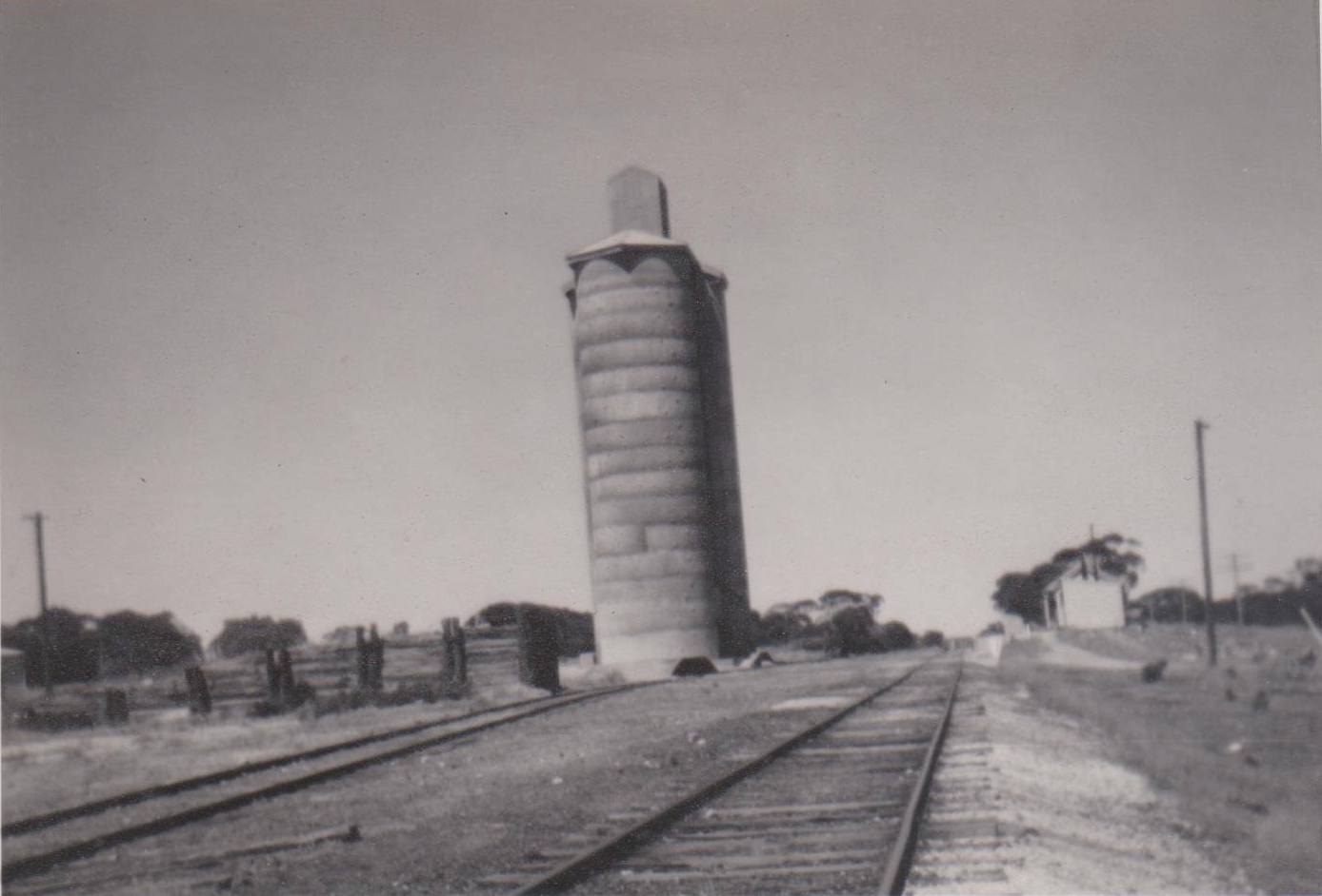
Above:- the Tutye silo, c. 1960s. Image c/o Cowangie Danyo Tutye and district Facebook page.
This was a quick activation from the vehicle, running the Icom IC7000, 100 watts, and the Codan 9350 antenna with the 1/5 mere stainless steel whip.
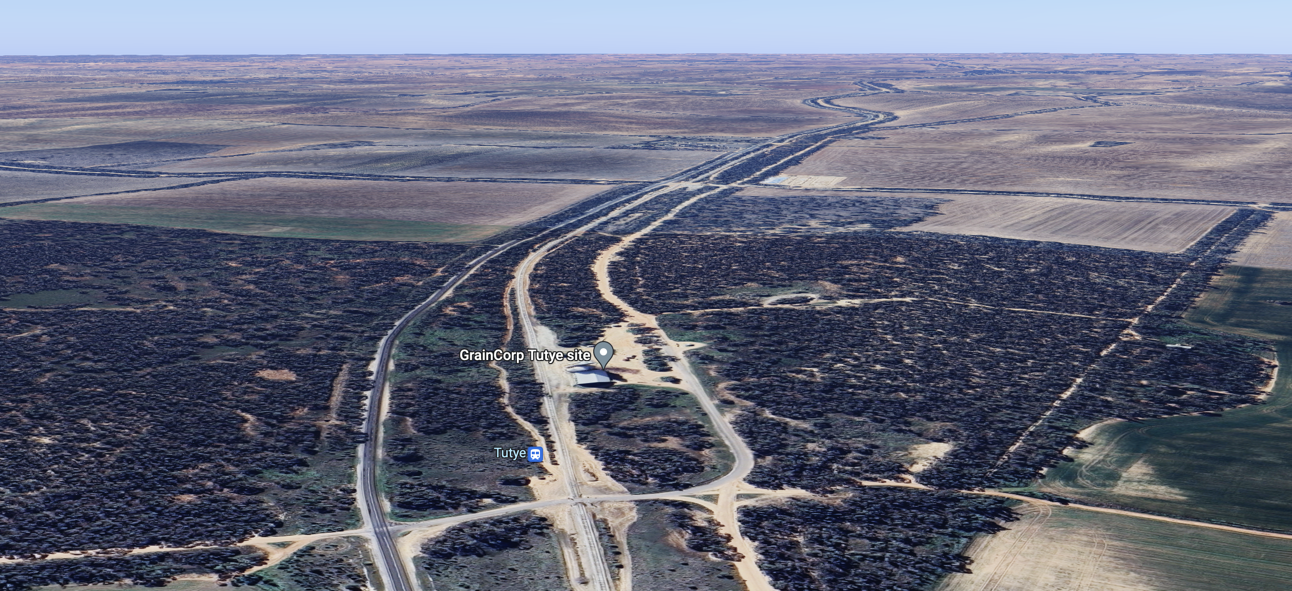
Above:- aerial view of the Tutye silos. Image c/o Google Maps.
Marija worked the following stations on 40m SSB:-
- VK3PF
- VK2IO/p (Dering Flora & Fauna Reserve VKFF-2307)
- VK2TRL
- VK1CHW/p (Dunlop Grasslands Nature Reserve VKFF-0839)
I worked the following stations on 40m SSB:-
- VK3PF
- VK2IO/p (Dering Flora & Fauna Reserve VKFF-2307)
- VK2TRL
- VK1CHW/p (Dunlop Grasslands Nature Reserve VKFF-0839)
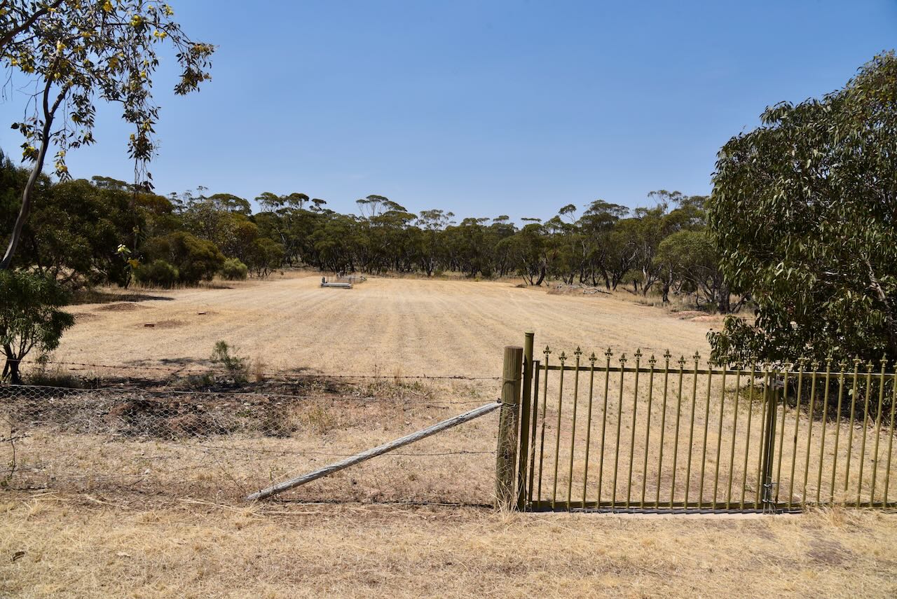
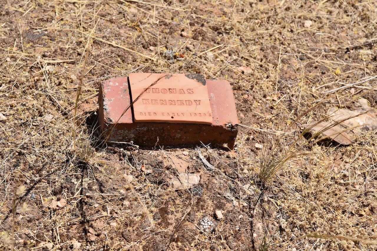
Following our activation of the silo we drove out to the Tutye cemetery to hopefully view some of the graves of the early settlers. Sadly there were not many historic headstones visible in the cemetery.

We then headed east along the Mallee Highway to Linga for our next activation.
References.
- Australian Cemeteries, 2023, <https://www.australiancemeteries.com.au/vic/mildura/cowangielone.htm>, viewed 29th December 2023.
- Blake, L, 1977, Places Names of Victoria.
- Mildura Rural City Council, 2013, Mildura (Former Shire of Walpeup) Heritage Study Stage 2
- Wikipedia, 2023, <https://en.wikipedia.org/wiki/Tutye,_Victoria>, viewed 29th December 2023.
