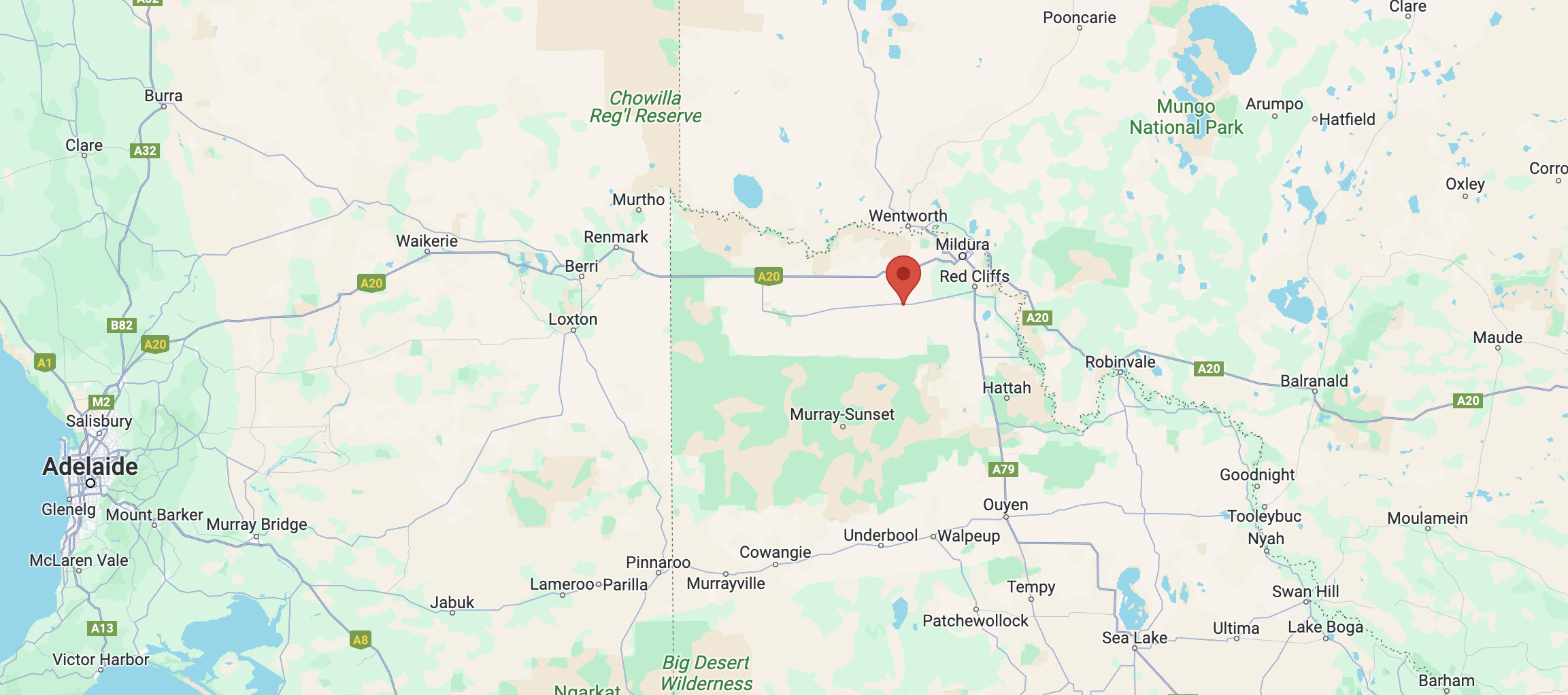
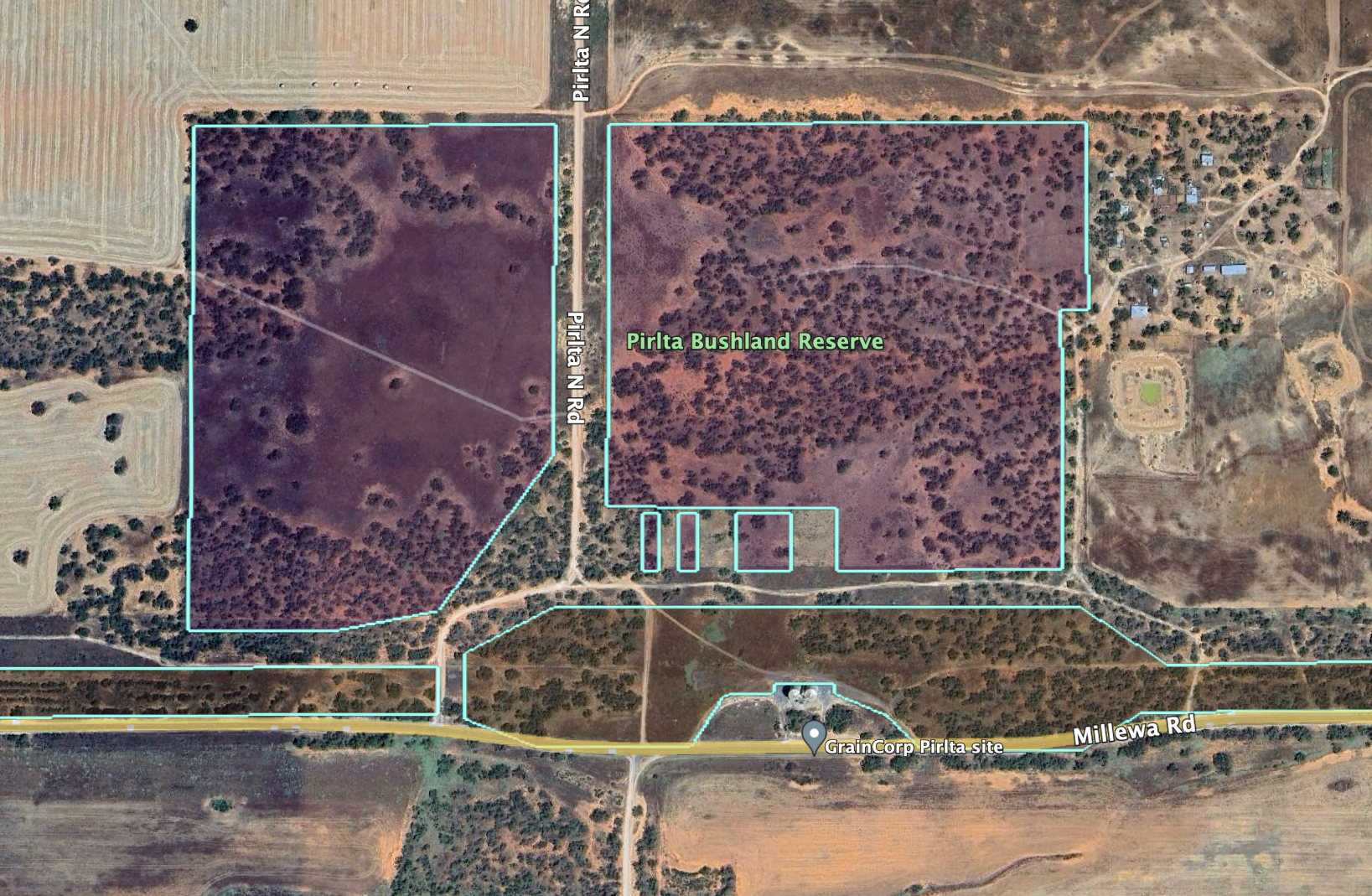
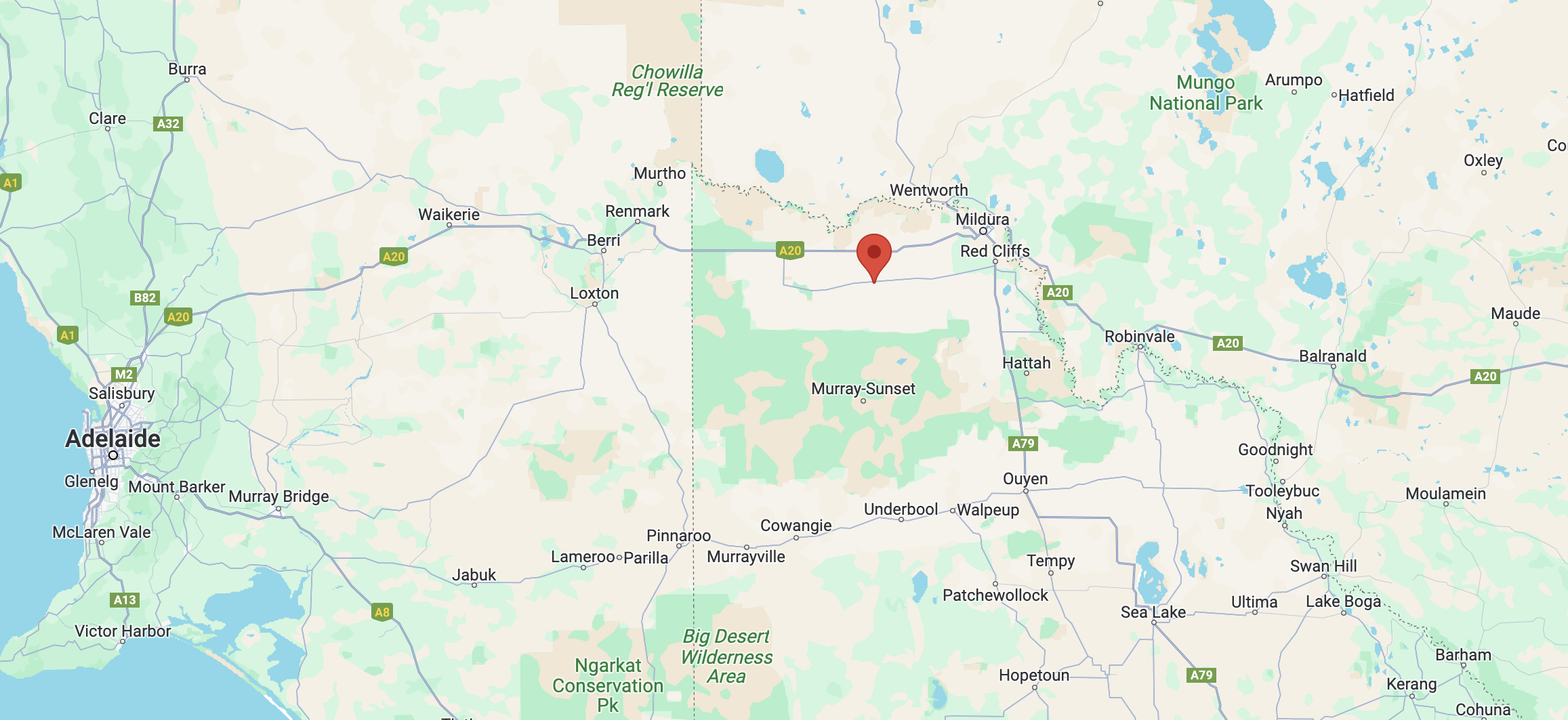
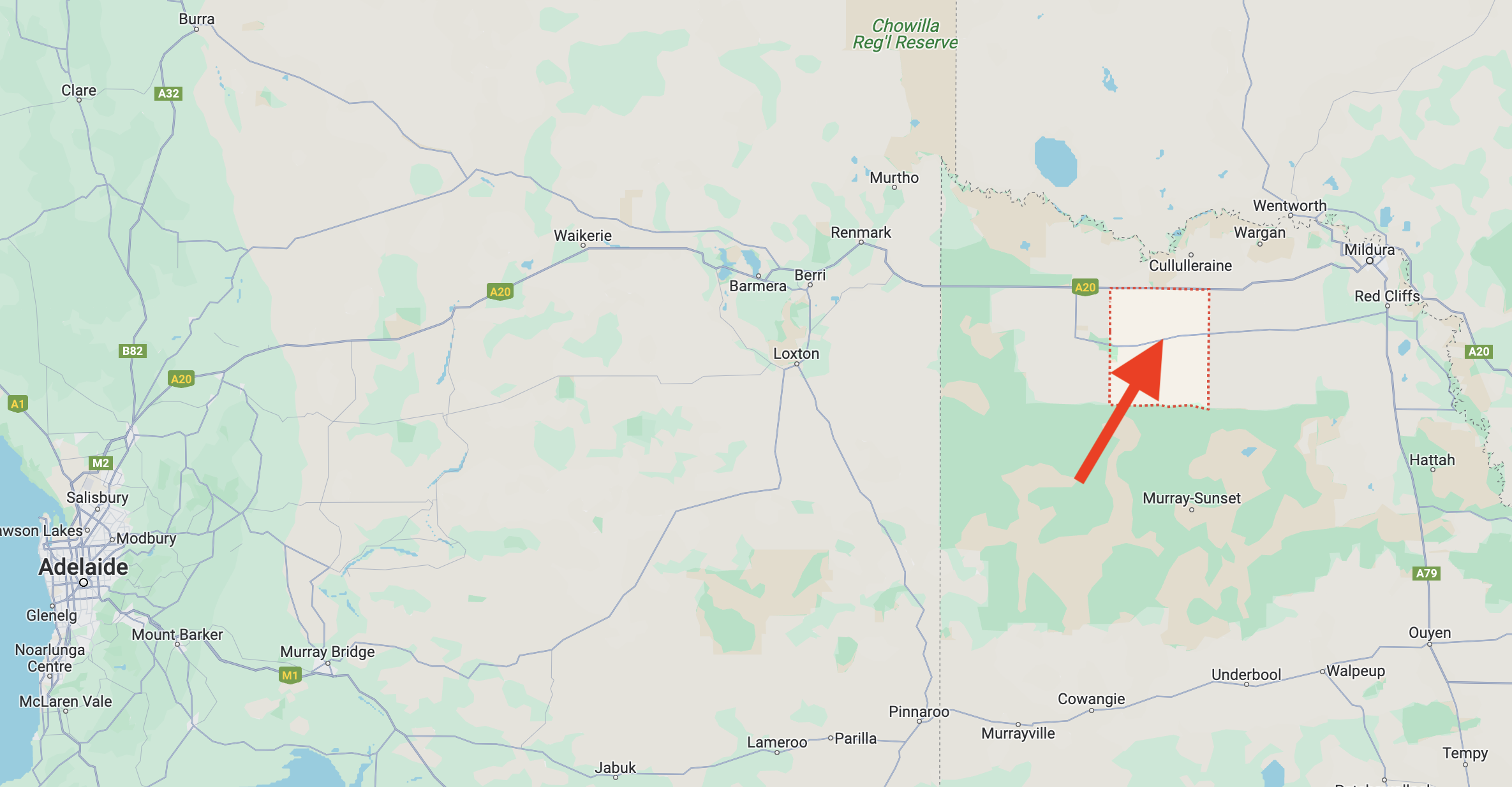
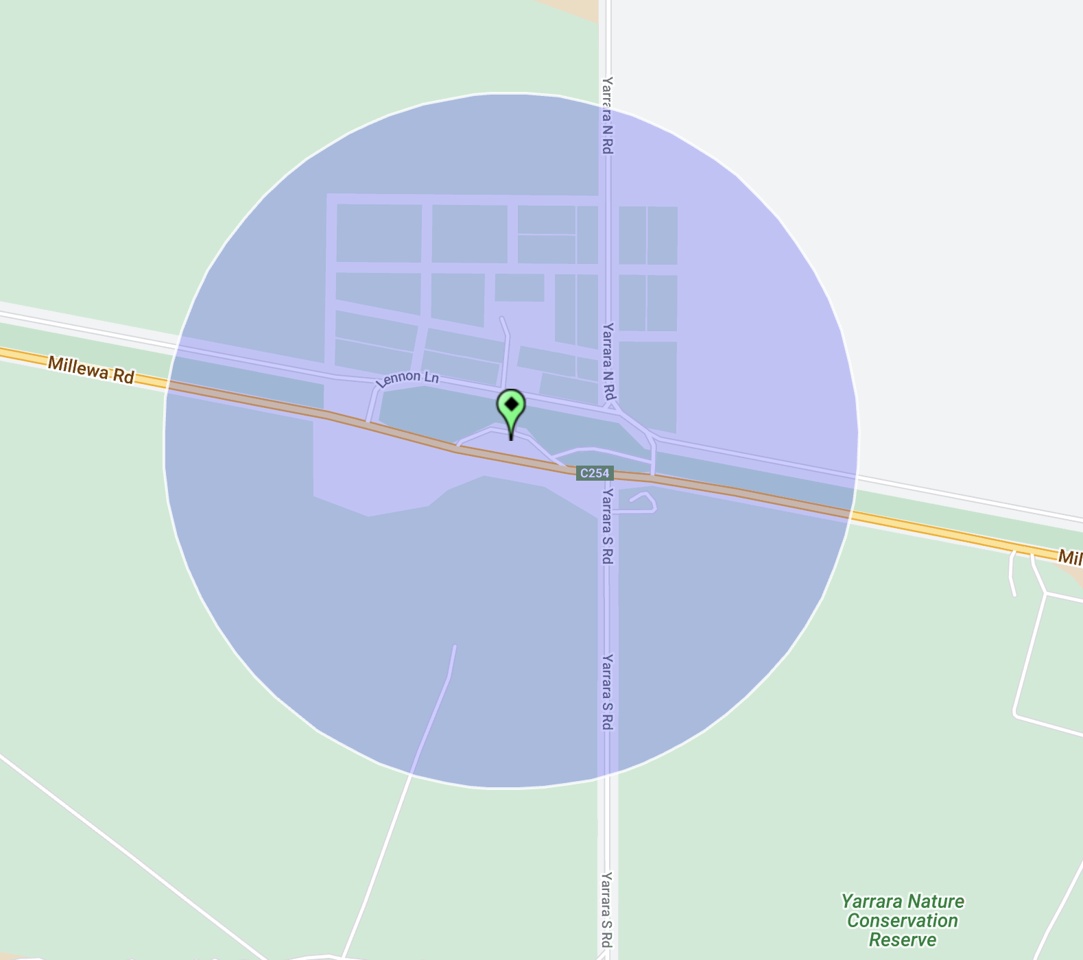
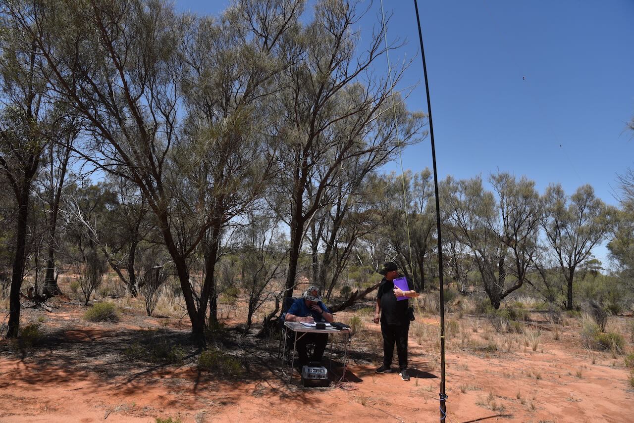
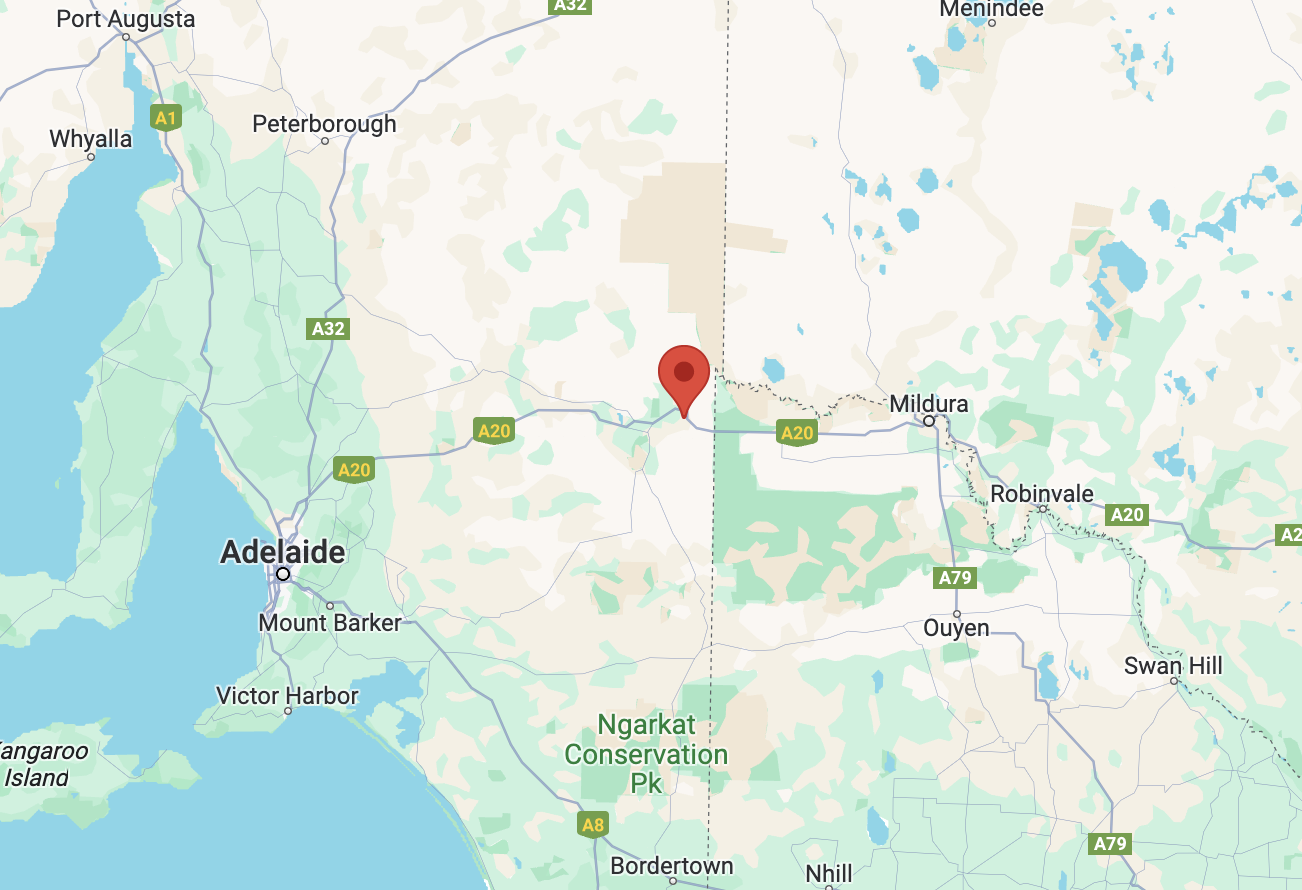
Our sixth and final activation for Monday 30th October 2023 was the Pirlta Bushland Reserve VKFF-4125 and the Pirlta silo VK-PRT3. Pirlta is about 34 km west of Mildura.
Above:- Map showing the location of the Pirlta Bushland Reserve. Map c/o Google Maps.
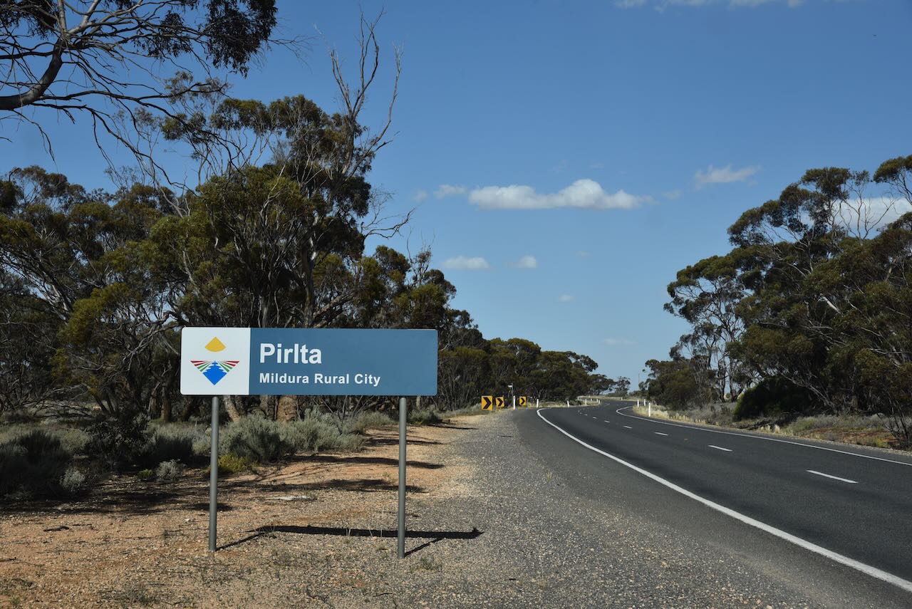
Pirlta is a locality situated in the Millewa district of northwest Victoria. It is well signposted on the Millewa Road.
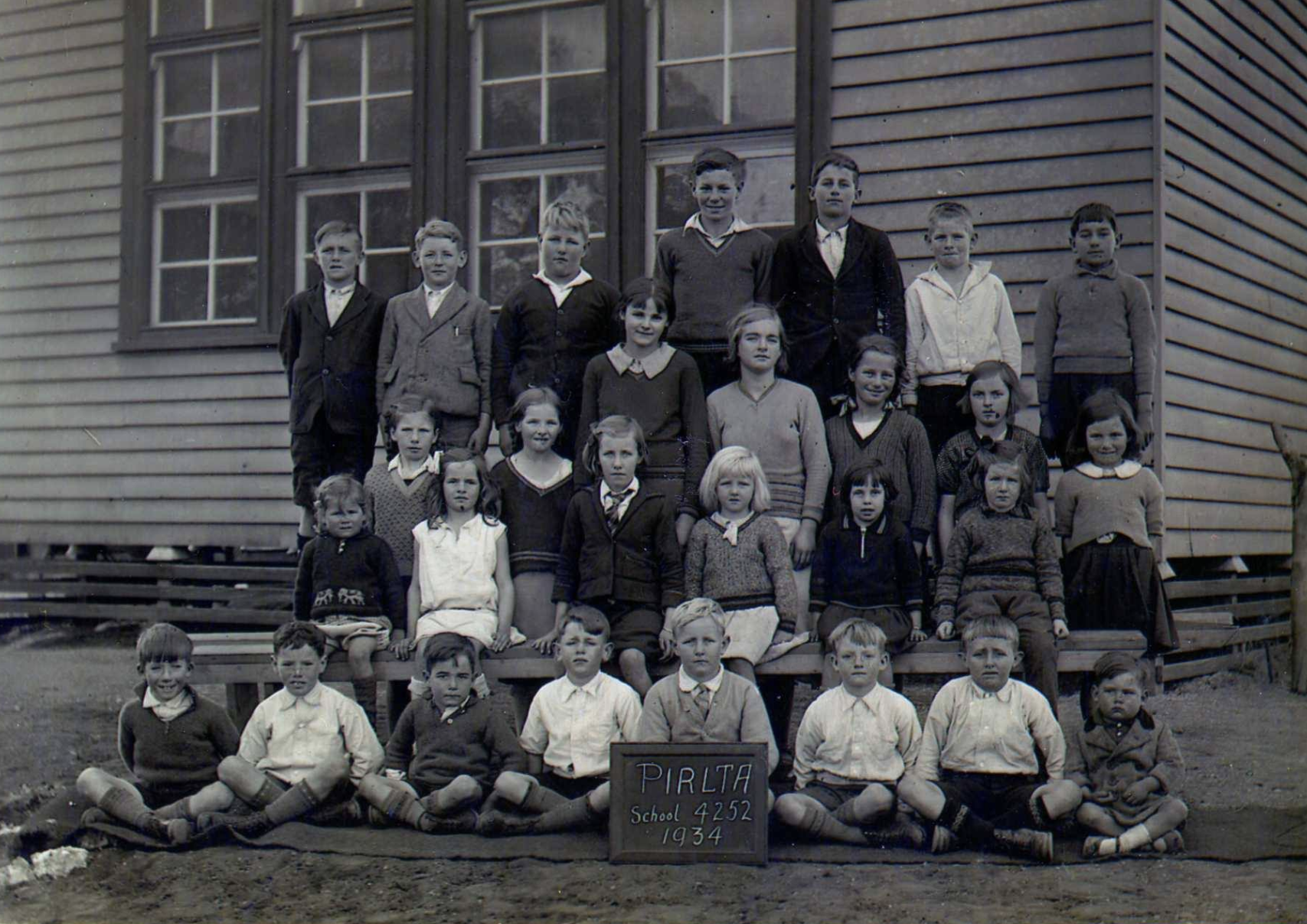
It is believed that Pirlta is an aboriginal word for opossum. The Pirlta Post Office opened on the 14th day of August 1924 (closing in 1964).
Above:- Students at the Pirlta school, 1934. Image c/o Millewa History Photos Facebook page.
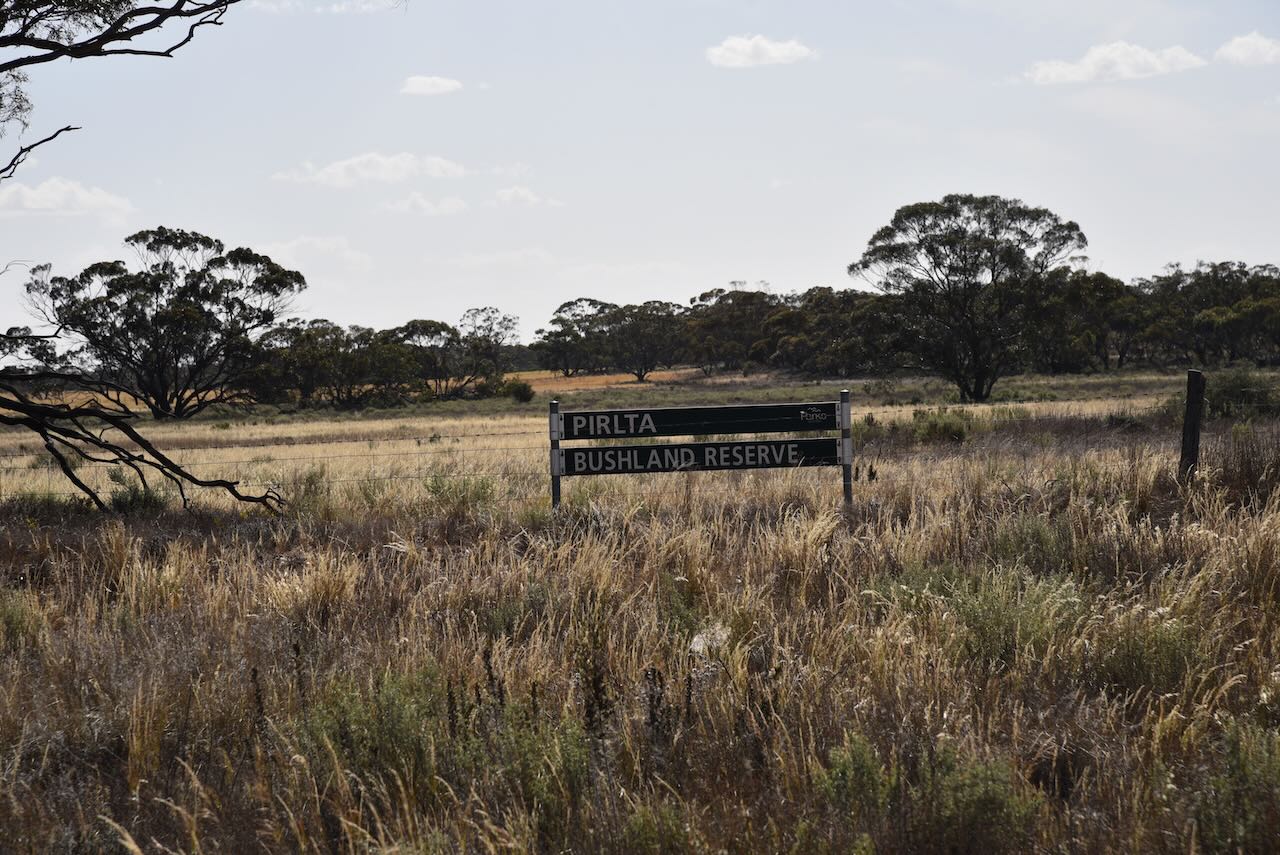
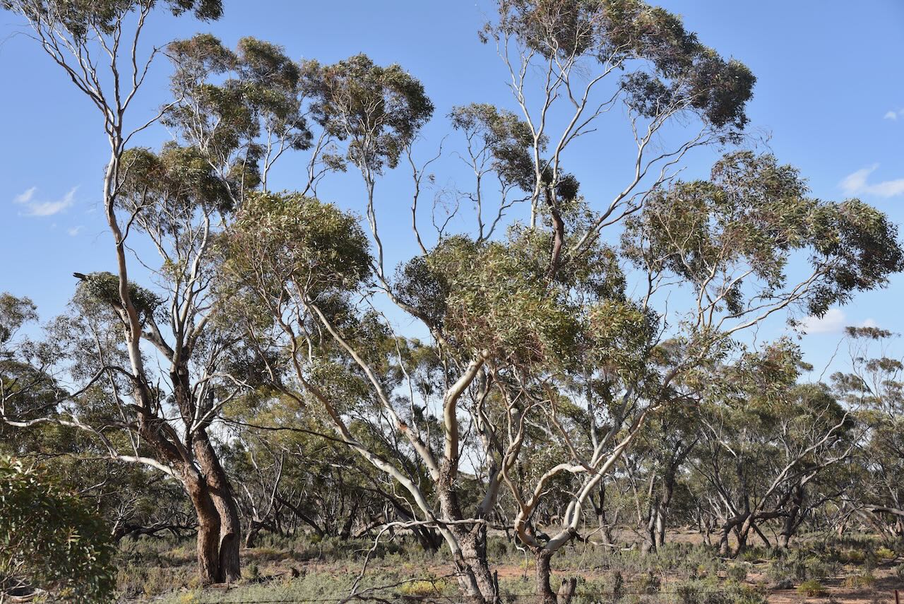
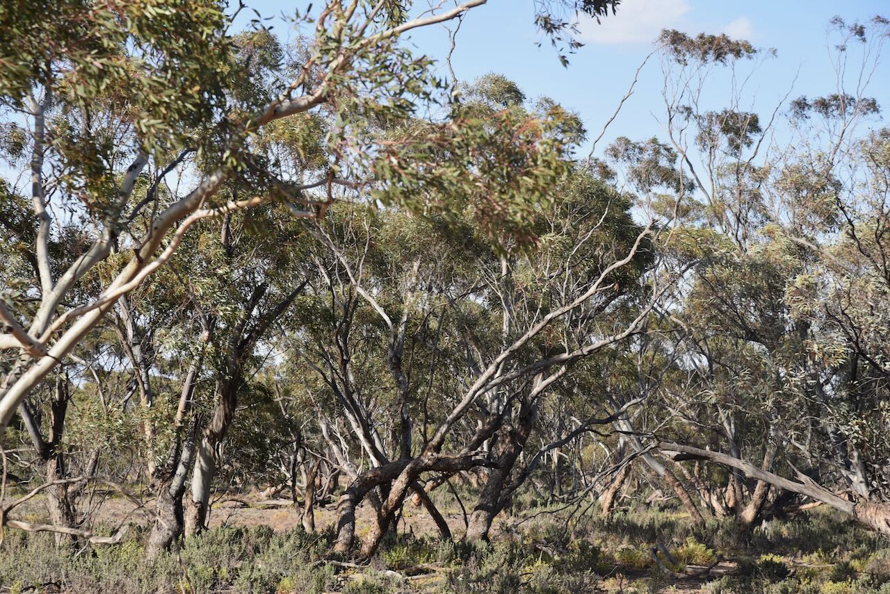
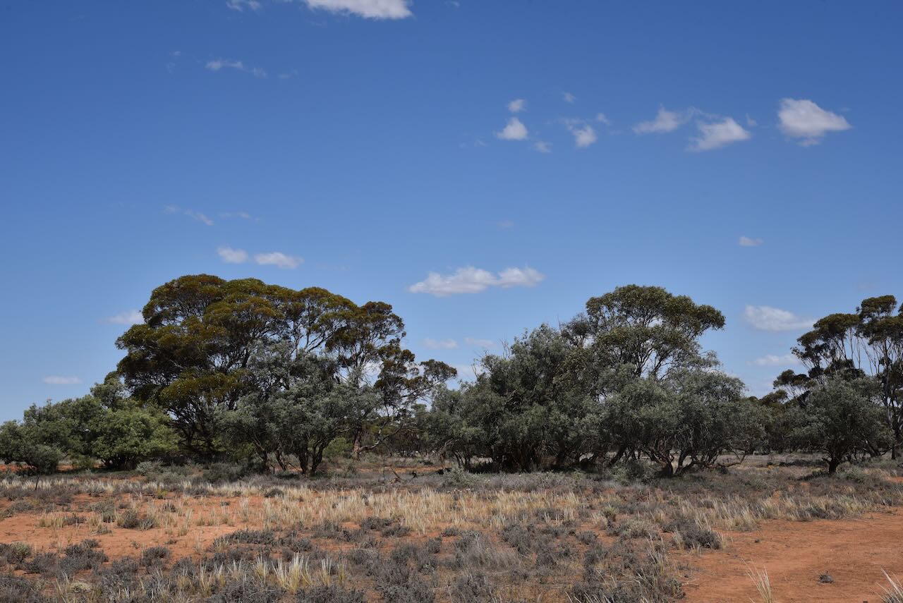
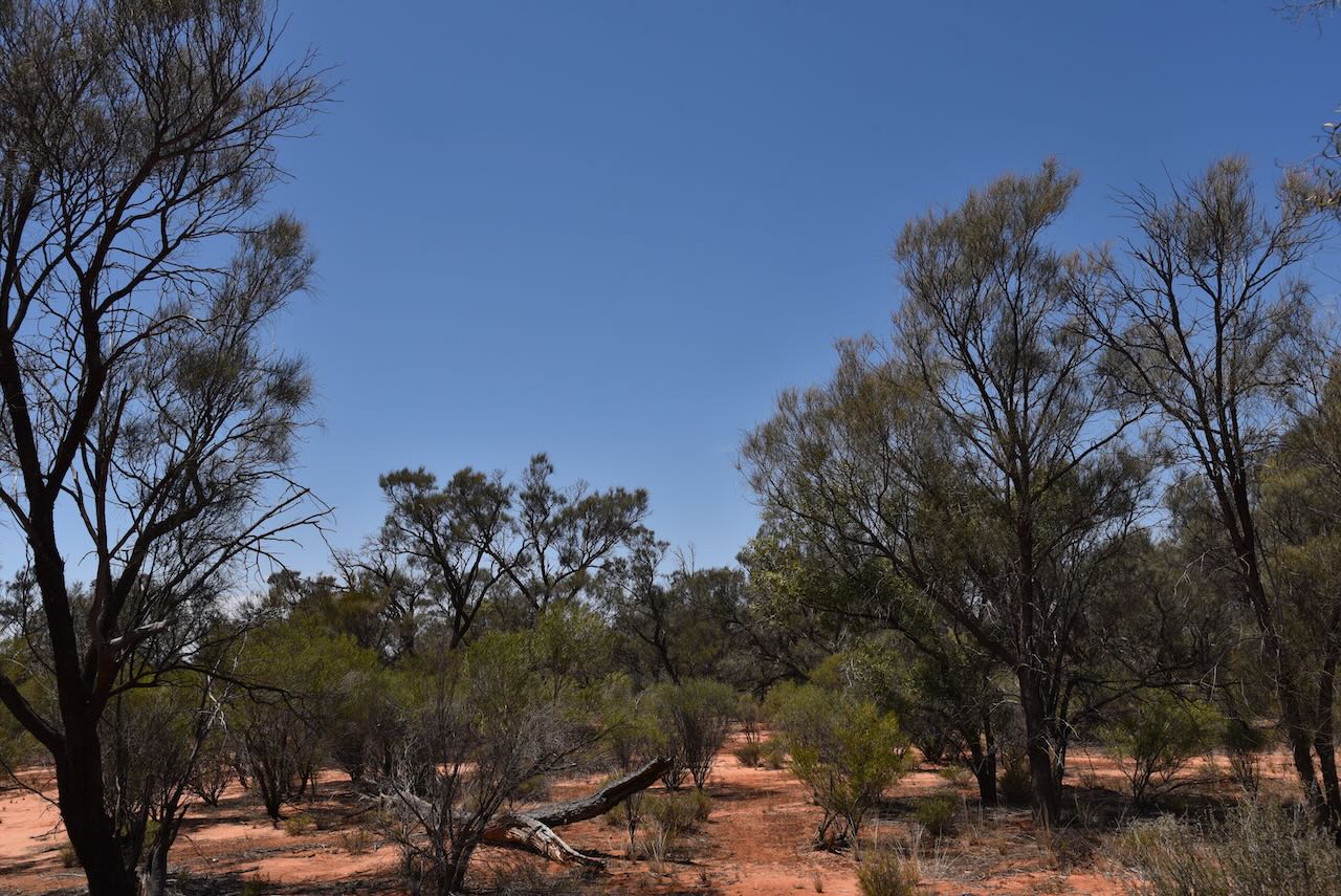
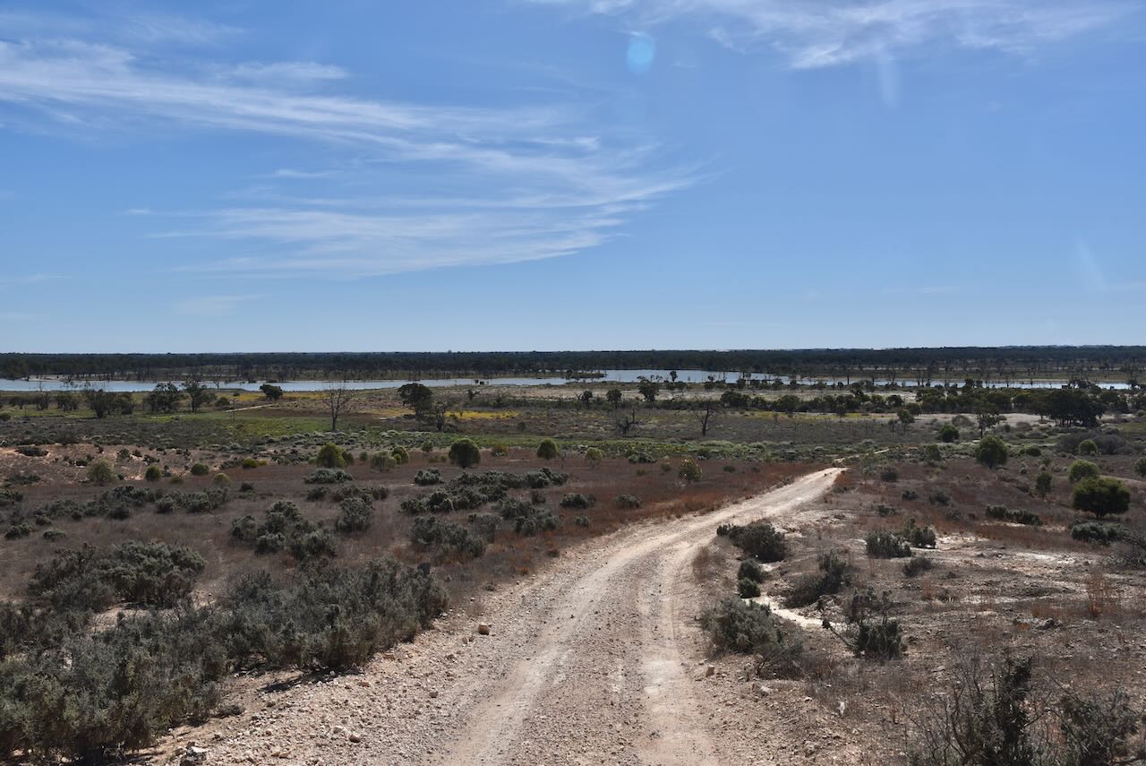
The Pirlta Bushland Reserve is about 46 hectares in size and was established on the 8th day of May 1990.
The Bushland Reserve is divided into two large and three small sections of land on the northern side of Millewa Road. The two larger sections are located on the western and eastern sides of Pirlta North Road.
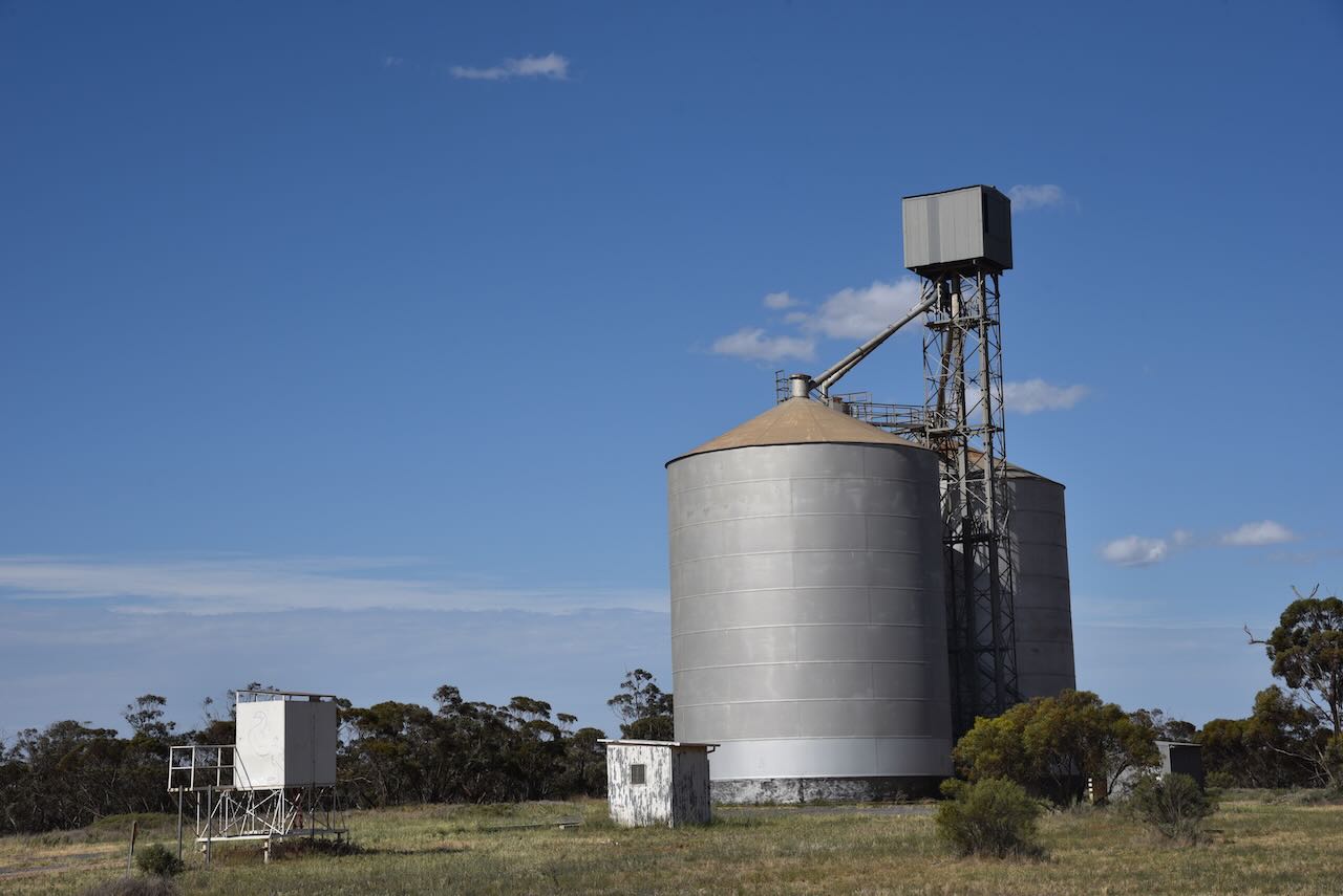
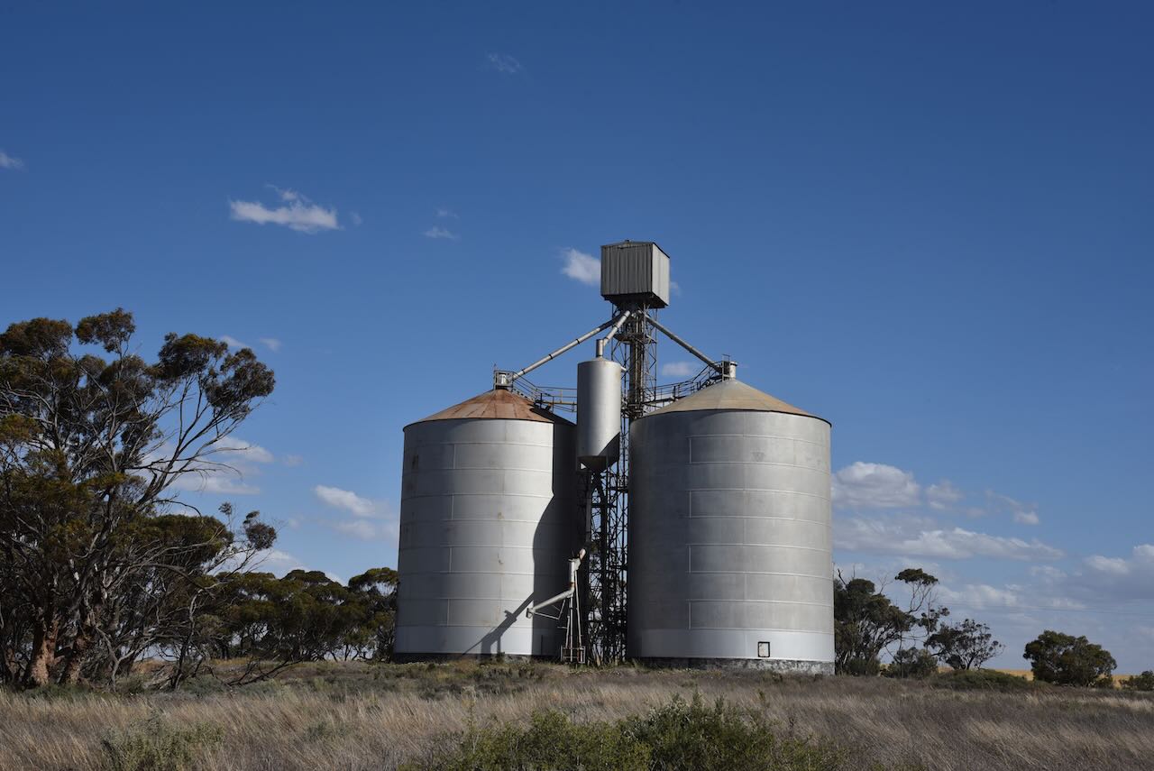
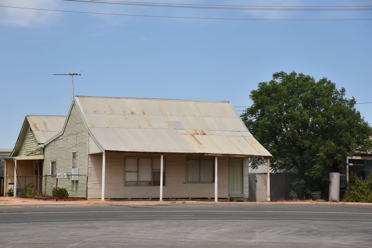
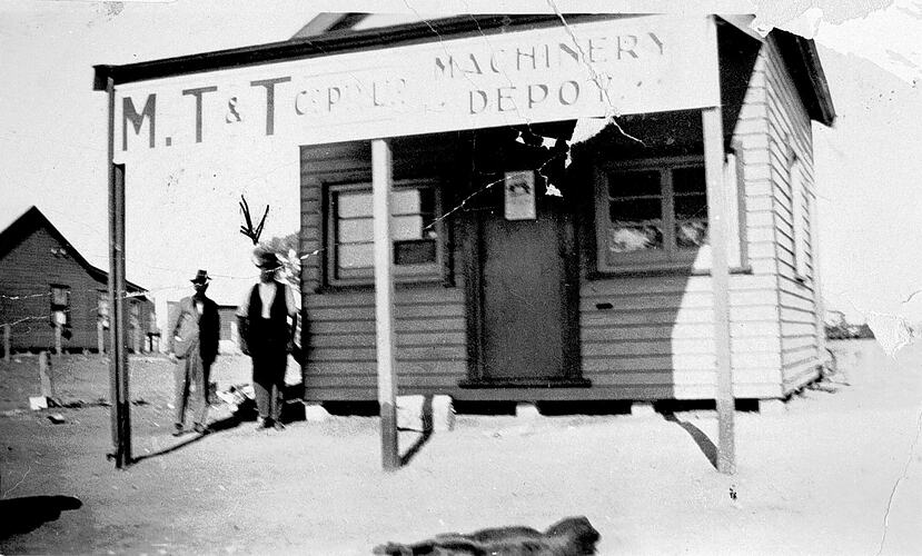
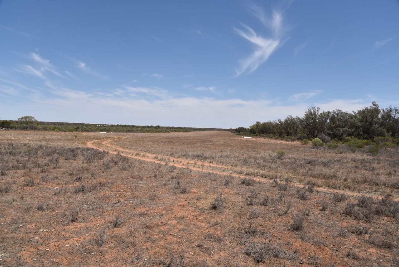
The Pirlta silos are located on the northern side of Millewa Road, just to the east of Pirlta South Road.
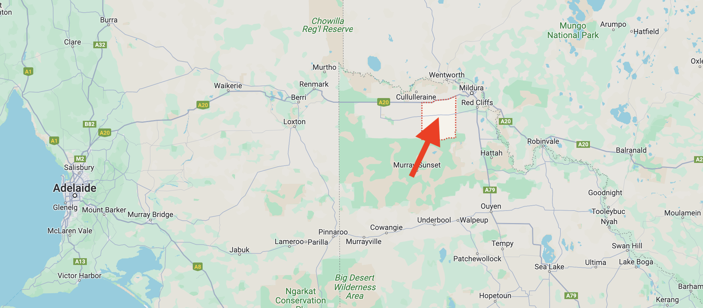
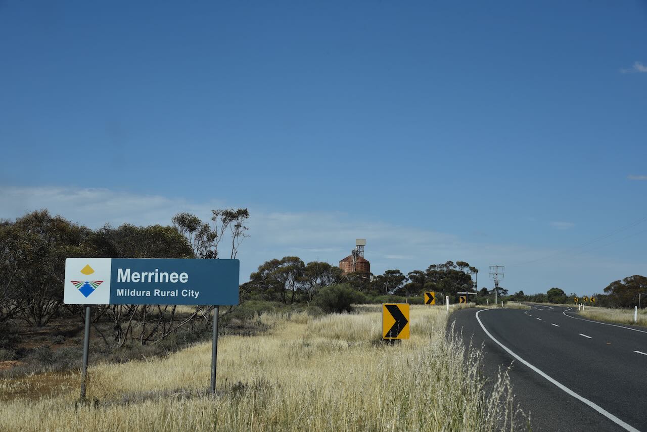
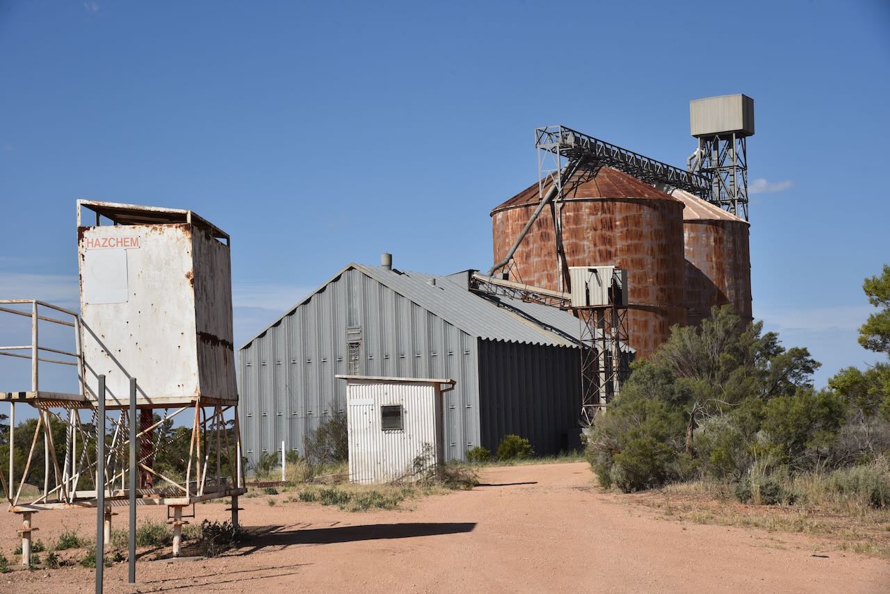
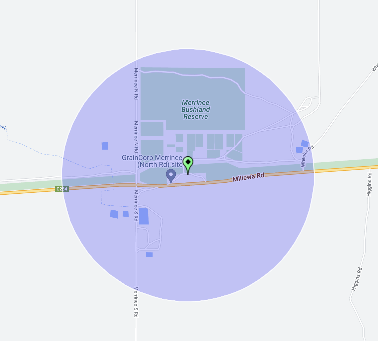
Our fifth activation for Monday 30th October 2023 was the Merrinee Bushland Reserve VKFF-4124 and the Merrinee silo VK-MRE3. Merrinee is about 34 km west of Mildura in northwest Victoria.
Above:- Map showing the location of Merrinee. Map c/o Google Maps.
Merrinee is a locality situated in the Millewa district of northwest Victoria. It is believed that Merrinee is an aboriginal word meaning south or wallaby.
Above:- Map showing the locality of Merrinee. Image c/o Mapshaire Victoria.
The locality is well-signposted on the Millewa Road.
On the 10th day of April 1924, the railway reached Merrinee which had a goods, grain and passenger siding. The Merrinee Post Office opened on the 30th day of May 1924.
Above:- 1923 plan of the township of Merrinee. Image c/o State Library Victoria.
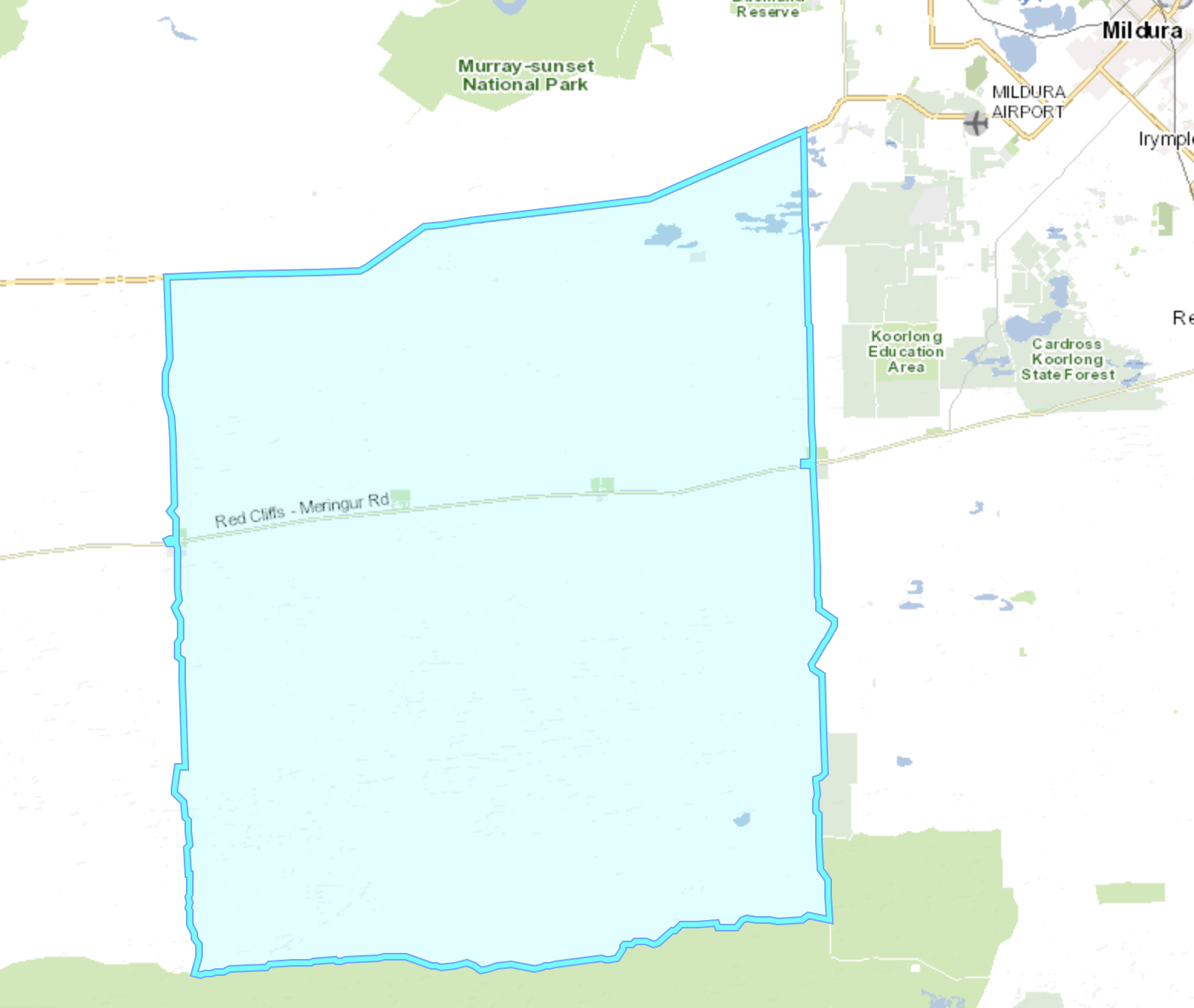
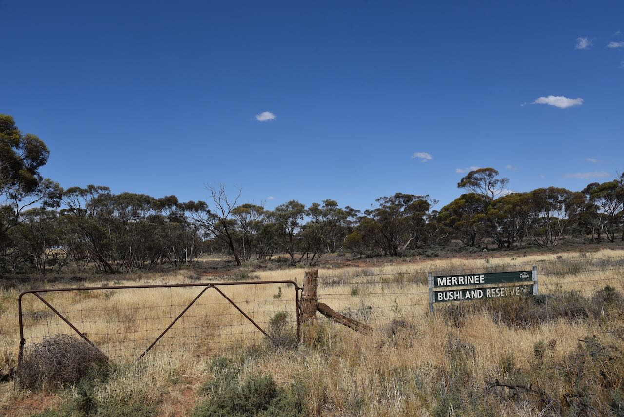
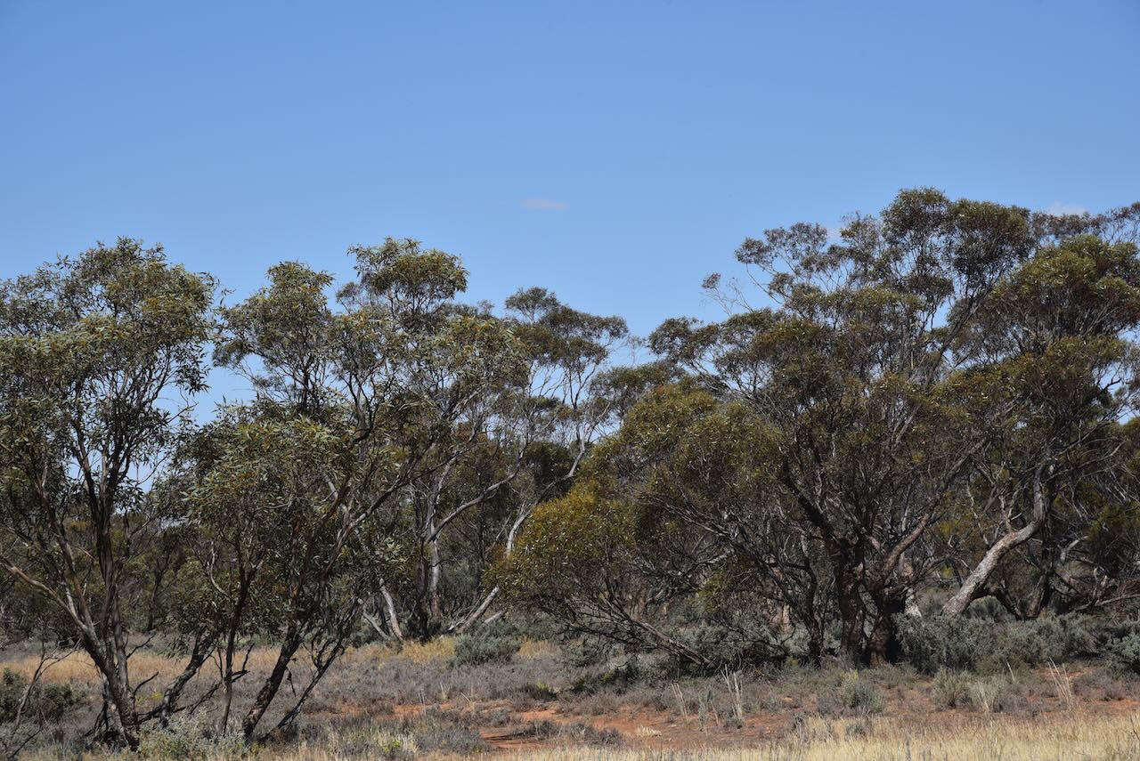
The Merrinee Bushland Reserve is about 51 hectares in size and was established on the 8th day of May 1990.
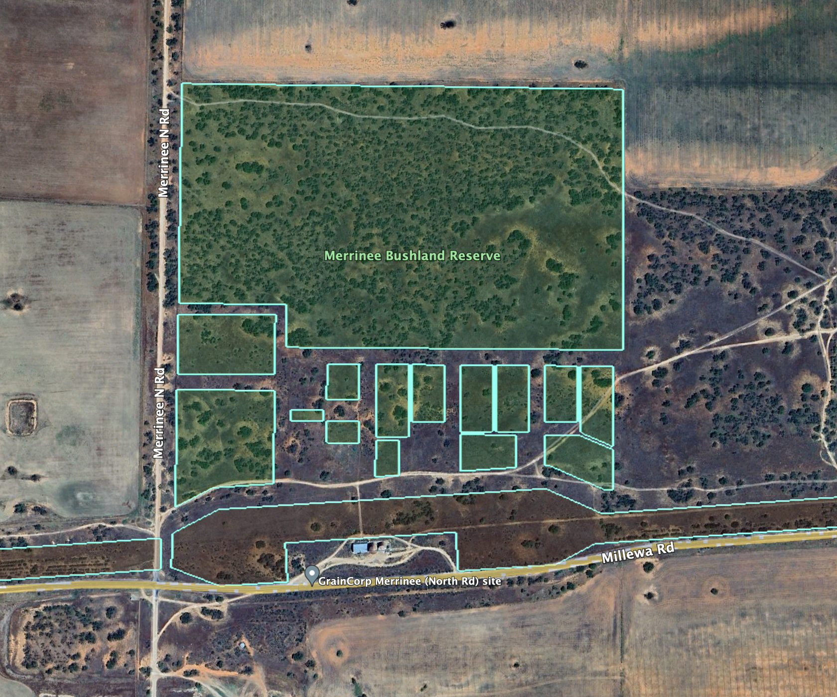
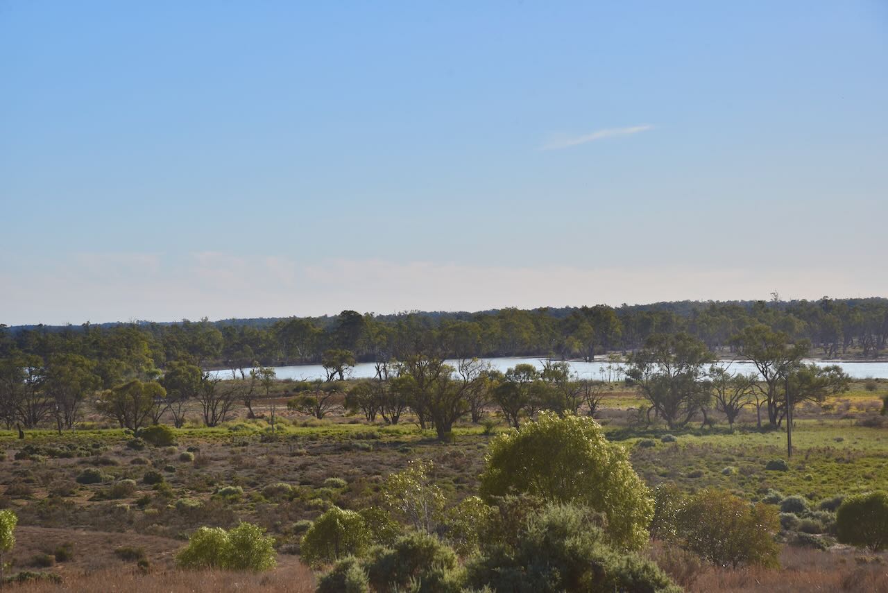
Above:- An aerial view of the Merrinee Bushland Reserve. Image c/o Google Earth.
The park is well-signposted and is divided into several different sections of land on the northern side of Millewa Road.
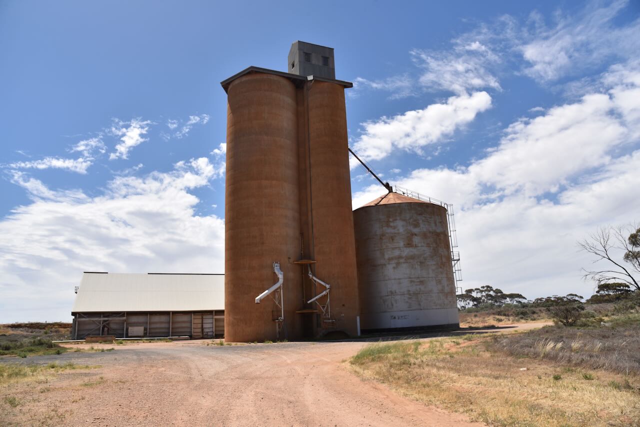
The old Merrinee silos are located on the northern side of Millewa Road.
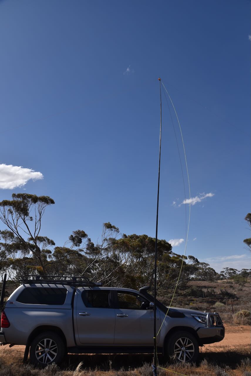
We operated from a dirt track that ran off the Merrinee North Road. This was within the activation zone for the Merrinee silo.
Above:- the activation zone at the Merrinee silo. Image c/o SiOTA database.
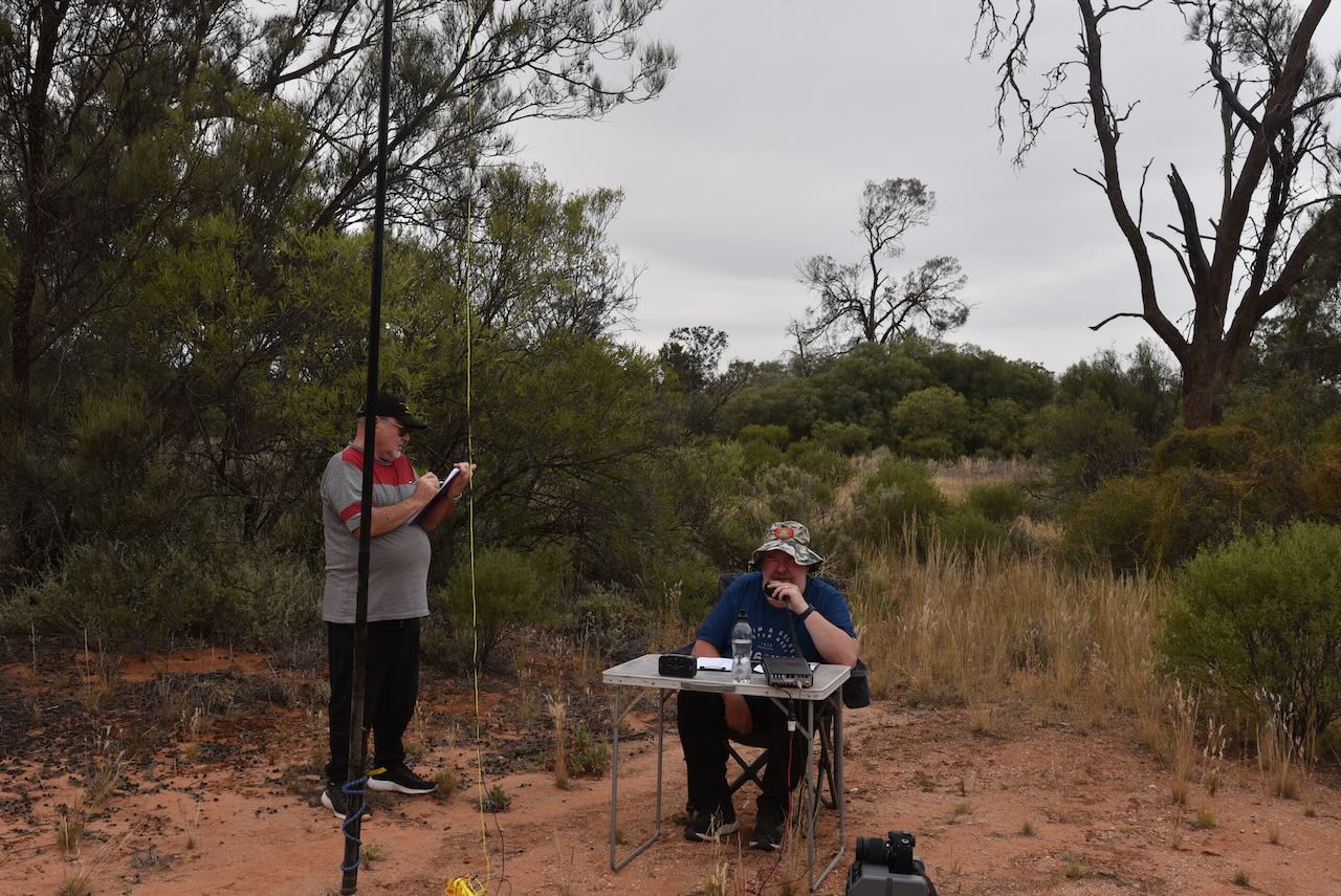
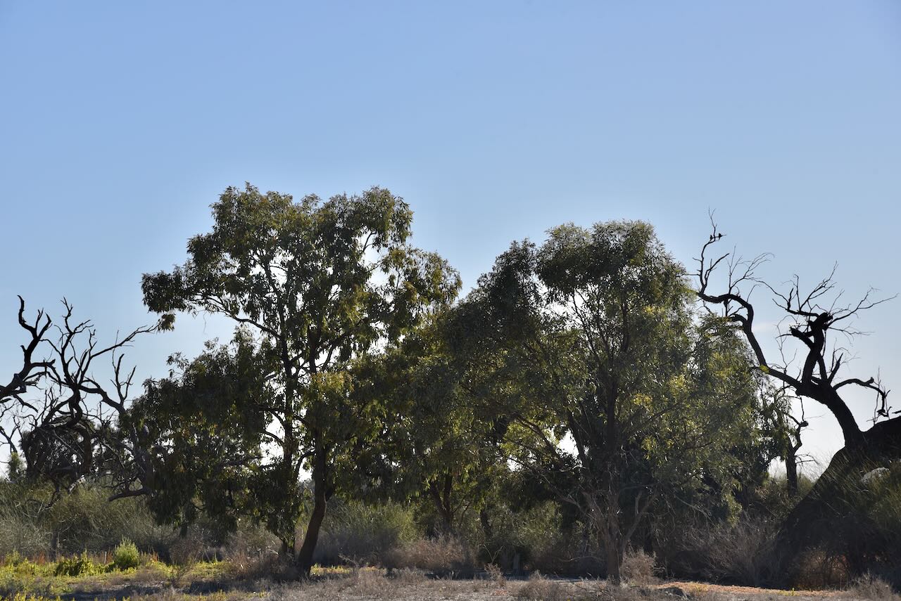
We operated from the vehicle for this activation as the flies outside were relentless. Our antenna was the 20/40/80m linked dipole.
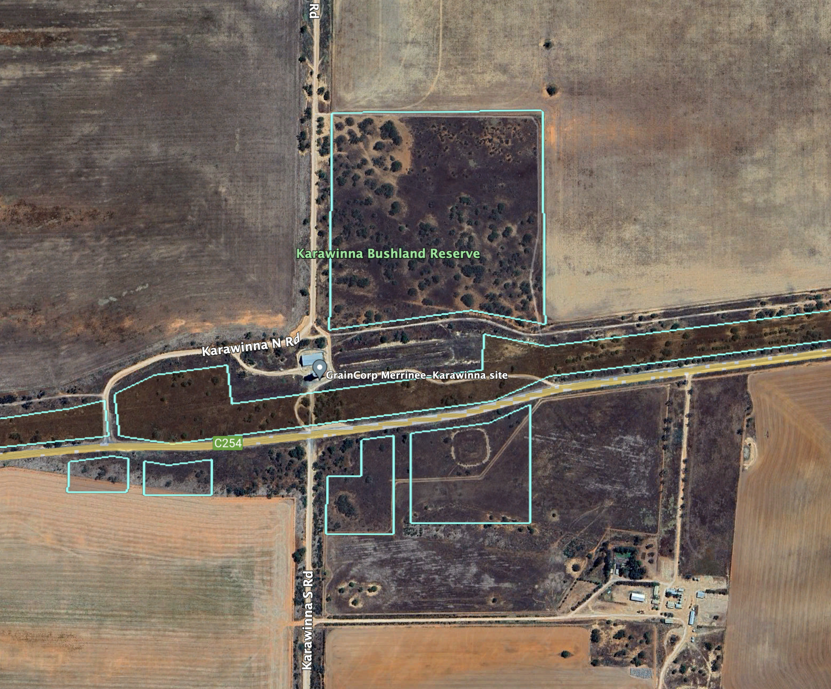
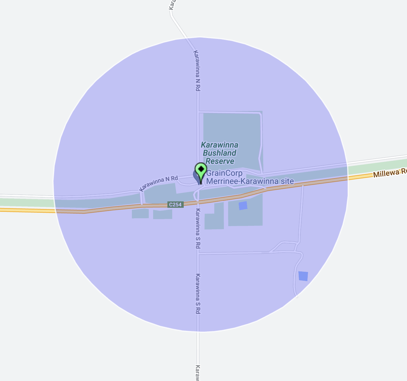
Our next activation for Sunday 30th October 2023 was the Karawinna Bushland Reserve VKFF-4123 and the Karawinna silo VK-KRA3. Karawinna is about 53 km west of Mildura in northwest Victoria.
Above:- Map showing the location of the Karawinna Bushland Reserve. Map c/o Google Maps.
It is believed that Karawinna is an aboriginal word meaning emu. Karawinna once had stores, a school, a public hall and a football club. None of this is evident in current-day Karawinna.
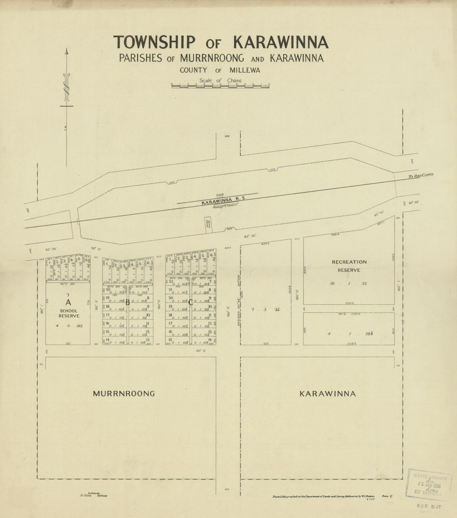
Above:- A plan of the township of Karawinna. Image c/o State Library Victoria.
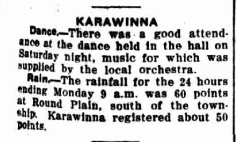
Regular dances were held in the Karawinna hall.
Above:- Article from the Sunraysia Daily, Tue 3 Dec 1935. Image c/o Trove.
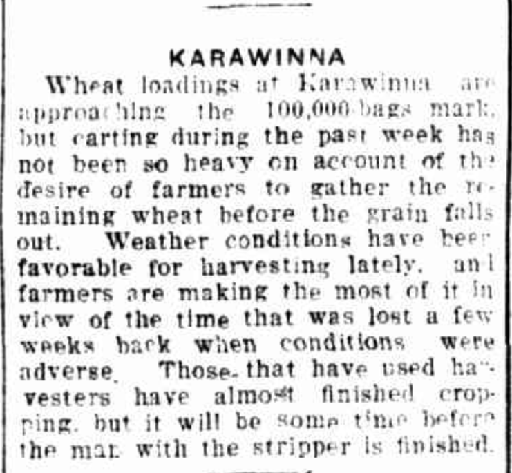
During the 1930s the Karawinna area was in the wheat belt production area in the Millewa region.
Above:- Article from the Sunraysia Daily, Tues 27 Jan 1931. Image c/o Trove.
The Karawinna Bushland Reserve was established on the 1st day of May 1979 and consists of 24 hectares.
The reserve consists of five different sections on the northern and southern sides of Millewa Road.
The Karawinna silos are located on Karawinna North Road, alongside the former railway line.
We drove a short distance along Karawinna North Road and operated from the northern section of the Karawinna Bushland Reserve.
Again for this activation, we ran the Yaesu FT857, 40 watts, and the 20/40/80m linked dipole.
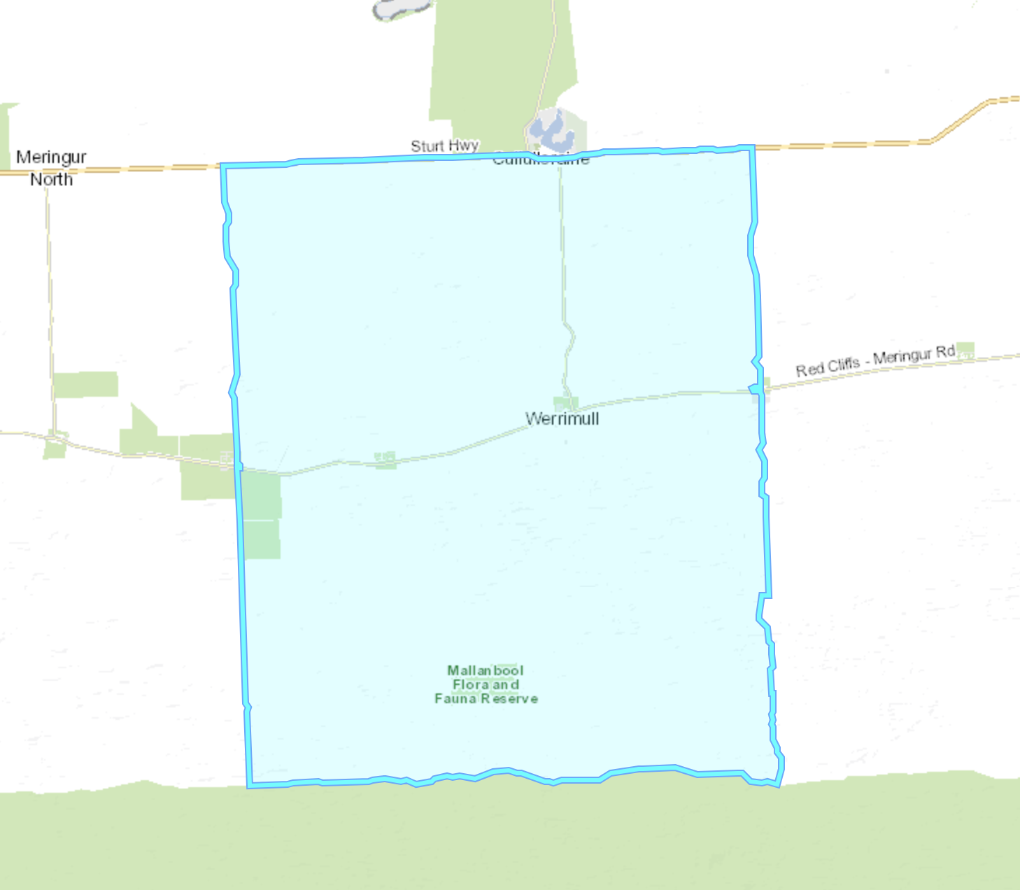
Our next activation for Monday 30th October 2023 was the Werrimul Bushland Reserve VKFF-4122 and the Werrimul silo VK-WRU3.
Above:- Map showing the location of Werrimul in northwest Victoria. Map c/o Google Maps.
Werrimull is a small town and locality in Millewa district of northwest Victoria. The town is located about 79km west of Mildura and 13 km south of the Sturt Highway opposite Lake Cullulleraine.
Above:- Map showing the locality and town of Werrimul. Image c/o Mapshare Victoria.
Werrimull is an indigenous Australian word believed to mean Eagle. Werrimull is sometimes misspelled Werrimul perhaps due to being confused with an indigenous group from the Wimmera region of Victoria.
The Millewa district was first opened up for farming during the 1920s. The railway reached Werrimul in 1923 after a branch line was opened from the Mildura line. The Werrimul Post Office was opened on the 24th day of June 1924. The majority of the settlement in the area was Soldier Settlement with blocks of about one square mile being allocated.
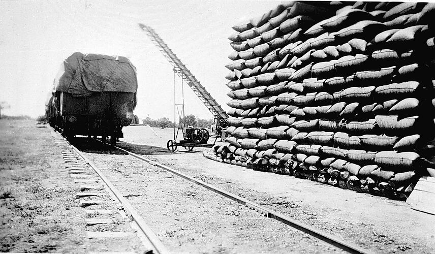
Above:- loading wheat bags at Werrimul, c. 1935. Image c/o Museums Victoria.
At its peak the township of Werrimul had a Bush Nursing Hospital, resident Doctor, Government Offices, S.R & W.S.C. and Lands Department Offices, Police Station, Public Hall, Baby Health Centre, Catholic, Methodist and Anglican churches, C.B.A. Bank and by the late 1930s a Hotel. In 1933 the population of Werrimul was 590 people.
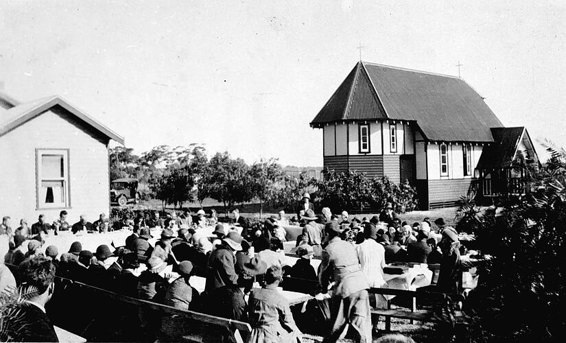
Above:- the opening of a church at Werrimul, c. 1935. Image c/o Museums Victoria.
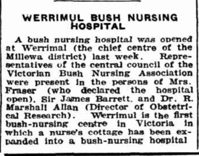
The Werrimul Bush Nursing Hospital was opened in July 1927. The first Doctor was Dr. Davis, followed by Dr. Buxton. In 1945 it became a Bush Nursing Centre with a nurse in charge, but closed in 1947. Hundreds of babies were born at the Bush Nursing Hospital. The Werrimul Police Station now stands on the former site of the hospital.
Above:- Article from the Murray Pioneer, Fri 21 Oct 1927. Image c/o Trove.
Today the main industry in the Werrimul district is grain harvesting including wheat, barley, and oats. The sheep and cattle industry also thrive in the area.
Werrimul still has a Public Hall, Hotel, two Churches, a police station, a swimming pool, a Parks Victoria office, and the P12 School, which is now a P12 School, with many new buildings and a swimming pool.
Our Lady of Lourdes Catholic Church can be found on the Werrimull South Road. The church was opened in 1934 and is constructed of local limestone to a design replicating the Romanesque Churches in Italy. It is registered as a Heritage building by the National Trust.
At the eastern entrance of Werrimil on Millewa Road, you can find the Pioneer Plantation. It contains individual trees marked with the names of the early settlers and their descendants.
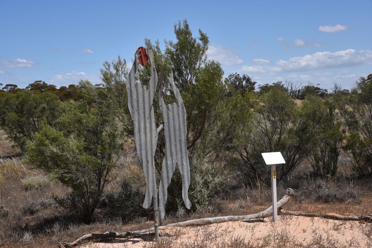
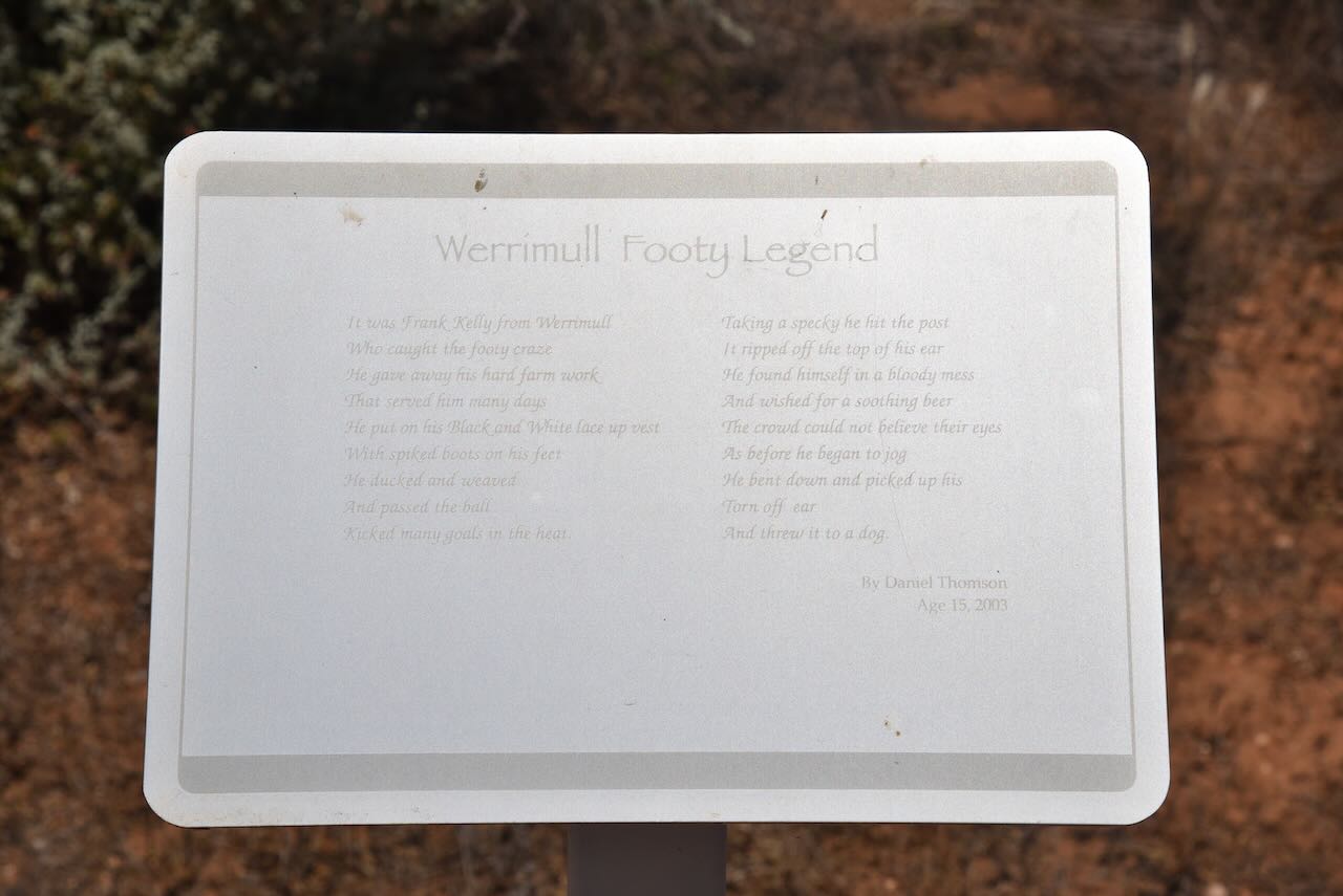
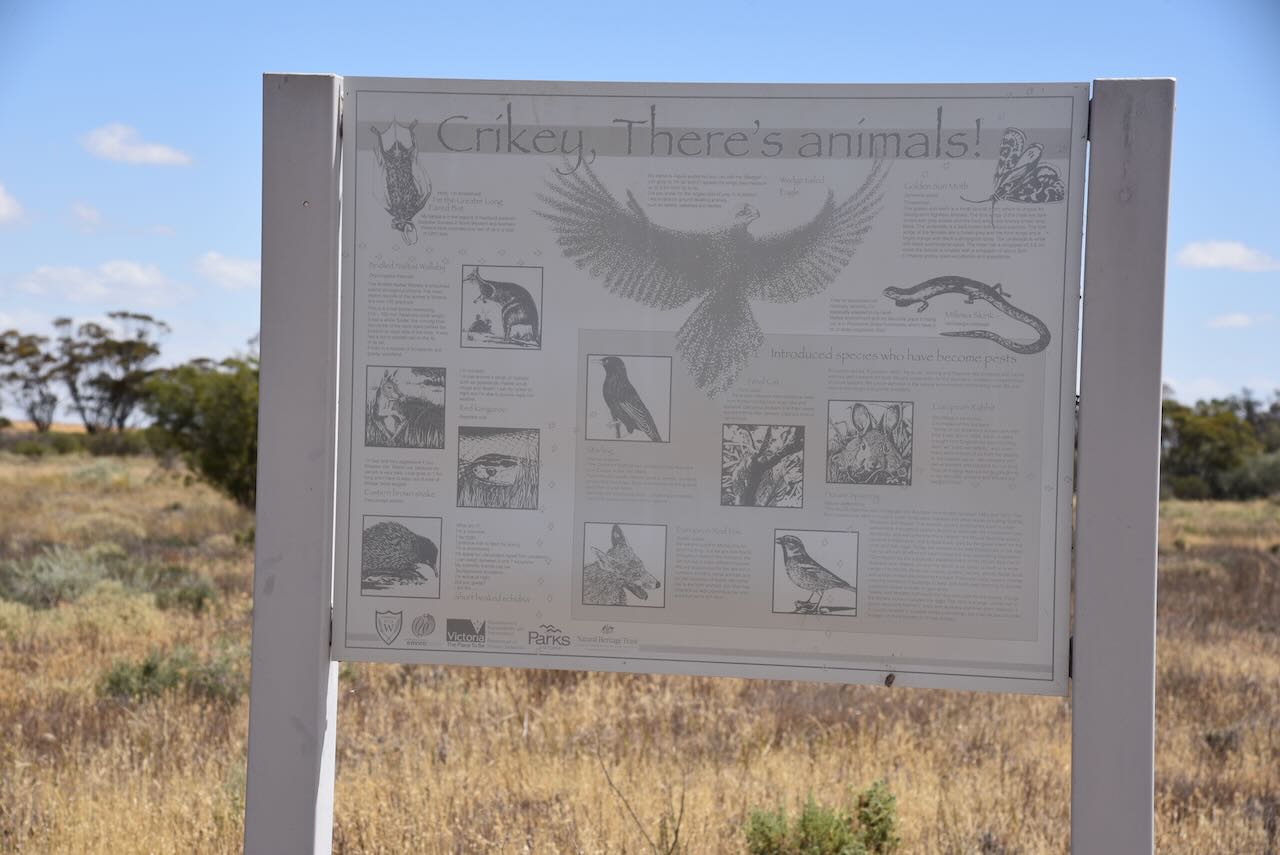
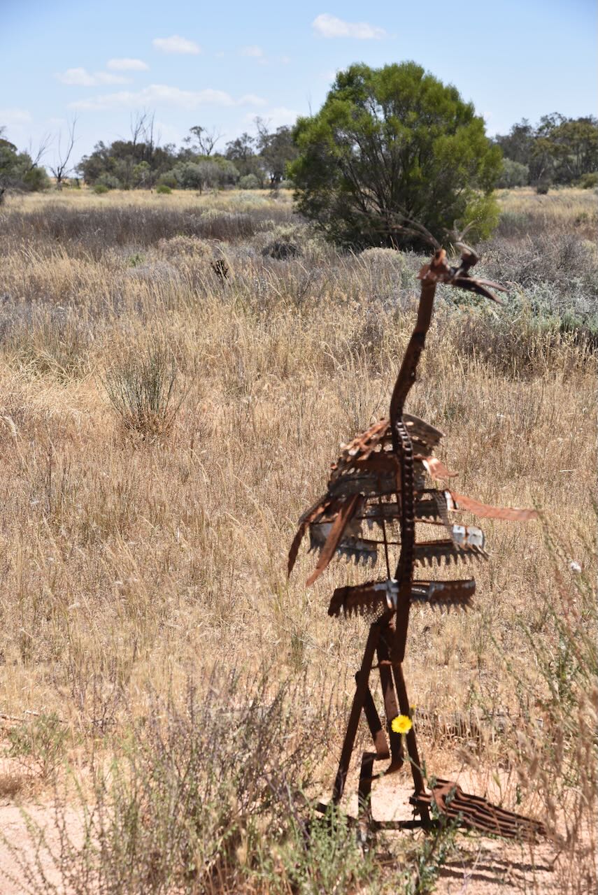
Werrimul once had a recreation oval where Agricultural Shows and sports events were held. This has been transformed by local school students into Mandala: Trail of Discovery. It records the achievements of the past and natural features of the Werrmul district through artwork and poetry.
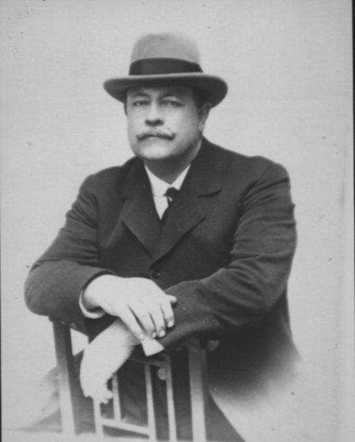
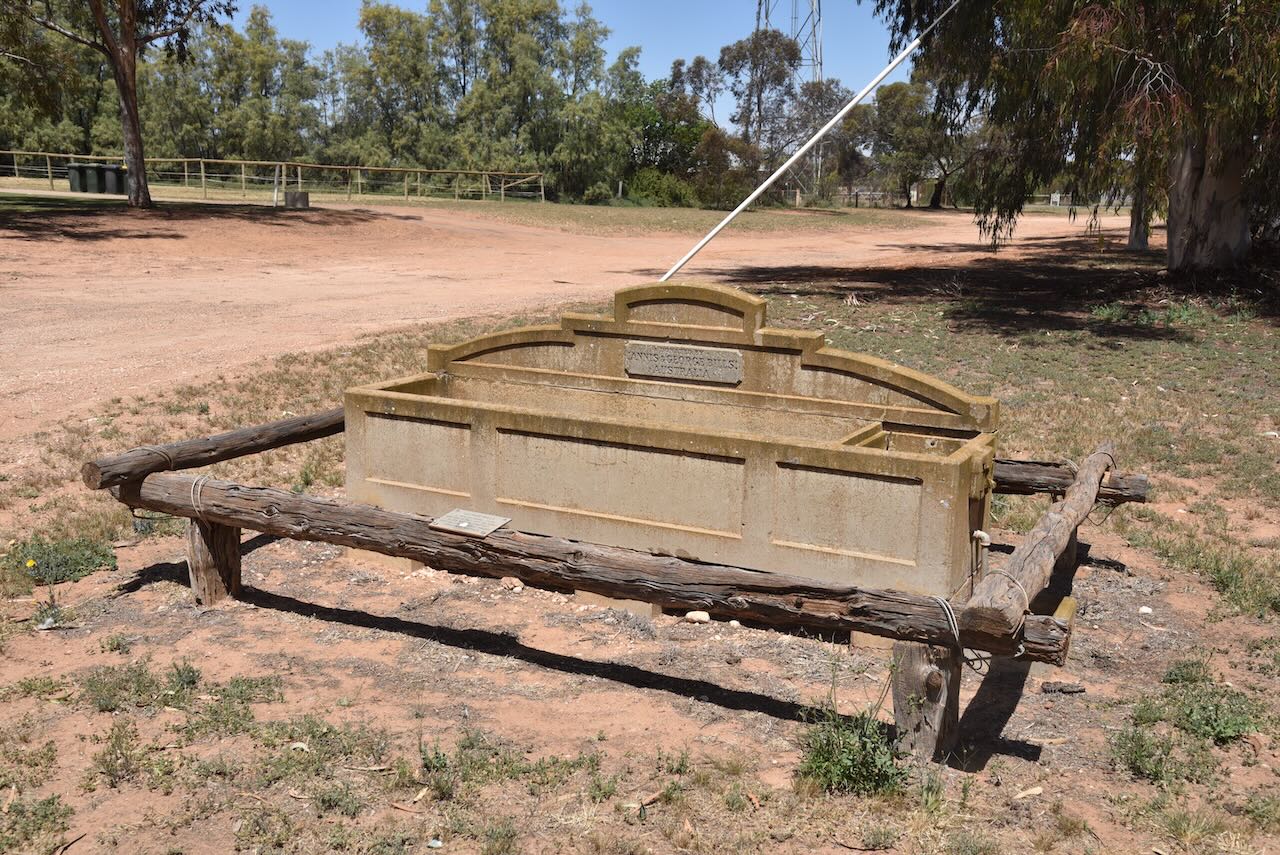
In Werrimul you can find a Bills horse trough. George Bills was born in 1859 in Brighton, England. He migrated with his family to New Zealand and then Australia in 1873. In 1882 George had opened up a bird dealers shop in Brisbane. It was here that George met and subsequently married Annis Seann. They moved to Sydney where George worked with his brothers in an innerspring mattress manufacturing company.
His wife Annis died in 1910, just 2 years after he had retired. In 1924 George became a Life Governor of the Royal Society for the Prevention of Cruelty to Animals.
George and Annis did not have any children and following the death of George in 1927, a Trust Fund of about £70-80,000 was established. One purpose of the trust, as set out in the will of George Bills, was to:
“…construct and erect and pay for horse troughs wherever they may be of the opinion that such horse troughs are desirable for the relief of horses and other dumb animals either in Australasia, in the British Islands or in any other part of the world subject to the consent of the proper authorities being obtained.”
Initially the troughs were individually designed and constructed. Each trough cost £13 plus transport and installation. By the early 1930’s a relative of the Bills family, J.B. Phillips became the head contractor for the construction of the troughs. Each trough contained an inscription:
“Donated by Annis & George Bills Australia”.
About 700 horse troughs were distributed by the trust in Australia and about 50 in several other countries.
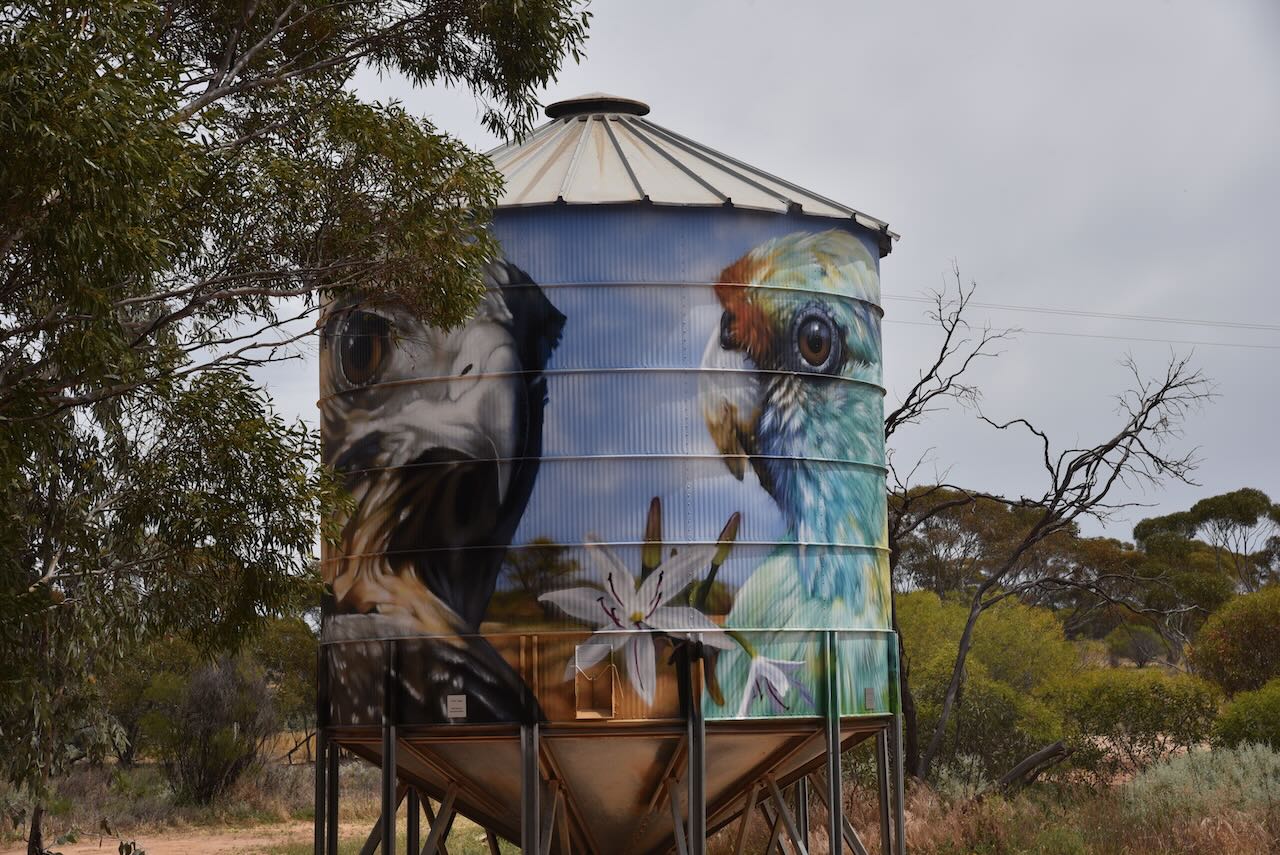
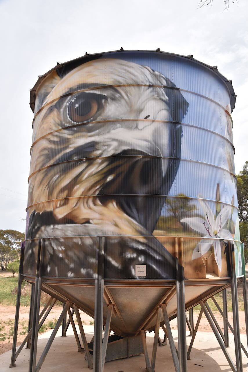
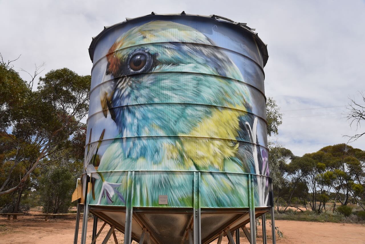
Also in Werrimul, you can find the Werrimul Mobile SIlos which have silo art. They are the work of Jimmy Dvate and Justin Fennelseed, who painted the silos in August 2023. The theme is local flora and fauna.
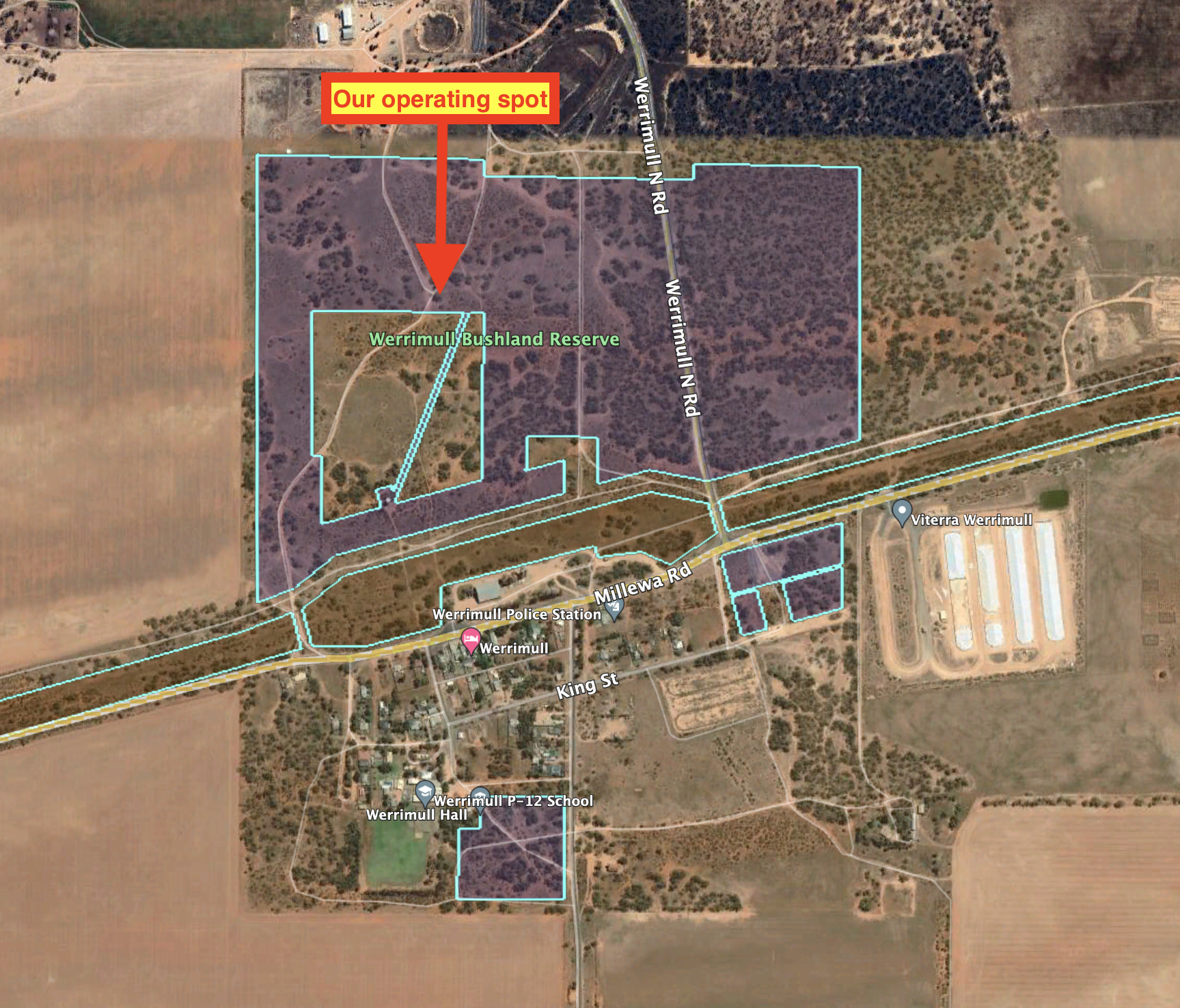
The Werrimul Bushland Reserve is about 79 hectares and was established on the 8th day of May 1990. The park is in three separate sections on the northern and southern side of Millewa Road.
The concrete wheat silo at Werrimul was constructed in about 1940.
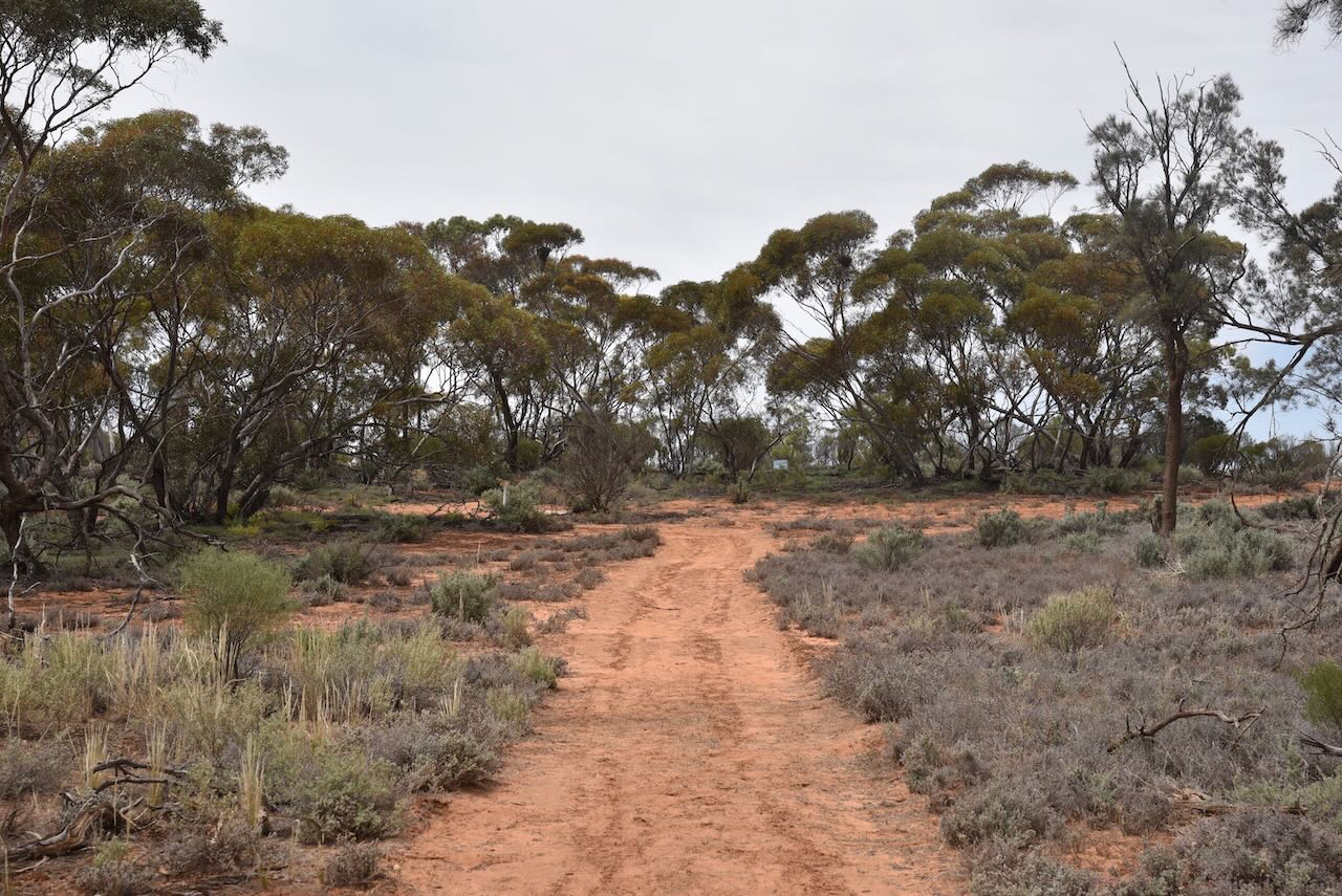
We set up in the northern section of the Werrimul Bushland Reserve and ran the Yaesu FT857, 40 watts, and the 20/40/80m linked dipole.
Above:- An aerial shot of the Werrimul Bushland Reserve showing our operating spot. Image c/o Google Maps.
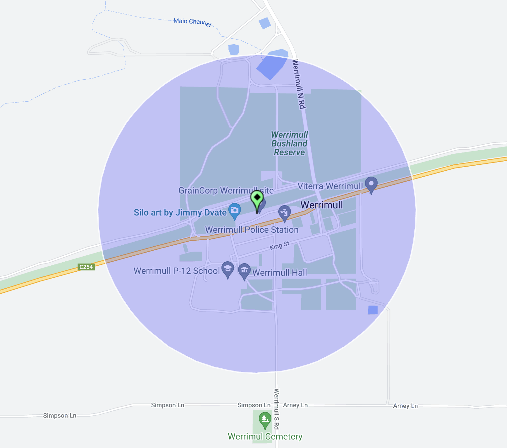
We were well within the activation zone of the Werrimul silo.
Above:- the activation zone at the Werrimul silo. Image c/o SiOTA website.
Marija worked the following stations on 40m SSB:-
VK2VH
VK4AAC
VK5HS
VK3BBB
VK2CCP
VK3TKK/m
VK5KVA
VK3APJ
VK5KLV
VK1AO/p (Mount Ainslee Nature Reserve VKFF-0850)
VK2MET/p (Mount Ainslee Nature Reserve VKFF-0850)
VK3PF/p (Boonoornar Bushland Reserve VKFF-4146)
VK2IO/p (Cooltong Conservation Park VKFF-0823)
Marija worked the following stations on 20m SSB:-
VK2BYF/p (Trevallyn Nature Recreation Area VKFF-1156)
VK2VT/p (Trevallyn Nature Recreation Area VKFF-1156)
VK2GOM/p (Trevallyn Nature Recreation Area VKFF-1156)
VK2VAR/p (Trevallyn Nature Recreation Area VKFF-1156)
VK1AO/p (Mount Ainslee Nature Reserve VKFF-0850)
VK2MET/p (Mount Ainslee Nature Reserve VKFF-0850)
VK2IO/p (Cooltong Conservation Park VKFF-0823)
I worked the following stations on 40m SSB:-
VK5HS
VK2VH
VK4AAC
VK3BBB
VK2CCP
VK3TKK/m
VK5KVA
VK3APJ
VK5KLV
VK1AO/p (Mount Ainslee Nature Reserve VKFF-0850)
VK2MET/p (Mount Ainslee Nature Reserve VKFF-0850)
VK5IS
VK3PF/p (Boonoornar Bushland Reserve VKFF-4146)
VK2EXA
VK2GQR
VK3SQ
VK2BD
VK2IO/p (Cooltong Conservation Park VKFF-0823)
VK3CTF
VK3MTT
VK3CWF
VK3ZSC
VK5CZ
VK3CEO
VK3KRL
VK3PF/m
VK3FABS
VK3KAI/m
VK5FANA
VK3VMM
VK3CJN
VK3MCA
VK3UH
I worked the following stations on 40m AM:-
VK5HS
VK3VMM
I worked the following stations on 20m SSB:-
VK2BYF/p (Trevallyn Nature Recreation Area VKFF-1156)
VK2VT/p (Trevallyn Nature Recreation Area VKFF-1156)
VK2GOM/p (Trevallyn Nature Recreation Area VKFF-1156)
VK2VAR/p (Trevallyn Nature Recreation Area VKFF-1156)
After packing up at Yarrara (30th October 2023), we made the decision to head back down the road the short distance to activate the Merringur silo.
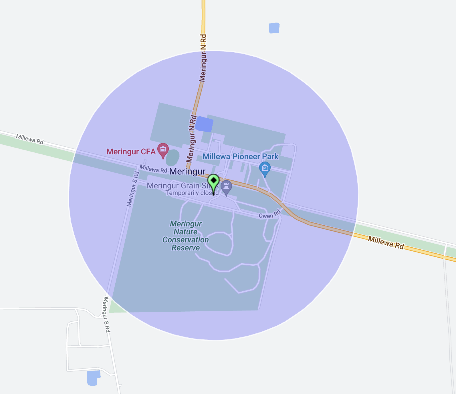
The Morkala-Red Cliffs Railway Bushland Reserve is within the activation zone of the Meringur silo.
Meringur is a locality in northwestern Victoria in the Millewa district. It is located at the western end of the Red Cliffs-Meringur Road towards the South Australian border. Meringur is an aboriginal word believed to mean grey kangaroo.
The railway to Meringur opened in 1925. The station had facilities to handle passengers, sheep and grain. In 1926 land was subdivided and the township of Meringur was born.
Above:- A plan of the township of Meringur. Image c/o State Library Victoria.
The Meringur Post Office opened on the 2nd day of February 1926. The town steadily grew and soon had a population of about 150 people. The town had an open-air Palais theatre, general store, post office, milk bar, tea rooms, bakehouse, dressmaker, mechanics shop, hardware store, guest house, hairdresser, saddlery store, greengrocer, tobacconist, timber yard, blacksmith, butchers, billard room, ice works, hall and a school.
An old store in Meringur, c. 1925. Image c/o Museums Victoria.
Following the reallocation of the farms in 1948, the Millewa district decreased in population. Werrimull located in the middle of the Millewa district became the district centre, and many of Meringur’s stores closed. Meringur’s current population is about 20 people and the sole remaining business is the Meringur Post Office.
Our first activation for Monday 30th October 2023 was the Morkalla-Red Cliffs Railway Bushland Reserve VKFF-4217 and the Yarrara silo VK-YRA3.
Above:- Map showing the location of the Morkalla-Red Cliffs Railway Bushland Reserve. Map c/o Google Maps.
After breakfast at McDonalds in Renmark, we headed over the South Australian State border into the State of Victoria.
Along the way, we logged David VK5DG who was activating the Cooltong Conservation Park VKFF-0823. Signal reports of 5/9 both ways were exchanged. A short distance further along the Sturt Highway we pulled in quickly to the Murray Sunset National Park VKFF-0373 to make a Park to Park contact with David VK5DG.
A little further along the Sturt Highway, we logged Tony VK3YV who was activating the Hattah Kulkyne National Park VKFF-0231. We then spoke with Peter VK3PF who was activating Carwarp West I12 Bushland Reserve VKFF-4143.
We turned off the Sturt Highway and travelled south along the Merringur North Road until we reached the little town of Merringur in the Millewa district of northwest Victoria. The Merringur Post Office opened on the 2nd day of February 1926, with the railway reaching the area the year prior in 1925.
The Millewa is a large strip of land situated between sections of the Murray Sunset National Park. Its boundaries are the Murray River to the north, Mildura to the east, the South Australia state border to the west, and the Murray Sunset National Park to the south. It was once inhabited by the Latje Latje aboriginal people.
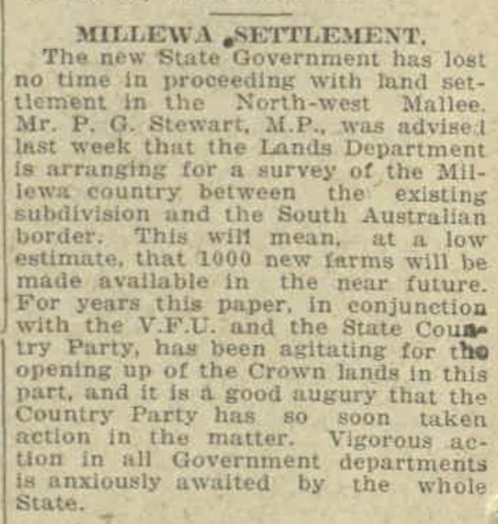
During the 1920s the Millewa region was opened up for settlement. Prior to this, only large pastoral holdings existed in the region. Prospective settlers were allocated an average of 750 acres of land as purchase leases for agriculture. By 1928 a total of 600,000 acres of land had been taken up by 708 settlers. This was not easy living. The land was semi-arid and experienced about 250mm of rain annually.
Above:- Article from the Countryman, Melbourne, Fri 28 Nov 1924. Image c/o Trove.
Today the Millewa region is a successful grain growing district, producing high protein quality wheat and malting grade barley. Much of this success has been due to the piping of water from the Murray River.
It was often slow going on the roads with farm machinery traversing the roads between farming properties.
We continued on to Yarrara, as I had not initially planned to activate the silo at Merringur. Our plans were to activate the Yarrara silo which was in the activation zone of the Morkalla-Red Cliffs Railway Bushland Reserve.
Above:- The activation zone at the Yarrara silo. Image c/o SiOTA website.
Morkalla is a locality in the Sunraysia region of Victoria. It is located at the farthest west point on the Redcliffs-Meringur Road. Morkalla is an aboriginal word meaning night. Following the end of the First World War, the Morkalla district was opened up to soldier settlers.
Above:- a plan of the township of Morkalla. Image c/o State Library Victoria.
To assist the settlers, the branch line west from Red Cliffs on the Mildura railway line was extended to Morkalla in 1931. It had been extended to Werrimull in 1924 and to Meringur in 1925. Morkalla was the furthest railway station from Melbourne.
Above:- An article from the Ouyen Mail, Wed 24 Jun 1931. Image c/o Trove.
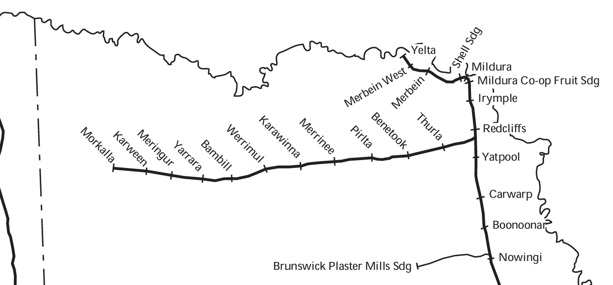
There were stations/sidings at the following locations along the branch line (their aboriginal names are also included):
Thurla opened 10th April 1924, closed 5th June 1939.
Benetook – opened 10th April 1924, closed 5th June 1939 – ankle
Pirlta – opened 10th April 1924, closed 5th June 1939 – opossum
Merrinee – opened 10th April 1924, closed 5th June 1939 – south or wallaby
Karawinna – opened 10th April 1924, closed 5th June 1939 – eaglehawk
Werrimul – opened 10th April 1924, closed 5th June 1939 – emu
Bambill – opened 30th October 1925, closed 5th June 1939 – box tree
Yarrara – opened 30th October 1925, closed 5th June 1939 – wood
Merringur – opened 30th October 1925, closed 5th June 1939 – Grey female kangaroo
Karween – opened 16th June 1931, closed 5th June 1939 – grass tree
Morkalla – opened 16th June 1931, closed 5th June 1939 – night.
By 1939 Railway passenger facilities had been removed at Morkalla and in 1964 the line was closed. Not much remains at Morkalla apart from a few old sleepers indicating where the railway line once ran and the goods platform existed. Just the old railway platform exists at Karween. The old silos still exist at Merringur, along with the excellent Millewa Pioneer Park. This excellent pioneer park is well worth the visit if you are in the area. Nothing is evident at Bambil. The old silos still stand at Werrimul along with an old platform. Silos and the old good platform exist at Karawinna. Silos exist at Merinee and Pirlta. No sign of the railway exists at Benetook and Thurla.
Above:- Train crew posing next to the milepost indicating 403 miles (648 km) by rail from Melbourne on the Morkalla-Red Cliffs line. Image c/o Newport Railway Museum Facebook page.
Today, a two-kilometre section of the old 1600 mm gauge railway line has been converted to 610 mm gauge for a tourist train that operates on the line run by the Red Cliffs Historical Railway.
The remainder of the line is now the Morkalla-Red Cliffs Railway Bushland Reserve which is about 565 hectares in size and was established in May 1990.
We set up at Yarrara in the Reserve and within the activation zone of the Yarrara silo.
Yarrara, once a thriving community, is an aboriginal word meaning wood.
Above:- Plan of the township of Yarrara. Image c/o State Library Victoria.
Above:- harvesting at Yarrara, c. 1927. Image c/o Museums Victoria.
The Yarrara station opened on the 30th day of October 1925 and closed on the 5th day of June 1939.
Image c/o Millewa History photos Facebook page.
Today very little remains of Yarrara. There are a few scattered houses and the silos of course. The town once flourished and had a Country Women’s Association, its own football club and an oval. The Yarrara Hall which was opened in 1935 and closed in 1944, is now located in the Millewa Pioneer Village at Meringur.
Above:- An aerial view of Yarrara. Image c/o Google Maps.
Other than the Railway Bushland Reserve, Yarrara also has the Yarrara Nature Conservation Reserve in close proximity.
The Yarrara silos are constructed of steel and have 50,000 bushel capacity.
Above:- part of an article from The Horsham Times, Tue 14 Mar 1933. Image c/o Trove.
Above:- article from the Sunraysia Daily, Tues 7 Mar 1933. Image c/o Trove.
We ran the Yaesu FT857, 40 watts, and the 20/40/80m linked dipole for this activation, in an inverted v configuration, supported by a 7-metre heavy-duty telescopic squid pole.
Marija worked the following stations on 40m SSB before the UTC rollover:-
VK2USH
VK2EXA
VK3CLD
VK2GOM/p (Kate Reed Nature Recreation Area VKFF-1141)
VK2VAR/ (Kate Reed Nature Recreation Area VKFF-1141
VK2BYF/p (Kate Reed Nature Recreation Area VKFF-1141)
VK2VT/p (Kate Reed Nature Recreation Area VKFF-1141)
VK3OAK/p (Murray River National Park VKFF-0372)
VK3PWG/p (Murray River National Park VKFF-0372)
VK2IO/p (Murray River National Park VKFF-0372)
VK3PF/p (Carwarp West I12 Bushland Reserve VKFF-4143)
VK3YV/p (Hattah-Kulkyne National Park VKFF-0231)
Marija worked the following stations on 40m SSB after the UTC rollover:-
VK1DI/p (Hattah-Kulkyne National Park VKFF-0231)
VK3PF/p (Boonoornar Bushland Reserve VKFF-4146)
I worked the following stations on 40m SSB before the UTC rollover:-
VK2USH
VK2EXA
VK3CLD
VK2GOM/p (Kate Reed Nature Recreation Area VKFF-1141)
VK2VAR/ (Kate Reed Nature Recreation Area VKFF-1141
VK2BYF/p (Kate Reed Nature Recreation Area VKFF-1141)
VK2VT/p (Kate Reed Nature Recreation Area VKFF-1141)
VK3OAK/p (Murray River National Park VKFF-0372)
VK3PWG/p (Murray River National Park VKFF-0372)
VK2IO/p (Murray River National Park VKFF-0372)
VK3PF/p (Carwarp West I12 Bushland Reserve VKFF-4143)
VK3APJ
VK3YV/p (Hattah-Kulkyne National Park VKFF-0231)
VK5AHZ
VK5AYL
VK3TKK/m
VK3VIN
VK5HOL/m
VK3CWF
VK3CEO
VK3SO
VK5HS
VK5IS
VK3NAD
VK5FIVE
VK5AAF
VK3VMM
VK3UH
VK1AD
VK1NAM
VK1DI/p (Hattah-Kulkyne National Park VKFF-0231)
I worked the following stations on 40m SSB after the UTC rollover:-
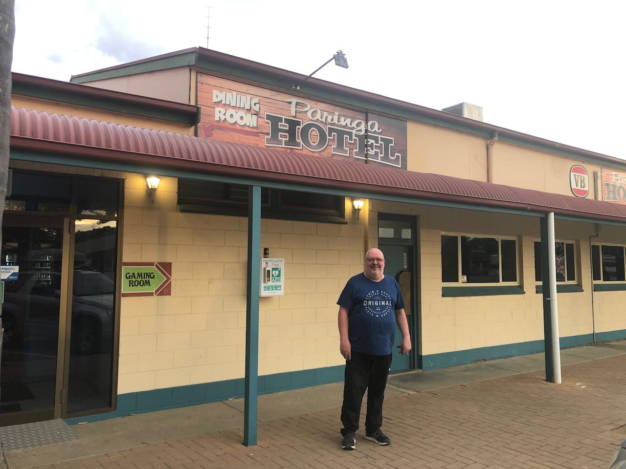
As we headed back into Renmark from Chowilla, a small group of us gathered on 40m, including myself in the mobile. As a result, we agreed to head out for dinner together at the Parilla Hotel.
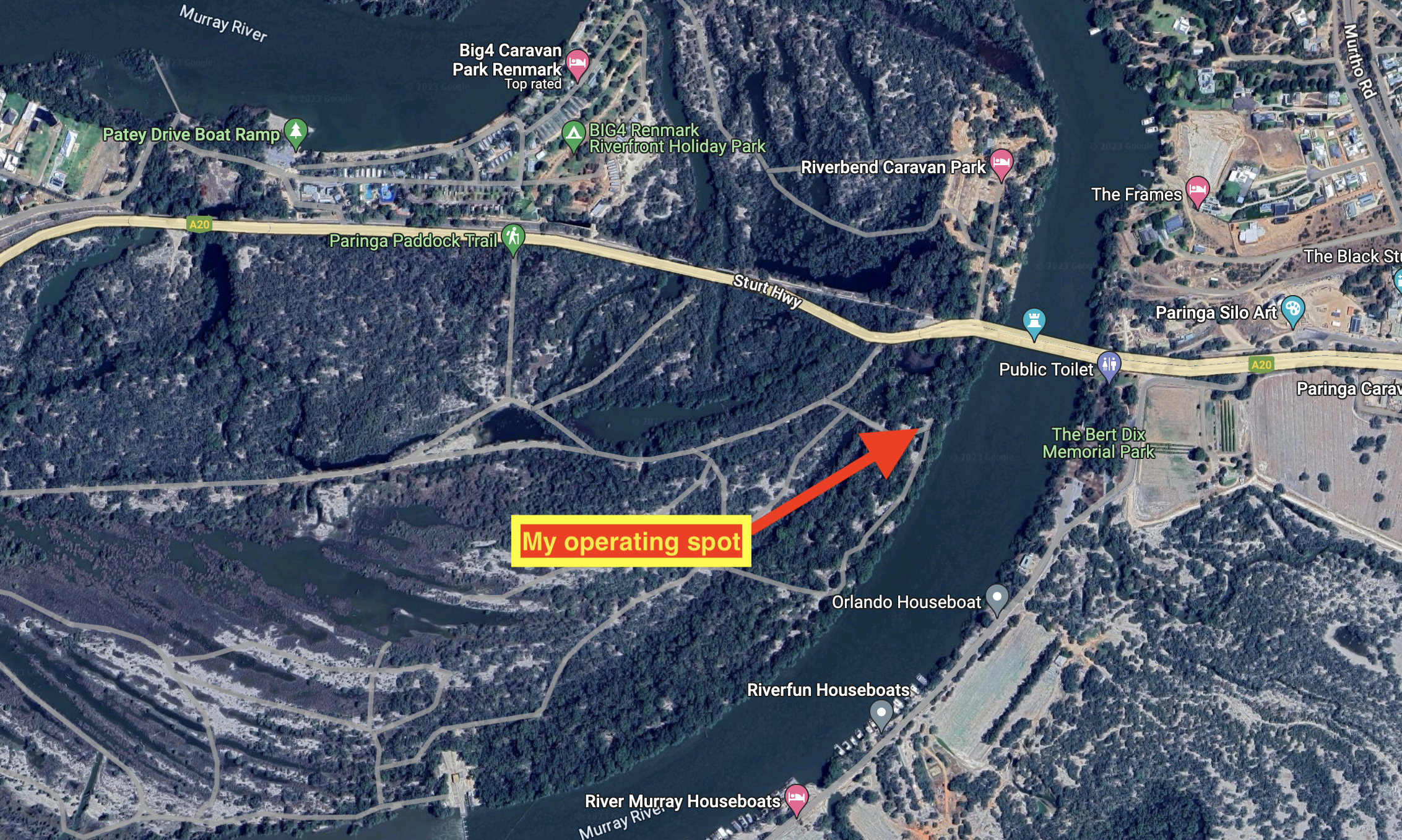
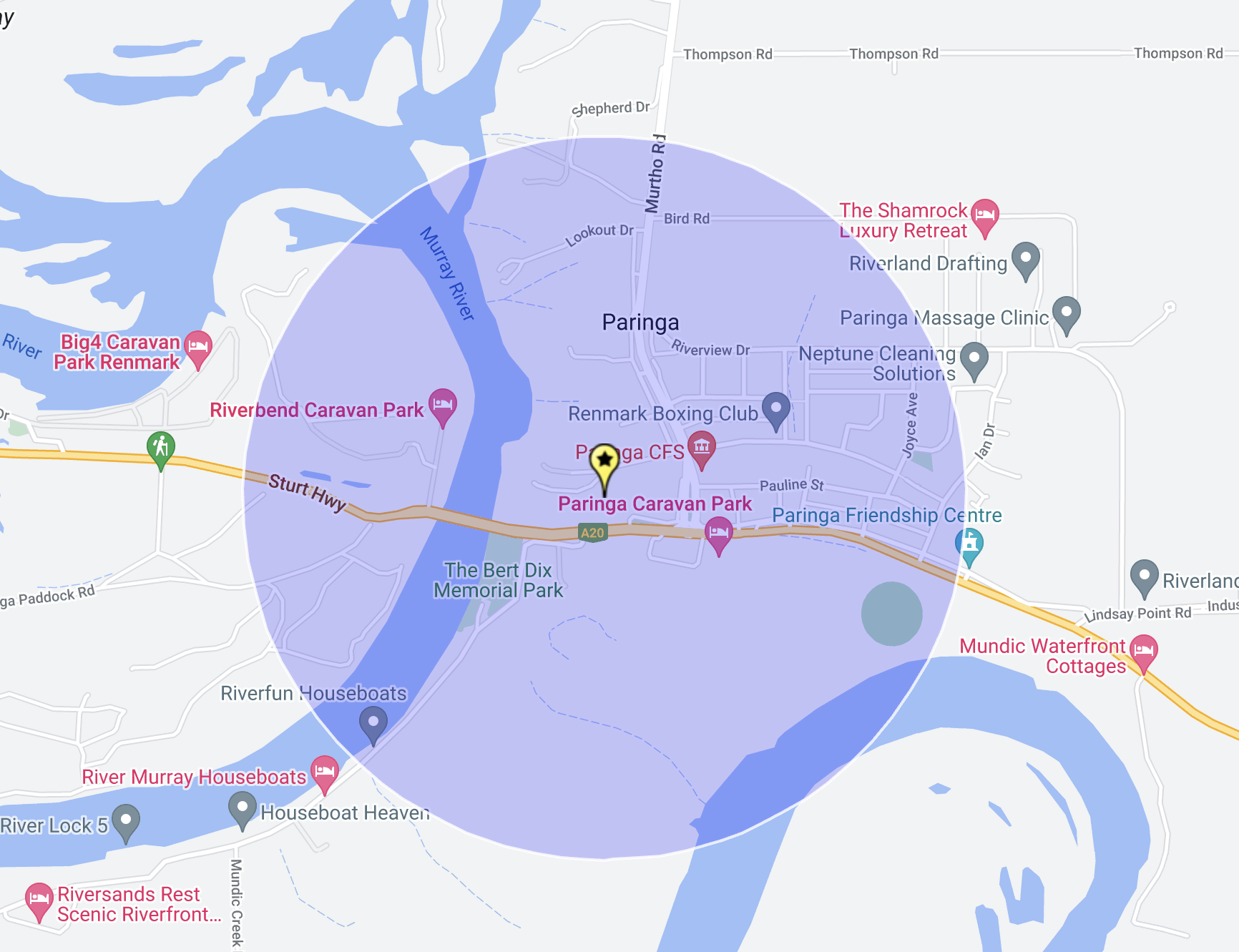
Once back in Renmark, Marija and Hans decided to have a rest. I chose to head out for a quick activation at the Paringa Paddock section of the Murray River National Park VKFF-0372. Peter Hunter, the Mayor of Renmark delivered a very interesting presentation on Saturday evening at the 2023 VKFF National Get-Together about the Paringa Paddock section of the Murray River National Park. As a result, I was very keen to have a look at this section of the National Park.
Above:- An aerial view of Paringa Paddock showing my operating spot. Image c/o Google Maps.
My operating spot was within the activation zone of the Paringa silo VK-PRG5.
Above:- The activation zone of the Paringa silo. Image c/o SiOTA website.
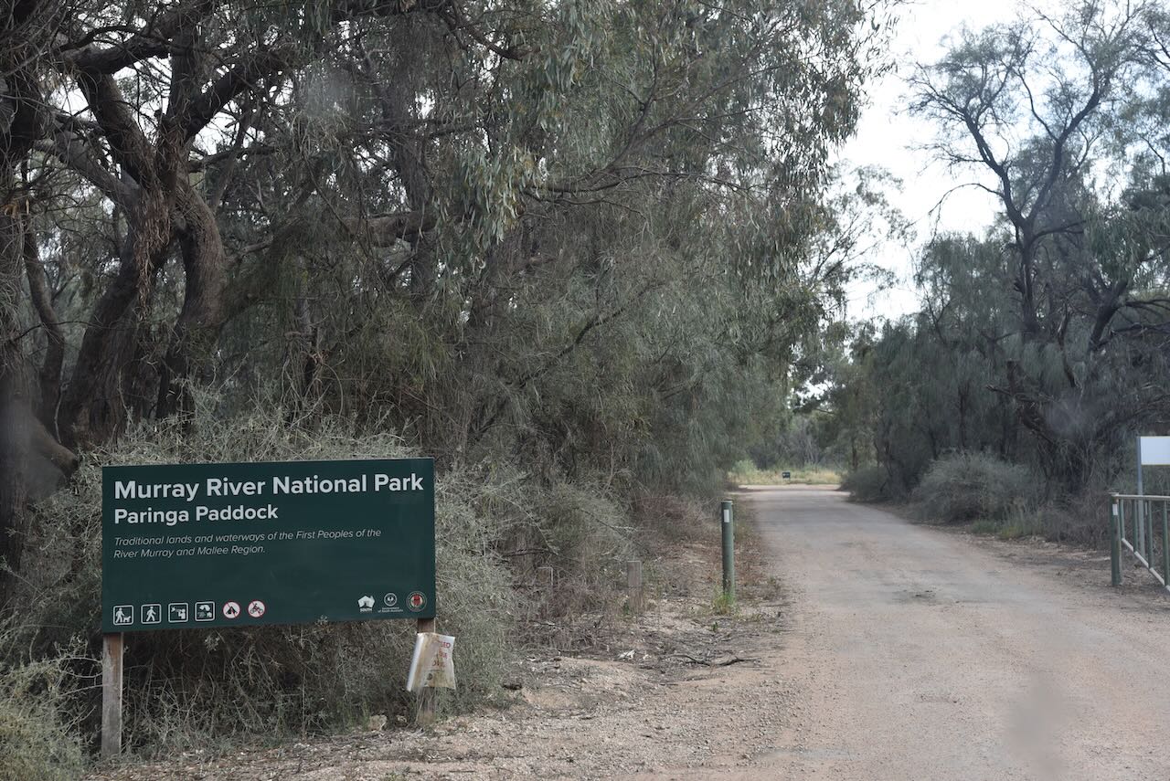
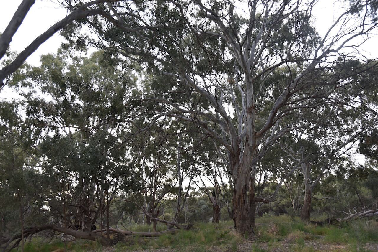
The Paringa Paddock is a newly declared section of the Murray River National Park. It is well-signposted off the Sturt Highway between Renmark and Paringa.
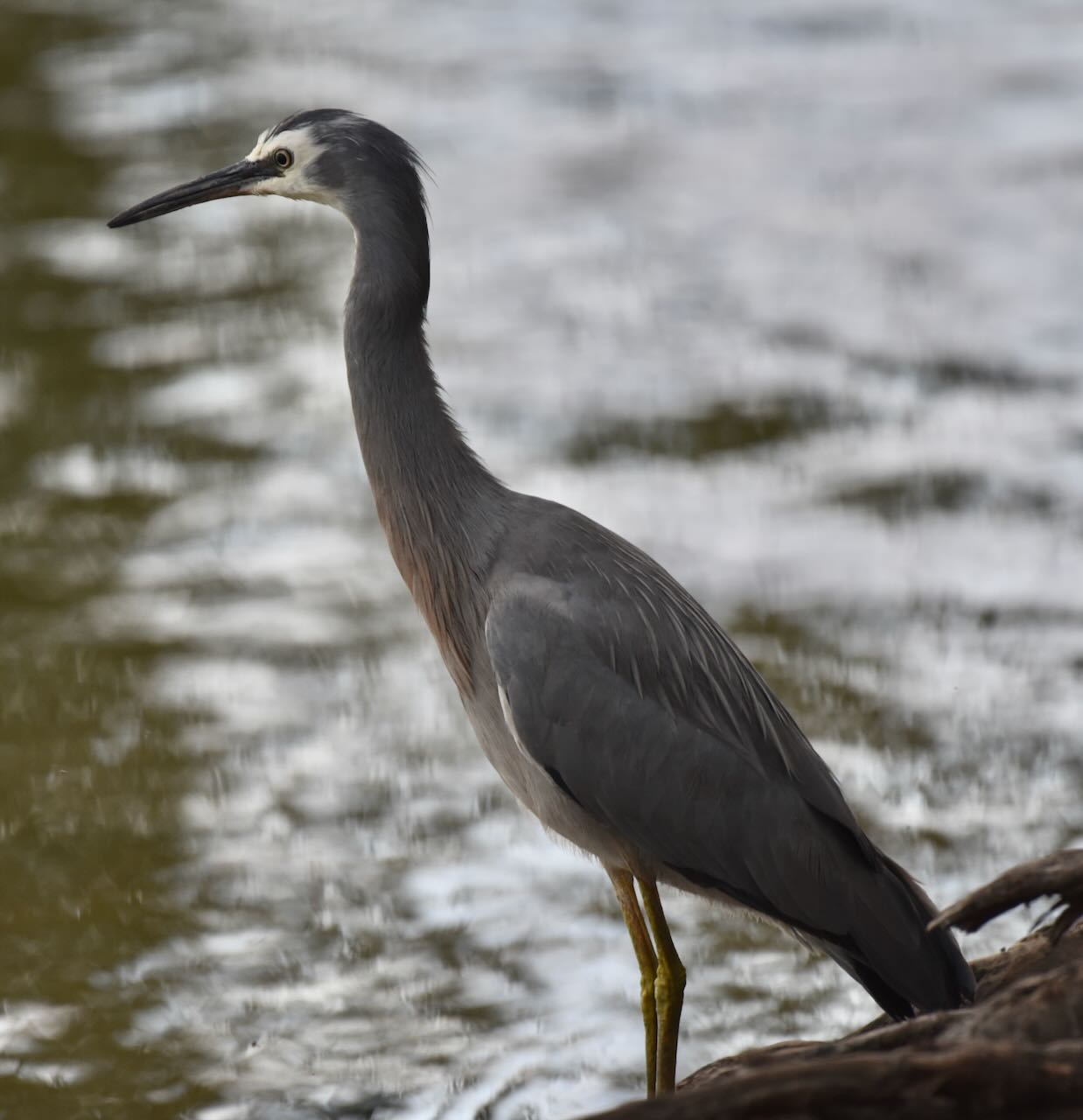
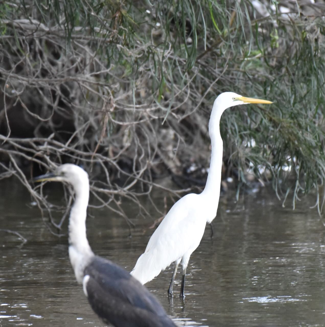
This section of the park was alive with birdlife during my visit.
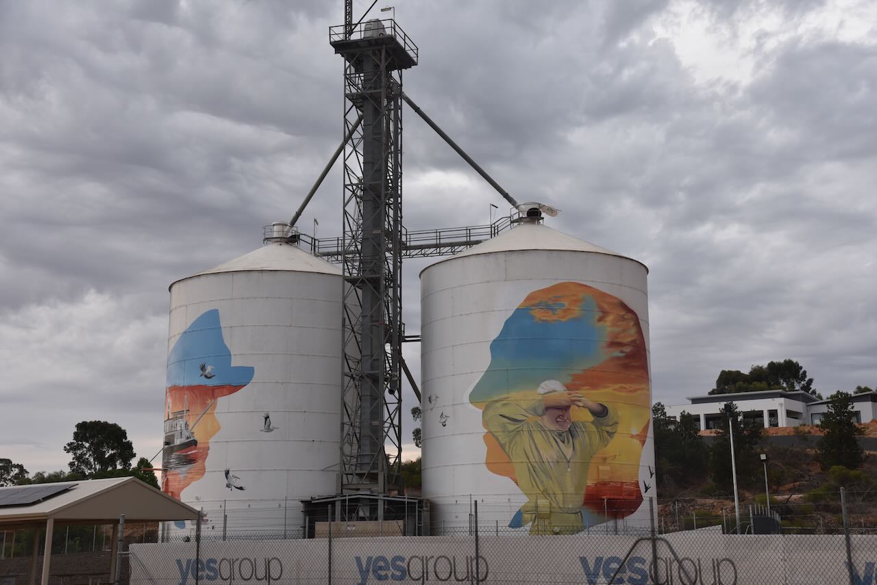
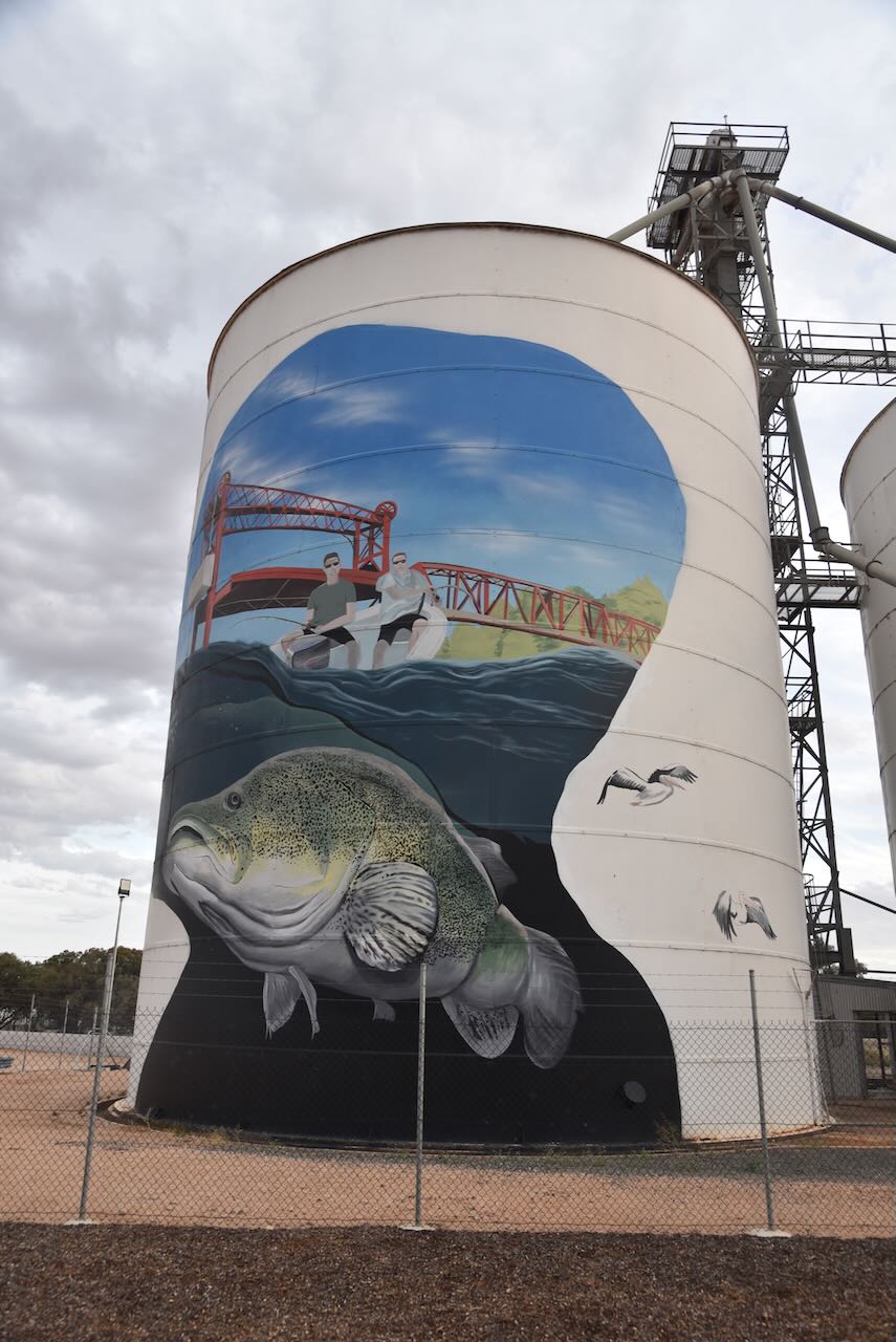
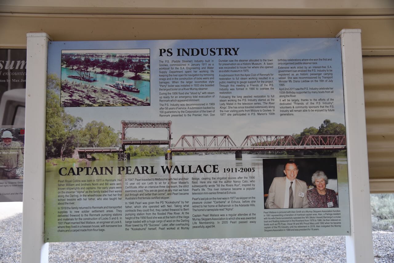
The Paringa silos were painted by Jack Fran and Sam Brooks. The silos feature a silhouette likeness of a local hero to the region. This includes George Disher, Sister Elaine Balfour-Ogilvy, Captain Pearl Wallace, and Charles Francis Chaffey. For more information on the silo have a look at the Australian SIlo Art Trail website.
I operated from the vehicle for this activation, running the Icom IC-7000, 100 watts, and the Codan 9350 antenna with the 1.5-metre stainless steel whip.
I worked the following stations on 40m SSB:-
VK5BRU/p (Pike River Conservation Park VKFF-0831)
VK5AAF
VK3CAT
VK5HS
VK3IO
VK5LA
VK5KAW
VK3GJG
VK7DIK
VK3CBH
VK2XXL
VK3ZDK
VK2IO/p (Pike River Conservation Park VKFF-0831)
VK3PF/m
VK3VIN
VK3ACZ
VK4EHI
VK2EAT/m
That evening, a group of us enjoyed a very nice meal at the Paringa Hotel.
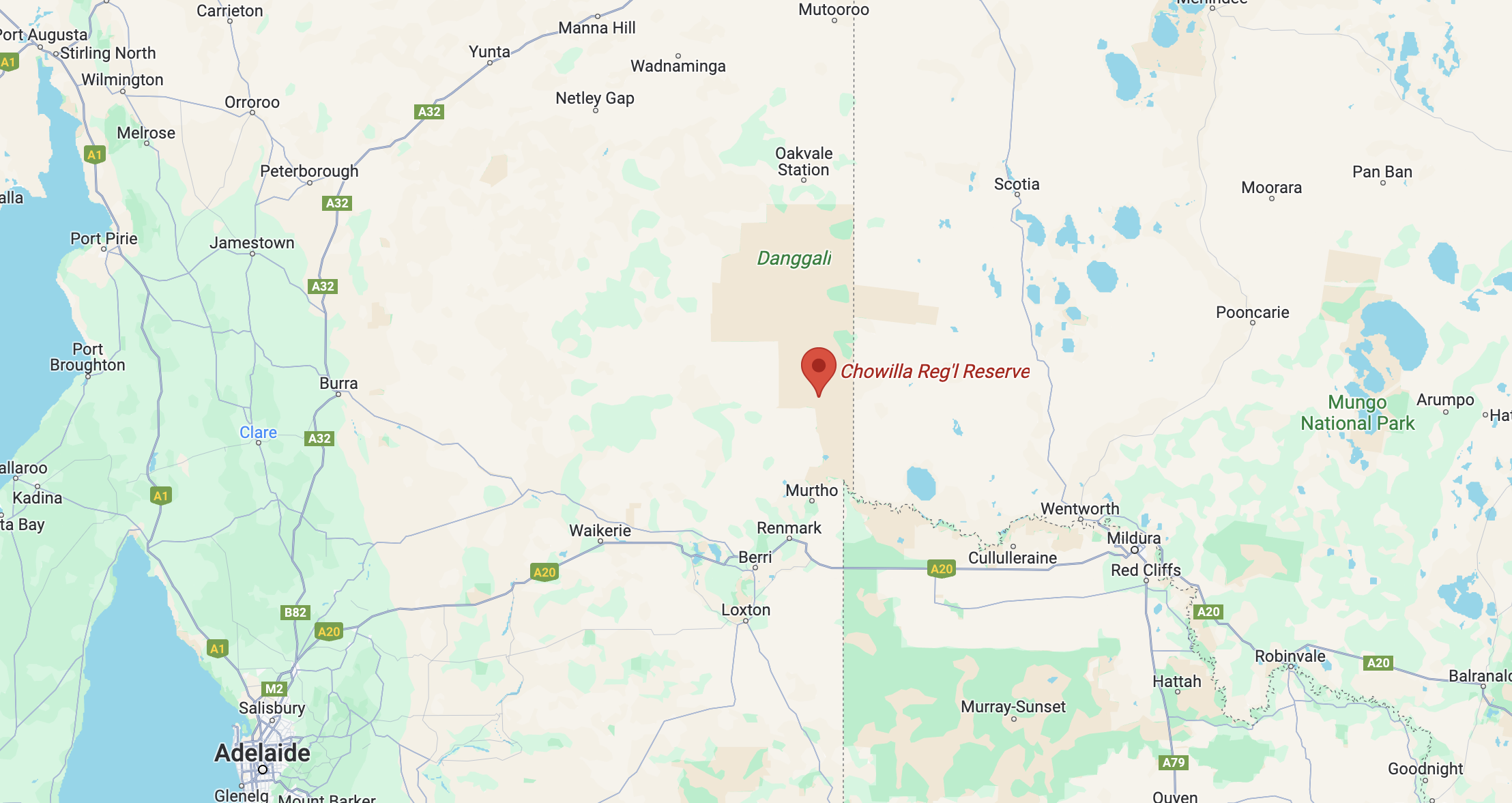
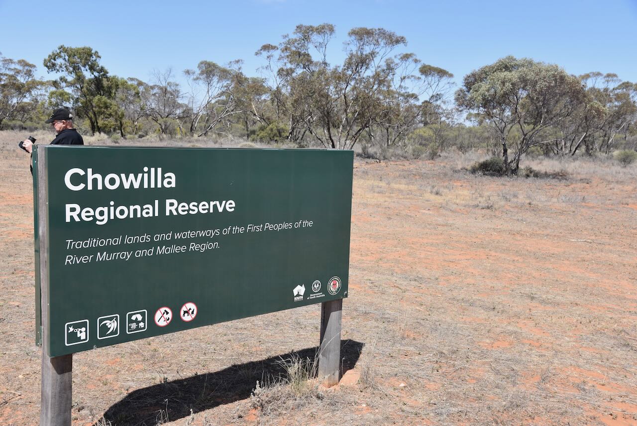
After packing up at Danggali on Sunday 29th October 2023, Hans, Marija and I travelled south to our next activation, the Chowilla Regional Reserve VKFF-1698.
Above:- Map showing the location of the Chowilla Regional Reserve. Map c/o Google Maps.
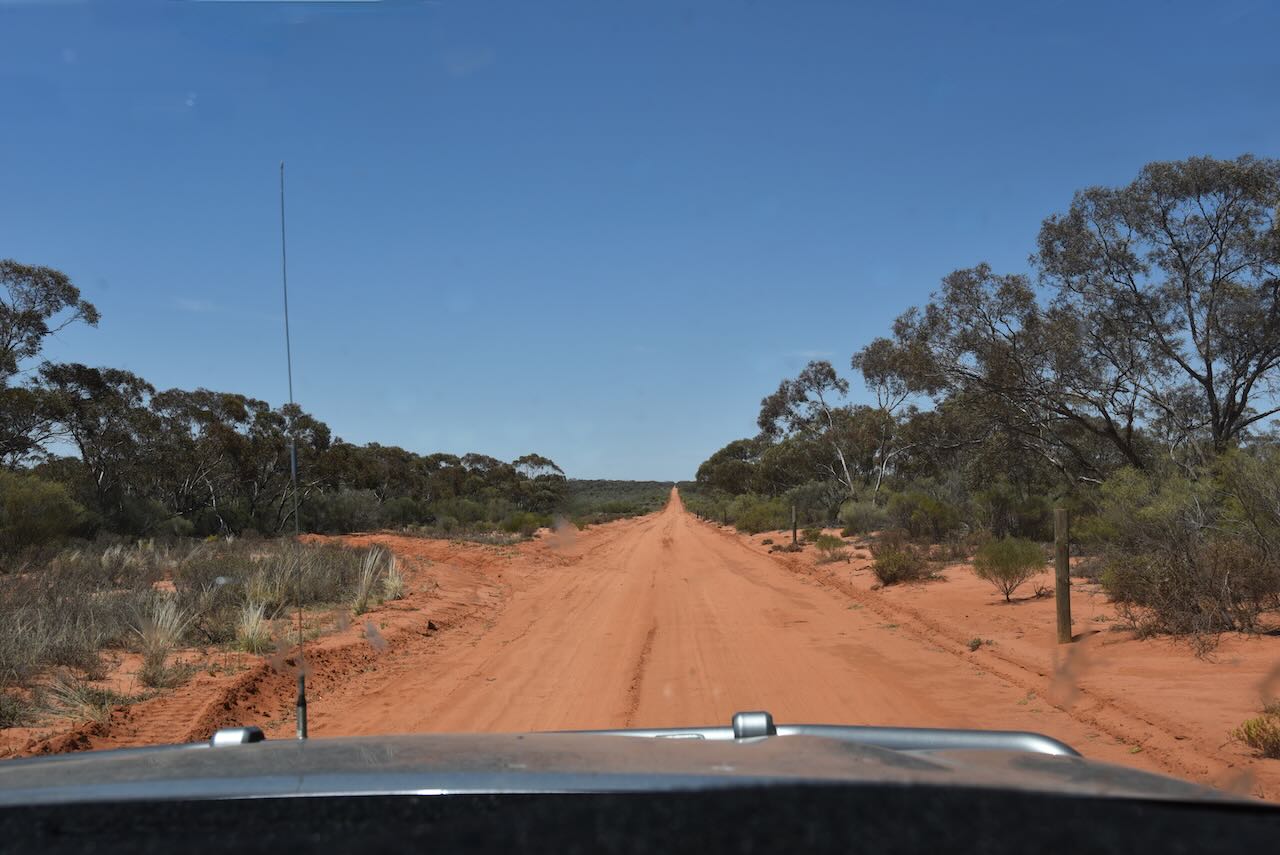
We drove south along the Chowilla Track, keeping a watch out for the emus and the big Red Kangaroos.
We soon reached the Reserve which is about 75,221 hectares (185,880 acres) in size and was established on the 8th day of April 1993. The reserve is situated on the Chowilla floodplain, a part of the Riverland Ramsar site, designated by the Ramsar Convention as a wetland of international importance.
The reserve contains several lakes and wetland areas, however, due to drought and water being regulated from the Murray, much of the Chowilla plain has been dry for many years. Lake Limbra is one such area in the reserve. It is regarded as a sacred site by the First Nations people and was used as a burial site. In March 2021, a project was undertaken to pump water into the lake from the river. Three months later, in June, numerous wildlife was observed around the lake, including wetland birds and Shield Shrimp.
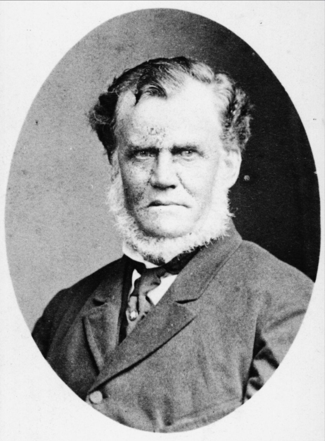
In 1864 Richard Holland (b. 1815 d. 1881) acquired the lease of Bookmark Station. He was the son of Richard Holland, a convict sent to New South Wales. Some years earlier, in 1849, Holland had married Margaret Robertson nee Harper, the widow of Captain Robert Robertson. He took on three stepsons, John, William, and Robert.
Above:- Richard Holland. Image c/o State Library SA.
In 1896 Bookmark was divided into Calperum and Chowilla Stations. Robert Robertson took up the Chowilla Station, while John took up Calperum.
Chowilla is an aboriginal word. Its exact meaning is unclear. Tindale (1974) reports that Chowilla (or Tjowilla) means ‘a place of spirits and ghosts’. The Robertson family records the meaning of Chowilla as ‘good camping place.’
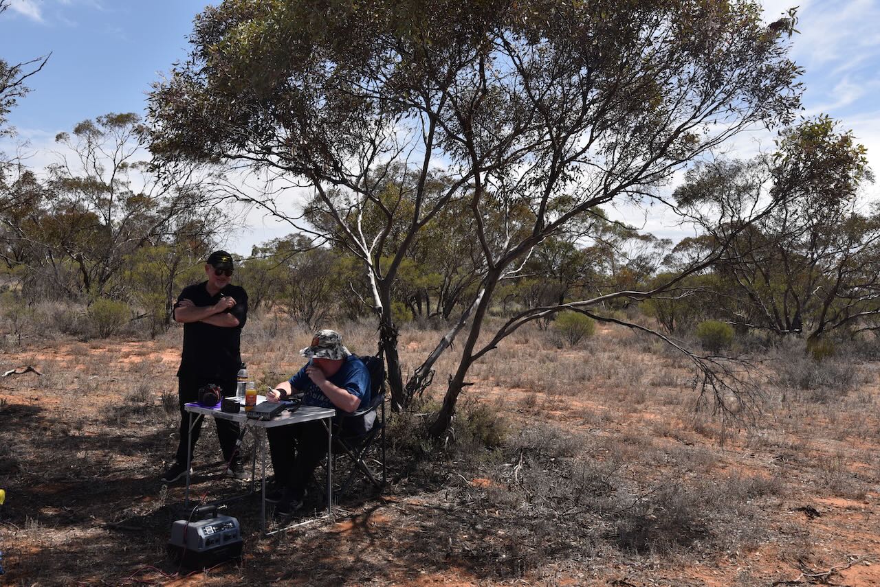
It was quite a warm afternoon, so we chose a shady spot under a tree. We ran the Yaesu FT857, 40 watts, and the 20/40/80 m linked dipole.
Marija worked the following stations on 40m SSB:-
VK3PF/p (Murray Sunset National Park VKFF-0373)
VK3SG/p (Murray Sunset National Park VKFF-0373)
VK5GY/p (Bullock Hill Conservation Park VKFF-0873)
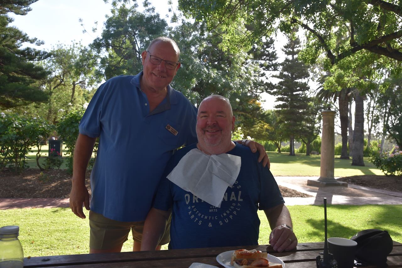
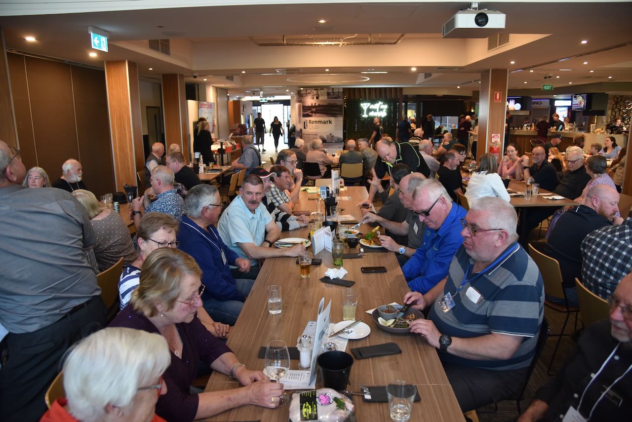
We enjoyed a brilliant day on Saturday 28th October 2023 for the 2023 VKFF National Get-Together. There were some excellent guest speakers during the day, and the Saturday evening meal and guest speaker were excellent.
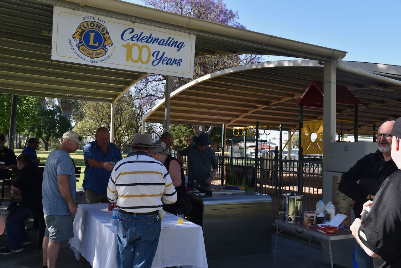
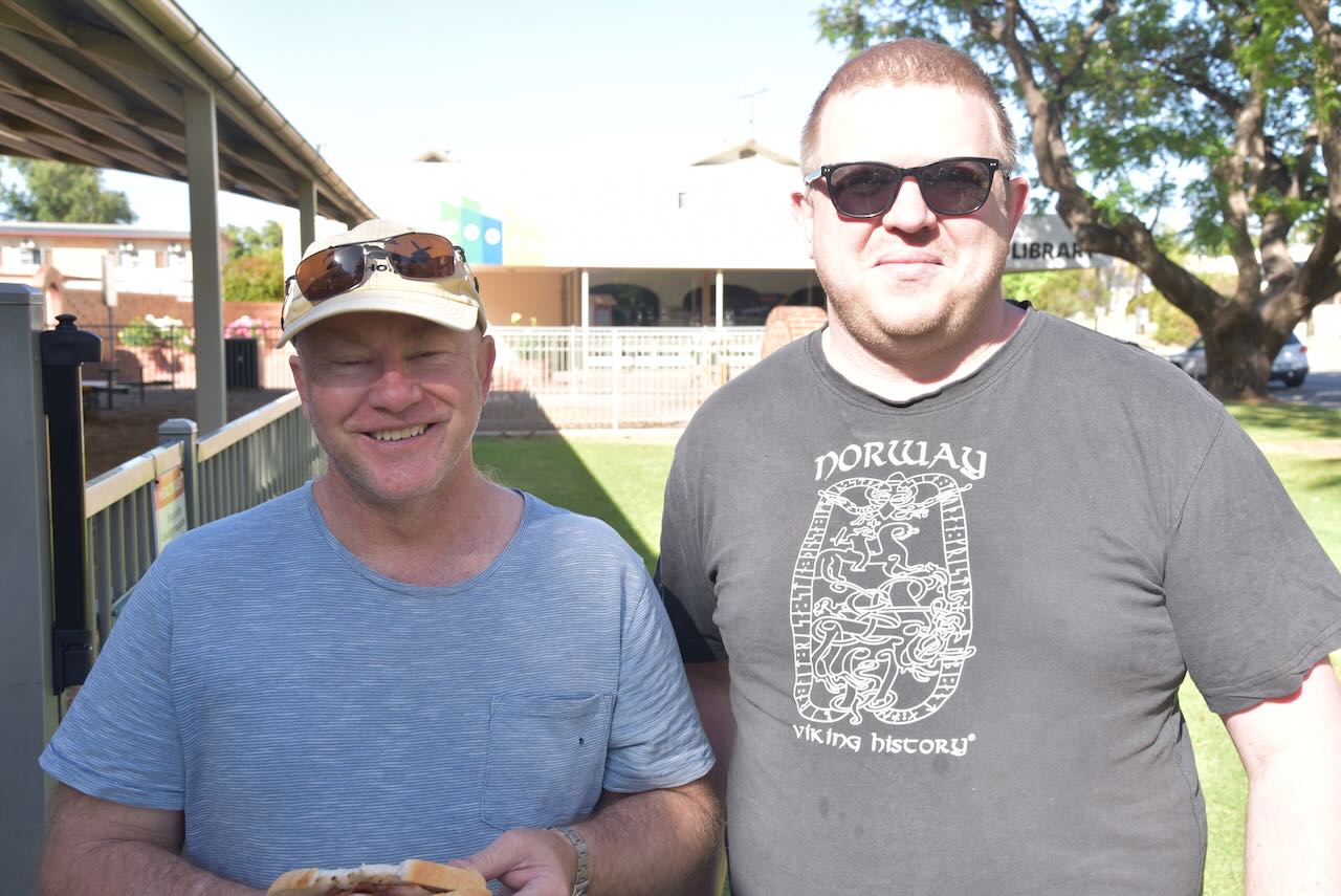
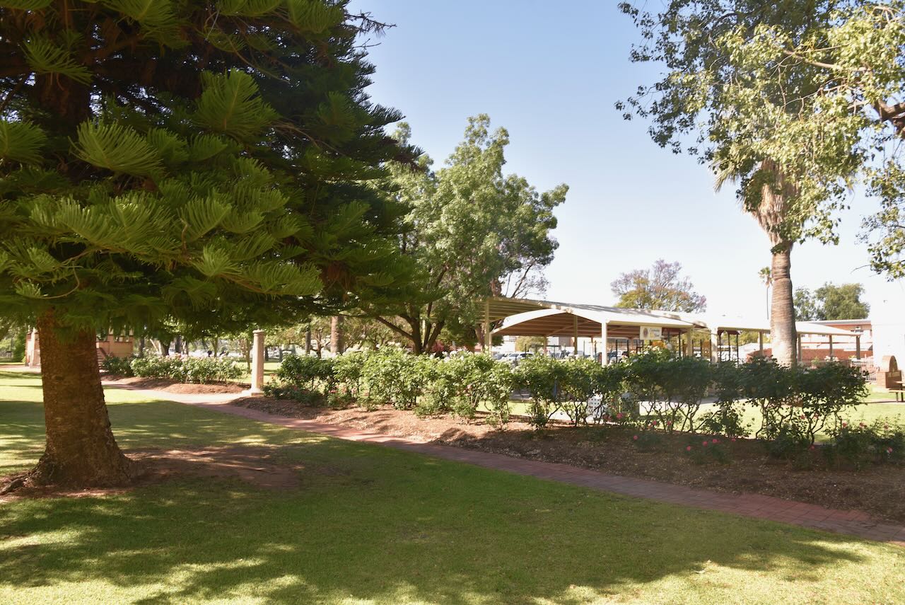
It was now Sunday 29th October 2023 and the day kicked off with a BBQ hosted by the Riverland Radio Club, held at Jarrett Memorial Gardens in Renmark. I had a slightly sore head from the night before, so the bacon and egg roll and a strong coffee were very welcome.
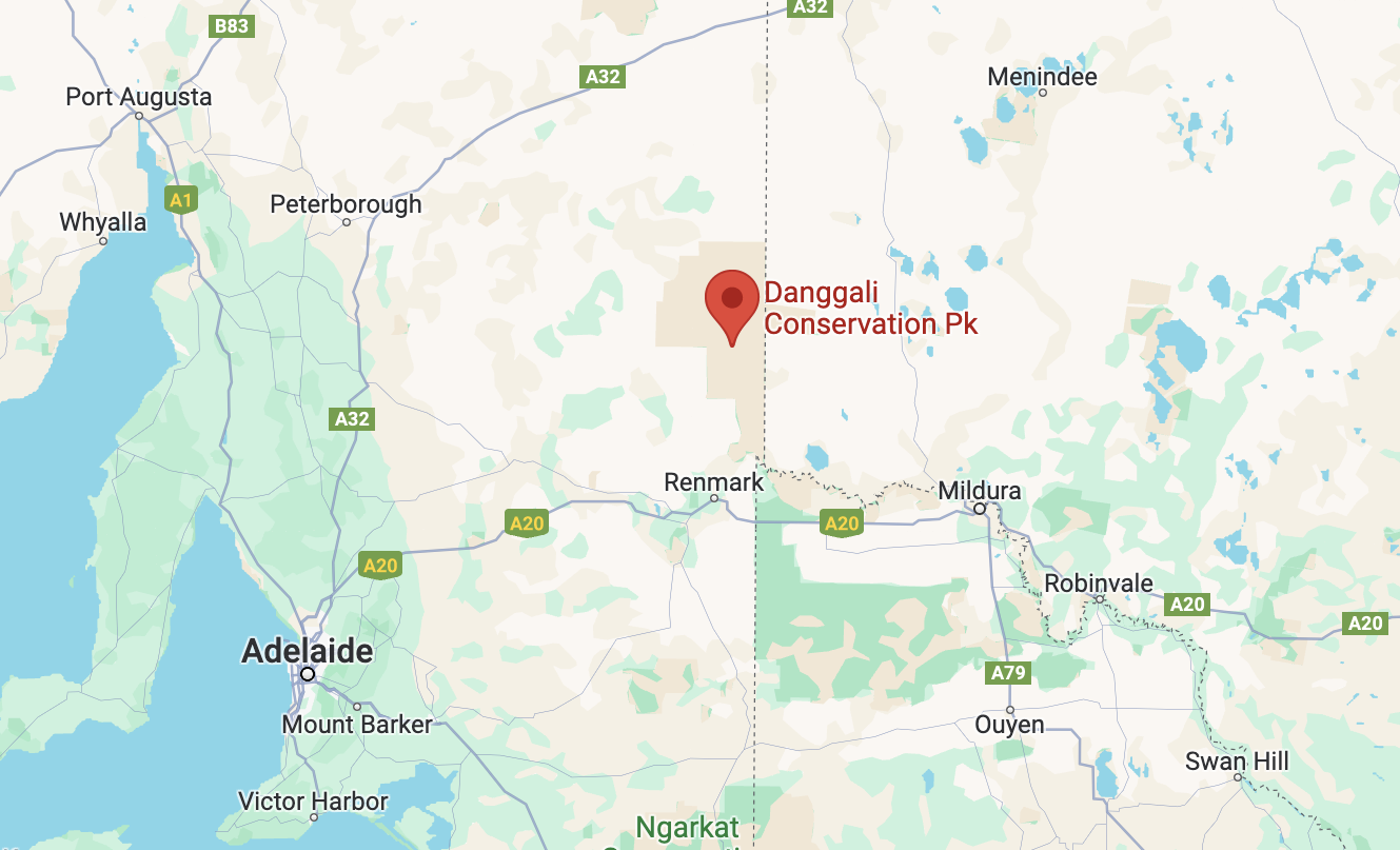
After breakfast, Hans VK6XN, Marija VK5MAZ and I headed out to the Danggali Conservation Park VKFF-0825. We had activated the park previously, but as it was such spectacular countryside out there and very remote, we decided to take Hans for a drive.
Above:- Map showing the location of the Danggali Conservation Park. Map c/o Google Maps.
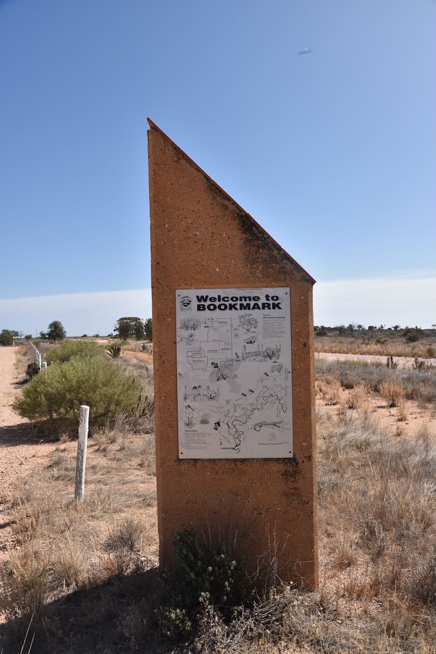
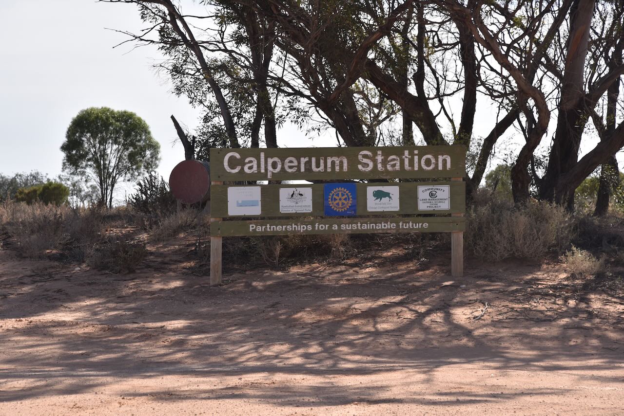
Our first stop was at the Bookmark Information Bay. There are a number of information boards here with some very interesting information pertaining to the Calperum and Taylorville Stations.
A little further on is the sign for Calperum Station, a former cattle station, now a 2,386 km2 reserve.
On our way out to Danggali, we worked Chris VK1CHW from the mobile. Chris was activating the Red Hill Nature Reserve VKFF-0860.
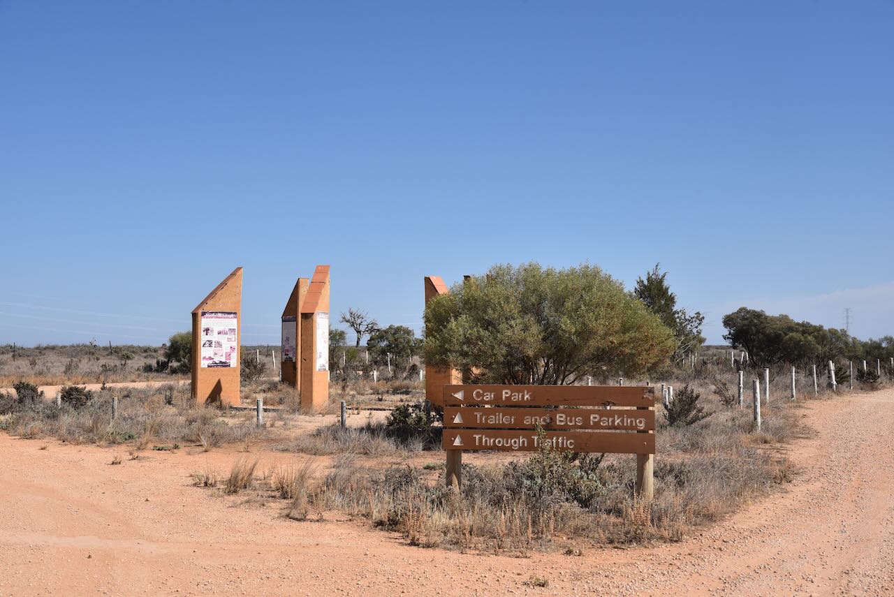
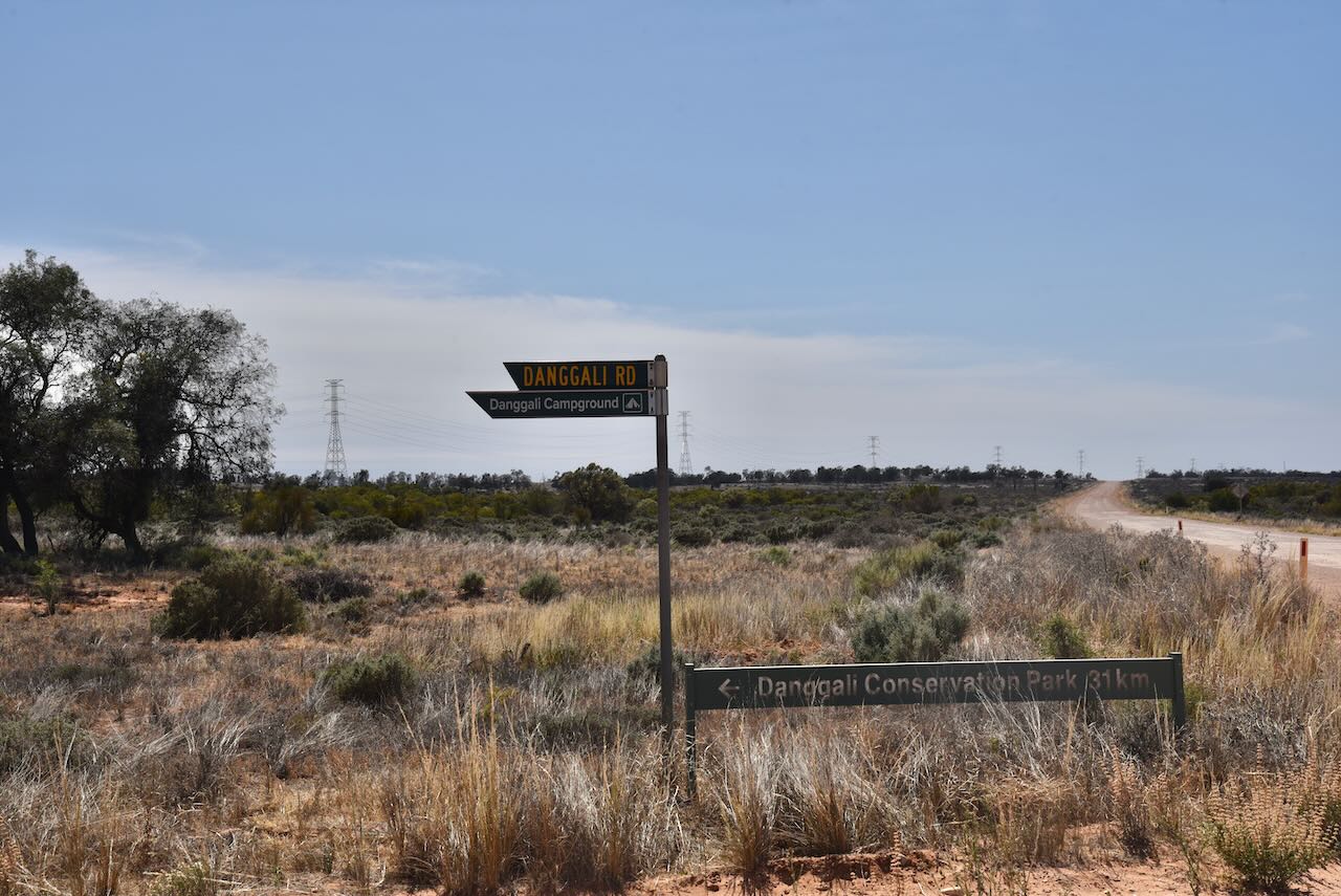
We then took the Danggali Road which showed that we had 31km ahead of us before reaching the Danggali Conservation Park.
As we were travelling through the Chowilla Regional Reserve VKFF-1698, we stopped briefly to work Peter VK3PF and Leigh VK3SG from the mobile. Peter and Leigh were activating the nearby Chowilla Game Reserve VKFF-1697. Not surprising we were 5/9 both ways.
We also logged Colin VK2GOM and Bob VK2BYF from the mobile while in Chowilla. Colin and Bob were activating Four Mile Creek Conservation Area VKFF-2904 in Tasmania.
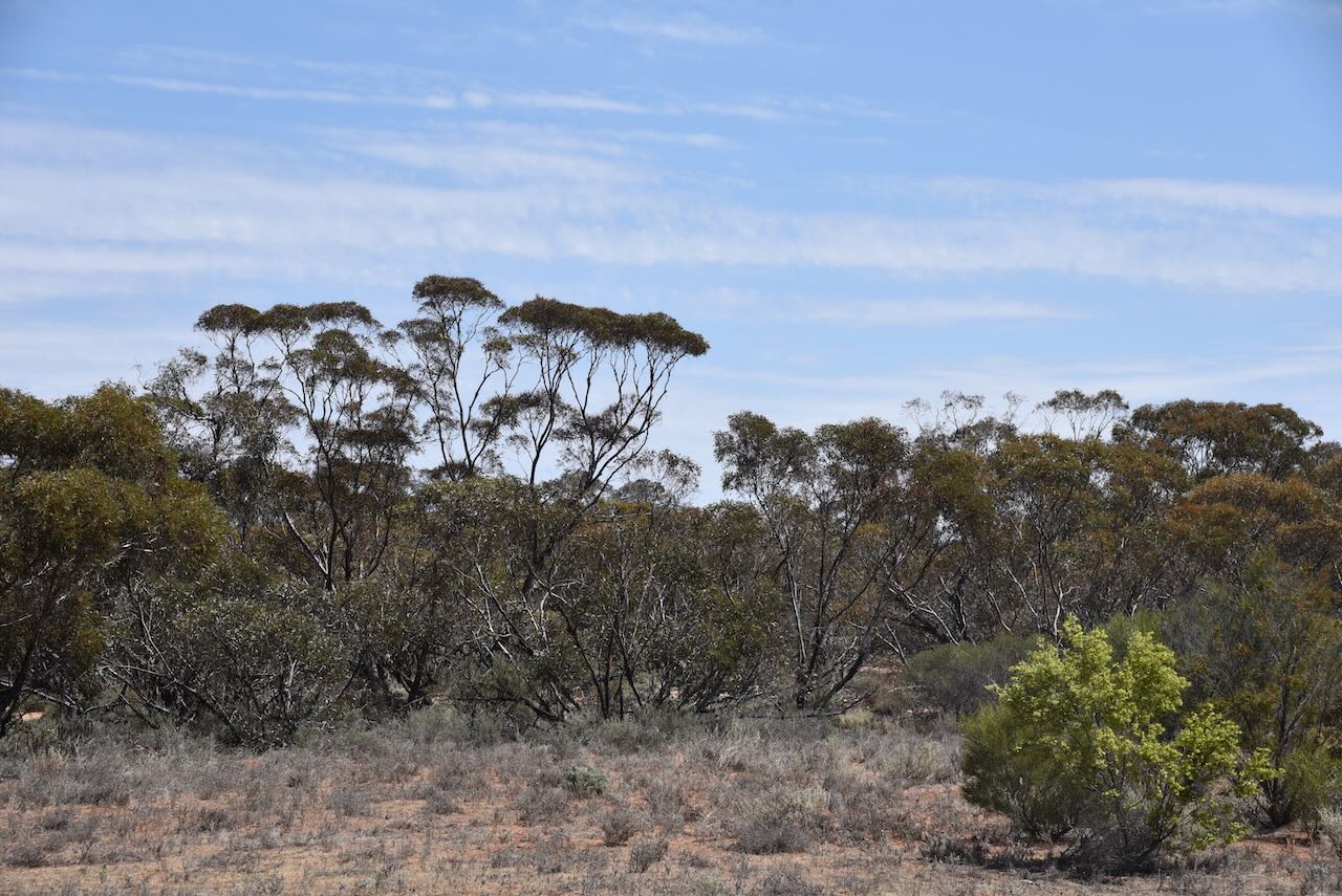
This is spectacular countryside out here and extremely remote. There is no mobile phone coverage, so if you are travelling in the area, be well prepared.
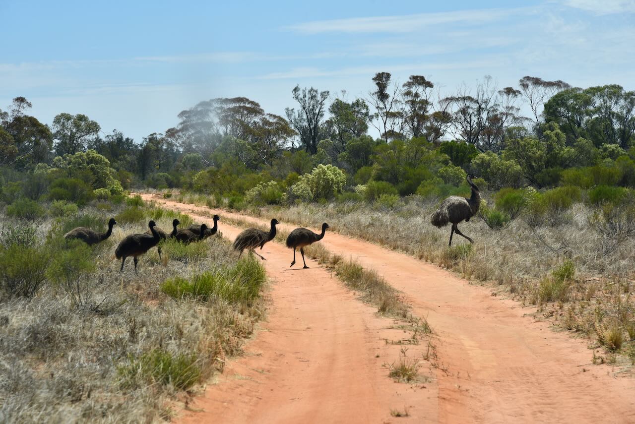
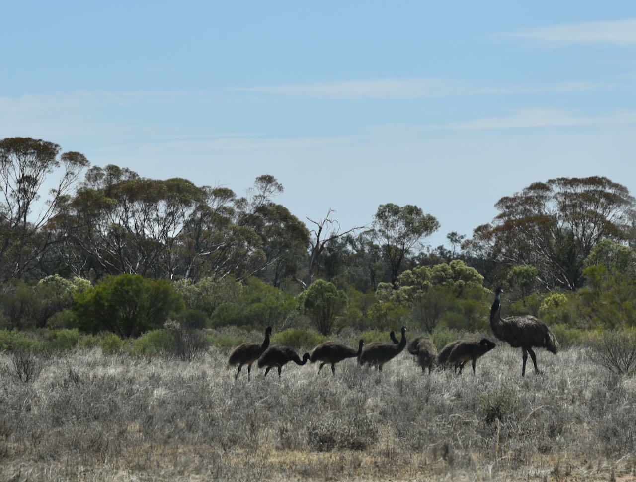
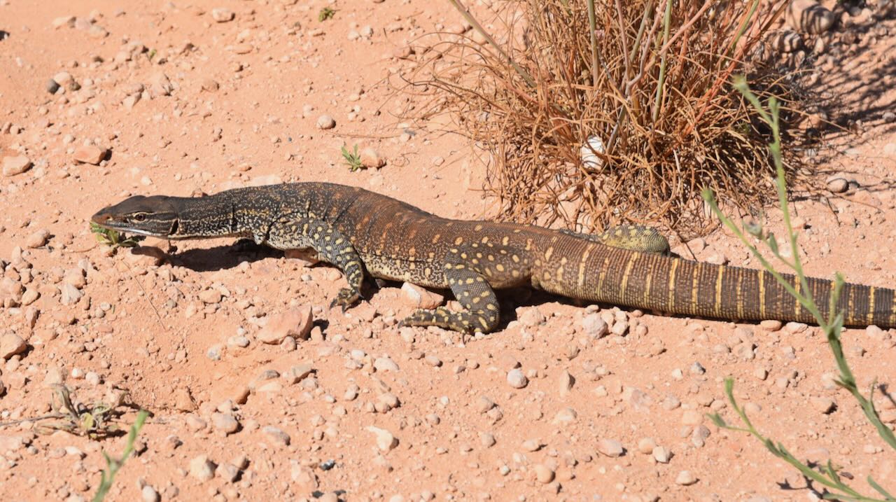
Kangaroos, emus, lizards and snakes were regularly seen on our way out to the park.
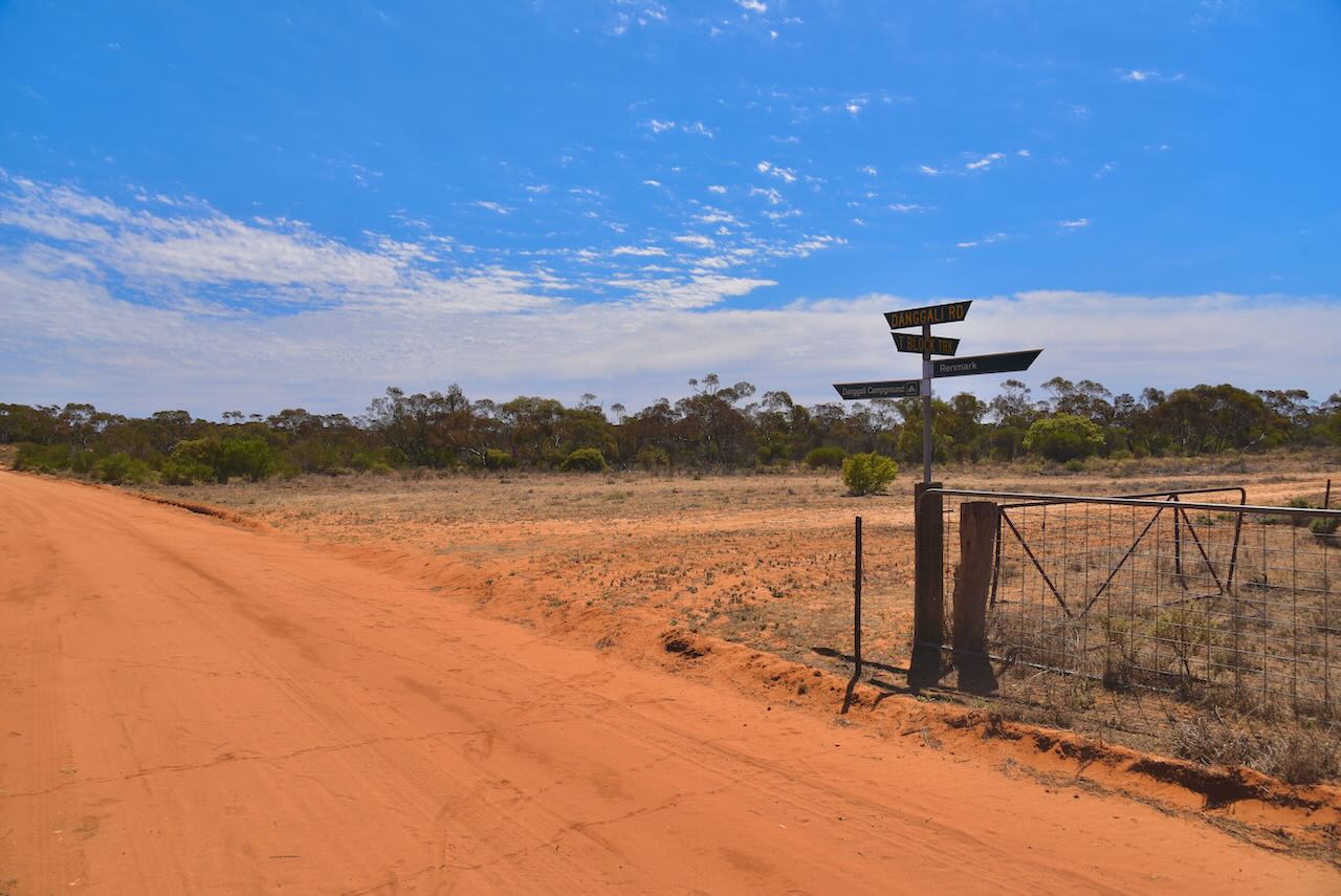
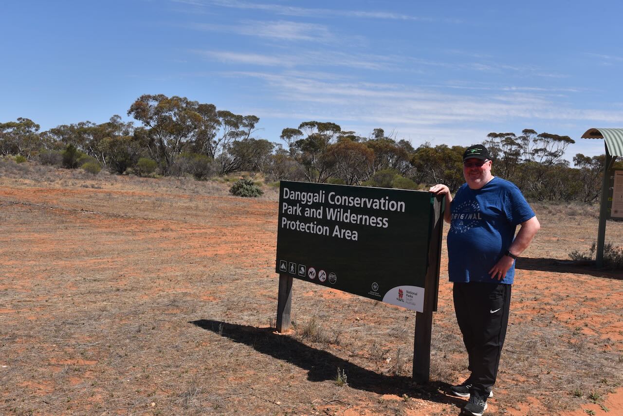
After a nice drive out through remote Australian countryside, we reached the sign for the Danggali Conservation Park and Wilderness Protection Area.
We stopped to log Malcom VK3OAK and Peter VK3PWG from the mobile while in Chowilla. Malcolm and Peter were activating Loch Luna Game Reserve VKFF-1723. Signal reports of 5/7 both ways were exchanged. We then drove a short distance into Danggali and logged Malcolm and Peter once again for some more Park to Park contacts.
The Danggali Conservation Park is about 48,417 hectares in size and was established on the 4th day of November 1976. The neighbouring Danggali Wilderness Protection Area is 202,815 hectares in size and was proclaimed in 2009. The park takes its name from the Danggali indigenous people.
We drove on a little further to the campground area and set up our station comprising the Yaesu FT857, 40 watts, and the 20/40/80m linked dipole supported by the 7-metre heavy-duty squid pole. I used the VI10VKFF callsign for this activation.
Marija worked the following stations on 40m SSB:-
VK5AYL/p (Loch Luna Game Reserve VKFF-1723)
VK3ZPF/p (Murray River National Park VKFF-0372)
VK3CLD/2
VK2EXA
VK3CA
VK5DW/p (Moorook Game Reserve VKFF-1729)
VK5FR/p (Bakara Conservation Park VKFF-0868)
VK7DW/p (Sidmouth Conservation Park VKFF-3393)
VK5NHG
VK5FANA
VK3PF/p (Chowilla Game Reserve VKFF-1697)
VK3SG/p (Chowilla Game Reserve VKFF-1697)
VK5CZ/p (Pooginook Conservation Park VKFF-0929)
VK3UAO/p (Glenmaggie Natural Features & Scenic Reserve VKFF-3706)
VK5AAF
VK3YV/p (Murray River National Park VKFF-0372)
VK2IO/p (Murray Sunset National Park VKFF-0373)
Marija worked the following station on 20m SSB:-
VK3ZPF/p (Murray River National Park VKFF-0372)
I worked the following stations on 40m SSB:-
VK5AYL/p (Loch Luna Game Reserve VKFF-1723)
VK3ZPF/p (Murray River National Park VKFF-0372)
VK3JW/p (Murray River National Park VKFF-0372)
VK3CLD/2
VK2EXA
VK3CA
VK5DW/p (Moorook Game Reserve VKFF-1729)
VK3GJG
VK5FR/p (Bakara Conservation Park VKFF-0868)
VK7DW/p (Sidmouth Conservation Park VKFF-3393)
VK5NHG
VK5FANA
VK5TRM
VK3PF/p (Chowilla Game Reserve VKFF-1697)
VK3SG/p (Chowilla Game Reserve VKFF-1697)
VK5LA
VK5KAW
VK3APJ
VK2CDB
VK5CZ/p (Pooginook Conservation Park VKFF-0929)
VK3DL
VK3UAO/p (Glenmaggie Natural Features & Scenic Reserve VKFF-3706)
VK5AAF
VK3UH
VK3AMO
VK5DU
VK3CTM
VK3SQ
VK2BD
VK3YV/p (Murray River National Park VKFF-0372)
VK3TNL/p (Murray River National Park VKFF-0372)
VK1AD
VK1NAM
VK2NP
VK3MHZ
VK3BEL
VK5HYZ
VK2JES
VK3ACZ
VK2IO/p (Murray Sunset National Park VKFF-0373)
VK3KGW
I worked the following station on 40m AM:-
VK3BEL
I worked the following stations on 20m SSB:-
VK3ZPF/p (Murray River National Park VKFF-0372)
VK4CZ
VK4EW
I worked the following stations on 20m AM:-
VK4EW
VK4CZ
References.
Dept of Environment and Natural Resources, 2011, Danggali Wilderness Protection Area and Conservation Park Management Plan 2011.
After packing up at the Murray River National Park on Friday 27th October 2023, I headed to the Hotel Renmark with Marija, where we caught up with Chris VK5FR. We had a few drinks and a bite to eat and looked at the 2023 VKFF National Get-Together venue – the Nanya Function Room at the hotel.
Chris and I decided to head out to the Pike River Conservation Park VKFF-0831 for a quick activation before the Friday evening dinner at the Renmark Club. I phoned Hans VK6XN and picked Hans up from the motel, and the three of us then headed out to Pike River. Marija VK5MAZ decided to stay back at the motel to finish off the Welcome packs for the VKFF National Get-Together.
Above:- Map showing the location of the Pike River Conservation Park. Map c/o Google Maps.
The Pike River Conservation Park is about 2.88 km2 in size and was established on the 1st day of February 1979. It is located in the locality of Mudic Creek about 215 km northeast of the city of Adelaide. It is named after the Pike River, a tributary of the Murray River which flows through the eastern end of the park. In 2009, additional land formerly known as the Mundic Forest Reserve was added to the park.
We entered the park via a track that runs off the Sturt Highway. There is a dilapidated sign at this location, but in such a state of disrepair that you would not notice it if you didn’t know it was there.
We ran the Yaesu FT857, 40 watts, and the 20/40/80m linked dipole for this activation. I used the special event call of VI10VKFF to celebrate the 10-year anniversary of the World Wide Flora Fauna (WWFF) program in Australia.
This was a fun activation with a lot of laughs.
I worked the following stations on 40m SSB:-
VK2XSE/p (Tatlows Beach Conservation Area VKFF-2921)
VK5PE/m
VK5BJE
VK2IO/p (Morkala Bushland Reserve VKFF-4119)
VK5TN
VK1DI/3 (Murray Sunset National Park VKFF-0373)
VK3APJ
VK3CJN
VK3TKK/p (Rowleys Streamside Reserve VKFF-3848)
VK4NH
VK4DXA
VK3MCA
VK1CHW
VK3DL
VK2MOE/m
VK7XX
VK5HS
VK7MAT
VK5VST
VK4EW
VK7PSJ
VK3BCM
VK3BAP
VK2NP
VK4FDJL/p (Homevale National Park VKFF-0237)
VK4WAB/p (Homevale National Park VKFF-0237)
VK5FANA
VK3ACZ
VK5PL
VK2HDT
VK5AAF
VK1RD
VK3ACH
VK4HMI
VK3MLT
VK3VIN
VK3CAT
VK1ACE
I worked the following stations on 20m SSB:-
VK2TER
VK2BM
VK4NH
VK4DXA
IK1GPG
9A2AJ
VK4MUD
ON3CND
SQ9CWO
IW2BNA
KG5CIK
SQ9FMC
OM5TX
IK3HMB
UT5PI
VK4EW
OH5TQ
IW2NXI
I worked the following station on 20m AM:-
VK4EW
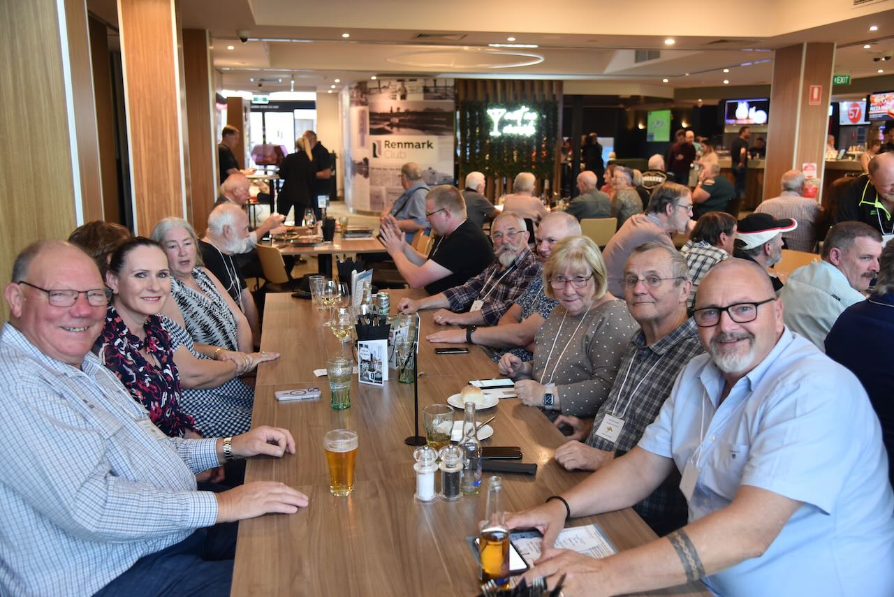
After packing up at Pike River, I headed back to the motel and had a quick shower and that evening we enjoyed stage one of the 2023 VKFF National Get Together – a dinner at the Renmark Club. Marija and I handed out everybody’s Welcome pack and the merchandise they had ordered. It was a great evening.