Walpeup Flora & Fauna Reserve VKFF-2471 and Walpeup silo VK-WLP3

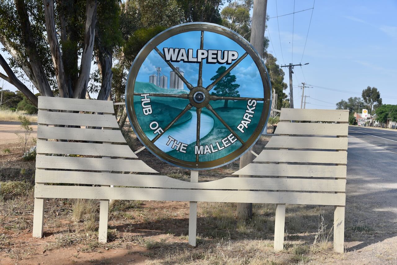
Our final activation for Friday 10th November 2023 was the Walpeup Flora and Fauna Reserve VKFF-2471 and the Walpeup silo VK-WLP3.

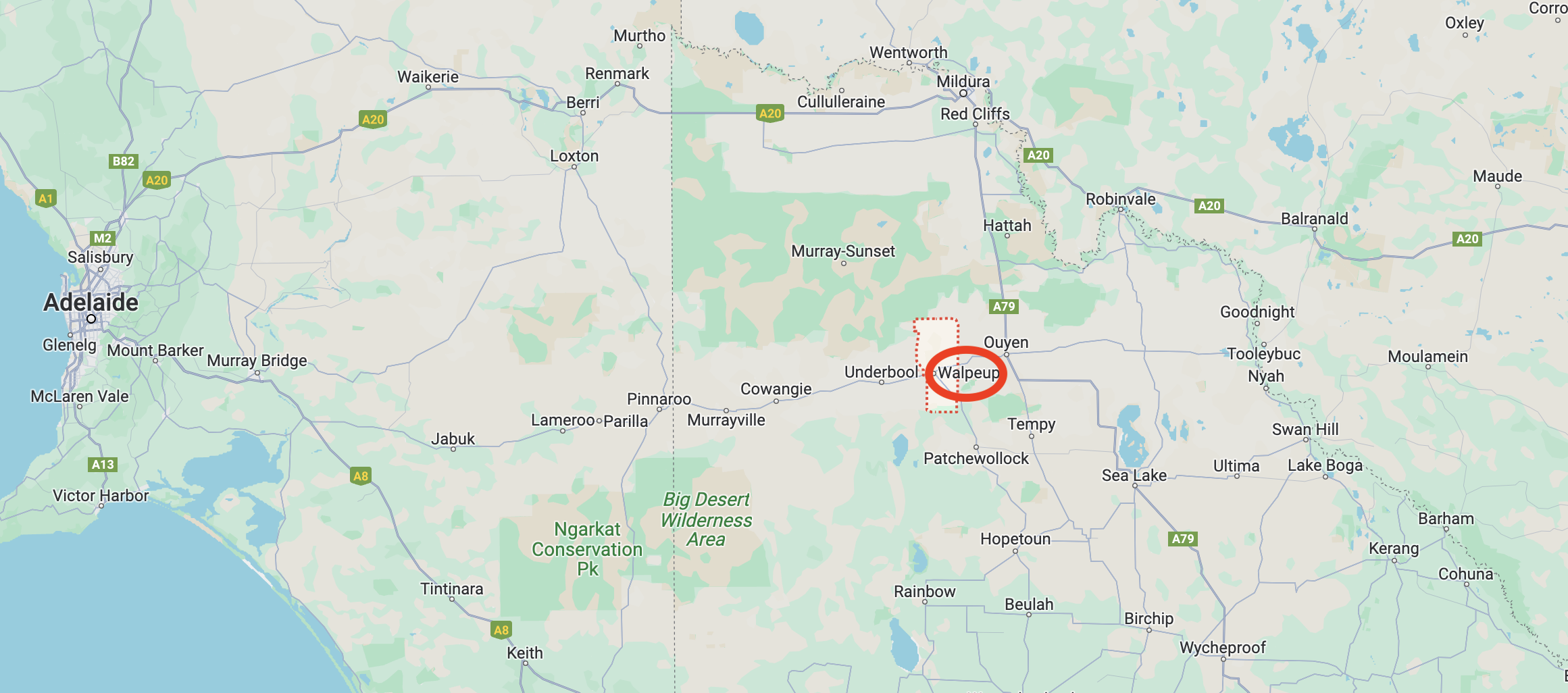
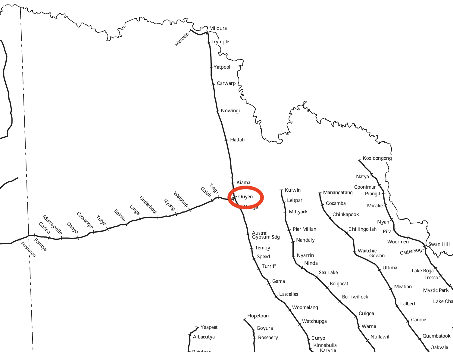
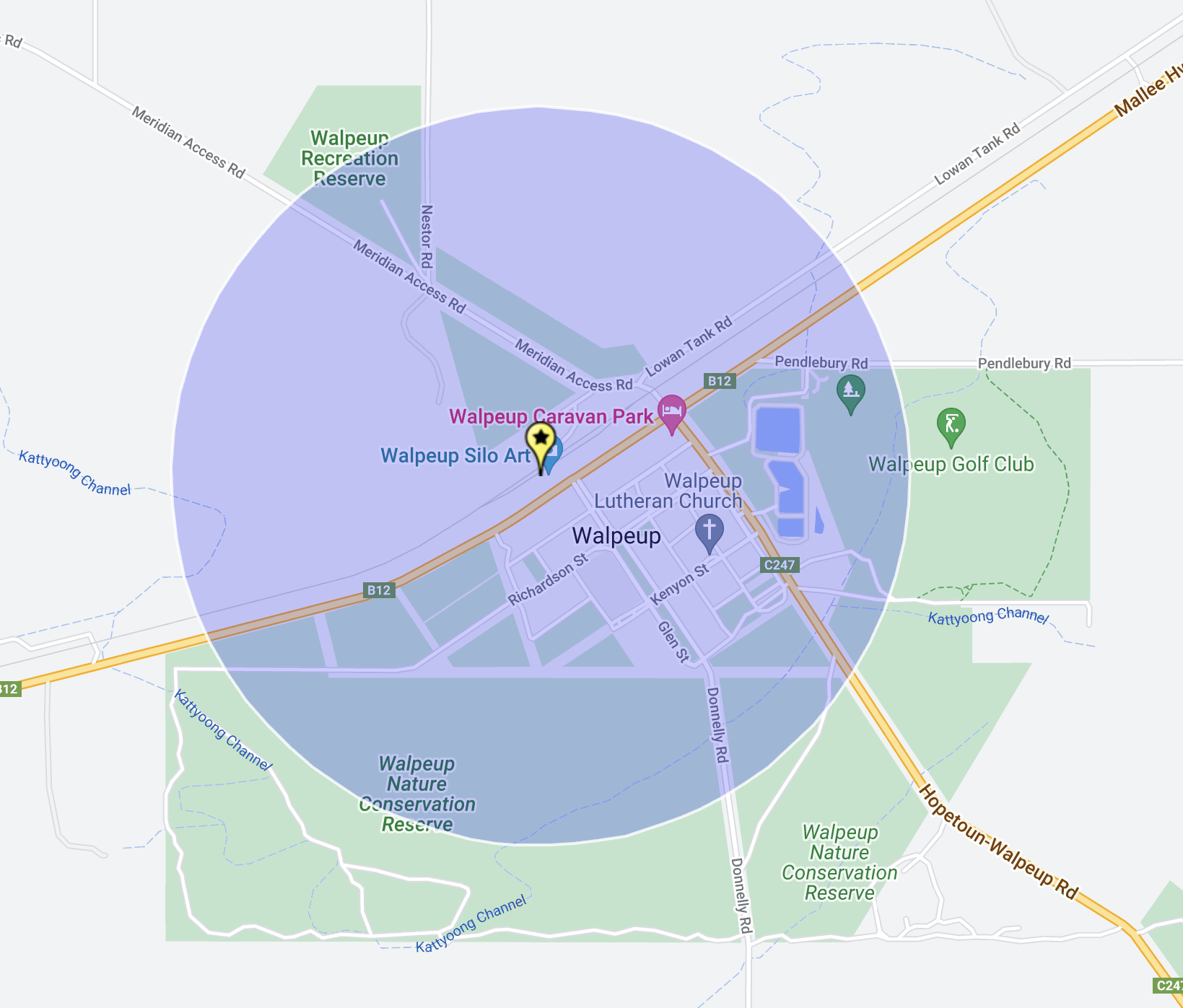
Above:- Map showing the location of Walpeup. Map c/o Google Maps.

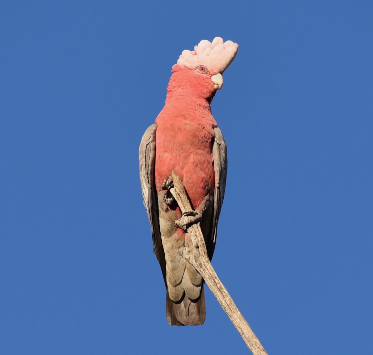
‘Walpeup’ is derived from an Aboriginal word with numerous recorded meanings including a ‘stumpy-tailed lizard’ and another is an indigenous acacia.

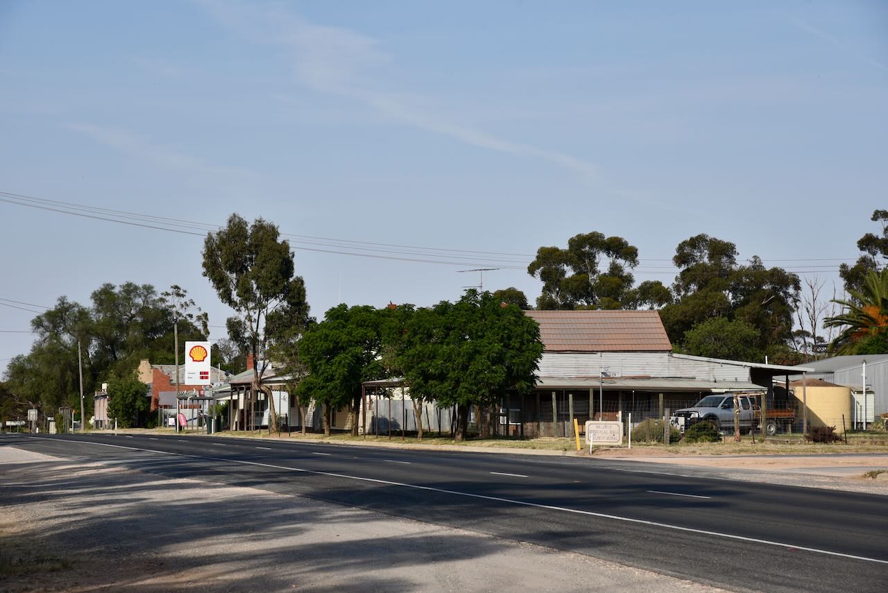
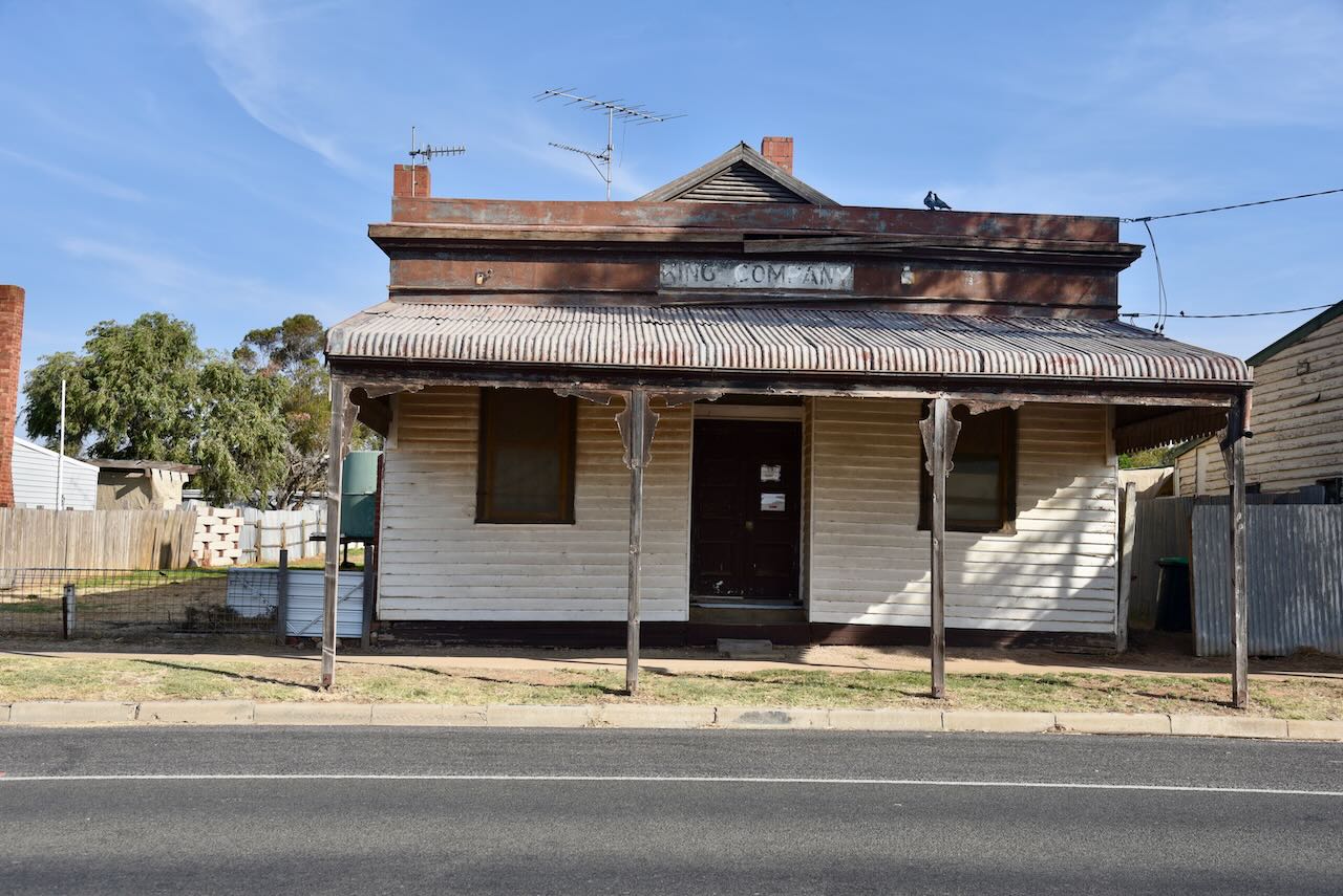
The township of Walpeup was settled following the arrival of the railway. In 1909 a store opened at Walpeup. In 1911 the Walpeup Shire was proclaimed. Walpeup’s population was 101 people. The Walpeup Primary School opened on the 3rd day of June 1912 in the ‘Little White Hall’. The Post Office opened on the 16th day of December 1912. 

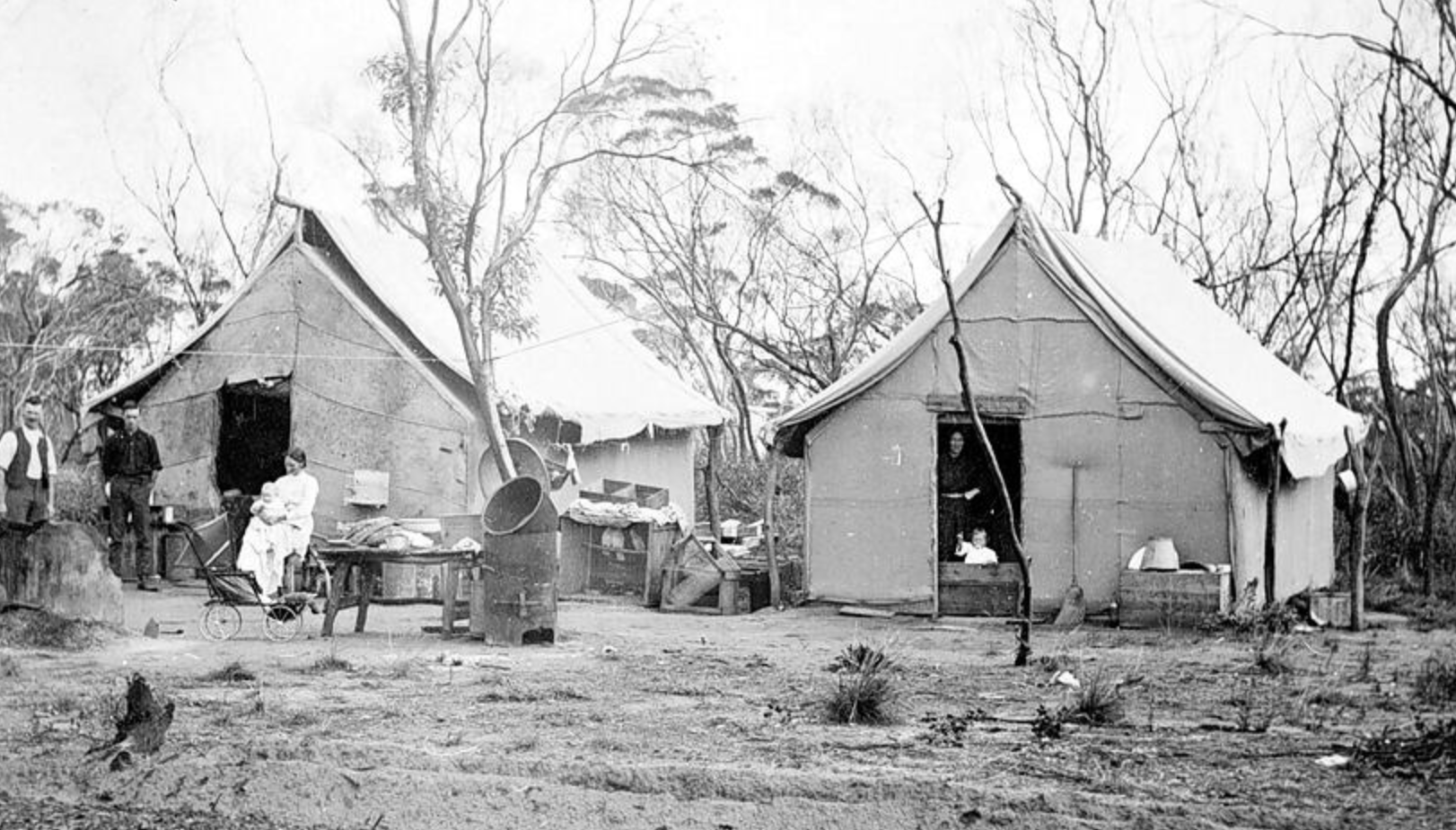
Above: early settlers at Walpeup, c. 1911. Image c/o Museums Victoria.

In 1914 a one-room school building was constructed. A second room was added in 1927. In April 2015 the school closed and the last five students were transferred to the Underbool school.

The Walpeup South State School (No. 3929), also known as Hungry Hut, was opened in 1912 and closed in 1951.  The school building was later moved and served as the dressing shed at the Walpeup Recreation Reserve.

By 1921 Walpeup had a population of about 452 people. The town had a general store, a blacksmith, a butcher, a bank branch and several other businesses. A brick memorial hall replaced the original public hall in 1923.

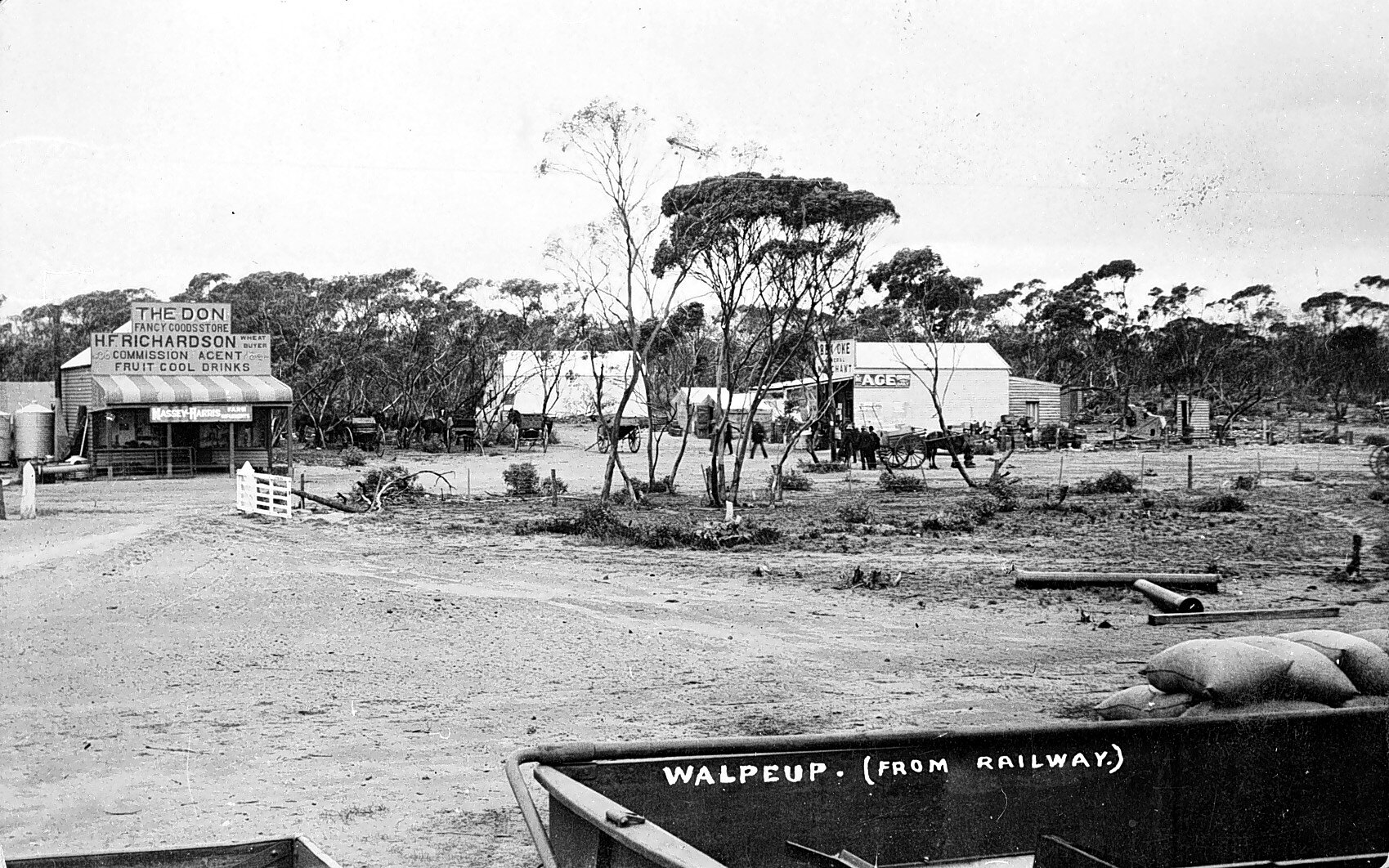
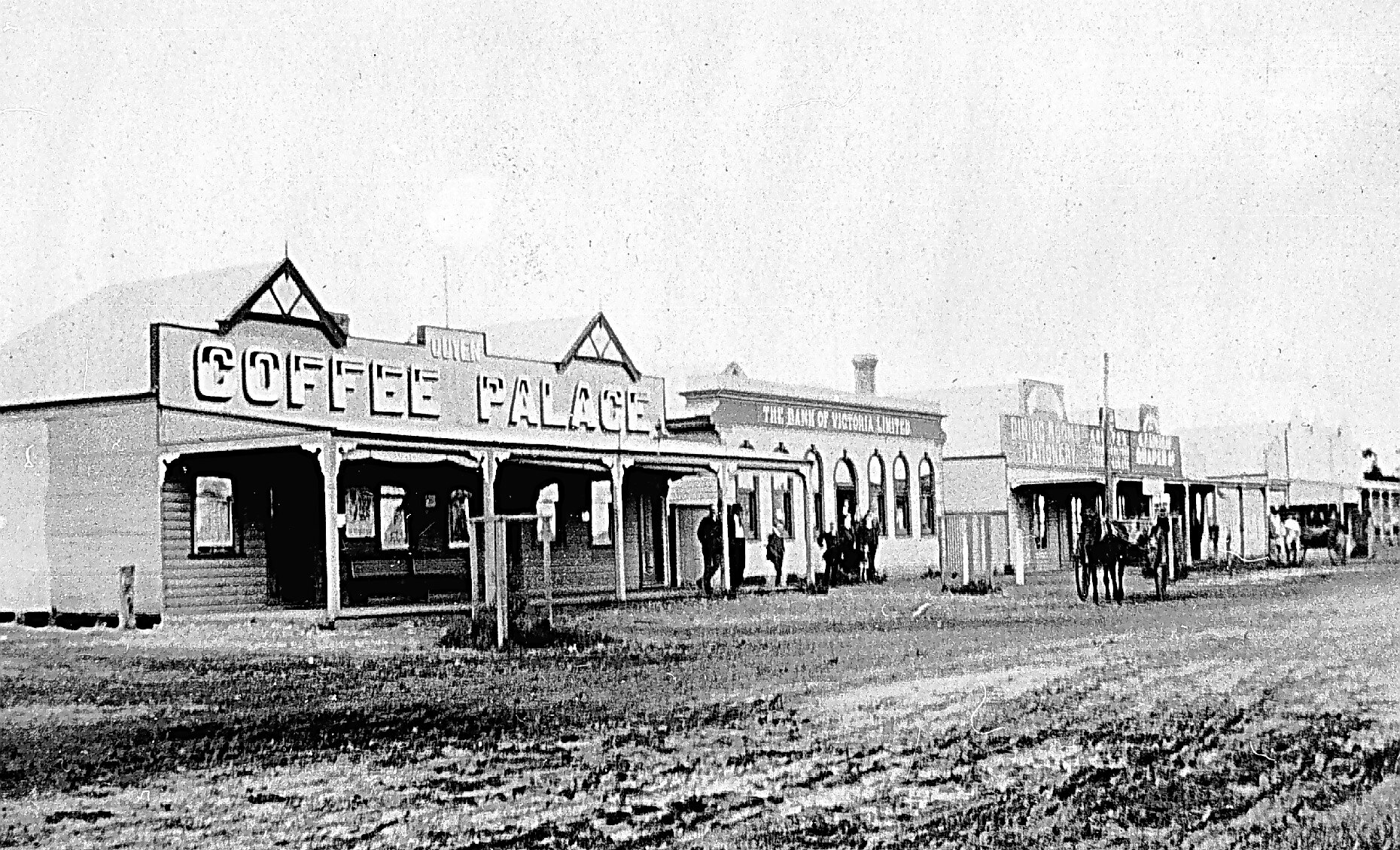
Above:- Walpeup township, c. 1911. Image c/o Museums Victoria.

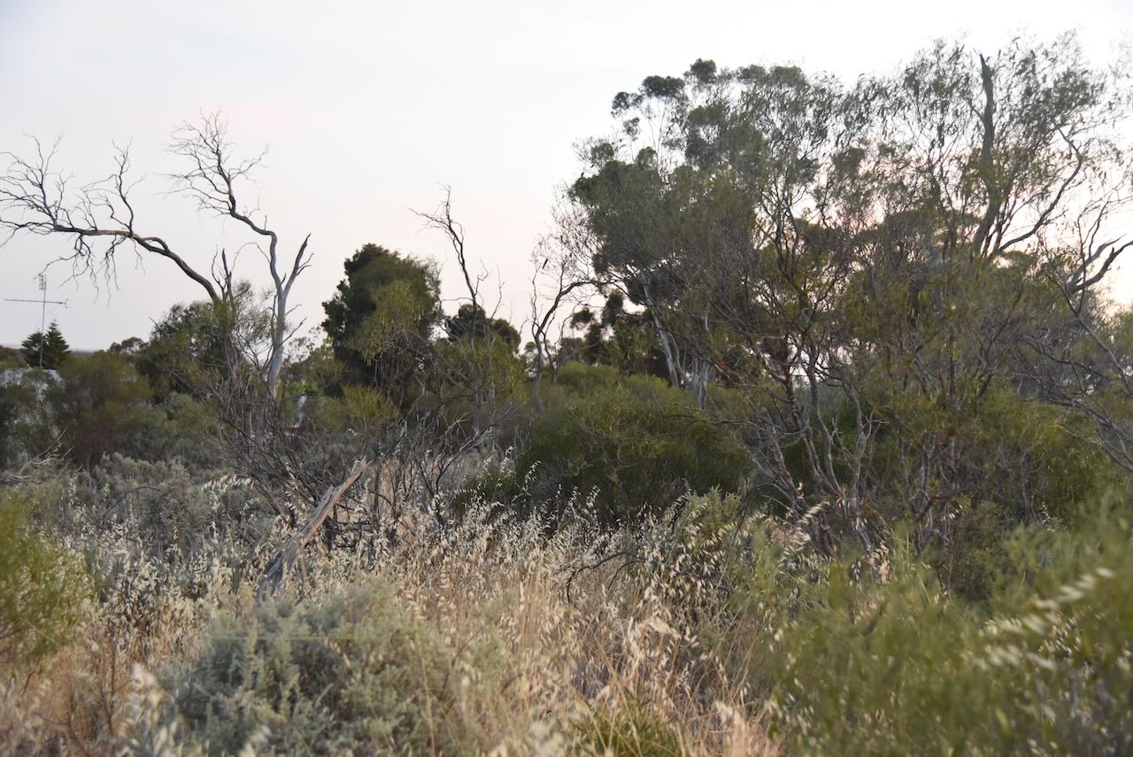
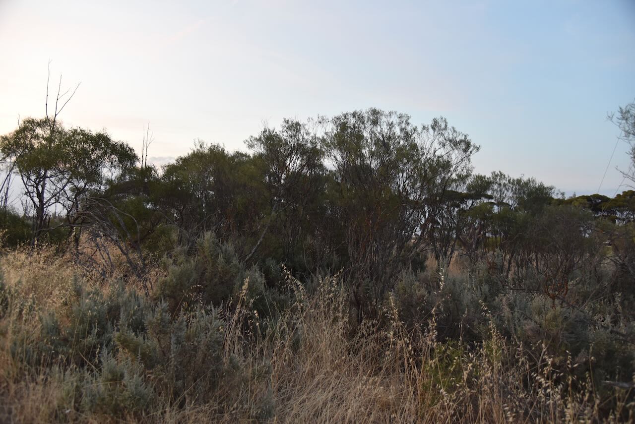
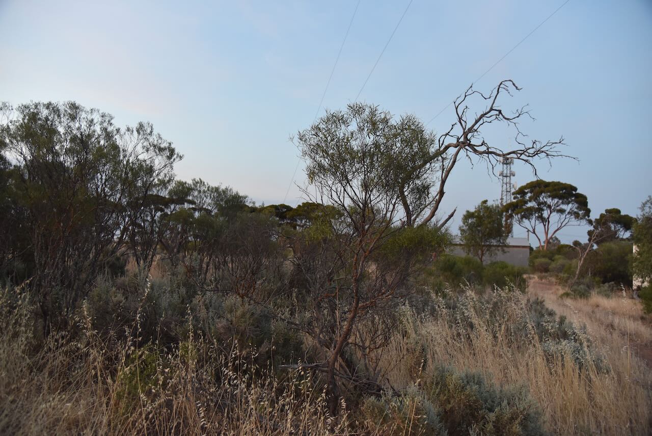
We arrived at the park at about 9.00 p.m. and it was completely dark. It was a very hot and humid night and we could hear thunderstorms off in the distance. We ran the Yaesu FT857, 40 watts, and the 20/40/80m linked dipole for this activation. I used the special event callsign of VI10VKFF for this activation.

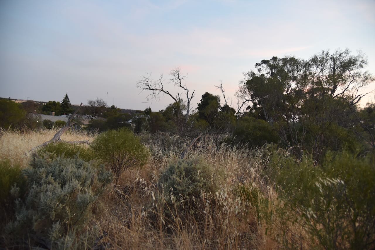
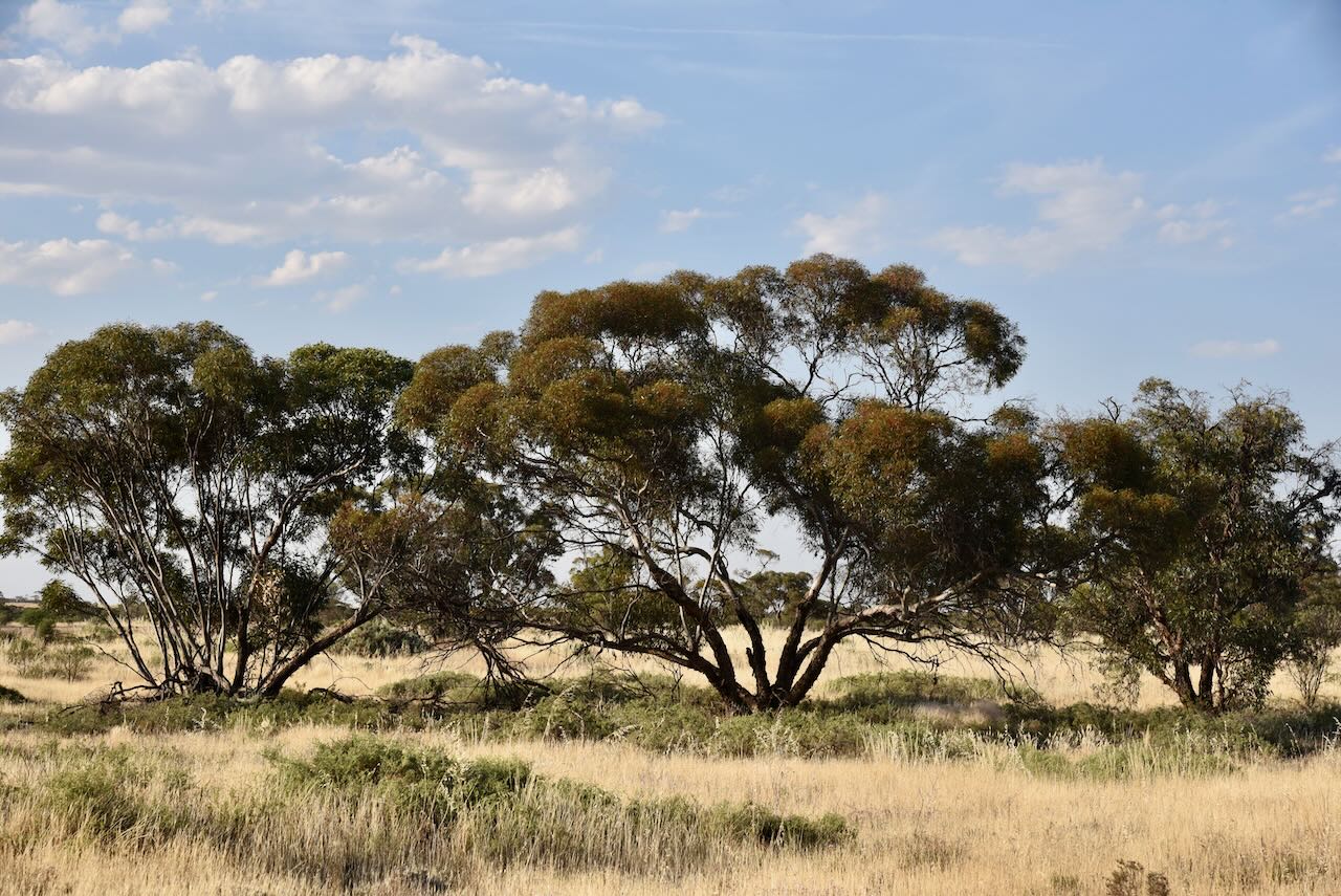
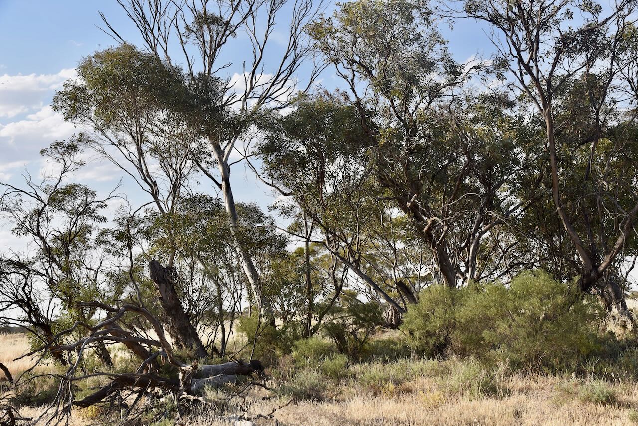
The Walpeup Flora & Fauna Reserve is also referred to as the Walpeup Nature Conservation Reserve. It is about 178 hectares in size and was established on the 1st day of May 1979.

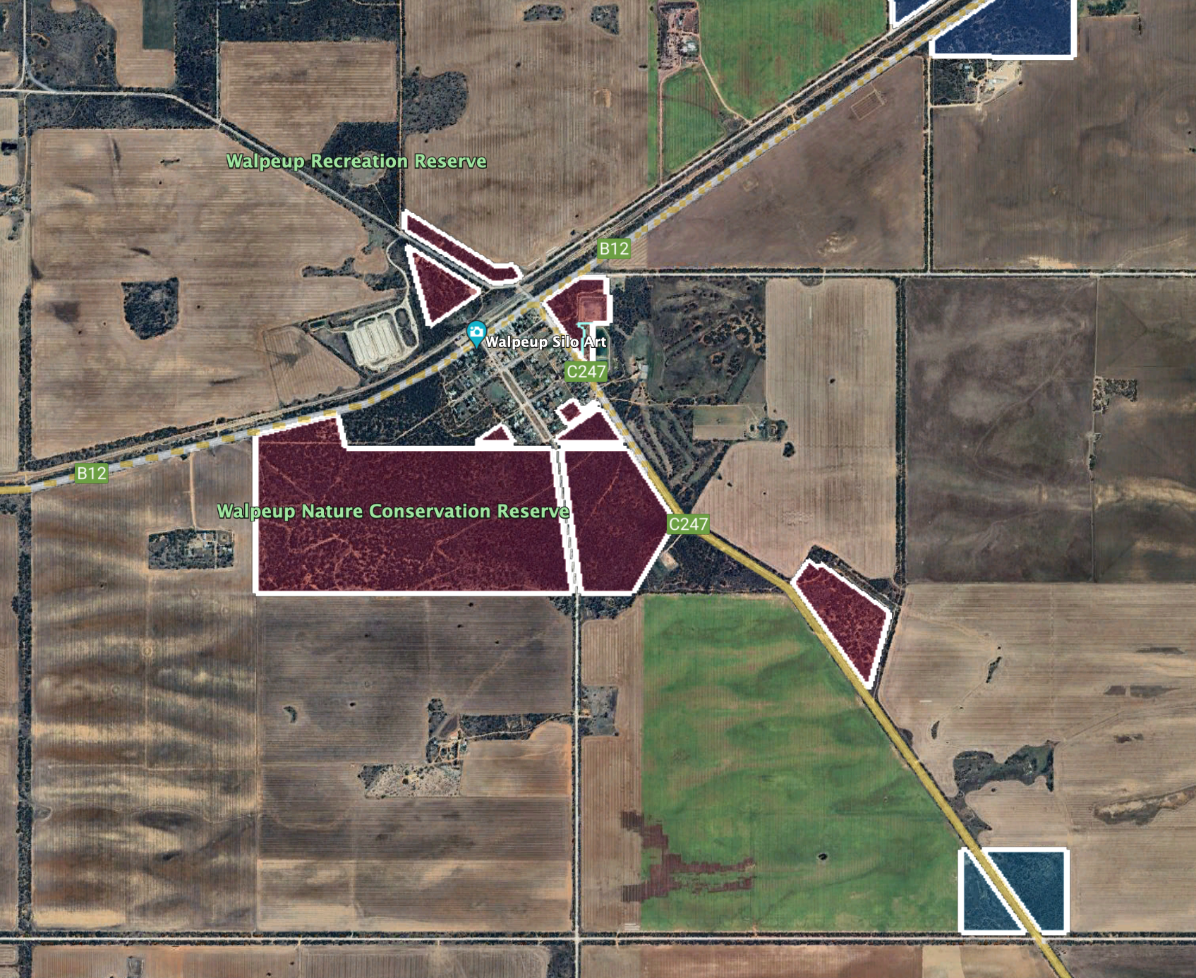
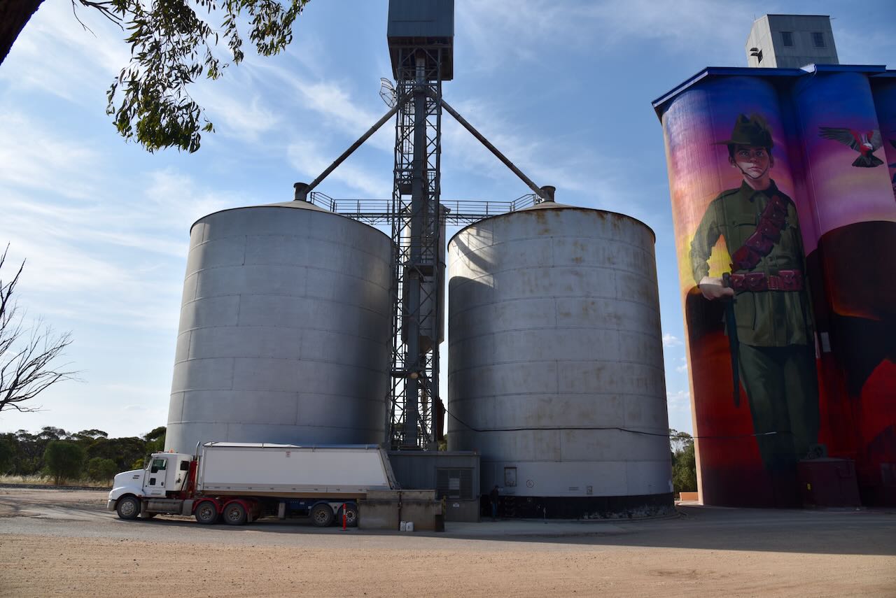
We operated within the activation zone of the Walpeup silo.

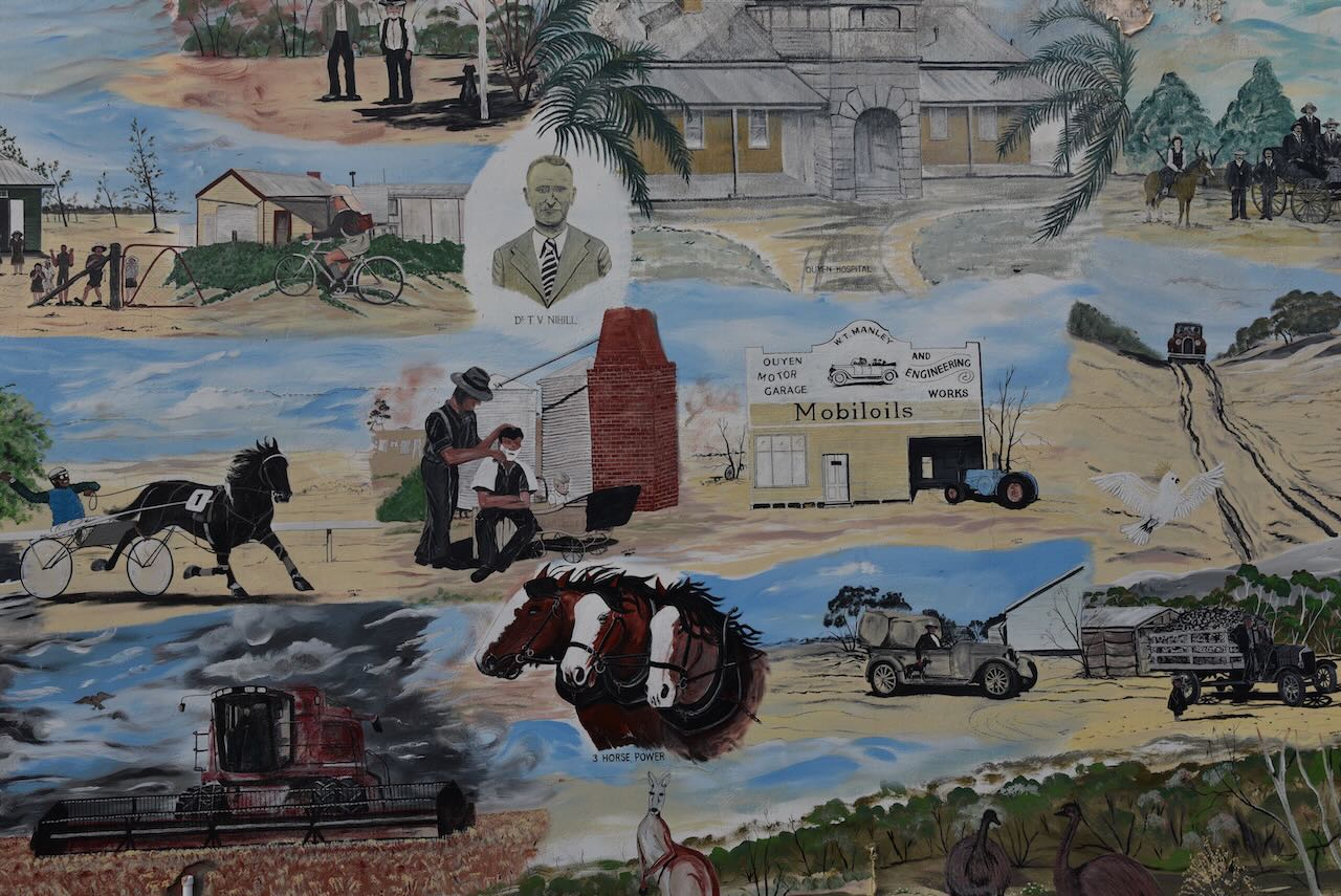
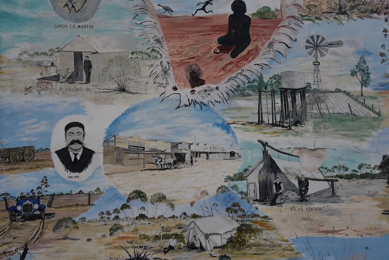
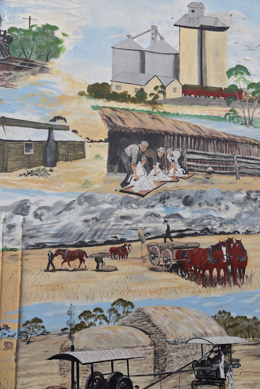
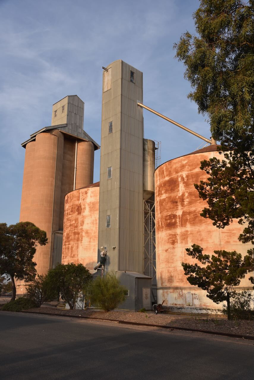
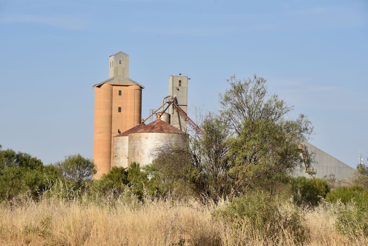
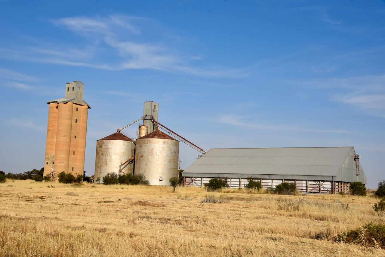
We had viewed the Walpeup silos earlier in the day on our way to Ouyen.

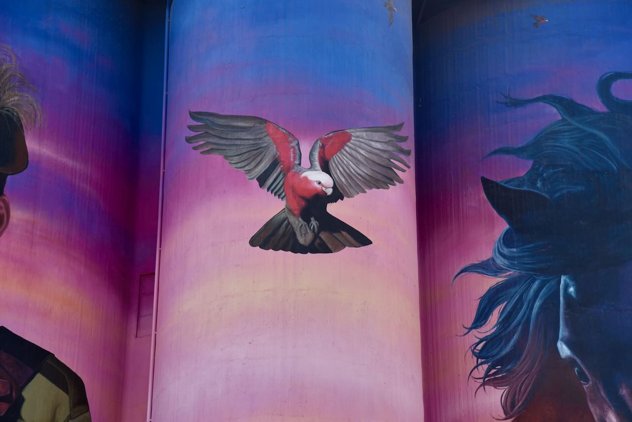
They feature magnificent silo art. One of the best that we have seen during our travels. The silos were painted in June 2023 by Julian Clavijo and Camilo Delgado. They depict the story of Trooper Harold Thomas Bell.

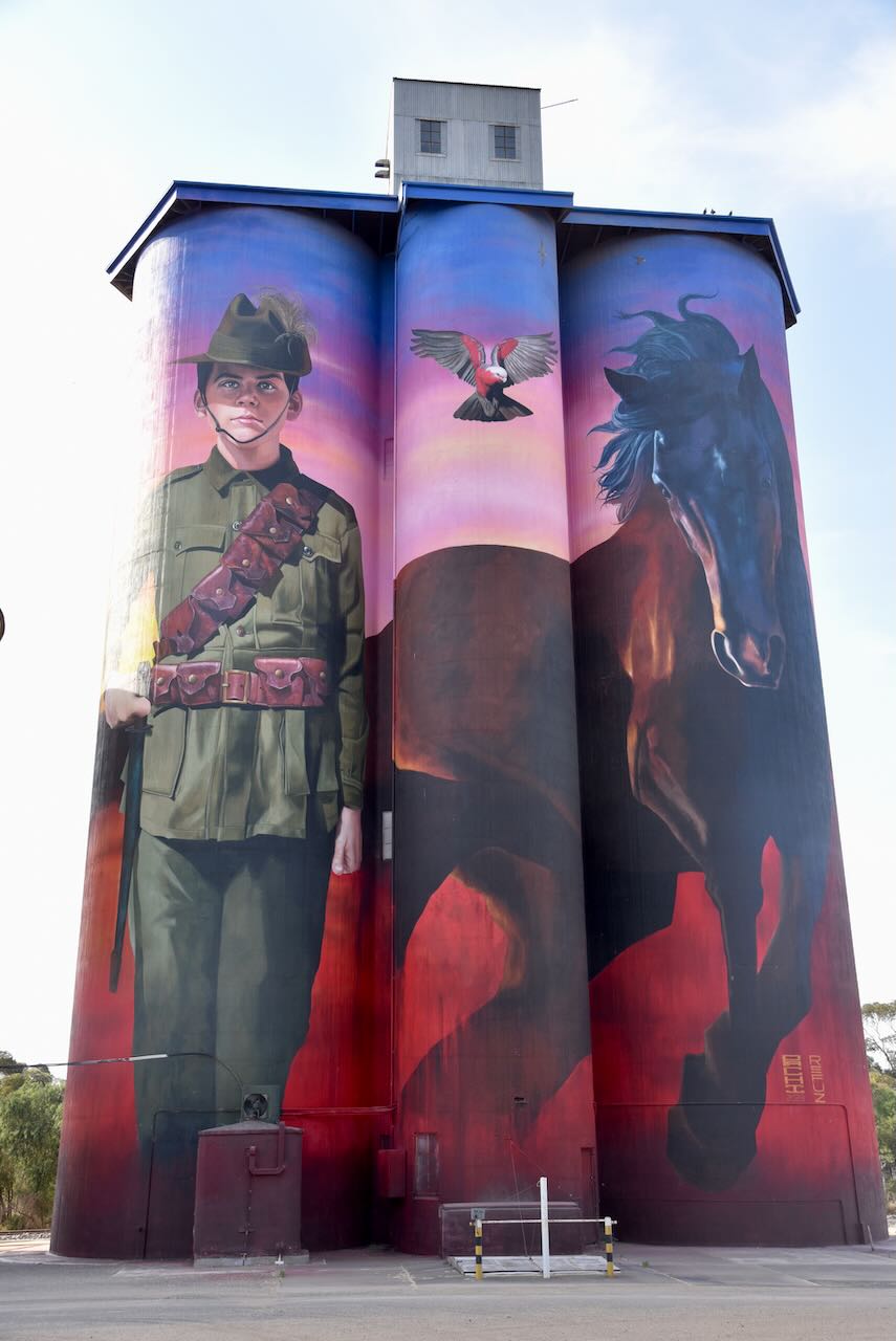
Harold Thomas Bell was born in 1901 at Walpeup. He was just 16 years old when the First World War broke out. He travelled to Mildura and enlisted with the Light Horse Regiment, lying about his age, name and his family circumstances. He claimed to be 21 years old and gave his name as Harold Thomas Wickham.

On the 22nd day of June 1917, he left Australia and arrived in Egypt about 6 weeks later. He was subsequently selected for the Hotchkiss machine gun section.

On the 28th day of October 1917, he was involved in a battle near the town of Beersheva. He was shot in the leg and critically wounded. He died the following day and was laid to rest in the Beersheba War Cemetery.

A telegram was despatched to Harold’s only living uncle, recorded on the enlistment forms, to inform him of Harold’s death. Upon receiving the telegram Thomas Bell replied:

“I don’t have a nephew named Harold. I do have a son by that name, but he couldn’t be in the Army, he’s only 16.”

Tragedy was to strike the family twice. Less than a year following Harold’s death, his father received another telegram to advise of the death of his other son Samuel.

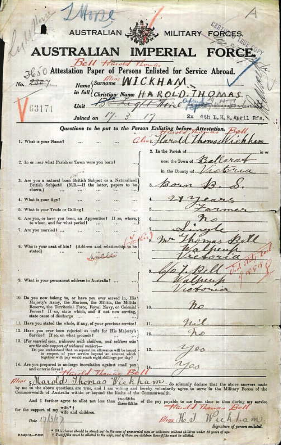
Above:- The attestation document of Harold Thomas Bell @ Harold Thomas Wickham. Image c/o ancestry.com.au

During our activation at Walpeup the lightning activity to the west of us really intensified. We could hear the loud rumble of thunder. And then the fire sirens went off in Walpeup, and we decided to pack up and head back to Murrayville.

Along the way, we observed numerous fires burning in paddocks, the result of lightning strikes. We were passed by a number of fire appliances and police cars heading to the fires with lights and sirens. And the lightning display was absolutely spectacular.

Marija worked the following stations on 40m SSB:-

  1. VK3PF
  2. VK3KAI
  3. VK3SQ
  4. VK2BD
  5. VK3ACZ
  6. VK3CEO
  7. VK3SG
  8. VK1AO
  9. VK2MET
  10. VK2EXA

I worked the following stations on 40m SSB:-

  1. VK3PF
  2. VK3KAI
  3. VK3SQ
  4. VK2BD
  5. VK3ACZ
  6. VK3CEO
  7. VK3SG
  8. VK1AO
  9. VK2MET
  10. VK2EXA
  11. VK7AAE
  12. VK2NZL
  13. VK3YV
  14. VK3EJ
  15. VK1RF
  16. VK2MK
  17. VK4CEE
  18. VK3ZH
  19. VK2CDB
  20. VK2YAK
  21. VK4YAK
  22. VK3APJ
  23. VK5LA
  24. VK5FANA
  25. VK5AAF
  26. VK3ZK
  27. VK4HMI

I worked the following stations on 80m SSB:-

  1. VK3SQ
  2. VK2BD
  3. VK3PF
  4. VK3KAI
  5. VK5KK
  6. VK3ZK
  7. VK2EXA
  8. VK7AAE
  9. VK3APJ
  10. VK5GY
  11. VK3LF
  12. VK3BWM
  13. VK5BRU
  14. VK3GV
  15. VK2IO/p
  16. VK1AO
  17. VK2MET
  18. VK2YAK
  19. VK4YAK

References.

  1. Australian Silo Art Trail, 2023, <https://www.australiansiloarttrail.com/walpeup>, viewed 2nd January 2023.
  2. Victorian Places, 2023, <https://www.victorianplaces.com.au/walpeup>, viewed 2nd January 2023.
  3. Wikipedia, 2023, <https://en.wikipedia.org/wiki/Walpeup>, viewed 2nd January 2023.

Ouyen I244 Bushland Reserve VKFF-4208 and Ouyen silo VK-OYN3

After leaving Galah we headed into Ouyen and went to the local Ouyen Hotel for an evening meal which we were very impressed with. Following our meal we filled up the Toyota Hi-Lux with some diesel. We then headed the Ouyen I244 Bushland Reserve VKFF-4208 and the Ouyen silo VK-OYN3.

The town of Ouyen is located about 105 km south of Mildura and about 441 km northwest of Melbourne. Ouyen has a population of about 1,000 people.

 Above:- Map showing the location of Ouyen. Map c/o Google Maps.

The Ouyen district was first inhabited by the Wegaia aboriginal people. The name Ouyen, pronounced ‘Oh-Yen’, is believed to be derived from the Wegaia word ‘wuya-wuya’ There are differing views on the origin of the name. Some believe it means ‘pink-eared duck’ while others claim it means ‘ghost waterhole’.

In 1903 the railway line was extended from Woomelang, 80 km south of Ouyen, to Mildura. Settlements at Hopetoun and Lascelles, both near Woomerlang, had enhanced the prospects of farming in the Mallee region of Victoria. The opening of the railway line invited settlement along its route. In about 1906 settlers commenced arriving in the Ouyen district. The town of Ouyen was proclaimed in 1909.

Above:- 1920 Victorian railway map. Image c/o vrhistory.com

The town of Ouyen was established around the Ouyen railway station which was built in 1906. The Ouyen Post Office was opened on the 22nd day of July 1907.  Land to the west of Ouyen was found to be suitable for farming and various townships were established. Ouyen became a functioning service centre. In 1909 a school was opened in a coffee palace and public hall. In 1911 Ouyen’s population was 766 people. 

In 1918 a shire hall was constructed. In 1928 a higher education school was opened. In 1929 a district hospital was built. By the 1930s Ouyen had a local court, four banks, an agricultural society, sporting and racing clubs, and local industries such as cordial making, plaster sheet, a freezing works and an electricity generation plant. In 1933 Ouyen’s population was 1,169 people.

Above:- The Ouyen Coffee Palace, c. 1916. Image c/o Museums Victoria.

Above:- The main street of Ouyen, c. 1915. Image c/o Museums Victoria.

Today Ouyen is a rural service centre of the Mallee. It is the gateway to several Mallee parks in Victoria including Murray Sunset National Park, Wyperfeld National Park and Hattah Kulkyne National Park.

Well worth a visit if you are in Ouyen is the community mural in the centre of the business/cafe precinct of Ouyen. It depicts the history of the district.

Following dinner, we headed to the Ouyen I244 Bushland Reserve. The reserve was established on the 8th day of May 1990 and is only 1.5 hectares in size.

We set up within the activation zone of the Ouyen silo.

Above:- the activation zone at the Ouyen silo. Image c/o SiOTA website.

The Ouyen silos are located alongside the railway line on the western side of Rowe Street.

The silos were opened in 1939.

Above:- Article from the Ouyen Mail, Wed 8 Nov 1939. Image c/o Trove.

The Ouyen silo has not been without its accidents.

Above:- Article from the Ouyen Mail, Wed 3 May 1939. Image c/o Trove.

We ran the Yaesu FT857, 40 watts, and the 20/40/80m linked dipole for this activation. I operated with the special call sign of VI10VKFF.

Marija worked the following stations on 40m SSB:-

  1. VK3PF
  2. VK2EXA
  3. VK1AO
  4. VK2MET
  5. VK2YAK
  6. VK4YAK
  7. VK5LA
  8. VK5KAW
  9. VK3BWS
  10. VK5HS
  11. VK3OAK
  12. VK2IO/p (Baring I113 Bushland Reserve VKFF-4218)

I worked the following stations on 40m SSB:-

  1. VK3PF
  2. VK2EXA
  3. VK1AO
  4. VK2MET
  5. VK2YAK
  6. VK4YAK
  7. VK5LA
  8. VK5KAW
  9. VK3BWS
  10. VK5HS
  11. VK3OAK
  12. VK5GY
  13. VK3CEO
  14. VK7KW
  15. VK7AAE
  16. VK3UH
  17. VK2IO/p (Baring I113 Bushland Reserve VKFF-4218)
  18. VK3ACZ
  19. VK2CDB
  20. VK2DG
  21. VK4SMA
  22. VK2LQ
  23. VK2PCT
  24. VK3SQ
  25. VK2BD
  26. VK3CLD
  27. VK3EJ
  28. VK3SO
  29. VK3YUN
  30. VK3HNG
  31. VK3CNC
  32. VK5DW
  33. VK2GWB
  34. VK3ABK
  35. VK3GQ/m
  36. VK2TER
  37. VK2BM

I worked the following stations on 80m SSB:-

  1. VK3APJ
  2. VK3PF
  3. VK3SQ
    VK2BD
  4. VK3ZK
  5. VK3KAI
  6. VK3GV

References.

  1. Victorian Places, 2023, <https://www.victorianplaces.com.au/ouyen>, viewed 2nd December 2023.
  2. Wikipedia, 2023, <https://en.wikipedia.org/wiki/Ouyen>, viewed 2nd December 2023.

Galah Bushland Reserve VKFF-4194 and Galah silo VK-GLA3

Our next activation for Friday 10th November 2023 was the Galah Bushland Reserve VKFF-4194 and the Galah silo VK-GLA3.

We had decided to head to Ouyen for some fuel and to have an evening meal.

Above:- Map showing the location of Galah, Victoria. Map c/o Google Maps.

Along the way, we stopped briefly at Walpeup to view the silo art. For more information on Walpeup, please see my post at….

For more information on the Walpeup silo art please see my post at….

We left Walpeup and continued east along the Mallee Highway and soon reached the district of Galah.

Galah is a locality in northwestern Victoria. It was formerly known as Anderson’s Plains taking its name from a stickman. It is named after the iconic Australian bird, the Galah.

The Galah State School (No. 3955) opened in June 1917. Schooling was initially conducted in the Galah Hall until a school building was erected. In 1933 the school was destroyed by fire and the school returned to the hall until the former Timberoo South School was moved to Galah in 1934. The school closed in 1947.

Above: Article from The Argus, Wed 19 Apr 1933. Image c/o Trove.

The Galah North State School (No. 4262) opened in May 1926 and closed in 1942. At its peak, Galah had a store, a post office, a community hall, and a Sunday school.

Above:- Article from the Ouyen Mail, Fri 20 Oct 1911. Image c/o Trove.

The Galah Bushland Reserve was established on the 8th day of May 1990 and is about 3 hectares in size. It is a very small piece of remnant mallee scrub.

The park is located on the northern side of Galah North Road and the eastern side of Nunn Road.

Above:- An aerial view of the Galah Bushland Reserve. Image c/o Google Earth.

The Galah silos are located on the northern side of the Mallee Highway, alongside the Ouyen-Pinnaroo railway line.

The Galah silos were opened in 1939.

Above:- Article from the Herald Melbourne, Sat 18 Nov 1939. Image c/o Trove.

Marija worked the following stations on 40m SSB:-

  1. VK3PI/p (Fosters Lake Waterhole Nature Conservation Reserve VKFF-2090)
  2. VK3UH
  3. VK1AO
  4. VK2MET
  5. VK3PF
  6. VK3APJ
  7. VK3SQ
  8. VK2BD
  9. VK1DA
  10. VK2DA
  11. VK2IO/p (Spindles Bushland Reserve VKFF-4247)

I worked the following stations on 40m SSB:-

  1. VK3PI/p (Fosters Lake Waterhole Nature Conservation Reserve VKFF-2090)
  2. VK3UH
  3. VK1AO
  4. VK2MET
  5. VK3PF
  6. VK3APJ
  7. VK3SQ
  8. VK2BD
  9. VK1DA
  10. VK2DA
  11. VK3SO
  12. VK2EXA
  13. VK2AB
  14. VK2IO/p (Spindles Bushland Reserve VKFF-4247)
  15. VK5FANA
  16. VK3SG

As it was getting late in the afternoon and we wanted to get to Ouyen for a meal, we did not operate on the 20m band.

References.

  1. Blake; L, 1977, Place Names of Victoria.
  2. CAPAD 2022.
  3. Nickolls; J, Angel, A, 2003, Mallee Tracks.
  4. Wikipedia, 2023, <https://en.wikipedia.org/wiki/Galah,_Victoria>, viewed 2nd January 2024.