
Our next activation for Friday 10th November 2023 was the Galah Bushland Reserve VKFF-4194 and the Galah silo VK-GLA3.
We had decided to head to Ouyen for some fuel and to have an evening meal.

Above:- Map showing the location of Galah, Victoria. Map c/o Google Maps.
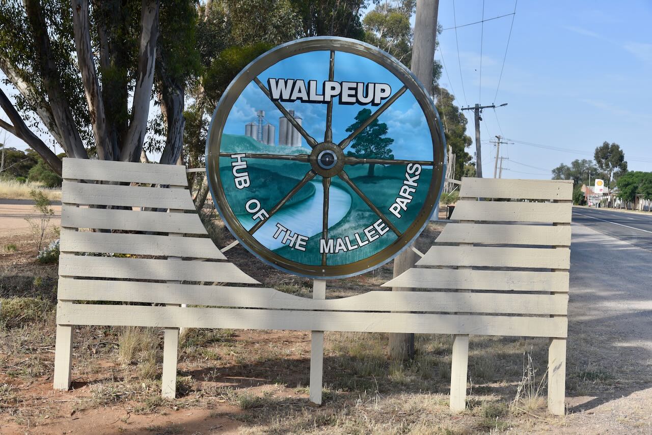
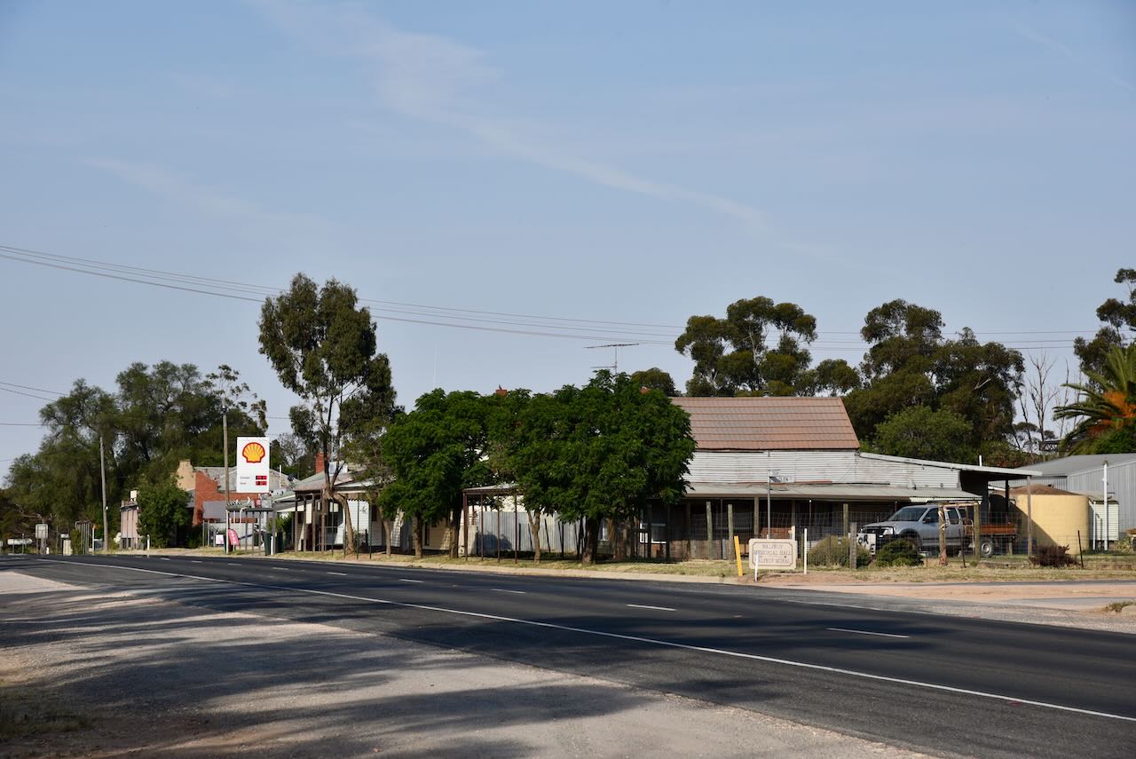
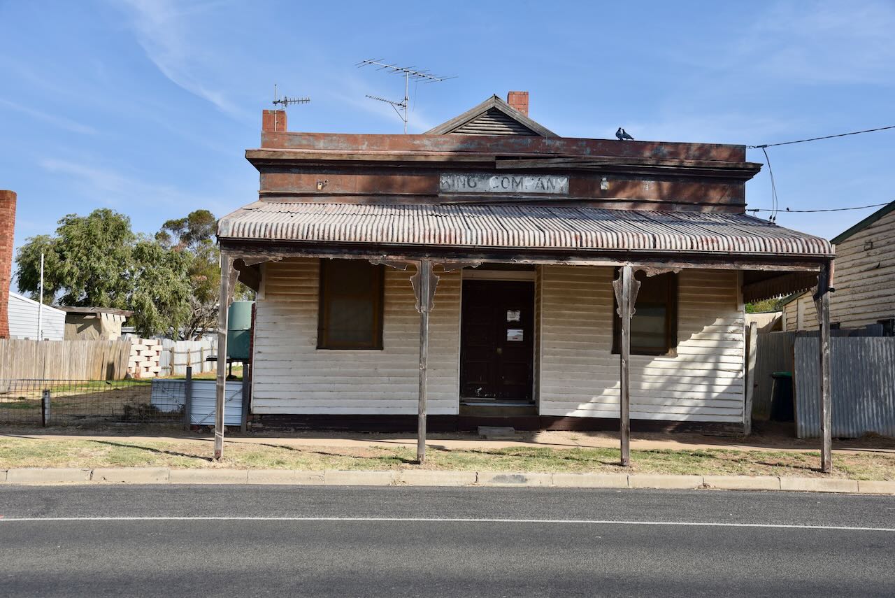
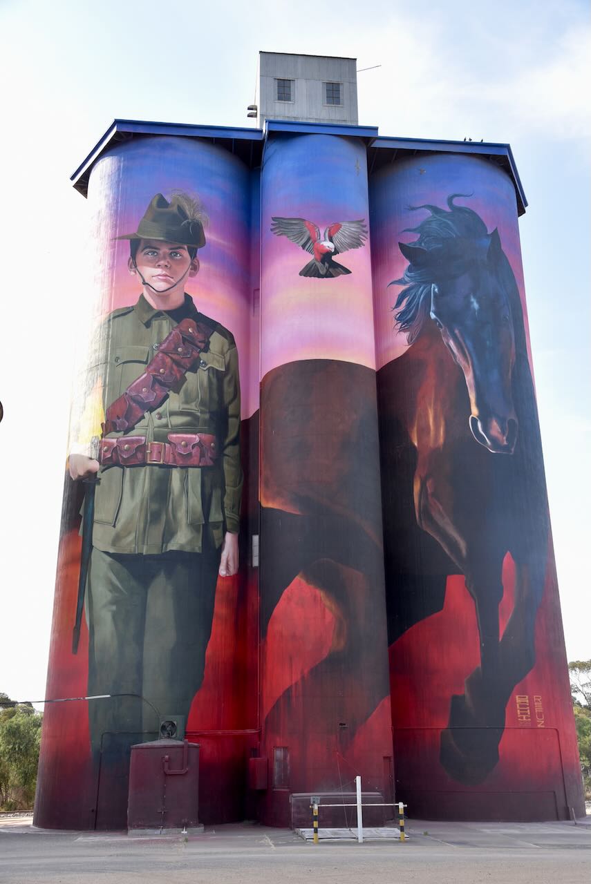
Along the way, we stopped briefly at Walpeup to view the silo art. For more information on Walpeup, please see my post at….


For more information on the Walpeup silo art please see my post at….


We left Walpeup and continued east along the Mallee Highway and soon reached the district of Galah.

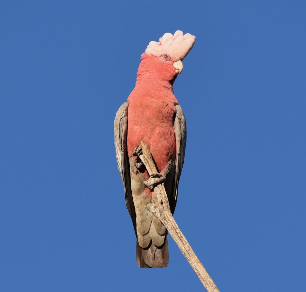
Galah is a locality in northwestern Victoria. It was formerly known as Anderson’s Plains taking its name from a stickman. It is named after the iconic Australian bird, the Galah.
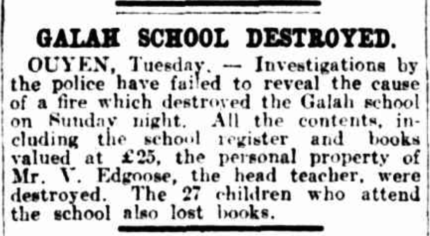
The Galah State School (No. 3955) opened in June 1917. Schooling was initially conducted in the Galah Hall until a school building was erected. In 1933 the school was destroyed by fire and the school returned to the hall until the former Timberoo South School was moved to Galah in 1934. The school closed in 1947.
Above: Article from The Argus, Wed 19 Apr 1933. Image c/o Trove.
The Galah North State School (No. 4262) opened in May 1926 and closed in 1942. At its peak, Galah had a store, a post office, a community hall, and a Sunday school.

Above:- Article from the Ouyen Mail, Fri 20 Oct 1911. Image c/o Trove.
The Galah Bushland Reserve was established on the 8th day of May 1990 and is about 3 hectares in size. It is a very small piece of remnant mallee scrub.
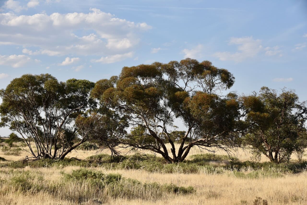
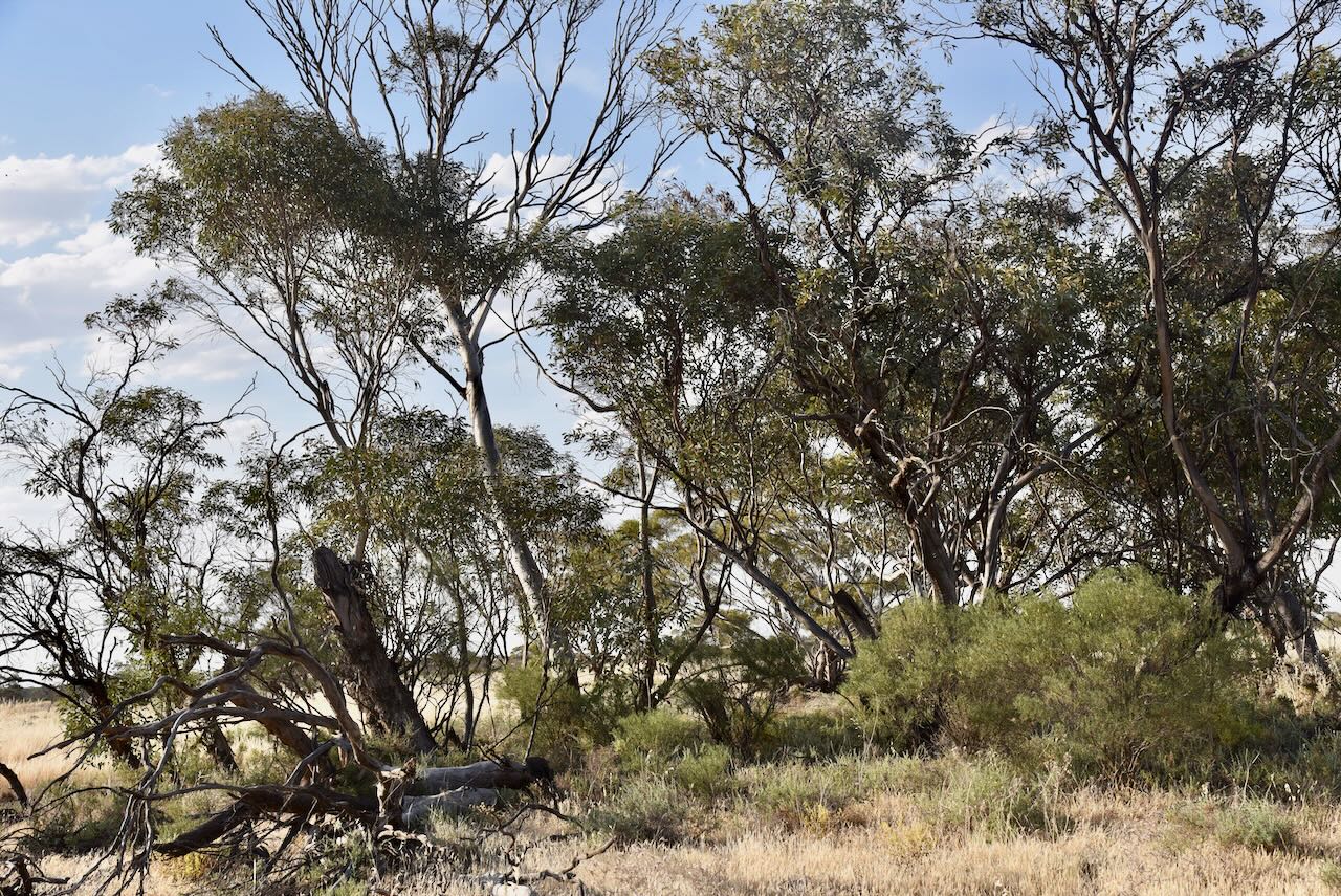
The park is located on the northern side of Galah North Road and the eastern side of Nunn Road.
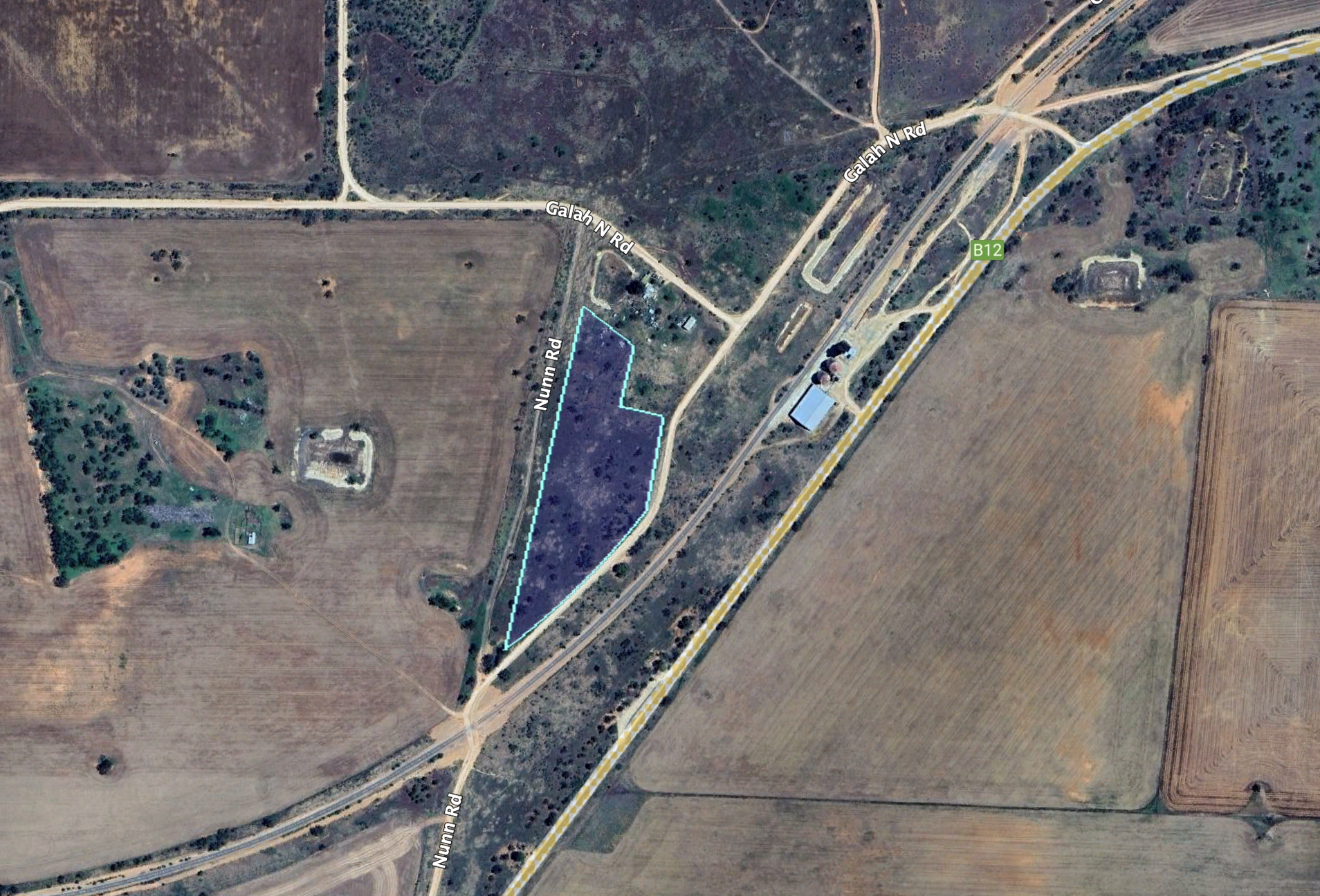
Above:- An aerial view of the Galah Bushland Reserve. Image c/o Google Earth.
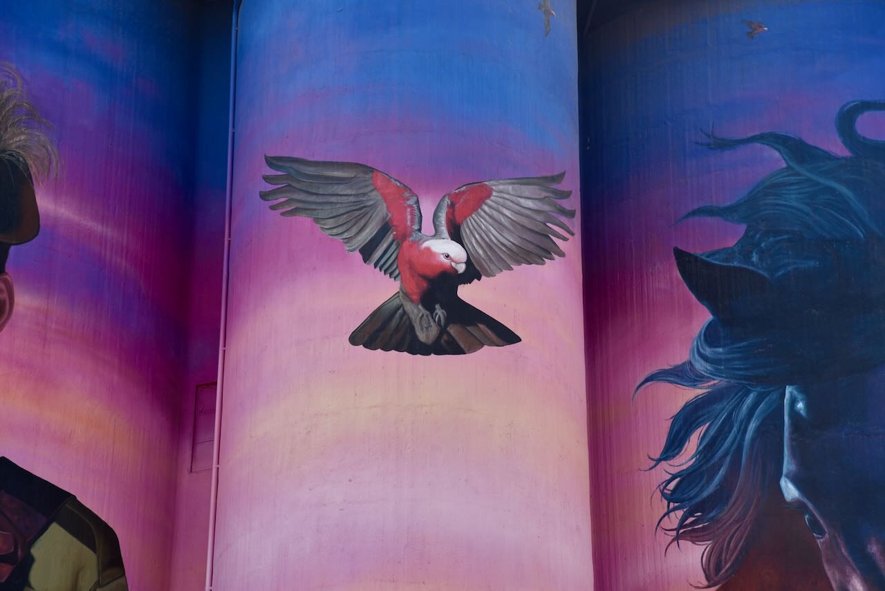
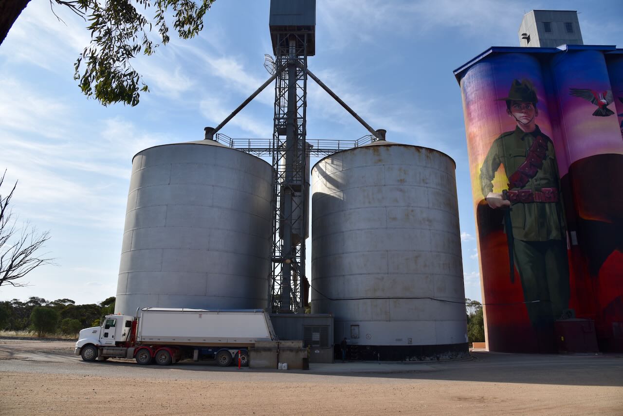
The Galah silos are located on the northern side of the Mallee Highway, alongside the Ouyen-Pinnaroo railway line.


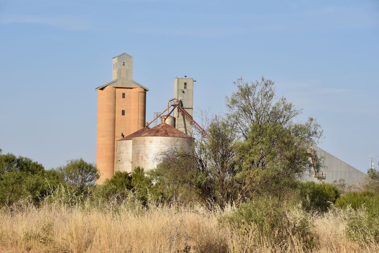
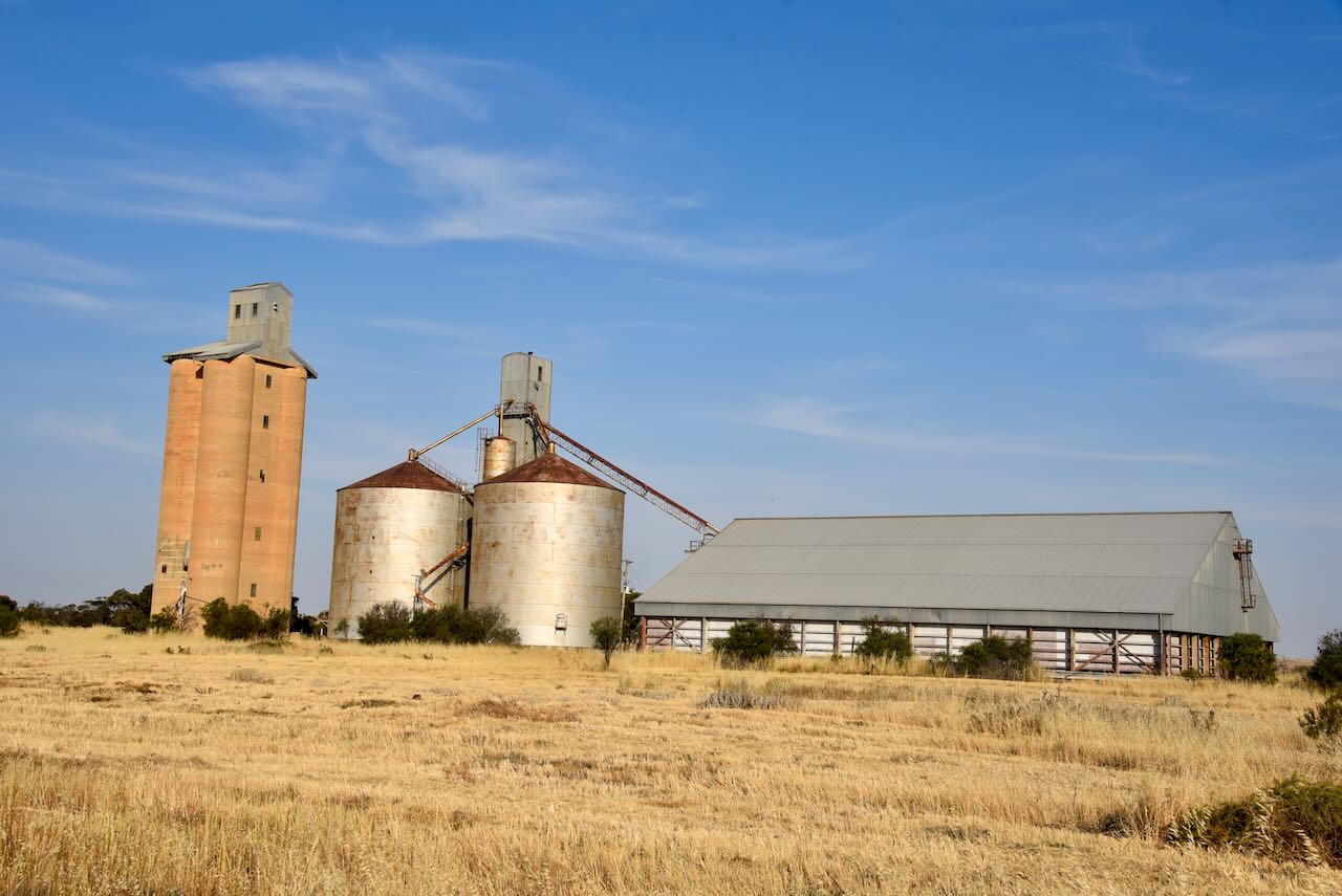

The Galah silos were opened in 1939.
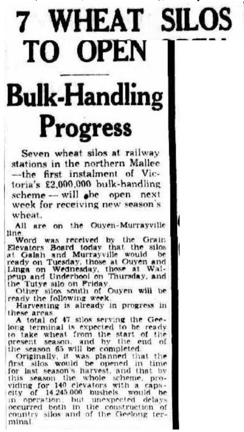
Above:- Article from the Herald Melbourne, Sat 18 Nov 1939. Image c/o Trove.
Marija worked the following stations on 40m SSB:-
- VK3PI/p (Fosters Lake Waterhole Nature Conservation Reserve VKFF-2090)
- VK3UH
- VK1AO
- VK2MET
- VK3PF
- VK3APJ
- VK3SQ
- VK2BD
- VK1DA
- VK2DA
- VK2IO/p (Spindles Bushland Reserve VKFF-4247)
I worked the following stations on 40m SSB:-
- VK3PI/p (Fosters Lake Waterhole Nature Conservation Reserve VKFF-2090)
- VK3UH
- VK1AO
- VK2MET
- VK3PF
- VK3APJ
- VK3SQ
- VK2BD
- VK1DA
- VK2DA
- VK3SO
- VK2EXA
- VK2AB
- VK2IO/p (Spindles Bushland Reserve VKFF-4247)
- VK5FANA
- VK3SG
As it was getting late in the afternoon and we wanted to get to Ouyen for a meal, we did not operate on the 20m band.
References.
- Blake; L, 1977, Place Names of Victoria.
- CAPAD 2022.
- Nickolls; J, Angel, A, 2003, Mallee Tracks.
- Wikipedia, 2023, <https://en.wikipedia.org/wiki/Galah,_Victoria>, viewed 2nd January 2024.
