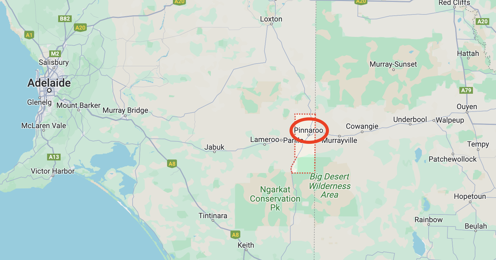
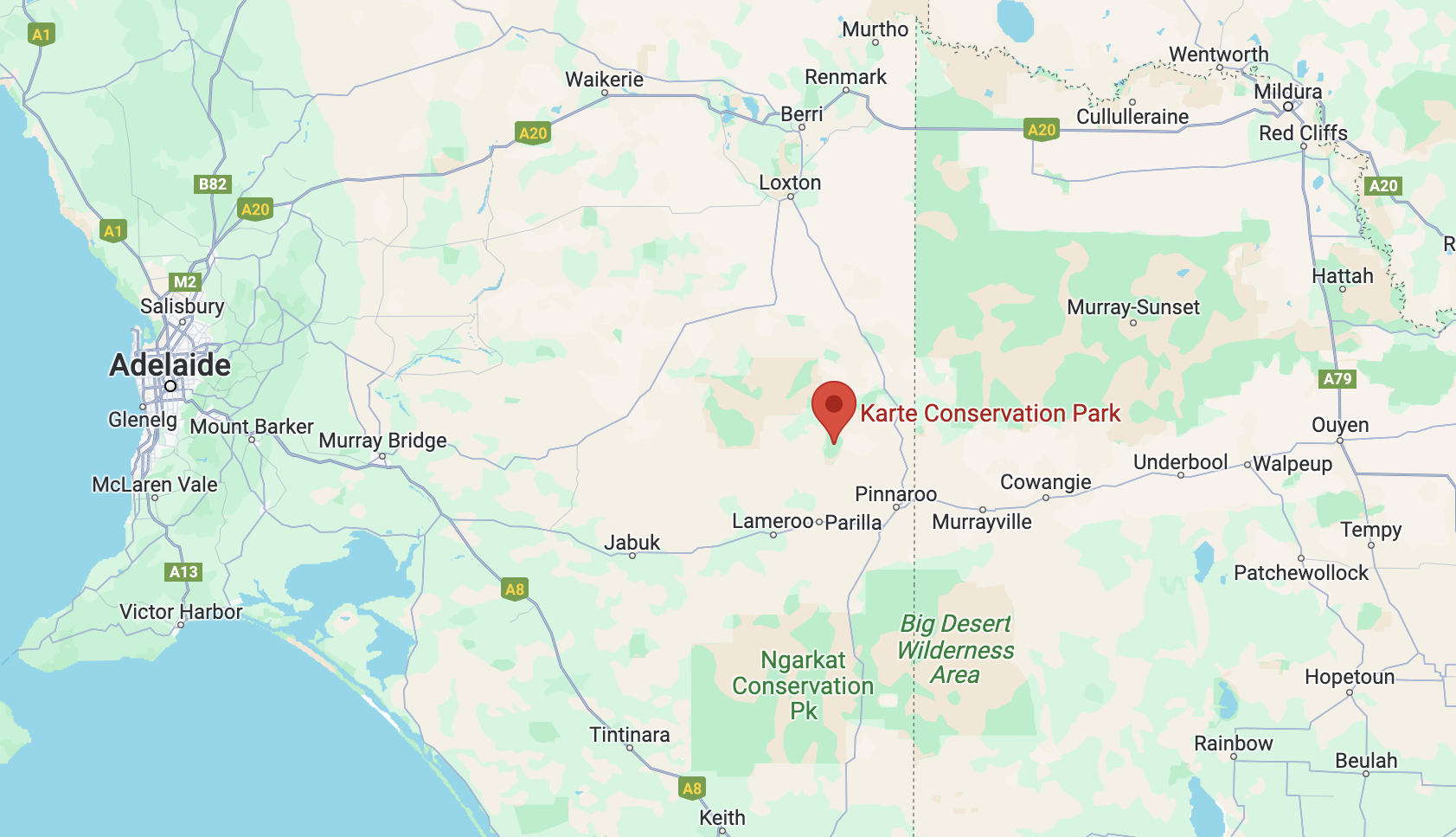
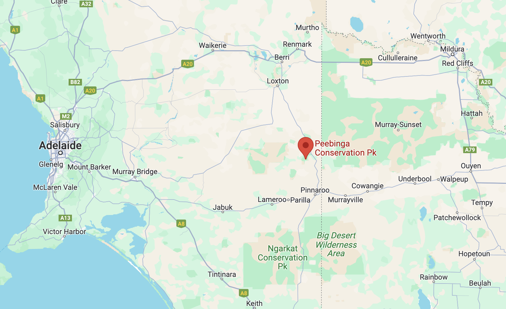
After leaving Ngarkat, Marija and I headed to the Peebinga Conservation Park VKFF-0830. The park is about 275 km northeast of Adelaide.
Above:- Map showing the location of the Peebinga CP. Map c/o Google Maps.
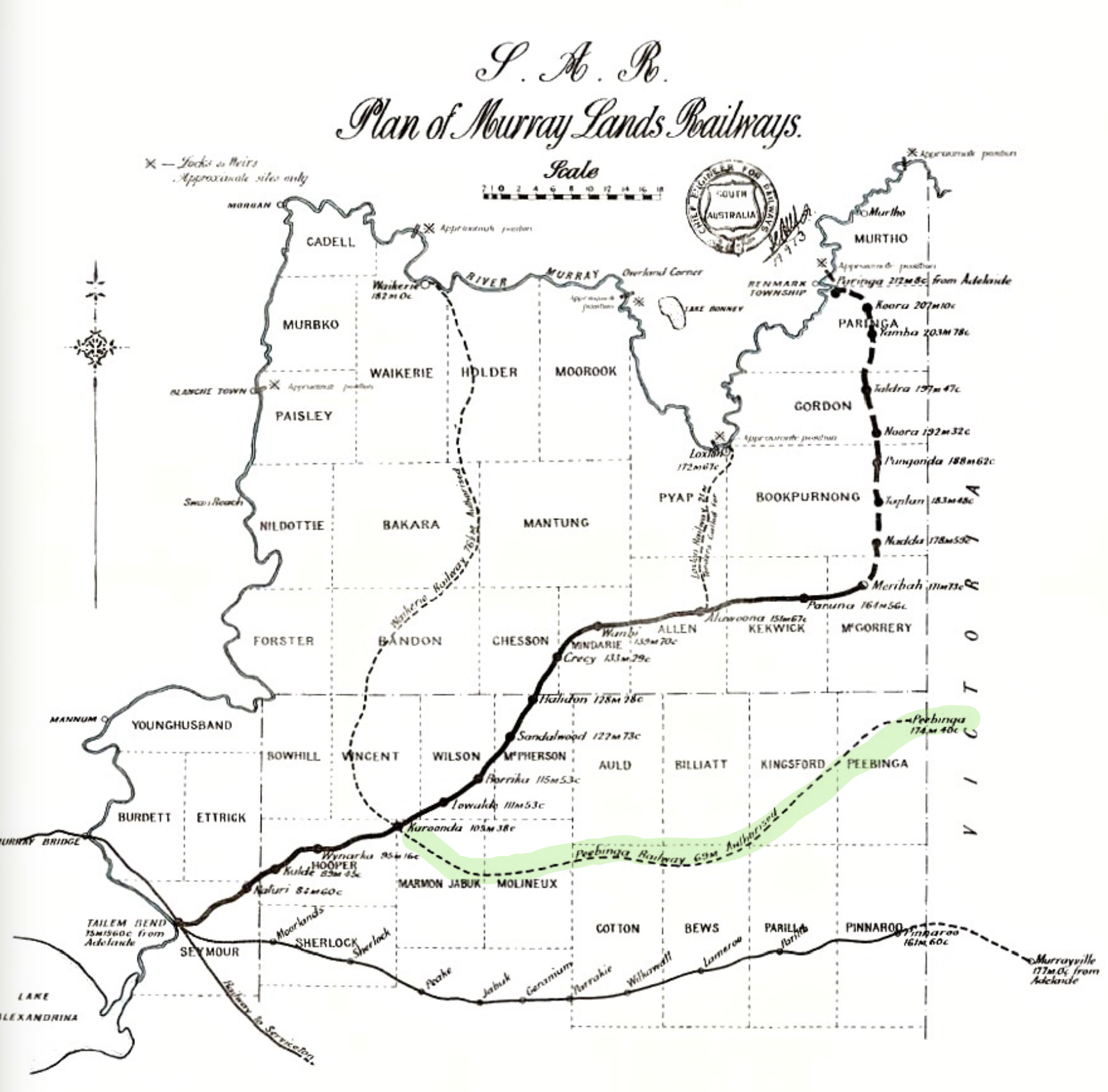
Peebinga was once the terminus of the Peebinga railway line which was constructed in 1914 as part of a major government project to open up the Murray Mallee region of South Australia for grazing and cropping. The line opened on the 28th day of December 1914 from a junction with the Barmera line at Karoonda.
Above:- A 1913 map of Murrayland railway lines in South Australia. Image c/o Wikipedia.
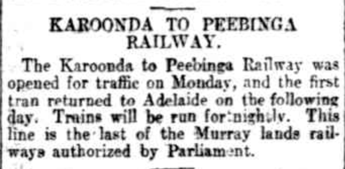
The line ran eastwards to Peebinga where it terminated about 2 km from the Victorian State border. The line closed on the 7th day of December 1990. The Peebinga line was 106.2 kilometres and the estimated construction cost was £207,000 plus £56,690 for rolling stock.
Above:- Article from The Register, Adelaide, Fri 1 Jan 1915. Image c/o Trove.
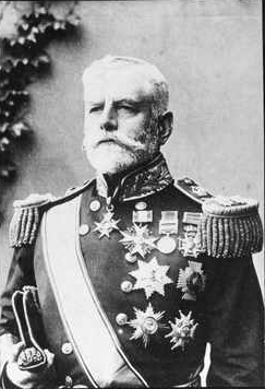
Peebinga was named by Tom Bridges the Governor of South Australia after the district of Peebinga. It had previously been named by Governor Day Bosanquet in 1912 from the aboriginal word ‘pichinga‘ for a rock hole located in the area called Butchers Soak (also known as Butcher Rockhole, Butcher Springs). The soak was named after an early pastoralist in the district.
Above:- Governor Day Bosanquet. Image c/o Wikipedia.
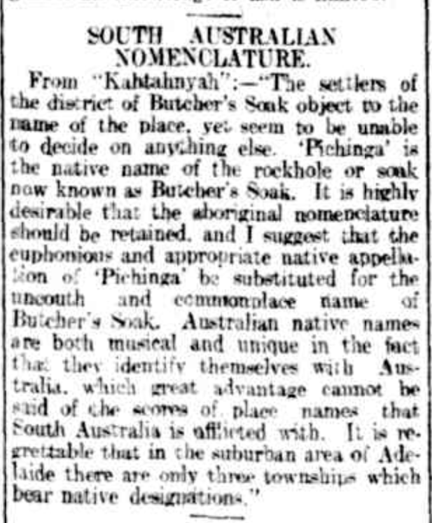
The area was originally known as Butcher’s Soak and as can be seen in the article below from The Register in 1912, the locals objected to the name.
Above:- Article from The Register, Wed 31 Jul 1912. Image co Trove.
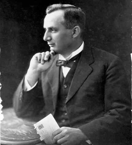
The town of Peebinga was surveyed in 1924 adjacent to the railway. Charles Compton Reade (b. 1880. d. 1933), a town planner, was given the task of designing the town of Peebinga. He had designed Colonel Light Gardens and Barmera.
Above:- Charles Reade. Image c/o Wikipedia.
Above:- Plan of the town of Peebinga. Image c/o Trove.
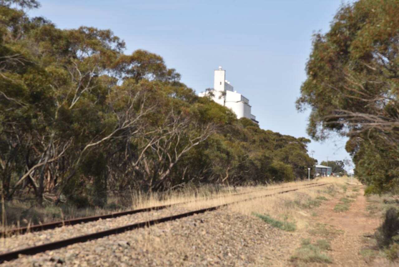
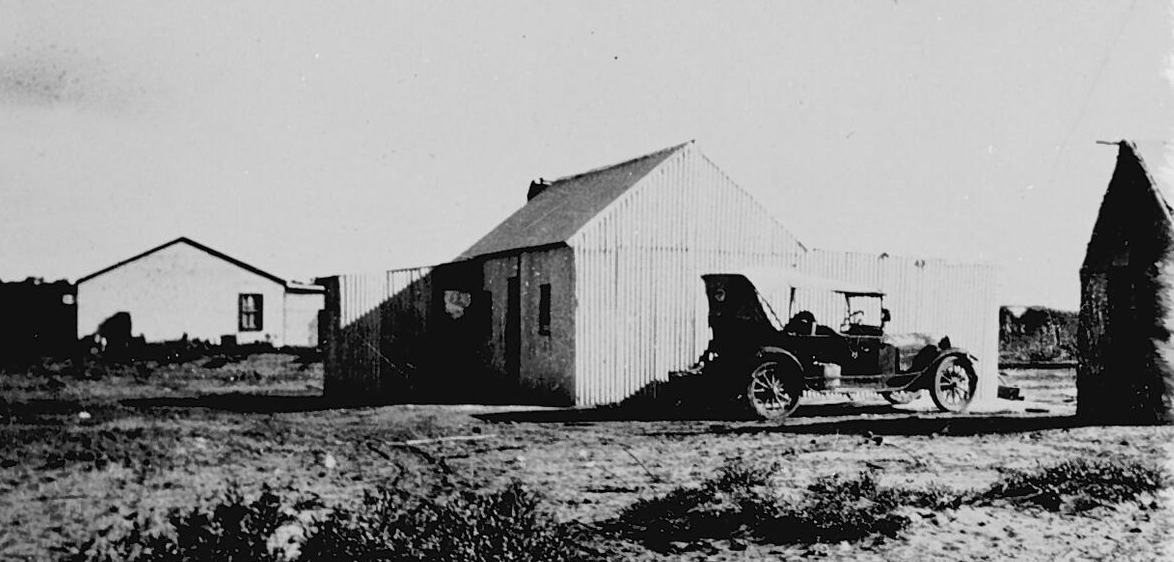
A town school was opened in 1922 and was originally known as Butcher’s Soak. The Peebinga Post Office opened in 1926 and closed in 1986. During the 1920s a Methodist Minister visited Peebinga once a fortnight and conducted church services. The Peebinga school was opened in 1938 but is now closed.
Above:- The Peebinga Post Office, c. 1925. Image c/o Museums Victoria.
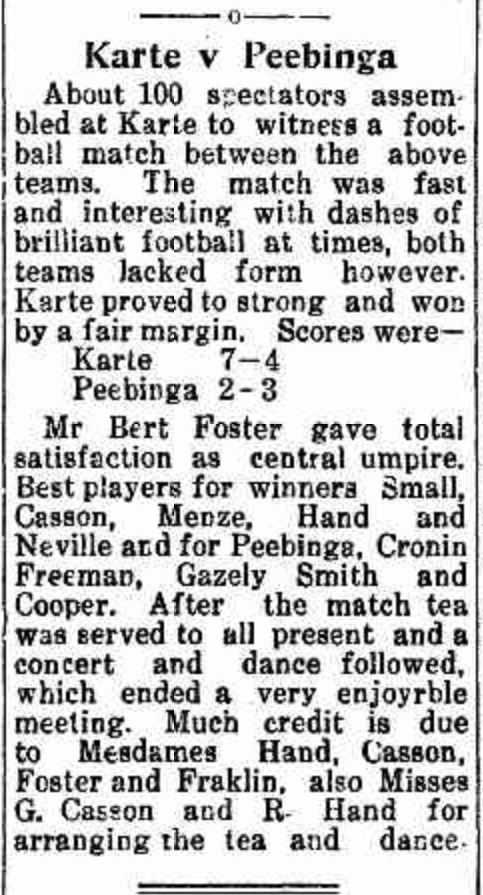
Peebinga once had its own football club.
Above:- Article from the Pinnaroo and Border Times, Fri 31 Aug 1923. Image c/o Trove
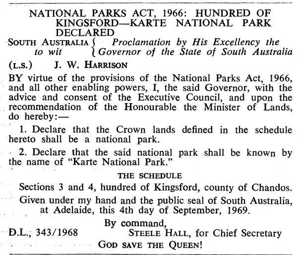
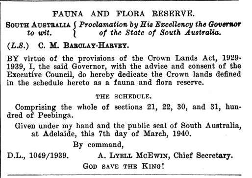
The Peebinga Conservation Park was proclaimed on the 27th day of April 1972. It was originally known as the Peebinga Flora and Fauna Reserve and was proclaimed on the 14th day of March 1940. It subsequently became a Wildlife Reserve in 1965. On the 9th day of November 1967, it was proclaimed as the Peebinga National Park.
Above:- Proclamation of the park in the SA Govt Gazette, March 14 1940
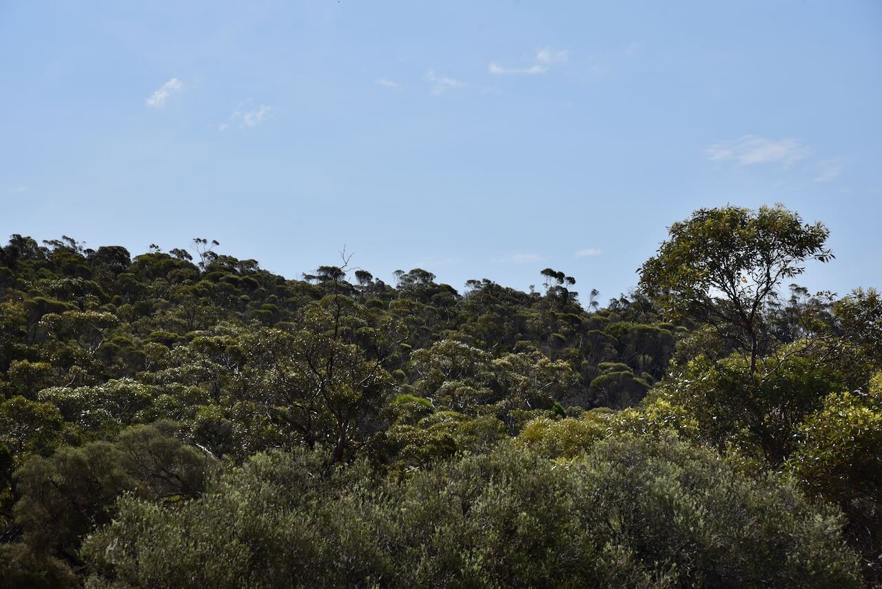
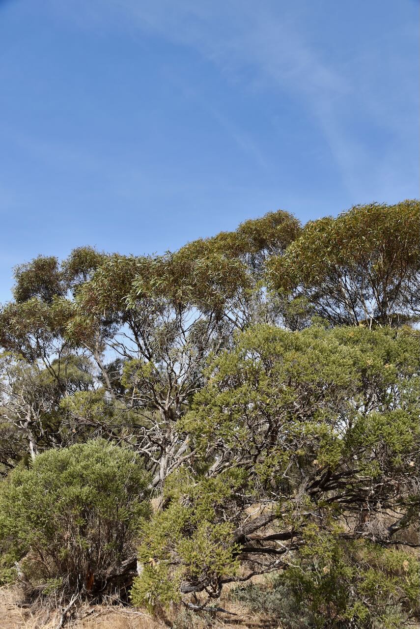
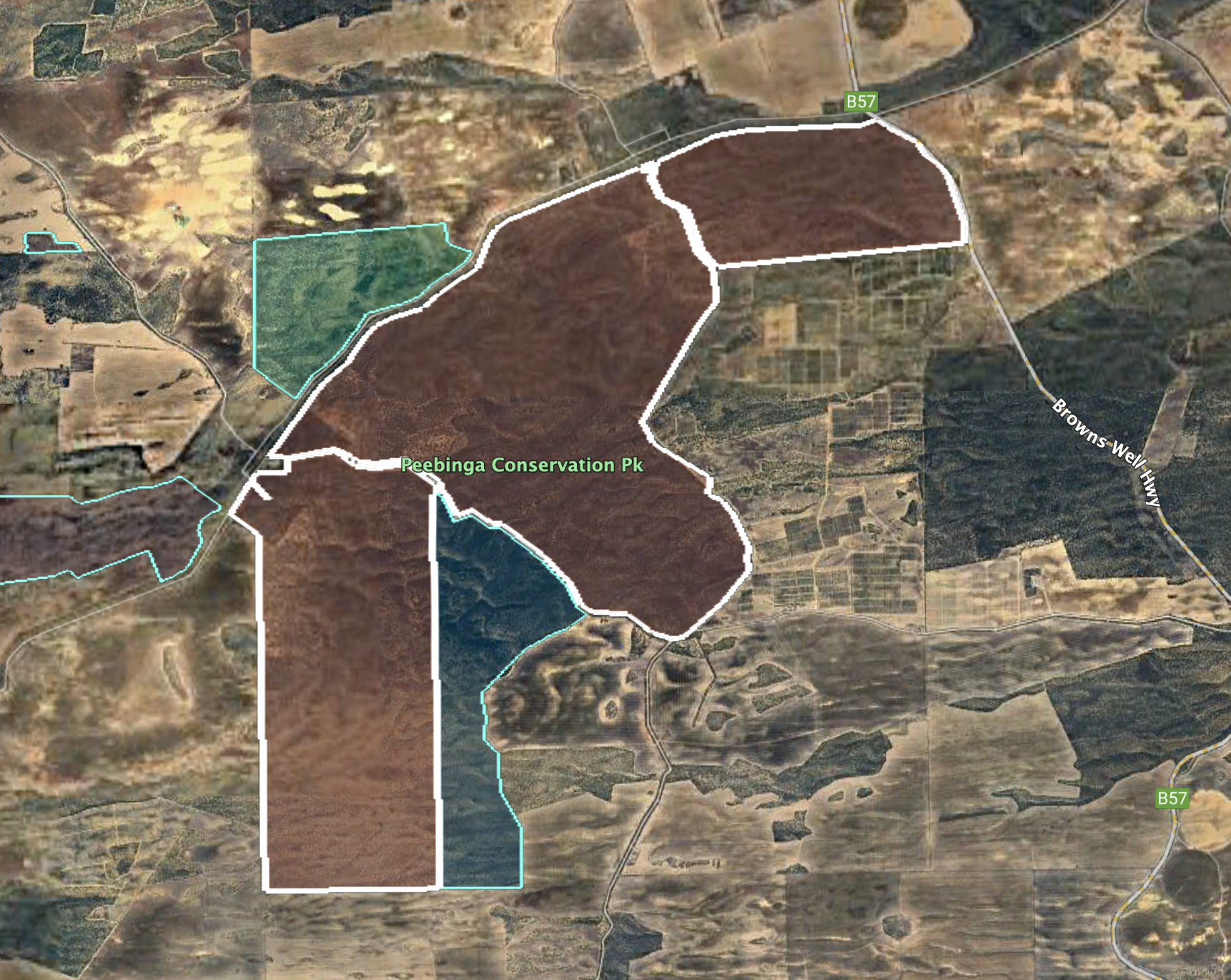
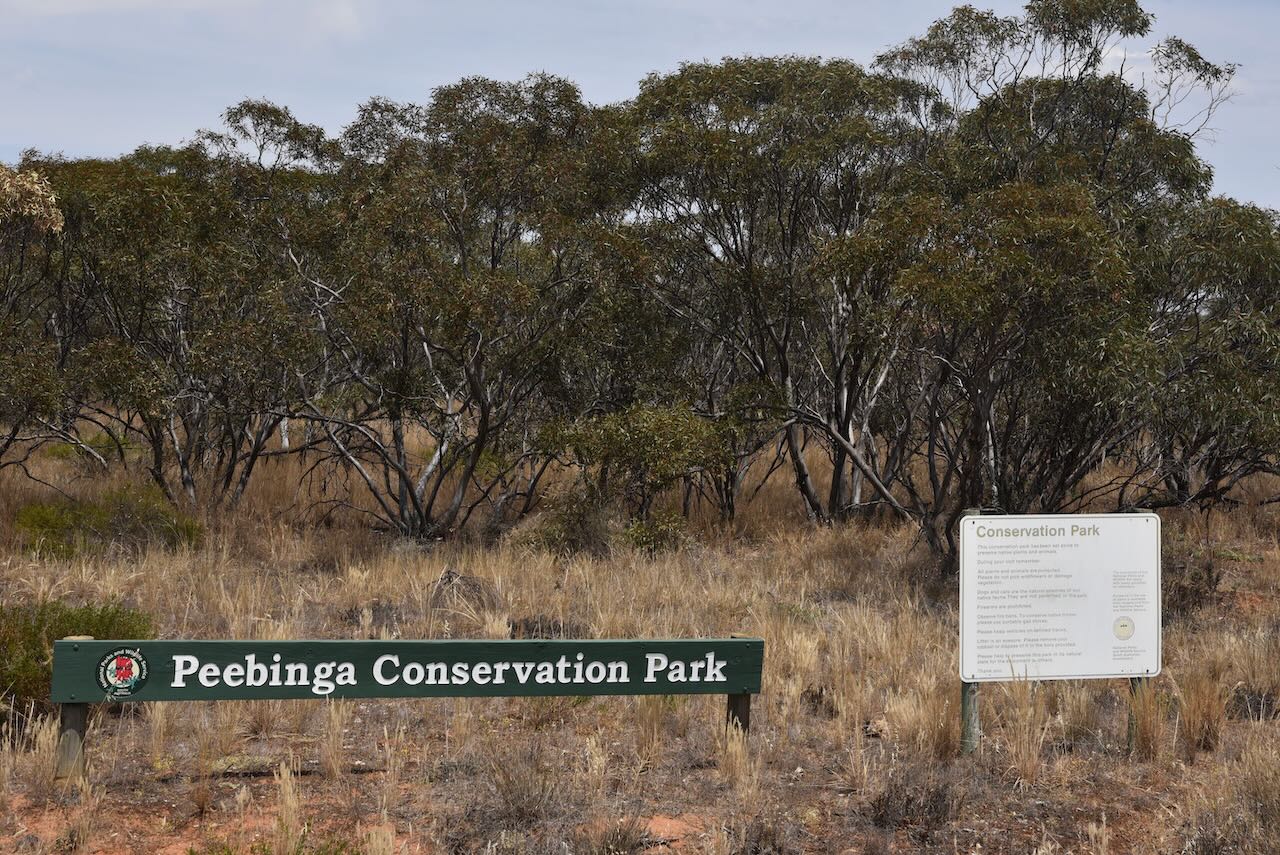
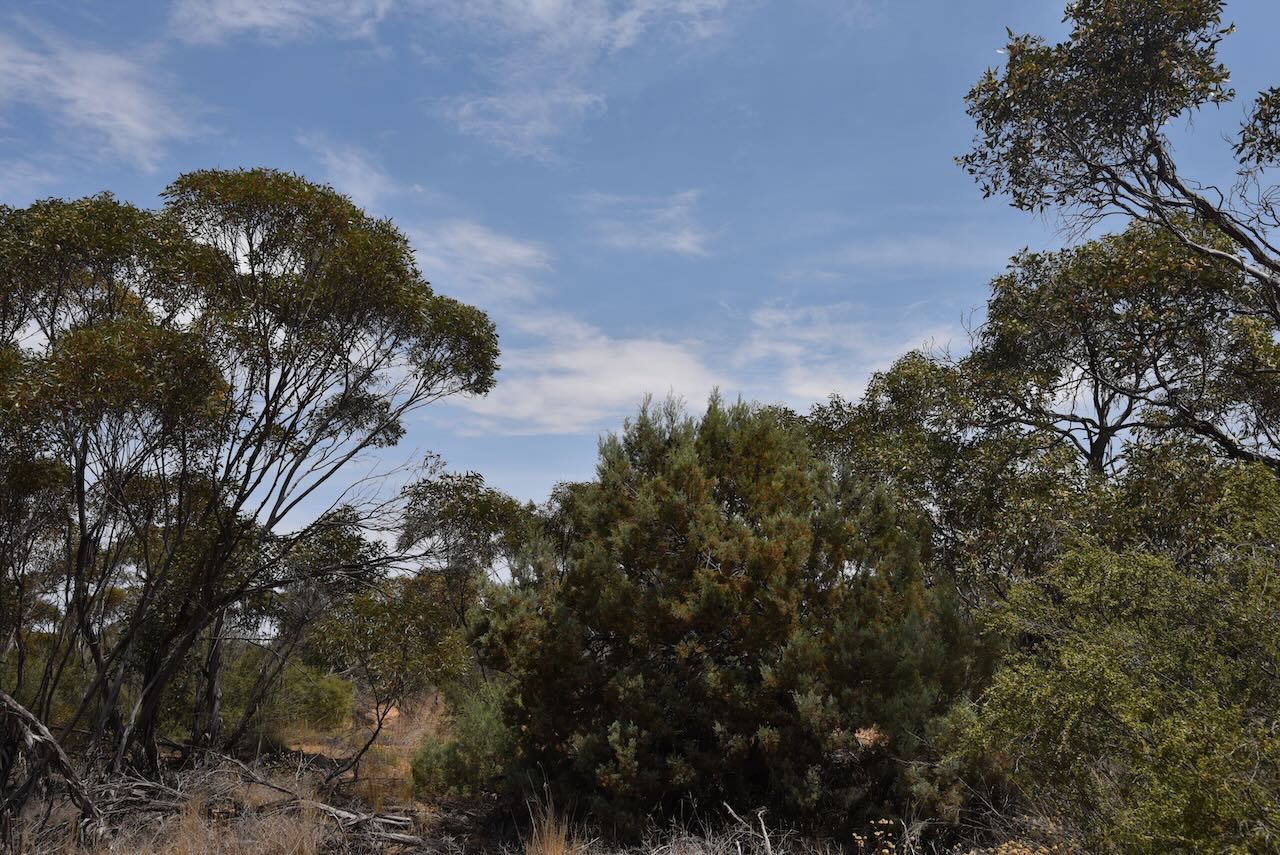
The Peebinga Conservation Park is about 3,369 hectares in size and is located on the western side of Browns Well Road.
Above:- The Peebinga Conservation Park. Image c/o Google Earth.
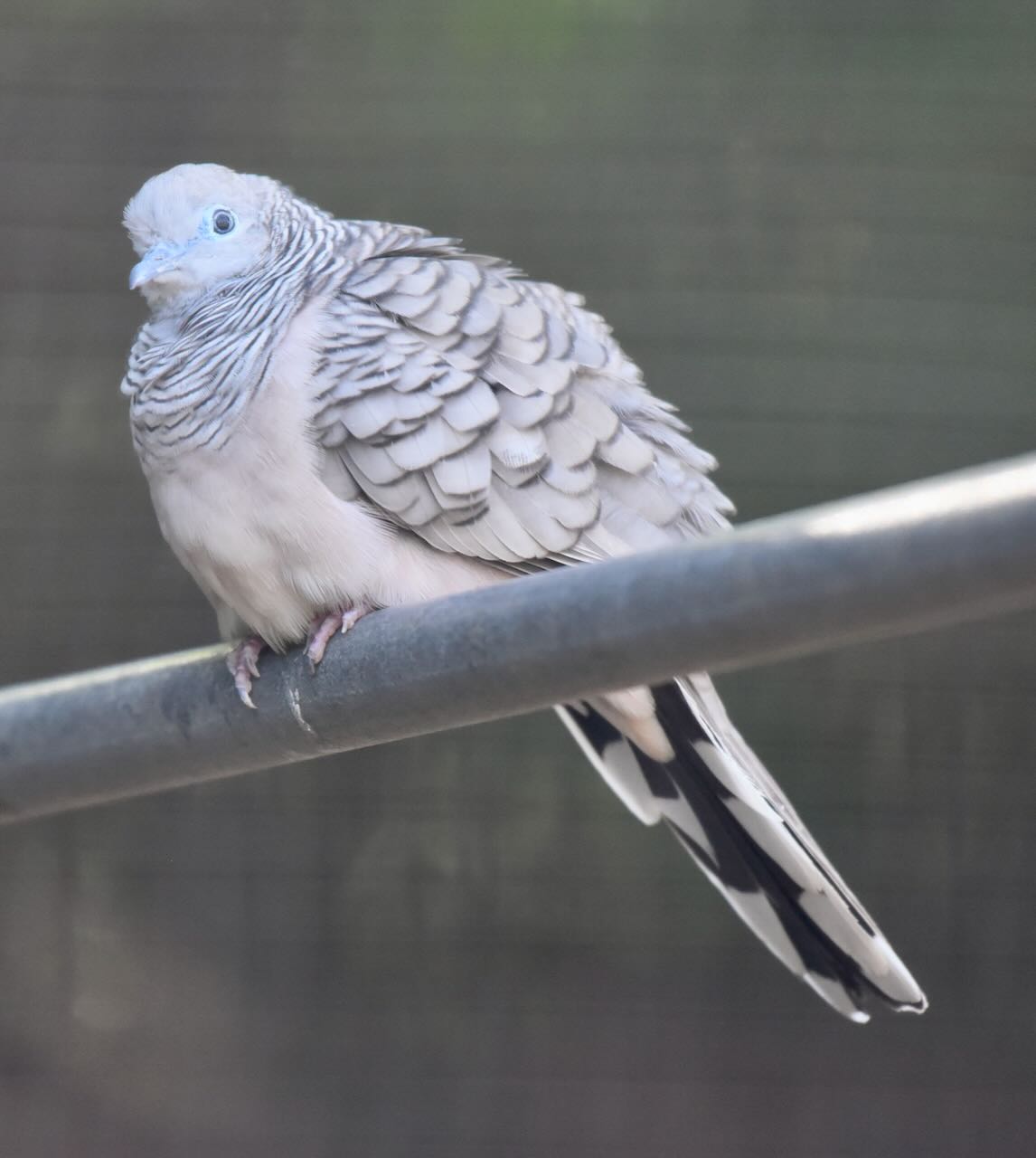
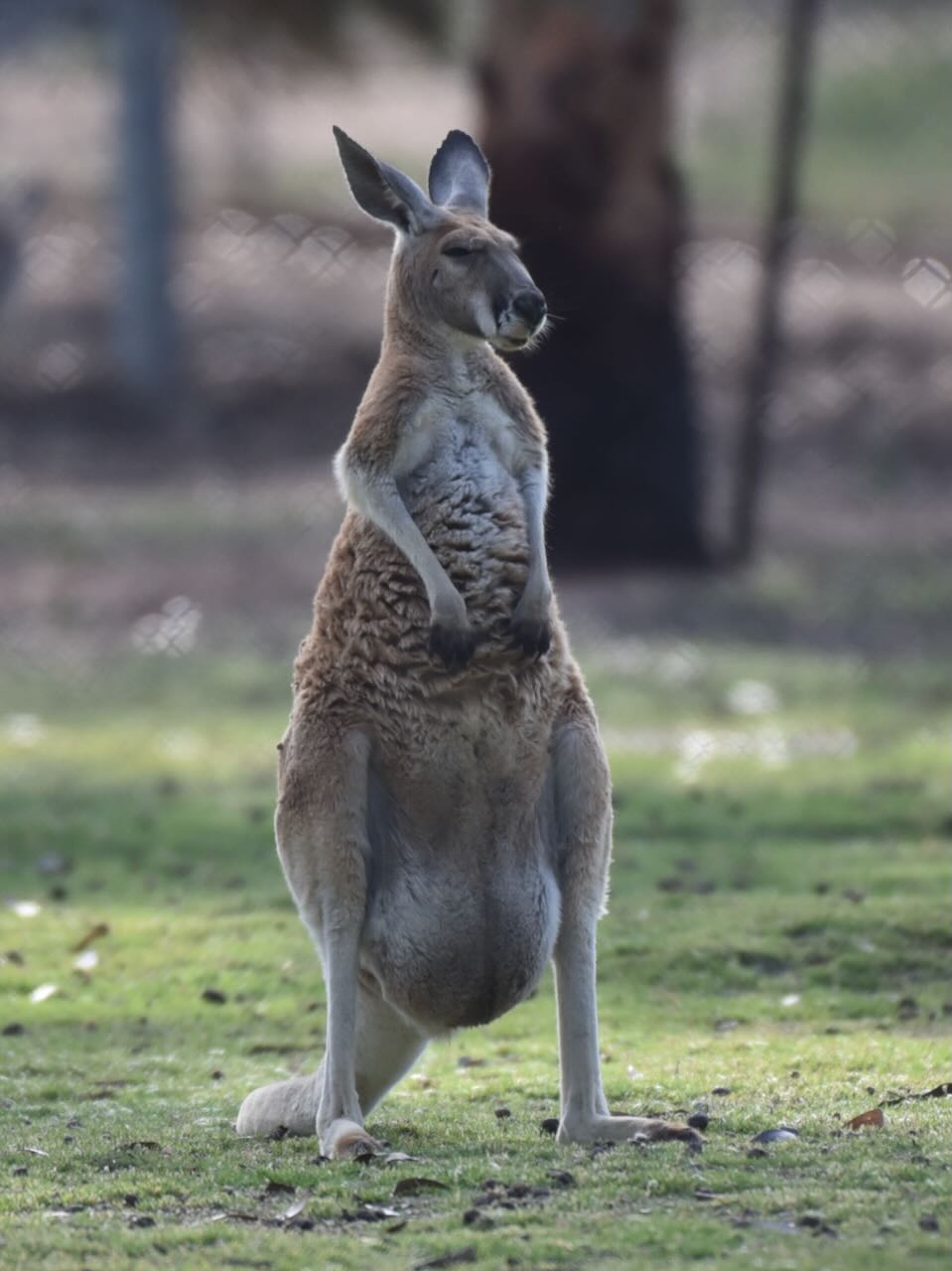
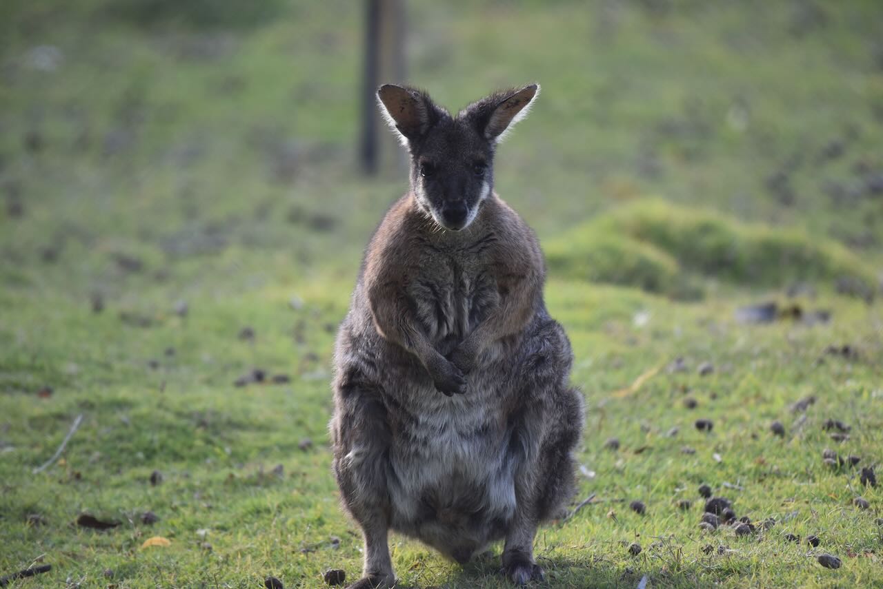
Birds SA have recorded a total of 89 species of bird in the park including Common Bronzewing, Galah, White-eared Honeyeater, Australian Magpie, Crested Pigeon, White-winged Chough, Nankeen Kestrel, Australian Owlet-nightjar, Black-capped Sittella, and Masked Woodswallow.
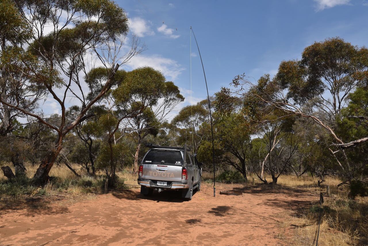
We accessed the park via Kringin Road. We ran the Yaesu FT857, 40 watts, and the 20/40/80m linked dipole. I used the special event call sign of VI10VKFF for this activation.
We ended up with a total of 60 QSOs including 16 Park to Park contacts.
Marija worked the following stations on 40m SSB:-
- VK3ZPF/p (Point Nepean National Park VKFF-0628)
- VK3AWA/p (The Lakes National Park VKFF-0484)
- VK3GP/p (Little Desert National Park VKF-0291)
- VK3PF
- VK3KAI
- VK3MTT
- VK7XX
- VK5LA
- VK5KAW
- VK3BEL
- VK3APJ
- VK3XCI/p (Hattah Kulkyne National Park VKFF-0231)
- VK3PWG/p (Budj Bim National Park VKFF-0345)
- VK3ARM/p (Grampians National Park VKFF-0213)
- VK2IO/p (Yarto Bushland Reserve VKFF-4256)
- VK3OAK/p (SOTA VK3/ VW-007 and Grampians National Park VKFF-0213)
I worked the following stations on 40m SSB:-
- VK3ZPF/p (Point Nepean National Park VKFF-0628)
- VK3AWA/p (The Lakes National Park VKFF-0484)
- VK3GP/p (Little Desert National Park VKF-0291)
- VK3PF
- VK3KAI
- VK3MTT
- VK7XX
- VK5LA
- VK5KAW
- VK3BEL
- VK3APJ
- VK3DAC
- VK5FANA
- VK3XCI/p (Hattah Kulkyne National Park VKFF-0231)
- VK5IS
- VK5CZ
- VK3SG
- VK3PWG/p (Budj Bim National Park VKFF-0345)
- VK3MIJ
- VK5GY
- VK3ARR
- VK2VH
- VK4AAC
- VK3ARM/p (Grampians National Park VKFF-0213)
- VK3CEO
- VK2IO/p (Yarto Bushland Reserve VKFF-4256)
- VK5DW
- VK3UH
- VK3OAK/p (SOTA VK3/ VW-007 and Grampians National Park VKFF-0213)
- VK2YK
- VK5GA
- VK3ACZ
- VK3VIN
- VK7EE
- VK3DCQ
I worked the following stations on 20m SSB:-
- VK1AO
- VK2MET
- VK7XX
- ZL1HIM
- VK4SMA
- VK4EMP
- VK4TI
- VK7EE
- VK7HBR
References.
- Birds SA, 2024, <https://birdssa.asn.au/location/peebinga-conservation-park/>, viewed 6th January 2024.
- flickr, 2024, <https://www.flickr.com/photos/82134796@N03/24191907570>, viewed 6th January 2024.
- State Library SA, 2024, <https://manning.collections.slsa.sa.gov.au/pn/p/p4.htm>, viewed 6th January 2024.
- Wikipedia, 2024, <https://en.wikipedia.org/wiki/Peebinga,_South_Australia>, viewed 6th January 2024.
- Wikipedia, 2024, <https://en.wikipedia.org/wiki/Peebinga_railway_line>, viewed 6th January 2024.
- Wikipedia, 2024, <https://en.wikipedia.org/wiki/Peebinga_Conservation_Park>, viewed 6th January 2024.
- Wikipedia, 2024, <https://en.wikipedia.org/wiki/Charles_Reade_(town_planner)>, viewed 6th January 2024.