
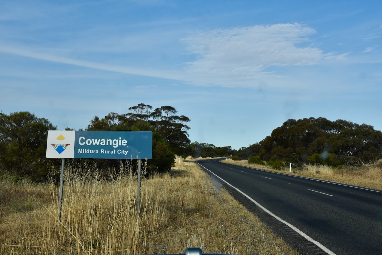
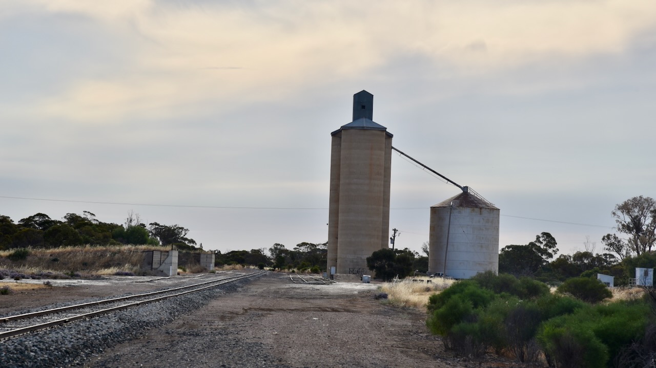
Our eighth and final activation for Monday 13th November 2023 was the Cowangie Bushland Reserve VKFF-4159 and the Cowangie silo VK-CWE3. This was the first time the reserve had been activated for the World Wide Flora Fauna (WWFF) program.
The reserve is located about 19 km east of Murrayville in northwest Victoria.

Above:- Map showing the location of the Cowangie Bushland Reserve. Map c/o Google Maps.
The Cowangie Bushland Reserve is about 142 hectares in size and was declared on the 1st day of May 1979. (CAPAD 2022)
The Parks Victoria website has a page regarding the reserve but contains no information other than a park boundary map.
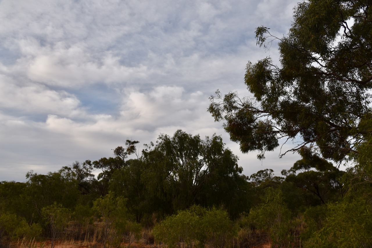
The reserve consists of a number of separate pieces of land surrounding the town of Cowangie.
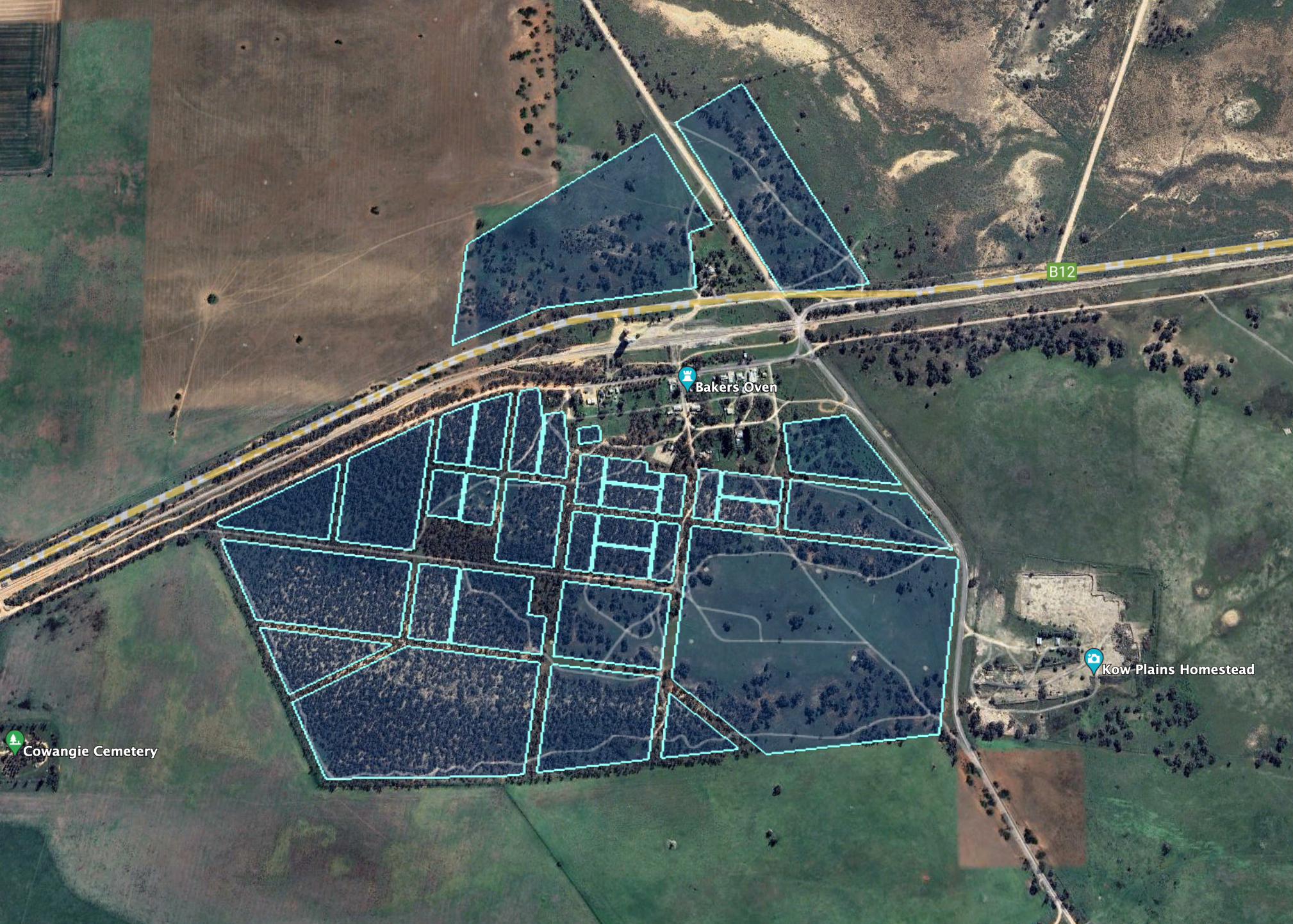
Above:- An aerial view of the Cowangie Bushland Reserve. Image c/o Google Earth.
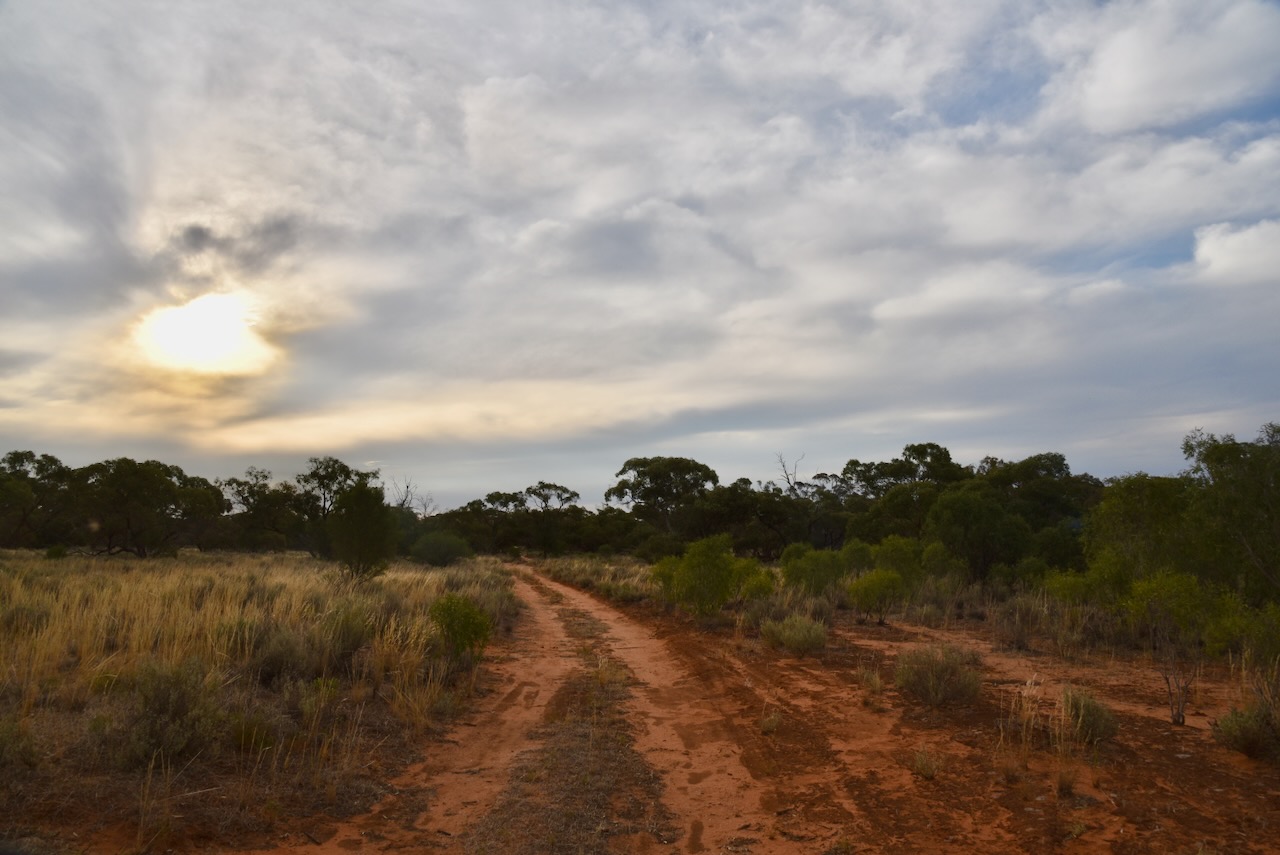
We set up within the activation zone of the Cowangie silo. We found a dirt track in one of the southern sections of the reserve.
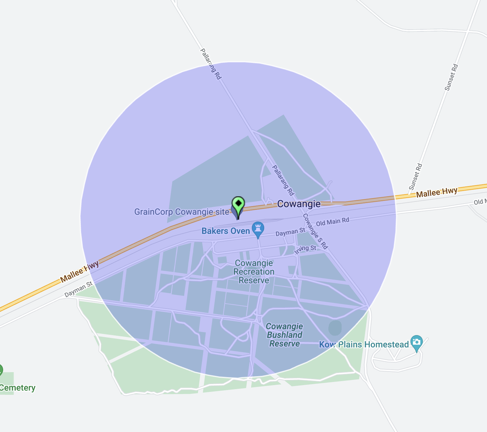
Above:- The activation zone at the Cowangie silo. Image c/o SiOTA website.
We ran the Yaesu FT857, 40 watts, and the 20/40/80m linked dipole for this activation. I used the special event call of VI10VKFF.
We ended up with a total of 56 QSOs on 40m SSB. As it was getting late, we did not operate on the 20m band.
Marija worked the following stations on 40m SSB:-
- VK4NH
- VK4DXA
- VK3BBB
- VK2CCP
- VK2LEE
- VK3PF
- VK3KAI
- VK3PI
- VK2NP
- VK2EXA
- VK3SG
- VK2IO/p (Brimy Bill (5 Mile Lake) Wildlife Reserve VKFF-2277)
I worked the following stations on 40m SSB:-
- VK4NH
- VK4DXA
- VK3BBB
- VK2CCP
- VK2LEE
- VK3PF
- VK3KAI
- VK3PI
- VK2NP
- VK2EXA
- VK2YAK
- VK4YAK
- VK3SG
- VK2HHA
- VK3MTT
- VK1AO
- VK2MET
- VK3MIJ
- VK3CEO
- VK4SMA
- VK5WE
- VK3ANL
- VK5FANA
- VK4HMI
- VK3VIN
- VK3UH
- VK5BJ
- Vk3APJ
- ZL3MR
- VK3BEL
- VK7DW
- VK4EW
- VK3EJ
- VK1CHW
- VK3GJG
- VK4EHO
- VK5CZ
- VK2IO/p (Brimy Bill (5 Mile Lake) Wildlife Reserve VKFF-2277)
- VK4EMP
- VK4TI
- VK5KLV
- VI75G
- VK3TU
- VK3ATL
I worked the following station on 40m AM:-
- VK4EW
References.
- Australian Government, 2024, Collaborative Australian Protected Areas Database, viewed 4th February 2024.
