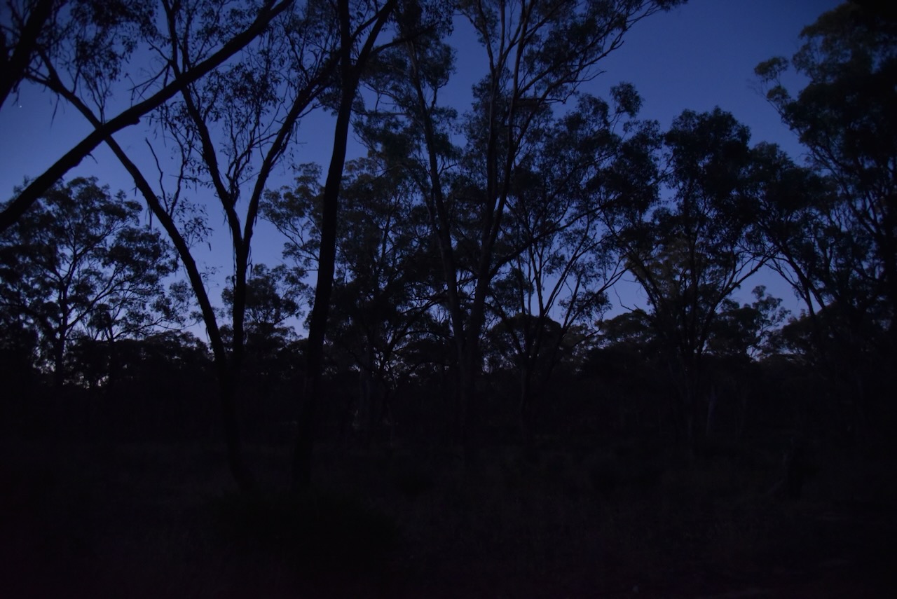
Following a very nice evening meal at Farmers Arms Hotel at St Arnaud, Marija and I headed to the Association Gully Bushland Reserve VKFF-4261. This would be our last activation for Friday 17th November 2023.
Above:- Map showing the location of Association Gully Bushland Reserve. Map c/o Google Maps.
The Association Gully Bushland Reserve is about 20 hectares in size and was established on the 26th day of February 2002. (CAPAD 2022)
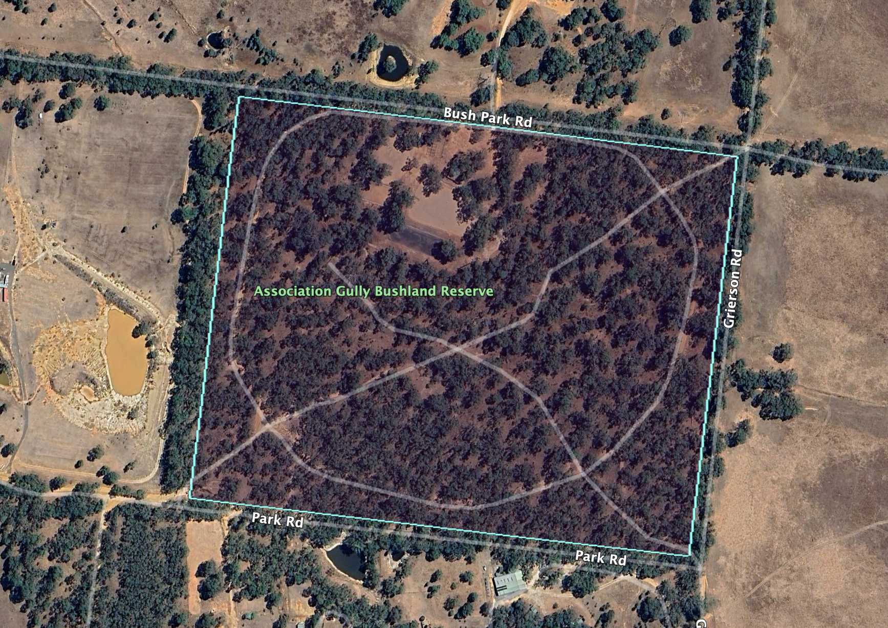
Above:- An aerial view of the Association Gully Bushland Reserve. Image c/o Google Earth.
Gold was once mined in this area. Unfortunately Marija and I did not strike it rich during our visit.
Above:- An 1890’s mine map showing St Arnaud and Association Gully. Image c/o State Library Victoria.
We accessed the reserve via Grierson Road which runs north off the Wimmera Highway. Several dirt tracks pass through the park.
Above:- An aerial view of the reserve with the town of St Arnaud in the background. Image c/o Google Maps.
As it was dark by the time we reached the park, Marija and I decided to operate from the 4WD for this activation. We ran the Icom IC-7000, 100 watts, and the Codan 9350 antenna with the 1.5 metre stainless steel whip.
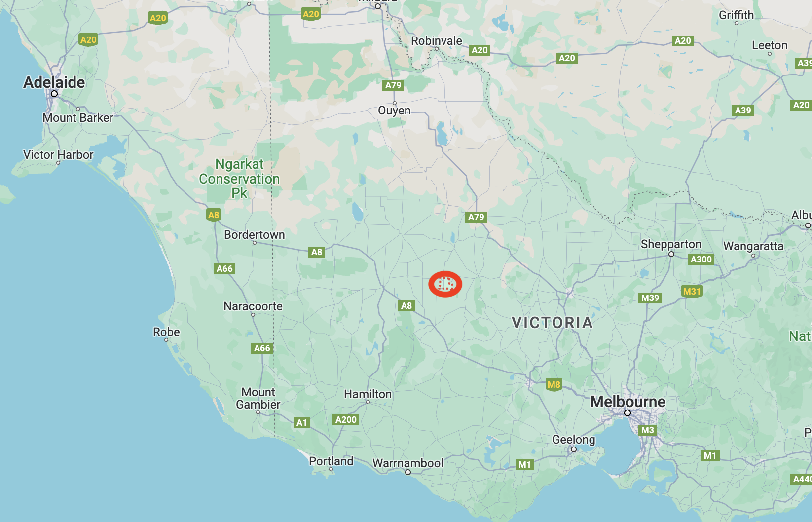
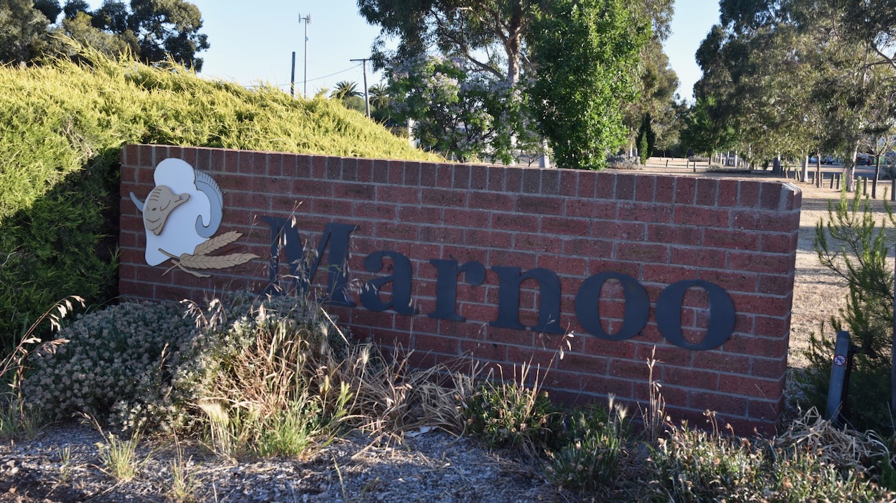
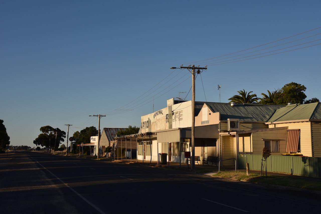
Our final silo activation for Friday 17th November 2023 was the Marnoo silo VK-MRO3. Marno is located about 281 km northwest of the city of Melbourne.
Above:- Map showing the location of Marnoo in Victoria. Map c/o Google Maps.
It is believed that Marnoo is an aboriginal word meaning finger or hand. (Victorian Places 2024)
The first European settler to be credited as living at Marnoo and giving Marnoo its name is Martin Shanahan. Shanahan was born in Ireland in c. 1820. He emigrated to Australia. He worked as a shepherd for a squatter in the Western District of Victoria. The squatter could not pay Shanahan his wages so he offered him 1,000 breeding ewes in place of the money. Shanahan accepted the offer and he drove the mob of sheep into the Wimmera, following the Richardson River until he located suitable grazing land at the junction of the Wallaroo Creek and the Richardson River. The ewes commenced to lamb and as a result, Shanahan was forced to squat in the area. The Marno pastoral run comprising 34,650 acres was taken up in July 1845 by Martin Shanahan. In 1846 Shanahan was married in Melbourne to Judith Pound. Following his marriage he returned to Marnoo. Shanahan is recorded in the 1849 Squatters Directory as having 6,000 sheep on the property. The Marnoo homestead was located near the Richardson River and the Wallaroo Creek junction. Martin Shanahan died in June 1882 and is buried at the St Arnaud cemetery. In honour of Shanahan, you can find Shanahan Park in Park Road, Marnoo. (Port Philip 2024) (Victorian Places 2024)
Above:- Article from The Argus, Melbourne, Wed 14 Jun 1882. Image c/o Trove.
By 1873 the land in the Marnoo district became available for farm selections. Many of the settlers were Presbyterian. The first public public building constructed in 1875 was used for Presbyterian services and as a school. Prior to the extension of the railway line in 1909 from Rupanyup to Marnoo in 1909 there were very few buildings in the town. However following the arrival of the railway, Marnoo grew and had two general stores, a coffee palace and a public hall. The first store a Marnoo was established in 1909 by Coulton’s of Rupanyup. The Marnoo Hotel was built c. 1910 and was initially used as a Coffee Palace. A wine license was later issued and eventually a hotel license. The hotel burnt down on the 16th day of February 1957. In 1959 a new hotel was built and opened. In 1911 Marnoo’s population was 360 people. The Marnoo Police Station was opened on the 10th day of April 1927 with the first five Constables appointed being mounted police. (Victorian Places 2024)
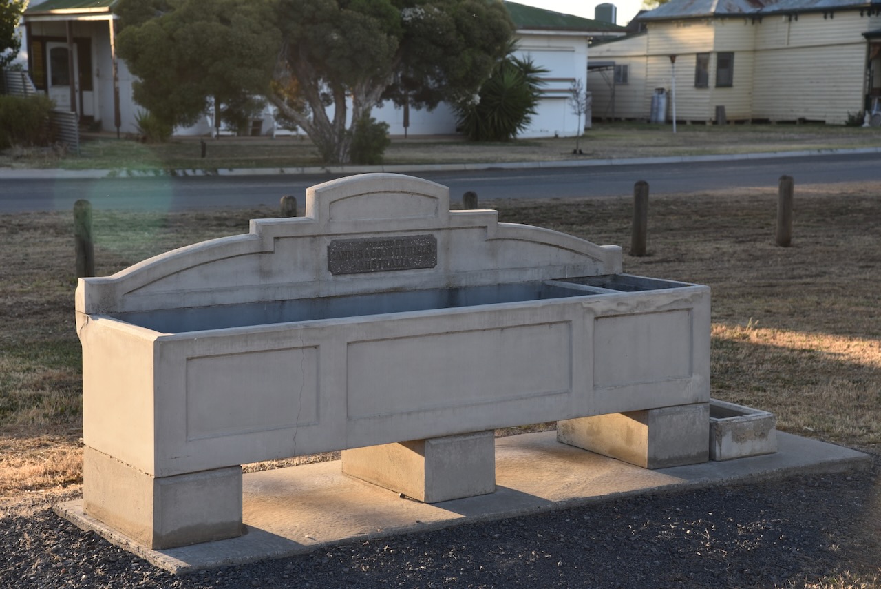
Marnoo contains a ‘Bills Horse trough’. For more information on these please have a look at my previous post regarding the Werrimul Bushland Reserve.
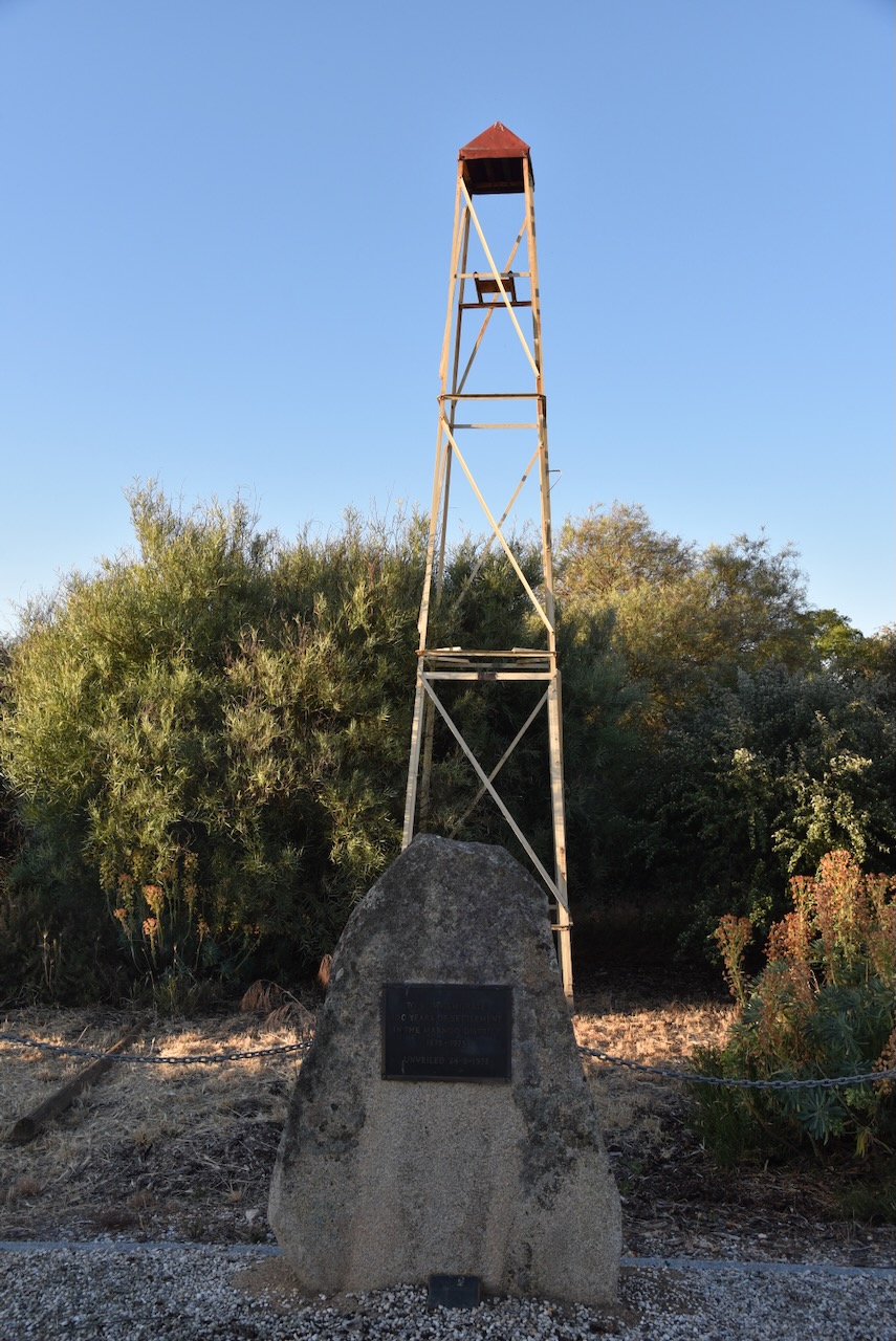
In the main street of Marnoo, you can find a monument celebrating the centenary (1873-1973) of settlement in the Marnoo district.
The Marnoo silos are located between the Wimmera Highway and Station Street, near the old Marnoo railway station. The railway line closed in 1983. The Marnoo silos were built in 1941. The silos are listed on the Victorian Heritage Database. (Victorian Places 2024) (Vic Heritage Database 2024)
Marija and I parked on the Wimmera Highway and operated from the 4WD for this activation. We ran the Icom IC-7000, 100 watts, and the Codan 9350 antenna with the 1.5-metre stainless steel whip.
Above:- the activation zone at the Marnoo silo. Image c/o SiOTA website.
Marija worked the following stations on 40m SSB:-
VK2IO/p (Trinkey State Conservation Area VKFF-1382)
VK3PF
VK5HS
I worked the following stations on 40m SSB:-
VK2IO/p (Trinkey State Conservation Area VKFF-1382)
VK3PF
VK5HS
VK5FANA
VK5FTOM
VK1AO
VK2MET
VK3UZI
VK3BPH
VK5MSA
VK5WF
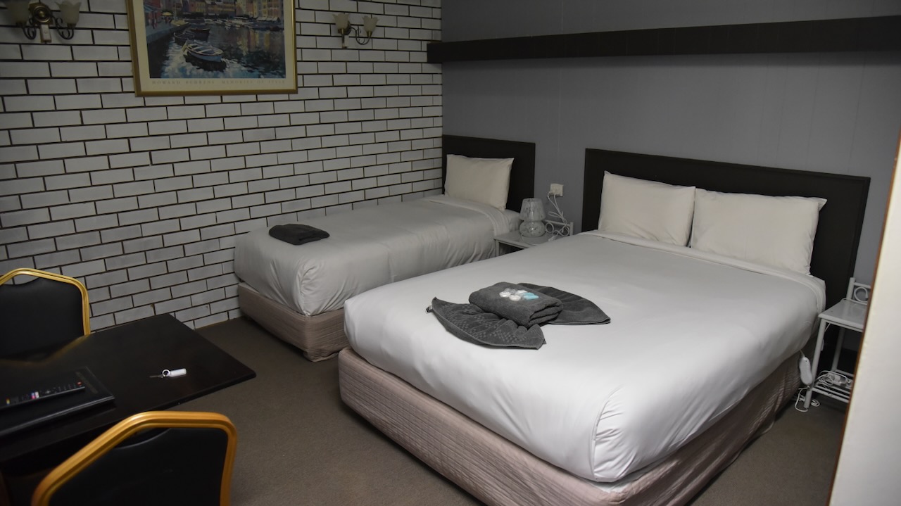
We then headed off to St Arnaud where we booked into our accommodation, the Motel St Arnaud.