
Following a very nice evening meal at Farmers Arms Hotel at St Arnaud, Marija and I headed to the Association Gully Bushland Reserve VKFF-4261. This would be our last activation for Friday 17th November 2023.

Above:- Map showing the location of Association Gully Bushland Reserve. Map c/o Google Maps.
The Association Gully Bushland Reserve is about 20 hectares in size and was established on the 26th day of February 2002. (CAPAD 2022)
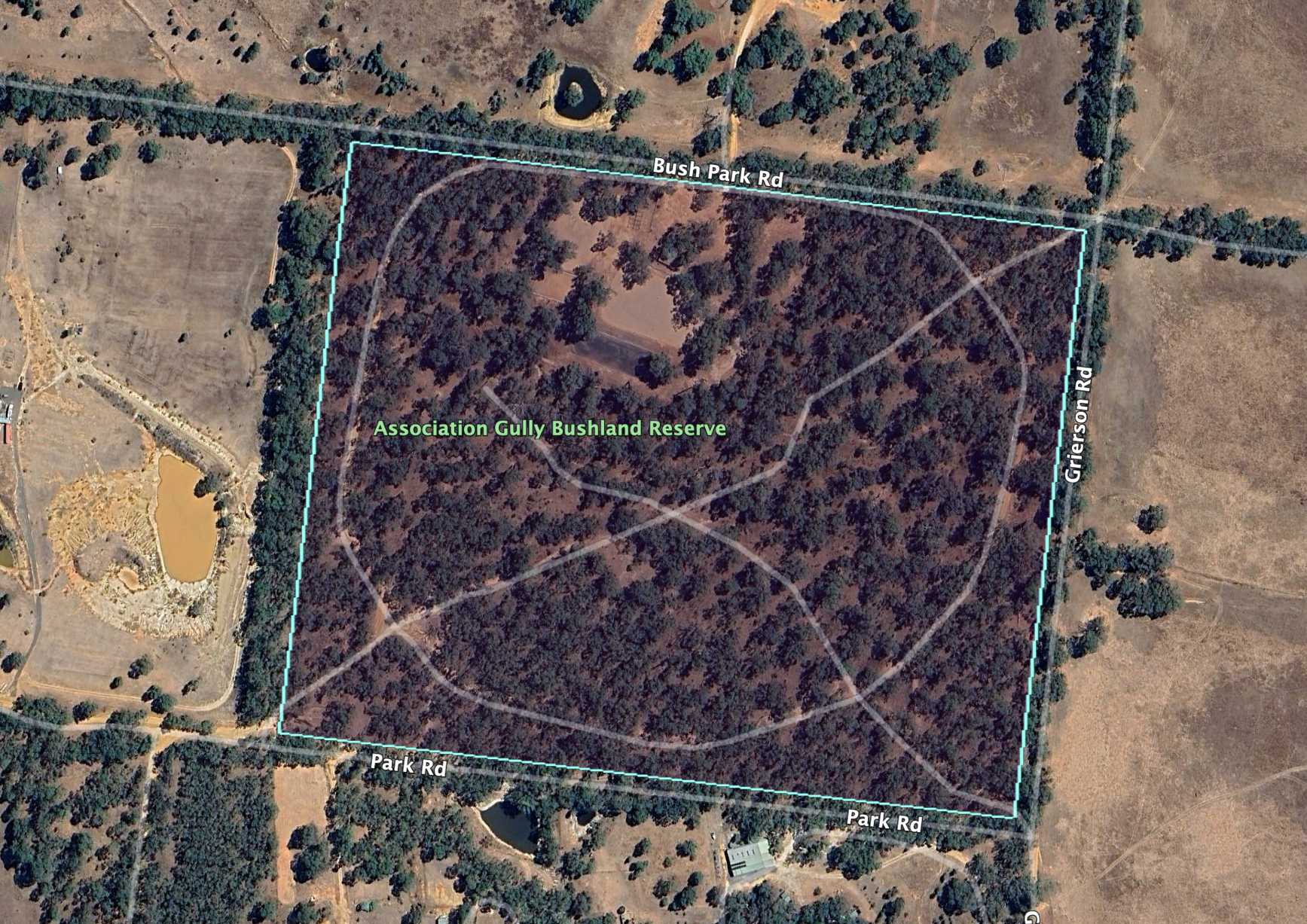
Above:- An aerial view of the Association Gully Bushland Reserve. Image c/o Google Earth.
Gold was once mined in this area. Unfortunately Marija and I did not strike it rich during our visit.

Above:- An 1890’s mine map showing St Arnaud and Association Gully. Image c/o State Library Victoria.
We accessed the reserve via Grierson Road which runs north off the Wimmera Highway. Several dirt tracks pass through the park.

Above:- An aerial view of the reserve with the town of St Arnaud in the background. Image c/o Google Maps.
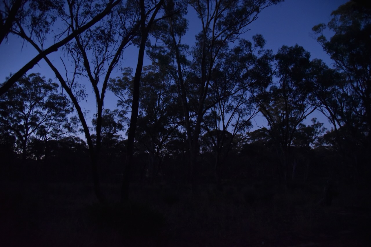
As it was dark by the time we reached the park, Marija and I decided to operate from the 4WD for this activation. We ran the Icom IC-7000, 100 watts, and the Codan 9350 antenna with the 1.5 metre stainless steel whip.

Marija worked the following stations on 40m SSB:-
- VK1AO
- VK2MET
- VK3UAO
- VK4NH
- VK4DXA
- VK3PF
- VK3KAI
- VK3APJ
- VK2RP
- VK2BDR
I worked the following stations on 40m SSB:-
- VK1AO
- VK2MET
- VK3UAO
- VK4NH
- VK4DXA
- VK3PF
- VK3KAI
- VK3APJ
- VK2RP
- VK2BDR
- VK3CWF
- VK6LMK
- VK3AN
- VK8AA
- VK3SG
- VK6XN
- VK3SO
- VK5FANA
- VK5WWW
- VK4HMI
- VK5JDS
- VK5HAA
- VK3FSK
- VK3SH
- VK3STU
- VK3NIK
- VK7WUU
- VK5DAD/m
- VK5HS
- VK2LQ
- VK3CEO
- VK3KMA
- VK2FNEL
- VK4BU
- VK2DHN
- VK4SMA
- VK3MVK
- KG8P
- VK5DDD
- VK1CHW
- VK4FKRM
- VK2BPL
- VK1RF
- VK2MK
- VK4CEE
- VK2JF
- VK3ZK
References.
- Dcceew.gov.au. (2023). Collaborative Australian Protected Areas Database (CAPAD) 2022 – DCCEEW. [online] Available at: https://www.dcceew.gov.au/environment/land/nrs/science/capad/2022.
