
After leaving the Kara Kara National Park, Marija and I headed to our next park activation, the Redbank Nature Conservation Reserve VKFF-2180. The park is located about 204 km north of the city of Melbourne.
This was the first time that Marija and I had activated the park for the World Wide Flora Fauna (WWFF) program.

Above:- Map showing the location of the Redbank NCR. Map c/o Google Maps.
In 1860 gold was discovered in the area which is now known as Redbank. This resulted in about 2,000 people flooding into the Redbank district. In 1861 the town of Redbank was surveyed. The actual origin of the name is uncertain, but it possibly takes its name from a mine earthworks as there is red clay soil in the area. By 1861 the discovery of gold in other parts of Victoria resulted in a major reduction of Redbank’s population. (Victorian Places 2024)
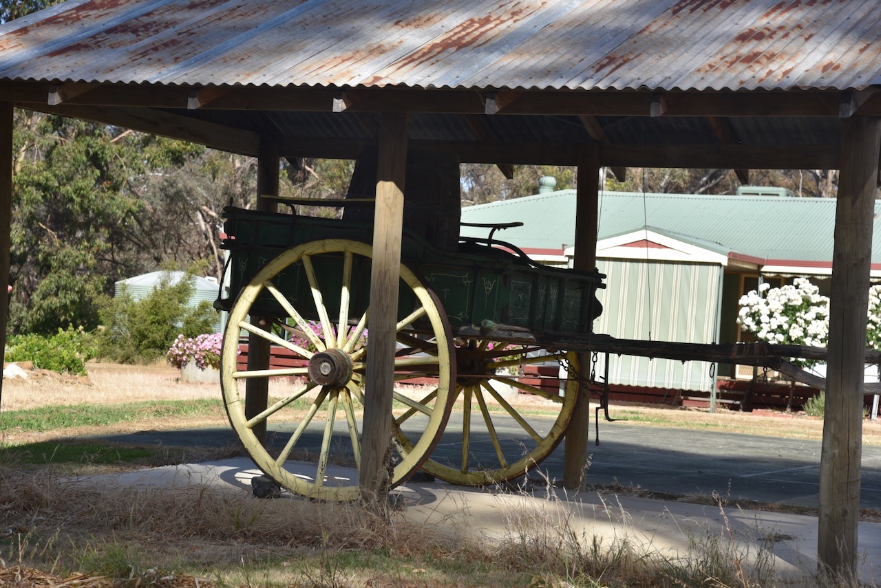
One of the surviving historic buildings in the district is the Shamrock and Thistle Hotel which was built in 1861. (Victorian Places 2024)

Other historic buildings in the little town include the former St Paul Anglican church that was built c. 1900.


The Redbank NCR is about 1,202 hectares in size and was established on the 26th day of February 2002. (CAPAD 2022)
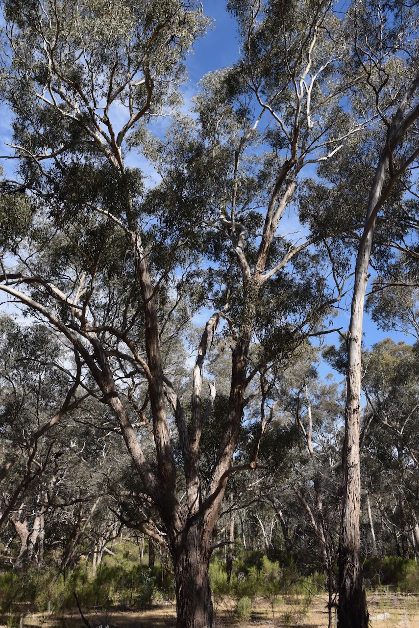
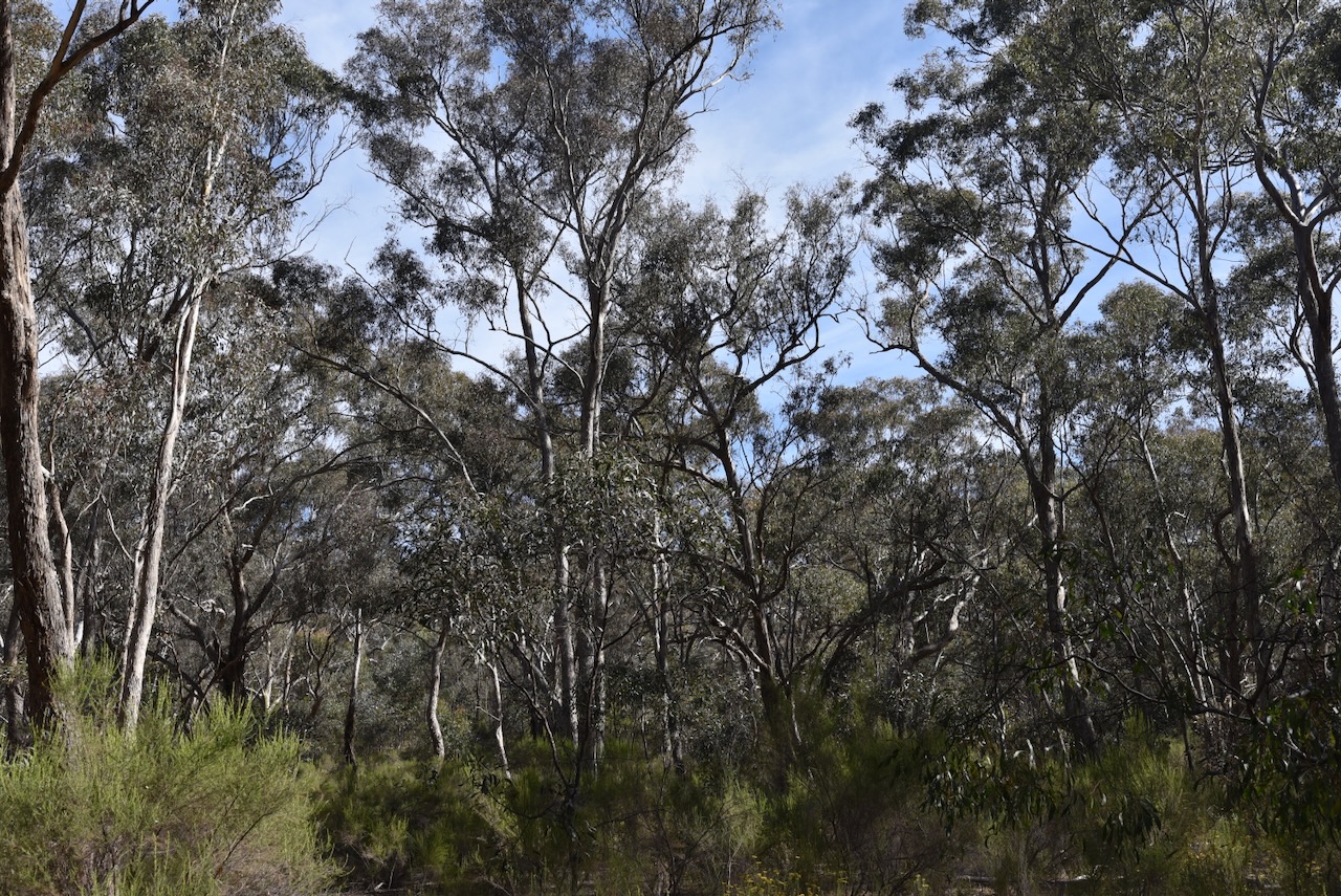
The park’s northwestern boundary abuts the Kara Kara National Park.

Above: An aerial view of the park. Image c/o Google Maps.
Marija and I travelled a short distance south out of the town of Redbank along High Street and then took Boundary Road.
We ran the Yaesu FT857, 40 watts, and the 20/40/80m linked dipole for this activation.
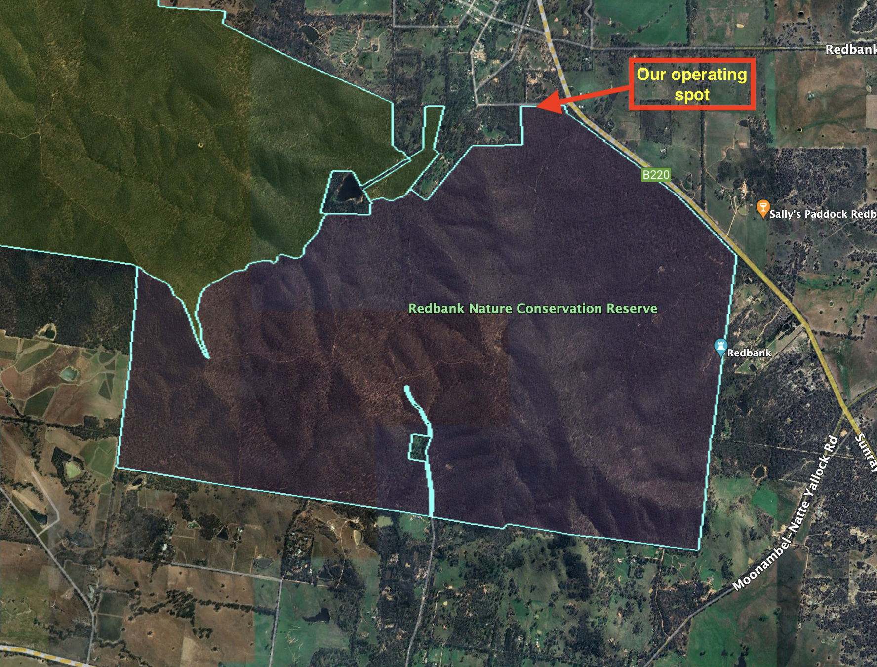
Above:- An aerial view of the park showing our operating spot. Image c/o Google Earth.
Marija worked the following stations on 40m SSB:-
- VK3BEL/p
- VK3APJ
- VK3PWG
- VK3MCK
- VK5CZ
- VK4NH
- VK4DXA
- VK3PF
- VK3KAI
- VK5HS
- VK3TKK/p (Clinkers Hill Bushland Reserve VKFF-4288)
I worked the following stations on 40m SSB:-
- VK3BEL/p
- VK3APJ
- VK3PWG
- VK3MCK
- VK5CZ
- VK4NH
- VK4DXA
- VK3PF
- VK3KAI
- VK5HS
- VK3SQ
- VK2BD
- VK3CJN
- VK3CEO
- VK3DAC
- VK4FE/3
- VK2LEE
- VK2IO/m
- VK3ZMD
- VK3SG
- Vk1AO
- VK2MET
- VK5OUI
- VK2EXA
- VK3SO
- VK3CLD
- VK3CRG
- VK3LOC/m
- VK3TKK/p (Clinkers Hill Bushland Reserve VKFF-4288)
- VK3BWS
- VK4EW
- VK7IAN
- VK2HAK
- VK2CB
- VK3CA
- VK3TDX
- VK4HAT
I worked the following stations on 20m SSB:-
- VK4HAT
- VK4NH
- VK4DXA
- ZL1TM
- VK4SMA
- VK3TKK/p (Clinkers Hill Bushland Reserve VKFF-4288)
- VK5HS
- VK4EW
- F1BLL
References.
- Dcceew.gov.au. (2023). Collaborative Australian Protected Areas Database (CAPAD) 2022 – DCCEEW. [online] Available at: https://www.dcceew.gov.au/environment/land/nrs/science/capad/2022 [Accessed 18 Feb. 2024].
- http://www.victorianplaces.com.au. (n.d.). Redbank | Victorian Places. [online] Available at: https://www.victorianplaces.com.au/redbank [Accessed 18 Feb. 2024].
