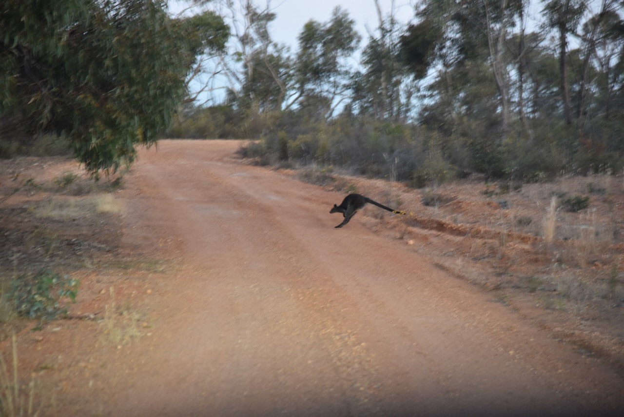
After packing up at Hard Hills, Marija and I decided to squeeze in another park before we headed back to the motel at St Arnaud. It was approaching dusk and there were lots of kangaroos and wallabies on the roads.
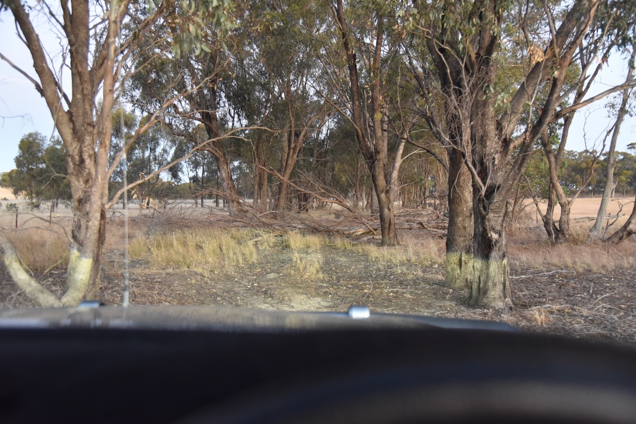
Our plan was to activate the St Arnaud H35 Bushland Reserve, however, we encountered several fallen trees on the track leading into the park and this resulted in no access to the park.
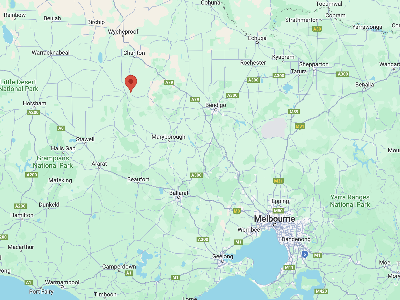
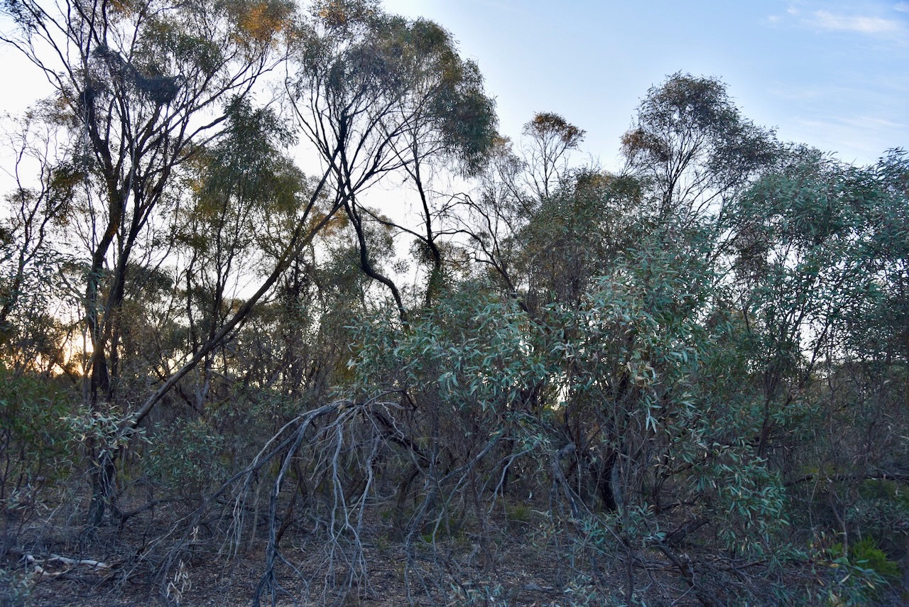
So we headed to the St Arnaud I53 Bushland Reserve VKFF-4263. The park is about 5 km east of St Arnaud and about 236 km northwest of the city of Melbourne.
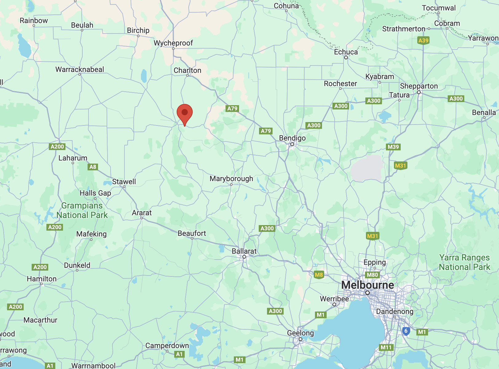
Above:- Map showing the location of the St Arnaud I53 Bushland Reserve. Map c/o Google Maps.
The park is about 14 hectares in size and was established on the 24th day of August 1982. (CAPAD 2022)
Parks Victoria has a page for this park but it contains no information about the park other than a park boundary image.
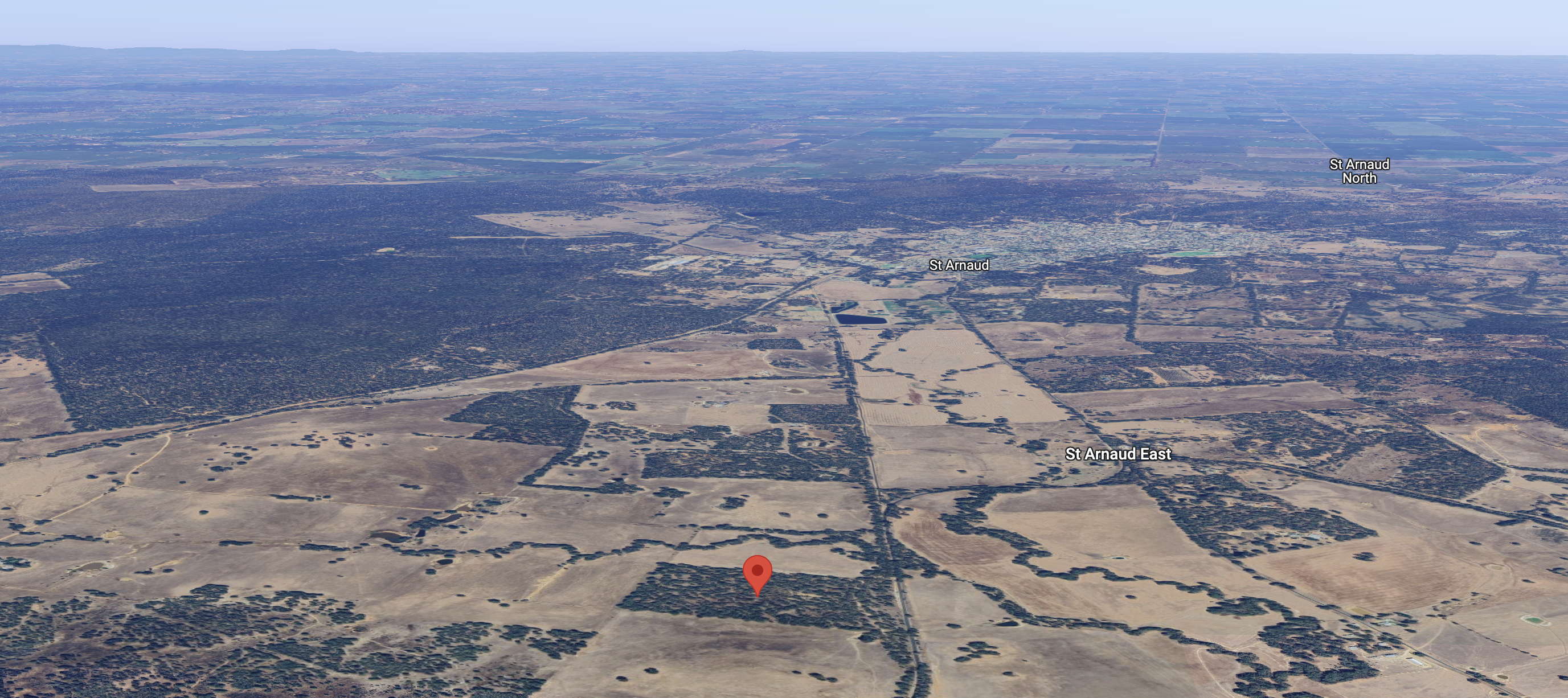
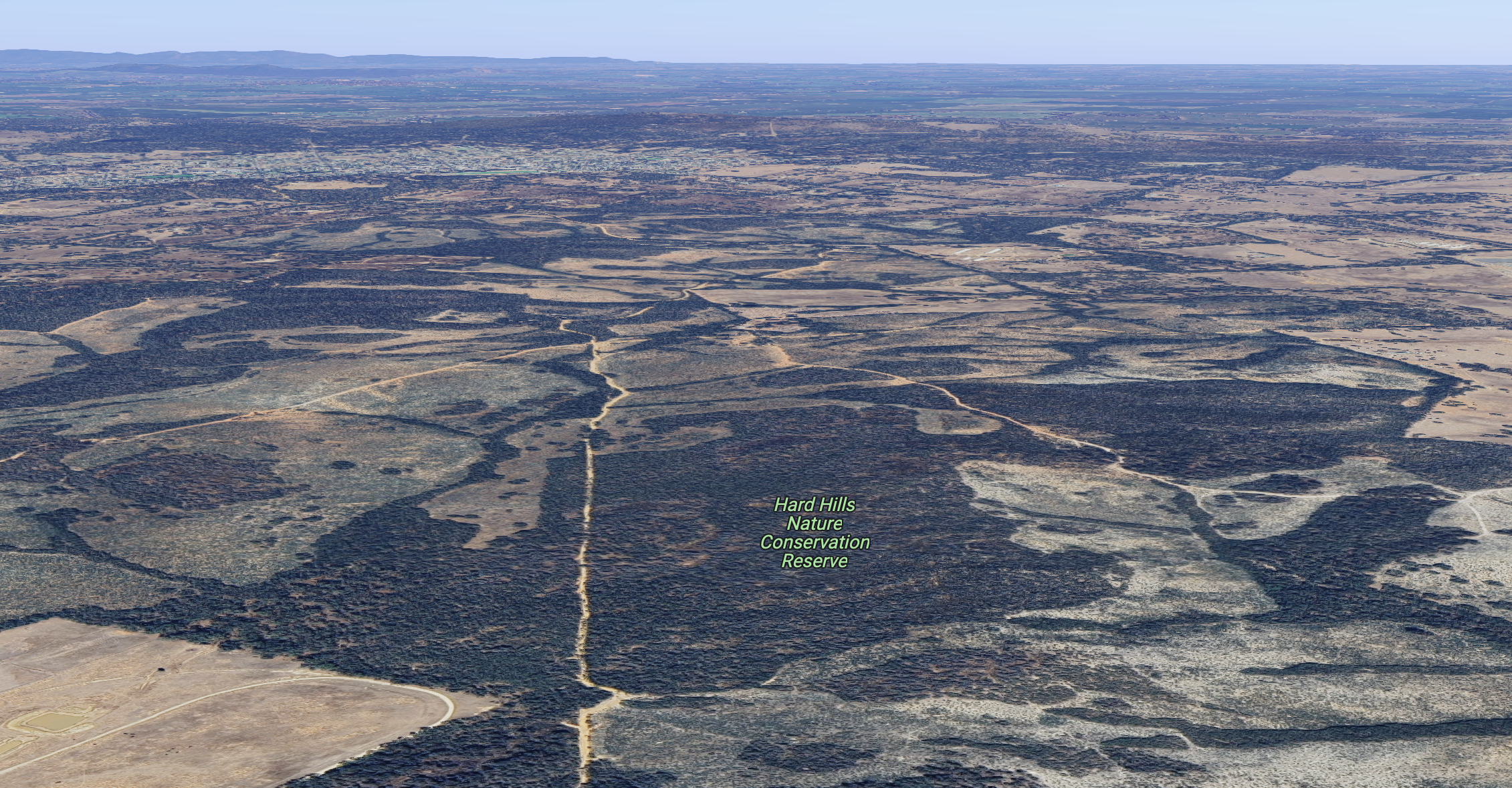
Above:- An aerial view of the park with St Arnaud in the background. Image c/o Google Maps.
We accessed the park via a dirt track which led into the park running off the Wimmera Highway. We ran the Yaesu FT857, 40 watts, and the 20/40/80m linked dipole for this activation.

Above:- An aerial view of the park showing our operating spot. Image c/o Google Maps.
Marija worked the following stations on 40m SSB:-
- VK5NM
- VK2PBC
- VK3CA
- VK2EXA
- VK5FANA
- VK3PF
- VK3KAI
- VK2LQ
- VK2PCT
- VK4NH
- VK4DXA
- VK2DL
- VK2IMP
- VK2IO/p (VK2/ SW-027)
I worked the following stations on 40m SSB:-
- VK5NM
- VK2PBC
- VK3CA
- VK2EXA
- VK5FANA
- VK3PF
- VK3KAI
- VK2LQ
- VK2PCT
- VK4NH
- VK4DXA
- VK2DL
- VK2IMP
- VK3AMO
- VK7AAE
- VK1AO
- VK2MET
- VK2IO/p (VK2/ SW-027)
- VK4EMP
- VK4TI
- VK2GWB
- VK2EG
- VK2VRJ
- VK3ABQ
- VK7DW
- VK7HBR
- VK3YV
- VK3KAS
- VK5TQ
- VK4SMA
- VK3CWF
- VK3UAO
- VK3GRX
- VK3NP
- VK3SPG
- VK5LNX
- VK3SO
- VK3ANL
- VK3GB
- VK3ZK
- VK2BIO/p
I worked the following stations on 80m SSB:-
- VK3PF
- VK3KAI
- VK3NP
- VK2VRJ
- VK2IO/m
- VK3CWF
- VK3CA
References.
- Dcceew.gov.au. (2023). Collaborative Australian Protected Areas Database (CAPAD) 2022 – DCCEEW. [online] Available at: https://www.dcceew.gov.au/environment/land/nrs/science/capad/2022 [Accessed 20 Feb. 2024].