
Our next activation for Saturday 18th November 2023 was the Hard Hills Nature Conservation Reserve VKFF-2106. The park is about 9 km northeast (by road) of St Arnaud and about 242 km northwest of the city of Melbourne.
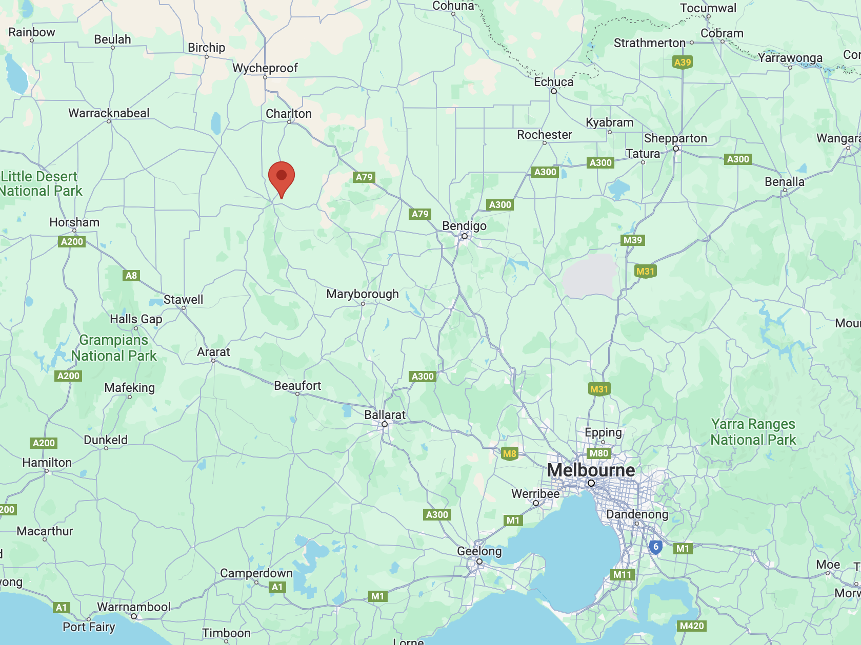
Above:- Map showing the location of the Hard Hills NCR. Map c/o Google Maps.
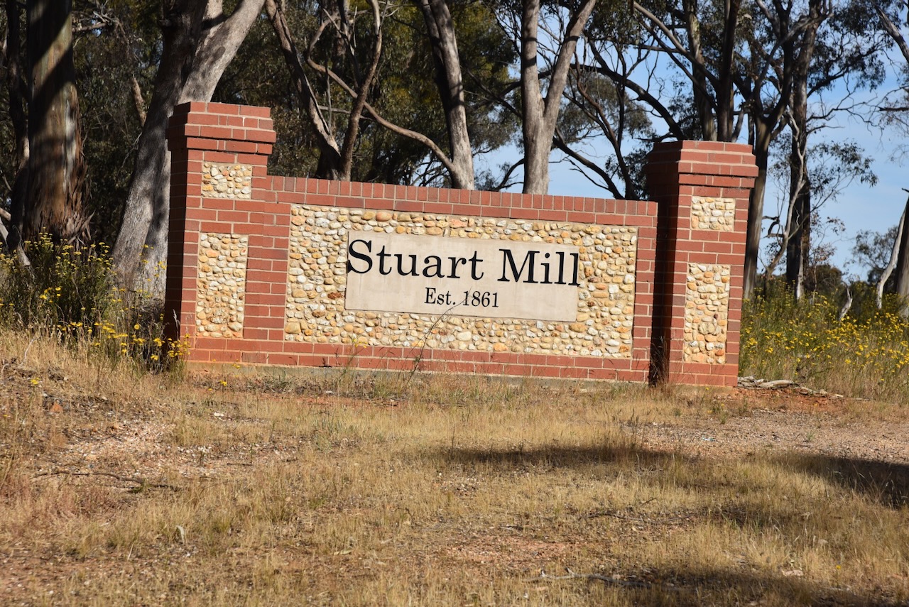
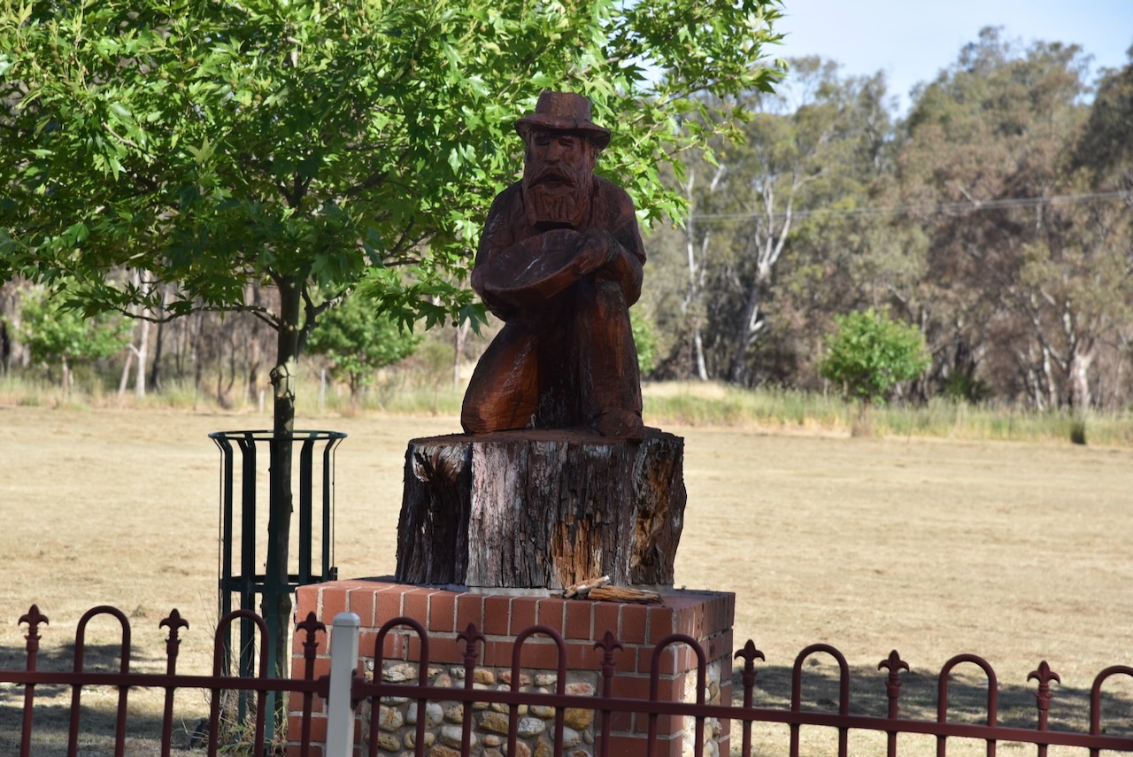
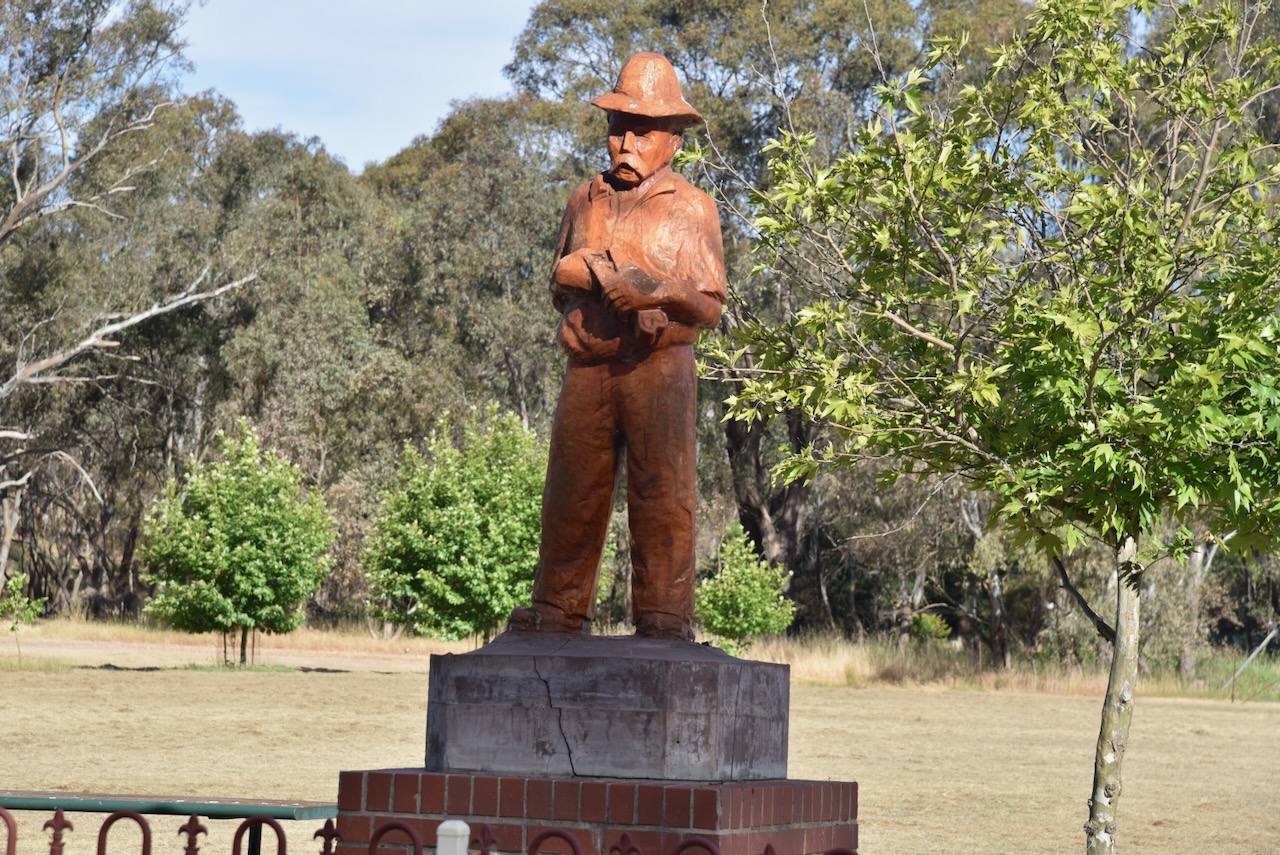
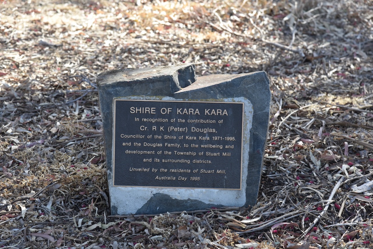
After leaving the Redbank Nature Conservation Reserve, Marija and I travelled north on the Sunraysia Highway and soon reached the little town of Stuart Mill. Stuart Mill is an old gold-mining town that was gazetted in 1865. (Victorian Places 2024)
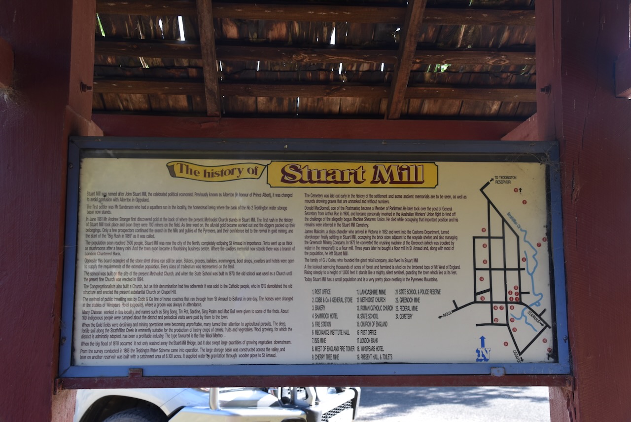
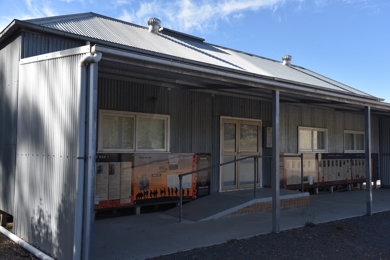
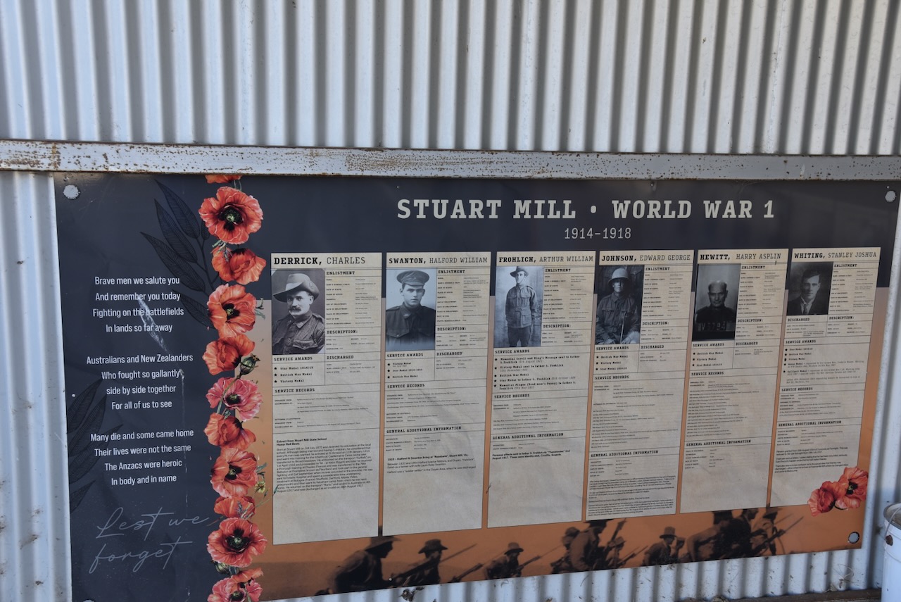
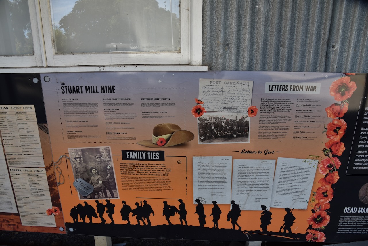
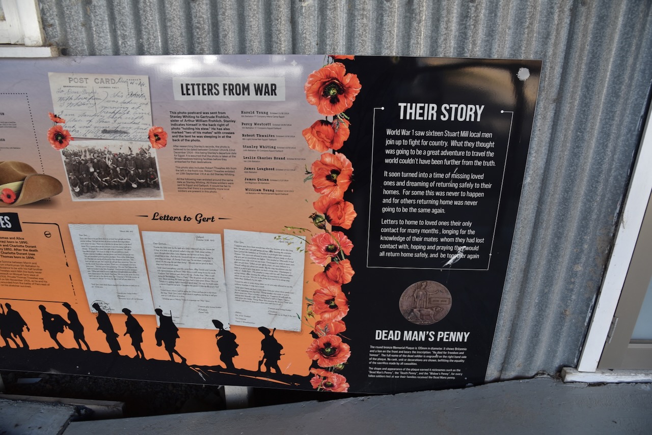
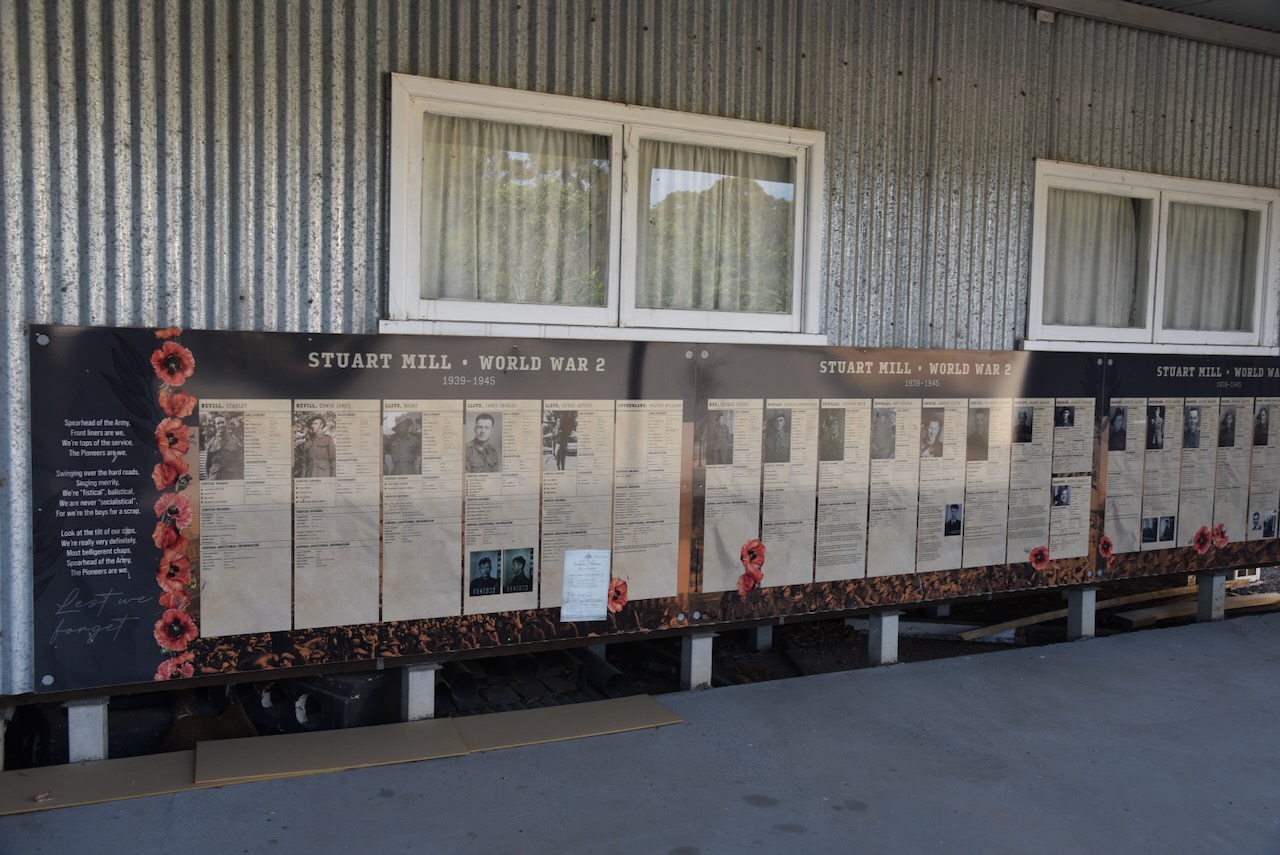
Opposite the Stuart Mill Recreation Reserve is the Stuart Mill Hall. It contains several information boards regarding those who served their country and who came from Stuart Mill.
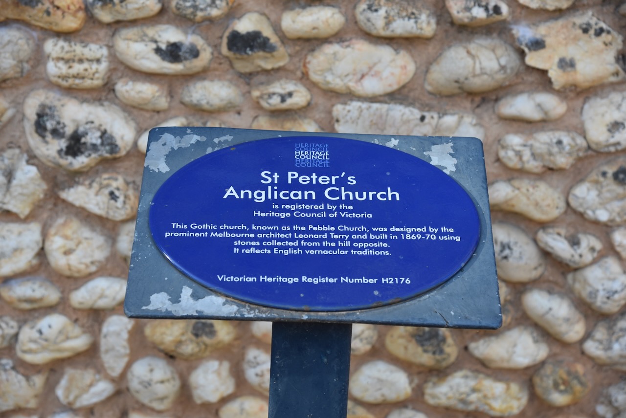
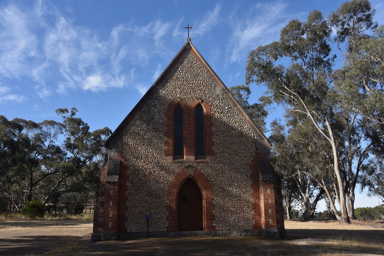
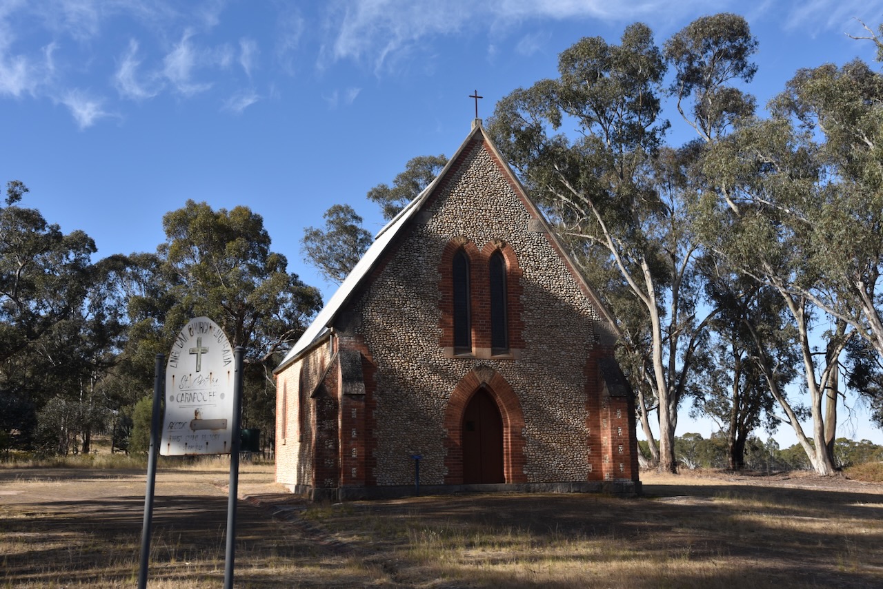
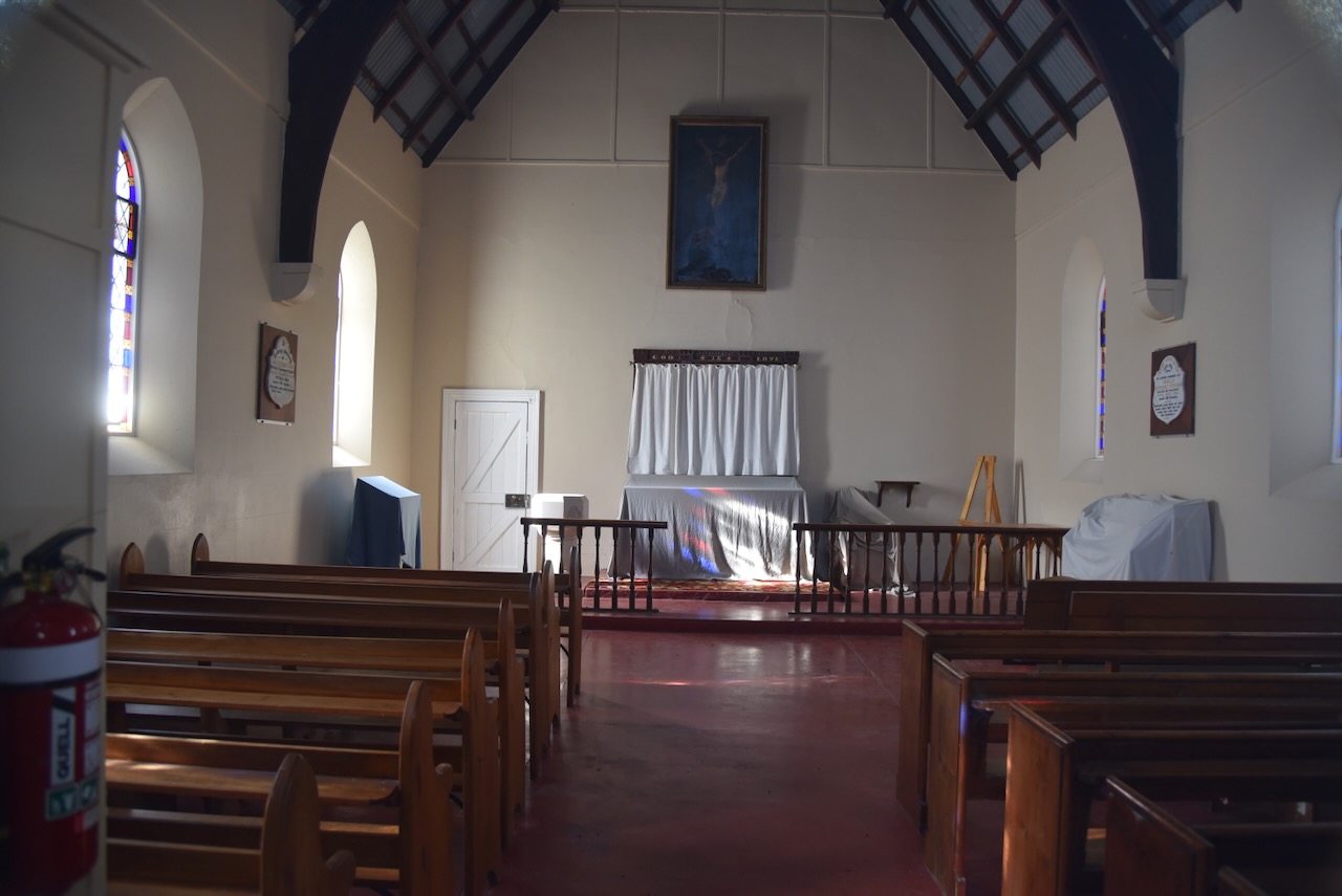
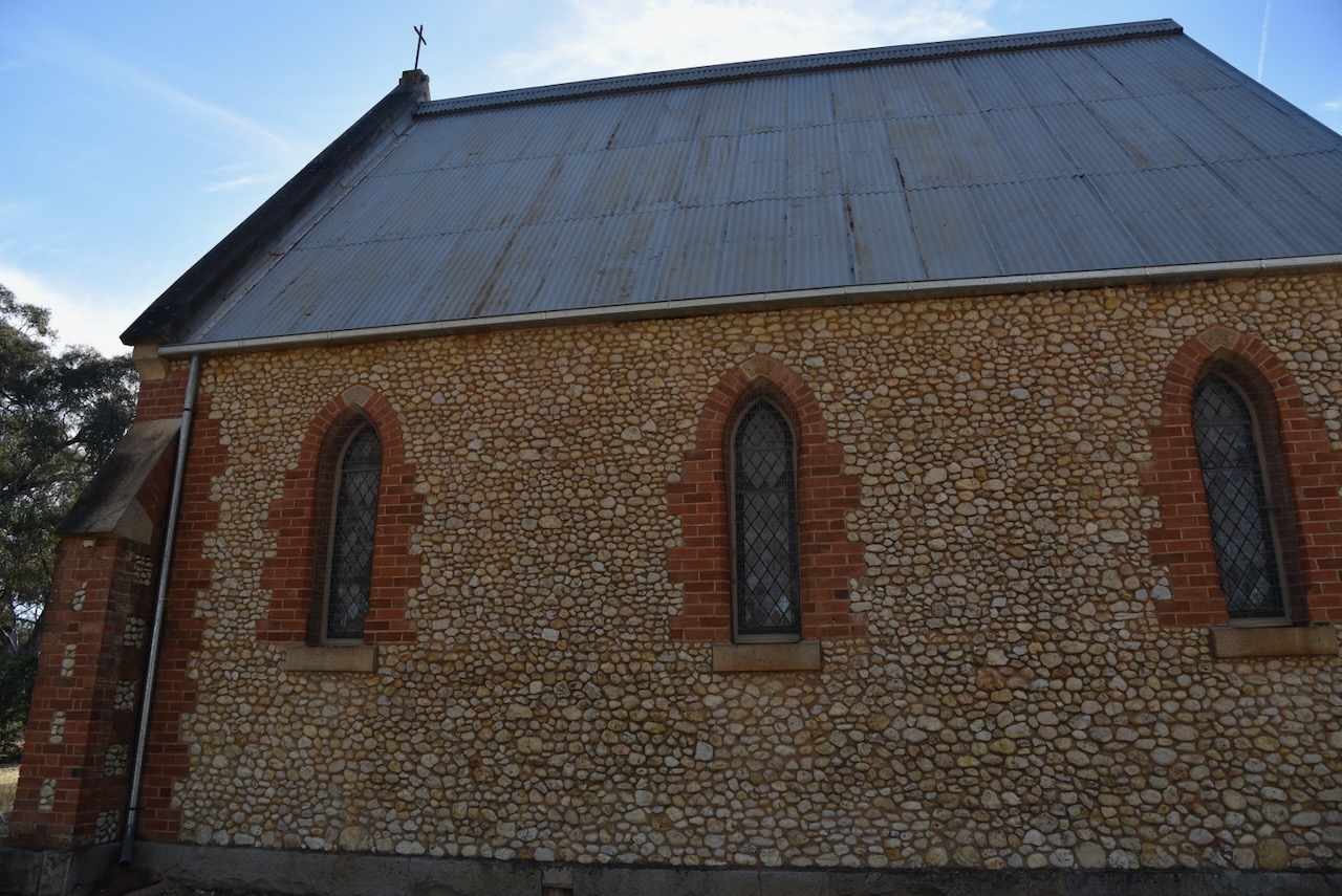
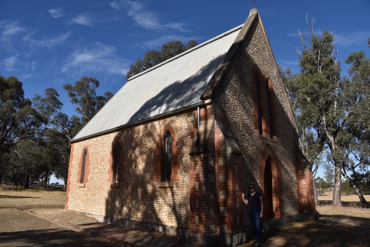
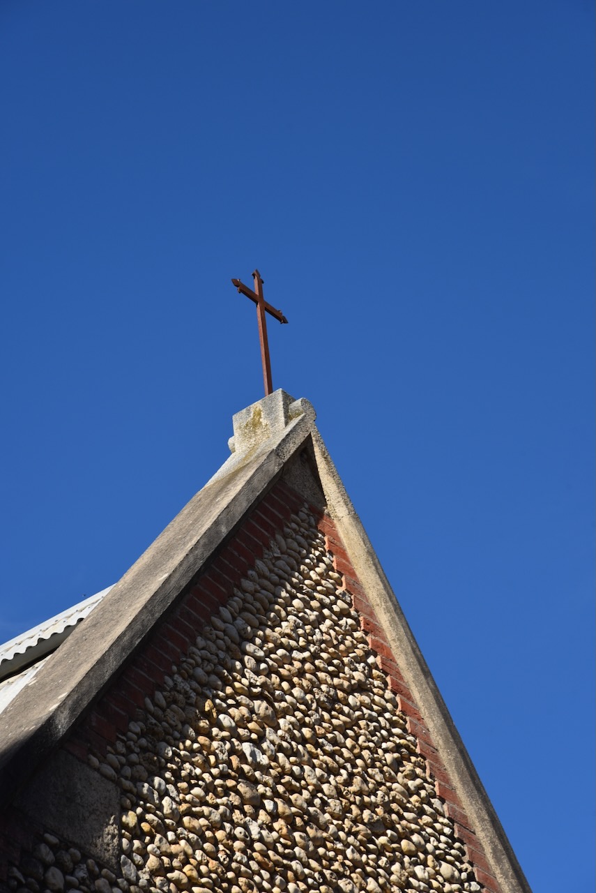
We left Stuart Mill and drove to St Peter’s Anglican church, known as the Pebble Church. This extremely interesting Gothic-style church is registered with the Heritage Council of Victoria. It was designed by prominent Melbourne architect Leonard Terry and was built between 1869 and 1870 using stones collected from the hill opposite the church.
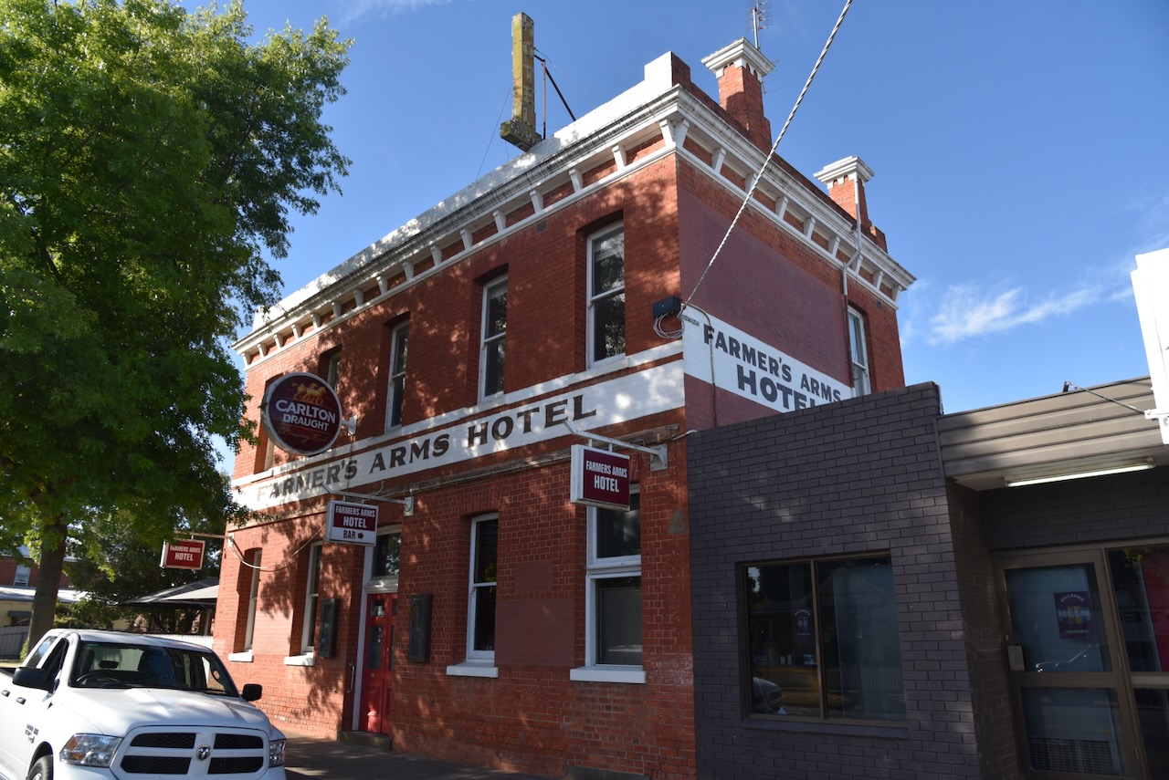
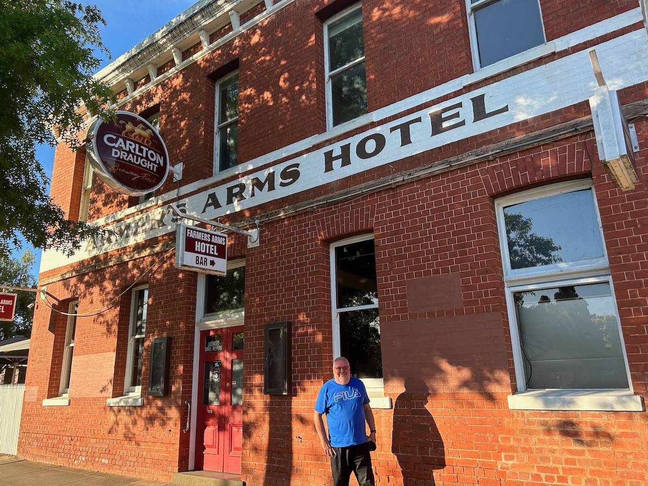
We then drove into St Arnaud and enjoyed a very nice evening meal at the Farmers Arms Hotel.
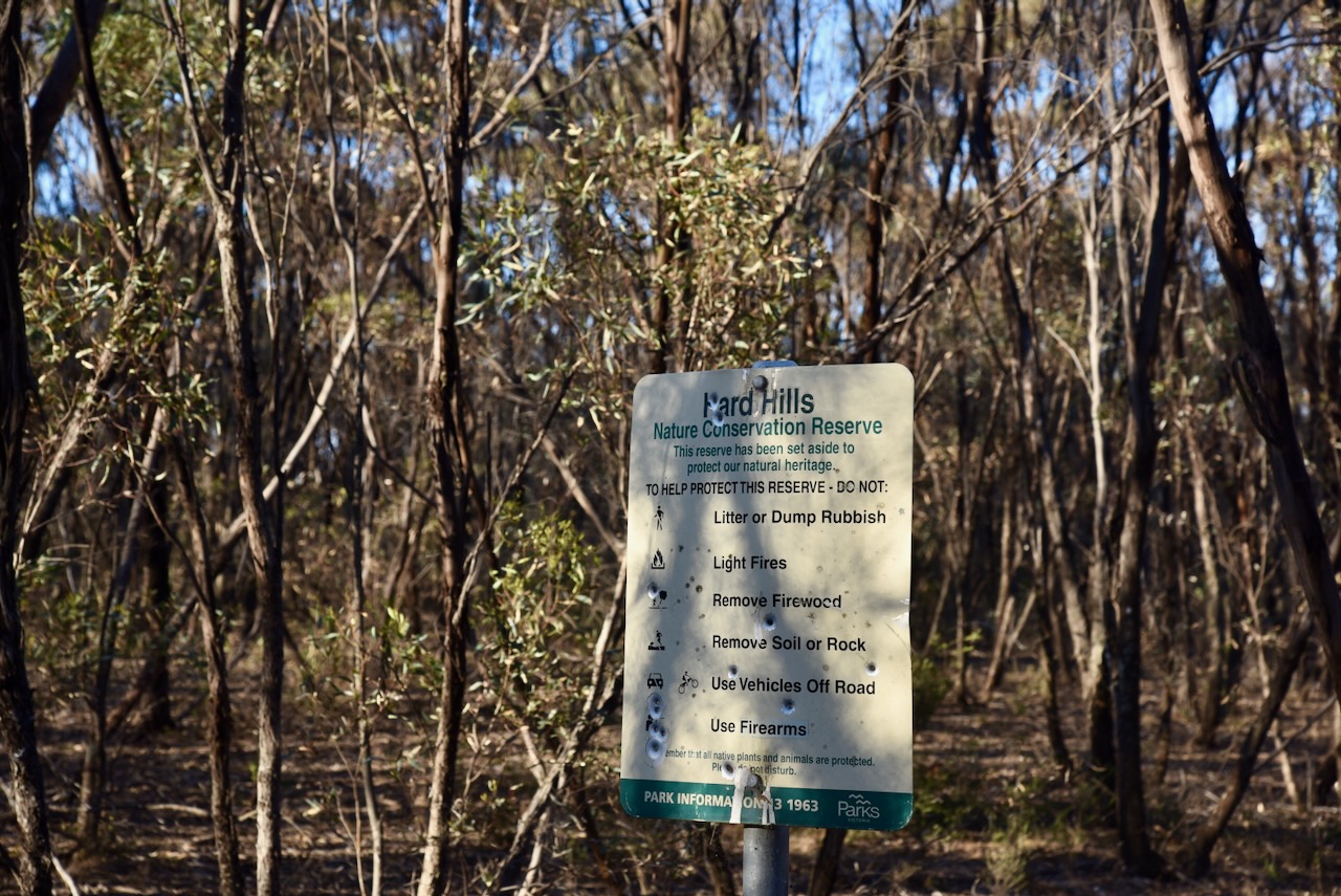
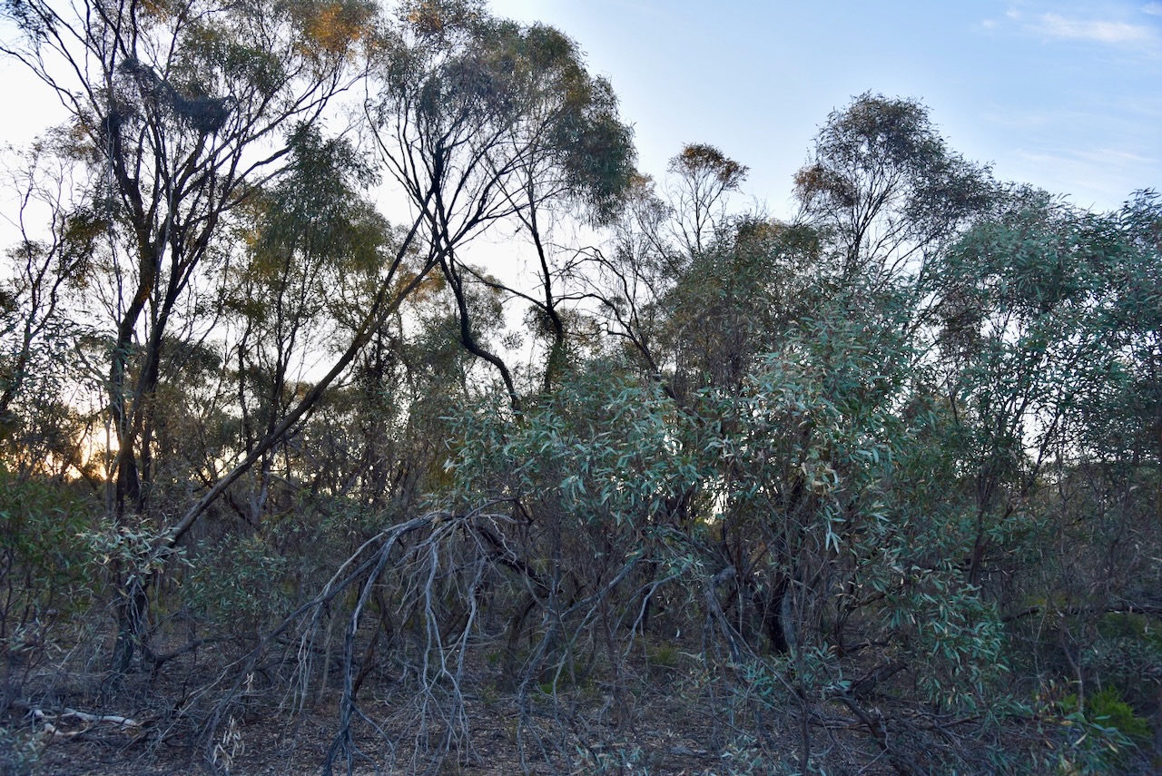
We then headed out to the Hard Hills Nature Conservation Reserve. The park is about 32 hectares and was established on the 24th day of August 1982. (CAPAD 2022) Parks Victoria has a page for this park but it contains no information about the park other than a boundary image. A number of vulernable plants are located in the park including Pamaderris and Daddy Longlegs Orchid. The Hard Hills Spider Orchid can also be found in the reserve. (St Arnaud Field Naturalists 2019)
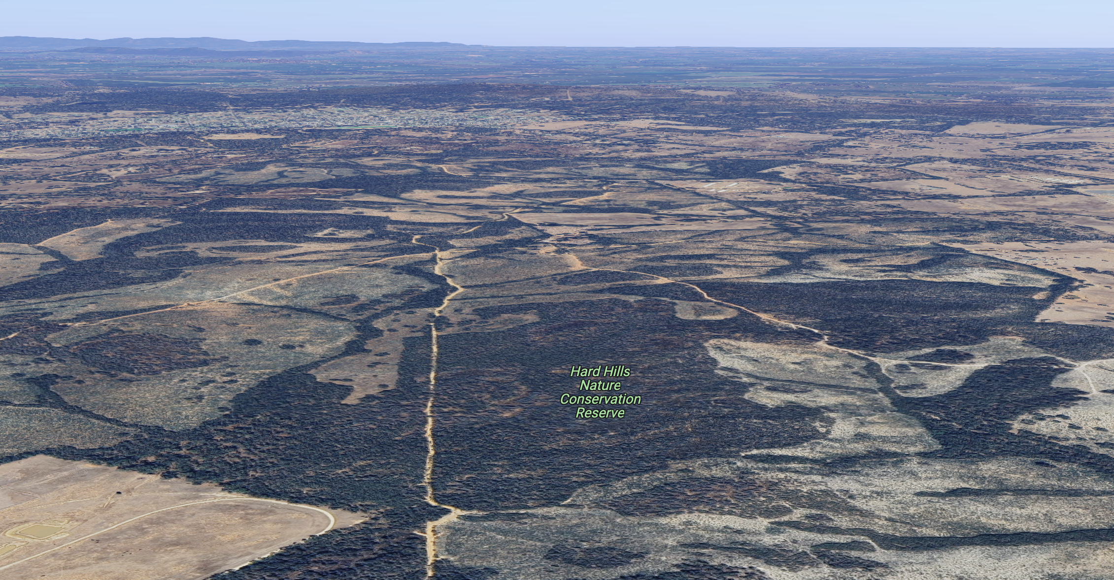
Above:- An aerial view of the park with St Arnaud in the background. Image c/o Google Maps.
The park is located in the Hard Hills area which takes its name from the gold rush days when ten hills located in the area that were difficult for the fossickers to sink their holes or shafts. (Blake 1977)
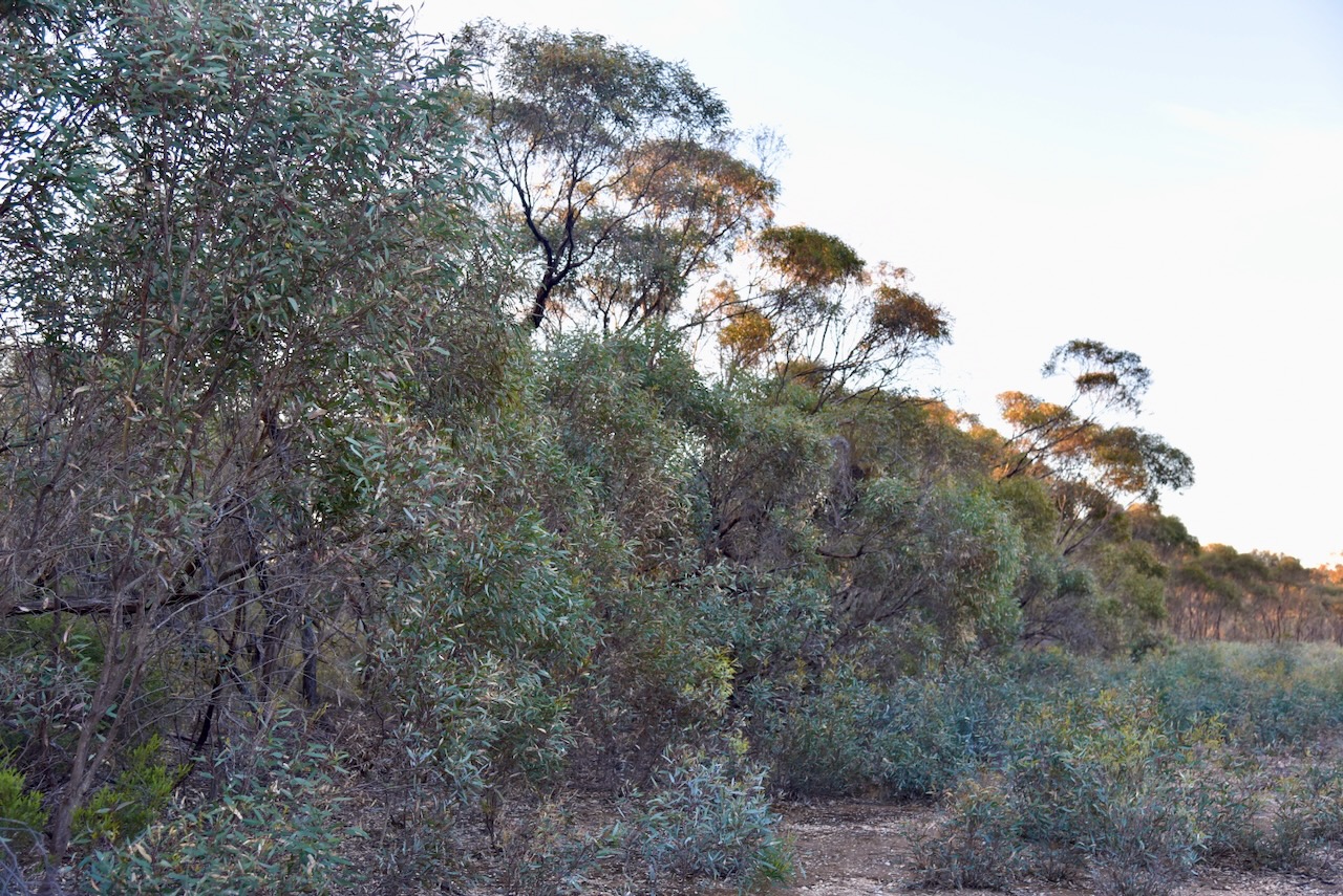
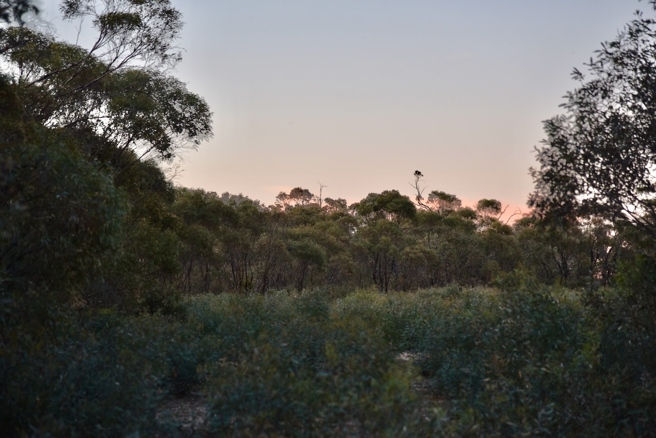
We access the park via Bray Road and we set up in the southeastern corner of the park. We ran the Yaesu FT857, 40 watts, and the 20/40/80m linked dipole.

Above:- An aerial view of the Hard Hills NCR showing our operating spot. Image c/o Google Earth.
Marija worked the following stations on 40m SSB:-
- VK5LA
- VK5KAW
- VK3VIN
- VK3MCA
- VK2IO/m
- VK1AO
- VK2MET
- VK3PF
- VK3KAI
- VK4EW
- VK5FR/p (Poolgarra Conservation Reserve VKFF-1742)
I worked the following stations on 40m SSB:-
- VK5LA
- VK5KAW
- VK3VIN
- VK3MCA
- VK2IO/m
- VK1AO
- VK2MET
- VK3PF
- VK3KAI
- VK4EW
- VK7HBR
- VK3MIJ
- VK2EXA
- VK3EJ
- VK5DW
- VK5FR/p (Poolgarra Conservation Reserve VKFF-1742)
- VK2CDB
- VK4NH
- VK4DXA
- VK3UAO
- VK4SMA
- ZL4NVW/p
- VK3NP
- VK5FANA
- VK3ANL
I worked the following stations on 20m SSB:-
- VK4SMA
- F1BLL
- IW2NXI
I worked the following stations on 80m SSB:-
- Vk2EXA
- Vk3PF
- VK3KAI
- VK3UAO
- VK3YY
- VK2DG
- VK5MK
- VK3PWG
- VK7ID
- VK2DG
- ZL2STR
- VK5ARZ
- VK4EMP
- VK4TI
- VK3SPG
- VK3AMO
- VK1DI
- VK2CGH
- VK3SO
- VK1KAZ
- VK2DL
- VK3YV
- VK3CA
- VK3KAS
- VK2VRJ
- VK7AAE
- VK3HO
- VK5NM
- VK2MFW
- VK5DDD
- VK2PBC
References.
- http://www.victorianplaces.com.au. (n.d.). Stuart Mill | Victorian Places. [online] Available at: https://www.victorianplaces.com.au/stuart-mill [Accessed 20 Feb. 2024].
- Dcceew.gov.au. (2023). Collaborative Australian Protected Areas Database (CAPAD) 2022 – DCCEEW. [online] Available at: https://www.dcceew.gov.au/environment/land/nrs/science/capad/2022 [Accessed 20 Feb. 2024].
- Hughes, A. (2019). It’s not over yet! [online] starnaudfieldnats. Available at: https://www.starnaudfieldnats.org.au/single-post/2019/11/06/its-not-over-yet [Accessed 20 Feb. 2024].
- Leslie James Blake, 1977, Place Names of Victoria.
