
Our final activation for Sunday 19th November 2023 was the Wimmera River Marma Streamside Reserve VKFF-3921. The park is located about 31 km east of Horsham and about 284 km northwest of Melbourne.
This was the first time the park had been activated for the World Wide Flora Fauna (WWFF) program.
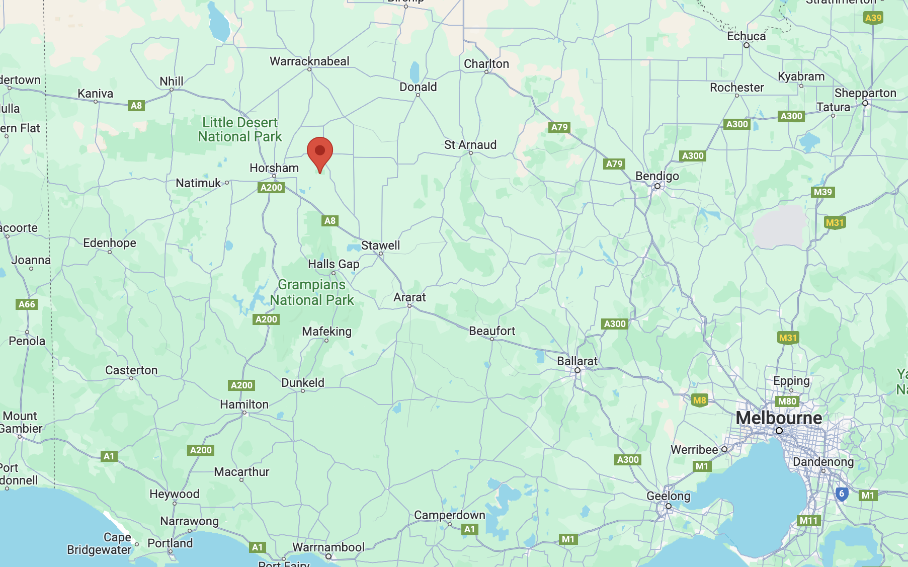
Above:- Map showing the location of the park. Map c/o Google Maps.
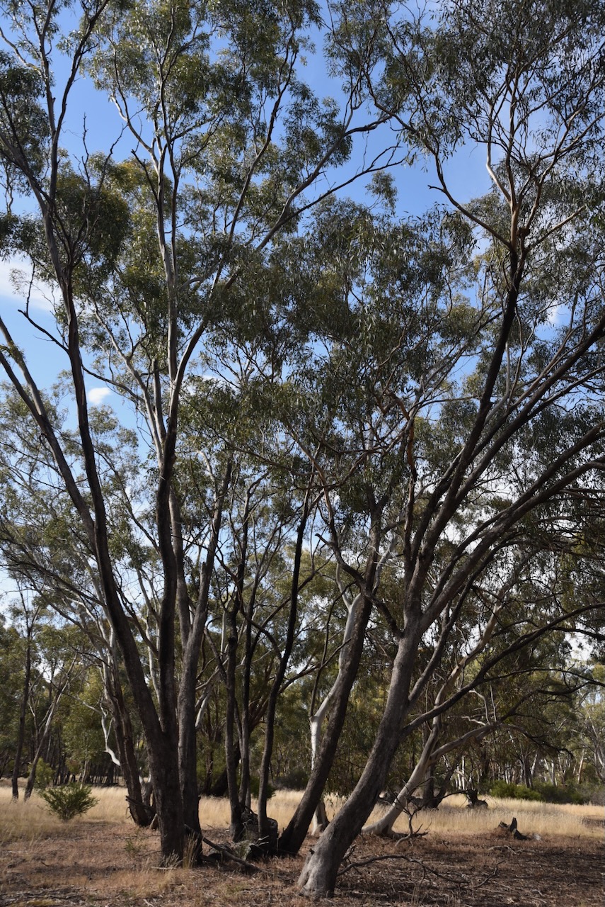
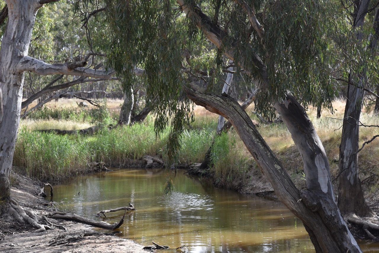
The Wimmera River Marma Streamside Reserve is bordered by Burnt Clay Road to the north, and the Horsham-Lubeck Road to the south.

Above:- An aerial view of the Wimmera River Marma Streamside Reserve. Image c/o Google Earth.
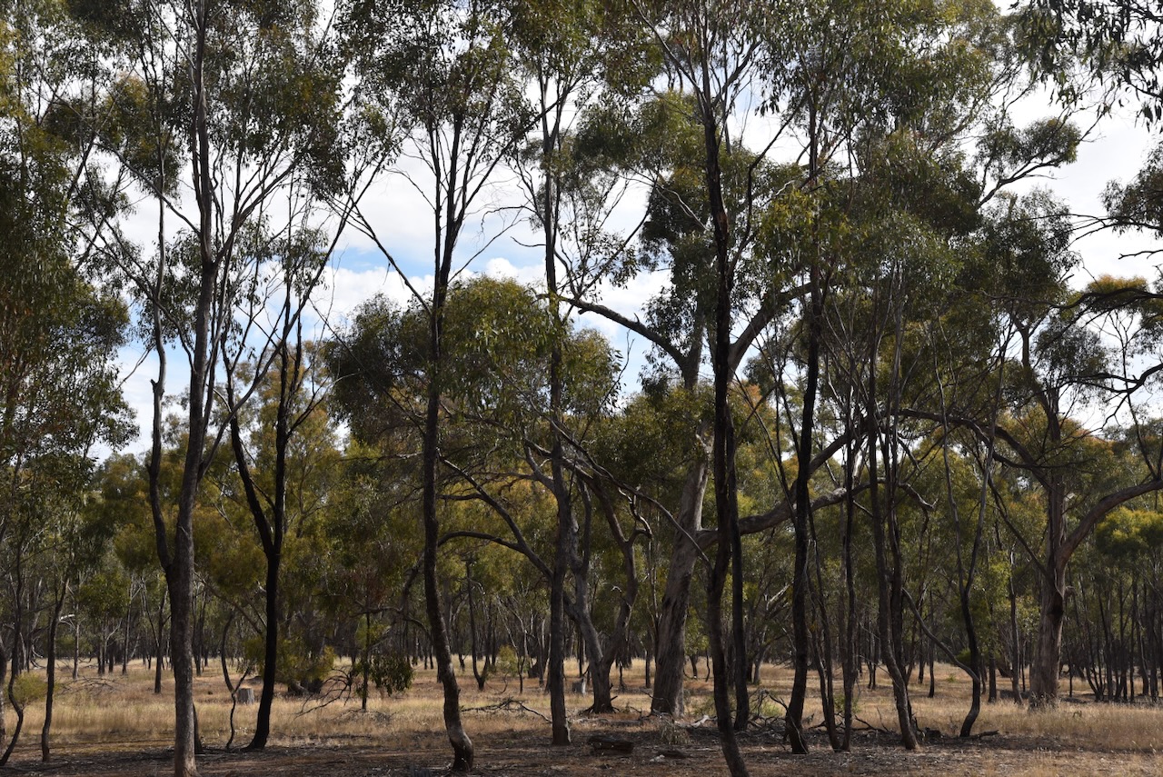
The reserve is about 129 hectares in size and was established on the 22nd day of November 1983. (CAPAD 2022) The Wimmera River passes through the park. Mount William Creek is located on the park’s western boundary. It flows into the Wimmera River.
In 1836, the Wimmera River was explored by Sir Thomas Livingstone Mitchell (b. 1792. d. 1855) during his Australia Felix (Happy Australia) expedition of western Victoria. It is believed that Wimmera is an aboriginal word for a throwing stick. The Wimmera River rises in the Pyrenees Range near Ararat and flows northwesterly through Horsham and empties into Lake Hindmarsh near Jeparit. (Victorian Places 2024)
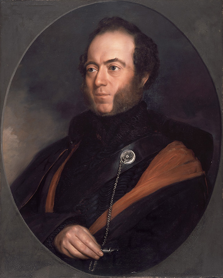
Above:- Sir Thomas Livingstone Mitchell. Image c/o Wikipedia.
Mitchell did however make an inaccurate deduction regarding the Wimmera River. Whilst near Mount Arapiles in the Grampians he stated:
“Upon the whole, I think that the estuary of the Wimmera will most probably be found either between Cape Bernouilli and Cape Jaffa, or at some of the sandy inlets laid down by Captain Flinders…At all events I here abandoned the pursuit of that river, and determined to turn towards the south-west that we might ascertain what streams fell in that direction from the Grampians and also the nature of the country between these mountains and the shores of the Southern Ocean.” (Gutenberg 2024)
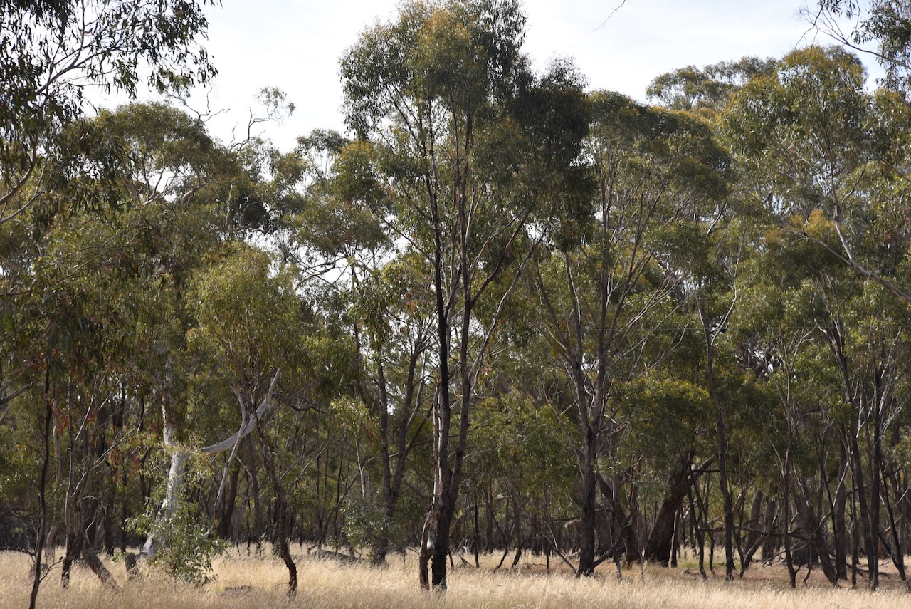
We accessed the park via a dirt track that ran off Burnt Clay Road. We ran the Yaesu FT857, 40 watts, and the 20/40/80m linked dipole for this activation. I used the special event callsign of VI10VKFF. We had no internet coverage in the park, so we thank those who took the time to spot us on the parksnpeaks website.
Marija worked the following stations on 40m SSB:-
- VK5FR/p (Lashmar Conservation Park VKFF-0902)
- VK2YK
- VK5GA
- VK3PF
- VK3KAI
- VK3CLD/p (Kosciuszko National Park VKFF-0269)
- VK3SG
- VK7IAN
- VK3MCA
- VK4NH
- VK4DXA
I worked the following stations on 40m SSB:-
- VK5FR/p (Lashmar Conservation Park VKFF-0902)
- VK2YK
- VK5GA
- VK3PF
- VK3KAI
- VK3CLD/p (Kosciuszko National Park VKFF-0269)
- VK3SG
- VK7IAN
- VK3MCA
- VK4NH
- VK4DXA
- VK5AV
- VK3BBB
- VK2CCP
- VK3CEO
- VK1AO
- VK2MET
- VK7HAM
- VK3MLT
- VK3EI
- VK7RA
- VK5PL
- VK3TDX
- ZL4NVW
- VK3GRX
- VK5HS
- VK3MIJ
- VK3APJ
- VK5HAA
- VK3CWF
- VK2IO/m
- VK5GY
- VK2CDB
- VK3ANL
- Vk1CHW
- VK3EMP
- VK4TI
- VK4SMA
- VK1DI
- VK3KRL
- VK1AAF
- KG5CIK
- VK2DL
- VK2IMP
- VK5LA
- VK5KAW
I worked the following stations on 20m SSB:-
- VK4NH
- VK4DXA
- VK4EMP
- VK4TI
- VK4ABH
- F1BLL
After packing up we headed back to St Arnaud and had a magnificent meal at the Farmers Arms Hotel.

References.
- Dcceew.gov.au. (2023). Collaborative Australian Protected Areas Database (CAPAD) 2022 – DCCEEW. [online] Available at: https://www.dcceew.gov.au/environment/land/nrs/science/capad/2022 [Accessed 23 Feb. 2024].
- gutenberg.net.au. (n.d.). Thomas Mitchell. [online] Available at: https://gutenberg.net.au/ebooks07/0700531h.html [Accessed 23 Feb. 2024].
- www.victorianplaces.com.au. (n.d.). Wimmera Region | Victorian Places. [online] Available at: https://www.victorianplaces.com.au/wimmera-region. [Accessed 23 Feb. 2024].
