
Our second Monday 20th November 2023 activation was the Carapooe Creek Streamside Reserve VKFF-3641. However, it was not our preferred option.
We had hoped to activate the Carapooee I48 Bushland Reserve. We found a dirt track leading to the reserve set off the road. However, we were unsure if this was private property so we decided not to venture down the track. A little further up Kooreh Road, we found an unlocked gate with a track that led to the park, but again we decided to err on the side of caution and not activate this park.
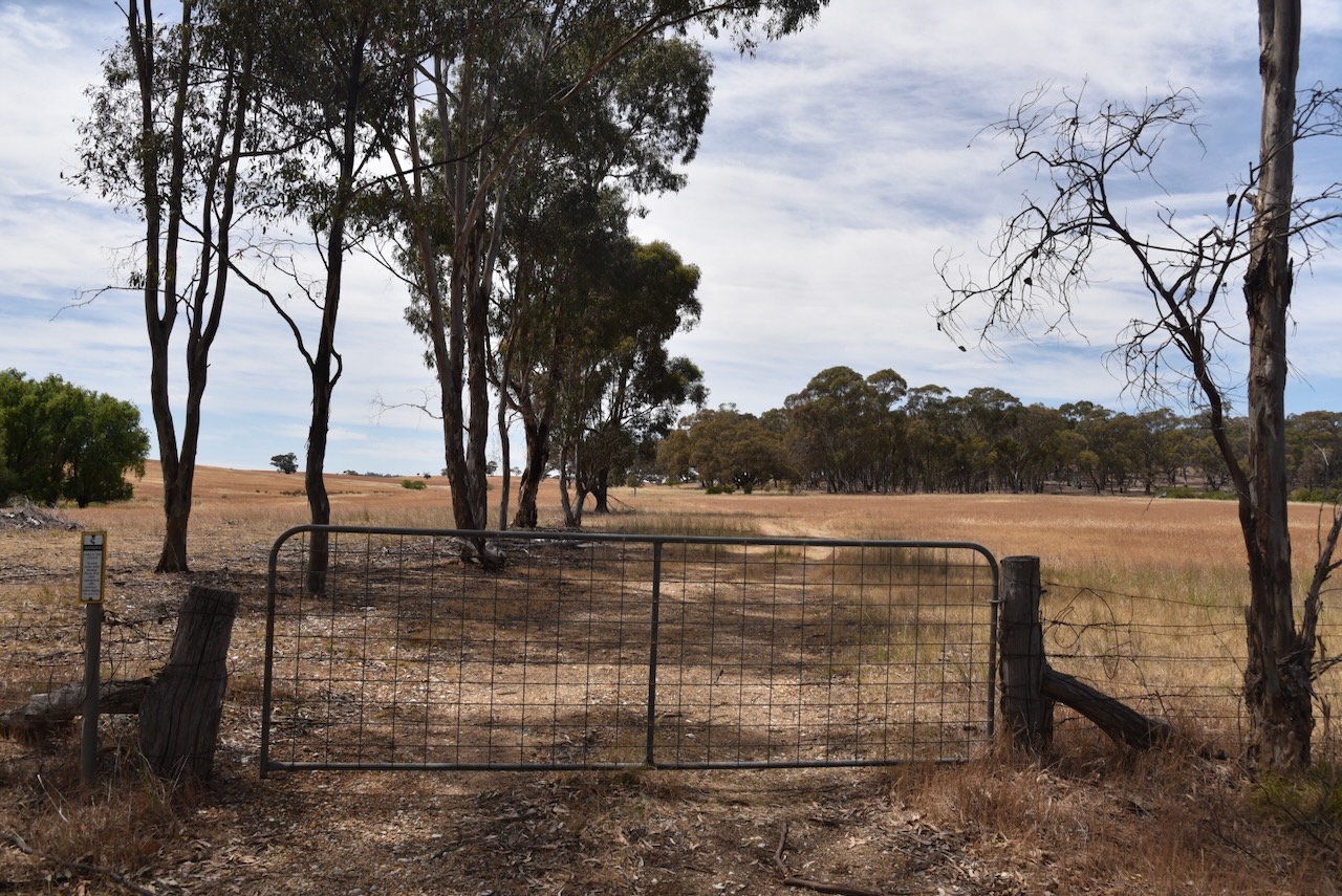
We drove a bit further north on Kooreh Road towards the Carapooee I47 Bushland Reserve which the maps showed was set off the road. Unfortunately, we found a locked gate with a ‘do not enter’ sign on it. Strike two. It was now time to review our options.
We decided to activate the Carapooe Creek Streamside Reserve. The park is located about 13 km southeast of St Arnaud and about 238 km northwest of Melbourne.
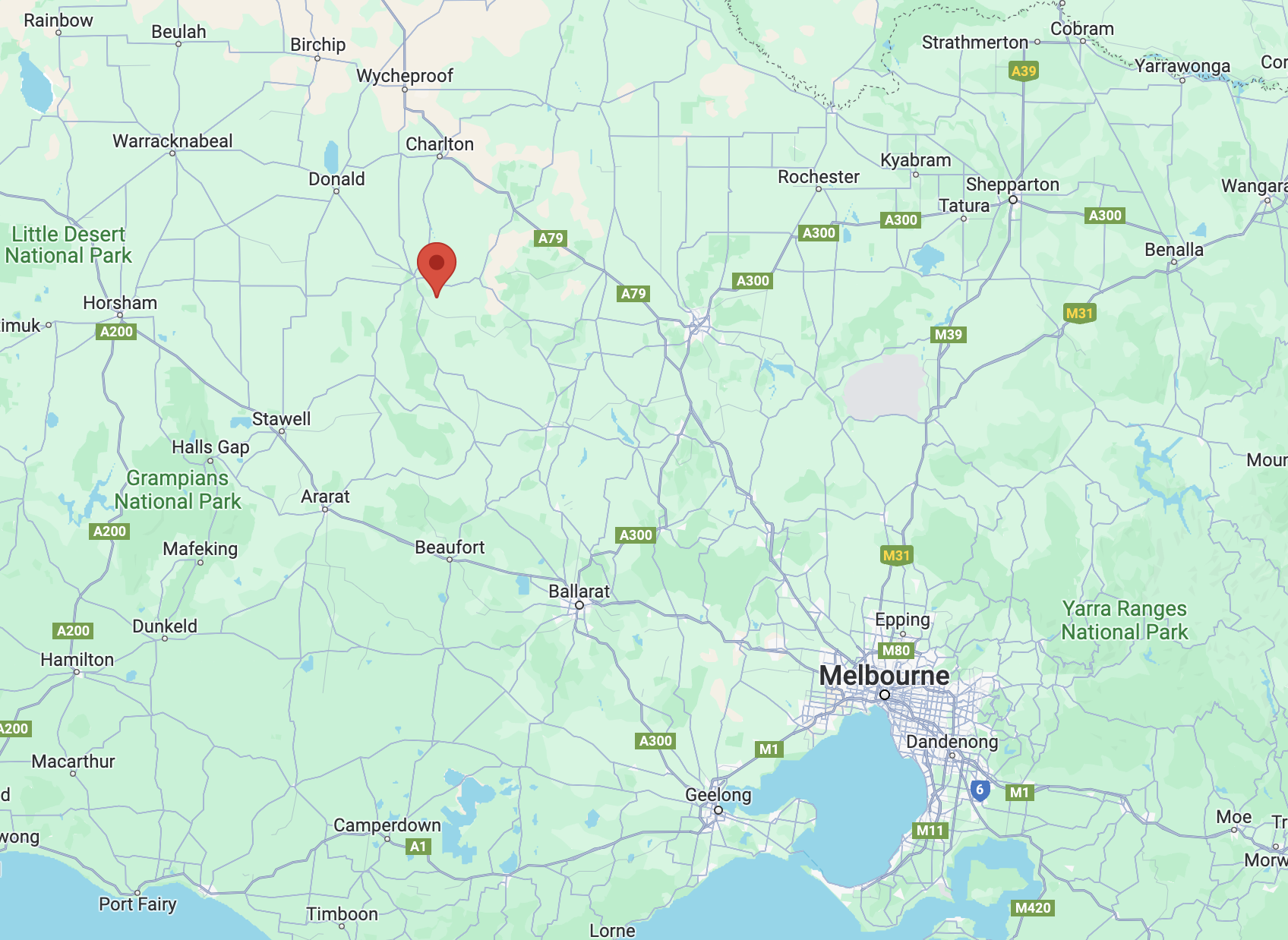
Above:- Map showing the location of the Carapooee Creak Streamside Reserve. Map c/o Google Maps.
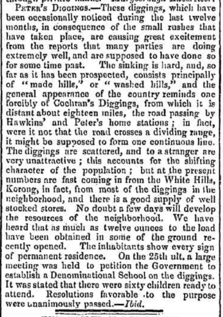
The first European settlers in the area occupied the Strathfilan pastoral run which was taken up in 1844. Strathfillan comprised 106,000 acres. In 1857 the run came into the hands of David Peters @ Peter (b. 1819. d. 1881). He was born in February 1819 in Forfar, Angus, Scotland and emigrated to Victoria in 1842, aged 22 years. In 1858 gold was discovered in the area and the settlement that sprung up as a result was known as Peter’s Diggings. Between 1859 to 1860 there were 1,300 miners as Peter’s Diggings. (Victorian Places 2024) (Wikitree 2024)
Peters sold Strathfilan Station in 1861 for £14,940. He had benefited substantially from gold finds and had accumulated a small fortune from the sale of his various properties. In 1864 he travelled to Europe for 14 months to seek a cure for his gout. He returned to Australia in 1865 but by 1870 he and his family returned to Europe, travelling extensively and spending about £10,000 on living and accommodation expenses. He died in Germany in 1881. Following his death, his wife and family returned to Australia. (Wikitree 2024)
Bailliere’s Victorian gazetteer of 1865 recorded that Peter’s Creek had two quartz-crushing mills, three hotels, and a brewery. (Victorian Places 2024)
Above:- Article from the Bendigo Advertiser, Wed 9 Jun 1858. Image c/o Trove.
By the 1870s the area became known as Carapooee, named after the Parish. Carapooee is derived from an aboriginal word carripooi meaning hill. Carapooee was originally known as Peter’s Diggings. Carapooe Creek is a tributary of the Avoca River and was originally called Campbell’s Creek. (Blake 1978) (Victorian Places 2024)
The Carapooee Streamside Reserve is about 9 hectares in size and was established on the 24th day of August 1982. (CAPAD 2022)
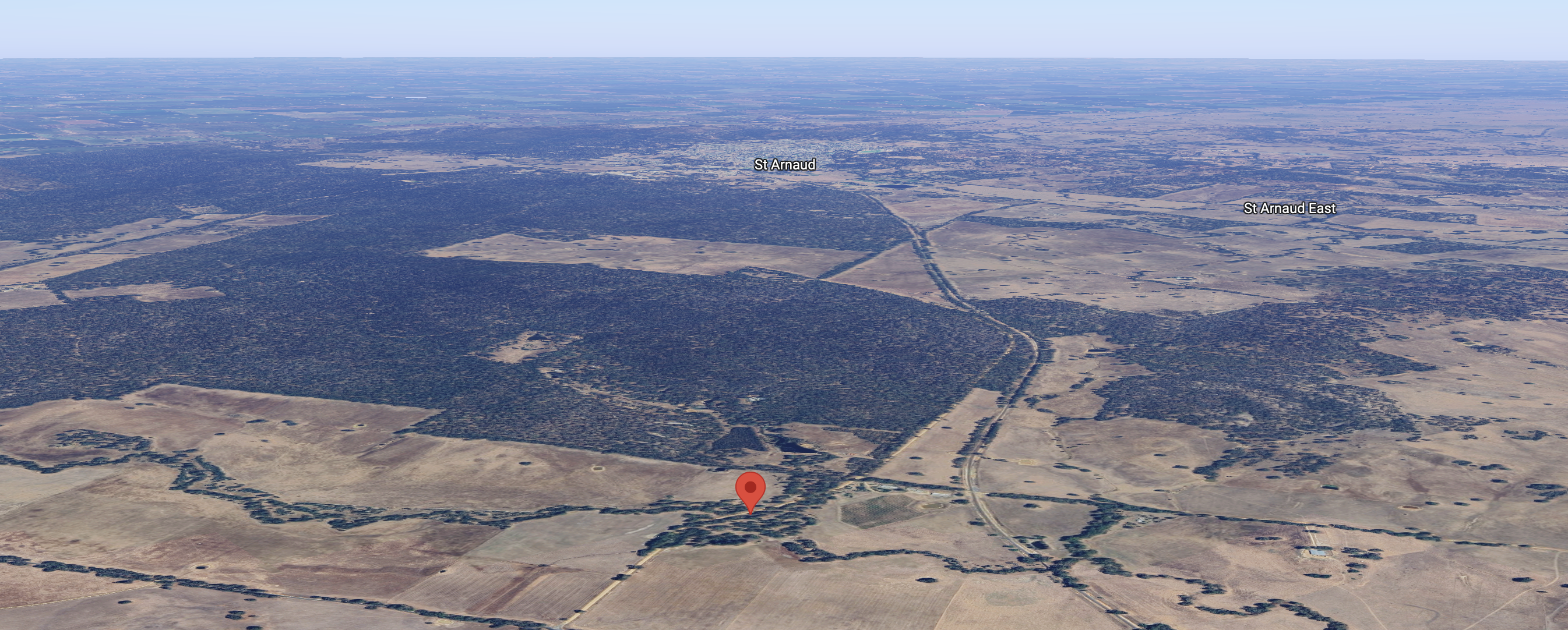
Above:- An aerial view of the reserve, looking towards St Arnaud. Image c/o Google Maps.
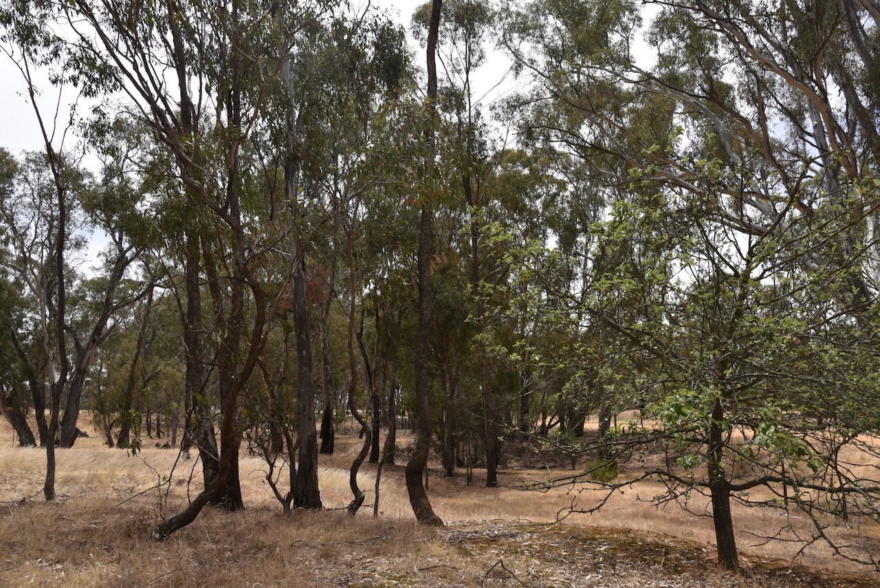
The reserve is located on either side of Carapooee Road.
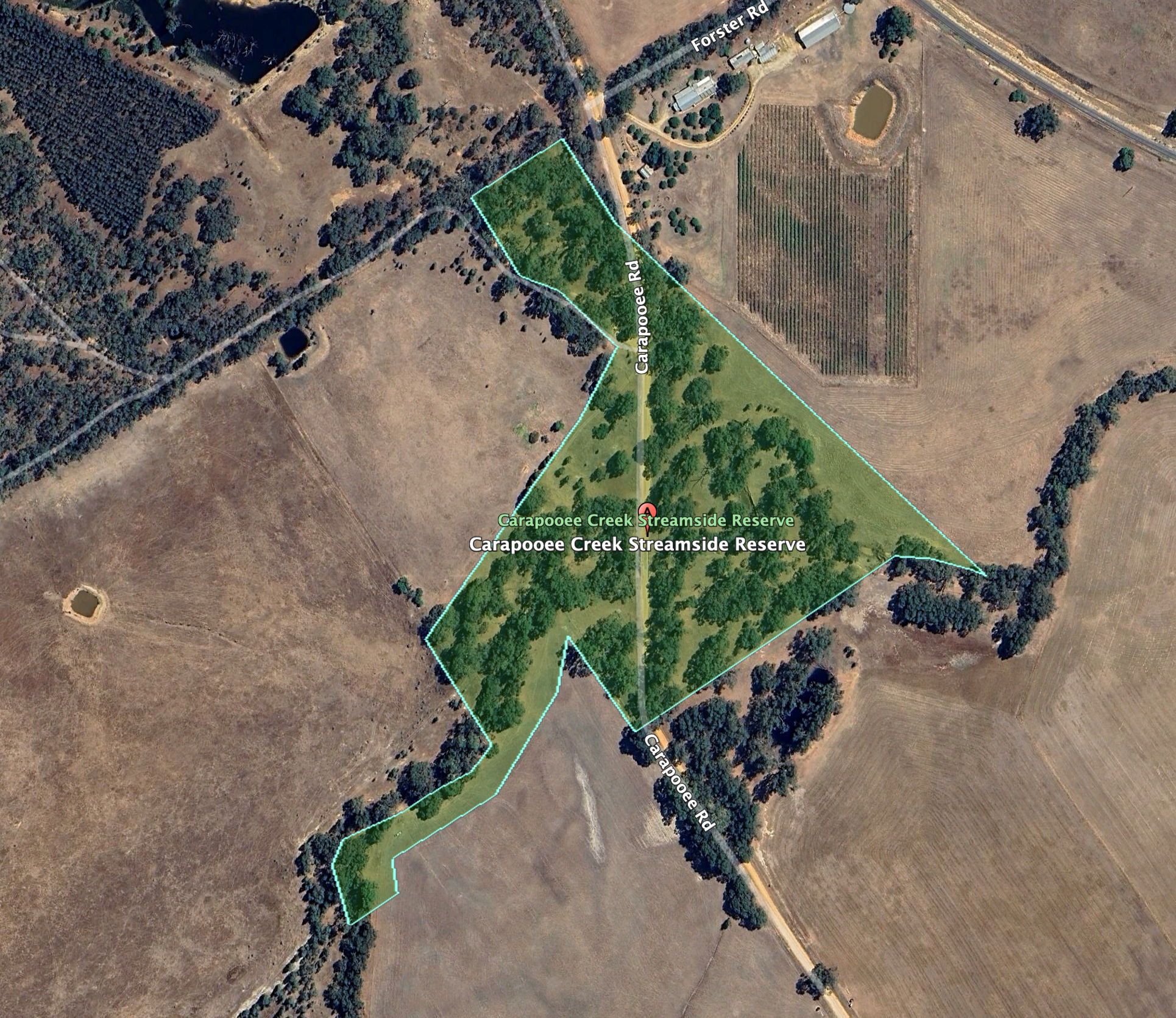
Above:- An aerial view of the Carapooee Creek Streamside Reserve. Image c/o Google Earth.
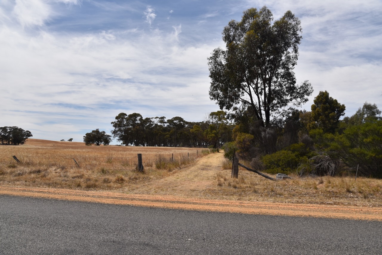
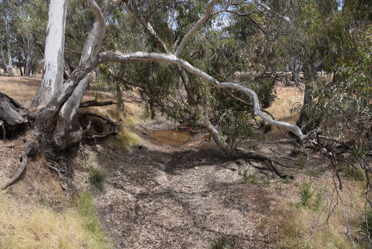
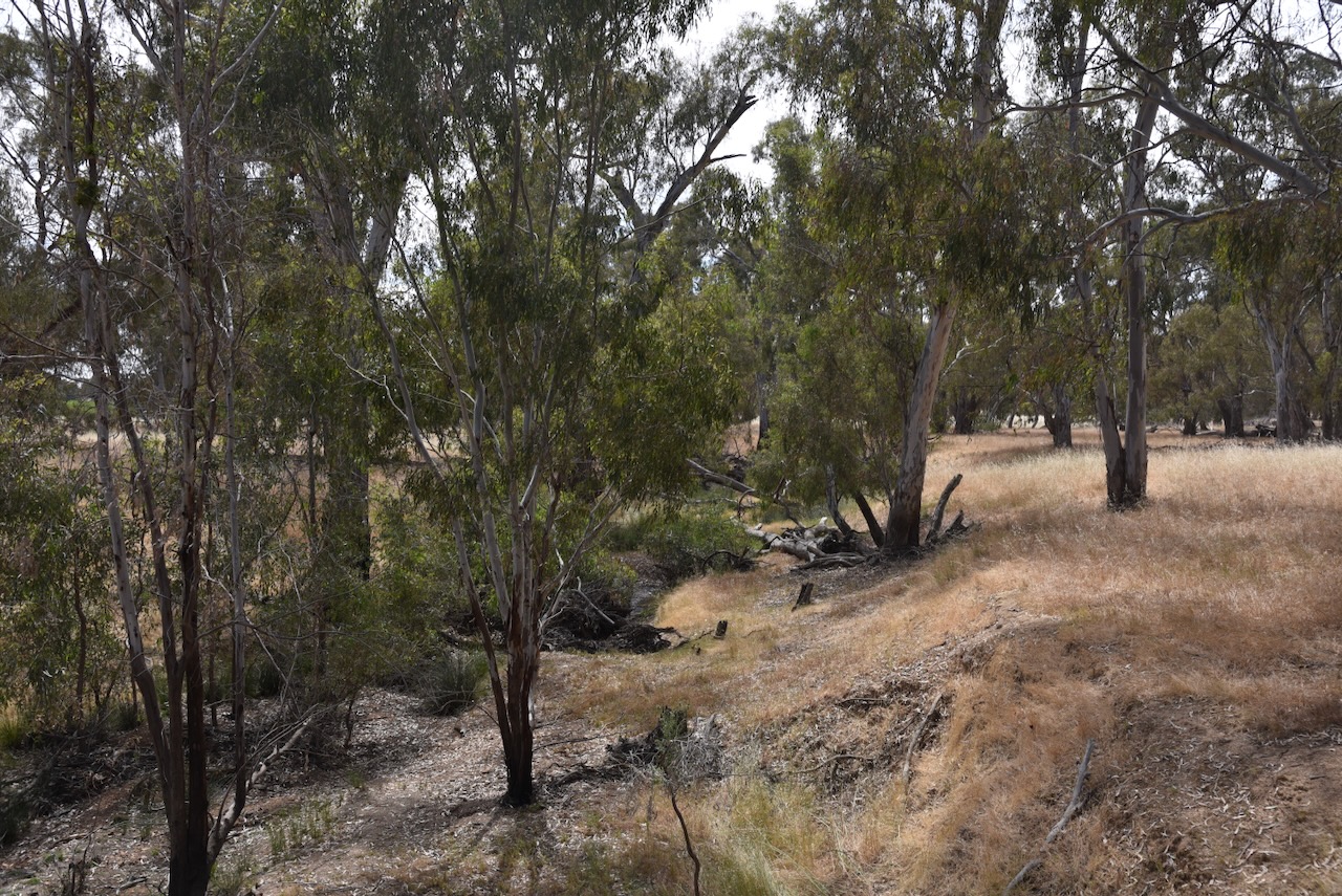
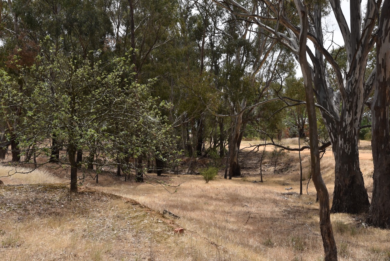
The Carapooe Creek passes through the reserve. During our visit, the creek was virtually dry.
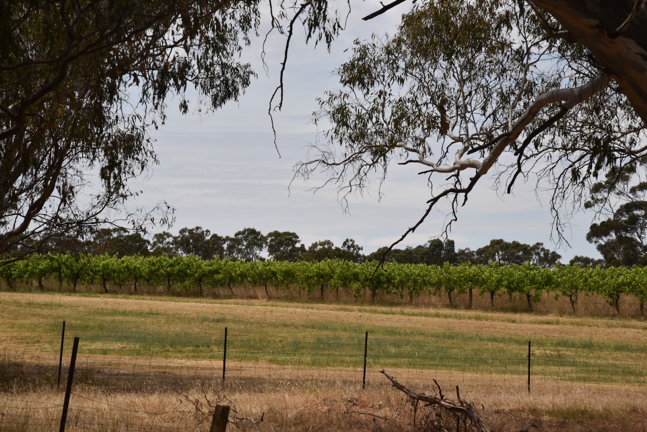
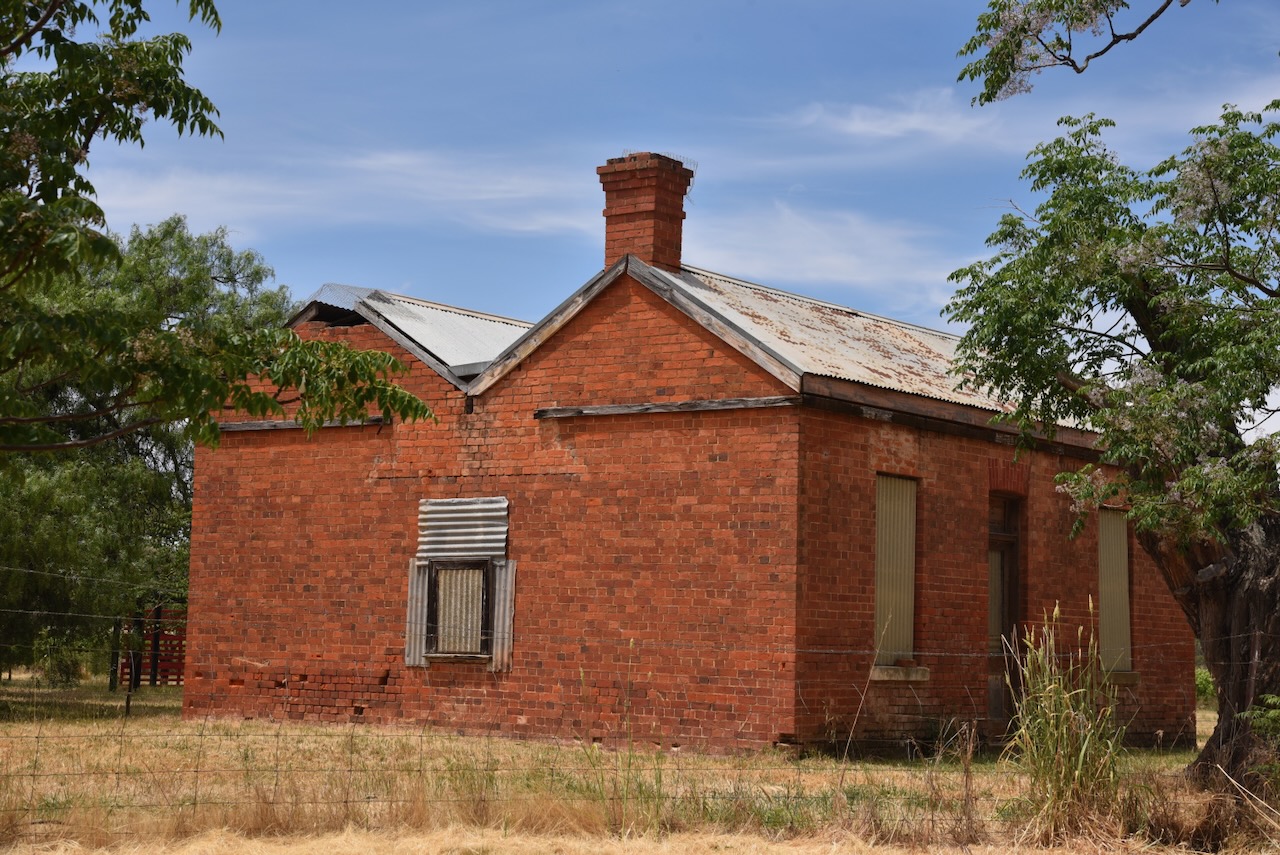
Opposite the reserve is a vineyard from the old Berrys Bridge winery and an old red brick 1860s miners’ cottage. (Commercial Real Estate 2024)
We ran the Yaesu FT857, 40 watts, and the 20/40/80m linked dipole for this activation. I used the special event callsign of VI10VKFF.
Marija worked the following stations on 40m SSB:-
- VK3UAO/p (Errinundra National Park VKFF-0158)
- VK3PF
- VK3KAI
- VK3SQ
- VK2BD
- VK5DG/p (Nangwarry Native Forest Reserve VKFF-3432)
- VK3BEL/p (Tocumwal Regional Park VKFF-0978)
Marija worked the following stations on 40m AM:-
- VK3PF
- VK3KAI
- VK3CEO
- VK3CA
- VK3SQ
- VK2BD
- VK2IO/p (Brindabella National Park VKFF-0054)
- VK3UAO/p (Errinundra National Park VKFF-0158)
- VK3BEL/p (Tocumwal Regional Park VKFF-0978)
I worked the following stations on 40m SSB:-
- VK3UAO/p (Errinundra National Park VKFF-0158)
- VK3PF
- VK3KAI
- Vk3SQ
- VK2BD
- VK3CEO
- VK3PWG
- VK3CA
- VK5BB
- VK5DG/p (Nangwarry Native Forest Reserve VKFF-3432)
- Vk1AO
- Vk2MET
- VK3TUN/p (Nangwarry Native Forest Reserve VKFF-3432)
- VK3ZSC
- VK2TOT/p (Silo VK-AVA3)
- VK3VMM
- VK3KR
- VK7EE
- VK3QH
- VK3BSF
- VK3YV
- VK3TNL
- VK3BEL/p (Tocumwal Regional Park VKFF-0978)
- VK3SO
- VK5HS
- VK3UCD
- VK3CLD
- VK2HHA
- VK3UP/m
I worked the following stations on 40m AM:-
- VK3PF
- VK3KAI
- VK3CEO
- VK3CA
- VK3SQ
- VK2BD
- VK2IO/p (Brindabella National Park VKFF-0054)
- VK3UAO/p (Errinundra National Park VKFF-0158)
- VK3BEL/p (Tocumwal Regional Park VKFF-0978)
- VK5HS
- VK3SO
- VK3UCD
- VK3GCM/p (Silo VK-TNL3)
I worked the following stations on 20m SSB:-
- VK4NH
- VK4DXA
- VK1AO
- VK2MET
- VK7EE
- VK4EHI
- VK4EW
I worked the following station on 20m AM:-
- VK4EW
References.
- CommercialRealEstate.com.au. (2023). 633 Carapooee Road, Carapooee VIC 3477 – Sold Rural & Farming | Commercial Real Estate. [online] Available at: https://www.commercialrealestate.com.au/property/633-carapooee-road-carapooee-vic-3477-2018371222 [Accessed 26 Feb. 2024].
- Dcceew.gov.au. (2023). Collaborative Australian Protected Areas Database (CAPAD) 2022 – DCCEEW. [online] Available at: https://www.dcceew.gov.au/environment/land/nrs/science/capad/2022 [Accessed 21 Feb. 2024].
- Leslie James Blake, 1978, Place Names of Victoria.
- www.victorianplaces.com.au. (n.d.). Carapooee | Victorian Places. [online] Available at: https://www.victorianplaces.com.au/carapooee [Accessed 26 Feb. 2024].
- http://www.wikitree.com. (1819). David (Peter) Peters (1819-1881) | WikiTree FREE Family Tree. [online] Available at: https://www.wikitree.com/wiki/Peter-1472 [Accessed 26 Feb. 2024].
