
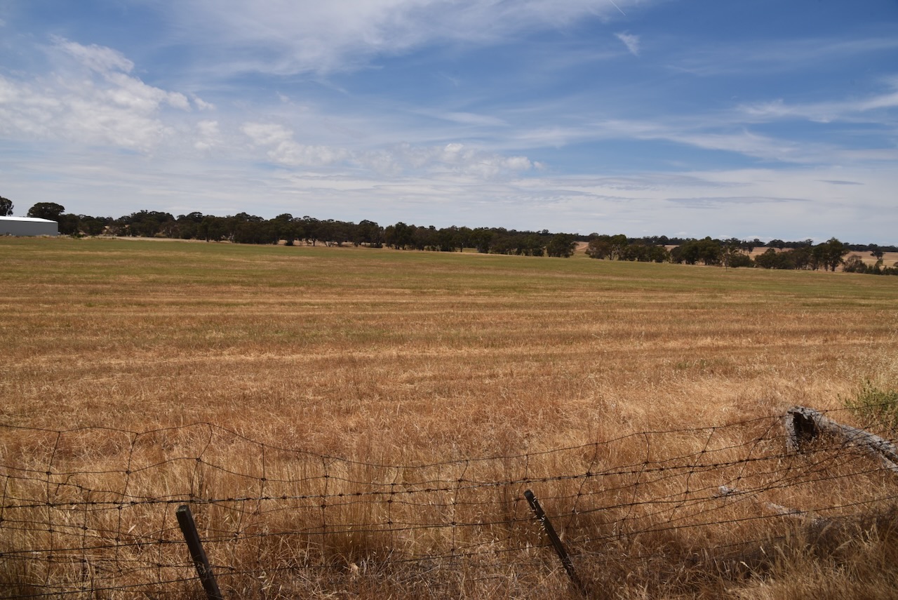
After leaving the Carapooee Creek Streamside Reserve, we drove a short distance to our next activation, the Carapooee I46 Bushland Reserve VKFF-4268. The park is about 11 km southeast of St Arnaud and about 236 km northwest of Melbourne.
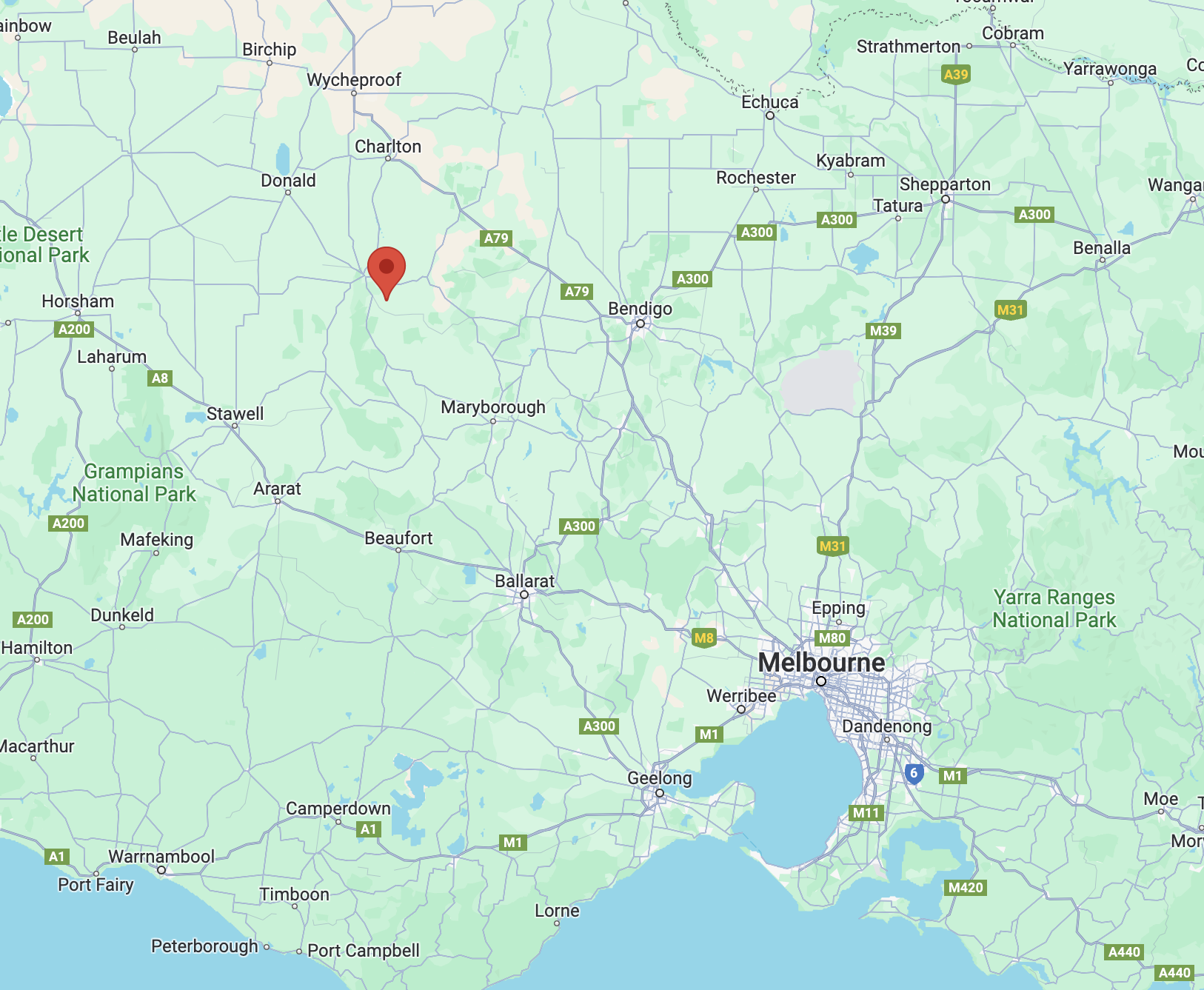
Above:- Map showing the location of the Carapooee I46 Bushland Reserve. Map c/o Google Maps.
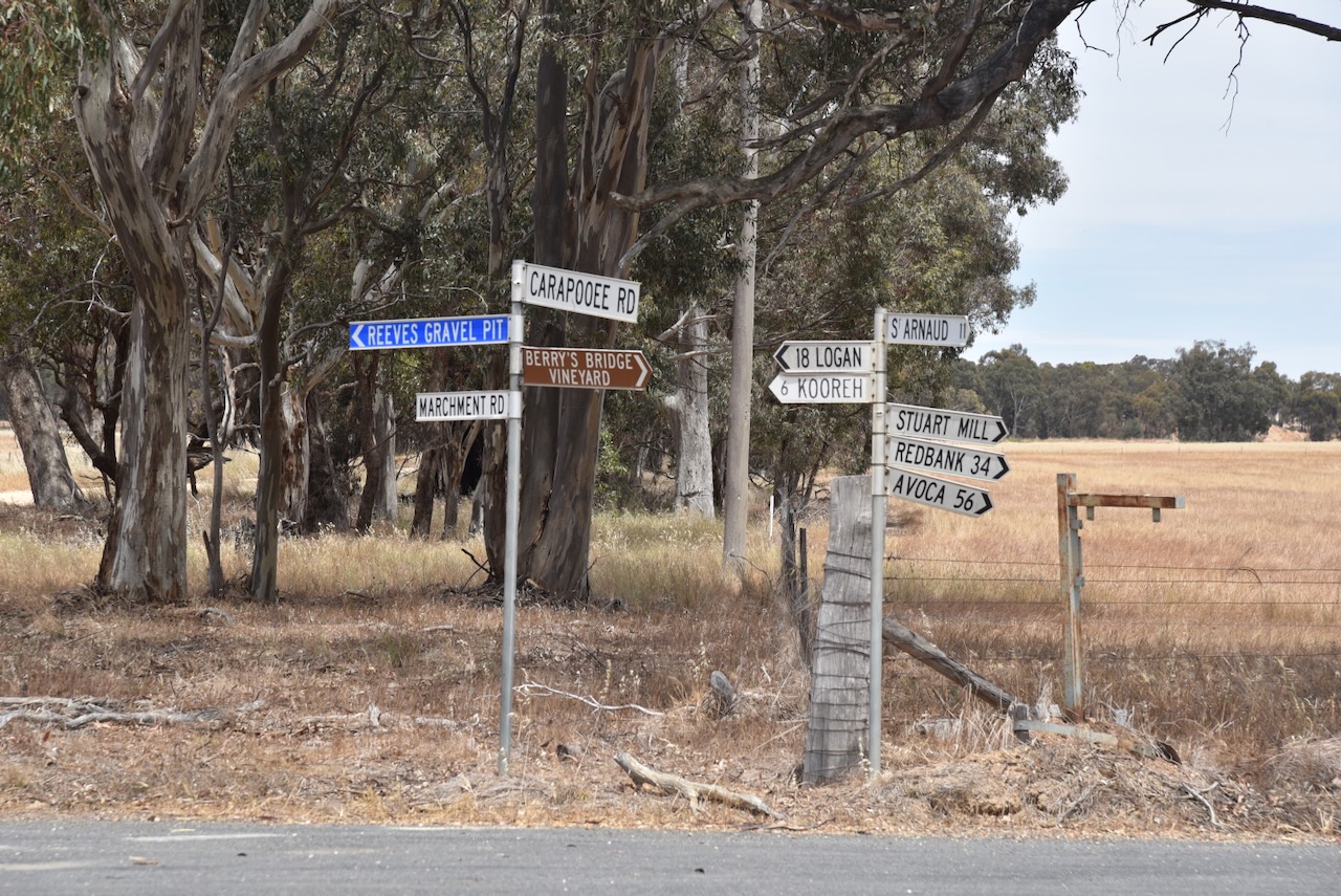
We drove south along Marchment Road and we soon reached the reserve.
The Carapooee I46 Bushland Reserve is about 10 hectares in size and was established on the 24th day of August 1982. (CAPAD 2022)
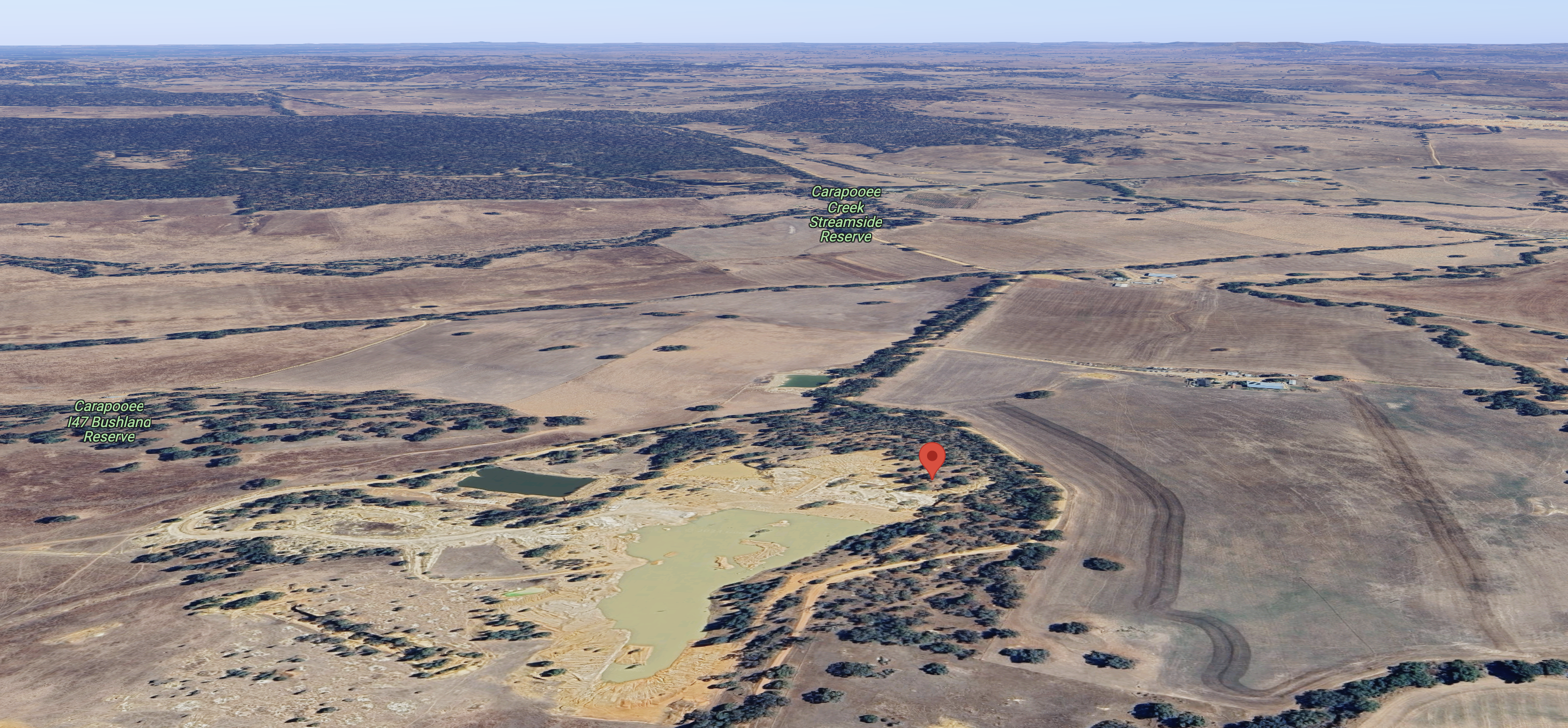
Above:- An aerial view of the reserve, also showing the Caropooee Creek Streamside Reserve and the Carapooe I47 Bushland Reserve. Image c/o Google Maps.
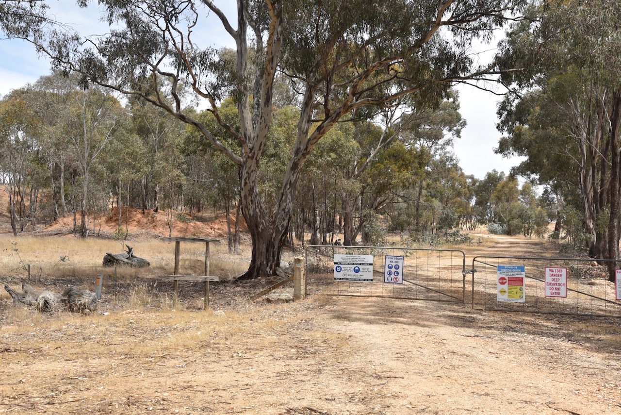
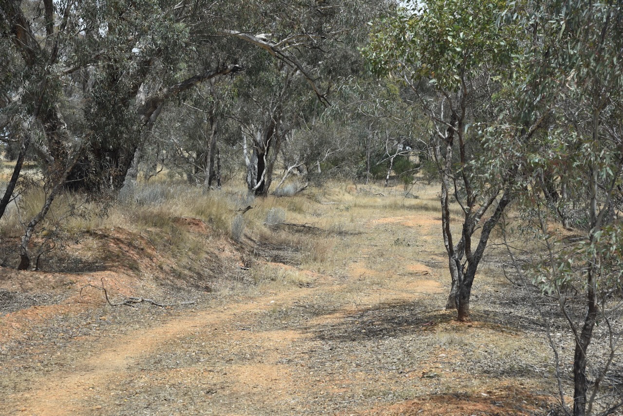
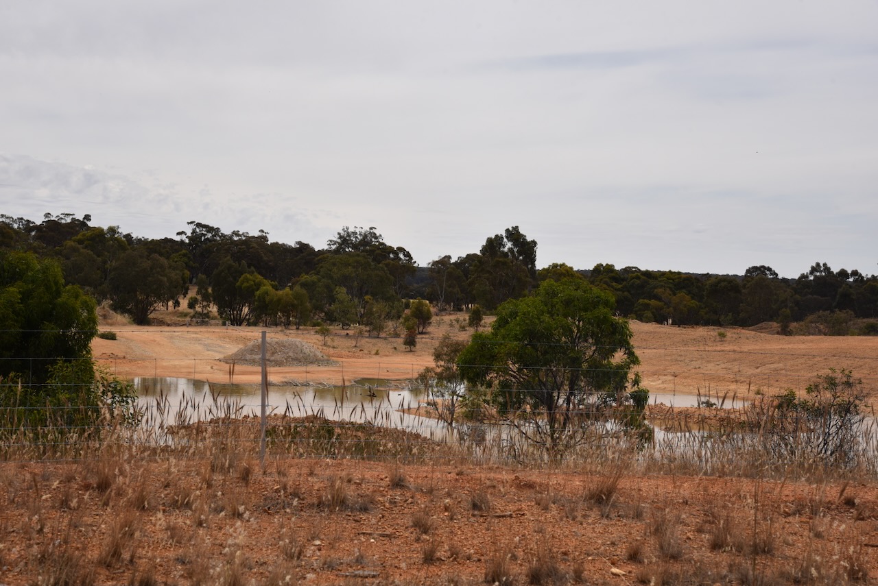
Initially, we thought that we may have some access issues into this park as we found a gate with a ‘Do not enter’ sign. This is a ‘strange’ park in that it contains Forster’s Quarry. Fortunately, we found a part of the park in the southern section, where we could drive in along a 4WD track.
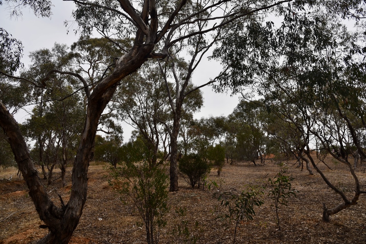
We ran the Yaesu FT857, 40 watts, and the 20/40/80m linked dipole for this activation. I used the special event callsign of VI10VKFF.
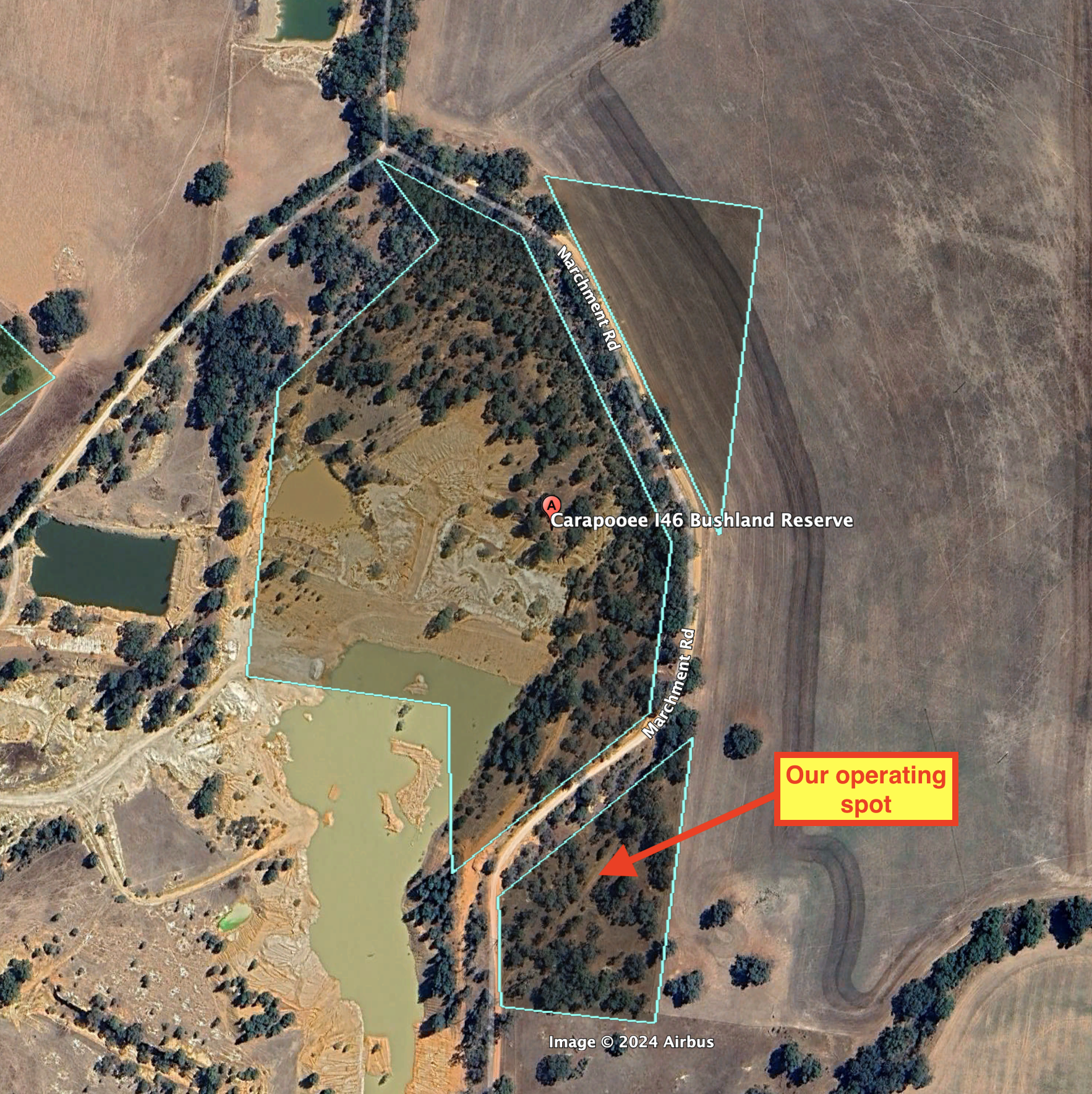
Above:- An aerial view of the reserve showing our operating spot. Image c/o Google Earth.
Marija worked the following stations on 40m SSB:-
- VK3GCM/p (VK-TNL3)
- VK3UCD
- VK5DW
- VK3CLD/p (Kosciuszko National Park VKFF-0269)
- VK7XX
- VK3PF
- VK3KAI
- VK3DCQ
- VK3ZSC
- VK3CEO
I worked the following stations on 40m SSB:-
- VK3GCM/p (VK-TNL3)
- VK3UCD
- VK5DW
- VK3CLD/p (Kosciuszko National Park VKFF-0269)
- VK7XX
- VK3PF
- VK3KAI
- VK3DCQ
- VK3ZSC
- VK3CEO
- VK3QA
- VK1AO
- VK2MET
- VK3YV
- VK3TNL
- VK3ZGA
- VK5AMH/m
- VK5FANA
- VK3TKK/m
- VK3KRL
I worked the following stations on 20m SSB:-
- VK4NH
- VK4DXA
References.
- Dcceew.gov.au. (2023). Collaborative Australian Protected Areas Database (CAPAD) 2022 – DCCEEW. [online] Available at: https://www.dcceew.gov.au/environment/land/nrs/science/capad/2022 [Accessed 26 Feb. 2024].
