
Our final park activation for Friday 24th November 2023 was the Glamorgan Reef Bushland Reserve VKFF-4279. The park is about 20 km south of Newstead and about 130 km northwest of Melbourne.

Above:- Map showing the location of the Glamorgan Reef Bushland Reserve. Map c/o Google Maps.
The Glamorgan Reef Bushland Reserve is about 9 hectares in size and was established on the 26th day of February 2002. (CAPAD 2022)


The reserve takes its name from the Glamorgan Reef gold mine which opened in 1859. (South West Victoria Historic Mining Plots 1980)

Above:- Part of an article from The Age, Melbourne, Thu 5 Aug 1858. Image c/o Trove.
We found a little track running off Glamorgan Road. We ran out the 20/40/80m linked dipole and used the Yaesu FT857 and 40 watts output. I used the special call of VI10VKFF.
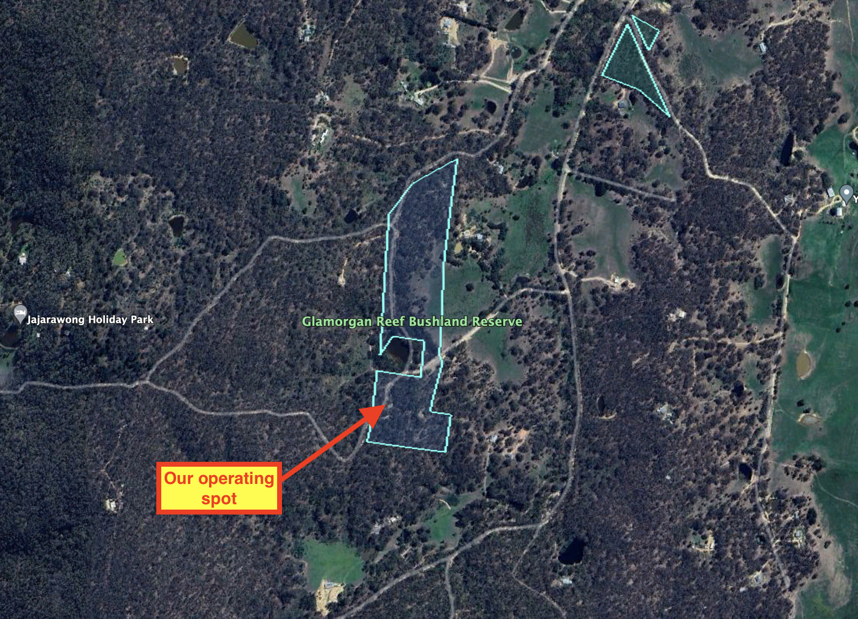
Above:- An aerial view of the Glamorgan Reef Bushland Reserve, showing our operating position. Image c/o Google Earth.
Marija worked the following stations on 40m SSB:-
- VK3PF
- VK3KAI
- VK4SMA
- VK3VIN
- VK5PE/m
- VK1AO
- VK2MET
- VK3CEO
- VK3SG
- VK4NH
- VK4DXA
- VK2IO/p (Molonglo Gorge Nature Reserve VKFF-0991)
I worked the following stations on 40m SSB:-
- VK3PF
- VK3KAI
- VK4SMA
- VK3VIN
- VK5PE/m
- VK1AO
- VK2MET
- VK3CEO
- VK3SG
- VK4NH
- VK4DXA
- KD1CT
- ZL3ASN
- VK3CLD/2
- VK5LA
- VK5KAW
- VK5FANA
- VK3APJ
- VK5KLV
- VK7HBR
- VK7JGD
- VK2IO/p (Molonglo Gorge Nature Reserve VKFF-0991)
- VK2PBC
- VK4HMI
- VK7AAE
- VK3EJ
- VK3SO
- VK3EI
- VK3UAO
- VK4GJW
- VK5VST
- VK3ZK
- VK2AX
- JF7RJM
- VK3BLG
- VK5DW
- VK5VK
I worked the following stations on 40m AM:-
- VK3CEO
- VK2IO/p (Molonglo Gorge Nature Reserve VKFF-0991)
- VK5DW
I worked the following stations on 80m SSB:-
- VK3PF
- VK3KAI
- VK2IO/p (Molonglo Gorge Nature Reserve VKFF-0991)
- VK5DW
- VK5VK
References.
- Bannear; D, 1980, South West Victoria Historic Mining Plots
- Dcceew.gov.au. (2023). Collaborative Australian Protected Areas Database (CAPAD) 2022 – DCCEEW. [online] Available at: https://www.dcceew.gov.au/environment/land/nrs/science/capad/2022 [Accessed 1 Apr. 2024].
