Guildford I133 Bushland Reserve VKFF-4286

Our seventh and final park for Sunday 26th November 2023 was the Guildford I133 Bushland Reserve VKFF-4286. The park is located about 8 km south of Castlemaine and about 130 km northwest of Melbourne.

Above:- Map showing the location of the Guildford I133 Bushland Reserve. Map c/o Google Maps.

The reserve comprised three separate sections. It is located on the western side of Donkey Gully Road. Godfrey Lane disects the park. It is located just to the southwest of the Guildford I132 Bushland Reserve.

Above:- An aerial view of the Guildford I133 Bushland Reserve. Image c/o Google Earth.

The reserve is about 7 hectares in size and was established on the 24th day of August 1982. (CAPAD 2022)

We ran the Yaesu FT857, 40 watts, and the 20/40/80m linked diupole supported by the 7-metre telescopic squid pole. I used the special call of VI10VKFF.

Marija worked the following stations on 40m SSB:-

  1. VK4SMA
  2. VK2IO/m
  3. VK4NH
  4. VK4DXA
  5. VK5FANA

Marija worked the following stations on 80m SSB:-

  1. VK3PF
  2. VK3KAI
  3. VK3UAO
  4. VK3GJG

Marija worked the following stations on 80m AM:-

  1. VK3PF
  2. VK3KAI

worked the following stations on 40m SSB:-

  1. VK4SMA
  2. VK2IO/m
  3. VK4NH
  4. VK4DXA
  5. VK5FANA
  6. VK2YK
  7. VK5GA
  8. VK3DEM
  9. VK7AN
  10. VK2HAK
  11. VK4HMI
  12. VK4EHI

I worked the following stations on 80m SSB:-

  1. VK3PF
  2. VK3KAI
  3. VK3UAO
  4. VK3GJG
  5. VK3DEM
  6. VK2EXA
  7. Vk3ANL
  8. VK3ZK
  9. VK3ZPF

I worked the following stations on 80m AM:-

  1. VK3PF
  2. VK3KAI
  3. VK3GJG

We then headed back to Newstead where we went out for dinner. It had been a great day. Seven parks activated under very trying band conditions, and lots of sightseeing.

References.

  1. Dcceew.gov.au. (2023). Collaborative Australian Protected Areas Database (CAPAD) 2022 – DCCEEW. [online] Available at: https://www.dcceew.gov.au/environment/land/nrs/science/capad/2022 [Accessed 5 Apr. 2024].‌

Guildford I132 Bushland Reserve VKFF-4287

Our next activation for Sunday 26th November 2023 was the Guildford I132 Bushland Reserve VKFF-4287. The park is located about 8 km south of Castlemaine and about 130 km northwest of Melbourne.

Above:- Map showing the location of the Guildford I132 Bushland Reserve. Map c/p Google Maps.

The reserve is located between Donkey Gully Road and Blanket Gully Road. The area is actually Campbells Creek, despite the park name Guildford.

Above:- An aerial view of the Guildford I132 Bushland Reserve. Image c/o Google Earth.

The reserve is about 28 hectares in size and was established on the 24th day of August 1982. (CAPAD 2022)

We found a track leading into the park. We ran the Yaesu FT857, 40 watts, and the 20/40/80m linked dipole. I used the special call of VI10VKFF.

Marija worked the following stations on 40m SSB:-

  1. VK2IO/m
  2. VK4NH
  3. VK4DXA
  4. VK3SPX
  5. VK2JCP
  6. VK7XX
  7. VK2YK/p (Adelaide Dolphin Sanctuary VKFF-1880)
  8. VK5TRM
  9. VK7ALB

Marija worked the following station on 20m SSB:-

  1. VK4JM/p (Mount Petrie Road Nature Refuge VKFF-3998)

Marija worked the following stations on 80m SSB:-

  1. VK3PF
  2. VK3KAI

I worked the following stations on 40m SSB:-

  1. VK2IO/m
  2. VK4NH
  3. VK4DXA
  4. VK3SPX
  5. VK2JCP
  6. VK7XX
  7. VK2YK/p (Adelaide Dolphin Sanctuary VKFF-1880)
  8. VK5TRM
  9. VK7ALB

I worked the following stations on 20m SSB:-

  1. VK4JM/p (Mount Petrie Road Nature Refuge VKFF-3998)
  2. VK4NH
  3. VK4DXA

I worked the following stations on 80m SSB:-

  1. VK3PF
  2. VK3KAI
  3. VK3ANL
  4. VK3MCK

History abounds in this area of Victoria, with lots of reminders of life in the area back in the 1800s during the gold rush period.

After leaving the park we visited the Mopoke Water Wheel on Blanket Gully Road, Campbells Creek. The water wheel was constructed in 1887, the same year that the Garfield Water Wheel at Chewton was built. The Mopoke Water Wheel was used to drive the ten-head stamp battery of the Bendigo and Fryers Goldmining Company. The wheel had a diameter of 60 feet and the gear had a diameter of 40 feet. It was in operation until c. 1900. (Gold Fields Guide 2024)

We then headed to our next park, the Guildford I133 Bushland Reserve.

References.

  1. Dcceew.gov.au. (2023). Collaborative Australian Protected Areas Database (CAPAD) 2022 – DCCEEW. [online] Available at: https://www.dcceew.gov.au/environment/land/nrs/science/capad/2022 [Accessed 5 Apr. 2024].‌
  2. https. (n.d.). Mopoke Gully Water Wheel. [online] Available at: https://www.goldfieldsguide.com.au/explore-location/454/mopoke-gully-water-wheel/ [Accessed 5 Apr. 2024].‌

Muckleford I136 Bushland Reserve VKFF-4282

On our way to our next park activation, we noticed quite a crowd of people gathered alongside of the railway line at the Muckleford Railway Station. We decided to have a look. After speaking with some of those in attendance, we discovered that the Victorian Goldfields Railway tourist train was about to come through.

This authentic heritage railway links the historic gold mining towns of Castlemaine and Maldon.

The Muckleford Railway Station is situated on the Maldon branch line that runs off the main Echuca, Swan Hill lines. The station was opened on the 16th day of June 1884 and was closed to passenger services on the 6th day of January 1941. It was used for goods service until its closure on the 3rd day of December 1976. The line opened for tourist services in 1996 following the restoration of the line between Muckleford and Maldon. (Wikipedia 2024)

We waited around for about 10 minutes before the train came through.

We then stopped to have a look at one of the historic trestle bridges on the Goldfields railway line.

We travelled along Prison Farm Road which followed the Goldfields railway line.

A Prison Farm once operated in the area, and a search on Trove revealed numerous escapes from the institution.

Above:- Article from The Sun, Thu 8 Jan 1948. Image c/o Trove.

The Muckleford I136 Bushland Reserve comprises two sections, on either side of the Goldfields Railway line.

Above:- An aerial view of the Muckleford I136 Bushland Reserve. Image c/o Google Earth.

The reserve is about 83 hectares in size and was established on the 24th day of August 1982. (CAPAD 2022)

Marija worked the following stations on 40m SSB:-

  1. VK5LA
  2. VK5KAW
  3. VK3CLD
  4. VK2YK/p (Adelaide Dolphin Sanctuary VKFF-1880)
  5. VK2IO/p (Rouse Hill Regional Park VKFF-2784)
  6. VK7XX
  7. VK4NH
  8. VK4DXA

Marija worked the following stations on 40m AM:-

  1. VK5LA
  2. VK5KAW

I worked the following stations on 40m SSB:-

  1. VK5LA
  2. VK5KAW
  3. VK3CLD
  4. VK2YK/p (Adelaide Dolphin Sanctuary VKFF-1880)
  5. VK2IO/p (Rouse Hill Regional Park VKFF-2784)
  6. VK7XX
  7. VK4NH
  8. VK4DXA
  9. VK3PF
  10. VK3KAI

I worked the following stations on 40m AM:-

  1. VK5LA
  2. VK5KAW

I worked the following stations on 20m SSB:-

  1. VK4NH
  2. VK4DXA

References.

  1. Dcceew.gov.au. (2023). Collaborative Australian Protected Areas Database (CAPAD) 2022 – DCCEEW. [online] Available at: https://www.dcceew.gov.au/environment/land/nrs/science/capad/2022 [Accessed 5 Apr. 2024].‌
  2. Wikipedia. (2023). Muckleford railway station. [online] Available at: https://en.wikipedia.org/wiki/Muckleford_railway_station [Accessed 5 Apr. 2024].‌

Muckleford Nature Conservation Reserve VKFF-2160

Our fourth park activation for Sunday 26th November 2023 was the Muckleford Nature Conservation Reserve VKFF-2160. The park is about 16 km west of Castlemaine and about 138 km northwest of Melbourne.

Above:- Map showing the location of the Muckleford NCR. Map c/o Google Maps.

Along the way, we passed the Muckleford Community Centre, designed by architect J. Emery, and built by Mr. T. Heath, both of Castlemaine. The foundation stone was laid on the 6th day of August 1873.

Marija and I then visited the Red, White and Blue mine site at Muckleford. The mine was also known as the Golden Age Mine and Maloney’s Red, White and Blue Mine. The first shaft was sunk here into the Red, White and Blue quartz reef in 1871. Several shafts were sunk in the area along the reef, and mining continued on and off for many years. Between 1909 and 1915 a total of 2,369 ounces of gold was mined here. The Red, White & Blue mine was last mined in 1960 to a depth of 52 metres.

We then drove a short distance to the Muckleford Nature Conservation Reserve. The reserve is surrounded by the Muckleford State Forest.

Above:- An aerial view of the Muckleford NCR. Image c/o Google Earth.

The reserve is about 539 hectares and was established on the 26th day of February 2002. The reserve consists of spectacular Box Ironbark forest. (CAPAD 2022)

We set up on a walking trail off a 4WD track in the reserve. We ran the Yaesu FT857, 40 watts and the 20/40/80m linked dipole. I used the special call of VI10VKFF.

Again, band conditions were very poor. We spoke with Gerard VK2IO during the activation and we agreed it was the worst band conditions we had ever encountered whilst out portable.

Marija worked the following stations on 40m SSB:-

  1. VK5AKB/p (Monarto Conservation Park VKFF-0828)
  2. VK2IO/p (Rouse Hill Regional Park VKFF-2784)
  3. VK3CLD
  4. VK2EG/p (Watagans National Park VKFF-0522)
  5. VK2OKR/p (Wallarah National Park VKFF-0511)
  6. VK5LA
  7. VK5KAW

Marija worked the following stations on 80m SSB:-

  1. VK3APJ
  2. VK3PF
  3. VK3KAI

Marija worked the following stations on 20m SSB:-

  1. VK4NH
  2. VK4DXA

I worked the following stations on 40m SSB:-

  1. VK5AKB/p (Monarto Conservation Park VKFF-0828)
  2. VK2IO/p (Rouse Hill Regional Park VKFF-2784)
  3. VK3CLD
  4. VK2EG/p (Watagans National Park VKFF-0522)
  5. VK2OKR/p (Wallarah National Park VKFF-0511)
  6. VK5LA
  7. VK5KAW
  8. VK5IS/m
  9. VK5DW

I worked the following stations on 80m SSB:-

  1. VK3APJ
  2. VK3PF
  3. VK3KAI

I worked the following stations on 20m SSB:-

  1. VK4NH
  2. VK4DXA

References.

  1. Dcceew.gov.au. (2023). Collaborative Australian Protected Areas Database (CAPAD) 2022 – DCCEEW. [online] Available at: https://www.dcceew.gov.au/environment/land/nrs/science/capad/2022 [Accessed 5 Apr. 2024].‌

Muckleford I135 Bushland Reserve VKFF-4281

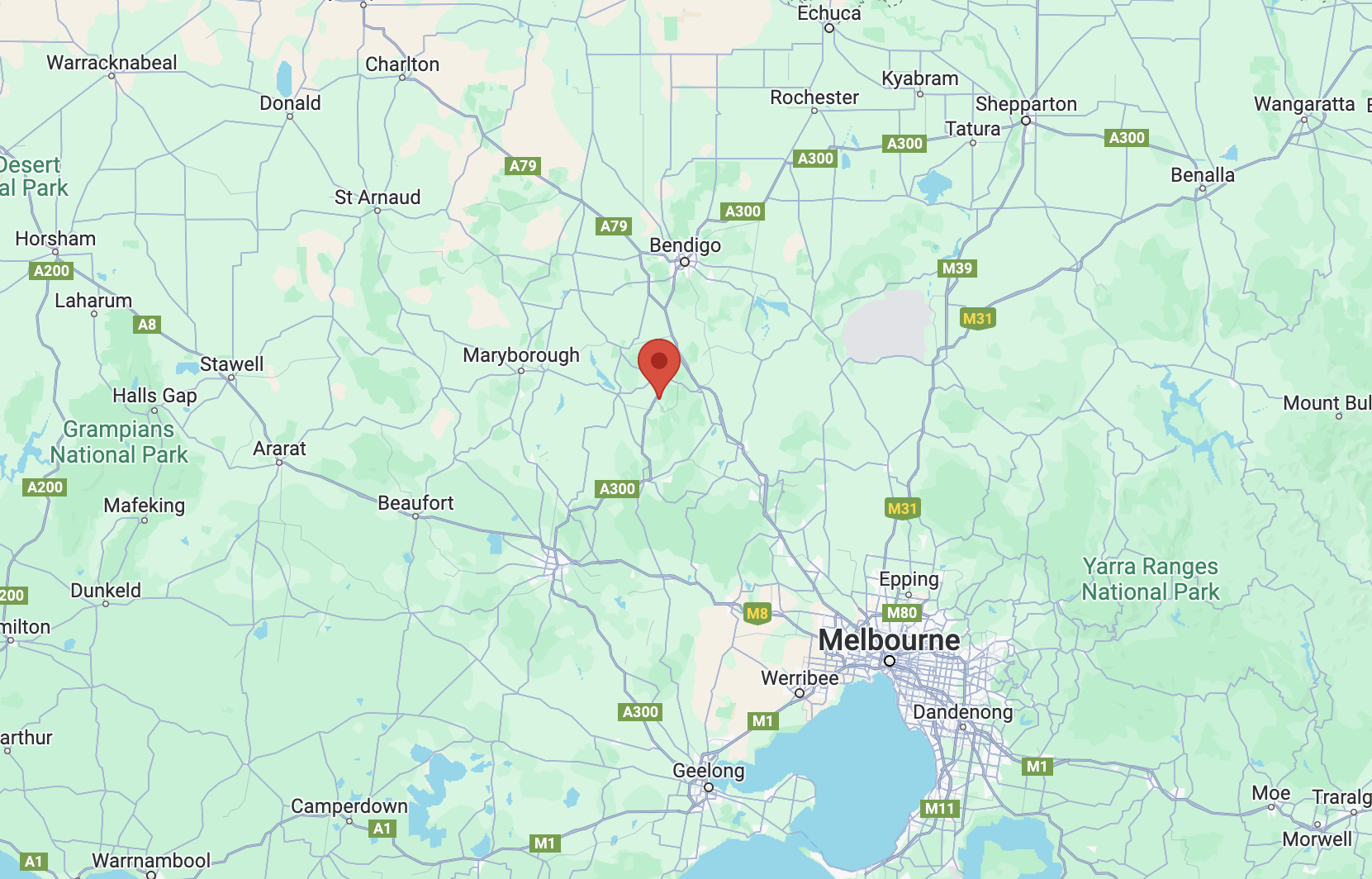
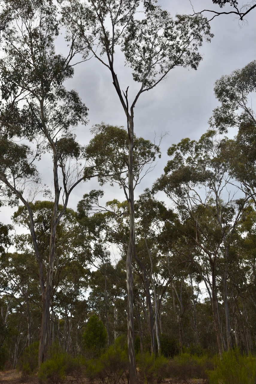
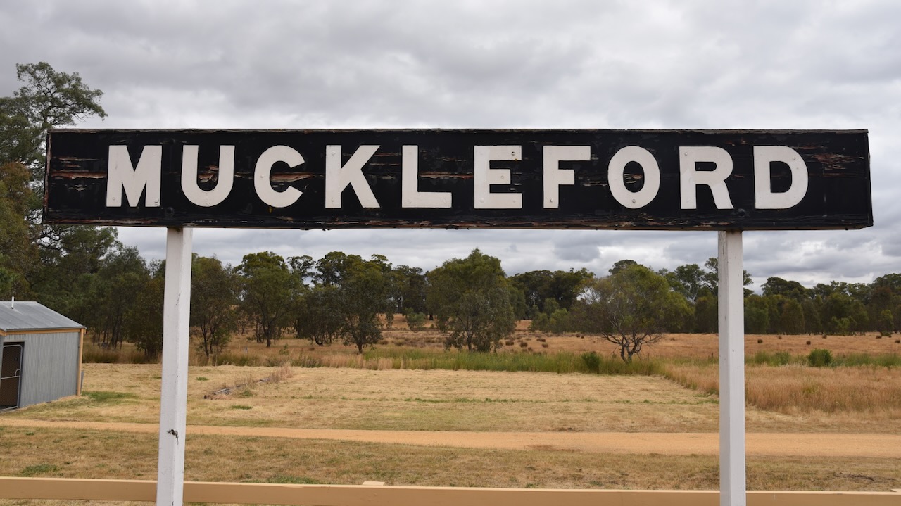
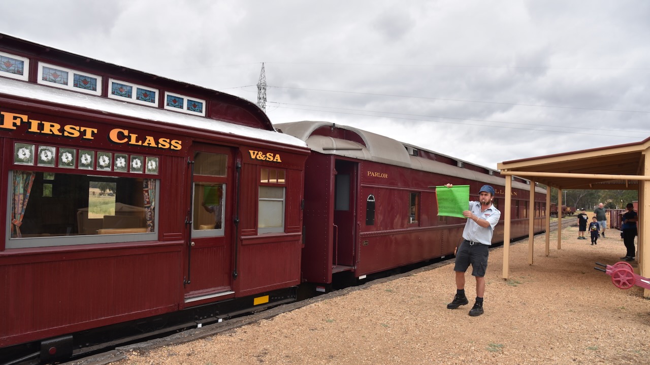
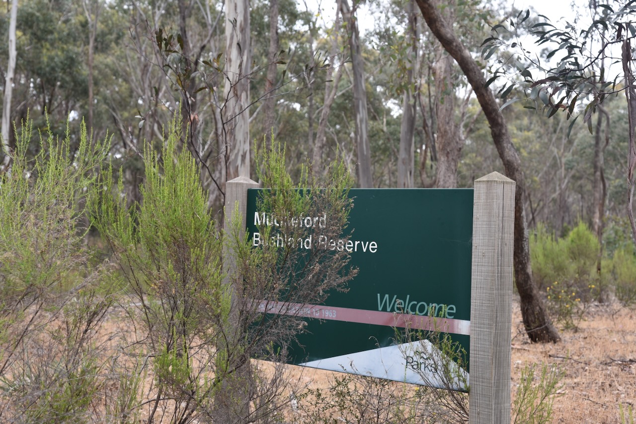
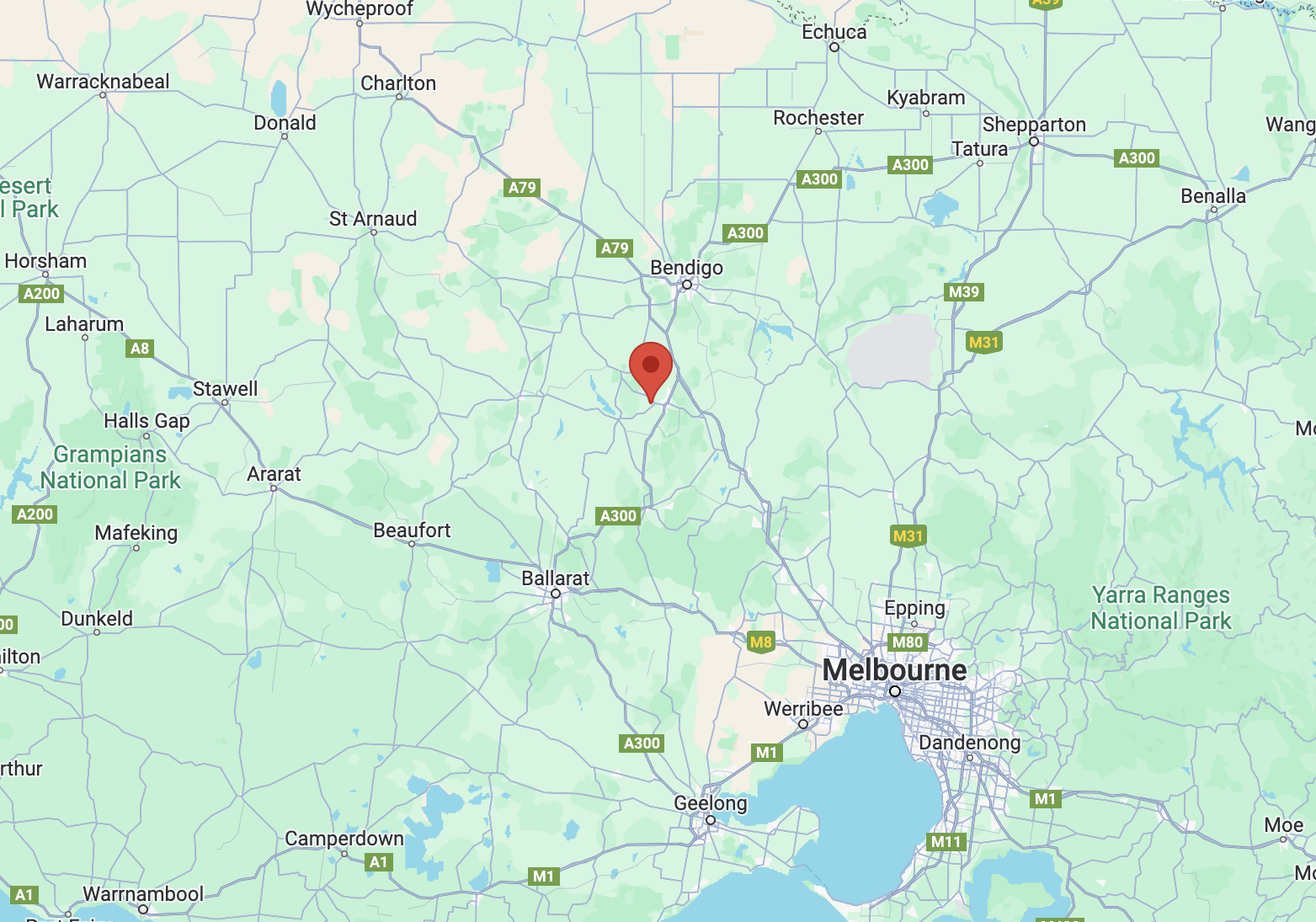
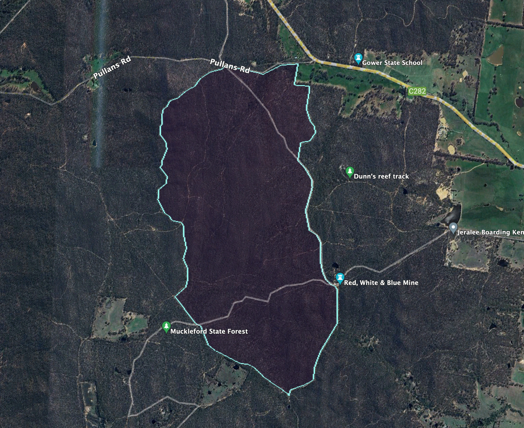
After leaving Castlemaine, Marija and I headed to our next park activation for the World Wide Flora Fauna (WWFF) program, the Muckleford I135 Bushland Reserve VKFF-4281. The park is located about 7 km west of Castlemaine and about 128 km northwest of Melbourne.

Above:- Map showing the location of the Muckleford I135 Bushland Reserve. Map c/o Google Maps.

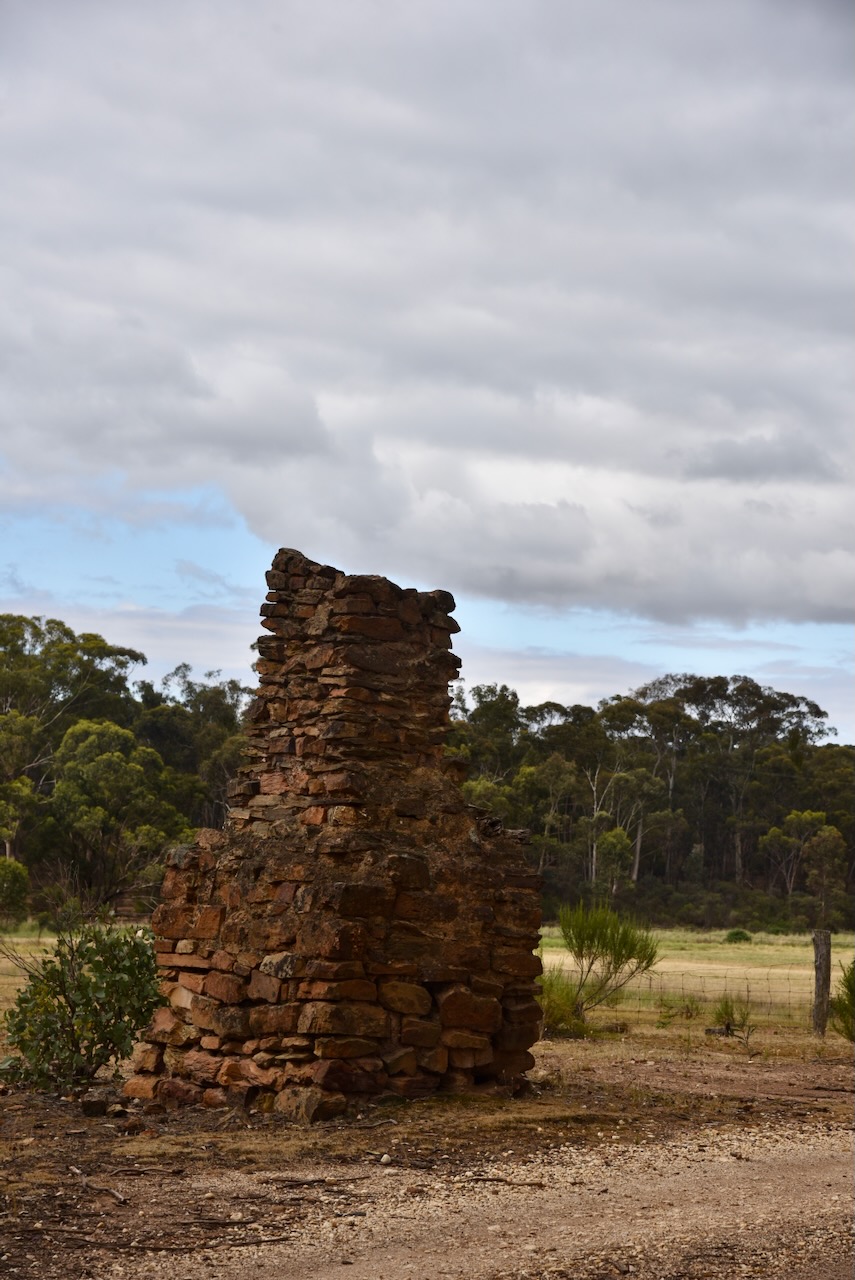
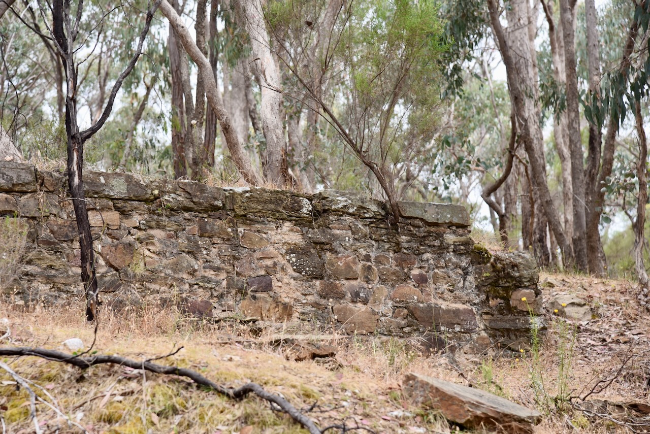
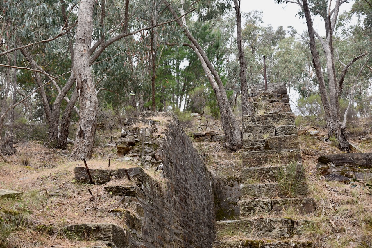
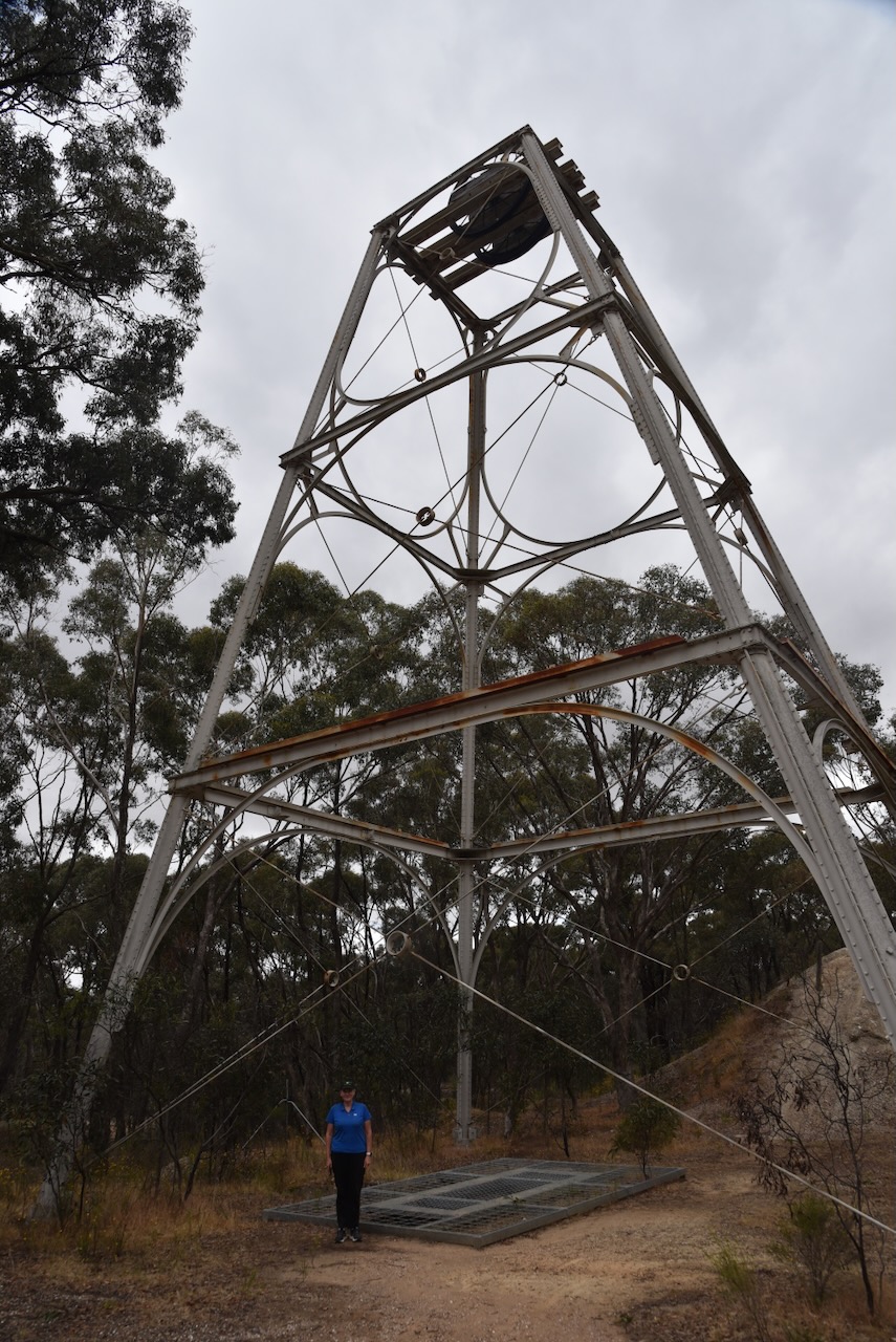
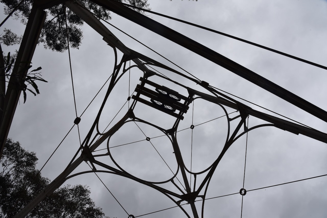
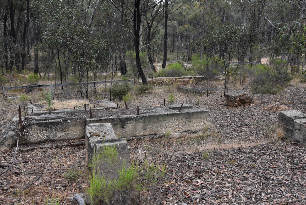
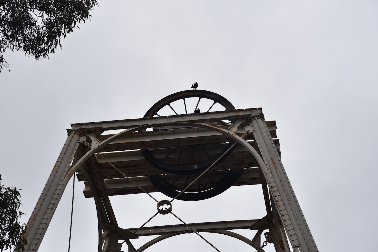
Along the way, we stopped to look at the ruins of the Orville Hotel on the Castlemaine-Maldon Road, Muckleford. The hotel was built c. 1855 and is a small brick and stone building.

The opening of the hotel was a highly anticipated event and a public announcement appeared in the Mount Alexander Mail. The hotel remained in use until c. 1890.

Above:- Advertisement from the Mount Alexander Mail, Fri 31 Aug 1855. Image c/o Trove.

The original inhabitants of the area were the Dja Dja Wurrung aboriginal people. The first European to pass through the area was explorer Major Thomas Mitchell who passed through the area in the spring of 1836 during his Australia Felix journey.

Muckleford was named after a pastoral run taken up in the district in 1840. In 1854 gold was discovered in the Muckleford district and in that same year a speculative township was put up for sale.

Above:- part of an article from the Mount Alexander Mail, Fri 25 May 1855. Image c/o Trove.

In 1855 an Anglican school was opened and remained in use until 1877. A government primary school replaced the Anglican school in 1871. Within a few years, there were several hotels in the district including the Orville Hotel, Monk’s Hotel and Simson’s Hotel. The Muckleford Post Office opened on the 1st day of August 1857 and closed in 1966. The town served the needs of the gold diggers of the area and soon had a population of over 2000 people. (Phoenix 2022) (Victorian Places 2024)

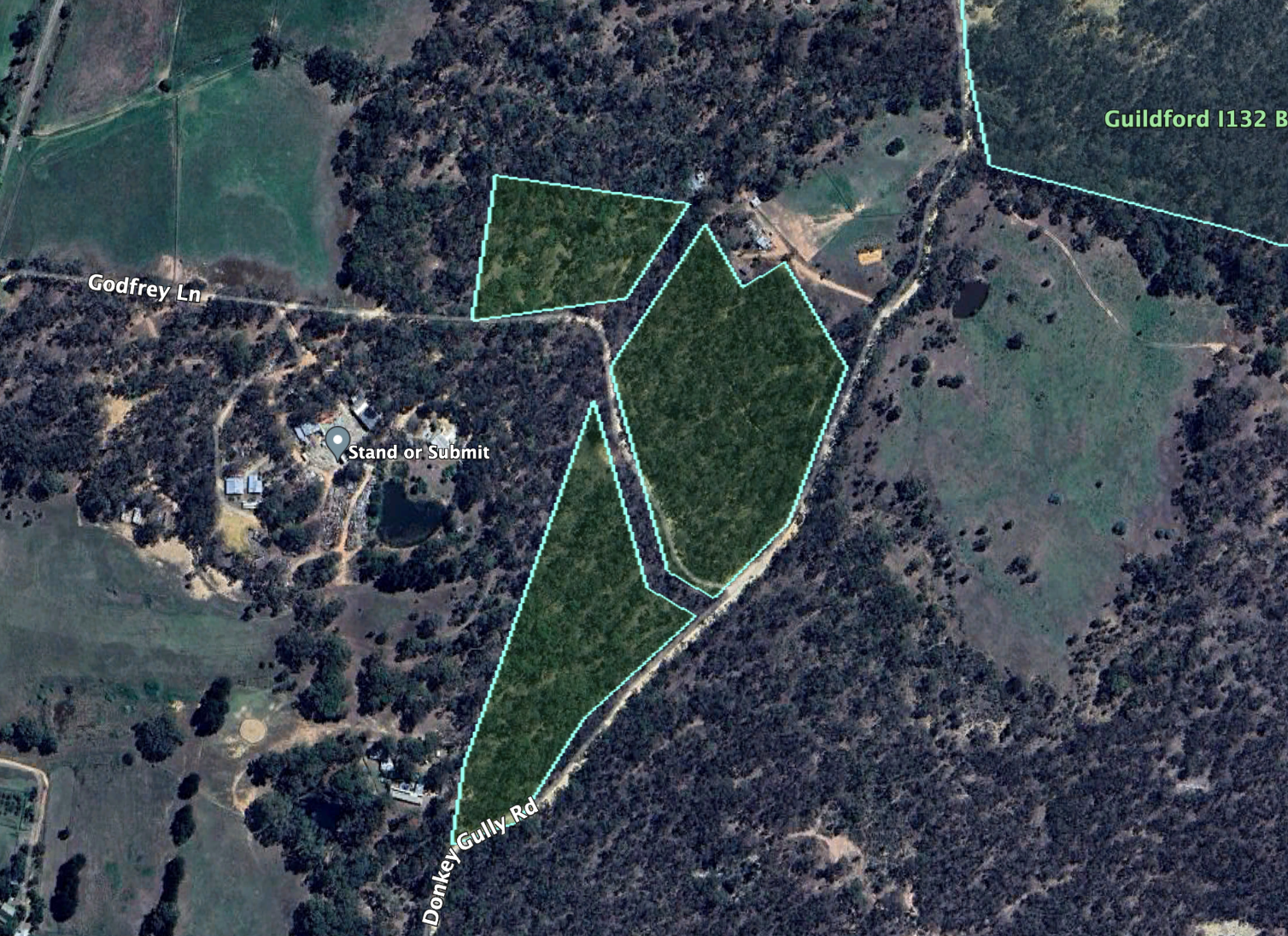
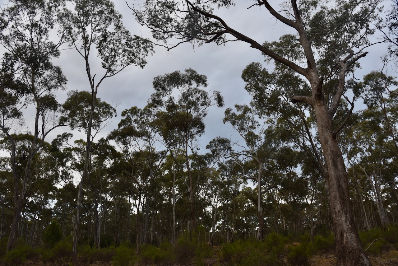
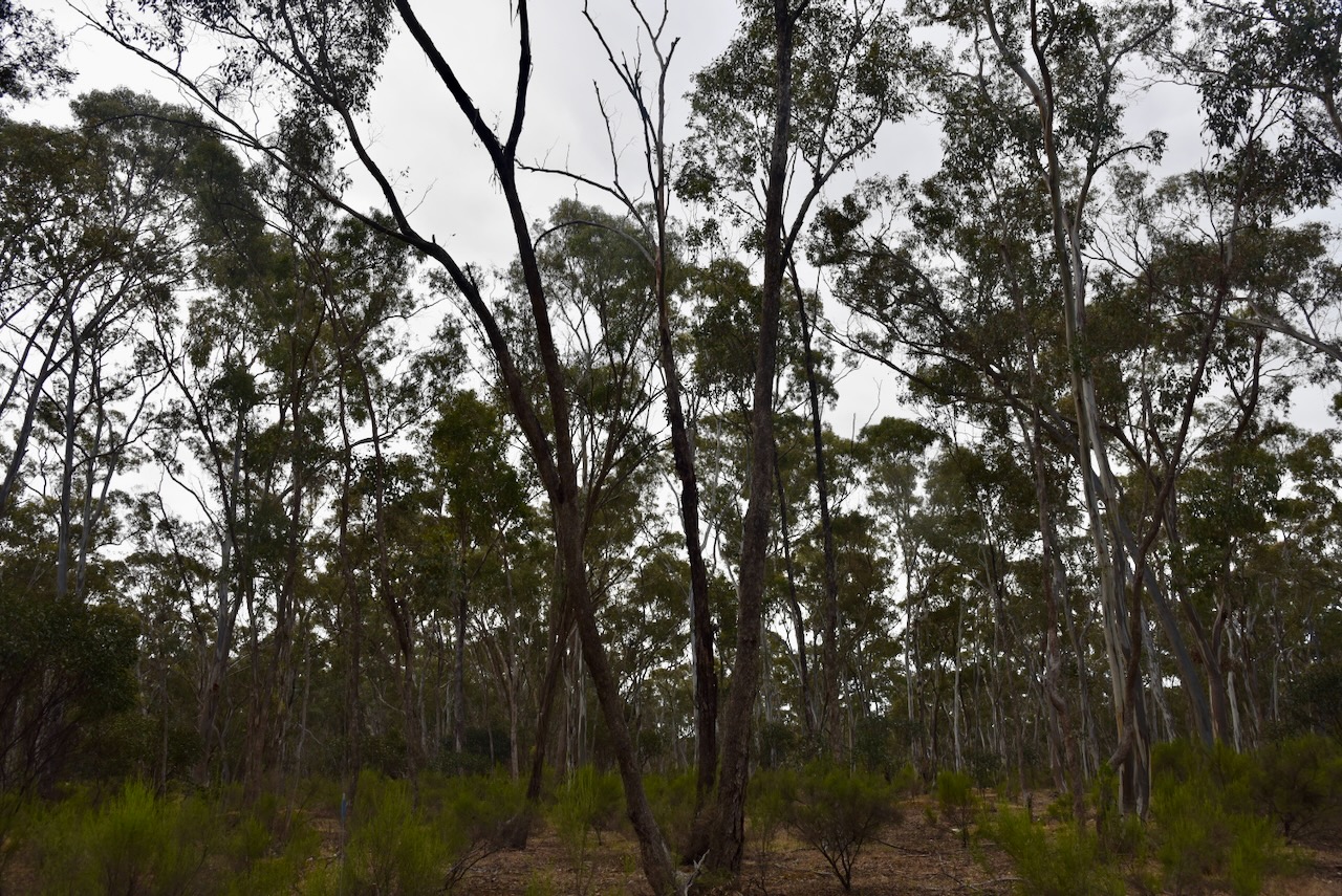
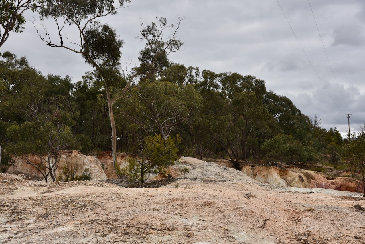
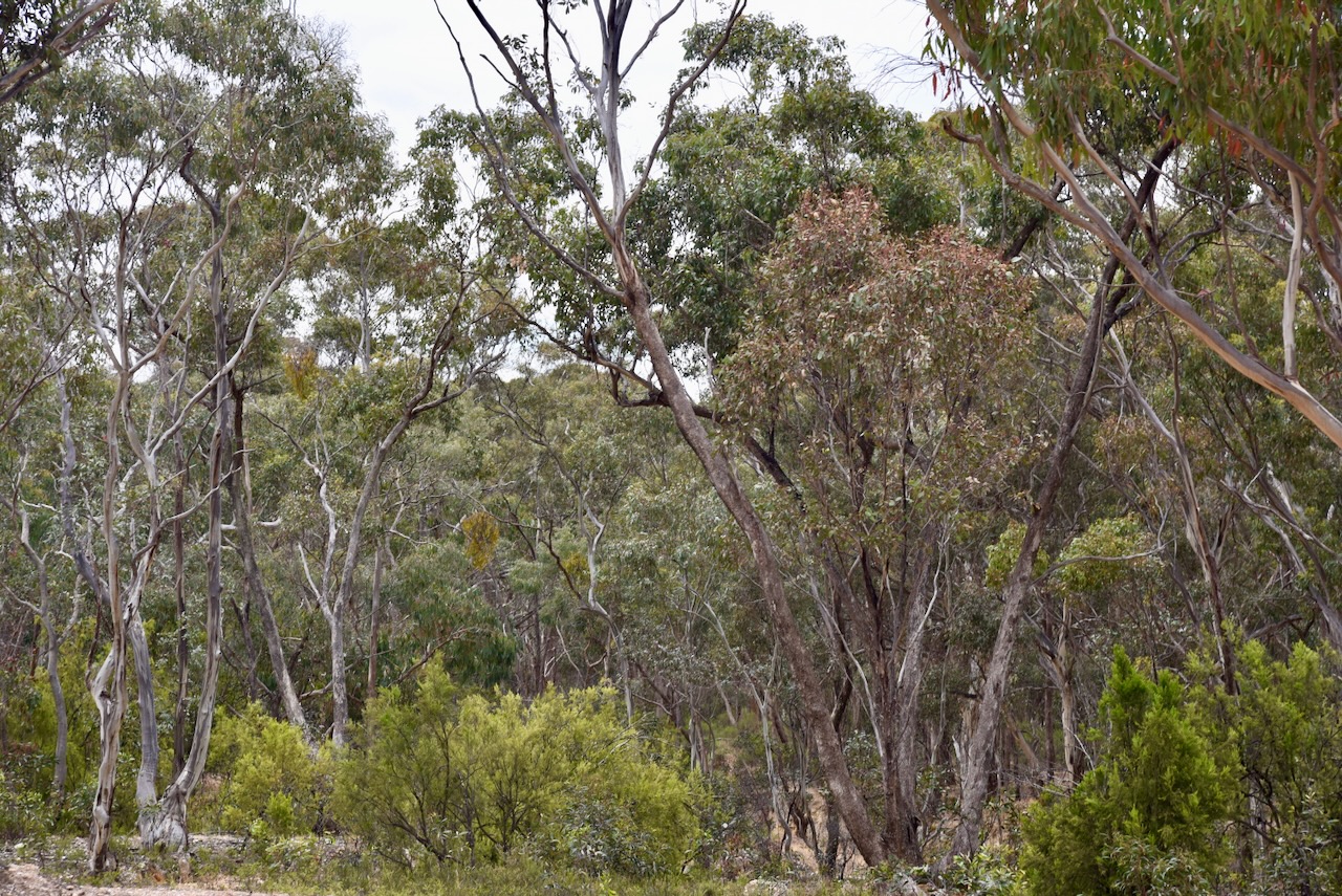
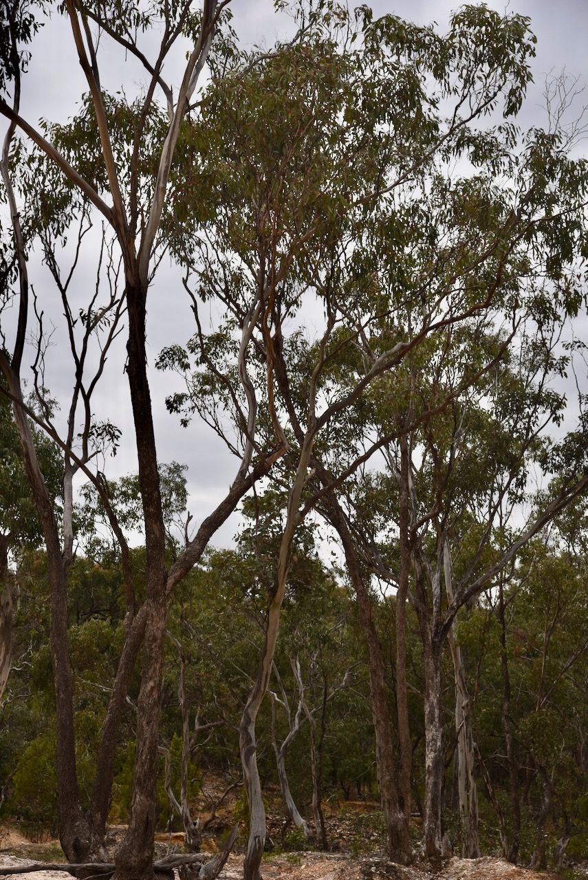
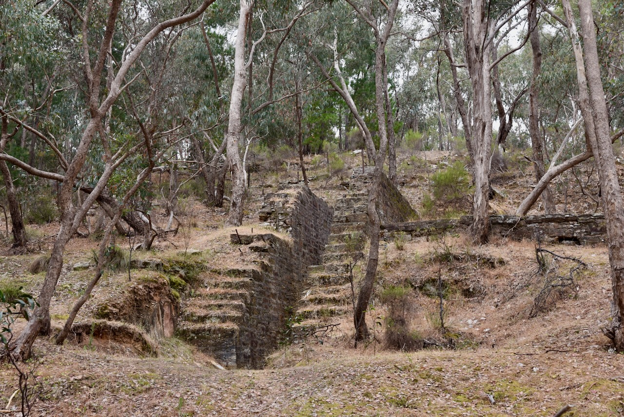
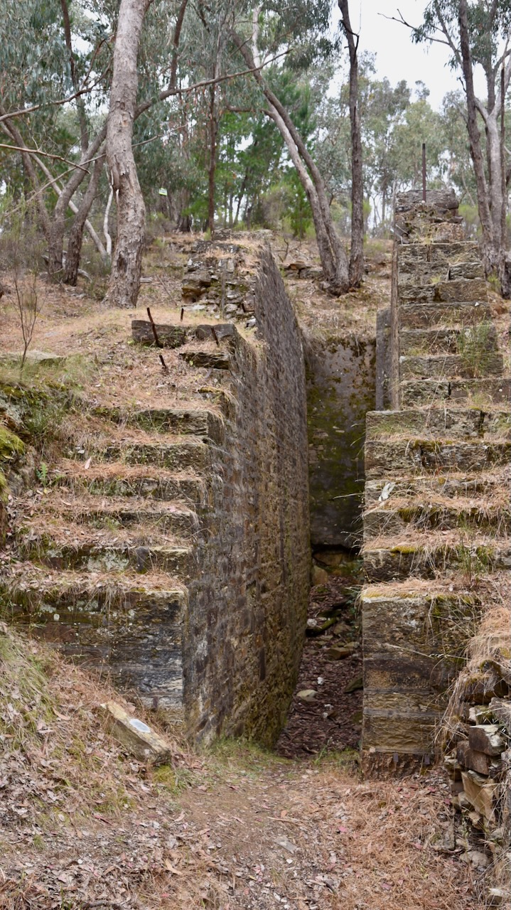
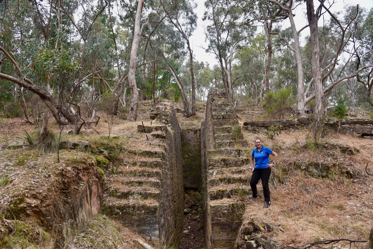
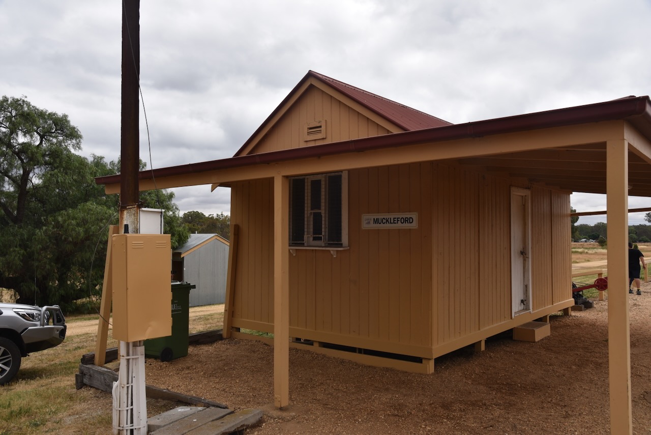
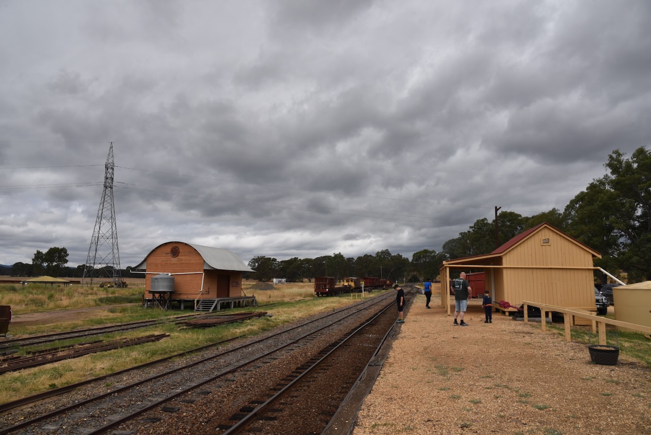
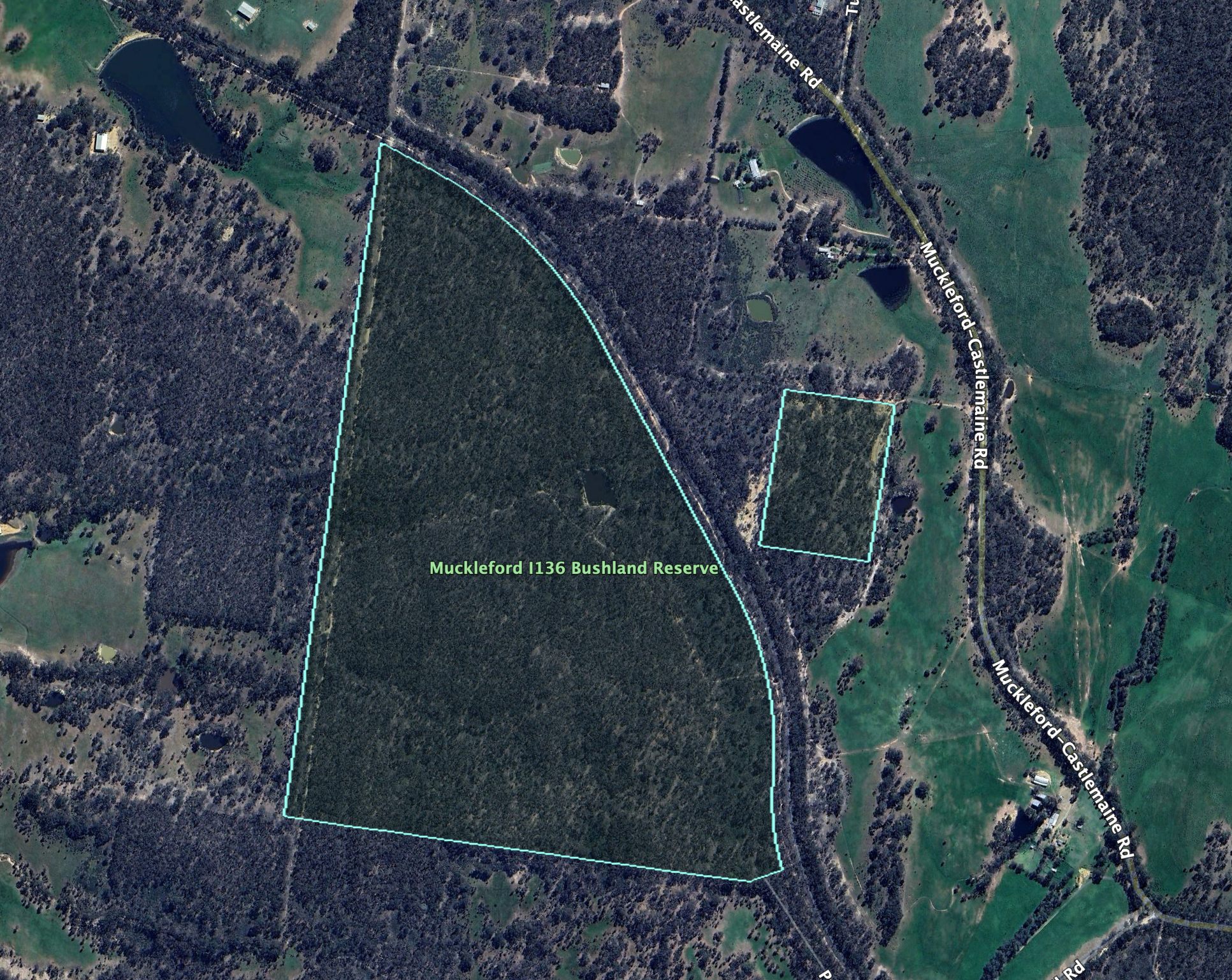
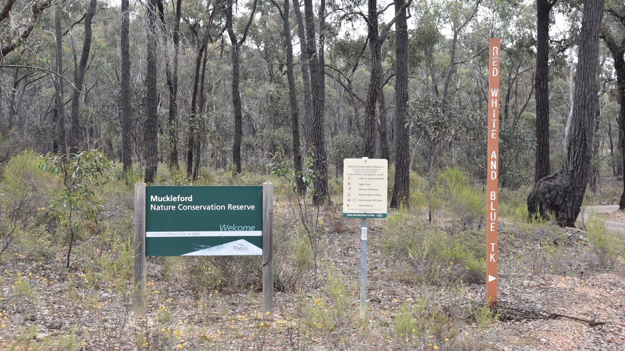
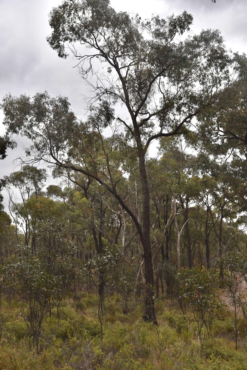
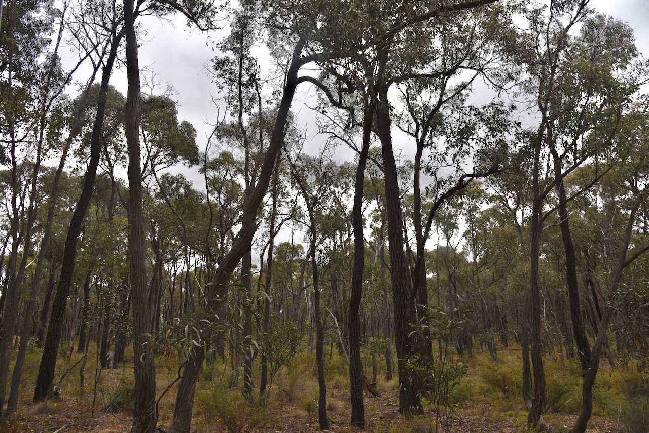
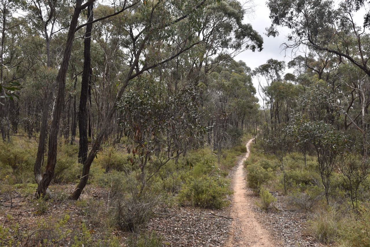
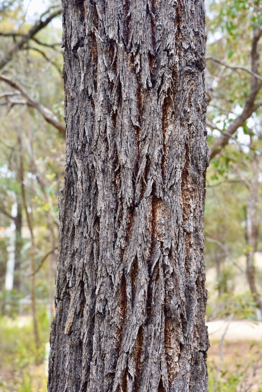
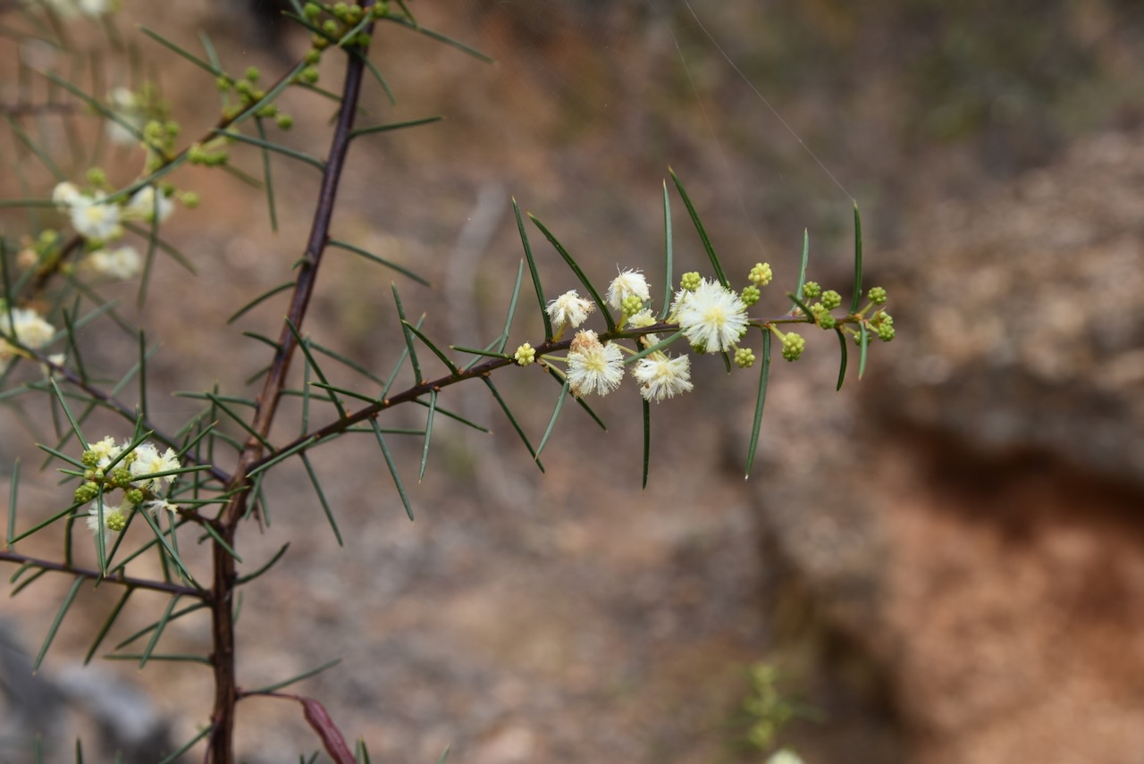
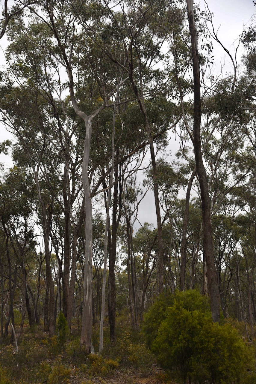
The reserve is located on the southern side of Muckleford School Road.

Above:- An aerial view of the Muckleford I135 Bushland Reserve. Image c/o Google Earth.

The reserve is about 19 hectares in size and was established on the 24th day of August 1982. (CAPAD 2022)

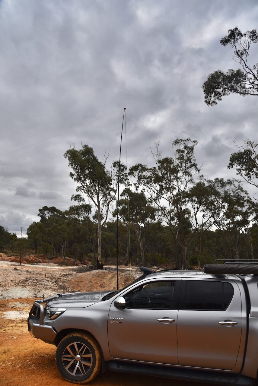
Sadly the band conditions had not improved. Marija and I made the decision that we would try to activate as many parks as we could with 10 QSOs for VKFF qualification, as the 44 QSOs required for the global WWFF program would probably not be achievable.

We ran the Yaesu FT857, 40 watts, and the 20/40/80m linked dipole. I used the special call of VI10VKFF to celebrate the 10-year anniversary of the VKFF program.

It was pleasing to get a few Park to Park contacts in the log, with other activators out and about battling the very poor band conditions.

Marija worked the following stations on 40m SSB:-

  1. VK7XX
  2. VK5LA
  3. VK5KAW
  4. VK3PF
  5. VK3KAI
  6. VK3TKK/p (Organ Pipes National Park VKFF-0627)
  7. VK2EG/p (Watagans National Park VKFF-0522)
  8. VK1AAF
  9. VK5AKB/p (Monarto Conservation Park VKFF-0828)

Marija worked the following stations on 80m SSB:-

  1. VK3PF
  2. VK3KAI
  3. VK3MCA/p (Gallaghers Ford Streamside Reserve VKFF-3693)

I worked the following stations on 40m SSB:-

  1. VK7XX
  2. VK5LA
  3. VK5KAW
  4. VK3PF
  5. VK3KAI
  6. VK3TKK/p (Organ Pipes National Park VKFF-0627)
  7. VK2EG/p (Watagans National Park VKFF-0522)
  8. VK1AAF
  9. VK5AKB/p (Monarto Conservation Park VKFF-0828)

I worked the following stations on 80m SSB:-

  1. VK3PF
  2. VK3KAI
  3. VK3MCA/p (Gallaghers Ford Streamside Reserve VKFF-3693)
  4. VK3APJ

I worked the following stations on 20m SSB:-

  1. VK4HRE/p
  2. VK4NH
  3. VK4DXA
  4. VK4FDX

References.

  1. Dcceew.gov.au. (2023). Collaborative Australian Protected Areas Database (CAPAD) 2022 – DCCEEW. [online] Available at: https://www.dcceew.gov.au/environment/land/nrs/science/capad/2022 [Accessed 1 Apr. 2024].‌
  2. Phoenixauctions.com.au. (2022). Post Office List – Phoenix. [online] Available at: https://www.phoenixauctions.com.au/cgi-bin/wsPhoenix.sh/Viewpocdwrapper.p?SortBy=VIC&filter= [Accessed 5 Apr. 2024].‌
  3. http://www.victorianplaces.com.au. (n.d.). Muckleford | Victorian Places. [online] Available at: https://www.victorianplaces.com.au/muckleford [Accessed 5 Apr. 2024].‌