
Our fourth park activation for Sunday 26th November 2023 was the Muckleford Nature Conservation Reserve VKFF-2160. The park is about 16 km west of Castlemaine and about 138 km northwest of Melbourne.
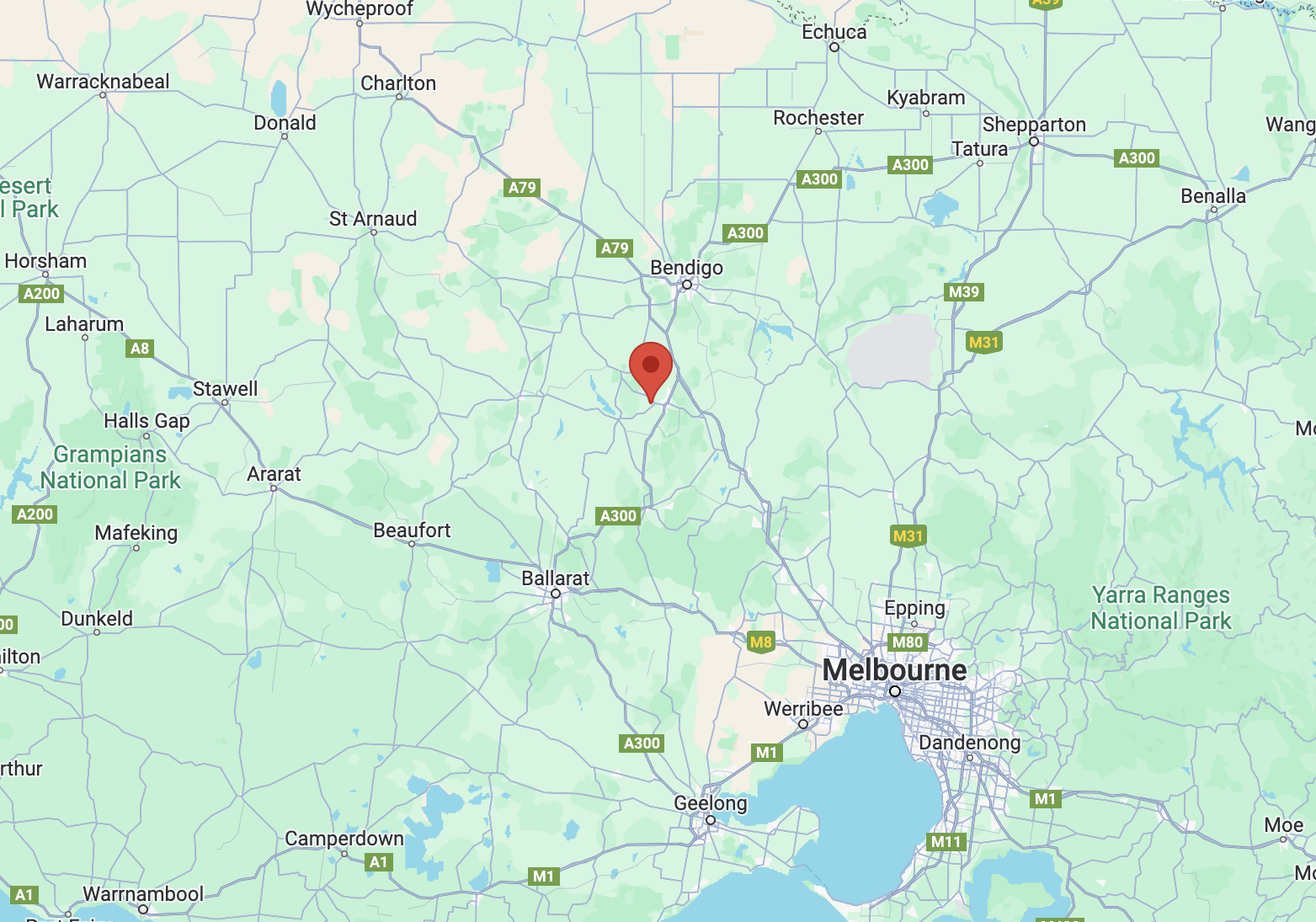
Above:- Map showing the location of the Muckleford NCR. Map c/o Google Maps.
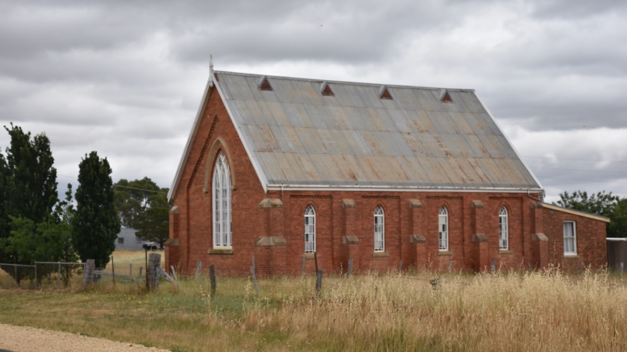
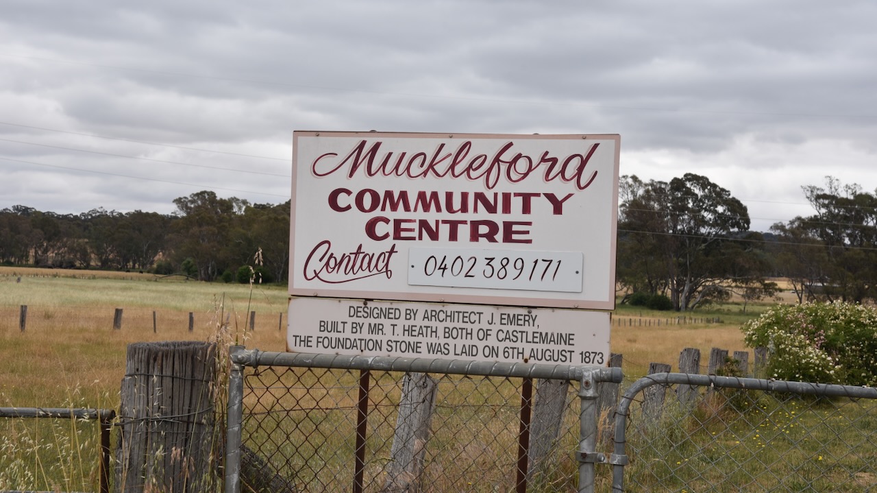
Along the way, we passed the Muckleford Community Centre, designed by architect J. Emery, and built by Mr. T. Heath, both of Castlemaine. The foundation stone was laid on the 6th day of August 1873.
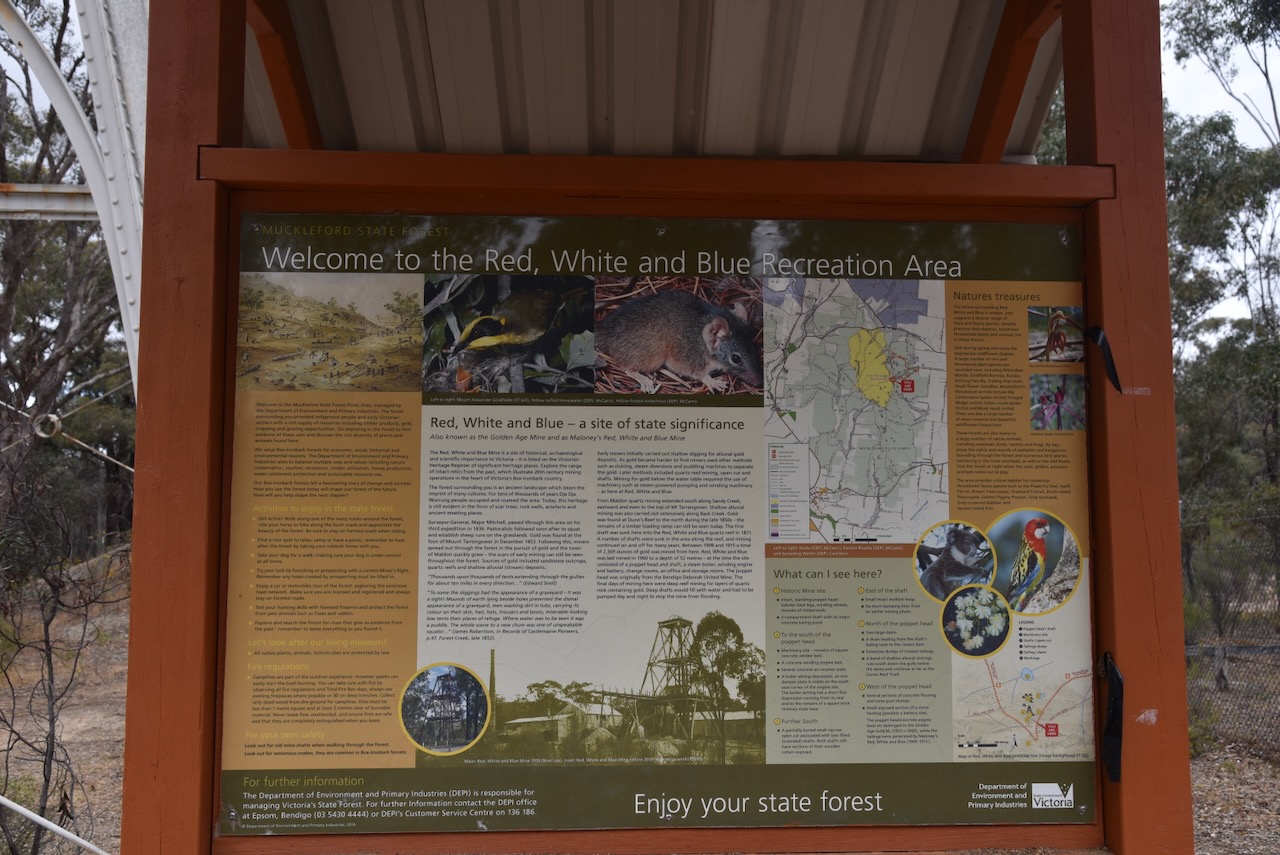
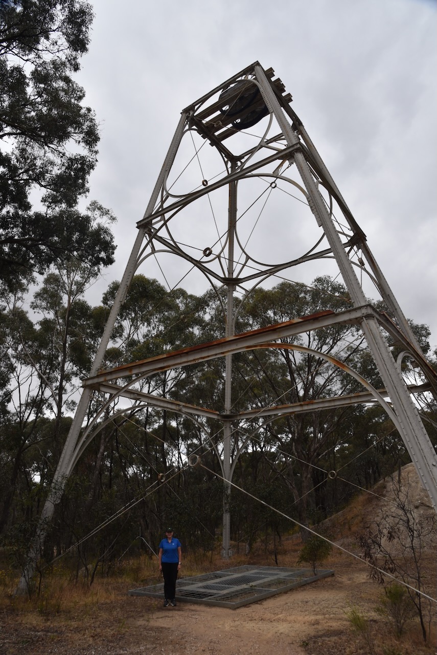
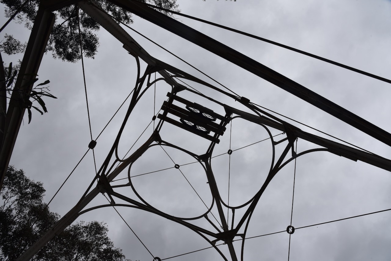
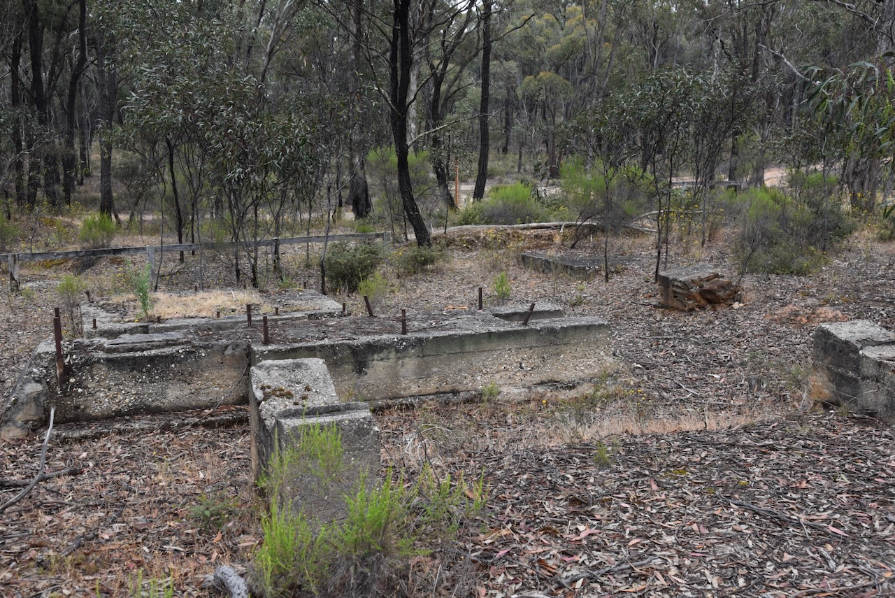
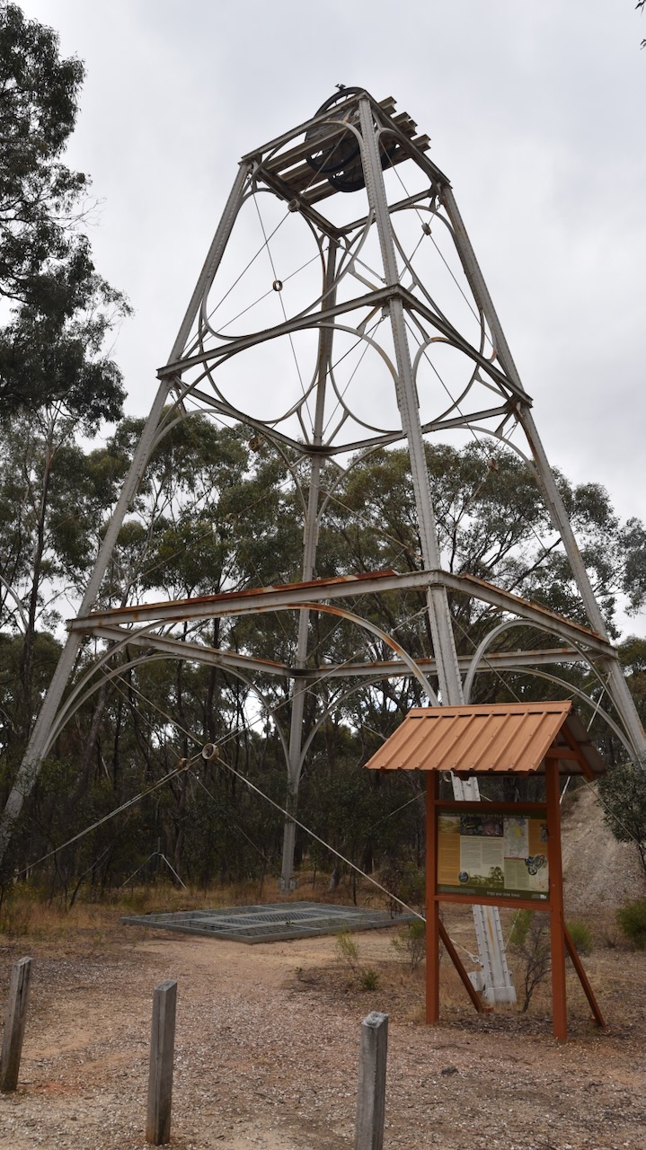
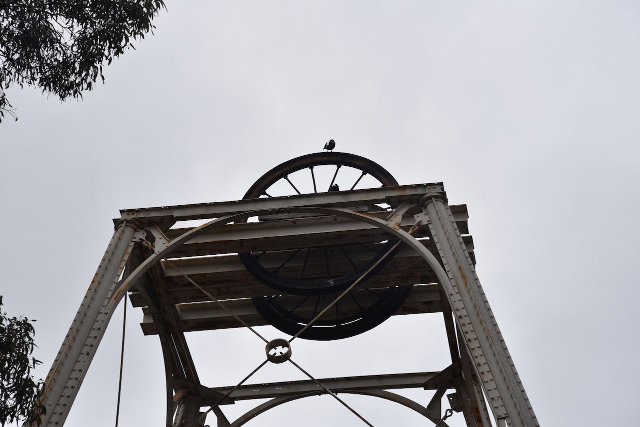
Marija and I then visited the Red, White and Blue mine site at Muckleford. The mine was also known as the Golden Age Mine and Maloney’s Red, White and Blue Mine. The first shaft was sunk here into the Red, White and Blue quartz reef in 1871. Several shafts were sunk in the area along the reef, and mining continued on and off for many years. Between 1909 and 1915 a total of 2,369 ounces of gold was mined here. The Red, White & Blue mine was last mined in 1960 to a depth of 52 metres.
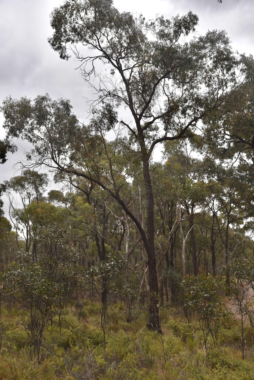
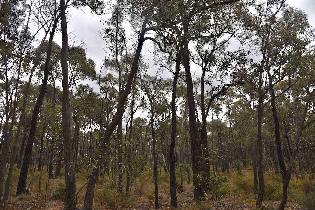
We then drove a short distance to the Muckleford Nature Conservation Reserve. The reserve is surrounded by the Muckleford State Forest.
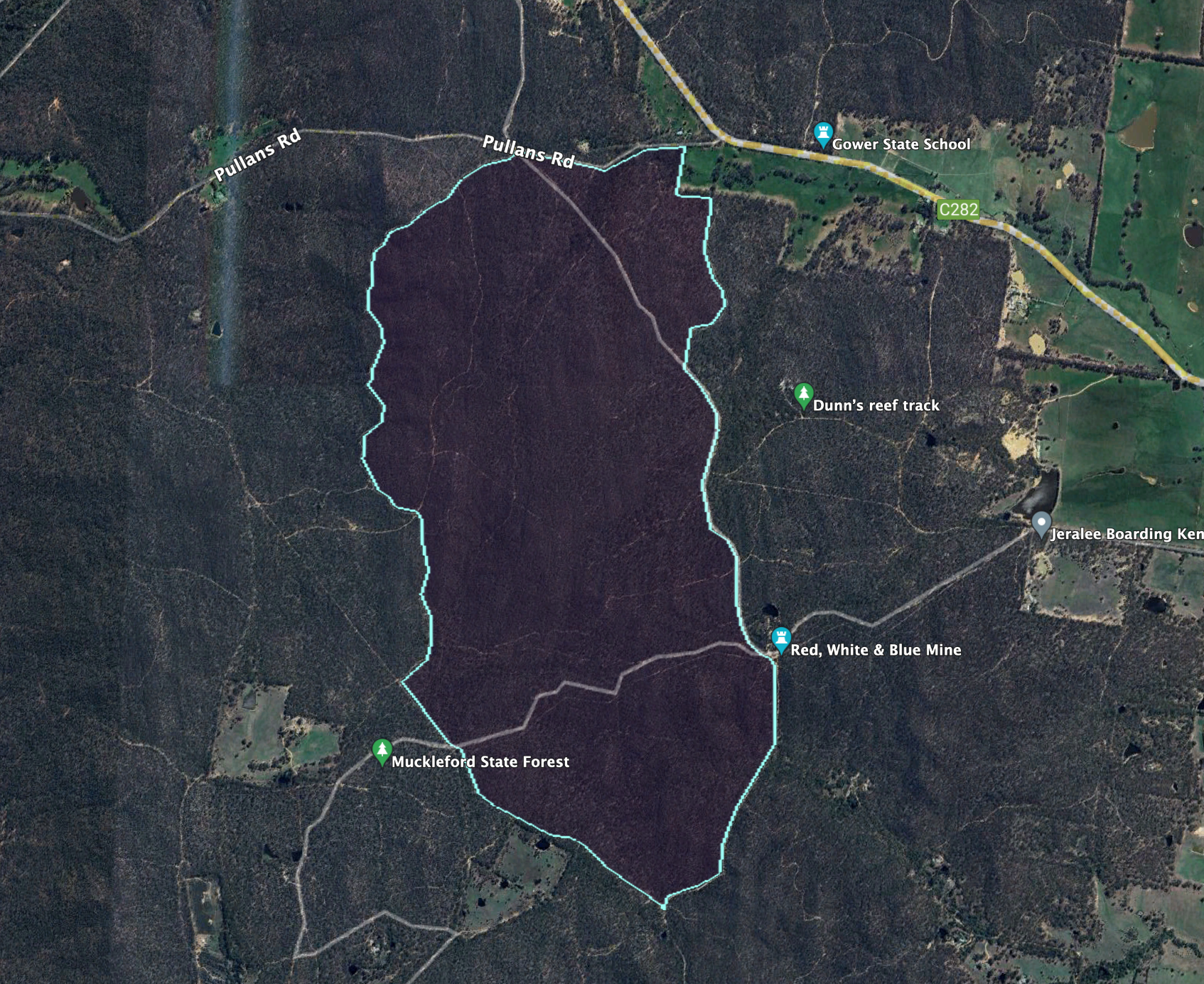
Above:- An aerial view of the Muckleford NCR. Image c/o Google Earth.
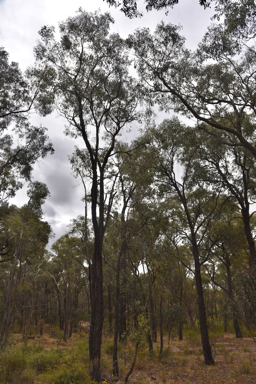
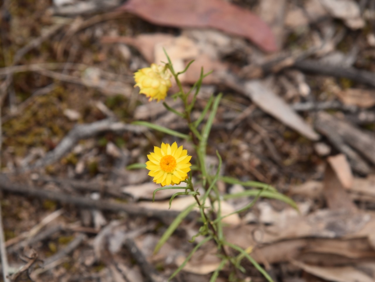
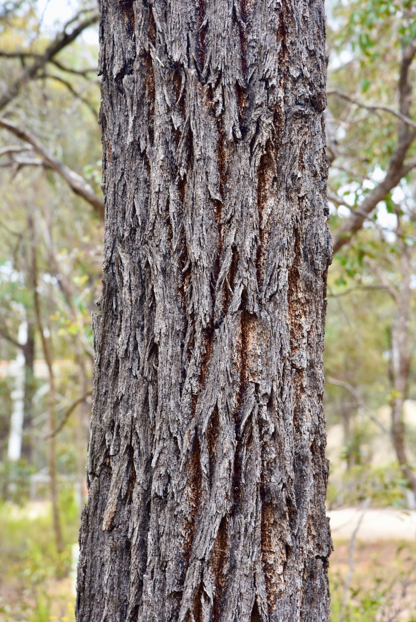
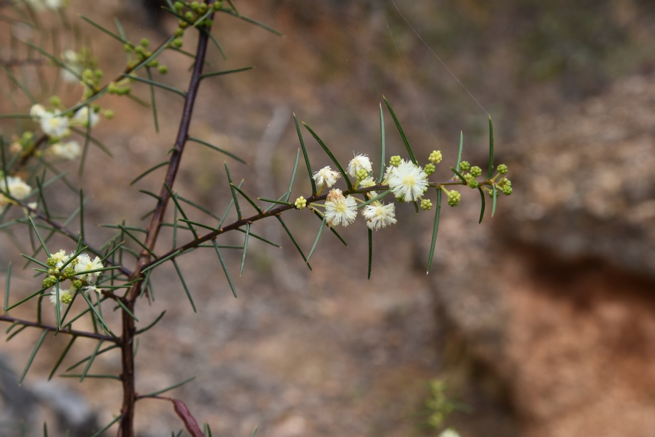
The reserve is about 539 hectares and was established on the 26th day of February 2002. The reserve consists of spectacular Box Ironbark forest. (CAPAD 2022)
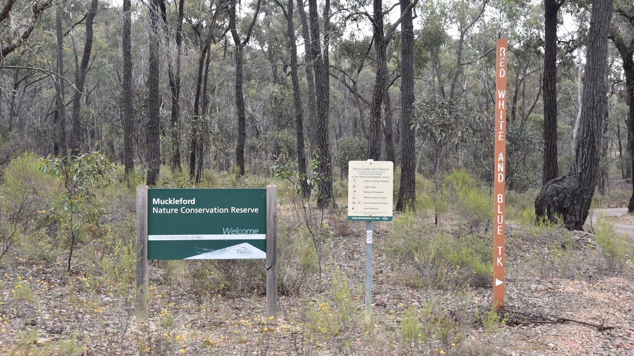
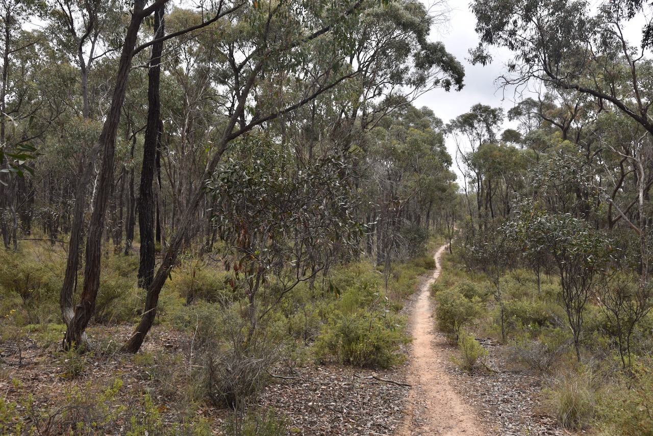
We set up on a walking trail off a 4WD track in the reserve. We ran the Yaesu FT857, 40 watts and the 20/40/80m linked dipole. I used the special call of VI10VKFF.
Again, band conditions were very poor. We spoke with Gerard VK2IO during the activation and we agreed it was the worst band conditions we had ever encountered whilst out portable.
Marija worked the following stations on 40m SSB:-
- VK5AKB/p (Monarto Conservation Park VKFF-0828)
- VK2IO/p (Rouse Hill Regional Park VKFF-2784)
- VK3CLD
- VK2EG/p (Watagans National Park VKFF-0522)
- VK2OKR/p (Wallarah National Park VKFF-0511)
- VK5LA
- VK5KAW
Marija worked the following stations on 80m SSB:-
- VK3APJ
- VK3PF
- VK3KAI
Marija worked the following stations on 20m SSB:-
- VK4NH
- VK4DXA
I worked the following stations on 40m SSB:-
- VK5AKB/p (Monarto Conservation Park VKFF-0828)
- VK2IO/p (Rouse Hill Regional Park VKFF-2784)
- VK3CLD
- VK2EG/p (Watagans National Park VKFF-0522)
- VK2OKR/p (Wallarah National Park VKFF-0511)
- VK5LA
- VK5KAW
- VK5IS/m
- VK5DW
I worked the following stations on 80m SSB:-
- VK3APJ
- VK3PF
- VK3KAI
I worked the following stations on 20m SSB:-
- VK4NH
- VK4DXA
References.
- Dcceew.gov.au. (2023). Collaborative Australian Protected Areas Database (CAPAD) 2022 – DCCEEW. [online] Available at: https://www.dcceew.gov.au/environment/land/nrs/science/capad/2022 [Accessed 5 Apr. 2024].
