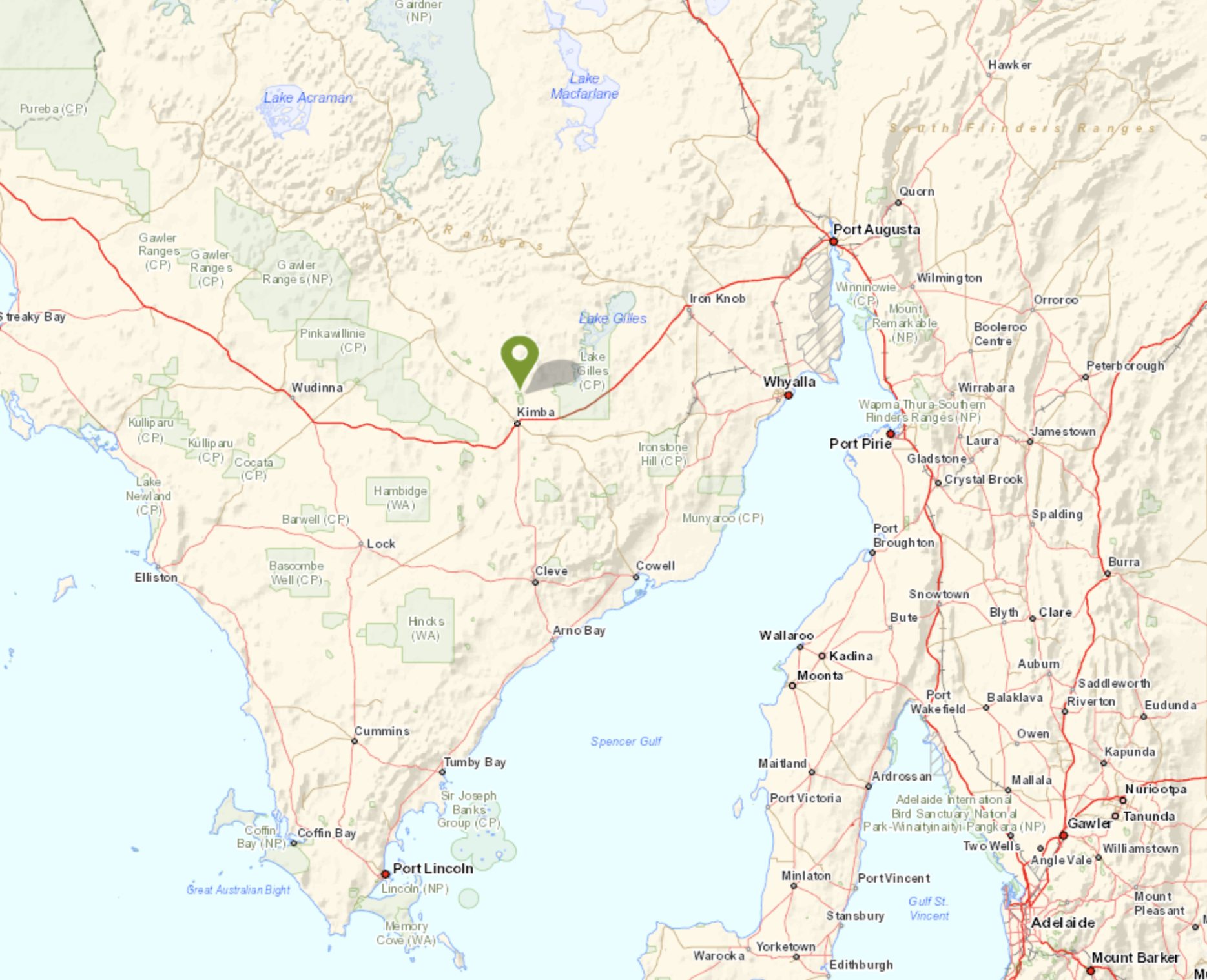
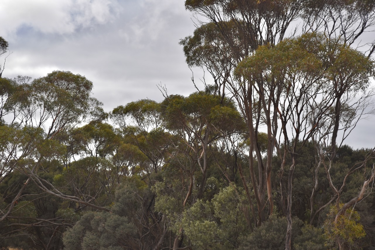
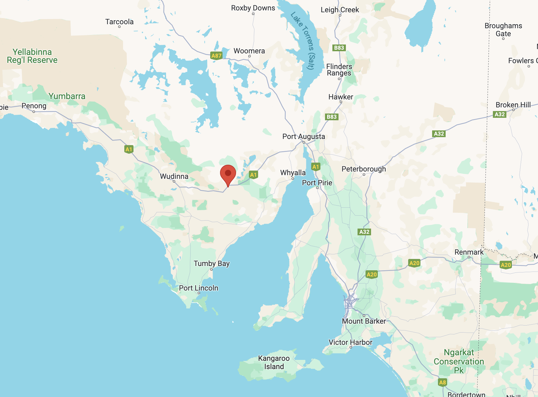
My final park for Thursday 11th April 2024 was the Pinkawillinie Reservoir Conservation Reserve VKFF-1740. The reserve is located about 36 km northwest of Kimba and about 499 km from Adelaide.
Above:- Map showing the location of Pinkawillinie Reservoir Conservation Reserve. Map c/o Google Maps.
Pinkawillinie is a corruption of the Aboriginal word pingknoweileni meaning ‘place of many rabbit-footed bandicoot burrows’.
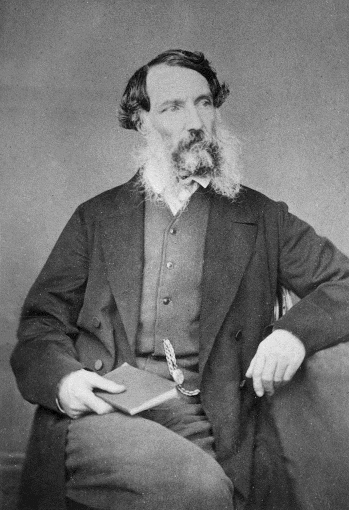
From 1863 Gregory Hawson (b. 1823. d. 1885) held the ‘Pinkawillinie Run’. He emigrated to Australia with his parents Henry Hawson and Elizabeth Emlyn Hawson nee Cowell in 1839 from England aboard their own ship Abeona. They were among the first settlers on the Eyre Peninsula in South Australia. They took up 6,000 acres of land including current day Port Lincoln and built their first homestead at Kirton Point. Gregory Hawson took up land north of Kirton Point and established the Polda sheep station at Mount Wedge. (History Trust 2024)
Above:- Gregory Hawson. Image c/o State Library South Australia.
The Hundred of Pinkawillinie was proclaimed on the 1st day of June 1922. In 1926 the Pinkawillinie School was opened. It closed in 1968. The Pinkawillinie South School opened in 1930 and closed in 1947. (Place Names 2012)
Above:- Article from the News Adelaide, Wed 24 Apr 1929. Image c/o Trove
The northern boundary for the Pinkawillinie Reservoir Conservation Reserve is Buckleboo Hundred Line Road. The southern part of the park is accessed via Pinkawillinie Reservoir Road which runs off Johnson Road.
Above:- Aerial view of the Pinkawillinie Reservoir Conservation Reserve. Image c/o Google Earth.
The reserve is about 279 hectares in size and was established on the 14th day of May 1987. (CAPAD 2022)
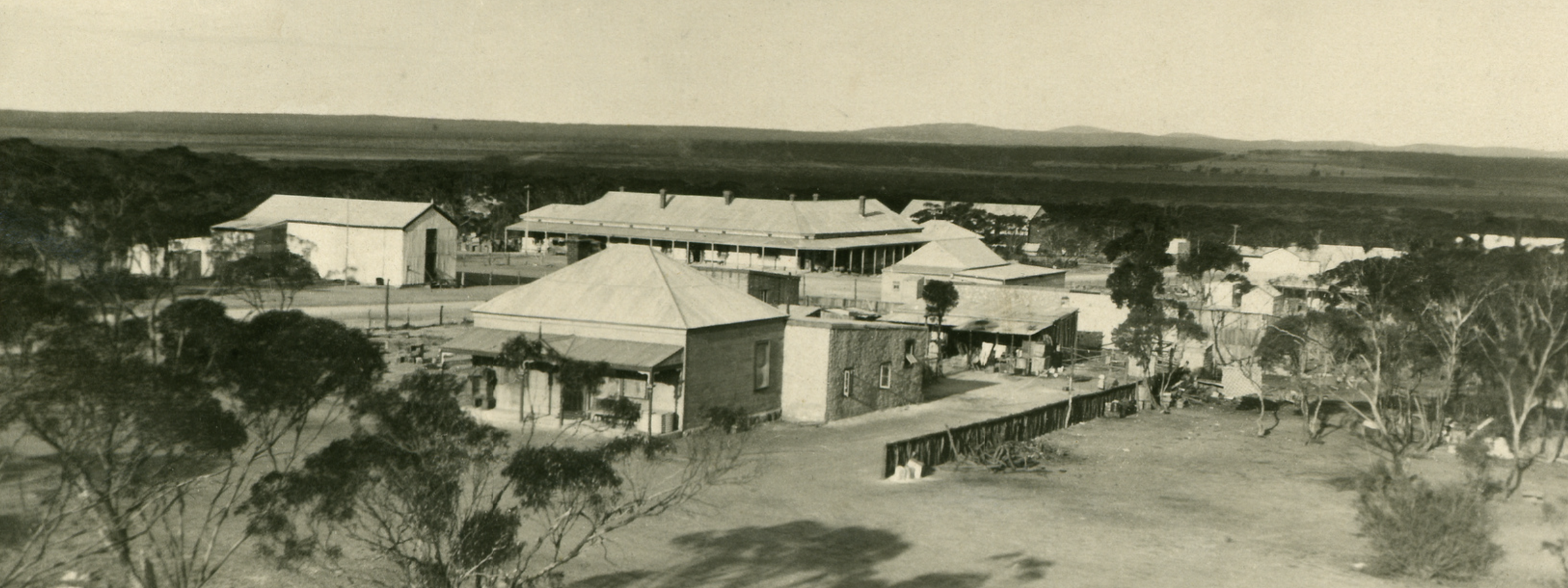
After the activation I visited the site of the old Pinkawillinie school (1926-1968)
Above:- The Pinkawillinie School. Image c/o Kimba Konnections Facebook.
It was starting to get dark and as I travelled back to Kimba I enjoyed watching a magnificent sunset.
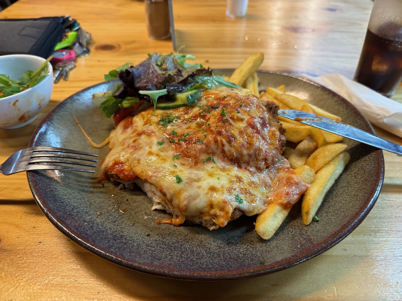
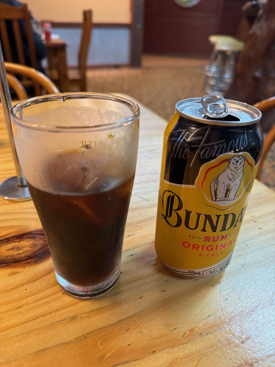
Once back in Kimba I headed to the Kimba Hotel and enjoyed another very nice meal and some refreshments.
I worked the following stations on 20m SSB:-
VK2HAK
VK3ANL
VK3SQ
VK2BD
VK3CMA/p (Whroo Natural Features Reserve VKFF-2229)
My fifth park for Thursday 11th April 2024 was the Moongi Conservation Reserve VKFF-1728. The park is about 41 km northwest of Kimba and about 504 km from Adelaide.
Above:- Map showing the location of the Moongi Conservation Reserve. Map c/o Google Maps.
Moongi is an aboriginal word meaning ‘good place’. The town of Moongi was proclaimed on the 17th day of March 1932. The town ceased to exist by 1981. (Place Names 2012)
Above:- A plan of the town of Moongi. Image c/o Trove.
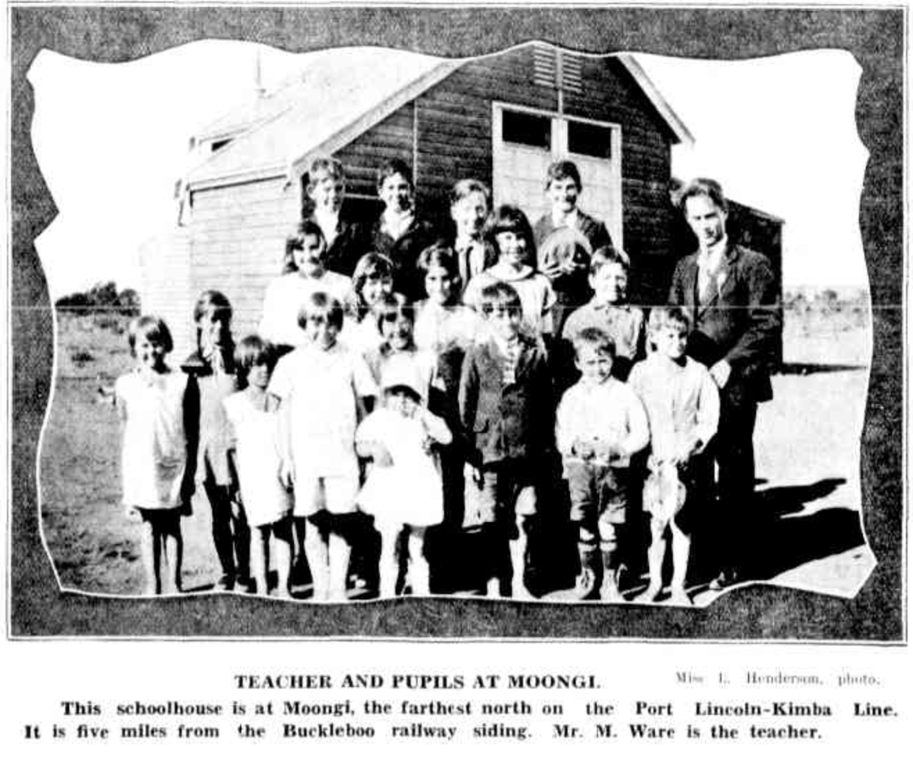
In 1928 the Moongi school was opened. It closed in 1946. The Methodist Hall at Moongi was opened in 1932. (Chronicle 1932) (Place Names 2012) (Pt Lincoln Times 1928).
Above:- Moongi school – teacher and pupils. Image c/o Chronicle, Adelaide, Thu 23 Jul 1931.
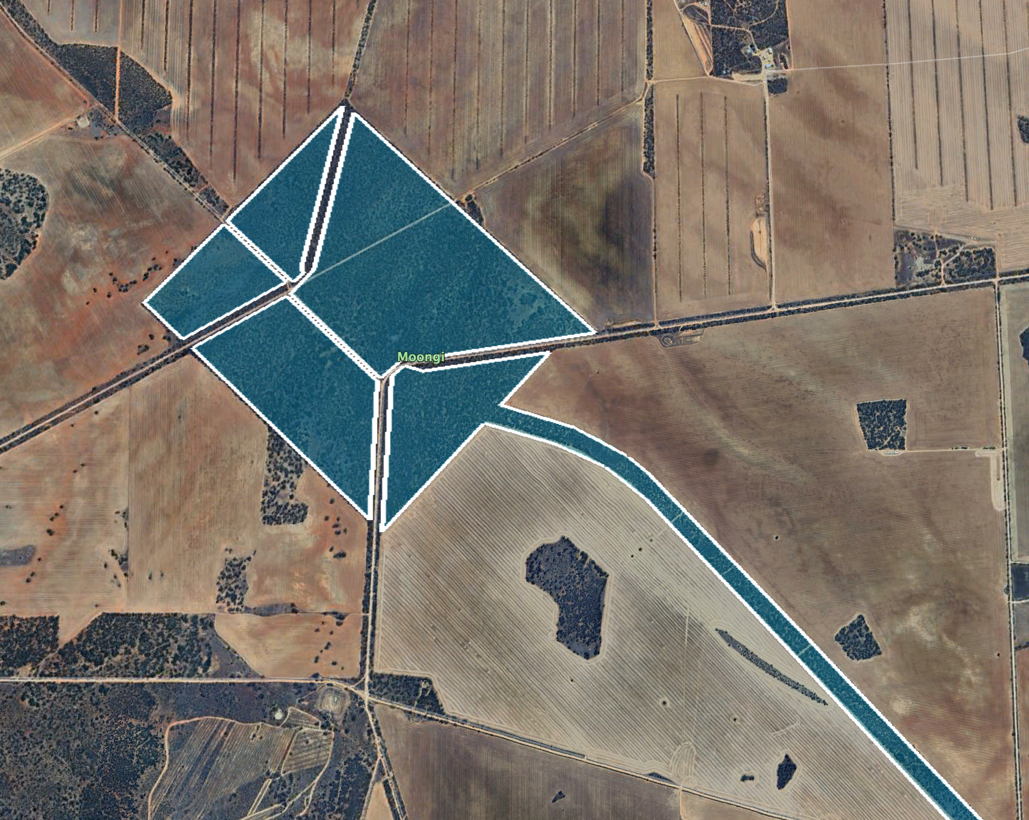
The Moongi Conservation Reserve is about 232 hectares in size and was proclaimed on the 13th day of September 1990. (CAPAD 2022)
The reserve incorporates the old town of Moongi and part of the old railway line.
Above:- An aerial view of the Moongi Conservation Reserve. Image c/o Google Earth.
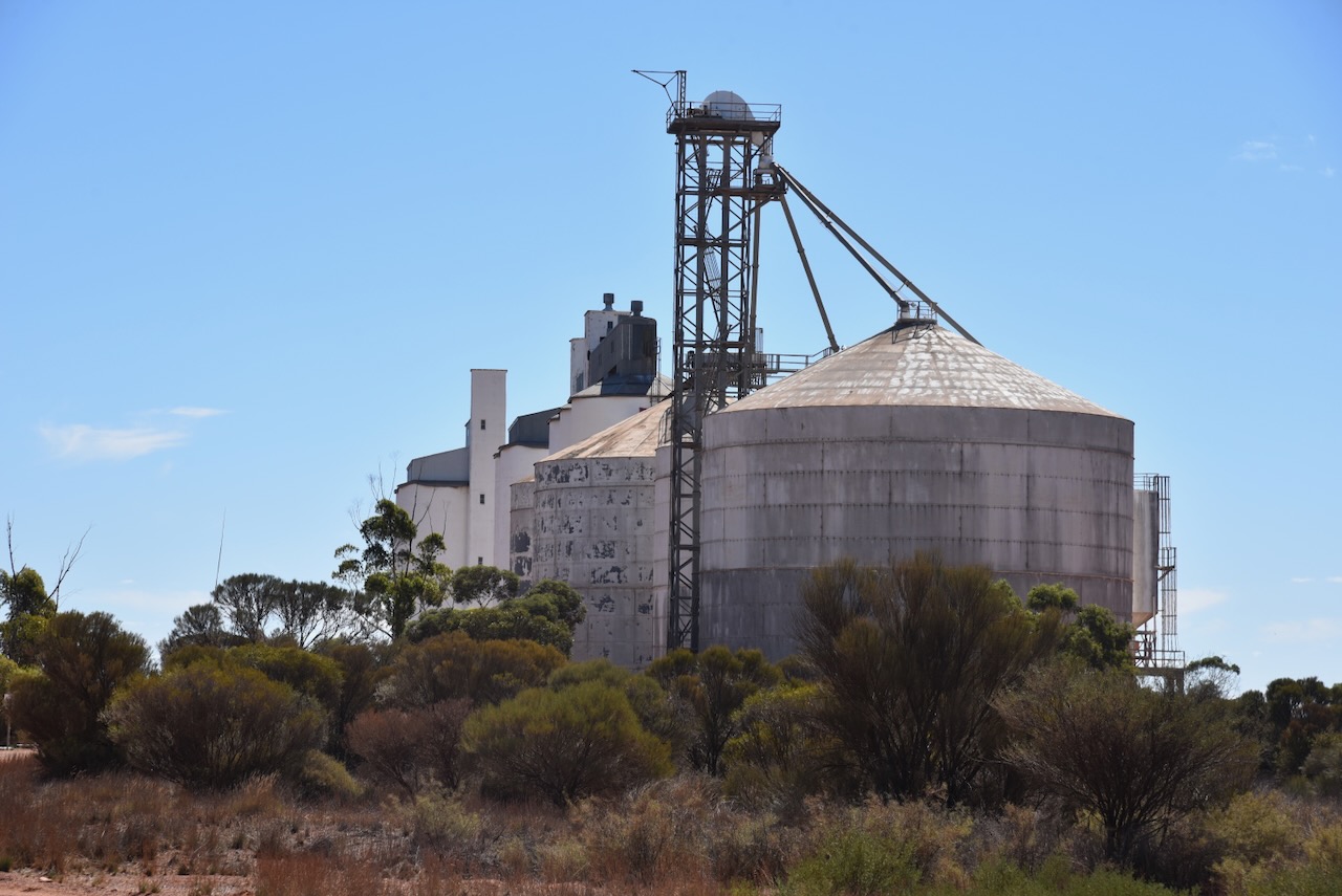
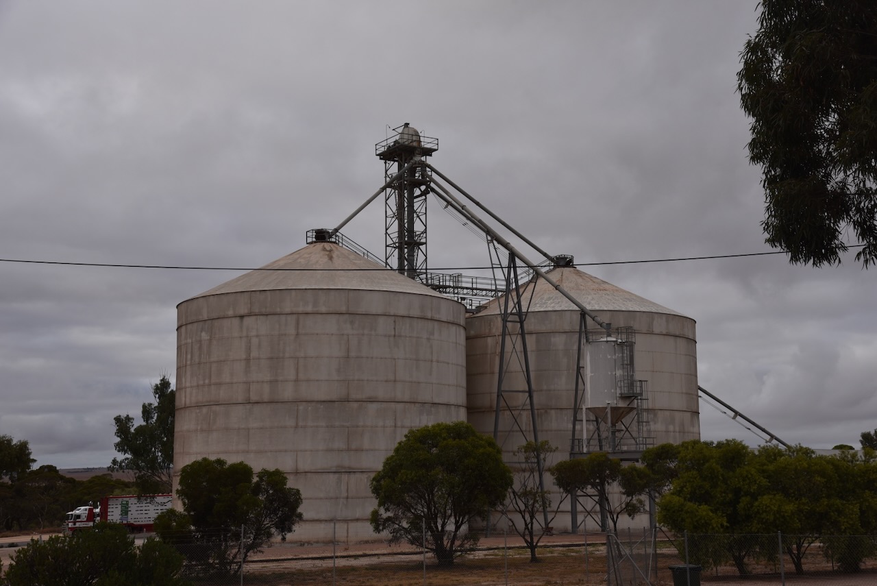
My next activation for Thursday 11th April 2024 was the Buckleboo Conservation Reserve VKFF-1689 and the Buckleboo silo VK-BCO5. Buckleboo is about 32 km northwest of Kimba and about 495 km from Adelaide.
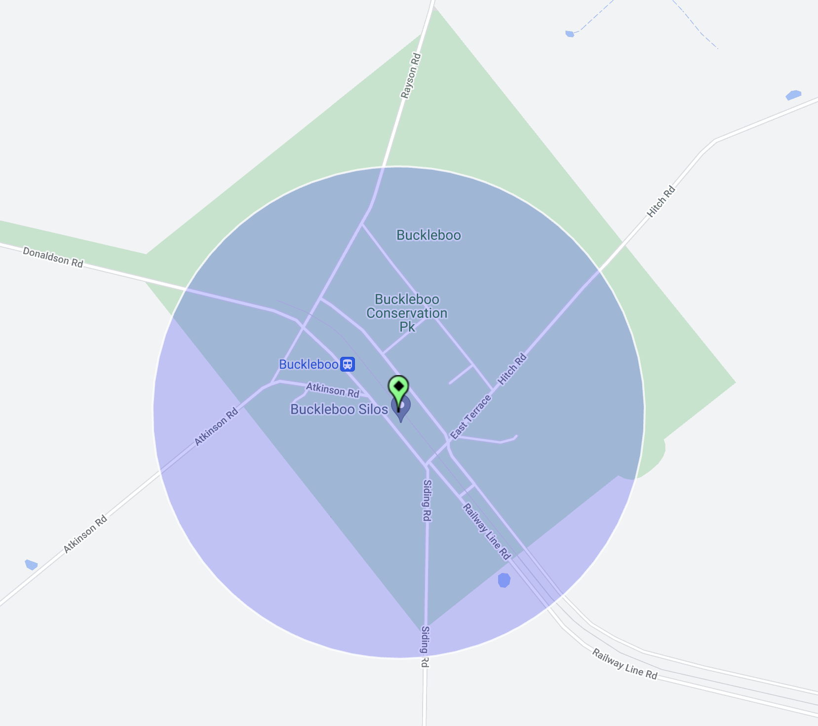
Above:- Map showing the location of the Buckleboo Conservation Reserve. Map c/o Google Maps.
The Hundred of Buckleboo was proclaimed on the 1st day of June 1922. The name was adopted from an adjacent pastoral run held by John Love and R Love from 1864.
Above:- John Love. Image c/o State Library South Australia.
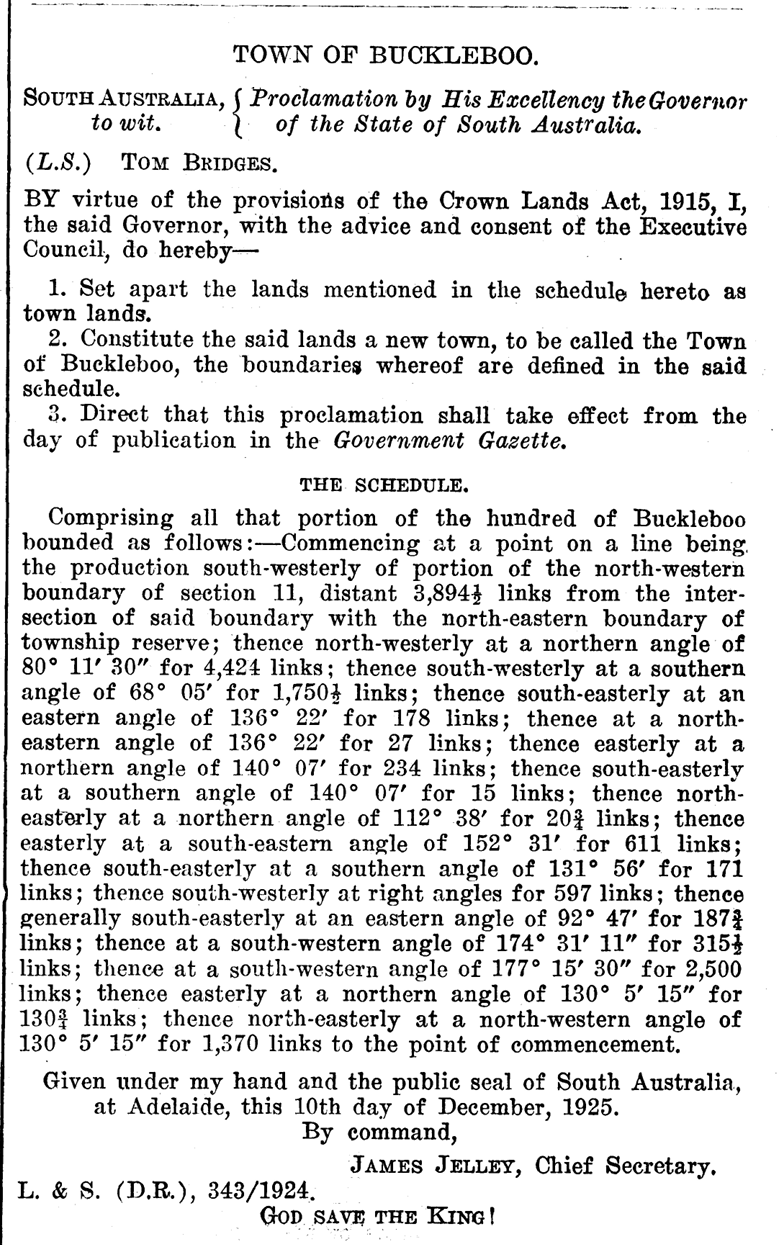
The government town of Buckleboo was surveyed in November 1924 and proclaimed on the 17th day of December 1925 by Tom Bridges, the Governor of South Australia. The Buckleboo school opened in 1929 and closed in 1949. (Place Names 2012)
Above:- Proclamation of the town of Buckleboo. Image c/o SA Govt Gazette, Dec 17, 1925.
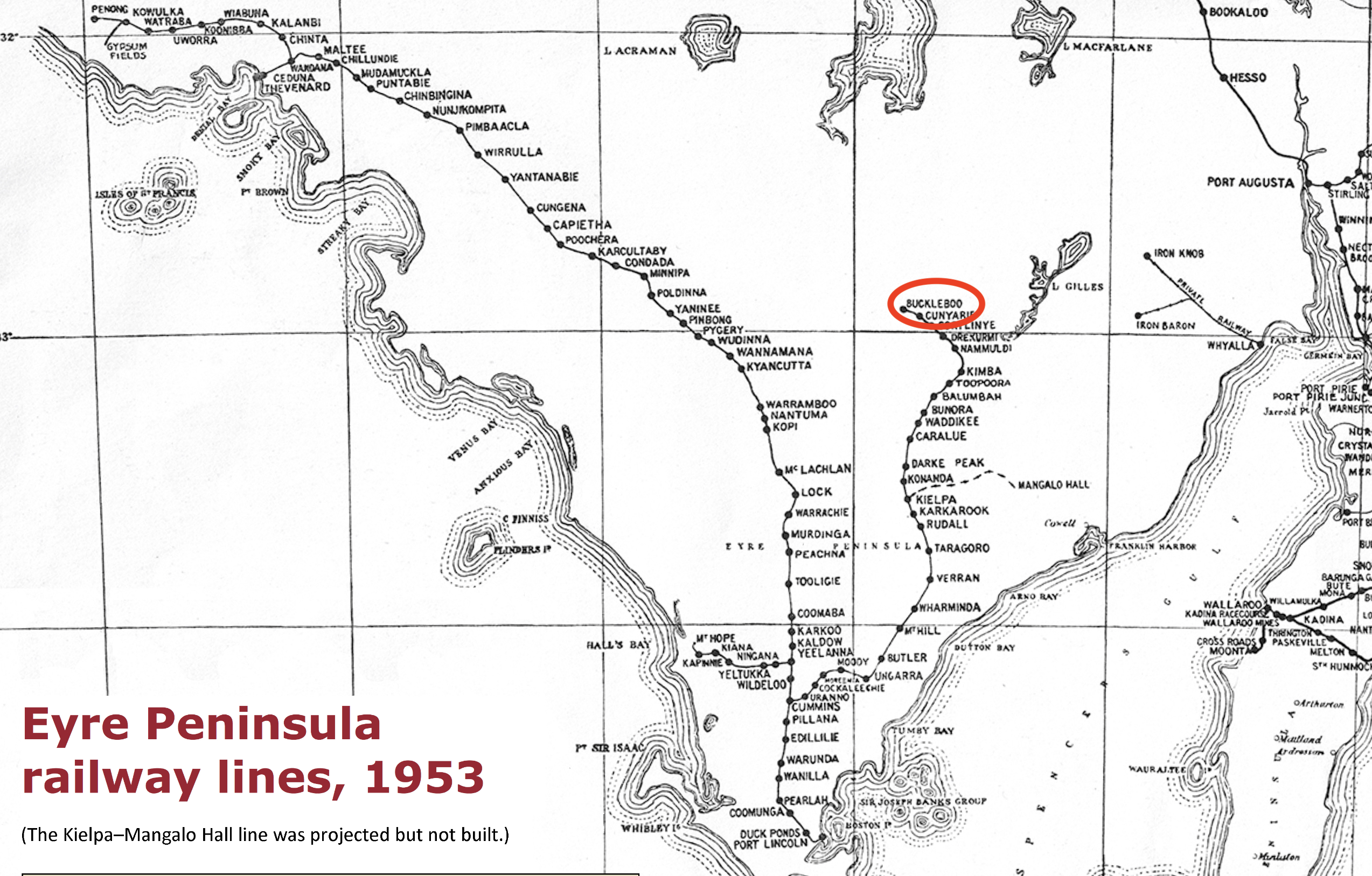
The railway line reached Kimba in 1913, two years before the town was declared. In 1926 the line was extended north to Buckleboo. Until 2005, Buckleboo was the railhead for one branch of the Eyre Peninsula Railway, a narrow gauge railway that principally hauled grain via Kimba and Cummins to Port Lincoln for export. The last train to Buckleboo was in 2005. (Kimba Visitor Guide 2019)
Above:- Railway lines of the Eyre Peninsula, 1953. Image c/o Wikipedia.
The Buckleboo Conservation Reserve is separated into seven sections around the old town of Buckleboo.
Above:- An aerial view of the Buckleboo Conservation Reserve. Image c/o Google Earth.
The reserve is about 281 hectares in size and was established on the 13th day of September 1990. (CAPAD 2022)
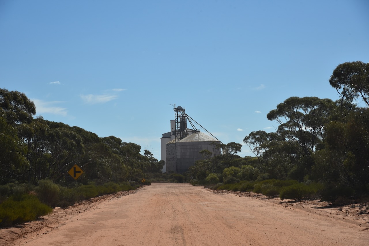
The Buckleboo silos are located alongside the old railway line, between Donaldson Road and Railway Terrace.
I parked on Donaldson Road within the activation zone of the silo. I ran the Yaesu FT857, 40 watts, and the 20/40/80m linked dipole.
Above:- the activation zone at the Buckleboo silos. Image c/o SiOTA website.
I worked the following stations on 40m SSB:-
VK8ZWM
VK5MAZ
Vk3PF
VK2USH/p (Mole Creek Karst National Park VKFF-0322)
VK3BBB
VK2CCP
VK2IO/p (Deua National Park VKFF-0138)
VK5TUX
VK5FB
VK5IS
VK5KLD
VK5LA
VK5KAW
VK3CEO
Vk3PJR
VK3DL
VK5AHA
Vk5AUS
VK5IU
I worked the following stations on 20m SSB:-
VK7XX
VK1AO
VK2MET
VK5MAZ
VK7HBR
VK3EJ
Vk5QA/p
VK3CLD/p
KG5CIK
VK4NH
VK4DXA
OH1MM
VK3SQ
VK2BD
VK3PF
VK3KAI
VK3CEO
VK6LK/p (Penguin Island Conservation Park VKFF-1436)
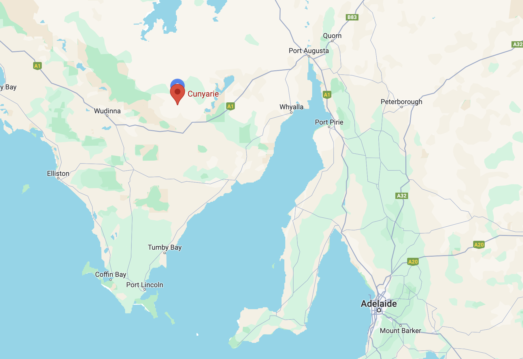
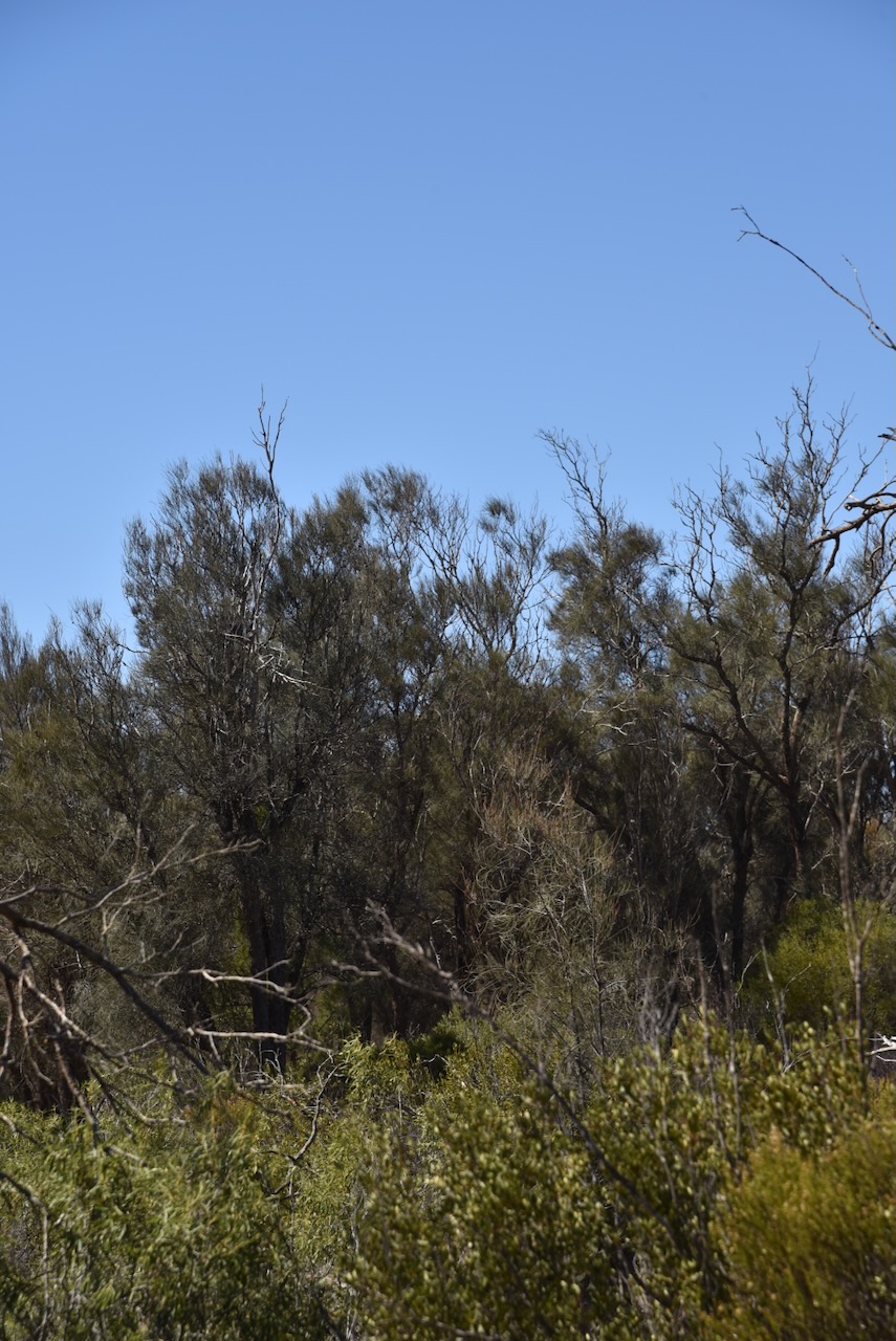
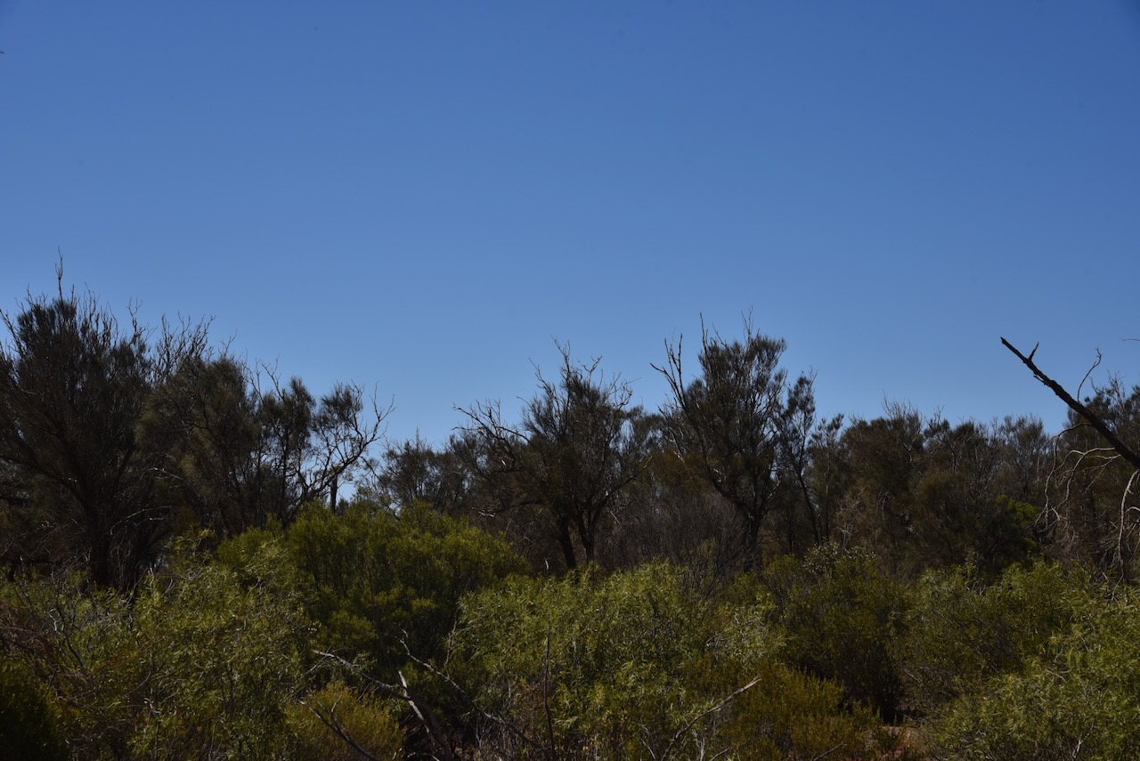
After leaving Cortinlye Conservation Reserve on Thursday 11th April 2024 I headed to my next park activation for the day, the Cunyarie Conservation Reserve VKFF-1702.
Above:- Map showing the location of the Cunyarie Conservation Reserve. Map c/o Google Maps.
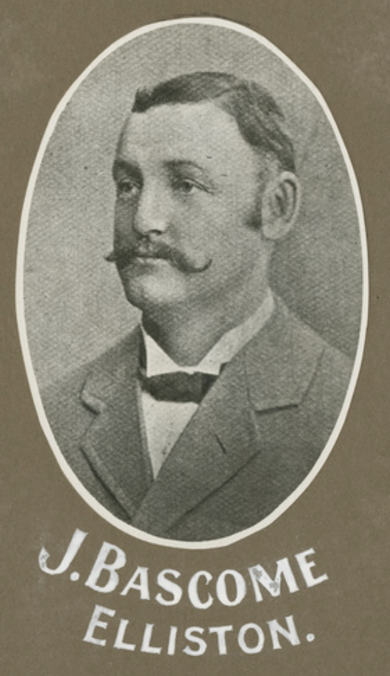
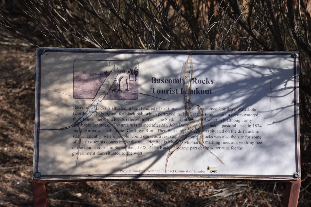
Before reaching the park I stopped at the Bascombe Rocks Lookout on Buckleboo Road.
Bascombe Rocks is situated in the Hundred of Cortlinye and was first named Cortlinye Waterhole. Cortlinye is an aboriginal word for black oak, which portrayed the land at the time. The surveyors watered their horses at this location and the locales referred to it as ‘The Soak’. It always had water in it although only drinkable for stock. The area was named after Mr John Bascombe who held a pastoral lease in 1874 and the area was called the ‘Cortlinye Run.’
Above:- John Bascombe. Image c/o State Library South Australia.
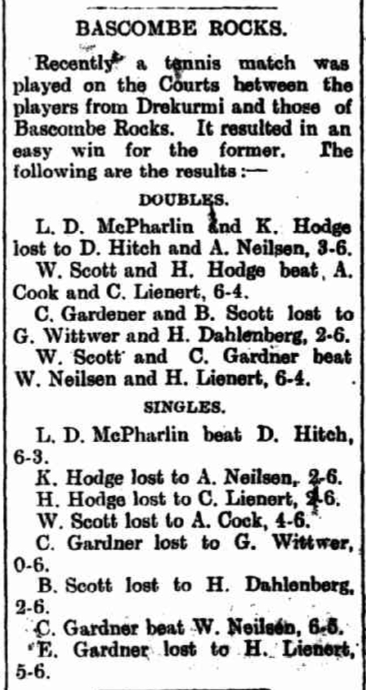
Then Bascombe Rocks was situated on the dirt track to station country, where people would use it as a rest stop. Bascombe Rocks was also the site for some of the first tennis courts in the district. ‘The Rocks’ became part of the water runs for the government dam situated to the west.
Above:- Article from the Kimba Dispatch, Fri 6 Apr 1928. Image c/o Trove.
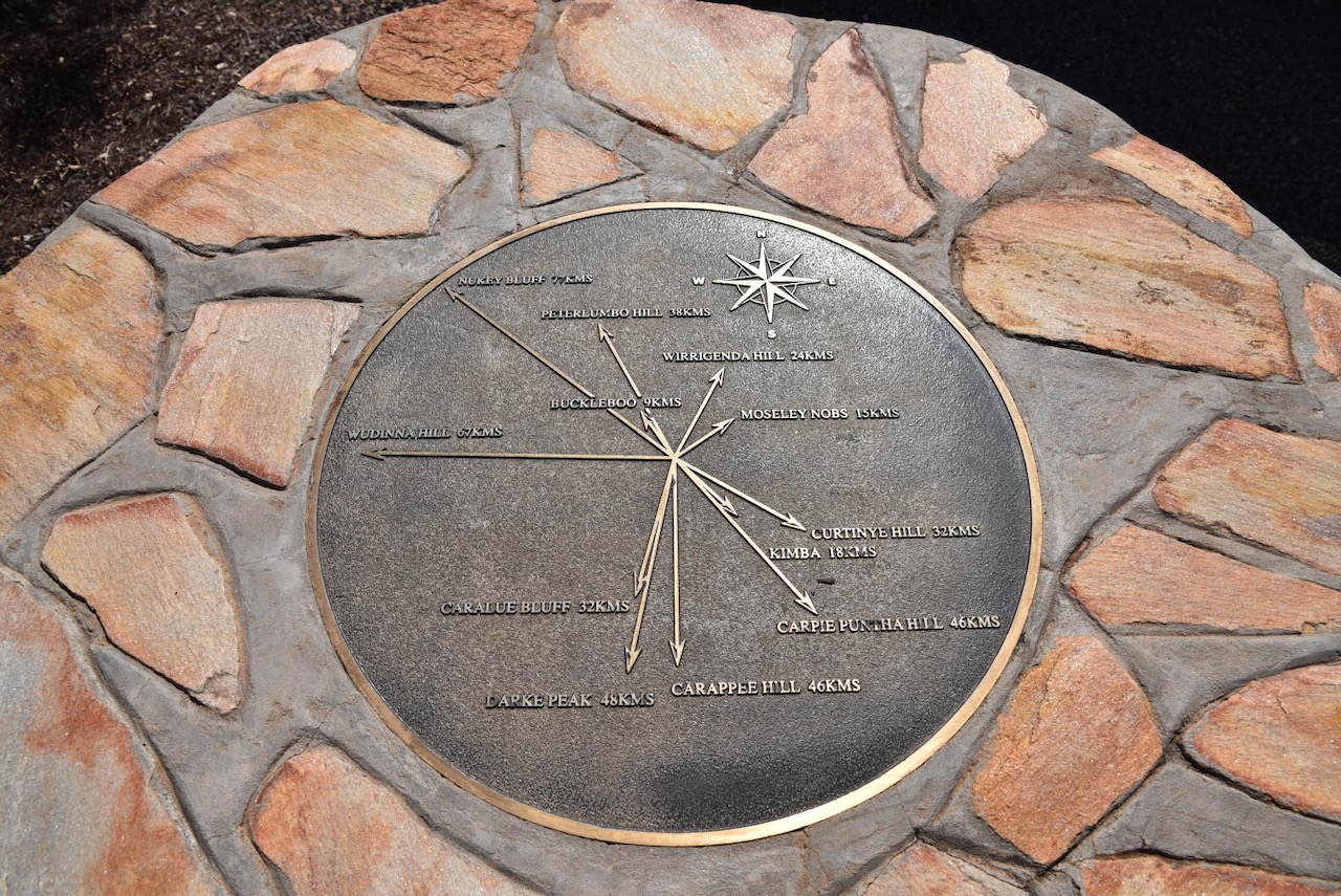
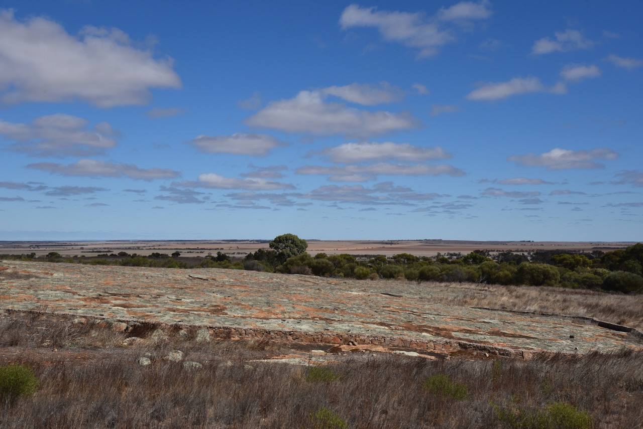
The lookout has a shelter with a table and benches, an information board, and a cairn.
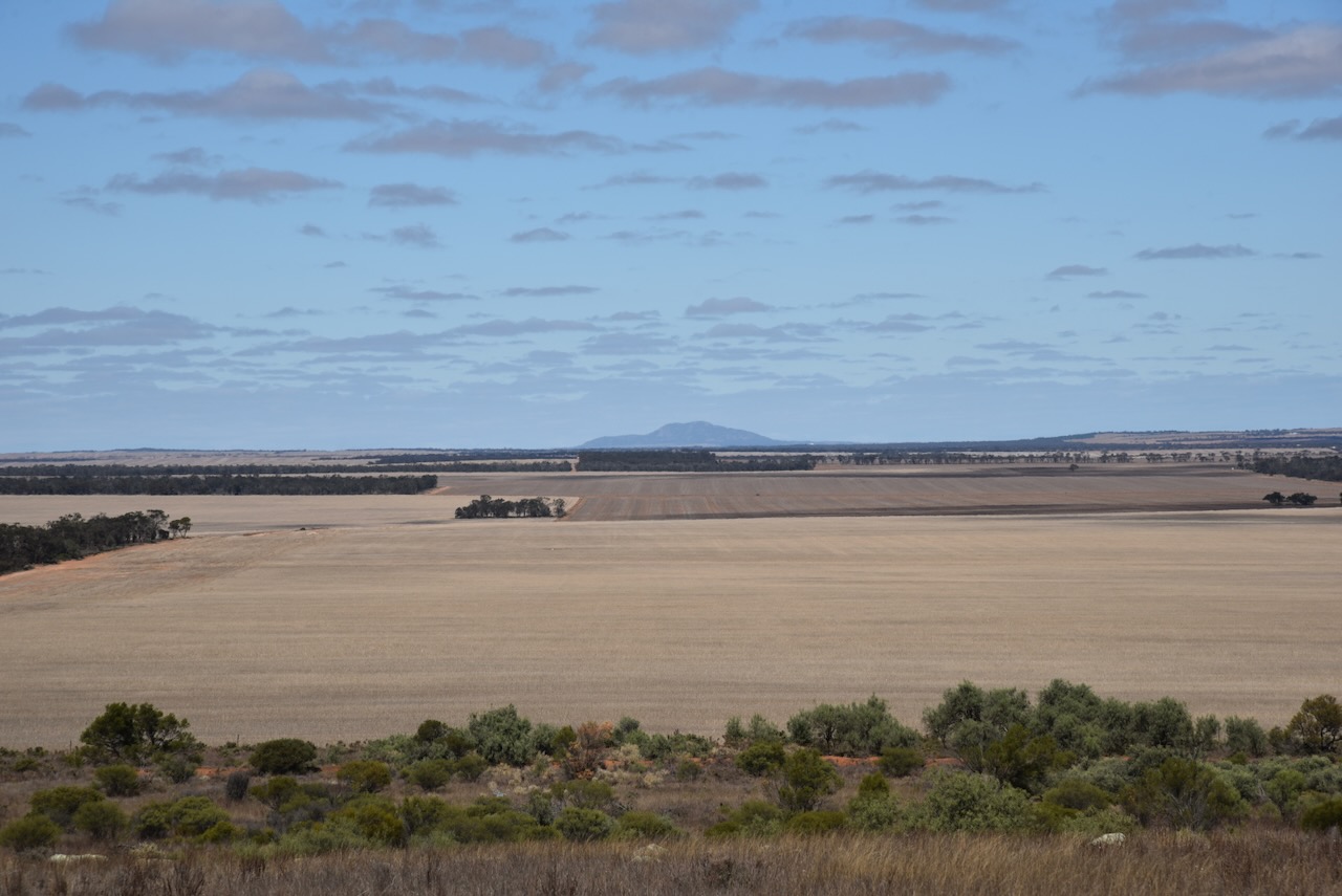
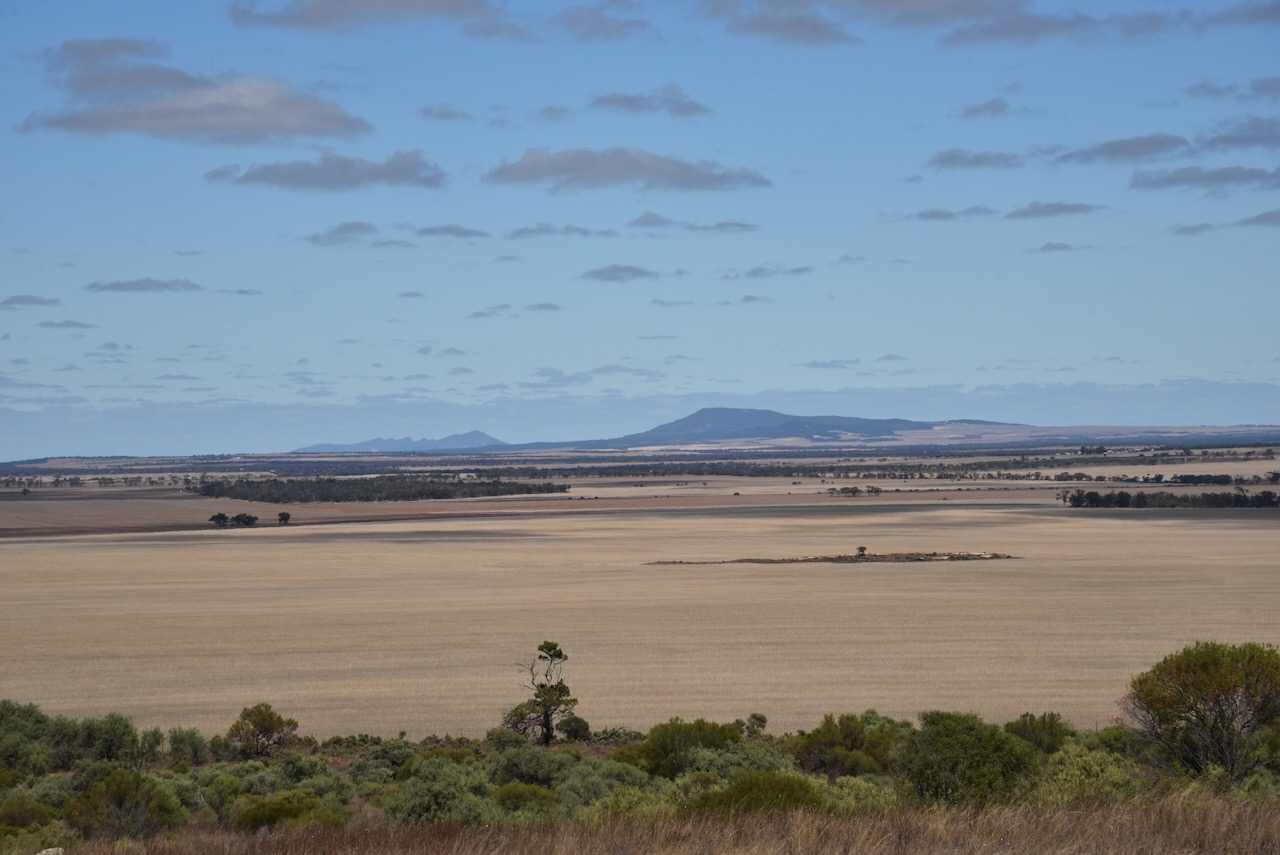
There are some nice views of the surrounding countryside from the lookout.
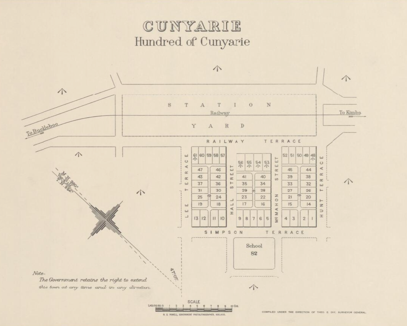
Cunyarie is an aboriginal word for rockholes that are located in the district. The Hundred of Cunyarie was proclaimed on the 1st day of June 1922. The Cunyarie School opened in 1927 and closed in 1936. The town of Cunyarie was proclaimed on the 16th day of February 1928. (Place Names 2012)
Above:- A plan of Cunyarie. Image c/o Trove.
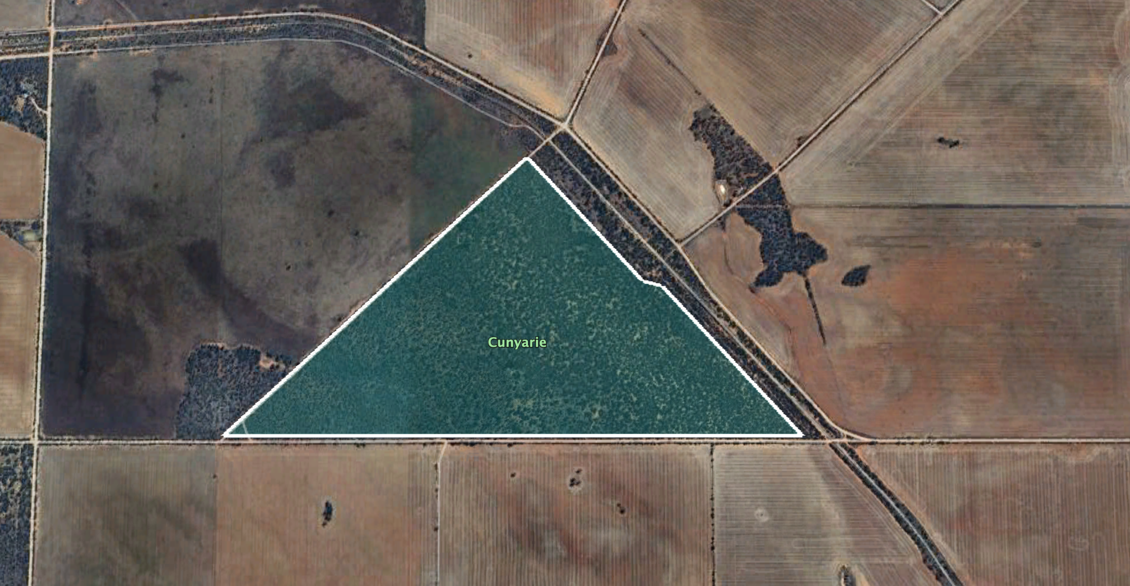
The Cunyarie Conservation Road is triangular in space and is bordered by Bucklebood Hundred Line Road to the south, Cunyarie Dam Road to the west, and Railway Line Road to the east.
Above:- Map showing the Cunyarie Conservation Reserve. Image c/o Google Earth.
The reserve is about 94 hectares in size and was established on the 24th day of October 1985. (CAPAD 2022)
I ran the Yaesu FT857, 40 watts, and the 20/40/80m linked dipole for this activation.
I worked the following stations on 40m SB:-
VK5MAZ
VK5TUX
VK3PF
VK3BBB
VK2CCP
VK5WU
VK5HS
VK5AYL
VK3CEO
VK2USH/p (Mole Creek Karst National Park VKFF-0322)
VK8ZWM
VK2YW
VK5LA
VK5KAW
VK5FR/m
VK5CZ
VK5AHA
I worked the following stations on 20m SSB:-
VK3SQ
VK2BD
VK7XX
VK7HBR
VK2IO/p (Gourock National Park VKFF-0212 & VK2/ SM-052)
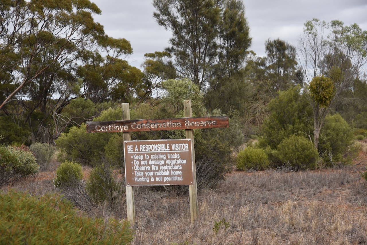
My second activation for Thursday 11th April 2024, was the Cortlinye Conservation Reserve VKFF-1700. The park is located about 13 km northwest of Kimba and about 475 km from Adelaide.
Above:- Map showing the location of the Cortlinye Conservation Reserve. Map c/o Google Maps.
Cortlinye is an aboriginal word meaning ‘black oak’. The Cortlinye Run was held by John Bascome (b. 1863. d. 1929( during the 1870s.
Above:- John Bascome. Image c/o State Library SA.
The Hundred of Cortlinye was proclaimed on the 1st day of October 1914. In 1922 the Cortlinye School was opened. It closed in 1946. In 1920 the Cortlinye East School opened. It closed in 1942. In 1926 the Cortlinye South School opened in 1926. It closed in 1941. (Place Names 2012)
Above:- Article from the Kimba Dispatch, Fri 9 Dec 1938. Image c/o Trove.
The Cortlinye Conservation Reserve is located on the western and eastern side of Buckleboo Road near Emu Rocks Road.
Above:- An aerial view of the Cortlinye Conservation Reserve. Image c/o Google Earth.
The reserve is about 208 hectares in size and was established on the 12th day of November 1987. (CAPAD 2022)
I ran the Yaesu FT-857, 40 watts, and the 20/40/80m linked dipole for this activation. I set up near the junction of Emu Rocks Road and Buckleboo Road.
I worked the following stations on 40m SSB:-
VK5MAZ
VK3APJ
VK5TUX
VK5AAF
VK3PF/m
VK3YV/p (Mitchell River National Park VKFF-0321)
VK5LA
VK5KAW
VK3CEO
VK3OU/m
VK8ZWM
VK2IO/p (Deua National Park VKFF-0138)
VK5FR/m
VK5KX
VK3PF
VK5ZNP
VK3BFX
VK3ZSC
VK3VIN
VK5HS
VK3DL
VK3UAO
VK5KVA
VK5WU
VK3MTV
VK4AER/m
VK5DGR/m
VK2JDL/p (Gardens of Stone State Conservation Area VKFF-3199)
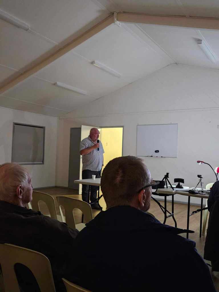
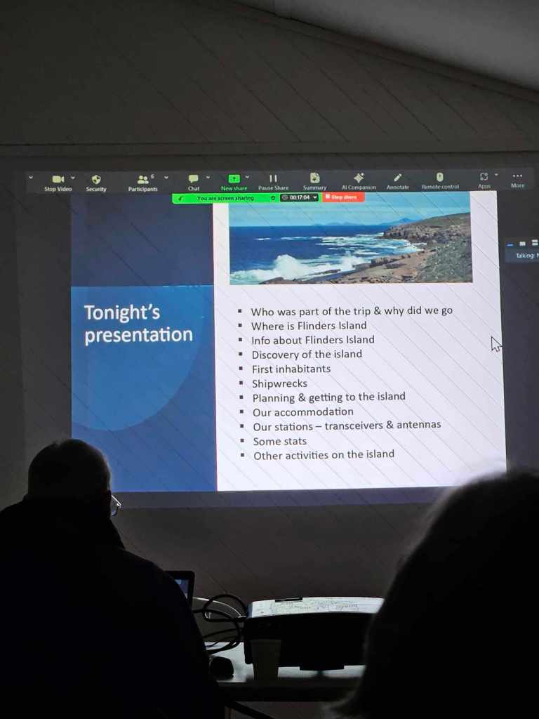
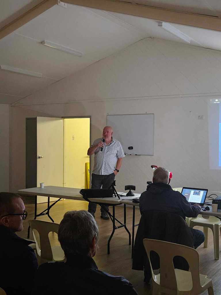
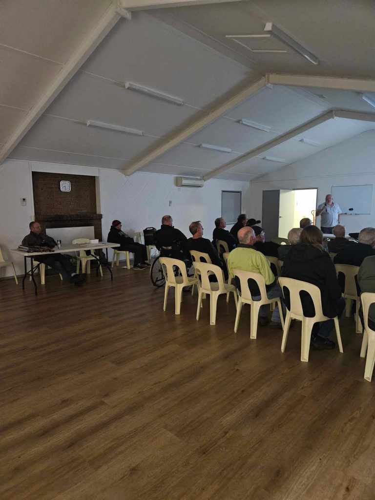
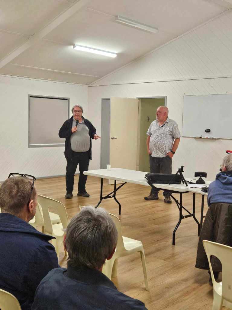
Last night I attended the North East Radio Group at Modbury and delivered a presentation on our recent trip to Flinders Island, South Australia. A number of members were present at the meeting along with several others who were having the meeting streamed. Grant VK5GR was also present and helped out with answering some questions from the audience.
Thanks to NERG for allowing me the opportunity of presenting.
My first park activation for Thursday the 11th day of April 2024 was the Mootra Conservation Reserve VKFF-1730. This was to be the first time that the park had been activated for the World Wide Flora Fauna (WWFF) program.
Above:- Map showing the location of the Mootra Conservation Reserve. Map c/p Location SA Map Viewer.
I had visited Kimba previously, but a long time ago. And because I arrived when it was dark the night before, I decided to have a quick look around after breakfast.
Kimba is derived from an aboriginal word meaning ‘Bushg Fire.’ The District Council of Kimba’s logo reflects this with a burning tree. (Dist Council of Kimba 2024)
Before European settlement, the area around Kimba was occupied by the Barngarla (also known as Parnkalla or Pangkala) aboriginal people.
The first European in the district was explorer Edward John Eyre. In 1839 he travelled through the area on his passage from Streaky Bay to the head of Spencer Gulf.
Above:- Edward John Eyre. Image c/o Wikipedia.
By the 1870s land was settled by leaseholding pastoralists. From the early 1900s, the area was more intensely settled for wheat farming. Bags of wheat were loaded onto bullock drays and carted to Cowell about 76 km to the south. By 1913 Kimba was connected by a railway from Port Lincoln. This encouraged further wheat farmers into the district. By 1915 the town of Kimba was officially proclaimed.
Above:- A view of Kimba, c. 1928. Image c/o State Library South Australia.
Below is a great promotional video on Kimba.
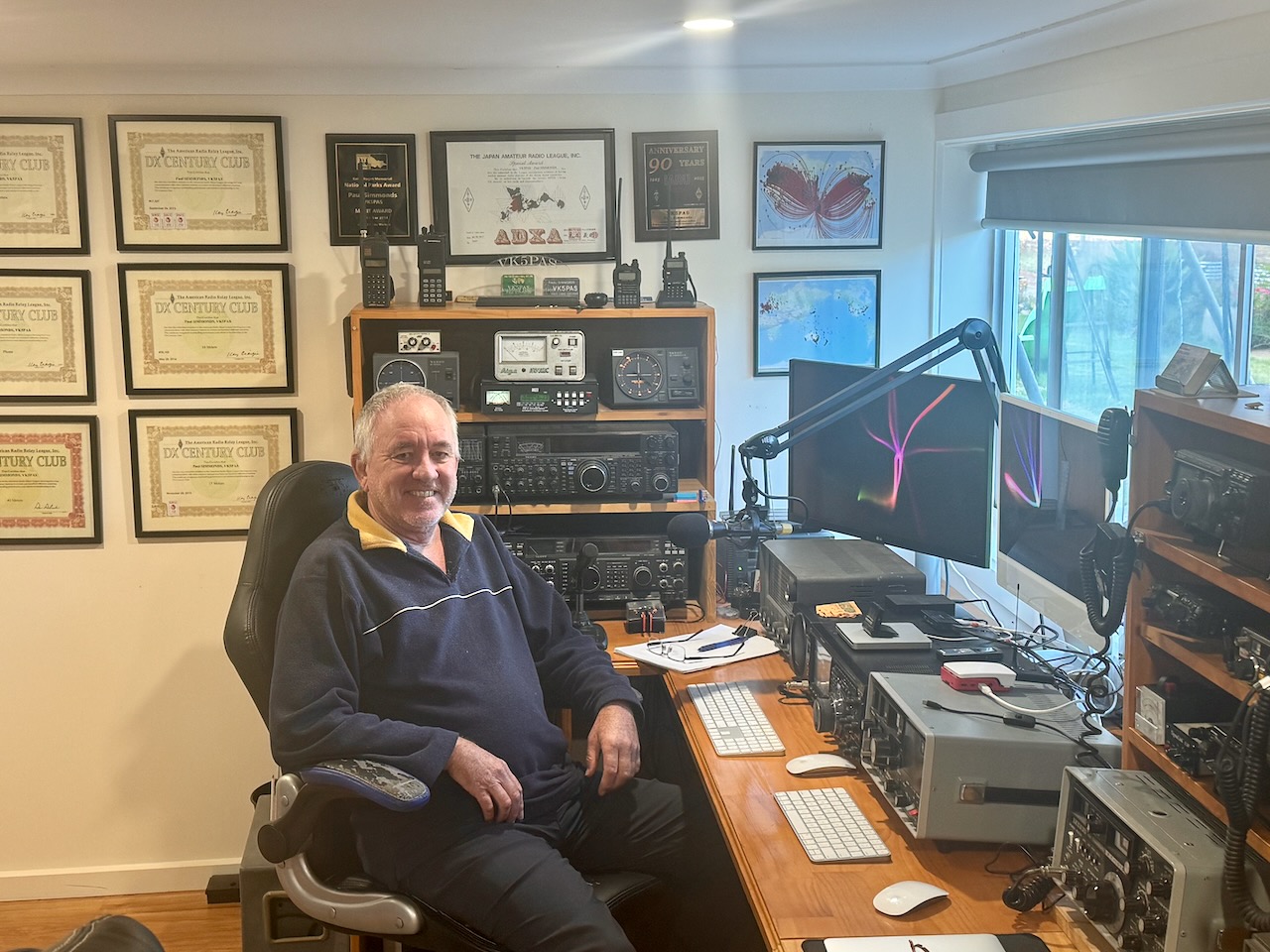
Before activating the park, I walked across the road from where I was staying, to get some photographs of the Kimba silo during daylight. I had activated the silo the night prior for the Silos On The Air (SiOTA) program.
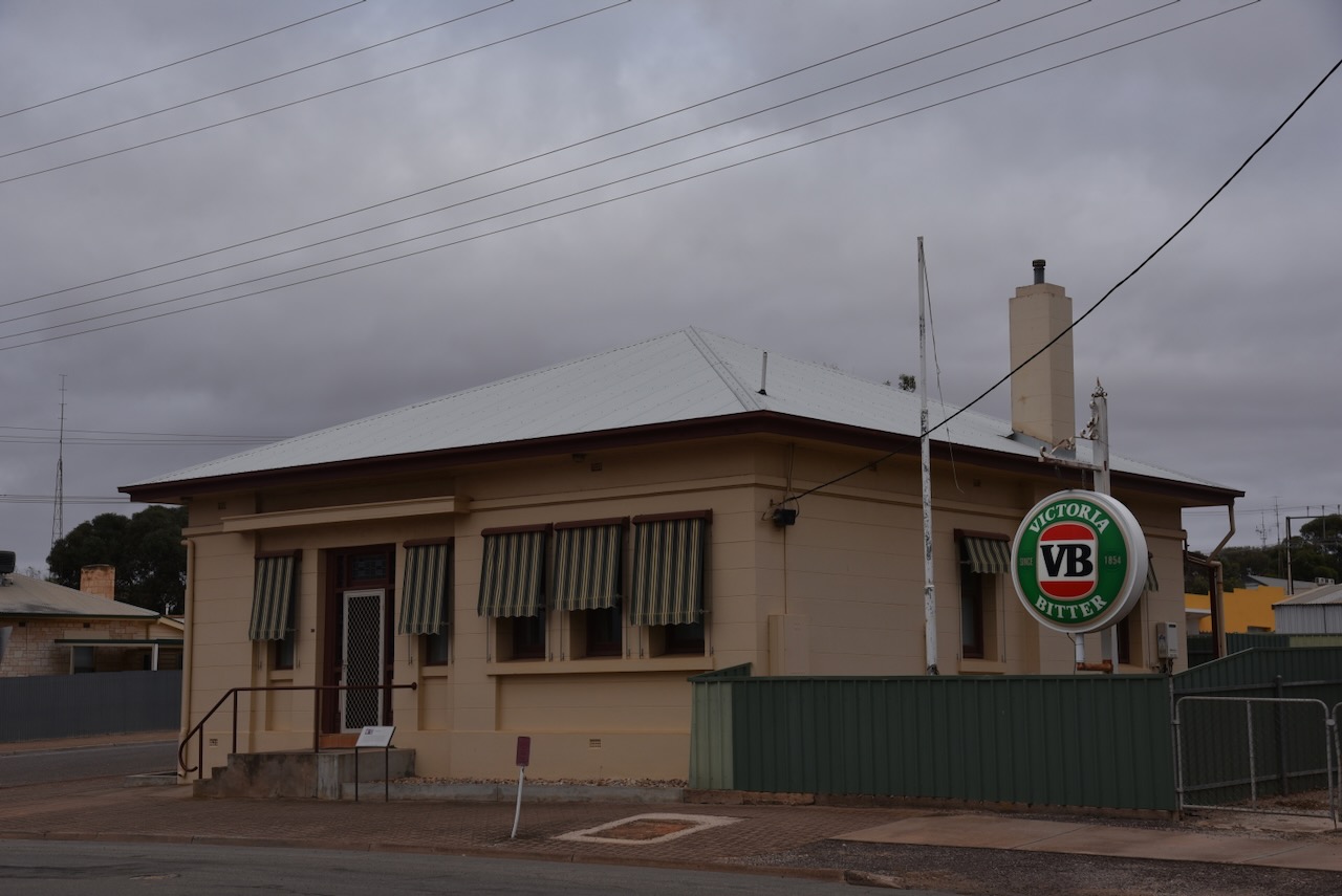
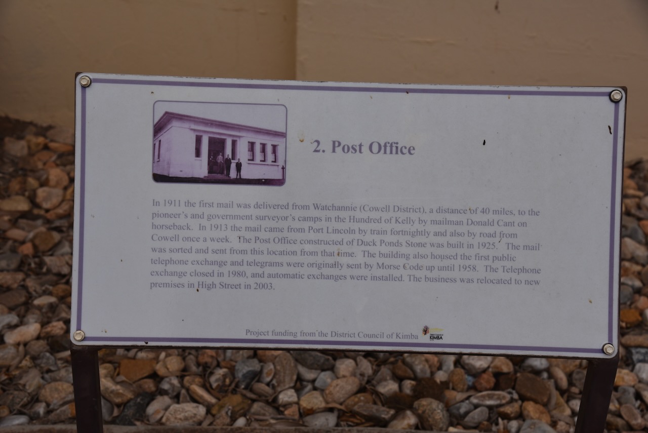
Diagonally opposite the silos is the old Post office. In 1911 the first mail was delivered from Watchannie (Cowell District), a distance of 40 miles, to the pioneer’s and government surveyor’s camps in the Hundred of Kelly by mailman Donald Cant on horseback. In 1913 the mail came from Port Lincoln by train fortnightly and also by road from Cowell once a week. The Post Office constructed at Duck Ponds was built in 1925. The mail was sorted and sent from this location from that time. The building housed the first public telephone exchange and telegrams were originally sent by Morse Code up until 1958. The telephone exchange closed in 1980, and automatic exchanges were installed. The business was relocated to new premises in High Street in 2003.
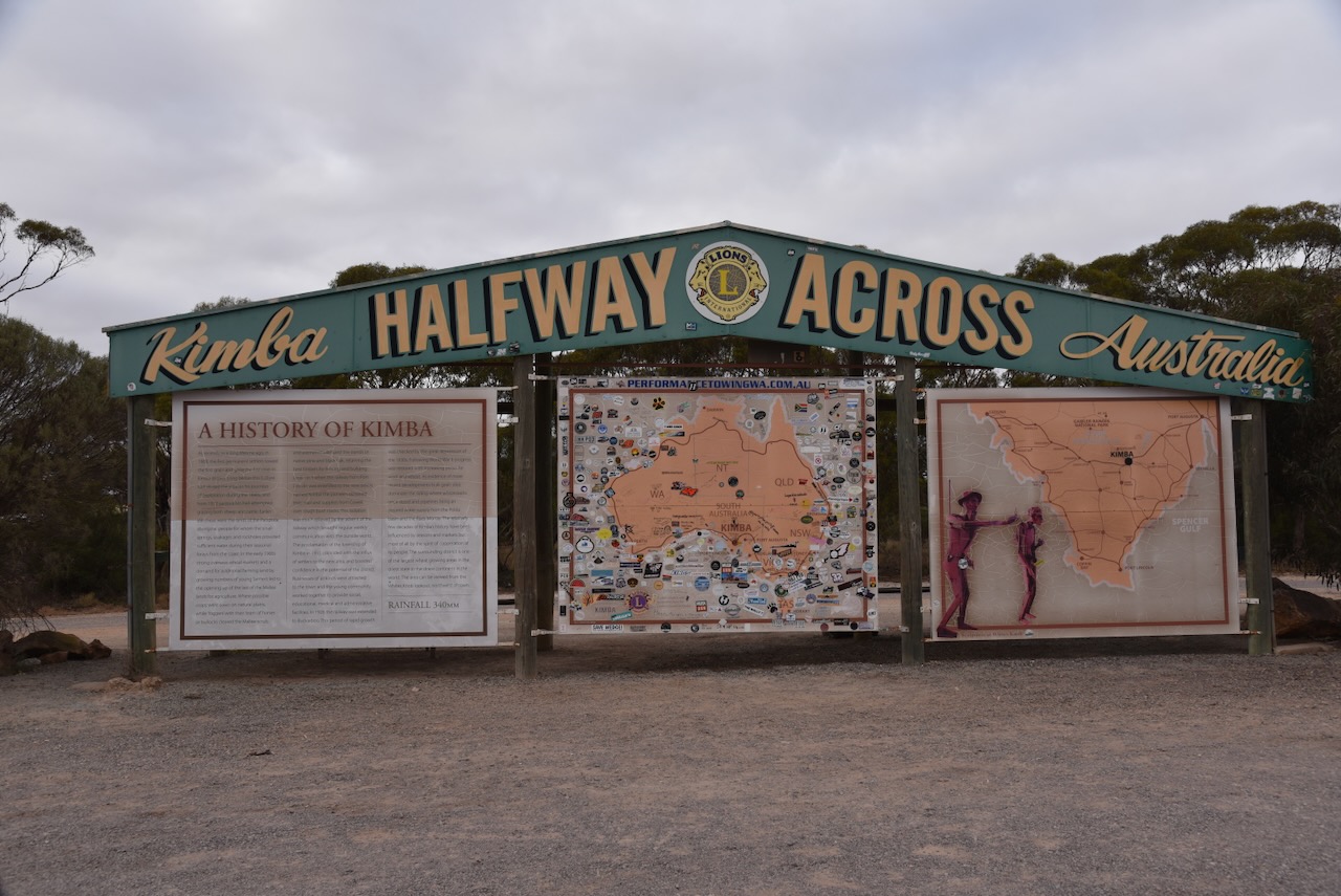
I then visited the Halfway Across Australia sign at Kimba. The information sign provides information about Kimba with its location being halfway between Sydney and Perth.
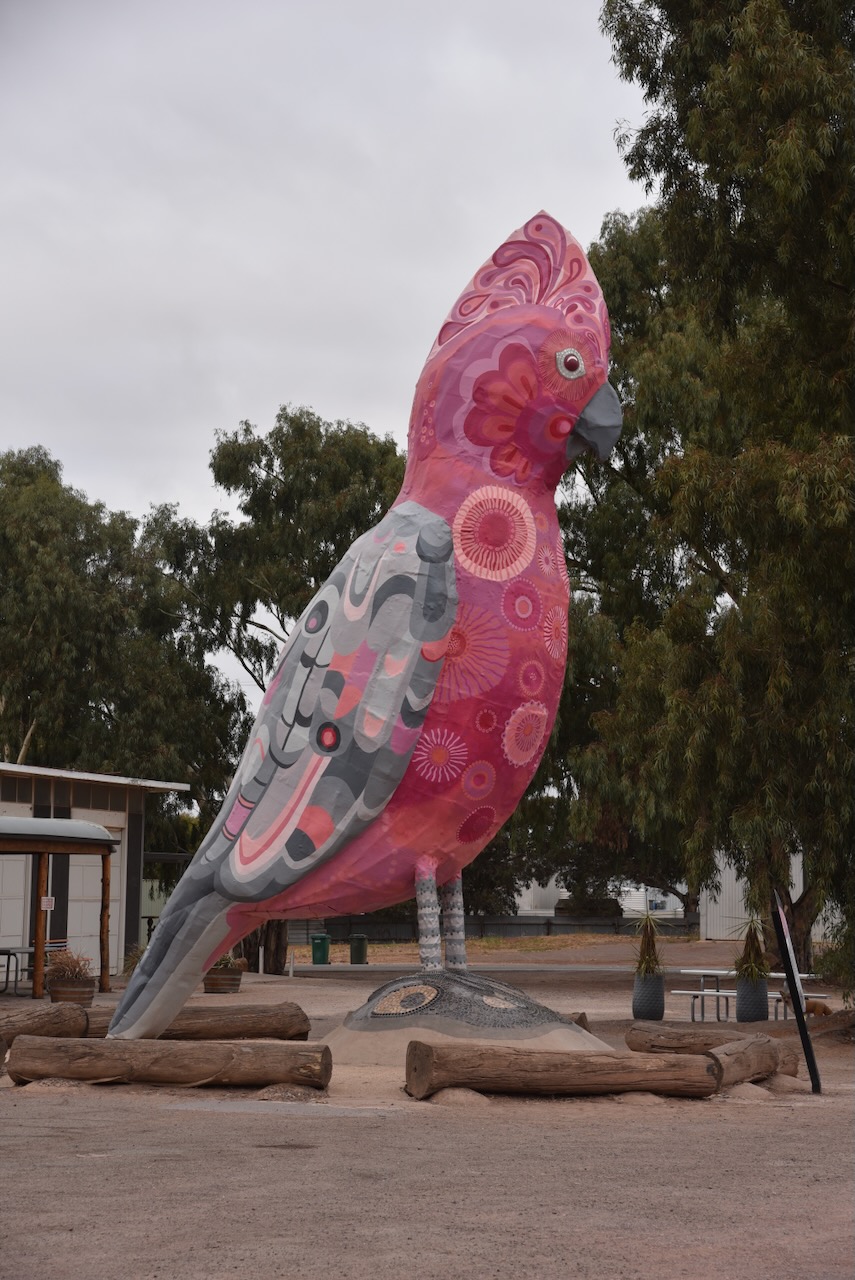
My next stop was the Big Galah which stands at 8 metres high on the Eyre Highway at Kimba. It was in much better shape compared to my last visit. The Big Galah underwent a full renovation in 2021. (Dist Council of Kimba 2024)
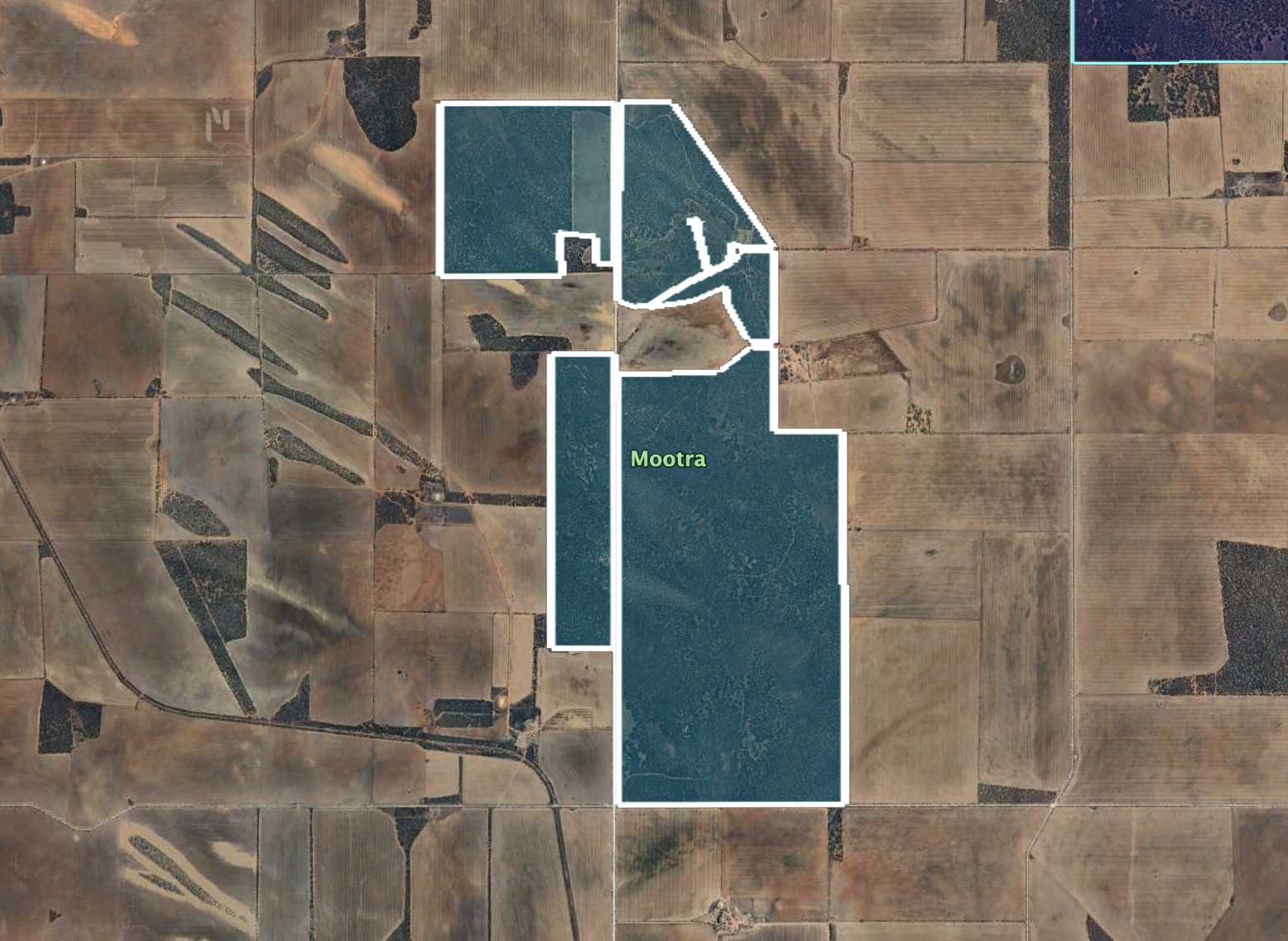
The park is located at the intersection of Inglis Road and Pile Pudla Road.
Above:- An aerial view of the Mootra Conservation Reserve showing its boundaries. Image c/o Google Earth.
Mootra Conservation Reserve is about 949 hectares (2,350 acres) in size and was established on the 2nd day of March 1989. The land was previously used as the Mootra Water Conservation Reserve. (Wikipedia 2024)
I ran the Yaesu FT857, 40 watts, and the 20/40/80m linked dipole for this activation.
I worked the following stations on 40m SSB before the UTC rollover:-
VK3VIN
VK5MAZ
VK5IS
VK5AAF
VK3OU/m
VK4NH
VK4DXA
Vk1AO
VK2MET
VK3CEO
VK3APJ
VK4HAT
VK2IO/p (Deua National Park VKFF-0138 & SOTA VK2/ SM-059)
VK5TUX
Vk2VW
Vk2HFI
VK2AKA
Vk2BUG
VK5HAA
VK5LRB
VK3PF/p (SOTA VK3/ VT-046)
VK3MCK
VK7EE
I worked the following station on 20m SSB before the UTC rollover:-
VK3APJ
I worked the following stations on 20m SSB after the UTC rollover:-
VK3APJ
Vk2VW
VK2HFI
VK2AKA
VK2BUG
Vk3CEO
VK5MAZ
VK4NH
VK4DXA
VK7EE
VK3PF/p (SOTA VK3/ VT-046)
VK3EJ
VK2IO/p (Deua National Park VKFF-0138 & SOTA VK2/ SM-059)
The first night (10th April 2024) of my trip was to be spent at Kimba in the north of South Australia. Kimba is located about 465 km by road from Adelaide.
Above:- Map showing the location of Kimba, South Australia. Map c/o Google Maps.
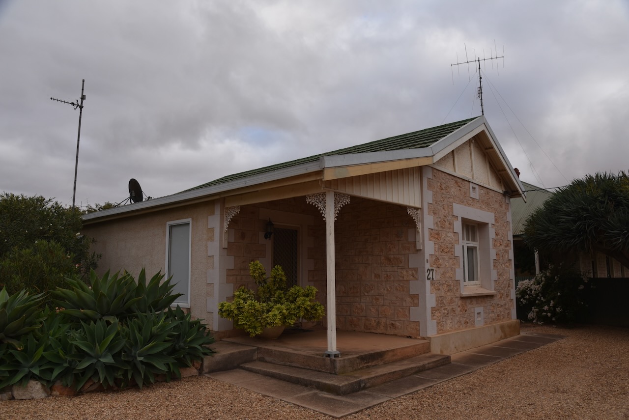
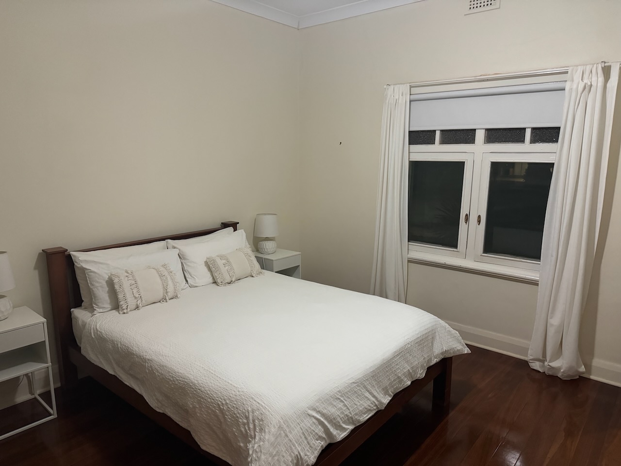
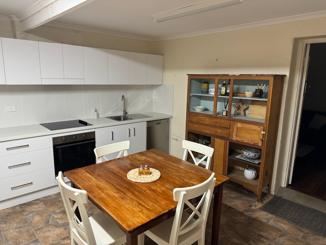
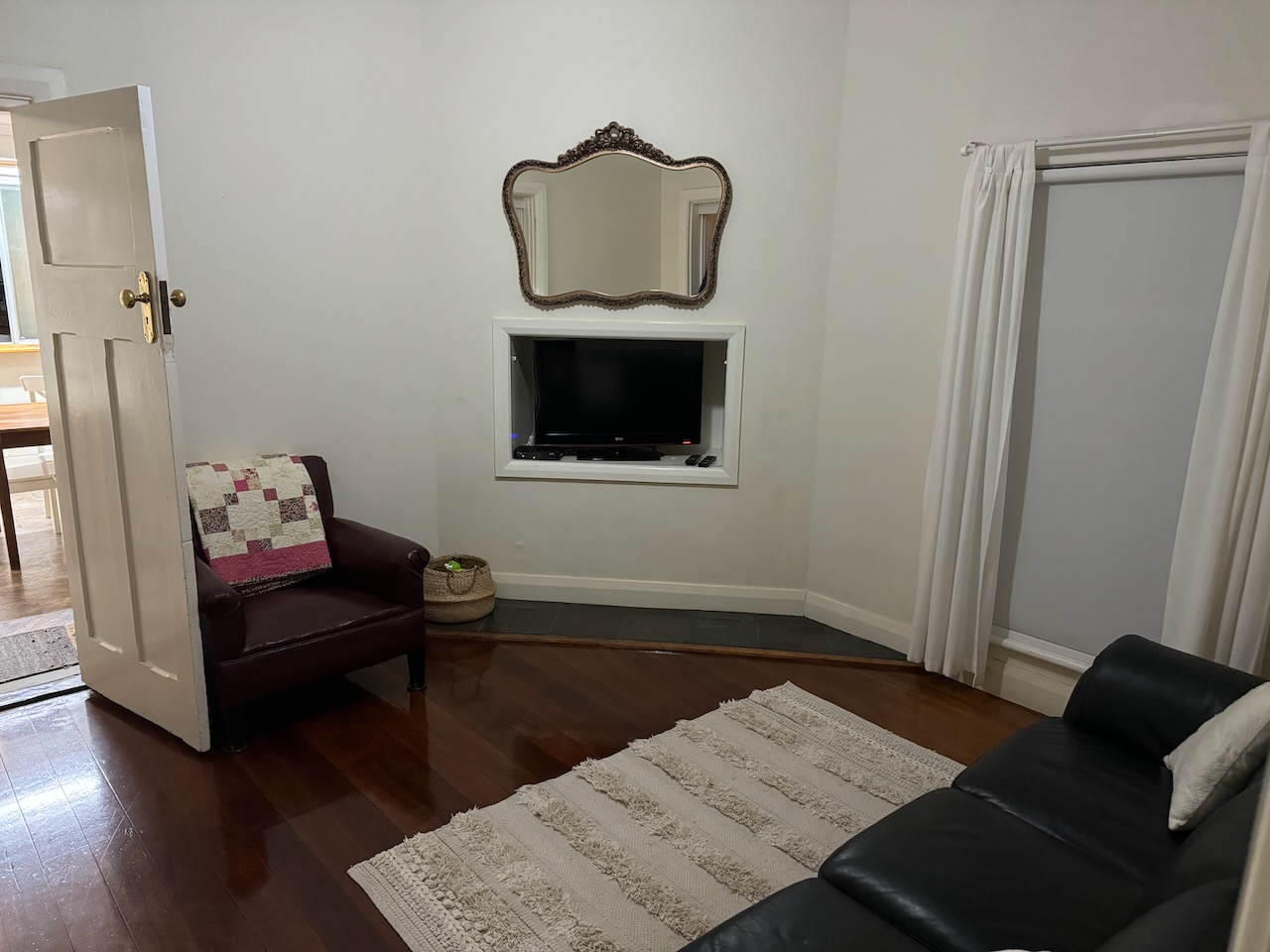
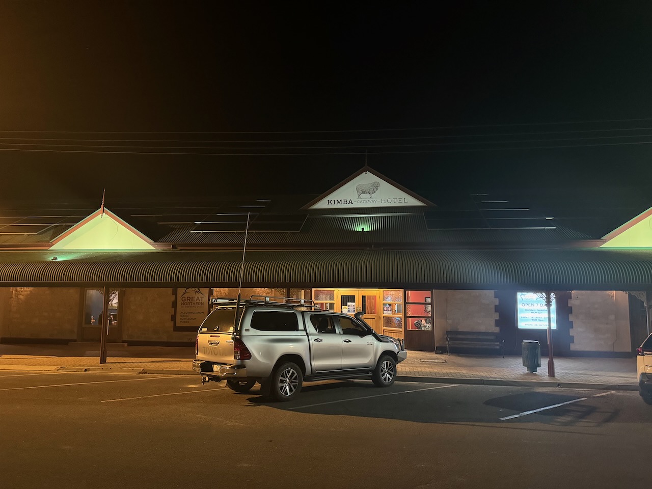
I booked into my accommodation, Olive House, in Railway Terrace at Kimba. What a beautiful place. I can highly recommend it.
I then headed around to the Kimba Hotel for a meal and a few refreshments.
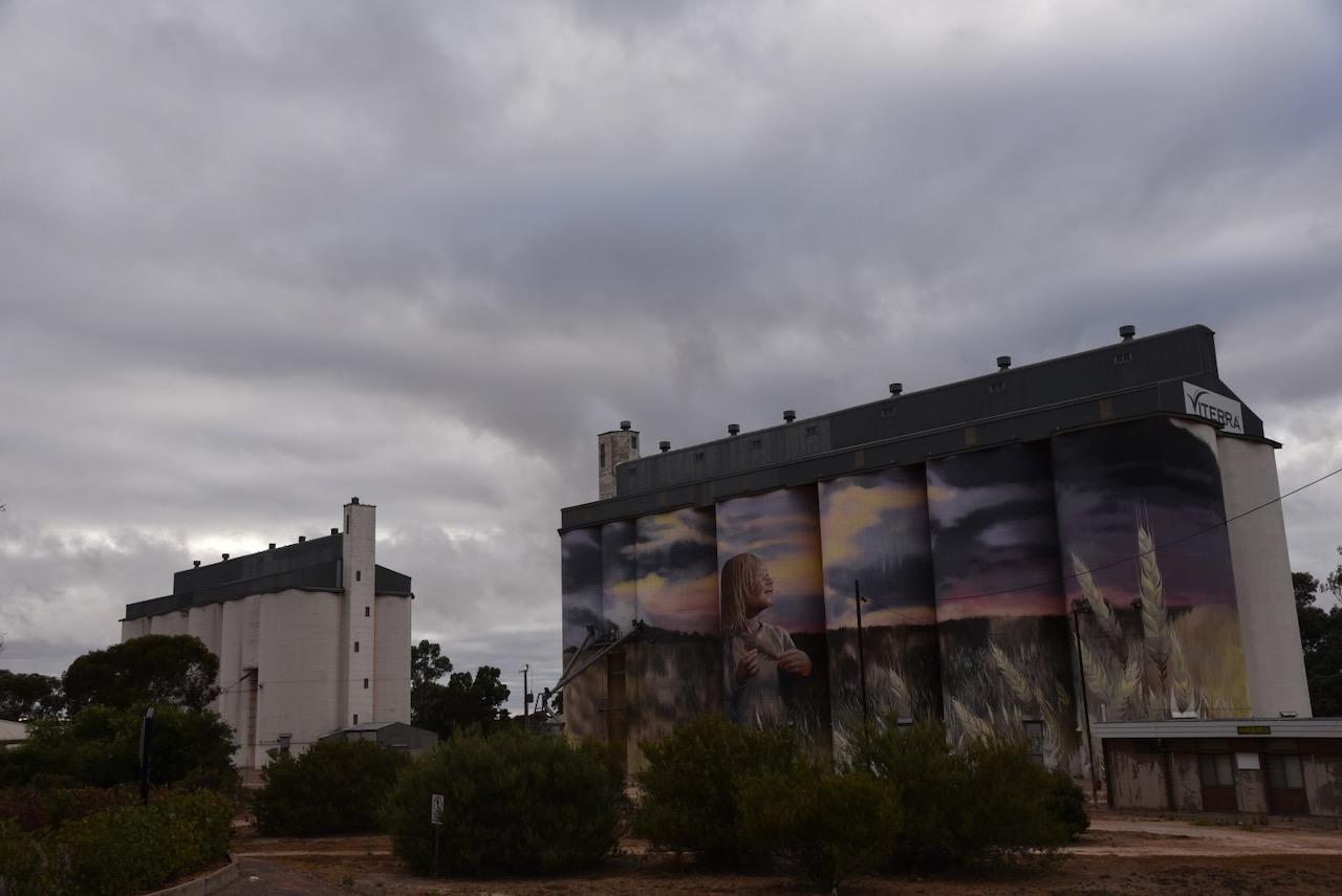
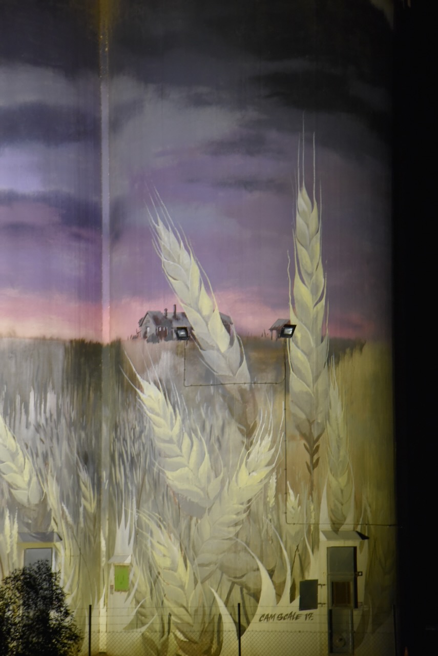
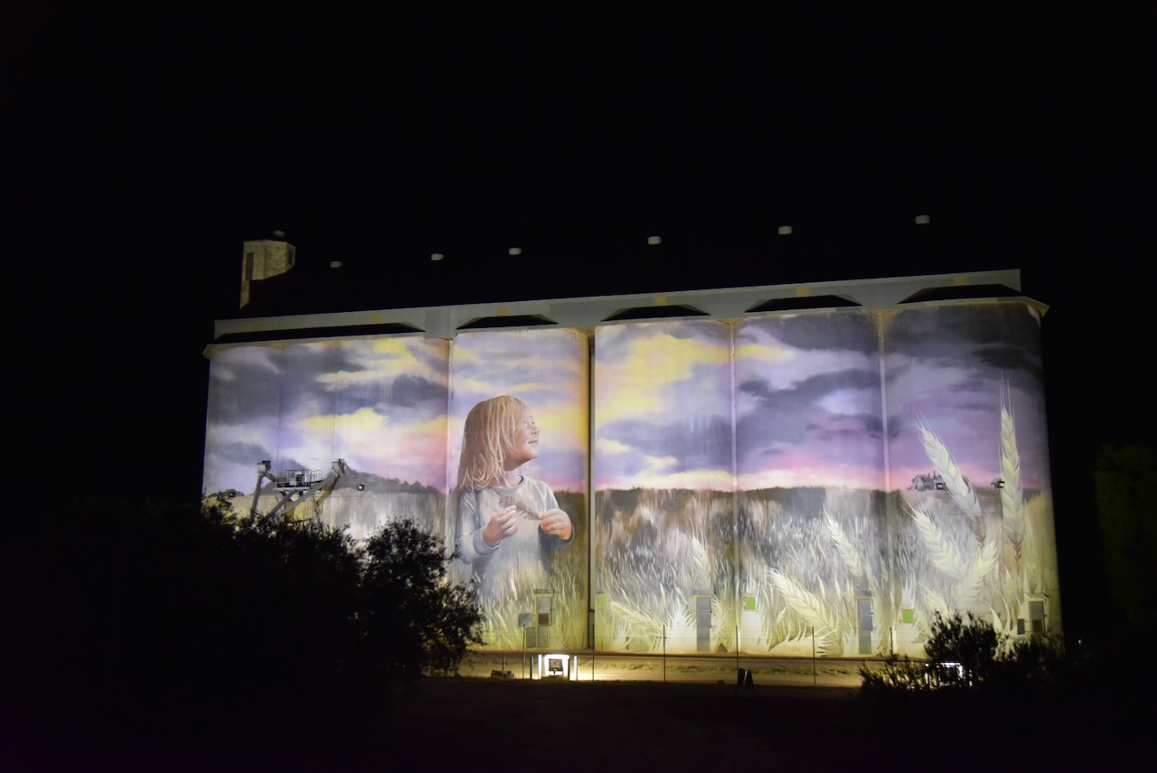
The Kinba silo was directly opposite my accommodation, so I decided to do a quick activation of the silo for the Silos On The Air (SiOTA) program.
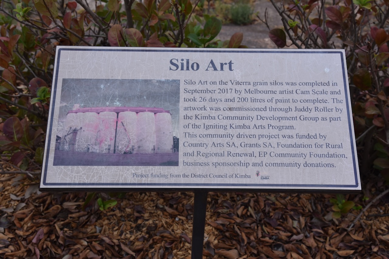
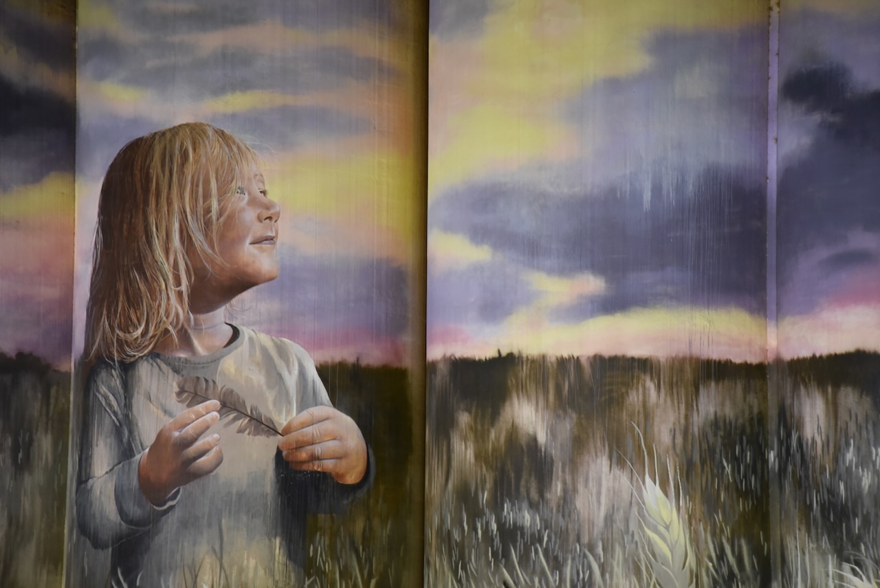
The silos at Kinba are operated by Viterra. They were painted in September 2017 by artist Cam Scale. The silo art covers the five silos and features a young girl standing in a wheat field. The silo art took 26 days to complete and 200 litres of paint. (Australian Silo Art 2024)
Below is an excellent video showing the Kimbia silo art from start to finish.
I operated from the 4WD and ran the Icom IC-7000, 100 watts, and the Codan 9350 antenna with the 1.5-metre stainless steel whip.
After leaving Crystal Brook on 10th April 2024, I continued north on the Augusta Highway until reaching Port Augusta where I stopped briefly to stretch my legs. I then drove southwest on the Lincoln Highway before turning off onto the Eyre Highway. The highway is named in honour of the famous explorer Edward John Eyre (b. 1815. d. 1901).
Above:- Edward John Eyre. Image c/o Wikipedia.
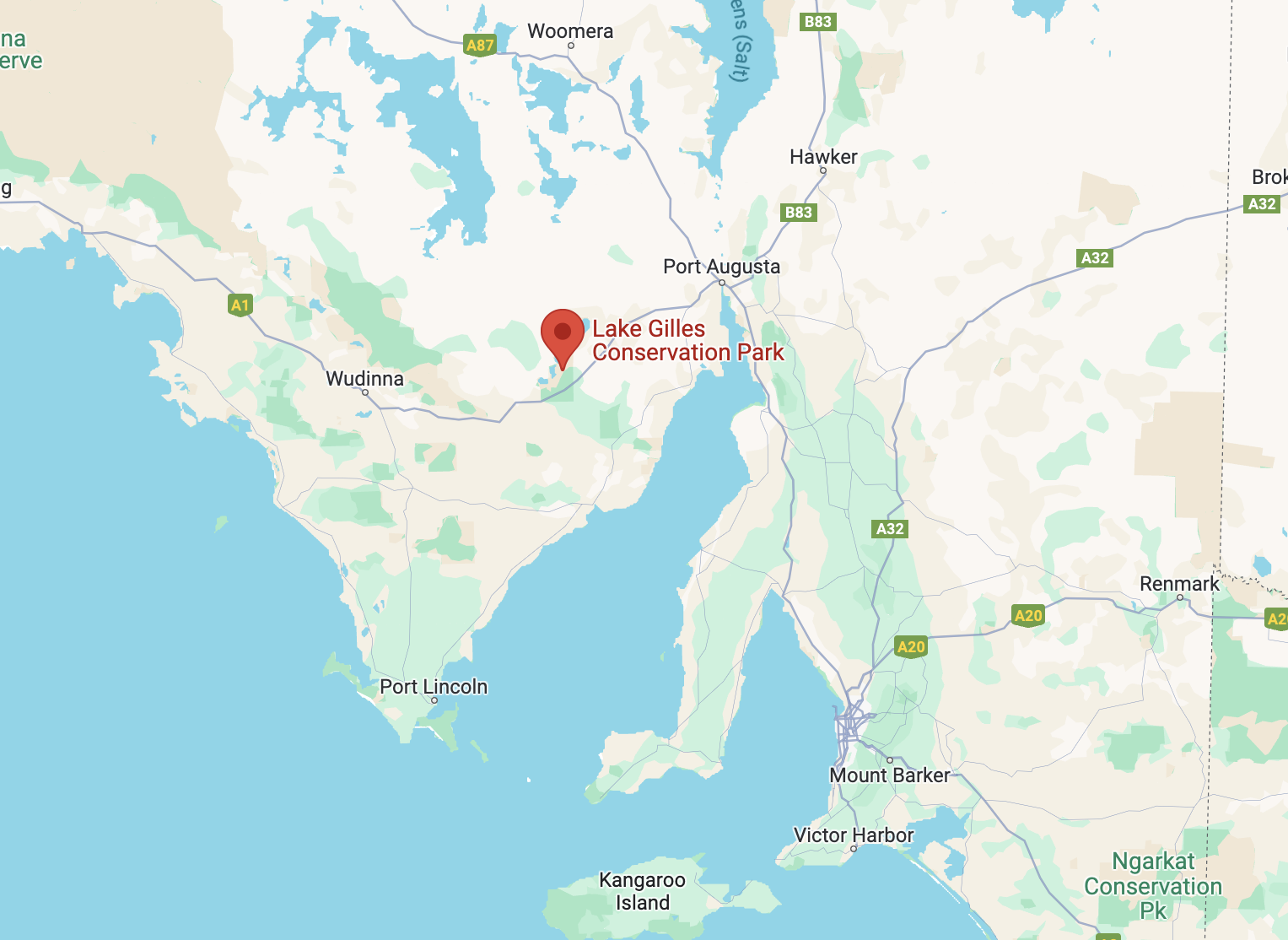
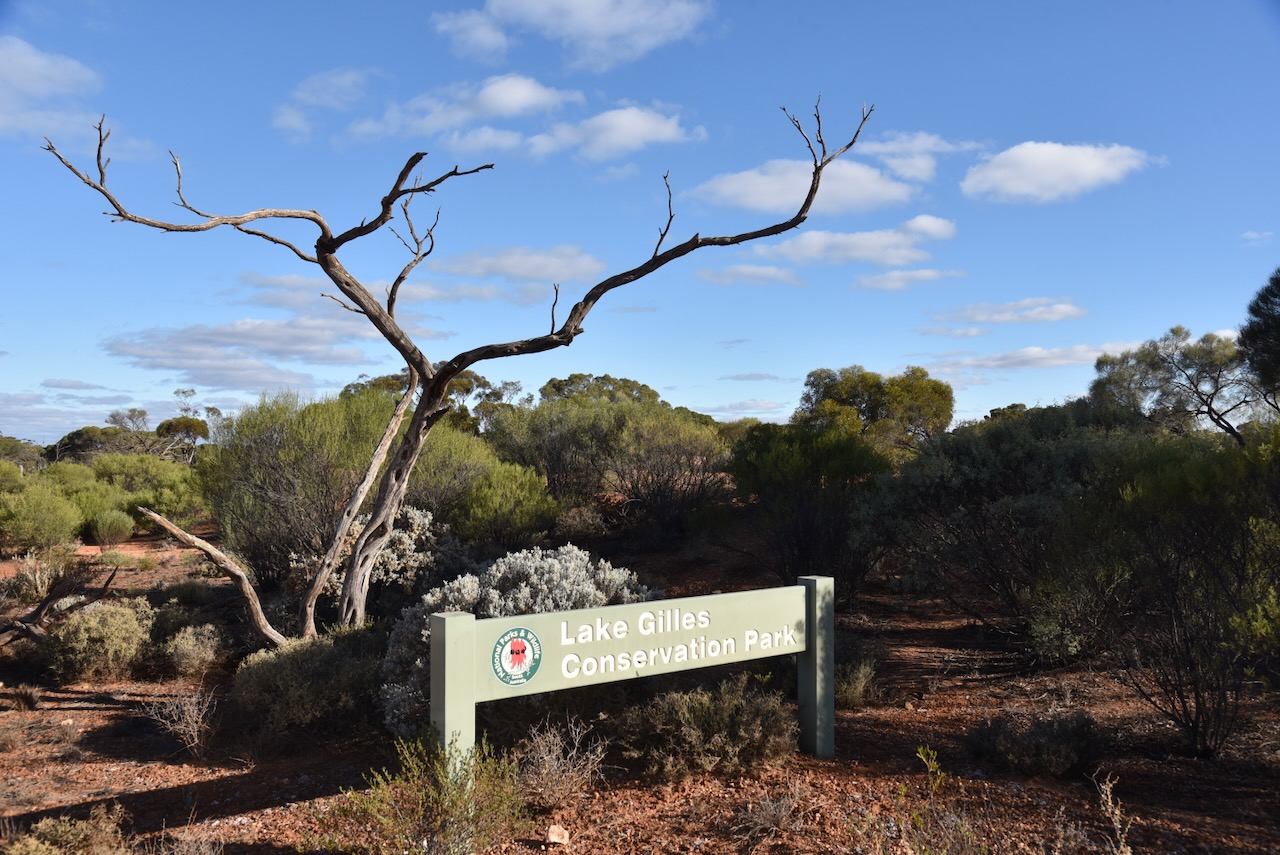
My next planned activation for the day was the Lake Gilles Conservation Park.
Above:- Map showing the location of the Lake Gilles Conservation Park. Map c/o Google Maps.
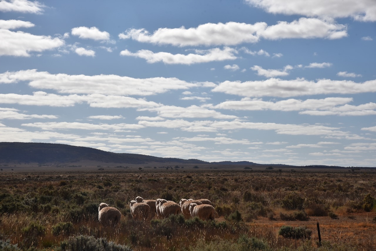
The landscape changed dramatically once I had reached this point in the north of South Australia. The cropping area of the Mid North had disappeared and was replaced by grazing land.
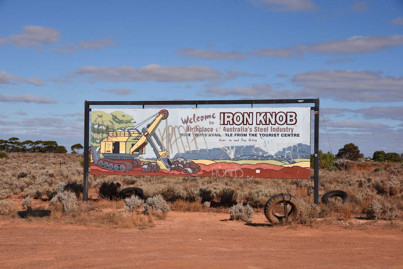
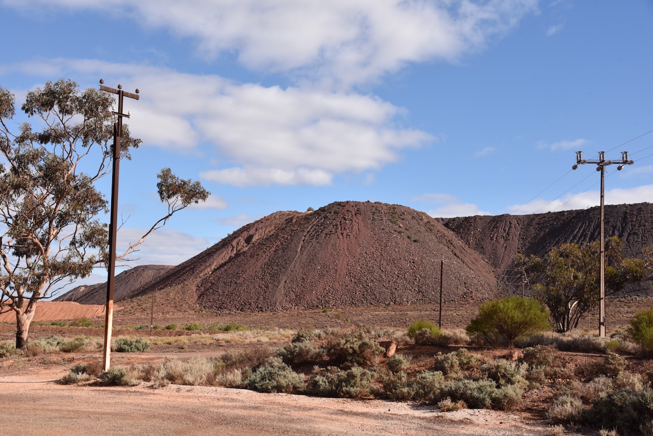
Prior to heading to the park, I detoured in to have a look at the town of Iron Knob located about 377 km north of the city of Adelaide.
Prior to European occupation, the land in this area was occupied by the Banggarla (also known as Parnkalla or Pangkala) aboriginal people. Their traditional land included most of the upper Eyre Peninsula, including Port Lincoln, Whyalla and the lands west of Port Augusta. (Aussie Towns 2024)
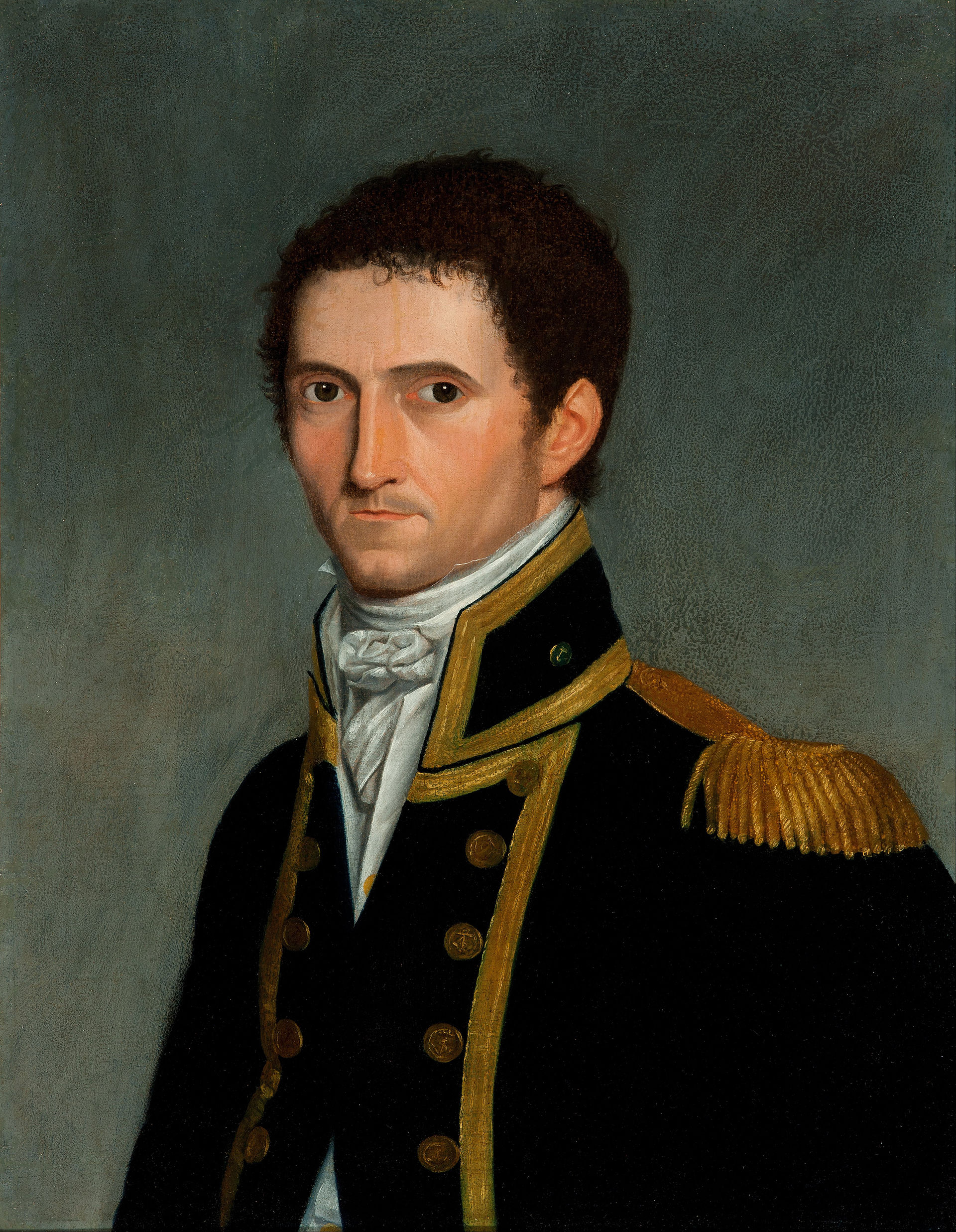
The first known European in the area was Captain Matthew Flinders (b. 1774. d. 1814). On the 9th day of March 1802, Flinders surveyed the area around current-day Whyalla. He named about 140 of the prominent landmarks including Mount Middleback, Middle Mount, Hummock Mount and (later Hummock Hill) and Point Lowly. Flinders wrote:
“I have examined on the western side of a squat hill apparently rising directly from a broad bay with a low sandy shore rising gradually. Here the adjacent mud banks appear to be frequented by a large number of ducks and black swans. I have named this spot Hummock Mount.” (Iron Knob 2024)
Above:- Matthew Flinders. Image c/o Wikipedia.
The explorer Edward John Eyre passed through the area in 1839. He recorded in his journals that on the 18th day of September 1840, he climbed a hill and described the area as principally ironstone. It is believed the hill was either Iron Baron or Iron Price. (Iron Knob 2024)
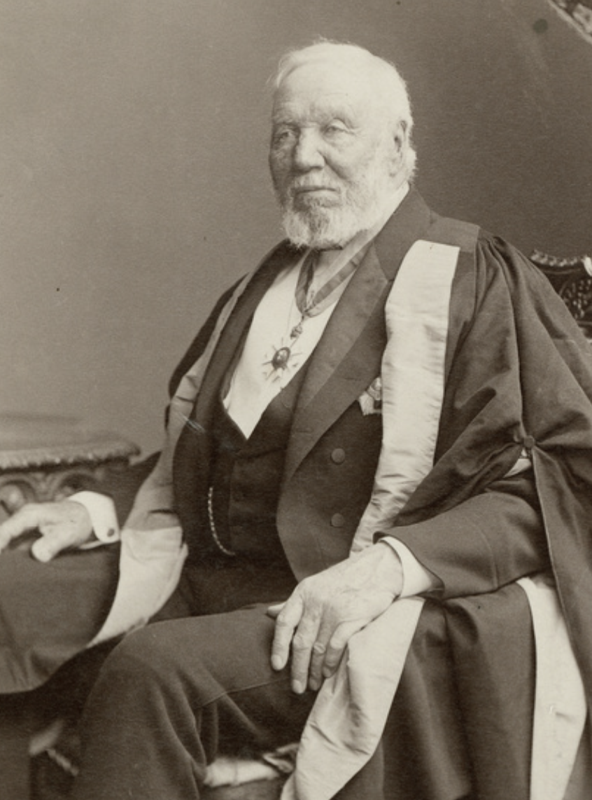
On the 30th day of January 1854, James Patterson established Cooroona Hill, now known as Corunna Station. This lease was taken over by Abraham Scott in 1861 and then in 1868 by John Morphett and Samuel Davenport. (Aussie Towns 2024) (Iron Knob 2024)
Above:- Sir Samuel Davenport. Image c/o State Library South Australia.
In the late 1870s Davenport became aware of the Iron Knob deposits. In 1886 he exhibited specimens of Iron Knob ore at the Indian and Colonial Exhibition in London. The exhibition was held in South Kensington, London. The Prince of Wales stated the objective was to “stimulate commerce and strengthen the bonds of union now existing in every portion of her Majesty’s Empire”. Queen Victoria opened the exhibition which was attended by bout 5.5 million people. (Iron Knob 2024) (Mathur 2007)
Above:- The Queen Opening the Colonial and Indian Exhibition Procession passing the principal entrance to the Indian Palace. Image c/o Wikipedia.
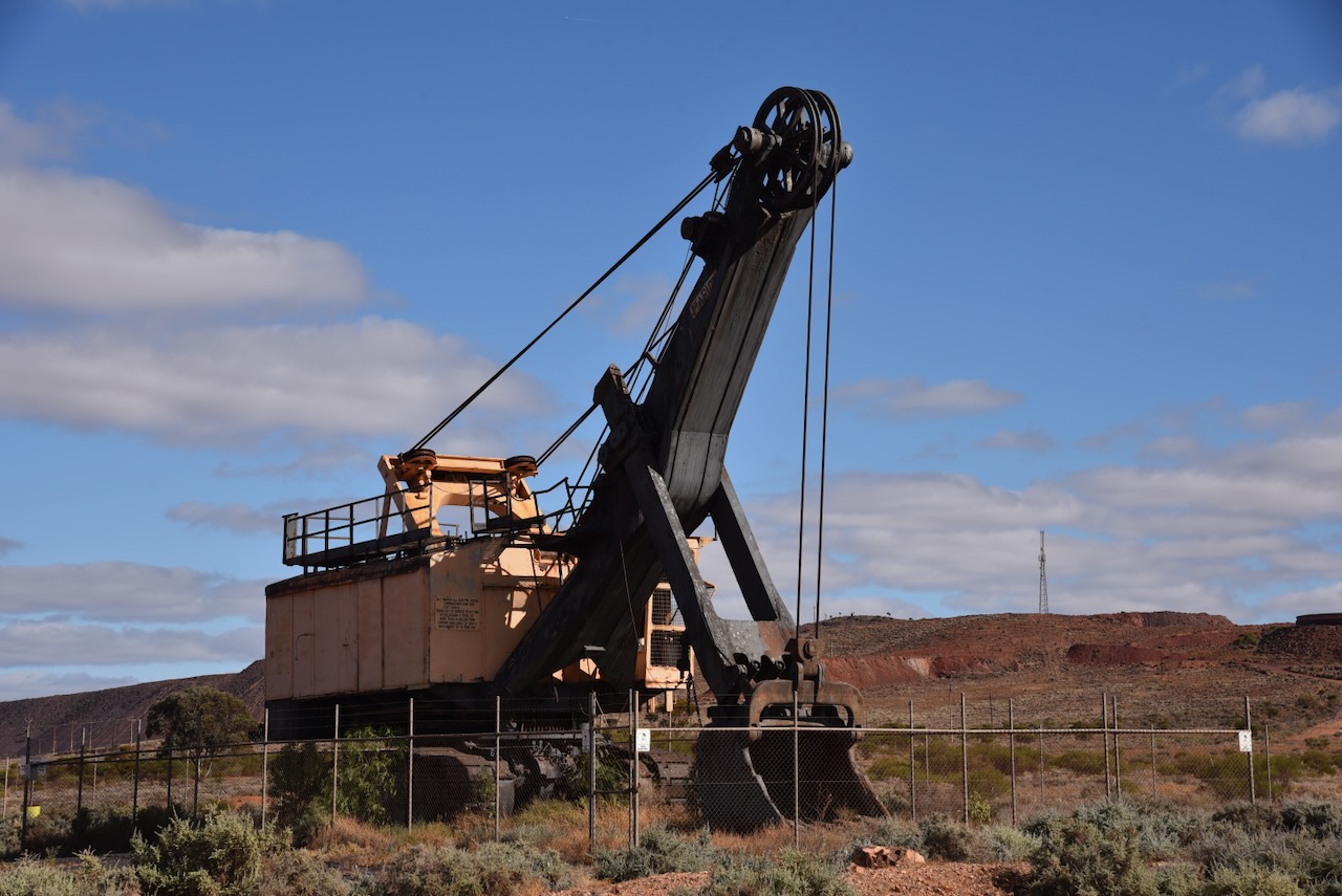
During the late 1880’s, Bill Howie and John Steicke were working on fences on Corunna Station which at the time was owned by two brother, C.E. and J.H. Morphett. Howie and Steicke noticed a massive red outcrop of ironstone on the property. When they returned to their hometown of Caltowie, they talked about their find amongst other locals. One of those was Franz Heinrich Ernst Siekmann. He along with several associates travelled to Coruna Station to investigate. An area around Iron Knob and Iron Monarch was pegged out and the Mount Minden Mining Company was formed. (SA Memory 2008)
Above:- Franz Heinrich Ernst Siekmann. Image c/o Ancestry.com.au
A shaft of about 500 feet was sunk and this established that iron ore existed at the location. They did not locate the gold and silver they were hoping to discover. The only use for iron ore at that time was a flux for smelting lead. The Broken Hill Proprietary Company (BHP) had a lead smelting plant at nearby Port Pirie. However, transportation to Port Pirie was difficult and interest in the mining of iron ore at Iron Knob waned. In 1893 Ernst became bankrupt due to the general economic depression in Australia. This was followed by notices appearing in the South Australian Government Gazette advising of payments due on the Iron Knob leases. In November 1897, the Mount Minden Mining Company was liquidated. (SA Memory 2008)
John Darling (b. 1852. d. 1914) from BHP then pegged out the leases at Iron Knob in the name of BHP. Darling had become a director of BHP in 1892 and was chairman of directors from 1907 to 1914. (Aust Dict of Biography 2024) (SA Memory 2008)
Above:- John Darling. Image c/o Wikipedia.
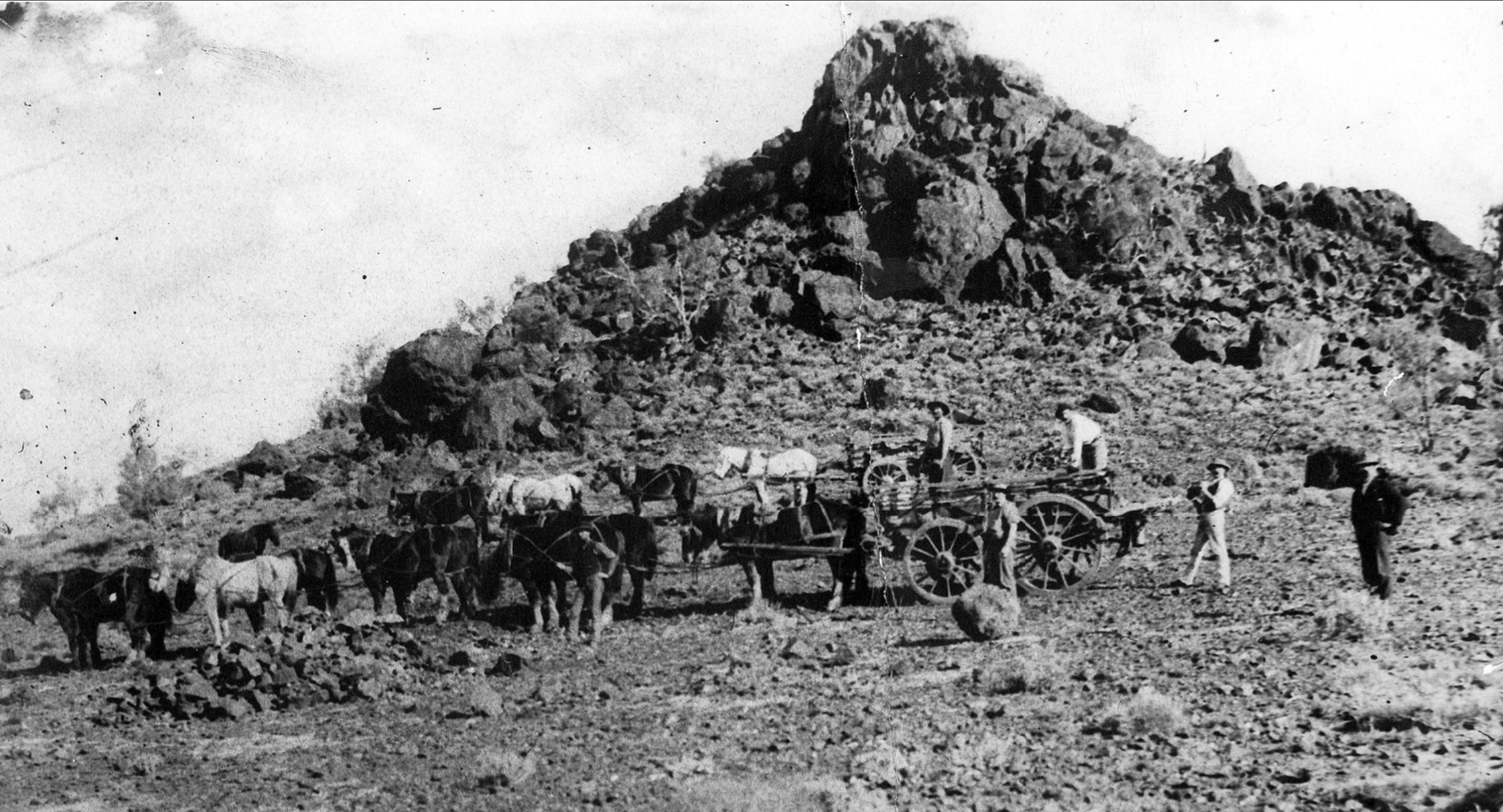
The ore was initially used at Port Pirie as a flux during the smelting of silver, lead and zinc ore. The ore was transported to Port Augusta by bullock teams, taking 2 days to reach the destination. The ore was then sent by rail from Port Augusta to Port Pirie. About 100,00 tons of ore was transported in this manner prior to 1900. (Iron Knob 2024) (Whyalla 2024)
Above:- Iron ore being carted from Iron Knob to Port Augusta using horse-drawn wagons, c. 1897. Image c/o State Library South Australia.
The BHP Whyalla Tramway from Iron Knob to Hummock Hill (now Whyalla) was completed in 1901. Hummock Hill was renamed Whyalla in 1914. (Drexel 1982)
In 1922 construction commenced on the Sydney Harbor Bridge. About 21% of the steel required for the bridge’s construction was smelted at Port Kembla in New South Wales from ore that was quarried at Iron Knob. The remaining 79% was imported from England. The total weight of the steelwork of the bridge, is 52,800 tonnes. (Wikipedia 2024)
Above:- the Sydney Harbour Bridge under construction. Image c/o Wikipedia.
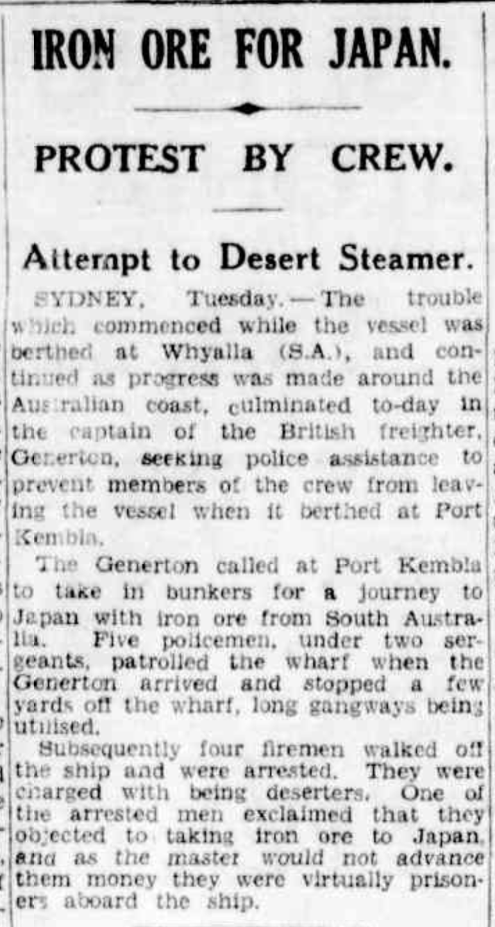
During the 1920s iron ore from Iron Knob was exported to Holland (now the Netherlands) and to the United States of America. The Iron Baron mine was opened in 1933. Prior to the outbreak of the Second World War, iron ore from Iron Knob was exported to Japan. During the financial year of 1935-1936, a total of 291,961 tonnes of ore from Iron Knob was shipped to Japan via Whyalla. At this time Japan was considered as an ‘aggressor’ due to acts of war involving China. There were several protests by waterfront workers and seamen who were opposed to the export of iron ore to Japan. This led to several strikes and arrests. (National Museum Australia 2024) (Sydney Morning Herald 2024)
Above:- Article from The Age, Wed 20 Apr 1938. Image c/o Trove.
On the 15th day of November 1938, waterside workers refused to load iron ore on the ship Dalfram. They were concerned that the iron would be turned into bullets by the Japanese and may be used against Australia. They were also concerned that the iron was already being used in Japan’s invasion of Manchuria in China. At the time Australia’s Attorney General was Robert Gordon Menzies. The incident became known as the Dalfram Dispute and resulted in Menzies being known as Pig Iron Bob. (Maritime Union 2012)
Iron Prince and Iron Queen were opened in the 1970s. The Iron Duke mine was opened in 1990. (Iron Knob 2024) (Whyalla 2024)
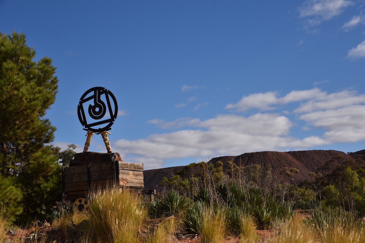
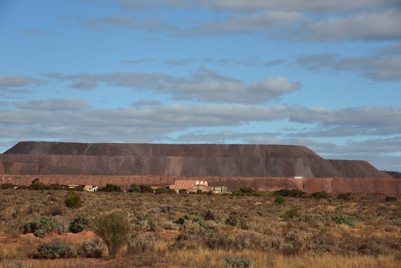
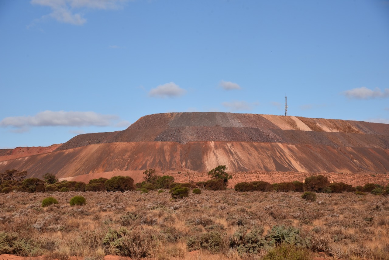
Mining at Iron Knob finished in April 1998 when the last ore was removed from Iron Monarch. But by 2012, Iron Monarch was reopened and ore was once again transported to Whyalla. (Whyalla 2024)
Today Iron Knob has a post office, a camping ground and a tourist centre.
I drove to the Iron Knob Museum but unfortunately it was closed.
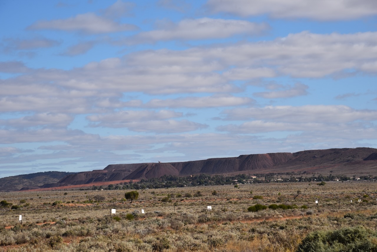
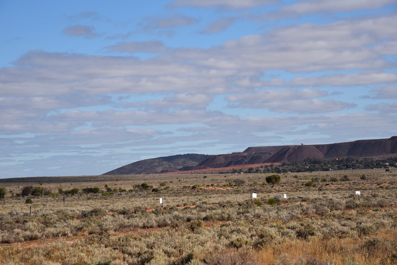
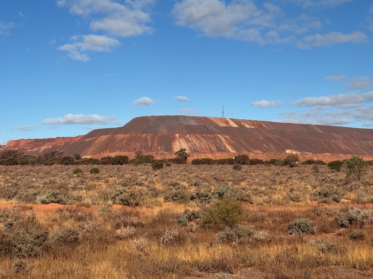
I left Iron Knob and drove 55 km along the Eyre Highway until I reached the Lake Gilles Conservation Park.
The Lake Gilles Conservation Park is about 655.27 km2 in size and was established on the 30th day of September 1971.
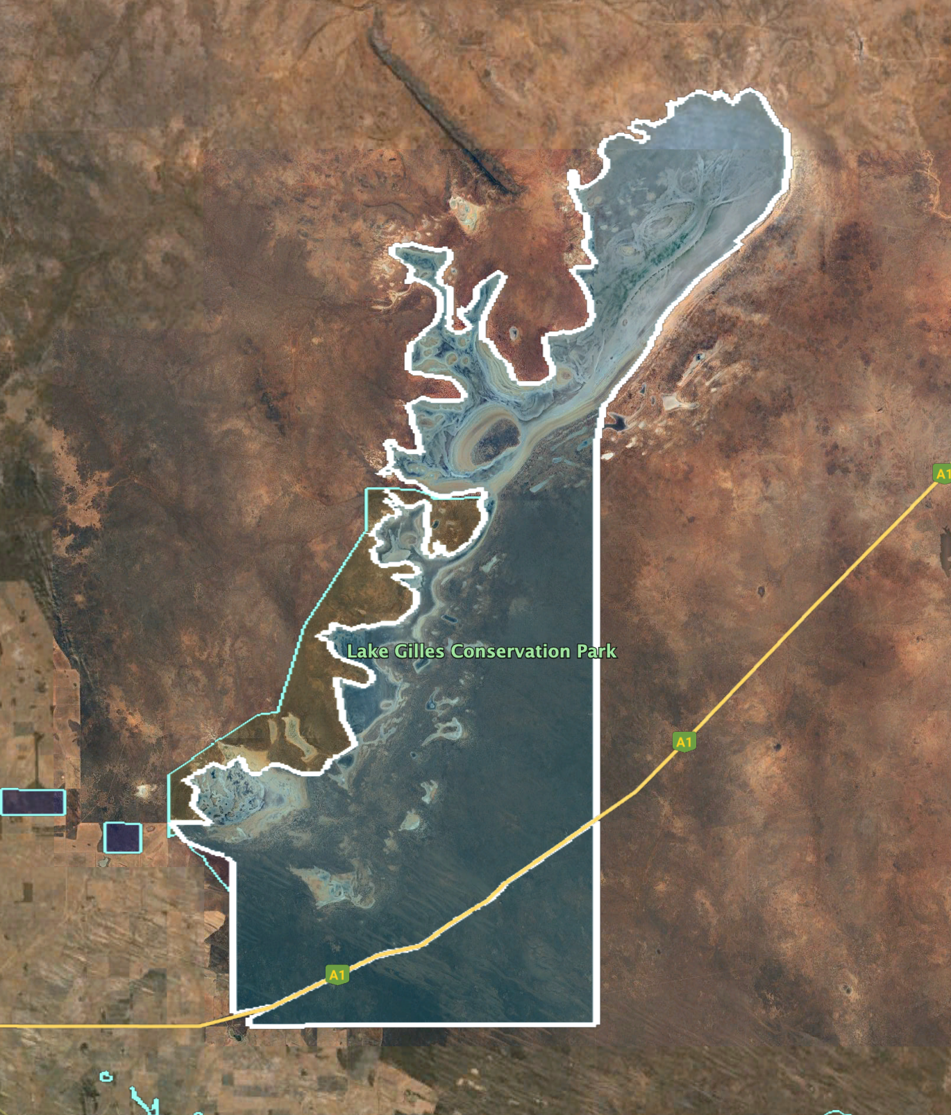
Above:- An aerial view of the Lake Gilles Conservation Park showing its boundaries. Image c/o Google Earth.
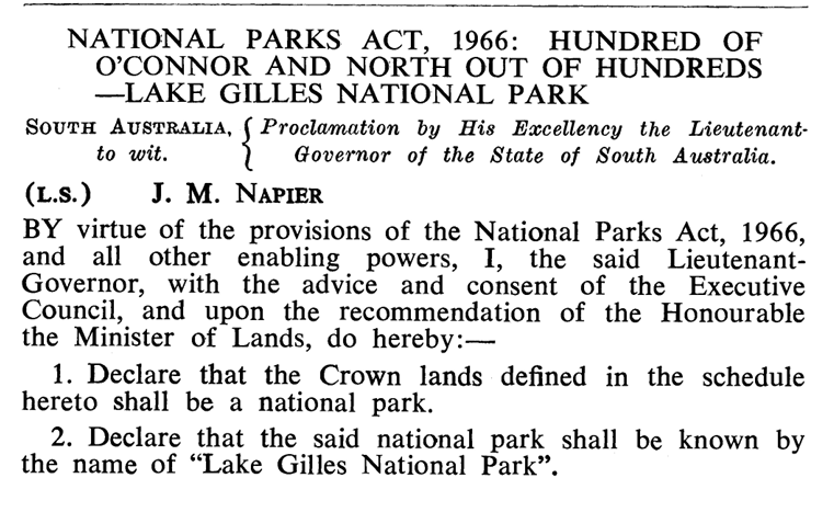
The park was originally proclaimed as the Lake Gilles National Park on the 30th day of September 1971. On the 27th day of April 1972, it was proclaimed the Lake Gilles Conservation Park. On the 5th day of August 2010, the Lakes Gilles Conservation Reserve which had been created in 1994, was added to the Conservation Park. (Wikipedia 2024)
Above:- proclamation of the Lake Gilles National Park. Image c/o South Australian Government Gazette, 30 September 1971.
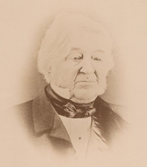
The park is named in honour of Osmond Gilles (b. 1788. d. 1866) who was a settler, pastoralist, mine owner, and the first Colonial Treasurer in the Colony of South Australia. Gilles was born in London in August 1788. He emigrated to South Australia in 1836 aboard the HMS Buffalo. In 1837 he had the largest holdings of any settler in the new colony. Other than the park, other localities are named in his honour including Gilles Street in Adelaide, the OG Hotel a Klemzig, O.G. Road, and the suburb of Gilles Plains. (Aust Dict of Biography 2024)
Above:- Osmond Gilles. Image c/o Wikipedia.
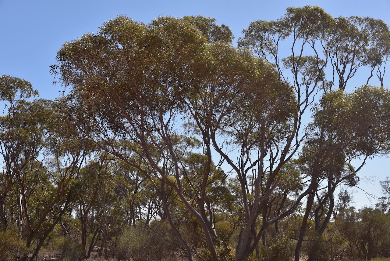
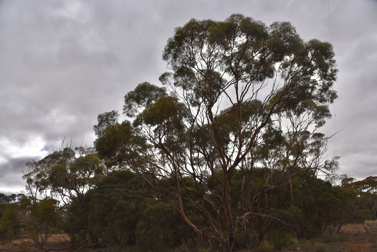
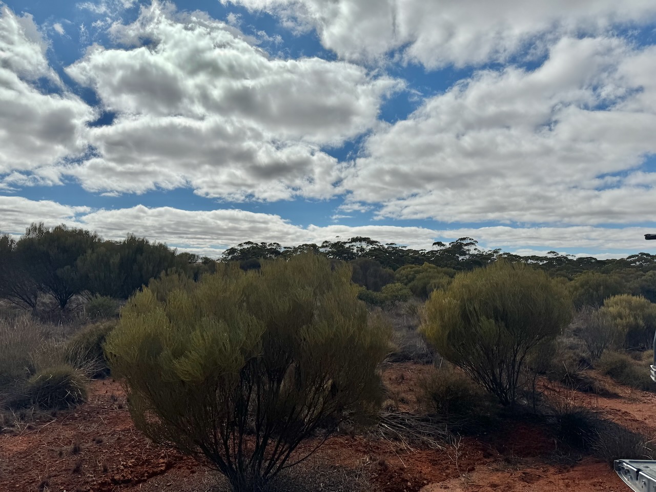
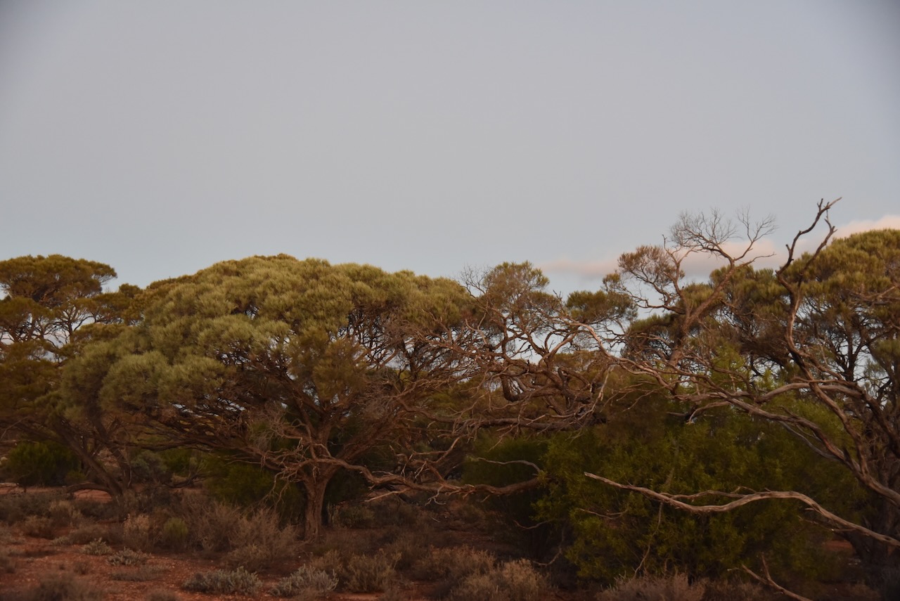
The park consists of sparse and semi-arid mallee landscape. The saline lake in the park is surrounded by low sandy rises, gypsum dunes and isolated stony hills. (Parks SA 2024)
I set up in the park on the southern side of the Eyre Peninsula. I ran the Yaesu FT857, 40 watts, and the 20/40/80m linked dipole, inverted v, supported by a 7 metre heavy duty telescopic squid pole.
I logged a total of 148 stations, with an excellent opening on the 20m band, long path into Europe. I also made 4 Park to Park contacts.
I worked the following stations on 20m SSB:-
VK4JT
VK4NH
Vk4DXA
VK7XX
VK3SX
KH6KW
VK5QA
VK1AO
VK2MET
IK1GPG
VK3CEO
VK3NDG/p (Mitchell River National Park VKFF-0321)
VK3YV/p (Mitchell River National Park VKFF-0321)
IW2BNA
VK3PF/p (SOTA VK3/ VG-121)
OH1MM
DL1EBR
KG5CIK
OH6GAZ
IK4IDF
UT5PI
F1BLL
VK6LK
ON3UA
VK3ACZ
SP7MW
VK3SPG
F4JJS
I4RHP
GM1SDK
IU1RLJ
ON3YB
M7CBI
VK4EHI
ZL3MR
ON6ZV
VK2EXA
SQ9CWO
IZ8VYU
F4GYG/m
VK6NU
ZL1TM
VK3PWG
EA3MP
PD2BA
EC5CSW
EA5G
F5IYO
2E0VRX
SQ2WKQ
DL3WB
DL7HU
F4GYM
KG8P
MI6OLJ
RC5F
VK3ALF
F6EOC
DK7RD
OK2TS
VK3GJG
VK3SO
OH2NC
EA5IQN
VK3CWF
M0UCK
VK3APJ
EA1GIB
VK2MG
VK1ARQ
VK4FOX
VK4SMA
ZL3ASN
VK6KMS
ON8ON
OM5TX
DK4RM
VK3MLT
EA3AGQ
OM3CND
VK5AYL
VK2XGB
I worked the following stations on 40m SSB:-
VK3PF/m
VK5TUX
VK5AYL
VK5JA
VK3VIN
VK5FANA
VK5AAF
VK4SMA
VK6JQ
VK5MOS
VK1AO
VK2MET
VK3PWG
VK1CHW
VK3DL
VK4HMI
VK2IO/p (Deua National Park VKFF-0138)
VK5WU
VK2XGB
VK3UAO
VK3HJW
VK2EFM
VK7MAT
VK5BRU
VK4EMP
VK4TI
VK3ABQ
ZL2STR
VK7WUU
VK4PDX
VK3SO
VK3SFG
VK2XO
VK5HS
VK5LKJ
VK2MOE
VK3CMA/p (Whroo Natural Features Reserve VKFF-2229)
VK6LK
VK6LMK
VK1AAF
VK3BBB
VK2CCP
Vk3AN
VK3APJ
VK2EXA
VK4NH
VK4DXA
VK4VCO
VK2WE
VK5AAY
VK6AAX
VK5GY
VK3BKO
VK7IAN
KD1CT
VK1ARQ
VK4DTS
VK3ANL
VK3SQ
VK2BD
VK5DGR/p
VK5MAZ
VK3SPG
VK3PY
VK4FOX
VK3BSF
I then headed off to Kimba where I planned to spend 2 nights.