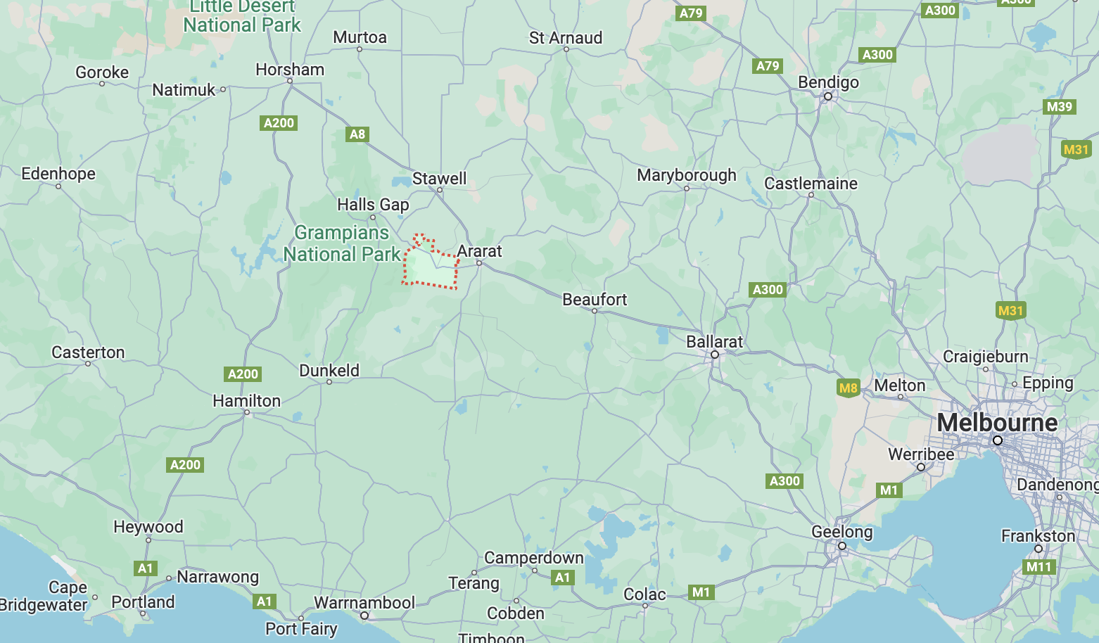
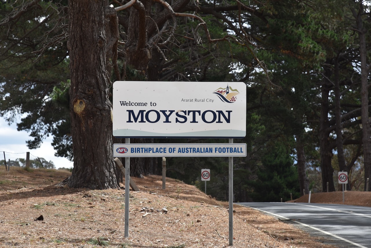
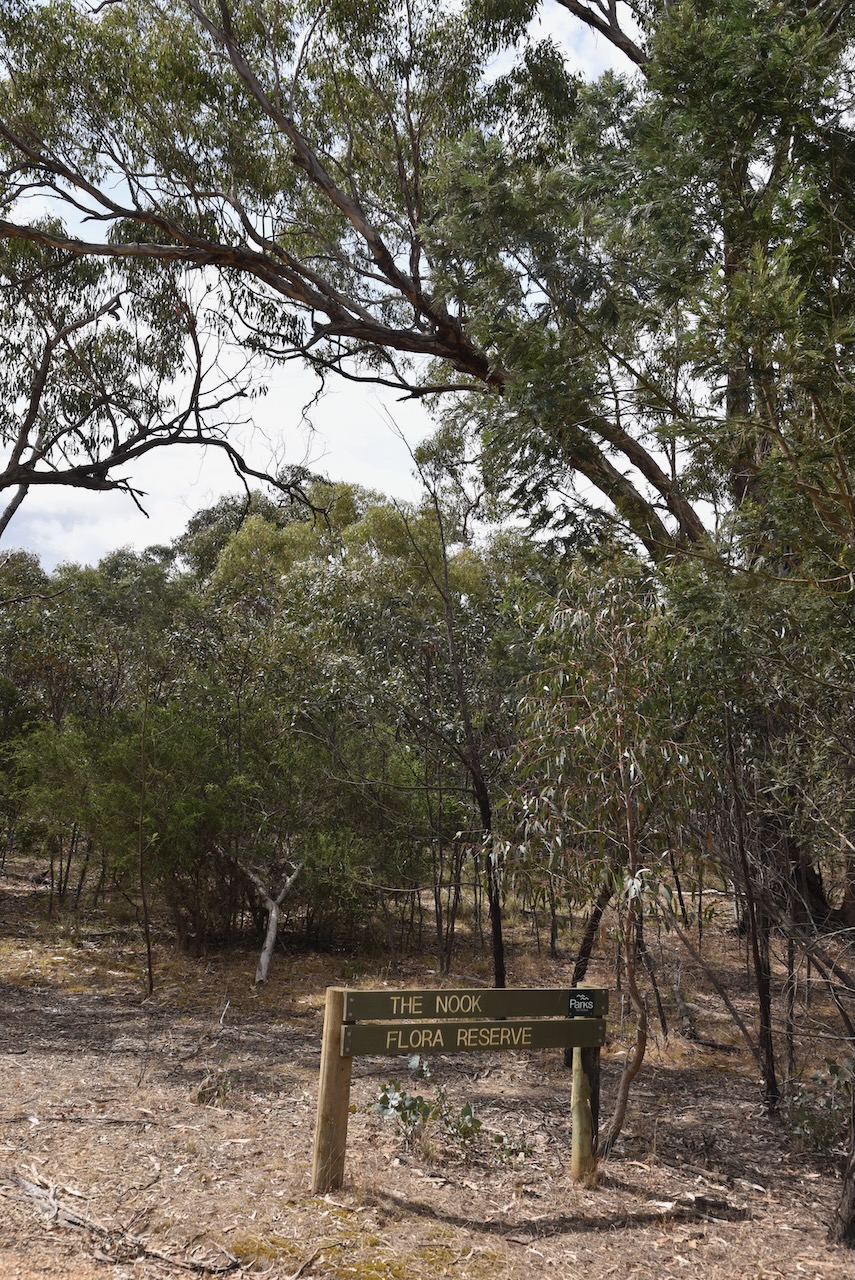
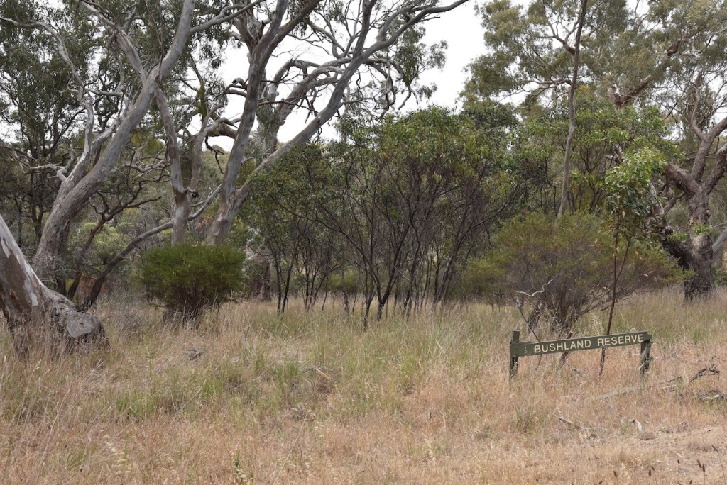
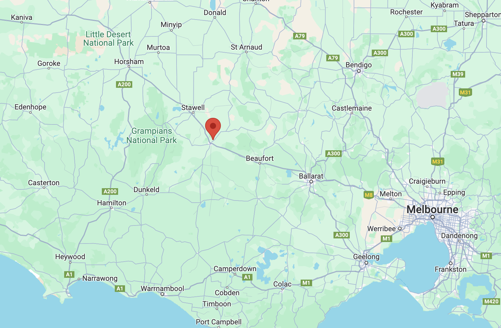
Our next activation for Friday 1st December 2023 was the Moyston Nature Conservation Reserve VKFF-2404. The reserve is located about 5 km northwest of the town of Moyston and about 234 km northwest of the city of Melbourne.
Above:- Map showing the location of the Moyston Bushland Reserve. Map c/o Google Maps.
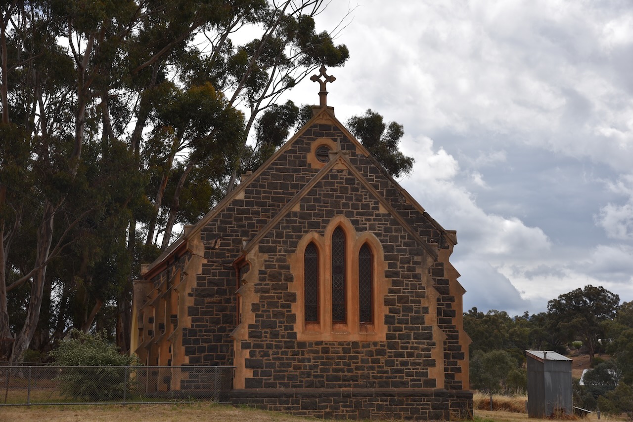
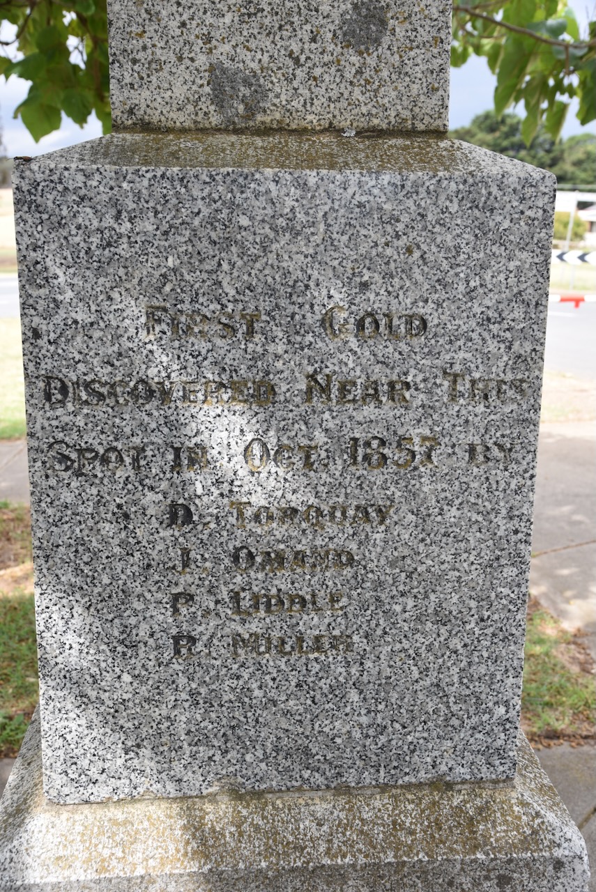
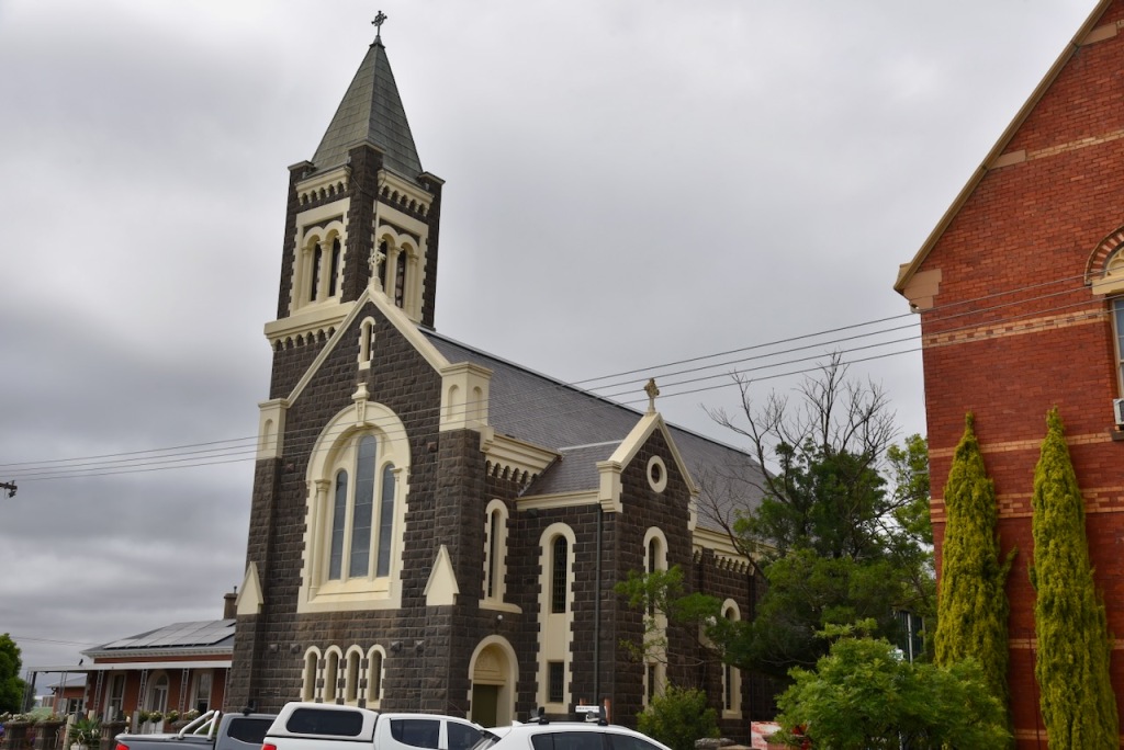
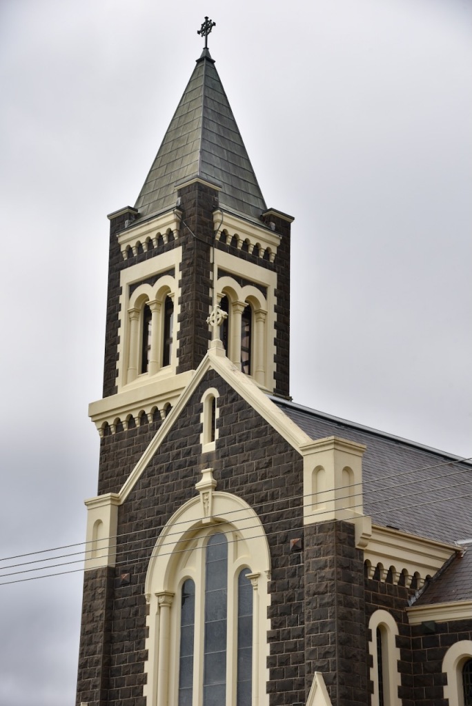
Moyston developed following the discovery of gold in 1857 and then the rich Campbell’s Reef in 1858. By 1858 an Anglican school was opened and three years later the township of Moyston was surveyed. During the early 1860s, the name was changed from Campbell’s Reef to Moyston, named after Moystown in Country Tyrone, Ireland. This was due to the numerous Irish miners from that area. In 1865 Bailliere’s Victorian gazetteer recorded Moyston as having six quartz-crushing and pumping machines, and observed that the surrounding country was well-suited for agriculture. There were three hotels, and a Presbyterian church was built in 1865, along with a courthouse. (Victorian Places 2024)
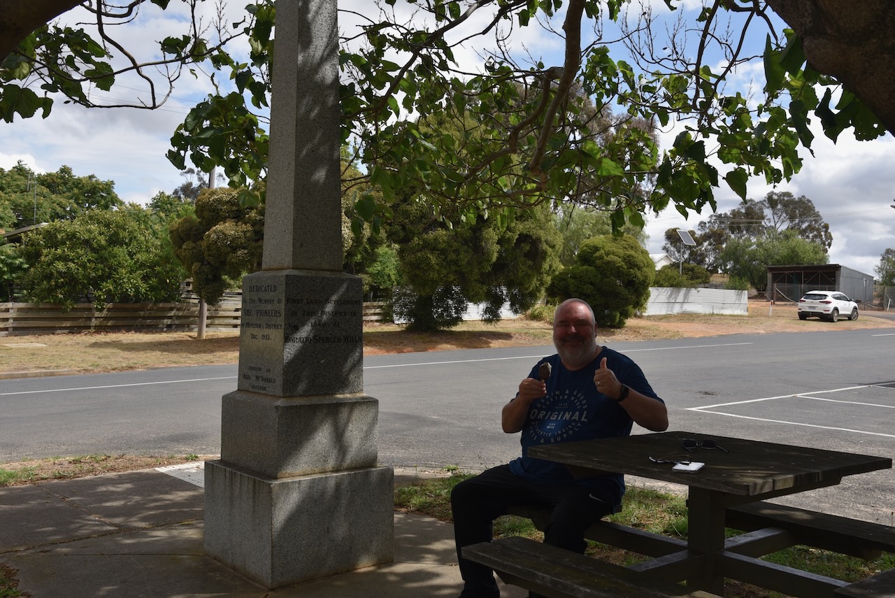
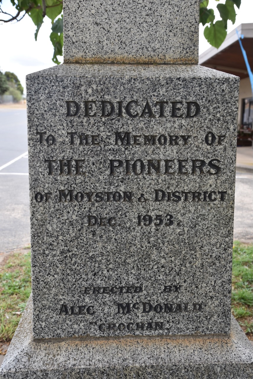
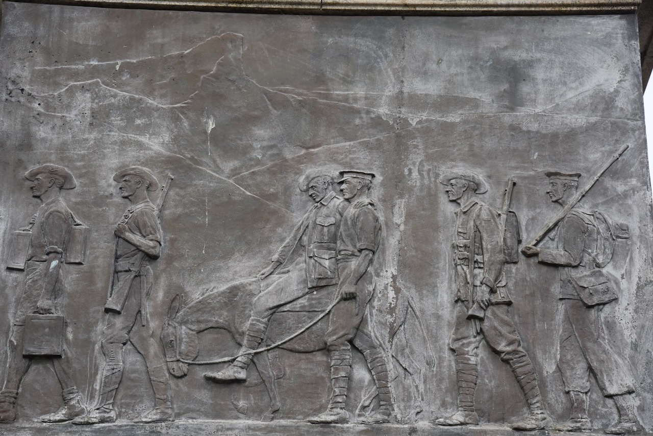
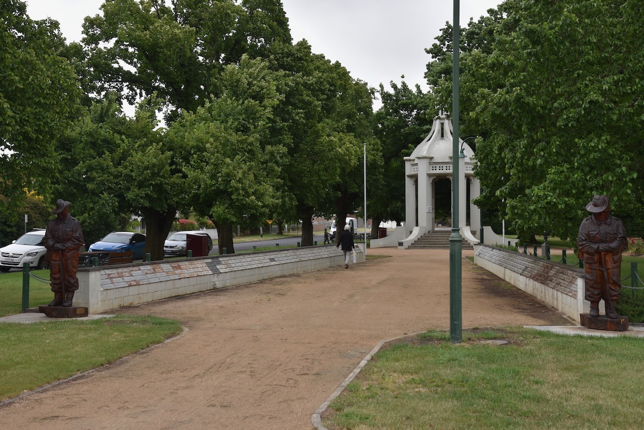
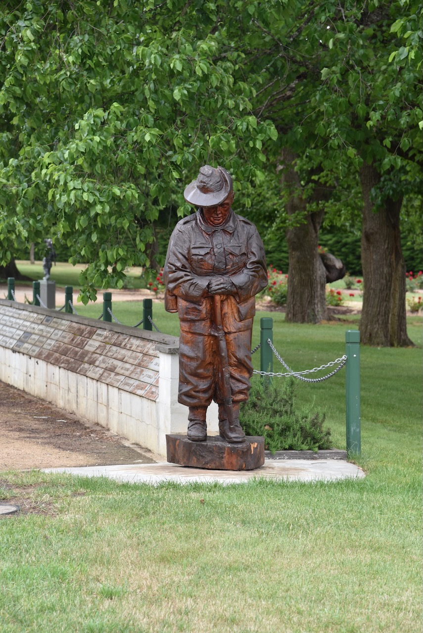
There is a monument at Moyston for Major Thomas Mitchell who passed through the district in July 1836. The monument is also dedicated to the pioneers of Moyston and district.
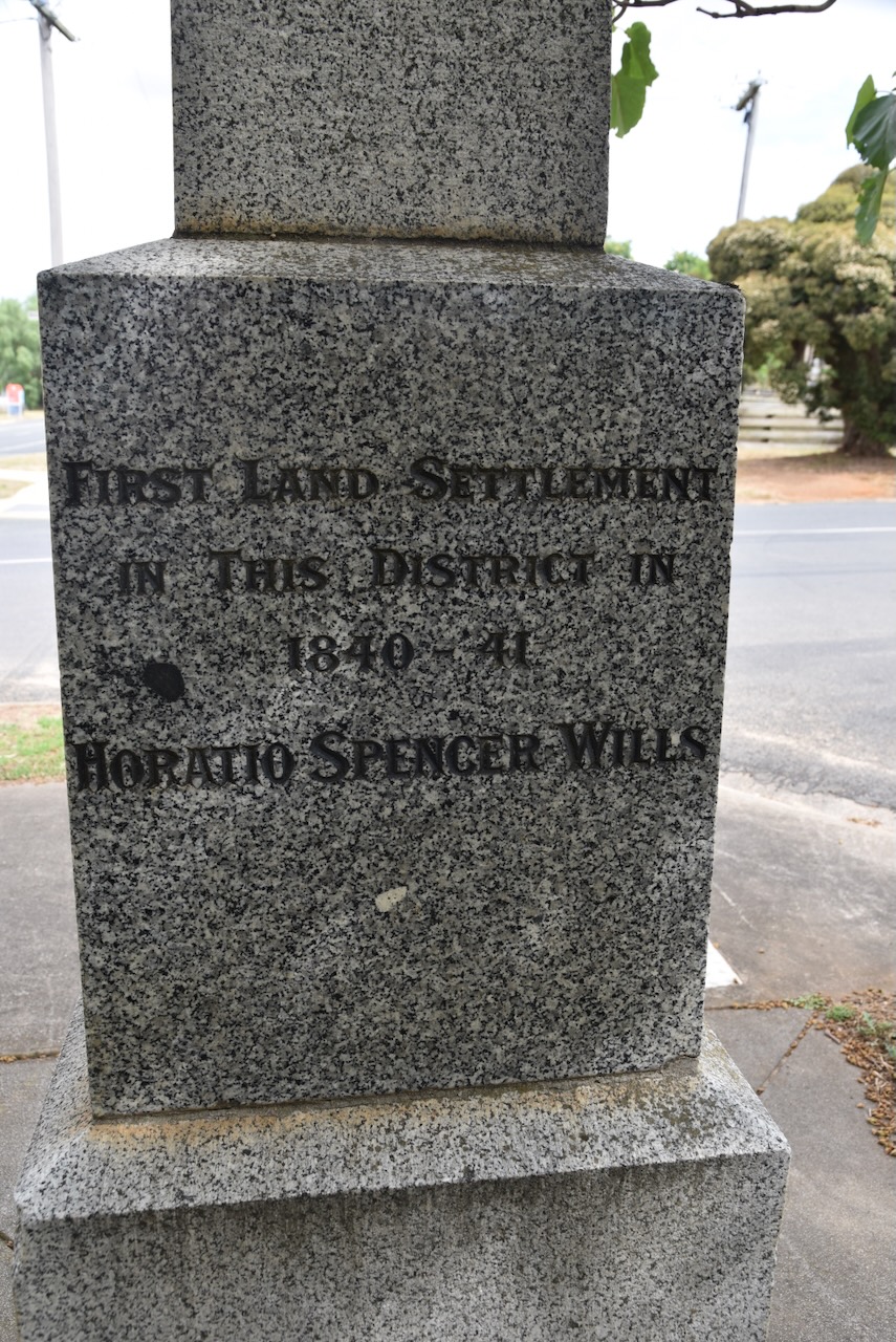
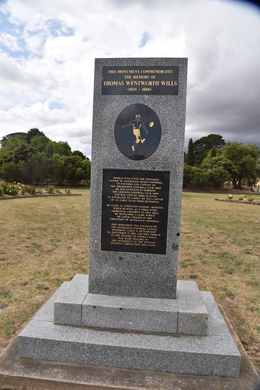
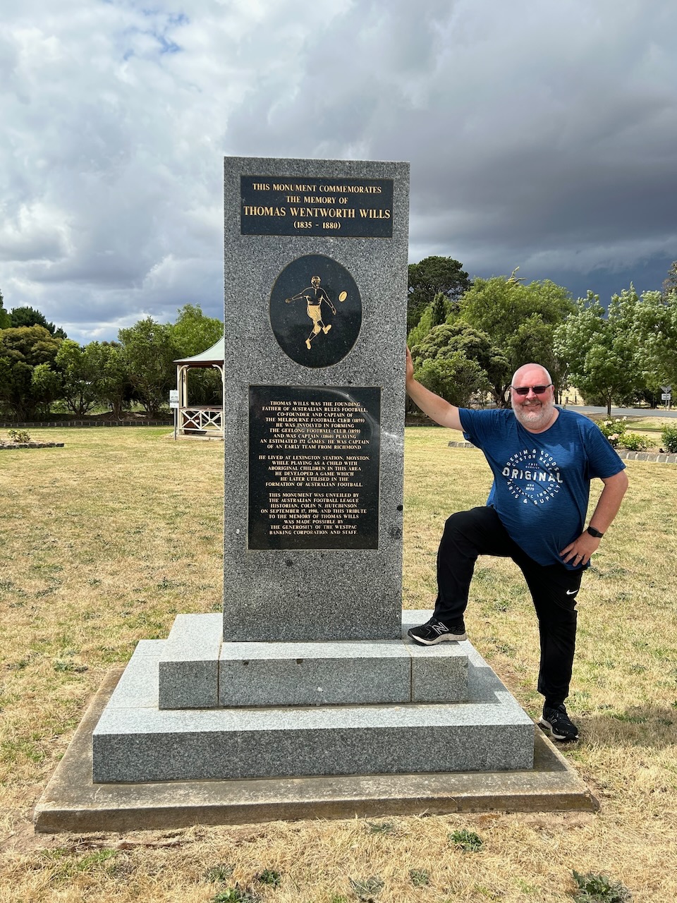
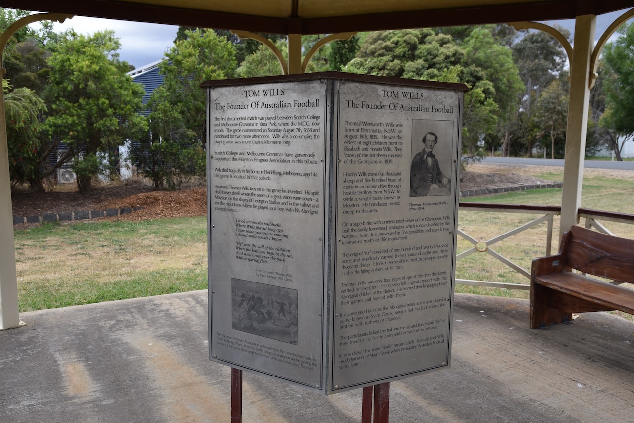
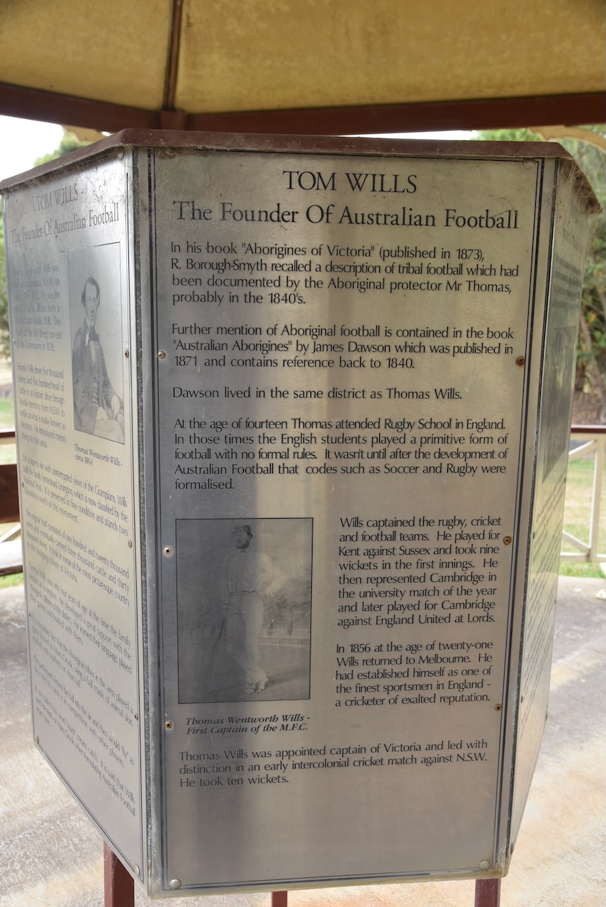
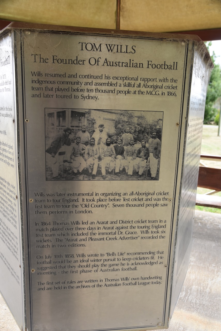
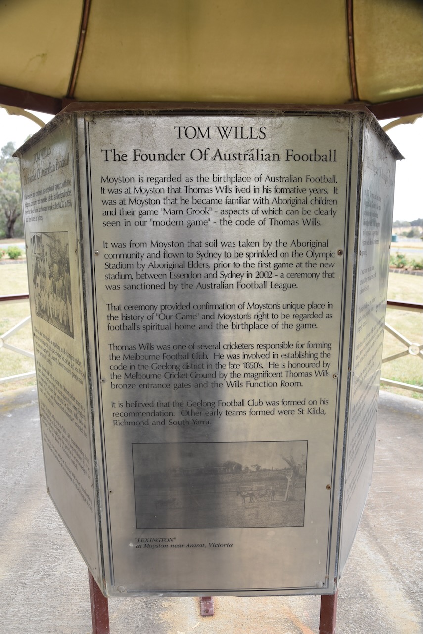
There is also a monument to commemorate the life of Thomas Wentworth Wills (b. 1835. d. 1880), a talented cricketer and footballer who is credited with being a founder of Australian Rules Football. He was the Captain of the Melbourne Football Club in 1858 and was involved in forming the Geelong Football Club. He was captain of the Geelong Football Club in 1860 and played an estimated 172 games. He was Captain of an early team from Richmond. Wills lived at Lexington Station at Moyston. While playing as a child with aboriginal children in the area he developed a game that he later utilised in the formation of Australian Football.
Below is a short documentary on the life of Tom Wills.
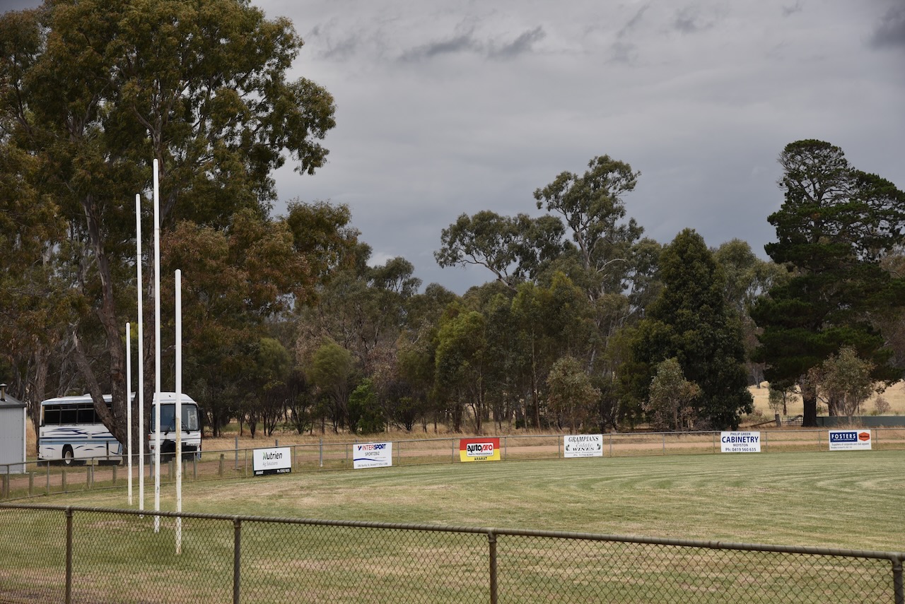
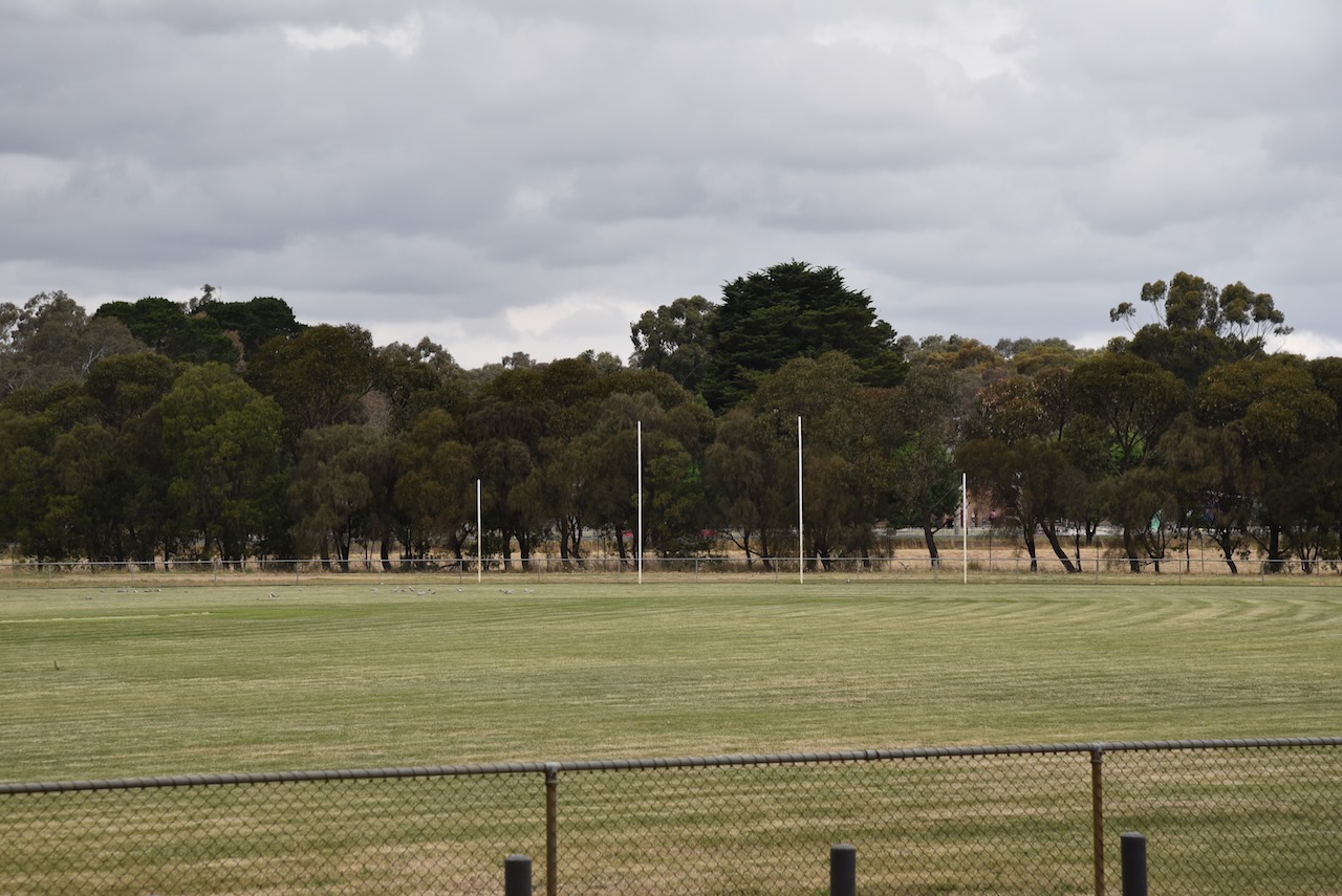
The famous Moyston football oval is adjacent to the monument.
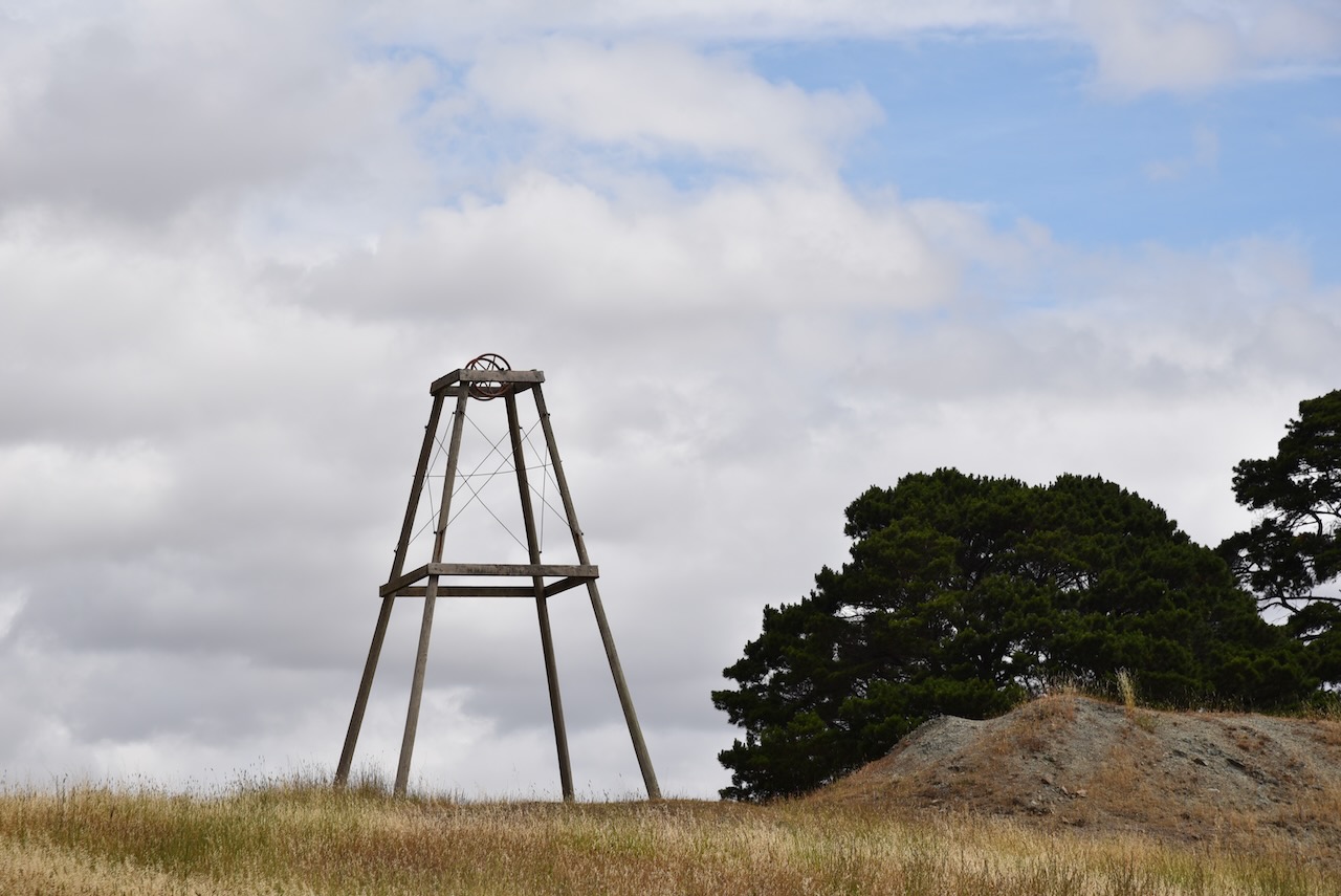
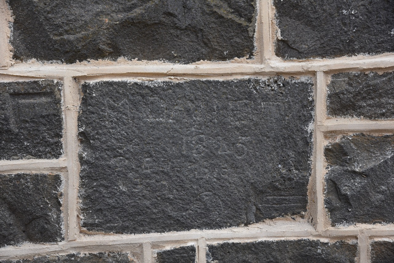
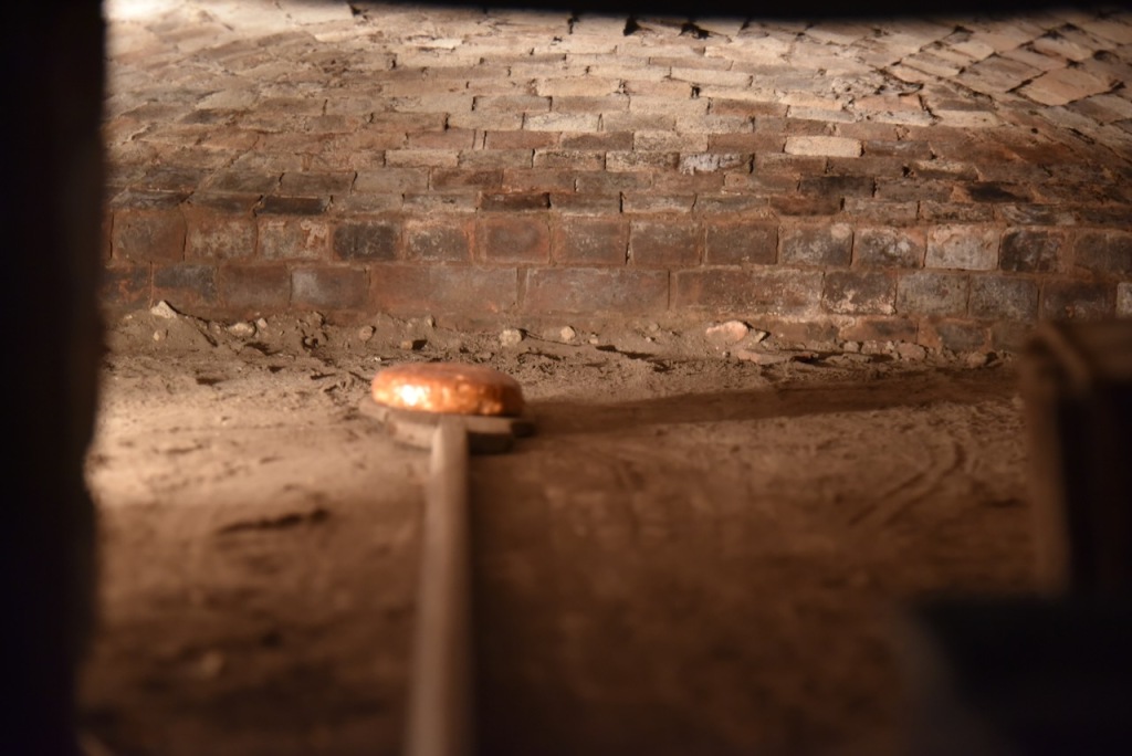
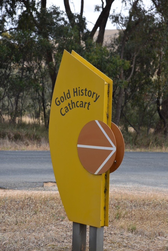
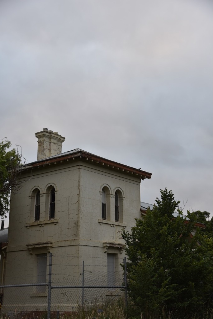
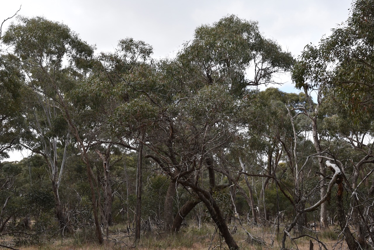
There are still some signs of the old gold mining history of the Moyston district.
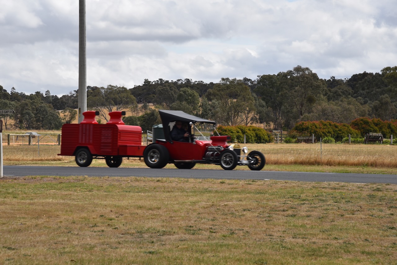
Whilst in Moyston we saw some more hot rods towing their small caravans.
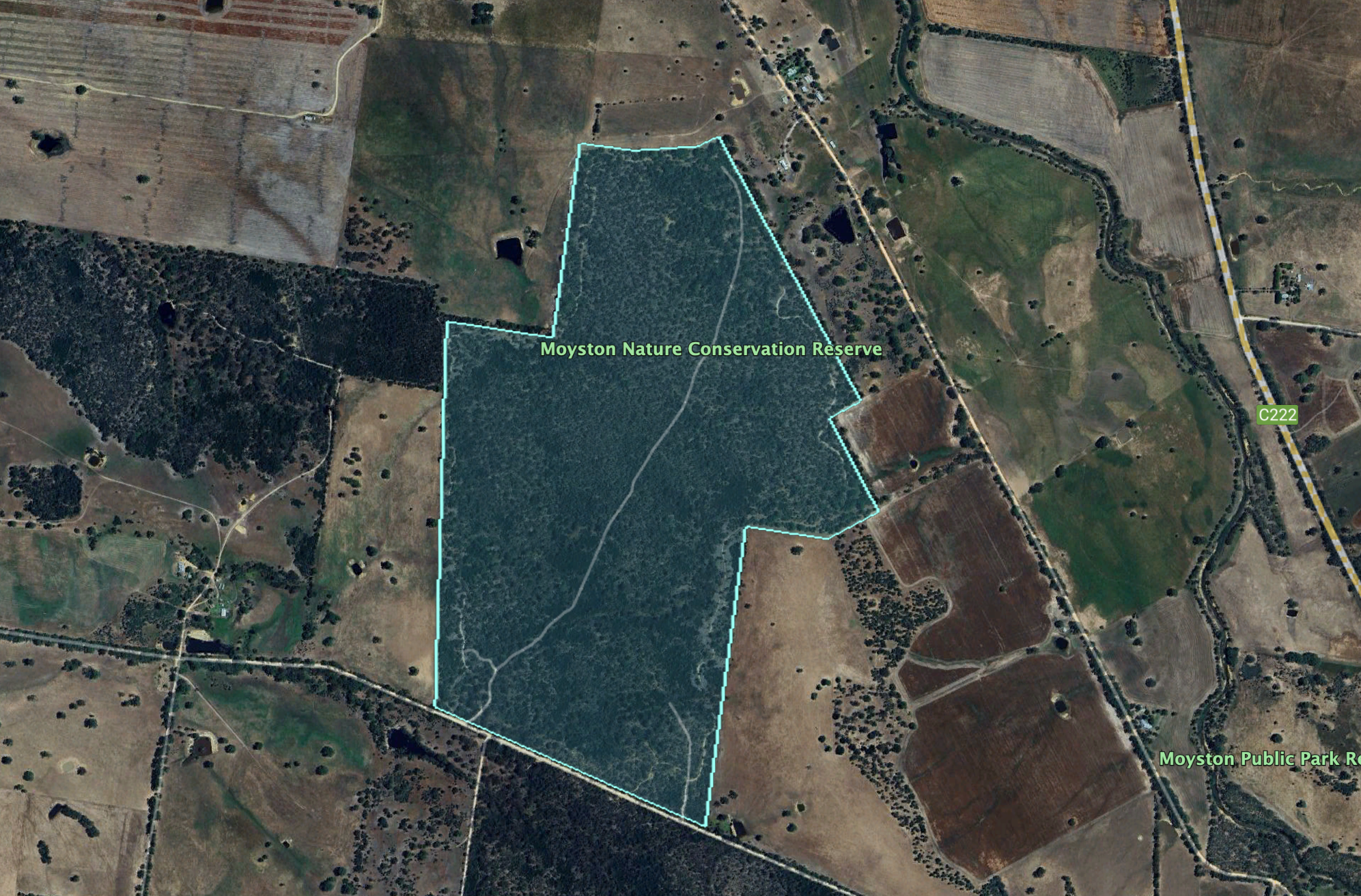
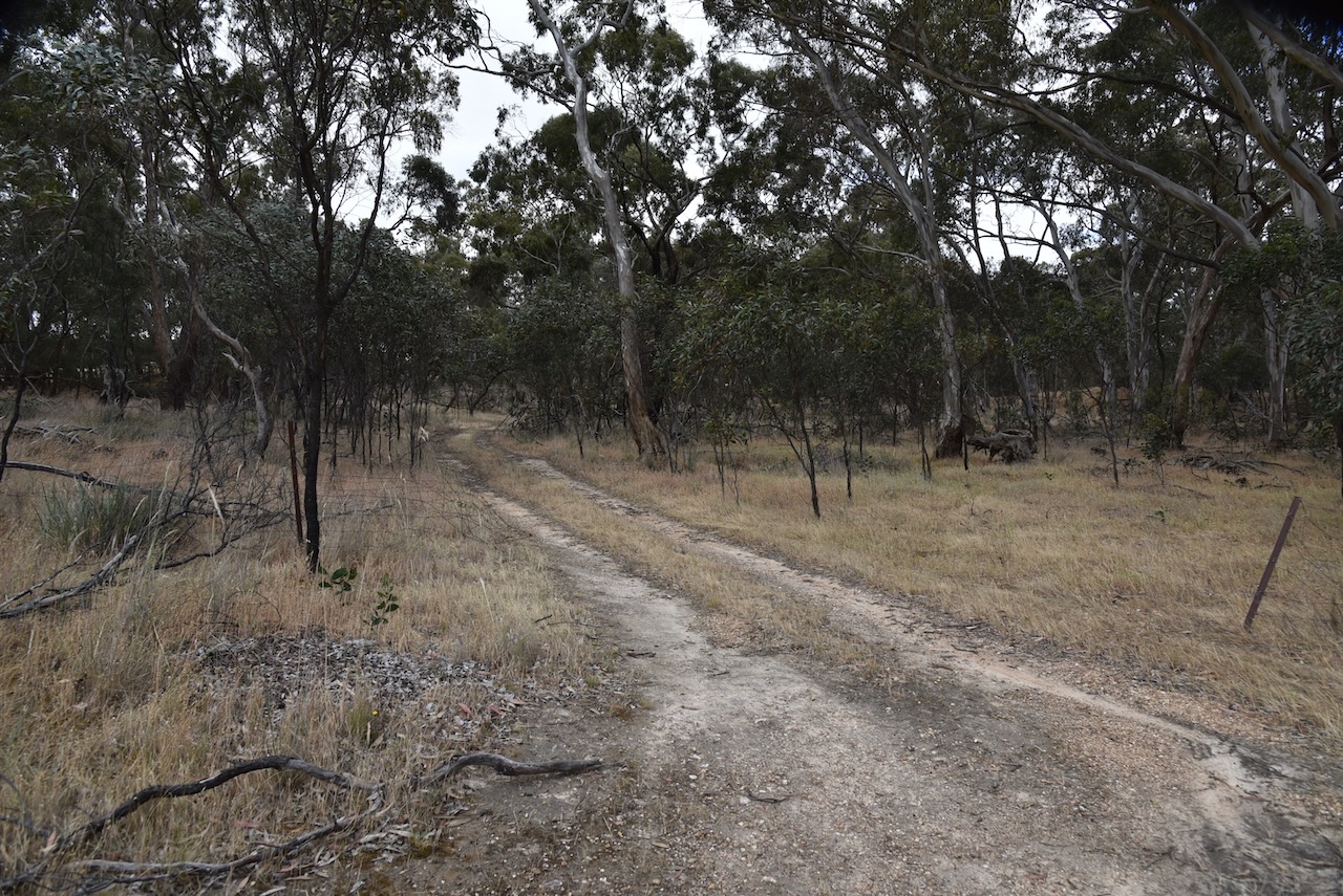
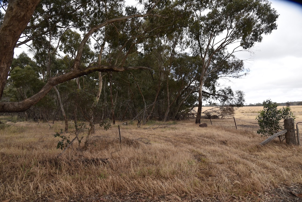
The Moyston Nature Conservation Reserve is located on the northern side of Moyston West Road.
Above:- An aerial view of the Moyston NCR showing its boundaries. Image c/o Google Earth.
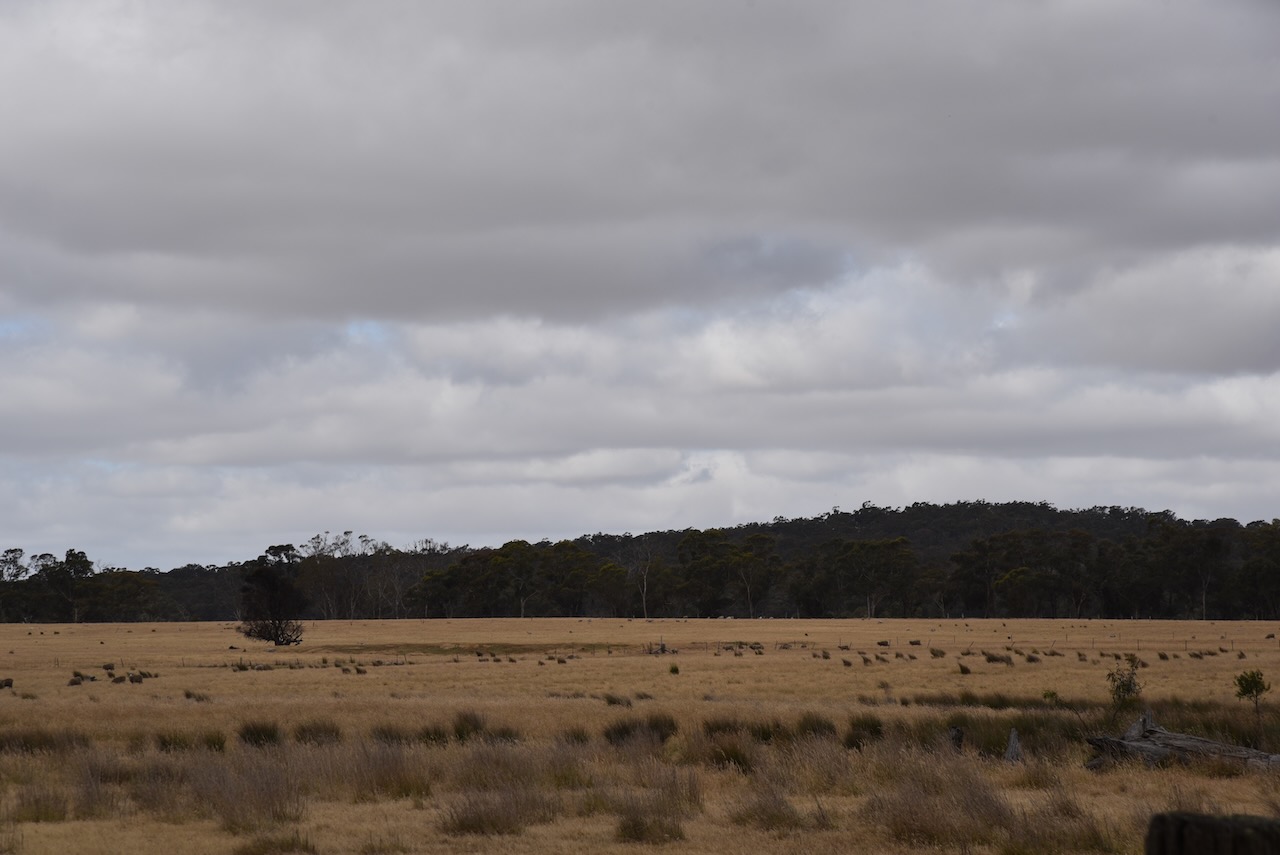
The reserve is about 134 hectares in size and was established on the 22nd day of November 1983. (CAPAD 2022)
We ran the Yaesu FT857, 40 watts and the 20/40/80m linked dipole. I used the special call of VI10VKFF for this activation.
It was now Friday 1st day of December 2023, and Marija and I had just 2 more days in Victoria before heading home.
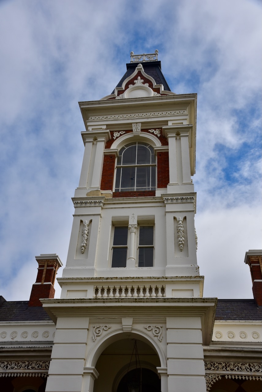
Although we have been to Ararat dozens of times, we never tire of visiting this town. It is one of our favourite towns in Victoria.
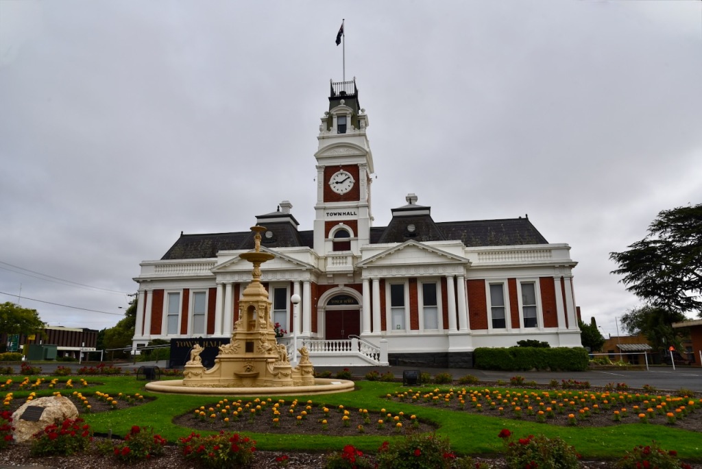
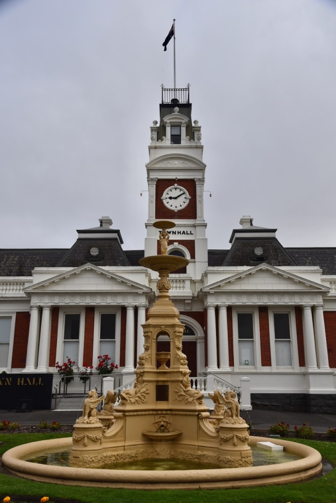
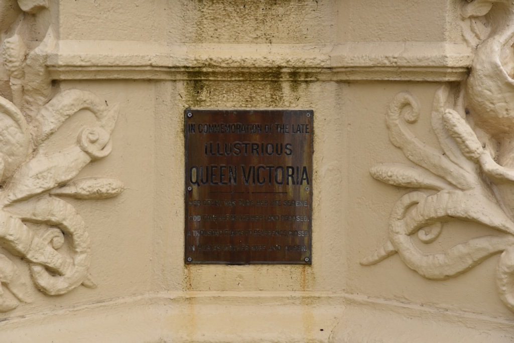
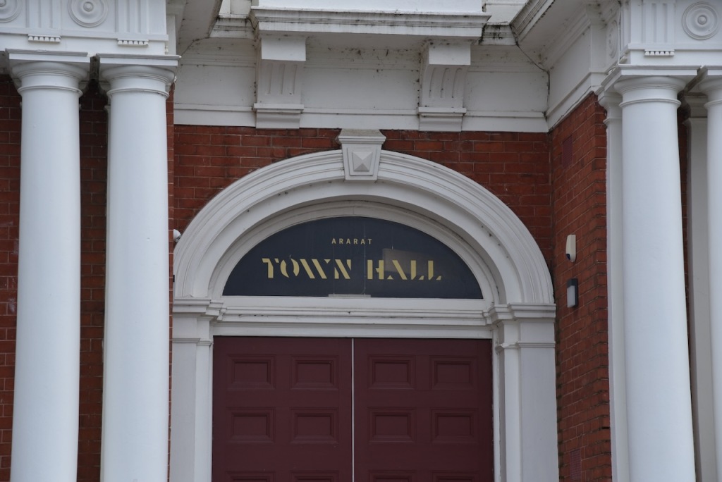
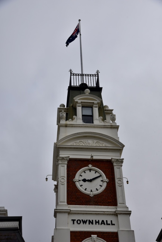
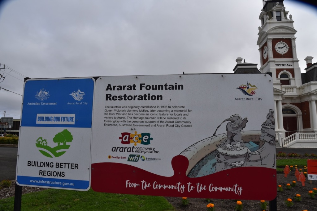
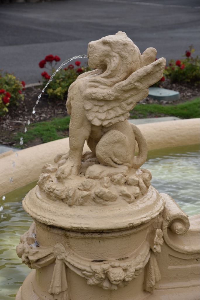
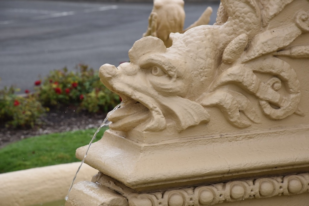
We visited the Ararat Town Hall and War Memorial Fountain. The town hall was built in 1869. The fountain was planned to mark Queen Victoria’s diamond jubilee, but also commemorates volunteers who fought in the Boer War. (Walking Maps 2024)
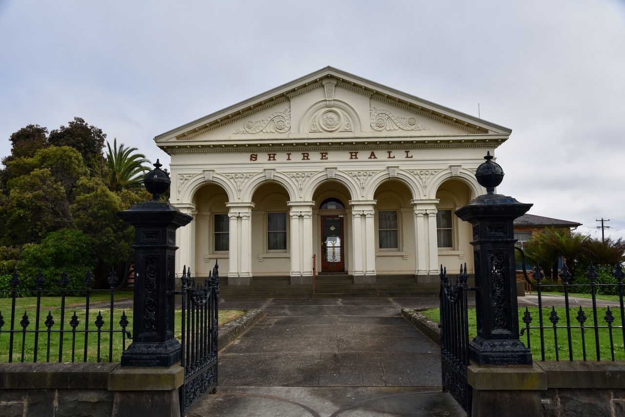
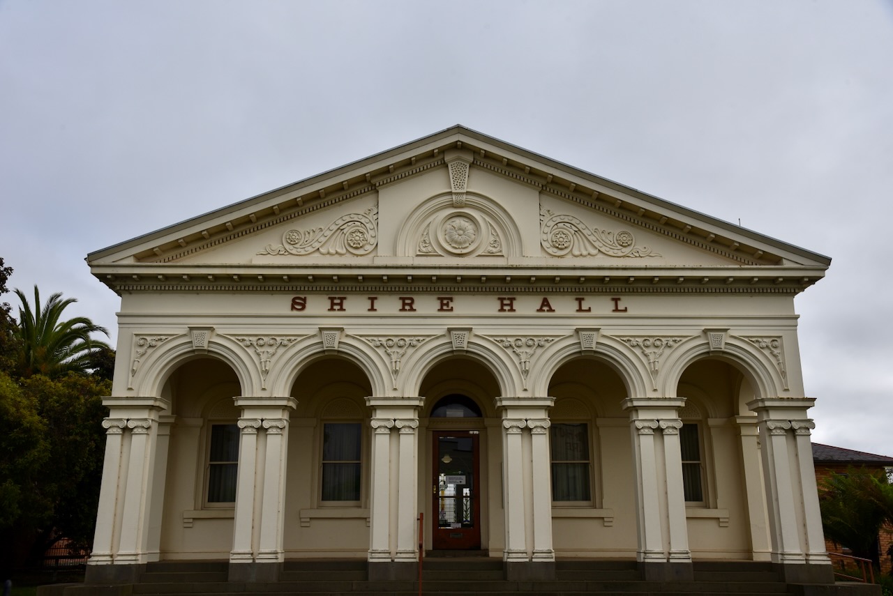
The Ararat Shire Hall was built in 1871 and is one of Ararat’s most distingished building. The hall houses a WW1 Honour Board and a beautiful stained glass window that honours the fallen. (Walking Maps 2024)
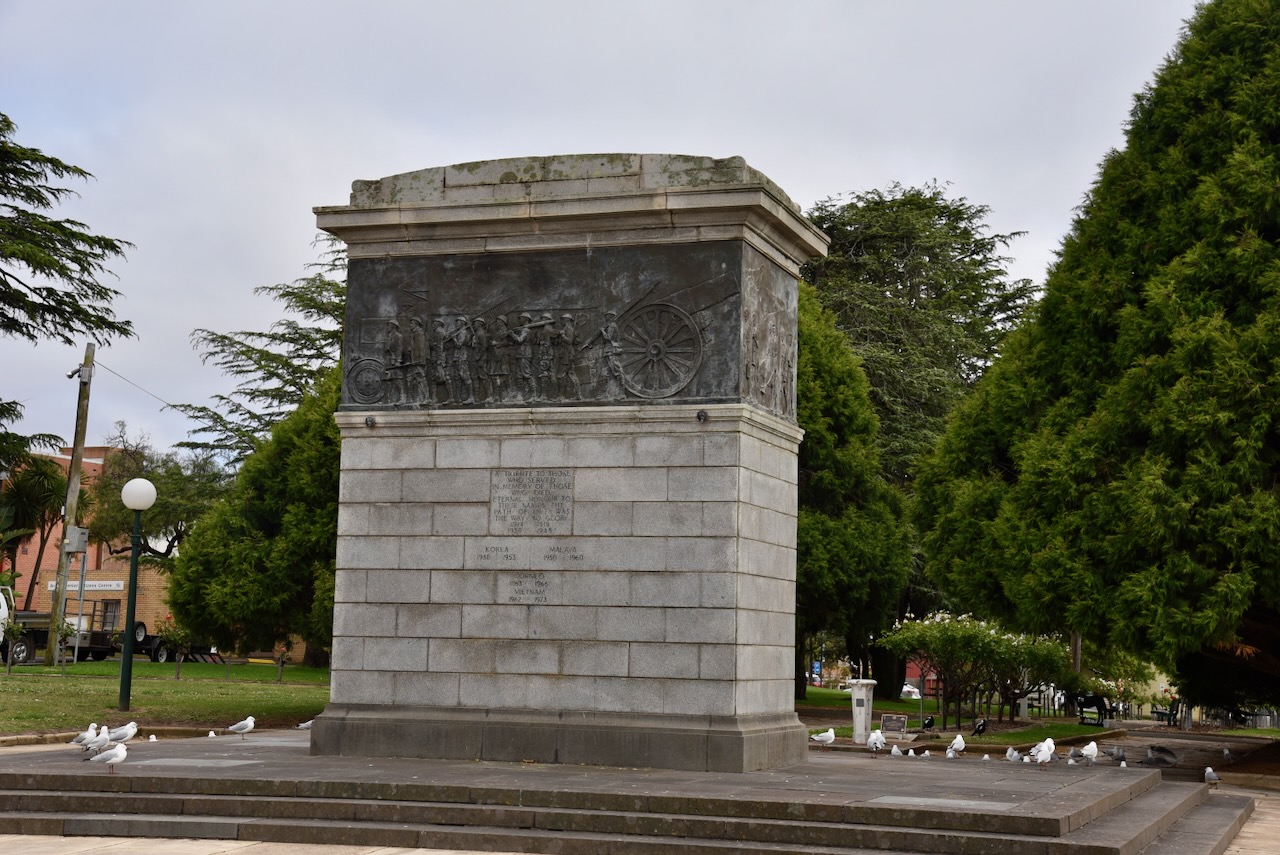
The Cenotaph monument was dedicated in 1930 to those who served Australia in various conflicts and in memory of those who died. (Walking Maps 2024)
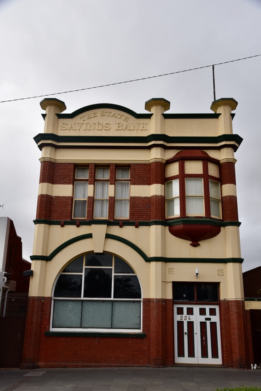
The old State Savings Bank building in Barkly Street operated as a bank from 1912 to 1962. It has an oriel window which is Queen Anne style and a large semi-circular window which is pure Romanesque Revival. (Aussie Towns 2024)
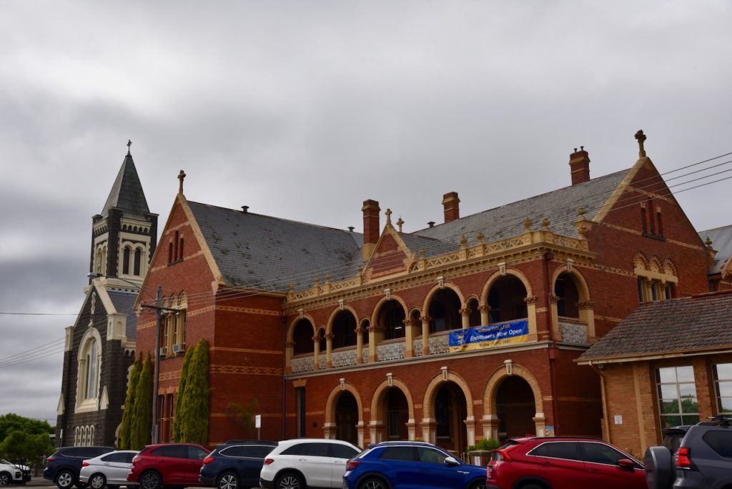
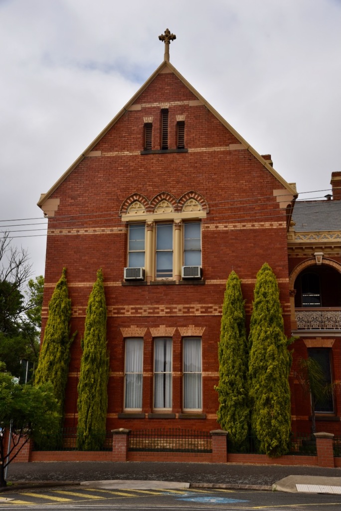
The Brigidine Catholic Convent was built in 1889 and is now part of the Marian Catholic College. The foundation stone was laid in August 1889. The convent was built in stages and was finally completed in 1900. (Marian College 2024)
The Immaculate Conception church is a bluestone building designed by A.A. Fritsch in a Romanesque Revival style. (Aussie Towns 2024)
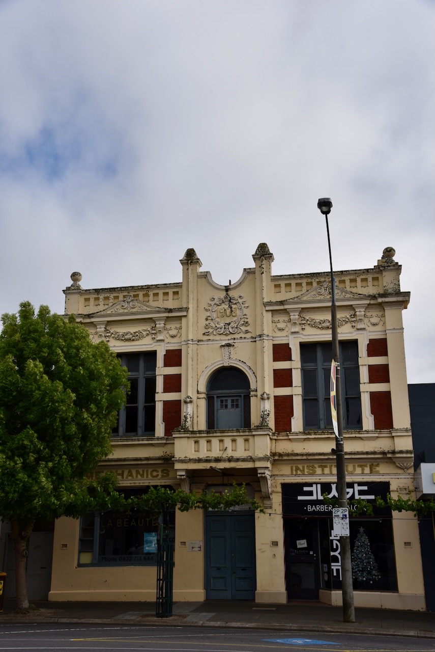
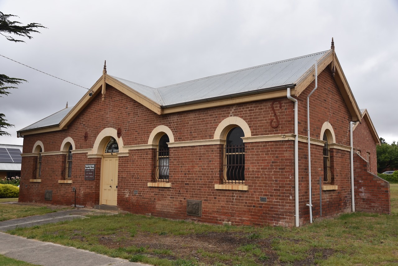
The Mechanics Institute was built in 1909 and was designed by James Irwin. (Aussie Towns 2024)
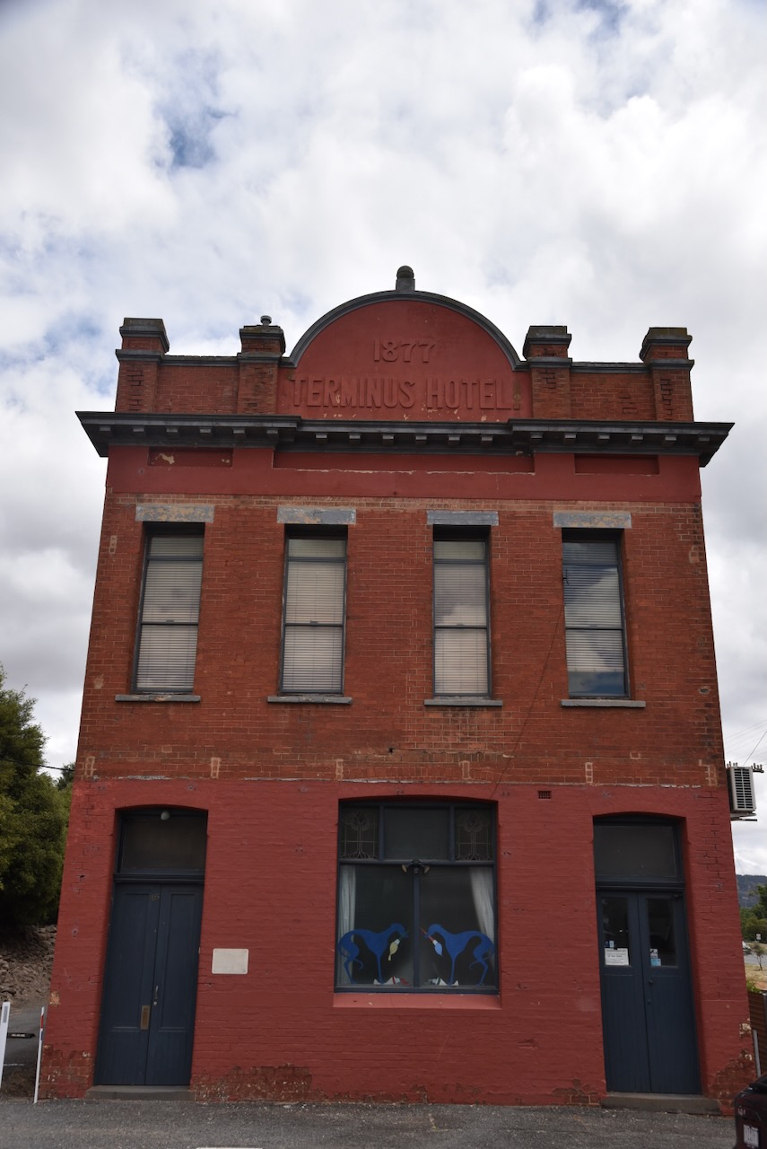
The old Terminus Hotel was built in 1877.
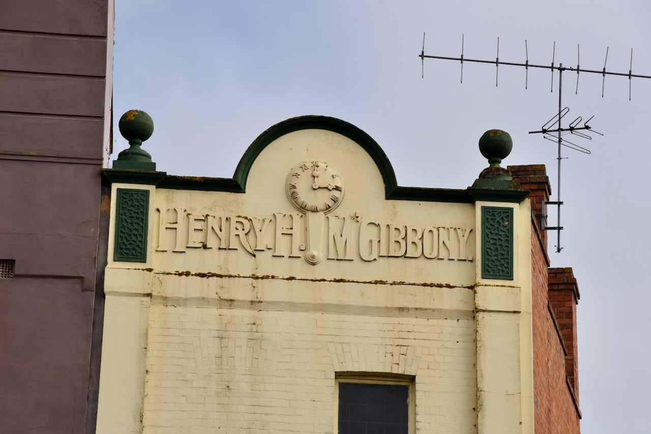
The McGibbony building located in Barkly Street was completed in 1865 and subsequently restored in 1870 and then remodelled in 1910. (Aussie Towns 2024)
Vindel House was built in two parts, the Sub-Treasury and Assay office in 1858, with the post office attached in 1862. The clock was installed in 1890. (Walking Maps 2024)
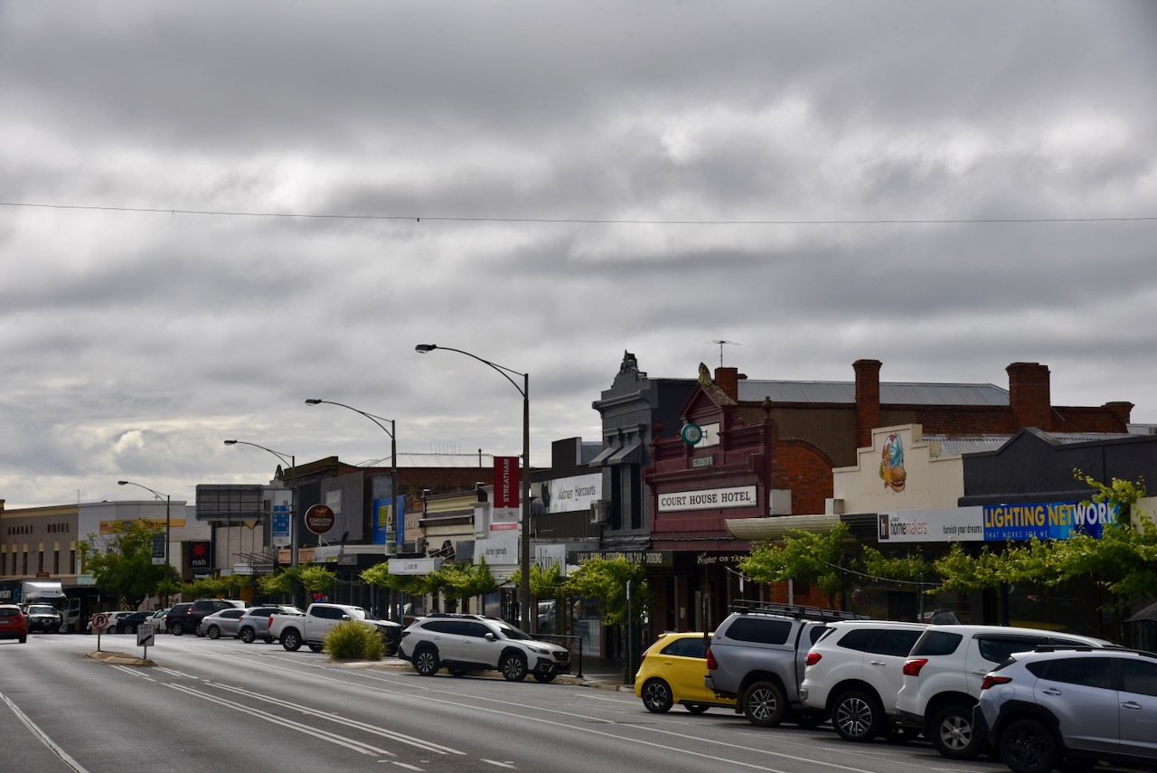
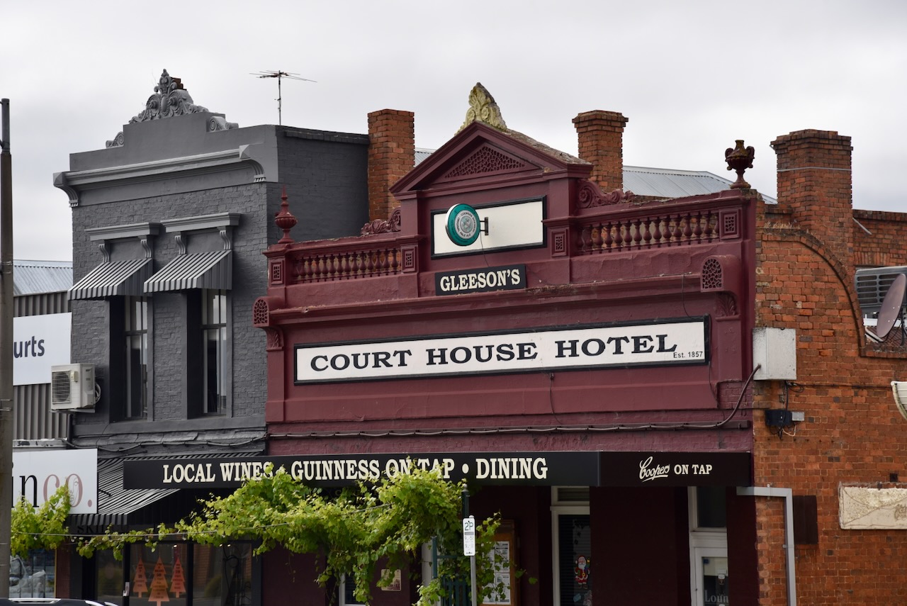
The original Court House Hotel was constructed on this site in 1848-1859, and was made from wood and iron. The hotel once had a huge ballroom and a special supper room. (Aussie Towns 2024)
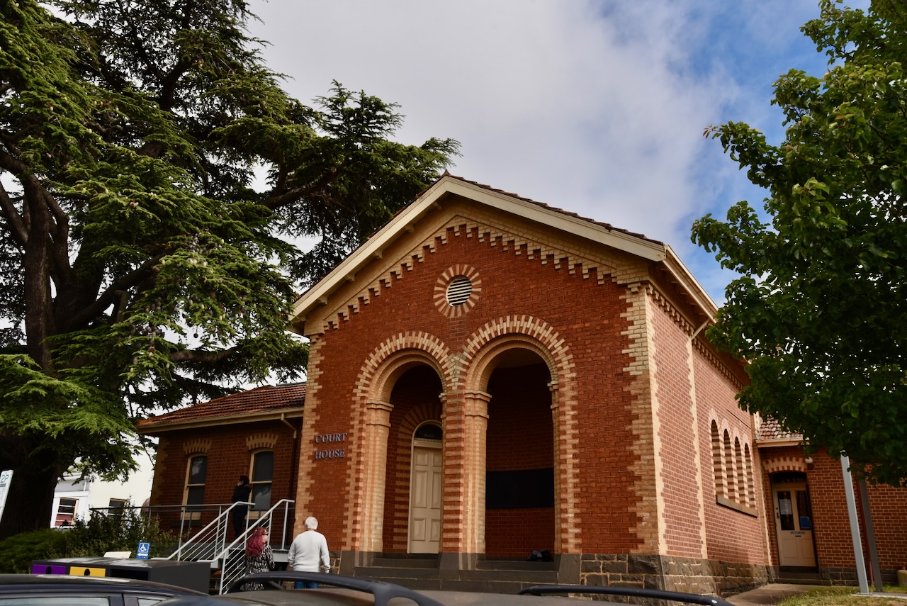
The Ararat Court House is located on the corner of Barkly Street and Ligar Street. It is Ararat’s second courthouse and was built in 1866-1867 to a Romanesque design. (Aussie Towns 2024)
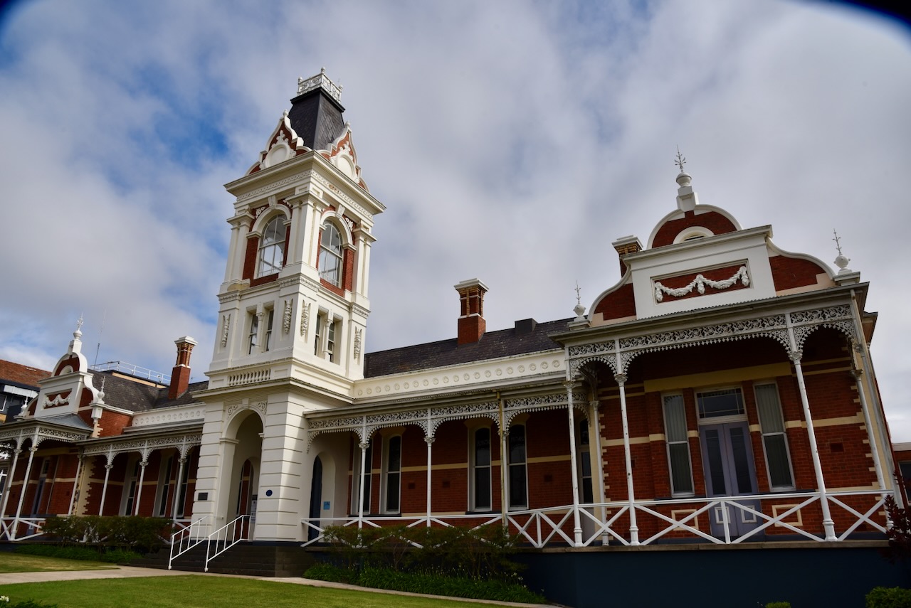
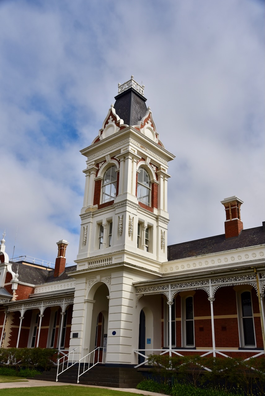
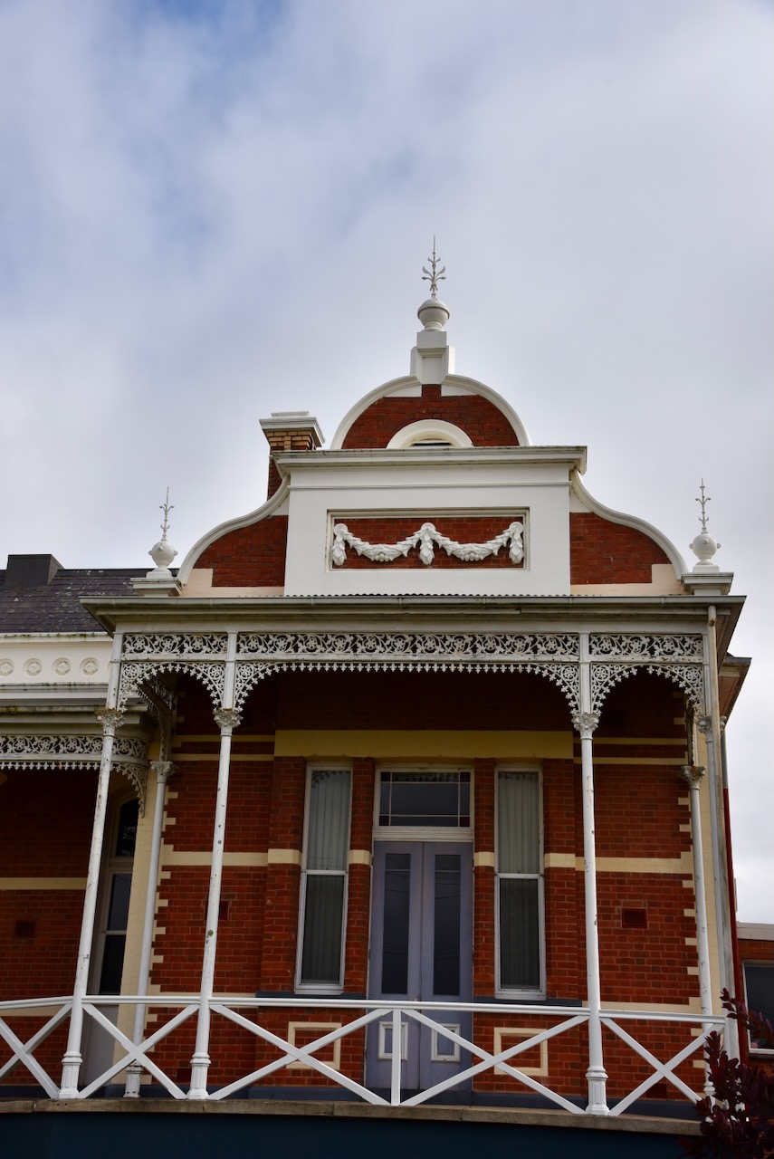
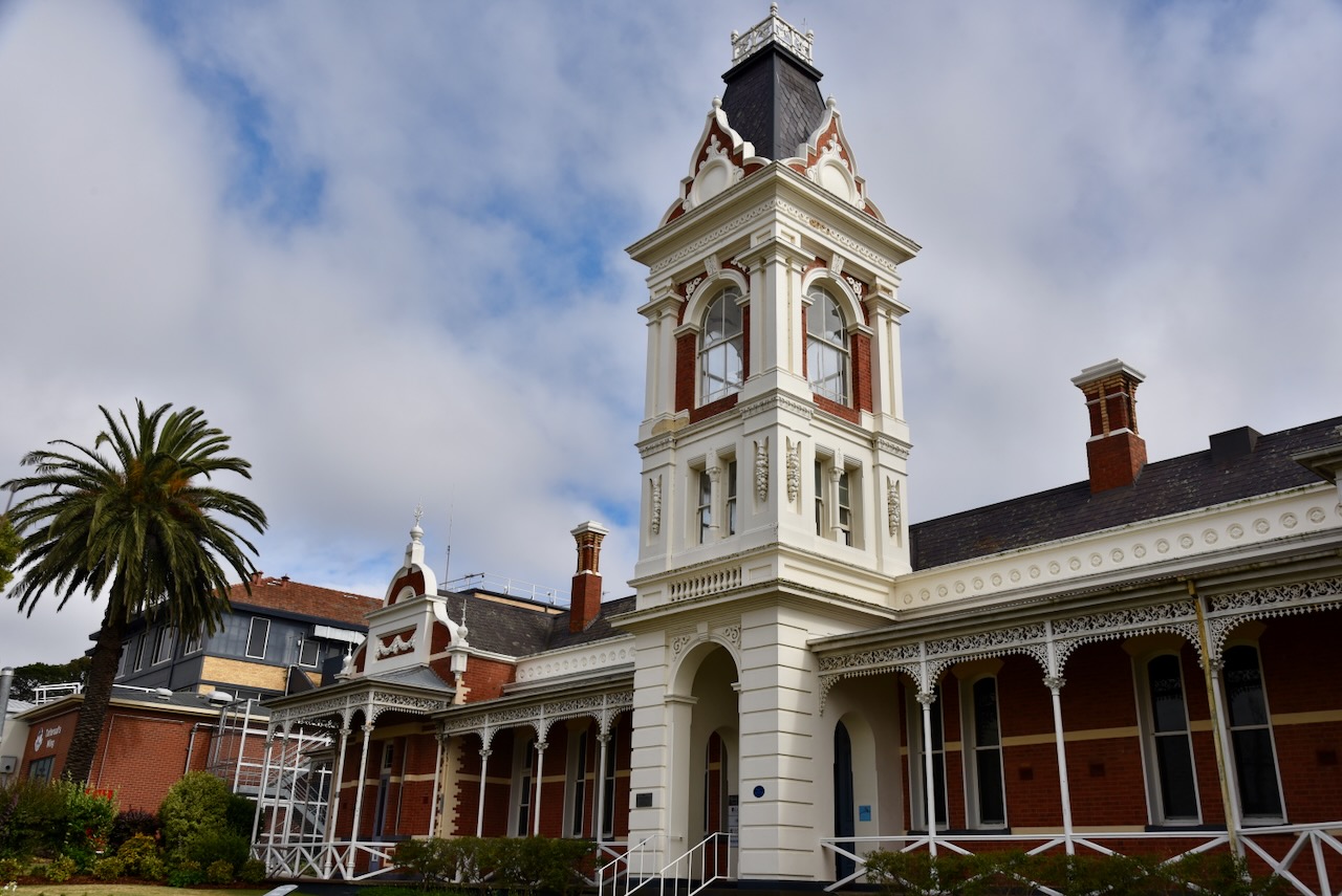
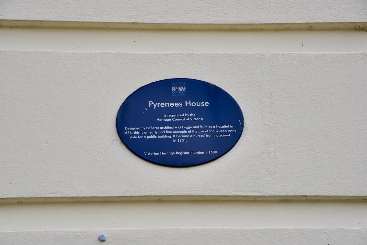
Pyrenees House was completed in 1886 in the Queen Anne style. The building operated as a general hospital until 1937. Since 1988 it has been used as administration offices and a nurse education centre. (Walking Maps 2024)
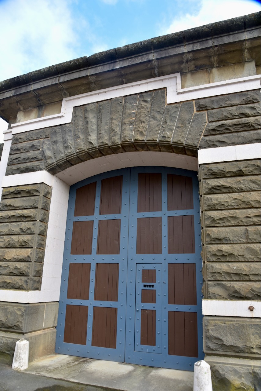
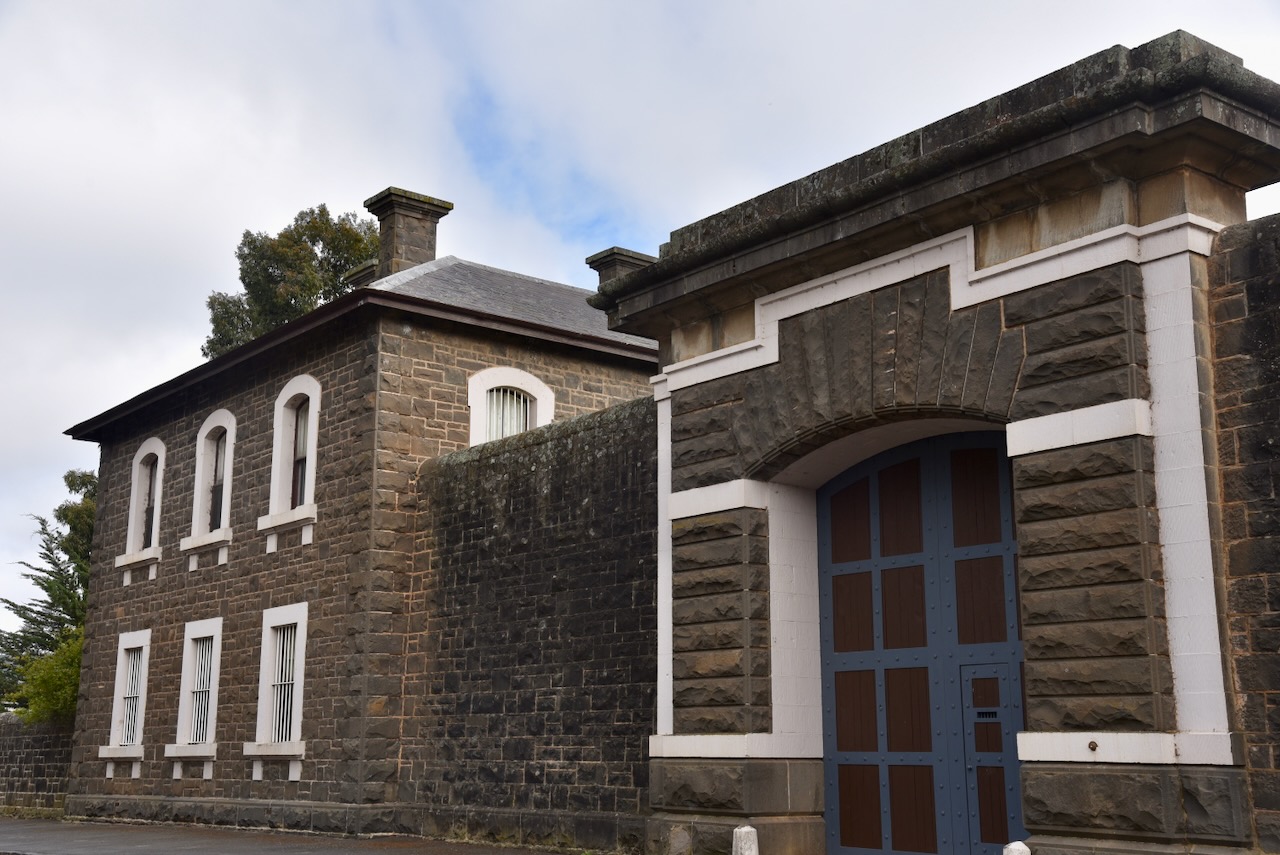
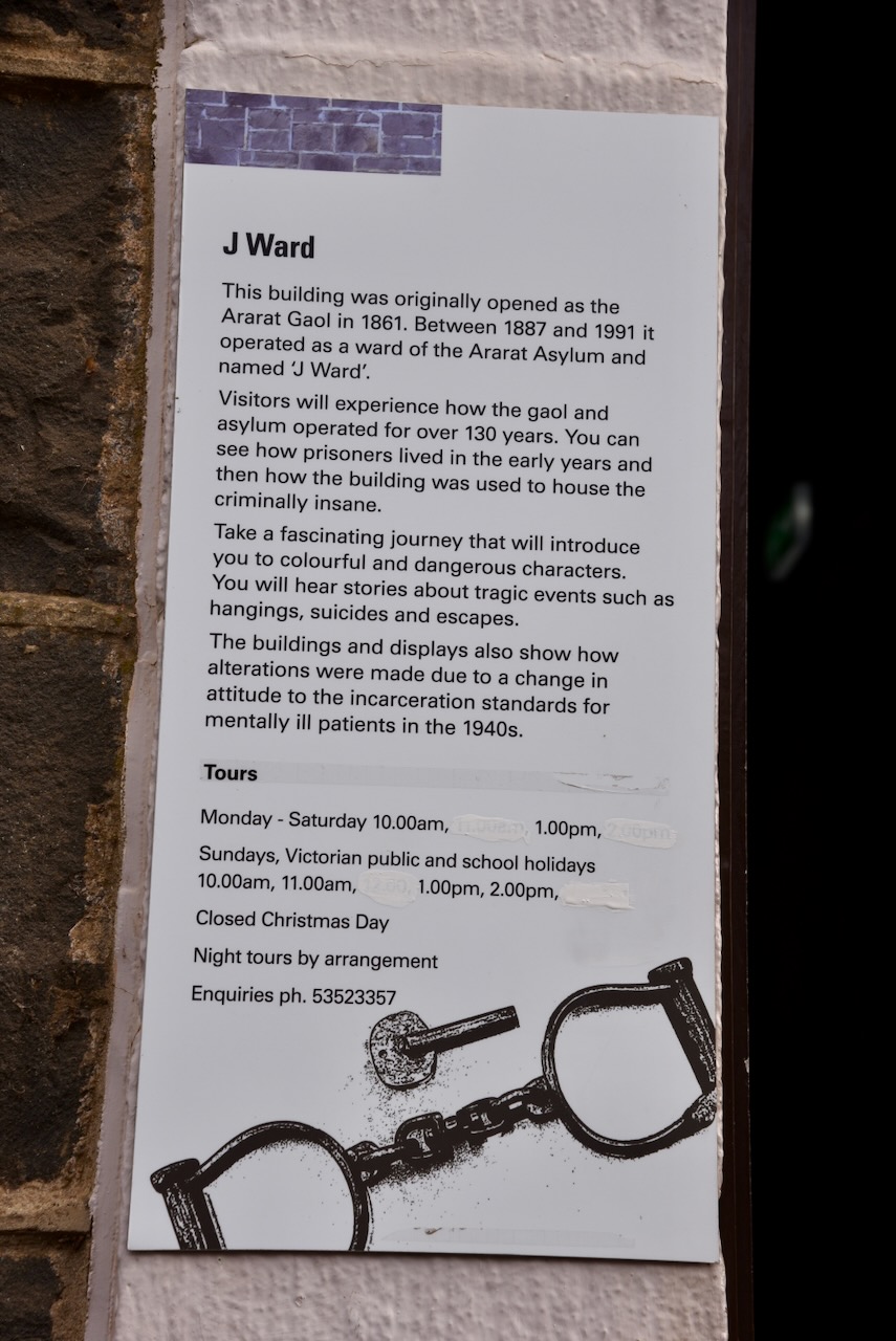
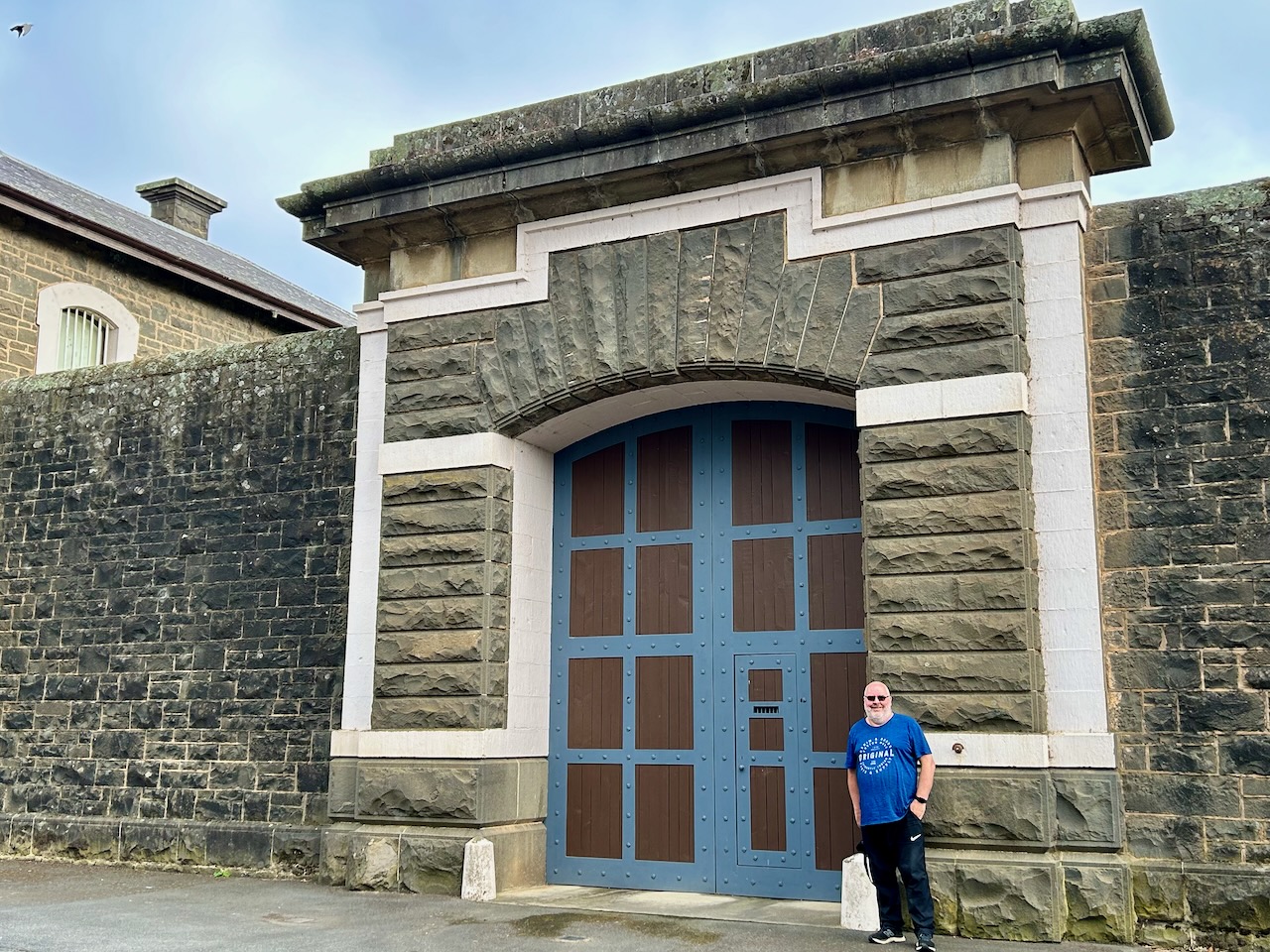
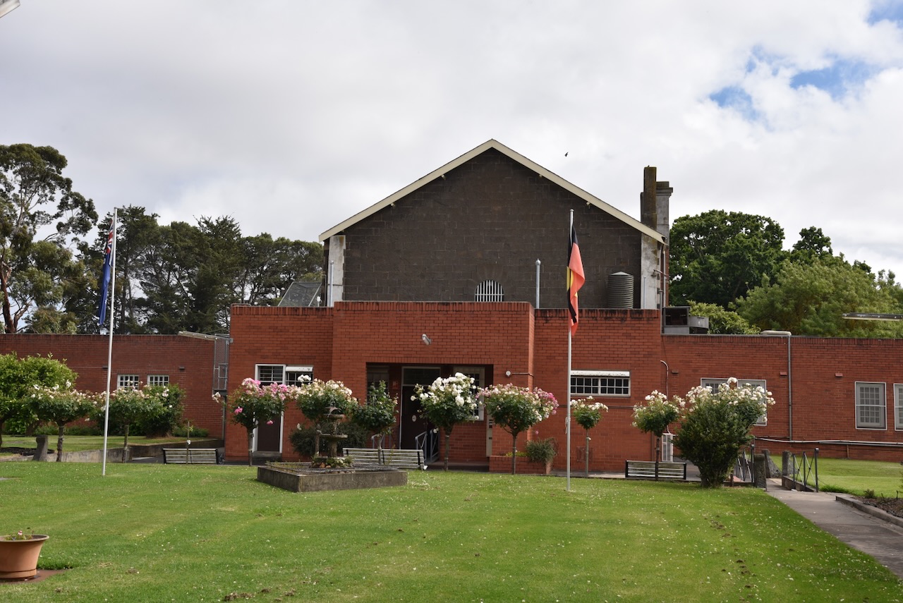
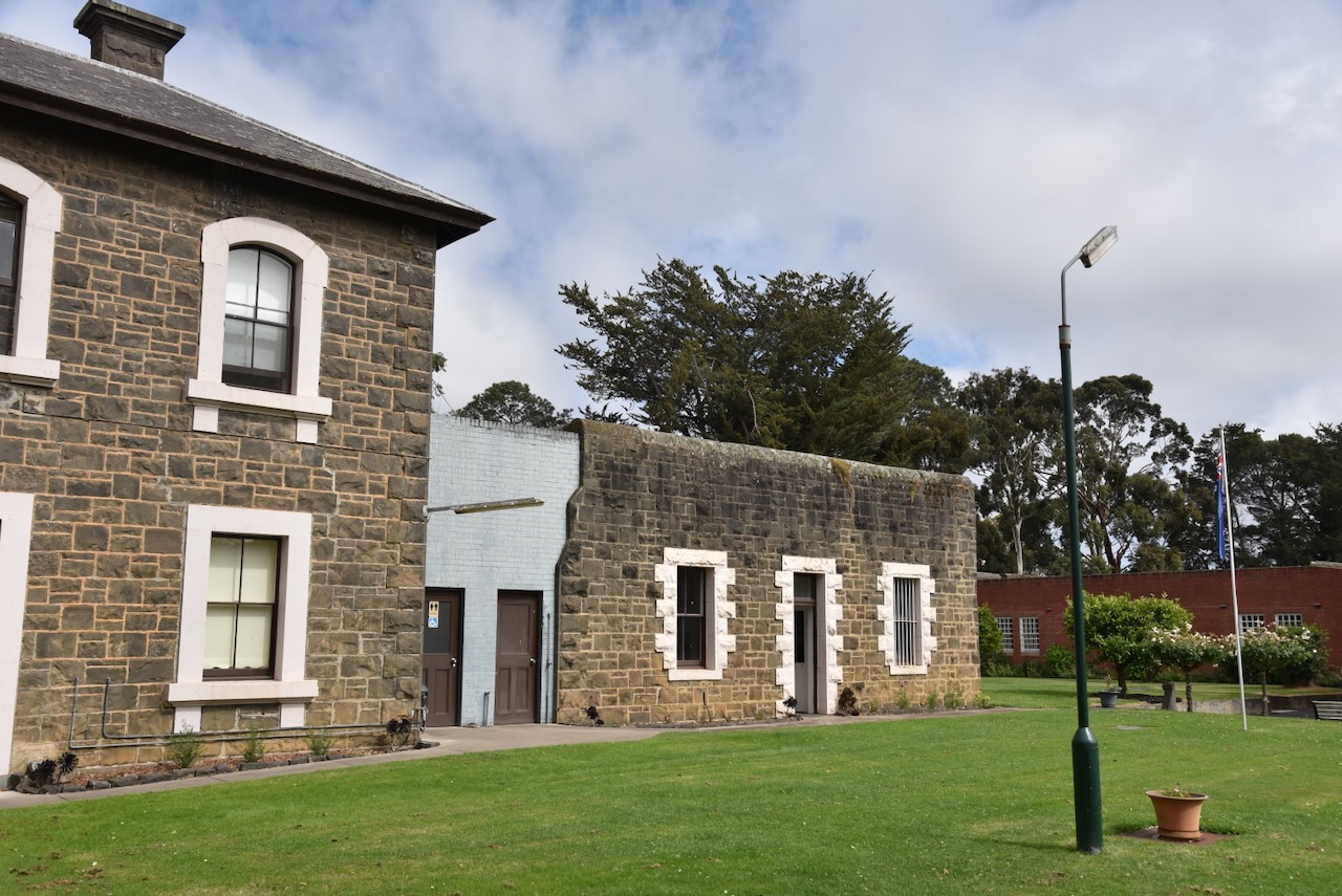
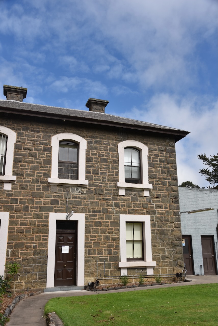
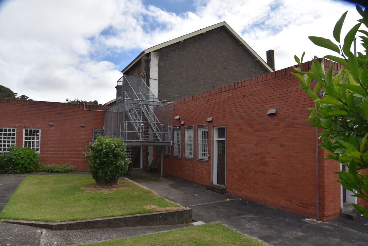
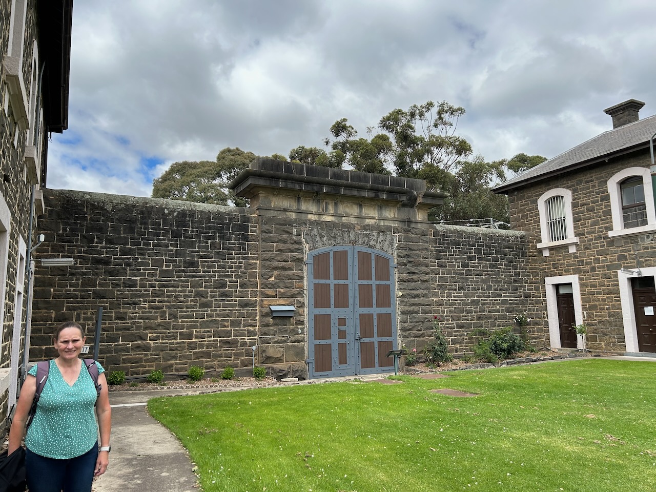
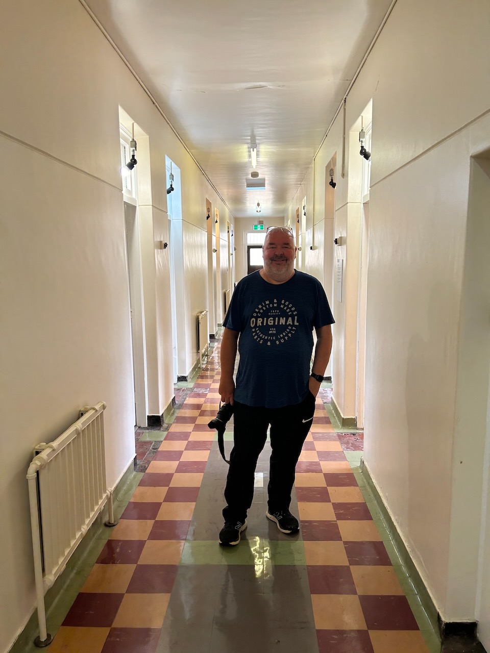
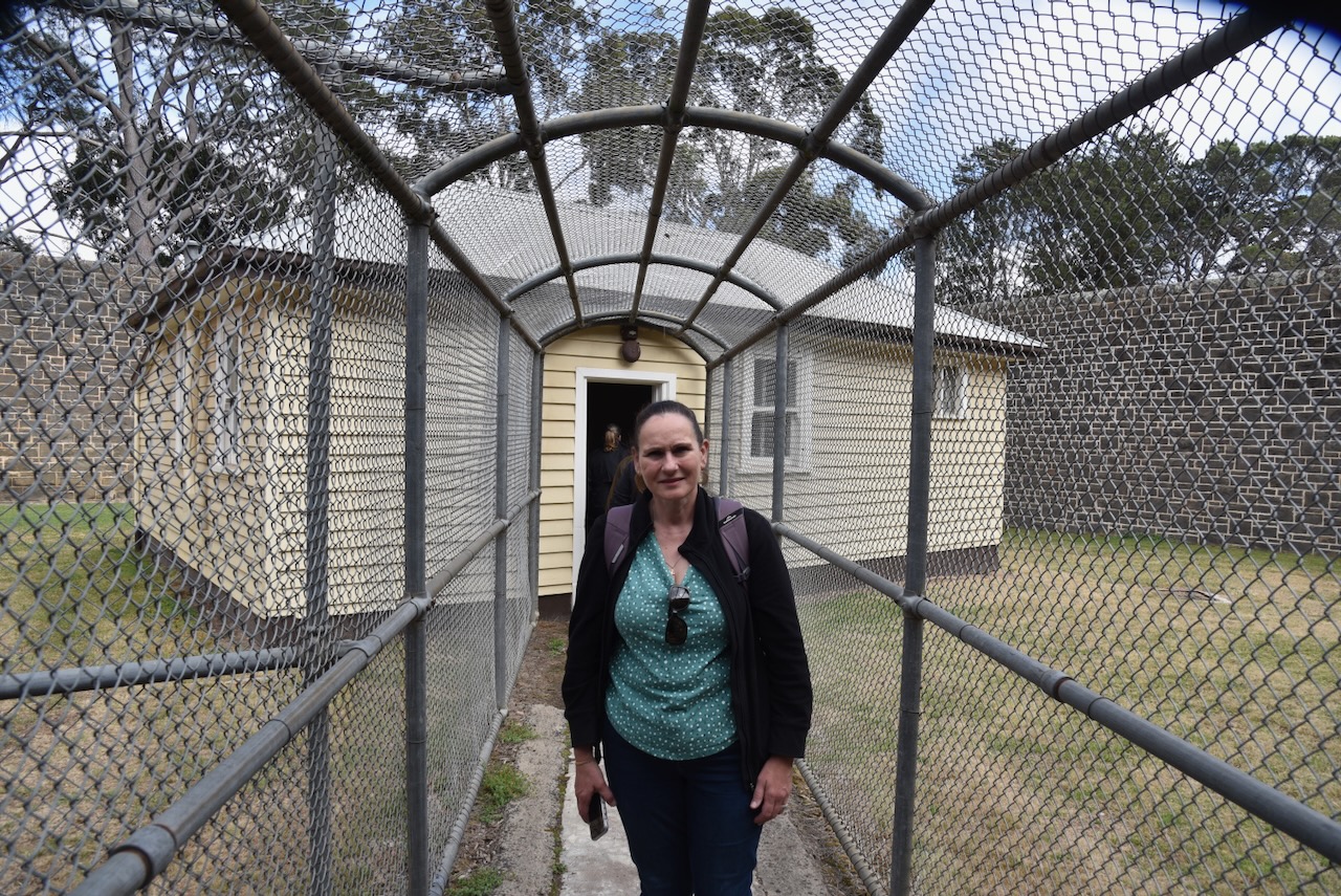
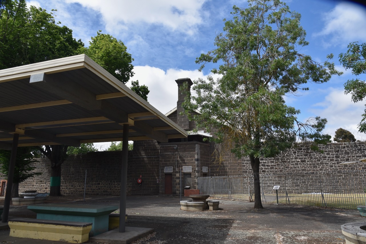
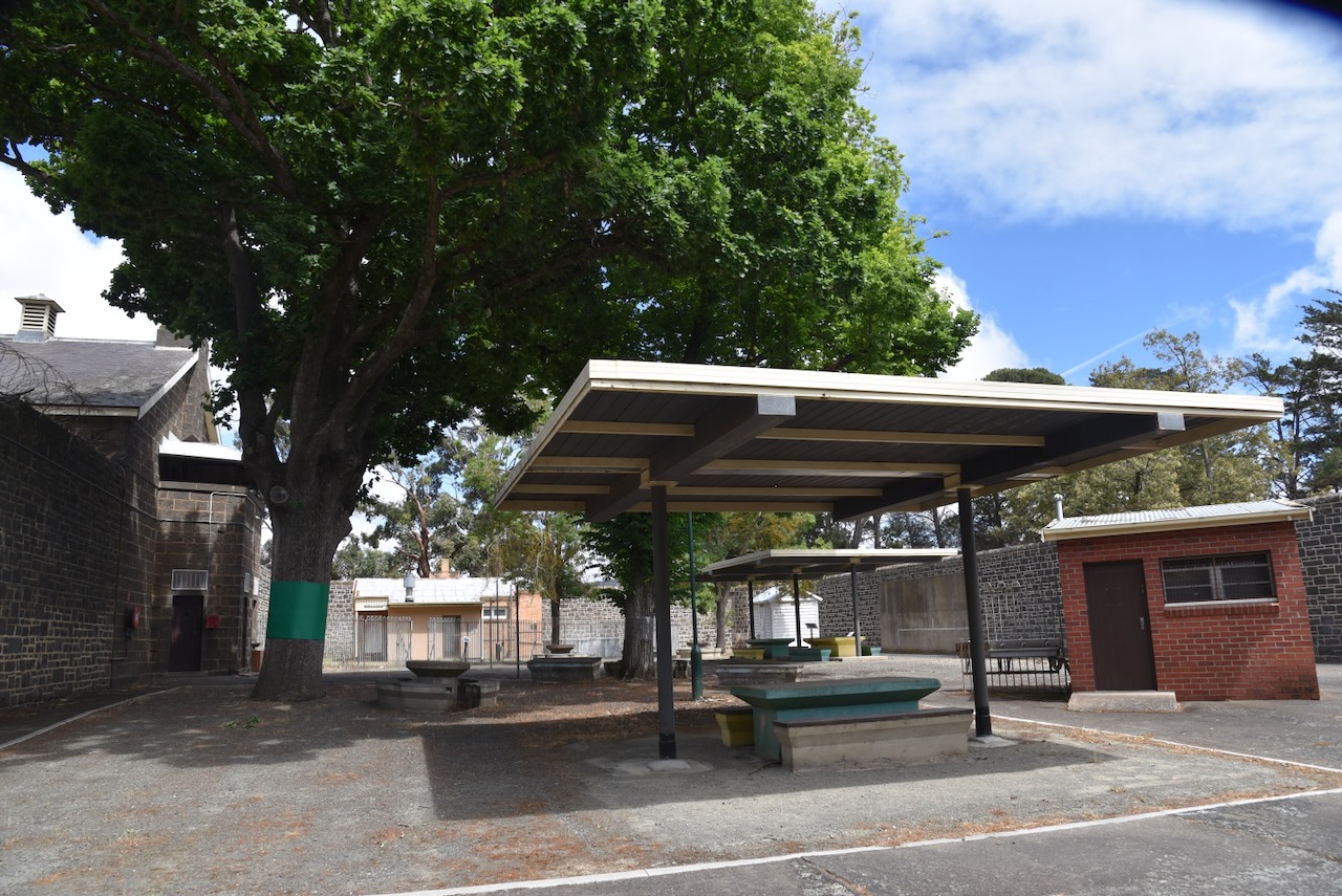
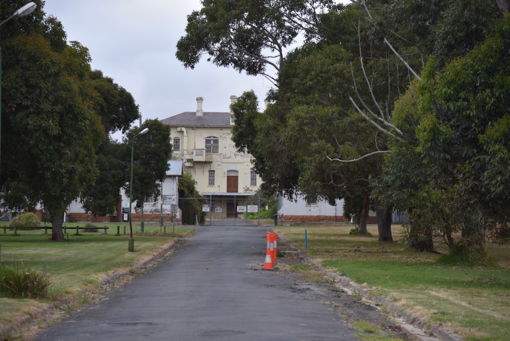
Although we had visited J Ward many times before, Marija and I decided to revisit this absolutely fascinating place.
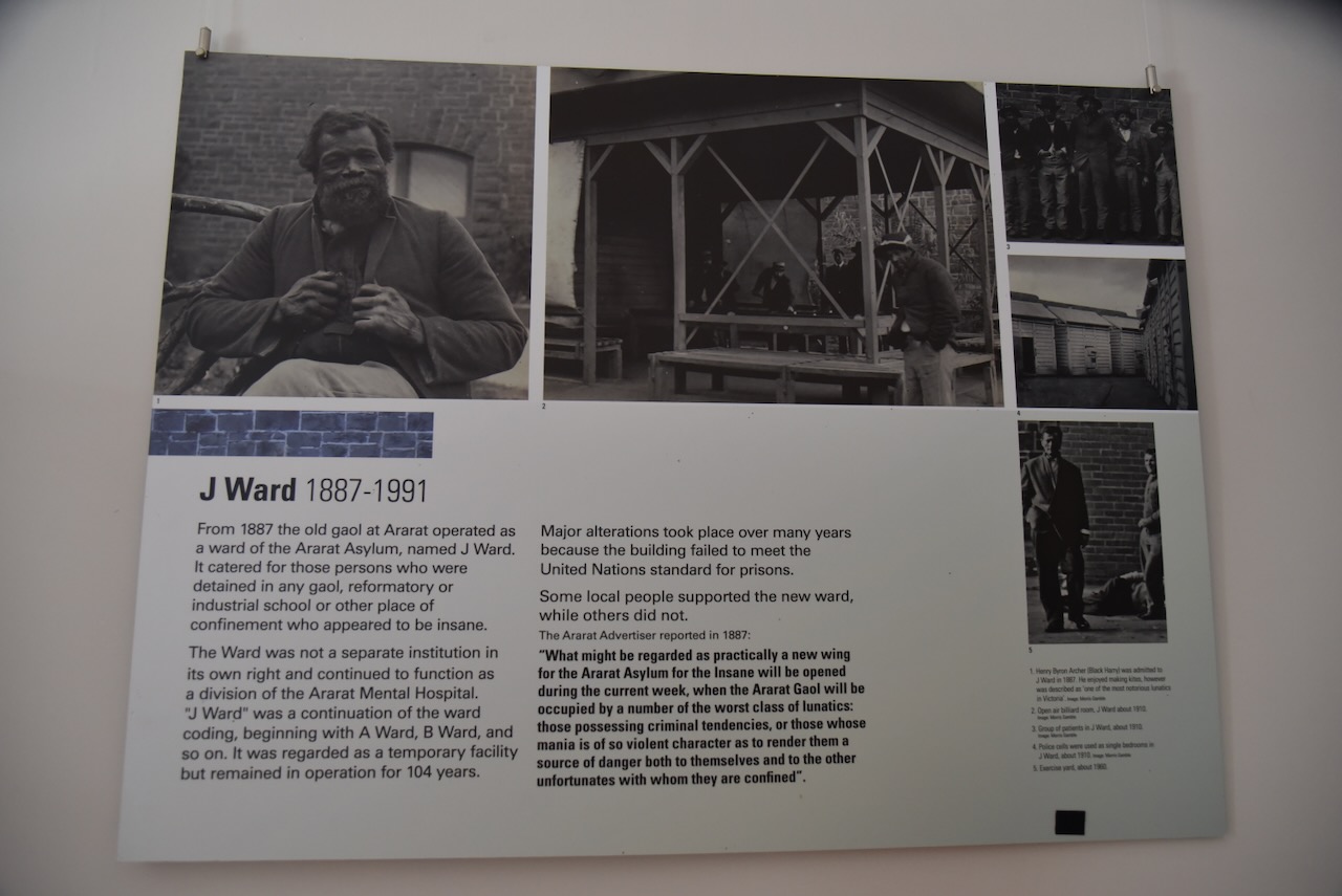
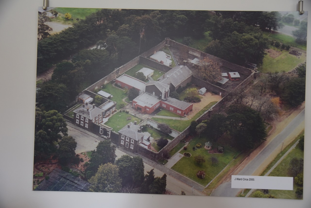
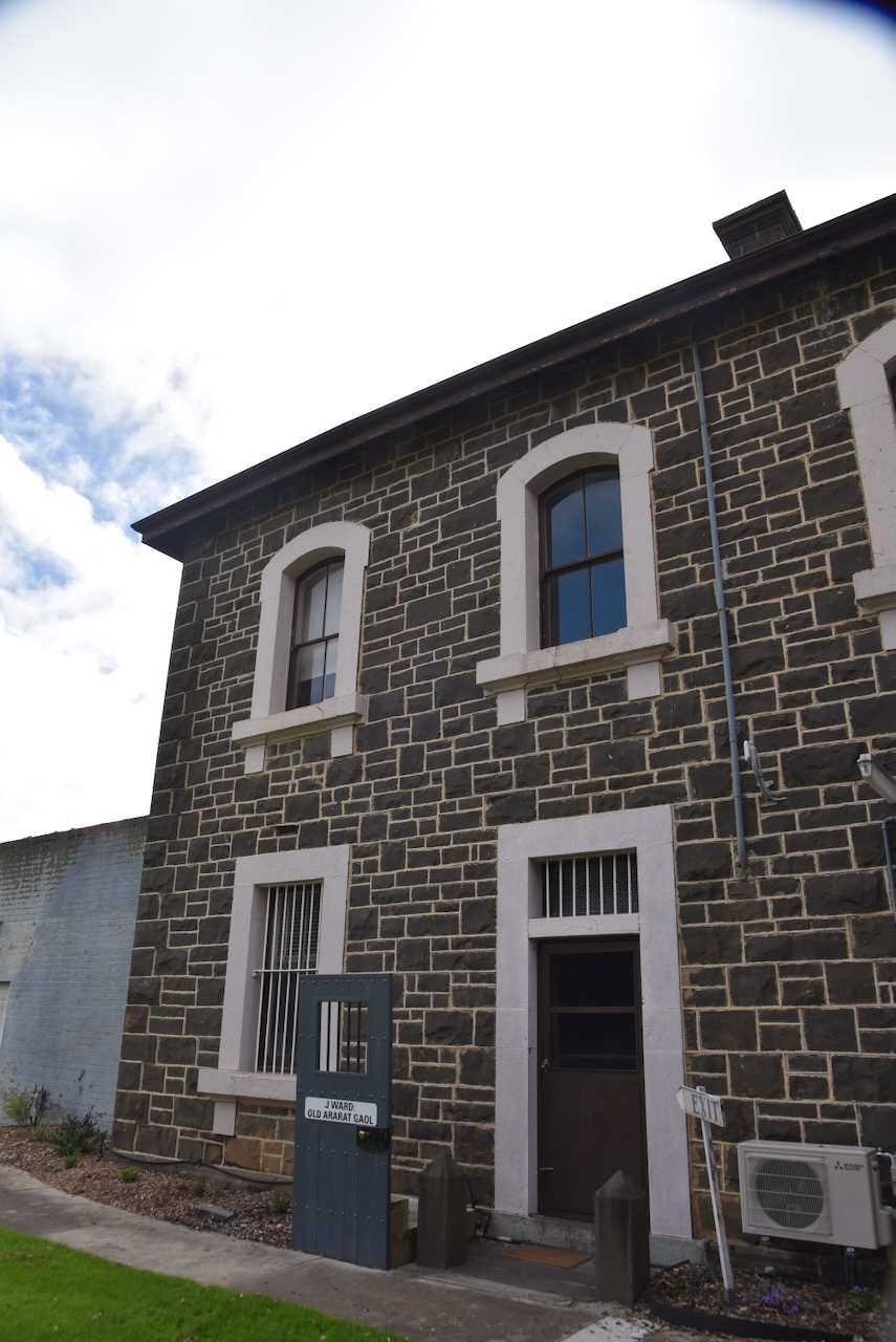
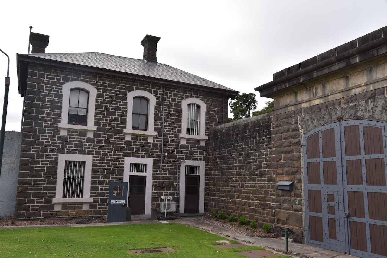
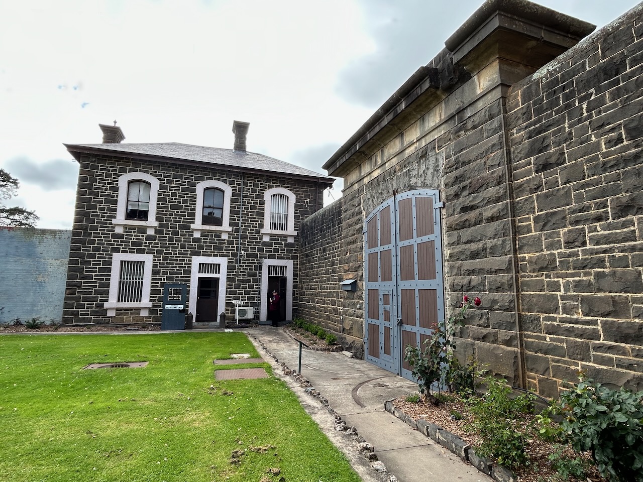
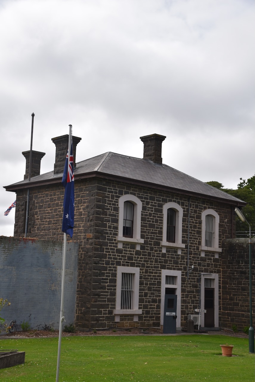
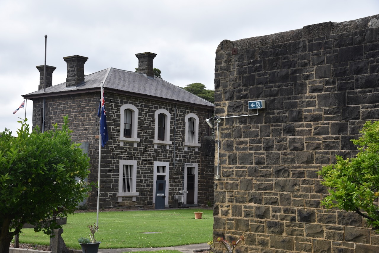
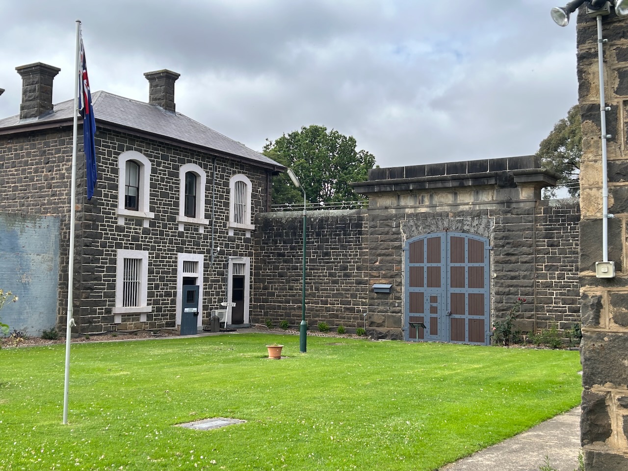
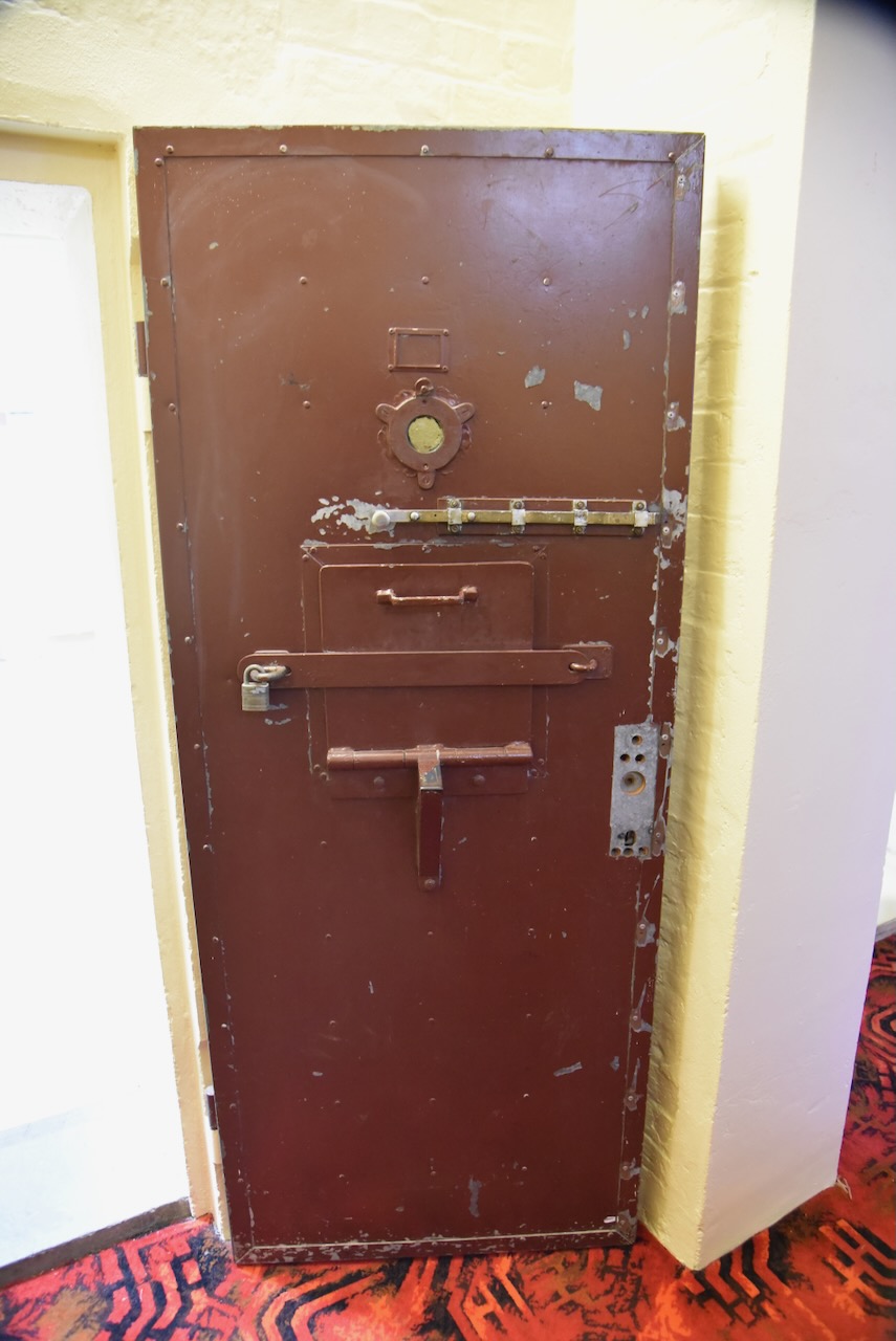
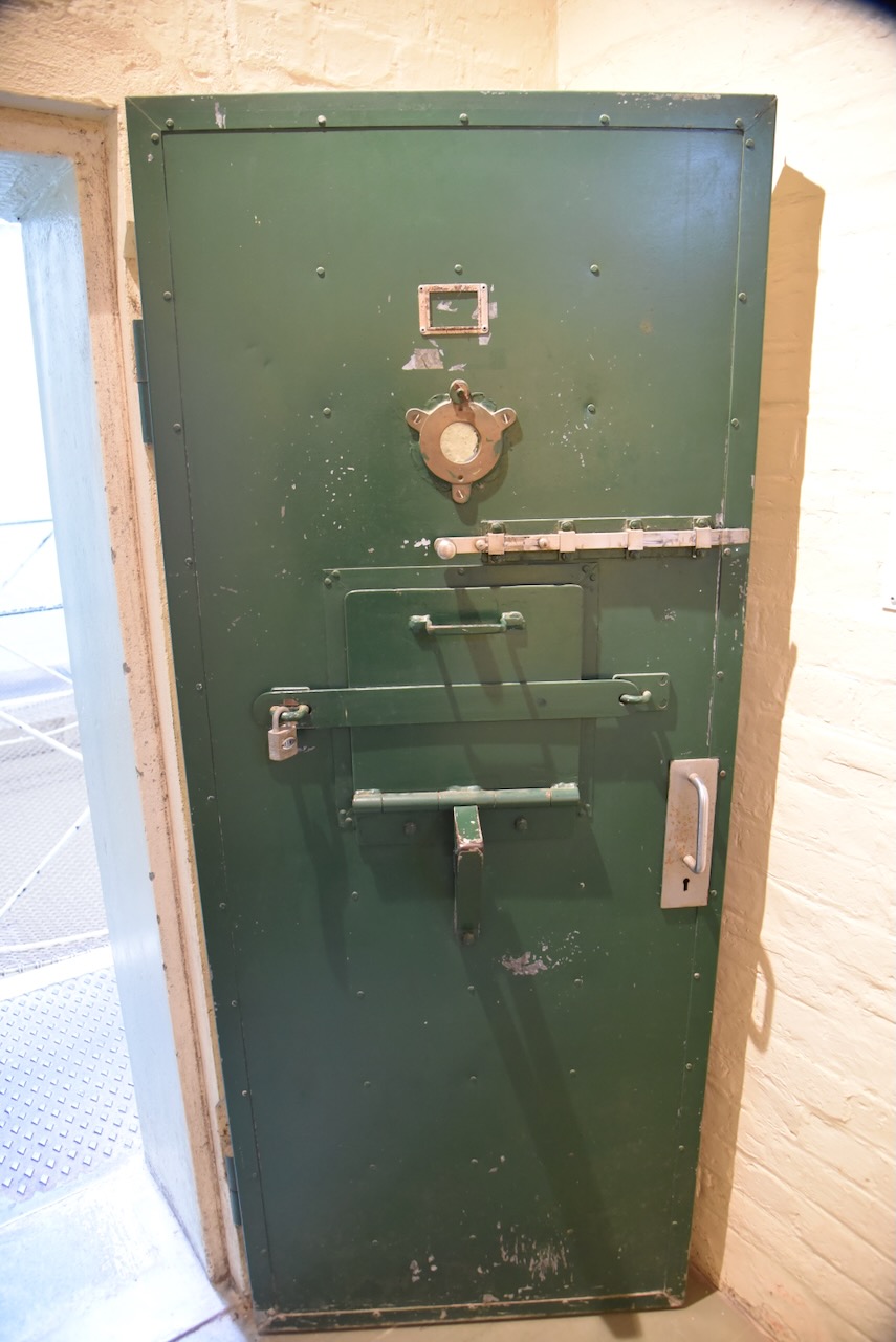
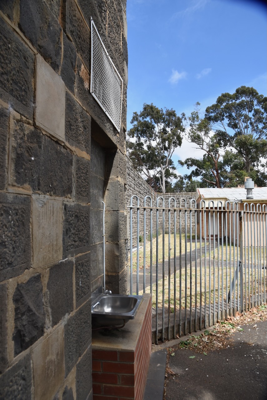
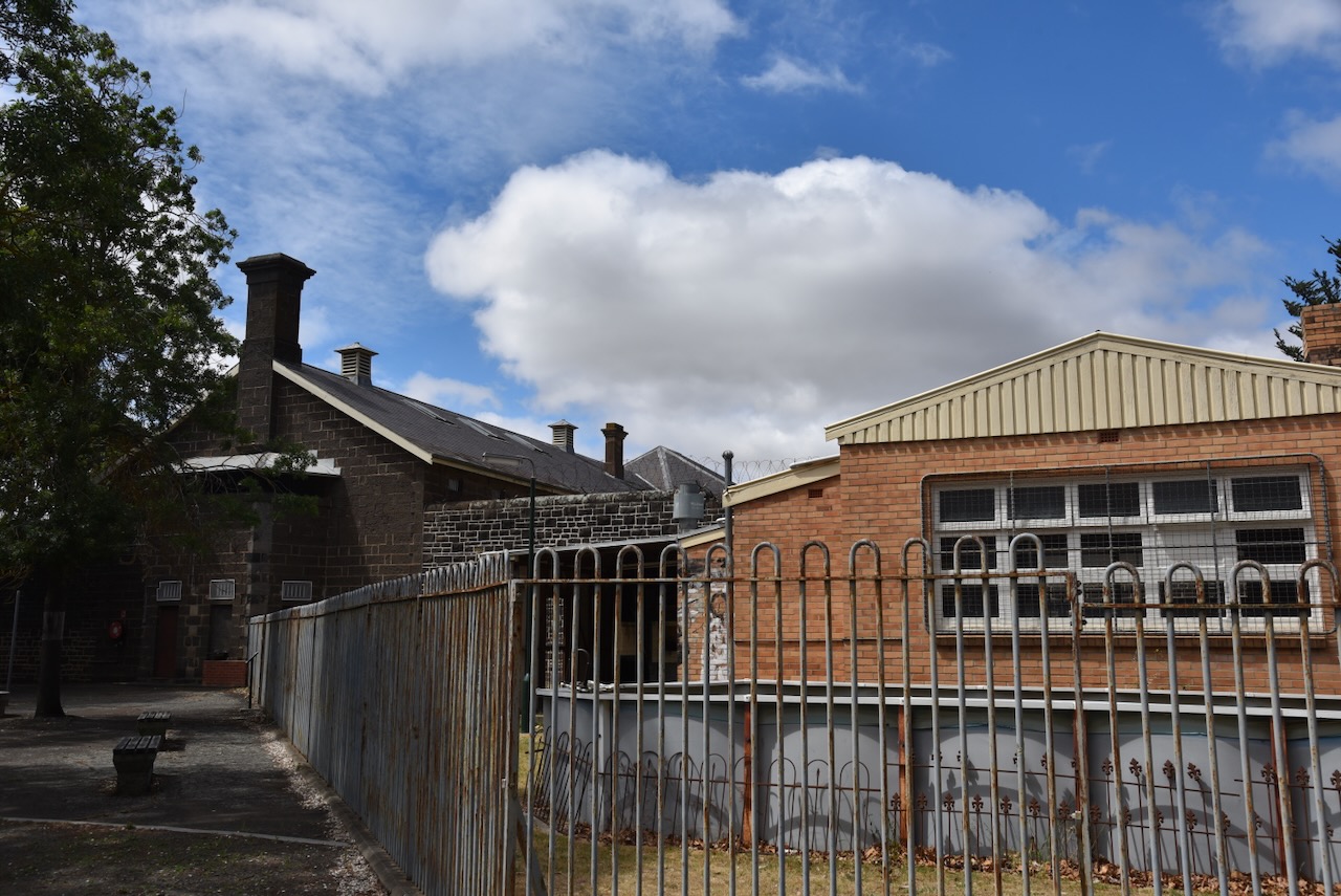
J Ward was originally the Ararat County Gaol with construction commencing om 1859. The gaol was opened in October 1861. In 1867 it was converted for use as a maximum security psychiatric ward for the criminally insane. It was officially closed in January 1991, and in 1993 was re-opened as a museum providing tours for the public.
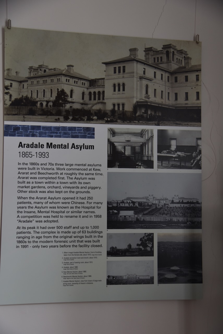
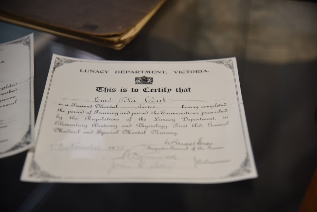
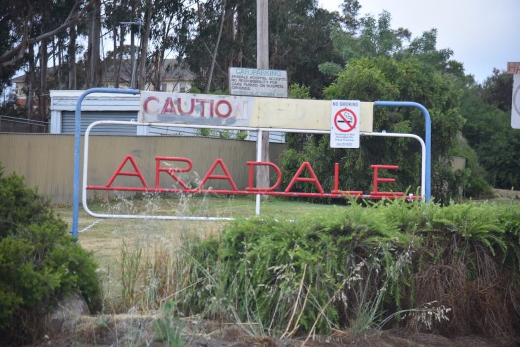
While waiting for your guide, there are a number of rooms to visit with various information about J Ward and the nearby Aradale Mental Asylum.
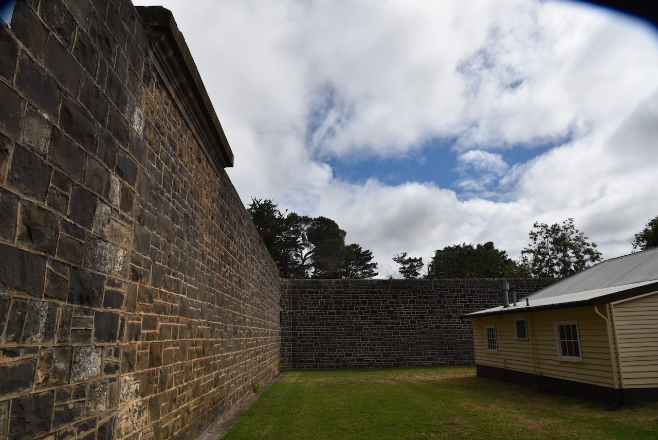
Our guide greeted us and we walked into the open garden area of J Ward.
This is a place where it is a little hard to smile knowing what has occurred here over the years.
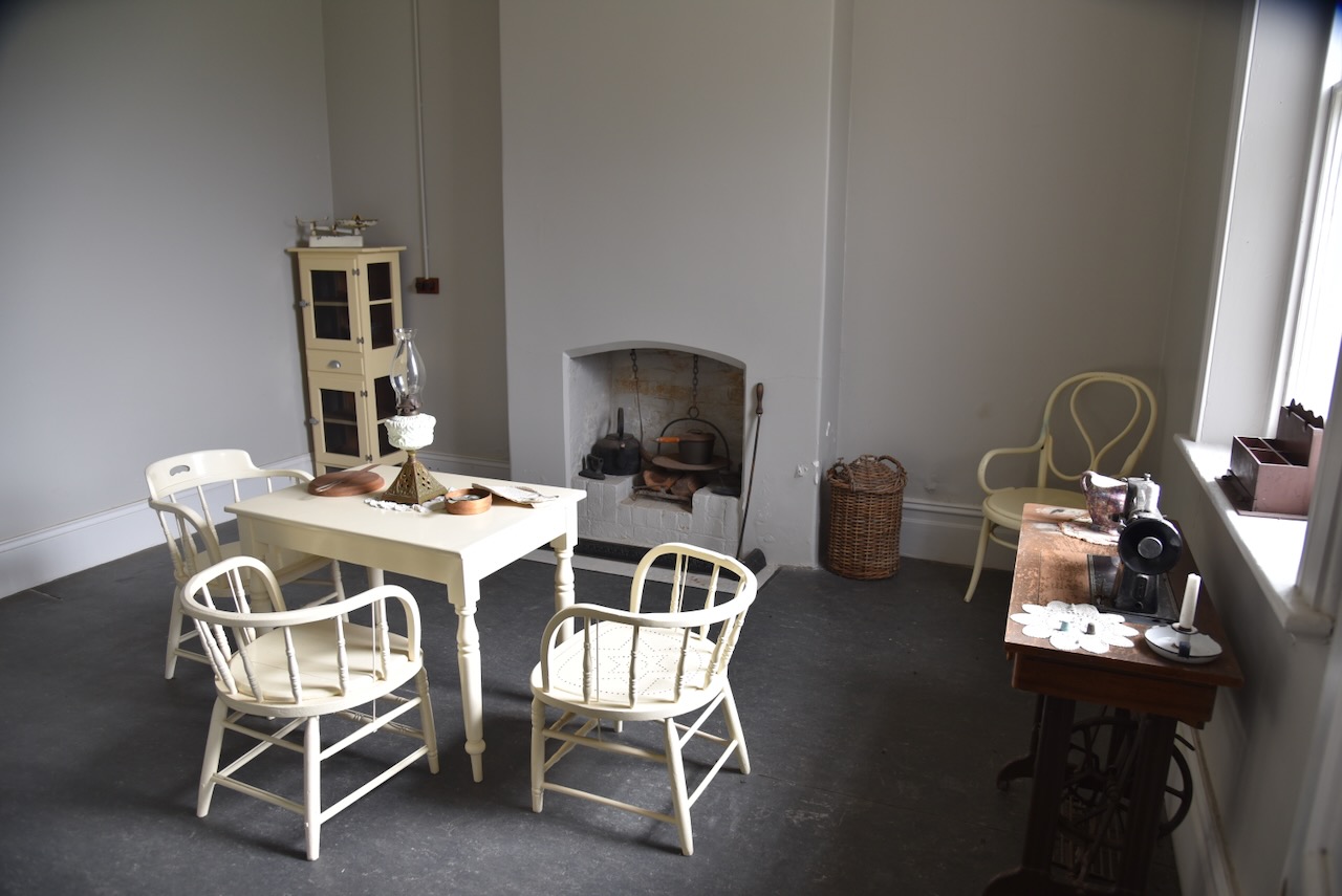
The Warden’s bedroom is contained in this area.
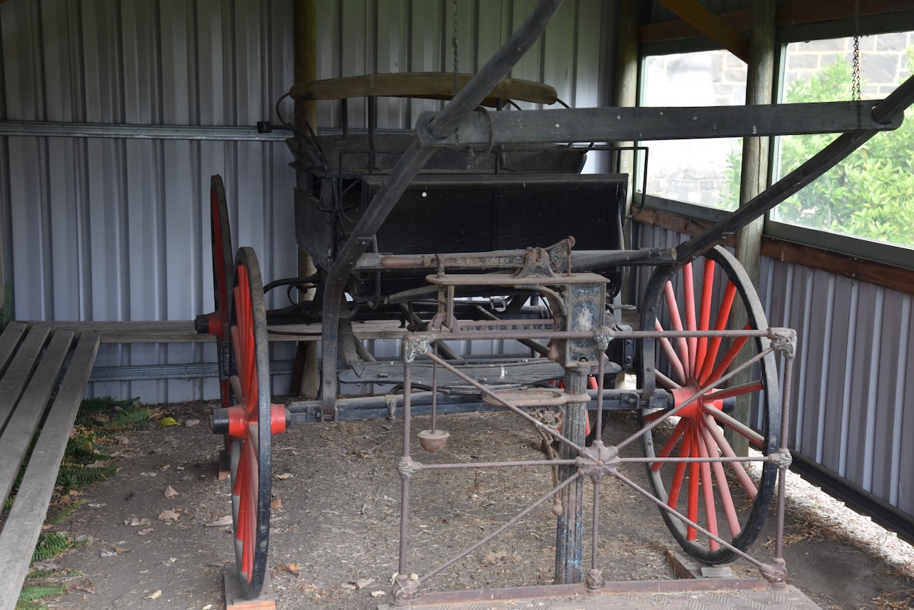
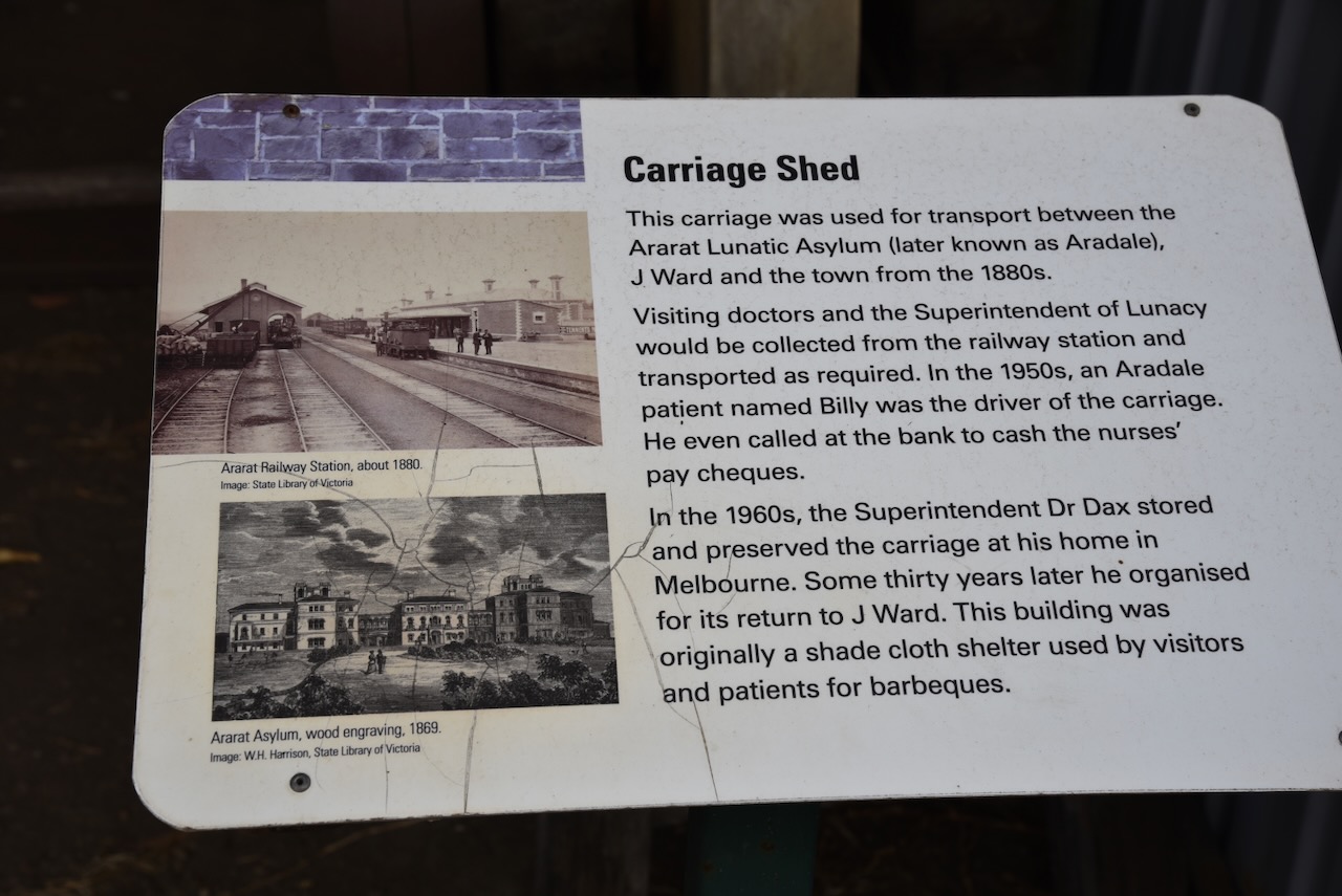
The carriage was used for transport between the Ararat Lunatic Asylum (later known as Aradale), J Ward and the town of Ararat from the 1880s. Visiting doctors and the Superintendent of Lunacy would be collected from the railway station and transported as required. In the 1950s an ARadale patient named Billy was the driver of the carriage. He even called at the bank to cash the nurses’ pay cheques. In the 1960s the Superintendent Dr Dax stored and preserved the carriage at his home in Melbourne. Some thirty years later he organised for its return to J Ward. This building was originally a shade cloth shelter used by visitors and patients for barbeques.
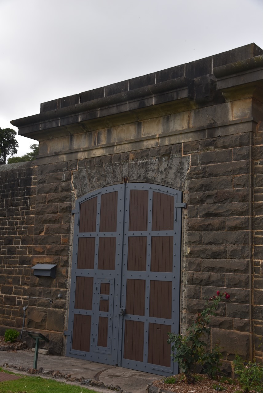
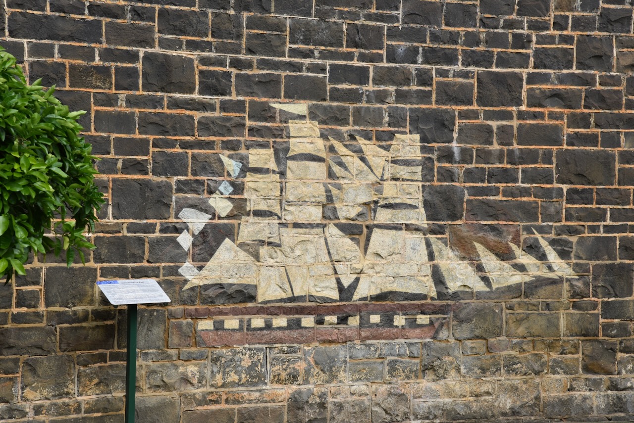
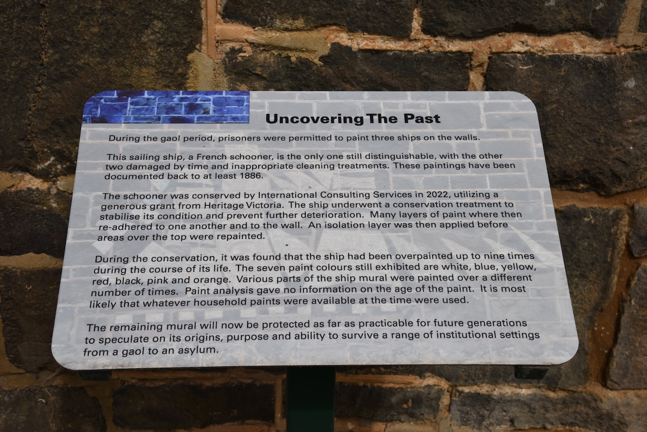
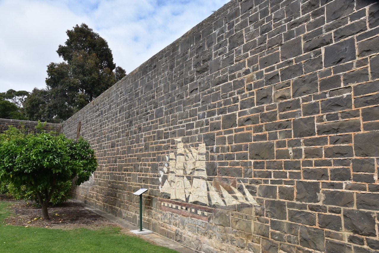
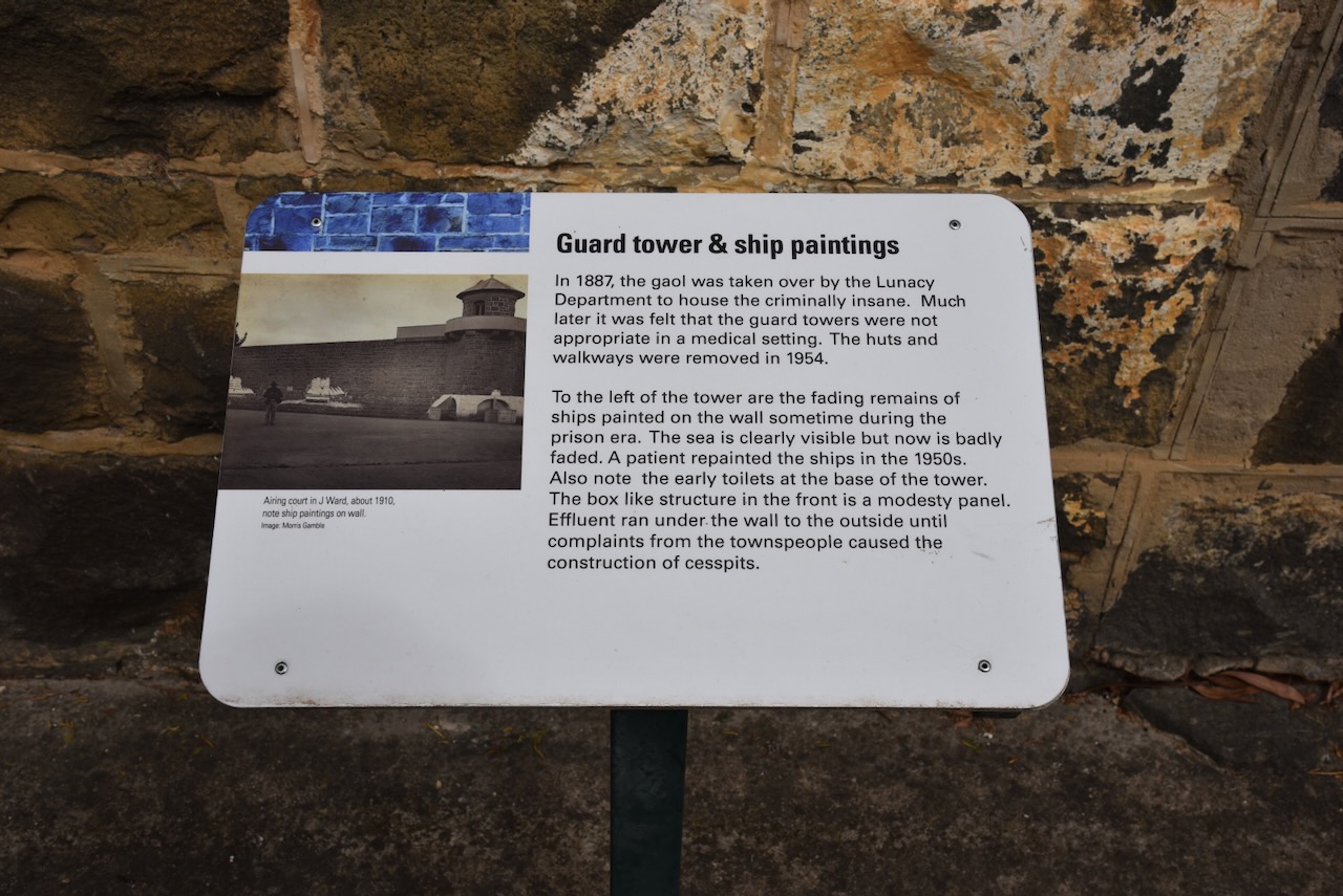
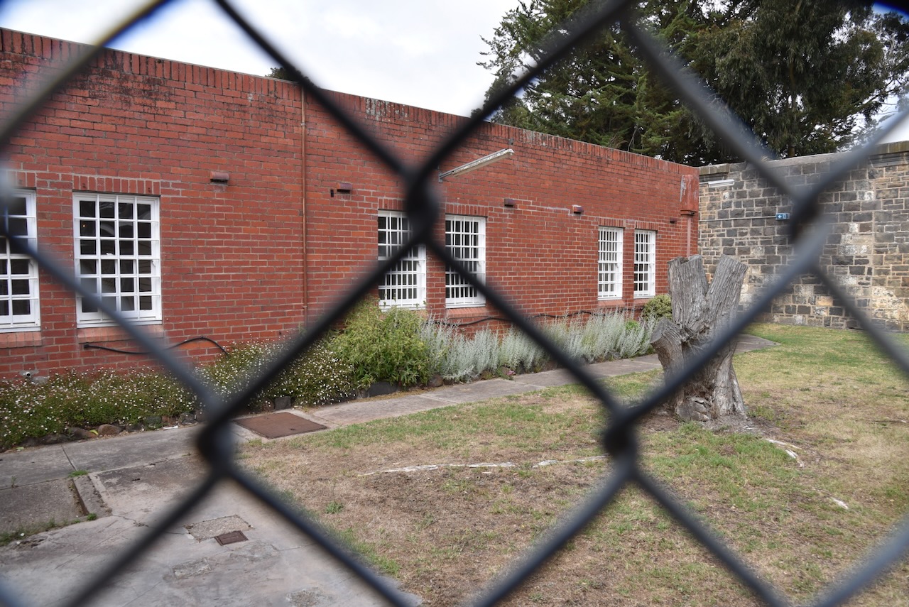
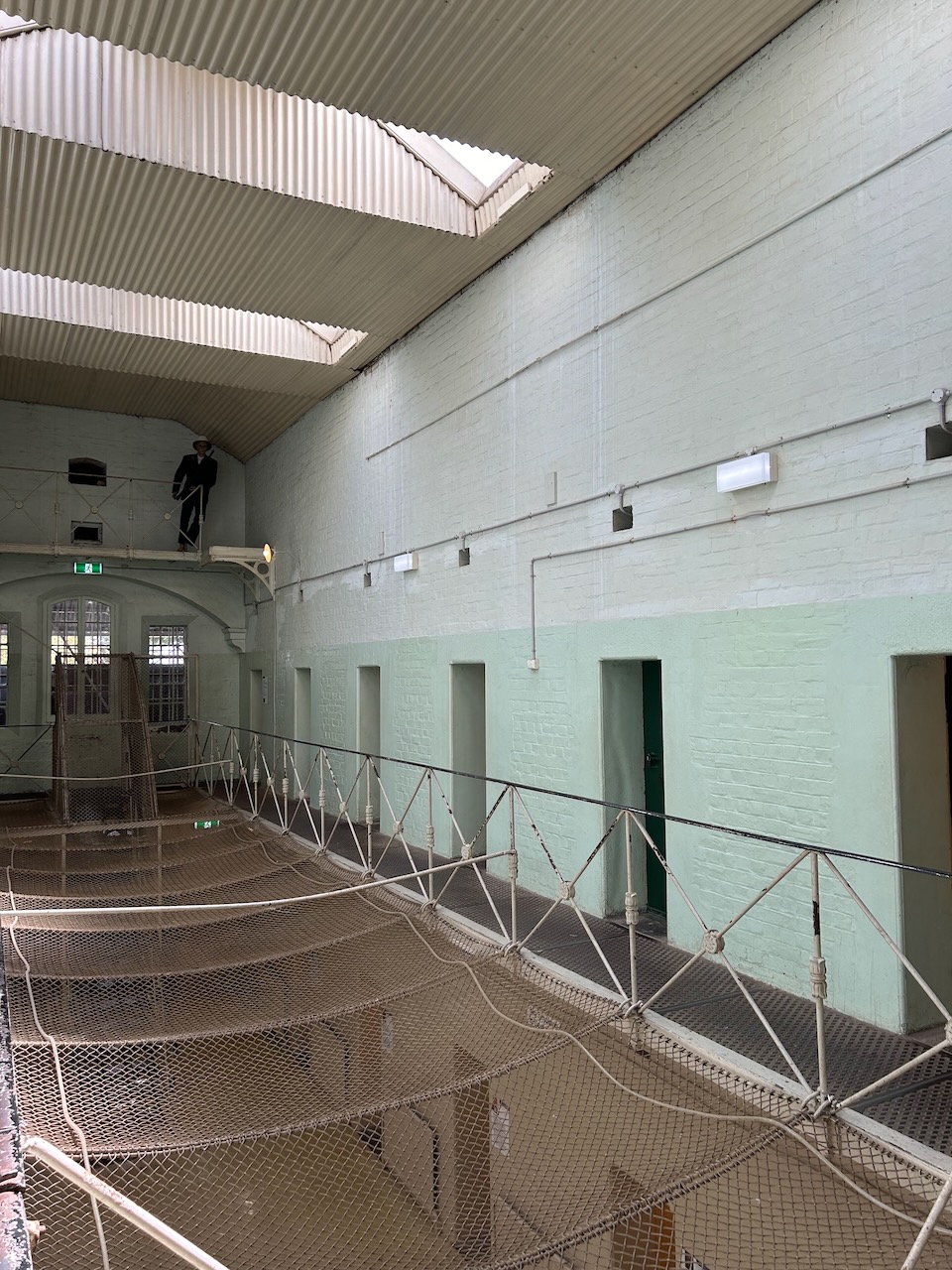
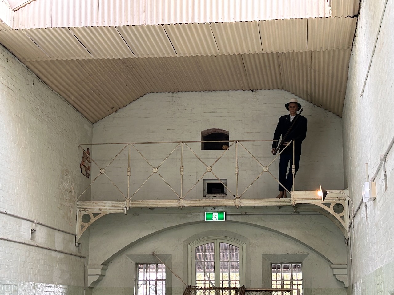
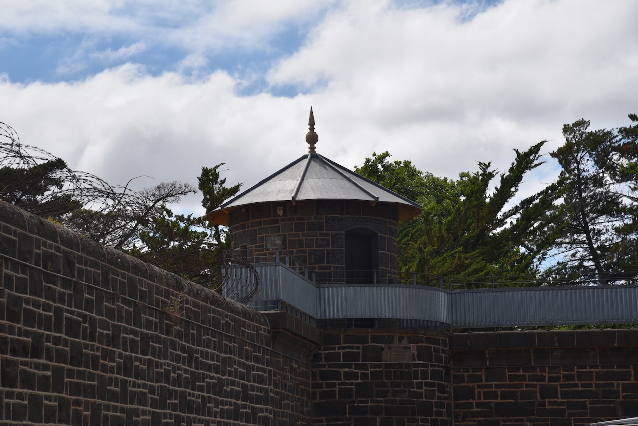
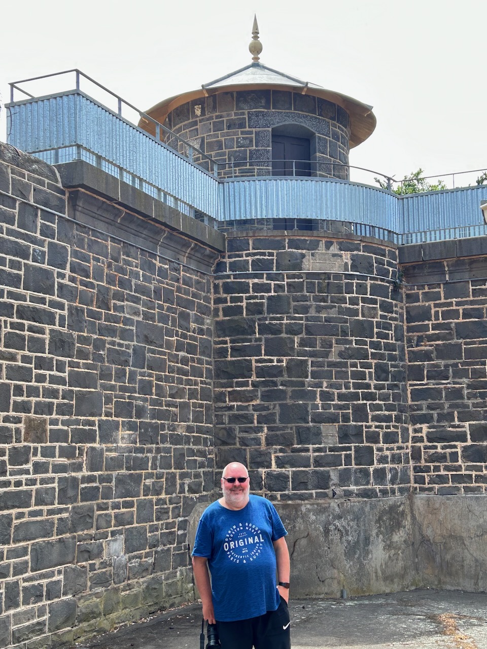
In 1887 the gaol was taken over by the Lunacy Department to house the criminally insane. Much later it was felt that the guard towers were not appropriate in a medical setting. The huts and walkways were removed in 1954. To the left of the tower are the fading remains of ships painted on the wall sometime during the prison era. The sea is clearly visible but now is badly faded. A patient repainted the ships in the 1950s.
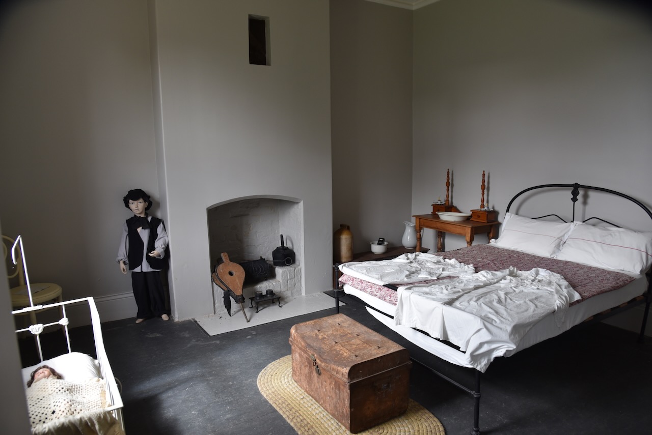
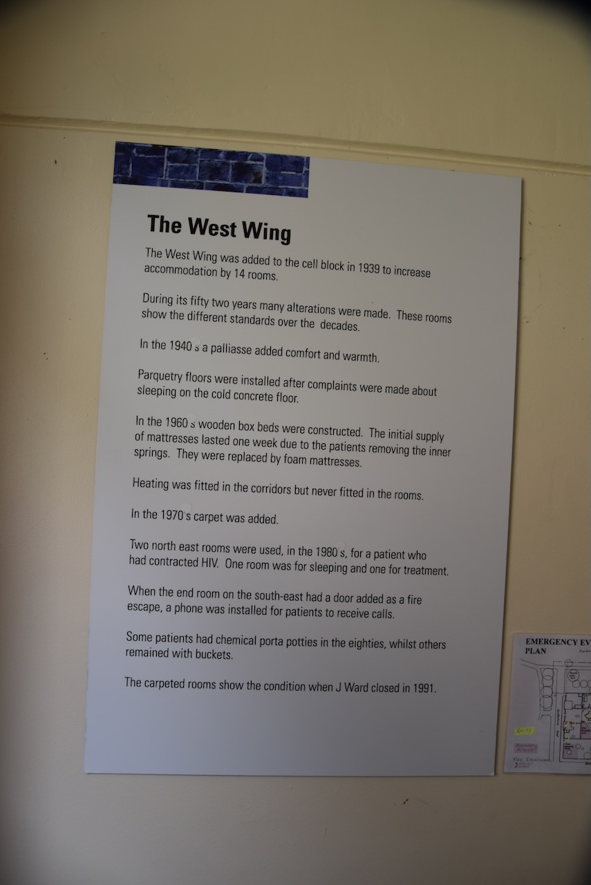
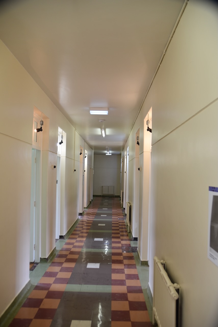
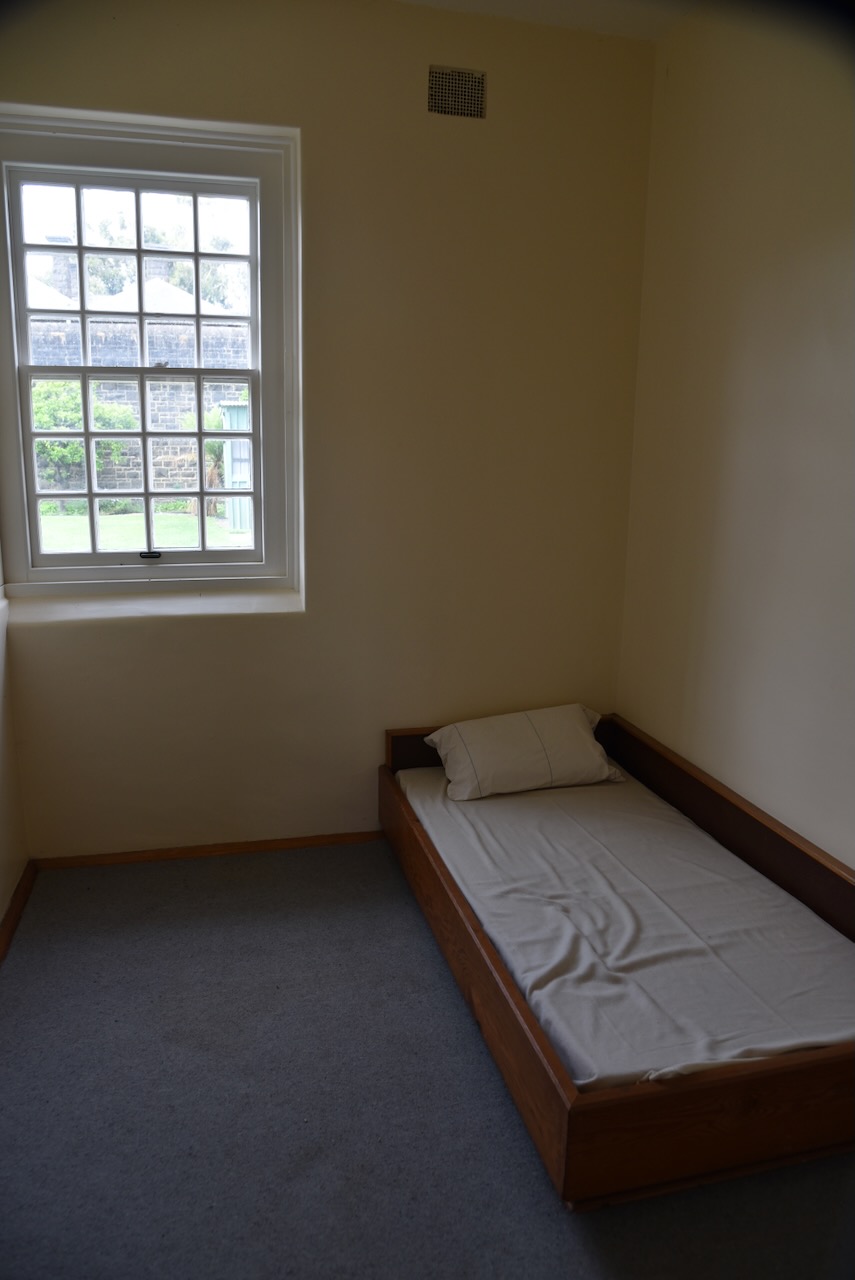
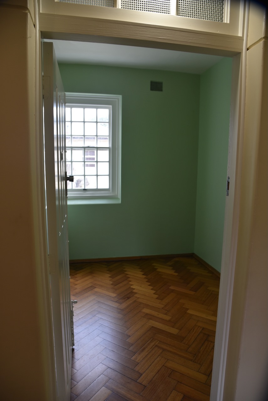
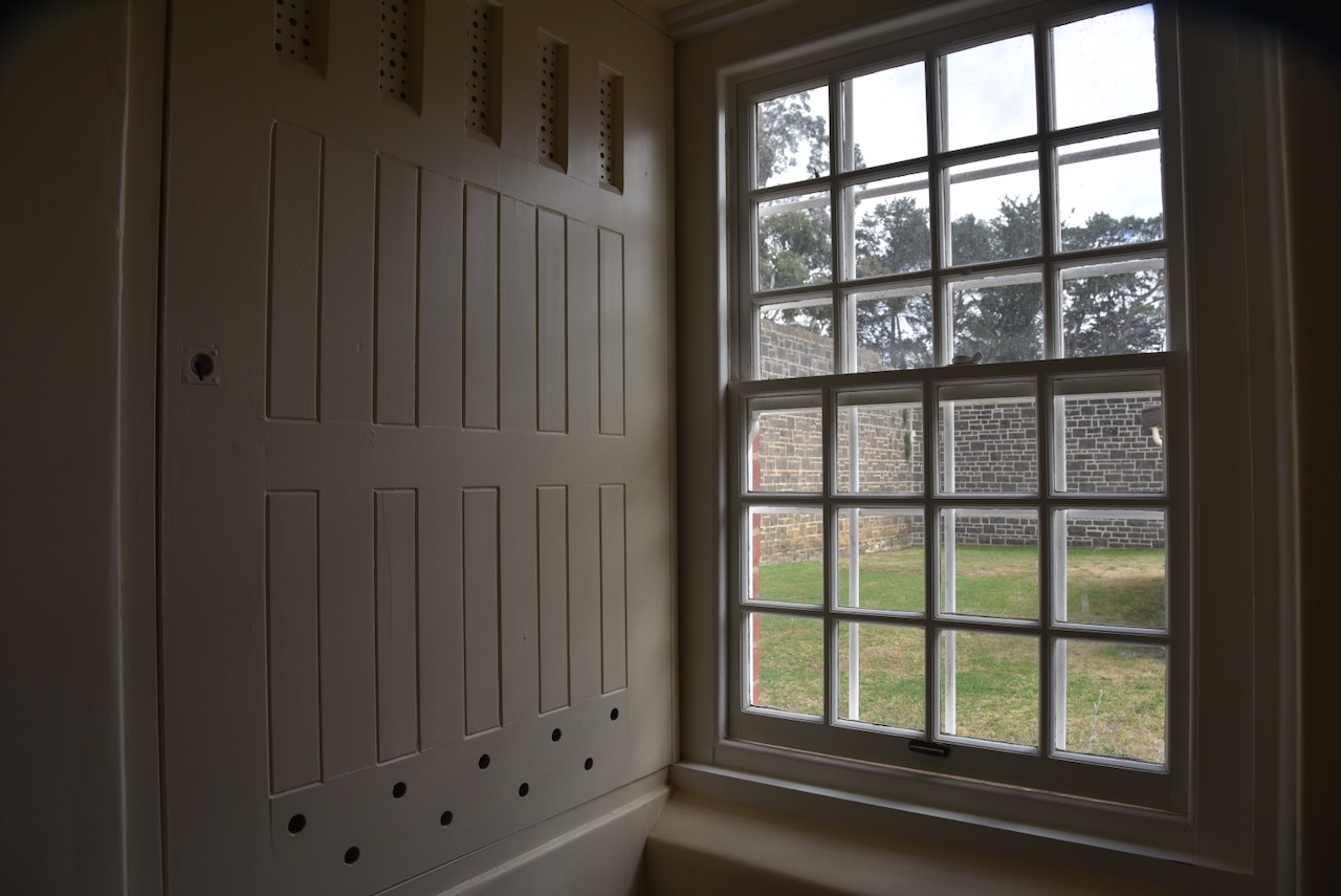
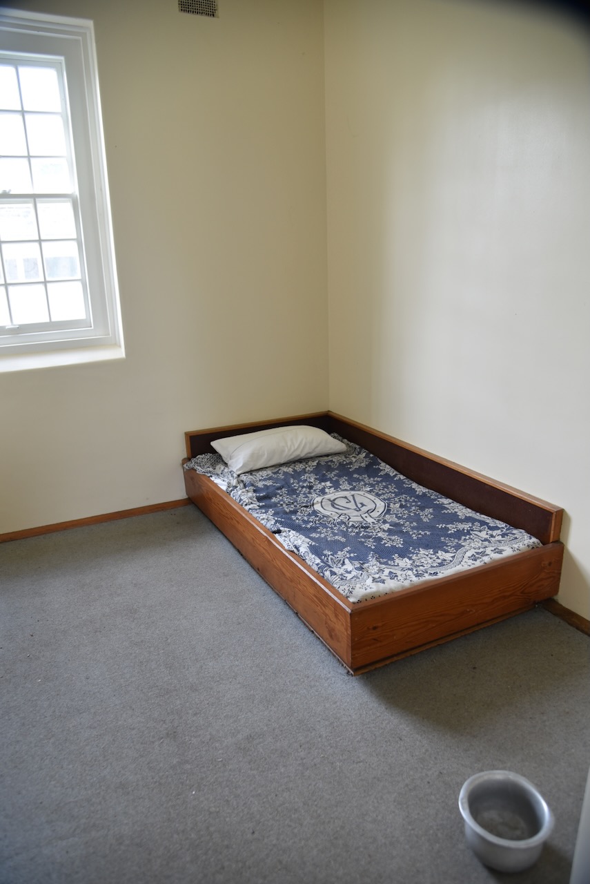
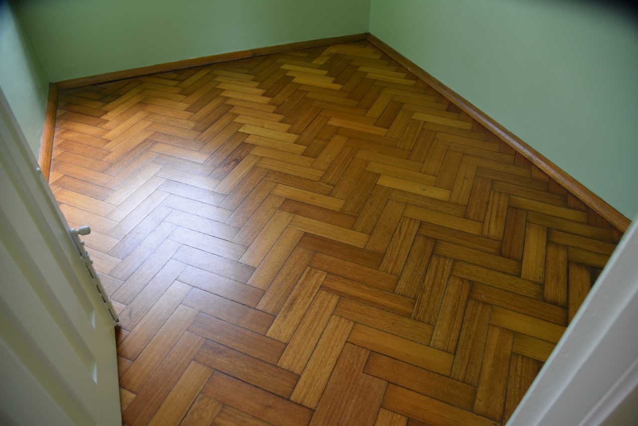
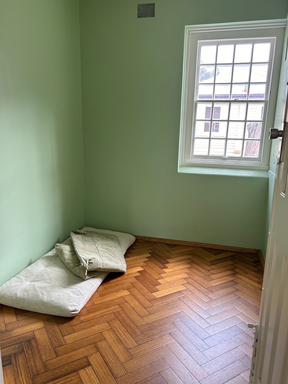
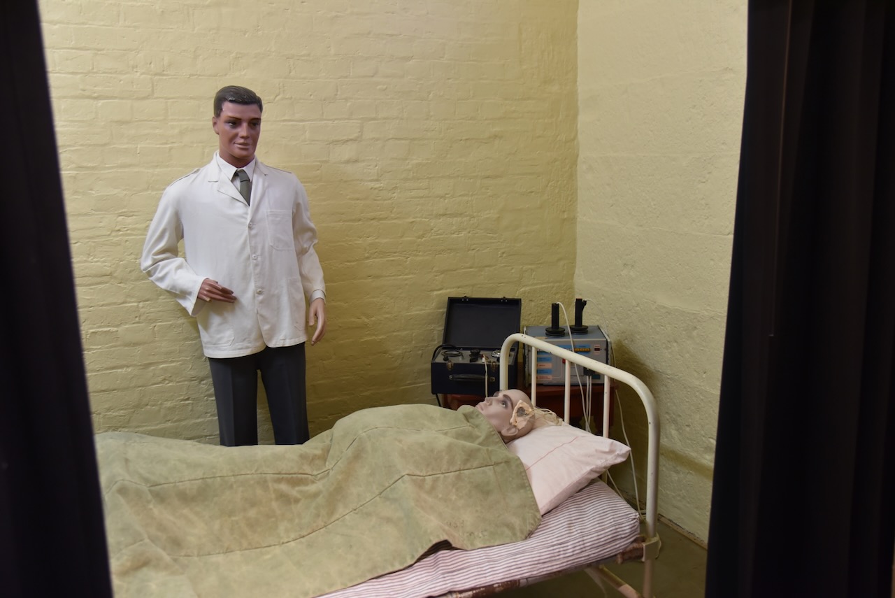
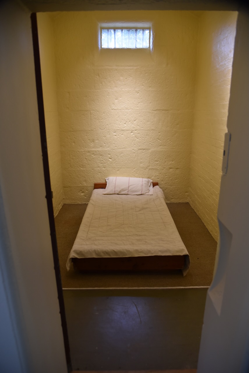
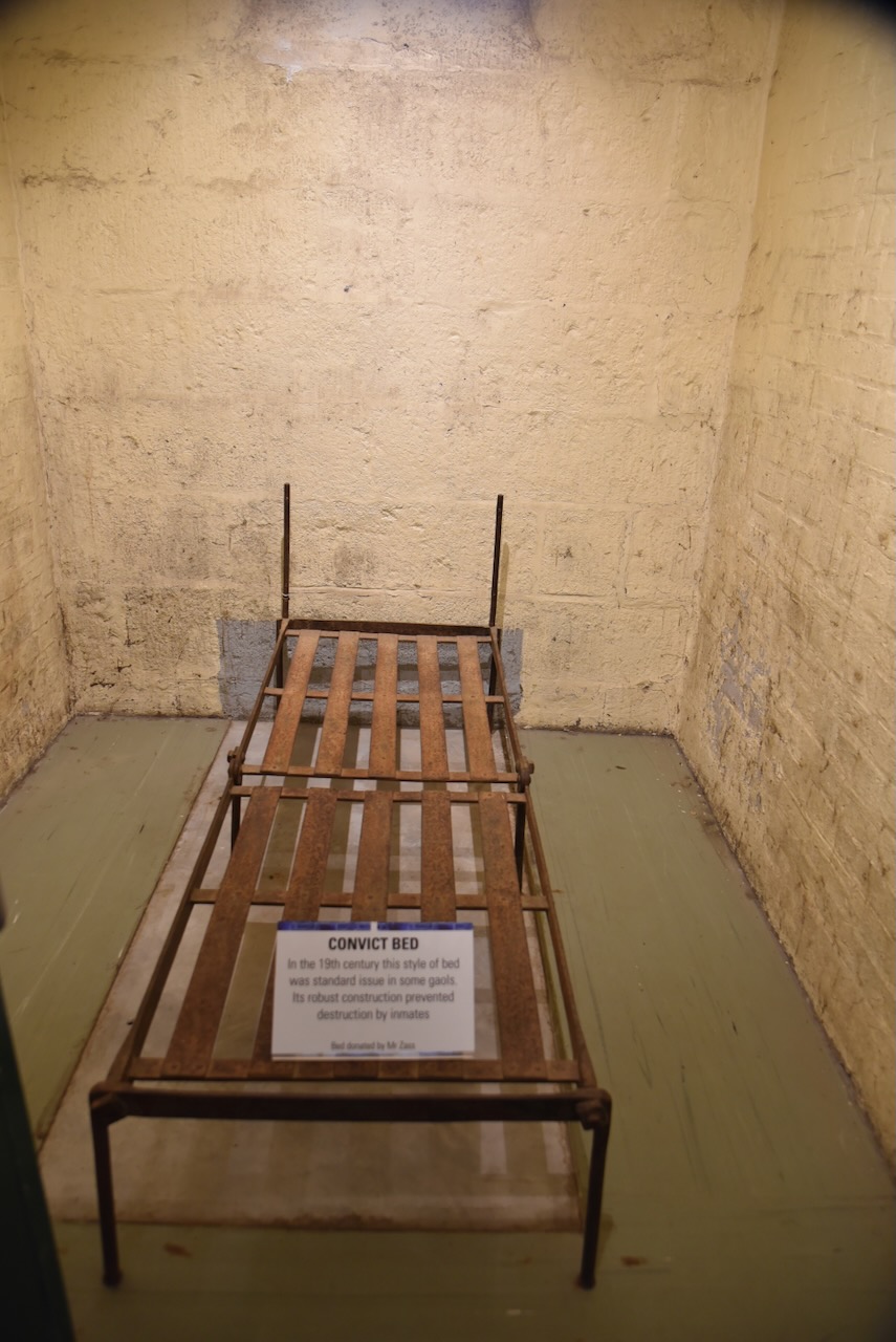
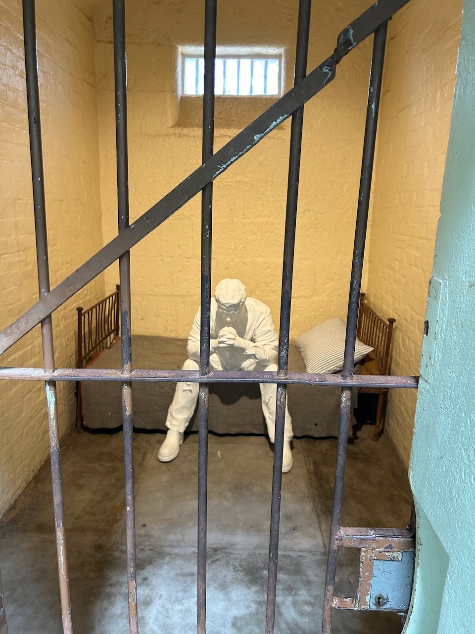
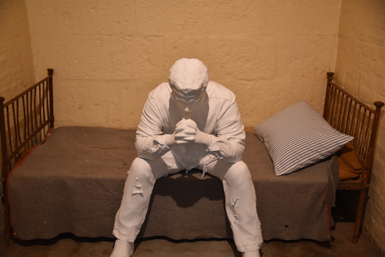
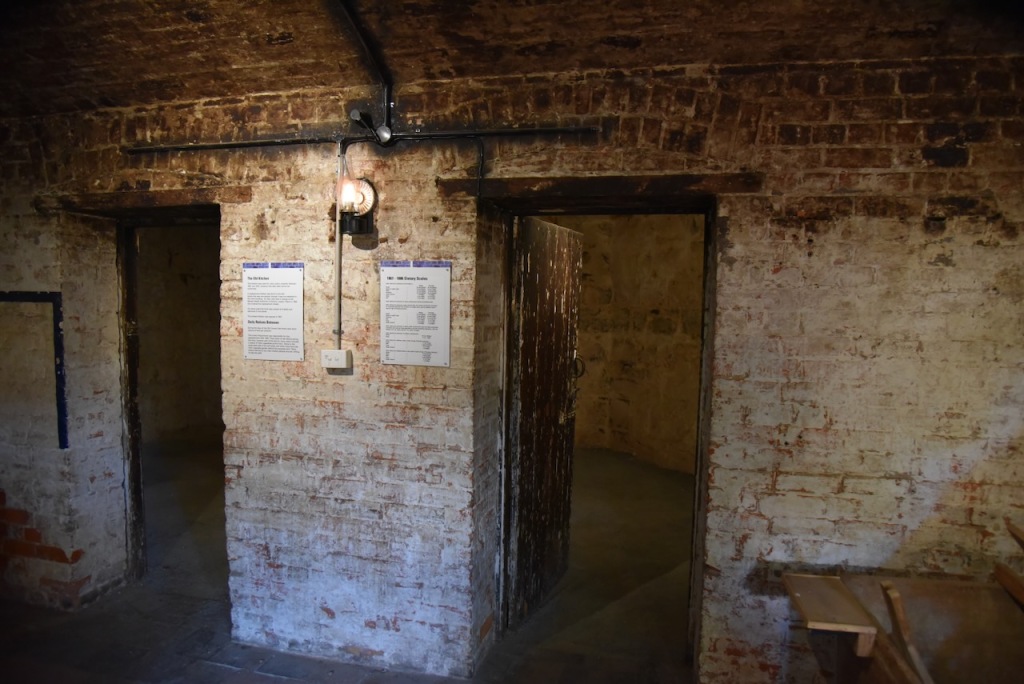
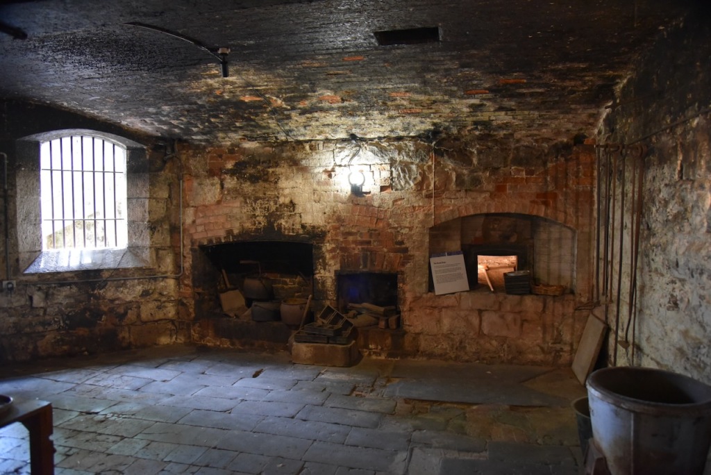
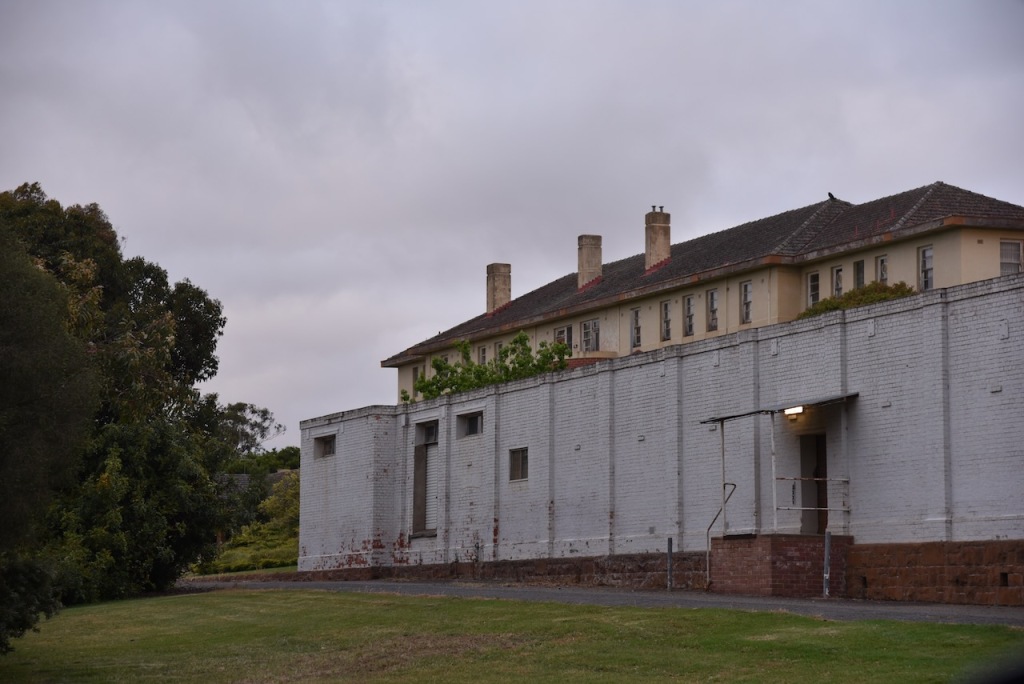
We then entered the West Wing which was added to the cell block in 1939 to increase accomodation by 14 rooms. During the 1940s a palliasse added comfort and warmth. Parquetry floors were installed after complaints were made about sleeping on the cold concrete floor. In the 1960s, wooden box beds were constructed. The initial supply of matresses lasted one week due to the patients removing the inner springs. They were replaced by foam mattresses. Heating was fitted in the corridors but never fitted in the rooms. Carpet was added in the 1970s.
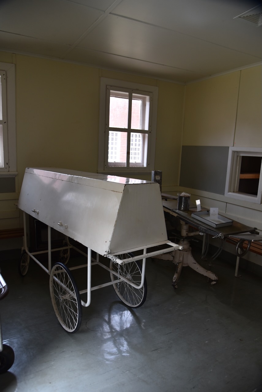
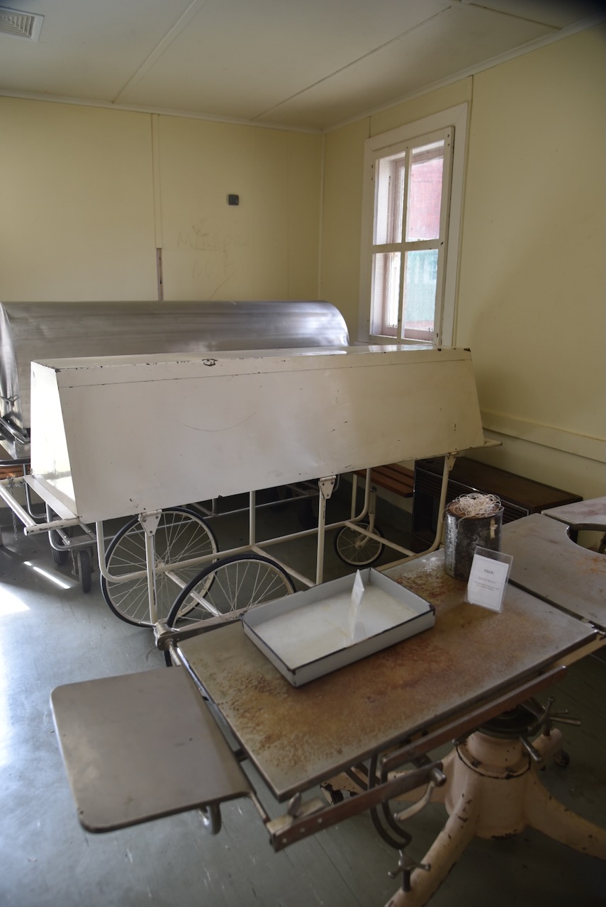
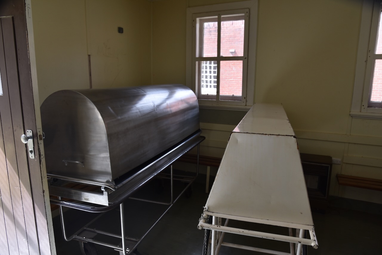
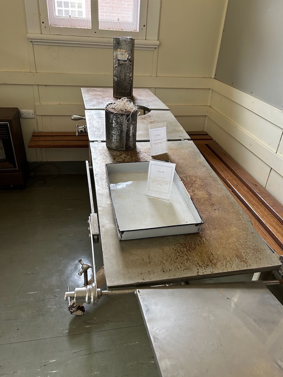
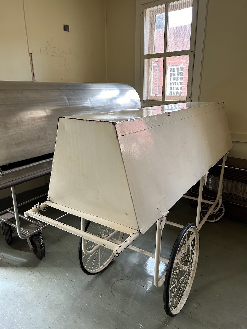
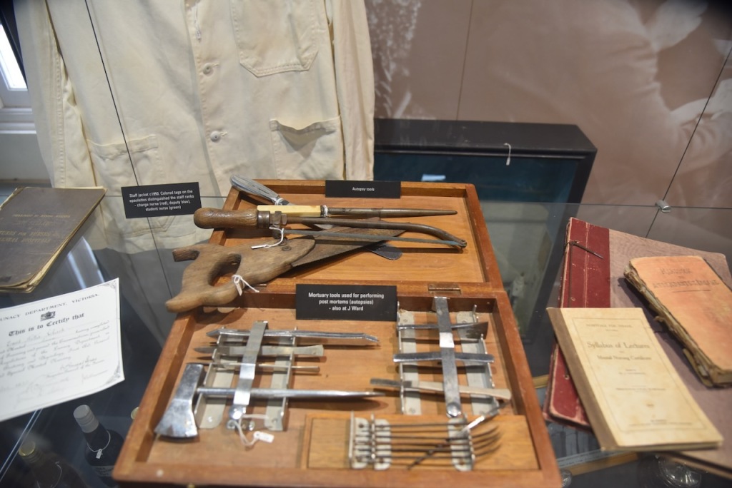
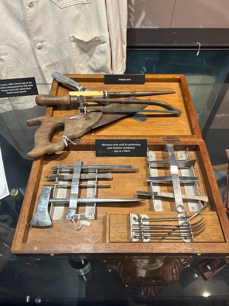
The J Ward mortuary contains a number of mortuary trolleys and various autopsy equipment.
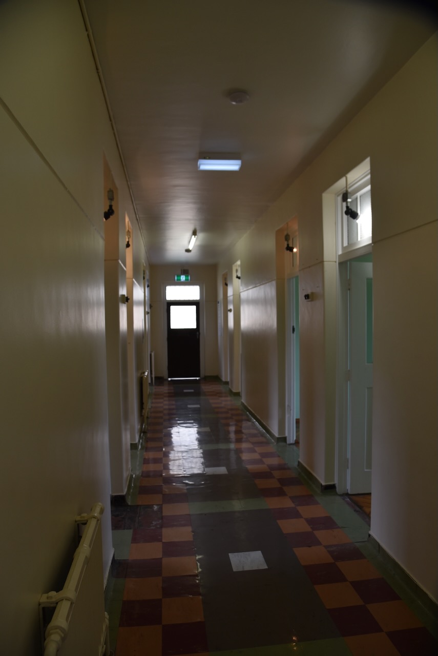
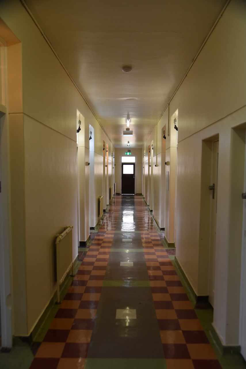
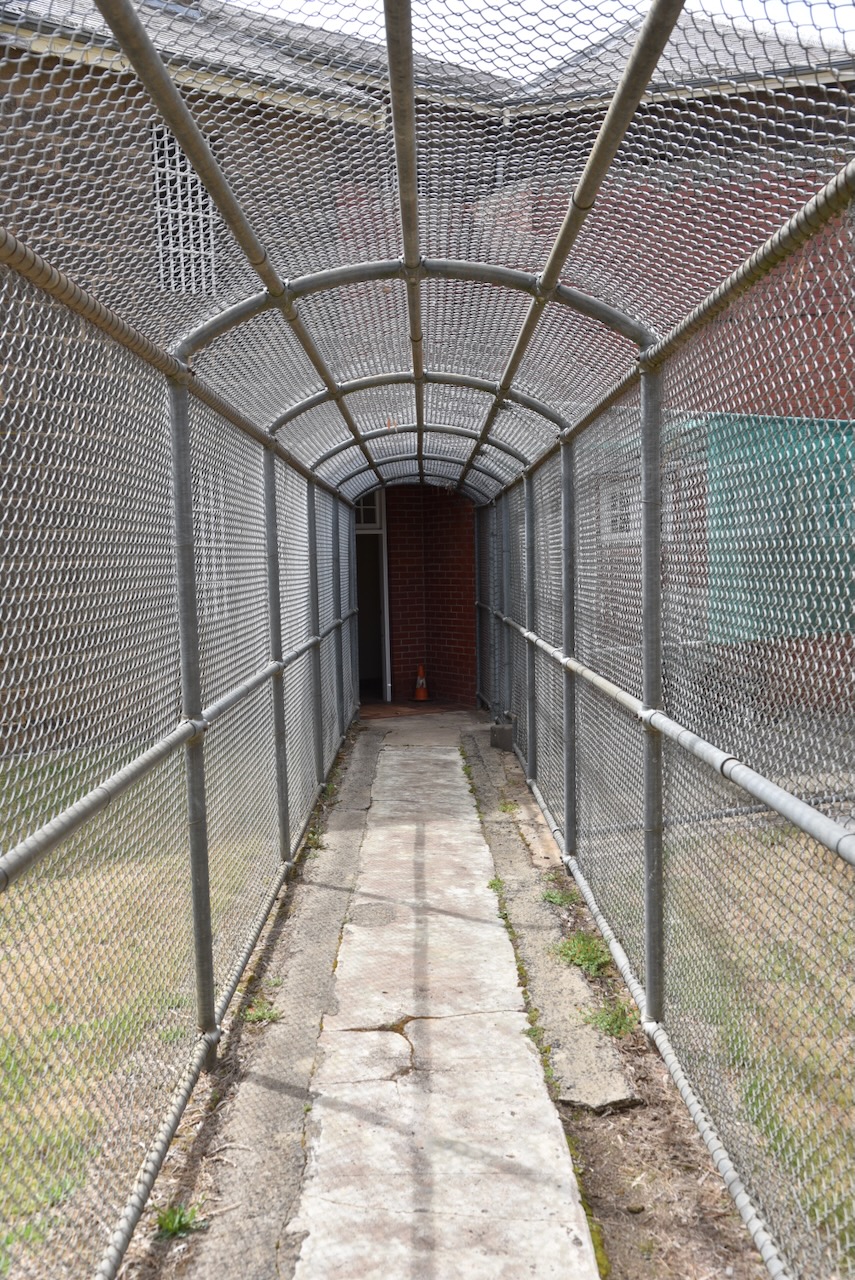
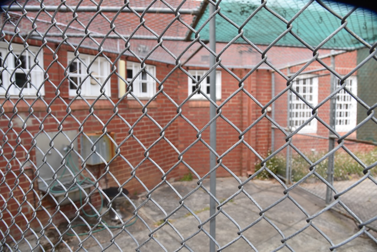
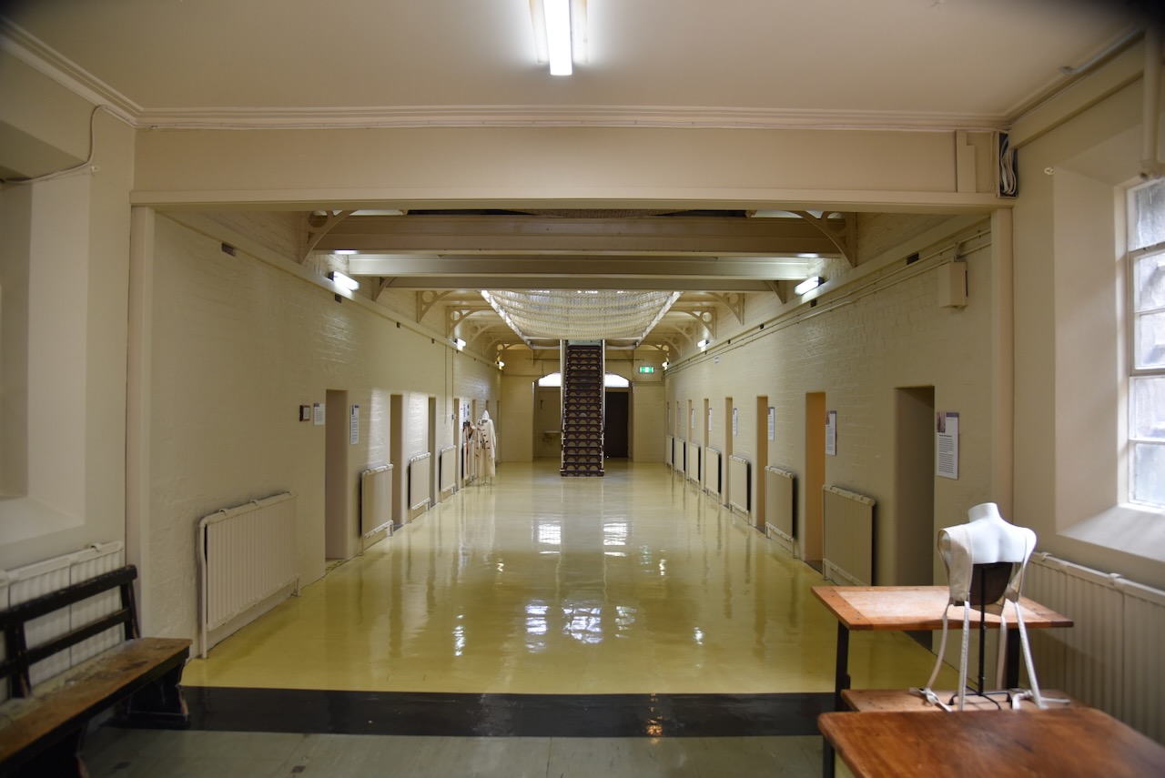
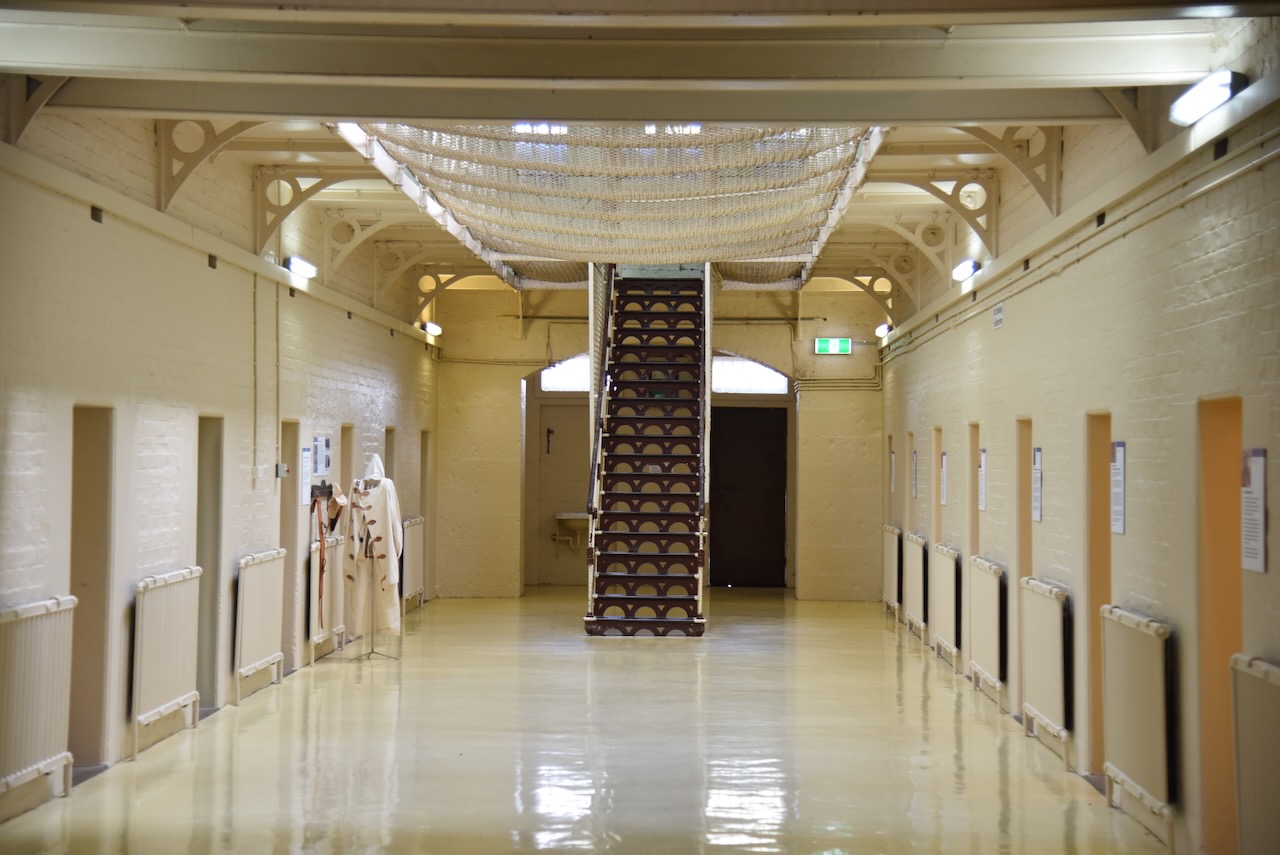
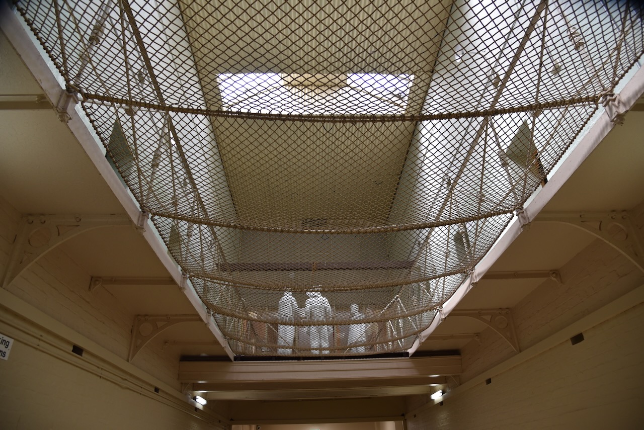
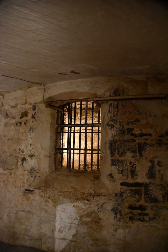
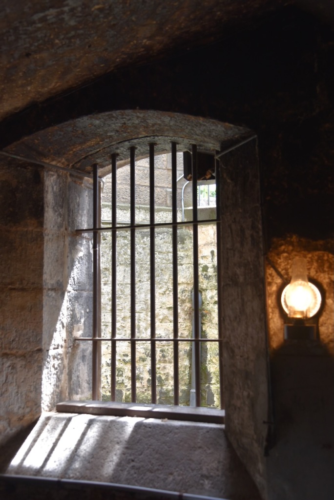
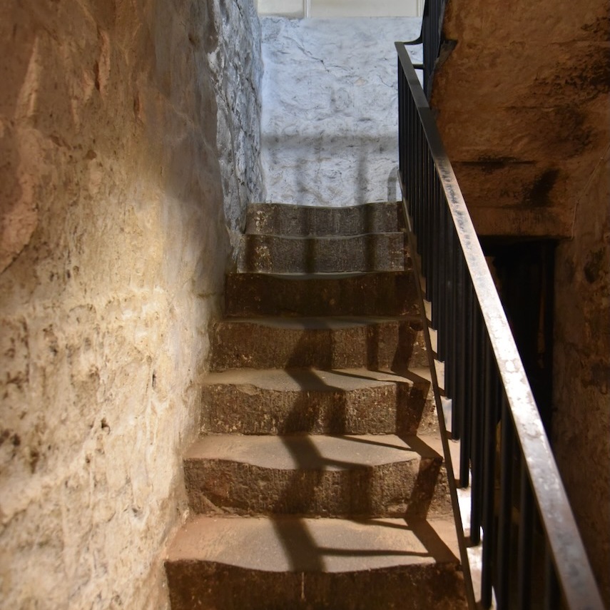
We then headed to the main cell area along a caged walkway.
When the gaol was opened on the 10th day of October 1861, it held a total of 21 prisoners. By 1864 the faol housed 40 prisoners.
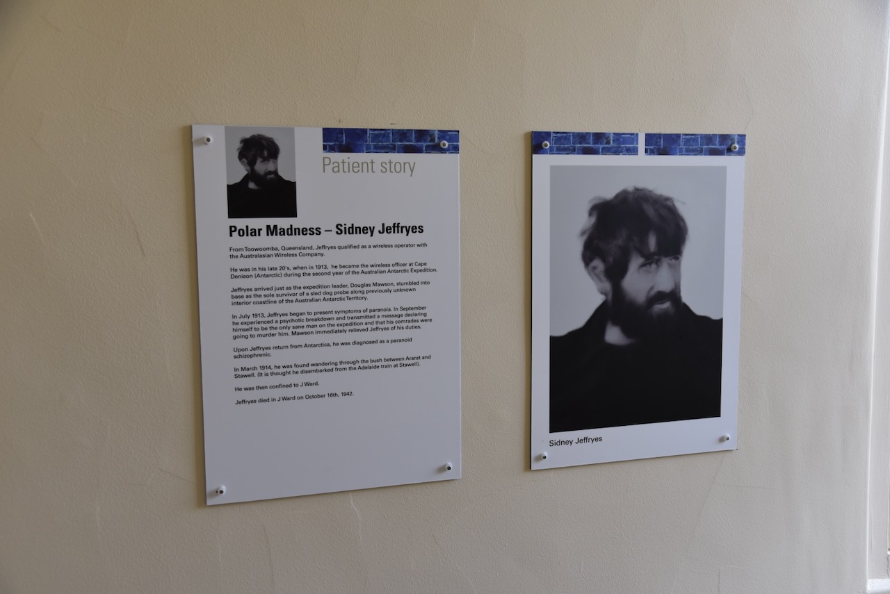
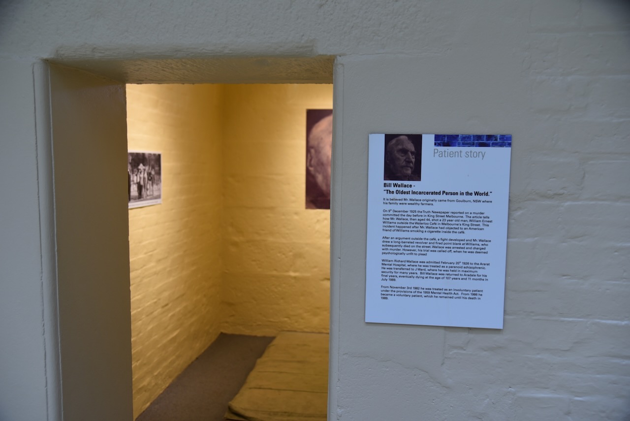
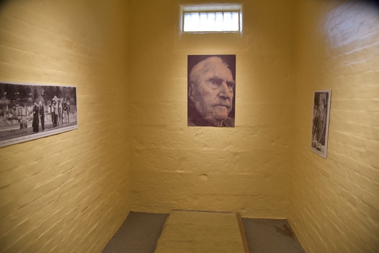
Bill Wallace was at one time the oldest incarcerated person in the world.In December 1925 a 23 year old man was shot in King Street Melbourne by Wallace who was aged 44 years. The shooting occurred after a dispute re the smoking of a cigarette inside the Waterloo Cafe. Wallace was found psychologically unfit to plead and was admitted to the Ararat Mental Hospital on the 20th day of February 1926 and was transferred to J Ward where he was held in maximum security for many years. Wallace returned to Aradalde for his final years and died in July 1989, aged 107 years and 11 months.
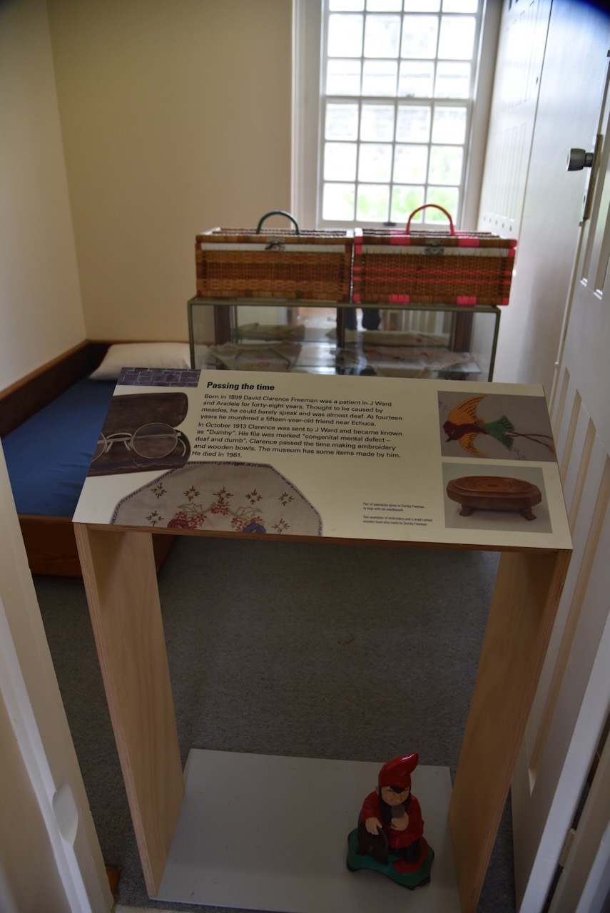
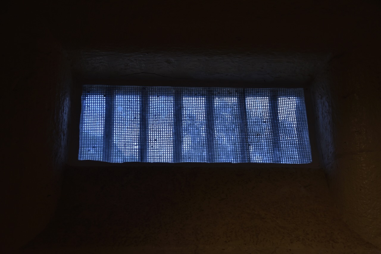
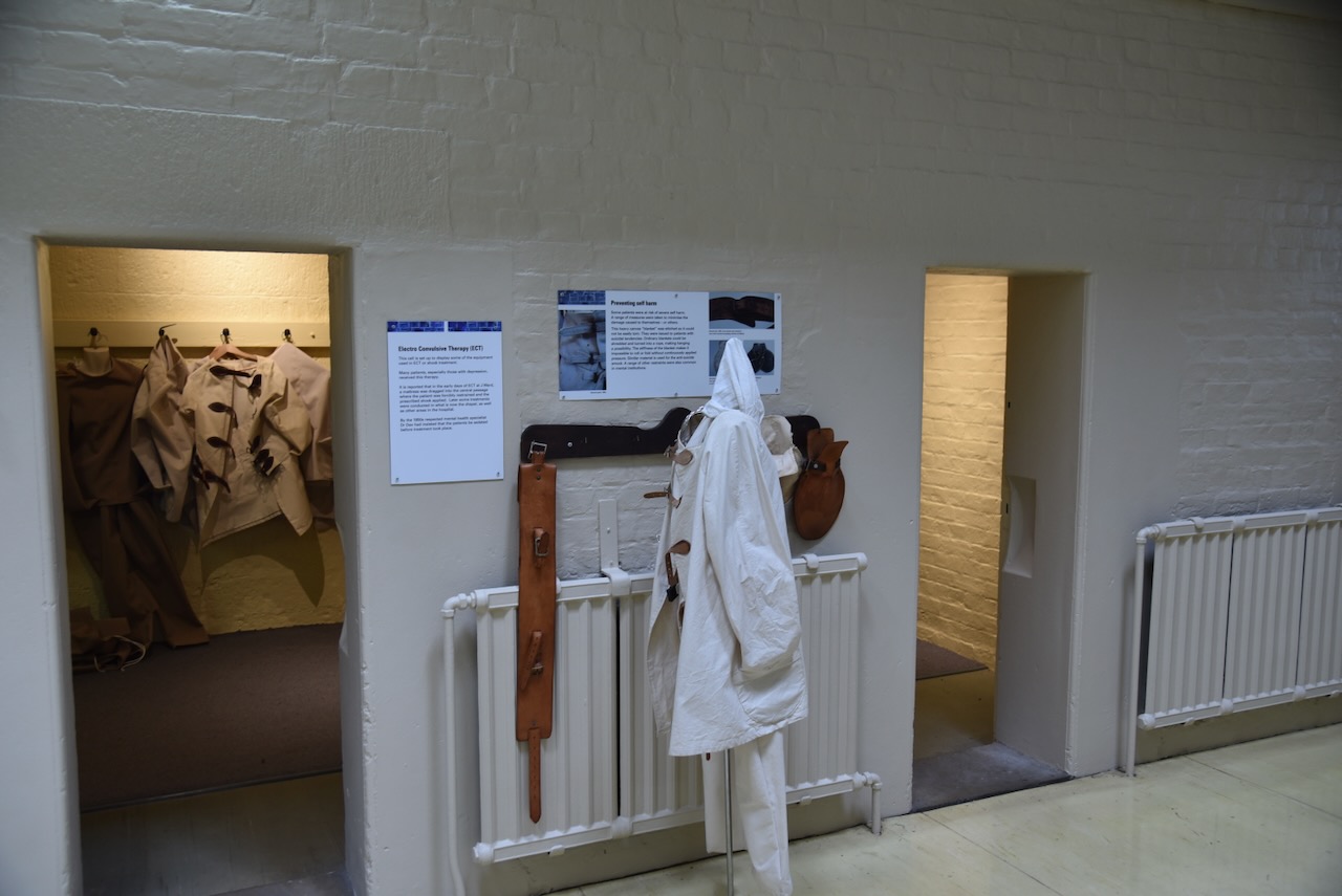
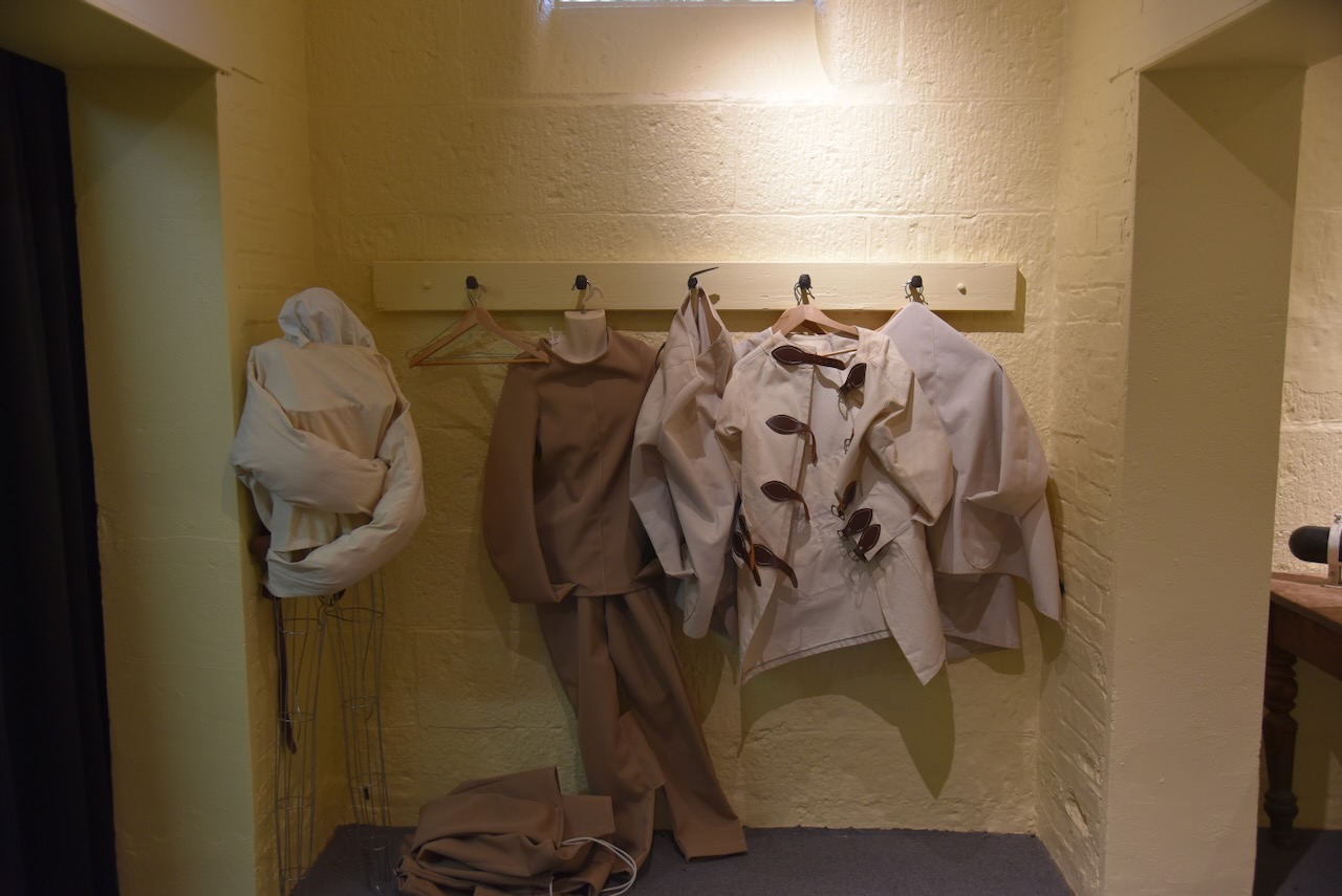
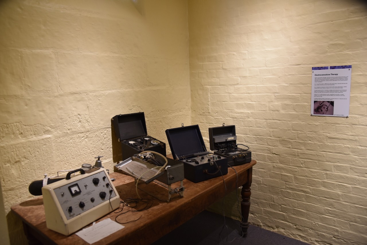
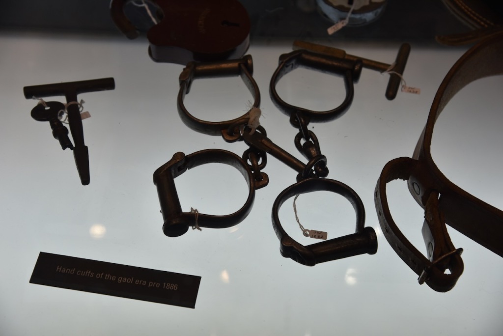
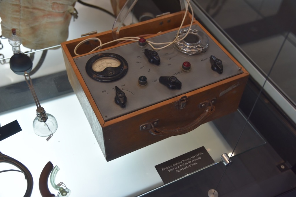
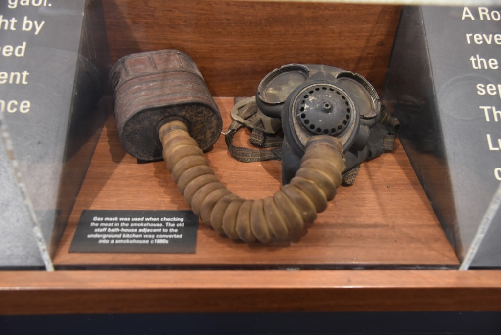
Many of the cells have information boards detailing various aspects of J Ward including electroconvulsive therapy.
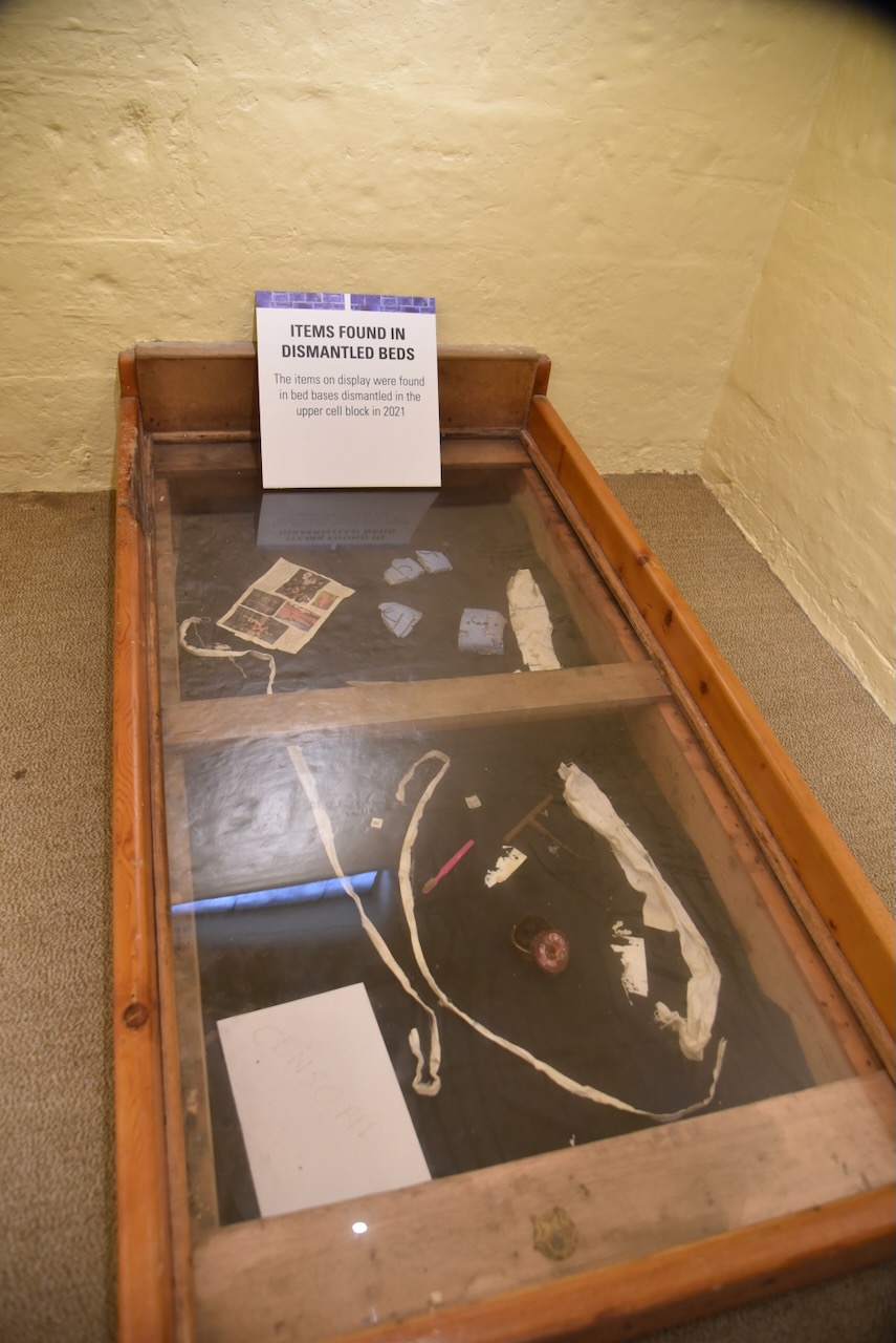
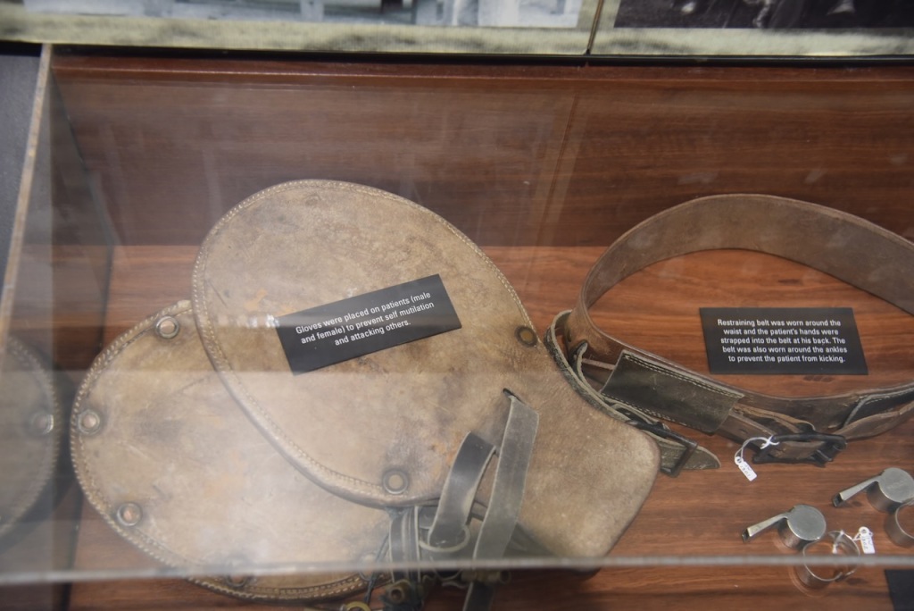
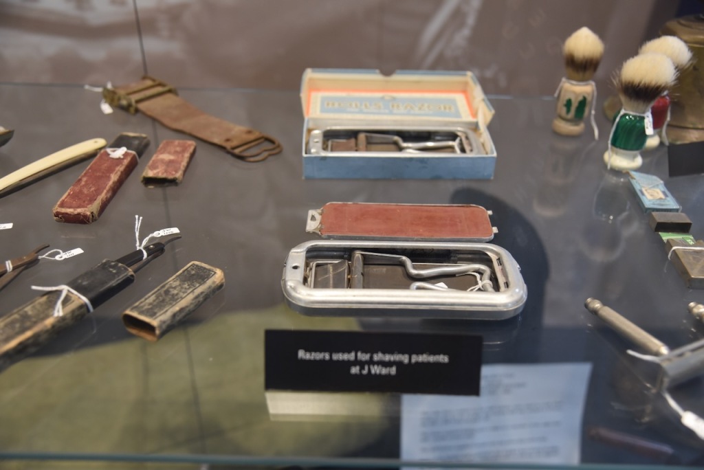
Other displays include items found in dismantled beds and death masks.
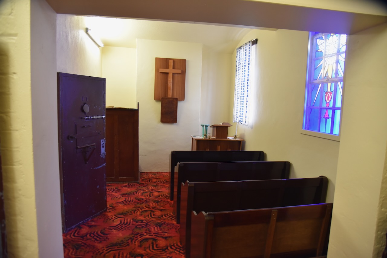
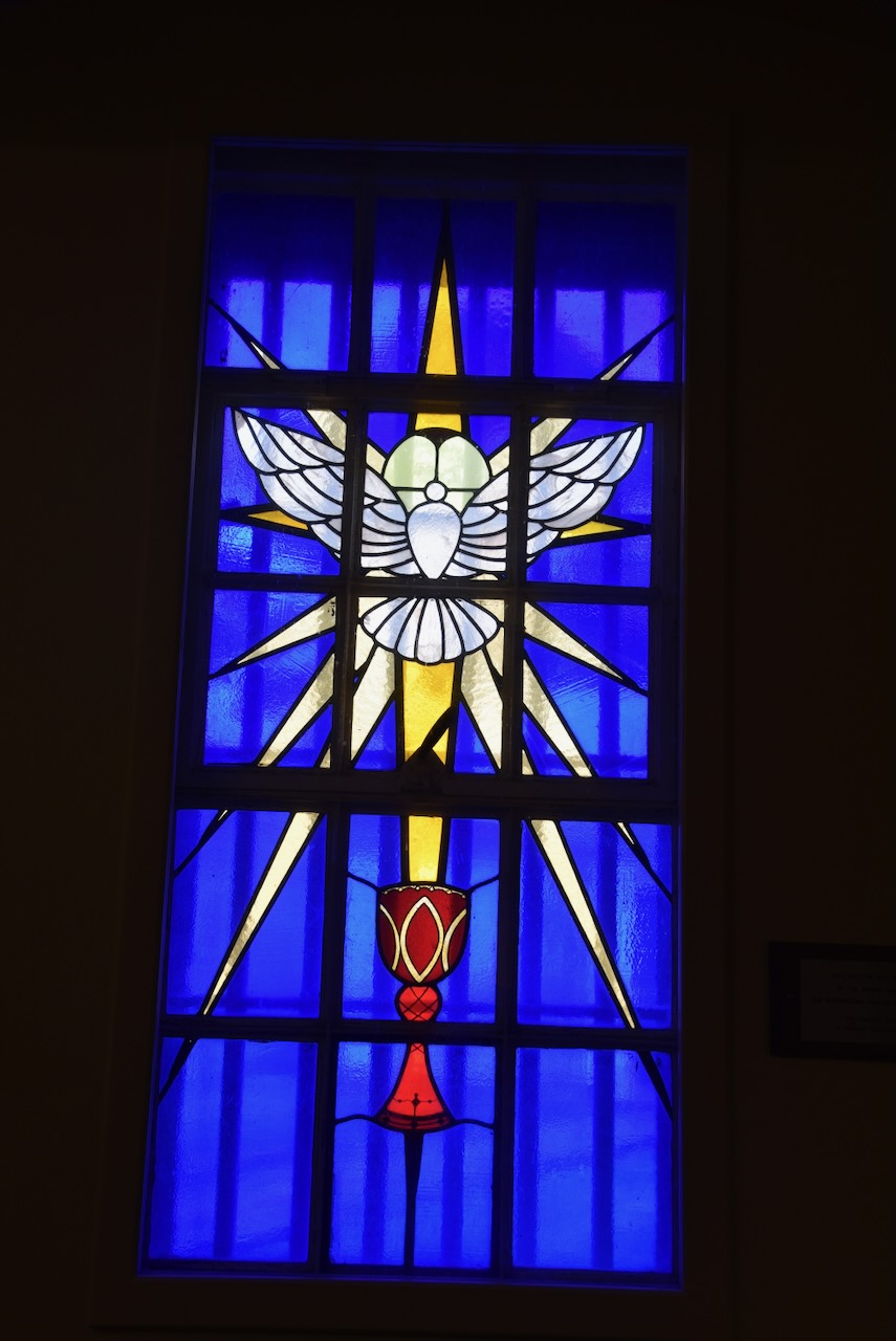
This section of J Ward also contains a small chapel.
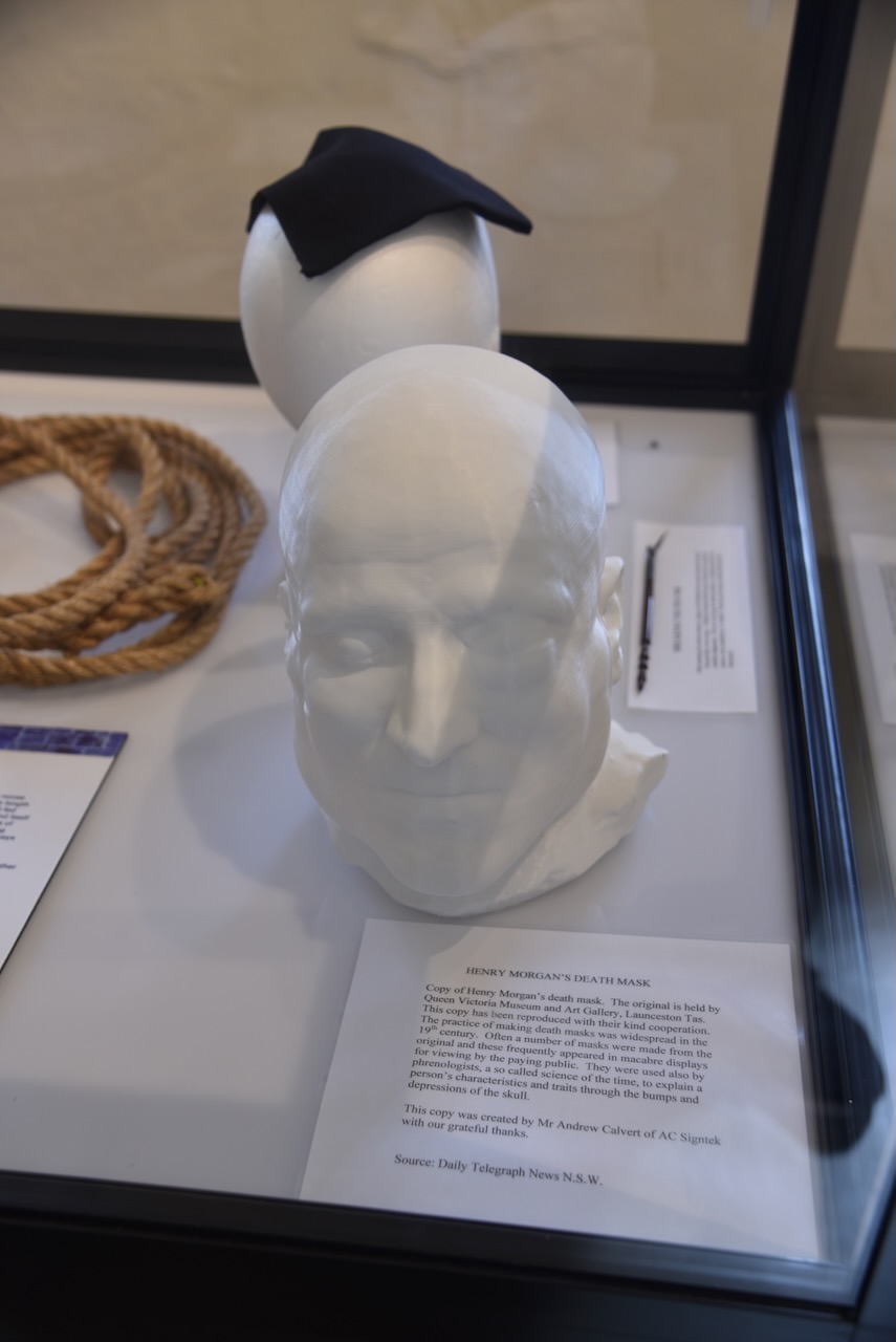
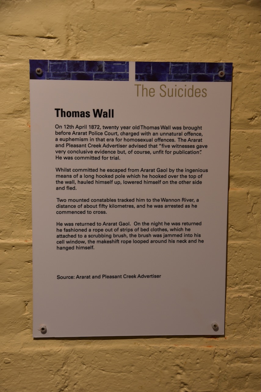
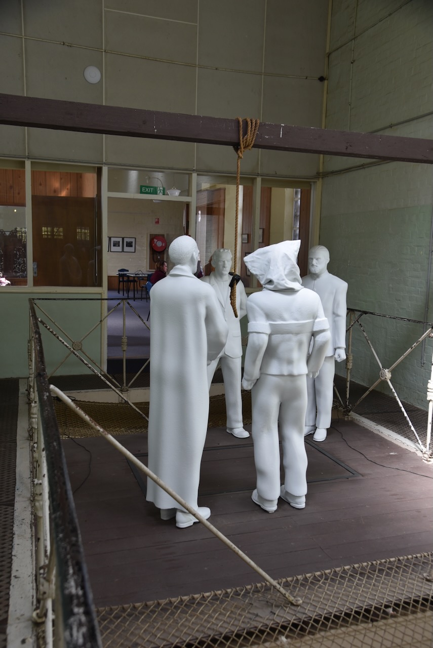
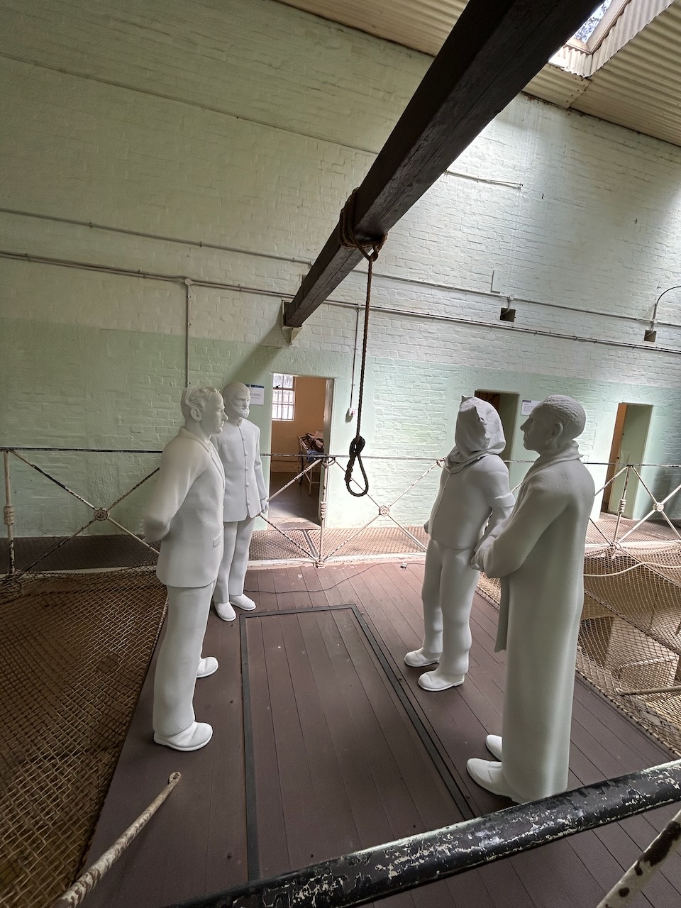
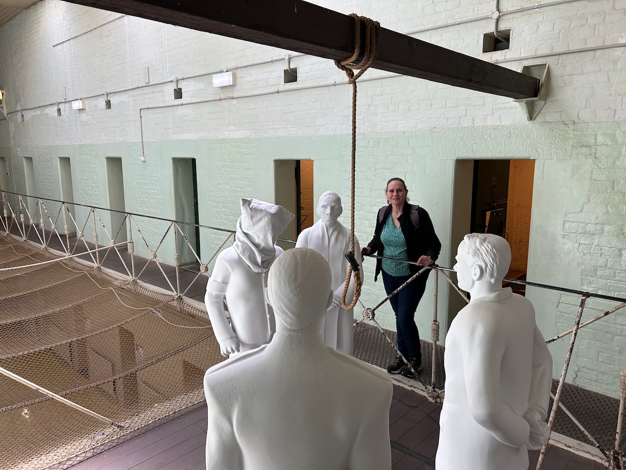
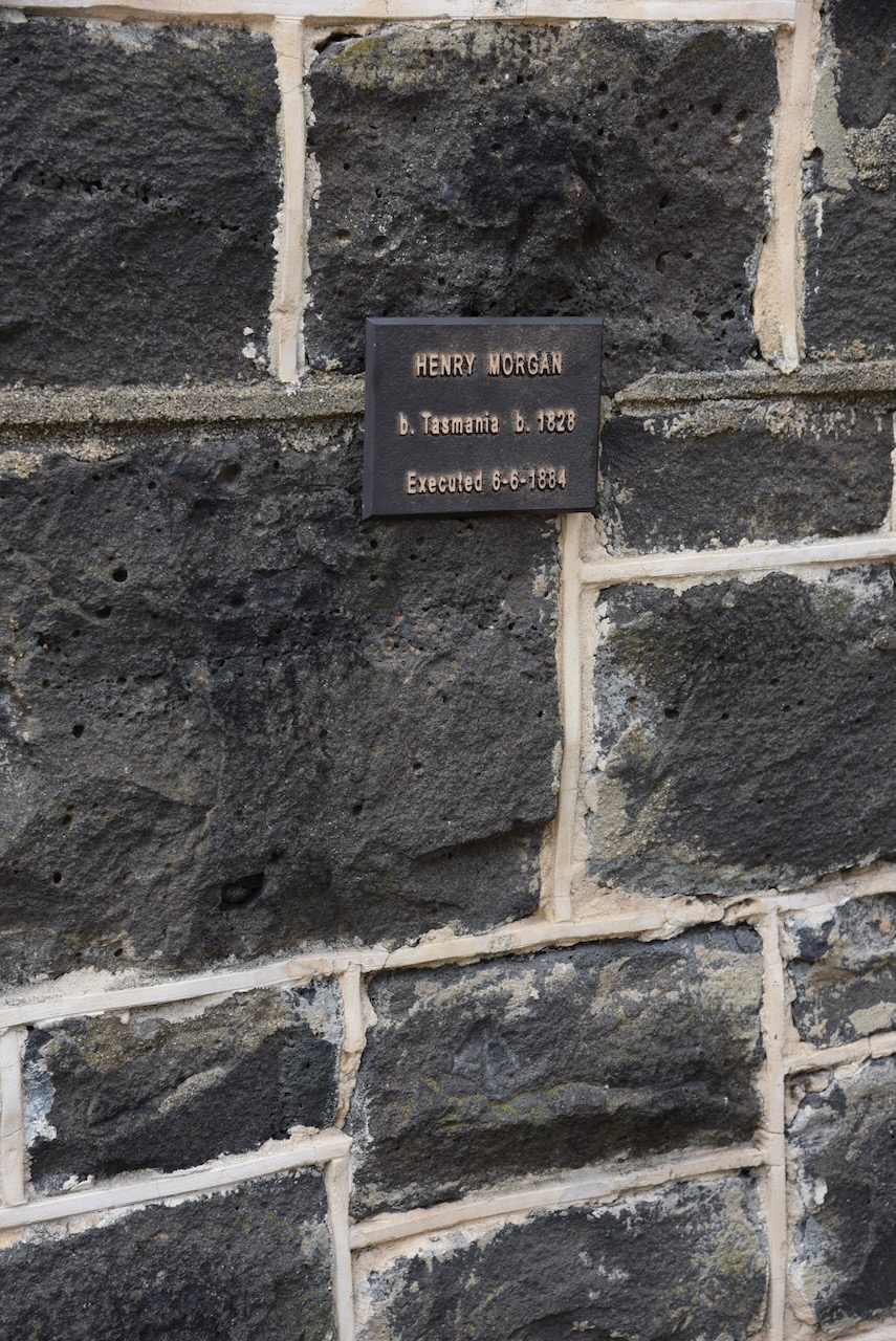
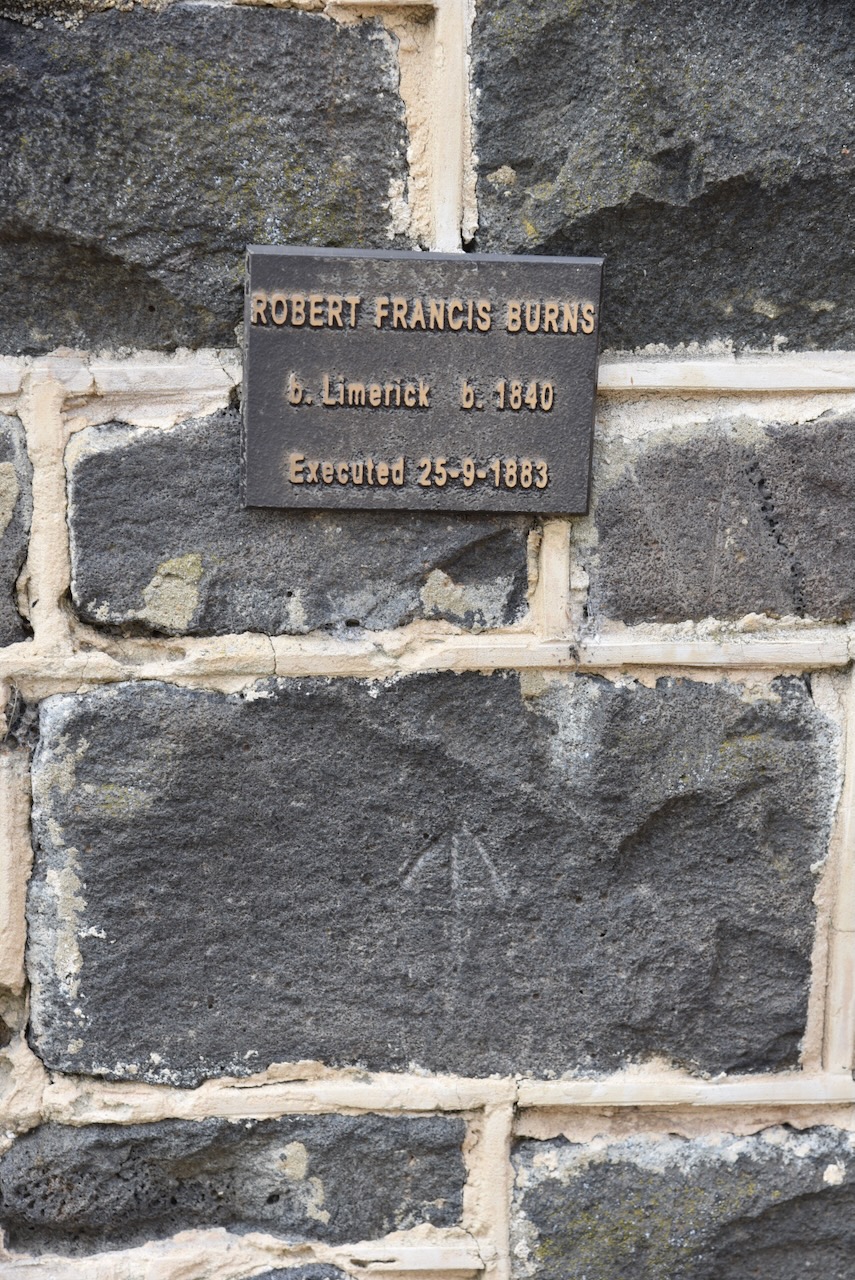
Executions at the gaol including Andrew Vere in 1870 who was convicted of a shooting murder. Robert Francis Burn was hung for muder in September 1883. Henry Morgan was hung after being convicted for murder where he cut the throat of 10 year old Margaret Nolan after sexually assaulting her.
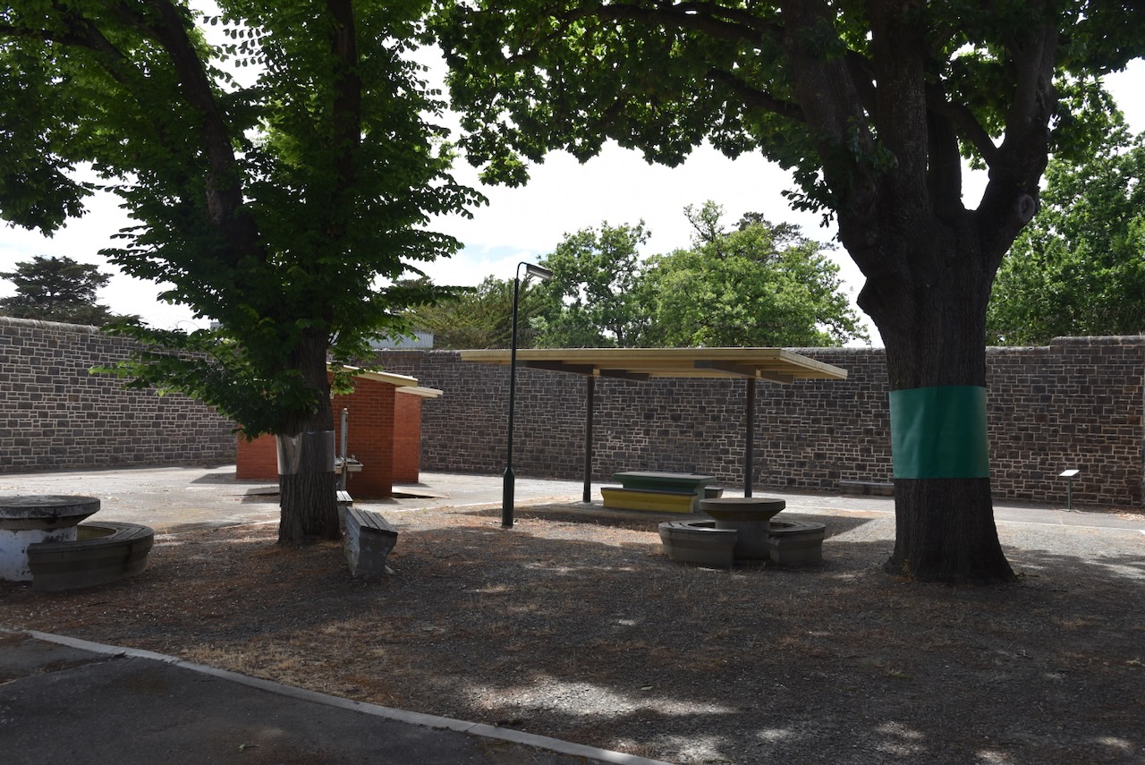
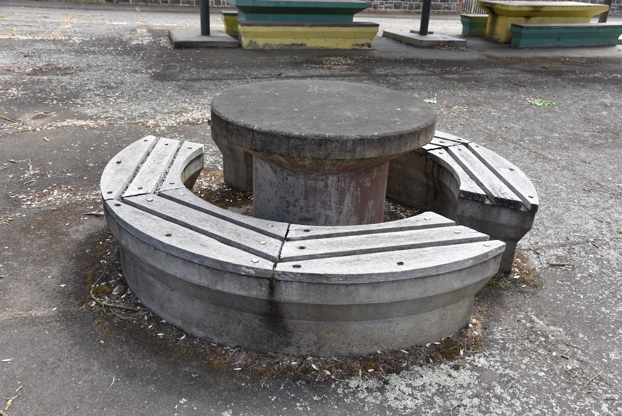
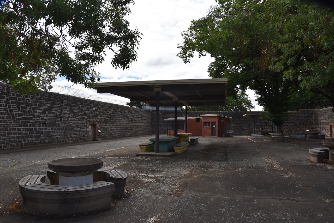
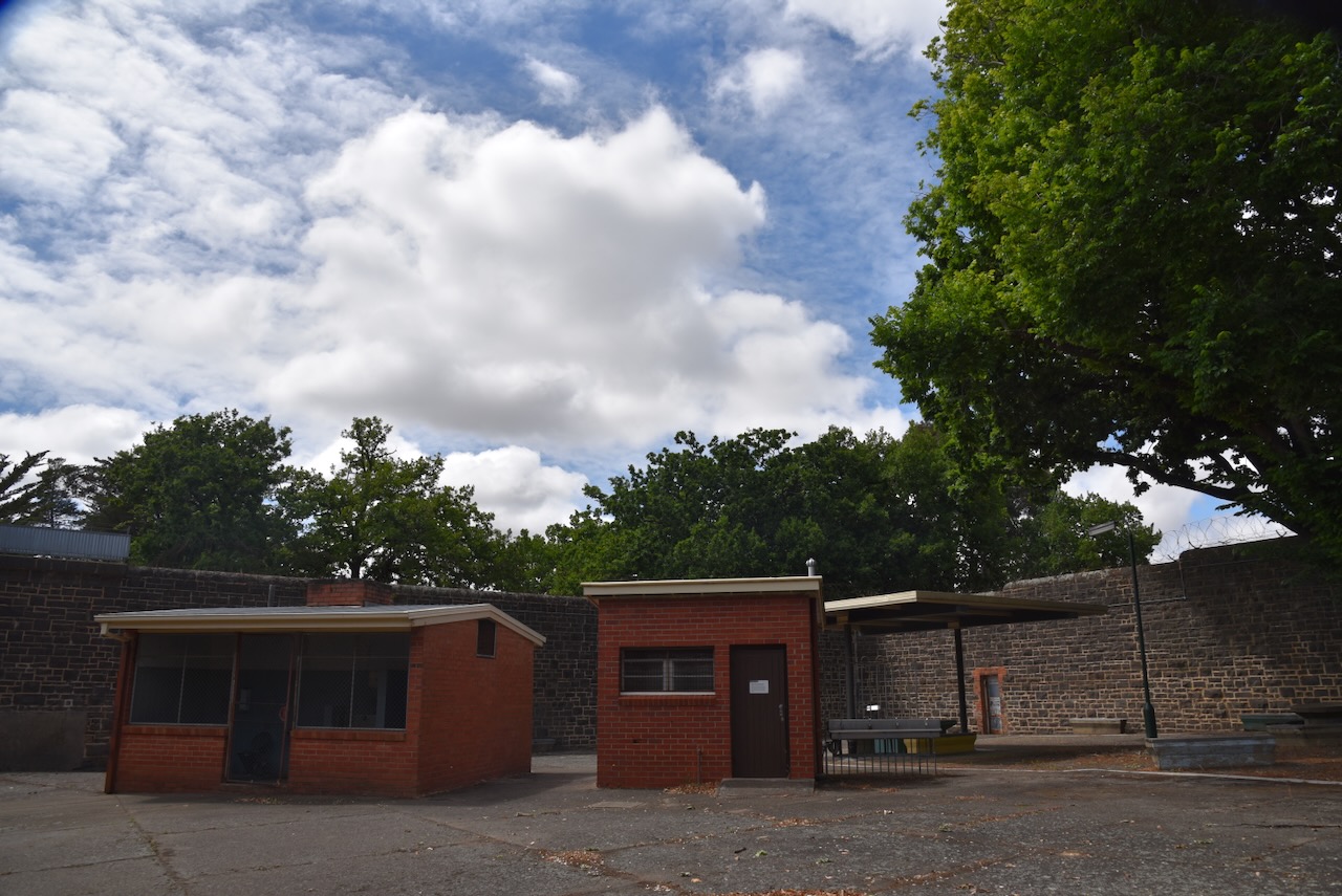
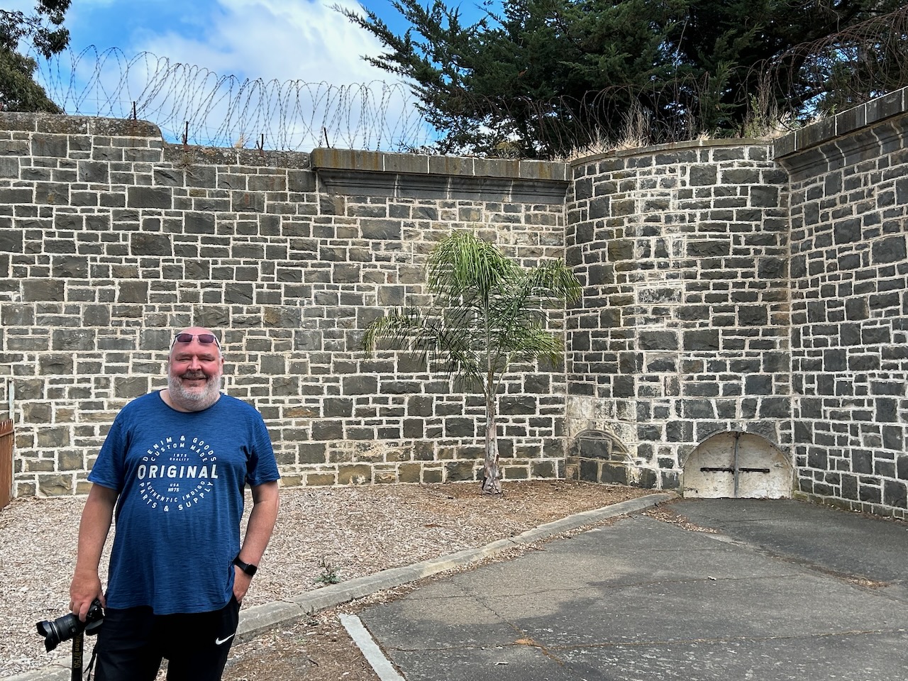
We then moved outside to the exercise yard.
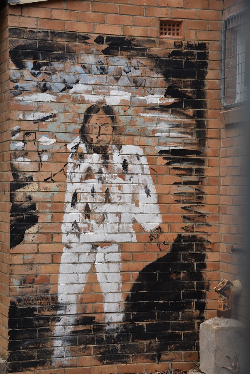
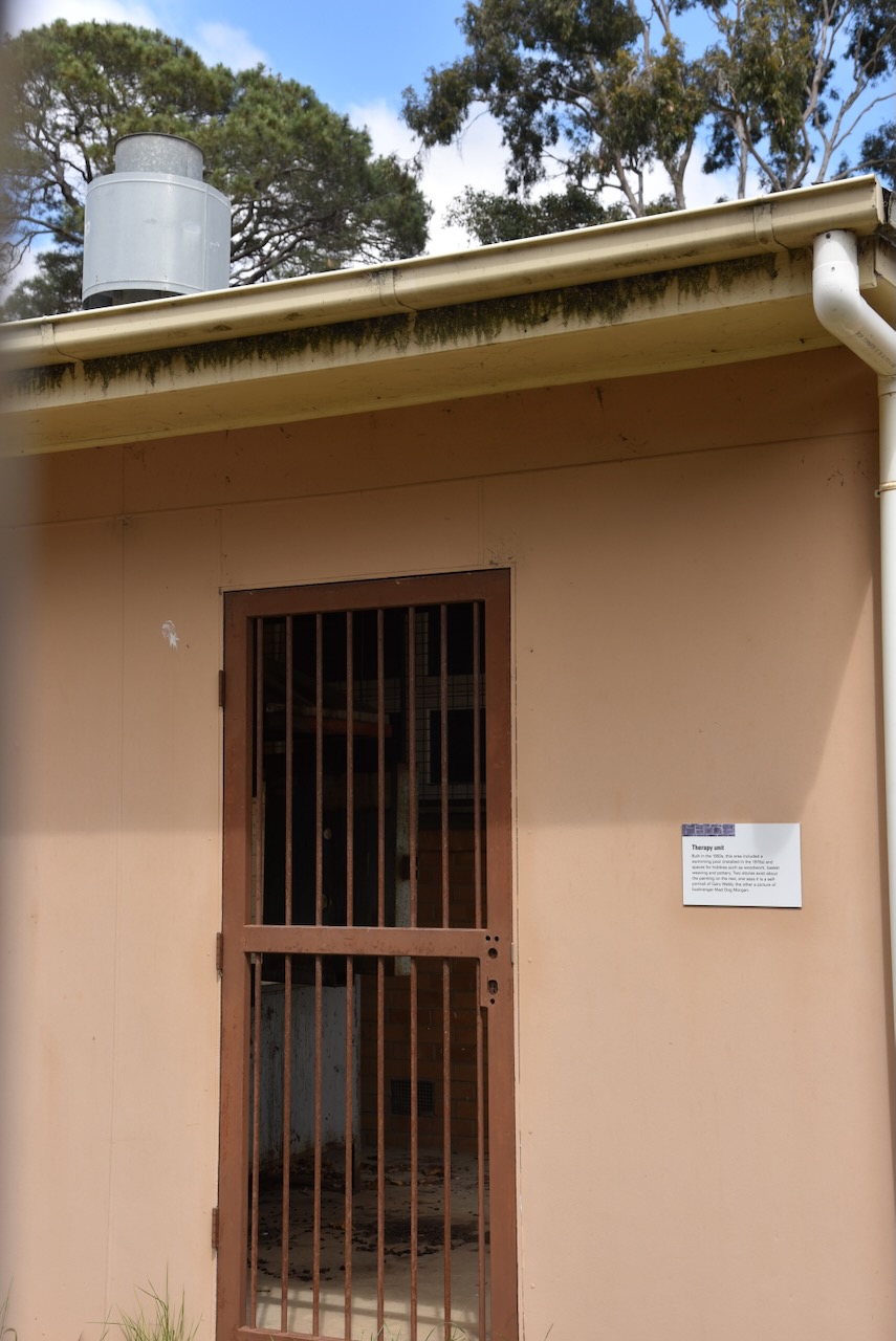
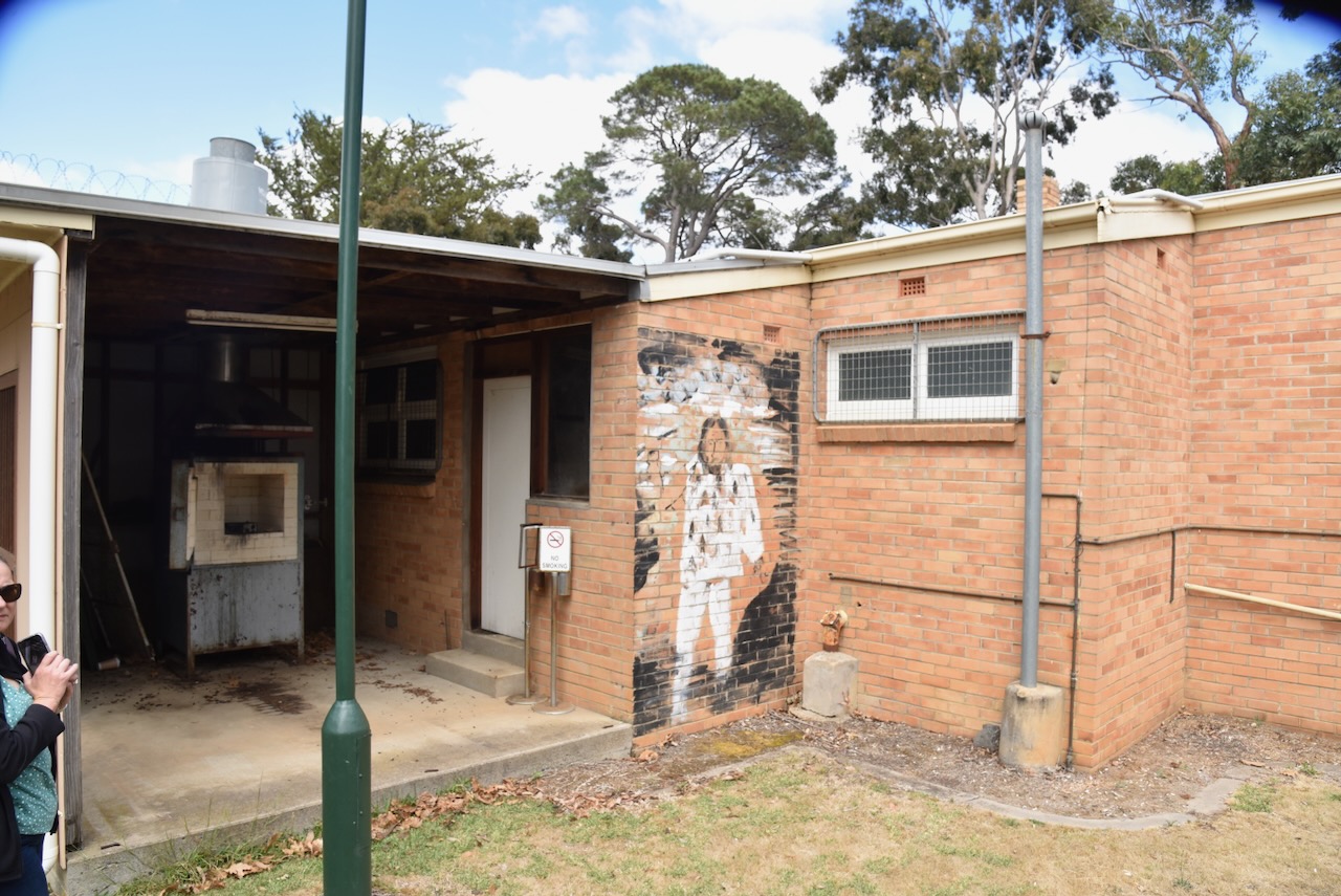
The therapy unit was built in the 1950s and included a swimming pool installed in the 1970s, spaces for hobbies such as woodwork, basket weaving and pottery. A picture can be found in the building. There are two stories about the painting, with once claiming it is a portrait of J Ward patient Gary Webb, while another is that it is bushranger Mad Dog Morgan.
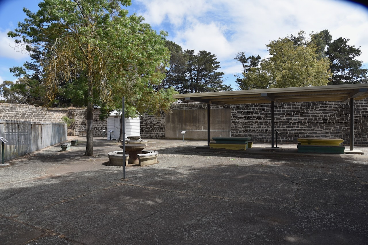
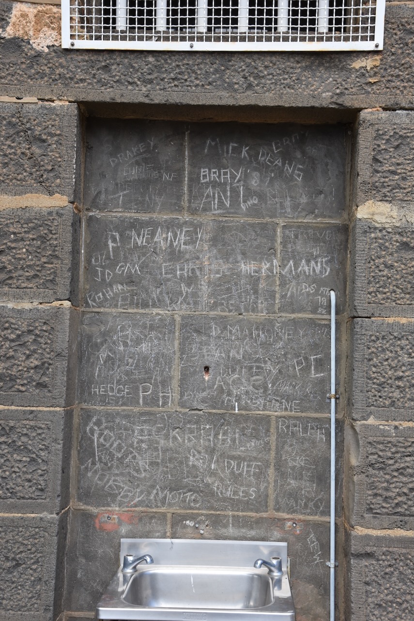
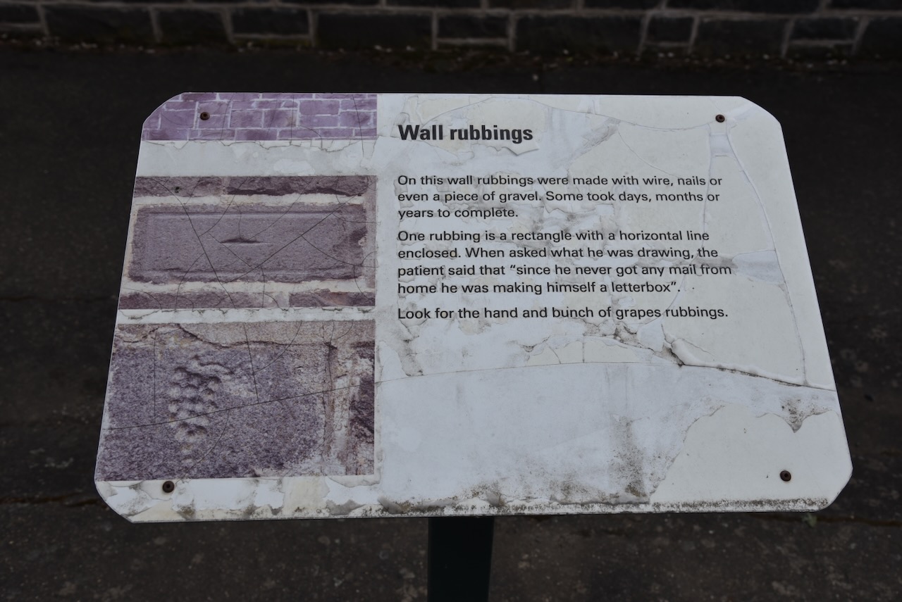
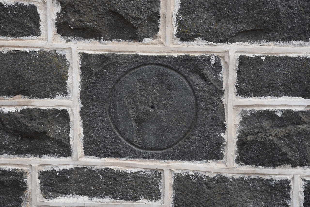
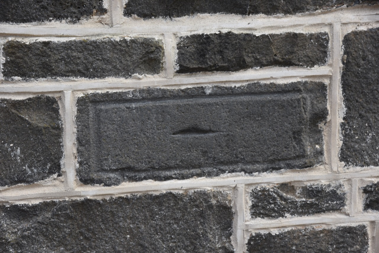
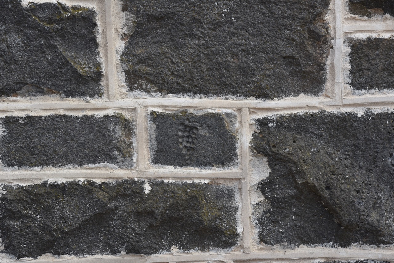
On the wall in the exercise yard you can view wall rubbings which were made with wire, nails, or even a piece of gravel. Some took days, months, or years to complete. One rubbing is a rectangle with a horizontal line enclosed. When asked what he was drawing, the patient said that ‘since he never got any mail from home he was making himself a letterbox.’ You can also see a bunch of grapes.
There are also a number of prisoners names and dates.
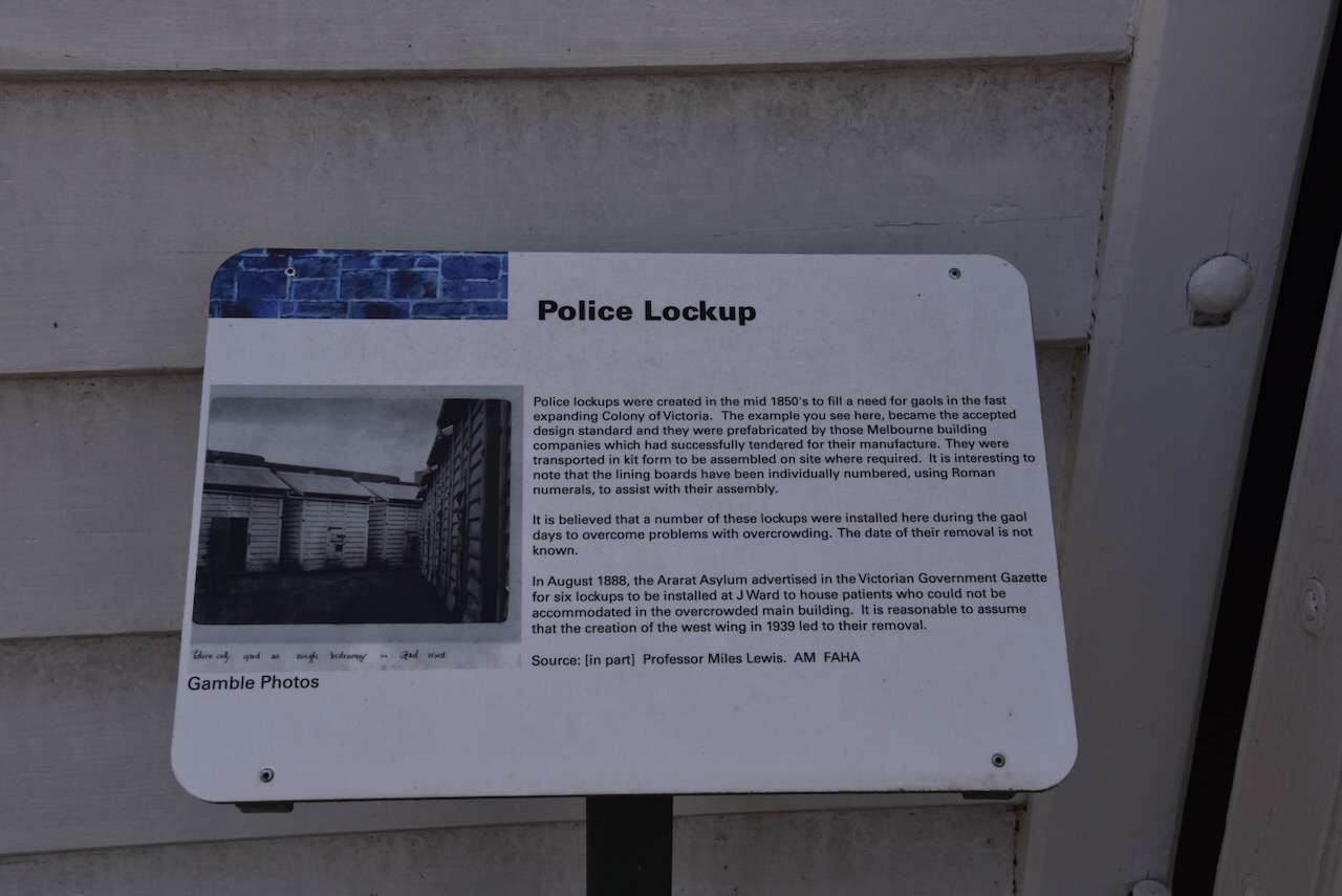
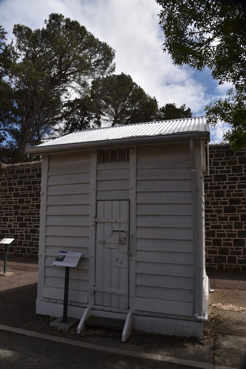
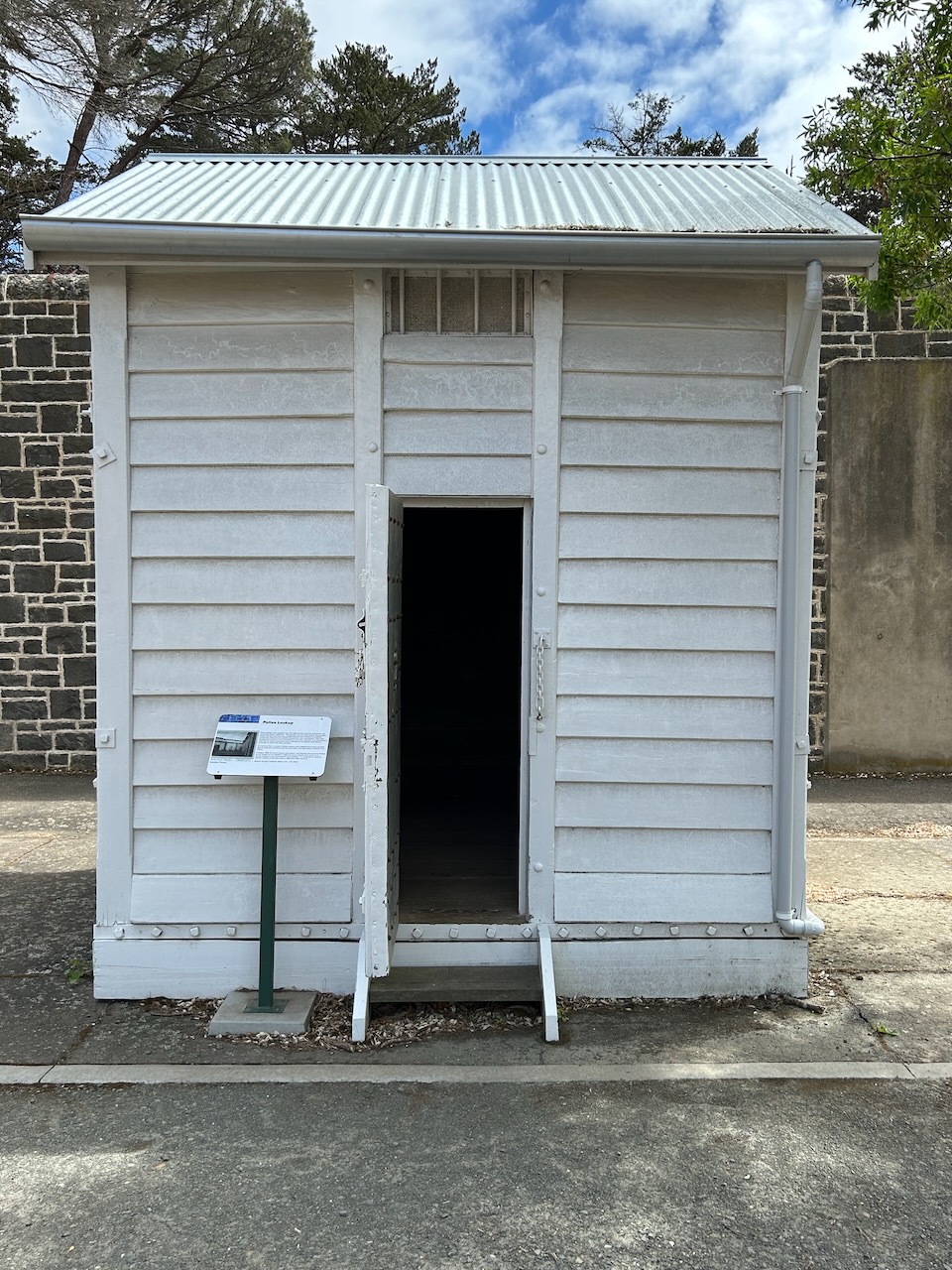
An old Victorian Police Lockup is on display in the exercise yard.
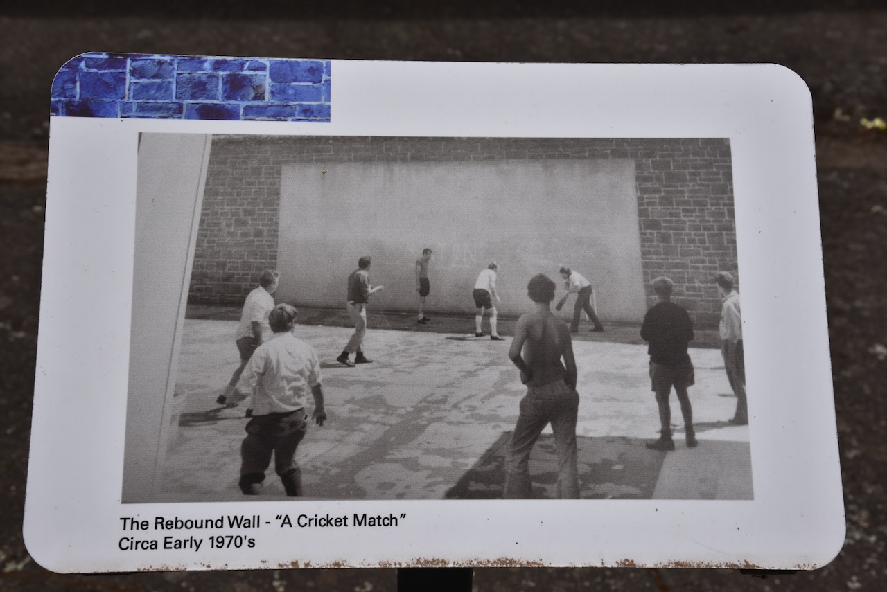
Another feature of the perimeter wall is the Rebound Wall.
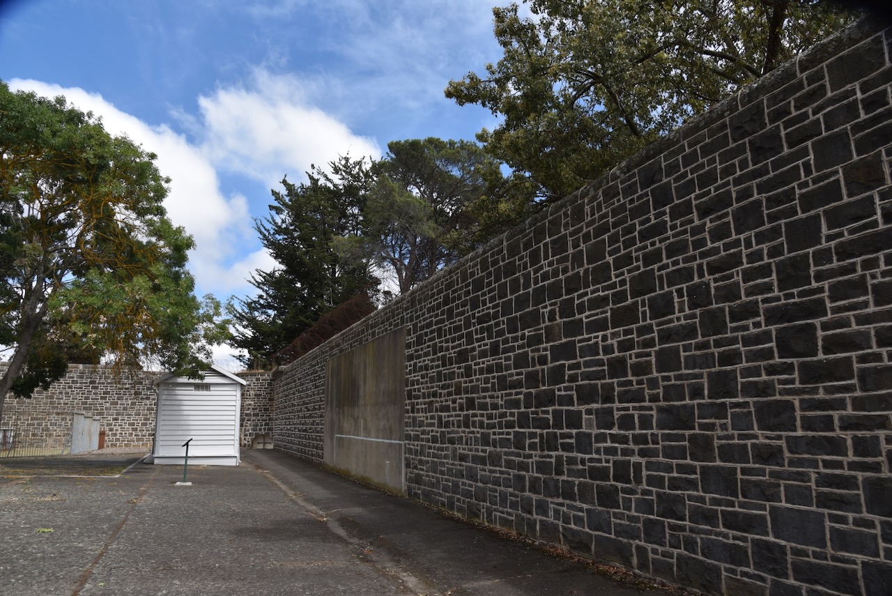
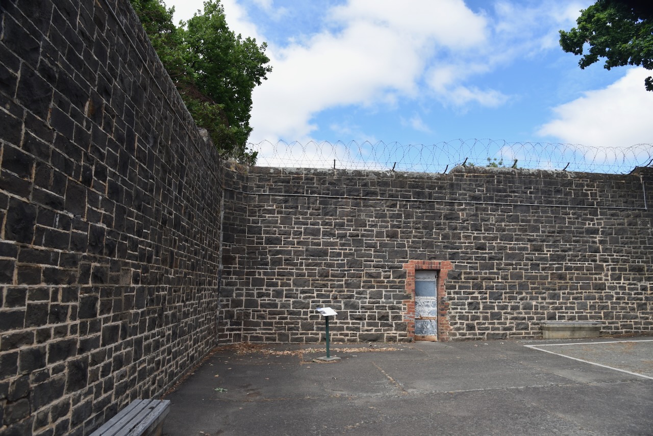
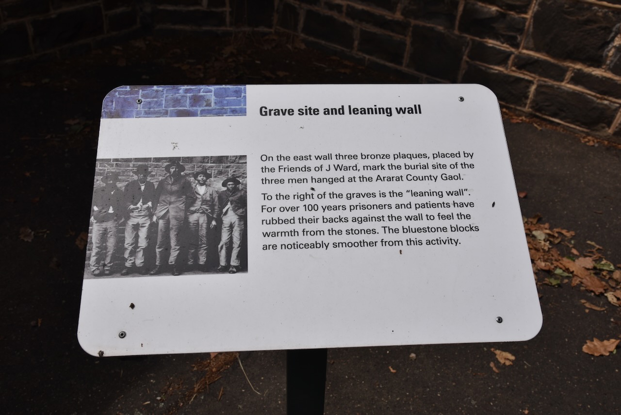
On the east wall there are three bronze plaques placed by the Friends of J Ward to mark the burial site of the three men hanged at the Ararat County Gaol. To the right of the graves is the ‘leaning wall’. For over 100 years prisoners and patients have rubbed their backs against the wall to feel the warmth from the stones. The bluestone blocks are noticeably smoother from this activity.
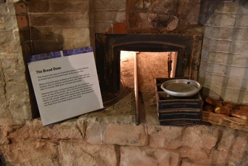
We then entered the kitchen, a gloomy downstairs section of J Ward.
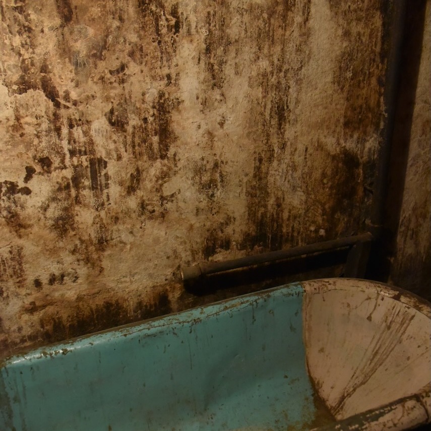
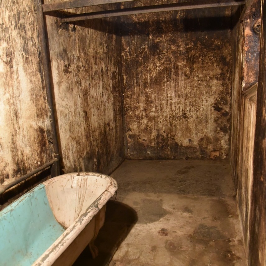
But perhaps the creepiest place in J Ward is the old bath area. This is something out of a horror movie.
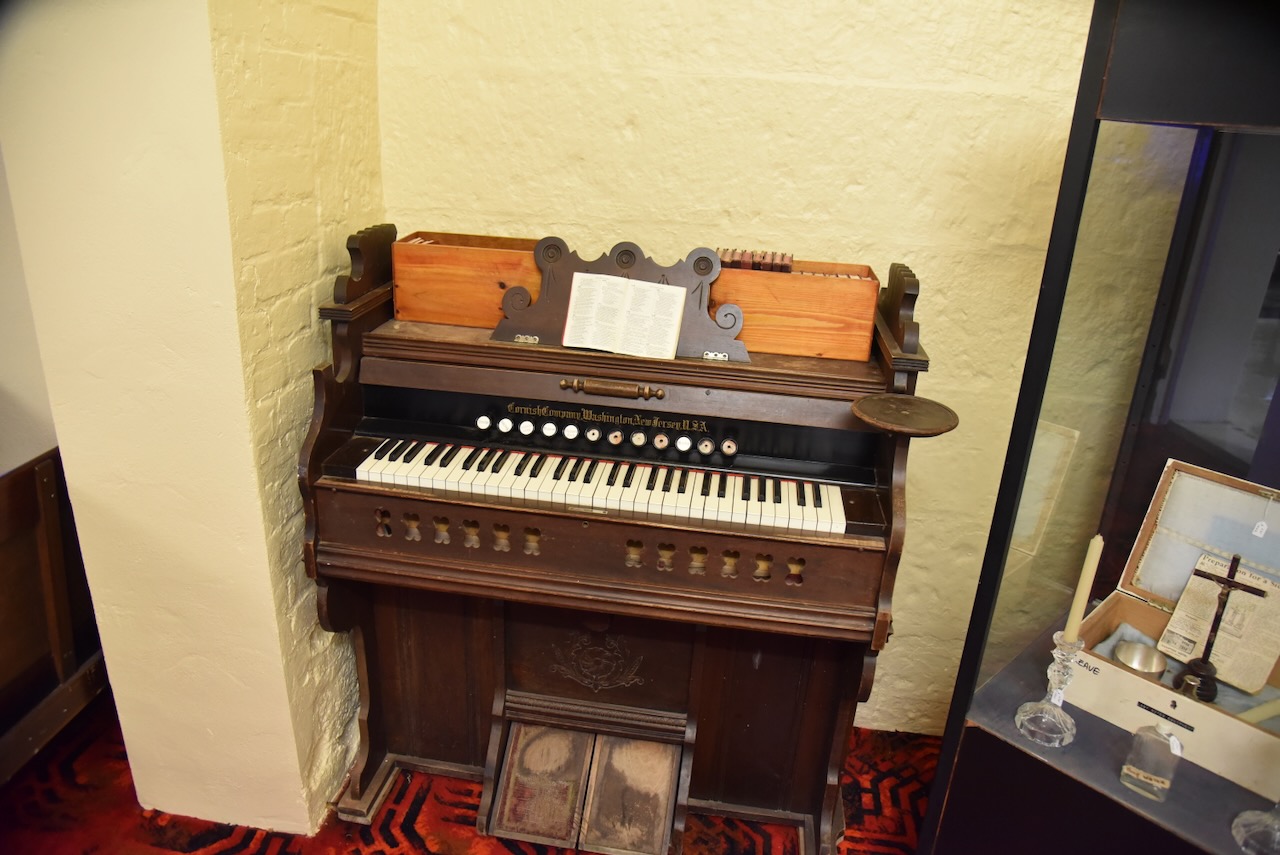
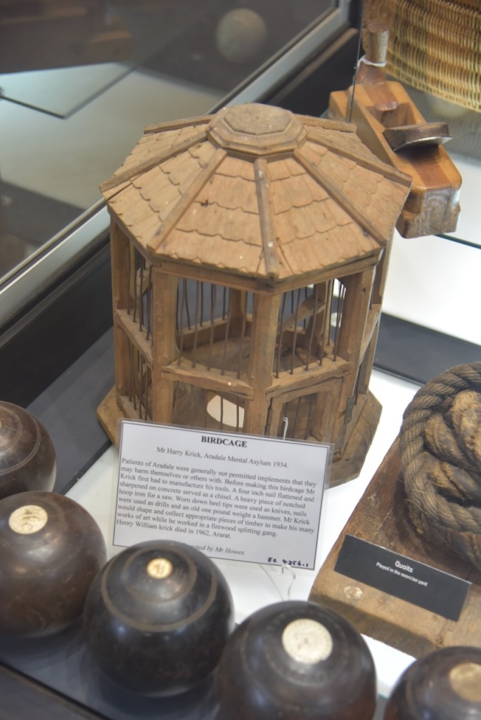
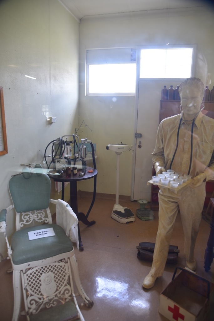
To finish the tour we spent some time wandering around the J Ward Museum which contains some fascinitating items.
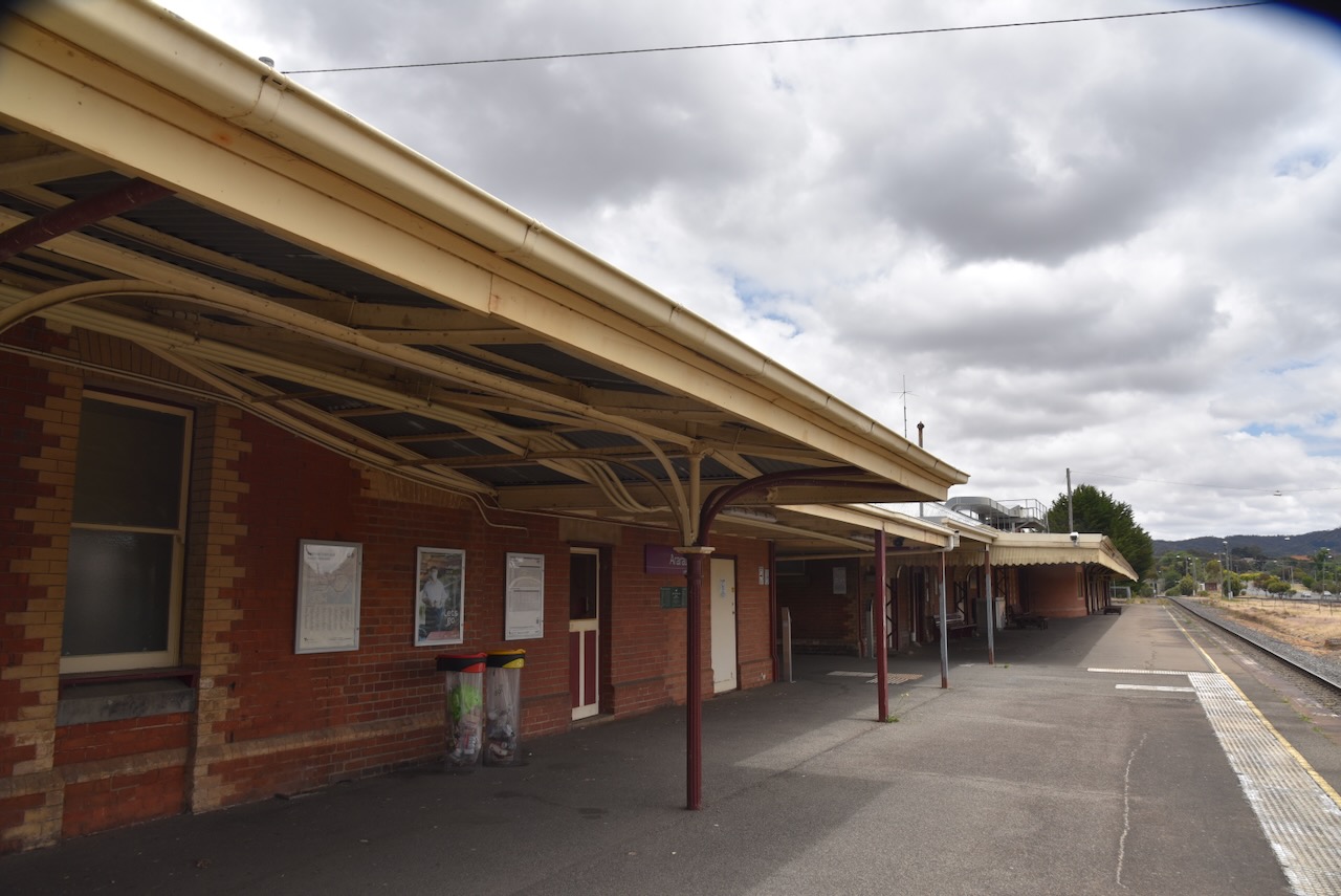
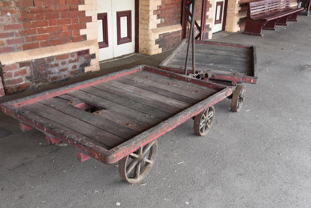
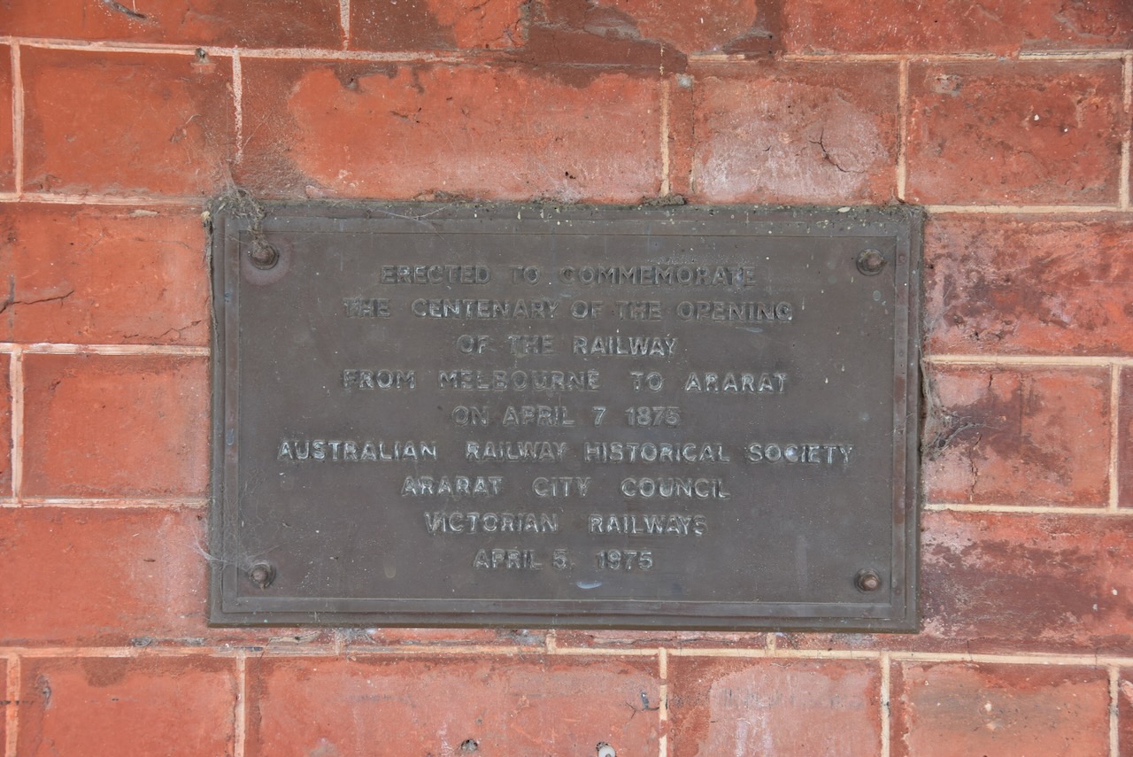
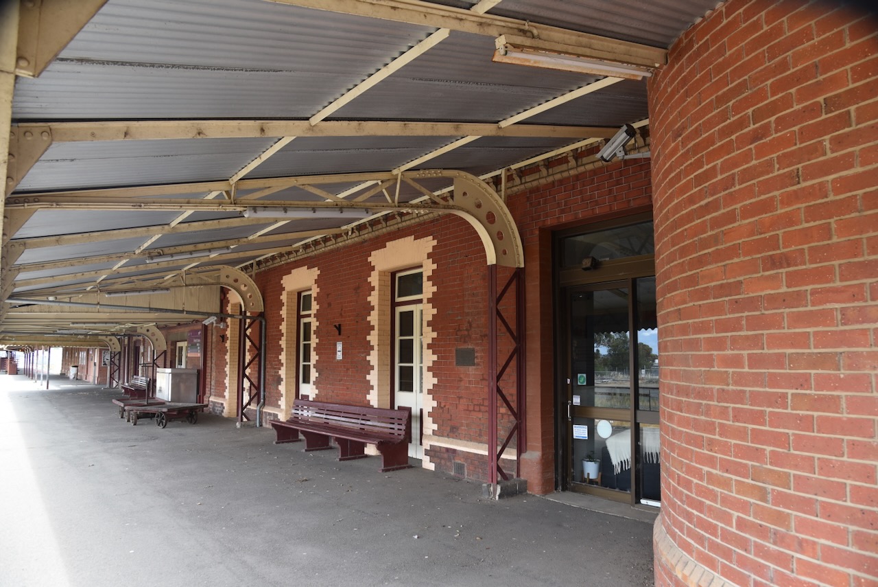
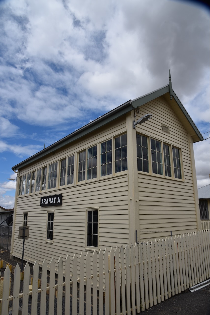
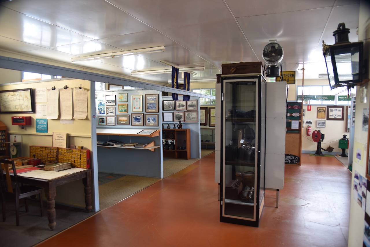
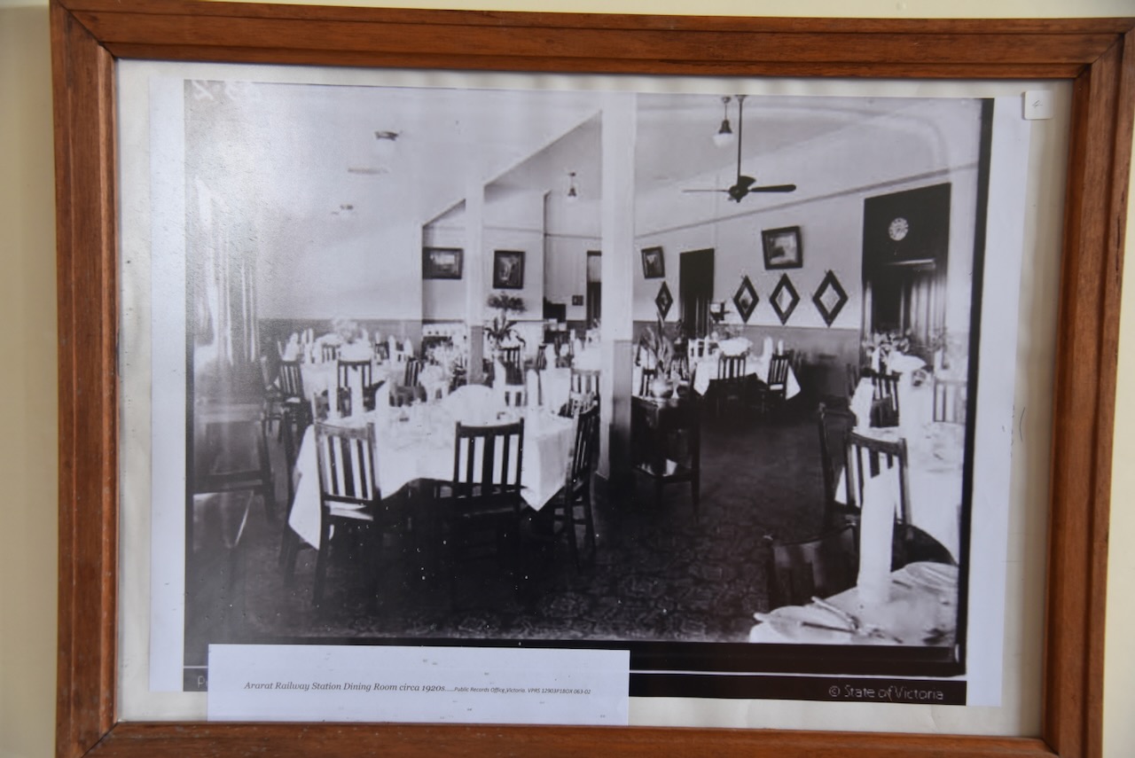
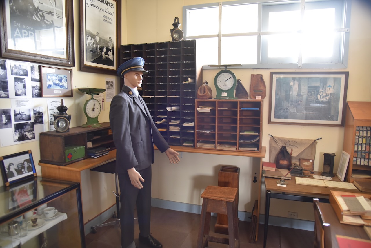
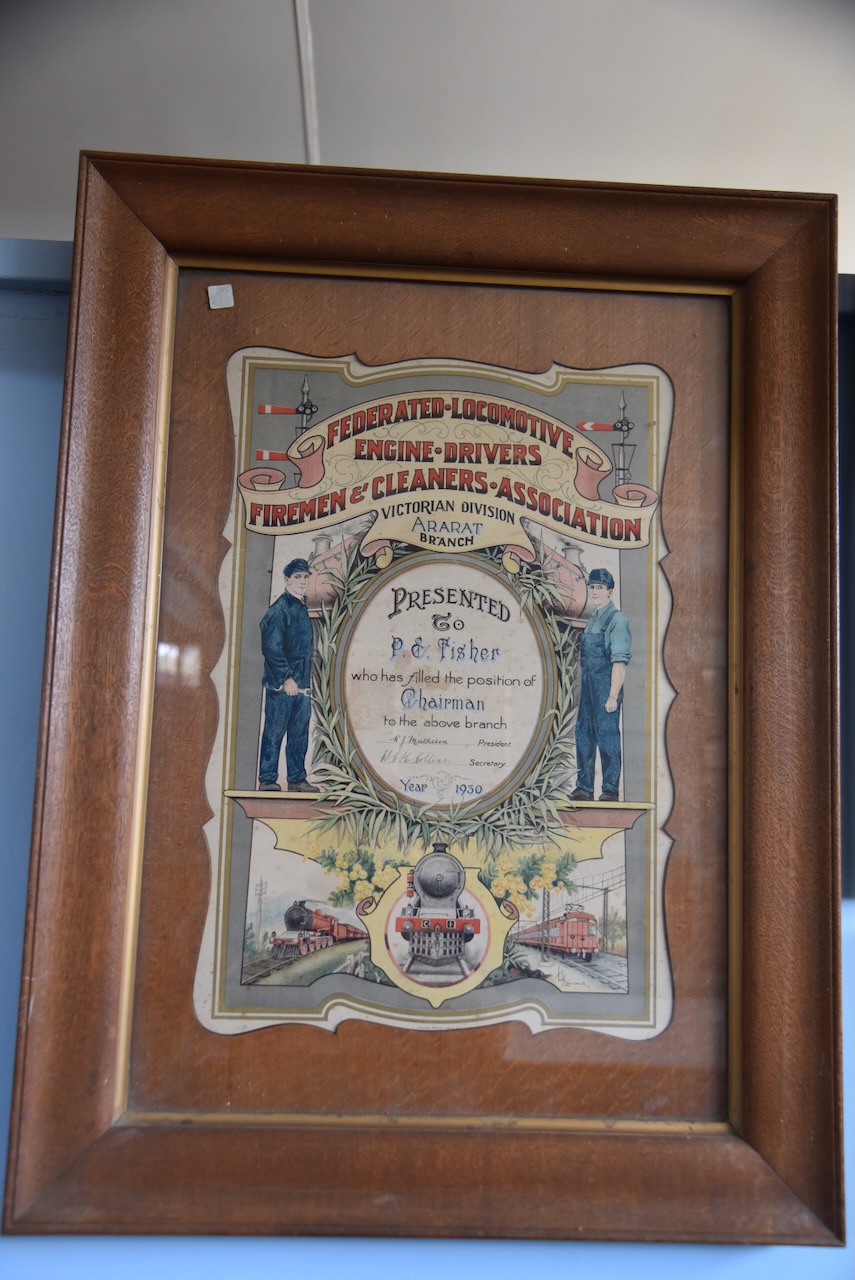
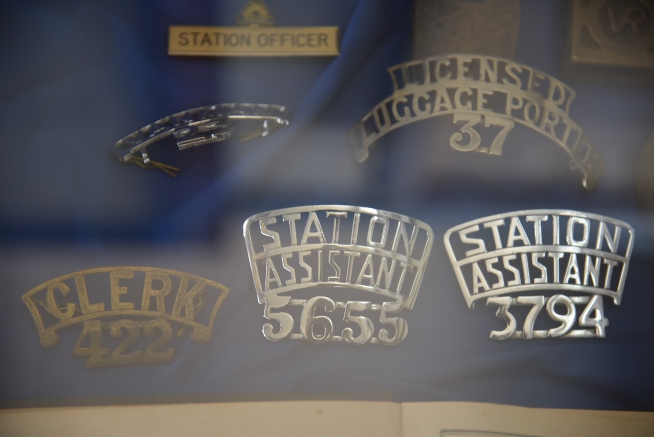
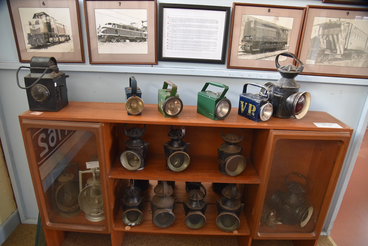
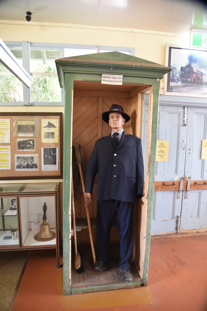
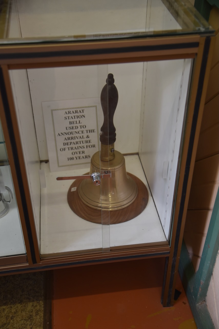
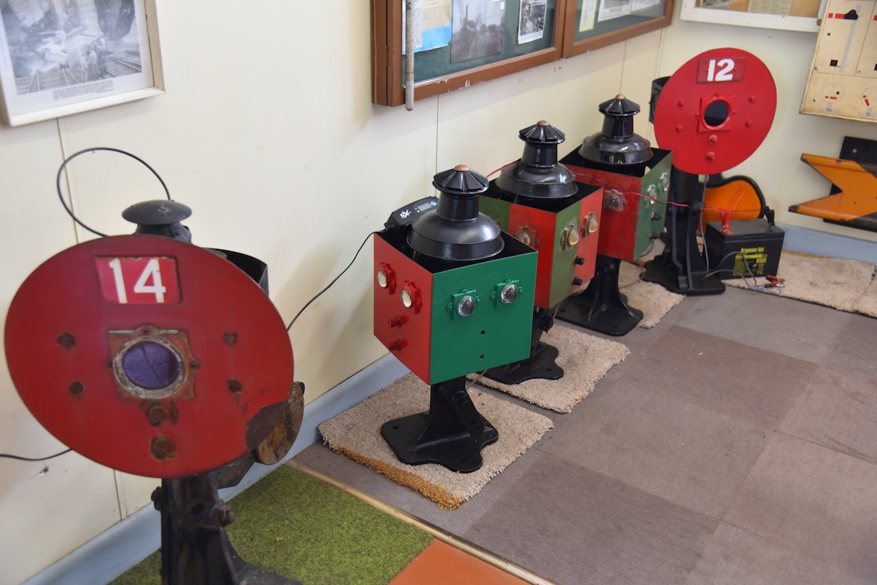
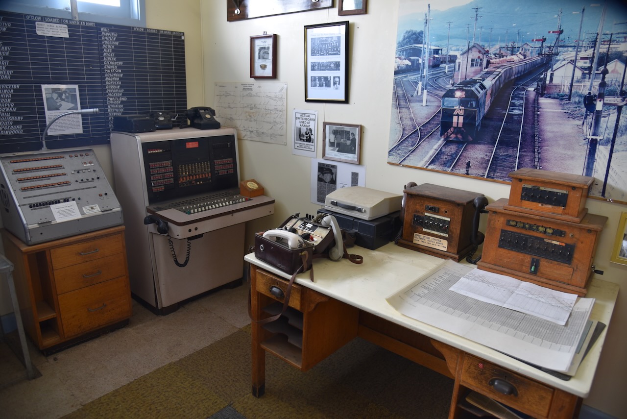
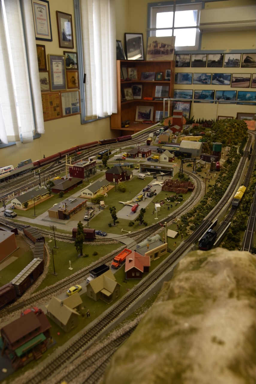
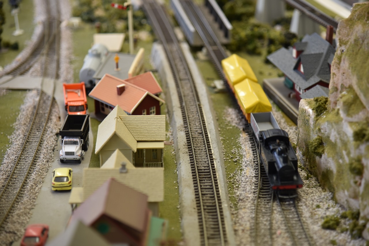
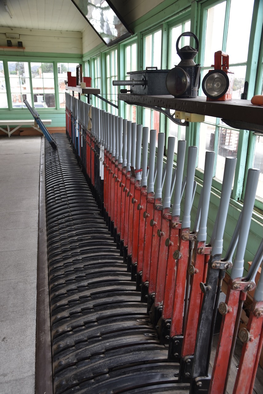
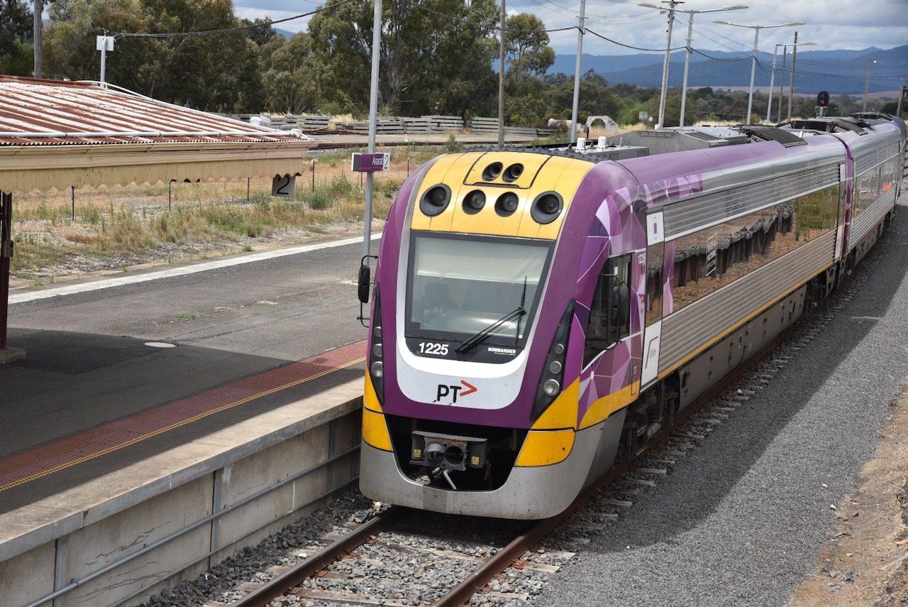
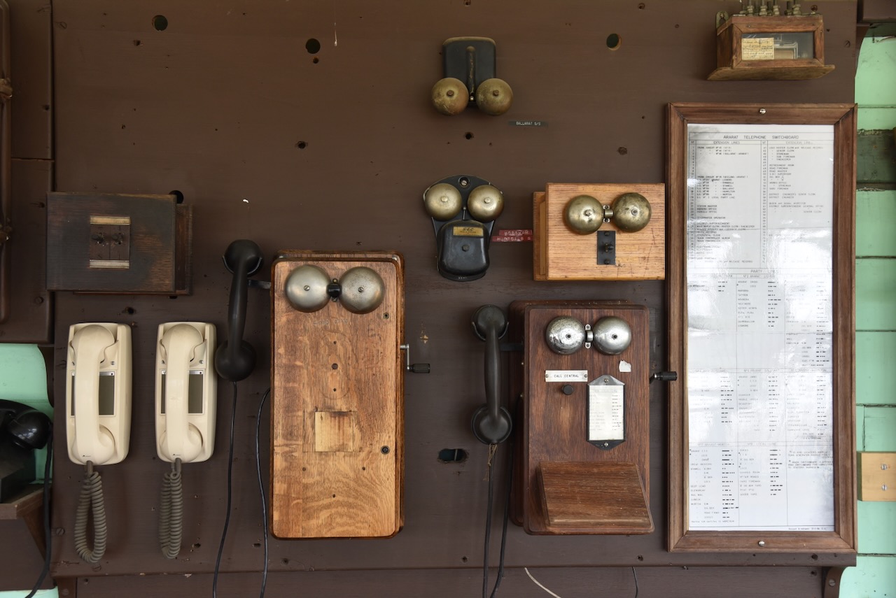
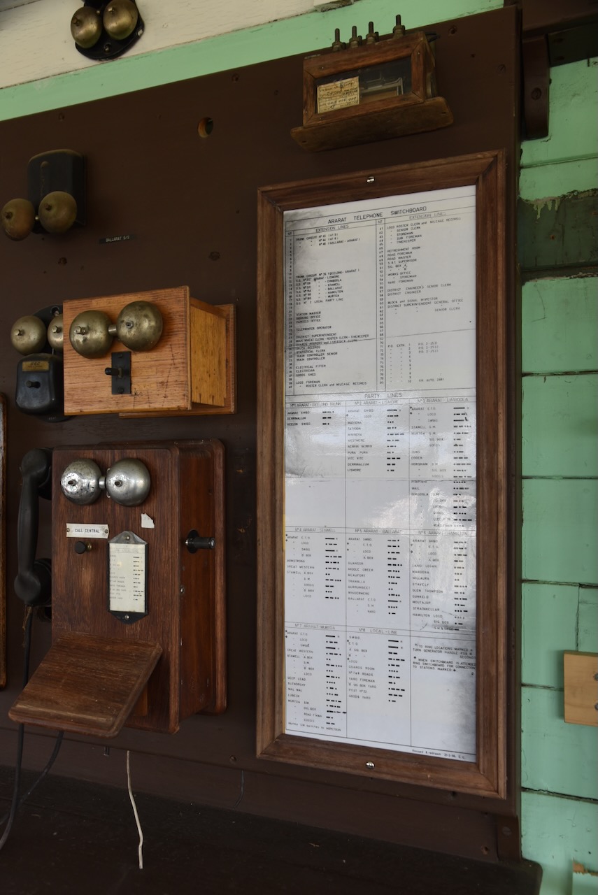
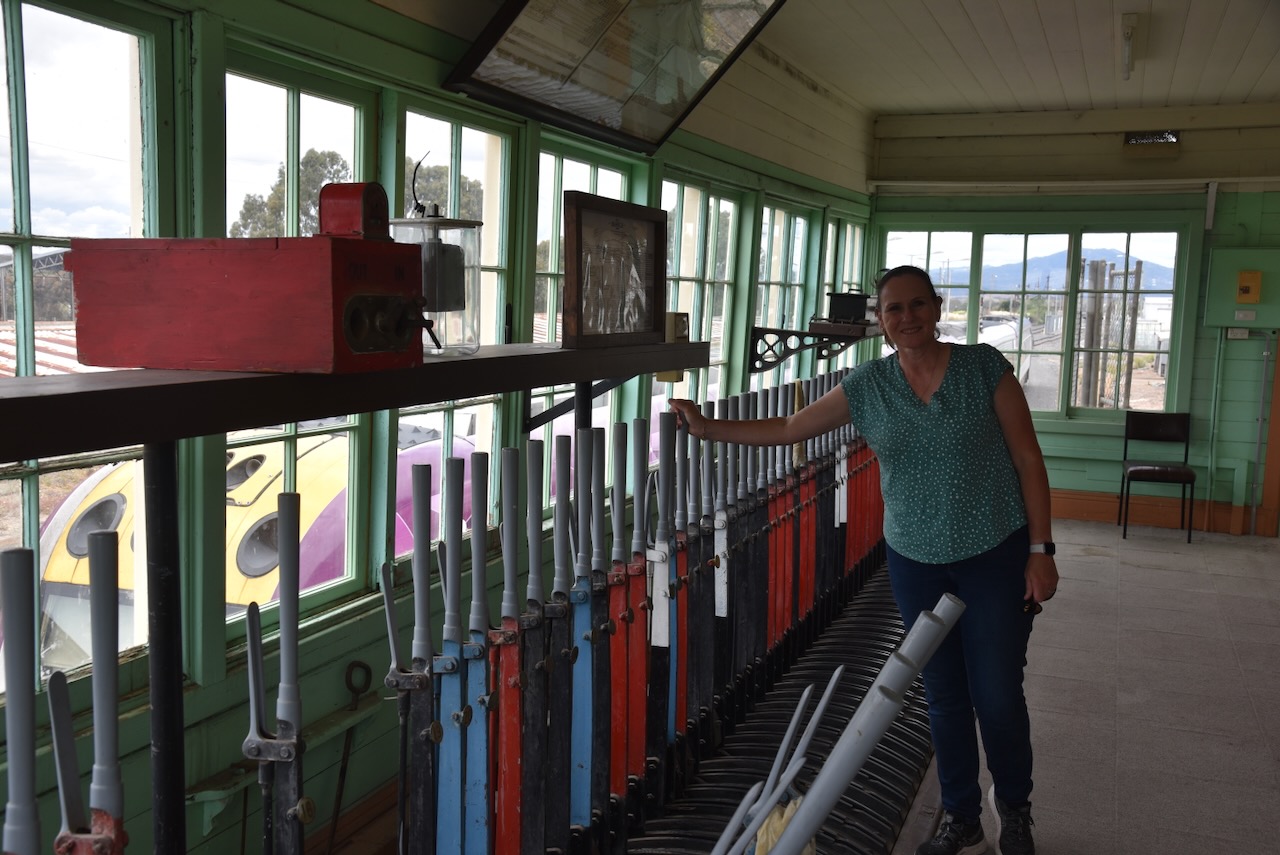
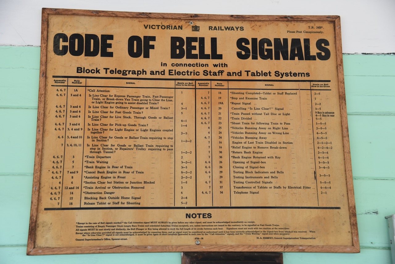
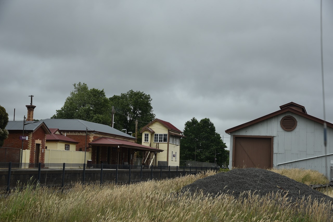
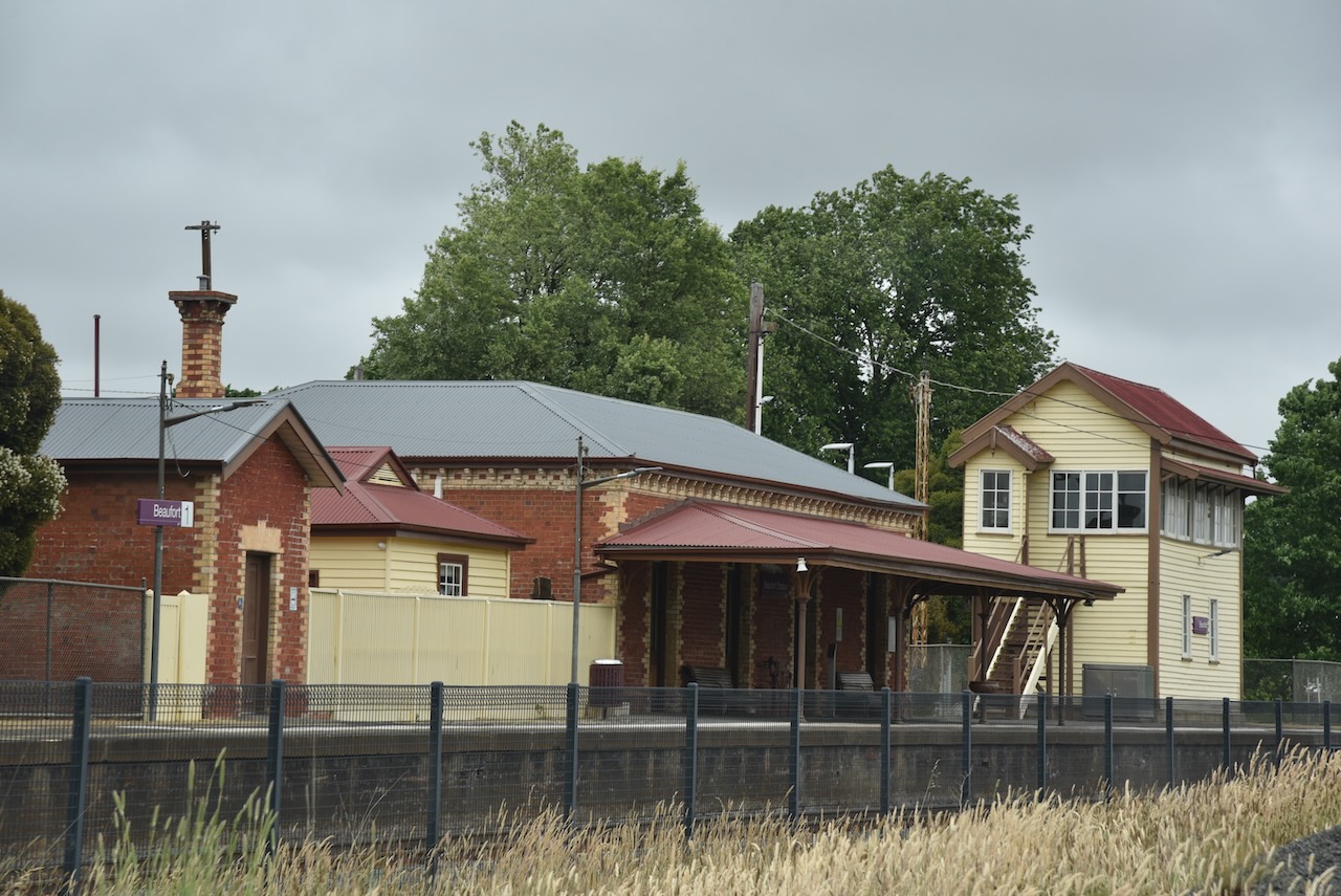
Our next stop of the day was the Ararat railway museum which contains a magnificent collection of railway memorabillia. The volunteers here were very friendly and took us up into the old Control Box.
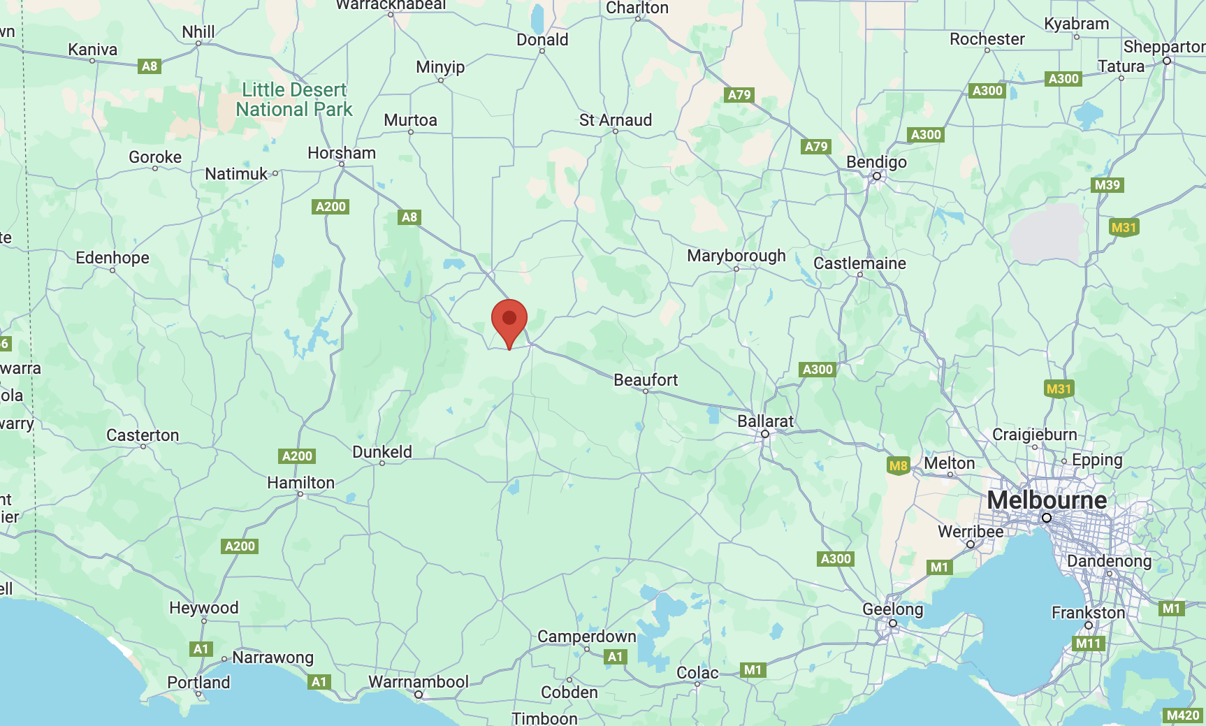
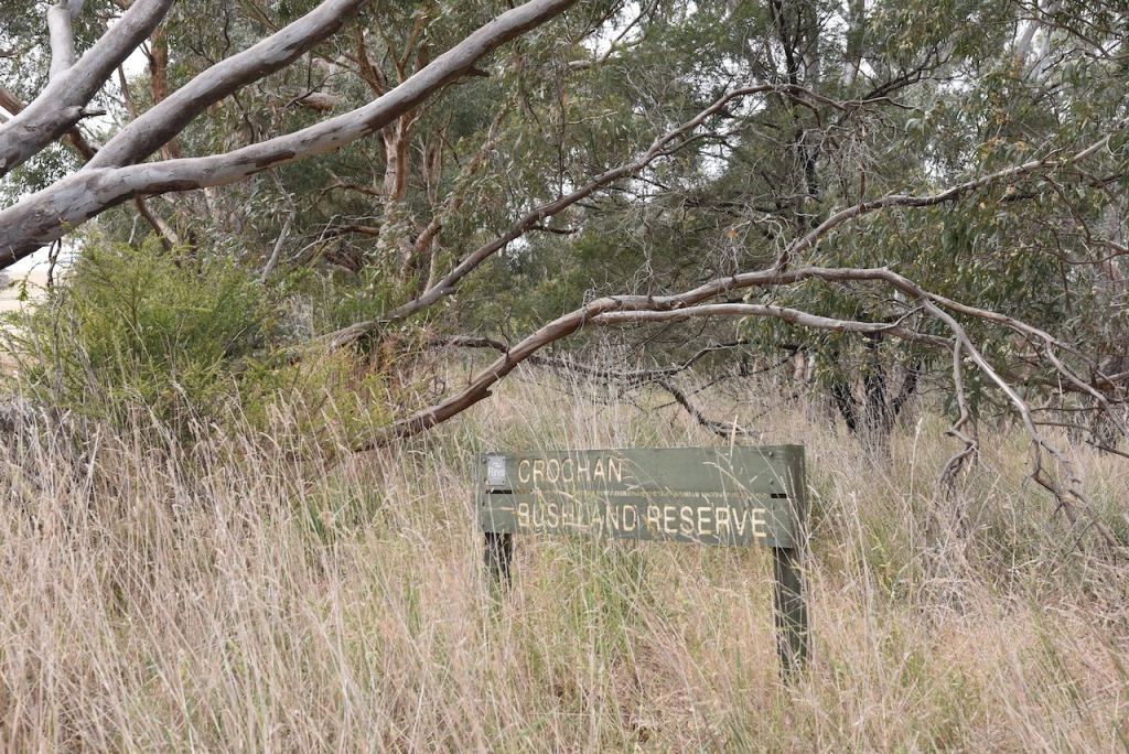
Our first activation for Friday 1st day of December 2023, was the Crochan Bushland Reserve VKFF-4302. The reserve is about 8km west of Ararat and about 217 km northwest of the city of Melbourne.
Above:- Map showing the location of the Crochan Bushland Reserve. Map c/o Google Maps.
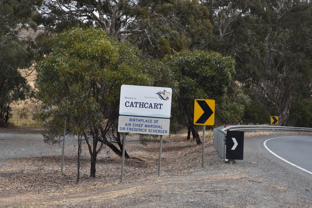
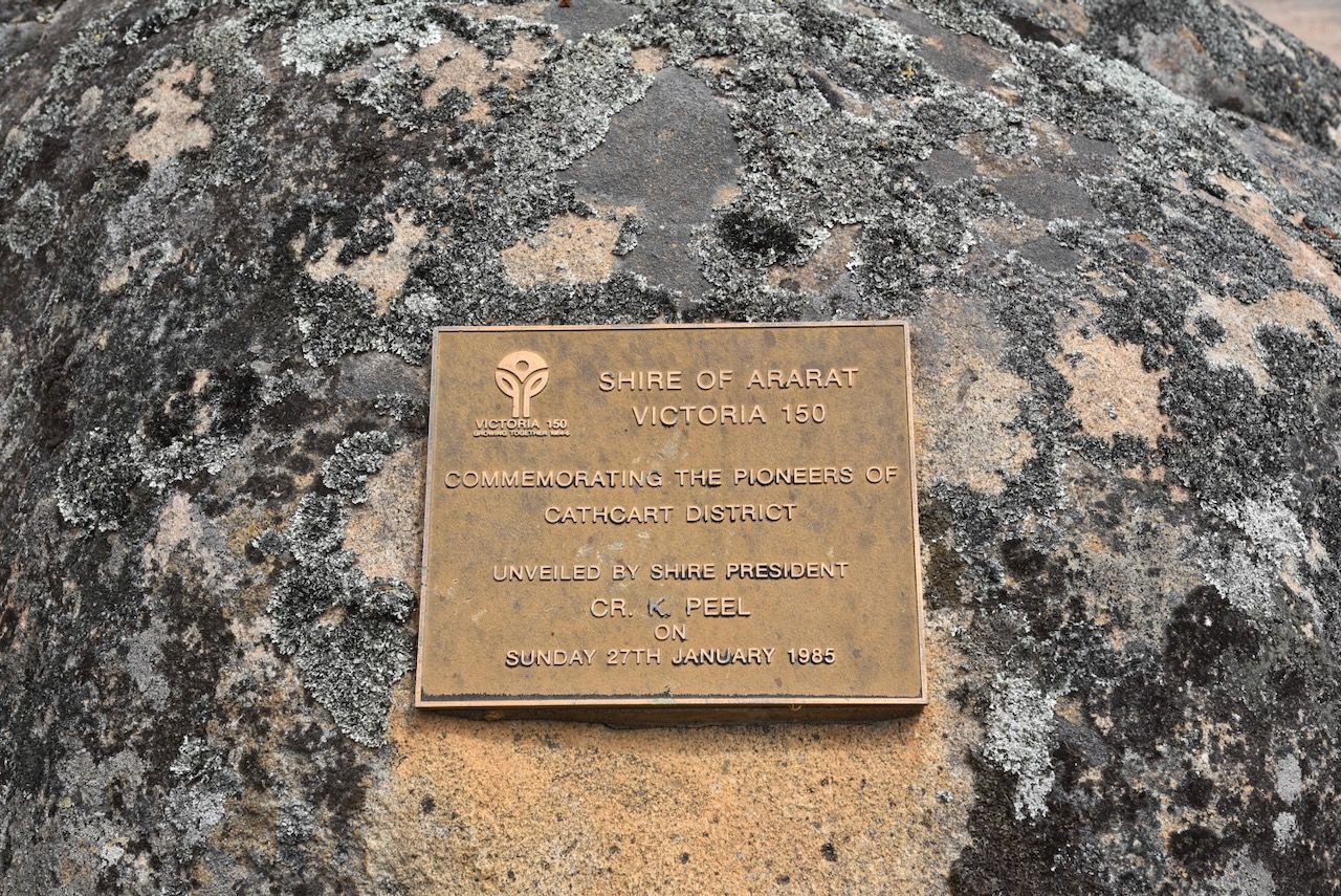
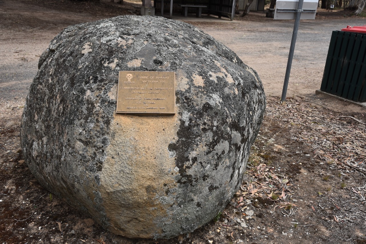
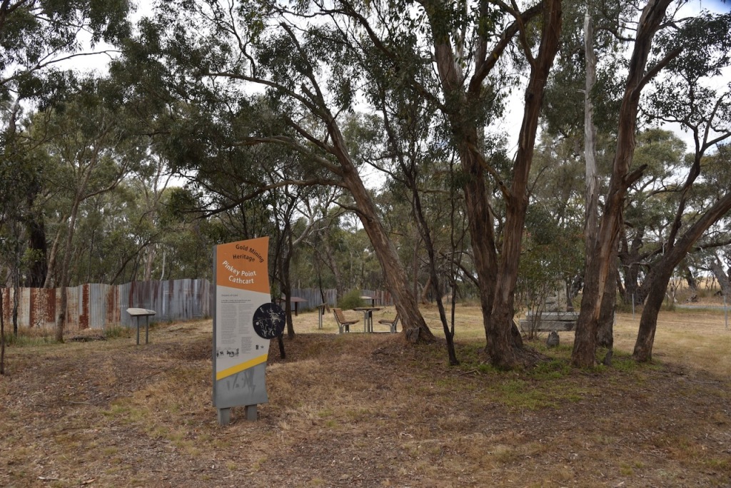
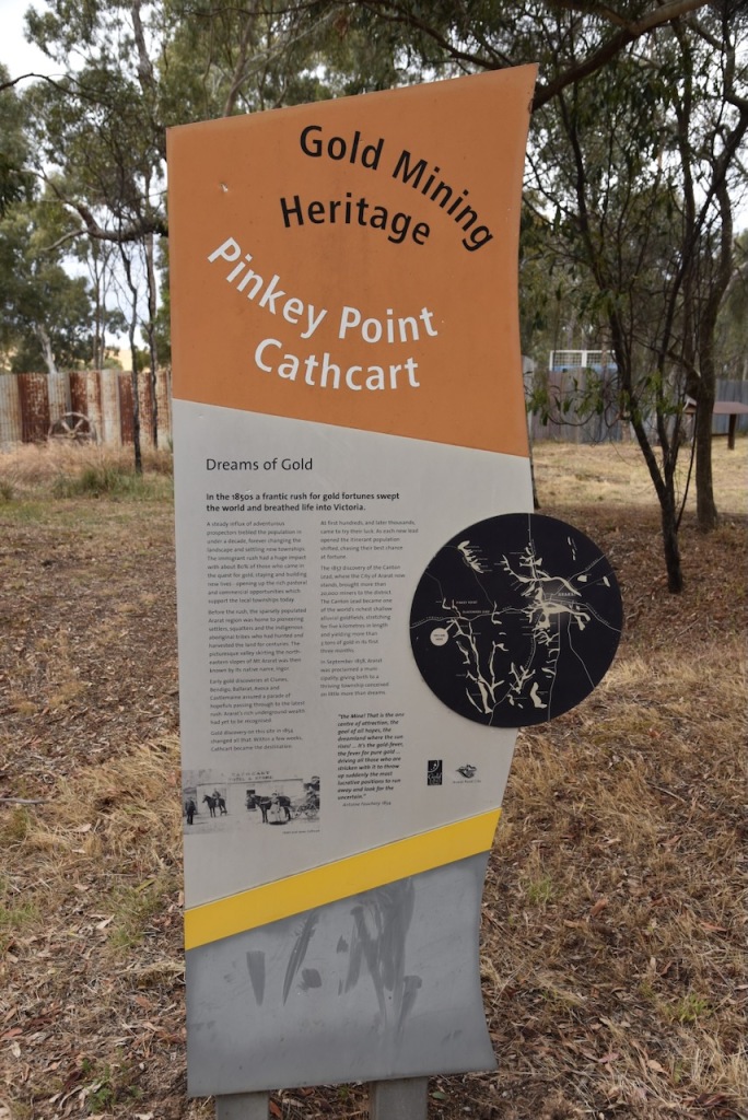
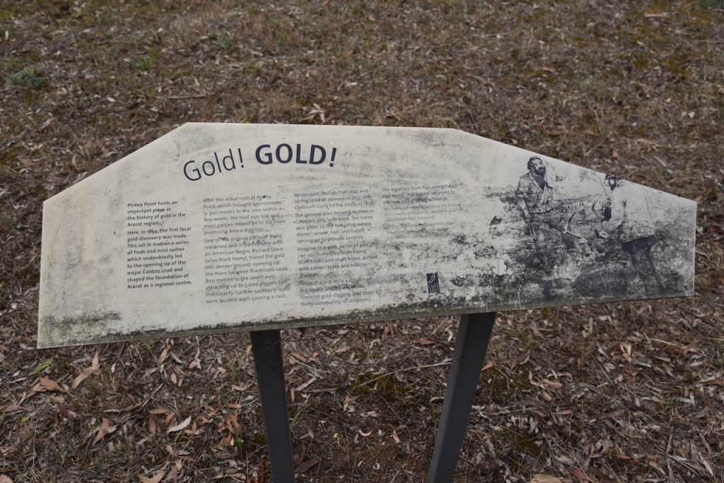
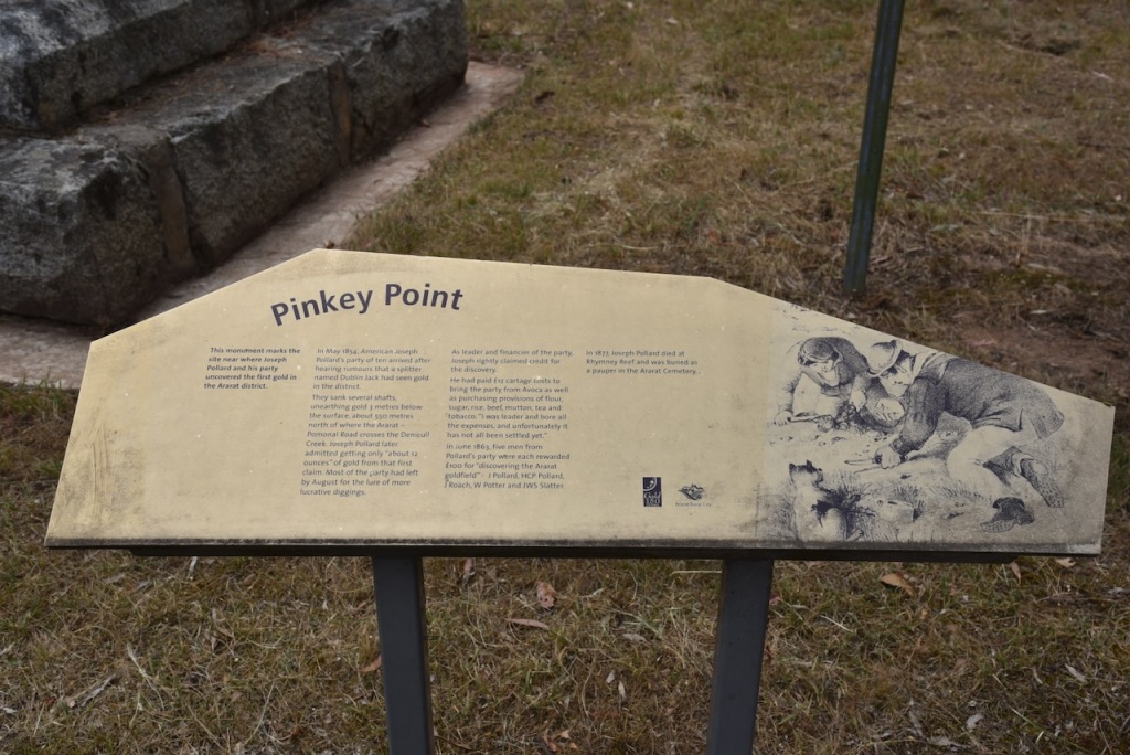
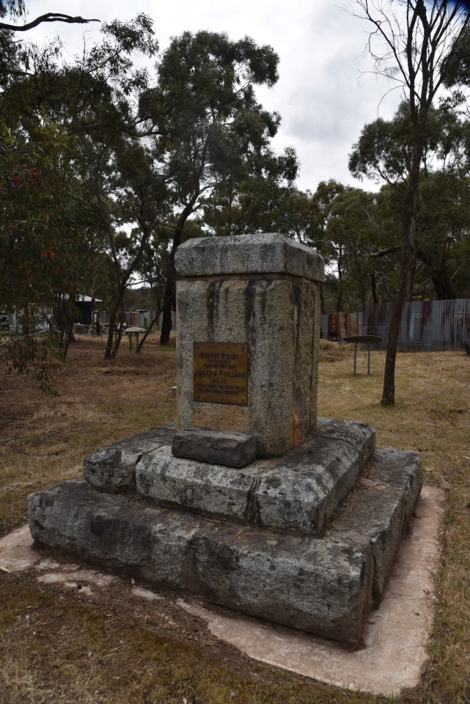
The reserve is located at Cathcart, a former gold mining town about 8 km southwest of Ararat. It was named in honour of Major General Sir George Cathcart (b. 1794. d. 1854) who was killed in the battle at the Crimean War. (Victorian Places 2024)
Above:- Major General Cathcart. Image c/o Wikipedia.
Gold was discovered at Cathcart in 1854, the earliest gold discovery in the Ararat district. Cathcart has also been known as Old Ararat. The town of Cathcart was surved in c. 1856 with a school opening in 1858. Bailliere’s Victorian gazetteer (1865) recorded Cathcart as having three hotels. (Victorian Places 2024)
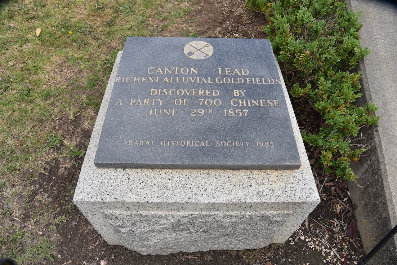
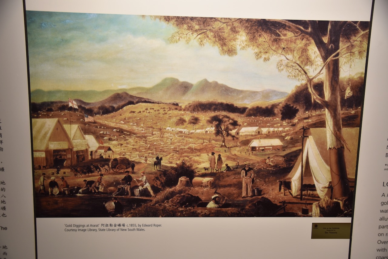
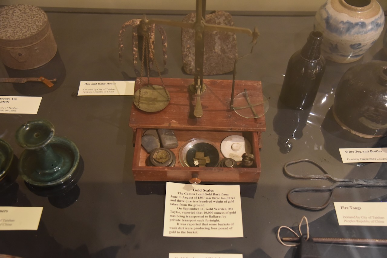
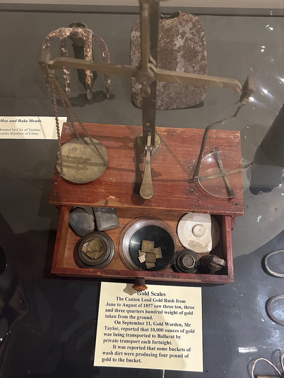
Gold was discovered at Cathcart in 1854. At first hundreds, and later thousands came to the Cathcart area to try their luck at finding gold. The 1857 discover of the Canton Lead where the city of Ararat now stands, brought more than 20,000 miners to the fistrict. The Canton Lead became one of the world’s richest shallow alluvial goldfields, stretching for 5 kms in length and yielding more than 3 tons of gold in its first 3 months.
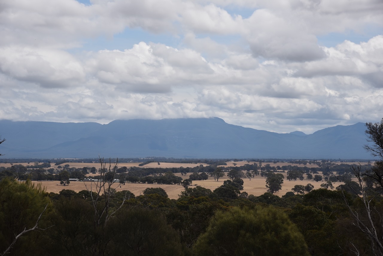
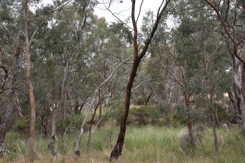
We then headed to the reserve, admiring the views of the surround countryside along the way.
The reserve is located on the corner of Ararat-Halls Gap Road and Port Curtis Road.
Above:- Aerial view of the reserve showing its boundaries. Image c/o Google Earth.
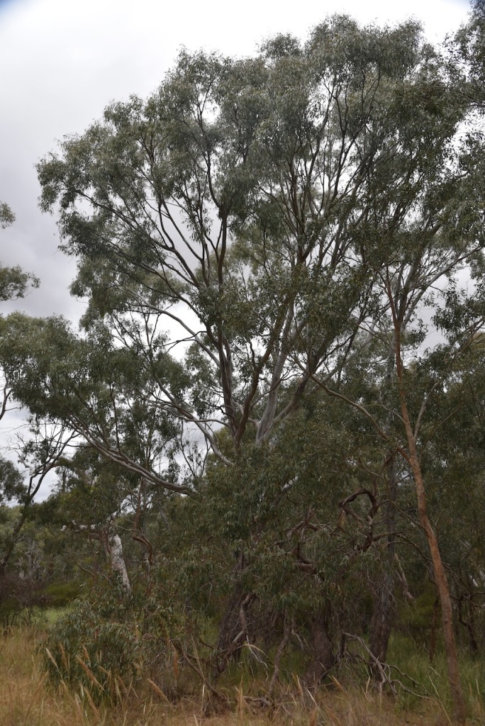
The reserve is about 4.3 hectares in size and was established on the 22nd day of Novemner 1983. (CAPAD 2022)
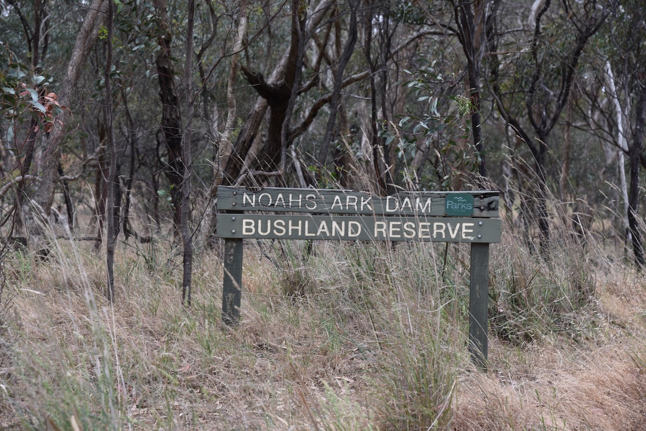
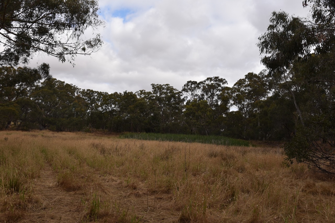
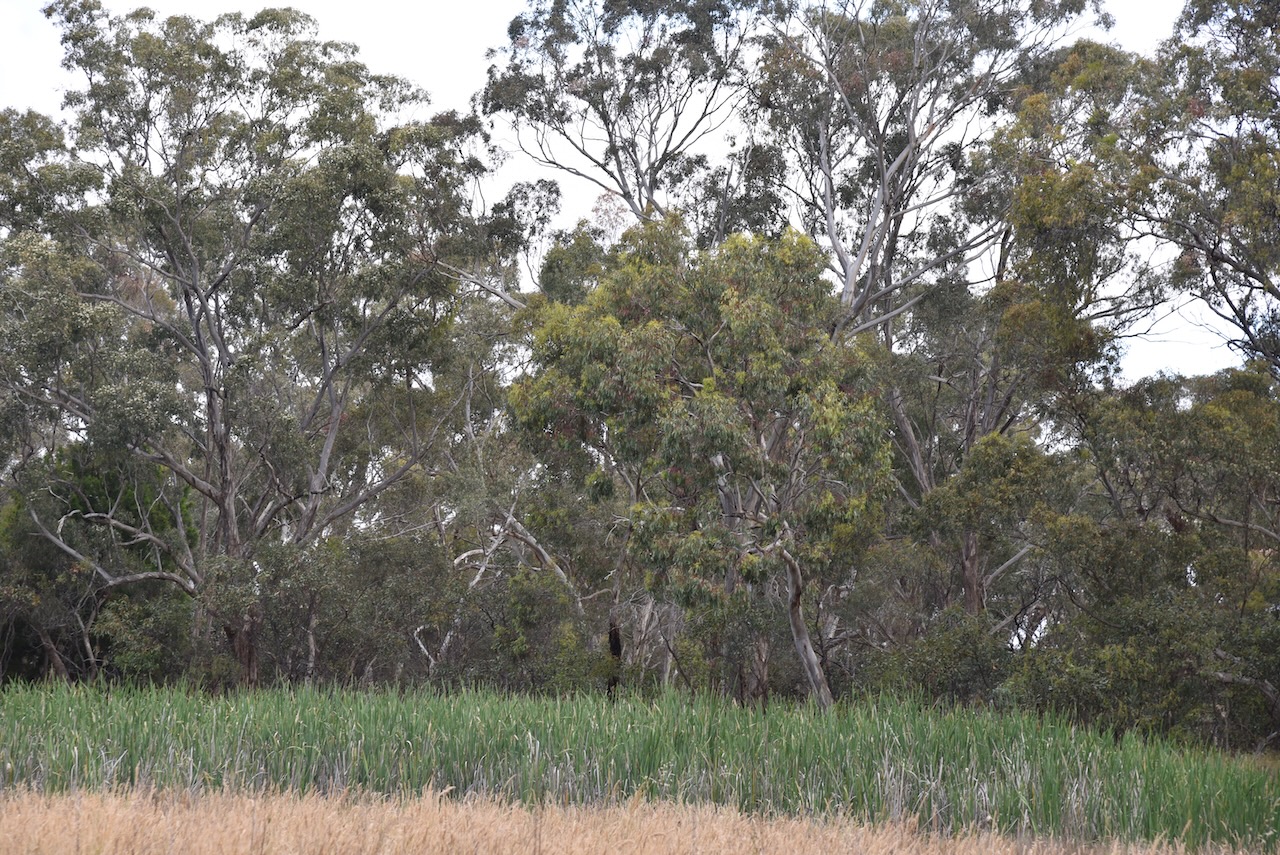
Our next activation for Thursday 30th November 2023 was the Noahs Ark Dam Natural Features Reserve VKFF-4301.
The reserve is located about 5 km northeast of Ararat and about 207 km northwest of the city of Melbourne.
Above:- Map showing the location of Noahs Ark Dam Bushland Reserve. Map c/o Google Maps.
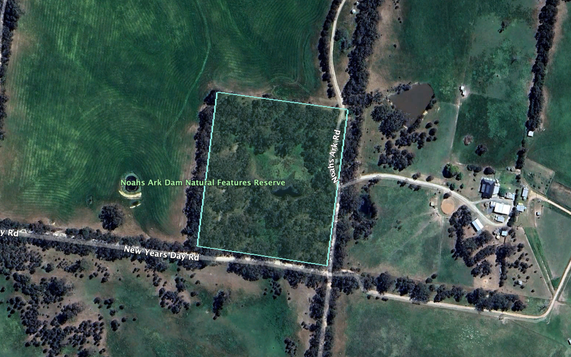
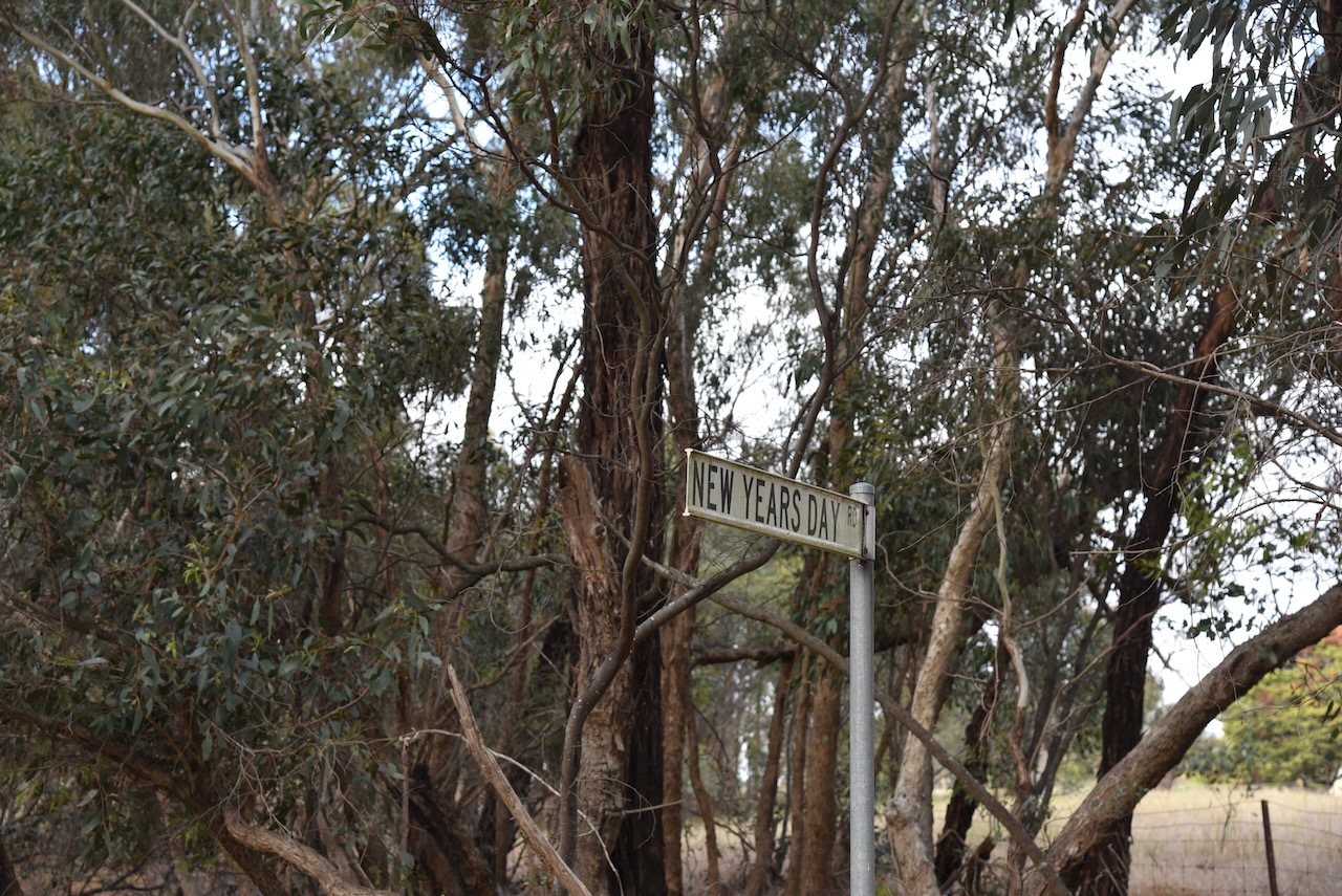
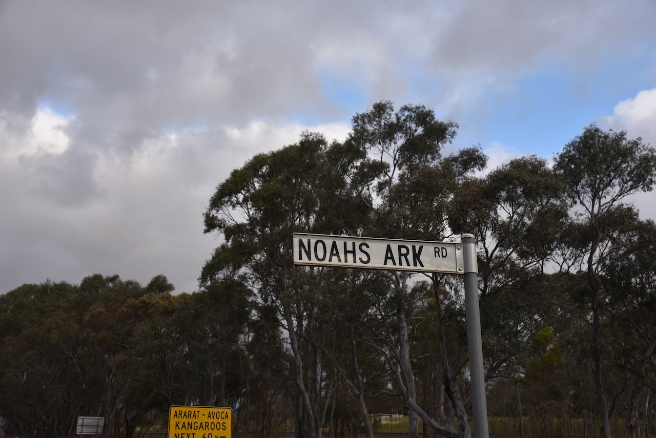
The reserve is located on the northern side of New Year’s Day Road, Ararat, at the intersection with Noahs Ark Road.
Above:- An aerial view of the reserve showing its boundaries. Image c/o Google Earth.
The reserve is about 3.4 hectares in size and was established on the 16th day of October 2001. (CAPAD 2022)
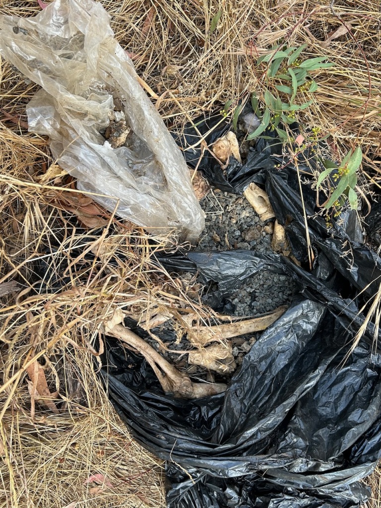
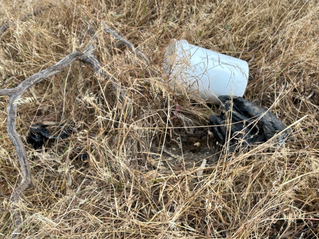
During our time in the park, Marija made an unusual discovery of bones wrapped in black plastic which had been weighted down with gravel. There were also some items of clothing. To be on the safe side I telephoned the local police who said they would come out to have a look. I never heard anything back, so I assume everything was okay.
Marija worked the following stations on 40m SSB:-
VK3PF
VK3KAI
VK3SQ
VK2BD
VK3BBB
VK2CCP
Marija worked the following stations on 40m AM:-
VK3PF
VK3KAI
VK3SQ
VK2BD
I worked the following stations on 40m SSB:-
VK3PF
VK3KAI
VK3SQ
VK2BD
VK3BBB
VK2CCP
VK5FANA
VK2CDB
VK5TN
VK5CZ
VK5NFT
VK1AO
V K2MET
VK2HHA
VK7AAE
VK3SG
VK3SPG
VK2USH
VK3MDC
VK7LJP
VK3MTT
V4DJF
VK3APJ
VK2EXA
VK2NZ
VK3MCK
VK4EW
VK3CLD
VK3UAO
VK5AAF
KG5CIK
VK2KA/3
I worked the following stations on 40m AM:-
VK3PF
VK3KAI
VK3SQ
VK2BD
I worked the following stations on 20m SSB:-
VK4EW
IK4IDF
OH1MM
KG5CIK
IW2BNA
VK4EMP
VK4TI
F1BLL
ZL1HIM
DG1YBN
I worked the following station on 20m AM:-
VK4EW
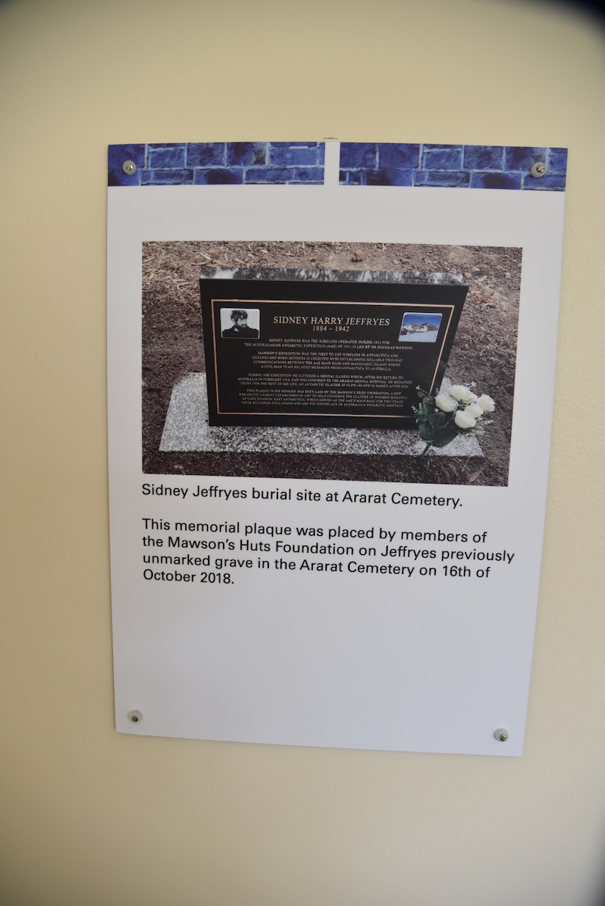
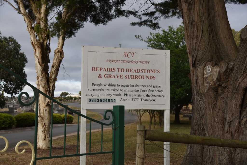
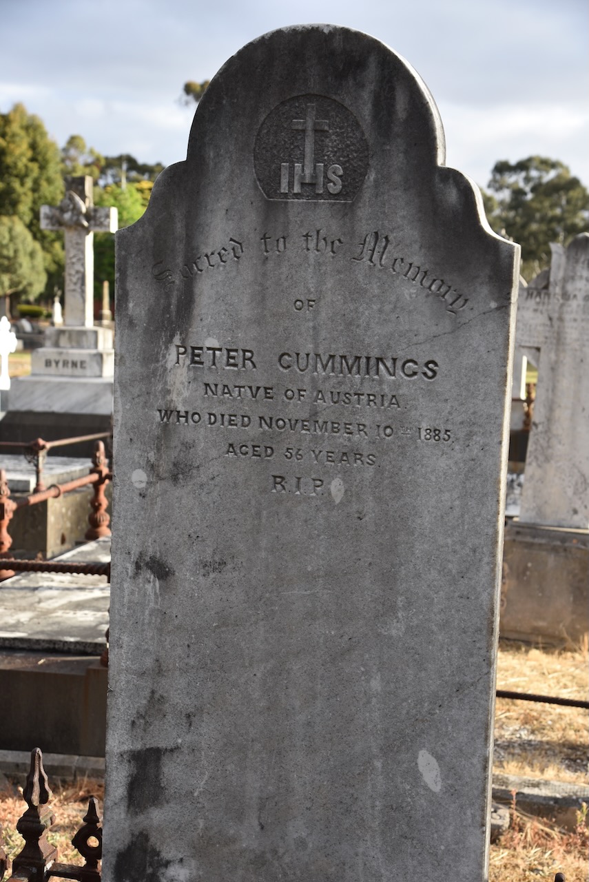
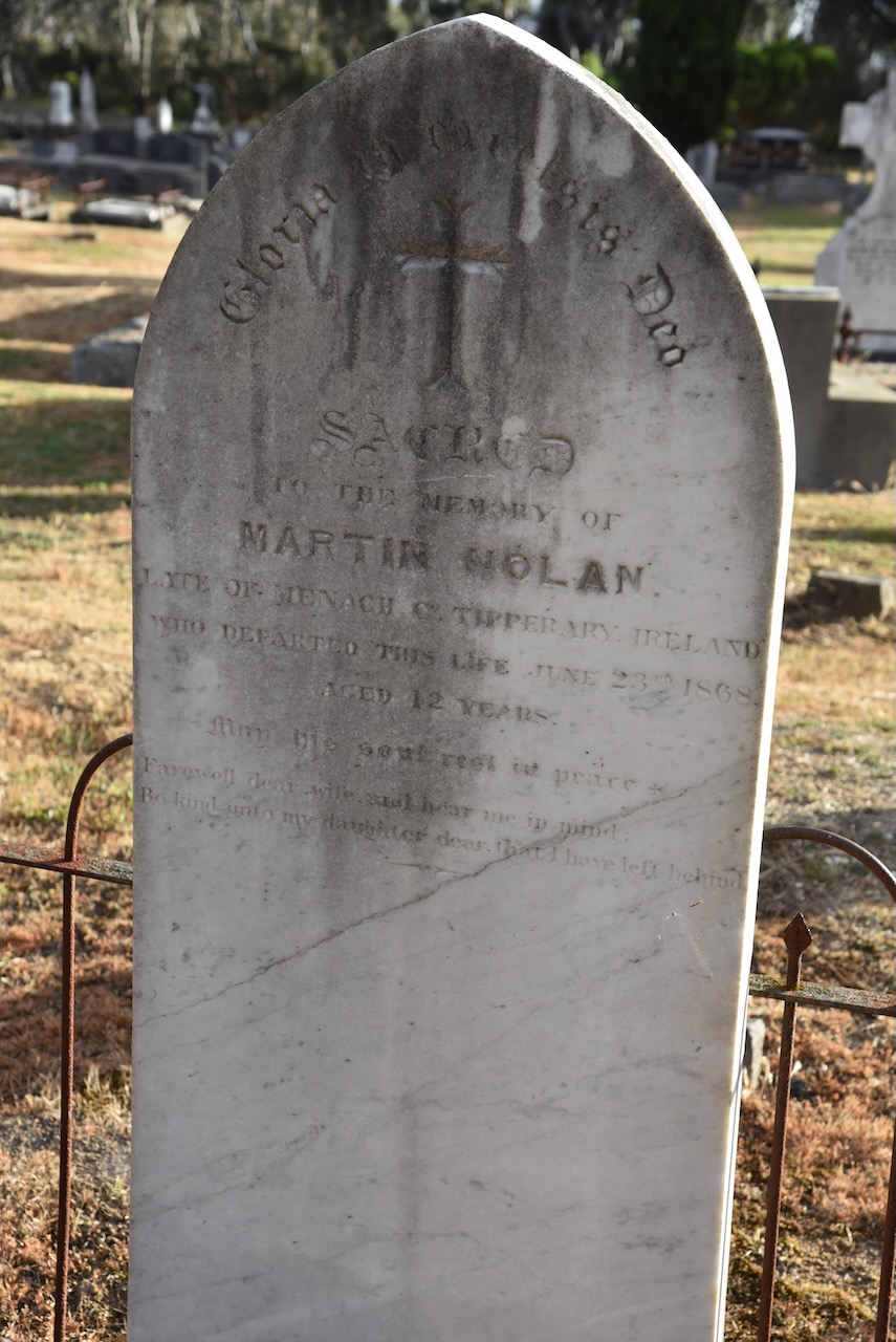
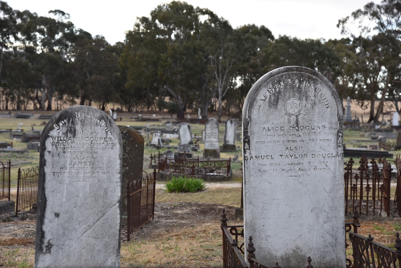
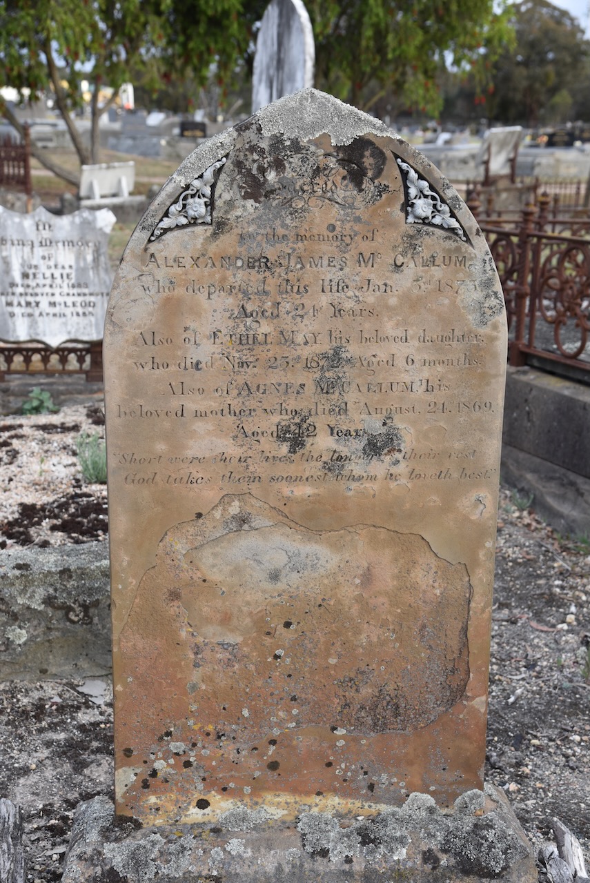
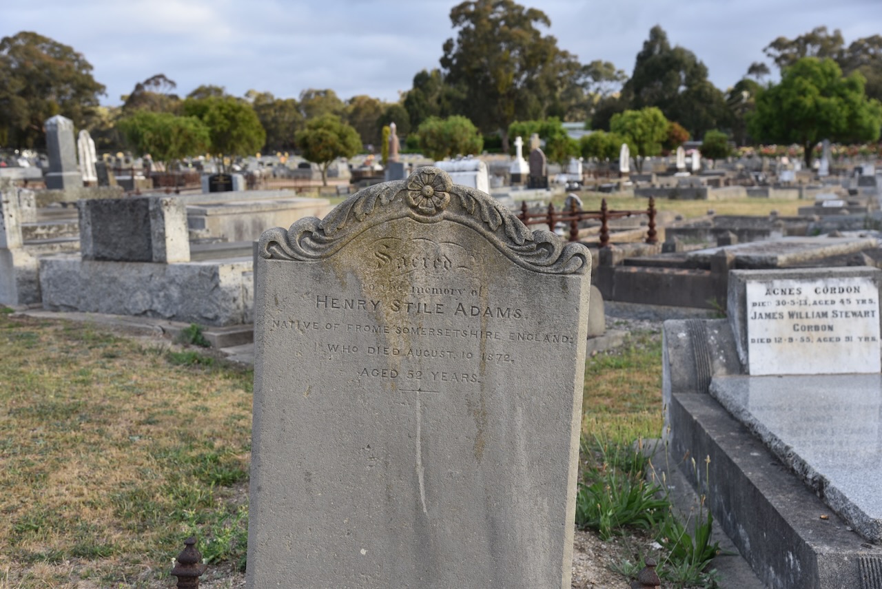
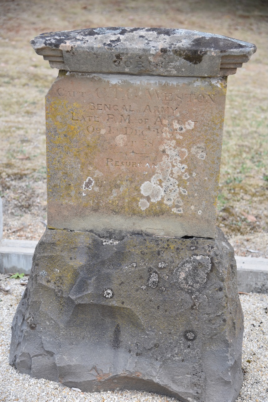
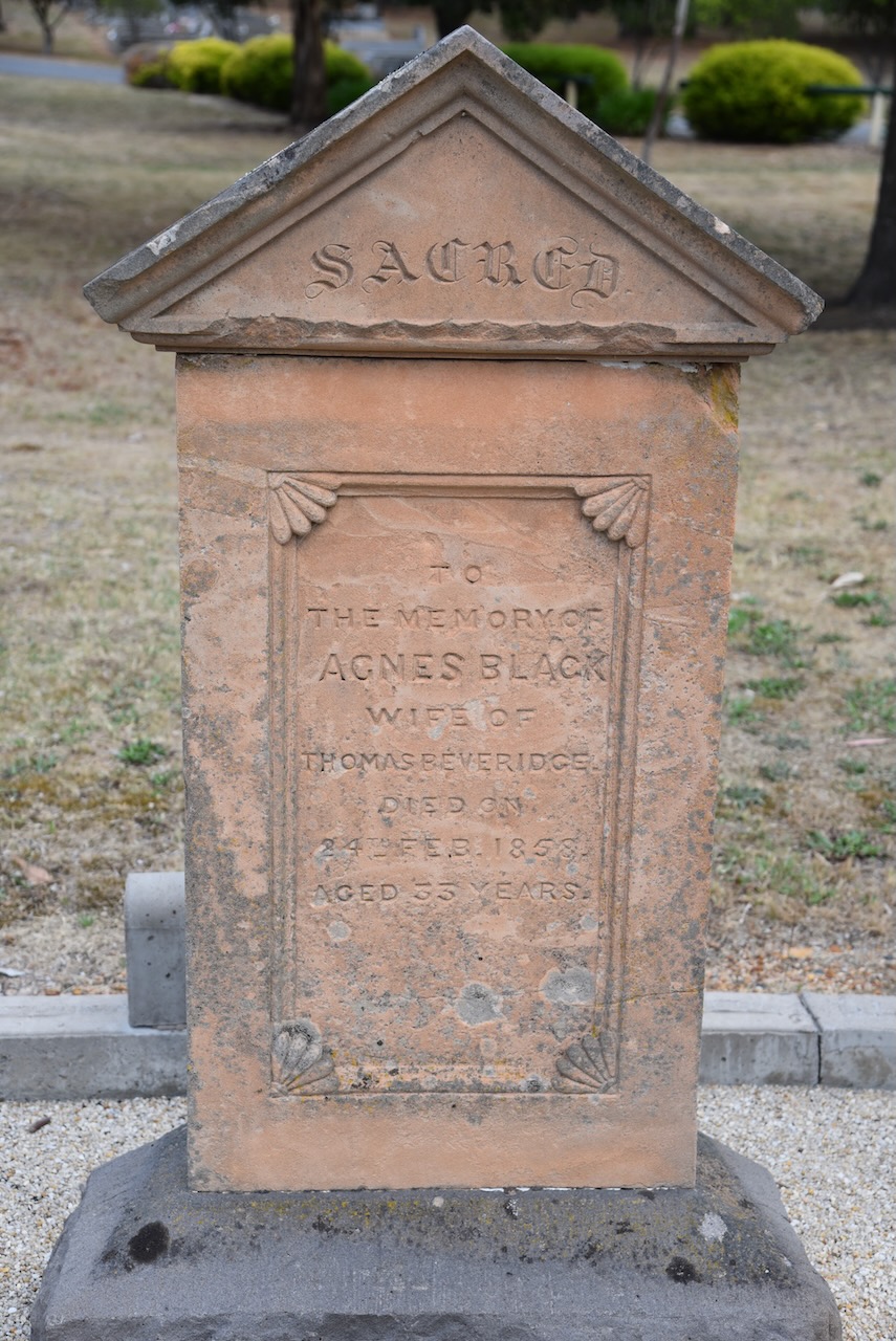
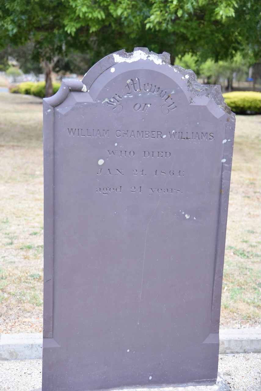
Marija and I then visited the Ararat cemetery.
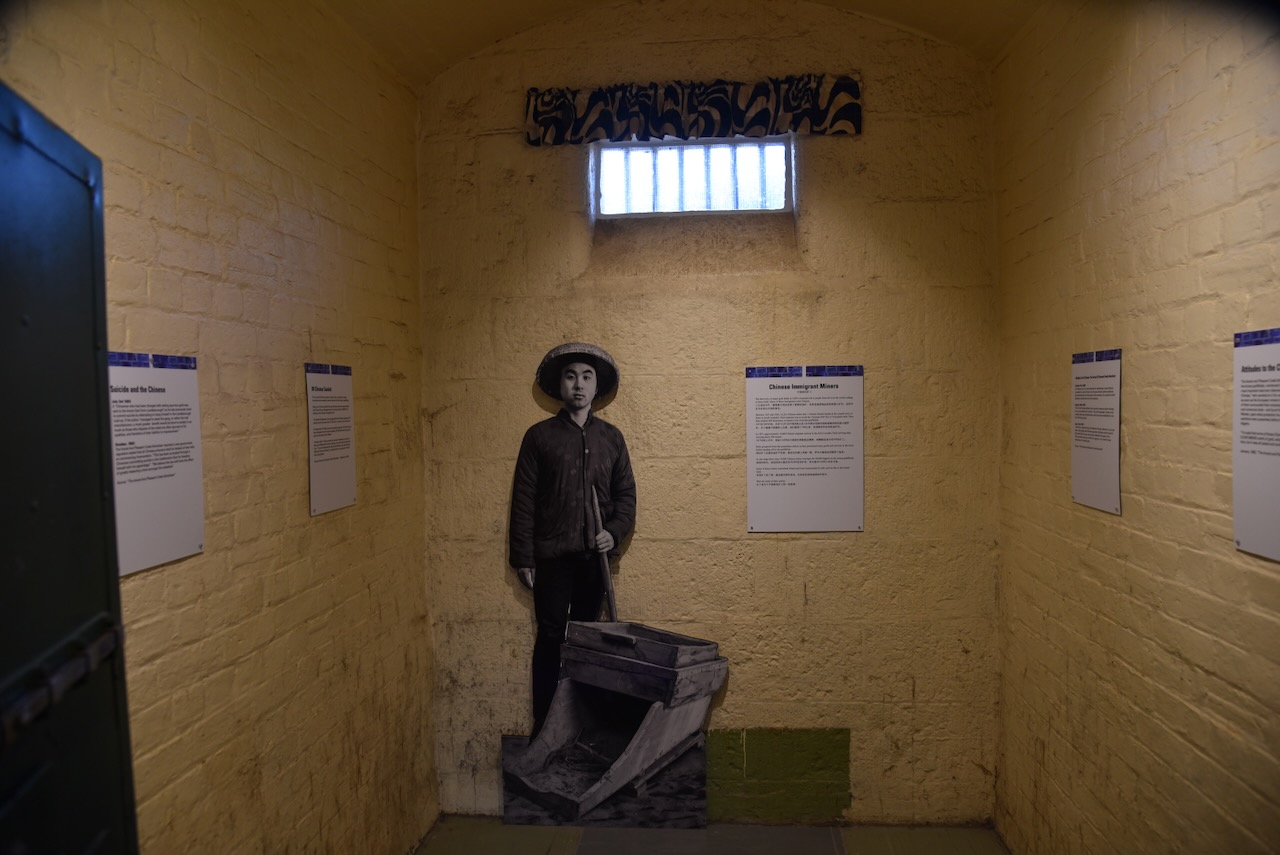
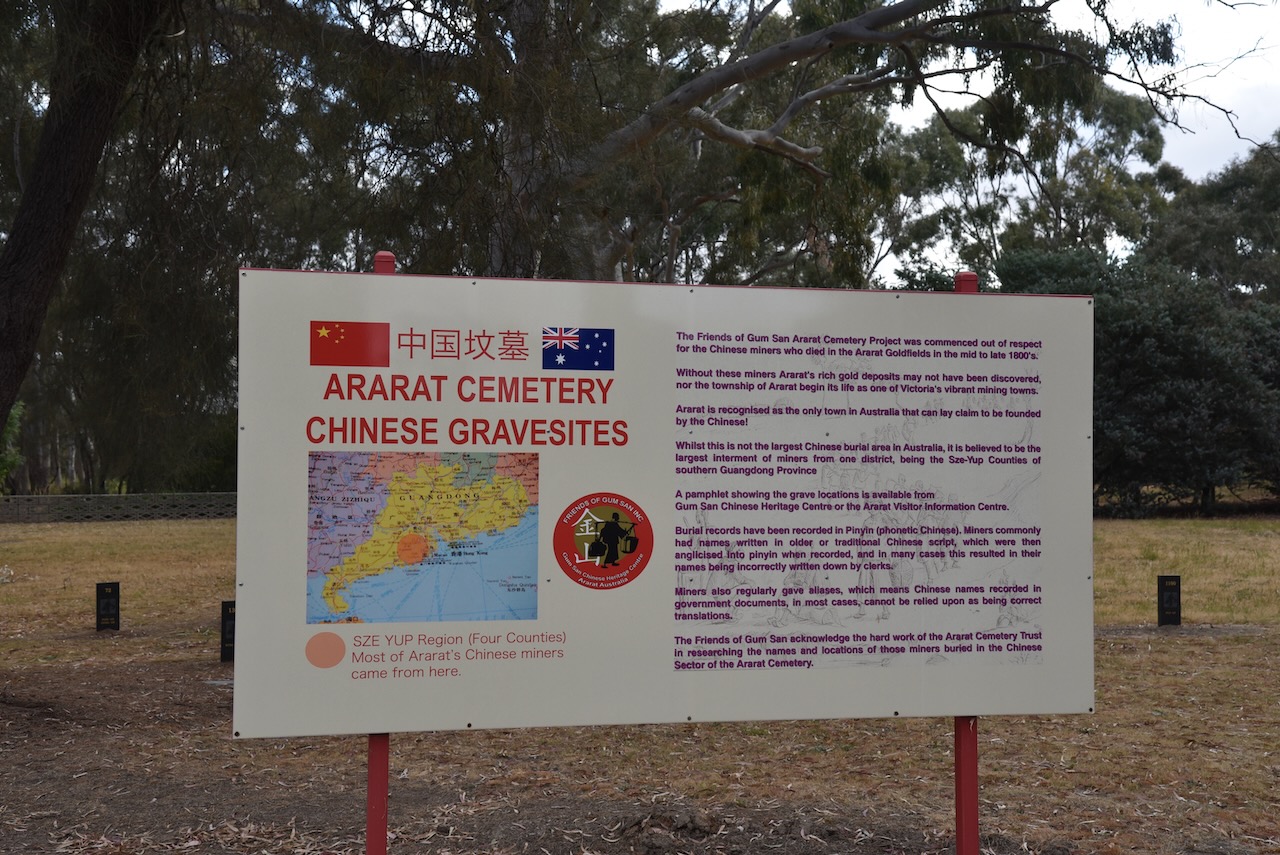
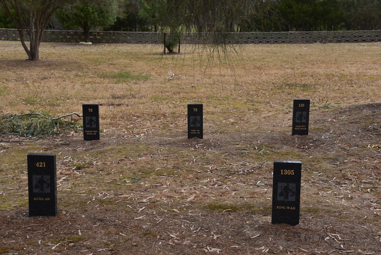
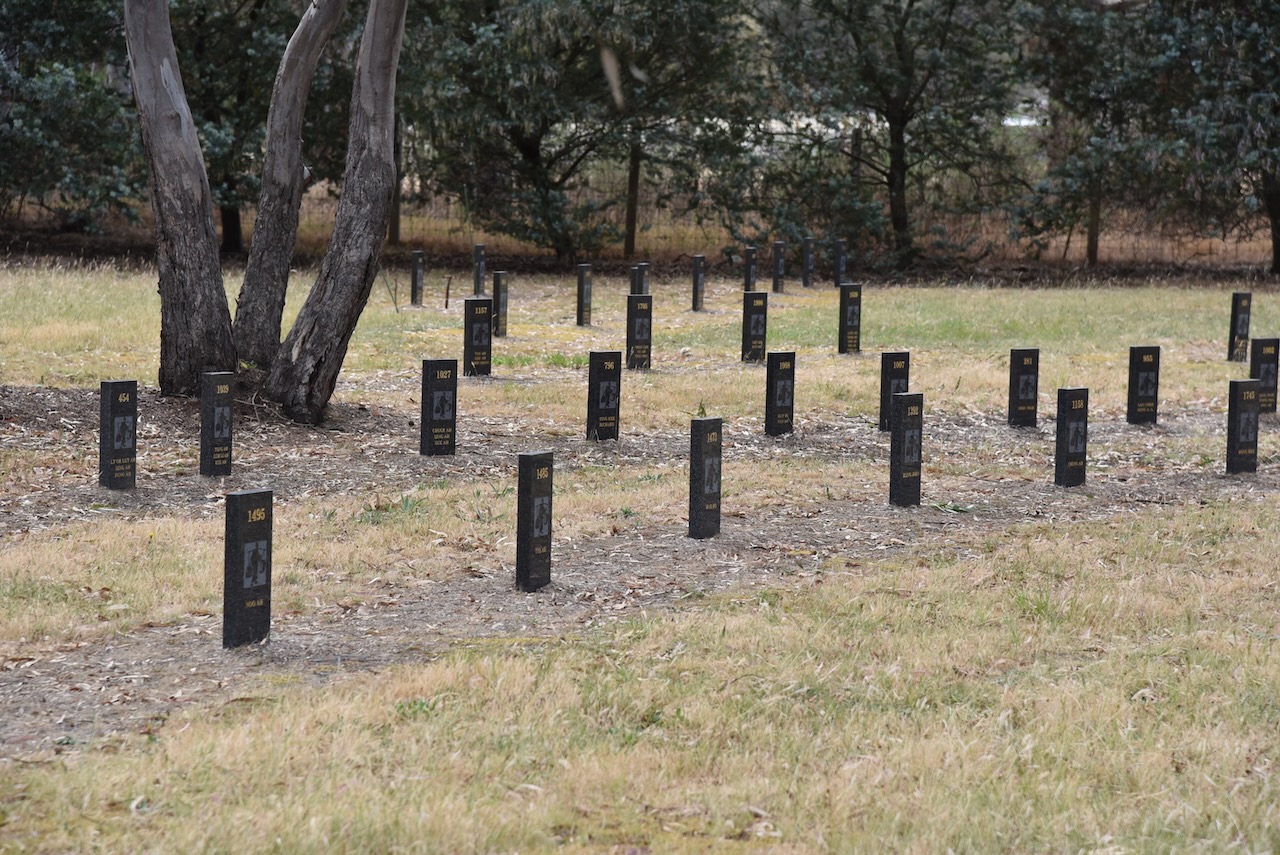
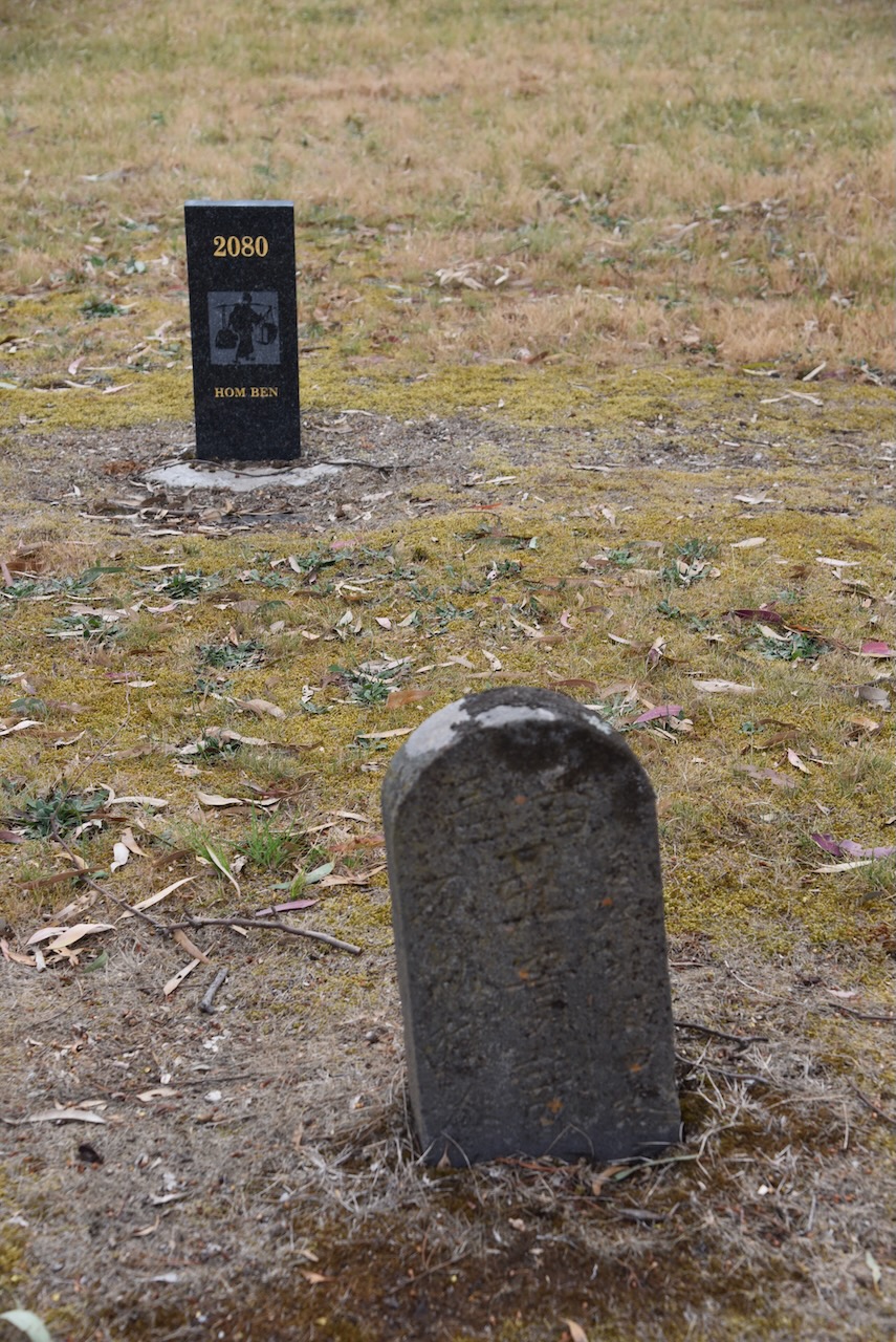
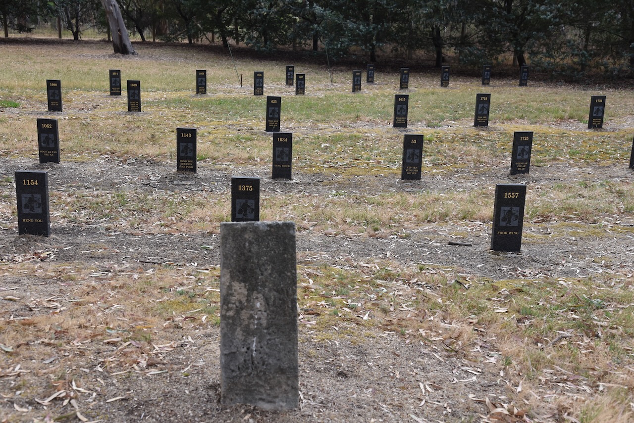
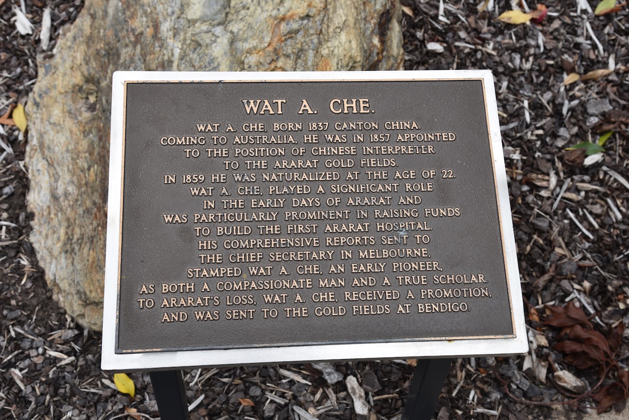
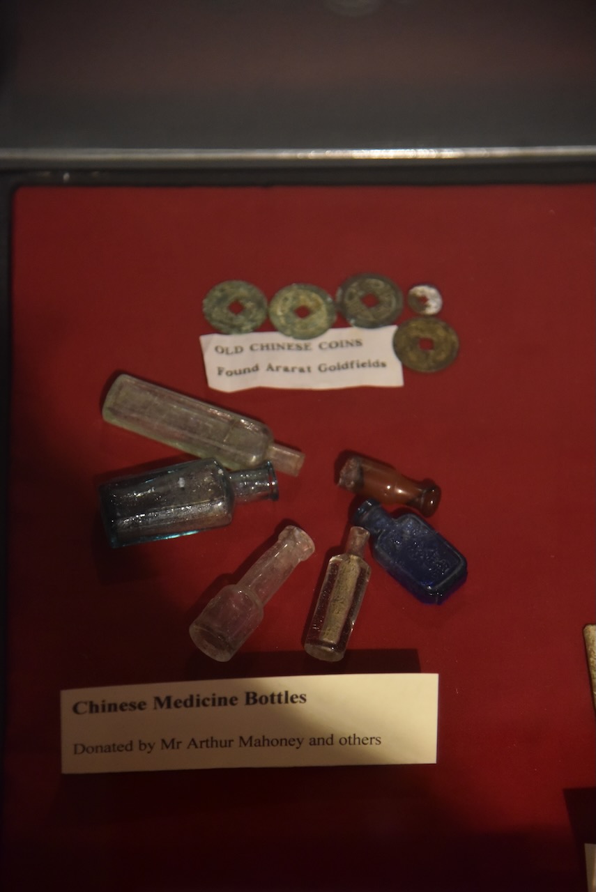
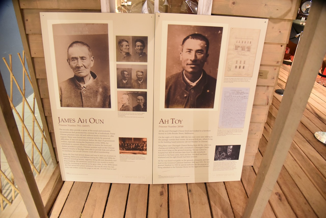
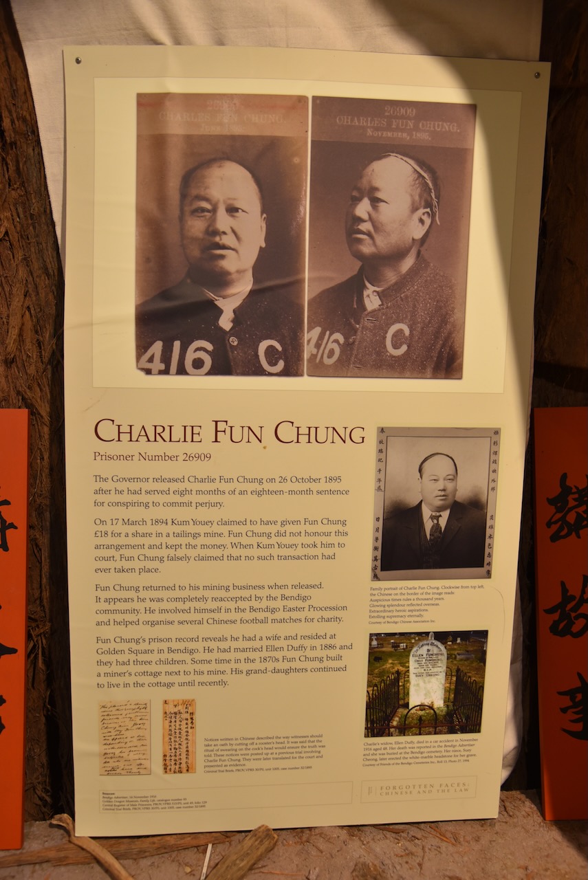
The Friends of Gum San Ararat Cemetery Project was commenced out of respect for the Chinese miners who died in the Ararat Goldfields in the mid to late 1800s. Chinese miners commonly had their names written in older of traditional Chinese script, which were then anglicised into pinyin when recorded, and in many cases, this resulted in their names being incorrectly written down by clerks.
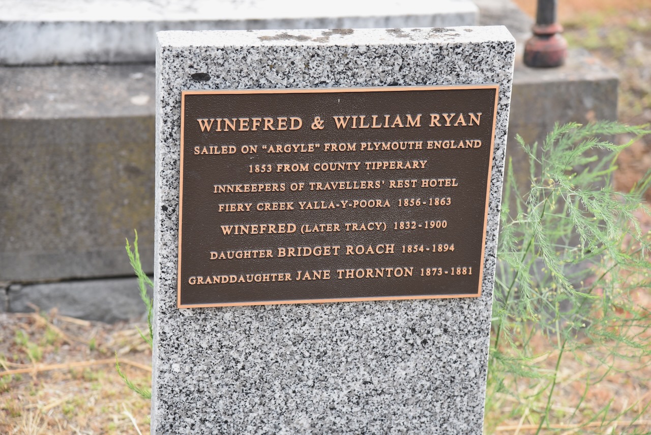
Winefred and William Ryan who sailed from Plymouth England in 1853 aboard the Argyle, leaving behind their homeland of County Tipperary, Ireland. They were innkeepers of Traveller’s Rest Hotel Fiery Creek.
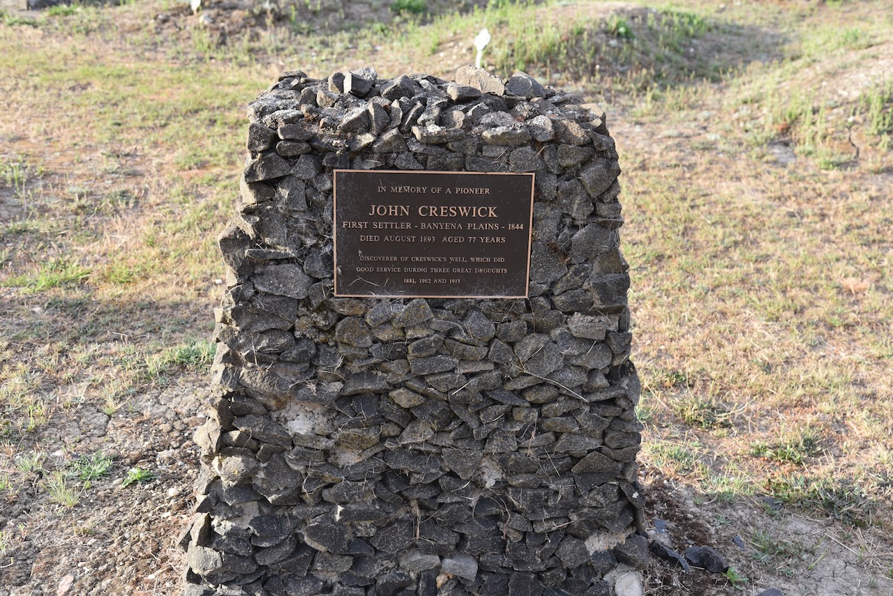
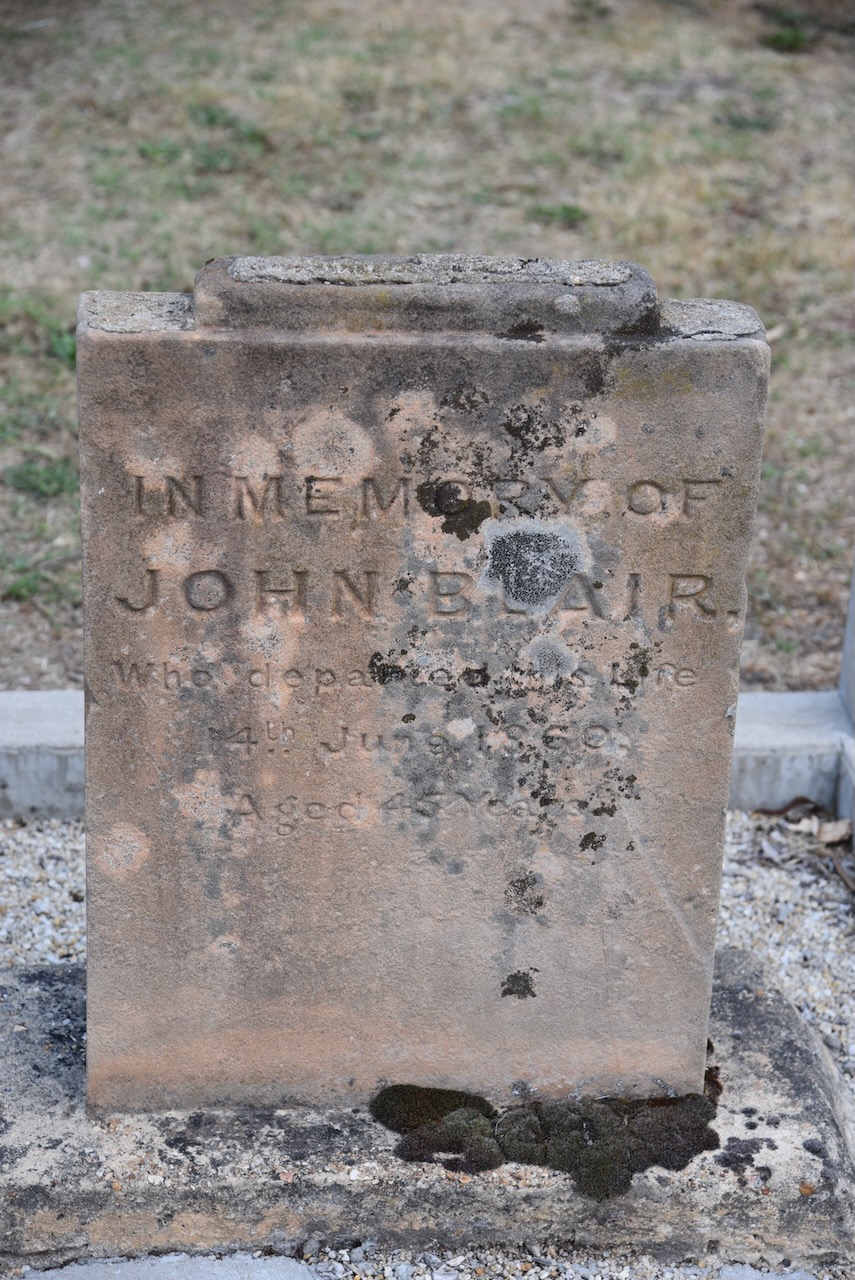
John Creswick was the first settler at Banyena Plains in 1844. He died in August 1893, aged 77 years. He was the discoverer of Creswick’s Well, which did good service during three great droughts 1881, 1902, & 1915.
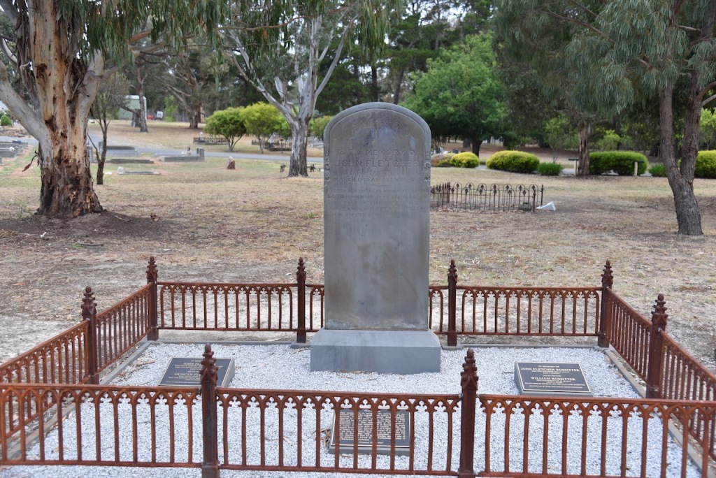
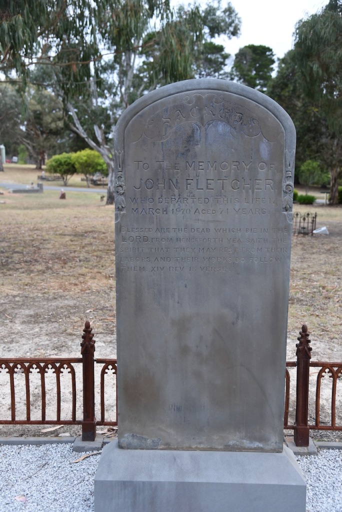
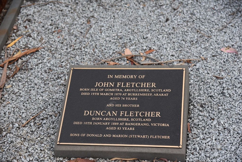
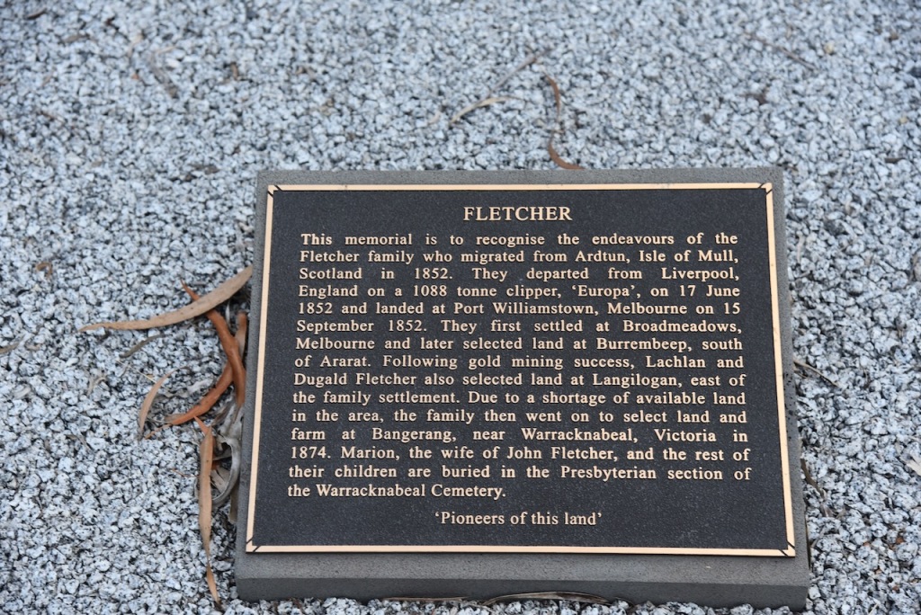
The Fletcher family plot contains several members of the Fletcher family who migrated from Adrtun, Isle of Mull, Scotland in 1852. They departed from Liverpool, England on 1 1088 tonne clipper ‘Europa’ on 17 June 1852 and landed at Port Williamstown, Melbourne on 15 September 1852. They first settled at Broadmeadows, Melbourne and later selected land at Burrembeep, south of Ararat. FOllowing gold mining success, Lachlan and Dugald Fletcher also selected land at Langilogan, east of the family settlement. Due to a shortage of available land in the area, the family then went on to select land and farm a Bangerang, near Awarracknabeal, Victoria in 1874. Marion, the wife of John Fletcher, and the rest of their children are buried in the Presbyterian section of the Warracknabeal cemetery.
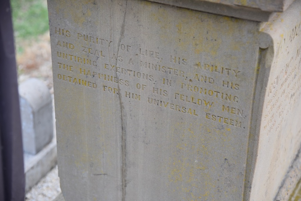
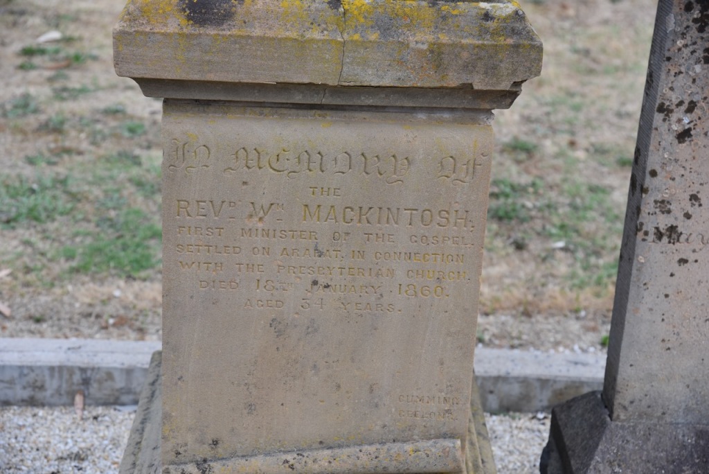
Reverand William Mackintosh was the first Minister of the Gospel who settled in Ararat in connection with the Presbyterian church. He died on the 18th day of January 1860, aged 54 years.
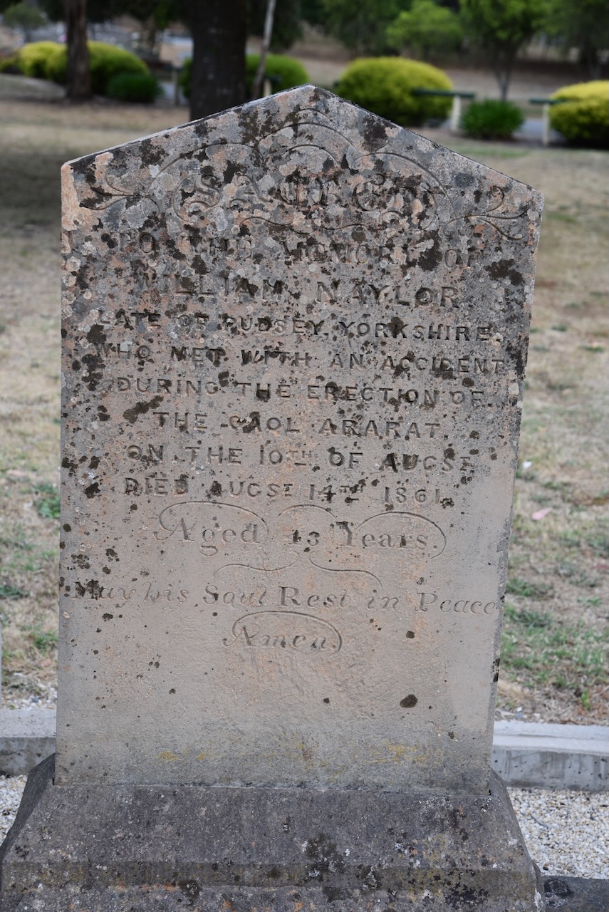
William Naylor, late of Rudsey Yorkshire, died as a result of an accident during the erection of the Ararat Gaol in August 1861. He was 43 years old.
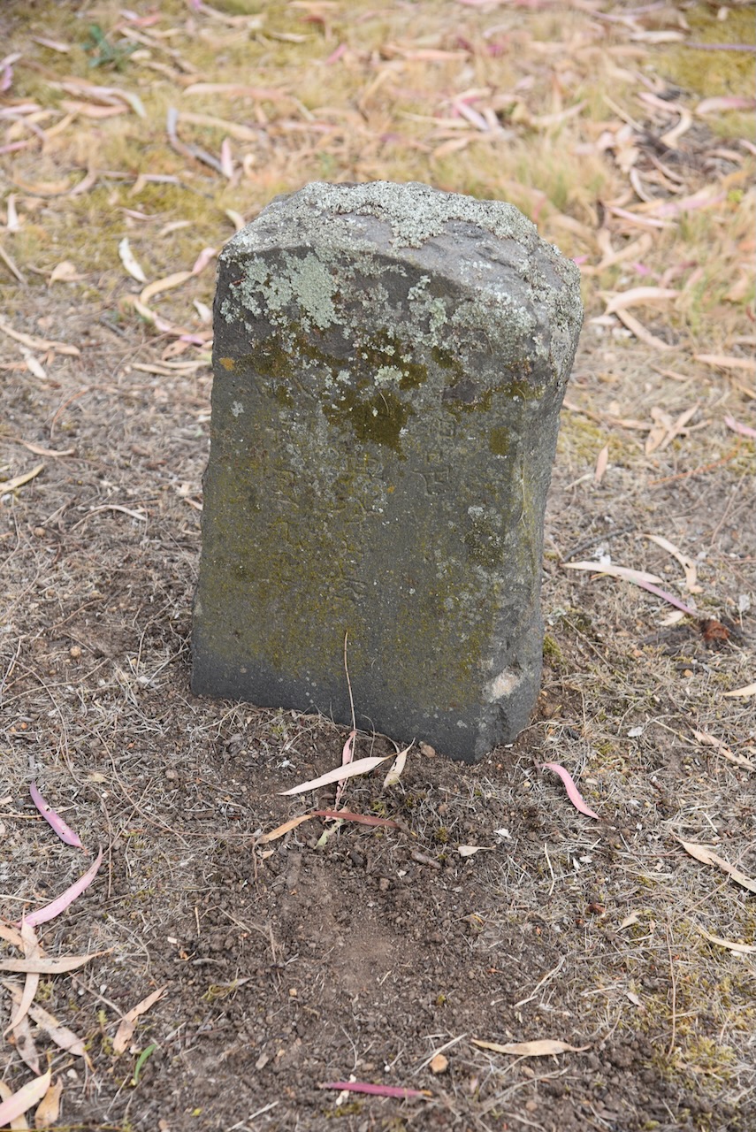
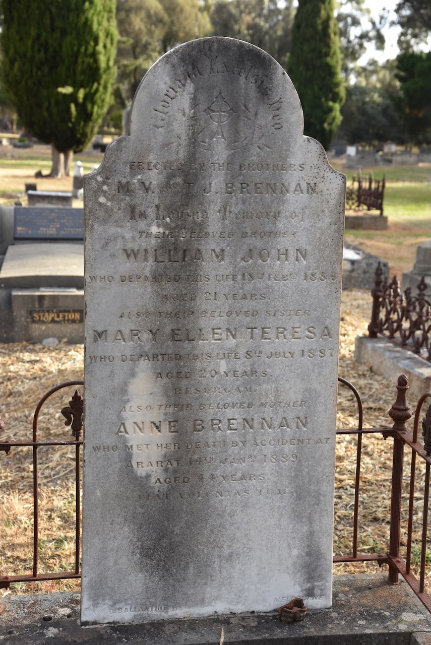
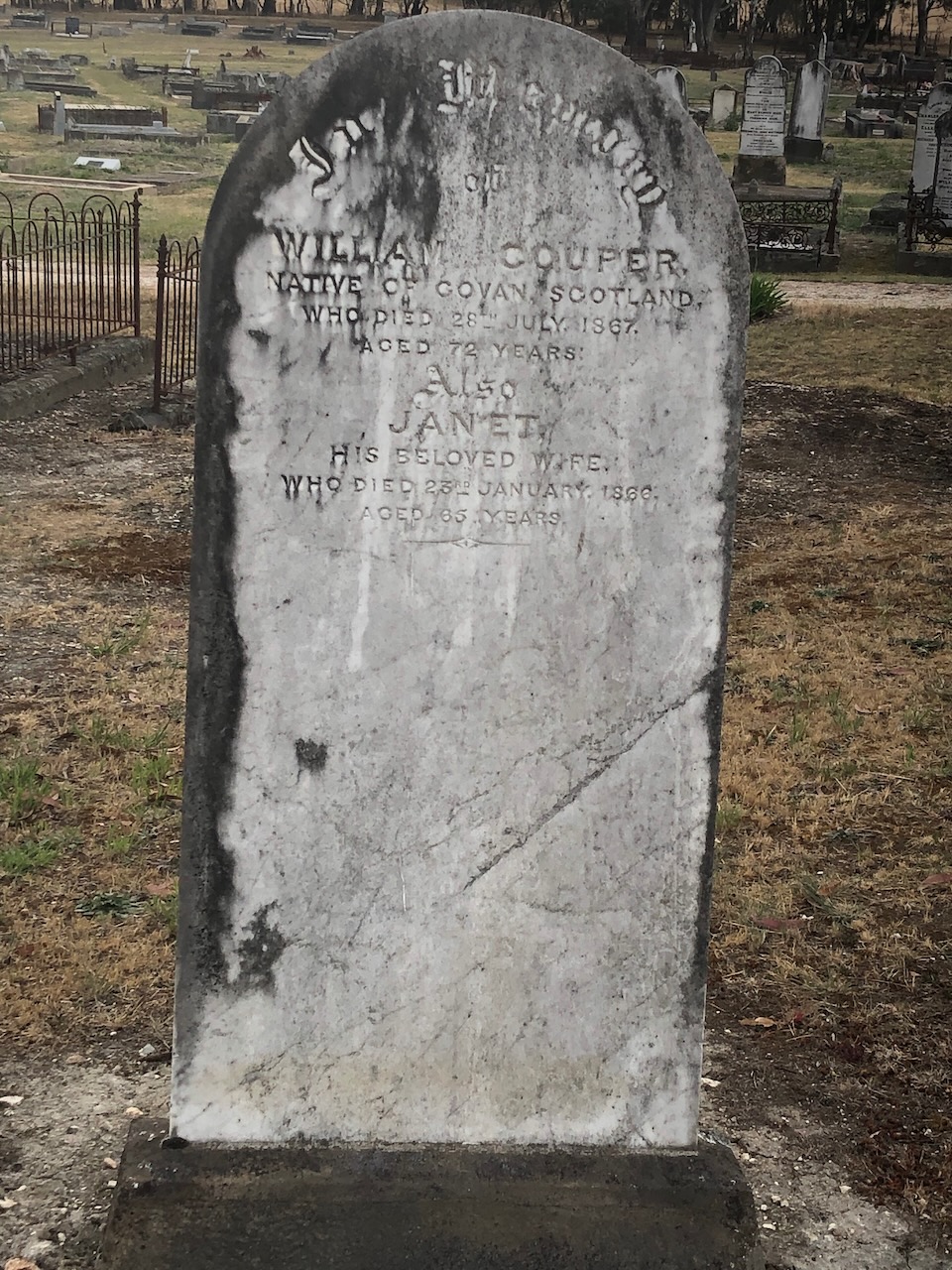
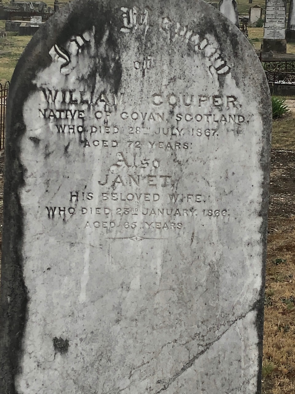
There are numerous historic headstones in the cemetery and you could easily spend half a day here wandering around learning about the history of Ararat.
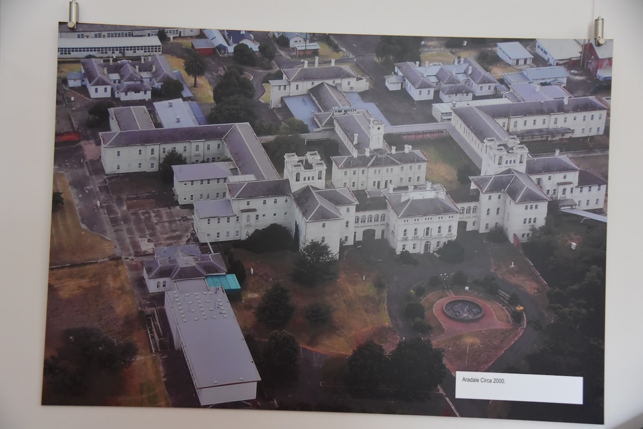
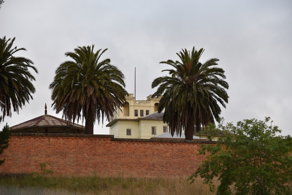
Marija and I then drove up to Aradale Lunatic Asylum. Marija and I had booked in for a night time ghost tour the following night. I’ll speak more about Aradale during that post.
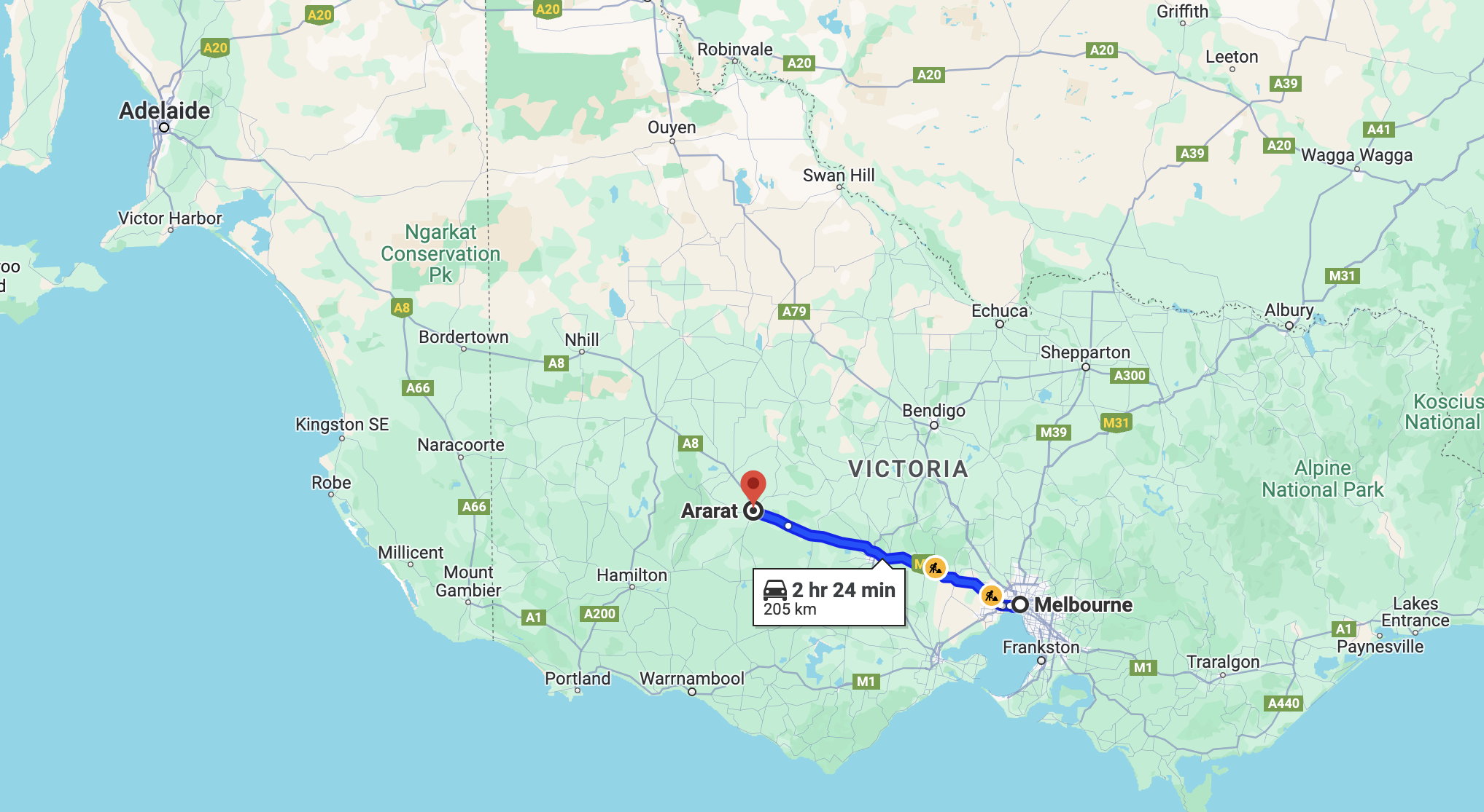
It was now Thursday 30th November 2023 and almost the end of our trip to Victoria. It was time for Marija and I to leave Melbourne and head for Ararat in western Victoria, a drive of about 200 km.
Above:- Map showing the route between Melbourne and Ararat. Map c/o Google Maps.
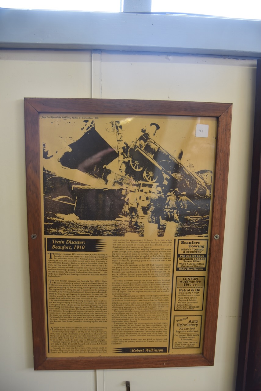
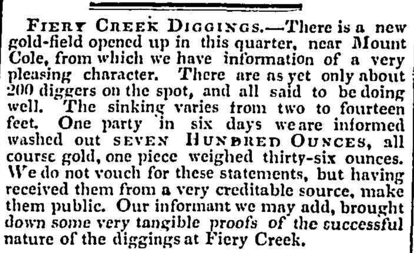
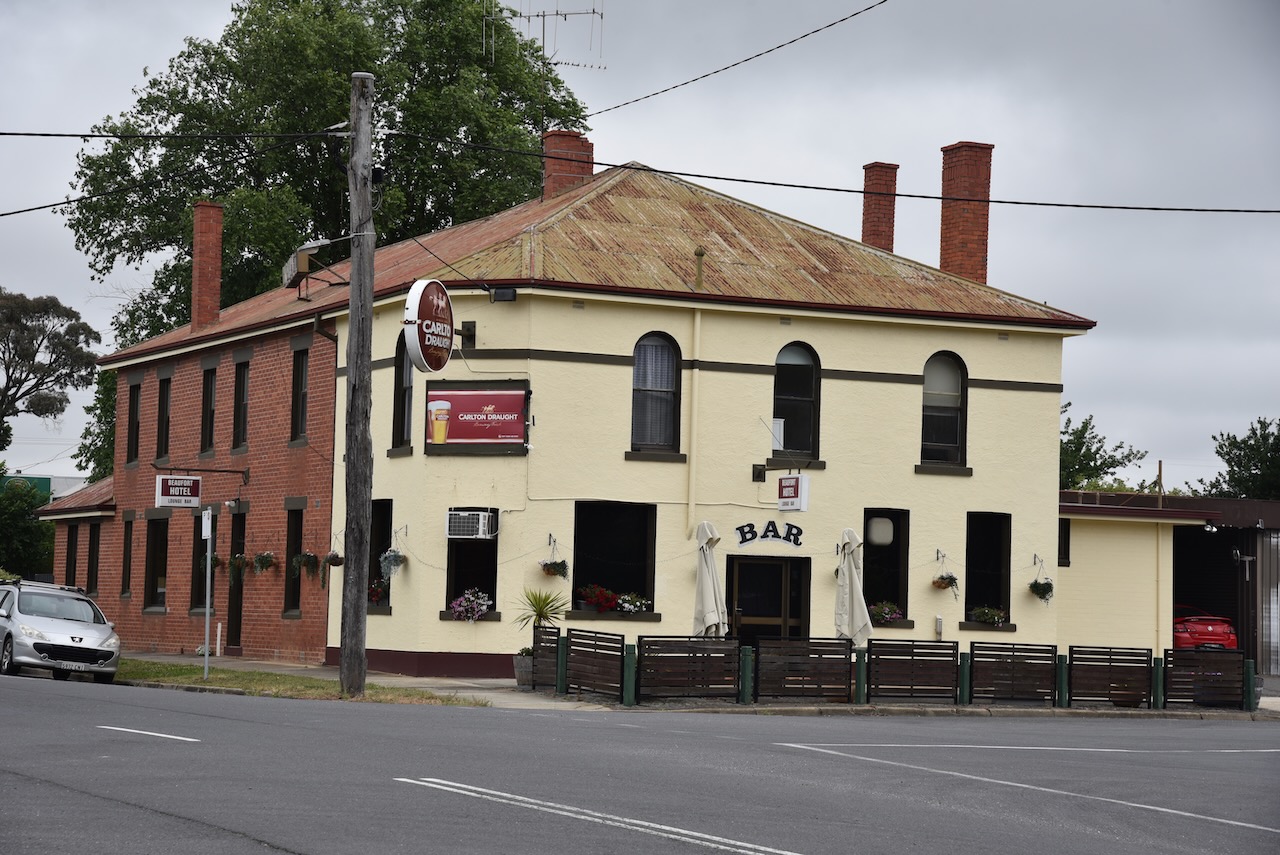
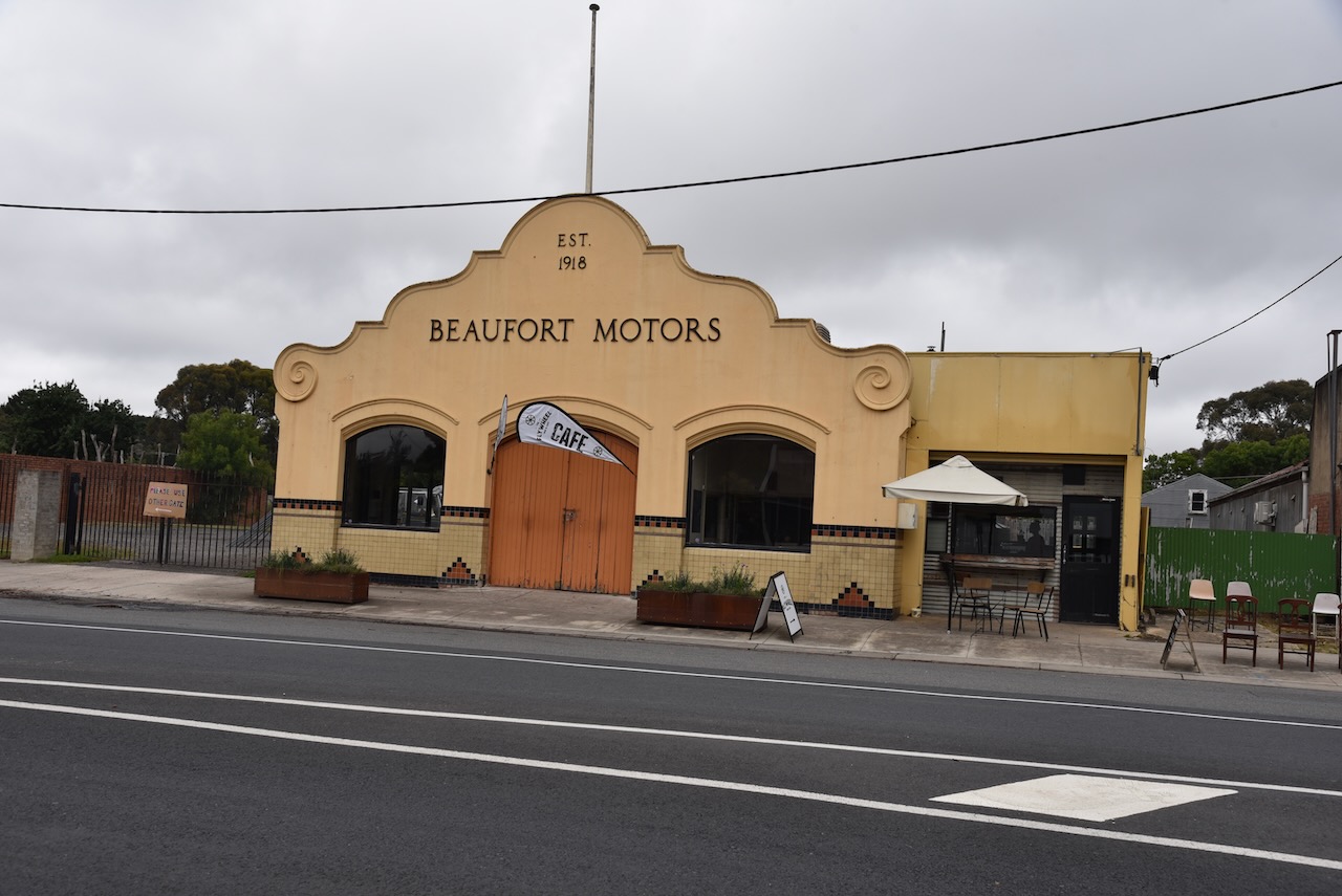
Our first stop of the day was at the little town of Beaufort, on the Western Highway, about 445 km northwest of Ballarat. We enjoyed an early lunch at one of the local cafes.
The Beaufort area was first settled by Europeans with several prosperous pastoral runs including the Langhi Kal Kal Run in 1838 which contained current-day Beaufort. In 1854 gold was discovered just north of Beaufort at Yam Holes Creek and within a year the area was being extensively mined and was known as the Firey Creek diggings. Fiery Creek flows westwards of Beaufort and was named following a drought due to the heat-generated haze over the creek bed. (Victorian Places 2024)
Above:- Article from the Geelong Advertside, Thu 26 Jul 1855. Image c/o Trove.
Following the gold rush a hastily built town ensued and in March 1858 surveyed township blocks were sold. Beaufort was named in honour of Sir Francis Beaufort (b. 1774. d. 1857), a British Rear Admiral and hydrographer.
Rear-Admiral Sir Francis Beaufort. Image c/o Wikipedia
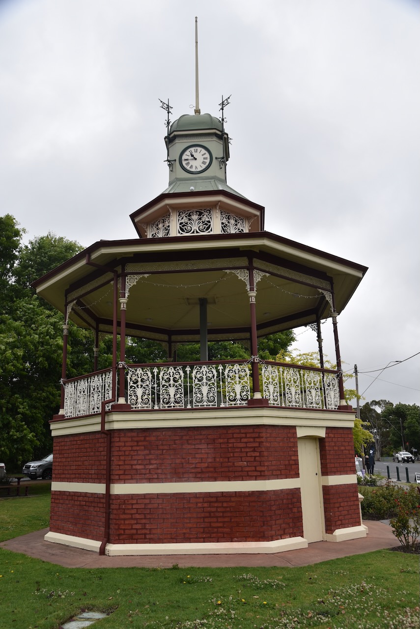
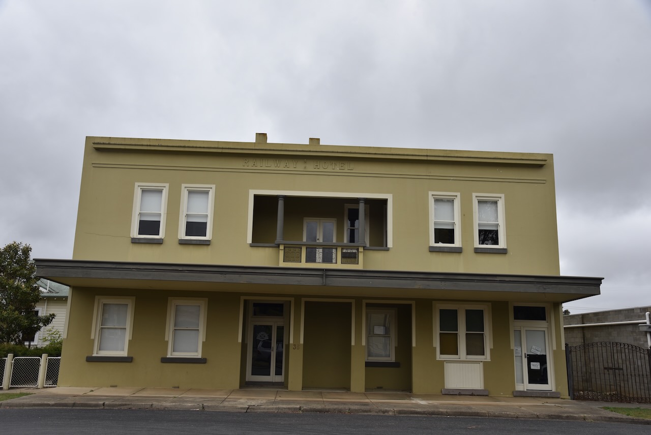
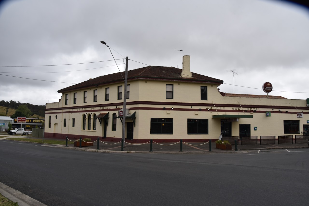
Beaufort is one of my favourite towns in Victoria. It is a place that Marija and I always stop at. The town contains several historic buildings including the Band Rotunda built in 1903, the Beautfort Fire Brigade established in 1874 and rebuilt in 1911, the Mechanics Institute built in 1863, and the Golden Age Hotel built in 1864. (Destination Beaufort 2024)
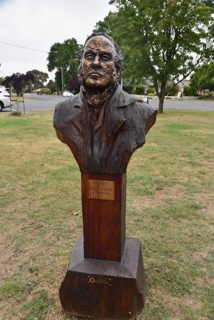
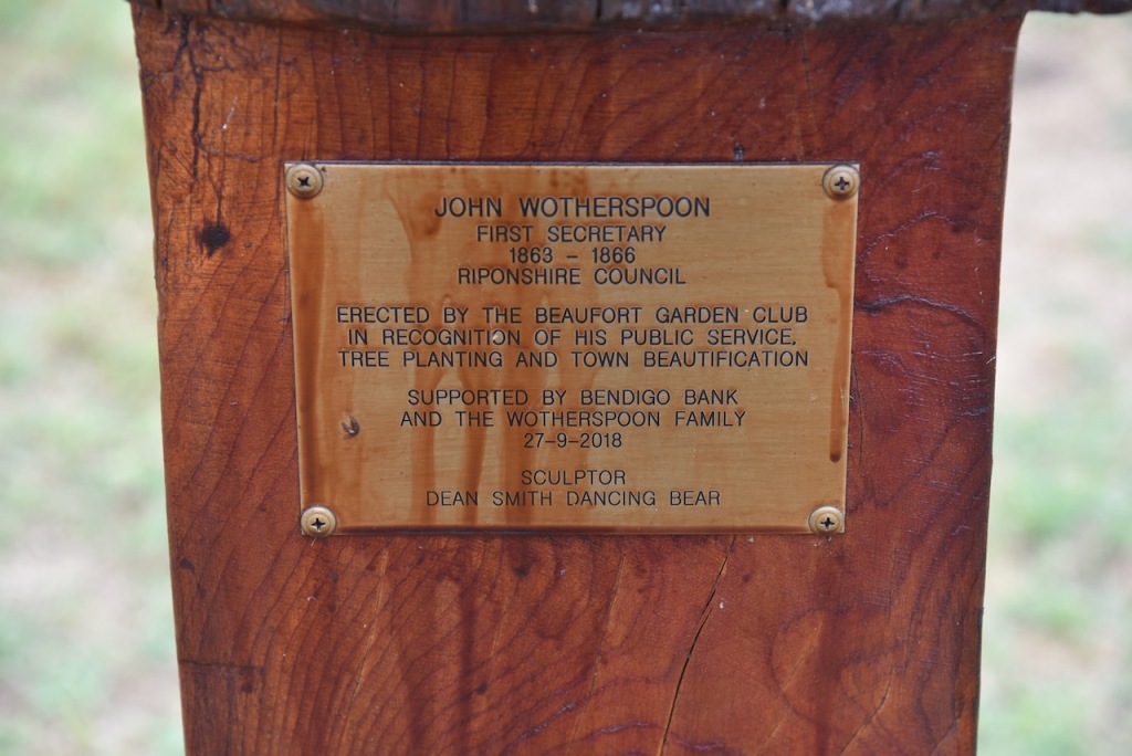
There is also a bust of John Wootherspoon, the first Secretary of the Ripponshire Council (1863-1866).
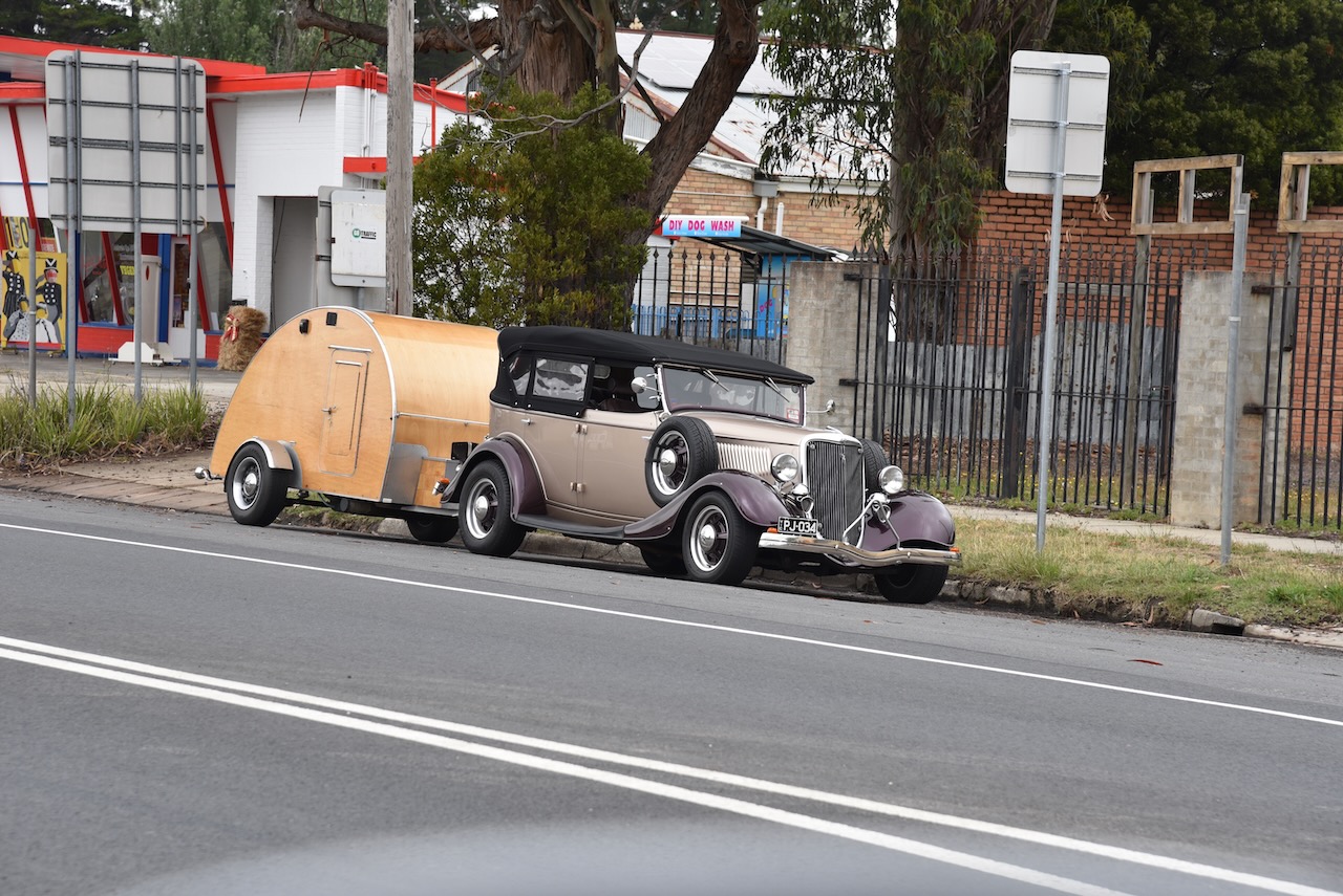
Whilst in Beaufort, Marija and I saw a number of hot rods towing small caravans, either returning home from, or off to some sort of a car show.
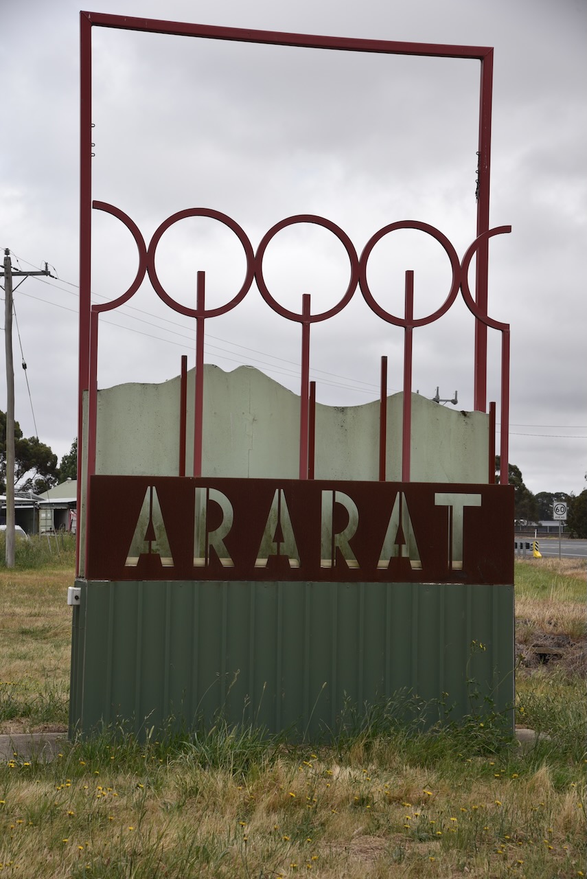
Marija and I continued west on the Western Highway and soon reached Ararat, about 85 km west of Ballarat and 198 km northwest of Melbourne.
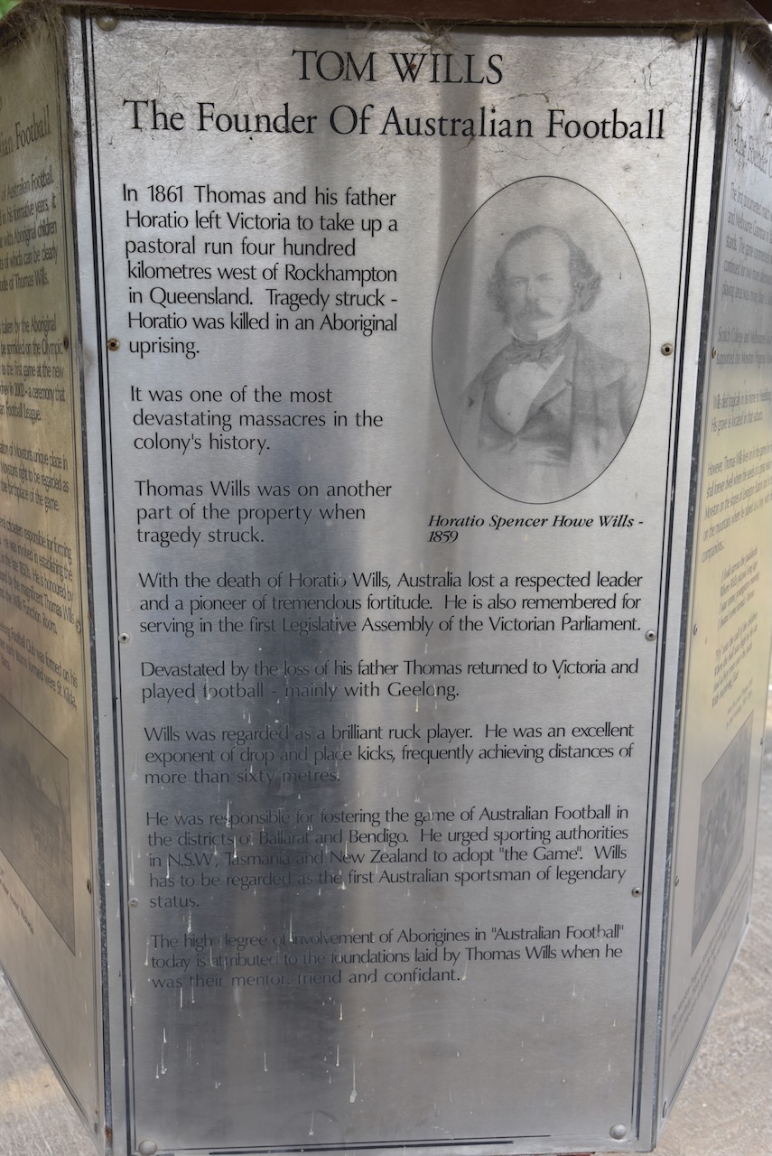
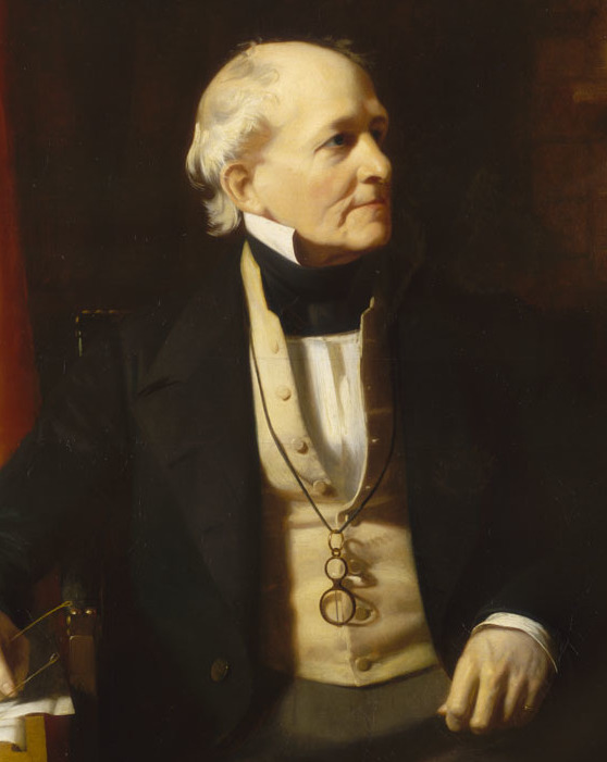
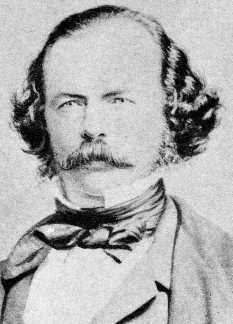
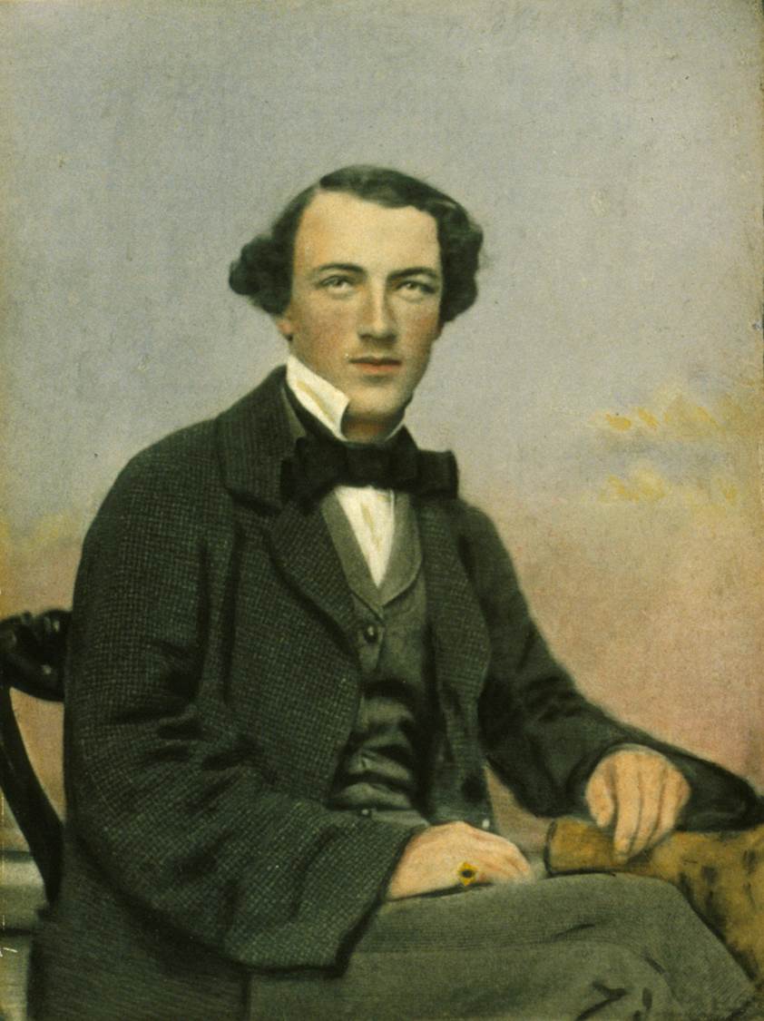
Horatio Spencer Howe Wills (b. 1811. d. 1861) is credited with naming Mount Ararat. He overlanded with his family to the Grampians region of the Port Phillip District (now Victoria) in the late 1830s. He purchased a 125,000 acred property called Lexington near Moyston. He built a house on the property which was completed in 1845. He hired aboriginal people to work on his property as station hands and harvesters. He named Mount Ararat for ‘like the arc, we rested there’. (Aust Dict of Biography 2024) (Victorian Places 2024)
Above:- Horatio WIlls. Image c/o Wikipedia.
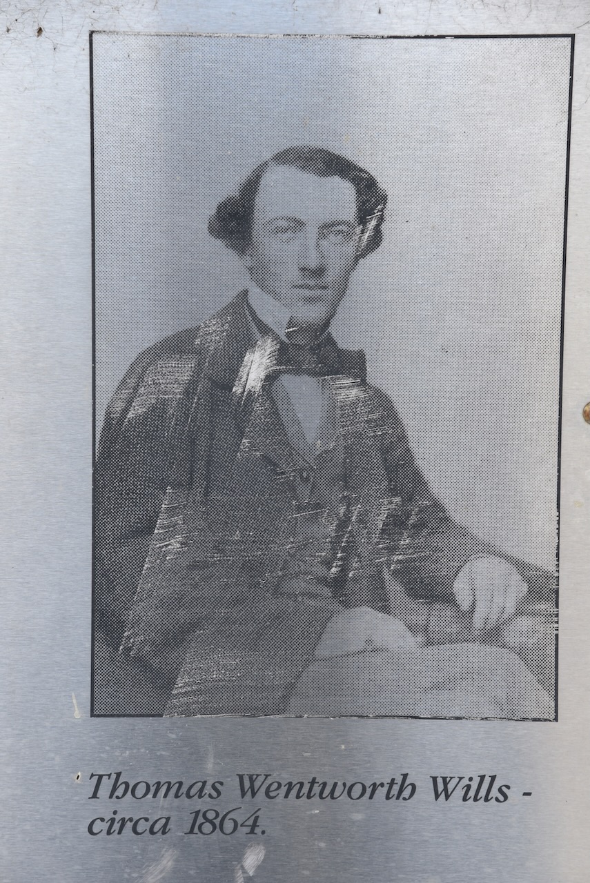
Horatio Wills son Thomas ‘Tom’ Wills was a talented cricketer and a founder of Australian Rules Football.
Above:- Tom Wills. Image co Wikipedia.
In 1861 Horatio Wills moved In 1861, Horatio moved north to Queensland, near Rockhampton. Just three weeks later, on the 17th day of October 1861, he along with 18 others, was murdered by aboriginal peopleat Cullin-la-ringo. This included women and children. Known as the ‘Cullin-la-ringo massacre’ or the ‘Wills Tragedy’, this was the largest massacre of white people by aboriginal people in Australian history. (The Wills Tragedy 1861)
Above:- The arrival of the neighbouring squatters collecting and burying the dead following the massacre. Image c/o WIkipedia.
Marija and I booked into our accommodation and offloaded some of our luggage from the 4WD.
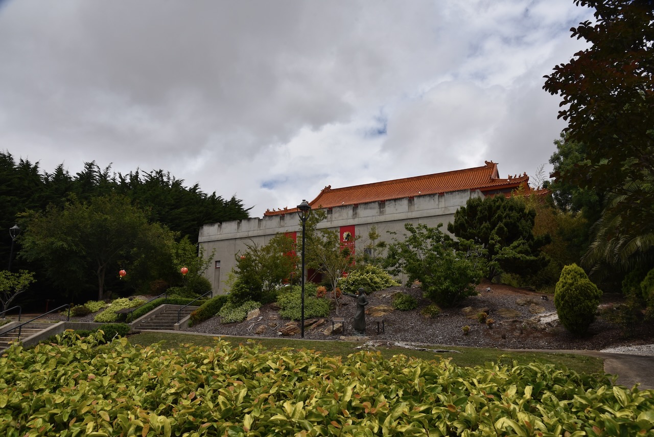
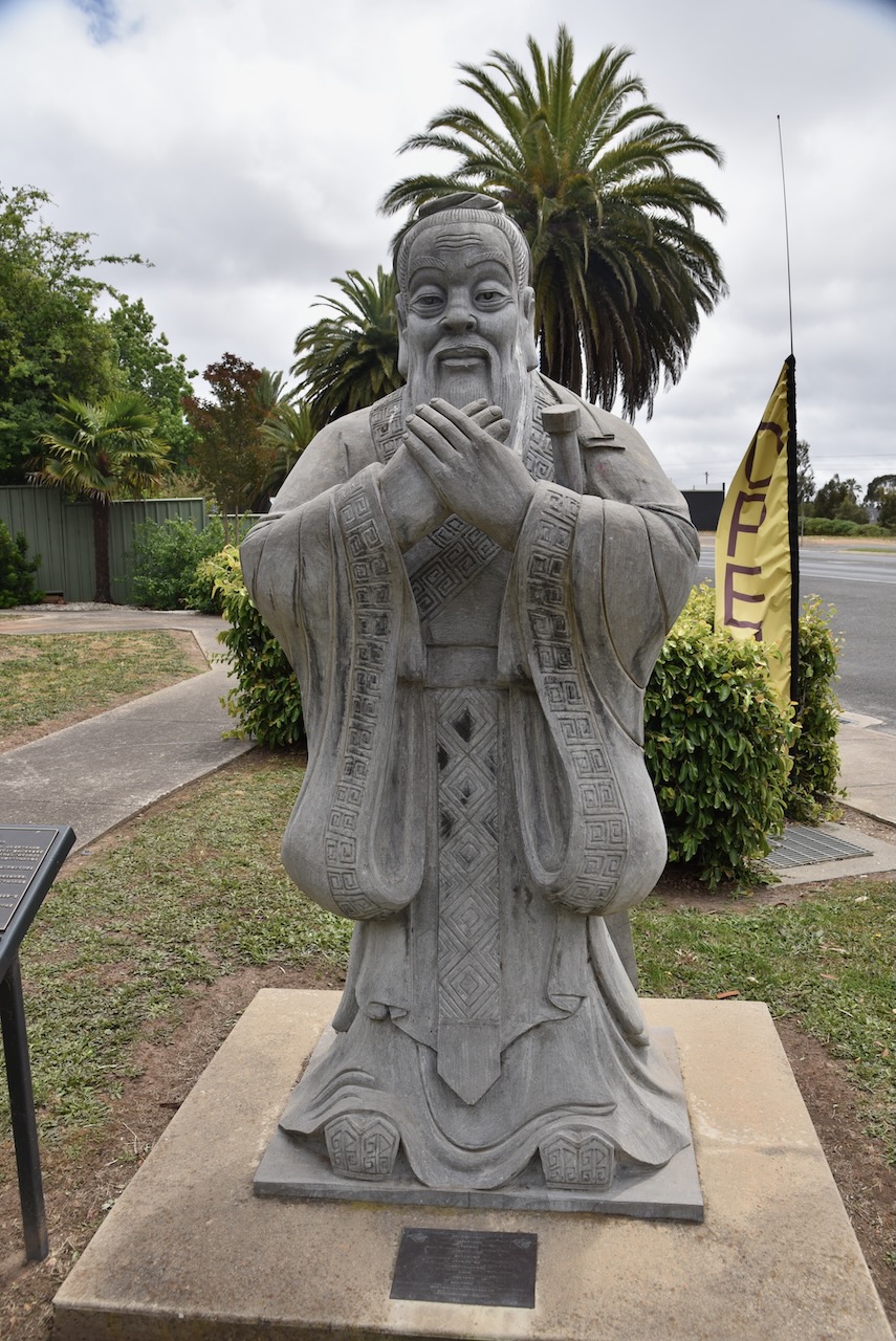
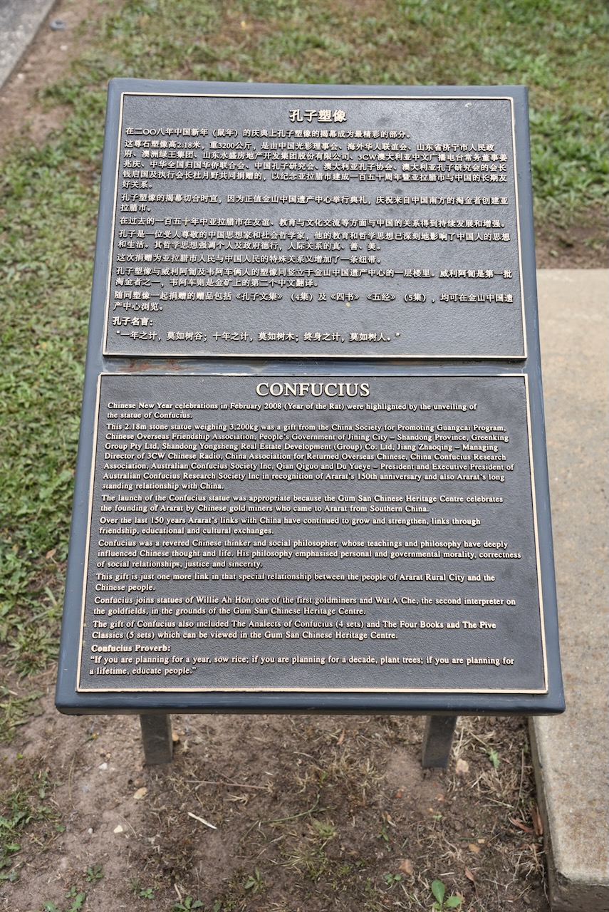
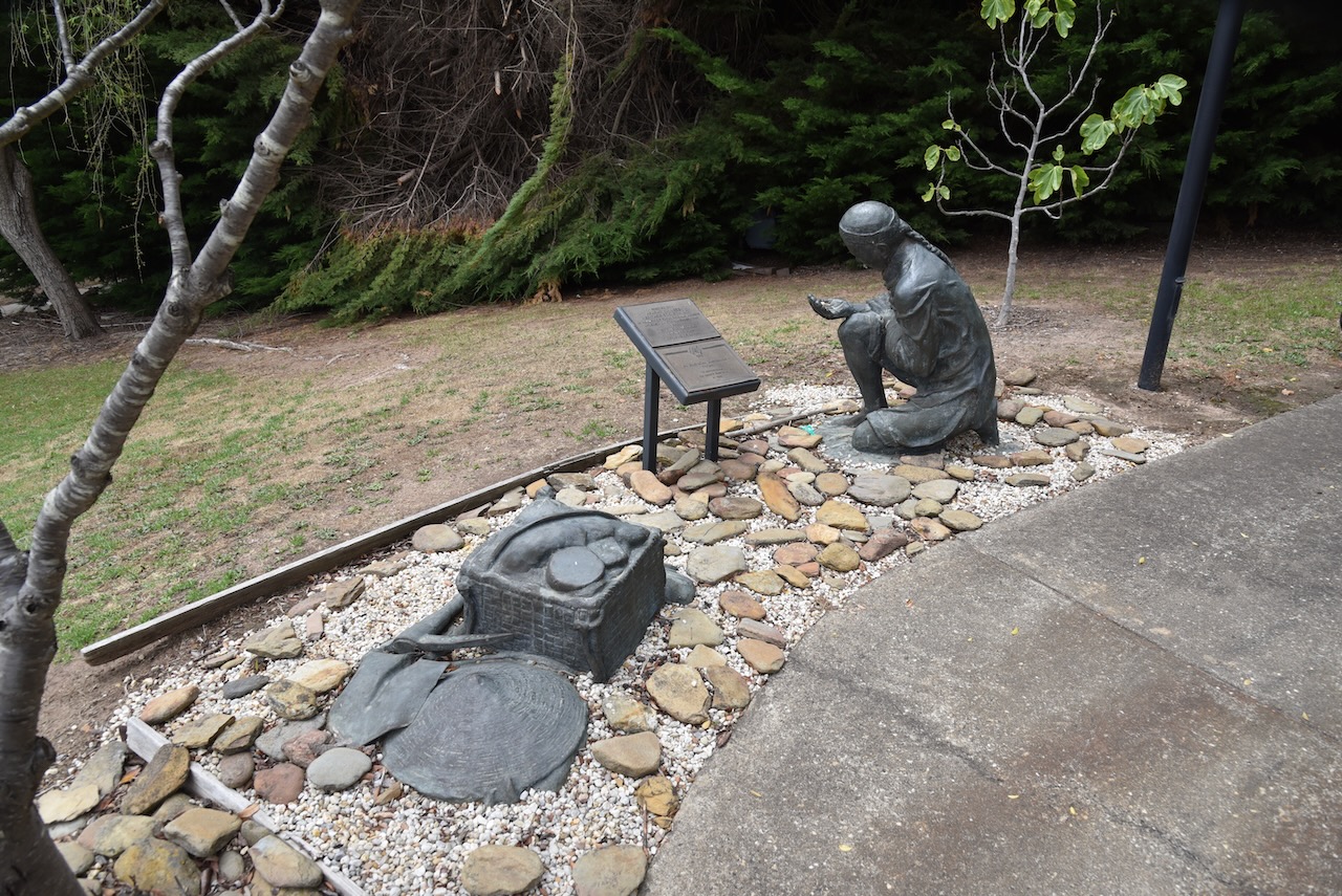
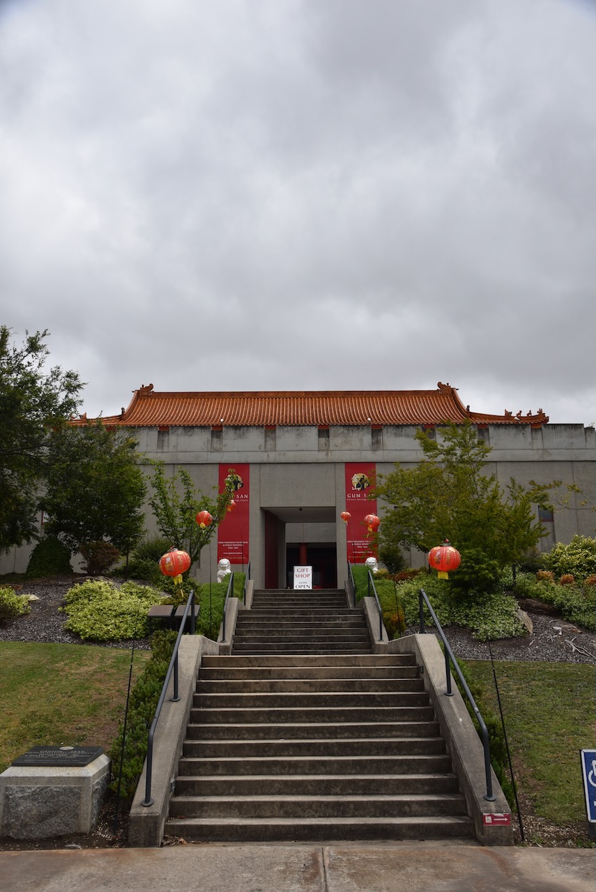
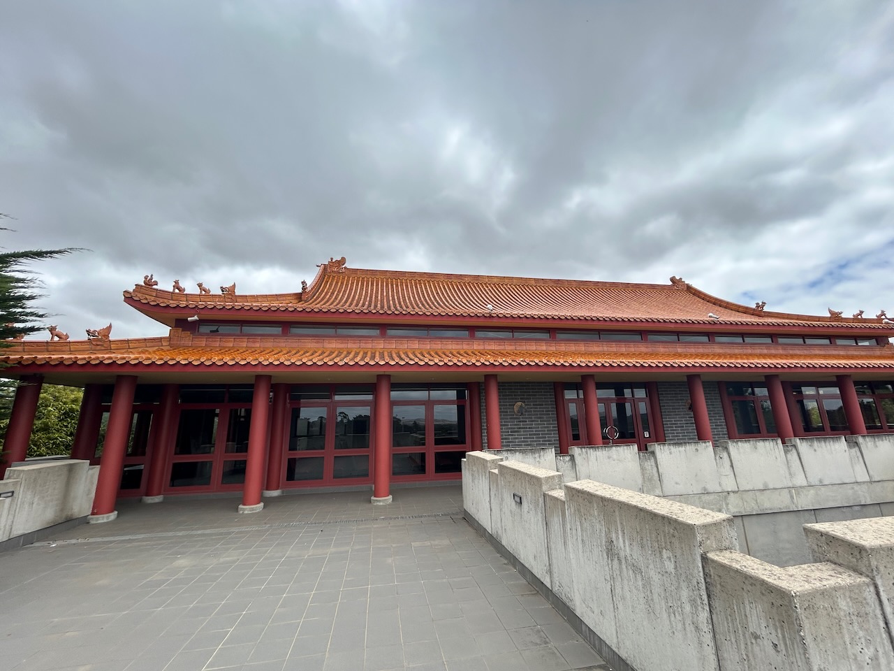
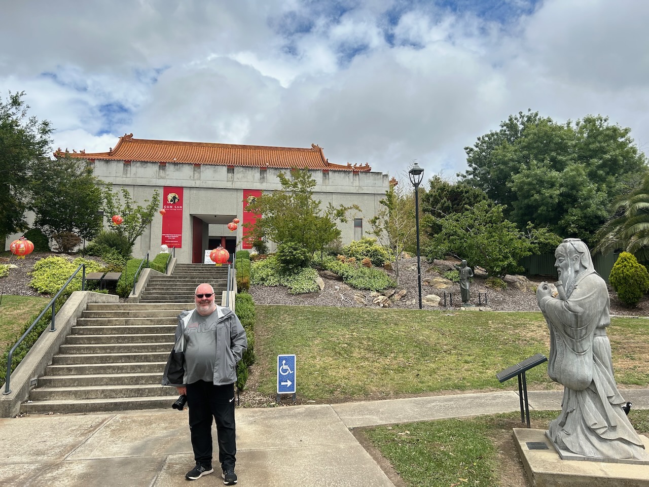
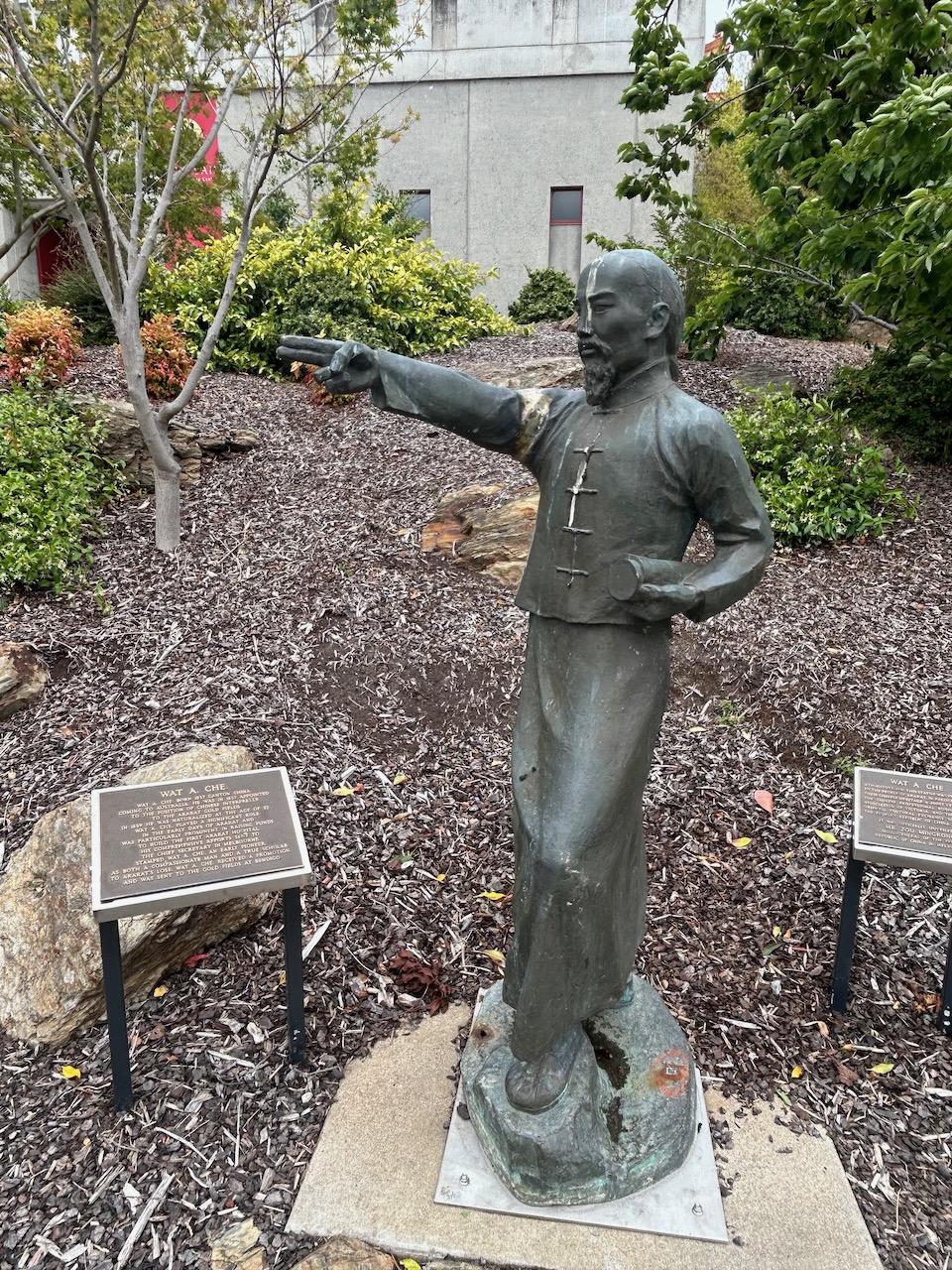
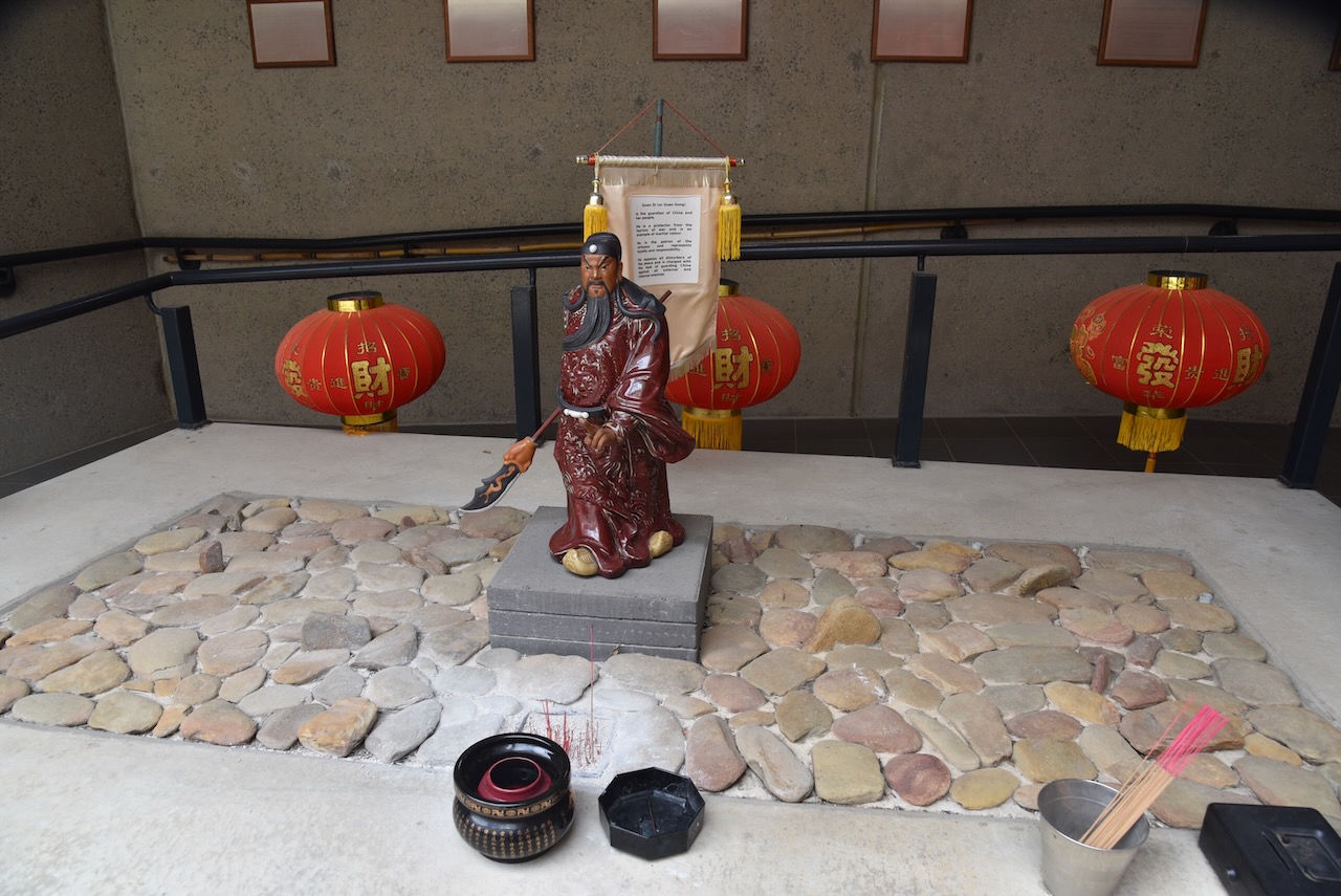
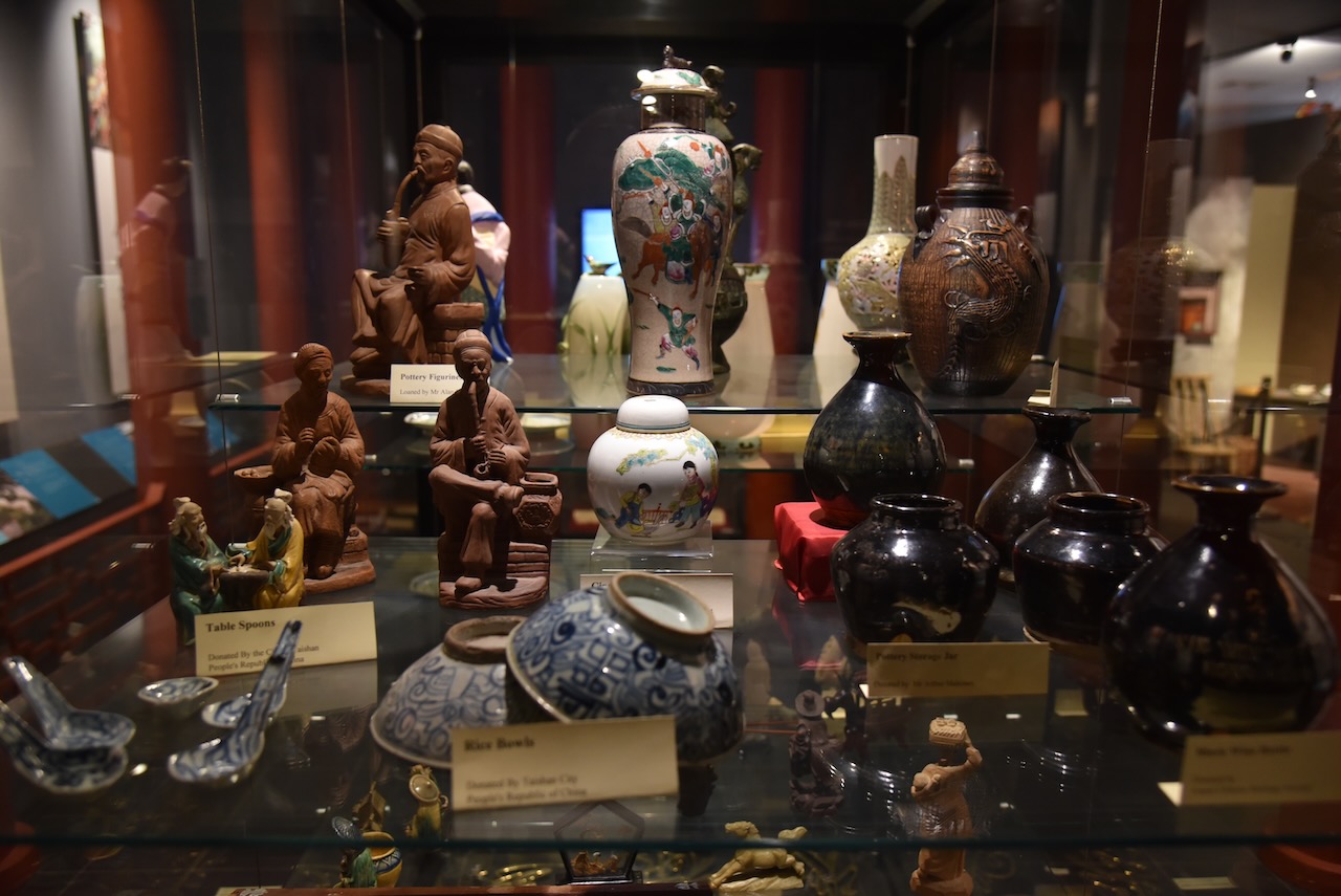
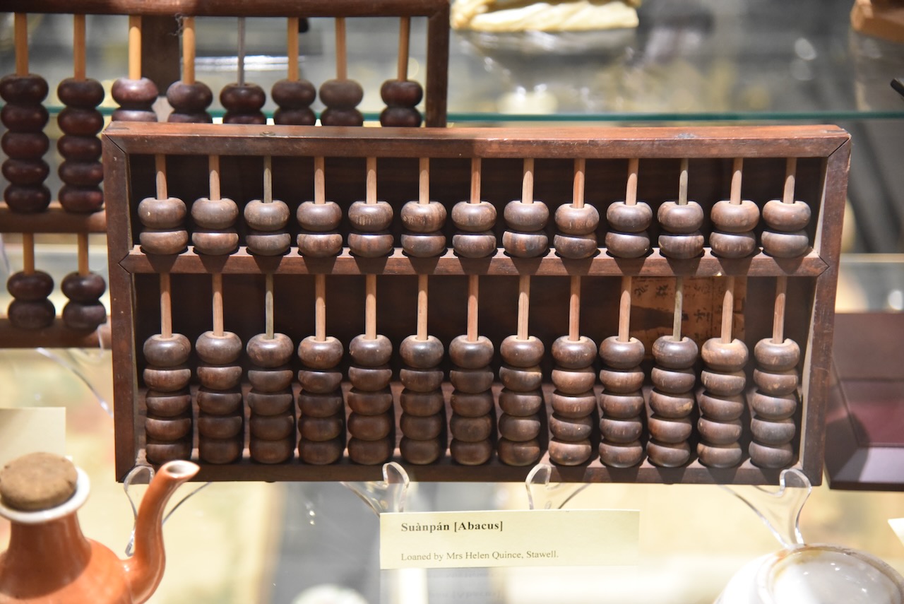
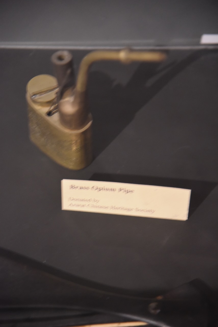
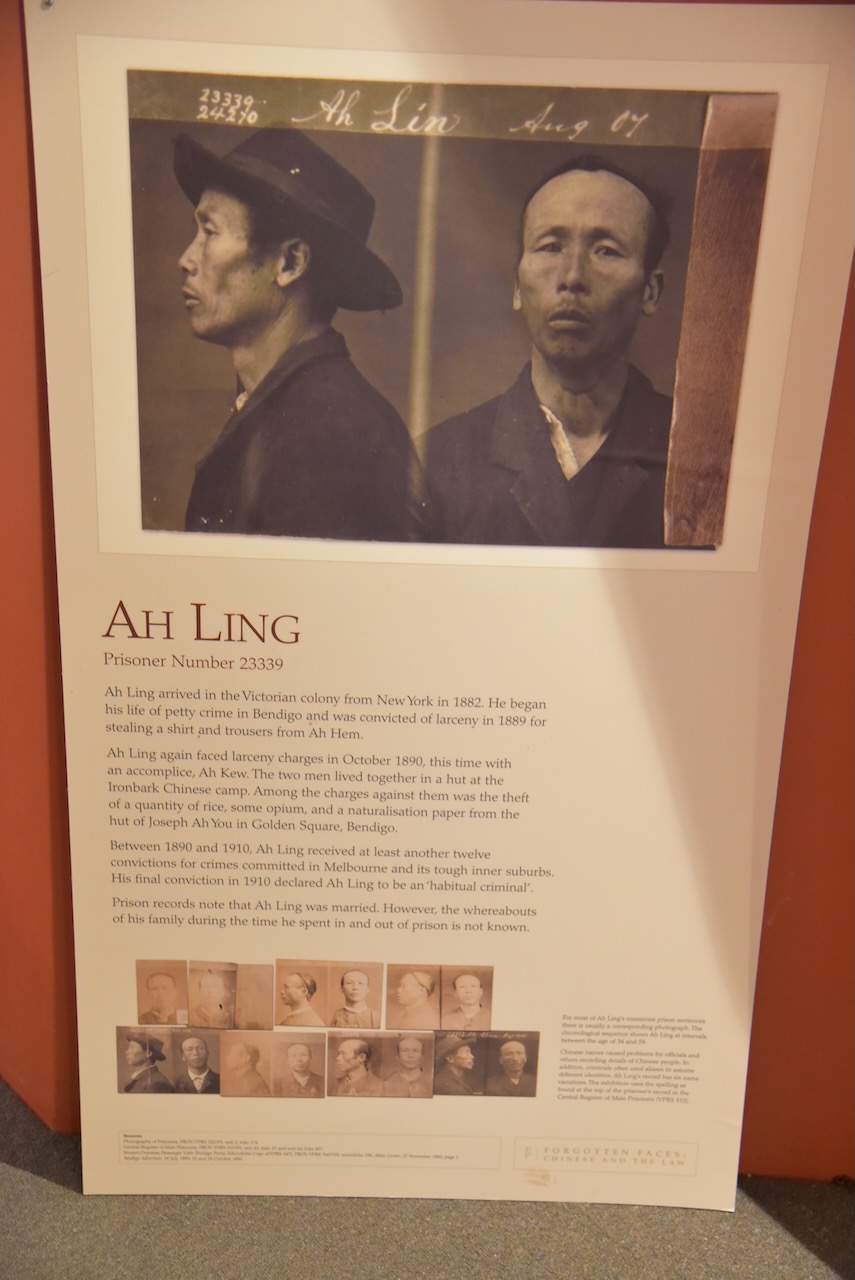
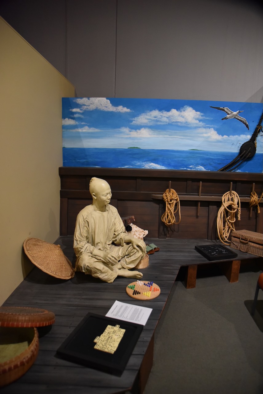
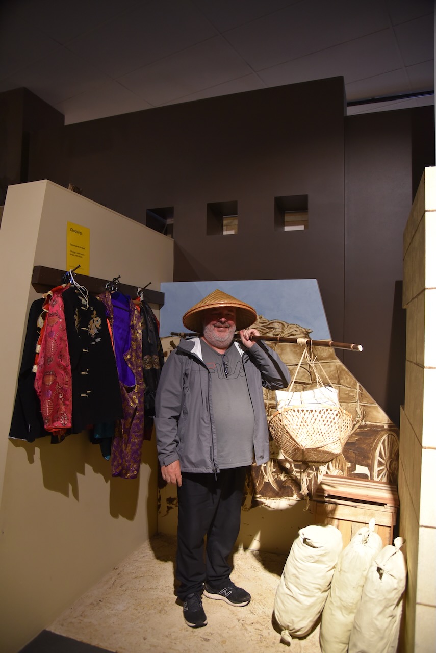
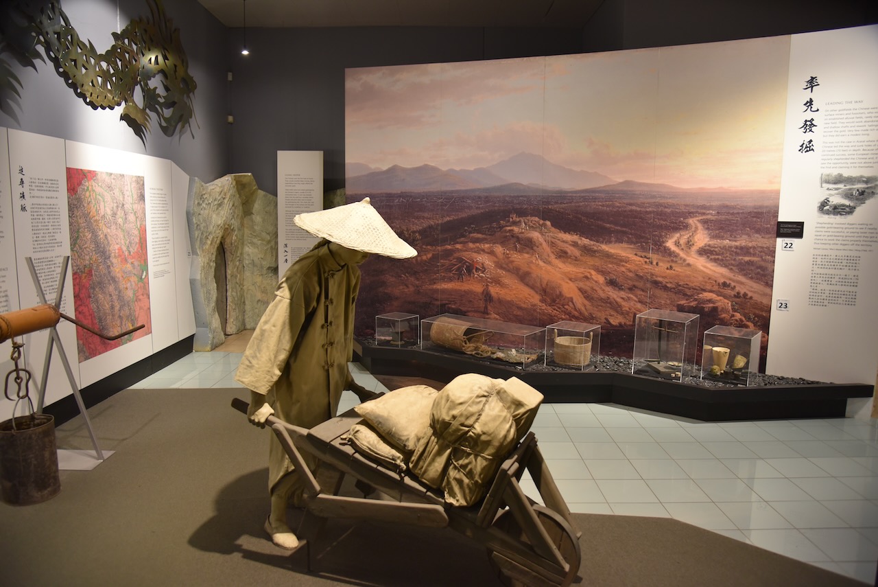
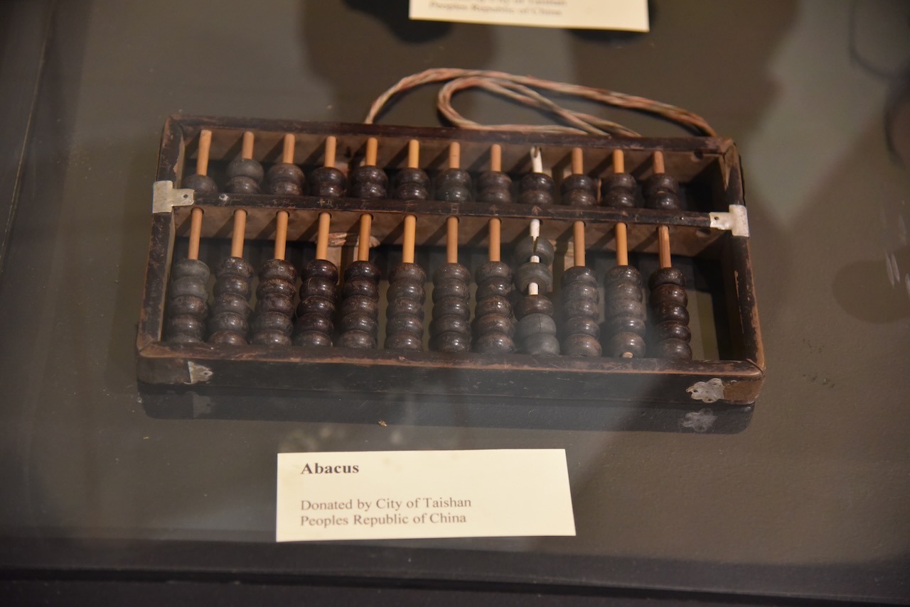
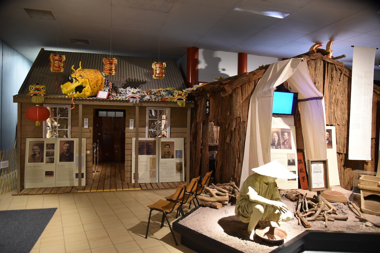
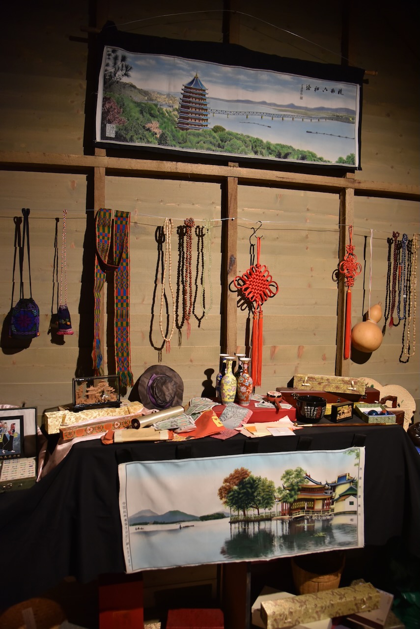
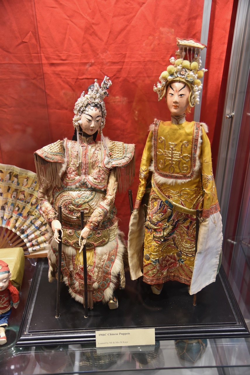
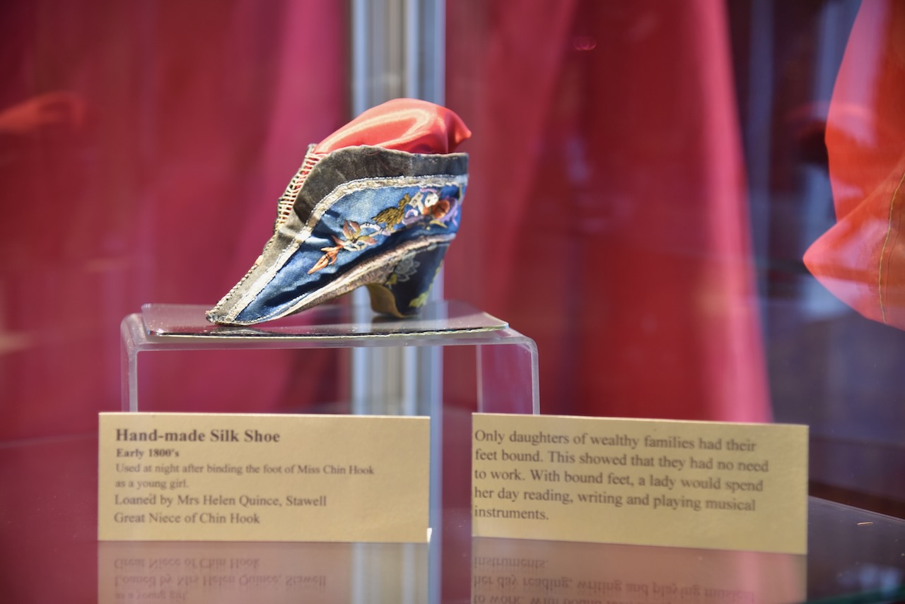
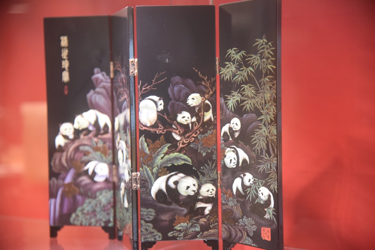
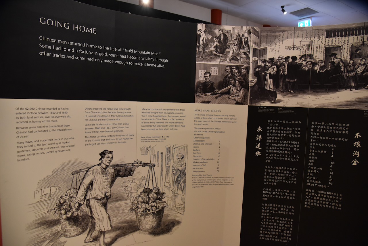
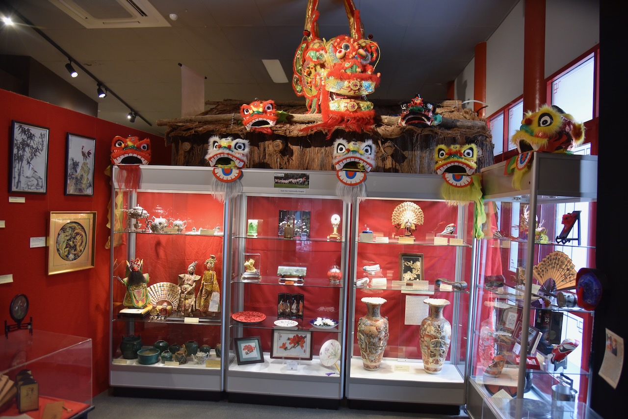
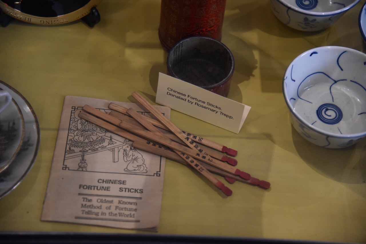
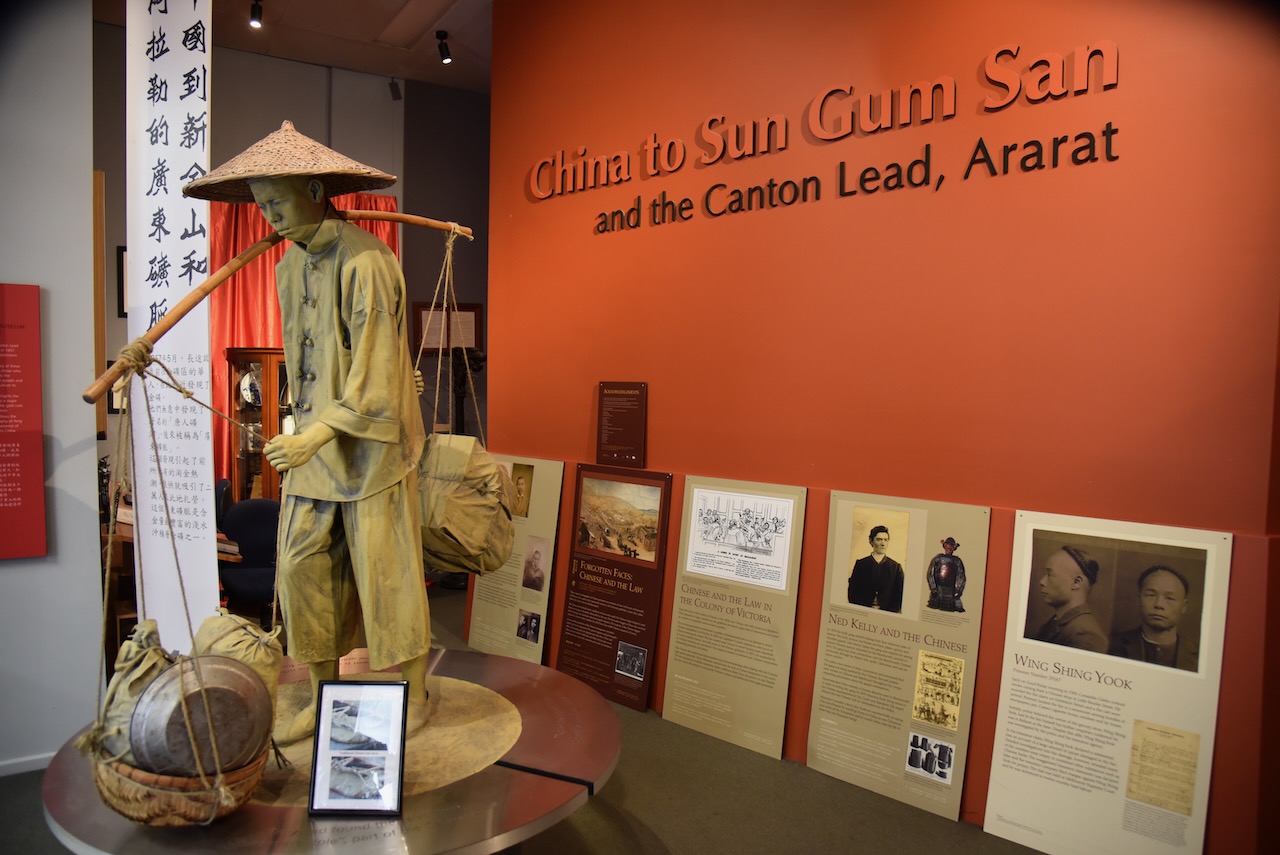
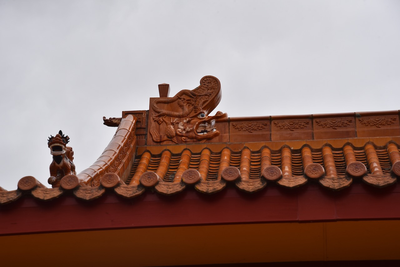
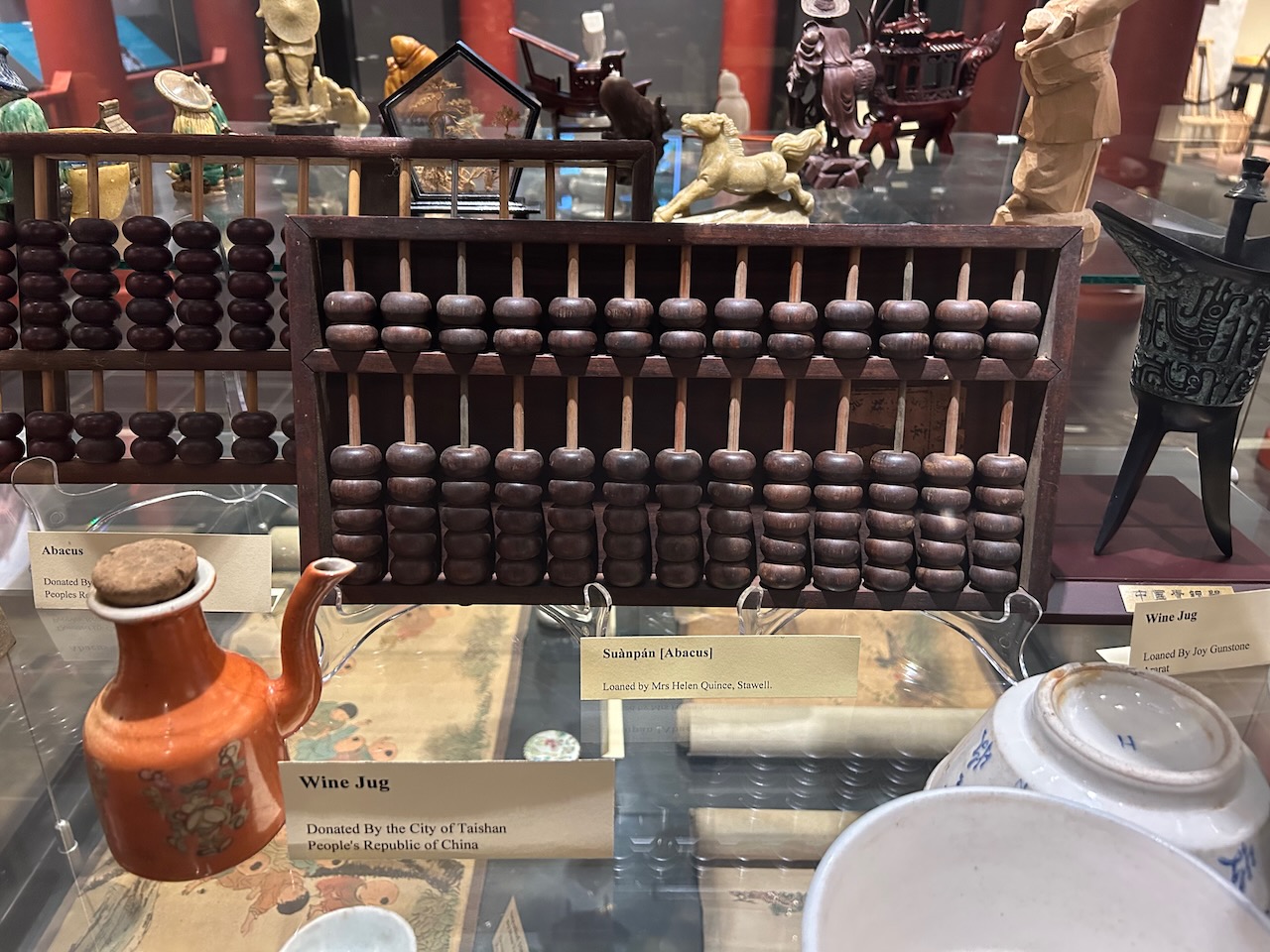
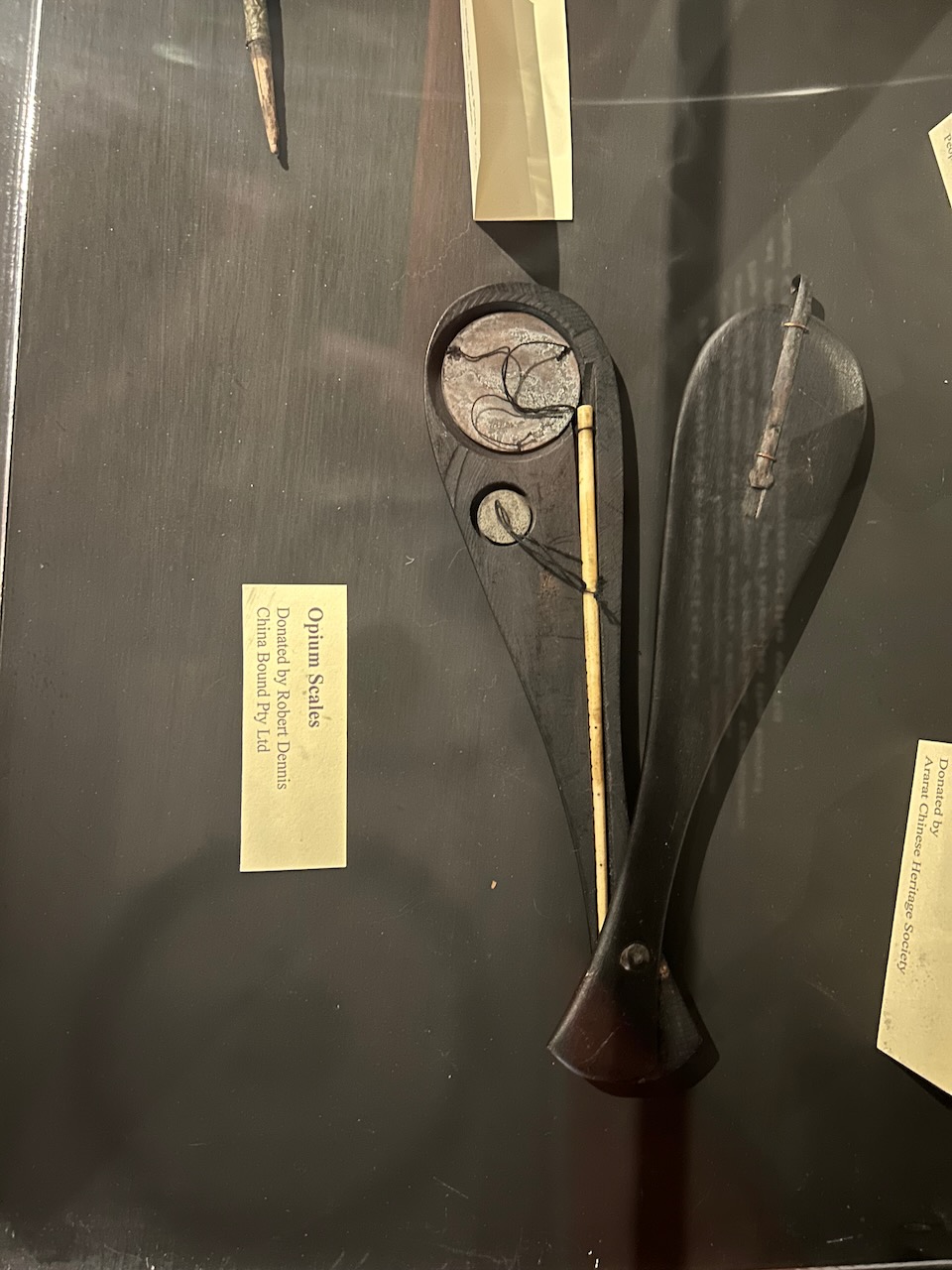
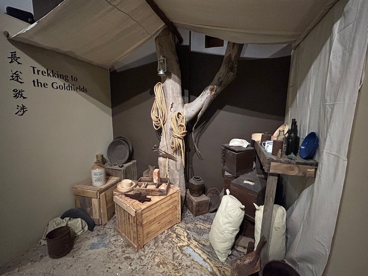
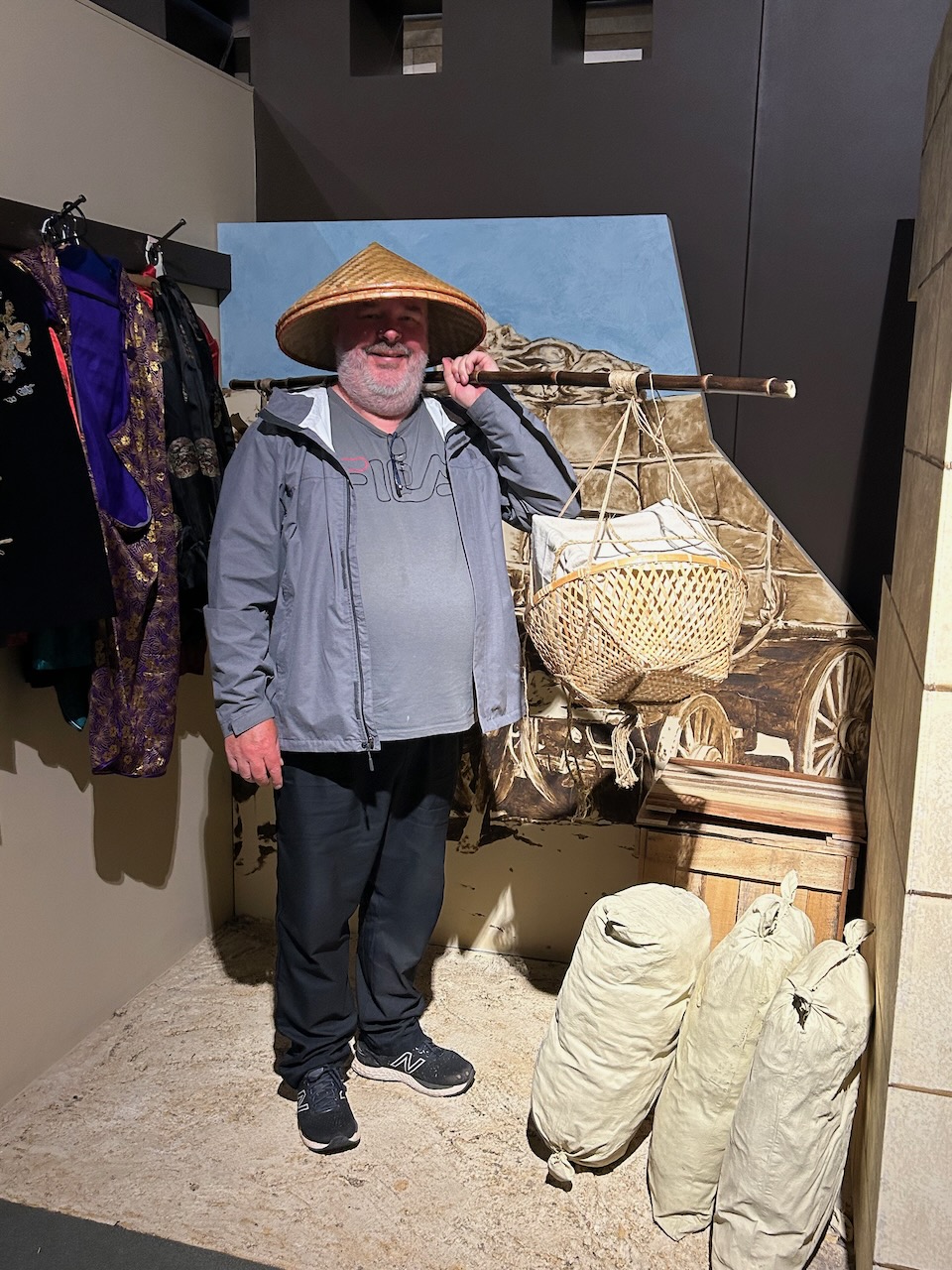
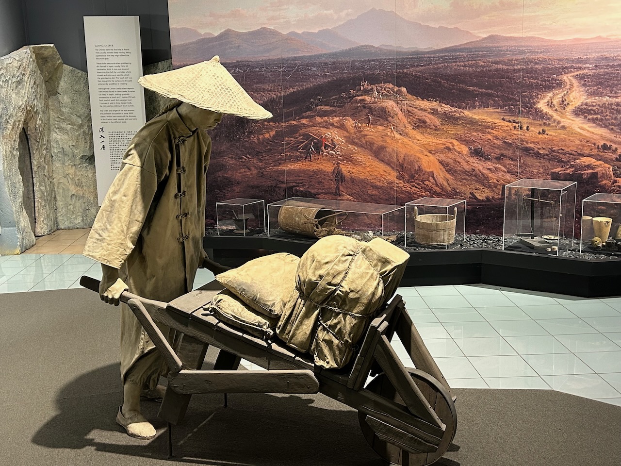
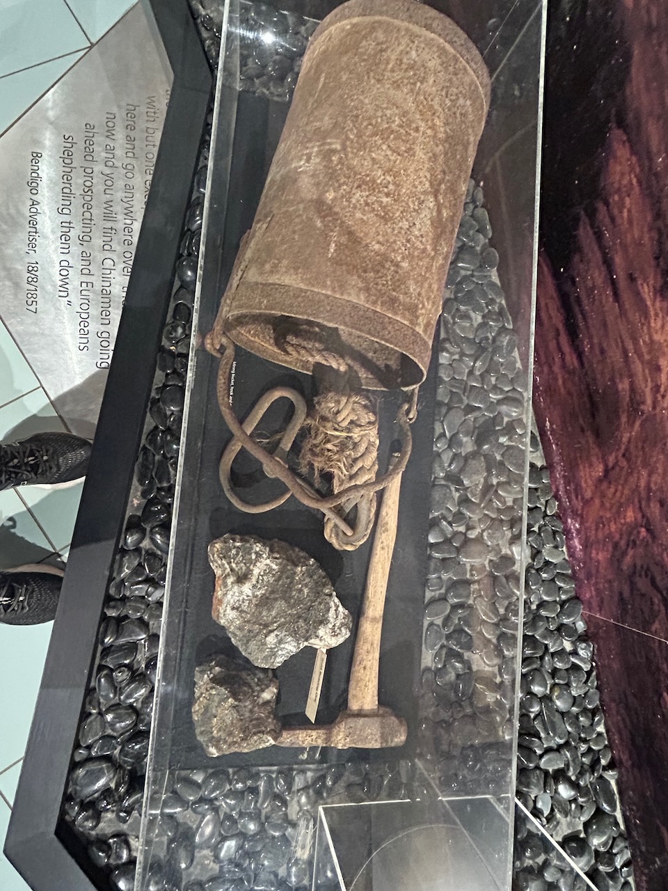
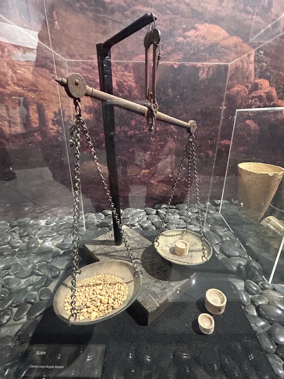
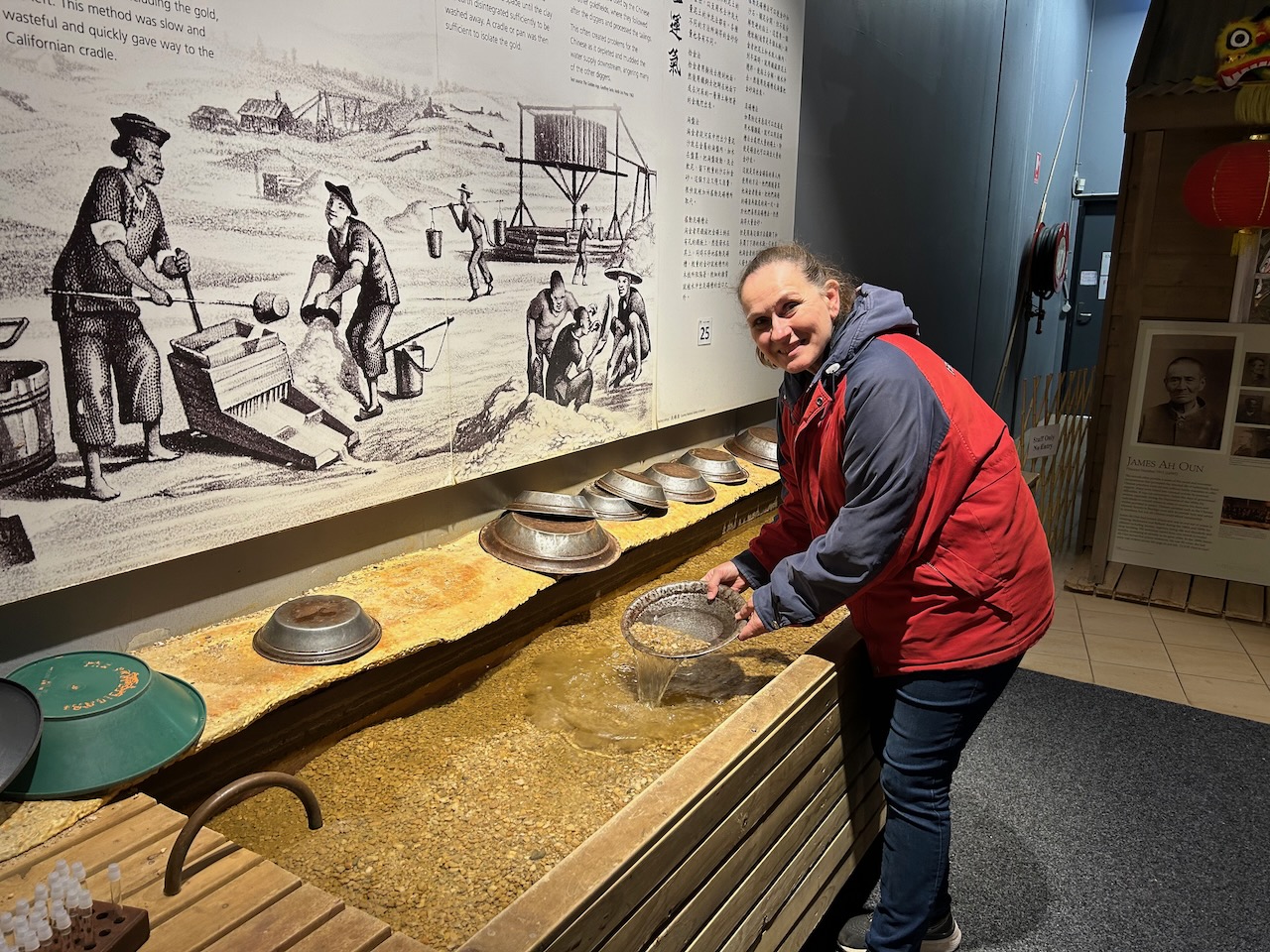
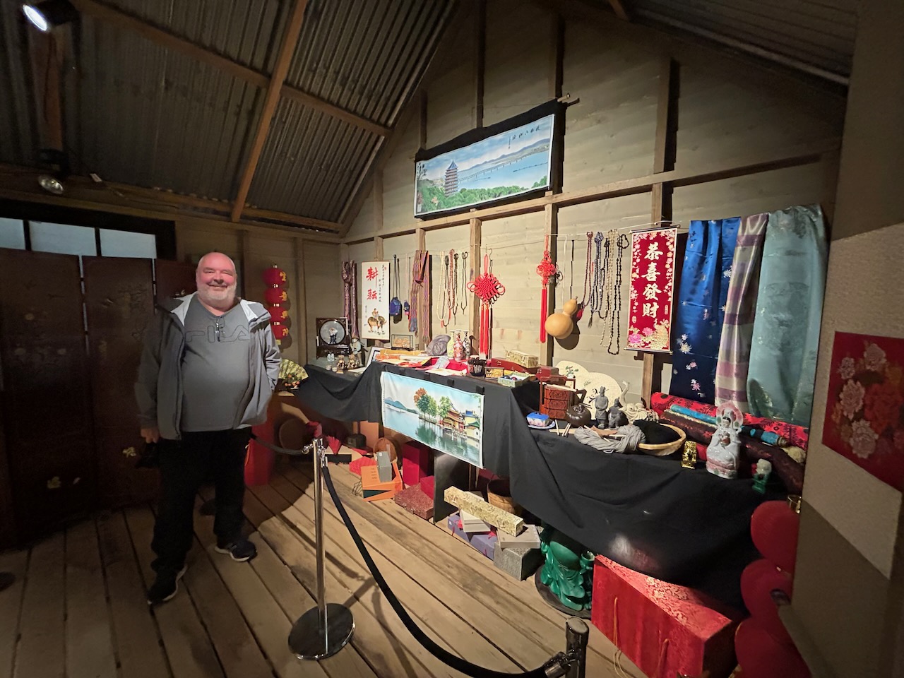
We then visited the Gum San Chinese Heritage Centre. Marija and I have visited and driven through Ararat so many times and we have always commented ‘we must visit Gum San’ but we always seem to be short of time. This time we made a point of visiting the centre and we were not disappointed.
As the Gum San website states: “Ararat is the only town in Australia that was founded by Chinese miners that arrived in the mid-1850s chasing the riches to be found at the Victorian Goldfields.” (Gum San 2024)
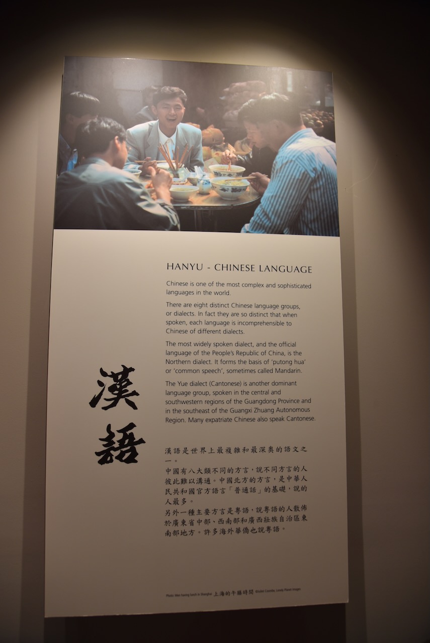
The Gum San Chinese Heritage Centre tells the story of Chinese miners travelling by sea to Australia and the hardships and prejudices they had to endure as they made their way to Victoria’s rich goldfields. The staff here were incredibly welcoming, friendly and knowledgeable. We spent a number of hours walking around the centre viewing the many very interesting exhibits.
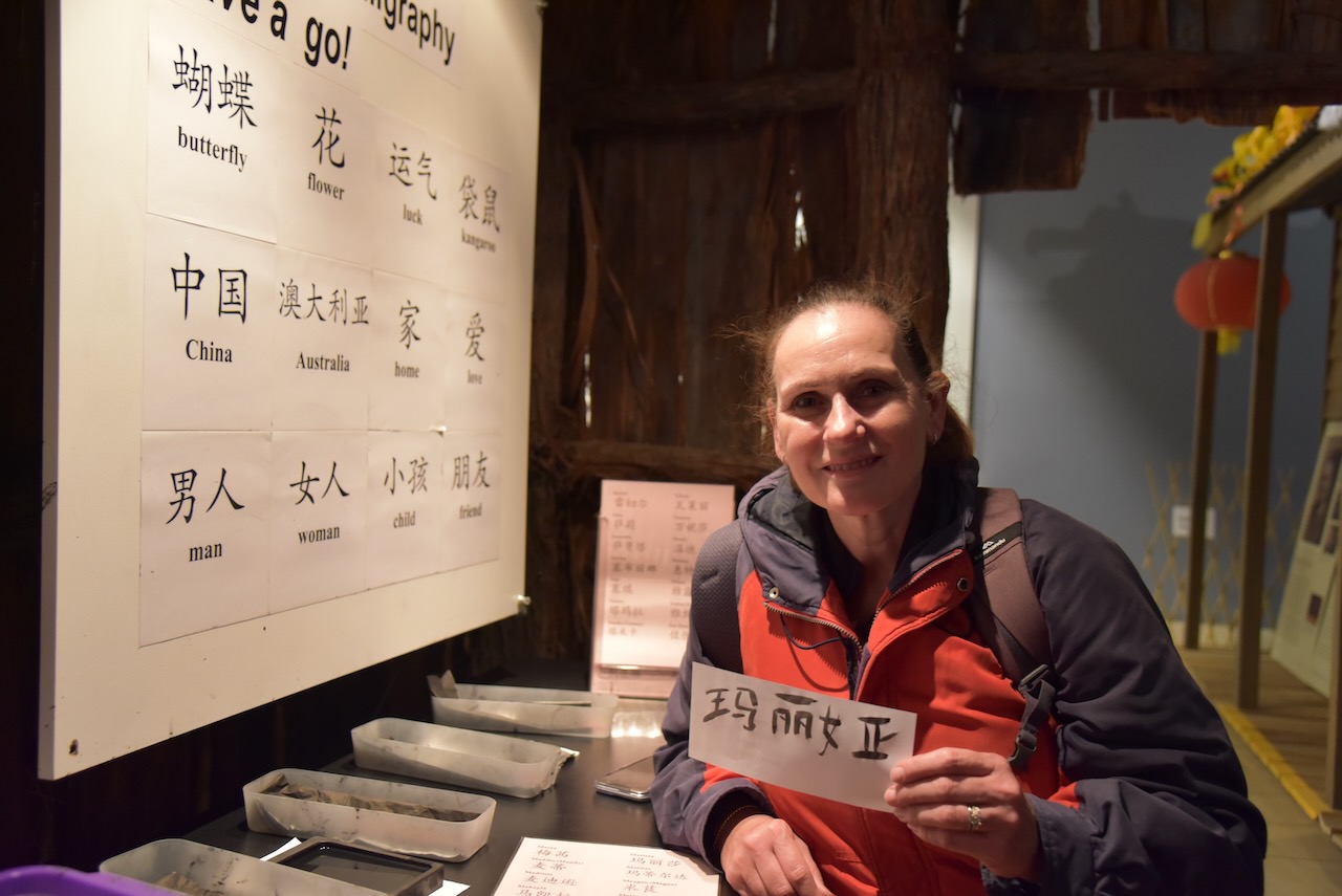
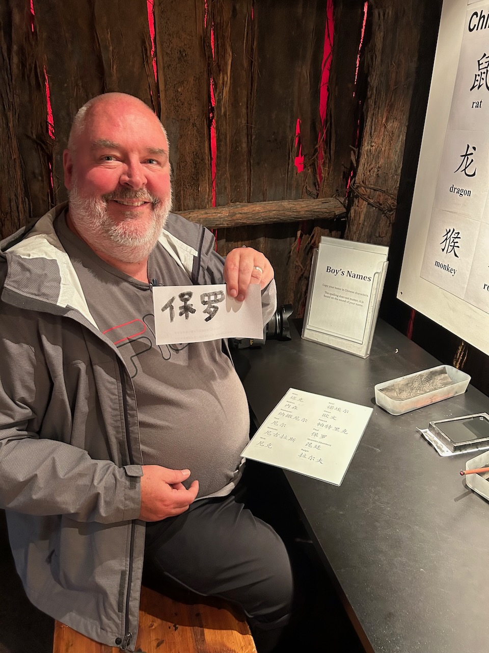
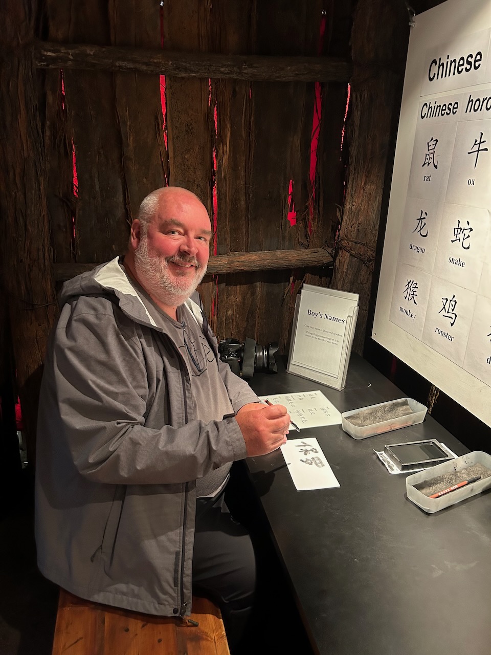
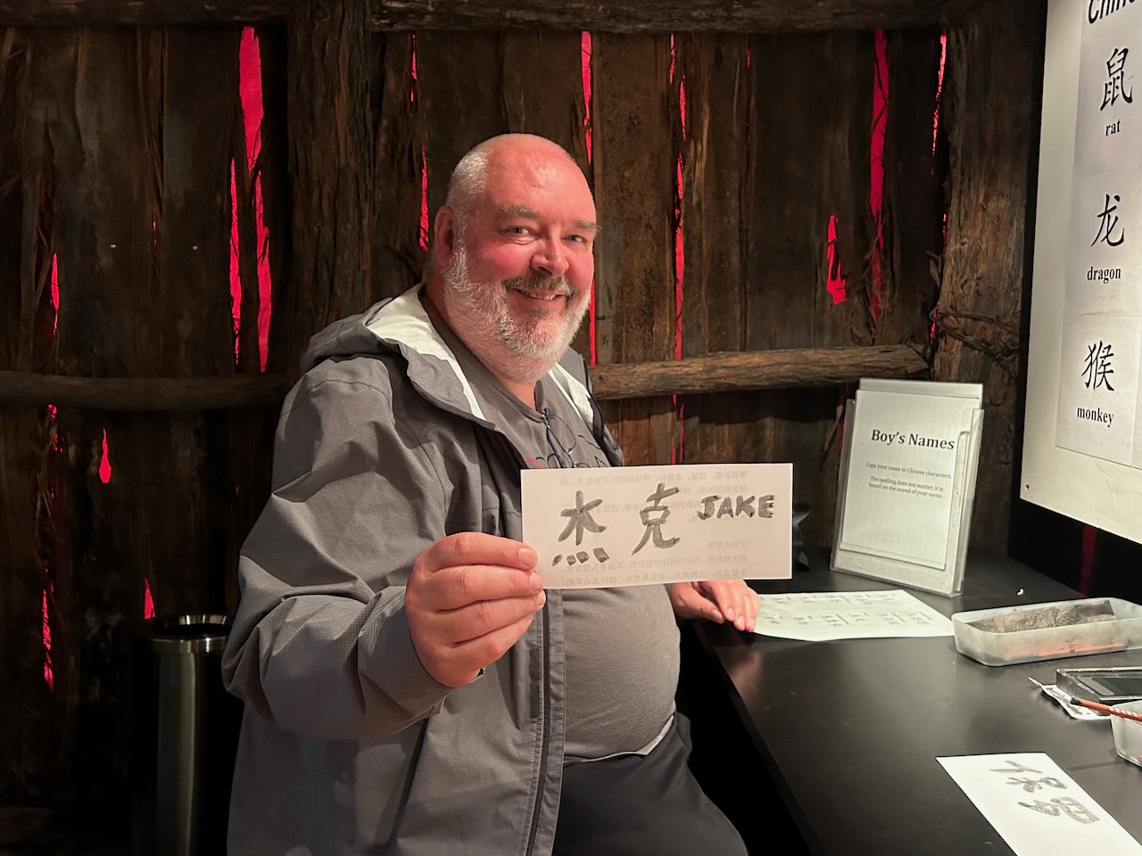
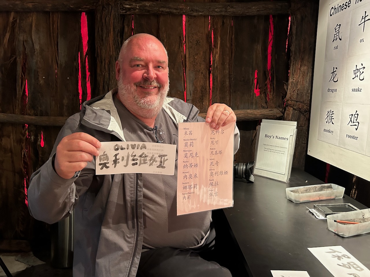
I even got to try my hand at painting our children’s and grandchildren’s names in Chinese.
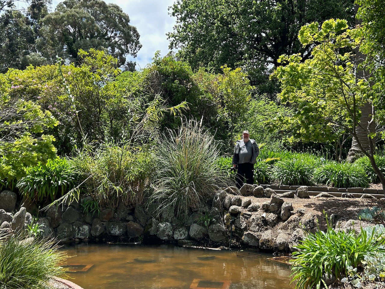
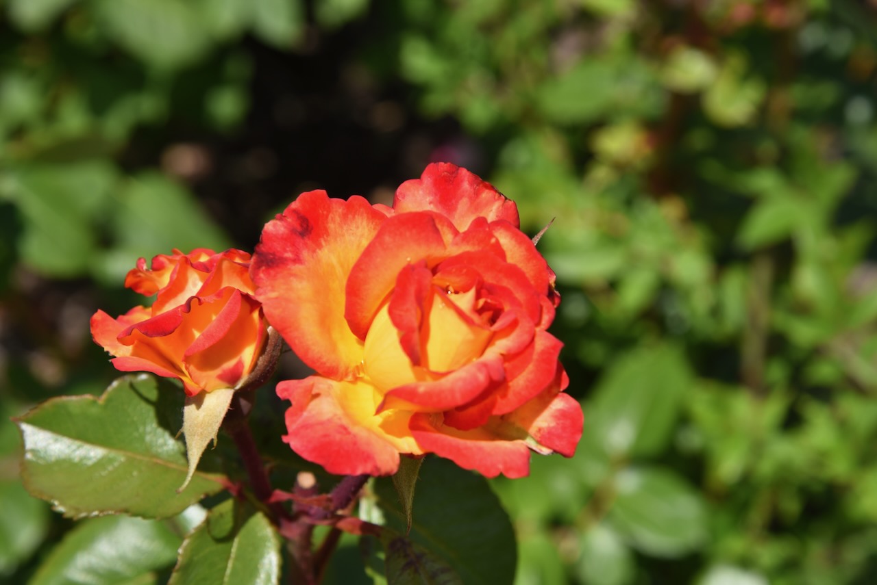
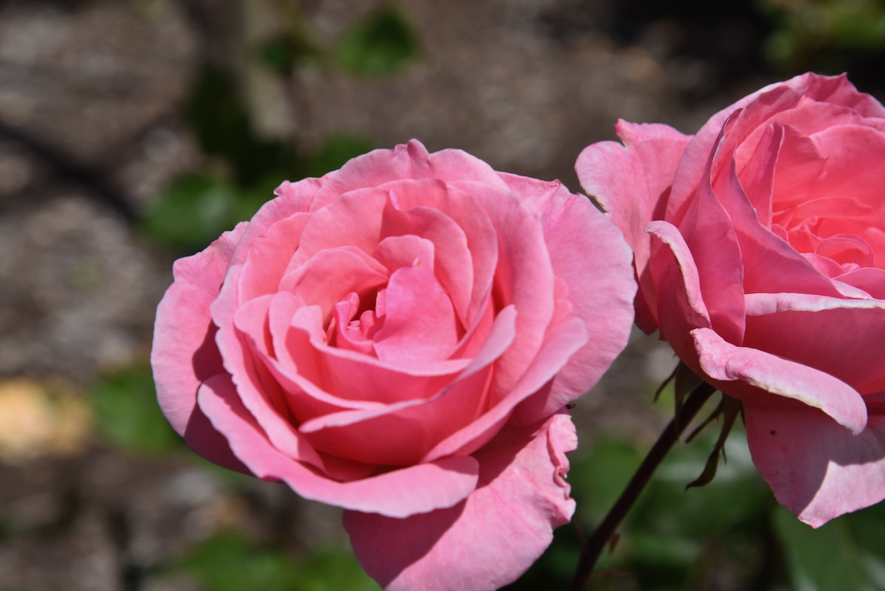
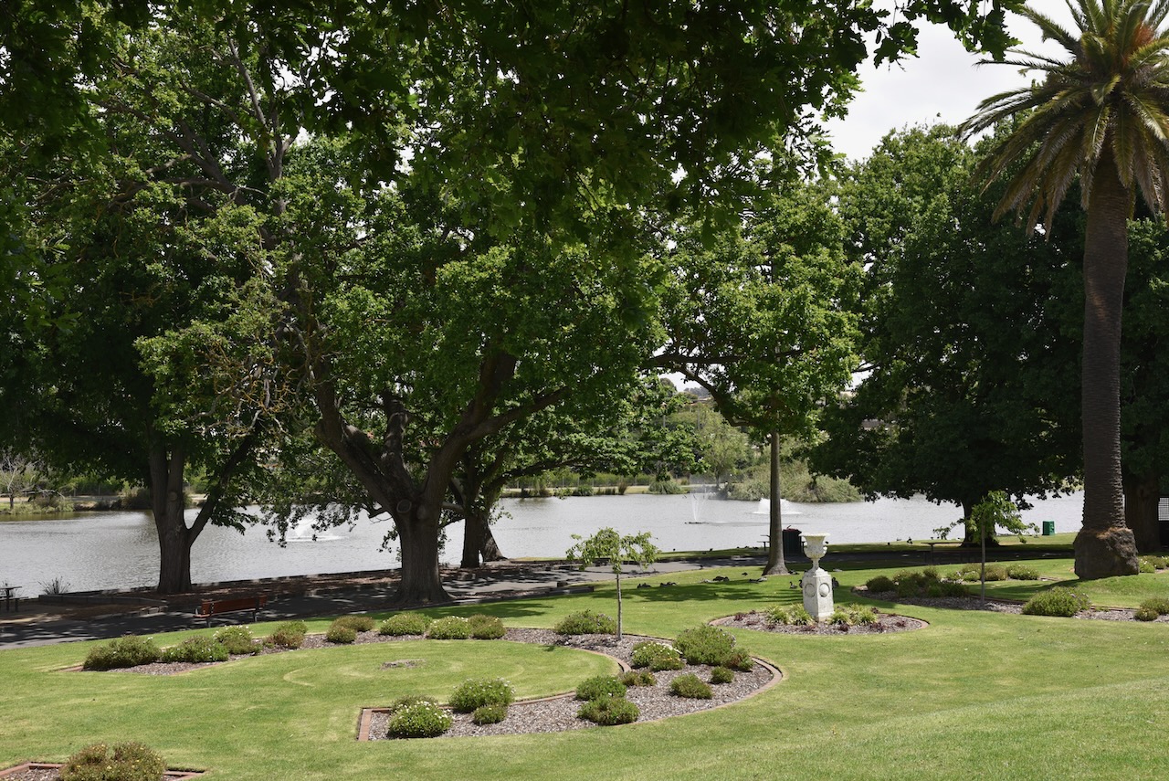
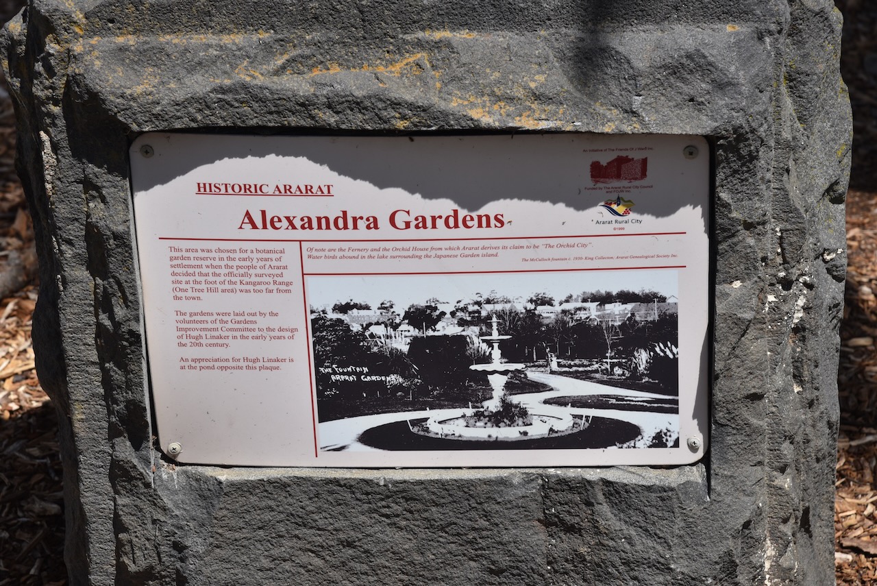
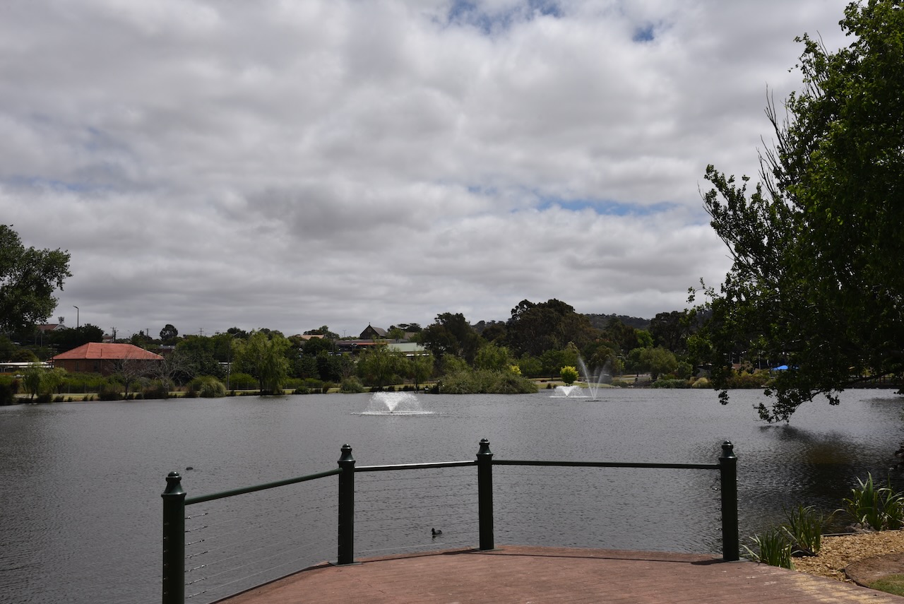
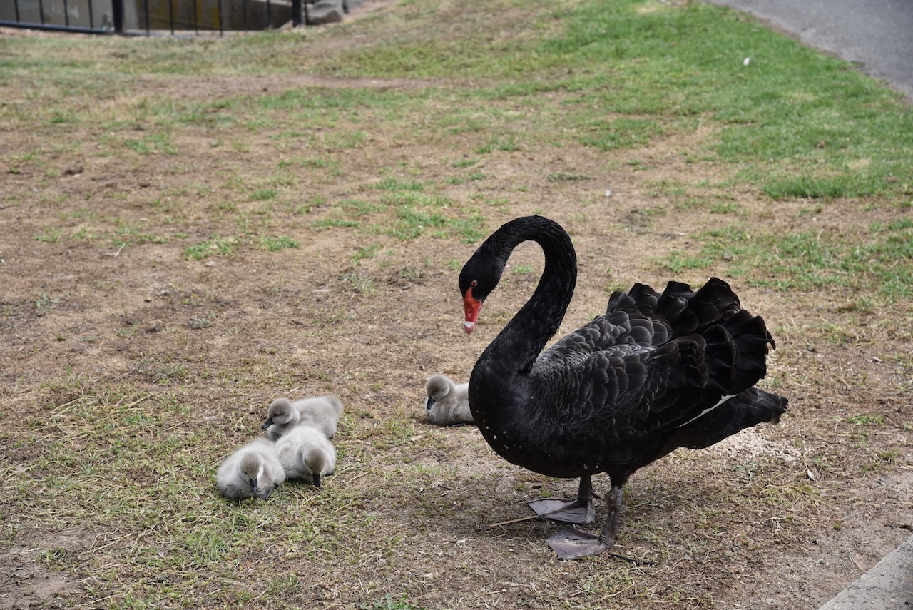
Marija and I then visited Alexandra Gardens at Ararat.
The gardens were established with plant material supplied by Baron Ferdinand Von Muller from the Melbourne Botanical Gardens. The site was gazetted as a botanical garden in 1862 and was established according to a plan provided by Dr. Muller. (Goldfields Guide 2024)
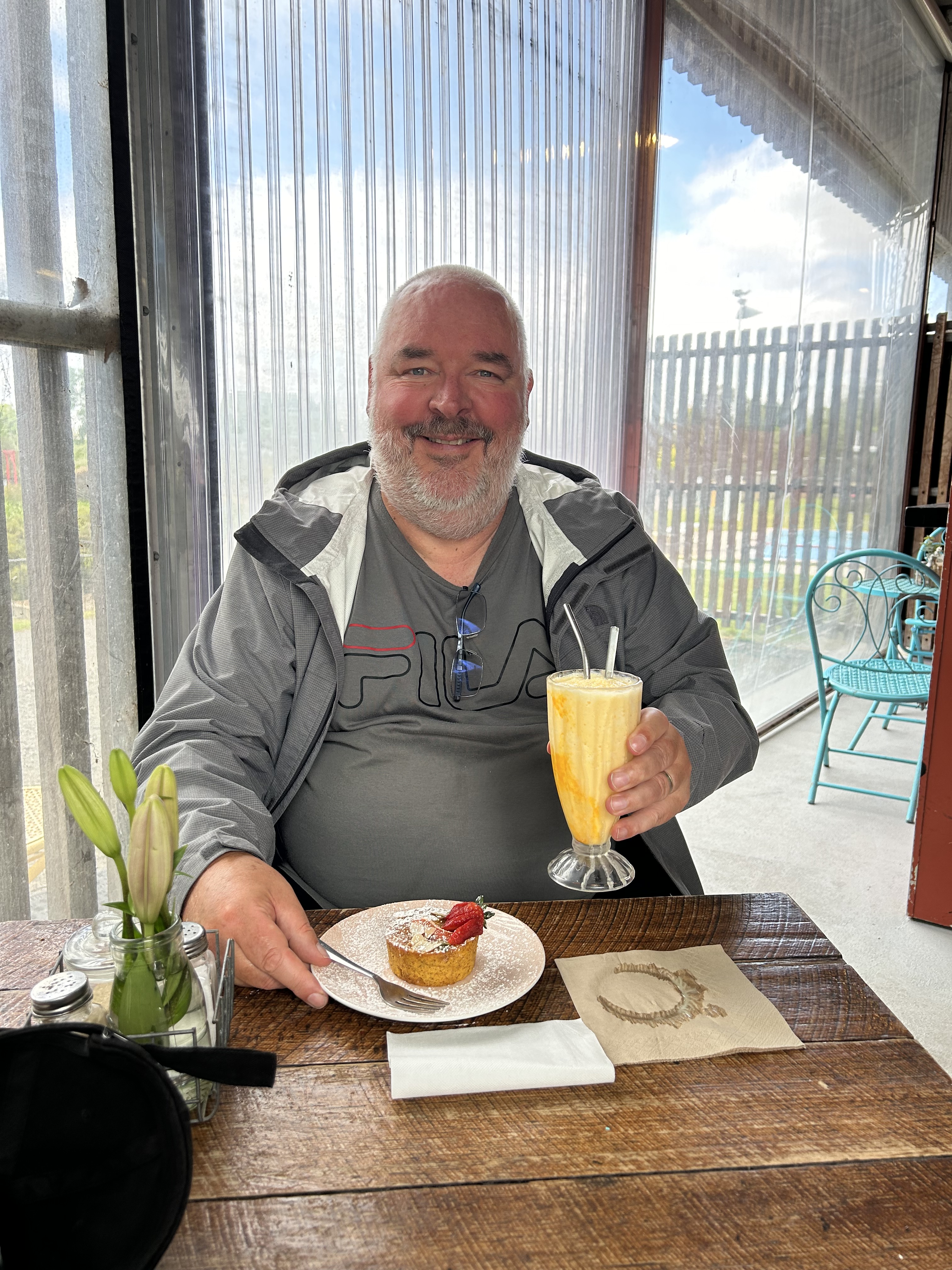
Marija and I enjoyed some afternoon tea in the gardens.
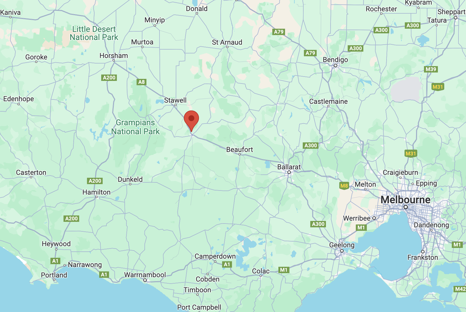
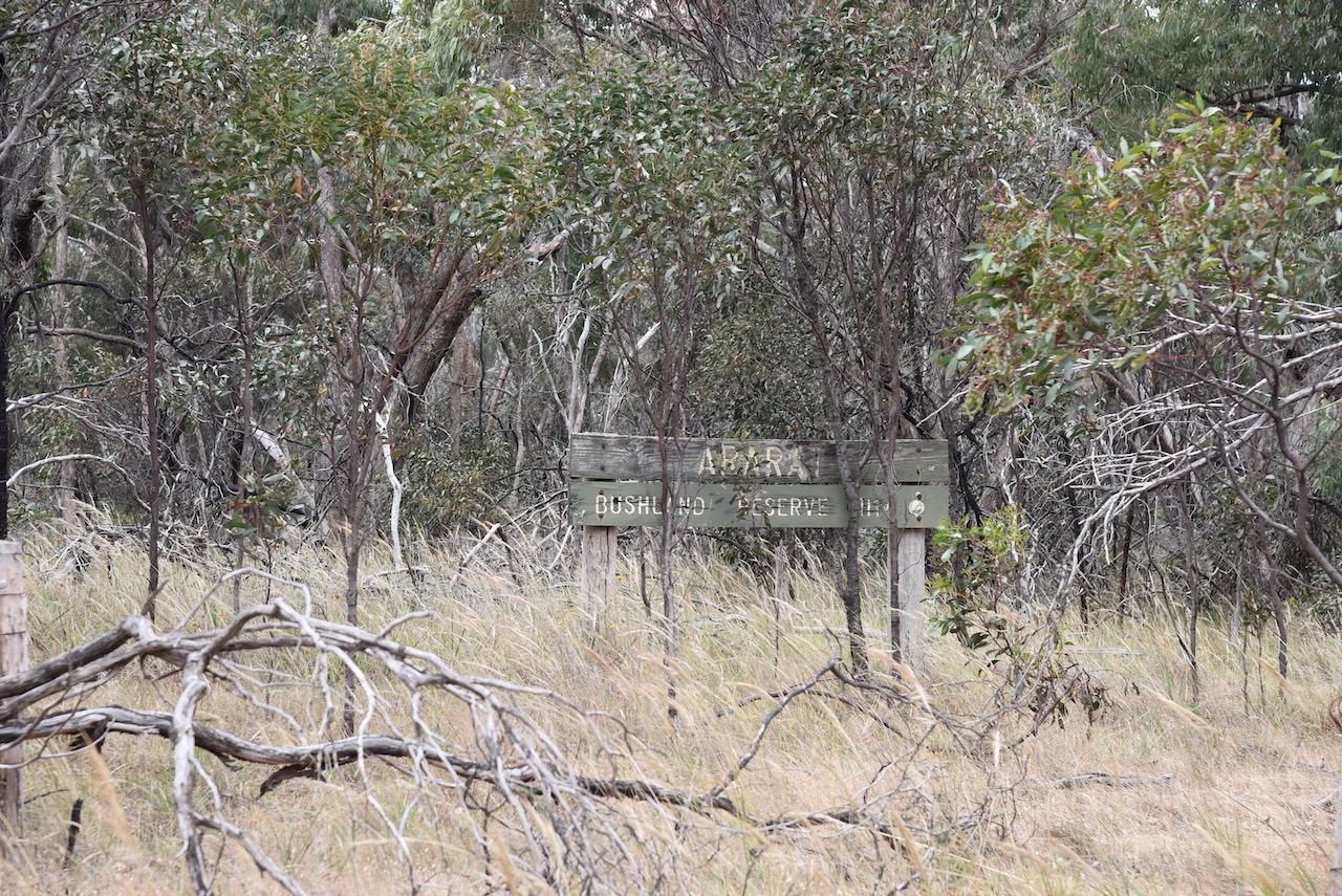
We then headed out to undertake a park activation at the Ararat Bushland Reserve VKFF-4300.
Above:- Map showing the location of the Ararat Bushland Reserve. Map c/o Google Maps.
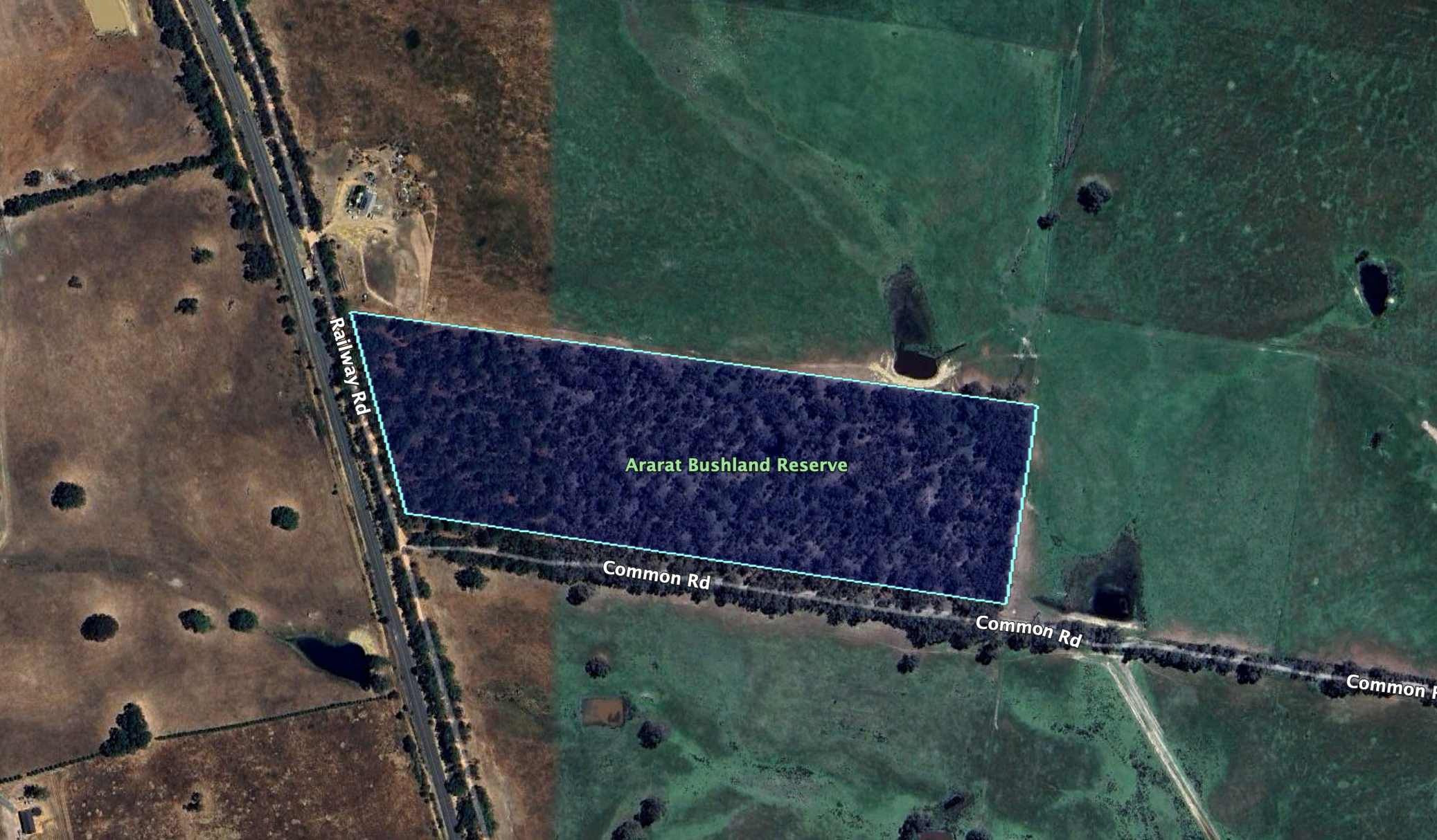
The reserve is located on the corner of Railway Road and Common Road.
Above:- An aerial view of the reserve showing its boundaries. Image c/o Google Earth.
The reserve is about 12 hectares in size and was established on the 22nd day of November 1983. (CAPAD 2022)
Marija worked the following stations on 40m SSB:-
VK3PF
VK3KAI
VK2USH
VK3SG
Vk1AO
VK2MET
VK3BEL
VK5HS
VK4MUD/p (Boat Mountain Conservation Park VKFF-1480)
Marija worked the following stations on 40m AM:-
VK3PF
VK3KAI
VK3BEL
VK3RM
VK3BWS
Marija worked the following station on 20m SSB:-
VK4MUD/p (Boat Mountain Conservation Park VKFF-1480)
I worked the following stations on 40m SSB:-
VK3PF
VK3KAI
VK2USH
VK3SG
VK1AO
VK2MET
VK3BEL
VK5HS
VK3UAO
VK3GB
VK3JG/p
VK4MUD/p (Boat Mountain Conservation Park VKFF-1480)
VK3BWS
VK3KMA
VK5FANA
VK3HBG
VK3PWG
VK3KTT
VK3MEG
VK2DWP
VK4HMI
VK3YV
VK3TNL
VK3SQ
VK2BD
VK3BBB
VK2CCP
VK7MAT
I worked the following stations on 40m AM:-
VK3PF
VK3KAI
VK3BEL
VK3RM
VK3BWS
VK3YV
VK3TNL
VK3SQ
VK2BD
I worked the following stations on 20m SSB:-
VK4JT
VK4XCS
VK6NTE
VK4MUD/p (Boat Mountain Conservation Park VKFF-1480)
VK1AO
VK2MET
F1BLL
ZL3MW
IW2BNA
VK4HAT
VK4EMP
VK4TI
VK4OZI
KG5CIK
I worked the following station on 15m SSB:-
VK4MUD/p (Boat Mountain Conservation Park VKFF-1480)