QSL card received from World Last Chance Radio, USA.

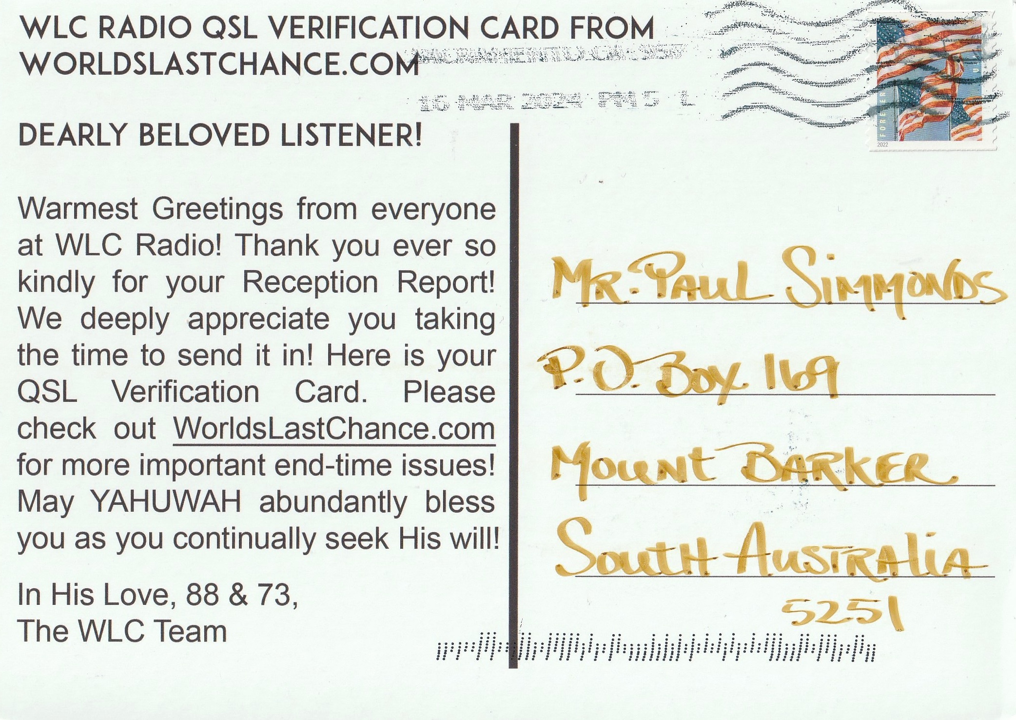

QSL card received from World Last Chance Radio, USA.
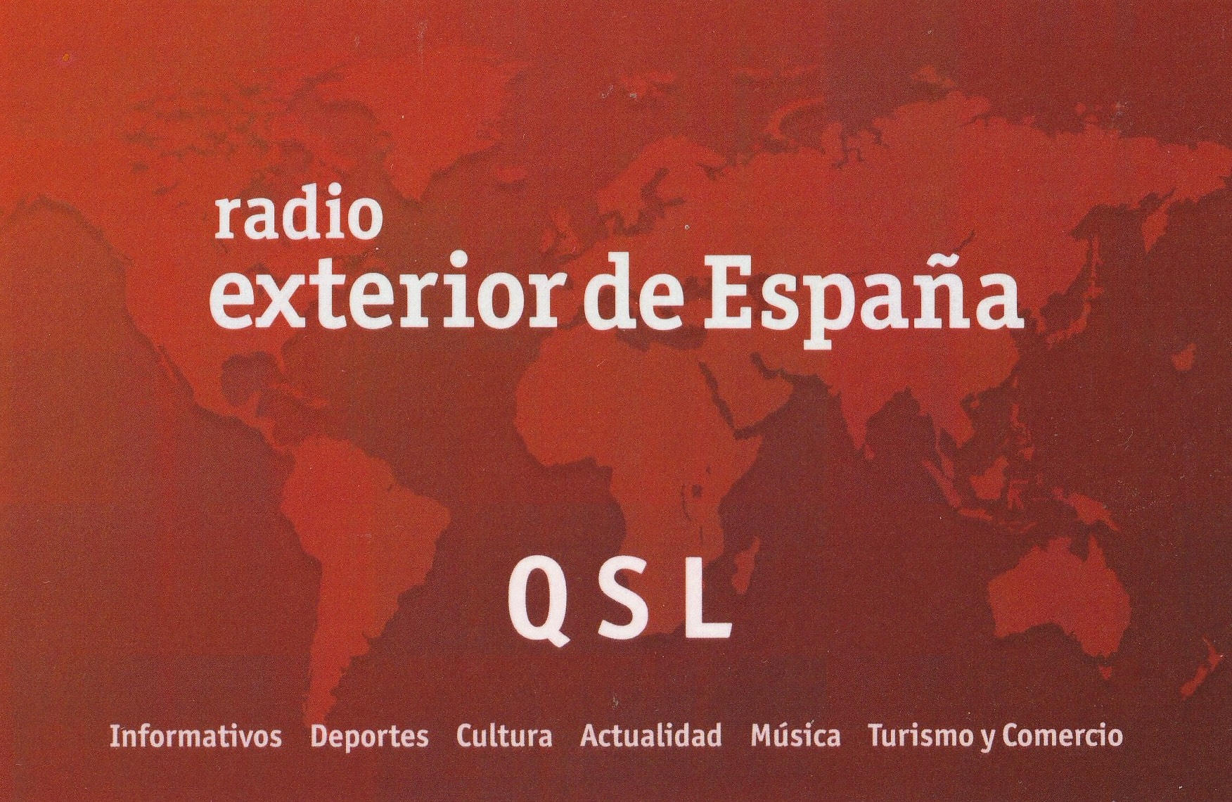
Also received in the mail was this QSL card from Radio Exterior De Espana regarding my reception of their station on 15520 kHz on 22nd July 2023.

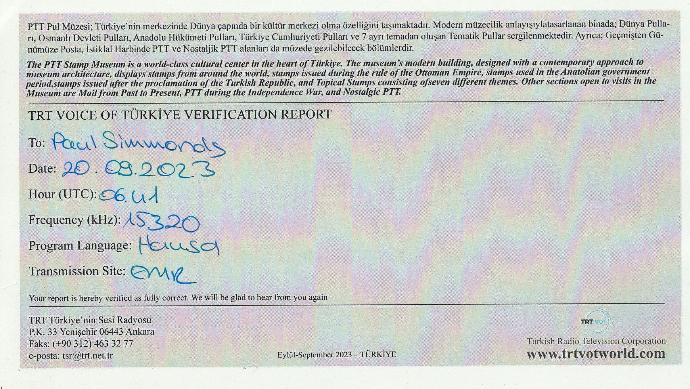
Whilst I was away I received this QSL card from the Voice of Turkey regarding my reception of their station on 15320 kHz on 20th August 2023.

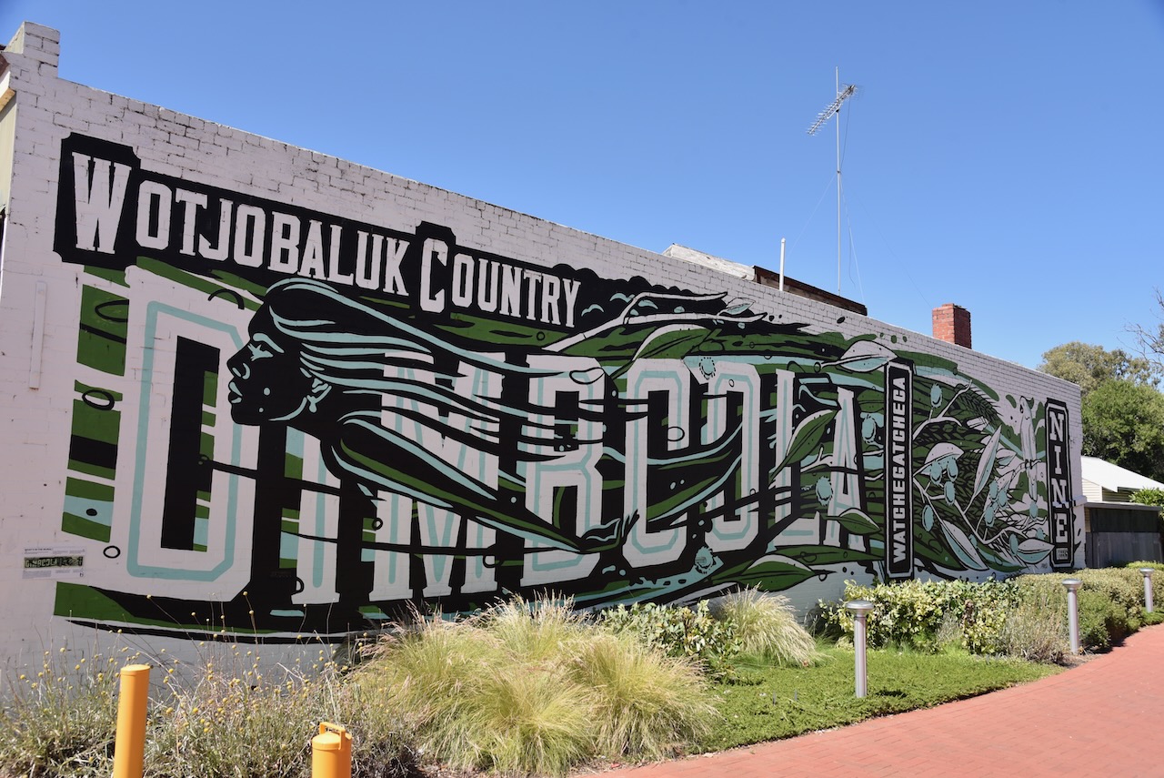
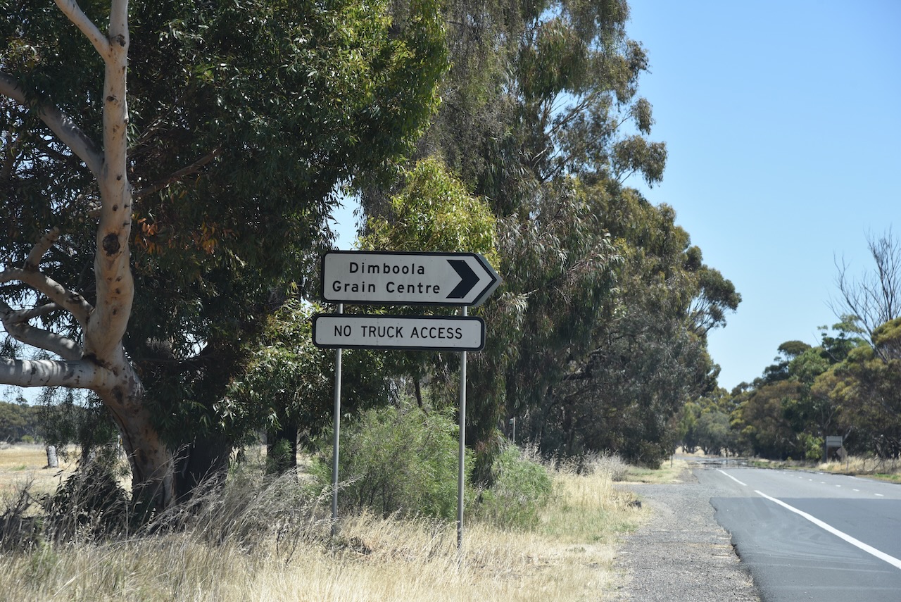
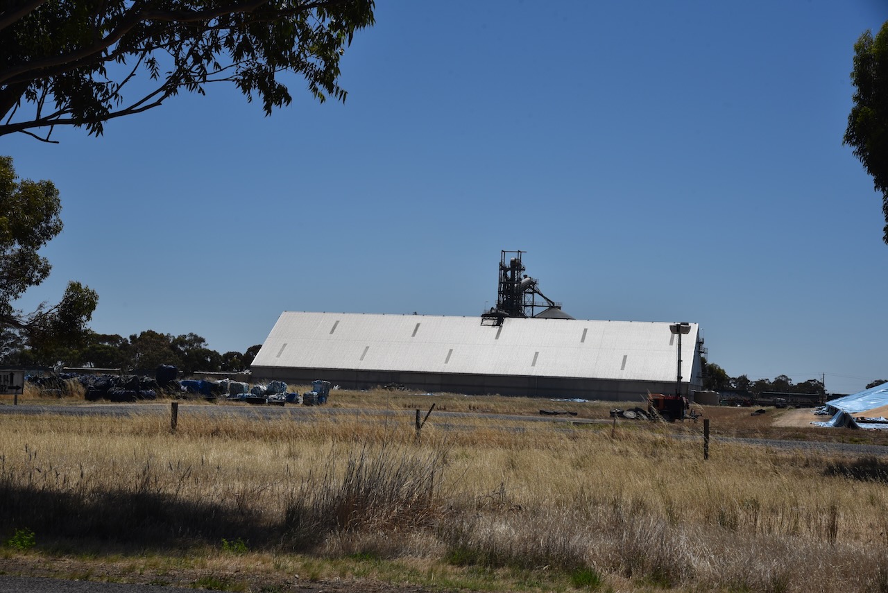
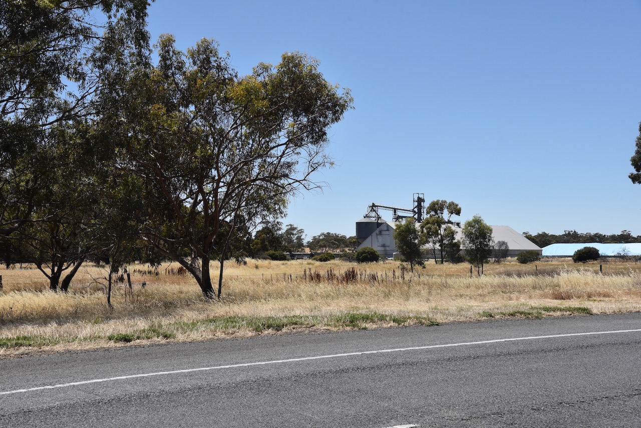
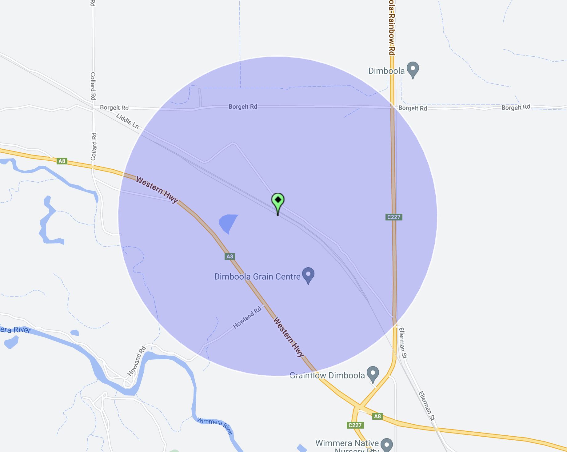
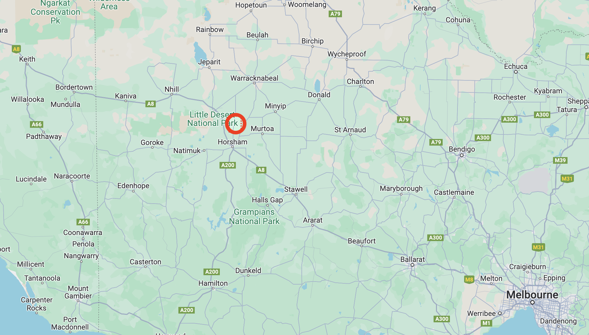
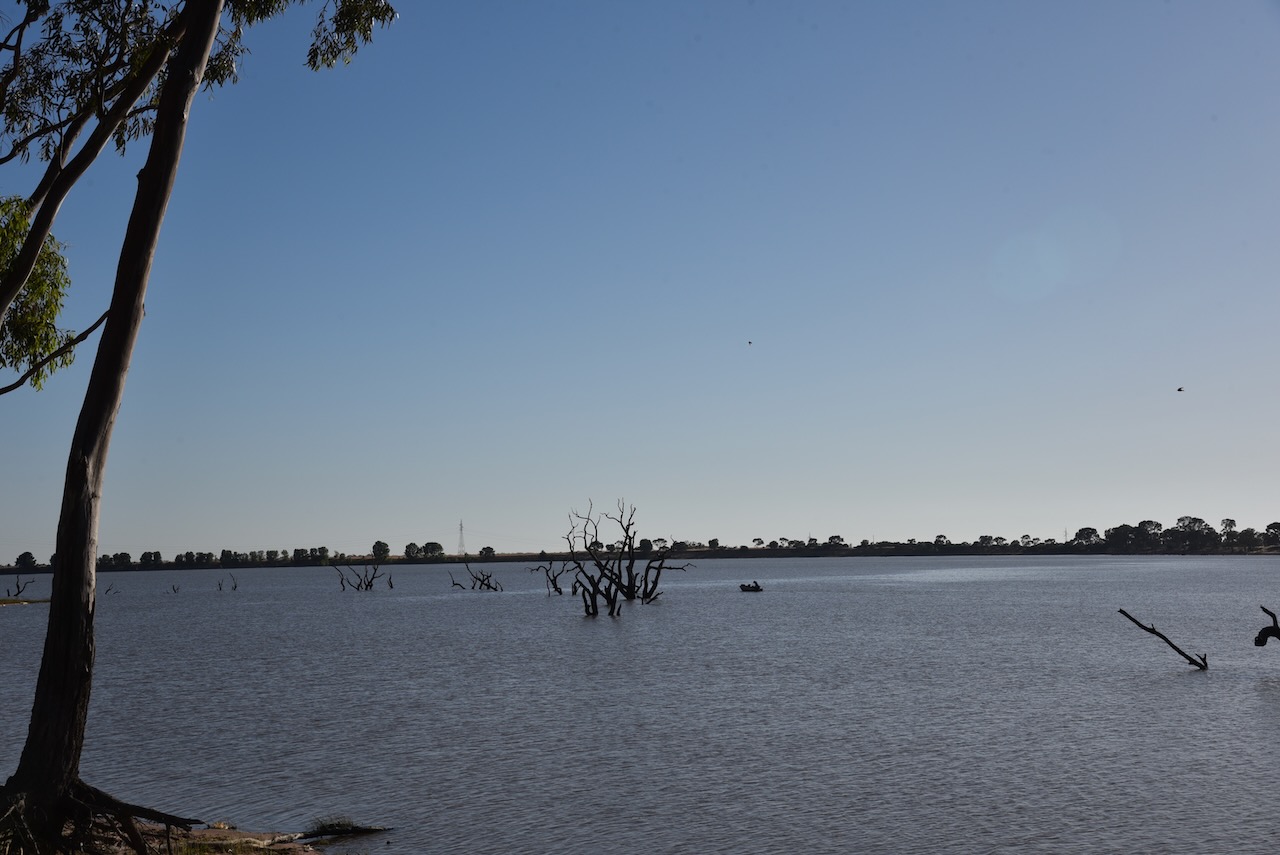
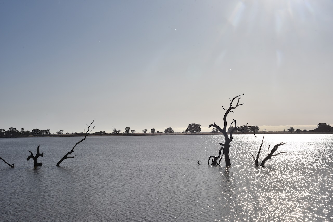
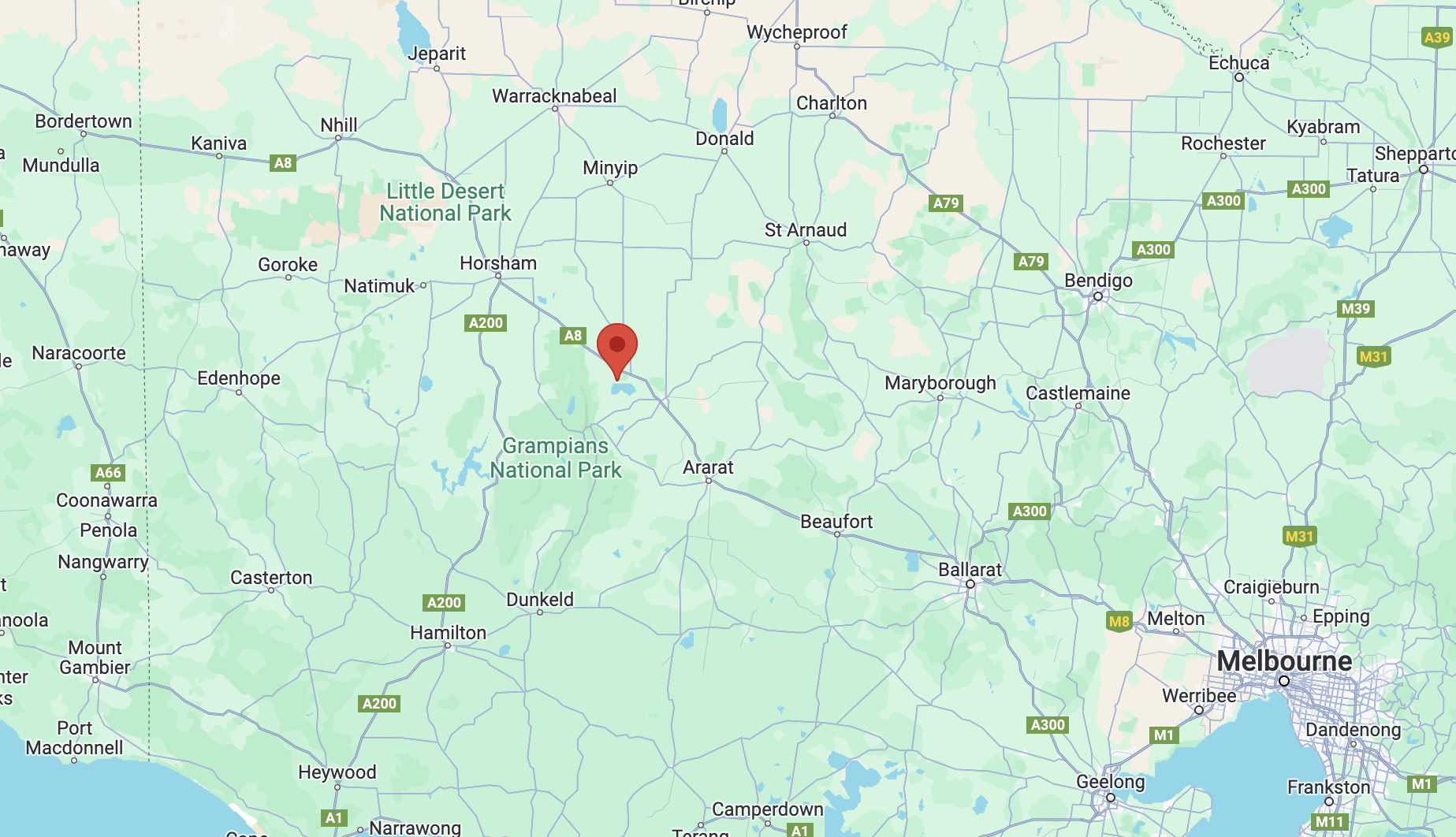
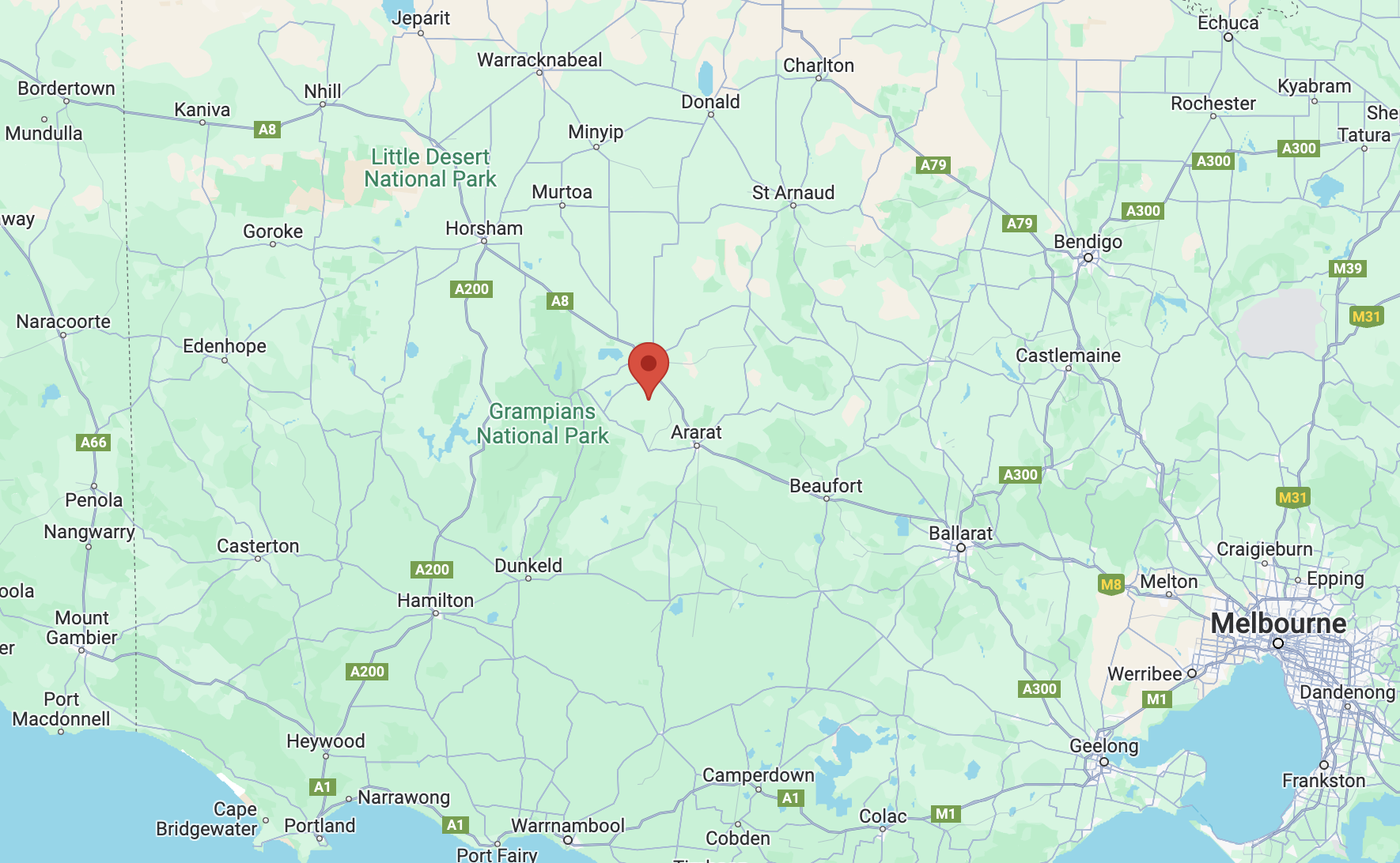
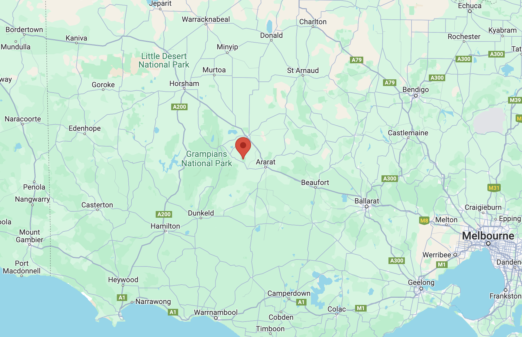
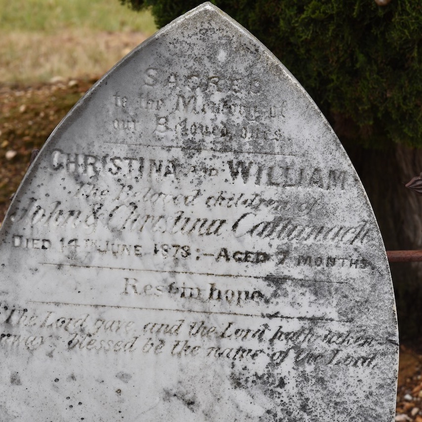
Our final activation for Sunday 3rd December 2023 was the Dimboola North silo VK-DMH3. Dimboola is about 335 km northwest of the city of Melbourne.

Above:- Map showing the location of Dimboola. Map c/o Google Maps.
The first European settlement in the Dimboola district was the Upper Regions pastoral run taken up by William Patterson in 1859. This was followed by other runs along the Wimmera River and to beyond Lake Hindmarsh. The Moravian Ebenezer Mission at Lake Hindmarsh was established in 1859. It was one of seven aboriginal reserves in the colony of Victoria by 1863. An itinerant hawker set up a general store in 185 at Nine Creeks, the original name of Dimboola. In 1863 the Nine Creeks Post Office was opened. In that same year, the township of Dimboola was surveyed. It is believed the name comes from Dimbula in Ceylon where the surveyor had previously resided. (Blake 1978) (Victorian Places 2024)
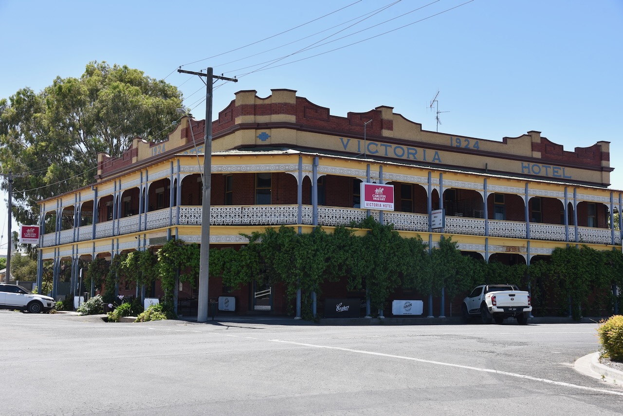

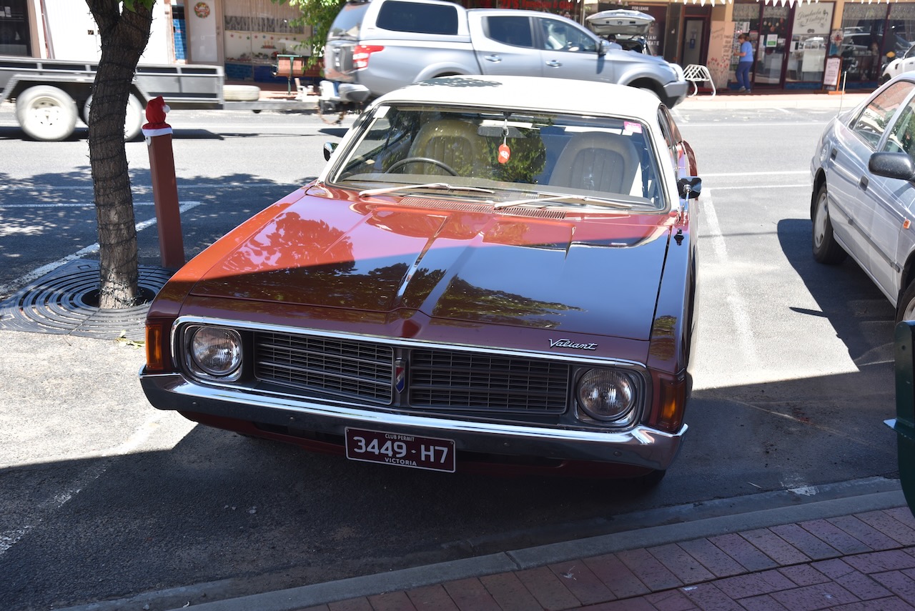
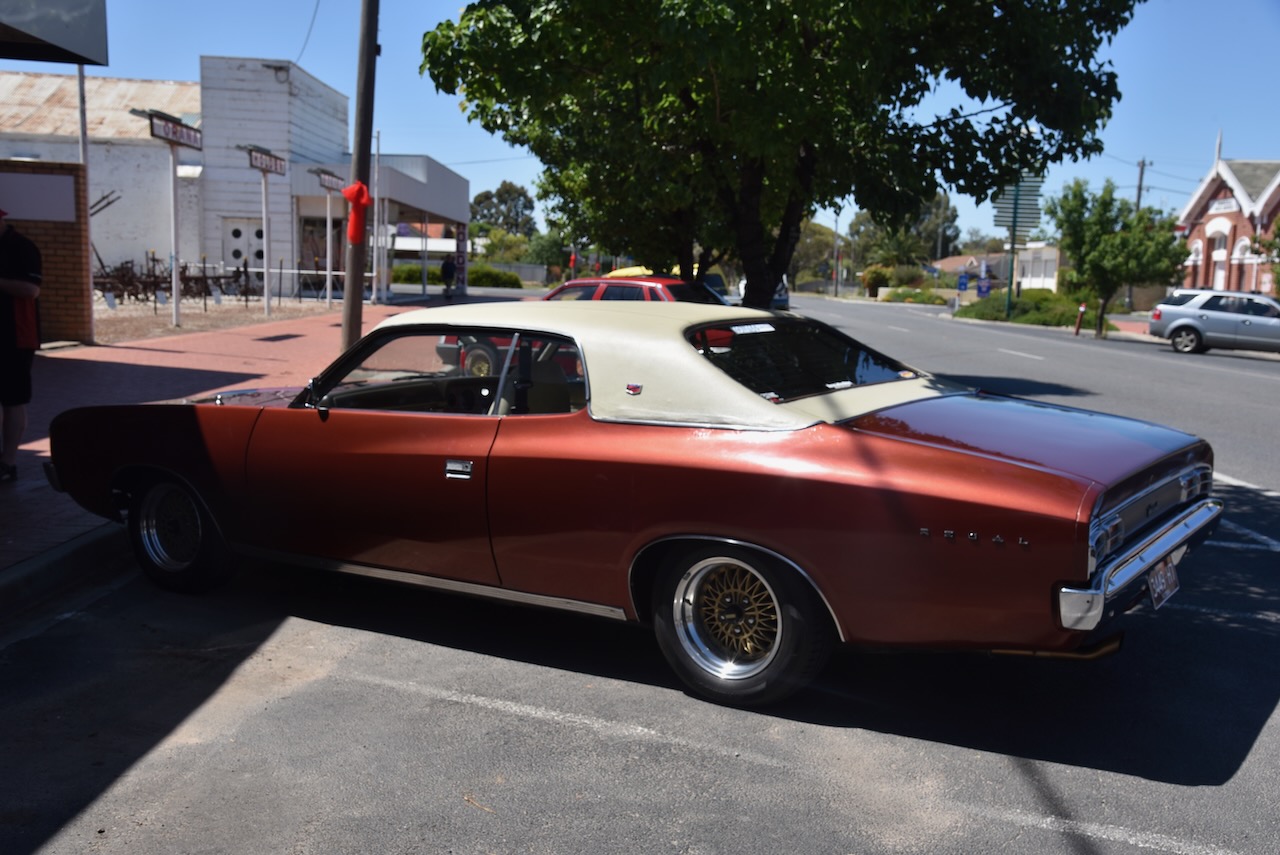
We stopped for a coffee and a bite to eat at DImboola. Being the owner of a 1972 Chrysler VH Ranger, my attention was drawn to the very beautiful Valiant below which was parked in the main street of Dimboola.

The Dimboola North silo is located on the northern side of the Western Highway.

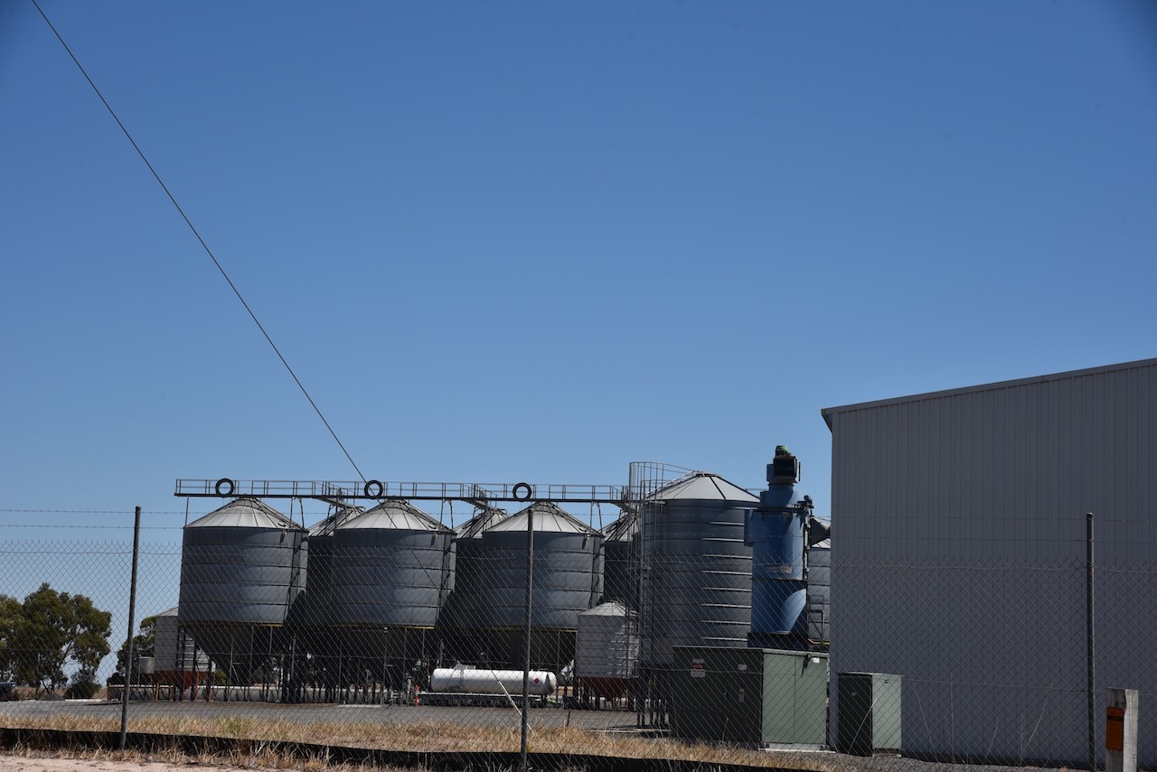


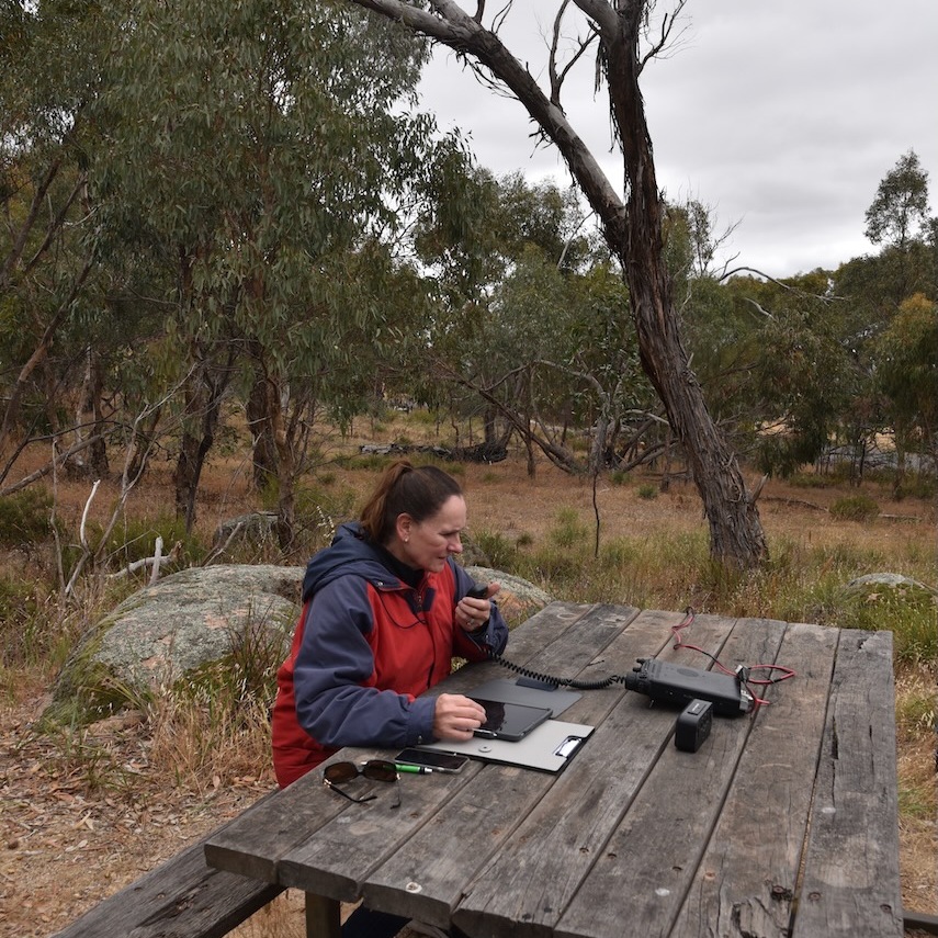
Marija and I parked in the Dimboola-Rainbow Road and operated from the 4WD. We ran the Icom IC-7000, 100 watts and the Codan 9350 antenna with the 1.5 metre stainless steel whip.
Above:- The activation zone at the Dimboola North silo. Image c/o SiOTA website.
Marija worked the following stations on 40m SSB:-
I worked the following stations on 40m SSB:-
I worked the following stations on 20m SSB:-
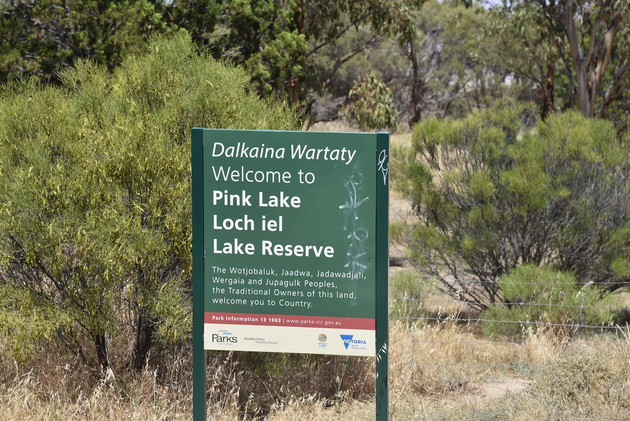
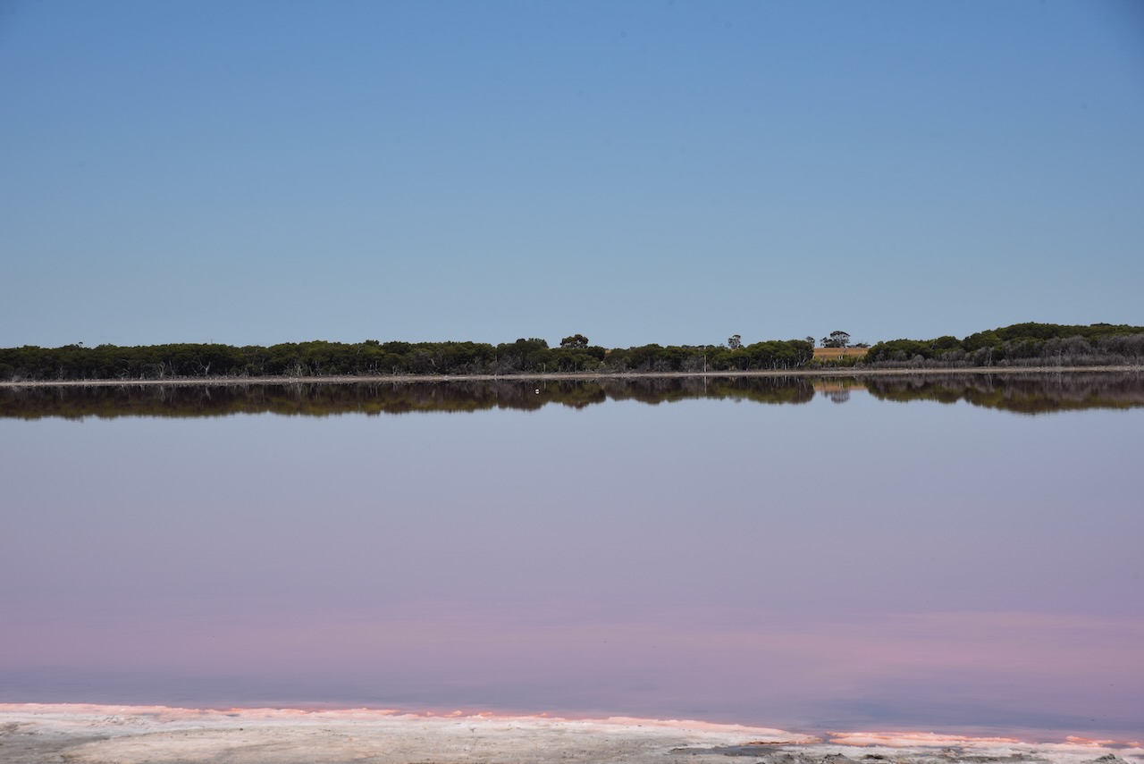
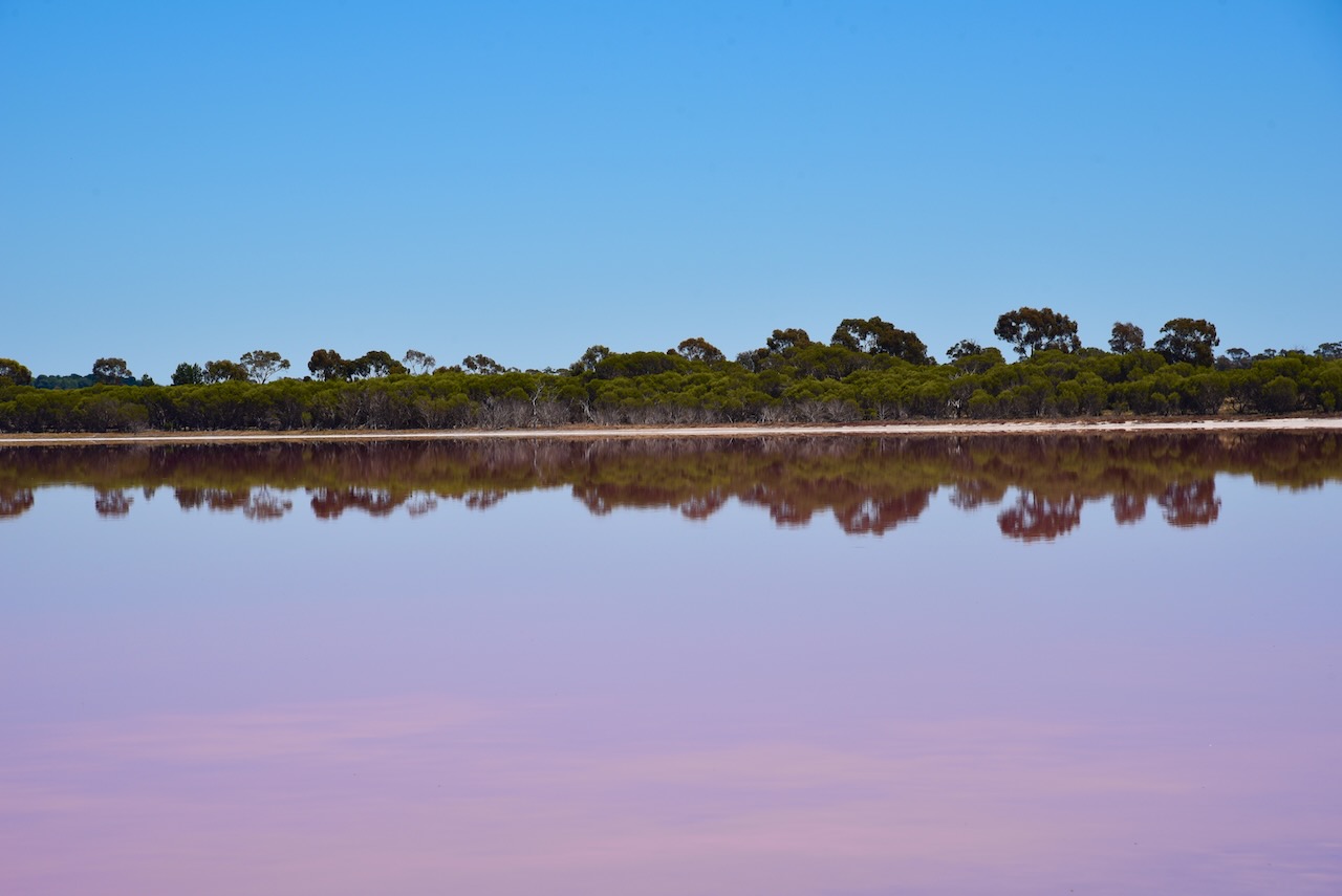
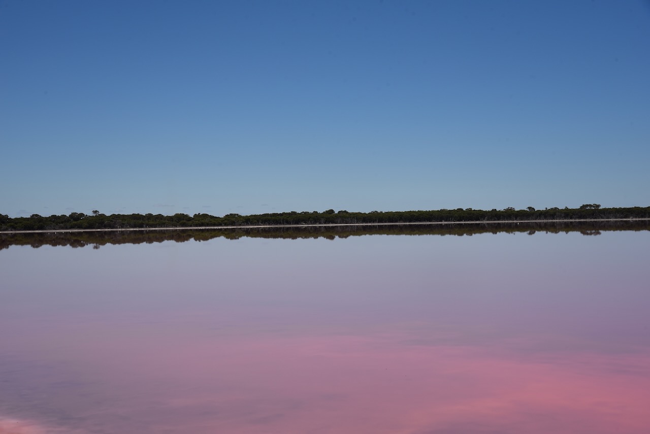
We left DImboola and stopped briefly at Pink Lakes Lochiel.

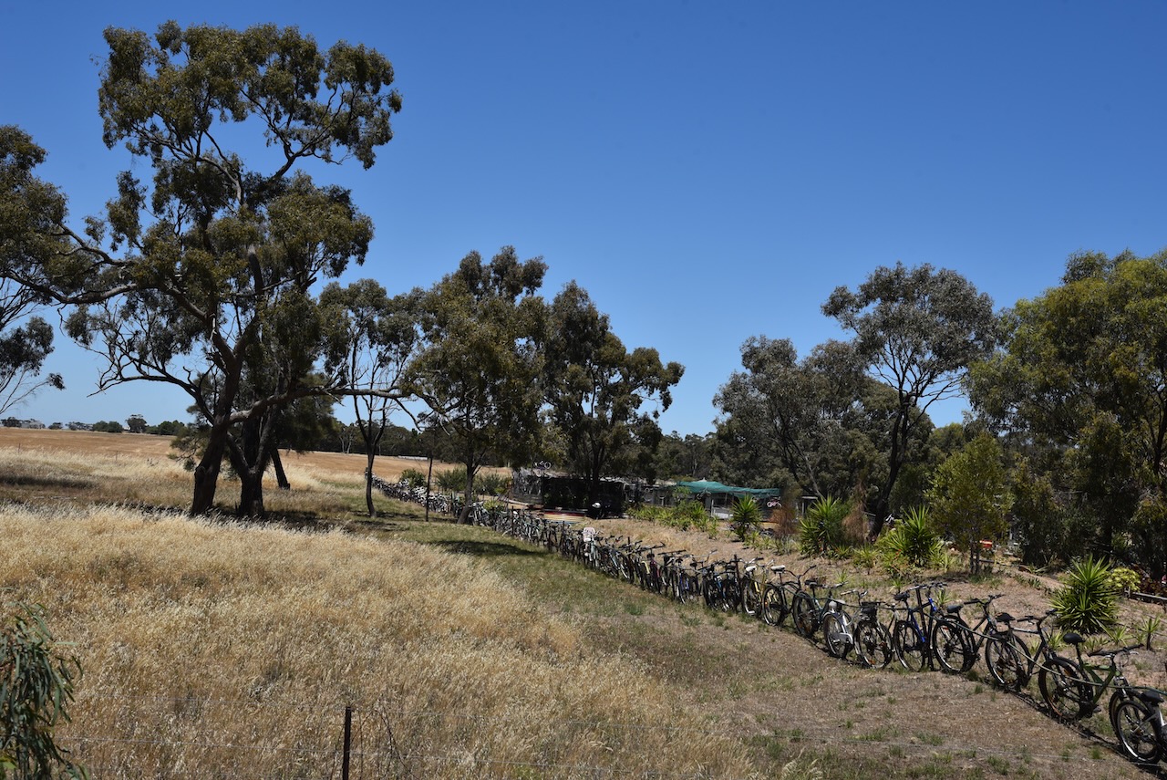
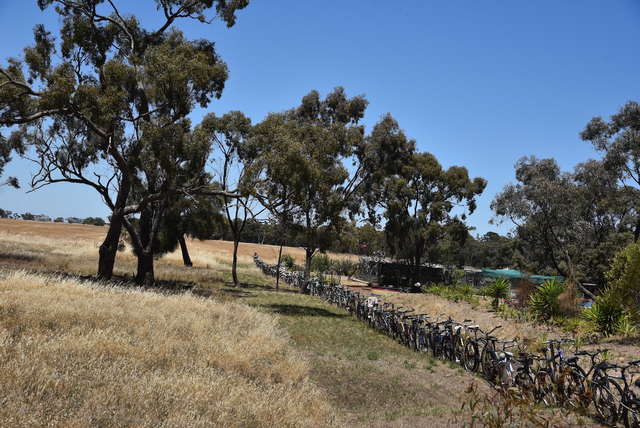
A little further up the Western Highway we stopped to have a look at the unique fence built with bicycles.


References.
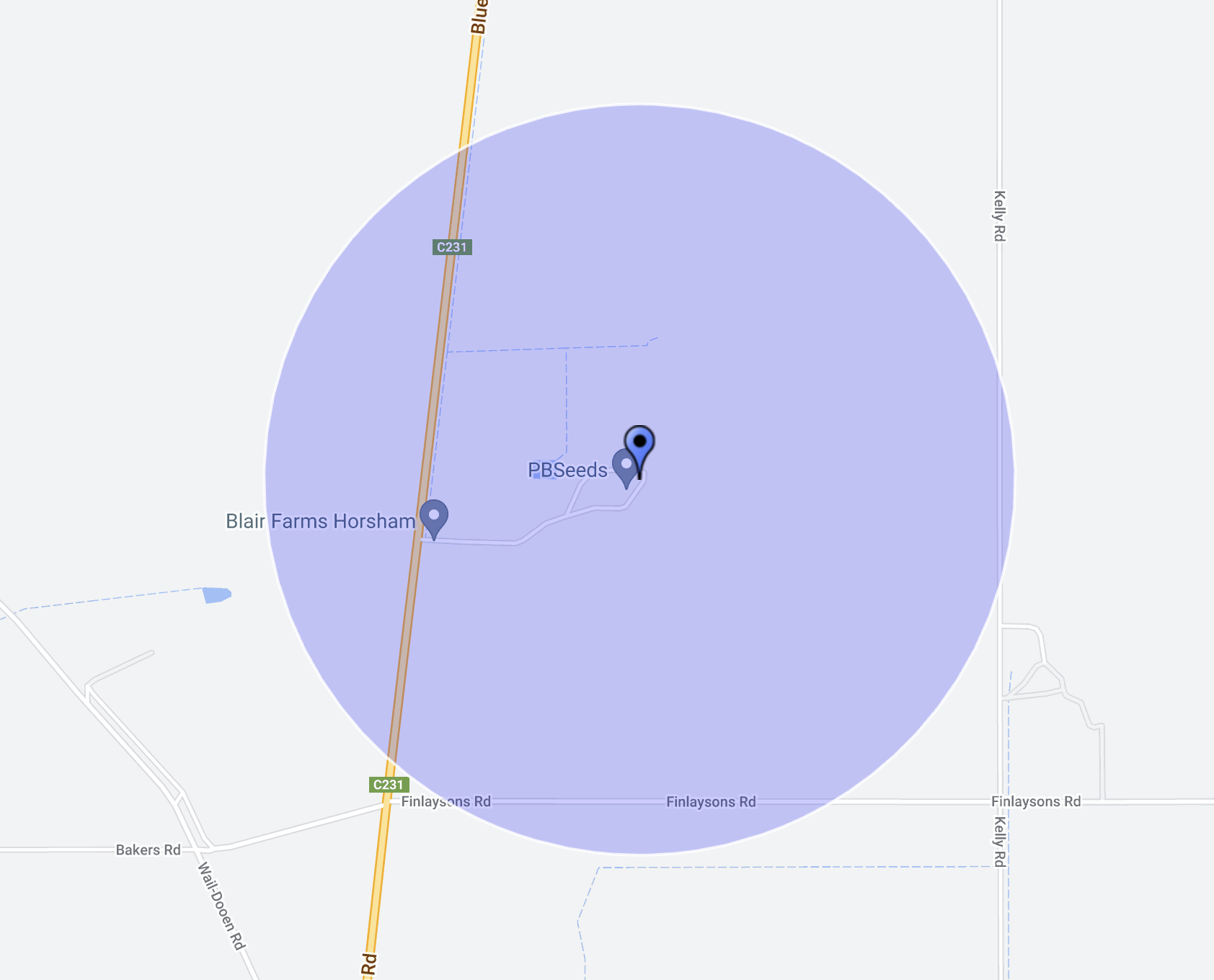
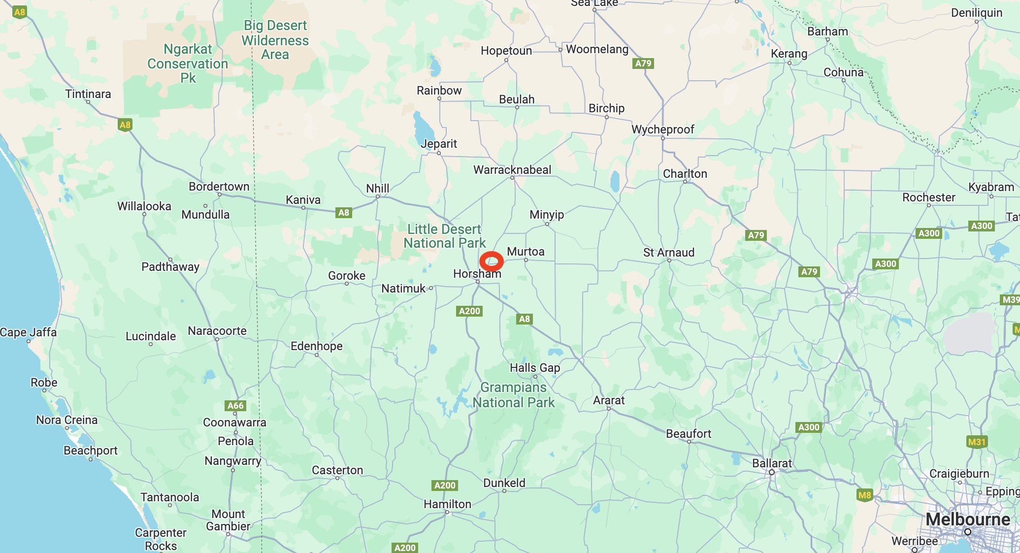
Our third activation for Sunday 3rd December 2024 was the Kakee silo VK-KLE3. Kalkee is located about 19 km north of Horsham and about 317 km northwest of the city of Melbourne.
Above:- Map showing the location of Kalkee. Map c/o Google Maps.
Kalkee is derived from an aboriginal word gulke or kalk meaning bone or wood. It has been suggested that the name came from a reference to the buloke and eucalyptus trees that grew on the surrounding plain. The Kalkee district was taken up for farm selections during the 1870s. In 1877 a school was opened and a Wesleyan chapel was built. (Victorian Places 2024)
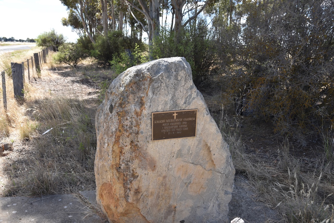
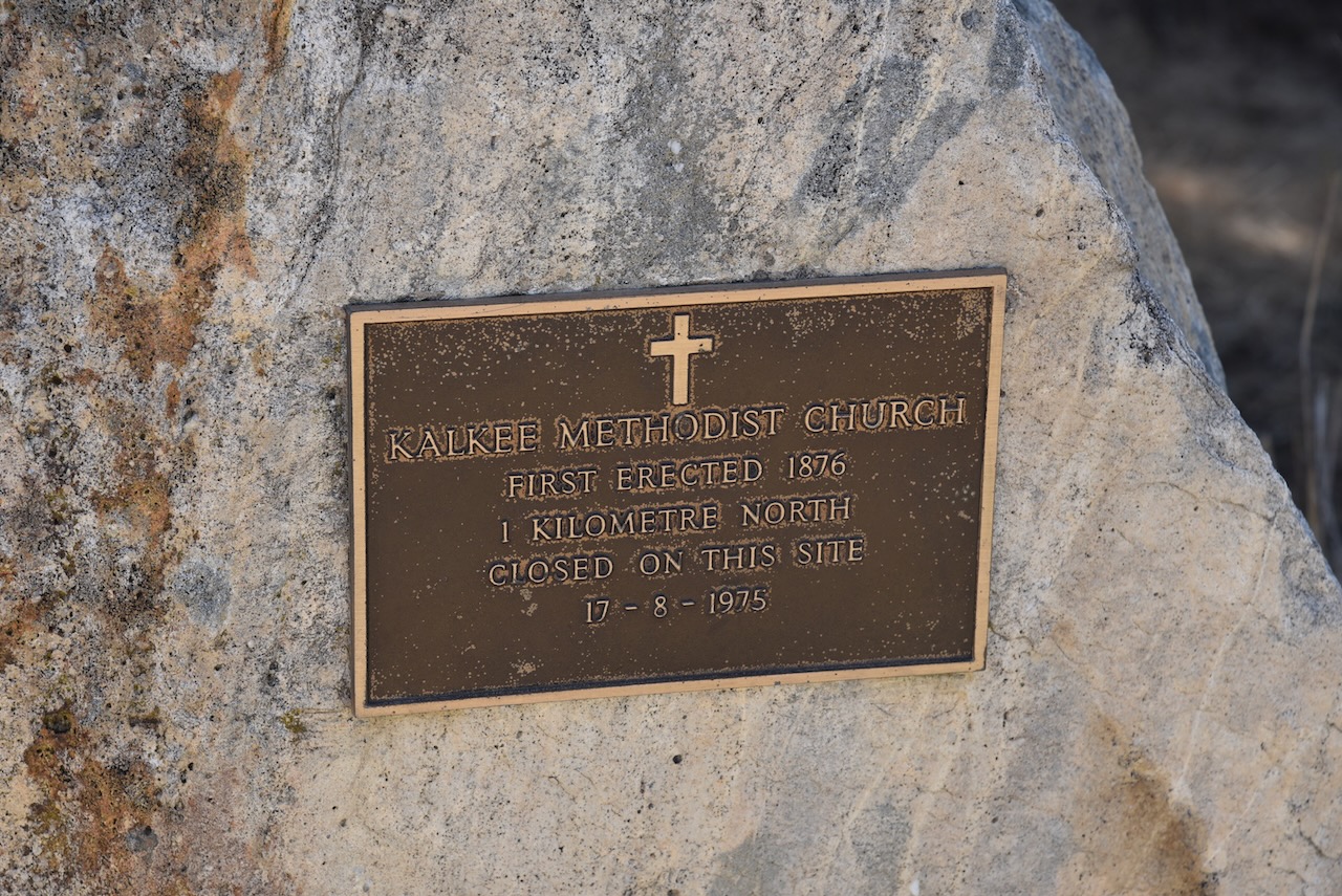
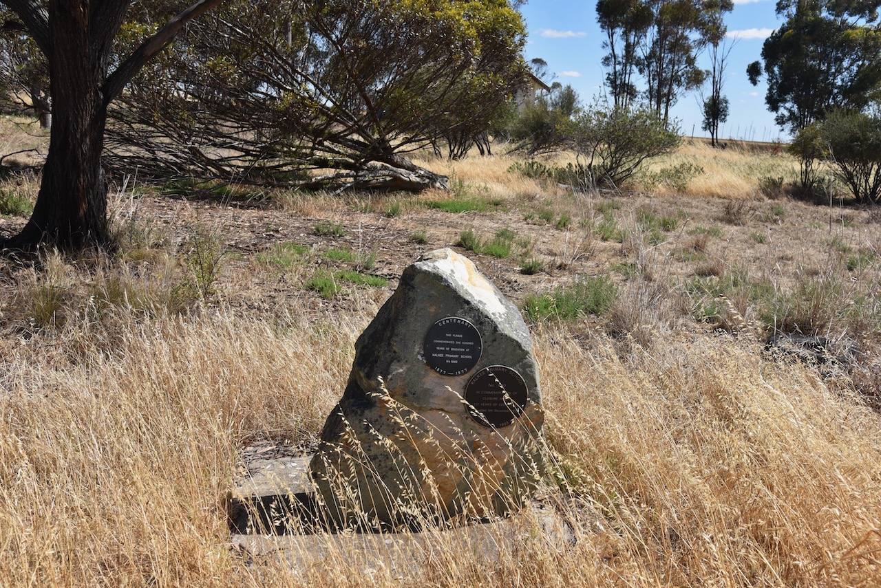
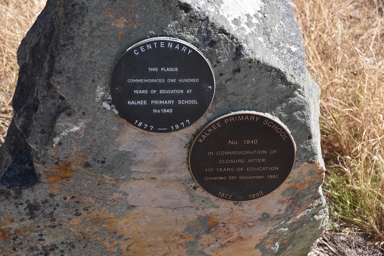
There is a monument for the Kalkee Methodist Church that was erected in 1876 and closed in August 1975.
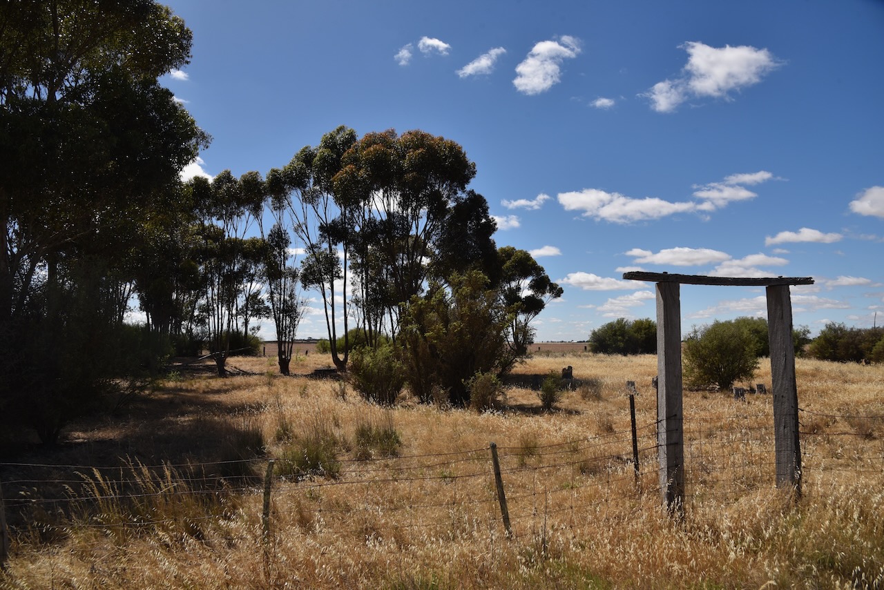
There is also a monument for the Kalkee Primary School No. 1840 which operated from 1877 to 1993.

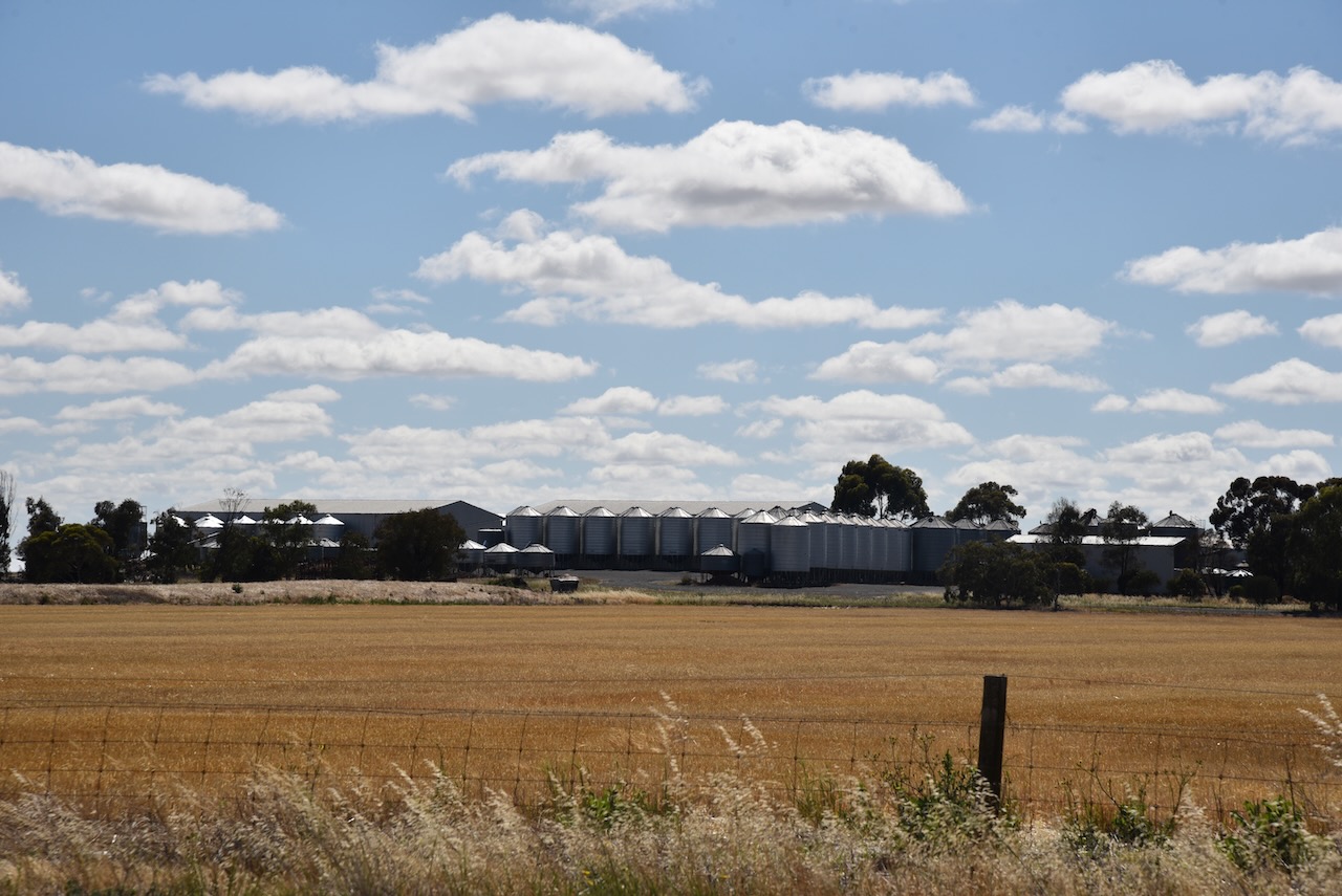
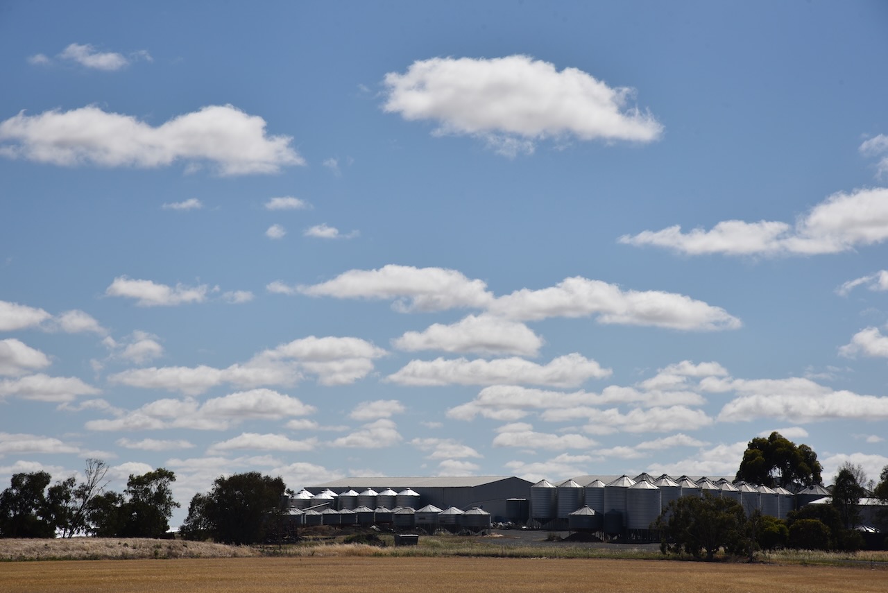
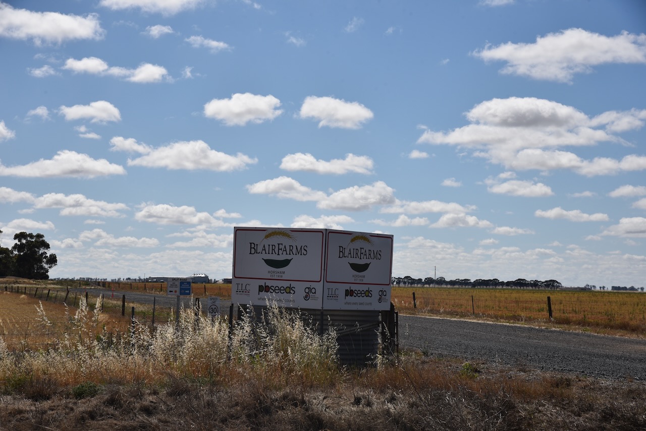
The Kalkee silos are part of Blair Farms.
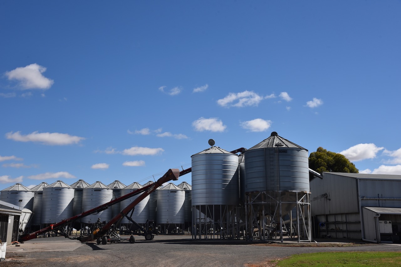
Marija and I parked on Finlaysons Road and operated from the 4WD. We ran the Icom IC-7000, 100 watts, and the Codan 9350 antenna with the 1.5 metre stainless steel whip.
Above:- Map showing the activation zone at the Kalkee silo. Image c/o SiOTA website.
Marija worked the following stations on 40m SSB:-
I worked the following stations on 40m SSB:-
I worked the following stations on 20m SSB:-
References.
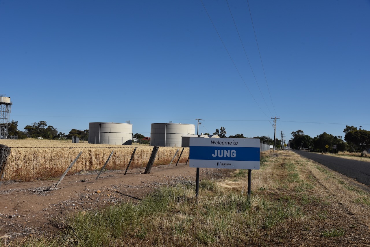
Our second silo activation for Sunday 3rd December 2023 was the Jung silo VK-JNG3. Jung is located about 24 km northeast of Horsham in the Wimmera district of western Victoria.
Above:- Map showing the location of Jung in western Victoria. Map c/o Google Maps.
Jung is derived from an aboriginal word jhung meaning chest or jung jung meaning ‘in a mess’. (Blake 1978)
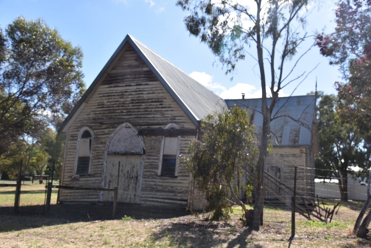
The original Jung settlement was on the Yarriambiack Creek, about 3 km north of the present location. The settlement was known as Taylor’s Creek, Green Hills, and Jerro. Green Hills was the name of an adjacent livestock station. Jerro was a name given by surveyors when a township was laid out in 1877. In 1878 a school was opened. The railway line from Murtoa was extended in 1879 to Horsham and a railway station was opened at Jung. It became the nucleus of the present village. (Victorian Places 2024)

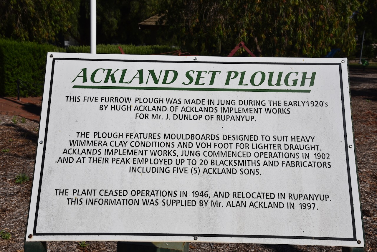
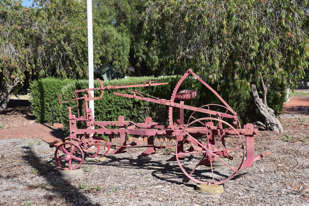

George James Coles was born in Jung in 1885. He was the second of ten children and eldest son of George and Elizabeth Coles. George Senior ran a store at Jung. George Junior went on to be a founder of G.J. Coles and Company. (Aust Dict of Biography 2024)
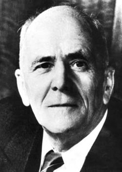
Above:- George Coles. Image c/o Trove.
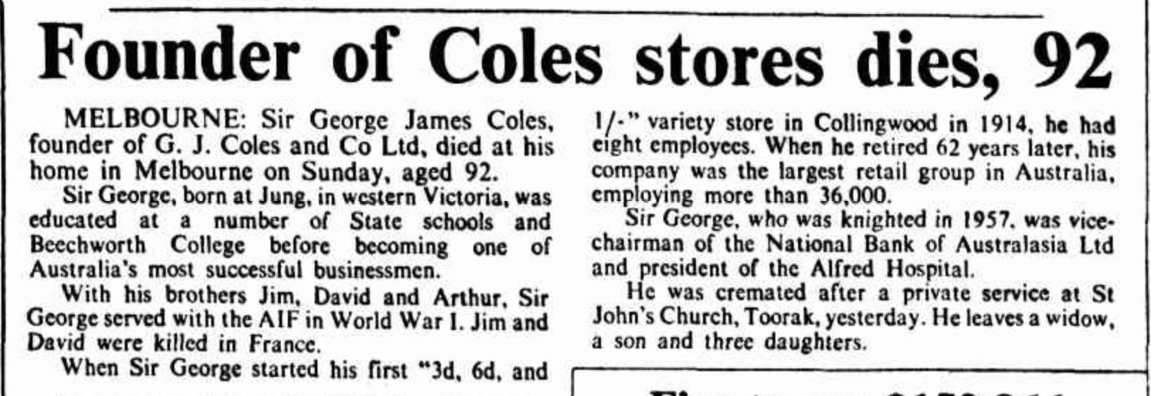
Above:- Article from The Canberra Times, Tue 6 Dec 1977. Image c/o Trove.
The Jung silos are located at the end of Railway Street.

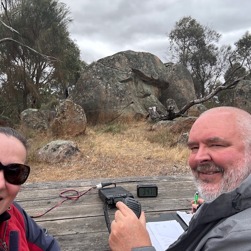
Marija VK5MAZ and I parked on Jung N Road and operated from the 4WD for this activation, running the Icom IC7000, 100 watts and the Codan 9350 with the 1.5 metre stainless steel whip.

Above:- The activation zone at the silo. Image c/o SiOTA website.
Marija worked the following stations on 40m SSB:-
I worked the following stations on 40m SSB:-
I worked the following stations on 20m SSB:-
References.
It was now Sunday 3rd December 2023 and time for Marija and me to leave Stawell and head back home. It had been another fantastic trip away, but we were looking forward to getting back home.
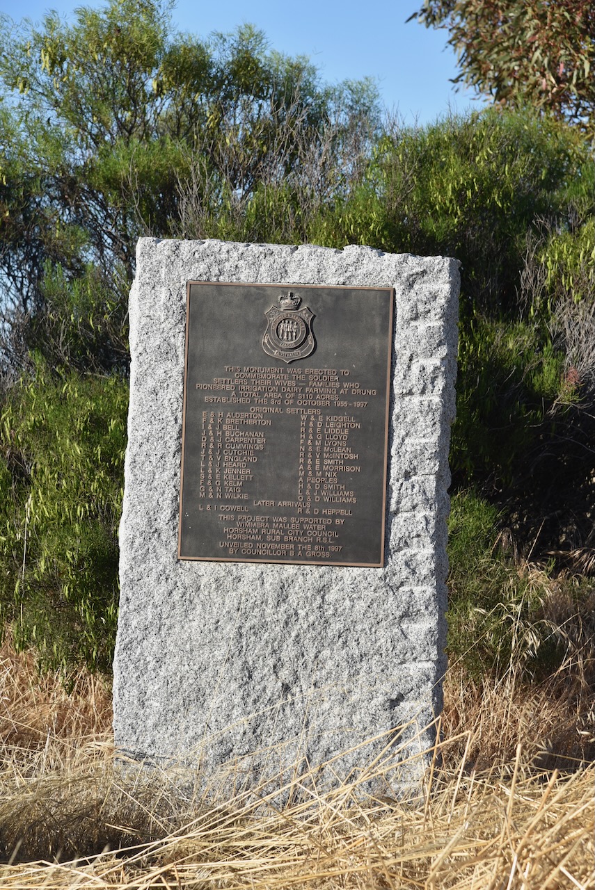
After breakfast, we headed out to view the monument at Drung for the soldier settlers and their wives and families who pioneered irrigation dairy farming at Drung. Drung is just a few km southeast of Horsham. Drung is an aboriginal word for ‘much spoiled’ and is the name of an Irish village in COunty Donegal. (Blake 1978)

We then visited Taylors Lake which is on the edge of my Uncle’s property, about 20 km southeast of Horsham. The lake is an off-stream reservoir and a water source for the district. It is popular with locals for camping, fishing and water skiing. (GWM Water 2024)


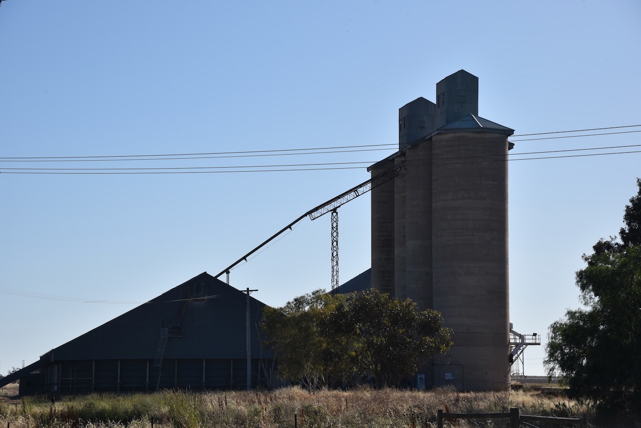
Our first activation for the day was the Dooen silo VK-DNE3 for the Silos On The Air (SiOTA) program. Dooen is an aboriginal word meaning ‘big swamp or a circle used in tribal rites. (Blake 1978)

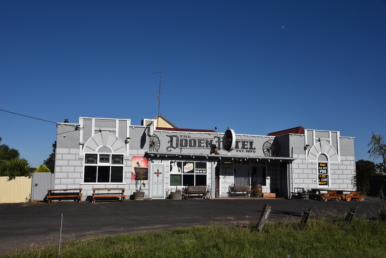
Marija and I parked on Creamery Road
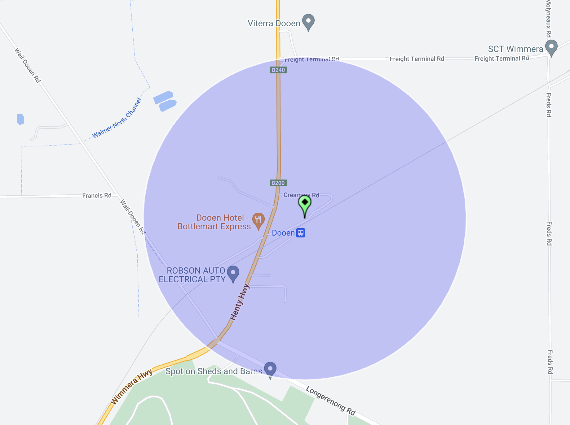
Above:- Map showing the activation zone at the Dooen silo. Image c/o SiOTA website.
Marija worked the following station on 40m SSB:-
I worked the following stations on 40m SSB:-
I worked the following stations on 20m SSB:-
References.
Our final activation for Saturday 2nd December 2023 was the Lonsdale Nature Conservation Reserve VKFF-2132.
The reserve is located about 17 km northwest of Stawell and about 250 km northwest of the city of Melbourne.
Above:- Map showing the location of the Lonsdale NCR. Map c/o Google Maps.
The reserve’s northern boundary is the Western Highway, while its southern boundary is Sandbar Road.
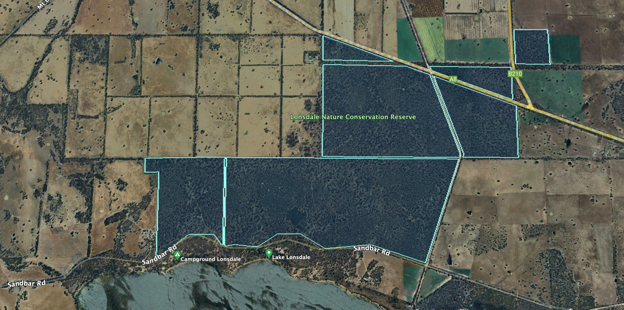
Above:- An aerial view of the Lonsdale NCR. Image c/o Google Earth.
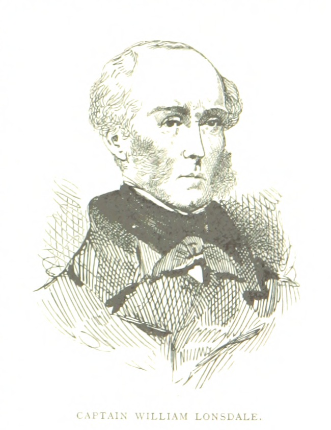
The reserve is named in honour of William Lonsdale (b. 1799. d. 1864). He supervised the founding of the official settlement at Port Phillip (later named Melbourne) and went on to serve under Superintendent La Trobe from 1839 to 1854.
Above:- William Lonsdale. Image c/o Wikipedia.
The reserve is about 686 hectares in size and was established on the 26th day of February 2002. (CAPAD 2022)


Marija worked the following stations on 40m SSB:-
I worked the following stations on 40m SSB:-
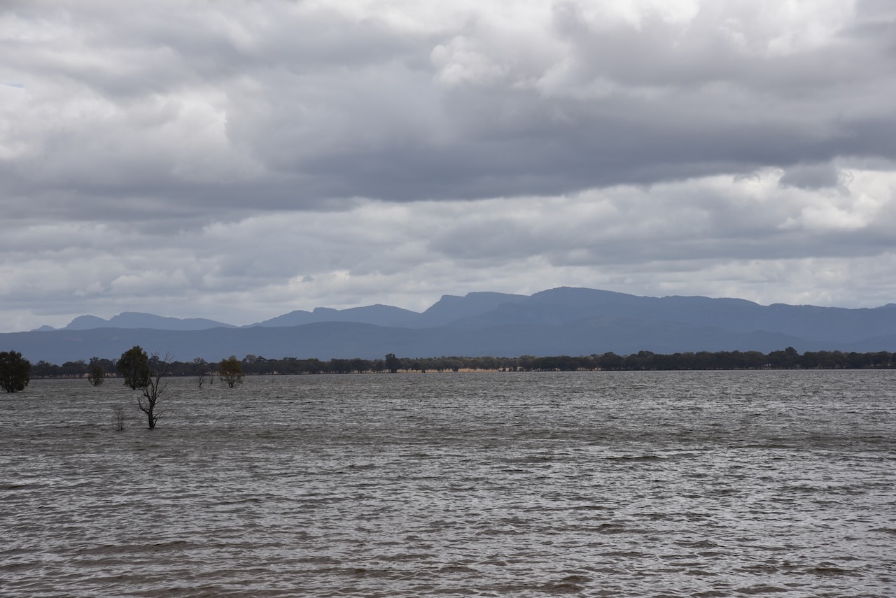
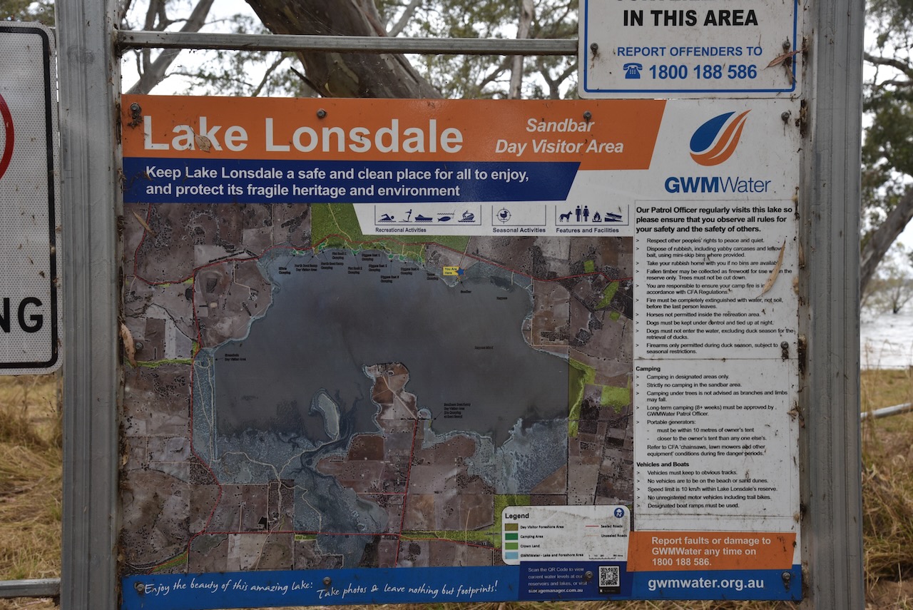
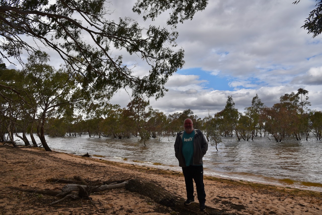
After packing up Marija and I visited Lake Lonsdale. It is a popular spot for fishers and water sporting enthusiasts.


Marija and I then headed into Stwell where we booked into our accommodation.


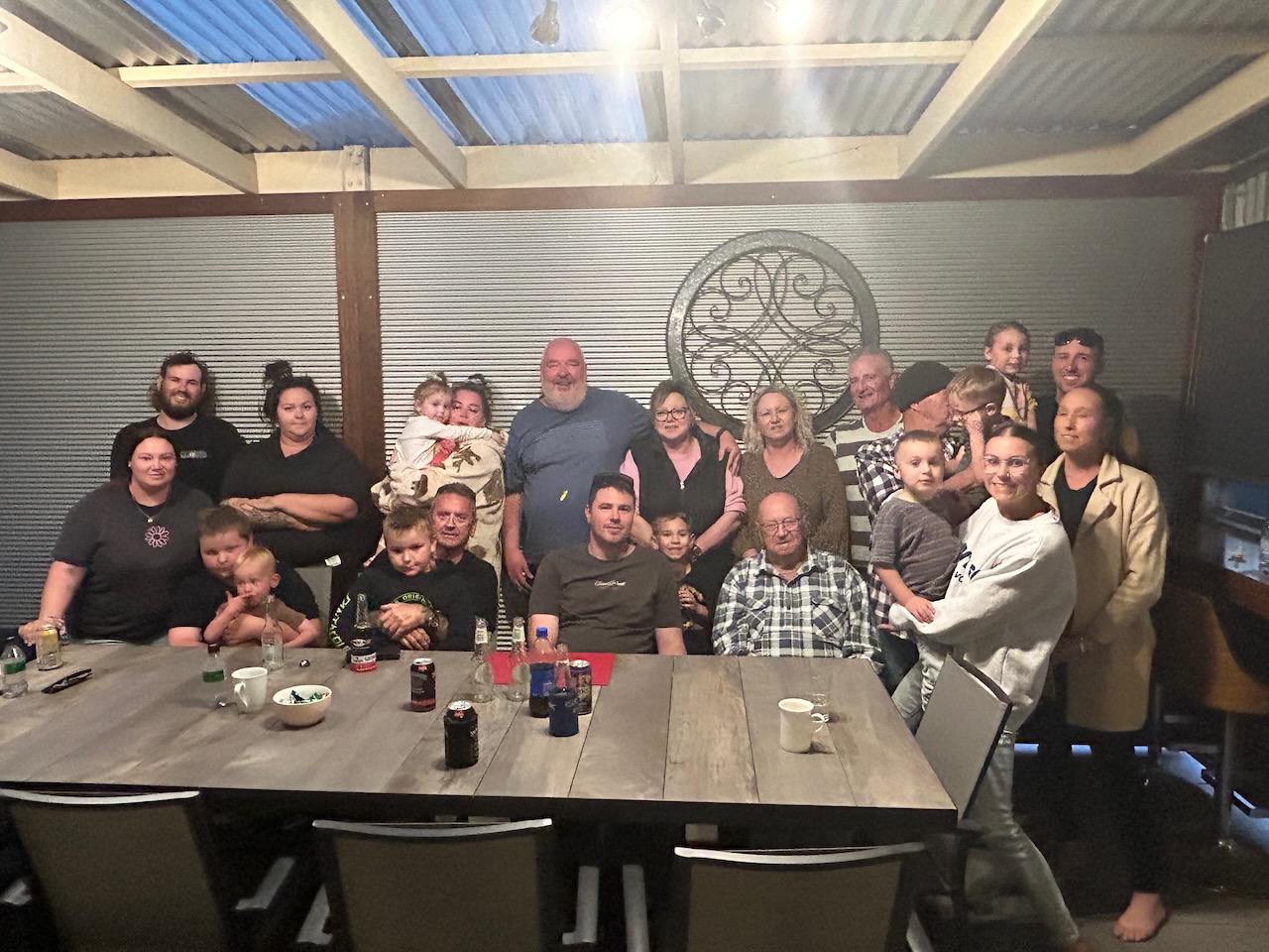
That evening Marija and I went to my cousin’s house to catch up with the extended family including my Uncle Jack. Sadly my Aunty Dawn passed away during our trip. It was a sad occasion, but we shared many laughs and reflected on the good times.
References.
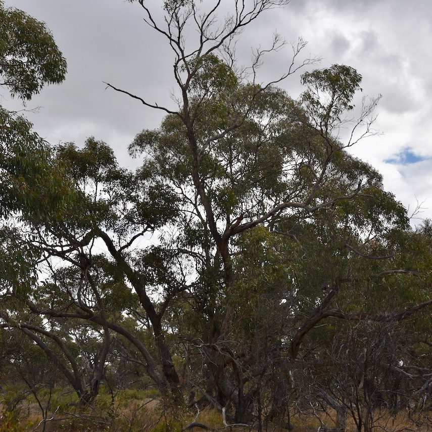
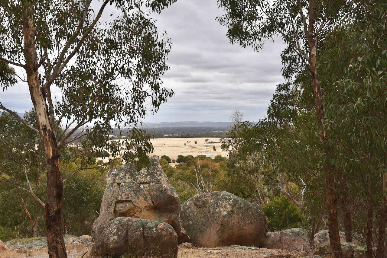
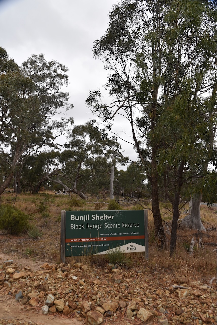
Our next activation for Saturday 2nd December 2023 was the Black Range Natural Features Reserve VKFF-3601.
The park is about 14 km (by road) south of Stawell and about 246 km northwest of the city of Melbourne.
Above:- Map showing the location of Black Range NFR. Map c/o Google Maps.
The Black Range Natural Features Reserve comprises three separate sections.

Above:- An aerial view of the Black Range NFR. Image c/o Google Earth.
The reserve is about 527 hectares in size and was established on the 22nd day of November 1983 (CAPAD 2022)
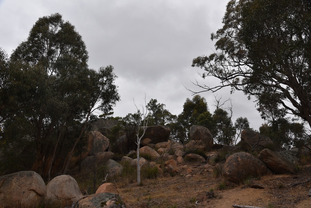
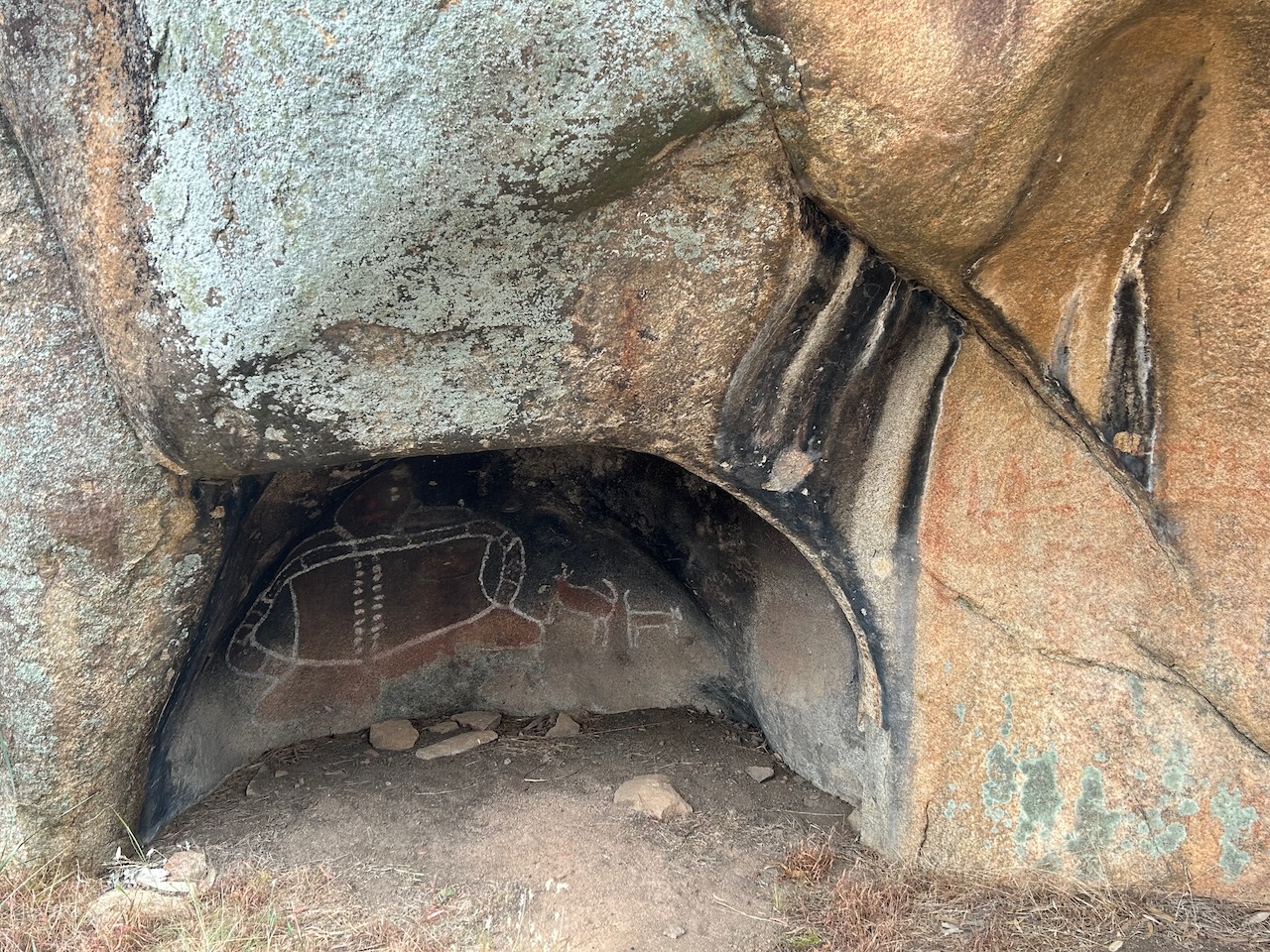
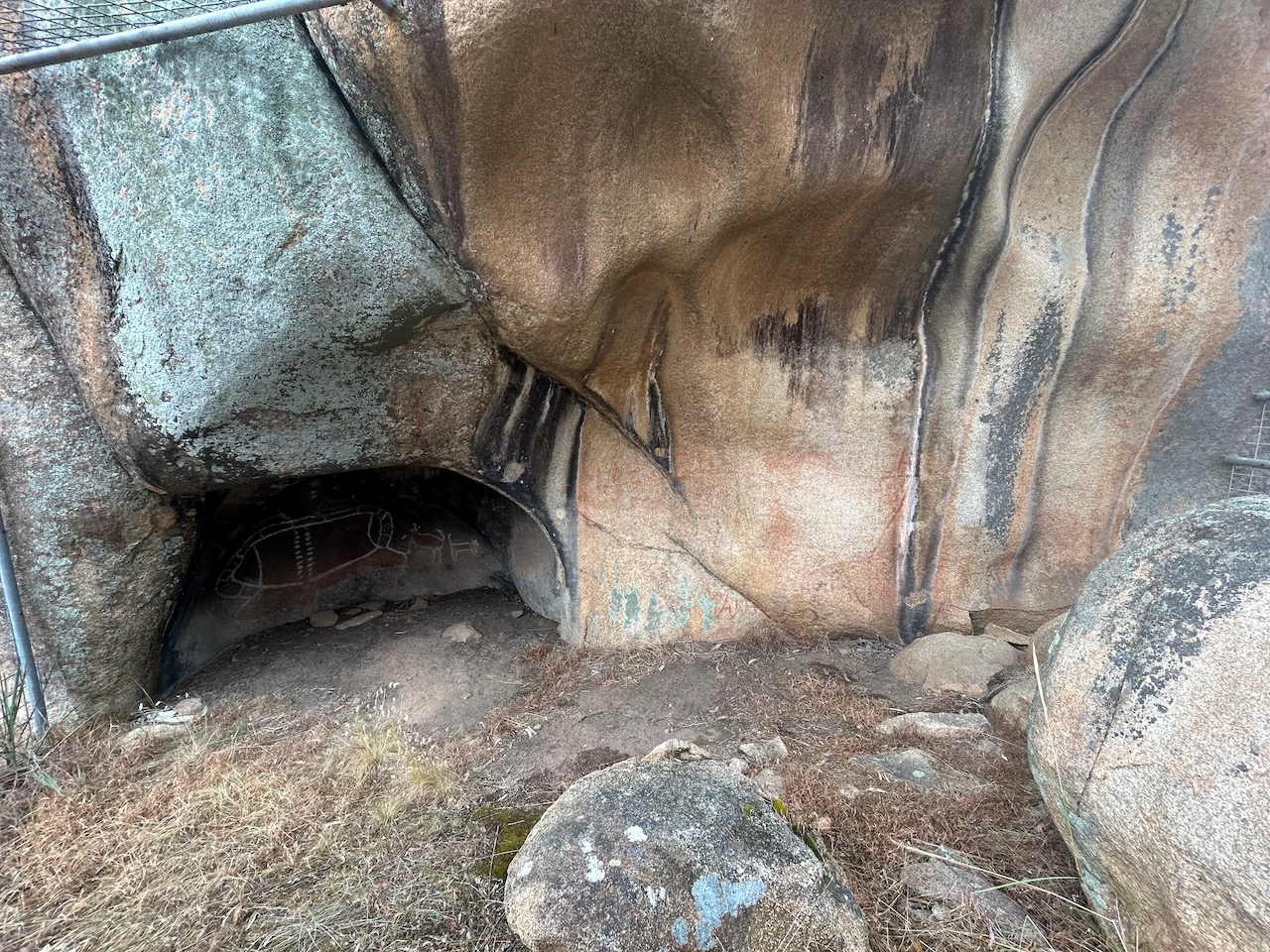
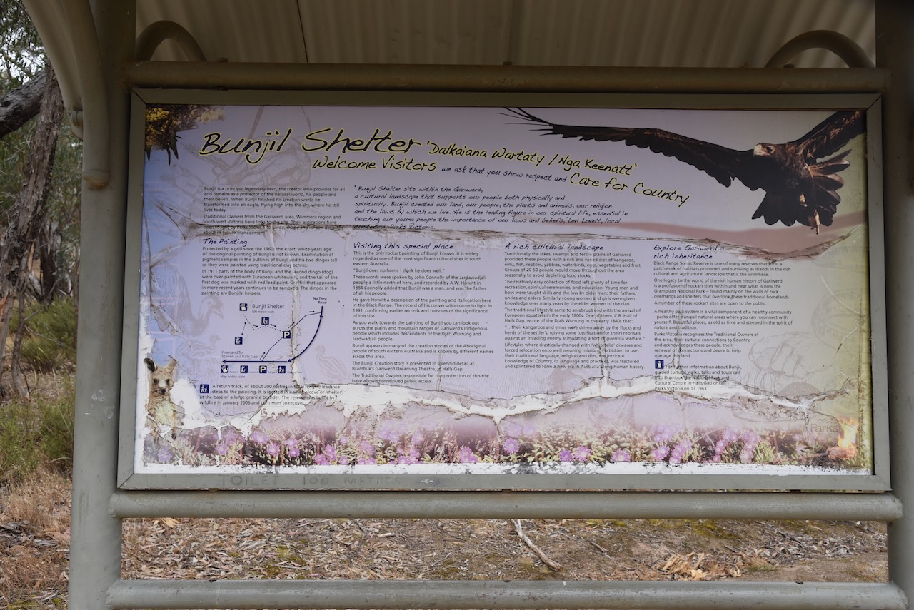
Within the park is Bunjil Shelter. Bunjil is a principal legendary hero, the creator who provides for all and remains a protector of the natural world, his people and their beliefs. When Bunjil finished his creation works he transformed into an eagle, flying high in the sky, where he still lives today. This is the only knock rock art painting of Bunjil. The age of the painting is not known.

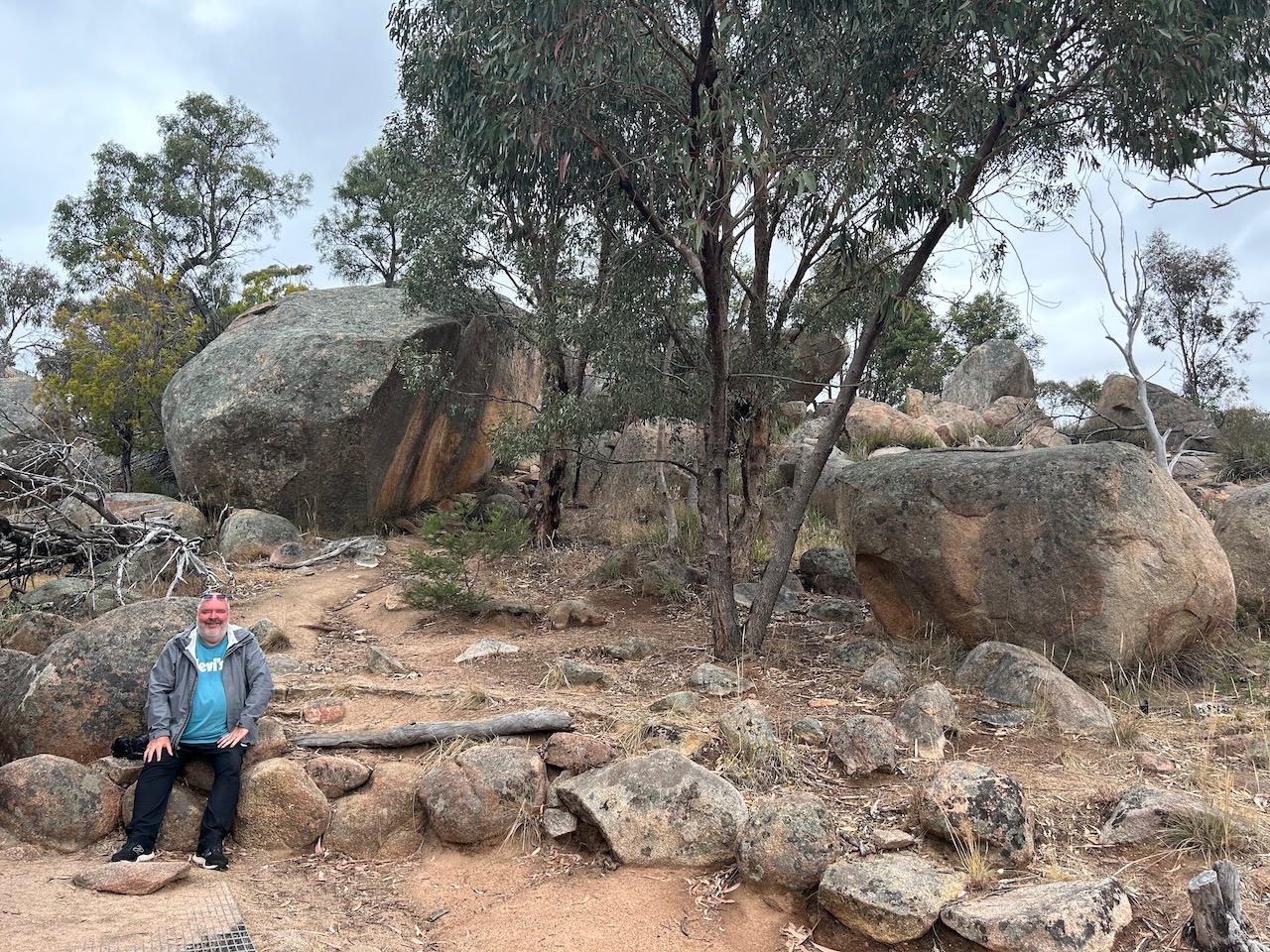
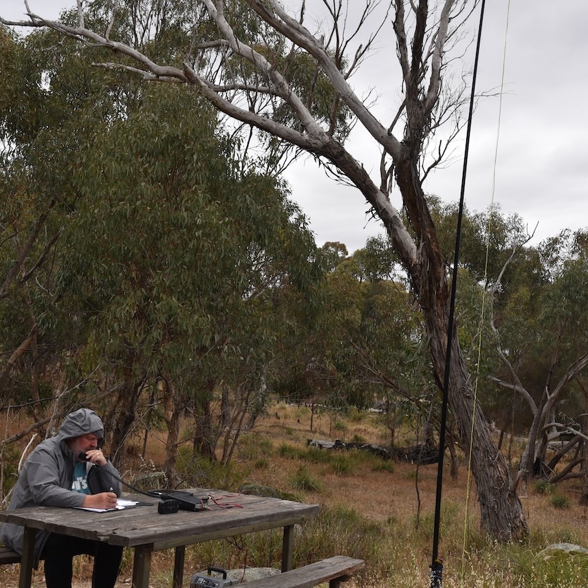
We set up on a wooden table and benches. We ran the Yaesu FT857, 40 watts and the 20/40/80m linked dipole. I used the special call of VI10VKFF.
Marija and I started on the 40m band, but just as we started calling CQ, 2 cars arrived and our noise floor went from strength 0 to strength 7-8. The minute the engines of both vehicles were switched off, our noise floor dropped to zero again.
Marija worked the following stations on 20m SSB:-
Marija worked the following stations on 40m SSB:-
I worked the following stations on 20m SSB:-
I worked the following stations on 40m SSB:-
References.
Our third activation for Saturday 2nd December 2023 was the Jallukar Nature Conservation Reserve VKFF-2115.
The reserve is about 25 km (by road) west of Ararat and about 231 km northwest of the city of Melbourne.
Above:- Map showing the location of the Jallukar NCR. Map c/o Google Maps.
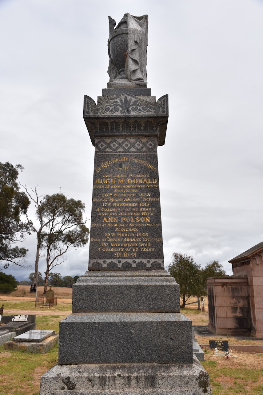
Before activating the park, Marija and I visited the Moyston cemetery.

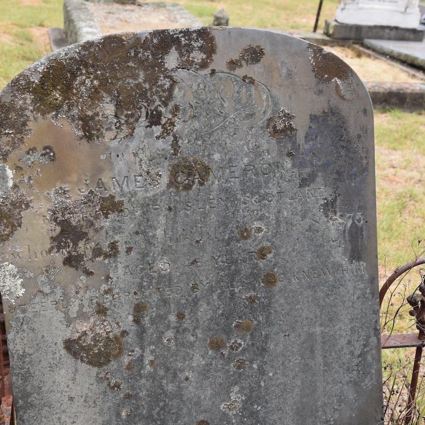
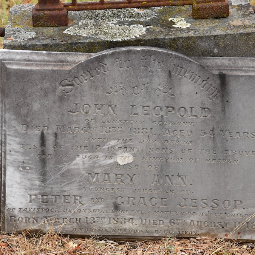


One of the interesting headstones in the cemetery is that of Hugh McDonald. He was born in 1834 in Kilmahalmah, Ross-Shire, Scotland, and emigrated to Australia in 1854 aboard the Tasmania. Upon his arrival in Australia, he commenced gold mining in Victoria. He subsequently purchased land at Mount Ararat known as Mount Ararat Estate. McDonald died in 1917 at the age of 83 years. (Find a Grave 2024)
The Jallukar Nature Conservation Reserve is located on the northern side of Ararat-Halls Gap Road.

Above:- An aerial view of the Jallukar NCR. Image c/o Google Earth.
Jallukar is an aboriginal word for the valley between the Sierra and Victoria Ranges. The reserve is about 1,207 hectares in size and was established on the 26th day of February 2002. (Blake 1978) (CAPAD 2022)

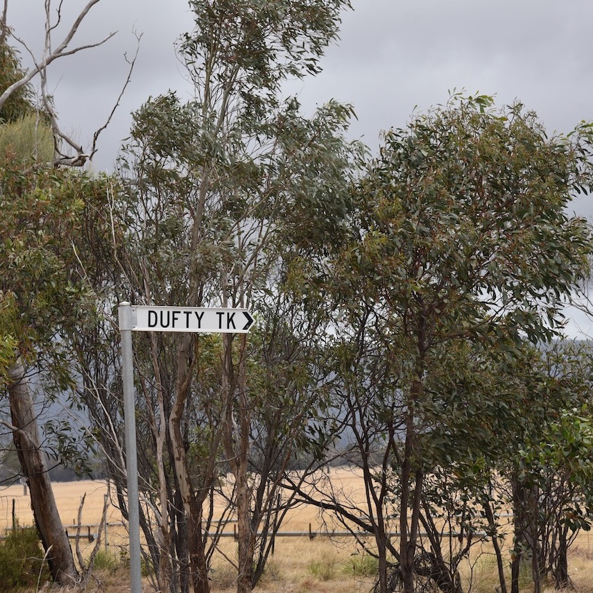

We accessed the park via Dufty Track. We ran the Yaesu FT857, 40 watts, and the 20/40/80m linked dipole. I used the special event callsign of VI10VKFF.
Marija worked the following stations on 40m SSB:-
I worked the following stations on 40m SSB:-
I worked the following station on 20m SSB:-
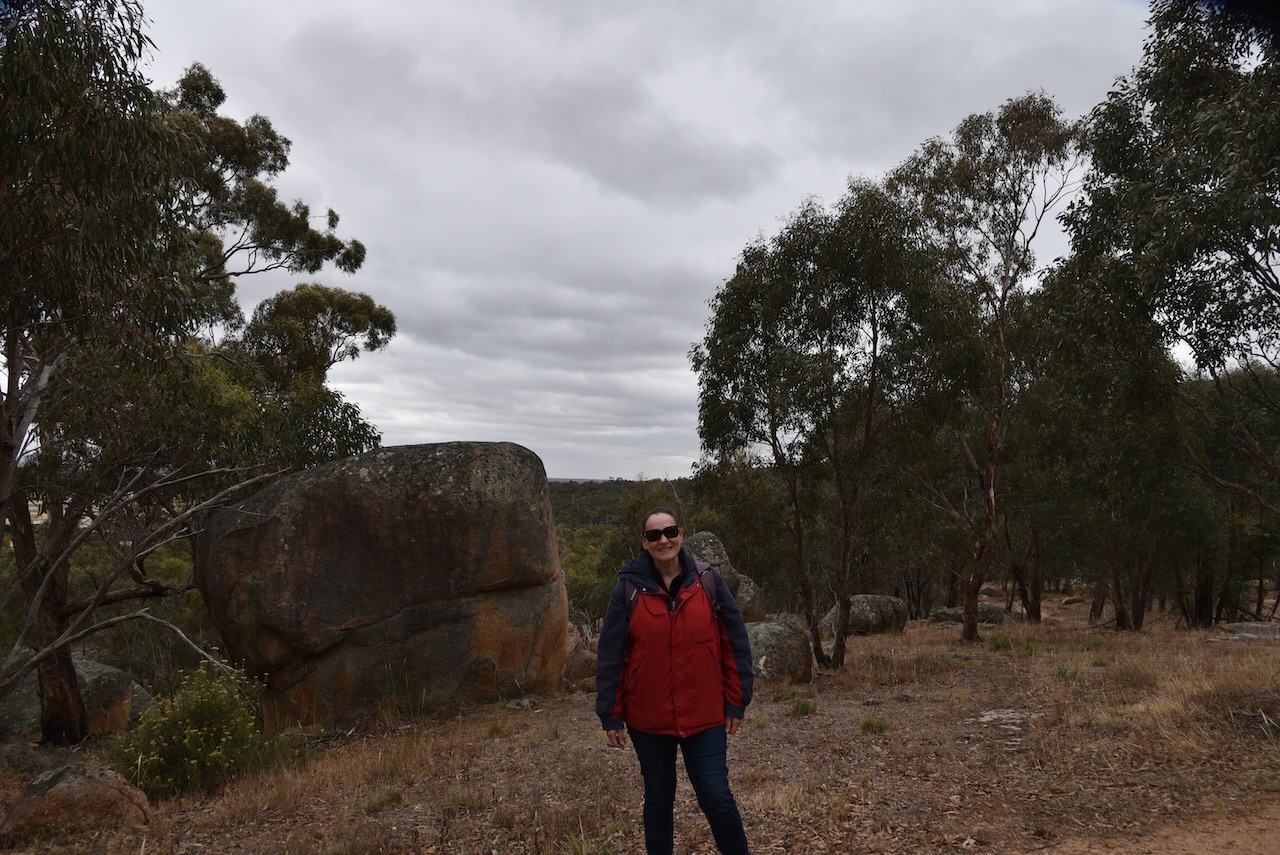
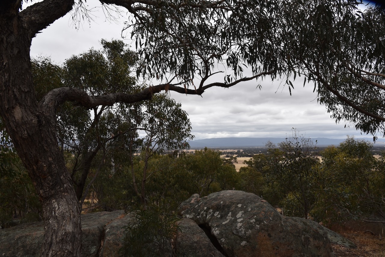
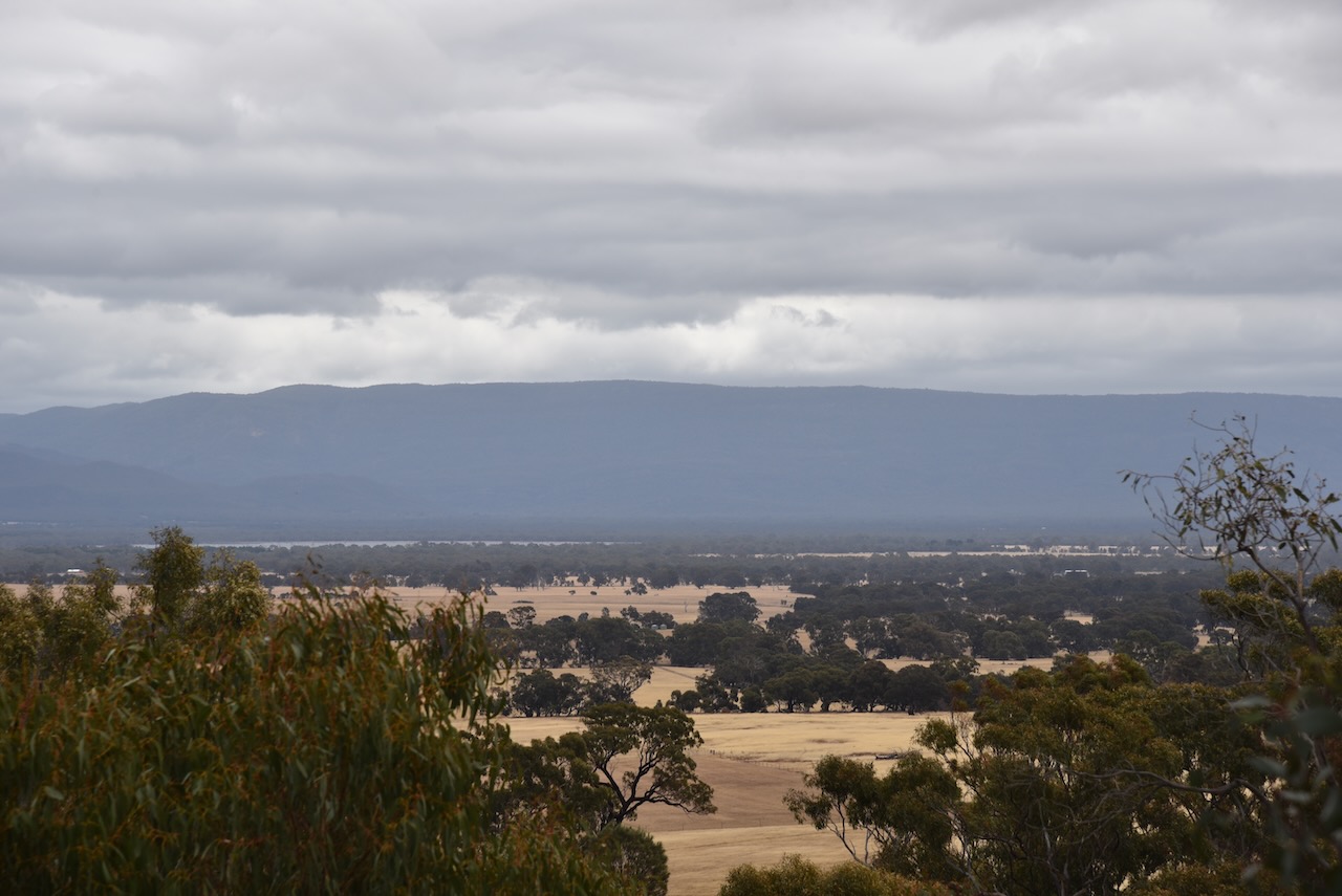
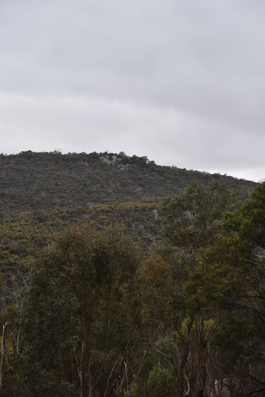
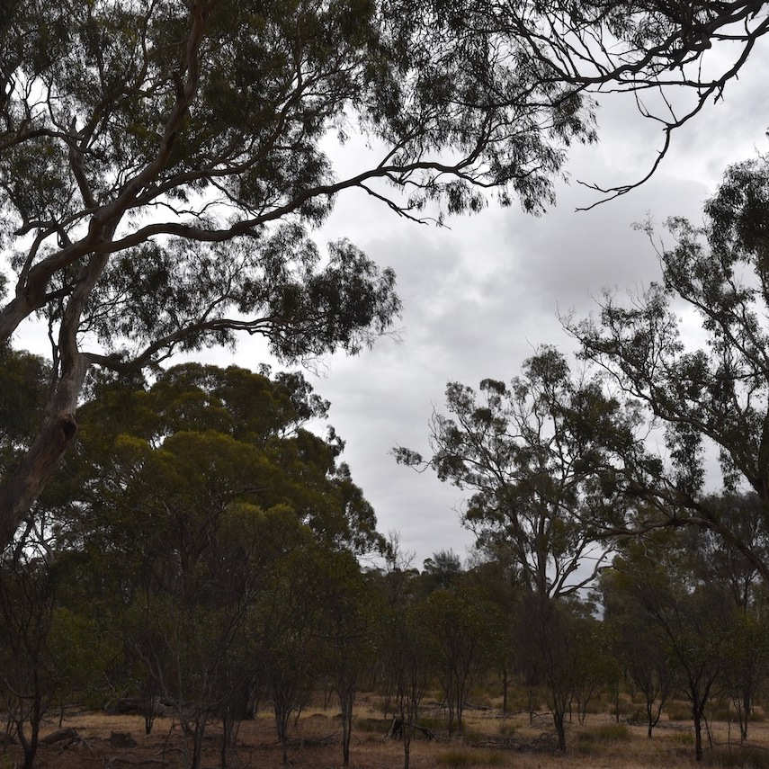
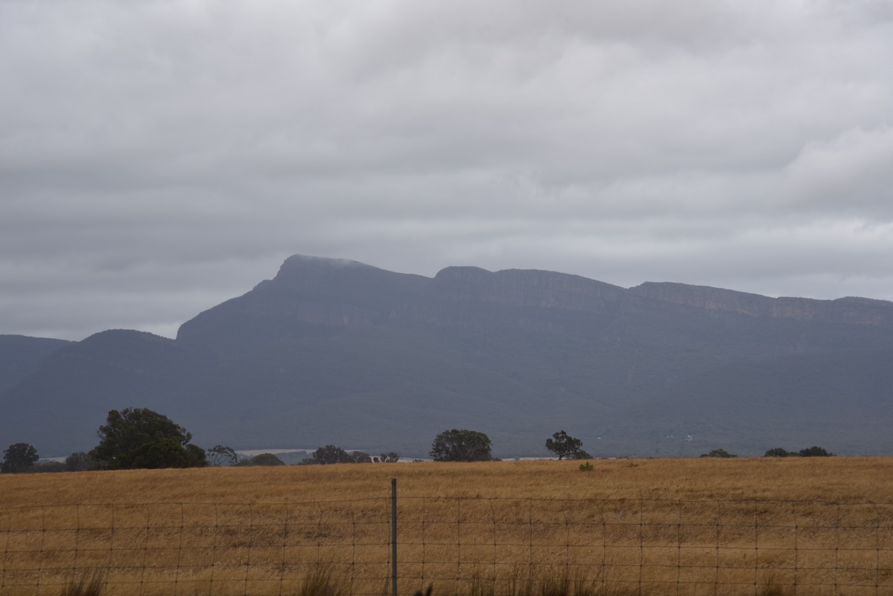
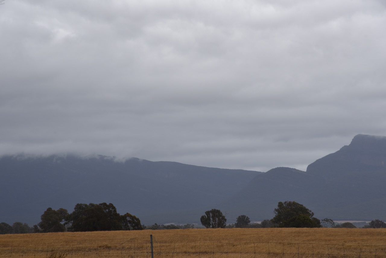
Marija and I packed up and headed to Pomonal. It was an overcast drizzly day, but there were still some nice views through the cloud of The Grampians National Park.
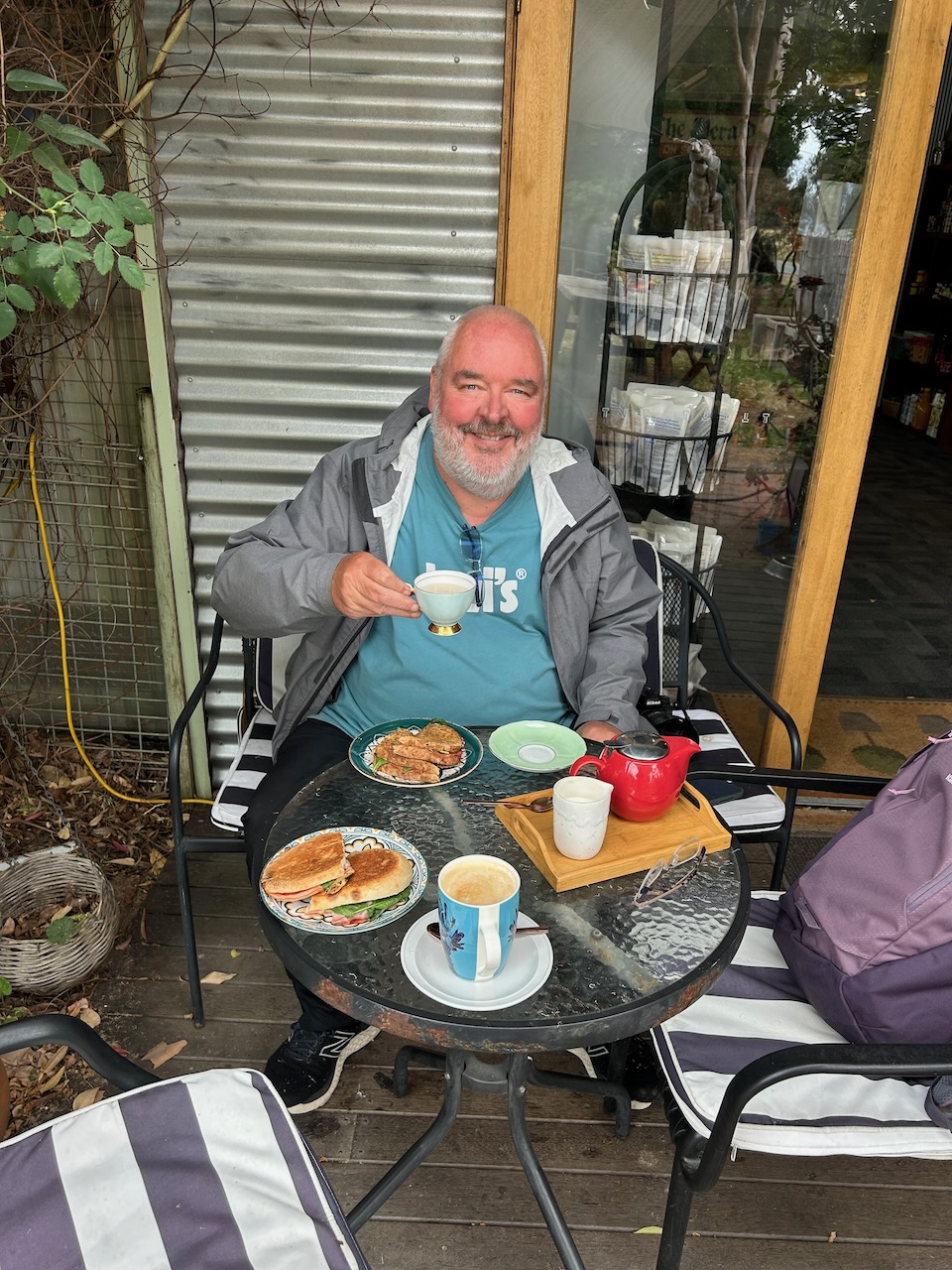
We stopped at Pomonal and had some lunch. Pomonal is a small town on the eastern side of the Grampians, about 21 km southwest of Stawell. During the 1890s orcharding became widespread in the area and the area was known as Pomona, the goddess of gardens and fruit. In 1927 the name was changed to Pomonal. (Victorian Places 2024)
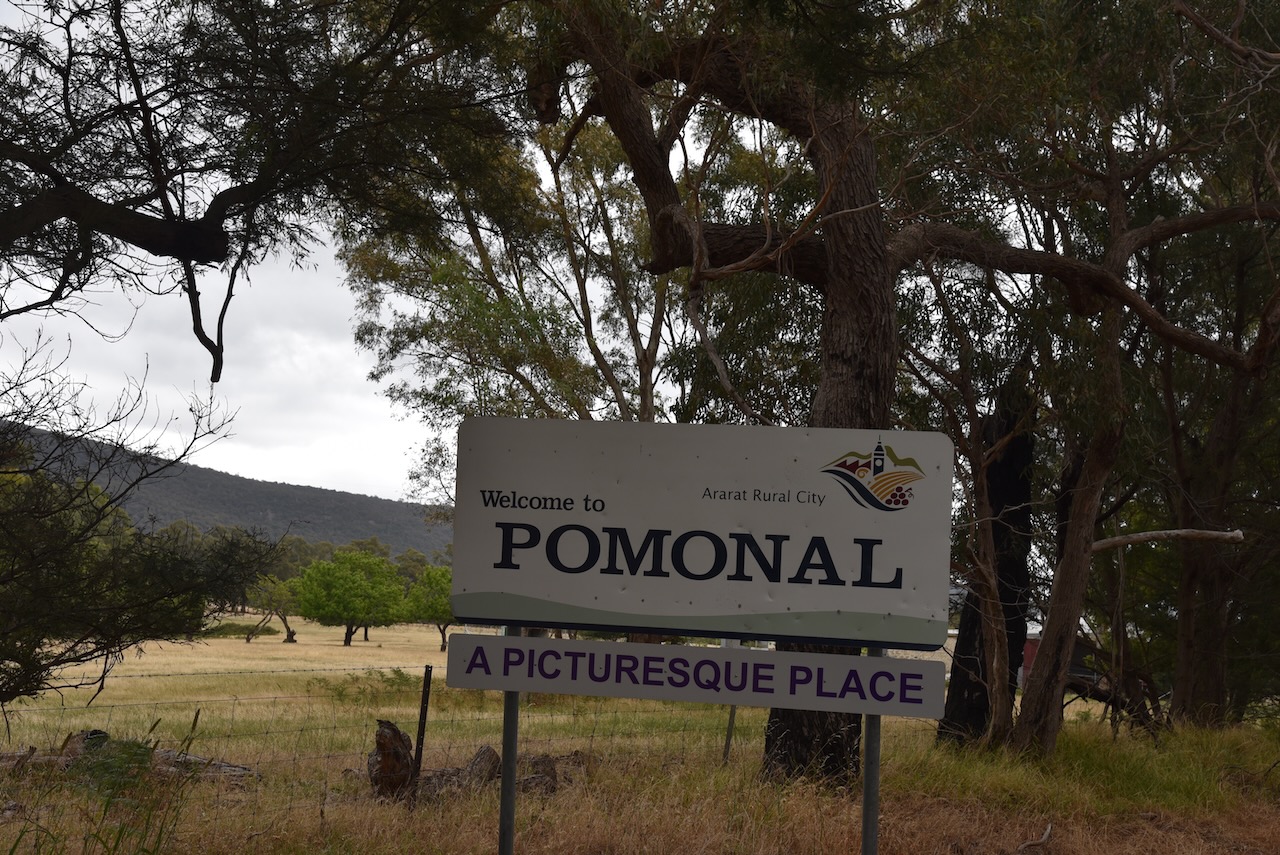

Sadly, this town was absolutely devastated during the recent Victorian bushfires. Over 50 homes were destroyed in Pomonal. Marija and I were very saddened to hear about this tragedy, and know someone from Pomonal who lost their home.
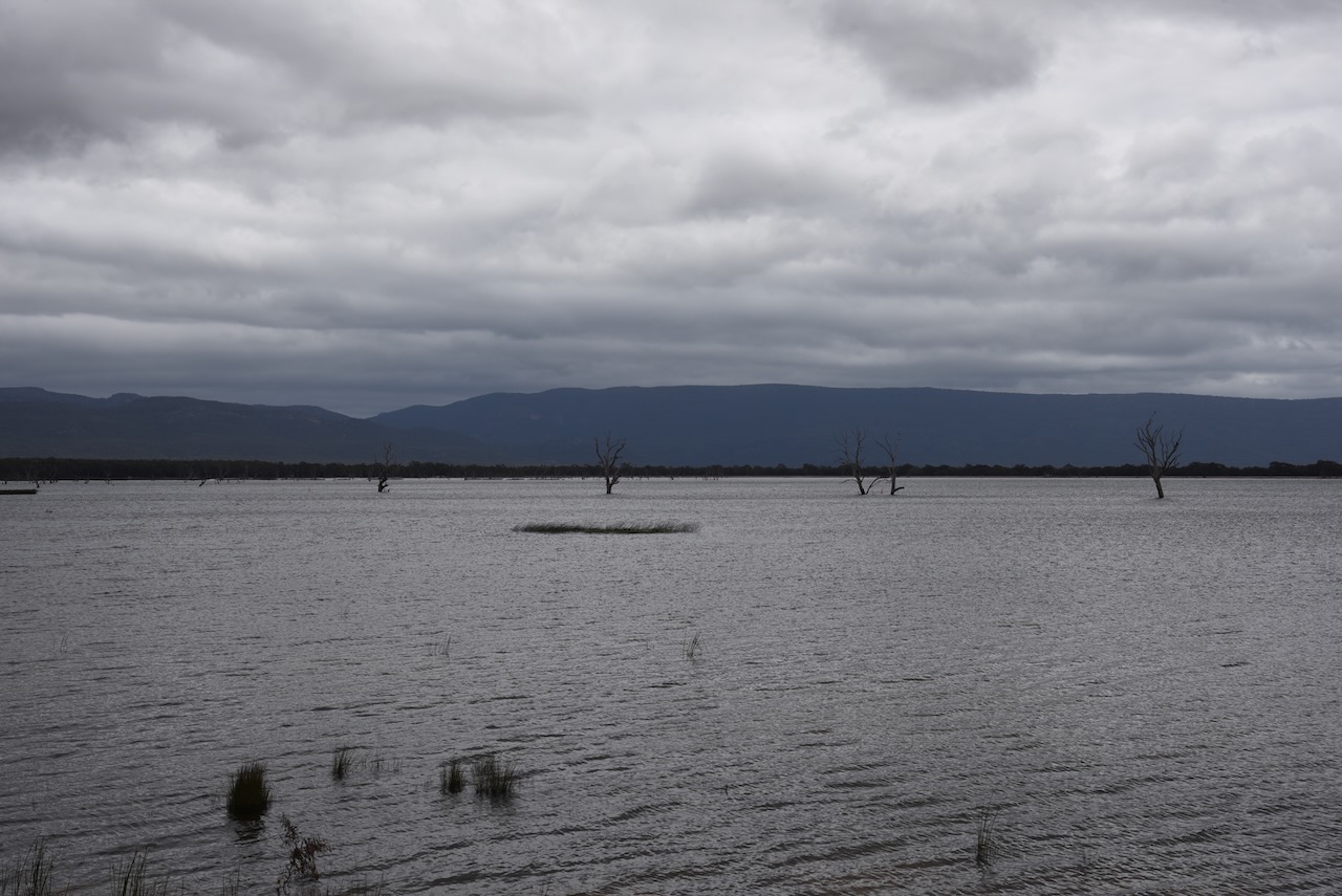
After leaving Pomonal, Marija and I visited Lake Fyans. It is a man-made lake and was constructed in 1916. It has a capacity of 1840 megalitres.


References.
Amateur Radio, Short Wave Listening, travel and history
Amateur radio experiences with VK1DA
Brisbane - Australia
german amateur radio station
Summits On The Air
SOTA on the peaks, wilderness QRP and some bushwalking
A fine WordPress.com site
Amateur Radio Adventures
Summits on the Ai
Amateur radio station from Belgium
Radio craft, homebrew, QRP/SOTA, AM
Ego loqui ad viros super montes
My adventures with Amateur Radio and Geocaching!
The rantings of VK2GAZ on his SOTA experiences in Australia
A survivor, with minor cuts and abrasions.
The Art and Craft of Blogging
The latest news on WordPress.com and the WordPress community.
Blog of Justin Giles-Clark VK7TW's SOTA and amateur radio adventures.
Occasional SOTA & Microwave operation
