
Our third activation for Saturday 2nd December 2023 was the Jallukar Nature Conservation Reserve VKFF-2115.
The reserve is about 25 km (by road) west of Ararat and about 231 km northwest of the city of Melbourne.
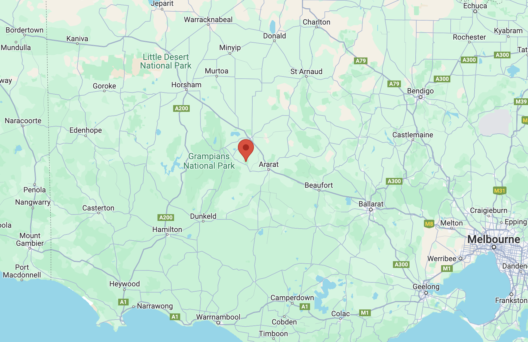
Above:- Map showing the location of the Jallukar NCR. Map c/o Google Maps.
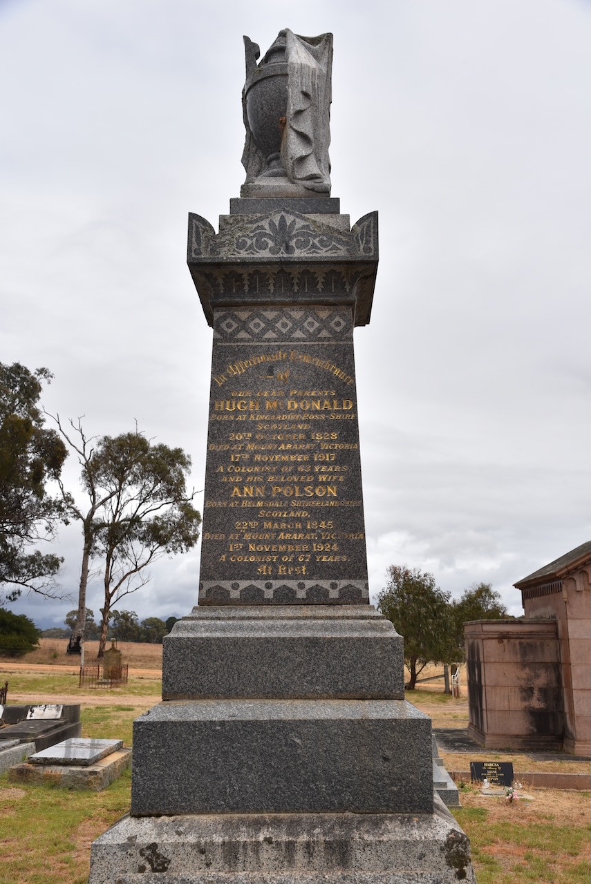
Before activating the park, Marija and I visited the Moyston cemetery.

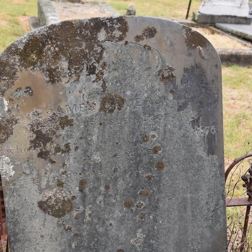


One of the interesting headstones in the cemetery is that of Hugh McDonald. He was born in 1834 in Kilmahalmah, Ross-Shire, Scotland, and emigrated to Australia in 1854 aboard the Tasmania. Upon his arrival in Australia, he commenced gold mining in Victoria. He subsequently purchased land at Mount Ararat known as Mount Ararat Estate. McDonald died in 1917 at the age of 83 years. (Find a Grave 2024)
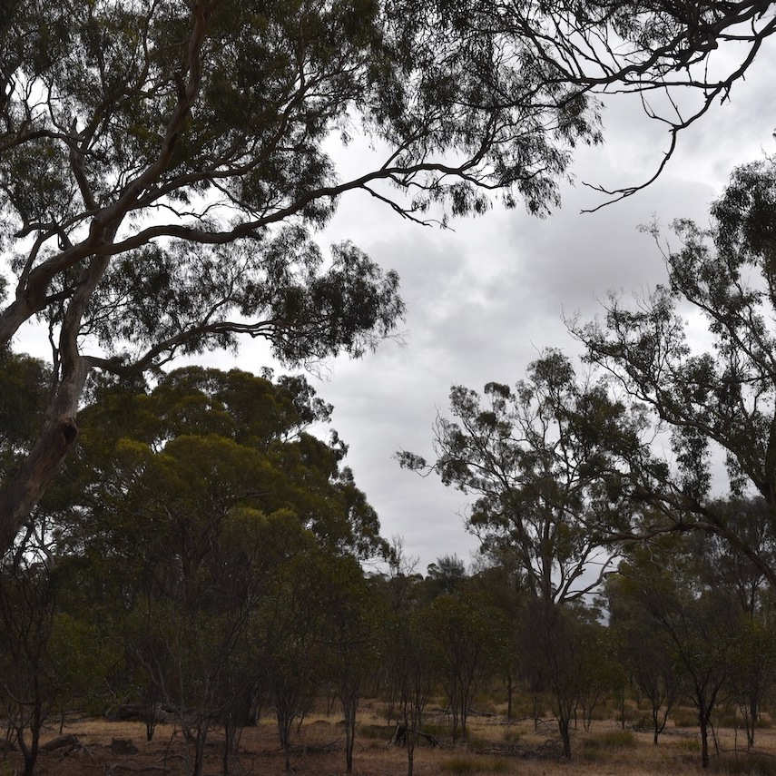
The Jallukar Nature Conservation Reserve is located on the northern side of Ararat-Halls Gap Road.

Above:- An aerial view of the Jallukar NCR. Image c/o Google Earth.
Jallukar is an aboriginal word for the valley between the Sierra and Victoria Ranges. The reserve is about 1,207 hectares in size and was established on the 26th day of February 2002. (Blake 1978) (CAPAD 2022)

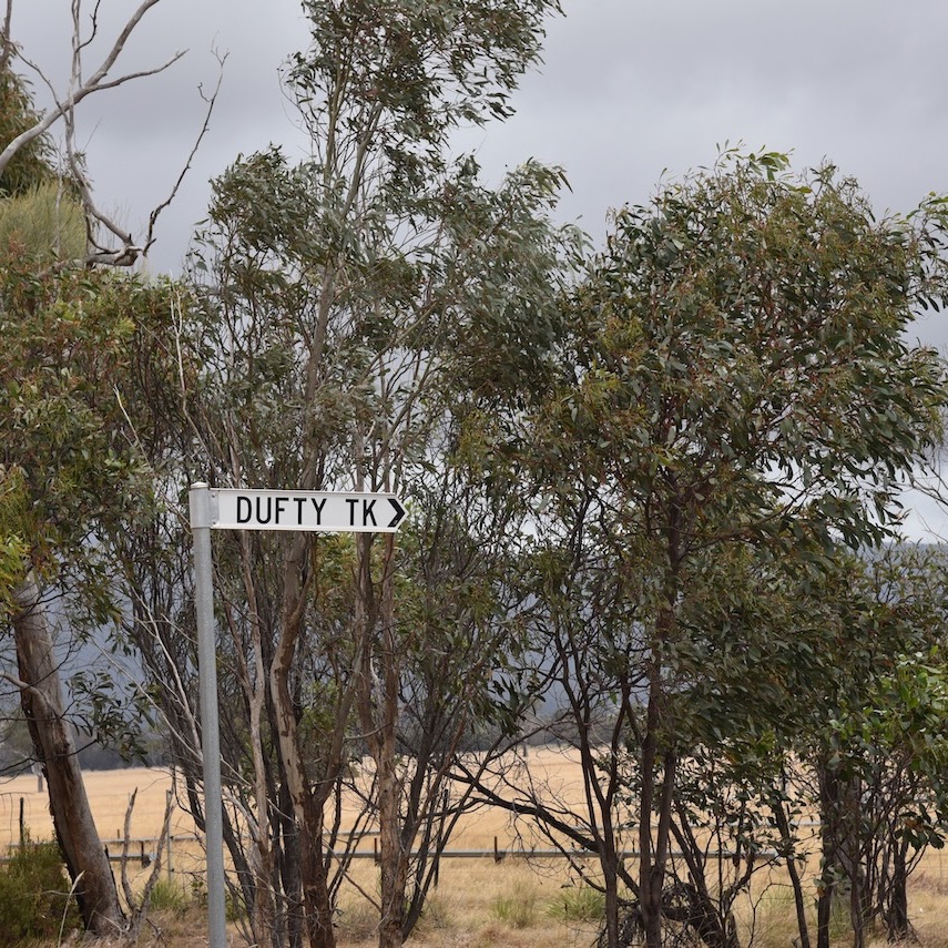

We accessed the park via Dufty Track. We ran the Yaesu FT857, 40 watts, and the 20/40/80m linked dipole. I used the special event callsign of VI10VKFF.
Marija worked the following stations on 40m SSB:-
- VK3PF
- VK3KAI
- VK3SQ
- VK2BD
- VK5HS
- VK2EM/p (Lake Innes State Conservation Area VKFF-1339)
- VK2OKR/p (Lake Innes State Conservation Area VKFF-1339)
- VK2AUS/p (Lake Innes State Conservation Area VKFF-1339)
- VK1AO
- VK2MET
- VK1ACE/p (Batemans Marine Park VKFF-1406)
I worked the following stations on 40m SSB:-
- VK3PF
- VK3KAI
- VK3SQ
- VK2BD
- VK5HS
- VK2EM/p (Lake Innes State Conservation Area VKFF-1339)
- VK2OKR/p (Lake Innes State Conservation Area VKFF-1339)
- VK2AUS/p (Lake Innes State Conservation Area VKFF-1339)
- VK5LA
- VK5KAW
- VK1AO
- VK2MET
- VK1ACE/p (Batemans Marine Park VKFF-1406)
- VK5FANA
- VK5DW
- VK2YK
- VK5GA
- VK2EXA
- VK2YAK
- VK4YAK
- VK4CEG/p
- VK1AAF
- VK3UH
I worked the following station on 20m SSB:-
- VK2IO/m
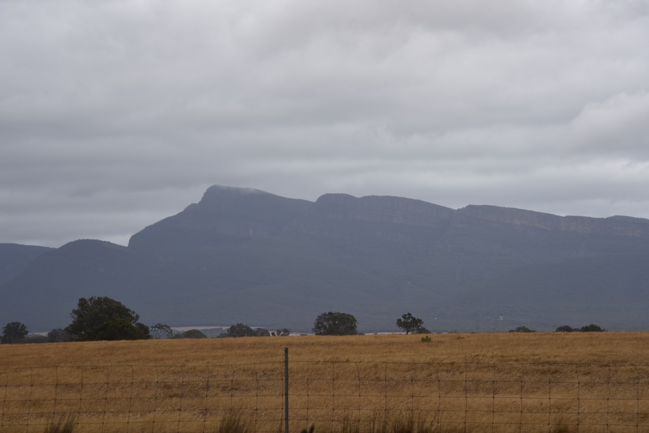
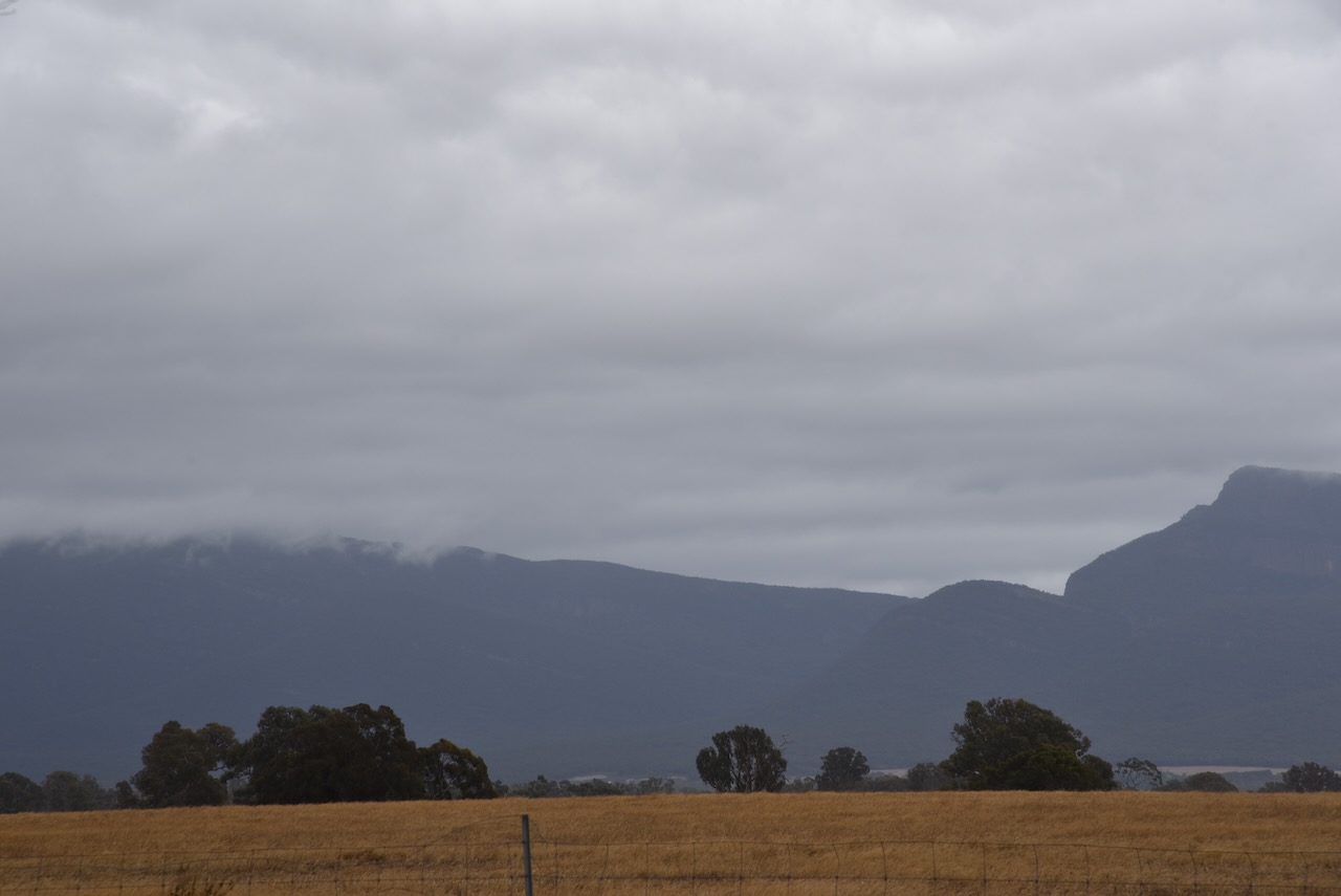
Marija and I packed up and headed to Pomonal. It was an overcast drizzly day, but there were still some nice views through the cloud of The Grampians National Park.
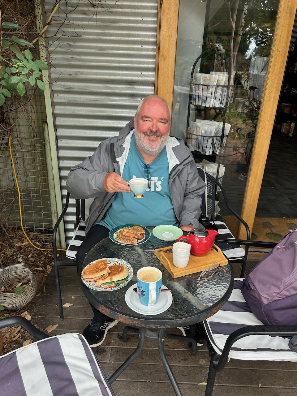
We stopped at Pomonal and had some lunch. Pomonal is a small town on the eastern side of the Grampians, about 21 km southwest of Stawell. During the 1890s orcharding became widespread in the area and the area was known as Pomona, the goddess of gardens and fruit. In 1927 the name was changed to Pomonal. (Victorian Places 2024)
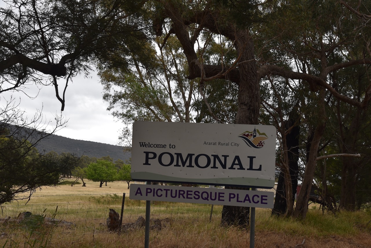

Sadly, this town was absolutely devastated during the recent Victorian bushfires. Over 50 homes were destroyed in Pomonal. Marija and I were very saddened to hear about this tragedy, and know someone from Pomonal who lost their home.
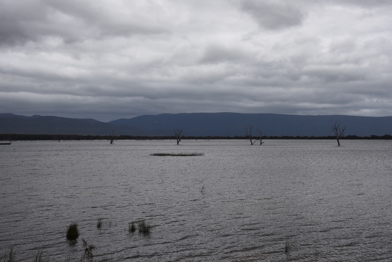
After leaving Pomonal, Marija and I visited Lake Fyans. It is a man-made lake and was constructed in 1916. It has a capacity of 1840 megalitres.


References.
- Dcceew.gov.au. (2023). Collaborative Australian Protected Areas Database (CAPAD) 2022 – DCCEEW. [online] Available at: https://www.dcceew.gov.au/environment/land/nrs/science/capad/2022 [Accessed 3rd May 2024].
- Leslie James Blake, 1978, Place Names of Victoria.
- http://www.victorianplaces.com.au. (n.d.). Pomonal | Victorian Places. [online] Available at: https://www.victorianplaces.com.au/pomonal [Accessed 3 May 2024].
- http://www.findagrave.com. (n.d.). Hugh McDonald (1828-1917) – Find a Grave Memorial. [online] Available at: https://www.findagrave.com/memorial/147126211/hugh-mcdonald [Accessed 3 May 2024].
