
Our third activation for Sunday 3rd December 2024 was the Kakee silo VK-KLE3. Kalkee is located about 19 km north of Horsham and about 317 km northwest of the city of Melbourne.
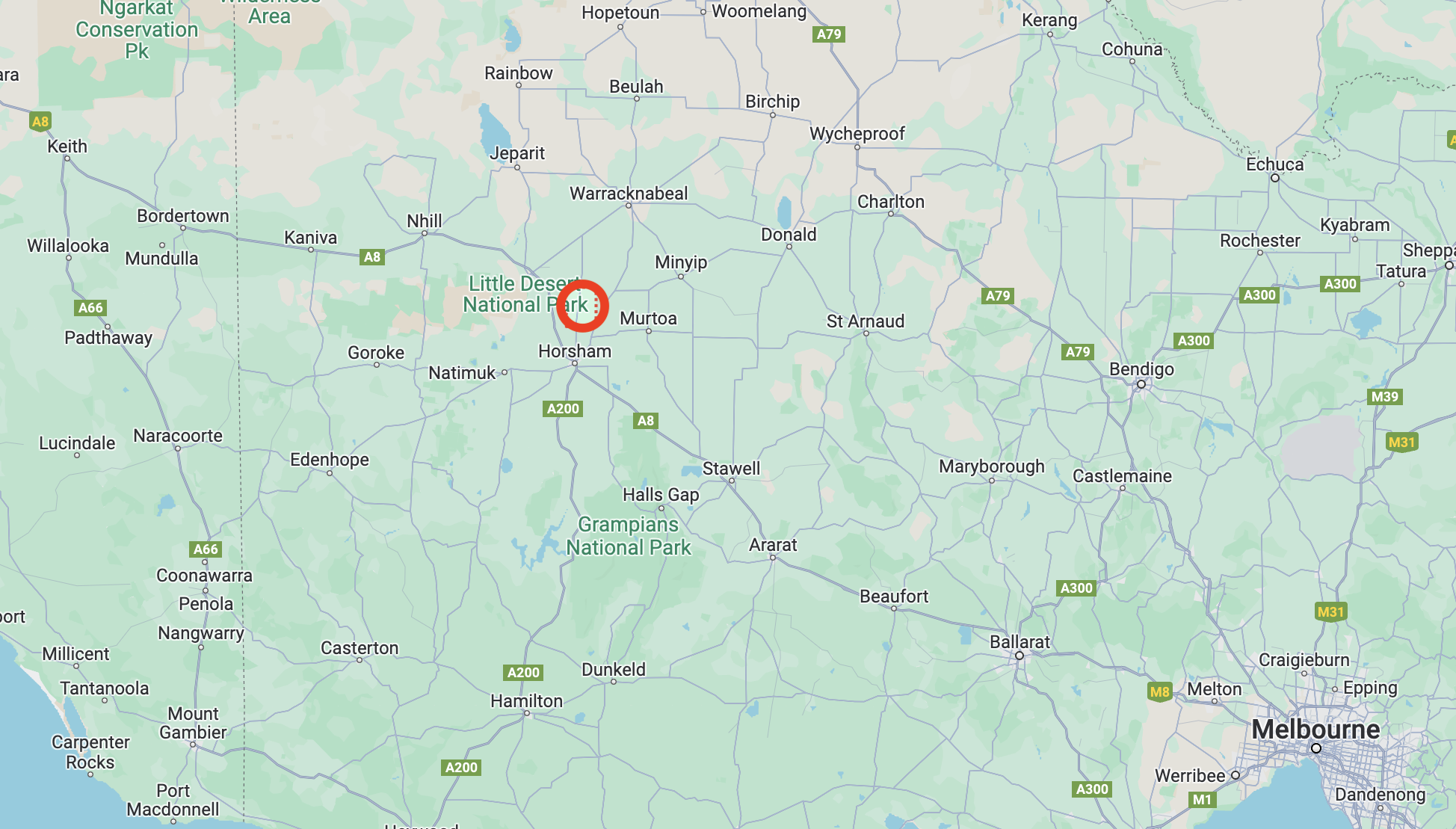
Above:- Map showing the location of Kalkee. Map c/o Google Maps.
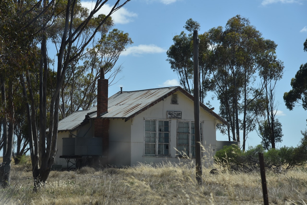
Kalkee is derived from an aboriginal word gulke or kalk meaning bone or wood. It has been suggested that the name came from a reference to the buloke and eucalyptus trees that grew on the surrounding plain. The Kalkee district was taken up for farm selections during the 1870s. In 1877 a school was opened and a Wesleyan chapel was built. (Victorian Places 2024)
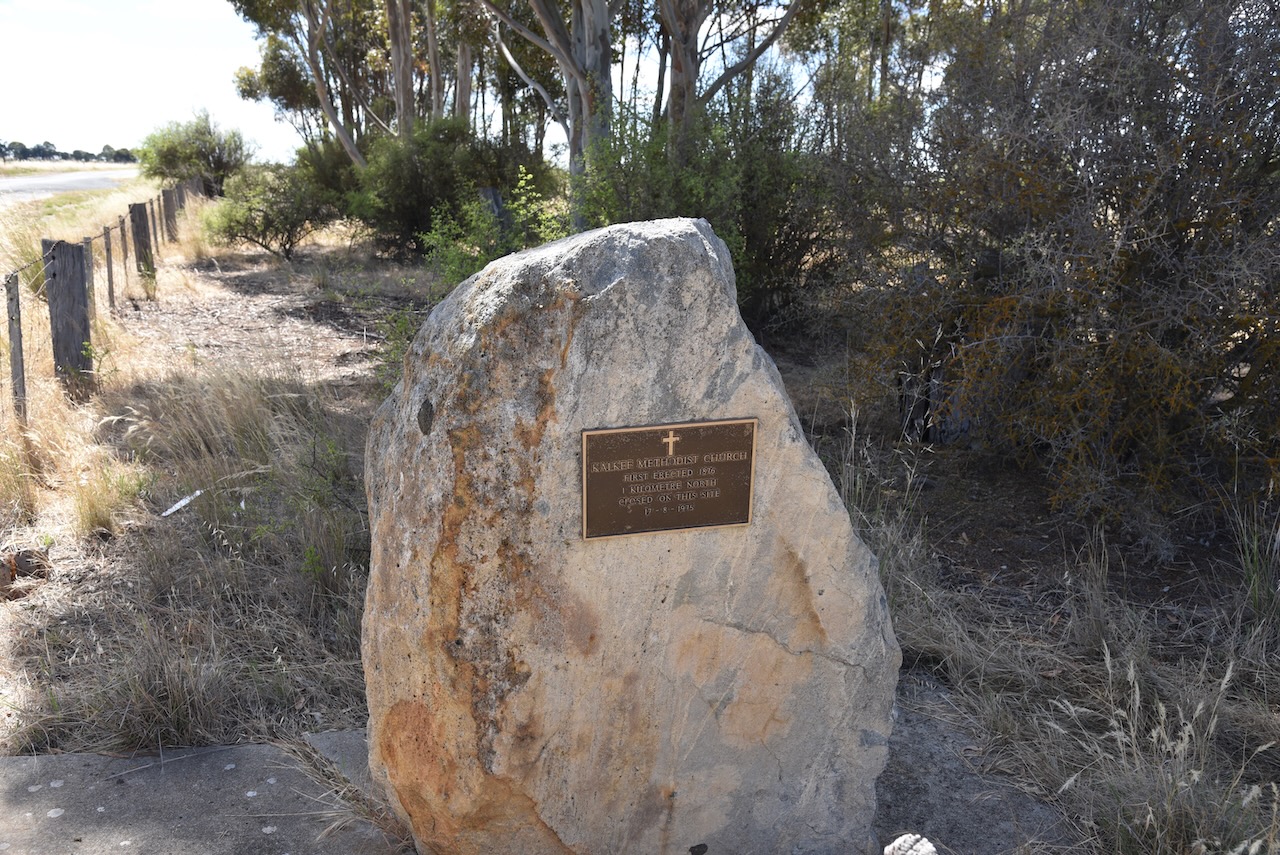
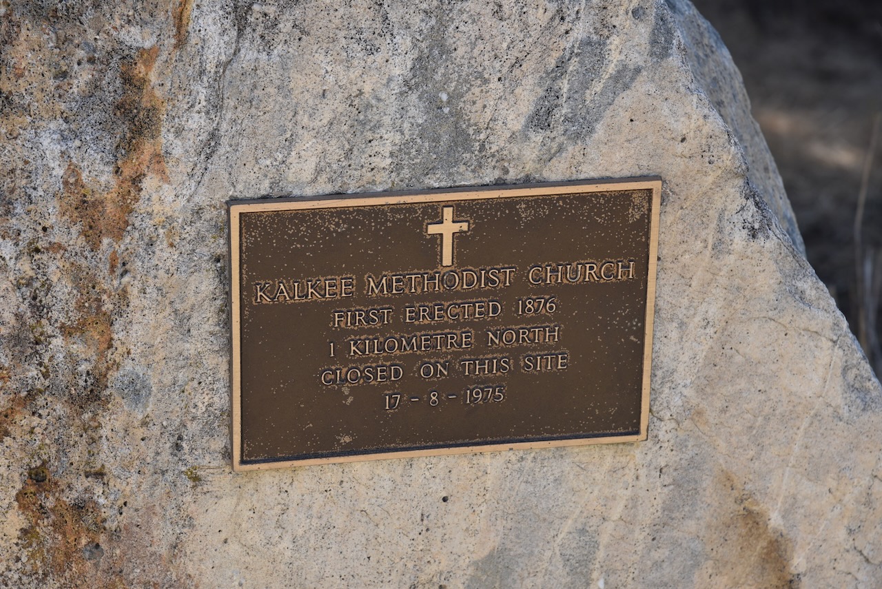
There is a monument for the Kalkee Methodist Church that was erected in 1876 and closed in August 1975.
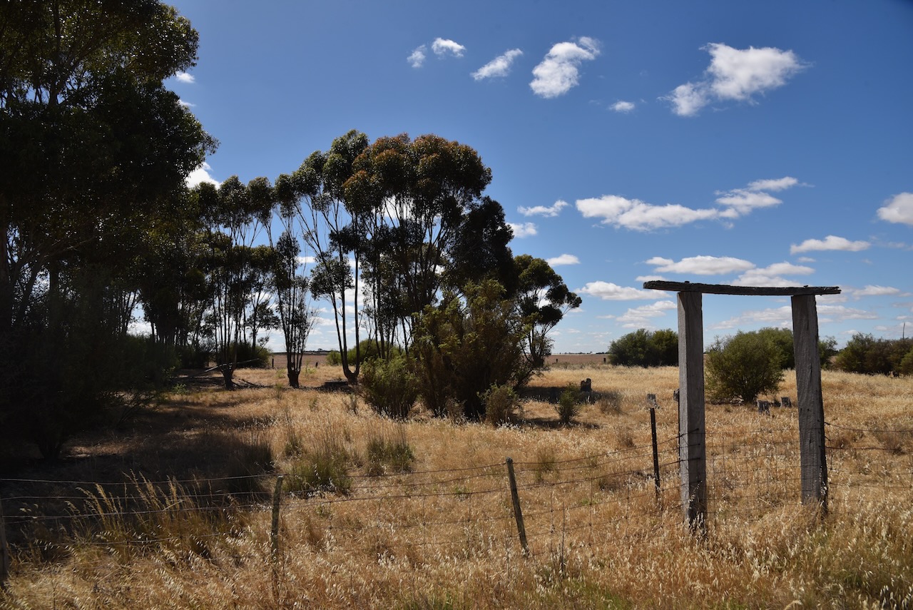
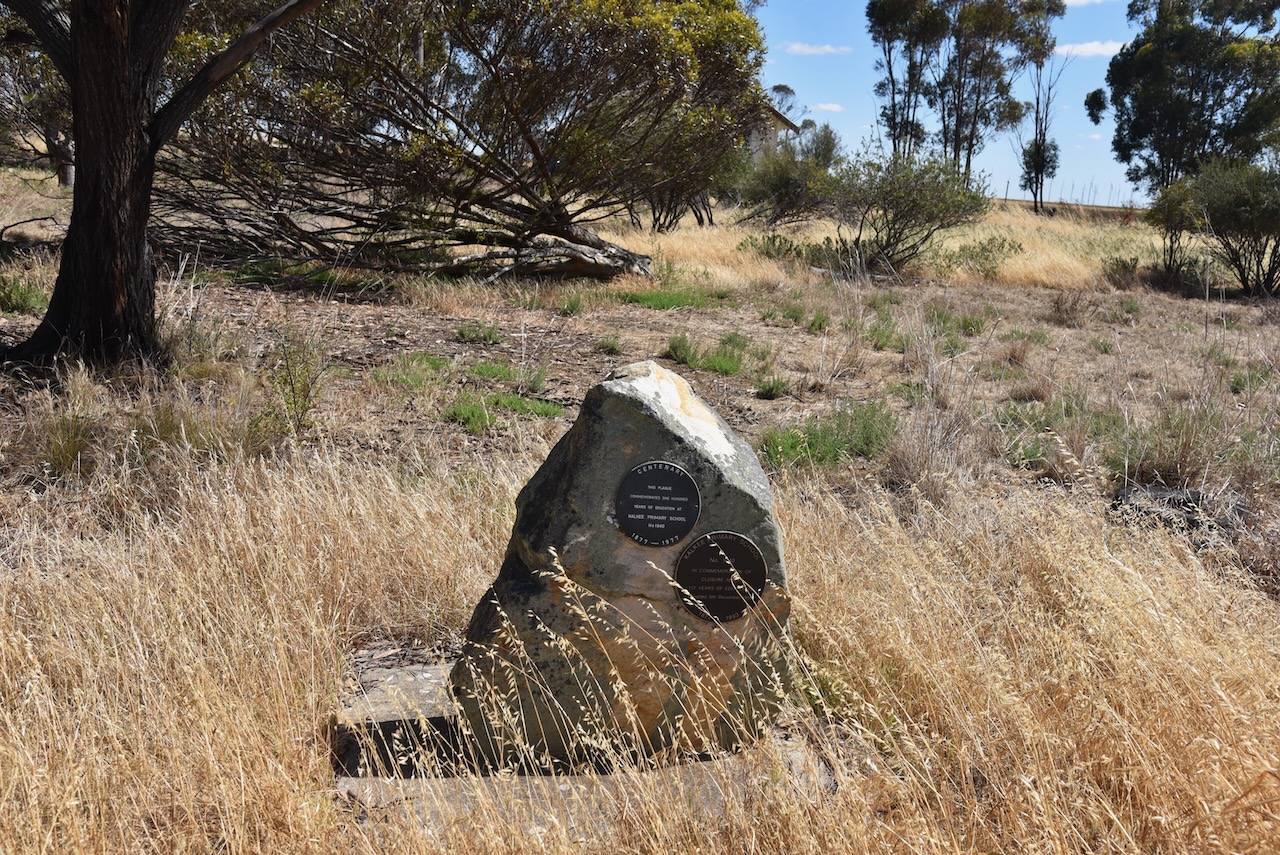
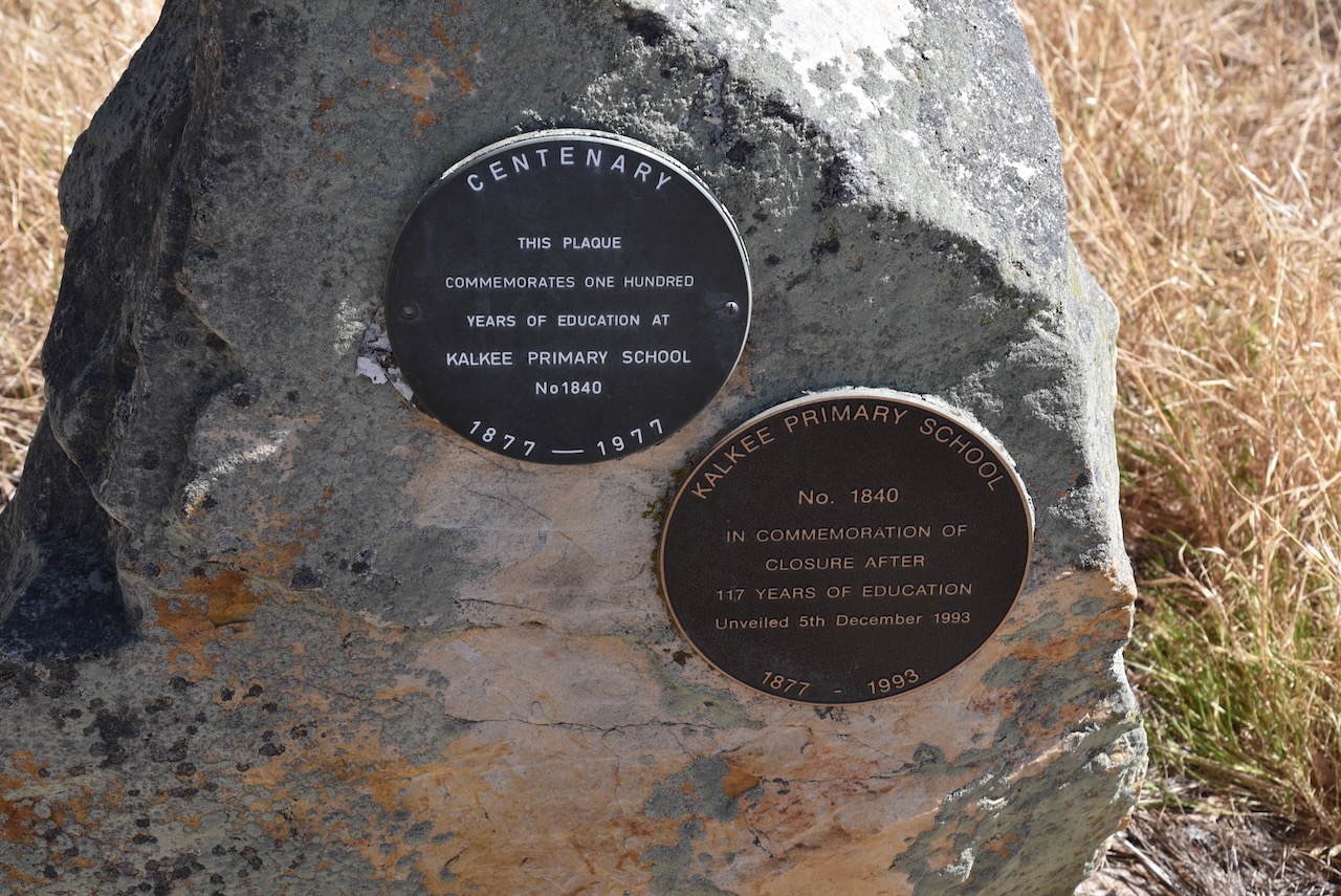
There is also a monument for the Kalkee Primary School No. 1840 which operated from 1877 to 1993.

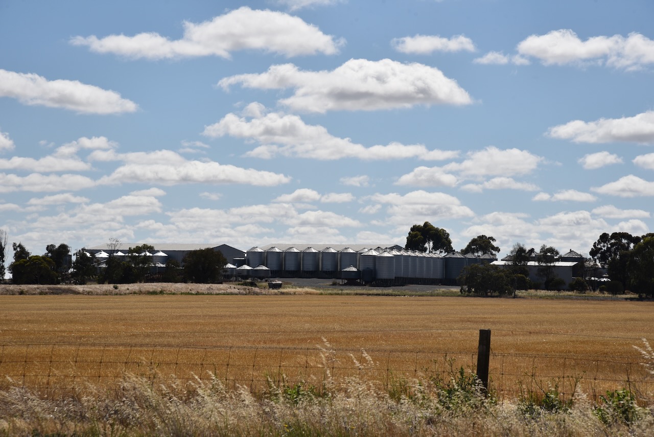
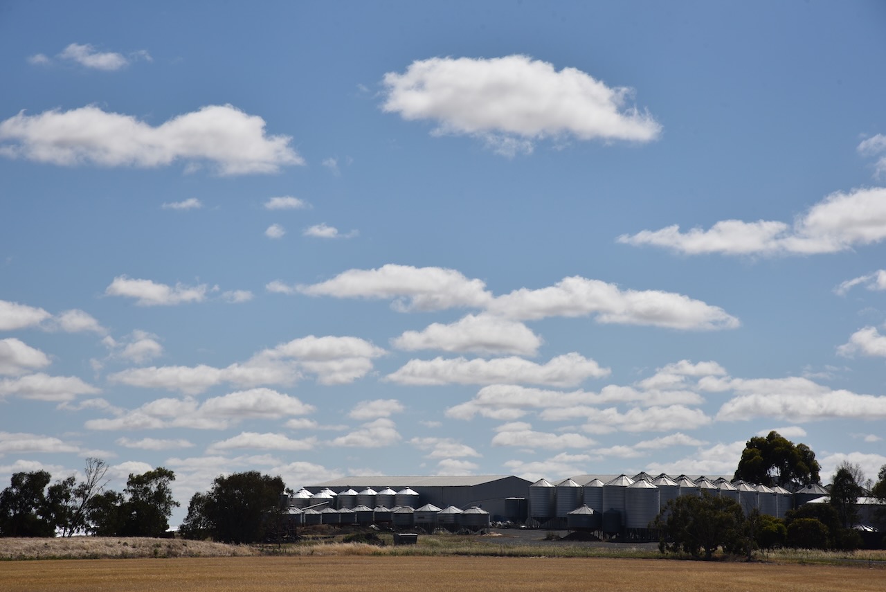
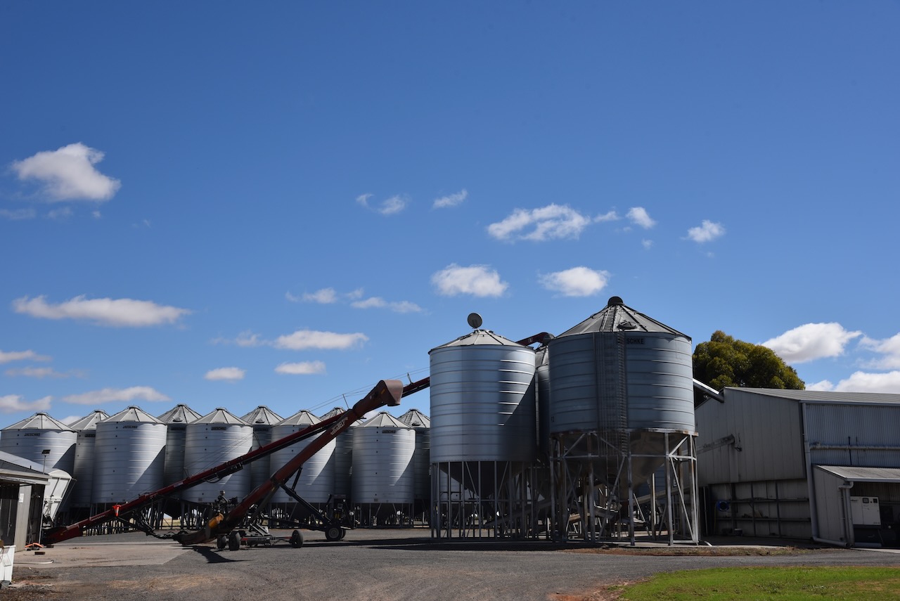
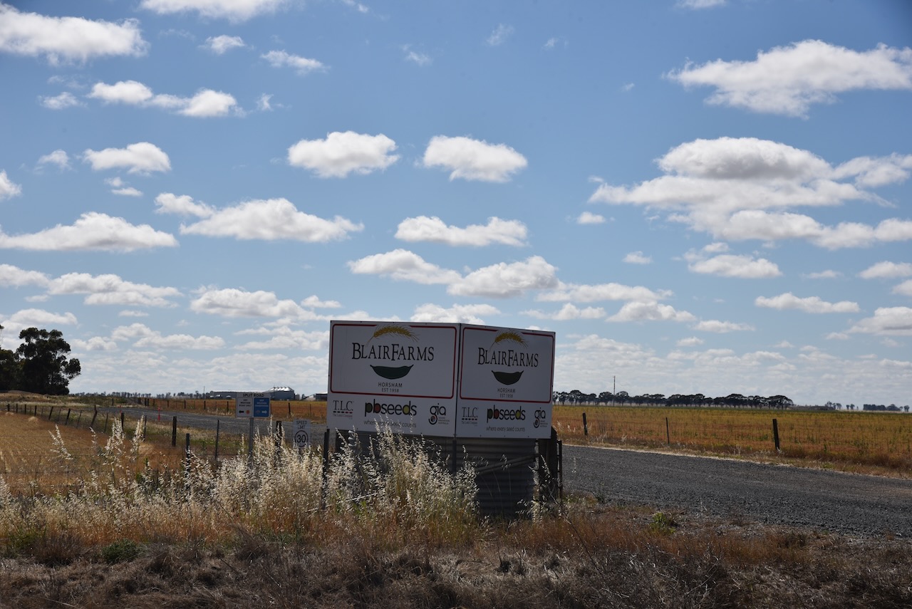
The Kalkee silos are part of Blair Farms.
Marija and I parked on Finlaysons Road and operated from the 4WD. We ran the Icom IC-7000, 100 watts, and the Codan 9350 antenna with the 1.5 metre stainless steel whip.
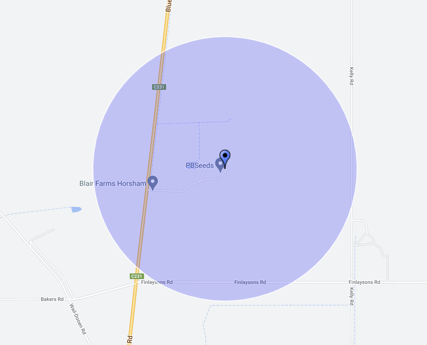
Above:- Map showing the activation zone at the Kalkee silo. Image c/o SiOTA website.
Marija worked the following stations on 40m SSB:-
- VK3PF
- VK2EXA
- VK3ZPF
I worked the following stations on 40m SSB:-
- VK3PF
- VK2EXA
- VK3ZPF
- VK1CHW
- VK3ZK/p (Wilsons Promontory Marine National Park VKFF-0956)
- VK3TBR
- VK3CLD
- VK3OAK
- VK2USH
I worked the following stations on 20m SSB:-
- VK2IO
- VK4JJ
References.
- Leslie James Blake, 1978, Place Names of Victoria.
- http://www.victorianplaces.com.au. (n.d.). Kalkee | Victorian Places. [online] Available at: https://www.victorianplaces.com.au/kalkee [Accessed 3 May 2024].
