
Our next activation for 1st November 2023, was the Mount William Creek Streamside Reserve VKFF-3801. The reserve is about 7 km northwest of the town of Moyston and about 226 km northwest of the city of Melbourne.
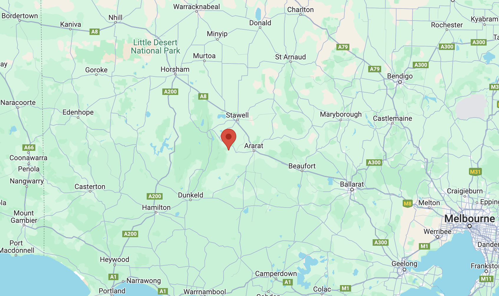
Above:- Map showing the location of Mt William Creek Streamside Reserve. Map c/o Google Maps.
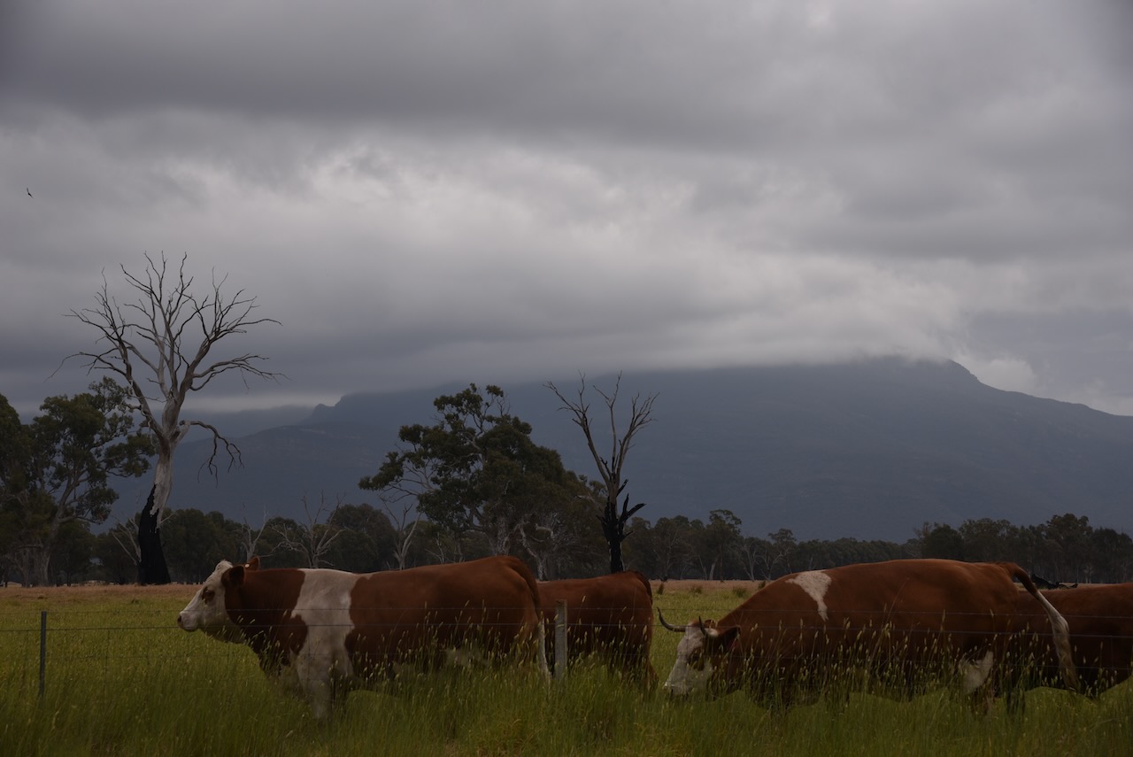
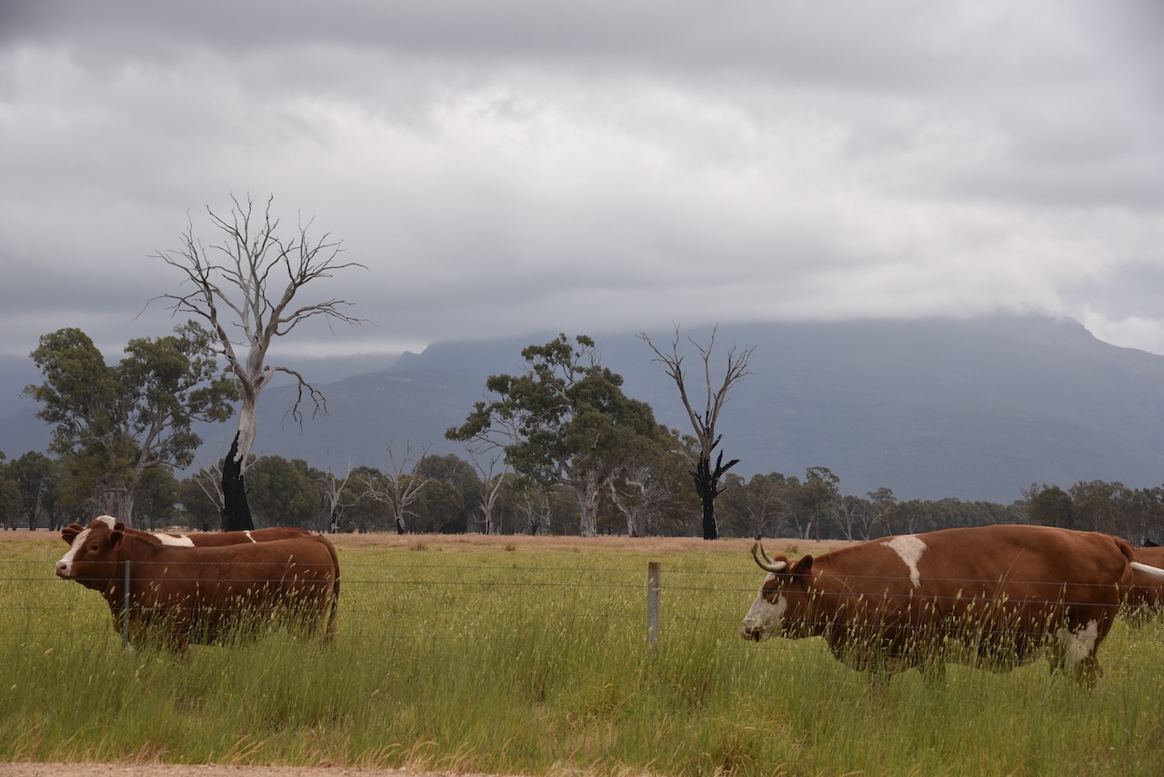
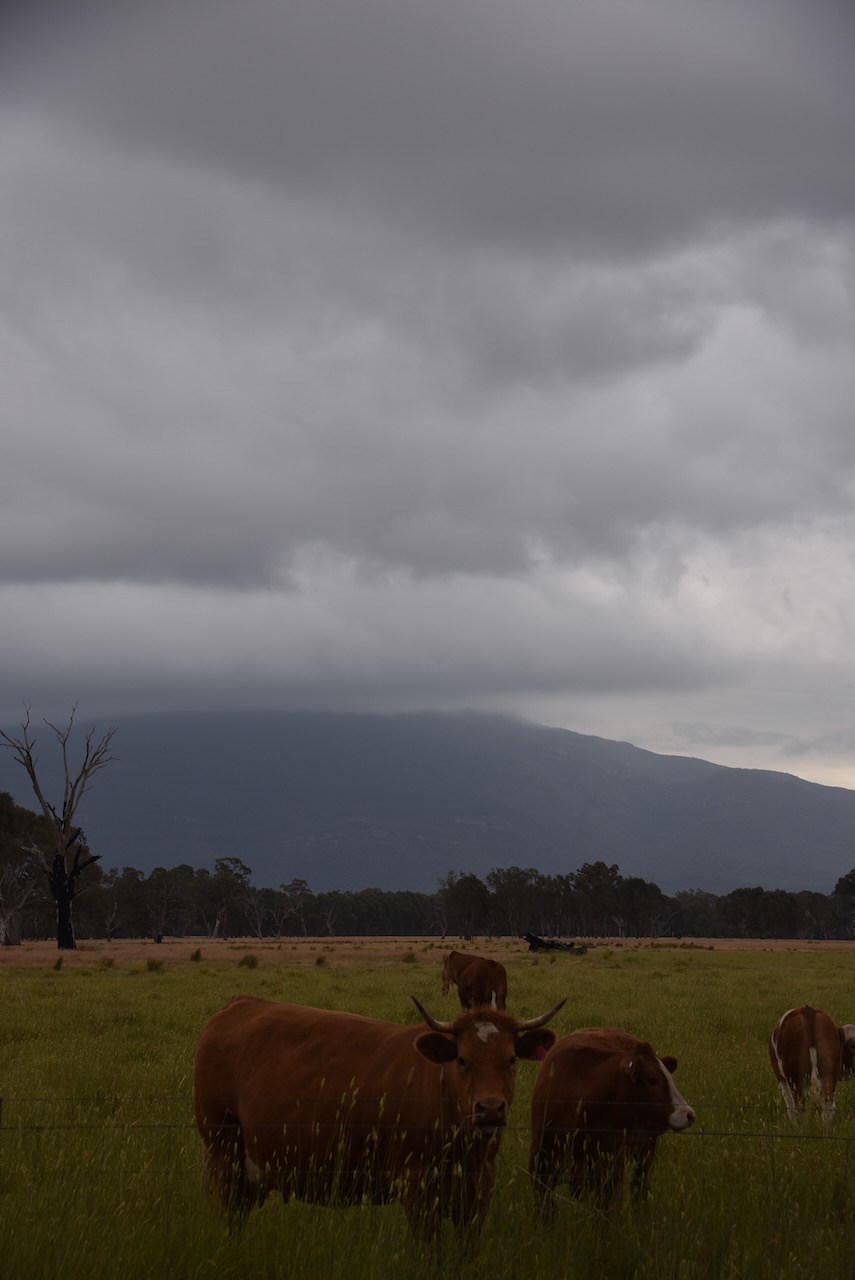
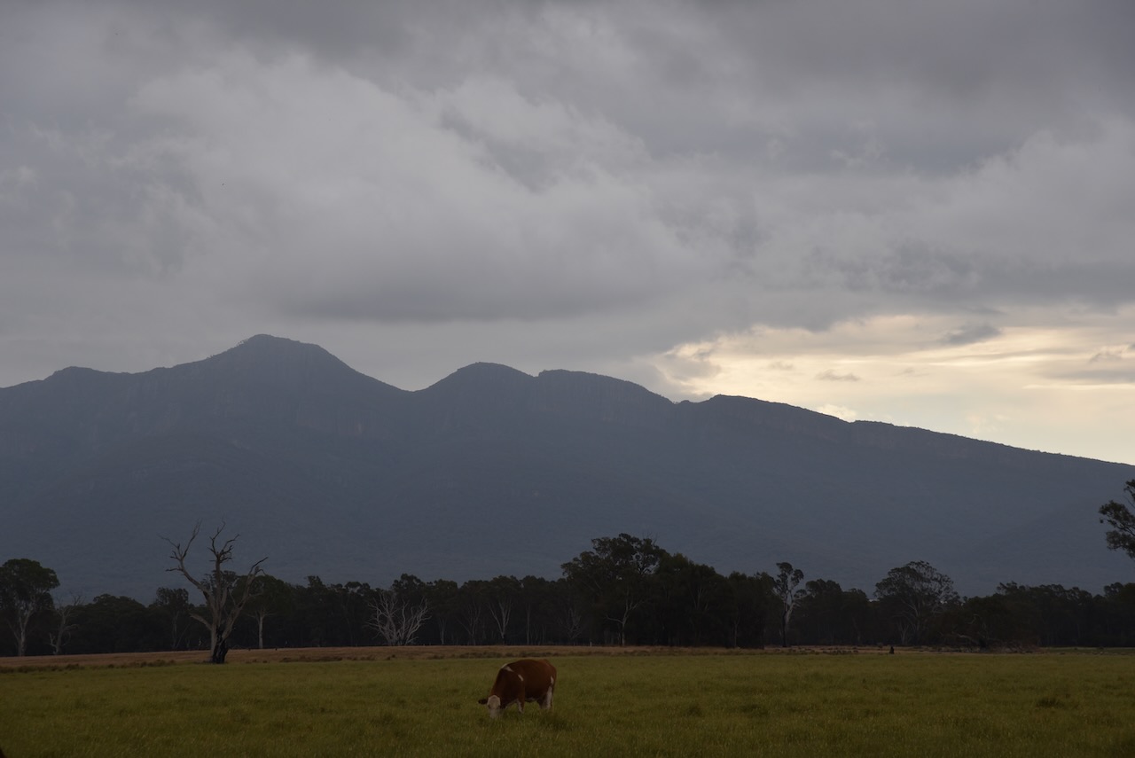
Mount William (Mount Duwul) is the highest point in the Grampians (Gariwerd) National Park at 1,167 metres. Explorer Major Thomas Mitchell climbed the mountain in July 1836 and named it Mount William in honour of King WIlliam IV. (Blake 1978) (Visit Grampians 2024)
The Grampians National Park is known by the Jardwadjali aboriginal people as Gariwerd. The park is 167,219 hectares in size and was proclaimed a national park on the 1st day of July 1984. Major Mitchell first referred to the Grampians as the Coast Mountains and in July 1836 he referred to them as the Gulielmian Mountains after William IV of the UK. Members of Mitchell’s party referred to the mountains as Gulielmean, Gulielman, and the Blue Gulielmean Mountains. Later in 1836 Mitchell referred to them as The Grampians after the Grampian Mountains in his native homeland of Scotland. (Places Names 2021) (Wilkie 2020)
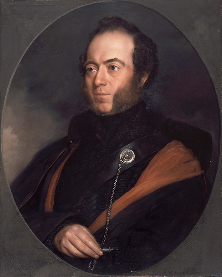
Above:- Major Mitchell. Image c/o Wikipedia.
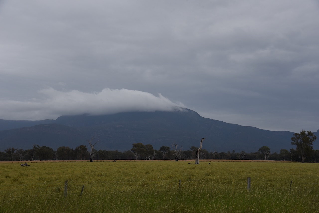
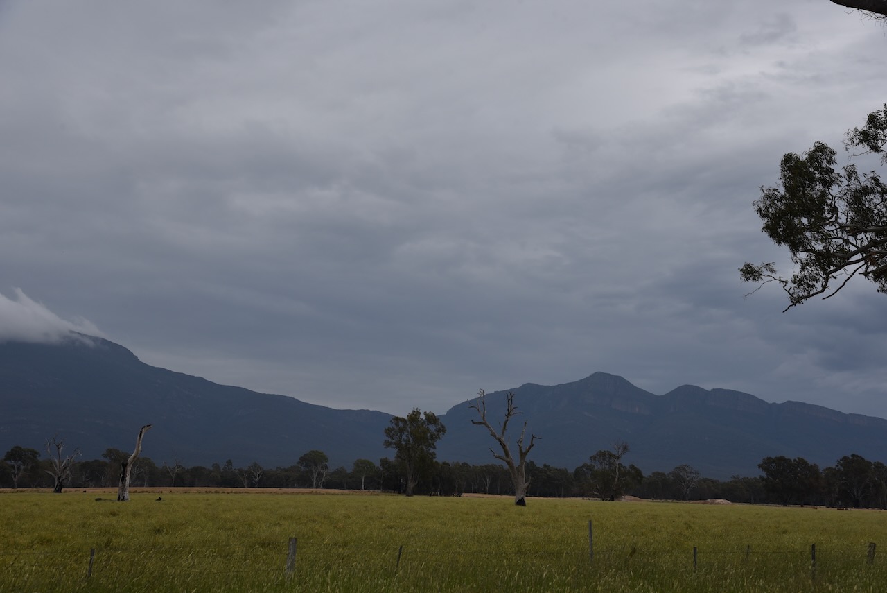
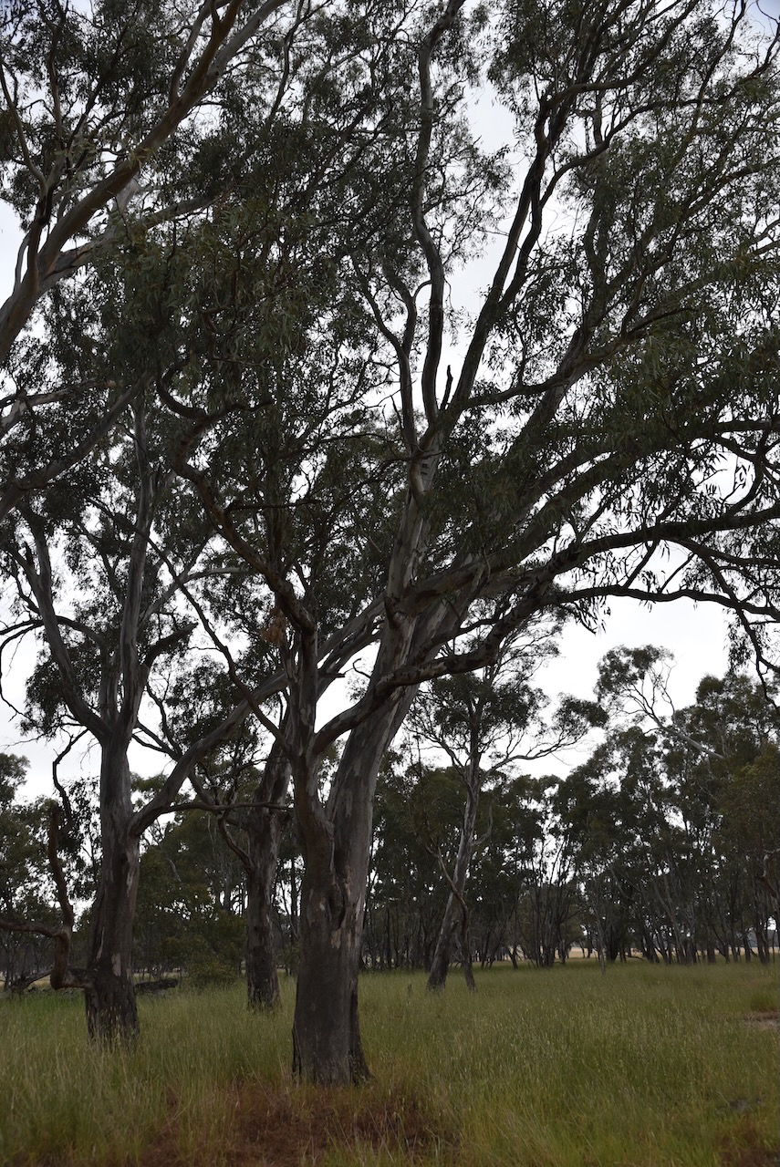
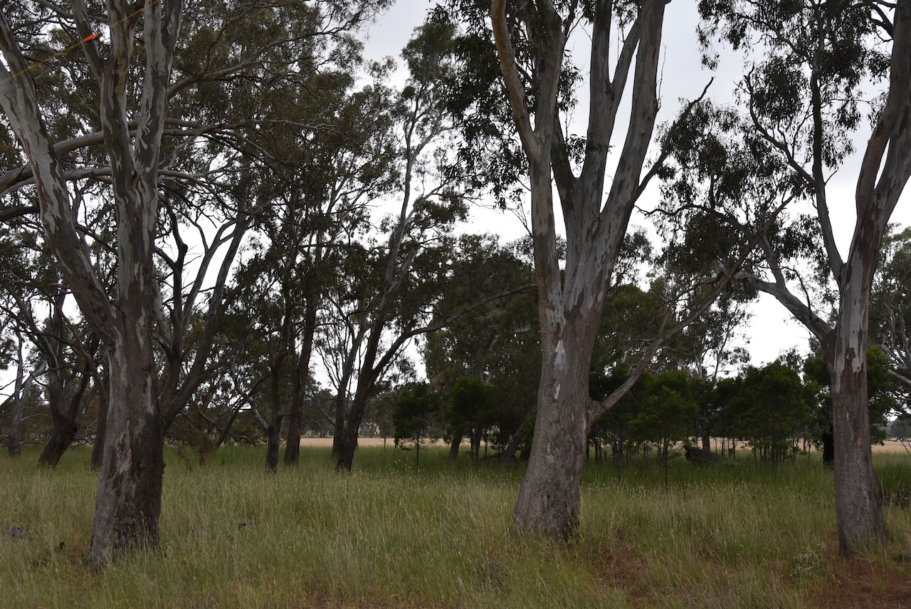
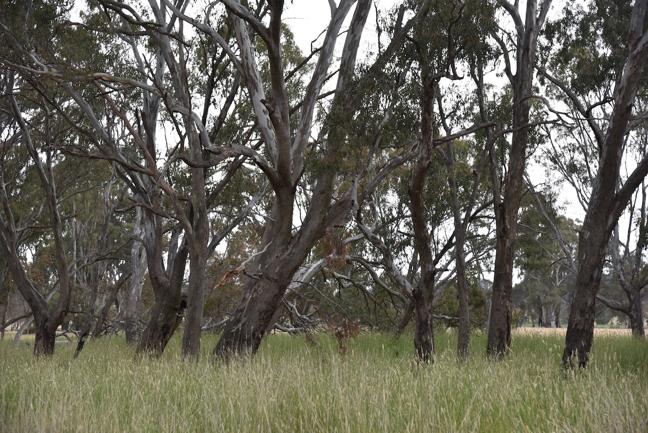
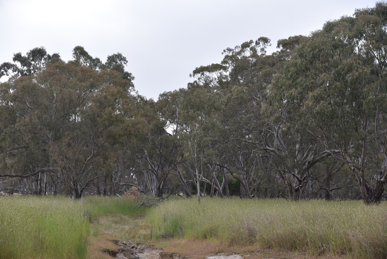
It was an overcast and stormy day, but Marija and I still enjoyed some nice views of Mount William and The Grampians from our operating spot in the reserve.
The reserve is located along the Moyston West Road.
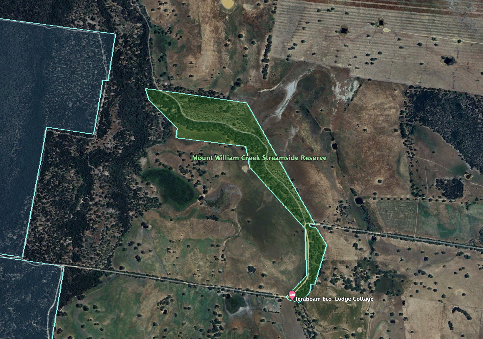
Above:- An aerial view of the Mount William Creek Streamside Reserve. Image c/o Google Earth.
The reserve is about 38 hectares in size and was established on the 22nd day of November 1983. Although called the Mount William Creek Streamside Reserve, Mount William Creek does not flow through the park. Mount William Creek is just to the west. A tributary of Mount WIlliam Creek, Reservoir Creek flows through the reserve. (CAPAD 2022)
We ran the Yaesu FT857, 40 watts, and the 20/40/80m linked dipole for this activation. I used the special call of VI10VKFF to celebrate the 10 year anniversary of the World Wide Flora Fauna (WWFF) program in Australia.
Marija worked the following stations on 40m SSB:-
- VK3PF
- VK3KAI
Marija worked the following stations on 40m AM:-
- VK3PF
- VK3KAI
- VK3DJC
- VK5HS
- VK2EXA
- VK3SG
- VK3CLD/p
- VK3BWS
I worked the following stations on 40m SSB:-
- VK3PF
- VK3KAI
- VK2EXA
- VK7PSJ
- VK3SG
- VK3BBB
- VK2CCP
- VK2USH
- VK3CLD/p
- VK3OY/p
- VK5TN
- VK3DJC
- VK3PWG
- VK3VIN
- VK1AO
- VK22MET
- VK5KLV
- VK3BWS
- VK7EE
- VK3ABI
- KG5CIK
- VK4HMI
- VK4EMP
- VK4TWI
- VK3HQZ
- KG8P
- VK3UAO
- VK3SPG
- VK3CEO
- VK5AKB
- VK5AE
I worked the following stations on 40m AM:-
- VK3PF
- VK3KAI
- VK3DJC
- VK5HS
- VK2EXA
- VK3SG
- VK3CLD/p
- VK3BWS
- VK2USH
- VK3UAO
I worked the following stations on 20m SSB:-
- VK4EMP
- VK4TI
- SQ9CWO
- IK4IDF
- KG5CIK
- KG8P
- I4RHP
- IW2NXI
- OH6GAZ
- IK1GPG
- IW2BNA
- UT5PI
- IK4IDF
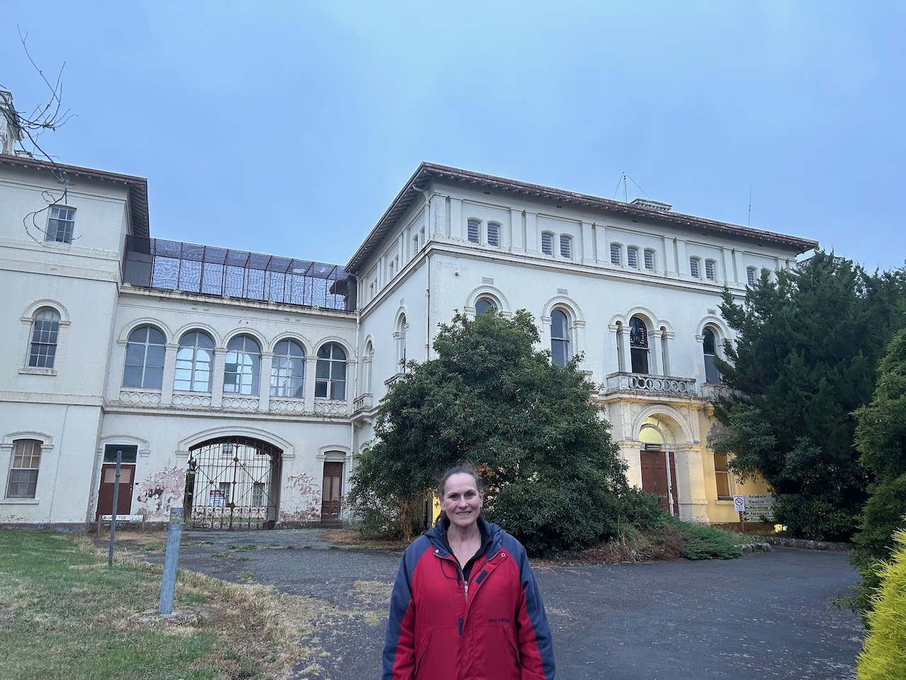
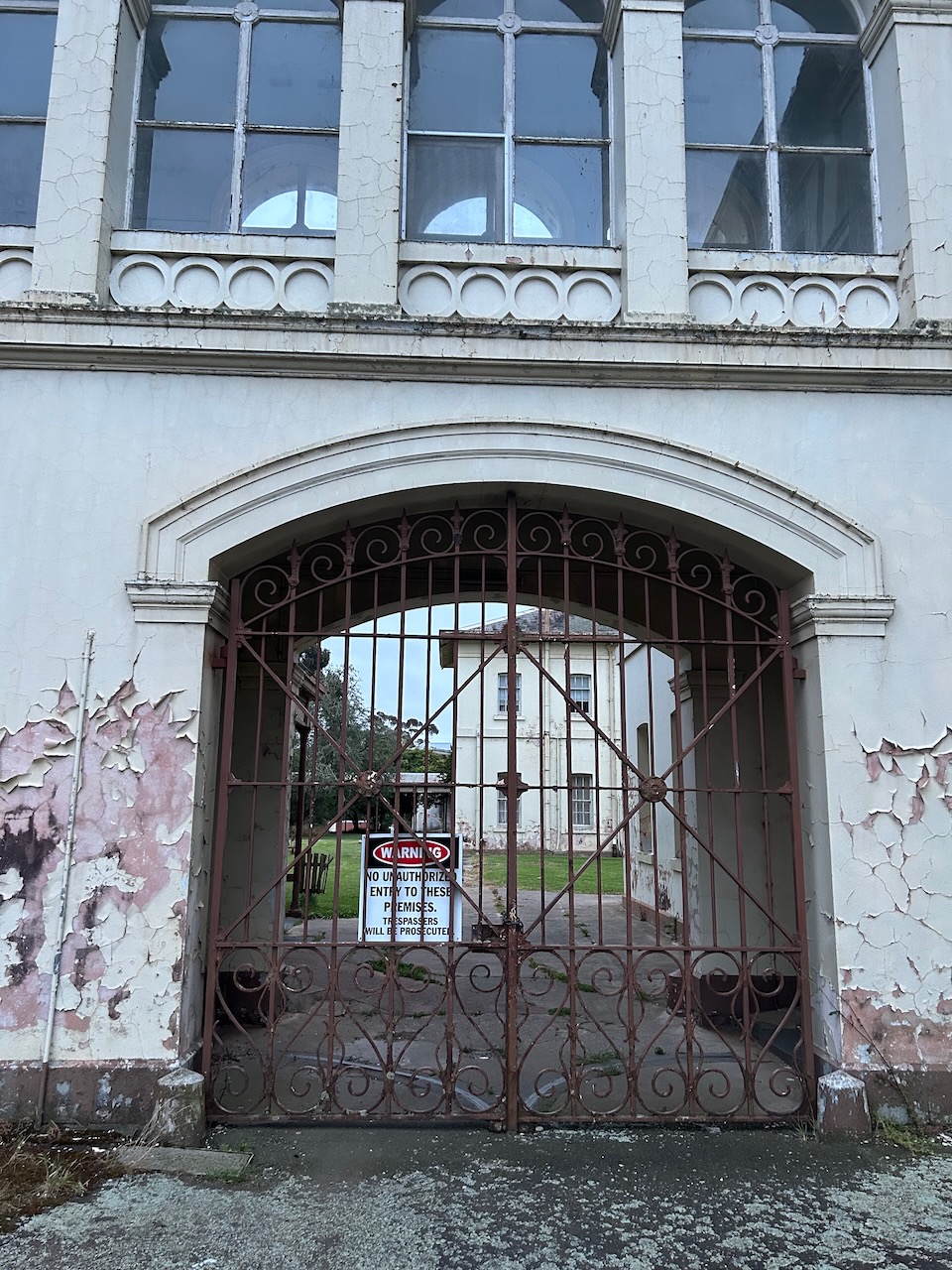
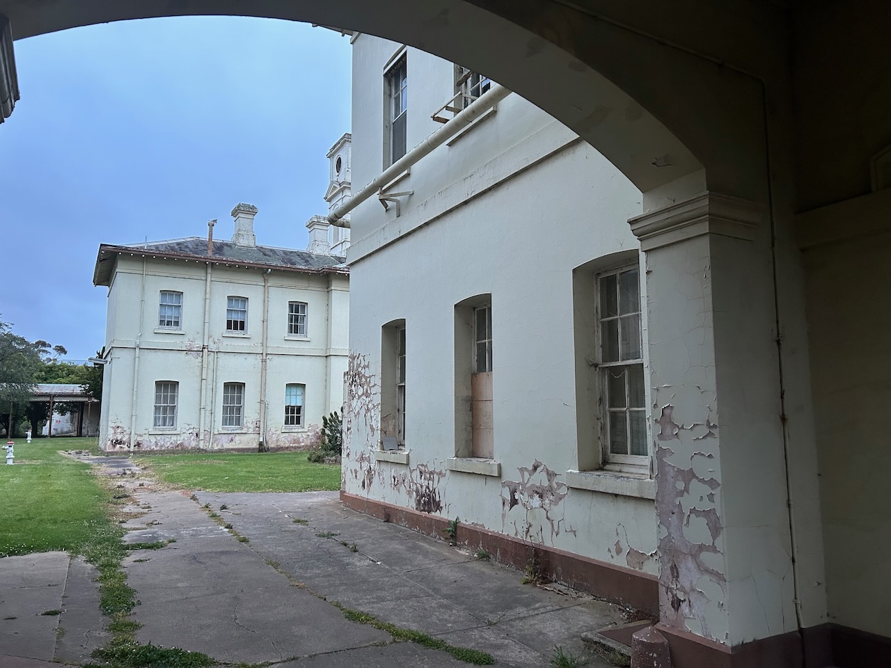
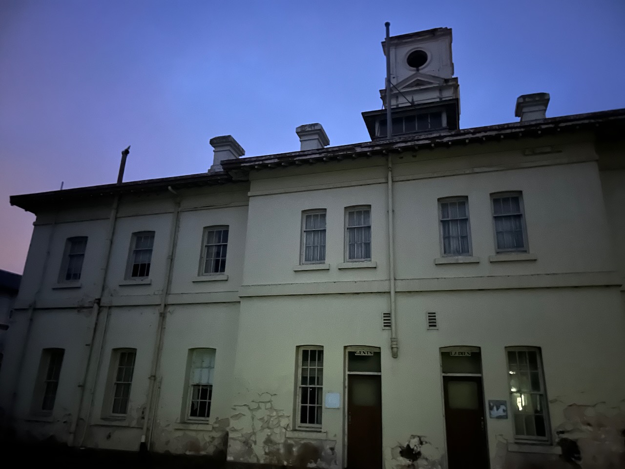
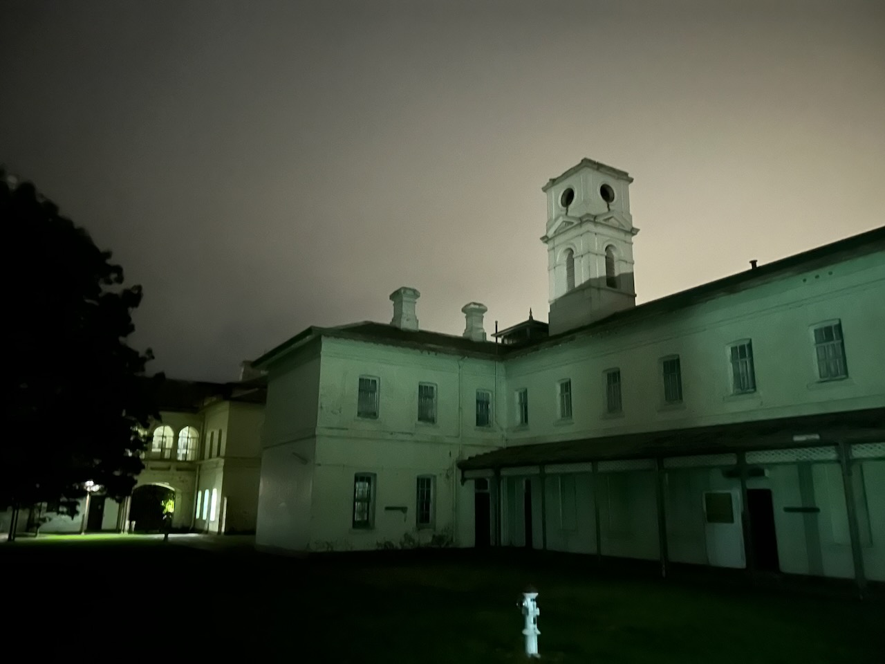
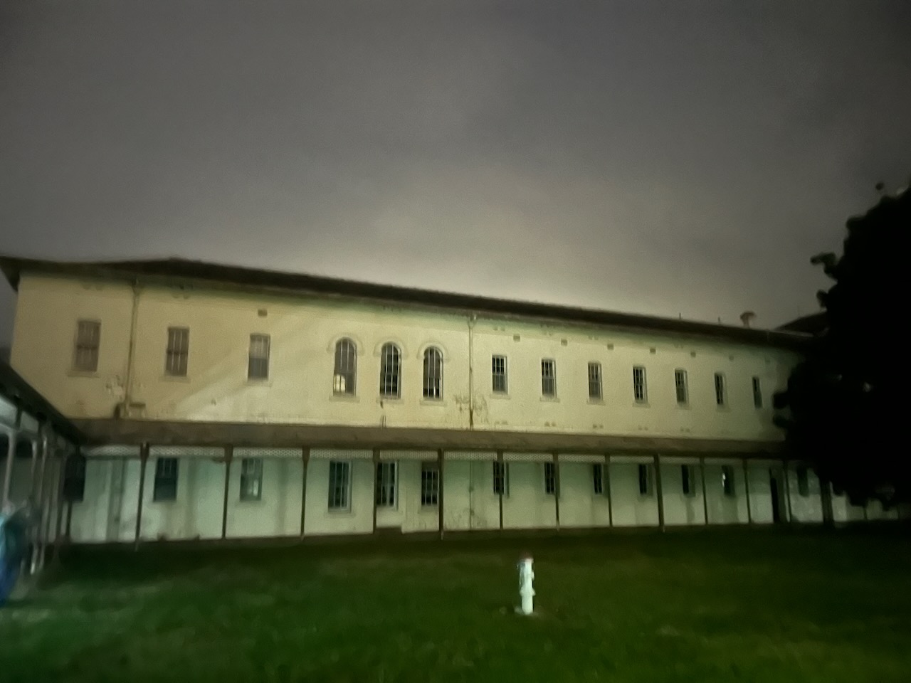
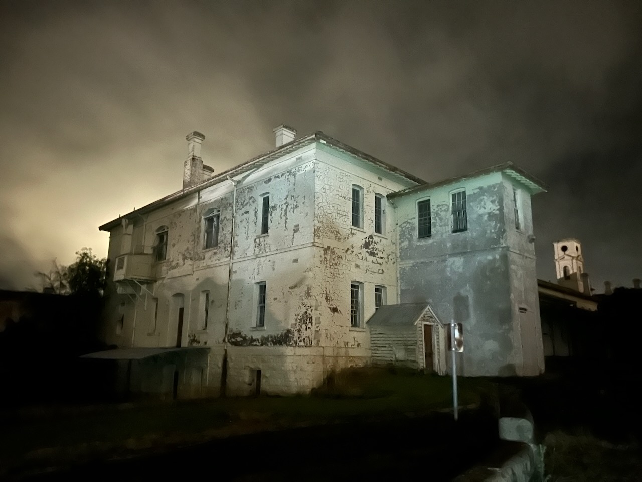
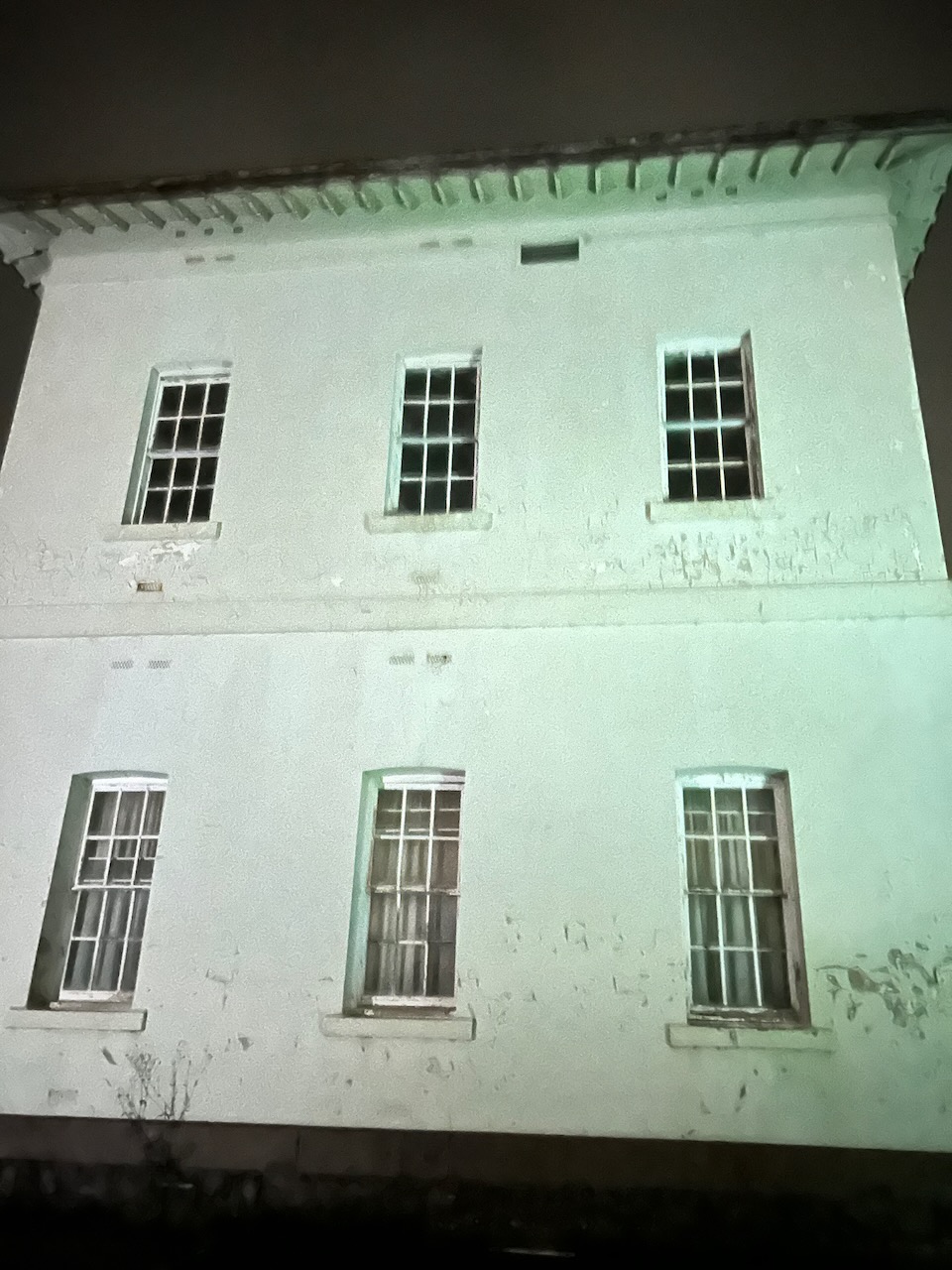
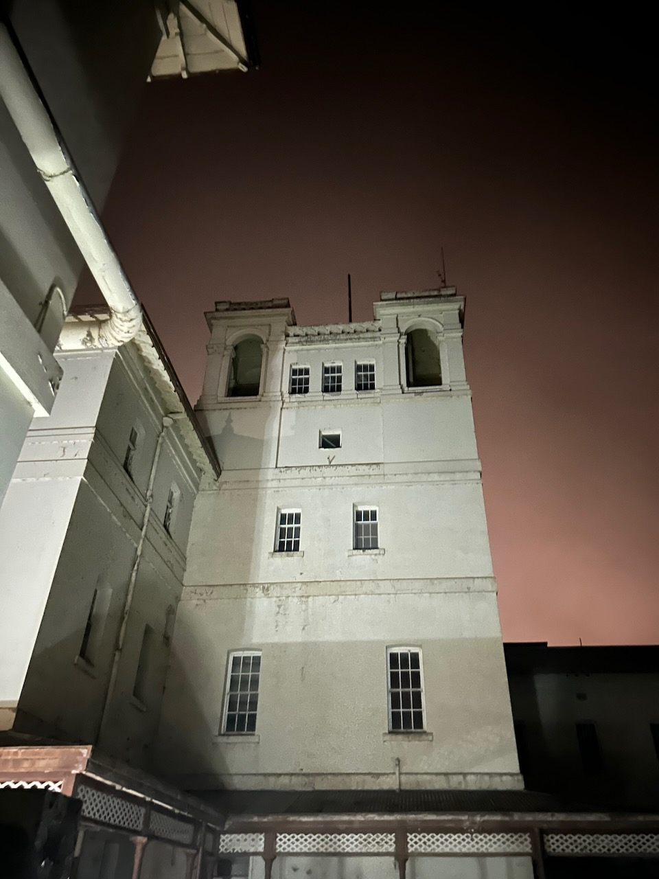
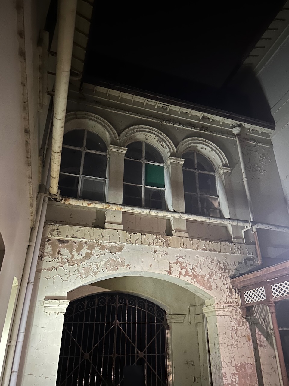
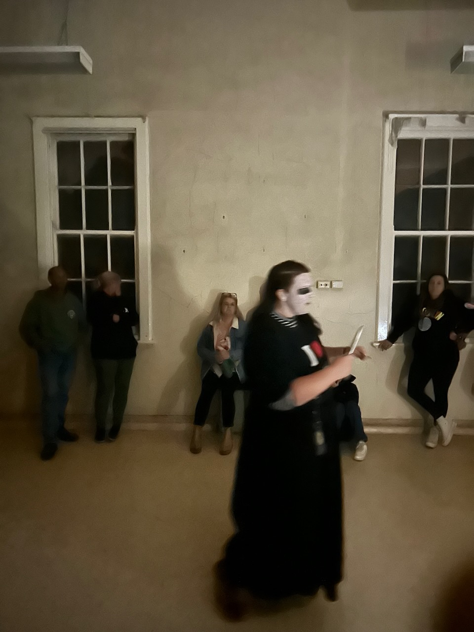
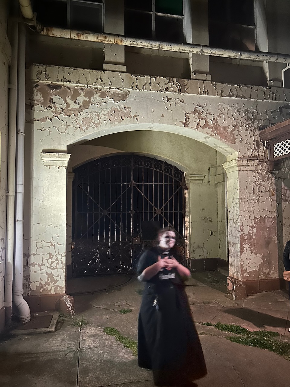
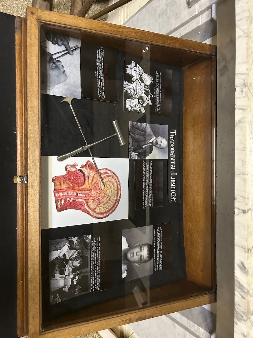
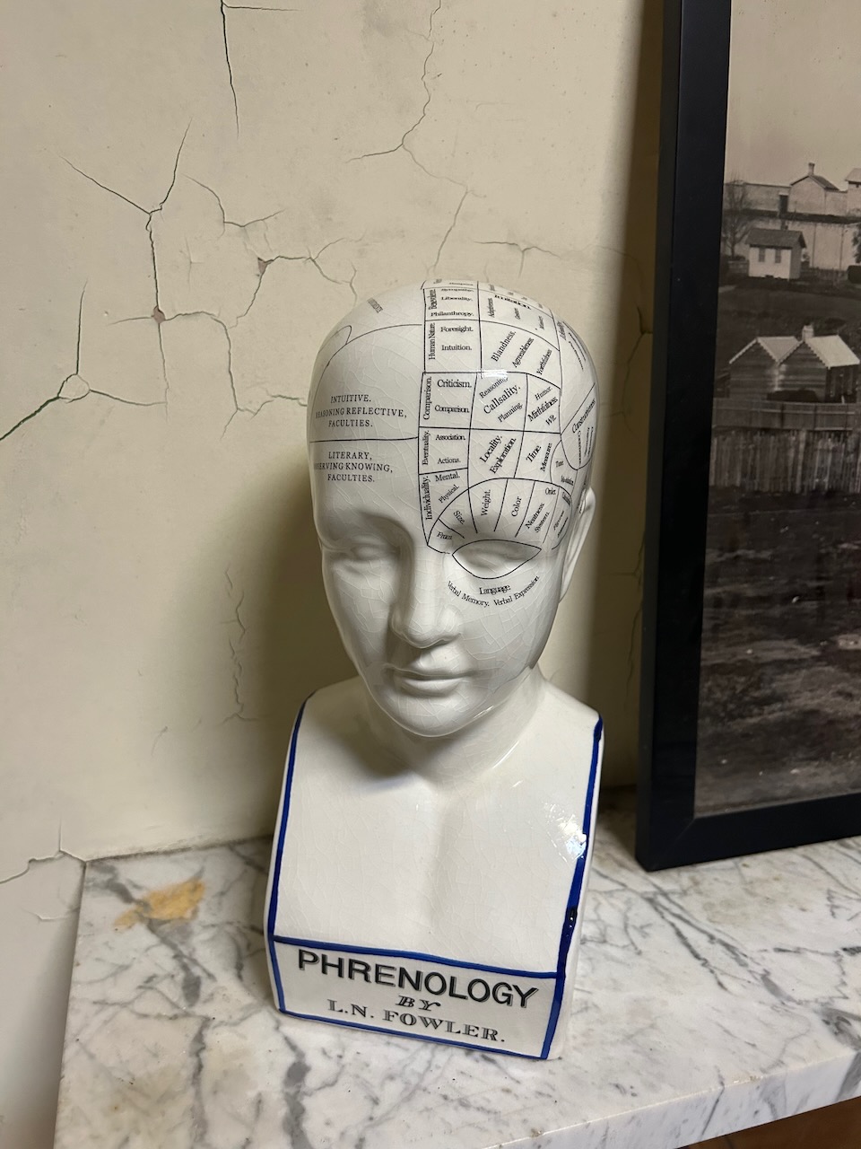
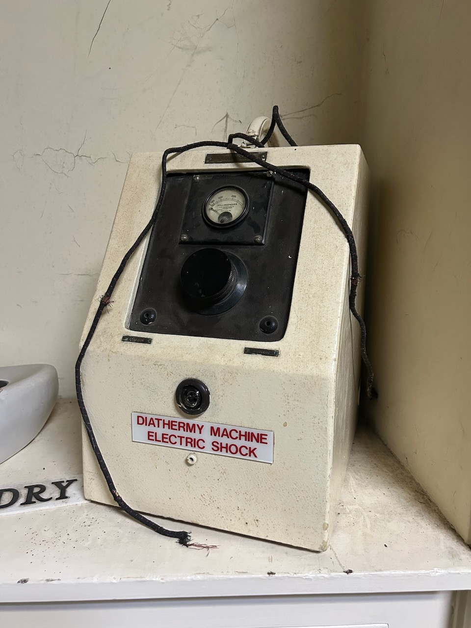
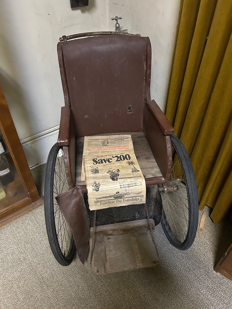
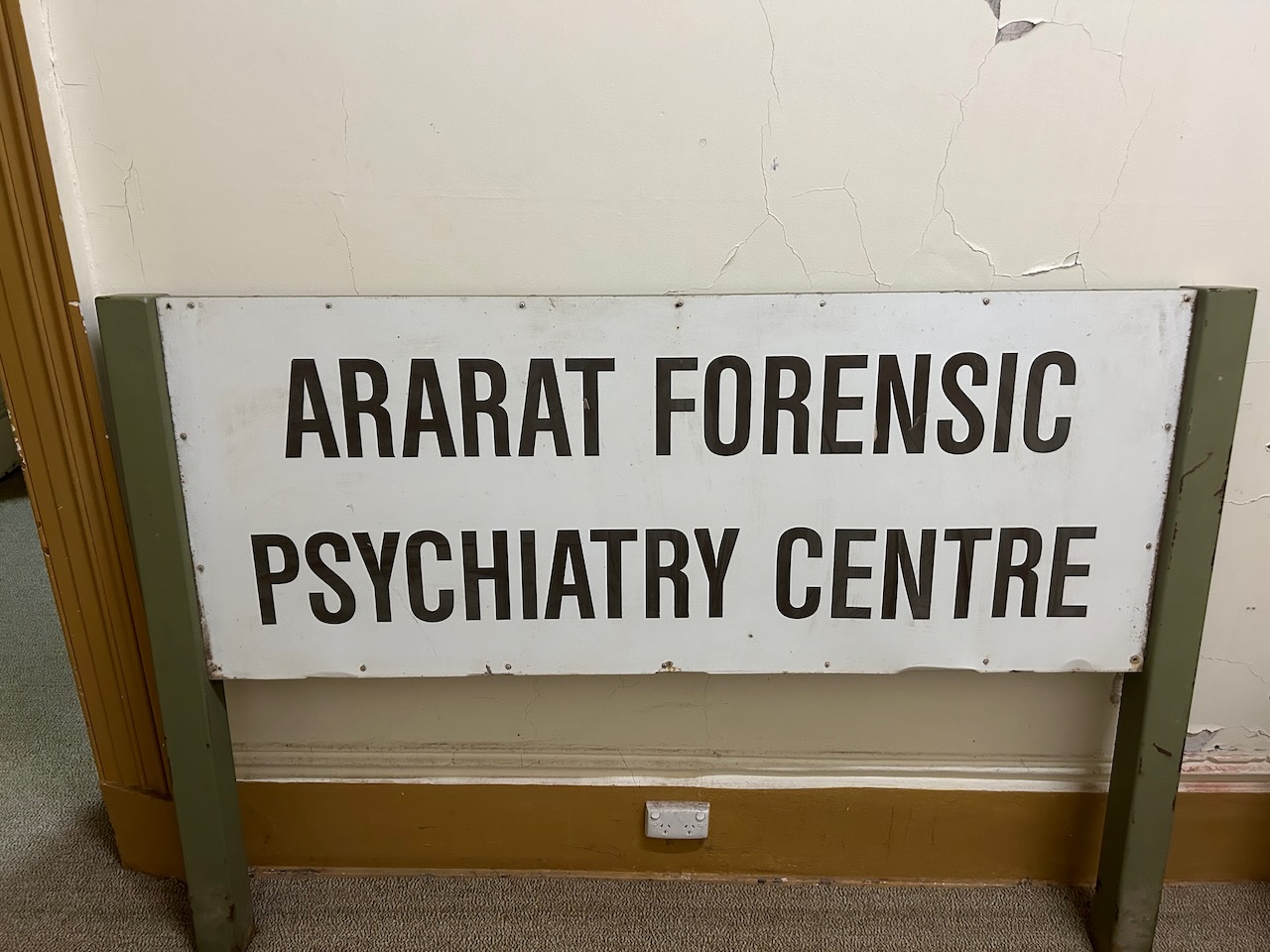
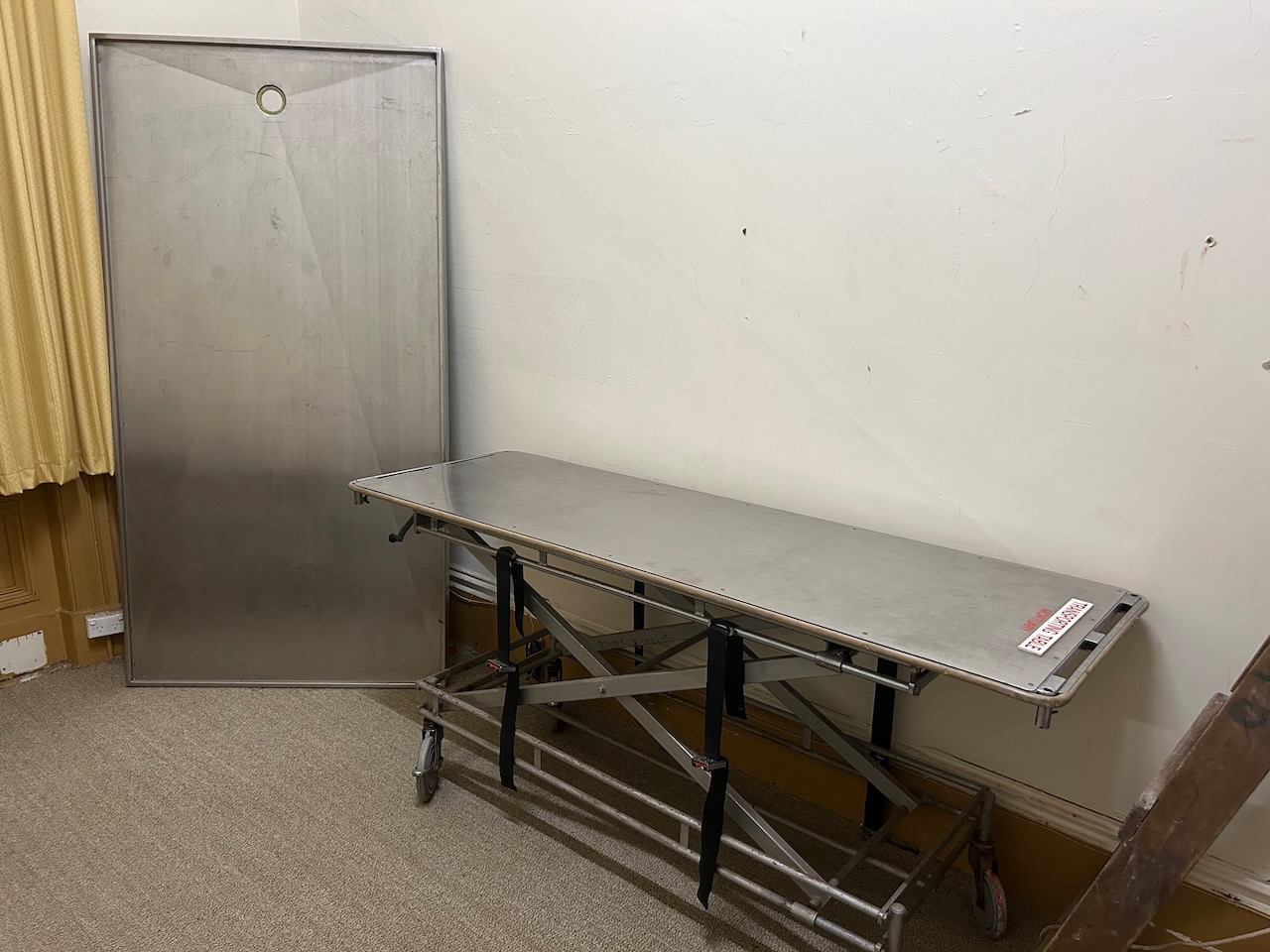
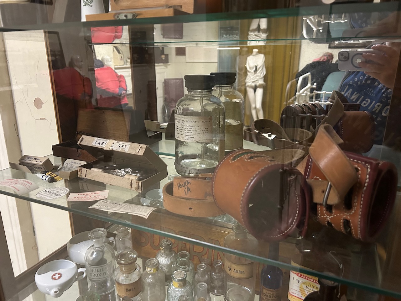
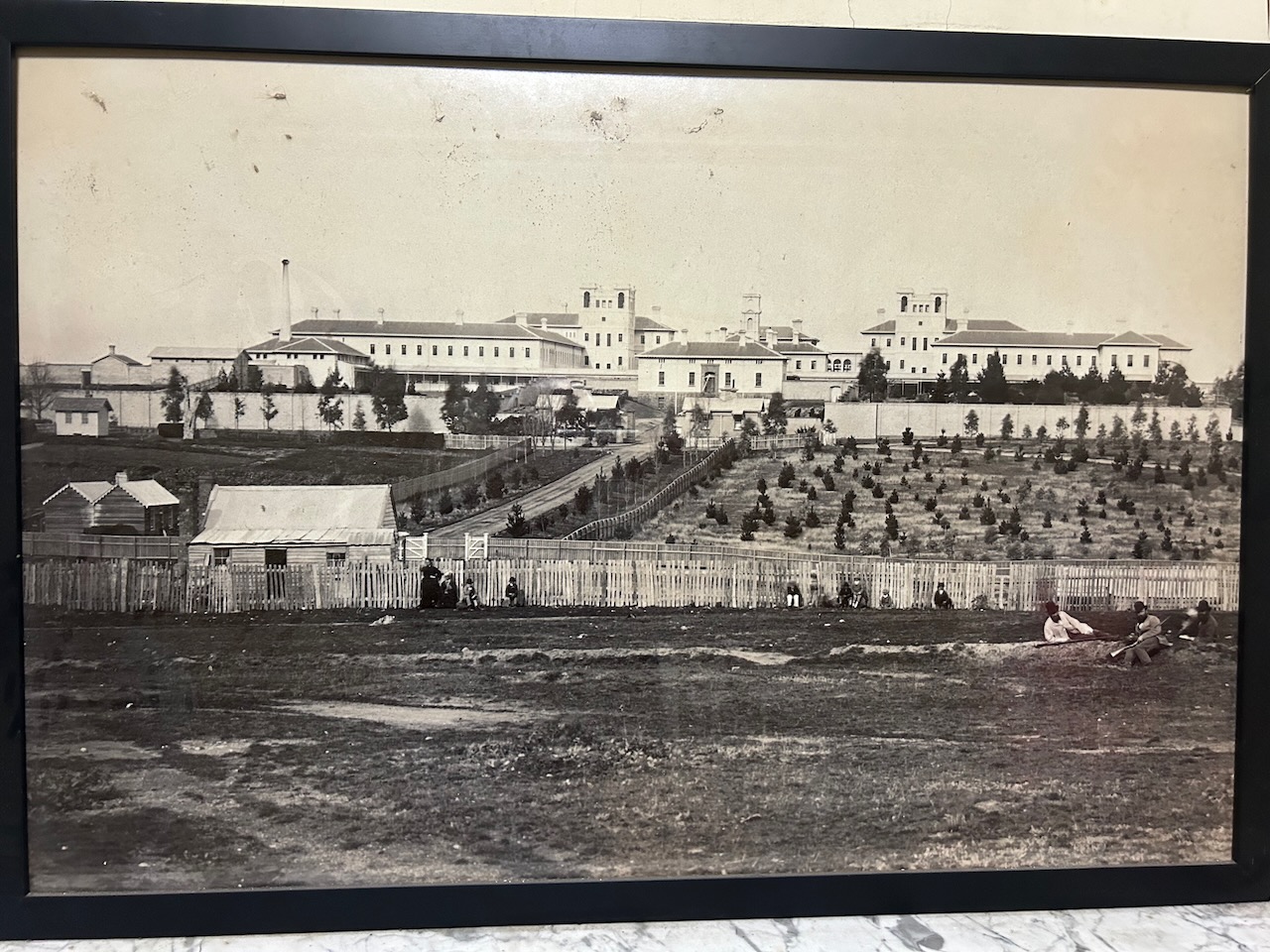
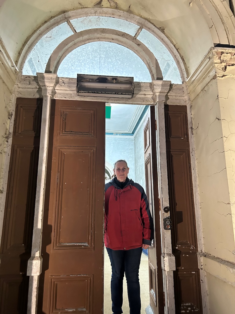
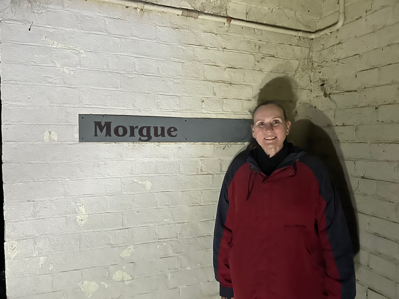
Later that evening Marija and I undertook a night time ghost tour at the old Aradale Lunatic Asylum. Aradale was commissioned to accommodate the growing number of “lunatics” in the colony of Victoria, with construction commencing in 1865. In 1867 it was opened for patients and was closed in 1993. AT its peak, Aradale had up to 1,000 patients. (Aradale 2024)
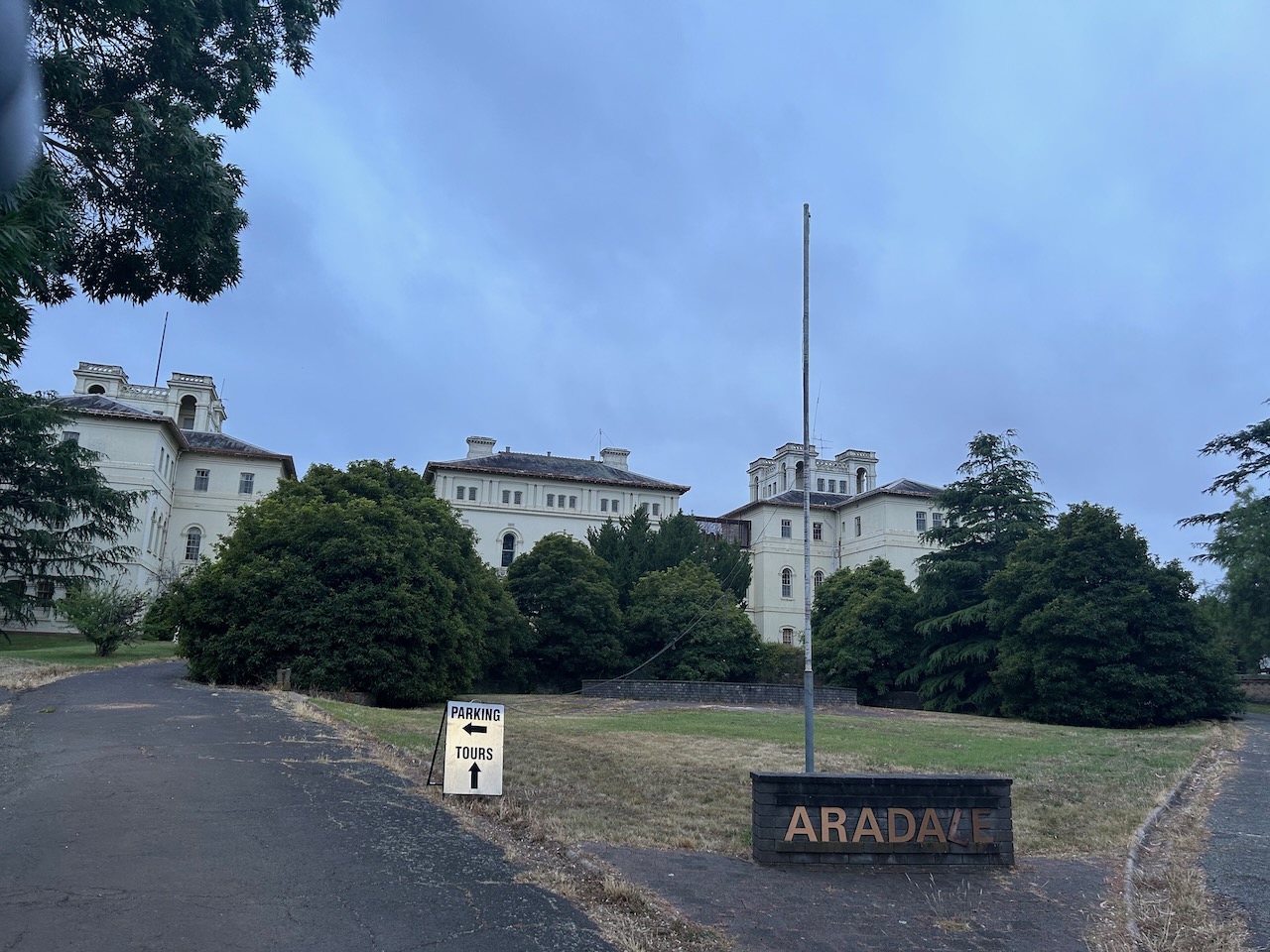
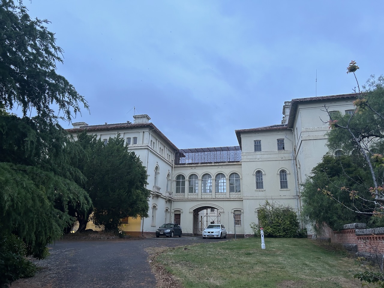
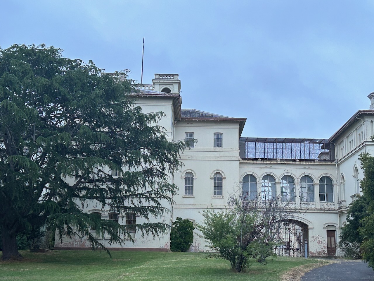

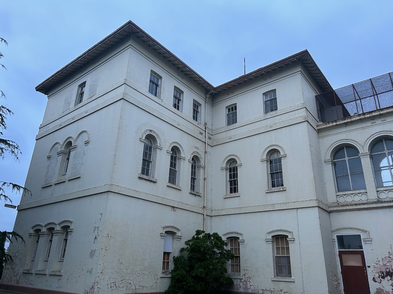
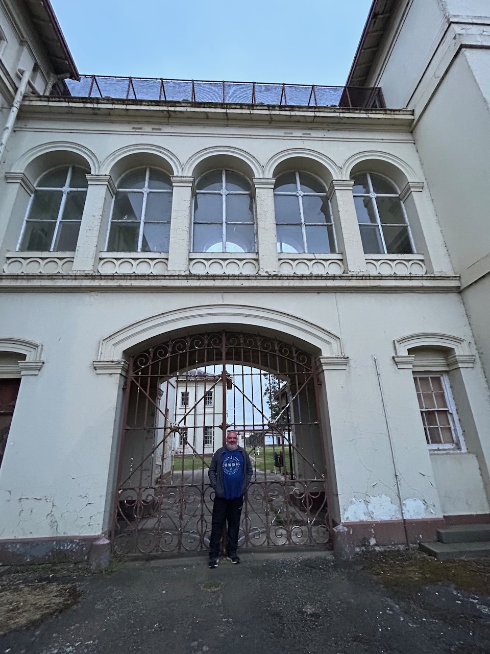
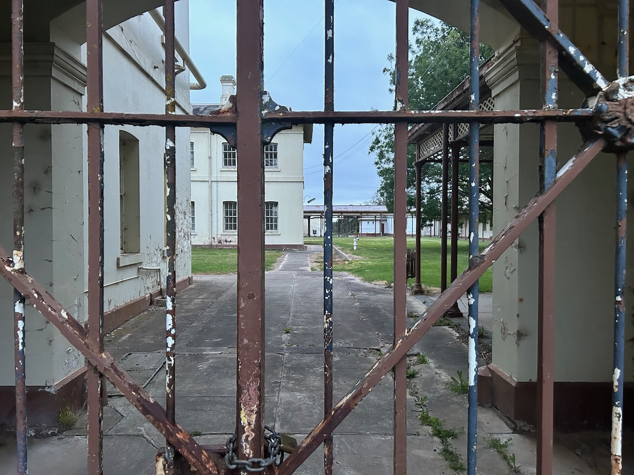
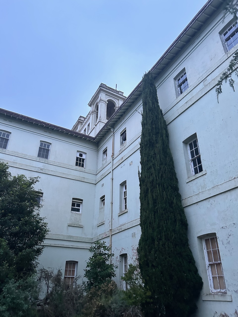
It was at night that Aradale took on a completely different feel.
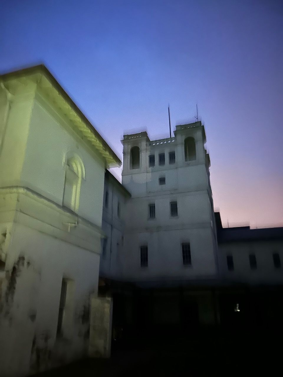


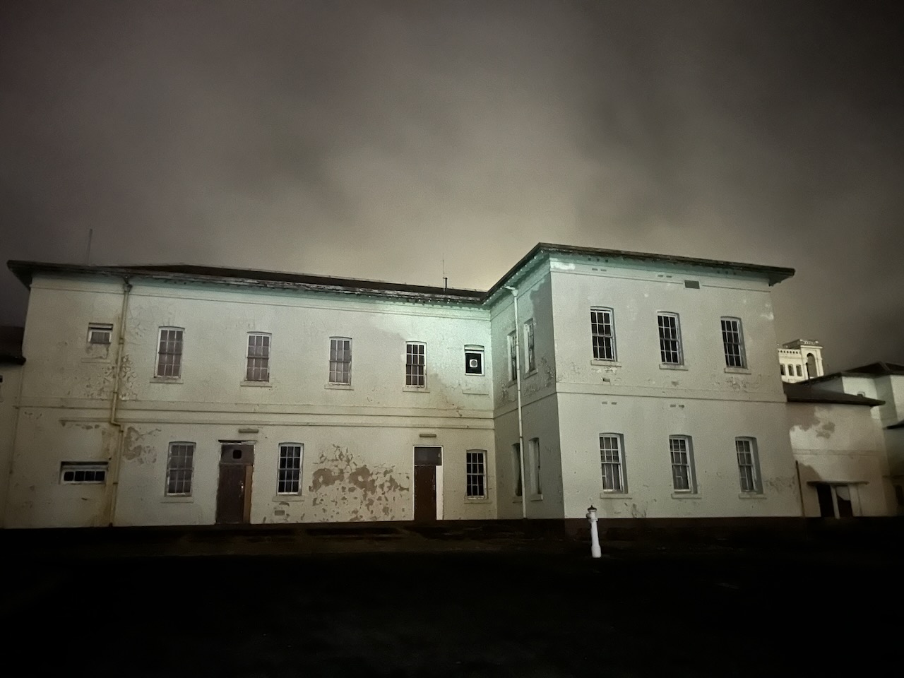

We had an excellent guide who told some very interesting stories about Aradale and its patients.
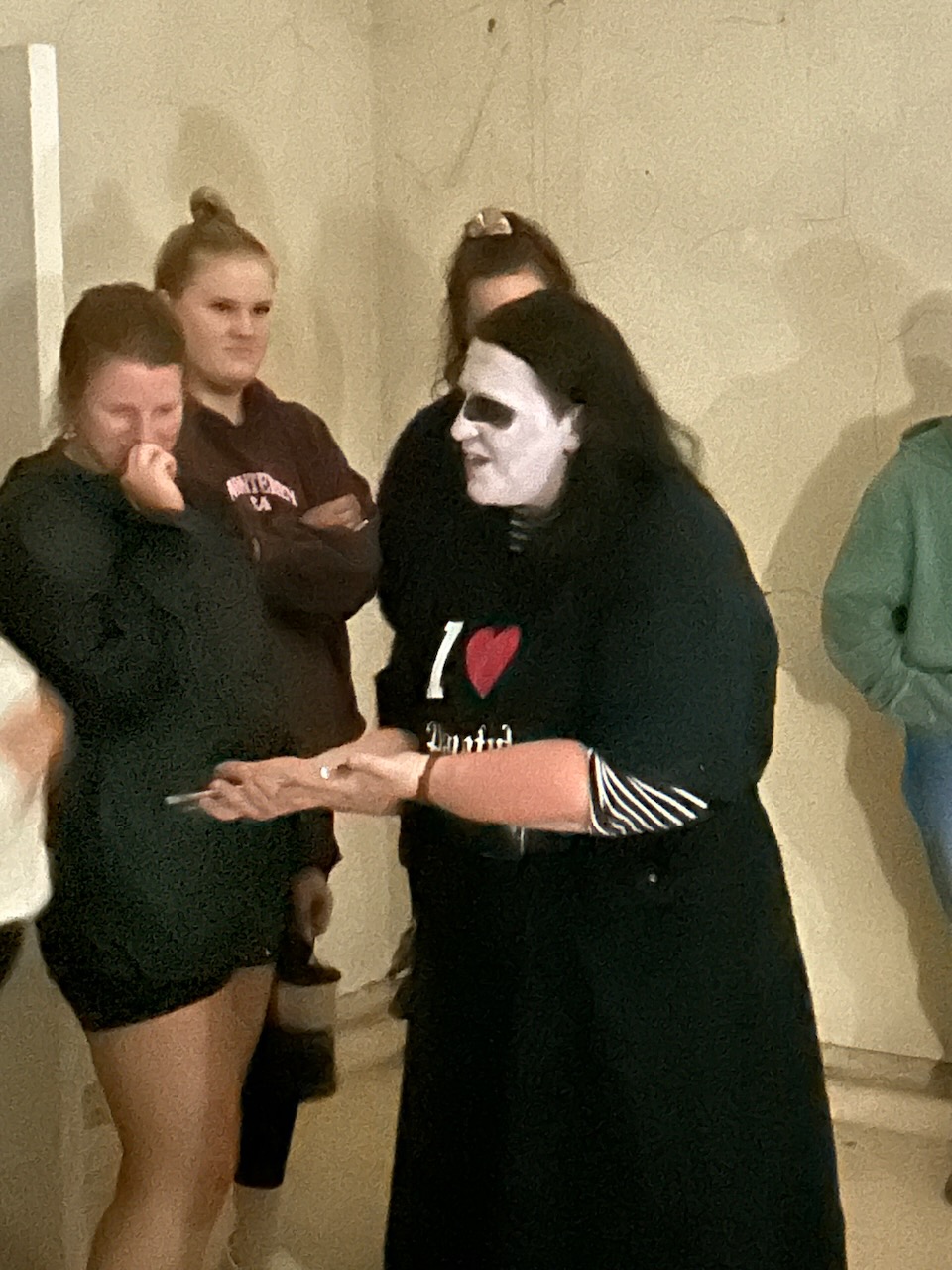
This was a very enjoyable evening and Marija and I would highly recommend it for anyone visiting Ararat.

References.
- “Aboriginal Placenames 7. Reviving old Indigenous names for new purposes”. Australian National University. Retrieved 25 January 2021.
- Aradale.com.au. (2017). Aradale, Lunatic Asylum. [online] Available at: https://www.aradale.com.au/ [Accessed 2nd May 2024].
- Dcceew.gov.au. (2023). Collaborative Australian Protected Areas Database (CAPAD) 2022 – DCCEEW. [online] Available at: https://www.dcceew.gov.au/environment/land/nrs/science/capad/2022 [Accessed 2nd May 2024].
- Leslie James Blake, 1978, Place Names of Victoria.
- Visit Grampians. (2019). Breadcrumbs. [online] Available at: https://www.visitgrampians.com.au/products/mount-william [Accessed 2nd May 2024].
- Wilkie, Benjamin (2020). Gariwerd: An Environmental History of the Grampians. Melbourne: CSIRO Publishing. pp. 43–44. ISBN 9781486307685.
