Rocky Point Bushland Reserve VKFF-4303

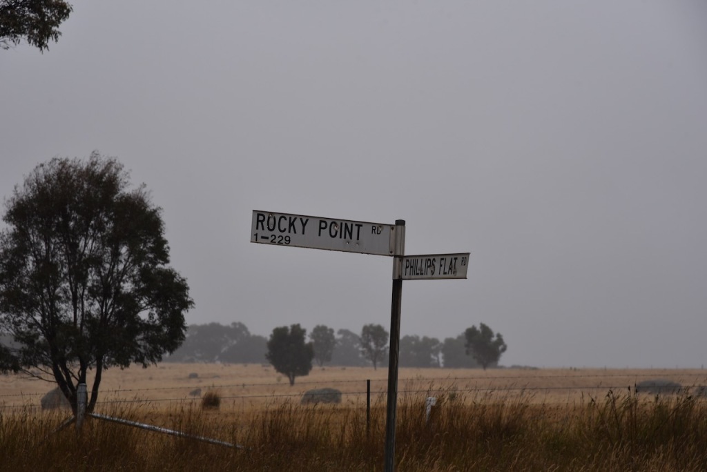
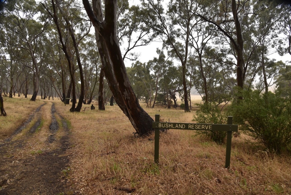
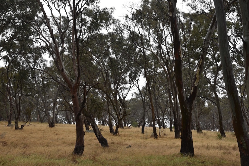
Our next activation for Saturday 2nd December 2023 was the Rocky Point Bushland Reserve VKFF-4303.
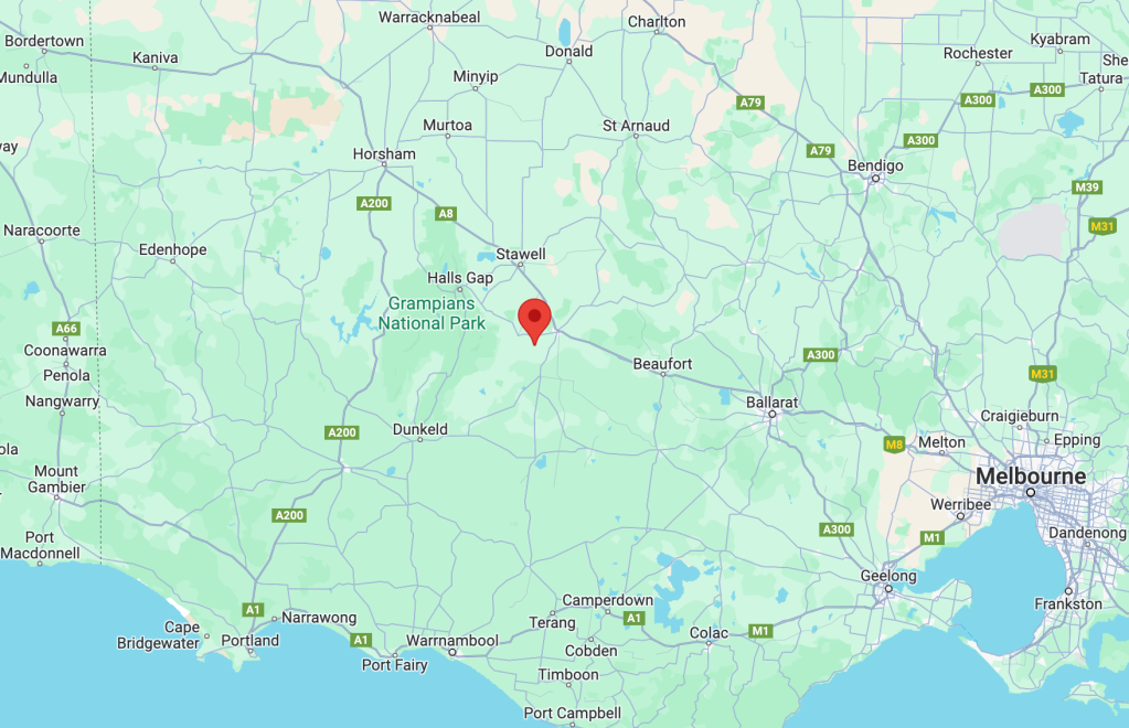
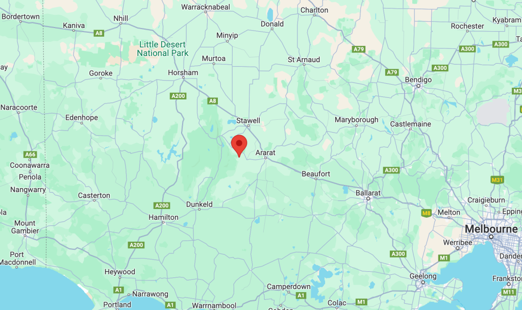
The reserve is located about 14 km (by road) southwest of Ararat and about 219 km northwest of the city of Melbourne.

Above:- Map showing the location of the Rocky Point Bushland Reserve. Map c/o Google Maps.

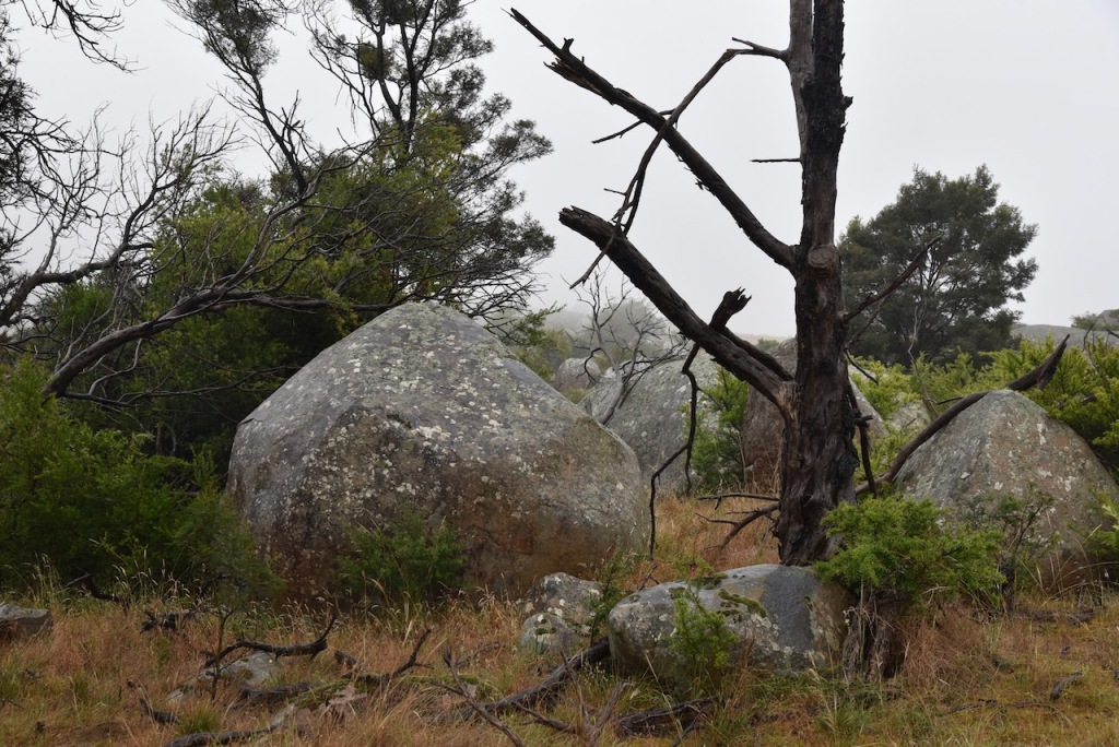
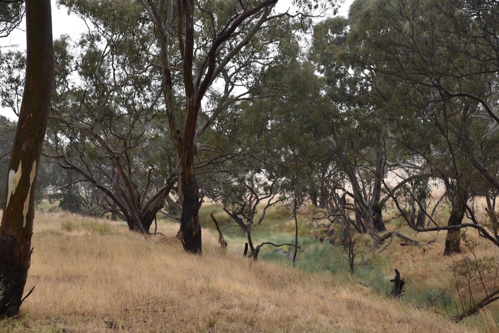
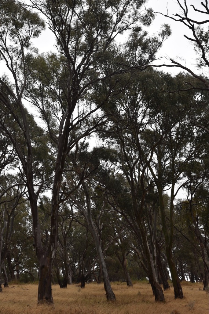
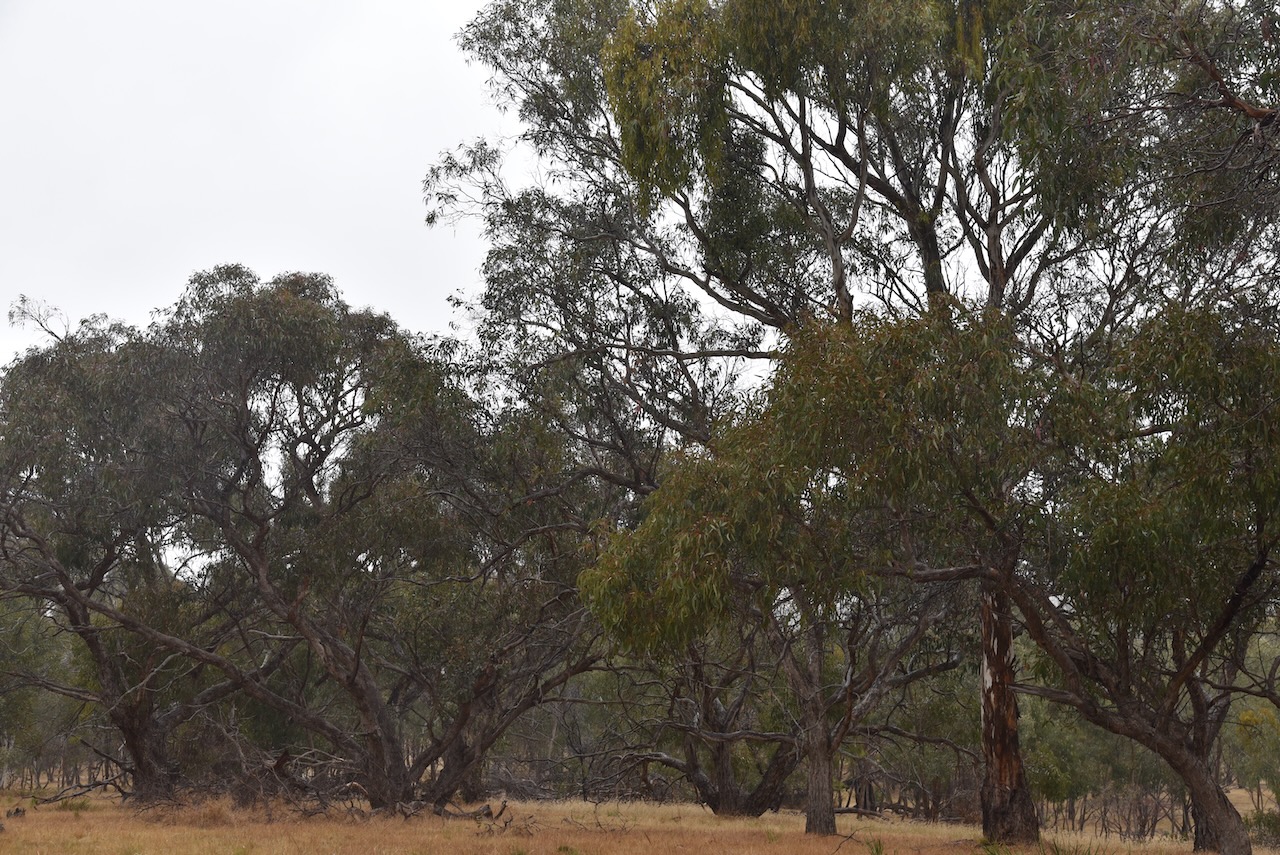
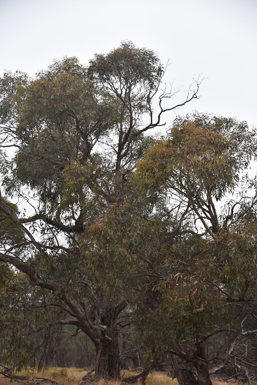
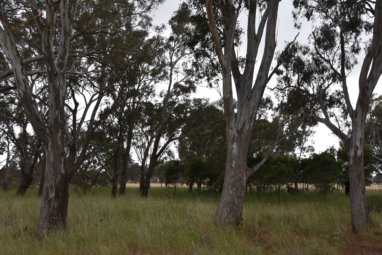
As we approached the park it was apparent why it was called Rocky Point. There were numerous large boulders in the area.

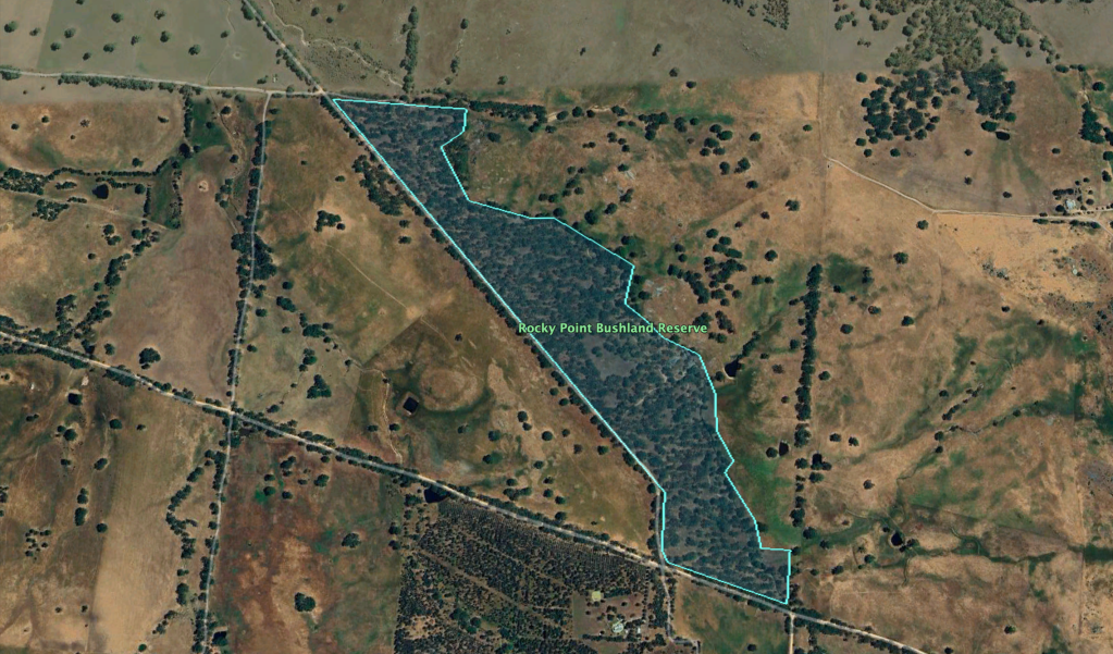
The reserve’s southern boundary is adjacent to Moyston-Rocky Point Road, while its western boundary is Rocky Point Road.

Above:- An aerial view of the Rocky Point Bushland Reserve. Image c/o Google Earth.

The reserve is about 42 hectares in size and was established on the 22nd day of November 1983. (CAPAD 2022)

Marija and I ran the Yaesu FT857, 40 watts, and the 20/40/80m linked dipole for this activation. I used the special event call of VI10VKFF. Unfortunately, it drizzled with rain for the entire activation, and we both got wet jumping out of the 4WD to change the links in the dipole.

Marija worked the following stations on 40m SSB before the UTC rollover:-

  1. VK3TKK/p (Chewton Bushland Reserve VKFF-4290)
  2. VK2YK
  3. VK5GA
  4. VK5IS
  5. VK5HAA
  6. VK5WWW
  7. VK3SQ
  8. VK2BD
  9. VK5TRM
  10. VK5FANA
  11. VK1AO
  12. VK2MET

I worked the following stations on 40m SSB before the UTC rollover:-

  1. VK3TKK/p (Chewton Bushland Reserve VKFF-4290)
  2. VK2YK
  3. VK5GA
  4. VK5IS
  5. VK5HAA
  6. VK5WWW
  7. VK3SQ
  8. VK2BD
  9. VK5TRM
  10. VK5FANA
  11. VK1AO
  12. VK2MET
  13. VK3BEL
  14. VK2EXA
  15. VK1AAF
  16. VK3PF
  17. VK3KAI
  18. VK3UH
  19. VK2IO/m
  20. VK5LA
  21. VK5KAW
  22. VK1RF
  23. VK2MK
  24. VK4CEE

I worked the following stations on 40m SSB after the UTC rollover:-

  1. VK1RF
  2. VK2MK
  3. VK4CEE
  4. VK2EXA
  5. VK3SQ
  6. Vk2BD
  7. VK5IS
  8. VK3TKK/p
  9. VK3UH
  10. VK5LA
  11. VK5KAW

I worked the following stations on 80m SSB before the UTC rollover:-

  1. VK3PF
  2. VK3KAI
  3. VK3ANL
  4. VK3DAC
  5. VK3BEL

I worked the following stations on 80m SSB after the UTC rollover:-

  1. VK3PF
  2. VK3KAI

I worked the following stations on 20m SSB:-

  1. VK1AO
  2. VK2MET
  3. VK4MWL

References.

  1. Dcceew.gov.au. (2023). Collaborative Australian Protected Areas Database (CAPAD) 2022 – DCCEEW. [online] Available at: https://www.dcceew.gov.au/environment/land/nrs/science/capad/2022 [Accessed 3rd May 2024].‌

Cathcart Bushland Reserve VKFF-4299

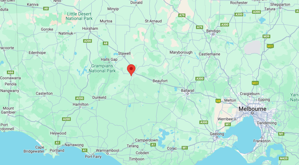
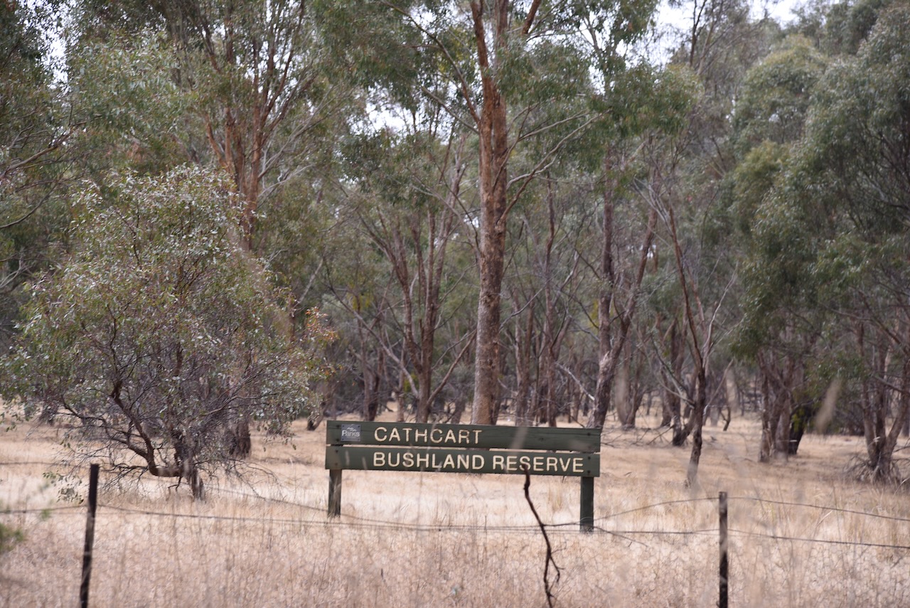
It was now Saturday 2nd December 2023. Marija and I had plans to activate several parks. Our first park for the day was the Cathcart Bushland Reserve VKFF-4299.

The reserve is located about 7 km south of Ararat and about 214 km northwest of the city of Melbourne.

Above:- Map showing the location of the Cathcart Bushland Reserve. Map c/o Google Maps.

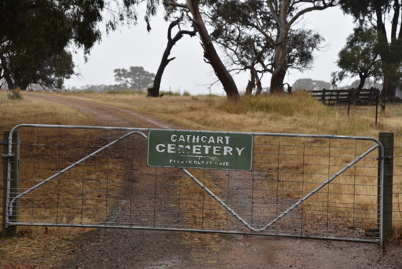
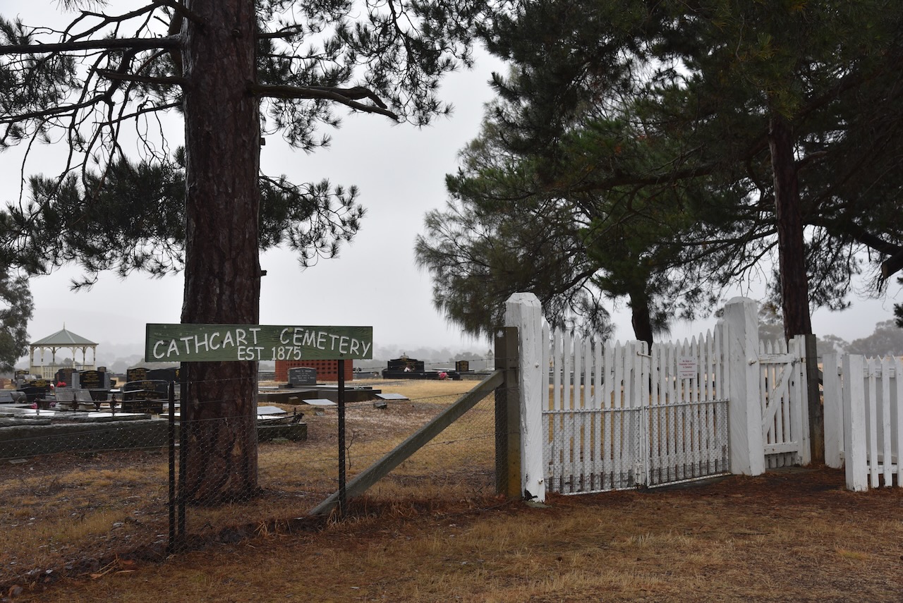
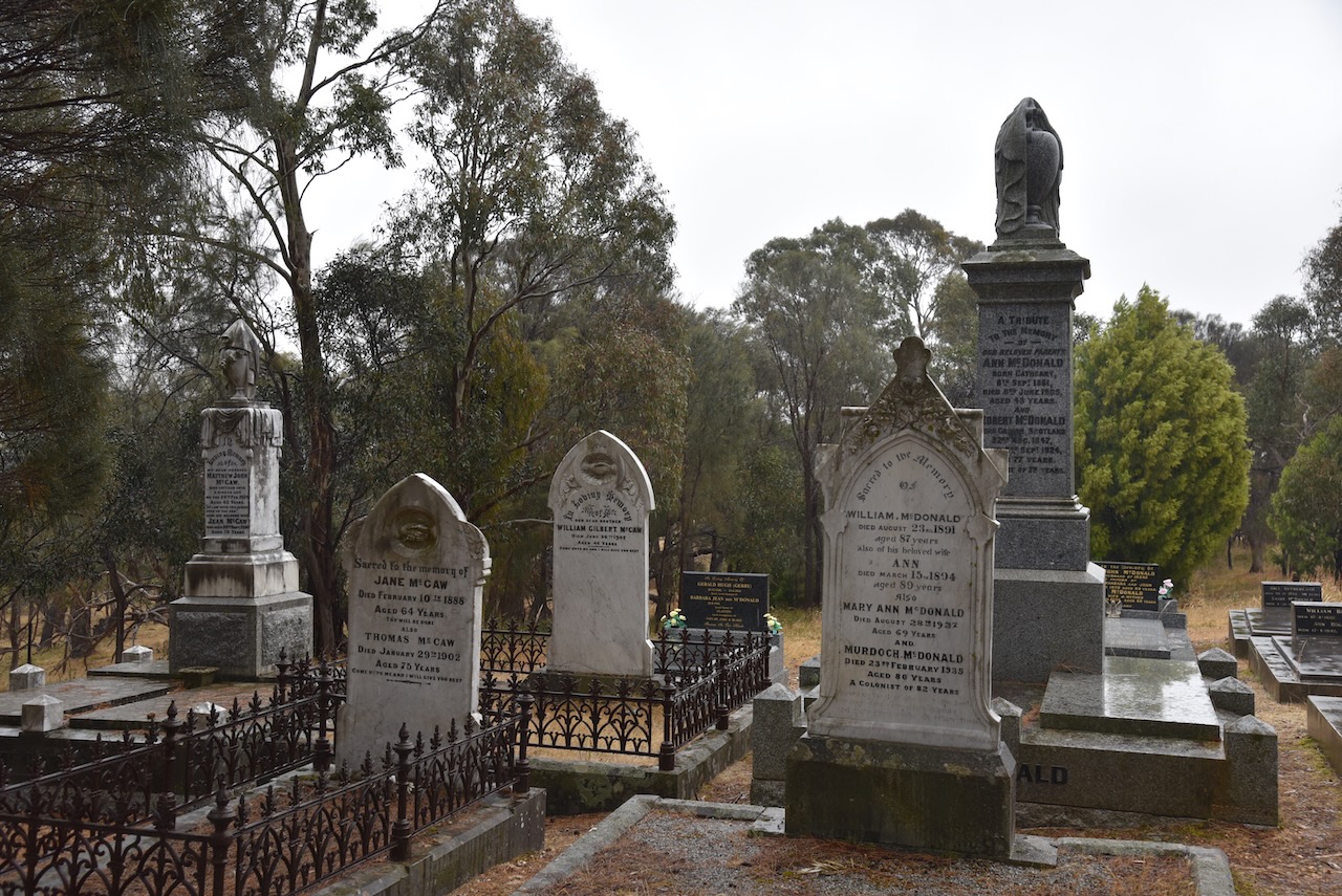
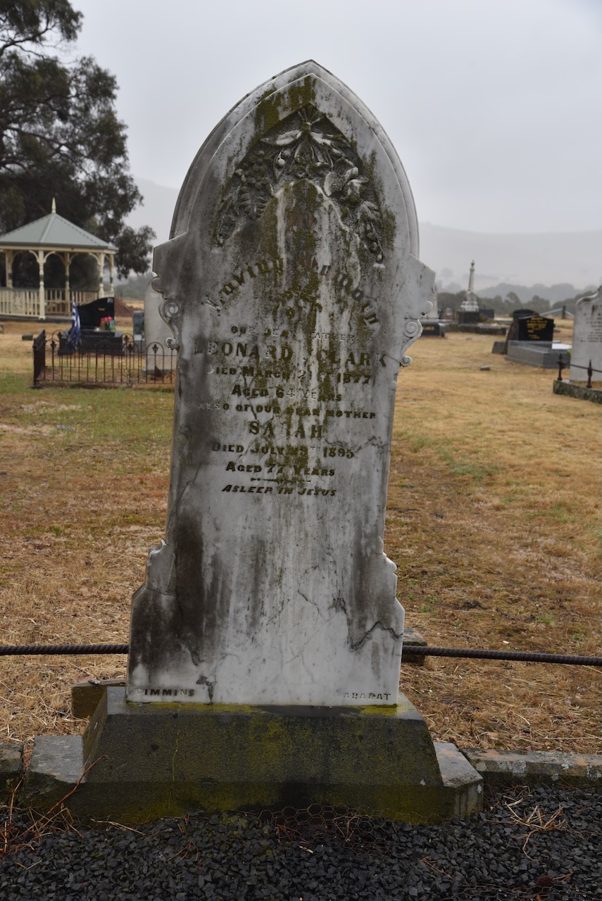
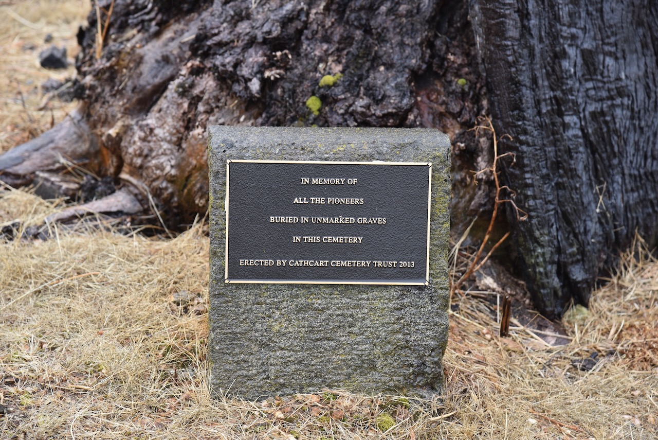
Before activating the reserve, Marija and I visited the Cathcart cemetery which dates back to 1875.

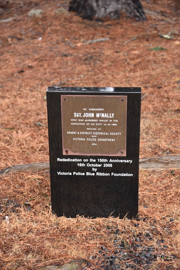
One of the interesting gravesites in the cemetery is that of St John McNally who was murdered while in the execution of his duty on the 16th day of October 1856. He was the first member of Victoria Police to be murdered in the line of duty. In 2006 a new memorial plaque was erected at the cemetery in his honour. (Monument Australia 2024)

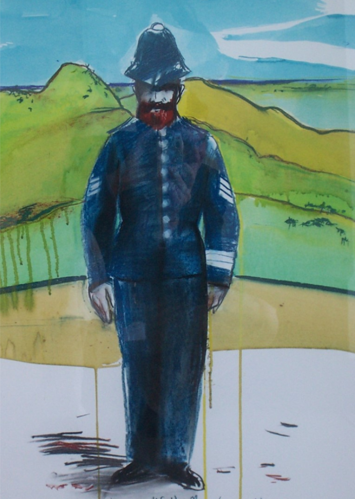
Sergeant McNally joined the Victoria Police on the 18th day of June 1855, at the age of 29. He had previously served with the Royal Irish Constabulary in County Longford for eight years. (EGHS 2024) (Monument Australia 2024)

Above:- Painting of Sergeant John McNally by Ararat artist Geoff Todd. Image c/o Victoria Police Historical Society.

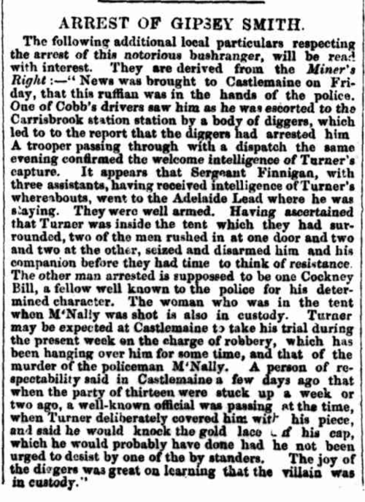
On the evening of Thursday the 16th day of October 1856, Sergeant McNally and his partner Constable John Moore, received information that two wanted men, William Turner @ ‘Gipsy Smith’ and William Twigham @ Twiffen, Twiggem, Laxton, Cockney Bill were at a miner’s tent at the Cathcart diggings. The two officers located Turner at the tent who made a desperate struggle to escape. He called upon his associate Twigham to assist. Twigaham produced a double-barrelled shotgun and fired at the two officers, killing Sergeant McNally and seriously injuring Constable Moore. (EGHS 2024)

Turner and Twigham fled the scene but were captured on the 23rd day of October 1856 at the Adelaide Lead diggings near Amherst. (EGHS 2024)

Above:- Article re the capture of Gipsy Smith, The Age, Tue 28 Oct 1856. Image c/o Trove.

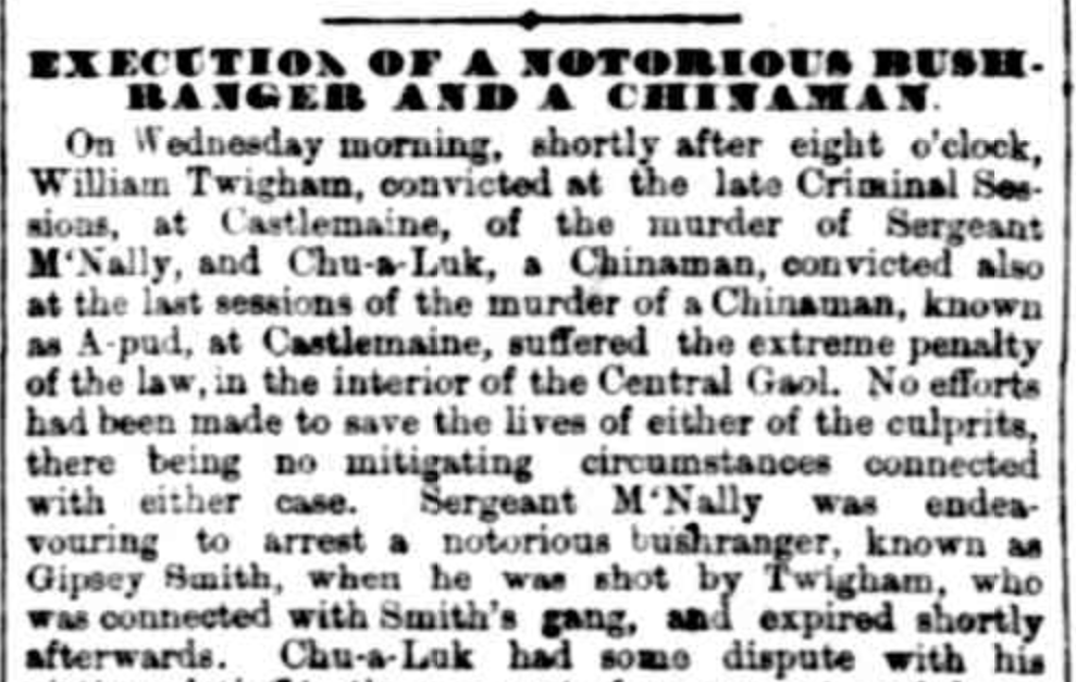
Both men were charged with the murder of Sergeant McNally and they appeared in the Castlemaine Circuit Court. Twigham was convicted and sentenced to death. He was hanged on the 11th day of March 1857 at the Melbourne Gaol. He was asked at sentencing if he had anything to say, and only stated that the witness Adams by whose testimony he was convicted, was a perjured man and that his statements were false. The charge of murder was not proceeded with against Turner and he pleaded guilty to manslaughter and was sentenced to 15 years hard labour. At his sentencing in court, Turner was described as ‘one of the most hardened ruffians in the colony.‘ (EGHS 2024) (Monument Australia 2024) (Mount Ararat Murder 1857)

Above:- Article from Bell’s Life, Melbourne, Sat 14 Mar 1857. Image c/o Trove.

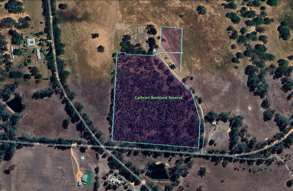
The Cathcart Bushland Reserve is located on the northern side of Phillips Flat Road.

Above:- An aerial view of the reserve. Image c/o Google Earth.

The reserve is about 7 hectares in size and was established on the 22nd day of November 1983. (CAPAD 2022)

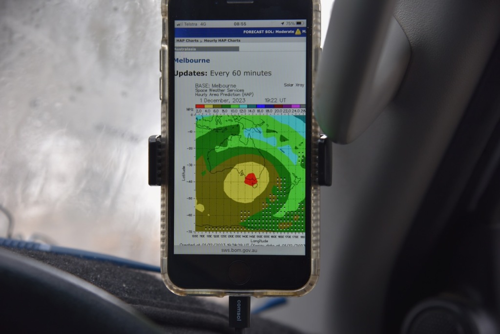
Marija and I ran the Yaesu FT857, 40 watts and the 20/40/80m linked dipole for this activation. I used the special event callsign of VI10VKFF. The band conditions were absolutely terrible as is indicated in the HAP chart screen shot below.

Marija worked the following stations on 80m SSB:-

  1. VK3APJ
  2. VK3PF
  3. VK3KAI

Marija worked the following stations on 40m SSB:-

  1. VK3APJ
  2. VK3PF
  3. VK3KAI

I worked the following stations on 80m SSB:-

  1. VK3APJ
  2. VK3PF
  3. VK3KAI

I worked the following stations on 40m SSB:-

  1. VK2YK
  2. VK5GA
  3. VK2IO/m
  4. VK1AO
  5. VK2MET
  6. VK2SLB
  7. VK1CHW

I worked the following station on 20m SSB:-

  1. VK2IO/m

References.

  1. Dcceew.gov.au. (2023). Collaborative Australian Protected Areas Database (CAPAD) 2022 – DCCEEW. [online] Available at: https://www.dcceew.gov.au/environment/land/nrs/science/capad/2022 [Accessed 3rd May 2024].‌
  2. East Grampians Health Services. (n.d.). 165th anniversary of the death of Sergeant John McNally. [online] Available at: https://eghs.net.au/news/165th-anniversary-of-the-death-of-sergeant-john-mcnally [Accessed 3 May 2024].‌
  3. monumentaustralia.org.au. (n.d.). Sergeant John McNally | Monument Australia. [online] Available at: https://monumentaustralia.org.au/themes/people/crime/display/30743-sergeant-john-mcnally [Accessed 3 May 2024].‌
  4. THE MOUNT ARARAT MURDER. (1857). Mount Alexander Mail. [online] 25 Feb. Available at: https://trove.nla.gov.au/newspaper/article/197084669?searchTerm=gipsy%20smith [Accessed 3 May 2024].‌

Mount William Creek Streamside Reserve VKFF-3801

Our next activation for 1st November 2023, was the Mount William Creek Streamside Reserve VKFF-3801. The reserve is about 7 km northwest of the town of Moyston and about 226 km northwest of the city of Melbourne.

Above:- Map showing the location of Mt William Creek Streamside Reserve. Map c/o Google Maps.

Mount William (Mount Duwul) is the highest point in the Grampians (Gariwerd) National Park at 1,167 metres. Explorer Major Thomas Mitchell climbed the mountain in July 1836 and named it Mount William in honour of King WIlliam IV. (Blake 1978) (Visit Grampians 2024)

The Grampians National Park is known by the Jardwadjali aboriginal people as Gariwerd. The park is 167,219 hectares in size and was proclaimed a national park on the 1st day of July 1984. Major Mitchell first referred to the Grampians as the Coast Mountains and in July 1836 he referred to them as the Gulielmian Mountains after William IV of the UK. Members of Mitchell’s party referred to the mountains as Gulielmean, Gulielman, and the Blue Gulielmean Mountains. Later in 1836 Mitchell referred to them as The Grampians after the Grampian Mountains in his native homeland of Scotland. (Places Names 2021) (Wilkie 2020)

Above:- Major Mitchell. Image c/o Wikipedia.

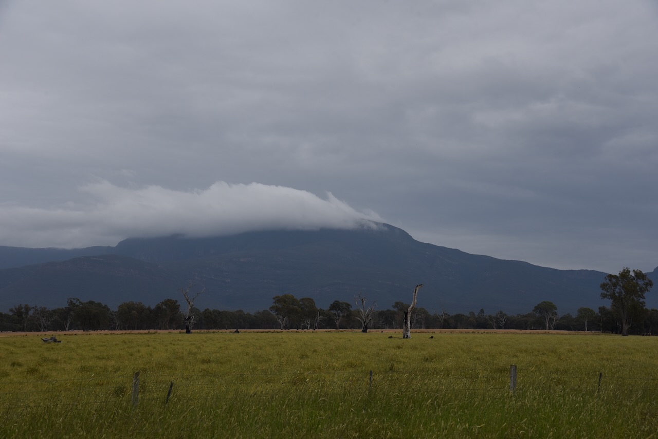
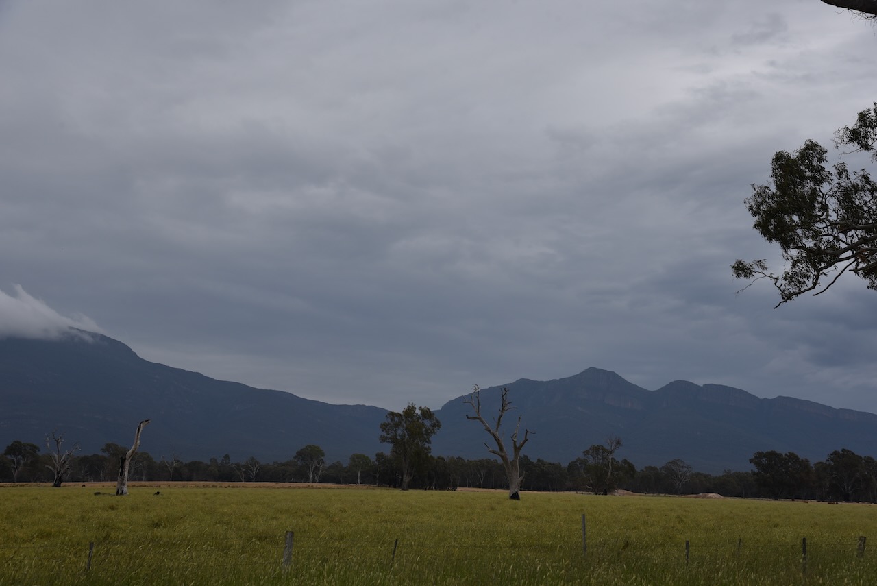
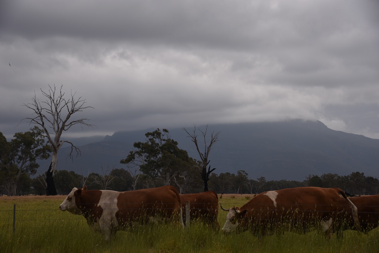
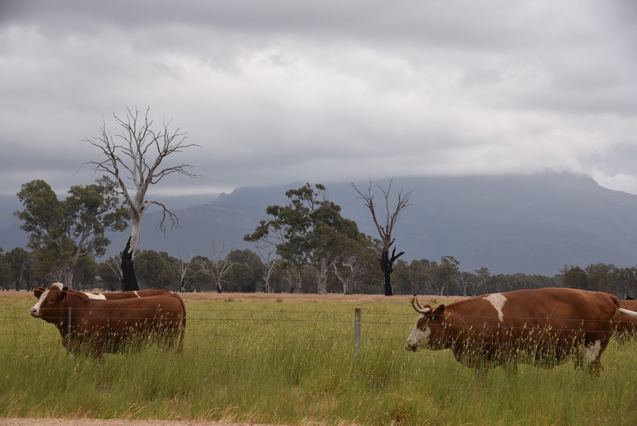
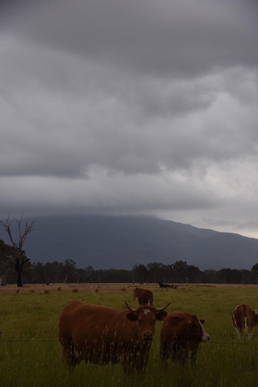
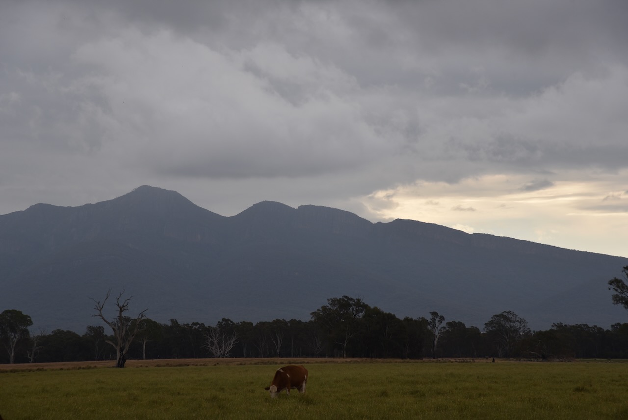
It was an overcast and stormy day, but Marija and I still enjoyed some nice views of Mount William and The Grampians from our operating spot in the reserve.

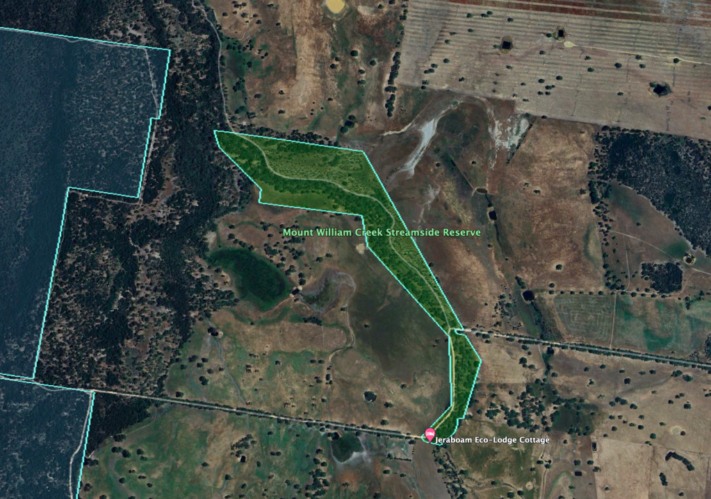
The reserve is located along the Moyston West Road.

Above:- An aerial view of the Mount William Creek Streamside Reserve. Image c/o Google Earth.

The reserve is about 38 hectares in size and was established on the 22nd day of November 1983. Although called the Mount William Creek Streamside Reserve, Mount William Creek does not flow through the park. Mount William Creek is just to the west. A tributary of Mount WIlliam Creek, Reservoir Creek flows through the reserve. (CAPAD 2022)

We ran the Yaesu FT857, 40 watts, and the 20/40/80m linked dipole for this activation. I used the special call of VI10VKFF to celebrate the 10 year anniversary of the World Wide Flora Fauna (WWFF) program in Australia.

Marija worked the following stations on 40m SSB:-

  1. VK3PF
  2. VK3KAI

Marija worked the following stations on 40m AM:-

  1. VK3PF
  2. VK3KAI
  3. VK3DJC
  4. VK5HS
  5. VK2EXA
  6. VK3SG
  7. VK3CLD/p
  8. VK3BWS

I worked the following stations on 40m SSB:-

  1. VK3PF
  2. VK3KAI
  3. VK2EXA
  4. VK7PSJ
  5. VK3SG
  6. VK3BBB
  7. VK2CCP
  8. VK2USH
  9. VK3CLD/p
  10. VK3OY/p
  11. VK5TN
  12. VK3DJC
  13. VK3PWG
  14. VK3VIN
  15. VK1AO
  16. VK22MET
  17. VK5KLV
  18. VK3BWS
  19. VK7EE
  20. VK3ABI
  21. KG5CIK
  22. VK4HMI
  23. VK4EMP
  24. VK4TWI
  25. VK3HQZ
  26. KG8P
  27. VK3UAO
  28. VK3SPG
  29. VK3CEO
  30. VK5AKB
  31. VK5AE

I worked the following stations on 40m AM:-

  1. VK3PF
  2. VK3KAI
  3. VK3DJC
  4. VK5HS
  5. VK2EXA
  6. VK3SG
  7. VK3CLD/p
  8. VK3BWS
  9. VK2USH
  10. VK3UAO

I worked the following stations on 20m SSB:-

  1. VK4EMP
  2. VK4TI
  3. SQ9CWO
  4. IK4IDF
  5. KG5CIK
  6. KG8P
  7. I4RHP
  8. IW2NXI
  9. OH6GAZ
  10. IK1GPG
  11. IW2BNA
  12. UT5PI
  13. IK4IDF

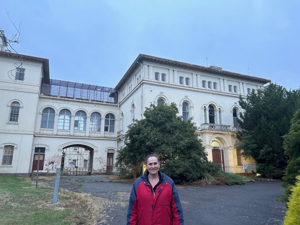
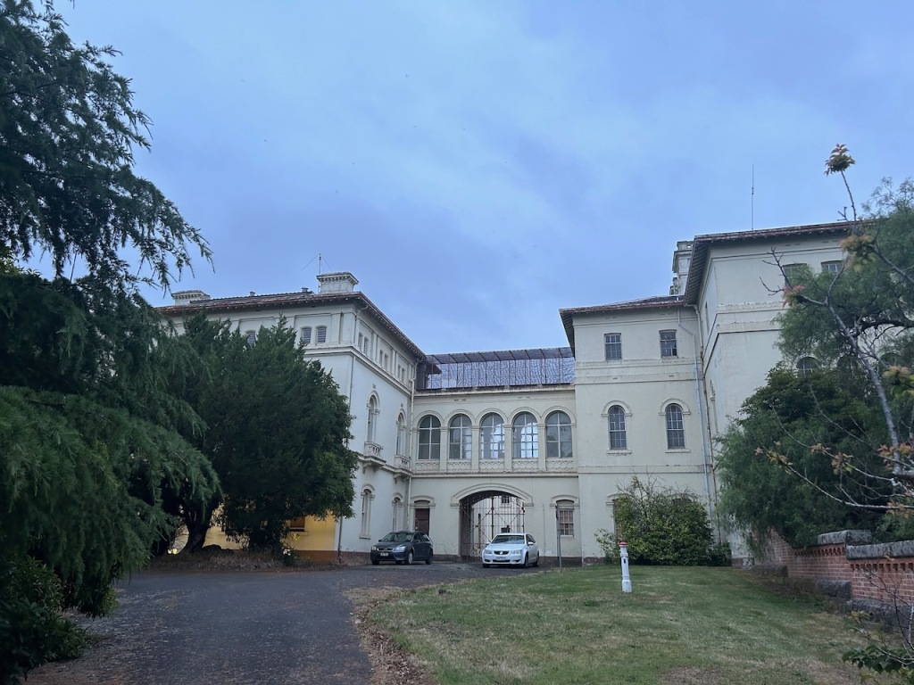
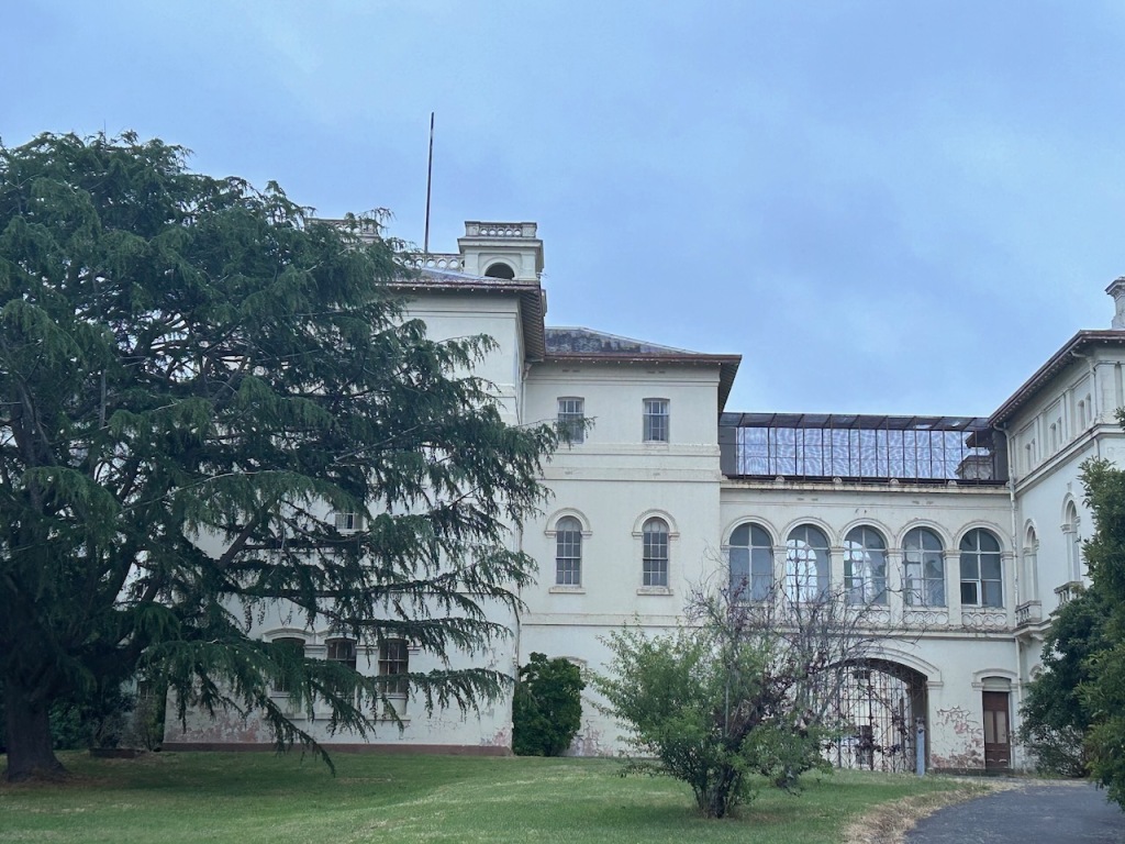
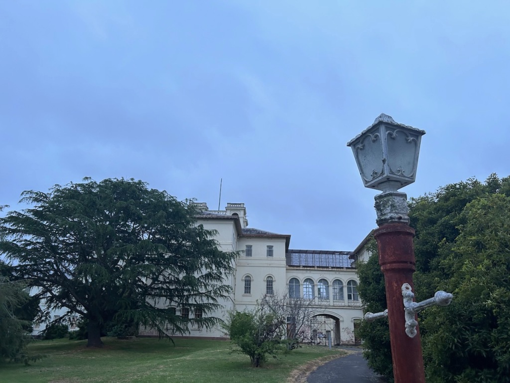
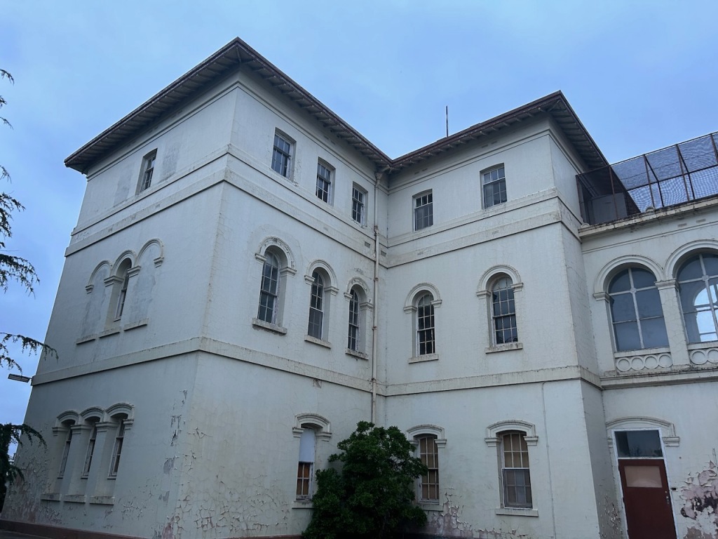
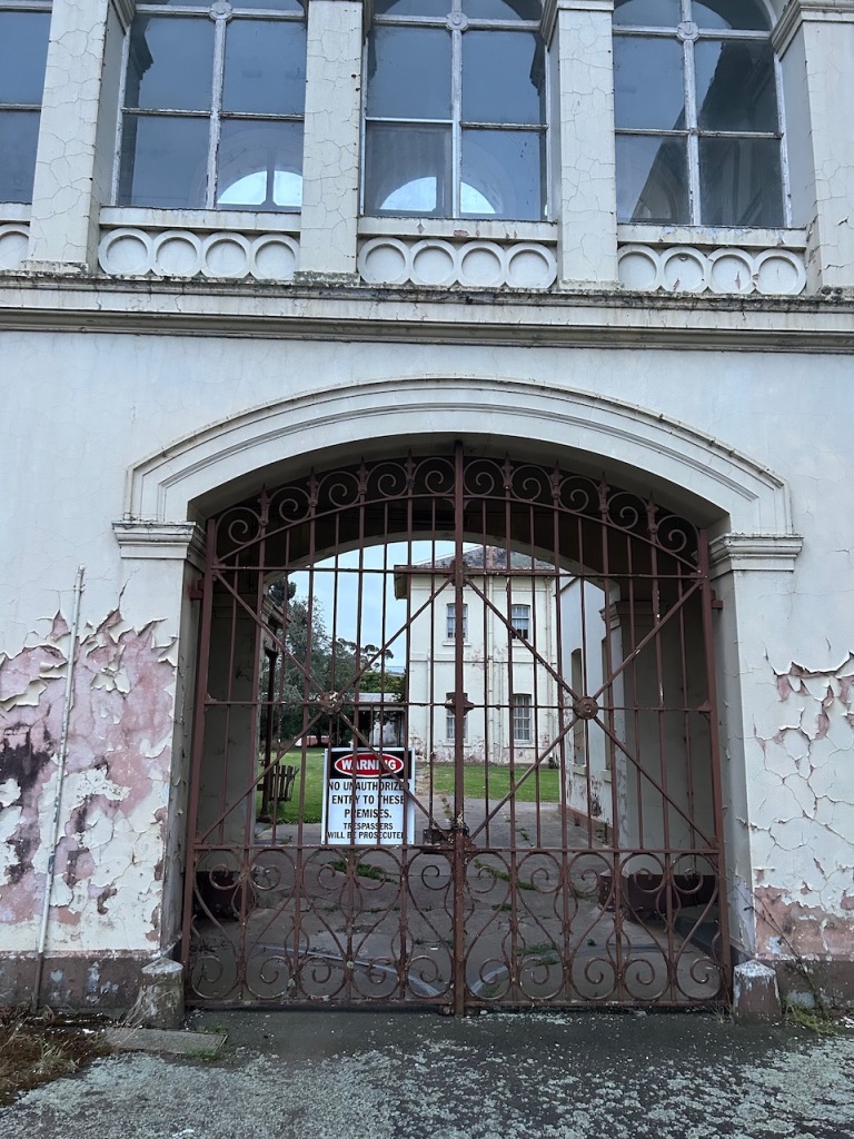
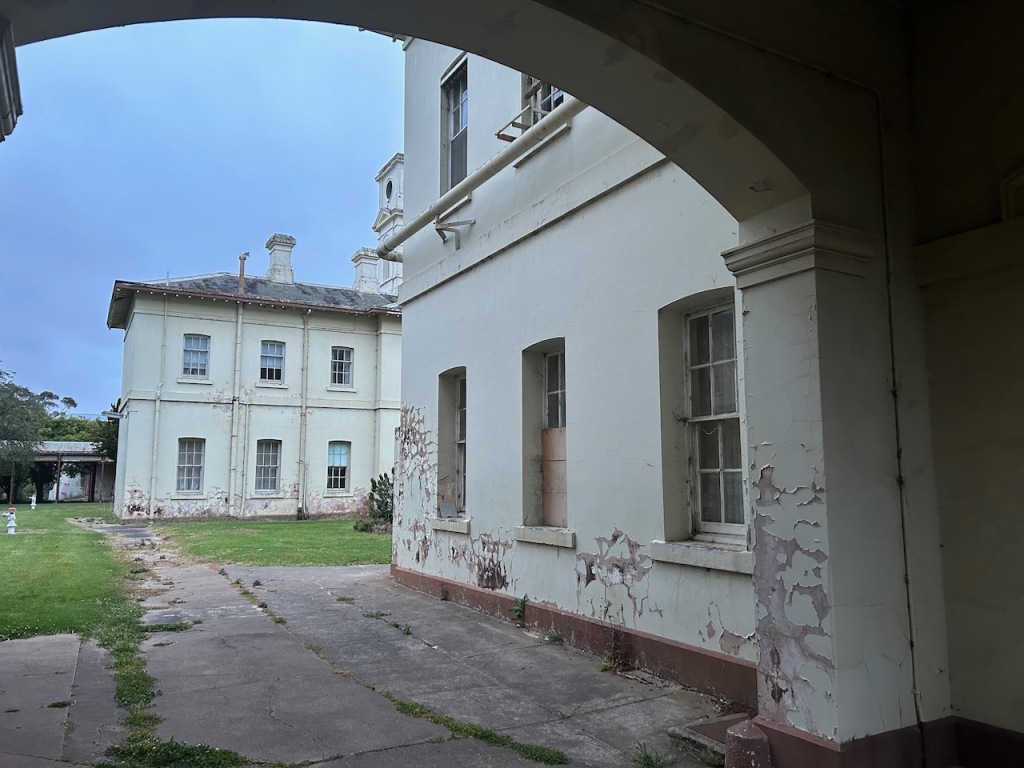
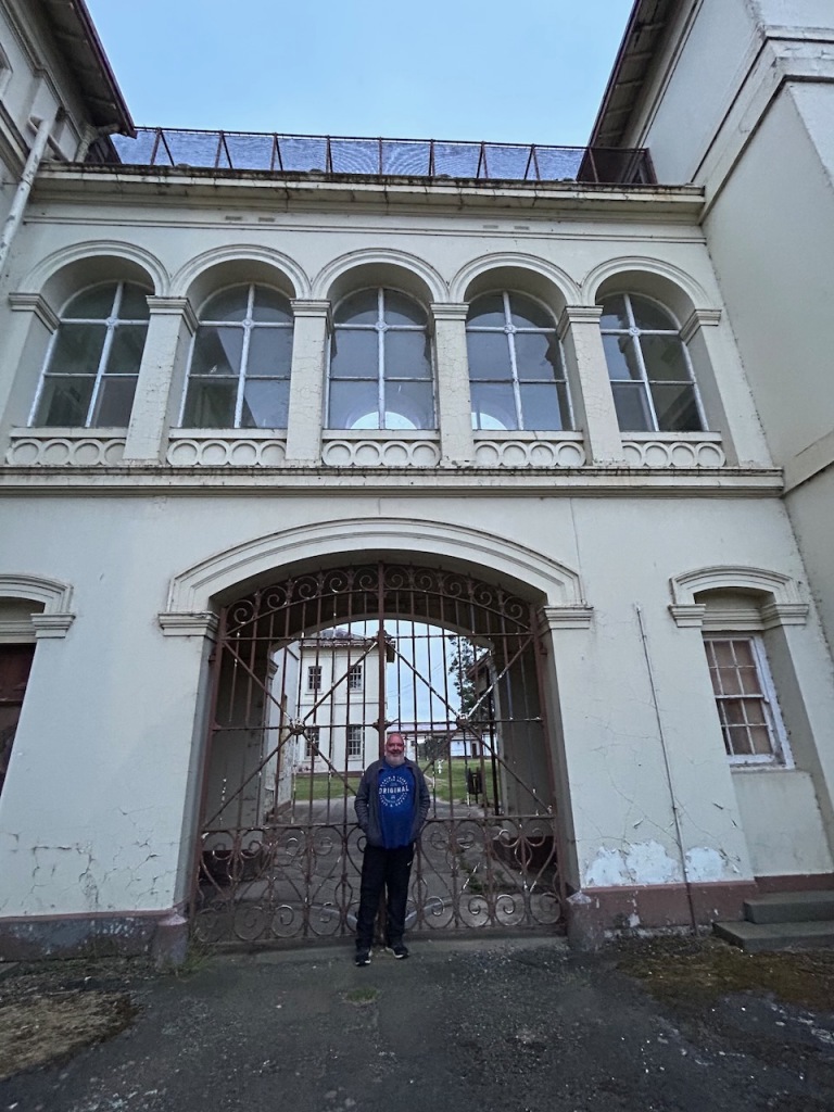
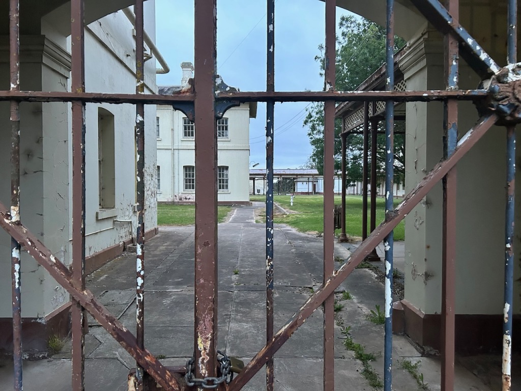
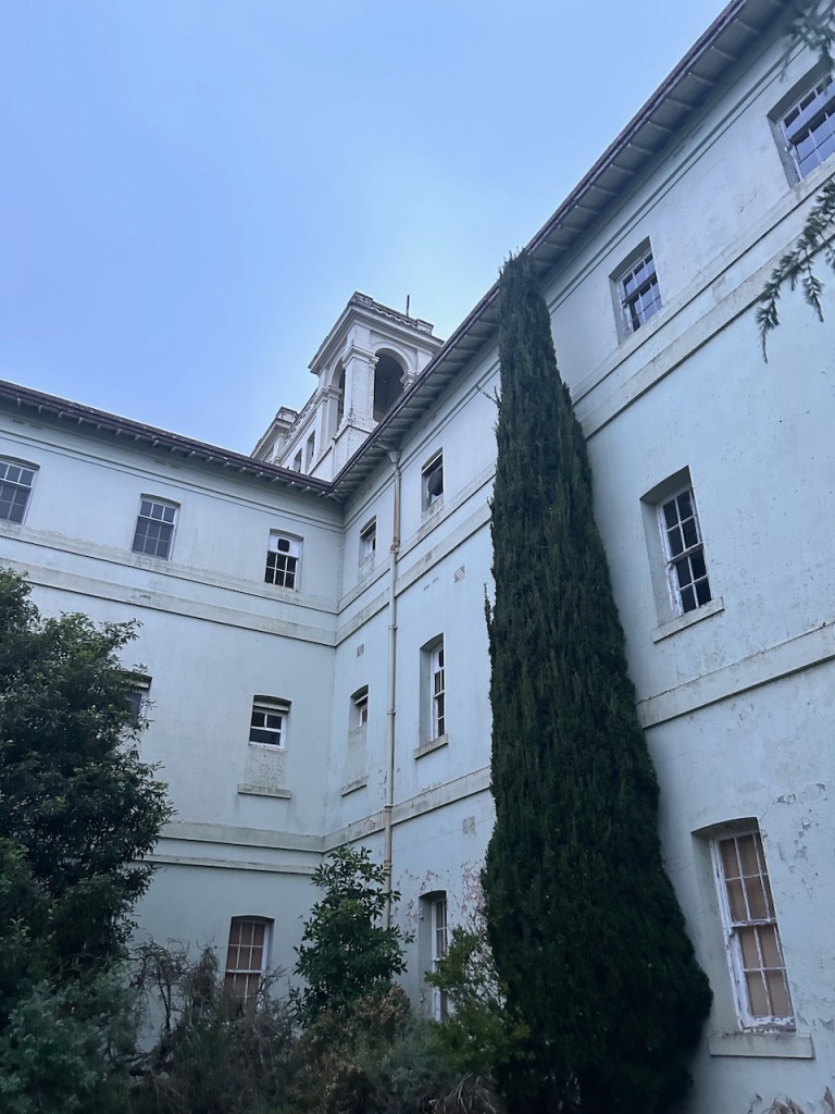
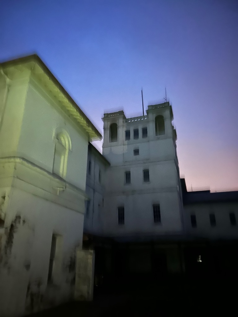
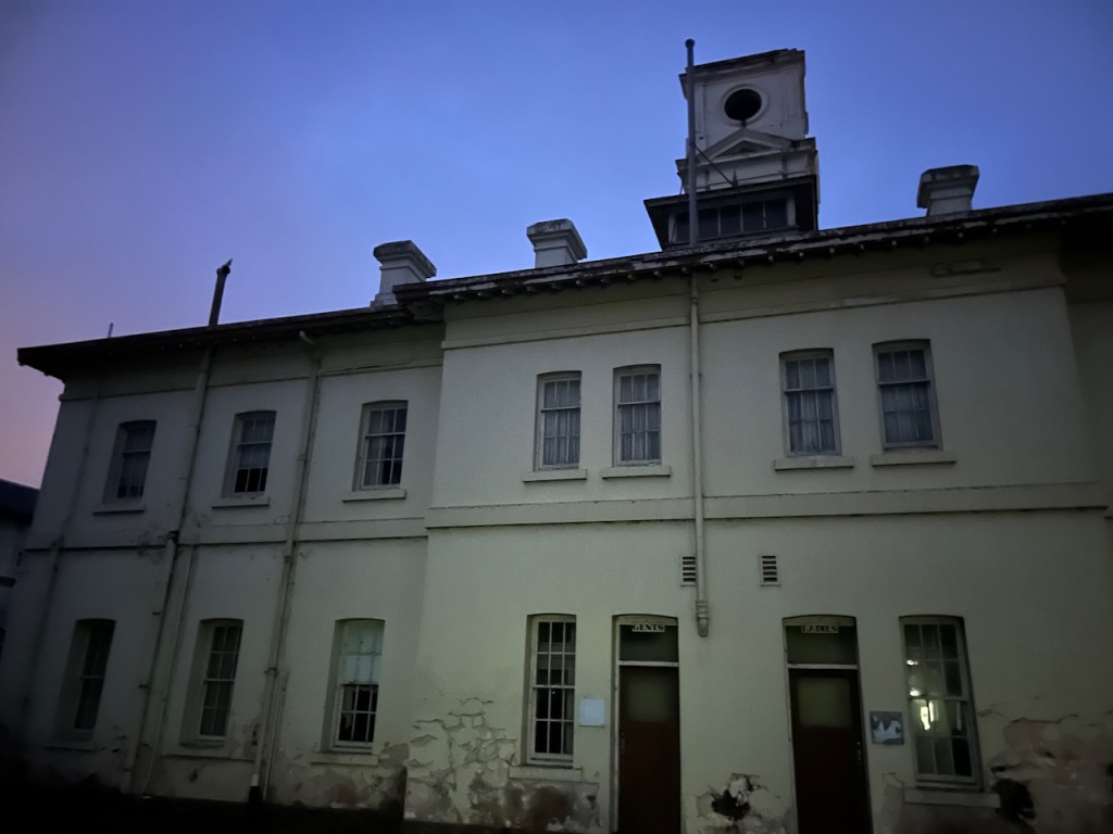
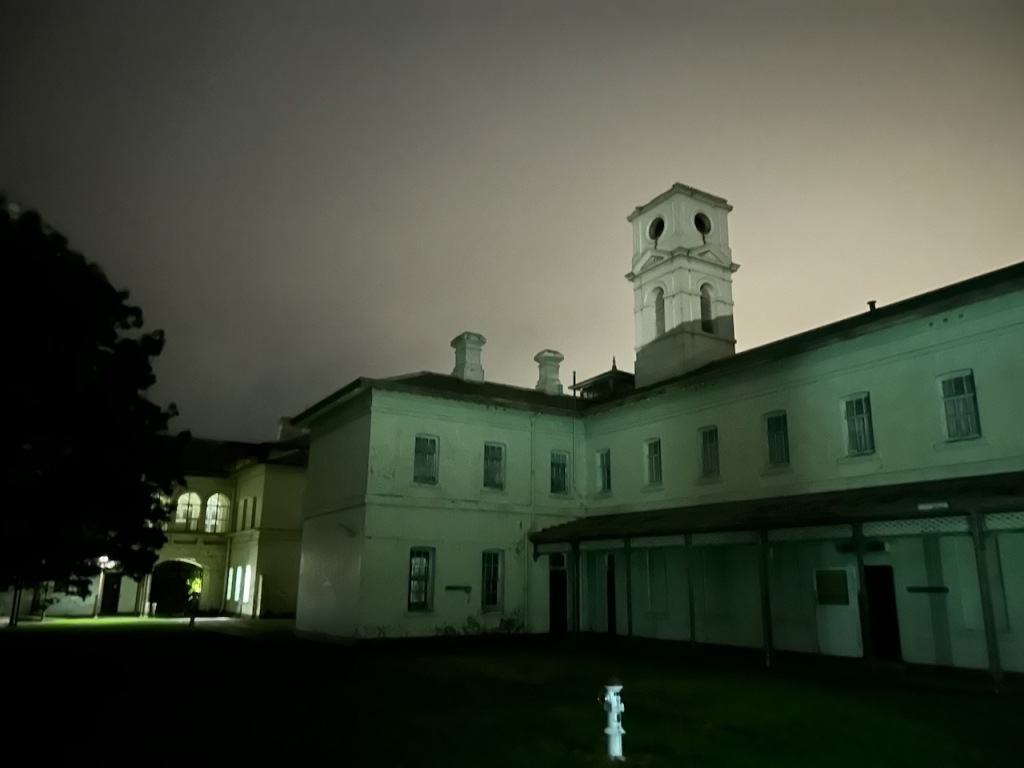
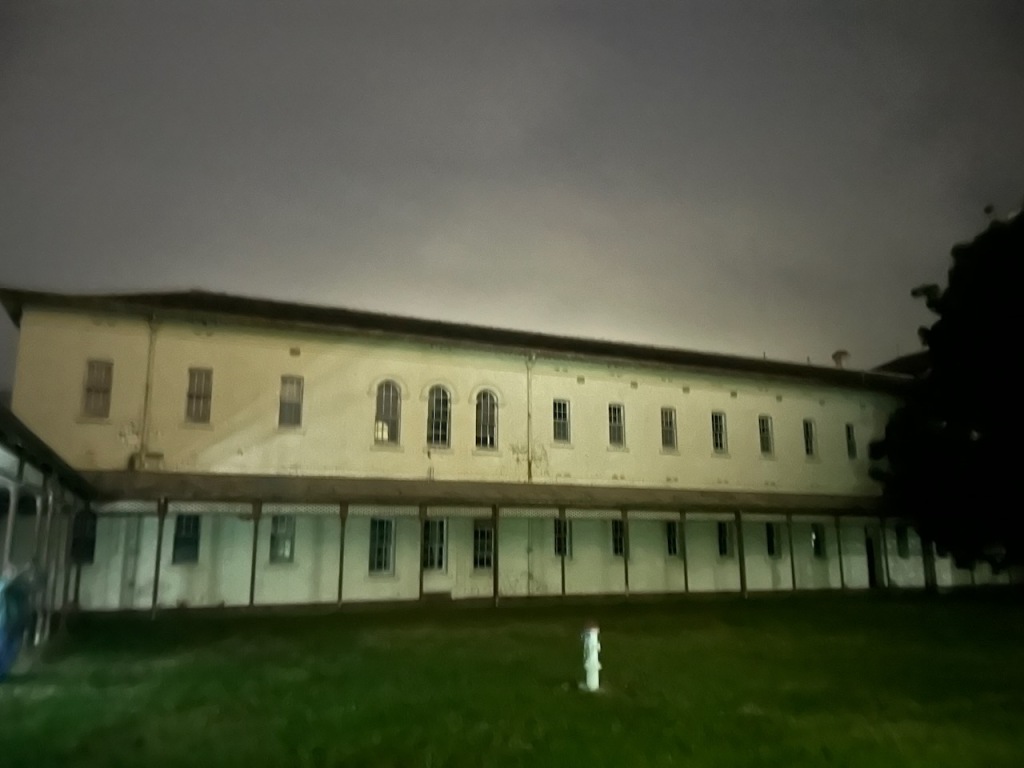
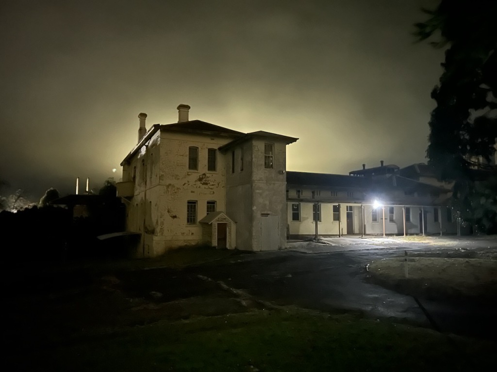
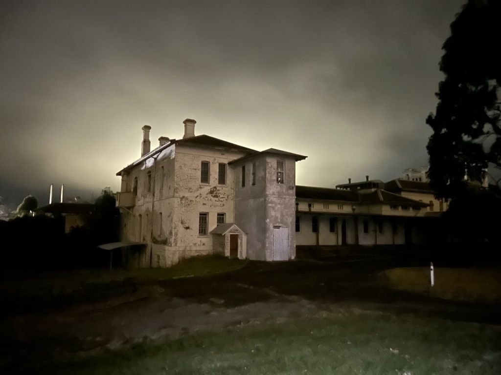
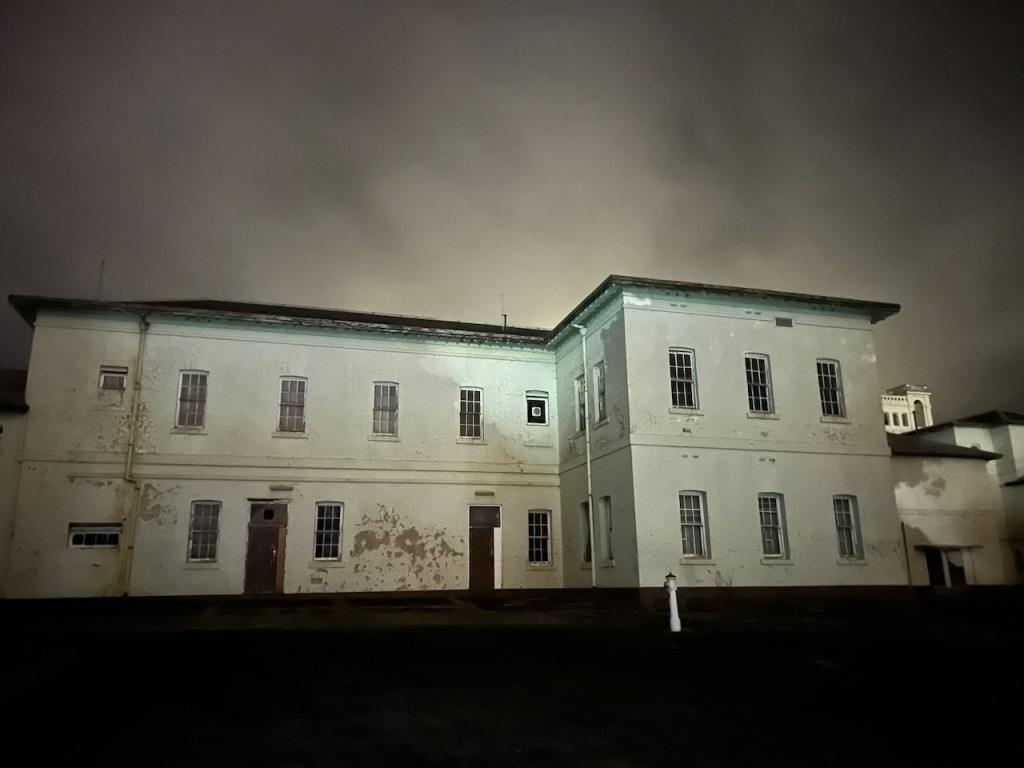
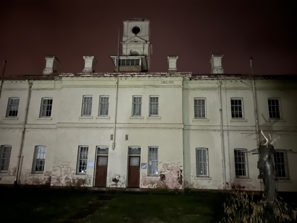
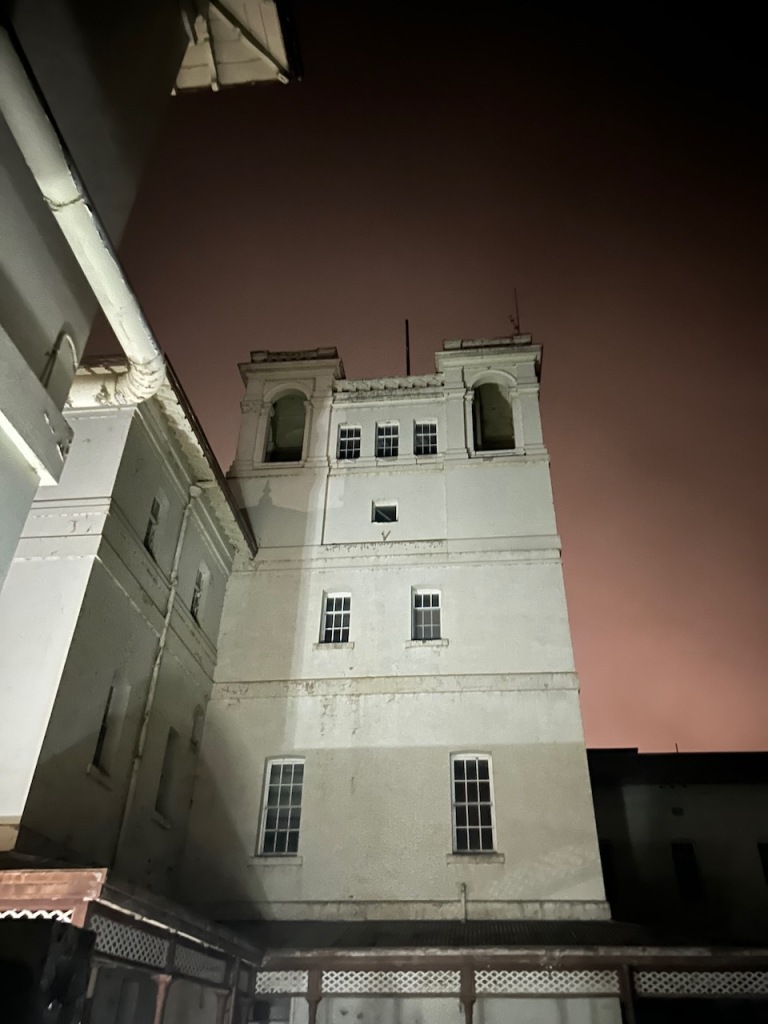
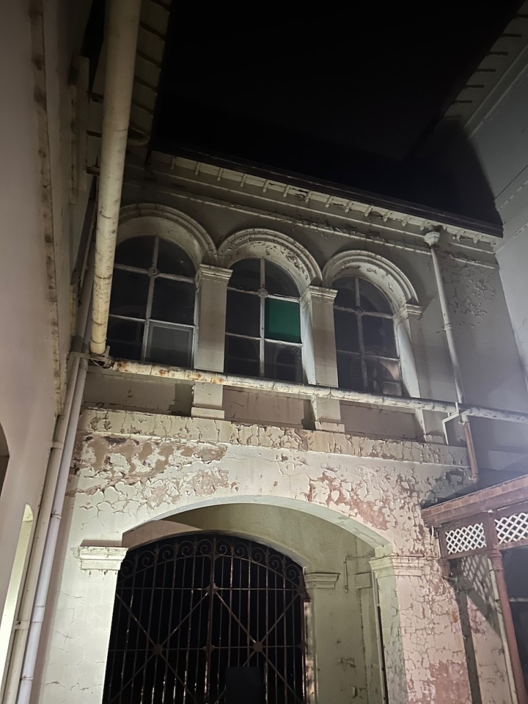
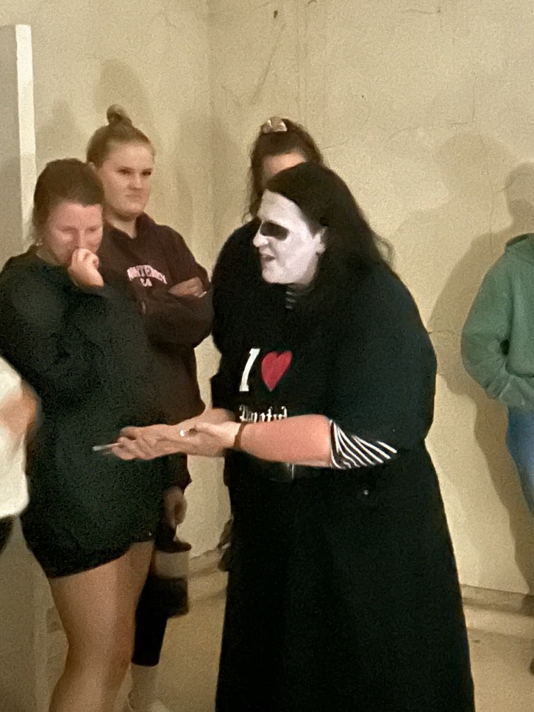
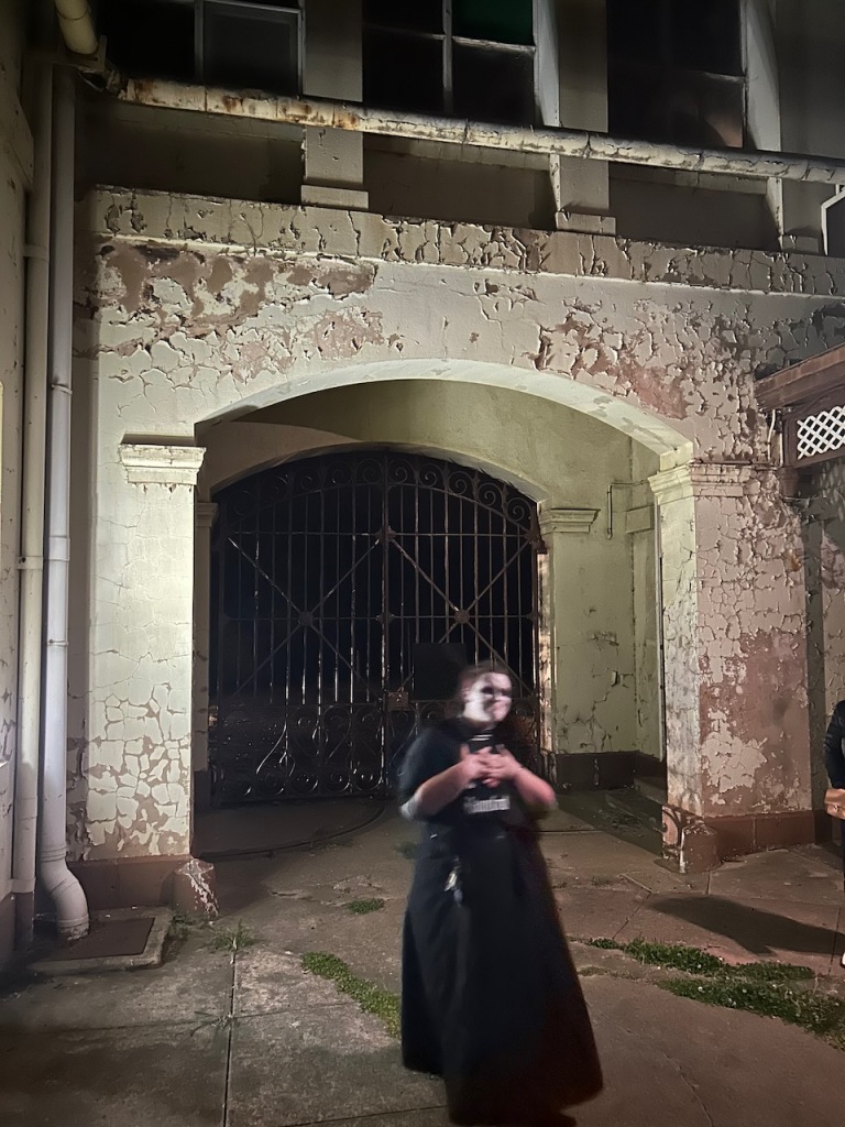
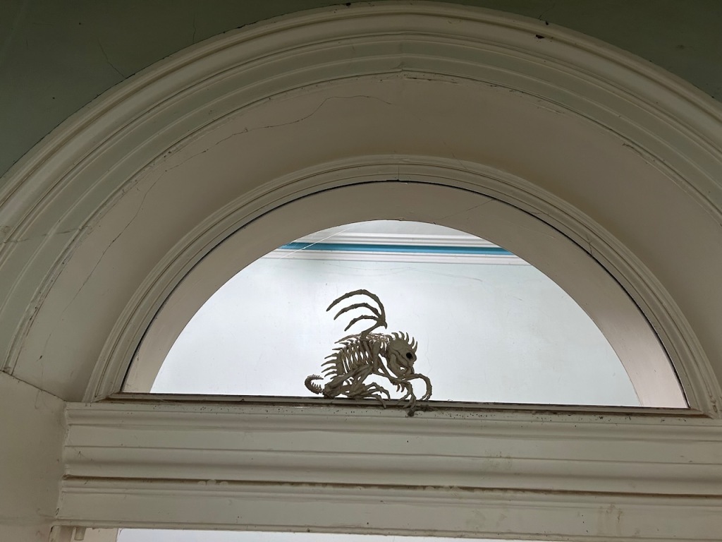
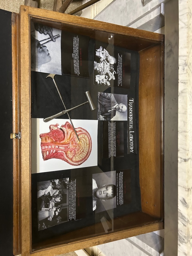
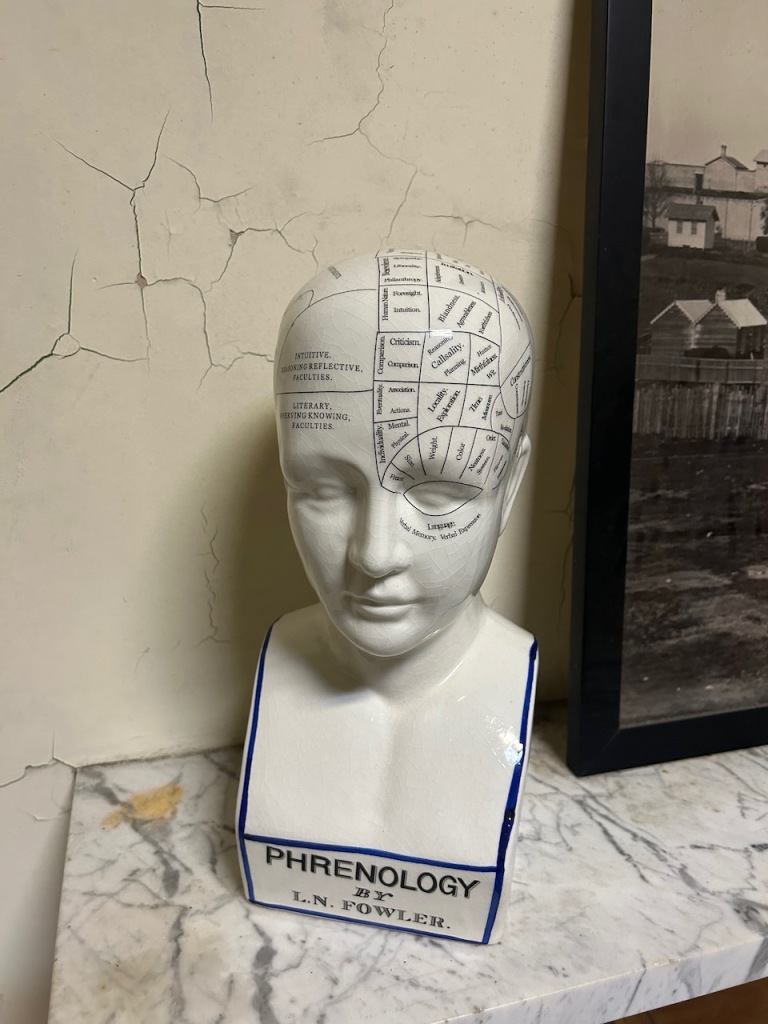
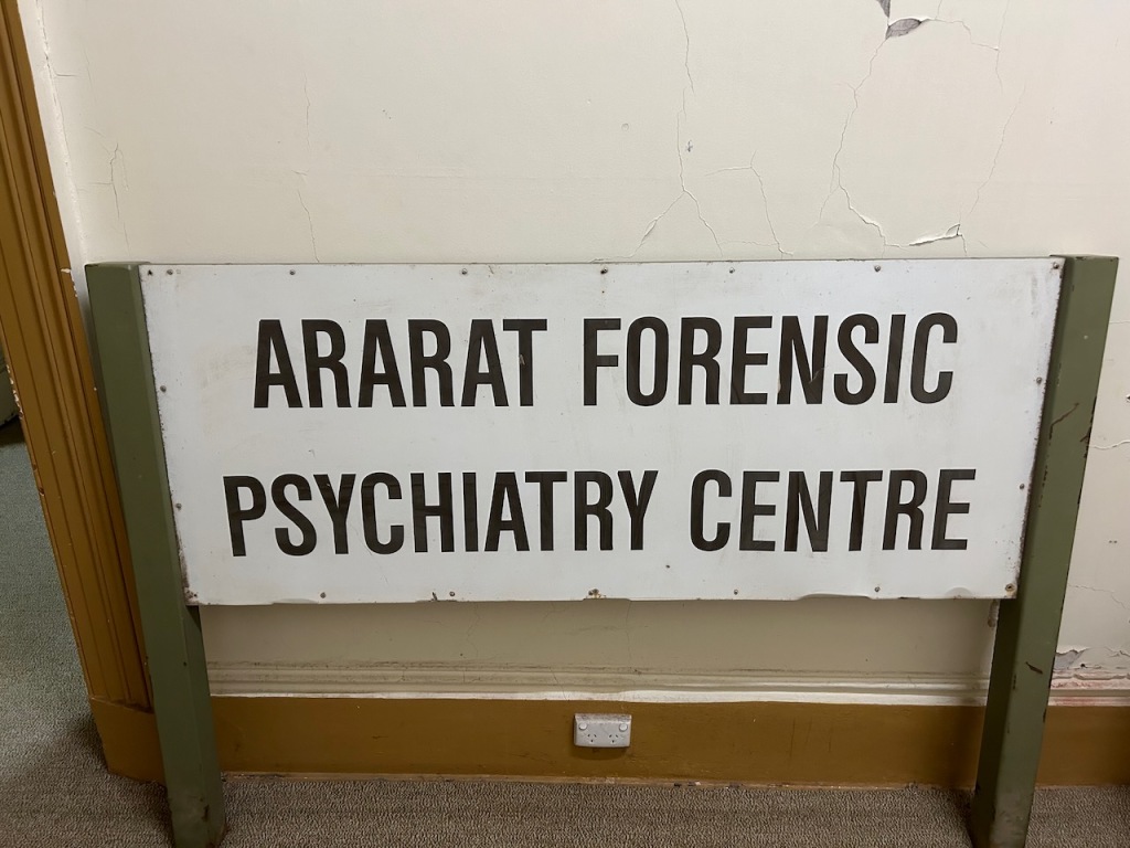
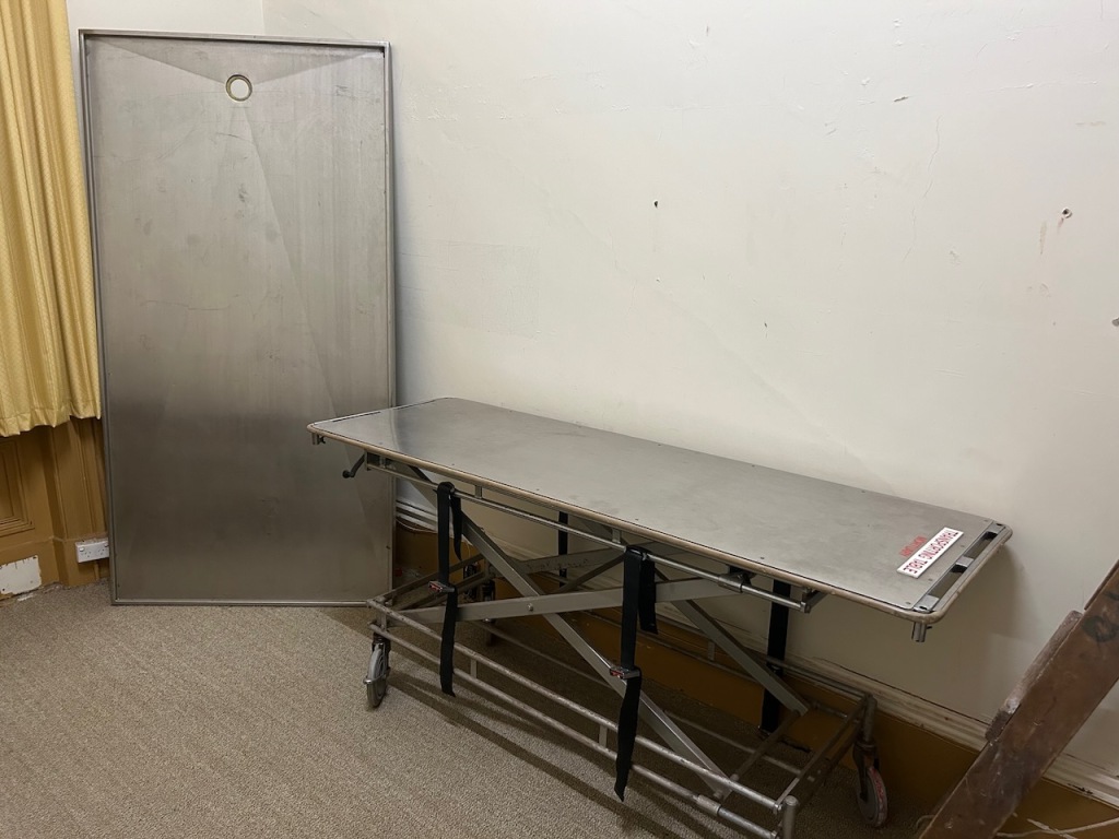
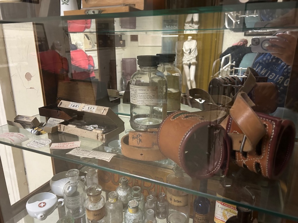
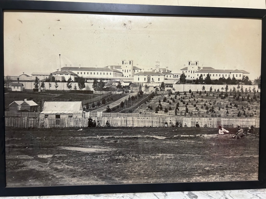
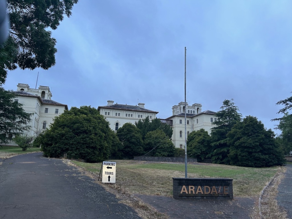
Later that evening Marija and I undertook a night time ghost tour at the old Aradale Lunatic Asylum. Aradale was commissioned to accommodate the growing number of “lunatics” in the colony of Victoria, with construction commencing in 1865. In 1867 it was opened for patients and was closed in 1993. AT its peak, Aradale had up to 1,000 patients. (Aradale 2024)

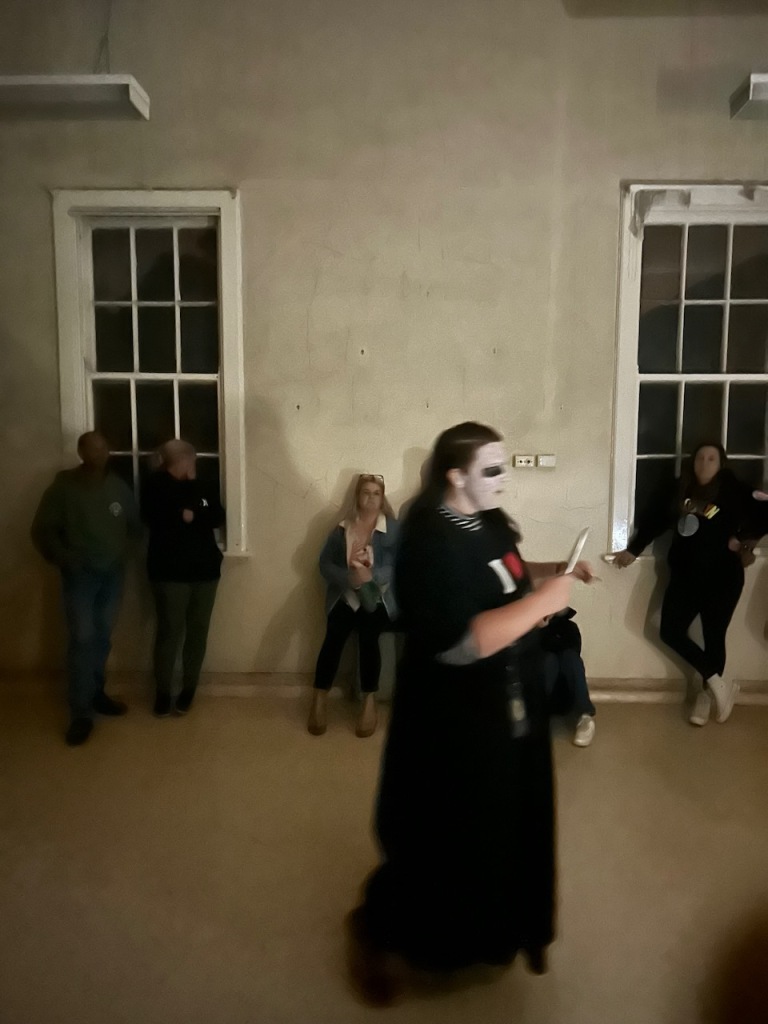
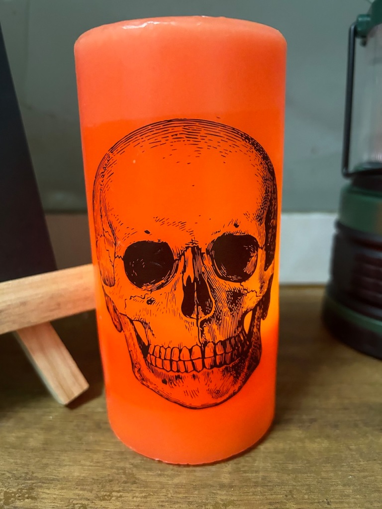
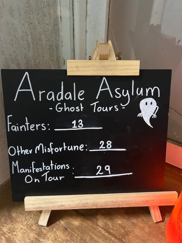
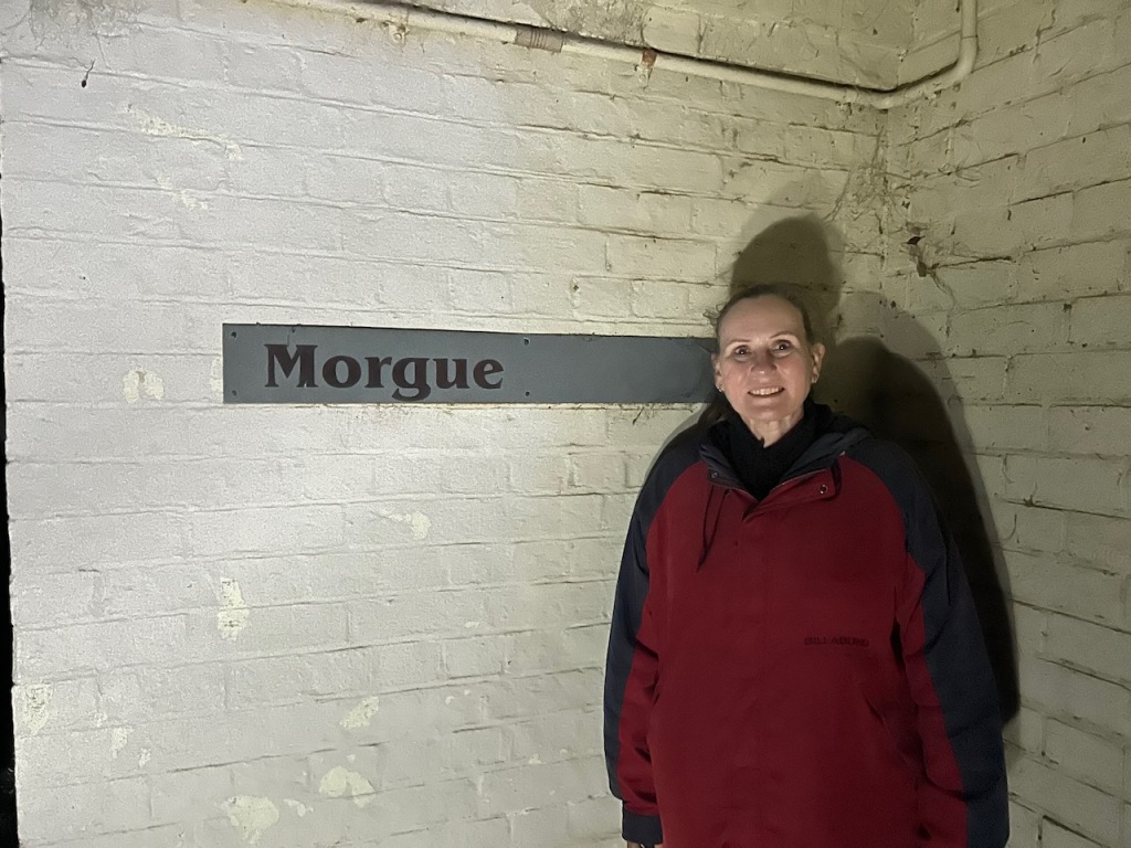
It was at night that Aradale took on a completely different feel.

We had an excellent guide who told some very interesting stories about Aradale and its patients.

This was a very enjoyable evening and Marija and I would highly recommend it for anyone visiting Ararat.

References.

  1. “Aboriginal Placenames 7. Reviving old Indigenous names for new purposes”. Australian National University. Retrieved 25 January 2021.
  2. Aradale.com.au. (2017). Aradale, Lunatic Asylum. [online] Available at: https://www.aradale.com.au/ [Accessed 2nd May 2024].‌
  3. ‌Dcceew.gov.au. (2023). Collaborative Australian Protected Areas Database (CAPAD) 2022 – DCCEEW. [online] Available at: https://www.dcceew.gov.au/environment/land/nrs/science/capad/2022 [Accessed 2nd May 2024].‌
  4. Leslie James Blake, 1978, Place Names of Victoria.‌
  5. Visit Grampians. (2019). Breadcrumbs. [online] Available at: https://www.visitgrampians.com.au/products/mount-william [Accessed 2nd May 2024].‌‌
  6. Wilkie, Benjamin (2020). Gariwerd: An Environmental History of the Grampians. Melbourne: CSIRO Publishing. pp. 43–44. ISBN 9781486307685.