
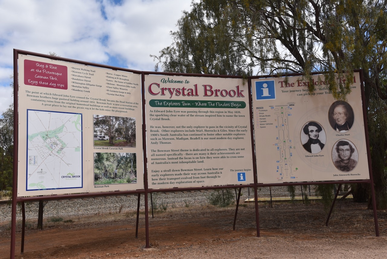
After leaving Redhill I continued north to the town of Crystal Brook to activate the Crystal Crook silo VK-CRK5. Crystal Brook is located about 201 km north of the city of Adelaide.

Above:- Map showing the location of Crystal Brook, South Australia. Map c/o Google Maps.
Prior to the arrival of the Europeans, the Crystal Brook area was home to the Nukunu Aboriginal people. (Aussie Towns 2024)
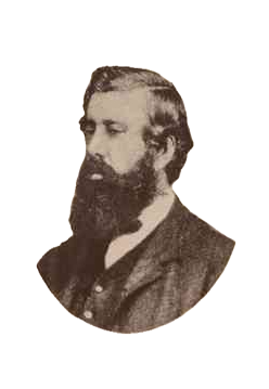
In 1839 explorer Edward John Eyre (b. 1815. d. 1901), passed through the district in May 1839 during his expedition to explore the interior of South Australia. The colony of South Australia was only three years old at this time. Eyre’s party consisted of five men, two teams of horses and provisions for three months. Eyre discovered and named the Rocky River, known by the aboriginals as Wongabirie. He then discovered a clear running stream and named it Chrystal Brook (note the spelling). Crystal Brook was known by the aboriginal people as Mercowie meaning ‘clear water’. (Aussie Towns 2024) (Cockburn 1999) (Monument Australia 2024) (SA History articles 2024)
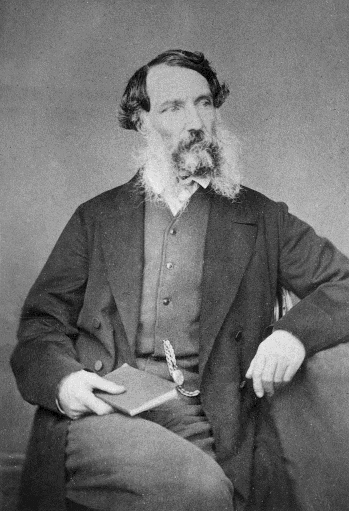
Above:- Edward John Eyre. Image c/o Wikipedia.
There is a monument at Crystal Brook in Heysen Park on Eyre Road to honour Edward Eyre.


The monument was erected in September 1951 during Crystal Brook’s Jubilee celebrations.
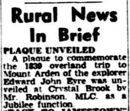
Above:- Article from The Advertiser, Adelaide, Tue 25 Sep 1951. Image c/o Trove
The spelling of Crystal Brook was subsequently corrected following the establishment of a pastoral run ‘Crystal Broom Run’ owned by William Younghusband and Peter Ferguson. The run covered an area of 145,000 hectares and extended to Port Pirie, then known as Samuels Creek. (Aussie Towns 2024) (SA History articles 2024)

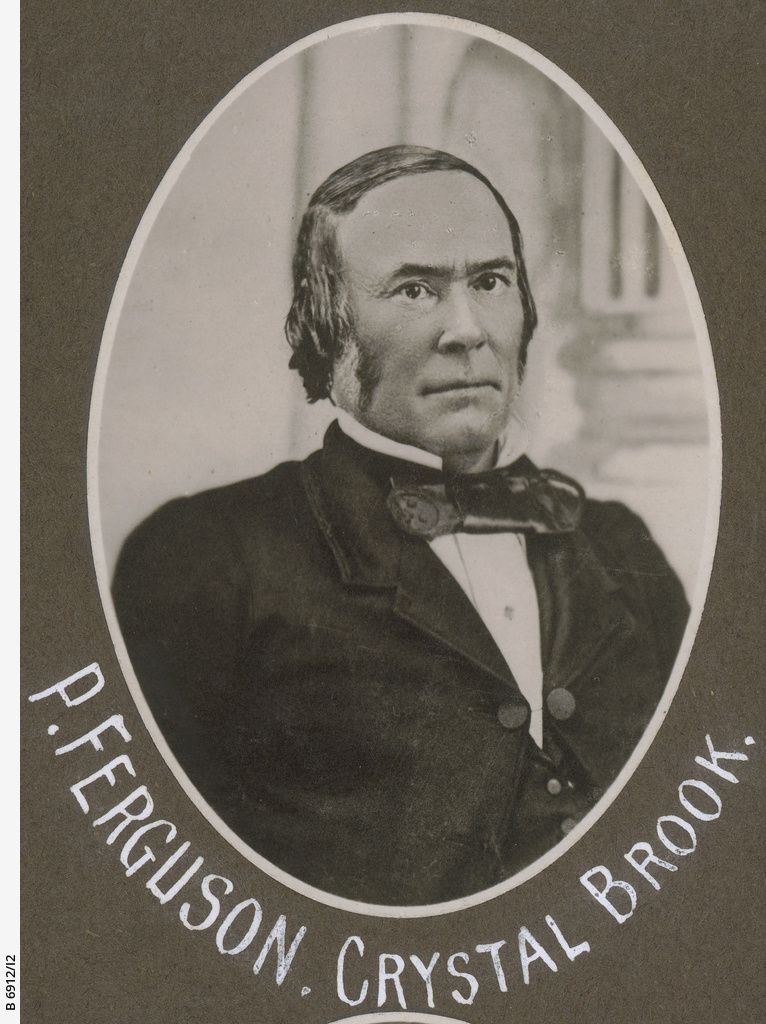
Above:- Younghusband and Ferguson. Images c/o State Library South Australia.
In about 1856 Younghusband and Ferguson sold Crystal Brook Run to John, William and Thomas Bowman. The main street of Crystal Brook is named in their honour. Bowman Park which contains some of the original buildings is located just to the northeast of Crystal Brook. (SA History articles 2024)
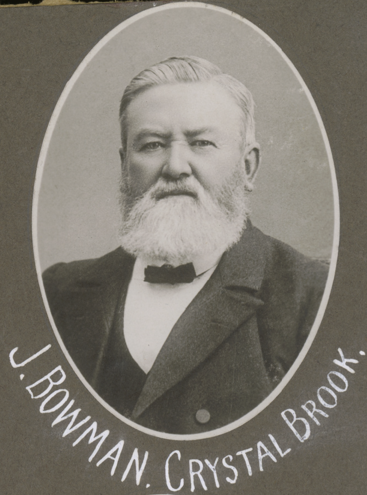

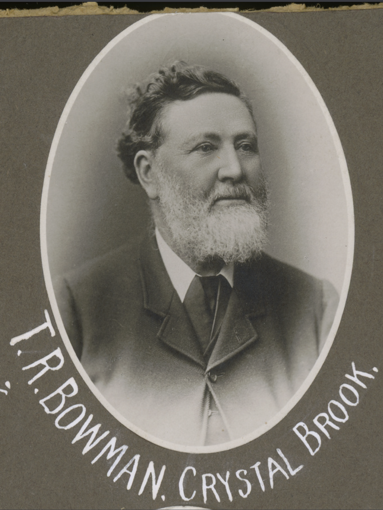
Above:- John, William, and Thomas Bowman. Images c/o State Library South Australia.
The first known store in the Crystal Brook district was established by P.M. Kelville in the 1870s on the Rocky River. A grog shop also existed with the owner creating stories that a mythical bunyip lived in the nearby Wirrawirra waterhole. The bunyip is a creature from the aboriginal mythology reputed to live in swamps, billabongs, creeks and waterholes. Local settlers at Crystal Brook were so convinced of its existence that parties were often formed to shoot the bunyip. (SA History articles 2024)

Above:- Illustration of a Bunyip by J. Macfarlane (1890). Image c/o Wikipedia
The settlement of Narridy was the first in the district. Narridy is located just a few kilometres west of current-day Crystal Brook. The Hundred of Crystal Brook was established on the 3rd day of March 1873. The area which was still held by the Bowmans was opened up for selection as farming blocks under the Strangways Land Act with a price of £2 per acre.
The Strangways Land Act was passed in January 1869. It enabled the purchase of land for farmers, allowing for closer settlement in areas of South Australia suited to more intensive agriculture, rather than vast pastoral runs. It was named in honour of Henry Strangways, the Premier and Attorney General of South Australia when the legislation was passed. (Mr Strangways 1917)
Above:- Henry Strangways. Image c/o Wikipedia.
On the 11th day of November 1882, the District Council of Crystal Brook was proclaimed. (SA History articles 2024)

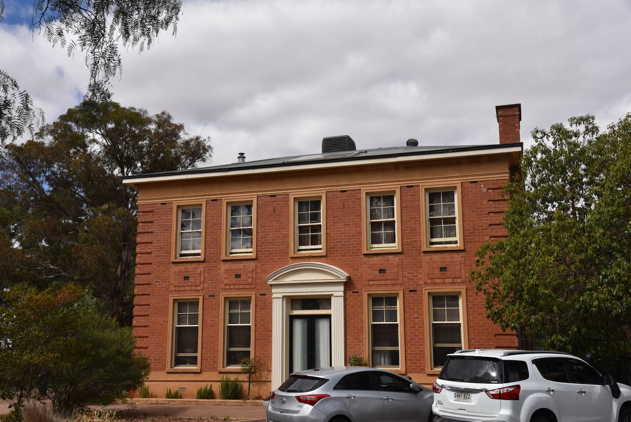
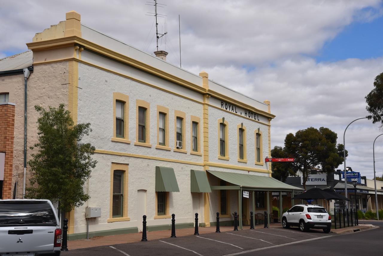
Above:- Crystal Brook, c. 1910. Image c/o State Library South Australia.
According to the 2021 Census, Crystal Brook has a population of 1,322 people.


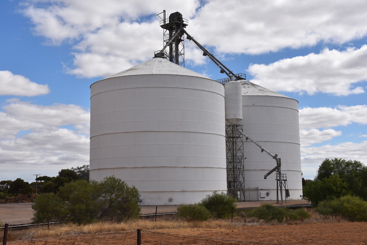
The Crystal Brook silos are located alongside the railway line in Railway Terrace in the heart of Crystal Brook.

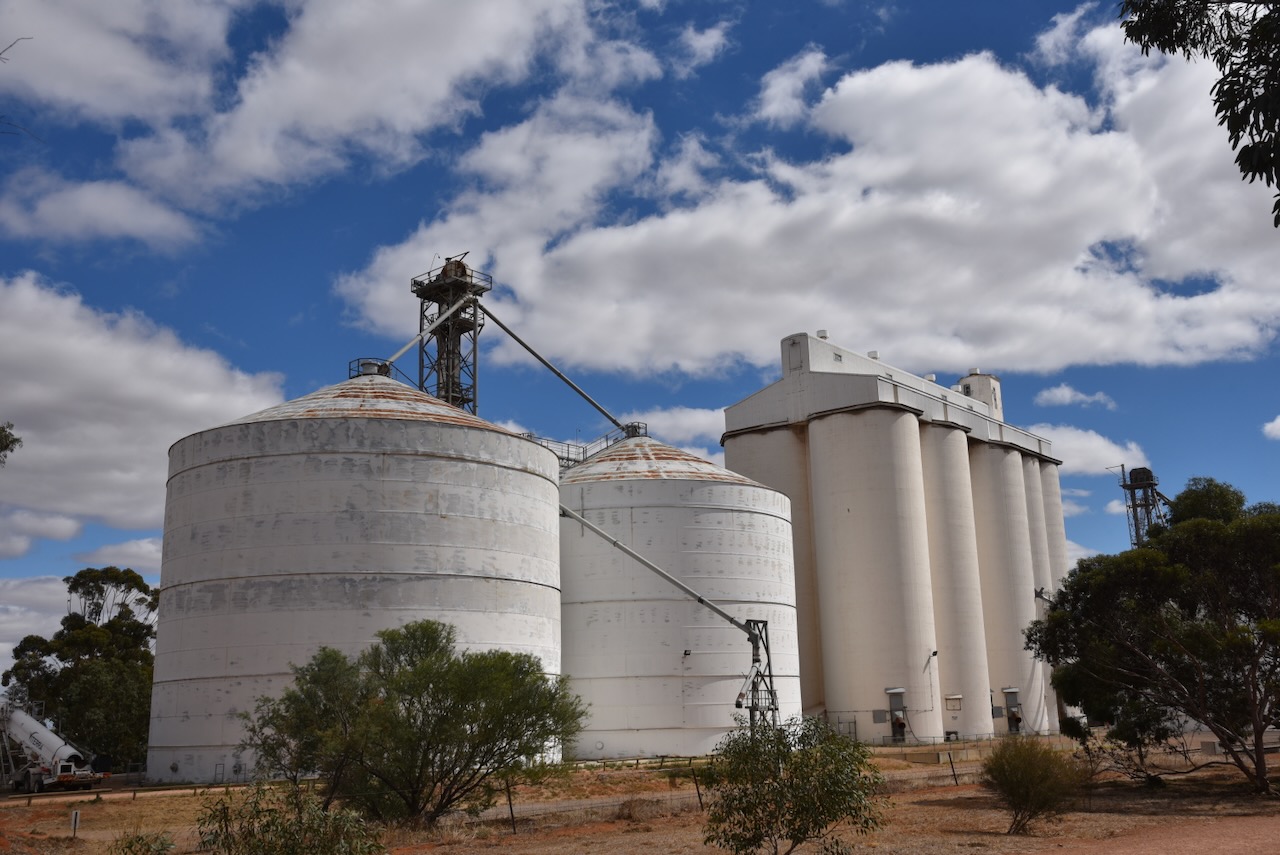

I parked directly opposite the silos and operated from the 4WD for this activation, running the Icom IC-7000, 100 watts, and the Codan 9350 antenna with the 1.5-metre stainless steel whip.
As I pulled up, a council vehicle pulled up behind me with its orange lights flashing. I was a little concerned I may have done something wrong. But it was a council worker who wanted to ask me about the roof racks and awning on my Toyota Hi-Lux as he was looking to purchase something similar.

Above:- The activation zone at the Crystal Brook silos. Image c/o SiOTA website.
I worked the following stations on 20m SSB:-
- VK2IO/p (Macanally State Conservation Area VKFF-1344)
- VK1AO
- VK2MET
I worked the following stations on 40m SSB:-
- VK5TUX
- VK5IS
- VK3APJ
- VK5AAY
References.
- Aussie Towns. (n.d.). Crystal Brook, SA. [online] Available at: https://www.aussietowns.com.au/town/crystal-brook-sa [Accessed 15 May 2024].
- monumentaustralia.org.au. (n.d.). Edward John Eyre | Monument Australia. [online] Available at: https://monumentaustralia.org.au/themes/people/exploration/display/104655-edward-john-eyre [Accessed 15 May 2024].
- MR. STRANGWAYS. (1917). Express and Telegraph. [online] 6 Dec. Available at: https://trove.nla.gov.au/newspaper/article/209776817 [Accessed 17 May 2024].
- sites.google.com. (n.d.). SA history articles – Our Special Representative. [online] Available at: https://sites.google.com/site/sahistoryarticles/sa-history-articles/our-special-representative?authuser=0 [Accessed 15 May 2024].
