
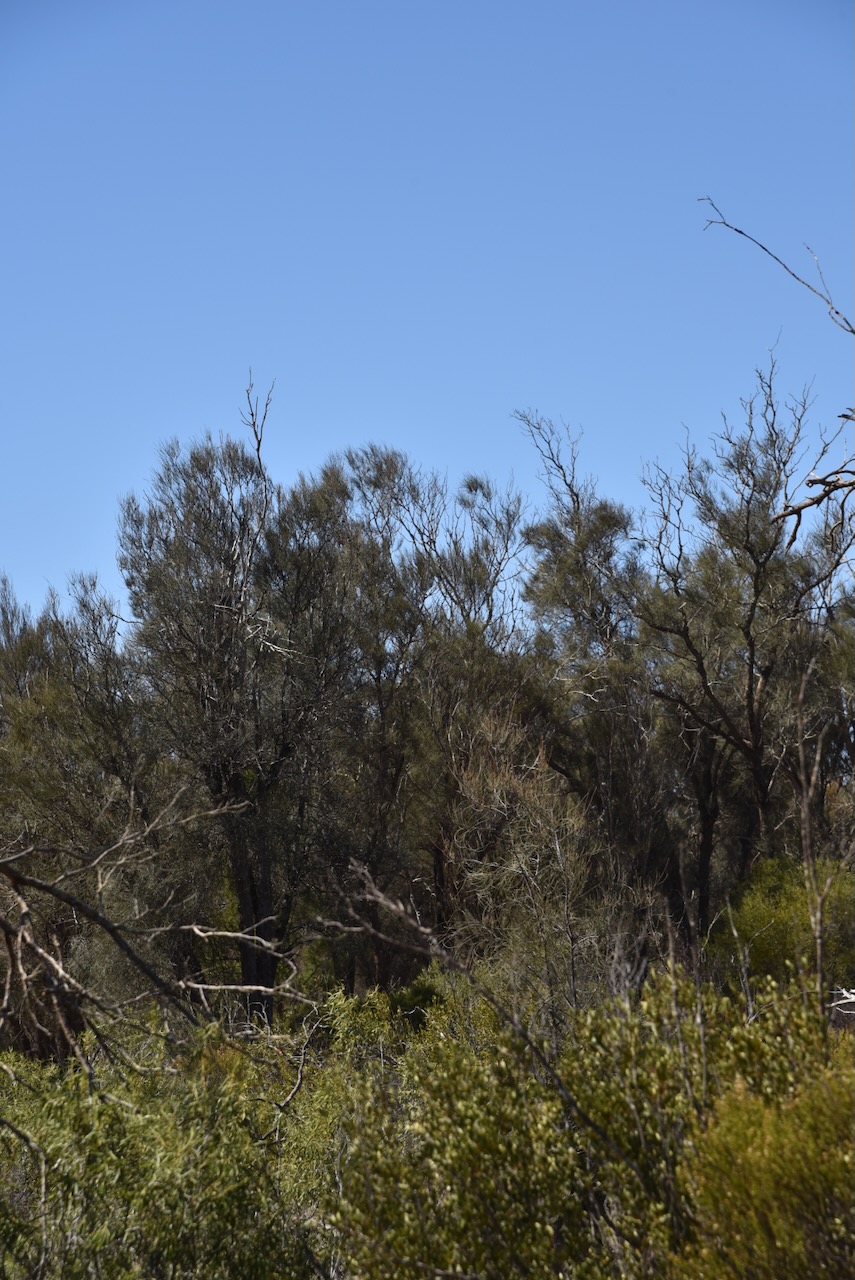
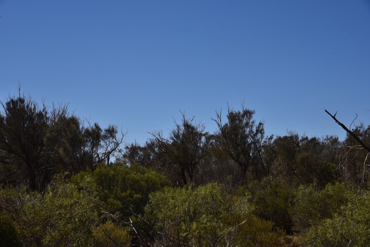
After leaving Cortinlye Conservation Reserve on Thursday 11th April 2024 I headed to my next park activation for the day, the Cunyarie Conservation Reserve VKFF-1702.
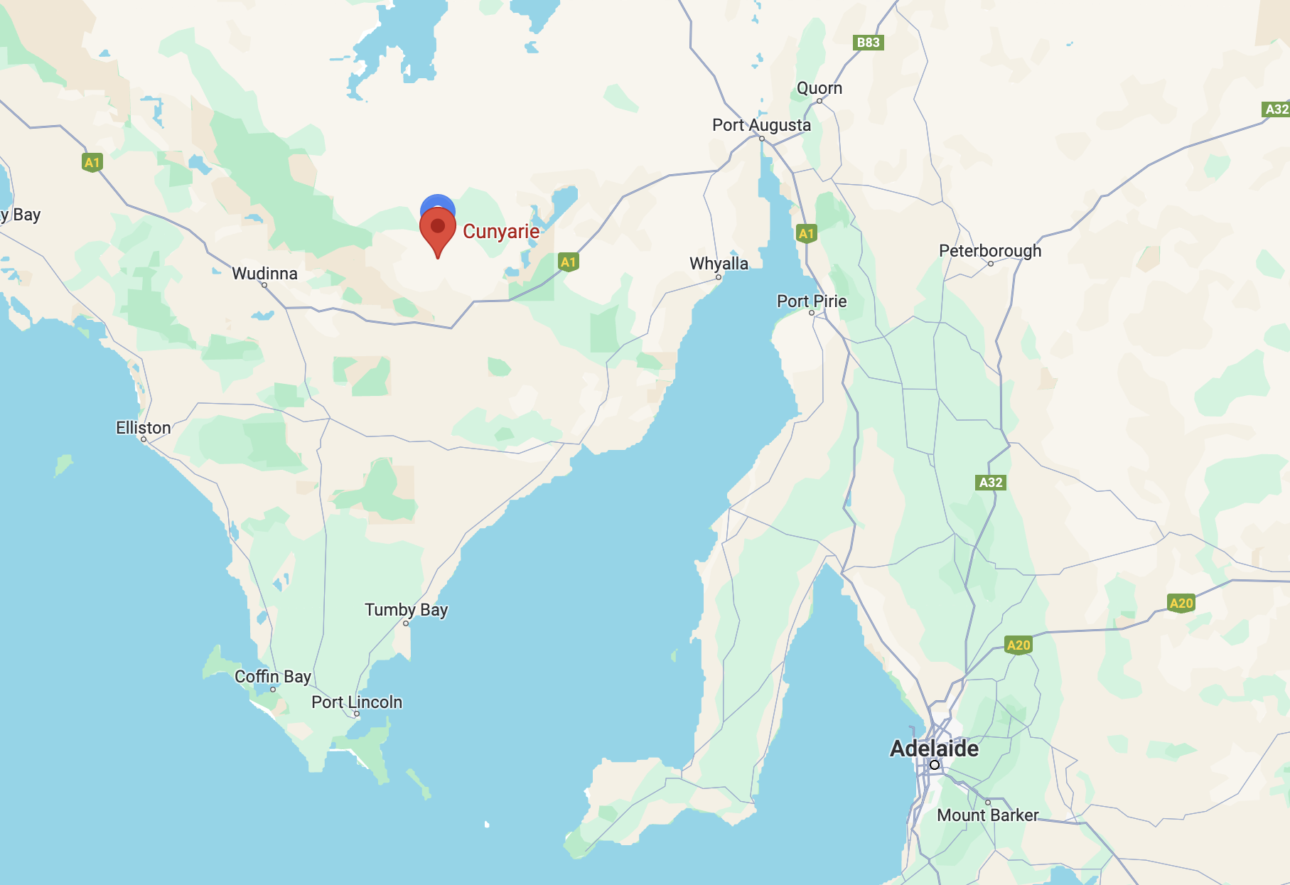
Above:- Map showing the location of the Cunyarie Conservation Reserve. Map c/o Google Maps.
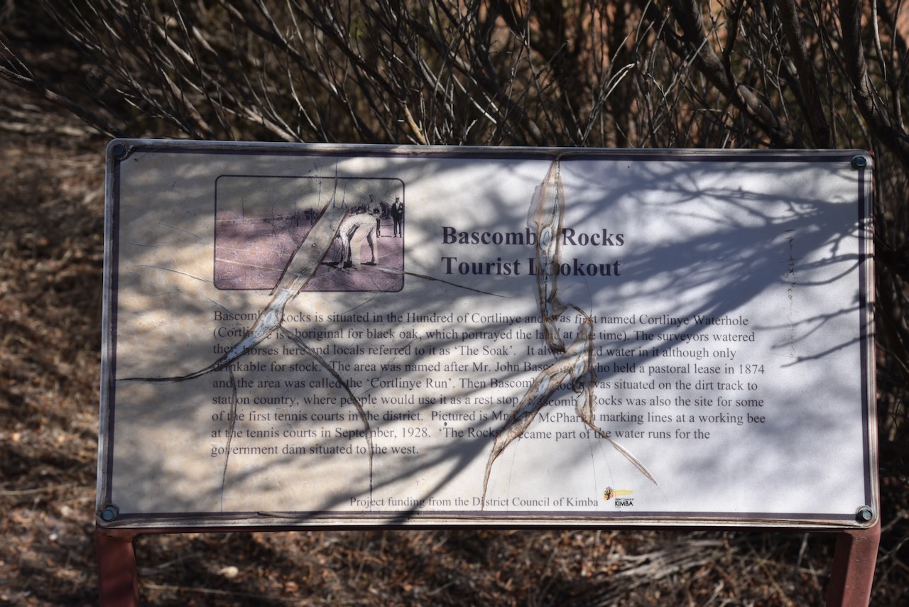
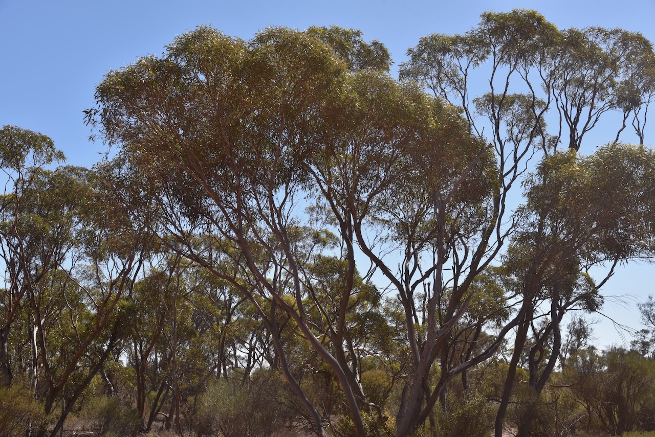
Before reaching the park I stopped at the Bascombe Rocks Lookout on Buckleboo Road.
Bascombe Rocks is situated in the Hundred of Cortlinye and was first named Cortlinye Waterhole. Cortlinye is an aboriginal word for black oak, which portrayed the land at the time. The surveyors watered their horses at this location and the locales referred to it as ‘The Soak’. It always had water in it although only drinkable for stock. The area was named after Mr John Bascombe who held a pastoral lease in 1874 and the area was called the ‘Cortlinye Run.’
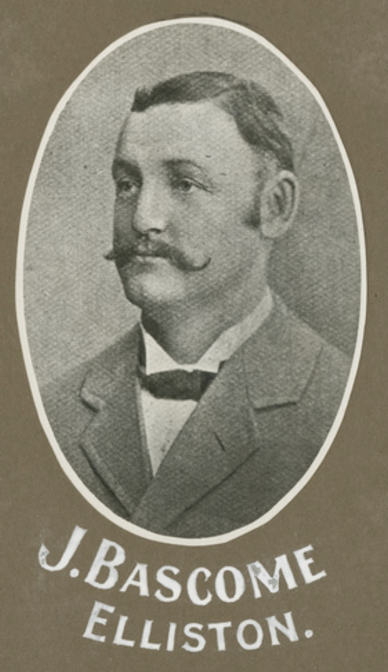
Above:- John Bascombe. Image c/o State Library South Australia.
Then Bascombe Rocks was situated on the dirt track to station country, where people would use it as a rest stop. Bascombe Rocks was also the site for some of the first tennis courts in the district. ‘The Rocks’ became part of the water runs for the government dam situated to the west.
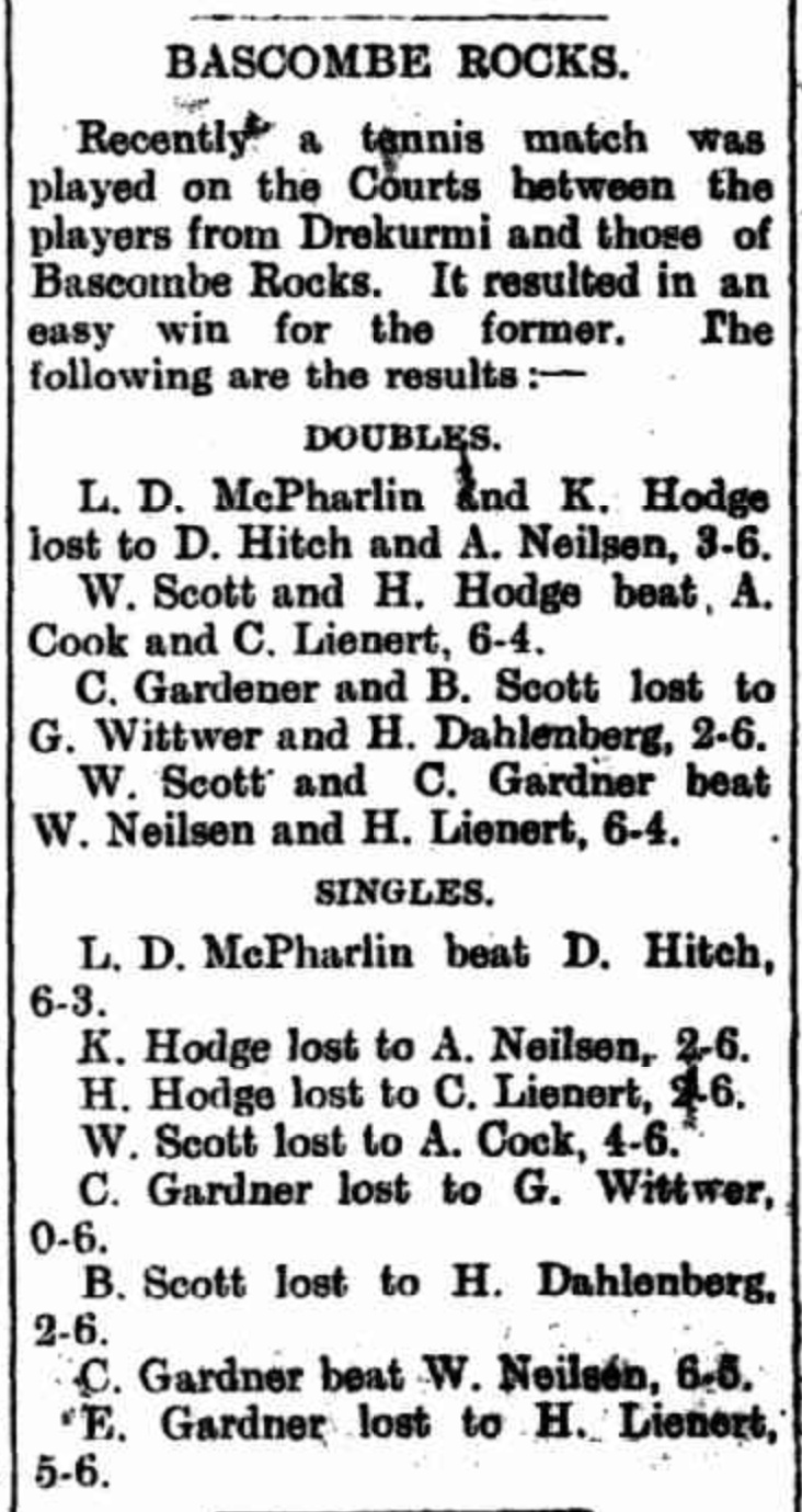
Above:- Article from the Kimba Dispatch, Fri 6 Apr 1928. Image c/o Trove.
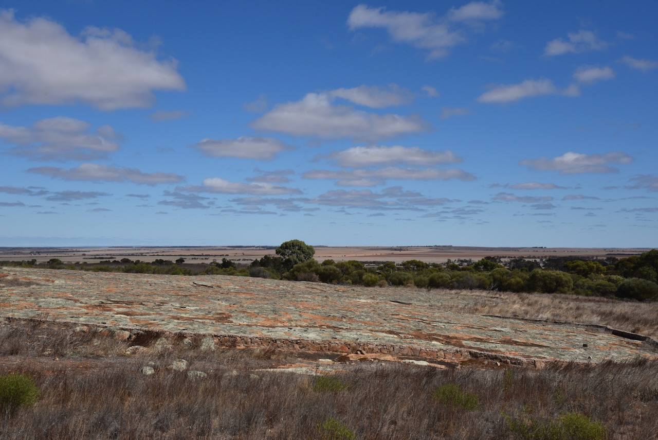
The lookout has a shelter with a table and benches, an information board, and a cairn.

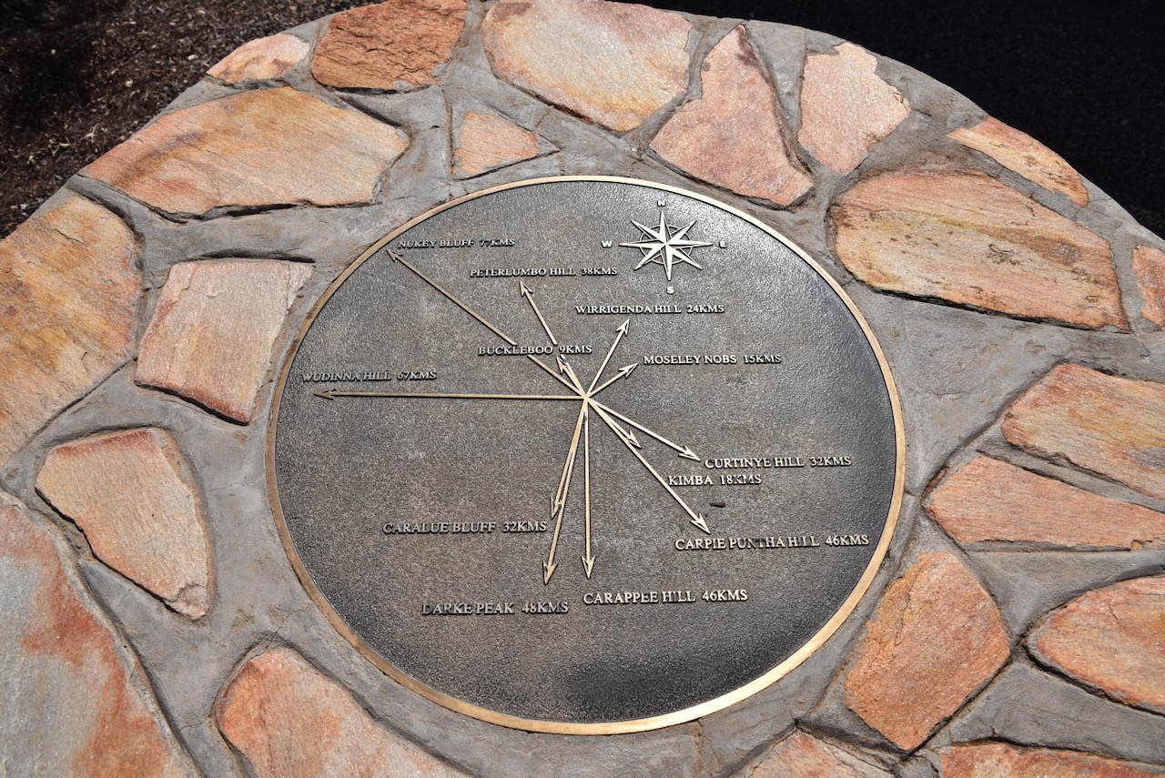
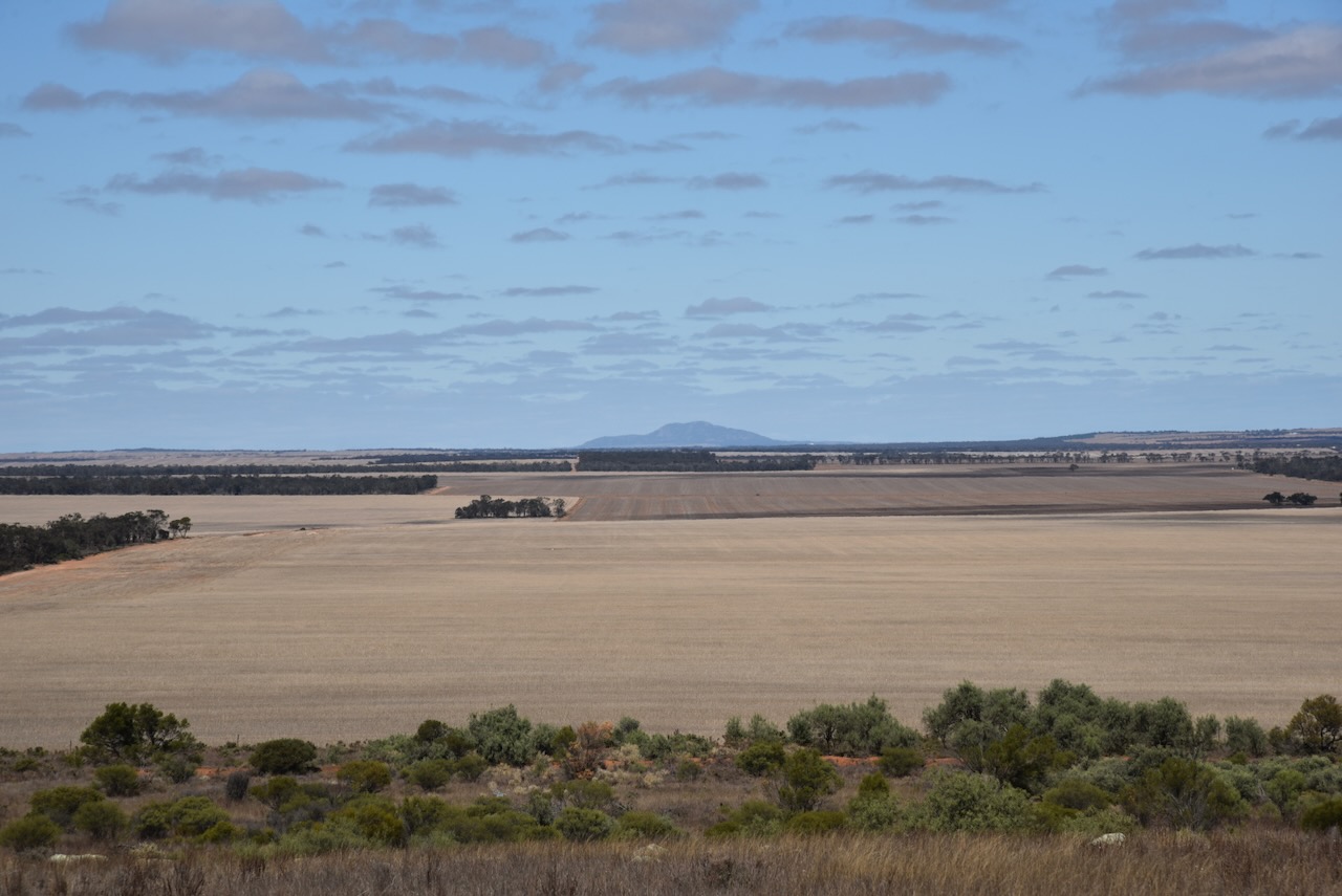
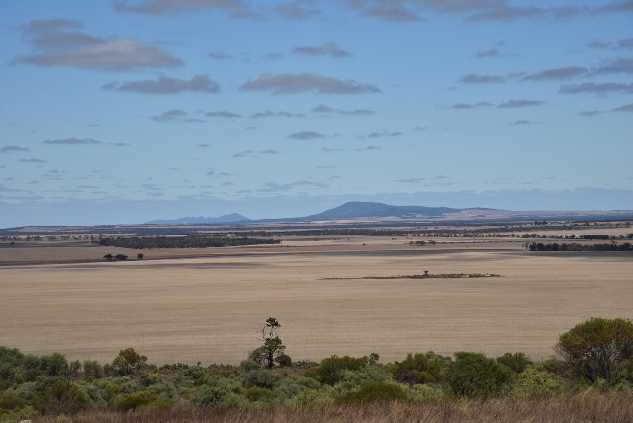
There are some nice views of the surrounding countryside from the lookout.


Cunyarie is an aboriginal word for rockholes that are located in the district. The Hundred of Cunyarie was proclaimed on the 1st day of June 1922. The Cunyarie School opened in 1927 and closed in 1936. The town of Cunyarie was proclaimed on the 16th day of February 1928. (Place Names 2012)
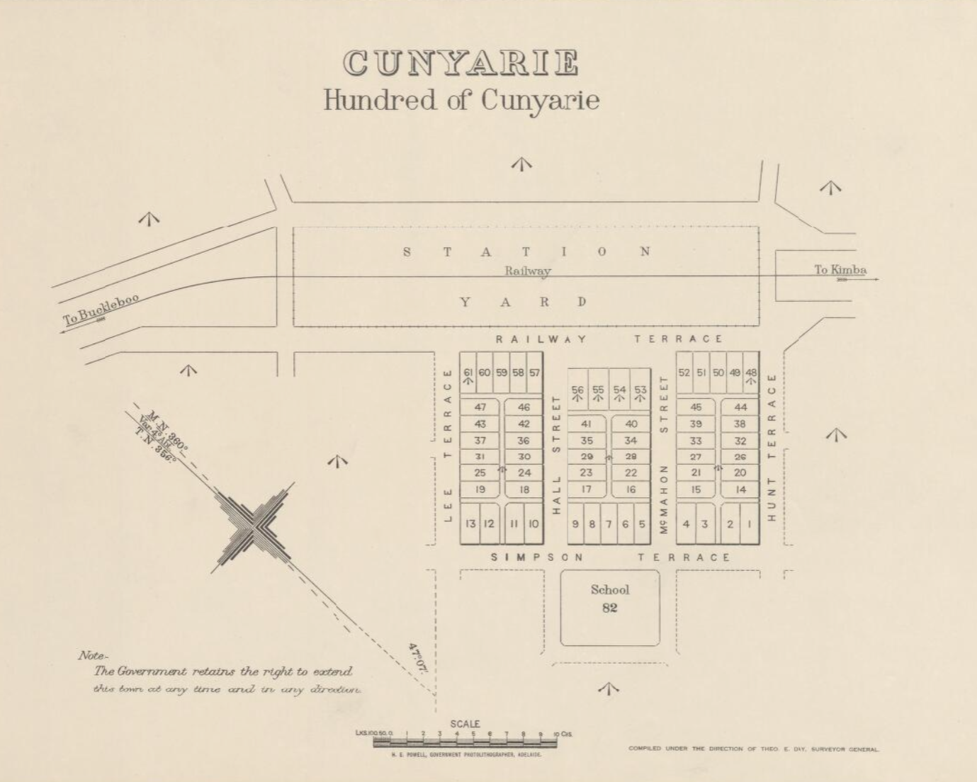
Above:- A plan of Cunyarie. Image c/o Trove.
The Cunyarie Conservation Road is triangular in space and is bordered by Bucklebood Hundred Line Road to the south, Cunyarie Dam Road to the west, and Railway Line Road to the east.
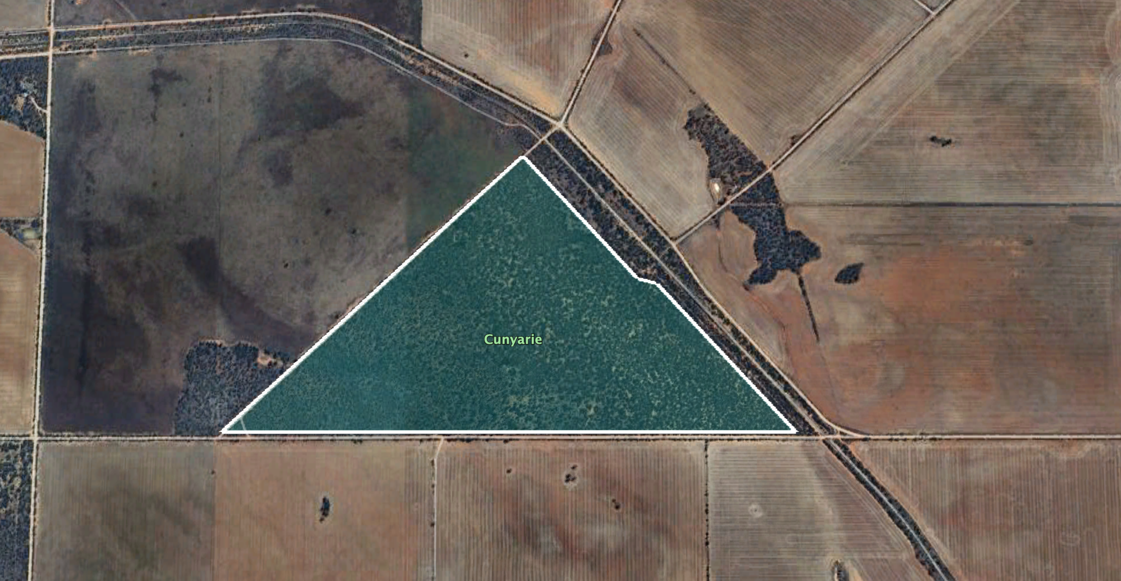
Above:- Map showing the Cunyarie Conservation Reserve. Image c/o Google Earth.
The reserve is about 94 hectares in size and was established on the 24th day of October 1985. (CAPAD 2022)
I ran the Yaesu FT857, 40 watts, and the 20/40/80m linked dipole for this activation.
I worked the following stations on 40m SB:-
- VK5MAZ
- VK5TUX
- VK3PF
- VK3BBB
- VK2CCP
- VK5WU
- VK5HS
- VK5AYL
- VK3CEO
- VK2USH/p (Mole Creek Karst National Park VKFF-0322)
- VK8ZWM
- VK2YW
- VK5LA
- VK5KAW
- VK5FR/m
- VK5CZ
- VK5AHA
I worked the following stations on 20m SSB:-
- VK3SQ
- VK2BD
- VK7XX
- VK7HBR
- VK2IO/p (Gourock National Park VKFF-0212 & VK2/ SM-052)
- VK1AO
- VK2MET
- VK3APJ
- VK3PF
- VK4NH
- VK4DXA
- VK5QA
- VK3CLD
- VK3CEO
- VK3EJ
- VK7AAE
- VK3UAO
- KG5CIK
- VK4MUD
- VK5MAZ
- VK5CZ
- VK2VIN
- VK3ZLD
- VK2VAR
- VK2GOM
- VK2BW
- VK3SX
- VK2VW
- VK2HFI
- VK2AKA
- VK2BUG
- VK3ZSC
- VK1ARQ
References.
- Dcceew.gov.au. (2023). Collaborative Australian Protected Areas Database (CAPAD) 2022 – DCCEEW. [online] Available at: https://www.dcceew.gov.au/environment/land/nrs/science/capad/2022.
- published.collections.slsa.sa.gov.au. (n.d.). A Compendium of the Place Names of South Australia. [online] Available at: https://published.collections.slsa.sa.gov.au/placenamesofsouthaustralia/.
