
My next activation for Friday 12th April 2024 was the Caralue Bluff Conservation Park VKFF-1015 and Caralue Bluff VK-SW-002. The park and summit are located about 41 km (by road) southwest of Kimba and about 505 km from Adelaide.

Above:- Map showing the location of Caralue Bluff. Map c/o Google Maps.
After leaving the Tola Conservation Reserve I drove south on Balumbah Hill Road until reaching the Eyre Highway. I then turned left onto Balumbah-Kinnard Road and headed south. Along the way, I was able to clearly see Caralue Bluff off in the distance.

Caralue is an aboriginal word with uncertain meanings. Some sources claim it is an aboriginal word for curlews, whilst the SA Museum claims it means ‘long way’ or ‘far off’. (Place Names 2012)
The summit was named in 1864 by a surveyor, Thomas Evans (b. 1819. d. 1882). His son William Greig Evans was also a surveyor and it is believed that he surveyed and subdivided more land than any other surveyor in South Australia. Caralue Bluff Run was held by G. Standley from 1875. (Monuments Australia 2024) (Place Names 2012)

Above:- The headstone of Thomas Evans at the North Road cemetery. Image c/o ancestry.com.au
The Hundred of Caralue was proclaimed on the 26th day of July 1917. The town of Caralue was proclaimed on the 16th day of December 1926. In 1929 the Caralue School opened and closed in 1942. (Place Names 2012)

Above:- Article from the Kimba Dispatch, Fri 15 Mar 1929. Image c/o Trove.
Caralue Bluff qualifies for the Summits On The Air (SOTA) program. It is 468 metres above sea level and is worth just 1 point. The only prior activation of the summit was by myself back in June 2013.

Above:- An aerial view of Caralue Bluff. Image c/o Google Maps.
The Caralue Bluff Conservation Park is about 2,157 hectares in size. It is south of the Eyre Highway between Cows Head Corner Road and Pine Flat Road. (CAPAD 2022)

Above:- An aerial view of the Caralue Bluff Conservation Park showing the park’s boundaries and the SOTA summit. Image c/o Google Earth.
The conservation park was first known as the Caralue Bluff Conservation Reserve, established on the 9th day of December 1993. It was formerly a part of the Caralue Bluff Water Conservation Reserve. On the 6th day of September 2012, the land forming the conservation reserve and an adjacent parcel of land was constituted as the Caralue Bluff Conservation Park. (Wikipedia 2024)

To reach the summit I followed a dirt track which is opposite the Caralue Reservoir. There is a gate but it is not locked.

I followed the track until I reached another closed but unlocked gate.

As I drove along the track I could see the Waddikee silos off in the distance.

As I drove along the track I could see up towards the top of the summit and the rugged granite face of the summit.


There are telecommunications towers on the top of the summit and the equipment did throw off a bit of interference on the 40m band.


There is a trigonometrical point (trig point) and a rock cairn at the top of the summit.


Whilst I was activating a pair of Wedge Tailed Eagles glided above me. Absolutely majestic birds. They are the largest bird of prey in Australia with a wingspan of up to 2.84 metres.

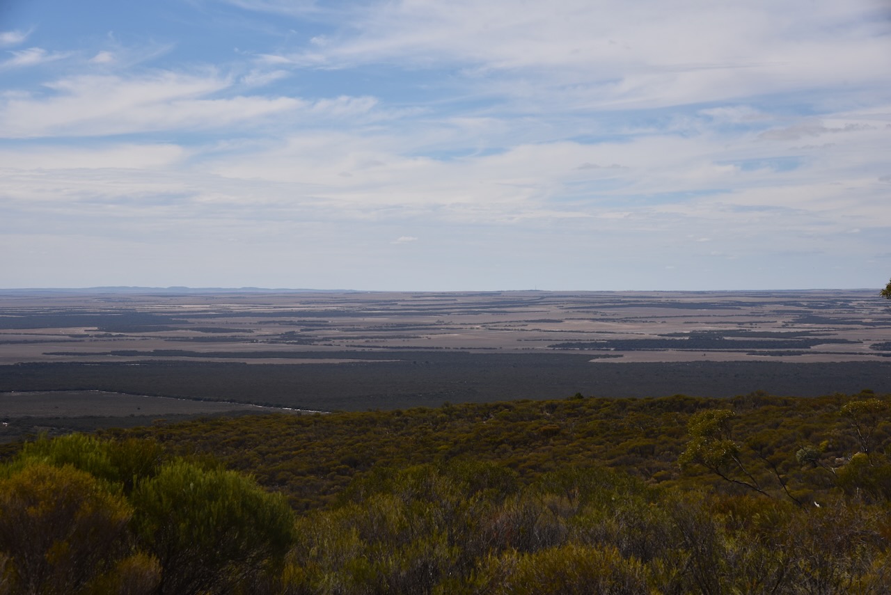
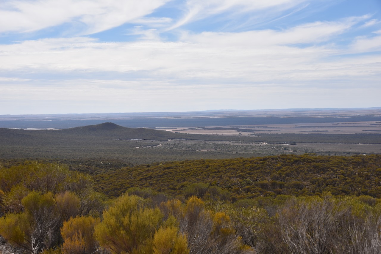
It was a beautiful day with some magnificent views to enjoy of the surrounding countryside including the nearby summits of Darke Peak and Carappee Hill.


The area around the communications equipment is not within the park, so I set up a short distance down the dirt track within the SOTA activation zone. I ran the Yaesu FT857, 40 watts and the 20/40/80m linked dipole. The 20m band was very quiet, but there was a strength 7 noise floor on the 40m band.

Above:- The area around the communications equipment at the summit. Image c/o Google Earth.
I worked the following stations on 20m SSB:-
- VK5MAZ
- VK1DI
- VK7XX
- VK3PF
- Vk3KAI
- VK3BWS
- VK7HBR
- VK4EMP
- VK4TI
- VK1AO
- VK2MET
- ZL1TM
- VK3VIN
- VK4NH
- VK4DXA
- VK3EJ
- ZL3MR
- VK2YW
- VK6NU
- VK3ZSC
- VK7AAE
- VK3BEL
- VK2KEV
- VK3DL
- ZL3ASN
- VK2VW
- VK2HFI
- VK2AKA
- VK2BUG
- VK2EXA
- VK4PDX
- VK5QA
- VK3CLD
- VK7RC
- Vk3ANL
- VK1ARQ
- VK4EHI
I worked the following stations on 40m SSB:-
- VK5LA
- VK5KAW
- VK5MAZ
- VK5TUX
- VK3BBB
- VK2CCP
- VK5KBJ
- VK5DW
- VK5AAF
- VK5CZ
- VK3MTT
- VK3BEL
- VK5WU
- VKk3PF
- VK3KAI
- VK2UXO
- VK3OT
- VK5NM
References.
- Dcceew.gov.au. (2023). Collaborative Australian Protected Areas Database (CAPAD) 2022 – DCCEEW. [online] Available at: https://www.dcceew.gov.au/environment/land/nrs/science/capad/2022.
- monumentaustralia.org.au. (n.d.). William Greig Evans | Monument Australia. [online] Available at: https://monumentaustralia.org.au/themes/people/government—colonial/display/116962-william-greig-evans- [Accessed 2 Jun. 2024].
- published.collections.slsa.sa.gov.au. (n.d.). A Compendium of the Place Names of South Australia. [online] Available at: https://published.collections.slsa.sa.gov.au/placenamesofsouthaustralia/ [Accessed 2 Jun. 2024].
- Wikipedia. (2022). Caralue Bluff Conservation Park. [online] Available at: https://en.wikipedia.org/wiki/Caralue_Bluff_Conservation_Park [Accessed 2 Jun. 2024].
