It was now Saturday 13th April 2024, and my plans for the day were to activate some parks north of Elliston. After breakfast, I headed north on Flinders Highway.
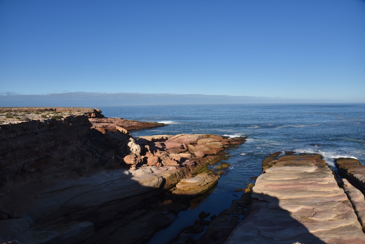
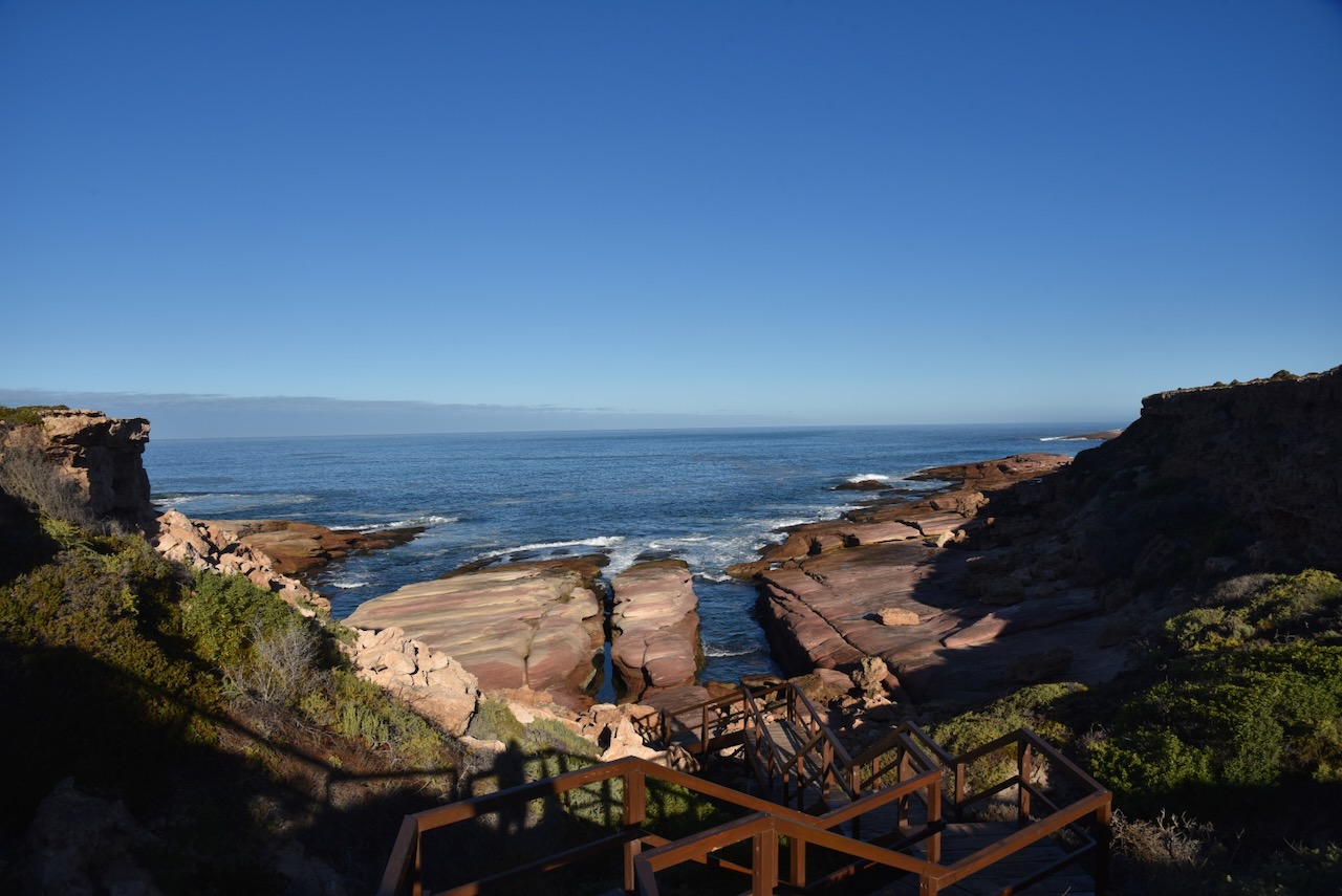
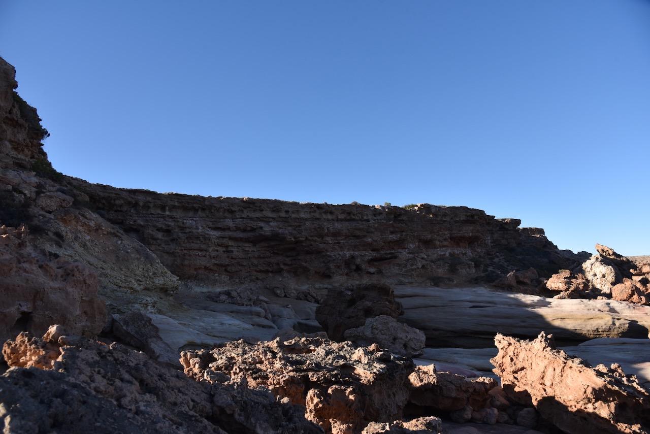
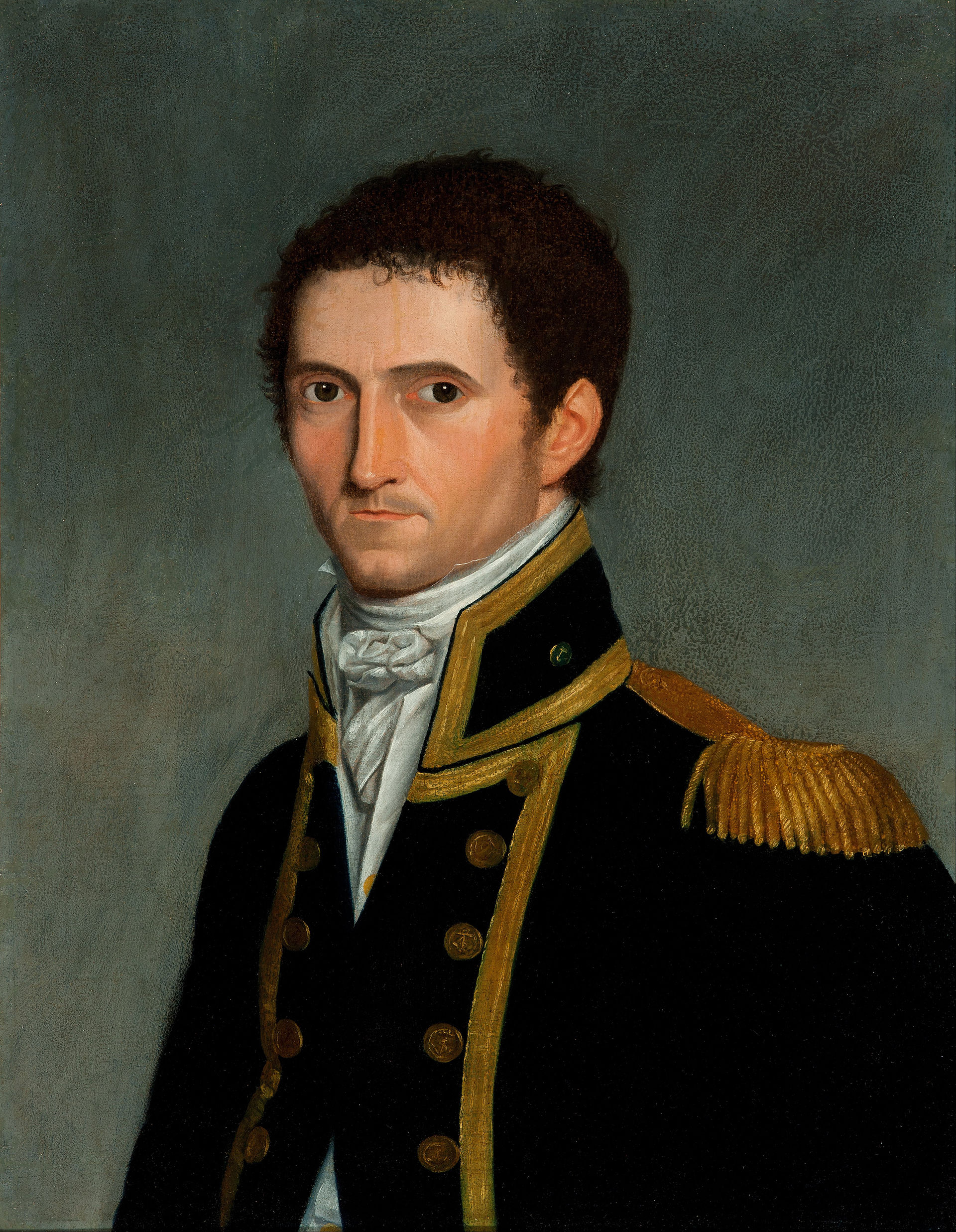
My first stop was Woolshed Cave, part of the Talia Caves. Talia is an aboriginal word meaning ‘near water.’ The ‘Talia Run’ was named by John Harris Browne (b. 1817. d. 1904) under pastoral lease no. 1596 on land held, originally, by J.T. Symes from 2 January 1856 at Wedge Hill.

Above:- John Harris Browne. Image c/o Wikipedia.
The Talia Post Office was opened c. 1862. The Hundred of Talia was proclaimed on the 22nd day of September 1881. The town of Talia was proclaimed on the 17th day of May 1883. The Talia School opened in 1889 and closed in 1941. (Place Names 2012)
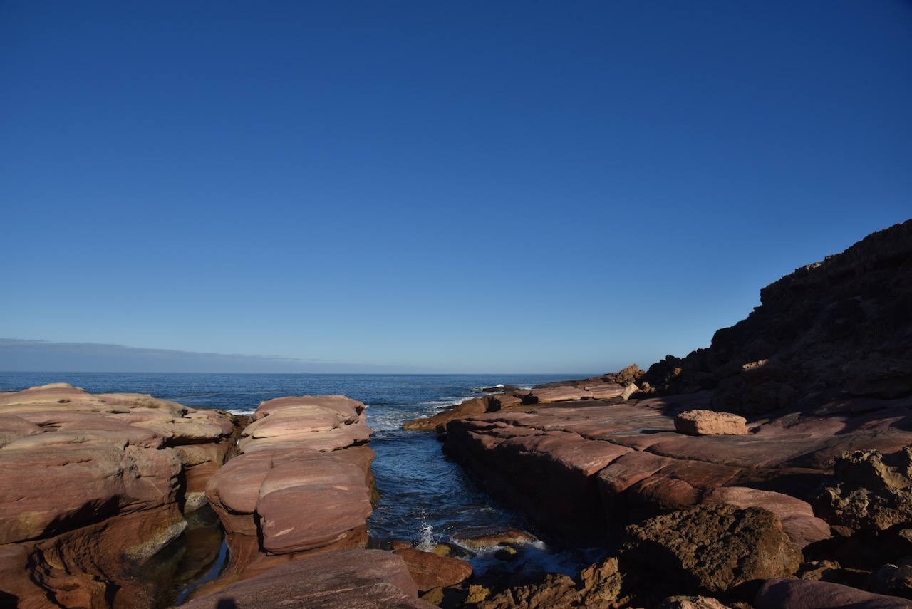
Woolshed Cave is a large cavern that is carved into the granite cliff by wave action. There are some wooden steps that lead down to the rocks. Woolshed Cave is located on Talia Caves Road off the Flinders Highway. Woolshed Cave is part of the Talia Caves. (South Australia 2023)
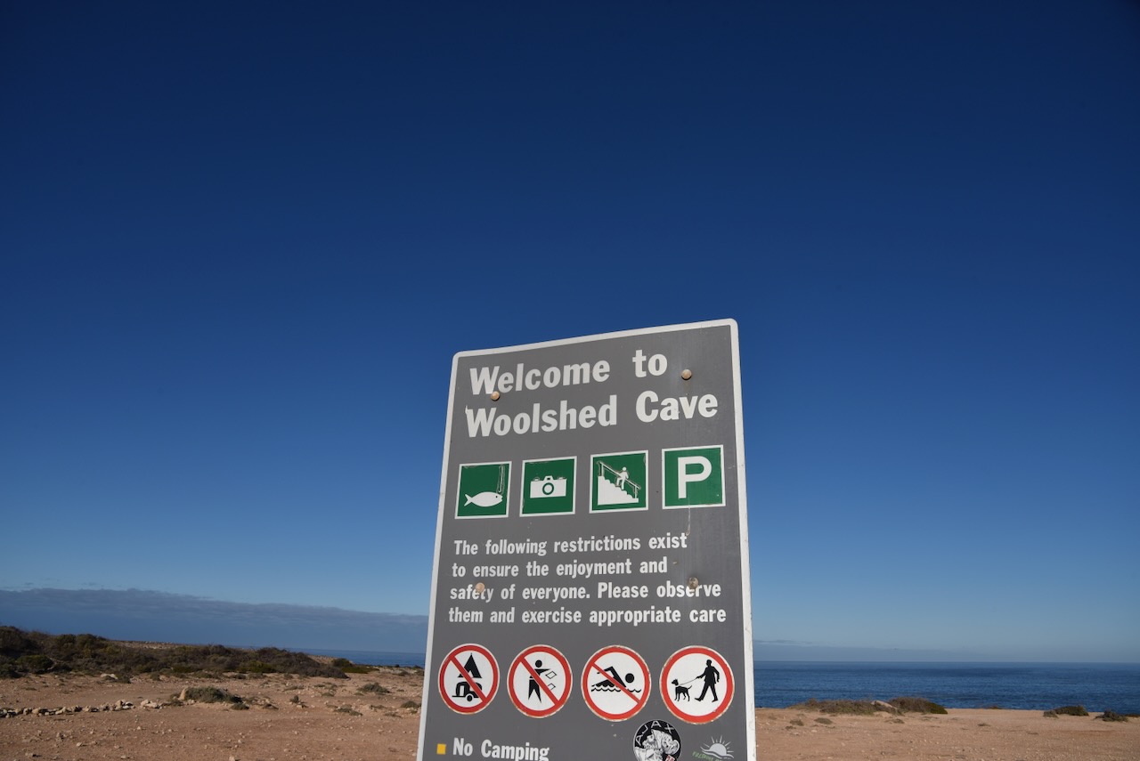

Below is a video I found on YouTube showing Woolshed Cave.
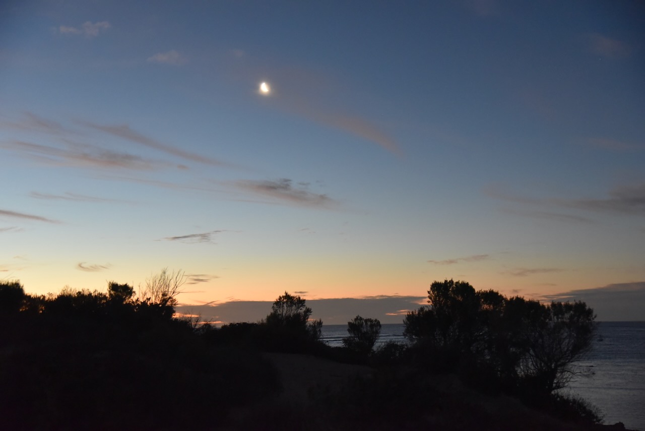
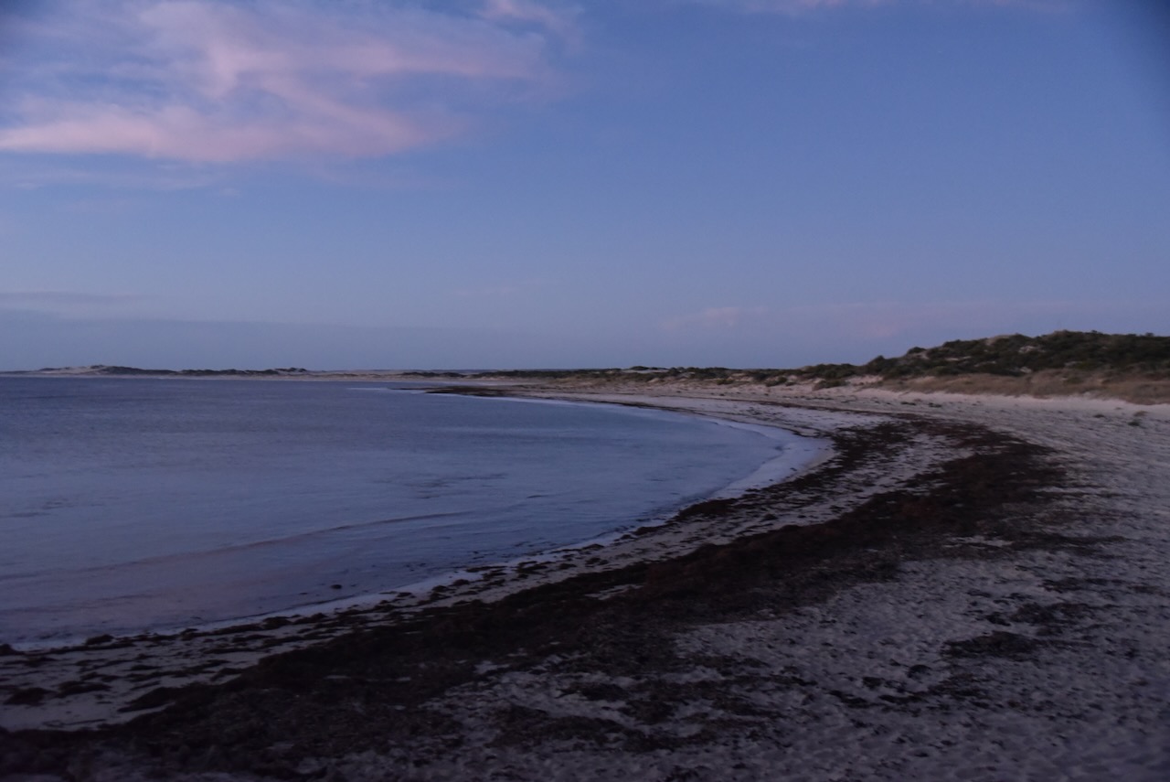
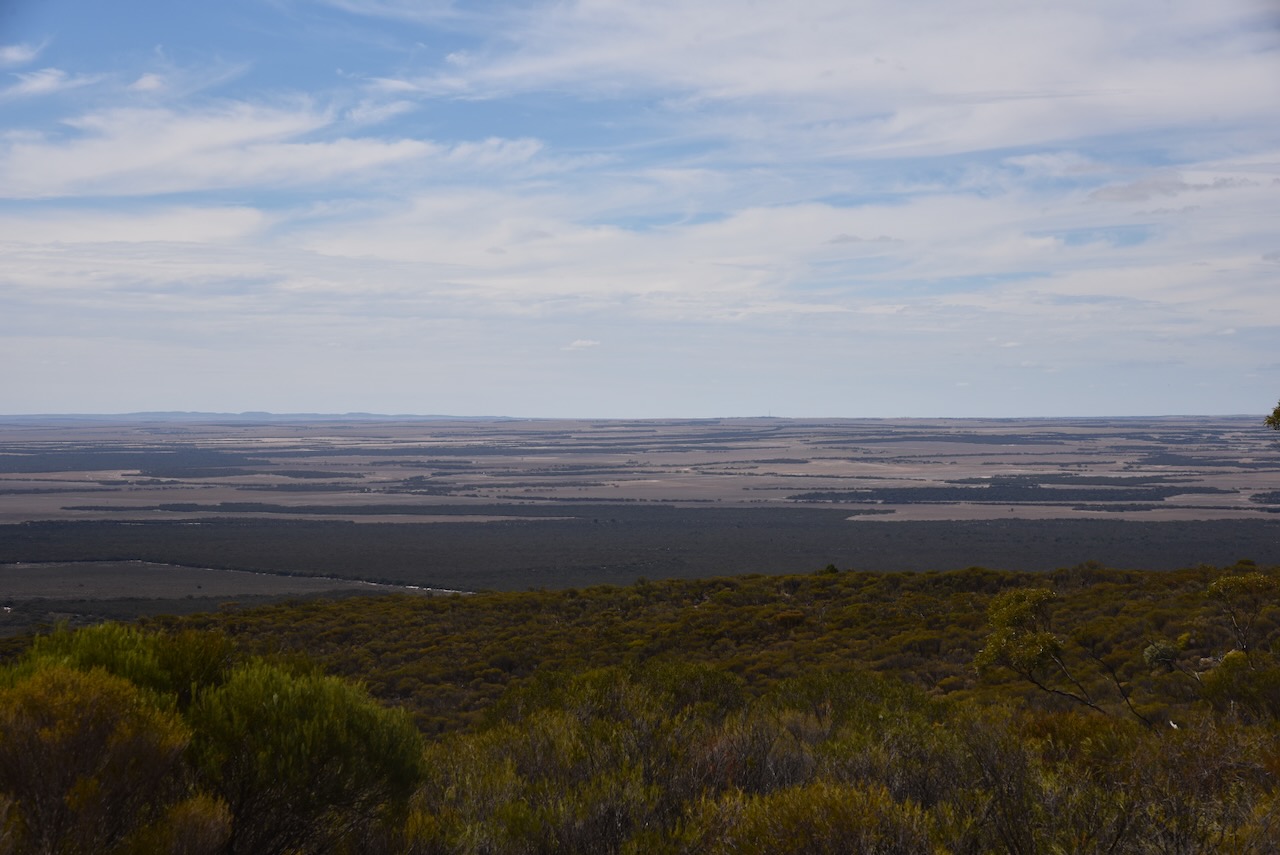
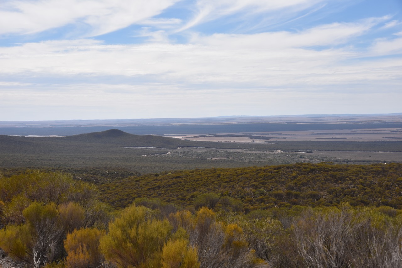
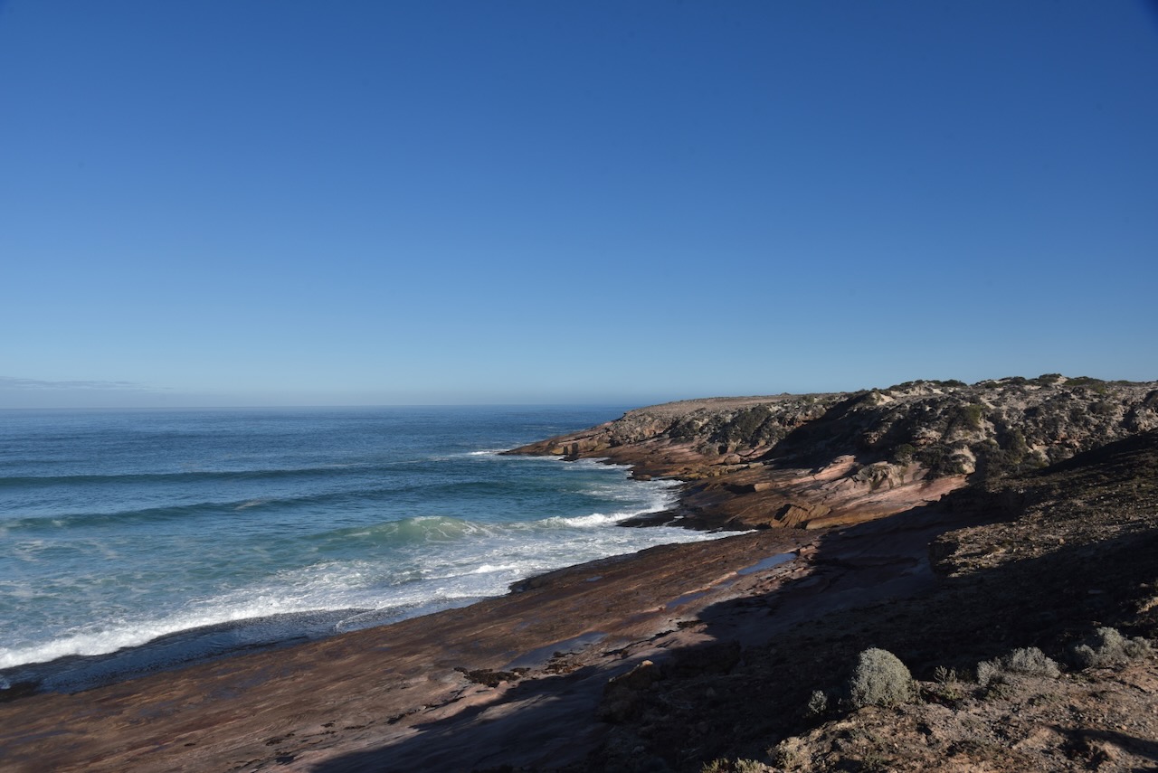
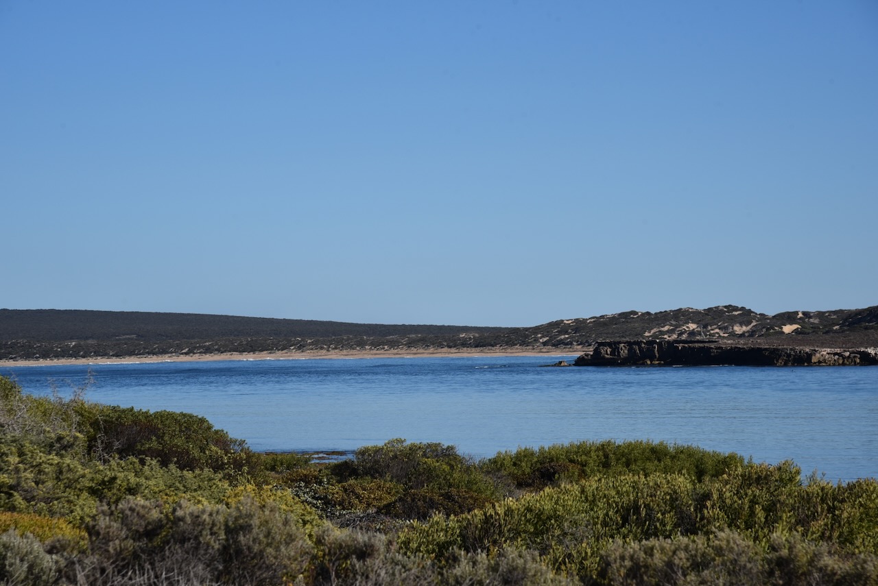
The western side of the Eyre Peninsula is absolutely spectacular. It rivals and exceeds other famous Australian coastlines. But it is a long way from Adelaide. Despite that there were numerous people travelling around the area in their caravans and motorhomes which was great to see.

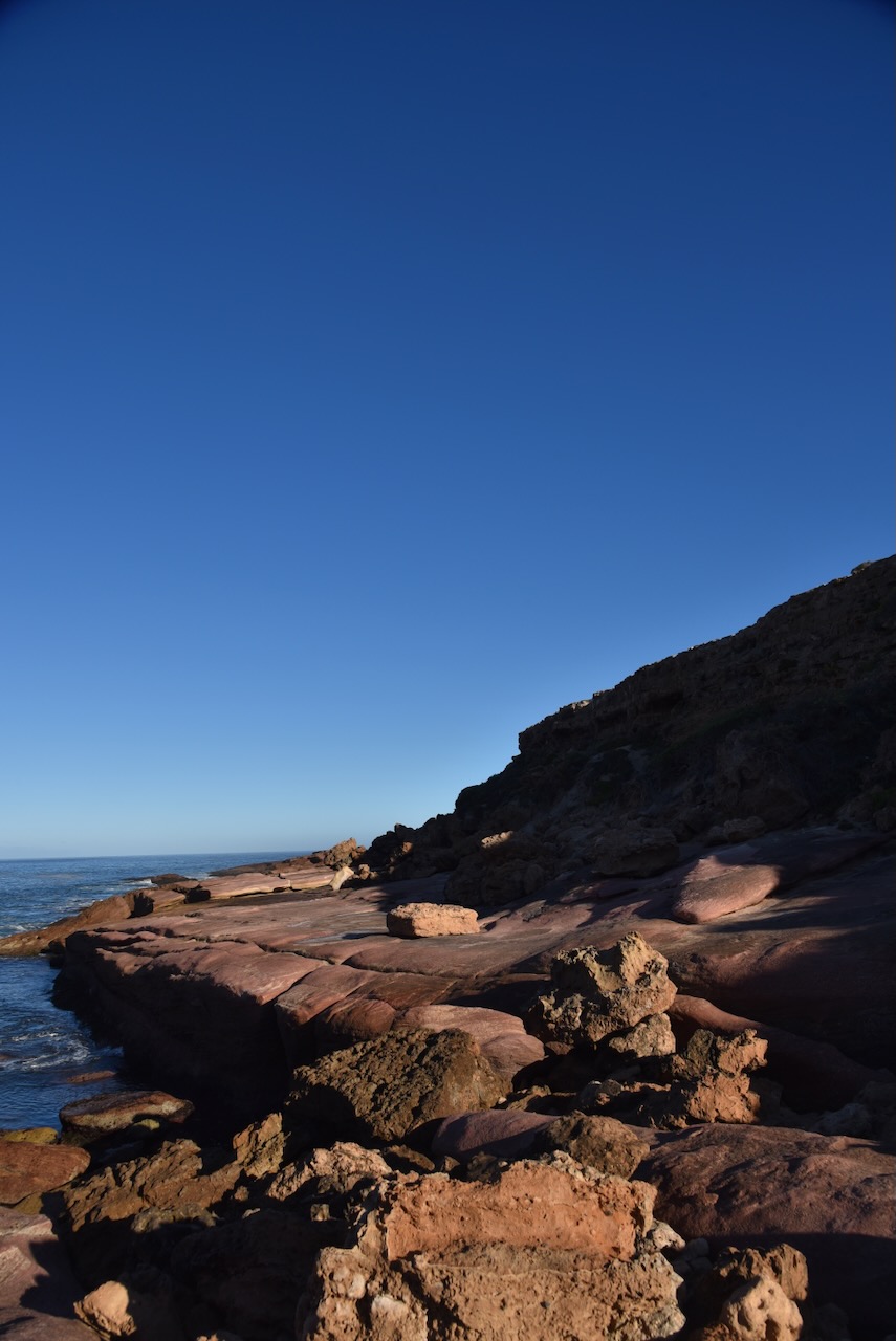
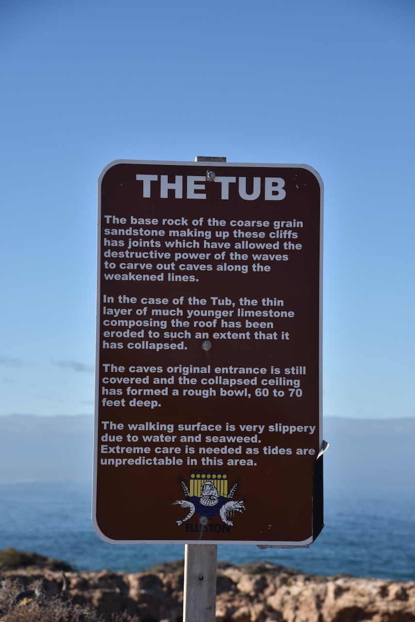
I followed the dirt road along the coast and soon reached The Tub. a large crater in the cliff with a tunnel connection to the ocean. The Tub is 10 to 30 metres deep and 50 metres across with a granite base. (South Australia 2023)


A little further along is a parking area on a cliff face offering magnificent views of Talia Beach.


Along this dirt road, you will also find a monument for Sister D.B. Millard who was accidentally drowned on the 24th day of June 1948.
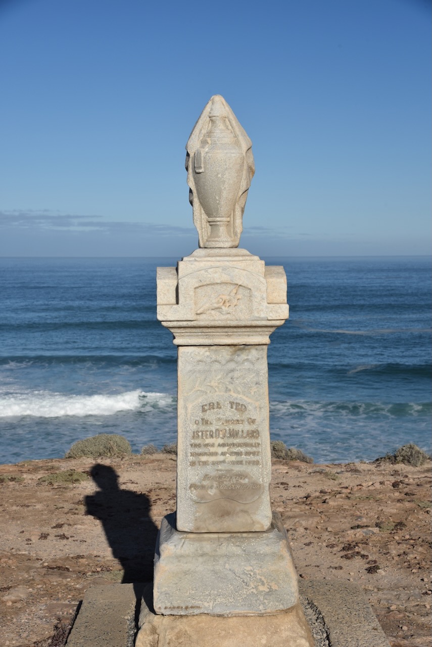
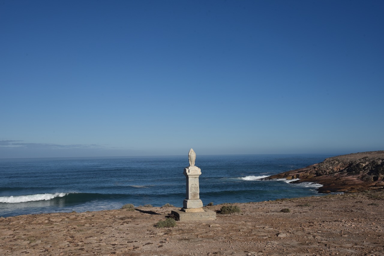
Doris Belle Millard was born in 1895 at Broadford, Victoria. As a child she lived at Broken Hill and received training as a nurse at the Broken Hill Hospital. In about 1923 she left Broken Hill and moved to the Eyre Peninsula. (Barrier Mail 1928)
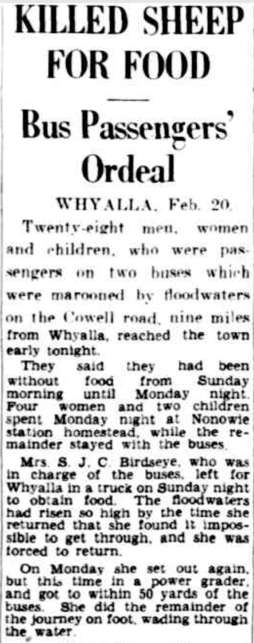
On the 24th June 1928, Sister Millard came with friends to Talia for a picnic. The ‘motoring party’ consisted of Sister Millard, Mr & Mrs J.B. Hastings and Mr. & Mrs. W.H. Brownrigg. The day prior she had resigned from her position at Murat Bay (Ceduna) Hospital the day prior. Sister Millard walked to the cliff edge to take a photograph. Without any warning, the cliff beneath her collapsed and she fell into a blowhole fissure. Sadly her companions were unable to assist and watched her struggle in the ocean and finally drown. Her body was never recovered. (Monument Australia 2024) (Terrible Drowning Fatality 1928)

Above:- Article from the Barrier Miner, Broken Hill, Tue 10 Jul 1928. Image c/o Trove.
It was a beautiful sunny day and I continued to enjoy some magnificent views of the coastline of the western Eyre Peninsula.

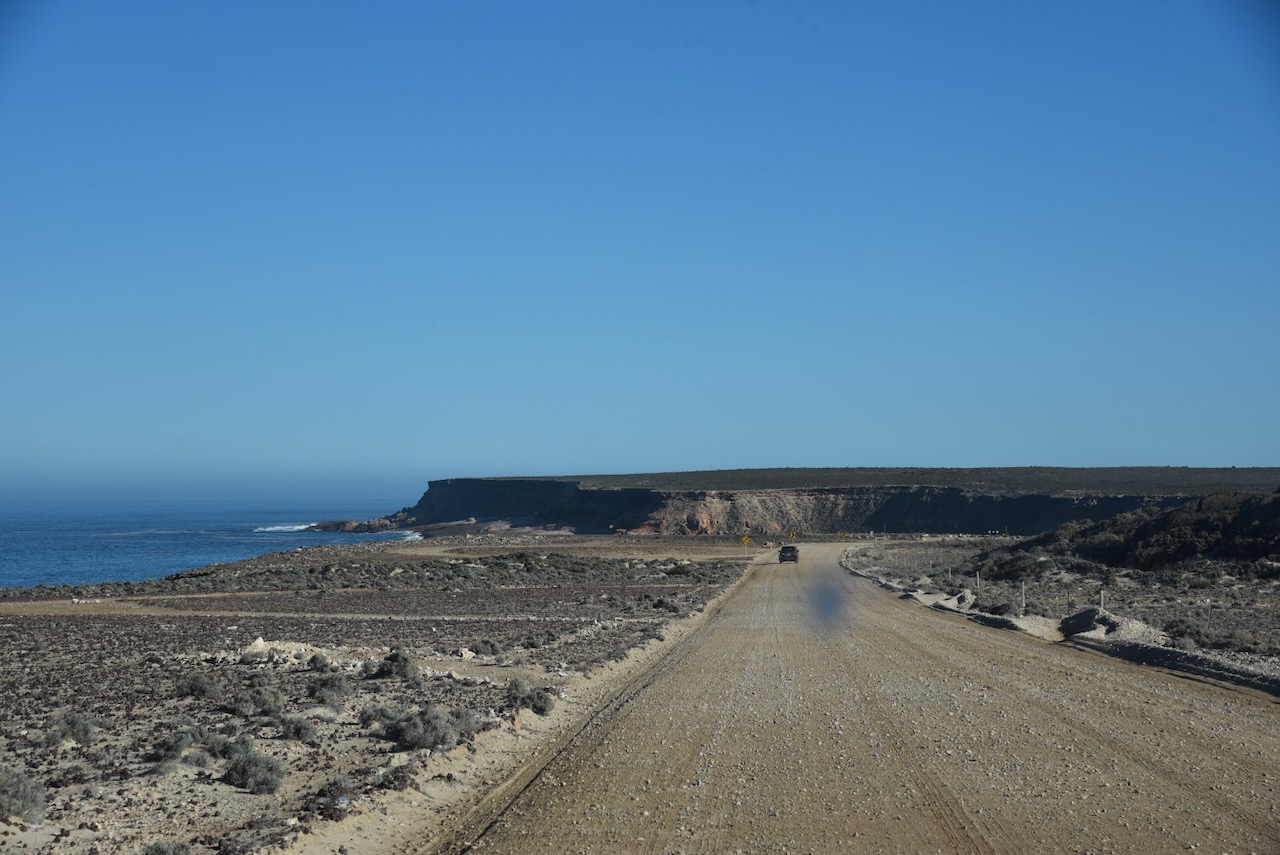
I then drove back along Talia Caves Road to the Flinders Highway.
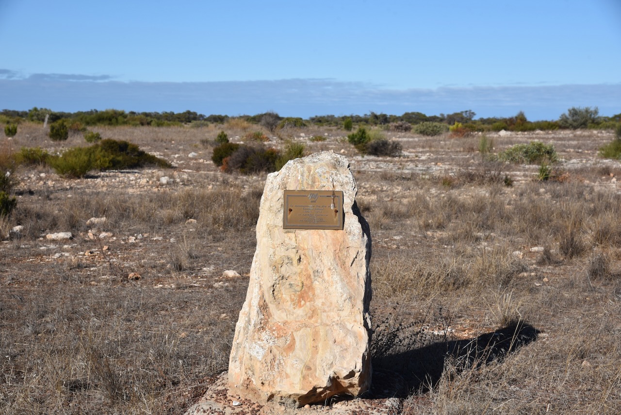
I continued north along the Flinders Highway and then stopped at the monument for the Coodie School which operated from 1901-1916.
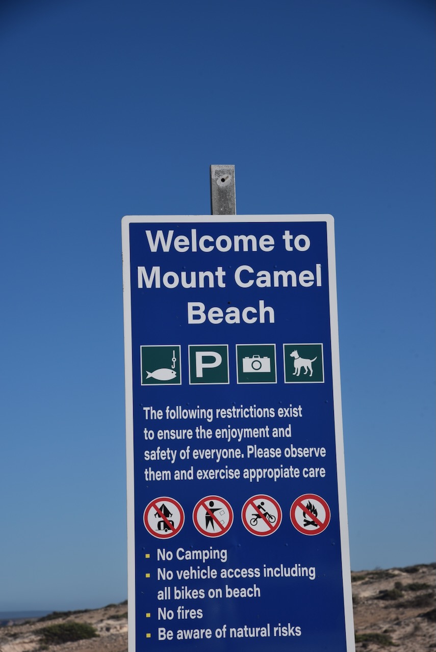
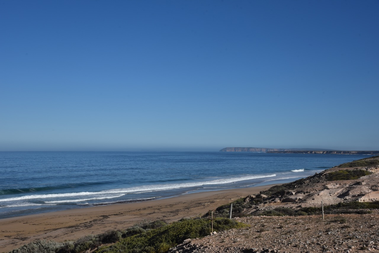
I then visited Mount Camel Beach, a pristine beach that is well known for surf fishing.

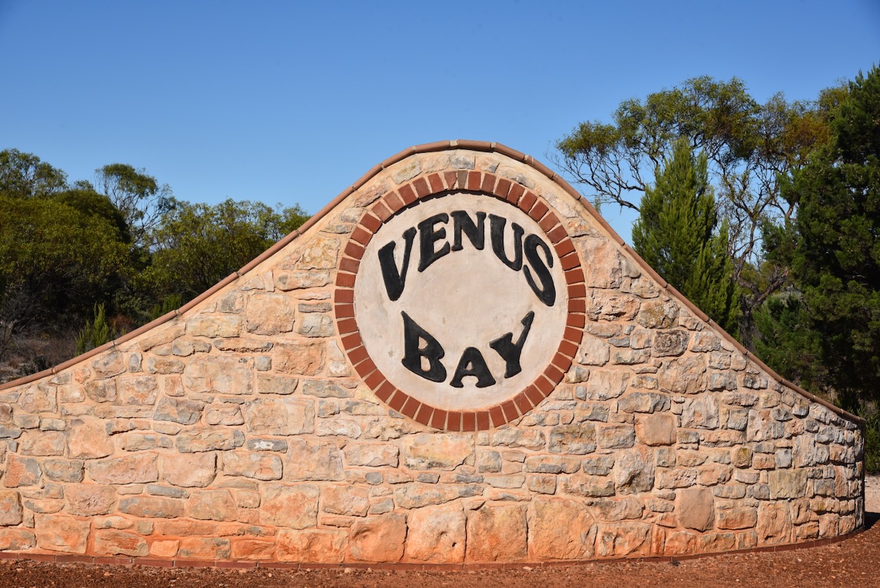
After leaving Mount Camel Beach I headed into the town of Venus Bay. Venus Harbor, now known as Venus Bay was chartered by explorer Matthew Flinders in 1802. (Wikipedia 2024)
Above:- Matthew Flinders. Image c/o Wikipedia.
In March 1839, an exploratory party aboard the brig Nerus landed in the bay. The party comprised Captain F.R. Lees, David McLaren, and Samuel Stephens. McLaren and Stephens were the current and former Colonial Managers of the South Australian Company who were examining the west coast of South Australia for potential special surveys. (Wikipedia 2024)
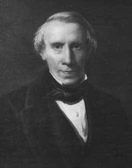
Above:- David McLaren. Image c/o Wikipedia.
During the 1850s sheep pastoralists settled in the area. IN 1850 in order to load wool, the bay was first entered by the 60 ton schooner Venus captained by Robert Venn. The bay took its name after this vessel. The Venus traded along the Australian coast before she was wrecked at Cronulla in 1852. (Wikipedia 2024)
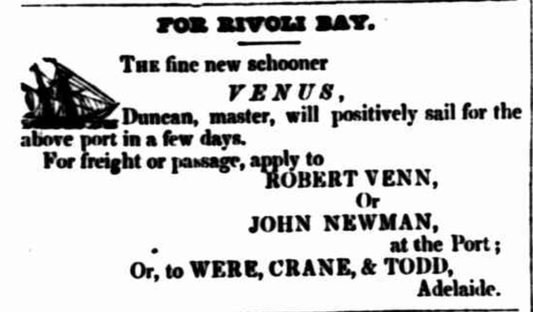
Above:- Advertisement from the South Australian Register, Sat 20 Nov 1847. Image c/o Trove
A whaling station was established in the area in the 1850s. A small settlement sprung up which consisted of a shop, a hotel and a police station. The Police Commissioners Report which appeared in the South Australian Register on Saturday 2nd February 1856 recored that there were eleven aboriginal mounted constables of the Native Police Force stationed at Venus Bay under the command of Sergeant Eyre. (SA Register 1855) (Wikipedia 2024)

Above:- Item from the South Australian Register, Sat 2 Feb 1856.
The town of Venus Bay was surveyed in August 1864 as ‘Parkin’. It was named in honour of William Parkin (b. 1801. d. 1889), a notable businessman, politician, and philanthropist. It was offered for sale on the 22nd day of June 1865. (Aust Dict Biography 2024) (Place Names 2012) (Wikipedia 2024)
Above:- William Parkin. Image c/o Wikipedia.
The name of the town was changed on the 19th day of September 1940 to align with the name of the bay, Venus Bay. (Wikipedia 2024)

Above:- Article from the Port Lincoln Times, Thu 1 Aug 1940. Image c/o Trove.
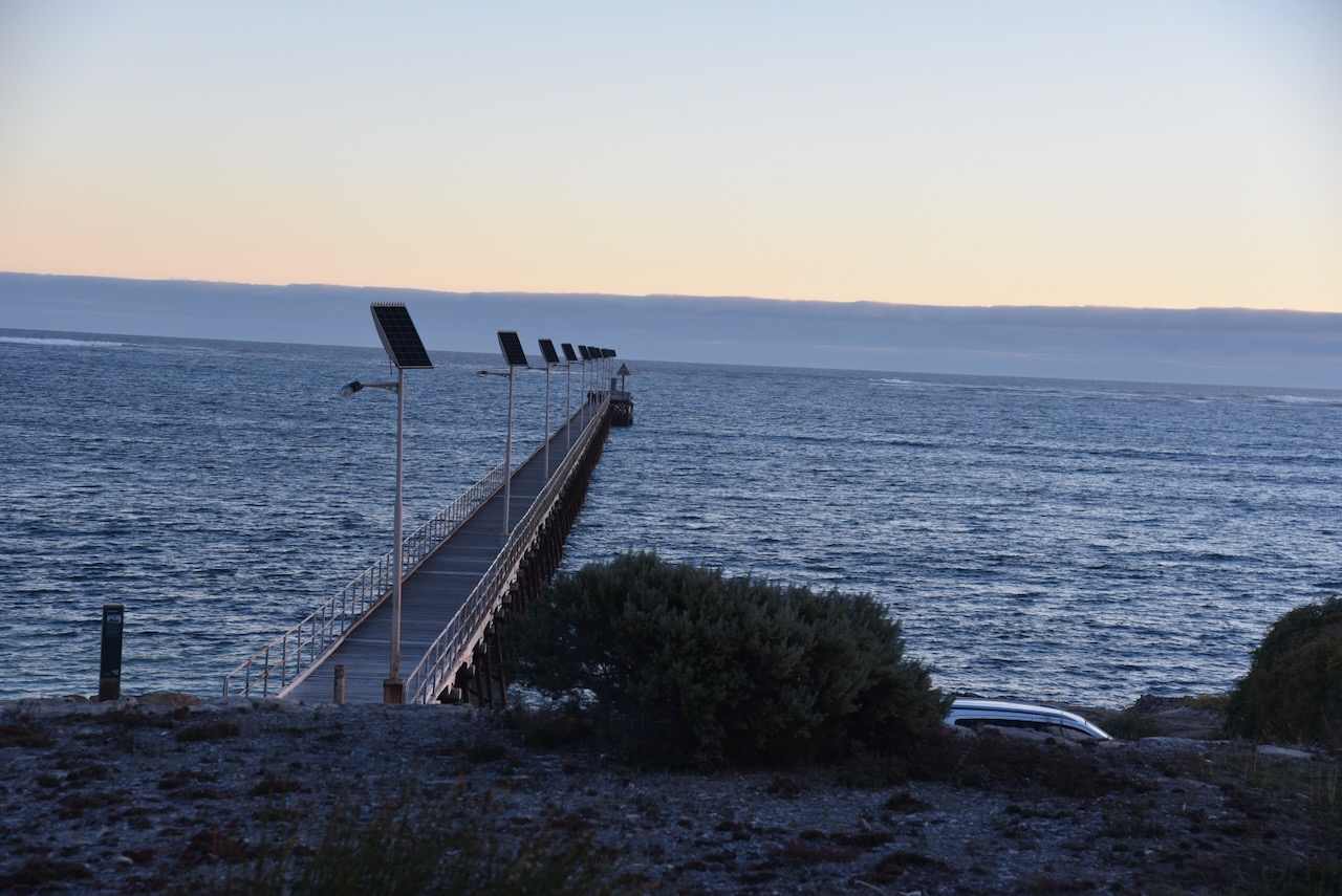
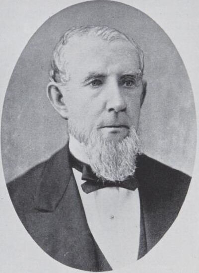
In 1880 a jetty was constructed following the presentation of a petition to the government in August 1877 by Mr. Patrick Boyce Coglin (b. 1815. d. 1892). Coglin was a businessman and politician. He was known as “Polysyllabic Coglin” for his love and frequent use of long and obscure words (Place Names 2012) (Wikipedia 2024)
Above:- Patrick Boyce Coglin. Image c/o Wikipedia.
The Venus Bay School was opened in 1939 and was closed in 1955. (Place Names 2012)
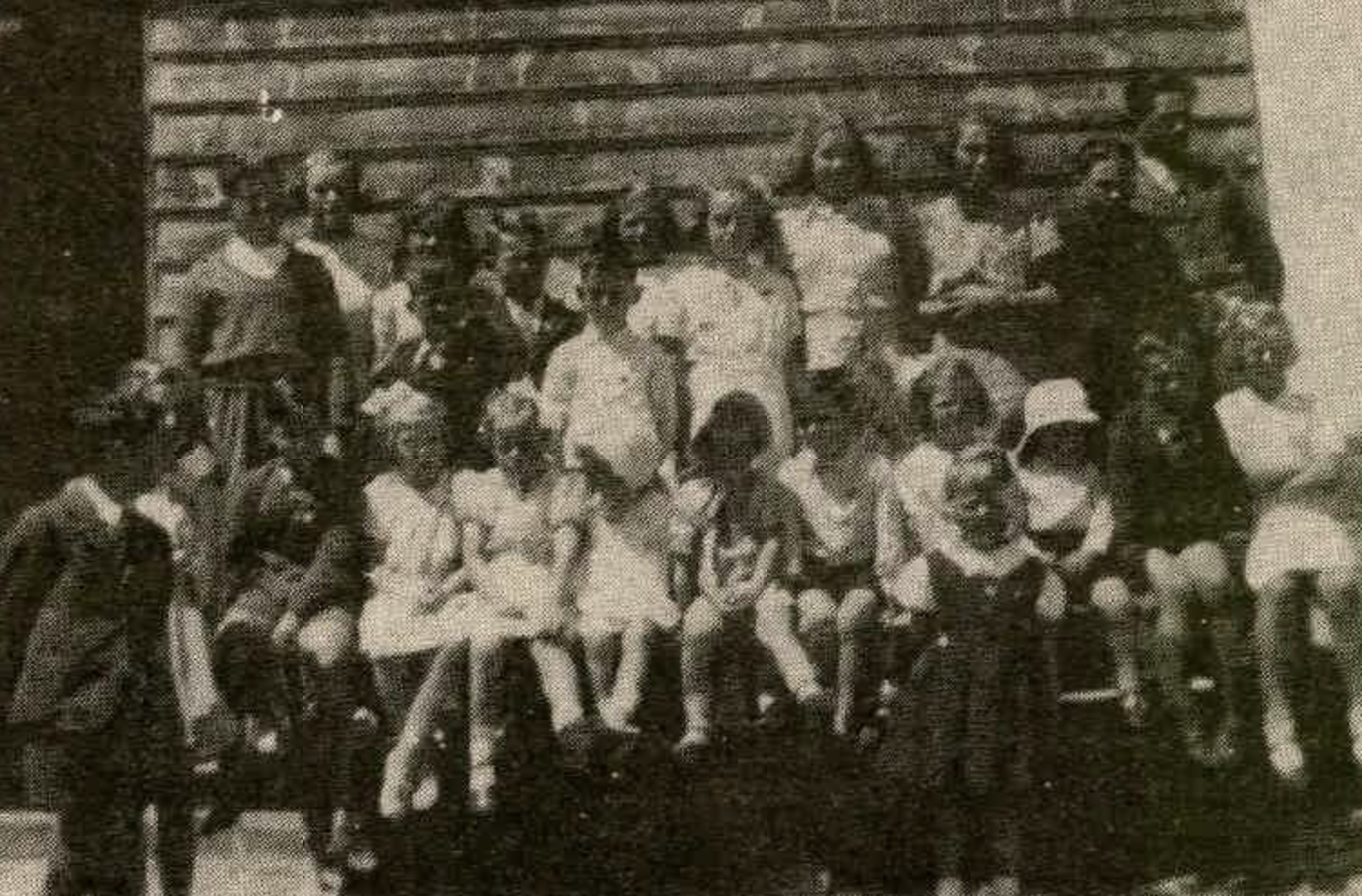
Above:- Students at the Venus Bay School in 1941. Image c/o Port Lincoln Times, Fri 31 Aug 1984
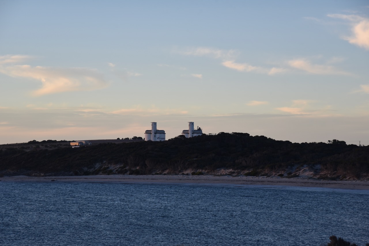
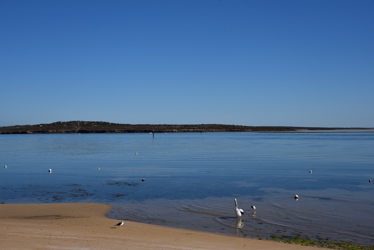
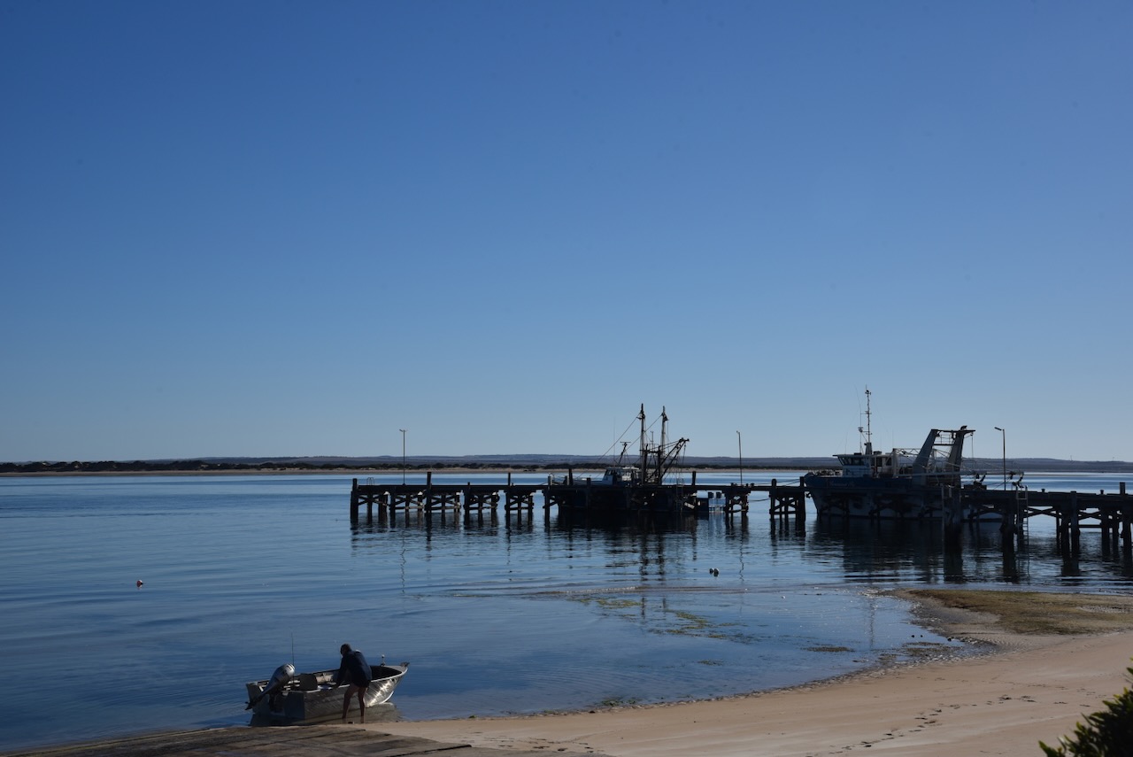
Today Venus Bay is a popular but small tourist and fishing town.
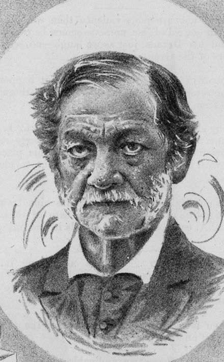
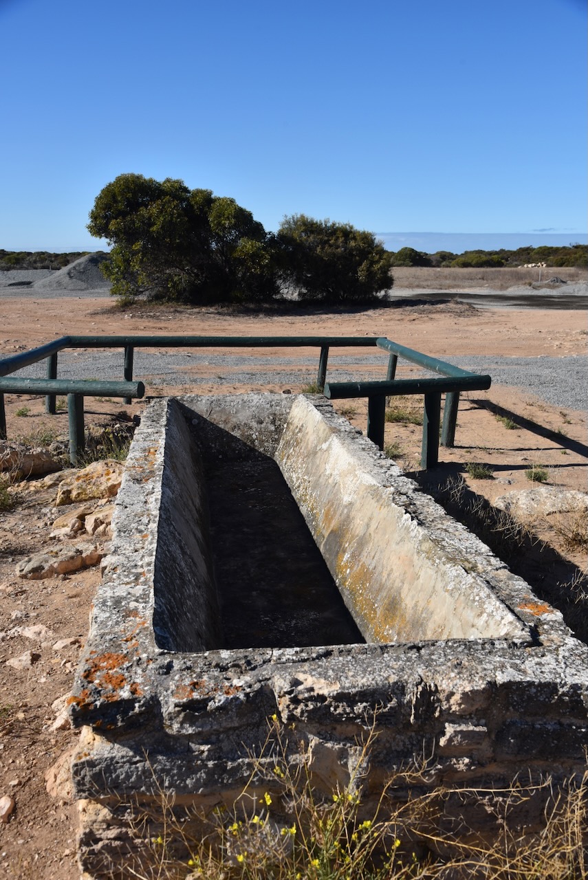
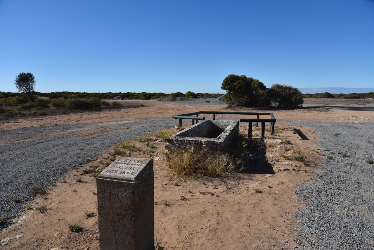
Before heading to my park activation I stopped at the monument for the explorer Edward John Eyre who stopped at thus point to use the water at the well.


Edward John Eyre (5 August 1815 – 30 November 1901) was an English land explorer of the Australian continent, colonial administrator
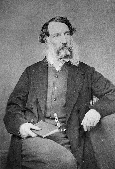
Above:- Edward John Eyre. Image c/o Wikipedia.
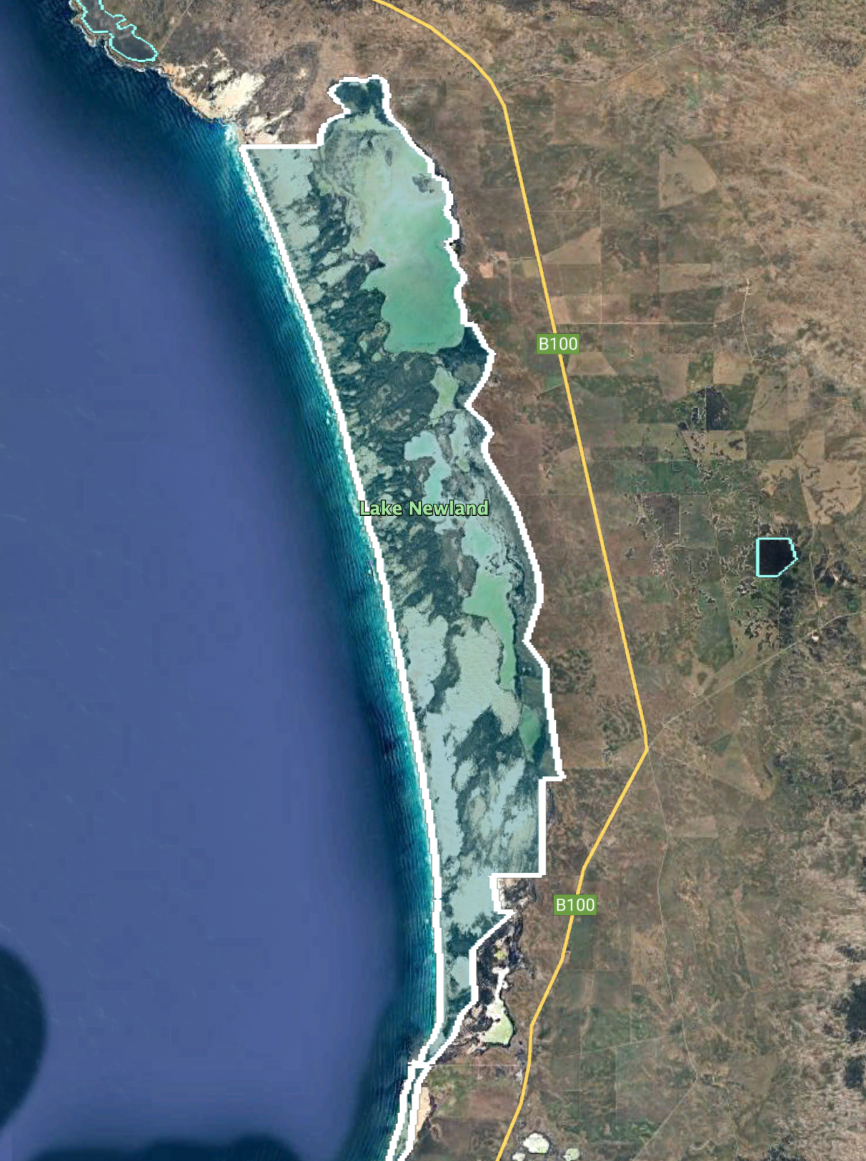
Venus Bay Conservation Park comprises land on the Weyland Peninsula on the south side of Venus Bay, land on the north west side of the bay to the west of the town of Port Kenny and the seven islands located within the bay. (Wikipedia 2024)
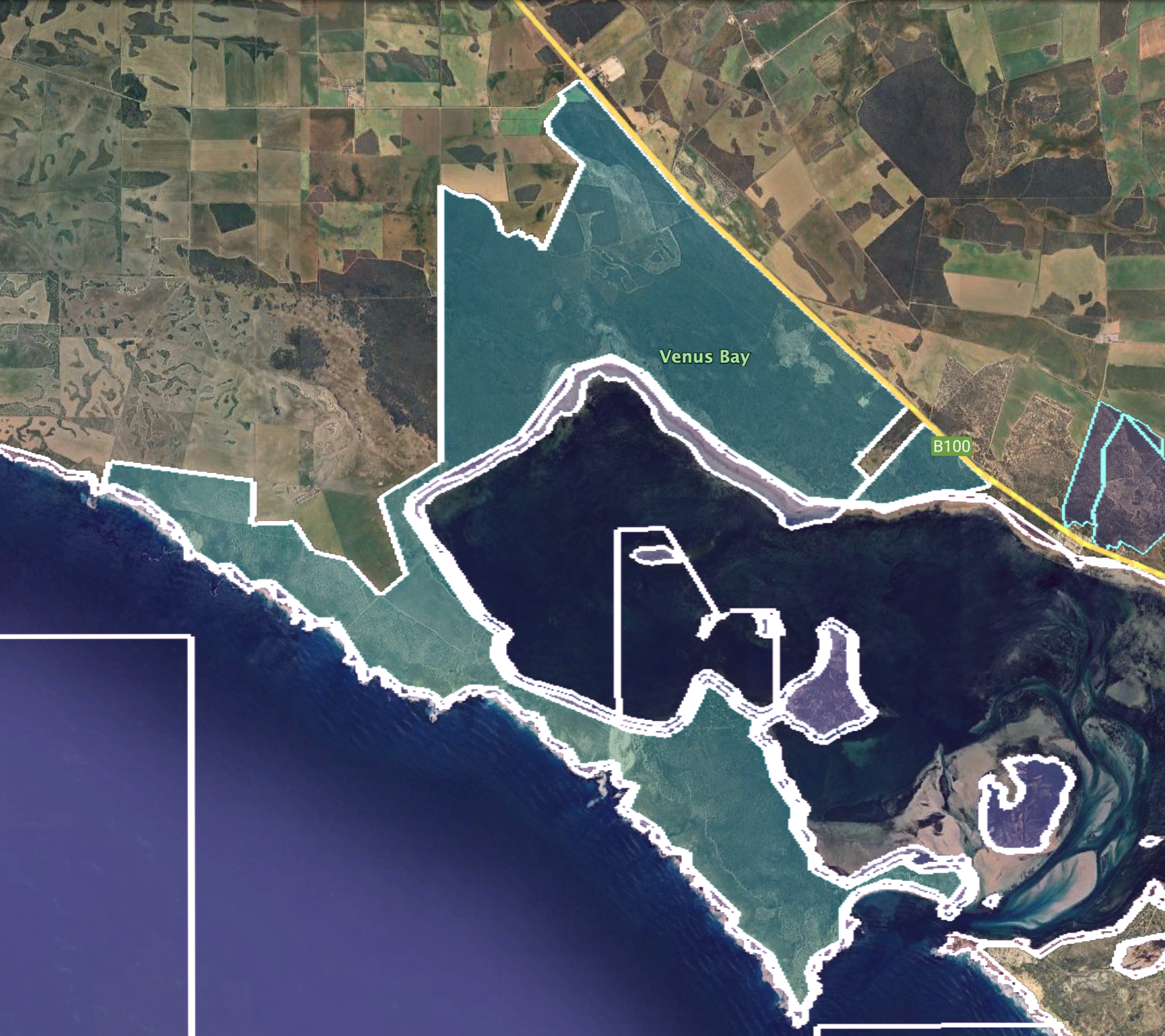
Above:- The park boundaries of the Venus Bay Conservation Park. Image c/o Google Earth.
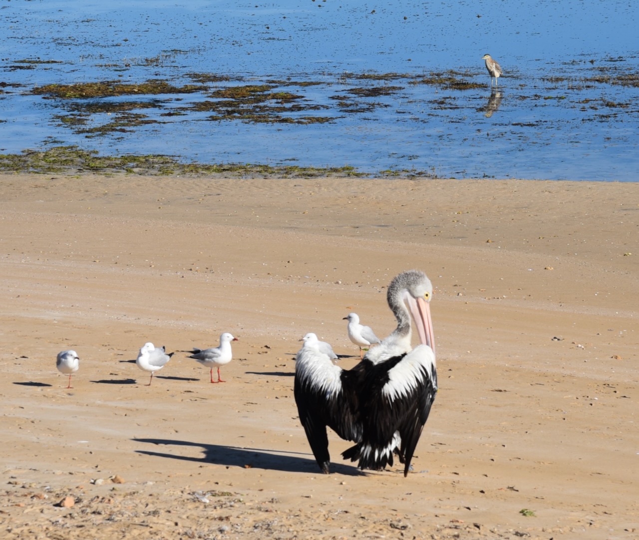
Venus Bay Conservation Park is about 1,460 hectares in size. The park was proclaimed on the 12th day of February 1976 and was originally proclaimed to protect ‘important feeding and breeding grounds for many native birds’. This includes oyster catchers, terns, rock parrots, pacific gulls, and quali. (Venus Bay Man Plan 2006) (Wikipedia 2024)

Venus Bay consists of seven island including Germein Island, Garden Island, Tank Island. In 1975 these islands were withdrawn from the control of the Minister of Marine and were proclaimed as a Conservation Park in 1976. In 1977 an eastern area of the Weyland Peninsula was added to the park. In 1993 further sections of land were added. (Venus Bay Man Plan 2006)
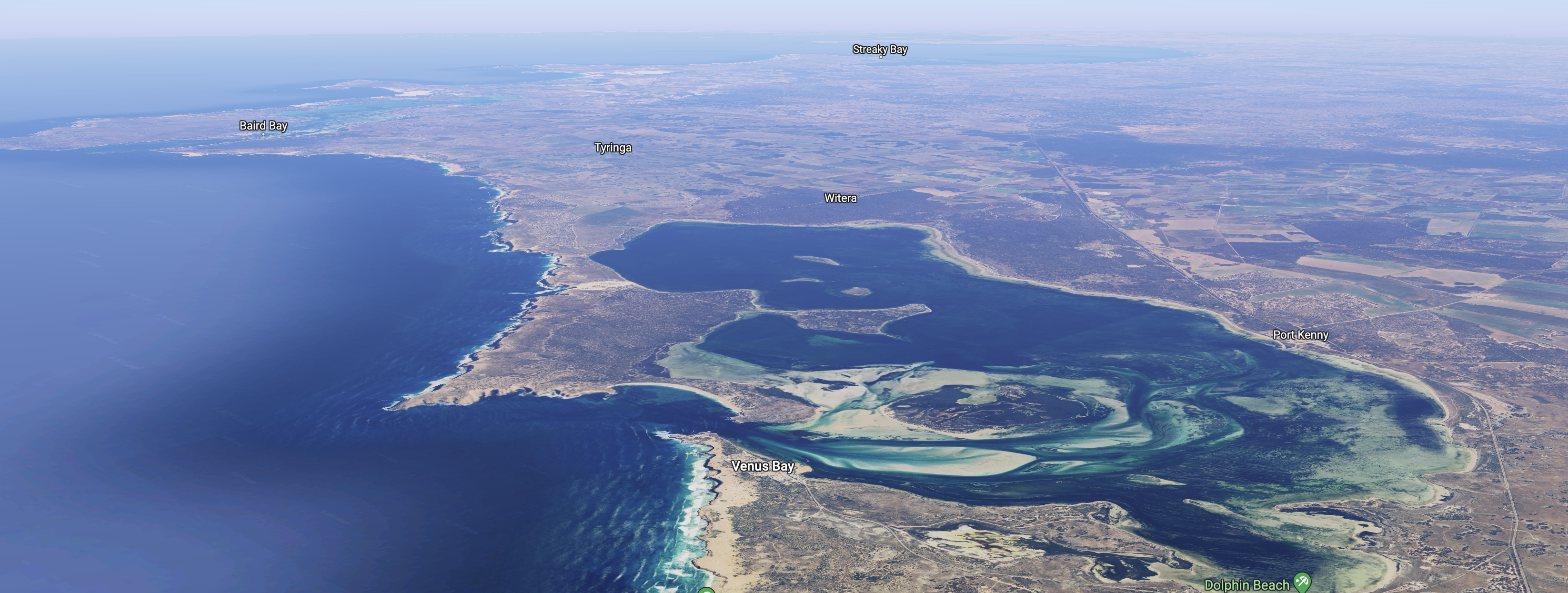
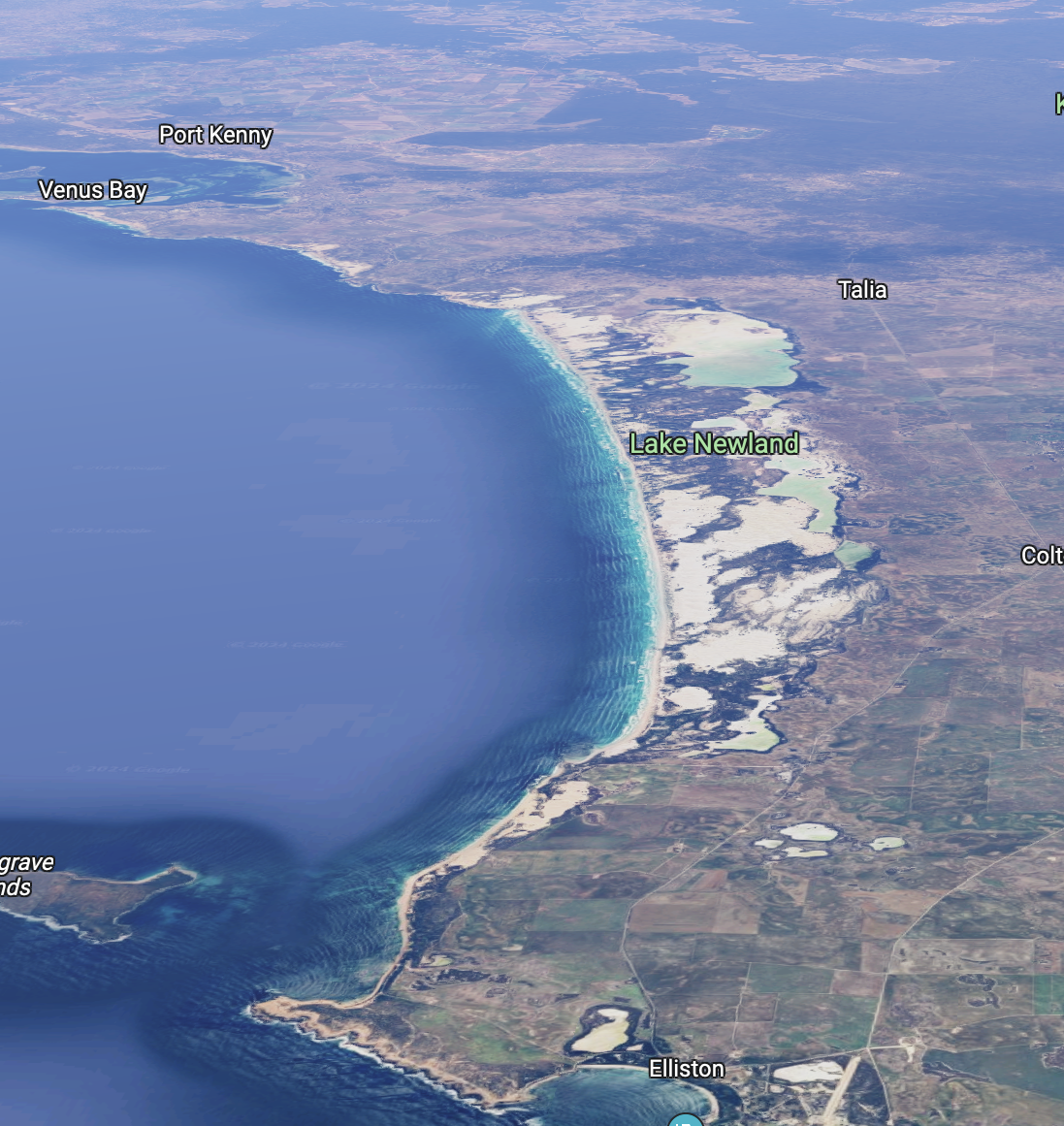
Above:- An aerial view of Venus Bay. Image c/o Google Maps.
I ran the Yaesu FT857, 40 watts, and the 20/40/80m linked dipole for this activation.
I worked the following stations on 40m
- VK5FR/m
- Vk3BEL
- VK5MAZ
- VK3PF
- VK3KAI
- VI60ATZ (VKFF-1778)
- VK5LA/m
- VK5IS
- VK5QA/p
- Vk3BBB
- VK2CCP
- VK5BE
- VK2EXA
- VK5TUX
- VK3GJG
- VK5HS/m
- VK5DW
- VK3MTT
- VK3CEO
- VK3PJR
- VK5AAF
- VK3NCR
- VK5FB
- VK5KAW/m
- VK3FRC
- VK5LEX
- VK5WE
- VK5AYL
- VK3ZK/p (Tocumwal Regional Park VKFF-0978)
I worked the following stations on 20m SSB:-
- VK5MAZ
- VK3PF
- VK3KAI
- VK1ARQ
- VK4NH
- VK4DXA
- VK1AO
- VK2MET
- VK3BBB
- VK2CCP
- VK7XX
- VK3SQ
- VK2BD
- ZL3RIK
- VK2OZI/p (VKFF-1399)
- VK4DNO
- VK3DL
- VK4EMP
- VK4TI
- VK7HBR
- VK3VIN
- VK3CEO
- VK2HAK
- VK4HAT
- VK2VW
- VK2HFI
- VK2AKA
- Vk2BUG
- VK7EE
- ZL2STR/p
- VK2MOR
- VK3SO
- VK3SFG
- VK2IO/p (VKFF-1375 & SOTA VK2/ ST-009)
- VK6LK
- VK6LMK
- VK3EJ
- VK3ZSC
- VK4DRK/p
- VK4FOX
- VK7AZ/m
- VK4HG
- VK6NU
- Vk2KA
- VK3MAP/9
- ZL1TM
- VK4CZ
- VK2WG
- VK4MUD
References.
- DEATH OF SISTER MILLARD. (1928). Barrier Miner. [online] 10 Jul. Available at: https://trove.nla.gov.au/newspaper/article/46025607?searchTerm=doris%20millard%20drowned [Accessed 6 Jun. 2024].
- Departmentr for Environment and Heritage, 2006, Venus Bay Conservation Park Management Plan.
- Dissel, D.V. (n.d.). William Parkin (1801–1889). [online] Australian Dictionary of Biography. Available at: https://adb.anu.edu.au/biography/parkin-william-4367 [Accessed 6 Jun. 2024].
- NO. 5.— STRENGTH OF THE NATIVE POLICE FORCE OF SOUTH AUSTRALIA ON THE 31ST DECEMBER. 1855. (1856). South Australian Register. [online] 2 Feb. Available at: https://trove.nla.gov.au/newspaper/article/49749377?searchTerm=venus%20bay [Accessed 6 Jun. 2024].
- published.collections.slsa.sa.gov.au. (n.d.). A Compendium of the Place Names of South Australia. [online] Available at: https://published.collections.slsa.sa.gov.au/placenamesofsouthaustralia/ [Accessed 6 Jun. 2024].
- southaustralia.com. (2023). Talia Caves – Talia, Attraction | South Australia. [online] Available at: https://southaustralia.com/products/eyre-peninsula/attraction/talia-caves [Accessed 6 Jun. 2024].
- TERRIBLE DROWNING FATALITY. (1928). West Coast Sentinel. [online] 29 Jun. Available at: https://trove.nla.gov.au/newspaper/article/168249842?searchTerm=doris%20millard%20drowned [Accessed 6 Jun. 2024].
- Wikipedia. (2022). Venus Bay. [online] Available at: https://en.wikipedia.org/wiki/Venus_Bay [Accessed 6 Jun. 2024].
- Wikipedia. (2023). Patrick Boyce Coglin. [online] Available at: https://en.wikipedia.org/wiki/Patrick_Boyce_Coglin [Accessed 6 Jun. 2024].
- www.monumentaustralia.org.au. (n.d.). Sister D. B. Millard | Monument Australia. [online] Available at: https://www.monumentaustralia.org.au/themes/people/tragedy/display/51858-sister-d.-b.-millard [Accessed 6 Jun. 2024].