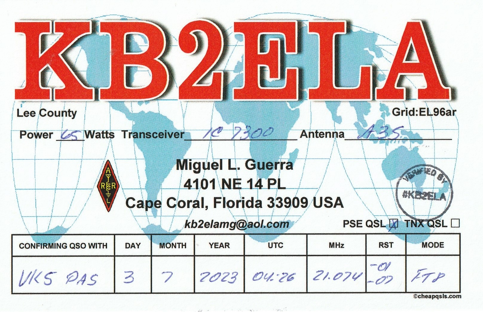
Here is a selection of recent QSL cards received in the mail for VK5PAS and VK5MAZ.


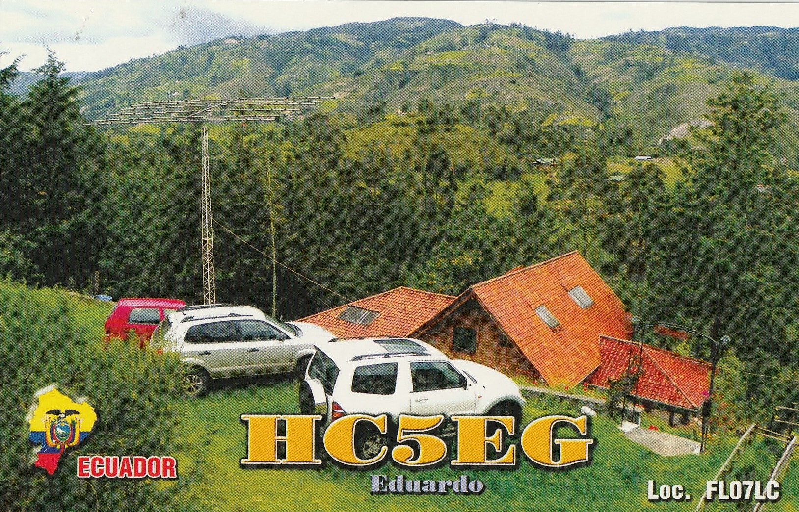
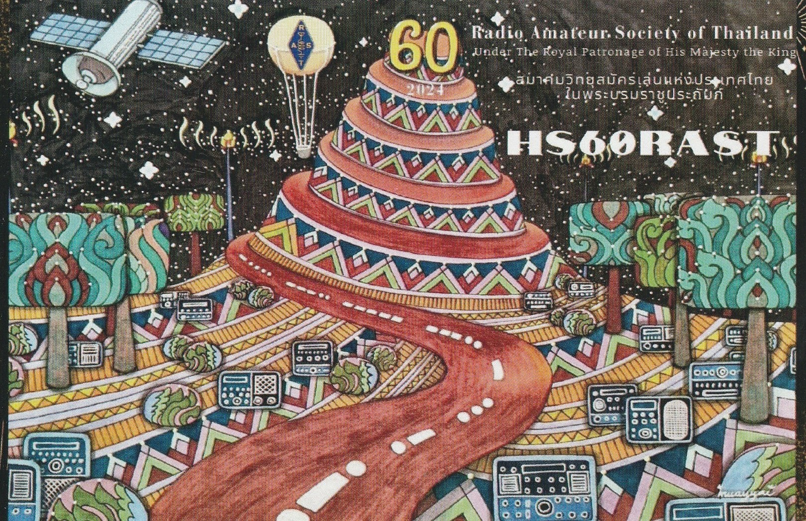

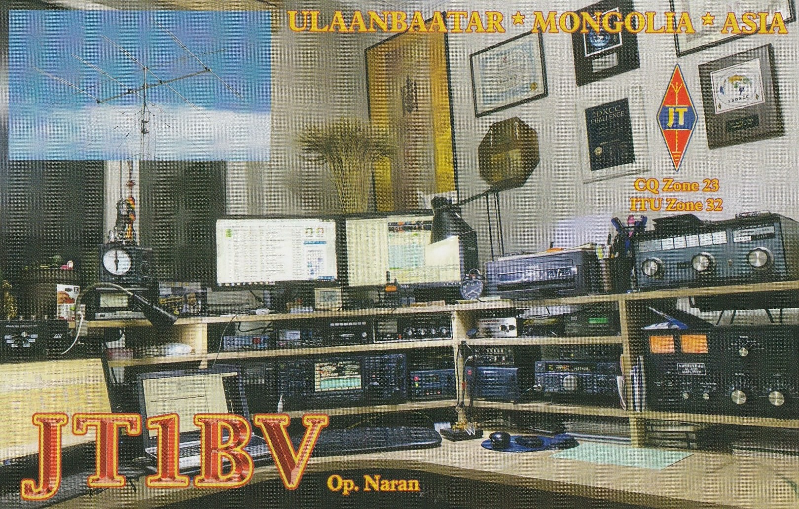
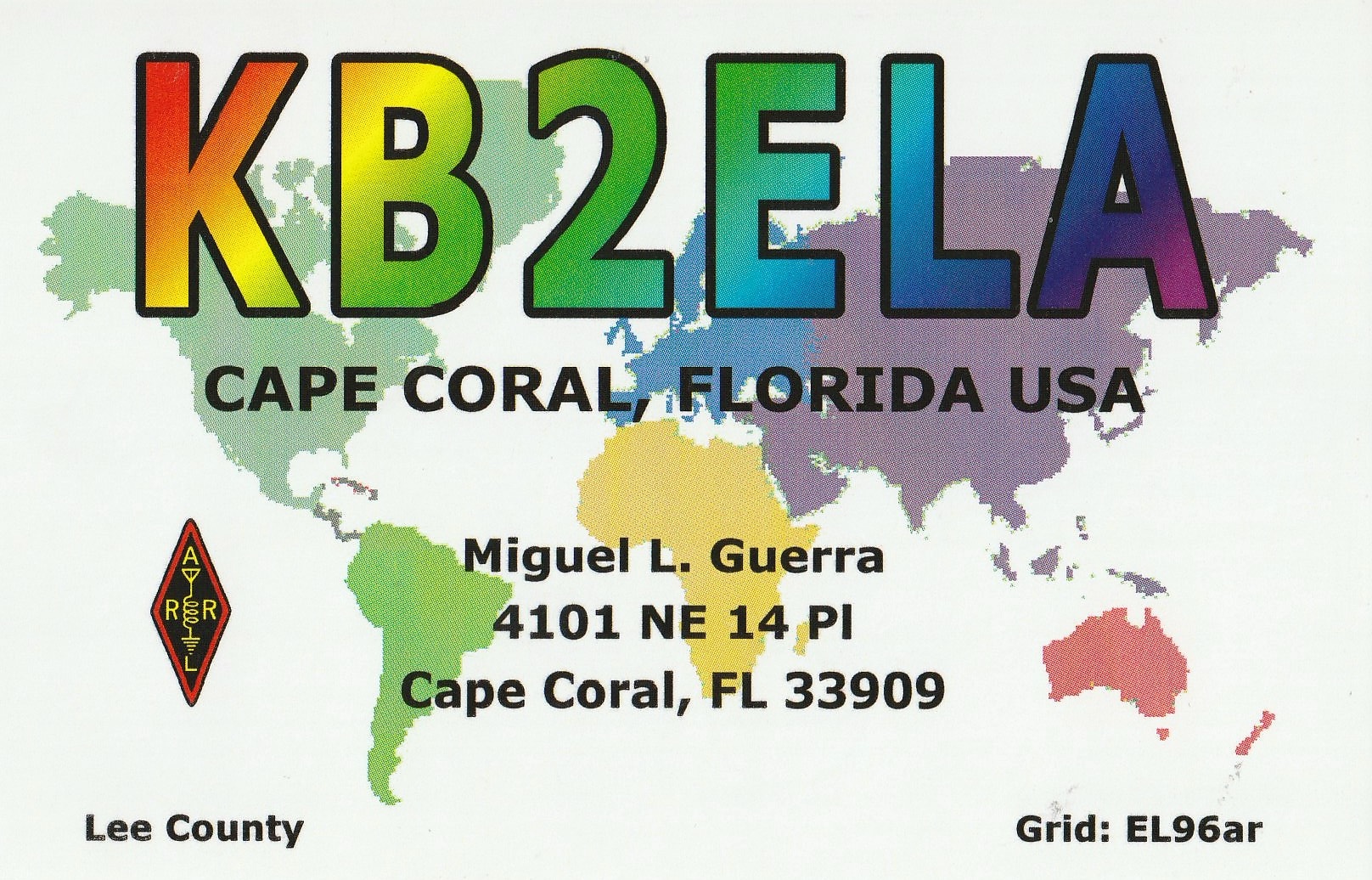
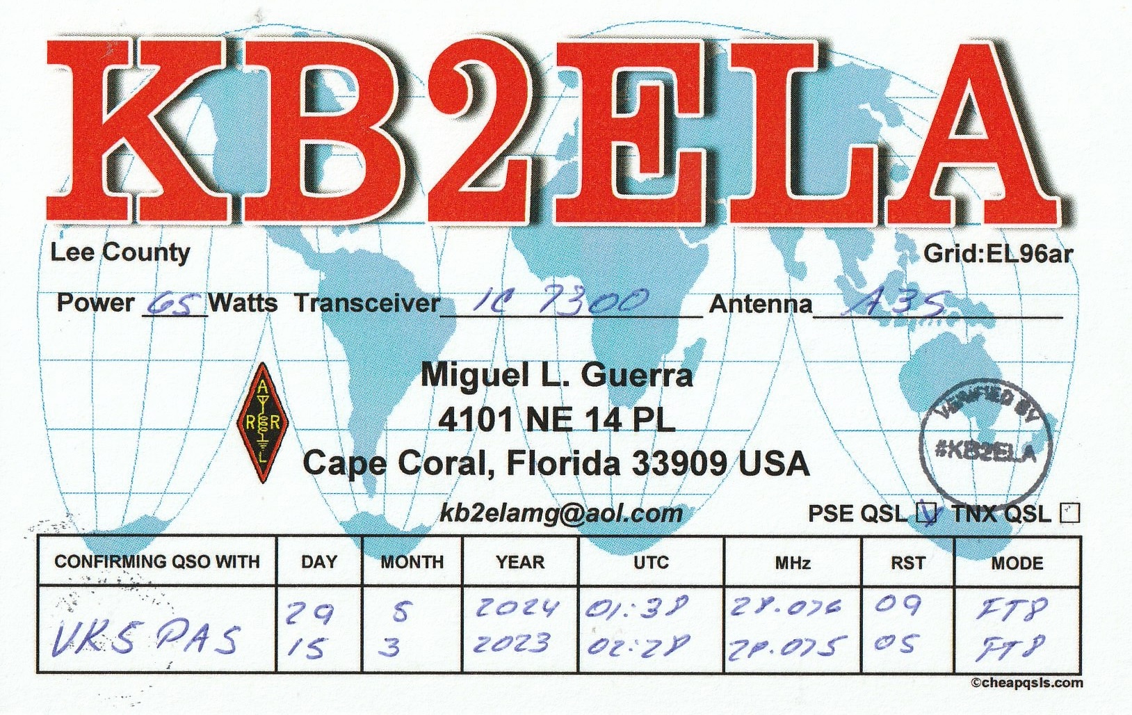


Here is a selection of recent QSL cards received in the mail for VK5PAS and VK5MAZ.
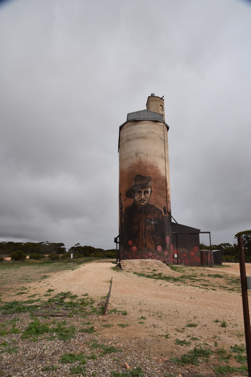
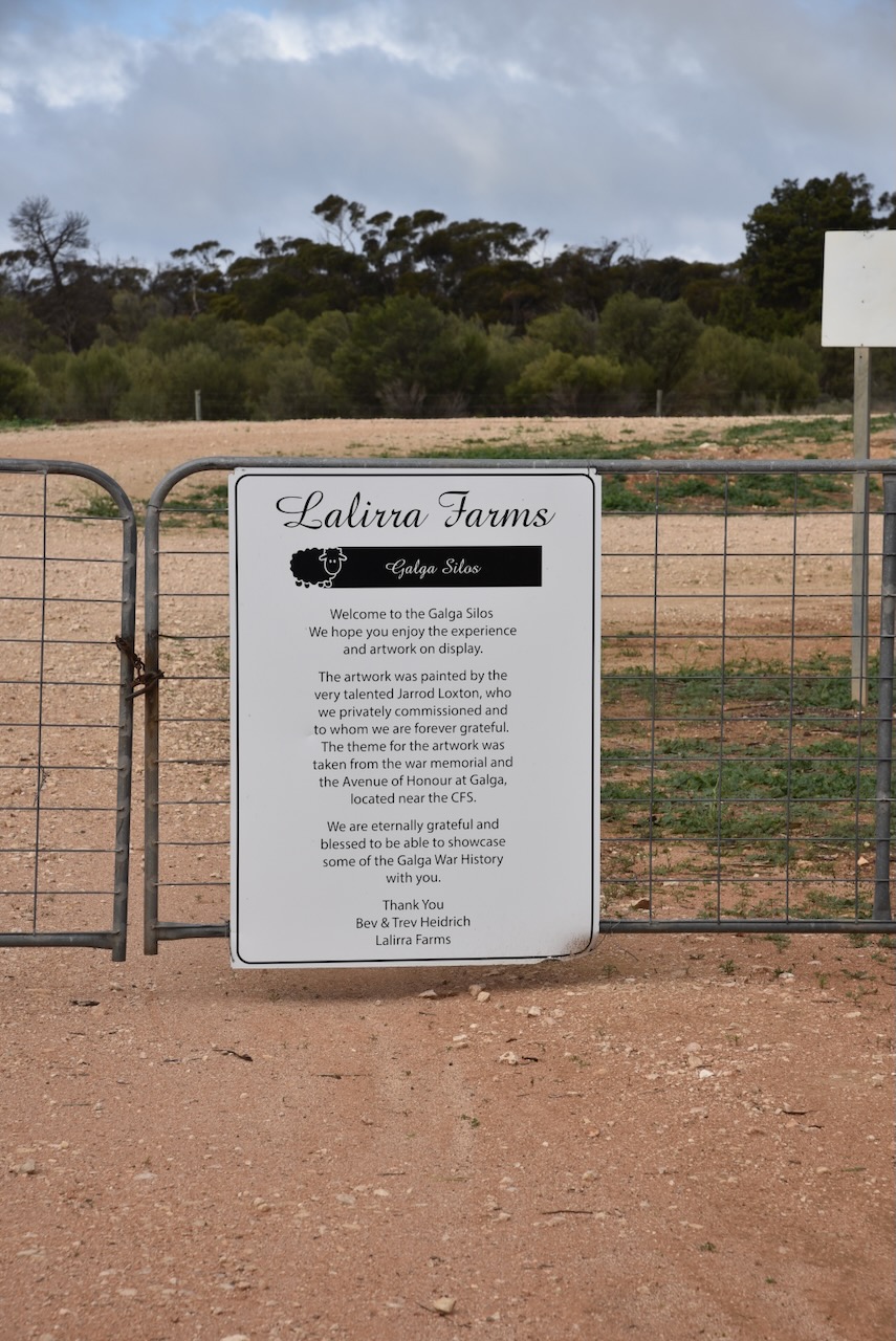
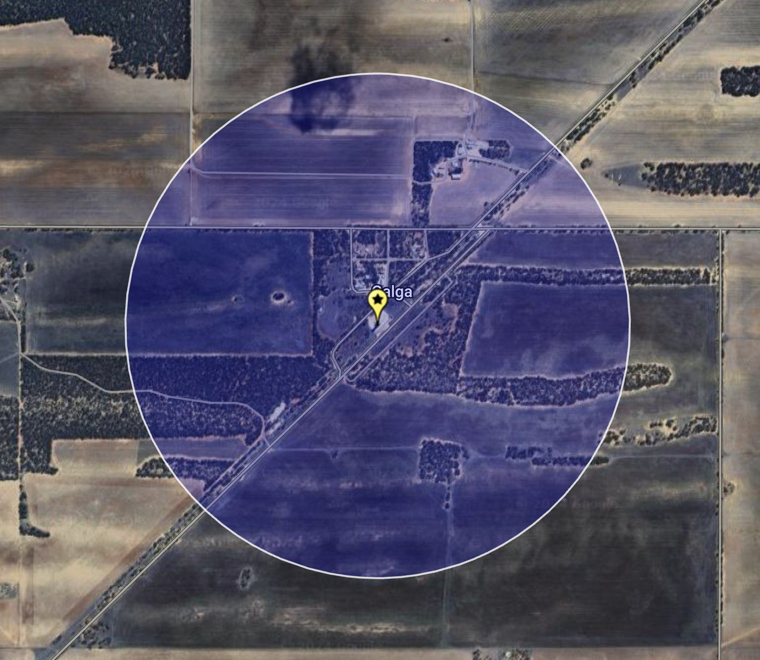
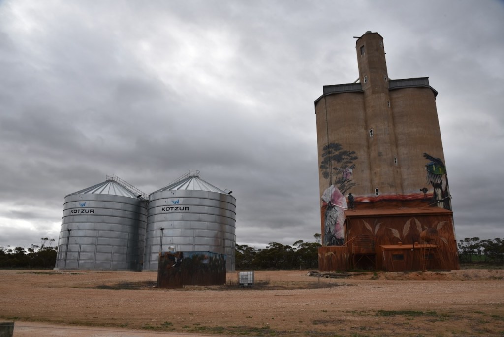
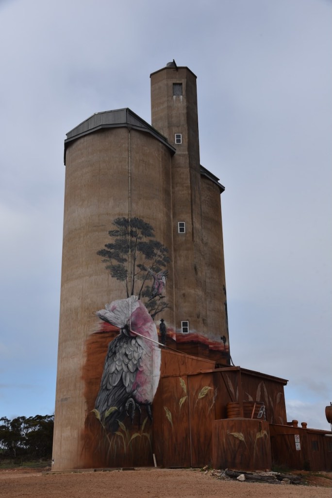
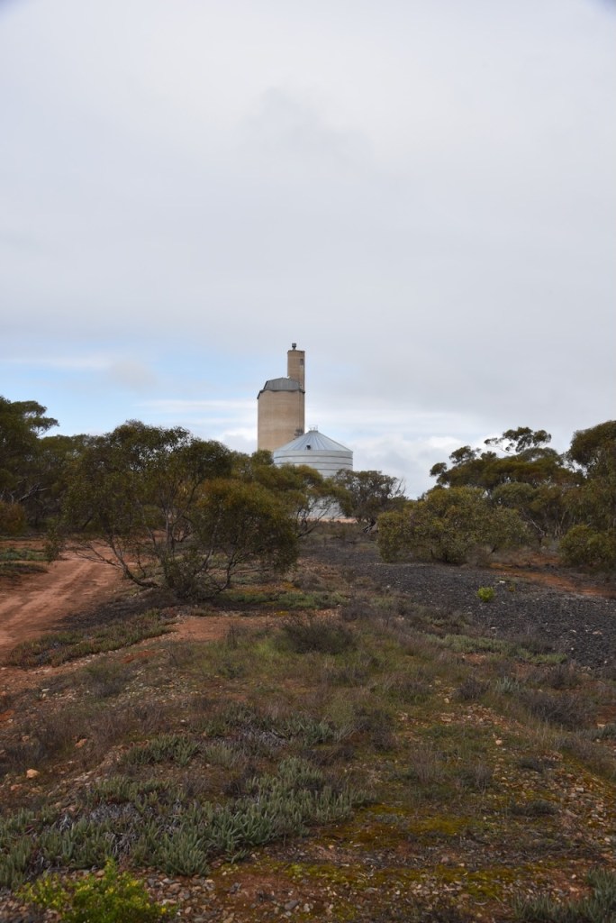
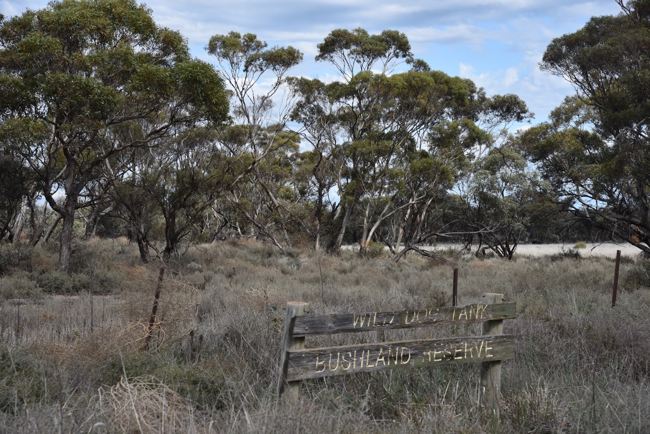
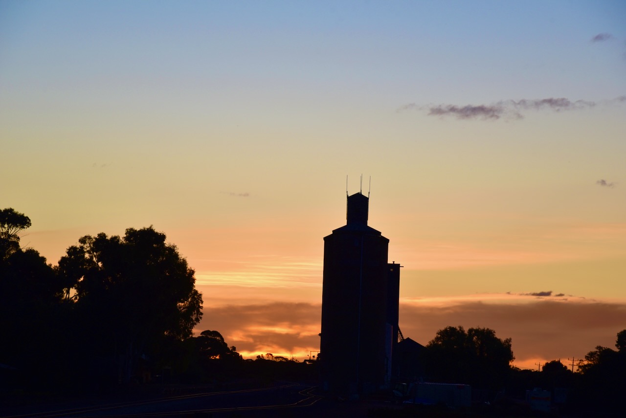
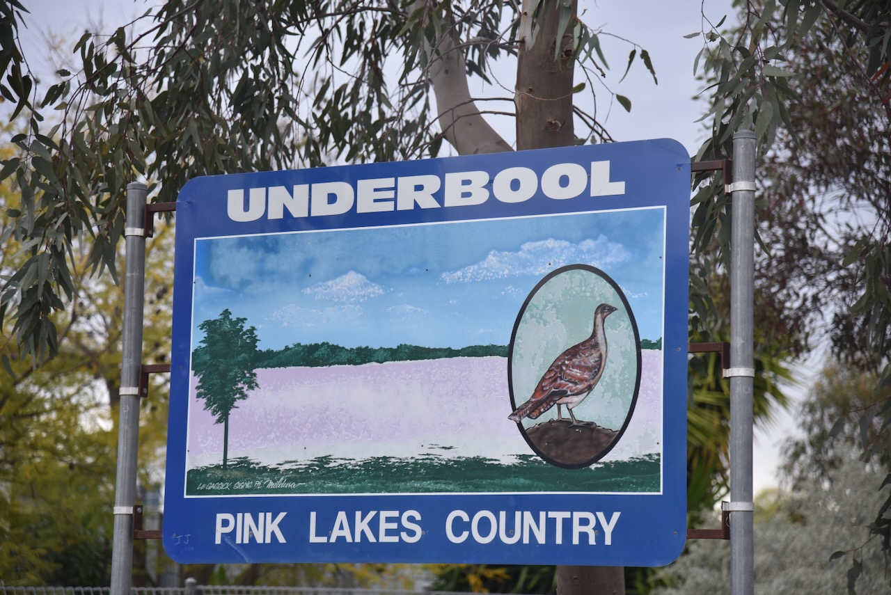
My next activation for Saturday 17th August 2024 was the Galga silo VK-GLA5 for the Silos On The AIr (SiOTA) program. Galga is about 173 km (by road) northeast of the city of Adelaide. It was just a short 16km drive northeast from Copeville.
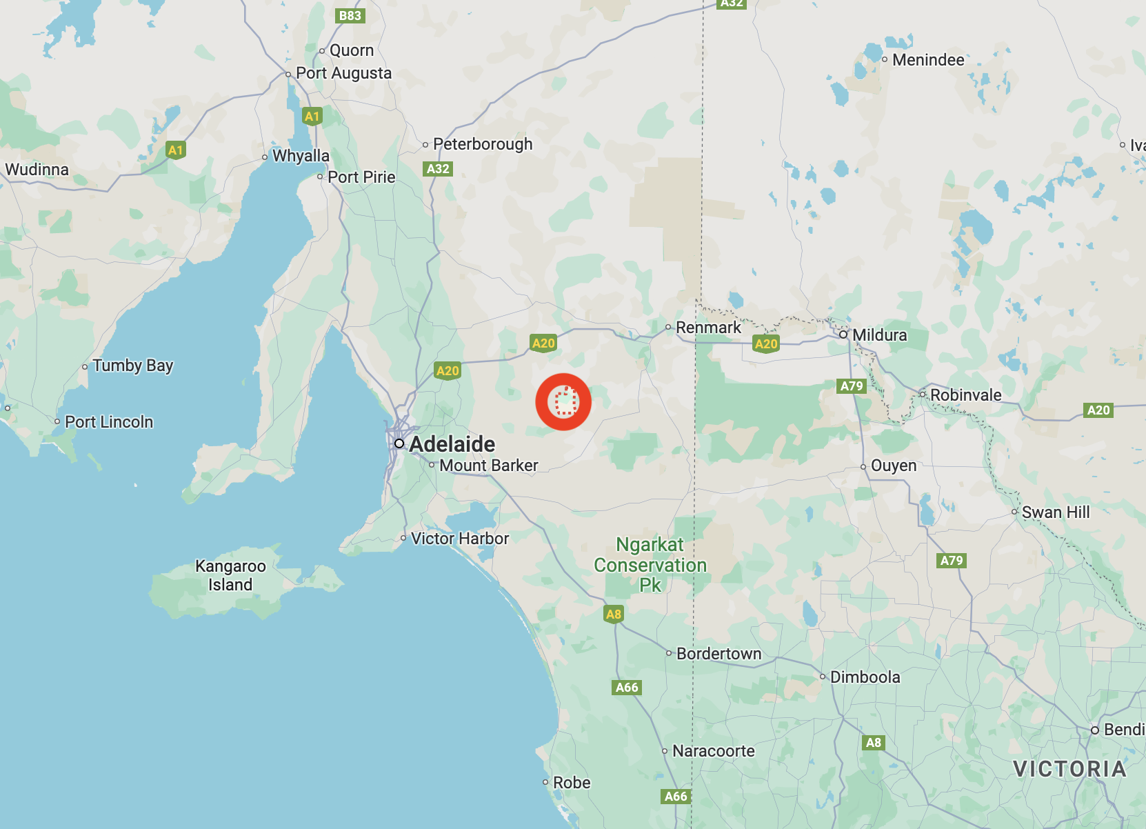
Above:- Map showing the location of Galga. Map c/o Google Maps.
The first European to settle in the district was William Selby Douglas who took up land in 1868. Galga is an aboriginal word meaning ‘hungry.’ The town was named by the Railway Commissioner who intended the railway station to be a place where refreshments would be provided. (Place Names 2012)
The town lies on the northern boundary of the Hundred of Bandon which adjoins the Hundred of Bakara. The Hundred was declared in 1898. However, it was not until 1904 that the first leasehold land was taken up by Alfred and Ludwig Kuehn. Between 1909 to 1910 freehold land was taken up. In 1915 the Kuehn brothers relinquished 40 acres of their land for the surveing of the town of Galga. (flickr 2024)
In October 1915, Mr. A. Thomas surveyed the township of Galga. A total of 54 town blocks were alotted. The town was proclaimed on the 10th day of February 1916. (flickr 2024)
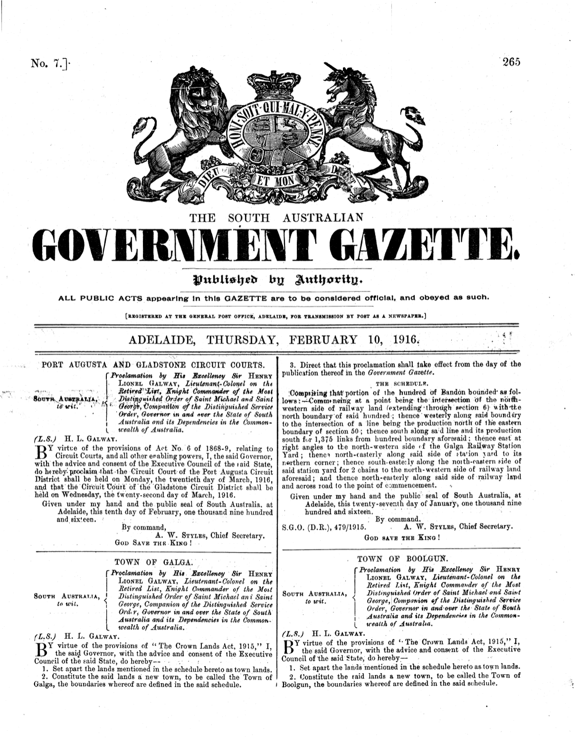
Above:- SA Govt Gazette, Thur Feb 10 1916.
In 1915 the Post Office opened. In 1921 it was moved into the general store that had opened. Alfred Kuehn donated two town blocks for a hall to be used as a school. In 1921 the limestone and red brick Galga Hall was built. However, it was not used as a school until 1925. At its opening, the school had 16 pupils. Its greatest enrollment period was during the late 1950s to early 1960s when 39 students were enrolled, with 2 teachers being employed. The school closed in 1966 when the East Murray Area School was planned to be opened in 1967. (flickr 2024)
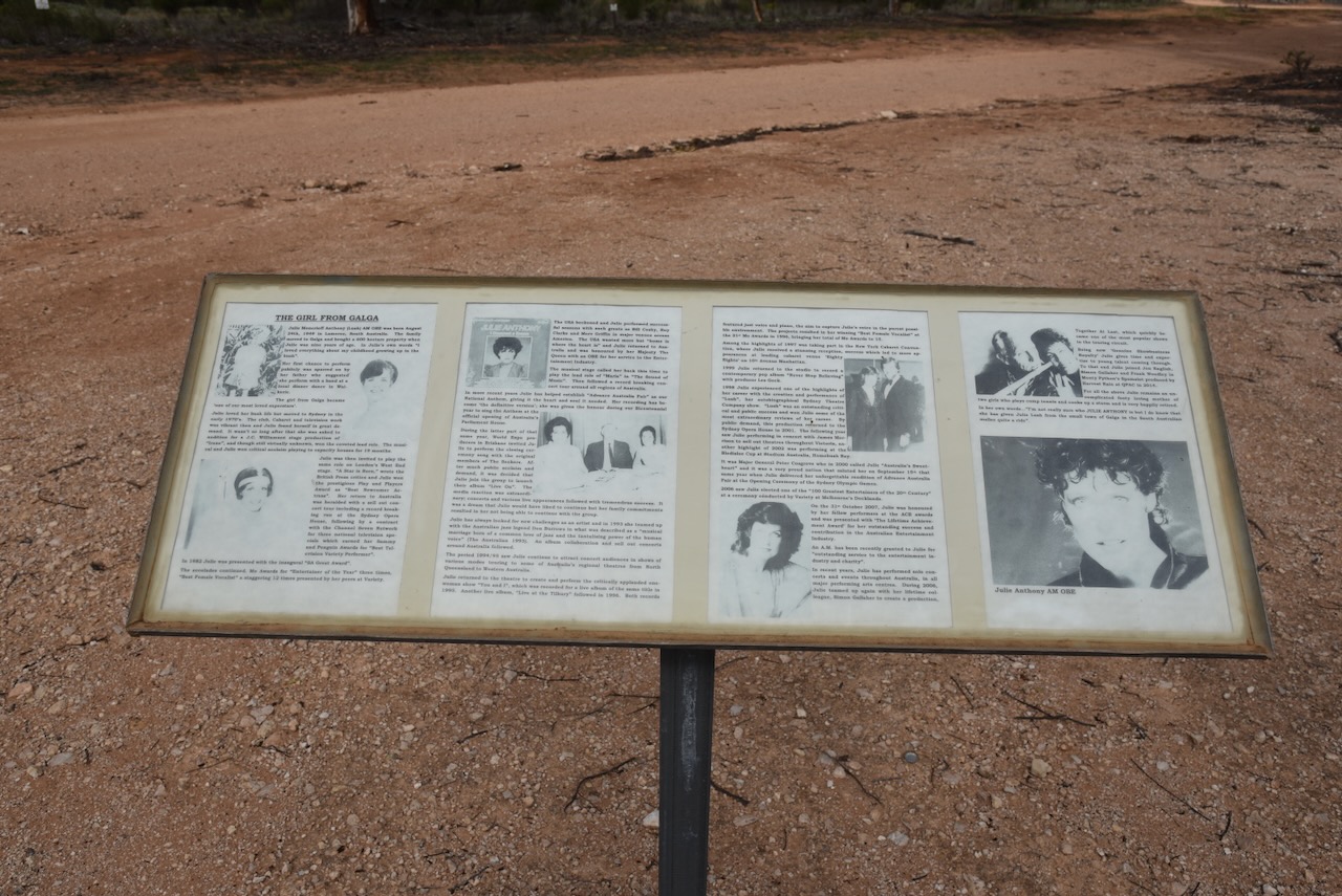
One of Galga’s famous students was Julie Lush, now Julie Anthony. She attended the school from 1959 onwards. As a child, she excelled in sport and singing. Anthony was awarded an OBE in 1980 by Britain and in 2007 was made a Member of the Order of Australia. She sang the National Anthem at the opening of the Sydney Olympic Games. (flickr 2024)

Above:- Julie Anthony. Image c/o Facebook.
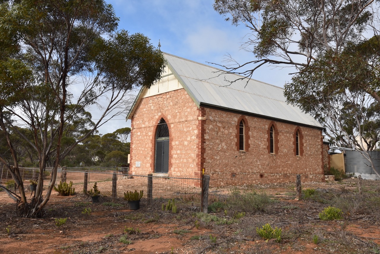
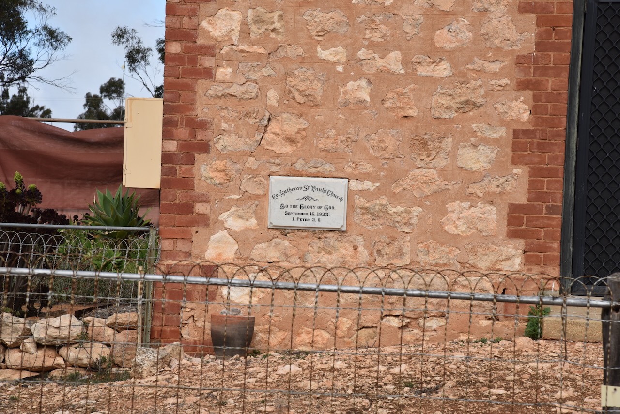
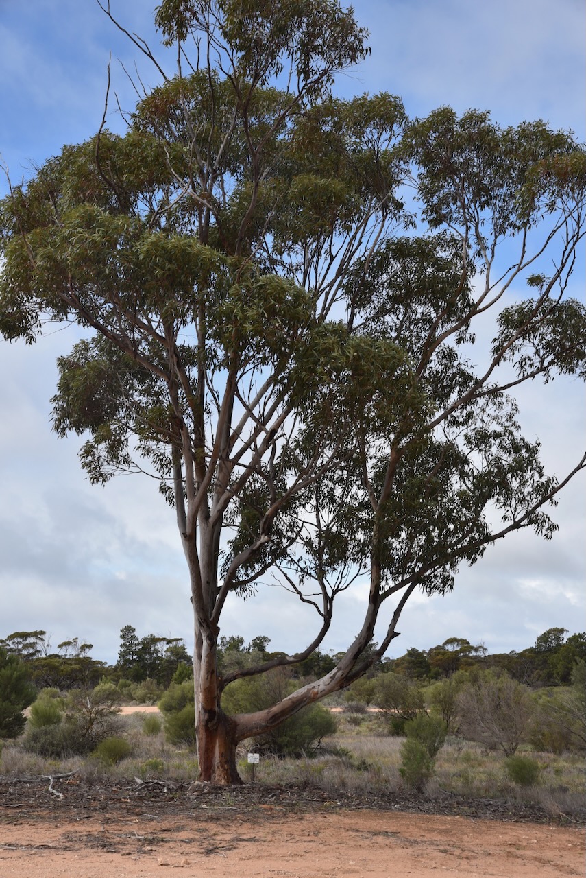
In 1923 a ten-acre grant from the government was issued for an oval and sports field at Galga. In 1924 the Gothic-style St Pauls Lutheran Church was opened. (flickr 2024)
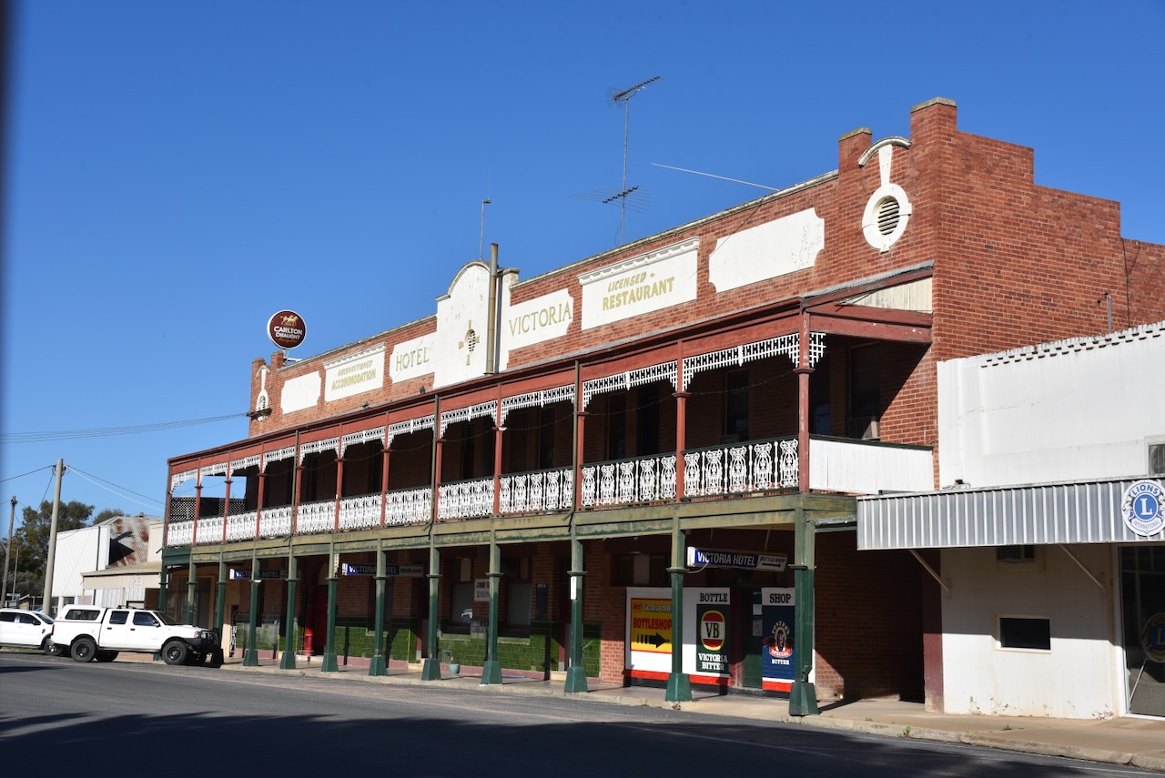
In Its heyday, Galga had a tennis club and a football club.
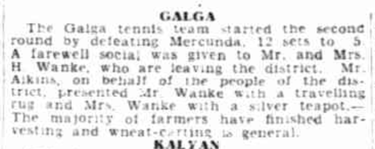
Above:- Article from The Advertiser, Wed 16 Feb 1938. Image c/o Trove.
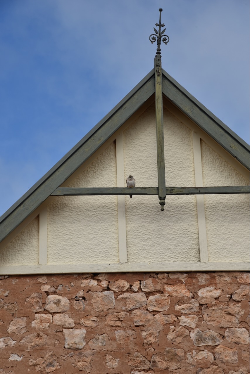
Today, Galga is an interesting little town to visit. The beautiful Gothic style St Paul’s Church remains.
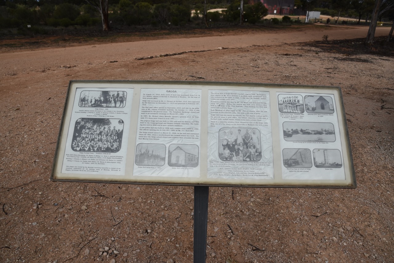
There are also some excellent information boards detailing the history of Galga.
In 1963 bulk handling of grain commenced in Galga. The railway line closed in 1994 with passenger services ceasing during the 1970s. (flickr 2024)
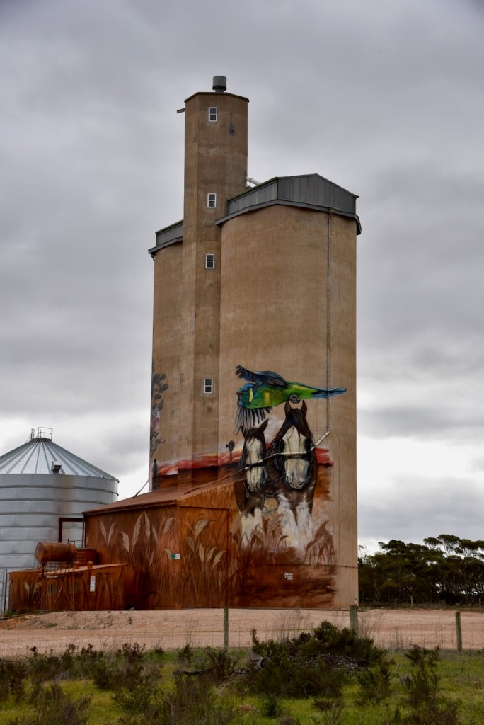
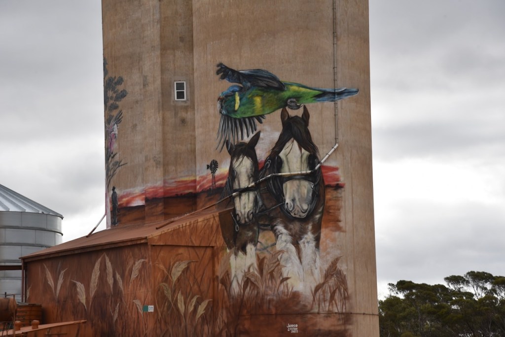
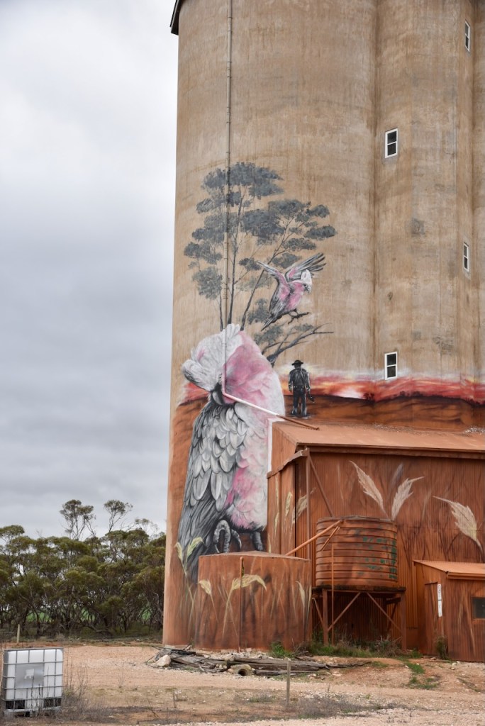
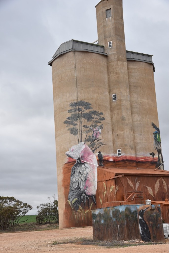
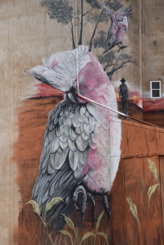
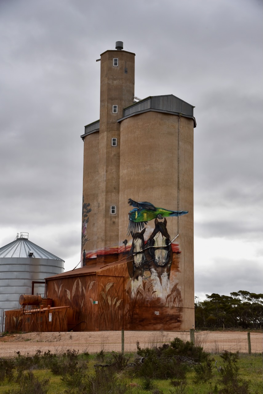
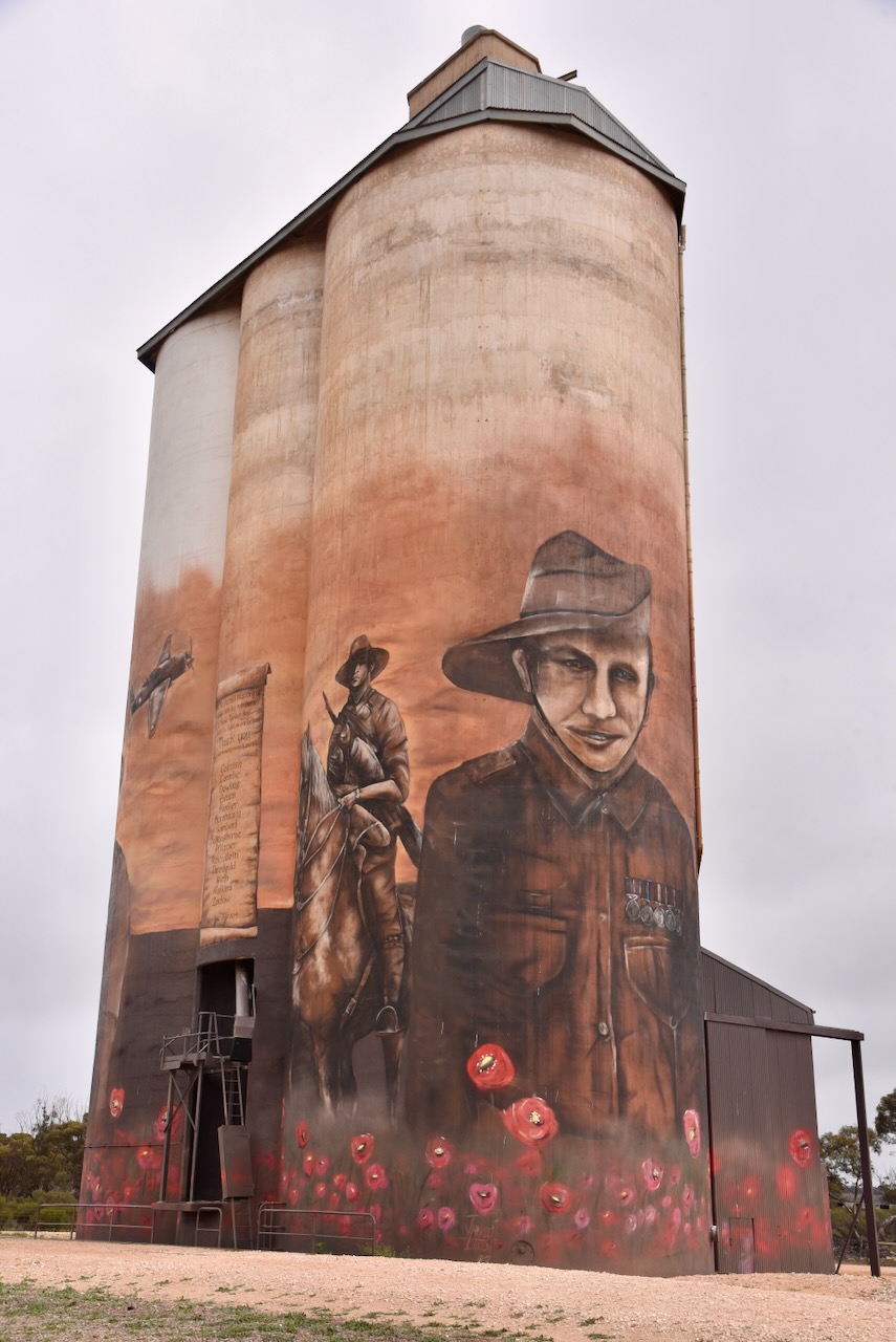
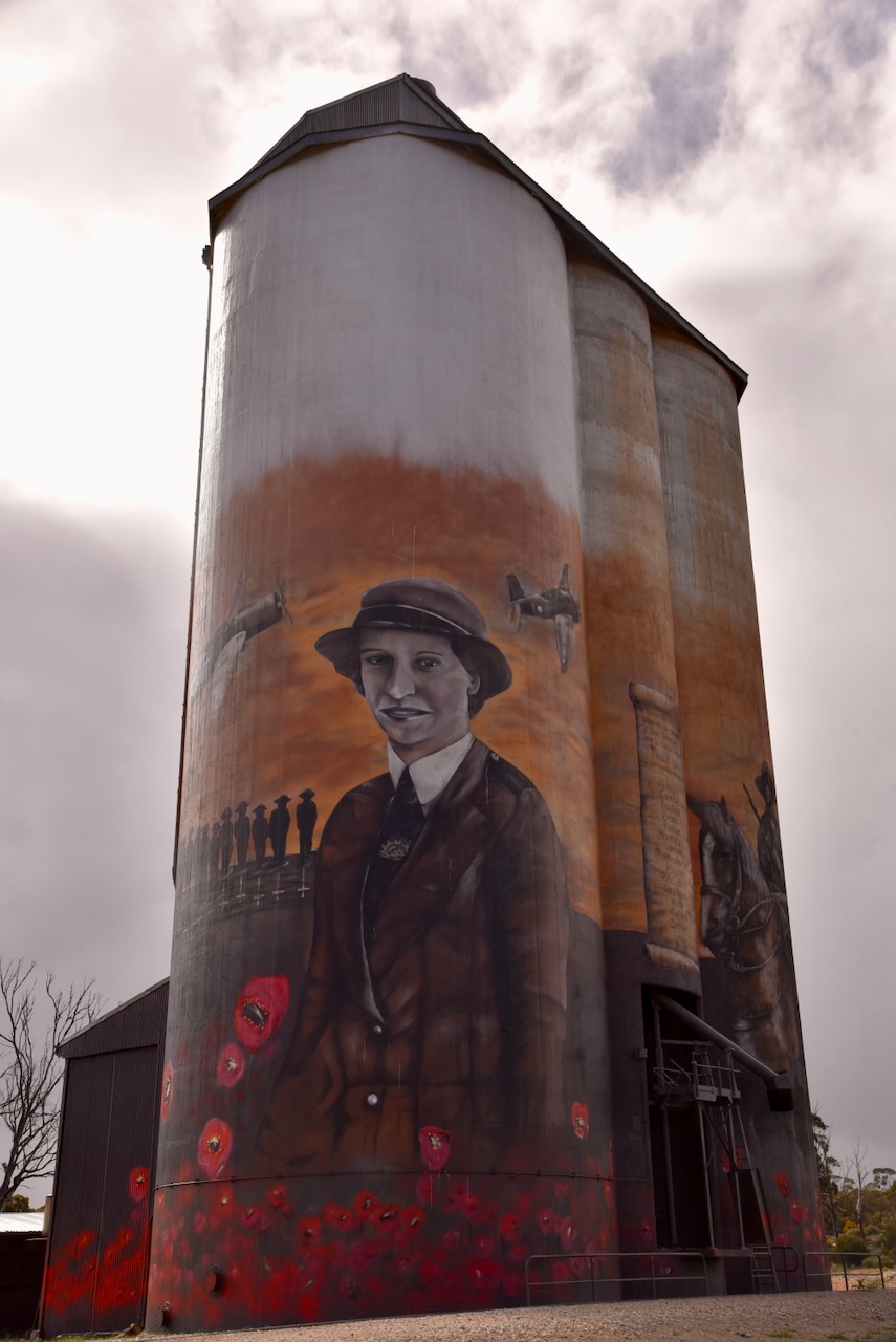
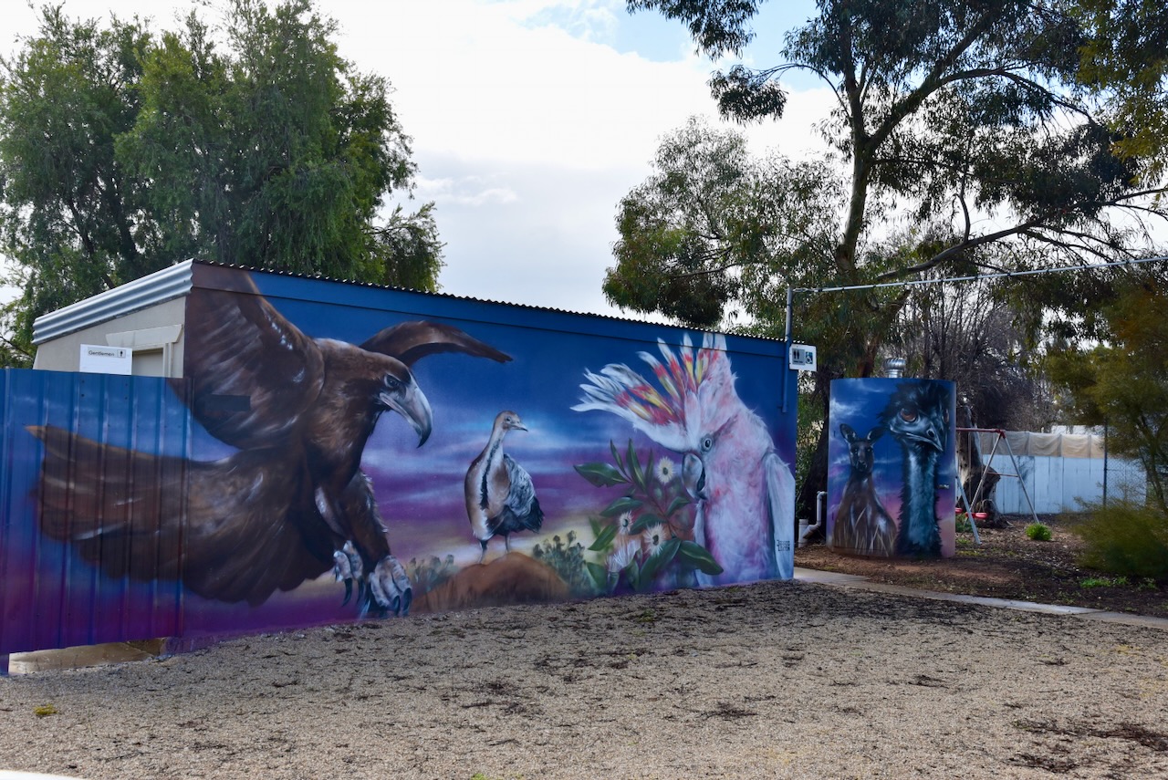
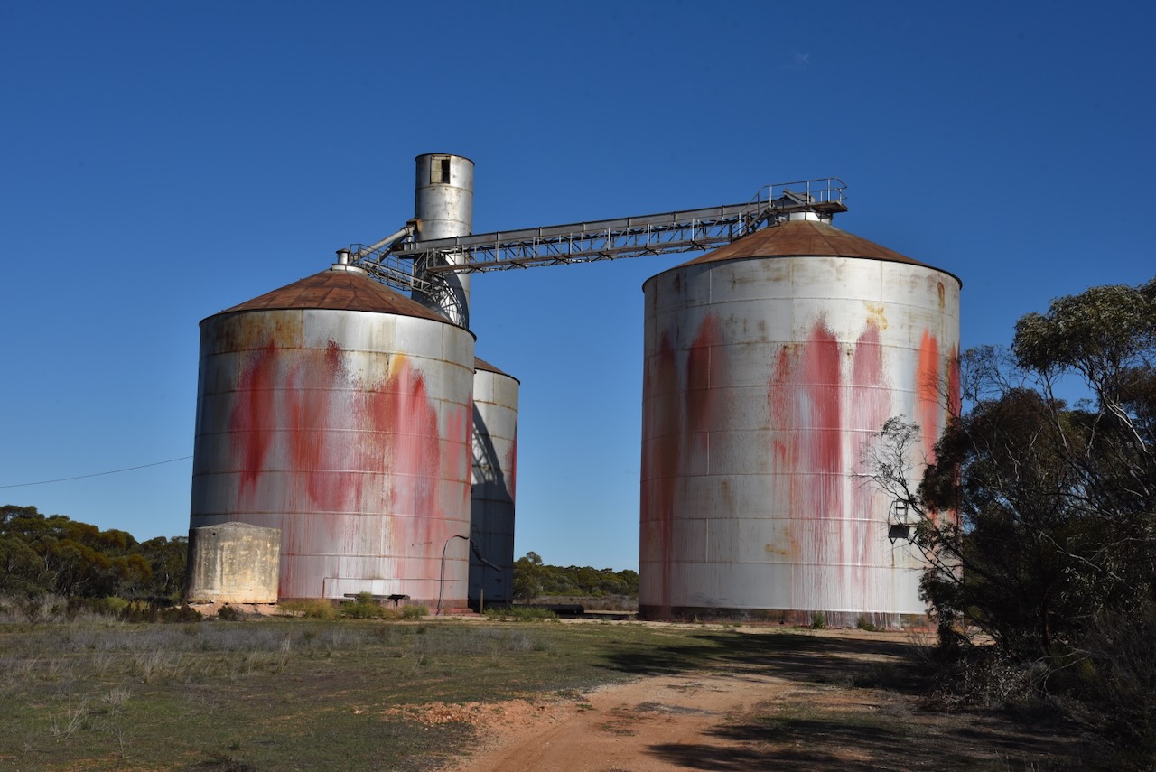
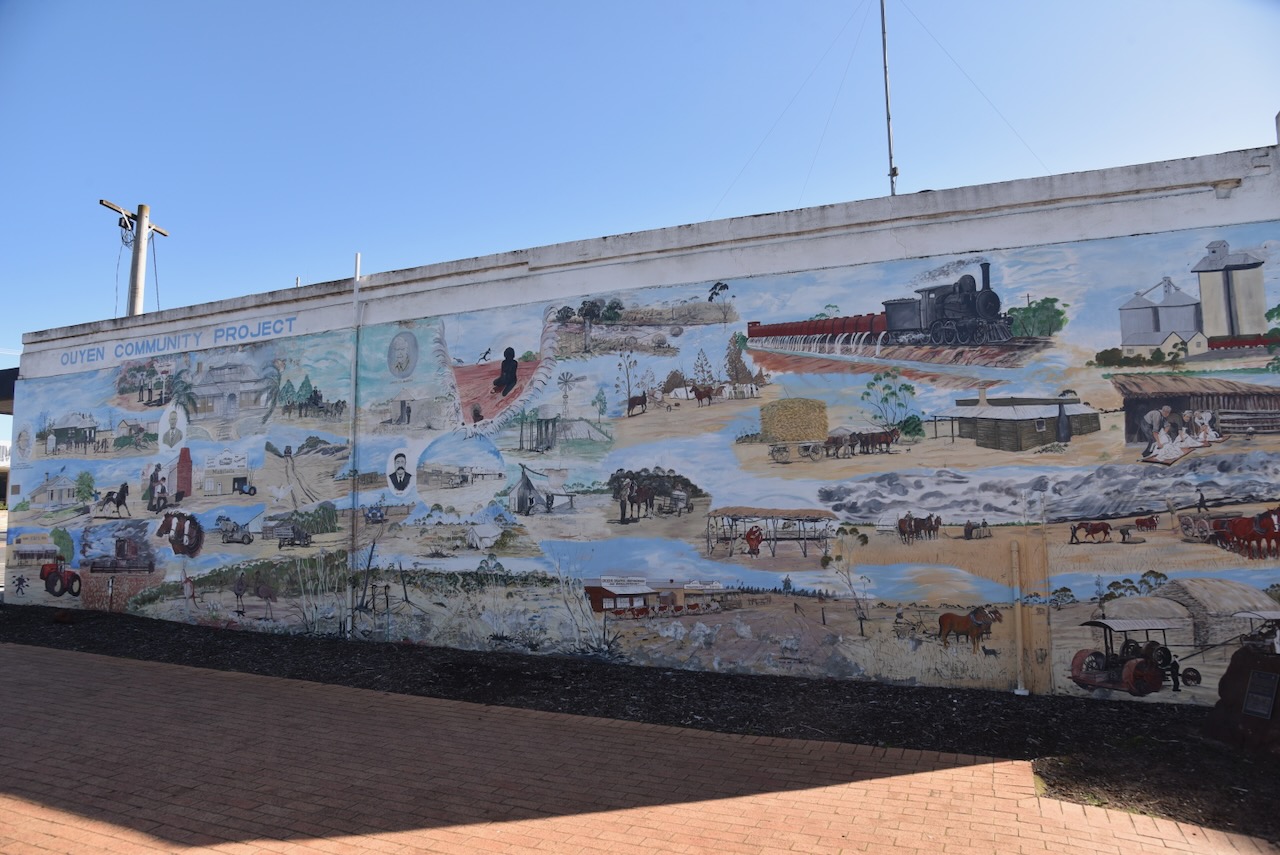
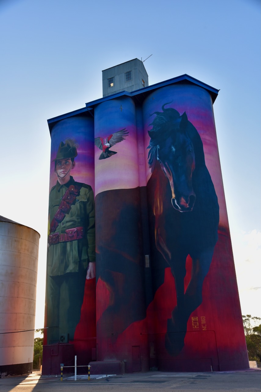
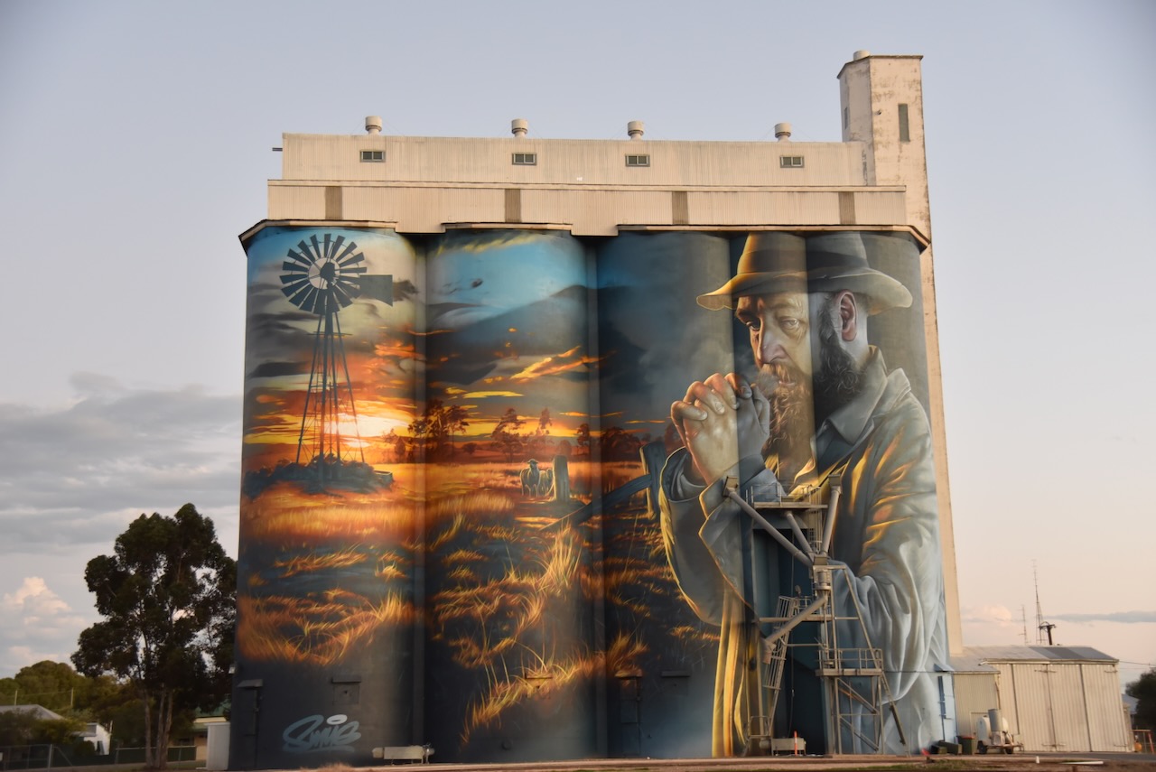
The Galga Silo Art completed in April 2023 and was painted by Jarrod Loxton. The Galga silo features local soldiers and also honours nurses, including Vivian Bullwinkel. (Australian SIlo Art 2024)
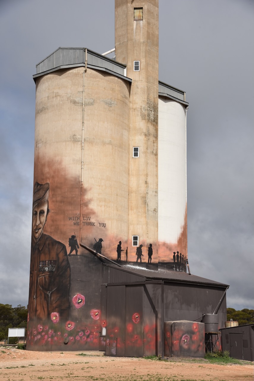
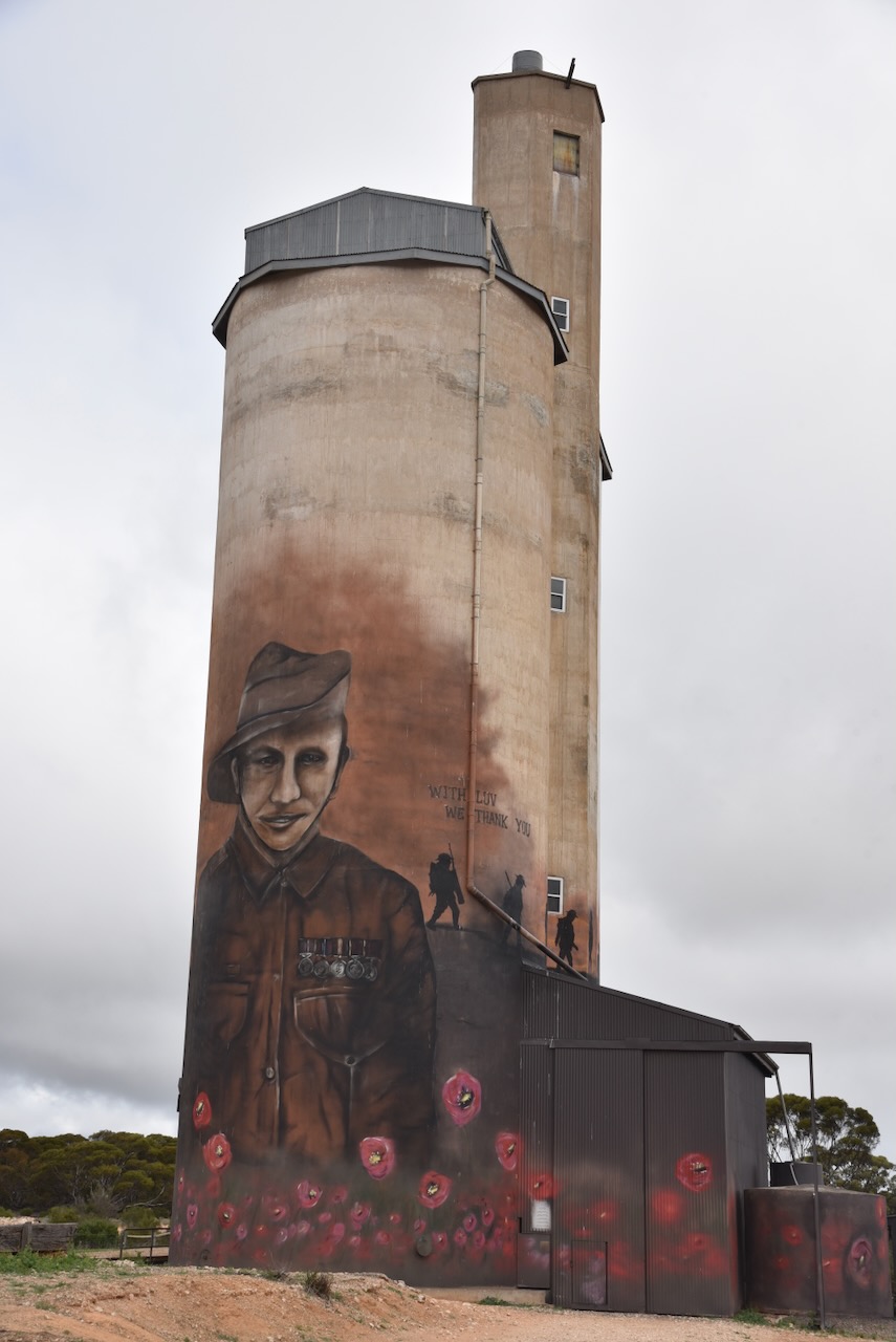


One of those featured on the silo is Vivian Bullwinkel. She was born in December 1915 at Kapunda. She trained as a midwife and dnurse at Broken Hill, prior to commencing her career in nursing at Hamilton, Victoria and then Melbourne, Victoria. In 1941 Bullwinkerl volunteered for service with the RAAF, but was rejected for having flat feet. She did however, join the Australian Army Nursing Service. (AWM 2024)
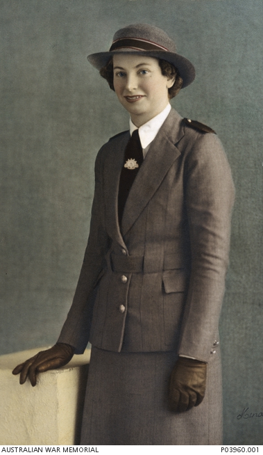
Above:- Lt Col Vivian Bulwinkel. Image c/o Aust War Memorial.
Following the invasion of Malaya in December 1941, Bullwinkel and 65 other nurses boarded the SS Vyner Brooke to escape the island. Two days into their voyage, the shop was sunk by Japanese aircraft. Bullwinkel, along with 21 other nurses and a group of men, women and children made it ashore on Banka Island. (AWM 2024)
The following day they were joined by about 100 British soldiers. The group surrendered to the Japanese. The men were murdered by the Japanese, while the female nurses were ordered to walk into the sea. They were then machine gunned from behind. Bullwinkel was struck by a bullet but survived.
She pretended to be dead until the Japanese left the beach. For 12 days she hid on the island with a wounded British soldier and again surrendered to the Japanese. Bullwinkel spent 3 & 1/2 years in Japanese captivity. She was just 24 of the 65 nurses were aboard the SS Vyner Brooke that survived the war. (AWM 2024)
Below is a trailer to an ABC doumentary on Vivian Bullwinkel.
Another person featuring the silo is Hurtle Murdoch “Tom” Zilm. He was born in September 1917 at Hamley Bridge. He enlisted for service on the 2nd day of December 1942. He is the step grandfather to the owner of the silo. (Facebook 2024) (vwma 2024)
Above:- Hurtle Murdoch Zilm. Image c/o ancestry.com.au
Below is a video from You Tube showing the Galga silo.
I parked on Galga Road, directly alongside of the silo. I ran the Yaesu FT857, 40 watts and the 20/40/80m linked dipole for this activation.
Above:- An aerial view showing the Galga silo activation zone. Image c/o SiOTA website.
I worked the following stations on 40m SSB:-
I worked the following stations on 20m SSB:-
References.
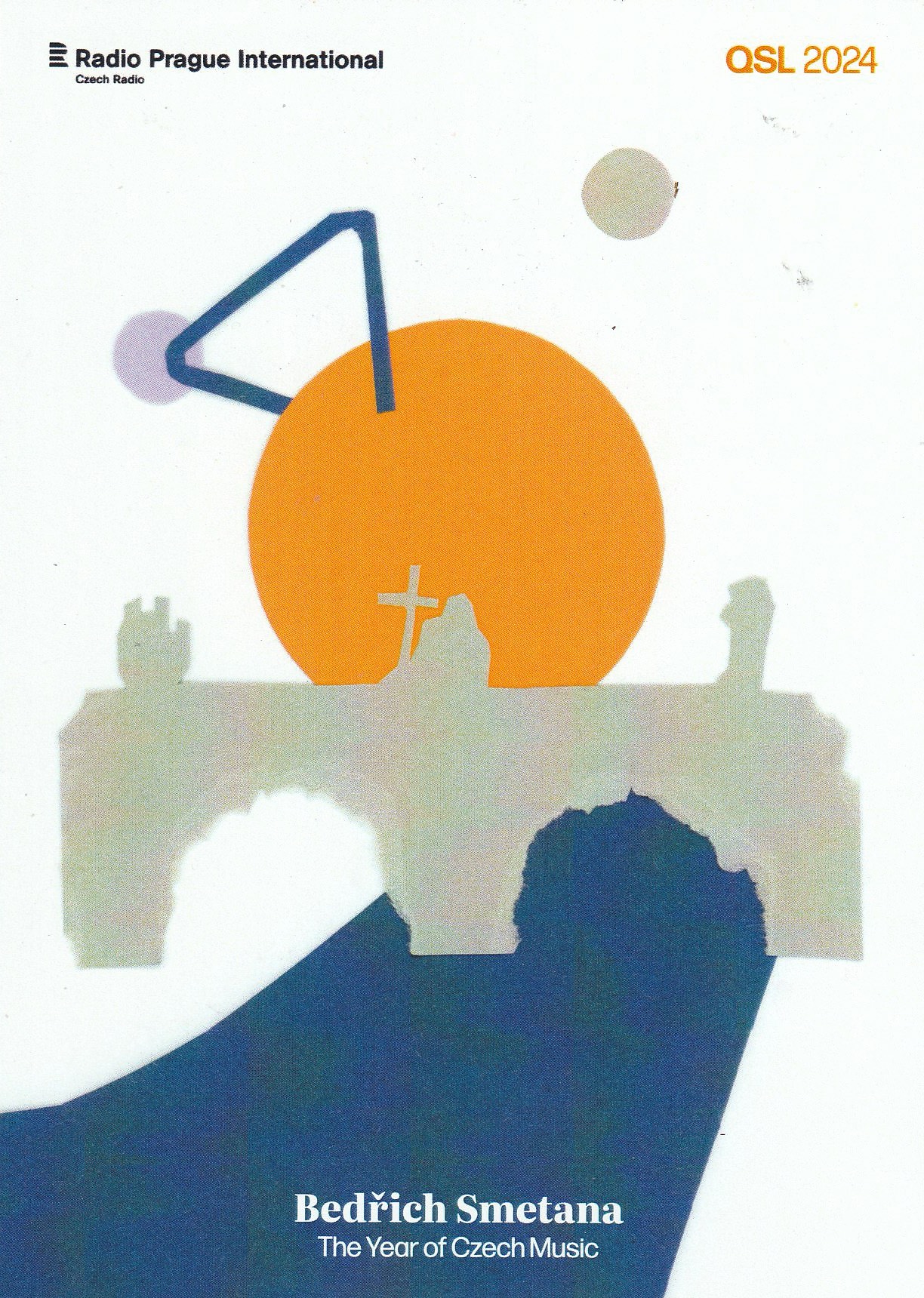
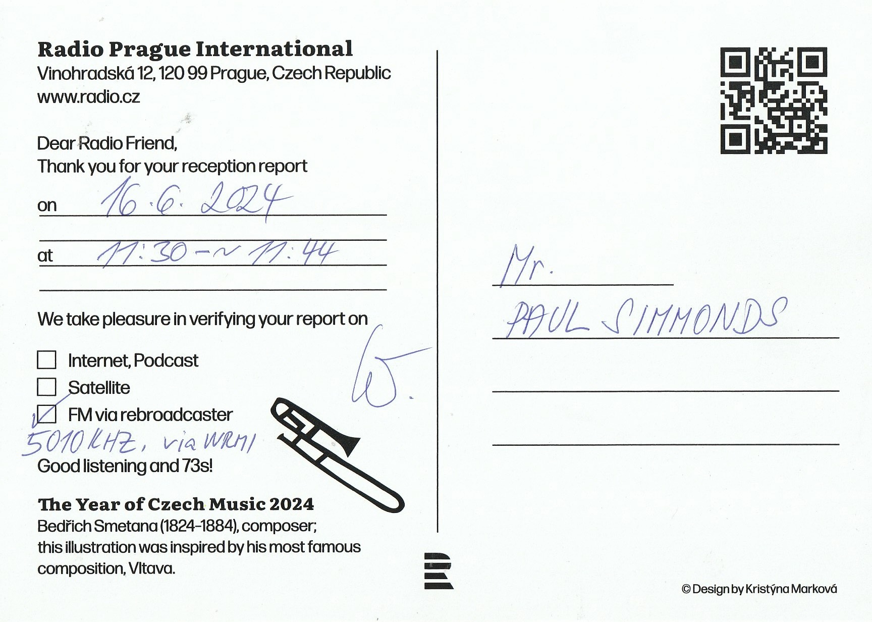
A QSL card received from Radio Prague International for my reception of their station on 16th June 2024 on 5010 kHz.
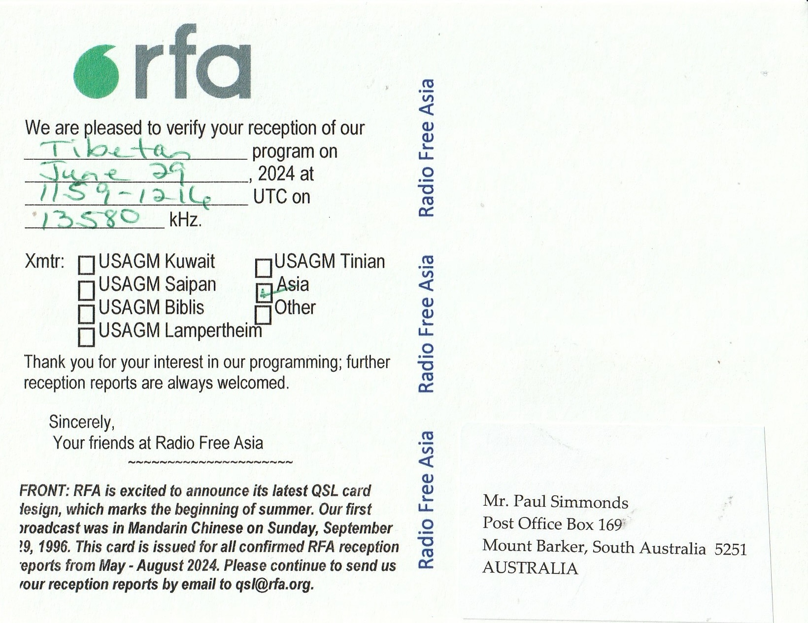
In the last few days, I received a few QSL cards in the mail from Radio Free Asia.
9330 kHz – 29th June 2024.

13580 kHz – 29th June 2024.
Yesterday I received a QSL card in the mail from KNLS in Alaska for my reception of their station on 6110 kHz on 7th January 2023.

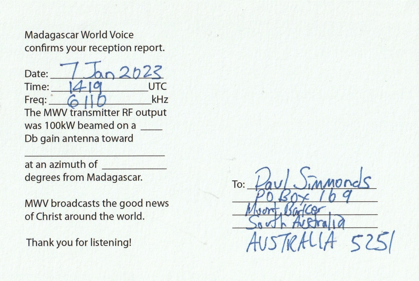
KNLS also forwarded me a KNLS pennant.
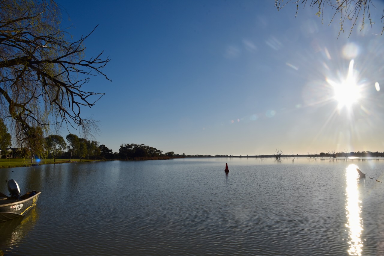
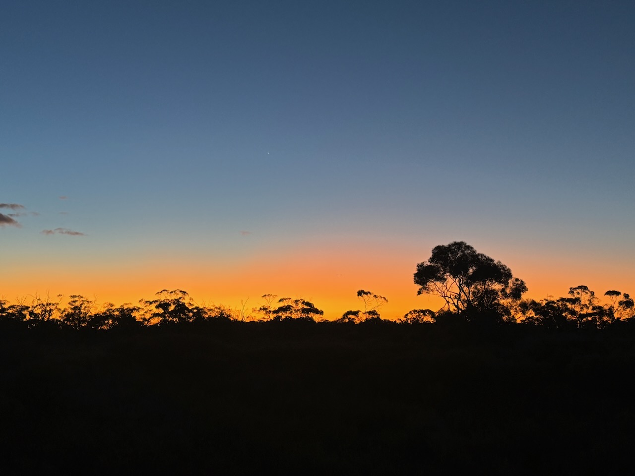
I left home bright and early on Saturday morning 17th August 2024, heading to Renmark in the Riverland region of South Australia. I had planned on staying one night at Renmark on my 7-night trip to the Riverland region of South Australia and northwest Victoria.
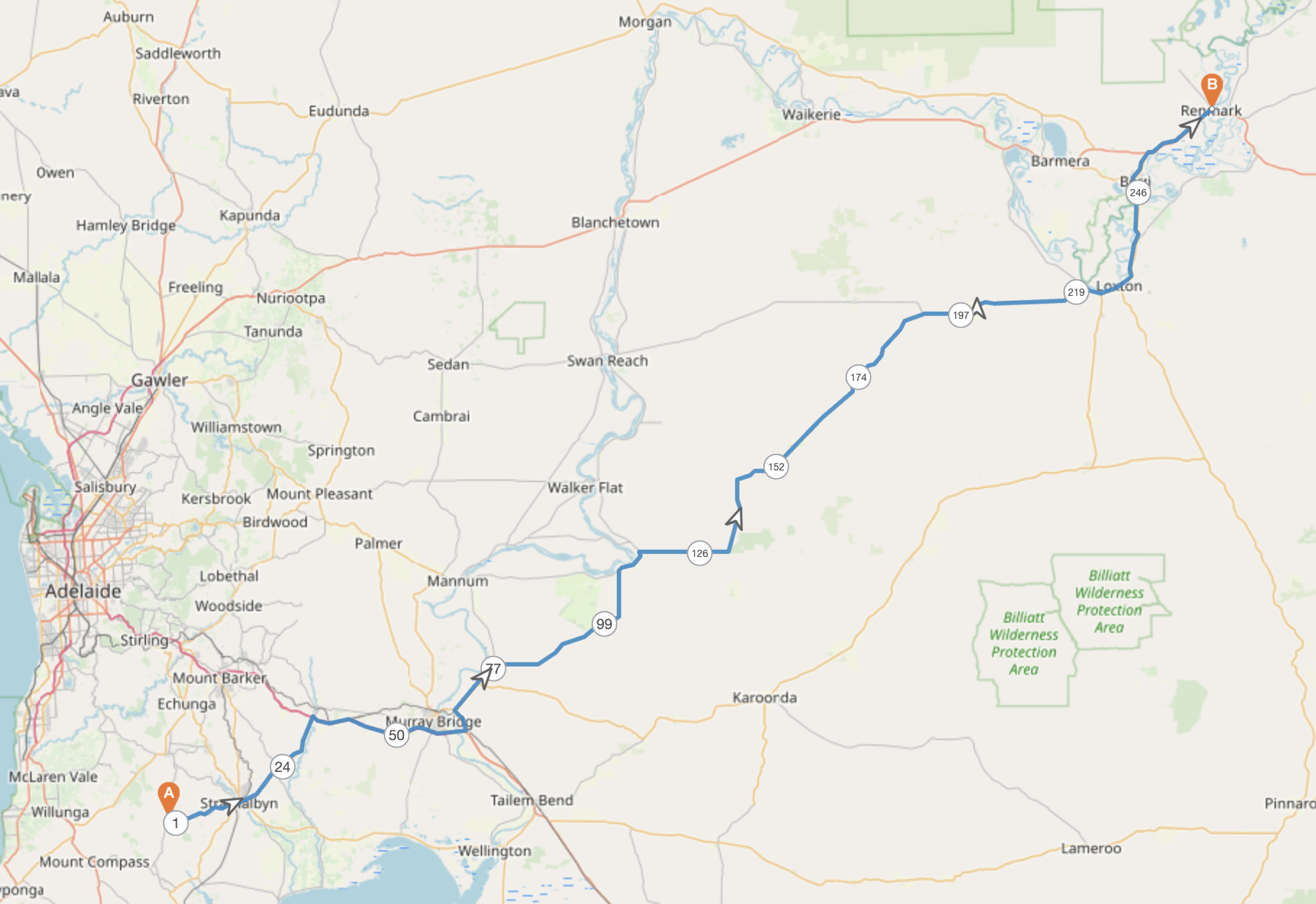
Above:- Map showing my approximate route for day 1. Map c/o plotaroute.
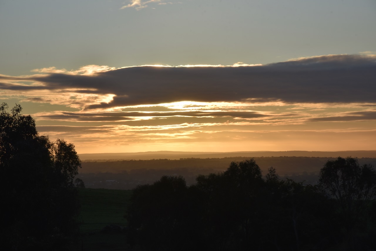
It was a beautiful morning and as I came down the hill from Ashbourne into Strathalbyn, I enjoyed a beautiful sunrise. My first stop was the Strathalbyn bakery to get a coffee and a bacon & egg roll.
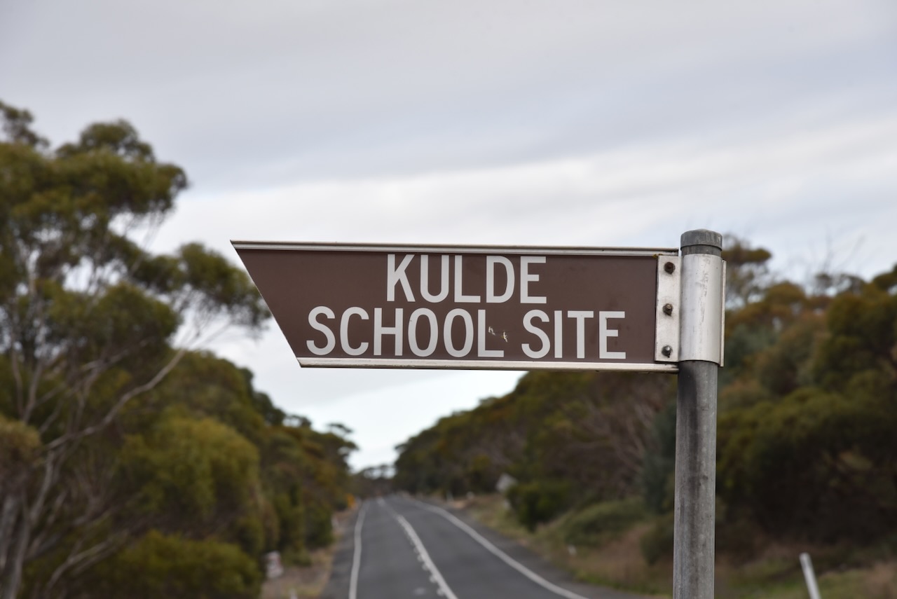
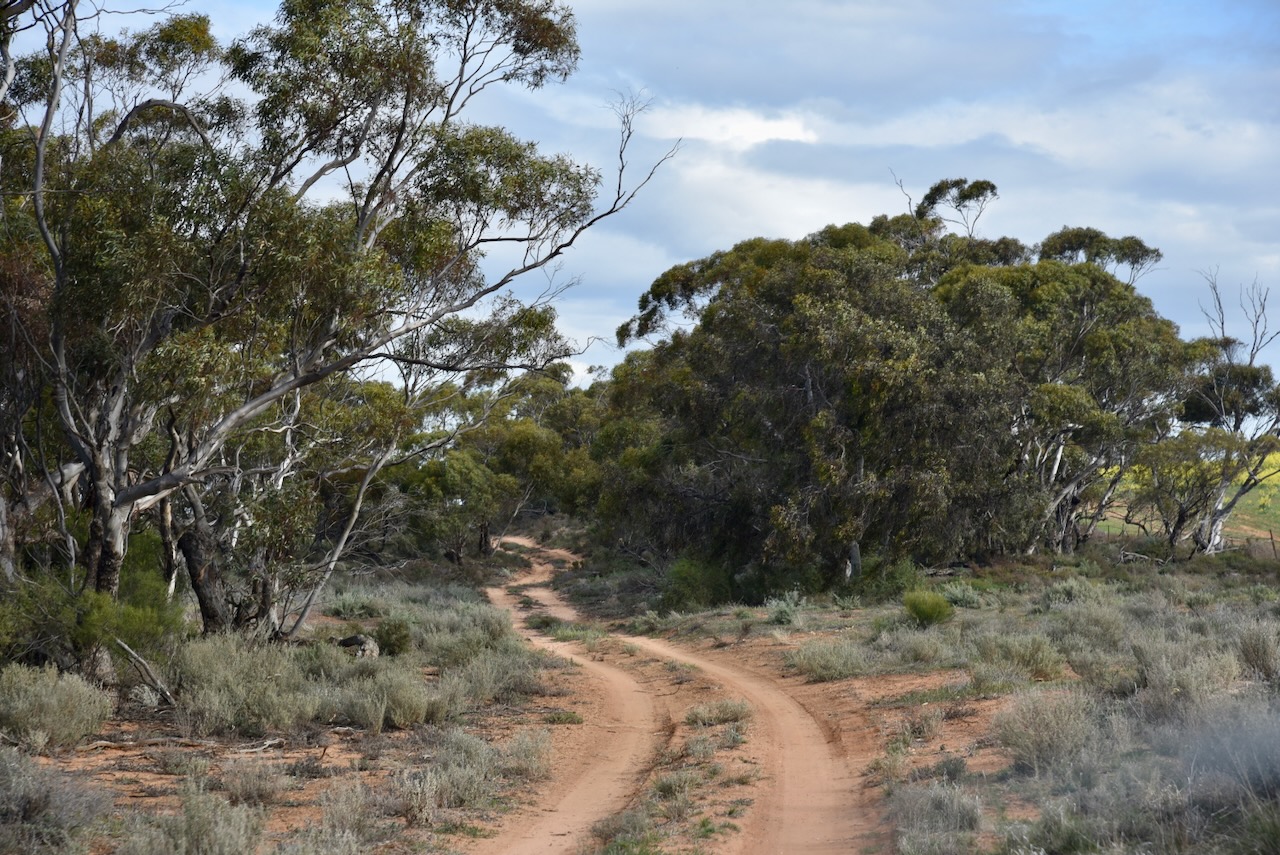
After breakfast, I headed northeast and stopped at the Kulde school site on the Karoonda Highway. The Kulde school operated here from 1930 to 1940 before becoming part of South Australia’s first Area School at Karoonda in 1941.
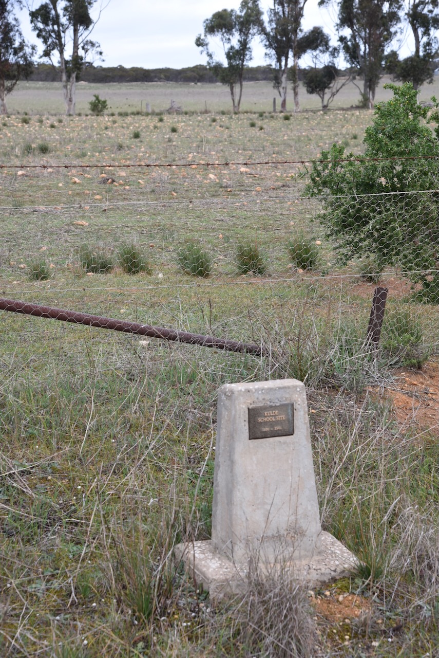
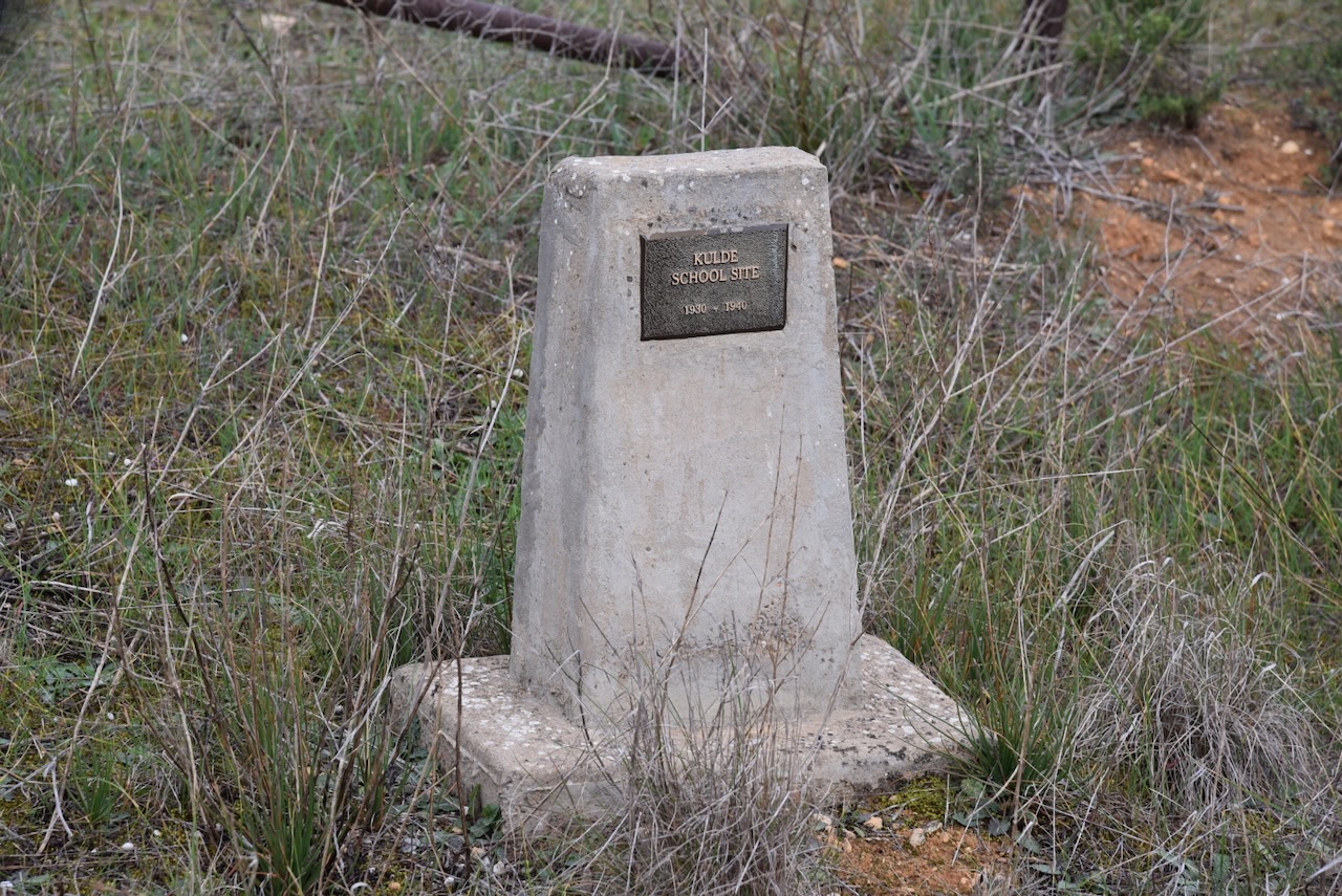
Kulde is an aboriginal word for ‘brothers’. Other than the school, Kulde once had a railway station and it was a thriving little community. (Place Names 2012)
Above:- Article from the Murray Pioneer, Fri 11 Dec 1931. Image c/o Trove.
The South Australian Minister of Education approved the establishment of the Kulde School in January 1930. The Advertiser newspaper reported that 14 children would be attending the school.
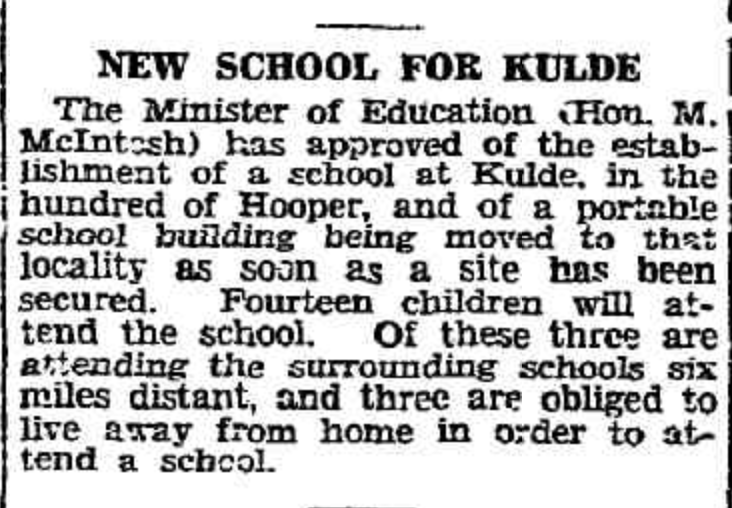
Above:- Article from The Advertiser, Wed 29 Jan 1930. Image c/o Trove.
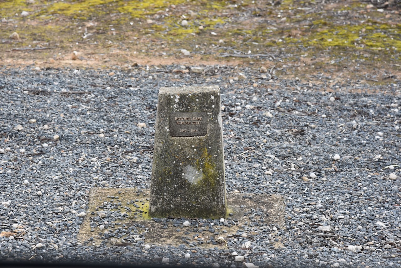
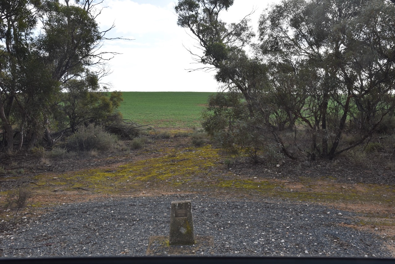
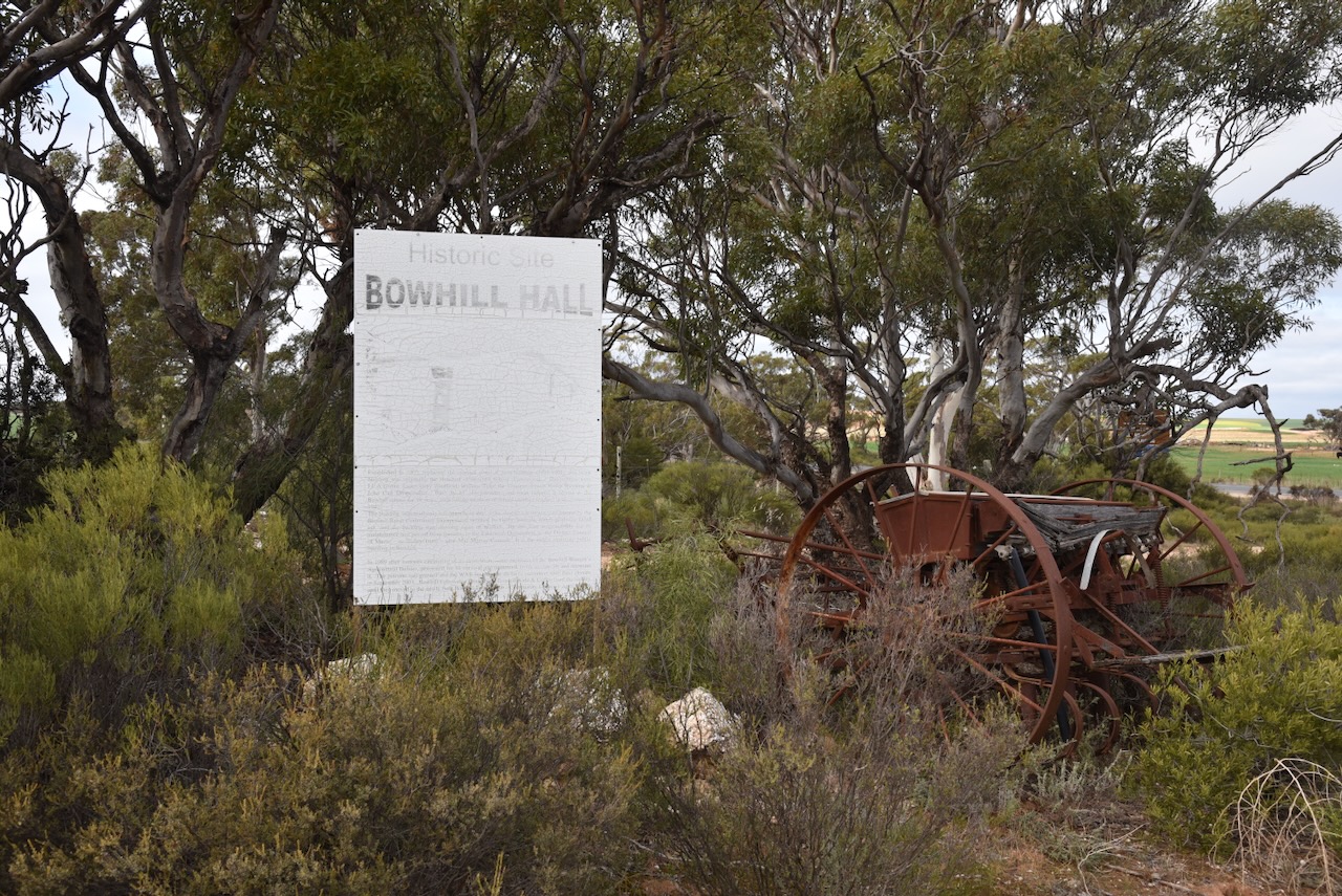
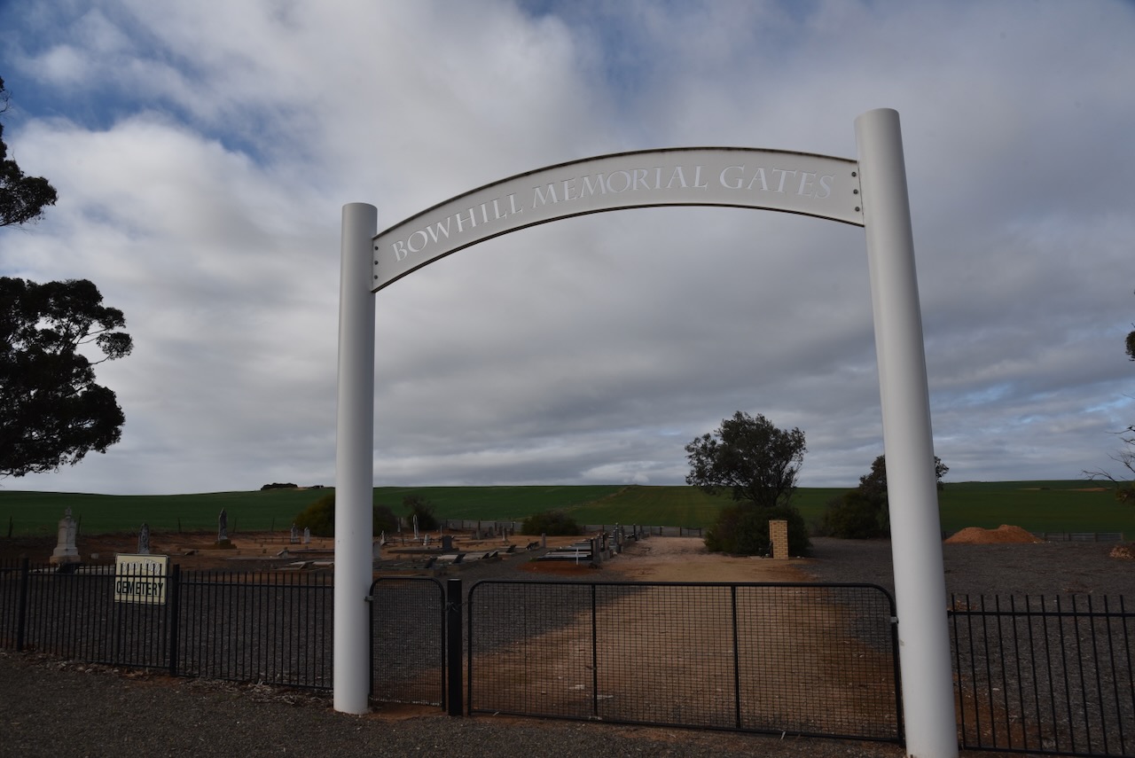
My next brief stop was the monument for the Bowhill East school site. The school operated from 1940 to 1948.
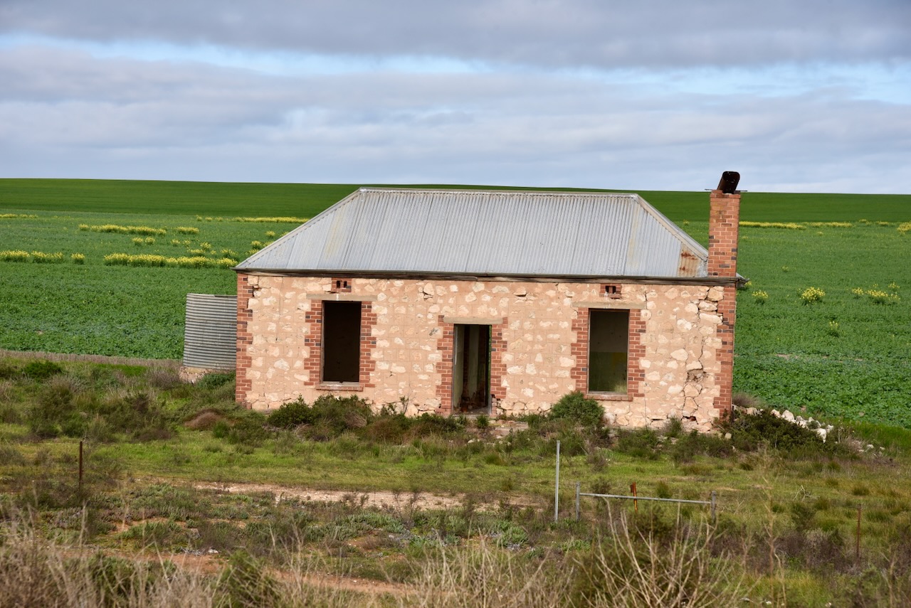
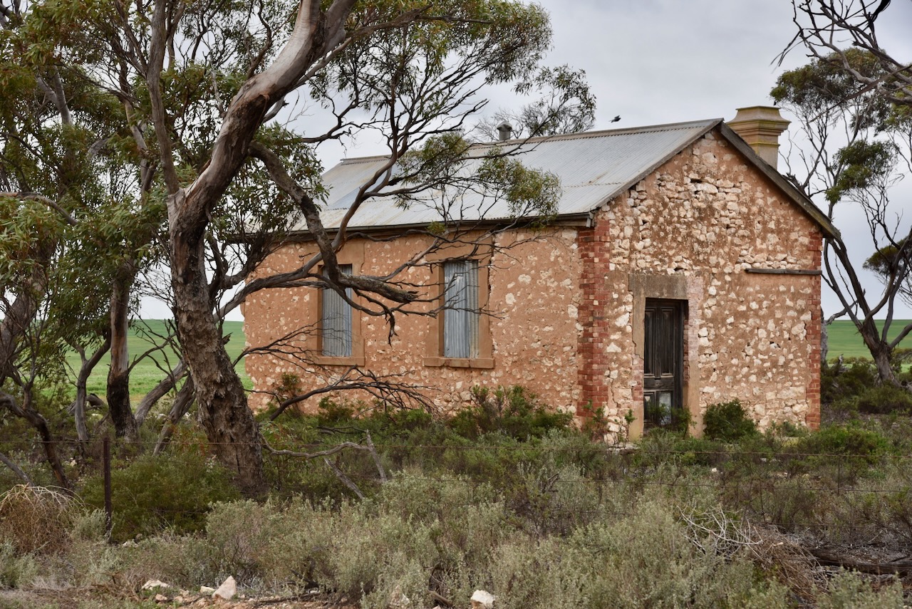
I came across this beautiful old stone home on my way to Bowhill. I pondered on the history of this home and those who previously lived in it.
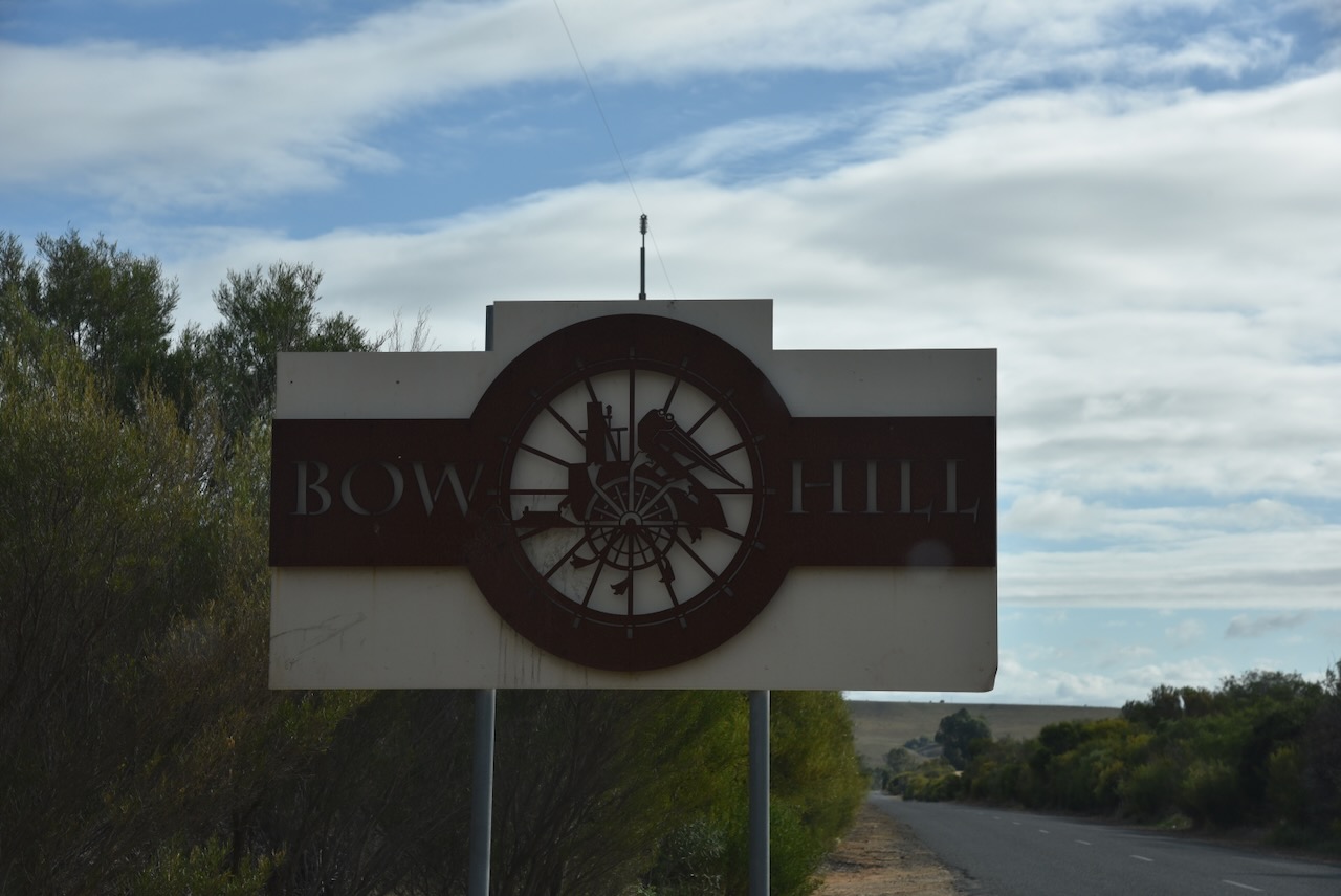
I then reached the little town of Bowhill, on the bank of the Murray River between Mannum and Swan Reach. The main industries in the area are cereal grain and sheep farming. (Wikipedia 2024)
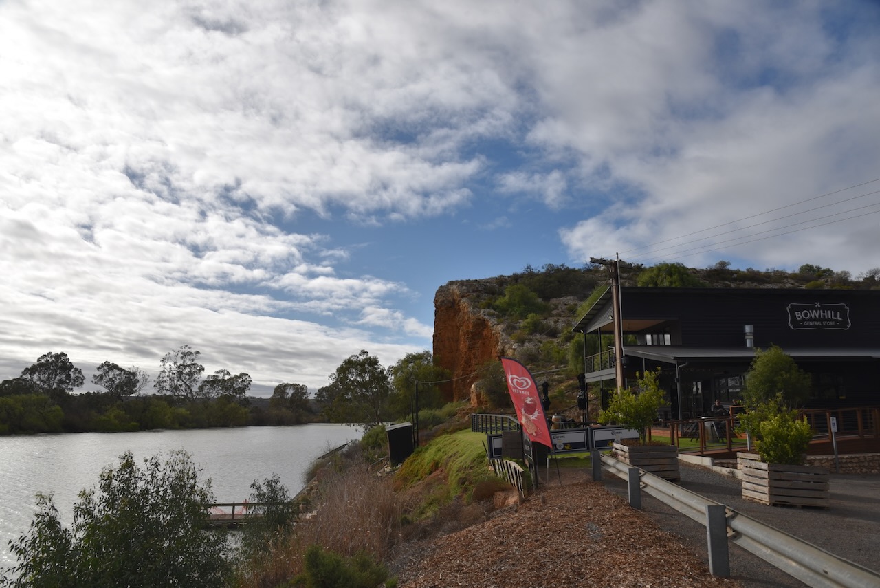
The Hundred of Bowhill in the County of Buccleuch was proclaimed in 1893 and was named in honour of the Duke of Buccleuch’s residence in Scotland which was built in 1708. (flickr 2024) (Wikipedia 2024)
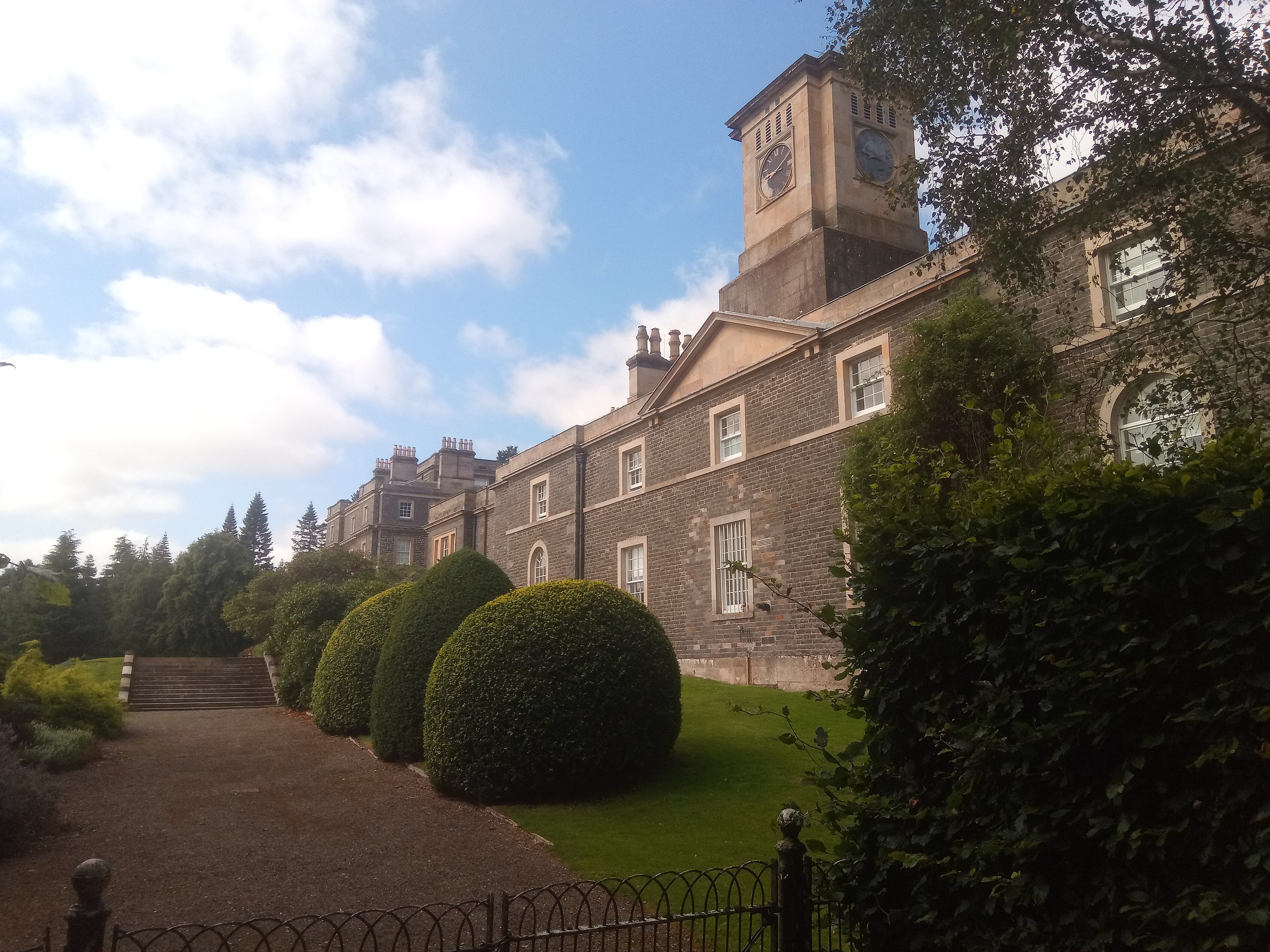
Above:- Bowhill House. Image c/o Bowhill House. (2024, March 7). In Wikipedia. https://en.wikipedia.org/wiki/Bowhill_House
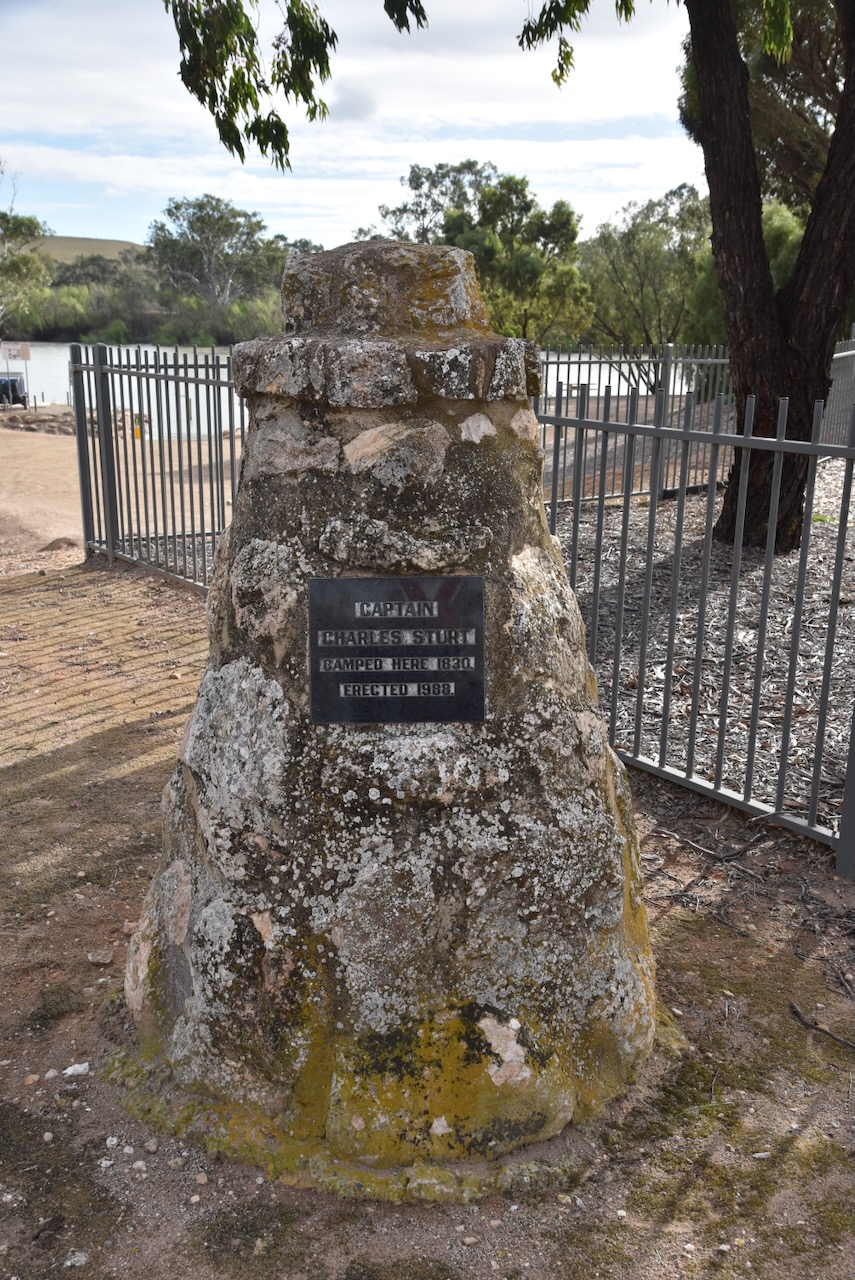
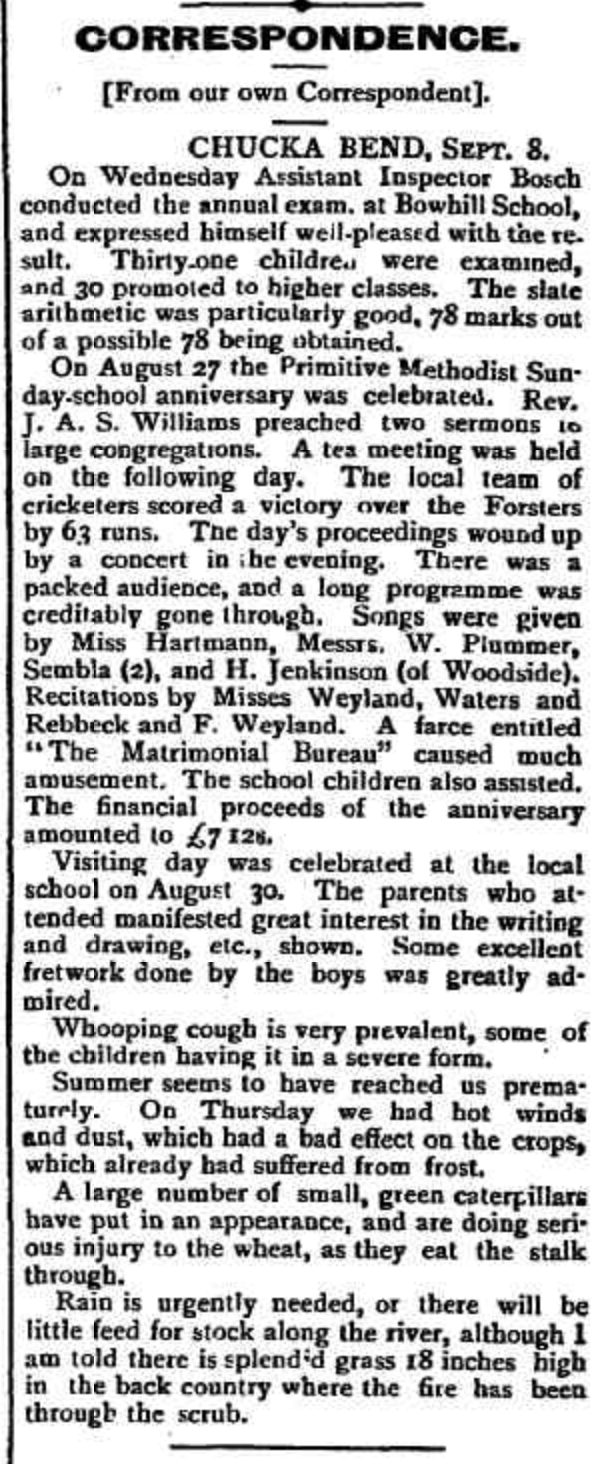
The first known European settler in the area was William Wainwright who in 1848 ran the Chucka Bend pastoral station. When placed up for lease in 1888, Chucka Bend station covered an area of about 700 square miles. A local rumour was that Chucka Bend obtained its name from a horse owned by Walter Craven who leased the property during the 1880s. The horse was prone to ‘chucking’ Craven into the river. However this is not the real origin of the name as the property was known as Chucka Bend well prior to the 1880s. (flickr 2024) (Place Names 2012)
In 1893 land was surveyed in the area. This was followed by further surveys in 1897 and 1904. The land was sold as freehold or on perpetual lease to farmers. Many of these were of German descent. About 33% of the lands were considered arable, with most of the Hundred not being fully cleared for agriculture until 1920. (flickr 2024)
In 1891 the German settlers built the first Lutheran Church at Chucka Bend. In 1893 the local community petitioned the State Government for £75 to erect a school. Two years later in 1895 a tin and iron schoolroom was built. Helen Young was the first teacher. The school was also used as a public hall. In 1903 the building was replaced with a stone building. Mr. Dorgemuller was the builder. (flickr 2024)
In 1895 the first Post Office service commenced at Bowhill. The first Bowhill agricultural show was held in 1898. In 1899 the first Primitive Methodist Church service was held. (flickr 2024)
Above:- Article from the Burra Record, Wed 13 Sep 1899. Image c/o Trove.
In 1910 the town of Bowhill developed on the area once occupied by the station homestead. By this time it had a General Store, Post Office, and a banking agency. The wharf was busy with bagged wheat and baled wool being loaded onto paddle steamers to be sailed down the Murray to the rail head at Murray Bridge. (flickr 2024)
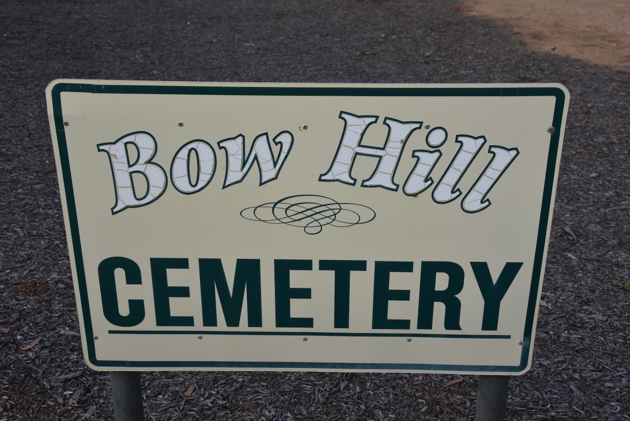
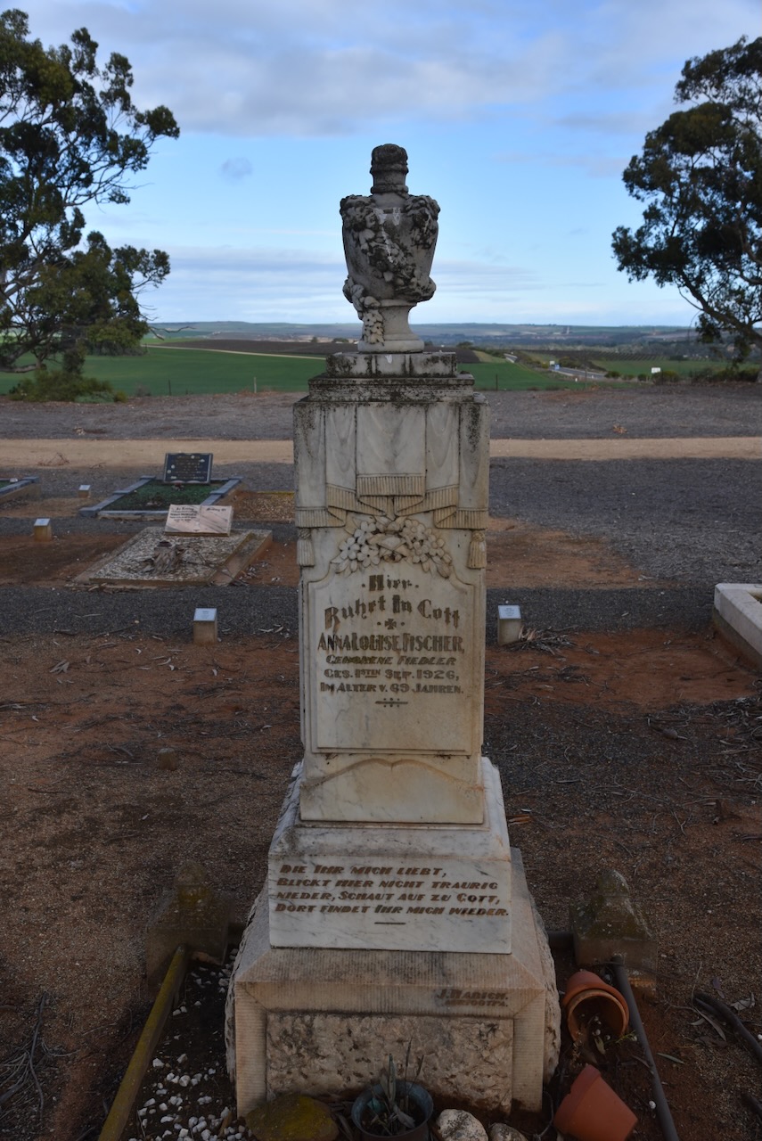
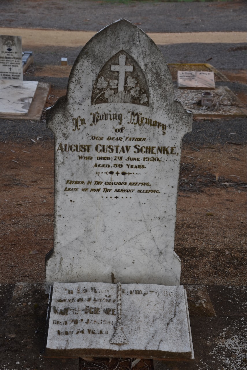
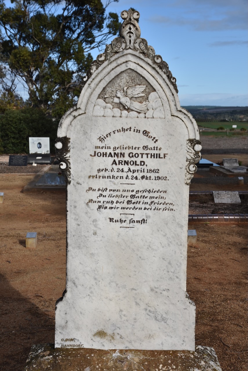
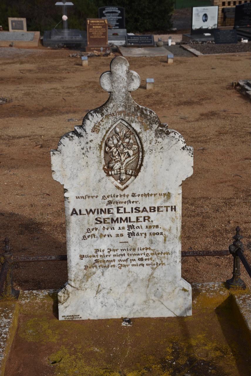
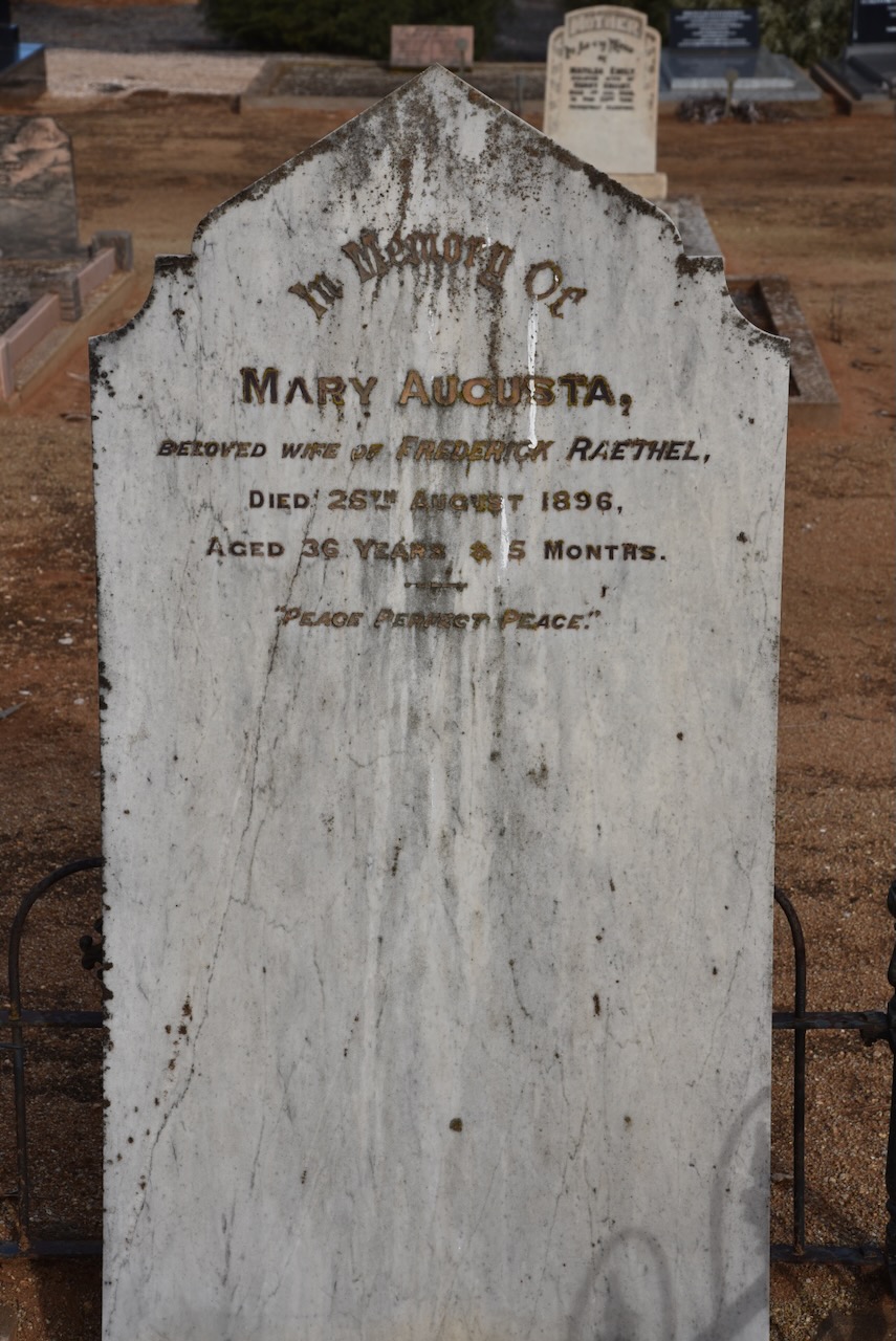
I paid a quick visit to the Bowhill cemetery which was established in 1897. Many of the headstones reflect the German history of the district.
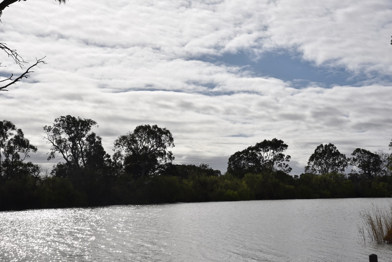
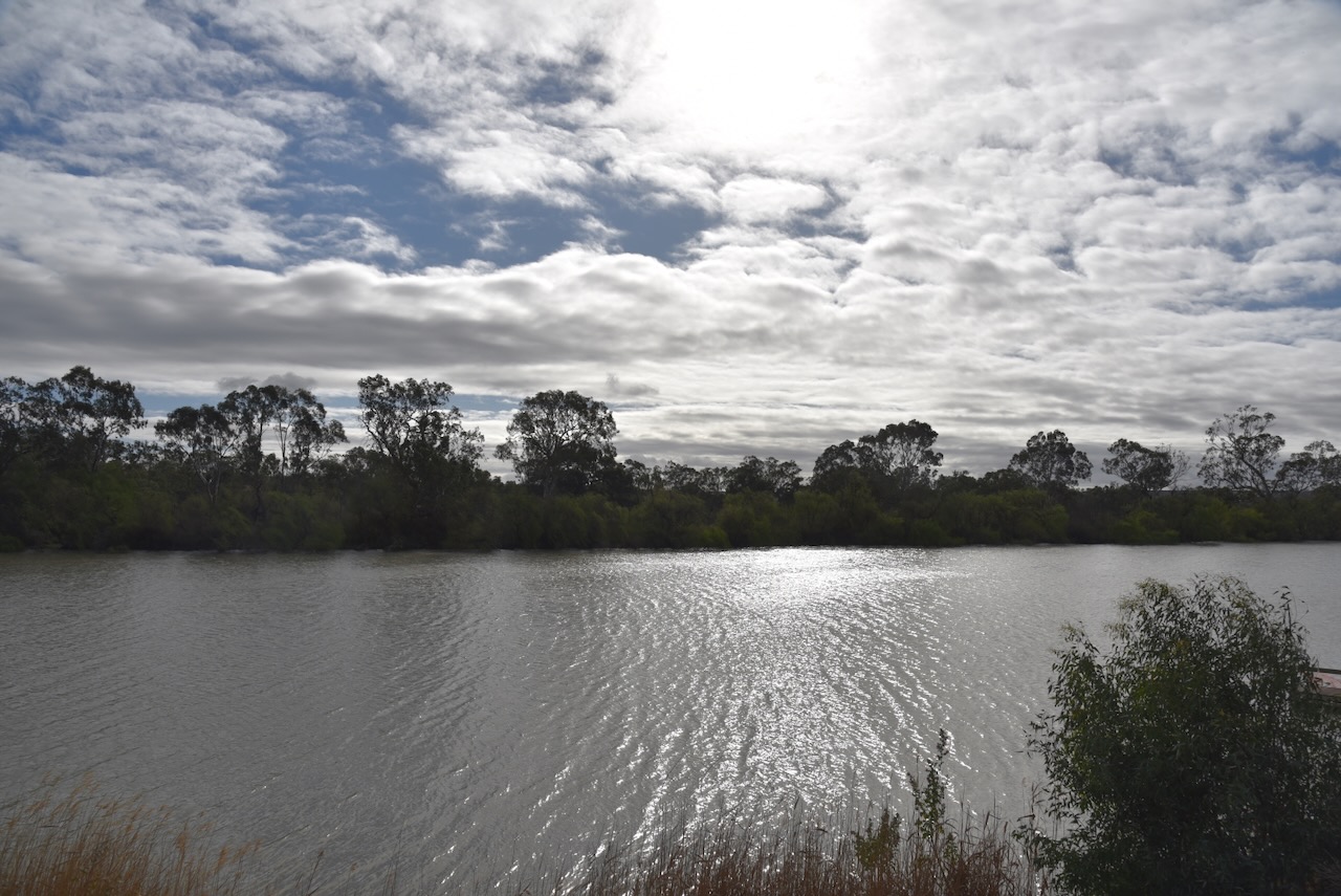
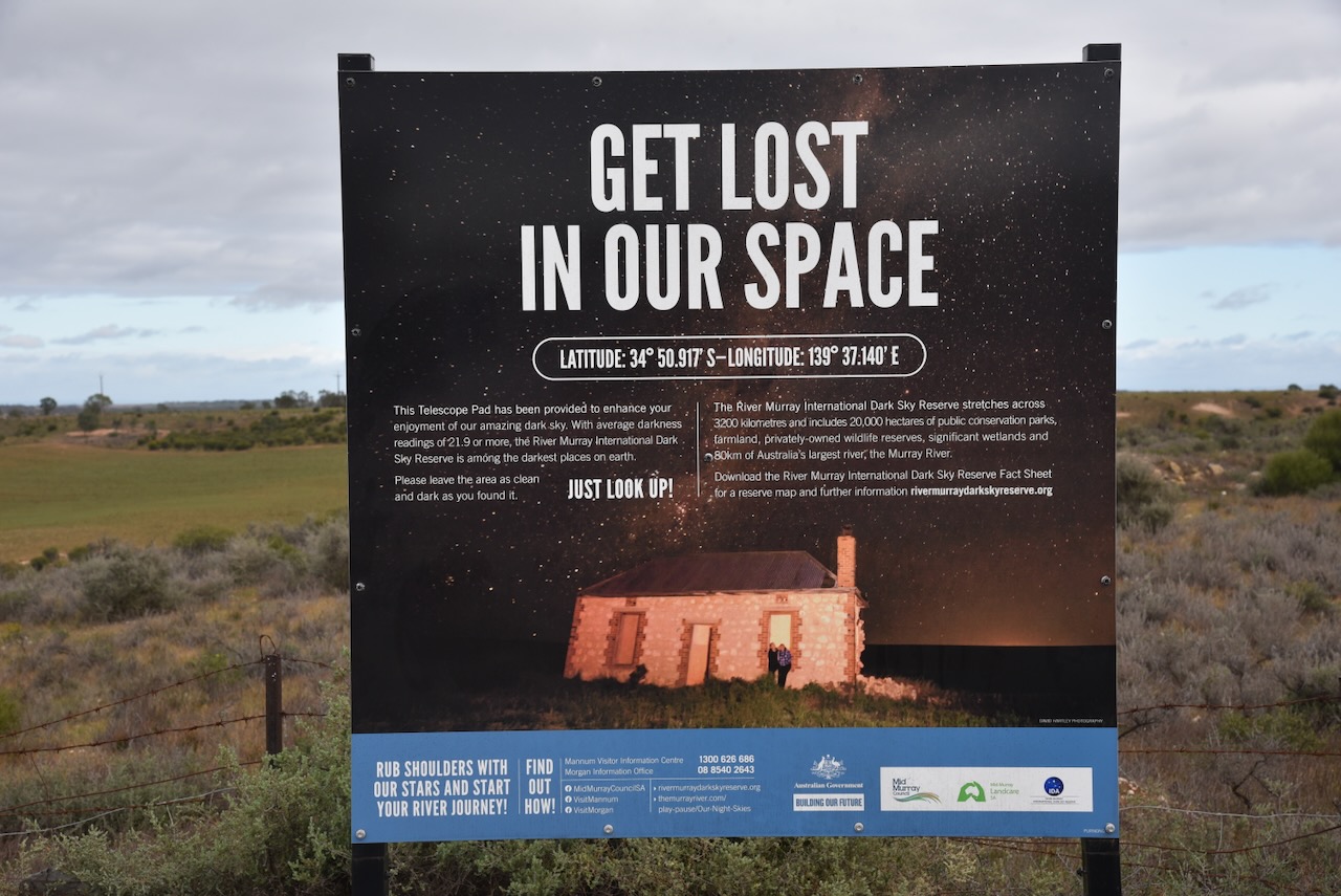
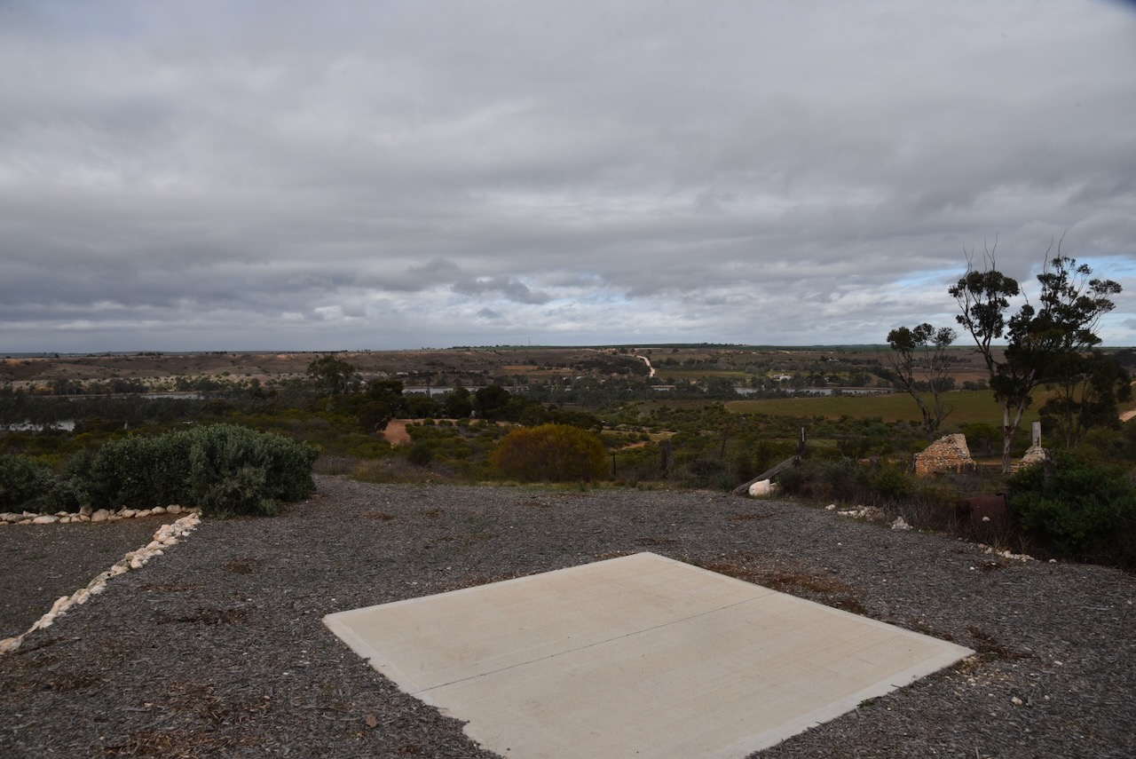
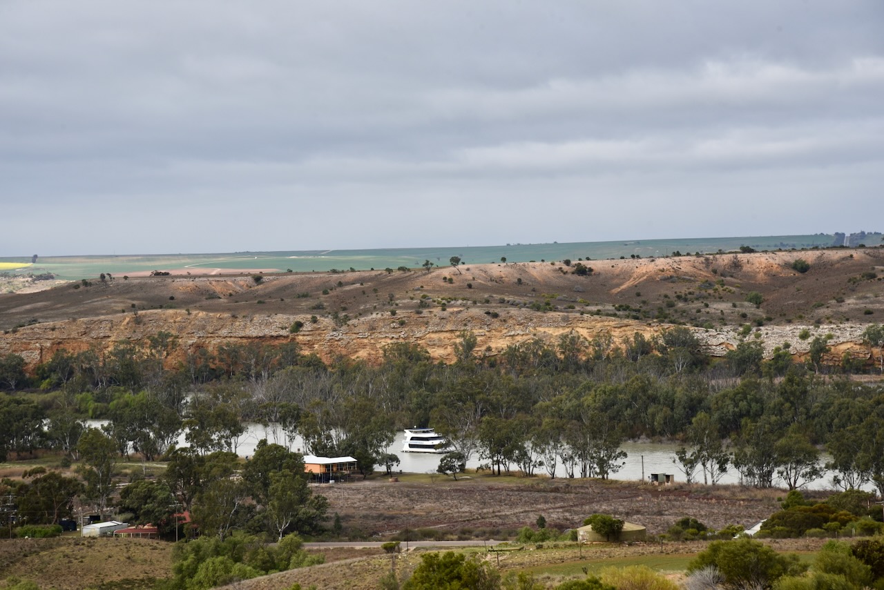
I left Bowhill and drove up to the top of the Purnong lookout which offers some great views of the Murray River.
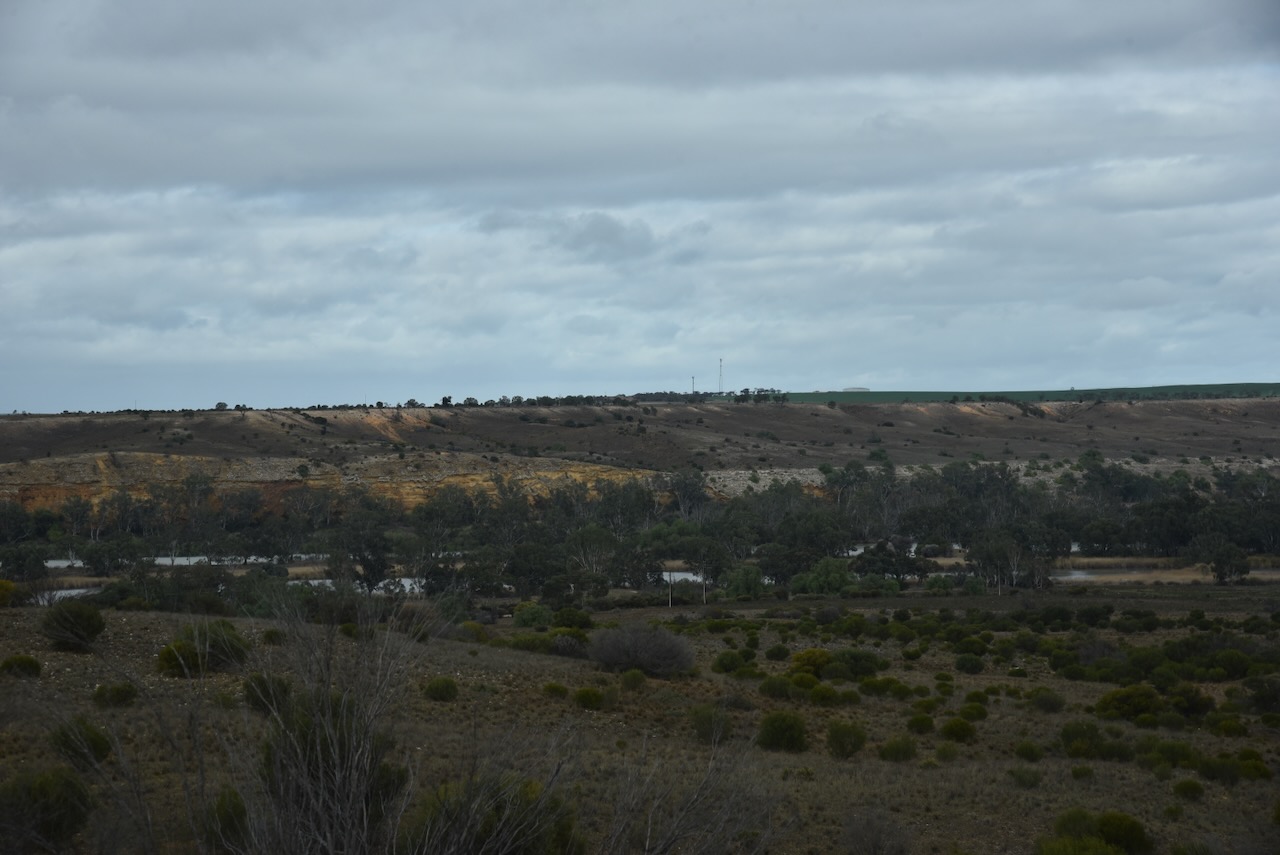
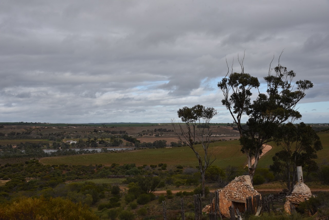
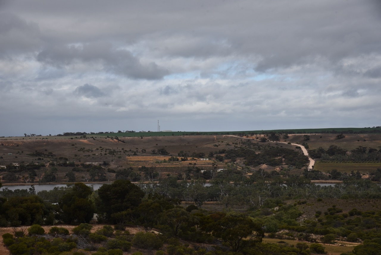
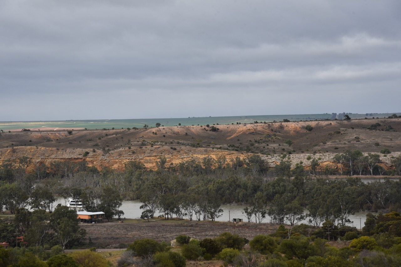
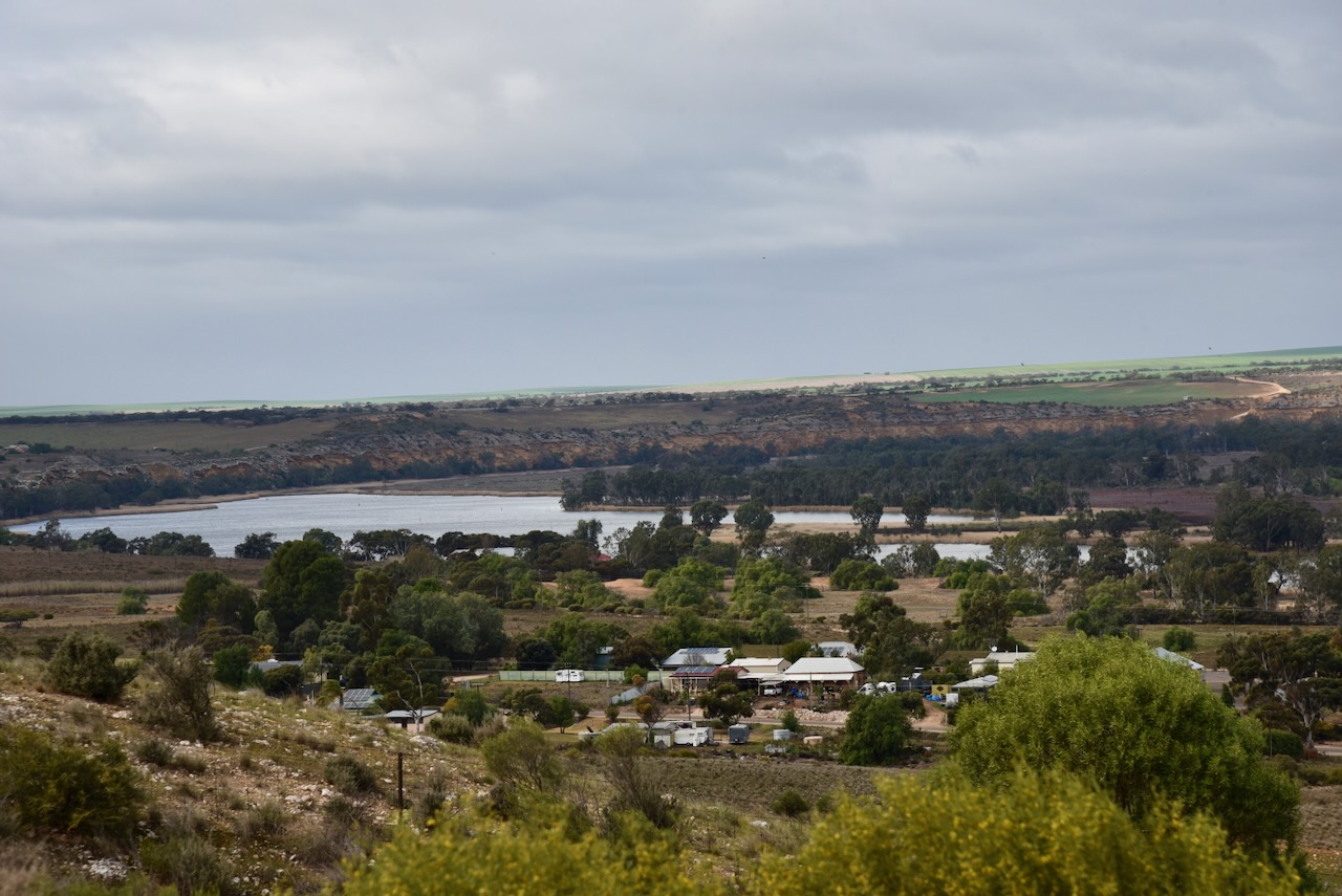

The lookout is part of the River Murray International Dark Sky Reserve. The reserve covers more than 3,200 square km and is known for its cloudless skies. (Dark Sky 2024)
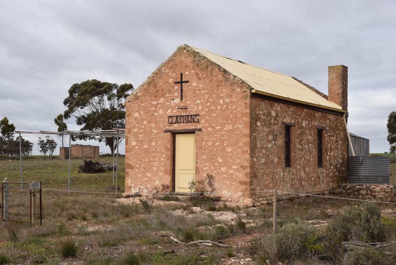
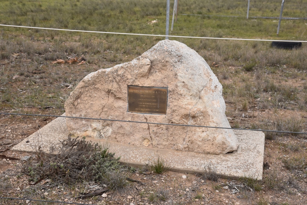
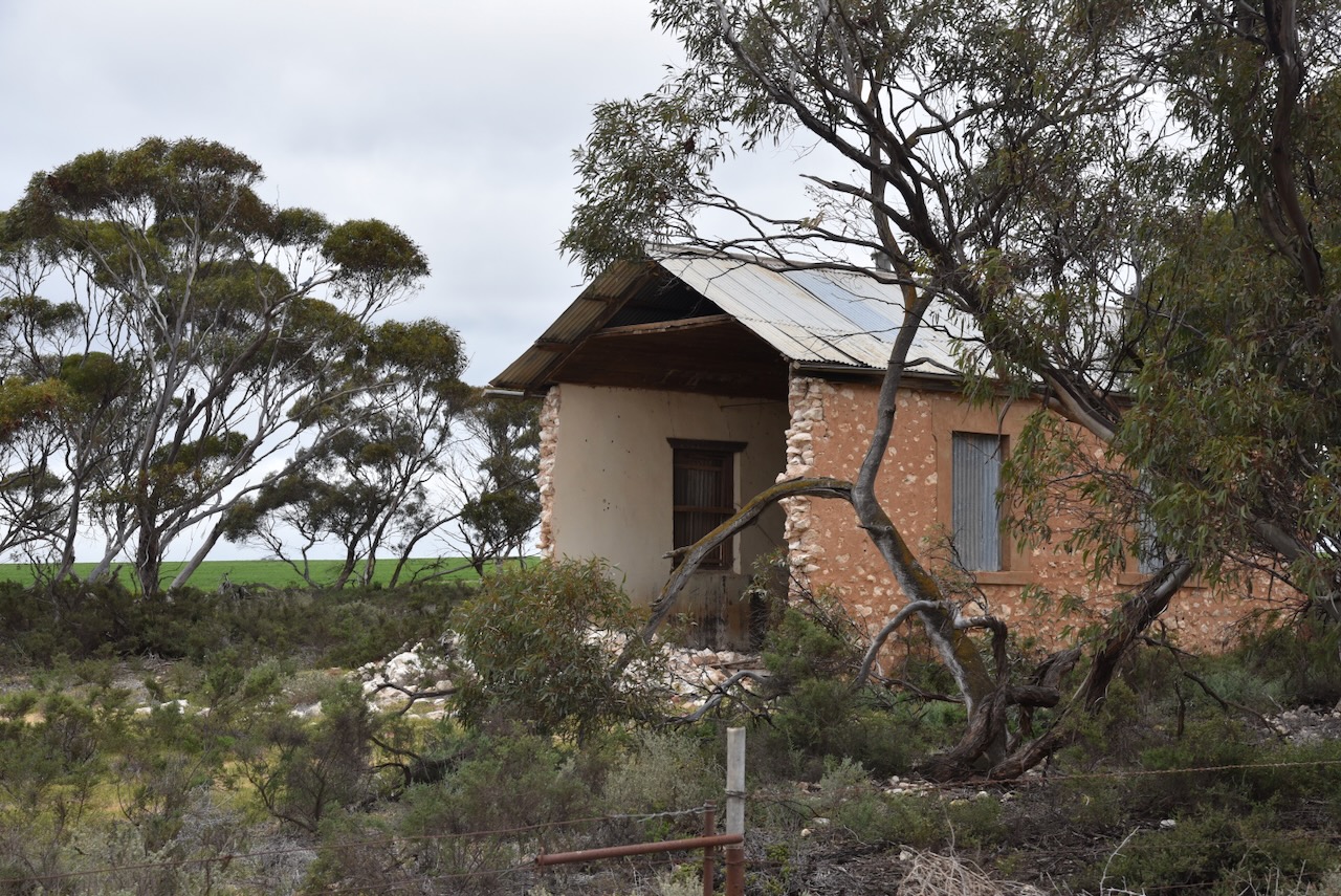
My next stop was the old Claypans Church and Hall. It was opened on the 23rd day of September 1906. The church closed in 1959. It was used as a school from 1907 to 1947.
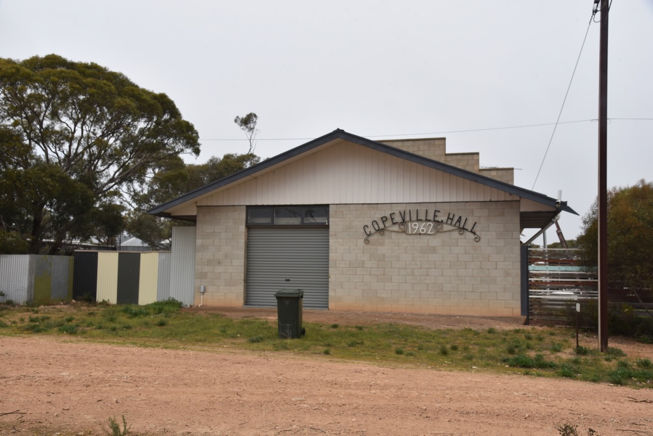
Next was the old Spurling Memorial Hall which was erected in 1920 in memory of Corporal William Alfred Spurling of Copeville. He was killed in action during WW1 in 1917.
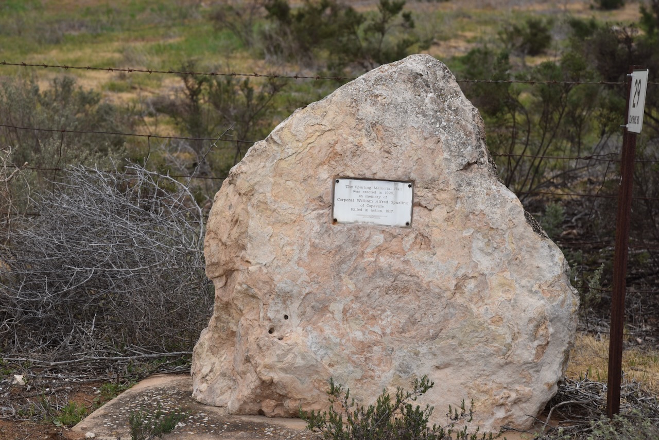
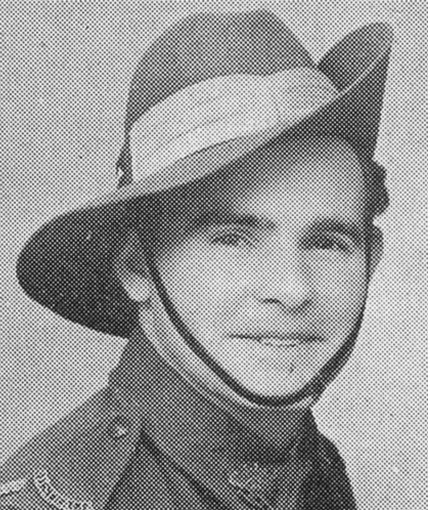
William Alfred Spurling was born in February 1893 in Warracknabeal, Victoria. He was killed in action in the UK on the 16th day of August 1917, aged just 24 years. He was a Corporal with the 50th Australian Infantry Battalion. (ancestry.com.au) (AWM 2024)
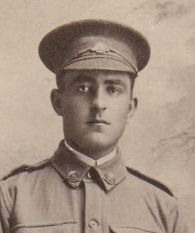
Above:- William Spurling. Image c/o ancestry.com.au
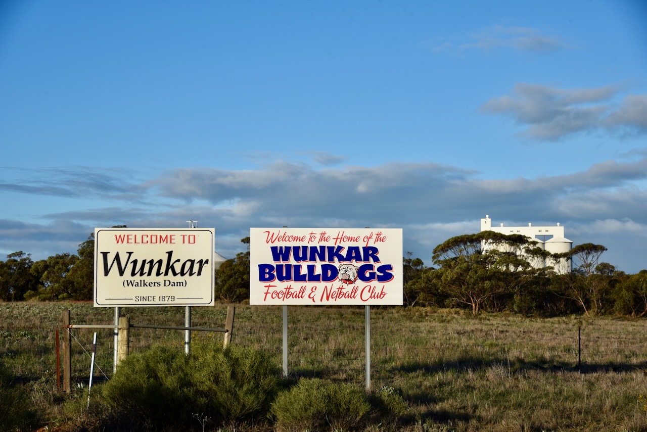
The town of Copeville was proclaimed on the 1st day of May 1919. It was named in honour of Henry Spencer Cope, an early settler in the district. Prior to its proclamation, it was known as ‘Glencope’. That name was given to a school which was opened in 1914. The Post Office opened as ‘Glencope Siding’ on the 29th day of September 1915. (Place Names 2012)
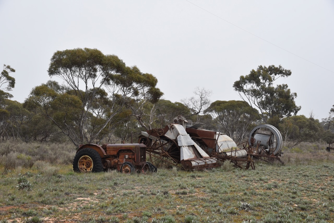
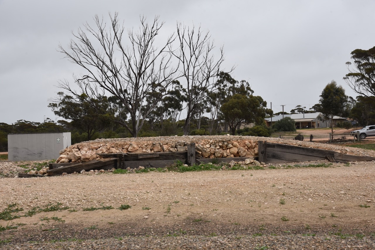
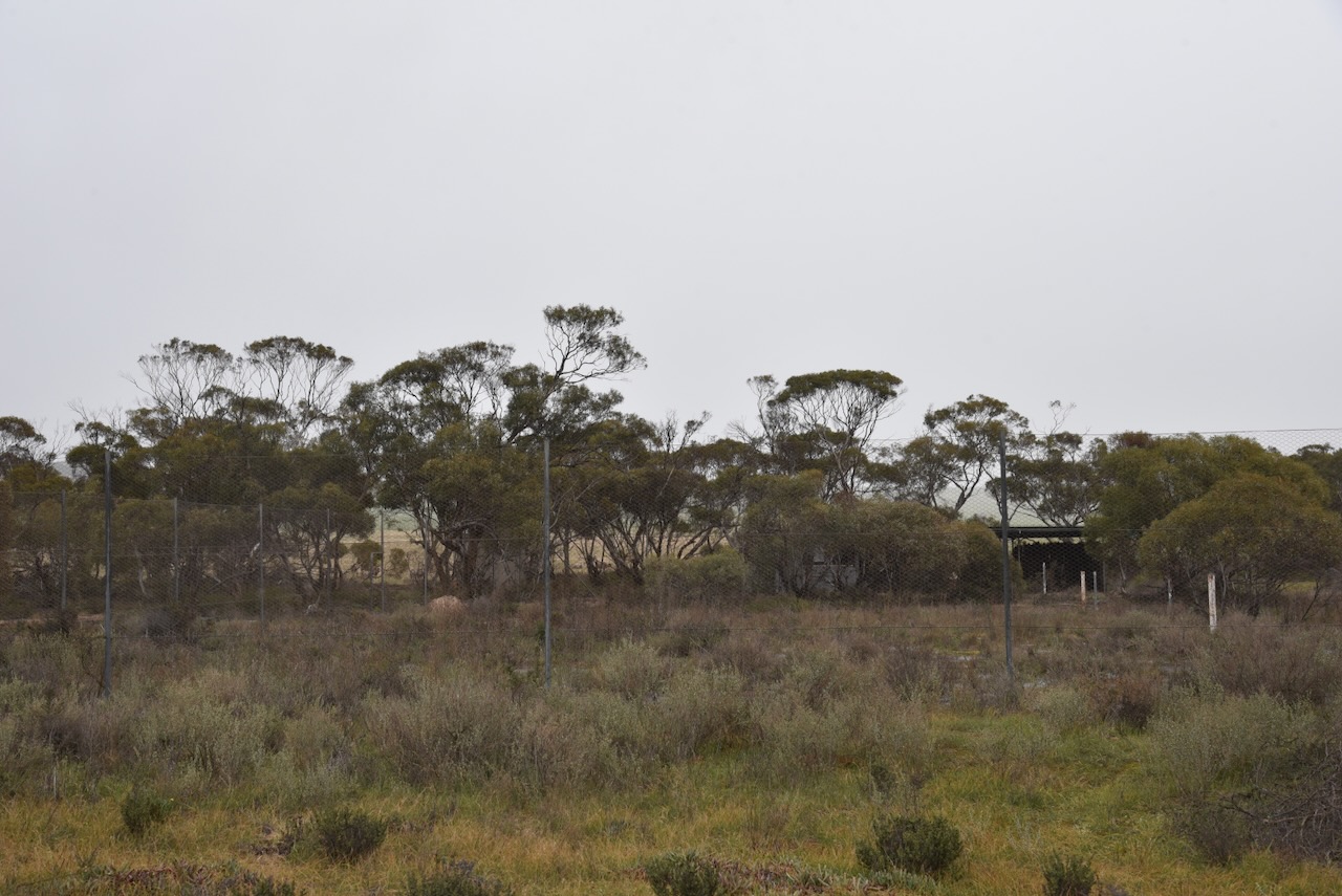
Not much remains today at Copeville. Below is a photograph of the old tennis courts, completely overgrown by weeds.
The town has been placed back on the map by the silo art on the local silos. The Copeville Silo was painted in October 2022 and is the work of artist Jarrod Loxton. The silo art features a Galah and a Clydesdale horse. (Silo Art 2024)
I parked on the dirt road running parallel to Perponda Road and operated from the 4WD. I ran the Yaesu FT857, 40 watts, and the 20/40/80m linked dipole.
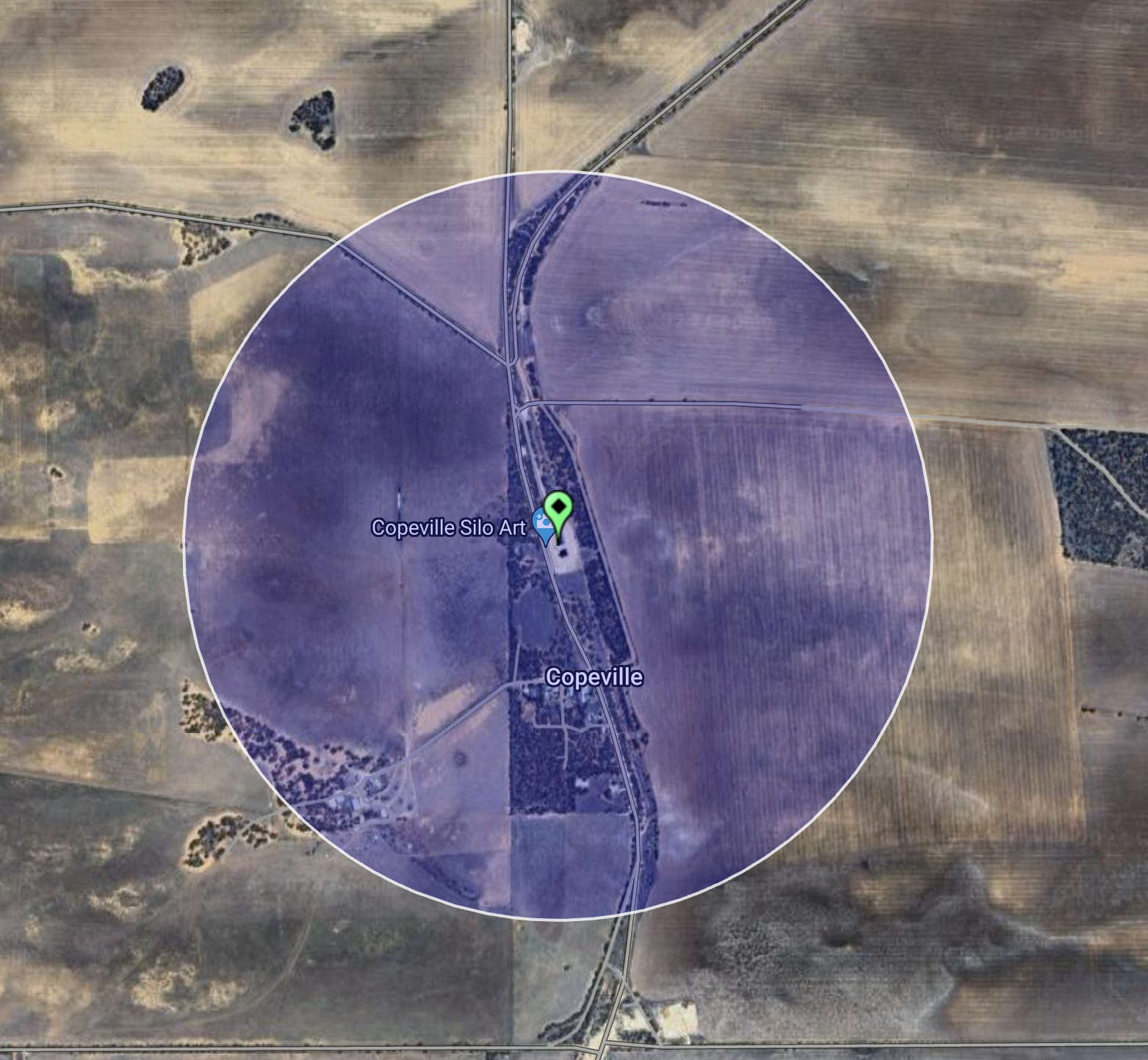
Above:- An aerial view showing the activation zone at the Copeville silo. Image c/o SiOTA website.
I logged a total of 44 stations for the Silos On The Air (SiOTA) program. This included several lighthouse stations that were activating for the International Lighthouse Lightship (ILLW) Weekend.
I worked the following stations on 40m SSB:-
I worked the following stations on 20m SSB:-
References.
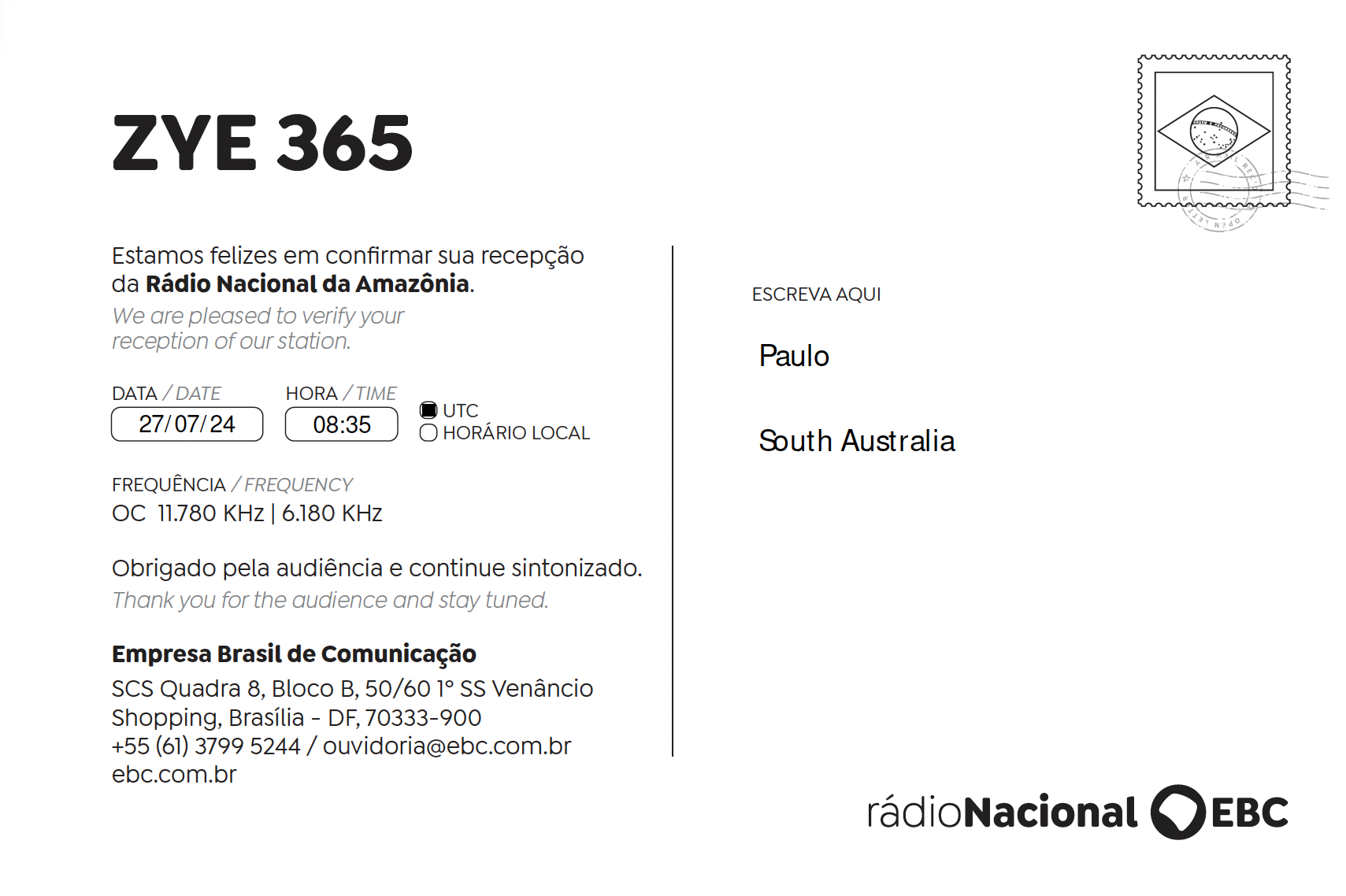
Last week whilst I was away I received via email the QSL card below from Radio Nacional da Amazonia in Brazil, for my reception of their station on 6180 kHz on 27th July 2024.
I am back from my Riverland SA & northwest Victoria trip. I was away for 7 days.
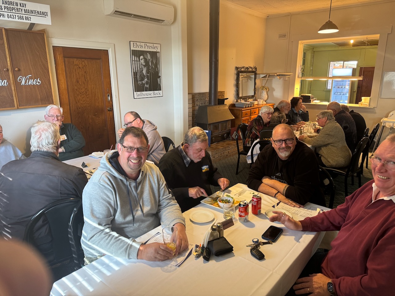
I had a very enjoyable Saturday evening dinner with Ivan VK5HS & Peter VK5PE.
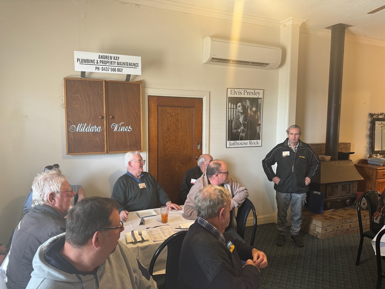
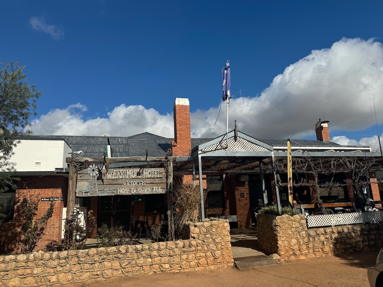
And on Sunday I attended the Werrimul Hotel for lunch to catch up with members of the Sunraysia Radio Group and the Riverland Radio Club. It was a great afternoon.
Whilst away I undertook 9 silo activations for the Silos On The Air (SiOTA) program and 39 park activations for the World Wide Flora Fauna (WWFF) program.
I made a total of 2,521 QSOs. This included 69 Park to Park contacts.
Thank you to everyone who called.
I will place more information & photographs about each activation here over the coming weeks.


On Wednesday 31st July 2024, I activated the Manning Flora Reserve VKFF-4044 for World Ranger Day.
Each year on the 31st of July, World Ranger Day is held to commemorate Rangers who have been killed or injured in the line of duty and to celebrate all of the hard work undertaken by Rangers. A total of 140 Rangers from 37 countries have lost their lives whilst on duty. (IRF 2024)
It was a short 30-minute drive to the park. This was to be the first time that I had activated this park.
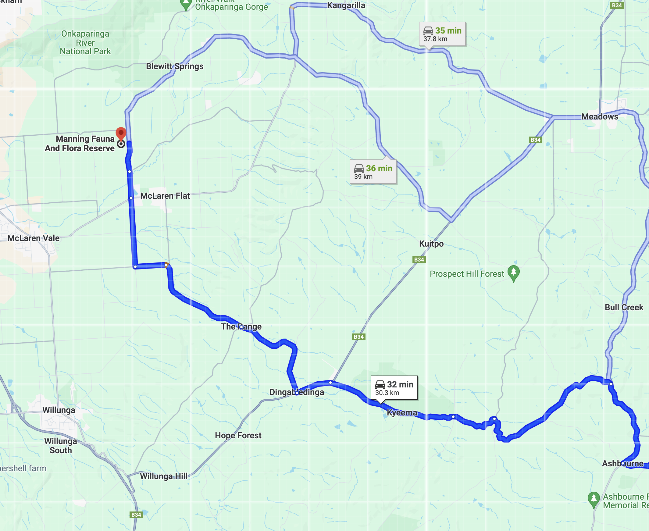
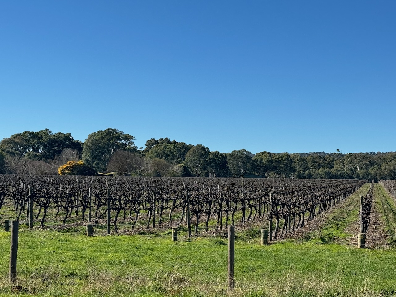
It was a beautiful drive to the park into the McLaren Flat wine-growing region.
The park is located on the corner of Kays Road and Whitings Road.
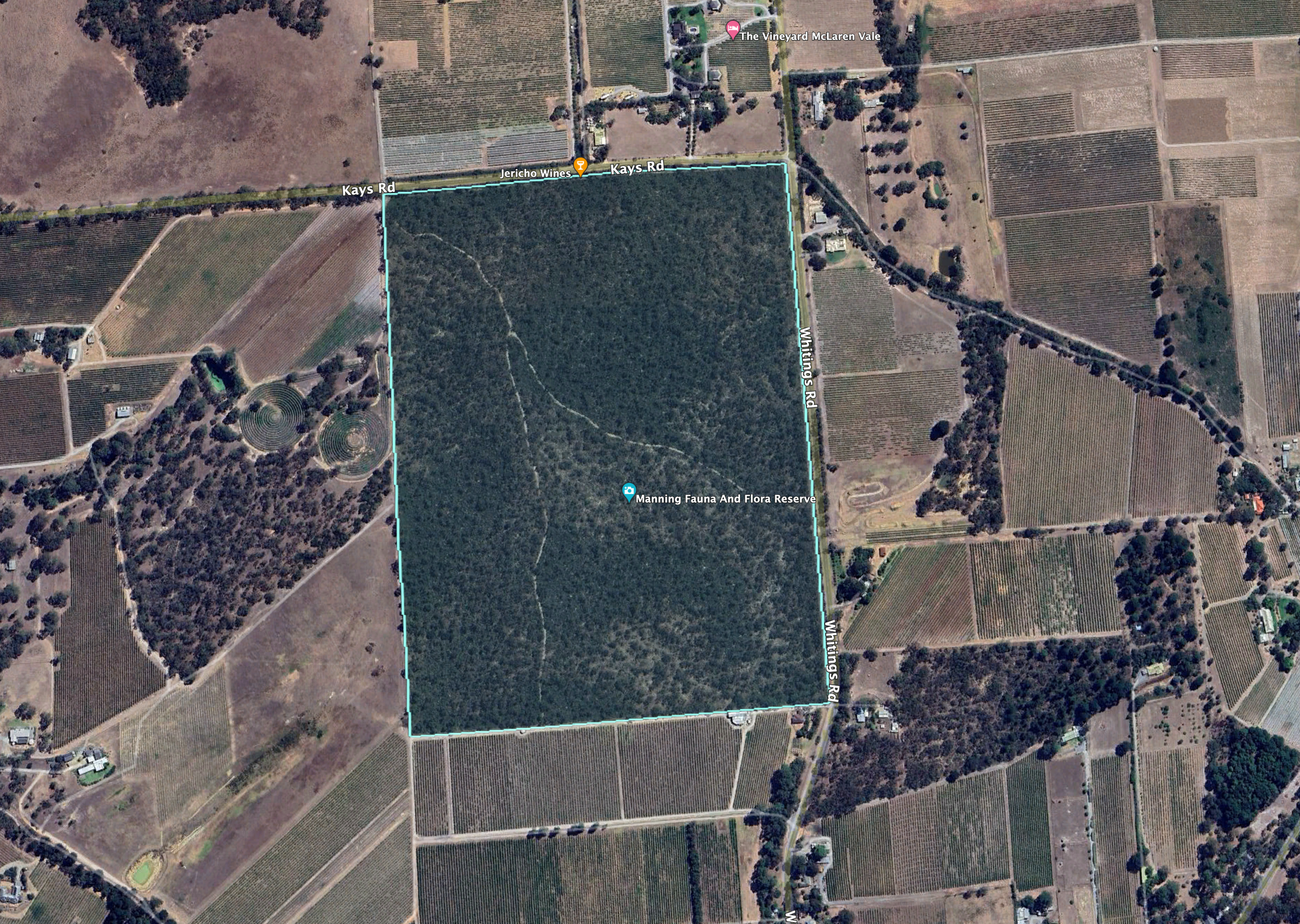
Above:- An aerial view of the park showing its boundaries. Image c/o Google Earth.
The reserve is owned by The Field Naturalists Society of South Australia Incorporated and is about 45 hectares in size. The reserve was bequeathed to the Society by Sydney Britton Henry Manning upon his death in December 1955. He was a keen bird watcher and very interested in natural history and astronomy. Due to his love of birds, the reserve was known as the “Bird Sanctuary”. (Birds SA 2024)
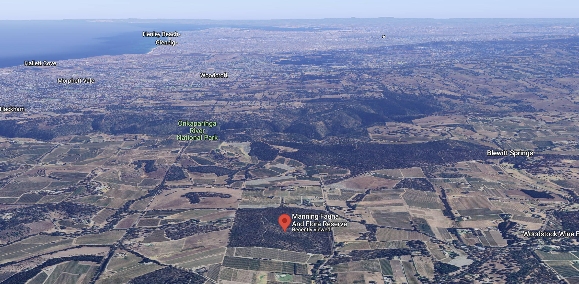
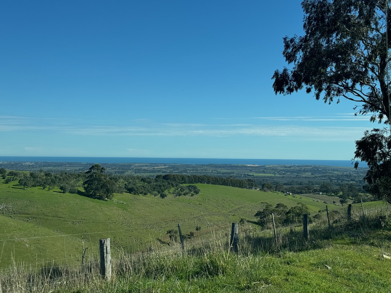
Above:- An aerial view of the park looking north towards the city of Adelaide. Image c/o Google Maps.
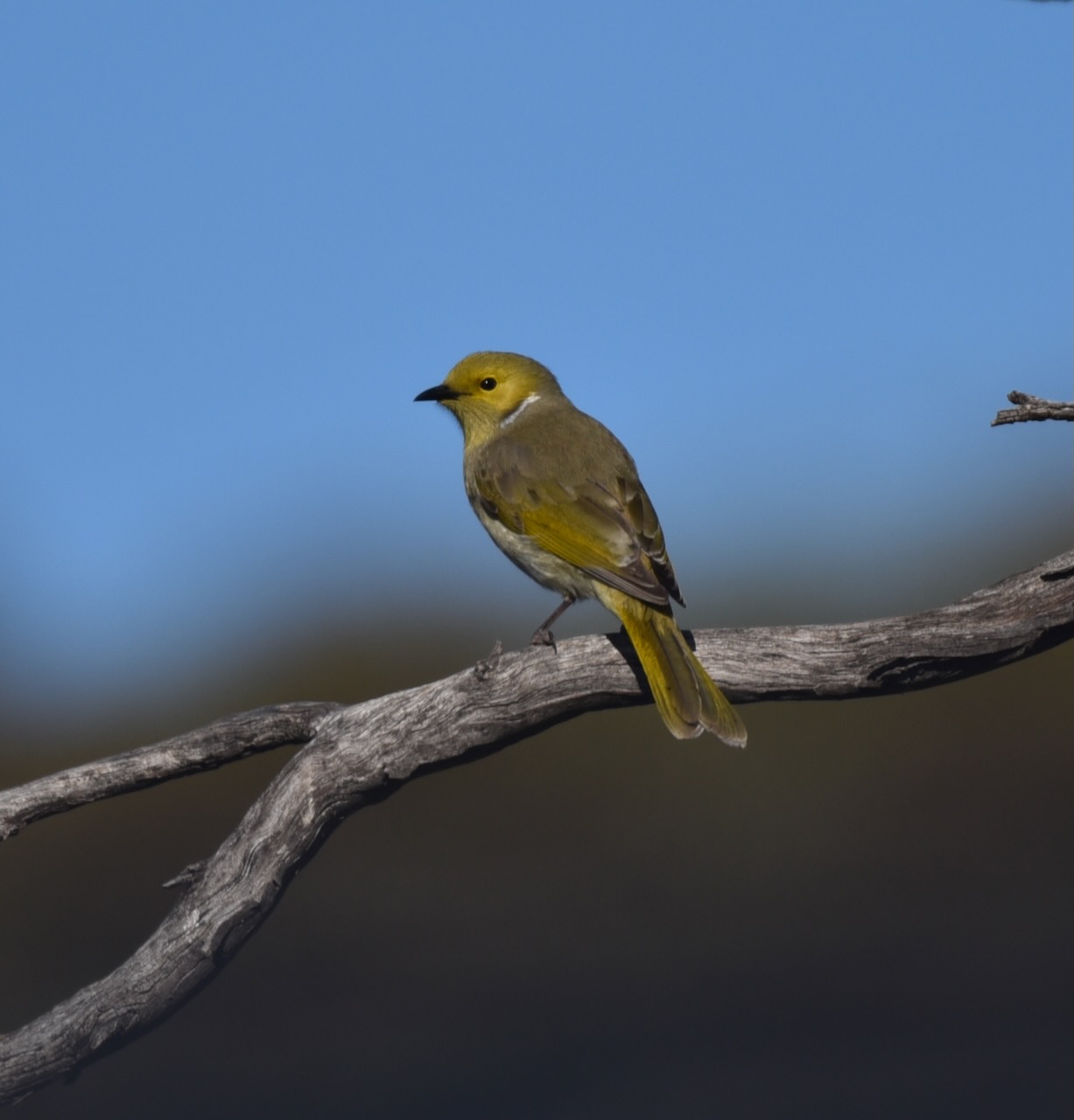
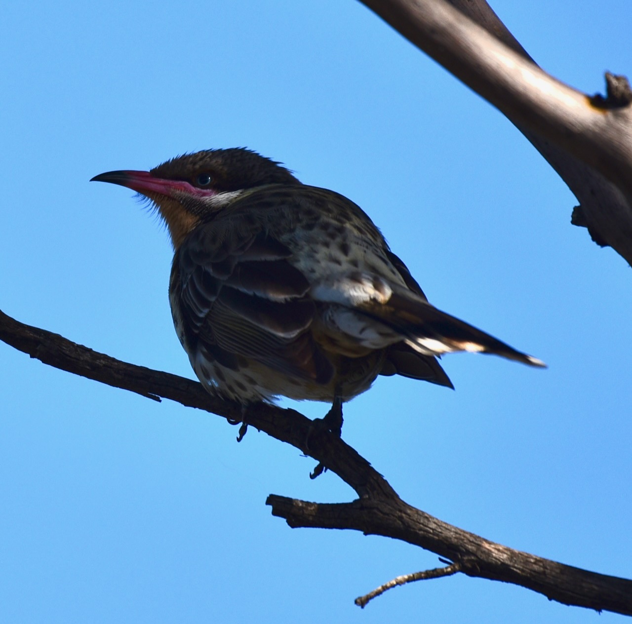
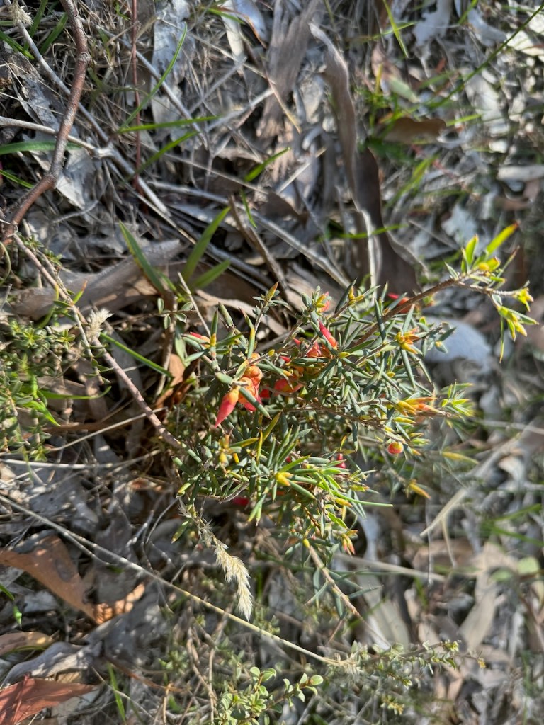
Birds SA have recorded about 97 species of native birds in the park including Adelaide Rosella, New Holland Honeyeater, Red Wattlebird, Yellow-faced Honeyeater, Spotted Pardalote, Striated Thornbill, Australian Magpie, Black-winged Currawong, Grey Fantail, Little Raven, Red-browed Finch, Silvereye. (Birds SA 2024)
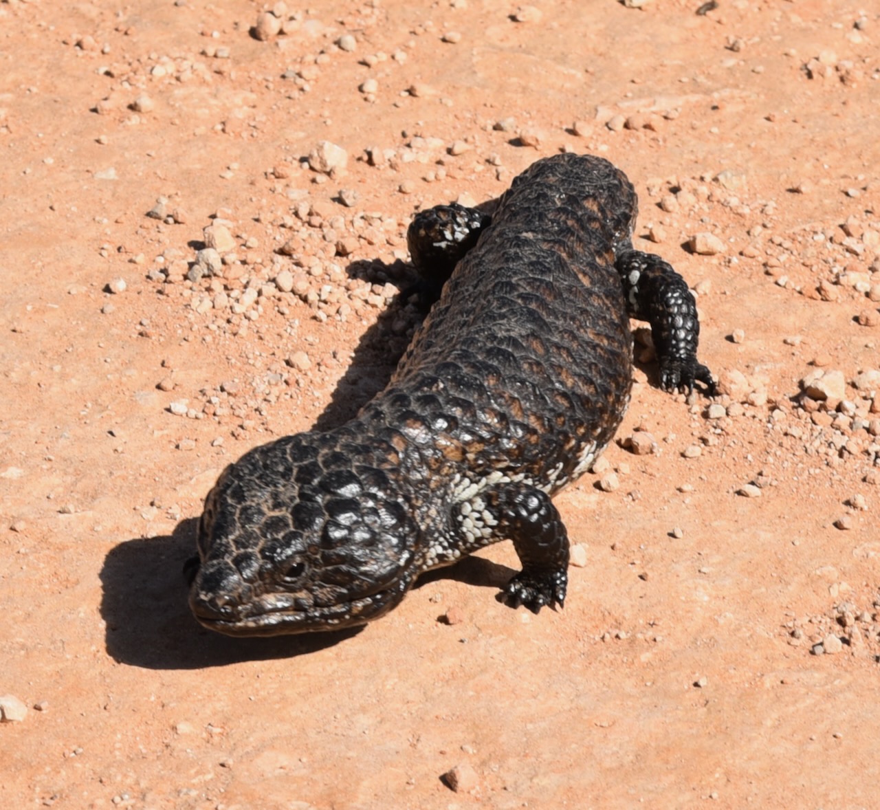
The park is also home to Western Grey Kangaroos, Echidnas, and various reptiles.
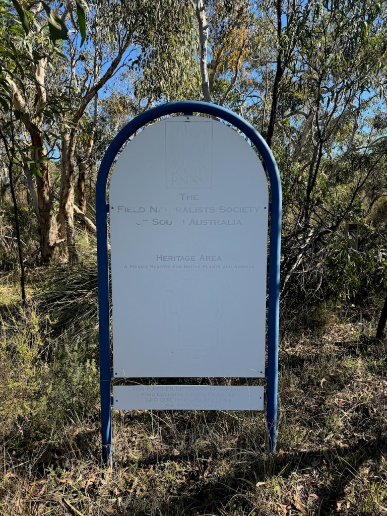
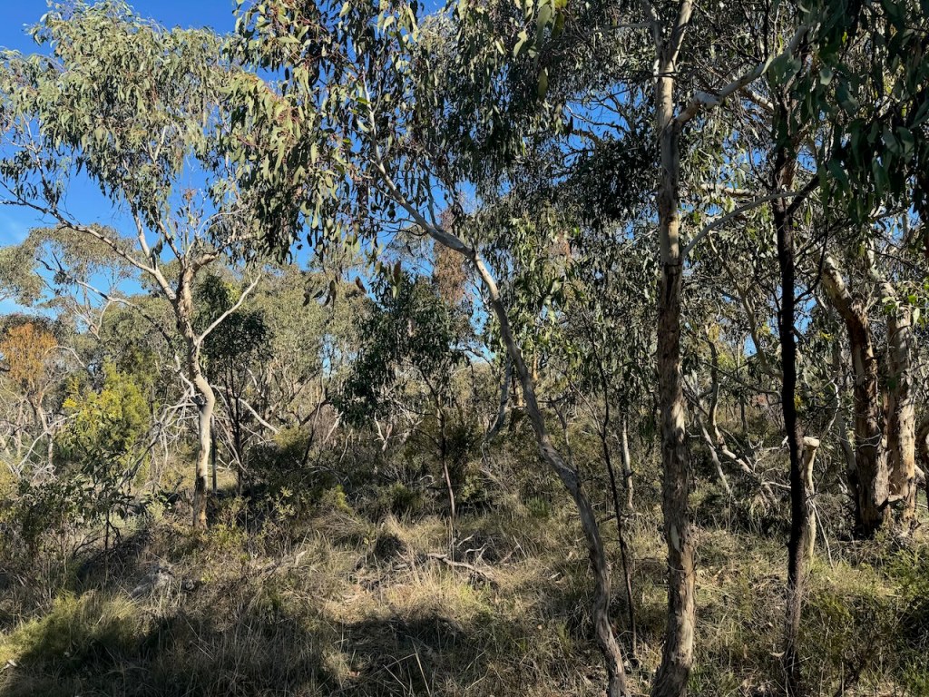
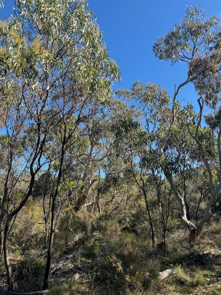
I set up along the walking trail off the Whitings Road entrance. I ran the Yaesu FT857, 40 watts, and the 20/40/80m linked dipole.
I ended up with 125 QSOs in the log, including 7 Park to Park contacts.
I worked the following stations on 40m SSB:-
I worked the following stations on 20m SSB:-
References.
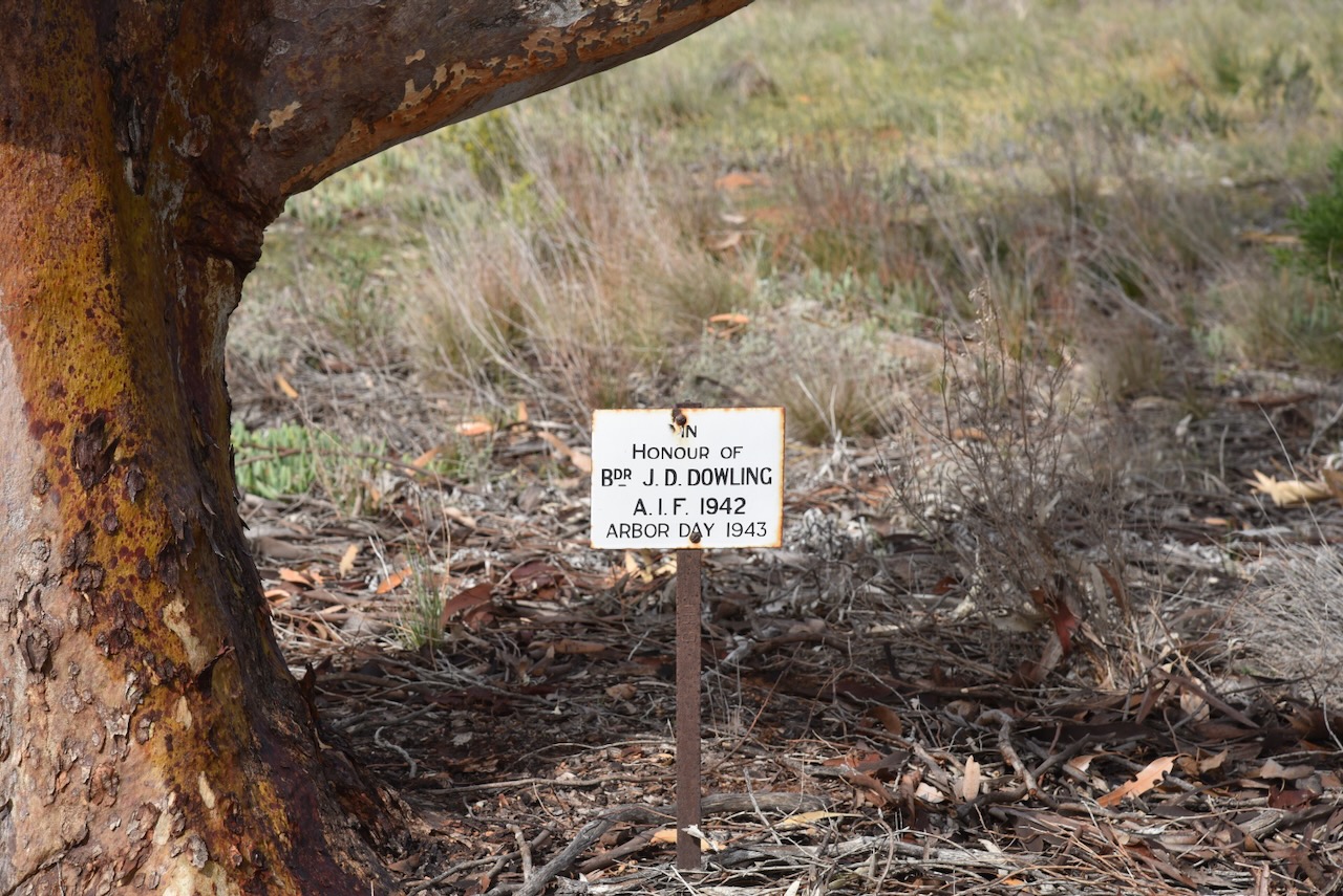
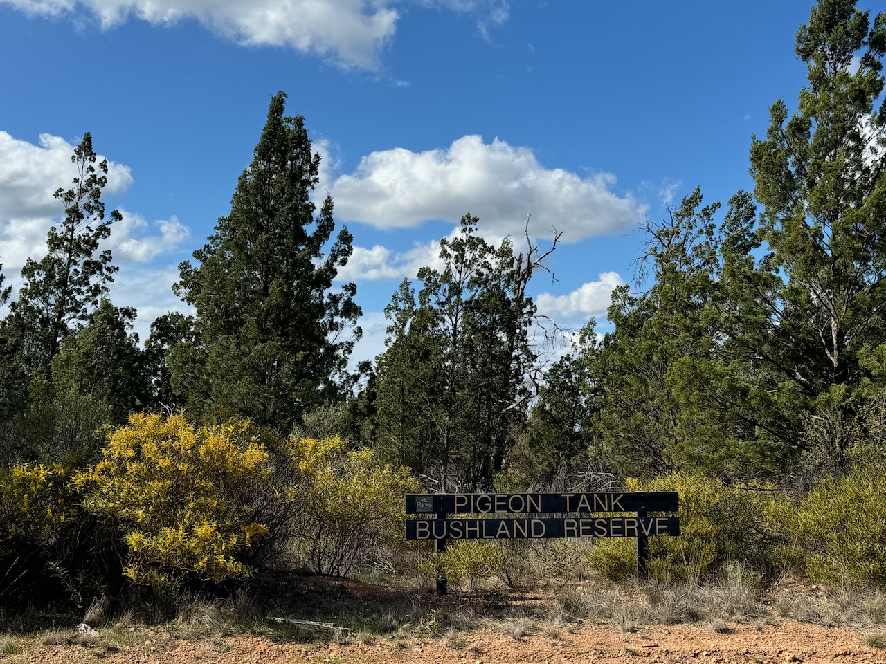
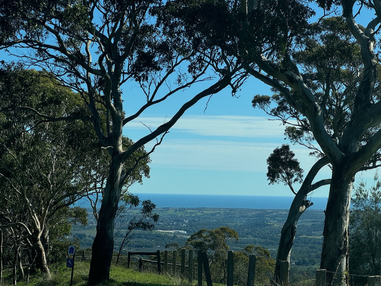
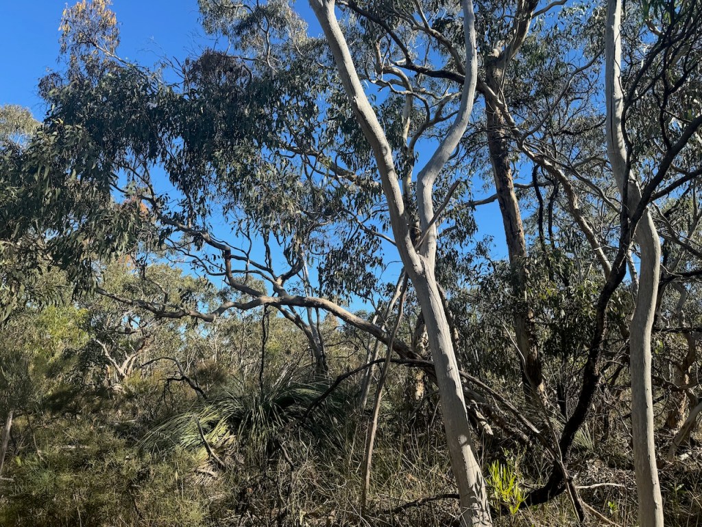
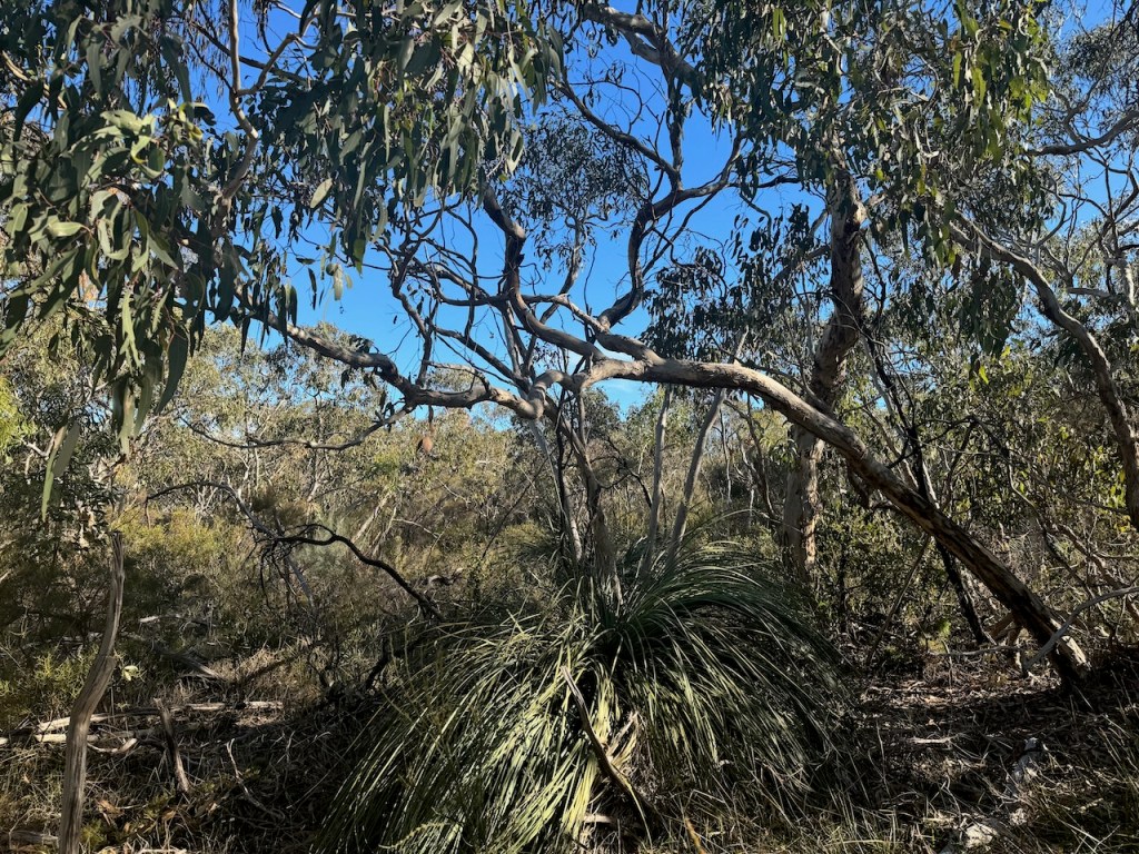
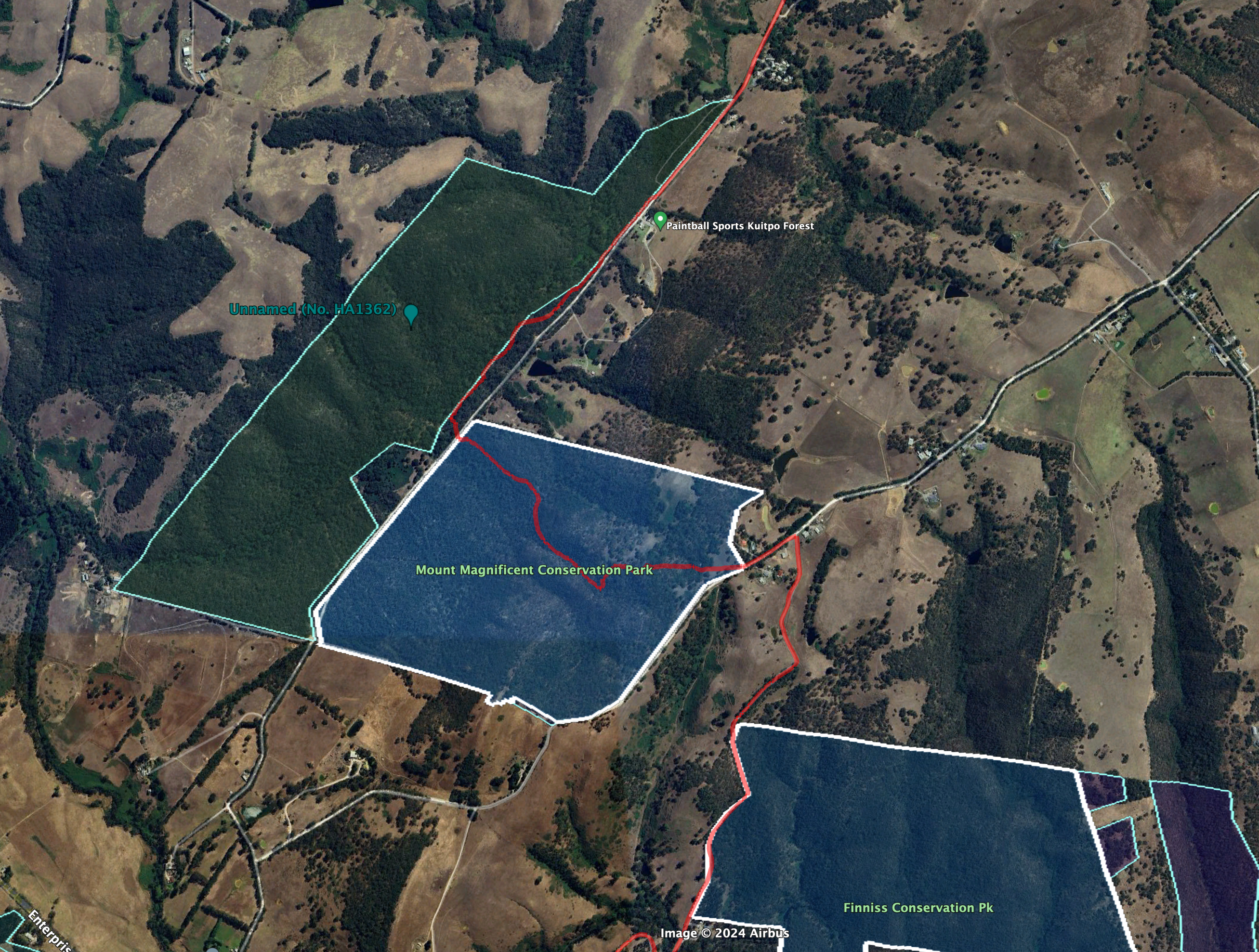
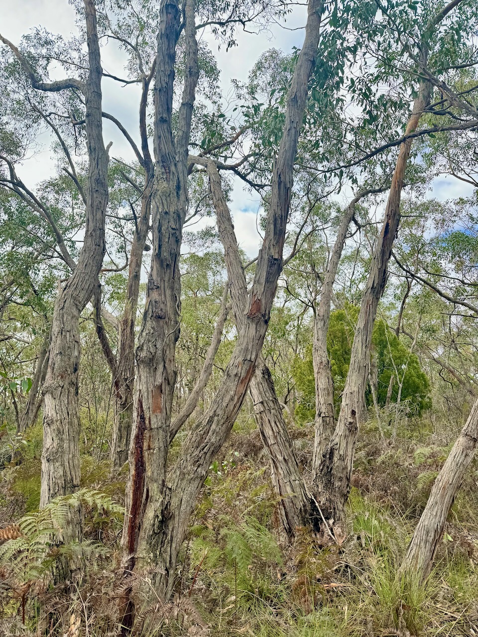
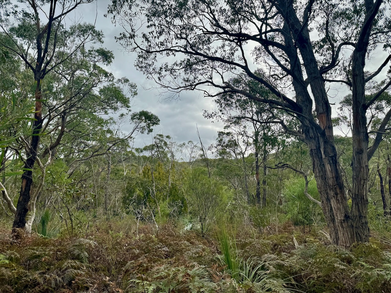
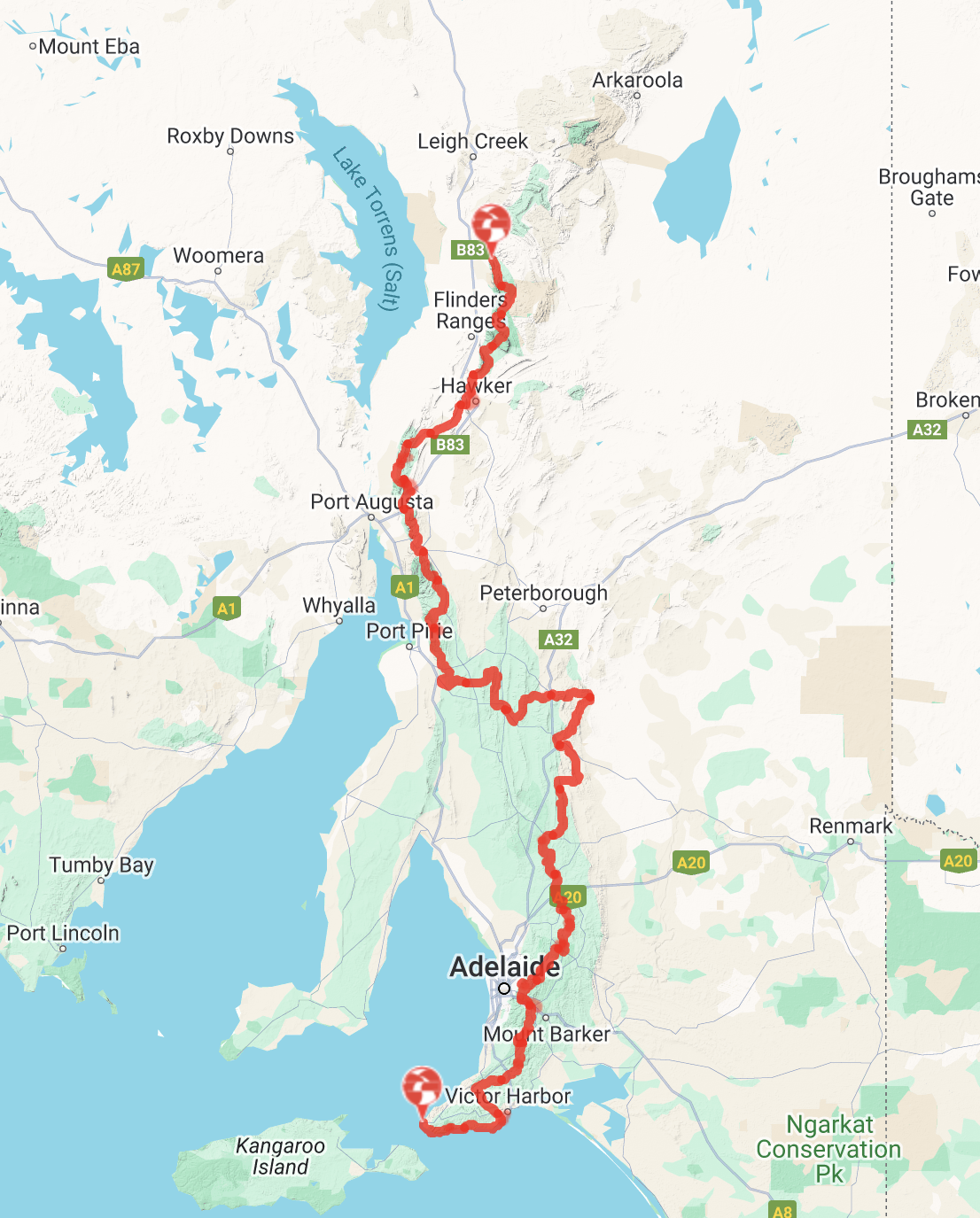
I headed out into the field for National Tree Day on Sunday 28th July 2024 and activated Heritage Agreement (No. HA 1362) VKFF-4056. The Heritage Agreement is about 65 km (by road) south of Adelaide.
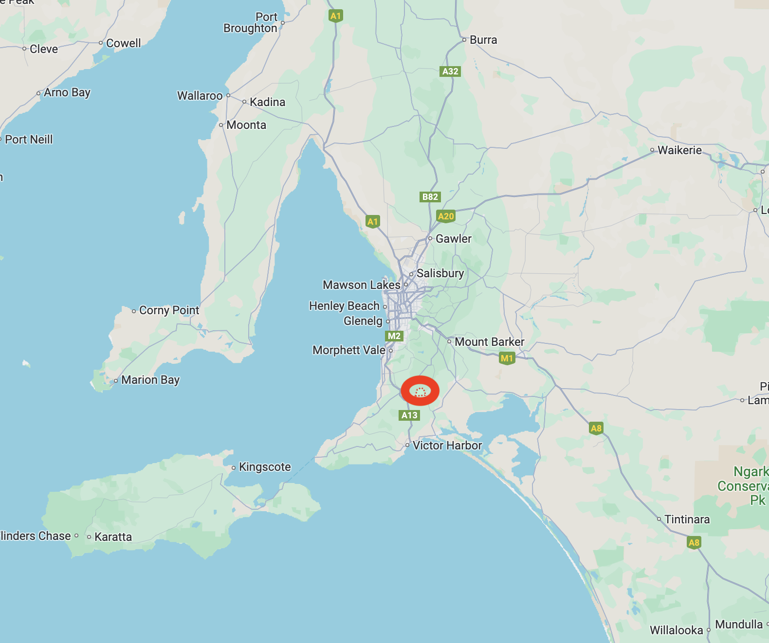
Above:- Map showing the location of the Heritage Agreement. Map c/o Google Maps.
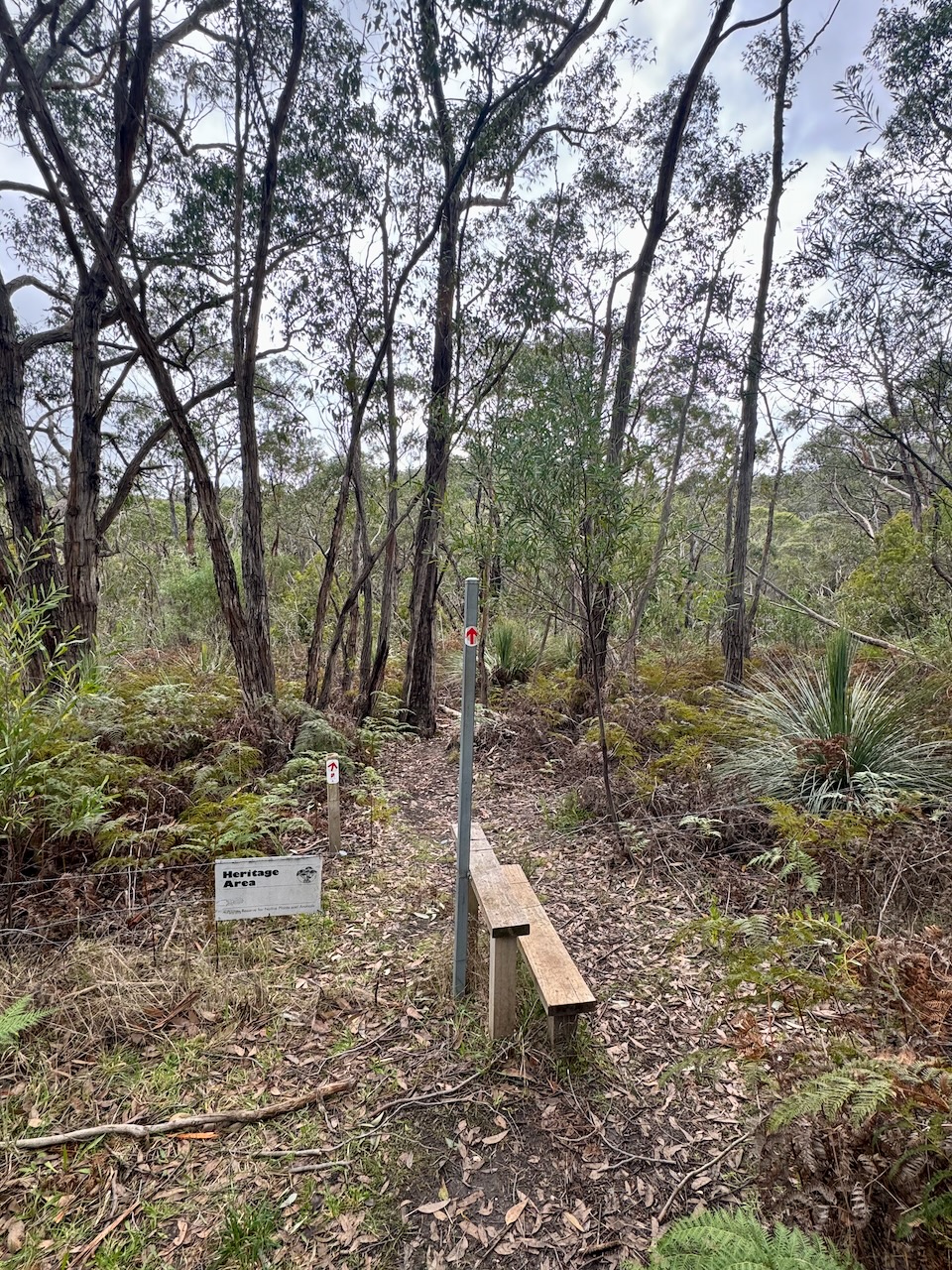
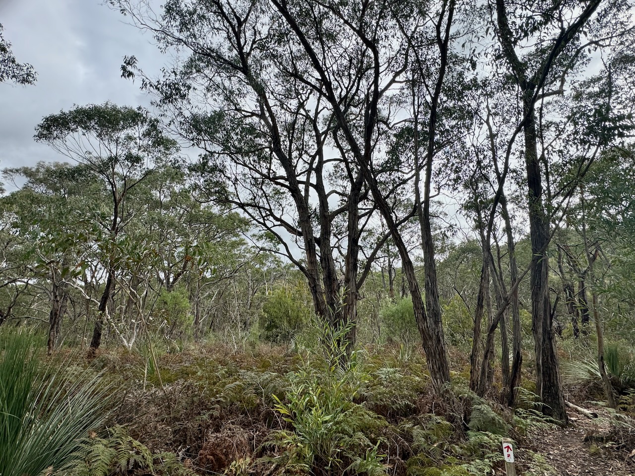
The heritage agreement contains the Heysen Trail and that part of the park is accessible to the public. This beautiful piece of native scrub is located adjacent to the Mount Magnificent Conservation Park and is on the northwestern side of Blackfellows Road.
A Native Vegetation Heritage Agreement is a conservation area on private land, established between the landholder and the Minister for Climate, Environment and Water on the recommendation of the Native Vegetation Council (NVC), which contributes to protecting and/or restoring indigenous biodiversity. (Environment SA 2024)
The Heysen Trail is about 1,200 km long and passes through some of South Australia’s most diverse and breathtaking landscapes, traversing coastal areas, native bushland, rugged gorges, pine forests and vineyards, as well as rich farmland and historic towns. (Heysen 2024)
Above:- Map showing the Heysen Trail. Image c/o heysentrail.asn.au
The Heysen Trail was first proposed in 1969 by Charles Warren Bonython (b. 1916. d. 2012) an Australian conservationist, explorer, author and chemical engineer. The proposal was stalled due to politics and issues with private landowners. In 1978 the first 50 km of the trail was laid through the Mount Lofty Ranges. The trail was completed in 1992 with the main designer being Tery Lavender. (Wikipedia 2024)
The trail is named in honour of Sir Wilhelm Ernst ‘Hans’ Franz Heysen (b. 1877. d. 1968) an Australian artist. (Wikipedia 2024)
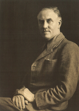
Above:- Sir Hans Heysen. Image c/o Wikipedia.
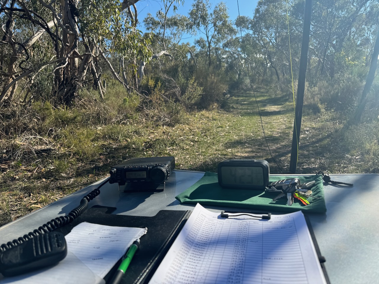
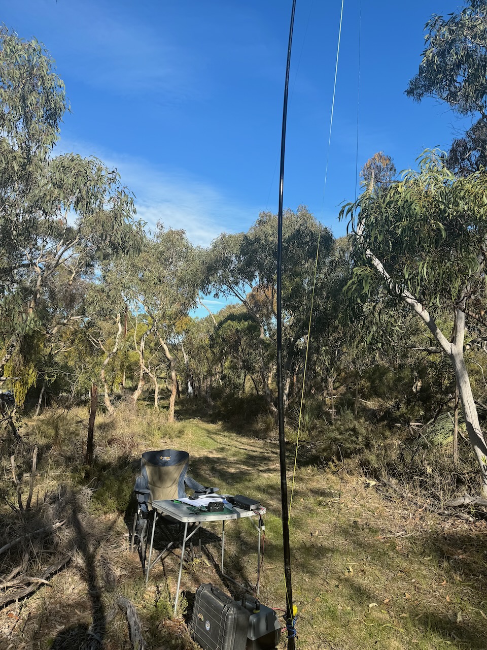
Operating spots are limited here. I set up on the edge of the trail, with the 20/40/80m linked dipole not being able to be completely stretched out. I ran the Yaesu FT857 and 40 watts.
I worked the following stations on 40m SSB:-
I worked the following stations on 20m SSB:-
References.
Amateur Radio, Short Wave Listening, travel and history
Amateur radio experiences with VK1DA
Brisbane - Australia
german amateur radio station
Summits On The Air
SOTA on the peaks, wilderness QRP and some bushwalking
A fine WordPress.com site
Amateur Radio Adventures
Summits on the Ai
Amateur radio station from Belgium
Radio craft, homebrew, QRP/SOTA, AM
Ego loqui ad viros super montes
My adventures with Amateur Radio and Geocaching!
The rantings of VK2GAZ on his SOTA experiences in Australia
A survivor, with minor cuts and abrasions.
The Art and Craft of Blogging
The latest news on WordPress.com and the WordPress community.
Blog of Justin Giles-Clark VK7TW's SOTA and amateur radio adventures.
Occasional SOTA & Microwave operation
