Kellidie Bay Conservation Park VKFF-1042

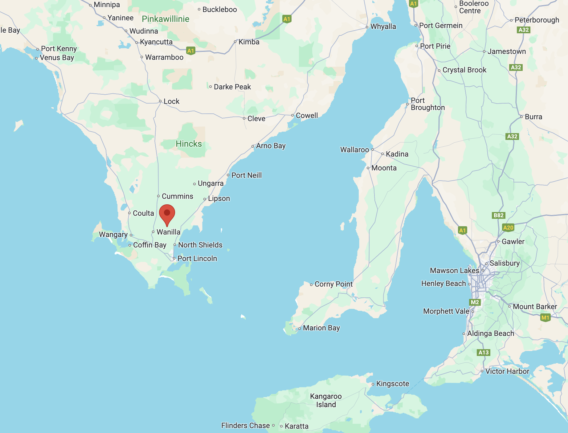
My final activation for Monday 22nd April 2024 was the Kellidie Bay Conservation Park VKFF-1042. The park is located at the bottom of the Eyre Peninsula, about 681 km (by road) from the city of Adelaide.

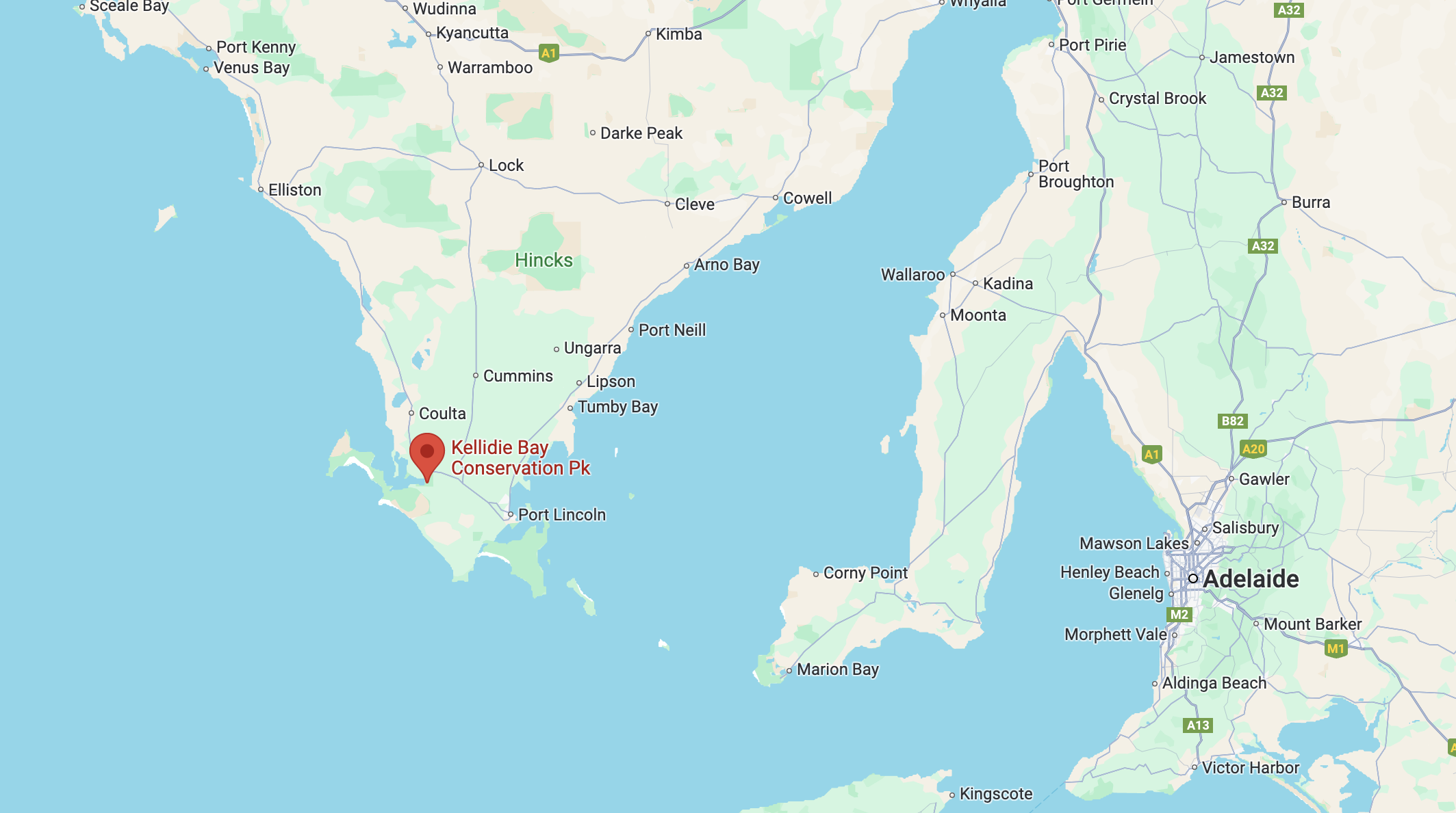
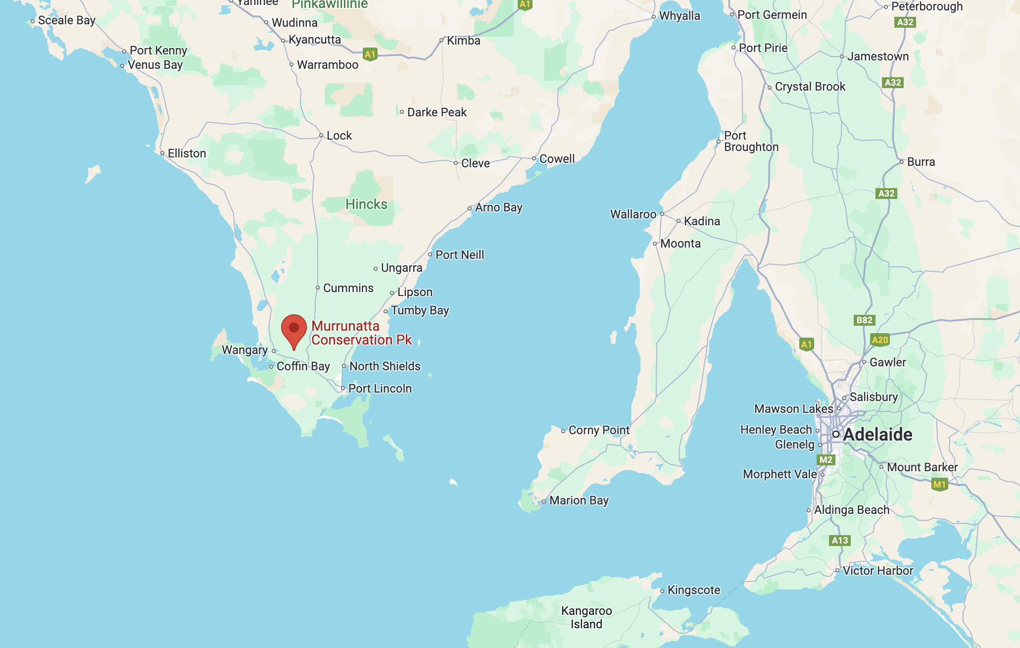
Above:- Map showing the location of the Kellidie Bay Conservation Park. Map c/o Google Maps.

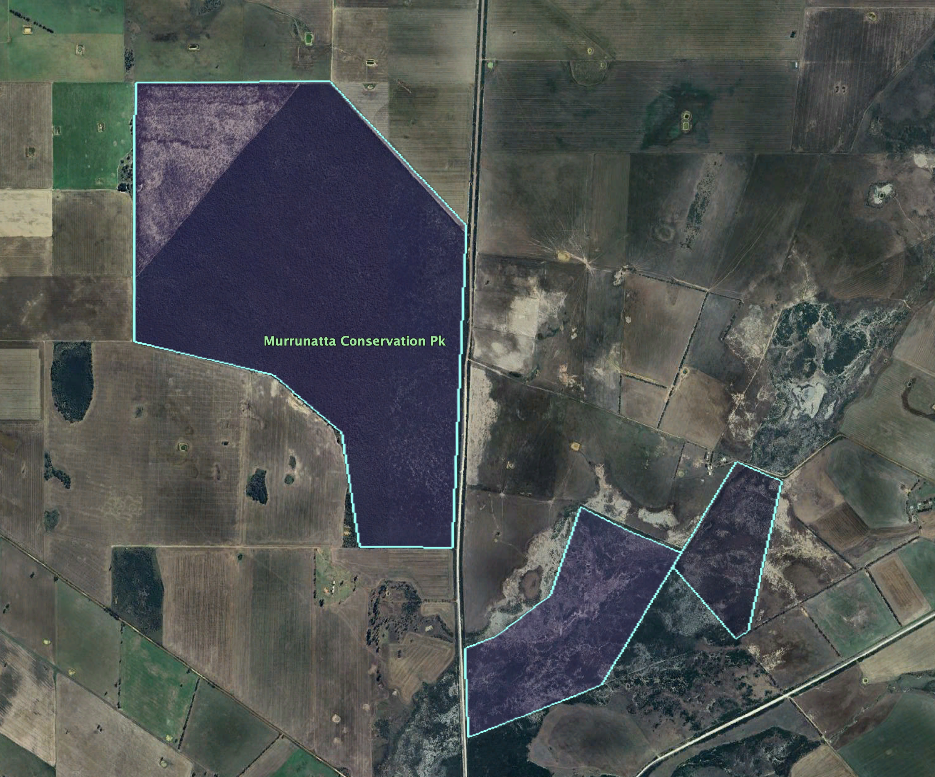
The Kellidie Bay Conservation Park is divided into three sections by Coffin Bay Road. Its western boundary is Kellidie Bay.

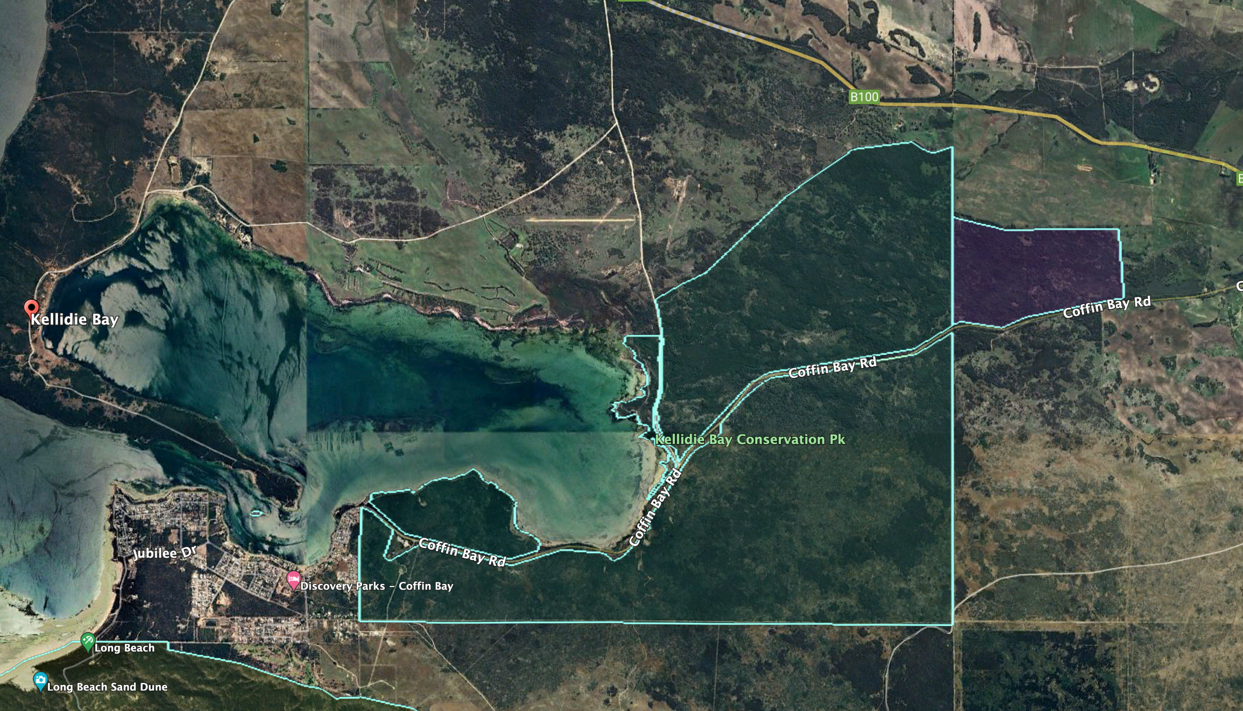
Above:- An aerial view of the Kellidie Bay CP showing its boundaries. Image c/o Google Earth.

The park is about in size and was proclaimed on the 30th day of September 1958. (Wikipedia 2024)

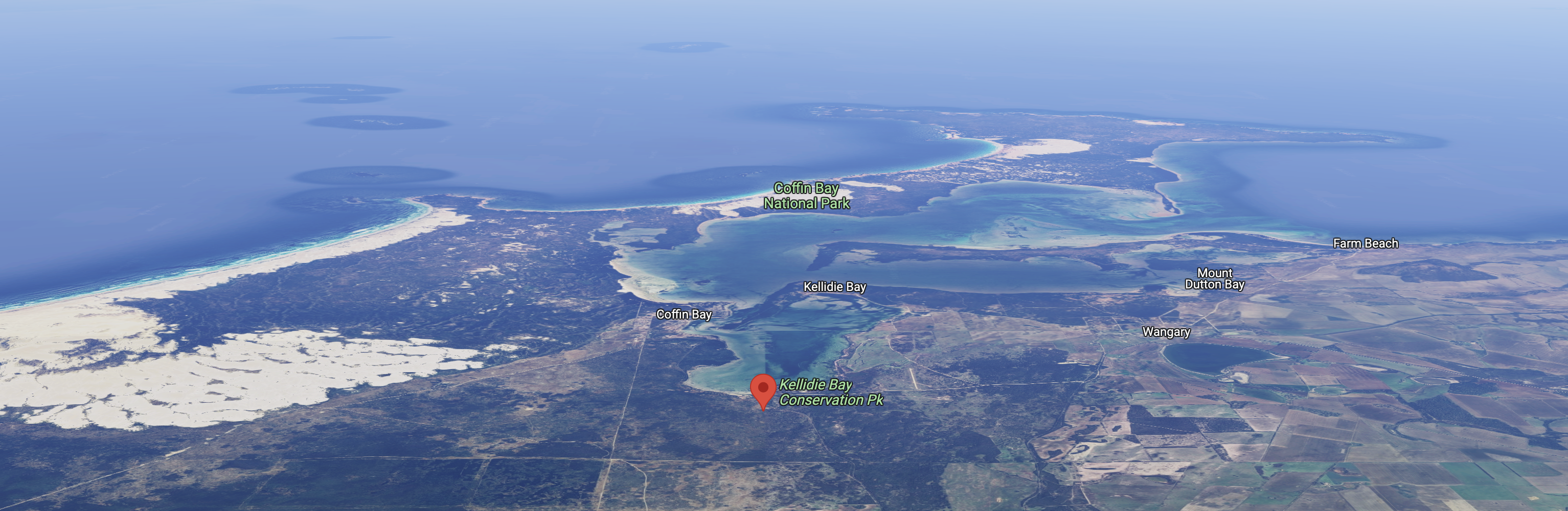
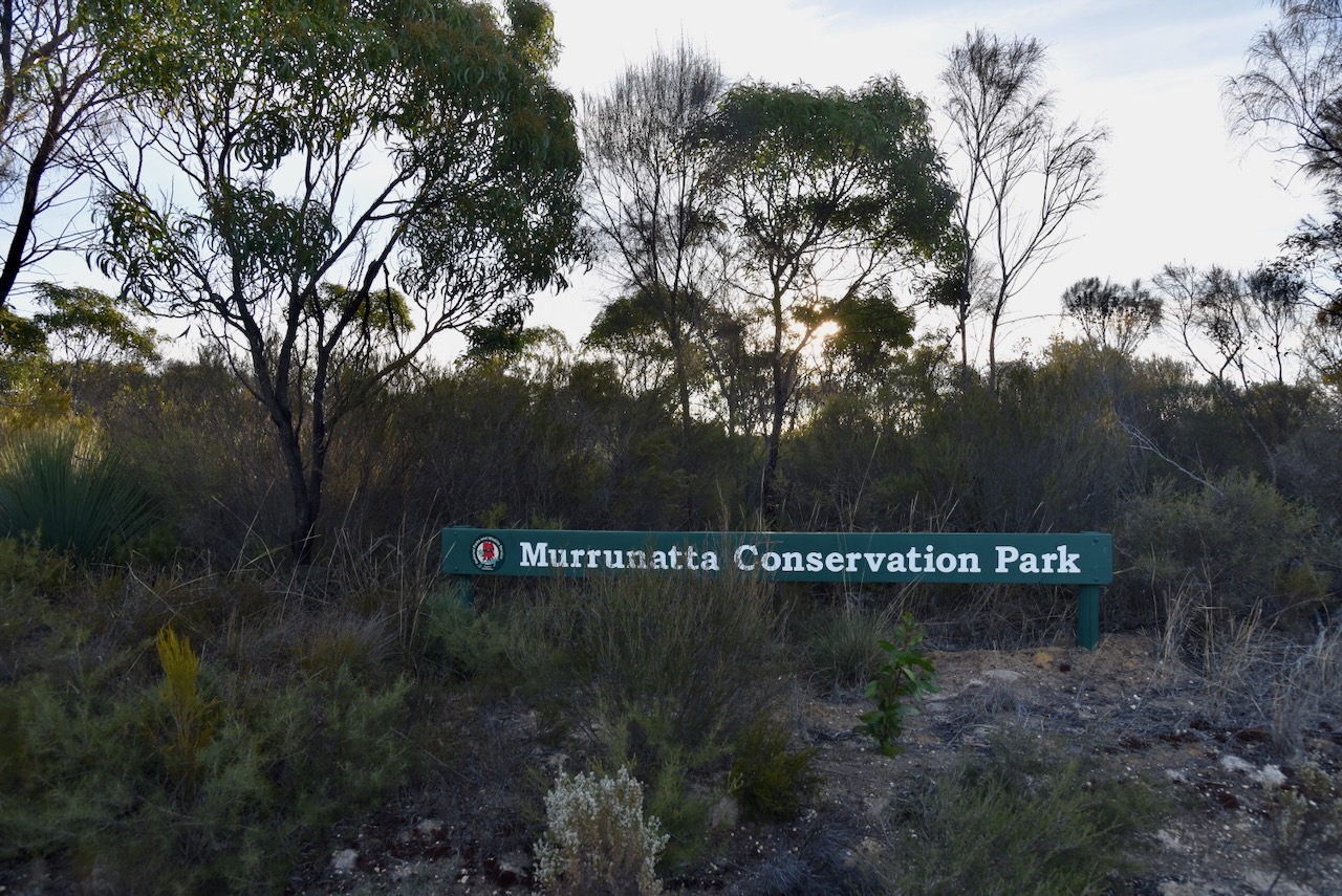
Above:- An aerial view of the park looking towards Coffin Bay. Image c/o Google Maps.

The park was originally proclaimed in 1954 in order ‘to conserve wildlife and the natural features of the land.’ On the 9th day of November 1967, the park was proclaimed under the National Parks Act 1966 as the Kellidie Bay National Park. On the 27th day of April 1972, it was reconstituted as Kellidie Bay Conservation Park.

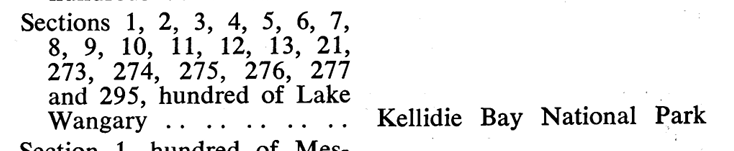
Above:- Item from the SA Govt Gazette, Nov 9 1967.

Henry Hawson first explored the area in 1839. In 1847 he was issued a pastoral lease and named the area Kellidie, in some writings it was “Of The Keltie”. (Aussie Towns 2024)

Hawson was baptised in November 1791 at Dartmouth England. In 1814 he married Elizabeth Cowell. He moved to Canada where he was a merchant banker. Hawson made the decision to emigrate to Australia. In 1836 he departed Newfoundland aboard the steamship ‘Abeona’. By 1839 he had moved to Port Lincoln on the Eyre Peninsula. (State Library 2024)

John Mortlock acquired and developed the Kellidie Bay station. In 1866 he built a house on its shore. (Aussie Towns 2024)

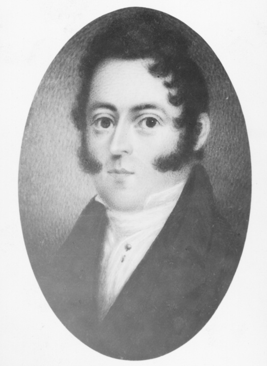
Above:- Henry Hawon. Image c/o State Library SA.

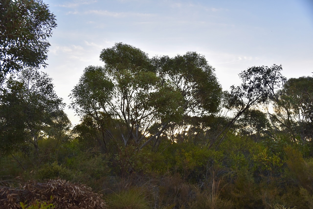
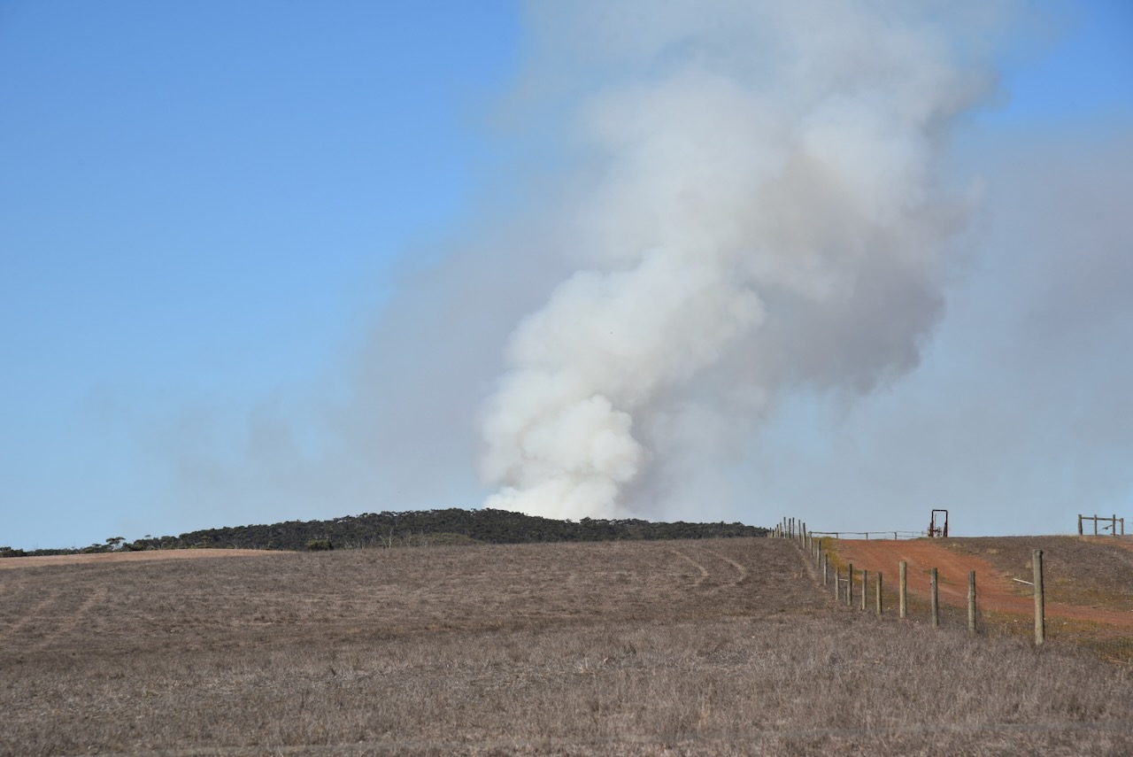
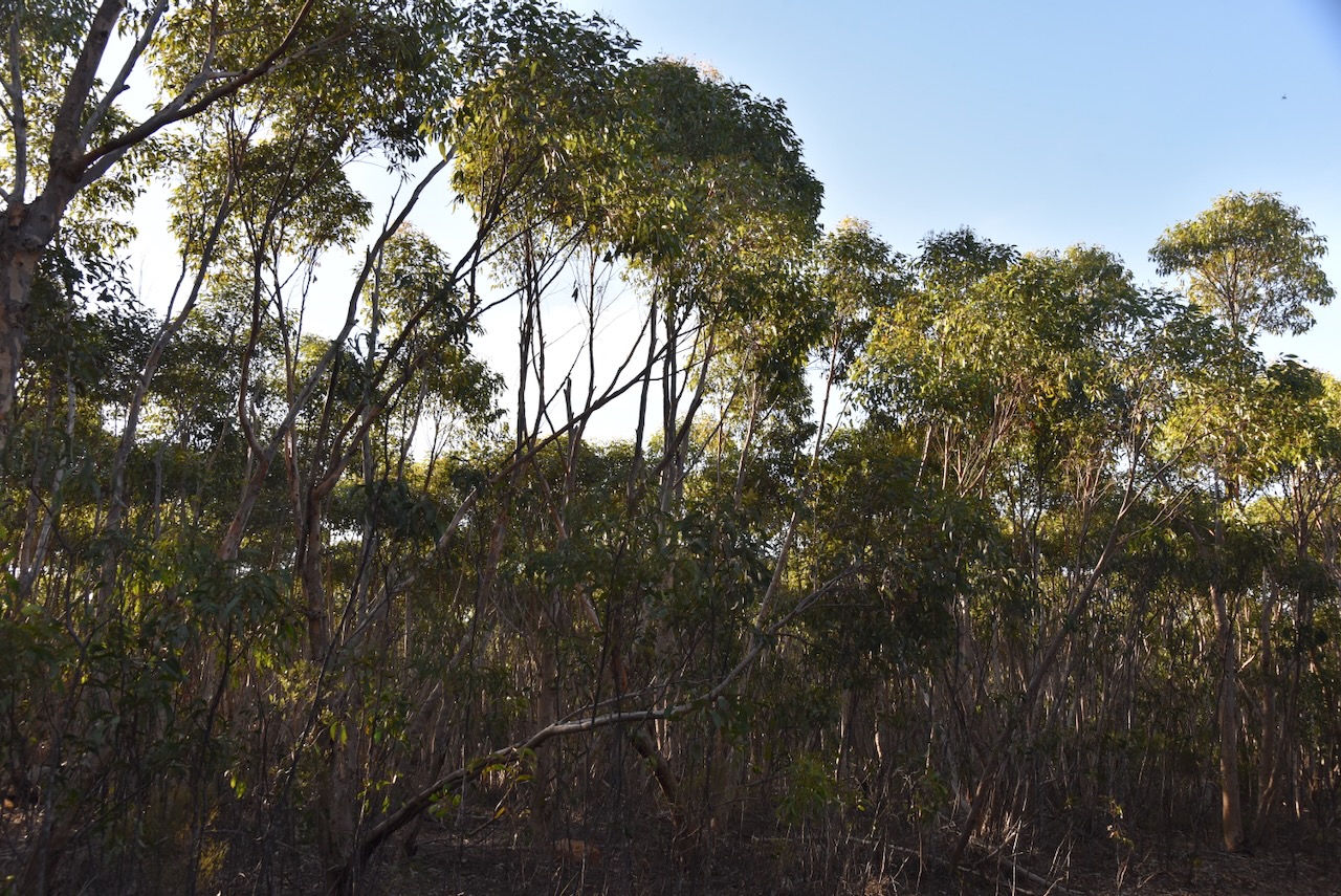
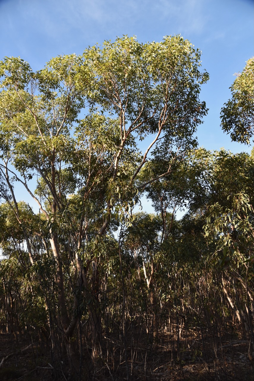
By the time I had reached the park it was totally dark, so I did not get to enjoy the views.

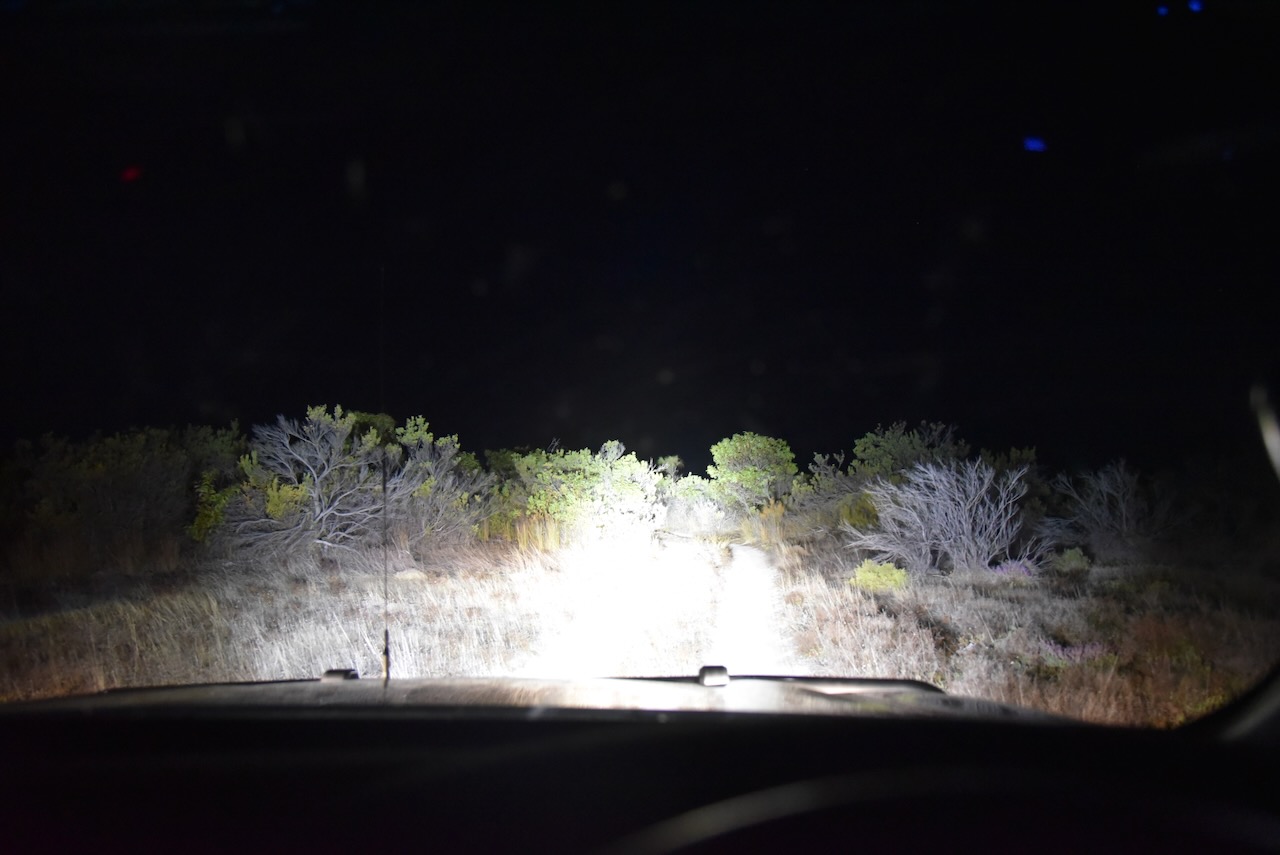
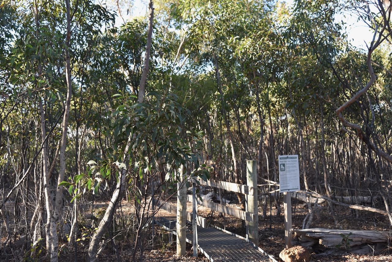
I found a 4Wd track on the northern side of Coffin Bay Road and set up. I ran the Yaesu FT857, 40 watts, and the 20/40/80m linked dipole for this activation.

I worked the following stations on 40m SSB:-

  1. VK5MAZ
  2. VK5TUX
  3. VK3PF
  4. VK3KAI
  5. VK1AO
  6. VK2MET
  7. VK5GY
  8. VK3CEO
  9. VK4EMP
  10. VK4TI
  11. VK5HYZ
  12. VK3EJ
  13. VK3APJ
  14. VK3ANL
  15. VK4NH
  16. VK4DXA
  17. VK2DG
  18. VK3SO
  19. VK3SFG
  20. VK3VIN
  21. VK5MSA
  22. VK4PDX
  23. VK2DHN
  24. JF7RJM
  25. VK2IO
  26. VK7PJM
  27. VK3TZT
  28. VK3SPG
  29. VK4ABK
  30. VK3CWF
  31. VK3KRL
  32. VK3SQ
  33. VK2BD
  34. VK5LRB
  35. VK3SX
  36. VK2XRC/p
  37. VK5LA
  38. VK5KAW
  39. VK3DVL
  40. VK3BBB/p
  41. VK2CCP/p
  42. VK2ICW
  43. VK4IDK
  44. VK5HS
  45. VK2MG
  46. VK3FABS
  47. VK2FALL
  48. VK5FANA
  49. VK6MGB

I worked the following stations on 40m FT8:-

  1. VK3APJ
  2. VK3CEO
  3. VK5HS
  4. VK5LA
  5. VK5KAW
  6. N0FW
  7. VK5ZKJ
  8. VK2IO
  9. 3D2USU
  10. VE3BVA
  11. JA2HYD
  12. VK6GC

References.

  1. Otieno, C. (n.d.). Coffin Bay, SA. [online] Aussie Towns. Available at: https://www.aussietowns.com.au/town/coffin-bay-sa. [Accessed 10 Aug. 2024].‌
  2. ‌State Library of South Australia. (2024). Henry Hawson. [online] Available at: https://collections.slsa.sa.gov.au/resource/B+7029 [Accessed 10 Aug. 2024].
  3. ‌Wikipedia Contributors (2024). Kellidie Bay Conservation Park. [online] Wikipedia. Available at: https://en.wikipedia.org/wiki/Kellidie_Bay_Conservation_Park [Accessed 10 Aug. 2024].‌

Murrunatta Conservation Park VKFF-1066

After leaving the Tucknott Scrub Conservation Park on 22nd April 2024, I headed to the Murrunatta Conservation Park VKFF-1066. The park is located on the bottom of the Eyre Peninsula, about 677 km (by road) from the city of Adelaide.

Above:- Map showing the location of the Murrunatta Conservation Park. Map c/o Google Maps.

Murrunatta Conservation Park is about 516 hectares in size and was proclaimed on the 29th day of March 1984. The park consists of two parcels of land located on either side of Settlers Road. The northern section is about 424 hectares in size while the southern section is about 92 hectares in size. Murrunatta is derived from two aboriginal words – “’murra’ meaning sand and ‘natta’ meaning ridge.” (Cons Parks Lower Eyre Pen 2007) (Wikipedia 2024)

Above:- An aerial view of the Murrunatta CP showing the 2 sections. Image c/o Google Earth.

The northern section of land was proclaimed in March 1984 for the purpose of conserving “a small area of remnant mallee vegetation dominated by Coast Ridge-fruited Mallee. The southern section of land was originally Crown land proclaimed under the Crown Lands Act 1929 on the 11th day of November 1993 as a conservation reserve for the purpose of conserving “small area of mallee vegetation dominated by Swamp Paperbark. It was added by proclamation on the 7th day of December 2006 to the Murrunatta Conservation Park. (Wikipedia 2024)

The nationally vulnerable Eyre Peninsula Southern Emu Wren can be found in the park. (Cons Parks Lower Eyre Pen 2007)

I set up in a clearing in the scrub on the western side of Settlers Road. I ran the Yaesu FT857, 40 watts, and the 20/40/80m linked dipole.

I worked the following stations on 20m SSB:-

  1. VK5MAZ
  2. VK7AAE
  3. VK1AO
  4. VK2MET
  5. IK4IDF
  6. VK4NH
  7. VK4DXA
  8. OH5EP
  9. VK4HNS
  10. UT5PI
  11. Dl1EBR
  12. VK2IO
  13. VK4EMP
  14. VK4TI
  15. SP7MW
  16. DK4RM
  17. OH1MM
  18. OH5M
  19. VK4SMA
  20. IW2BNA
  21. VK3APJ
  22. VK3PF
  23. VK3KAI
  24. F4HZR
  25. VK3BEL
  26. VK5AYL

I worked the following stations on 20m FT8:-

  1. F6FDY
  2. CT3IQ
  3. VK3PF
  4. K3RH
  5. VK3KAI
  6. HB9RJD
  7. VK6DS
  8. VK3APJ
  9. JM8MGU
  10. JF7RJM
  11. W4NEG
  12. K9HOU
  13. KD8LO
  14. KT7G
  15. K2OF
  16. VK2HAK
  17. F1HFP
  18. NP3Y
  19. JA9IFF
  20. K4QAL

I worked the following stations on 40m SSB:-

  1. VK5MAZ
  2. VK5TUX
  3. VK4SMA
  4. VK3VIN
  5. VK5ADPF
  6. VK5HS
  7. VK3SPG
  8. VK5GY
  9. VK2YK
  10. VK5GA
  11. VK3GJG
  12. VK3APJ
  13. VK4HNS
  14. VK2IO
  15. VK5LA
  16. Vk5KAW
  17. VK4HMI
  18. VK4NH
  19. VK4DXA
  20. VK3PF
  21. VK3KAI
  22. VK3SQ
  23. VK2BD
  24. VK5FB
  25. VK6DS
  26. VK3ANL
  27. VK2LWK
  28. VK4EMP
  29. VK4TI
  30. VK5PL
  31. VK1AO
  32. VK2MET
  33. VK3KRL
  34. VK3HJW
  35. VK3SX
  36. VK2MG
  37. VK3BSF
  38. VK7PJM
  39. VK6KHZ
  40. VK5KVA
  41. VK4LES
  42. VK4WTZ
  43. VK6JQ
  44. VK3CEO
  45. VK3EJ

References.

  1. Department for Environment and Heritage, 2007, Conservation Parks of Lower Eyre Peninsula.
  2. Wikipedia Contributors (2021). Murrunatta Conservation Park. [online] Wikipedia. Available at: https://en.wikipedia.org/wiki/Murrunatta_Conservation_Park [Accessed 10 Aug. 2024].‌

Tucknott Scrub Conservation Park VKFF-1109

My Next activation for 22nd April 2024 was the Tucknott Scrub Conservation Park VKFF-1109. The park is located on the Eyre Peninsula, about 651 km (by road) from Adelaide.

Above:- Map showing the location of the Tucknott Scrub Conservation Park. Map c/o Google Maps.

As I drove towards the park I saw a fairly large smoke plume that appeared to be coming from the vicinity of the park. Fortunately, it turned out to be a controlled burn in another area of scrub. The Tucknott Scrub Conservation Park was affected by fire during the devastating January 2005 Wangary bushfire. (Cons Parks Lower Eyre Pen 2007)

The Tucknott Scrub Conservation Park is about 360 hectares in size and was proclaimed on the 12th day of January 2006. The park takes its name from the Tucknott family who owned the land. (Birds SA 2024) (Wikipedia 2024)

Above:- Article from the Port Lincoln Times, Thu 10 Oct 2002. Image c/o Trove.

The park is the largest area of Sugar Gum woodland in the Koppio Hills region of the Eyre Peninsula. Birds SA have recorded a total of 23 native birds in the park including the Brown Currawong, Port Lincoln Parrot, Scarlet Robin, and White-throated Geryhone. (Birds SA 2024)

I set up in the southern section of the park and ran the Yaesu FT857, 40 watts, and the 20/40/80m linked dipole.

I worked the following stations on 20m SSB:-

  1. VK3IDM
  2. VK7XX
  3. VK5QA
  4. Vk2COS
  5. VK4GRZ
  6. VK4NH
  7. VK4DXA
  8. VK4XCS
  9. VK2HDT
  10. ZL2GLG
  11. VK4TM
  12. VK4JT
  13. ZL2BAQ
  14. VK3ACZ
  15. VK5MAZ
  16. UT5PI
  17. IW2BNA
  18. VK3PF
  19. VK3KAI
  20. SM1ALH
  21. Vk4FO
  22. VK1DI
  23. VK3VIN
  24. VK4EMP
  25. VK4TI
  26. VK5QA/p
  27. VK3CLD/p
  28. ZL1TM
  29. ON4VT
  30. VK3CEO
  31. OH6GAZ
  32. VK2IO
  33. IK1GPG
  34. IK4IDF
  35. OH1XT
  36. DL2ND
  37. Vk4HNS
  38. OH1MM
  39. OH2CGU
  40. I4RHP
  41. IZ5JMZ
  42. M1TES/m
  43. Vk3CWF
  44. VK2HAK
  45. VK1AO
  46. VK2MET
  47. VK4EHI
  48. SM5CBN
  49. VK5HS
  50. F4HZR
  51. VK4KBA
  52. VK3APJ
  53. VK2GOM/p (VKFF-2517)
  54. VK2VAR/p (VKFF-2517)
  55. DK4RM
  56. VK3MCK
  57. VK6DS
  58. VK3SPG
  59. VK2MG
  60. G0VWP
  61. VK3GB
  62. VK3CJN
  63. VK3QHU
  64. OH1CM
  65. SQ9FMC
  66. F1BLL
  67. ON3YB
  68. VK3ANL
  69. VK2IO
  70. SQ9CWO
  71. OG7J
  72. VK3DWL
  73. F6EOC
  74. ZL3MR
  75. IW2NXI
  76. OM5TX
  77. SP7MW

I worked the following stations on 40m SSB:-

  1. VK5GY
  2. VK5LA
  3. Vk5KAW
  4. VK3PF
  5. VK3KAI
  6. VK4DNO
  7. VK1AO
  8. VK2MET
  9. Vk4HNS
  10. VK2IO
  11. VK3KRL
  12. VK7AAE
  13. VK2YK
  14. VK5GA
  15. VK5FANA
  16. VK3APJ
  17. VK5KBJ
  18. VK5TUX
  19. VK4NH
  20. VK4DXA
  21. VK2FALL/p
  22. VK3CEO
  23. VK3SPG
  24. VK5PL
  25. VK4EMP
  26. VK4TI
  27. VK3HJW

References.

  1. Birdssa.asn.au. (2021). Tucknott Scrub Conservation Park – Birds SA. [online] Available at: https://birdssa.asn.au/location/tucknott-scrub-conservation-park/ [Accessed 10 Aug. 2024].‌
  2. Department for Environment and Heritage, 2007, Conservation Parks of Lower Eyre Peninsula.
  3. Wikipedia Contributors (2021). Tucknott Scrub Conservation Park. [online] Wikipedia. Available at: https://en.wikipedia.org/wiki/Tucknott_Scrub_Conservation_Park [Accessed 10 Aug. 2024].‌