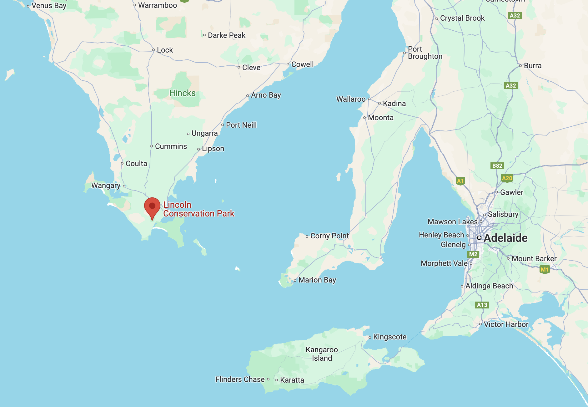
My next park for Tuesday 23rd April 2024 was the Lincoln Conservation Park VKFF-1050. The park is located at the bottom of the Eyre Peninsula and is about 672 km (by road) from the city of Adelaide.
Above:- Map showing the location of the Lincoln Conservation Park. Map c/o Google Maps.
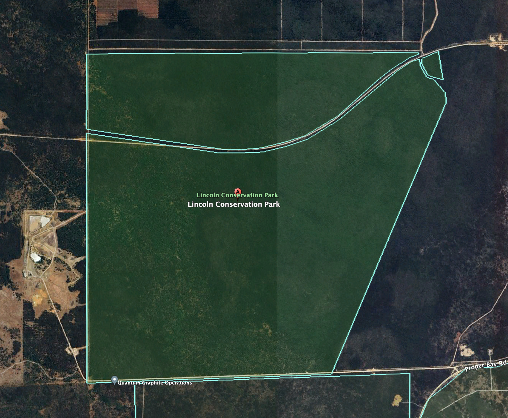
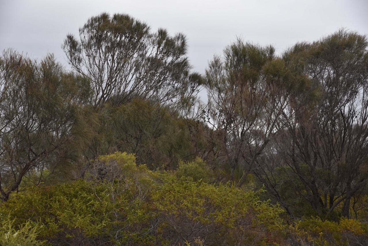
The Lincoln Conservation Park is about 255 acres in size. It is divided into three sections, with the park being split by Tramline Track. (Wikipedia 2024)
Above:- An aerial view of the park showing its boundaries. Image c/o Google Earth
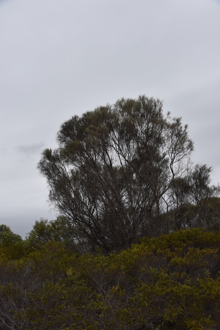
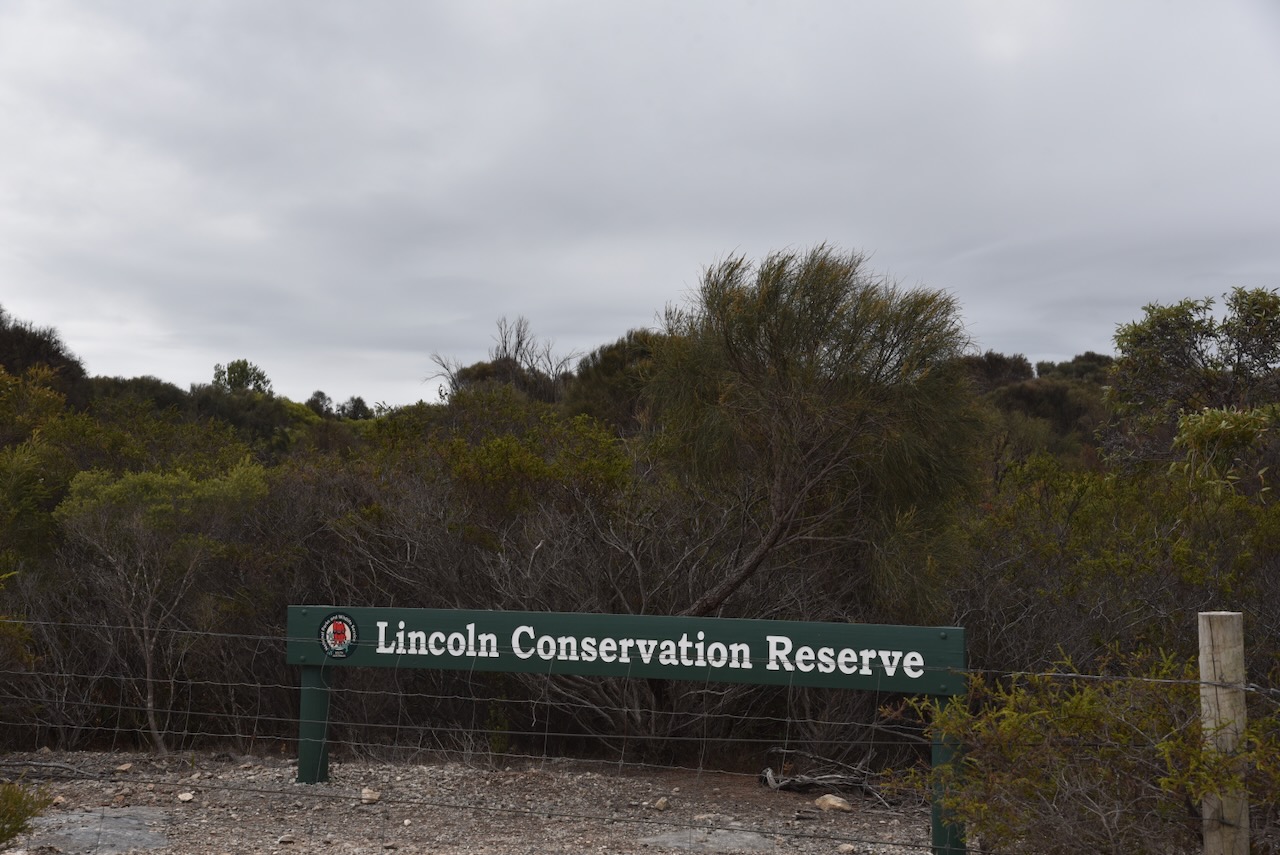
The park was formerly known as the Lincoln Conservation Reserve. It was proclaimed as the Lincoln Conservation Park on the 7th day of December 2006. The park consists of mallee vegetation, with Coastal White Mallee being the dominant species. The regionally rare Purple flowered Mallee can be found in the park. (Wikipedia 2024)
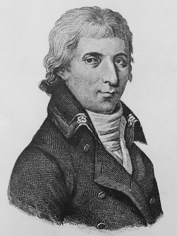
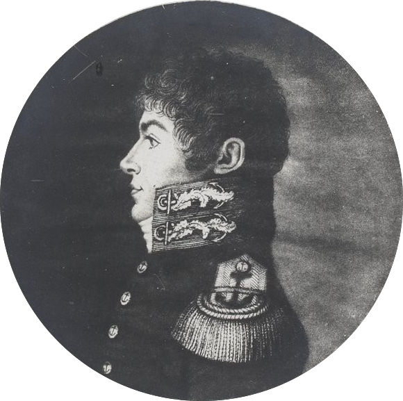
The park takes its name from the town of Port Lincoln. Explorer Captain Matthew Flinders sailed his vessel HMS Investigator into the harbour at Port Lincoln in February 1802, which he named after the city of Lincoln in Lincolnshire England. (WIkipedia 2024)
Above:- Captain Matthew Flinders. Image c/o Wikipedia.
I set up in a clearing in the scrub on Tramine Track. I ran the Yaesu FT857, 40 watts, and the 20/40/80m linked dipole.
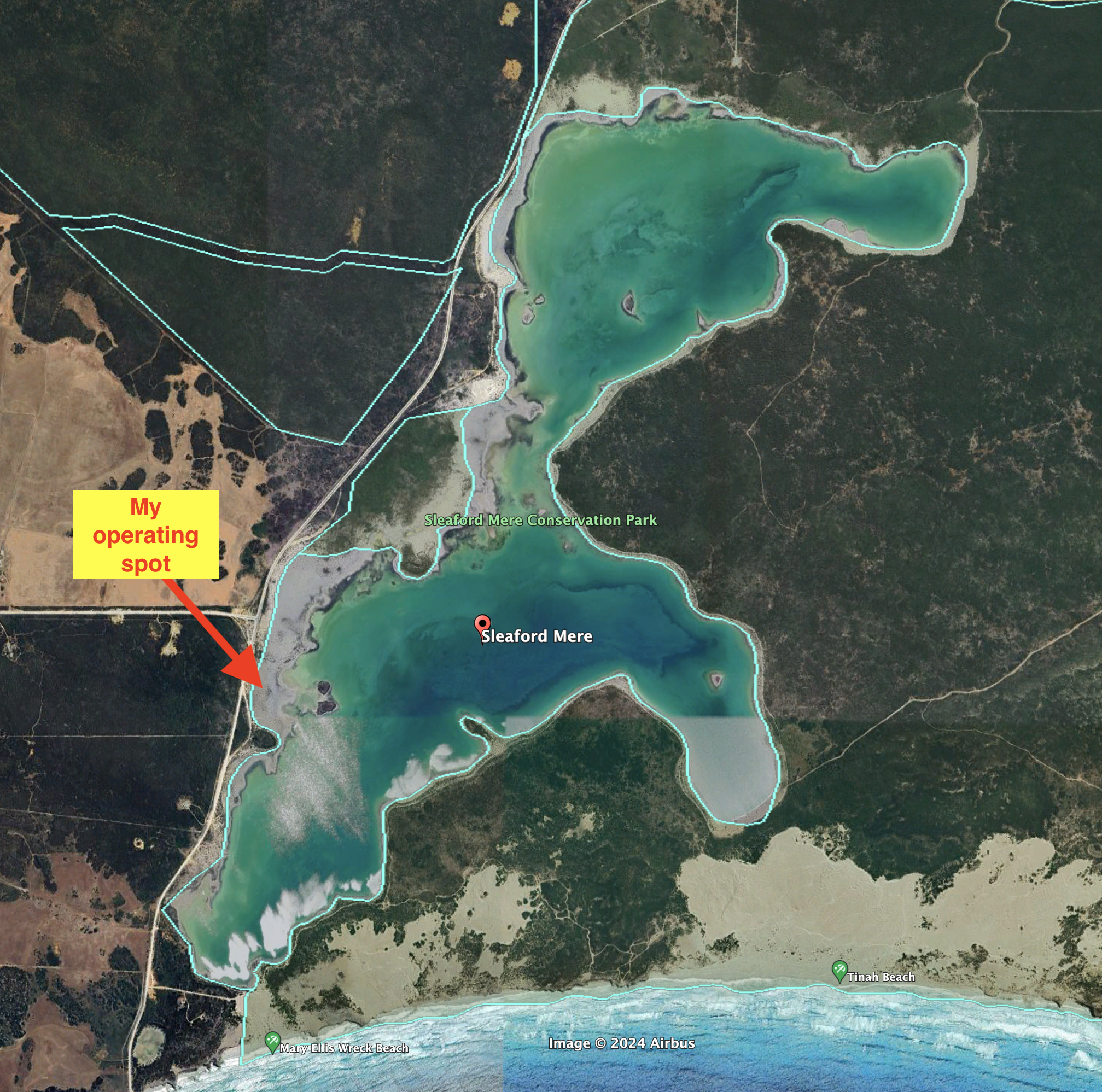
My second activation for Tuesday 23rd April 2024 as the Sleaford Mere Conservation Park VKFF-1102. The park is located on the Eyre Peninsula about 669 km (by road) from the city of Adelaide.
Above:- Map showing the location of the Sleaford Mere Conservation Park. Map c/o Google Maps.
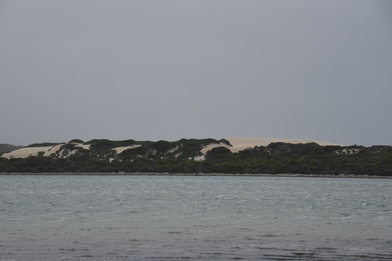
The park is about 1,470 acres in size and was established on the 20th day of November 1969. The park was originally known as the Sleaford Mere National Park. The park comprises Sleaford Mere which is a permanent saline lake, and surrounding land. It shares a boundary with the Lincoln National Park. (Wikipedia 2024)
Captain Matthew Flinders named Sleaford Bay in 1802 after a town in Lincolnshire, meaning ‘ford over the River Slea’, while other sources claim the meaning is ‘mullet river’ or ‘slow river’. (Place Names 2012)
Above:- Captain Matthew Flinders. Image c/o Wikipedia.
French explorer Nicholas Thomas Baudin called Sleaford Ance des Nerlans. (Wikipedia 2024)
Above:- Nicholas Baudin. Image c/o Wikipedia.
French naval officer and explorer Louis de Freycinet called it Baie Lavoisier. (Wikipedia 2024)
Above:- Louis de Freycinet. Image co Wikipedia.
In 1837 a whaling station was established in 1837. By 1839 it was maintained jointly by the South Australian Company and the firm of Hack & Co. In that year 1,500 gallons of oil and three tons of whale bone were obtained. The whaling station was abandoned in 1841 following the 1841 season being a great failure. It was reported that whales appeared less frequently in the bay. The Sleaford Bay shore party consisting of 30 men with three boats had to face the competition of a whaling ship from Sydney (Pt Lincoln Times 1934) (Wikipedia 2024)
Above:- part of an article from The COlonist, Sat 20 Jan 1838. Image c/o Trove.
The Hundred of Sleaford, County of Flinders, was proclaimed on the 10th day of August 1871. In 1919 the Sleaford School opened. It closed in 1920. (Wikipedia 2024)
Above:- A picnic at Sleaford Bay, c. 1926. Image c/o State Library SA.
I did look at travelling down to Wreck Beach, but I could not be bothered lowering the tyre pressure for the sandy track that leads down to the beach.
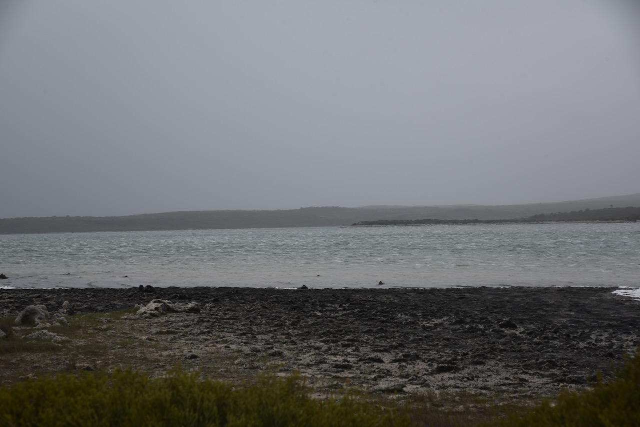
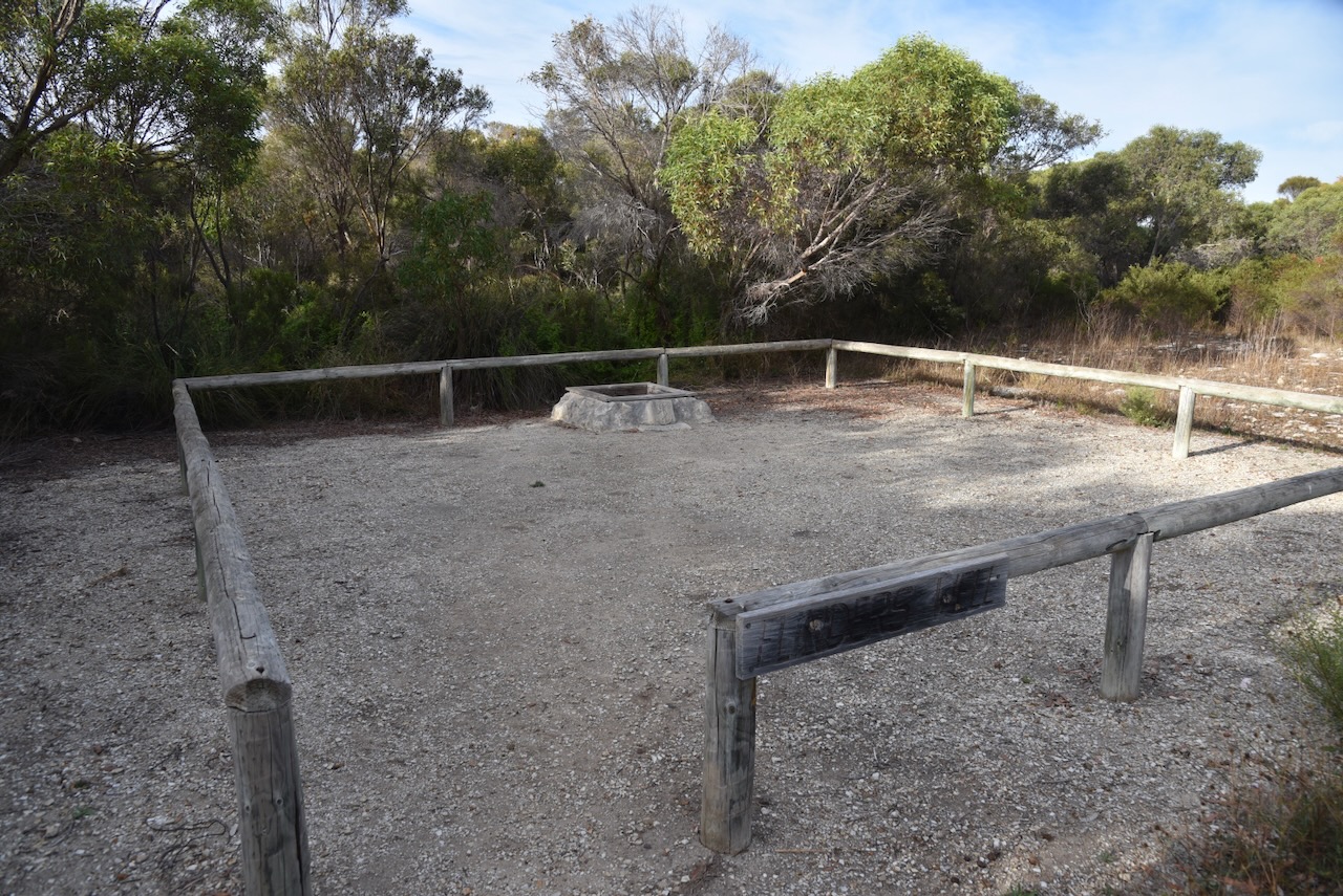
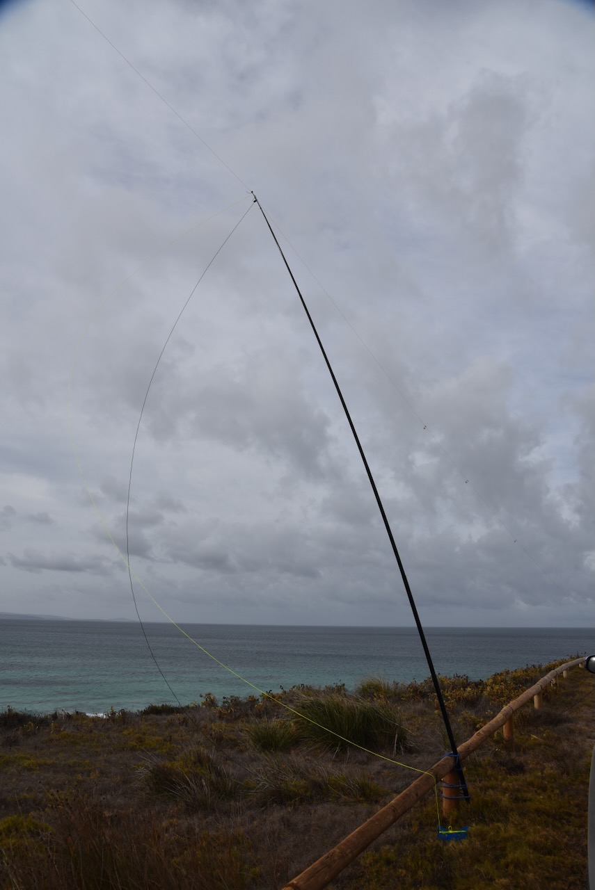
I took a 4WD track off Proper Bay Road and set up my station. The weather had rolled in and it was extremely windy. I was very surprised during the activation that the squid pole did not snap. I ran the Yaesu FT857, 40 watts, and the 20/40/80m linked dipole.
Above:- An aerial view of the park showing its boundaries. Image c/o Google Earth.
Trove. (2014). EARLY WHALING OPERATIONS AT SLEAFORD BAY – Station Established there in 1837 Historical Review of Western Coastline – Port Lincoln Times (SA : 1927 – 1988; 1992 – 2002) – 15 Jun 1934. [online] Available at: https://trove.nla.gov.au/newspaper/article/96616607 [Accessed 11 Aug. 2024].
My first park for Tuesday 23rd April 2024 was the Thorny Passage Marine Park VKFF-1751 on the Eyre Peninsula. This was my first activation of this park for the World Wide Flora Fauna (WFF) program.
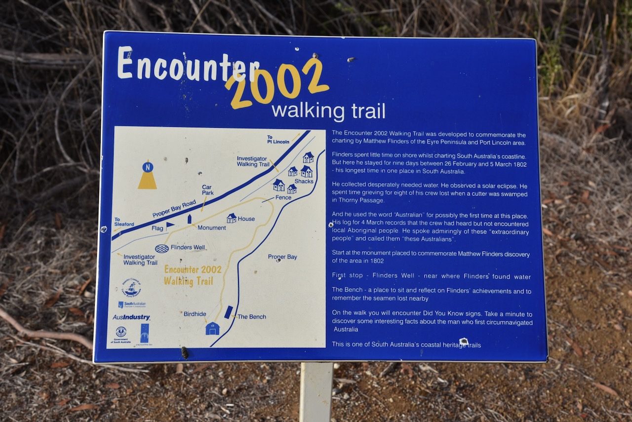
After breakfast, I headed out of Port Lincoln. My first stop was the monument for Captain Matthew Flinders on Proper Bay Road. The cairn commemorates Flinders and his ship’s company’s first visit for water in 1802. The cairn was unveiled in 1939 during the Port Lincoln Centenary.
This area is part of the Encounter 2002 Walking Trail. The trail was developed to commemorate the charting of the Eyre Peninsula and Port Lincoln area by Matthew Flinders.
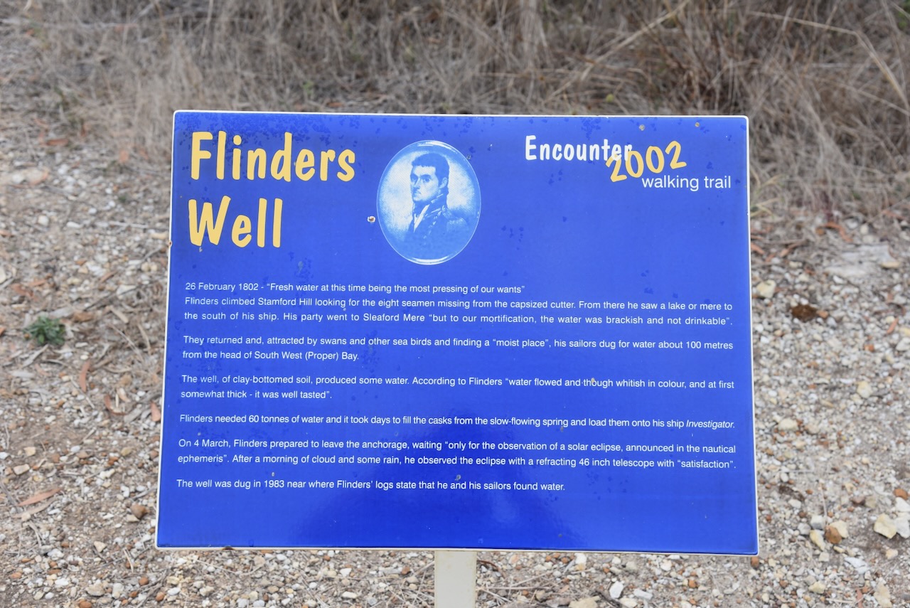
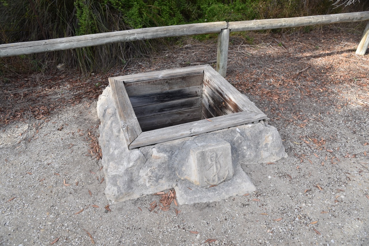
Flinders Well is located in close proximity. On the 26th day of February 1802, FLinders wrote “Fresh water at this time being the most pressing or our wants”. Flinders climbed Stamford Hill looking for the eight seamen missing from the capsized cutter. From there he saw a lake or mere to the south of his ship. His party went to Sleaford Mere ‘but to our mortification, the after was brackish and not drinkable’. They returned and, attracted by swans and other sea birds and finding a ‘moist place’, his sailors dug for water about 100 metres from the head of South West (Proper) Bay. The well, of clay-bottomed soil, produced some water.
According to Flinders ‘water flowed and though whitish in colour, and at first somewhat thick-it was well tasted.’ Flinders needed 60 tonnes of after and it took days to fill the casks from the slow-flowing spring and load them onto his ship Investigator. On the 4th day of March 1802, Flinders prepared to leave the anchorage, waiting ‘only for the observation of a solar eclipse, announced in the nautical ephemeris.’ After a morning of clouds and some rain, he observed the eclipse with a refracting 46-inch telescope with ‘satisfaction’.
Above:- Captain Matthew Flinders. Image c/o Wikipedia.
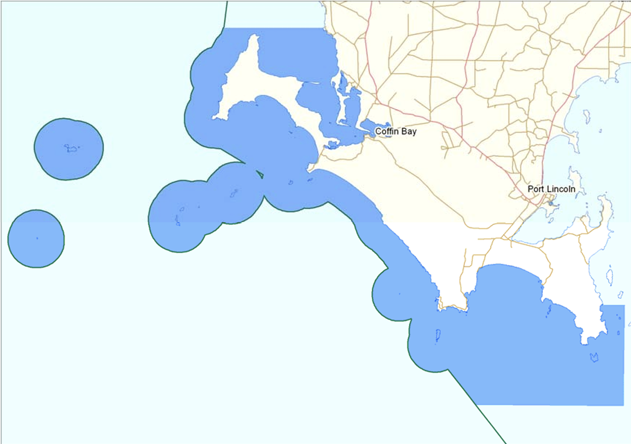
The Thorny Passage Marine Park covers 2,472 km2 and is located in the Eyre Bioregion. The park includes the waters off the lower Eyre Peninsula, extending from Frenchman Bluff to Memory Cove. It also includes both Rocky and Greenly Islands. (DEWNR 2012).
Above:- Map showing the boundaries of the Thorny Passage Marine Park. Map c/o Parks SA.
The park comprises various habitats including sheltered bays and inlets, reefs, seagrass meadows, tidal sandflats, rugged rocky coastlines, surf beaches, and offshore islands. Wildlife includes White Pointer sharks, Australian Sea Lions, Southern Bluefin tuna, 13 whale species, various reef fish including Western Blue Gropef, and several nationally and internationally protected shorebirds and seabirds. (DEWNR 2012).
Above:- An aerial view of the park. Image c/o Google Maps.
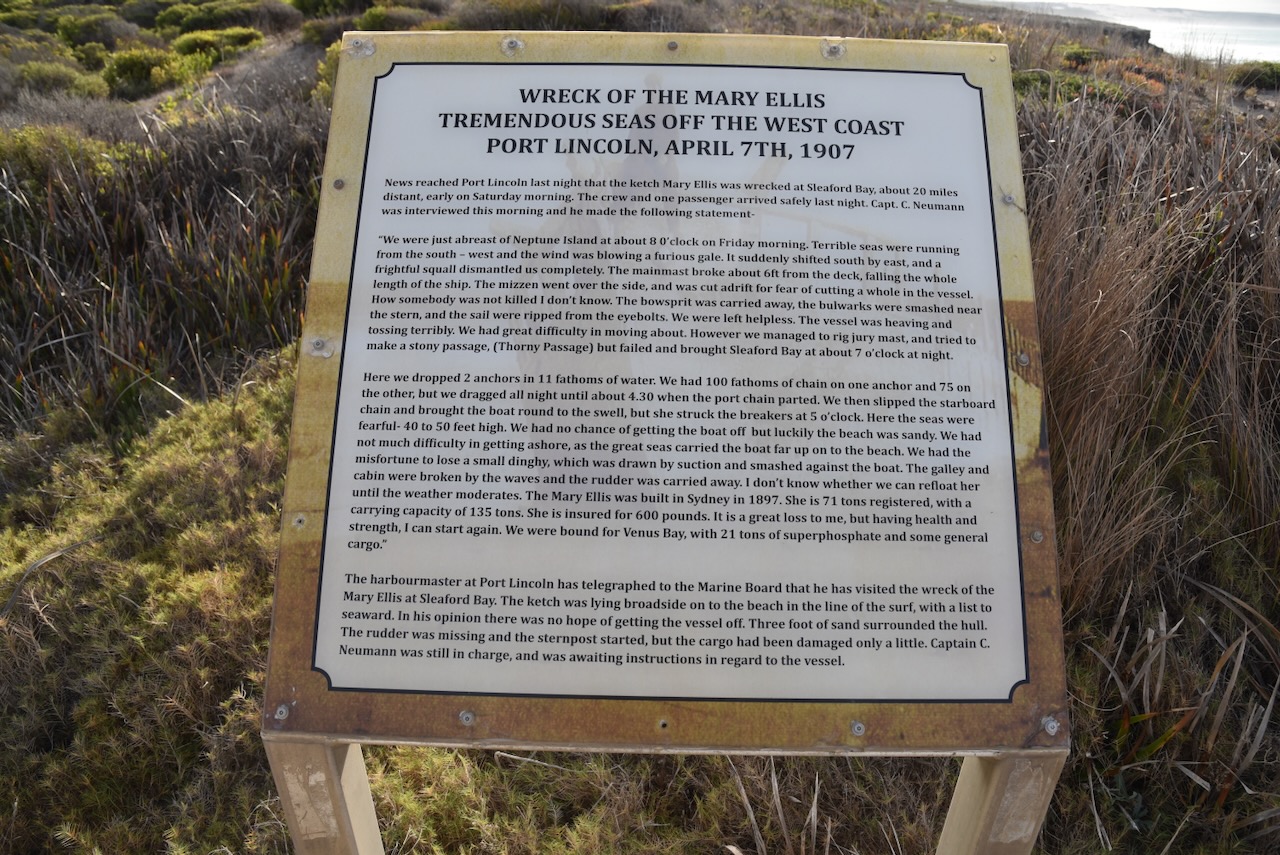
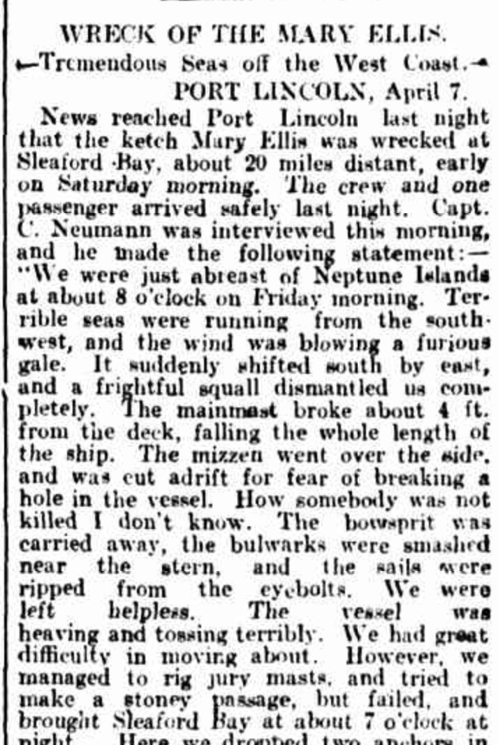
I stopped at the carpark at Lolo Beach where you can find an information board regarding the wreck of the Mary Ellis.
The Mary Ellis was a trading ketch that worked in South Australian waters from 1899 to 1907. It undertook voyages to the West Coast and regularly called into ports such as Venus Bay, Sceale Bay, Streaky Bay, Denial Bay, Fowlers Bay, Elliston and Point Sinclair. (Aust Govt 2024)
Above:- Part of an article from the Observer, Sat 13 Apr 1907. Image c/o Trove.
In April 1907 it was caught in a gale during its journey from Port Adelaide and Venus Bay.
Above:- The wreck of the Mary Ellis, c. 1911. Image c/o State Library SA.
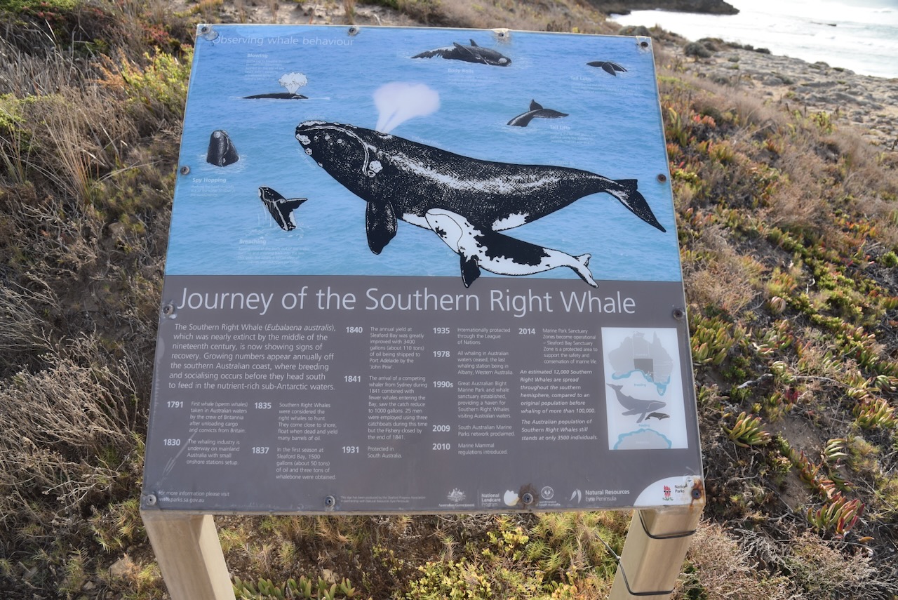
There is also a sign here detailing the journey of the Southern Right Whale.
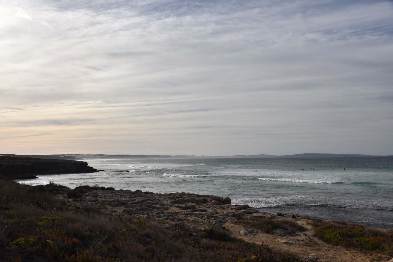
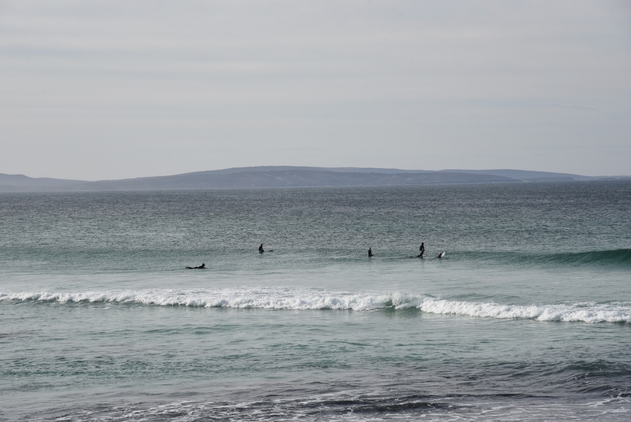
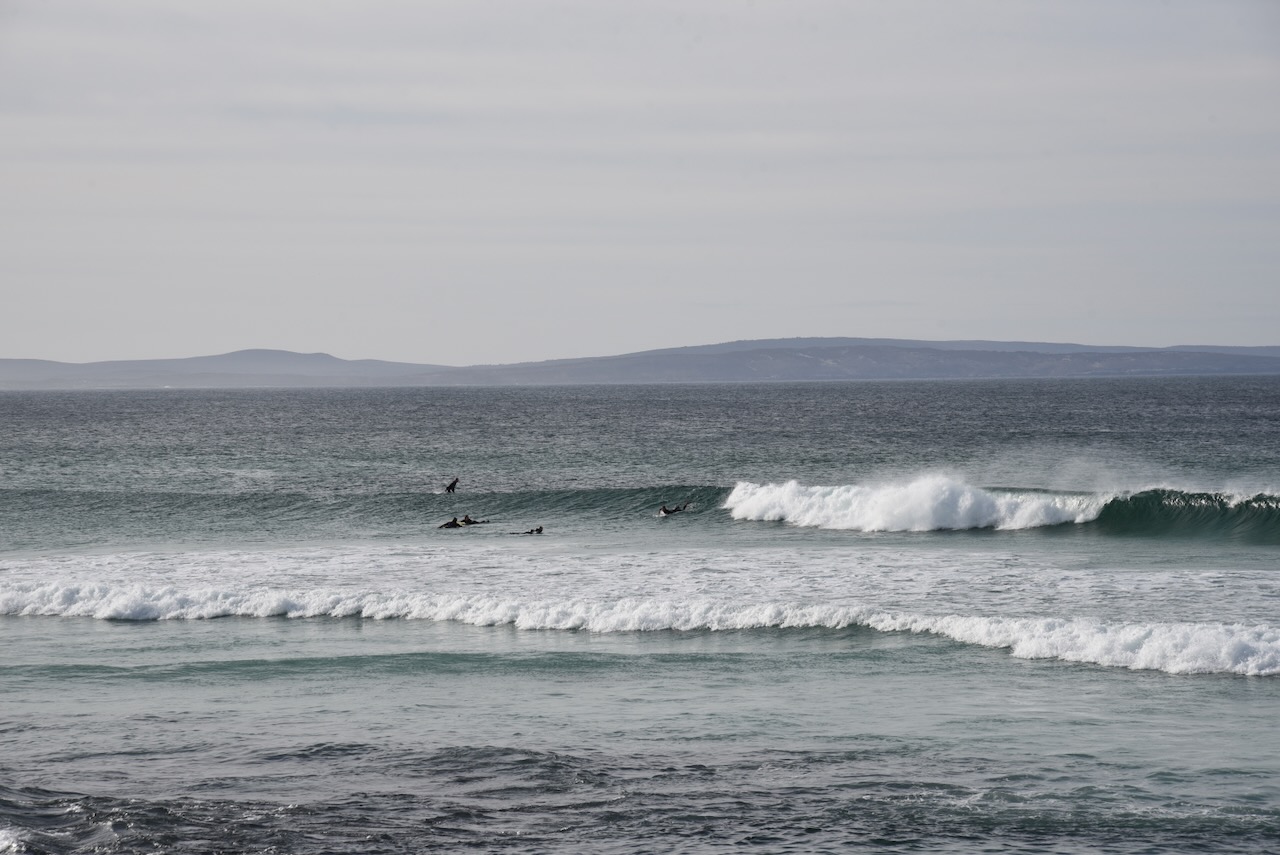
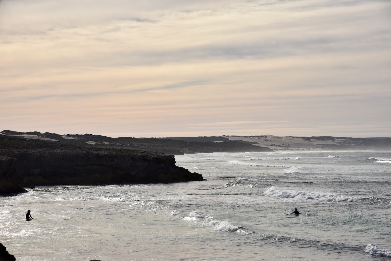
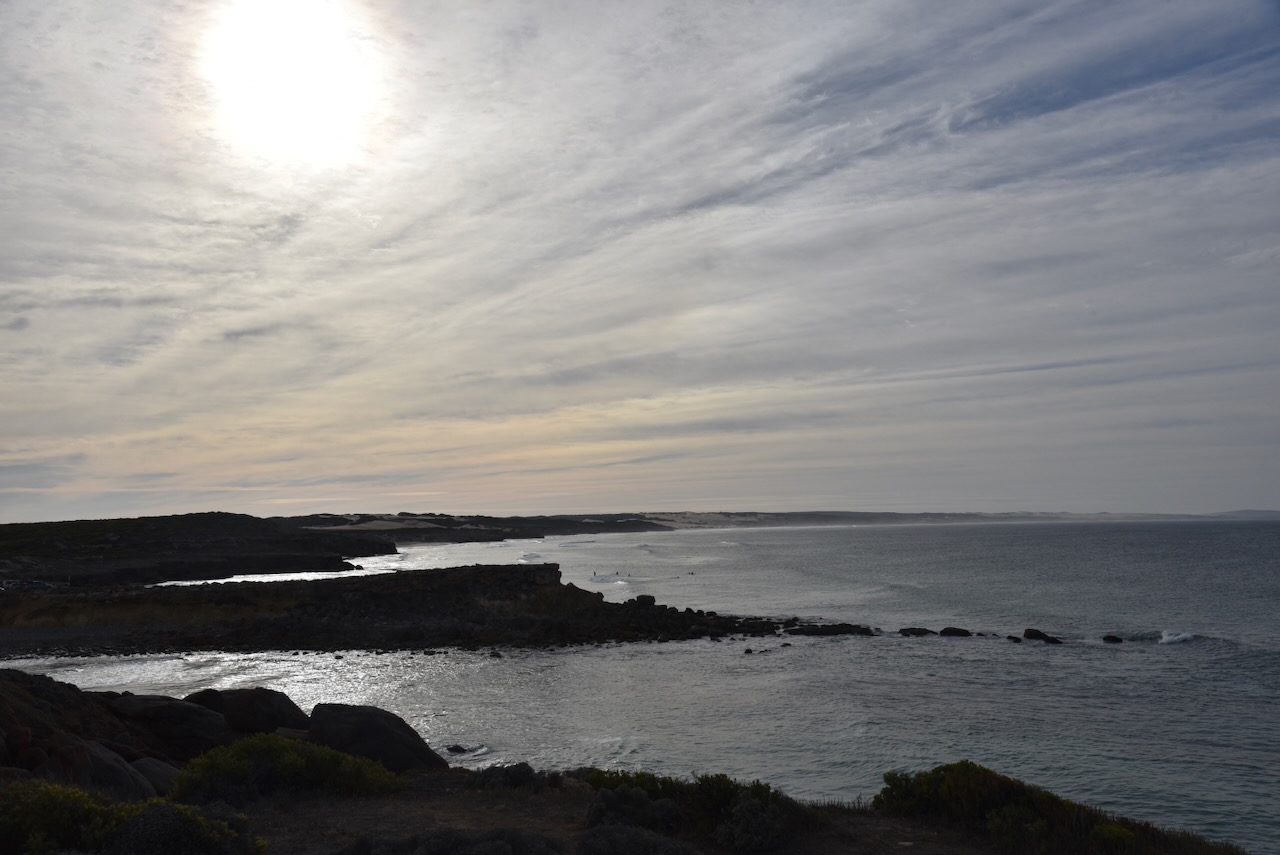
This is beautiful coastline. There were several surfers in the water.
I drove up to Lone Pine Lookout and set up my station comprising the Yaesu FT857, 40 watts, and the 20/40/80m linked dipole.
I worked the following stations on 40m SSB before the UTC rollover:-
VK5MAZ
VK5IS
VK5HS/m
VK3PF
VK3KAI
VK3MCK
VK2MOE
VK5LA
VK5KAW
VK3EJ
VK5AYL
VK3AWA
VK5FIVE
VK6DS
VK2YK
VK5GA
I worked the following stations on 40m SSB after the UTC rollover:-
VK2YK
VK5GA
VK5FIVE
VK5IS
VK5MAZ
VK3PF/m
VK3KAI/m
VK5LA
VK5KA
VK5HS/m
VK3FQSo
VK3SO
VK3SFG
VK3BEL
VK5GY
I worked the following stations on 20m SSB:-
VK3BEL
VK5LA
VK5KAW
VK5MAZ
VK1AO
VK2MET
VK3SO
VK3SFG
Vk4NH
VK4DXA
VK2IO
VK3CEO
VK2VW
VK2HFI
VK2AKA
VK2BUG
VK2ADF
Zl2STR
VK5QA/m
Vk3CLD/m
VK4HNS
VK3DCQ
VK5IS
VK7QP
KG8P
VK3ANL
VK4JG
KG5CIK
VK2YK
VK5GA
I worked the following stations on 20m FT8:-
VK3CEO
VK6DS
VK3SQ
VK3DWL
VK3APJ
VK7XX
I worked the following stations on 40m FT8:-
VK7XX
VK5MAZ
VK2IO
References.
Department of Environment Water and Natural Resources, 2012, Thorny Passage Marine Park Management Plan