
My second activation for Tuesday 23rd April 2024 as the Sleaford Mere Conservation Park VKFF-1102. The park is located on the Eyre Peninsula about 669 km (by road) from the city of Adelaide.

Above:- Map showing the location of the Sleaford Mere Conservation Park. Map c/o Google Maps.
The park is about 1,470 acres in size and was established on the 20th day of November 1969. The park was originally known as the Sleaford Mere National Park. The park comprises Sleaford Mere which is a permanent saline lake, and surrounding land. It shares a boundary with the Lincoln National Park. (Wikipedia 2024)

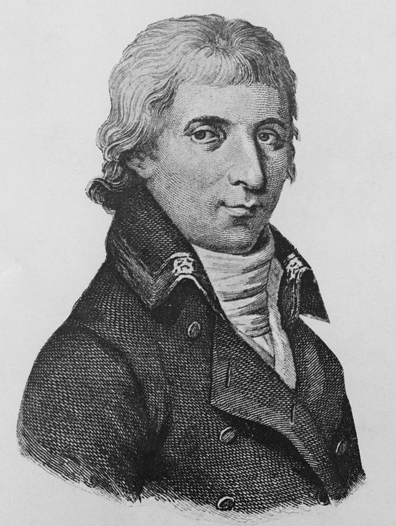
Captain Matthew Flinders named Sleaford Bay in 1802 after a town in Lincolnshire, meaning ‘ford over the River Slea’, while other sources claim the meaning is ‘mullet river’ or ‘slow river’. (Place Names 2012)

Above:- Captain Matthew Flinders. Image c/o Wikipedia.
French explorer Nicholas Thomas Baudin called Sleaford Ance des Nerlans. (Wikipedia 2024)
Above:- Nicholas Baudin. Image c/o Wikipedia.
French naval officer and explorer Louis de Freycinet called it Baie Lavoisier. (Wikipedia 2024)
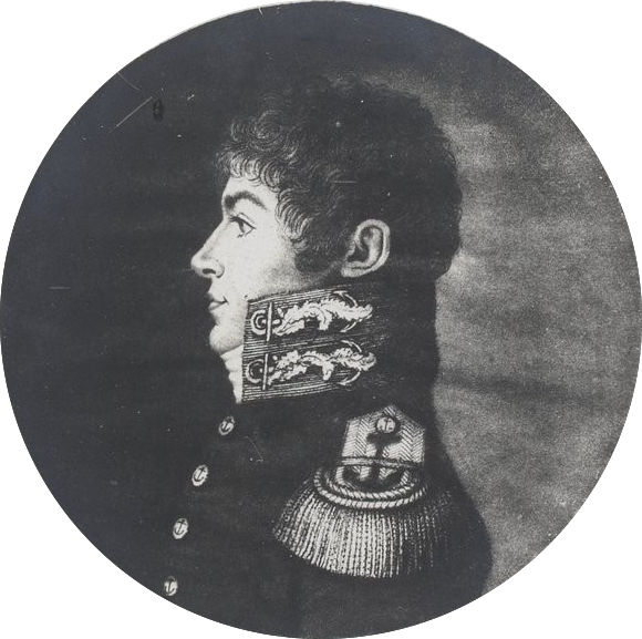
Above:- Louis de Freycinet. Image co Wikipedia.
In 1837 a whaling station was established in 1837. By 1839 it was maintained jointly by the South Australian Company and the firm of Hack & Co. In that year 1,500 gallons of oil and three tons of whale bone were obtained. The whaling station was abandoned in 1841 following the 1841 season being a great failure. It was reported that whales appeared less frequently in the bay. The Sleaford Bay shore party consisting of 30 men with three boats had to face the competition of a whaling ship from Sydney (Pt Lincoln Times 1934) (Wikipedia 2024)

Above:- part of an article from The COlonist, Sat 20 Jan 1838. Image c/o Trove.
The Hundred of Sleaford, County of Flinders, was proclaimed on the 10th day of August 1871. In 1919 the Sleaford School opened. It closed in 1920. (Wikipedia 2024)

Above:- A picnic at Sleaford Bay, c. 1926. Image c/o State Library SA.
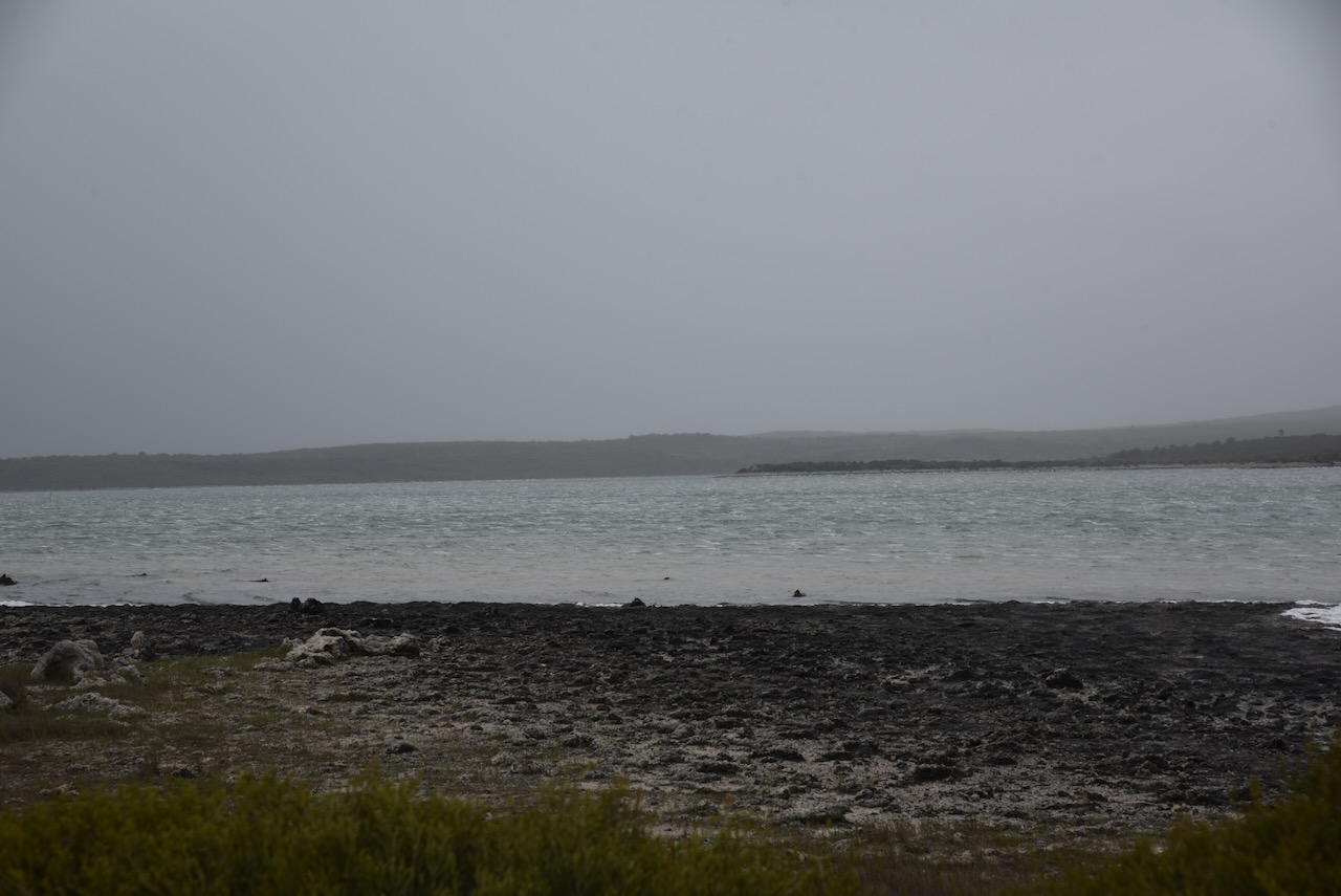
I did look at travelling down to Wreck Beach, but I could not be bothered lowering the tyre pressure for the sandy track that leads down to the beach.

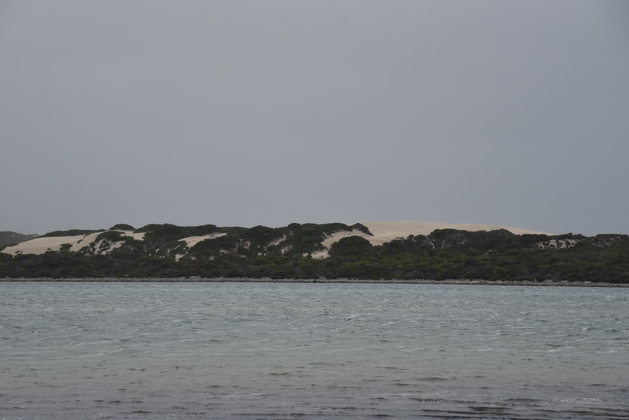
I took a 4WD track off Proper Bay Road and set up my station. The weather had rolled in and it was extremely windy. I was very surprised during the activation that the squid pole did not snap. I ran the Yaesu FT857, 40 watts, and the 20/40/80m linked dipole.
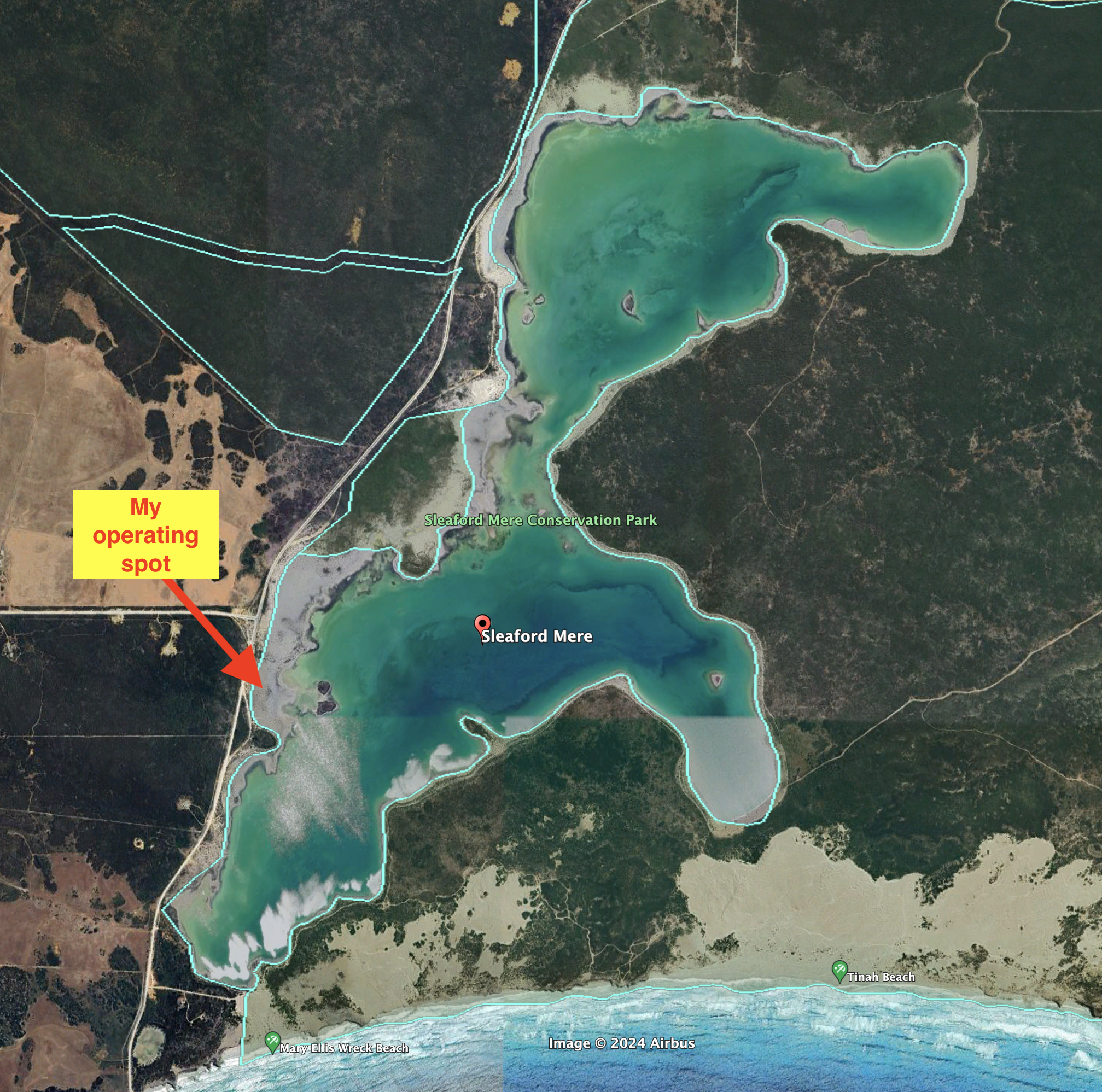
Above:- An aerial view of the park showing its boundaries. Image c/o Google Earth.
I worked the following stations on 40m SSB:-
- VK5MAZ
- VK5IS
- VK3ZSC/p (Mernda Streamside Reserve VKFF-3764)
- VK5AYL
- VK2YK
- VK5GA
- VK5QA/m
- VK3CLD/m
- VK3MTT
- VK5LA
- VK5KAW
- VK3BEL
- VK3ANL
I worked the following stations on 40m AM:-
- VK5LA
- VK5KAW
- VK3BEL
I worked the following stations on 40m FT8:-
- VK5LA
- VK5KAW
- VK3ANL
- VK7XX
- VK3CEO
- VK2IO
- VK3MCK
I worked the following stations on 20m FT8:-
- VK7XX
- VK3APJ
- VK1AO
- VK2IO
- VK5LA
- VK5KAW
- VK3CEO
- VK3ANL
I worked the following stations on 20m SSB:-
- VK7XX
- VK1AO
- VK2MET
- Vk4EMP
- VK4TI
- VK2BRG/m
- Vk4NH
- VK4DXA
- VK3PF/p (Silo VK-MFA3)
- VK3KAI/p (SIlo VK-MFA3)
- VK3APJ
- VK2VW
- VK2HFI
- VK2AKA
- VK2BUG
- VK3EJ
- VK3VIN
- VK6XL
- VK2IO
- VK4MUD
- VK5IS
- VK3TKK/p (Silo VK-WYE3)
- VK4TMZ
References.
- published.collections.slsa.sa.gov.au. (n.d.). A Compendium of the Place Names of South Australia. [online] Available at: https://published.collections.slsa.sa.gov.au/placenamesofsouthaustralia/. [Accessed 11 Aug. 2024]
- Trove. (2014). EARLY WHALING OPERATIONS AT SLEAFORD BAY – Station Established there in 1837 Historical Review of Western Coastline – Port Lincoln Times (SA : 1927 – 1988; 1992 – 2002) – 15 Jun 1934. [online] Available at: https://trove.nla.gov.au/newspaper/article/96616607 [Accessed 11 Aug. 2024].
- Wikipedia Contributors (2021). Sleaford Mere Conservation Park. [online] Wikipedia. Available at: https://en.wikipedia.org/wiki/Sleaford_Mere_Conservation_Park [Accessed 11 Aug. 2024].
