About a week ago I received my latest Hunter certificate in the World Wide Flora Fauna (WWFF) program. It is issued for having worked a total of 2,644 different WWFF reference areas.
Thank you to all of the WWFF activators and thank you to Hugo CT7AOV the Awards Manager.
I left Eudunda (22nd May 2024) and headed for the Lake Short Conservation Park VKFF-4038 which was to be a first activation of the park for me.
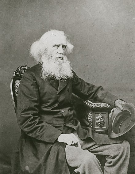
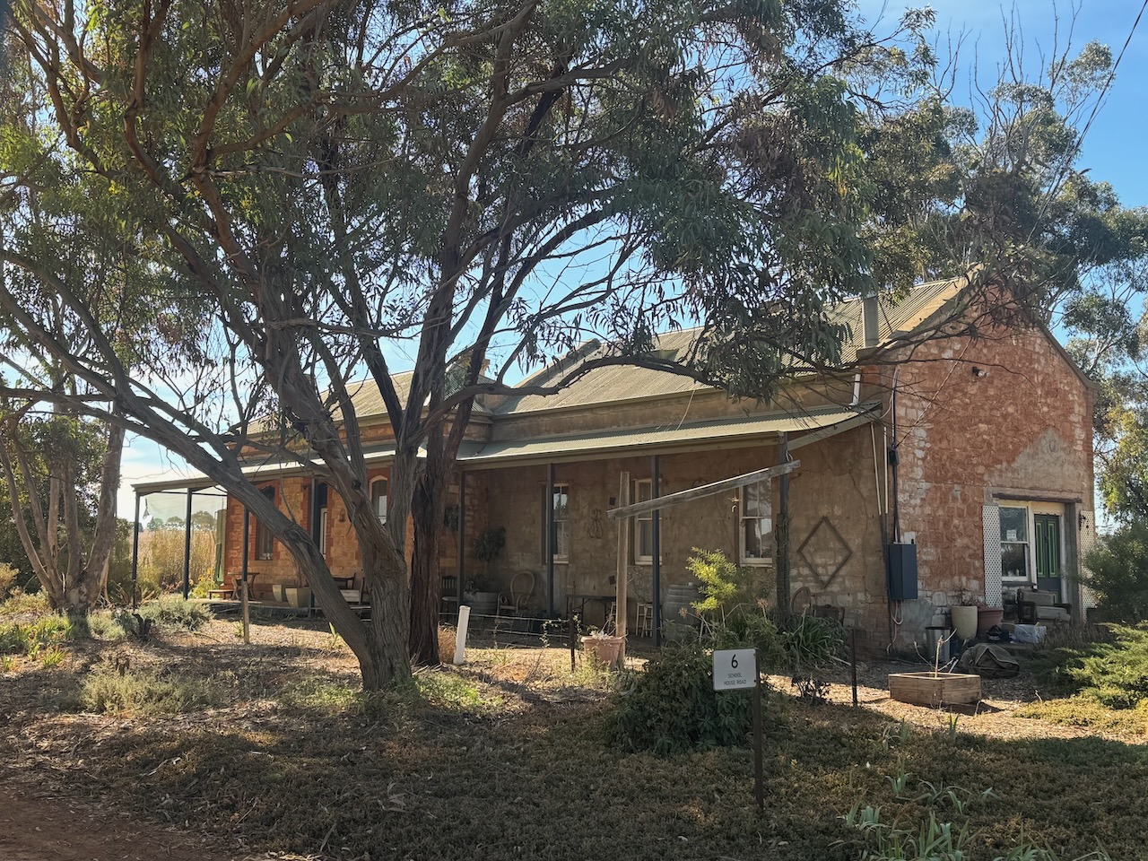
Along the way, I stopped to have a look at the old Bagot Well schoolhouse. The area takes its name after a well that was sunk by Charles Hervey Bagot (b. 1788. d. 1880) in 1855. He was often referred to as Captain Bagot. He was a South Australian pastoralist, mine owner, and parliamentarian. (Place Names 2012) (Wikipedia 2024)
Above:- Charles Bagot. Image co Wikipedia.
The Bagot Well Post Office opened on the 1st day of September 1860. In 1863 the Bagot Well School opened. It closed in 1954. On the 5th day of December 1940, it was renamed from Bagot’s Well to Bagot Well. (Place Names 2012)
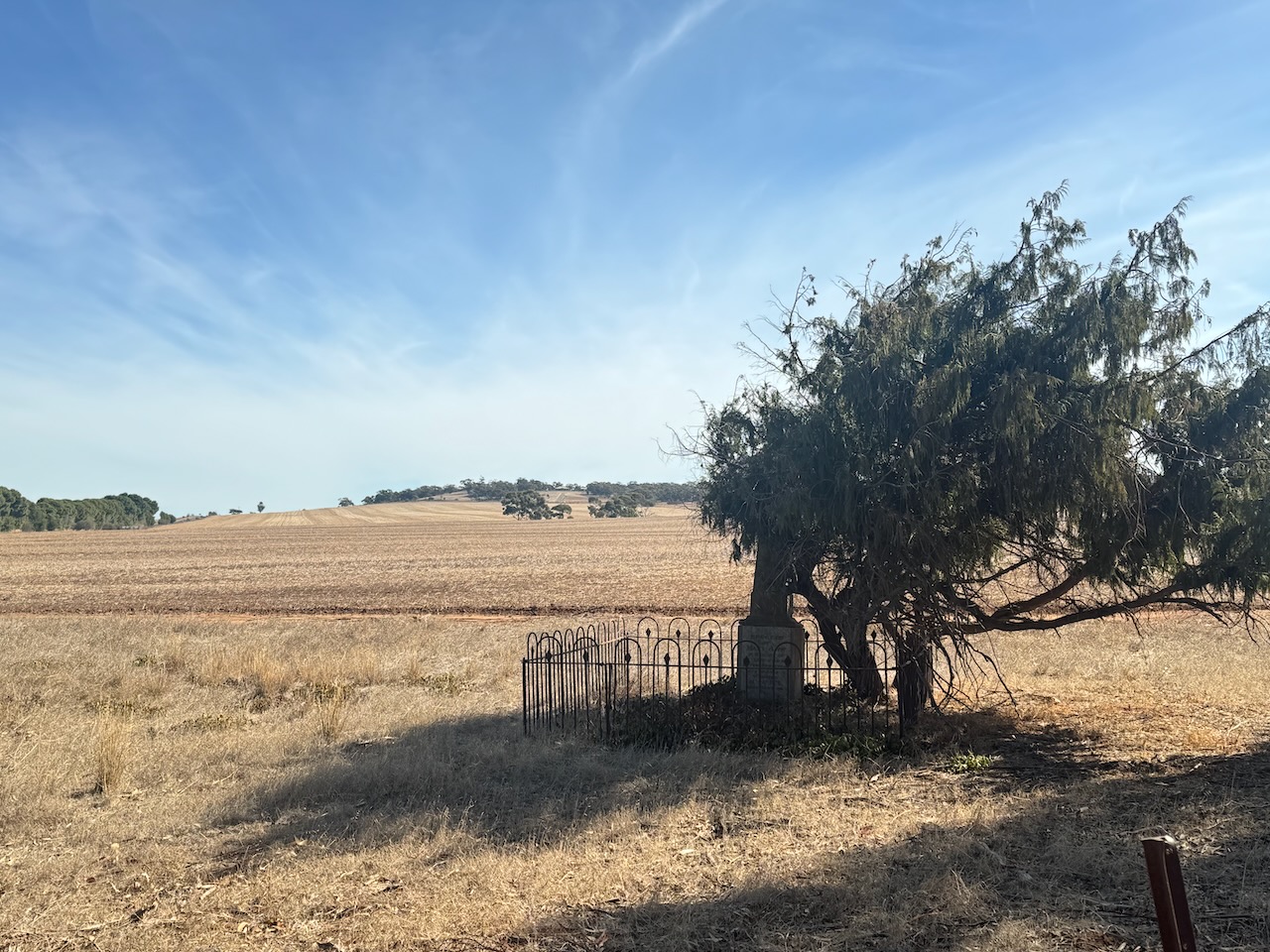
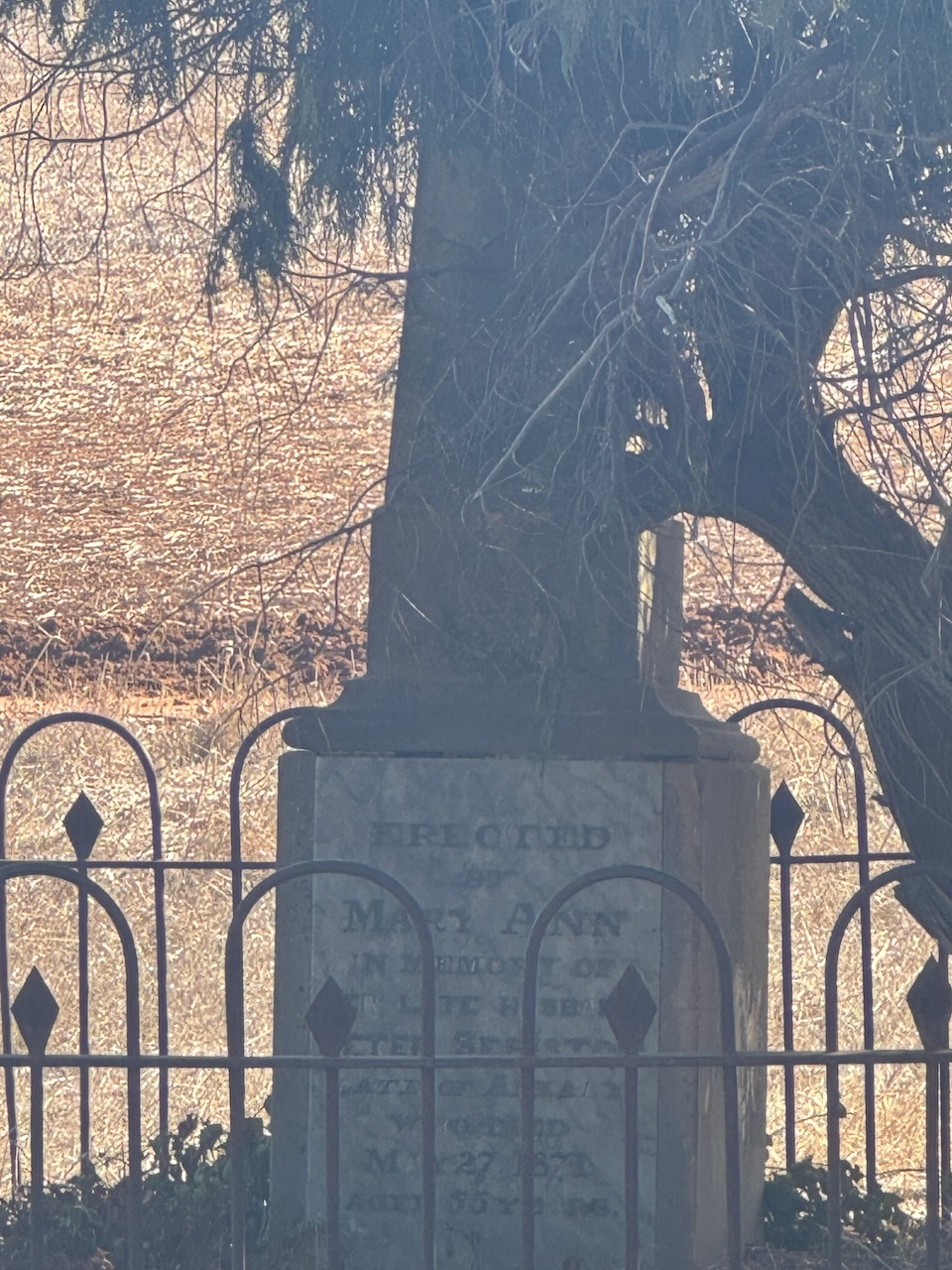
Opposite the old school is the old Congregational Cemetery. Only two headstones remain. The church was built in 1865 and was demolished c. 1877. (Flickr 2024)
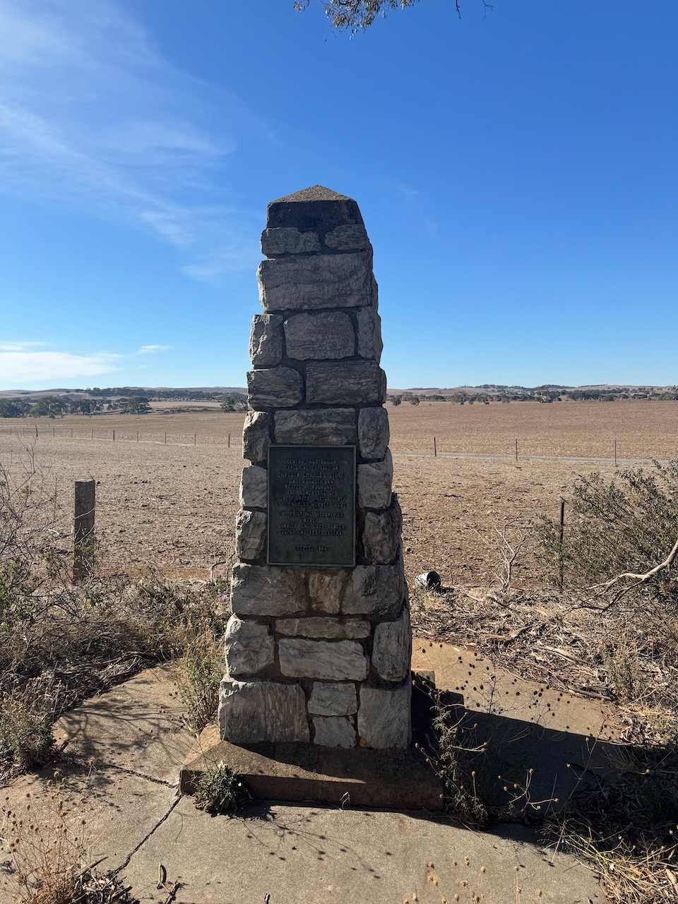
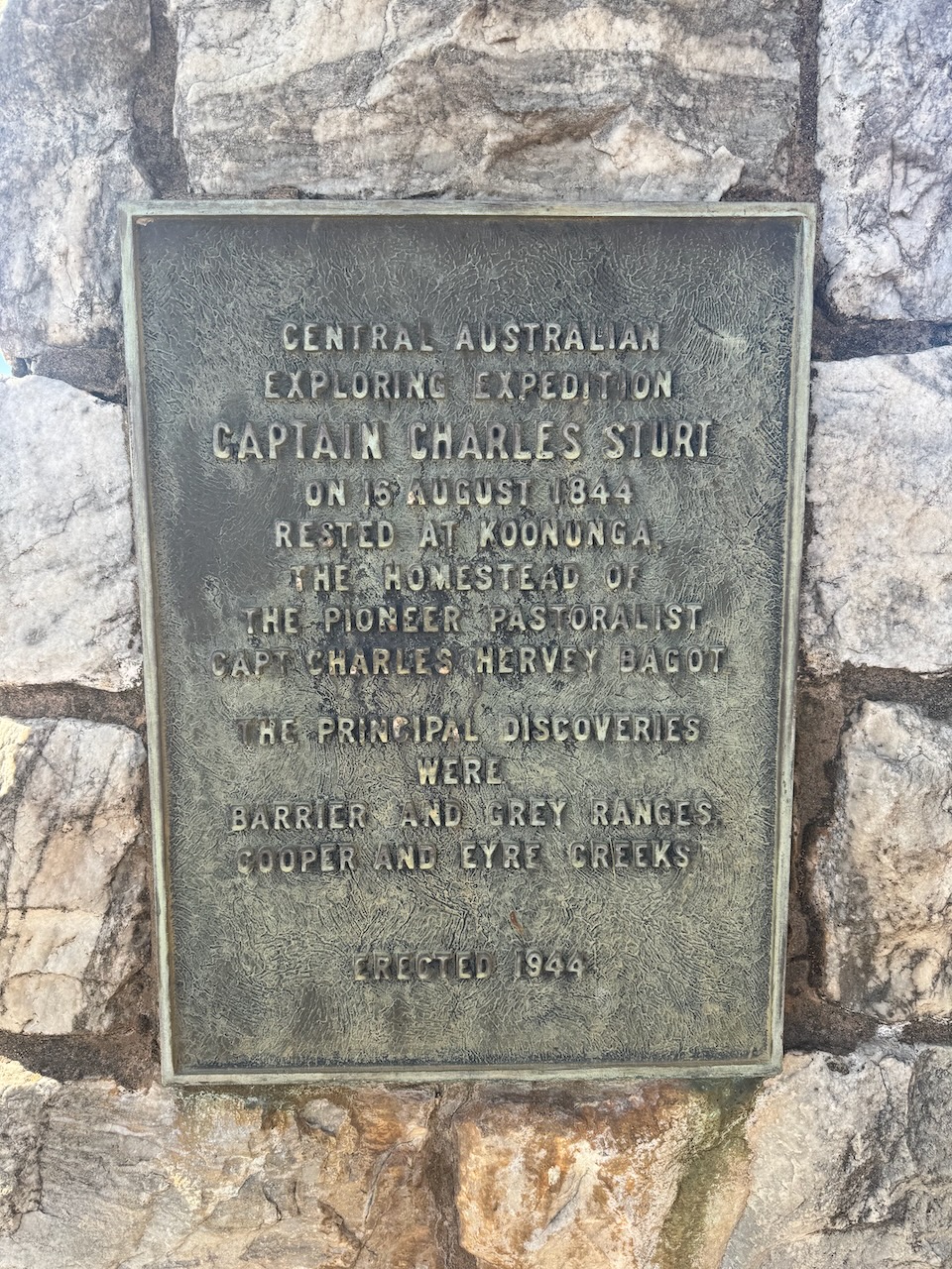
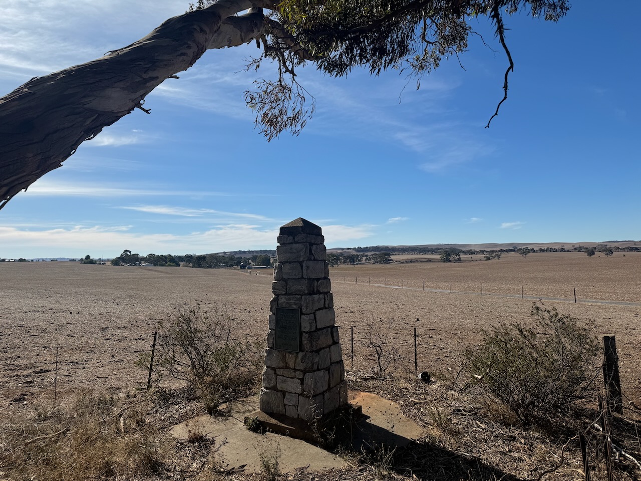
I then stopped to have a look at the Captain Charles Sturt and Central Australian Exploring Expedition monument on Kapunda-Truro Road, Koonunga. The cairn commemorates Captain Charles Sturt and the Central Australian Exploring Expedition of 1844 and 1845. The cairn was unveiled in 1944 to mark the centenary of the expedition. (Monument Australia 2024)
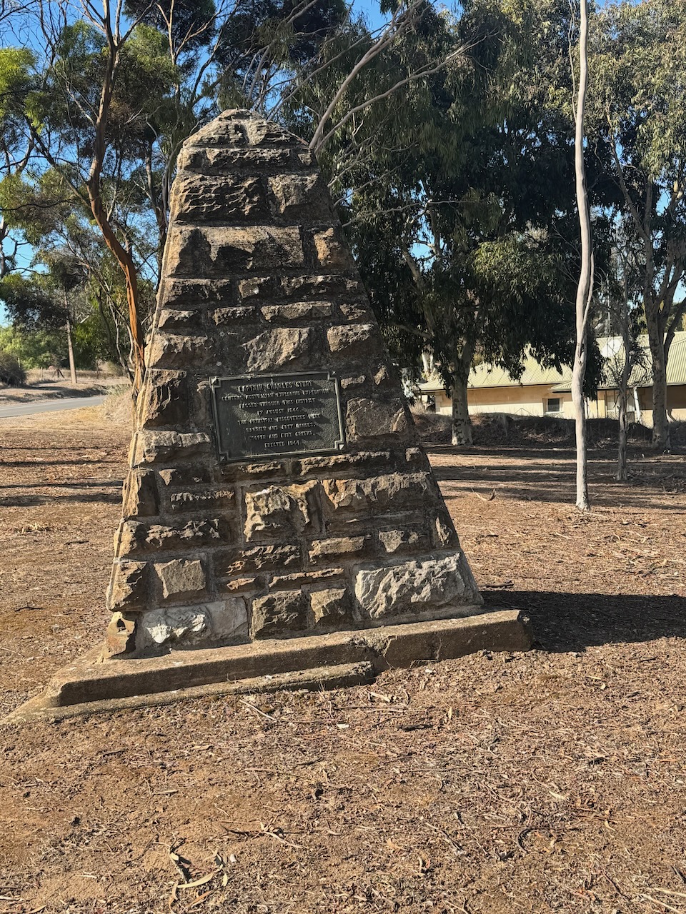
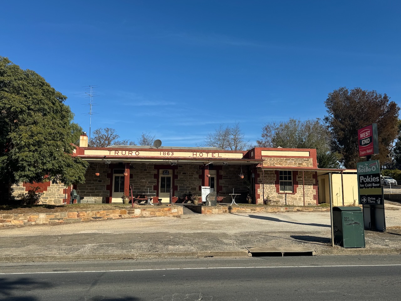
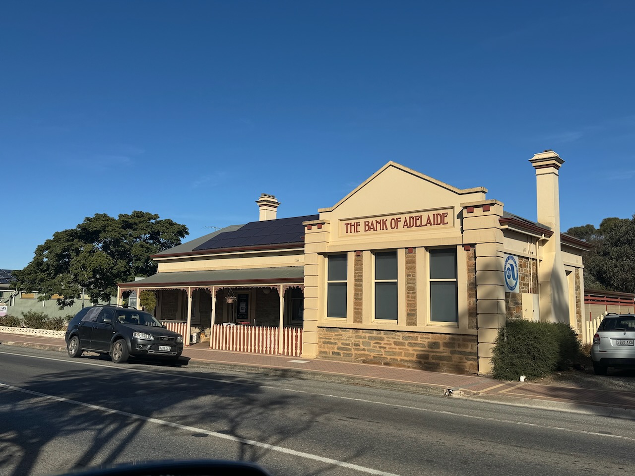
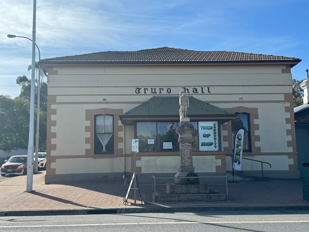
I then drove into the town of Truro, stopping at the Captain Charles Sturt monument.
The town of Truro is located about 48 km northeast of Gawler. It was surveyed in 1847-1848 for J.H. Angas by Thomas Burr and Frederick Sinnett. It was named after a town in Cornwall, England. Truro is derived from either tre-rhiew – ‘the dwelling on the slope’, or tre-ru – ‘the castle on the water’. (Place Names 2012)
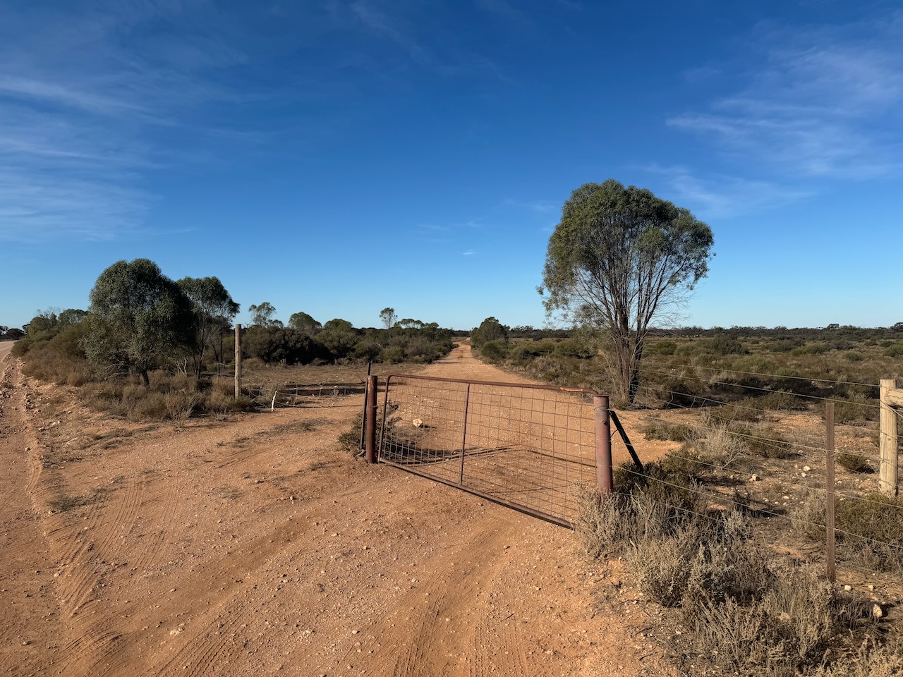
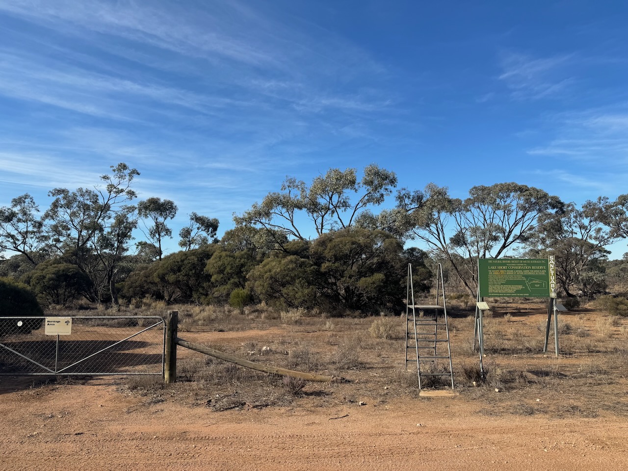
Access to the park is via Lake Short Road at the intersection with Diagonal Road and Sperling Road. There is a gate here. It is unlocked, but please close the gate behind you.
The Lake Short Conservation Reserve is a Heritage Agreement. It is owned by The Natural History Society of South Australia Inc. and is open to the public.
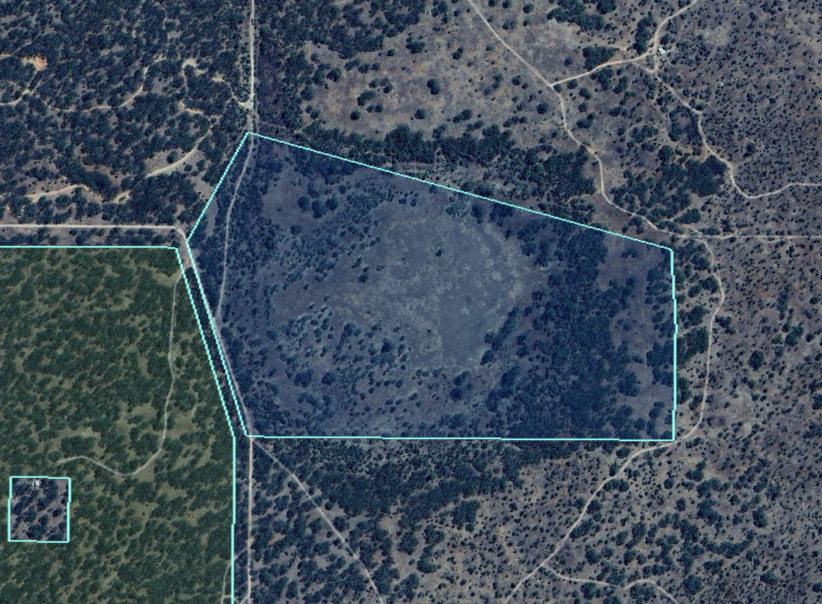
Above:- An aerial view of the park. Image c/o Google Earth.
The park is 33 hectares in size and was established on the 24th day of February 1994. The park includes Lake Short which is usually dry and only fills in years of exceptional rainfall. (CAPAD 2022) (Wombats SA 2024)
I set up just inside the entrance gate. I ran the Yaesu FT857, 40 watts, and the 20/40/80m linked dipole for this activation.
I logged a total of 126 QSOs including the following countries:-
Australia
Belgium
England
Fiji
Finland
France
Germany
Hawaii
Italy
Japan
Netherlands
Poland
Slovenia
Spain
Sweden
Switzerland
Ukraine
USA
I worked the following stations on 20m SSB:-
VK4KBA
VK7AAE
EC4AT
VK7XX
DL2ND
ON5VN
VK3SO
VK3SFG
VK1AO
VK2MET
KG5CIK
F5PYI
VK4NH
VK4DXA
F4LDK
VK6JK
DH4PSG
PD1CMP
DK4RM
IZ5JMZ
UT5PI
VK2OZI/p (Glenrock State Conservation Area VKFF-1319)
IC8CUQ
SM5ZCJ
OP7M
VK7SW
VK2DI/p (Kamay Botany National Park VKFF-0048)
F5PMW
S55G
VK4KLA
VK2IO/p (Mapleton National Park VKFF-1205)
VK4EMP
VK4TI
VK2USH
VK3PF
VK3KAI
VK4EW
SM1ALH
VK4HTE
F8GGV
VK2MTM
OH2CGU
M6KCI
IK1GPG
SQ9CWO
DL1DGS
ON4VT
PA1WLB
SP5INQ
M1TES/m
VK7NSS
F4GYM
DL1EBR
DF0DS
F4GYE/m
PD2BA
OH5EP
OH1MM
OG7J
KH6KW
VK2HDT
ZL2BAQ
VK2COS
VK4JT
3D2MP
M0AIA/m
VK5QA/p
VK2MI
EA3MP
JF7RJM
ON3WA
F4WBN
SP7MW
EA3HAB
OM5TX
OK2VWB
HB9FPR
IU8EUN/m
DJ1SD
OH6GAZ
EA3IM
M7CBI
ON5VR
VK2XGB
G2YT
IW2BNA
AA5R
IK3HMB
VK2OP/m
G0RQL
I worked the following stations on 40m SSB:-
VK5FANA
VK2IO/m
VK3GB
VK1RX
VK2HAK
VK2EXA
VK3VIN
VK1AO
VK2MET
VK3CJN
VK3QHU
VK3PF
VK3KAI
VK3CEO
VK4NH
VK4DXA
VK4HMI
VK5GY
VK2VAR
Vk2GOM
VK2HHA
VK3SPG
VK4DNO
VK3APJ
VK3BEL
VK3ACZ
VK2VW
VK2HFI
VK7JFD
VK3ENI
VK2VRJ
VK2XGB
VK3IFR
VK7PJM
VK7JDZ
VK3WSG
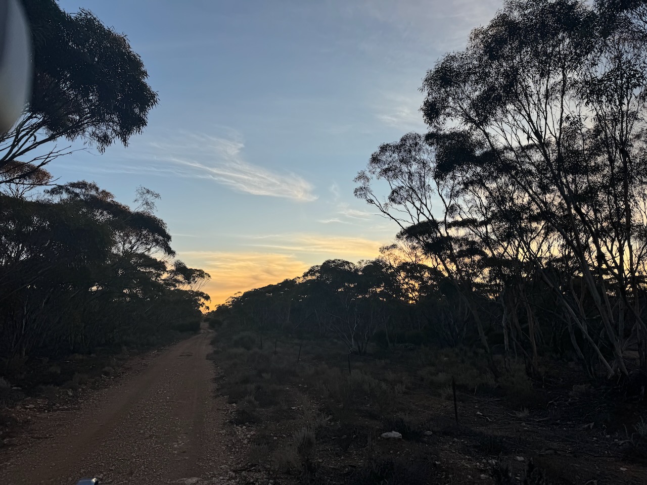
After a very successful activation, I packed up and headed for home just as the sun was setting
Flickr. (2024). Bagot Well. One of only two headstones left in the old Congregational cemetery. Church was built 1865 and demolished around 1877. Peter Sebiston worked at Anlaby Station. [online] Available at: https://www.flickr.com/photos/82134796@N03/23248953433 [Accessed 16 Aug. 2024].
monumentaustralia.org.au. (n.d.). Australian Monuments, Statues, Dedicated | Monument Australia. [online] Available at: https://monumentaustralia.org.au/. [Accessed 16 Aug. 2024].
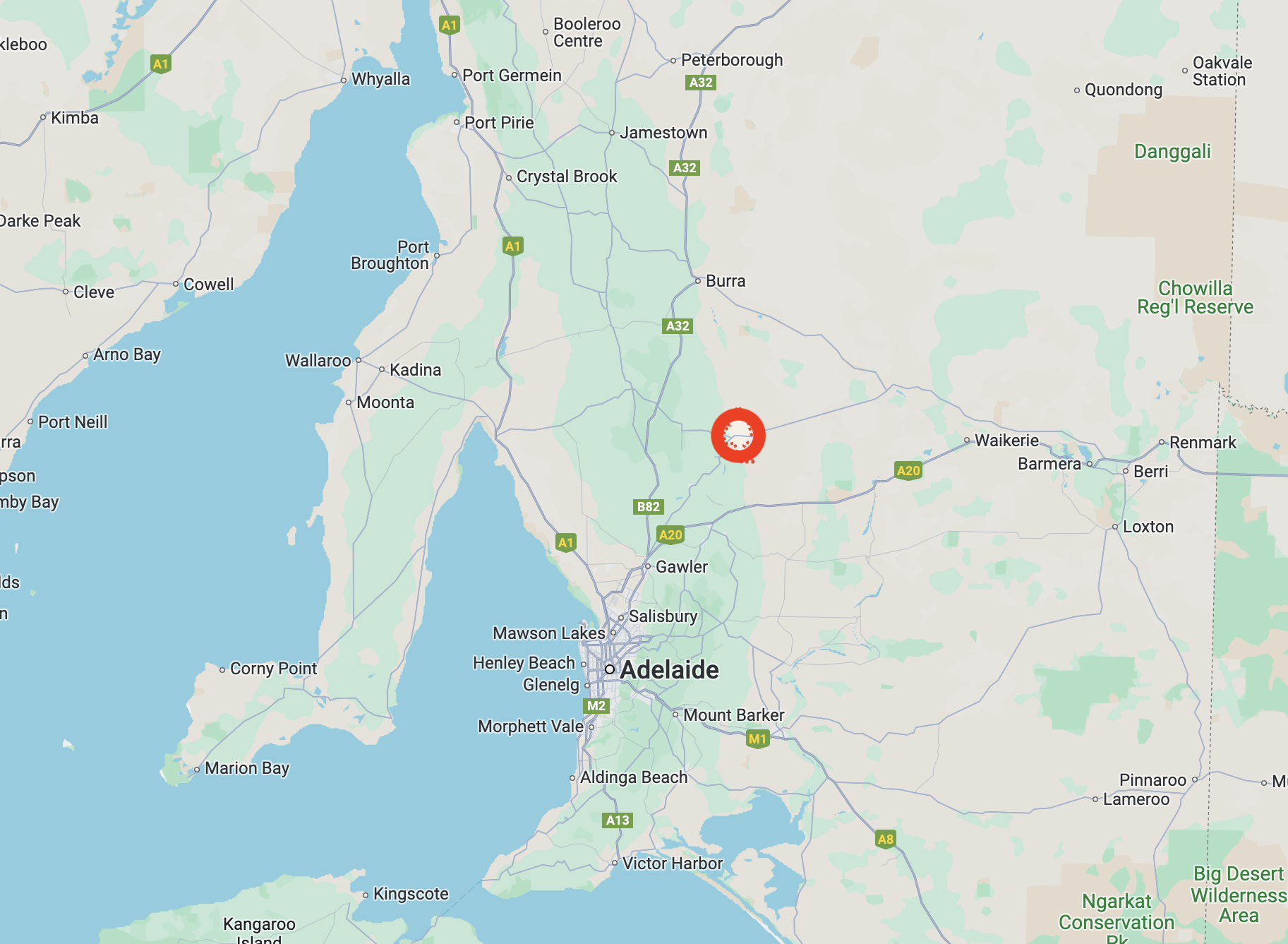
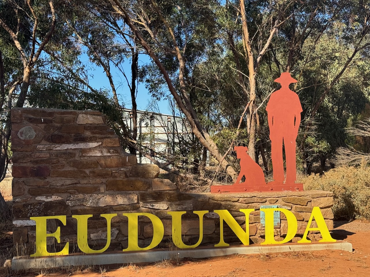
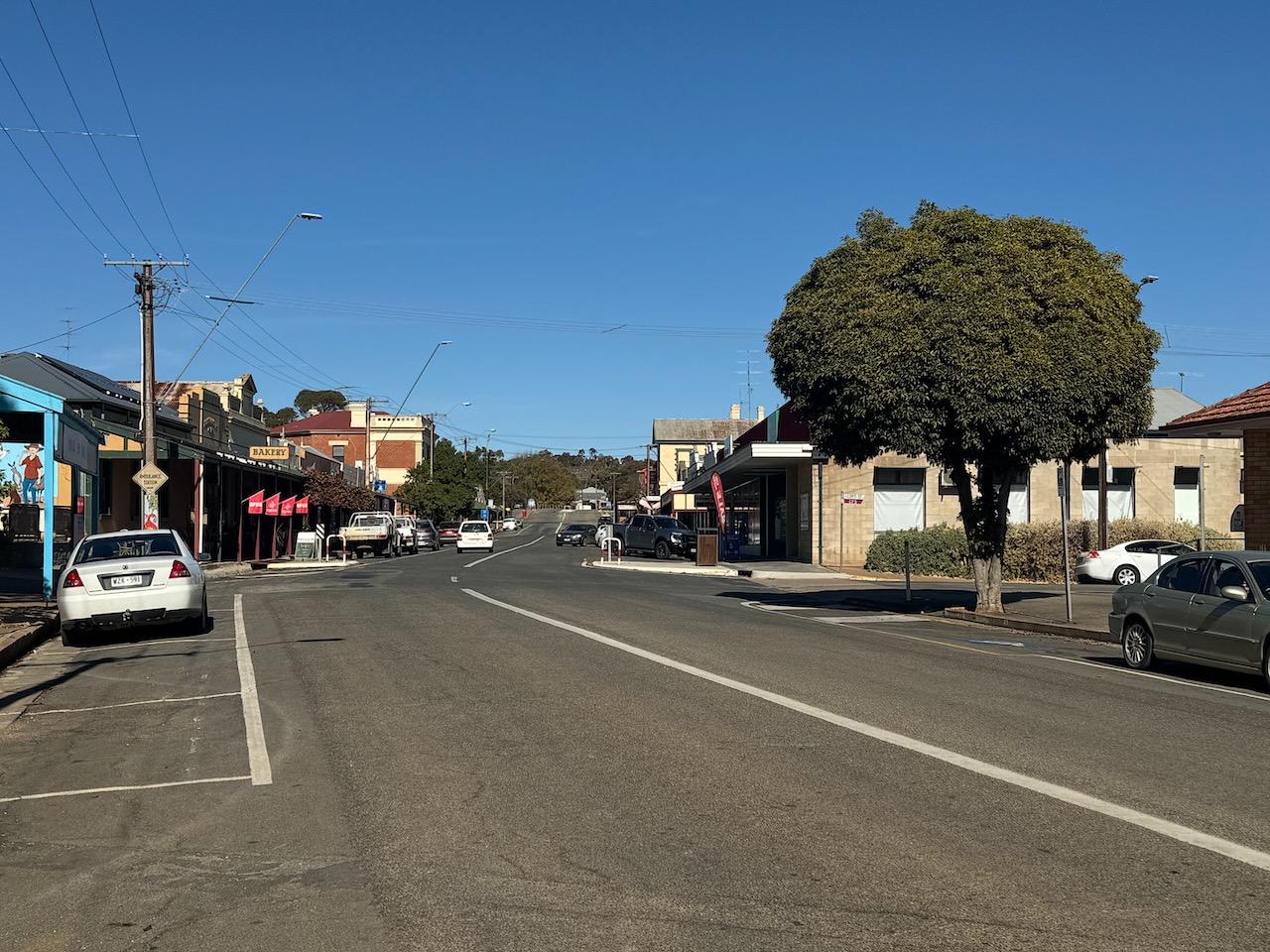
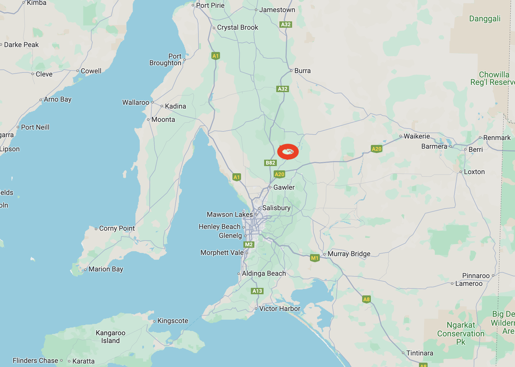
On 22nd May 2024, after my activation of the Kapunda silo, I headed to Eudunda.
Above:- Map showing the location of Eunda, South Australia. Map c/o Google Maps
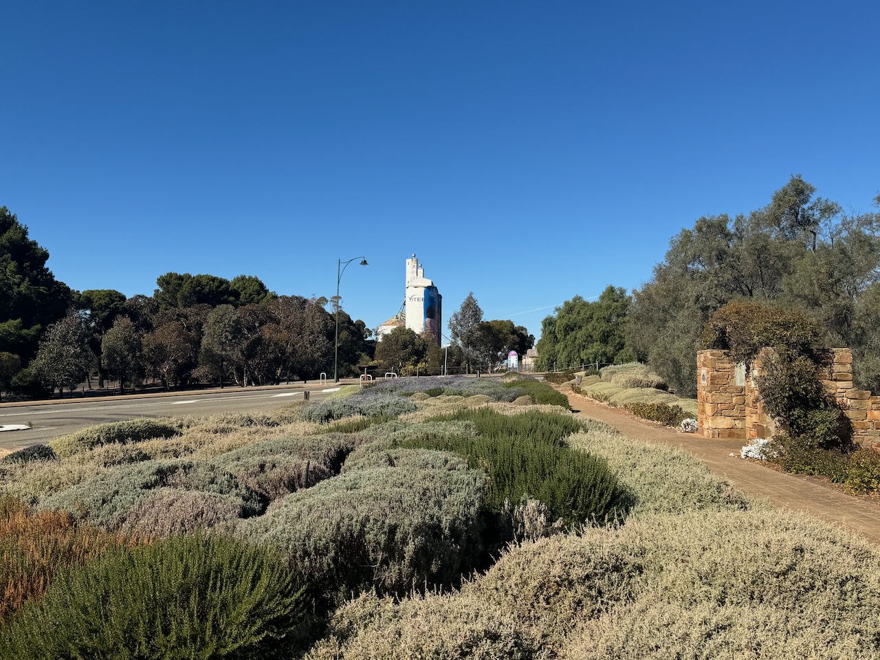
The town of Eudunda was surveyed in 1872. It took its name from a spring located west of the town that the local aboriginal people called judandakawi meaning ‘sheltered water’. The town was proclaimed on the 21st day of May 1908 as Eudunda South. The name was changed to Eudunda on the 20th day of February 1941. (Place Names 2012)
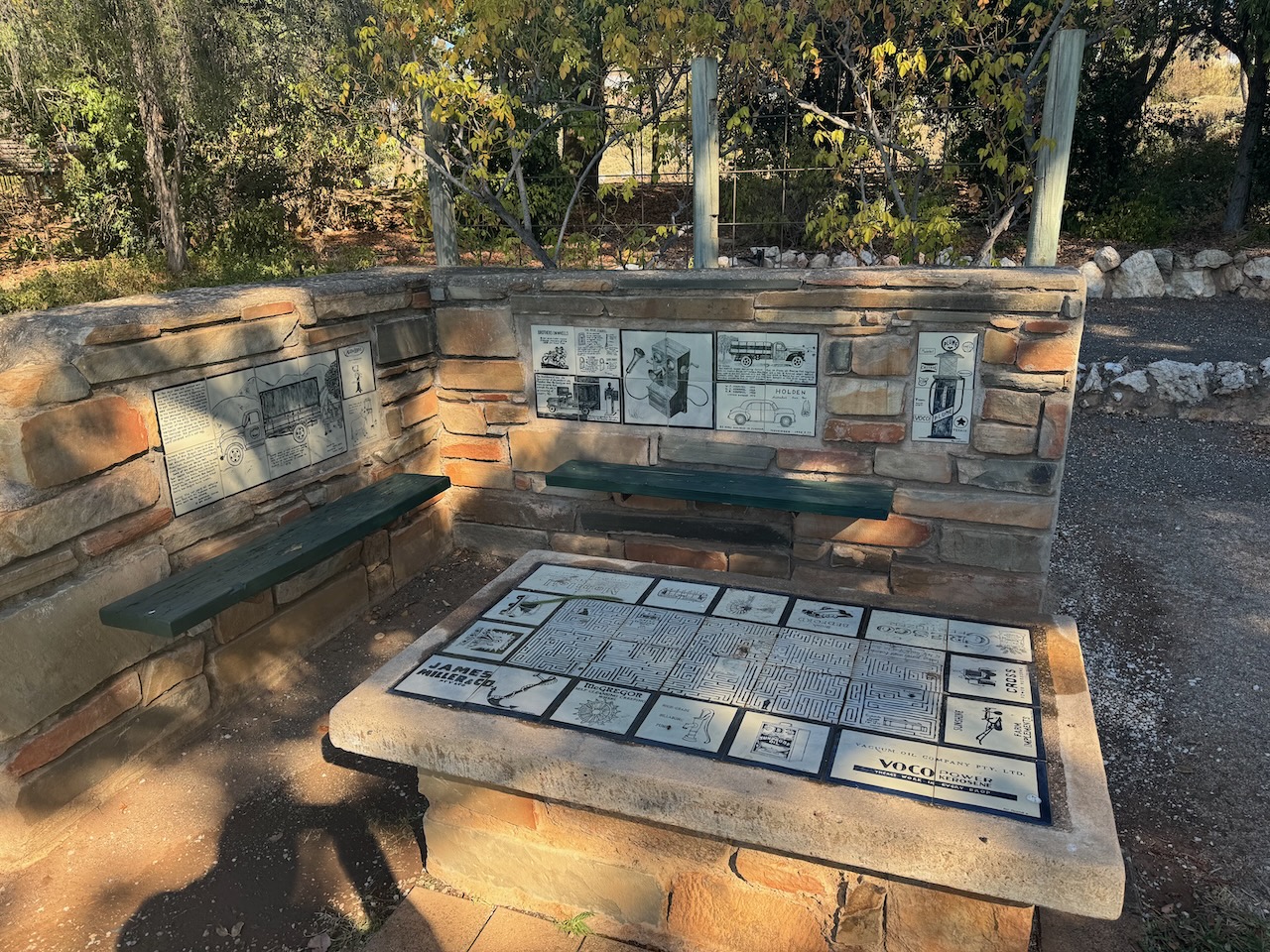
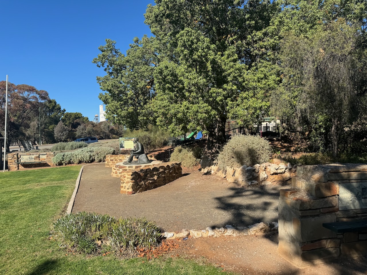
The Eudunda Centenary and Memorial Gardens were designed, constructed, planted and cared for by Mr. Bert Aesche, Council Overseer, in 1946. (Eudunda 2024)
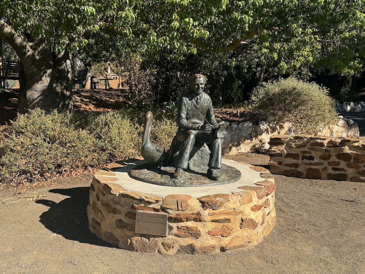
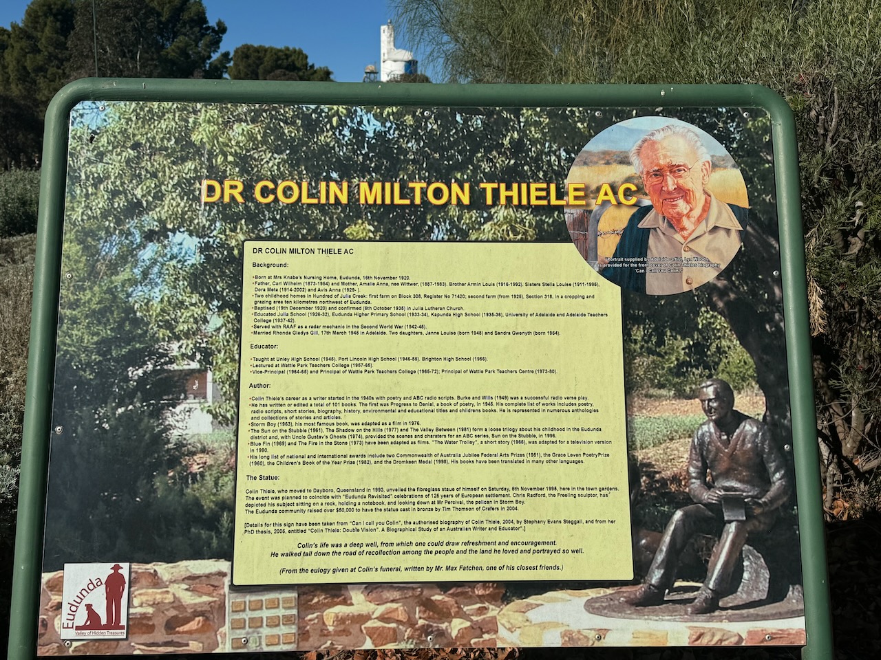
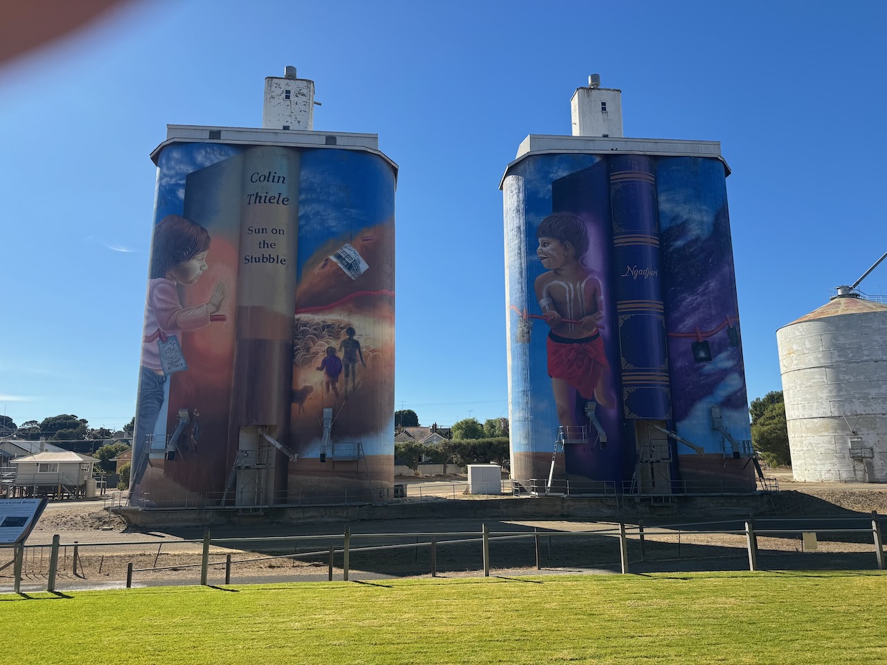
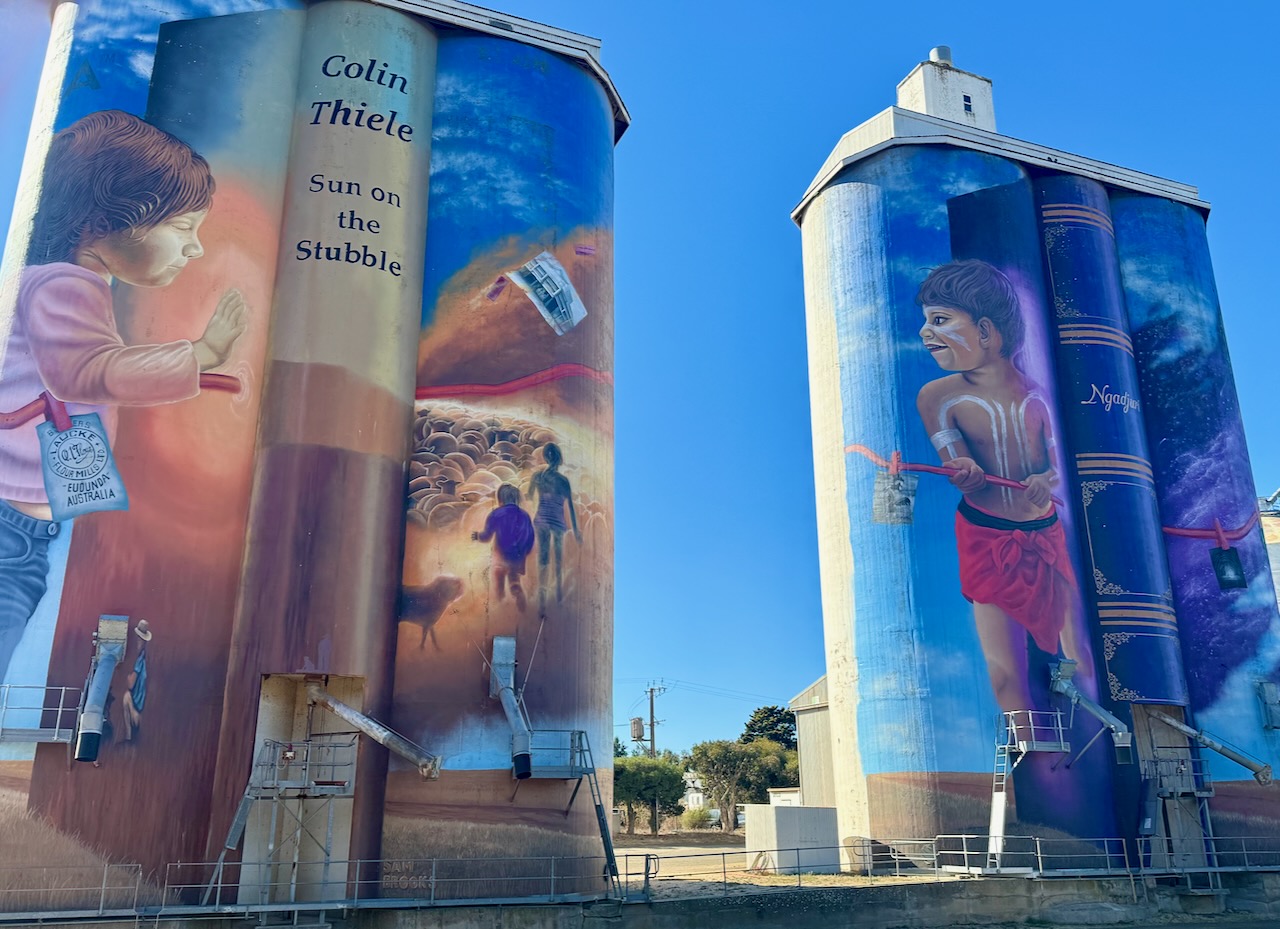
The gardens feature a bronze sculpture of Colin Milton Thiele AC, a famous author whose books include Storm Boy.
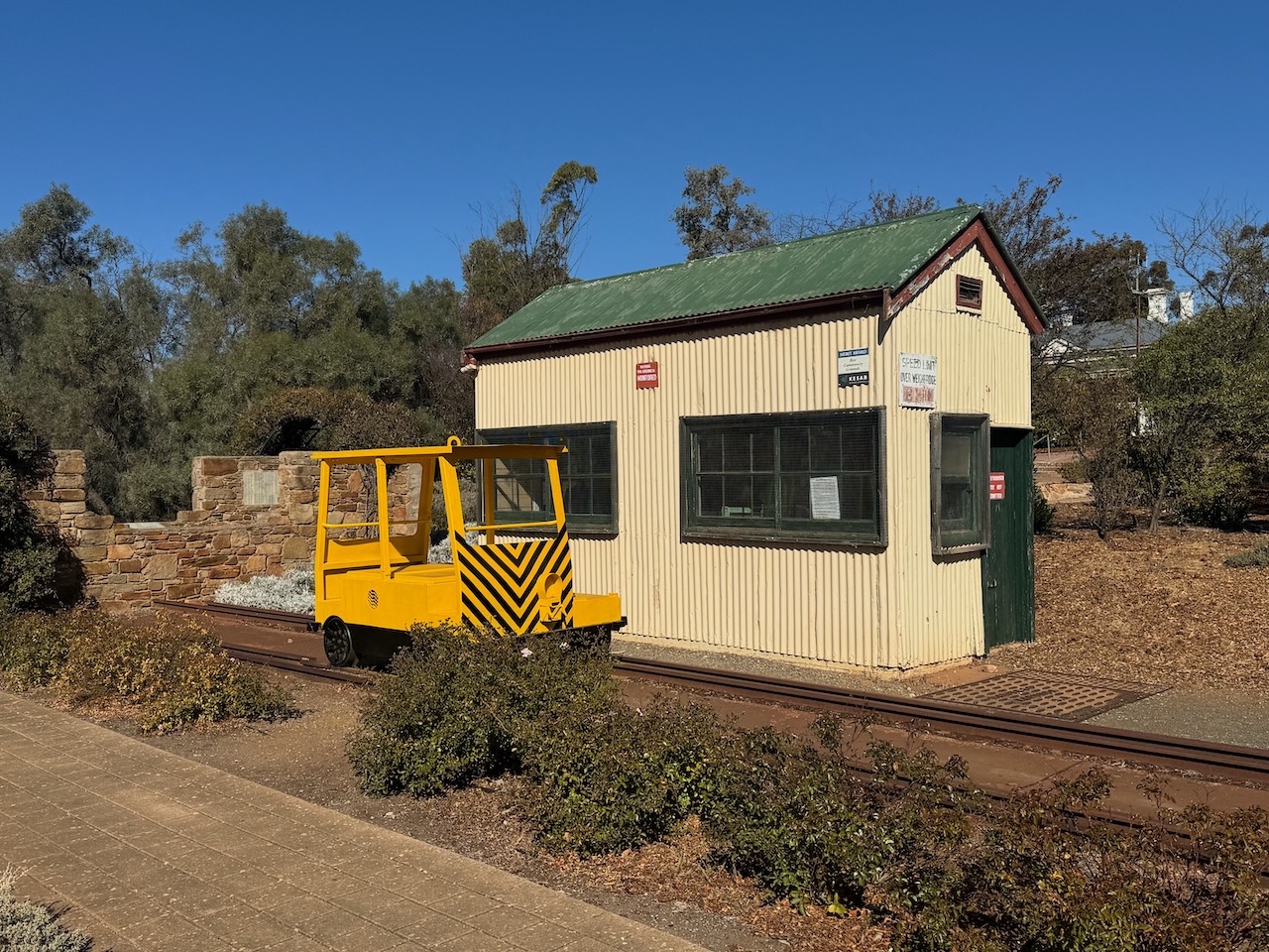
The old Eudunda weighbridge can also be found in the park.
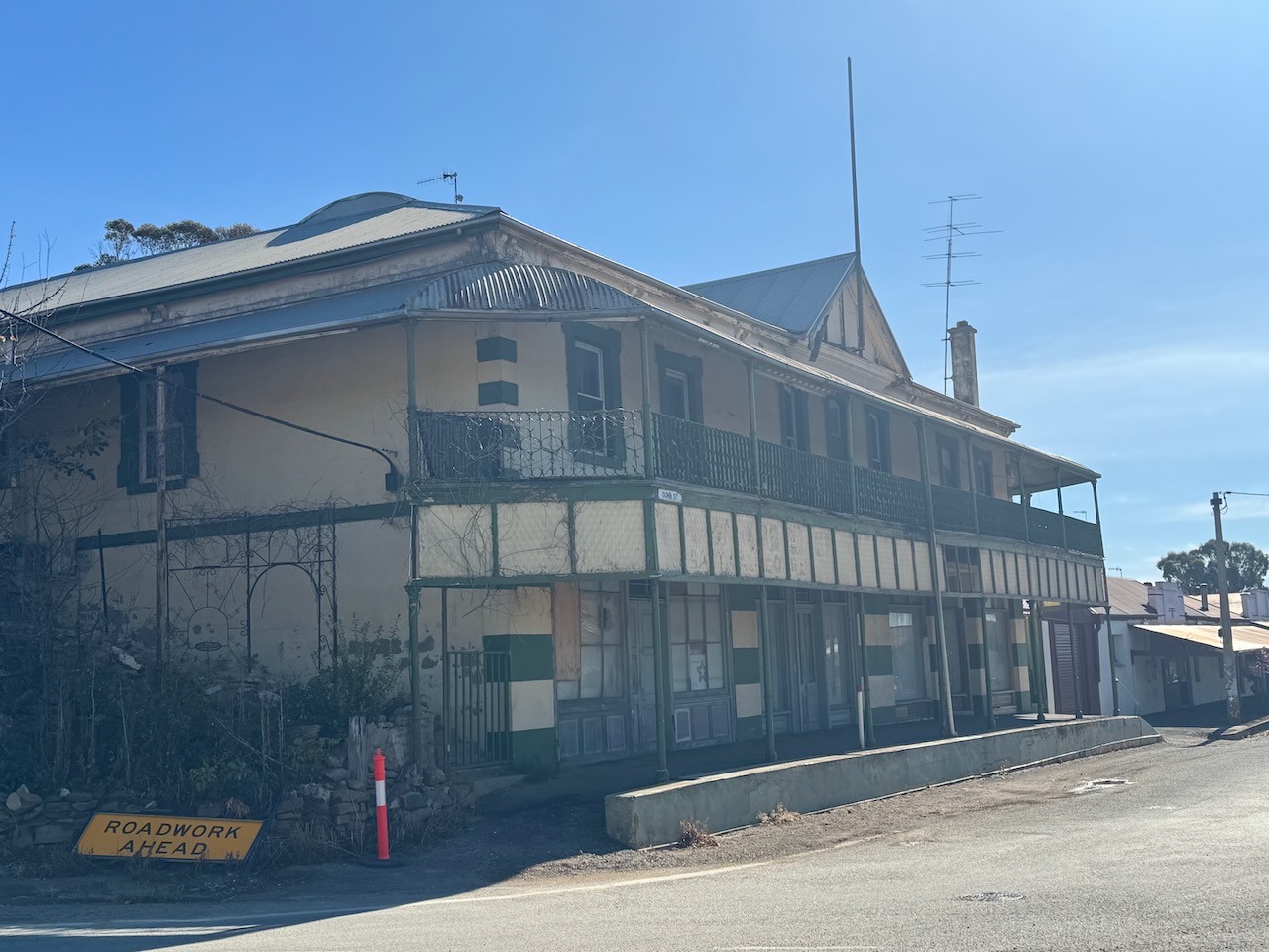
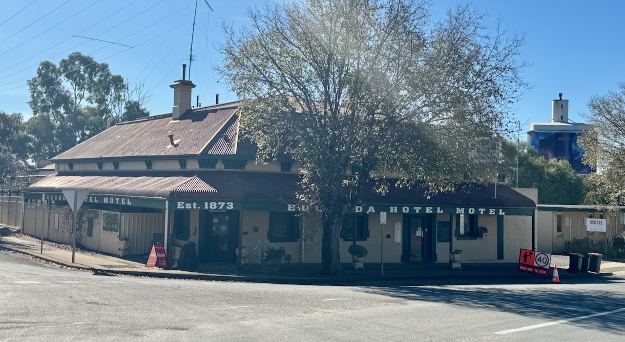
The Eudunda Hotel was established in 1873.
The Davey Flour Mill was built in 1879. It was one of the first industrial buildings in the town and for many years was owned by Laucke Milling Company. (Flickr 2024)
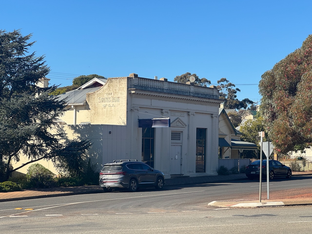
The former Savings Bank of SA building can be found in Railway Parade.
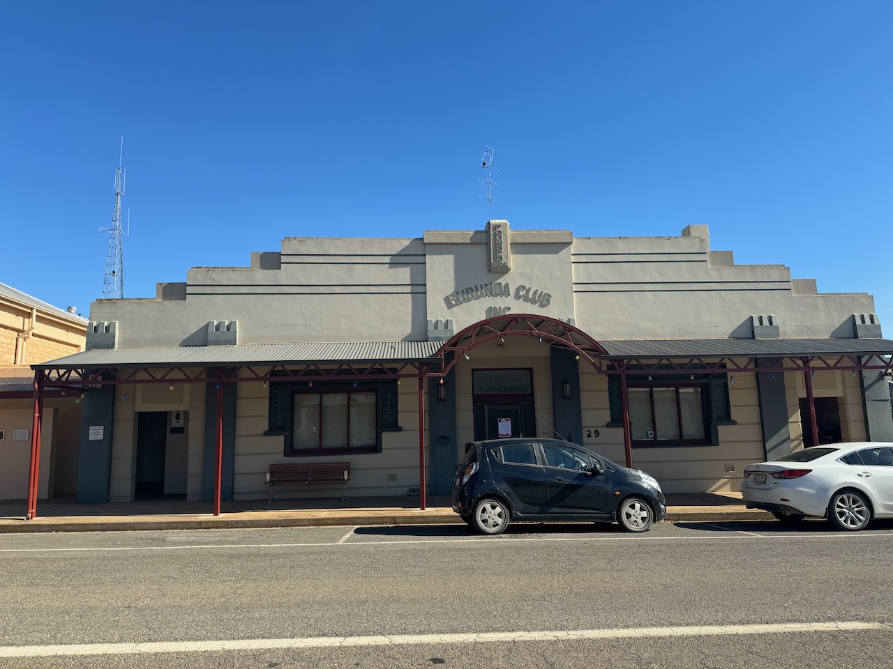
The Eudunda Club was established in 1888, and is the oldest operational Community club in SA. (Eudunda 2024)
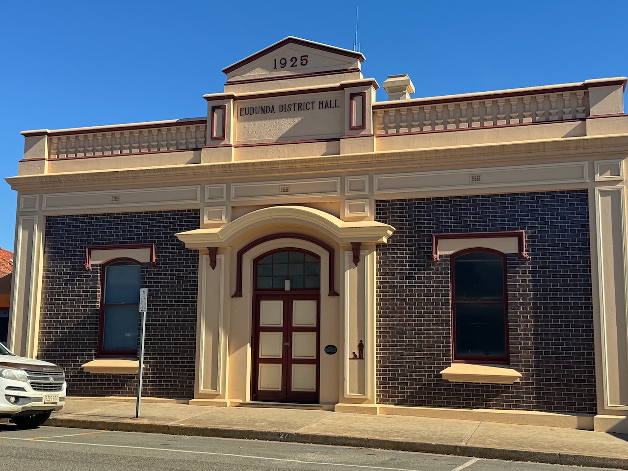
The Eudunda District Hall was opened in 1925.
The old Eudunda Police Station and Court House were built in 1879. (Eudunda 2024)
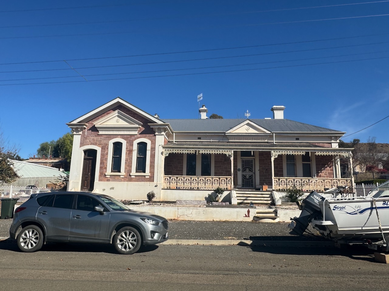
The old National Bank located in Gunn Street was opened as a bank in 1885. It continued to operate until 1998. The bank was on the left-hand side, while the residence was on the right-hand side. (Aussie Towns 2024) (Eudunda 2024)
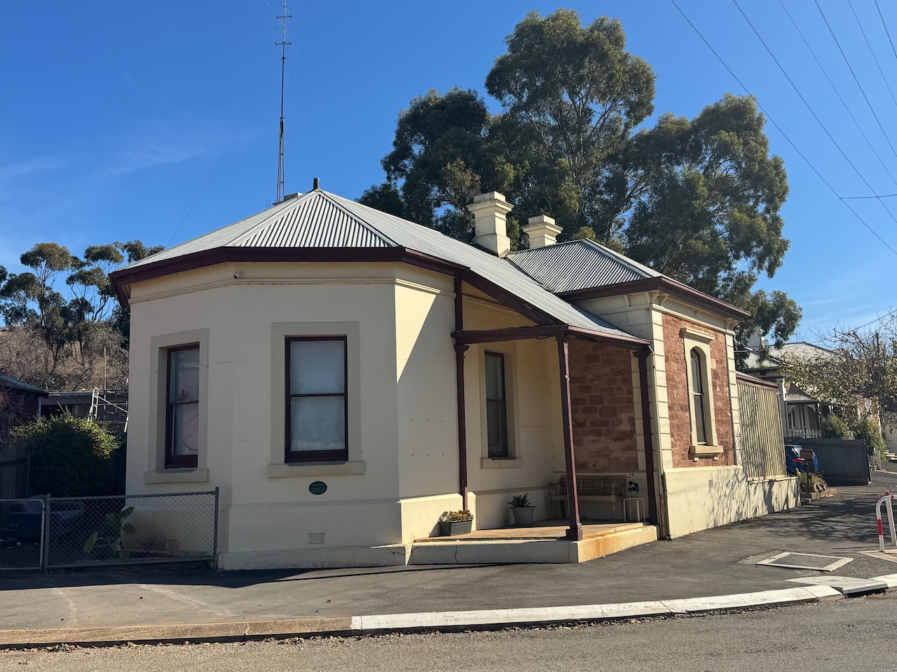
The Eudunda doctor’s residence and surgery were used from 1879 to 1992. Patients entered the waiting room at the right-hand end of the verandah. (Eudunda 2024)
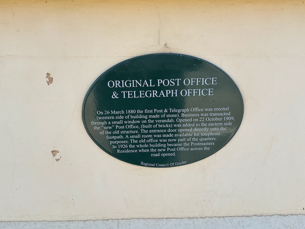
The first Post Office was built on this corner site in 1909 to replace various agencies. A public telephone exchange commenced in 1911 linking Adelaide and Wentworth New SOuth Wales. (Eudunda 2024)
The first train arrived at Eunda on the 23rd day of September 1878. Two railway shunting horses called Bugler and Nuggest were used to move rail trucks. Special trains were run for town picnics, Adelaide beach trips, the local races, and the Adelaide Show. The last train ran in 1994. (Eudunda 2024)
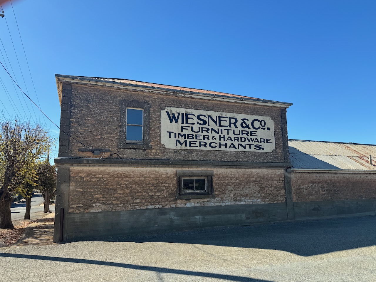
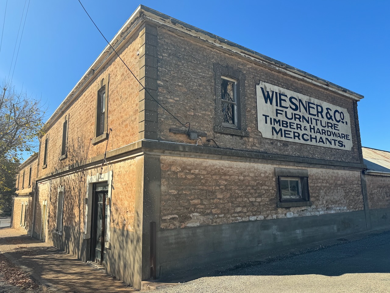
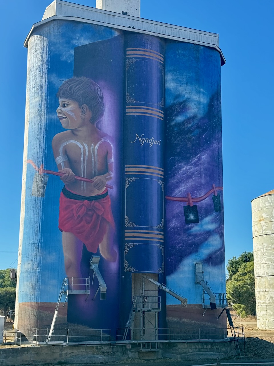
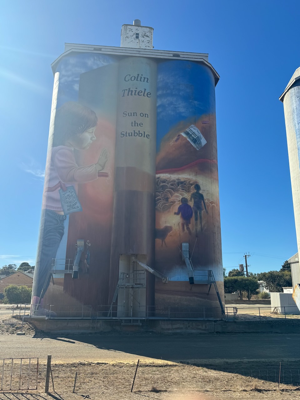
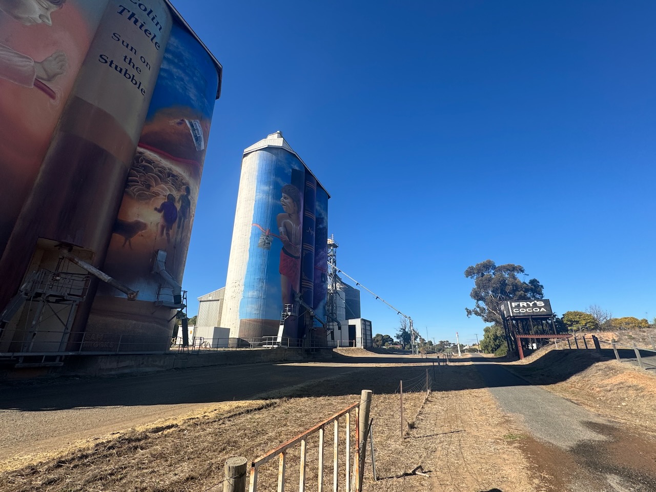
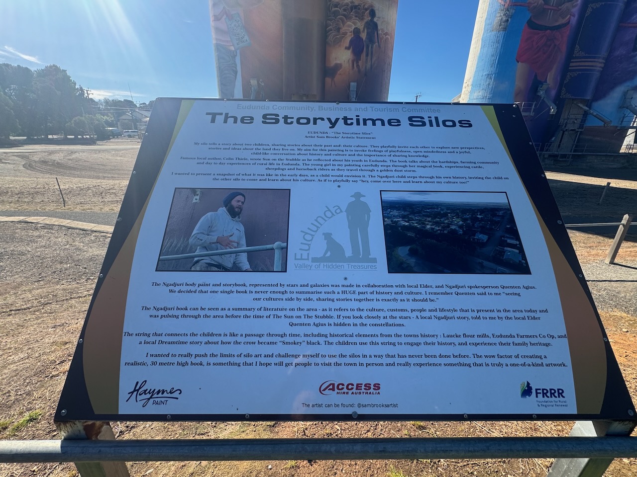
The Eunda silo is part of the Australian Silo Art Trail. The art is the work of Sam Brooks and features images from Colin Thiele’s book ‘The Sun on the Stubble’. (Silo Art 2024)
The video below from YouTube is from a drone flying over the Eudunda silo.
I set up in the carpark adjacent to the silo. I operated from the 4WD running the ICom IC-7000, 100 watts, and the Codan 9350 antenna with the 1.5 metre stainless steel ship.
Above:- The activation zone at the Eudunda silo. Image c/o SiOTA website.
I worked the following stations on 40m SSB:-
VK3PF
VK3KAI
VK5MK
VK5DW
I worked the following stations on 20m SSB:-
VK3PF
VK2HBG/p (Bushrangers Bay Aquatic Reserve VKFF-3249)
VK7XX
VK1AO
VK2MET
VK3ZSC/p (Baluk William Nature Conservation Reserve VKFF-2042)
VK2VAR
VK2GOM
References.
eudunda.au | Portal. (2020). Home – Valley of Hidden Treasures. [online] Available at: https://portal.eudunda.au/ [Accessed 16 Aug. 2024].
Flickr. (2024). The Davey flour mill or grist mill erected in Eudunda South Australia in 1879. One of first industrial buildings in the town. For many years owned by Lauke Milling Company. [online] Available at: https://www.flickr.com/photos/82134796@N03/9811302565 [Accessed 16 Aug. 2024].
On 22nd May 2024, I took a drive up to Eudunda in the Mid-North region of South Australia to collect a radio I had purchased in an auction. During my journey, I activated a couple of silos and a park.
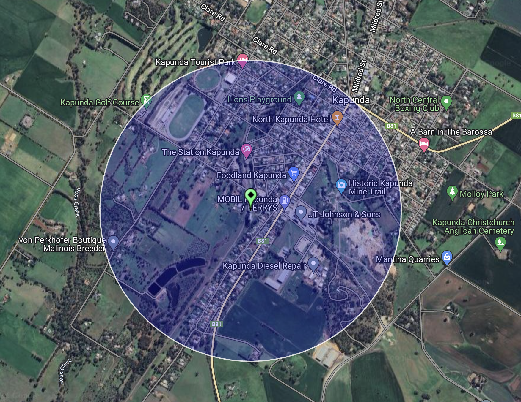
The first activation of the day was the Kapunda silo VK-KPA5. Kapunda is about 84 km north of Adelaide.
Above:- Map showing the location of Kapunda, South Australia. Map c/o Google Maps.
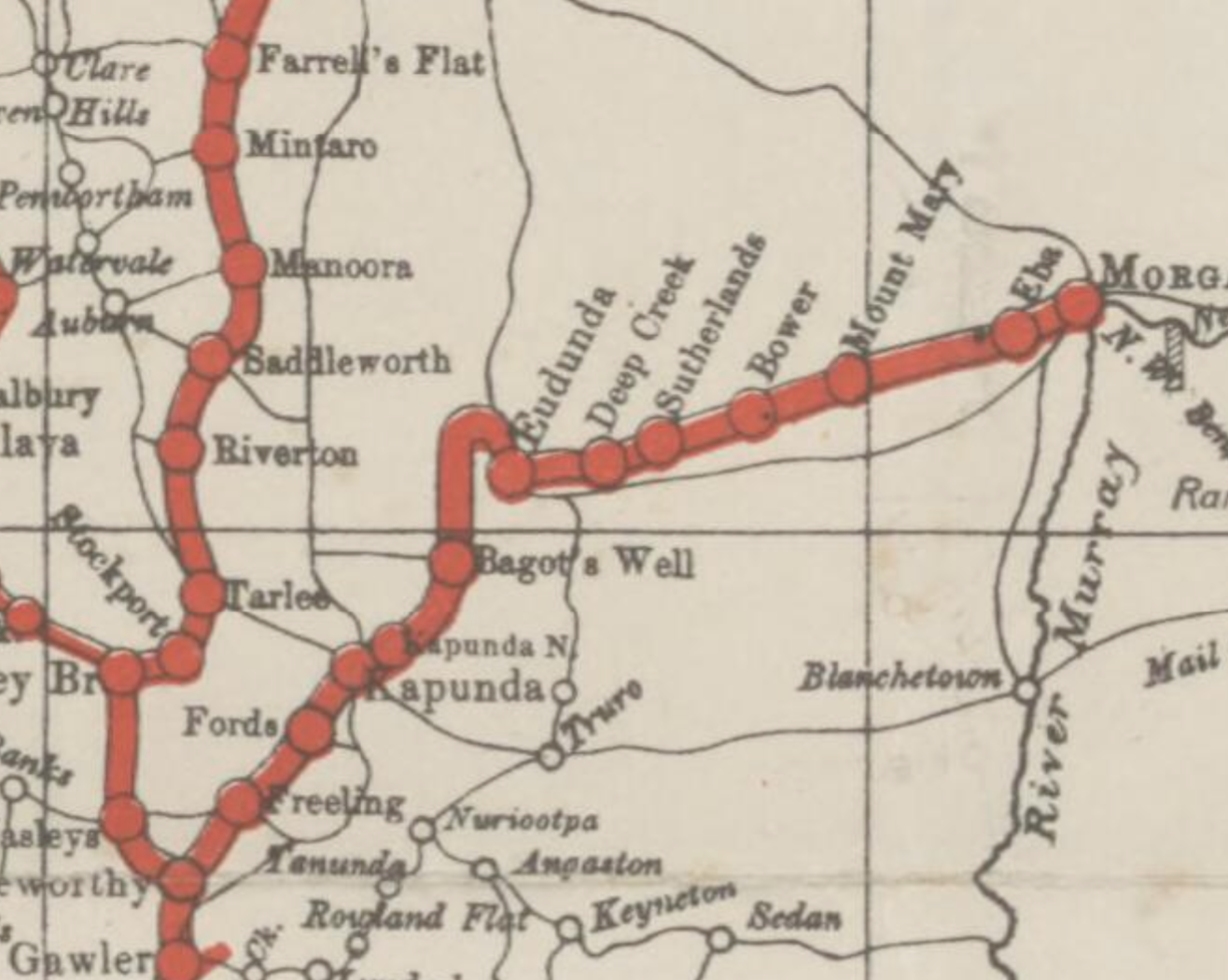
My first stop after leaving home was the old railway bridge over the Light River, just south of Kapunda.
The Light River, also known as the River Light, is a seasonal and significant river that rises on the northern slopes of the Mount Lofty Ranges below Wallaroo and flows south and then westerly until reaching its mouth and entering the Gulf St Vincent. The river is named in honour of Colonel William Light (b. 1786. d. 1839), best known for being the designer of the city of Adelaide. (Wikipedia 2024)
Above:- Colonel WIlliam Light. Image c/o Wikipedia.
The railway was constructed in 1860 to service the copper mine at Kapunda. It was known as the Morgan Railway line or North-West Bend Railway. The first section of the line opened from Gawler on the 13th day of August 1860. It was extended to Morgan on the 23rd day of September 1878. The Eudunda to Morgan section was closed in 1969. The Kapunda to Eudunda section was closed in 1994. (Wikipedia 2024)
Above:- The Morgan Railway. Image c/o Trove
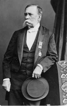
The town of Kapunda was established following the discovery of copper in 1842. Francis Dutton and Charles Bagot ran sheep in the area and found copper ore outcrops in 1842. They purchased 80 acres around the outcrop and commenced mining in early 1844. (Wikipedia 2024)
Copper was mined at Kapunda until 1879. Marble was also mined in the area. Marble from the Kapunda quarries was used to face Parliament House in Adelaide, and the pedestal of the statue of Venus on North Terrace, Adelaide is made of Sicilian and Kapunda marble. (Wikipedia 2024)
Above:- Francis Dutton (left) and Charles Bagot (right). Images c/o Wikipedia.
The miners at Kapunda were typically from Cornwall England. The labourers were Irish while the smelter specialists were Welsh. Those engaged in trade and agriculture in Kapunda were Scottish and English. German farmers were already in the district. (Wikipedia 2024)
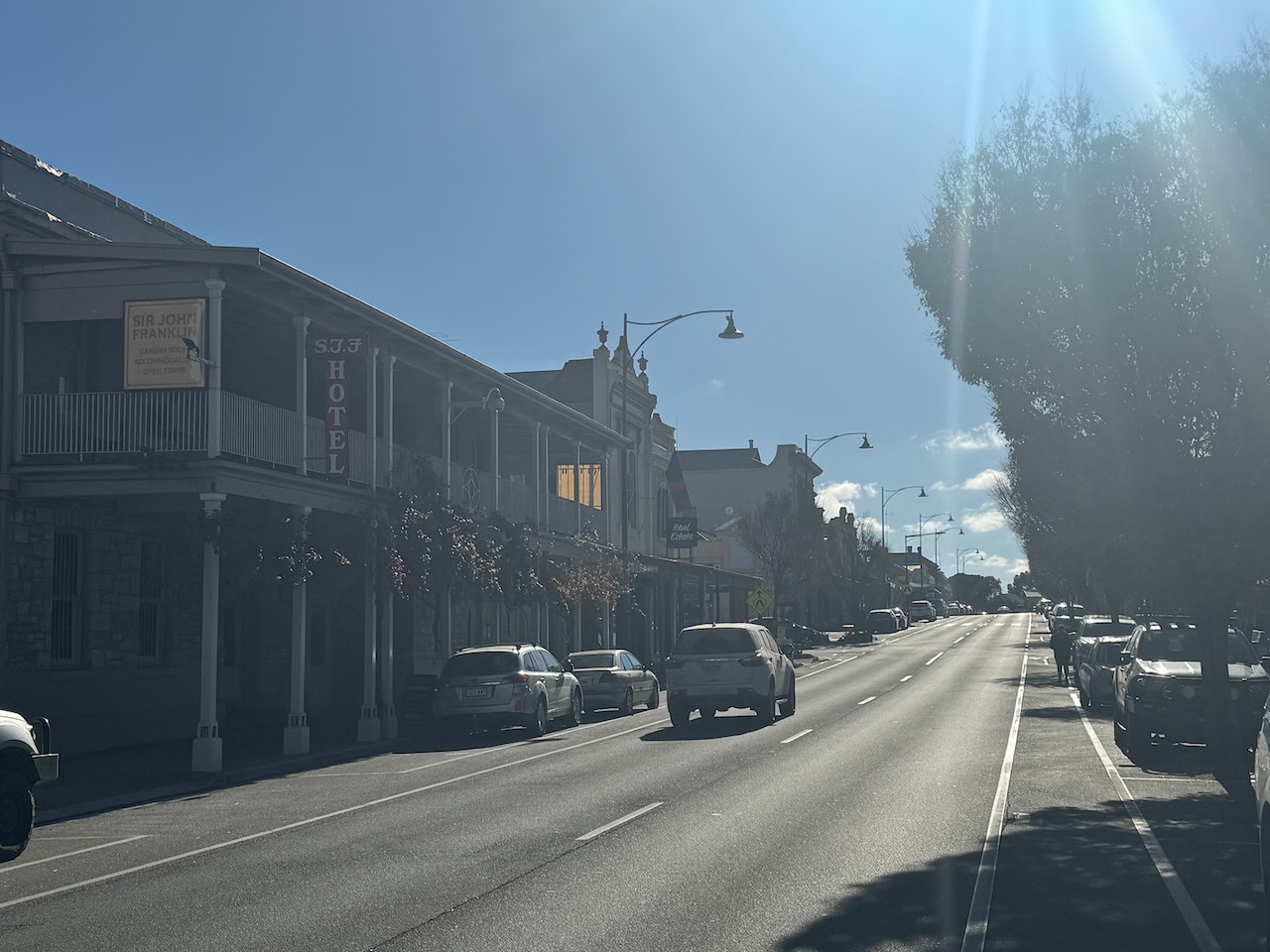
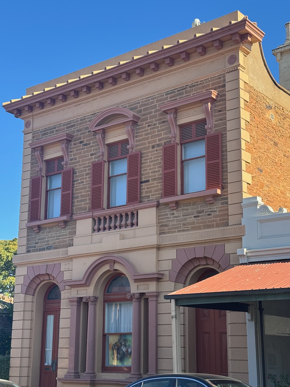
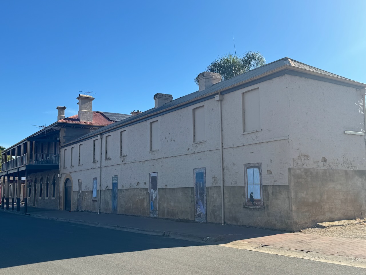
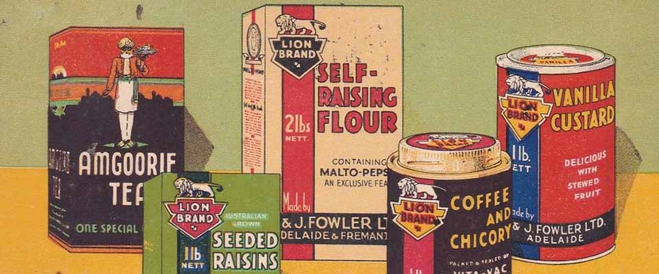
Kapunda has numerous historic buildings. The first building I found was on the edge of the town. It is the old Lion Coffee Grocery store constructed in 1854 by David & James Fowler. What an amazing story is that of these two brothers from Scotland. (Flickr 2024)
James Alexander Fowler was born in 1831 in Fife, Scotland. He emigrated to South Australia with his sister Margaret aboard the Anna Maria in 1850. He opened a grocery store in Rundle Street Adelaide He was joined by his elder brother David who arrived in South Australia in 1854 aboard the Fop Smit. David was born in January 1827 in Fife Scotland. They traded under the name D. & J. Fowler.
In February 1858, James died after a long battle with illness. He was just 27 years old.
Another brother, George Swan Fowler emigrated in 1860 and became a partner in the business.
In 1868 they purchased premises in King William Street Adelaide and by 1865 they had opened a branch office in London. By 1873 they had acquired premises at Port Adelaide. Branches were opened in Fremantle, Broken Hill, and Kalgoorlie. They acquired a dealership for Shell products and set up a shipping agency. (Wikipedia 2024)
Above:- The Lions building in King William Street during the early 1960s. Image c/o State Library SA.
In 1881 David died. This left George as the senior partner in the business.
In c. 1882 they contracted farmers in the south-east of South Australia to grow chicory. This was used to make “Lion” brand coffee and chicory essence.
The brothers built the “Paou Chung Factory” on King William Road. By 1883 their “Paou Chung” brand was the first packaged tea marketed in South Australia.
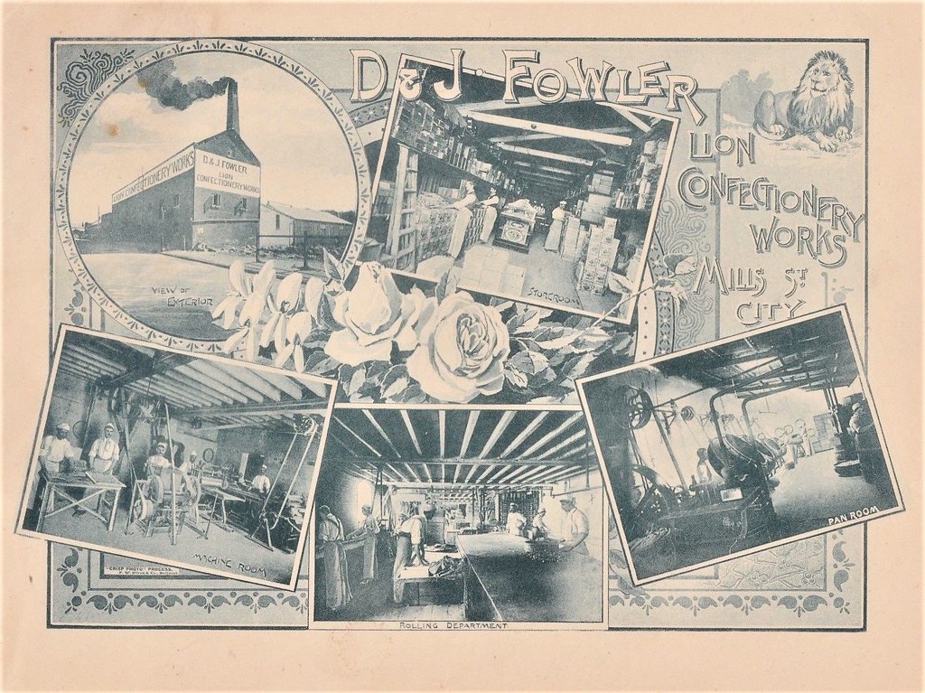
They took over Barnfield & Turner’s “London Condiment Company” at Maylands and H. B. Hanton’s in Fullarton and remanded it the “Lion Preserving Company”. The brothers expanded their range of canned fruits, jams and pickles. A new factory for “Lion” canned fruit was set up at Nuriootpa. They took over the factory of Henry Harford in Mill Street, Adelaide, and this became the Lion Confectionery Works.
In 1895 they took control of the bankrupt Adelaide Milling Company’s flour mill, the Adelaide Bottle Company in 1912, and the Robur Tea Company in 1928. (Wikipedia 2024)
In 1899 D & J Fowler was converted to a limited liability company, with 2,000 shares being allocated to the firm’s employees, held by three trustees.
In 1907 a new building in North Terrace Adelaide was acquired called the ‘Lion Factory’. This is where their ‘Lion’ brand of self-raising flour and other goods were packaged. It is now known as the Lions Art Centre.
Above:- The Lions Factory in the 1960s/ Image c/o State Library SA.
Southern Farmers Ltd took over the company in 1982-1983.
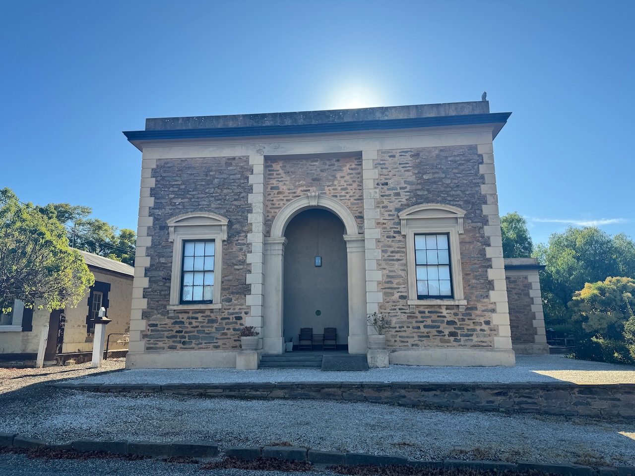
The old Kapunda Court House was built in 1866.
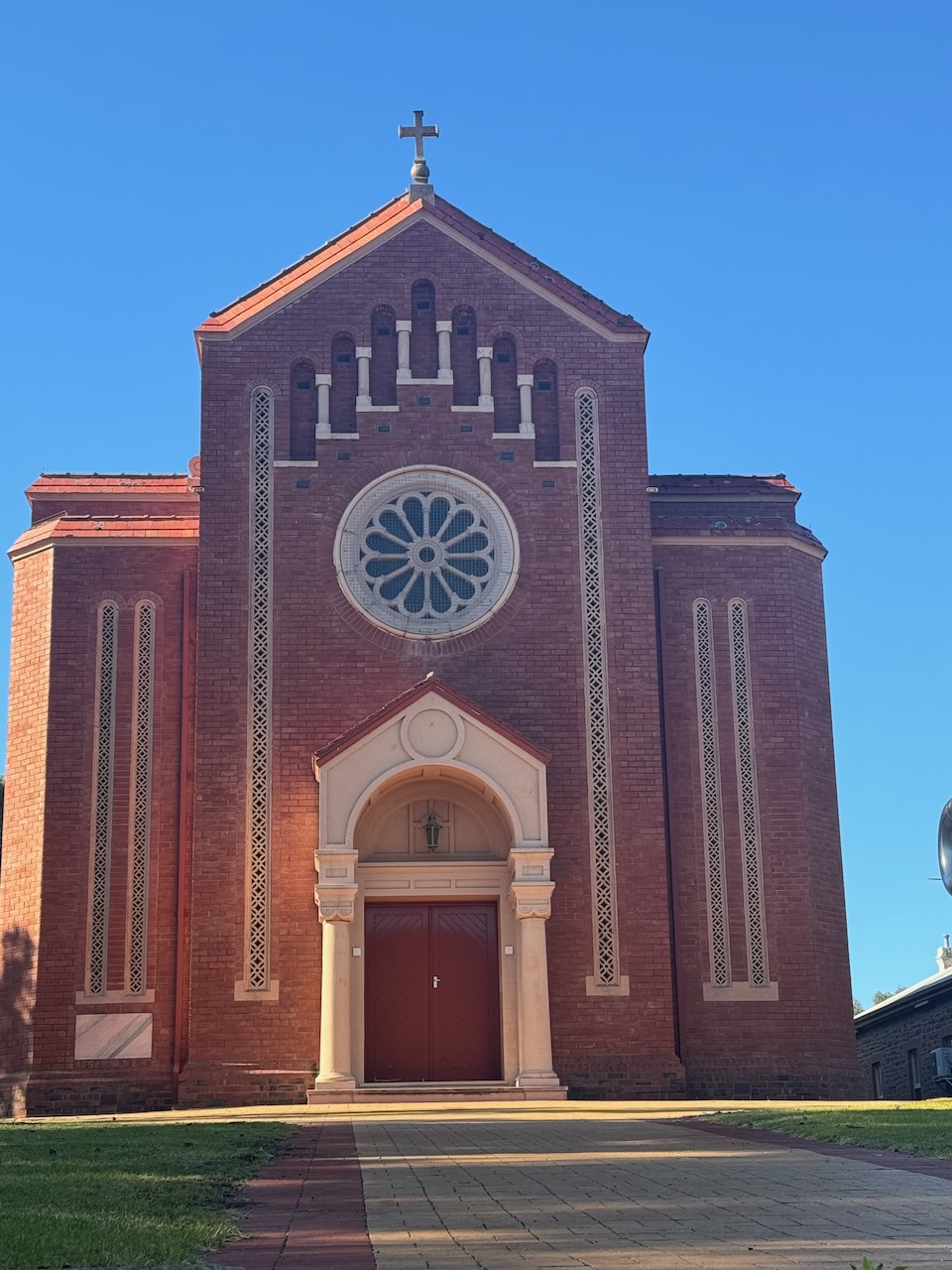
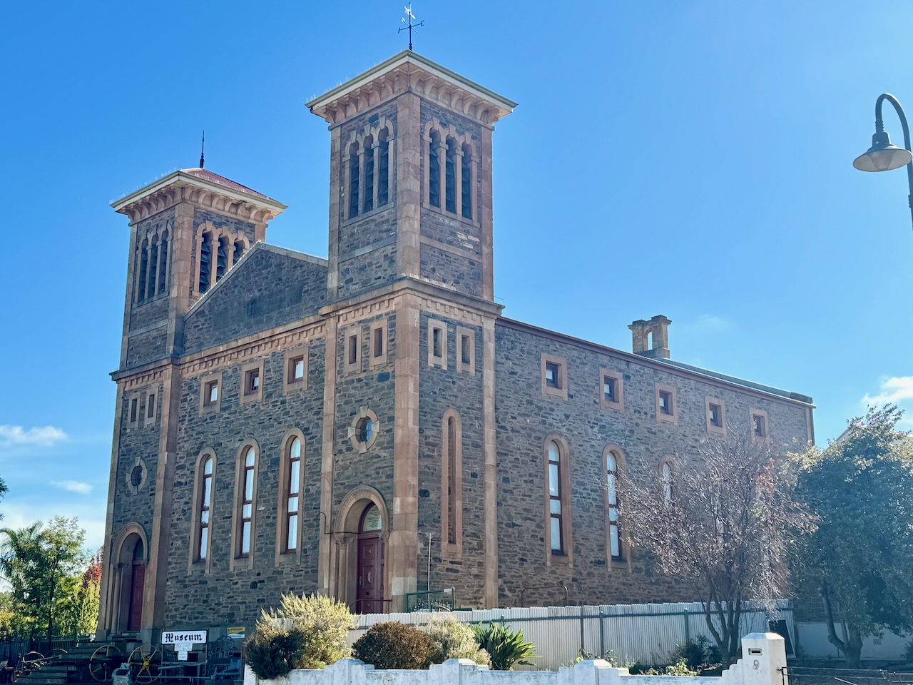
St Roses Catholic Church, a more recent building, was built in 1938.
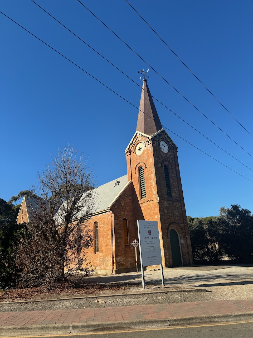
Kapunda Christ Church was built in 1856.
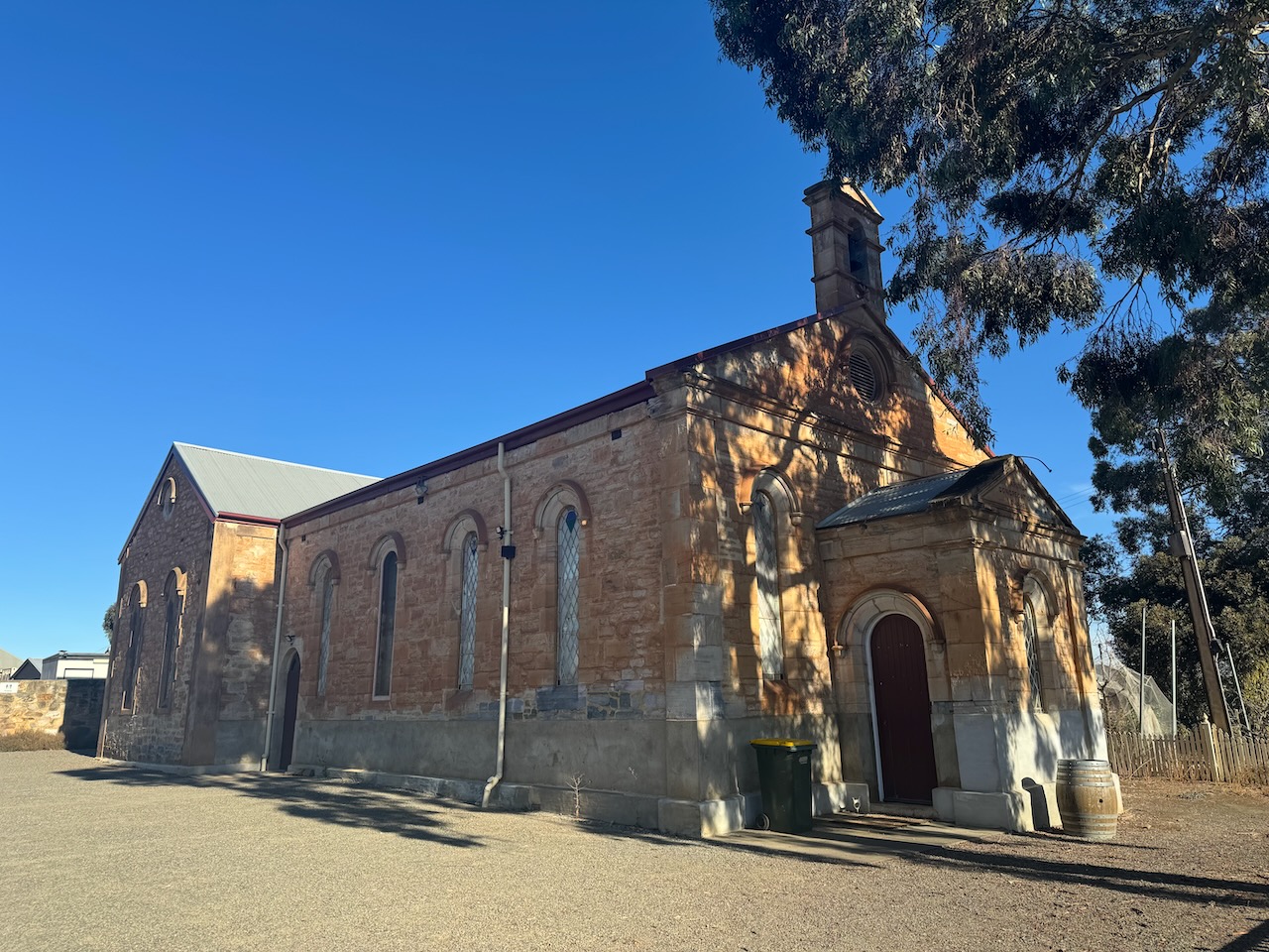
The Congregational Church was built in 1858.
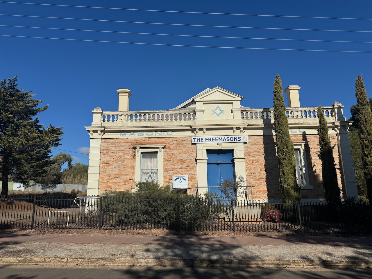
The Kapunda Masonic Hall, now the Freemasons, was built in 1860.
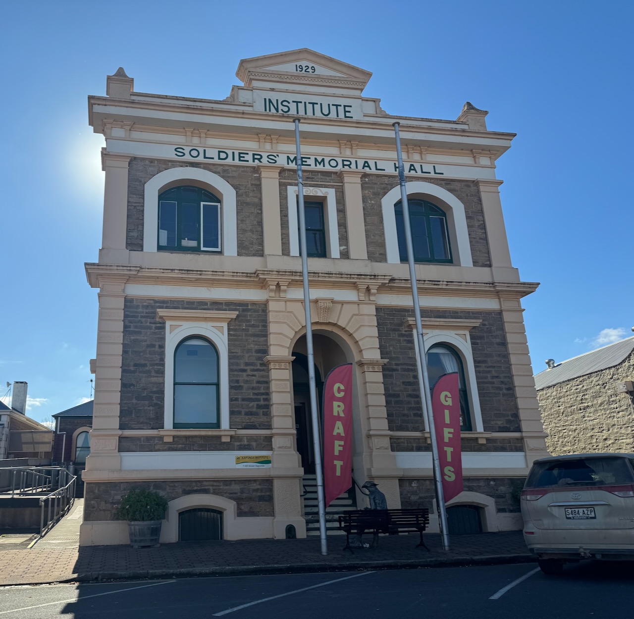
The foundation stone for the Kapunda Institute and Soldiers Memorial Hall was laid on the 12th day of October 1870 by John Hart. It was opened on the 12th day of July 1871. (Flickr 2024)
The Kapunda Museum is housed in the Baptist Church built in 1866. It was used as a Technical School from 1948 until the late 1960s. (History Network 2024)
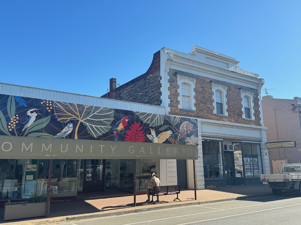
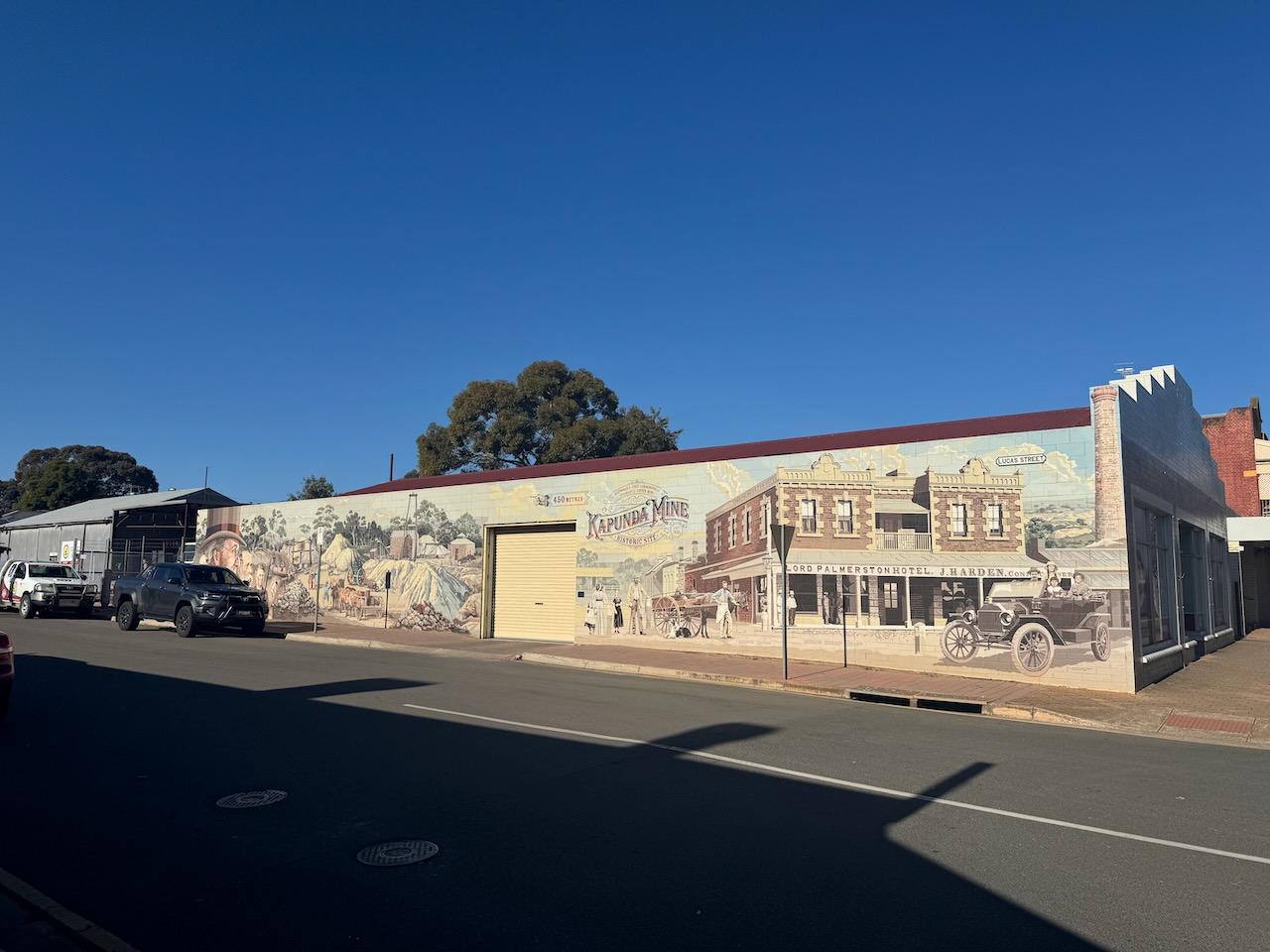
Another interesting feature in the town is the Kapunda Mural Trail. In 2016 a Committee was formed with a view to creating wall murals around Kapunda. More information can be found on the Kapunda Mural Town website.
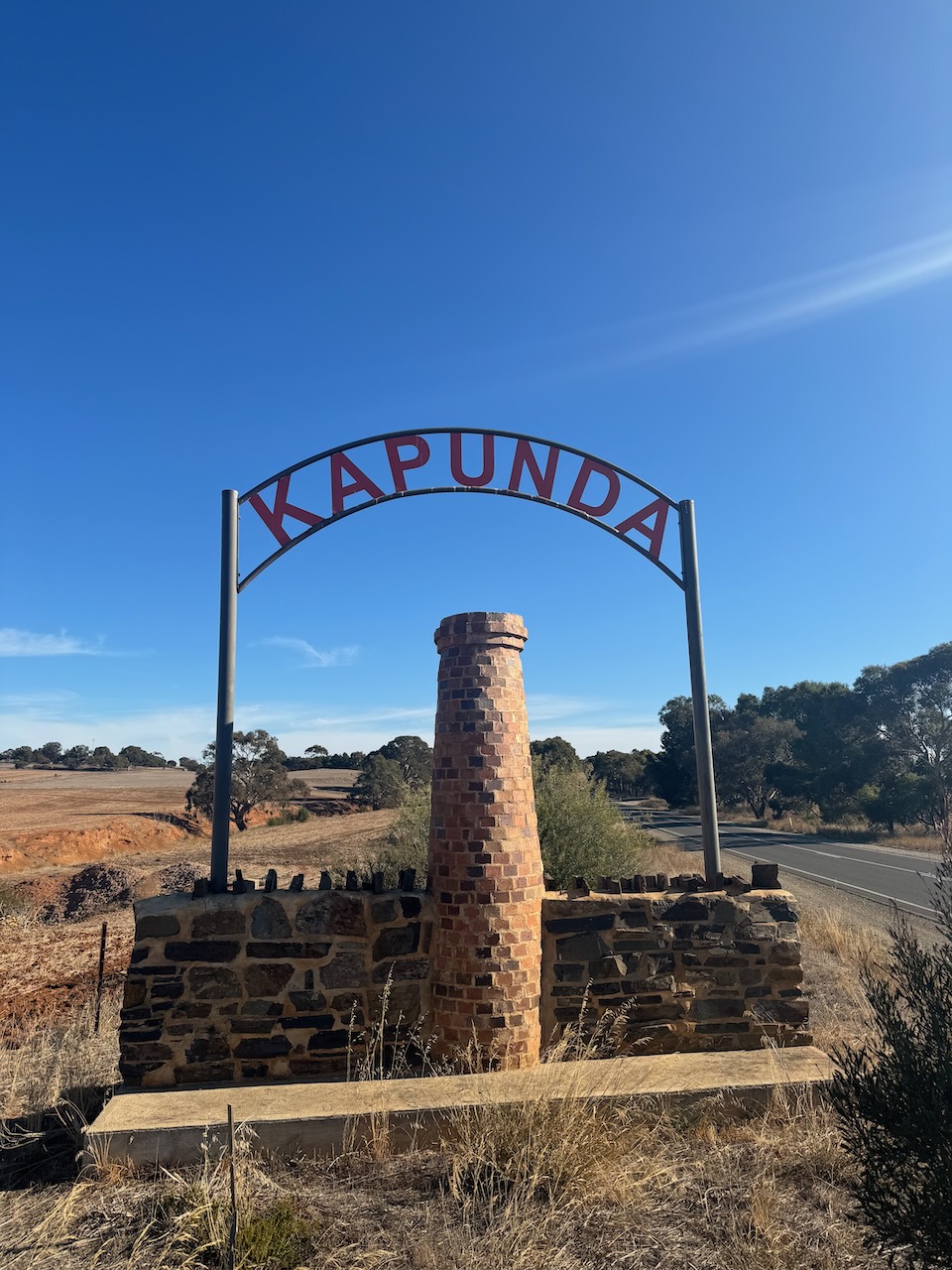
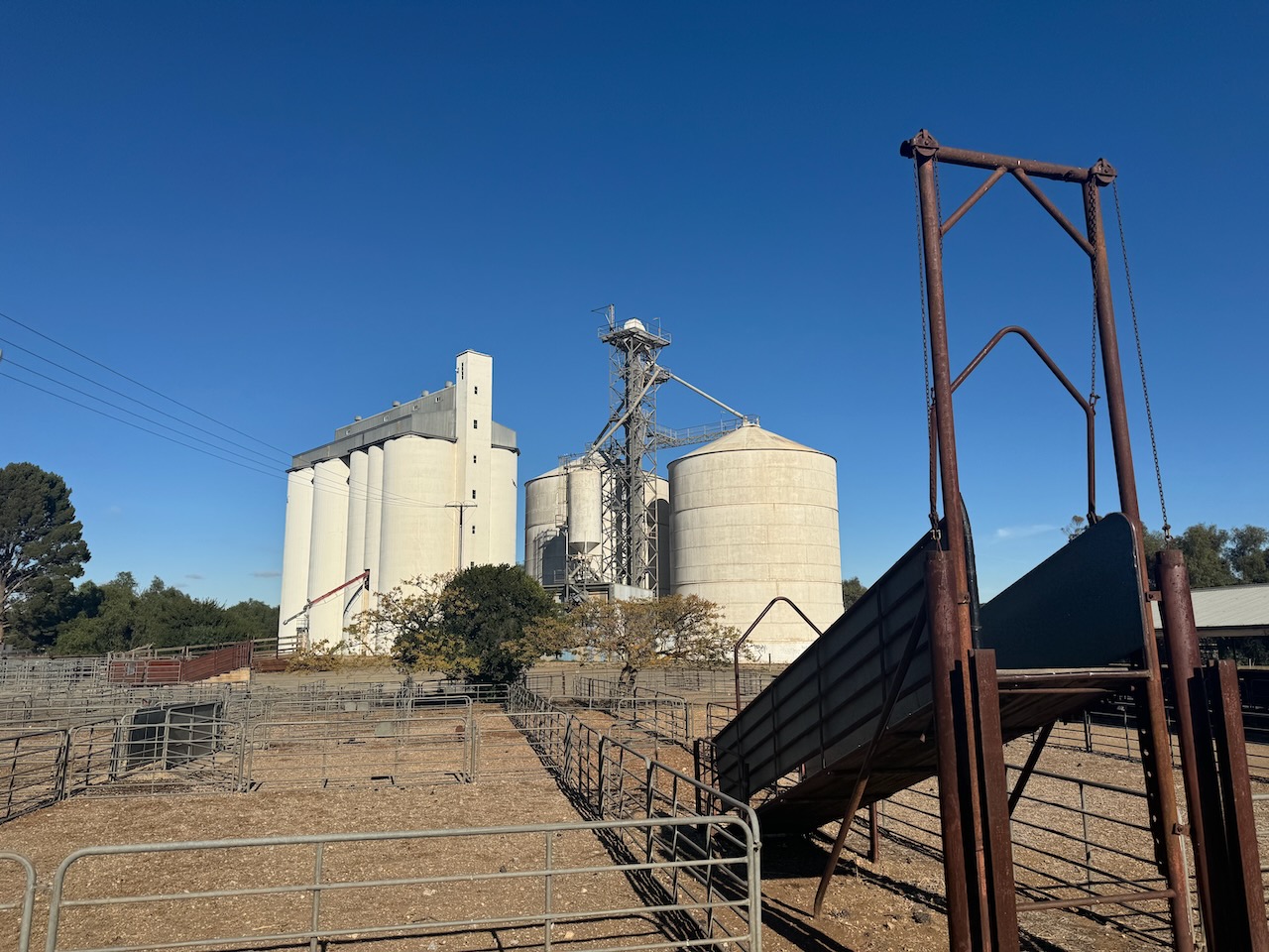
I last activated the Kapunda silos in May 2023. The silo is located in Hancock Road.
I parked on Hancock Road, a little north of the silo. I operated from the 4Wd, running the Icom IC-7000, 100 watts, and the Codan 9350 antenna with the 1.5-metre stainless steel whip.
Above:- The activation zone of the Kapunda silo. Image c/o SiOTA website.
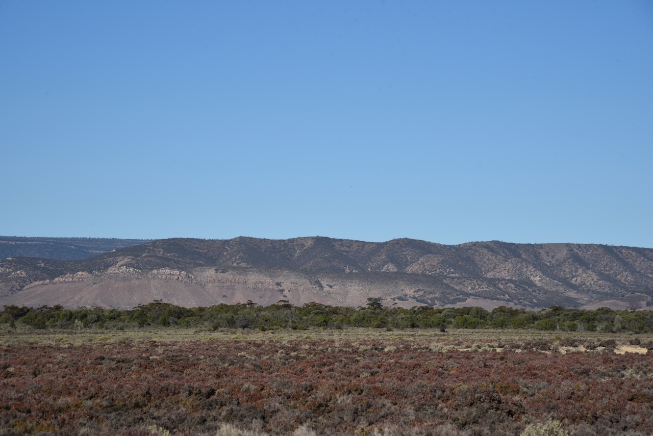
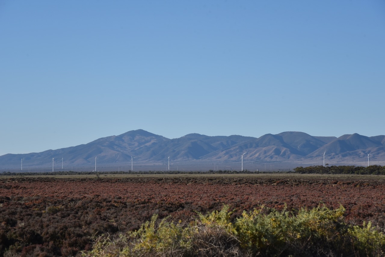
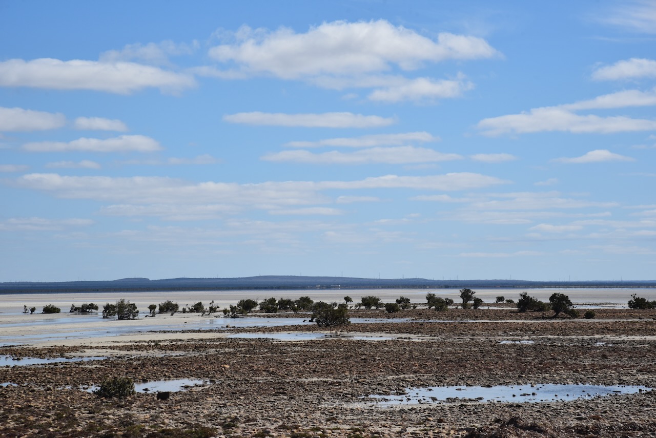
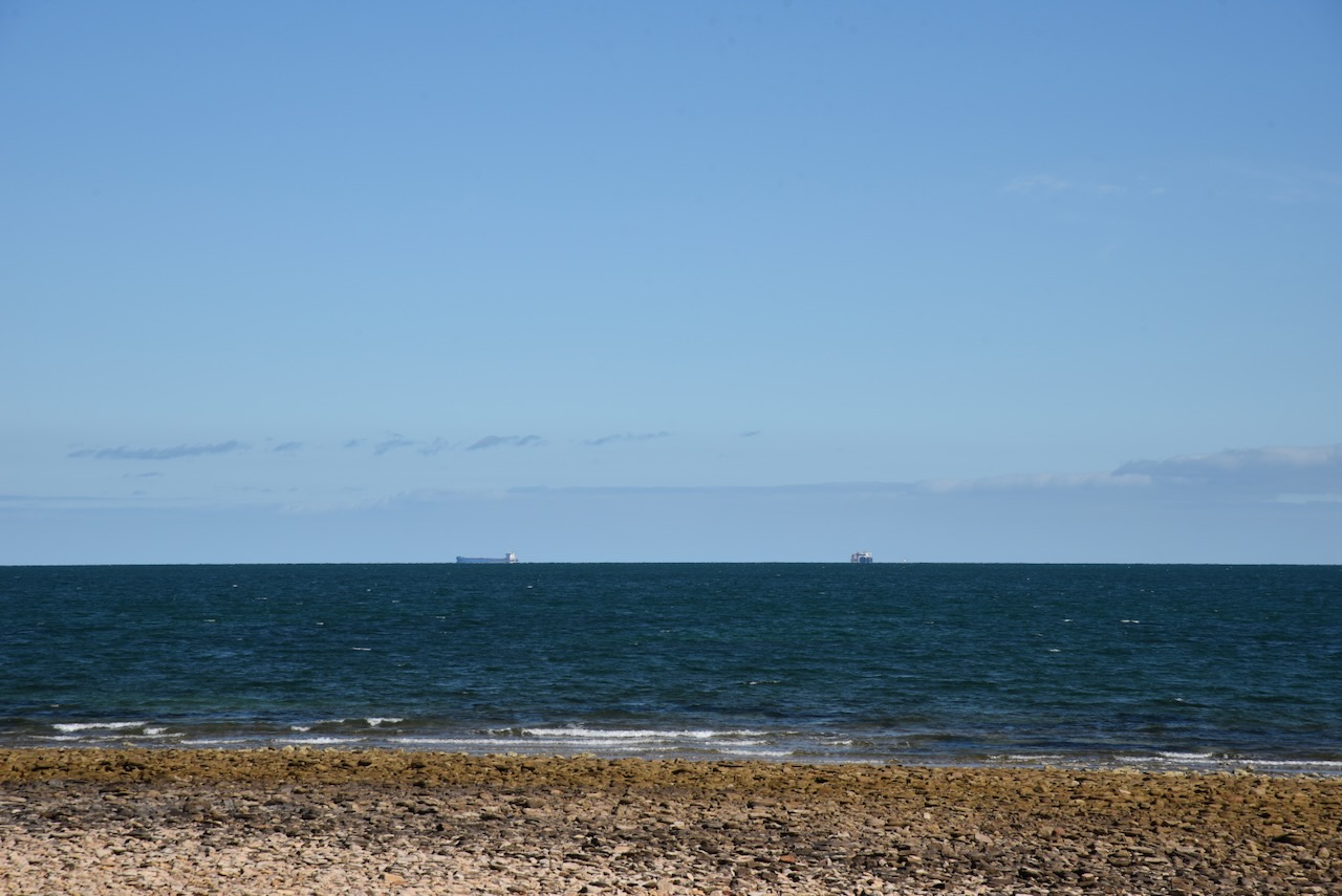
My final activation for my Eyre Peninsula/Flinders Island trip was the Winninowie Conservation Park VKFF-0820. The park is located about 20km south of Port Augusta
Above:- Map showing the location of the Winninowie Conservation Park. Map c/o Google Maps.
Winninowie is adapted from the aboriginal word wininawi meaning ‘the vanished water’. The Hundred of Winninowie was proclaimed on the 21st day of November 1878. The Winninowie School opened in 1899 and later became known as ‘Nectar Brook’. It closed in 1939. (Place Names 2012)
The Winninowie Conservation Park is about 19,400 acres in size and was established on the 15th day of March 1990. It was originally known as the Chinamans Creek Conservation Park. It is located on the east coast of Upper Spencer Gulf. It was proclaimed for the purpose of conserving several coastal and marine ecosystems including significant stands of grey mangrove, seagrass, and samphire salt marsh communities. (Place Names 2012) (Wikipedia 2024)
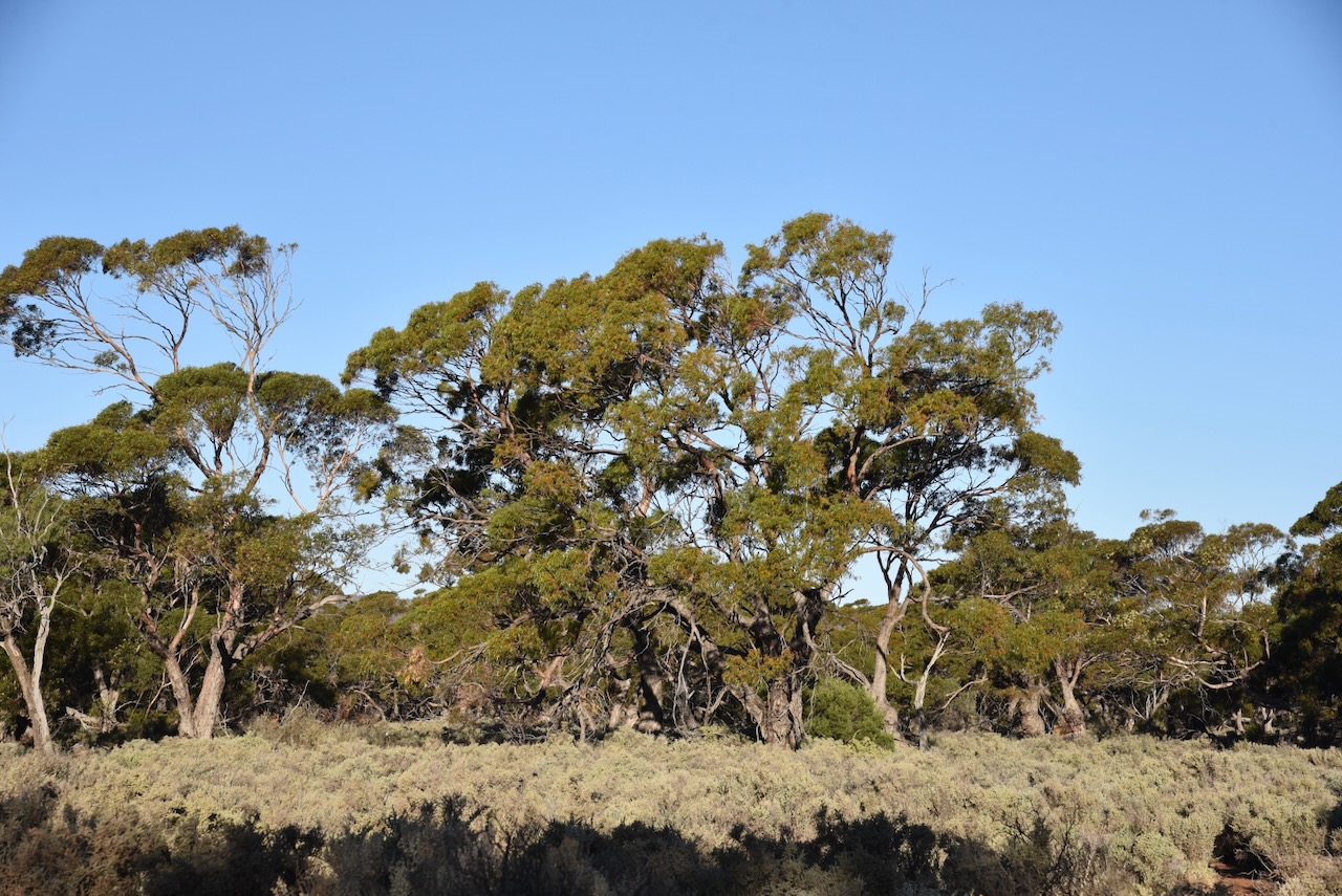
I drove along Chinamans Creek Road and set up my station, the Yaesu FT857, 40 watts, and the 20/40/80m linked dipole.
I logged a total of 78 QSOs including quite a bit of DX, long path on 20m into Europe and the United Kingdom.
On 26th April 2024, I farewelled Cowell and headed north. My next stop would be Whyalla where I was going to have lunch with my mother-in-law and brother-in-law.
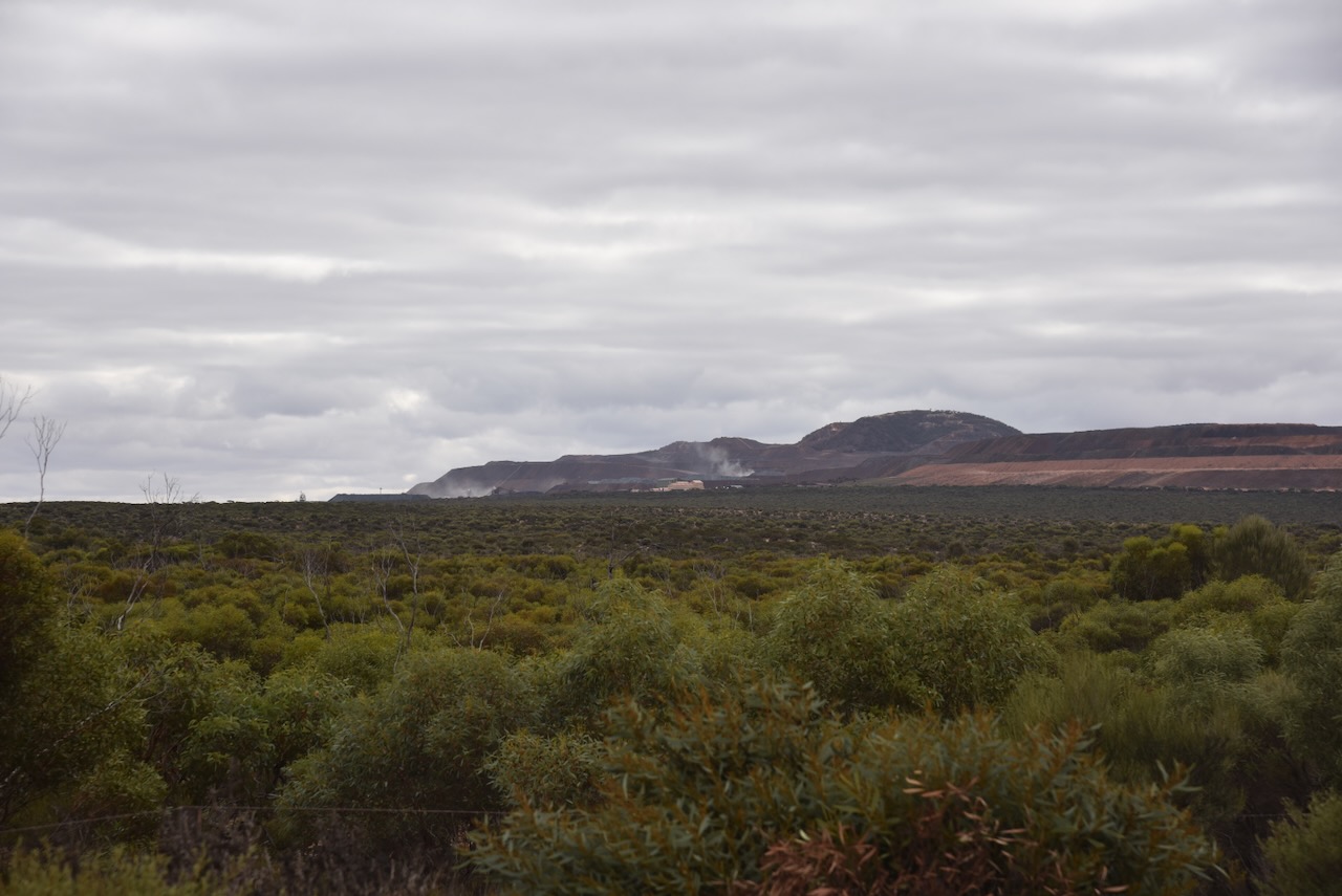
Along the way, I passed the Middleback Range mining operations. Iron ore is mined here.
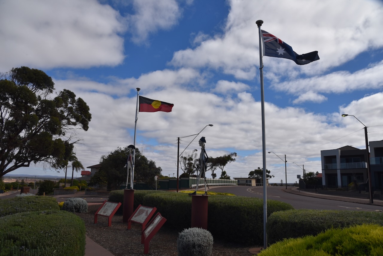
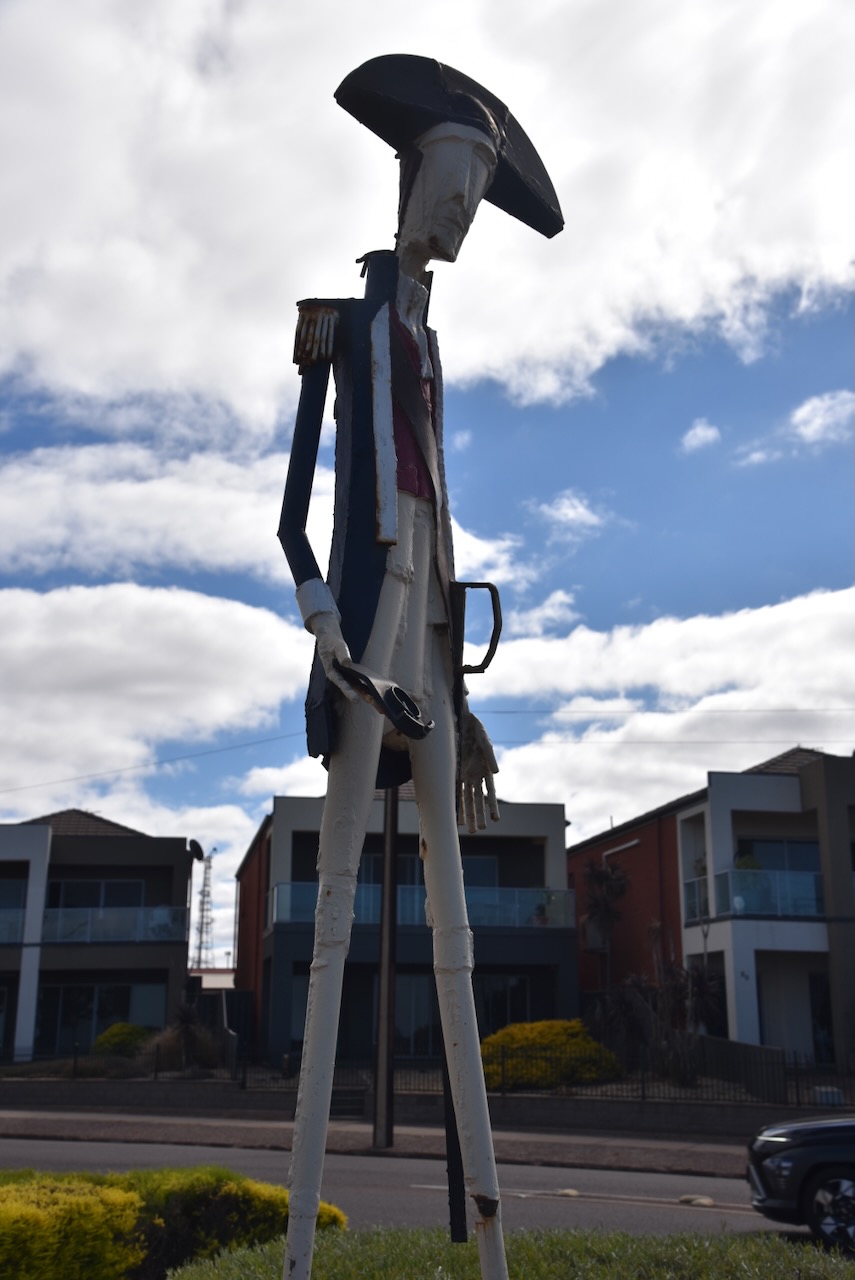
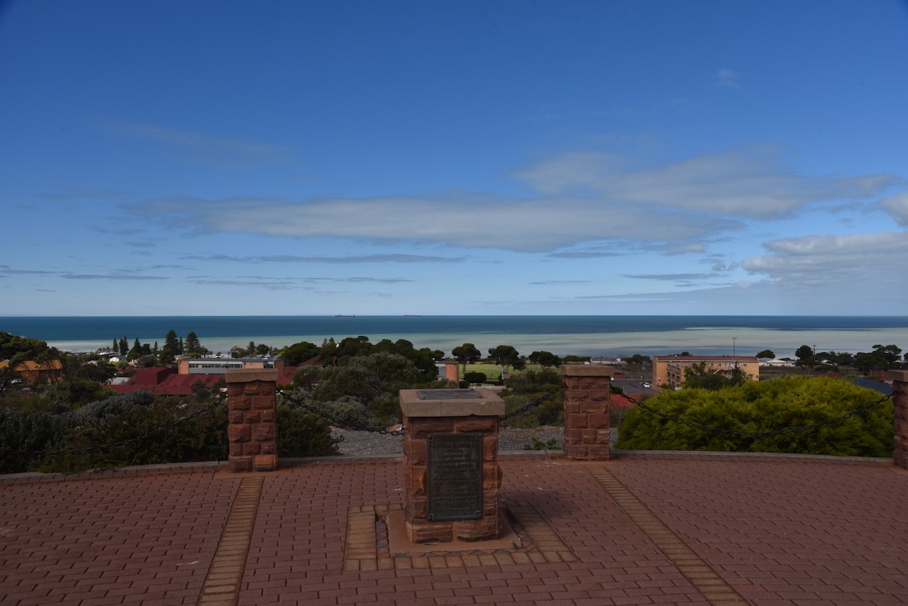
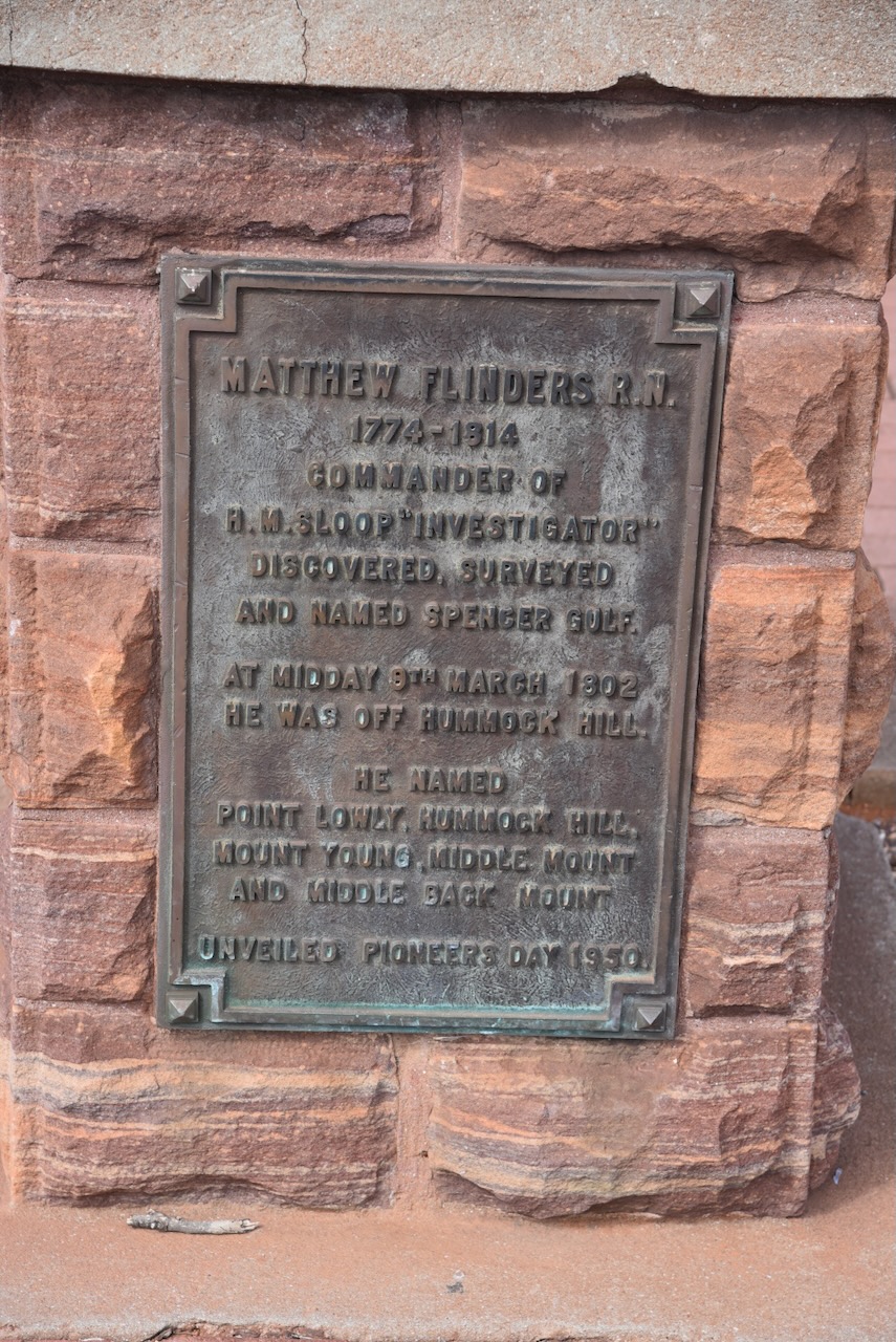
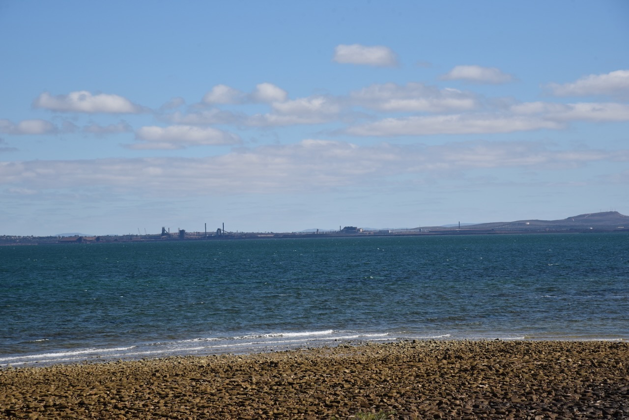
I continued on to Whyalla and stopped briefly at the Flinders and Reycinet monument and lookout. The monument is to honour Captain Matthew Flinders and Louis-Claude de Freycinet.
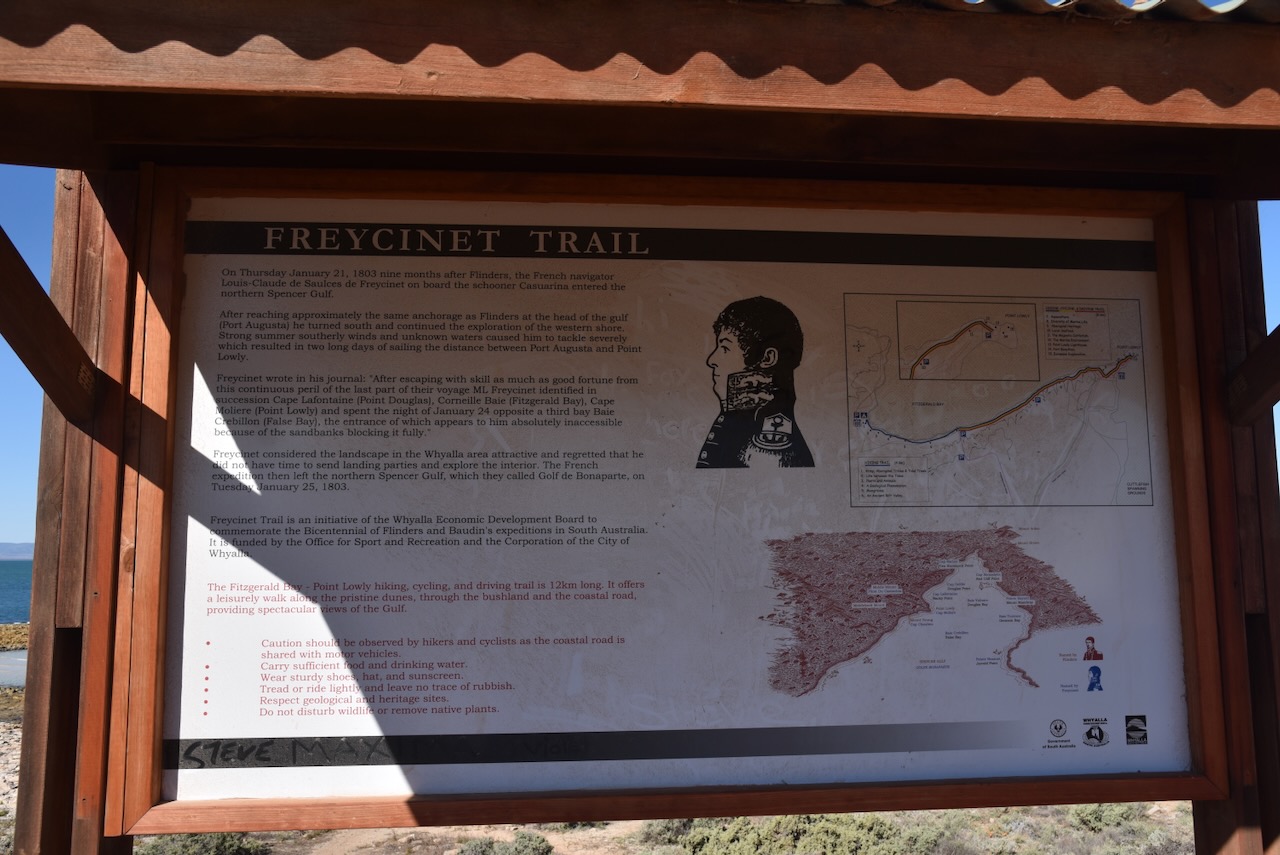
Flinders, the Commander of HMS Investigator, surveys and named the Spencer Gulf. He was the first European to navigate and chart the coast of South Australia in 1802. In January 1803, Freycinet navigated and chartered the coast for the Baudin expedition. (Whyalla 2024)
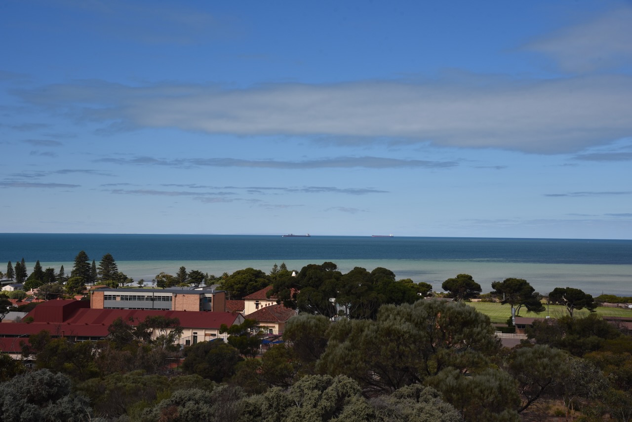
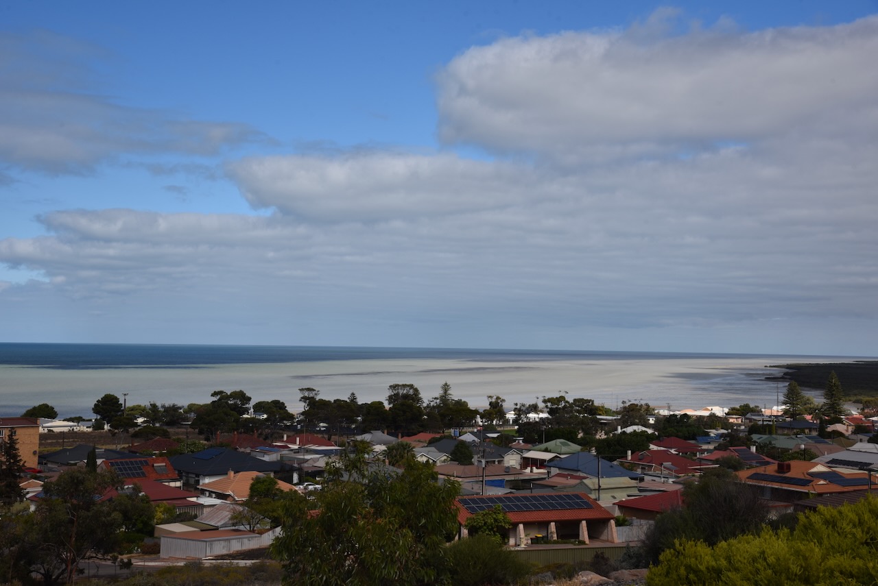
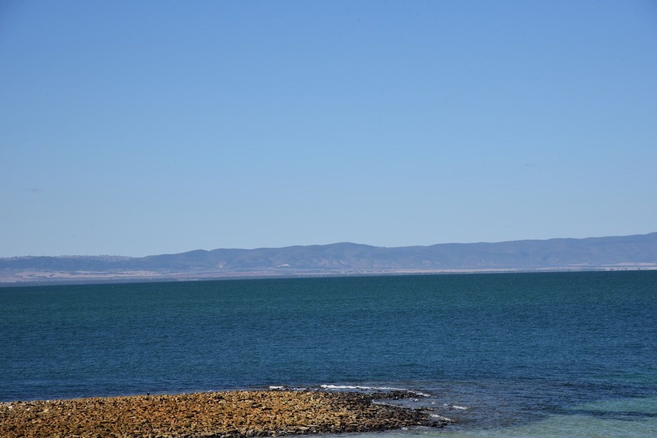
There are some nice views of Whyalla and Spencer Gulf from the lookout.
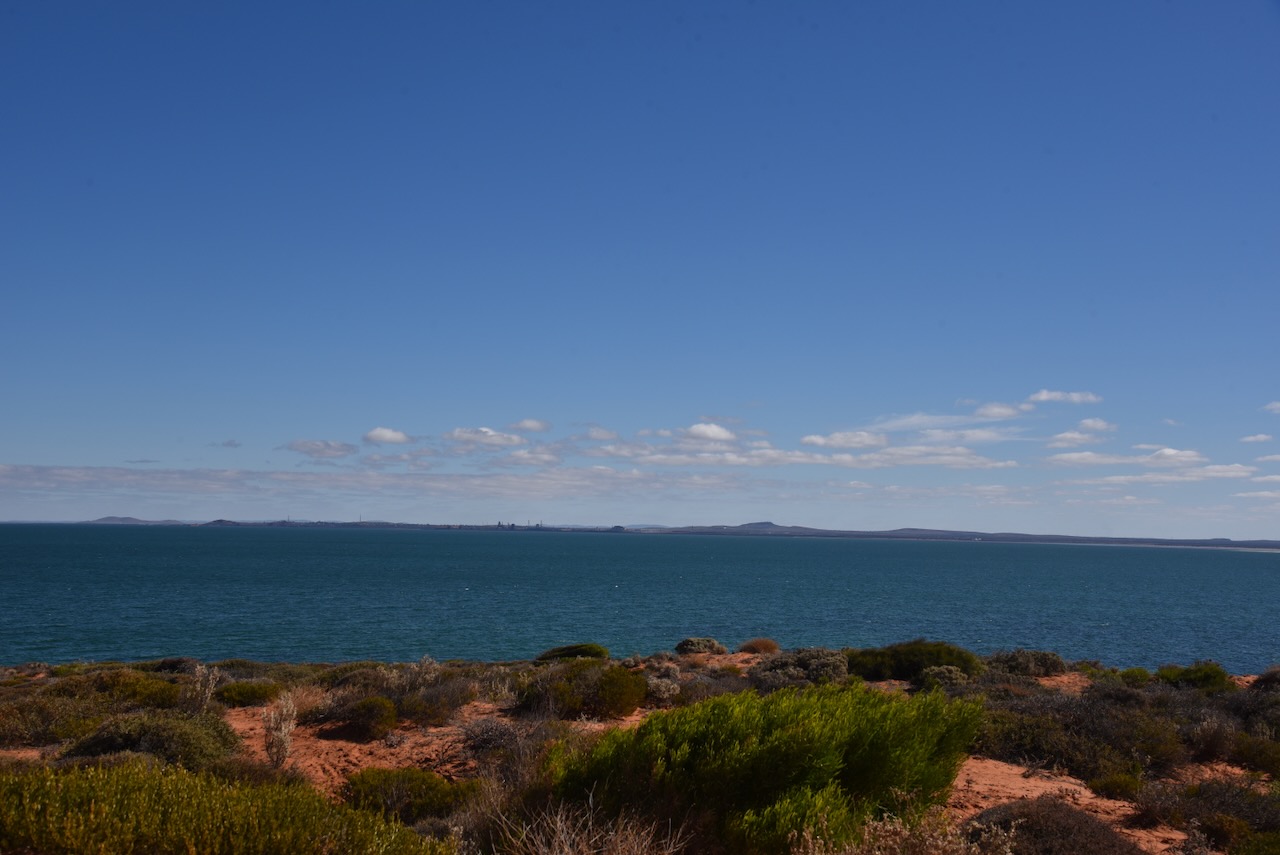
After a magnificent lunch, I left Whyalla and decided to activate the Upper Spencer Gulf Marine Park VKFF-1757. This was to be the first time I had activated the park.
Above:- Map showing the location of the Upper Spencer Gulf Marine Park. Map c/o DEWNR.
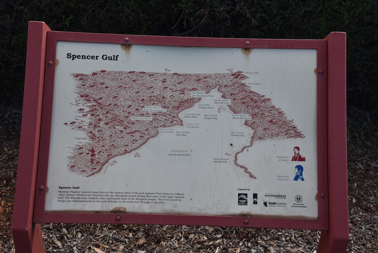
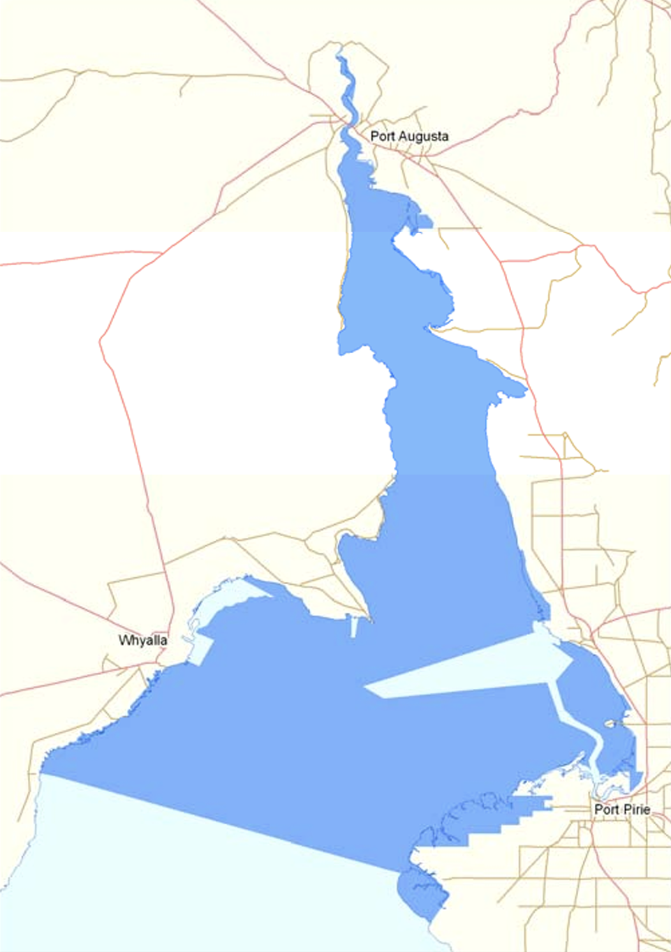
The Spencer Gulf is the westernmost and larger of two large inlets in South Australia. The other inlet is Gulf St Vincent. The Spencer Gulf spans from Cape Catastrophe on the Eyre Peninsula to Cape Spencer on the Yorke Peninsula. Several towns are located on the gulf and these include Whyalla, Port Pirie, Port Augusta, and Port Lincoln. (Wikipedia 2024)
Above:- Map showing the location of Spencer Gulf. Map c/o WIkipedia.
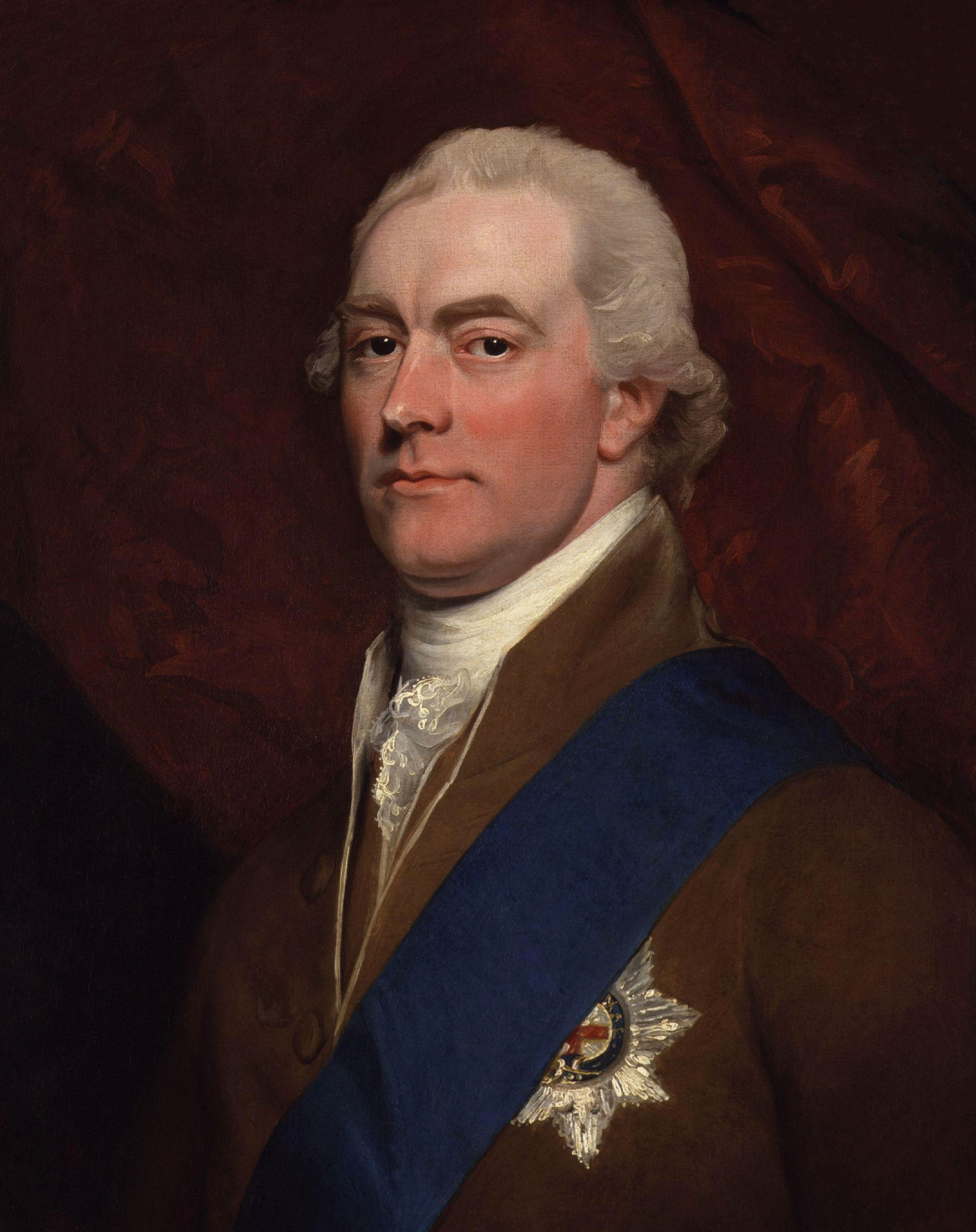
Captain Matthew Flinders was the first European to explore the gulf. In February 1802 he navigated inland from present-day Port Augusta to within 33 km of the termination of the gulf.
Above:- Captain Matthew Flinders. Image c/o Wikipedia.
On the 20th day of March 1802, Flinders named the gulf Spencer’s Gulph in honour of George John Spencer, the 2nd Earl Spencer. During the Baudin exploration, Nicholas Baudin named the gulf, Golfe Bonaparte. Freycinet used the name Golfe de la Melomanie on the expedition’s published charts. (Wikipedia 2024)
Above:- George Spencer. Image c/o Wikipedia.
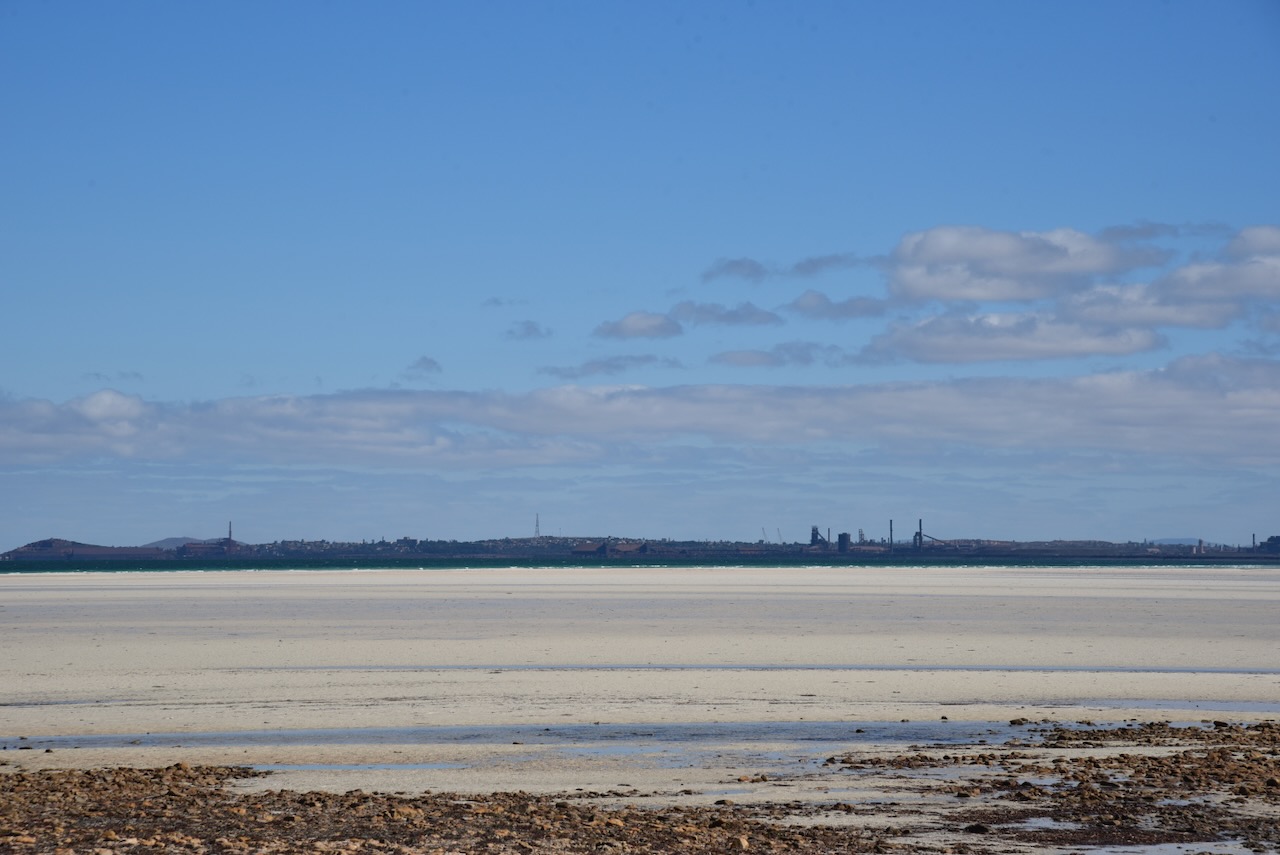
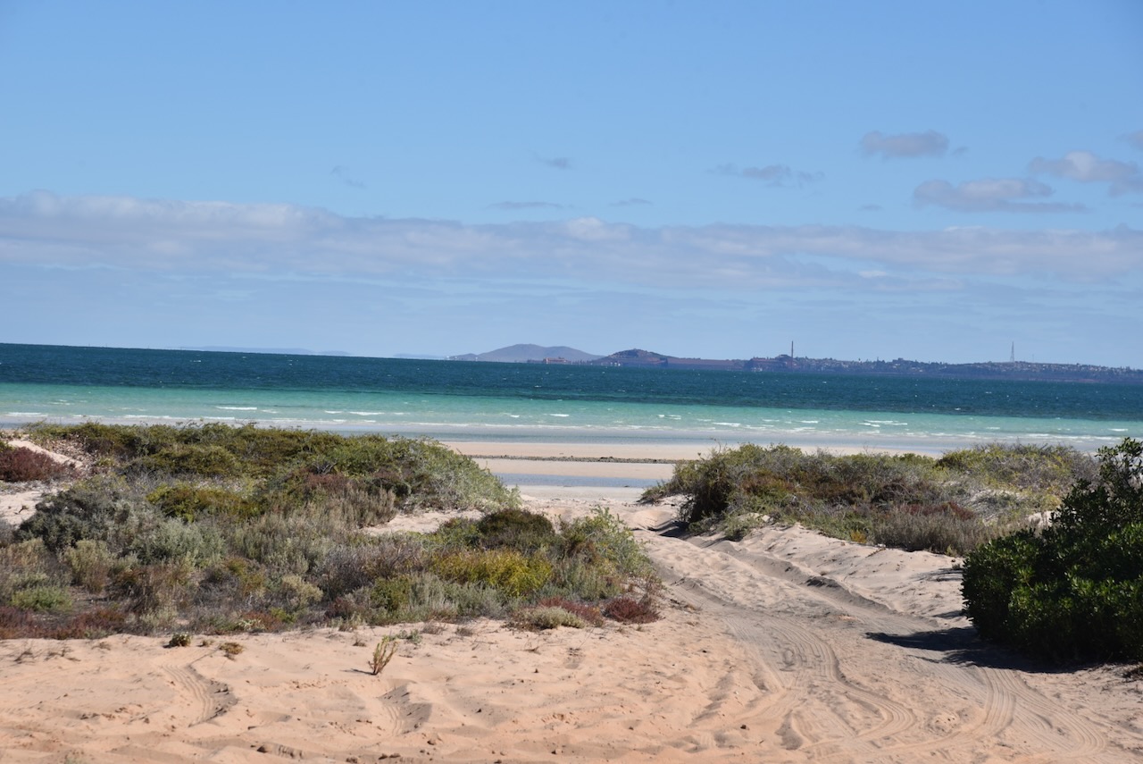
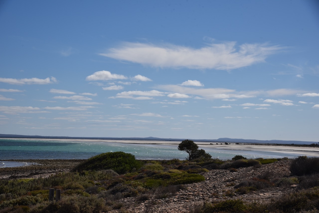
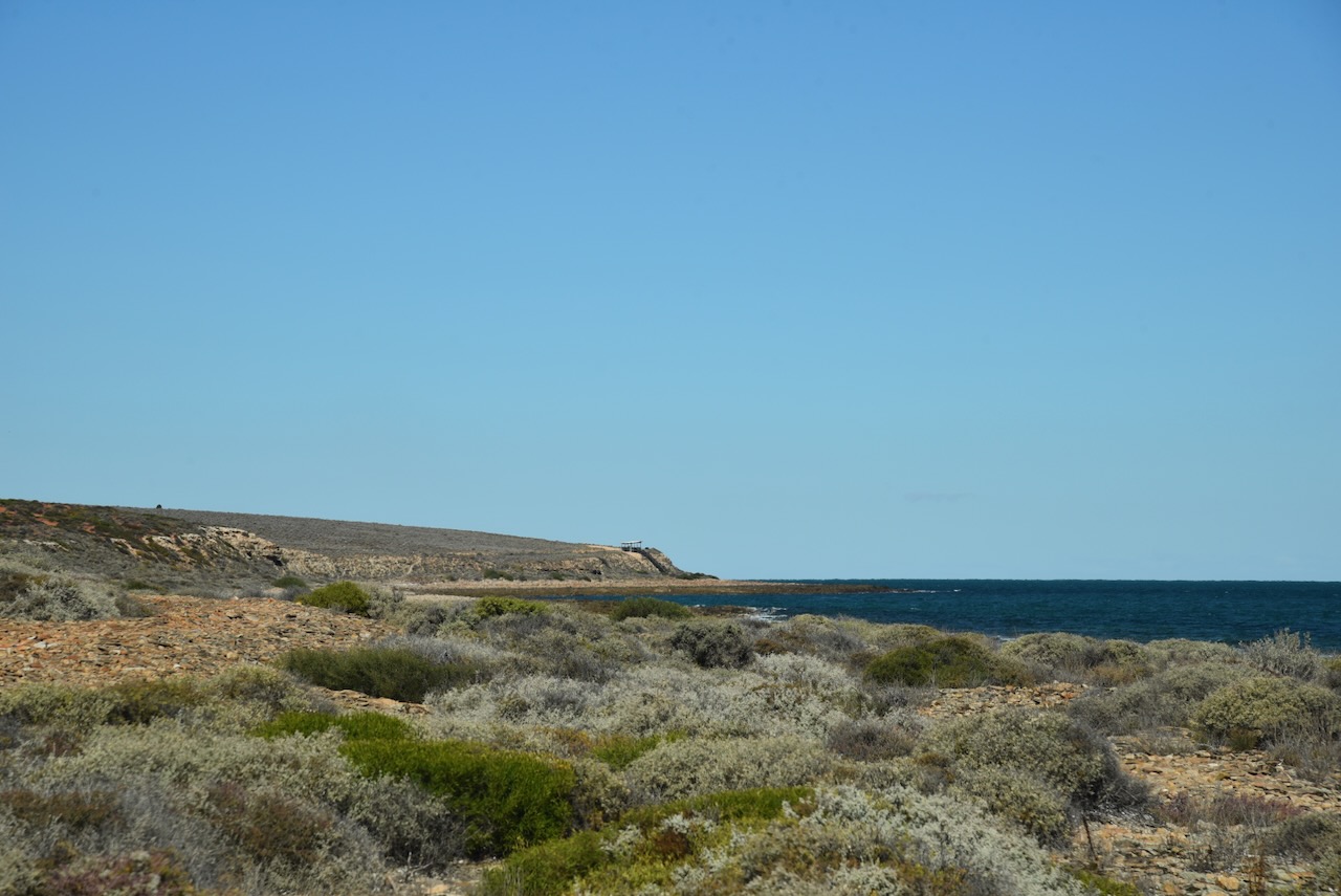
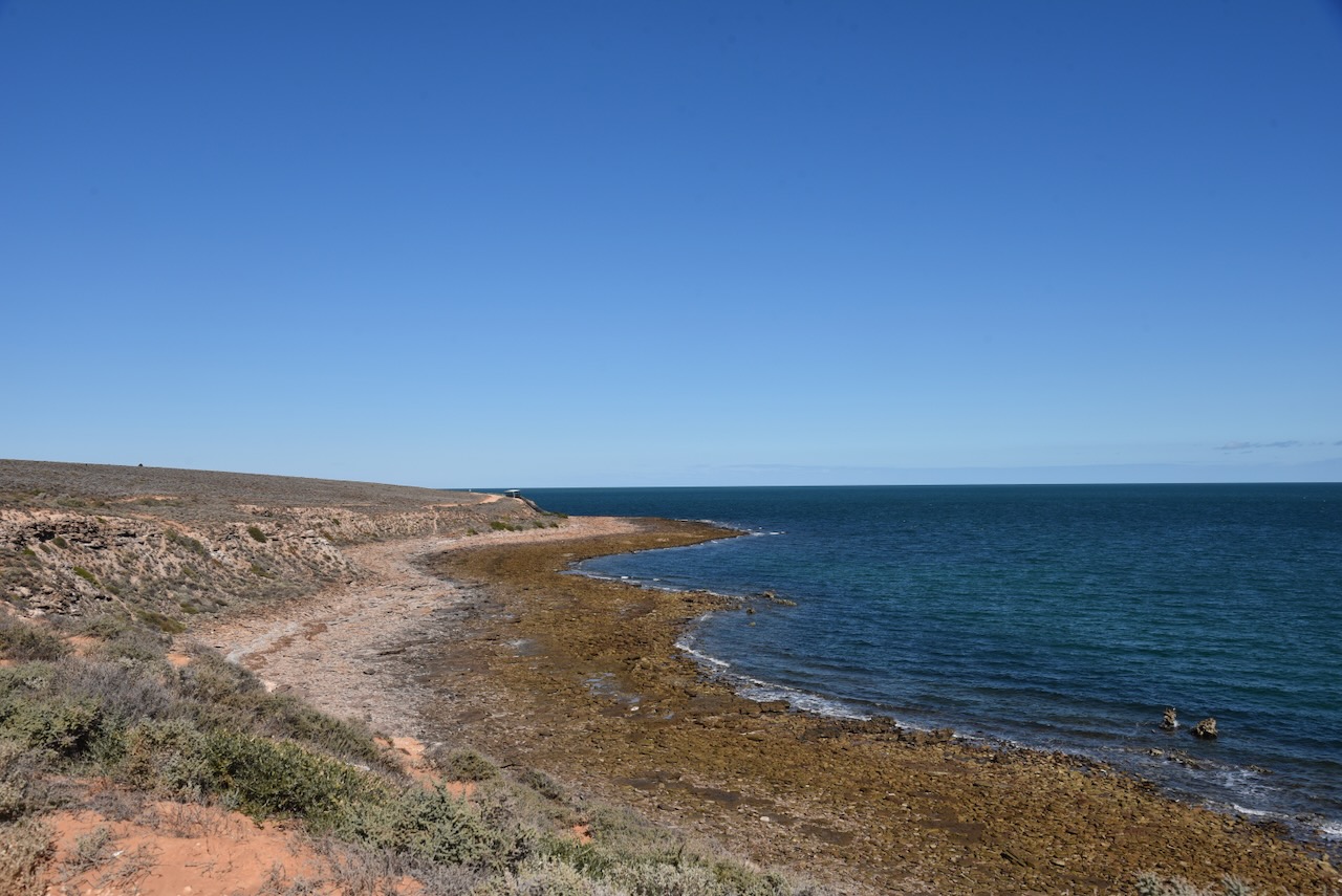
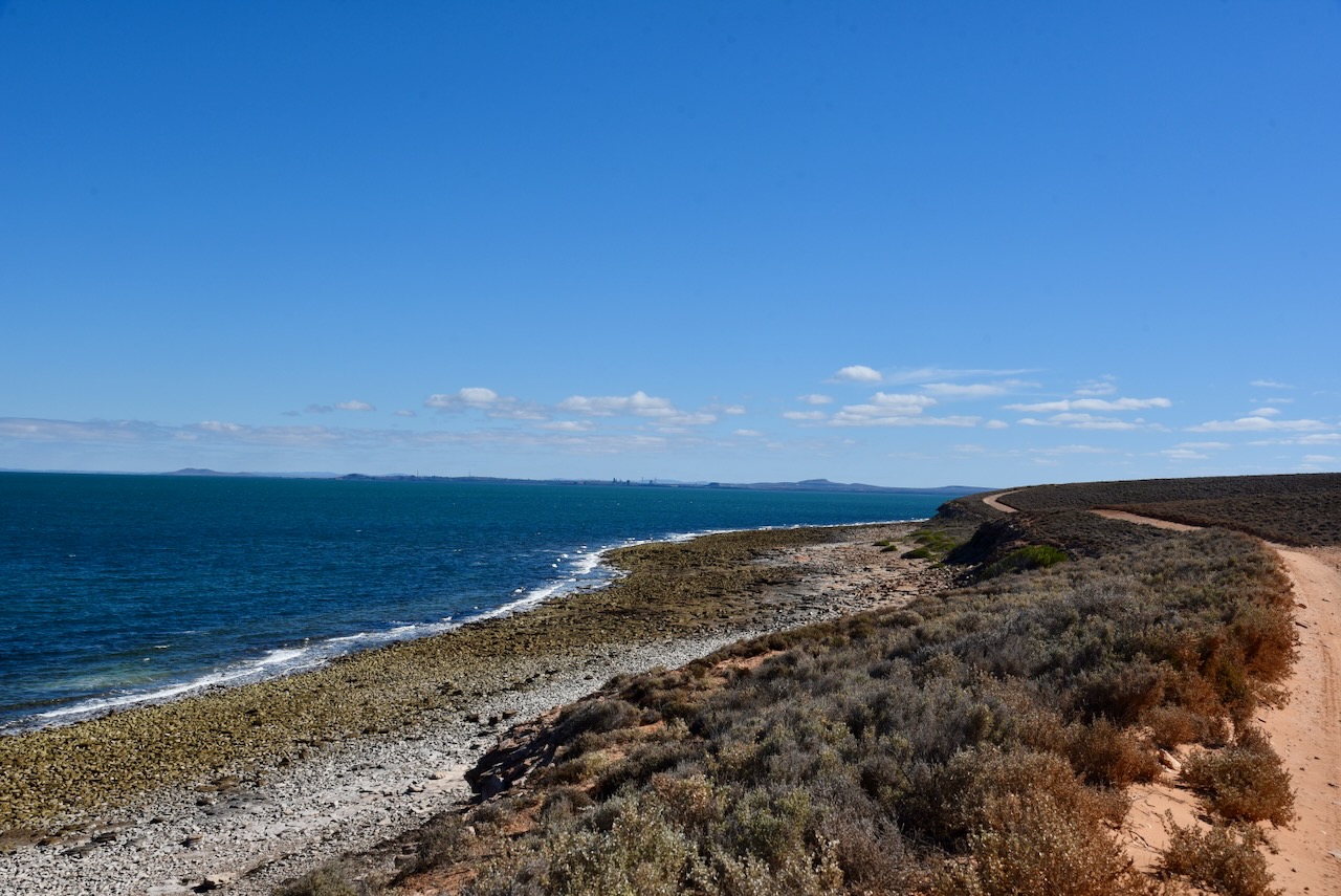
I decided to head to Port Bonython. I took the Point Bonython Road, stopping every now and again to admire the nice views back across the water to Whyalla.
I continued along Point Bonython Road and stopped regularly. There are several parking spots along the way with information boards and spectacular views across the Upper Spencer Gulf.
This part of the coastline is The Cuttlefish Coast Sanctuary Zone. It is an internationally recognised location as a breeding area for Giant Australian Cuttlefish. The Cuttlefish gather in May when the water temperature drops below 16 degrees C and when salt levels are also at their lowest levels. The female cuttlefish will only lay her eggs when conditions are perfect and she attaches them to the underside of a rocky ledge in 1.5 metres of clear cool water. There is a permanent ban on fishing for Giant Cuttlefish in this area. The area is popular with divers who come from all around the world to view the Giant Cuttlefish.
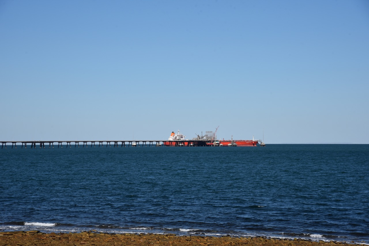
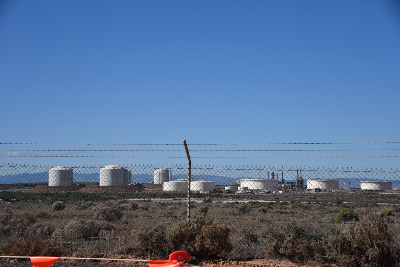
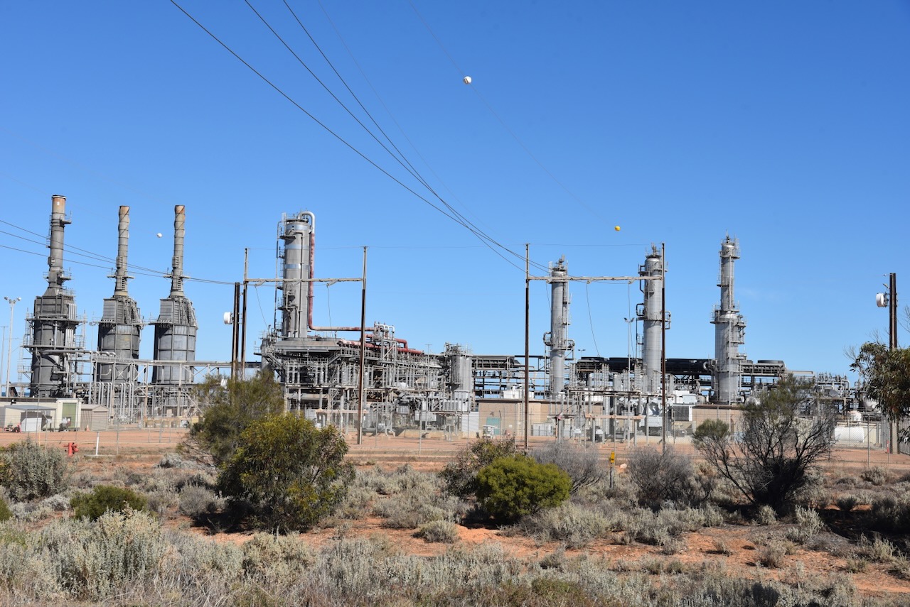
My next stop was Port Bonython, a deepwater port, gas fractionation plant and diesel storage facility. Santos established the gas fractionation plant in 1982. In 1983 a 2.4 km long wharf was constructed. (Wikipedia 2024)
I left Port Bonython and drove the short distance to Point Lowly. It was named by Matthew Flinders in 1802. It was named Cap Lafontaine by French explorer Nicolas Baudin. (Wikipedia 20240
The Point Lowly lighthouse was constructed in 1883 to guide ships safely through Spencer Gulf en route to Port Augusta and Port Pirie. The original tower was 15 metres in height. It was raised by 7.6 metres to its current height in 1909. (Wikipedia 2024)
This is part of the Freycinet Trail that extends 12 km along the coastline of Fitzgerald Bay in the Upper Spencer Gulf. It is to honour Louis-Claude de Freycinet.
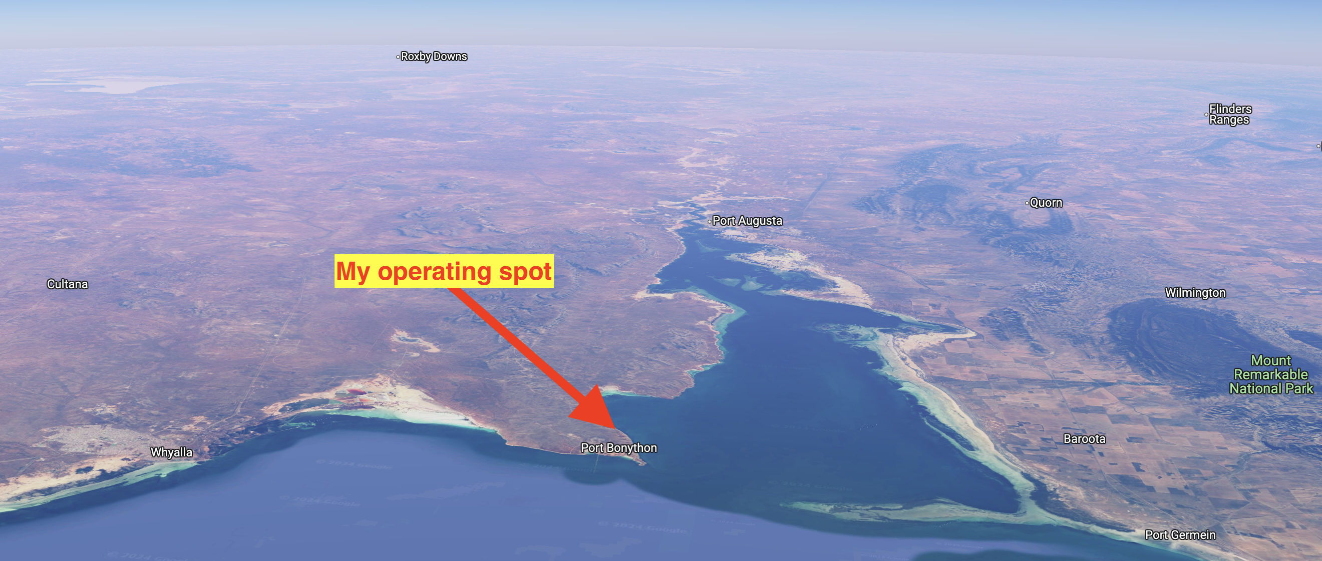
I parked on the edge of the cliff line on Coastal Road and operated from the 4WD, running the Icom IC-7000, 100 watts, and the Codan 9350 with the 1.5-metre stainless steel whip.
Above:- An aerial view showing my operating spot. Image c/o Google Maps