
I left Eudunda (22nd May 2024) and headed for the Lake Short Conservation Park VKFF-4038 which was to be a first activation of the park for me.
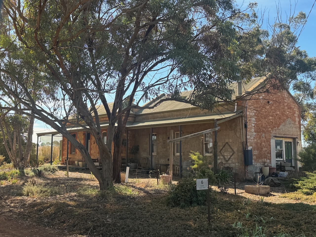
Along the way, I stopped to have a look at the old Bagot Well schoolhouse. The area takes its name after a well that was sunk by Charles Hervey Bagot (b. 1788. d. 1880) in 1855. He was often referred to as Captain Bagot. He was a South Australian pastoralist, mine owner, and parliamentarian. (Place Names 2012) (Wikipedia 2024)
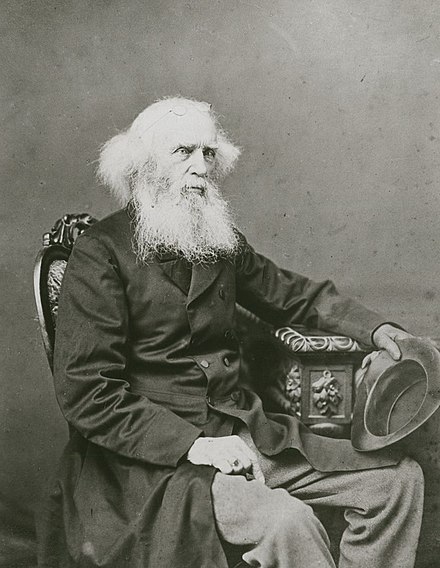
Above:- Charles Bagot. Image co Wikipedia.
The Bagot Well Post Office opened on the 1st day of September 1860. In 1863 the Bagot Well School opened. It closed in 1954. On the 5th day of December 1940, it was renamed from Bagot’s Well to Bagot Well. (Place Names 2012)

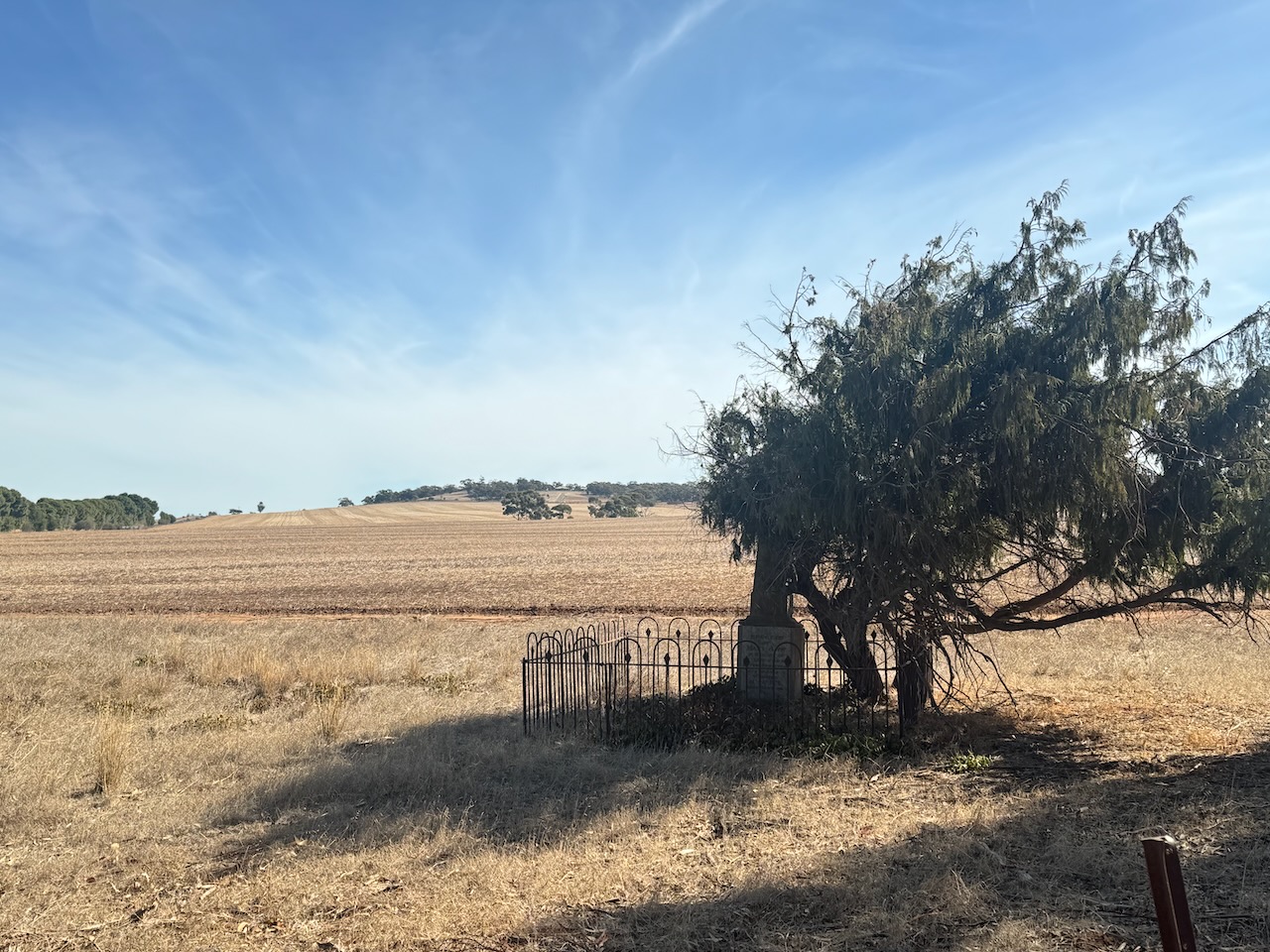
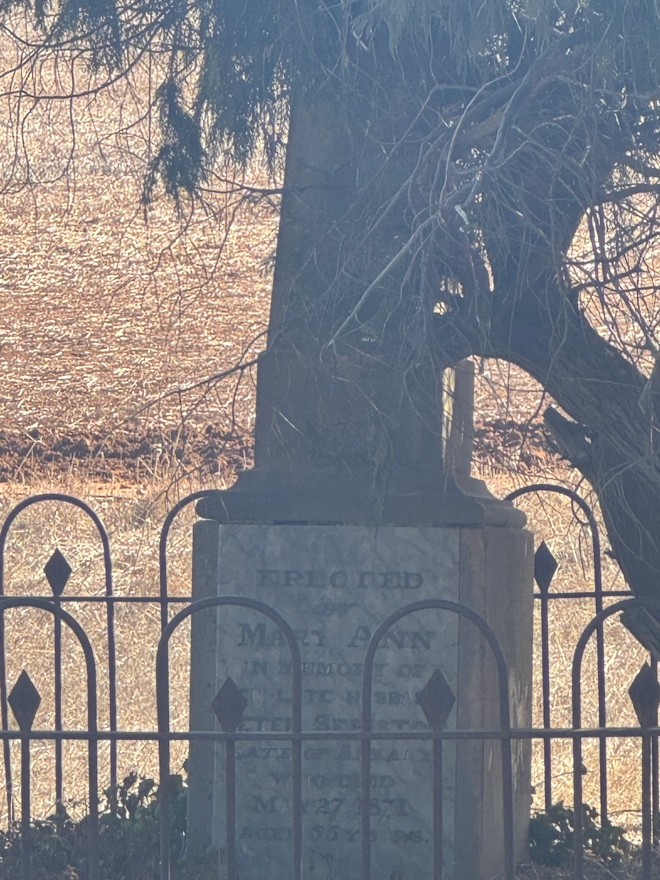
Opposite the old school is the old Congregational Cemetery. Only two headstones remain. The church was built in 1865 and was demolished c. 1877. (Flickr 2024)
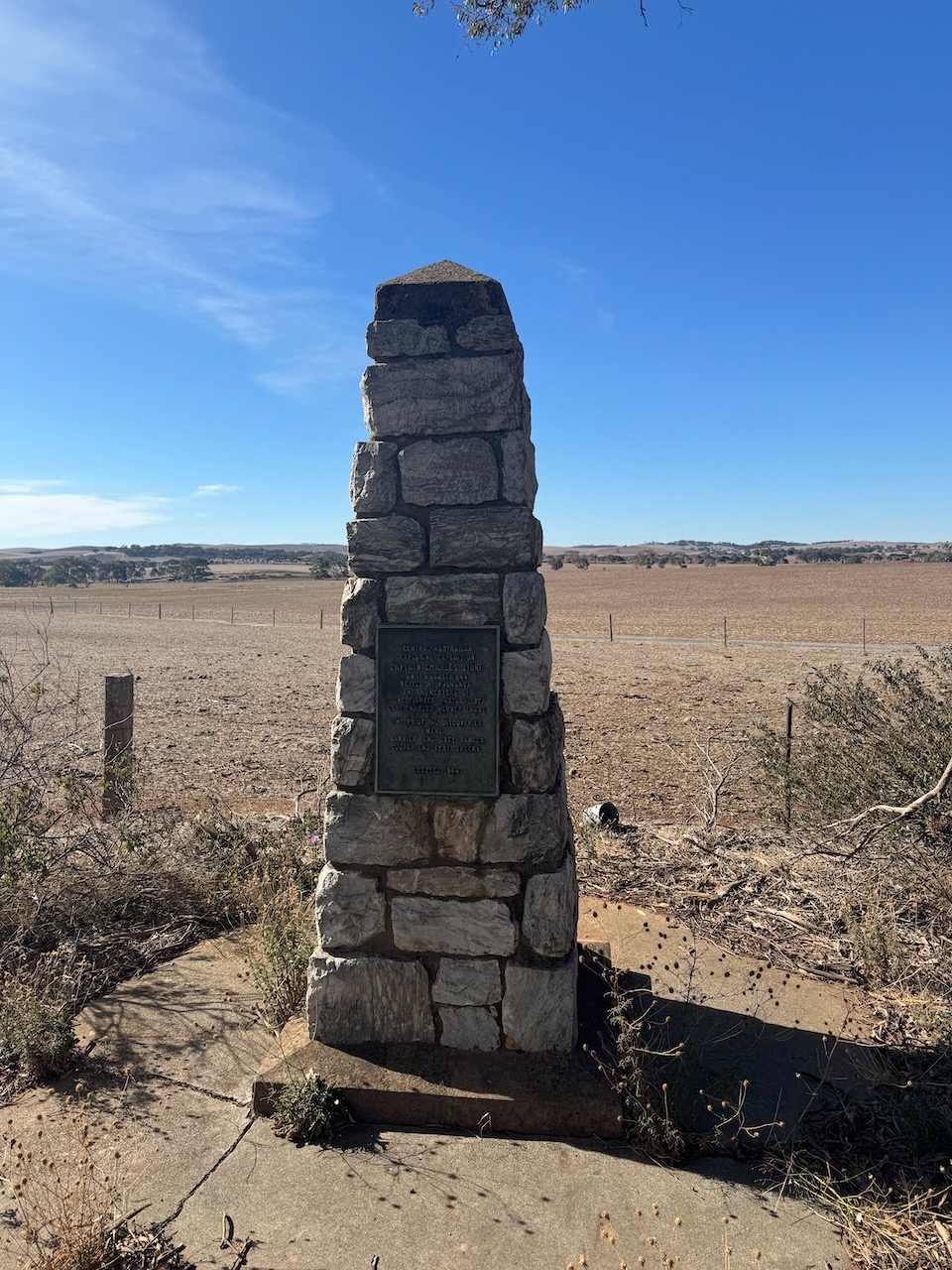
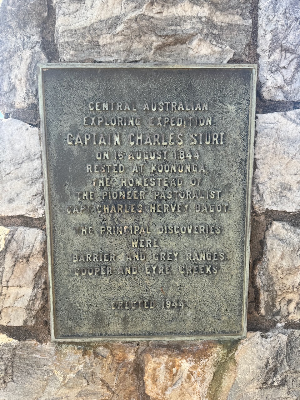
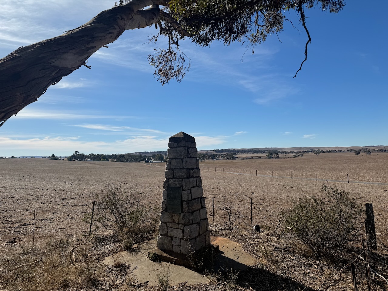
I then stopped to have a look at the Captain Charles Sturt and Central Australian Exploring Expedition monument on Kapunda-Truro Road, Koonunga. The cairn commemorates Captain Charles Sturt and the Central Australian Exploring Expedition of 1844 and 1845. The cairn was unveiled in 1944 to mark the centenary of the expedition. (Monument Australia 2024)
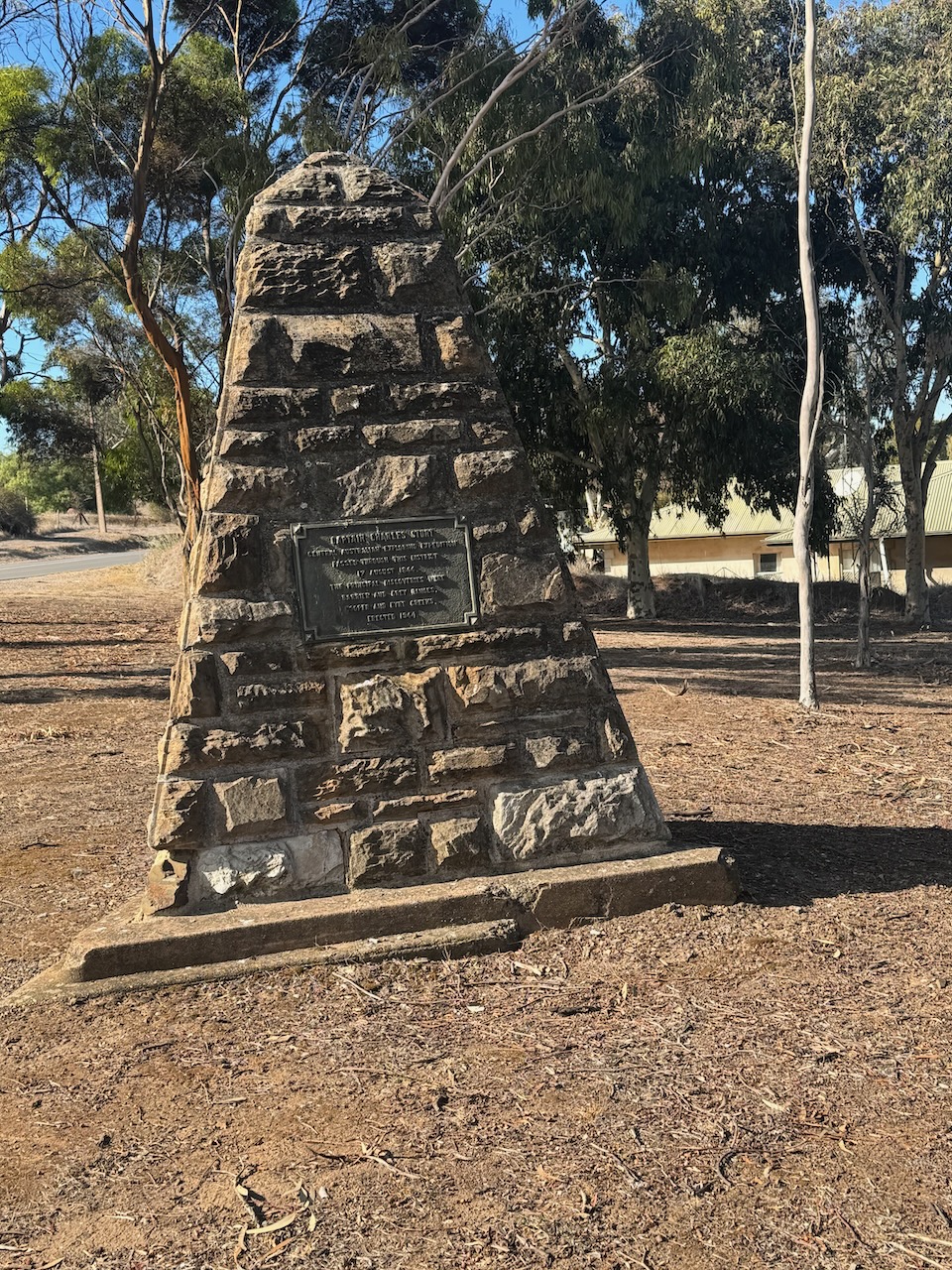
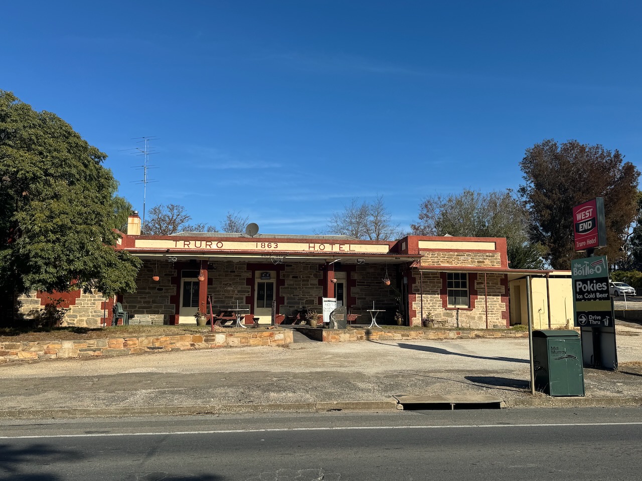
I then drove into the town of Truro, stopping at the Captain Charles Sturt monument.
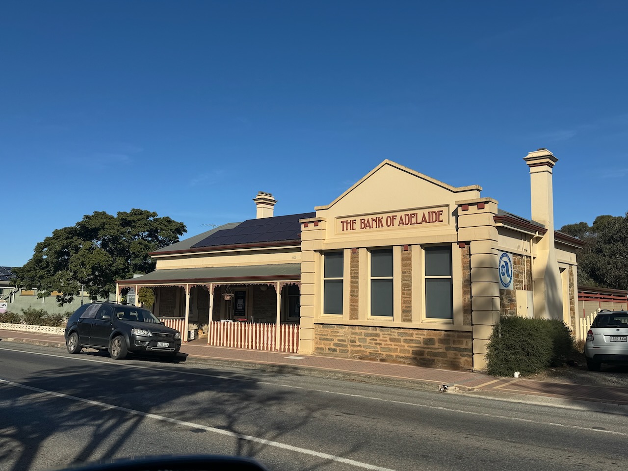
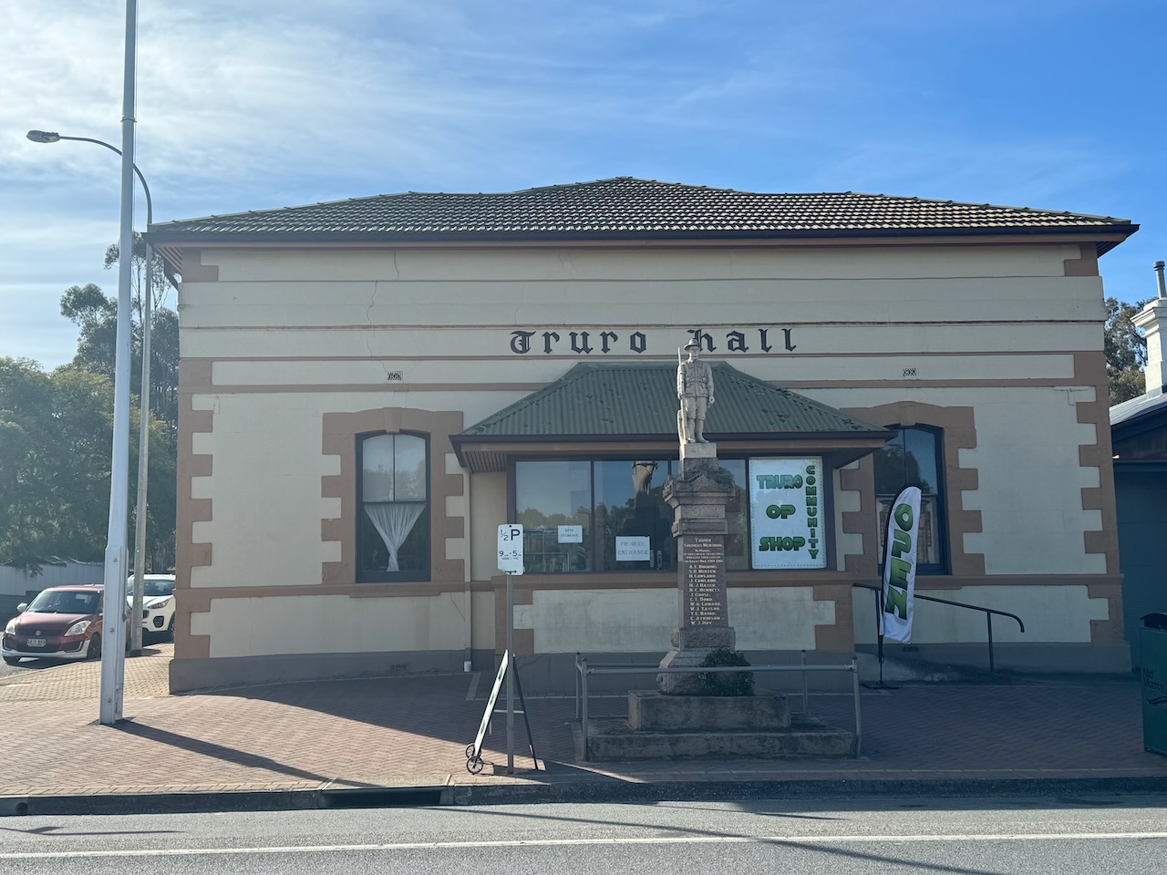
The town of Truro is located about 48 km northeast of Gawler. It was surveyed in 1847-1848 for J.H. Angas by Thomas Burr and Frederick Sinnett. It was named after a town in Cornwall, England. Truro is derived from either tre-rhiew – ‘the dwelling on the slope’, or tre-ru – ‘the castle on the water’. (Place Names 2012)
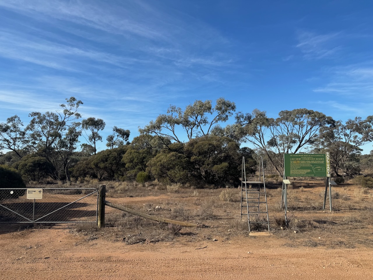
Access to the park is via Lake Short Road at the intersection with Diagonal Road and Sperling Road. There is a gate here. It is unlocked, but please close the gate behind you.
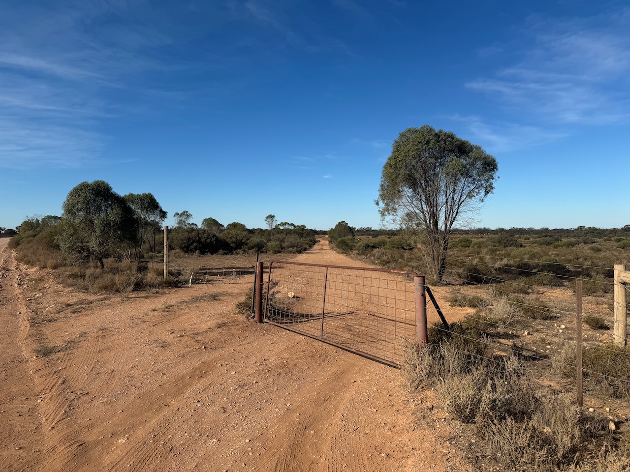
The Lake Short Conservation Reserve is a Heritage Agreement. It is owned by The Natural History Society of South Australia Inc. and is open to the public.
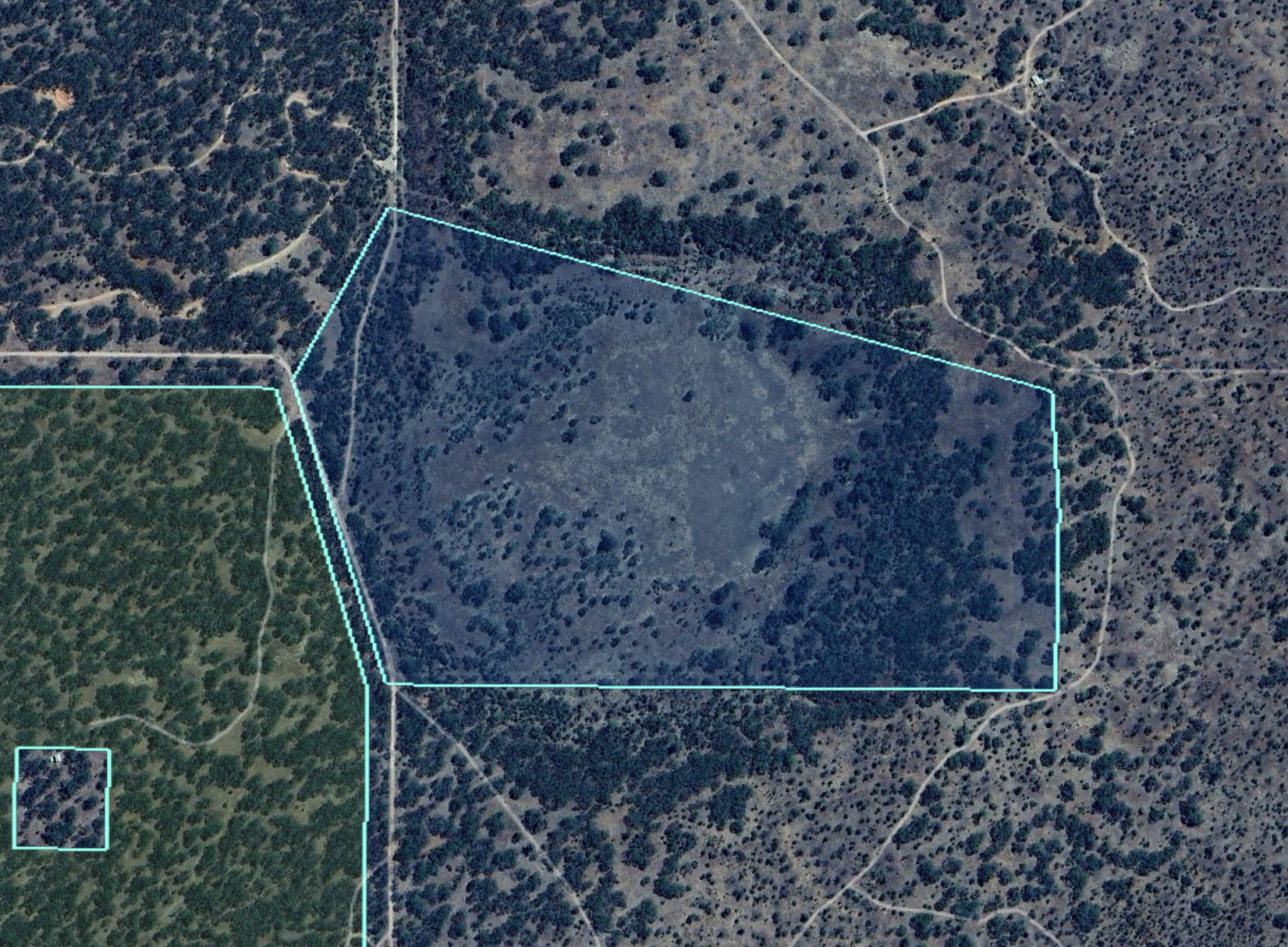
Above:- An aerial view of the park. Image c/o Google Earth.
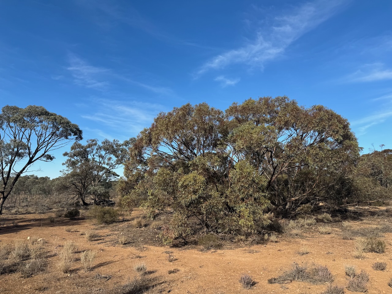
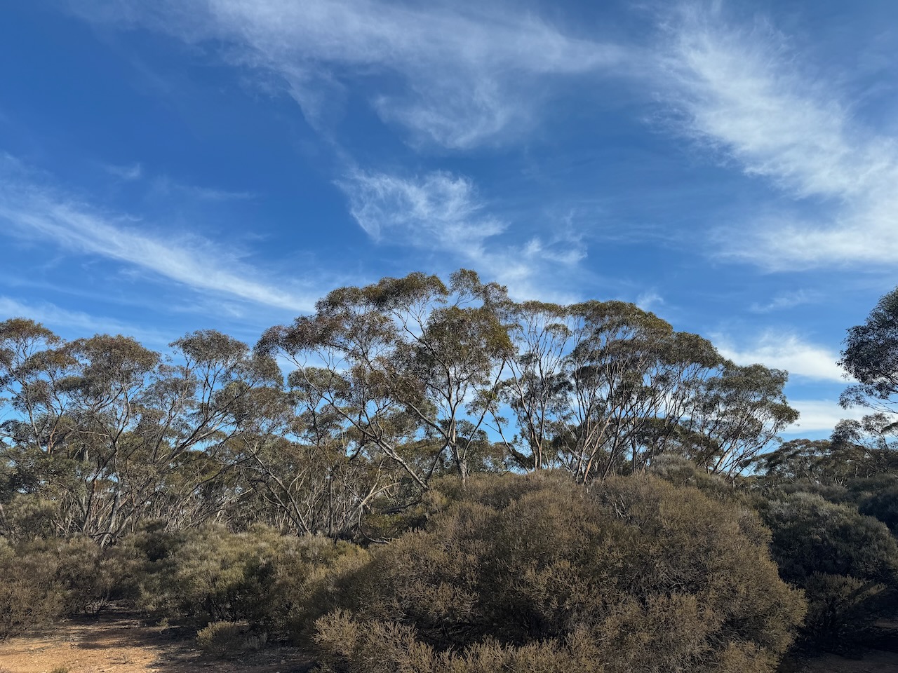
The park is 33 hectares in size and was established on the 24th day of February 1994. The park includes Lake Short which is usually dry and only fills in years of exceptional rainfall. (CAPAD 2022) (Wombats SA 2024)


I set up just inside the entrance gate. I ran the Yaesu FT857, 40 watts, and the 20/40/80m linked dipole for this activation.


I logged a total of 126 QSOs including the following countries:-
- Australia
- Belgium
- England
- Fiji
- Finland
- France
- Germany
- Hawaii
- Italy
- Japan
- Netherlands
- Poland
- Slovenia
- Spain
- Sweden
- Switzerland
- Ukraine
- USA
I worked the following stations on 20m SSB:-
- VK4KBA
- VK7AAE
- EC4AT
- VK7XX
- DL2ND
- ON5VN
- VK3SO
- VK3SFG
- VK1AO
- VK2MET
- KG5CIK
- F5PYI
- VK4NH
- VK4DXA
- F4LDK
- VK6JK
- DH4PSG
- PD1CMP
- DK4RM
- IZ5JMZ
- UT5PI
- VK2OZI/p (Glenrock State Conservation Area VKFF-1319)
- IC8CUQ
- SM5ZCJ
- OP7M
- VK7SW
- VK2DI/p (Kamay Botany National Park VKFF-0048)
- F5PMW
- S55G
- VK4KLA
- VK2IO/p (Mapleton National Park VKFF-1205)
- VK4EMP
- VK4TI
- VK2USH
- VK3PF
- VK3KAI
- VK4EW
- SM1ALH
- VK4HTE
- F8GGV
- VK2MTM
- OH2CGU
- M6KCI
- IK1GPG
- SQ9CWO
- DL1DGS
- ON4VT
- PA1WLB
- SP5INQ
- M1TES/m
- VK7NSS
- F4GYM
- DL1EBR
- DF0DS
- F4GYE/m
- PD2BA
- OH5EP
- OH1MM
- OG7J
- KH6KW
- VK2HDT
- ZL2BAQ
- VK2COS
- VK4JT
- 3D2MP
- M0AIA/m
- VK5QA/p
- VK2MI
- EA3MP
- JF7RJM
- ON3WA
- F4WBN
- SP7MW
- EA3HAB
- OM5TX
- OK2VWB
- HB9FPR
- IU8EUN/m
- DJ1SD
- OH6GAZ
- EA3IM
- M7CBI
- ON5VR
- VK2XGB
- G2YT
- IW2BNA
- AA5R
- IK3HMB
- VK2OP/m
- G0RQL
I worked the following stations on 40m SSB:-
- VK5FANA
- VK2IO/m
- VK3GB
- VK1RX
- VK2HAK
- VK2EXA
- VK3VIN
- VK1AO
- VK2MET
- VK3CJN
- VK3QHU
- VK3PF
- VK3KAI
- VK3CEO
- VK4NH
- VK4DXA
- VK4HMI
- VK5GY
- VK2VAR
- Vk2GOM
- VK2HHA
- VK3SPG
- VK4DNO
- VK3APJ
- VK3BEL
- VK3ACZ
- VK2VW
- VK2HFI
- VK7JFD
- VK3ENI
- VK2VRJ
- VK2XGB
- VK3IFR
- VK7PJM
- VK7JDZ
- VK3WSG
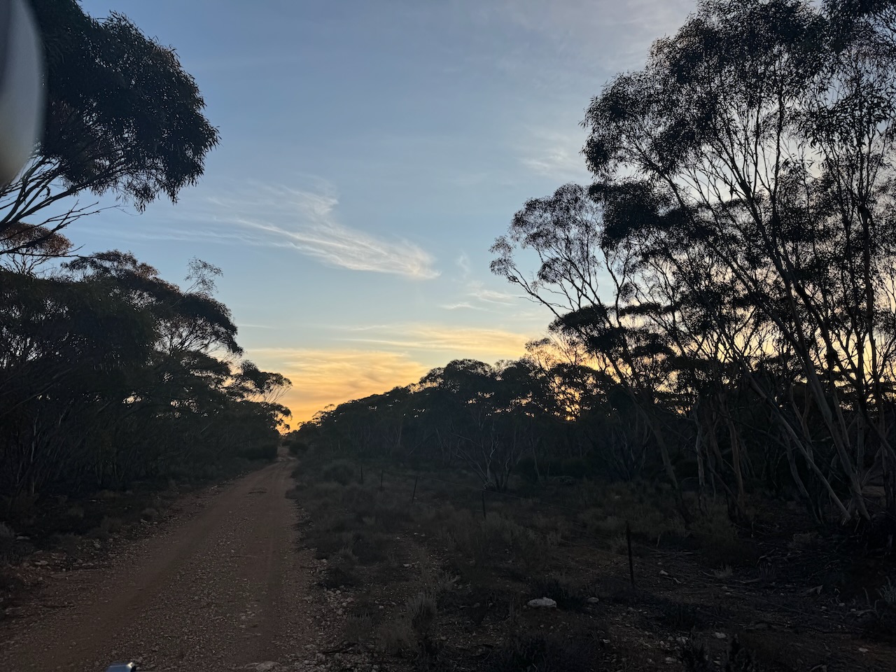
After a very successful activation, I packed up and headed for home just as the sun was setting

References.
- Dcceew.gov.au. (2023). Collaborative Australian Protected Areas Database (CAPAD) 2022 – DCCEEW. [online] Available at: https://www.dcceew.gov.au/environment/land/nrs/science/capad/2022.
- Flickr. (2024). Bagot Well. One of only two headstones left in the old Congregational cemetery. Church was built 1865 and demolished around 1877. Peter Sebiston worked at Anlaby Station. [online] Available at: https://www.flickr.com/photos/82134796@N03/23248953433 [Accessed 16 Aug. 2024].
- monumentaustralia.org.au. (n.d.). Australian Monuments, Statues, Dedicated | Monument Australia. [online] Available at: https://monumentaustralia.org.au/. [Accessed 16 Aug. 2024].
- published.collections.slsa.sa.gov.au. (n.d.). A Compendium of the Place Names of South Australia. [online] Available at: https://published.collections.slsa.sa.gov.au/placenamesofsouthaustralia/. [Accessed 16 Aug. 2024]
- Wikipedia Contributors (2024). Charles Hervey Bagot. [online] Wikipedia. Available at: https://en.wikipedia.org/wiki/Charles_Hervey_Bagot [Accessed 16 Aug. 2024].
- Wombats SA. (2024). Lake Short Conservation Reserve – Wombats SA. [online] Available at: https://wombatssa.org.au/our-reserves/lake-short/ [Accessed 16 Aug. 2024].
