
On 26th April 2024, I farewelled Cowell and headed north. My next stop would be Whyalla where I was going to have lunch with my mother-in-law and brother-in-law.
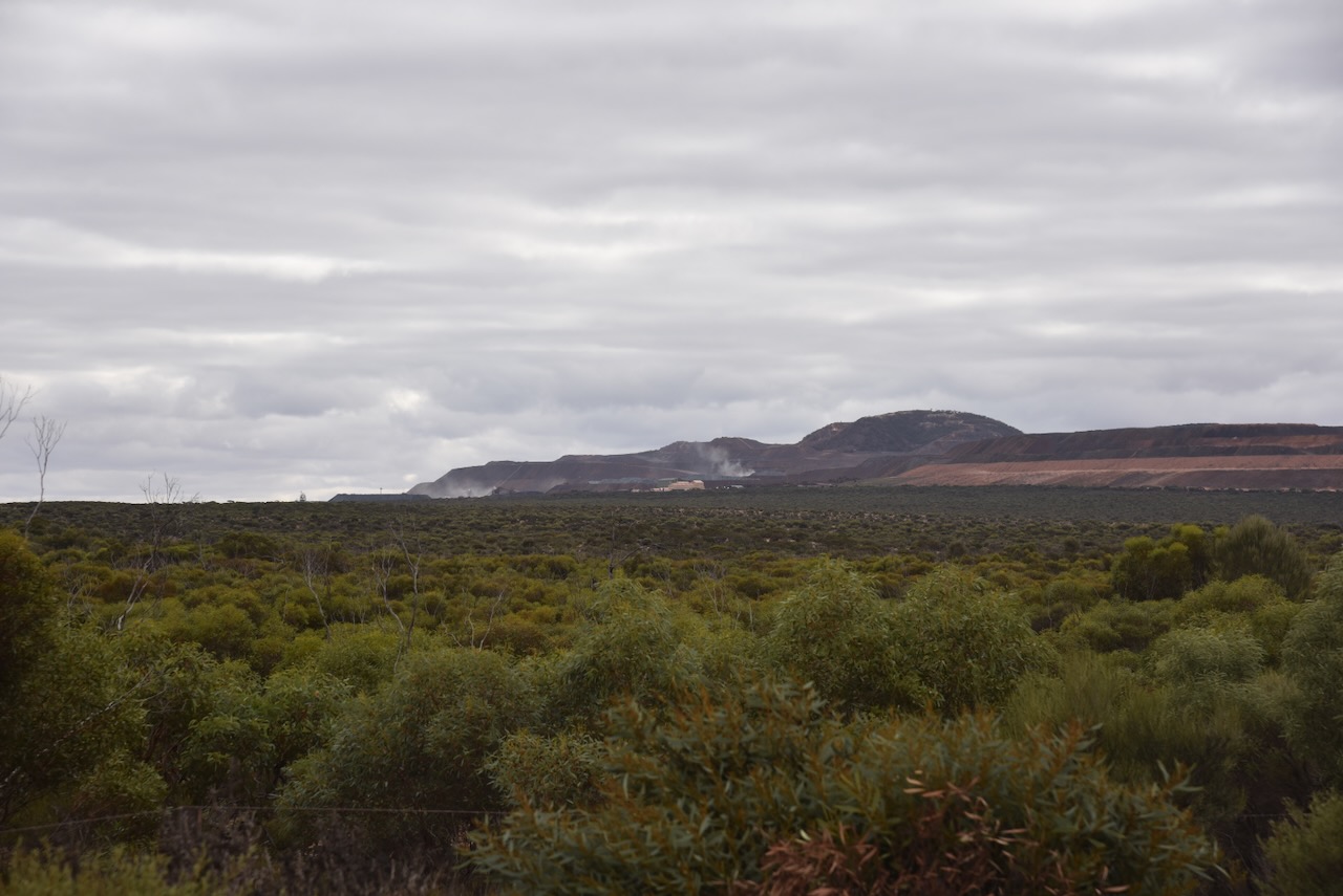
Along the way, I passed the Middleback Range mining operations. Iron ore is mined here.

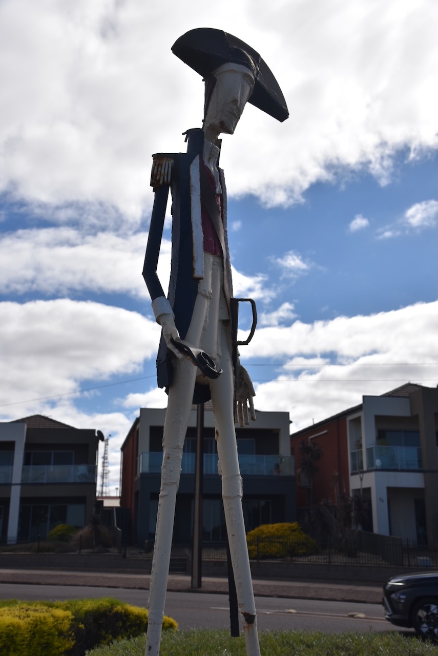
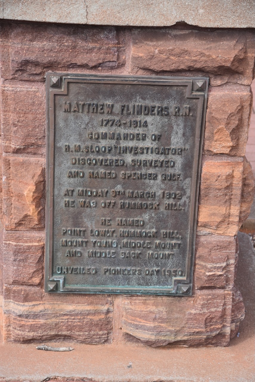
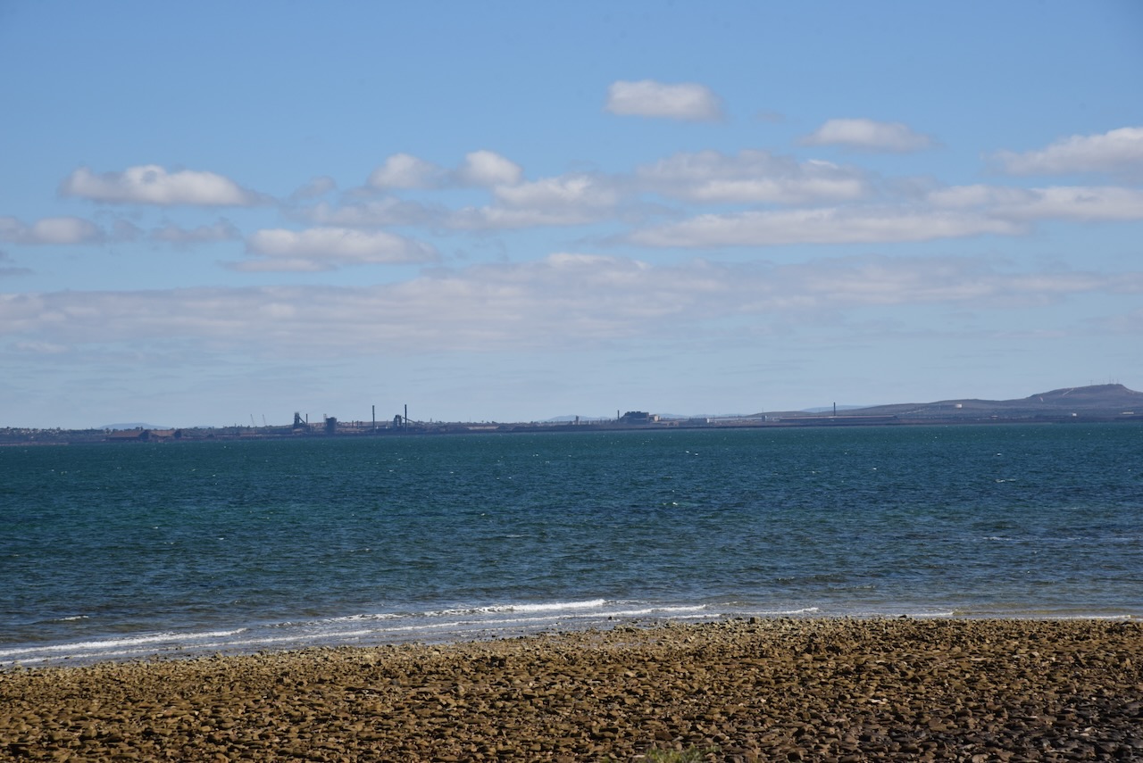
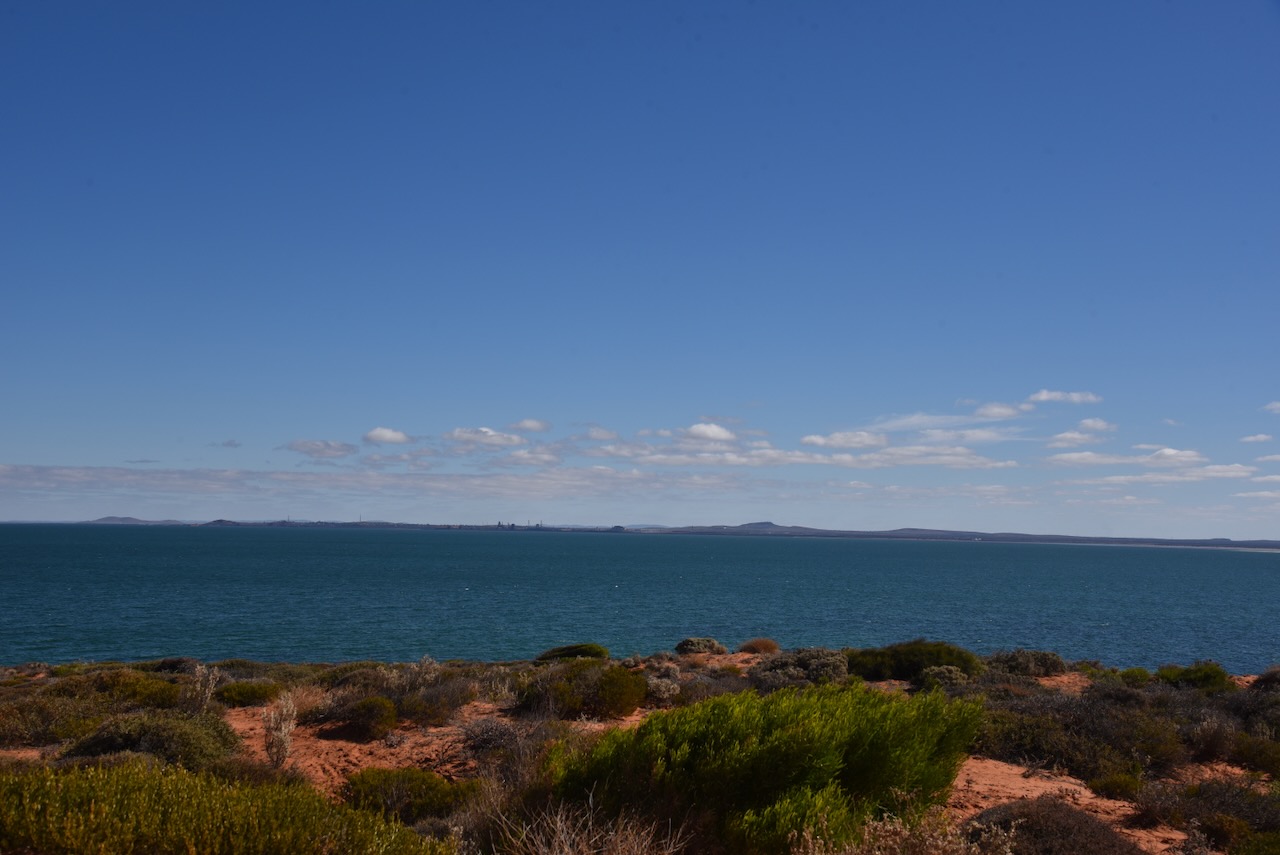
I continued on to Whyalla and stopped briefly at the Flinders and Reycinet monument and lookout. The monument is to honour Captain Matthew Flinders and Louis-Claude de Freycinet.
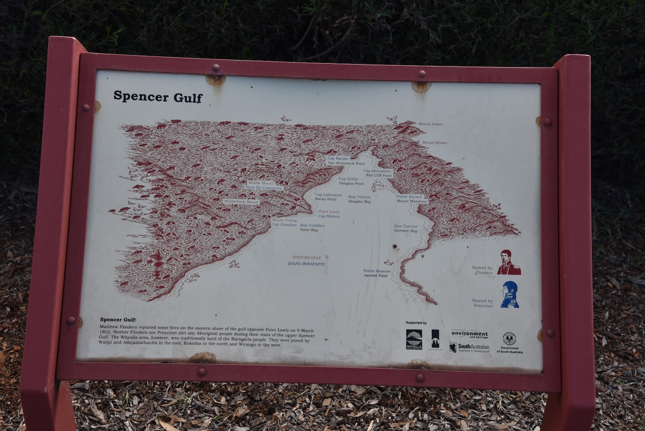
Flinders, the Commander of HMS Investigator, surveys and named the Spencer Gulf. He was the first European to navigate and chart the coast of South Australia in 1802. In January 1803, Freycinet navigated and chartered the coast for the Baudin expedition. (Whyalla 2024)
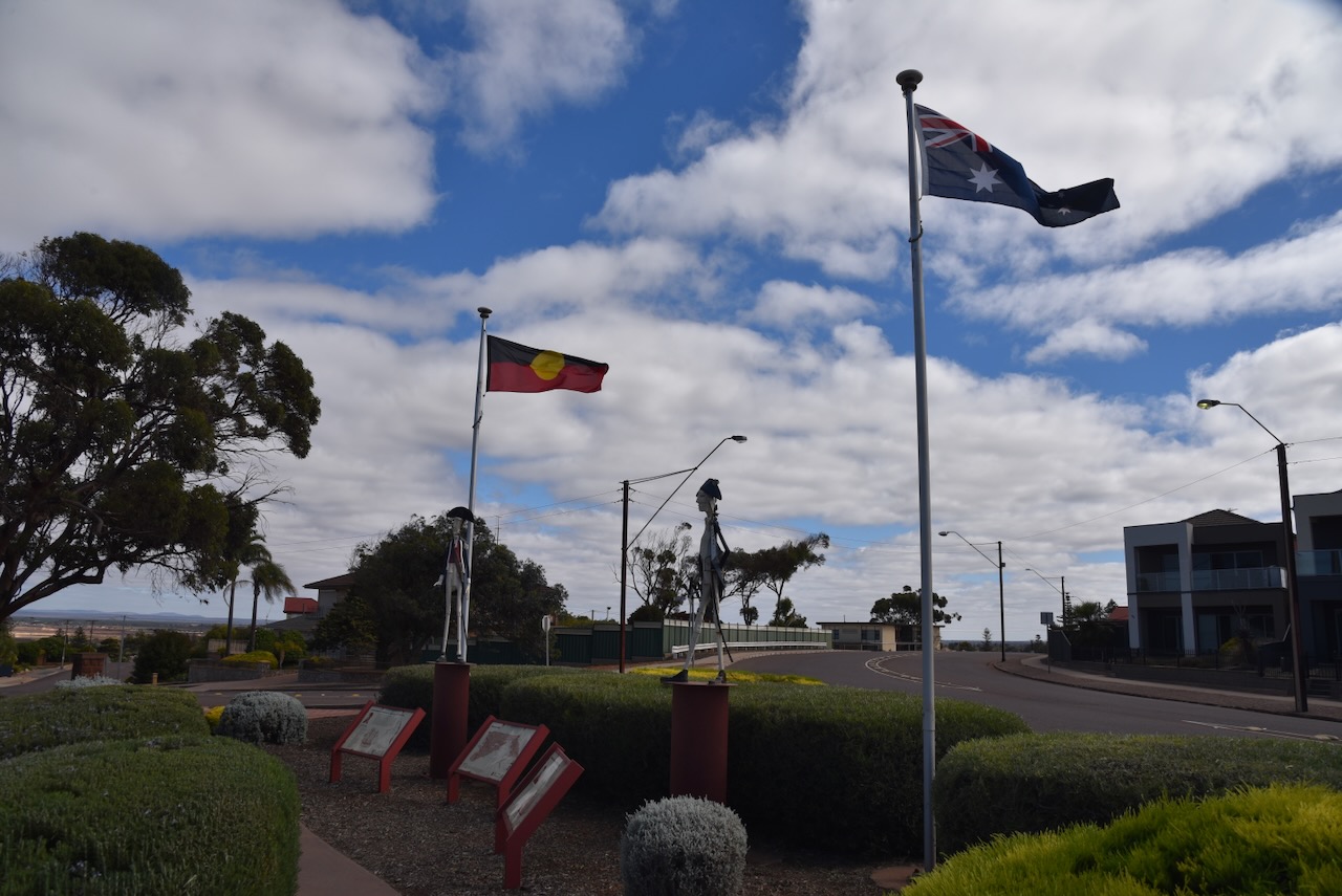


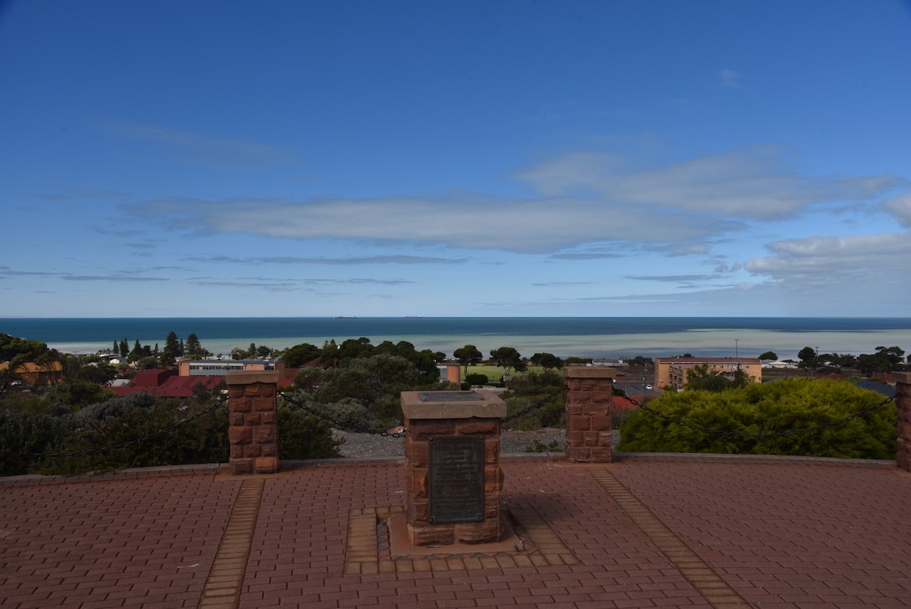
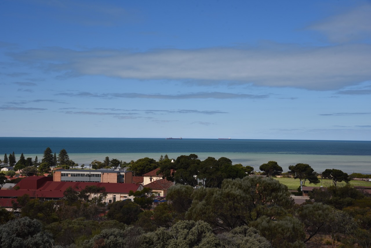
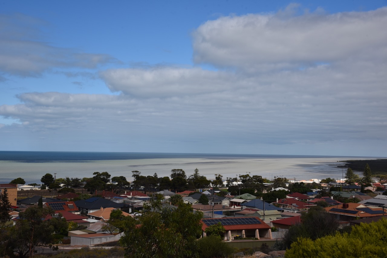
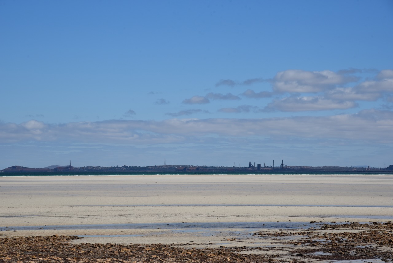
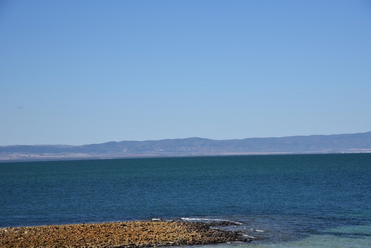
There are some nice views of Whyalla and Spencer Gulf from the lookout.

After a magnificent lunch, I left Whyalla and decided to activate the Upper Spencer Gulf Marine Park VKFF-1757. This was to be the first time I had activated the park.
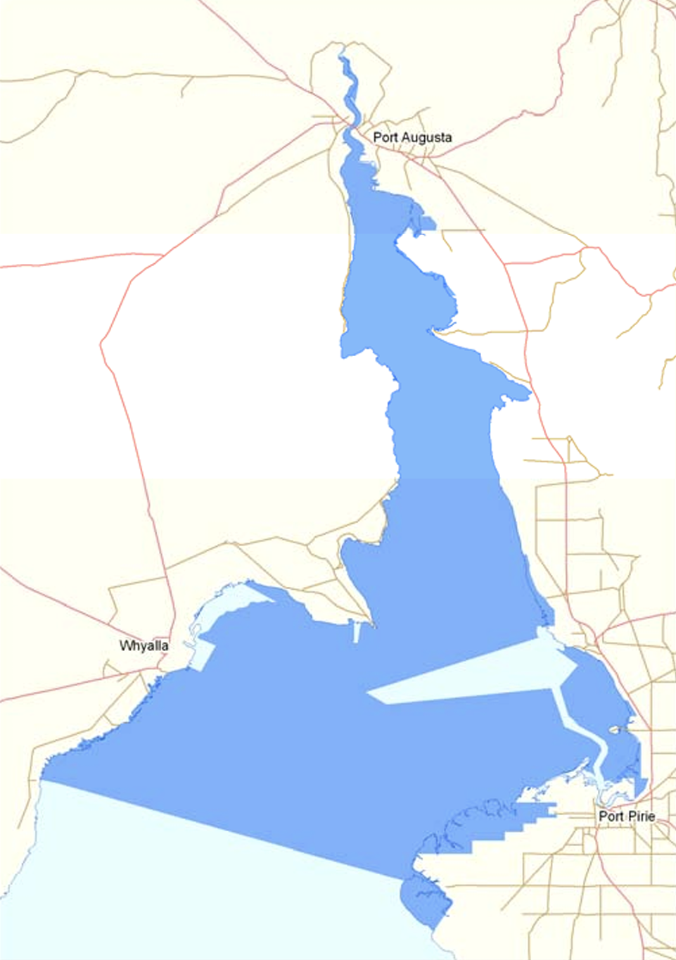
Above:- Map showing the location of the Upper Spencer Gulf Marine Park. Map c/o DEWNR.
The Spencer Gulf is the westernmost and larger of two large inlets in South Australia. The other inlet is Gulf St Vincent. The Spencer Gulf spans from Cape Catastrophe on the Eyre Peninsula to Cape Spencer on the Yorke Peninsula. Several towns are located on the gulf and these include Whyalla, Port Pirie, Port Augusta, and Port Lincoln. (Wikipedia 2024)
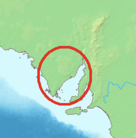
Above:- Map showing the location of Spencer Gulf. Map c/o WIkipedia.
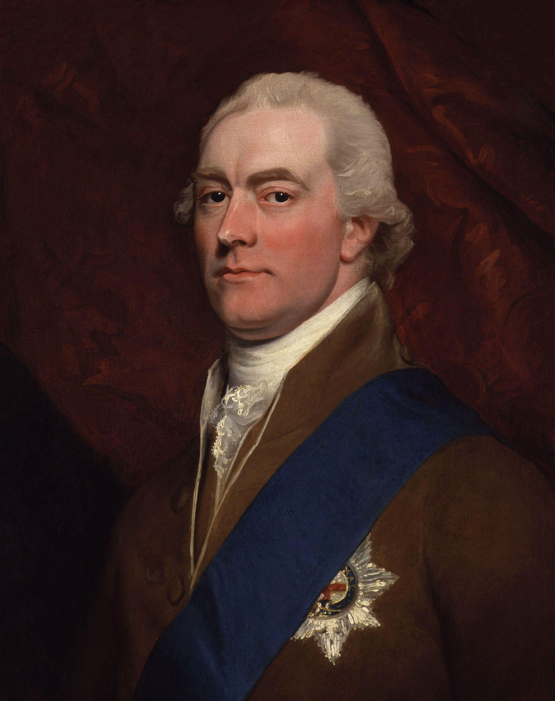
Captain Matthew Flinders was the first European to explore the gulf. In February 1802 he navigated inland from present-day Port Augusta to within 33 km of the termination of the gulf.

Above:- Captain Matthew Flinders. Image c/o Wikipedia.
On the 20th day of March 1802, Flinders named the gulf Spencer’s Gulph in honour of George John Spencer, the 2nd Earl Spencer. During the Baudin exploration, Nicholas Baudin named the gulf, Golfe Bonaparte. Freycinet used the name Golfe de la Melomanie on the expedition’s published charts. (Wikipedia 2024)
Above:- George Spencer. Image c/o Wikipedia.
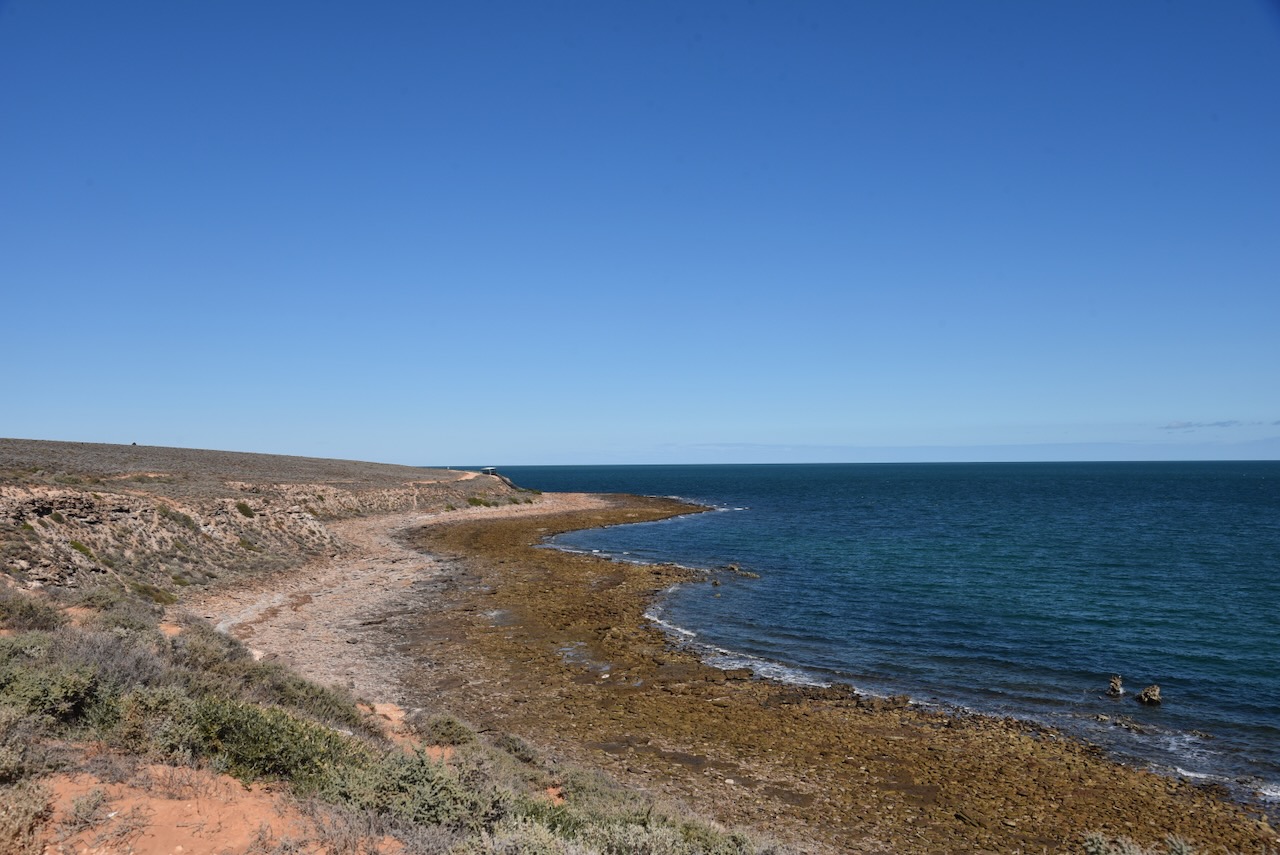
I decided to head to Port Bonython. I took the Point Bonython Road, stopping every now and again to admire the nice views back across the water to Whyalla.
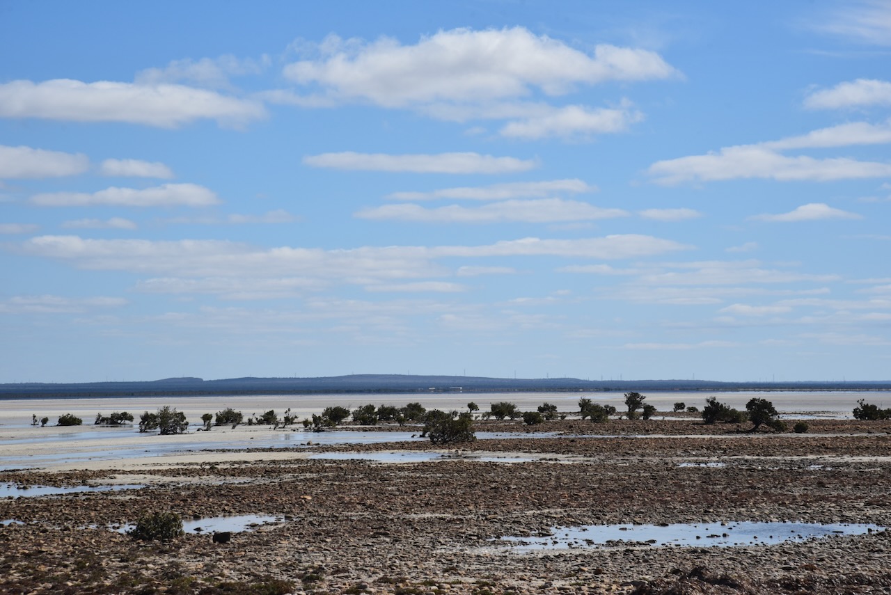
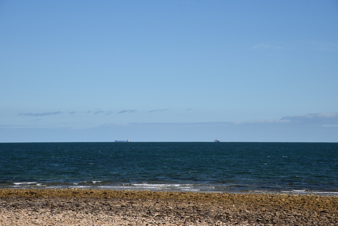
I continued along Point Bonython Road and stopped regularly. There are several parking spots along the way with information boards and spectacular views across the Upper Spencer Gulf.


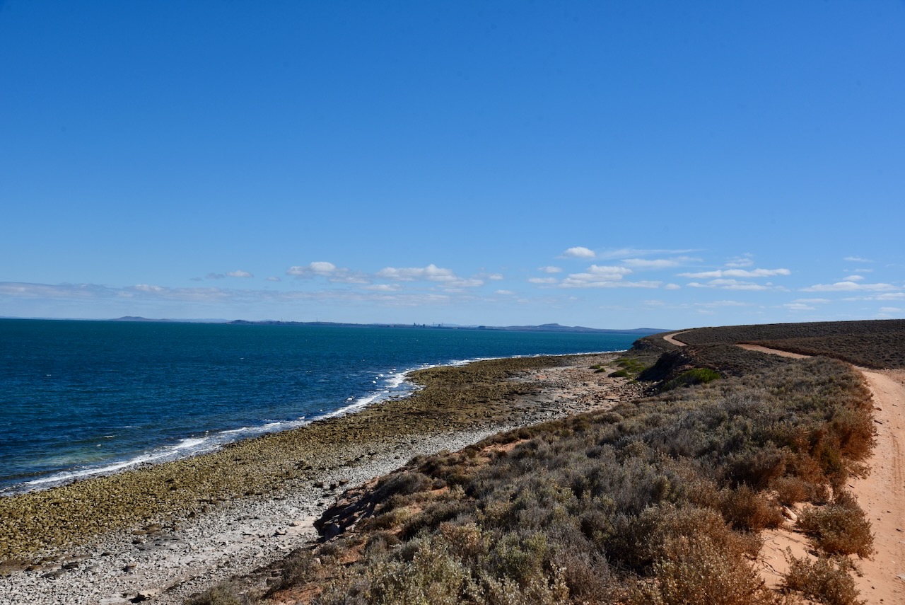
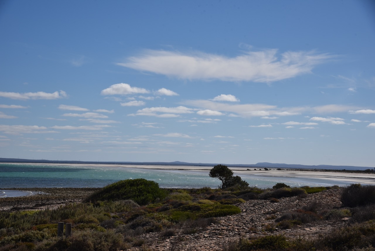
This part of the coastline is The Cuttlefish Coast Sanctuary Zone. It is an internationally recognised location as a breeding area for Giant Australian Cuttlefish. The Cuttlefish gather in May when the water temperature drops below 16 degrees C and when salt levels are also at their lowest levels. The female cuttlefish will only lay her eggs when conditions are perfect and she attaches them to the underside of a rocky ledge in 1.5 metres of clear cool water. There is a permanent ban on fishing for Giant Cuttlefish in this area. The area is popular with divers who come from all around the world to view the Giant Cuttlefish.
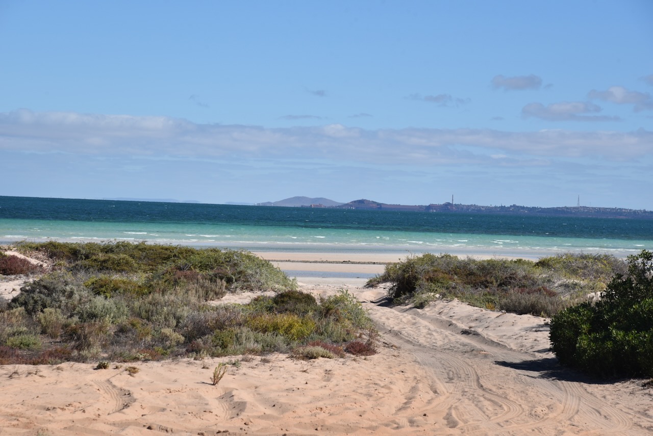
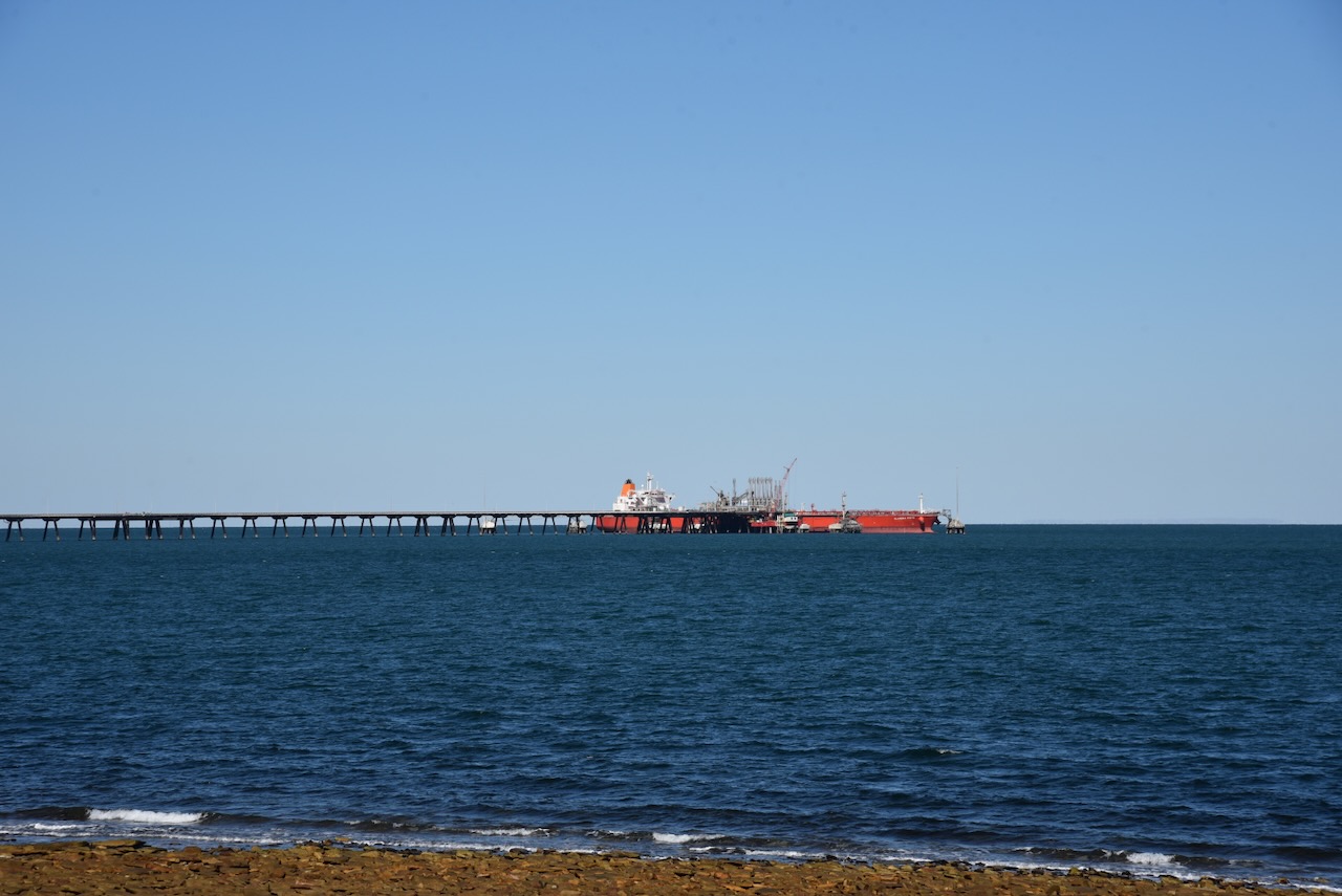
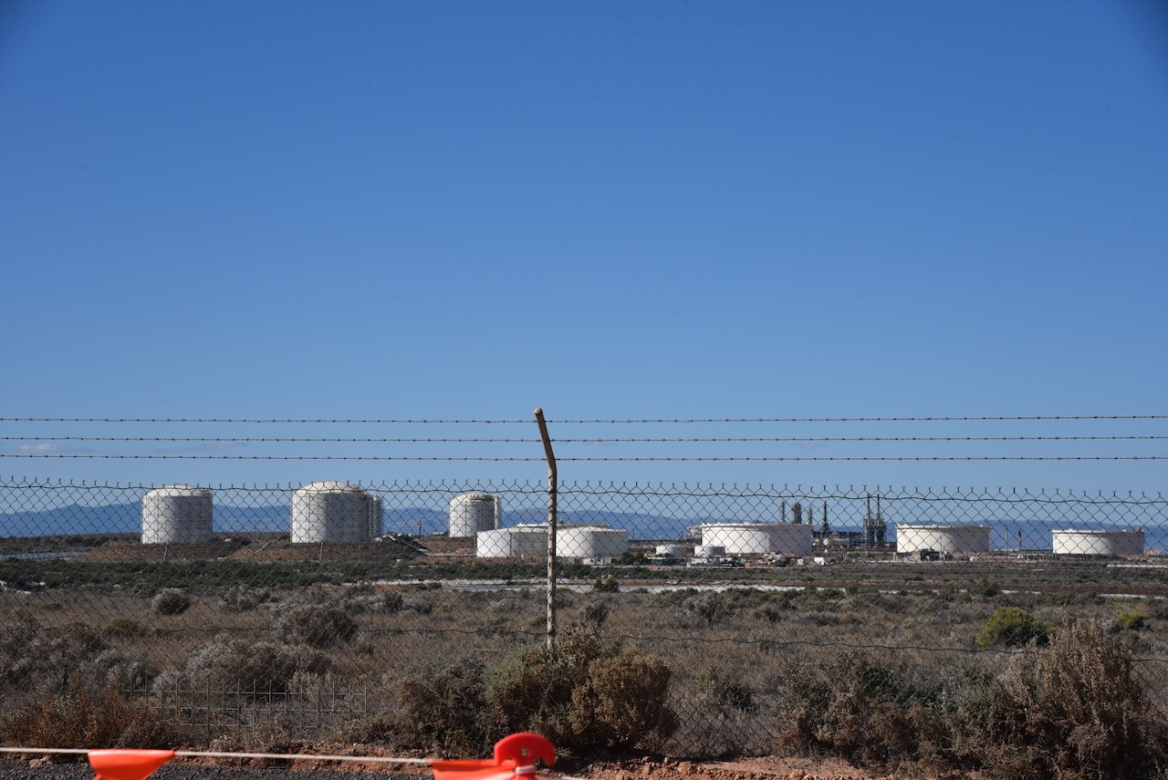
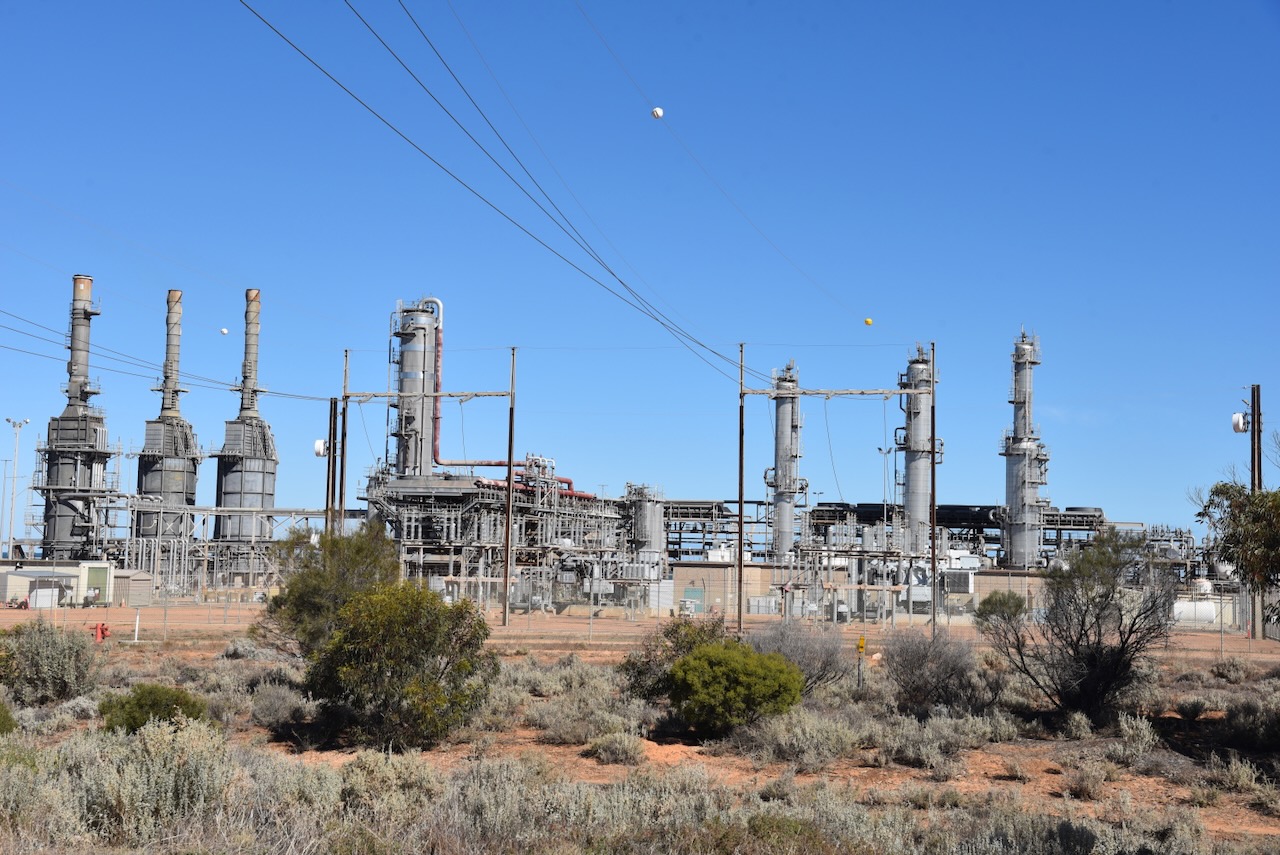
My next stop was Port Bonython, a deepwater port, gas fractionation plant and diesel storage facility. Santos established the gas fractionation plant in 1982. In 1983 a 2.4 km long wharf was constructed. (Wikipedia 2024)

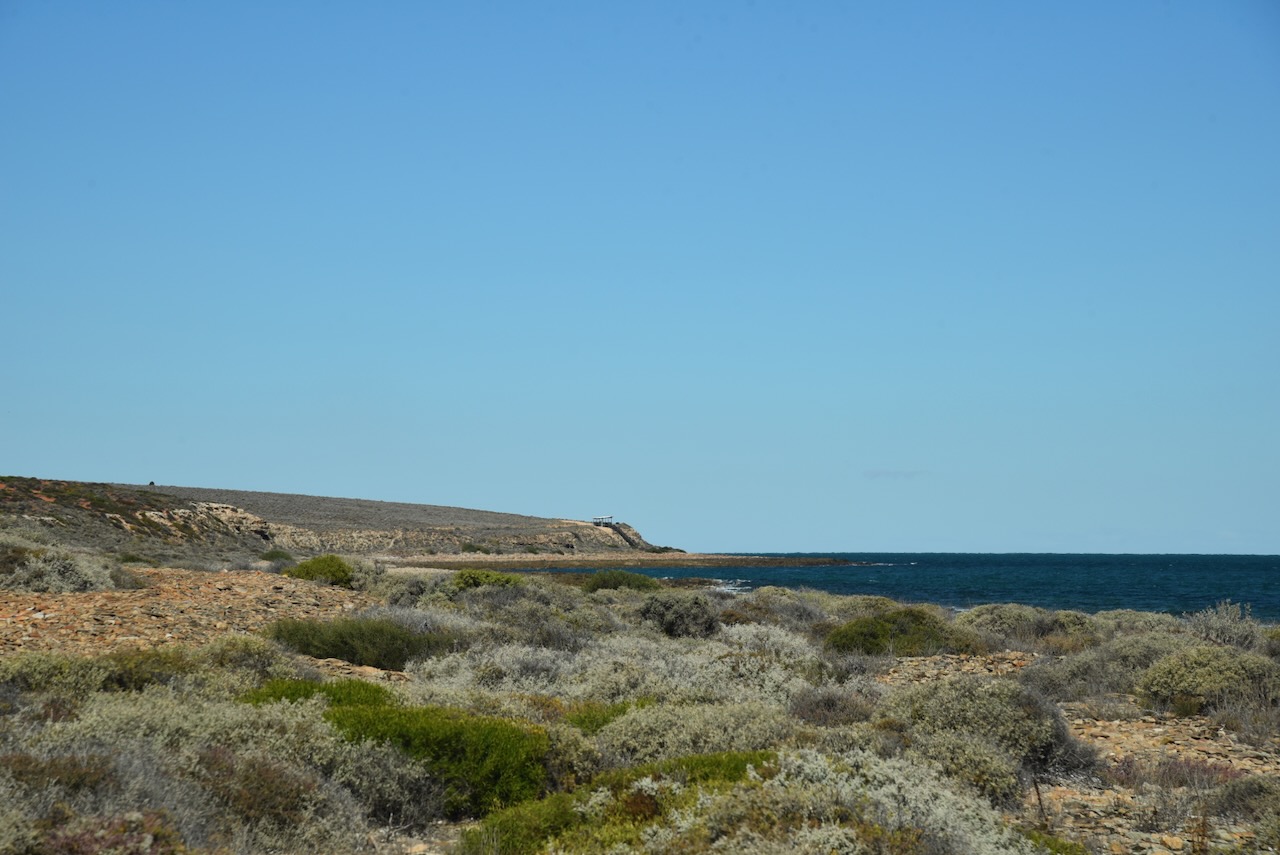
I left Port Bonython and drove the short distance to Point Lowly. It was named by Matthew Flinders in 1802. It was named Cap Lafontaine by French explorer Nicolas Baudin. (Wikipedia 20240
The Point Lowly lighthouse was constructed in 1883 to guide ships safely through Spencer Gulf en route to Port Augusta and Port Pirie. The original tower was 15 metres in height. It was raised by 7.6 metres to its current height in 1909. (Wikipedia 2024)

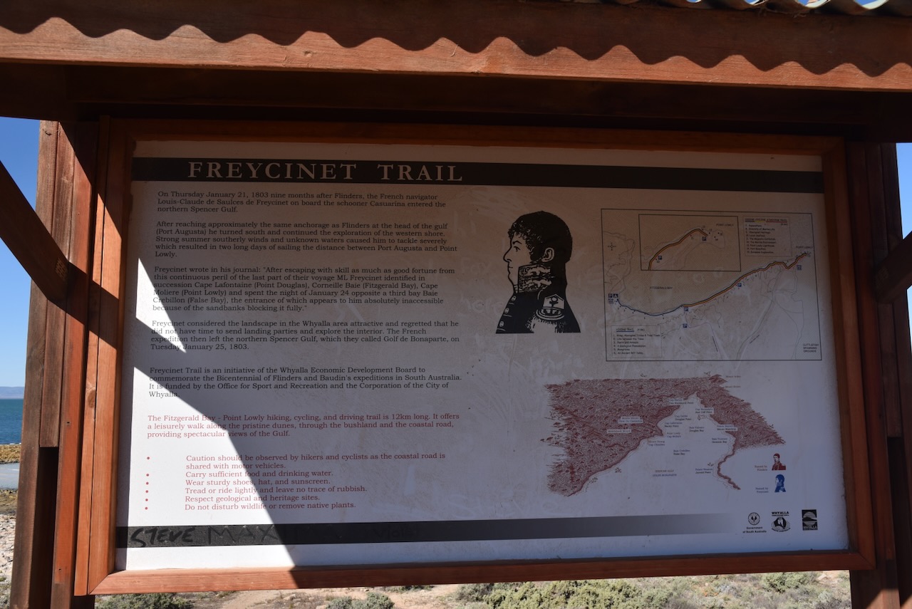


This is part of the Freycinet Trail that extends 12 km along the coastline of Fitzgerald Bay in the Upper Spencer Gulf. It is to honour Louis-Claude de Freycinet.


I parked on the edge of the cliff line on Coastal Road and operated from the 4WD, running the Icom IC-7000, 100 watts, and the Codan 9350 with the 1.5-metre stainless steel whip.
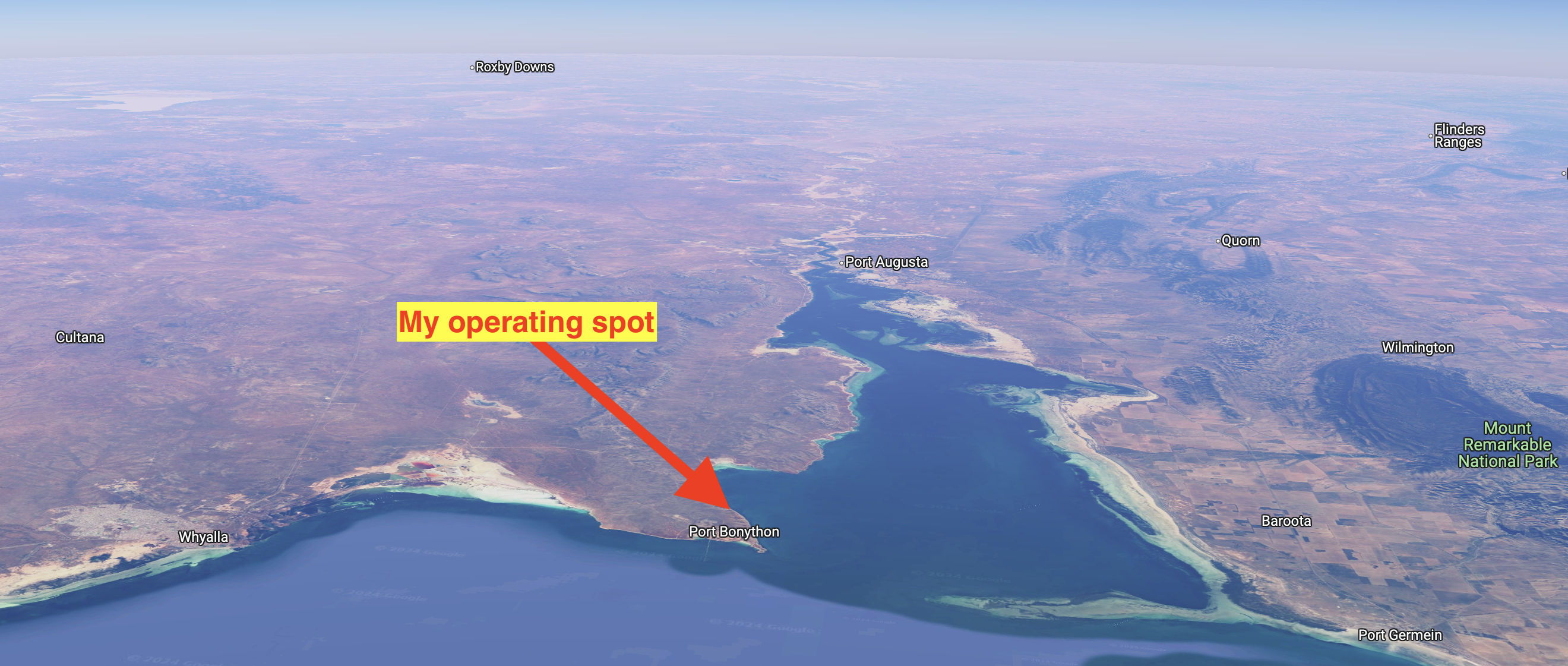
Above:- An aerial view showing my operating spot. Image c/o Google Maps
I worked the following stations on 40m SSB:-
- VK5MAZ
- VK3PF
- VK3KAI
- VK5LA
- VK5KAW
- VK3VIN
- VK3WSG
I worked the following stations on 20m SSB:-
- VK7XX
- VK3PF
- VK3KAI
- VK3PWG
- VK3TKK
- VK2IO
- VK4SYD
- VK1AD
- VK1NAM
- VK5MAZ
- VK3SQ
- VK2BD
- VK4EMP
- VK4TI
- VK6NU
- VK3VMM
- VK7AAE
- VK2ZRD
- VK3VIN
- VK4NH
- VK4DXA
- VK3UAO
- VK4MUD
- VK7EE
- VK2USH/p (VKFF-1157)
- ZL2LDX
- VK3ZSC
- VK7PD
- VK3TSR
I worked the following stations on 15m SSB:-
- VK7XX
- ZL2LDX
- VK4MUD
- VK6NWF/m
- VK5MAZ
- VK4EMP
- VK4TI
- VK6NU
I worked the following stations on 10m SSB:-
- VK6NU
References.
- Wikipedia. (2023). Spencer Gulf. [online] Available at: https://en.wikipedia.org/wiki/Spencer_Gulf. [Accessed 16 Aug. 2024]
- Wikipedia Contributors (2024). Port Bonython. [online] Wikipedia. Available at: https://en.wikipedia.org/wiki/Port_Bonython [Accessed 16 Aug. 2024].
- Wikipedia. (2023). Point Lowly. [online] Available at: https://en.wikipedia.org/wiki/Point_Lowly. Accessed 16 Aug. 2024].
- Wikipedia Contributors (2023). Point Lowly Lighthouse. [online] Wikipedia. Available at: https://en.wikipedia.org/wiki/Point_Lowly_Lighthouse [Accessed 16 Aug. 2024].
