
I left home bright and early on Saturday morning 17th August 2024, heading to Renmark in the Riverland region of South Australia. I had planned on staying one night at Renmark on my 7-night trip to the Riverland region of South Australia and northwest Victoria.
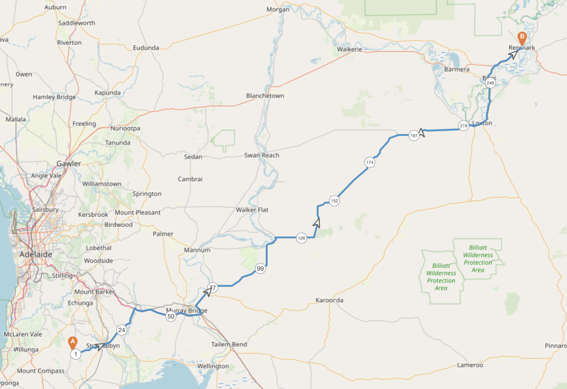
Above:- Map showing my approximate route for day 1. Map c/o plotaroute.
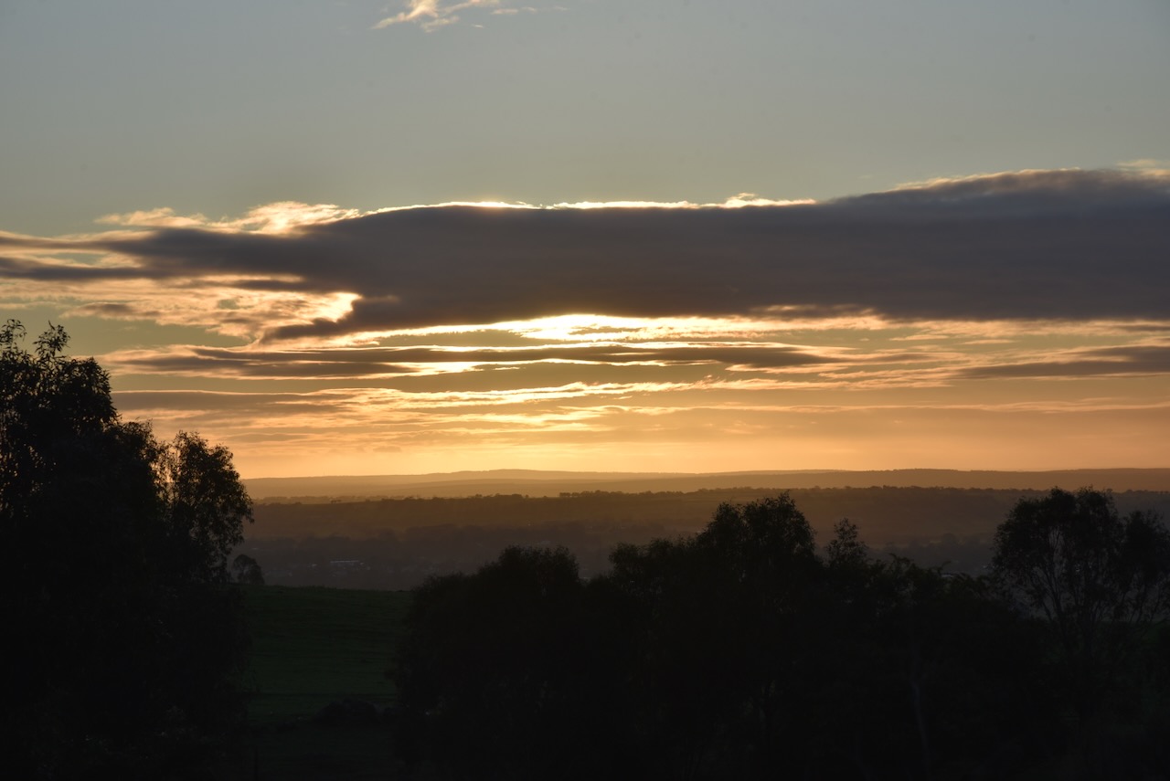
It was a beautiful morning and as I came down the hill from Ashbourne into Strathalbyn, I enjoyed a beautiful sunrise. My first stop was the Strathalbyn bakery to get a coffee and a bacon & egg roll.
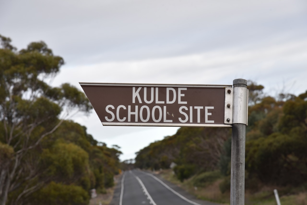
After breakfast, I headed northeast and stopped at the Kulde school site on the Karoonda Highway. The Kulde school operated here from 1930 to 1940 before becoming part of South Australia’s first Area School at Karoonda in 1941.
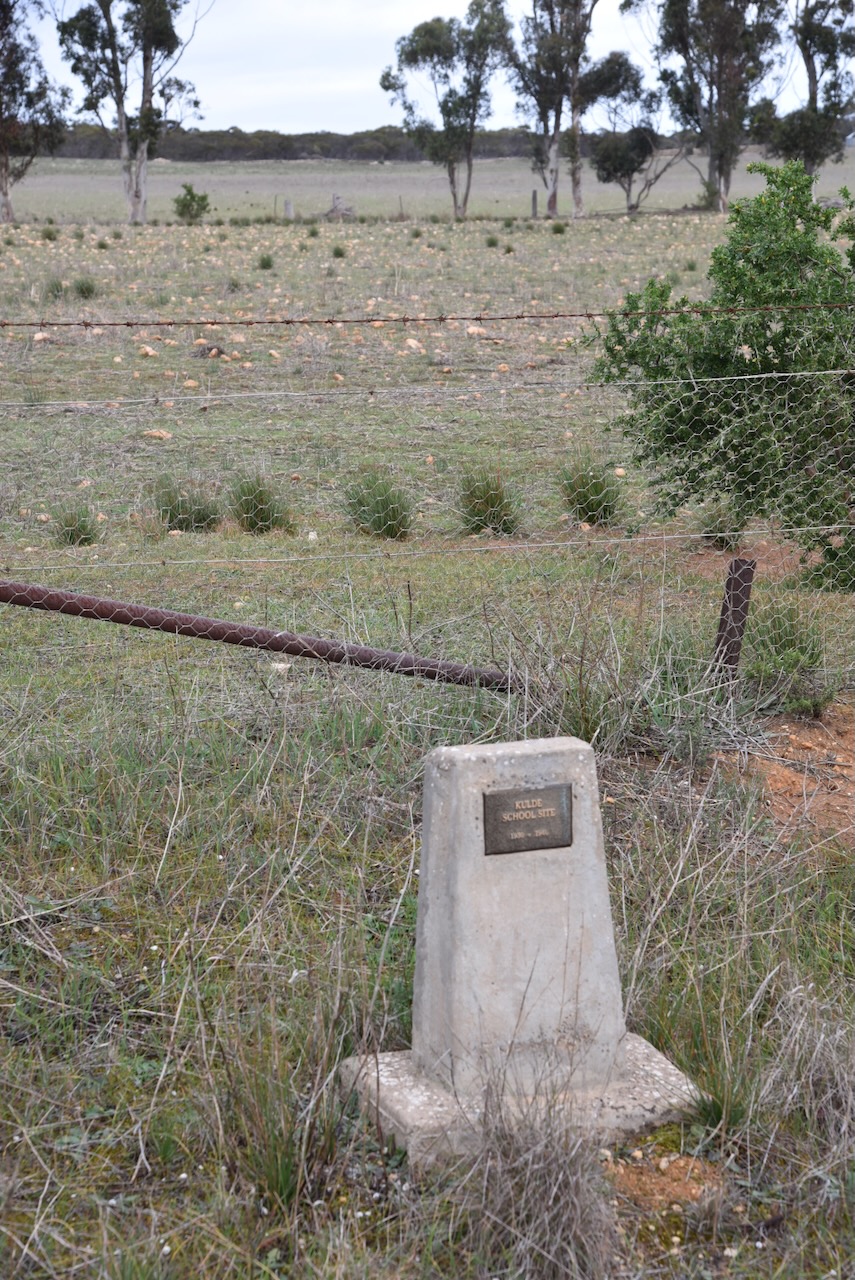
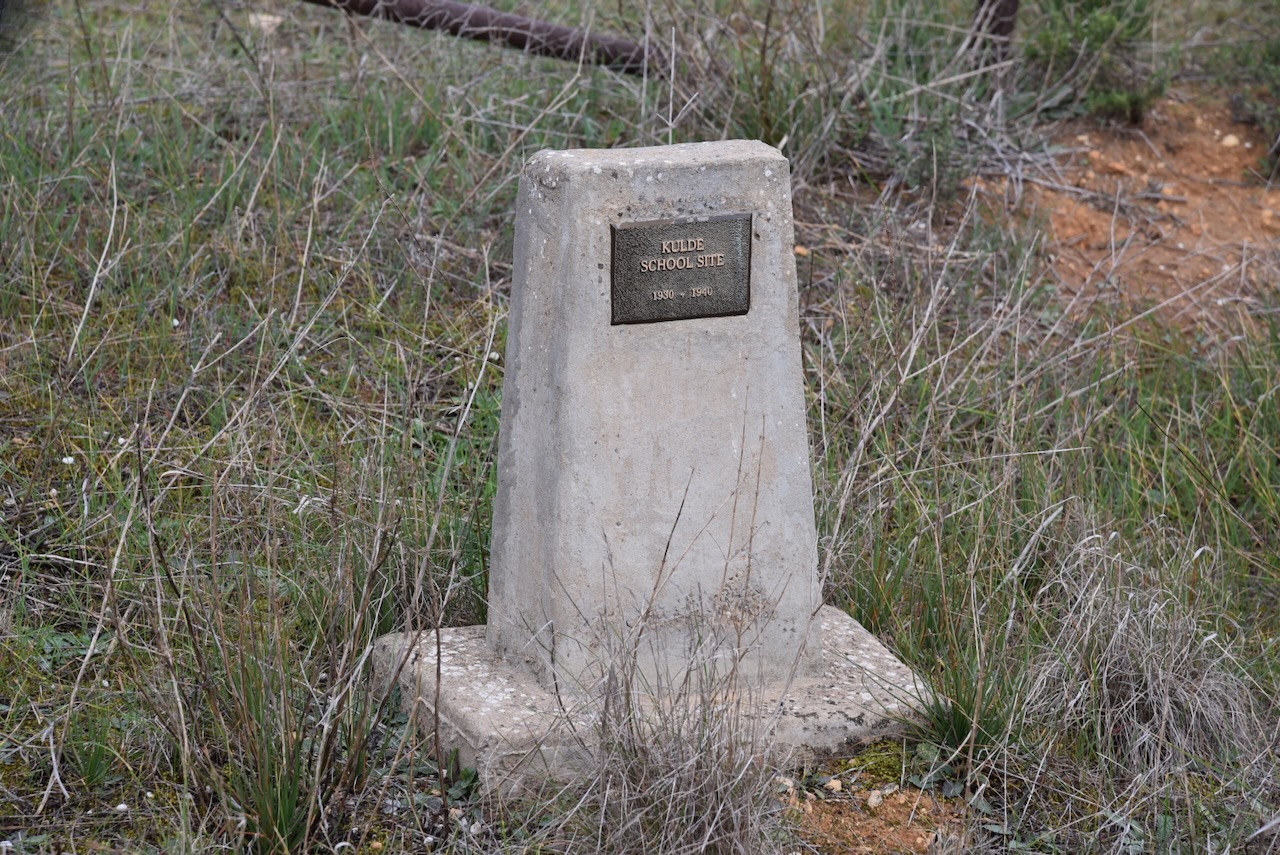
Kulde is an aboriginal word for ‘brothers’. Other than the school, Kulde once had a railway station and it was a thriving little community. (Place Names 2012)
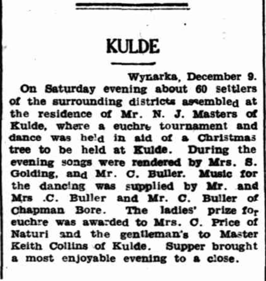
Above:- Article from the Murray Pioneer, Fri 11 Dec 1931. Image c/o Trove.
The South Australian Minister of Education approved the establishment of the Kulde School in January 1930. The Advertiser newspaper reported that 14 children would be attending the school.
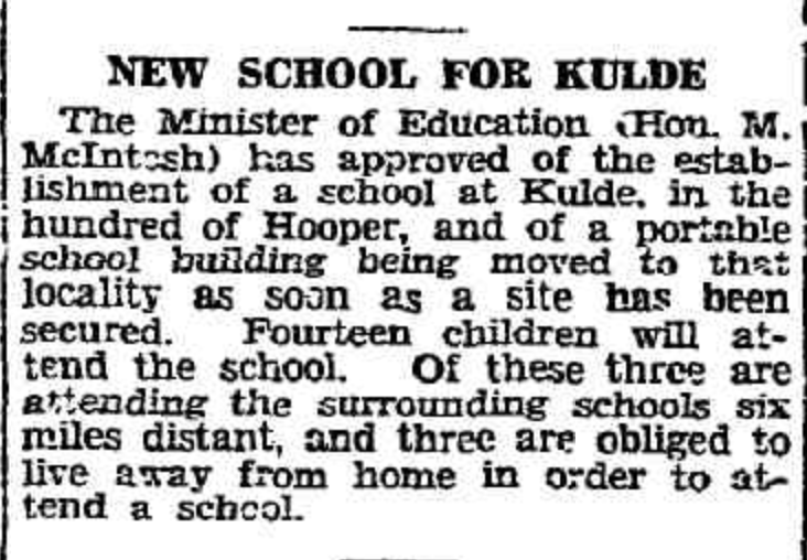
Above:- Article from The Advertiser, Wed 29 Jan 1930. Image c/o Trove.
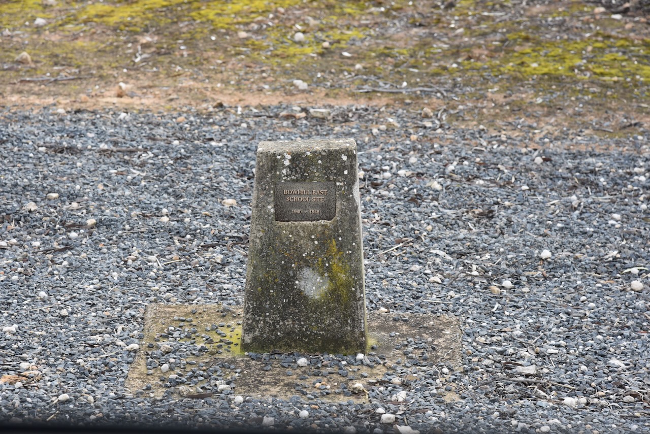
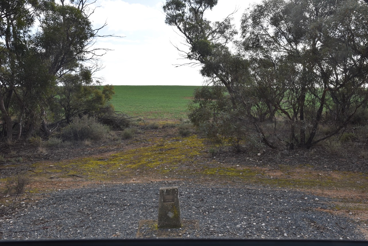
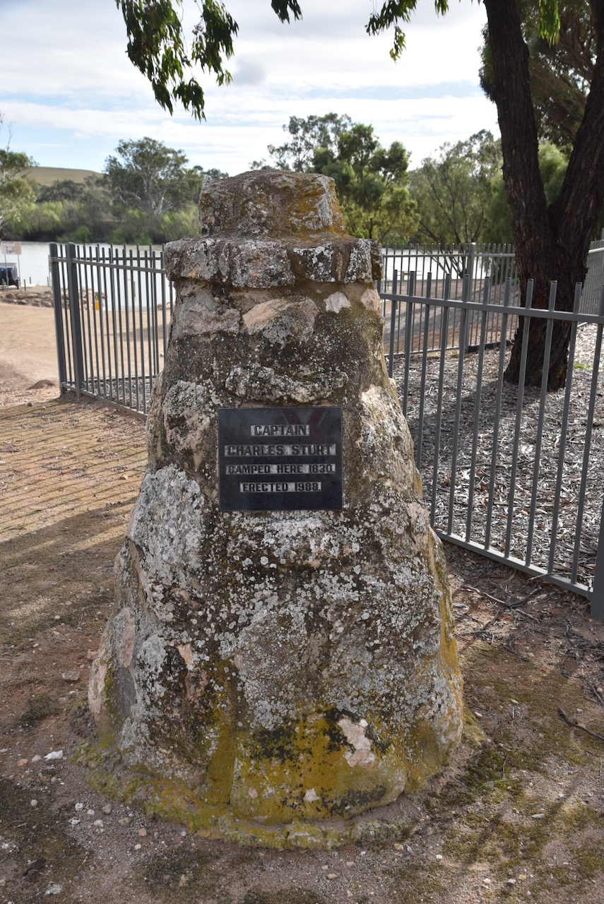
My next brief stop was the monument for the Bowhill East school site. The school operated from 1940 to 1948.
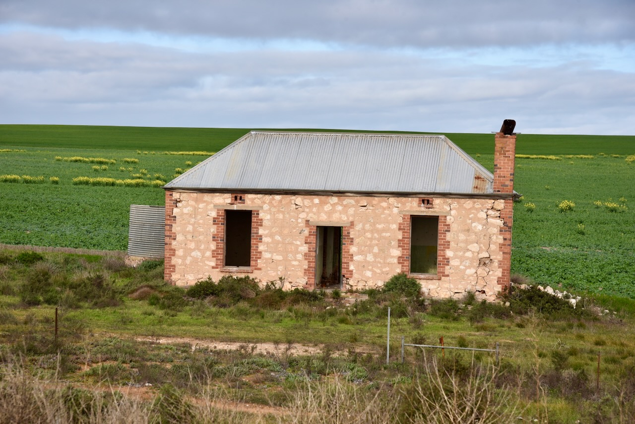
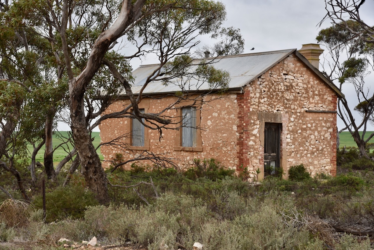
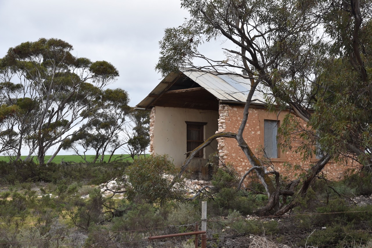
I came across this beautiful old stone home on my way to Bowhill. I pondered on the history of this home and those who previously lived in it.
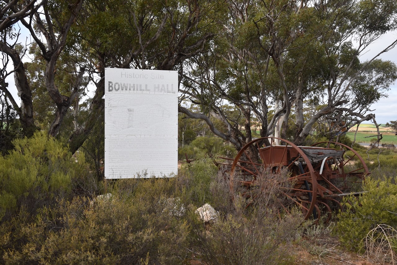
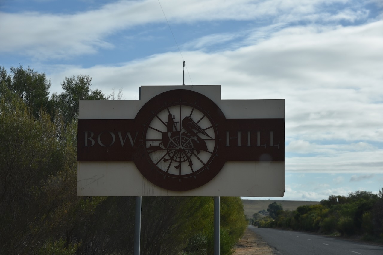
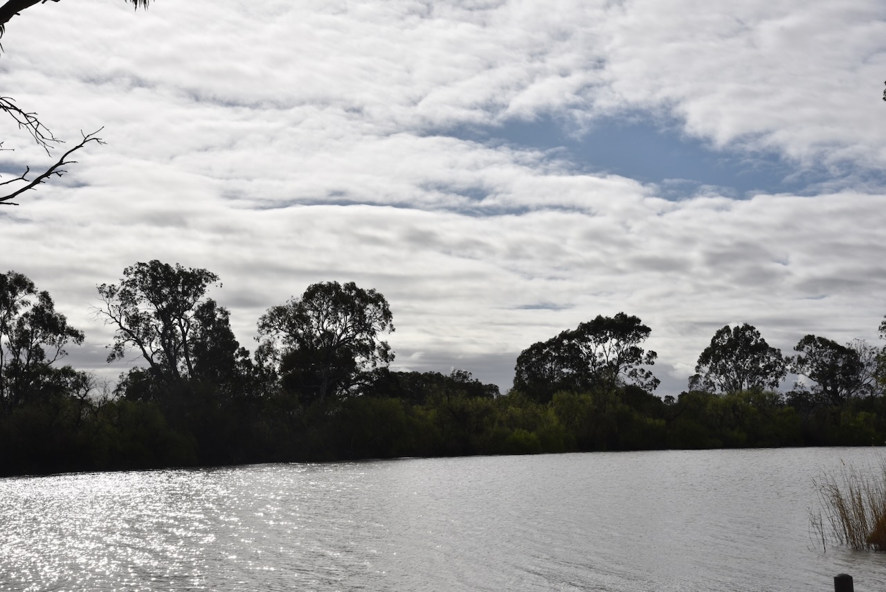
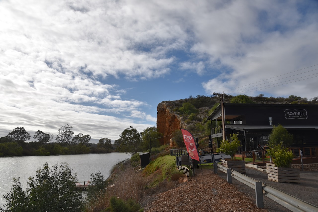
I then reached the little town of Bowhill, on the bank of the Murray River between Mannum and Swan Reach. The main industries in the area are cereal grain and sheep farming. (Wikipedia 2024)
The Hundred of Bowhill in the County of Buccleuch was proclaimed in 1893 and was named in honour of the Duke of Buccleuch’s residence in Scotland which was built in 1708. (flickr 2024) (Wikipedia 2024)
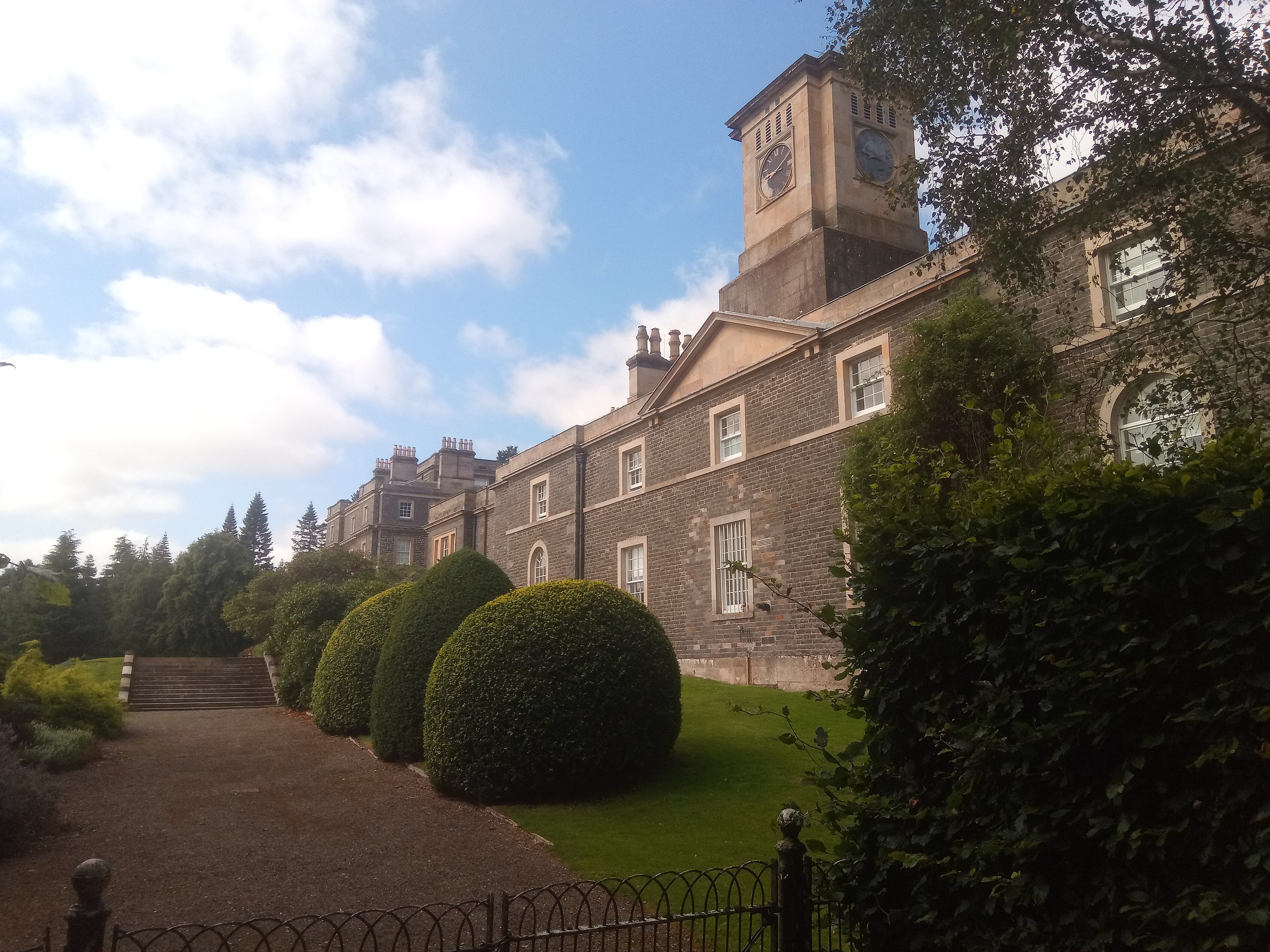
Above:- Bowhill House. Image c/o Bowhill House. (2024, March 7). In Wikipedia. https://en.wikipedia.org/wiki/Bowhill_House
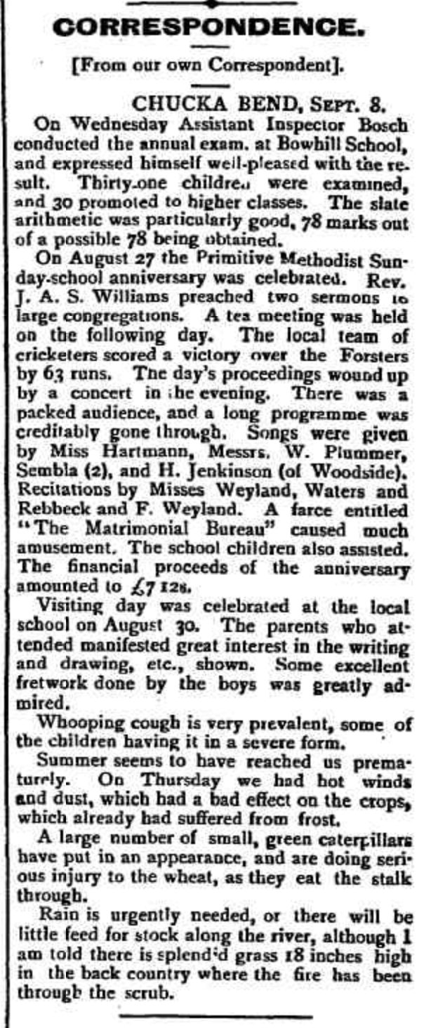
The first known European settler in the area was William Wainwright who in 1848 ran the Chucka Bend pastoral station. When placed up for lease in 1888, Chucka Bend station covered an area of about 700 square miles. A local rumour was that Chucka Bend obtained its name from a horse owned by Walter Craven who leased the property during the 1880s. The horse was prone to ‘chucking’ Craven into the river. However this is not the real origin of the name as the property was known as Chucka Bend well prior to the 1880s. (flickr 2024) (Place Names 2012)
In 1893 land was surveyed in the area. This was followed by further surveys in 1897 and 1904. The land was sold as freehold or on perpetual lease to farmers. Many of these were of German descent. About 33% of the lands were considered arable, with most of the Hundred not being fully cleared for agriculture until 1920. (flickr 2024)
In 1891 the German settlers built the first Lutheran Church at Chucka Bend. In 1893 the local community petitioned the State Government for £75 to erect a school. Two years later in 1895 a tin and iron schoolroom was built. Helen Young was the first teacher. The school was also used as a public hall. In 1903 the building was replaced with a stone building. Mr. Dorgemuller was the builder. (flickr 2024)
In 1895 the first Post Office service commenced at Bowhill. The first Bowhill agricultural show was held in 1898. In 1899 the first Primitive Methodist Church service was held. (flickr 2024)
Above:- Article from the Burra Record, Wed 13 Sep 1899. Image c/o Trove.
In 1910 the town of Bowhill developed on the area once occupied by the station homestead. By this time it had a General Store, Post Office, and a banking agency. The wharf was busy with bagged wheat and baled wool being loaded onto paddle steamers to be sailed down the Murray to the rail head at Murray Bridge. (flickr 2024)
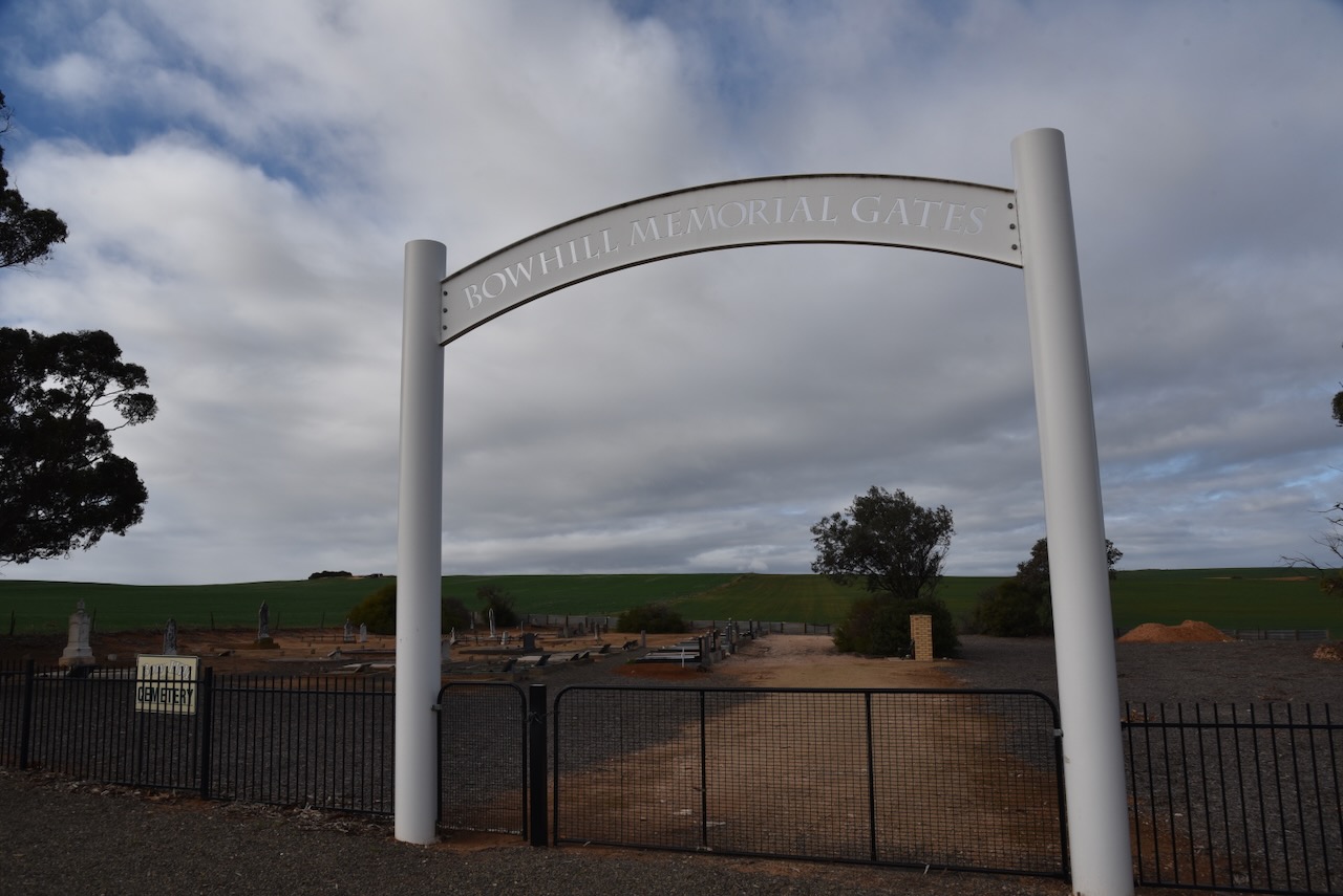
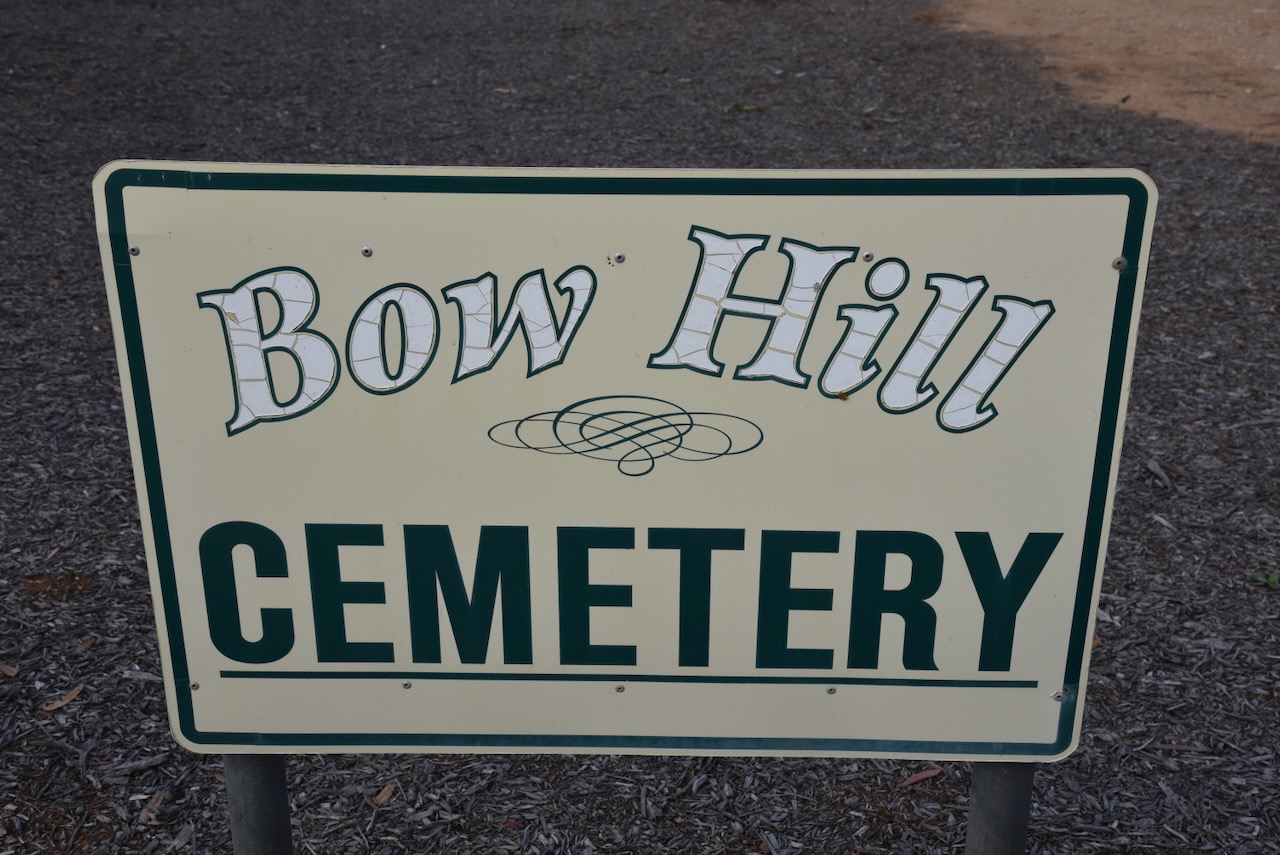
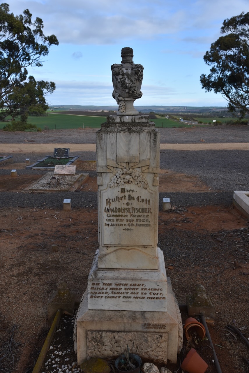
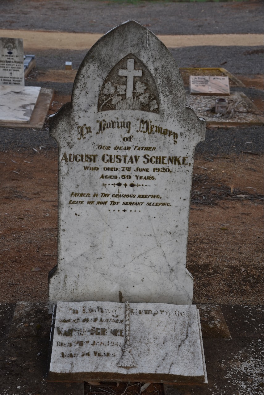
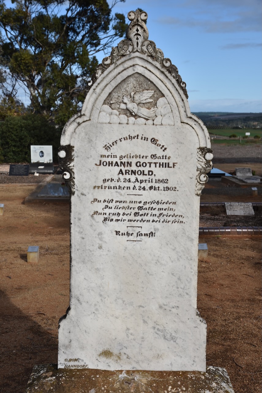
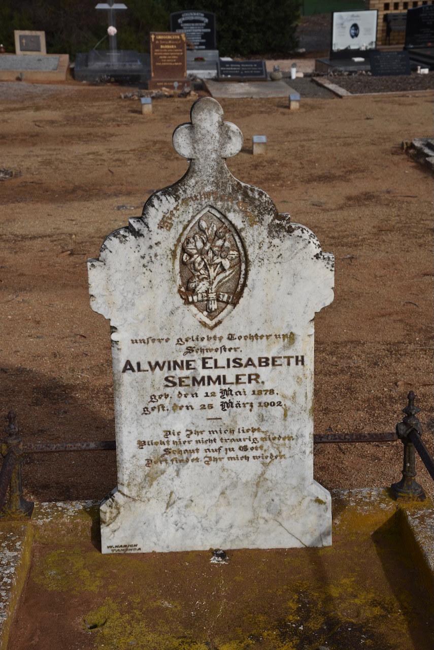
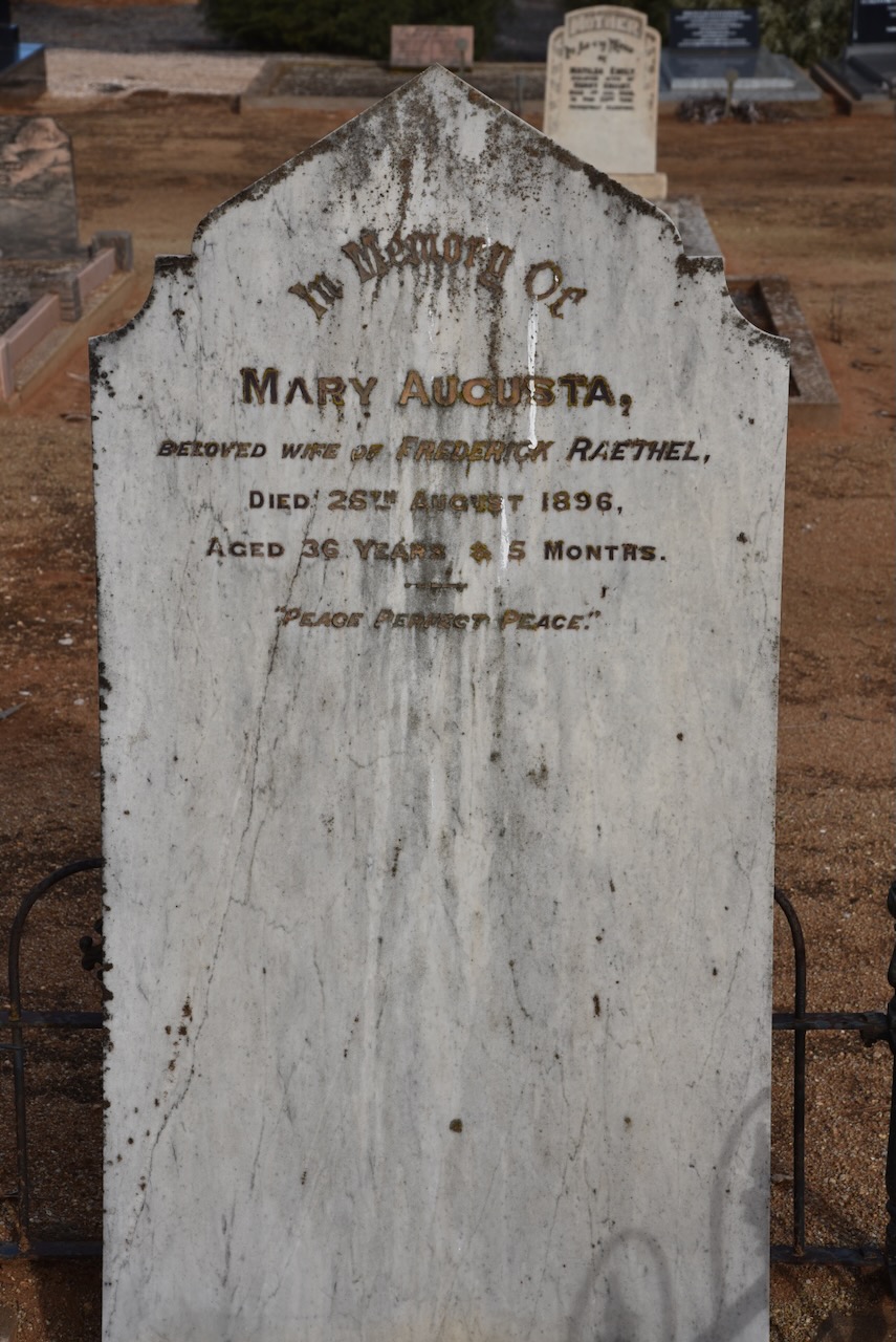
I paid a quick visit to the Bowhill cemetery which was established in 1897. Many of the headstones reflect the German history of the district.
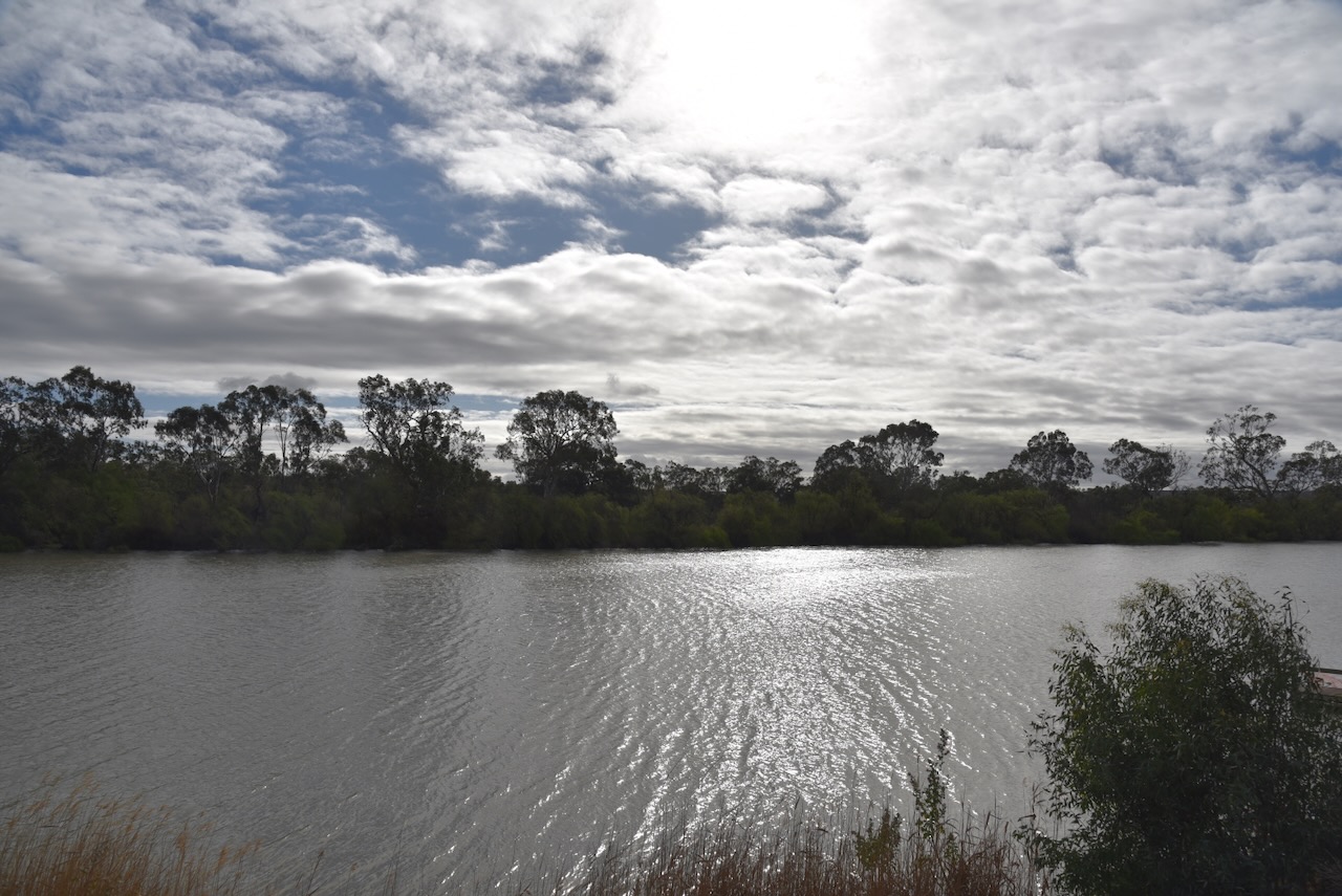
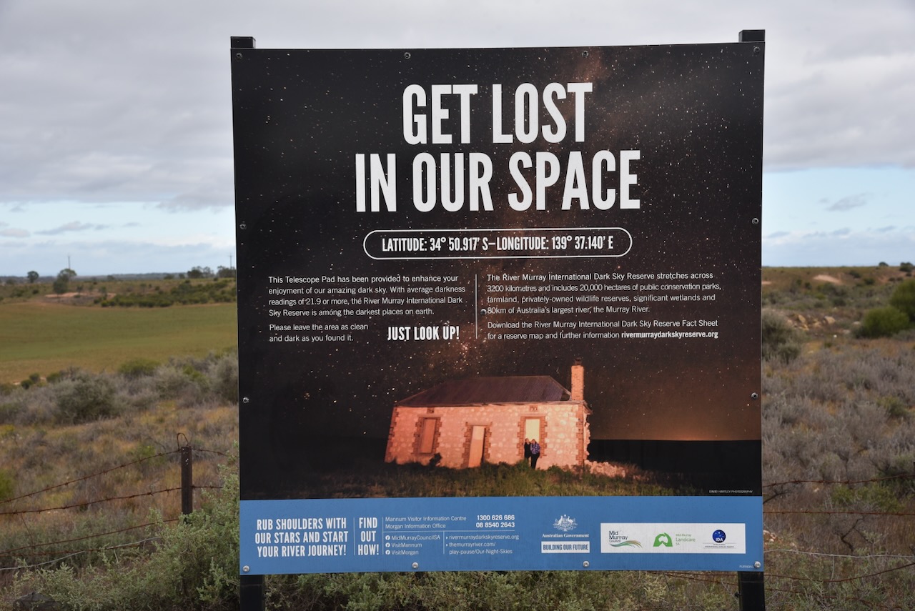
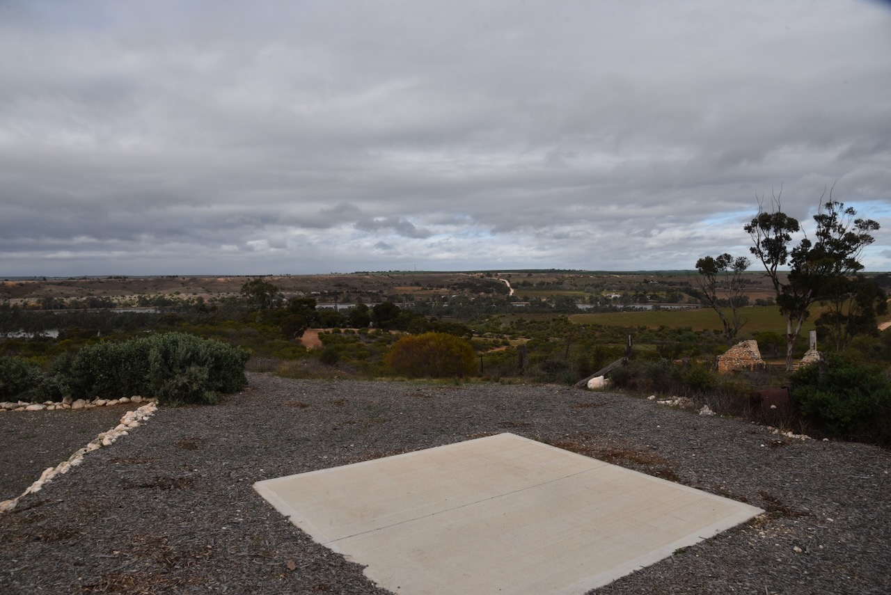
I left Bowhill and drove up to the top of the Purnong lookout which offers some great views of the Murray River.
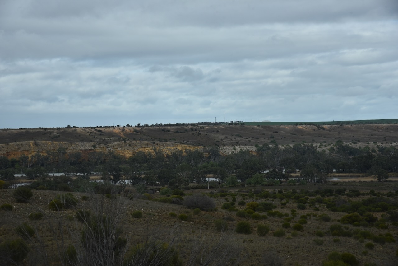
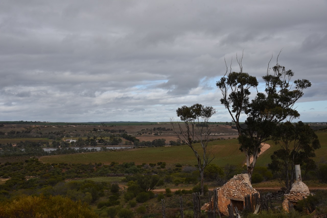
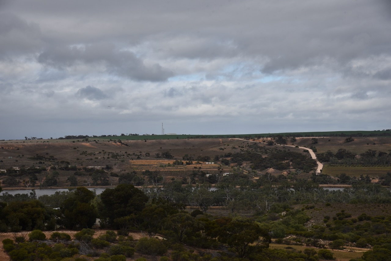
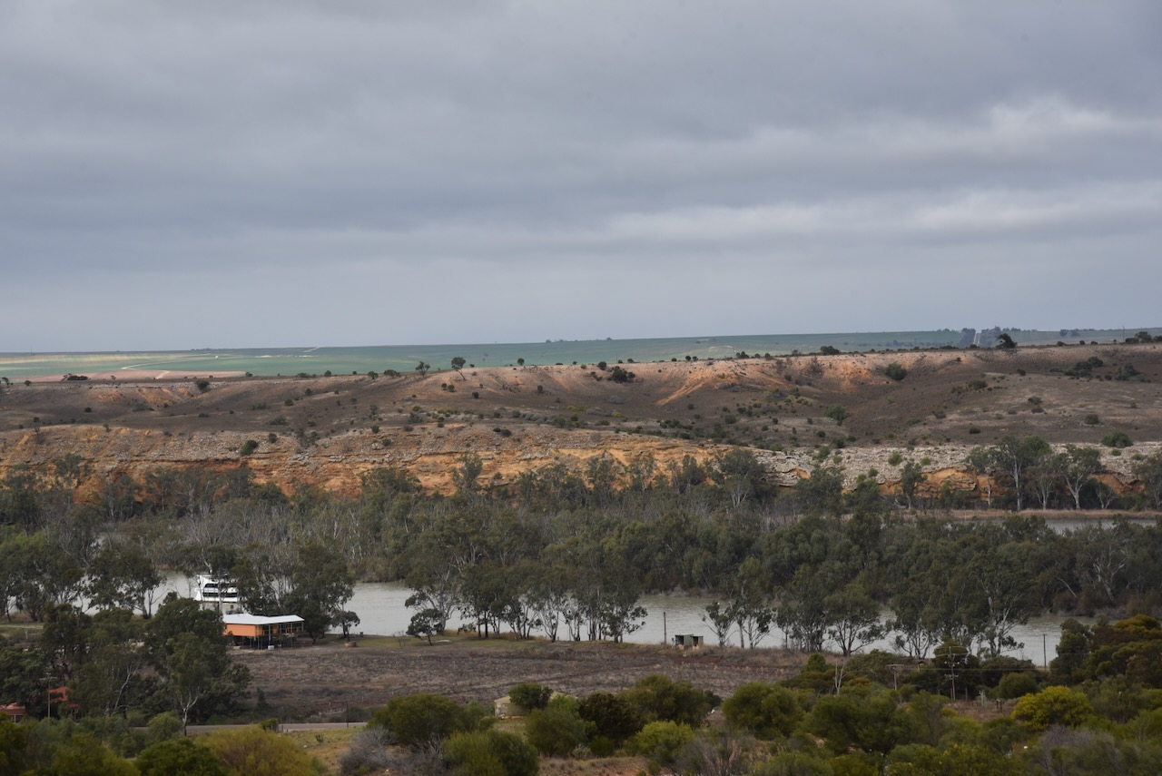
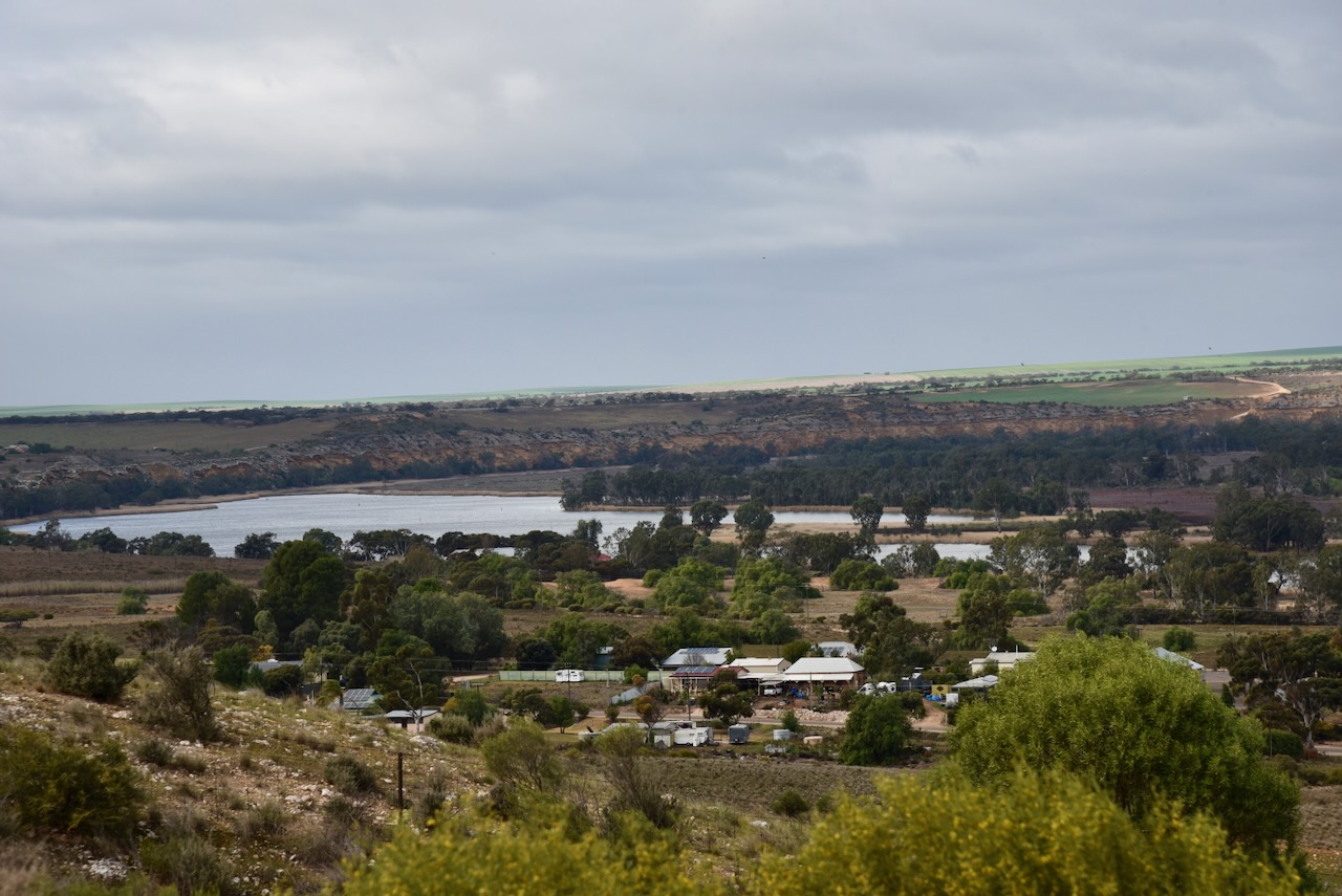

The lookout is part of the River Murray International Dark Sky Reserve. The reserve covers more than 3,200 square km and is known for its cloudless skies. (Dark Sky 2024)
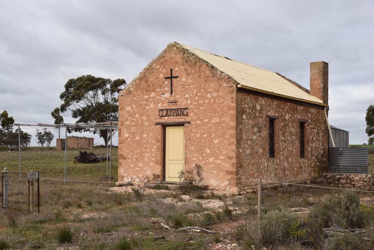
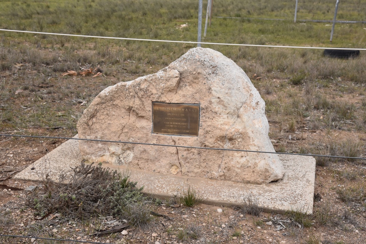
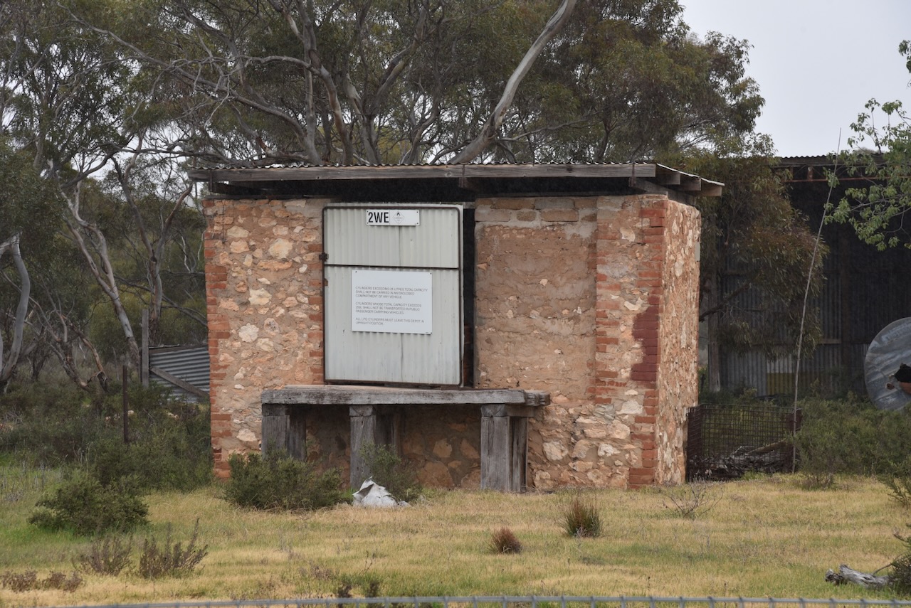
My next stop was the old Claypans Church and Hall. It was opened on the 23rd day of September 1906. The church closed in 1959. It was used as a school from 1907 to 1947.
Next was the old Spurling Memorial Hall which was erected in 1920 in memory of Corporal William Alfred Spurling of Copeville. He was killed in action during WW1 in 1917.
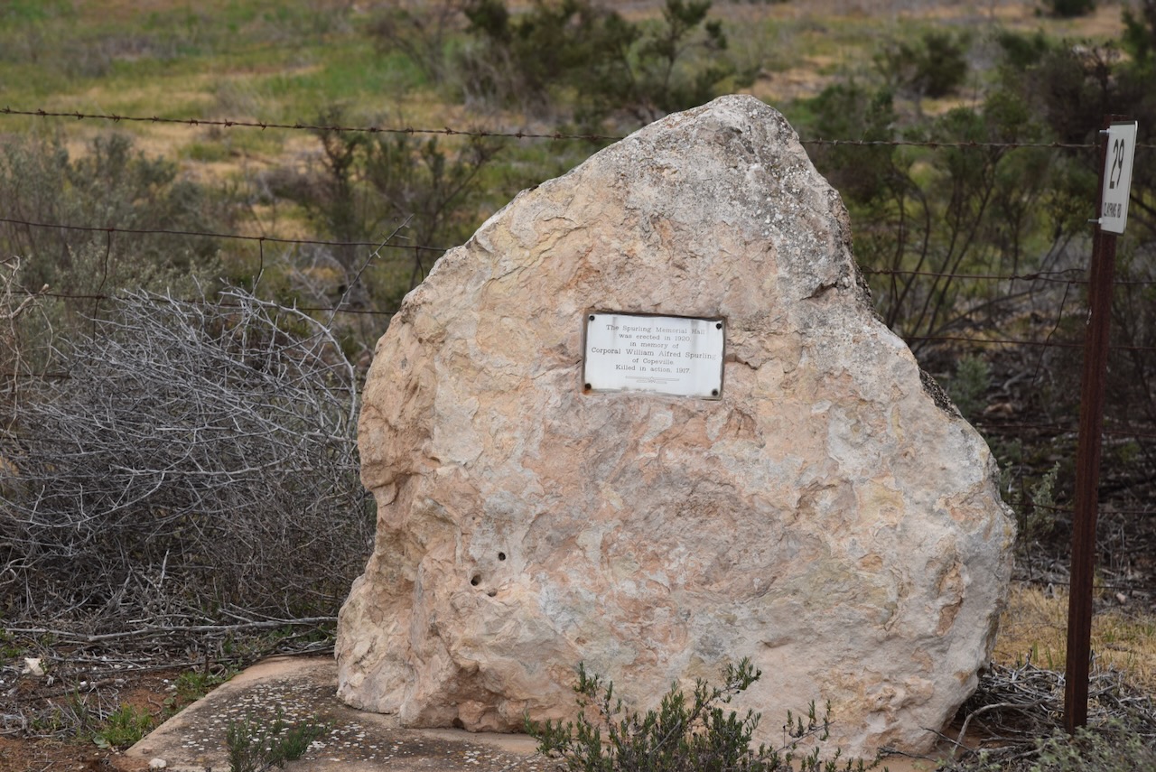
William Alfred Spurling was born in February 1893 in Warracknabeal, Victoria. He was killed in action in the UK on the 16th day of August 1917, aged just 24 years. He was a Corporal with the 50th Australian Infantry Battalion. (ancestry.com.au) (AWM 2024)
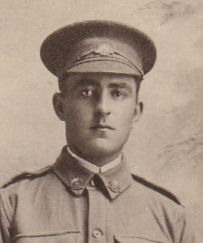
Above:- William Spurling. Image c/o ancestry.com.au
The town of Copeville was proclaimed on the 1st day of May 1919. It was named in honour of Henry Spencer Cope, an early settler in the district. Prior to its proclamation, it was known as ‘Glencope’. That name was given to a school which was opened in 1914. The Post Office opened as ‘Glencope Siding’ on the 29th day of September 1915. (Place Names 2012)
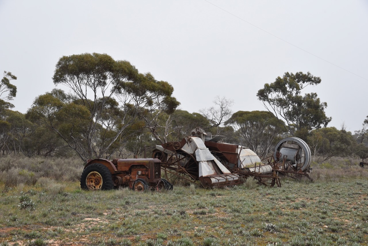
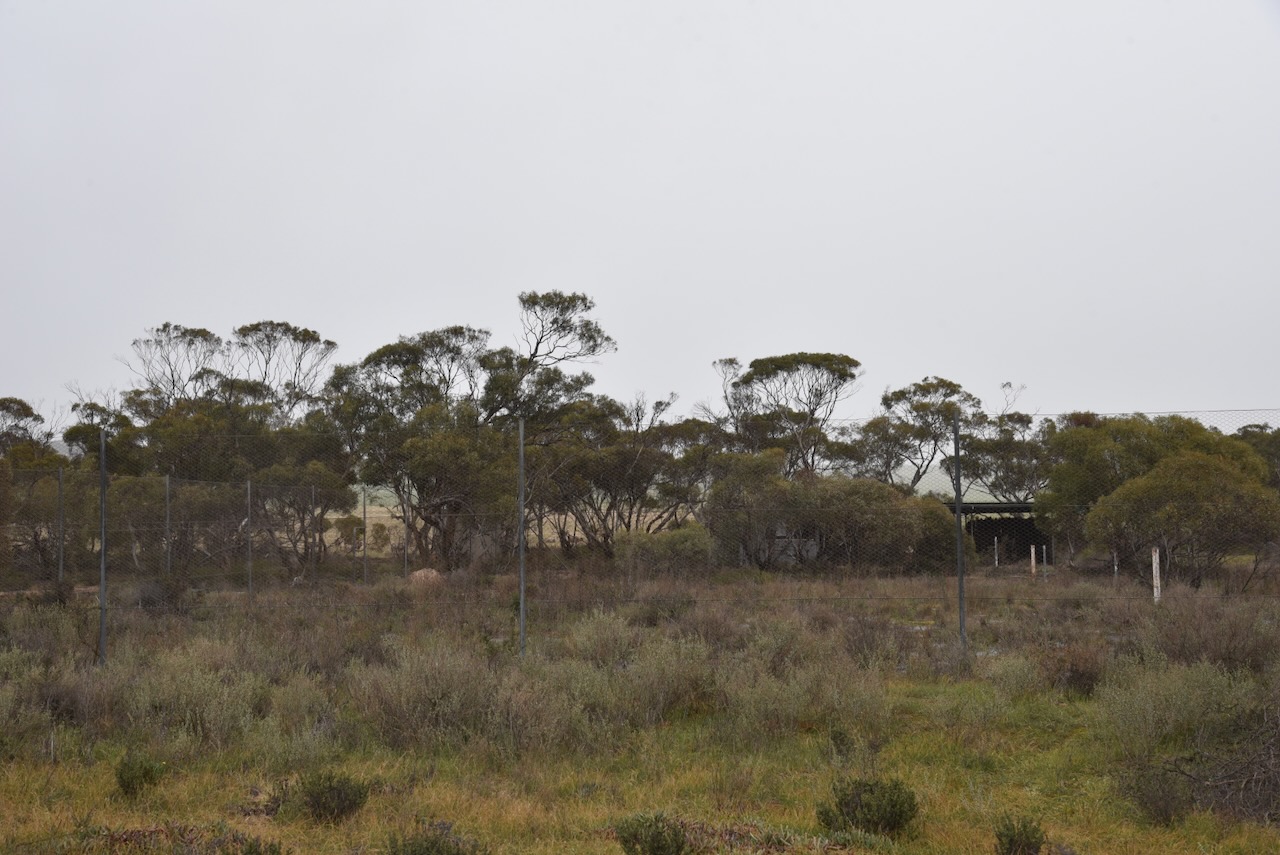
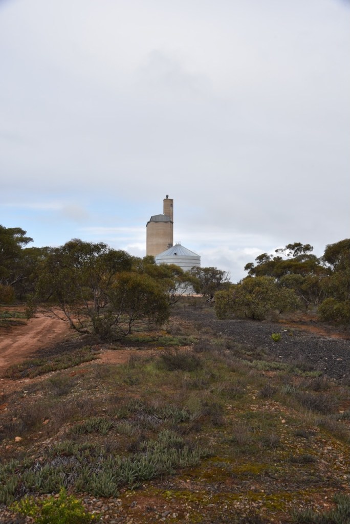
Not much remains today at Copeville. Below is a photograph of the old tennis courts, completely overgrown by weeds.
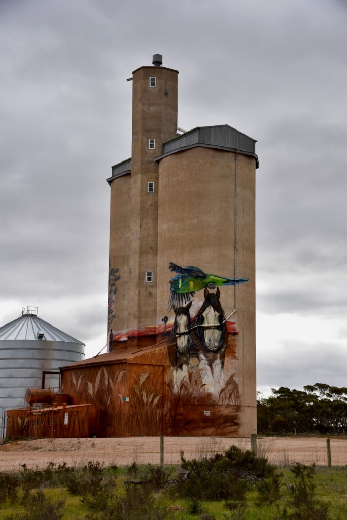
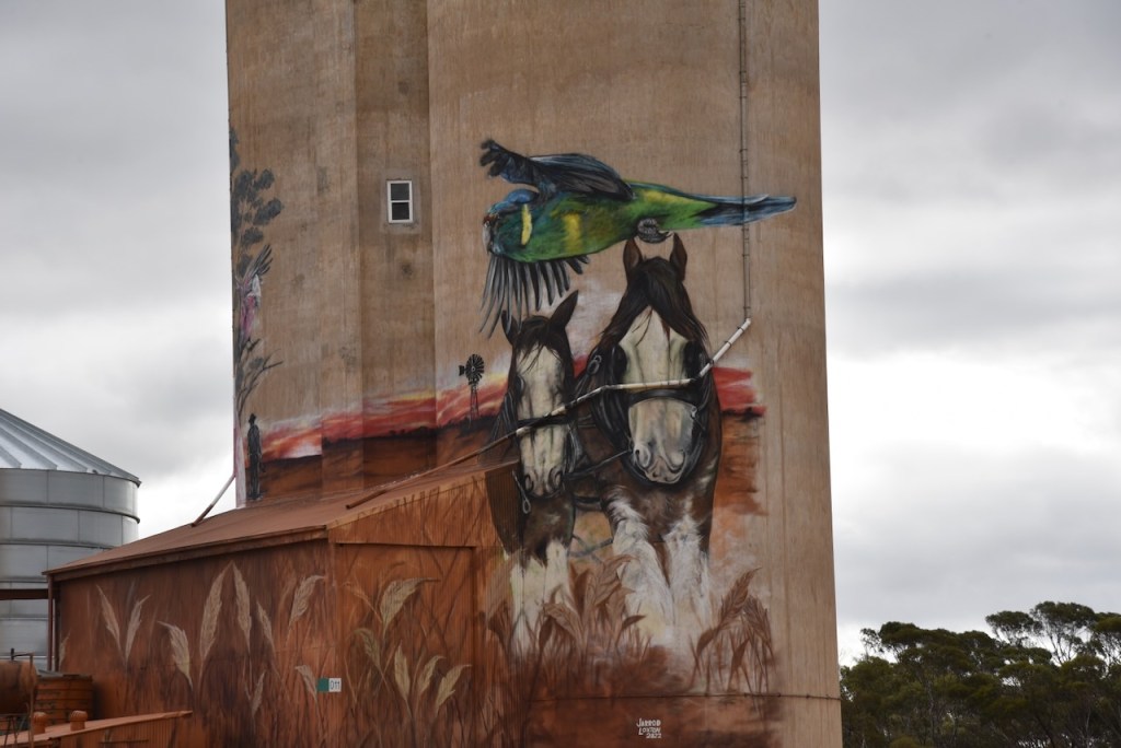
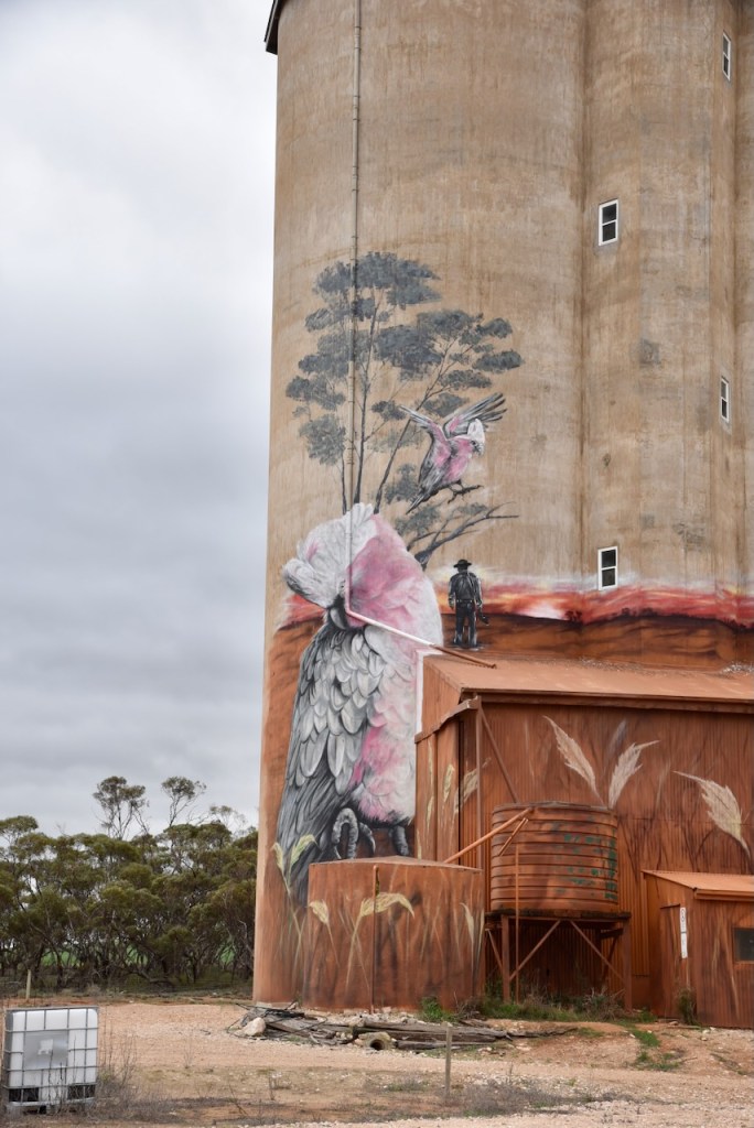
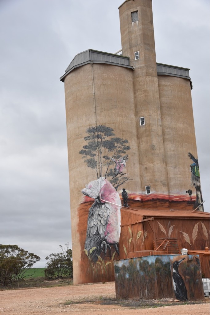
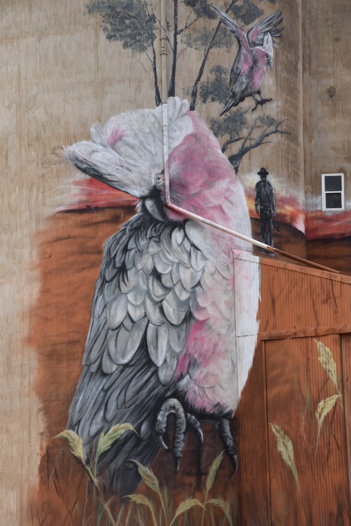
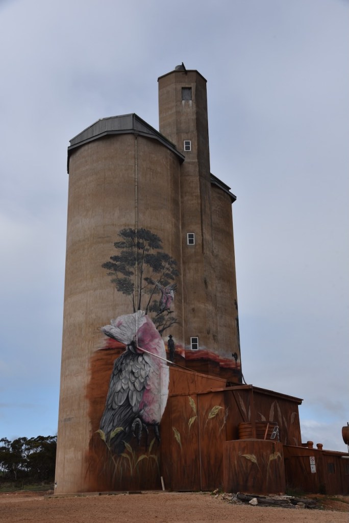
The town has been placed back on the map by the silo art on the local silos. The Copeville Silo was painted in October 2022 and is the work of artist Jarrod Loxton. The silo art features a Galah and a Clydesdale horse. (Silo Art 2024)
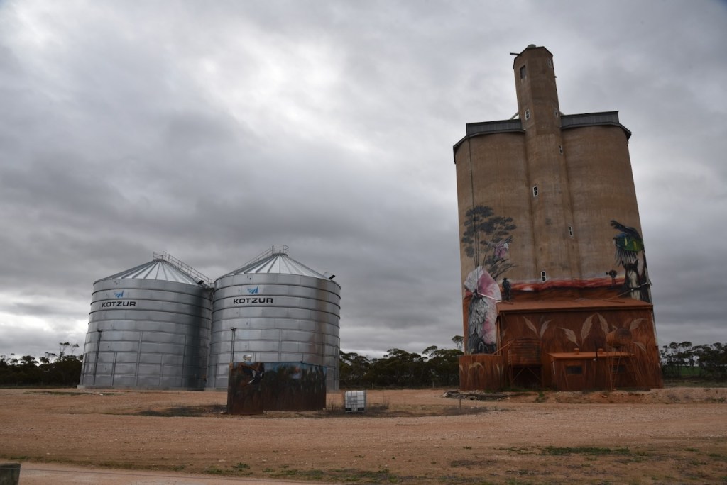
I parked on the dirt road running parallel to Perponda Road and operated from the 4WD. I ran the Yaesu FT857, 40 watts, and the 20/40/80m linked dipole.
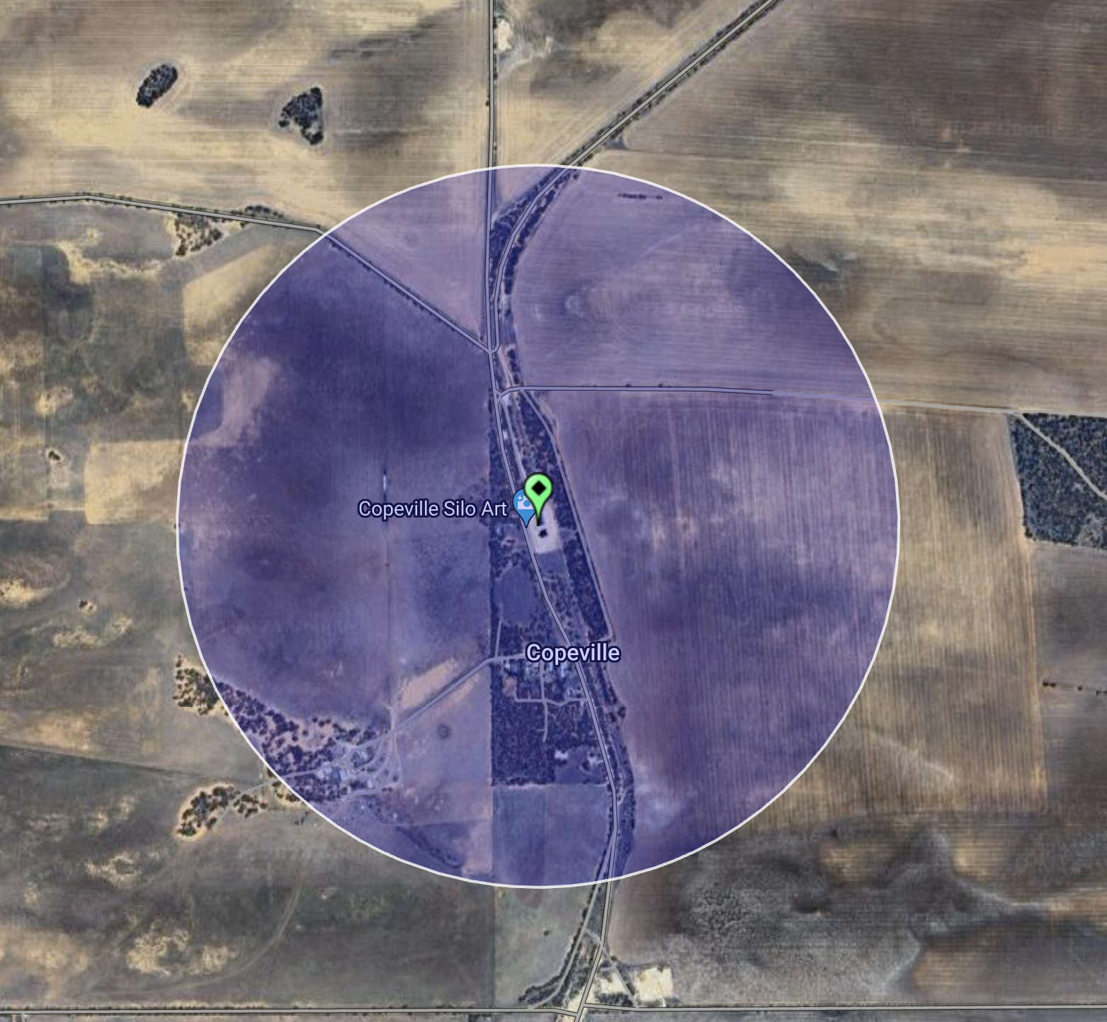
Above:- An aerial view showing the activation zone at the Copeville silo. Image c/o SiOTA website.
I logged a total of 44 stations for the Silos On The Air (SiOTA) program. This included several lighthouse stations that were activating for the International Lighthouse Lightship (ILLW) Weekend.
I worked the following stations on 40m SSB:-
- VK2HBG/p (Warden Head Lighthouse AU-0035)
- VK5GY
- VK3APJ
- VK5FL/p
- VK3PF
- VK3OAK
- VK5MCB
- VK3JLS
- VK3GJG
- VK3ILH (Cape Nelson lighthouse AU0055)
- VK3MDC/m
- VK3EJS
- VK3SO
- VK3SWV (Whalers Bluff lighthouse AU-0017)
- VK3DJC/p (Whalers Bluff lighthouse AU-0017)
- VK5LA
- VK5DW
- VK3UHF (Port Henry Signal Station AU0084)
- VK7XX
- VK5HW
- VK5NIG
- VK5STU
- VK3MLT
- VK5IS
- VK4DNO
I worked the following stations on 20m SSB:-
- VK2HPN/4
- VK2VIN
- VK7XX
- VK4CQR (Seahill Lighthouse AU0060)
- VK5QA/4
- VK3CLD/4
- VK6WE
- VK4PDX
- VK4JJ
- VK7EE
- VK6NU
- VK2IO/p (Sydney Harbour lighthouse VKFF-0473)
- VK4BT
- VK4KTX
- VK4IO
- VK2SLB
- VK2BRN
- VK2KBT
- VK4SUN
References.
- Ancestry.com.au. (2016). Ancestry® | Genealogy, Family Trees & Family History Records. [online] Available at: https://www.ancestry.com.au/. [Accessed 27 Aug. 2024].
- Australiansiloarttrail.com. (2024). Copeville Silo Art. [online] Available at: https://www.australiansiloarttrail.com/copeville [Accessed 27 Aug. 2024].
- Awm.gov.au. (2024). Corporal William Alfred Spurling. [online] Available at: https://www.awm.gov.au/collection/P10678857 [Accessed 27 Aug. 2024].
- Flickr. (2024). Bowhill. The former stone school. The first school on this site was tin and iron and opened in 1895. This school was built in 1903. It clsoed in 1942. Now a private residence. [online] Available at: https://www.flickr.com/photos/82134796@N03/27019427029 [Accessed 27 Aug. 2024].
- published.collections.slsa.sa.gov.au. (n.d.). A Compendium of the Place Names of South Australia. [online] Available at: https://published.collections.slsa.sa.gov.au/placenamesofsouthaustralia/ [Accessed 26 Aug. 2024]
- Wikipedia Contributors (2016). Bowhill. [online] Wikipedia. Available at: https://en.wikipedia.org/wiki/Bowhill [Accessed 27 Aug. 2024].
- Wikipedia Contributors (2024). Bowhill House. [online] Wikipedia. Available at: https://en.wikipedia.org/wiki/Bowhill_House [Accessed 27 Aug. 2024].
- http://www.rivermurraydarkskyreserve.org. (n.d.). About Us | River Murray Dark Sky Reserve. [online] Available at: https://www.rivermurraydarkskyreserve.org/aboutus.php. [Accessed 27 Aug. 2024].
