Ginquam I4 Bushland Reserve VKFF-4128

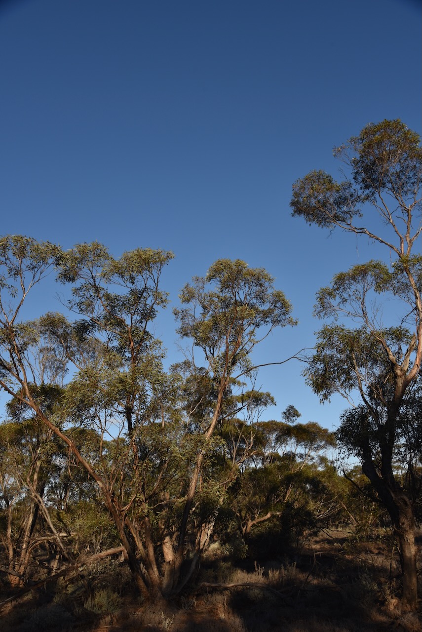
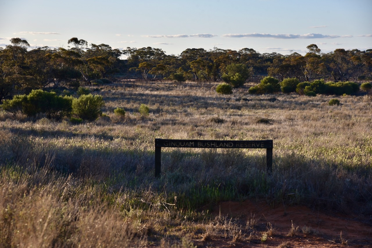
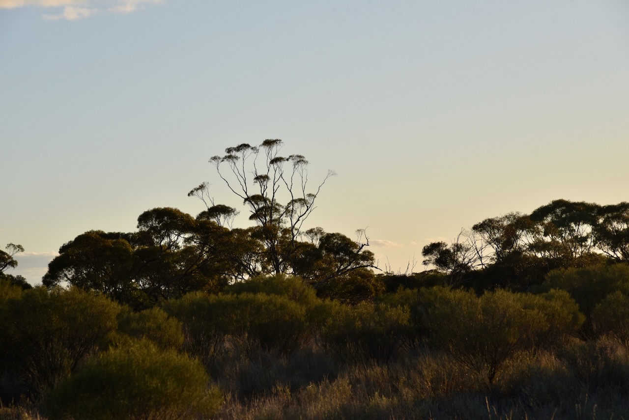
My next activation for Sunday 18th August 2024 was the Ginquam I4 Bushland Reserve VKFF-4128. This was the first time that I had activated this park and only the second time that the park had been activated for the World Wide Flora Fauna (WWFF) program.

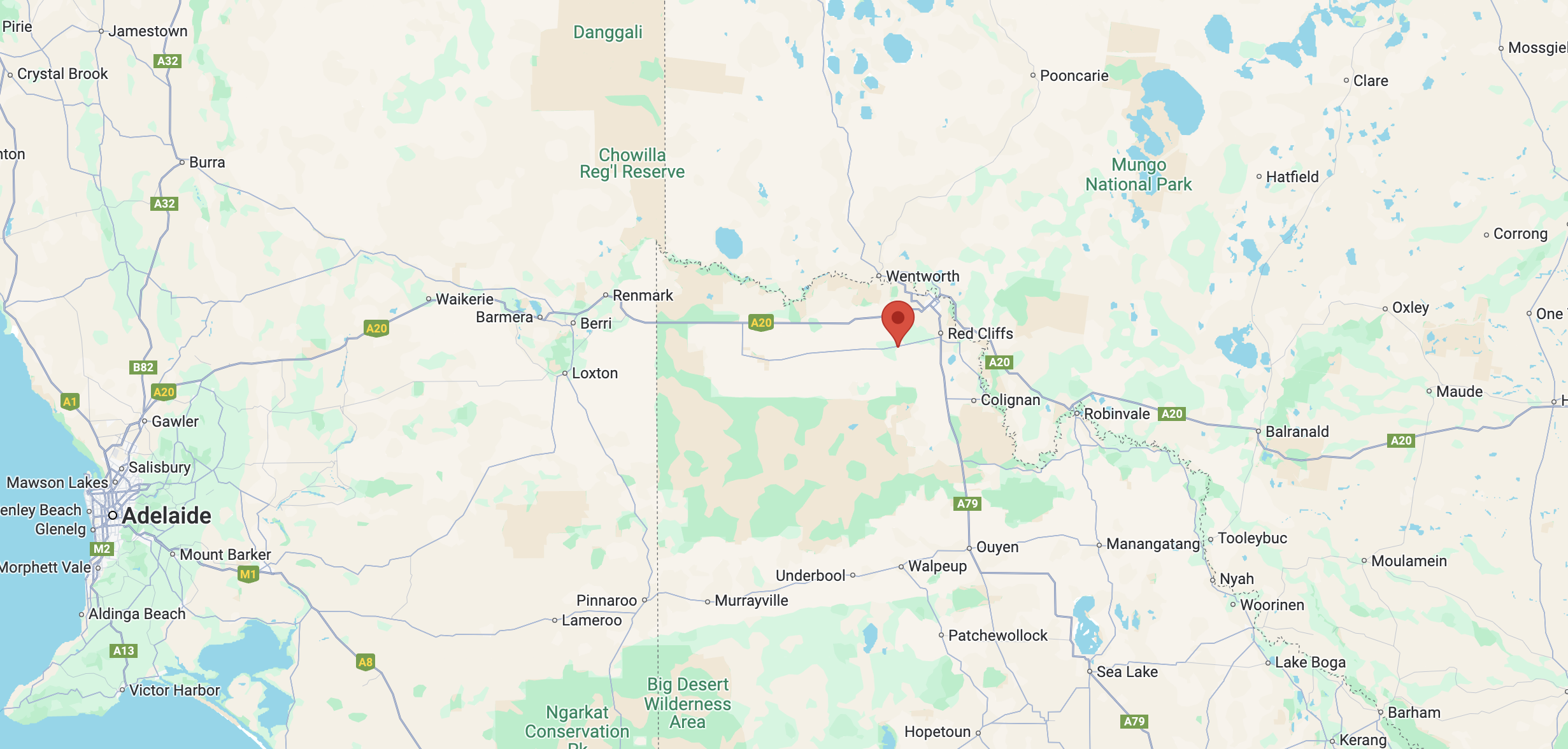
The reserve is located about 35 km (by road) south of Mildura in northwestern Victoria.

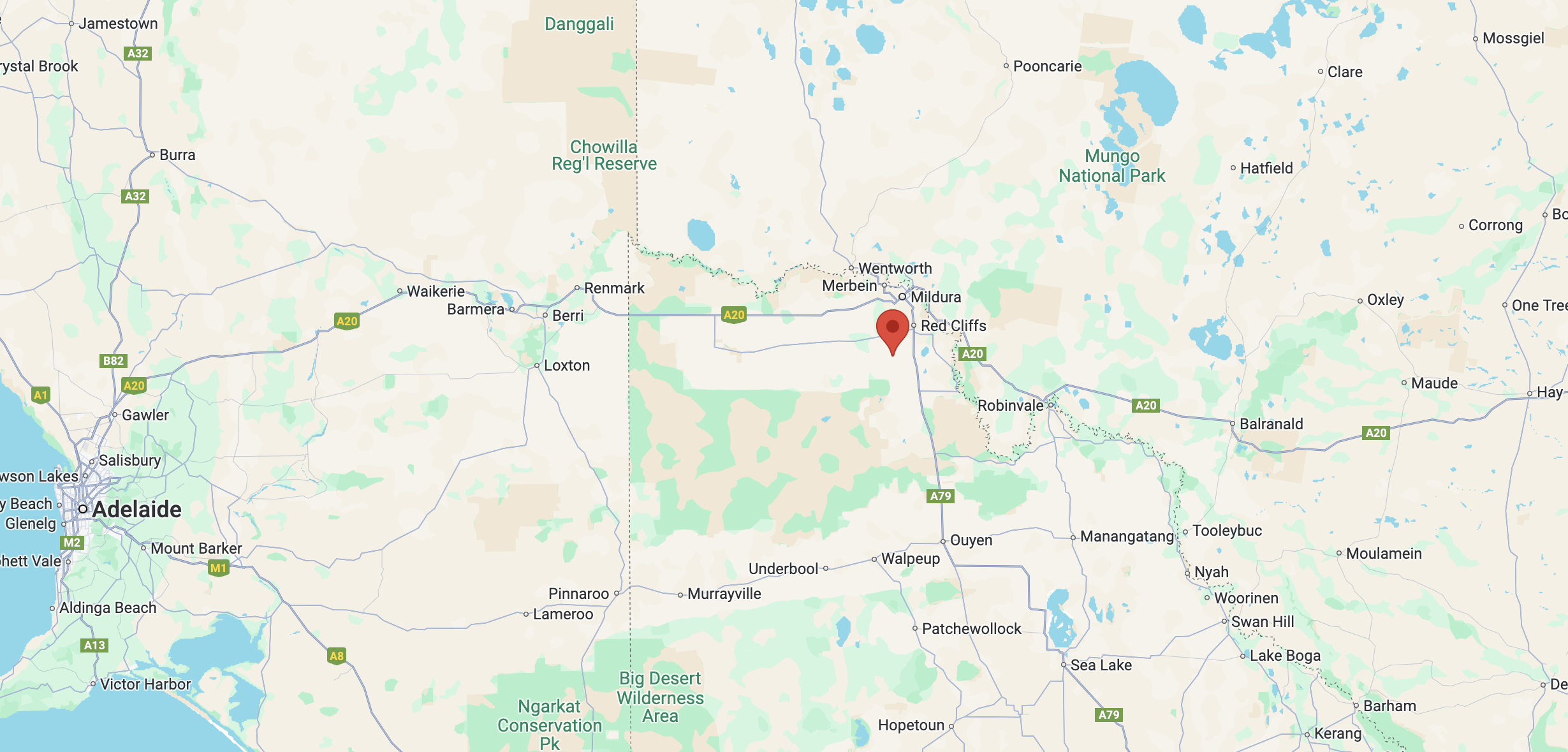
Above:- Map showing the location of the Ginquam I4 Bushland Reserve. Map c/o Google Maps.

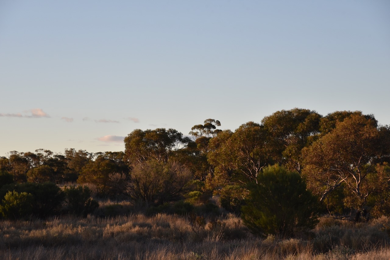
The reserve is located on the northern side of NW Angle Road, west of Austin Road.

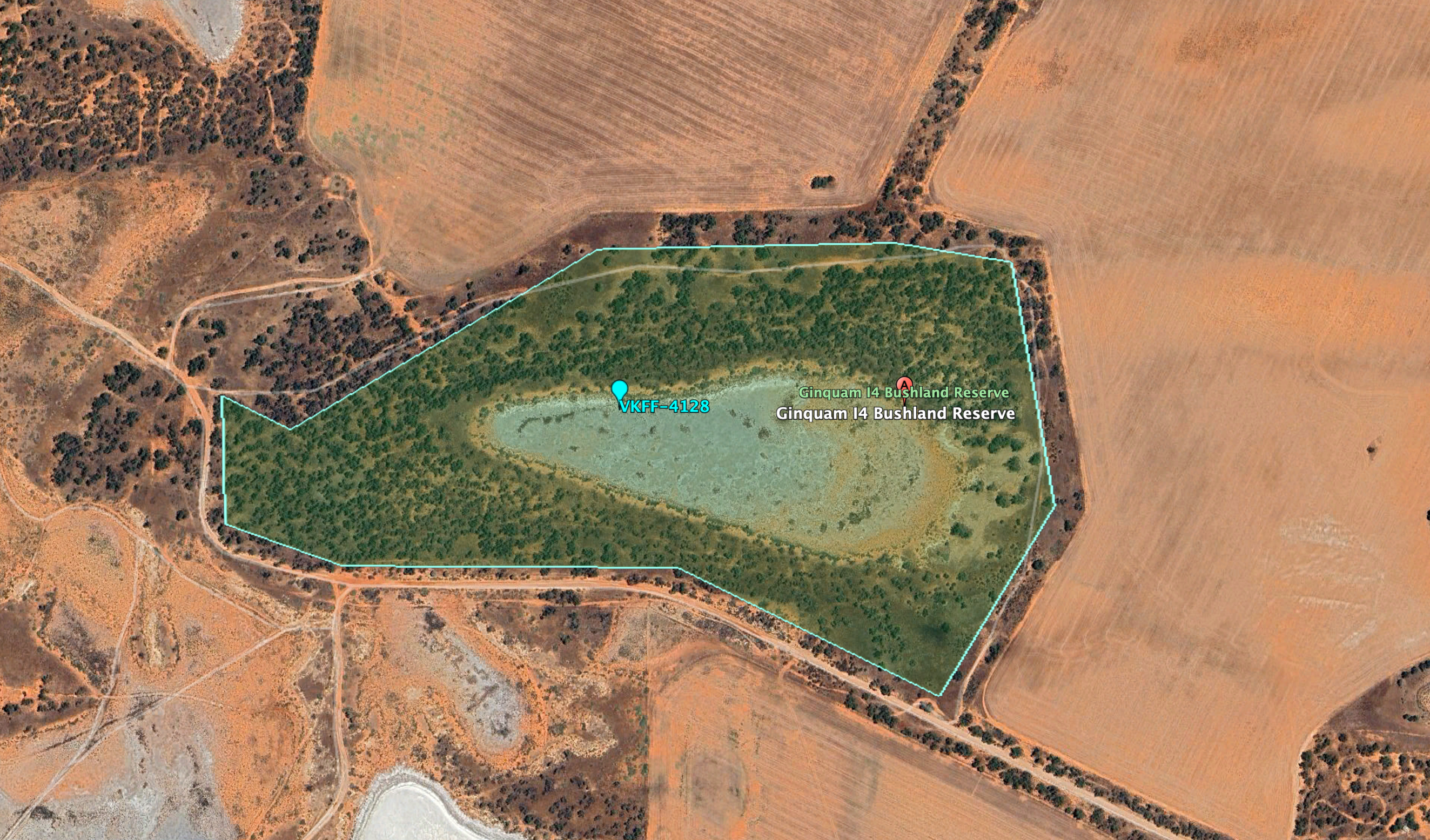
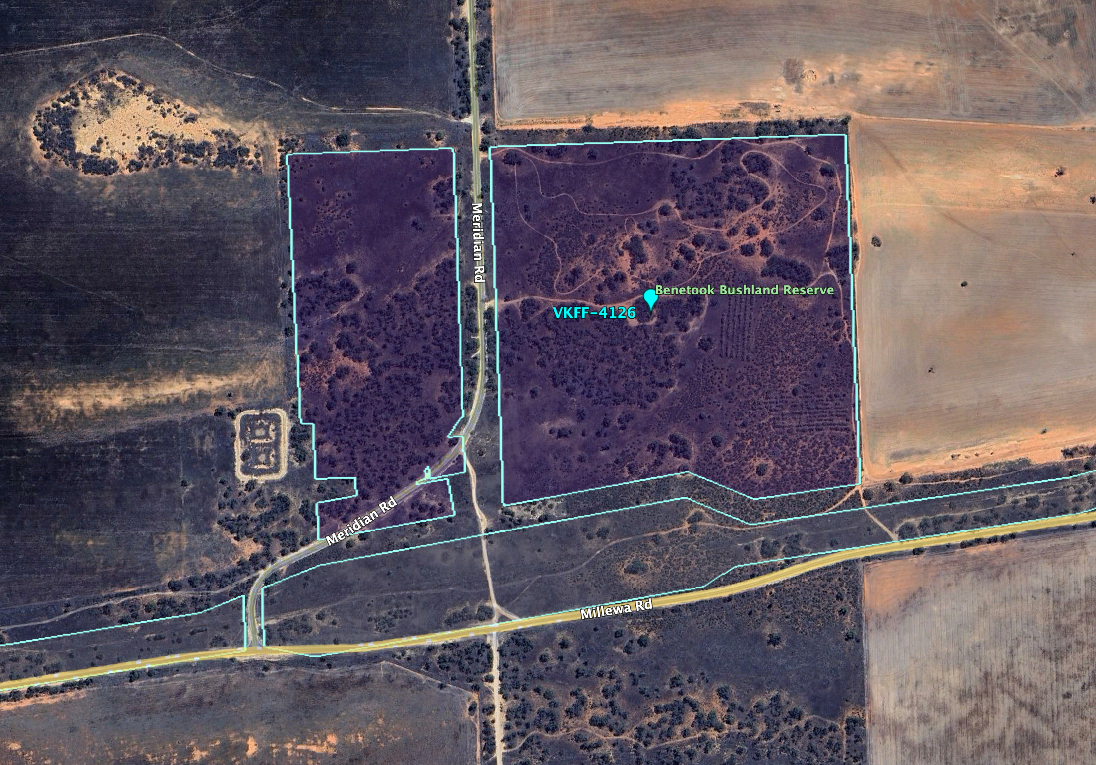
Above:- An aerial view of the Ginquam I4 Bushland Reserve. Image c/o Google Earth.

Ginquam is derived from the aboriginal word gam gam meaning horse. The reserve is about 40 hectares in size and was established on the 1st day of May 1979. (CAPAD 2022) (Place Names)

I ran the Yaesu FT857, 40 watts, and the 20/40/80m linked dipole for this activation.

I worked the following stations on 40m SSB:-

  1. VK5LA
  2. VK5KAW
  3. VK3VIN
  4. VK3HJW
  5. VK3KGW
  6. VK3CA
  7. VK3SPG
  8. VK5PL
  9. VK2EXA
  10. VK3EJ
  11. VK2USH/p (Lake Broadwater Conservation Park VKFF-1577)
  12. VK2IO
  13. VK2GEZ
  14. VK7DW
  15. VK7ADW
  16. VK3ACZ
  17. VK4SMA
  18. VK4HNS
  19. VK3AMO
  20. VK5FANA
  21. VK1DI
  22. VK7PJM
  23. L3MR
  24. VK1MA
  25. VK4MPB
  26. VK3RU
  27. VK2VE
  28. VK3SKS
  29. VK4EMP
  30. VK4TI
  31. VK4GKO
  32. VK5AAF
  33. VK3CEO
  34. VK2MFW
  35. VK2DWD
  36. VK4KBA
  37. VK2HMV
  38. VK5AYL
  39. VK3APJ
  40. VK4PDX
  41. VK4IKZ
  42. VK3ZK
  43. VK3CWF
  44. VK4DTS
  45. VK2XXM
  46. VK3VPM
  47. VK5VGC
  48. VK6LK

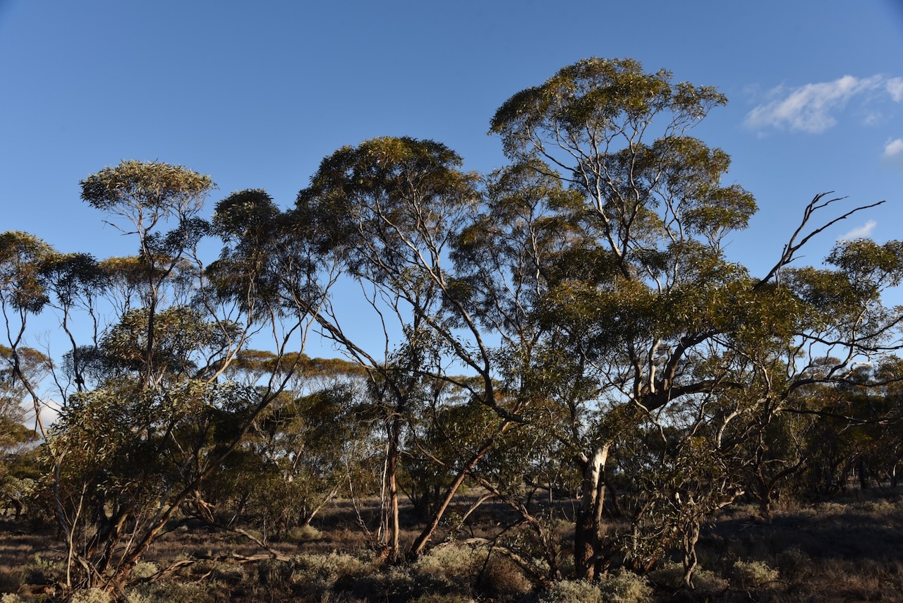
As I packed up I enjoyed a magnificent sunset.

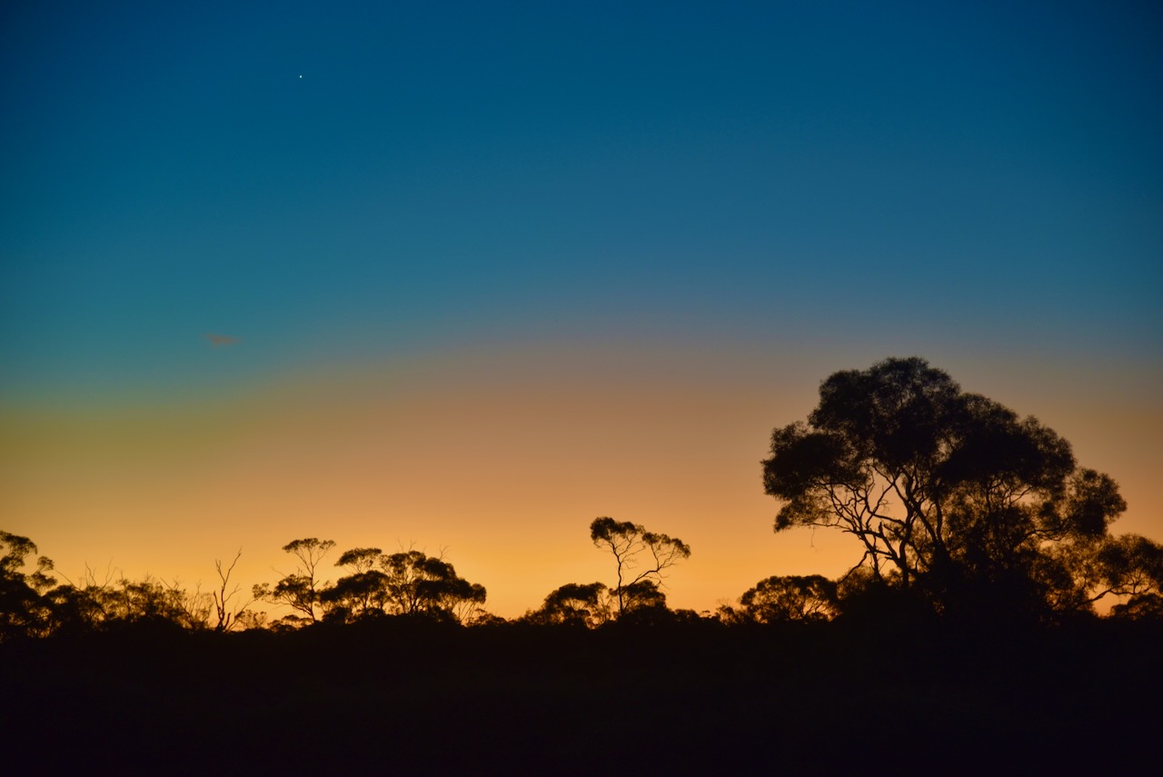
I headed into Red Cliffs after this activation for a bite to eat. I enjoyed a magnificent steak sandwich from one of the take away stores.

References.

  1. Dcceew.gov.au. (2023). Collaborative Australian Protected Areas Database (CAPAD) 2022 – DCCEEW. [online] Available at: https://www.dcceew.gov.au/environment/land/nrs/science/capad/2022 [Accessed 8 Oct. 2024].‌
  2. Leslie James Blake, 1978, Place Names of Victoria.

Benetook Flora Reserve VKFF-4126

After booking into my accommodation at Lake Cullulleraine on 18th August 2024, I headed out to activate the Benetook Flora Reserve VKFF-4126. This was the first time that I had activated this park for the World Wide Flora Fauna (WWFF) program.

The reserve is located about 29 km (by road) southwest of Mildura in northwestern Victoria.

Above:- Map showing the location of Benetook Flora Reserve. Map c/o Google Maps.

The Benetook Flora Reserve, also known as the Benetook Bushland Reserve is located on the northern side of Millewa Road and is divided by Meridian Road.

Above:- An aerial view of the Benetook Flora Reserve. Image c/o Google Earth.

The Benetook Post Office opened c. 1925. In 1929 the building was destroyed by fire. The office was closed in 1946. Benetook was located on the Morkala railway line. In 1924 the station opened with the first section of line. It had facilities for passengers, goods, and grain. It closed in 1970. At one stage Benetook had its own Australian Rules football team. (Wikipedia)

Above:- Article from the Sunraysia Daily, Mildura, Tue 21 Aug 1928. Image c/o Trove.

The Benetook Flora Reserve is about 48 hectares in size and was established on the 8th day of May 1990. Benetook is derived from the aboriginal word barnetuk meaning ankle. (CAPAD 2022) (Place Names 1978).

I ran the Yaesu FT857, 40 watts, and the 20/40/80m linked dipole for this activation.

This was a great activation, with a total of 97 contacts logged.

I worked the following stations on 40m SSB:-

  1. VK2IO
  2. VK2GEZ
  3. VK5QA/4
  4. VK3CLD/4
  5. OH1MM
  6. VK4SMA
  7. OH1XT
  8. VK6JK
  9. LZ3TY
  10. VK2XXM
  11. EC4AT
  12. OH1CM
  13. SQ9CWO
  14. VK4HNS
  15. F1BLL
  16. EA3MP
  17. DL2ND
  18. F6PYI
  19. IZ2LVY
  20. VK2VW
  21. VK2HFI
  22. VK2AKA
  23. VK2BUG
  24. DK4RM
  25. VK1RF
  26. VK2MK
  27. VK4CEE
  28. DH1BAS
  29. VK7HCK
  30. SP7MW
  31. VK1AO/p (Fogg Dam Conservation Reserve VKFF-1237)
  32. VK2MET/p (Fogg Dam Conservation Reserve VKFF-1237)
  33. VK8DNT/p (Fogg Dam Conservation Reserve VKFF-1237)
  34. F4ISZ
  35. 9A2CD
  36. SP6BYC
  37. LY4L
  38. VK3APJ
  39. DH4PSG
  40. SQ2LKY
  41. S58AL
  42. VK8NSB
  43. DK9HN
  44. ON3VPA
  45. VK2BNG
  46. OP7M
  47. PD5S
  48. ON4VT
  49. F4HZR
  50. VK2EIR/m
  51. K5RX
  52. LZ1DM
  53. VK6ADF/p (Leeuwin-Naturaliste National Park VKFF-0283)

I worked the following stations on 40m SSB:-

  1. VK3HJW
  2. VK3UAO
  3. VK5PE/m
  4. VK3APJ
  5. VK7DW
  6. VK1DI
  7. VK3CJN
  8. VK3QHU
  9. VK2BAI
  10. VK3CEO
  11. VK1MA
  12. VK5PL
  13. VK3NRB
  14. VK2MOE
  15. VK1MO
  16. VK4SMA
  17. VK2HAK
  18. VK2IO
  19. VK2GEZ
  20. VK3LF
  21. VK5PCM
  22. VK3PF/p (SOTA VK3/ VU-014)
  23. VK3EJ
  24. VK2TM
  25. VK3NL
  26. Vk2NCS/p (Lighthouse AU-0033)
  27. VK5FB
  28. VK2PBC
  29. VK5BRU/p (Onkaparinga River National Park VKFF-0402)
  30. VK4FDJL
  31. VK4WAB
  32. VK3MGM
  33. VK7PJM
  34. VK2USH/p (Lake Broadwater Conservation Park VKFF-1577)
  35. VK3VIN
  36. VK3HBG
  37. VK5LKJ
  38. VK2MFW
  39. VK3ZK
  40. VK3AMOP
  41. VK3ERW
  42. VK4MQ
  43. VK2EXA
  44. VK3KGW

References.

  1. Dcceew.gov.au. (2023). Collaborative Australian Protected Areas Database (CAPAD) 2022 – DCCEEW. [online] Available at: https://www.dcceew.gov.au/environment/land/nrs/science/capad/2022 [Accessed 8 Oct. 2024].‌
  2. Leslie James Blake, 1978, Place Names of Victoria.
  3. Wikipedia Contributors (2021). Benetook, Victoria. [online] Wikipedia. Available at: https://en.wikipedia.org/wiki/Benetook [Accessed 8 Oct. 2024].‌