
After booking into my accommodation at Lake Cullulleraine on 18th August 2024, I headed out to activate the Benetook Flora Reserve VKFF-4126. This was the first time that I had activated this park for the World Wide Flora Fauna (WWFF) program.
The reserve is located about 29 km (by road) southwest of Mildura in northwestern Victoria.
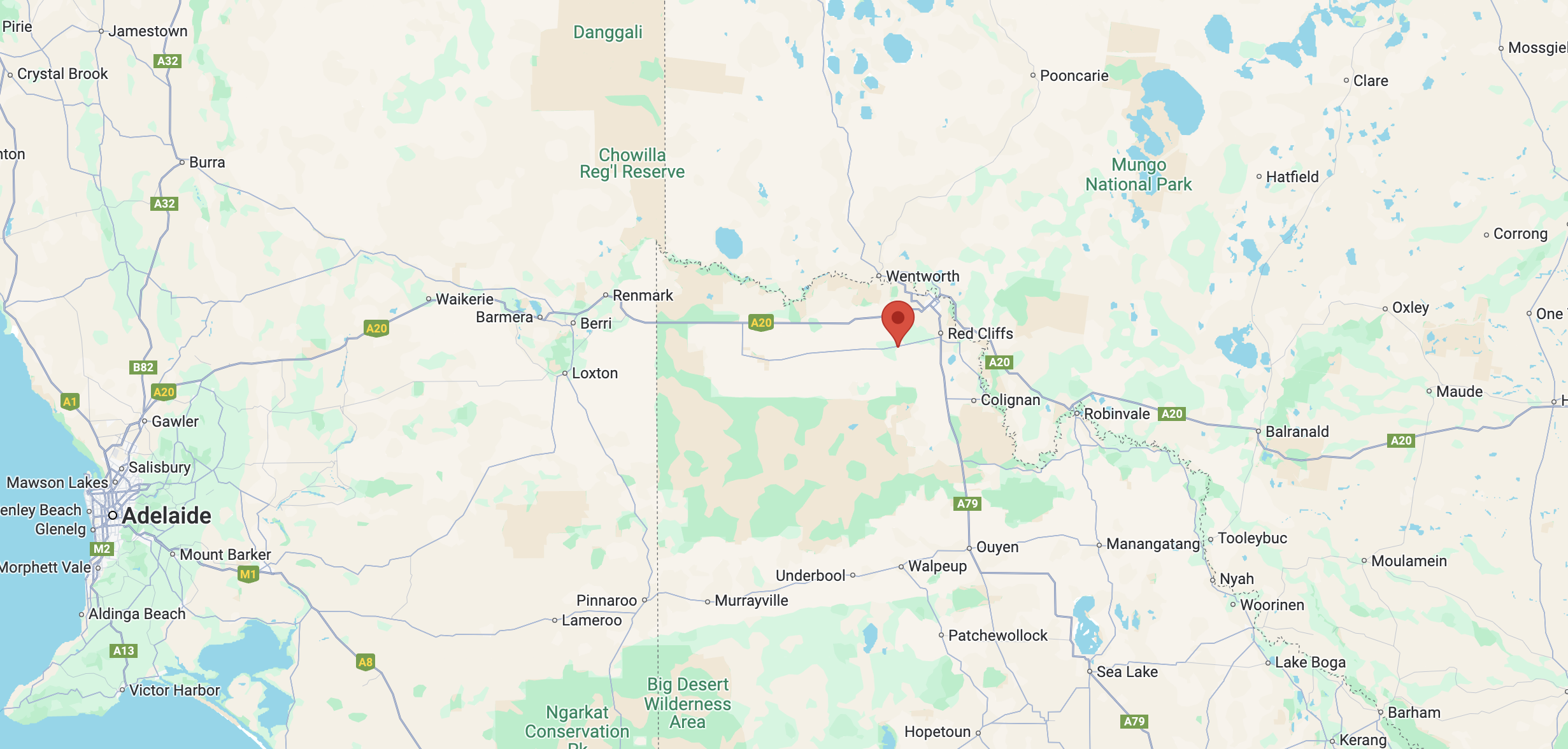
Above:- Map showing the location of Benetook Flora Reserve. Map c/o Google Maps.
The Benetook Flora Reserve, also known as the Benetook Bushland Reserve is located on the northern side of Millewa Road and is divided by Meridian Road.
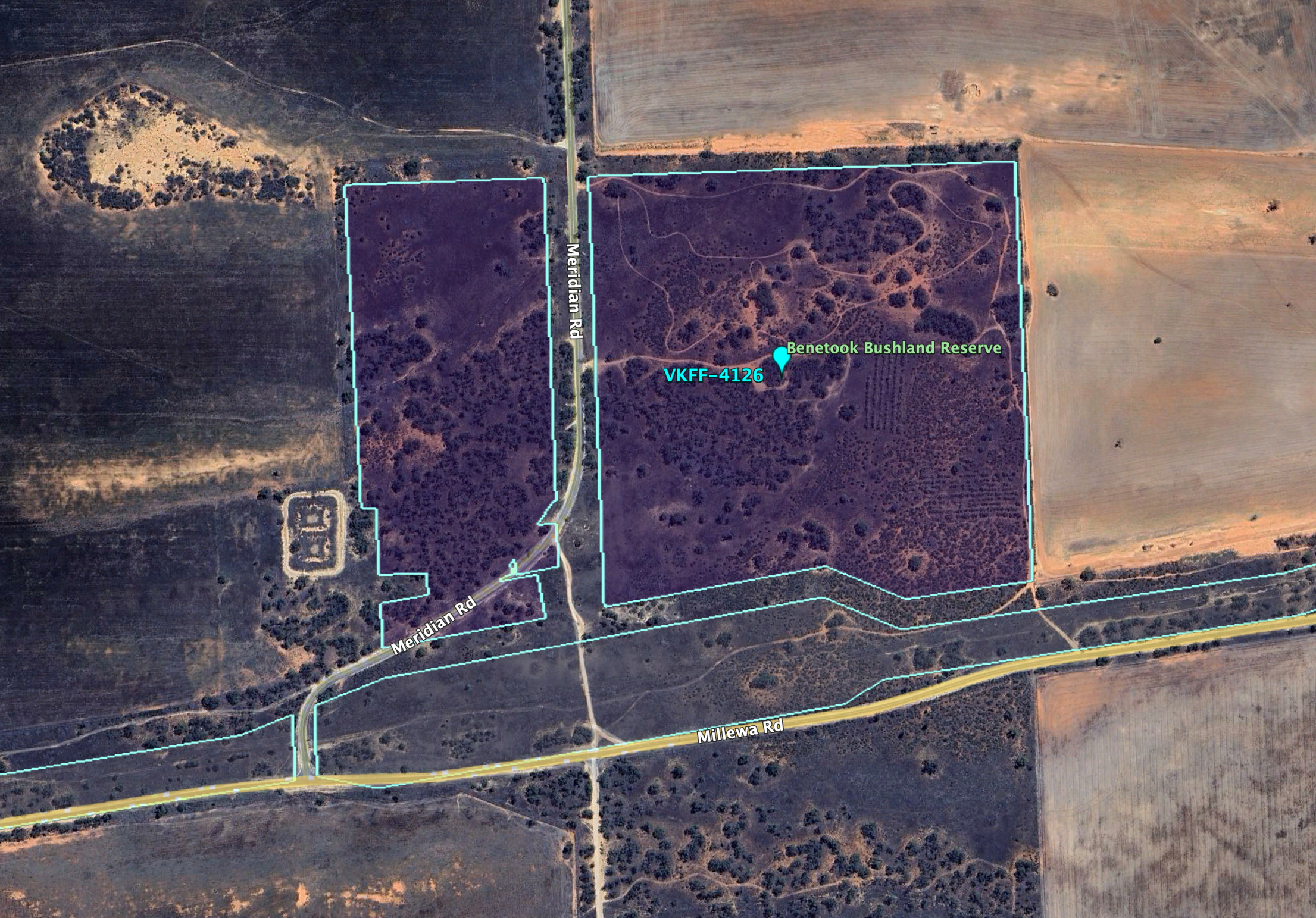
Above:- An aerial view of the Benetook Flora Reserve. Image c/o Google Earth.
The Benetook Post Office opened c. 1925. In 1929 the building was destroyed by fire. The office was closed in 1946. Benetook was located on the Morkala railway line. In 1924 the station opened with the first section of line. It had facilities for passengers, goods, and grain. It closed in 1970. At one stage Benetook had its own Australian Rules football team. (Wikipedia)
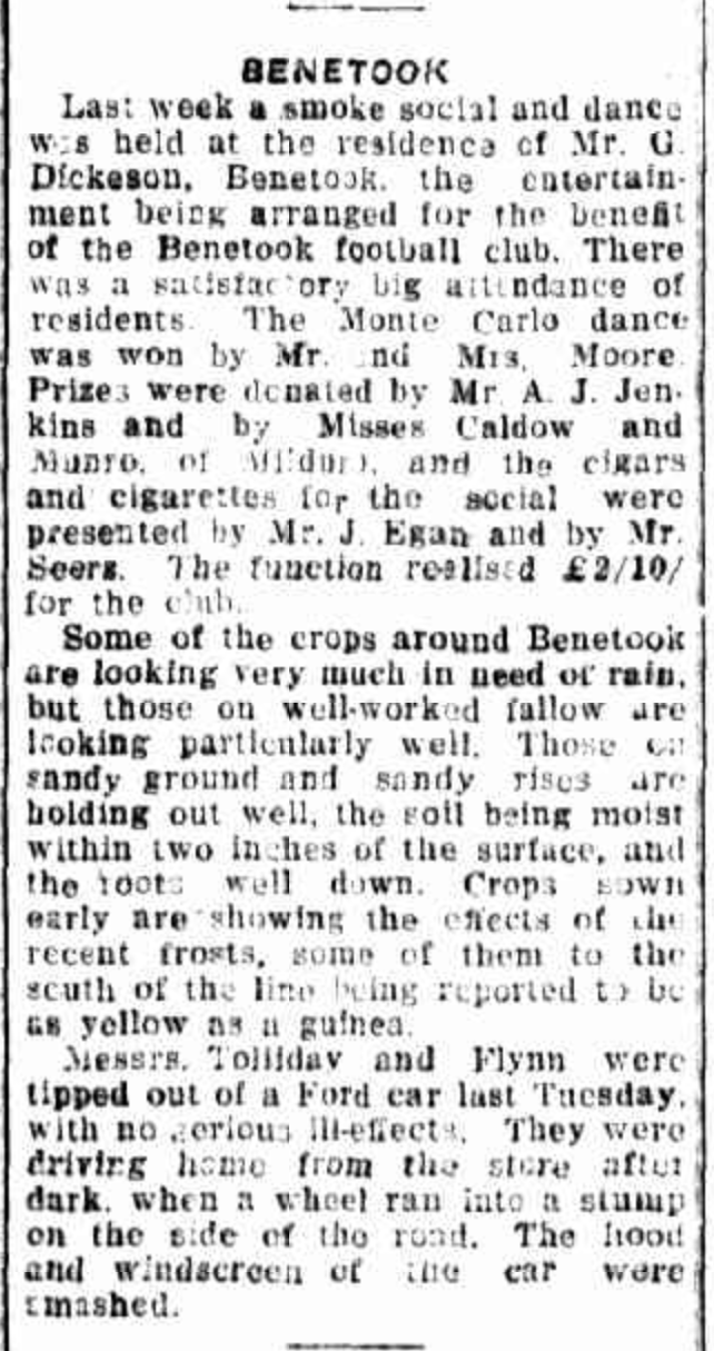
Above:- Article from the Sunraysia Daily, Mildura, Tue 21 Aug 1928. Image c/o Trove.
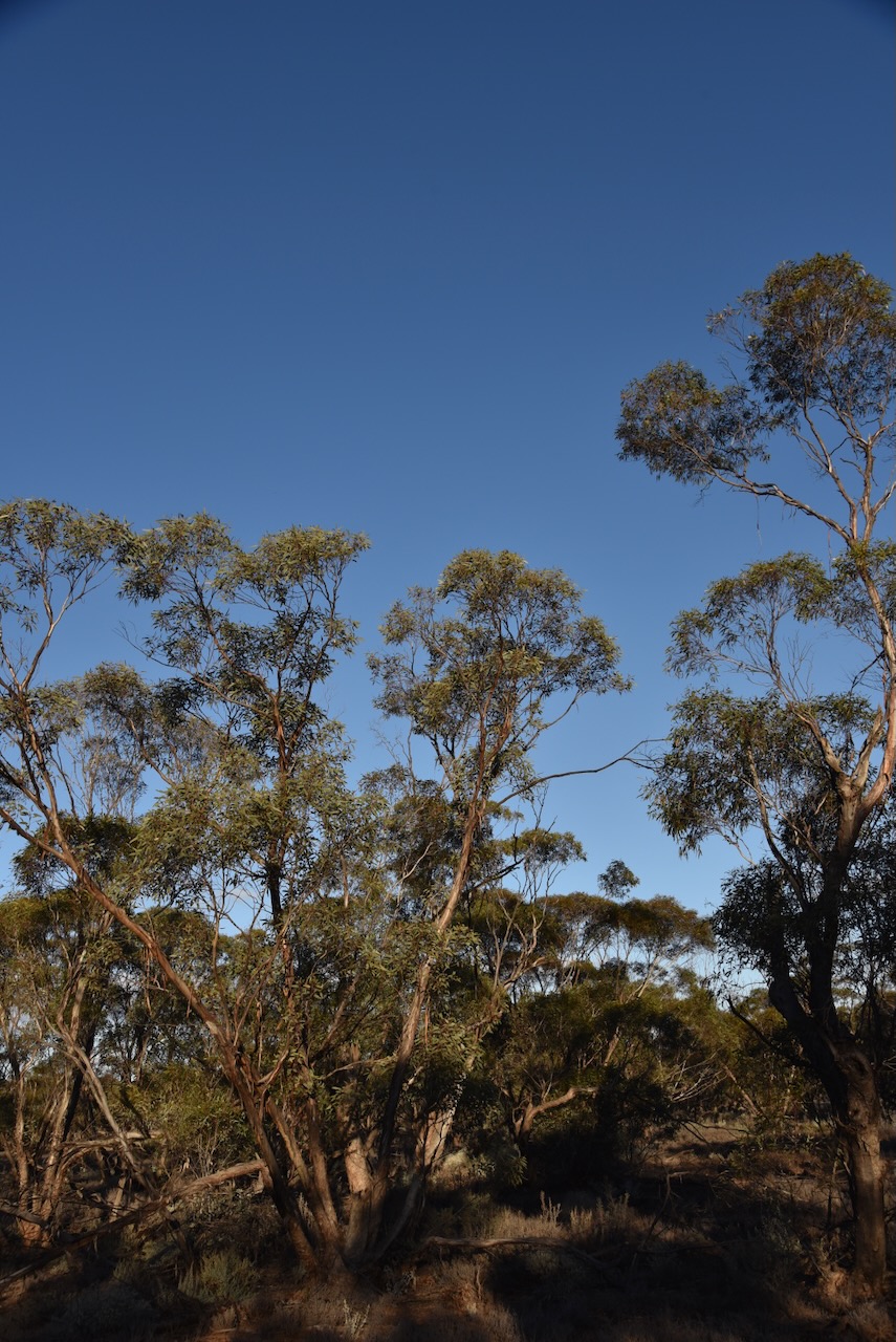
The Benetook Flora Reserve is about 48 hectares in size and was established on the 8th day of May 1990. Benetook is derived from the aboriginal word barnetuk meaning ankle. (CAPAD 2022) (Place Names 1978).
I ran the Yaesu FT857, 40 watts, and the 20/40/80m linked dipole for this activation.
This was a great activation, with a total of 97 contacts logged.
I worked the following stations on 40m SSB:-
- VK2IO
- VK2GEZ
- VK5QA/4
- VK3CLD/4
- OH1MM
- VK4SMA
- OH1XT
- VK6JK
- LZ3TY
- VK2XXM
- EC4AT
- OH1CM
- SQ9CWO
- VK4HNS
- F1BLL
- EA3MP
- DL2ND
- F6PYI
- IZ2LVY
- VK2VW
- VK2HFI
- VK2AKA
- VK2BUG
- DK4RM
- VK1RF
- VK2MK
- VK4CEE
- DH1BAS
- VK7HCK
- SP7MW
- VK1AO/p (Fogg Dam Conservation Reserve VKFF-1237)
- VK2MET/p (Fogg Dam Conservation Reserve VKFF-1237)
- VK8DNT/p (Fogg Dam Conservation Reserve VKFF-1237)
- F4ISZ
- 9A2CD
- SP6BYC
- LY4L
- VK3APJ
- DH4PSG
- SQ2LKY
- S58AL
- VK8NSB
- DK9HN
- ON3VPA
- VK2BNG
- OP7M
- PD5S
- ON4VT
- F4HZR
- VK2EIR/m
- K5RX
- LZ1DM
- VK6ADF/p (Leeuwin-Naturaliste National Park VKFF-0283)
I worked the following stations on 40m SSB:-
- VK3HJW
- VK3UAO
- VK5PE/m
- VK3APJ
- VK7DW
- VK1DI
- VK3CJN
- VK3QHU
- VK2BAI
- VK3CEO
- VK1MA
- VK5PL
- VK3NRB
- VK2MOE
- VK1MO
- VK4SMA
- VK2HAK
- VK2IO
- VK2GEZ
- VK3LF
- VK5PCM
- VK3PF/p (SOTA VK3/ VU-014)
- VK3EJ
- VK2TM
- VK3NL
- Vk2NCS/p (Lighthouse AU-0033)
- VK5FB
- VK2PBC
- VK5BRU/p (Onkaparinga River National Park VKFF-0402)
- VK4FDJL
- VK4WAB
- VK3MGM
- VK7PJM
- VK2USH/p (Lake Broadwater Conservation Park VKFF-1577)
- VK3VIN
- VK3HBG
- VK5LKJ
- VK2MFW
- VK3ZK
- VK3AMOP
- VK3ERW
- VK4MQ
- VK2EXA
- VK3KGW
References.
- Dcceew.gov.au. (2023). Collaborative Australian Protected Areas Database (CAPAD) 2022 – DCCEEW. [online] Available at: https://www.dcceew.gov.au/environment/land/nrs/science/capad/2022 [Accessed 8 Oct. 2024].
- Leslie James Blake, 1978, Place Names of Victoria.
- Wikipedia Contributors (2021). Benetook, Victoria. [online] Wikipedia. Available at: https://en.wikipedia.org/wiki/Benetook [Accessed 8 Oct. 2024].
